In 1867, Scottish-born photographer Alexander Gardner packed his equipment and headed to St. Louis with a mission. He had been appointed chief photographer for the Eastern Division of the Union Pacific Railway — the line that would rename itself the Kansas Pacific Railway in March 1869. Gardner was already famous across America for his stark, unflinching photographs of the Civil War. Now he was turning his lens toward the open frontier.
His assignment was to document a survey expedition searching for the best route for the proposed southern branch of the transcontinental railroad. The team’s planned path followed the 35th Parallel, cutting west from St. Louis through Kansas, Colorado, New Mexico, and Arizona before ending in San Francisco. It was a journey of nearly 2,000 miles through some of the most varied terrain in North America.
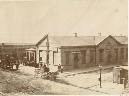
The expedition set off from St. Louis, the natural gateway to the American West. From there, the survey team moved into Kansas, passing through growing towns that were already feeling the energy of westward expansion. Lawrence, just 38 miles west of the Missouri River, was one of the first stops.
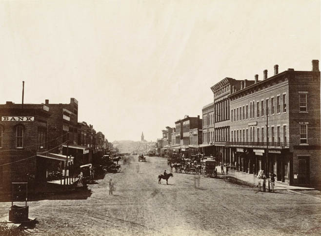
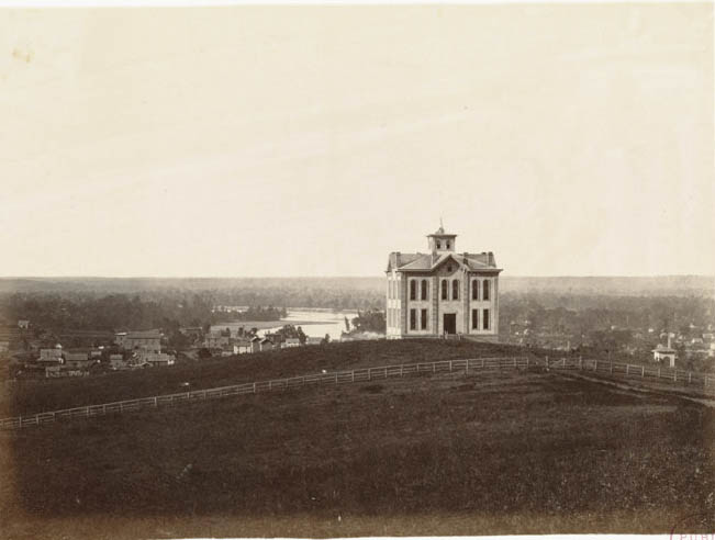
Gardner’s camera captured Lawrence from its streets and from the hills above, showing both the town’s layout and the Kansas River valley spreading out below. Sixty-eight miles into Kansas, the team reached Topeka, the state capital, still a young city in 1867 but already serving as the political center of a state that had only joined the Union six years earlier.
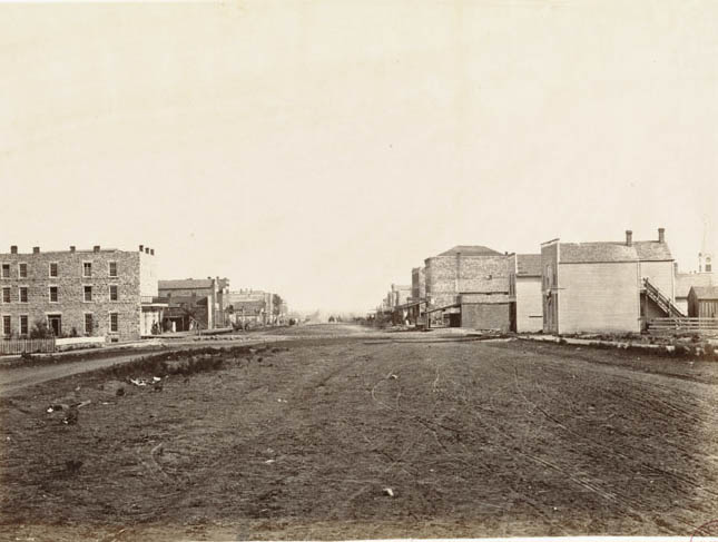
At 90 miles out, the survey passed St. Mary’s Mission, a Jesuit school established for the Potawatomi people. It stood as one of the more established institutions in the region, a sharp contrast to the raw, open plains that lay ahead.
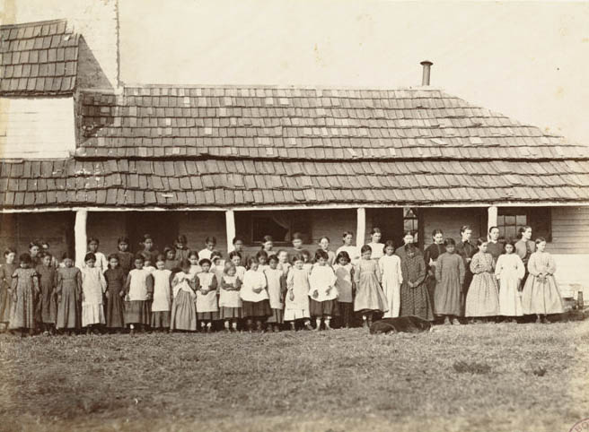
As the team pushed deeper into Kansas, the landscape shifted. Near Fort Riley at 135 miles out, the wooded banks of the Kaw River gave way to rolling grassland. Fort Riley itself was a key military post on the frontier, positioned to protect settlers and survey crews moving west.
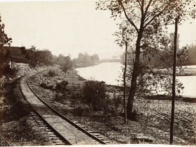
At 162 miles from the Missouri River, the team reached Abilene, Kansas — already established as a major cattle shipping point. Texas longhorns were driven north along the Chisholm Trail and loaded onto railcars here, feeding markets in the East. Gardner photographed the town at a moment when the cattle trade was defining its identity.
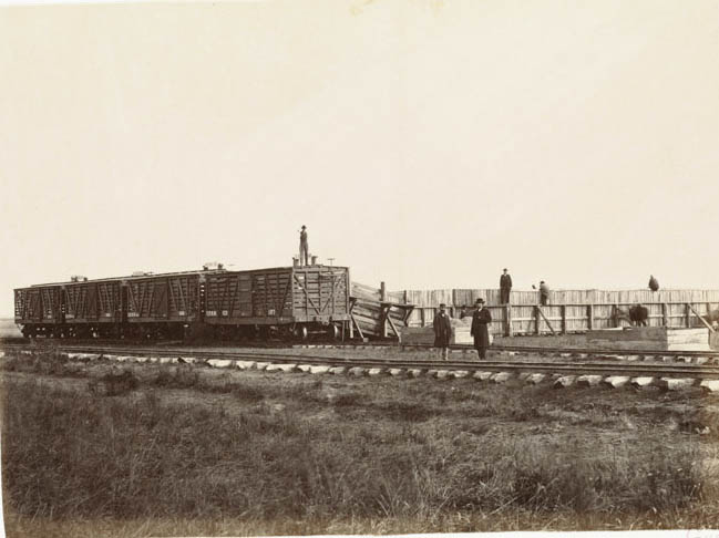
Beyond Abilene, the Kansas plains opened up fully. The land became flat, wide, and largely treeless — a dramatic shift from anything east of the Mississippi. Gardner’s photographs from this stretch document the sheer scale of the prairie.
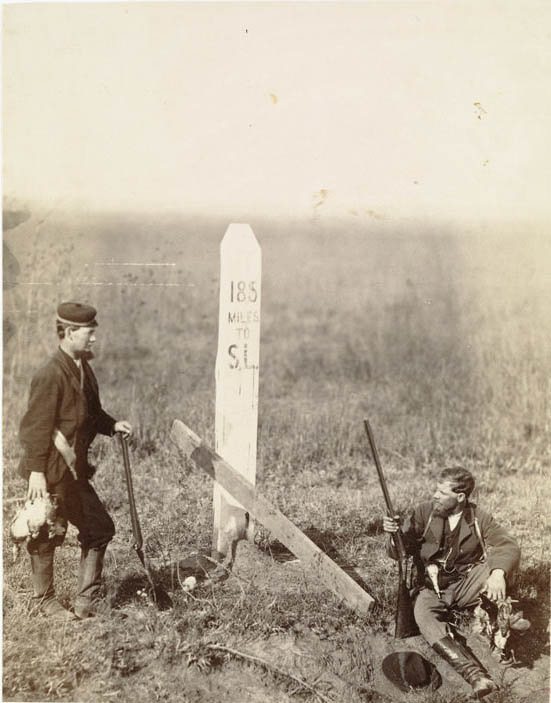
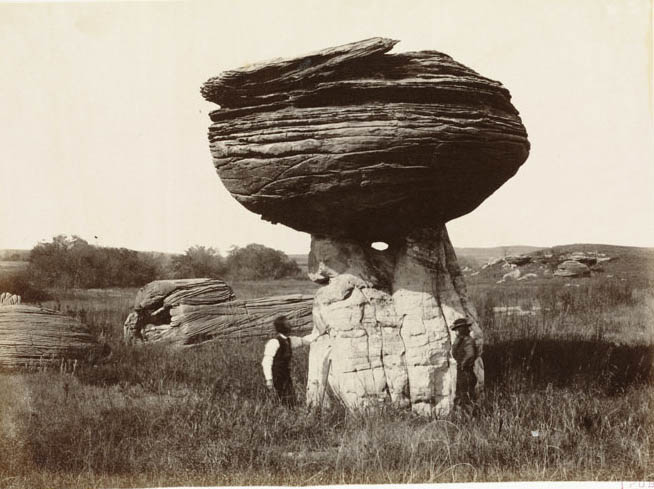
The plains were not entirely featureless. At 211 miles out on Alum Creek, Mushroom Rock rose from the Kansas earth — a striking sandstone formation shaped by centuries of wind and water erosion. Just a few miles further, near Fort Harker, the terrain offered more of the same rugged, sculpted landscape.
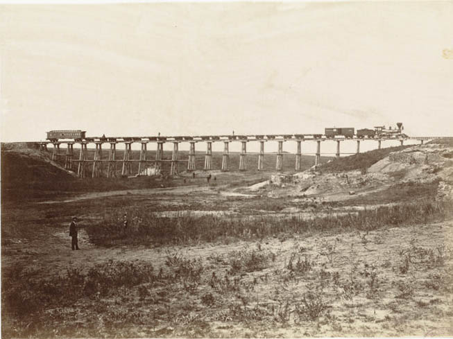
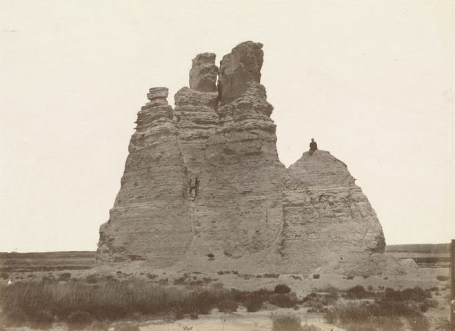
Further west along the Smoky Hill route, Castle Rock dominated the horizon. At 385 miles from the Missouri River, this chalk formation stood like a natural monument in an otherwise flat land. Gardner photographed it as a landmark that survey teams and future travelers would use to gauge their progress across the plains.
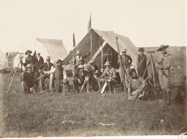
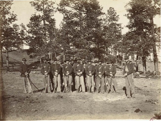
The survey required precise engineering work across every mile of the route. Gardner documented the men responsible for that work — the division of the Engineer Corps tasked with reading and mapping the land, determining grades, and identifying where tracks could realistically be laid.
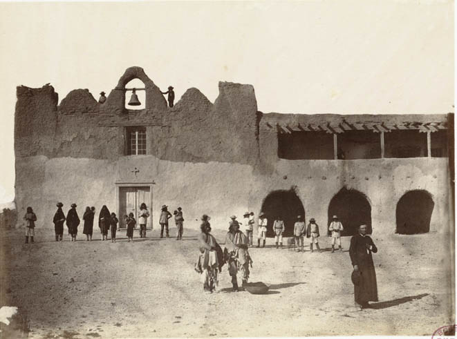
By the time the expedition reached New Mexico, the character of the journey had completely changed. At 871 miles out, near Albuquerque along the Rio Grande, Gardner photographed the church at Isleta — a pueblo community with Spanish colonial roots stretching back to the 17th century. The Southwest carried a different kind of history than the Kansas plains.
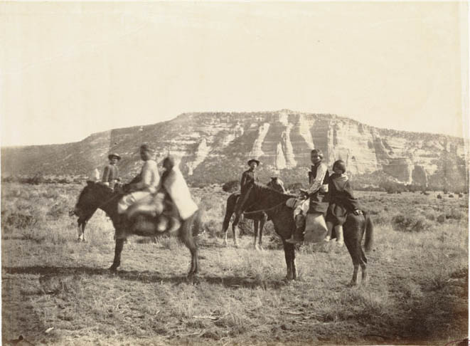
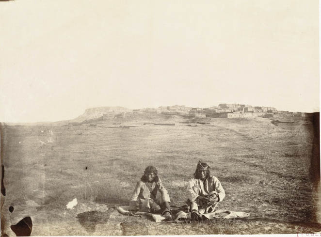
Near the border of New Mexico and Arizona, Gardner photographed Zuni people — members of a pueblo community with a history in the region stretching back long before European contact. These portraits and scenes stand among the most historically significant images in the entire portfolio.
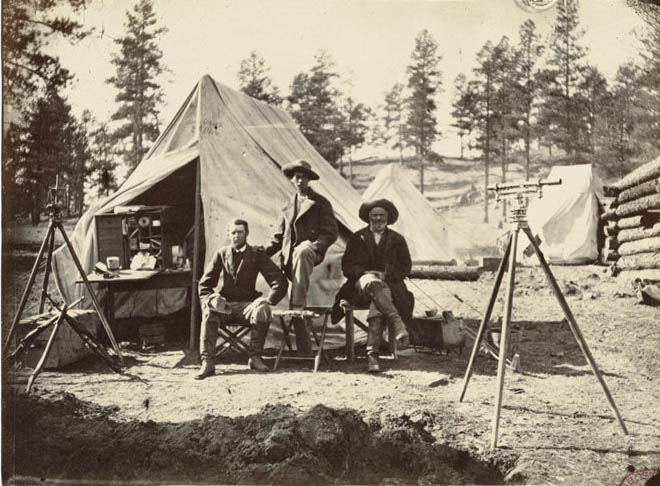
At 975 miles out, the survey team made camp at Zuni Pass in the Sierra Madre mountains of New Mexico. The pass marked one of the most demanding sections of the route, and the engineer camp photographed there shows the logistical effort required to move a full survey team through mountain terrain in November 1867.
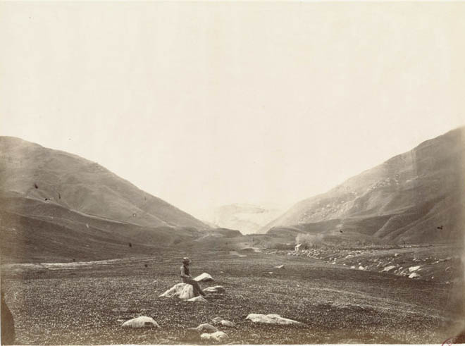
Just five miles beyond the camp, at 980 miles, the team reached the summit of the Sierra Madre at Zuni Pass. This was the continental divide — the watershed of the continent, as Gardner’s original caption noted. Every drop of rain falling on one side drained to the Atlantic; on the other, to the Pacific.
Not far from the pass, the ancient pueblo town of Zuni offered Gardner one of the most visually compelling subjects of the entire expedition. Zuni Pueblo had been continuously inhabited for centuries and was home to thousands of people. Gardner photographed its multi-story adobe structures with the same careful attention he brought to every other subject on the journey.
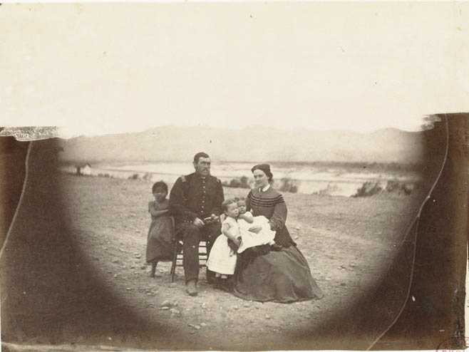
In Arizona, the team reached Fort Mojave along the Colorado River. Gardner’s photograph there, titled ‘The Two Races,’ documents the meeting of U.S. Army soldiers and Native people at the fort — a single frame capturing the complex realities of frontier contact in the American Southwest during the 1860s.
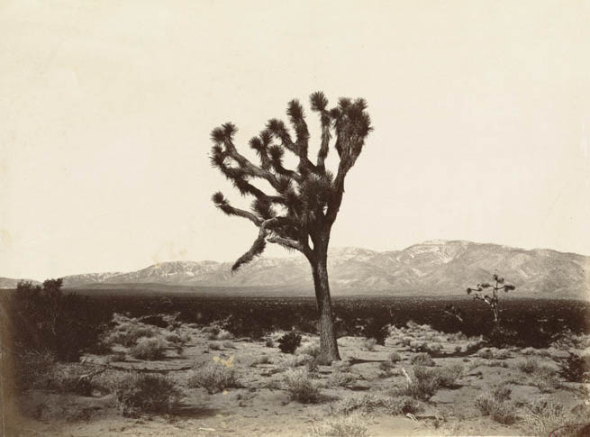
The final stretch into California brought new terrain once again. At 1,670 miles from the Missouri River, yucca trees — called Spanish Bayonet — rose from the floor of the Great Basin in Southern California, with the Sierra Nevada visible on the horizon. The plant and the mountain range together marked the approach to the Pacific Coast.
Twenty miles further, the route passed through Canada de las Uvas — Tejon Pass — cutting through the Sierra Nevada at 1,690 miles. This mountain passage was critical to the entire southern route. The surveyors needed a crossing that could be engineered for rail travel, and Tejon Pass was one of the candidates they evaluated.
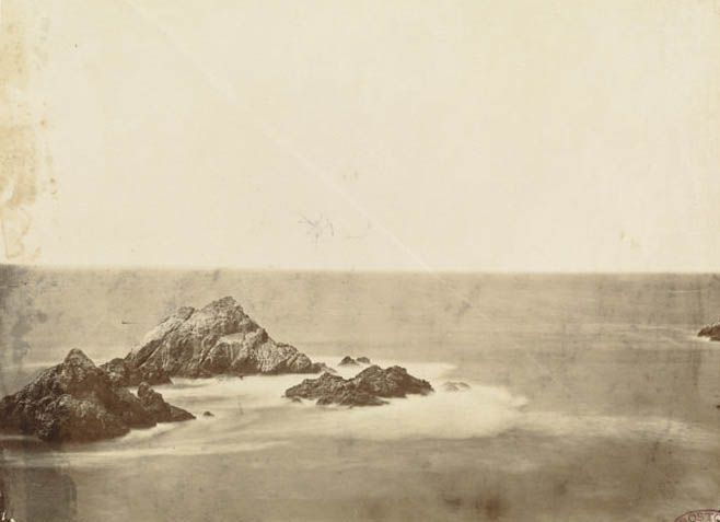
The expedition ended at the Pacific Ocean near San Francisco, 1,955 miles from where it began. Gardner photographed the Seal Rocks just offshore — a fitting final image for a portfolio that had documented nearly every kind of American landscape between the Mississippi and the Pacific. The photographs from the journey, numbering 127 albumen prints, were published around 1869 under the title Across the Continent on the Kansas Pacific Railroad (Route of the 35th Parallel).