

Peoria is located about 160 miles southwest of Chicago along the Illinois River, where it widens to form Peoria Lake. It was named after the Peoria Indians, one of the five tribes of the Illinois confederacy, who had long inhabited the area before Europeans arrived. Peoria was incorporated as a village on March 11, 1835. The city had no mayor, but a village president, Rudolphus Rouse, served from 1835 to 1836. John B Lishk was appointed as the first Chief of Police in 1837. The village president was replaced by William Hale as the first mayor, marking the end of the village presidency.
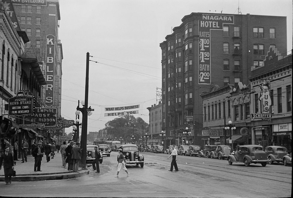
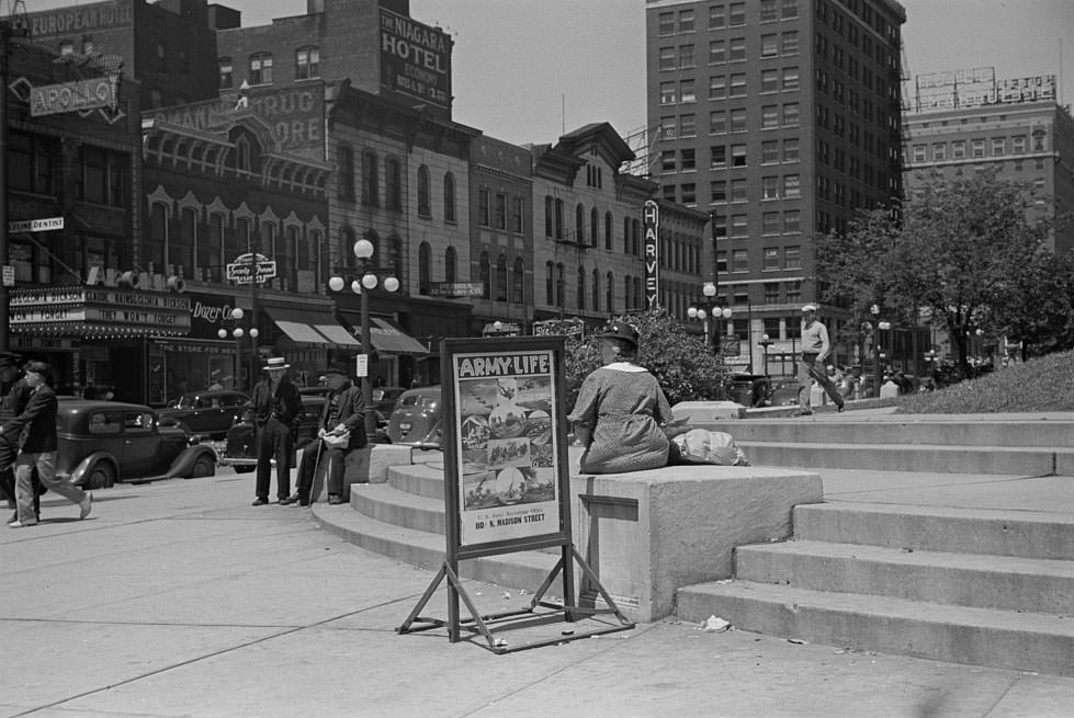
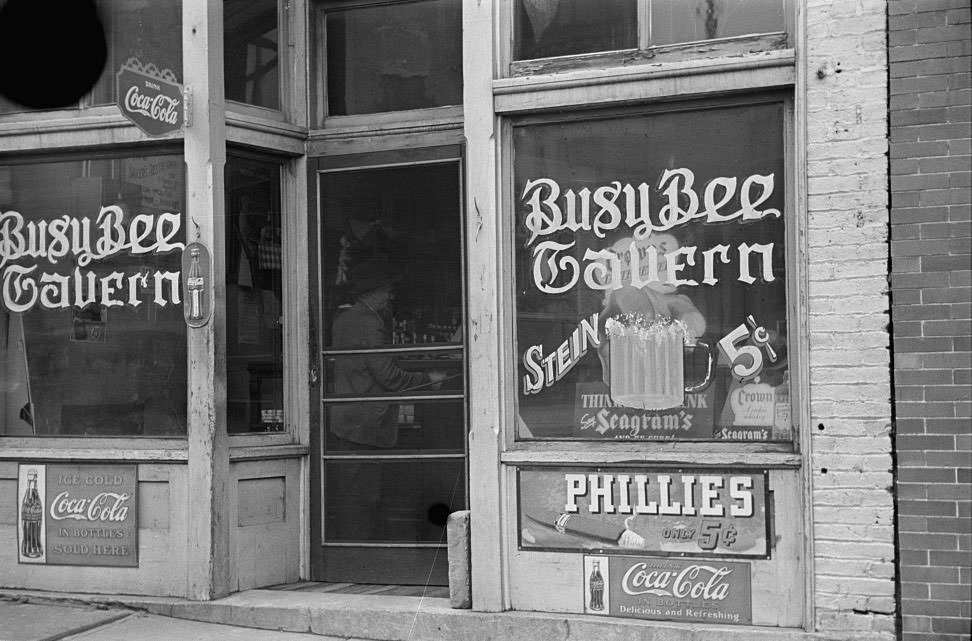
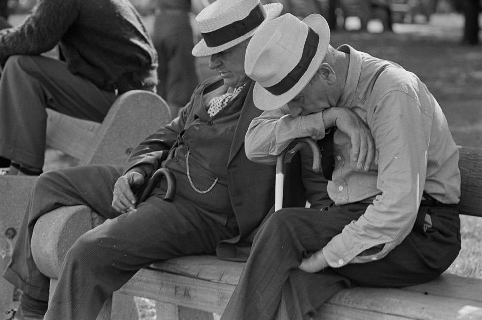
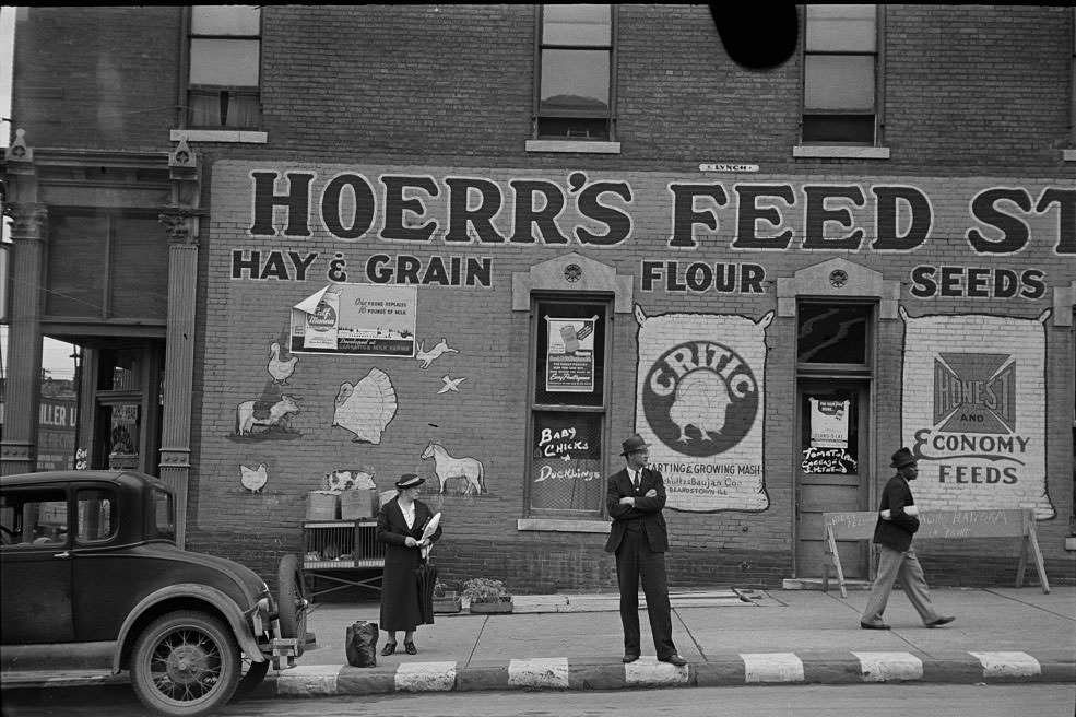
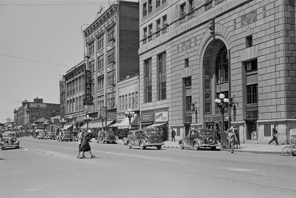
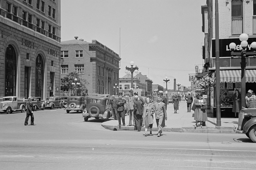
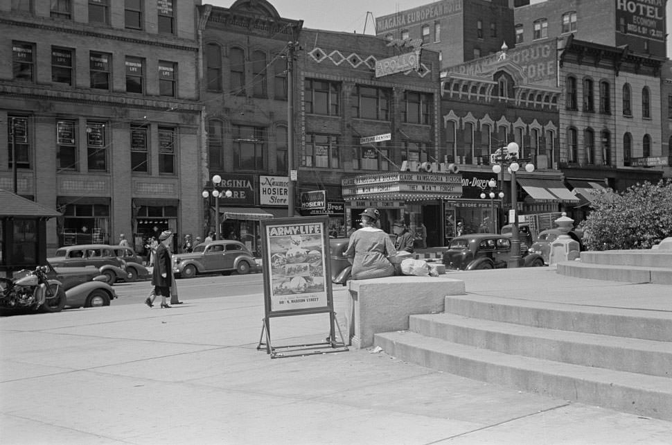
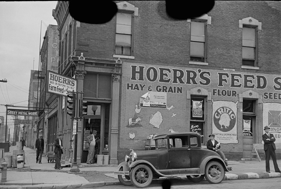
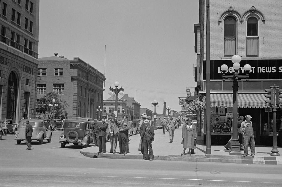
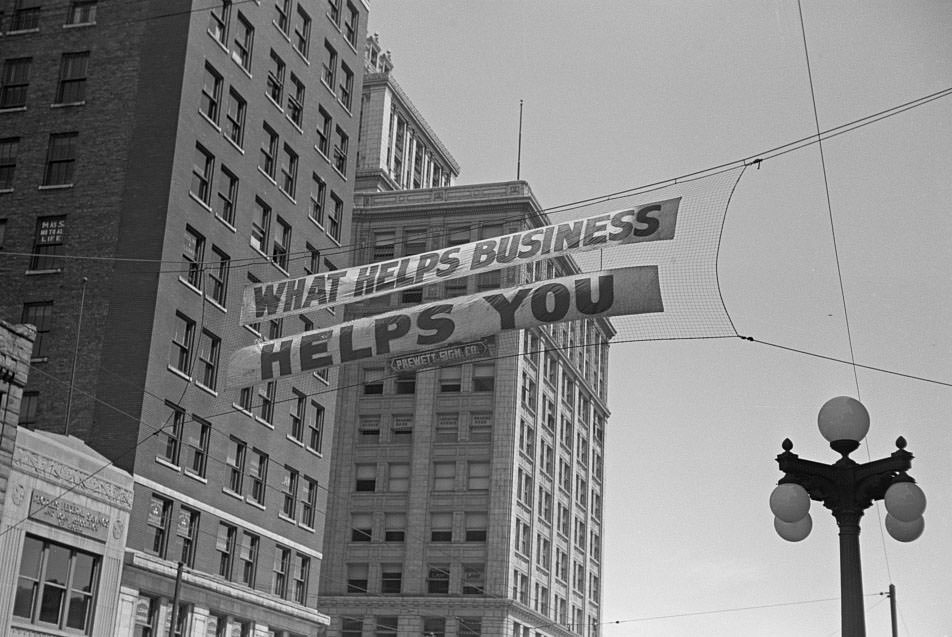
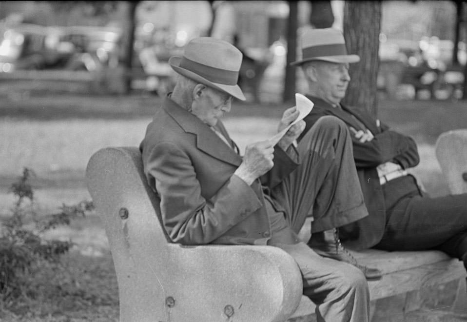
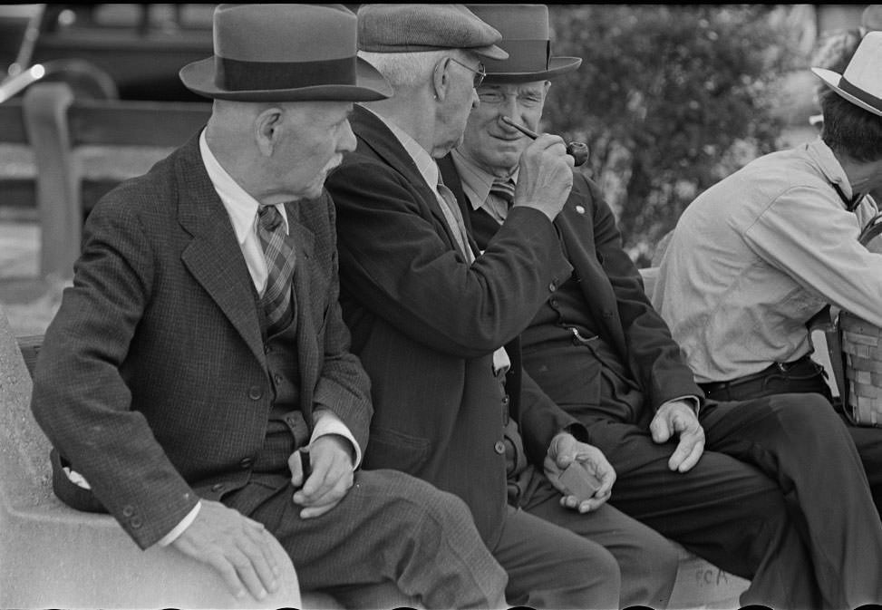
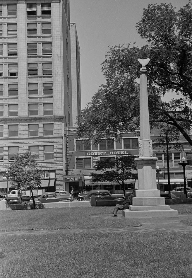
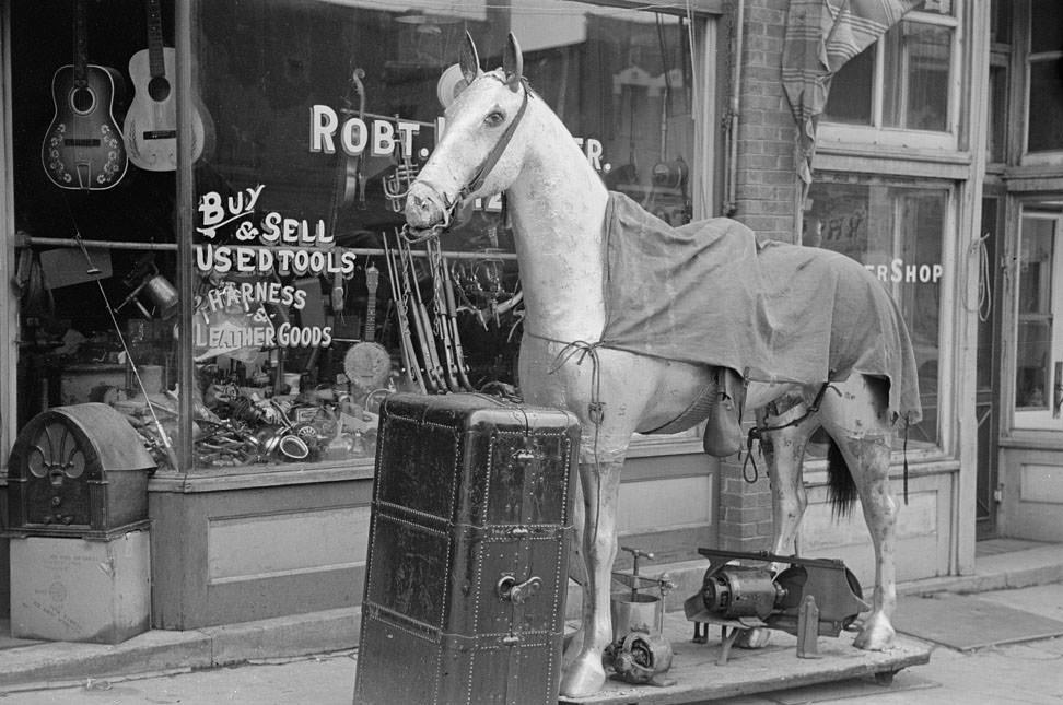
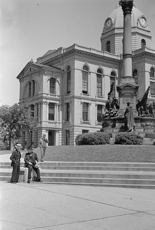
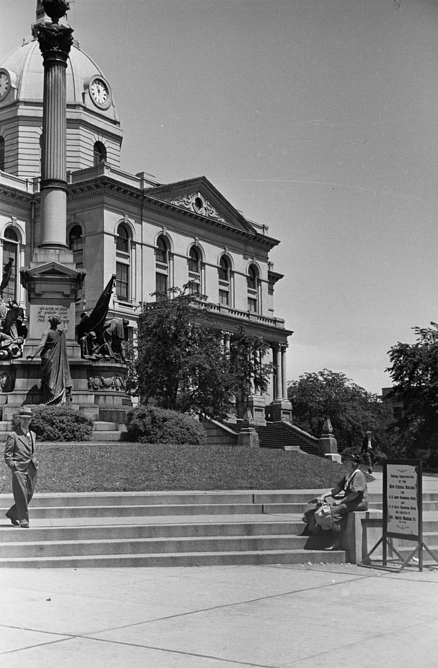
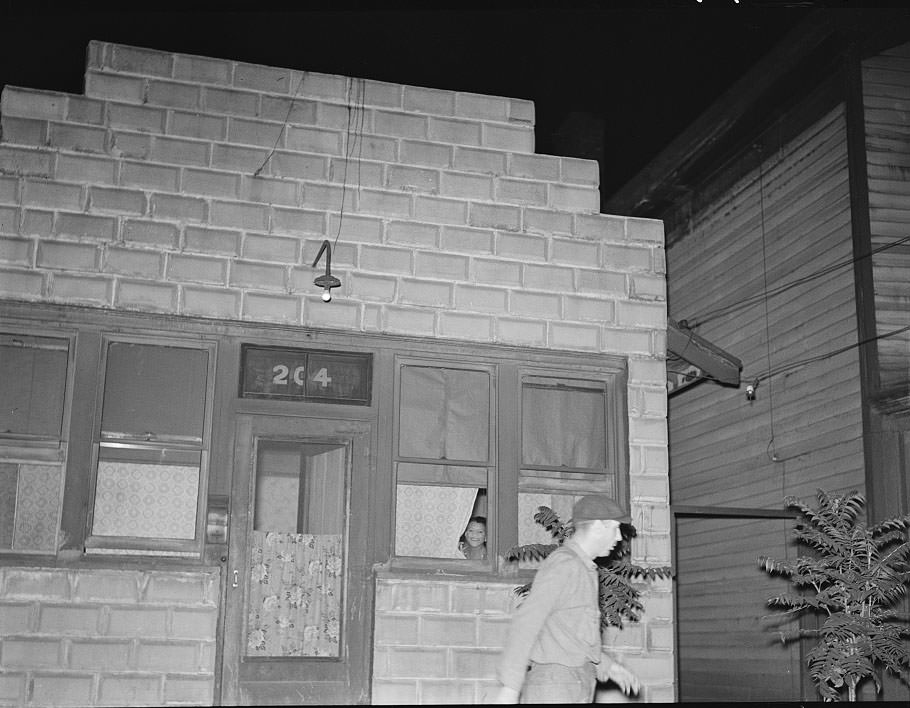
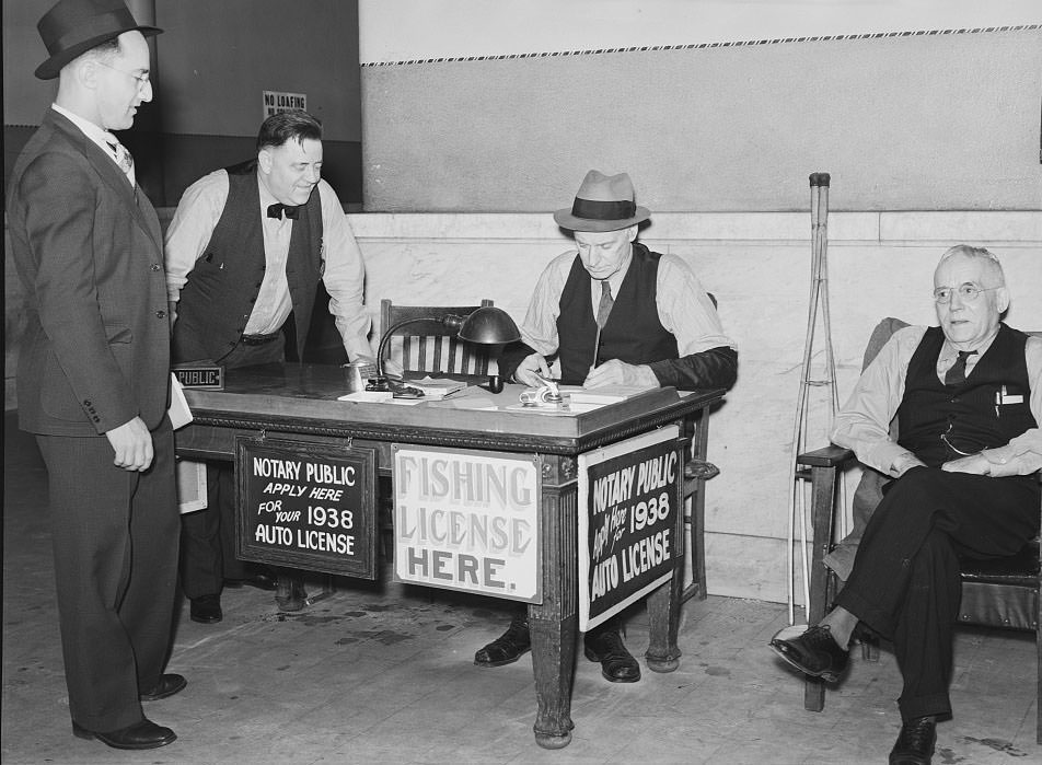
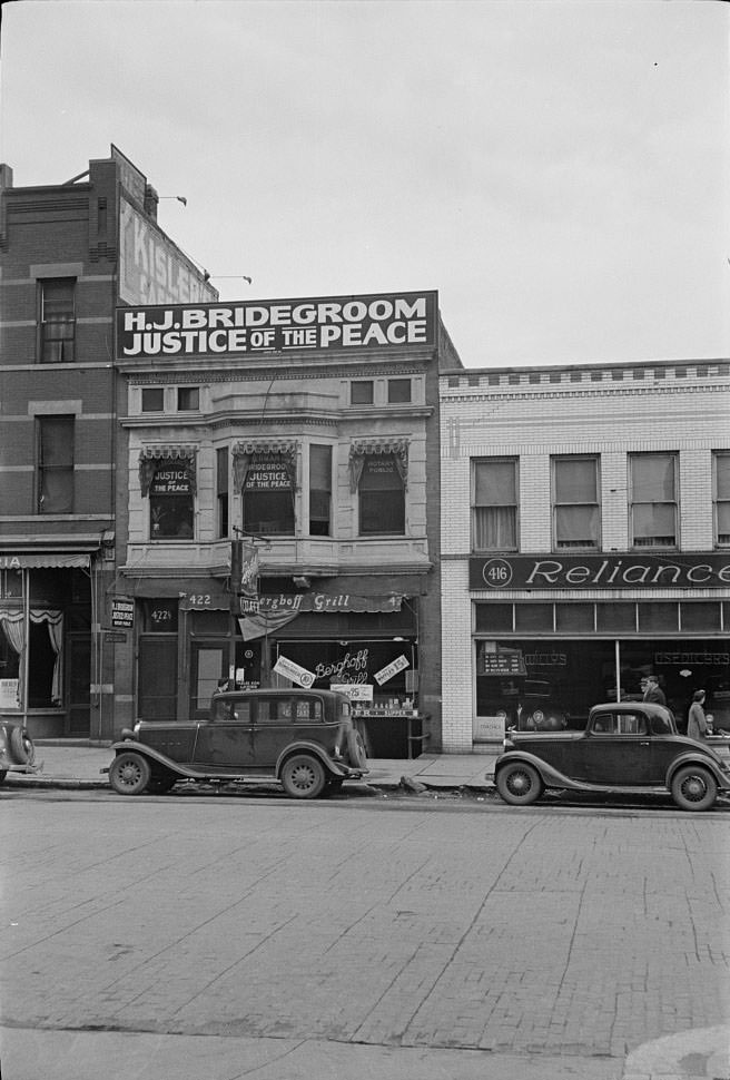
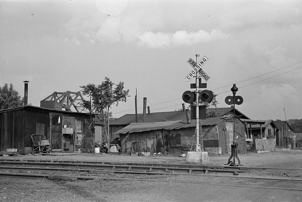
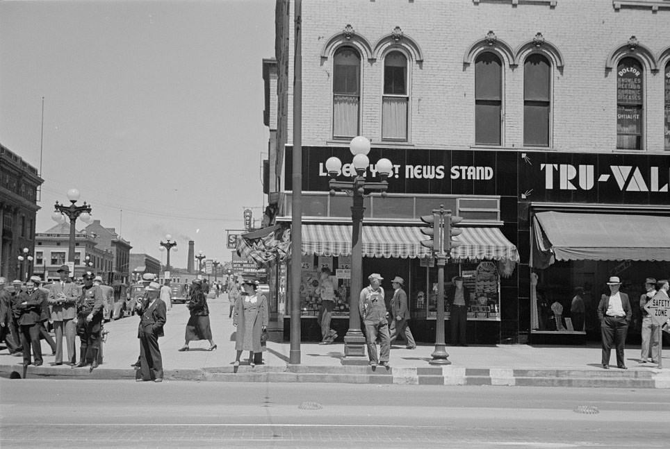
Peoria is a major port on the Illinois River, a trading and shipping center for a predominantly agricultural area with corn, soybeans, and livestock production. Here are some stunning historical photos that show what Peoria looked like in 1938.
Anyone know if CityLink still does the historical calendars? They were so cool.
They do. You can get it at the Transit Center or the City Link Administration Building for a 5 dollar donation. This year’s theme is the arts.
Oh that’s so cool, thanks for letting me know!
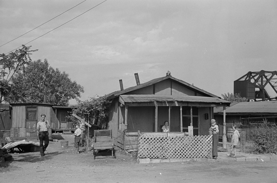
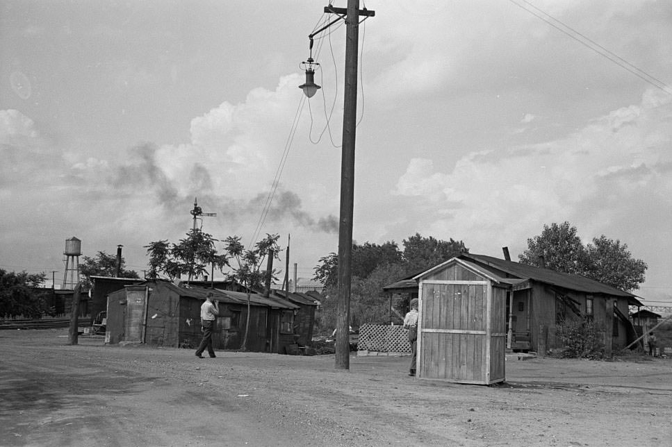
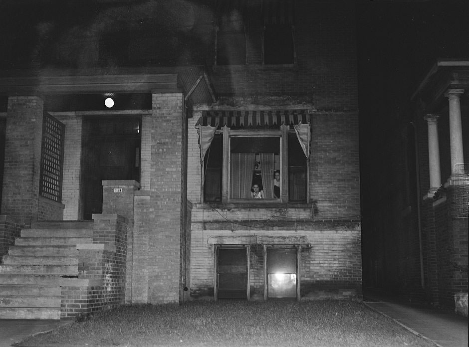
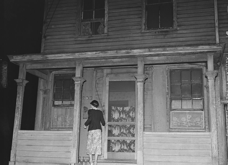
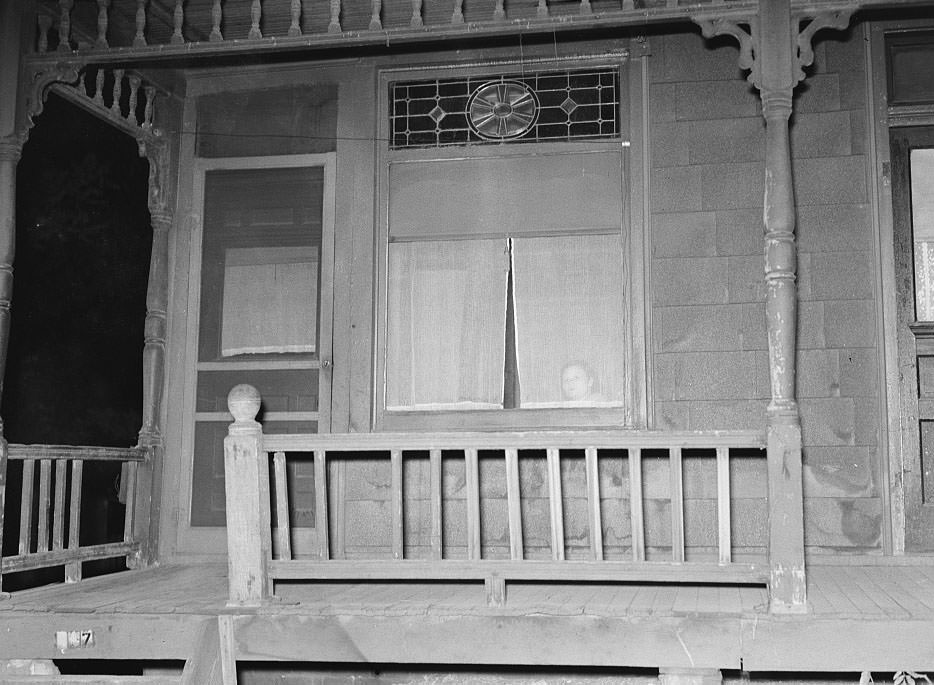
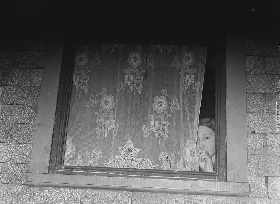
Does anyone know where Cinder Point was located? Lots of slum photos from there, and I’m curious what’s there now.
Looks like the same old bridge thing that’s still there, maybe down by where the scrap yard going towards bartonville is now?
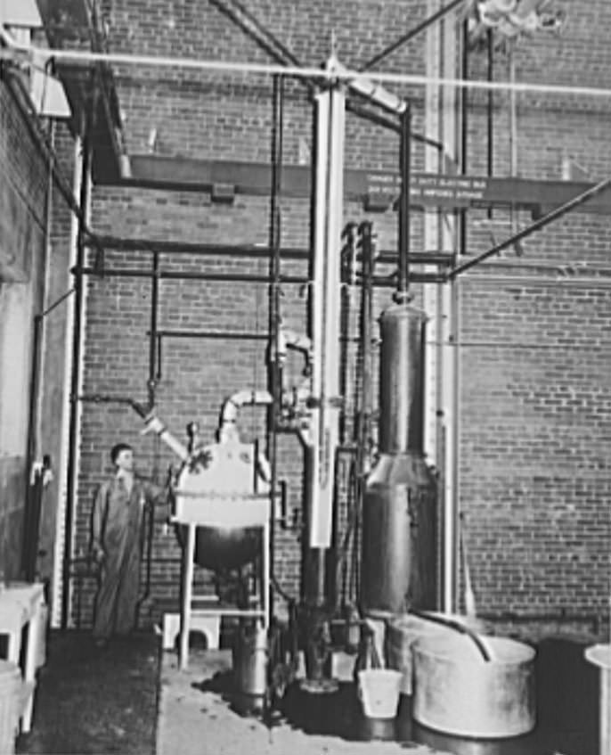
If I remember correctly, it was located near the current location of the old Hiram Walker distillery or the Ceder St. Bridge
Sears makes a good parking lot and lovers playground now.
awesome photos thanks!!