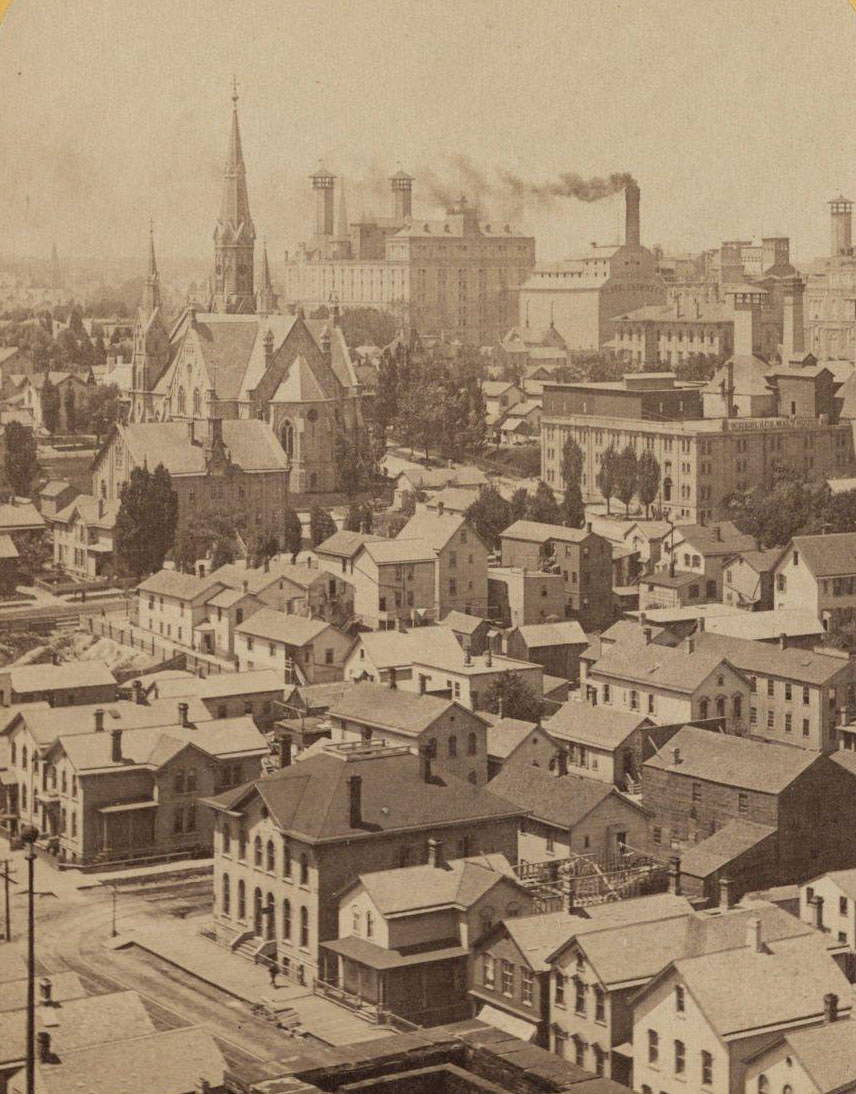
Milwaukee in the 1870s was a city caught between two identities. It had grown quickly on the back of wheat and grain shipping, but that era was coming to an end. Minneapolis and St. Paul were pulling the wheat trade away, and by 1880, the volume of grain moving through the Port of Milwaukee had dropped sharply. The city didn’t collapse — it pivoted. Iron and steel manufacturing filled the gap, and the effects of that shift showed up in neighborhoods, streets, and skylines across the city. These photographs capture Milwaukee during that transformation, when old wooden structures sat beside new brick buildings, and the harbor still buzzed with sailing ships even as the railroads reshaped the economy.
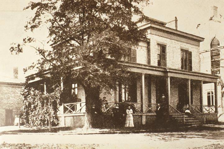
The men who shaped Milwaukee’s business and civic life in this era were visible figures in the community. Alexander Mitchell was one of the most powerful. A Scottish-born banker and railroad executive, Mitchell controlled the Milwaukee and St. Paul Railway and held enormous influence over the region’s economy. His face became well known in the city’s newspapers and public life.
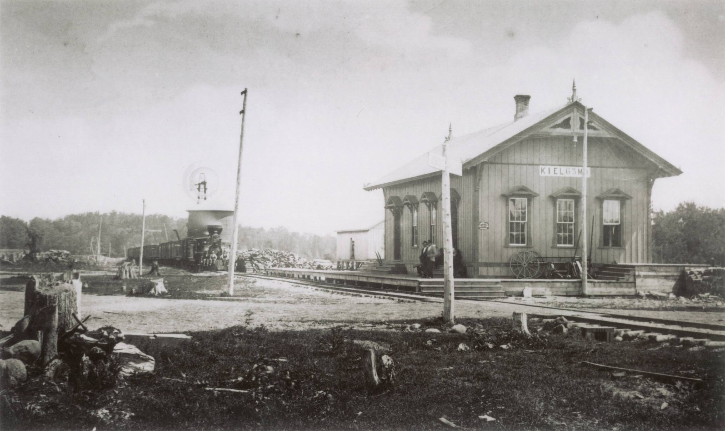
The railroads were central to Milwaukee’s growth in ways that went far beyond business deals. They connected small towns to the city, moved goods to the harbor, and carried passengers across Wisconsin and beyond. Kiel’s first depot was one of those early stops — a modest wooden platform where travelers waited and trains refueled before moving on.
Wisconsin Avenue was the heart of Milwaukee’s commercial district. By 1870, its brick storefronts and busy sidewalks reflected a city that had fully outgrown its frontier origins. Carriages moved along the street while pedestrians filled the walkways, and the scale of the buildings made clear that this was no longer a small lakeside trading post.
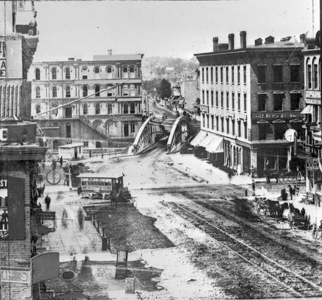
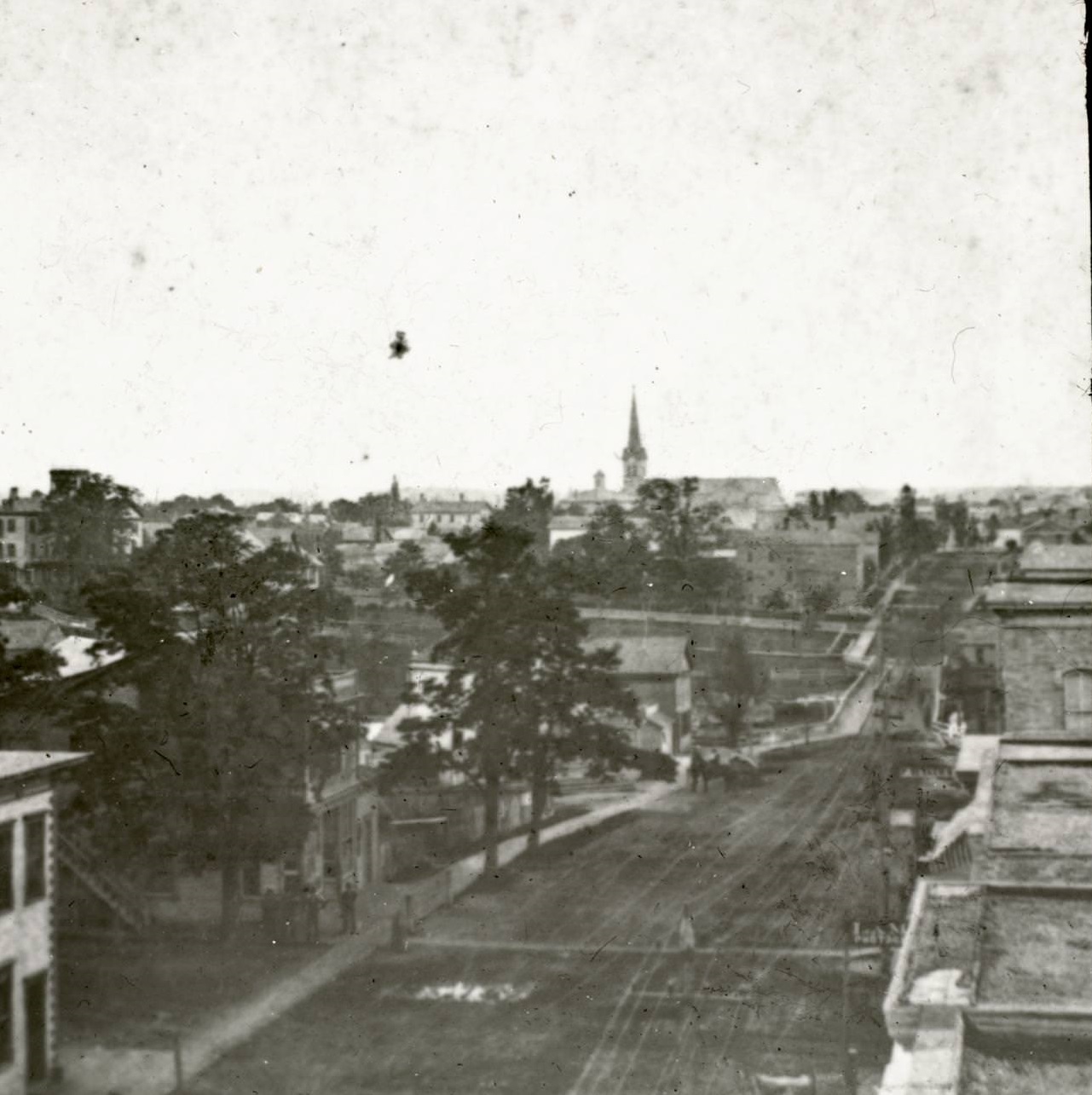
The city’s streets told the story of its growth. Main Street, with its bridge and curve toward Milwaukee Avenue, connected neighborhoods that had developed on both sides of the Milwaukee River. The Bain Wagon Company’s property offered one of the better elevated views of the area, and from that vantage point, the city’s layout — its churches, water facilities, and open lawns — came into full view.
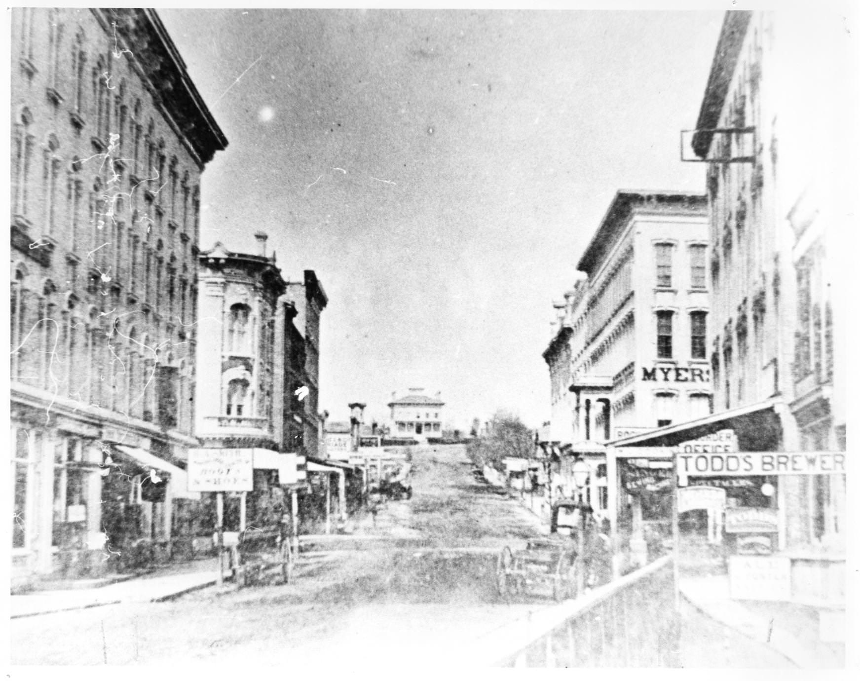
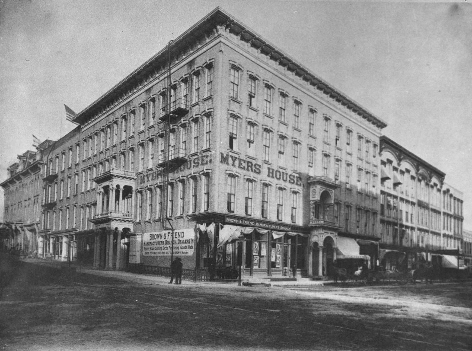
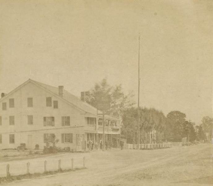
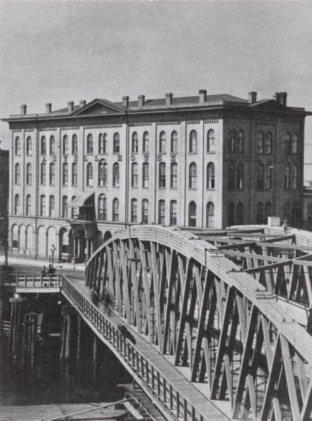
Hotels were important anchors in 19th-century American towns. They served travelers, hosted business meetings, and gave communities a sense of permanence. The Myers House Hotel on the corner of Main and Milwaukee Streets was built in 1859 by Peter Myers and became one of the most recognized establishments in the area. Ulysses S. Grant stayed there overnight on September 8, 1870, just a year into his first term as president.
Milwaukee’s railroad network extended well beyond the city limits. The Milwaukee and Prairie du Chien Railroad Company was one of the lines that pushed commerce deeper into Wisconsin. Alex McGregor was among the figures associated with that operation, part of the larger web of managers and engineers who kept the trains running across the state during the 1870s.
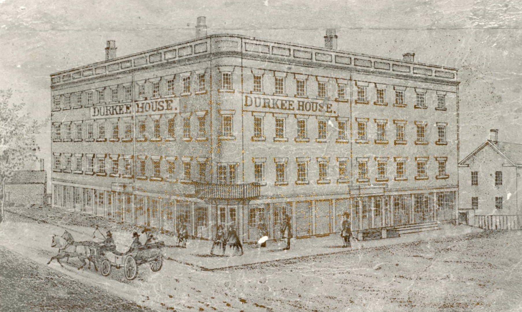
Before Milwaukee, Kenosha had its own claim to Wisconsin firsts. The Durkee House, built by Charles Durkee in 1843, was considered the first brick hotel in the state and the first brick building in Kenosha. It stood for nearly three decades before burning down on January 31, 1871. The second brick hotel in Wisconsin, the Kirby House in Milwaukee, followed in 1844.
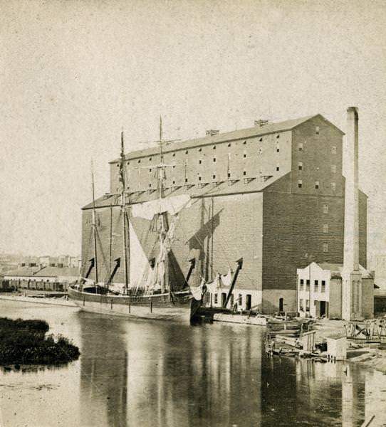
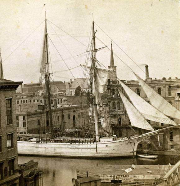
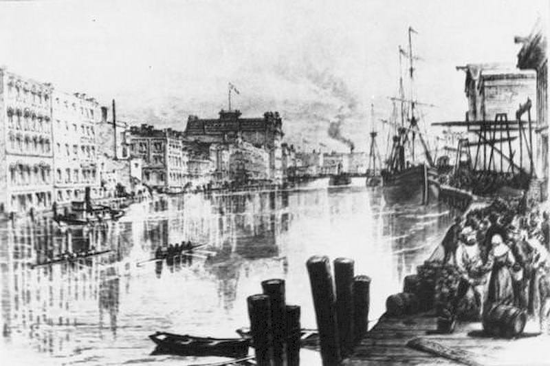
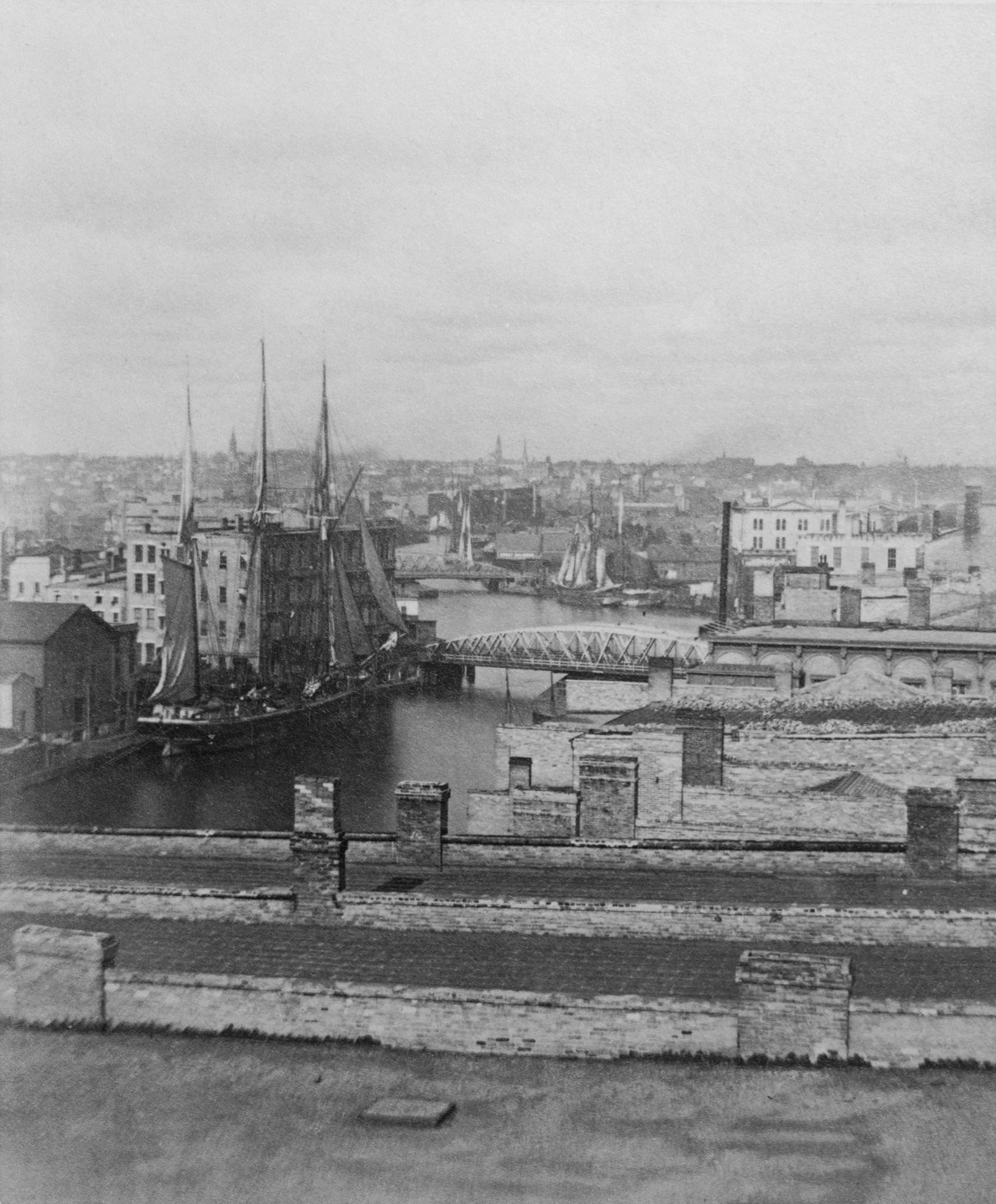
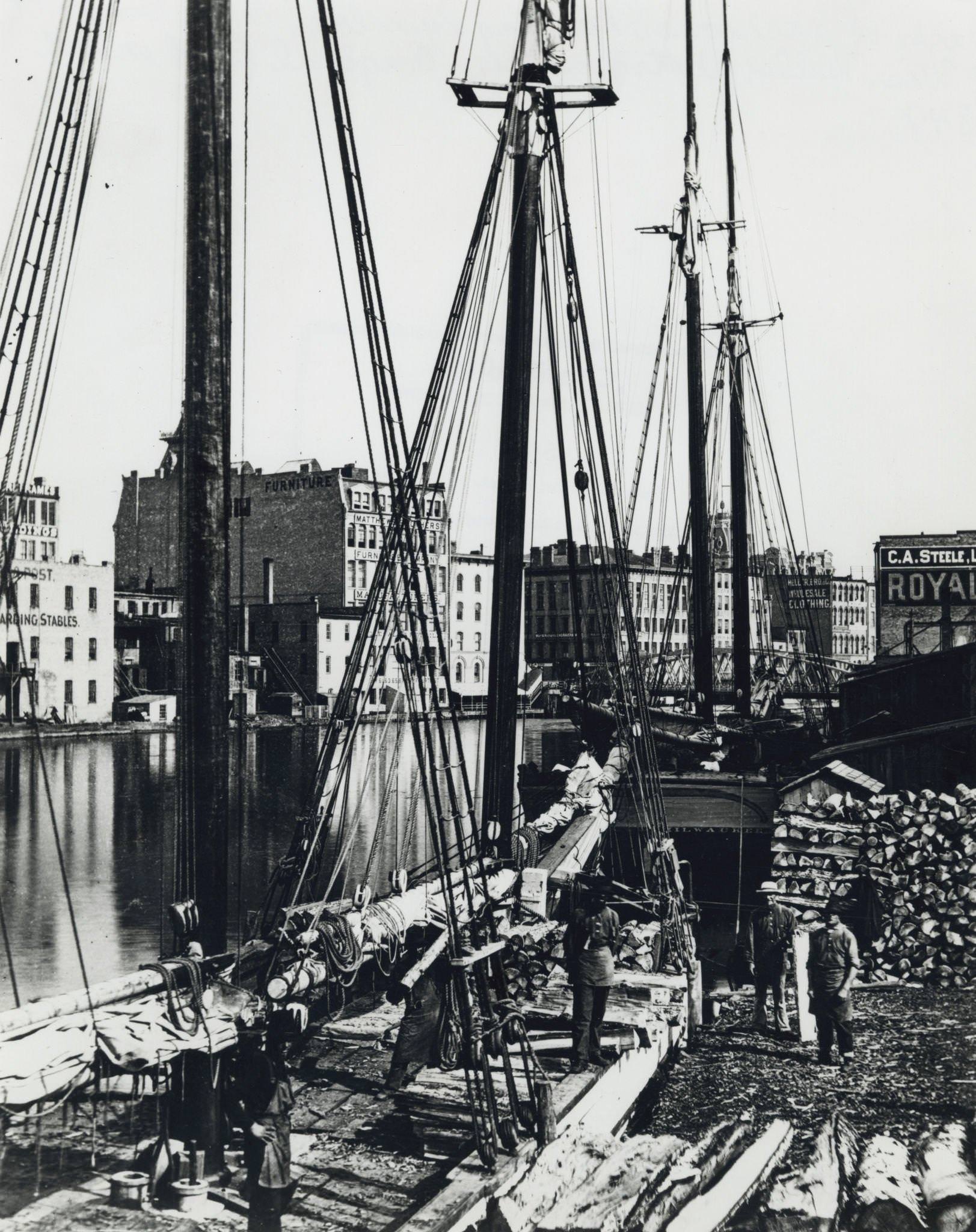
The Port of Milwaukee was still a working harbor in 1870, even as the grain trade declined. The Milwaukee and St. Paul Railway operated a grain elevator at the harbor, where sailing ships arrived loaded with cargo from across the Great Lakes. These vessels — some with two masts, others with more — were a common sight on the Milwaukee River throughout the decade.
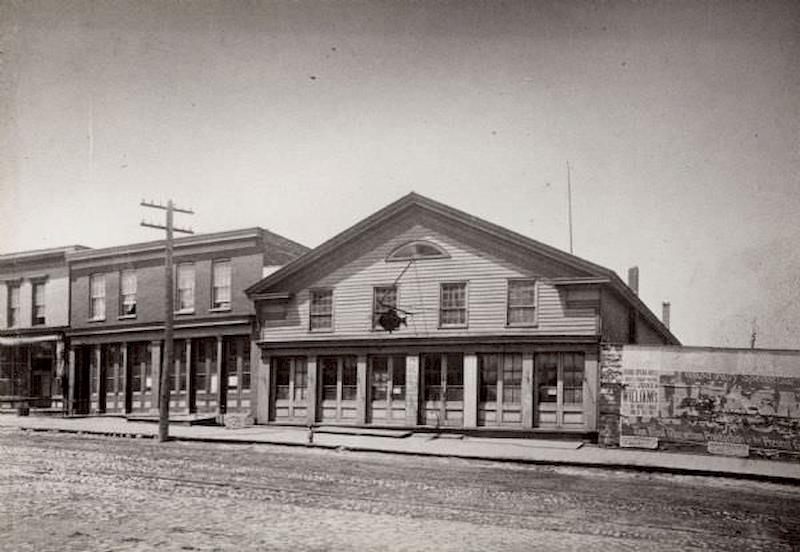
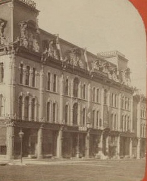
The Western Hotel on Milwaukee’s roads served travelers moving through the region. In 1873, Joseph Dreyfuss took it over and renamed it Hotel Dreyfuss. His son Julius later ran the property and donated this photograph to historical records in 1913, preserving the image of a building that had served the city for decades.
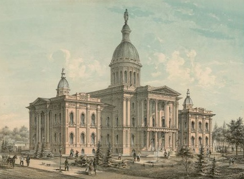
Milwaukee’s civic infrastructure grew alongside its commercial buildings. The county buildings, courthouse, and city hall were all substantial structures by 1870, built with the kind of permanence that signaled a city expecting to grow further. The courthouse in particular was an imposing presence — crowned with a large statue on its main dome, surrounded by trees, a fountain, and steady foot traffic.
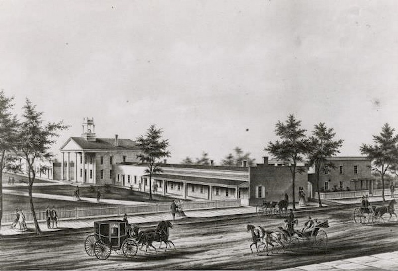
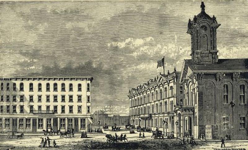
East Water Street was one of Milwaukee’s busiest commercial corridors. The Dousman Warehouse, built in 1839 by the Dousman brothers — George and Talbot, siblings of fur trade figure Hercules Dousman — originally sat on the wharf parallel with the river. It served as a working warehouse until around 1855 and remained a landmark on East Water Street well into the 1870s.
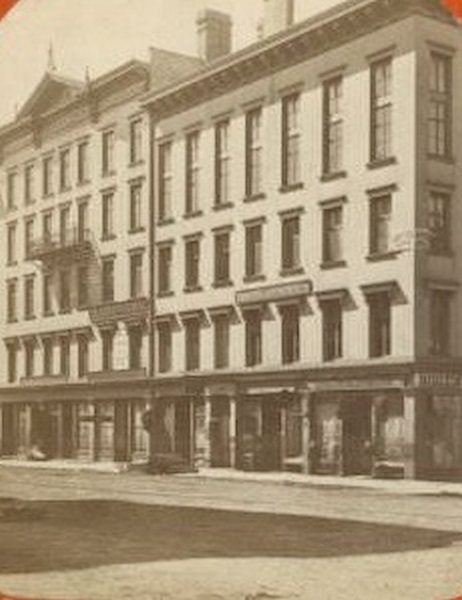
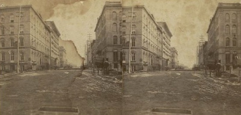
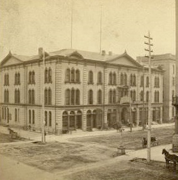
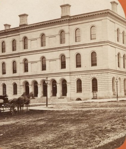
Commerce organized itself around formal institutions as well as individual storefronts. The Chamber of Commerce, located at the corner of Broadway and Michigan Streets, served as a meeting point for the city’s merchants and businessmen. Broadway itself was a major artery, photographed in stereoview format in 1874, a technology that gave viewers a three-dimensional impression of the street scene.
The city’s residential streets held a mix of styles and histories. The Childs-Paul House at 321 Hanover Street was built with a hand-hewn hardwood frame, part of the old Childs homestead near the corner of Pierce and Hanover Streets. George H. Paul later purchased it, moved it to the west side of Hanover, and rebuilt it — a common practice in an era when buildings were expensive and timber was valuable.
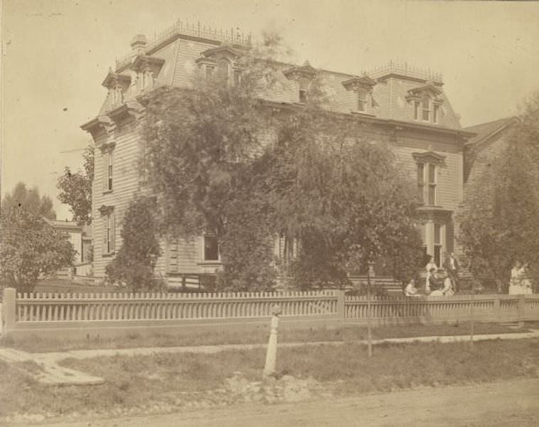
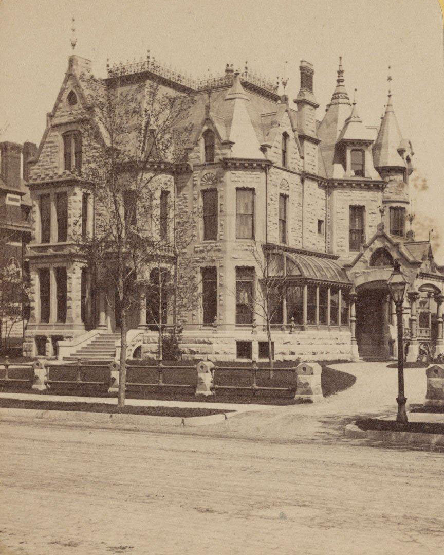
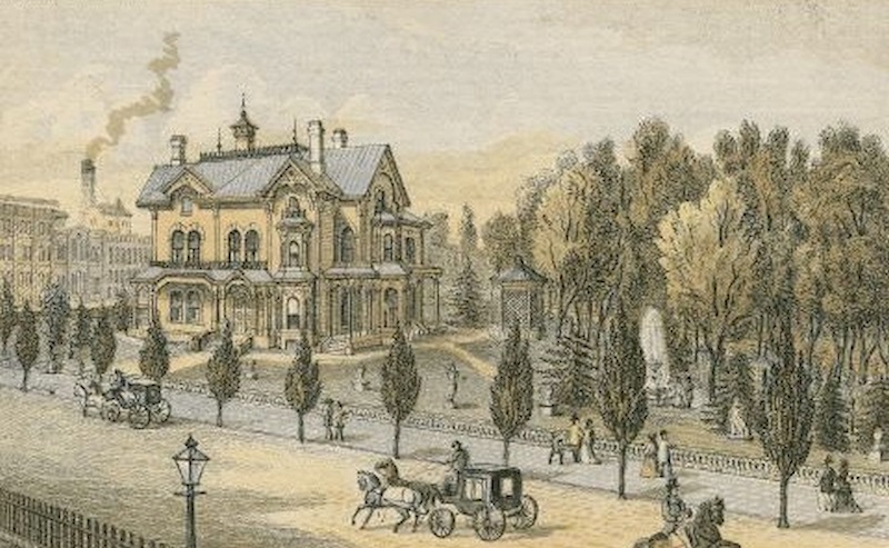
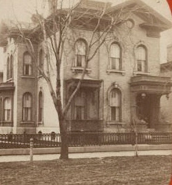
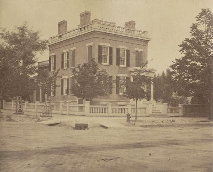
Wealth in Milwaukee showed up plainly in the homes of its most successful residents. The Pabst Residence — connected to the Pabst brewing family — featured a large yard with mature trees and a fountain. Carriages sat on the road out front, and pedestrians walked the sidewalks. The Pfister House on Jefferson Street and Judge Andrew Galbraith Miller’s brick home on Wisconsin Street were similarly substantial, built with the kind of detail that set them apart from ordinary housing.
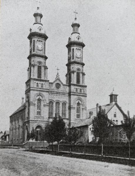
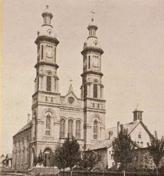
Religion was woven into the fabric of Milwaukee’s neighborhoods, especially as immigrant communities established themselves throughout the city. St. Stanislaus Polish Catholic Church, photographed in 1875, served Milwaukee’s growing Polish population. Notre Dame Convent, photographed in 1871, was another prominent religious institution — a fenced complex shaded by trees, with horses and pedestrians passing in the street outside.
Milwaukee’s steel industry had its roots in iron-ore deposits found near Dodge County in the 1840s. The largest steel mill in Wisconsin opened in 1868, employing over 1,000 workers and producing railroad rails. That mill’s output fed directly into the expanding rail network across the Midwest. Iron foundries and manufacturing facilities continued to be built throughout the 1870s, transforming the Menomonee Valley and other parts of the city into industrial zones.
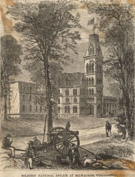
Public life extended beyond commerce and industry. The State Fair Grounds served as a gathering place for the broader community. The National Home for Disabled Volunteer Soldiers, photographed in 1870, housed veterans who had been wounded or left unable to work after the Civil War — a visible reminder of the war’s cost, still fresh in the city’s memory just five years after Appomattox.
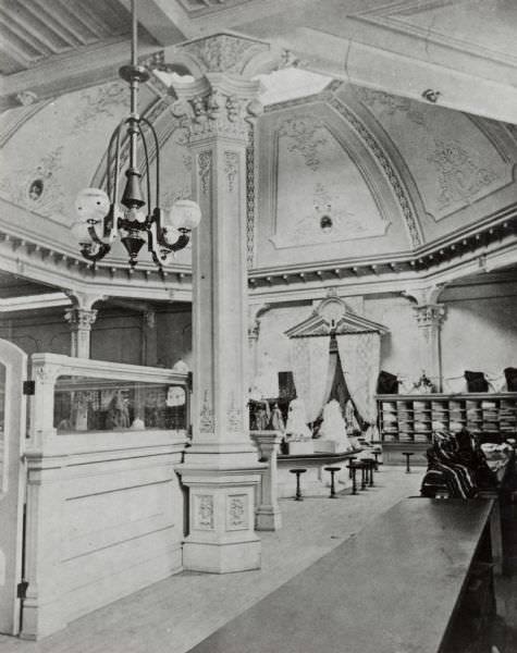
Interior commercial spaces in 1870s Milwaukee could be surprisingly elaborate. Chapman’s Dry Goods Emporium featured a domed ceiling, a long service counter, decorated columns, and a chandelier. It was the kind of retail environment designed to impress customers and signal quality. The Axtell House at Walker’s Point, Birchard Furniture Store, and the building that housed the Custom House at the corner of Milwaukee and Wisconsin Streets all contributed to a dense commercial landscape across the city.
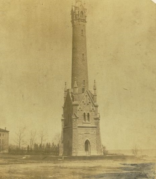
Milwaukee’s water infrastructure was a source of civic pride. The North Point Water Tower, built to serve the city’s water works, stood as one of the more distinctive structures along the Lake Michigan shoreline. Water Street, the Milwaukee River, and the city’s bridges were equally important — the river served as both a transportation route and a defining geographic feature that shaped how the city was laid out.
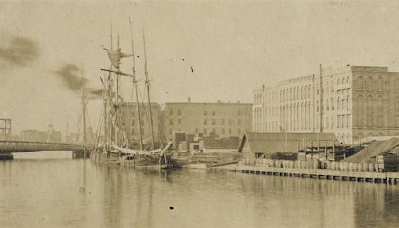
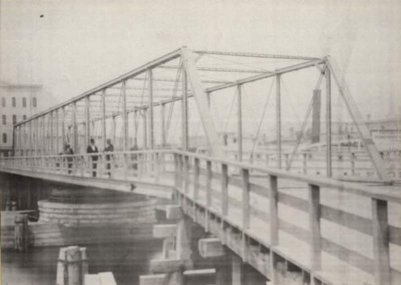
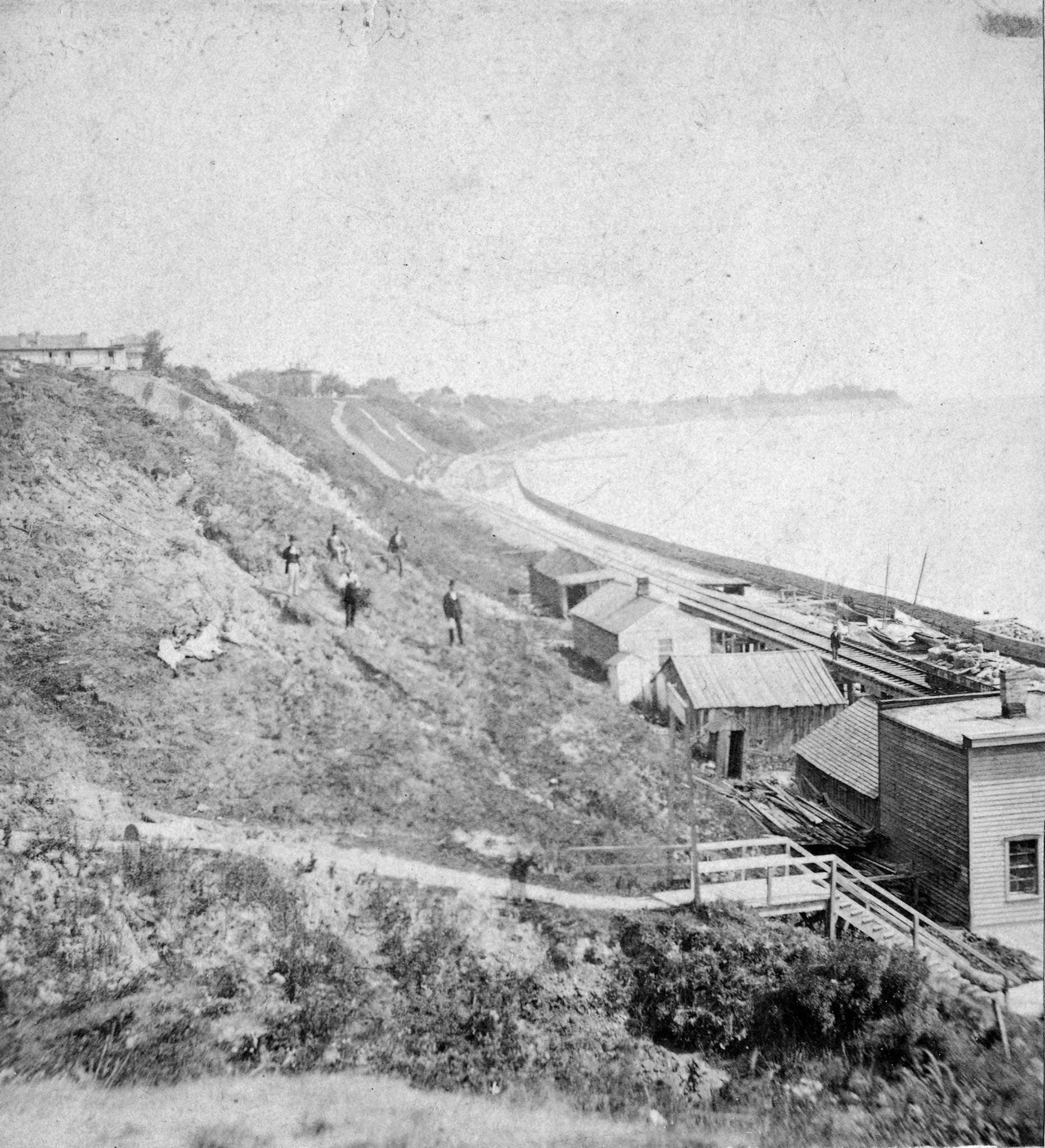
The Milwaukee River in 1873 and the harbor in 1876 showed a waterway still very much in use. Ships moored along the wharves, schooners hauled lumber across the lake, and elevated views from the Exposition Building in 1874 revealed just how much of the city had grown up around that water connection. The bluffs along Lake Michigan’s shore, photographed in 1877, framed the eastern edge of the city in a way that made Milwaukee’s geographic position unmistakable.
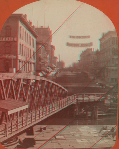
Politics moved through Milwaukee’s streets as openly as commerce did. A photograph from Wisconsin Street in 1875 shows a banner strung above the road reading “For Governor Harrison Ludington,” with the Chicago, Milwaukee and St. Paul Railway’s downtown office visible nearby. The mix of political messaging and railroad infrastructure in a single frame captures how closely business and government were intertwined in this period.
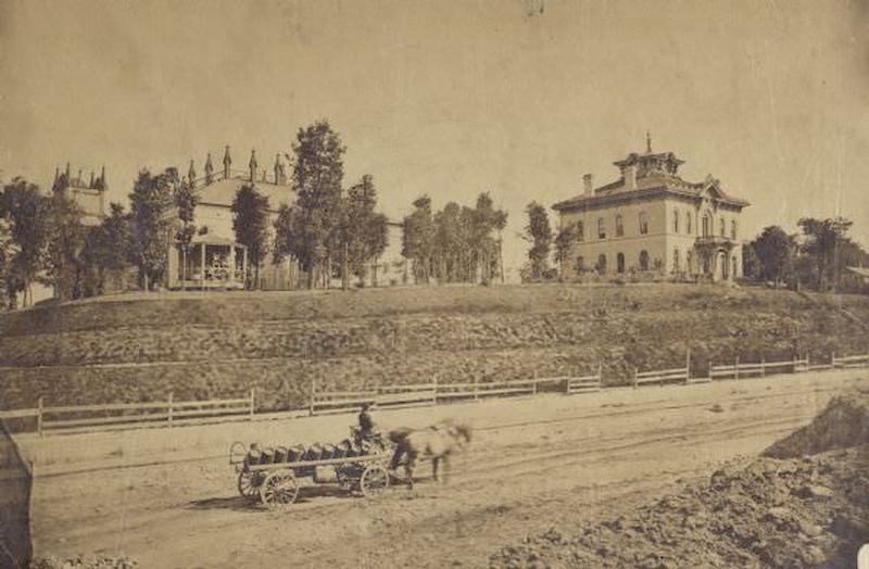
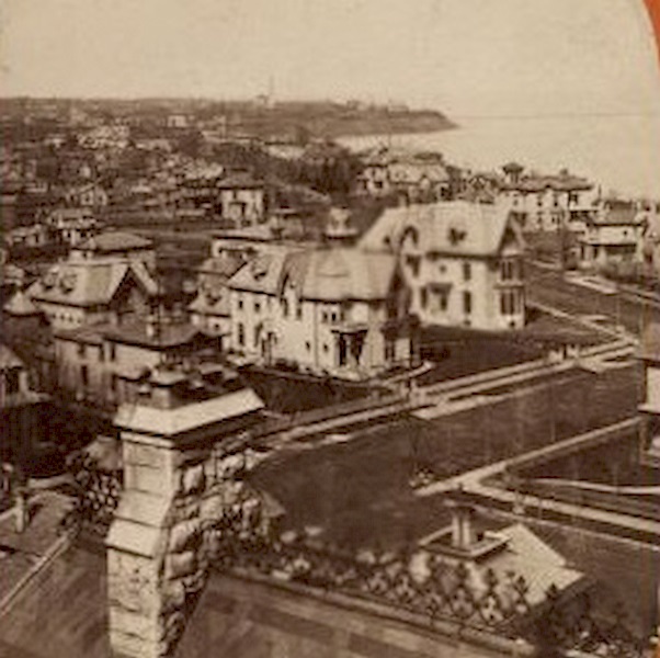
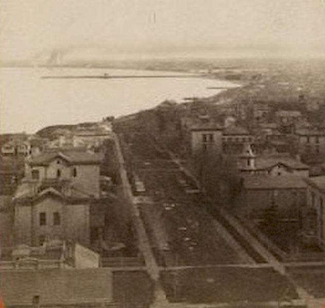
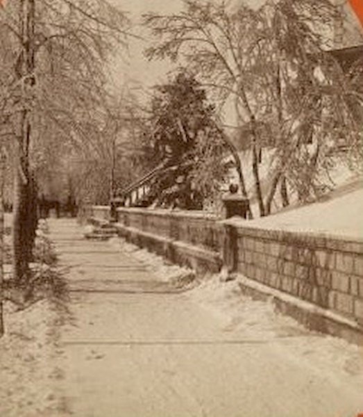
Neighborhoods near Lake Michigan had their own character, shaped by the terrain and the proximity to the water. Residential areas photographed in 1876 showed homes set back from the street, with the lake’s influence felt in the landscape around them. Winter brought a different kind of stillness to those same streets — a horse-drawn sleigh moving through snow, retaining walls and fences lining a quiet sidewalk, the city reduced to clean, cold geometry.
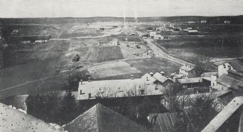
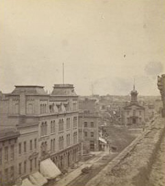
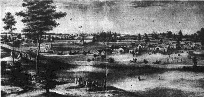
The western stretches of the city were growing outward along older routes. Watertown Plank Road, photographed in an elevated view from around North 35th Street in 1870, showed how development followed established roads into new territory. Water Street in 1875 and the elevated stereograph of East Water Street showing City Hall offered contrasting views — one ground-level, one from above — of a city still working out what it wanted to be.