Hey There! Before You Go. 😧
Get the best vintage content straight into your inbox!

Don't worry, we don't spam

A Look at the Pacific Northwest Through the Lens of the 1970s Documerica Project

In the early 1970s, the U.S. Environmental Protection Agency launched a sweeping photography project called Documerica. The goal was straightforward: send photographers across the country to document environmental conditions and the everyday lives of Americans. In the Pacific Northwest — Oregon, Washington, and Alaska — the cameras caught a region in the middle of dramatic change. Industrial growth, an energy crisis, and massive infrastructure projects were all reshaping communities at the same time.
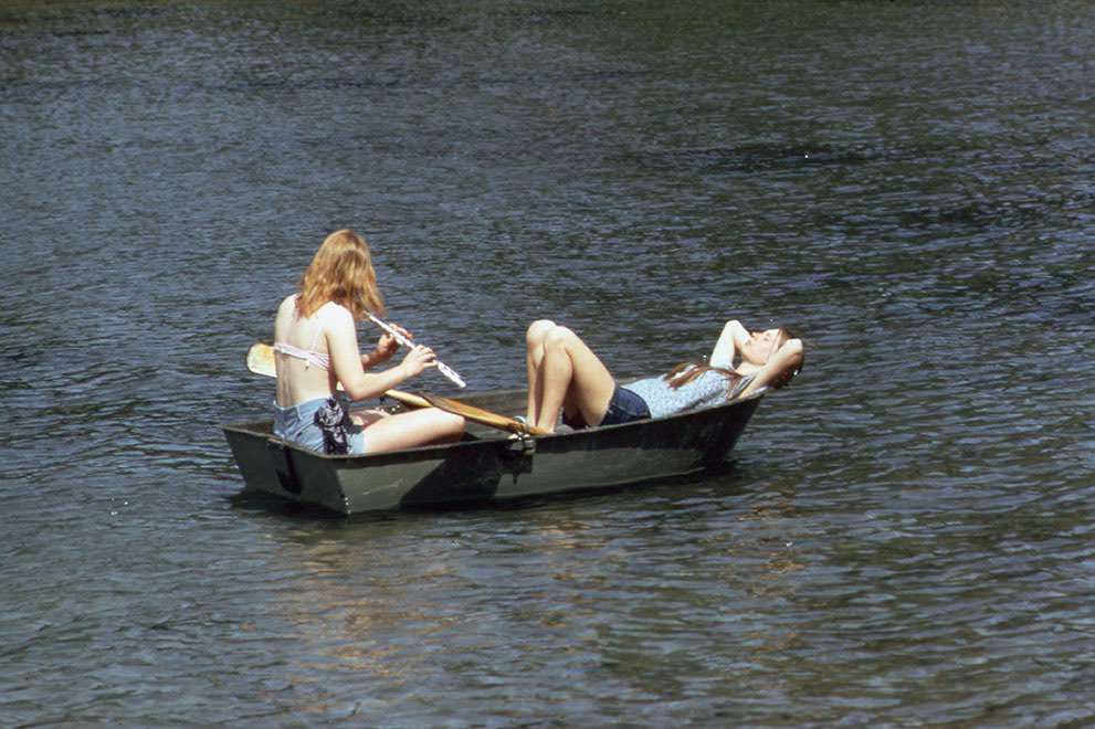
Larrabee State Park, near Bellingham, Washington, 1973.

Washington State offered some of the most striking contrasts in the entire collection. Cities like Seattle buzzed with commerce and industry, while rural communities and natural landscapes existed just miles away. The Documerica photographers captured both sides of that divide with equal attention.
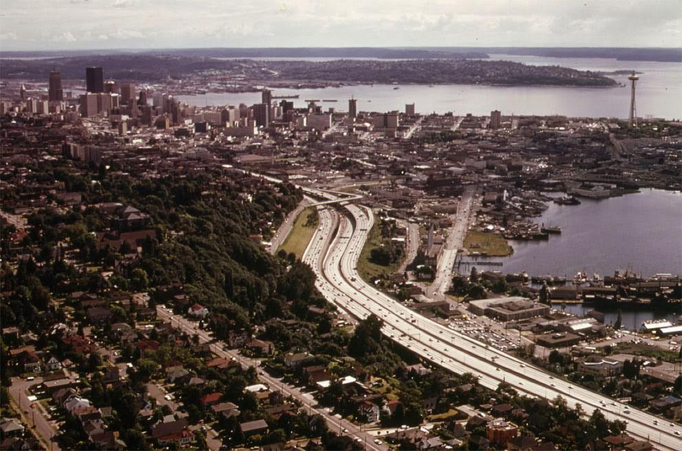
The city of Seattle and Interstate Highway 5, with Elliott Bay at right, 1973.
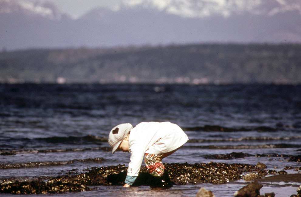
Alki Beach on Puget Sound, a favorite resort for residents of Seattle, 1973.

Seattle’s waterfront told its own story. The Port of Seattle handled heavy freight while industrial waste barges were towed to landfill sites along the Snohomish River estuary — a routine operation that the Documerica project quietly recorded as an environmental reality of the era.
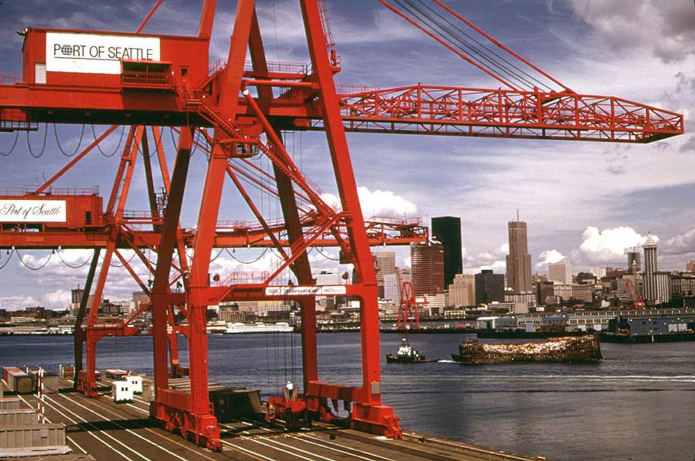
Port of Seattle freight handling equipment and city skyline, with an industrial waste barge under tow to landfill on the Snohomish River estuary.

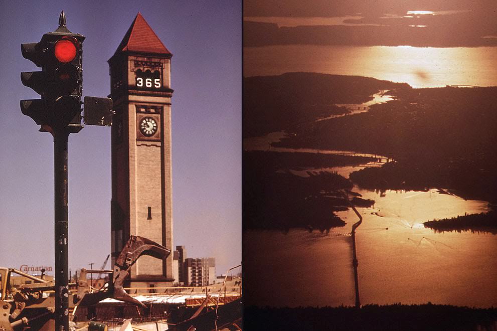
While Seattle represented urban industry, Spokane was preparing for something entirely different. The city was clearing large sections of its downtown — including rail yards and industrial land along the Spokane River — to build the site for Expo ’74, a World’s Fair centered on an environmental theme. The scale of demolition was enormous, and the Documerica cameras were there to record every phase of it.
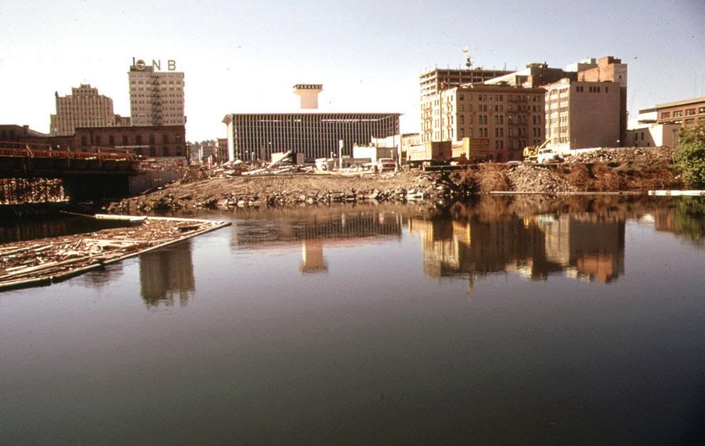
Downtown Spokane, Washington, construction on the future site of Expo '74, on the Spokane River, 1973.
Downtown Spokane, Washington, construction on the future site of Expo ’74, on the Spokane River, 1973.
Left: Demolition and clearing in downtown Spokane, Washington, one year before opening day of Expo '74; Right: The Lake Washington Ship Canal system, Seattle, Washington, at sunset, 1973.
Left: Demolition and clearing in downtown Spokane, Washington, one year before opening day of Expo ’74; Right: The Lake Washington Ship Canal system, Seattle, Washington, at sunset, 1973.

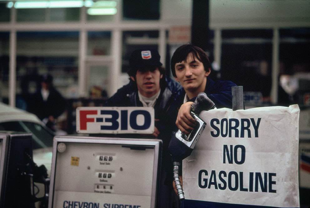
The 1973 energy crisis hit the Pacific Northwest hard. Gas stations ran dry regularly, and the shortages changed how people moved through their daily lives. In Portland and surrounding areas, the effects were visible everywhere — from dimmed streetlights to handwritten “Out of Gas” signs posted at service stations.
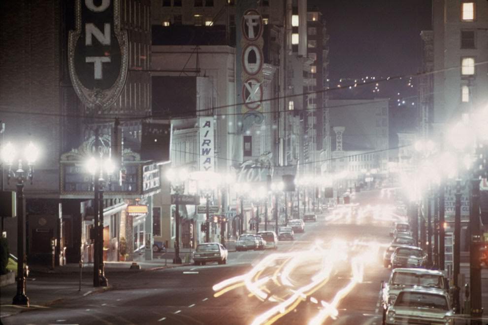
Looking down Southwest Broadway in Portland, Oregon, limited lighting during the energy crisis, 1973.
Gas station attendants peer over their "Out of Gas" sign in Portland, one day before the state's requested Saturday closure of gasoline stations, 1973.
Gas station attendants peer over their “Out of Gas” sign in Portland, one day before the state’s requested Saturday closure of gasoline stations, 1973.

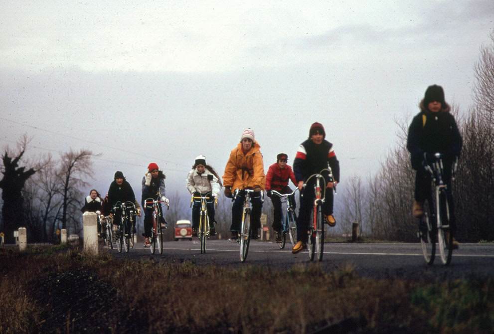
The desperation was not limited to working-class residents. In Beaverton, Oregon, the shortage was severe enough that suited businessmen stood on roadsides hitching rides. A Portland father and son posted a sign at their vehicle threatening consequences for anyone who stole their gas. Schoolchildren across the region rode bicycles on field trips because buses couldn’t always be fueled.
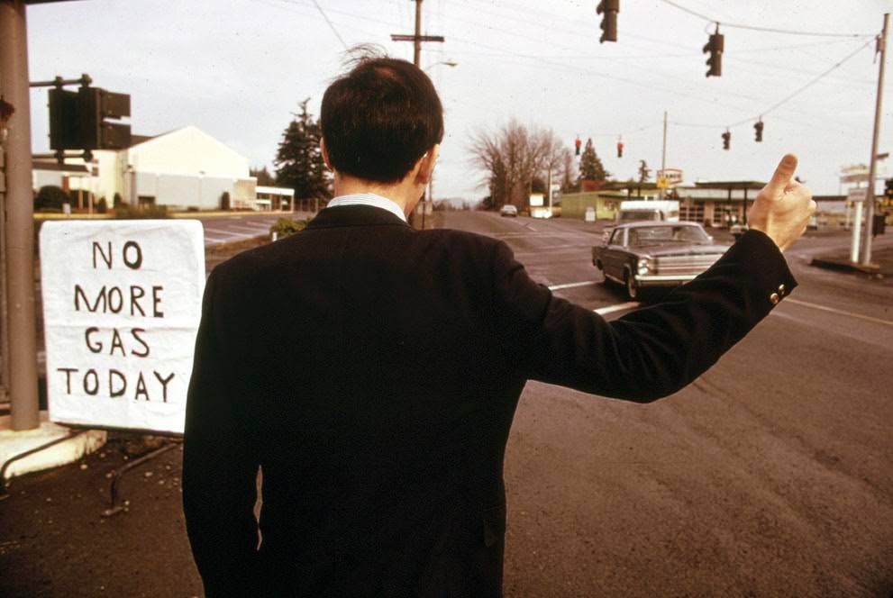
The gas shortage in the Pacific Northwest during 1973 had even suited businessmen hitch-hiking in places like Beaverton, Oregon.
A Portland father and son made a sign warning thieves of the possible consequences of stealing gas, 1974.
School children were forced to use their bicycles on field trips during the fuel crisis, 1974.
"Turn Off the Damn Lights" sticker in a Portland business office, 1973.
“Turn Off the Damn Lights” sticker in a Portland business office, 1973.

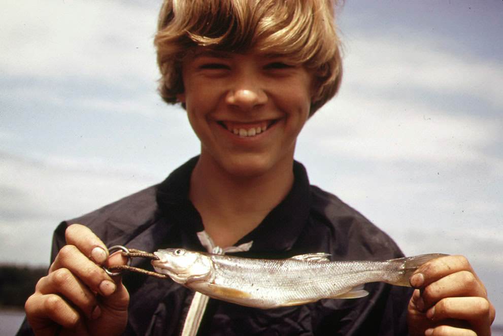
Oregon’s landscapes and industries also received thorough documentation. The Columbia River drew particular attention, with photographers recording fishing boats crowding the water between Vancouver, Washington, and The Dalles, Oregon. Sports fishermen pulled large silver salmon from the river while paper mills and metal plants operated on its banks at Longview, Washington.
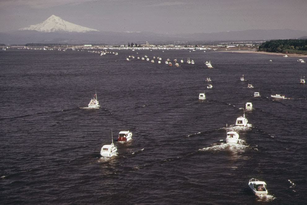
At the confluence of the Willamette and Columbia Rivers, 1973.
Fishing craft crowd the Columbia River between Vancouver, Washington, and the Dalles, Oregon, 1973.
A 22-pound silver salmon, caught by a Columbia River sports fisherman, is brought ashore, 1973.
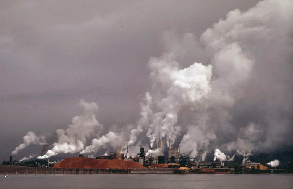
Weyerhauser paper mills and Reynolds Metal Plant are both located in Longview, Washington, on the Columbia River, 1973.

Not all of Washington’s environmental concerns were tied to the energy crisis. In Ruston, children played in their yards while a Tacoma Smelter stack showered the neighborhood with arsenic and lead residue — a documented, ongoing hazard that the photographers recorded without flinching. Near Poulsbo, a quieter threat loomed: the Navy’s proposed Trident submarine base was set to bring significant population growth to the surrounding area.
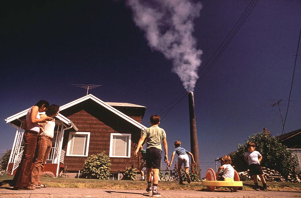
Children play in the yard of a Ruston, Washington home, while a Tacoma Smelter stack showers the area with arsenic and lead residue, 1972.
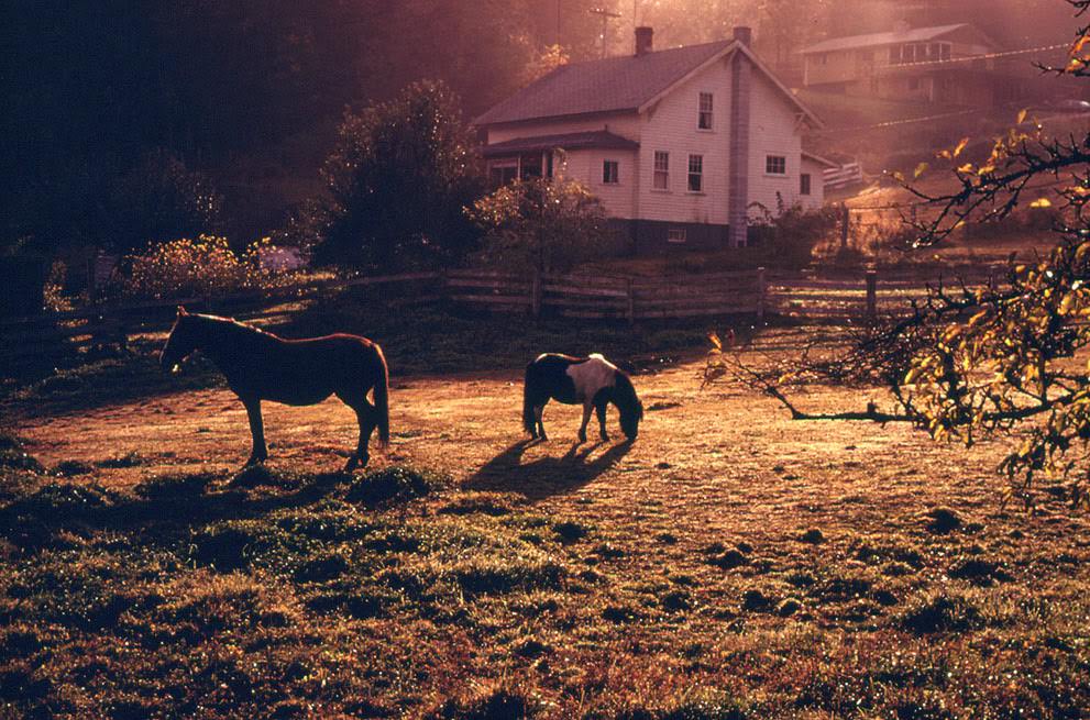
Horses in a pasture in front of the home of Jerri Fisher near Poulsbo, in an area which will be affected by population growth when the Navy's proposed Trident submarine base is built nearby, 1974.
Horses in a pasture in front of the home of Jerri Fisher near Poulsbo, in an area which will be affected by population growth when the Navy’s proposed Trident submarine base is built nearby, 1974.
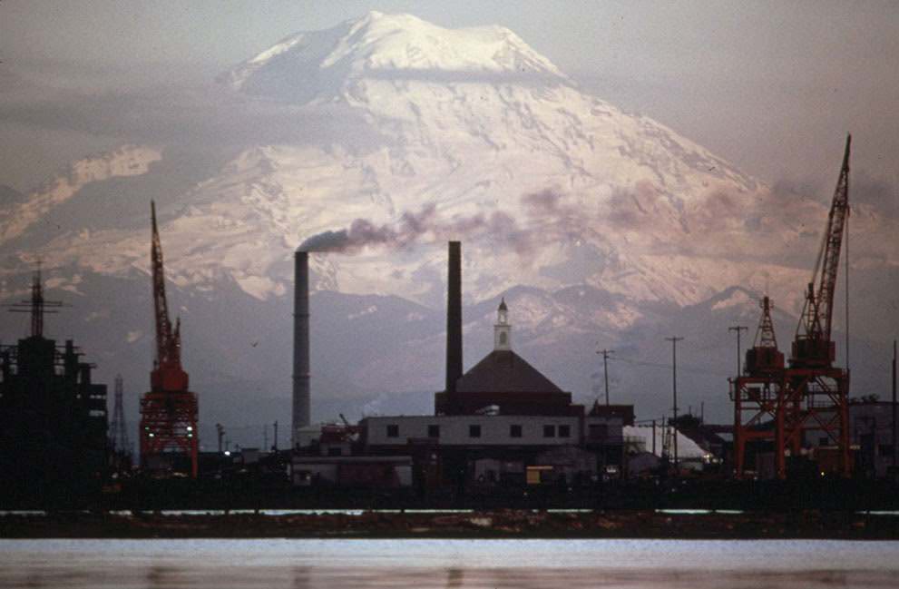
Mount Rainer and Tacoma's industrial waterfront, Washington State, 1973.
Mount Rainer and Tacoma’s industrial waterfront, Washington State, 1973.

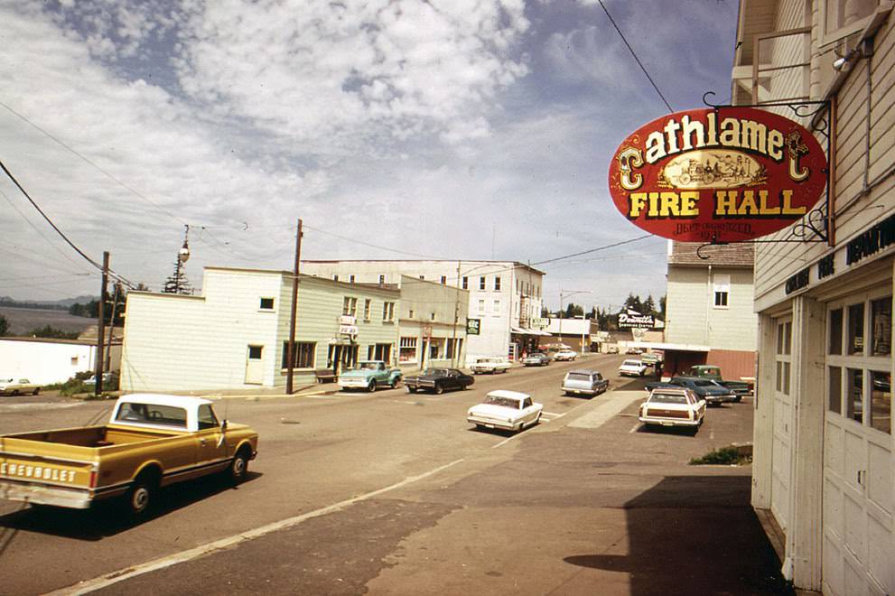
The Columbia River also appeared in scenes of agriculture and small-town life. Near Vancouver, Washington, threshing operations at Pearson Field carried on with the Goodyear Blimp floating in the background. The town of Cathlamet sat quietly on the riverbank, offering a glimpse of rural Washington far removed from the urban activity happening in Seattle or Spokane.
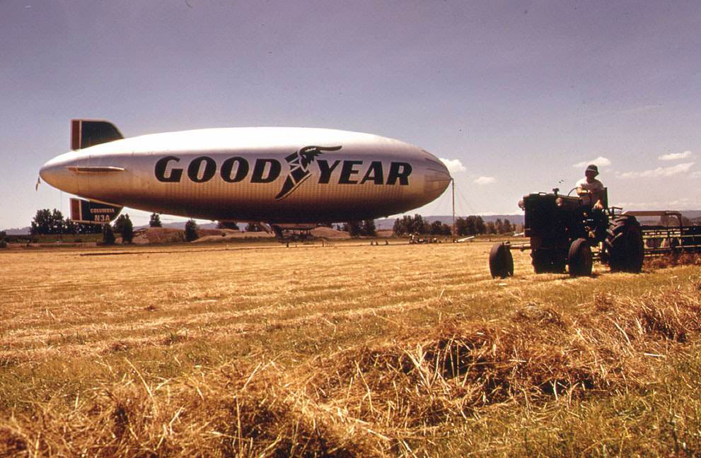
Threshing at Pearson Field, Vancouver, Washington, with the Goodyear Blimp in the background, 1973.
The town of Cathlamet, Washington, on the Columbia River, 1973.
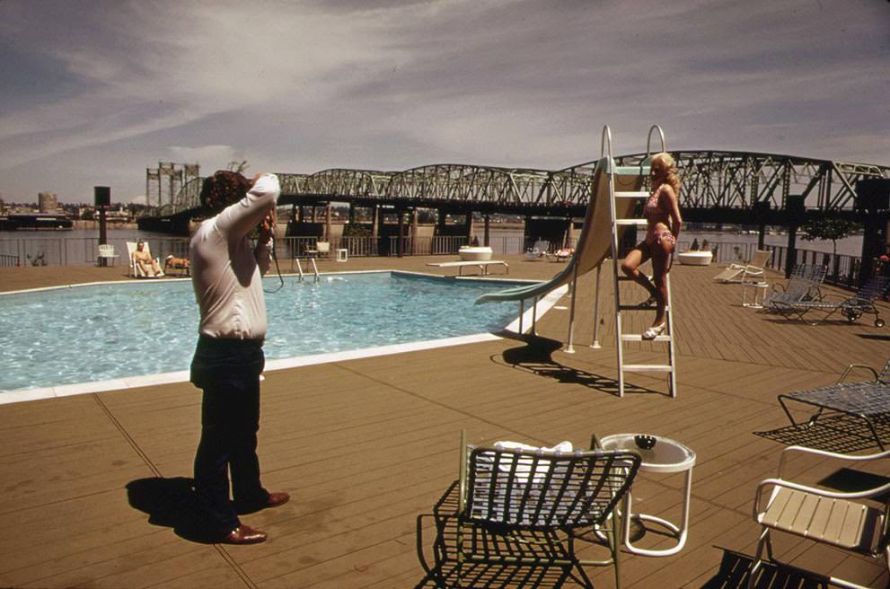
The Thunderbird Motel, one of many new businesses that have sprung up along the banks of the Columbia River in Portland, Oregon, 1973.
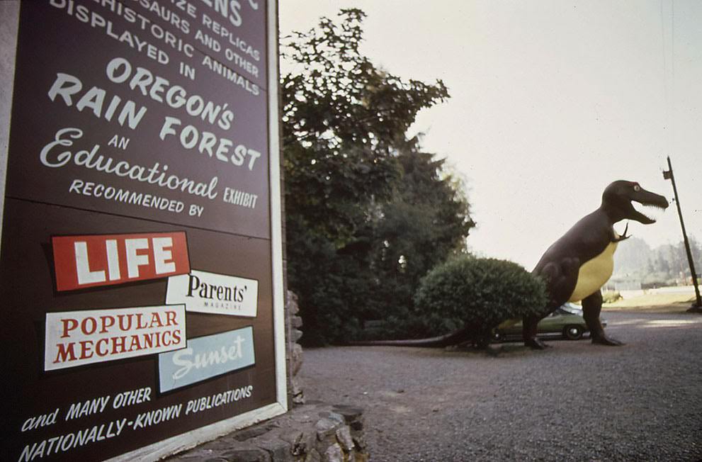
"Oregon's Rain Forest" park, Coos Bay, Oregon, 1972.
“Oregon’s Rain Forest” park, Coos Bay, Oregon, 1972.

In Alaska, the Documerica project arrived at a pivotal moment. Construction on the Trans-Alaska Oil Pipeline was about to begin — a direct response to the energy crisis, designed to move oil from the northern coast down to the southern port of Valdez. Photographers documented the pipeline corridor, construction camps, and the surrounding wilderness before the full weight of the project transformed the land.
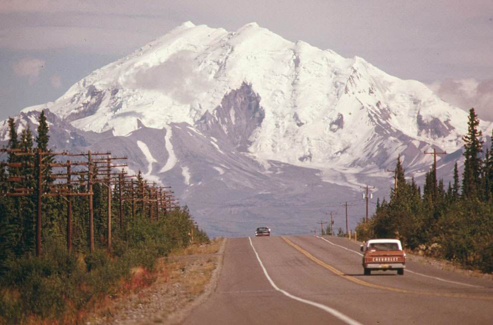
Looking east along Alaska's Glen Highway, toward Mount Drum at the intersection of the highway and the under-construction Trans-Alaska Pipeline, 1974.
Looking east along Alaska’s Glen Highway, toward Mount Drum at the intersection of the highway and the under-construction Trans-Alaska Pipeline, 1974.
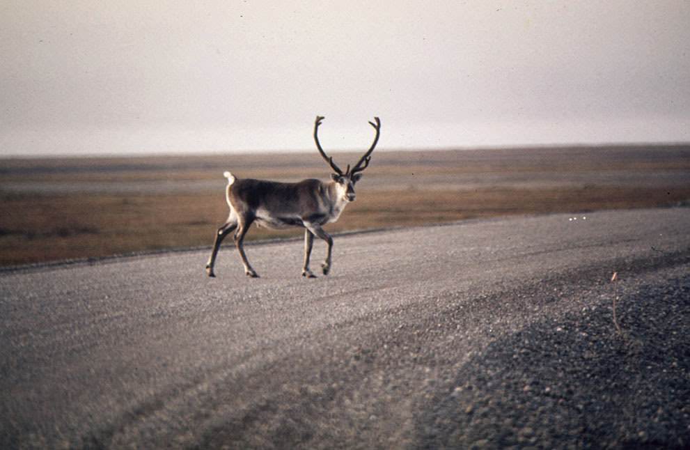
A caribou crosses a gravel roadway near Mile 0, northern Alaska, 1973.
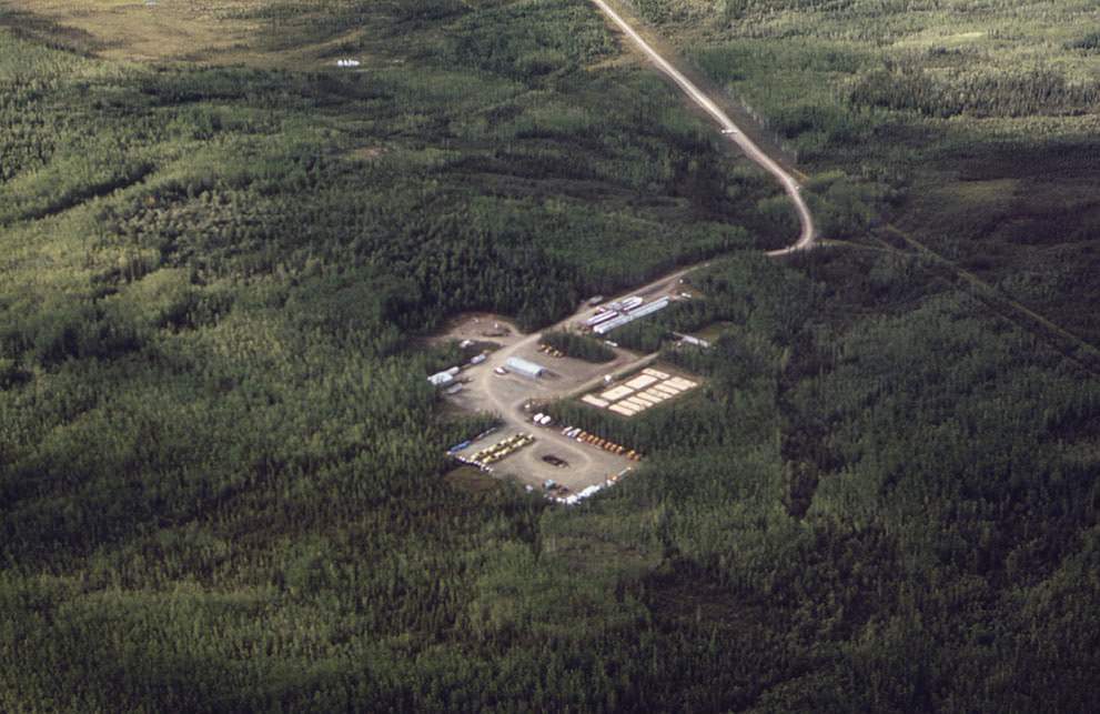
Five Mile Camp, a pipeline construction camp named for its location five miles north of the Yukon River, Alaska, 1974.
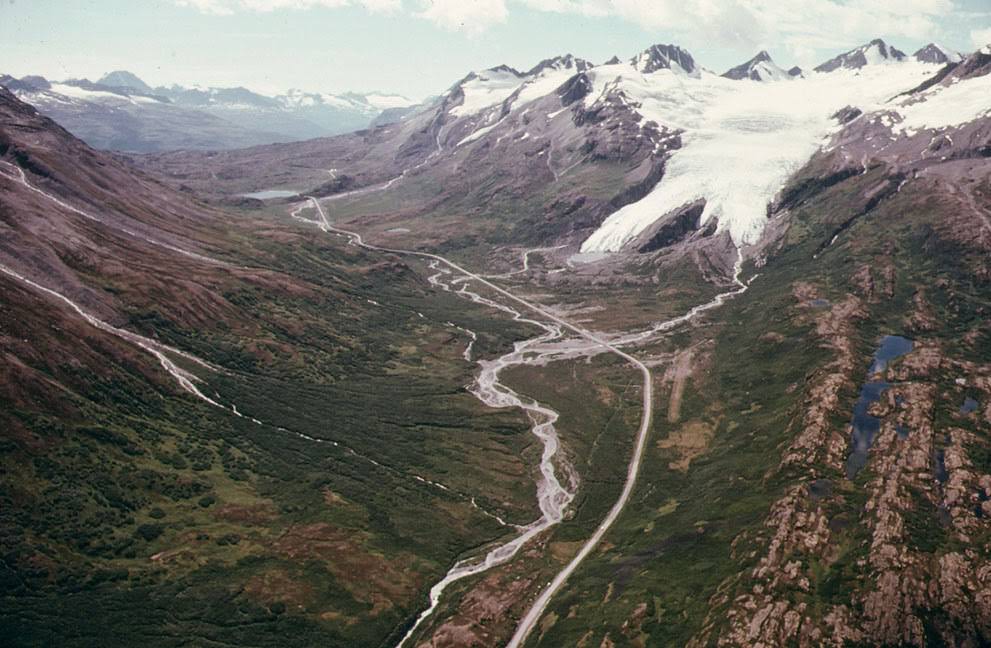
A view west toward Worthington Glacier and Thompson Pass near Valdez, Alaska, where the pipeline will parallel the Richardson Highway, 1974.
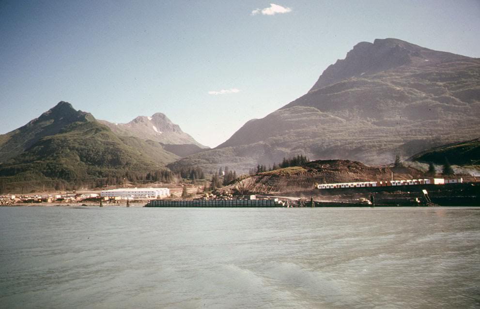
A sea level view floating in Valdez Arm, looking southeast toward the terminal site of the Alaska Pipeline Route, 1974.

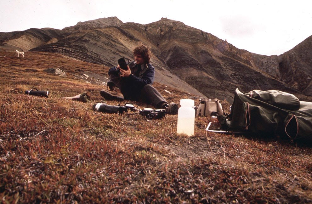
The Alaskan photographs balanced industrial documentation with imagery of the territory’s vast and largely undisturbed landscape. Dall sheep descended through Atigun Gorge, caribou crossed gravel roads, and the Alaska Ferry M/V Bartlett cut westward across Prince William Sound — all captured by photographers working at the edge of the continent before the pipeline era fully took hold.
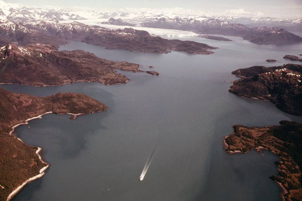
The Alaska Ferry M/V Bartlett, heading west across Prince William Sound, Alaska, 1974.
Photographer Dennis Cowals prepares to take pictures of Dall Sheep as they come down toward the West Lick in the Atigun Gorge, Alaska, 1973.
Enjoyed this post? Get new ones in your inbox.

Leave a Comment

Your email address will not be published. Required fields are marked *

Share this Post 🥺

Please take a moment to share this content. Your support is greatly appreciated! 🙌🙏

Share this Post 🥺

Please take a moment to share this content. Your support is greatly appreciated! 🙌🙏
Scroll to Top
 
Hey Friend, Before You Go.. Please like & follow for more interesting content