

Peoria, Illinois sits about 160 miles southwest of Chicago along the Illinois River, at a point where the river broadens into Peoria Lake. The city takes its name from the Peoria Indians, one of the five tribes of the Illinois Confederacy, who lived in the region long before European settlers arrived. The city was incorporated as a village on March 11, 1835, with Rudolphus Rouse serving as its first village president from 1835 to 1836. John B. Lishk was appointed the city’s first Chief of Police in 1837. Not long after, William Hale became Peoria’s first mayor, replacing the village presidency system entirely.
By 1938, Peoria had grown into a major port on the Illinois River and served as a key trading and shipping hub for the surrounding agricultural region. Corn, soybeans, and livestock defined the economy of the area. The city was a working, living place — full of people going about their daily routines on busy streets, in parks, and around the county courthouse. The photographs taken that year capture a city in motion, showing both its prosperity and its hardships with equal honesty. Local residents gather in parks and on courthouse steps, while other images reveal the stark poverty tucked along the riverbank.
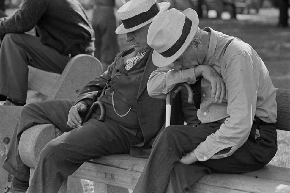
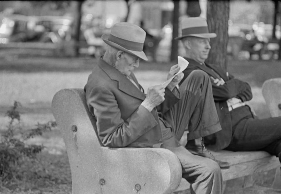
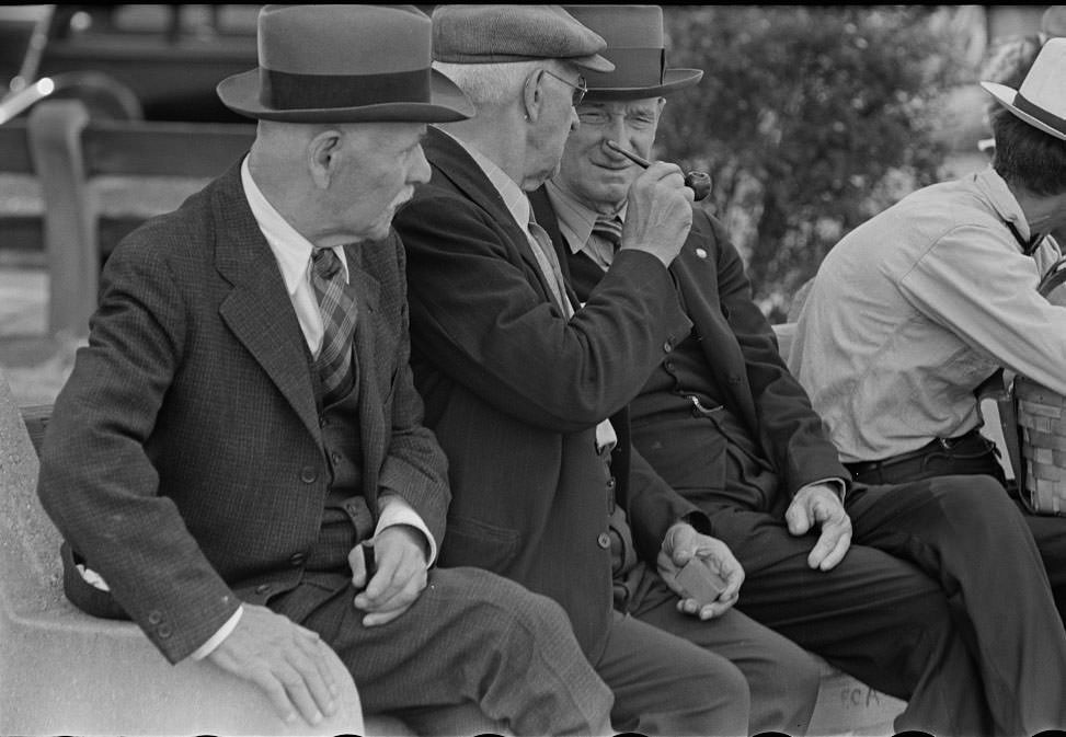
Parks gave city residents a place to pause and gather, and Peoria’s green spaces were no different. In the summer of 1938, men gathered in the shade, talking and watching the day go by. These quiet moments were a common part of life in mid-sized American cities during the late 1930s, when the country was still pulling itself out of the Great Depression.
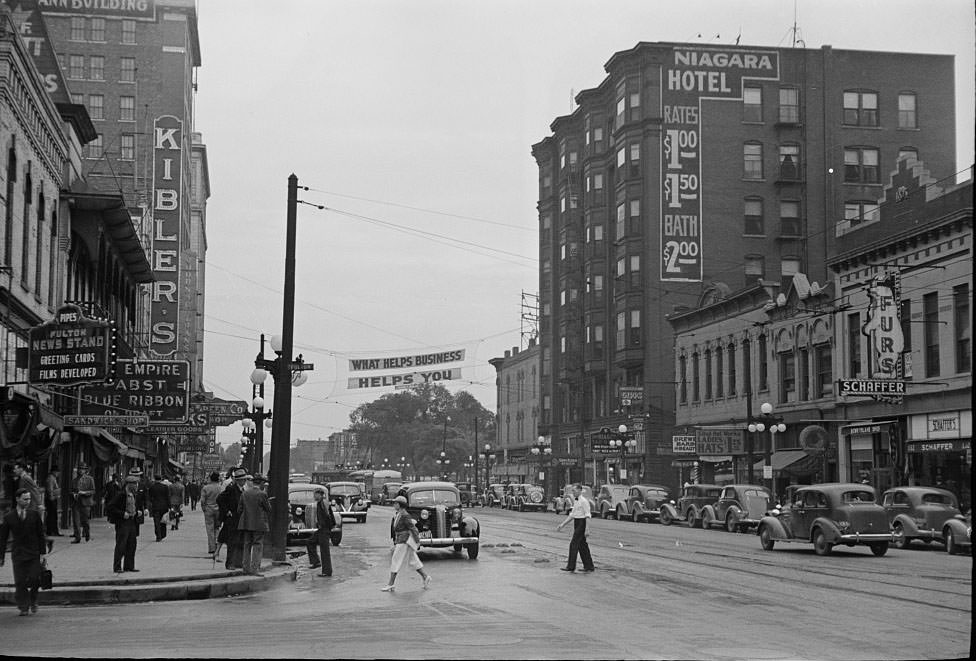
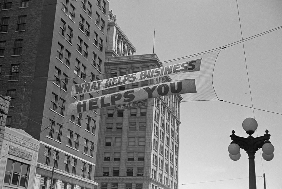
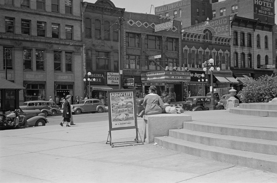
Peoria’s main commercial streets were active and well-marked, with large signs stretching across the road above pedestrian traffic. These banners and signs were a standard way for businesses and city organizations to communicate with shoppers and passersby. The streets carried a mix of automobiles, storefronts, and foot traffic that reflected a city in the middle of a busy commercial week.
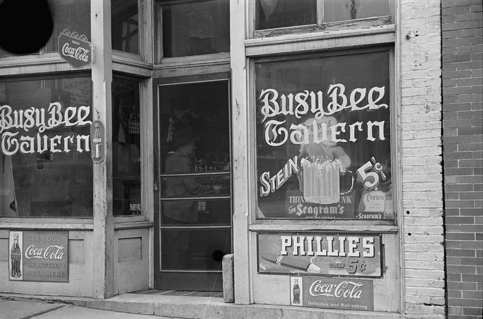
Beer taverns were a fixture of working-class neighborhoods across the Midwest in 1938. Prohibition had ended in 1933, and by the late 1930s, taverns had re-established themselves as central social spots for working men and their communities. Peoria had a long history tied to the liquor industry — the city was one of the country’s largest distilling centers for much of the 19th and early 20th centuries.
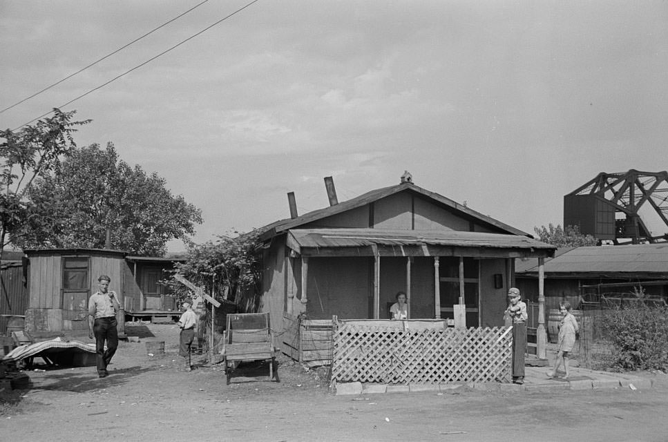
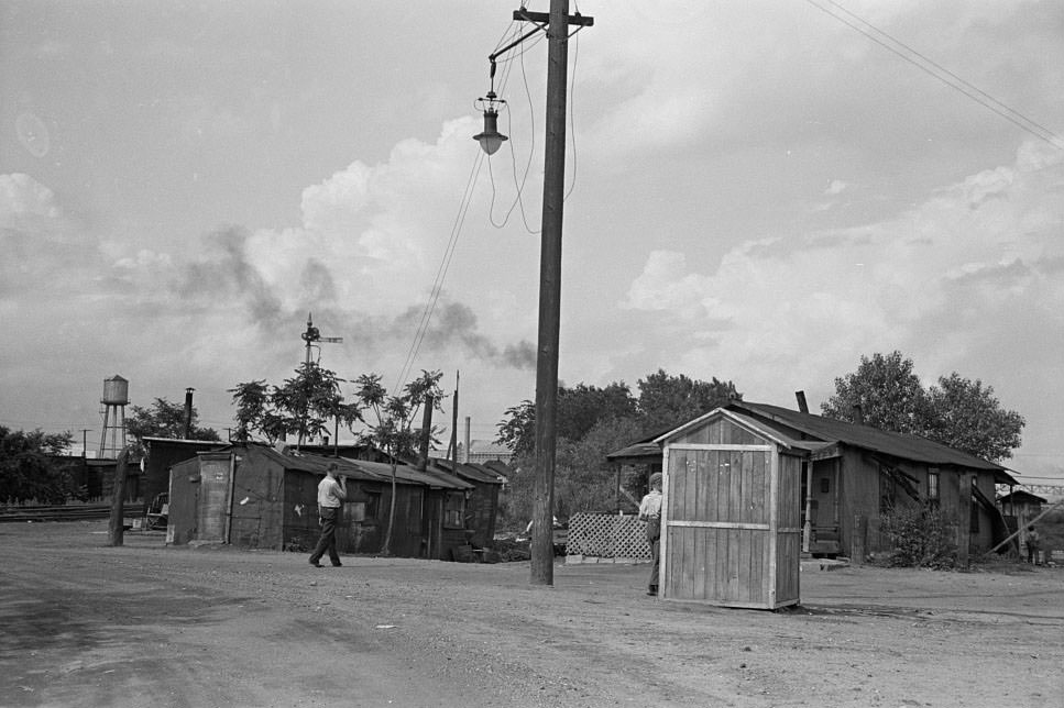
Not far from the commercial bustle of downtown, the area known as Cinder Point told a very different story. Wedged between the railroad tracks and the Illinois River, the slums of Cinder Point were home to some of Peoria’s poorest residents. The housing there was ramshackle and cramped, with little space between the noise and danger of the railway and the flooding risk of the river. These photographs document a side of Peoria’s 1938 landscape that civic boosters rarely advertised.
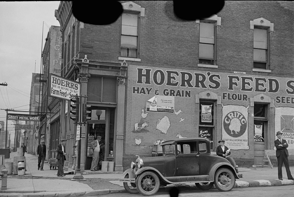
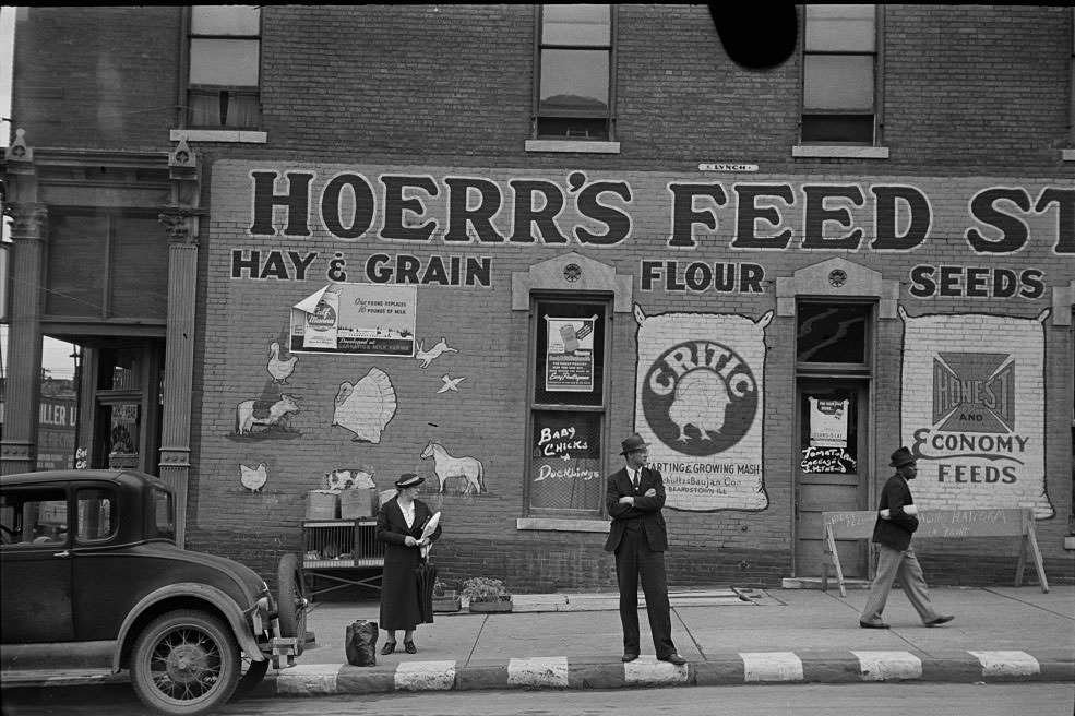
Public transportation was a lifeline for many Peoria residents who didn’t own automobiles. Bus stops in front of feed stores and other local businesses were natural gathering points, especially for people coming in from surrounding rural areas to shop, sell goods, or run errands. These images of people simply waiting for a bus speak to the rhythms of everyday life in a city that served as a commercial anchor for a wide agricultural region.
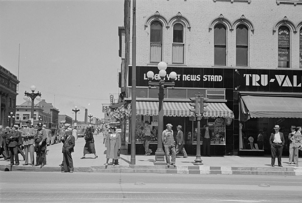
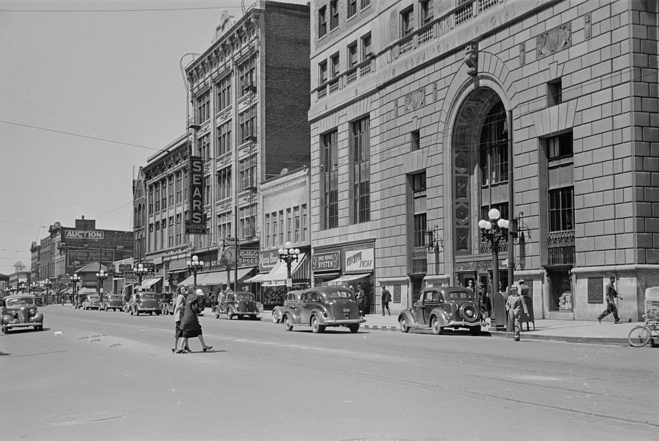
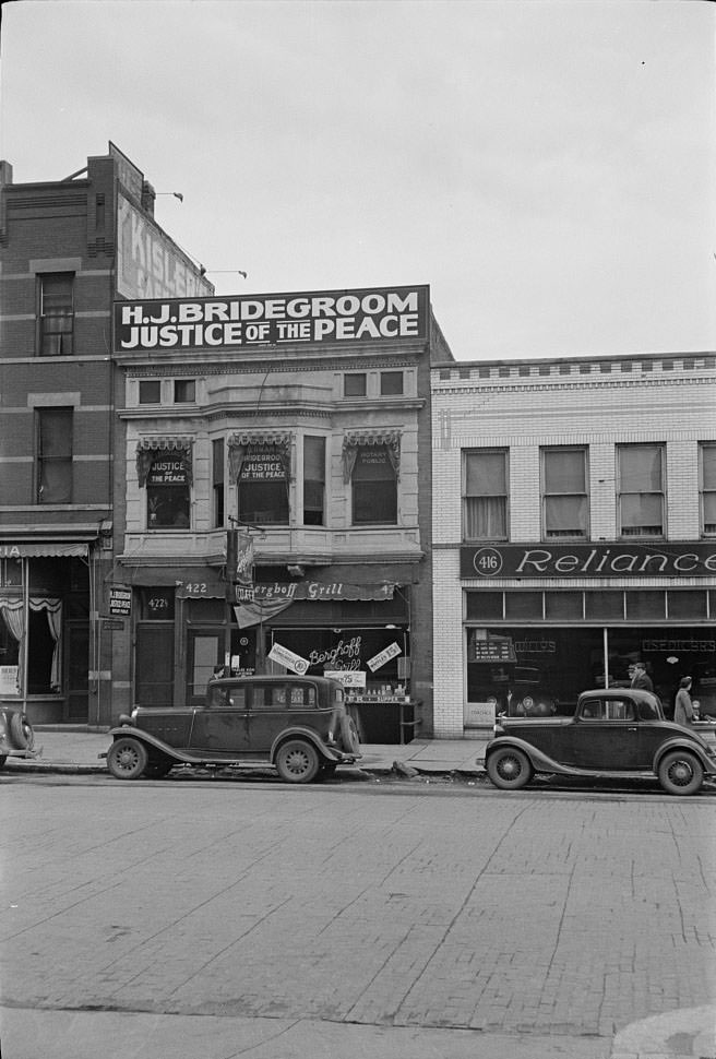
Multiple photographs from 1938 document the signage that dominated Peoria’s main street. These images show how commercial advertising worked at street level before television and modern digital media. Bold lettering and hanging banners competed for the attention of anyone walking or driving through the city’s core. The signs also hint at the range of businesses operating in Peoria at the time — a city that, despite the lingering effects of the Depression, kept its commercial life moving.
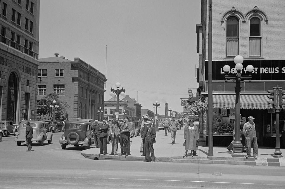
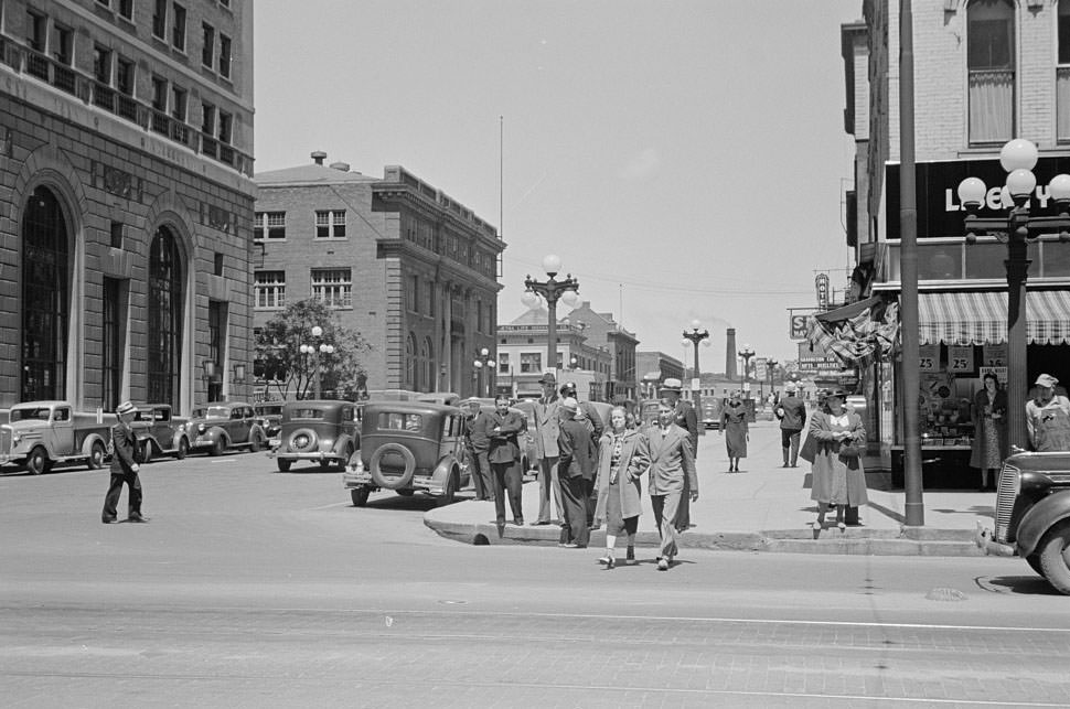
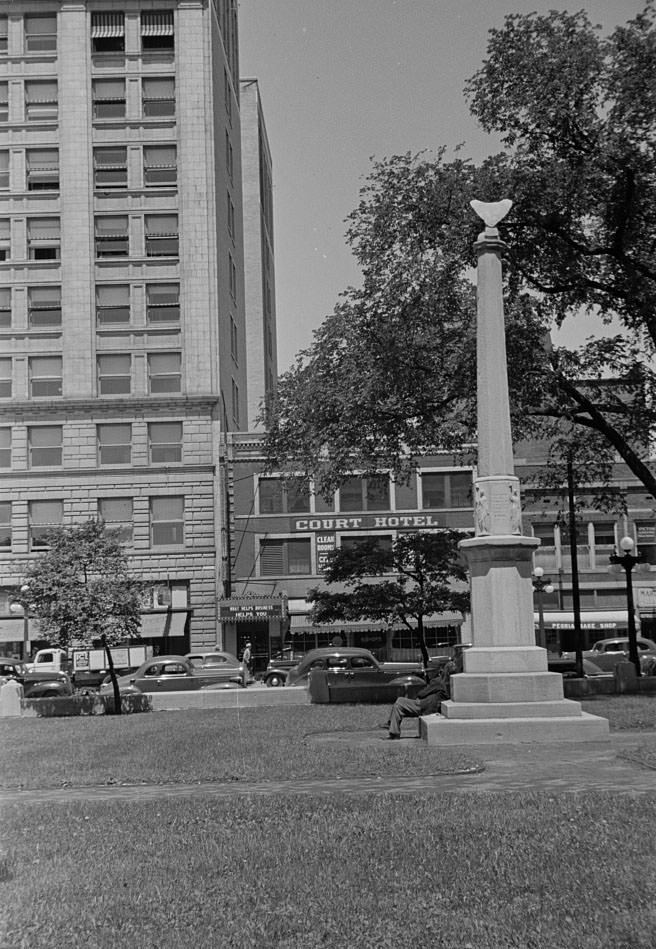
Peoria’s main street in 1938 was lined with multi-story commercial buildings, parked cars, and active storefronts. The architecture reflected decades of civic investment — brick facades, large display windows, and awnings shading the sidewalks below. People moved up and down the street on foot, and automobiles from the era filled the curbside parking spots. It was the kind of urban main street that served as the economic and social backbone of cities across the American Midwest.
City parks drew a steady crowd of men in 1938, particularly those who were unemployed or working irregular hours. The Depression had left many Americans with more time on their hands than they wanted, and public parks became informal meeting places where news was exchanged and time was passed. Peoria’s parks were well-used civic spaces, and the photographs from that year show men seated and standing in groups, talking and observing life around them.
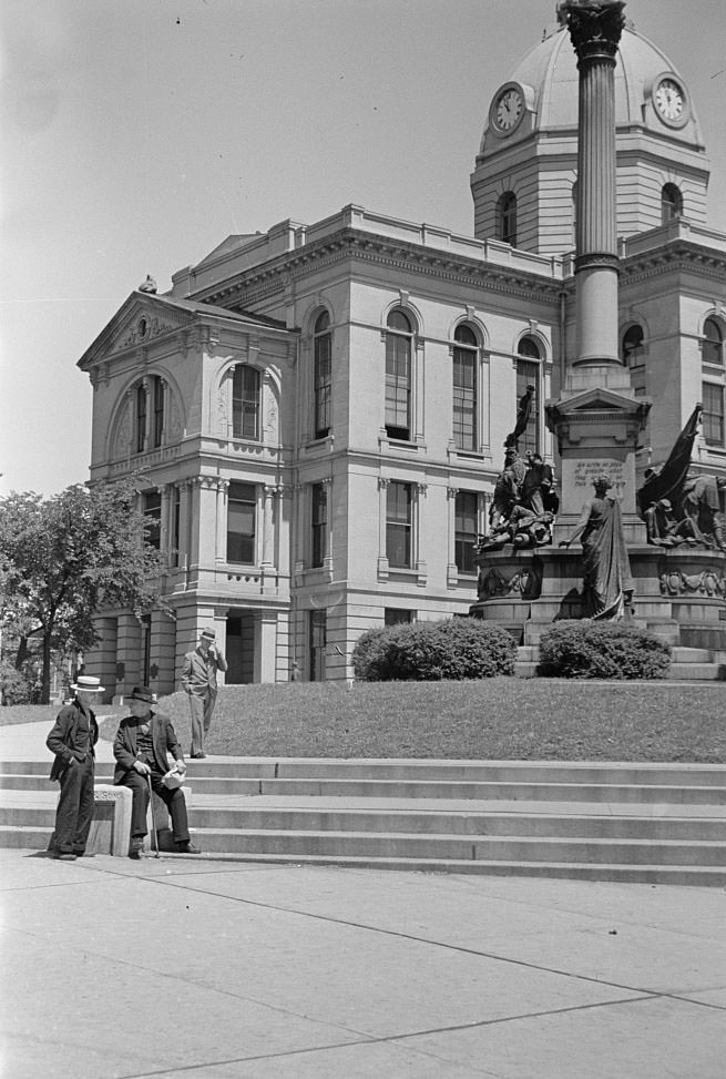
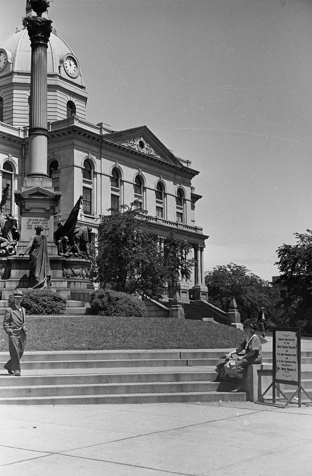
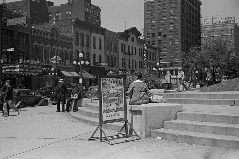
The Peoria county courthouse was one of the most active public locations in the city, and its steps served as a gathering place for a wide cross-section of the population. People came for legal matters, to pay fees, to seek assistance, and simply to meet others in a central, familiar location. The 1938 photographs of the courthouse steps show men and women of various ages and backgrounds — a rare visual record of who was moving through public life in the city at that time.
Prostitution was openly documented in Peoria in 1938, and the photographs taken that year do not shy away from it. Brothels operated in the city at the time, and their existence was a known part of Peoria’s urban landscape. One image shows a man leaving a prostitute’s house, while others document the brothels themselves — modest buildings that blended into the surrounding streetscape. These images were captured as part of a broader documentary effort to record American life as it actually existed, not as authorities or civic leaders wished it to appear.
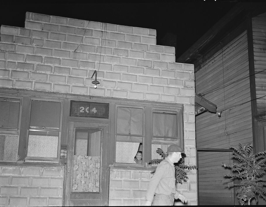
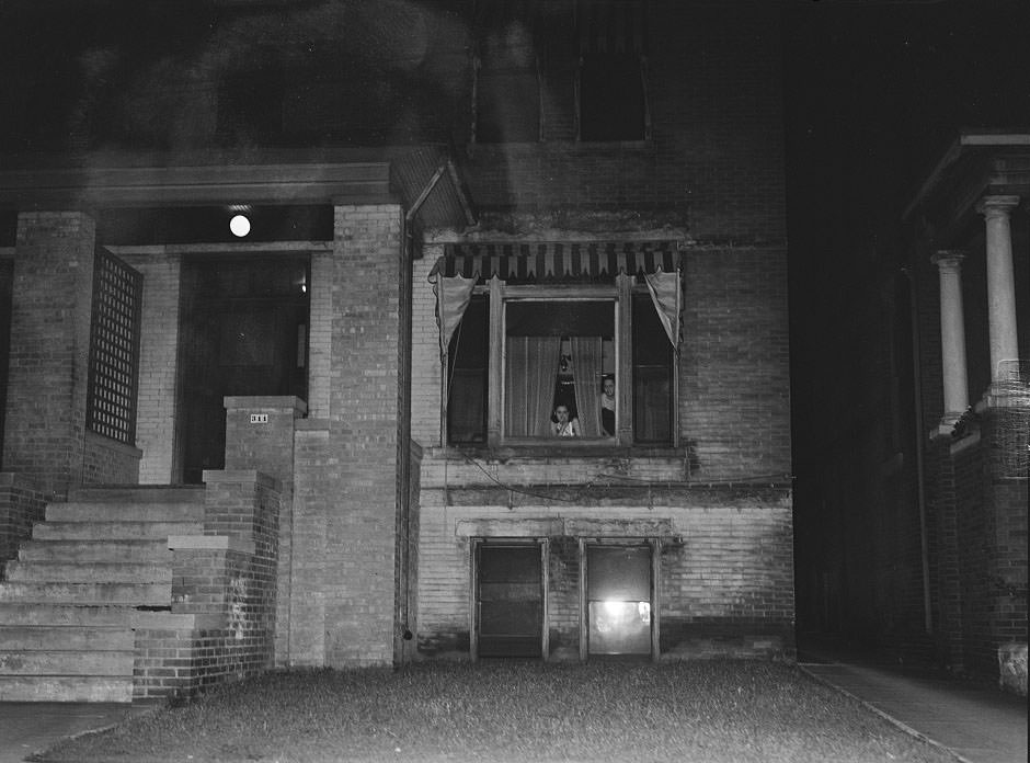
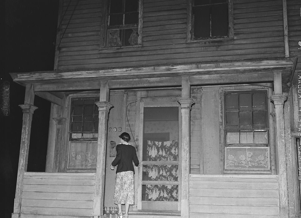
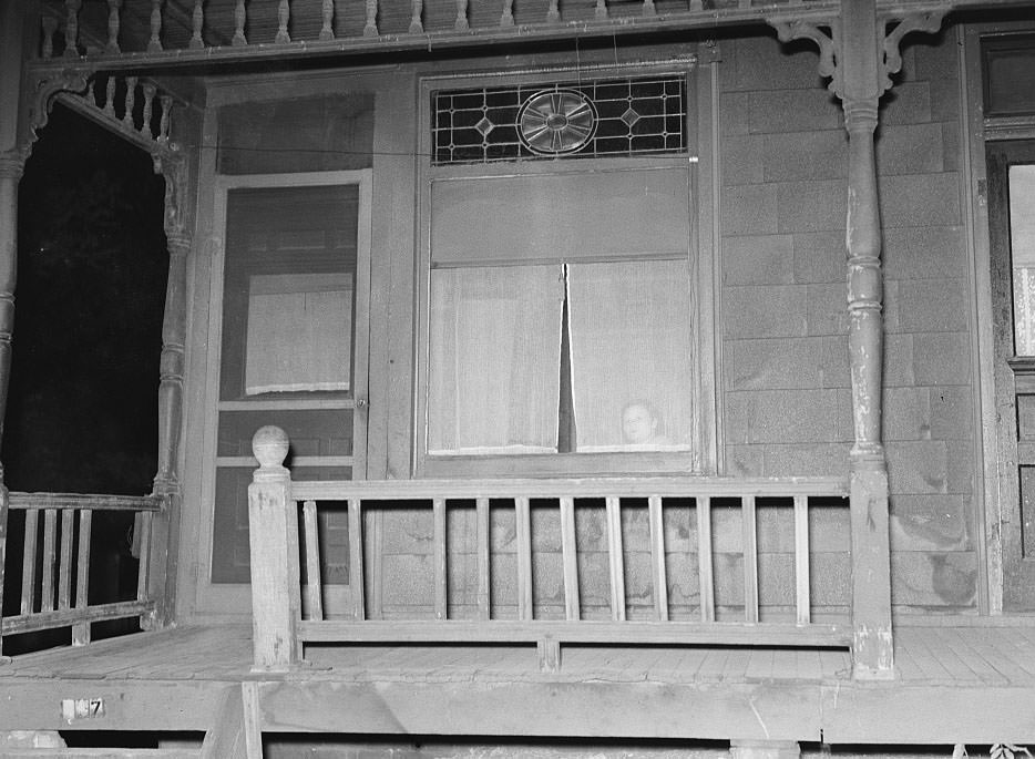
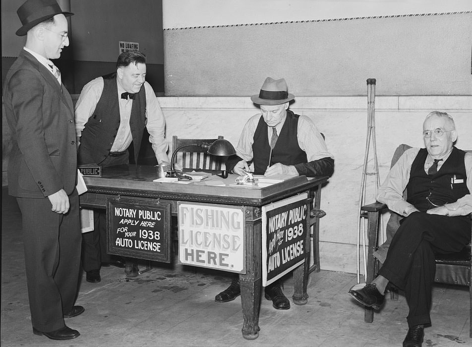
Women also appear in the 1938 photographic record of Peoria — watching from windows, navigating the city, and going about their daily lives. A photograph of women at a window captures an unguarded moment that reflects how residents interacted with the street below. The courthouse’s license bureau was another scene of ordinary civic life, where clerks and residents handled paperwork and official city business in close quarters.
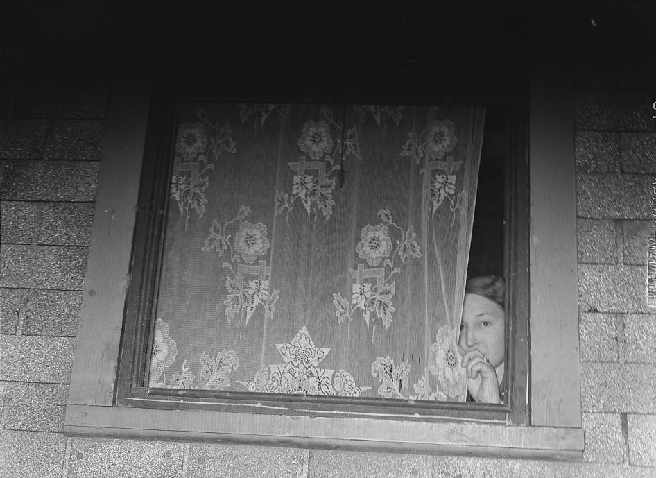
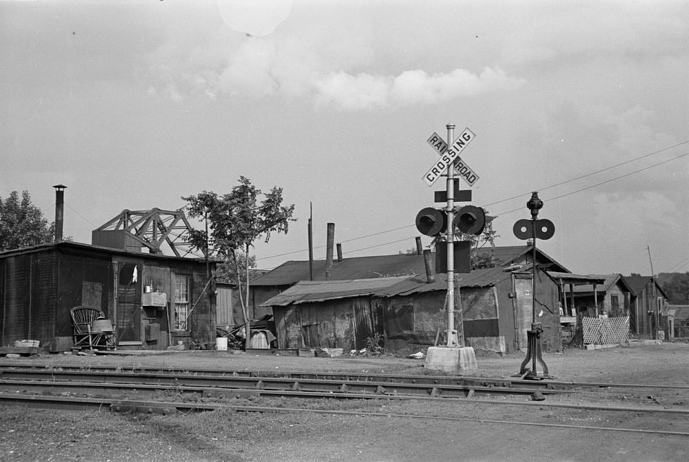
The area around Cinder Point continued to reflect the deep poverty that persisted in parts of Peoria in 1938. The land between the railroad and the river was a harsh place to live — subject to noise, flooding, and the general neglect that came with occupying land no one else wanted. The families who lived there had few options, and the photographs document the conditions plainly.
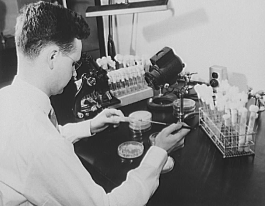
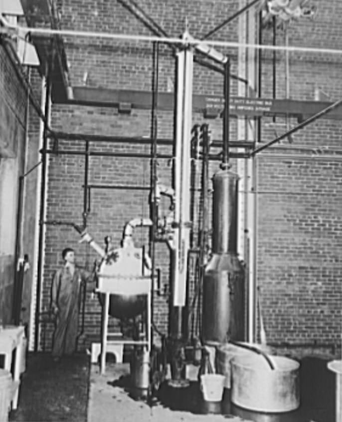
Peoria was home to the Northern Regional Research Laboratory of the U.S. Department of Agriculture, which was actively conducting scientific research in 1938. Among its projects that year was the production of butylene glycol — a chemical compound with industrial applications. The laboratory represented Peoria’s role not just as a farming and shipping hub, but as a site of federally funded agricultural science. The facility would later become famous in the early 1940s as the place where researchers developed methods to mass-produce penicillin using corn steep liquor, a byproduct of the local corn milling industry.

Anyone know if CityLink still does the historical calendars? They were so cool.
They do. You can get it at the Transit Center or the City Link Administration Building for a 5 dollar donation. This year’s theme is the arts.
Oh that’s so cool, thanks for letting me know!
Does anyone know where Cinder Point was located? Lots of slum photos from there, and I’m curious what’s there now.
Looks like the same old bridge thing that’s still there, maybe down by where the scrap yard going towards bartonville is now?
If I remember correctly, it was located near the current location of the old Hiram Walker distillery or the Ceder St. Bridge
Sears makes a good parking lot and lovers playground now.
awesome photos thanks!!