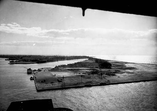
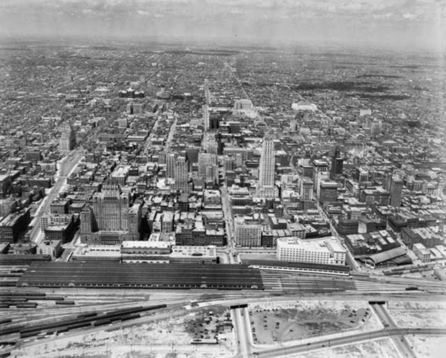
Toronto in the 1920s was a city on the move. Workers flooded into manufacturing districts, and the city’s skyline and infrastructure began to grow rapidly to keep pace. Two landmarks defined the era: Union Station, officially opened by the Prince of Wales in 1927, and the Royal York Hotel, which opened in 1929 as the tallest building in the British Empire at 28 stories, topped by a massive copper roof.
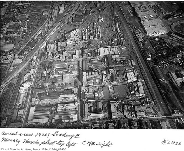
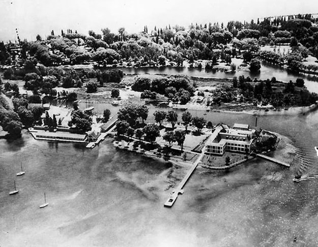
The Toronto Islands served as a natural escape just offshore from the growing city, used for recreation and community events throughout the decade.
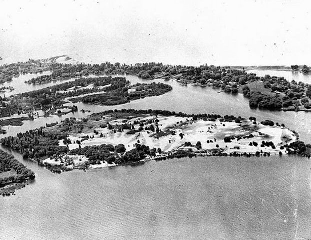
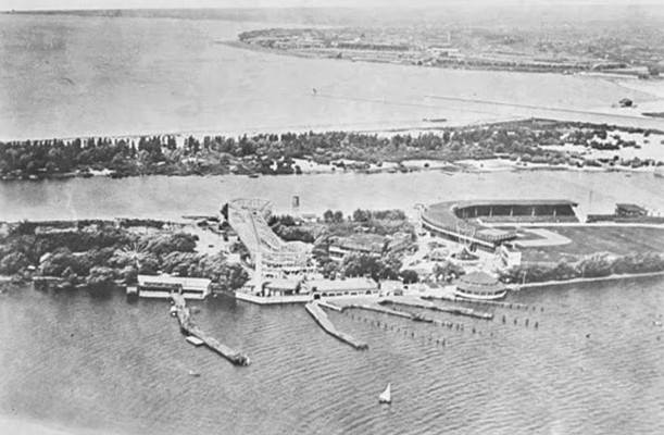
The Distillery District was already a major industrial presence by the late 1920s, its footprint sprawling across the eastern waterfront.
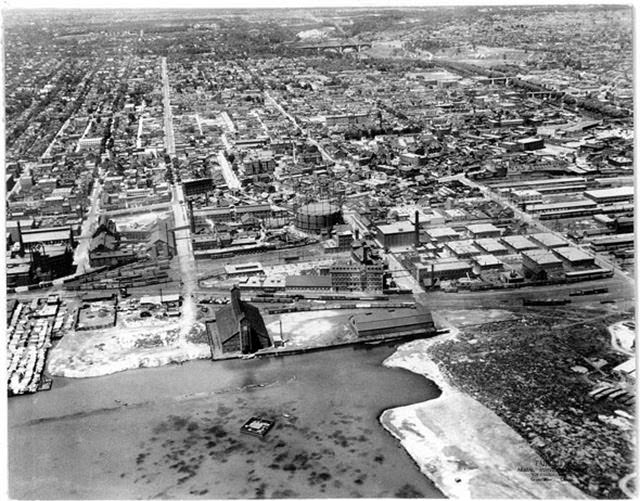
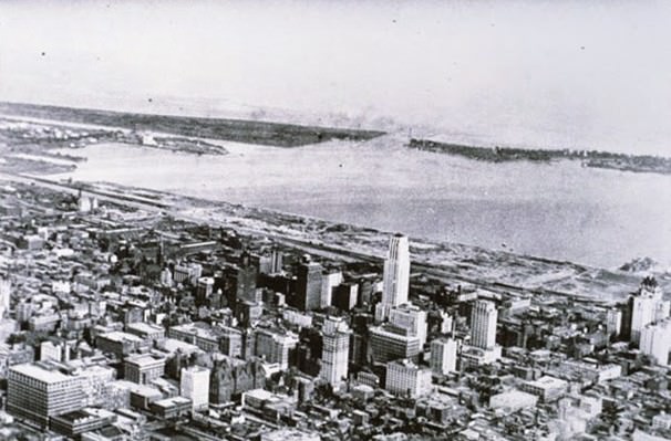
By 1929, looking north across the city revealed a dense urban core giving way to open land — a snapshot of a metropolis still filling in its boundaries.
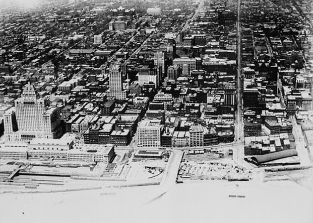
Sunnyside Amusement Park, on the shores of Lake Ontario, was the city’s main summer destination. Its boardwalk, large outdoor pool, dance halls featuring live jazz, and athletic facilities drew families daily throughout the 1920s and into the 1930s.
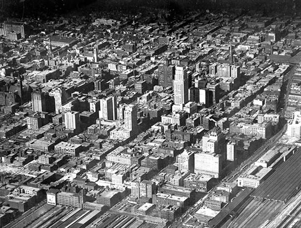
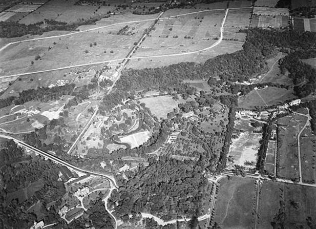
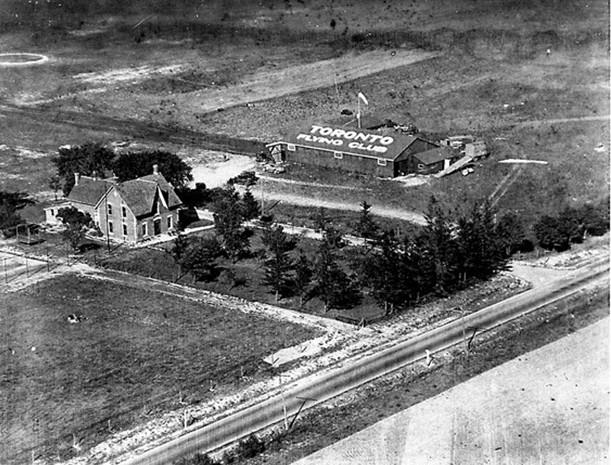
In 1930, the area above what is now Pearson International Airport was largely undeveloped — a stark contrast to the sprawling transit hub that stands there today.
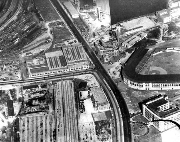
Maple Leaf Stadium near Bathurst and Lake Shore stood as a landmark of the waterfront sports scene, visible in aerial views from 1930.
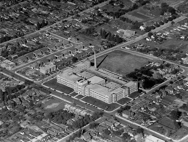
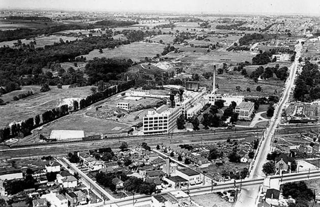
The Kodak Plant at Mount Dennis was one of many major industrial facilities defining Toronto’s manufacturing identity in 1930.
One remarkable aerial from the 1930s captured the R101 dirigible in view over the city — a fleeting glimpse of the short-lived age of airship travel.
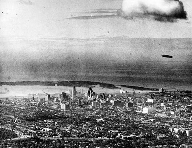
The Great Depression hit Toronto hard in the 1930s. Factories shut down, unemployment soared, and many residents depended on soup kitchens. The city launched relief programs that put unemployed men to work building public infrastructure, including bridges, parks, and the R.C. Harris Water Treatment Plant — the largest and most expensive project of its kind in the city’s history.
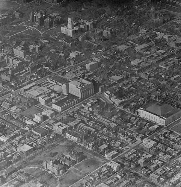
Maple Leaf Gardens was built in under six months in 1931, with hundreds of workers laboring in around-the-clock shifts. Conn Smythe oversaw the project. The arena opened on November 12, 1931, with a sold-out game against the Chicago Blackhawks.
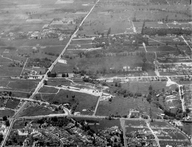
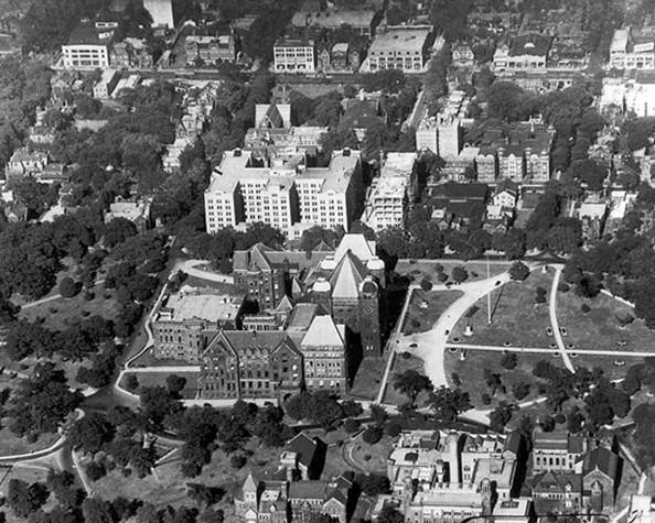
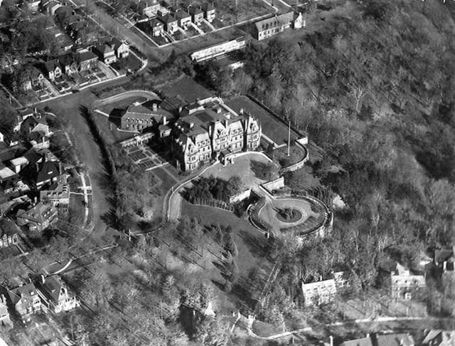
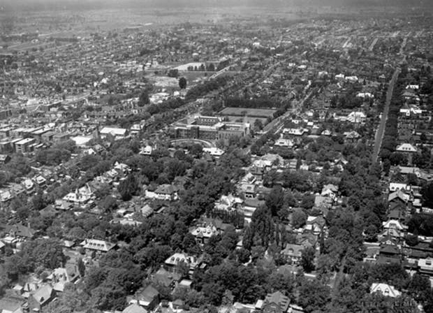
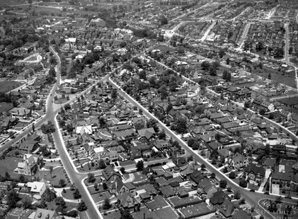
Forest Hill in 1935 shows a quieter, more residential Toronto — tree-lined streets and open lots far removed from the industrial core to the south.
By 1937, the site of what would become the Island Airport was taking shape along the waterfront, marking yet another step in Toronto’s push to expand its transportation network.