San Francisco in the 1970s was a city in motion. Its skyline was rising, its streets were alive with protest and performance, and its neighborhoods were being pulled in competing directions. The decade brought real economic strain, rapid construction, cultural energy, and deep community tension — all at the same time. These photographs capture that city in vivid detail, from the towers going up downtown to the corner stores, cable car lines, and waterfront views that defined everyday life.
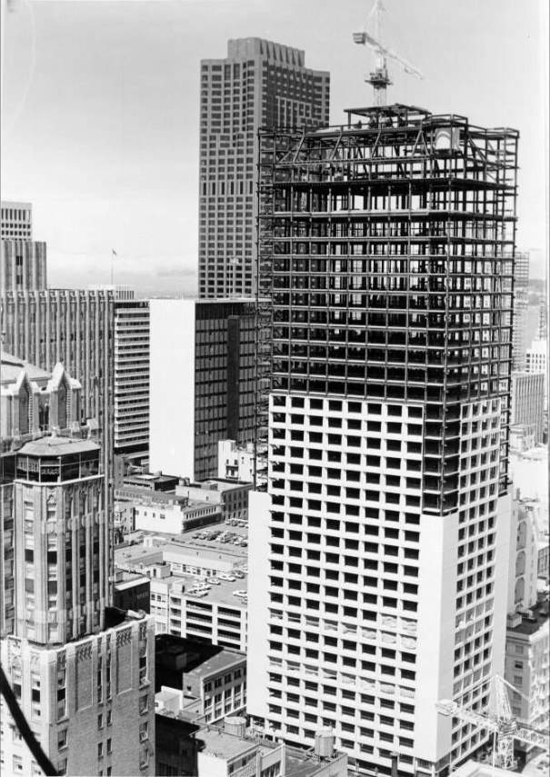
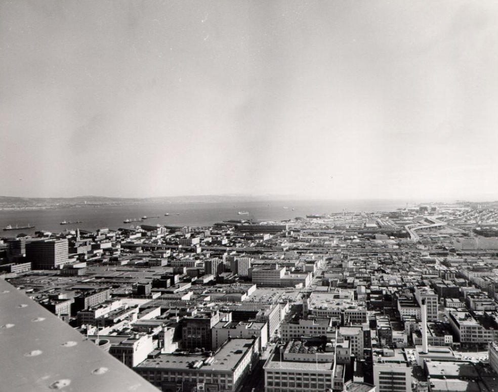
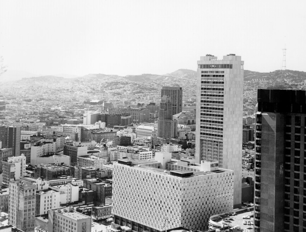
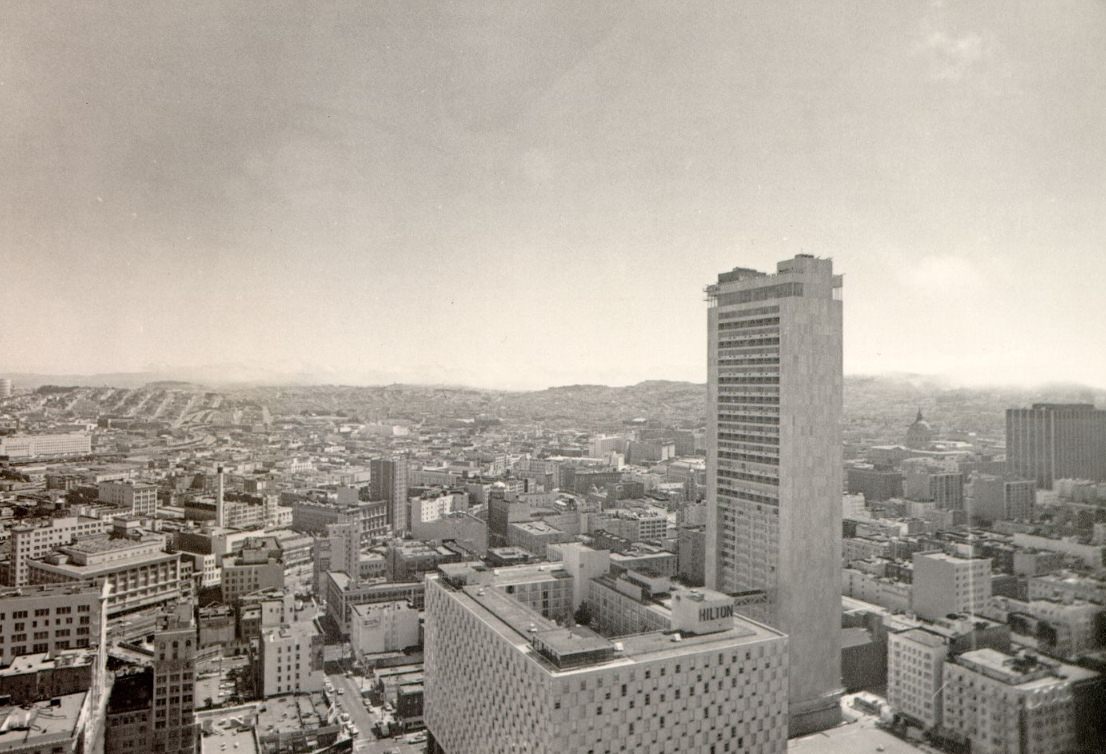
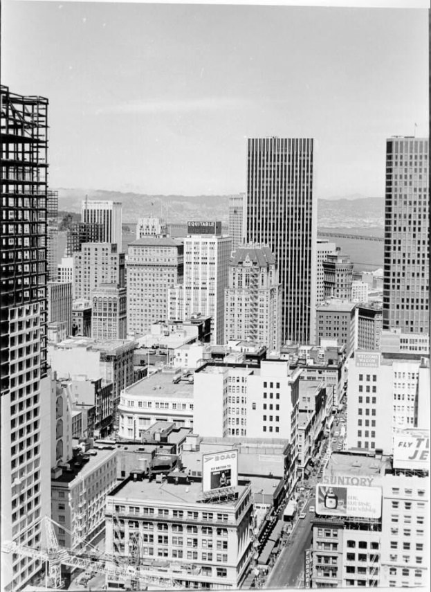
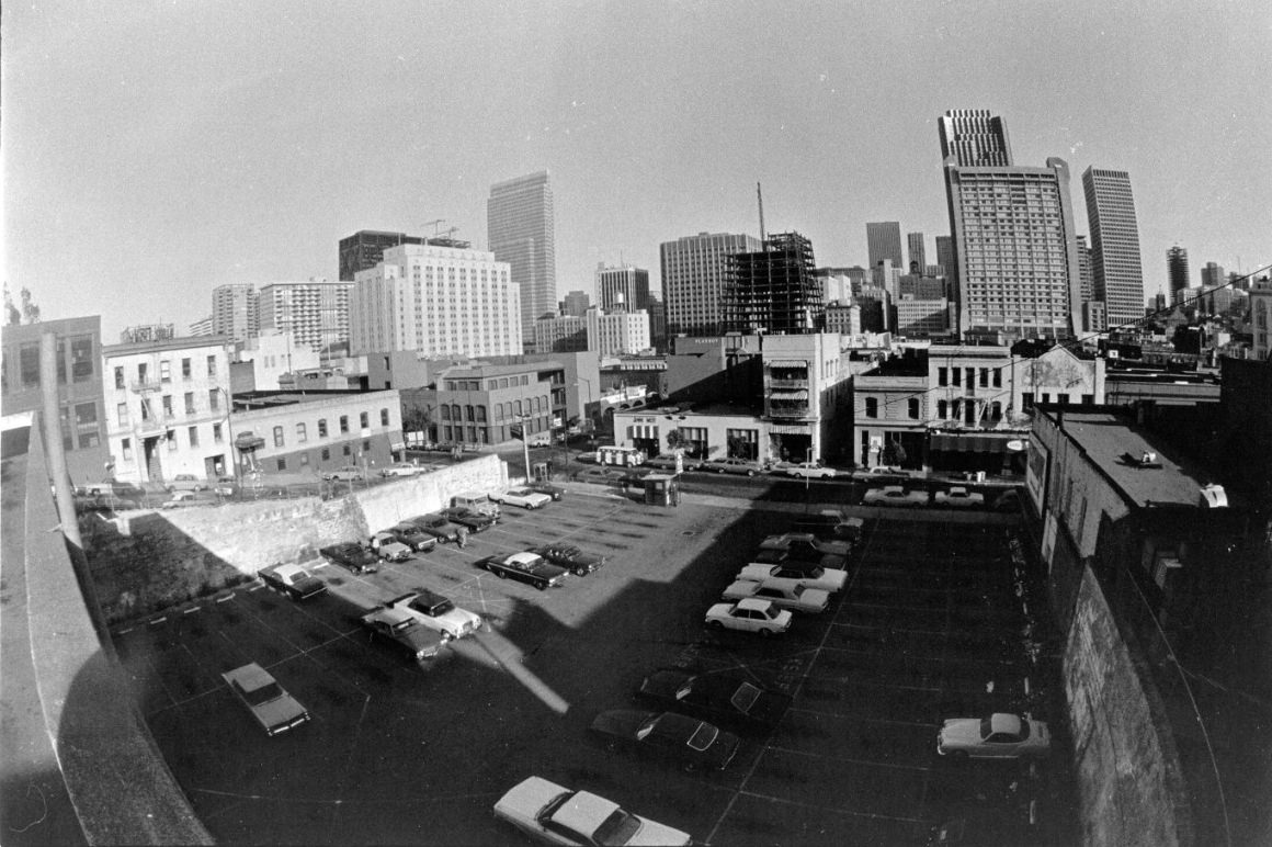
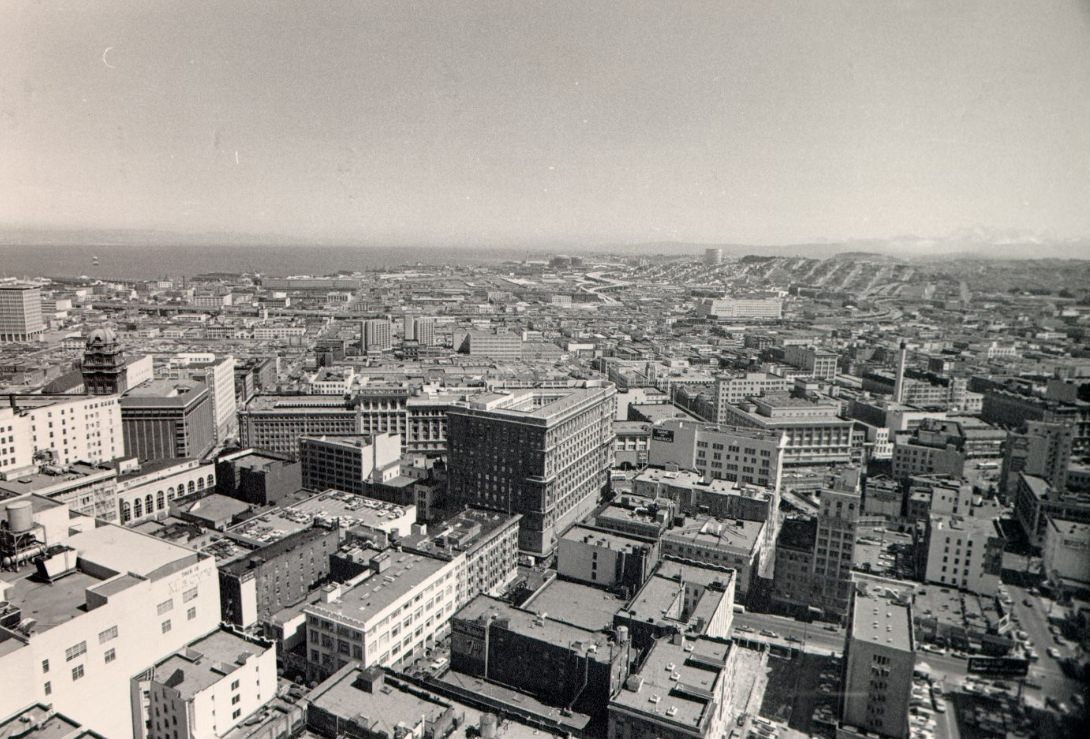
Looking out over the city from the St. Francis Tower in 1971, San Francisco’s downtown was already a dense cluster of mid-century office buildings pushing upward. The Financial District was expanding fast. New skyscrapers and office towers were being added throughout the early part of the decade, cementing the city’s role as a major banking and finance hub on the West Coast.
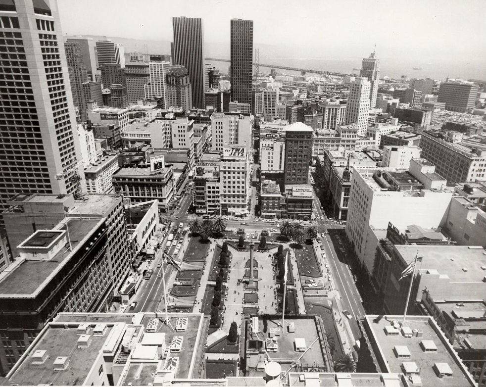
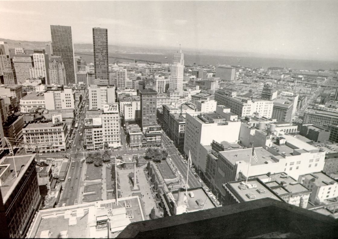
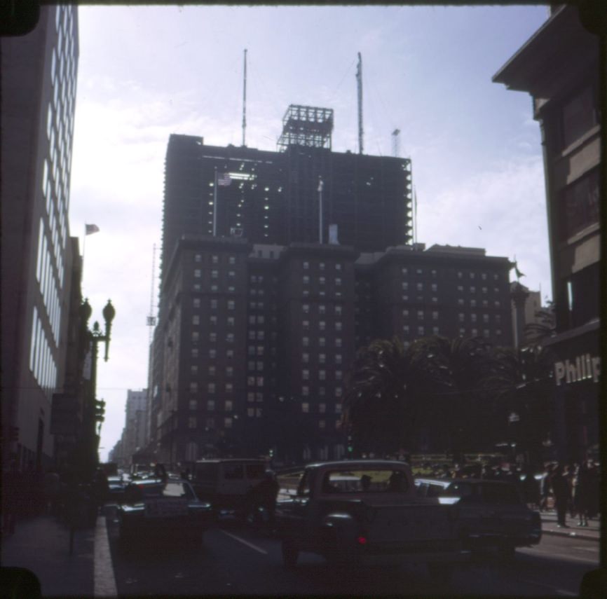
Union Square sat at the commercial heart of the city. The St. Francis Hotel itself was undergoing expansion during this period — its tower addition was under construction in 1971, adding a 32nd story that gave photographers a new vantage point over the square below. Department stores, boutiques, and restaurants lined the surrounding blocks, and the square itself regularly hosted public events, street performers, and civic gatherings.
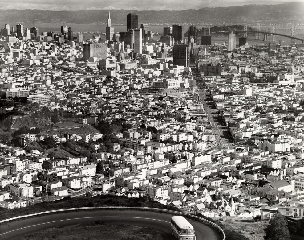
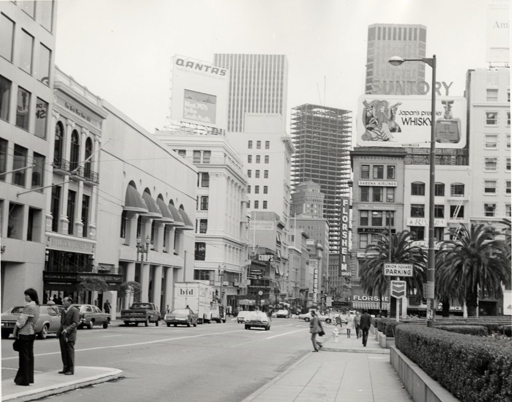
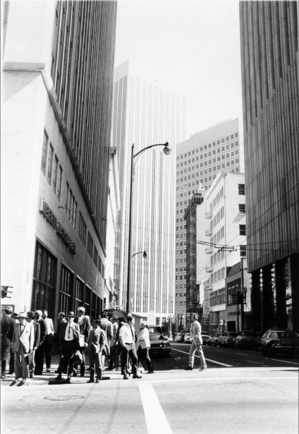
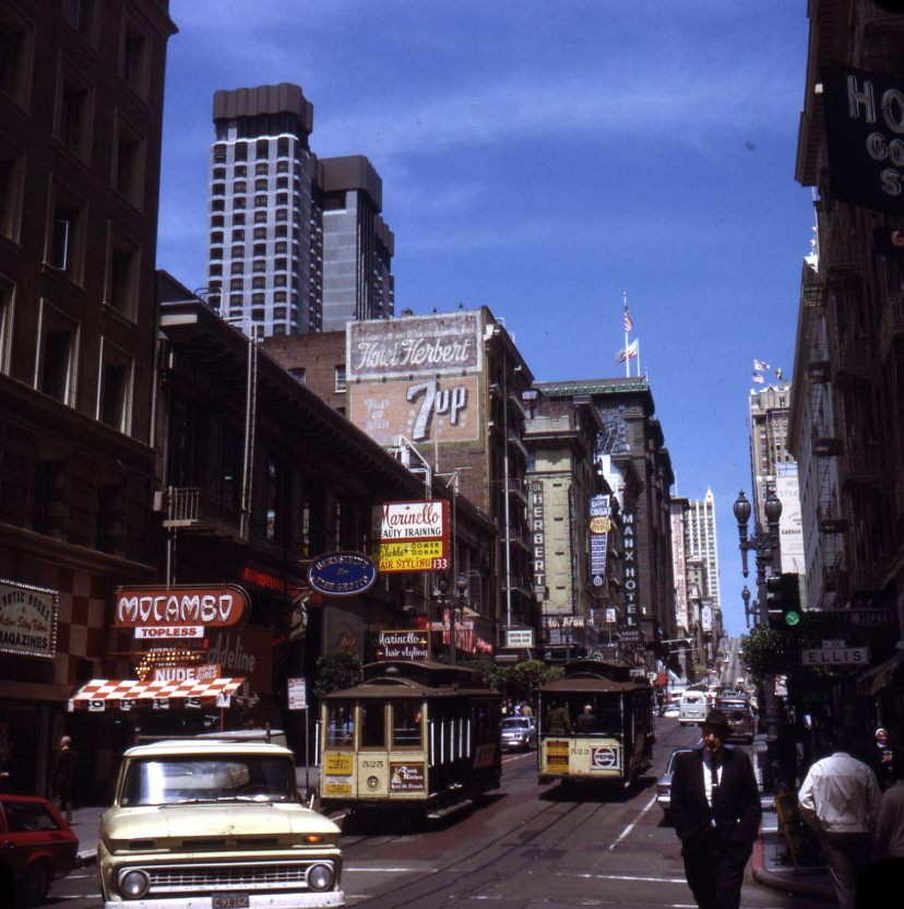
Street-level San Francisco told a different story than the views from hotel towers. Post Street between Powell and Stockton was a busy commercial corridor, lined with storefronts and pedestrians moving through the mid-1970s city. Construction was a constant presence on these blocks — Powell Street saw active work at Ellis and at other intersections as the city rebuilt and expanded its commercial core.
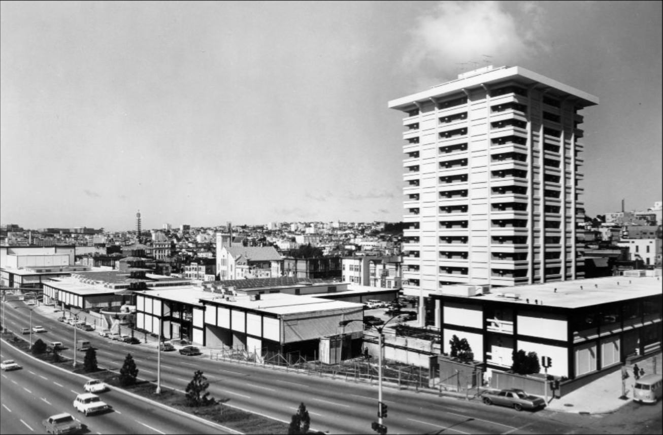
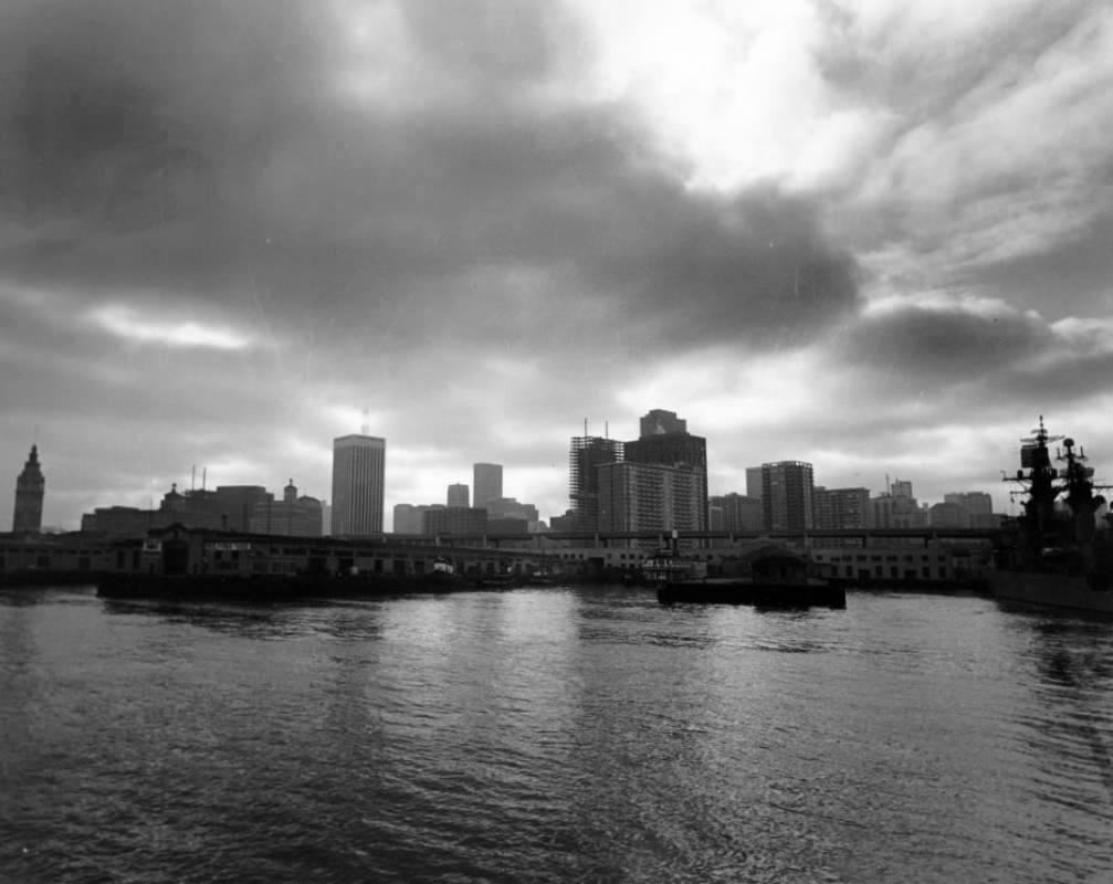
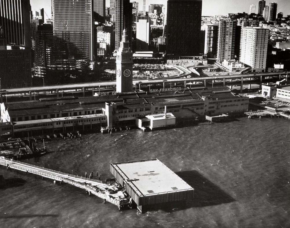
From the bay, the city’s waterfront presented a striking face. The Ferry Building anchored the foot of Market Street, and Fisherman’s Wharf remained a draw for tourists and locals alike. Both were important to San Francisco’s economy at a time when the city faced real financial pressure — unemployment and inflation were hitting working-class residents hard, and the city had cut back on public services.
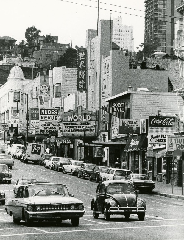
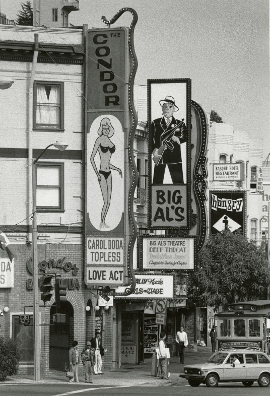
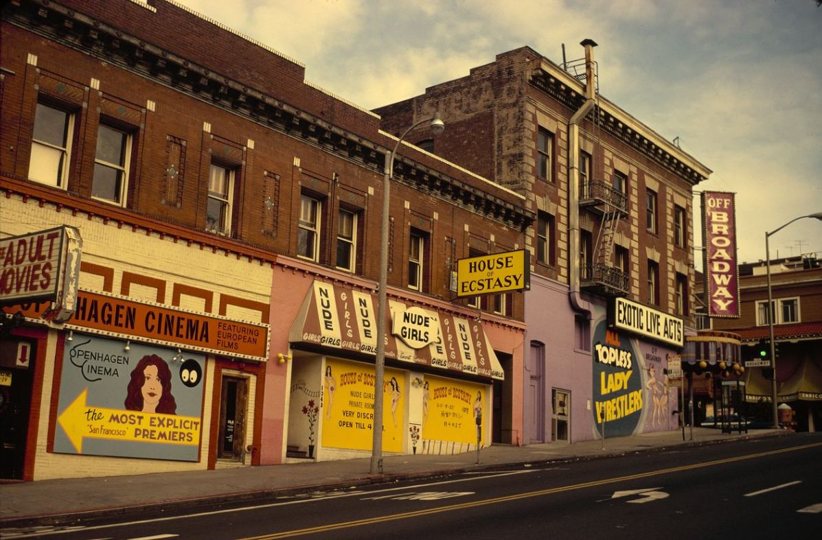
The intersection of Broadway and Columbus Avenue was one of the most charged corners in the city. By 1970, the stretch of Broadway running through North Beach was lined with nightclubs, adult entertainment venues, and bars. The Condor nightclub operated on this strip, and the area attracted a constant flow of visitors after dark. It was also the site of the city’s first women’s march against pornography in 1977, a demonstration that drew national attention.
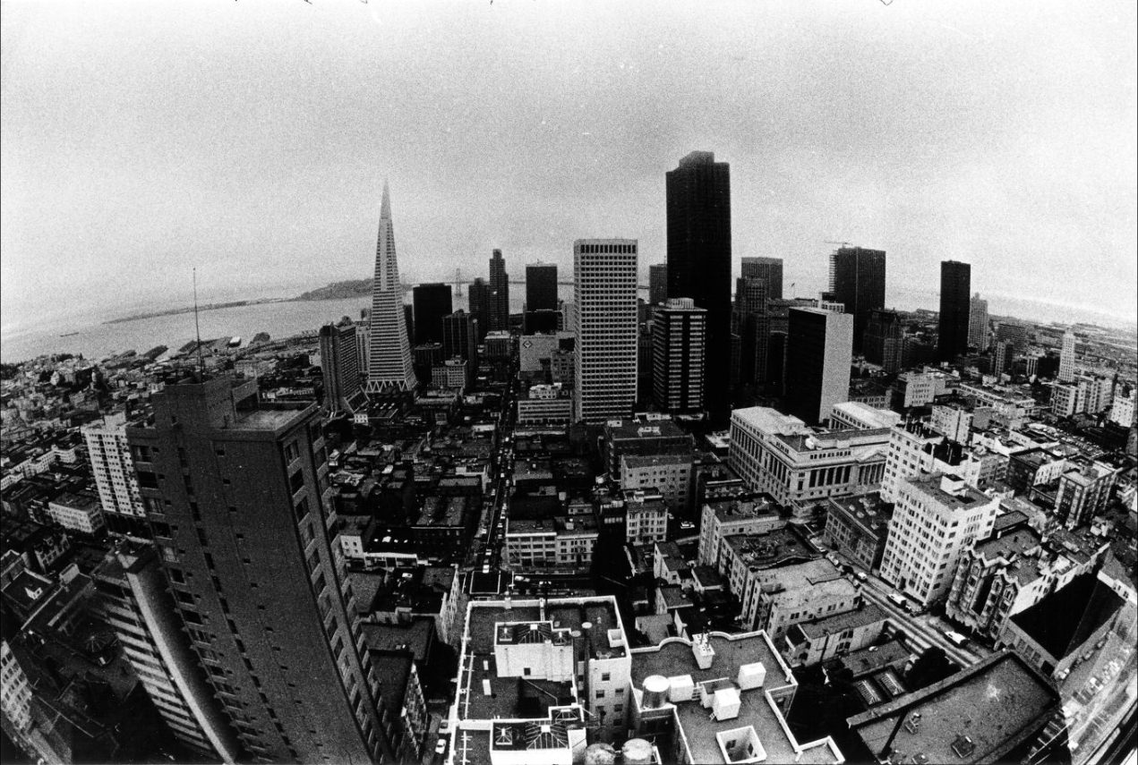
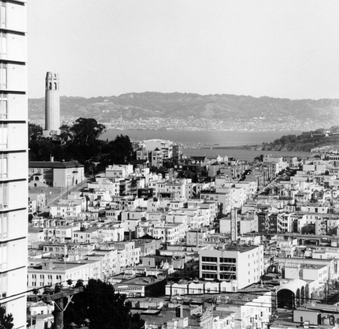
Telegraph Hill rose sharply from the edge of North Beach, its eastern face dropping steeply toward the Embarcadero. Coit Tower stood at its summit, visible from much of the city. By the late 1970s, the hill’s surrounding neighborhood — Telegraph Landing — had seen new condominium development, part of a broader pattern of residential construction reshaping older parts of the city.
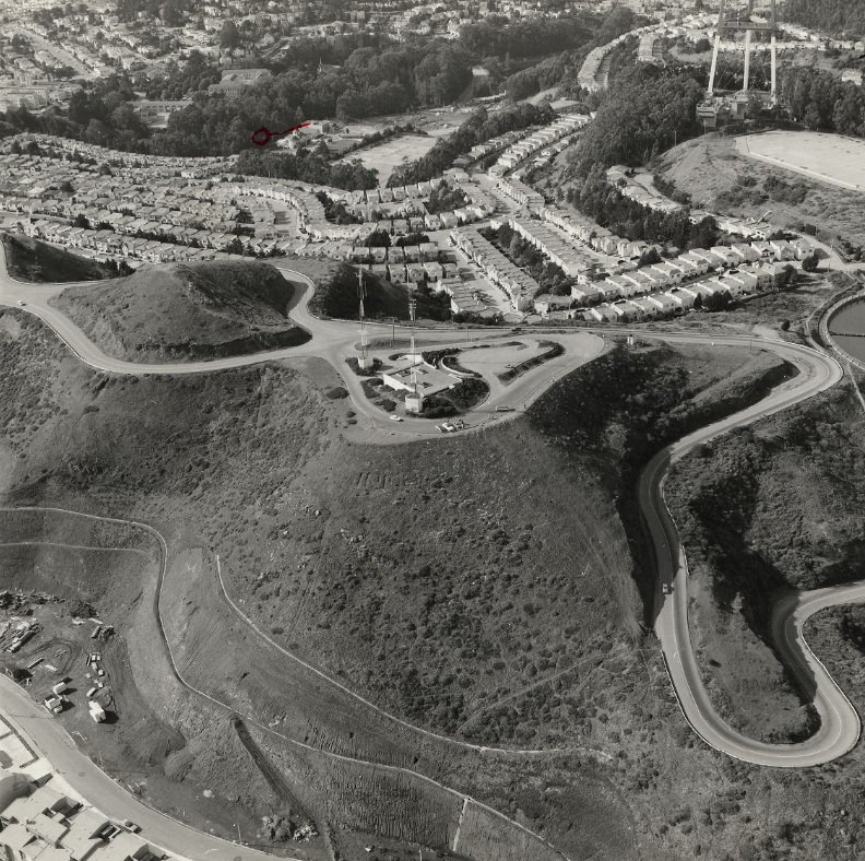
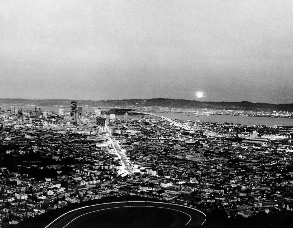
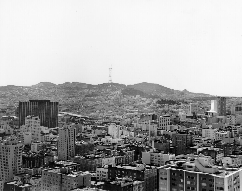
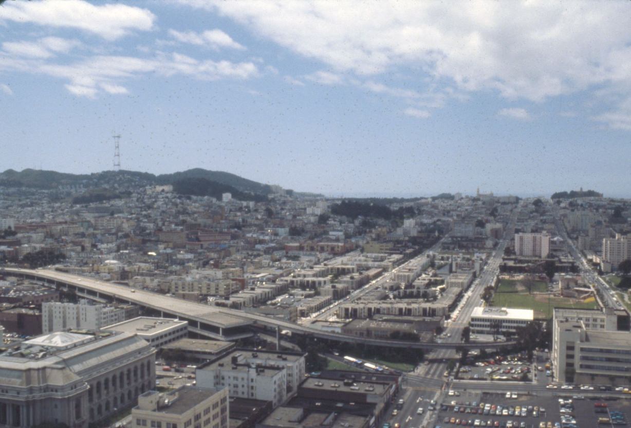
Twin Peaks offered some of the most dramatic views in the city — north toward the Bay Bridge, west toward the ocean, and east across Market Street’s long diagonal slash through the urban grid. From this elevation, the Sutro Tower was visible on the ridge to the southwest, its steel frame rising above the fog line. The tower was completed in 1973 and immediately became one of the city’s most recognizable landmarks.
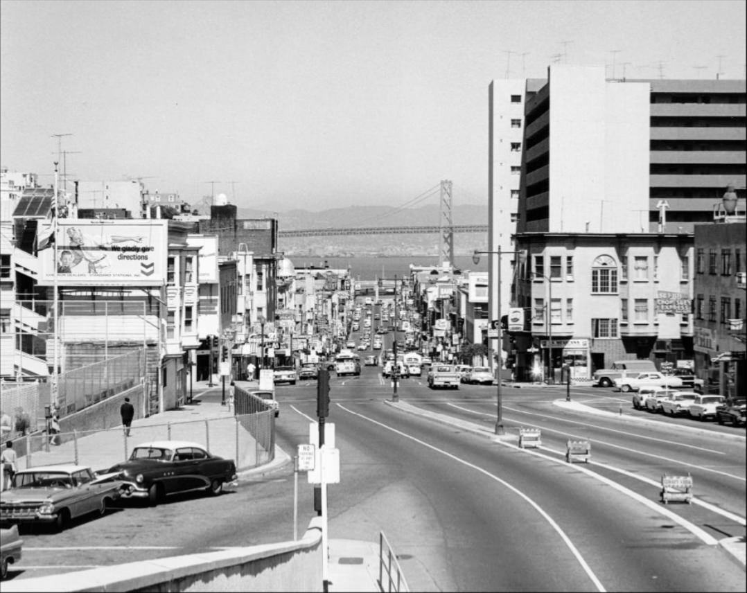
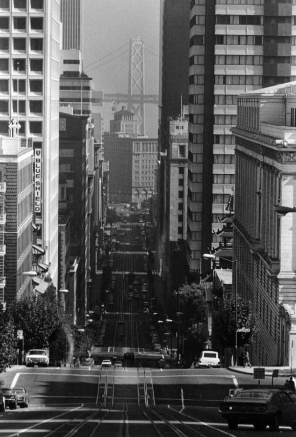
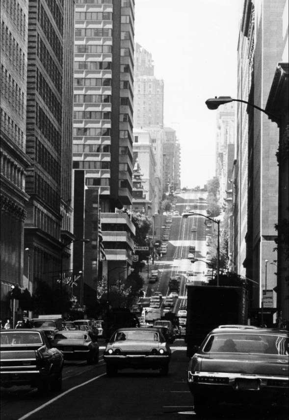
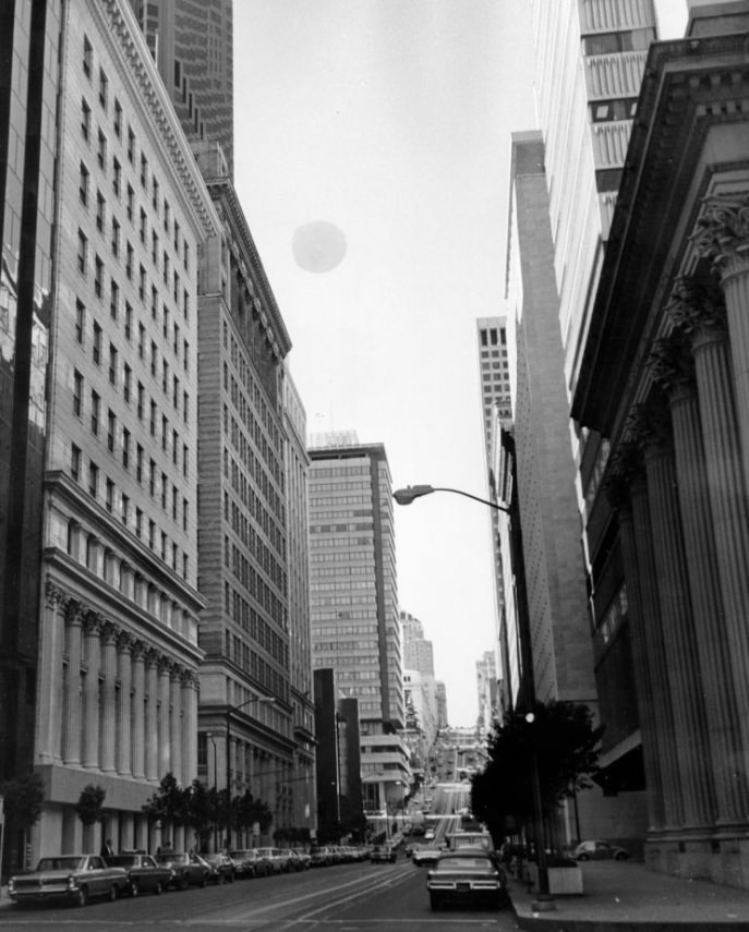
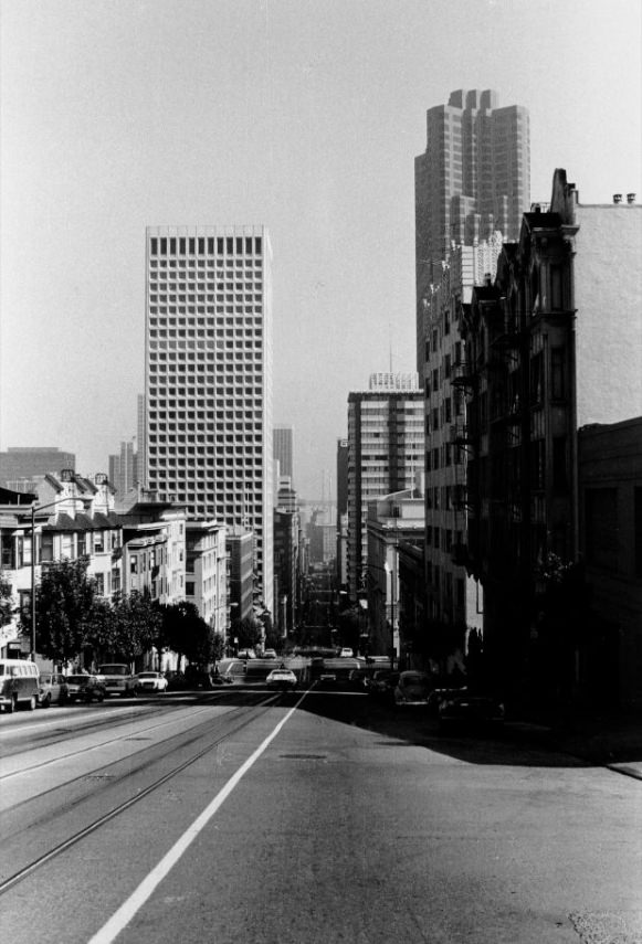
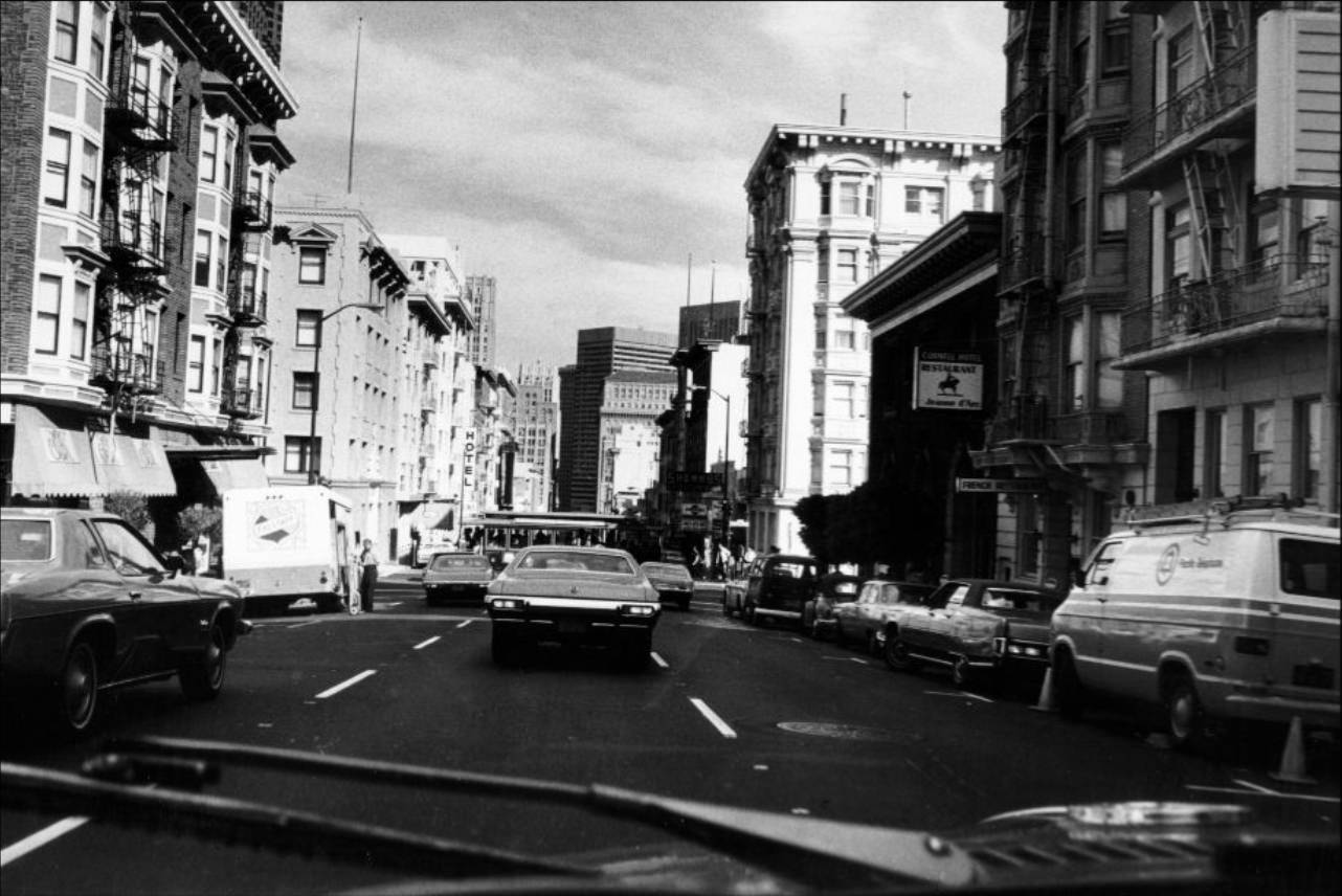
California Street ran straight through the heart of the Financial District before climbing Nob Hill. Cable cars traveled its length, connecting the downtown core to the city’s upper residential neighborhoods. The 1973 cable car system was declared a National Historic Landmark, protecting these vehicles from being replaced by more modern transit. They remained in daily use throughout the decade, carrying both commuters and tourists up the city’s steep grades.
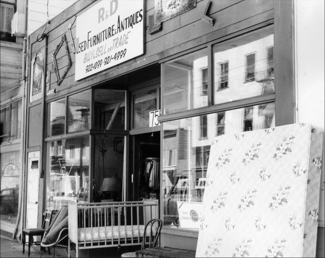
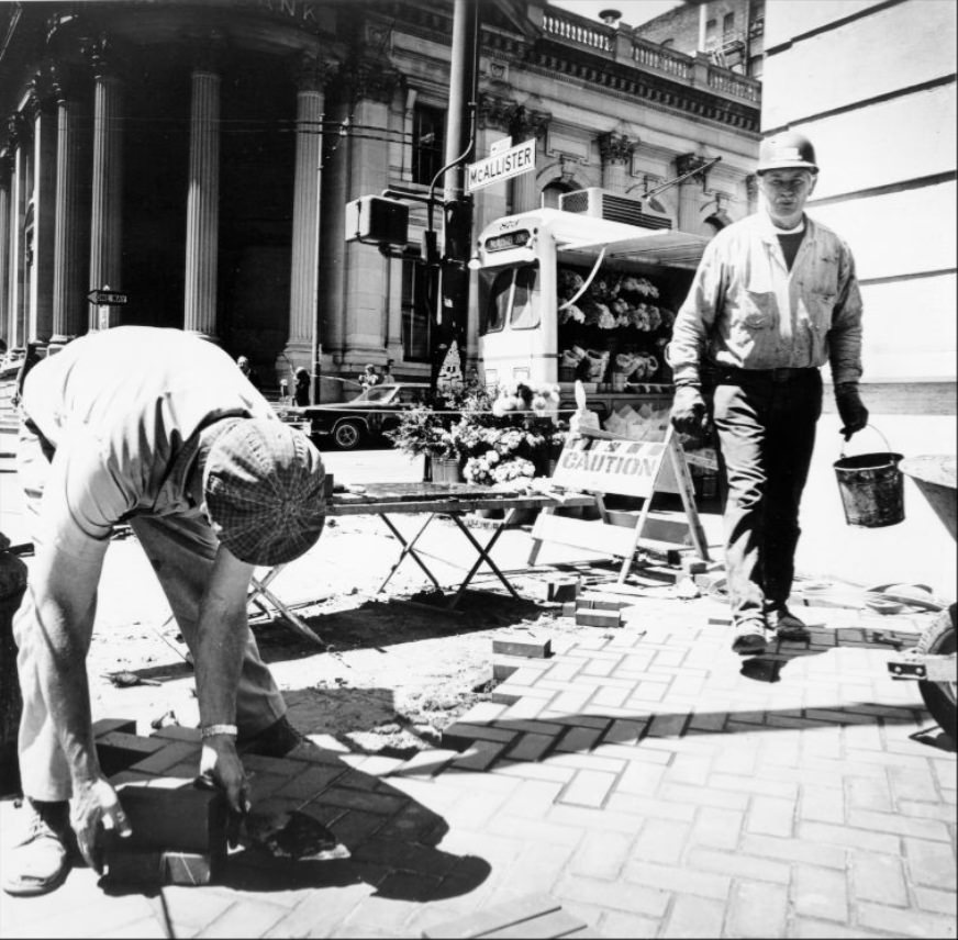
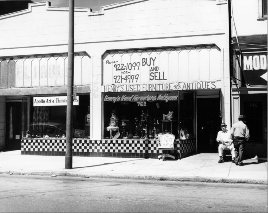
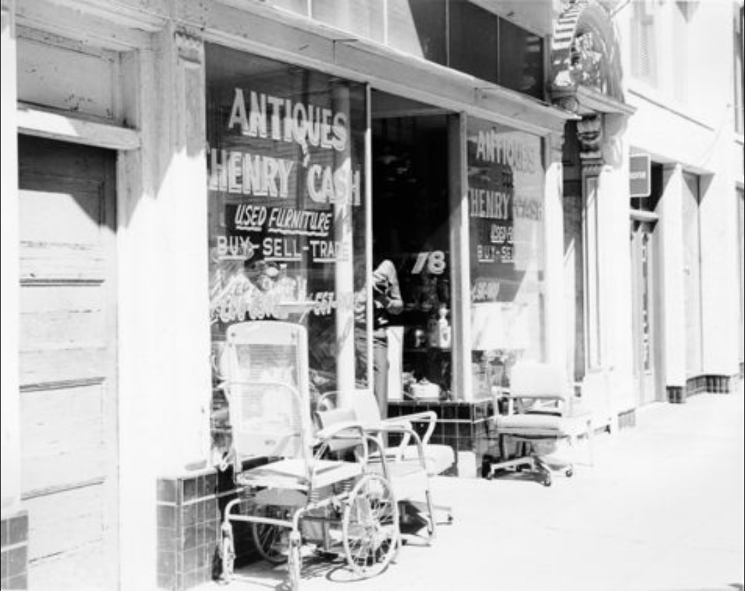
McAllister Street in the Western Addition captured a different side of 1970s San Francisco. A cluster of used furniture and antique shops operated along the block — R&D Used Furniture at 755, Henry’s at 752, and another at 778 — serving a neighborhood that was still recovering from earlier urban renewal projects that had displaced thousands of Black residents in the 1950s and 60s. Construction on McAllister continued into the early 1970s, with housing projects going up at several intersections.
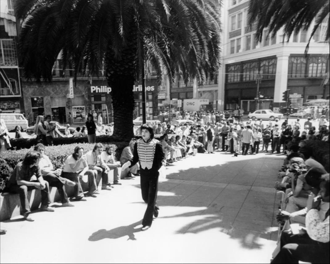
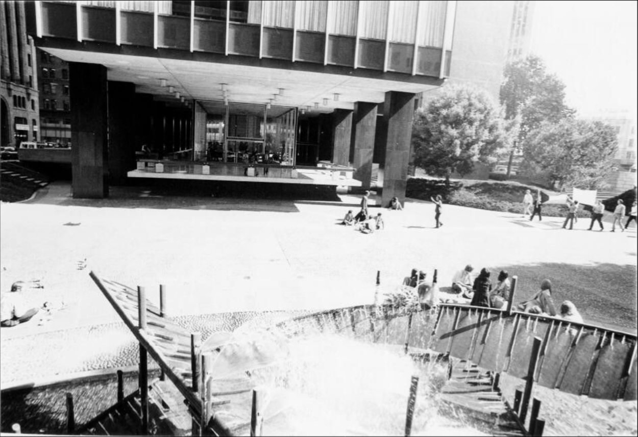
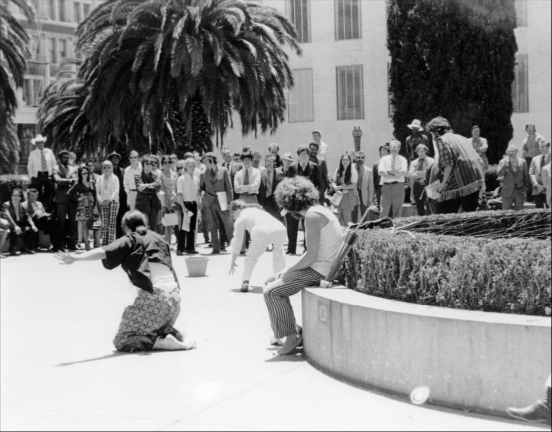
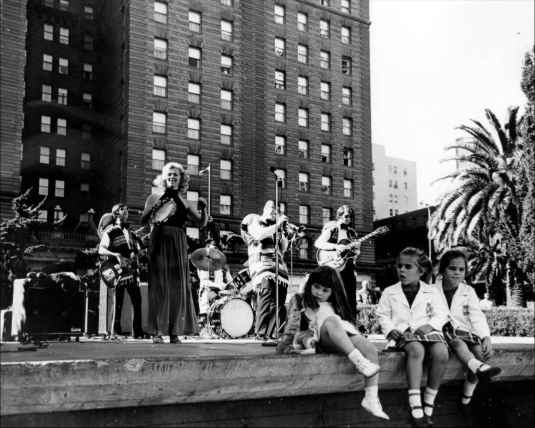
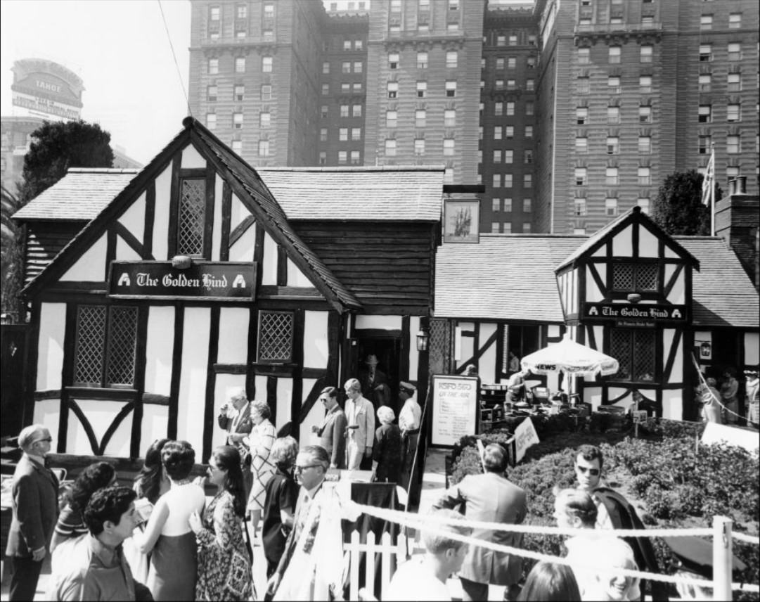
Union Square in the 1970s was a stage. Street performers worked the open plaza regularly — mimes, dancers, musicians, and traveling acts all took turns in front of the crowds. Robert Shields, a mime who would later gain national television fame, performed there in 1974. The “Gringo Band” played in 1973. Dancers appeared in 1972. Mayor Alioto showed up to a wine festival in 1974. The square functioned as a public living room for the city.
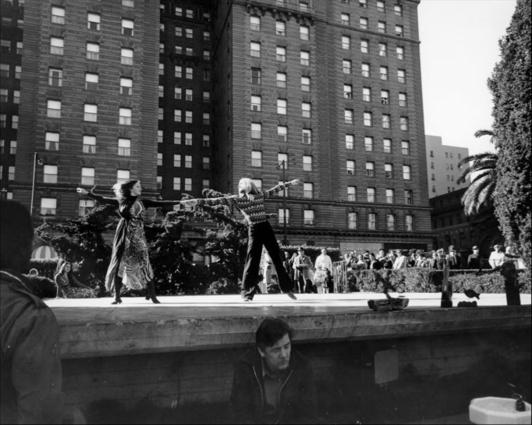
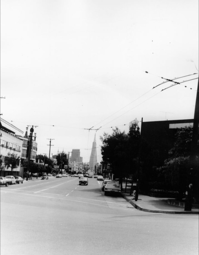
Columbus Avenue ran diagonally through North Beach, connecting the Financial District to the edge of Fisherman’s Wharf. Along its length were Italian bakeries, bookshops, cafés, and bars that had made North Beach a center for writers and artists since the Beat era of the 1950s. By the 1970s, the neighborhood retained that creative character even as commercial development began to change the blocks around it.
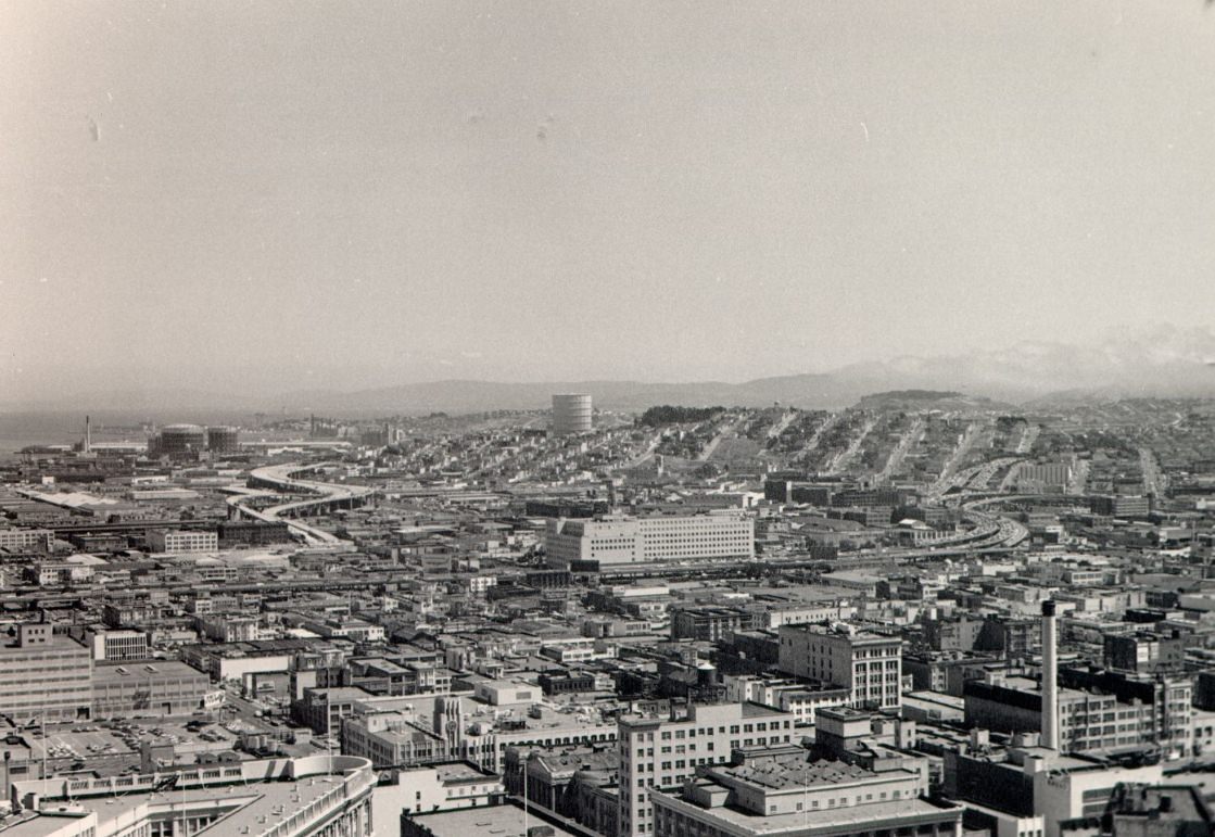
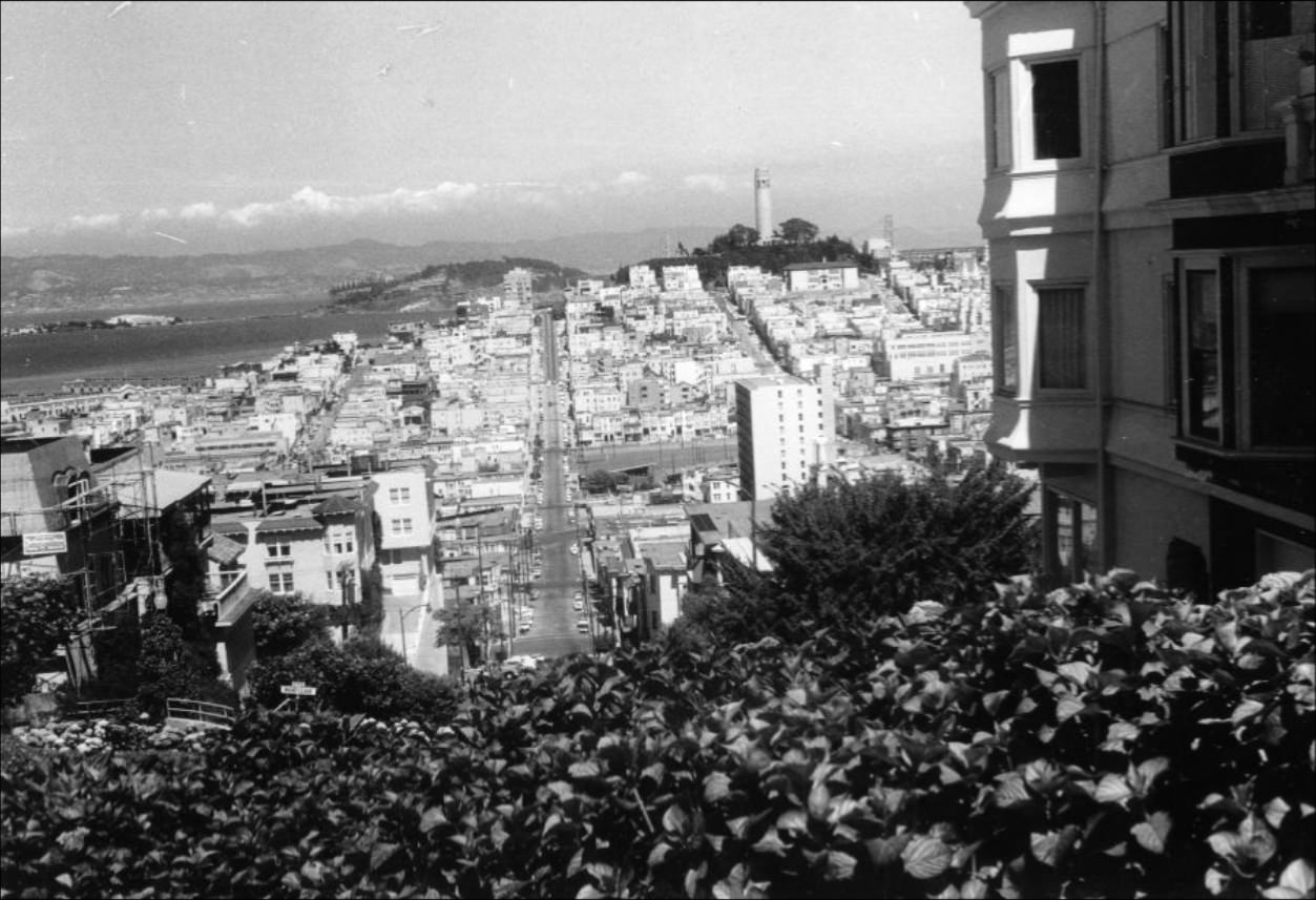
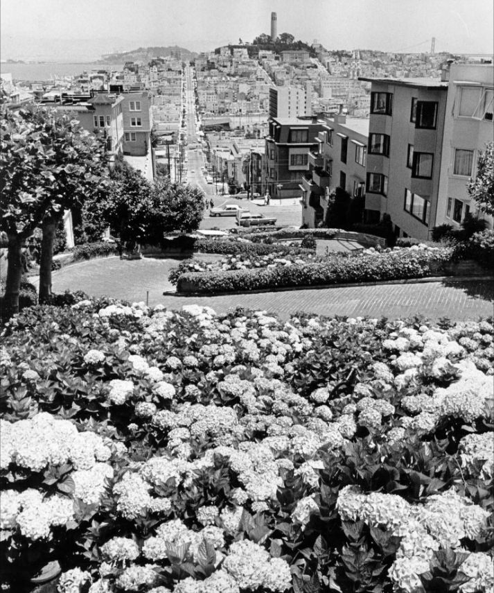
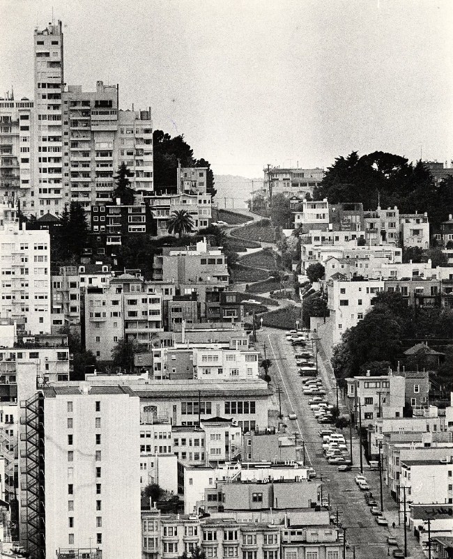
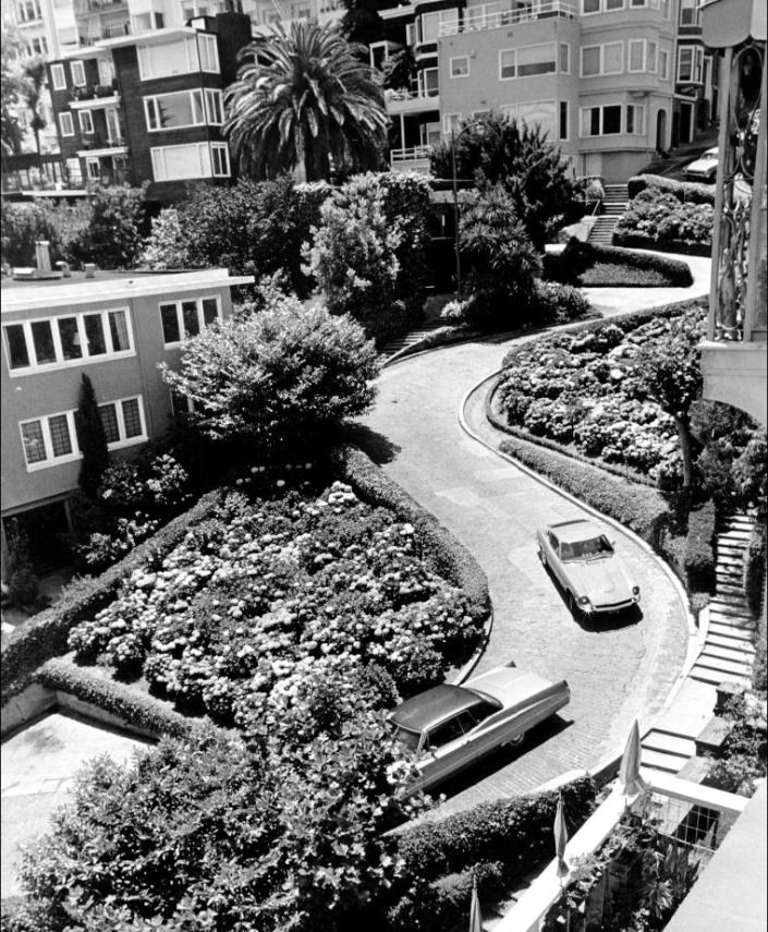
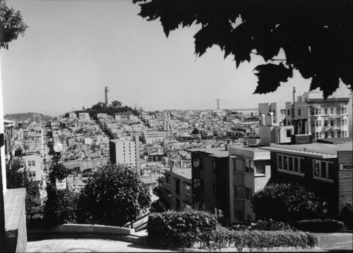
Lombard Street, just blocks from Telegraph Hill, drew a steady stream of visitors. The famous one-block section between Hyde and Leavenworth — with its eight tight switchback turns lined with hydrangeas — was already a well-known attraction. Cars navigated the crooked descent while pedestrians watched from the sidewalk steps. From the top, looking east, Telegraph Hill and the bay beyond framed a view that photographers returned to year after year.
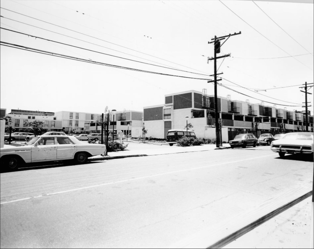
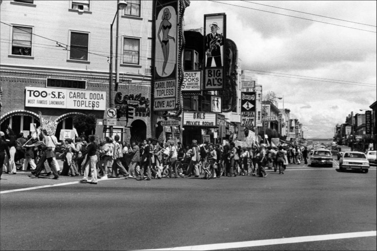
In 1977, women organized the first march against pornography at Broadway and Columbus, walking through the heart of the city’s adult entertainment strip. The demonstration was part of a broader feminist movement that was particularly active in San Francisco during the late 1970s. The city’s progressive political climate made it a center for this kind of organized civic action, and the march received widespread coverage.
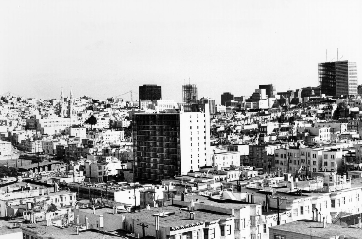
The San Francisco Art Institute, perched on Russian Hill, was one of the oldest art schools in the American West. Its tower offered a sweeping view north toward the bay and Marin County beyond. The school was one of several institutions — alongside SFMOMA, the Asian Art Museum, and the Community Music Center — that kept San Francisco’s arts ecosystem functioning through the decade, even as funding and economic conditions grew difficult.
Market Street was the city’s main artery, running from the Ferry Building at the waterfront up through the civic center and beyond. Infrastructure work continued on the street throughout the decade — sidewalk widening, utility upgrades, and the integration of the new BART system, which opened in 1972. BART’s arrival gave Bay Area residents a rail connection between San Francisco and the East Bay cities for the first time, fundamentally changing how people moved through the region.
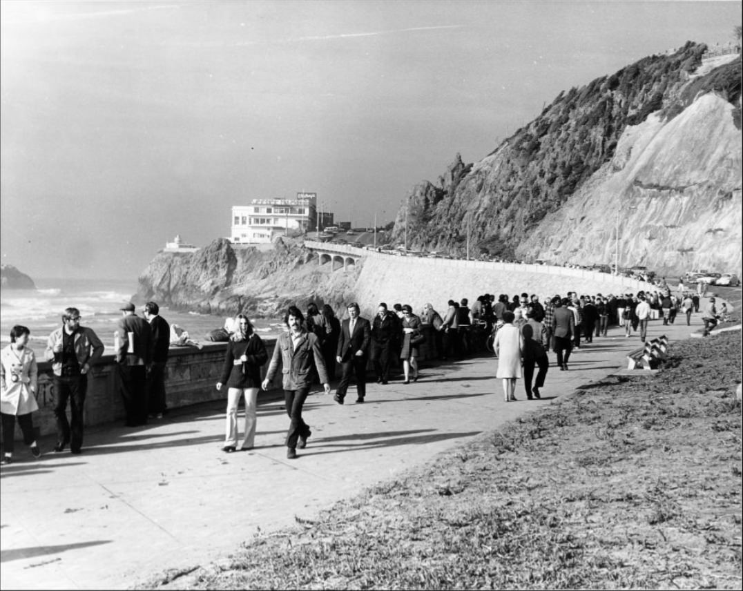
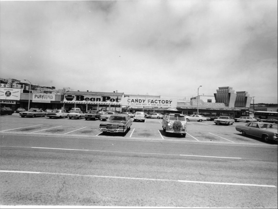
Ocean Beach stretched along the city’s western edge, backed by the dunes and windswept parkland of Golden Gate Park. The Cliff House stood at the northern end, and nearby Playland-at-the-Beach — the city’s old amusement park — was still operating in 1971 before closing and being demolished later that year. Locals came to the beach year-round, walking the seawall and gathering in the parking areas above the sand.
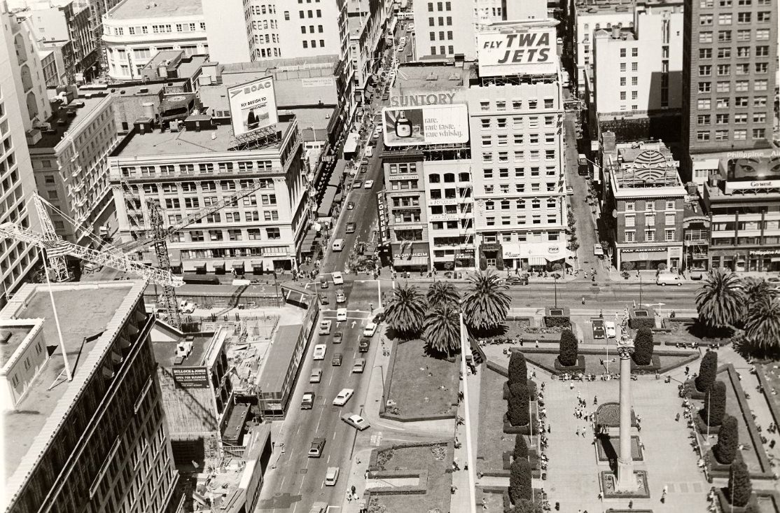
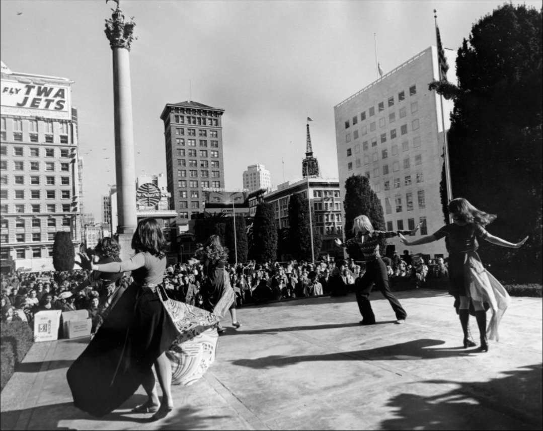
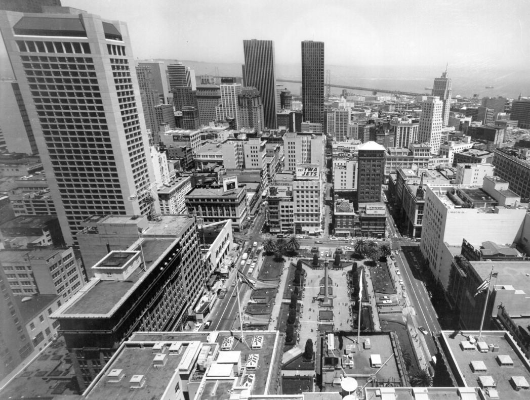
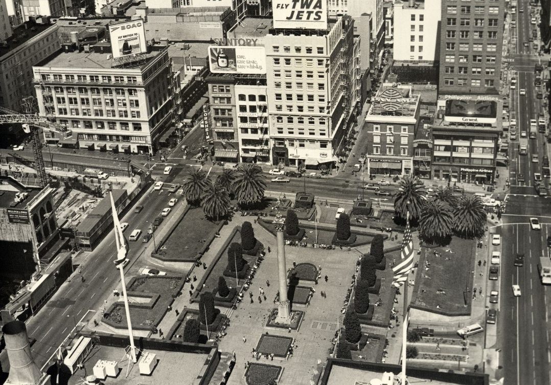
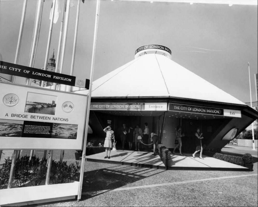
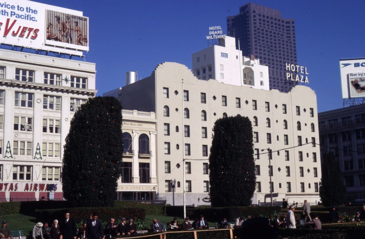
From the upper floors of the St. Francis Tower, Union Square looked like a neat green rectangle surrounded by the dense commercial grid of downtown. On the ground, it was far more chaotic — a genuine public space where the city’s daily social life played out. Christmas trees lit the square in winter. “London Week” brought a themed street festival in 1971. Performers of every kind claimed the open ground.
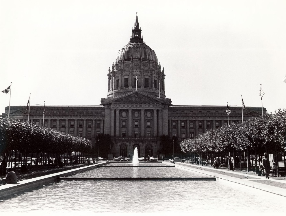
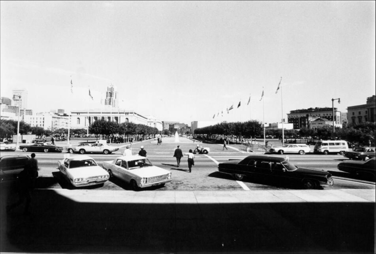
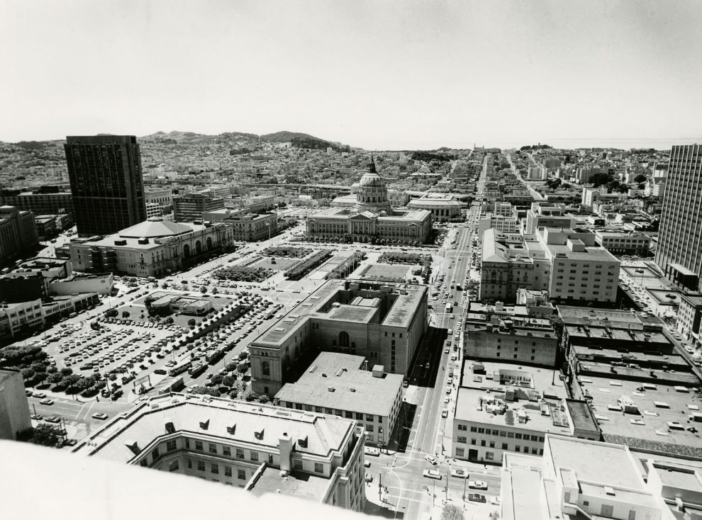
San Francisco’s City Hall, with its massive dome rising over Civic Center Plaza, remained the symbolic center of city government throughout the decade. The Civic Center complex included City Hall, the main library, the opera house, and the Asian Art Museum — a concentration of public institutions in one neoclassical campus. Demonstrations outside City Hall were a regular feature of 1970s civic life, reflecting the city’s politically engaged population.
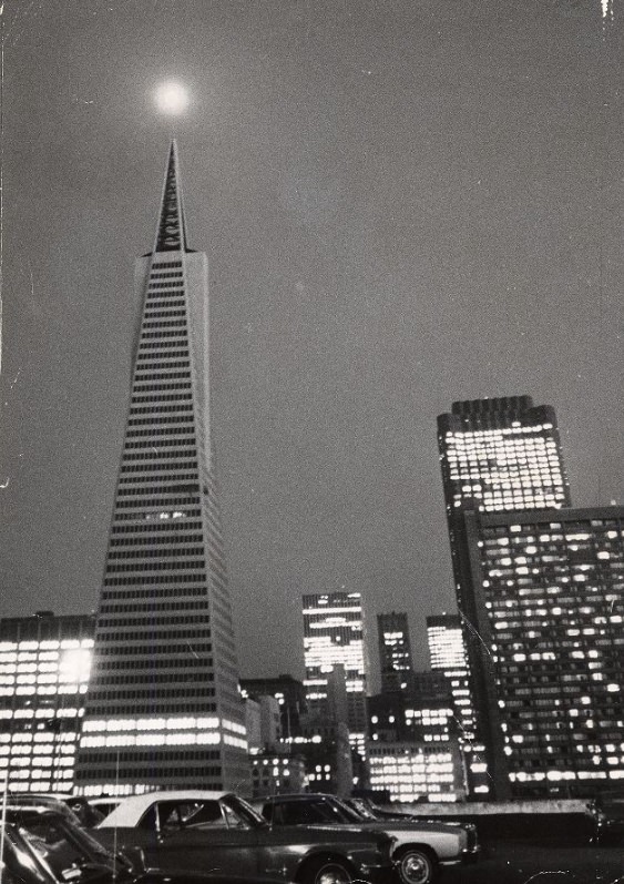
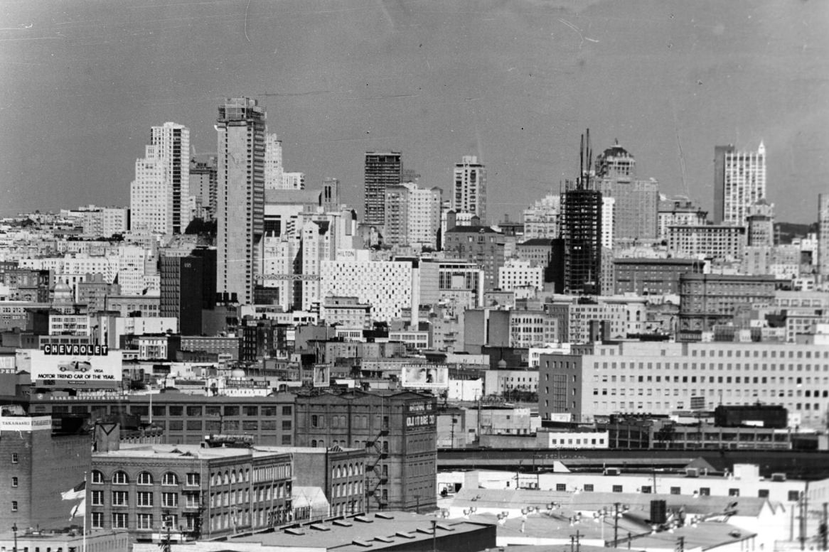
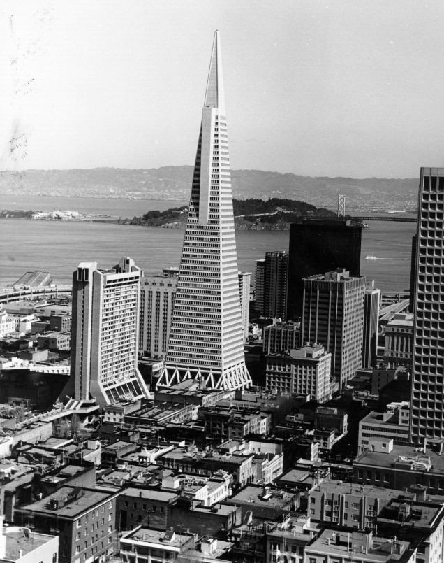
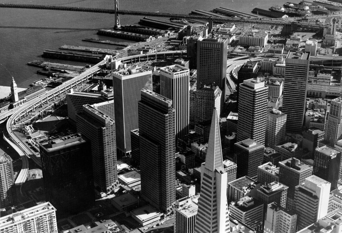
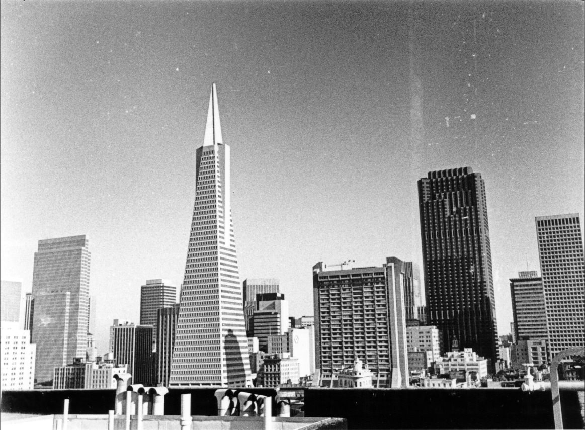
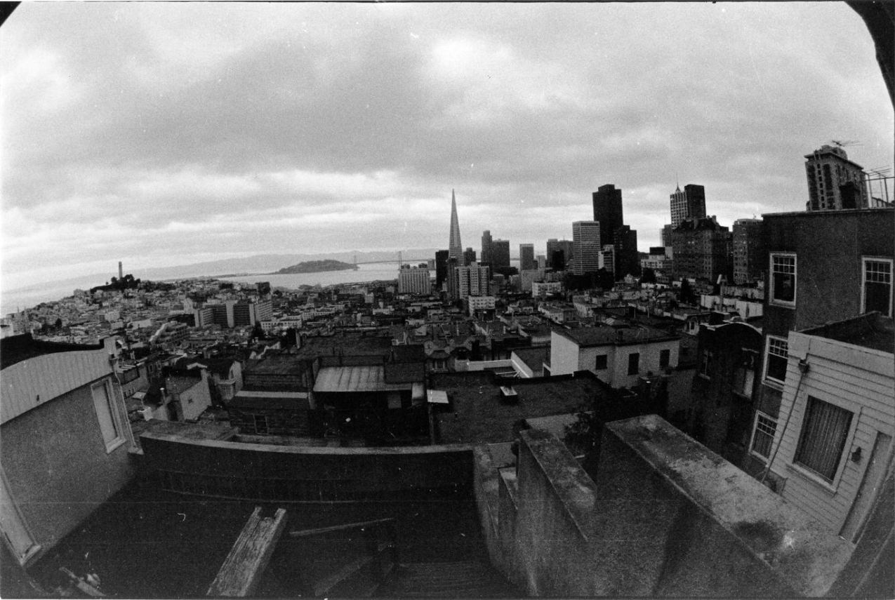
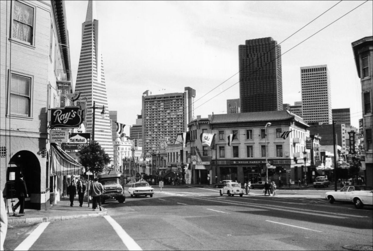
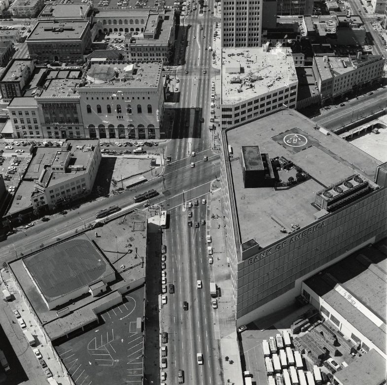
The Transamerica Pyramid, completed in 1972, instantly redefined the San Francisco skyline. At 853 feet, it was the tallest building in the city and became a symbol of the Financial District’s expansion during the decade. Critics initially objected to its unconventional triangular form, but it quickly became one of the most photographed structures in the city. Alongside the Bank of America building — completed in 1969 — it anchored the new high-rise cluster visible from nearly every elevated vantage point.
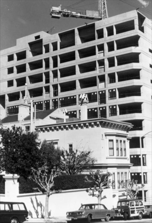
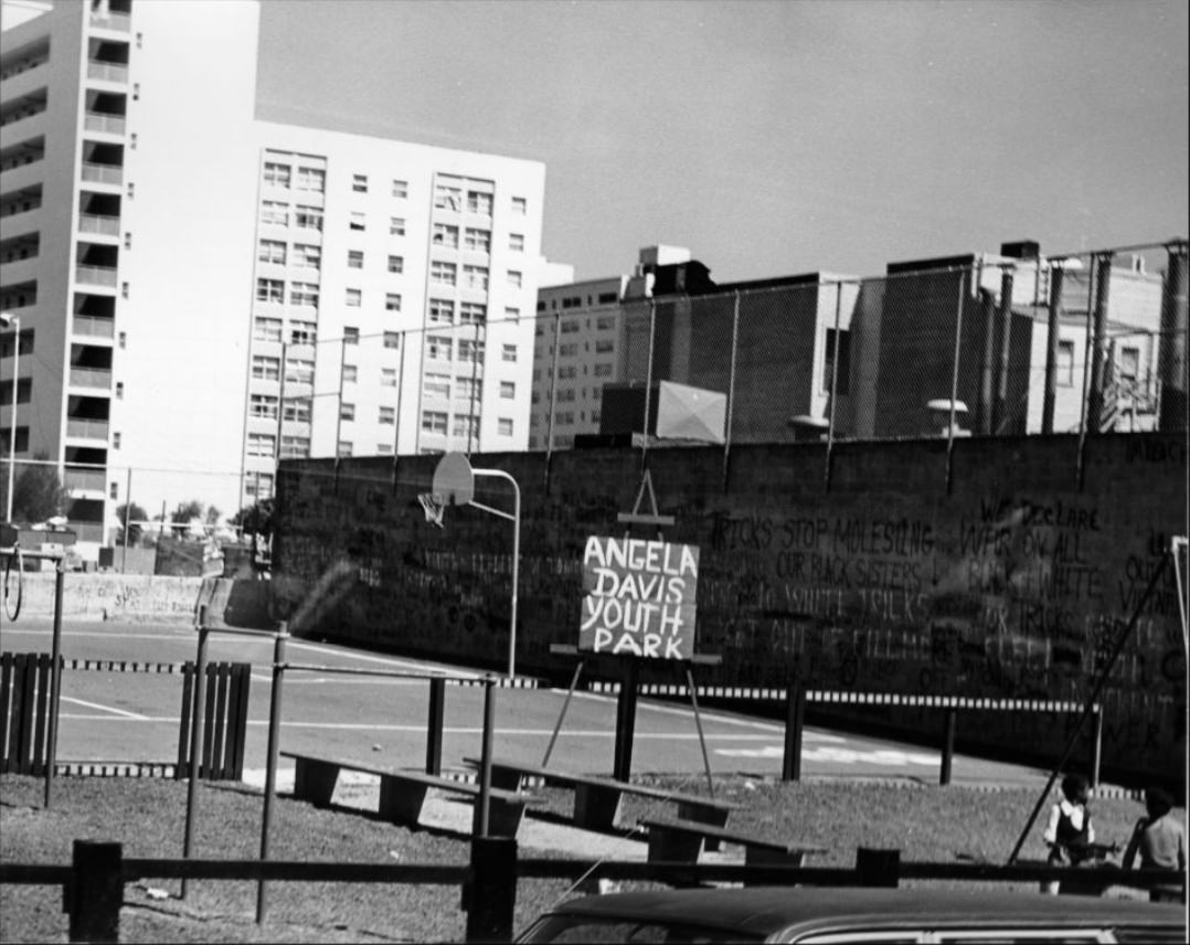
The Western Addition neighborhood contained traces of both its losses and its resilience. Angela Davis Youth Park on McAllister Street stood as a community-named public space in the middle of a neighborhood that had been dramatically reshaped by redevelopment. Used furniture stores operated nearby, serving residents who had few other options. Housing construction was underway at multiple sites along McAllister and its surrounding blocks throughout the early 1970s.
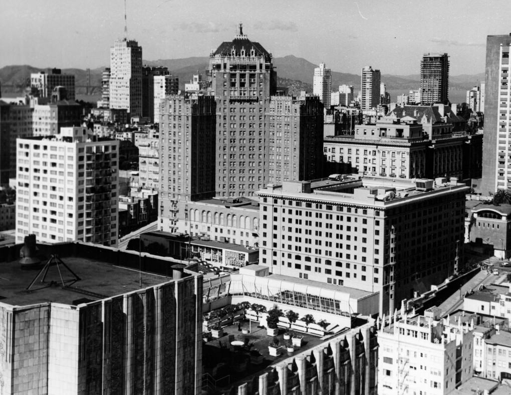
From the Mark Hopkins Hotel atop Nob Hill, the city spread out in every direction. To the north, Coit Tower marked Telegraph Hill. To the east, the bay glittered behind the Financial District’s towers. Nob Hill itself was home to some of the city’s grandest hotels — the Mark Hopkins, the Fairmont, and the Huntington — institutions that had survived the 1906 earthquake and continued to define the city’s upscale center in the 1970s.
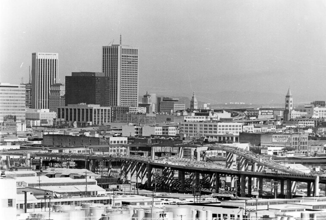
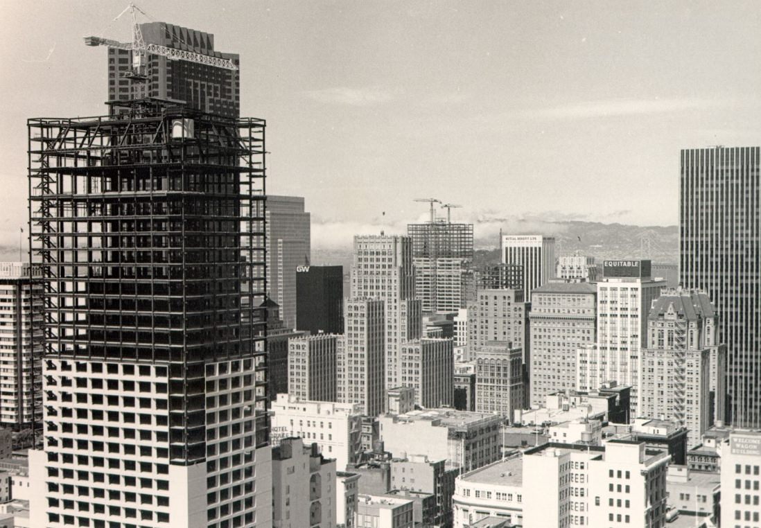
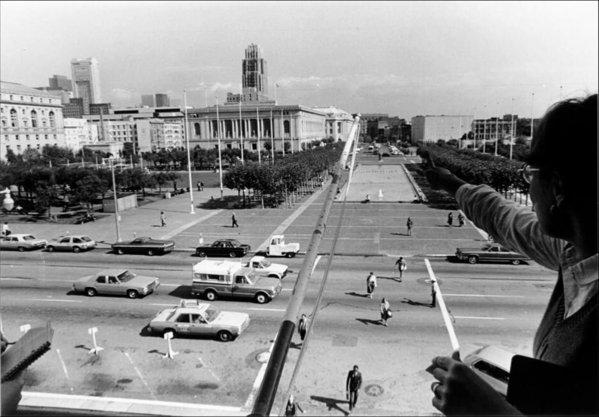
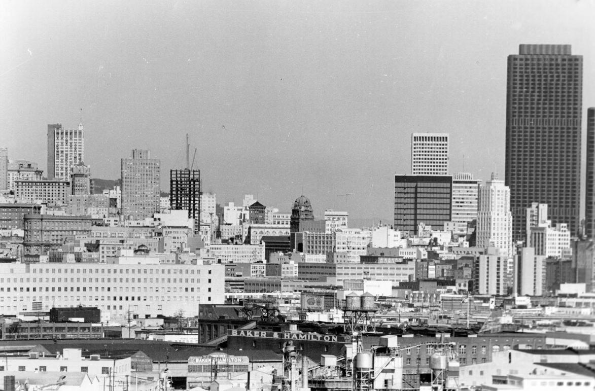
Potrero Hill, in the city’s southeast, offered views of the downtown skyline and the industrial waterfront below. From its slopes, photographers could see Hunters Point Naval Shipyard, which was still an active federal facility at the start of the decade. The shipyard employed thousands of workers, many of them Black residents who had moved to the city during World War II and settled in the surrounding neighborhoods.
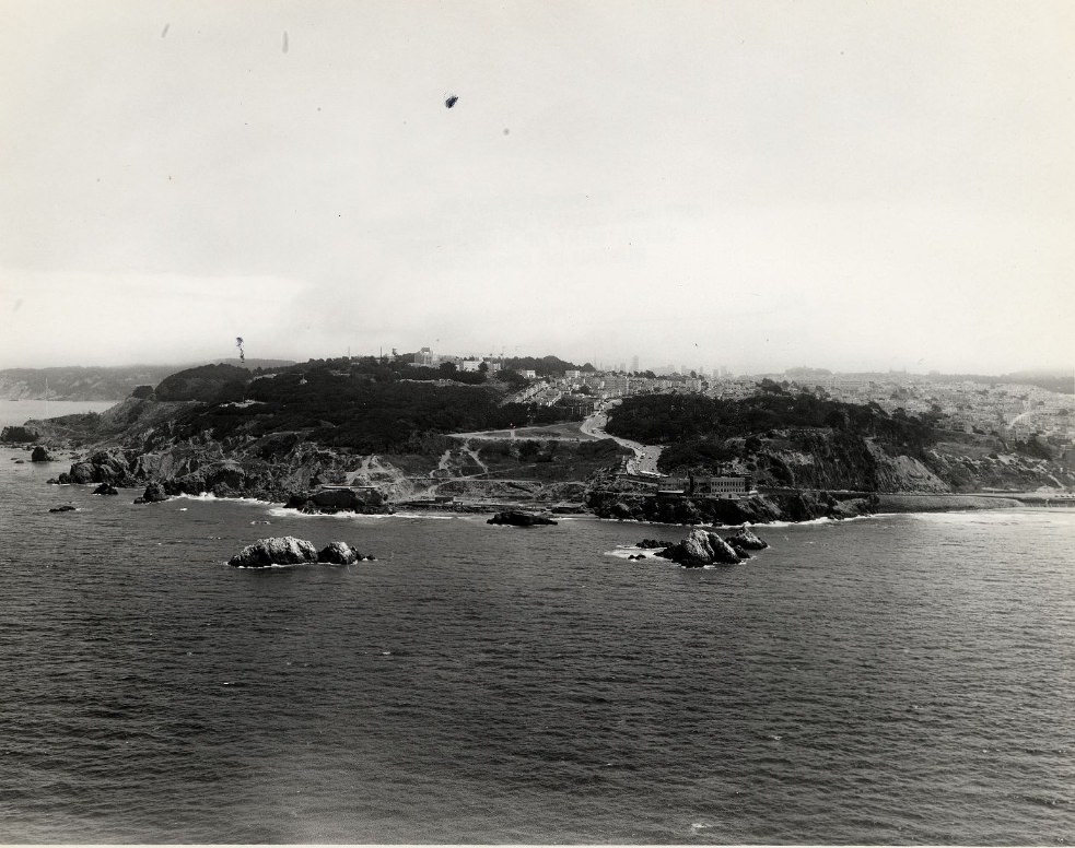
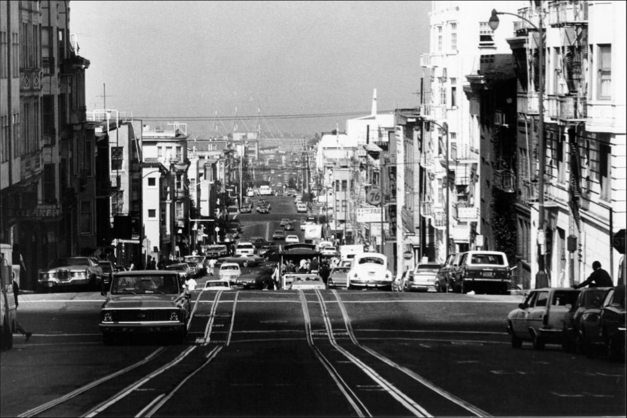
Lands End, at the city’s northwestern tip, was a rugged stretch of coastline overlooking the Golden Gate. The aerial view from 1973 shows the land in its raw form — eroded cliffs, cypress trees, and the Pacific stretching to the horizon. It was a sharp contrast to the dense urban core just a few miles east, where aerial photographs from 1975 showed downtown San Francisco packed tightly with new and old towers side by side.
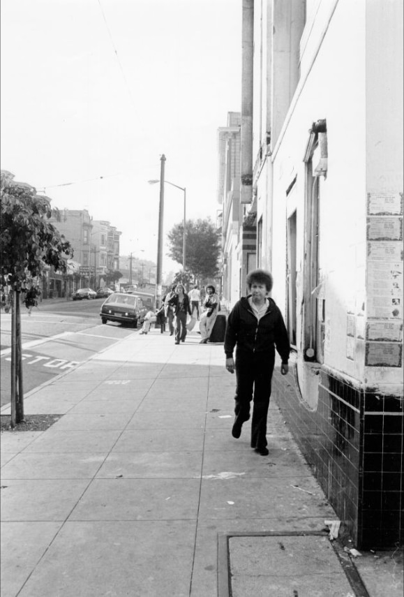
Haight-Ashbury remained a distinctive neighborhood throughout the 1970s, though it had changed from its peak counterculture years of the late 1960s. The Haight Street Theater operated on the main commercial strip. Storefronts along Haight and Shrader reflected a mix of secondhand shops, music stores, and small businesses catering to the neighborhood’s population of artists, students, and long-term residents. The area continued to attract people looking for an alternative to mainstream city life.
The Fillmore District, just north of Haight-Ashbury, had its own identity rooted in music. The Fillmore Auditorium — the famous concert venue at Fillmore and Geary — had hosted The Grateful Dead, Jefferson Airplane, and Santana in the late 1960s and continued to be a key venue into the 1970s. Winterland Ballroom, nearby on Post Street, also hosted major acts throughout the decade. These were not just concert halls; they were central to how San Francisco understood itself as a music city.
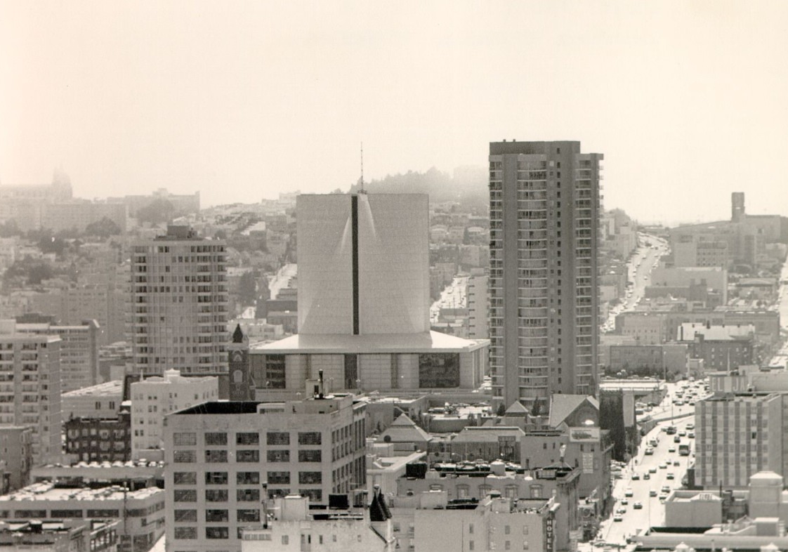
St. Mary’s Cathedral, completed in 1971, rose on Cathedral Hill near the intersection of Gough and Geary. Its dramatic concrete form — a hyperbolic paraboloid roof that swept upward to a central cross — made it one of the most architecturally striking buildings in 1970s San Francisco. It was visible from the St. Francis Tower to the east and from much of the western parts of the city.
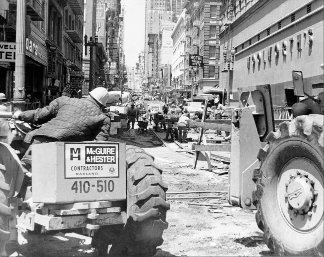
Powell Street at Ellis was a busy downtown intersection where pedestrians, cable cars, and construction crews shared the same few blocks. The Powell-Mason and Powell-Hyde cable car lines ran through here, with the turnaround at Market Street nearby. Shoppers moved between department stores, and street vendors worked the corners. Construction on Powell added to the noise and disruption of a downtown that was simultaneously serving daily foot traffic and rebuilding itself.
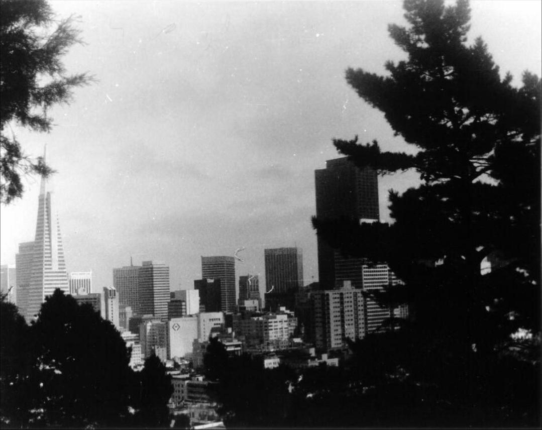
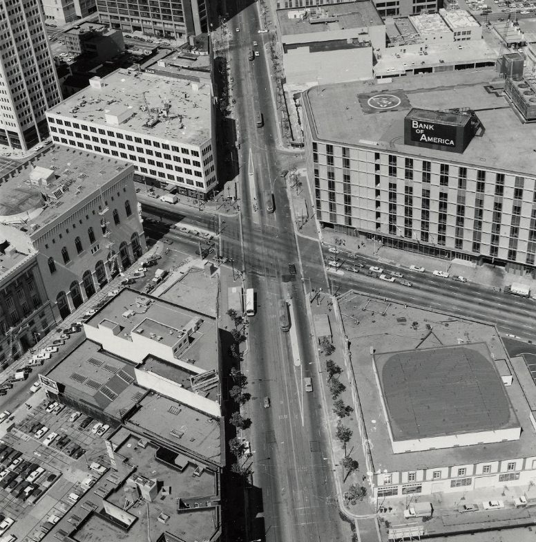
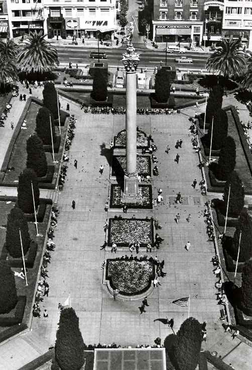
Van Ness Avenue was one of the city’s widest streets, running north from Market Street up through the civic center and into the Marina District. From the air in 1975, the intersection at Market Street showed the scale of the city’s arterial grid — a dense pattern of blocks stretching toward the bay in one direction and toward Twin Peaks in the other. The aerial view of Union Square taken sometime in the same decade shows the square’s central fountain surrounded by the rectangular footprints of hotels and department stores.

The Mission District, to the south of the city’s center, was undergoing its own changes. Historically a working-class Latino neighborhood, it began attracting artists and young professionals during the 1970s — a pattern that brought new businesses and rising rents. The Mission’s murals, taquerias, and community organizations remained strong markers of the neighborhood’s identity even as demographic pressure mounted. Grant Avenue in Chinatown told a similar story of a community fighting to maintain its character.
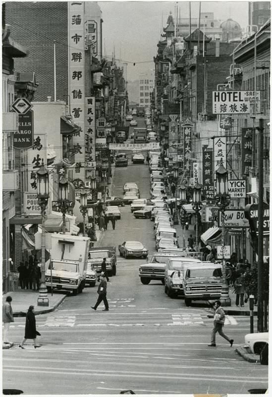
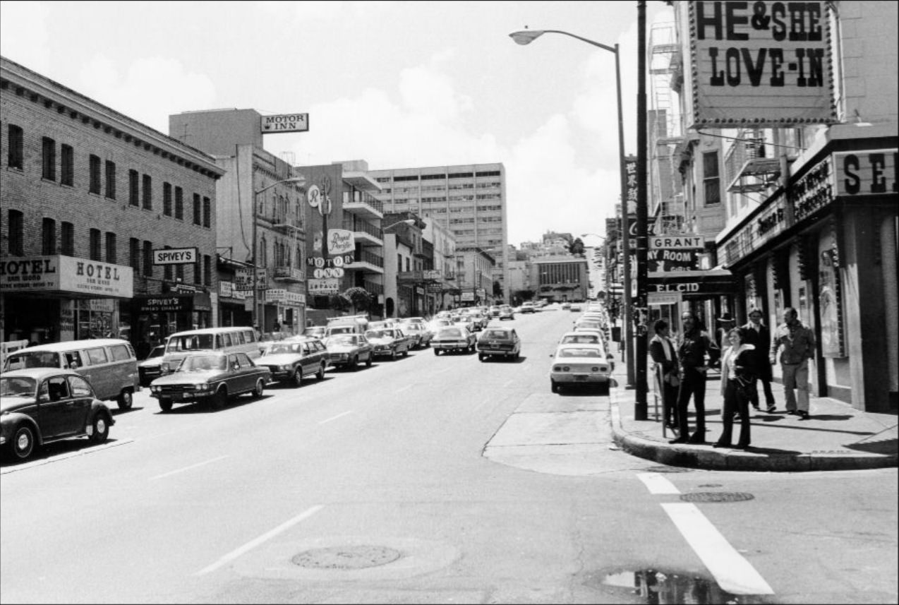
Chinatown’s Grant Avenue was one of the most densely packed commercial streets in the city. Shops, restaurants, and produce markets lined the sidewalks. Nighttime photos from the mid-1970s show the street’s lanterns and neon signs glowing over Grant and Washington Streets, reflecting a neighborhood that drew both residents and tourists in significant numbers. Portsmouth Square, just off Grant, served as an outdoor gathering place — particularly for elderly Chinese men who played chess and cards there daily.
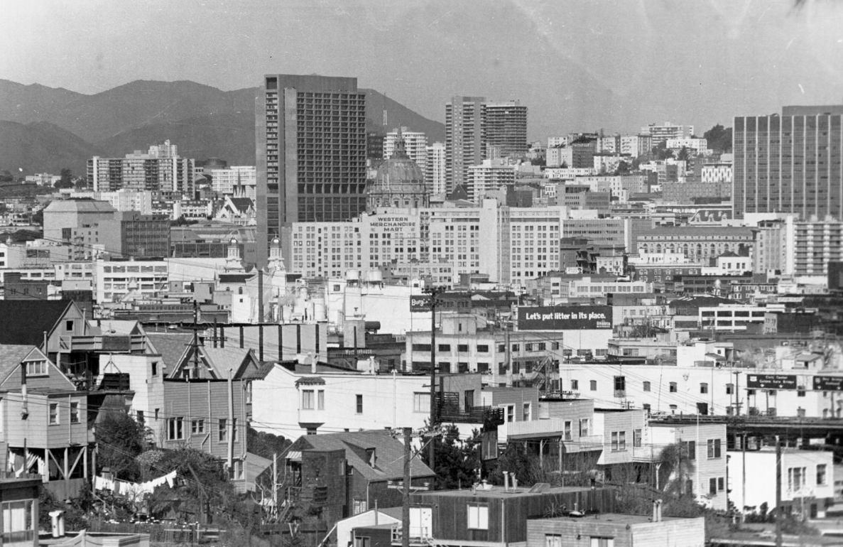
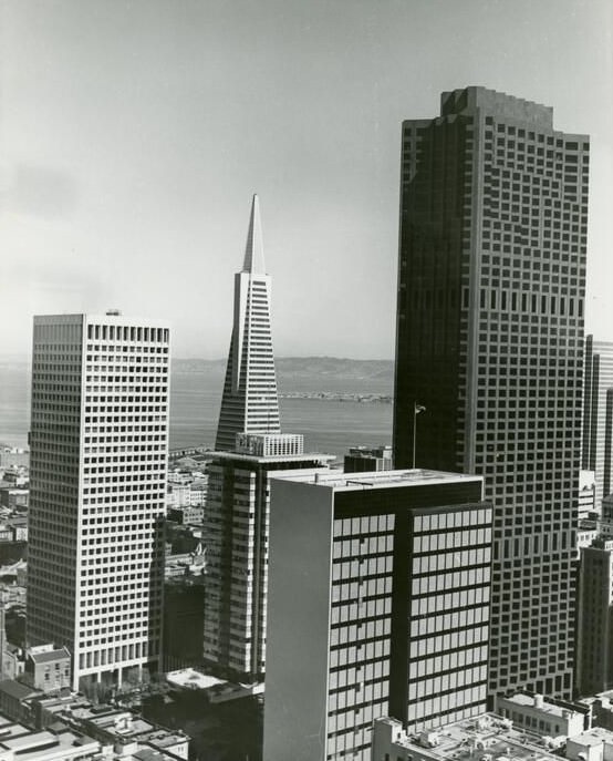
By 1973, the Transamerica Pyramid and the Bank of America building together defined the northern edge of the Financial District skyline. Photographed from the Union Square Hyatt House, the two towers stood above the older low-rise fabric of the city, signaling the scale of investment and development that had reshaped downtown in just a few years. The contrast between these glass-and-steel towers and the Victorian houses in the residential neighborhoods beyond was stark.
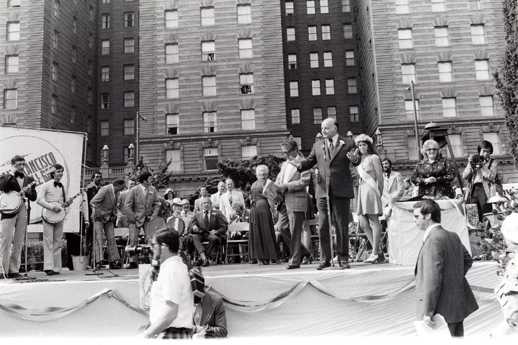
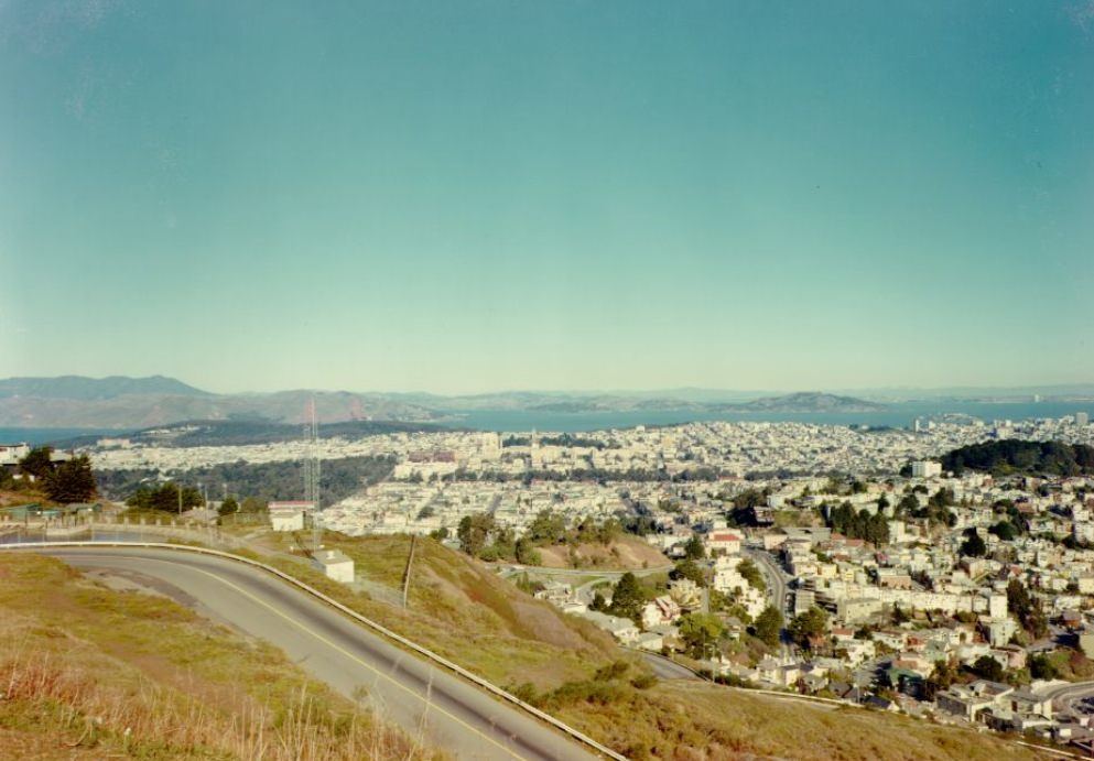
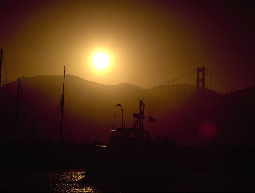
Mayor Joseph Alioto governed San Francisco through most of the decade’s first half, serving until 1976. His presence at a 1974 wine festival in Union Square reflected the kind of public civic life that characterized city leadership at the time. Meanwhile, Twin Peaks remained one of the best places in the city to see both the Golden Gate Bridge to the west and the East Bay hills at sunset — two views that appeared repeatedly in photographs taken from that summit throughout the decade.
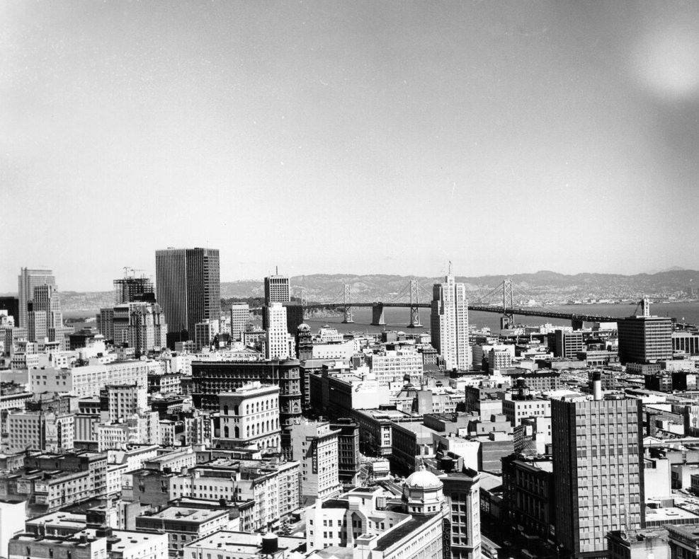
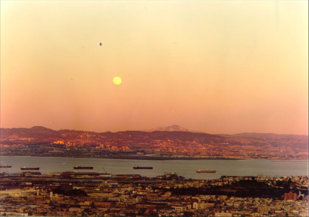
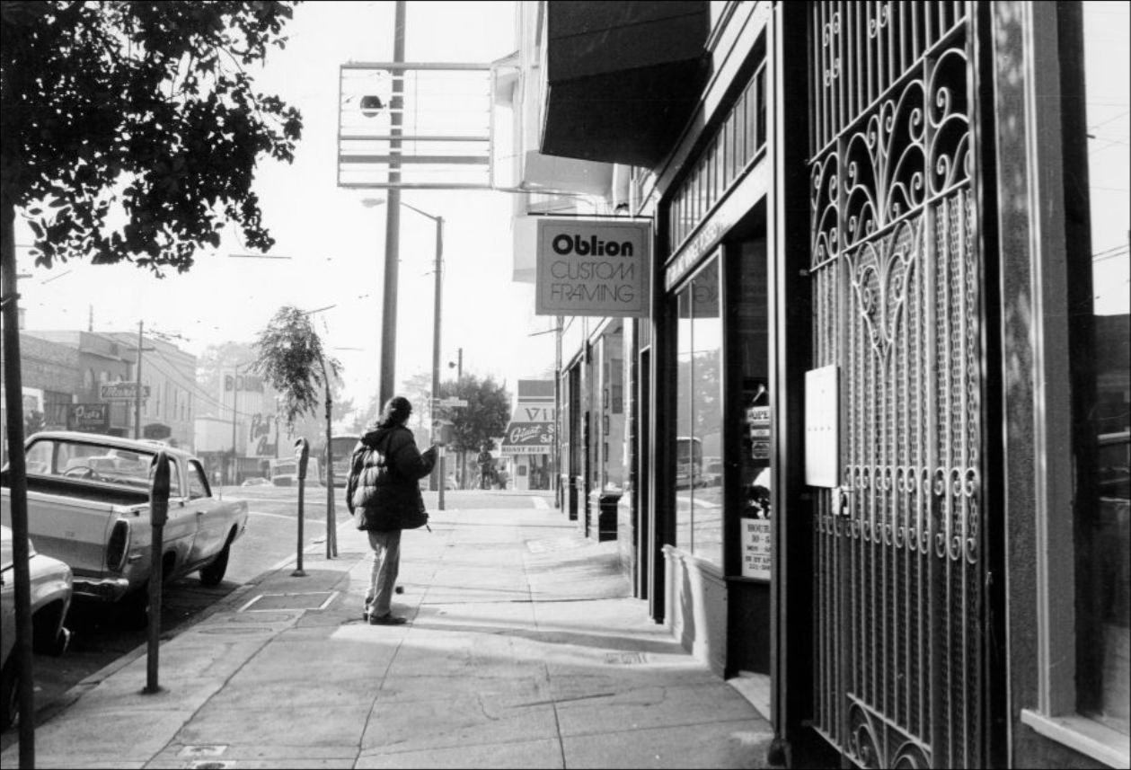
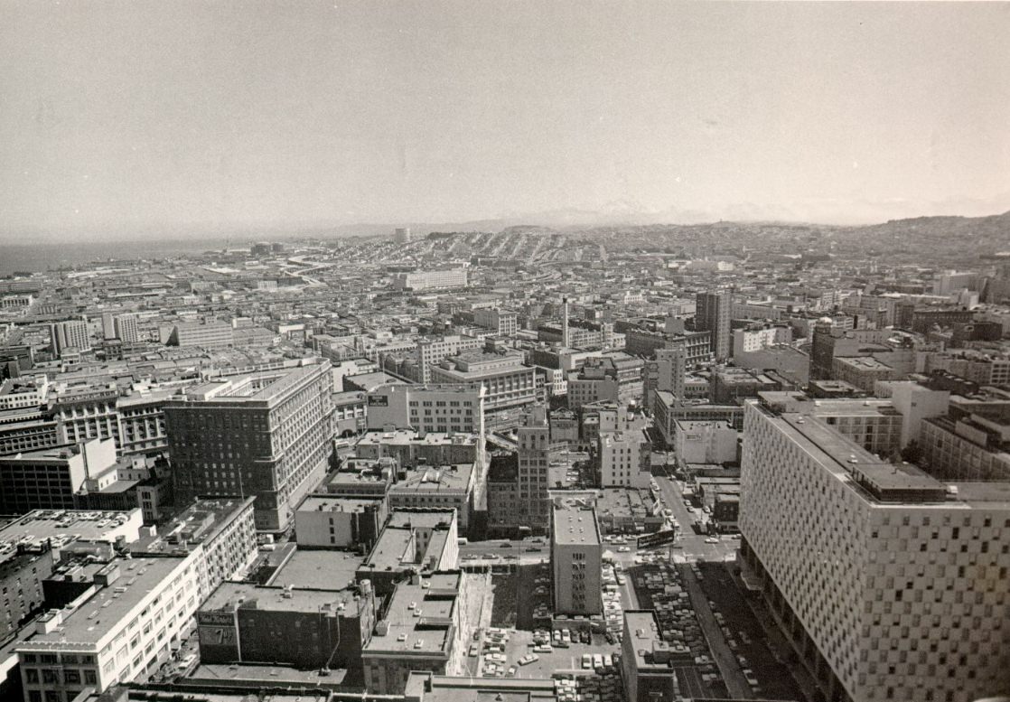
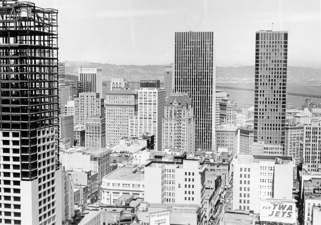
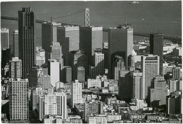
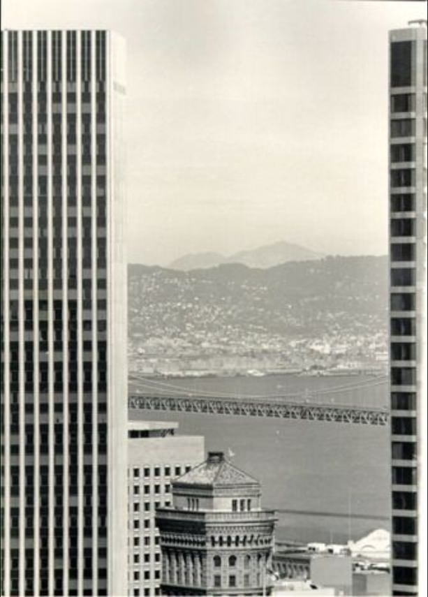
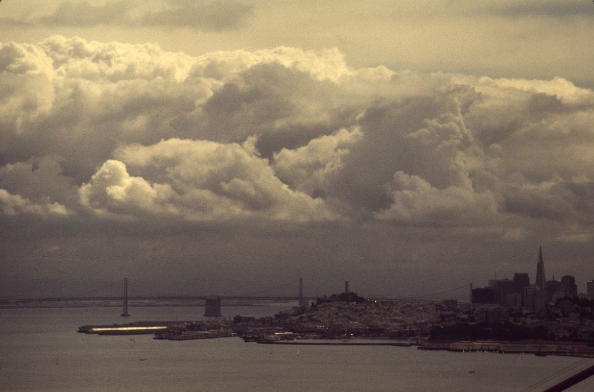
The aerial view of downtown looking toward the Bay Bridge captures just how thoroughly the high-rise building boom had changed the city’s profile. The bridge itself, opened in 1936, connected San Francisco to Oakland across the bay — and in 1972, BART began running underneath the bay through a tube that ran parallel to the bridge, adding a second crossing that moved tens of thousands of commuters daily. The opening of BART was one of the single largest infrastructure events of the decade.
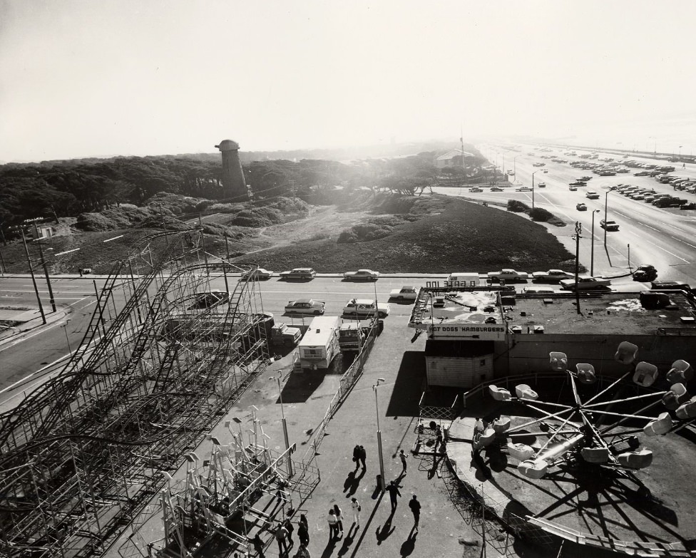
Playland-at-the-Beach, visible in the 1971 Ocean Beach photograph, was a beloved but aging amusement park that had operated since 1913. It closed and was demolished in 1972, ending nearly six decades of rides, funhouses, and cotton candy along the western edge of the city. The site was eventually redeveloped for residential use. Golden Gate Park stretched behind it, its interior roads and trails still drawing cyclists, joggers, and families throughout the decade.
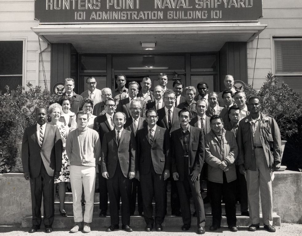
Hunters Point Naval Shipyard sat at the southeastern edge of the city. In 1970, it was still operational, and the workers and community members who gathered in front of its administration building represented a workforce that had kept the shipyard running since World War II. The Navy would eventually reduce operations there significantly through the decade, leaving a gap in employment for the surrounding neighborhood that proved difficult to fill.
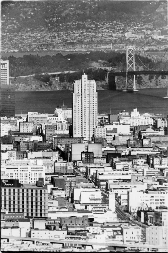
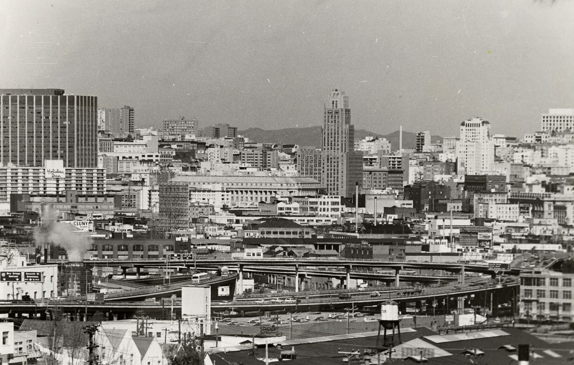
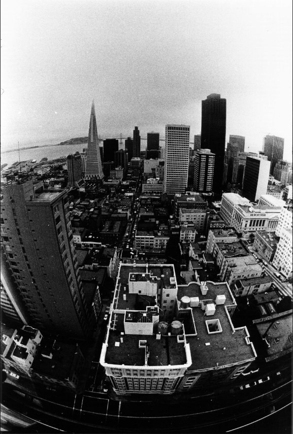
The Fairmont Hotel on Nob Hill had an exterior glass elevator that gave riders an open-air view of the city as they ascended the building’s exterior. From the top, the panorama stretched in every direction — the bay to the east, the Golden Gate to the northwest, and the urban patchwork of neighborhoods spreading south toward Twin Peaks. It was one of the most dramatic hotel views in any American city.
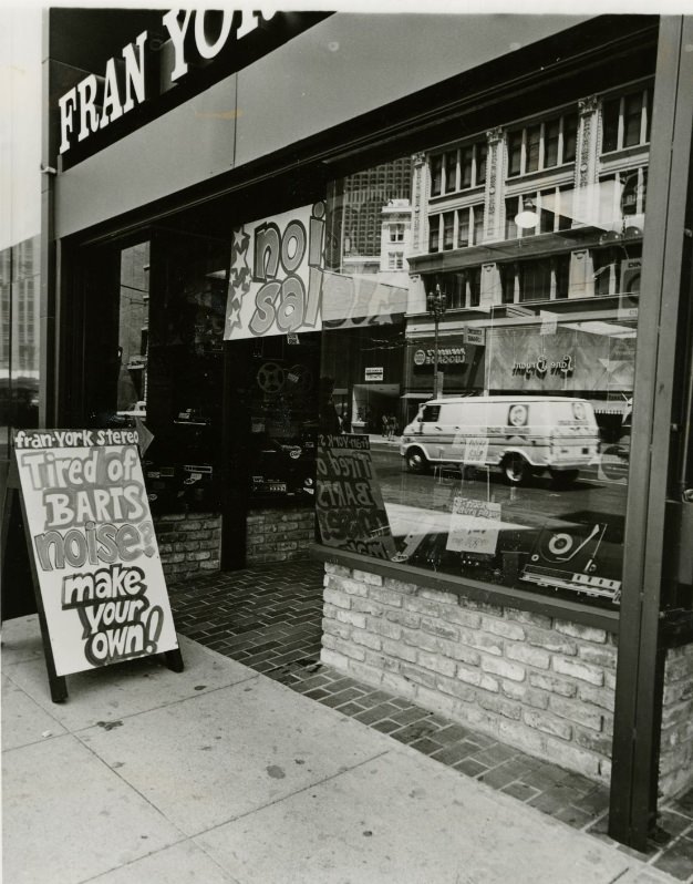
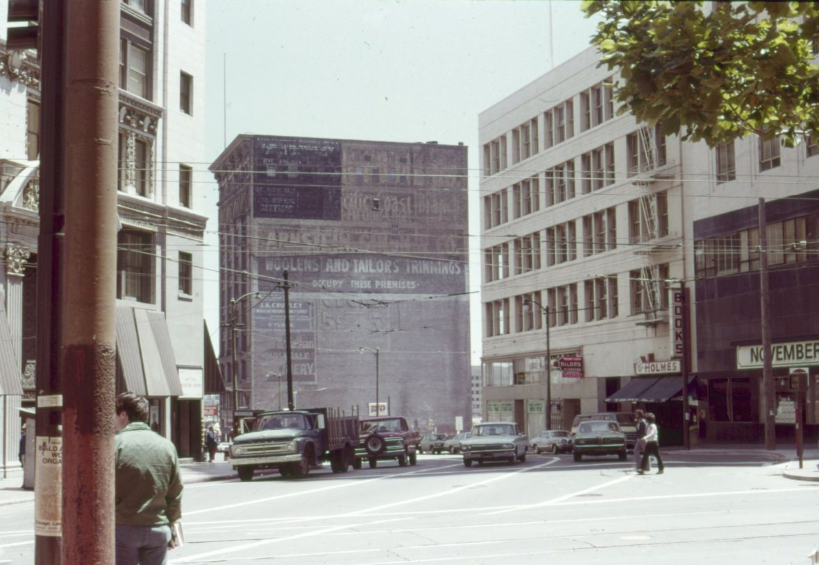
Market Street in the early 1970s was a commercial strip of considerable variety. Storefronts ranged from department stores and theaters to small shops and restaurants. The Regal Theater at 1046 Market was among the movie houses operating on the street in 1972. By the mid-1970s, parts of Market Street were showing signs of economic decline — vacancies, deteriorating storefronts, and an increase in street-level disorder that reflected the city’s broader struggles with homelessness and unemployment.
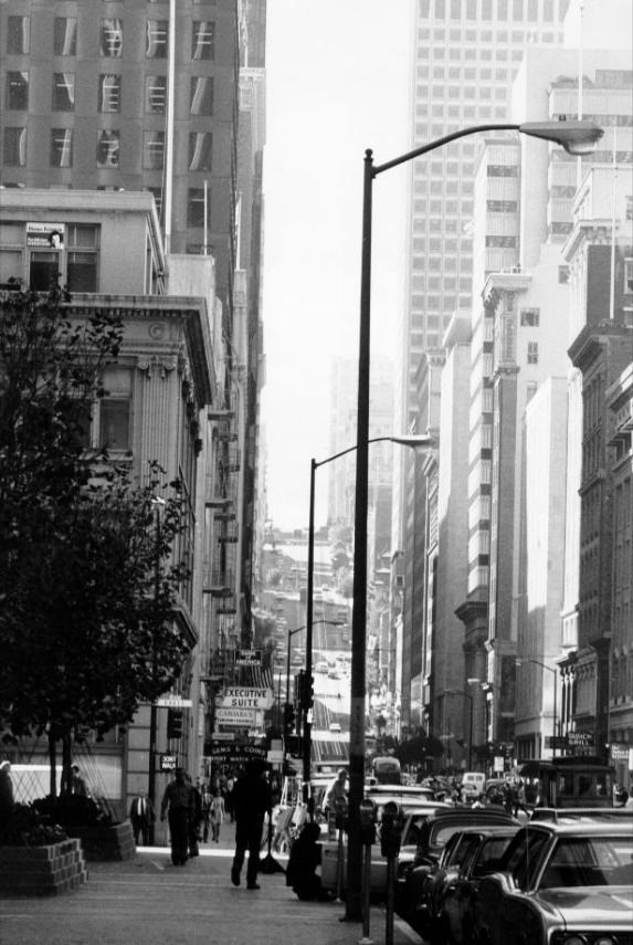
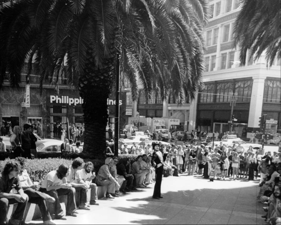
Robert Shields performed in Union Square regularly before his television career took off. His mime work drew crowds in the open plaza, part of a broader street performance culture that thrived in San Francisco during the 1970s. The city’s tolerance for public expression made its plazas and sidewalks natural venues for artists who had no formal stage. Shields later became nationally known through his television specials, but his base was Union Square.
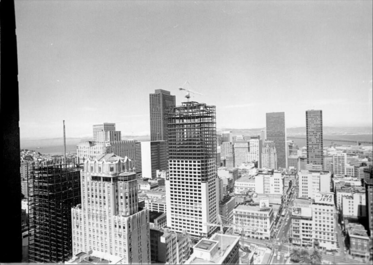
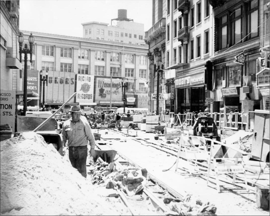
Montgomery Street cut through the Financial District from Market Street northward, passing the Russ Building at number 235 and continuing toward Pacific Avenue. The Russ Building, built in 1927, was one of the older office towers in the district — still standing alongside the newer Bank of America skyscraper in 1973. The juxtaposition of pre-war and post-war commercial architecture defined much of downtown’s visual texture in the 1970s.
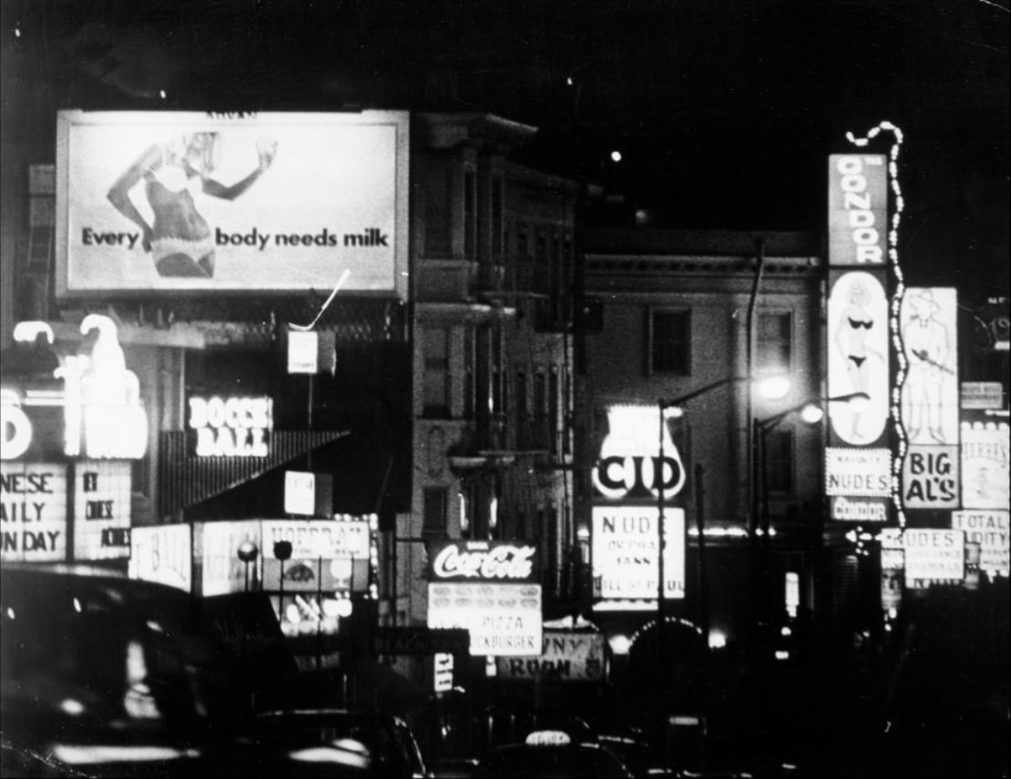
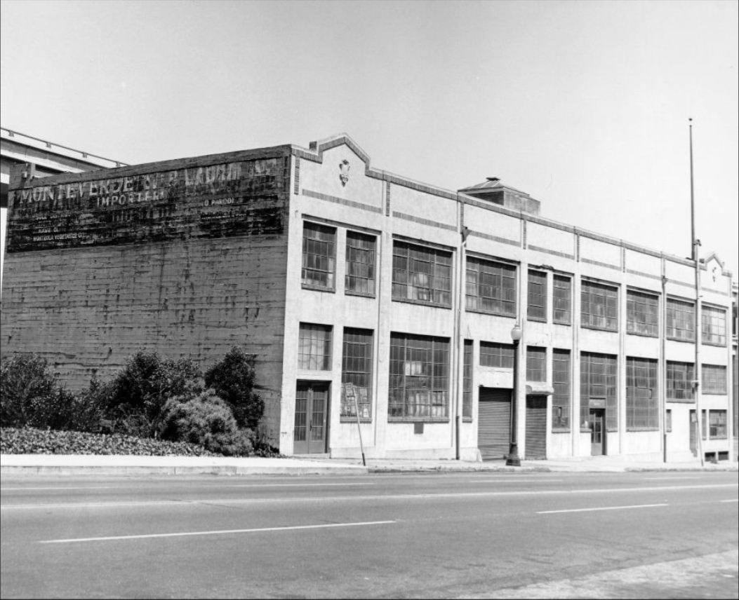
Broadway at night in 1970 was an illuminated strip of neon, awnings, and marquees. Clubs and bars competed for attention with their signage, and the sidewalks stayed busy late into the evening. Nearby, at 100-110 Broadway, a wholesale liquor warehouse operated — one of the many commercial operations that filled the lower Broadway corridor between the Financial District and North Beach.
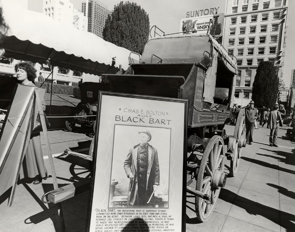
Union Square hosted a wide variety of themed events and promotions throughout the decade. A “Black Bart” poster and an old stagecoach appeared in the square in 1973 — the kind of promotional display that local businesses and the city’s tourism office used to draw foot traffic to the downtown area. “London Week” brought a British-themed festival to the square in 1971, complete with events in both Union Square and Civic Center Plaza.
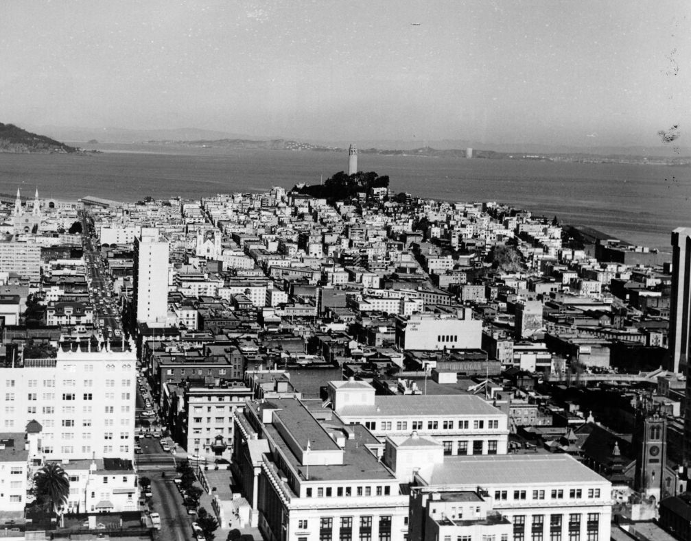
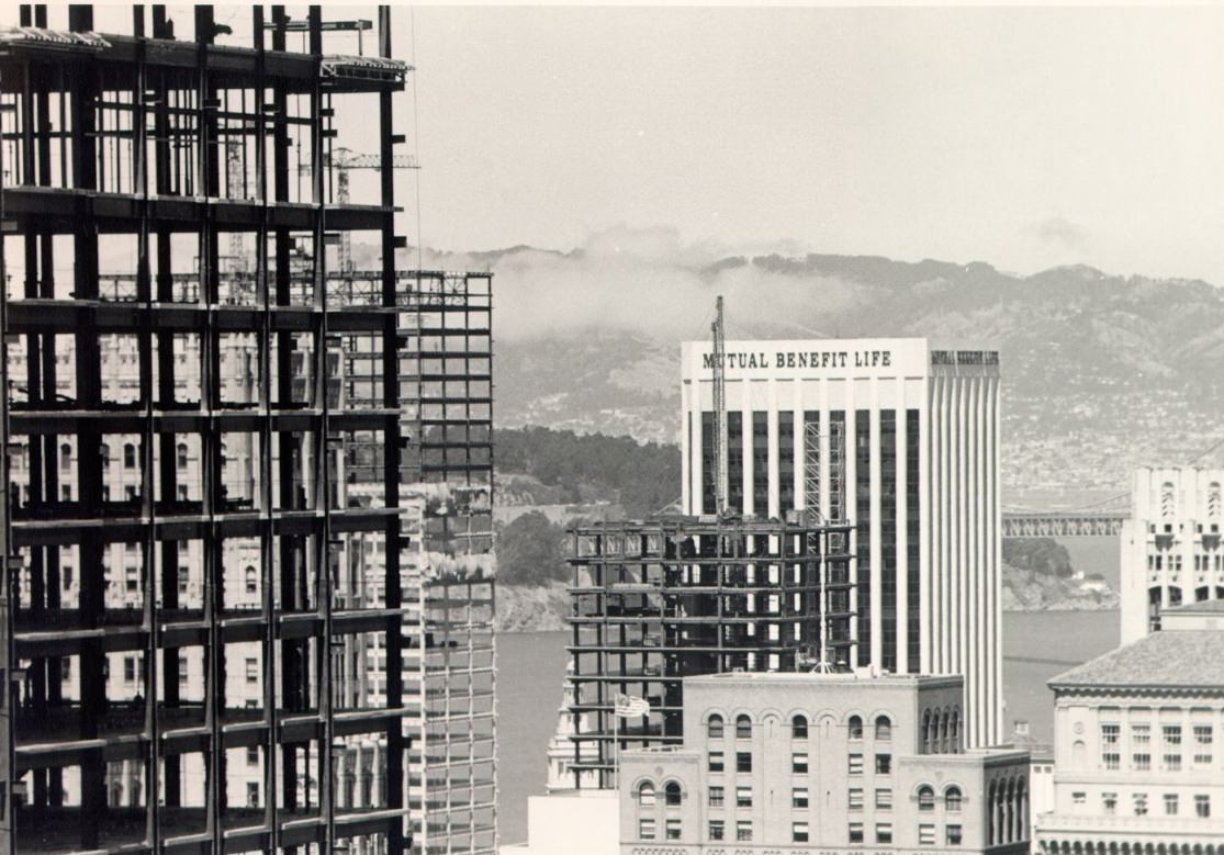
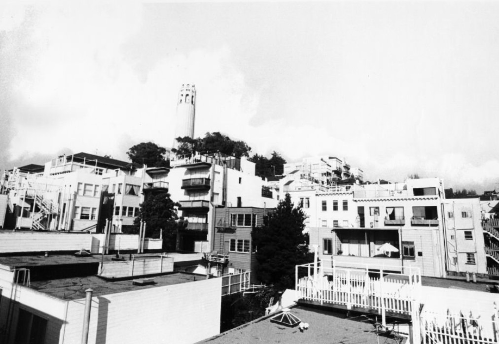
Coit Tower, photographed from the Mark Hopkins Hotel in 1973, stood against the hillside above North Beach. The 210-foot concrete column had been built in 1933 with funds left by Lillie Hitchcock Coit, and its interior murals — painted in 1934 as part of a federal art program — were a landmark of California art history. The tower was a fixture in the city’s skyline, visible from dozens of elevated positions across San Francisco.
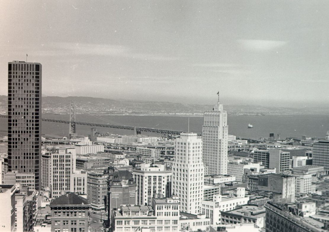
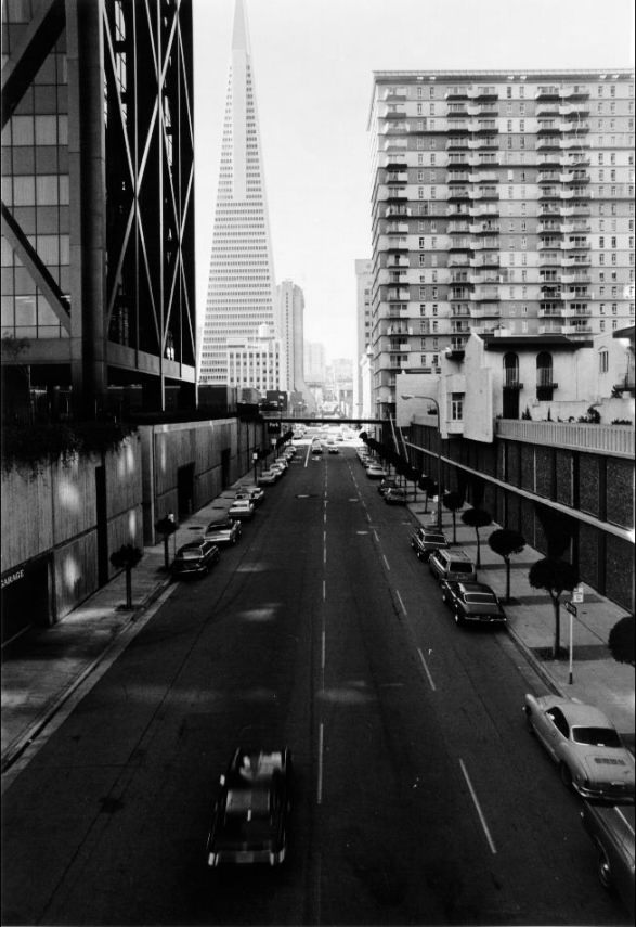
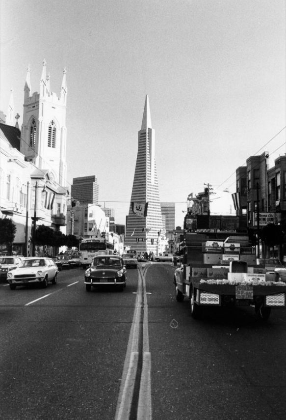
The Embarcadero Center, a large mixed-use complex of office towers and retail space along the waterfront, was completed in phases during the early 1970s. From its upper levels, Pine Street stretched westward through the Financial District toward the residential hills beyond. The center was part of the same wave of large-scale development that produced the Transamerica Pyramid and the BART stations — a reinvention of the city’s eastern waterfront edge.
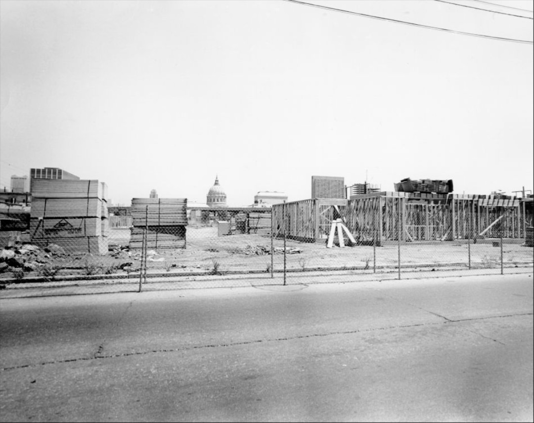
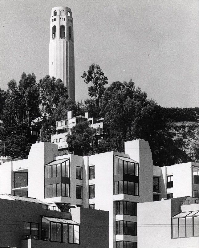
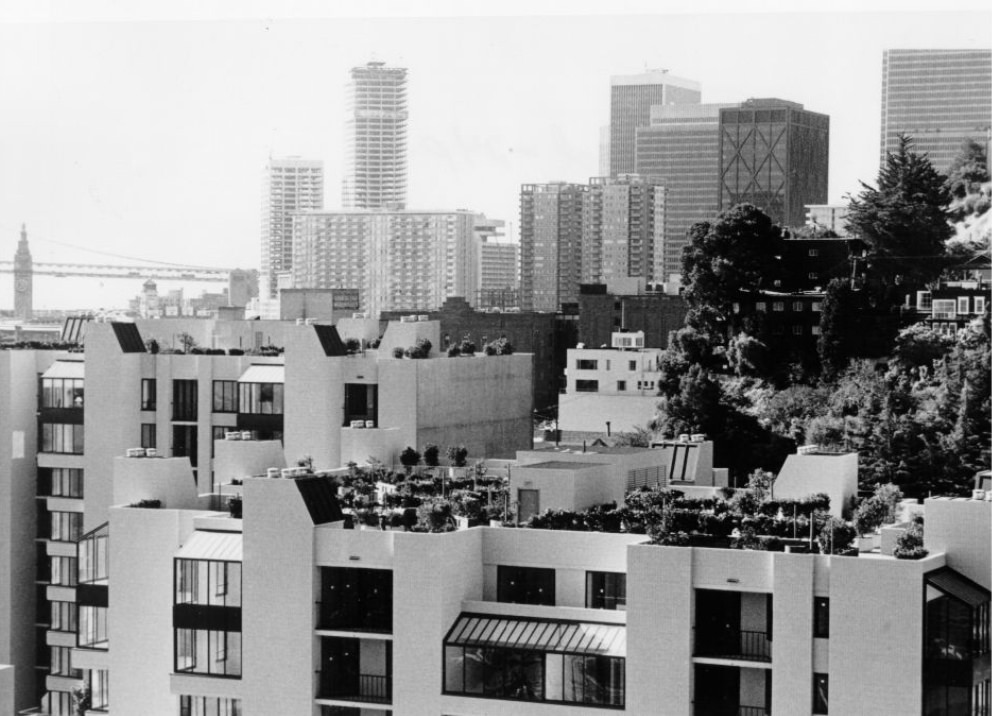
The Telegraph Landing Condominium development brought new residential construction to the base of Telegraph Hill in 1975. The complex rose near the waterfront, with Coit Tower visible on the hilltop behind it. This kind of infill development was changing the character of older industrial and warehouse areas along the northern waterfront, converting them to upscale residential use and pushing up property values in adjacent neighborhoods.
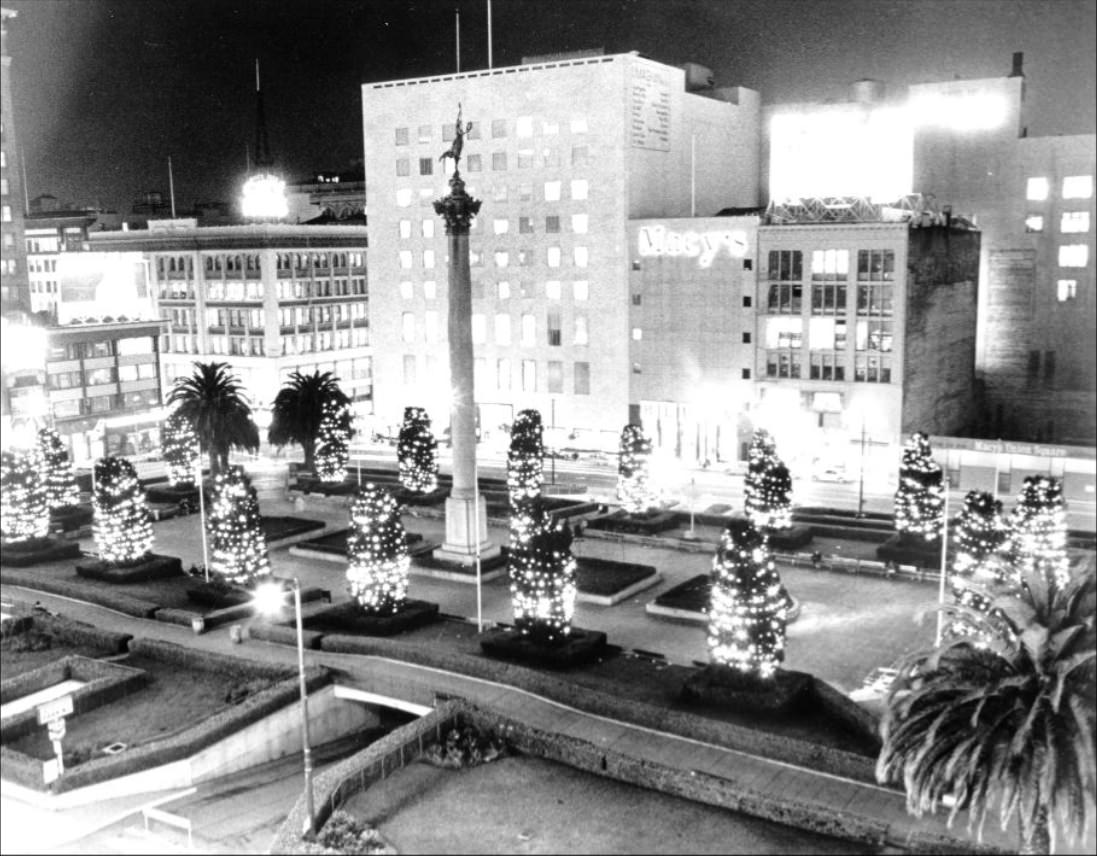
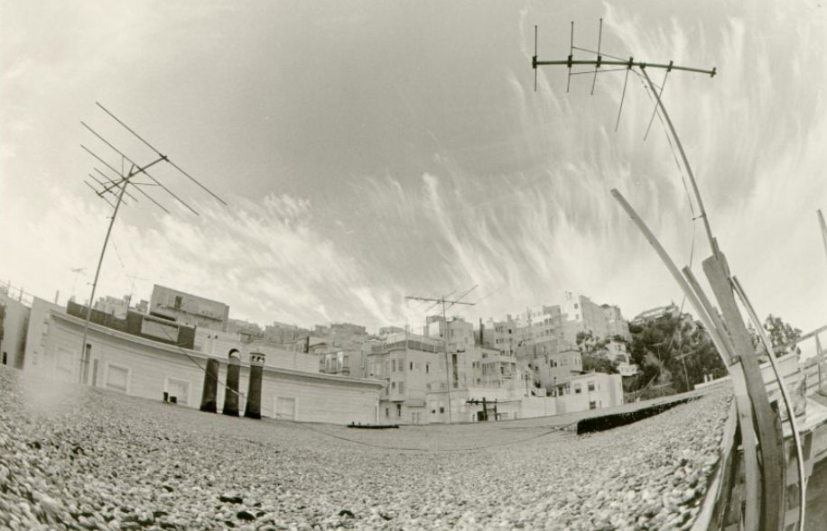
Union Square’s Christmas season brought illuminated trees and holiday decorations to the plaza, drawing shoppers from the department stores that surrounded it — Macy’s, Saks Fifth Avenue, and Neiman Marcus among them. The square’s ability to transform from a performance space to a civic gathering point to a holiday attraction reflected how central it was to the city’s public life throughout the year.
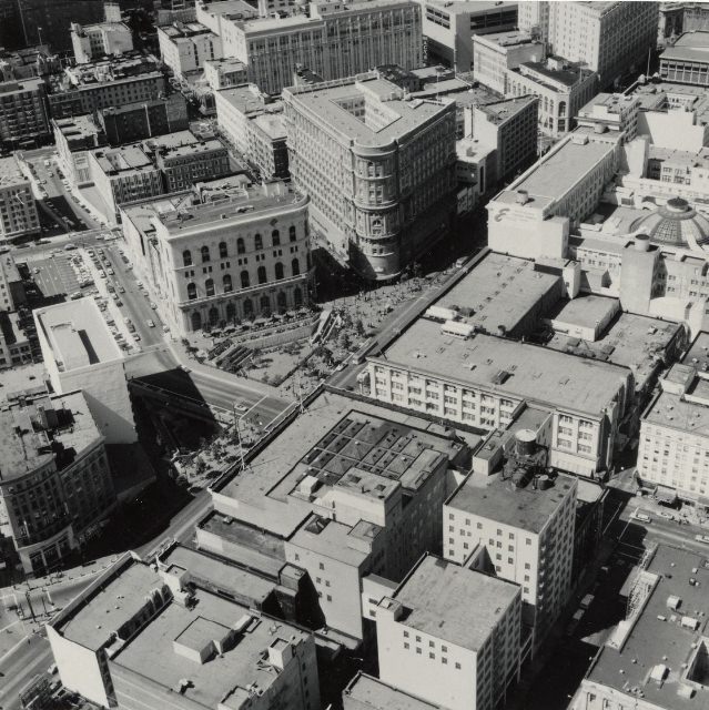
Hallidie Plaza, at the corner of Market and Powell, was built in conjunction with the BART station that opened there in 1973. Named after Andrew Hallidie, the inventor of the cable car, the plaza sat at the base of the Powell Street cable car turnaround — the point where cable car operators manually spun the cars around on a rotating platform before sending them back up the hill. The plaza became one of the busiest transit hubs in the city.
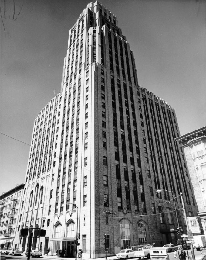
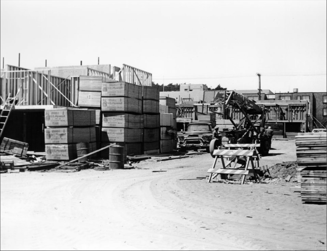
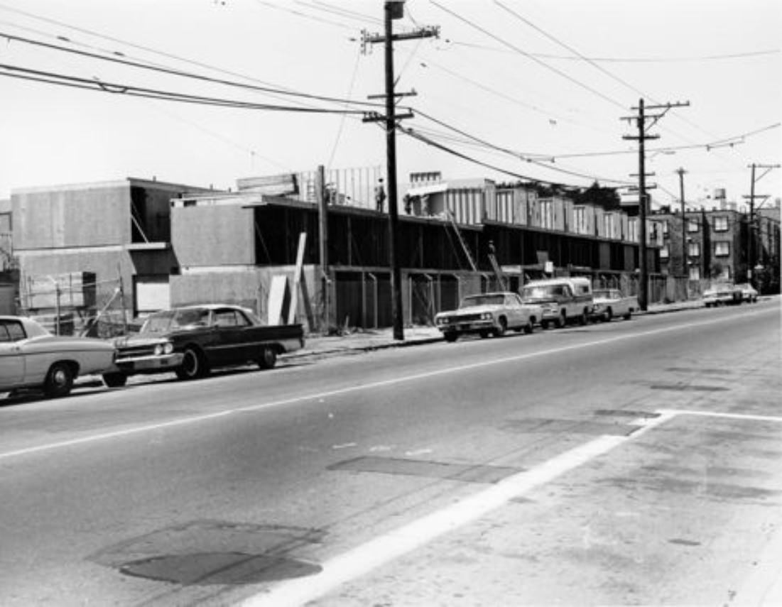
McAllister Street at various cross streets — Scott, Buchanan, Webster, Laguna, and Leavenworth — told the story of the Western Addition’s transformation across the decade. Sites that were vacant lots or demolition sites in 1971 became housing projects by 1973. Completed units stood alongside ongoing construction, and storefronts on adjacent blocks reflected the economic reality of a neighborhood that had been reshaped by government policy and was still finding its footing.
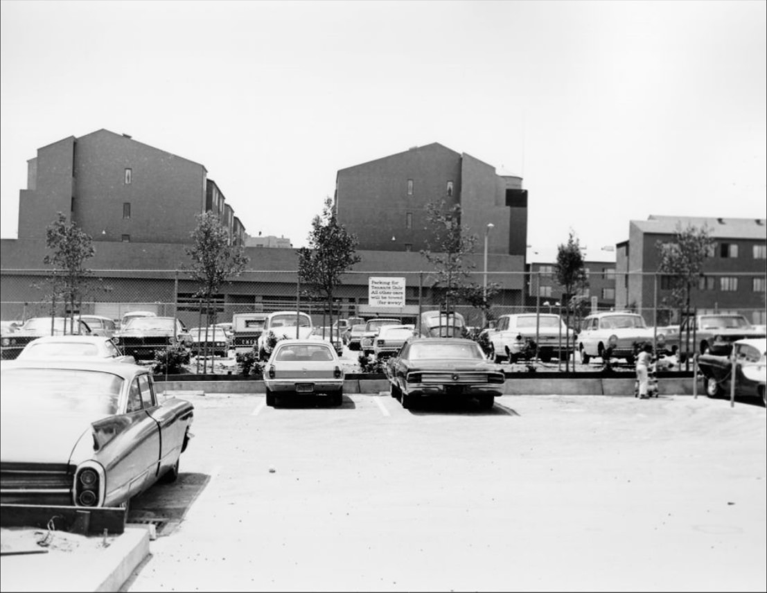
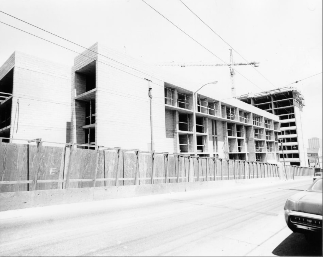
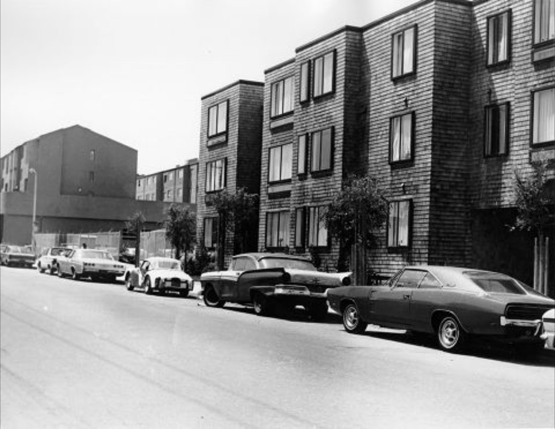
The housing projects at McAllister and Buchanan in 1971 were part of the public housing stock built in response to the displacement caused by the city’s earlier redevelopment programs. These were dense, multi-story residential buildings constructed to house the people who had been moved out of neighborhoods cleared for other purposes. Their presence on the landscape was both a response to one crisis and a source of ongoing debate about urban policy.
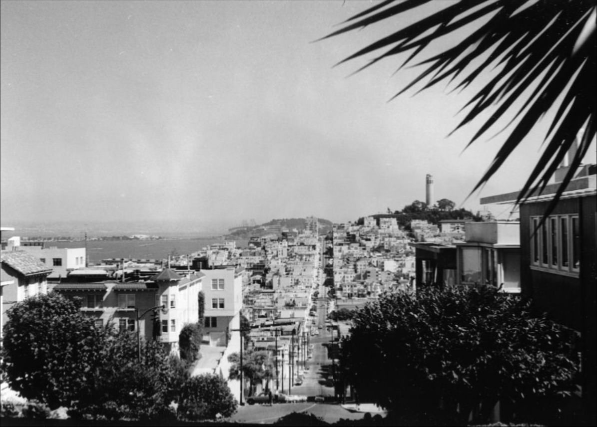
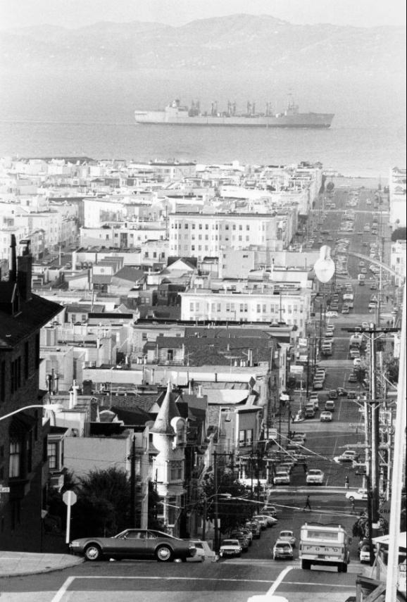
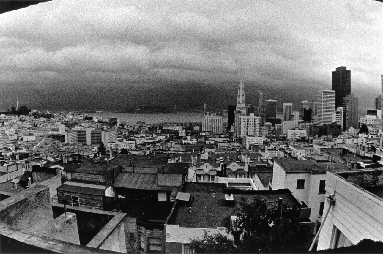
From Hyde and Lombard Streets, looking east, Telegraph Hill and the low-rise rooftops of North Beach spread out below. This vantage point captured both the hill’s sharp vertical rise and the flatness of the neighborhood at its base — a geography that made San Francisco one of the most visually dramatic cities in the country. The view appeared in photographs taken throughout the decade, unchanged by the development reshaping other parts of the city.
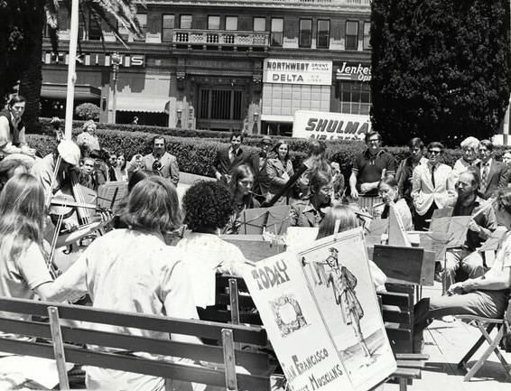
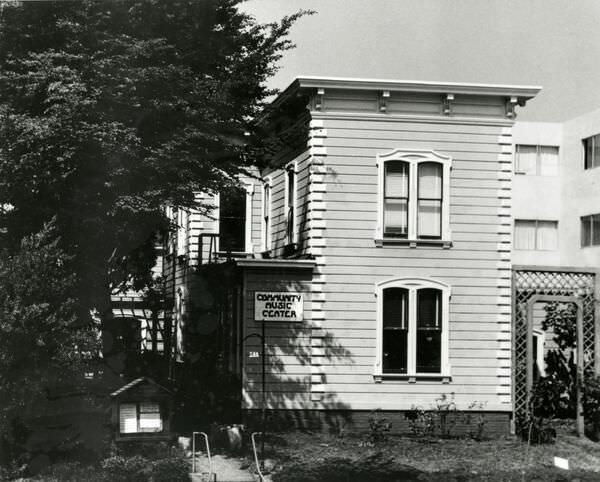
Street musicians were a constant presence in Union Square from the very start of the decade. They played for tips and for the enjoyment of passing crowds, filling the open plaza with sound. The Community Music Center, operating in the city between 1970 and 1975, provided a more formal space for musical education and performance — particularly for residents in lower-income neighborhoods who had little access to private music instruction.
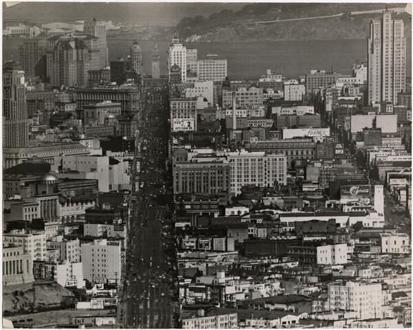
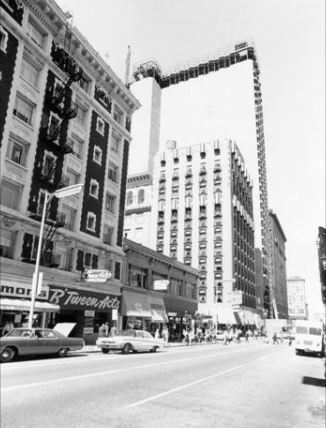
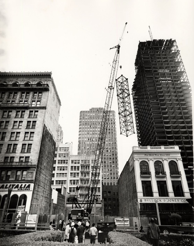
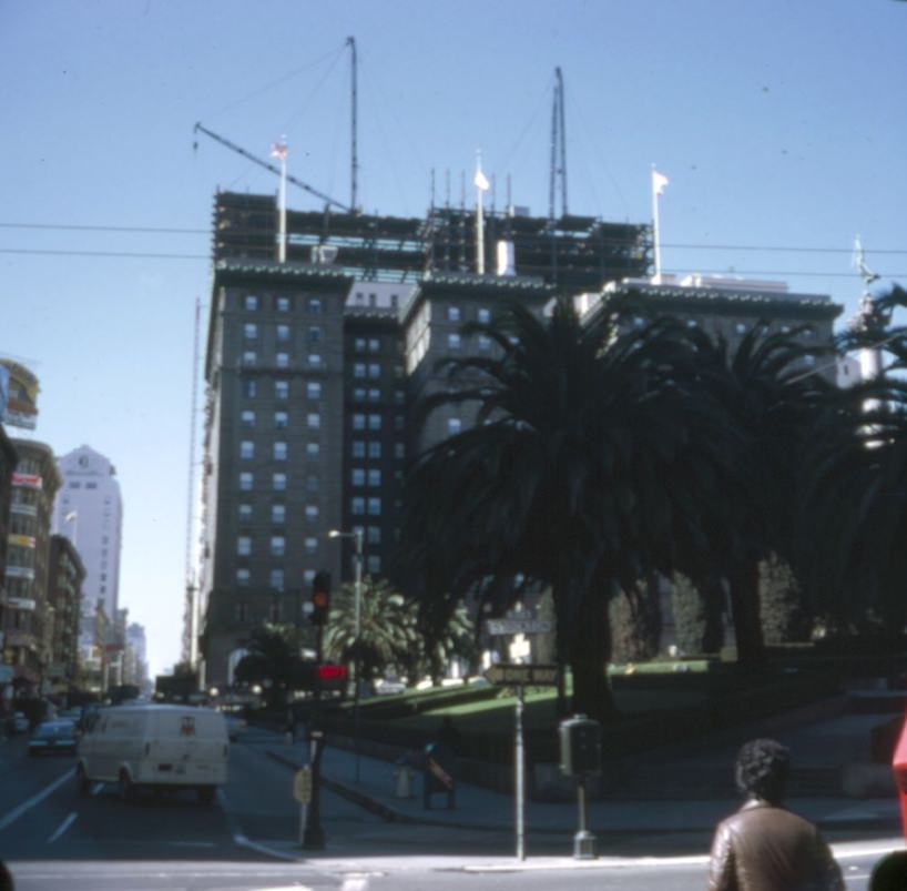
The St. Francis Hotel’s tower addition was one of the signature construction projects in downtown San Francisco at the start of the decade. The 32nd-story addition rose at Geary and Mason, and during construction it was one of the most photographed sites in the area. Once complete, it gave the hotel a prominent new presence on the skyline and provided the elevated vantage points that produced so many of the decade’s most striking photographs of the city below.
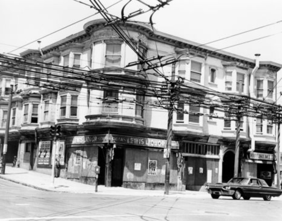
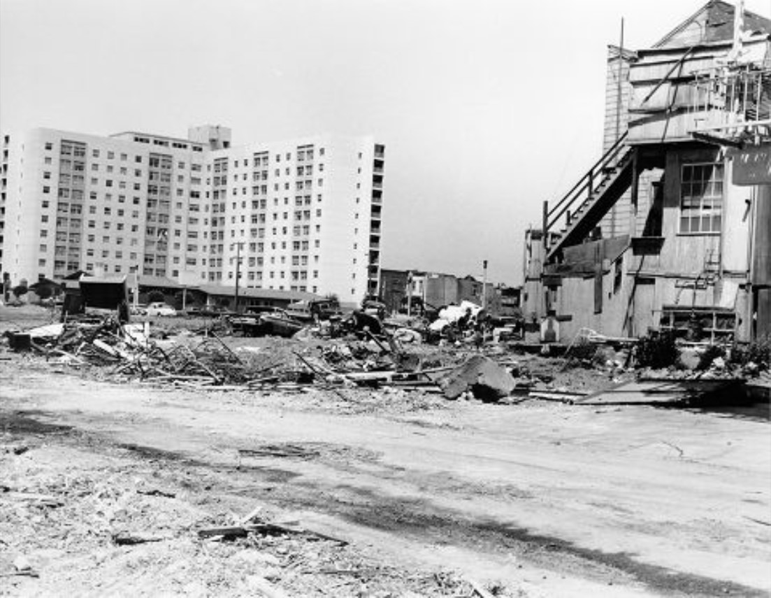
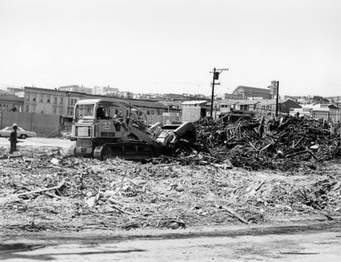
The demolition of buildings at McAllister and Laguna in 1971 was a visible sign of urban renewal still working its way through the Western Addition. Older structures came down to make way for new housing projects, and vacant lots sat between standing buildings on many blocks. The completed housing project on the east side of Fillmore at McAllister represented the end result of this process — new construction replacing what had been cleared.
Looking east from the St. Francis Tower in 1971, the Wells Fargo and Crocker buildings anchored the Financial District’s skyline. These established banking institutions were among the largest employers in downtown San Francisco, and their office towers were central to the district’s identity as a national financial hub. The Banking industry’s presence in San Francisco dated back to the Gold Rush era and had only grown more dominant in the postwar decades.
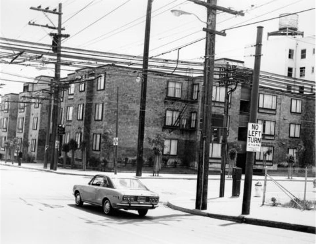
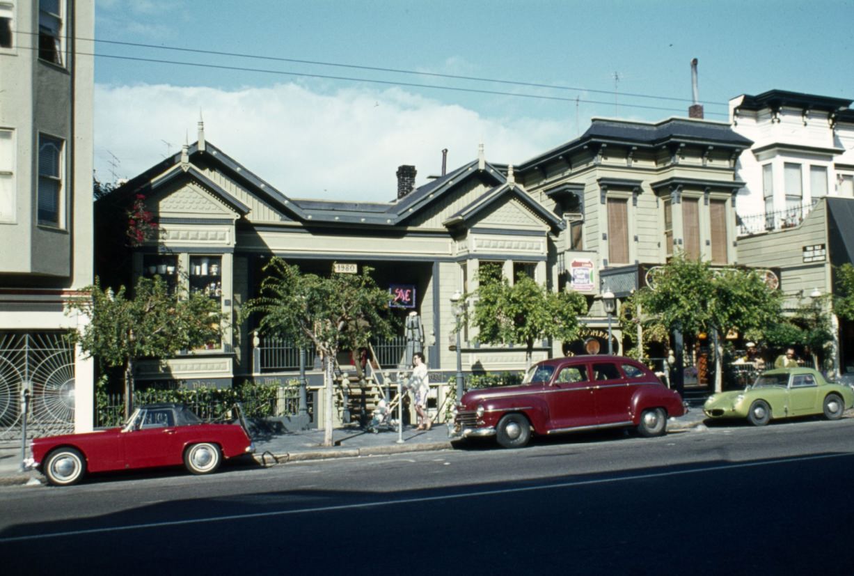
The early 1970s technology boom in the Bay Area was not yet fully visible in San Francisco itself, but its early roots were forming nearby. Atari was established in 1972 in Sunnyvale, and companies like Intel and Apple were getting started in the peninsula and South Bay. The workers and engineers behind these companies lived and socialized in San Francisco, contributing to the city’s economy and beginning to shape its demographics in ways that would accelerate dramatically in the decades ahead.
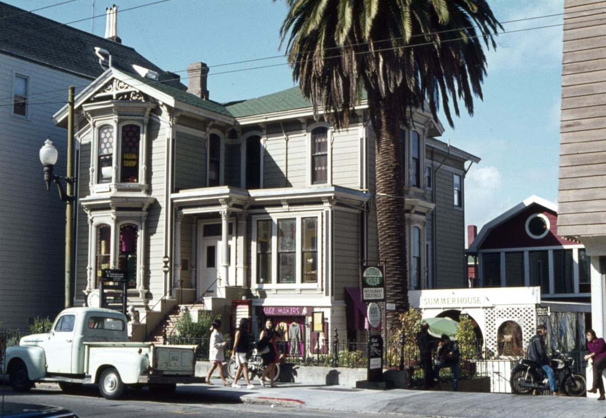
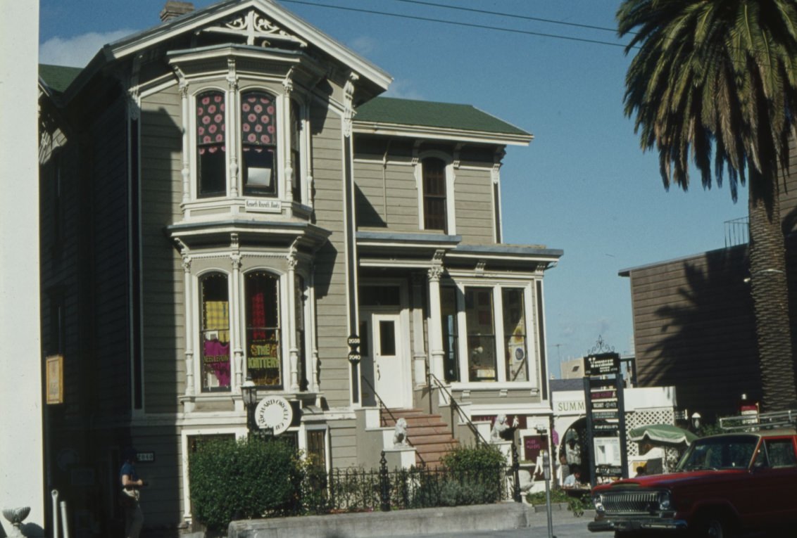
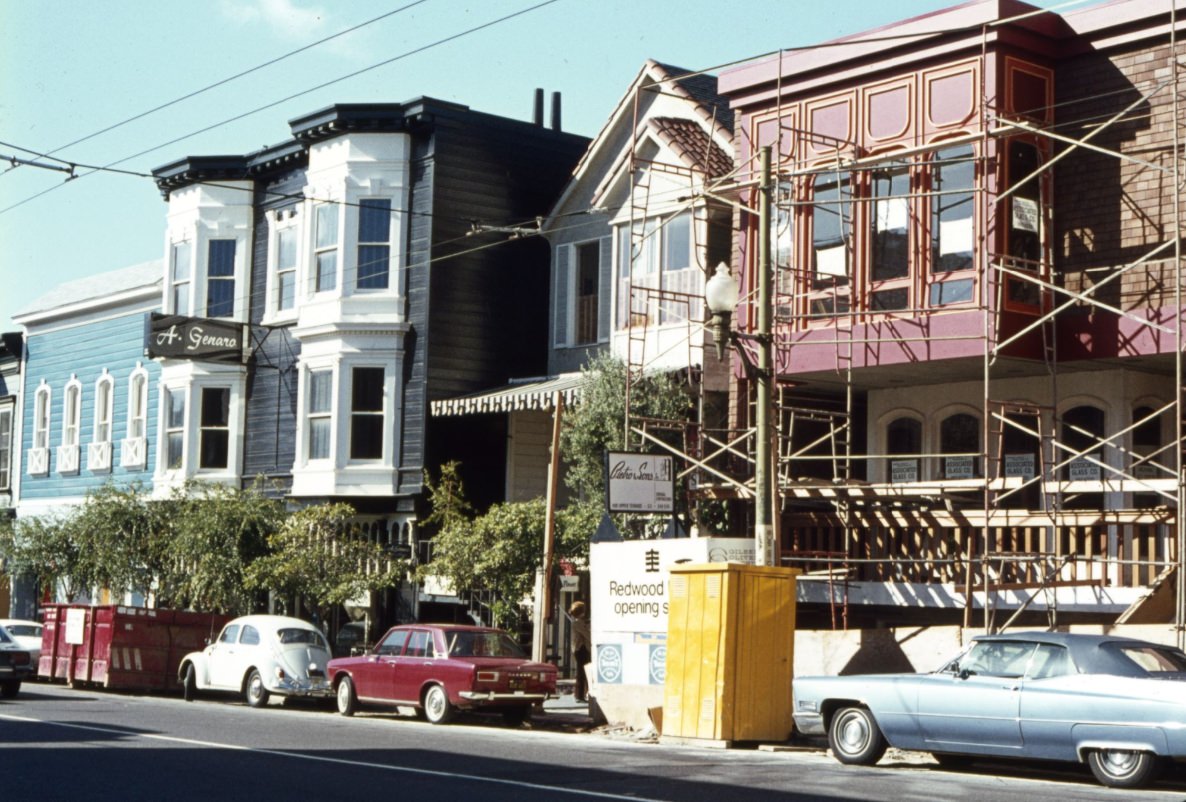
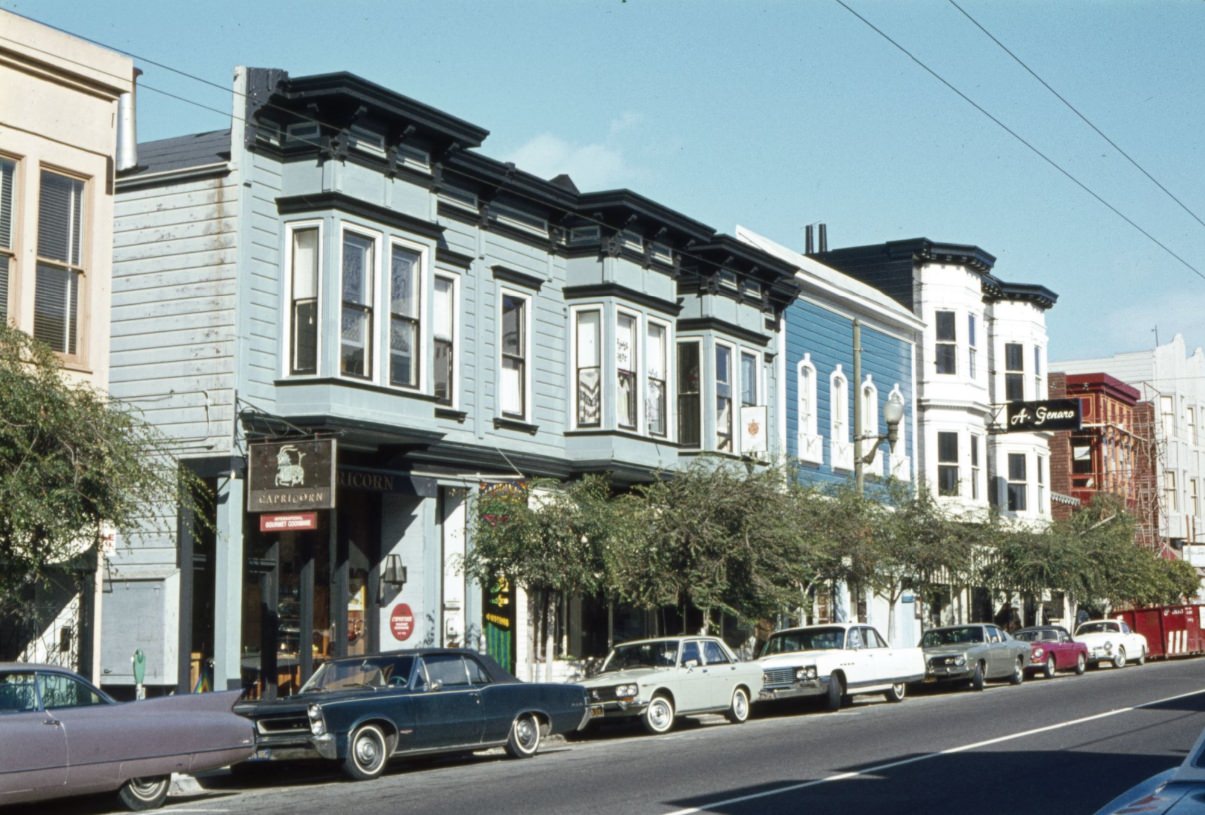
Union Street in Cow Hollow was a commercial corridor lined with boutiques, antique shops, and restaurants. A. Genaro Antiques and Capricorn Gourmet Cookware both operated on the street in 1970, part of a retail landscape that catered to the neighborhood’s mix of young professionals and long-term residents. The street had a neighborhood scale that contrasted with the commercial intensity of downtown just a few miles to the east.
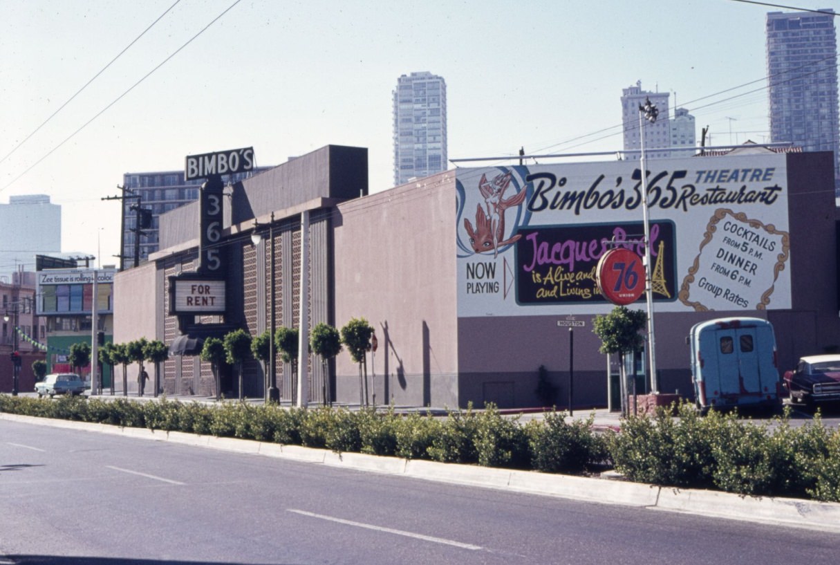
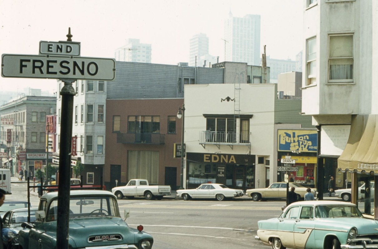
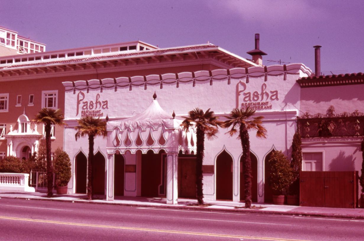
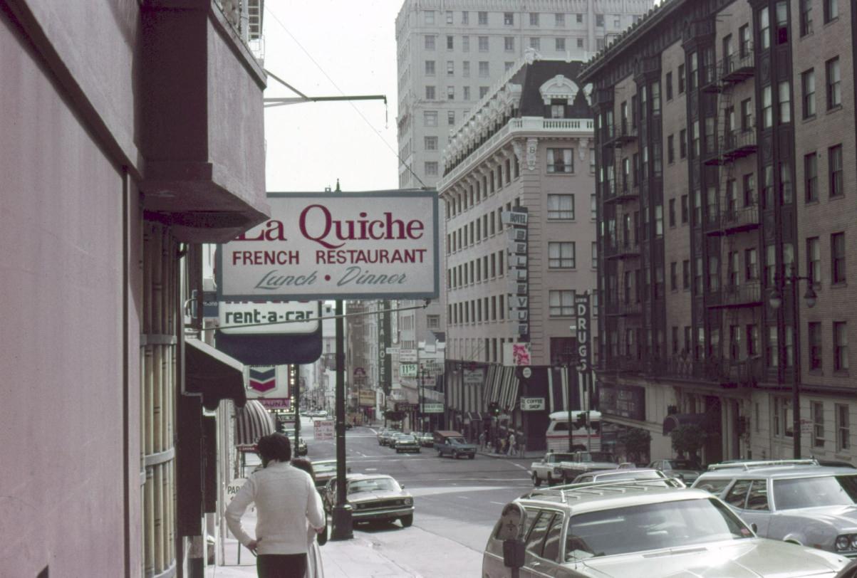
San Francisco’s food scene in the 1970s was genuinely diverse. Dim sum restaurants and noodle shops operated in Chinatown. North Beach offered Italian trattorias and pizzerias. The Mission had taquerias. On Broadway and Polk, the Pasha Restaurant brought Middle Eastern cuisine to a city that already prided itself on culinary variety. La Quiche French Restaurant operated at Taylor and Geary. The farm-to-table movement was gaining ground, with restaurants sourcing ingredients from Bay Area farms — a practice that was just beginning to shape how the city ate.
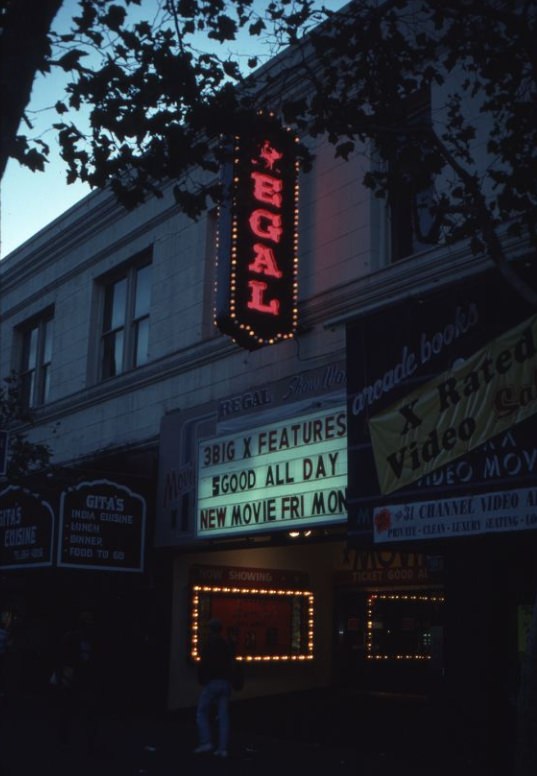
The Regal Theater at 1046 Market Street was one of several movie houses operating on the city’s main commercial artery in the early 1970s. Market Street had long been the city’s entertainment spine, and its theaters attracted steady audiences despite the economic pressures of the decade. By the late 1970s, the street’s character was shifting as some businesses closed and the area around Civic Center became increasingly associated with homelessness and street disorder.
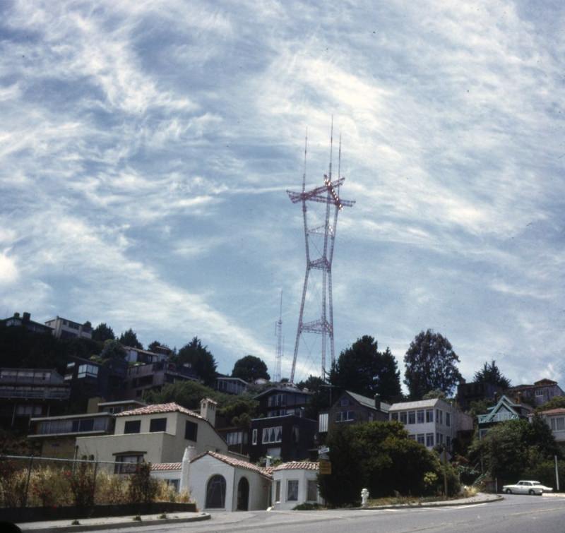
Sutro Tower, completed in 1973, rose 977 feet from the ridge above Twin Peaks. Built to broadcast television and radio signals across the Bay Area, it became one of the most polarizing structures in the city — loved by some for its bold industrial silhouette against the sky, criticized by others for dominating the natural ridge line. Photographed from Twin Peaks Boulevard and Crown Terrace, the tower stood just above the fog line that regularly settled over the ridge.
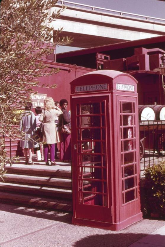
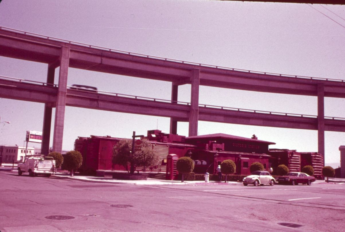
Victoria Station, at the foot of Broadway, was a restaurant chain that leaned heavily into its British railway theme — complete with a red telephone booth as a decorative prop in 1975. The chain was popular in American cities during the decade, and its San Francisco location fit well into the North Beach area’s mix of novelty restaurants and neighborhood institutions. Columbus Avenue, just steps away, offered a sharper contrast in the form of Italian bakeries and old-school bars.
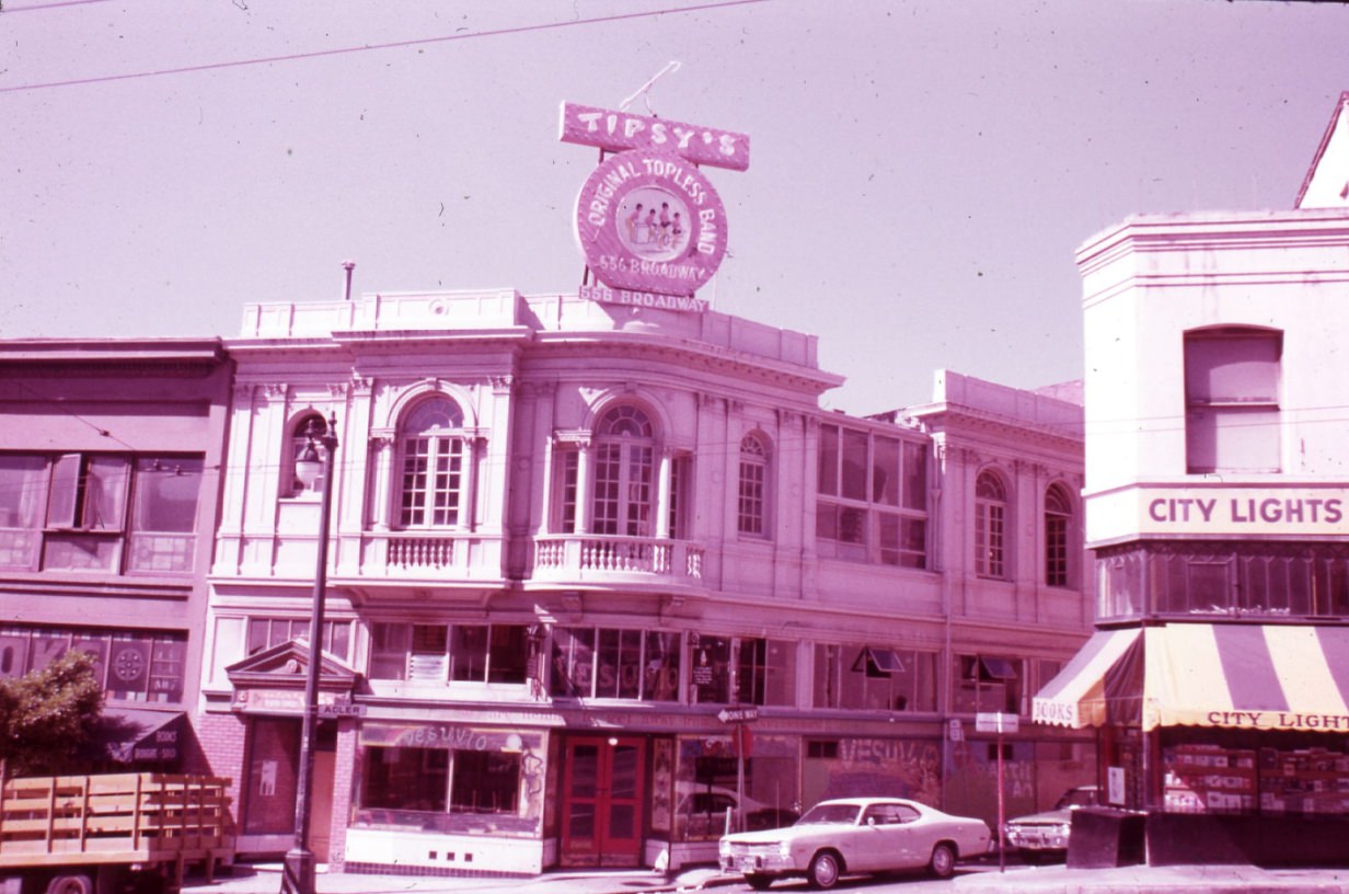
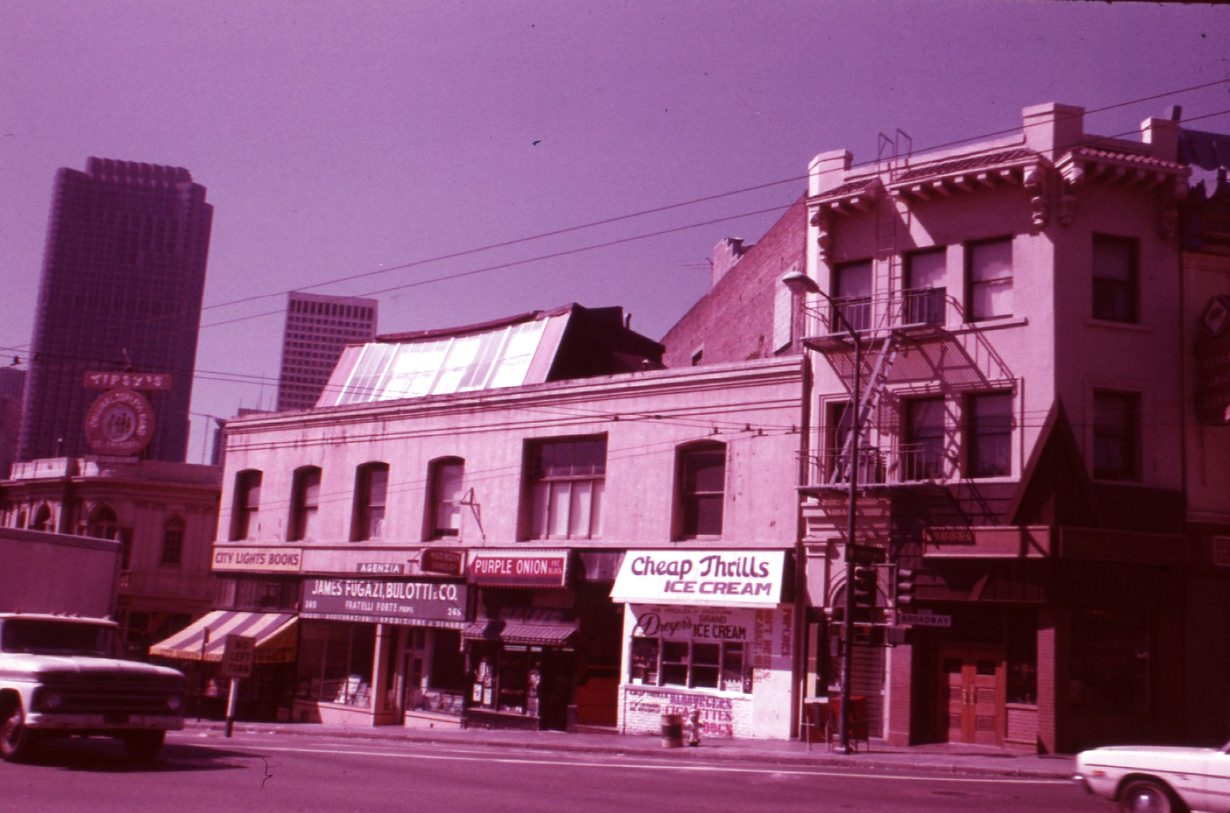
The southeast corner of Columbus and Broadway in 1975 showed the intersection as a commercial crossroads between North Beach’s bohemian identity and the Broadway strip’s adult entertainment district. The two cultures existed side by side in the same few blocks — Italian cafés and Beat-era bookshops on one corner, clubs and bars on the next. Columbus Avenue looking south offered a view of this layered urban environment stretching back toward the Financial District.
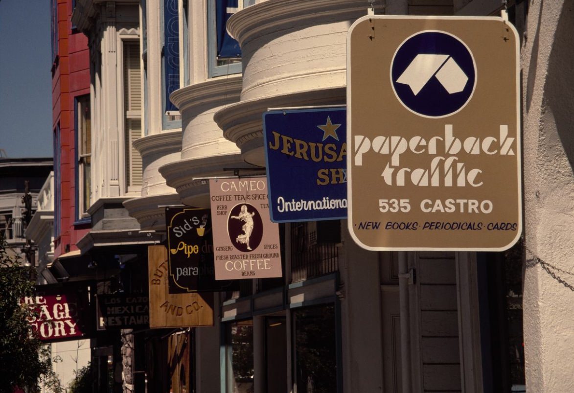
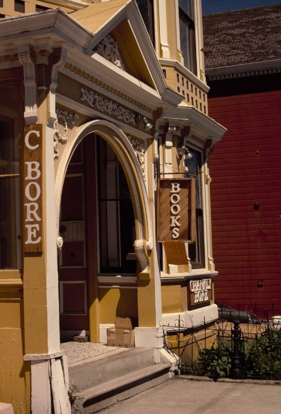
The Castro District underwent a dramatic transformation during the 1970s. What had been a quiet working-class Irish Catholic neighborhood became the center of San Francisco’s gay community — one of the largest and most politically organized in the country. By 1973, Castro Street’s storefronts were beginning to reflect the changing population. By 1976, the Castro Theater — with its ornate Spanish Baroque exterior — had become a neighborhood anchor and cultural institution. The Chankly Bore bookstore at 4052 18th Street was among the independent businesses that opened in the neighborhood during this period.
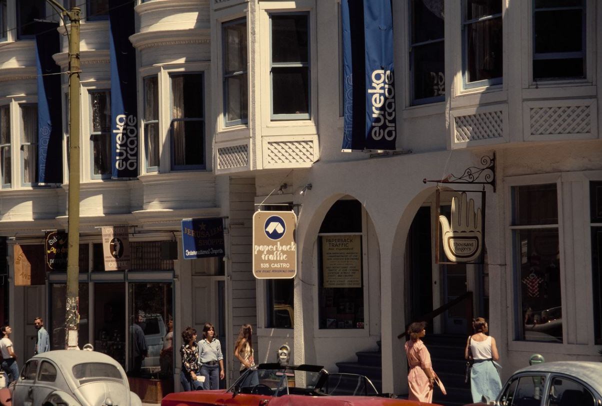
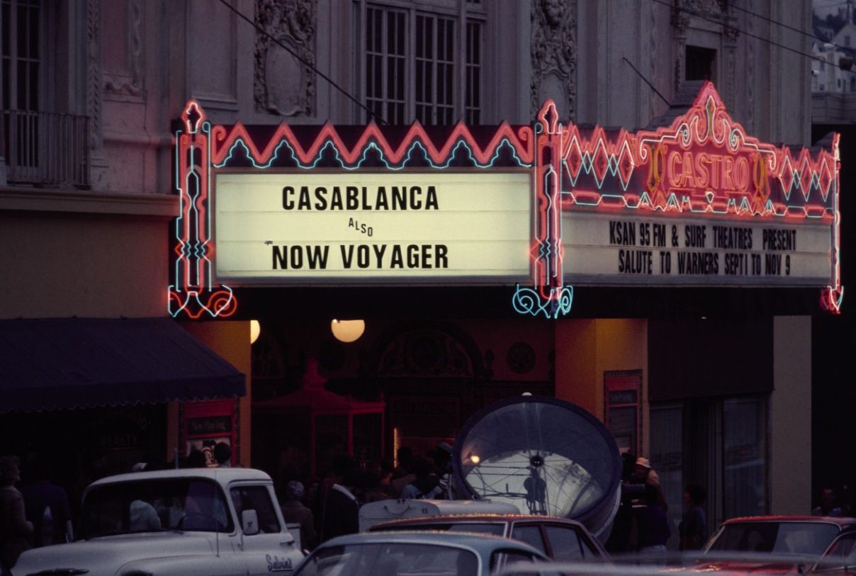
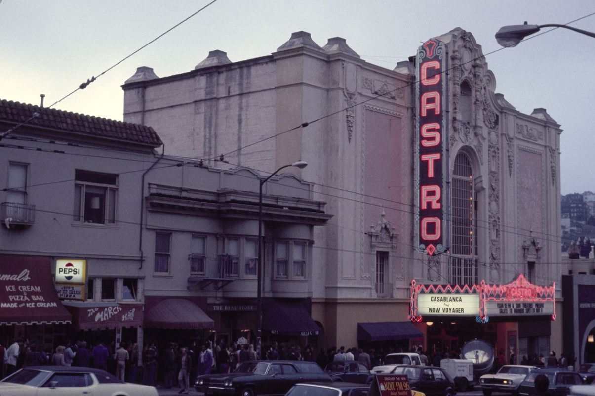
The Castro Theater, built in 1922, remained a first-run and revival movie house through the 1970s. Its ornate facade — modeled on Mexican Churrigueresque architecture — stood out on a street of modest commercial buildings. Inside, the theater hosted film screenings, community events, and performances that drew audiences from across the city. Its presence on the Castro’s main street made it central to the neighborhood’s identity as it transformed through the decade.
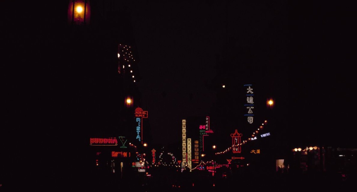
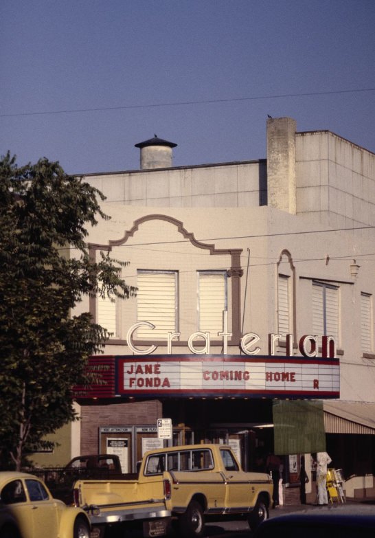
Chinatown’s Grant and Washington Streets at night were one of the most visually distinctive scenes in the city. Hanging lanterns and neon signs lined the street, illuminating shoppers and diners moving through the dense commercial district. Chinatown’s restaurants were a draw for the entire city — dim sum houses in particular attracted lines of customers on weekends, serving a clientele that ranged from the neighborhood’s own residents to visitors from across the Bay Area.
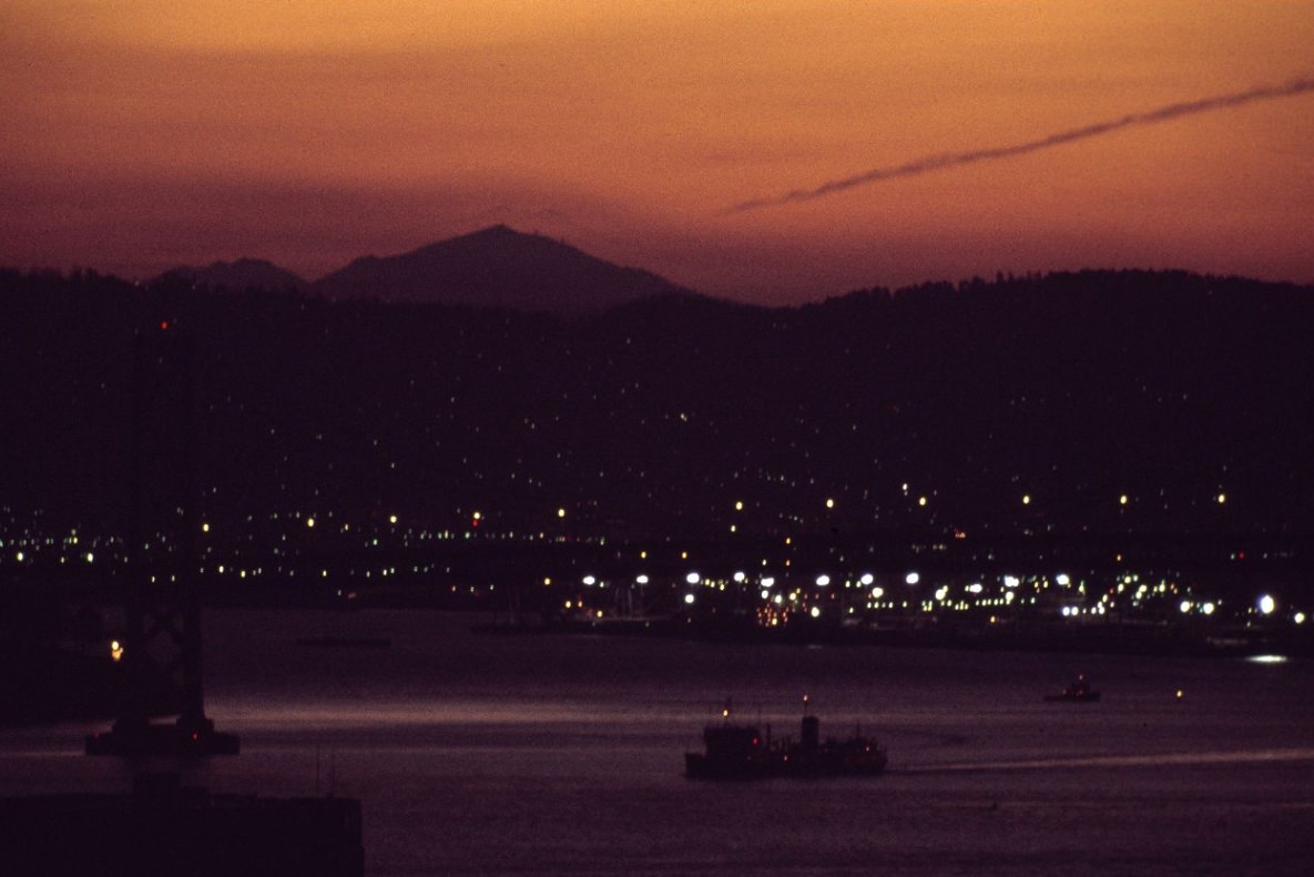
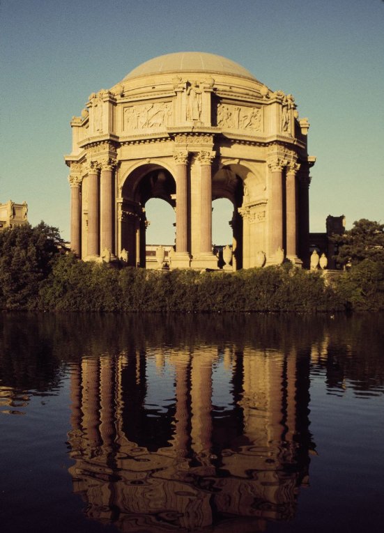
The Palace of Fine Arts in the Marina District was a remnant of the 1915 Panama-Pacific International Exposition. Its rotunda and colonnades, originally built from temporary materials, had been reconstructed in permanent concrete between 1964 and 1967 — so by the 1970s it was a fully restored landmark. The structure sat beside a small lagoon and was used for public events, exhibitions, and as a backdrop for photographs that captured its classical grandeur against the Bay Area sky.
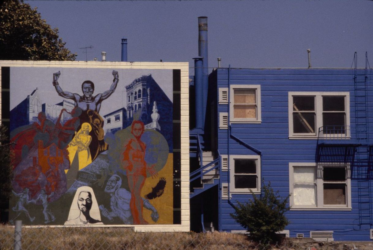
Murals appeared on the sides and backs of buildings across San Francisco throughout the 1970s, particularly in the Mission District, where Latino artists used exterior walls as canvases for large-scale works depicting community history, cultural pride, and political themes. This public art tradition made certain blocks in the Mission instantly recognizable and contributed to the neighborhood’s identity during a period when its demographic makeup was being contested by rising rents and incoming residents.
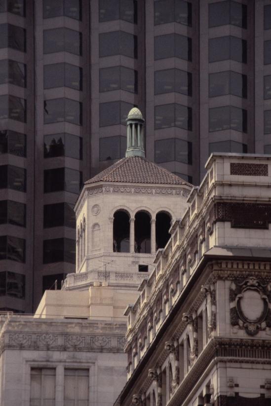
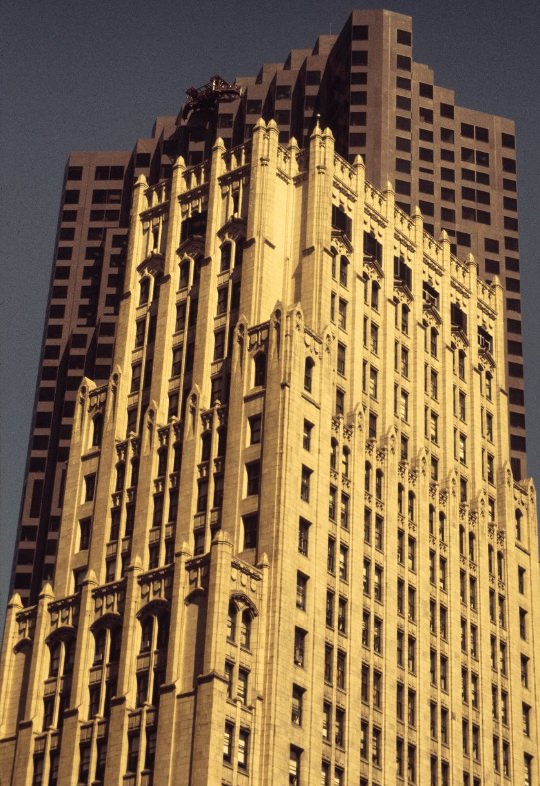
The Bank of America Building, completed in 1969 but dominating the Financial District throughout the 1970s, was the tallest building on the West Coast for much of the decade. Its black granite exterior gave it a dark, imposing profile that stood in sharp contrast to the lighter-colored buildings around it. The Pine Street elevation, photographed in 1979, showed its base-level relationship to the street — a tower that occupied a full city block and redefined the scale of the Financial District.
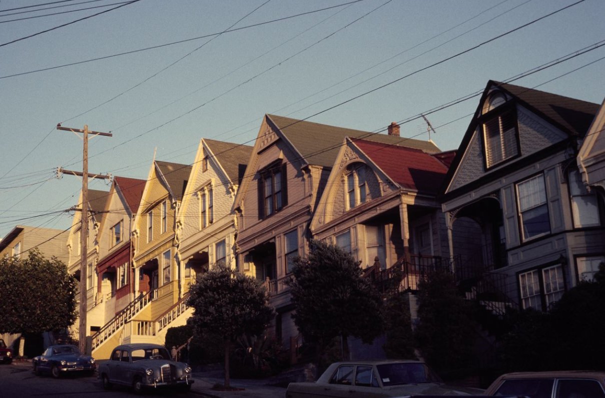
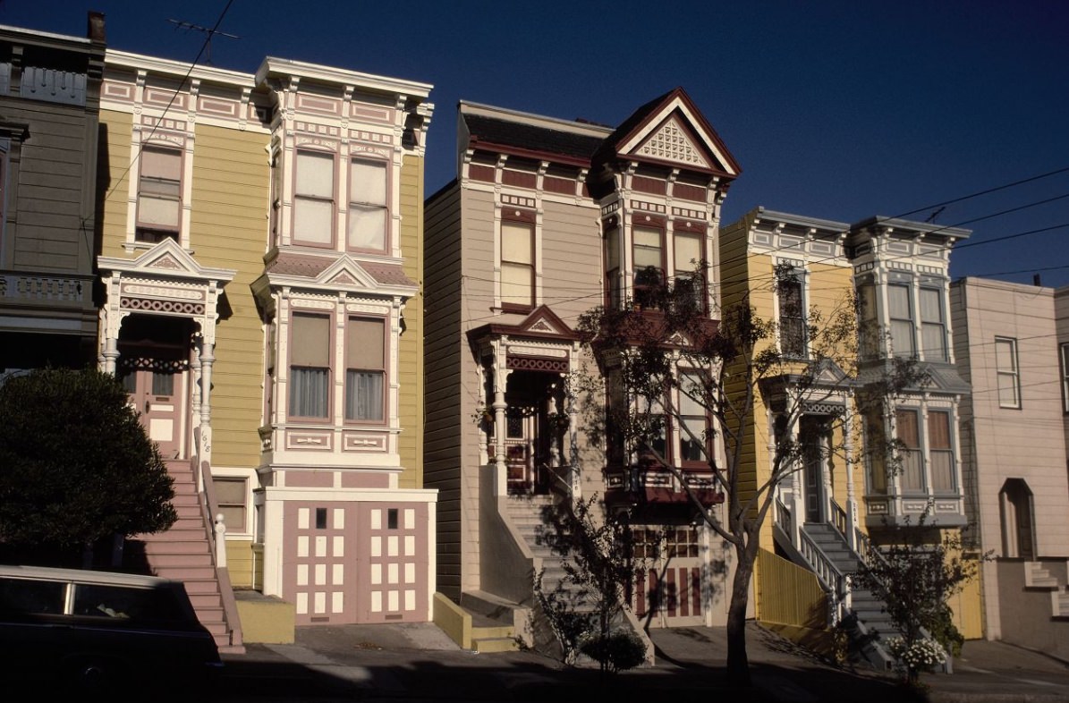
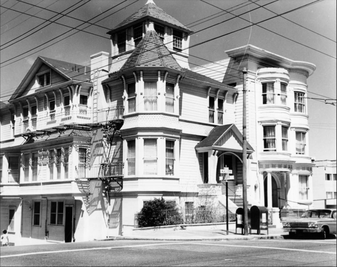
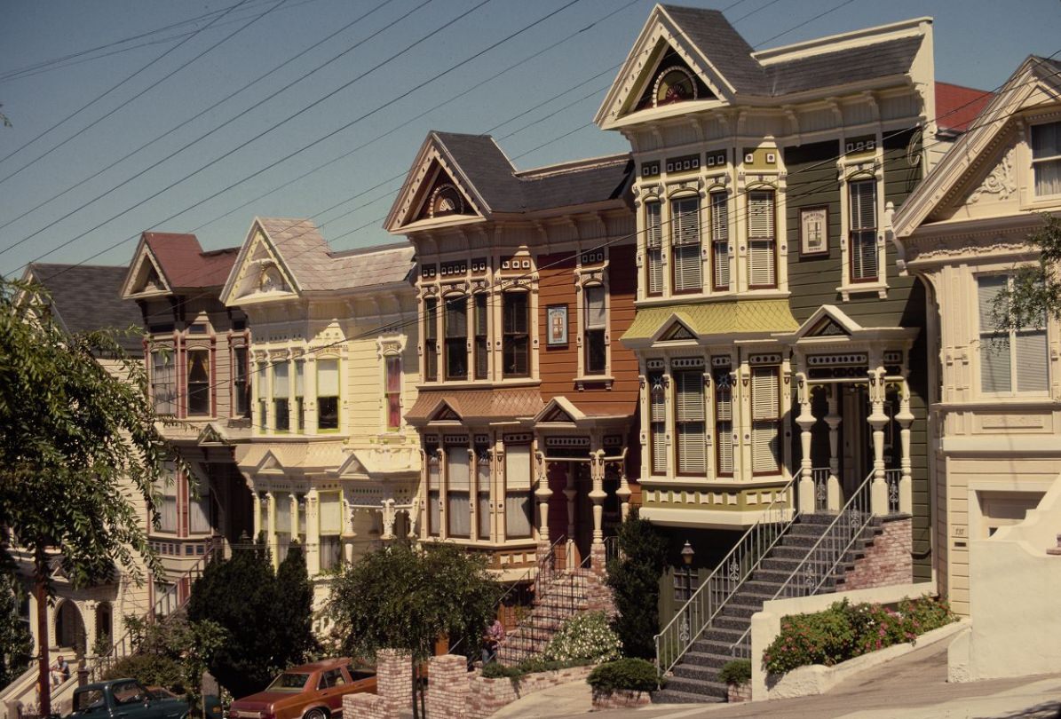
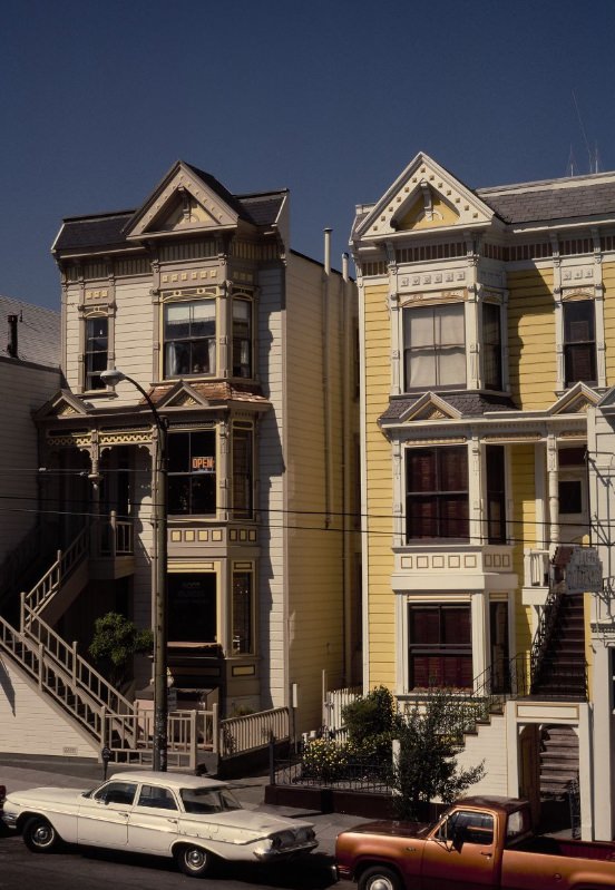
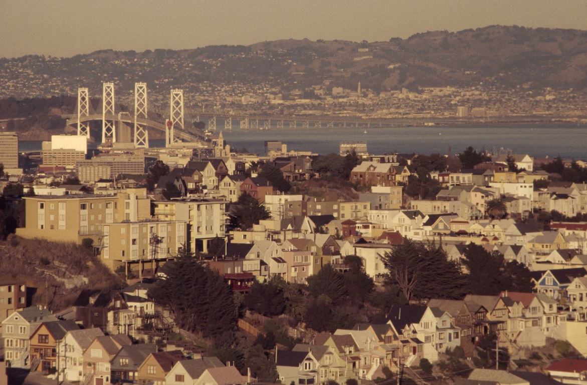
San Francisco’s Victorian houses — the wood-frame row houses built in the decades after the 1906 earthquake — were a defining feature of its residential neighborhoods. Photographed in 1974 and 1976, these rows of identical or near-identical houses, painted in varied colors with elaborate decorative trim, lined blocks throughout the Western Addition, the Haight, and other neighborhoods. By the 1970s, many had been divided into apartments, housing the city’s growing population in dense residential blocks.
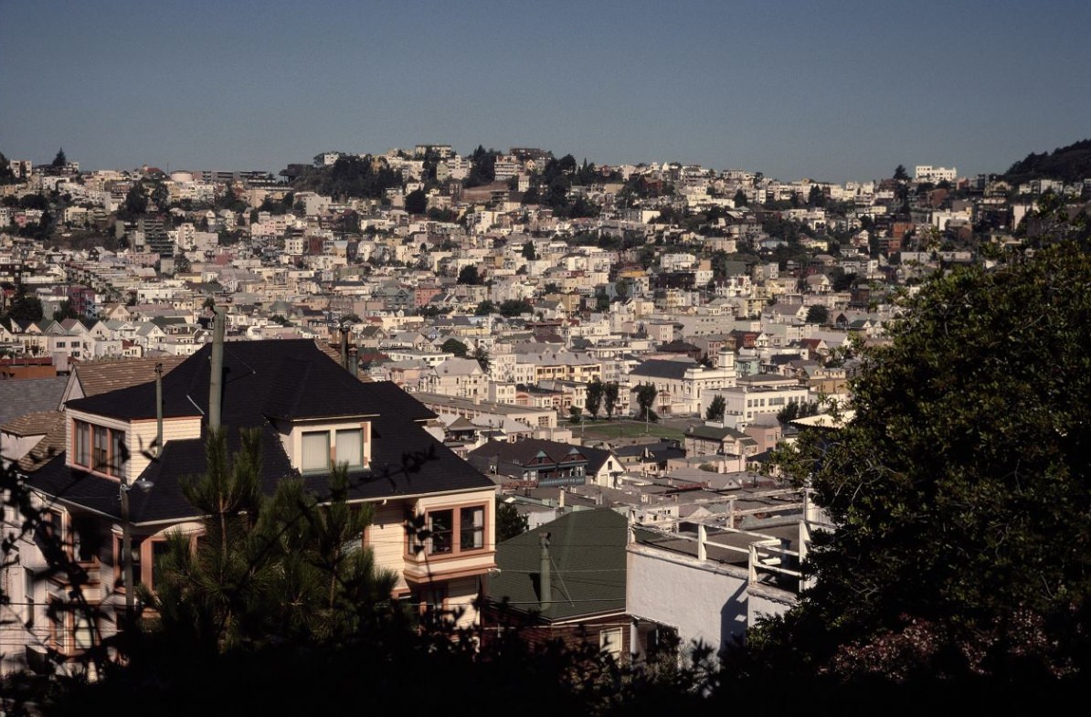
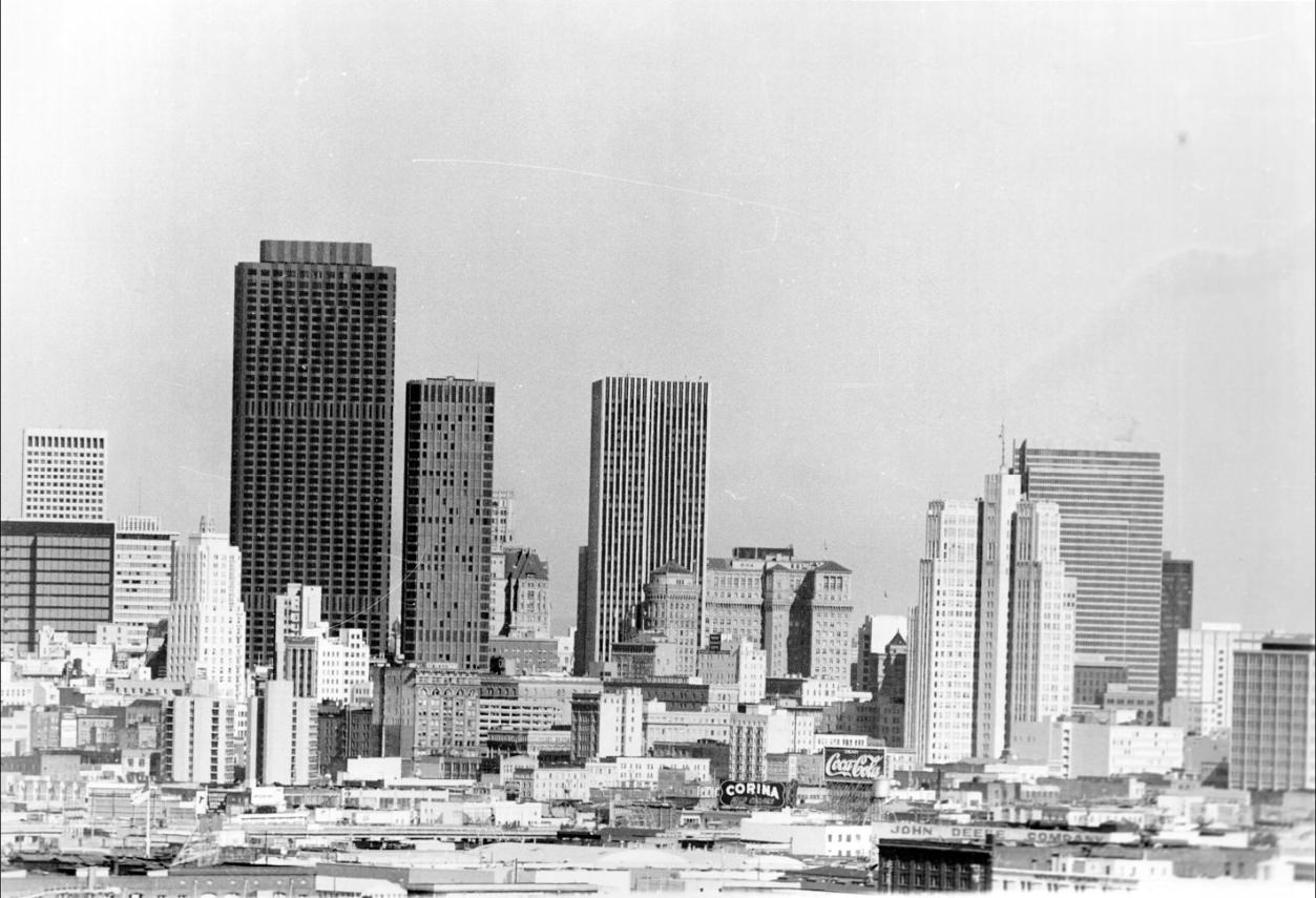
By 1976, the San Francisco cityscape had taken on the form that most people associate with the era. The Transamerica Pyramid, the Bank of America tower, and a new generation of high-rise office buildings defined the skyline, while the Victorian residential neighborhoods spread out in every direction below. The city’s hills — Twin Peaks, Nob Hill, Russian Hill, Telegraph Hill — gave that skyline its distinctive vertical variation, lifting neighborhoods above one another in layers visible from the bay.
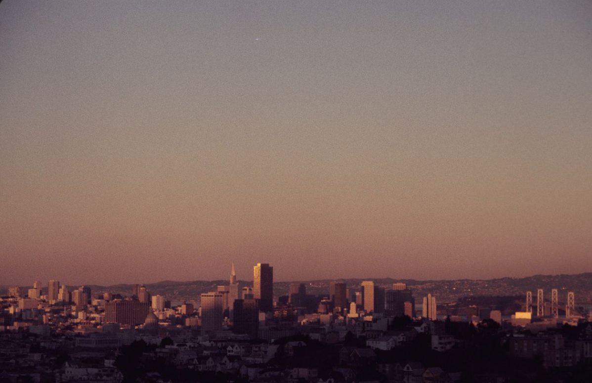
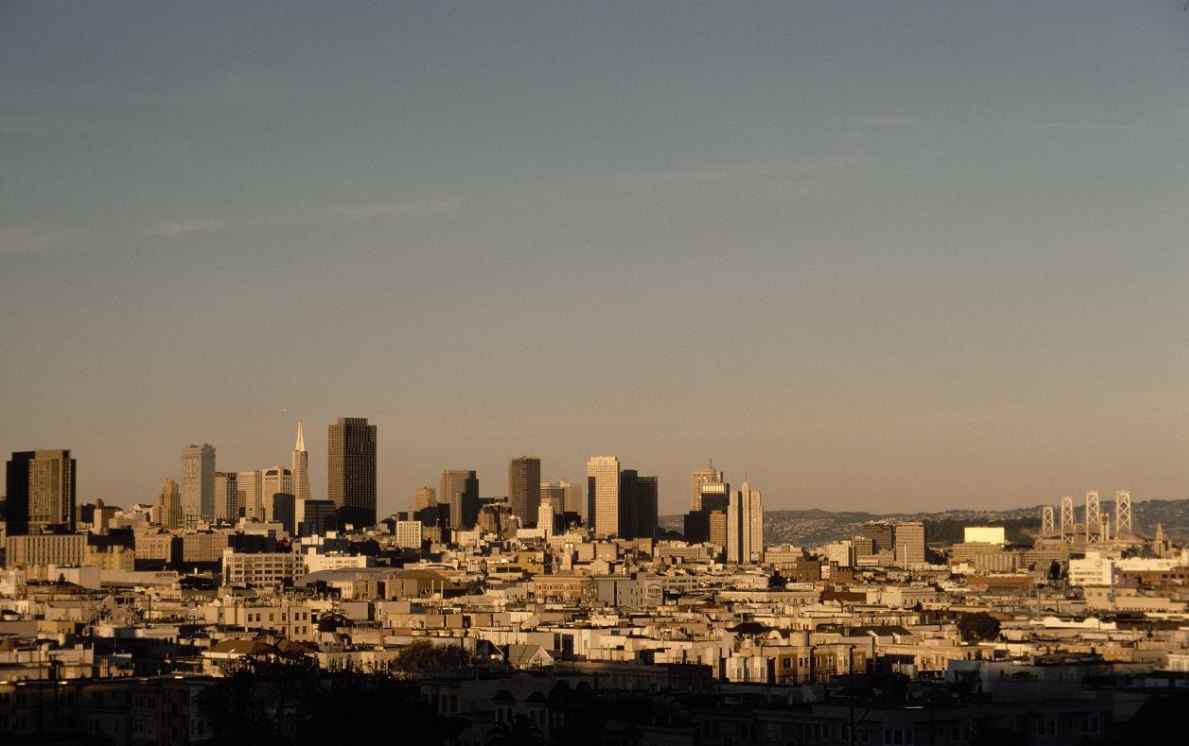
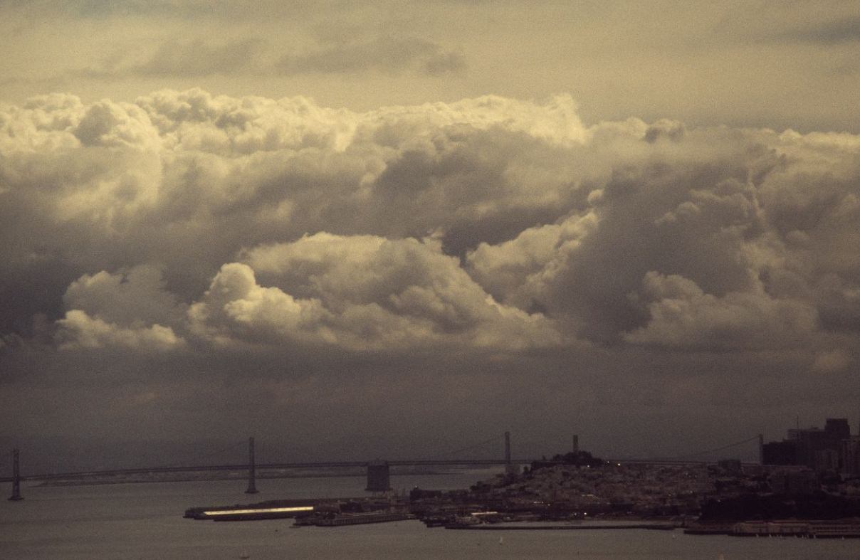
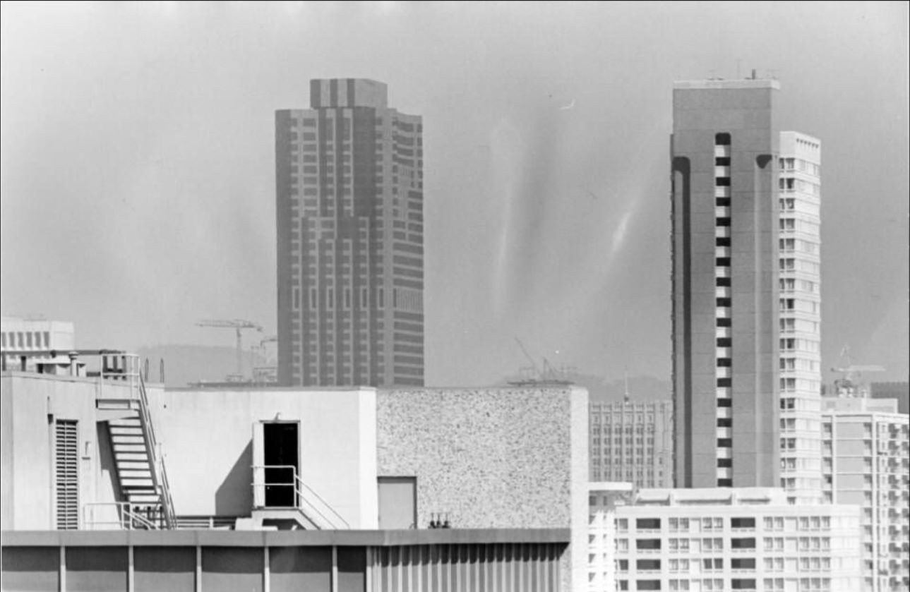
The 1975 and 1977 skyline photographs show a city that had changed substantially from what it looked like in 1970. New towers had joined the Financial District cluster, the Bay Bridge served as a backdrop to the eastern waterfront, and the density of the built environment was unmistakable. The skyline captured in these images was the product of a decade of construction, investment, and demographic change — a visual record of a city actively remaking itself.
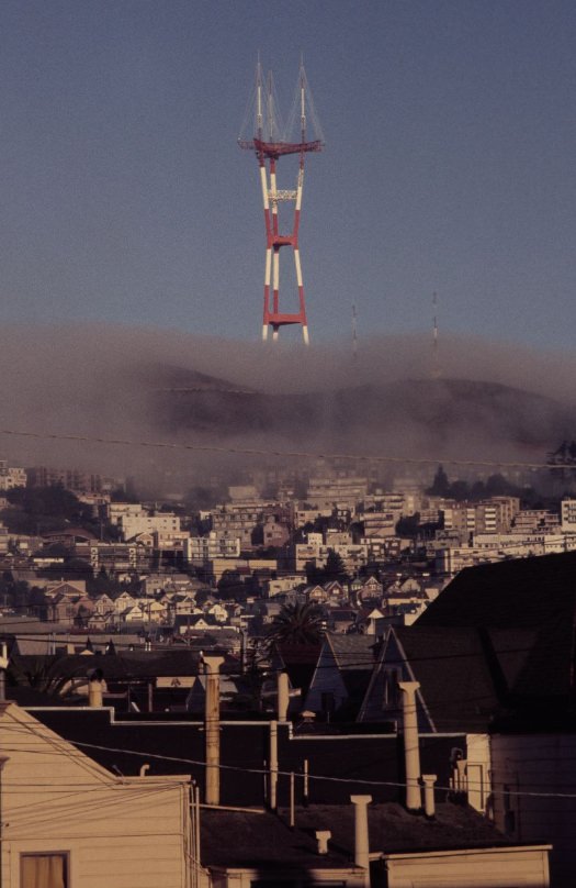
Fog was a defining feature of San Francisco’s physical environment. In 1976, Sutro Tower disappeared into it, the three-pronged steel structure dissolving into gray above the ridge. The fog that rolled in from the Pacific through the Golden Gate each afternoon was both a practical reality for residents and a photographic subject in its own right — softening hard edges, erasing skylines, and giving the city an atmospheric quality that made it unlike any other American urban landscape.
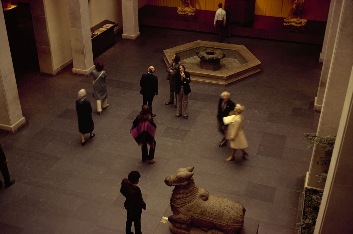
The Asian Art Museum, located in Golden Gate Park’s former de Young Museum building during the 1970s, held one of the largest collections of Asian art in the Western world. The Adrian Gruhn Court inside the museum in 1975 showed the institution’s scale and the quality of its holdings. The museum served as an important cultural institution for the city’s large Asian-American population, as well as for scholars and general visitors from across the region.
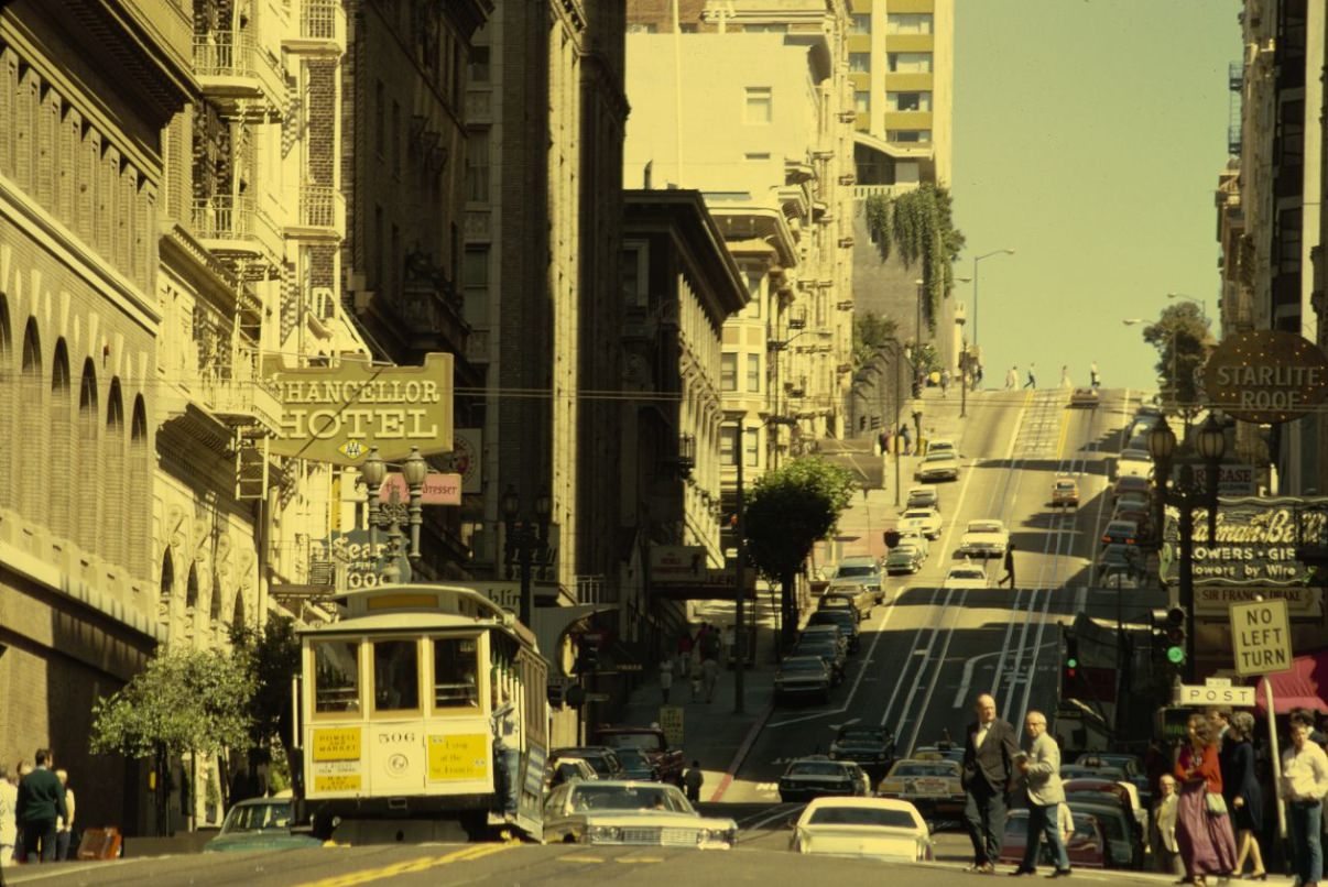
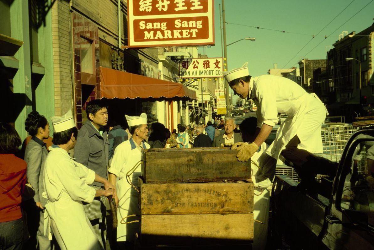
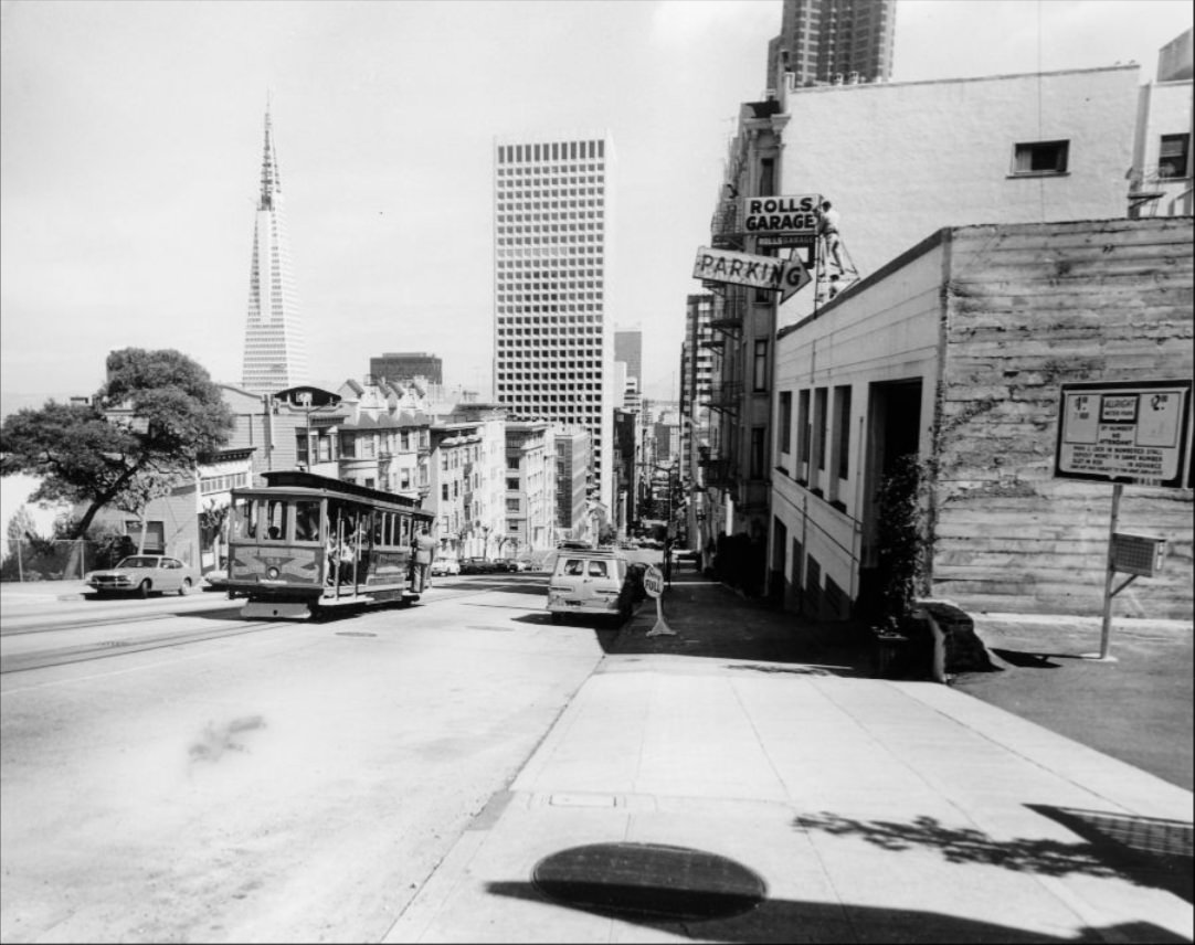
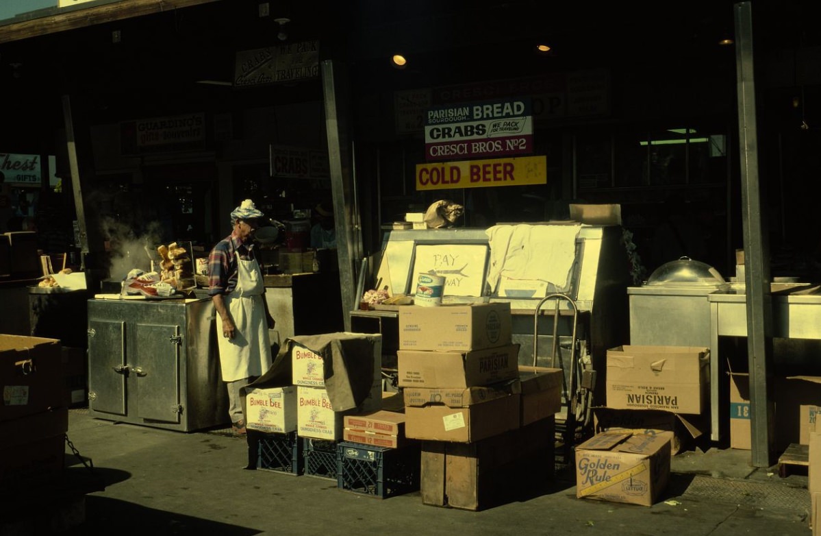
The cable cars on Powell Street continued their daily runs up and down the hill throughout the decade. In 1972, a cable car descended toward Post Street — the same scene that had played out tens of thousands of times since the system opened in the 19th century. The following year, the cable car system was designated a National Historic Landmark, the first moving object to receive that designation. On Stockton Street in Chinatown, fish deliveries arrived at market stalls where vendors and shoppers negotiated over the catch — a scene of daily commerce unchanged by the decade’s larger transformations.
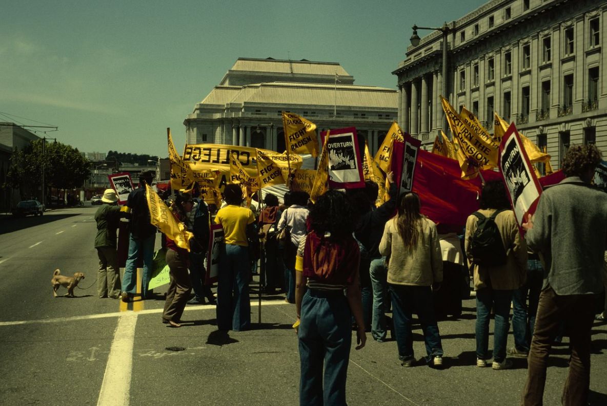
Demonstrations outside City Hall were a regular occurrence in 1970s San Francisco. The city’s progressive political culture and its large, organized communities — gay rights advocates, labor unions, tenant organizations, civil rights groups — regularly took their grievances to the steps of the Civic Center. The late 1970s brought particularly intense political activity, including the aftermath of the assassinations of Mayor George Moscone and Supervisor Harvey Milk in November 1978 — a moment that sent shock waves through the city and the country.
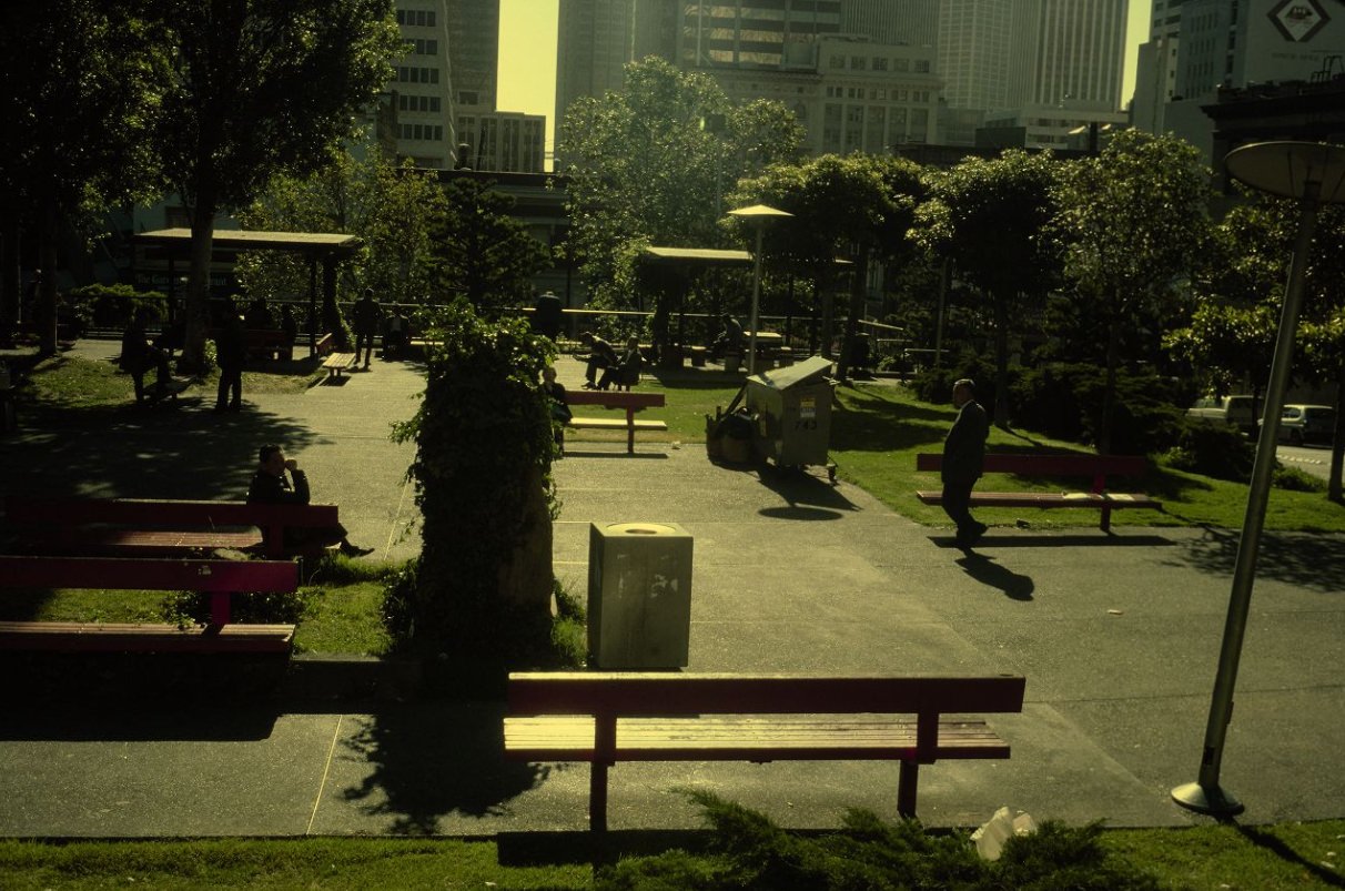
Portsmouth Square in Chinatown served as a daily outdoor gathering place, particularly for the neighborhood’s elderly male population who came to play chess and cards and socialize. It was also historically significant — the square was the site of the original Yerba Buena settlement and the place where California’s annexation by the United States was formally declared in 1846. By 1978, it was a modest paved plaza surrounded by the dense commercial and residential fabric of Chinatown, still drawing people who used it as an extension of their small apartments.
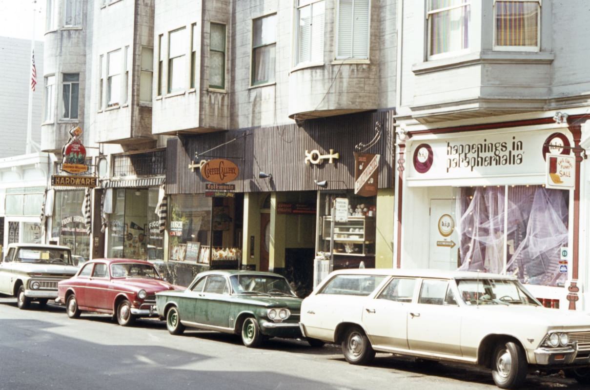
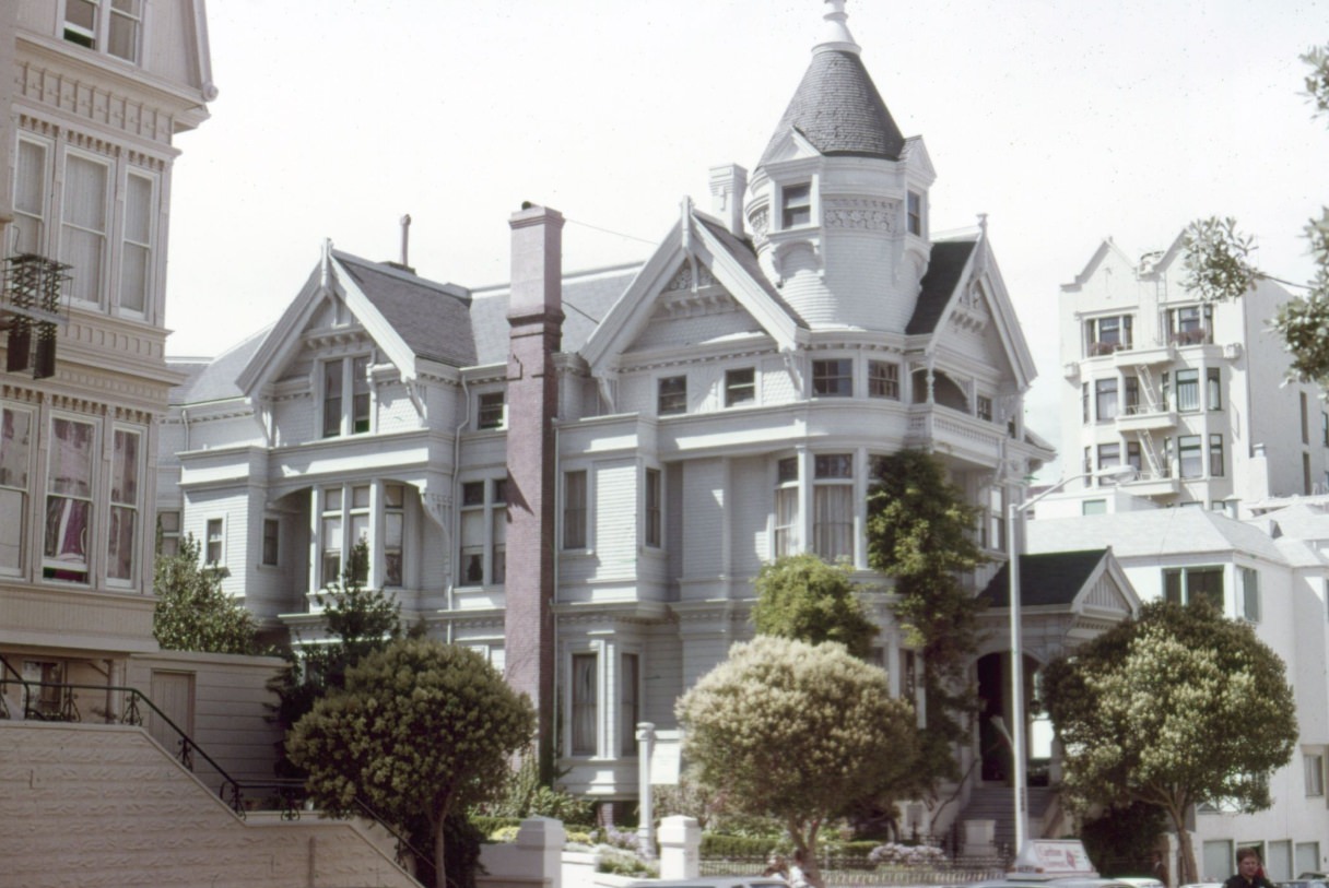
The Haas-Lilienthal House at 2007 Franklin Street, photographed in 1979, was one of the finest surviving examples of Queen Anne Victorian architecture in the city. Built in 1886, the house had been donated to the Foundation for San Francisco’s Architectural Heritage in 1972 and opened to the public as a house museum — one of the few Victorian mansions in the city where visitors could see a fully intact interior. Its preservation reflected a growing awareness in the 1970s of the need to protect San Francisco’s architectural heritage from demolition and redevelopment.