

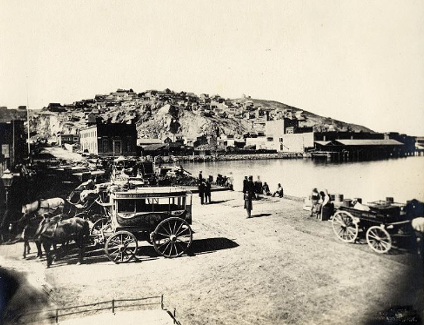
In the 19th century, San Francisco underwent a revolutionary transformation. In 1846, the city gained independence from Spain and became part of Mexico. The Treaty of Guadalupe Hidalgo gave the United States control over California and other lands, including San Francisco. The Gold Rush began soon after the war, leading to significant population growth, including considerable immigration. San Francisco’s population increased from 1,000 to 25,000 between January 1848 and December 1849. Silver discoveries at the Comstock Lode in 1859 contributed to the rapid growth during the 1850s. City planning efforts struggled to keep up with this rapid expansion, resulting in narrow streets that still characterize the city today. Many Chinese workers came to work in the gold mines and later on the Transcontinental Railroad during the population boom.
Since California’s statehood in 1850, San Francisco has been the county seat of San Francisco County. The city limits extended west to Divisadero Street and Castro Street and south to 20th Street until 1856. Between 1855 and 1856, lawlessness and vigilantism erupted rapidly in California, so the county was divided. The tip of the San Francisco Peninsula was drawn north of San Bruno Mountain in a straight line. San Mateo County was formed south of the line, while San Francisco City and County were formed north of the line, to date, the only consolidated city-county in California.
The rapid growth of the city’s population during the Gold Rush considerably outpaced infrastructure development, including sanitation, leading to a severe cholera epidemic. Prior to the San Francisco cholera epidemic, the state was responsible for caring for the needy sick. However, state legislature delegated this responsibility to the counties, setting a precedent for the county hospitals for the poor that still exist today. Following San Francisco’s cholera epidemic of 1855, the Sisters of Mercy (a religious institute of Catholic women) were contracted to run the State Marine and County Hospital, the first county hospital in the city. In 1857, the order opened the first Catholic hospital west of the Rocky Mountains, St. Mary’s Hospital, on Stockton Street.
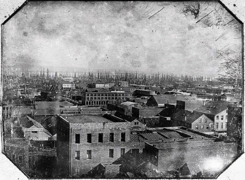
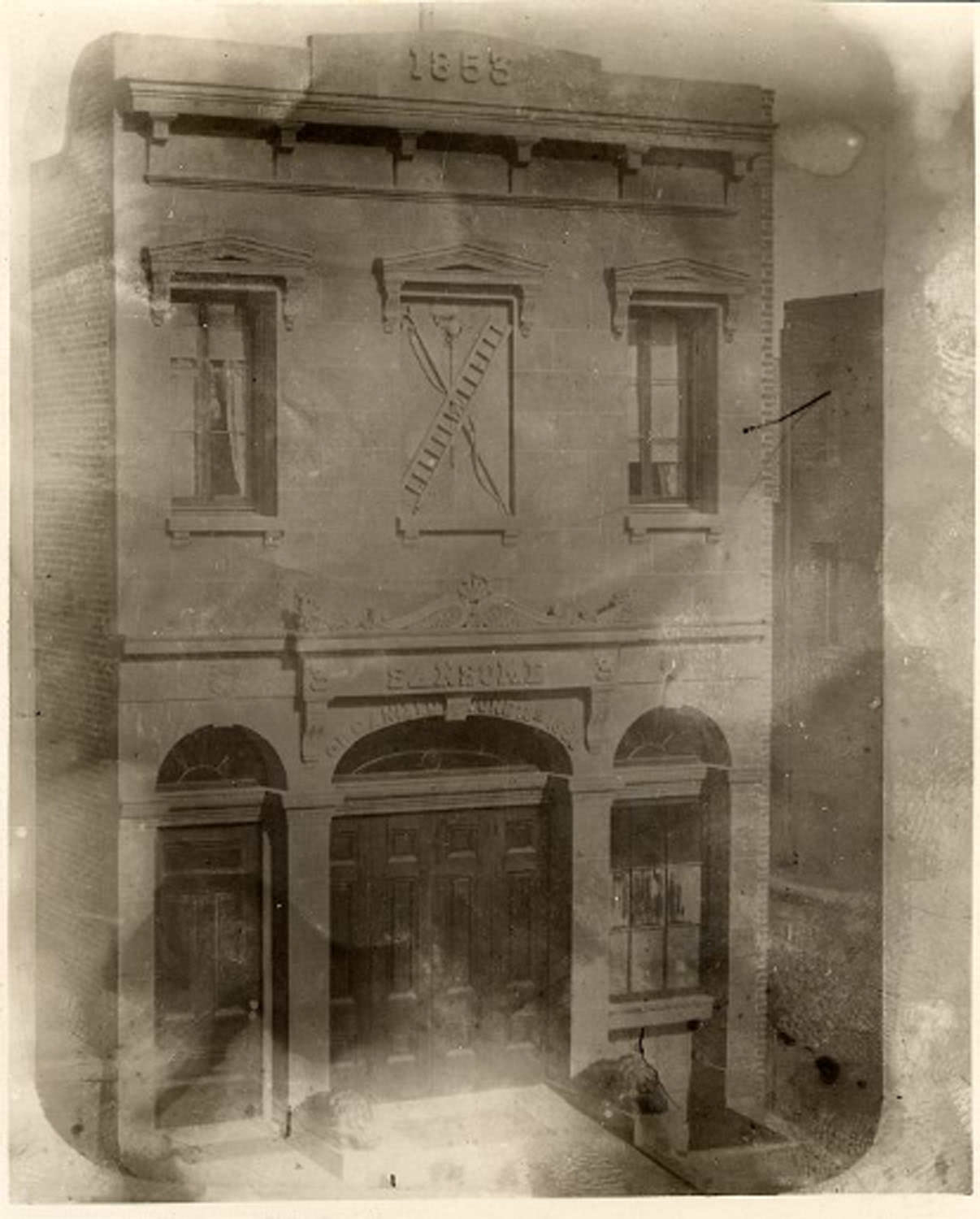
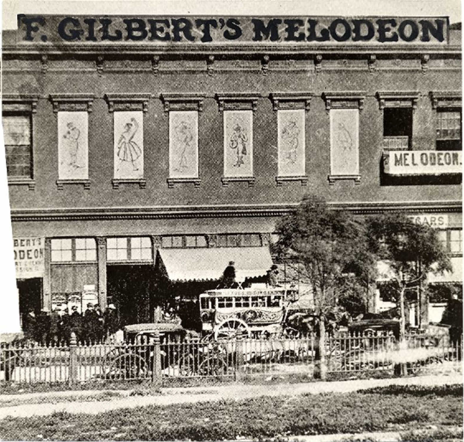
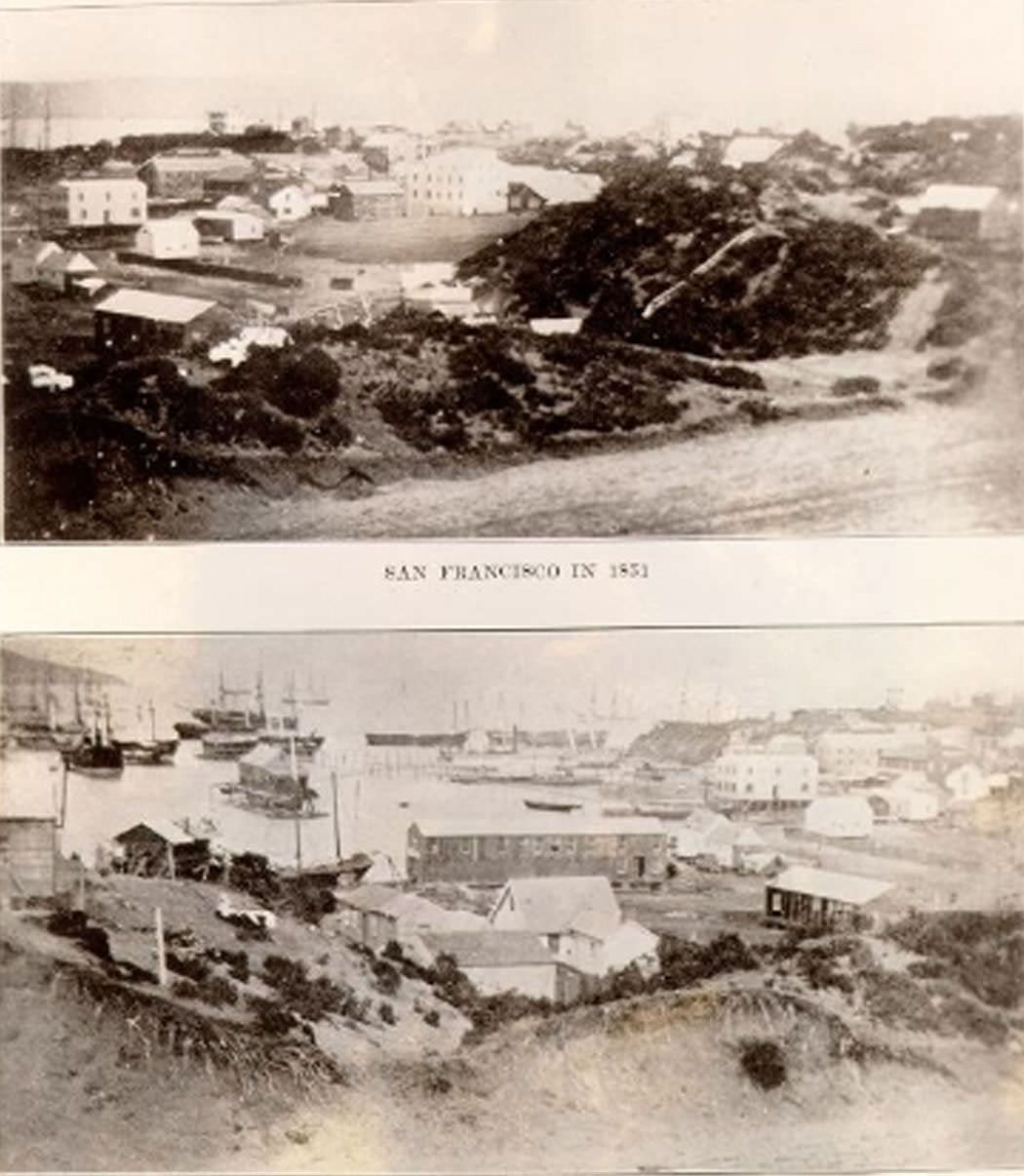
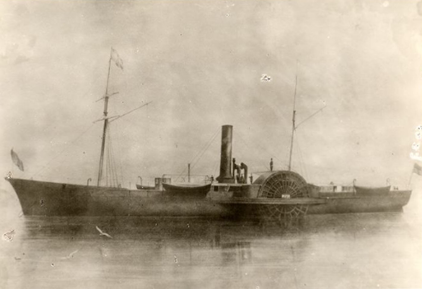
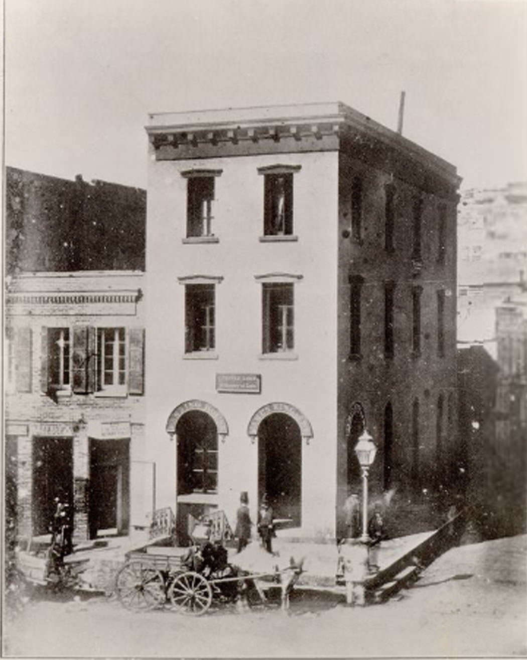
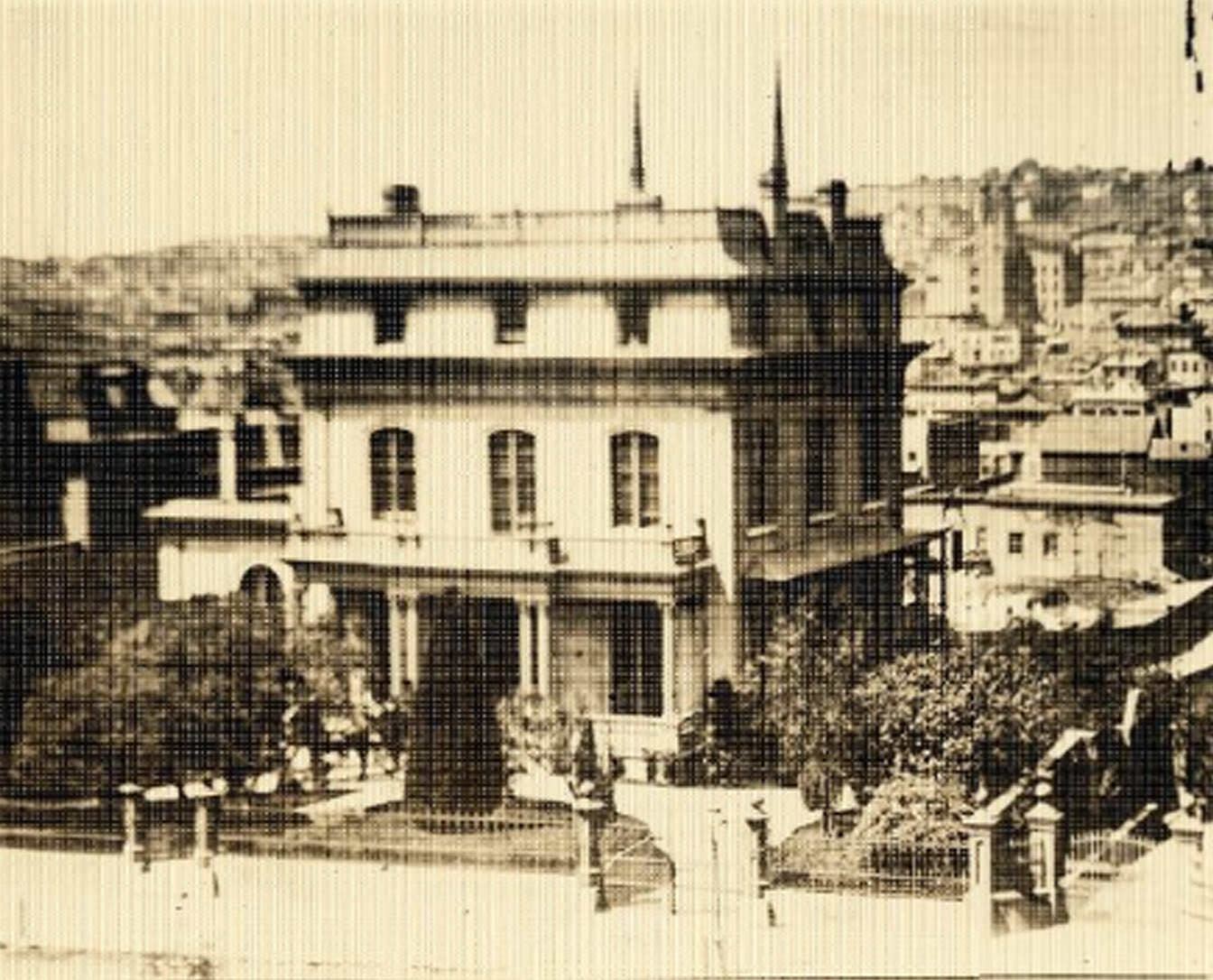
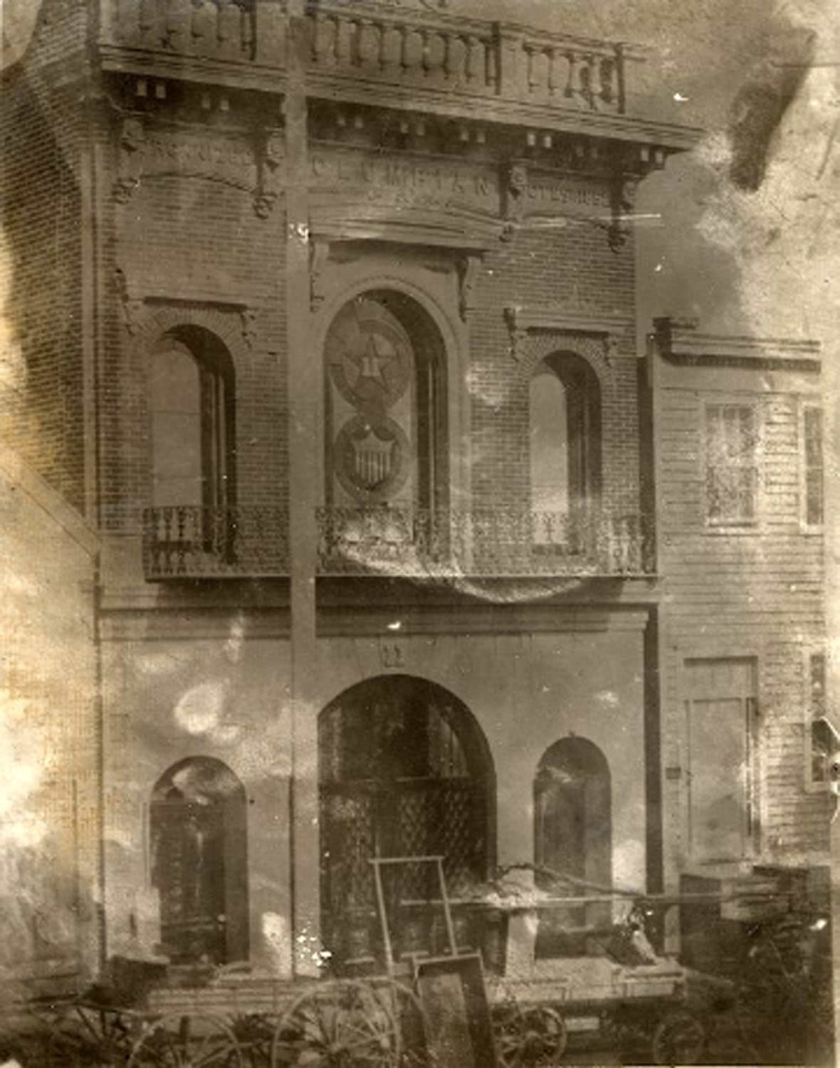
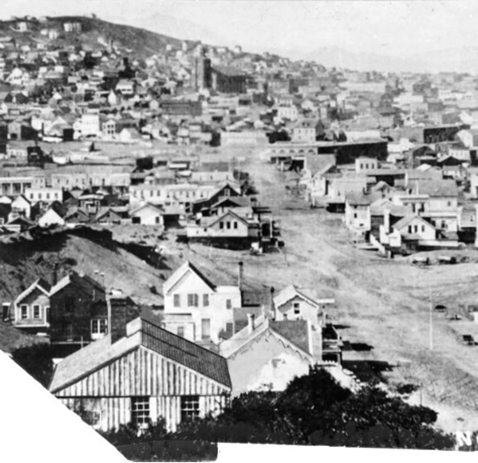
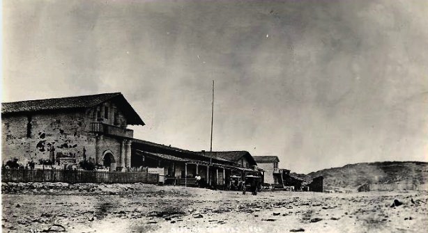
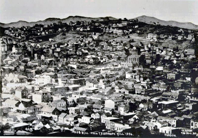
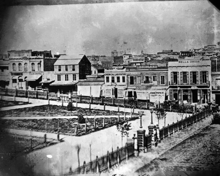
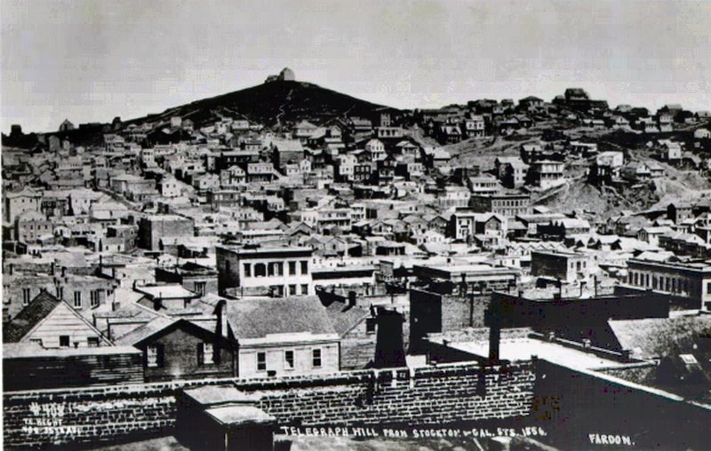
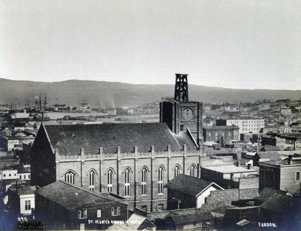
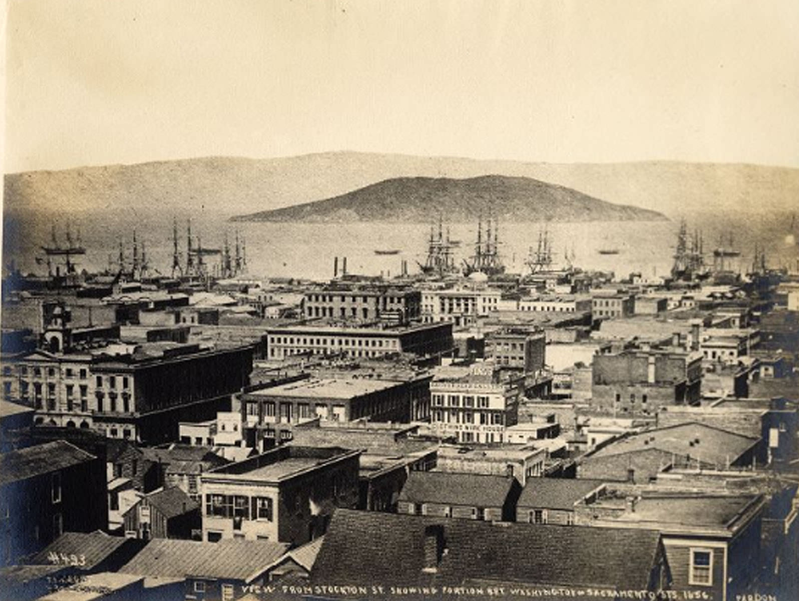
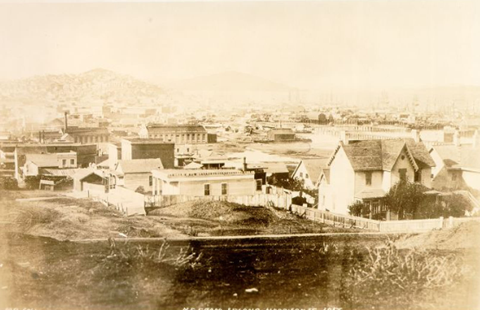
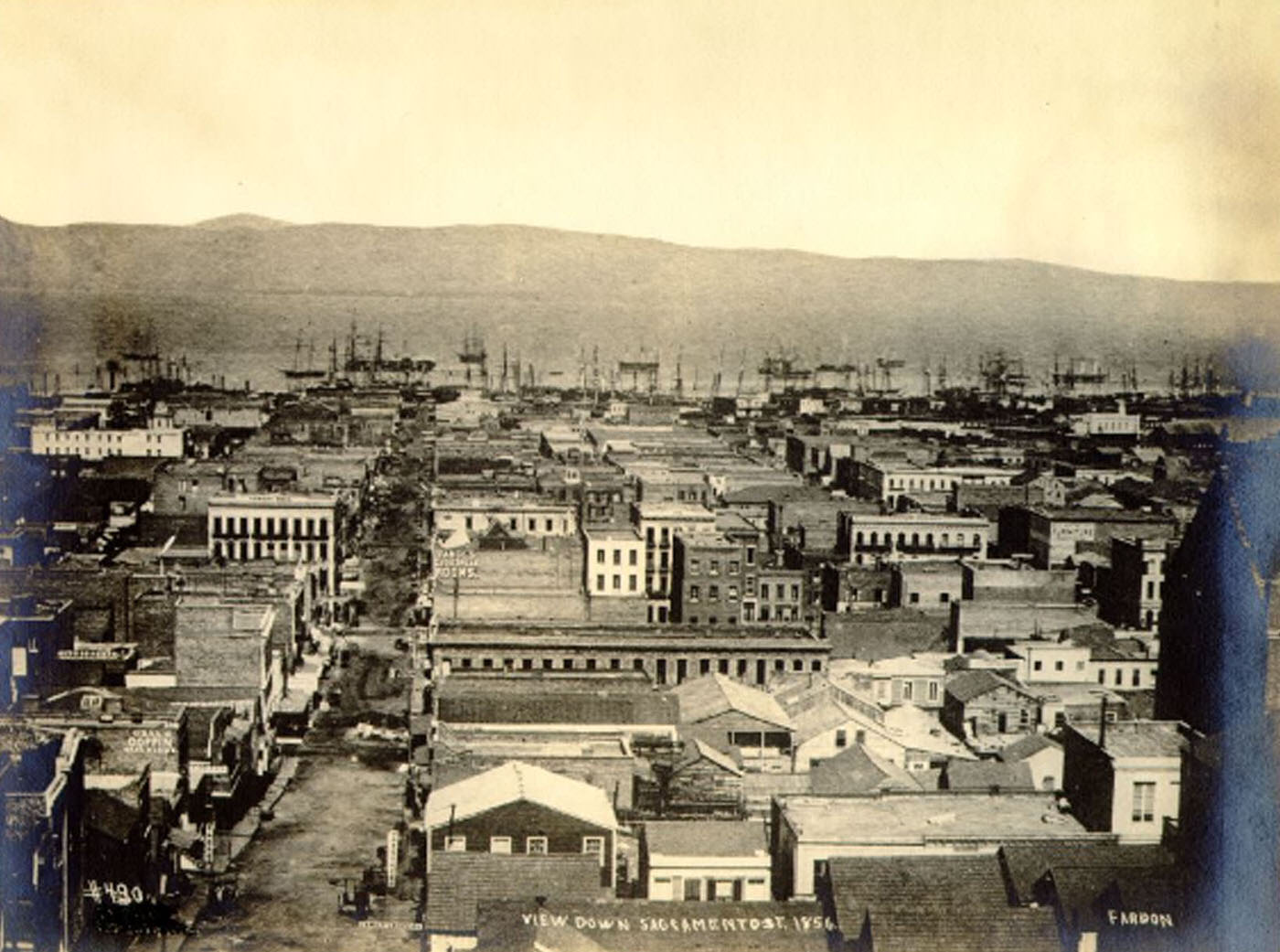
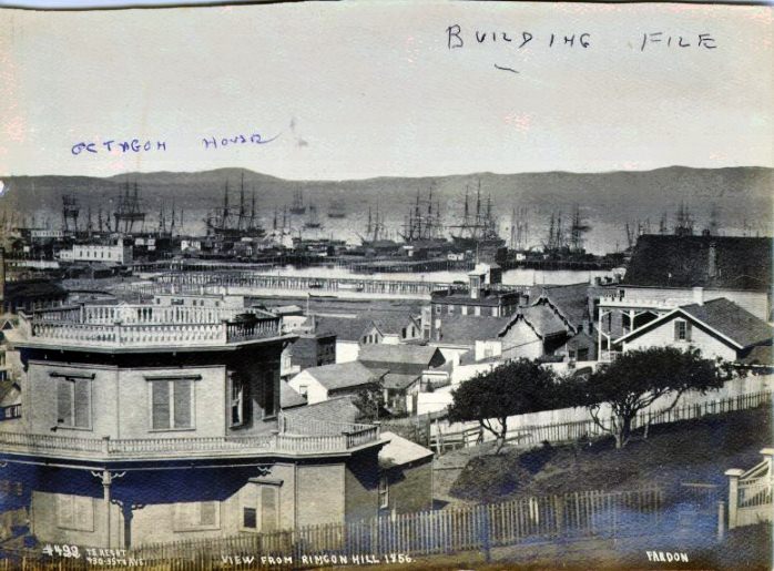
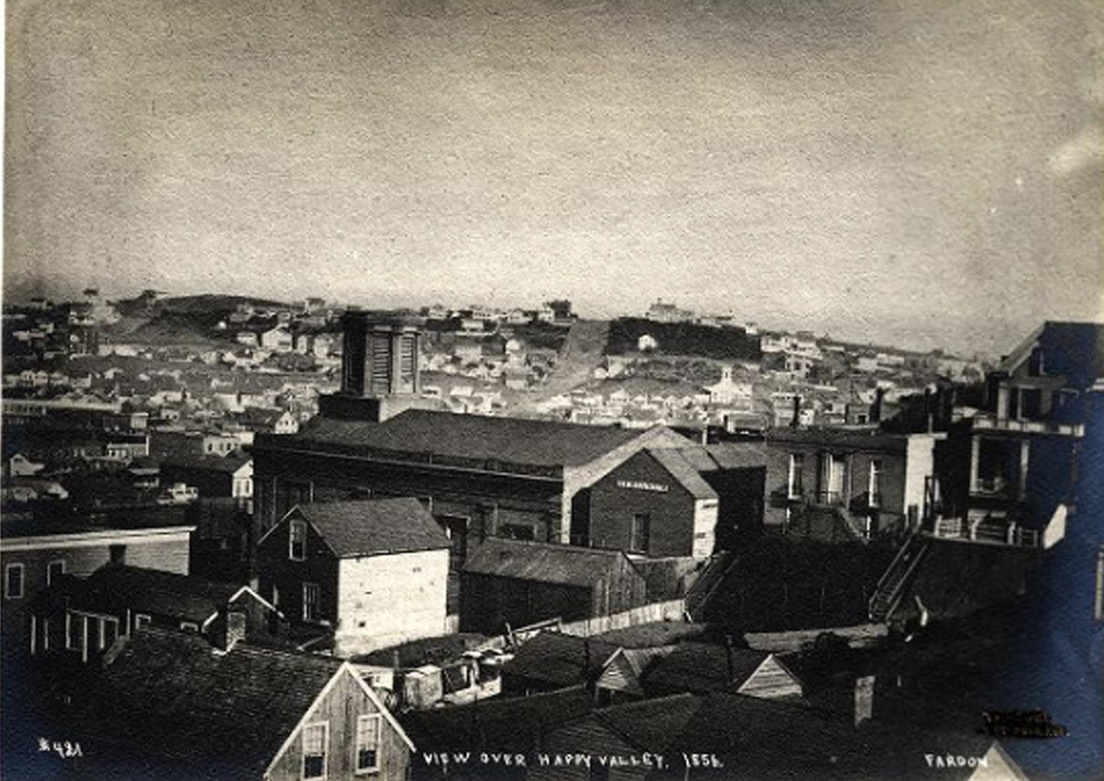
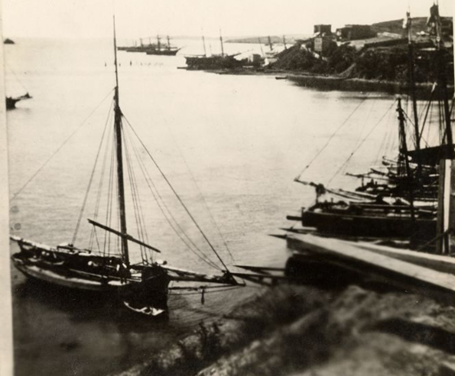
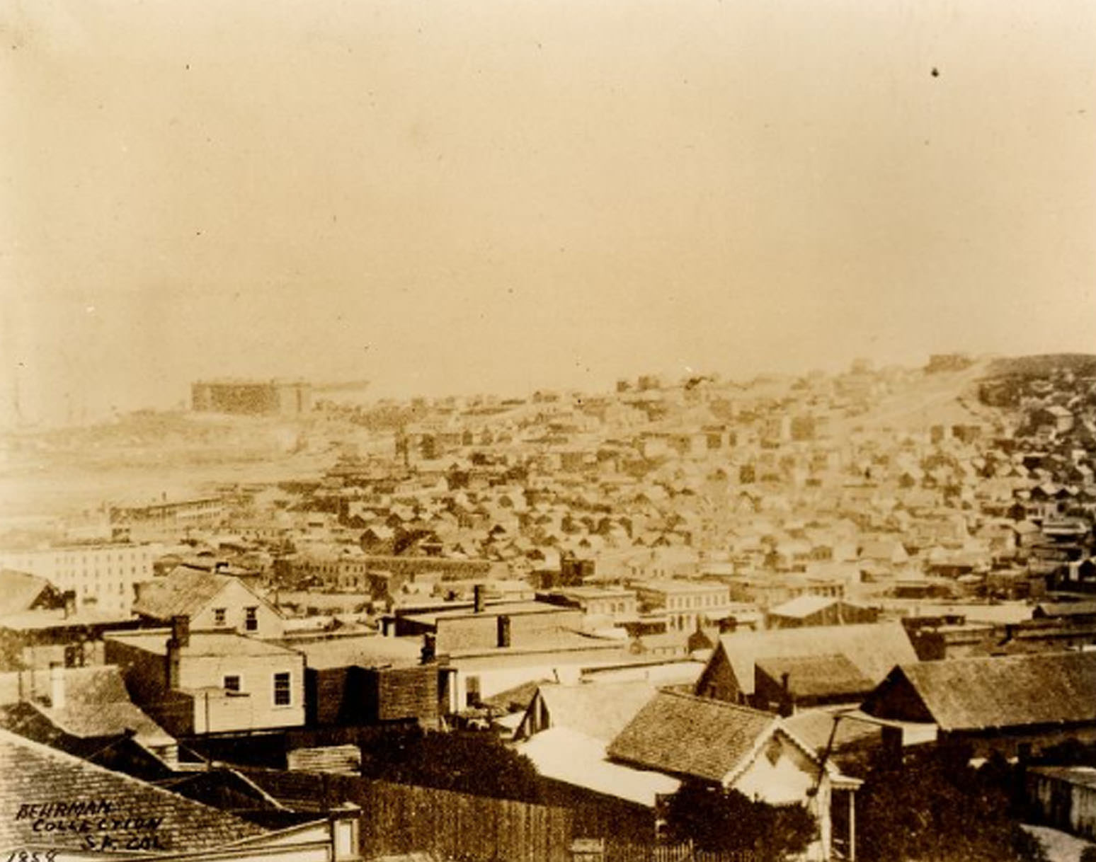
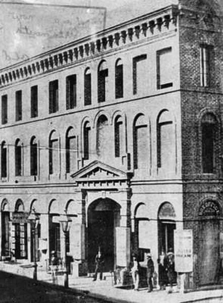
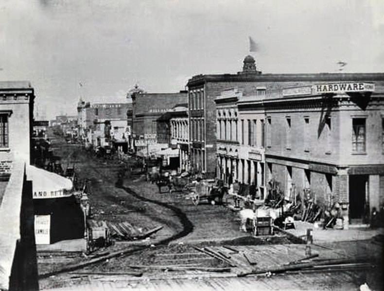
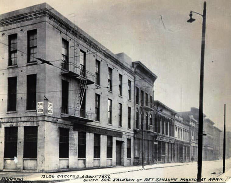
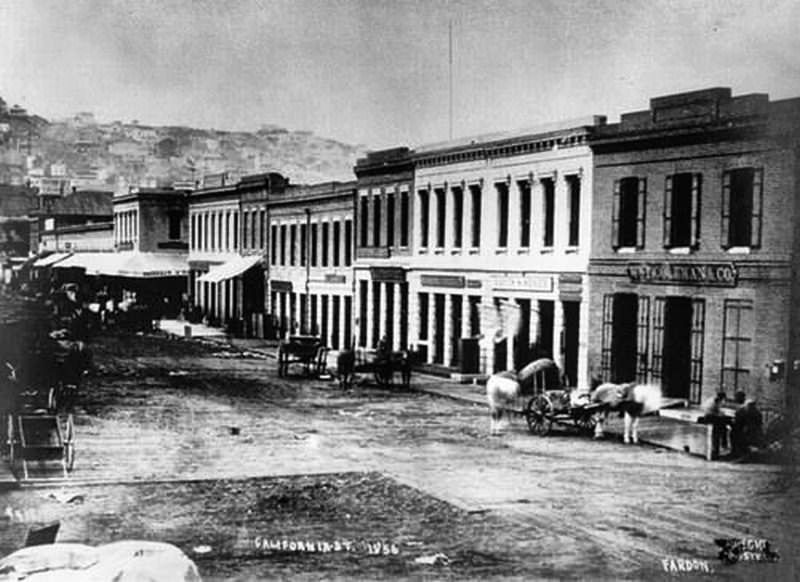
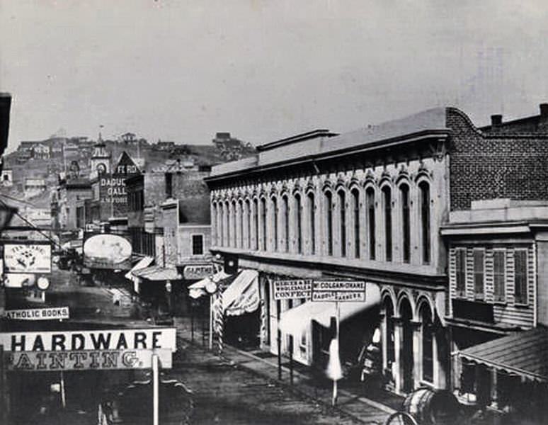
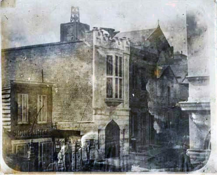
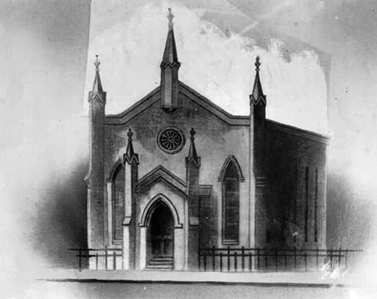
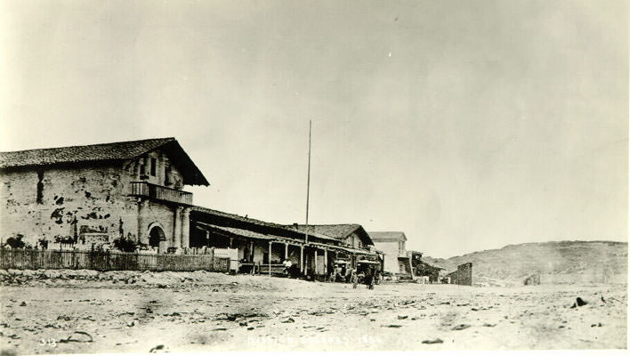
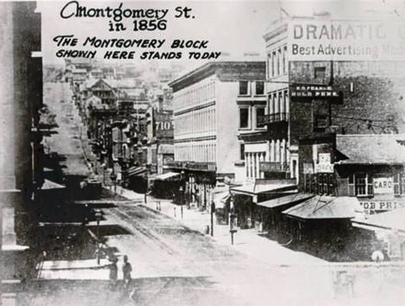
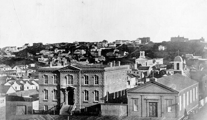
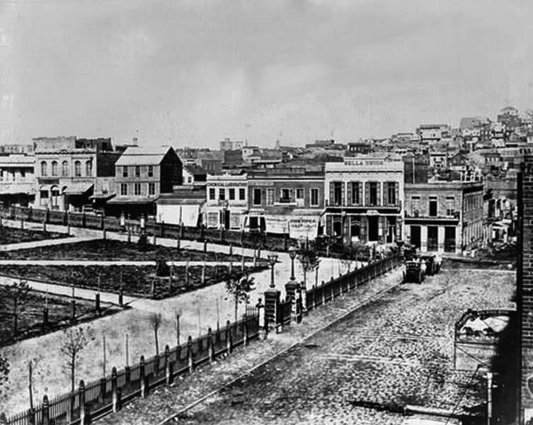
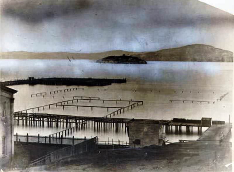
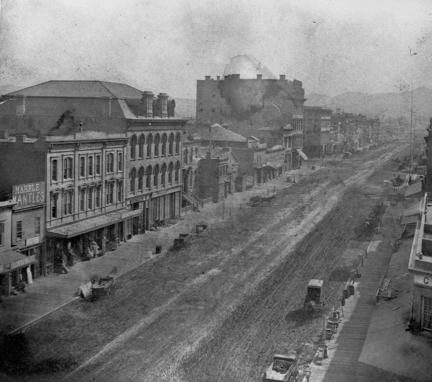
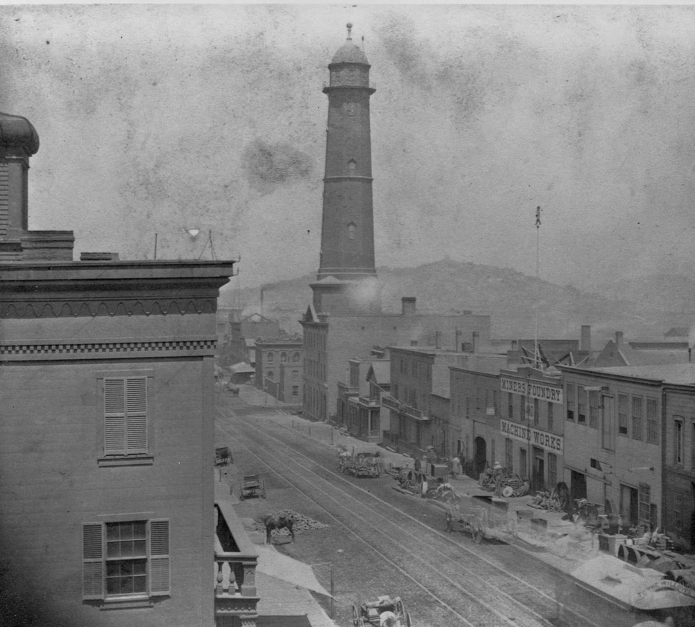
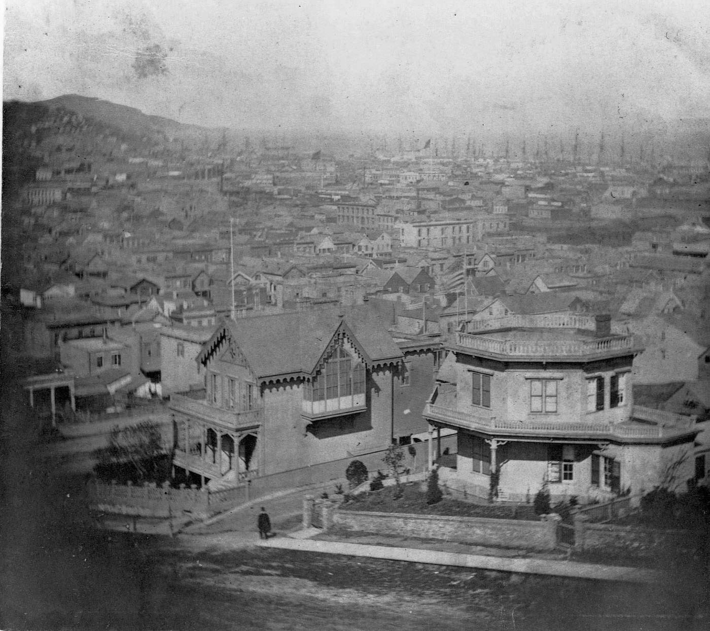
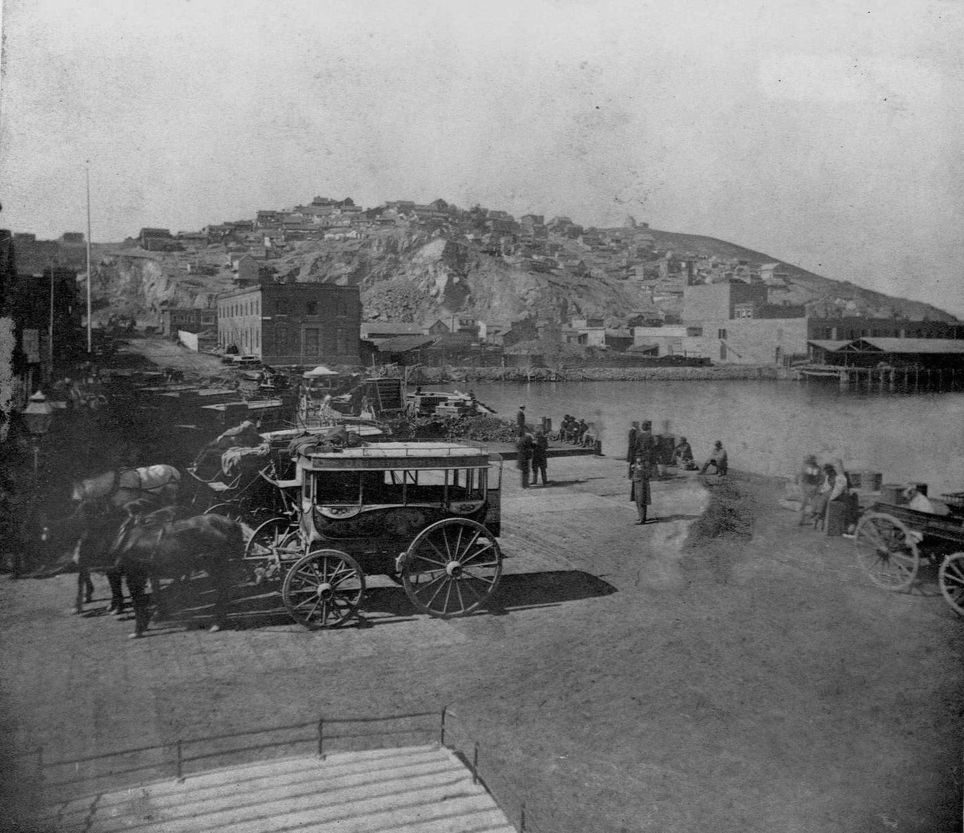
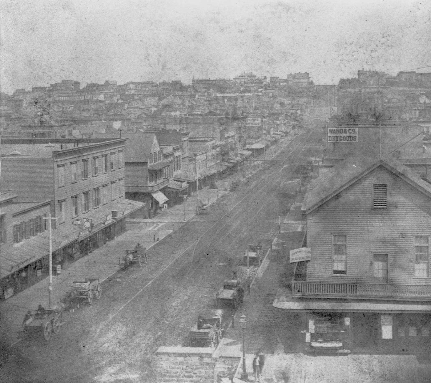
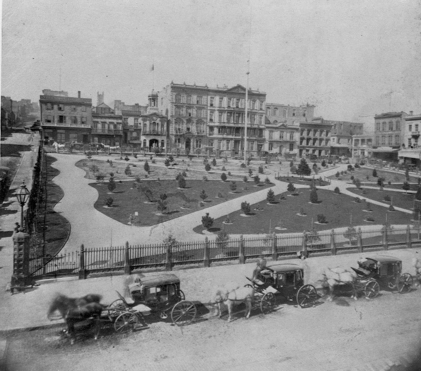
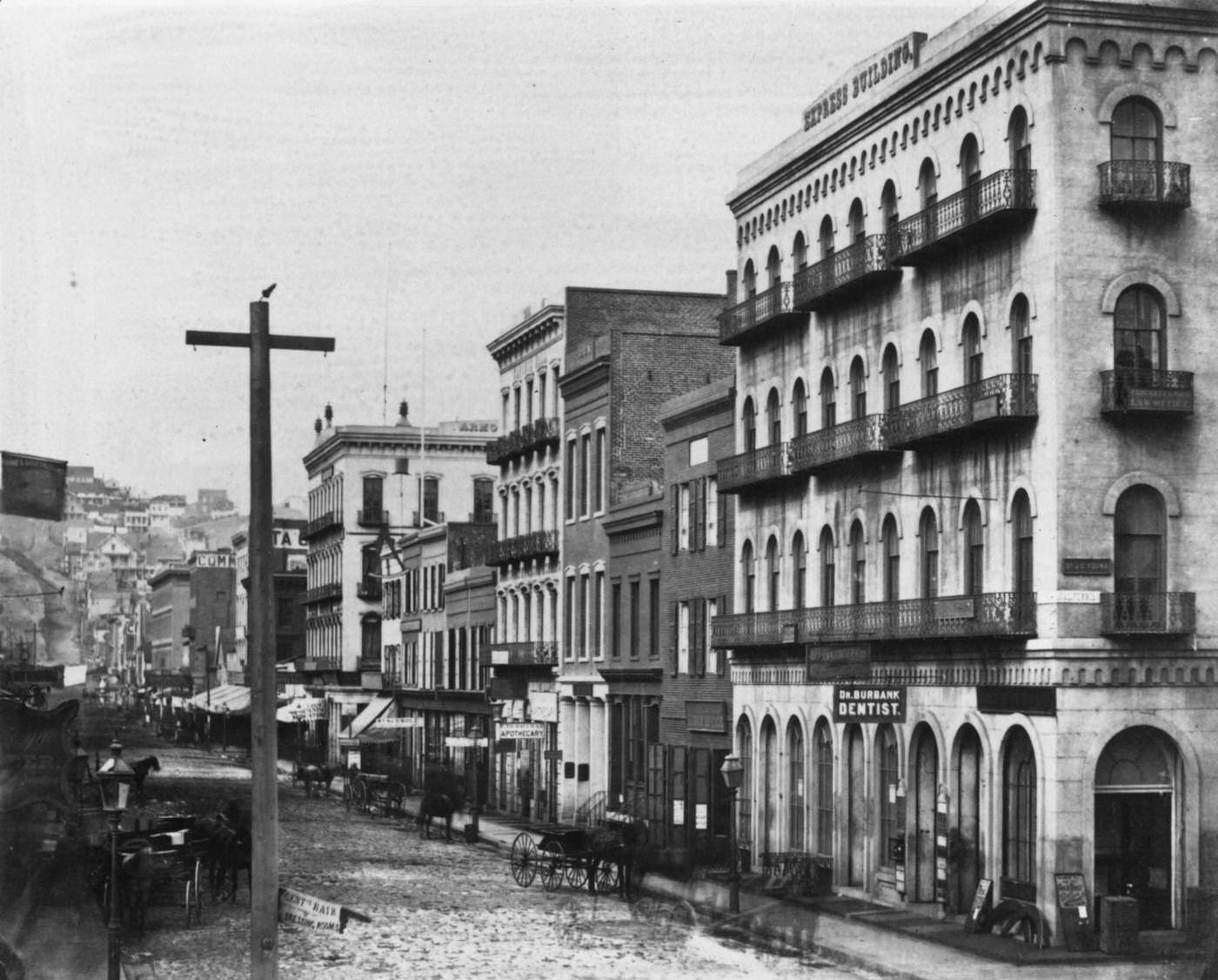
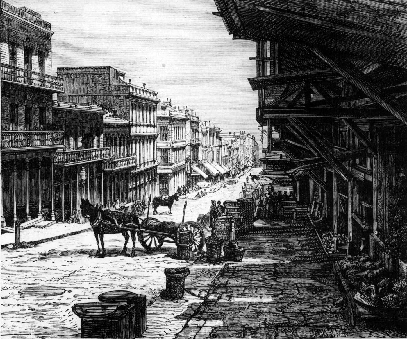
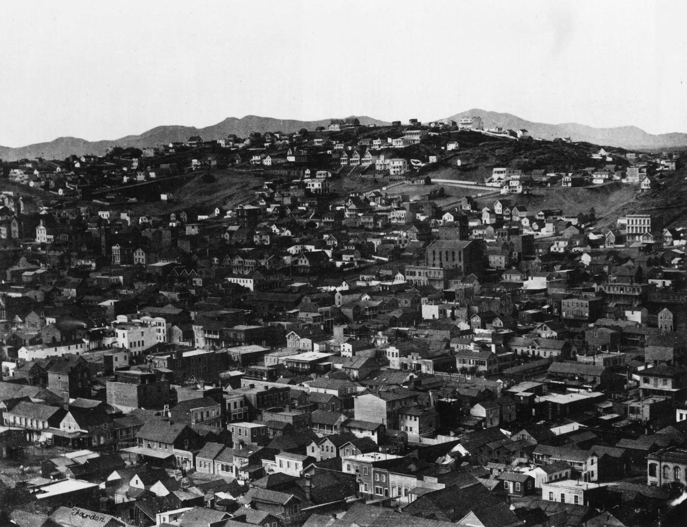
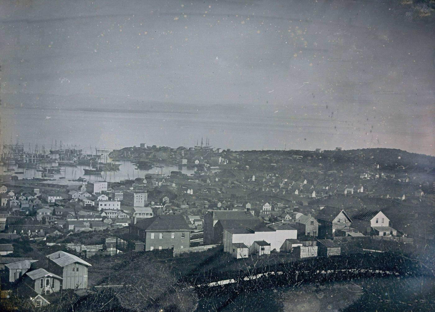
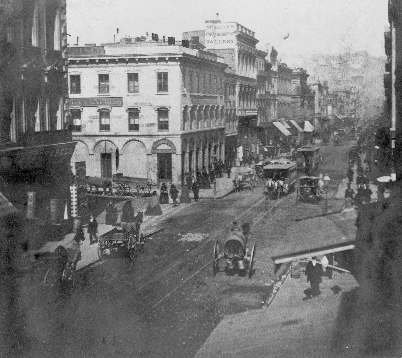
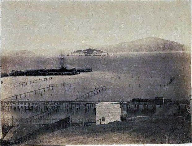
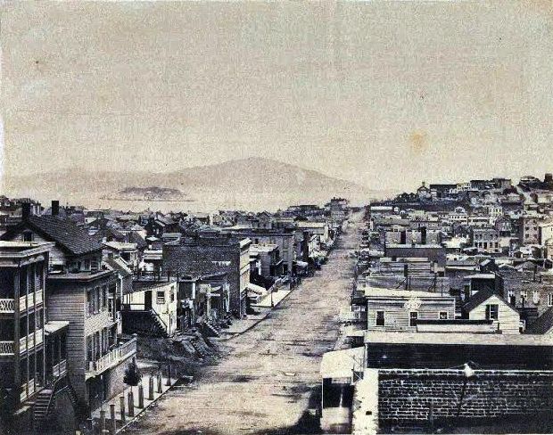
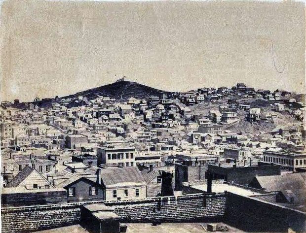
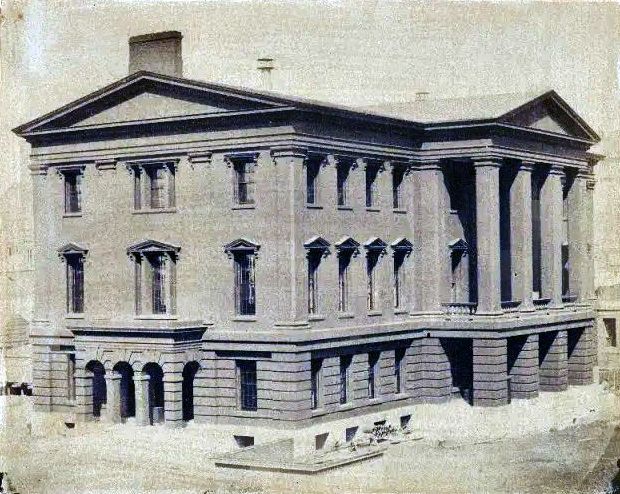
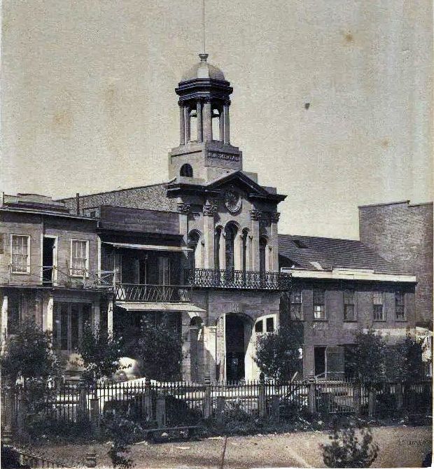
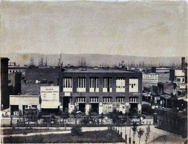
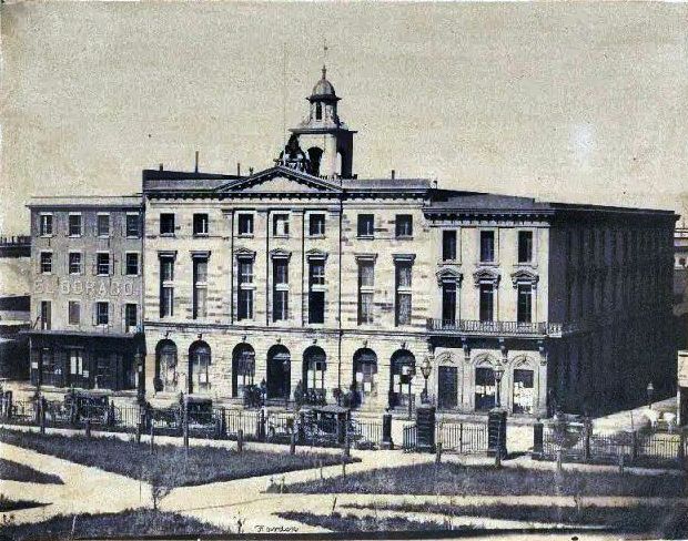
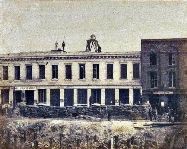
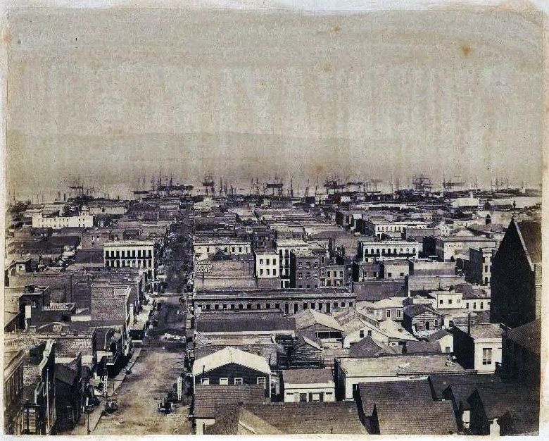
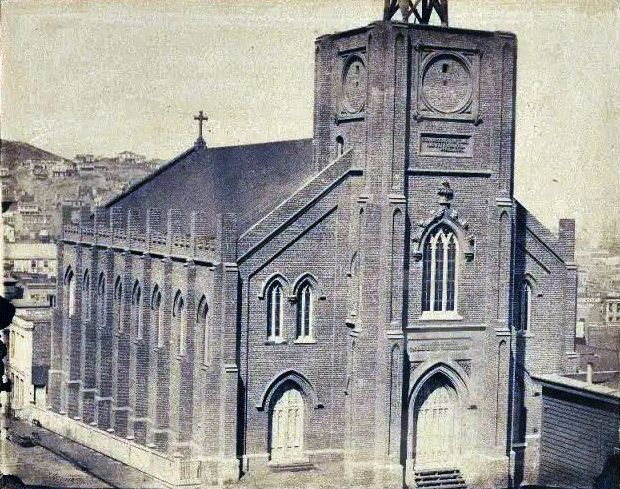
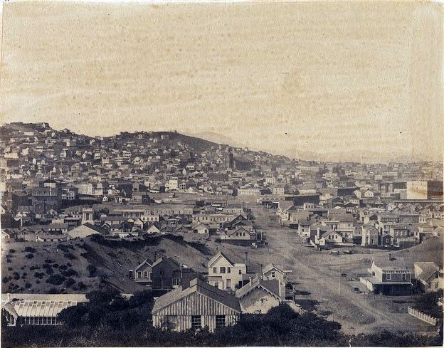
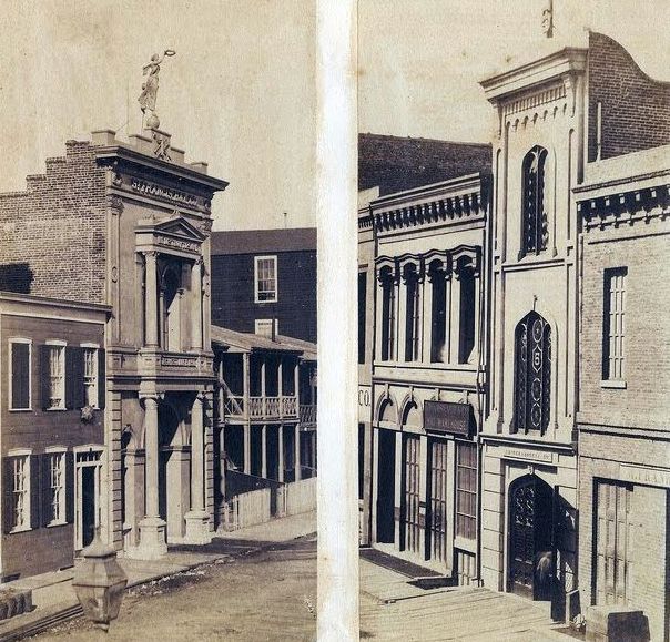
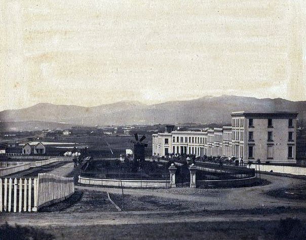
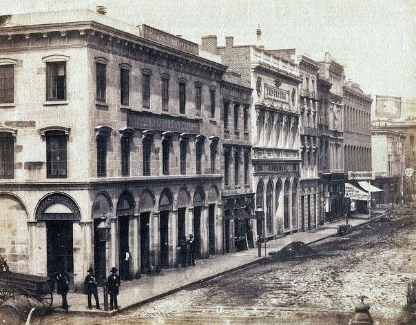
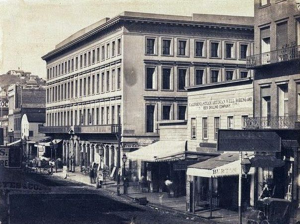
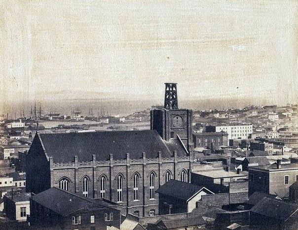
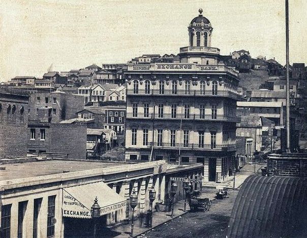
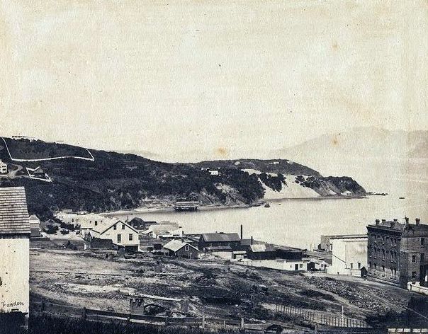
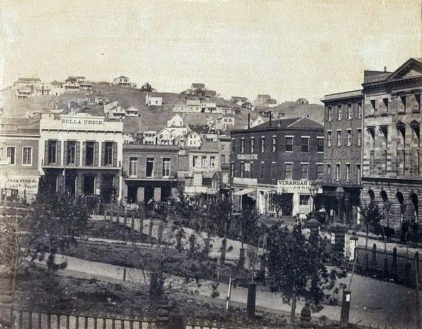
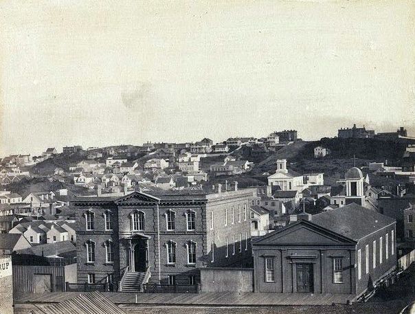
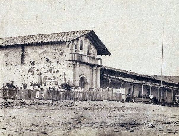
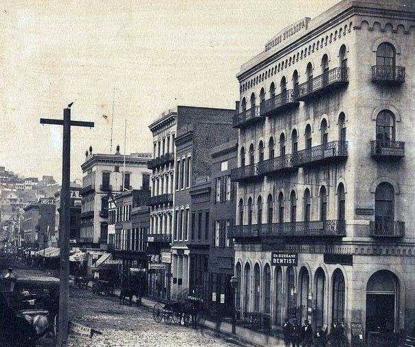
Here are some rare historical photos that show San Francisco in the 1850s

Very cool, thank you for posting.
Thanks for sharing. So important to know the history of neighborhoods and architecture of our city.
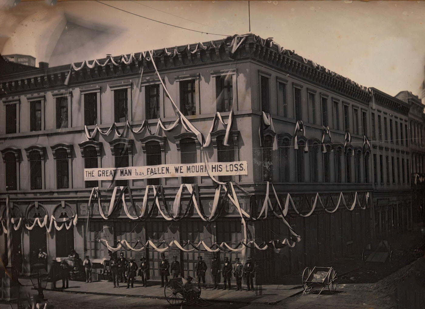
i was fascinated by the Great Man tribute https://www.metmuseum.org/art/collection/search/283183
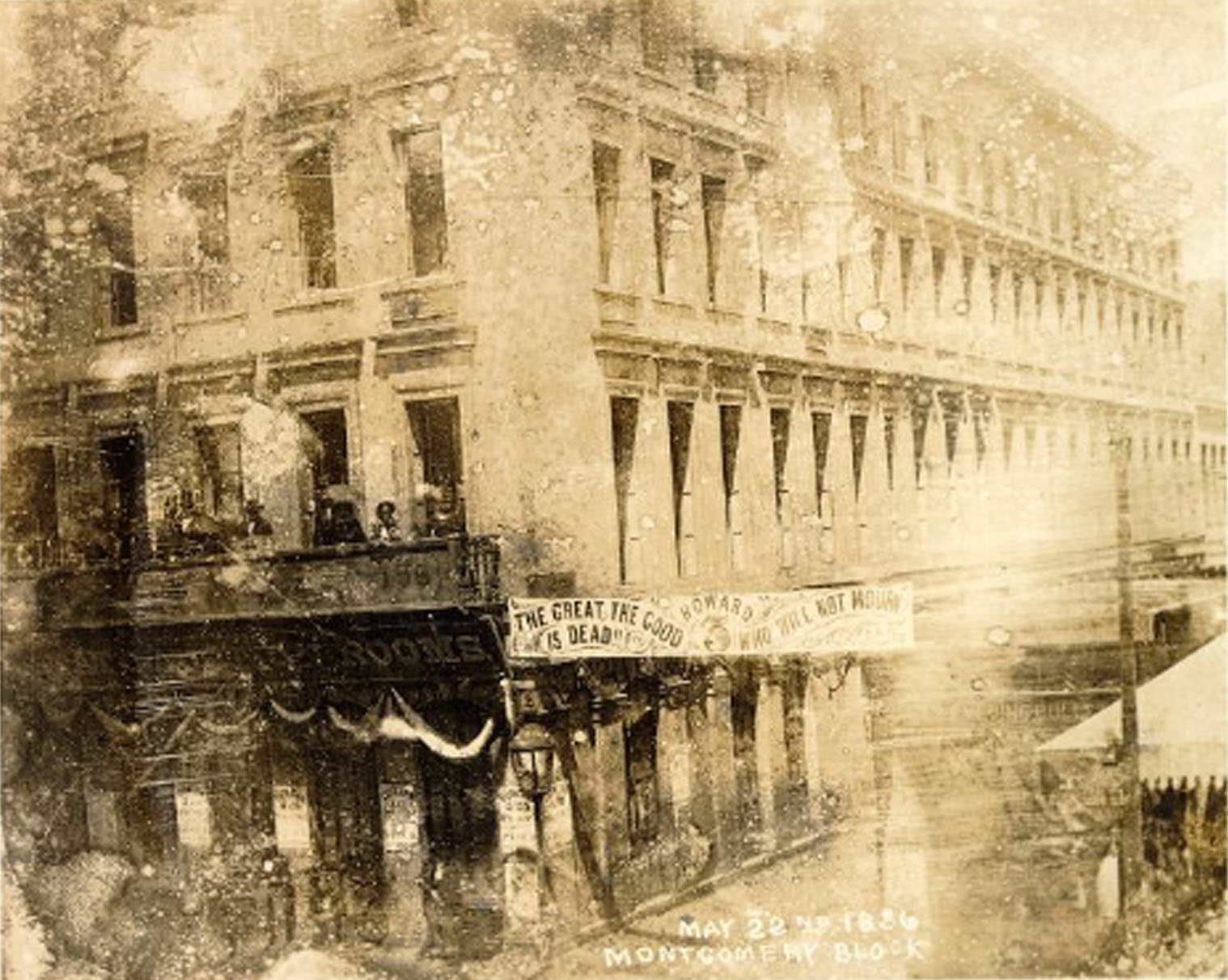
You can still visit the grave of James Casey (who killed James King of William) in Mission Dolores Cemetery. Also nearby is the grave of Charles Cora, who killed General Richardson. They were both simultaneously executed at Fort Gunnybags by the Second Vigilance Committee in 1856.
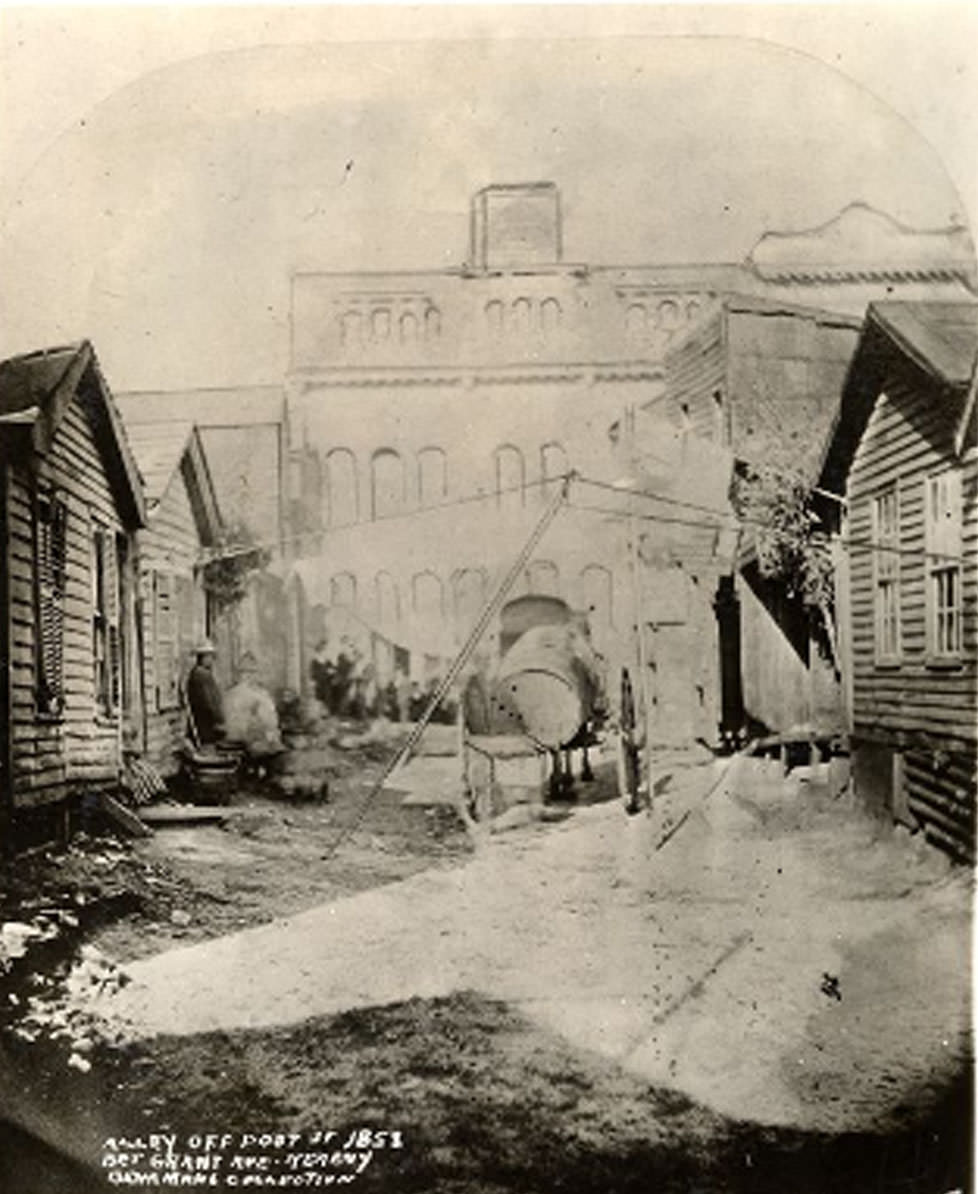
“Alley between Kearny and grant off post” ok maiden lane???? Or am I trippin
I think it’s more likely that is Robert Kirk Lane. The large stone building in the background seems to correspond to the backside of the old YMCA building at 232 Sutter that would back up to that alley, which may have been under construction then.
You can see the front of the completed YMCA building in this 1869 photo here – https://www.opensfhistory.org/Display/wnp37.00630-R.jpg
Wonderful pictures