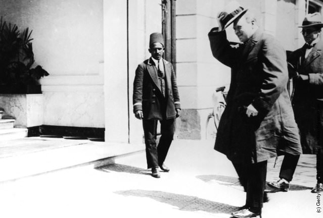
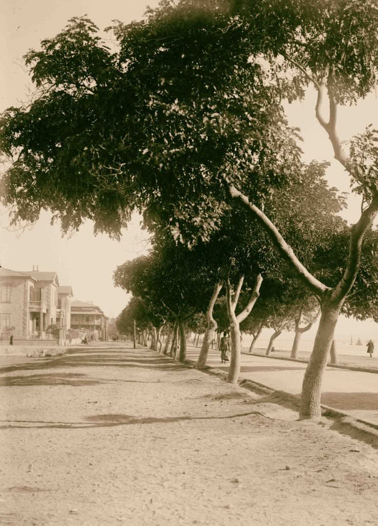
At the start of the 20th century, Egypt was a country caught between its ancient past and a political present it had little control over. Britain and France ran the country through a dual-control system designed to manage Egypt’s debt and economy. Egyptians had almost no say in how their own land was governed. European officials repeatedly promised to leave once financial order was restored, but those promises were never honored. The occupation dragged on for decades, stirring growing anger among ordinary Egyptians.
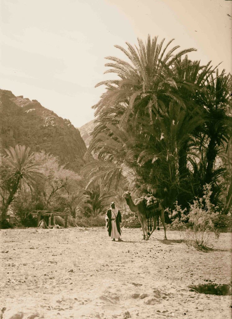
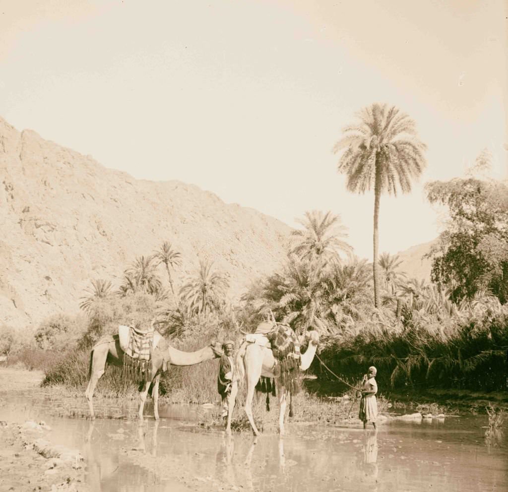
The Sinai Peninsula was one of the most striking landscapes in Egypt — a vast, silent wilderness of rock, sand, and scattered oases. Wady Feiran was among the most notable valleys in the region, known for its surprising pockets of water and vegetation cutting through the otherwise barren terrain.
![Church of the Transfiguration and the mosque [Monastery of St. Catherine], Egypt, 1900, Egypt](https://www.bygonely.com/wp-content/uploads/2022/06/Egypt_at_the_Turn_of_the_20th_Century_2.jpg)
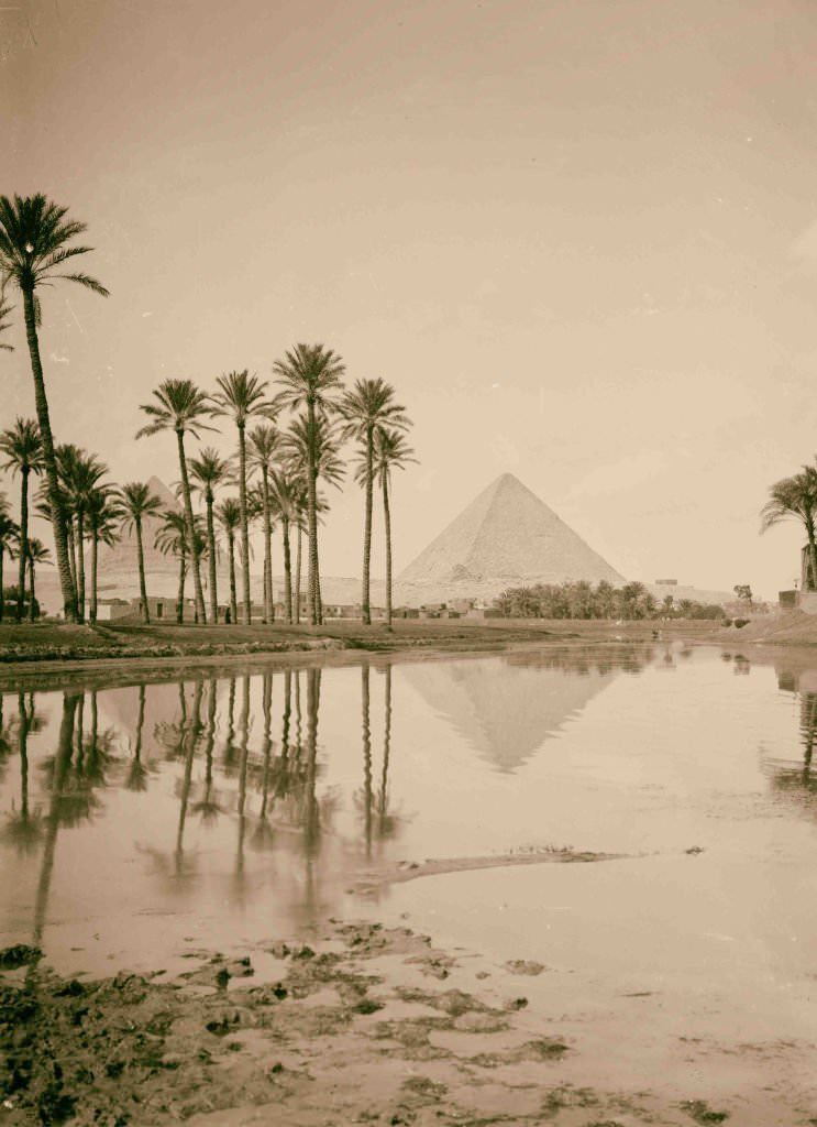
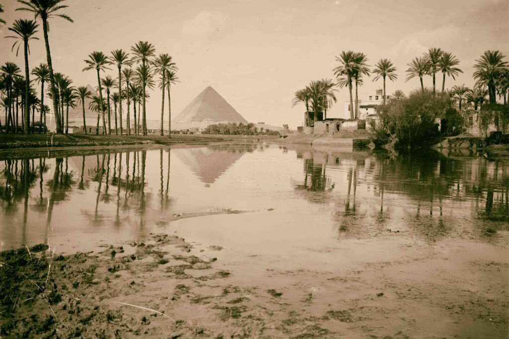
The Monastery of St. Catherine, nestled at the foot of Mount Sinai, was one of the oldest continuously inhabited Christian monasteries in the world. Within its walls stood both a church and a mosque, a rare coexistence of two faiths in a single sacred compound. Not far away, the pyramids of Giza rose above groves of date palms — a scene that had remained essentially unchanged for thousands of years.
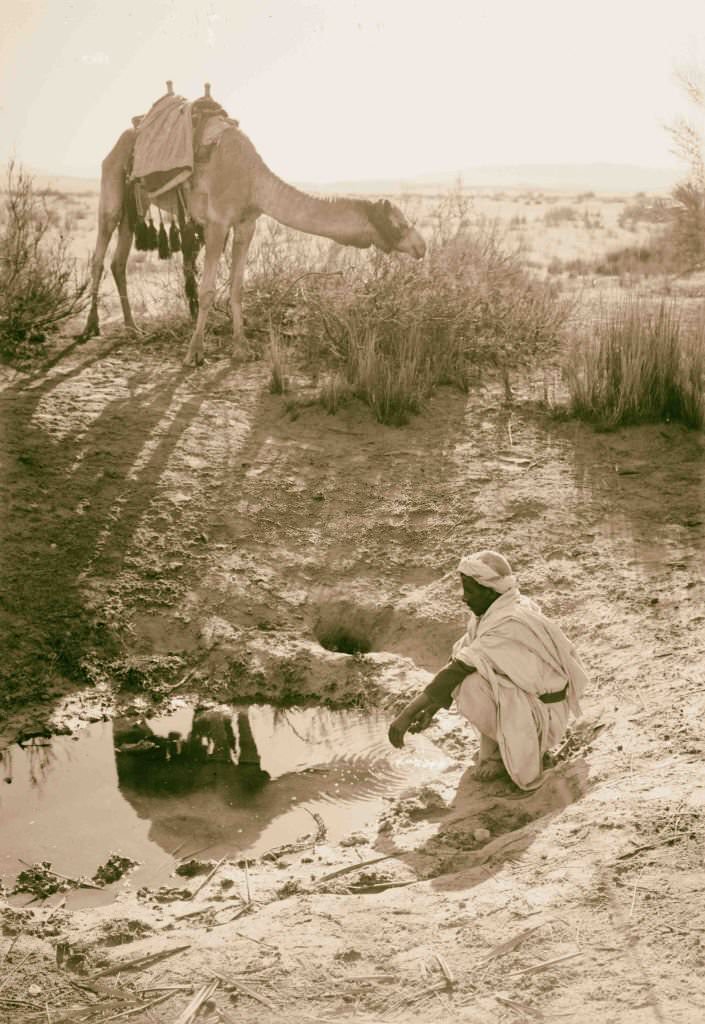
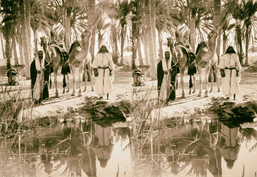
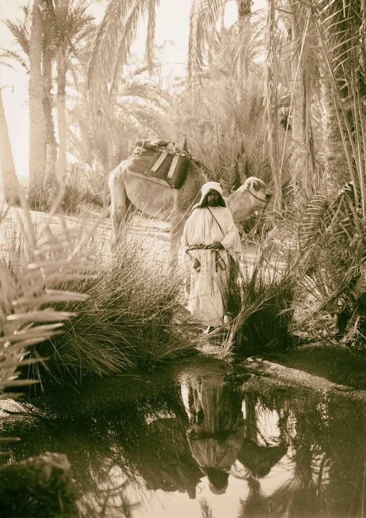
Water was life in Egypt, and nowhere was that more obvious than in the Sinai. The Springs of Moses, located near the Red Sea coast, were a well-known stop for travelers crossing the desert. Some springs in the region carried bitter, brackish water — barely drinkable but still a resource in an unforgiving landscape.
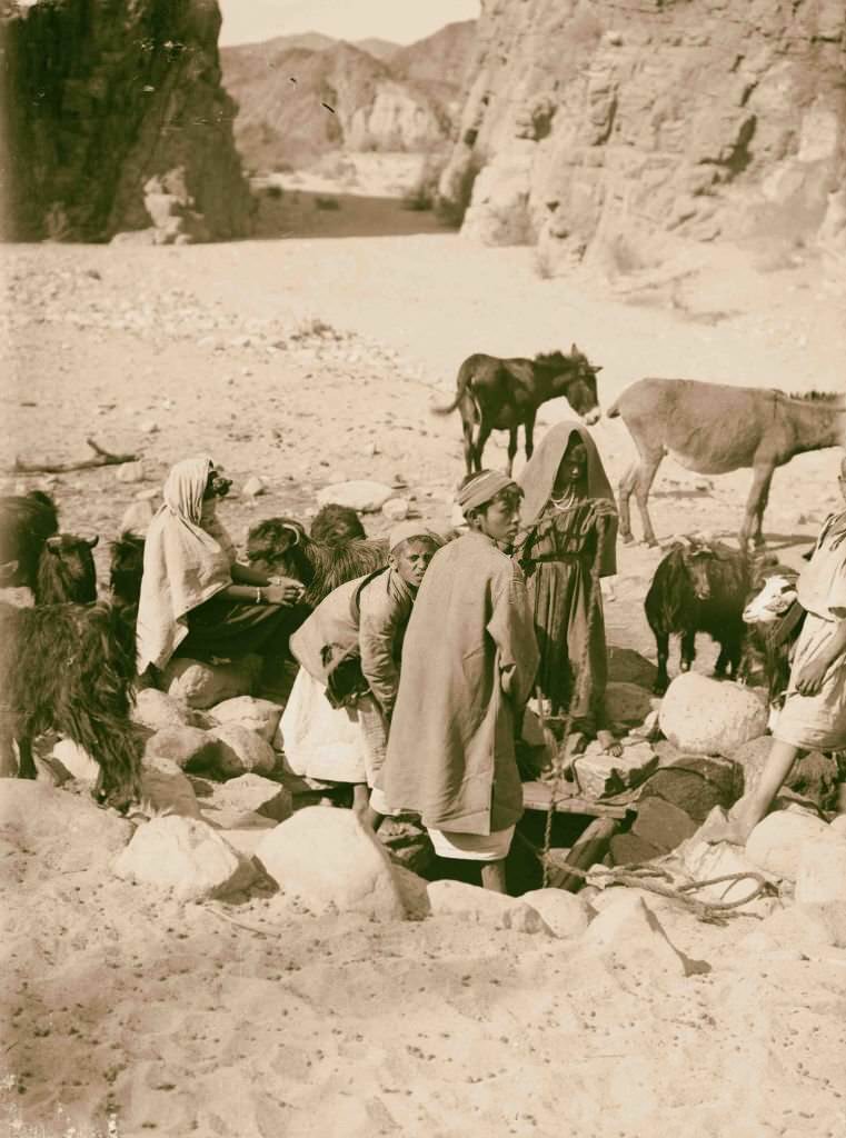
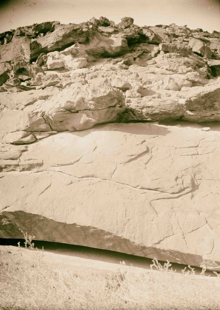
Wady Mokattab — whose name means ‘the written valley’ — was covered in ancient inscriptions left by travelers over centuries, including Greek, Nabataean, and Latin texts carved directly into the rock. These marks served as both records and waypoints for those crossing the peninsula long before maps were common.
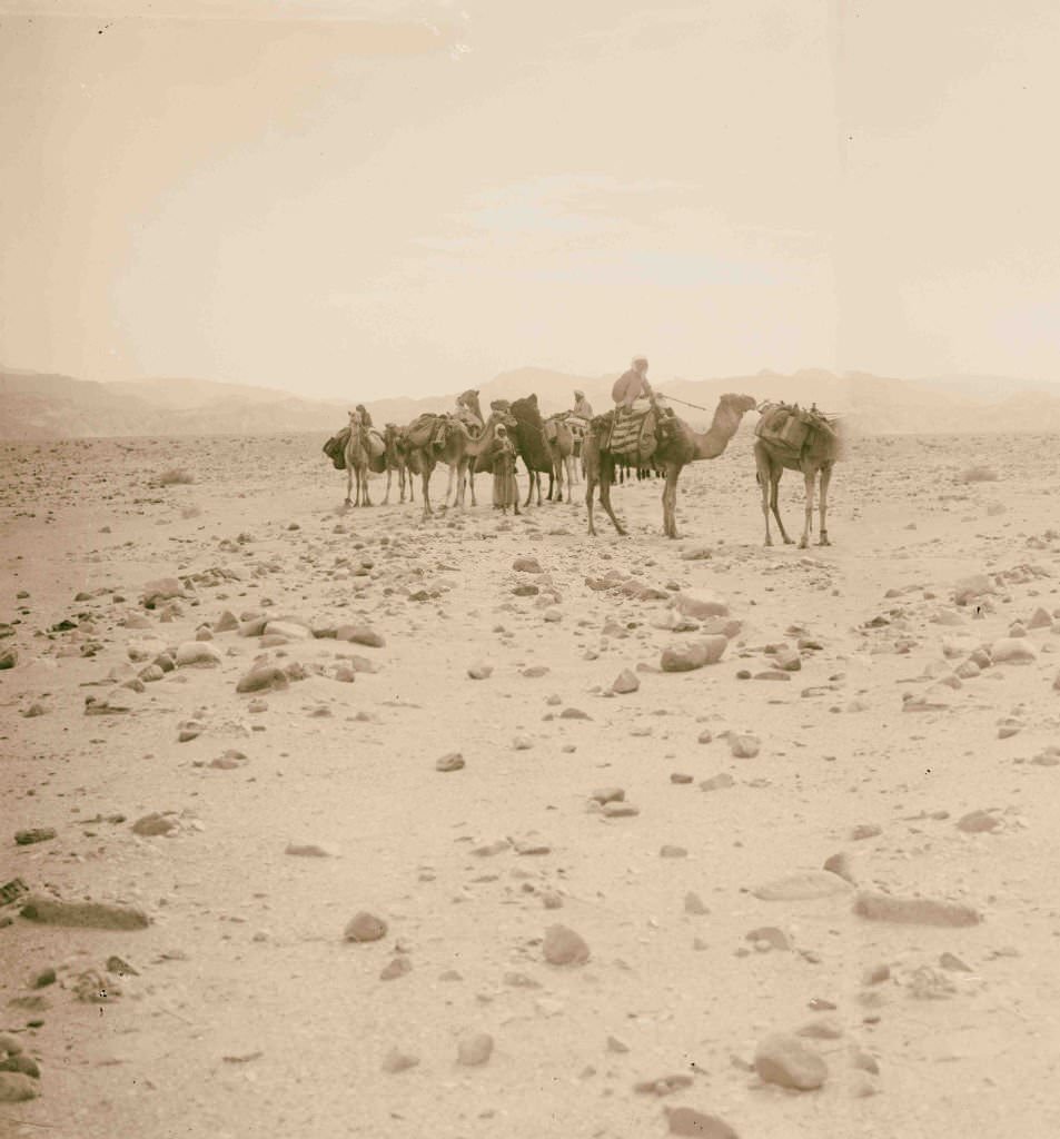
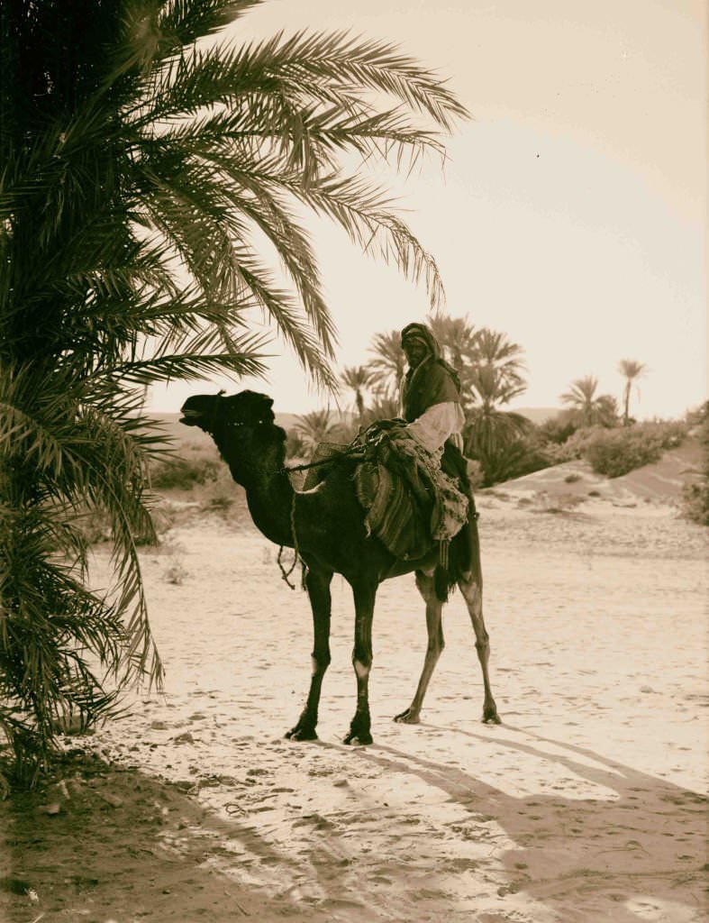
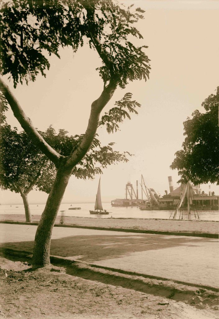
The Suez Canal was the most strategically important waterway in the world at this time. Opened in 1869, it connected the Mediterranean Sea to the Red Sea, slashing the shipping route between Europe and Asia. It was one of the main reasons Britain was so determined to maintain its grip on Egypt — control of the canal meant control of global trade.
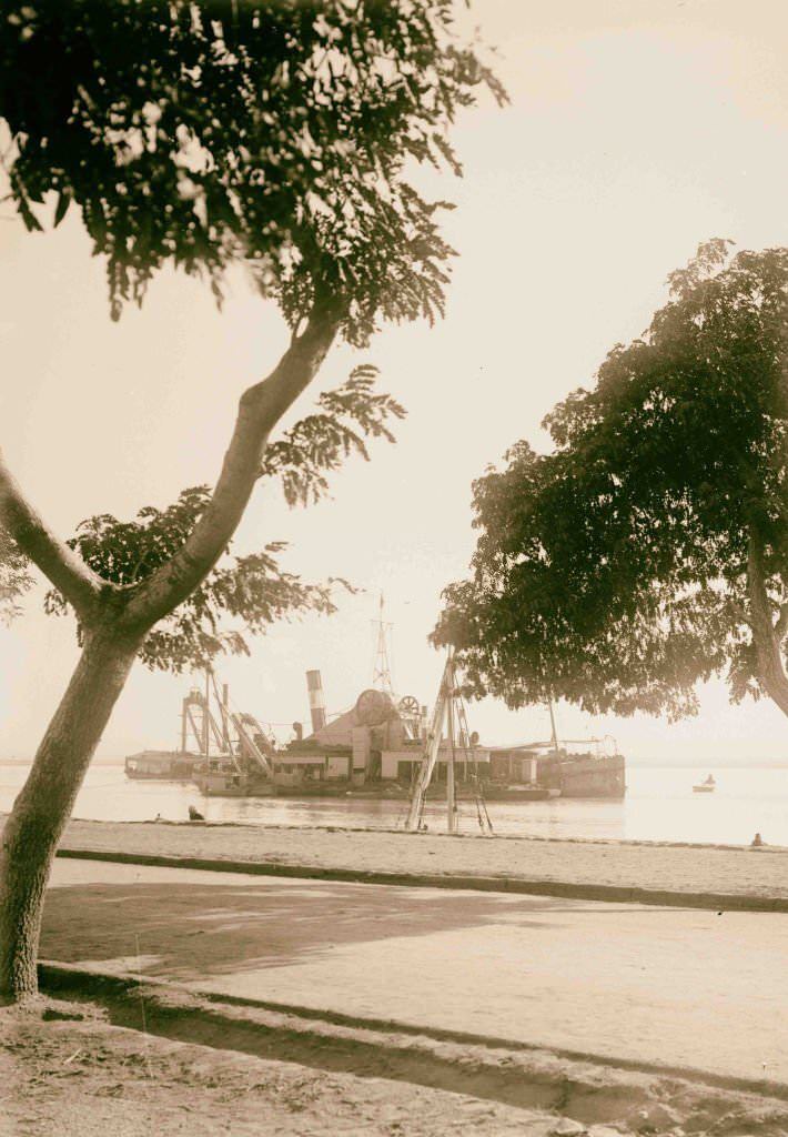
Keeping the Suez Canal navigable required constant maintenance. Dredgers worked the waterway to clear silt and widen channels, ensuring that large ships could pass through without incident. The canal’s administration was controlled by a company dominated by French and British shareholders, further cementing foreign authority over Egypt’s most valuable asset.
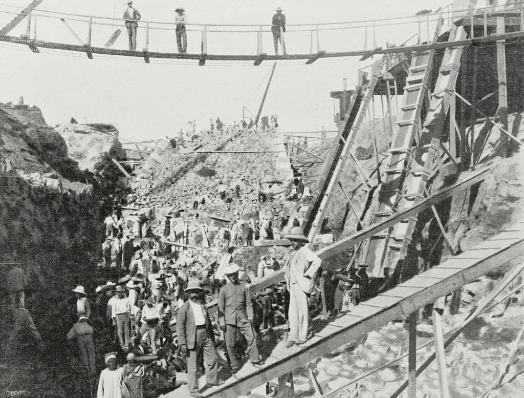
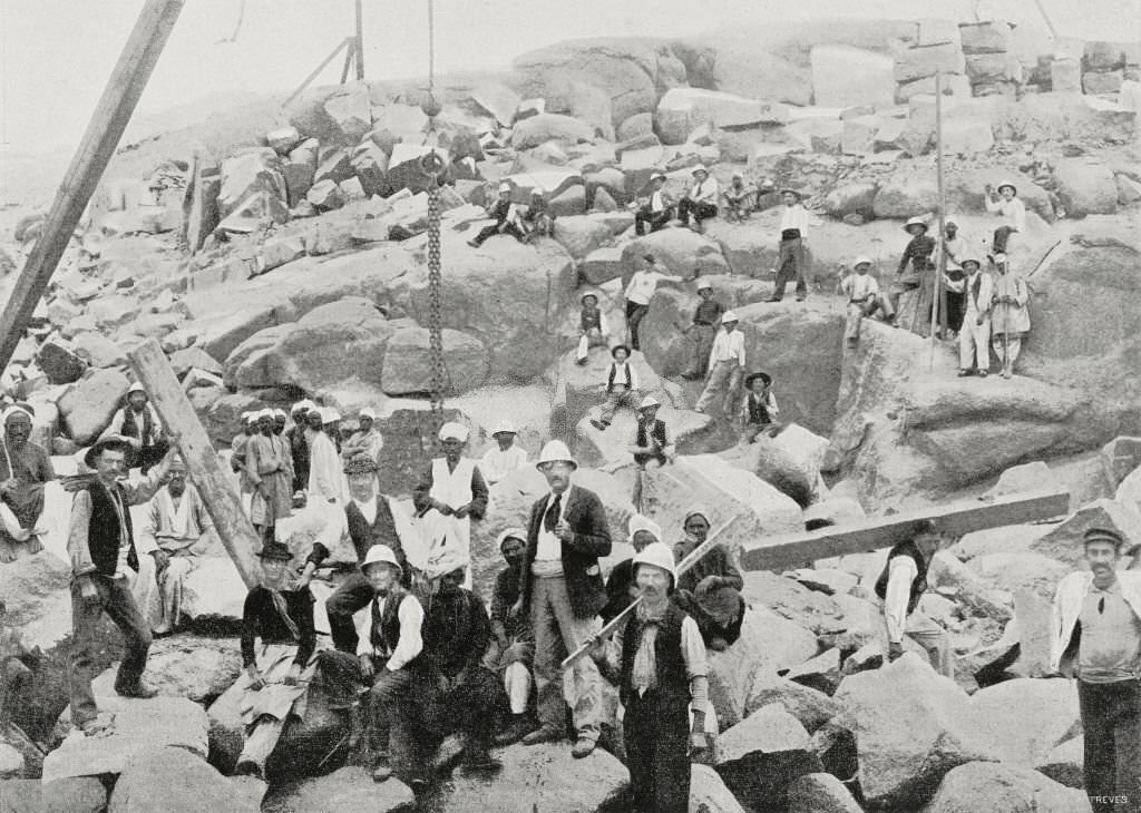
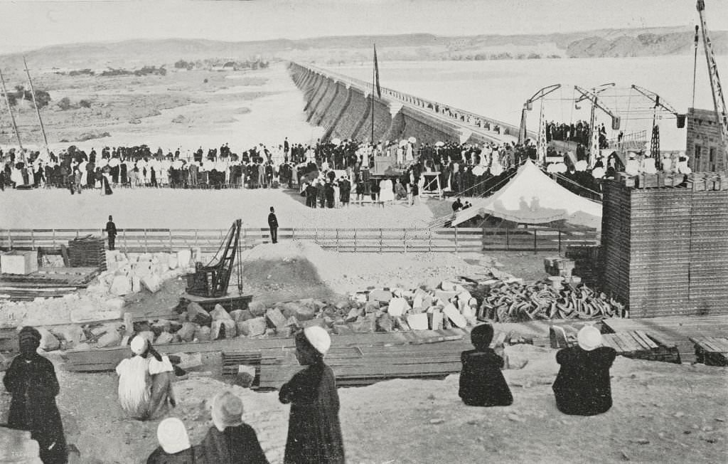
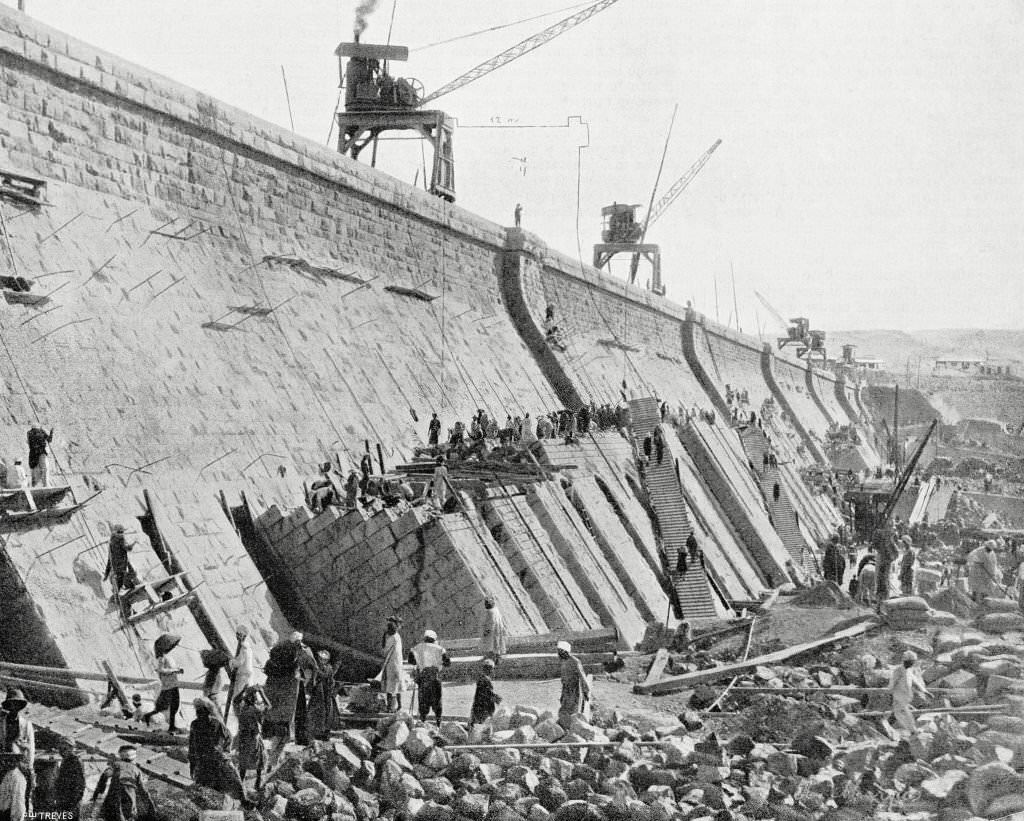
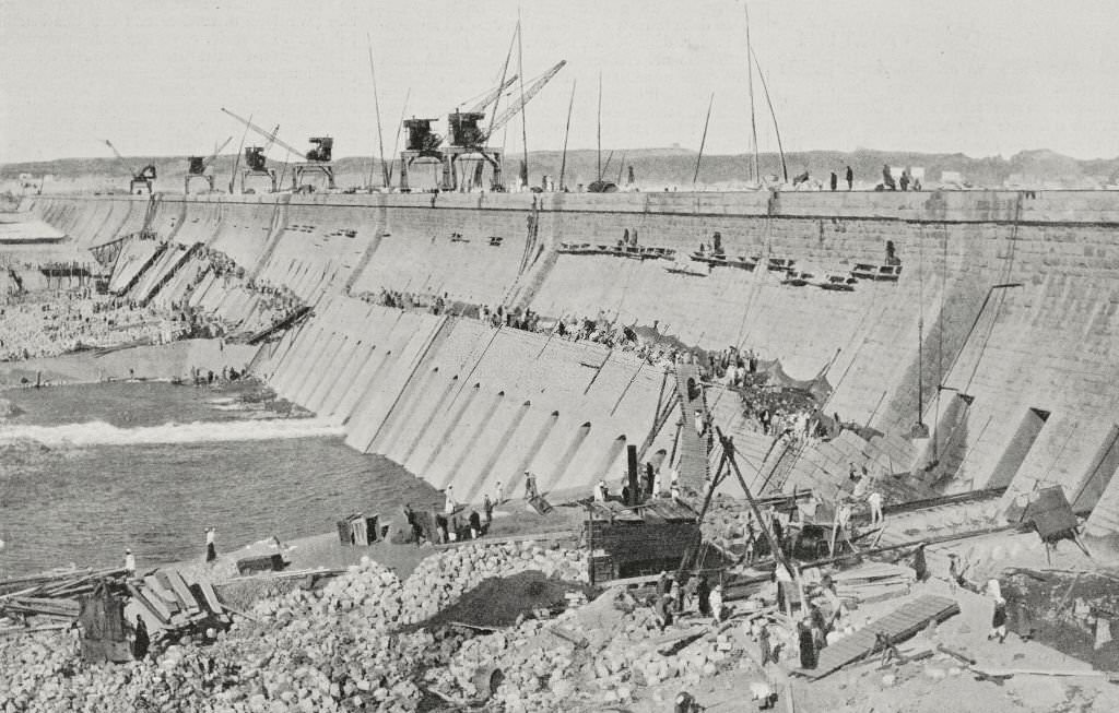
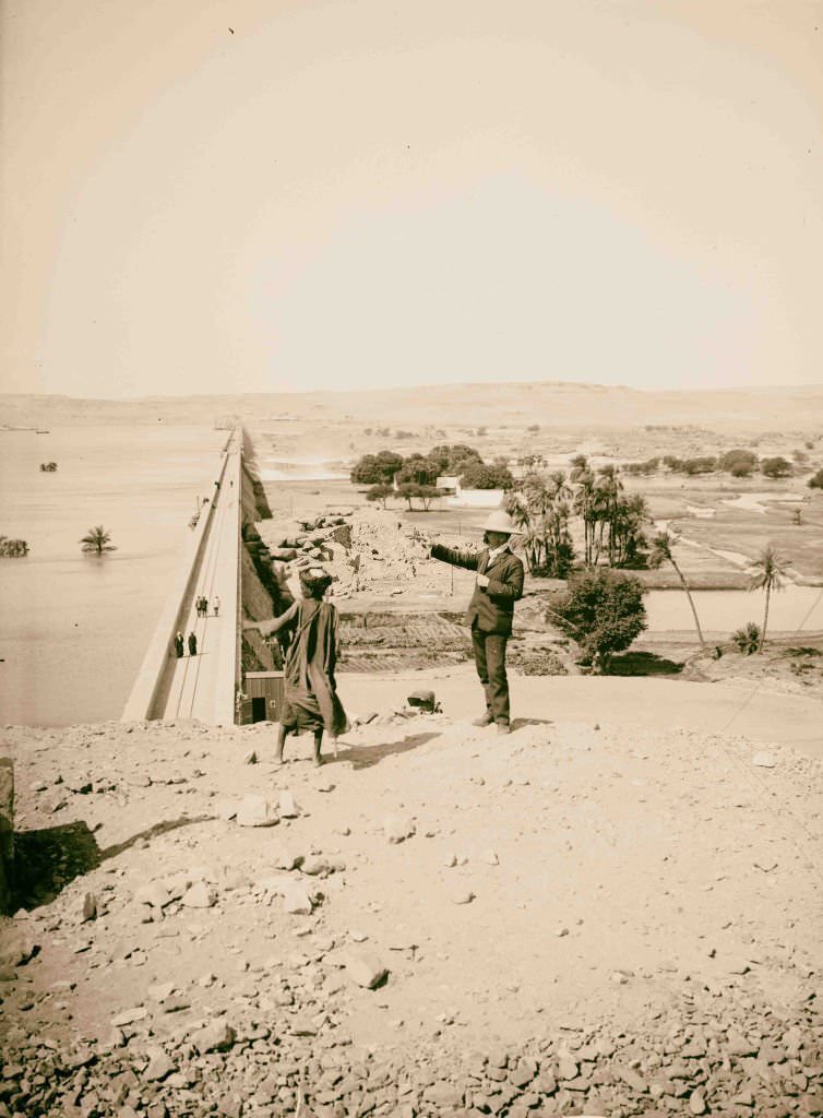
One of the most ambitious construction projects of the era was the Aswan Dam, built between 1898 and 1902. Italian laborers were brought in to do much of the heavy work, including cutting granite from quarries near Aswan — the same quarries used by the ancient Egyptians to build the pyramids. The dam stretched over two kilometers in length and rose fifty meters in height.
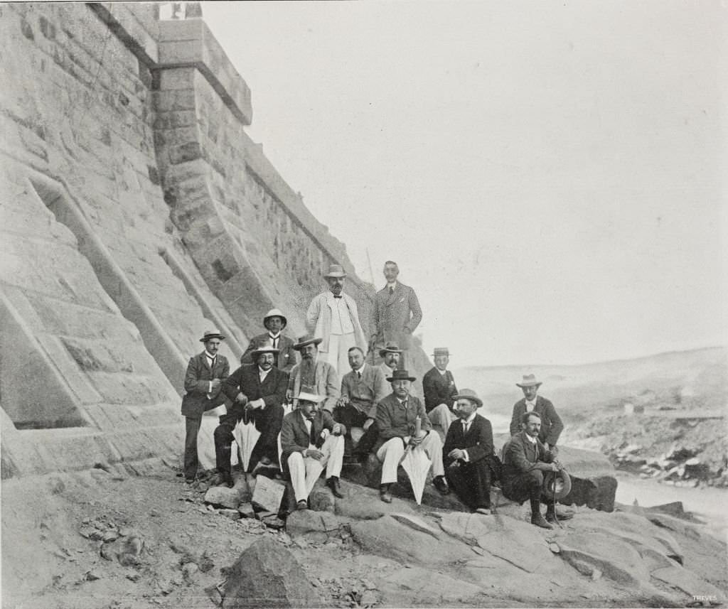
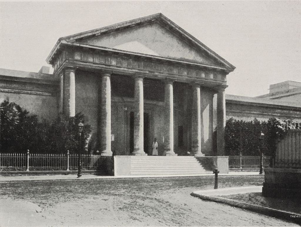
Alexandria in 1902 was a cosmopolitan city, home to a thriving mix of Greek, Italian, Jewish, and Arab communities. The Graeco-Roman Museum stood as a physical record of Alexandria’s layered history, housing artifacts from the Hellenistic and Roman periods that had shaped the city long before the Arab conquest.
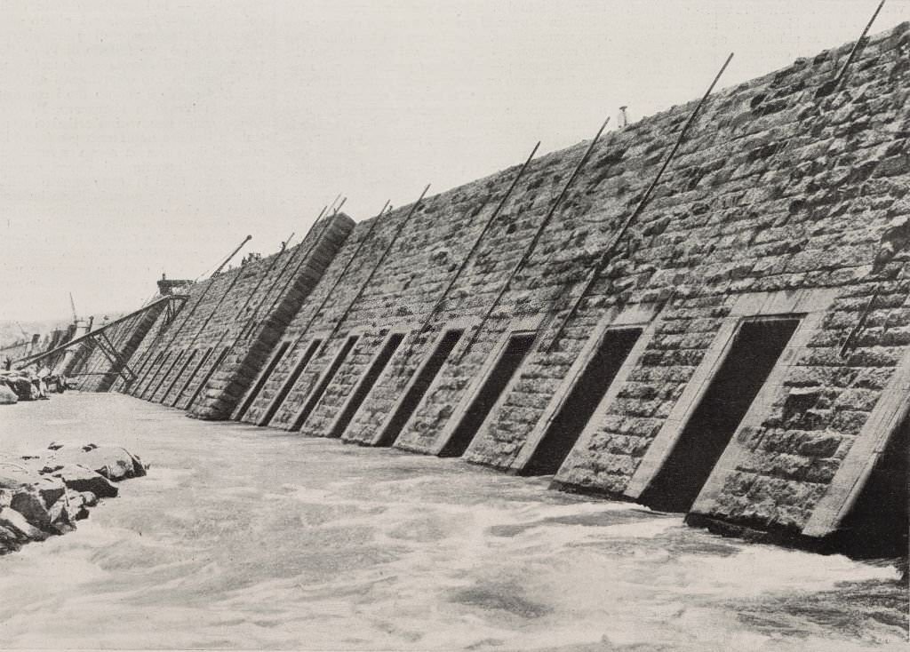
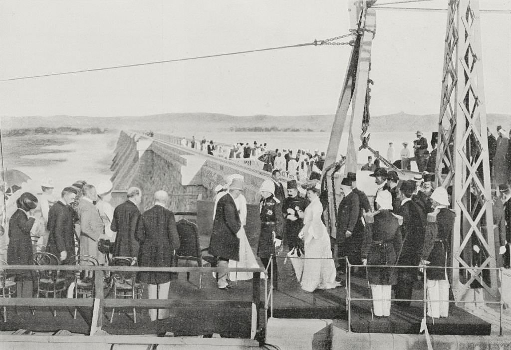
The completion of the Aswan Dam in 1902 was marked with formal ceremony. Lord Cromer, Britain’s effective ruler of Egypt, received Khedive Abbas Hilmi II and the Duke of Connaught as the last stone was set in place. The dam was celebrated as an engineering triumph, though the decision-making behind it was entirely in British hands.
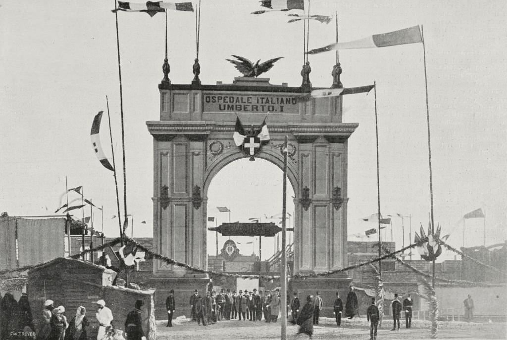
Infrastructure was expanding across Egypt in the early 1900s. In Cairo, the inauguration of the Umberto I hospital in 1903 reflected both the Italian community’s presence in the city and the broader push to build modern institutions in Egypt’s capital. European investment in Egyptian infrastructure was real, even as European control remained deeply resented.
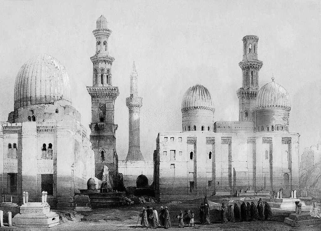
Cairo’s City of the Dead — a vast necropolis on the eastern edge of the city — was home to elaborate mausoleums of sultans and emirs built over many centuries. By the early 1900s, the area was not only a burial ground but a place where some of Cairo’s poorest residents also lived among the tombs.
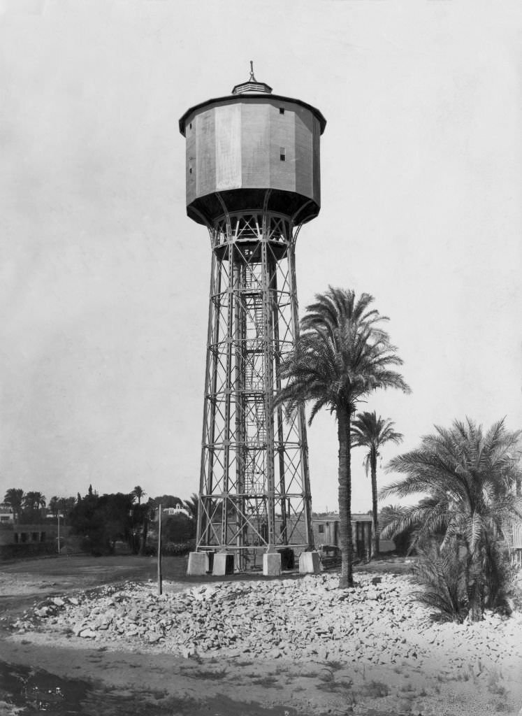
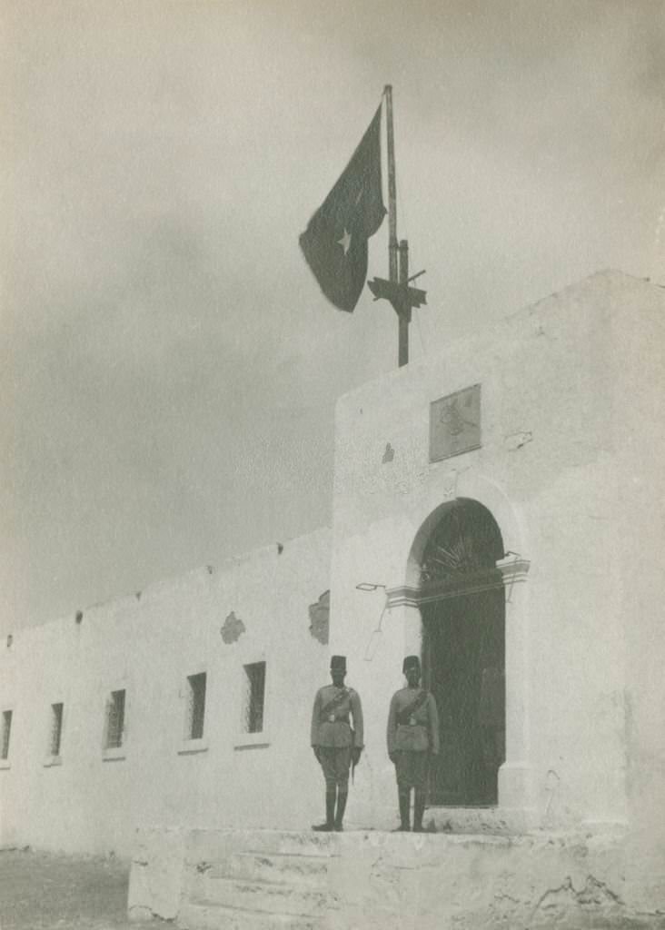
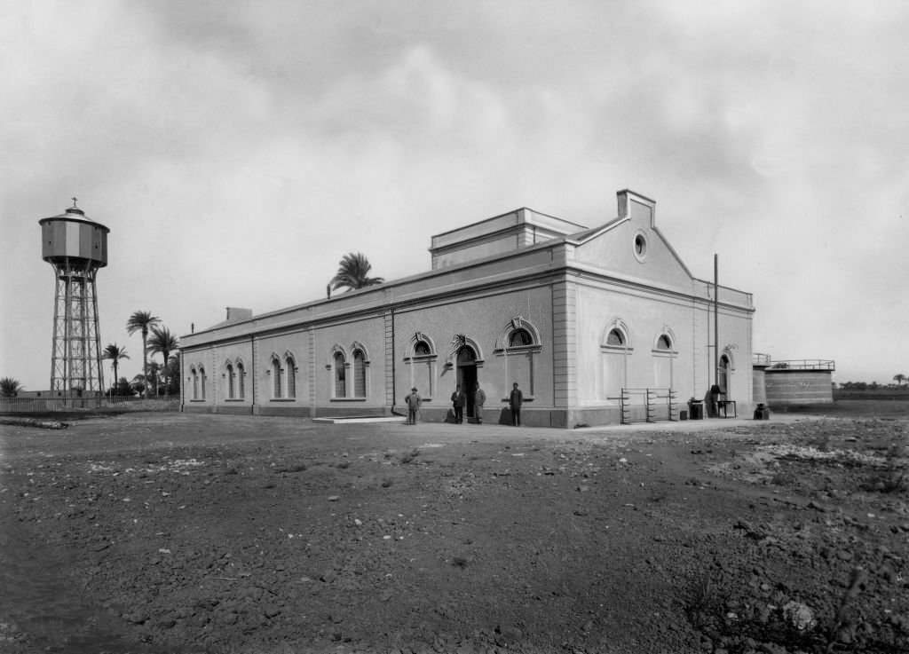
The Faiyum Oasis, southwest of Cairo, relied on water drawn from the Nile through a network of ancient canals. By the early 1900s, water towers and filtration systems were being introduced to modernize water supply in the region — a small but visible sign of the technological changes slowly making their way into Egyptian daily life.
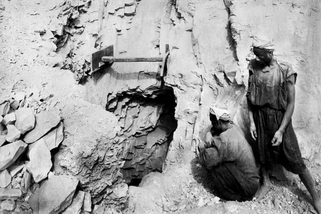
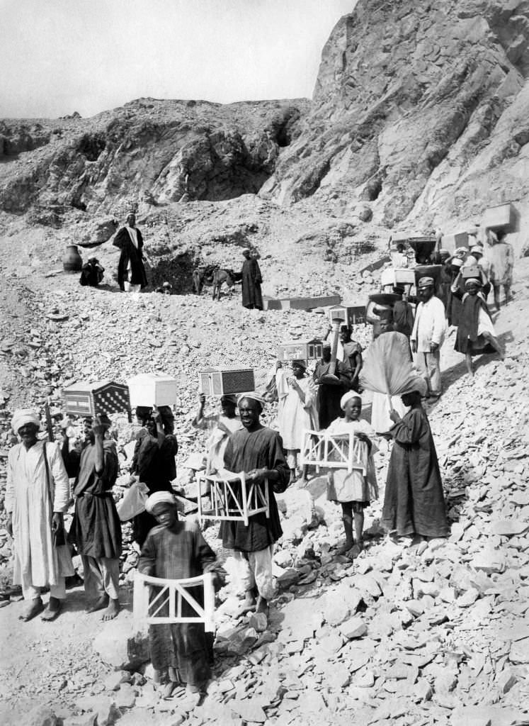
Deir el-Medina, near Thebes, was the site of a remarkable archaeological discovery in 1906 — the intact tomb of the royal architect Kha and his wife Merit. The tomb contained their complete funeral furnishings, untouched for more than 3,000 years. It remains one of the most complete ancient Egyptian burials ever found.
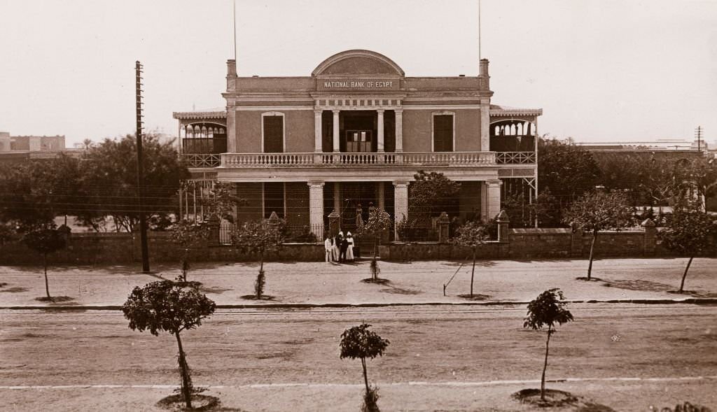
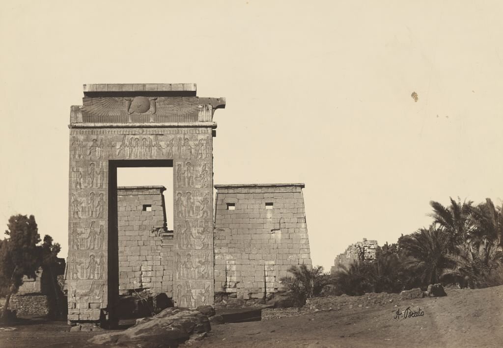
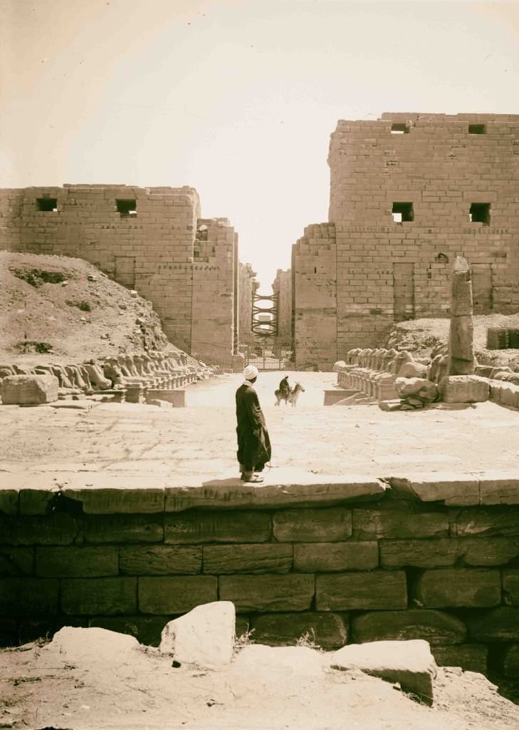
The National Bank of Egypt’s presence in Khartoum by 1906 reflected how far British financial influence extended — not just into Egypt itself, but into Sudan, which was then under joint Anglo-Egyptian rule. Meanwhile, ancient sites like the Gate of Khonsu at Karnak continued to draw visitors and archaeologists from around the world.
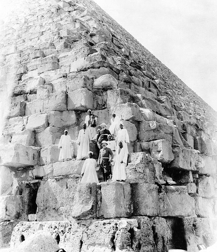
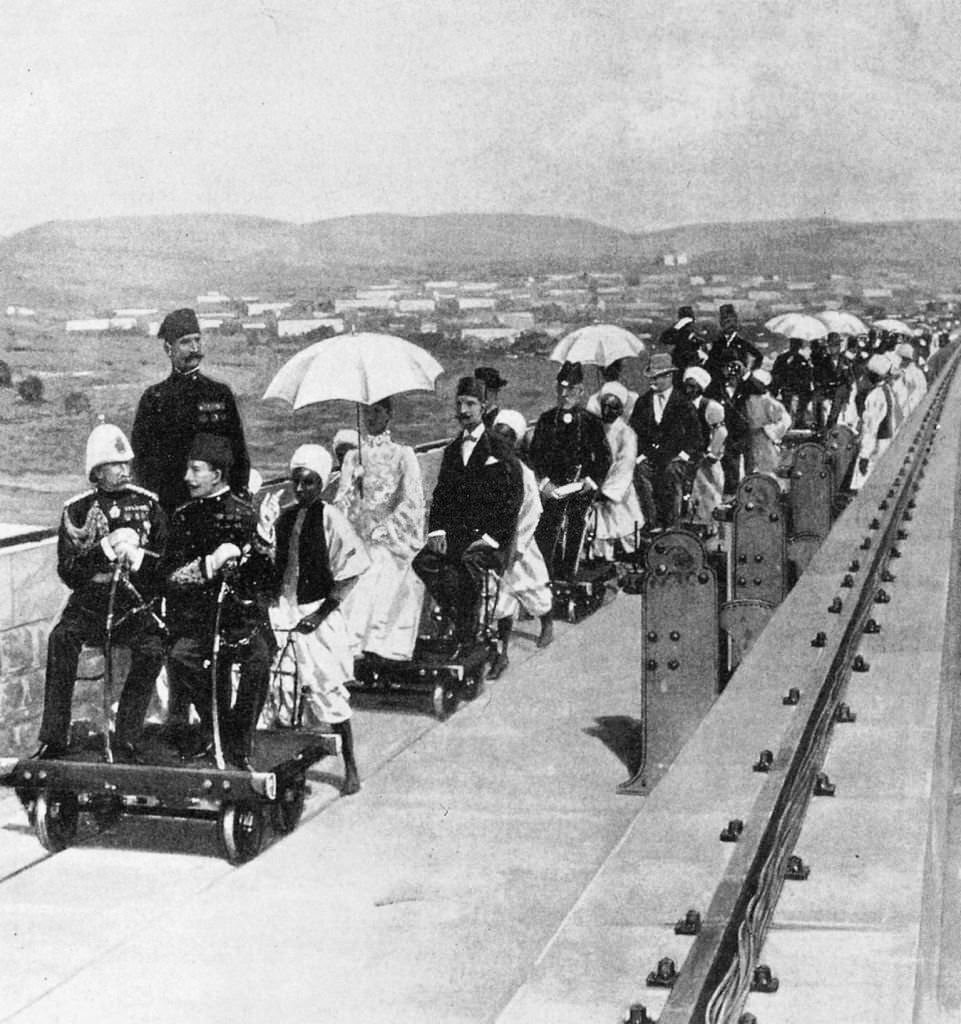
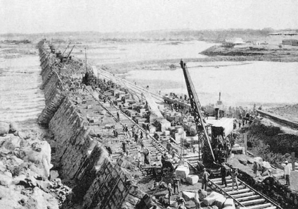
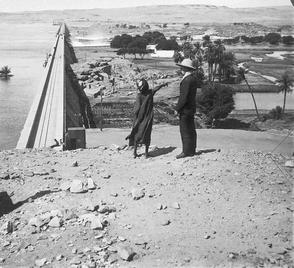
European royalty and dignitaries traveled to Egypt in considerable numbers during this period. The Archduke of Austria-Este made the climb up the Great Pyramid at Giza in 1903, joining a long list of foreign visitors who treated Egypt’s monuments as tourist attractions. The Aswan Dam, completed the year before, became another landmark that foreign guests were taken to inspect.
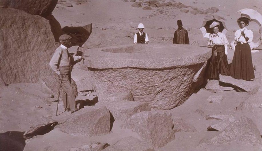
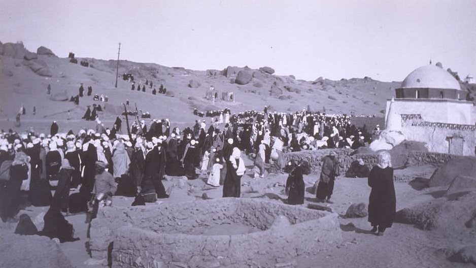
Near Aswan, an unfinished sarcophagus still lay in the ancient granite quarry where it had been abandoned thousands of years earlier — a reminder that the ancient world’s ambitions sometimes outpaced its ability to deliver. Nearby, the Feast of Bairam brought large crowds together in celebration, showing that Egyptian community life continued in full force despite the occupation.
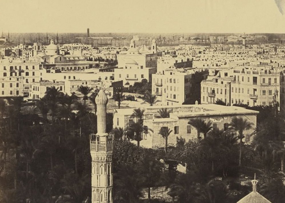
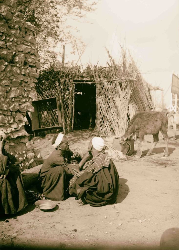
Alexandria’s harbor made it one of Africa’s busiest ports. The city had a skyline shaped by mosques, European-style buildings, and the masts of trading ships. On the streets, everyday life carried on — including the work of street barbers who set up their trade in open air, serving customers with little more than a chair, a razor, and a steady hand.
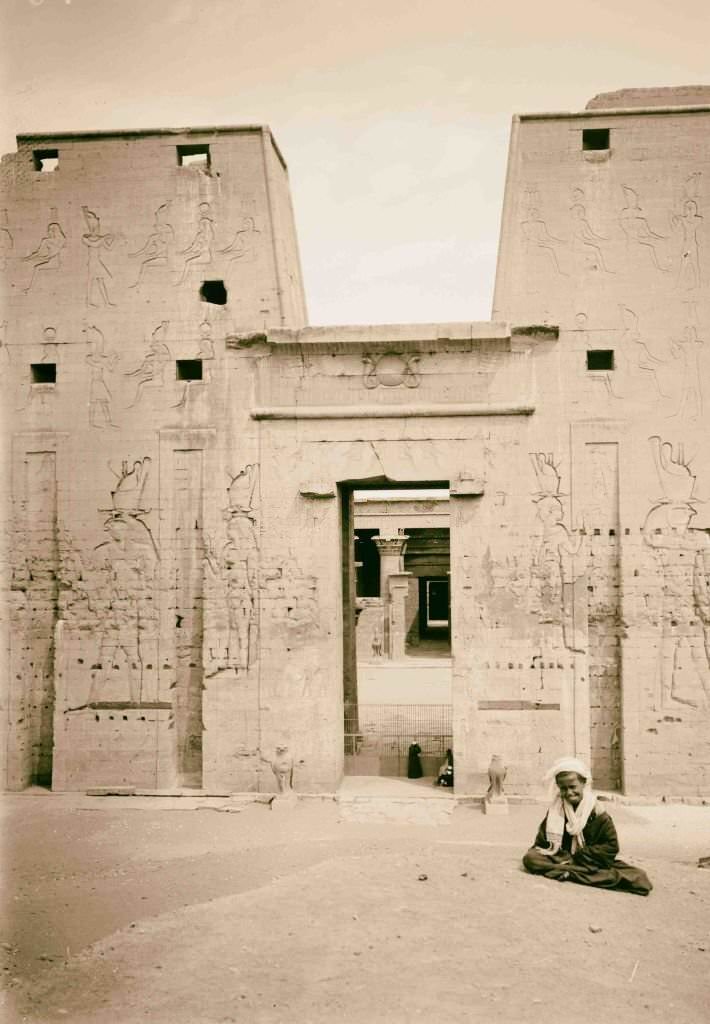
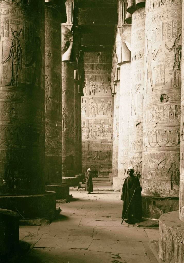
Egypt’s ancient temples were among the best-preserved in the world. The Temple of Horus at Edfu, built during the Ptolemaic period, stood virtually intact with its massive pylons and detailed carved reliefs. At Dendera, the Temple of Hathor’s great vestibule remained one of the most visually striking interiors in all of ancient Egyptian architecture.
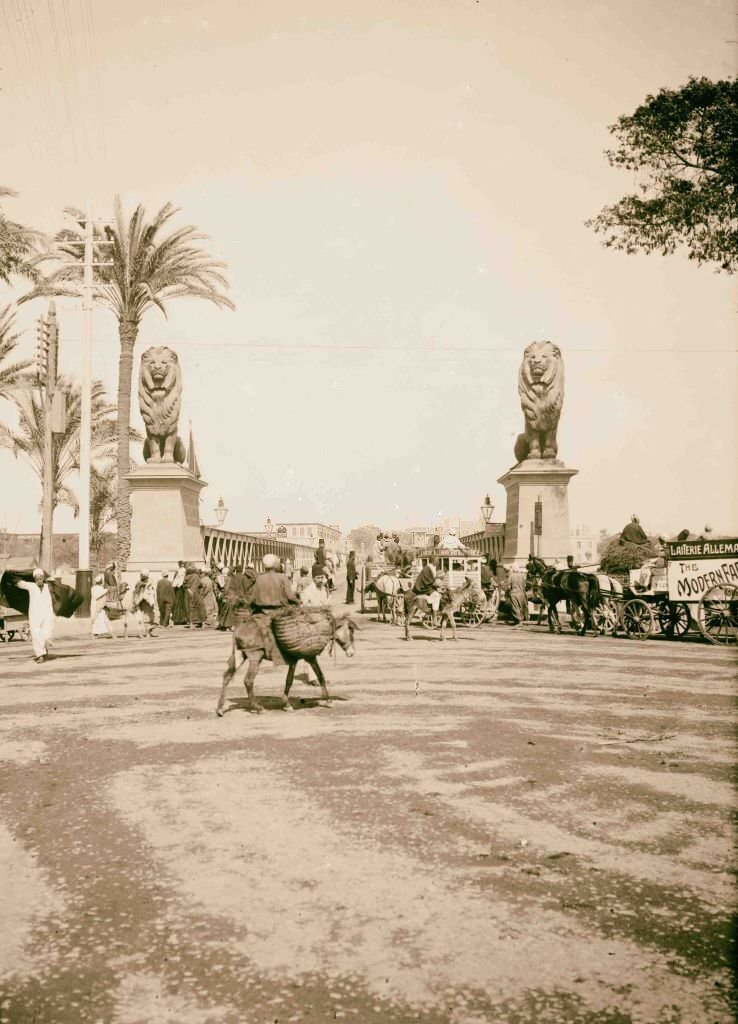
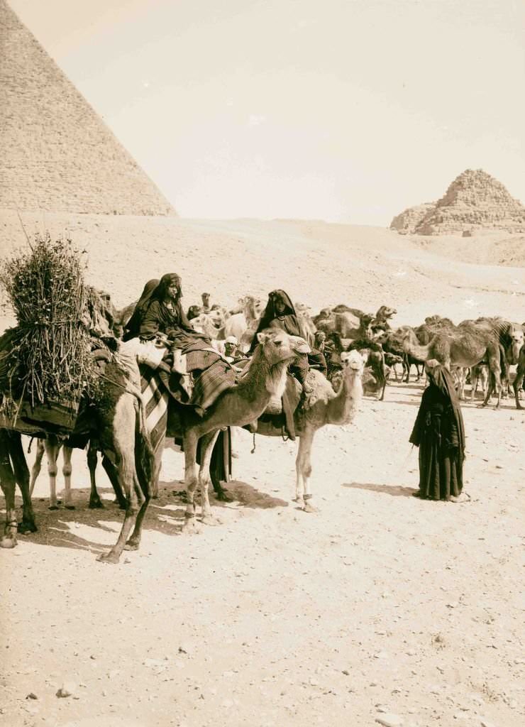
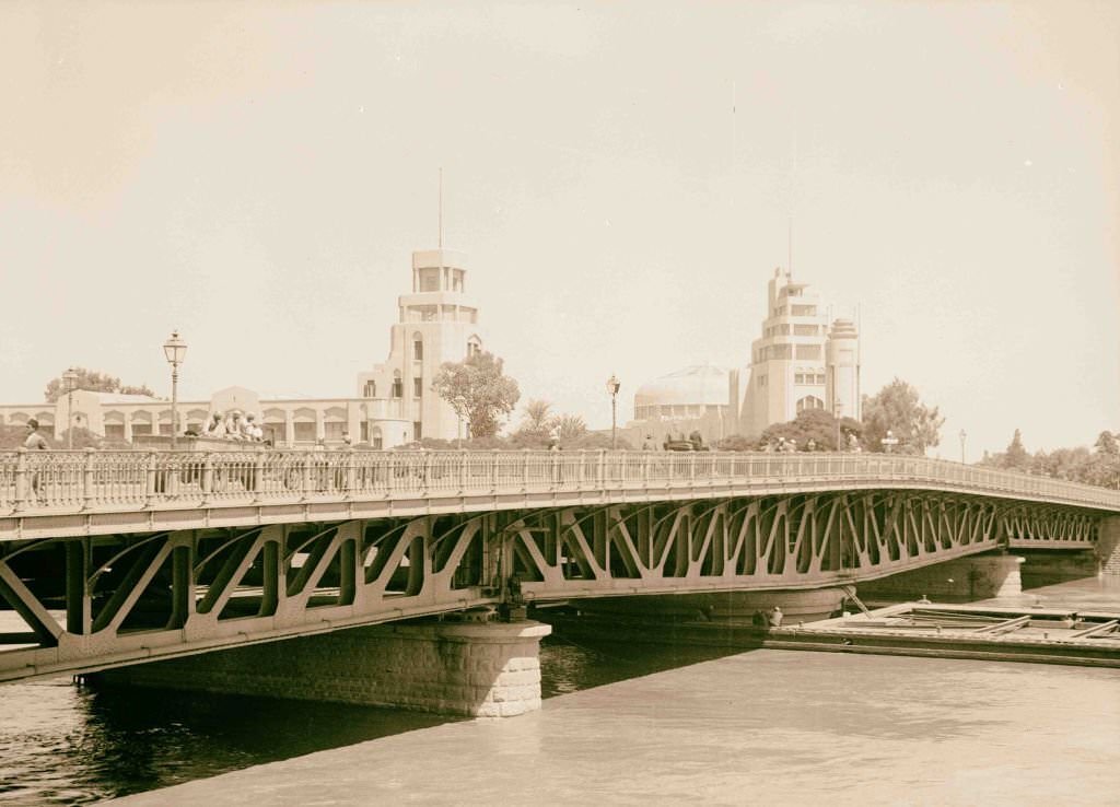
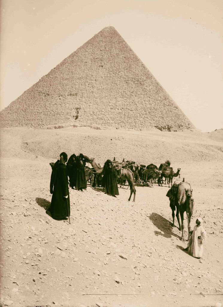
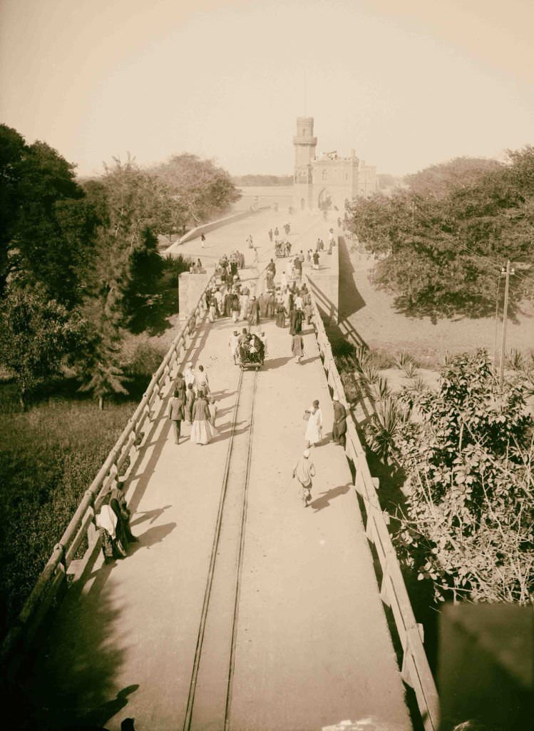
The Kasr en-Nil bridge over the Nile in Cairo was a central artery of the city, connecting its two banks and handling a constant flow of people, animals, and goods. At Giza, Bedouin caravans still passed by the pyramids just as they had for centuries — a scene that looked ancient but was very much a living part of daily Egyptian commerce.
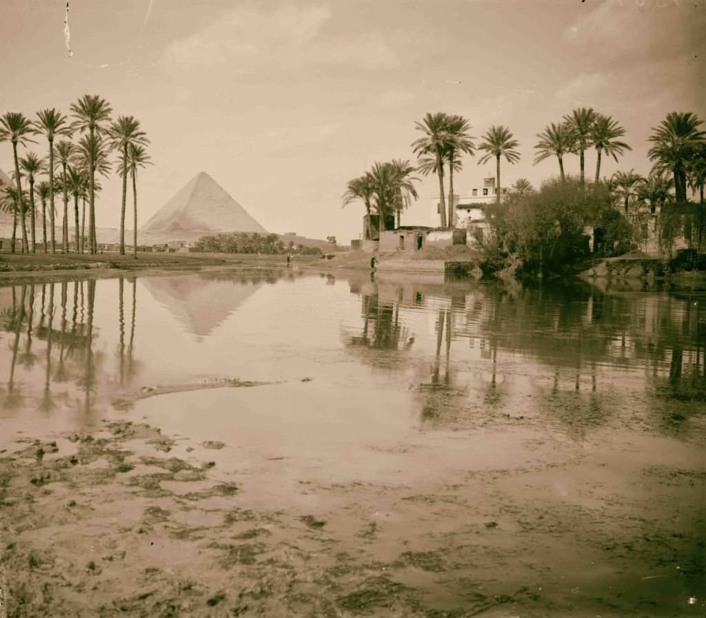
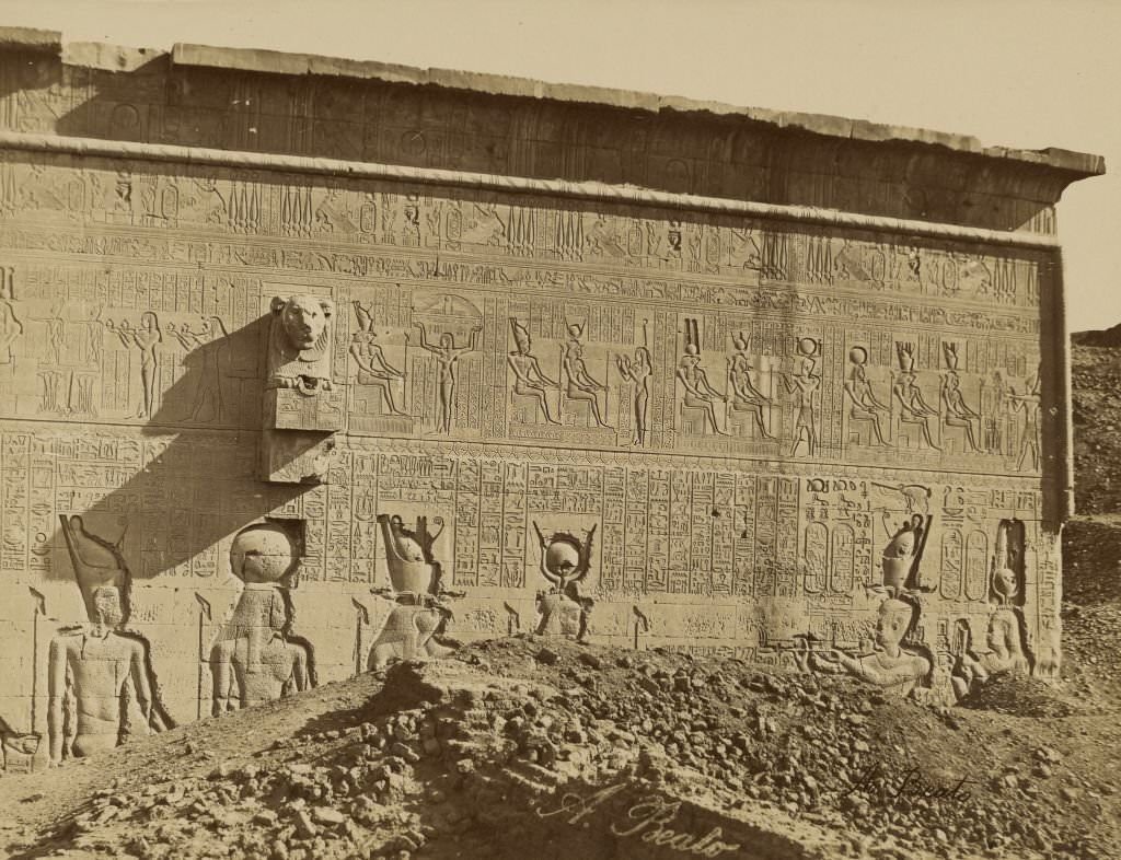
Villages near the Giza pyramids were small and modest, their mud-brick homes standing in sharp contrast to the massive stone monuments just beyond them. On the island of Philae, temples dedicated to Isis rose from the Nile’s edge, their colonnades and carved walls photographed extensively by visitors in the early 1900s before the rising waters of the Aswan Dam began to flood the island seasonally.
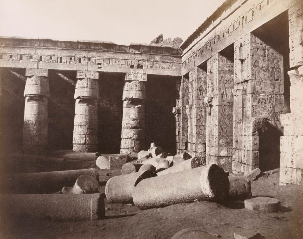
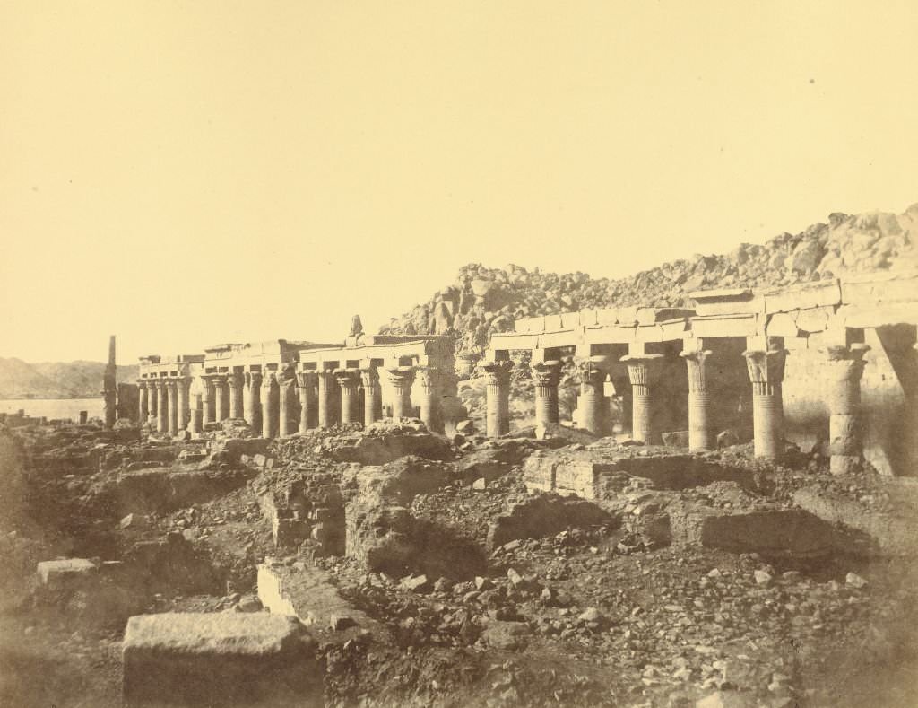
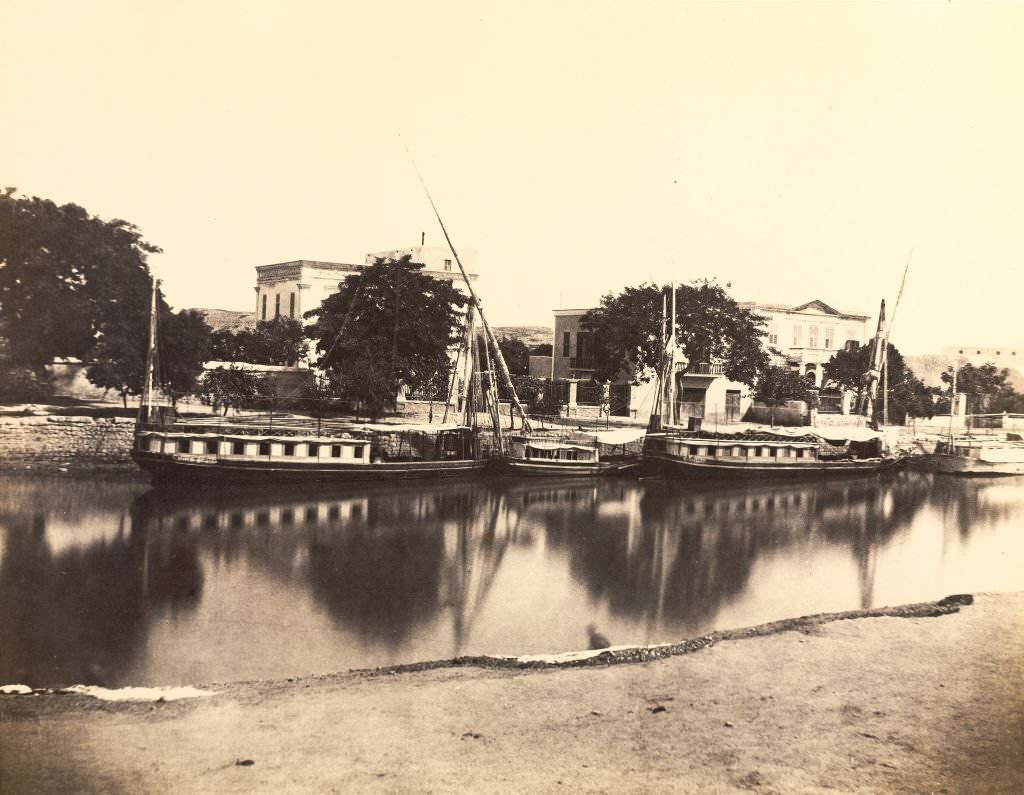
Dahabiyyas — large wooden sailing boats — were the preferred way for wealthier travelers and archaeologists to journey up the Nile. These vessels moved at the pace of the river and the wind, offering views of temple ruins, riverside villages, and desert cliffs that no road could match.
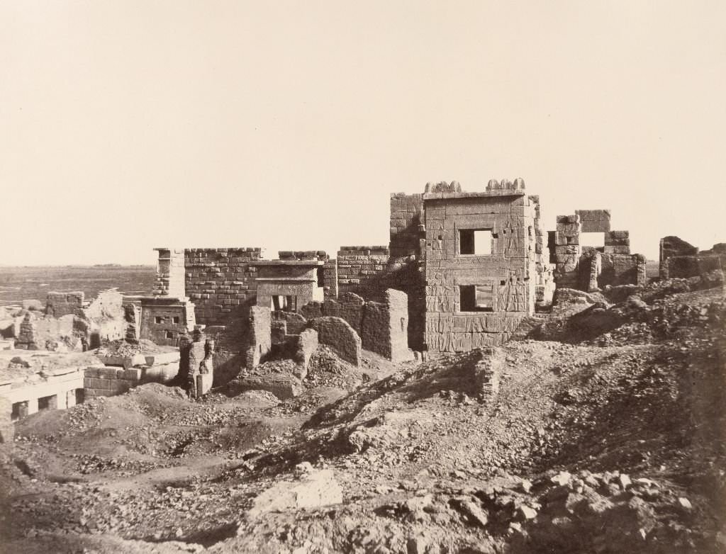
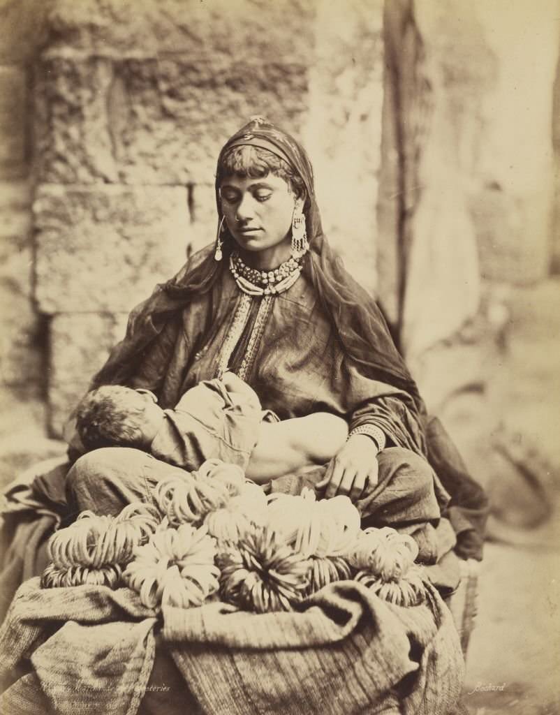
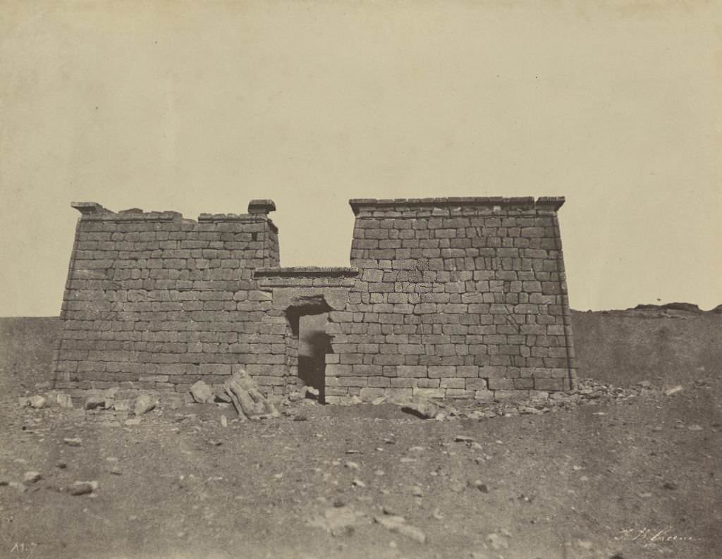
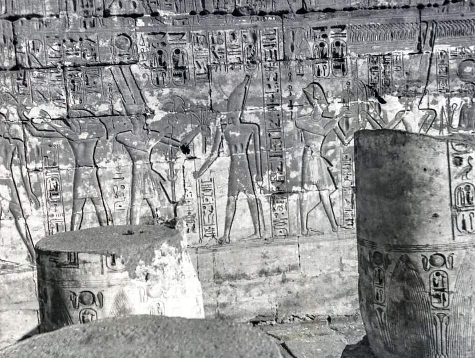
The Temple of Ramesses III at Medinet Habu was one of the most complete mortuary temples on the west bank of the Nile at Thebes. Its walls were covered in detailed reliefs depicting military campaigns and religious ceremonies. Nearby, merchants sold glass beads and trinkets — a trade that had existed for centuries and now catered increasingly to foreign tourists.
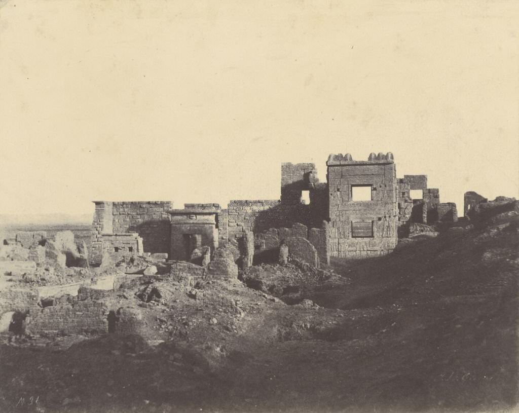
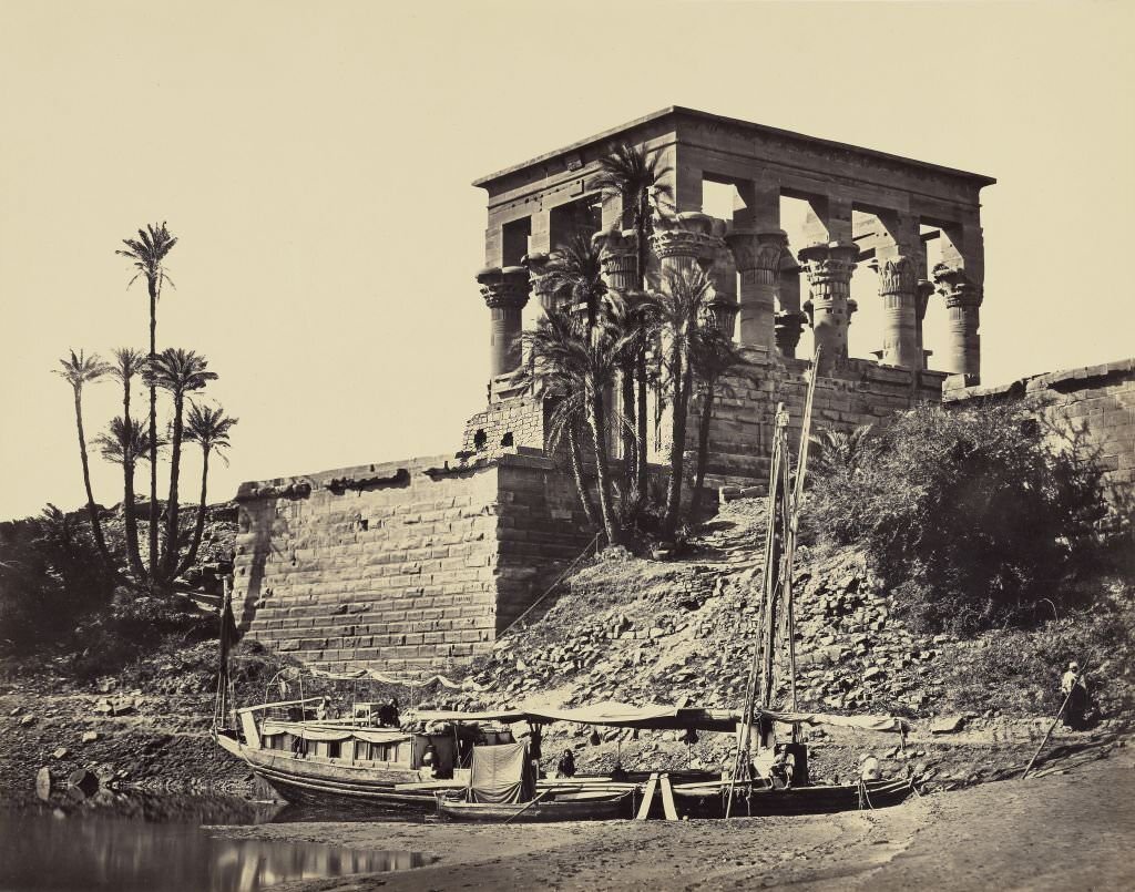
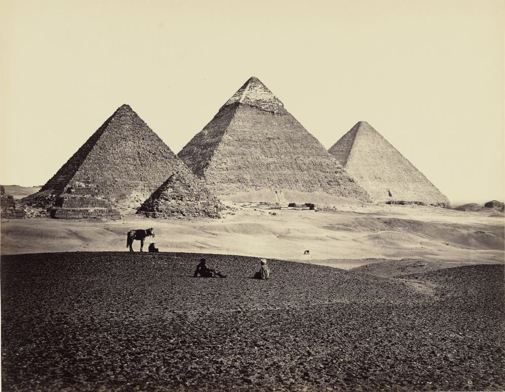
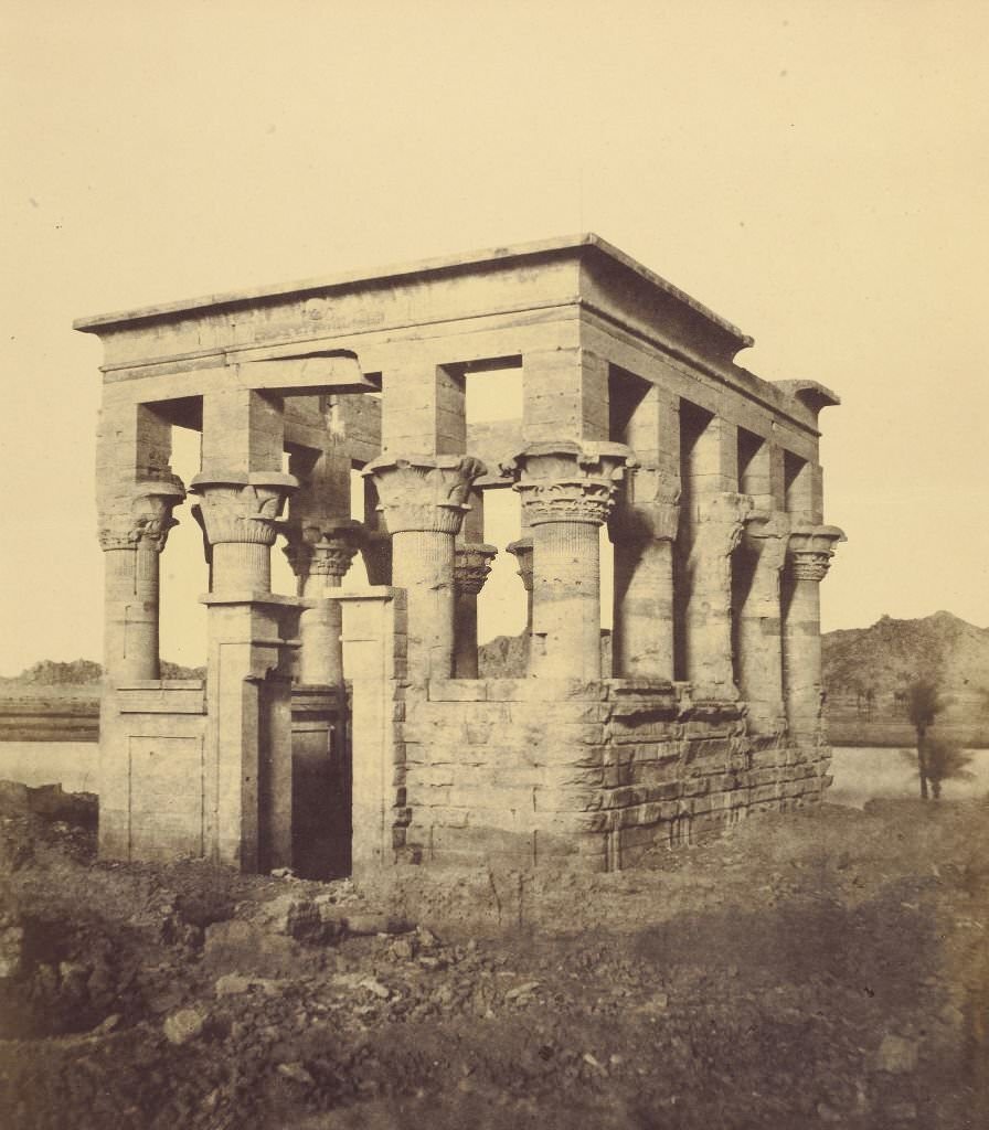
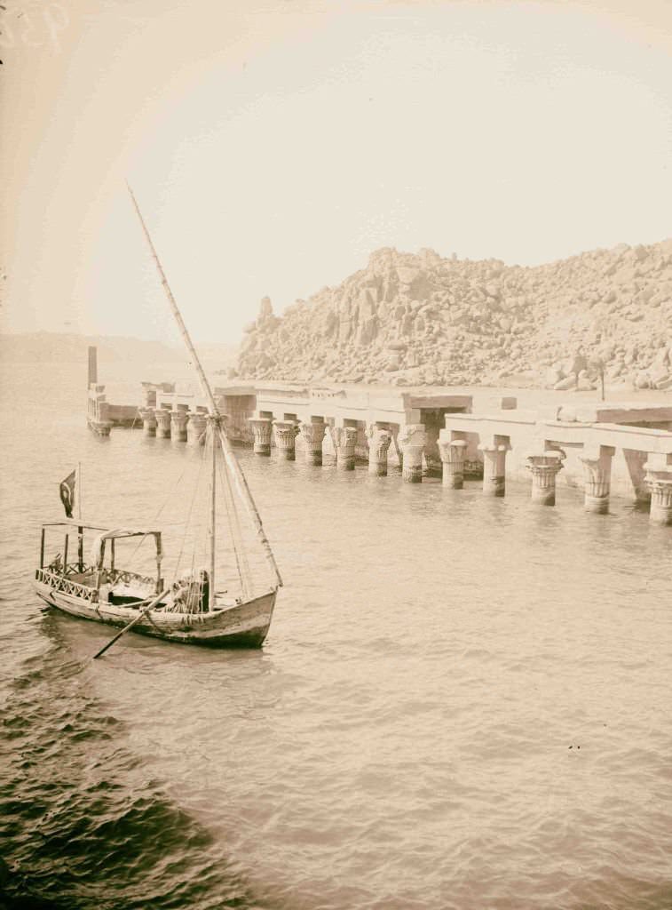
The Kiosk of Trajan at Philae — built by the Roman emperor Trajan in the 1st century AD — was one of the last structures added to the island’s temple complex. Its tall columns and open design made it one of the most photographed structures in Egypt. From the southwest, the three great pyramids of Giza presented a view that had drawn visitors from every corner of the world.
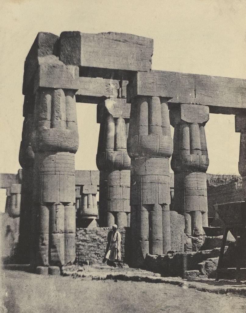
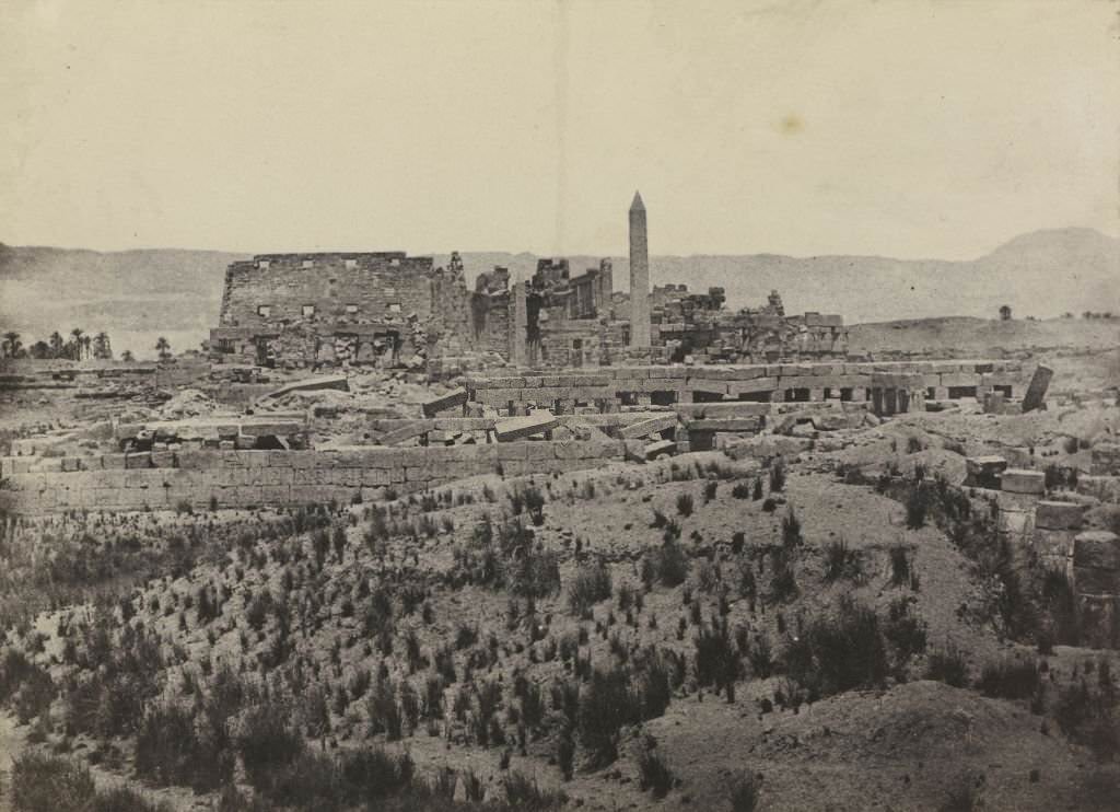
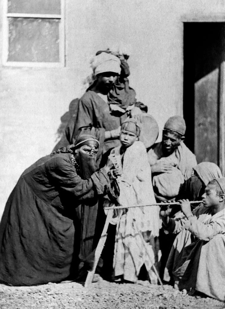
Luxor and Karnak were the twin centers of ancient Thebes, and their temples remained the most visited sites in Upper Egypt. In Cairo, meanwhile, performance and street culture thrived. Dancers performed in public squares and private gatherings alike, offering a window into a social life that existed well outside the reach of colonial administrators.
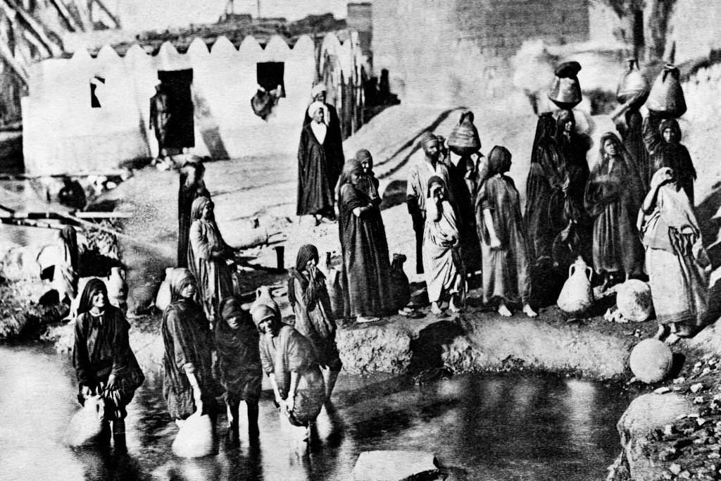
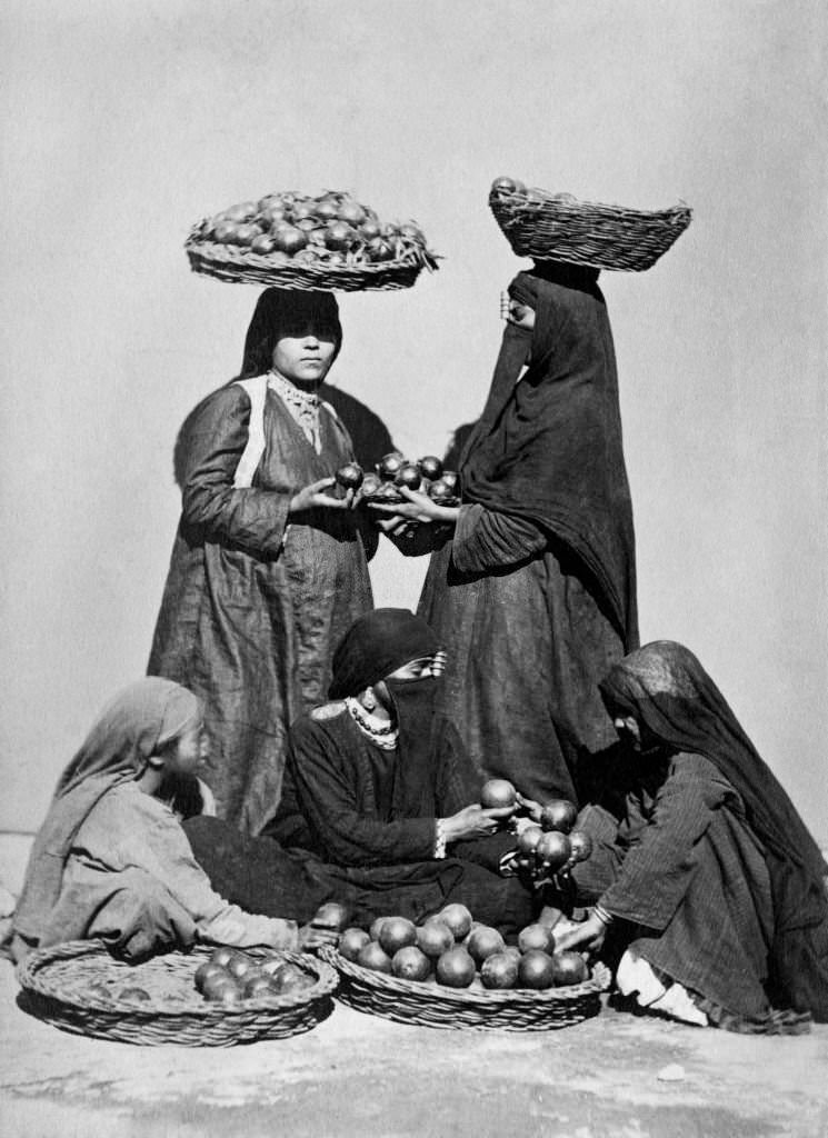
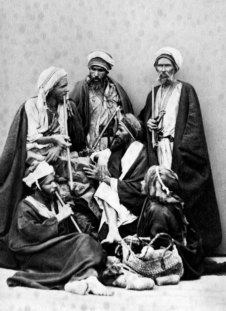
Cairo’s streets in the early 1900s were alive with trade and sound. Water carriers hauled their loads from the Nile to homes throughout the city. Orange sellers called out to passersby in the crowded markets. Musicians played in public spaces, their instruments and rhythms reflecting centuries of Egyptian musical tradition. The city moved at its own pace, shaped by daily rituals that had little to do with whoever was governing from above.
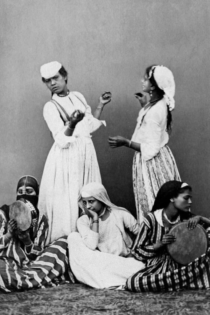
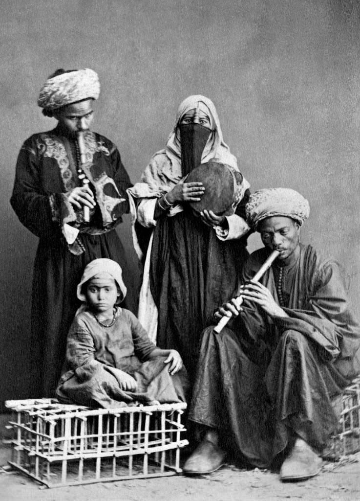
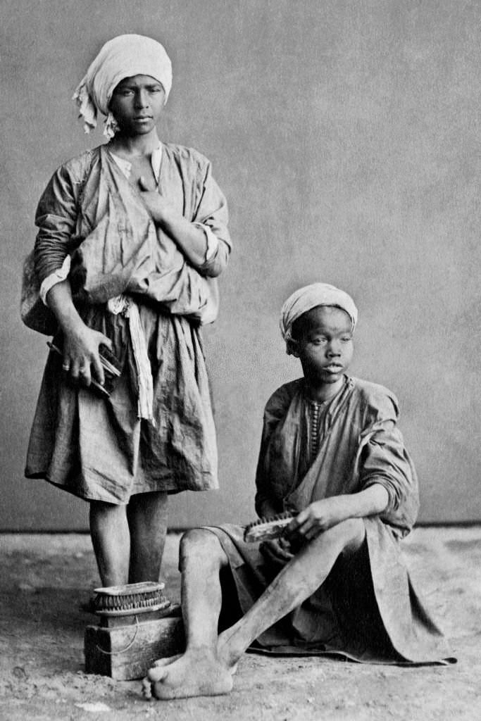
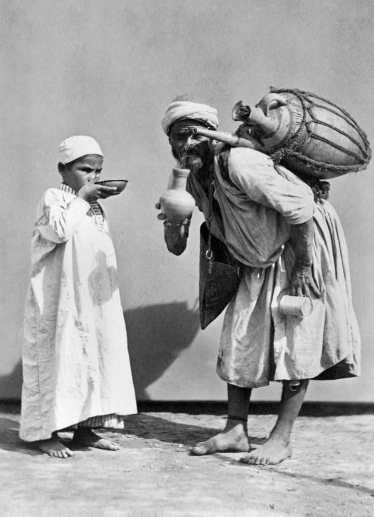
Tea was central to Egyptian social life, and sellers moved through the streets and markets of Cairo carrying trays and small glasses throughout the day. Shoeshine workers occupied corner spots, offering their services to anyone willing to stop for a few minutes. These small trades were the economic backbone of the city’s working poor.
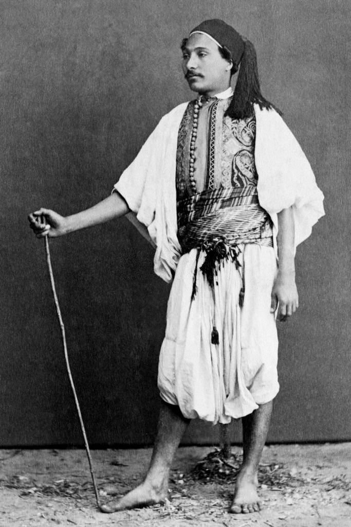
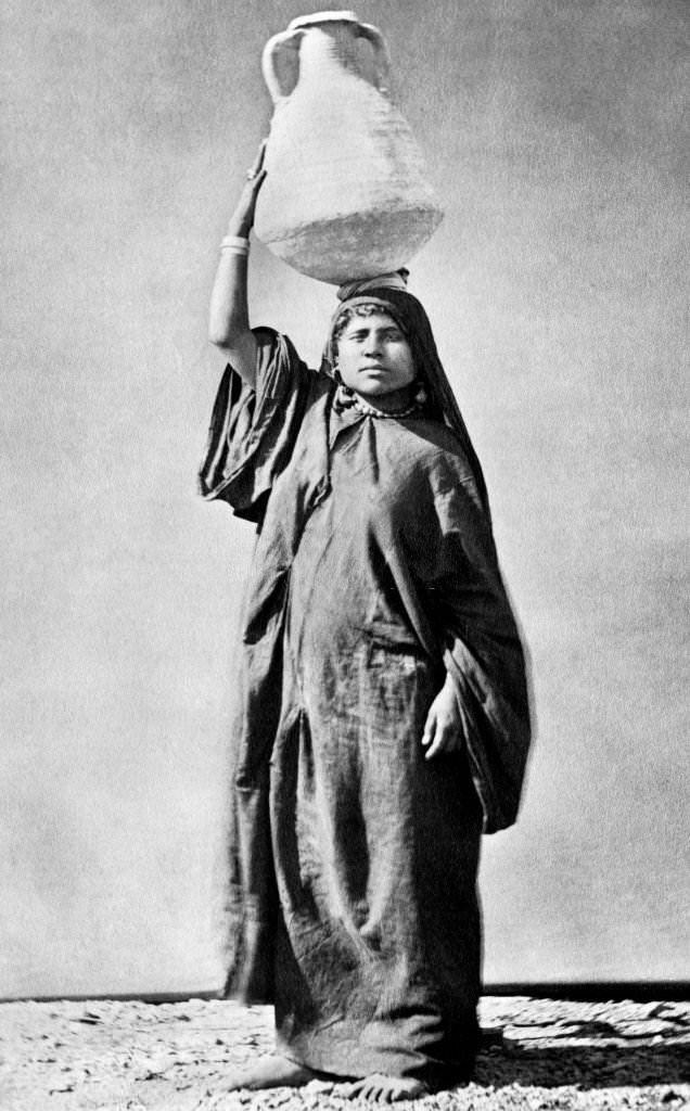
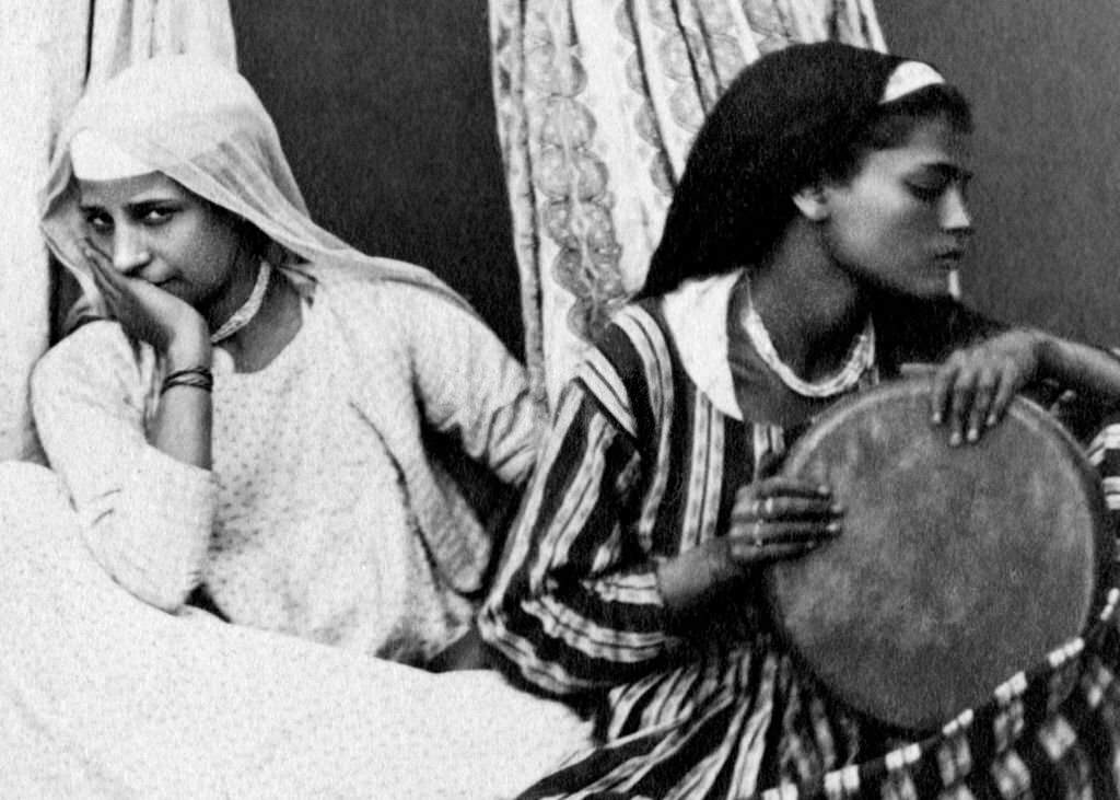
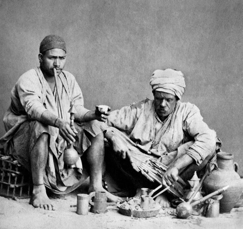
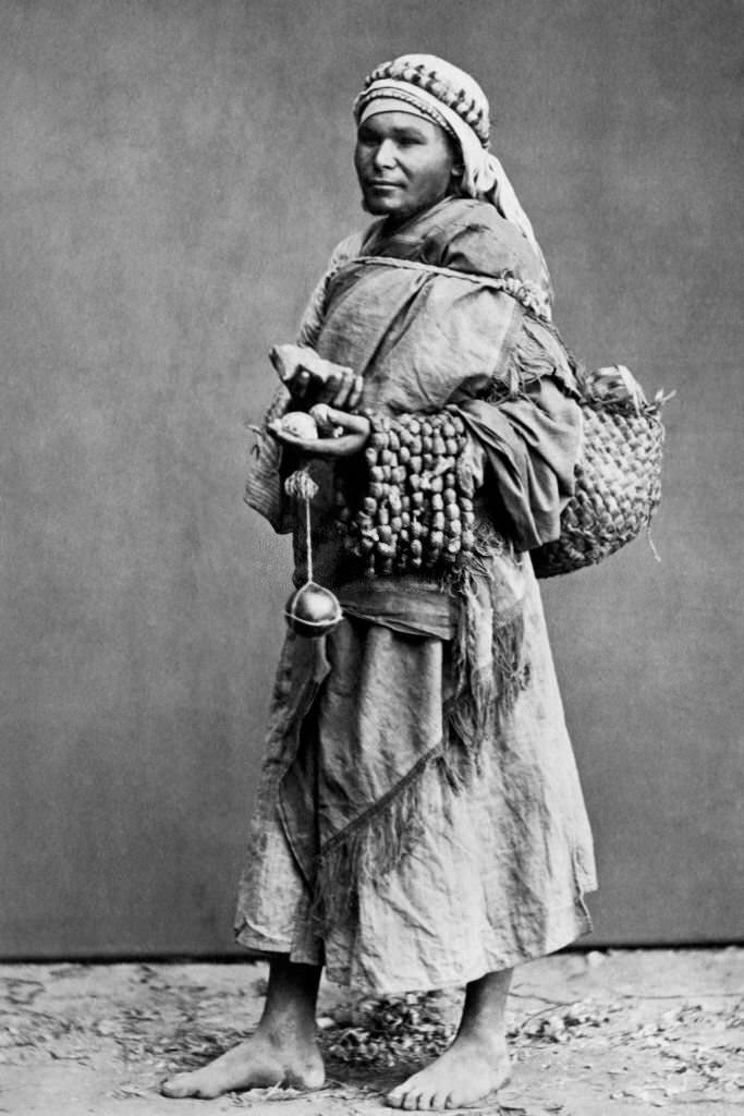
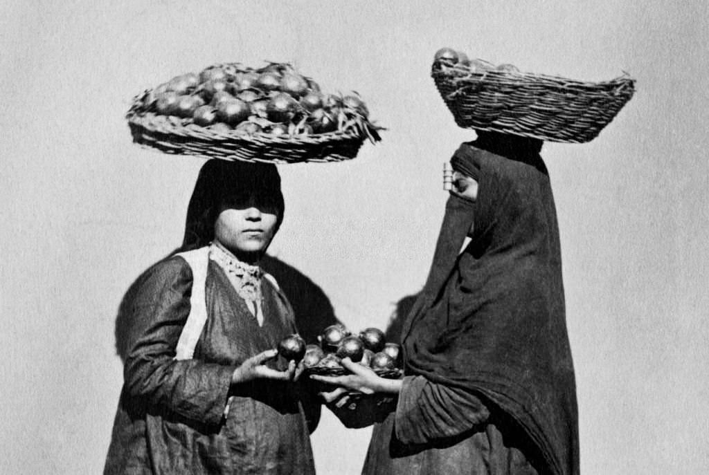
Street vendors were a constant presence in Cairo’s busiest neighborhoods. They sold everything from fruit and water to small goods and food, moving through crowds with practiced ease. The street economy was informal and essential, connecting Cairo’s many communities to the goods they needed every day.
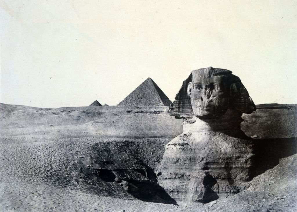
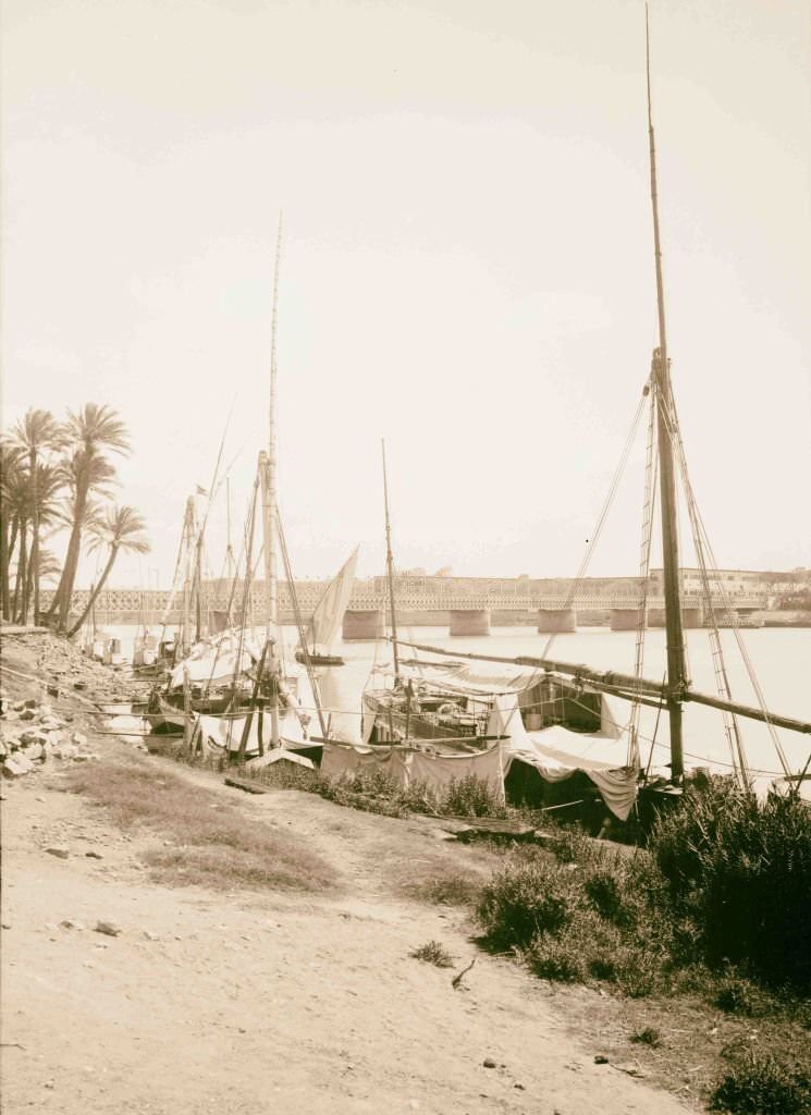
The Great Pyramid and the Sphinx at Giza were already ancient tourist destinations by 1900, but photographs from this era capture them at a scale and isolation that is hard to find today. Bridges over the Nile — critical pieces of infrastructure — connected Cairo’s neighborhoods and handled the growing flow of people and goods in a city expanding under British administration.
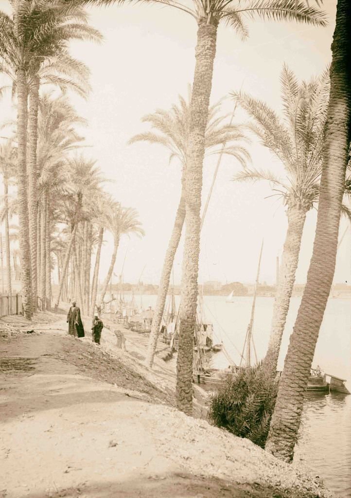
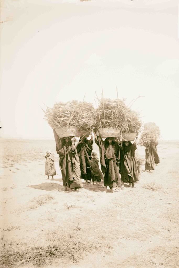
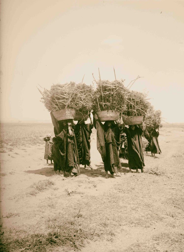
Looking down the Nile from Cairo revealed a city built along the river’s edge, with minarets, rooftops, and palm trees crowding the banks. In rural Egypt, women carried heavy loads of fuel — dried dung and brush — on their backs and heads, a daily labor that fell almost entirely to women in villages across the country.
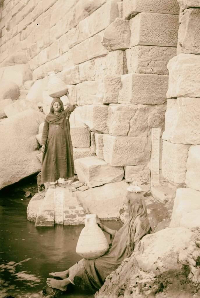
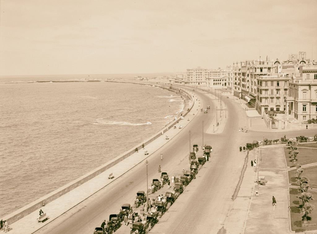
The Nilometer on Elephantine Island near Aswan had been used since ancient times to measure the Nile’s flood levels — information that determined whether the coming harvest would be a feast or a famine. The harbor at Alexandria, meanwhile, was one of the busiest in the Mediterranean, handling trade between Europe, Africa, and Asia.
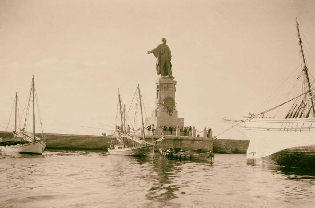
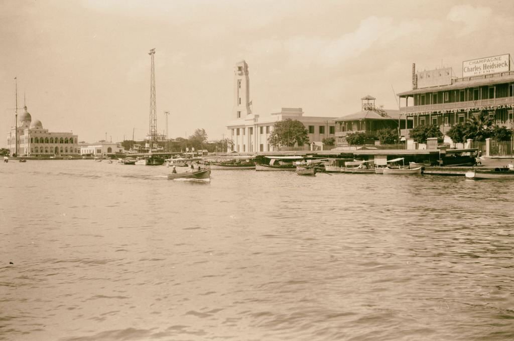
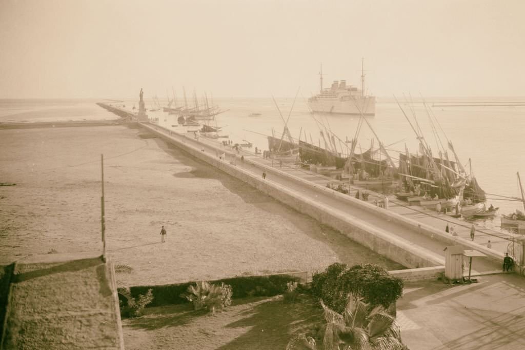
At the entrance to the Suez Canal in Port Said stood a statue of Ferdinand de Lesseps, the French engineer who oversaw the canal’s construction. The monument was a symbol of European pride in the project, though the Egyptian workers who built the canal — many of them forced laborers — received no such memorial. Port Said’s harbor was a stopping point for ships from around the world, making it one of the most internationally connected cities in Africa.
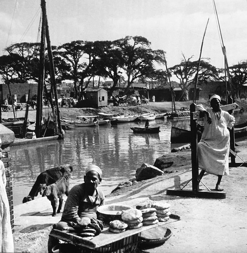
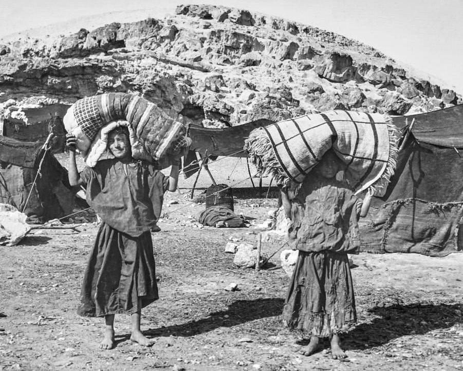
In 1906, a confrontation in the small delta village of Denshawai changed the political atmosphere in Egypt permanently. A group of British soldiers came to the village to shoot pigeons — birds that local villagers raised and sold for their livelihood. The villagers had endured this intrusion before, but this time they fought back with sticks. During the chaos, one British soldier died of heatstroke after running back to his camp to report the incident. The British response was swift and severe: four villagers were hanged, two were sentenced to life in prison, and most of the rest were publicly flogged in front of their entire community.
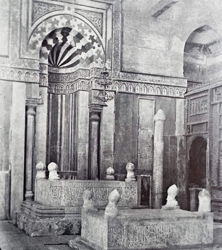
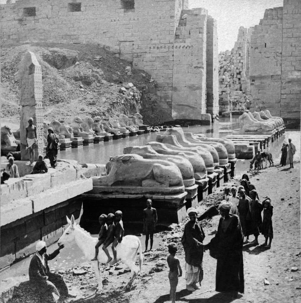
The Denshawai incident sent a shockwave through Egyptian society. Villages across the country reacted with outrage. Many Egyptians who had previously stayed neutral on the question of British rule joined the nationalist movement after witnessing or hearing about the punishments. The incident forced even the British Parliament — then controlled by Liberals — to acknowledge the problem. It led to the creation of an Egyptian parliament elected by the people, though real power remained firmly in British hands.
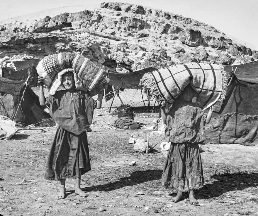
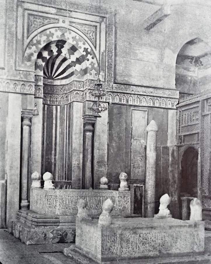
Many of the Egyptian parliamentarians who were elected to the new legislature used their platform to call for a British withdrawal. The occupation was already twenty years overdue by the promises Europeans had made to Egypt. Nationalist voices grew louder throughout the first decade of the century, drawing on the anger generated by incidents like Denshawai and on a growing sense of Egyptian cultural identity.
In 1908, Prince Yusuf Kamal founded Egypt’s first school of fine arts in Cairo, marking the beginning of the country’s first modern art movement. The school focused on academic and Renaissance-based training in an Orientalist tradition, but it also gave Egyptian artists a formal institution to develop their craft. Several other schools and cultural institutions opened around this time, reflecting a broader push toward Egyptian self-expression and intellectual independence.
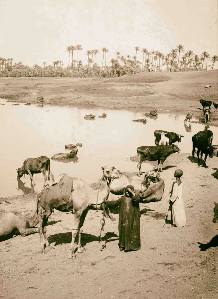
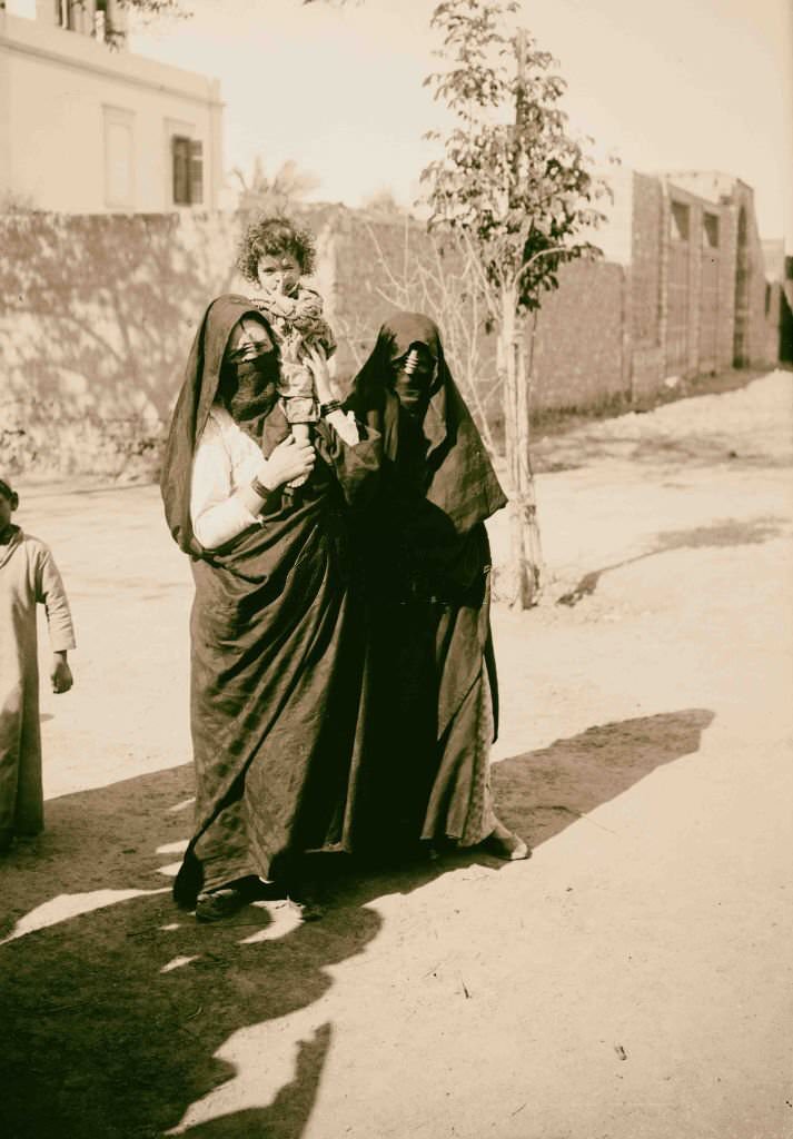
Life in rural Egypt in 1900 looked much as it had for generations. Cattle watered at the edge of the Nile near Memphis, where the ruins of one of the ancient world’s greatest cities lay just beneath the palm groves. Women raised children, carried water, gathered fuel, and tended to daily tasks with no connection to the political negotiations happening in Cairo and London.
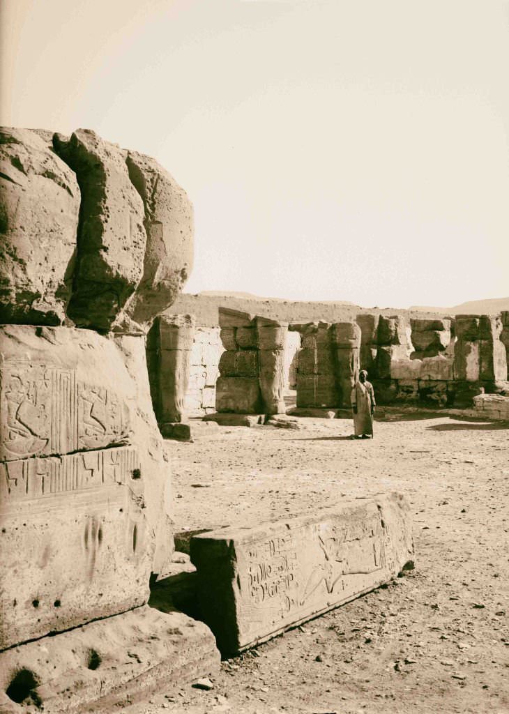
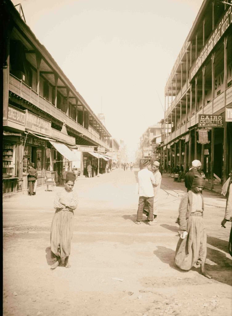
The Temple of Ramesses at Abydos was one of Egypt’s most sacred ancient sites — a place of pilgrimage for ancient Egyptians who believed the god Osiris was buried there. Port Said’s main street, by contrast, was a thoroughly modern affair, lined with European-style buildings, shops, and hotels catering to the constant traffic of sailors, merchants, and travelers passing through the canal zone.
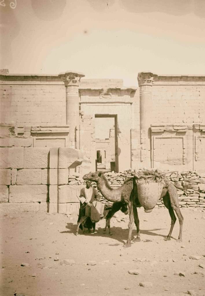
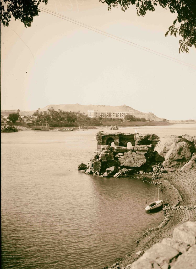
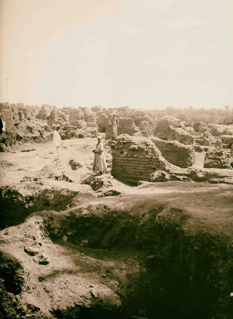
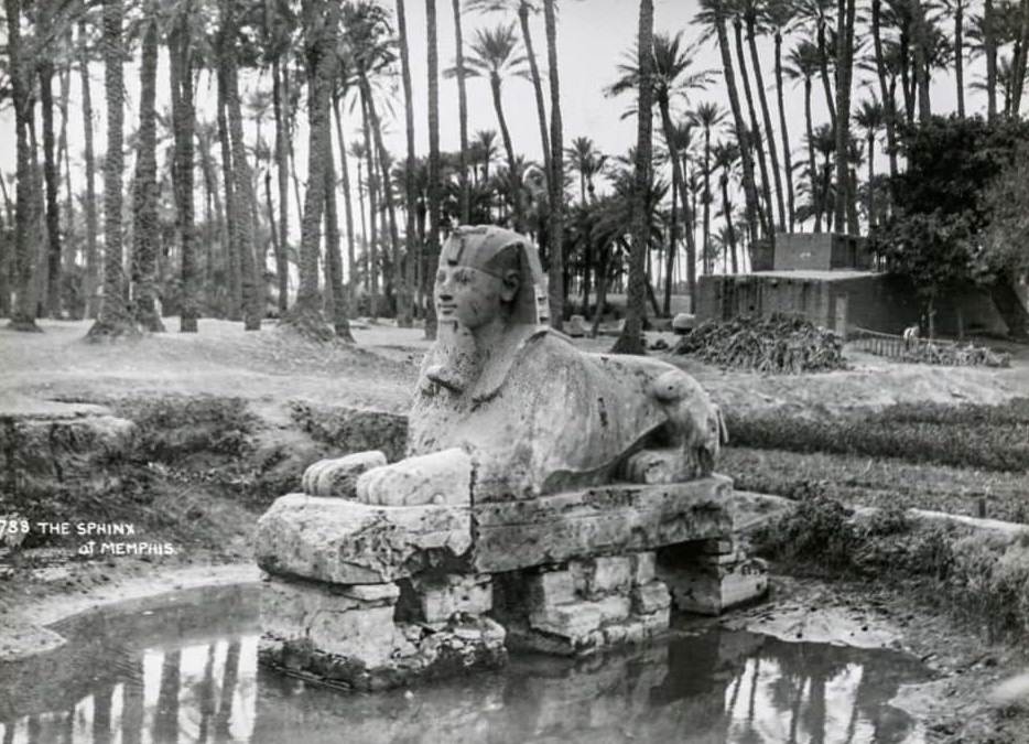
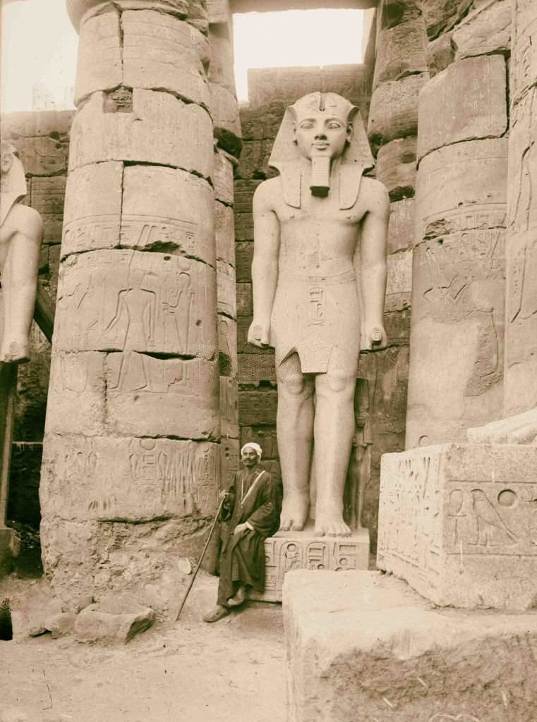
Looking across the Nile from Aswan, Elephantine Island sat in the middle of the river, its rocky shores dotted with ancient ruins and small gardens. The view had changed little since antiquity. Near Giza, the site of ancient Memphis — once the capital of Egypt’s Old Kingdom — was buried under centuries of flood deposits and farmland, with only scattered ruins and the colossal statues of Ramesses II marking where a great city once stood.
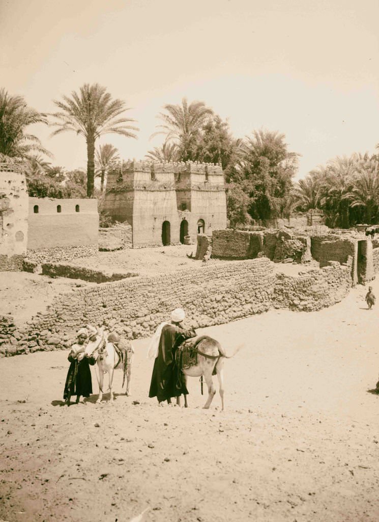
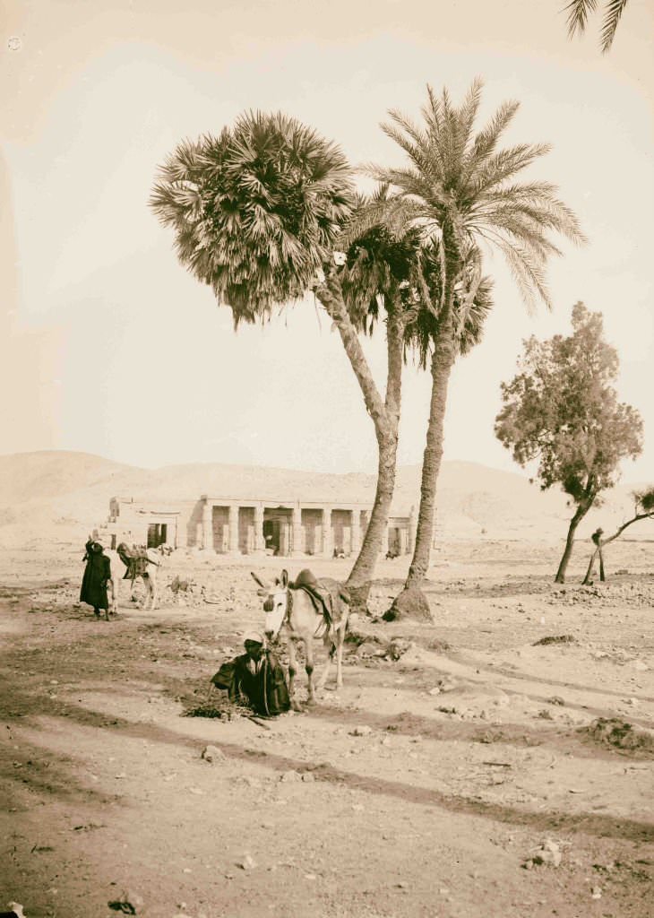
A typical Egyptian village in 1900 was built from mud brick, clustered around a well or a canal, and surrounded by fields of wheat, cotton, and vegetables. The Libyan Desert stretched west of Thebes, a vast and barren expanse that bordered the green strip of the Nile Valley where nearly all Egyptian life was concentrated.
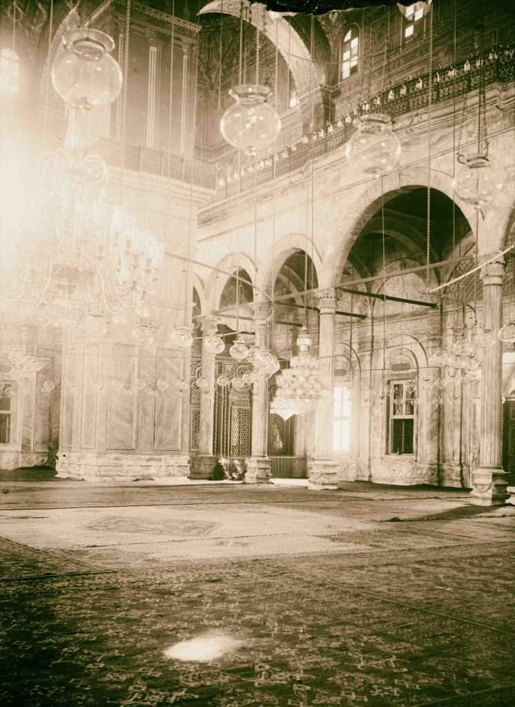
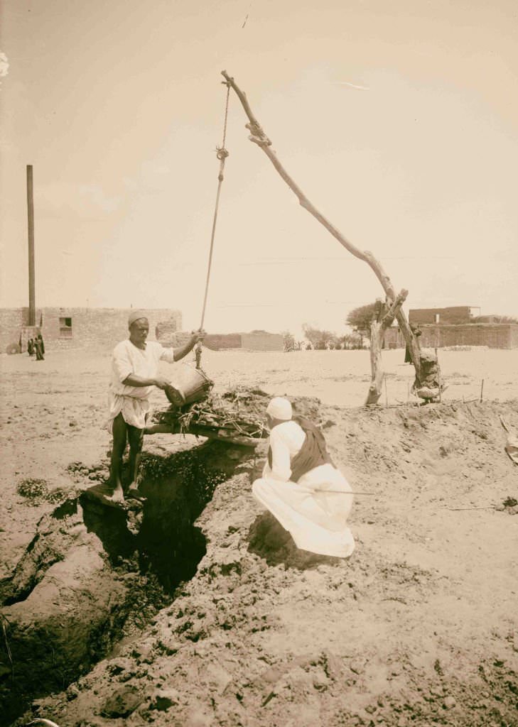
The Mosque of Mohammed Ali Pasha, perched on the Citadel above Cairo, was the most prominent religious building in the city. Its twin minarets and large dome were visible from much of the city below. In the countryside, farmers used age-old irrigation methods — including hand-operated shadoofs and animal-driven water wheels — to move Nile water onto their fields, techniques that were thousands of years old.
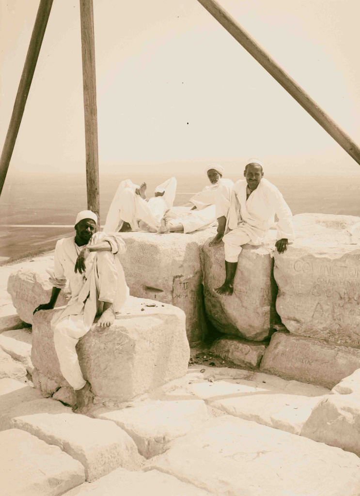
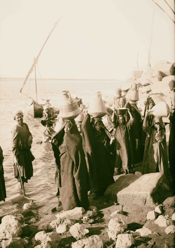
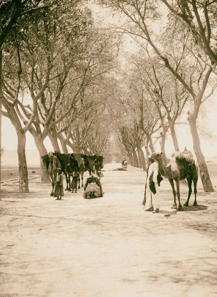
Tourists climbed to the summit of the Great Pyramid in 1900, helped up by Egyptian guides who made part of their living from the growing flow of foreign visitors. Women carried ceramic jars of Nile water on their heads along dirt roads, a sight repeated thousands of times a day across the country. The road to the pyramids from Cairo was already a well-worn tourist route by this time, with carriages and camels both in common use.
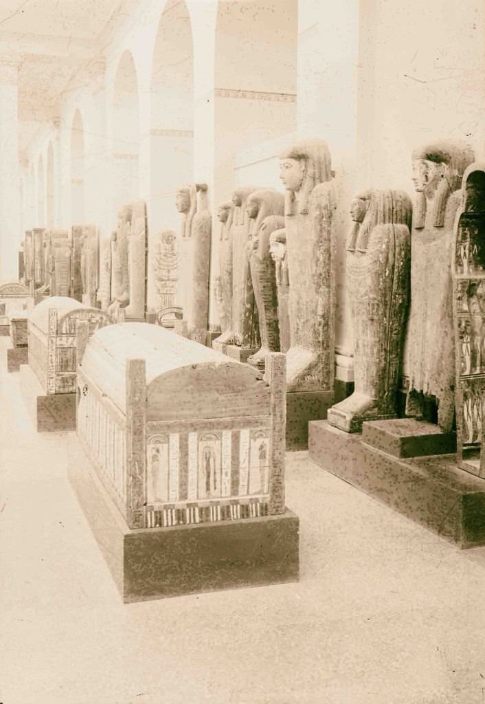
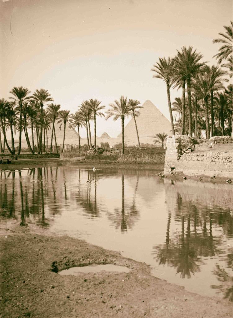
The Cairo Museum held one of the world’s greatest collections of ancient artifacts, including mummy coffins painted in vivid detail. The museum had opened in 1902 in its current building and quickly became a major destination for scholars and tourists alike. Outside the city, villages near the pyramids offered a striking image of everyday Egyptian life set directly against the backdrop of the ancient world.
![Colossal statue of Rameses [i.e., Ramses] II, Memphis, 1900.](https://www.bygonely.com/wp-content/uploads/2022/06/Egypt_at_the_Turn_of_the_20th_Century_120.jpg)
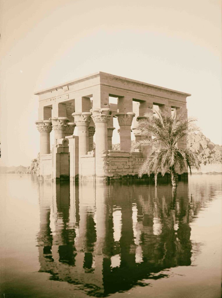
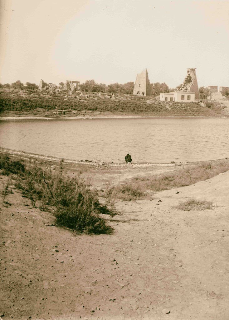
The sacred lake at Karnak was used by ancient priests for ritual purification before ceremonies in the great temples nearby. By 1900, it sat calm and reflective, bordered by the ruins of one of Egypt’s largest religious complexes. At Memphis, the colossal statue of Ramesses II lay on its back in an outdoor enclosure, too large to be moved but preserved well enough to give viewers a sense of the power ancient Egyptian rulers projected through their monuments.
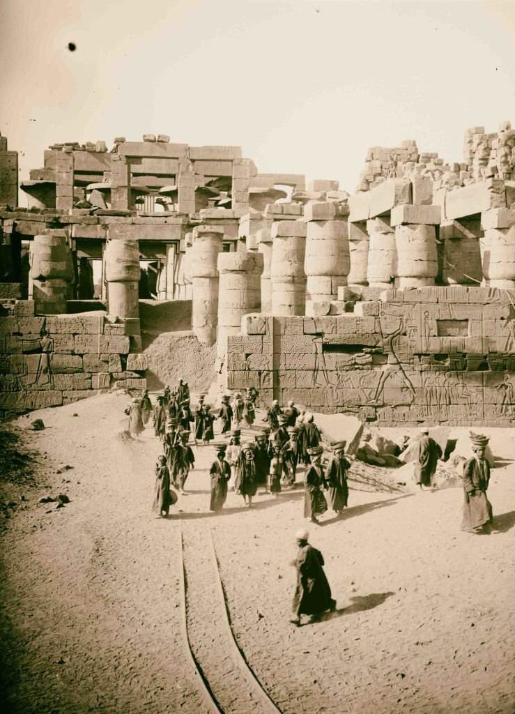
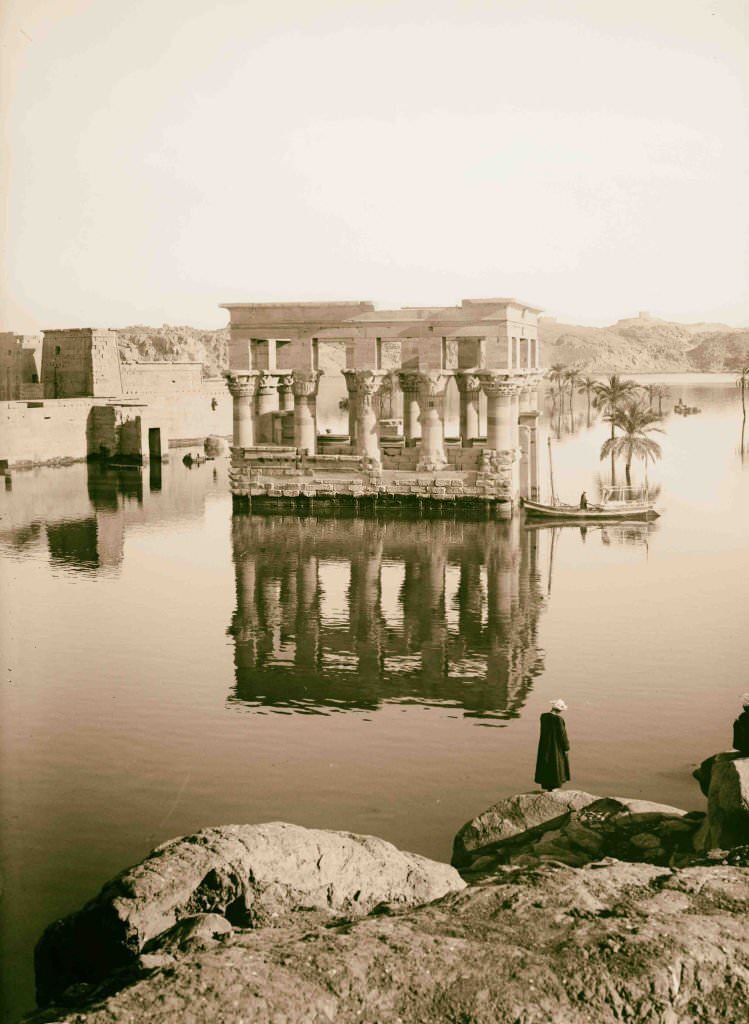
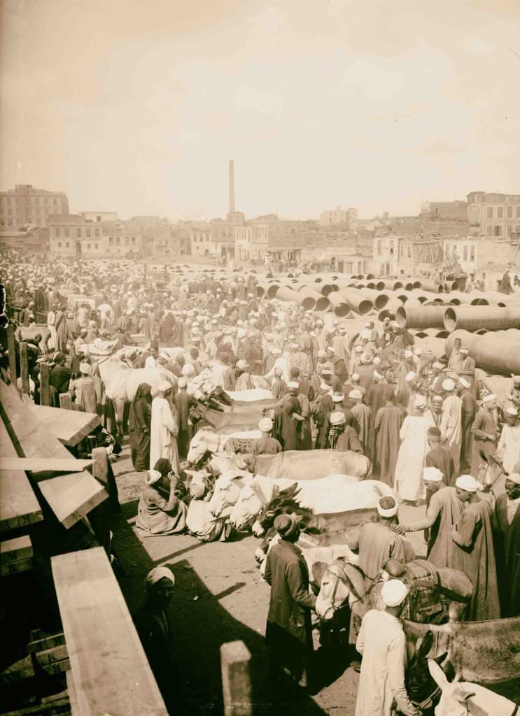
The Great Temple of Amun at Karnak was the largest religious building ever constructed. Its hypostyle hall alone contained 134 massive columns. Cairo’s donkey market was, by contrast, a thoroughly practical gathering place — donkeys were the primary mode of transport for goods and people in the city and the countryside, and buying and selling them was serious business.
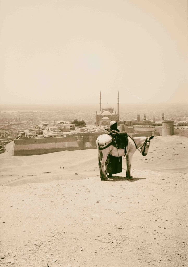
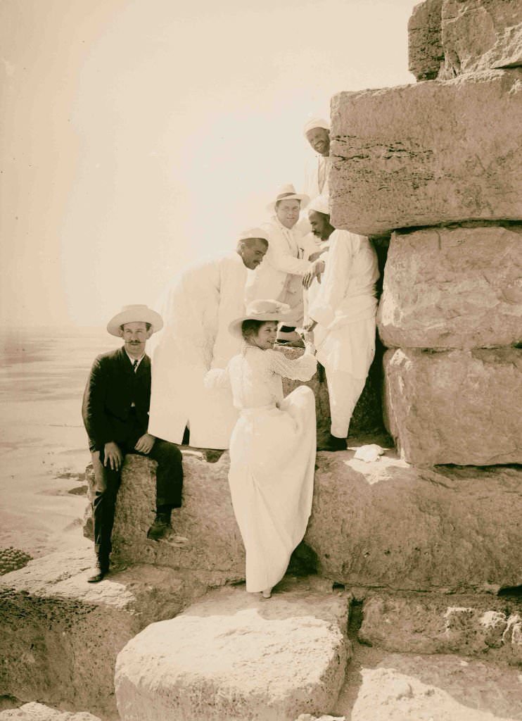
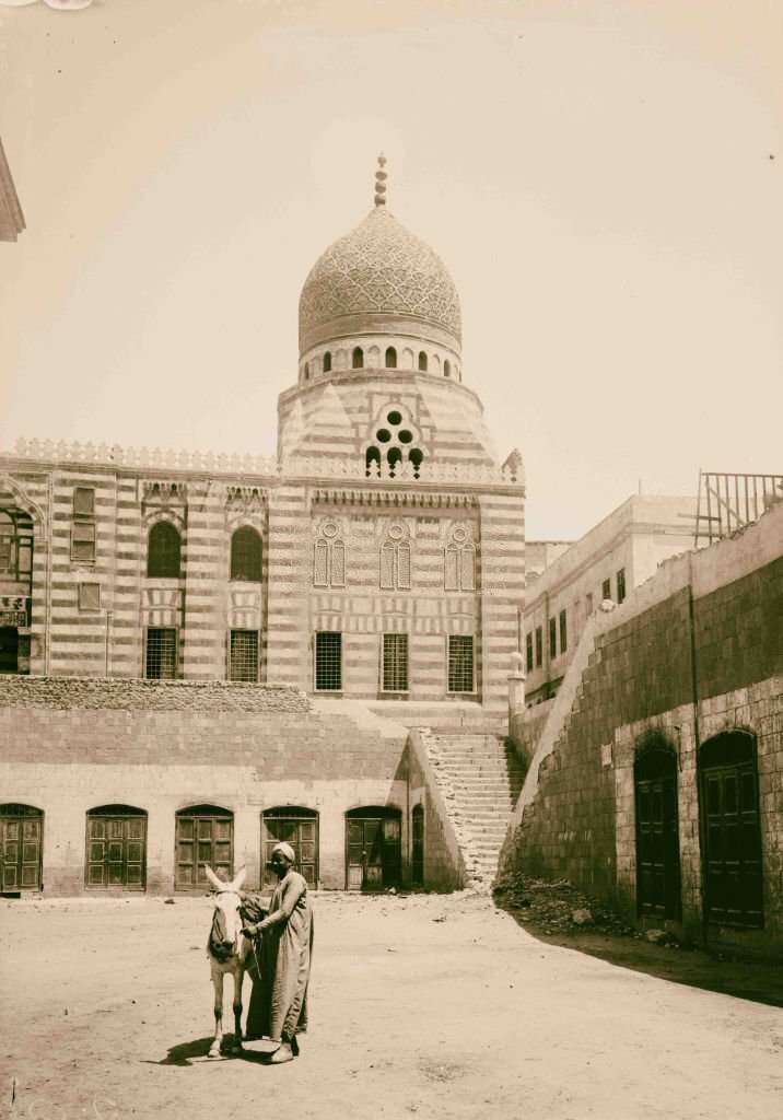
From the Mokattam Hills east of Cairo, the entire city spread out below — minarets, markets, the Nile, and the distant pyramids all visible at once. Cairo in 1900 was already a major city with hundreds of thousands of residents, a mix of ancient Islamic architecture and newer European-influenced buildings rising side by side.
![Near view of statues of Rameses [i.e., Ramses] II in the Ramesseum, 1900.](https://www.bygonely.com/wp-content/uploads/2022/06/Egypt_at_the_Turn_of_the_20th_Century_128.jpg)
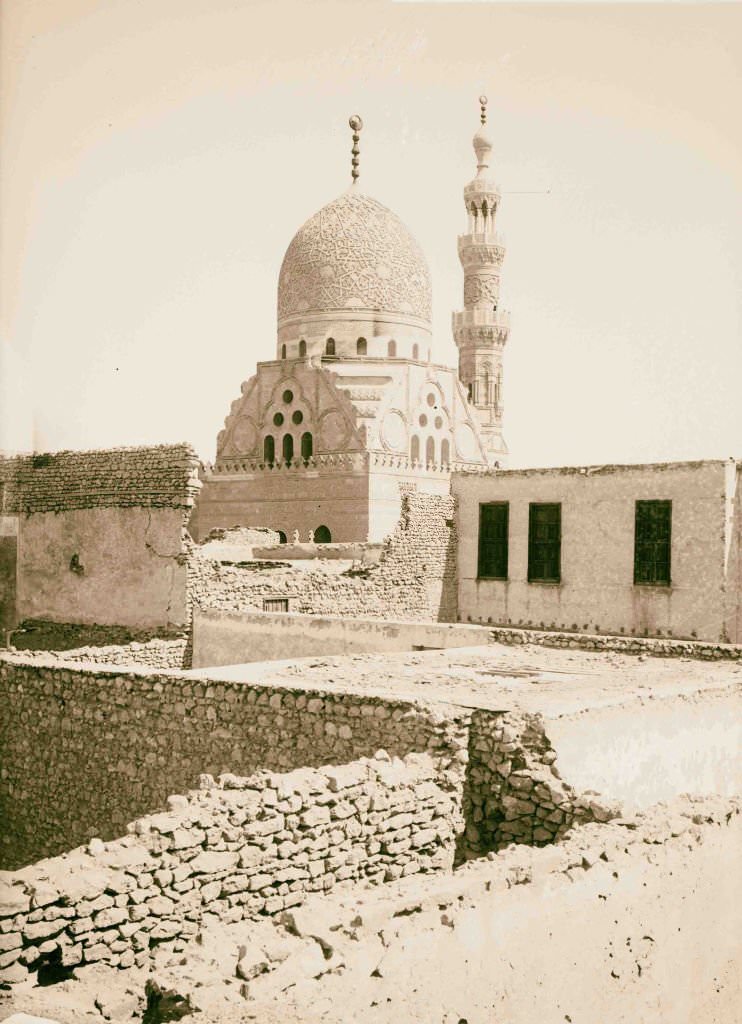
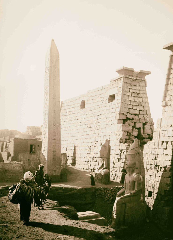
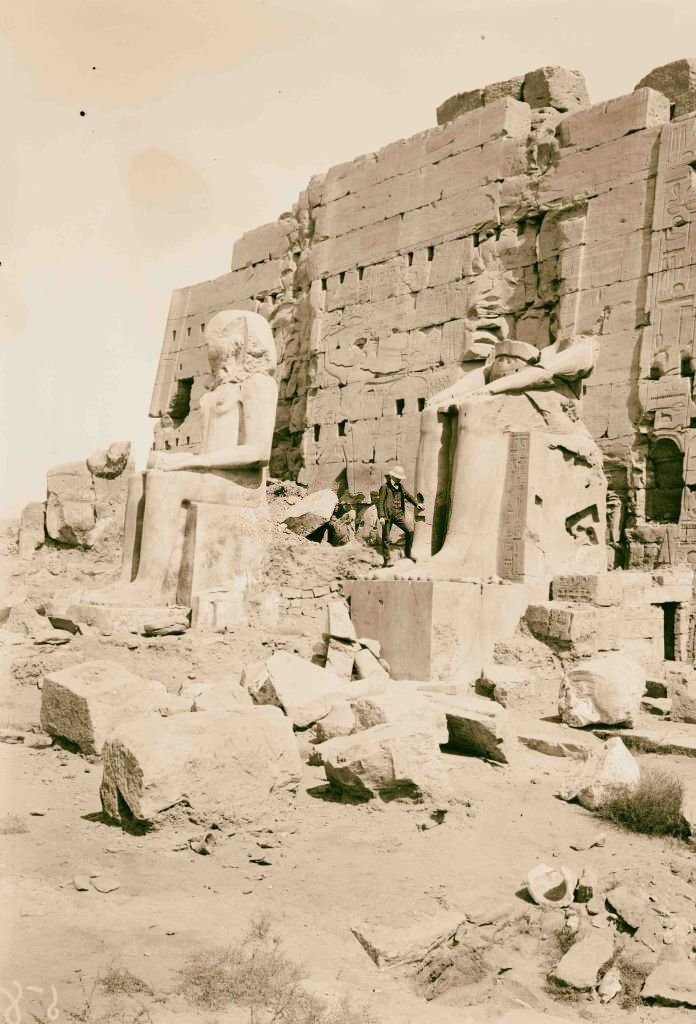
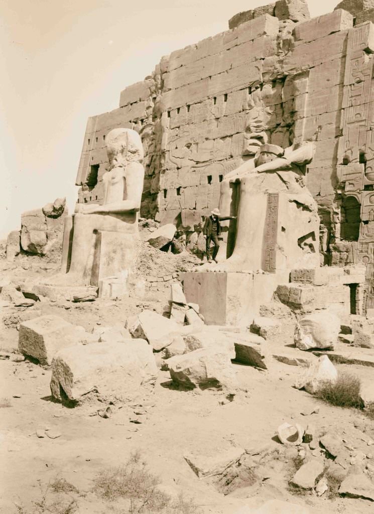
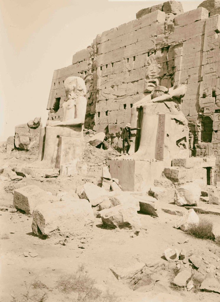
The Ramesseum — the mortuary temple of Ramesses II at Thebes — contained enormous fallen statues of the pharaoh, their scale still impressive even in ruin. The Mosque of Kait Bey in Cairo was one of the finest examples of Mamluk architecture in the city, its intricate stonework and elegant minaret a testament to the medieval Islamic civilization that had shaped Egypt for centuries. At Luxor, a single obelisk marked the entrance to the great temple — its twin having been shipped to Paris in the 19th century.
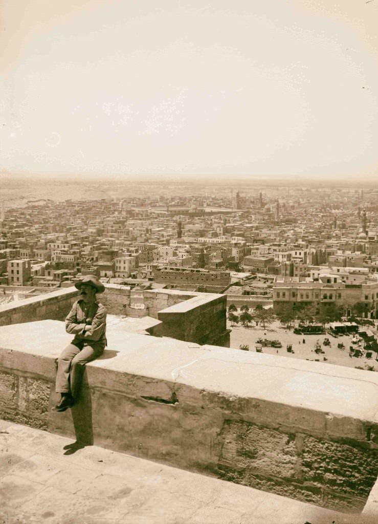
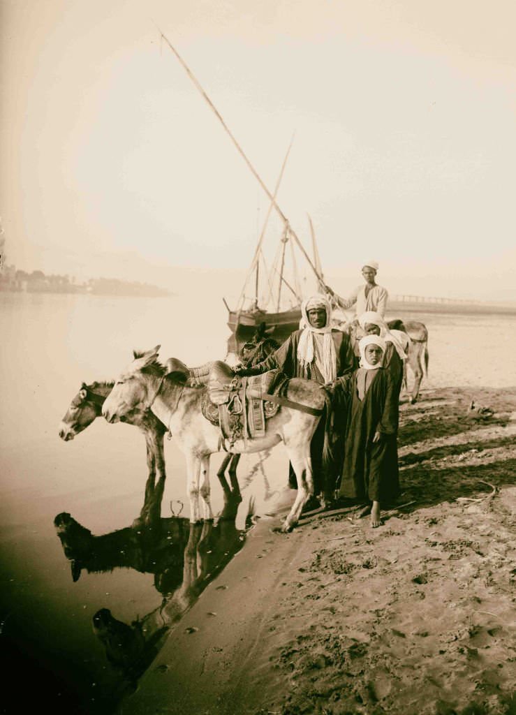
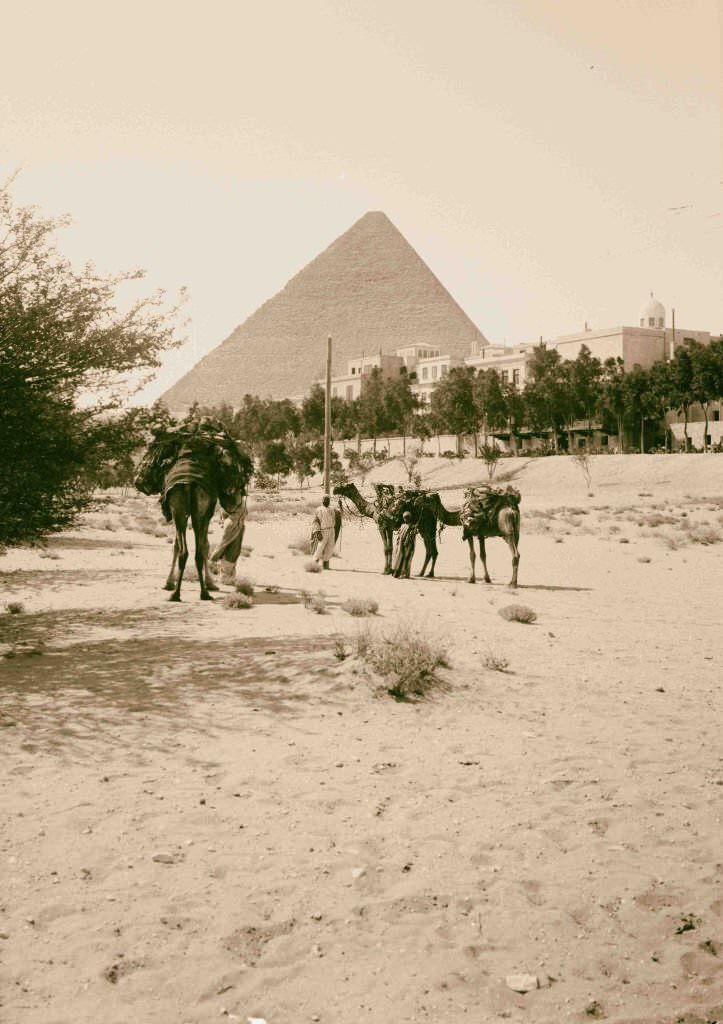
From the Citadel, Cairo’s rooftops and mosques stretched in every direction. The Mena House Hotel near the Giza pyramids had become one of the most famous luxury hotels in the world, catering to wealthy European and American tourists who wanted to experience ancient Egypt in comfort. Young Egyptians working as donkey guides on the Nile’s banks near Thebes were part of a tourist economy that was growing fast.
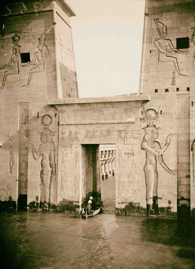
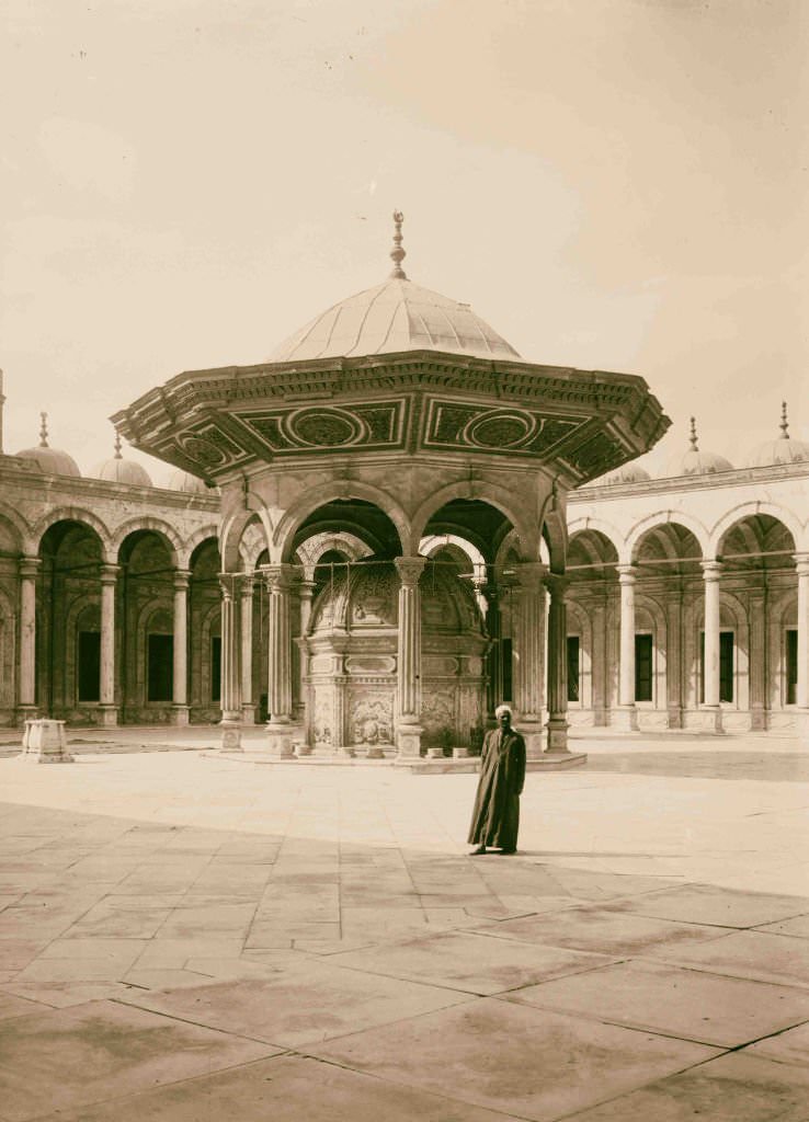
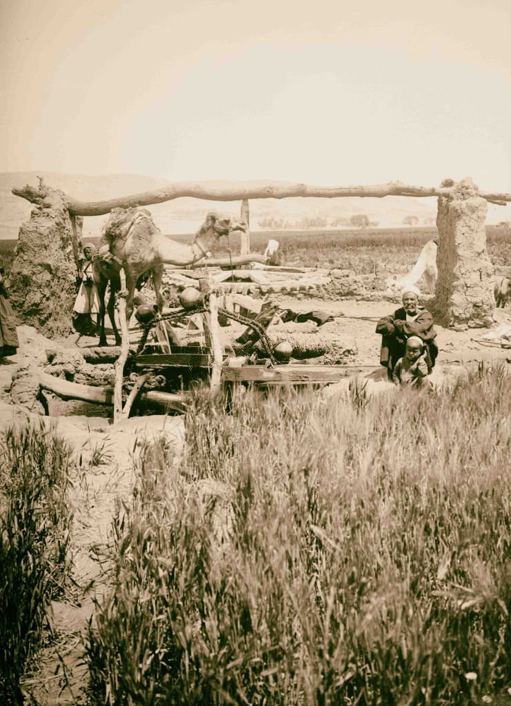
The entrance pylon of the Temple of Isis at Philae was one of the most photographed gateways in all of Egypt, its towers covered in carved reliefs that remained remarkably intact. In the Egyptian countryside, camels were harnessed to large wooden water wheels — a technology introduced centuries earlier — to lift water from canals onto farmland. These wheels turned slowly but continuously, their sound a constant backdrop to rural life.
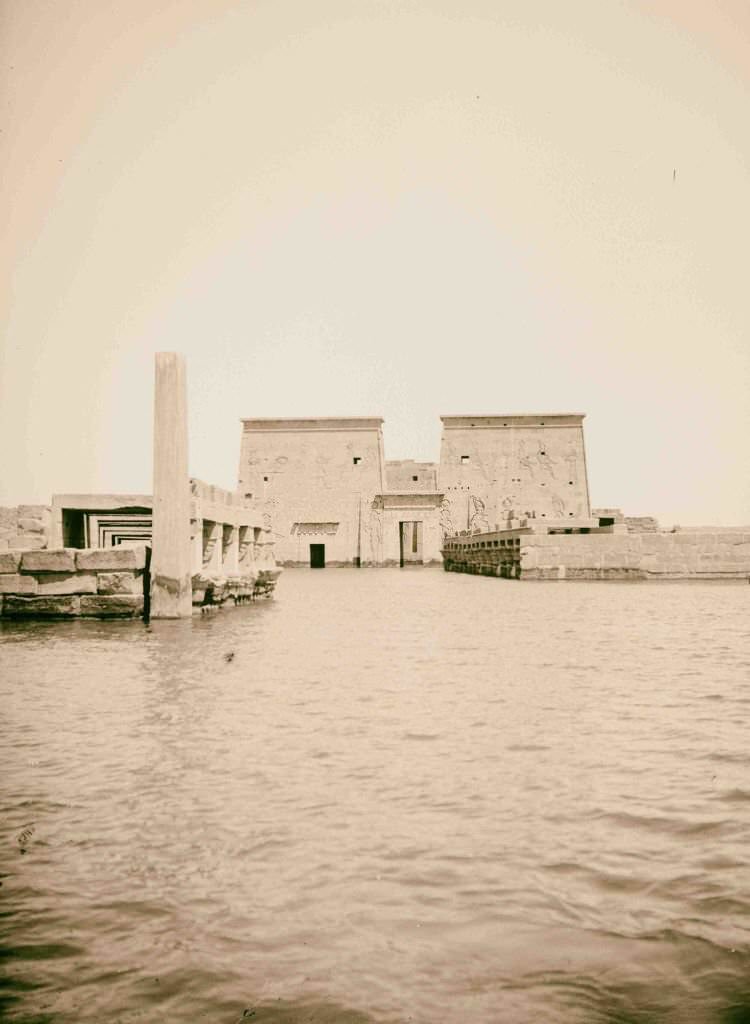
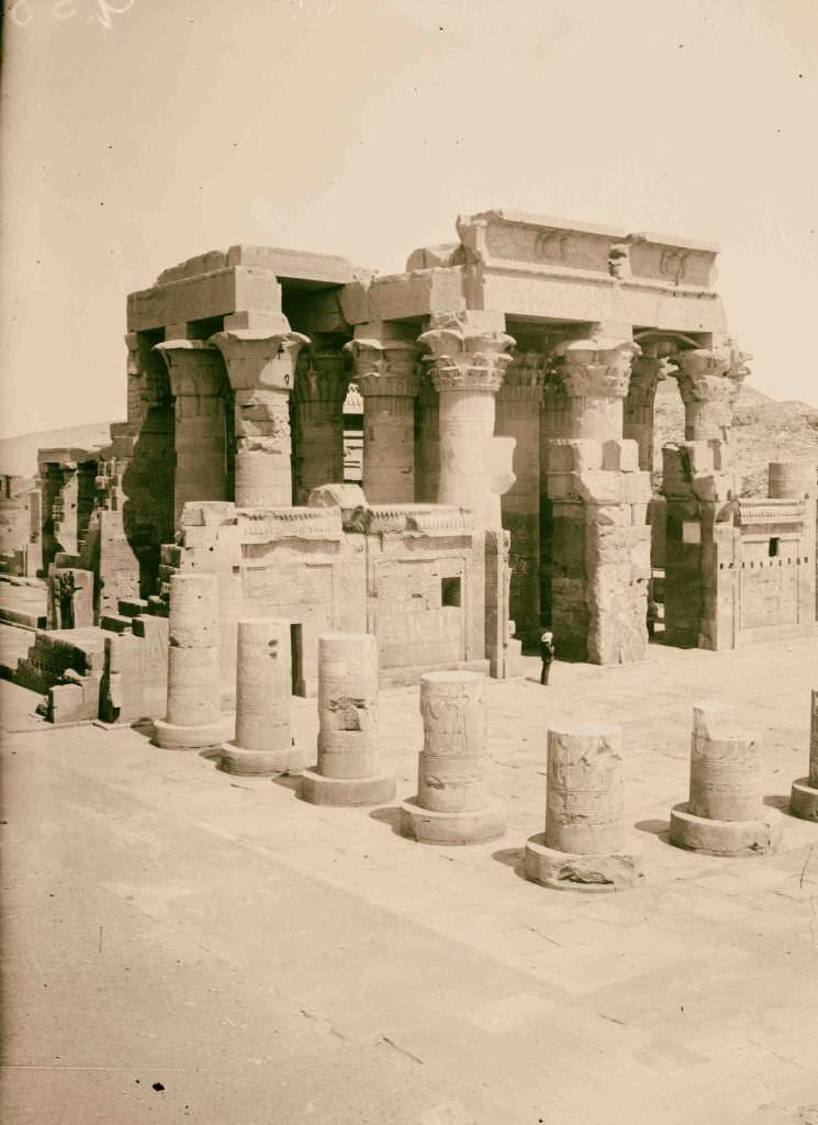
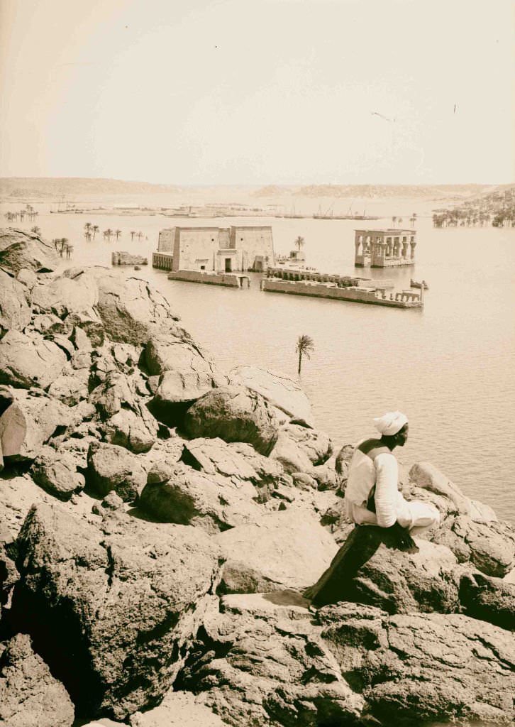
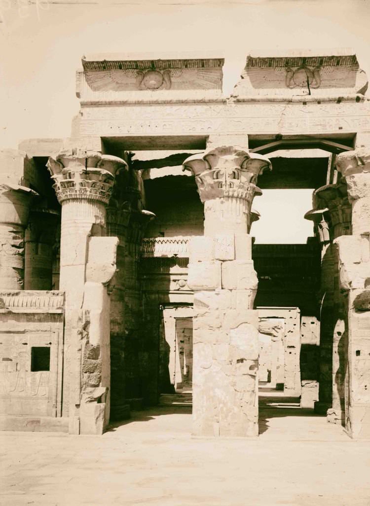
The Temple of Isis at Philae stood on an island in the Nile near Aswan, its obelisk and colonnaded halls visible from the water. The Temple of Sobk and Horoeris at Kom Ombo was unique — dedicated to two gods simultaneously, it was split symmetrically down the middle, with each half belonging to a different deity. These sites drew archaeologists, artists, and travelers from across Europe in the early 1900s.
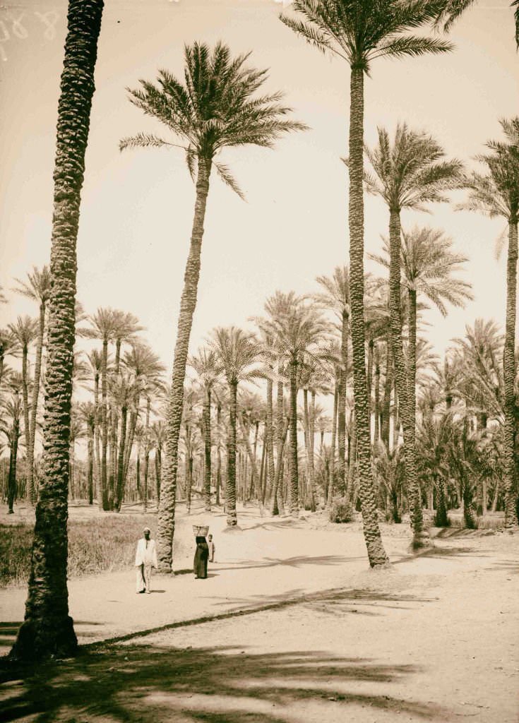
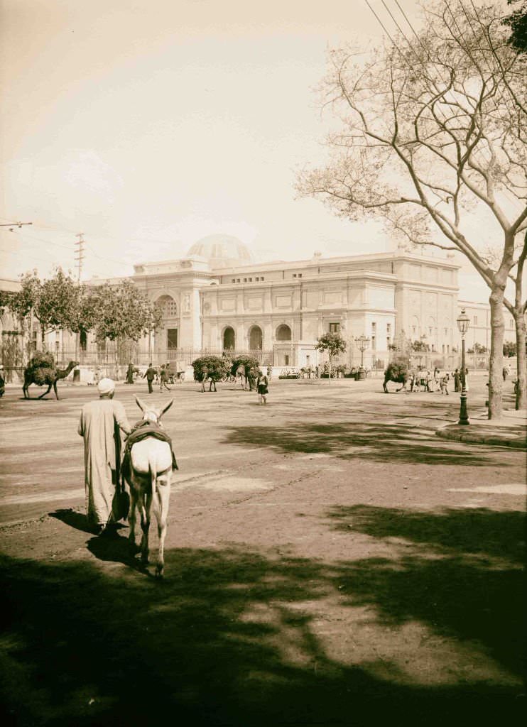

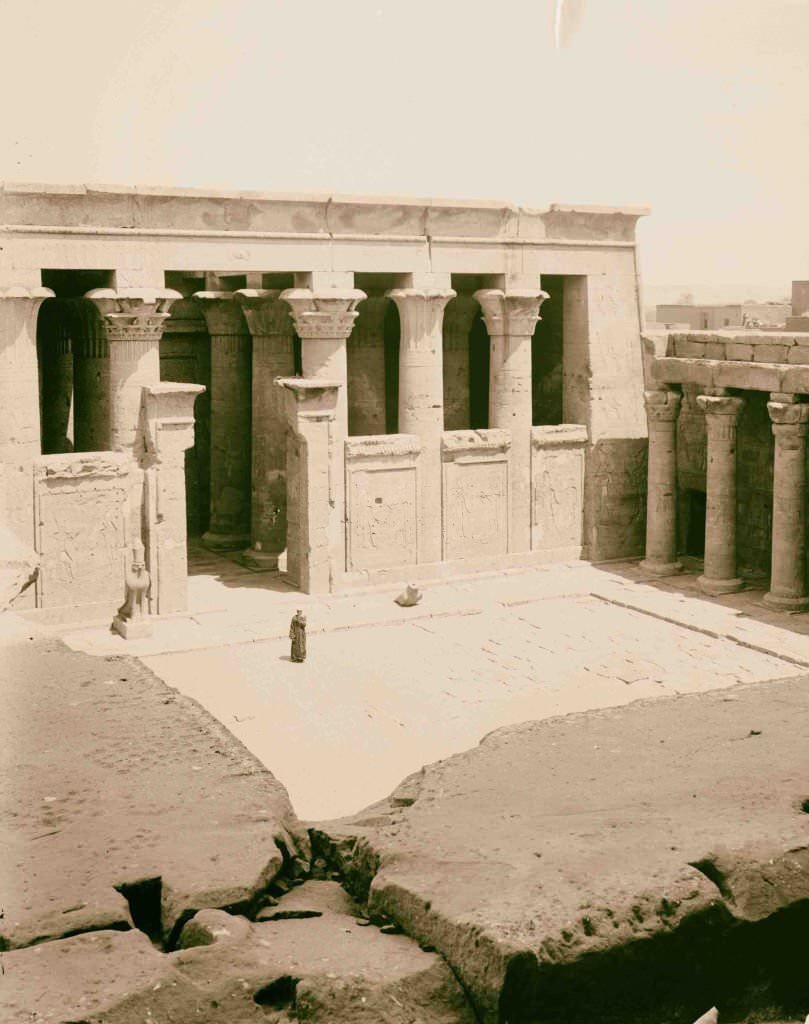
The exterior of the Cairo Museum — opened in its current neoclassical building in 1902 — presented a formal, European-style facade that stood in deliberate contrast to the Islamic architecture surrounding it. Inside, its halls contained treasures from across Egypt’s ancient history. The colonnaded courtyard of the Temple of Horus at Edfu, with its precisely carved pillars, offered a different kind of grandeur — one built not to impress foreign visitors, but to honor a god.
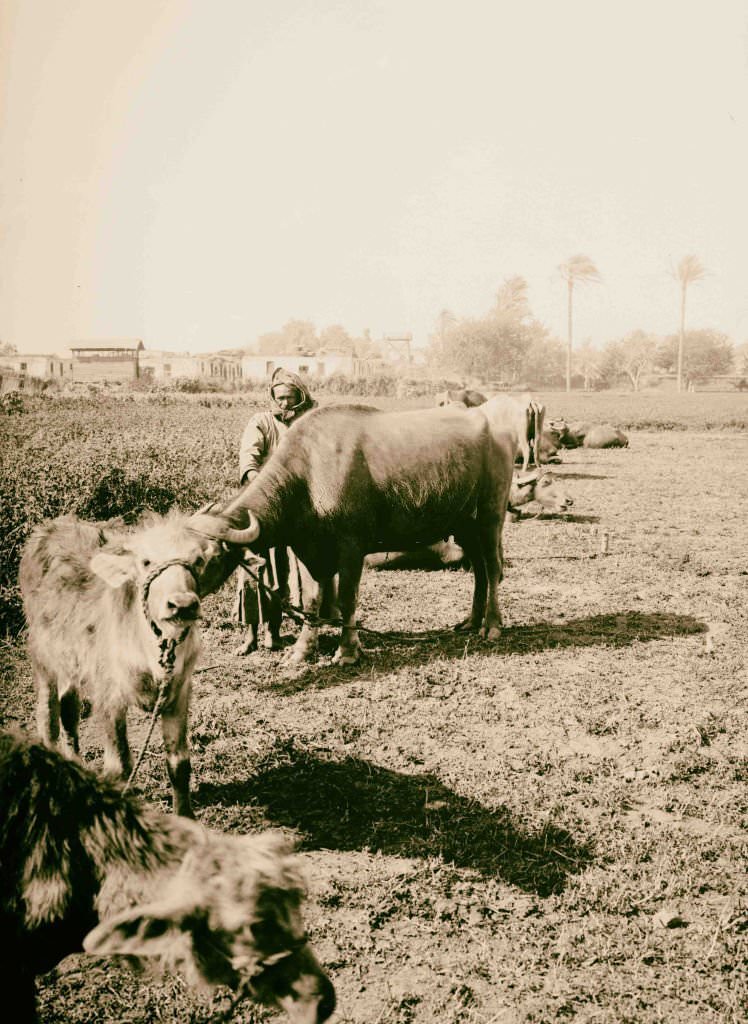
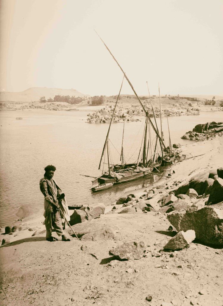
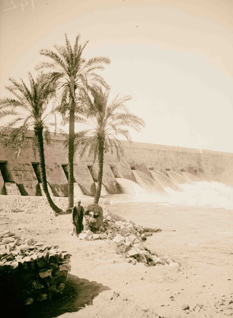
Water buffalo were essential to Egyptian farming — used for plowing fields, threshing grain, and providing milk. They moved slowly through the fields of the Nile Delta, as much a fixture of the landscape as the river itself. At Aswan, the dam’s sluices controlled the flow of the Nile, a feat of engineering that transformed Egypt’s agricultural calendar and allowed year-round irrigation for the first time.
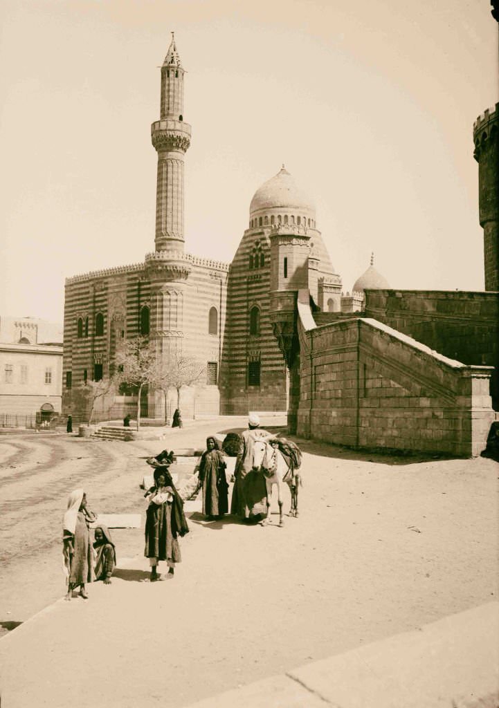
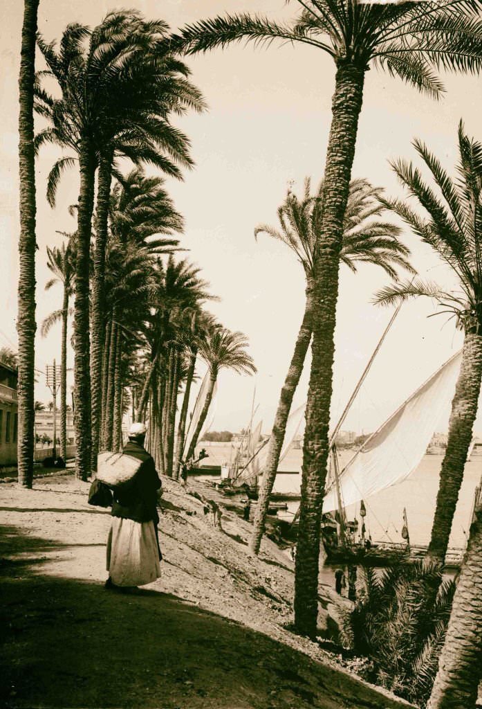
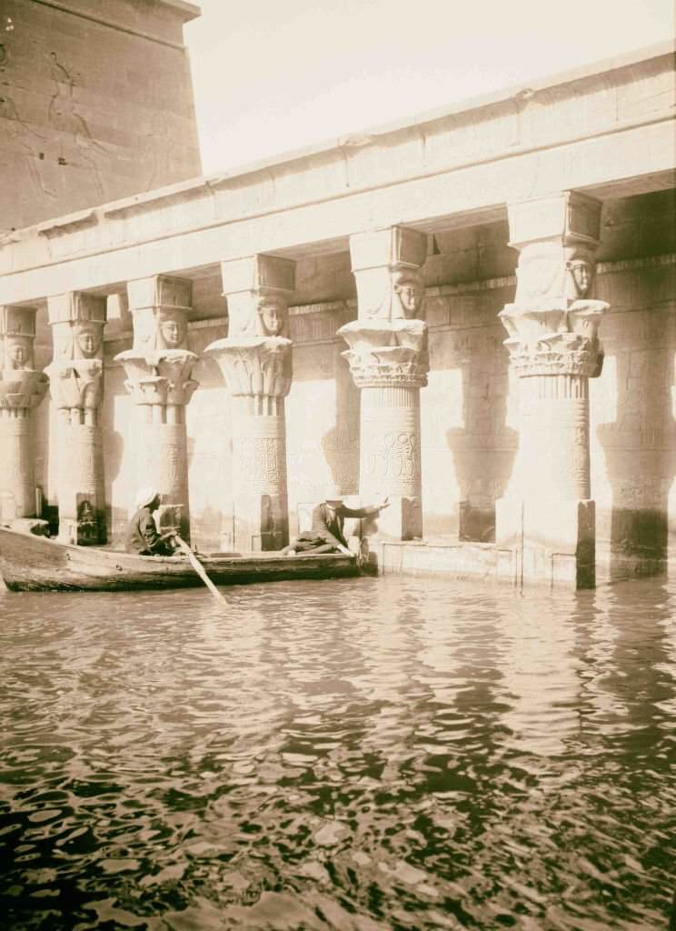
Cairo’s many mosques formed the spiritual and social core of the city’s Muslim majority. The Mosque of Mahmoudiyya was one of several Ottoman-era mosques that gave Cairo’s skyline its distinctive silhouette of domes and minarets. At Philae, the birth house — a small temple structure associated with the myth of the birth of Horus — was one of the most delicately decorated buildings on the island.
![Thebes. Pavilion of Rameses [i.e., Ramses] III, Medinet Habu, Egypt, 1900.](https://www.bygonely.com/wp-content/uploads/2022/06/Egypt_at_the_Turn_of_the_20th_Century_149.jpg)
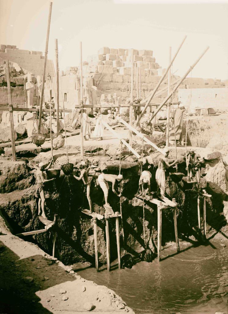
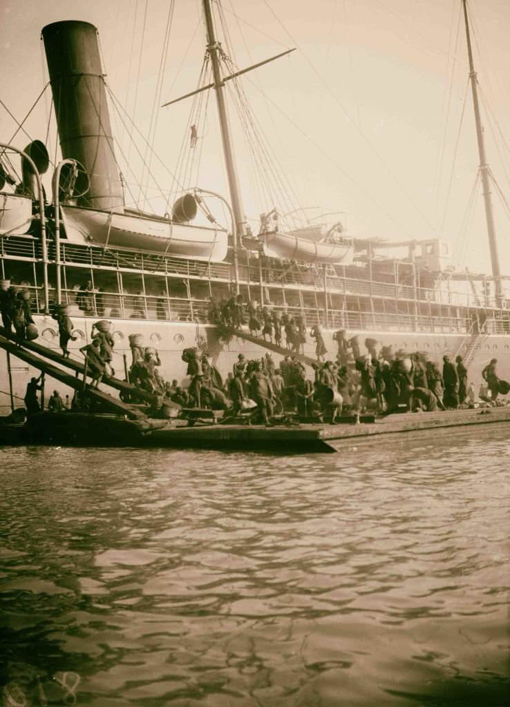
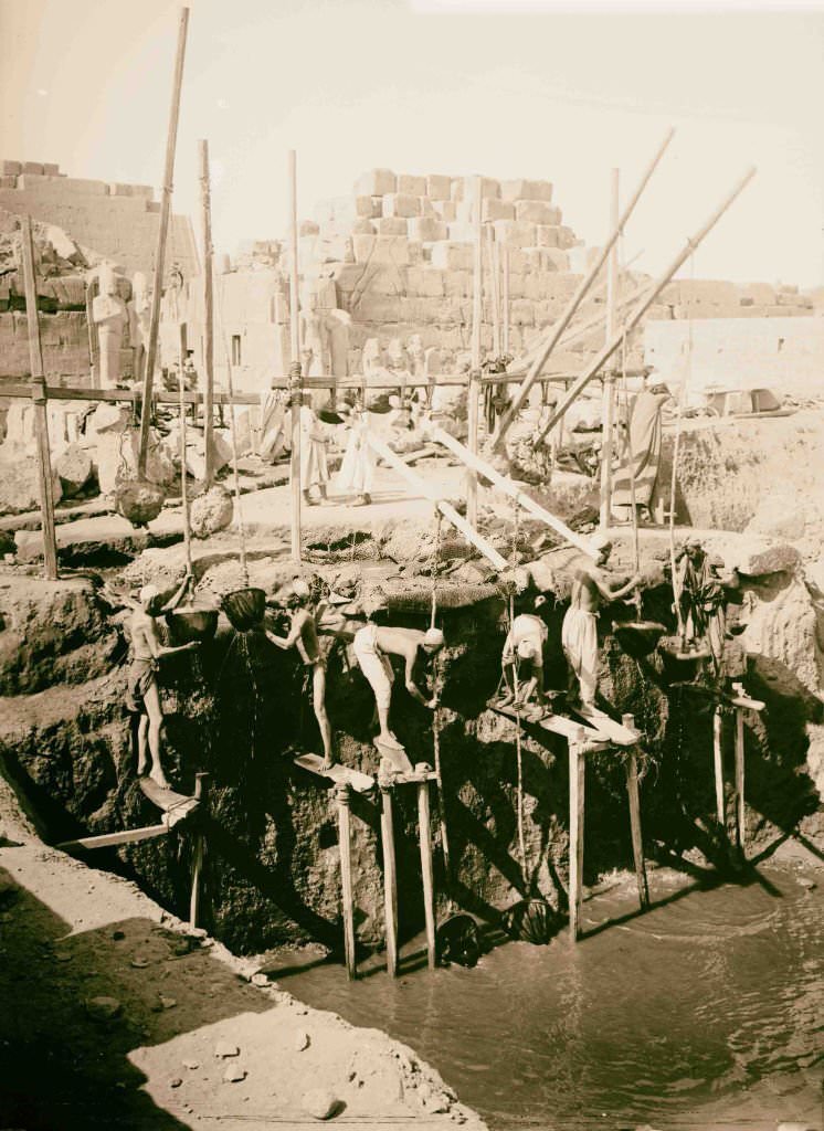
Archaeological excavations at Karnak required constant pumping and bailing of groundwater, as much of the site sat close to the water table. Egyptian workers carried out this labor by hand. At Port Said, Egyptian dockworkers loaded coal onto steamships in the same exhausting manner — physically intensive work with no machinery, handled entirely by men moving at a relentless pace to keep the ships supplied and on schedule.
![Details of the Church of the Transfiguration [Monastery of St. Catherine], Egypt, 1900.](https://www.bygonely.com/wp-content/uploads/2022/06/Egypt_at_the_Turn_of_the_20th_Century_152.jpg)
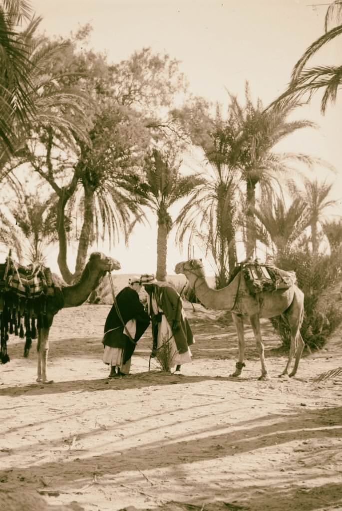
The Church of the Transfiguration inside the Monastery of St. Catherine dated back to the 6th century AD and was one of the oldest surviving churches in the world. Its interior decorations included ancient mosaics and icons that had been preserved through centuries of careful stewardship by the monastery’s monks. In the Sinai desert outside the monastery’s walls, Bedouin men greeted one another with formal salutations that reflected deep social customs.
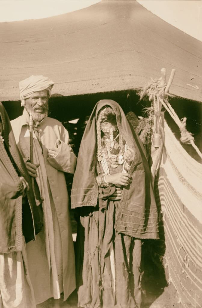
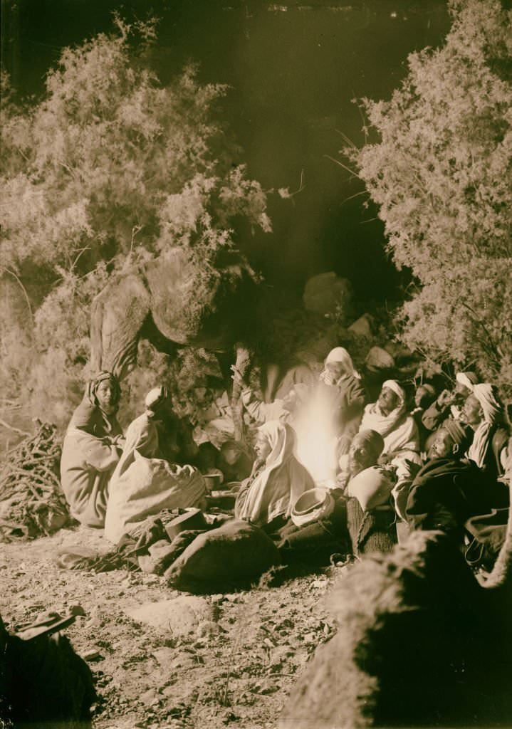
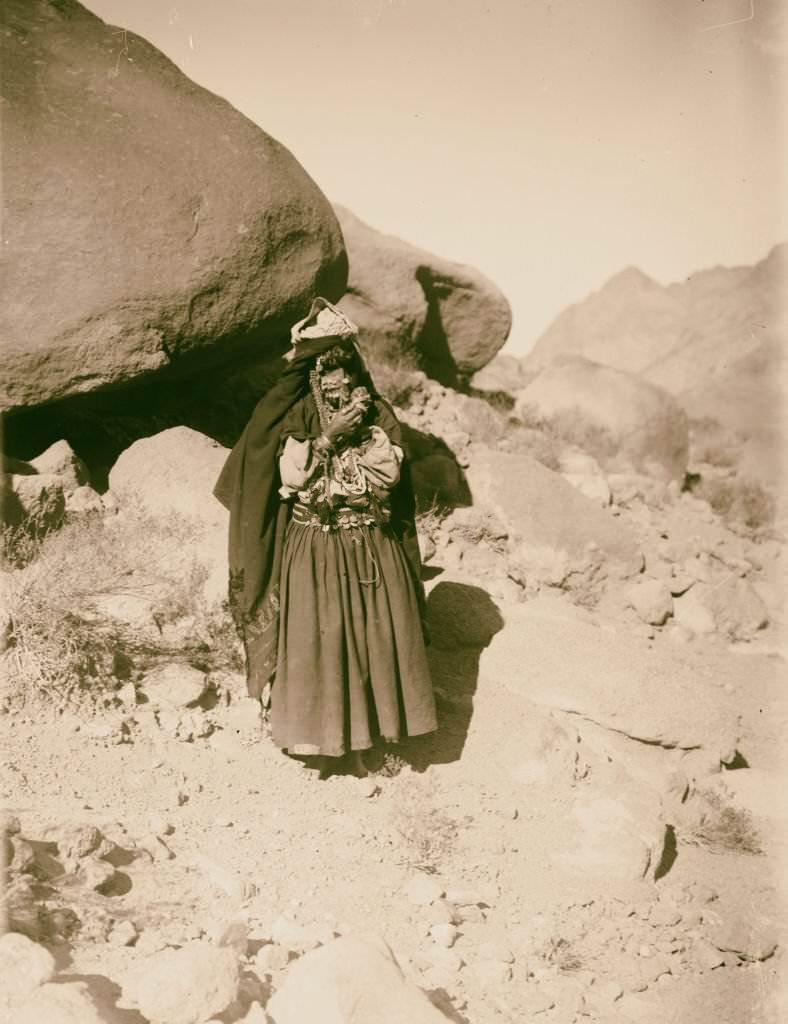
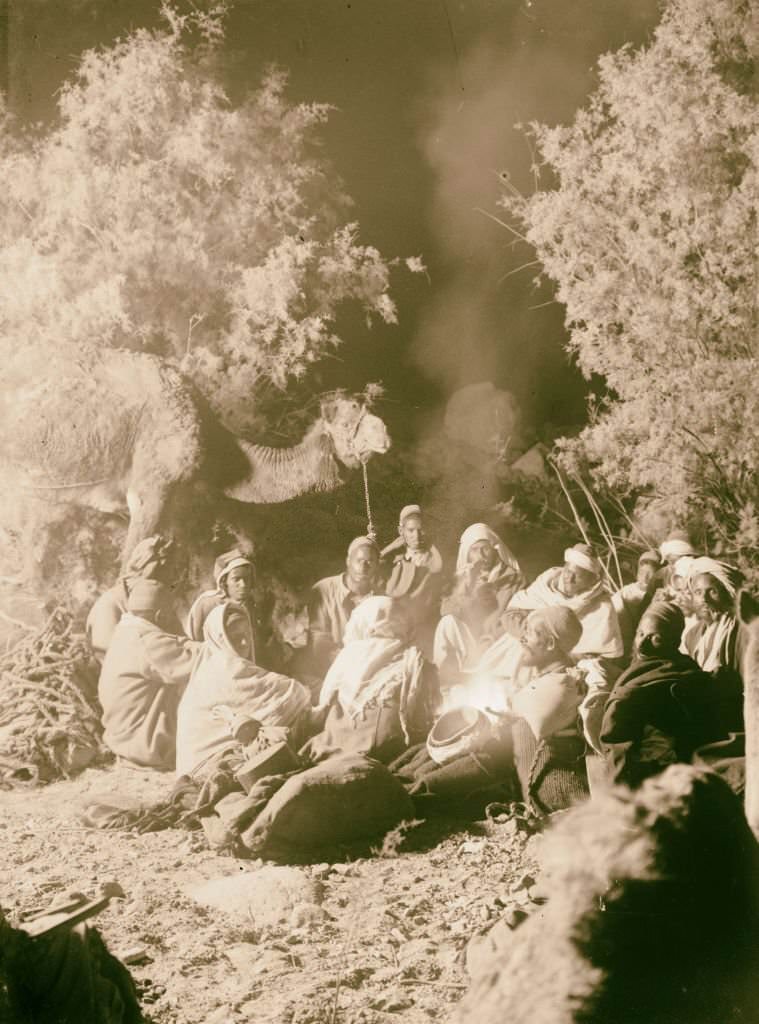
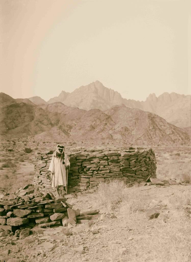
The Bedouin people of the Sinai lived in a world largely untouched by the political upheaval happening in Cairo and the Nile Valley. They traveled with their herds across the peninsula’s valleys and mountains, camping at night around fires, navigating the desert by knowledge passed down through generations. Their way of life in 1900 was essentially the same as it had been for centuries.
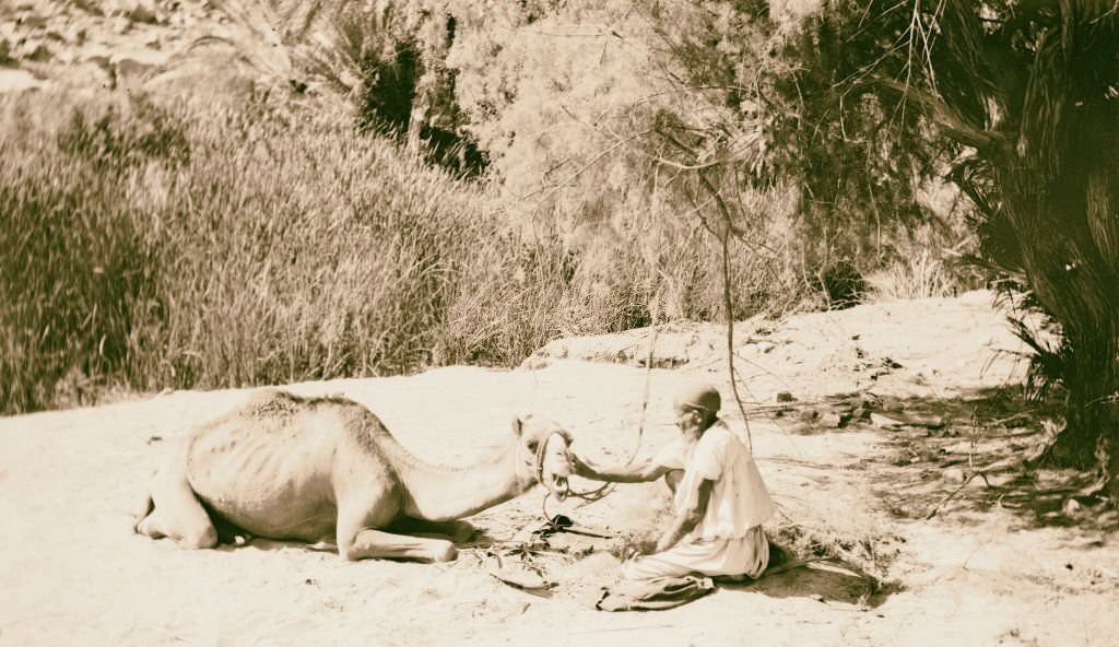
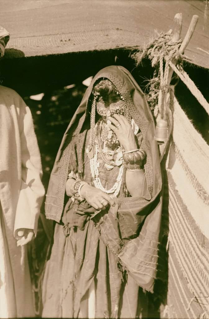
Camels were the foundation of Bedouin life in the Sinai — used for transport, trade, and as a measure of wealth. When a camel fell ill, it was treated with the same care given to any valuable member of the community. Bedouin women adorned themselves with silver jewelry, beaded necklaces, and embroidered clothing, their ‘finery’ representing both personal identity and cultural tradition.
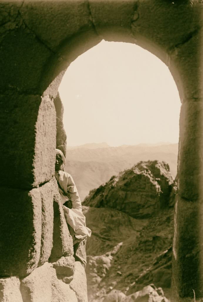
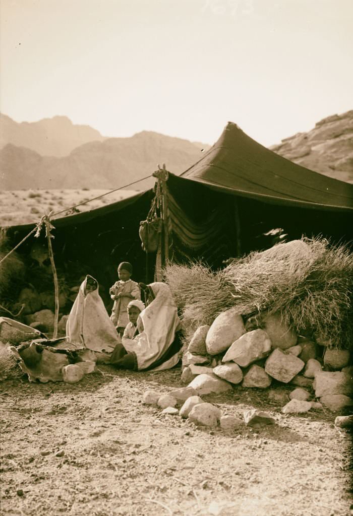
![The monk-artist [Monastery of St. Catherine] in Sinai, Egypt, 1900.](https://www.bygonely.com/wp-content/uploads/2022/06/Egypt_at_the_Turn_of_the_20th_Century_163.jpg)
Bedouin homes in the valleys of the Sinai were simple structures of woven cloth and wooden poles, designed to be assembled and dismantled as families moved with their herds. Inside the Monastery of St. Catherine, a very different kind of life was being lived — monks spent their days in prayer, study, and artistic work, producing and preserving religious icons in a tradition that stretched back over a thousand years.
![Sinai via the Red Sea, Tor, and Wady Hebran. Monk climbing up to his cell-chapel [Monastery of St. Catherine] in Sinai, Egypt, 1900](https://www.bygonely.com/wp-content/uploads/2022/06/Egypt_at_the_Turn_of_the_20th_Century_164.jpg)
![Sinai via the Red Sea, Tor, and Wady Hebran. The old well [Monastery of St. Catherine] in Sinai, Egypt, 1900.](https://www.bygonely.com/wp-content/uploads/2022/06/Egypt_at_the_Turn_of_the_20th_Century_165.jpg)
![The famous library [Monastery of St. Catherine] in Sinai, Egypt, 1900.](https://www.bygonely.com/wp-content/uploads/2022/06/Egypt_at_the_Turn_of_the_20th_Century_166.jpg)
The library at the Monastery of St. Catherine held one of the largest collections of early Christian manuscripts in the world, second only to the Vatican. Some monks lived in individual cells carved into the rock above the monastery, climbing up each day to their private chapels. The monastery’s old well, said to be the site where Moses met his future wife, remained in active use in 1900.
![Firing an antique gun for the new year [Monastery of St. Catherine] in Sinai, Egypt, 1900.](https://www.bygonely.com/wp-content/uploads/2022/06/Egypt_at_the_Turn_of_the_20th_Century_167.jpg)
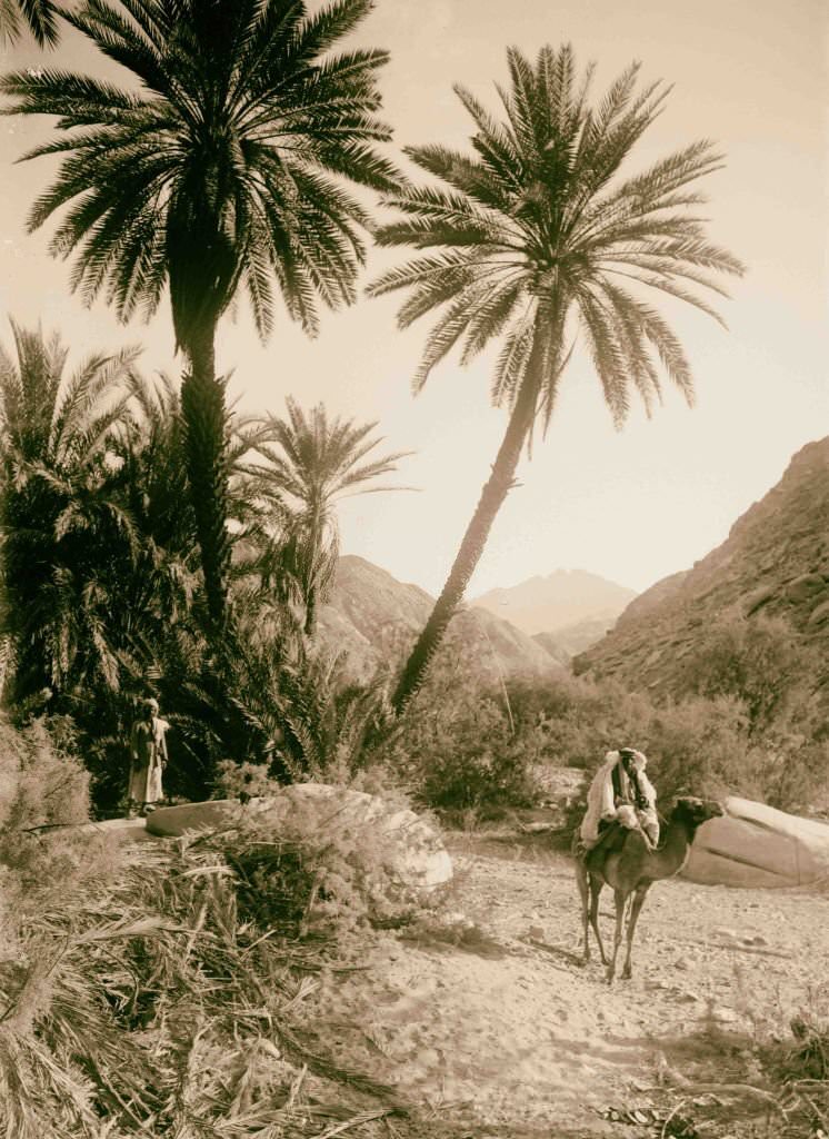
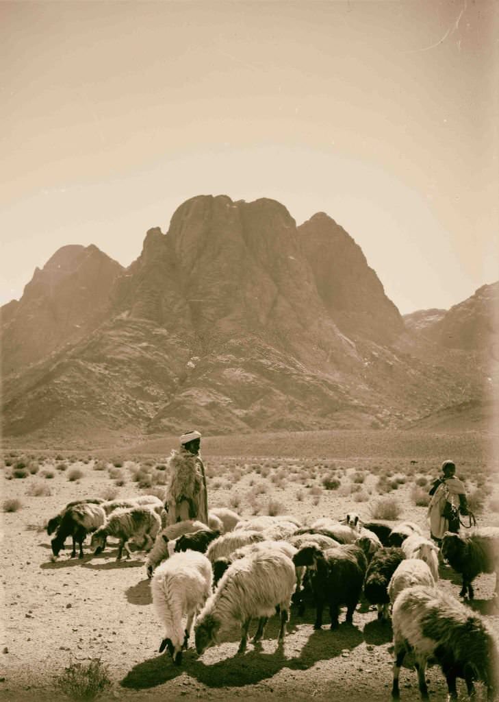
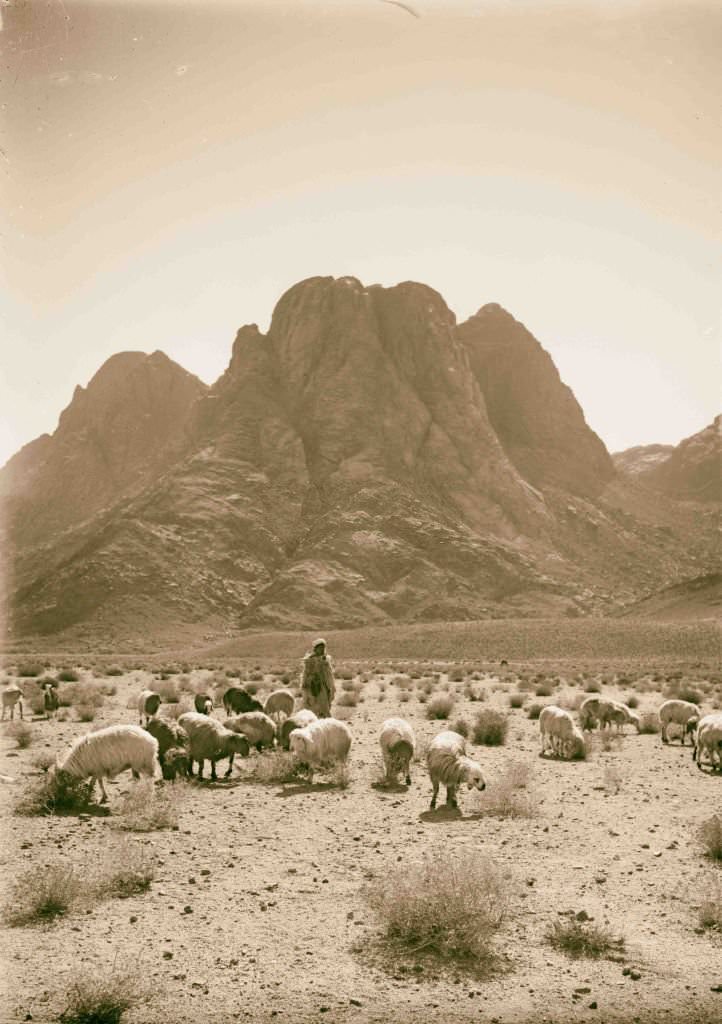
New Year celebrations at the monastery involved firing an antique gun — a ritual that broke the usual silence of monastic life with a single dramatic blast. Outside the monastery walls, shepherds grazed their flocks on the sparse vegetation at the foot of Mount Sinai, a mountain held sacred by Jews, Christians, and Muslims alike.
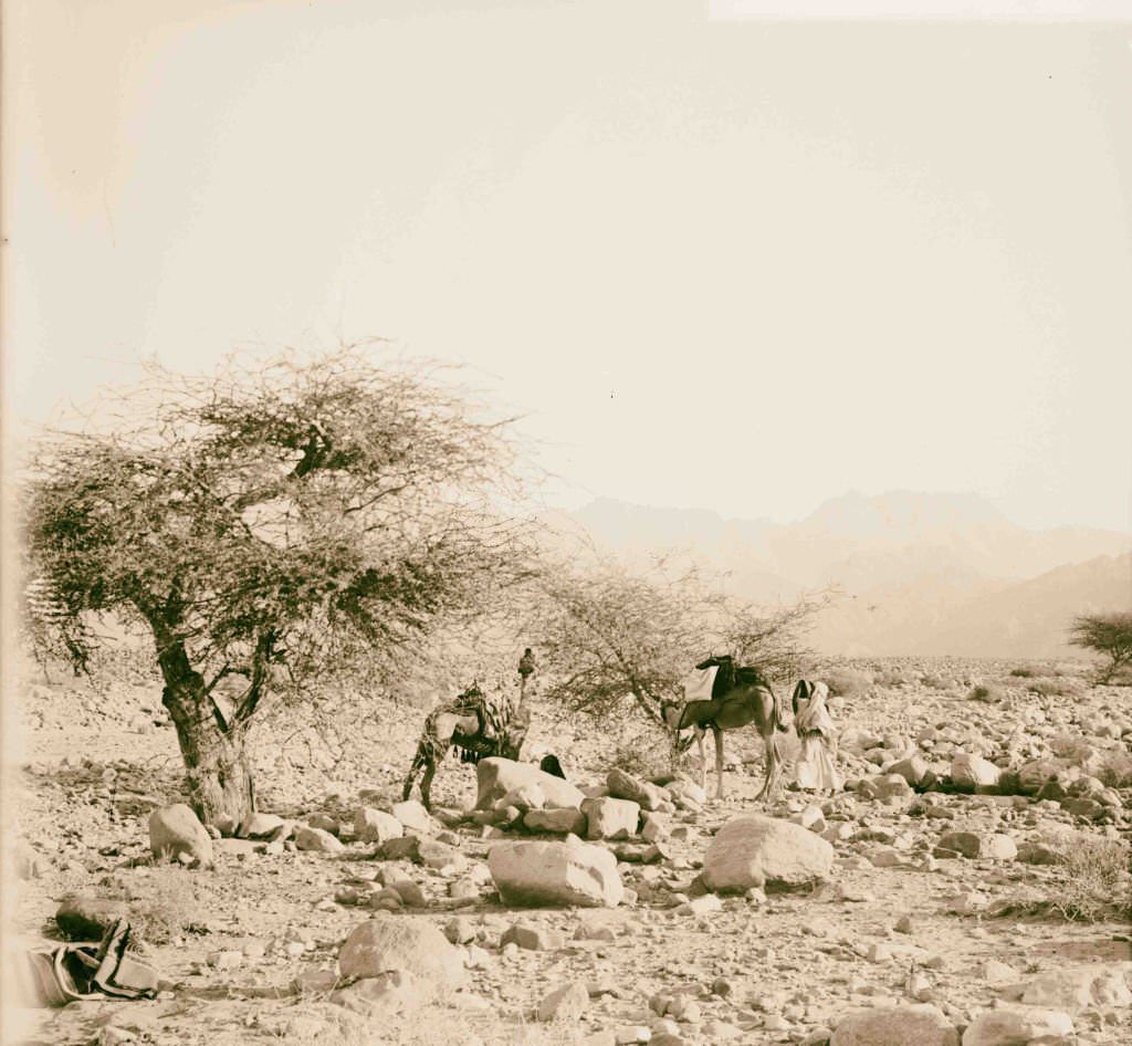
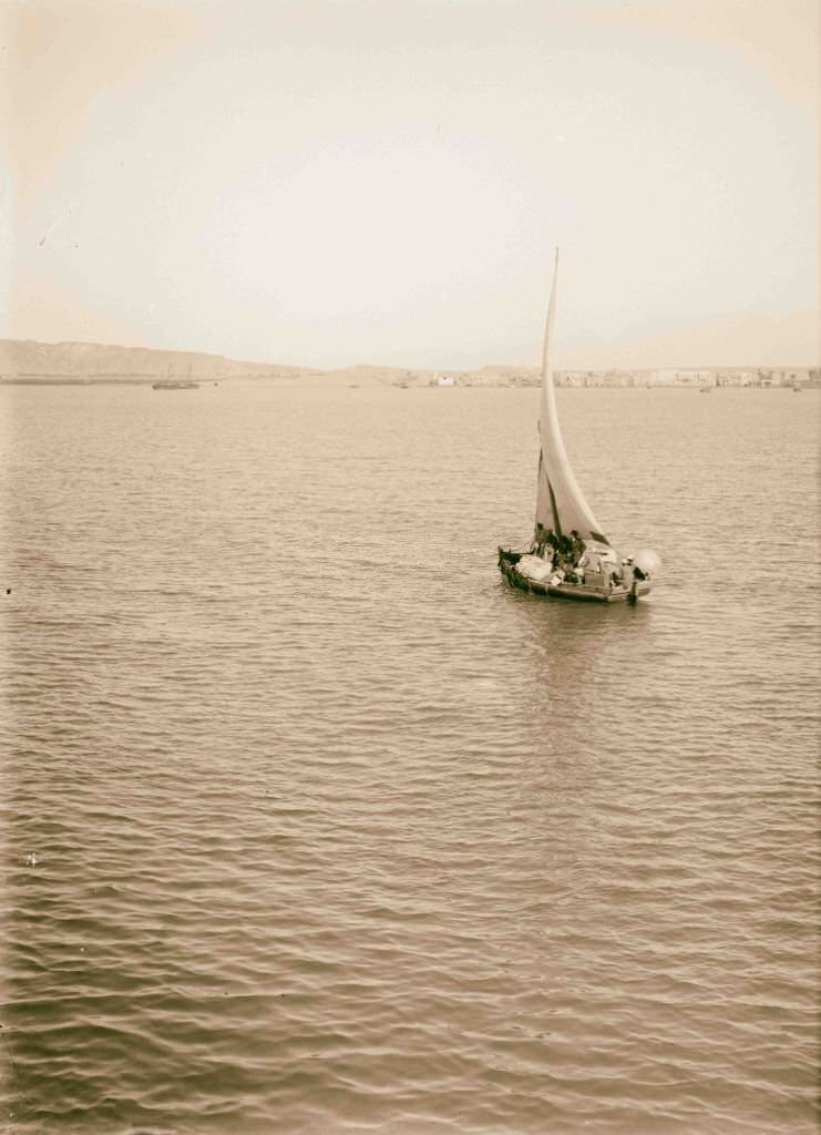
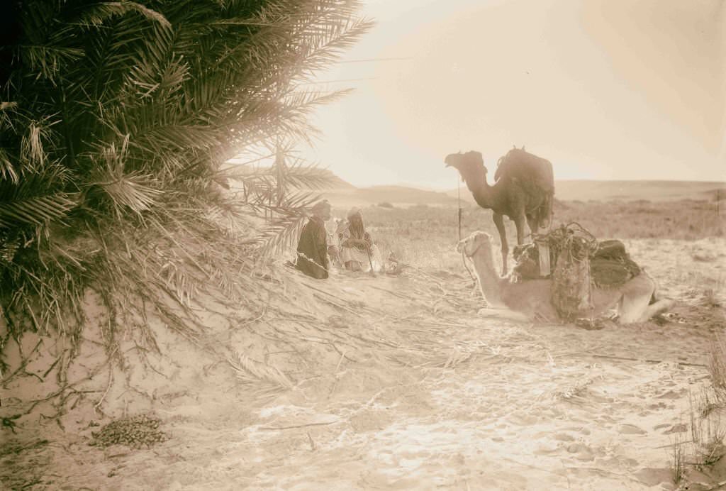
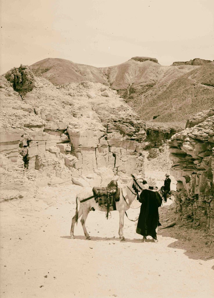
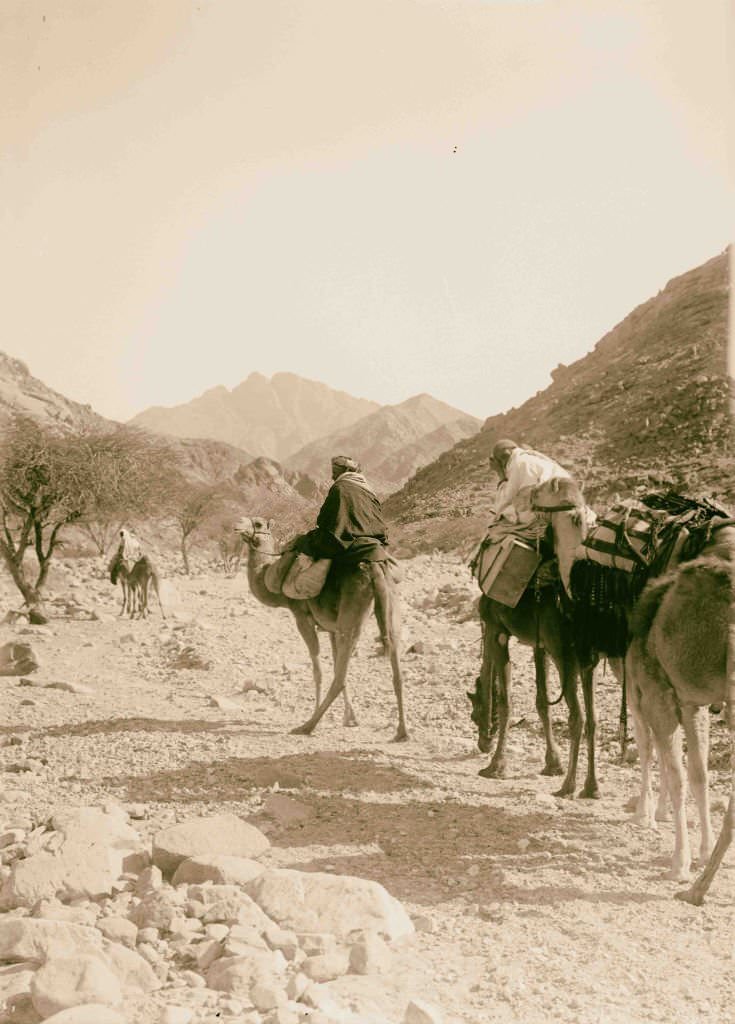
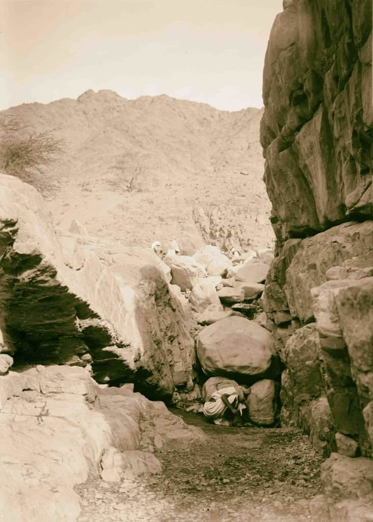
Wady Hebran was one of the main travel routes through the southern Sinai, its path winding between towering granite mountains. The coastal town of Tor, seen from the bay, was a small but important stopping point for travelers arriving by sea before making their way inland. The wadis of the Sinai were rarely flat — every valley meant climbing and descending over rocky terrain.
![Interior of the church seen from the apse [Monastery of St. Catherine] in Sinai, Egypt, 1900.](https://www.bygonely.com/wp-content/uploads/2022/06/Egypt_at_the_Turn_of_the_20th_Century_175.jpg)
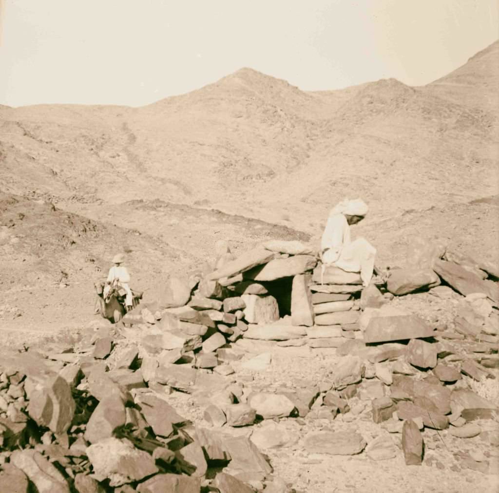
Caravans moved through Wady Hebran carrying goods, pilgrims, and explorers. The Nawamis — circular stone structures built over four thousand years ago and thought to be ancient burial tombs — dotted the Sinai landscape near Jebel Serbal. Back at St. Catherine’s, the interior of the church, viewed from the apse, revealed an ancient golden mosaic of the Transfiguration that scholars considered one of the finest early Byzantine artworks in existence.
![The Crescent and the Cross; belfry and minaret [Monastery of St. Catherine] in Sinai, Egypt, 1900](https://www.bygonely.com/wp-content/uploads/2022/06/Egypt_at_the_Turn_of_the_20th_Century_178.jpg)
Within the Monastery of St. Catherine, a church belfry and a mosque minaret stood side by side — a rare and striking image of Christianity and Islam sharing the same sacred ground. The monastery had maintained peaceful relations with the surrounding Muslim communities for over a millennium. Meanwhile, in the Sinai, freshwater springs like the one at el-Wataieh were treasured landmarks in a land where water was scarce.
![Entrance gateway [Monastery of St. Catherine]in Sinai, Egypt, 1900](https://www.bygonely.com/wp-content/uploads/2022/06/Egypt_at_the_Turn_of_the_20th_Century_179.jpg)
The entrance gateway to the Monastery of St. Catherine was a small, fortified door built into thick stone walls that enclosed the entire compound. For most of its history, the only way to enter was through a rope and pulley system high above the ground — a design meant to protect the monks from raids. By 1900, a more conventional door had been added, though the old rope entrance was still in place.
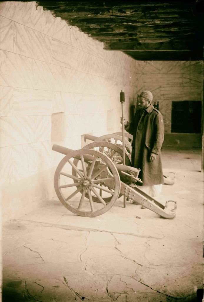
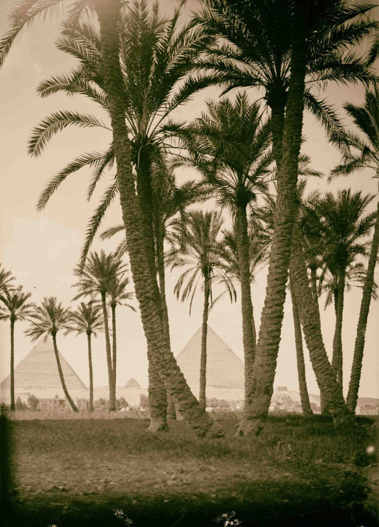
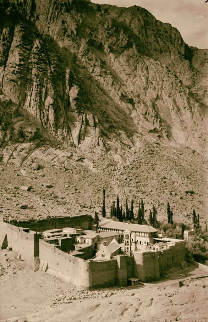
Old cannons guarded the entrance to the monastery grounds — a reminder that even in a remote desert setting, physical security was a real concern across centuries of history. The three pyramids of Giza, photographed from the desert approach, presented the most iconic view in Egypt. The monastery of St. Catherine, nestled at the base of the granite mountains, appeared almost like a mirage in the surrounding wilderness.
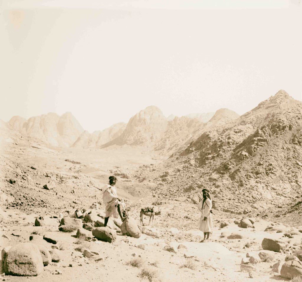
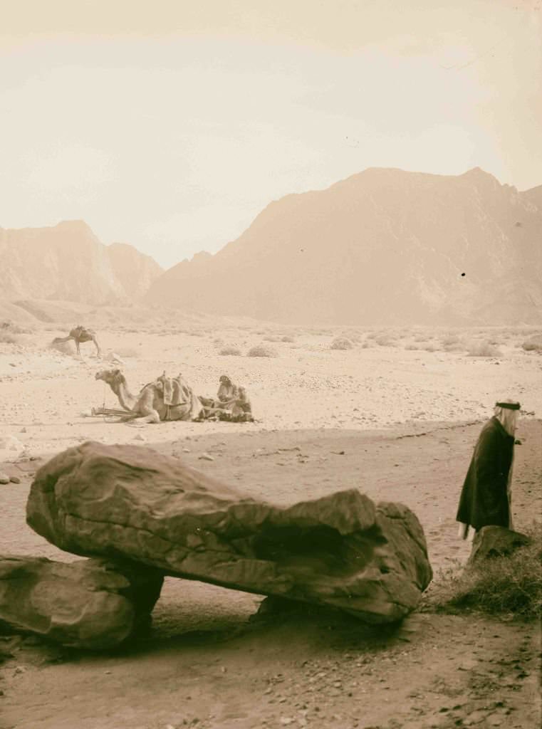
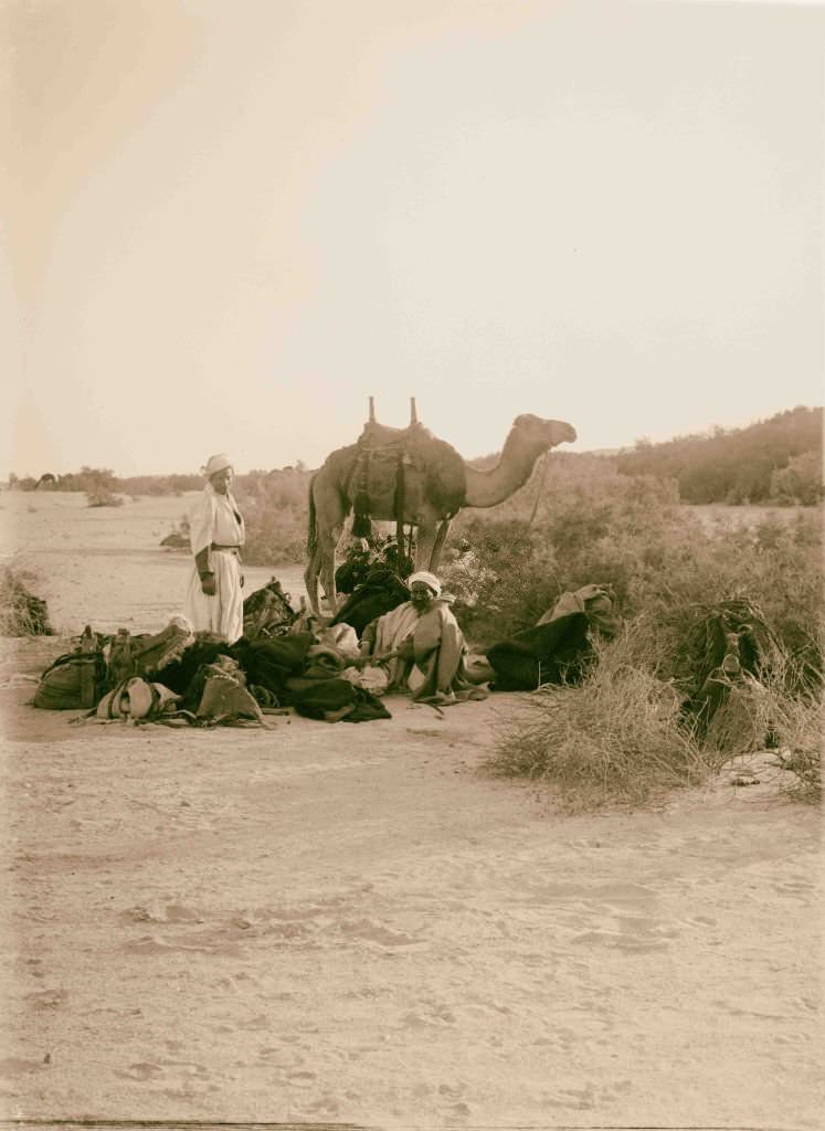
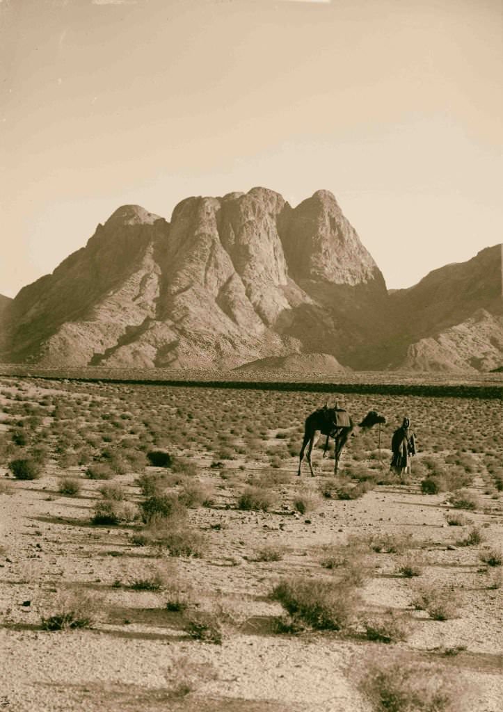
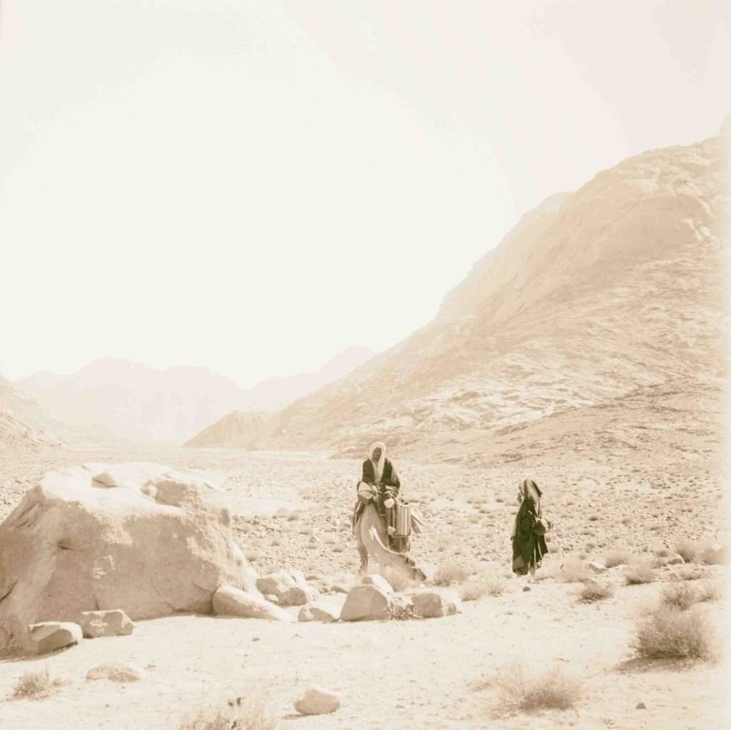
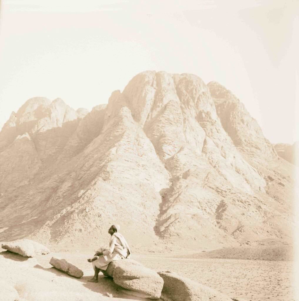
The central Sinai Mountains rose dramatically from the desert floor, their bare granite peaks turning red and orange at sunset. Travel through this terrain required careful planning. A night camp in the Sinai meant setting up tents, feeding animals, building fires, and posting watches — all tasks that fell to the travelers and their Bedouin guides before anyone could rest.
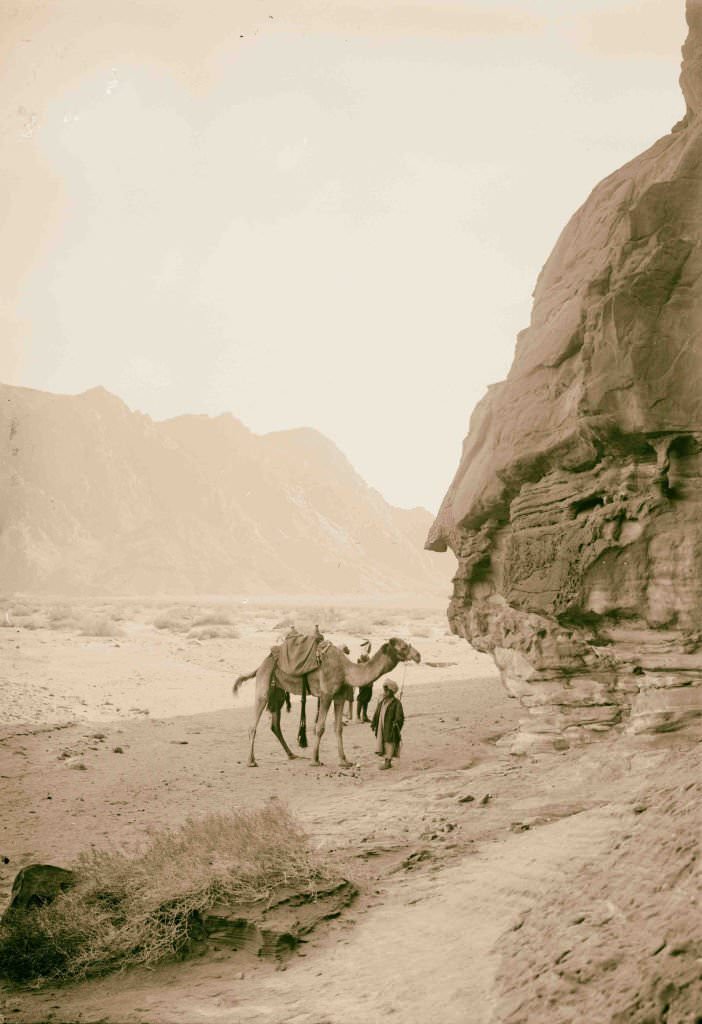
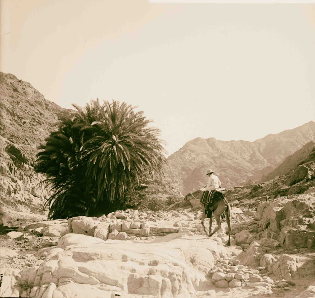
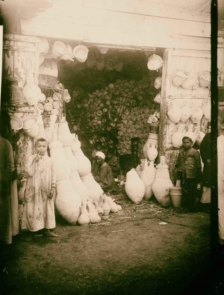
Small oases in the Sinai valleys offered shade, water, and a brief rest for travelers and animals alike. Back in the Nile Valley, local potters produced the distinctive clay jars used throughout Egypt to store and cool water. These jars — porous enough to allow slight evaporation and natural cooling — were found in every home and shop across the country.
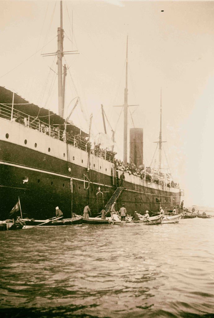
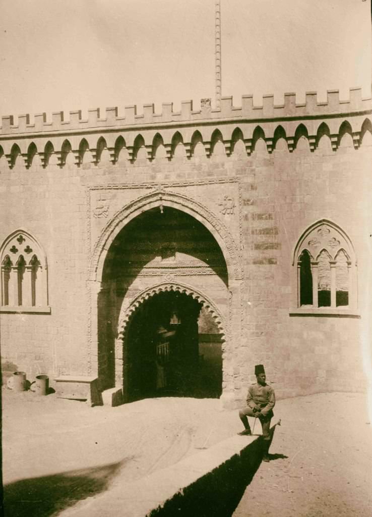
Egypt in the early 1900s was technically still part of the Ottoman Empire in name, even while under British administration — a legal fiction that made governance complicated. Ottoman military transports still arrived in Egyptian ports. The Citadel of Cairo, built by Saladin in the 12th century, continued to serve as a military base, its massive entrance gateway a reminder of the many powers that had controlled Egypt over the centuries.
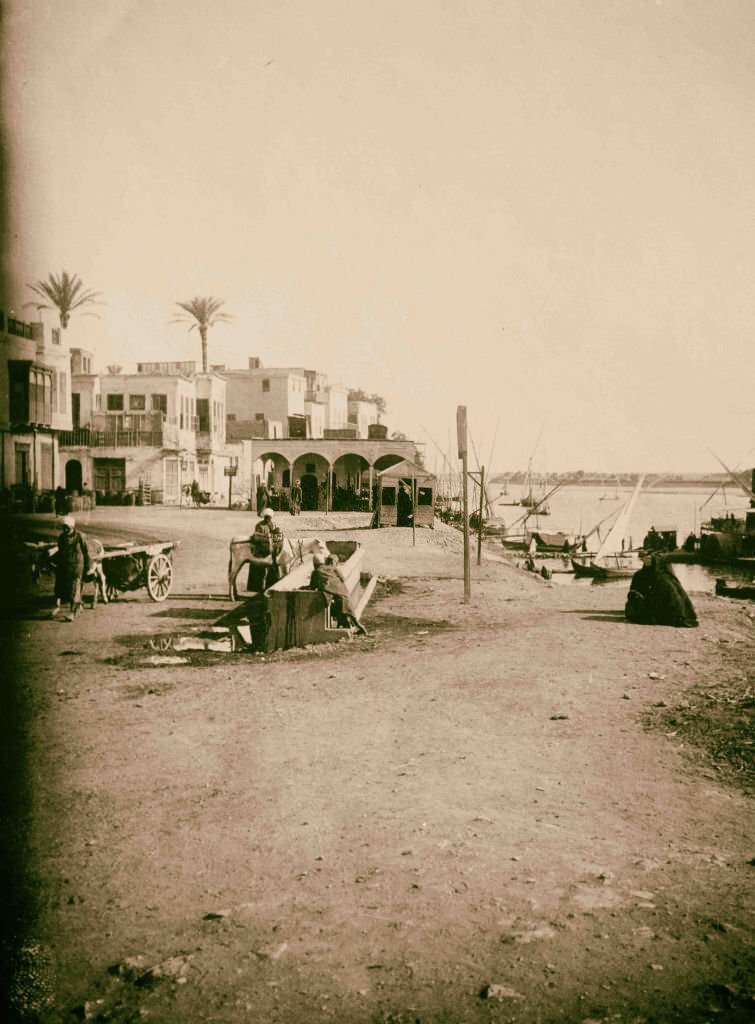
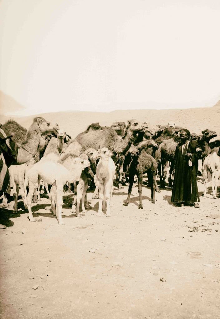
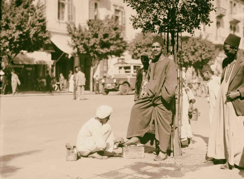
Old Cairo — the historic medieval quarter of the city — was a maze of narrow lanes, ancient mosques, and covered markets. Herds of camels were driven past the pyramids regularly, part of a trade network that connected the Nile Valley to the deserts beyond. Shoeshine workers, known as shoe-blacks, set up their small stands wherever foot traffic was heavy, serving both locals and the growing number of European visitors.
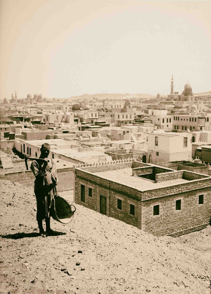
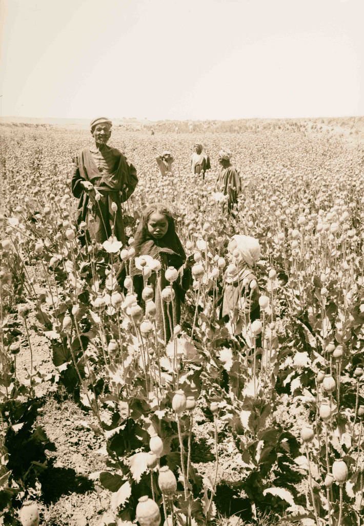
Opium poppies were grown in parts of Egypt in the early 1900s, and workers gathered the raw opium by making small cuts in the seed pods and collecting the dried sap. The trade was part of a broader global opium economy that European colonial powers both regulated and profited from. The City of the Dead near Cairo, meanwhile, contained some of the most impressive Islamic funerary architecture in the world, with the domed mausoleums of Mamluk sultans rising above the walled enclosures of the necropolis.

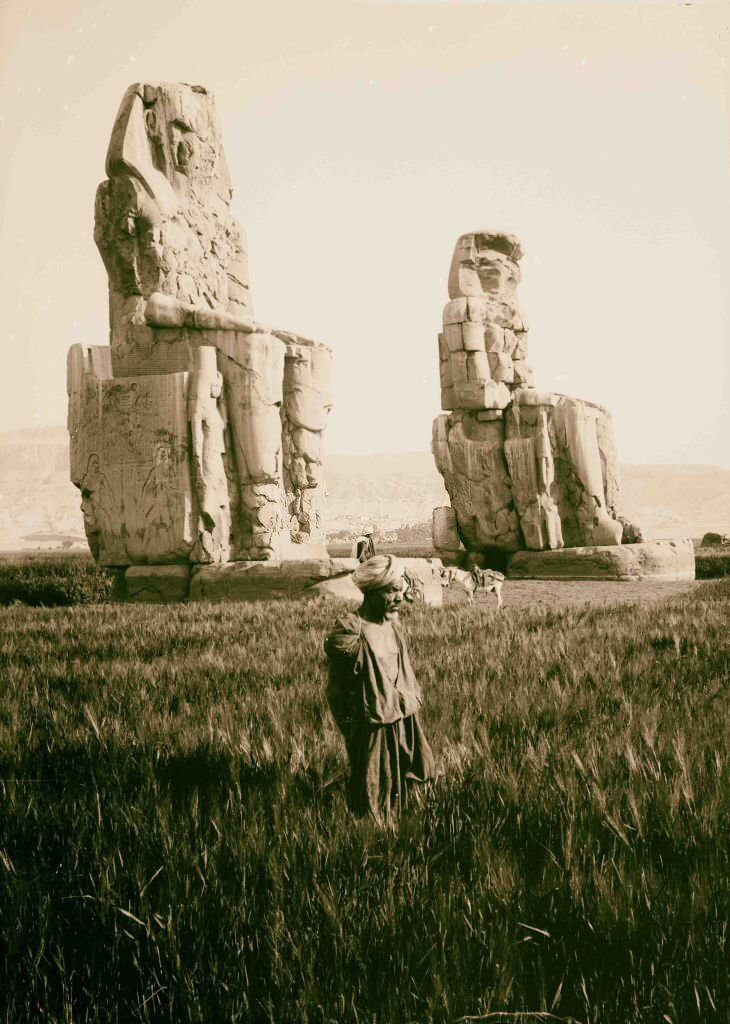
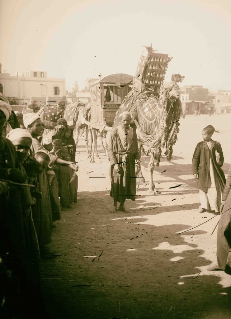
Port Said’s landing stage was the first glimpse of Egypt for thousands of travelers arriving through the Suez Canal. The Colossi of Memnon — two massive stone statues of Pharaoh Amenhotep III — sat alone in the fields of the west bank at Thebes, the mortuary temple they once guarded long since destroyed. Weddings in rural Egypt were celebrated with camel processions, the bridal party carried in decorated litters to the sound of music and celebration.
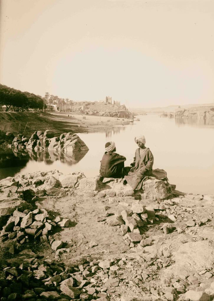
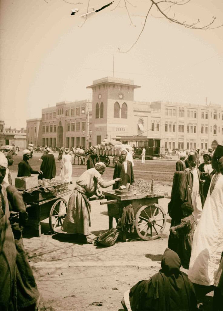
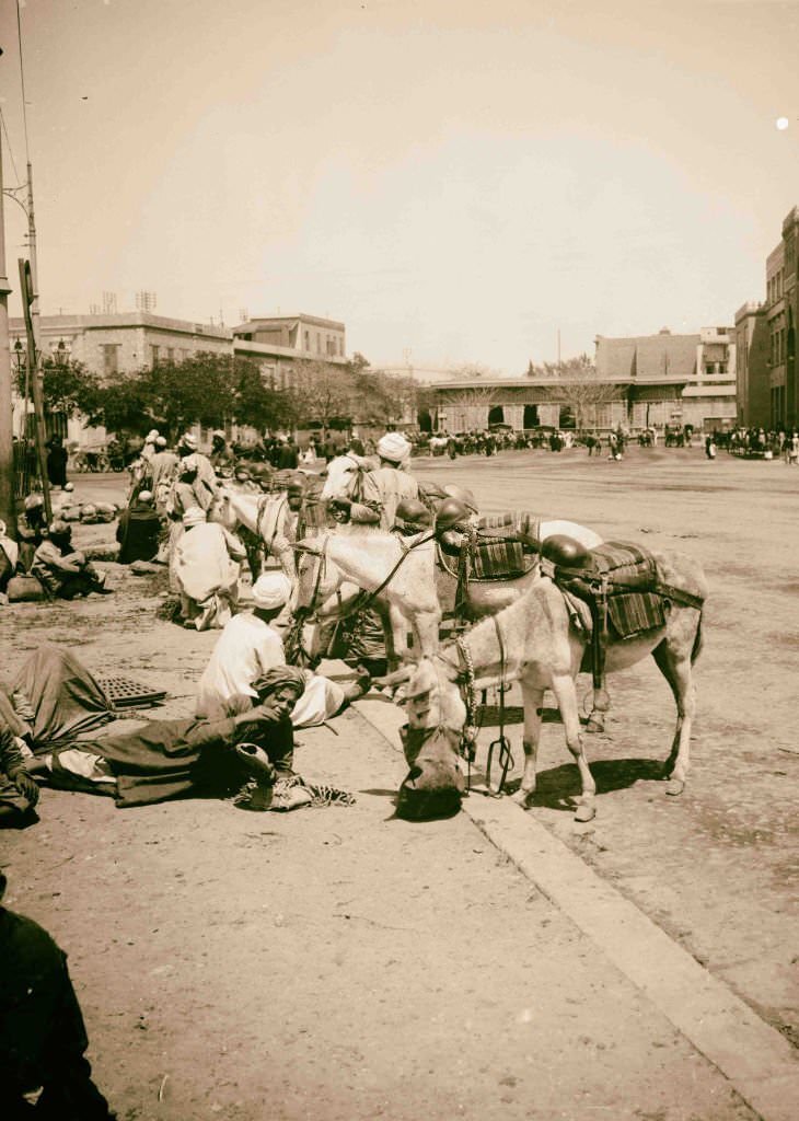
Cairo’s railway station was a sign of how much the city had modernized under the occupation. Egypt had one of the first railway systems in Africa, built in the 1850s, and by 1900 it connected Cairo to Alexandria, Aswan, and points in between. Donkey boys — young men who hired out their animals as taxis for tourists and locals — were still a fixture outside the station and throughout the city.
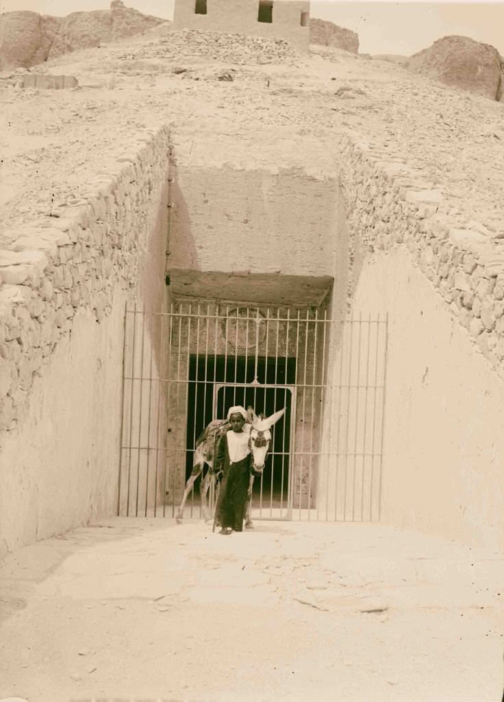
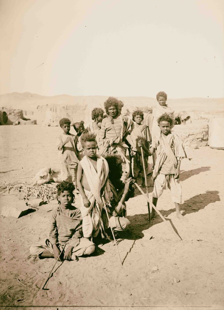
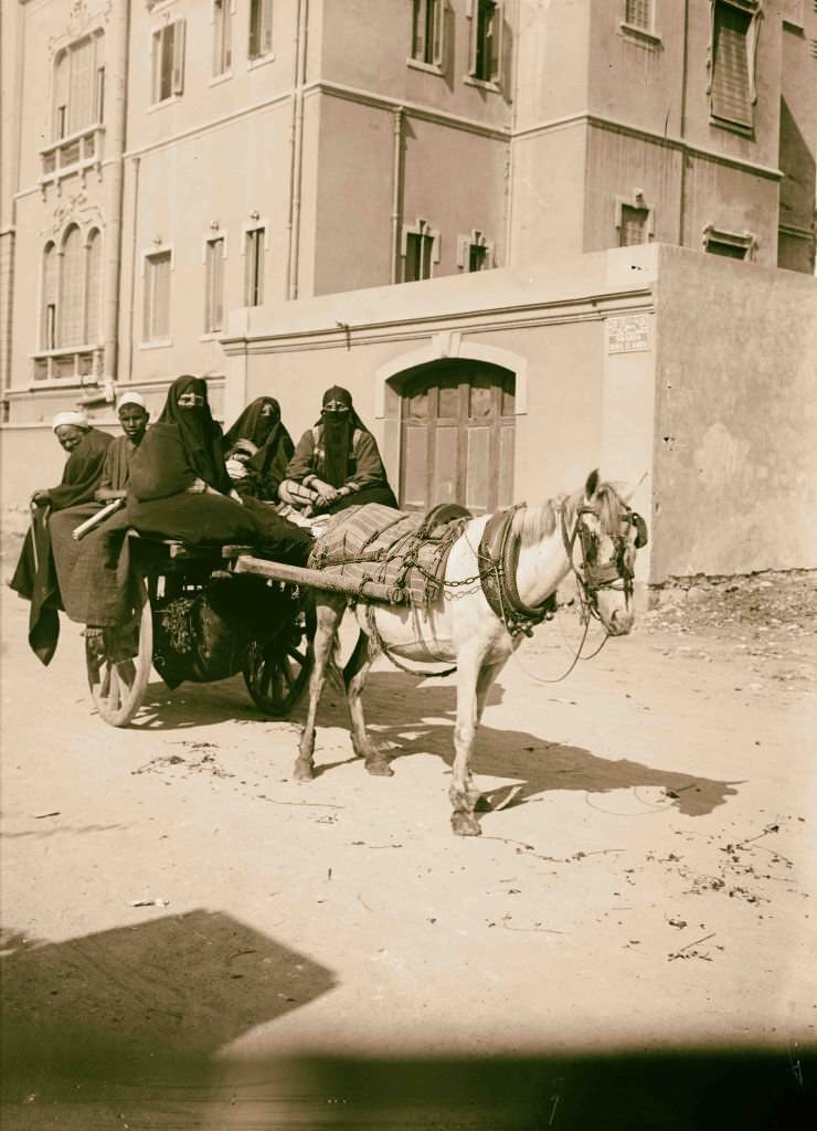
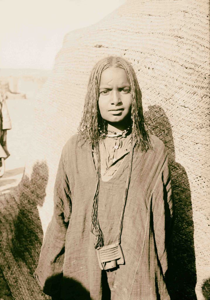
The Valley of the Kings near Thebes held dozens of royal tombs cut deep into the limestone cliffs. By 1900, many had already been excavated and opened to visitors. The Bisharin were a Beja people who lived in the Eastern Desert between the Nile and the Red Sea, known for their distinctive hair and their role as traders and guides in the region’s most remote areas.
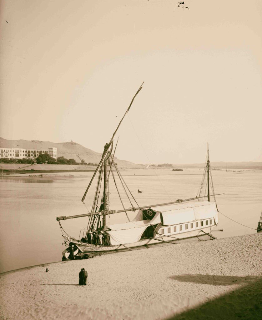
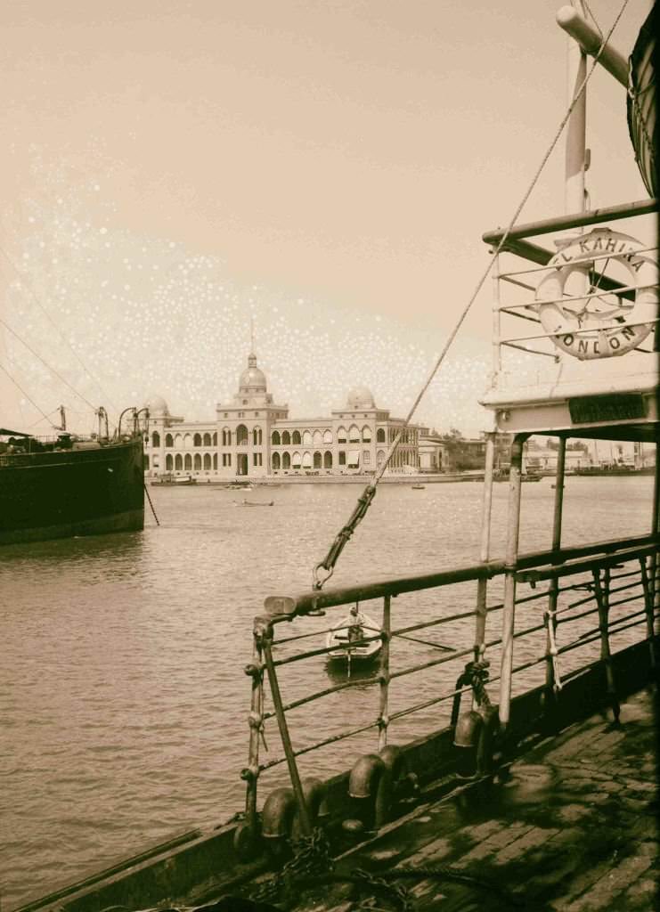
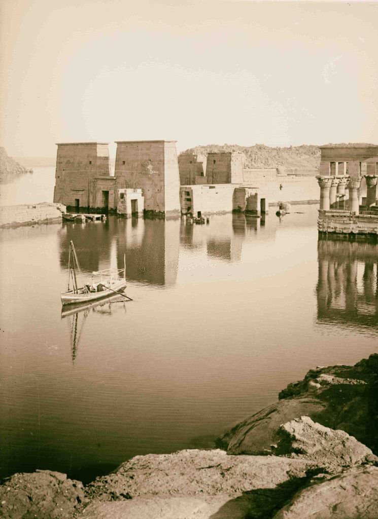
The Suez Canal Company’s administration building in Port Said was the operational heart of the most important waterway in the world. The company’s offices managed the traffic, tolls, and maintenance of the canal — and its profits flowed primarily back to European shareholders. The dahabiyya, meanwhile, remained the most comfortable way to travel the Nile, its broad deck offering unobstructed views of the riverbanks.
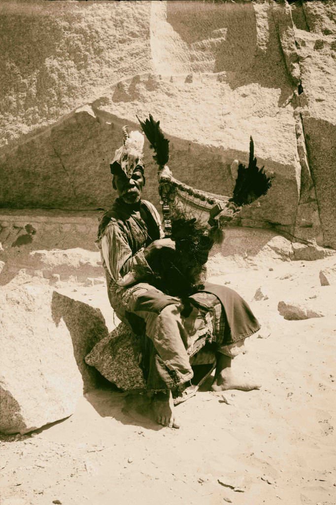
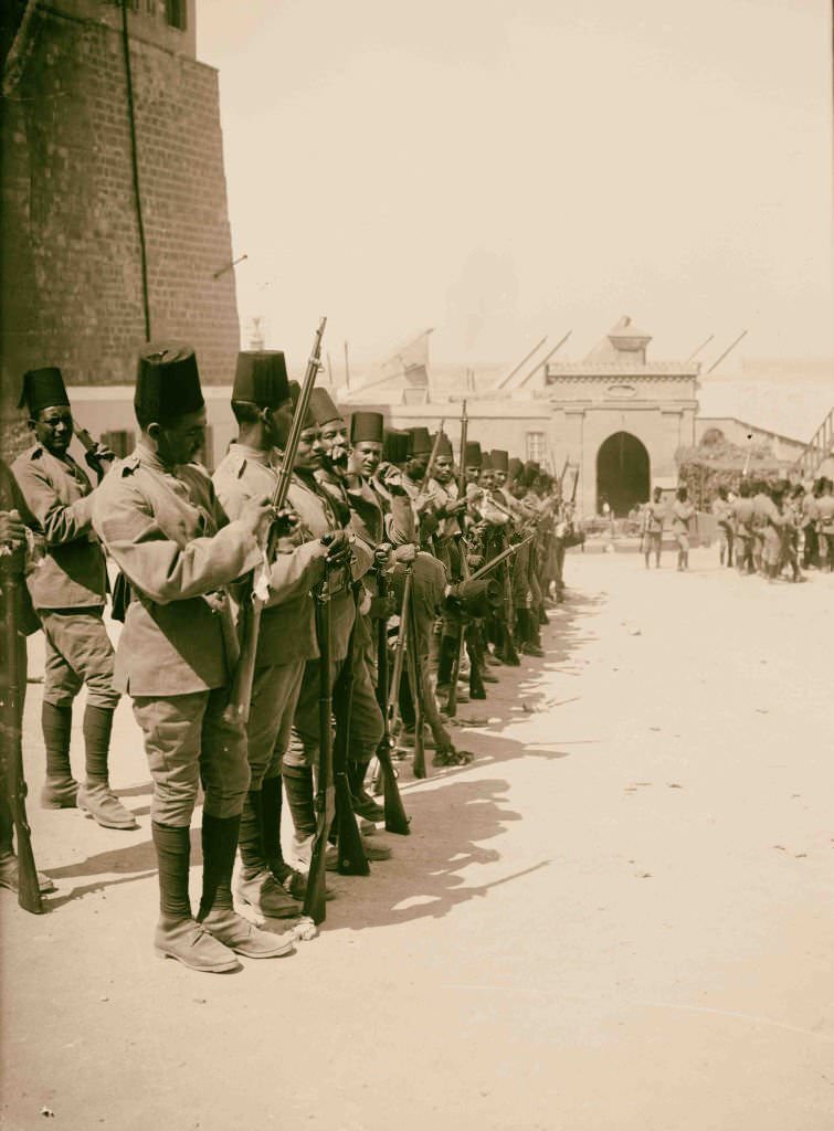
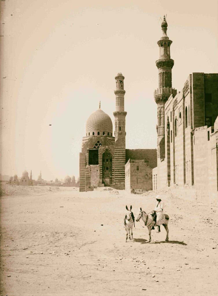
Egyptian soldiers stationed in the Citadel of Cairo served in an army that was technically Egyptian but commanded by British officers. The arrangement was a constant source of resentment. Nearby, the tomb-mosque of Sultan el-Ashraf stood as one of many medieval Islamic monuments that made Cairo’s historic center one of the most architecturally layered cities in the world.
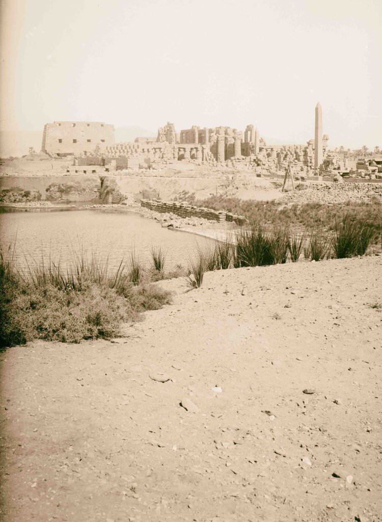
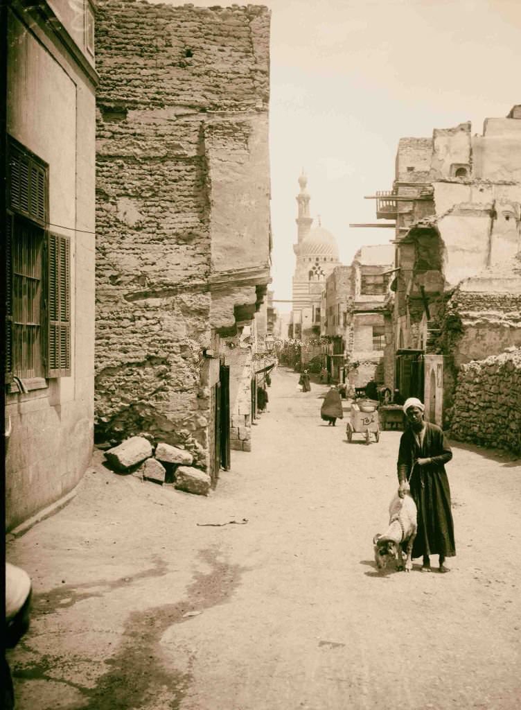
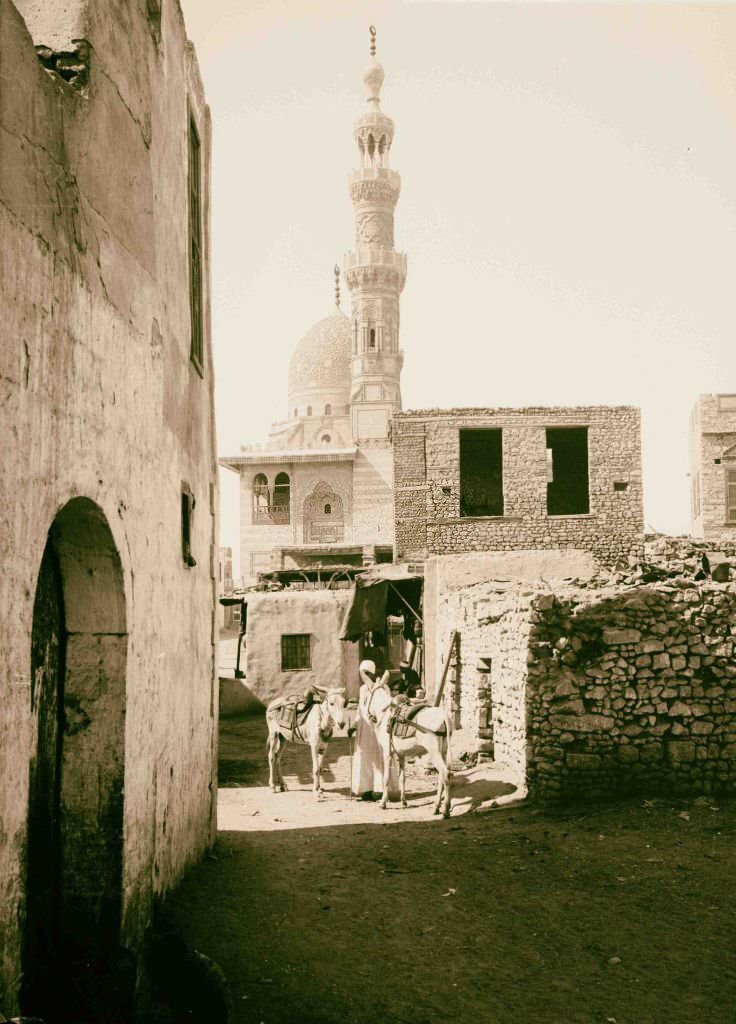
Karnak’s ruins covered more than a hundred hectares — a sprawling complex of temples, chapels, pylons, and obelisks built and expanded over more than a thousand years by successive pharaohs. Cairo’s streets in 1900 ranged from broad European-style boulevards in the newer parts of the city to narrow, winding lanes in the medieval quarters where daily life had barely changed in centuries.
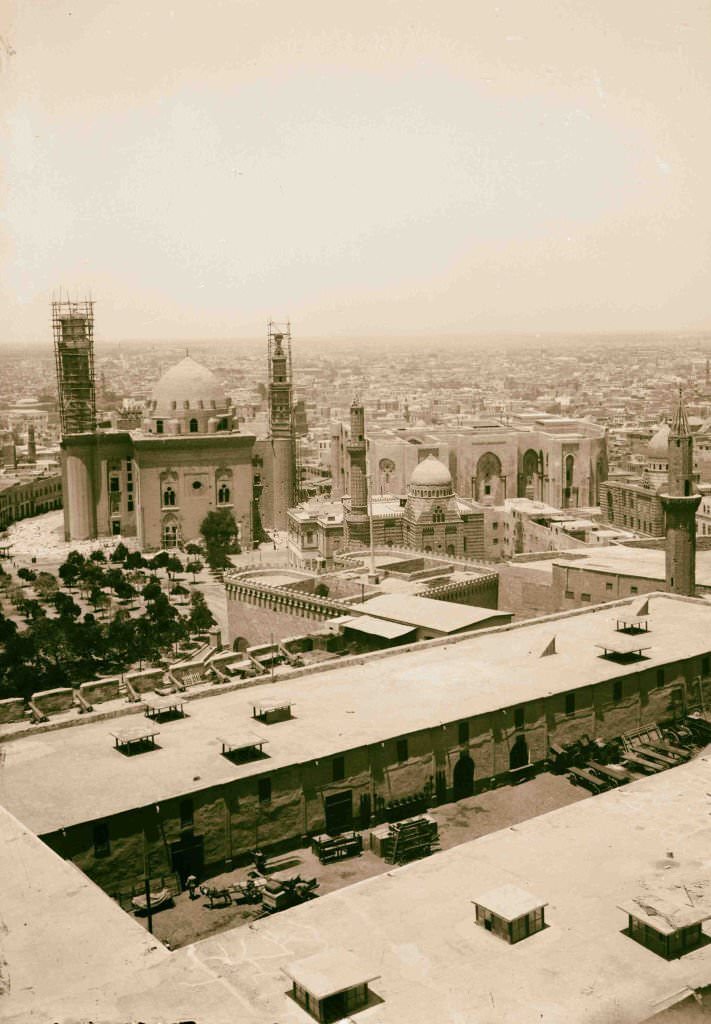
The Temple of Seti I at Qurna on the Theban west bank was one of the finest examples of New Kingdom temple decoration, its painted reliefs still vivid after thousands of years. From the Citadel, Cairo spread out in all directions — a city of over half a million people in 1900, growing fast under the pressures of colonial development and internal migration.
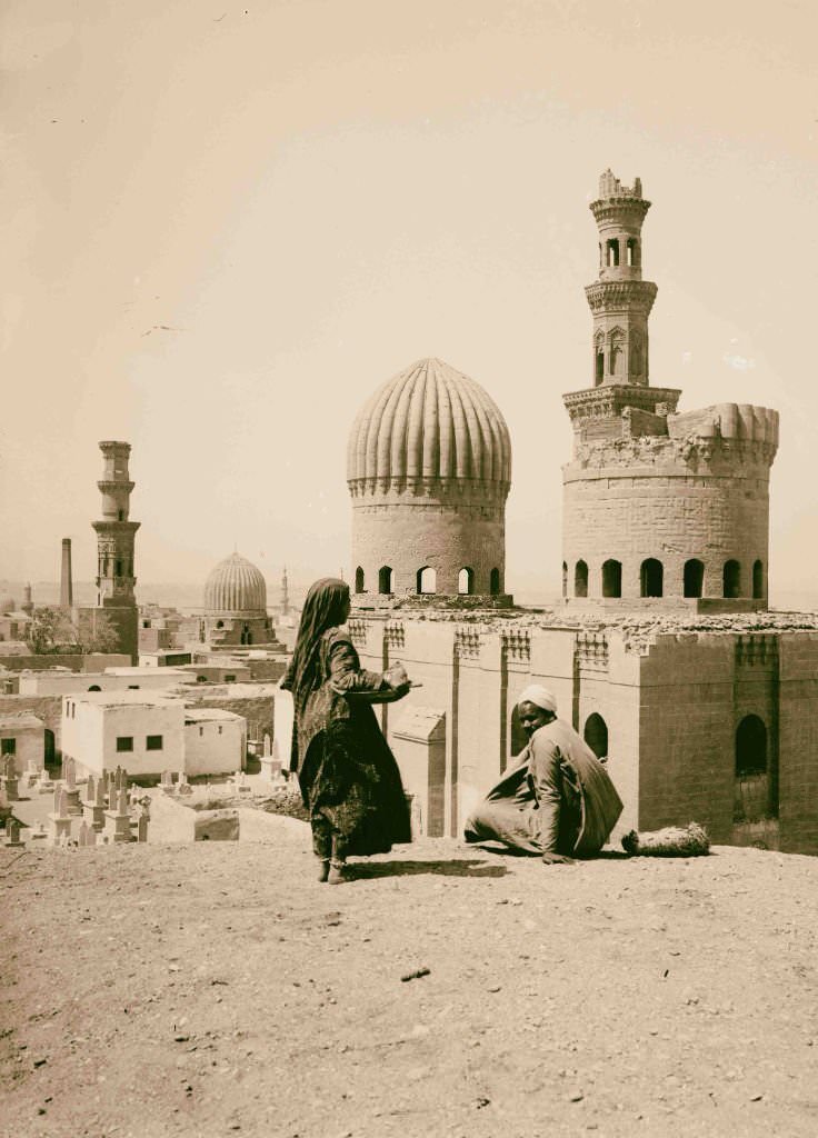
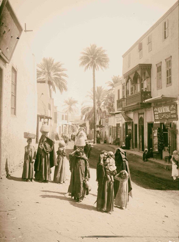
Luxor’s streets in 1900 were a working town wrapped around one of the world’s greatest open-air museums. The Luxor Temple stood directly in the center of the city, its columns and statues visible from the main street. The Mamluk tombs of Cairo — clustered in the City of the Dead — were massive stone mausoleums with carved stone domes, some of the most distinctive funerary architecture in the Islamic world.
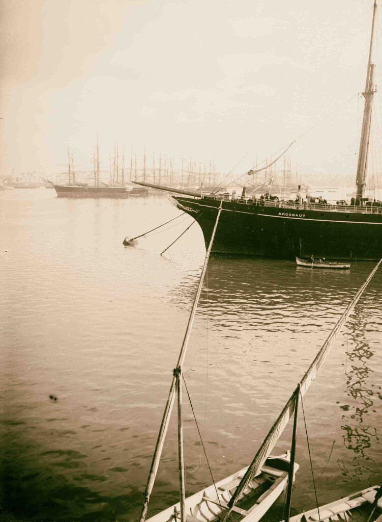
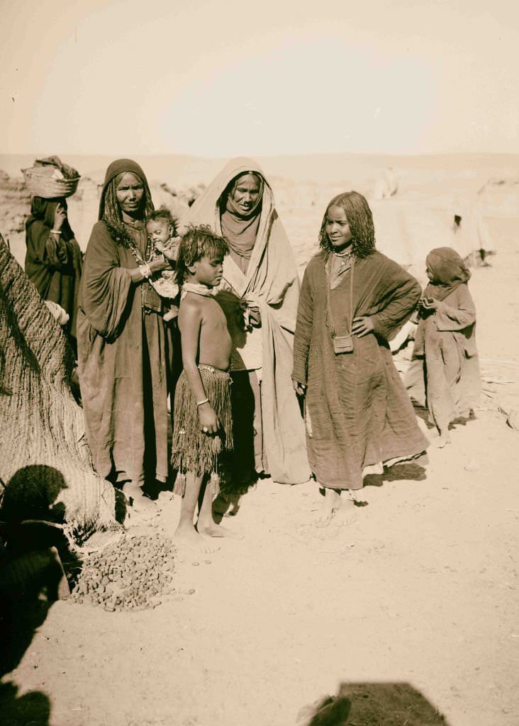
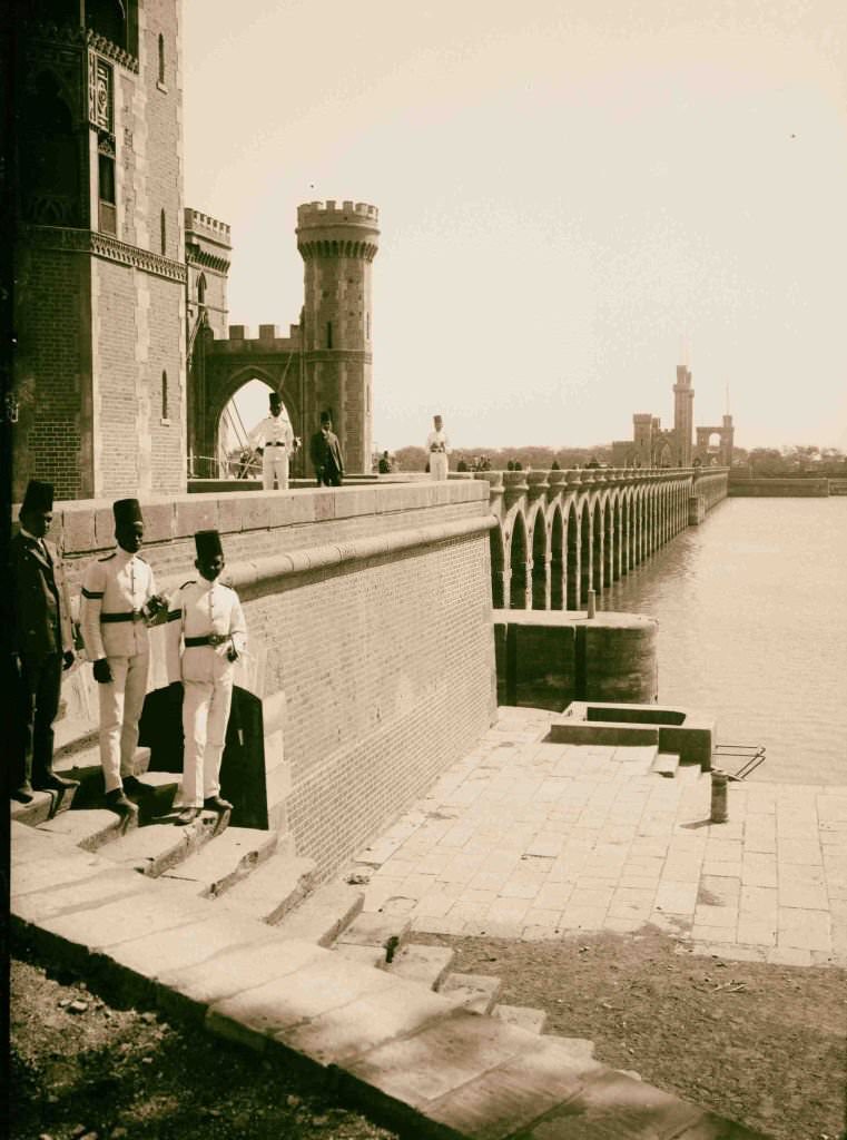
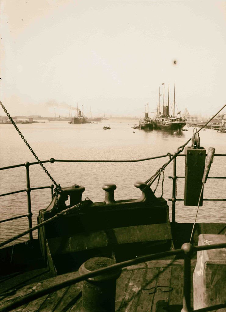
The Delta Barrage north of Cairo regulated the flow of the Nile into the two main branches of the river before they reached the sea. It was essential for irrigation throughout the Delta region, which produced most of Egypt’s cotton — the crop that European creditors most wanted to see cultivated. Alexandria’s harbor, seen from the water, showed a city built for commerce, its docks and warehouses handling goods from across the Mediterranean world.
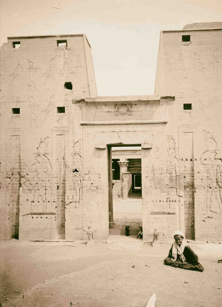
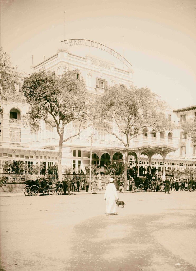
The Grand Continental Hotel in Cairo was one of the premier addresses in the city for European visitors, positioned near the city’s main square and catering to the wealthy travelers, journalists, and colonial officials who passed through. Across town, the Temple of Horus at Edfu remained the most intact ancient Egyptian temple in the country, its towering pylon still casting a shadow over the surrounding town.
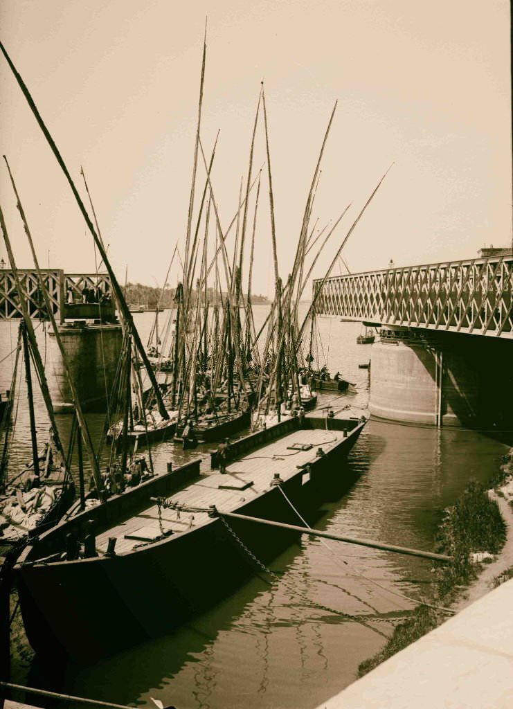
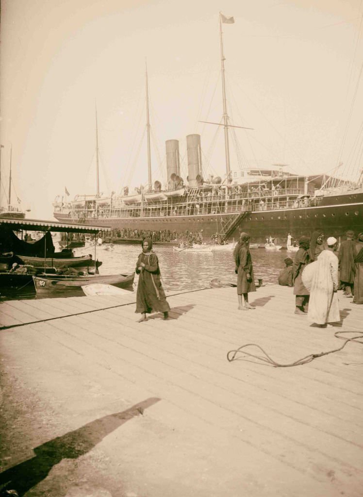
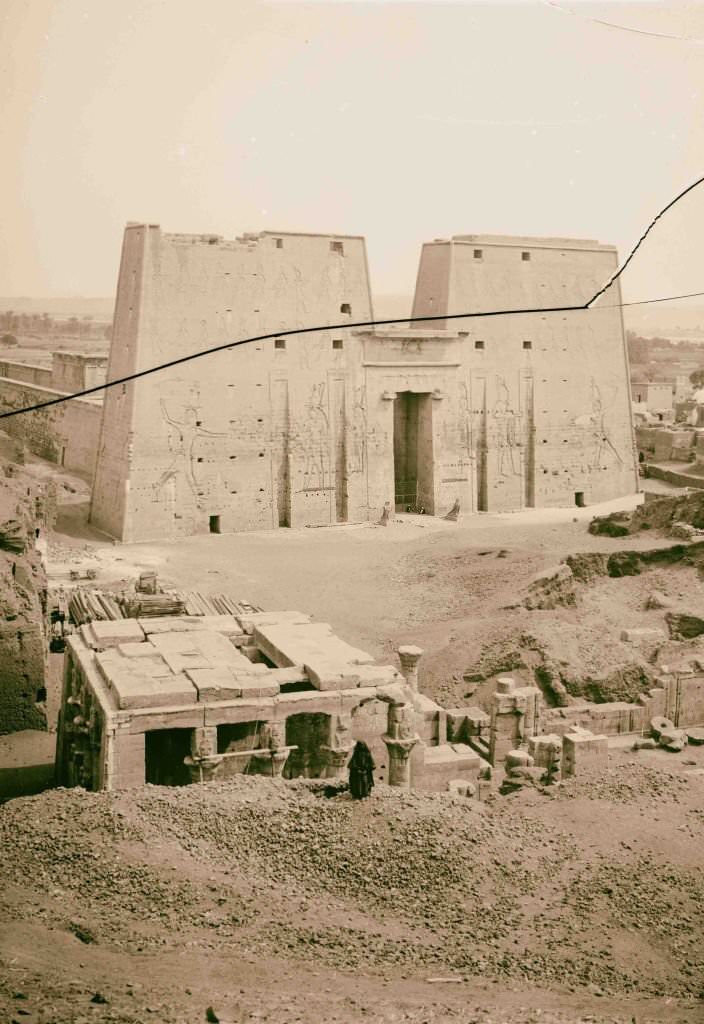
When the bridges over the Nile in Cairo opened to allow river traffic to pass, boats of every size rushed through the gap before the bridge swung shut again. The arrival of steamers at Port Said was a daily event — ships entering from the Mediterranean brought passengers, mail, and cargo from Europe before continuing south through the canal.
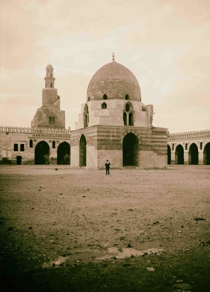
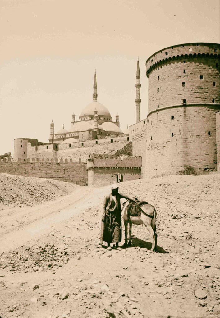
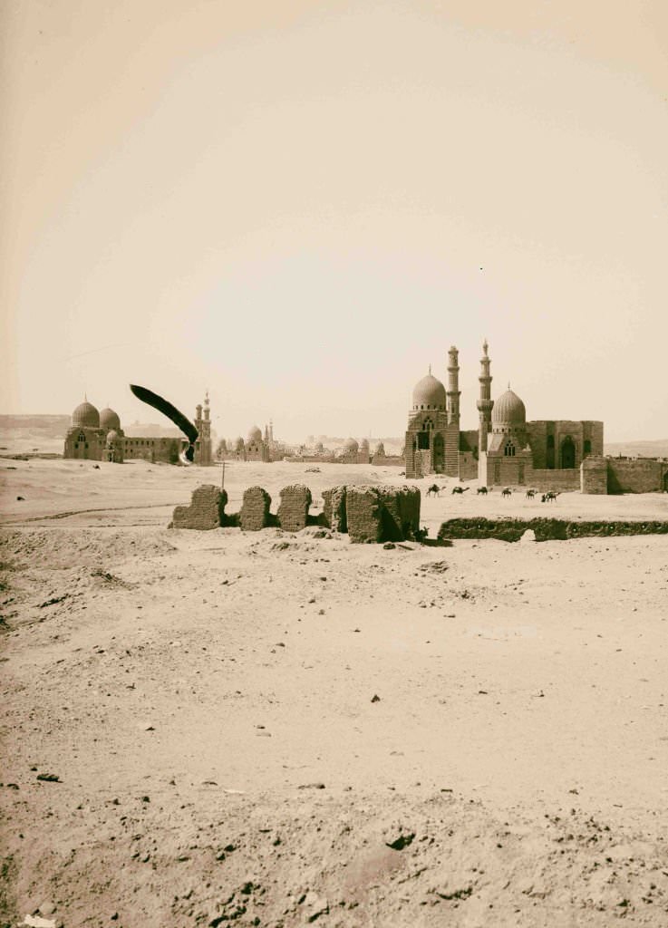
The Mosque of Ibn Tulun, built in the 9th century, was the oldest mosque in Cairo to survive in its original form. Its open courtyard and spiral minaret set it apart from the later Ottoman mosques that dominated the city’s skyline. The Mosque of Mohammed Ali Pasha, completed in 1848, was Cairo’s most visible landmark — an Ottoman-style structure with alabaster walls and a prominent location on the Citadel hill.
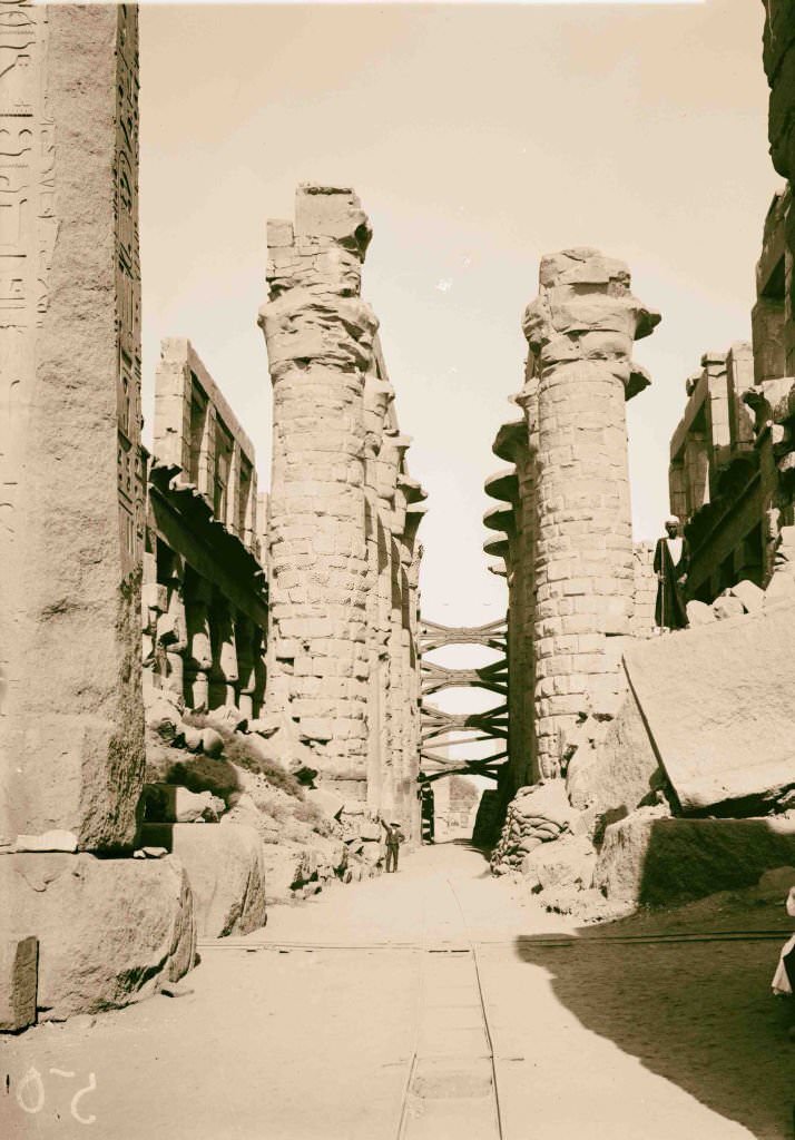
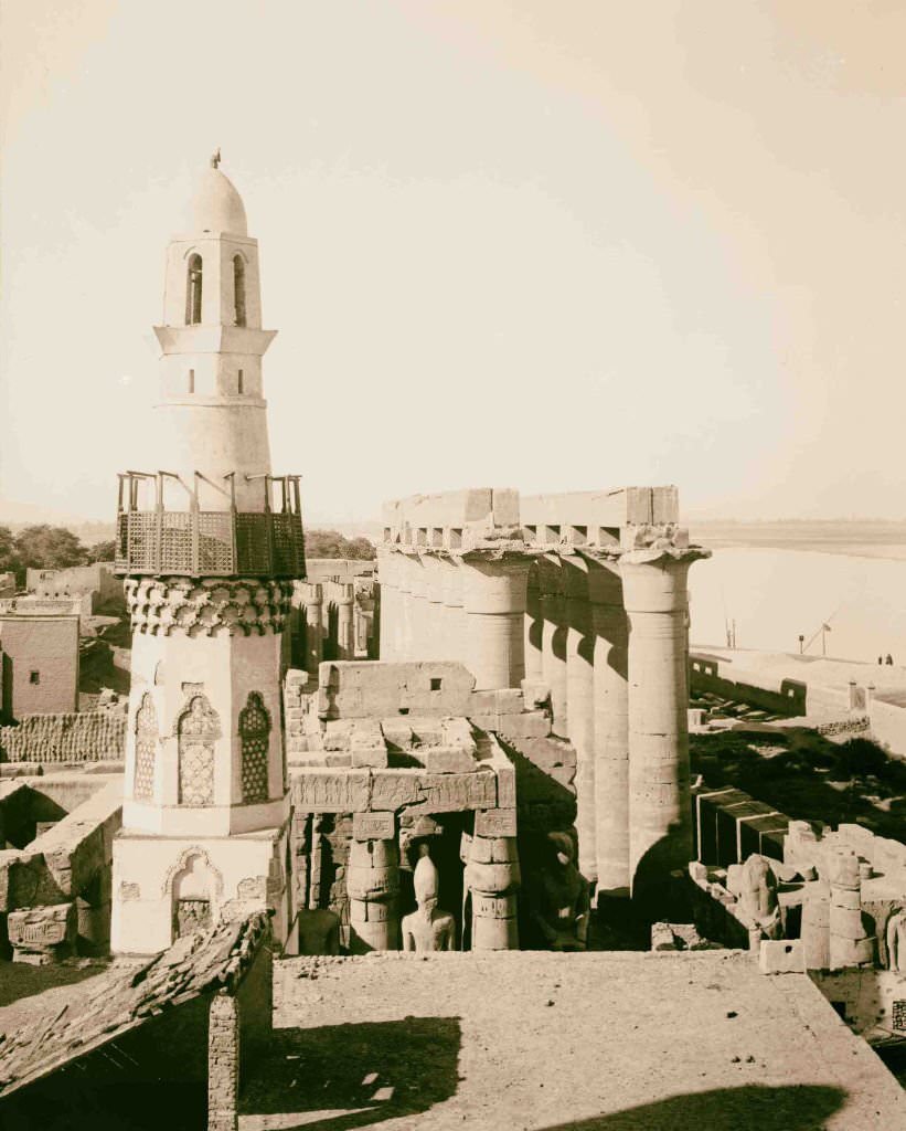
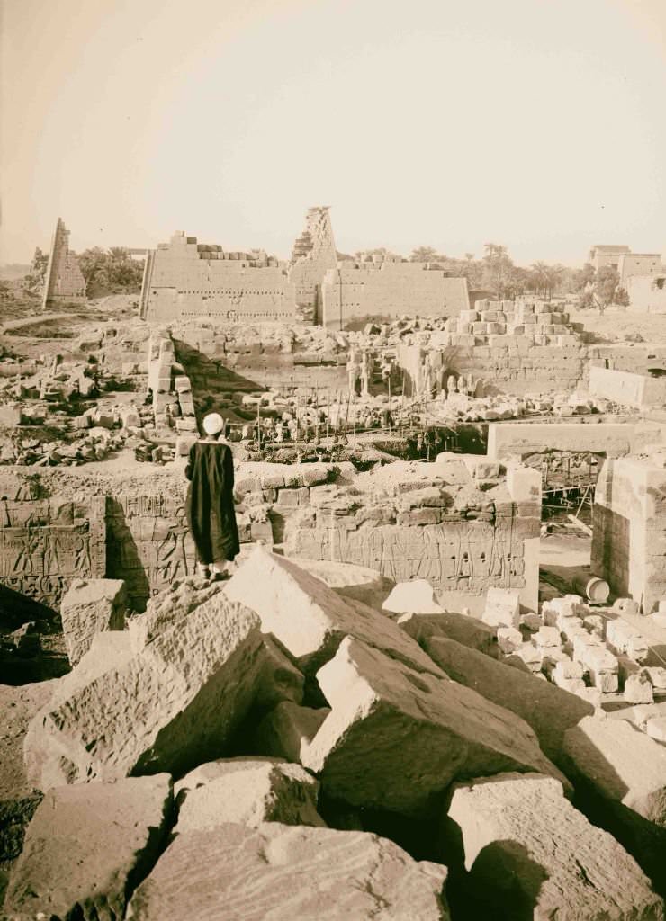
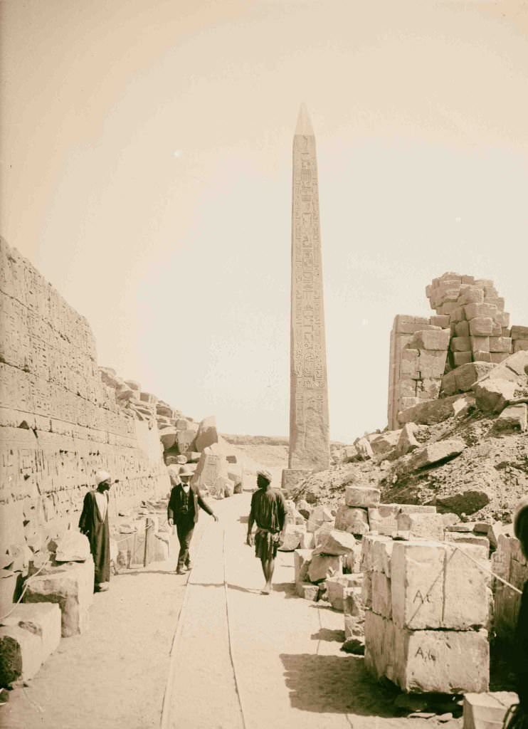
The hypostyle hall at Karnak, with its central aisle of taller columns flanked by shorter ones, created a dramatic play of light and shadow that photographers in 1900 captured with great effect. The Temple of Luxor, seen from a distance, showed the full scale of its entrance pylon, the lone obelisk, and the colossal statues of Ramesses II standing at the doorway.
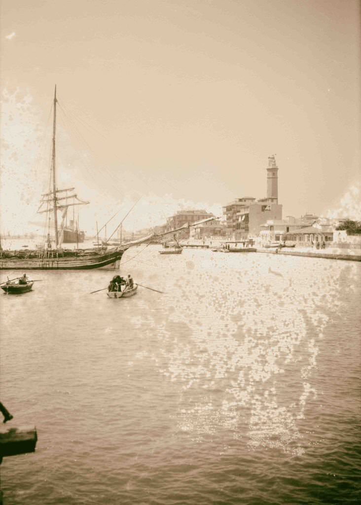
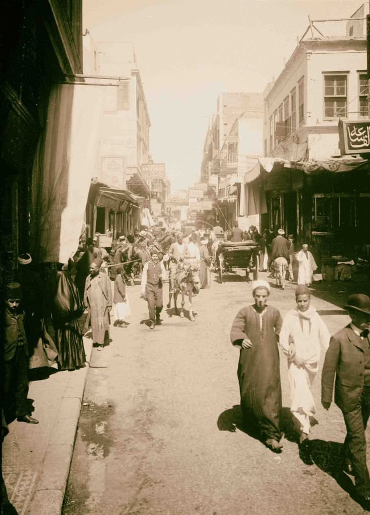
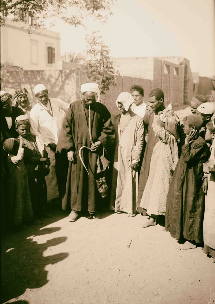
Muski Street was one of Cairo’s busiest commercial thoroughfares, running through the heart of the old city and connecting the European quarter to the traditional bazaars. Snake charmers performed along the streets and in public squares, drawing crowds with their cobras and their pipes. These performances were as much for local entertainment as for the tourists who increasingly documented them with cameras.
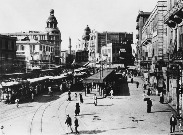
By 1914, Britain’s formal position in Egypt changed when Hussein Kamel was installed as sultan, ending the nominal Ottoman claim over the country and establishing Egypt as a British protectorate outright. The British military presence, however, continued well beyond this date. Ataba Square in Cairo was a center of modern urban life — trams ran from there across the city, a sign of just how much Cairo had been physically transformed during the years of occupation.
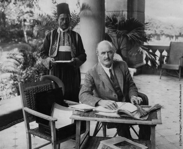
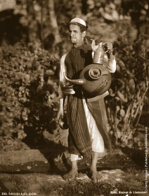
General Edmund Allenby served as High Commissioner in Egypt from 1919 to 1925, governing from the Residency in Cairo with the visible trappings of British authority — including the Egyptian servants whose daily labor kept the colonial administration running. On the streets below, lemonade sellers moved through crowds with brass trays, offering cold drinks for a small coin — one of thousands of street trades that made up Cairo’s informal economy.
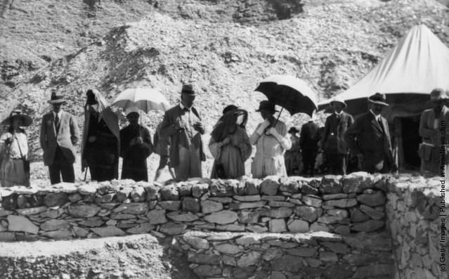
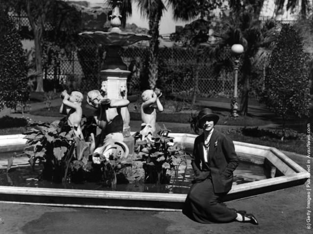
The discovery of Tutankhamun’s tomb by British archaeologist Howard Carter in 1922 was the most dramatic archaeological event of the era. The tomb, found virtually intact in the Valley of the Kings, drew tourists, photographers, and souvenir hunters from around the world. Shepheard’s Hotel in Cairo was the gathering place for wealthy visitors — the Russian ballerina Anna Pavlova was among the many famous guests who passed through its gardens.
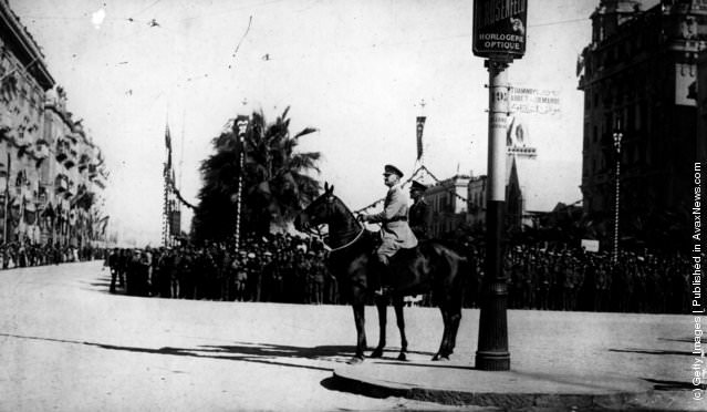
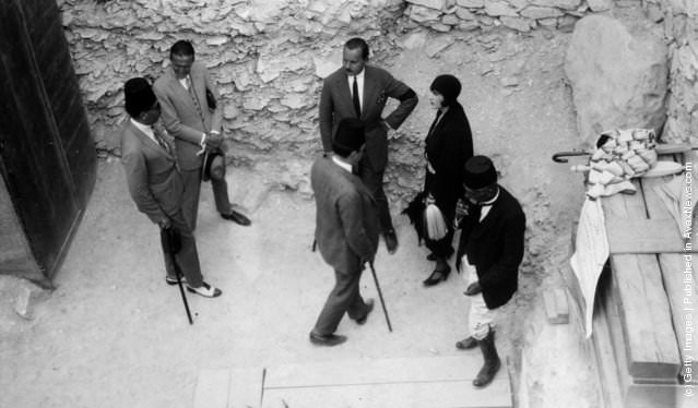
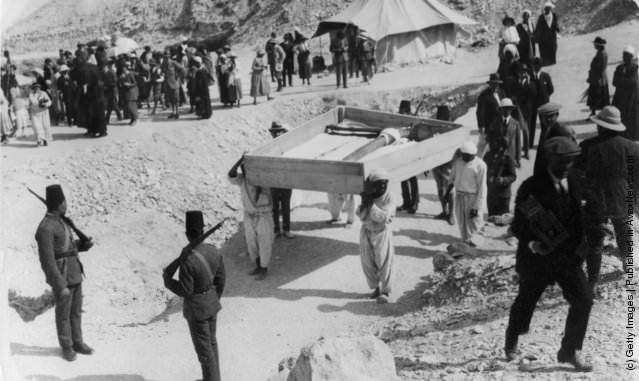
The opening of Tutankhamun’s tomb was treated as a state event. European royalty attended, including Prince Friedrich Leopold of Prussia, while soldiers stood guard as treasures were carefully removed and catalogued. Allenby took the salute at military ceremonies in Cairo, a symbol of British military authority over a country that was technically gaining greater autonomy but remained firmly under British influence.
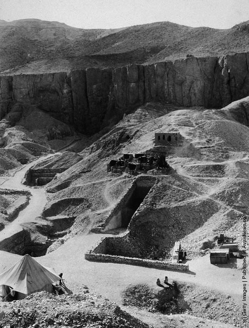
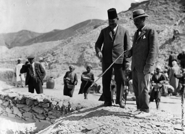
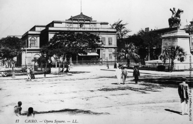
Howard Carter spent years excavating the Valley of the Kings before finding Tutankhamun’s tomb. Aerial photographs of the site showed the careful grid of trenches dug into the valley floor, with the tombs of Ramesses VI nearby. In Cairo, Opera Square was one of the city’s most elegant public spaces, anchored by the opera house built in 1869 and the equestrian statue of Ibrahim Pasha — a monument to Egyptian leadership in a city still governed by foreign hands.
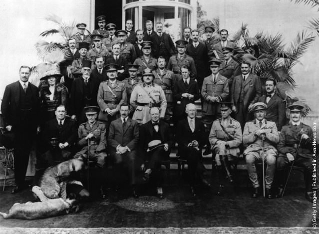
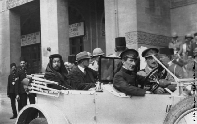
Cairo hosted the 1921 Cairo Conference, at which British officials including Winston Churchill, T.E. Lawrence, and Gertrude Bell gathered to draw the borders of the modern Middle East. The decisions made at that conference shaped the political geography of the region for the rest of the 20th century. Cairo had become not just Egypt’s capital but a central stage for imperial decision-making that affected millions of people across a vast region.