Waikiki’s name comes from the Hawaiian words for “spouting waters,” a nod to the freshwater springs that once fed the wetlands behind the beach. Long before tourists arrived in any real number, Hawaiian royalty had already claimed this strip of coastline as their private retreat. During the 1800s, they surfed its waves on heavy koa longboards, a tradition the ocean here was perfectly shaped for. The calm, rolling swells that peel across the reef made Waikiki one of the best longboarding spots on earth — and that reputation has never faded.
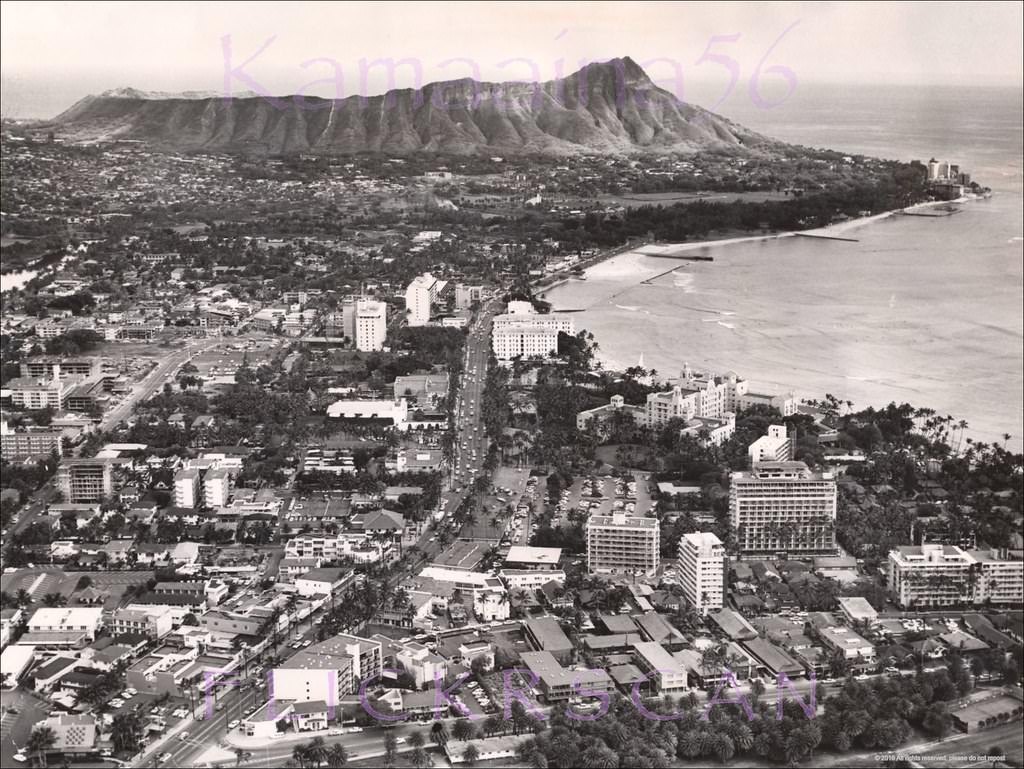
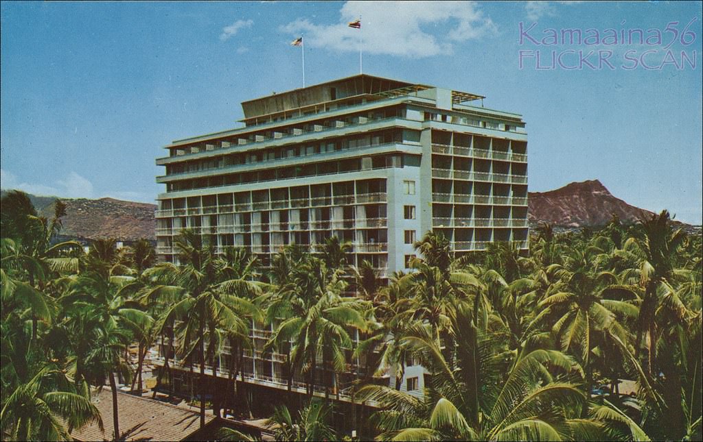
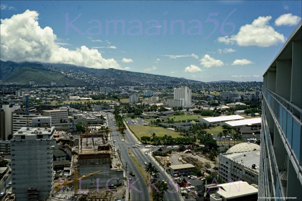
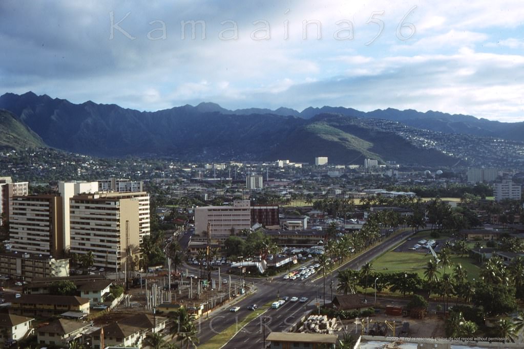
Another beautifully detailed Birdseye view of Waikiki development at the end of the 1950s based on the buildings in the scene, 1960
The royals eventually transformed their playground into something more formal. Smaller hotels began appearing along the beachfront in the late 1800s. Then, in 1901, the Moana Surfrider opened — Waikiki’s first large hotel, a grand colonial structure that set the tone for the neighborhood’s next century. The Royal Hawaiian Hotel followed in the 1920s, its pink stucco walls earning it the nickname “The Pink Palace of the Pacific.” By the time the 1960s arrived, both landmarks were still standing, but the world around them was changing fast.
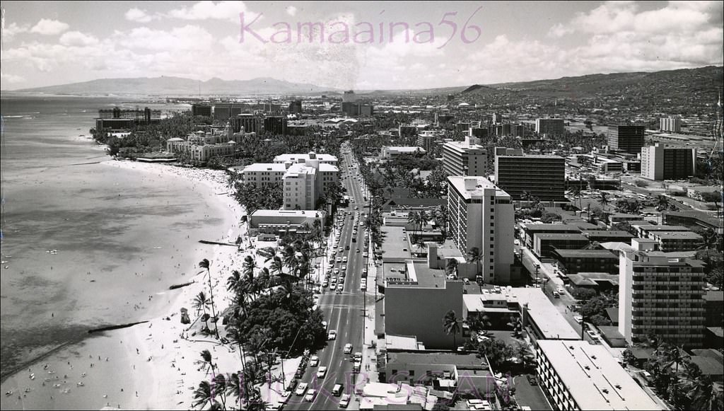
Waikiki Kalakaua Avenue, 1961
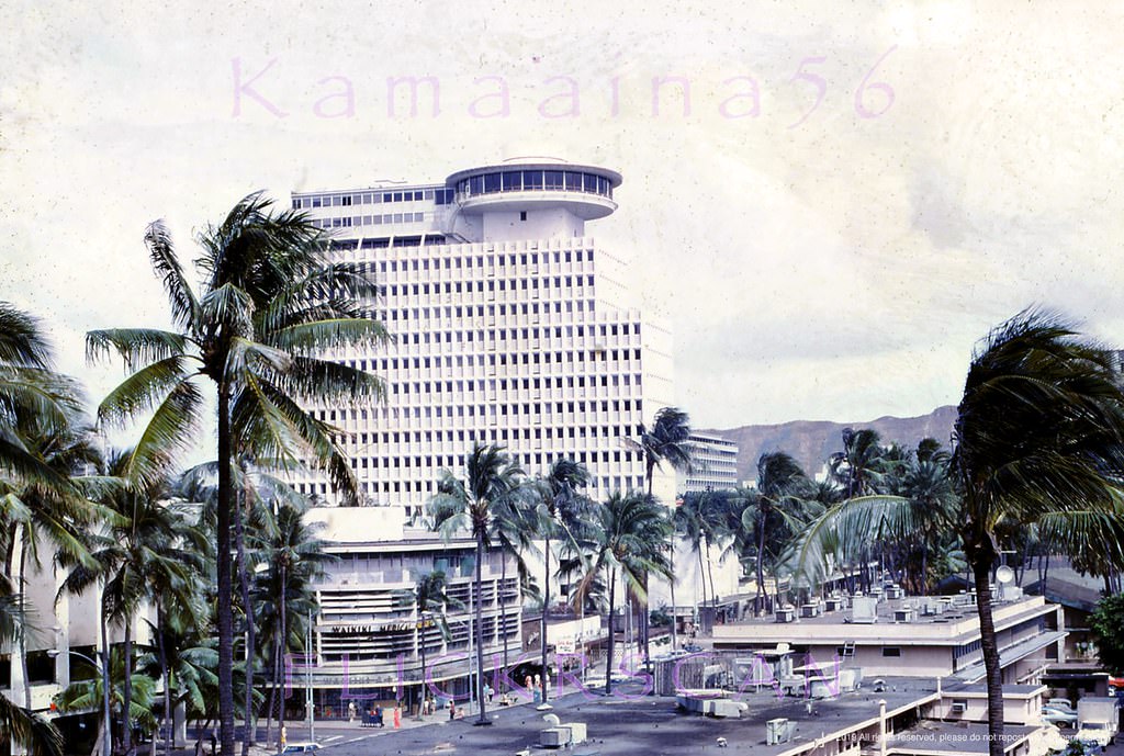
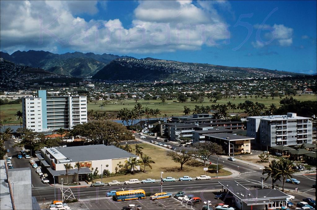
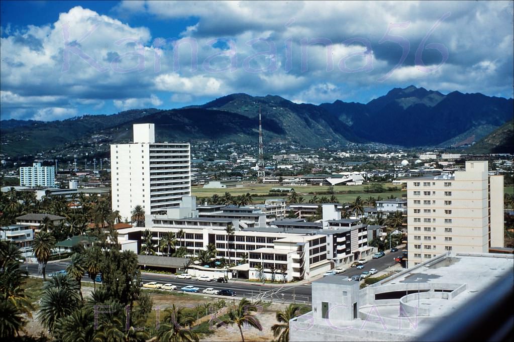
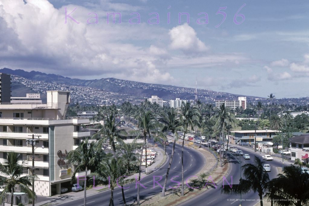
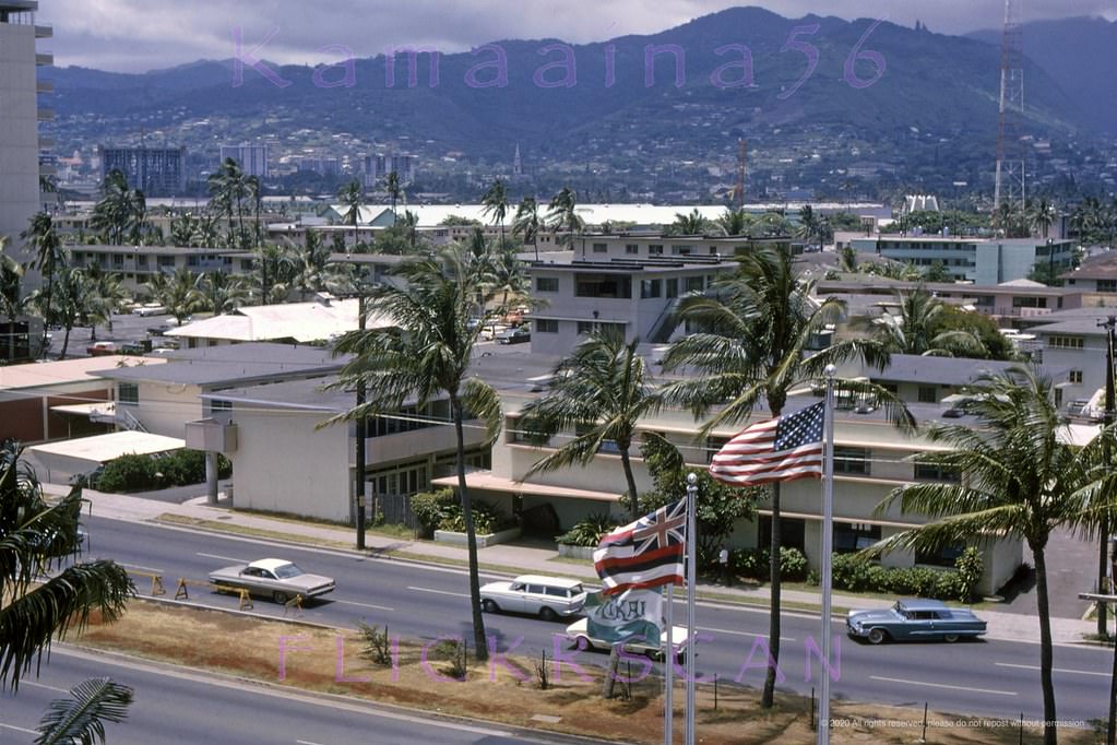
The 1960s were a decade of rapid, visible transformation in Waikiki. New towers rose from lots that had held low-slung cottages and small apartment hotels just years before. Construction cranes were a common sight along Kalakaua Avenue, Waikiki’s main commercial strip running parallel to the beach. Buildings like the Waikiki Shore Apartments went up in 1960, the Waikiki Circle Hotel in 1962, and the Foster Tower appeared on Kalakaua during this same window of growth. Each new structure pushed the skyline higher and signaled that Waikiki’s era as a quiet beach town was over.
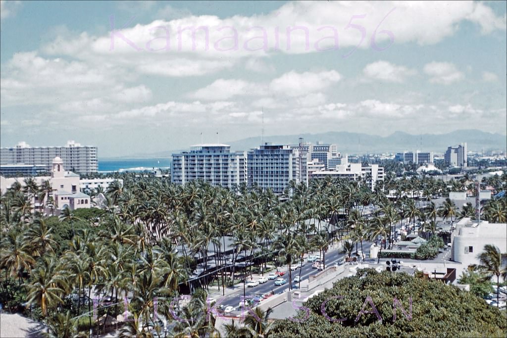
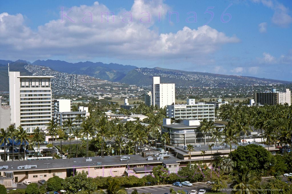
Panoramic view of Waikiki looking west from the Captain Cook restaurant atop the Princess Kaiulani Hotel on Kalakaua Avenue, 1962
The surge in development was driven by a simple fact: getting to Hawaii had become affordable. Jet aircraft like the Douglas DC-8 cut travel time from the US mainland to just a few hours. When the Boeing 747 entered service, airlines could carry hundreds of passengers on a single flight. The numbers reflected this shift dramatically. By 1968, Waikiki hosted its first million visitors in a single year, filling roughly 15,000 hotel rooms across the district.
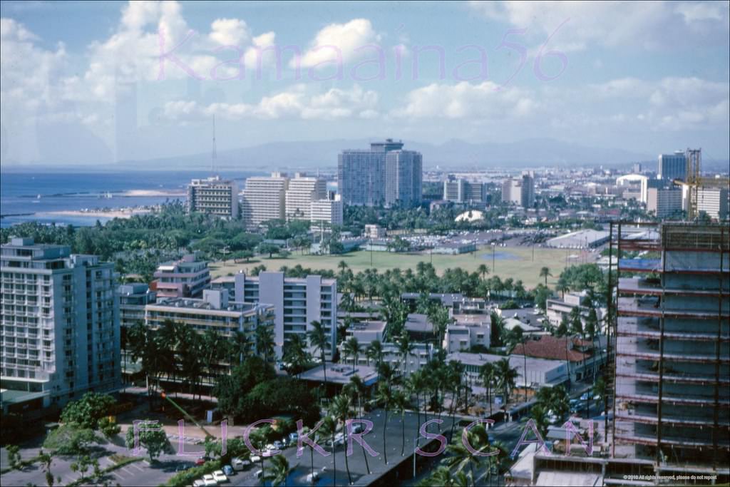
Kalakaua Avenue from the Top of Waikiki restaurant at the Waikiki Business Centre, 1966
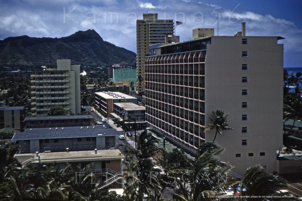
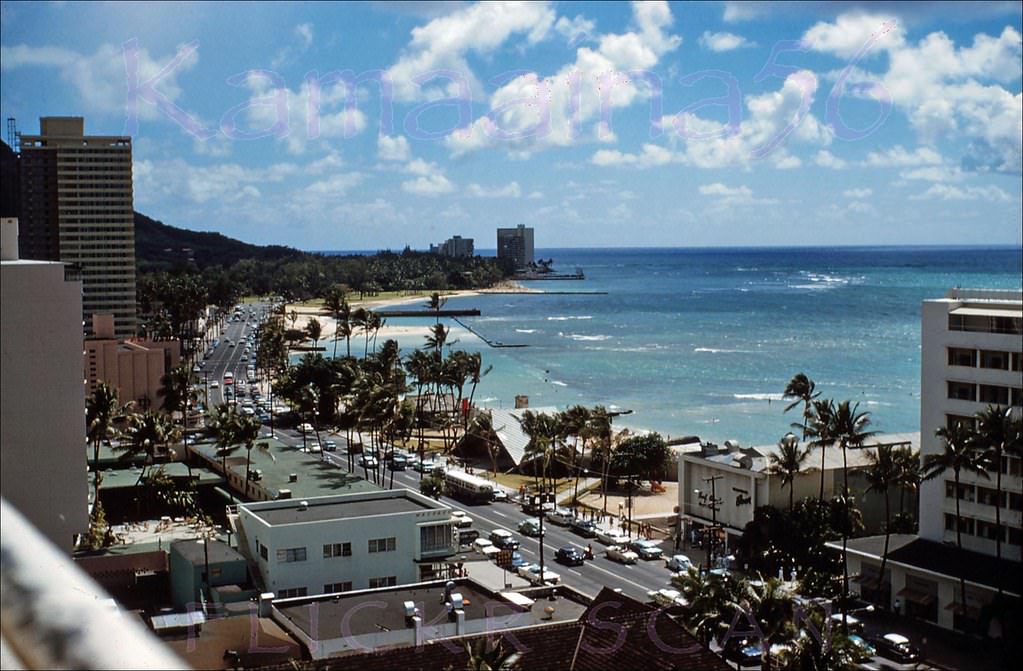
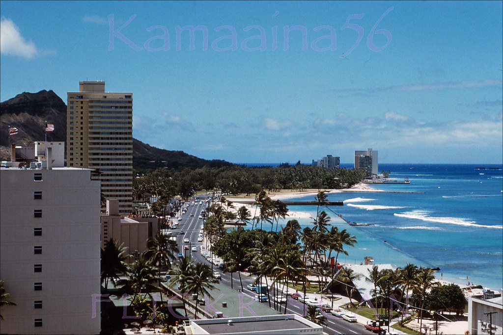
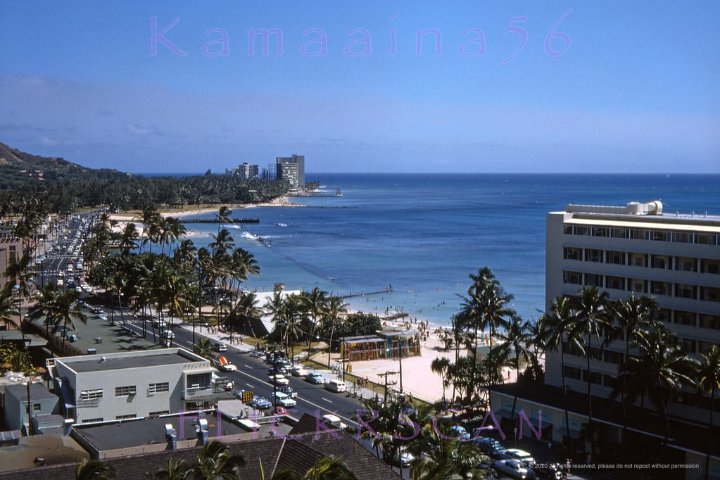
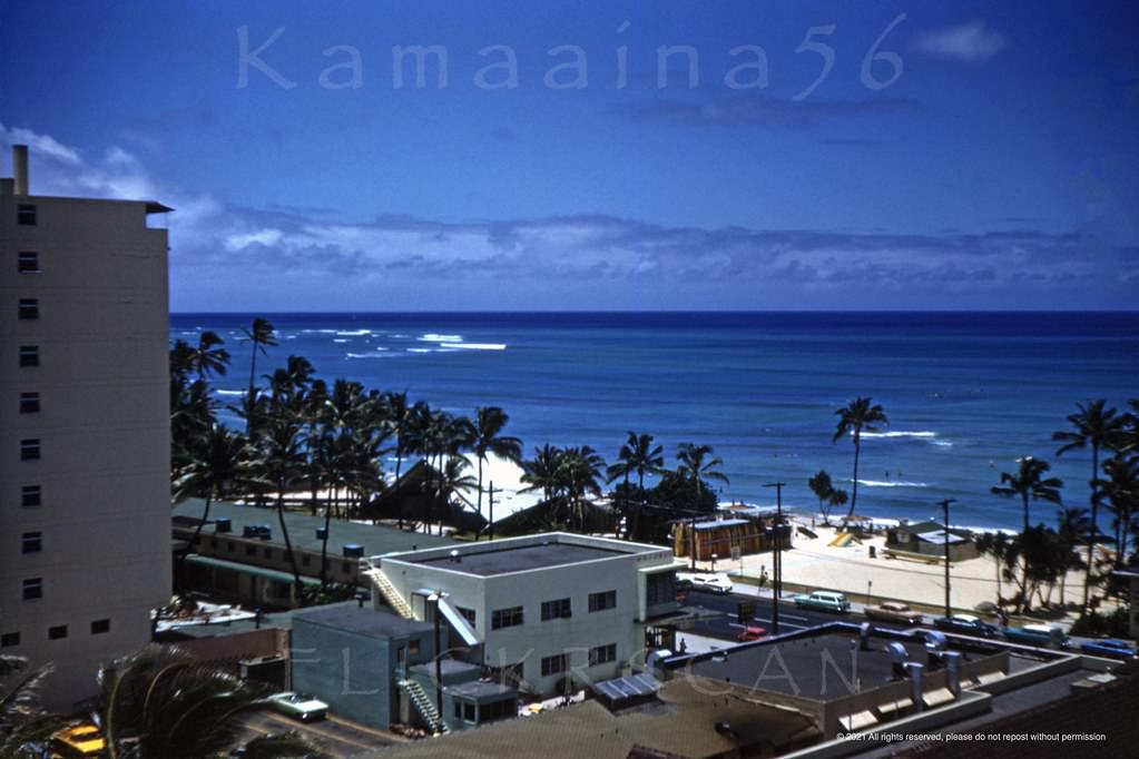
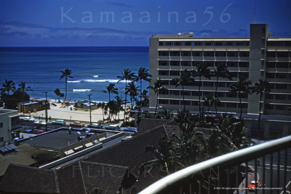
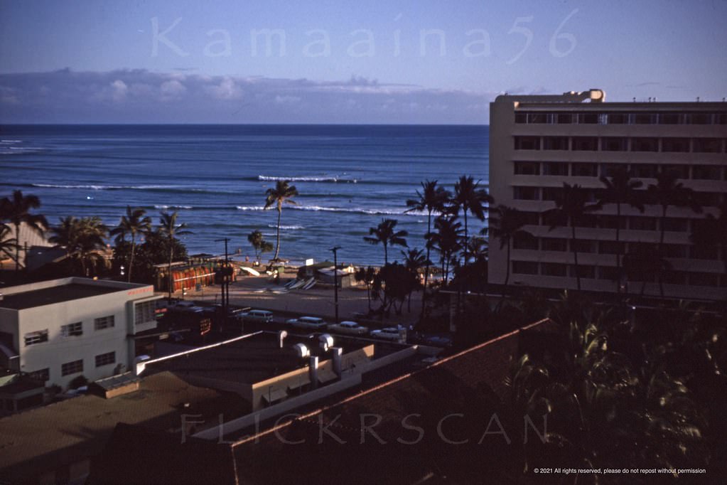
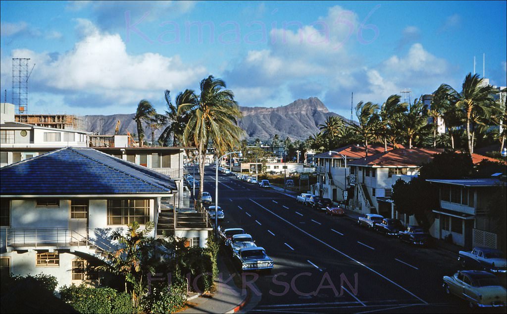
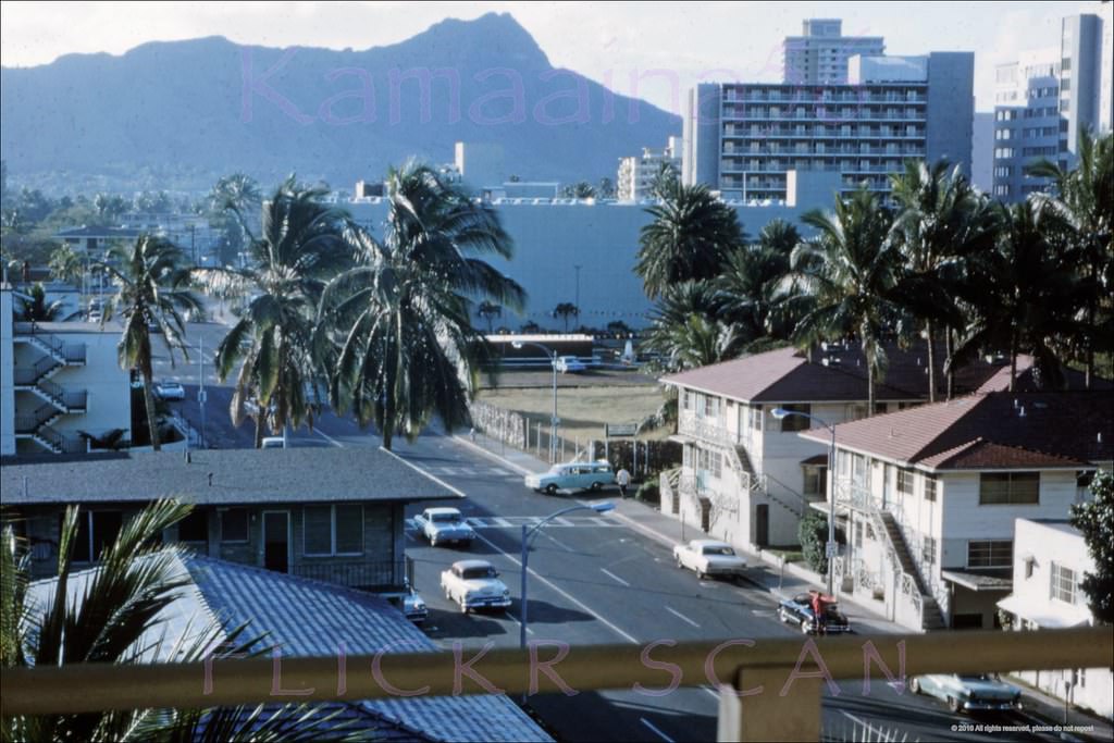
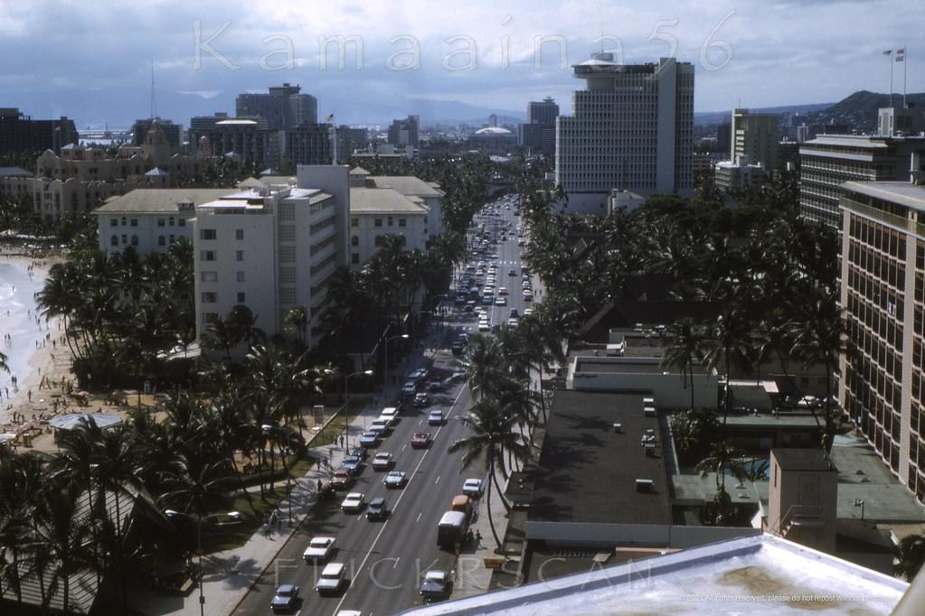
The 12-story Princess Kaiulani Hotel, opened in 1955, offered some of the best vantage points over the changing neighborhood. From its upper floors, photographers captured a Waikiki in transition — low-rise buildings giving way to towers, quiet side streets becoming busy with foot traffic, and the ocean glittering beyond the rooftops to the south. Koa Avenue, running east toward Diamond Head, showed the same pattern: older, smaller structures holding on while new development pressed in from every direction.
Looking Diamond Head (east) along Waikiki’s Koa Avenue from the 12 floor 1955 Princess Kaiulani Hotel, 1963View along Waikiki’s Kalakaua Ave. looking towards the new Waikiki Beach Center from an upper floor of the Princess Kaiulani Hotel, 1962.Diamond Head view along Kalakaua Avenue from an upper floor at the 12-story Princess Kaiulani Hotel, 1962
One Waikiki landmark that disappeared during this era was the Waikiki Bowl, a beachfront building that sat beside the Surfrider Hotel. By late 1962 it had been demolished, clearing prime beachfront space. The loss was barely mourned — the structure had no architectural distinction, and the land it occupied was far too valuable to leave underused in the middle of a construction boom.
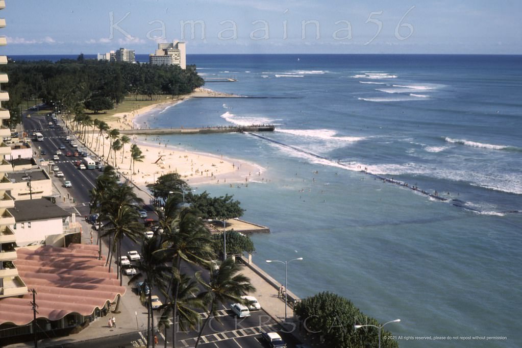
Pretty afternoon light looking Diamond Head along Kalakaua Avenue from an upper floor at the 12 floor Princess Kaiulani Hotel, 1963.Pretty Ocean view from an upper floor at the Princess Kaiulani Hotel, 1963PK Afternoon View Waikiki, 1963.View from the 12-floor Princess Kaiulani Hotel looking makai (towards the ocean) early evening, 1963
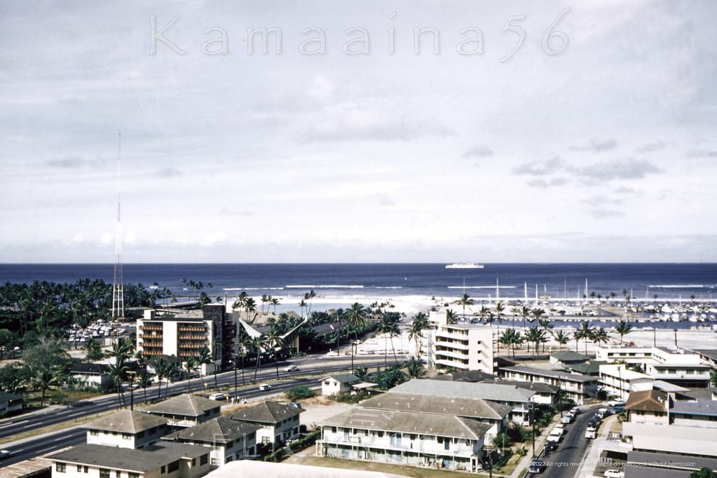
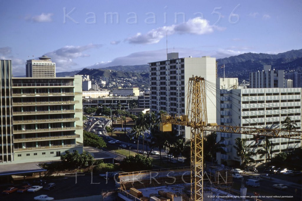
By the mid-to-late 1960s, the pace of change had accelerated further. New towers were going up not just on Kalakaua but on side streets and along Ala Moana Boulevard on Waikiki’s western edge. The view from upper floors of hotels like the Holiday Isle on Lewers Street showed a cityscape shifting in real time — construction scaffolding, fresh concrete, and cranes visible across the district.
Kalakaua Avenue viewed from an upper floor, probably at the 1967 Holiday Isle Hotel on Lewers Street, 1968
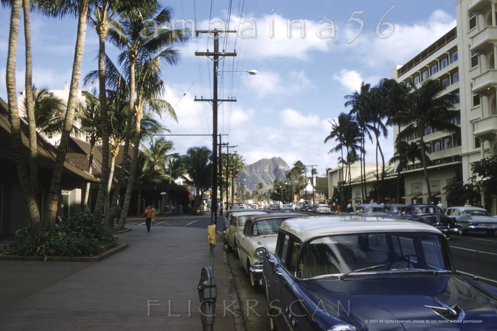
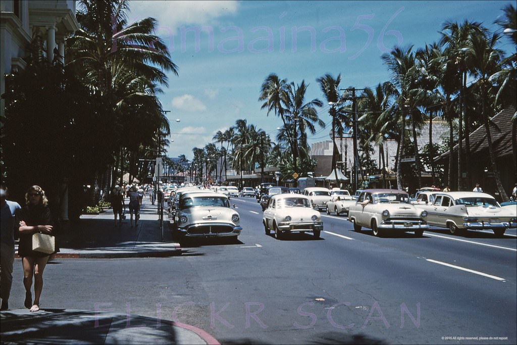
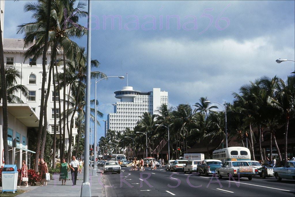
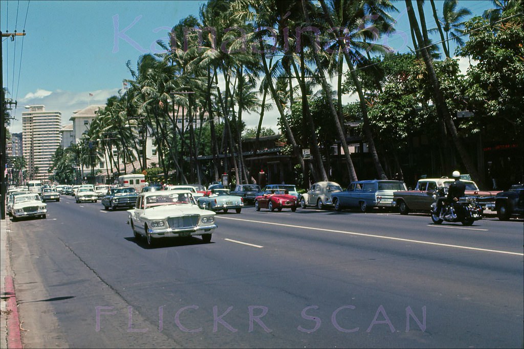
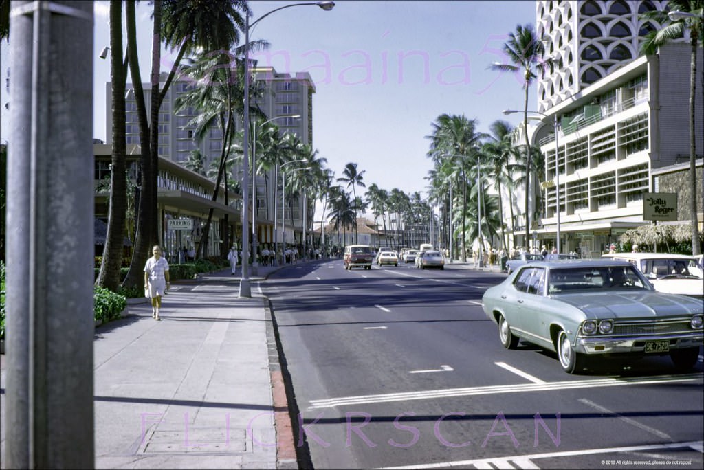
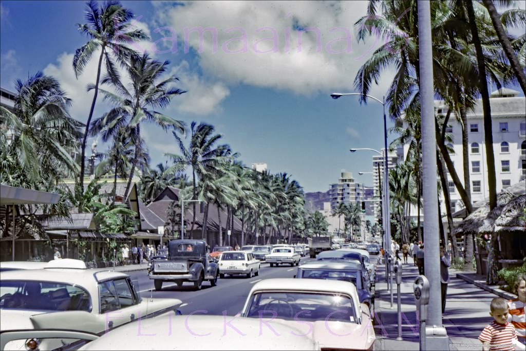
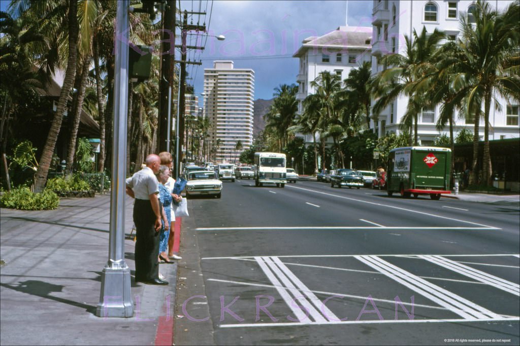
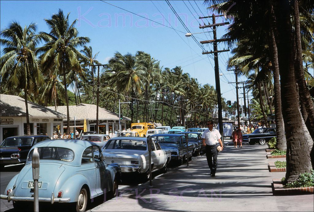
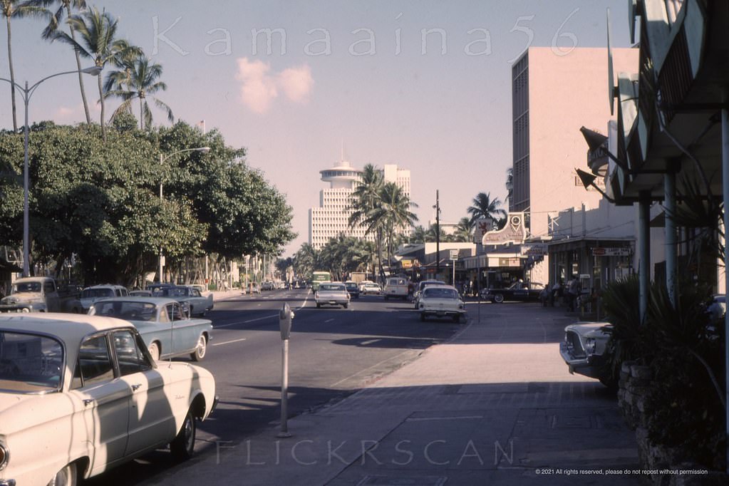
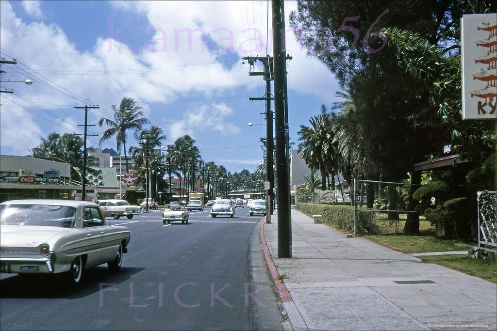
Kalakaua Avenue was Waikiki’s nerve center throughout the decade. In the early 1960s it was still a two-way street with on-street parking and metered spaces lining the curbs. Cars from that era — wide-bodied American sedans and the occasional imported compact — moved steadily through the intersection at Kaiulani Avenue, one of the district’s busiest corners. Storefronts like Andrade’s menswear occupied prime corner spots, catering to the visitors who packed the sidewalks.
Waikiki’s Kalakaua Avenue looking east from the corner of Kaiulani Avenue (center left), 1960
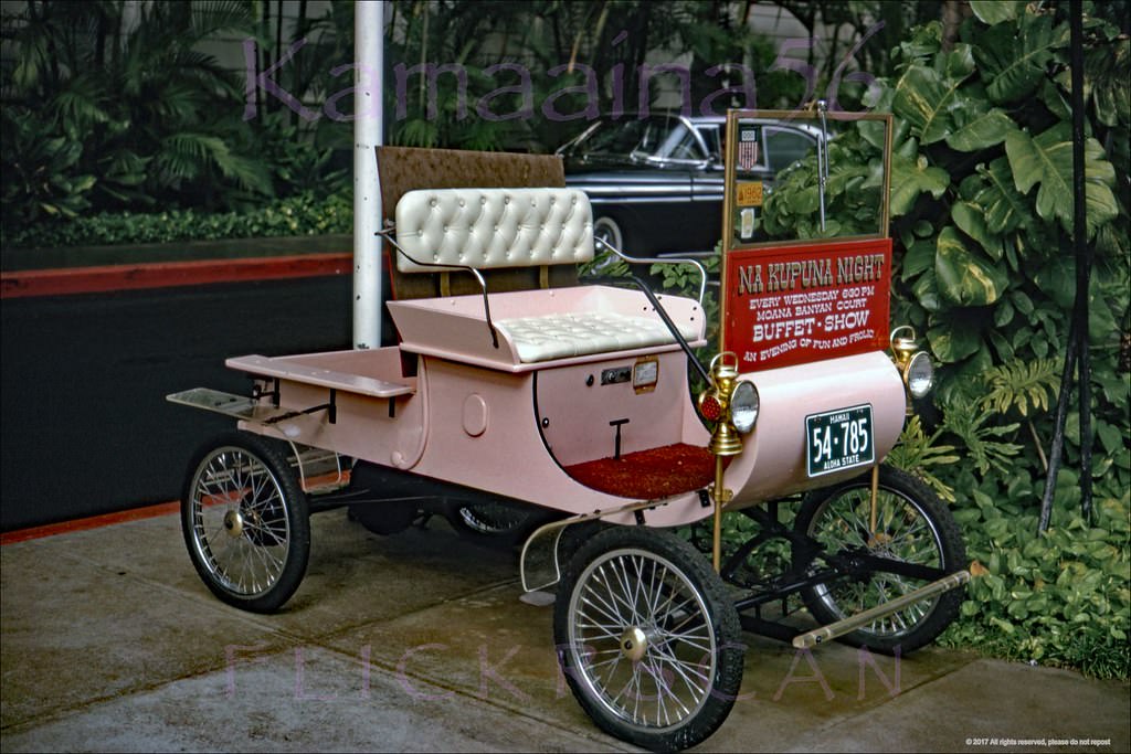
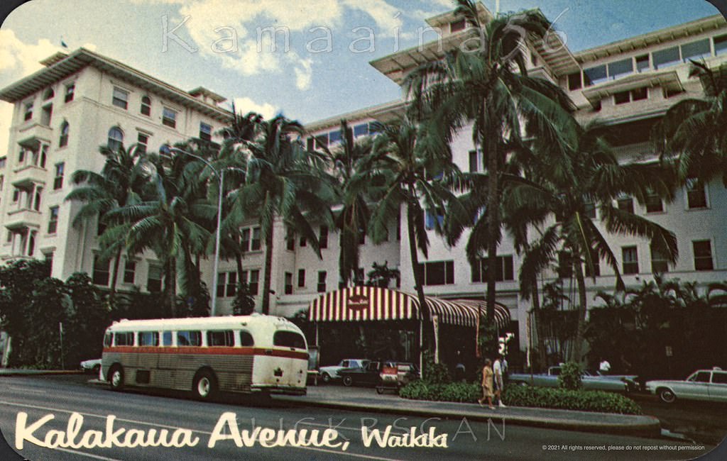
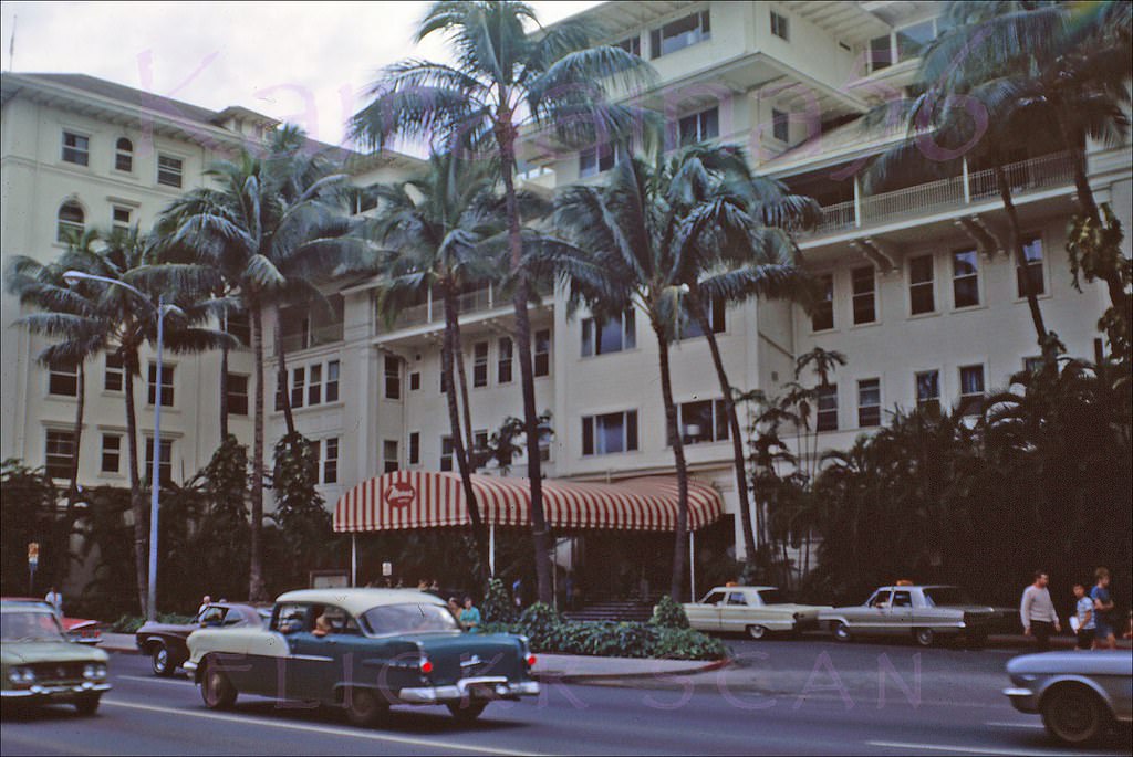
The Moana Hotel stood as Waikiki’s oldest and most recognizable landmark throughout the 1960s. Its white-columned facade on Kalakaua Avenue was a constant backdrop to the decade’s changes. The hotel’s Banyan Court hosted regular events including Na Kupuna Night on Wednesdays, drawing both tourists and locals. A vintage Oldsmobile Model R Curved Dash Runabout was parked out front to advertise the event — an unusual sight on a street full of modern automobiles.
Oldsmobile Model R Curved Dash Runabout on the sidewalk in front of Waikiki’s Moana Hotel Advertising Na Kupuna (the elders) Night Wednesdays in the Banyan Court, 1962Street front of the Moana Hotel viewed from across Kalakaua Avenue, 1960sAfternoon at the Moana Hotel on Waikiki’s Kalakaua Avenue, 1969The venerable Moana Hotel seen from the corner of Kalakaua Avenue and Kaiulani, 1962The porte-cochere entrance to the stately Moana Hotel seen from across Kalakaua Avenue, 1962
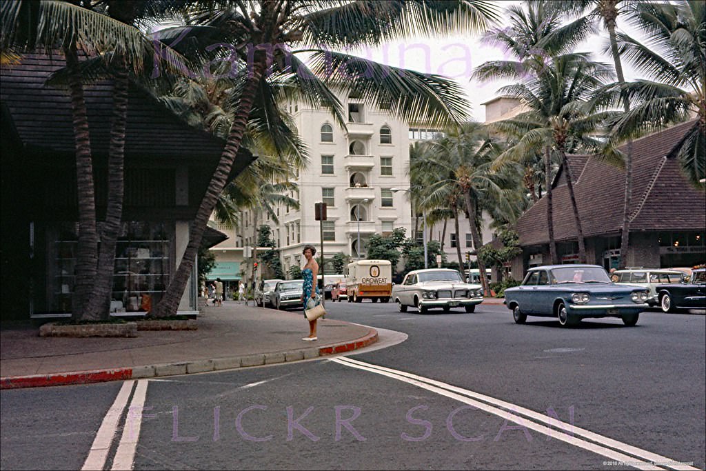
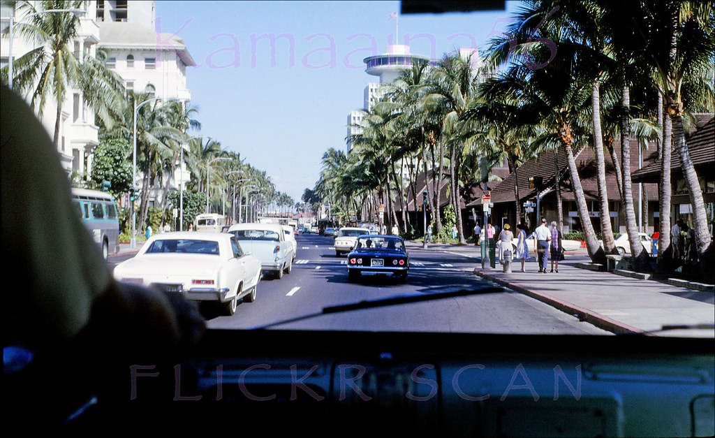
The intersection of Kalakaua and Kaiulani Avenues captured the full energy of 1960s Waikiki. Looking west along Kalakaua from that corner, a visitor could see a dense mix of hotels, shops, and street vendors stretching toward the beach hotels in either direction. Pedestrian traffic was heavy, and the street itself carried a steady stream of cars in both directions.
Looking Ewa (more or less west here) along Waikiki’s Kalakaua avenue from the intersection with Kaiulani Avenue, 1962Looking west along Waikiki’s Kalakaua Avenue from the Kaiulani Avenue intersection, 1962Waikiki’s busy Kalakaua Avenue from in front of the Moana Hotel, 1962Looking west along Waikiki’s Kalakaua Avenue from the Kaiulani Avenue intersection, 1967
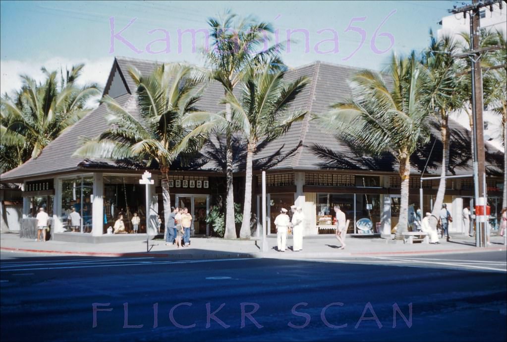
Street-level commerce thrived all along Kalakaua. The northeast corner of Kalakaua and Kaiulani was occupied by Andrade’s menswear in 1960, with its bold signage visible from across the street. Kaiulani Avenue itself, running inland from the beach, was lined with smaller hotels and apartment buildings serving travelers on tighter budgets.
Andrade’s menswear on the northeast corner of Kalakaua Avenue and Kaiulani in Waikiki, 1960.Looking makai along Kaiulani Avenue from the corner of Koa Avenue, 1964The intersection of Kalakaua and Kaiulani Avenues in the heart of Waikiki, 1969Kalakaua Avenue looking Ewa (west) from the intersection with Kaiulani Avenue, 1960Mauka view along Kaiulani Avenue at the intersection with Kalakaua Avenue, 1962Looking inland along Kaiulani Avenue from just before Koa Avenue in Waikiki, 1969
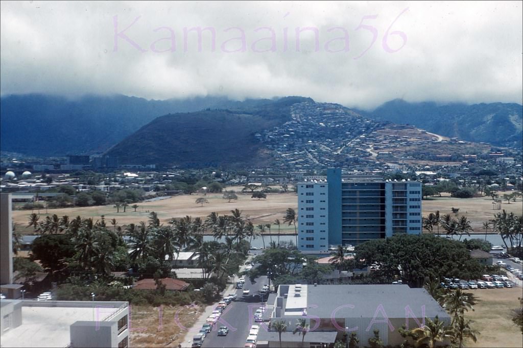
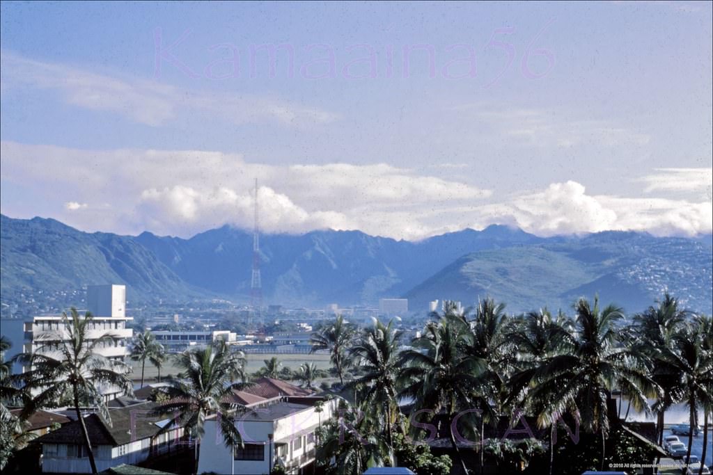
The views from the Princess Kaiulani Hotel’s upper floors extended in every direction. Looking inland (mauka), the Ko’olau Mountains dominated the horizon, their peaks often wrapped in clouds. Kuhio Avenue — one block mauka of Kalakaua — was developing quickly as a secondary hotel corridor, with new mid-rise buildings visible throughout the early and mid-1960s.
Mountain view from an upper floor at the Princess Kaiulani Hotel, 1962Mauka view of Kuhio Avenue and vicinity from an upper floor at the Princess Kaiulani Hotel, 1962Inland view of Kuhio Avenue and beyond from an upper floor at the Diamond Head Wing of the Princess Kaiulani Hotel, 1962
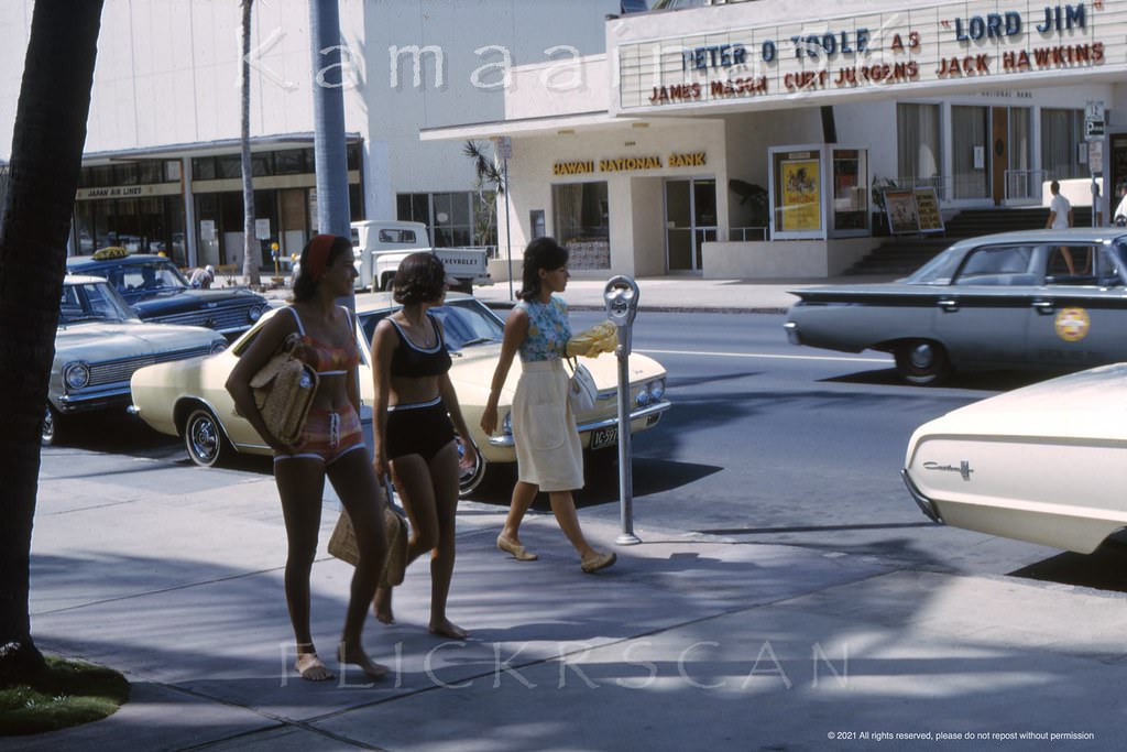
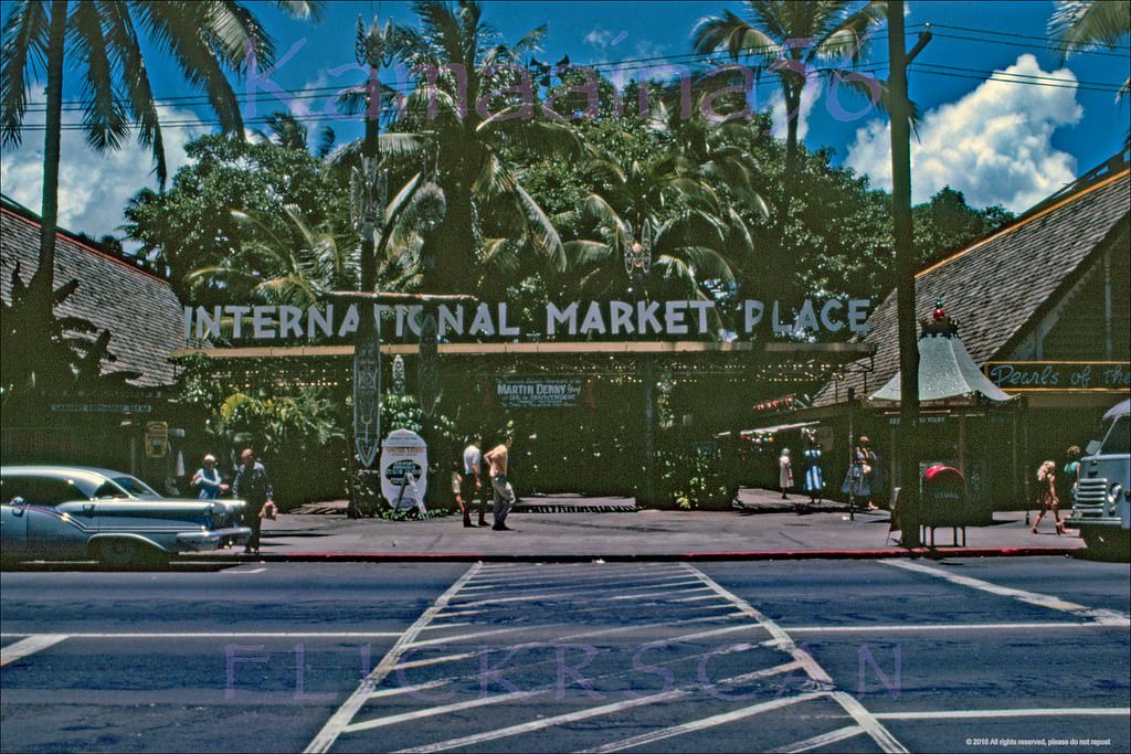
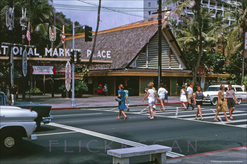
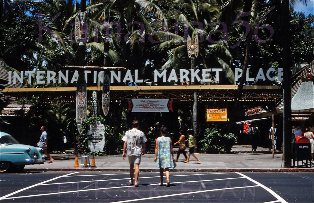
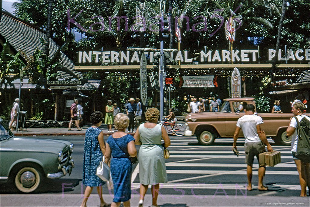
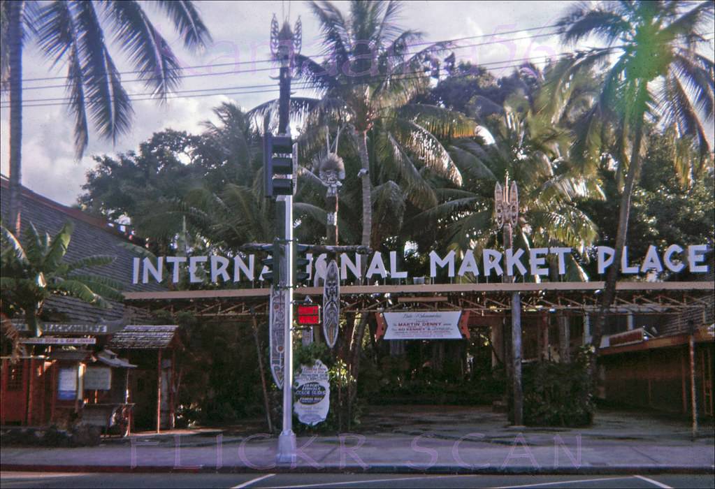
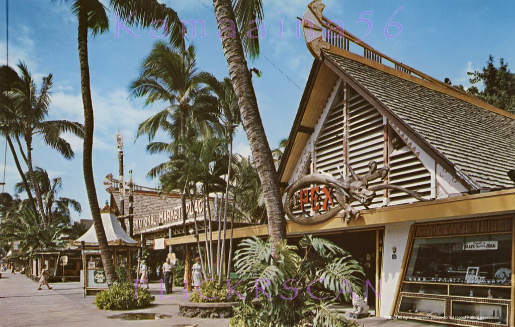
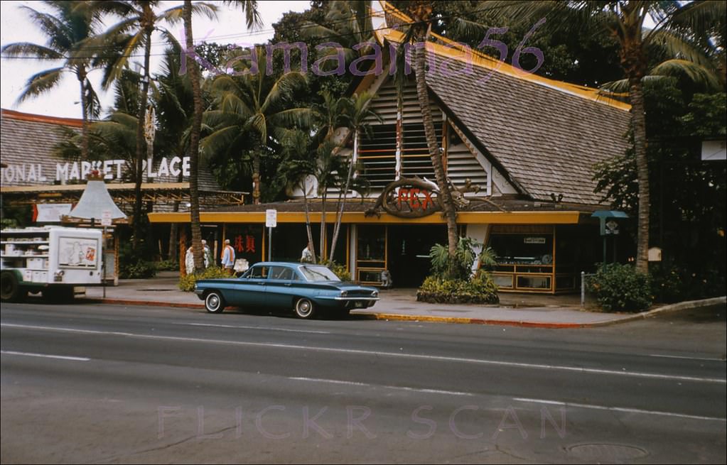
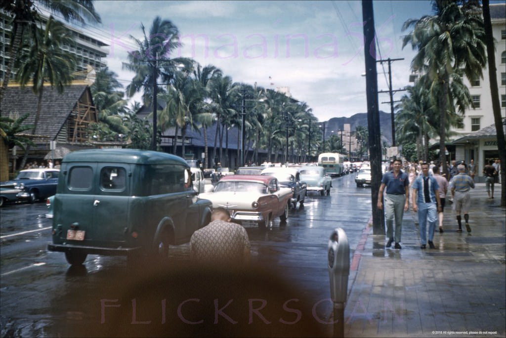
Moving east along Kalakaua toward Diamond Head, the street scene shifted slightly. The Waikiki Theater marked a prominent spot on the avenue, and from its vicinity one could look east and see the gradual rise of Diamond Head crater looming at the far end of the commercial strip. The International Market Place occupied a large parcel on the mauka (inland) side of Kalakaua and drew enormous foot traffic throughout the decade.
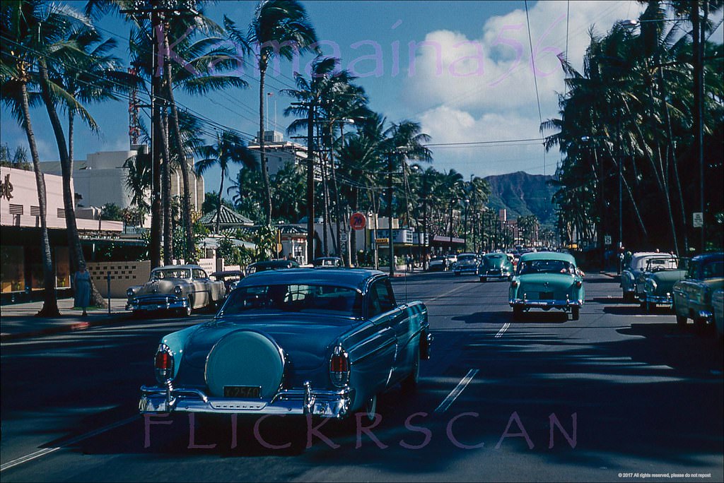
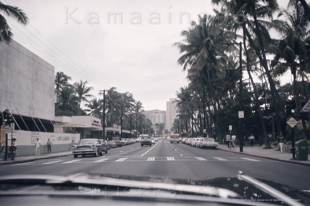
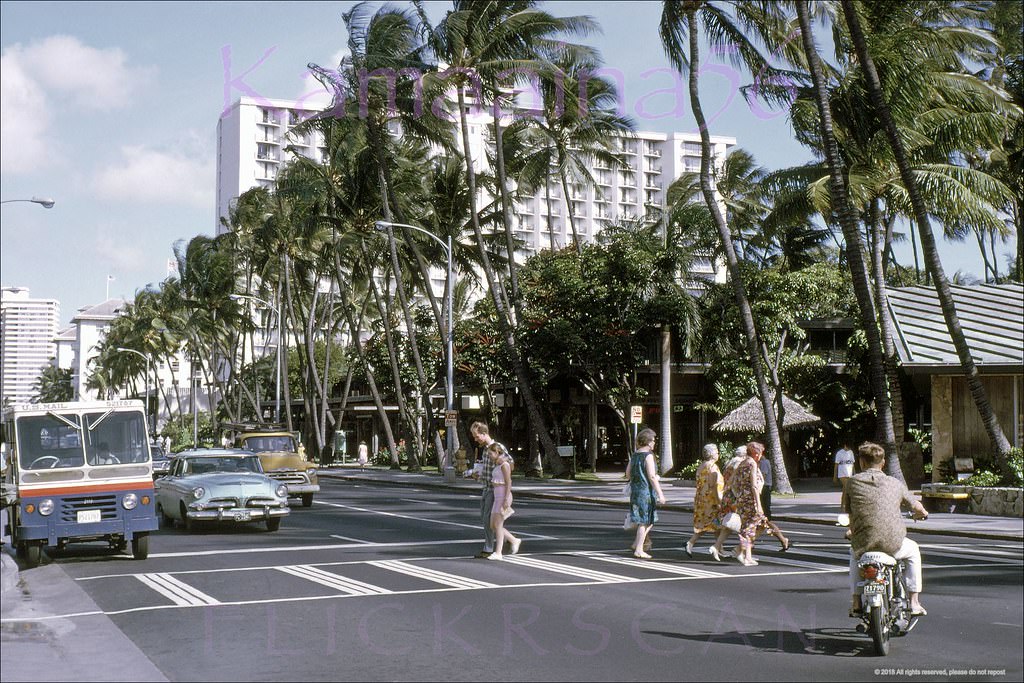
Looking east along Kalakaua Avenue from around where the Waikiki Theater, 1963Waikiki’s Kalakaua Avenue looking towards the Moana Hotel from around the International Market Place, 1960Further Diamond Head along Waikiki’s Kalakaua Avenue, 1964Street level shot taken from the crosswalk of the International Market Place looking makai across Waikiki’s Kalakaua Avenue, 1962Street level shot taken from the crosswalk at the International Market Place looking makai across Kalakaua Avenue, 1962The Princess Kaiulani Hotel can be glimpsed across Kalakaua Avenue in the heart of Waikiki, 1964
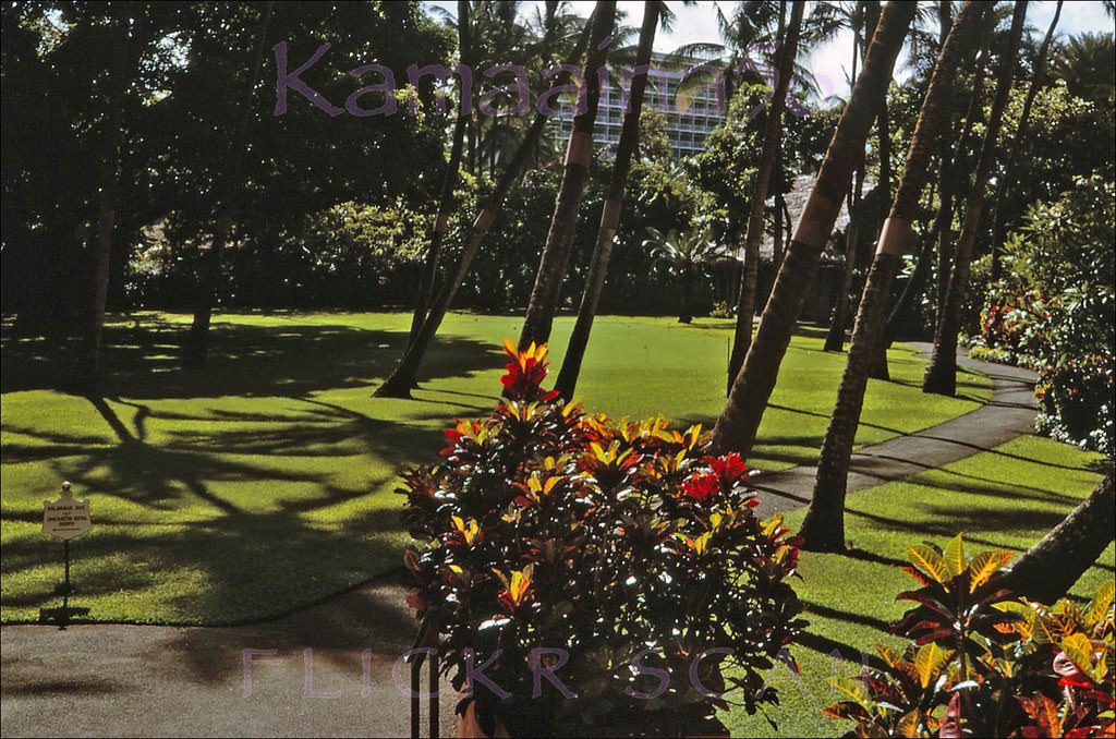
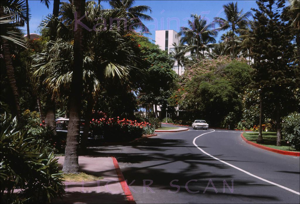
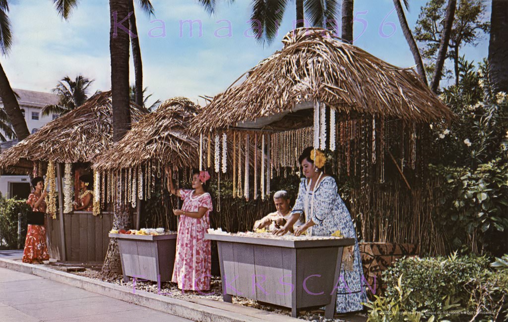
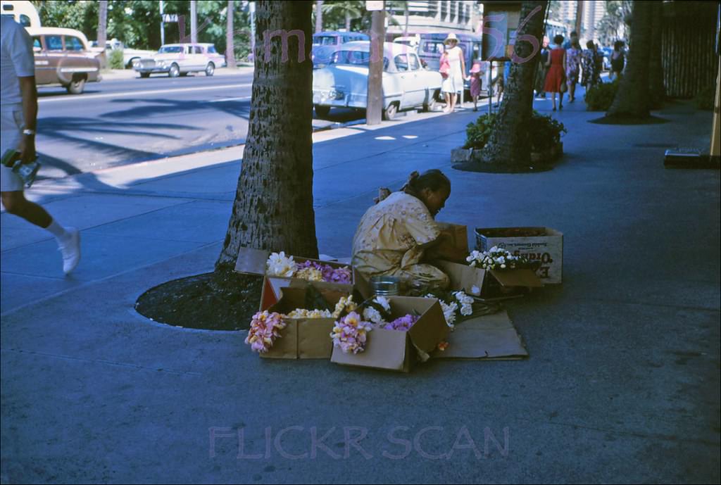
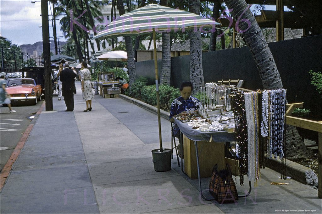
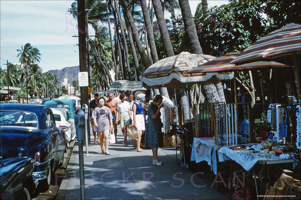
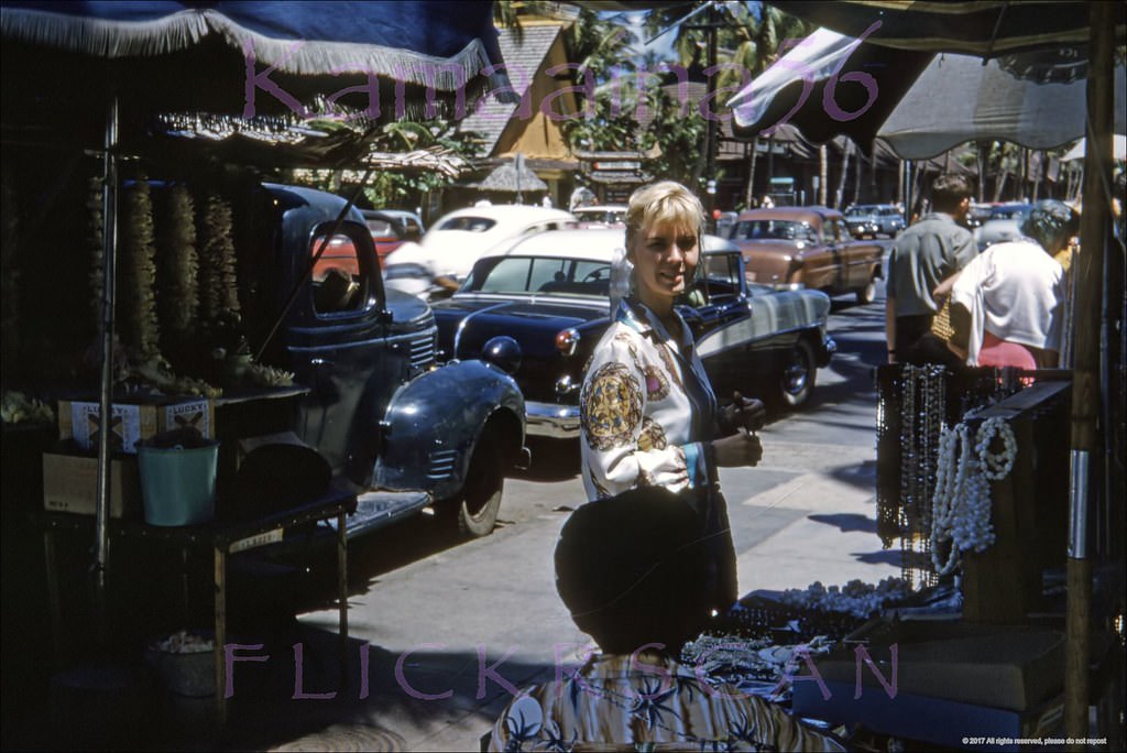
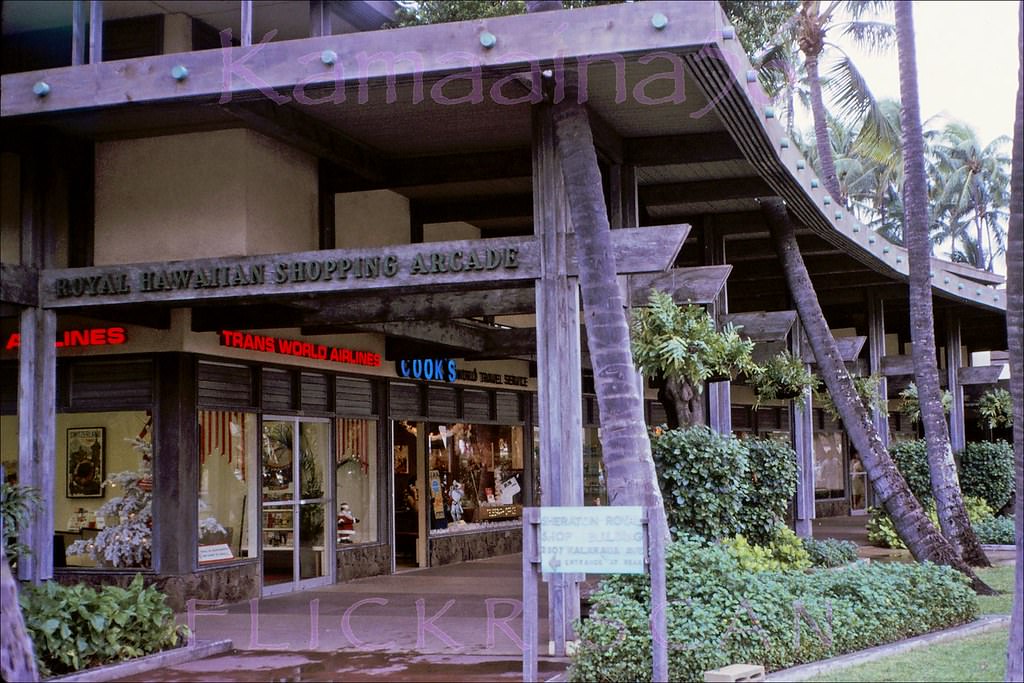
The Royal Hawaiian Hotel’s grounds included a long driveway lined with palms, a quiet contrast to the busy avenue just beyond the hedges. The hotel’s shopping arcade fronted Kalakaua and anchored the makai (ocean-side) commercial strip between Royal Hawaiian Avenue and Lewers Street. Souvenir and lei vendors set up along the sidewalk in front, doing brisk business with the steady stream of tourists passing by.
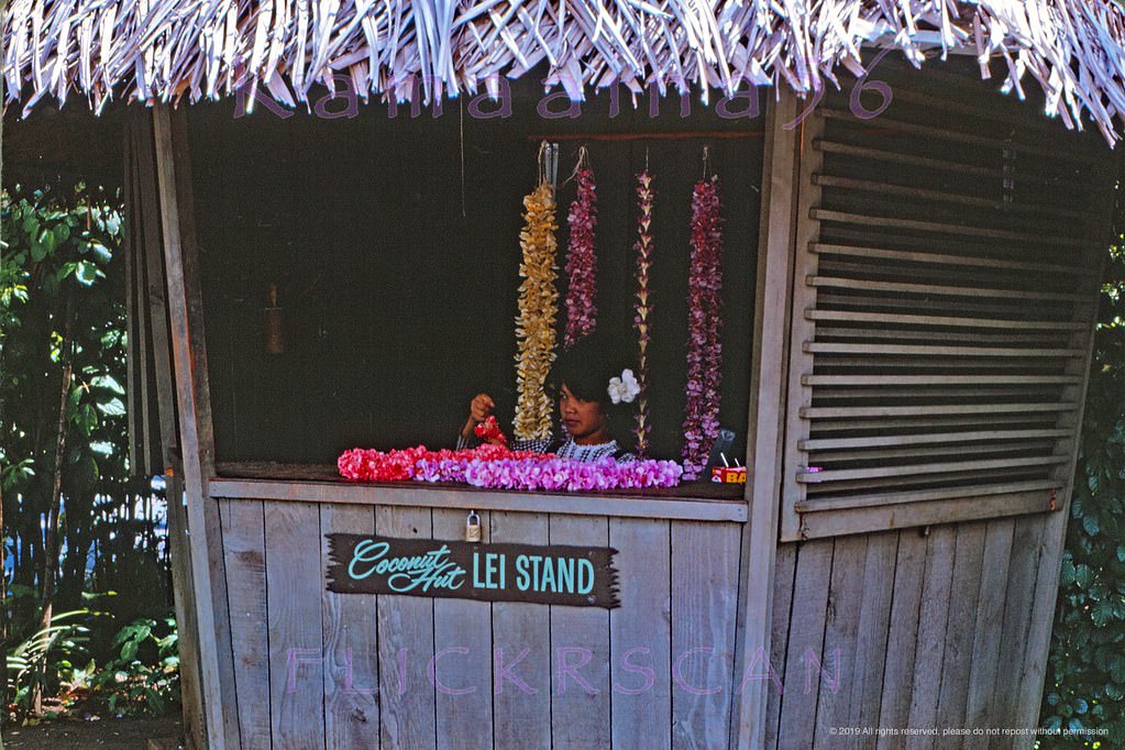
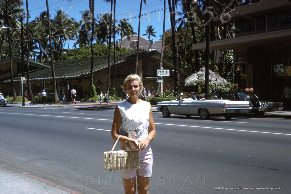
Royal Hawaiian Driveway, 1964.Kalakaua Avenue scene next to the Moana Hotel and the long-gone Outrigger Arcade, 1960sPretty lei seller at an unidentified location but probably somewhere on Waikiki’s Kalakaua Avenue, 1963Looks like this would have been right around the old Stewart’s Pharmacy on Kalakaua Avenue at Lewers in Waikiki, 1963Looking Diamond Head (more less east) along Waikiki’s Kalakaua Avenue from in front of the Royal Hawaiian Shopping Arcade, 1960sHawaiiana and souvenir vendors on the sidewalk of Waikiki’s Kalakaua Avenue fronting the Royal Hawaiian Hotel, 1961Our pretty blonde snapped amid the lei sellers and tourists on the makai sidewalk of Waikiki’s Kalakaua Avenue, 1960Waikiki’s Kalakaua Avenue looking makai (towards the ocean) from the old Royal Hawaiian Avenue driveway (out of frame and across the street at left), 1960s
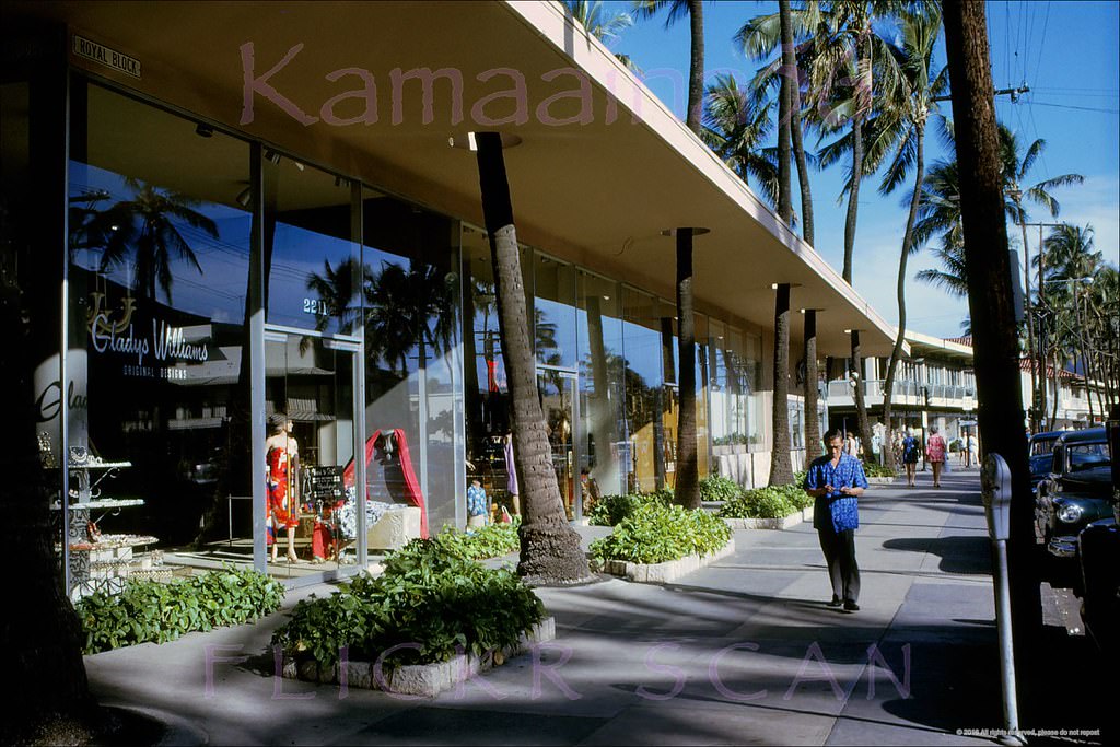
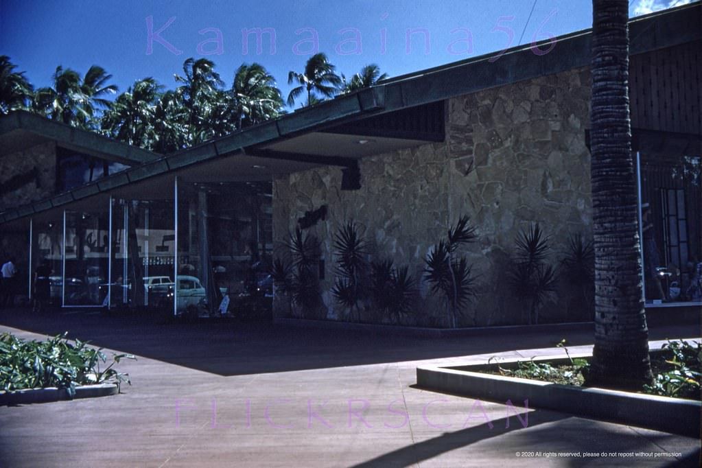
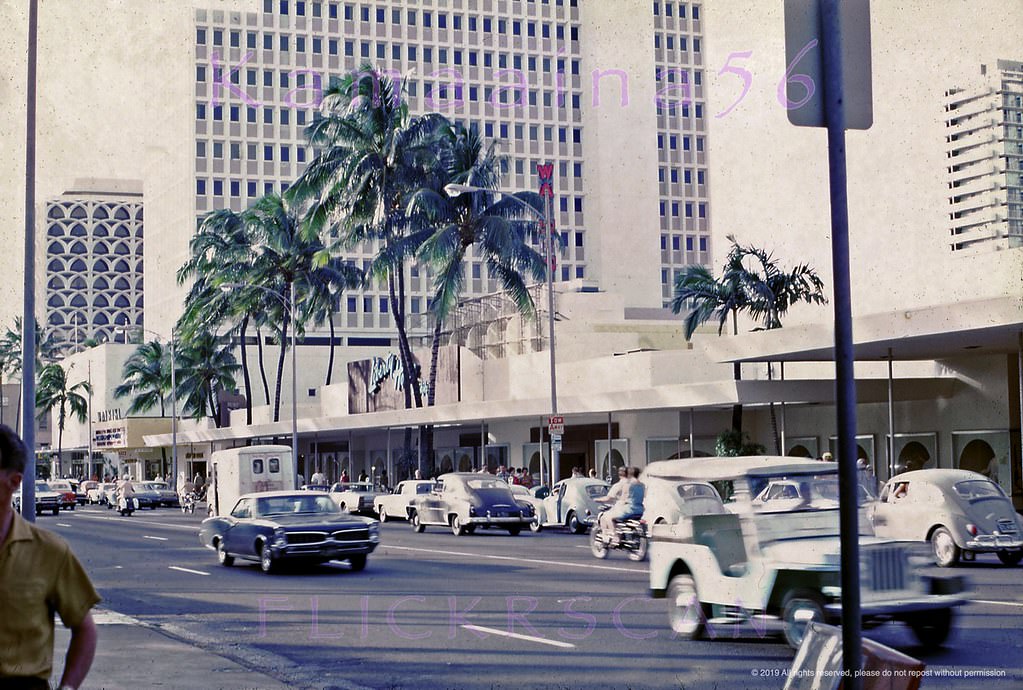
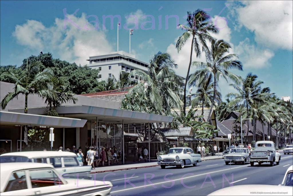
The Watumull Beach Shops, later renamed the Royal Block, occupied a distinctive stretch on the makai side of Kalakaua between Lewers and Royal Hawaiian Avenue. The storefronts featured palm trees growing through cut-outs in the overhang — a design that managed to feel both tropical and commercial at the same time. Nearby, the McInerny department store opened in 1958 to a design by architect Vladimir Ossipoff, its modernist lines standing out among the more conventional buildings on the block.
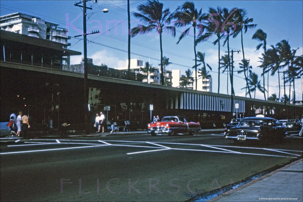
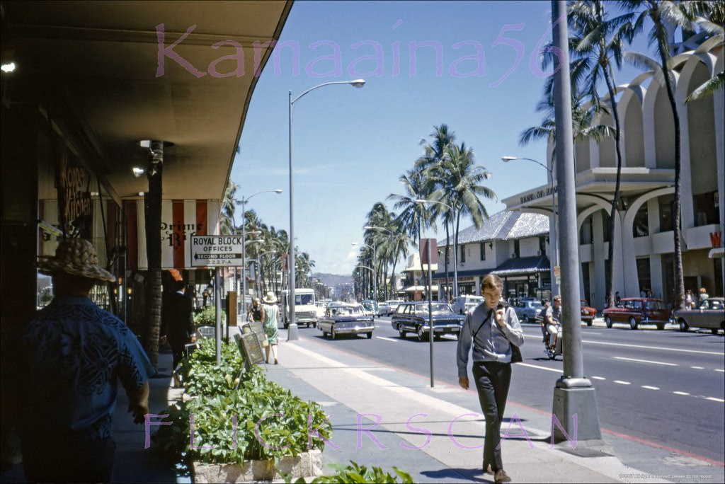
Watu mull Beach Shops on the makai side of Waikiki’s Kalakaua Avenue between Lewers and Royal Hawaiian were renamed the “Royal Block”, 1966Watumull Beach Shops (by then renamed the Royal Block) with the distinctive palm tree pukas, on the makai side of Waikiki’s Kalakaua Avenue in front of the Royal Hawaiian Hotel, 1961Looking Ewa (more or less west here) along Waikiki’s Kalakaua Avenue from around Royal Hawaiian Avenue, 1964Early morning looking west along Waikiki’s Kalakaua Avenue from the intersection with Seaside Avenue, 1967Ewa view (more or less west here) along Kalakaua Avenue between Royal Hawaiian and Lewers back when Kalakaua was still a two-way street and after the on-street parking and parking meters were gone, 1969
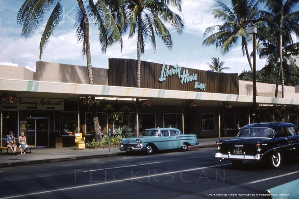
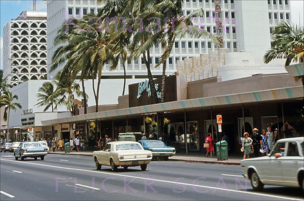
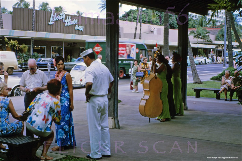
Liberty House was one of the most prominent retail anchors on Kalakaua Avenue. The department store opened on the street in 1937 and remained a fixture through the 1960s, sitting right next to the old Waikiki Theatre. Its sidewalk overhang had palm trees growing through cut-outs in the canopy, and its ground floor included a pharmacy and restaurant. The store closed in 1969 when the site was cleared for the 33-floor Waikiki Beachcomber Hotel, which opened in 1970.
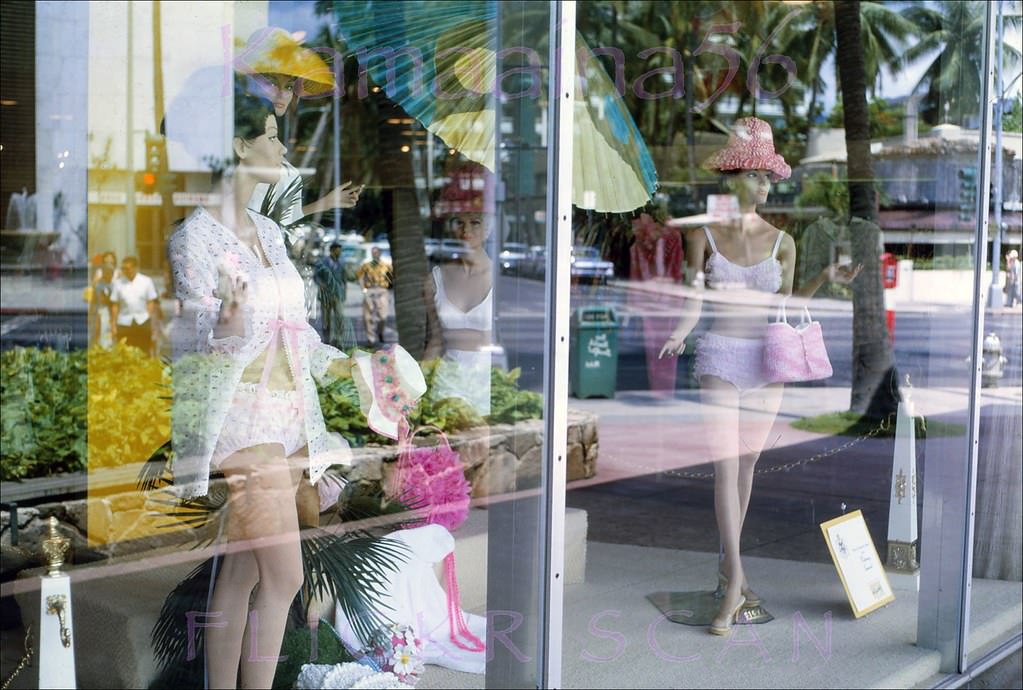
Looking west along Waikiki’s Kalakaua Avenue from in front of Liberty House Waikiki, 1962The Royal Hawaiian Shopping Arcade on Kalakaua Avenue across from Liberty House department store and the Waikiki Theater, 1962The old Royal Hawaiian Shopping Arcade on the makai side of Kalakaua Avenue fronting the Royal Hawaiian Hotel, 1967The 1958 McInerny Waikiki department store seen from across Kalakaua Avenue between Seaside and Royal Hawaiian Avenues, 1963Overexposed but still interesting street level view of the Vladimir Ossipoff designed McInterny’s department store on Kalakaua Avenue, 1968.Ladies’ swimwear display at the 1958 McInerny’s Waikiki on the makai side of Kalakaua Avenue at Seaside, 1966Cutie at a department store, MacInerny’s Waikiki perhaps based on the other photos, 1966Heading Diamond Head (east) along Waikiki’s Kalakaua Avenue, 1964Heading Diamond Head (east) along Waikiki’s Kalakaua Avenue, 1964
The Seaside Avenue intersection with Kalakaua was a busy node throughout the decade. A Union 76 gas station anchored the corner — a practical piece of infrastructure in the middle of a tourist district. Looking east from there, the street lined up directly toward Diamond Head, giving pedestrians and drivers alike a constant view of the volcanic crater that defined Waikiki’s eastern horizon.
Afternoon looking Diamond Head (east) along Waikiki’s Kalakaua Avenue from the intersection with Seaside Avenue, 1967.Mauka view (inland) along Waikiki’s Seaside Avenue from the corner of Kalakaua Avenue, 1963.Waikiki’s busy Kalakaua Avenue viewed from the original driveway at the Royal Hawaiian Hotel, 1965.Eight story apartment hotel on the corner of Seaside Avenue and Lauula Street, one block mauka of Waikiki’s Kalakaua Avenue, 1960s.Late afternoon light looking east along Waikiki’s Kalakaua Avenue from near the Lewers Street intersection, 1965
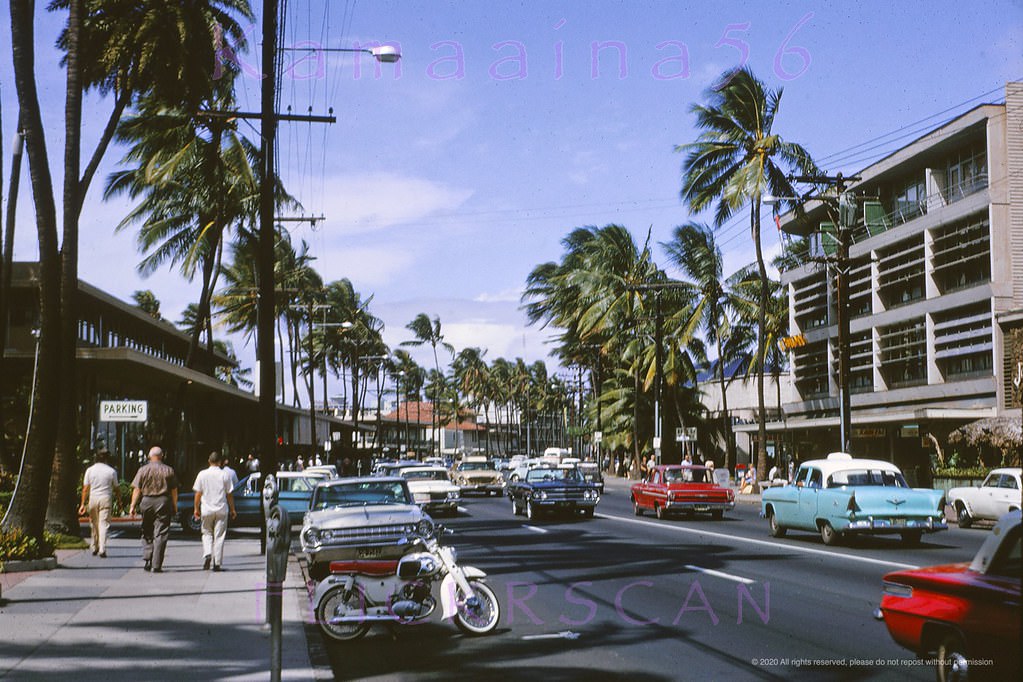
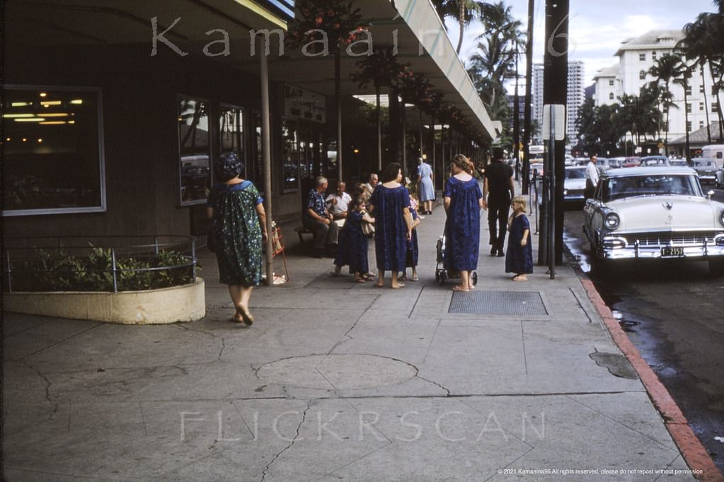
Two-way traffic and on-street parking remained features of Kalakaua Avenue well into the late 1960s. The street was wide enough to handle both directions of traffic alongside parked cars, but the growing number of tourists on foot made crossing it increasingly hectic. Photos from 1966 show pedestrians navigating the lane markings near the Royal Hawaiian Avenue intersection, with cars backed up in both directions.
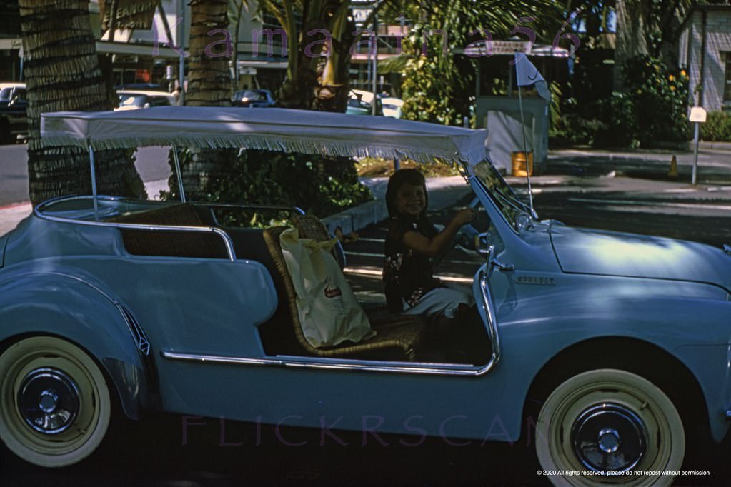
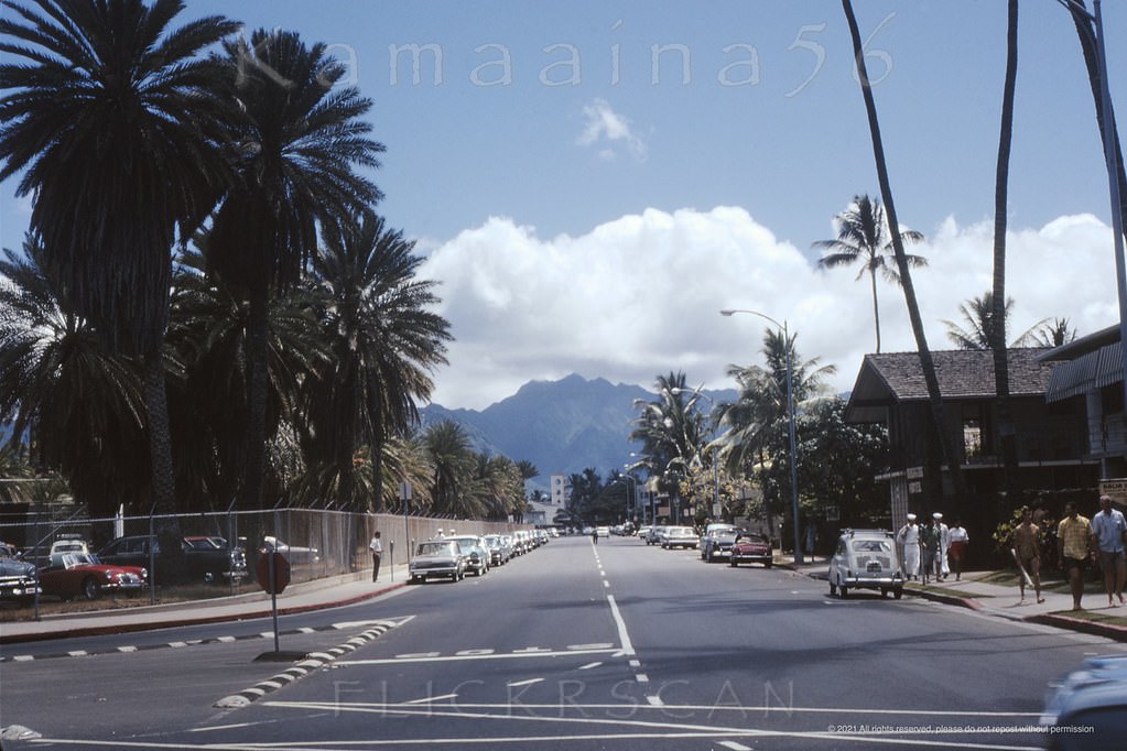
Two-way traffic and on-street parking along Waikiki’s busy Kalakaua Avenue at Royal Hawaiian Avenue, 1966Looking east along Waikiki’s Kalakaua Avenue from the intersection with Royal Hawaiian Avenue at left, 1966Street level view of Woolworth’s Waikiki on the mauka side of Kalakaua Avenue at Royal Hawaiian Avenue, 1966Waikiki’s Royal Hawaiian Avenue looking mauka (inland) from the corner of Kalakaua Avenue, 1967Cute keiki behind the wheel of a rare 1960 Renault Ghia 4CV Resort Special in the wild. View is from the Ewa (west) side of Royal Hawaiian Avenue looking makai (seaward) towards Kalakaua Avenue, 1960sView along Waikiki’s Saratoga Road from the intersection with Kalia Road (foreground), 1962
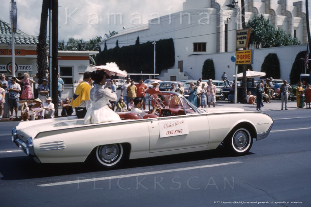
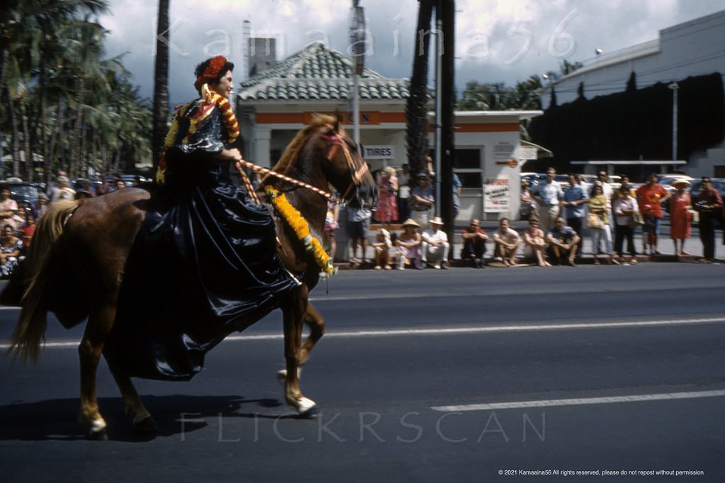
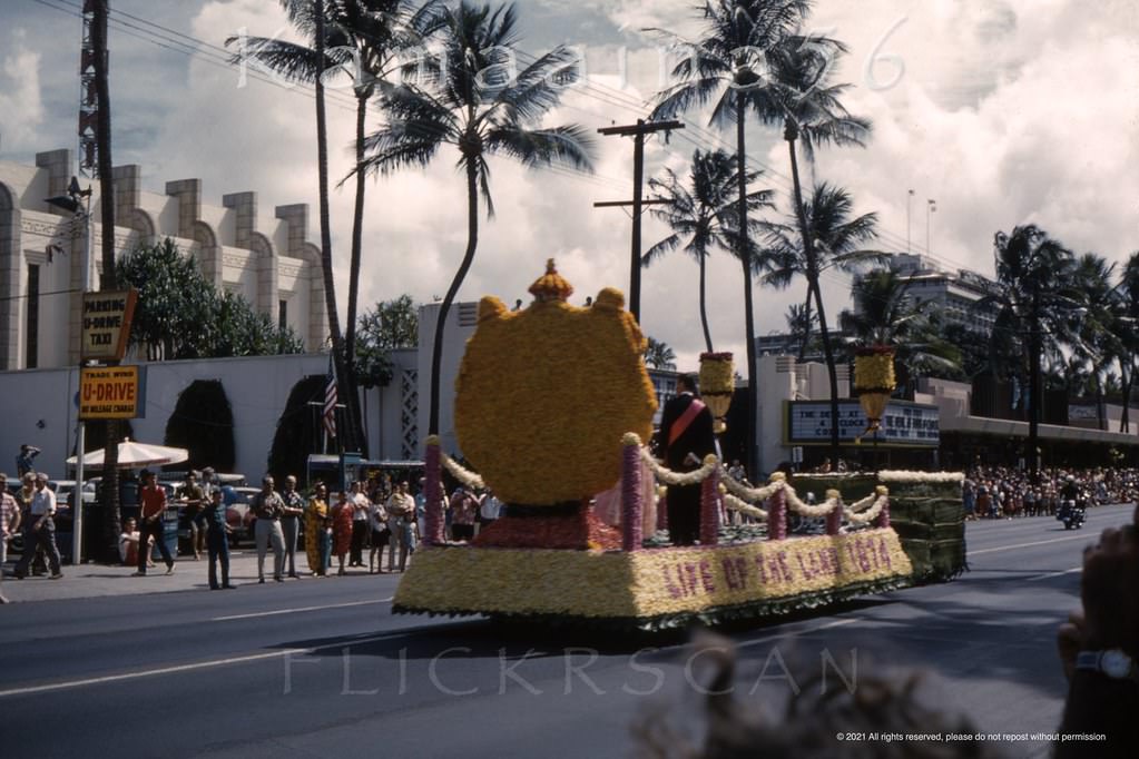
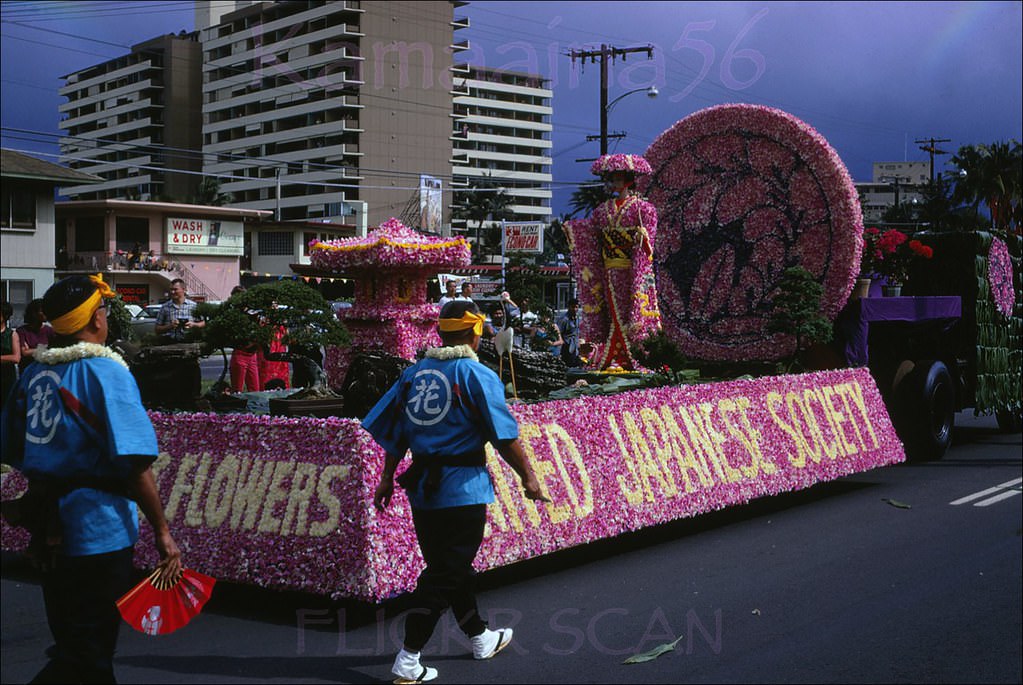
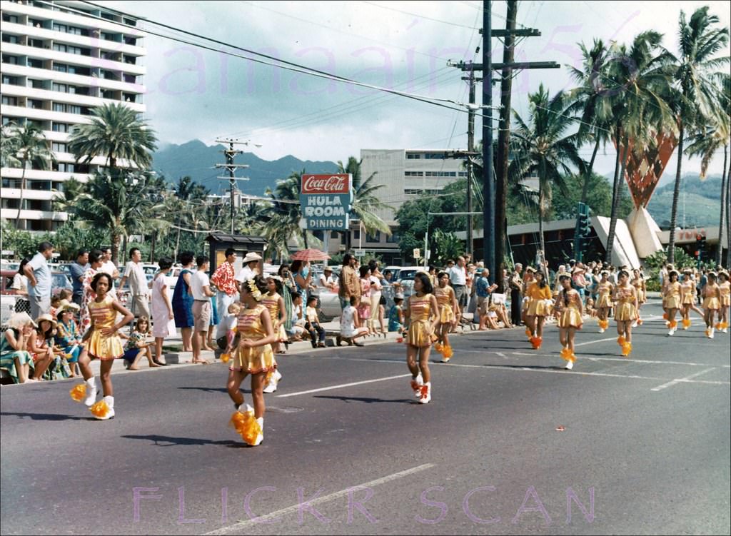
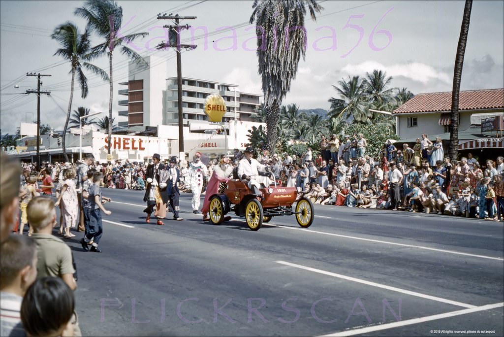
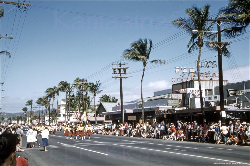
The annual Aloha Week parade was one of the decade’s most photographed recurring events in Waikiki. Held along Kalakaua Avenue, the parade drew pa’u riders on horseback, marching groups, and dense crowds on the sidewalks. The 1961 parade is well documented in photographs taken near the Seaside Avenue intersection, with older Waikiki buildings still visible in the background, soon to be replaced by newer construction.
Aloha Week parade on Kalakaua Avenue just east of Seaside Avenue with a couple of old Waikiki buildings still standing in the background, 1961Pa’u Rider in the Aloha Week parade in Waikiki passing by long-time Union 76 gas station on the corner of Kalakaua Avenue at Seaside, 1961Aloha Week parade on Kalakaua Avenue east of Seaside Avenue, 1961Liberty House Waikiki department store on Kalakaua Avenue which was right next to the old Waikiki Theatre, 1961Liberty House Waikiki department store on Kalakaua Avenue, 1961.The Waikiki Theatre viewed twenty-nine years later from across Kalakaua Avenue, 1965.Looking across Kalakaua Avenue at the old Liberty House Waikiki, 1966Looking ewa along Kalakaua Avenue from around the Outrigger Hotel, 1968
The stretch of Kalakaua fronting the Royal Hawaiian Hotel’s gardens was among the most photographed in Waikiki. Morning light filtered through tall palms and caught the pink facade of the hotel behind its manicured lawns. Looking east from there, the avenue extended toward the Princess Kaiulani Hotel, the Moana, and eventually toward Diamond Head — a view that framed Waikiki’s commercial heart in one glance.
Morning view along Waikiki’s Kalakaua Avenue looking Diamond Head from the Royal Hawaiian Hotel’s street front gardens, 1963Waikiki’s Kalakaua Avenue looking Diamond Head (more or less east) from around the Royal Hawaiian Shopping Arcade, 1965Detailed Street level snap looking Diamond Head along Waikiki’s Kalakaua Avenue, 1965Liberty House Waikiki, 1965.
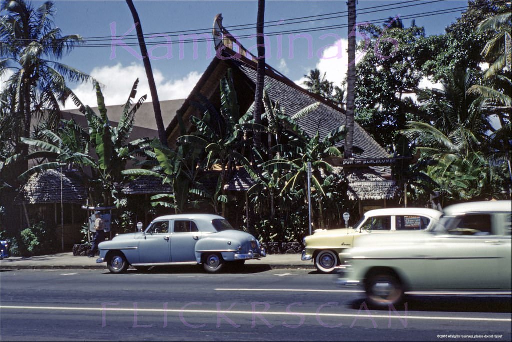
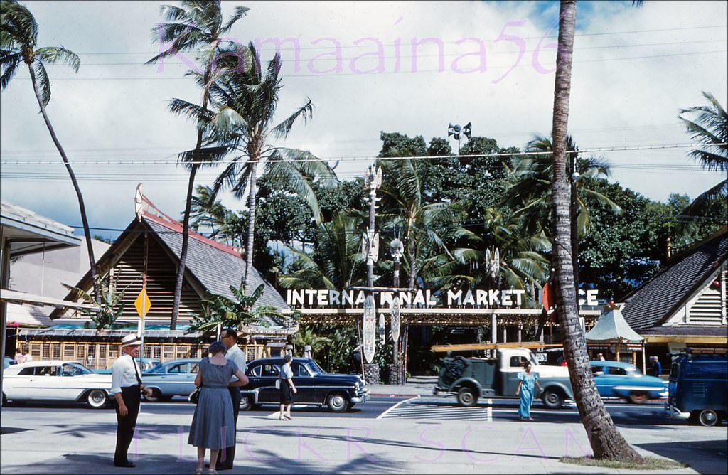
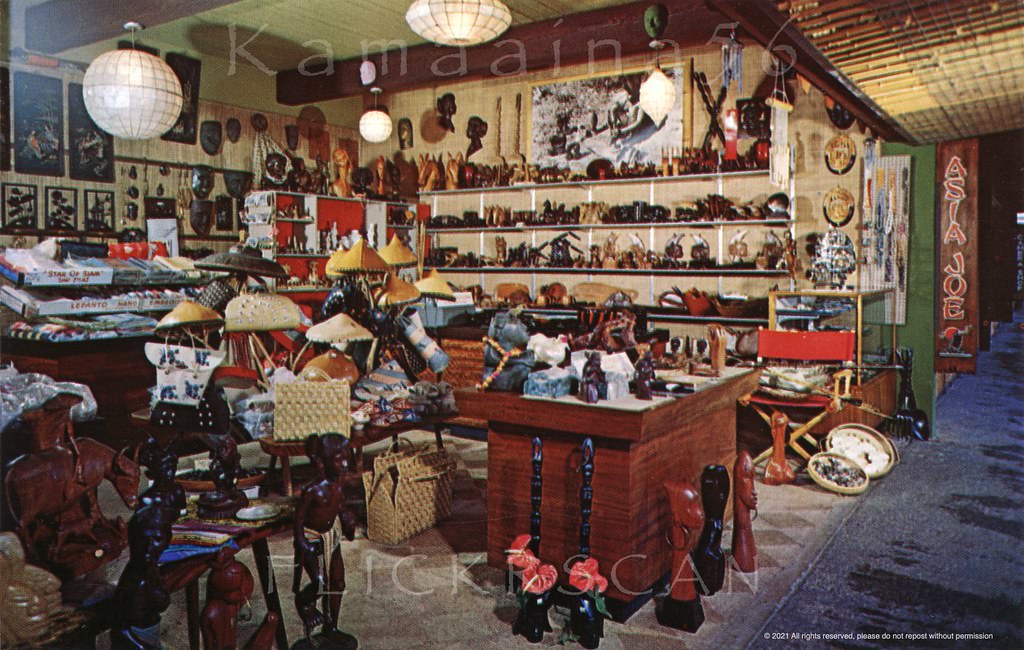
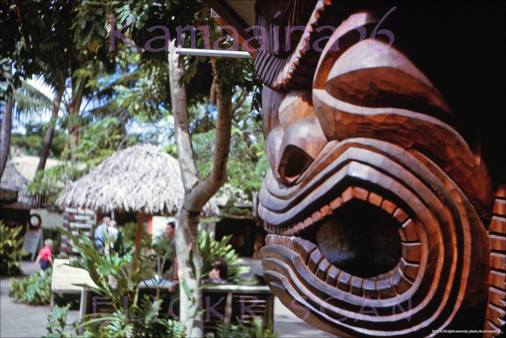
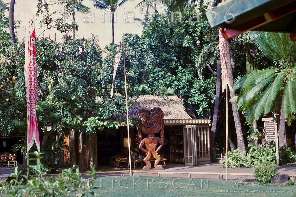
The International Market Place was one of Waikiki’s defining social spaces in the 1960s. Opened in 1957 on the mauka side of Kalakaua, it was a sprawling open-air market built around a massive banyan tree. Shops like Asia Joe’s imports and Hardwoods Hawaii sold goods ranging from Asian furniture to local woodcraft. The market attracted both tourists and locals, and it hummed with activity from morning until late at night.
International Market Place from across Waikiki’s Kalakaua Avenue, 1960Old Outrigger Arcade looking across Kalakaua Avenue at the now-gone International Market Place, 1960Looking mauka across Kalakaua Avenue towards the International Market Place, 1961Waikiki’s Kalakaua Avenue seen from the Outrigger Arcade between the Royal Hawaiian and Moana Hotels, 1963The International Market Place on Kalakaua Avenue in the heart of Waikiki, 1962Waikiki’s busy Kalakaua Avenue looking inland at the International Market Place, 1960sMorning light in Waikiki looking across Kalakaua Avenue at the International Market Place, 1962The International Market Place on the mauka side Kalakaua Avenue, 1960International Market Place on Kalakaua Avenue in the center of Waikiki, 1962Busy mid-century Kalakaua Avenue when Waikiki was still a low-rise paradise, 1960Waikiki’s Kalakaua Avenue looking Diamond Head from the crosswalk in front of the International Market Place, 1963
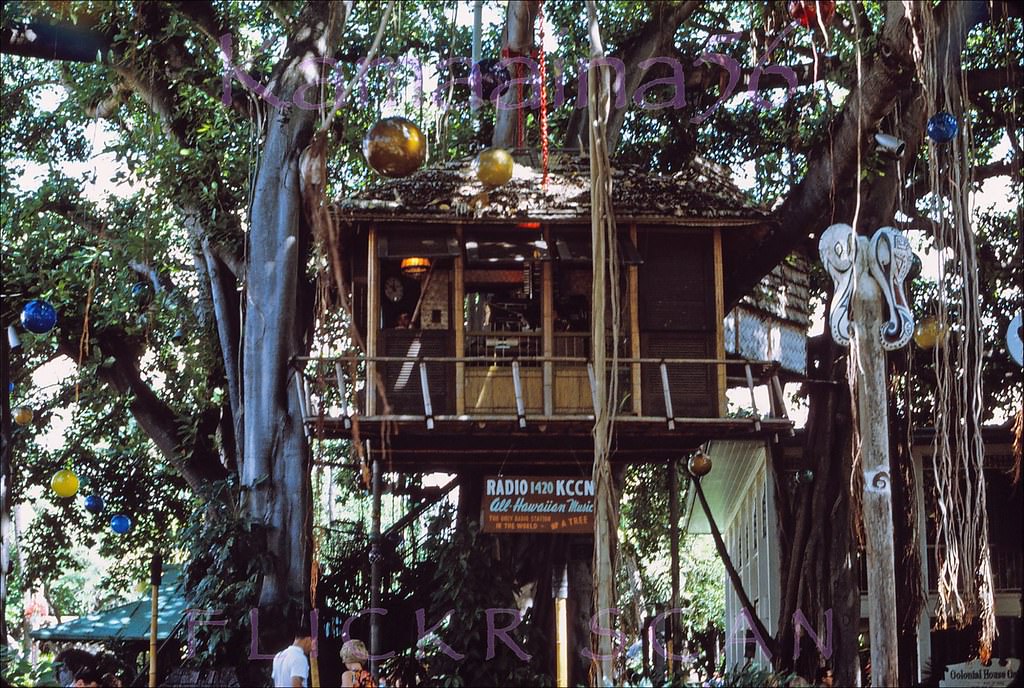
One of the more unusual tenants at the International Market Place was radio station KCCN 1420 AM. The “All Hawaiian Music” station broadcast from a treehouse inside the market — the same treehouse associated with Don the Beachcomber’s restaurant — from 1968 to 1973. Before KCCN moved in, broadcaster J. Akuhead Pupule had used the same space during the late 1950s and early 1960s, making the treehouse a genuine piece of Honolulu radio history.
KCCN Treehouse Waikiki, 1968.Asia Joe’s import shop in Waikiki’s 1957 International Market Place, 1960Exotica at the Hardwoods Hawaii shop (mahalo Hebneh) in Waikiki’s International Market Place, 1963The Hardwoods Hawaii shop (mahalo Hebneh) at the International Market Place in Waikiki, 1968Looking ewa along Kalakaua Avenue in Waikiki from around the Princess Kaiulani Hotel storefronts, 1964Bus driver’s eye view looking west along Waikiki’s Kalakaua Avenue at the intersection with Kaiulani when Kalakaua was still a two-way street, 1966
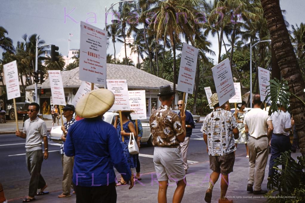
Not everything on Kalakaua was tourism and commerce. In 1965, workers at the Waikiki Beach Press took their grievances to the street, picketing in front of the International Market Place. Their signs were visible from across the avenue, a reminder that behind the tourist-facing facade, Waikiki was also a working neighborhood with its own labor disputes and daily pressures.
Waikiki Beach Press picketers protesting on Kalakaua Avenue in front of the International Market Place, 1965Waikiki’s busy Kalakaua Avenue looking more or less west here, 1960sNew towers on Waikiki’s Kalakaua Avenue in this view looking Ewa (more or less west here) from the street front shops at the Princess Kaiulani Hotel, 1967Looking west along Waikiki’s Kalakaua Avenue from the Kaiulani Avenue intersection, 1960s
By the end of the decade, new towers were reshaping even the most established sections of Kalakaua. The 21-floor Surfrider Hotel tower opened in 1969, its modern face a stark contrast to the older Moana next door. New high-rises to the west, including the Ilikai — which famously appeared in the opening credits of the TV show Hawaii Five-O — redefined Waikiki’s western edge along Ala Moana Boulevard.
Street front of the 21 floor Surfrider Hotel tower built 1969 on Waikiki’s Kalakaua Avenue, 1969Looking makai along Lewers Street towards the Kalakaua Avenue intersection, 1962Looking Ewa (more or less northwest here) along Kalakaua Avenue from the Lewers Street intersection, 1960Looking mauka (inland) along Lewers Street at the Kalakaua Avenue intersection, 1960Looking Diamond Head along Kalakaua Avenue from the Lewers Street intersection, 1960Underexposed but interesting snap looking Diamond Head along Waikiki’s Kalakaua Avenue from near the Lewers Street intersection, 1960Interesting view looking Diamond Head along Waikiki’s Kalakaua Avenue towards the Lewers Street intersection, 1960View is looking mauka (inland) side of Waikiki’s Kalakaua Avenue just Ewa (west) of Lewers Street, 1968.
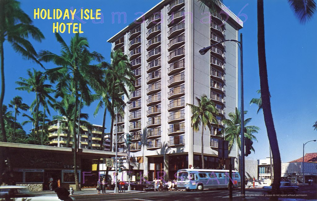
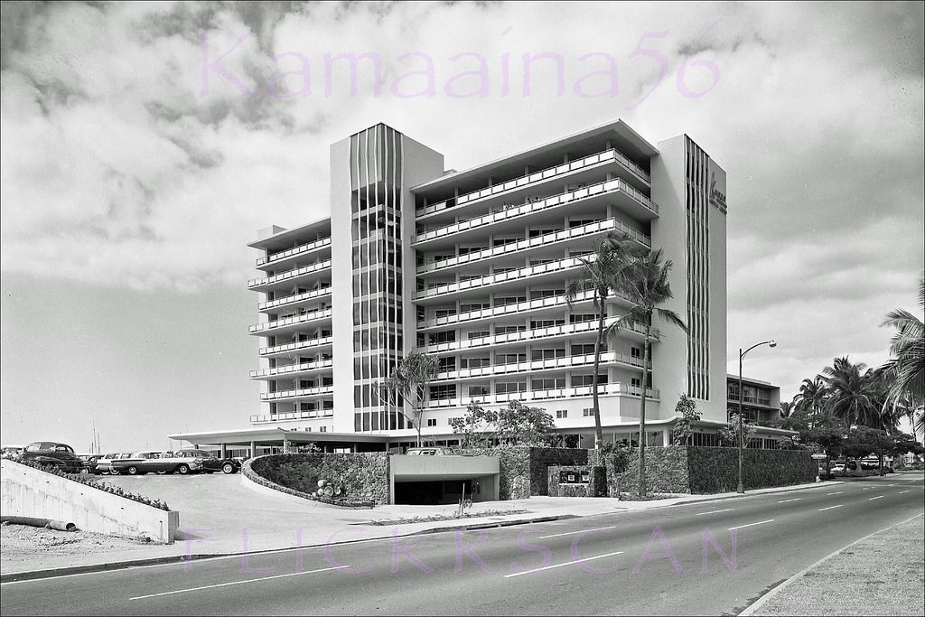
The Holiday Isle Hotel at the corner of Kalakaua and Lewers Street was a 14-floor structure built in 1960. It represented the first wave of taller hotels that would soon define the avenue’s look. Diamond Head-facing rooms in the hotel offered guests an unobstructed view of the crater, which by the 1960s had become the visual symbol of Waikiki in tourism marketing nationwide.
Street level view of the 14 floor Holiday Isle Hotel on the makai side of Kalakaua Avenue at Lewers Street, 1960Diamond Head facing room at the Holiday Isle Hotel which is described as “new” in the caption, 1960s.
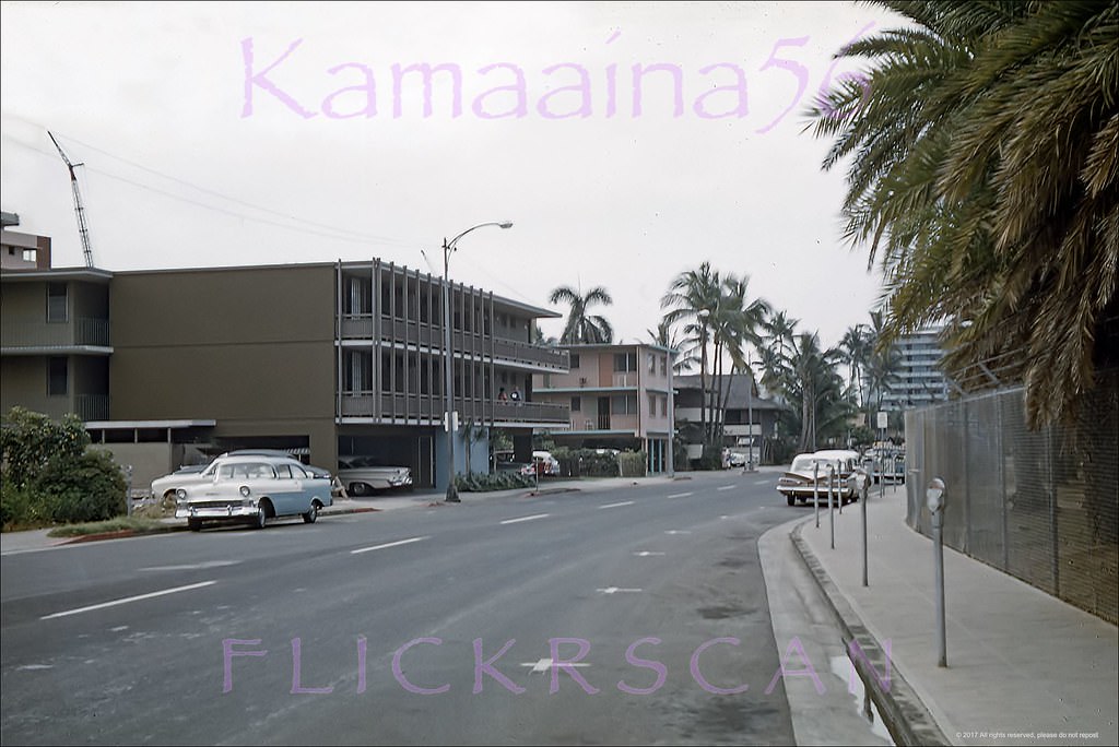
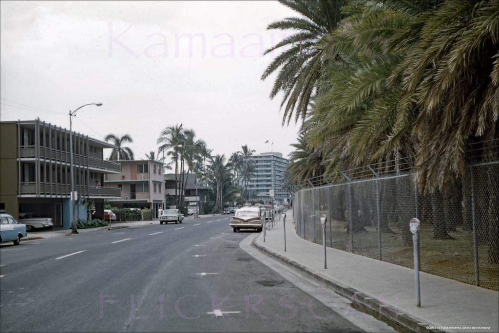
Away from Kalakaua, Waikiki’s side streets held a mix of small hotels, apartment buildings, and local businesses. The Coconut Grove Hotel on one of these blocks added a four-story “Googie”-style wing in 1960, its angular modernist design built by Walker Moody Construction. Saratoga Road, running parallel to the beach a block inland from the water, was lined with quieter accommodation options, including the Aloha Punawai Apartment Hotel at number 305.
Four story “Googie” style addition to the Coconut Grove Hotel’s original cottages, built by Walker Moody Construction, 1960Looking towards the ocean along Waikiki’s Saratoga Road, 1960Another view along Waikiki’s Saratoga Road from a slightly different perspective, 1960Street level view looking inland along Waikiki’s Saratoga Road across from Fort DeRussy, 1960Aloha Punawai Apartment Hotel at 305 Saratoga Road in Waikiki, 1960
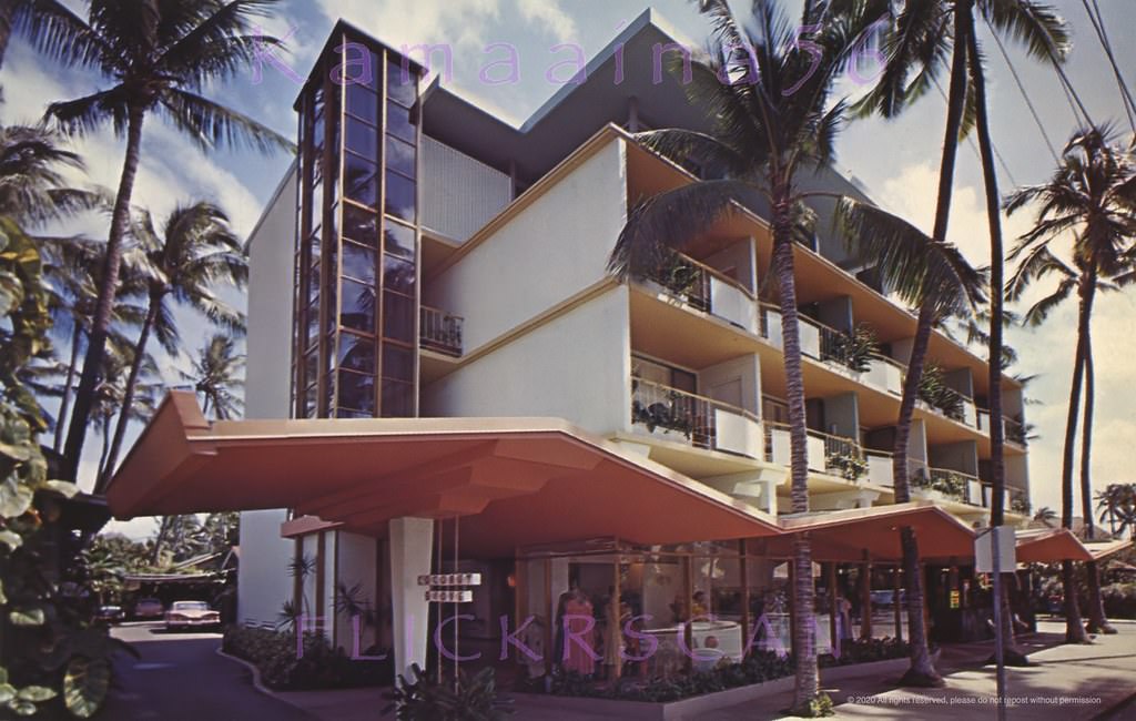
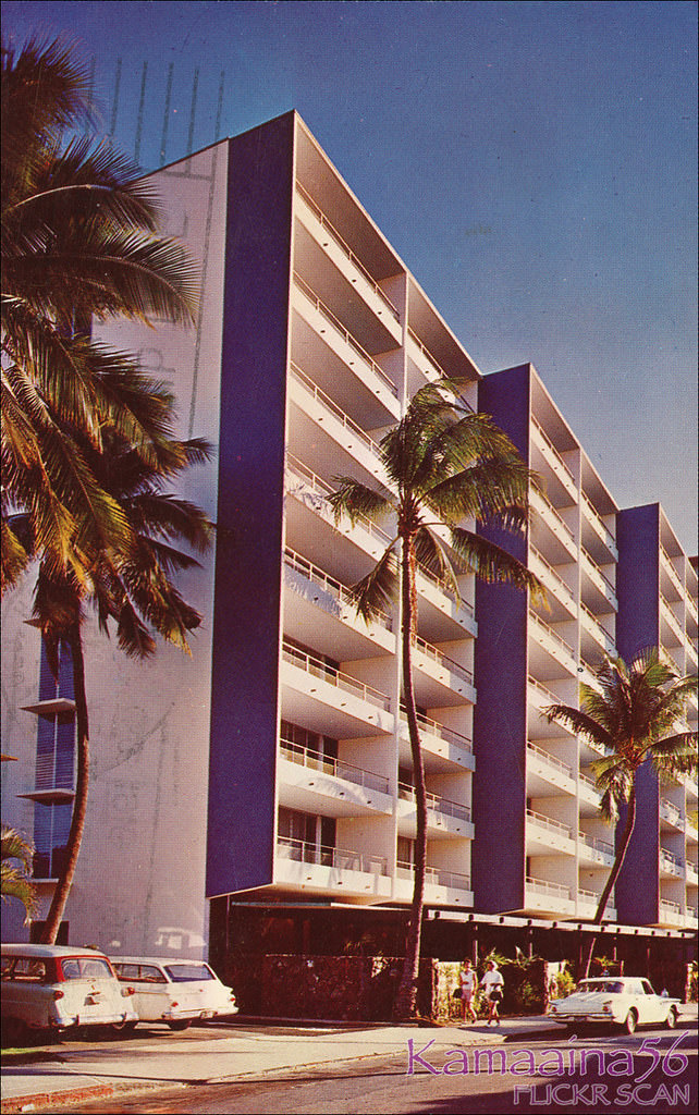
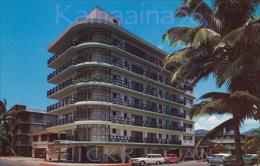
Along Kalia Road at Beachwalk, one of the more dramatic physical changes of the early 1960s played out in view of anyone walking past. The old Edgewater Bungalows were demolished in stages as the Reef Hotel rose on the beachfront half of the site. Beside it, the 14-floor Waikiki Shore Apartment Hotel climbed above Roy Kelley’s 10-floor Reef Hotel, towering over it on the small footprint left by the former YWCA beach house. The contrast between the old low-rise bungalows and the new towers was striking.
Early hi-rise development seen from the mauka (inland) side of Kalia Road at Beachwalk, 1962The Reef Hotel and Waikiki Shore Apartment Hotel viewed from Kalia Road at Beachwalk, 1963First Reef Tower Lewers, 1960.On Beach Walk just makai of Kalakaua Avenue, 1961Lots of old buildings in this elevated view of Waikiki looking inland, 1964Looking inland across the Waikiki cityscape towards the clouds over the Koolau Mountains, 1960In Waikiki at 271 Beach Walk just off Kalakaua, 1960View appears to be from the 9-story Waikiki Royal Hotel on Beach Walk looking towards Kalakaua Avenue in Waikiki, 1961Grounds at the 5-floor Polynesian Hotel on the corner of Beach Walk and Kalakaua Avenue in Waikiki, 1960Heading Ewa (west) Waikiki’s along busy Kalakaua Avenue at the intersection with Beach Walk, 1964
Kuhio Avenue, running one block inland from Kalakaua, was Waikiki’s secondary commercial corridor. The Islander Hotel — originally opened in 1956 as the Waikiki Surf Hotel before Roy Kelley acquired and renamed it — sat on the northwest corner of Kuhio and Seaside. From its upper floors in 1964, photographers captured Kuhio Avenue stretching east toward Diamond Head and north toward the mountains, with a cityscape that was still relatively low in scale compared to what it would become.
Looking diamond head along Kuhio Avenue from the northwest corner with Seaside Avenue, 1960Looking Diamond Head along Kuhio Avenue from the “new” Islander Hotel on the northwest corner with Seaside Avenue, 1964.Looking inland from the “new” Islander Hotel on the NW corner of Seaside and Kuhio Avenues, 1964On the northwest corner of Kuhio Avenue and Launiu Street in Waikiki, 1963.Looking ewa along Kalakaua Avenue in Waikiki from in front of the Surfrider Hotel just diamond head of Kaiulani Avenue, 1967
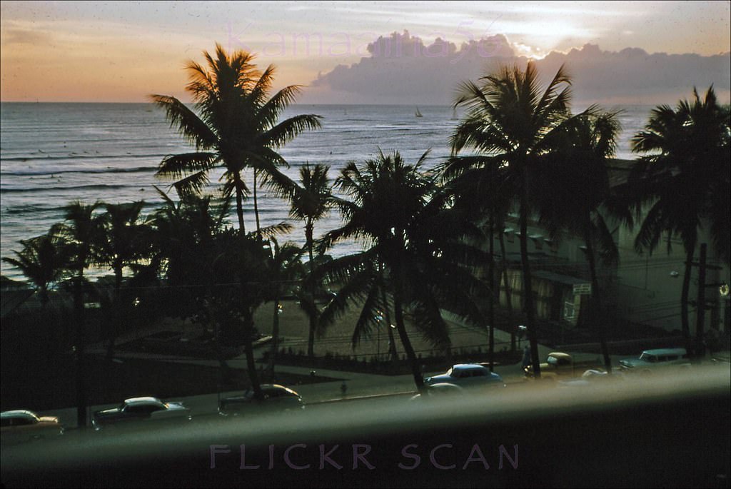
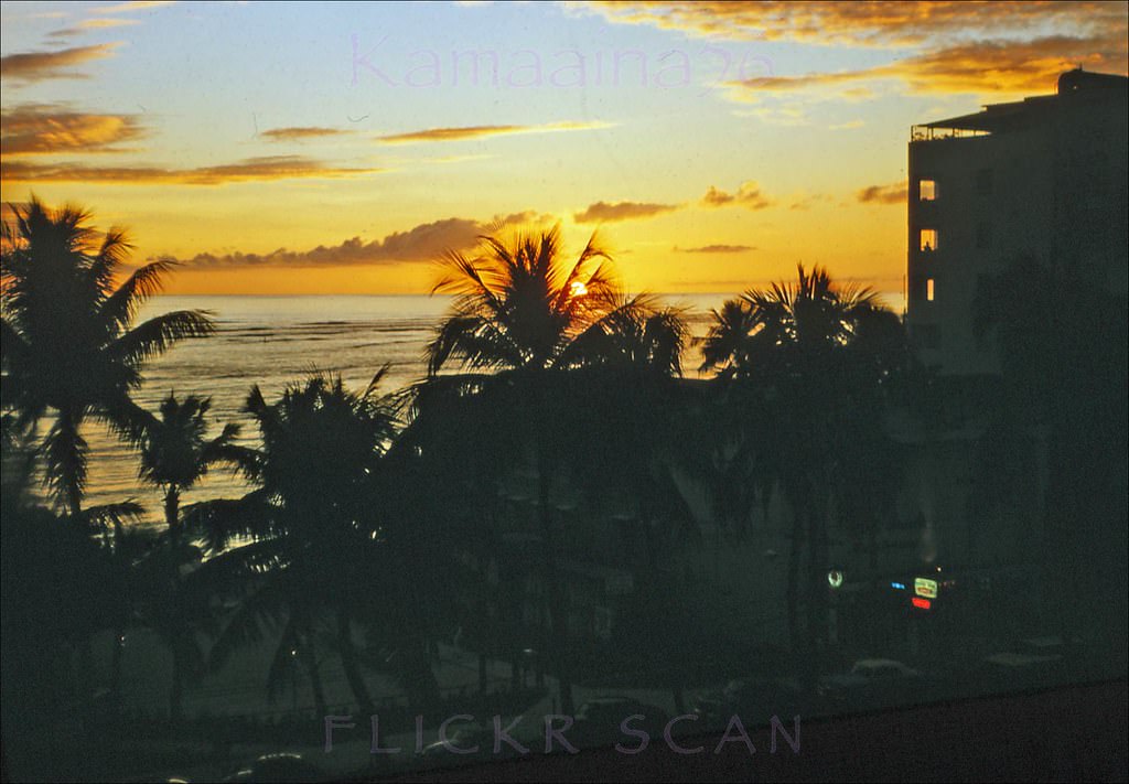
The Waikiki Biltmore Hotel, set slightly back from Kalakaua, gave guests a filtered view of the avenue through tall palms. A 1961 photograph taken from inside the hotel captures the sun setting below the horizon, its last light catching the fronds of the palms while Kalakaua’s traffic moved behind them. It’s a reminder that even in the most developed stretch of 1960s Waikiki, the landscape’s natural beauty was always present.
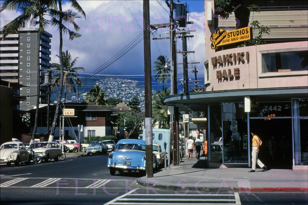
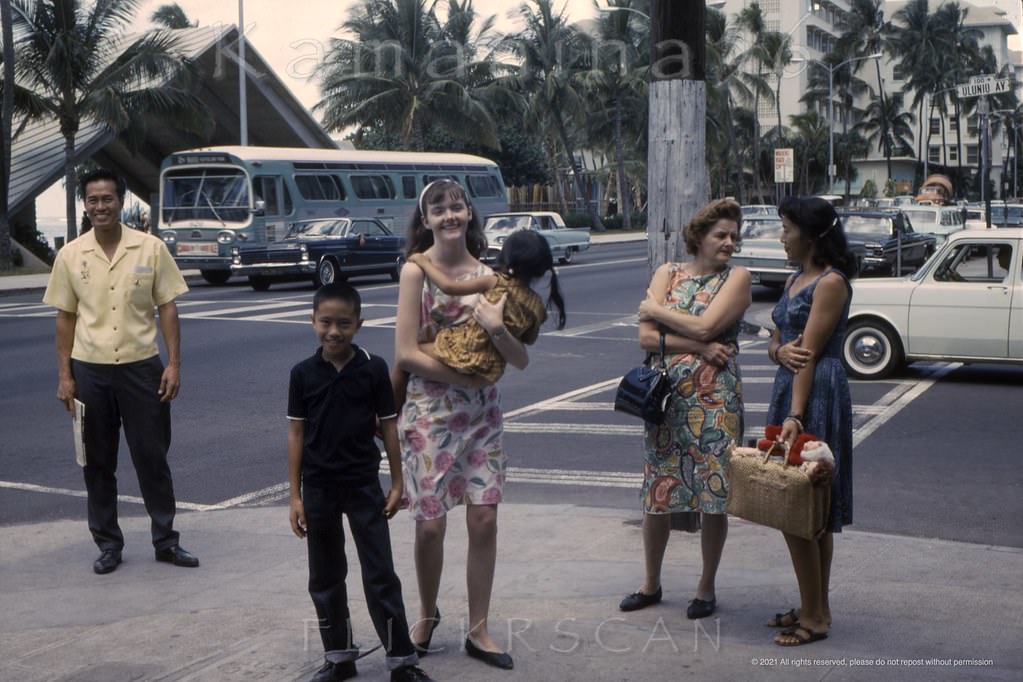
Looking towards Kalakaua Avenue from the Waikiki Biltmore Hotel, 1961The sun setting below the horizon viewed from the Waikiki Biltmore Hotel through the palms along Kalakaua Avenue, 1961Looking along Uluniu Avenue from the Waikiki Hale Hotel at the Kalakaua Avenue intersection, 1966.The view here is more or less northwest along Waikiki’s Kalakaua Avenue from between Uluniu and Liliuokalani Avenues, 1965
From the upper floors of the 13-floor Waikiki Circle Hotel, built in 1962 near the corner of Uluniu Avenue, the birdseye views along Kalakaua were striking. Looking southeast, Kuhio Beach Park — the stretch of sand running from the Kapahulu Groin to the Waikiki Beach Center — was clearly visible along the shoreline. Looking northwest, the avenue’s hotels and shops extended toward the Royal Hawaiian and beyond, a long ribbon of development running beside the Pacific.
Birdseye view more or less southeast along Waikiki’s Kalakaua Avenue, 1965.Birdseye view more or less northwest along Waikiki’s Kalakaua Avenue from an unknown vantage point (probably a top floor at the 1962 Waikiki Circle Hotel) near the the corner of Uluniu Avenue, 1965Kalakaua at Uluniu Waikiki, 1965.The Edmunds Apartments at 2411 Ala Wai Blvd just Diamond Head of Kaiulani Avenue, 1961.
The Ala Wai Canal marked Waikiki’s inland boundary, separating the resort district from the rest of Honolulu. Along the canal’s boulevard, apartment hotels and residential buildings faced the waterway, with the Ko’olau Mountains rising behind the city to the north. The 1968 Aloha Surf Hotel on Kanekapolei Street at Ala Wai Boulevard offered elevated views over the nearby Waikiki Skyliner Apartments and the rooftops stretching toward Diamond Head.
View of Waikiki looking Diamond Head from an upper floor at the Aloha Surf Hotel on Kanekapolei Street at Ala Wai Blvd, 1968View of the Waikiki Skyliner Apartments, on Kaiulani Avenue between Ala Wai and Tusitala from an upper floor at the 1968 Aloha Surf Hotel which was one block ewa on Kanekapolei, 1968Aloha Surf Hotel on Kanekapolei Street at Ala Wai, 1968A rather grim photo of the Comstock Apartment Hotel on Lauula Avenue at Royal Hawaiian Avenue mauka (inland) of Kalakaua, 1961Unusual angle on the four story Comstock Apartment Hotel (center) on Waikiki’s Lauula Avenue between Royal Hawaiian and Seaside Avenues, 1964.Zane’s Apartment Hotel on Namahana Street just off Ala Wai Blvd. in Waikiki, 1960sThe 10-floor Waikiki Surf Hotel at 408 Lewers Street on the northwest corner with Kuhio Avenue, 1960
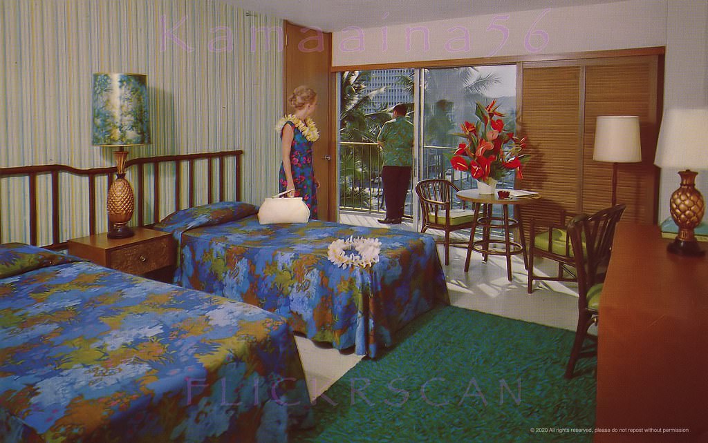
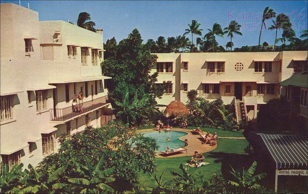
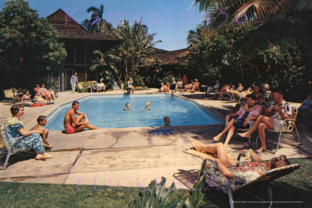
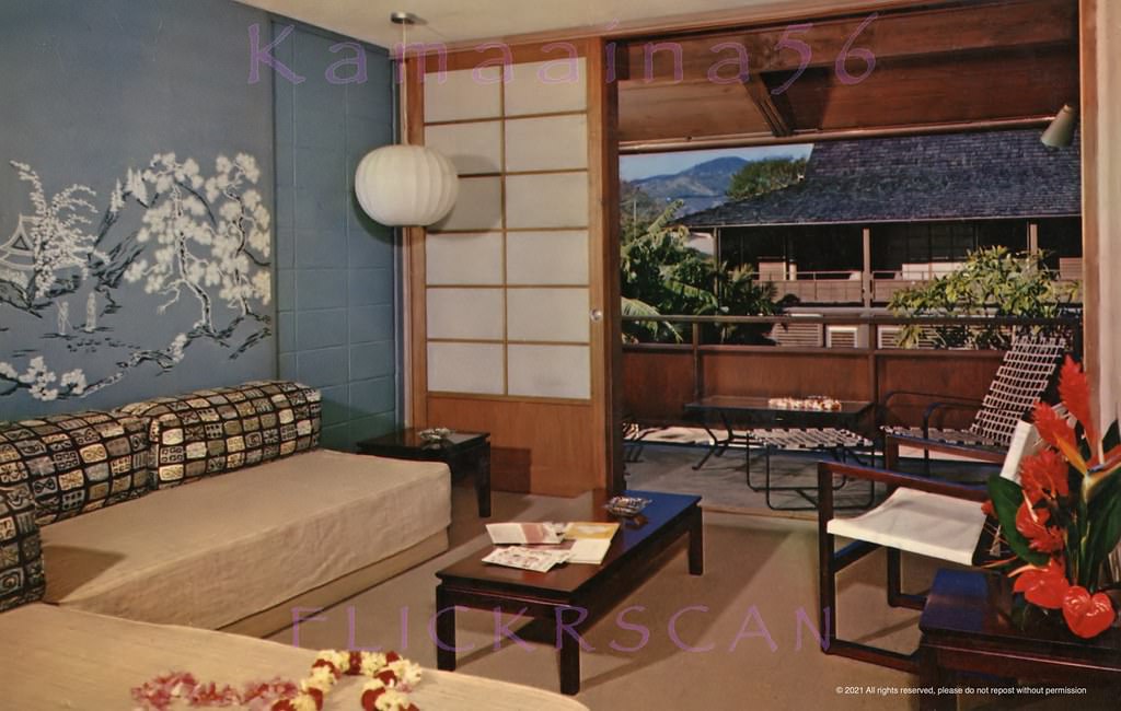
Some of Waikiki’s smaller hotels offered a quieter, more intimate experience. The Breakers on Beachwalk had a pool scene that attracted guests looking for something more relaxed than the main beach. Its second-floor rooms featured Japanese-inspired furnishings, a design choice that reflected Hawaii’s deep cultural connections across the Pacific. These smaller properties coexisted alongside the large new towers going up throughout the decade.
Pool scene at The Breakers Hotel on Beach Walk, 1961.Japanese inspired furnishings in a second floor room at The Breakers hotel on Saratoga Road in Waikiki, 1960s
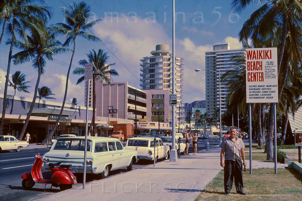
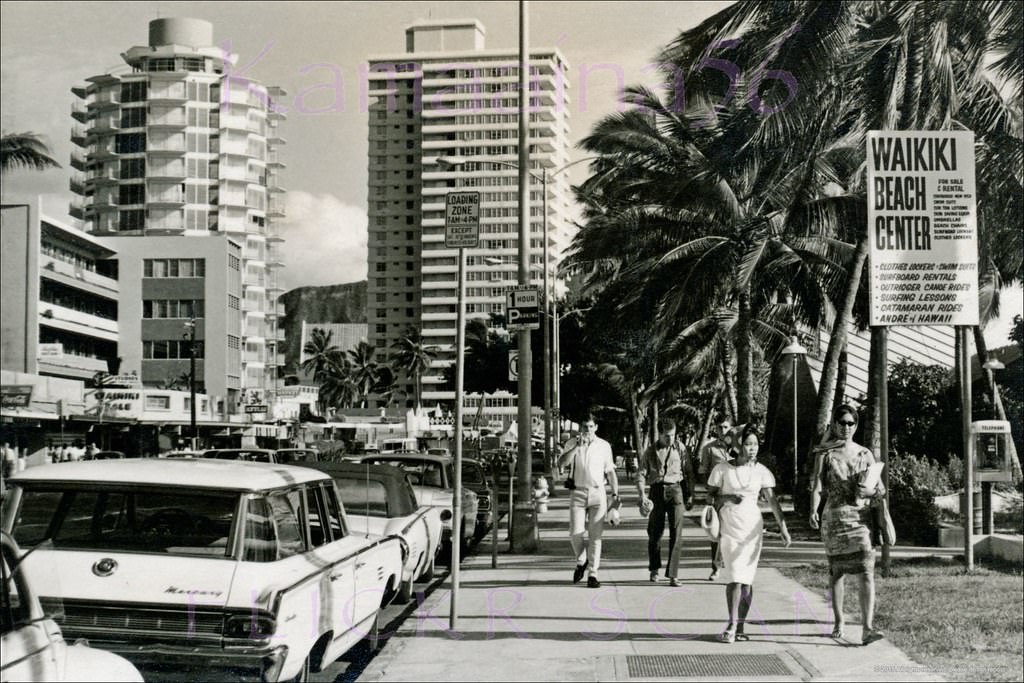
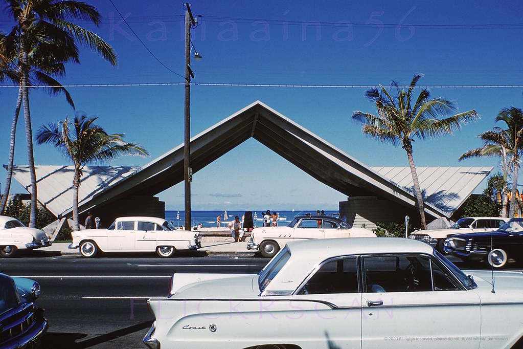
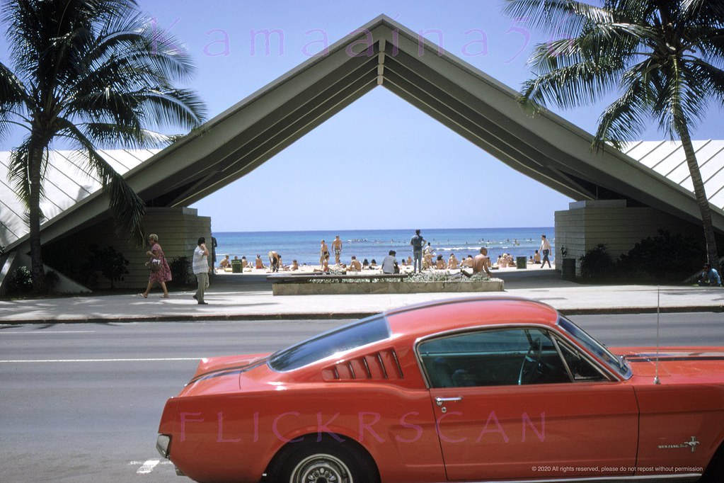
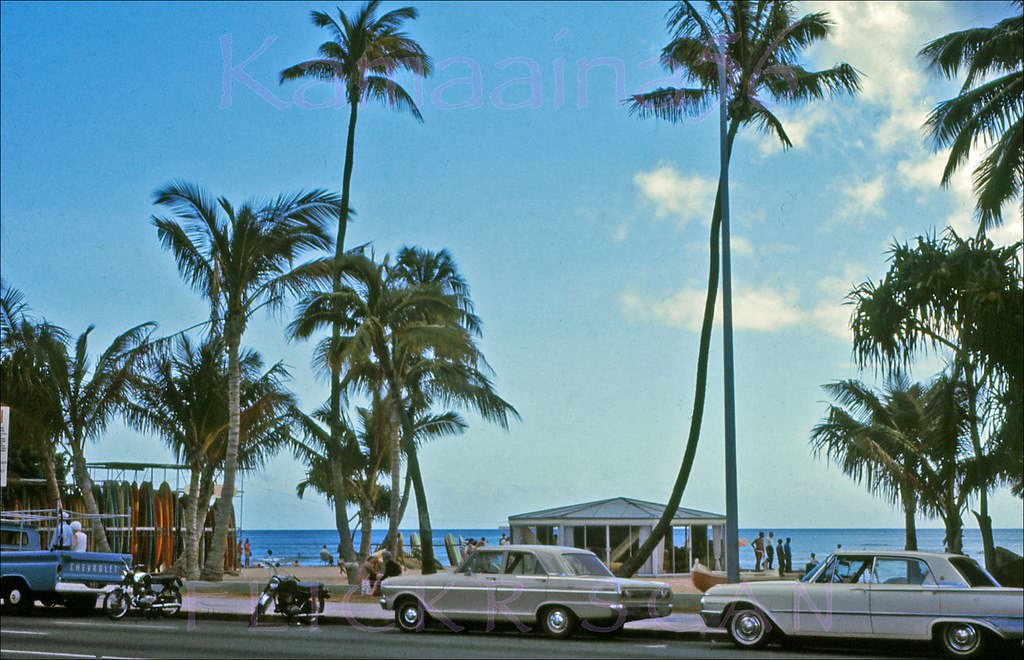
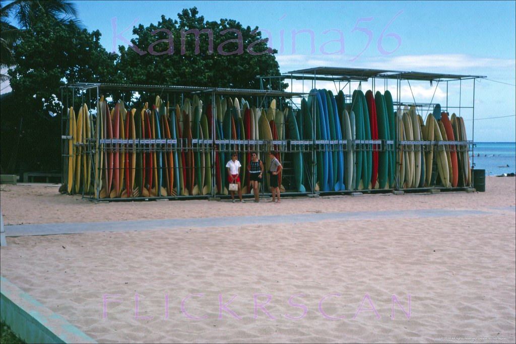
The Waikiki Beach Center on Kalakaua Avenue was a focal point for water activities. A distinctive arch marked its entrance from the street, and rental surfboard racks lined the beachside edge. By the early 1960s, the Beach Center had become one of the main gathering spots in Waikiki — a place where tourists picked up boards, booked outrigger canoe rides, and got their first lessons in surfing from local beachboys.
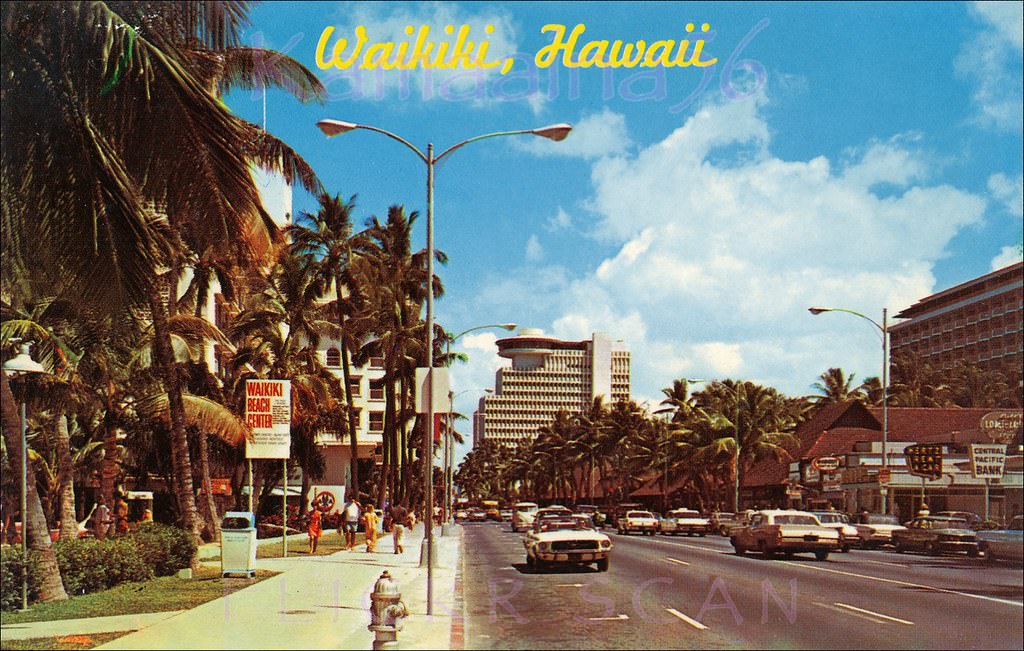
Diamond Head along Kalakaua Avenue from the Waikiki Beach Center across from the entrance to the Waikiki Biltmore, 1964.Busy Kalakaua Avenue looking Diamond Head from the Waikiki Beach Center, 1960sThe Waikiki Beach Center arch on Kalakaua Avenue soon after it was built, 1962.The Waikiki Beach Center Arch viewed from across Kalakaua Avenue, 1960sOn-street parking along Kalakaua Avenue back in the days of two-way traffic, 1966Rental surfboard racks at the Waikiki Beach Center seen from Kalakaua Avenue, 1963Looking Diamond Head along Kalakaua Avenue in Waikiki, 1960Early morning looking west along Waikiki’s Kalakaua Avenue from around the Liliuokalani Avenue intersection, 1967Slightly shaky but instantly recognizable scene looking Ewa (more or less west) along Waikiki’s busy Kalakaua Avenue, 1962Mid-afternoon sun at the Kuhio Breakwater viewed from the Kealohilani and Kalakaua intersection in Waikiki, 1960Early morning looking more or less east along Waikiki’s Kalakaua Avenue near the intersection with Kealohilani Avenue, 1967Looking Diamond Head from the makai sidewalk of Waikiki’s Kalakaua Avenue at Paoakalani, 1960sLate afternoon looking Ewa (more or less west here) along Kalakaua Avenue from the Kuhio Beach section of Waikiki, 1960s
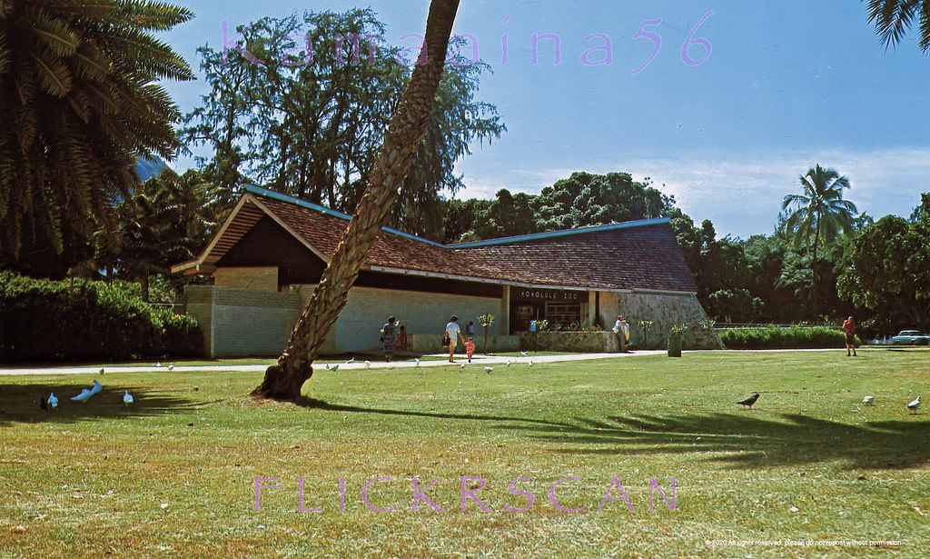
At the Diamond Head end of Kalakaua, the avenue widened into a larger intersection at Kapahulu Avenue, with the volcanic crater visible in the background. St. Augustine’s Catholic Church stood on this section of the street, its ocean-facing front visible from the avenue. Nearby, the Waikiki Grand Hotel faced the Honolulu Zoo, which occupied the block between Kapahulu and Monsarrat Avenues on the eastern edge of the district.
Waikiki’s busy Kalakaua Avenue at the corner of Kapahulu Avenue with Diamond Head Crater in the background, 1965Kind of a grim view of the Diamond Head (east) end of Waikiki’s Kalakaua Avenue looking Ewa (west) from between Paoakalani and Kapahulu Avenues, 1964The Union 76 gas station is still at the intersection of Kalakaua and Kapahulu Avenues, 1964St Augustine’s Catholic Church viewed from Waikiki’s Kalakaua Avenue with the Ewa (west) side of the church at left and the makai (ocean facing) front of the church at right, 1963Looking Mauka across Kalakaua Avenue towards the Waikiki Grand Hotel on Kapahulu Avenue facing the Waikiki Zoo, 1964Honolulu Zoo between Kapahulu and Monsarrat Avenues on the eastside of Waikiki, 1960
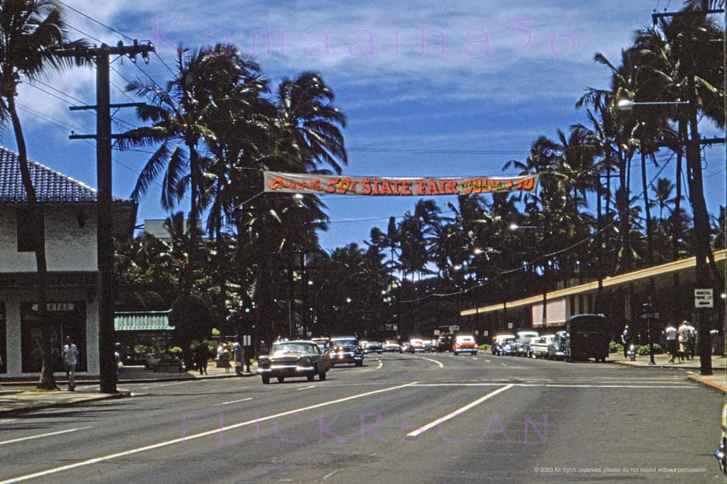
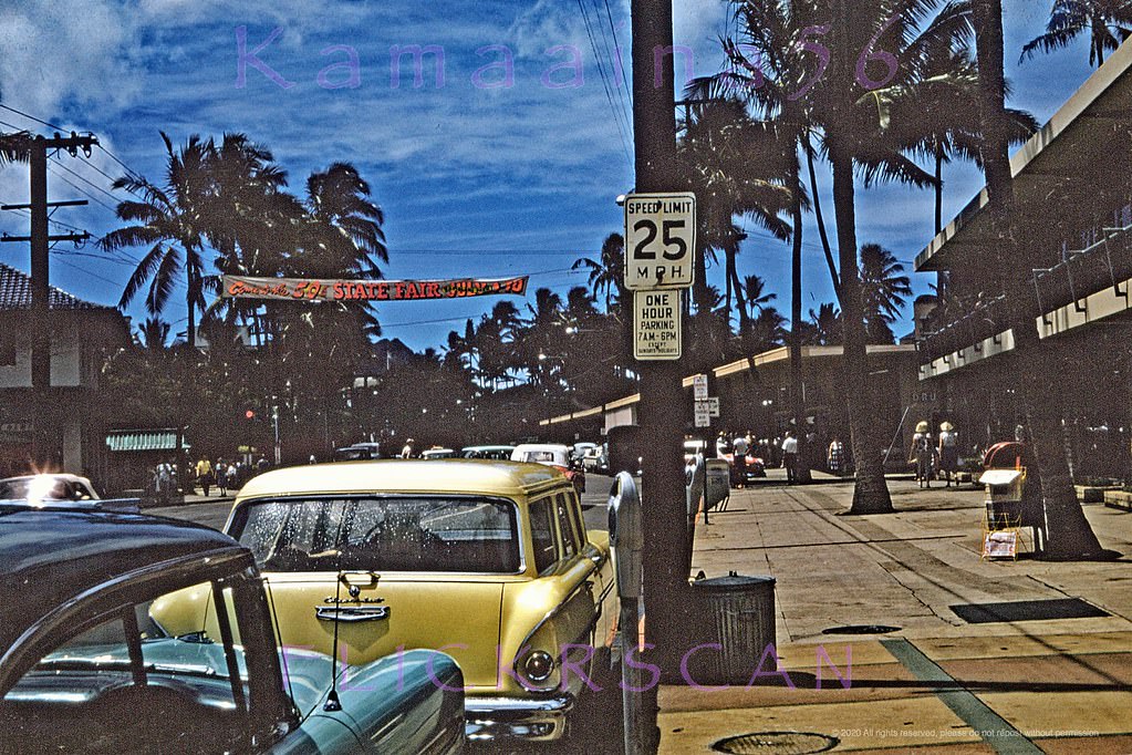
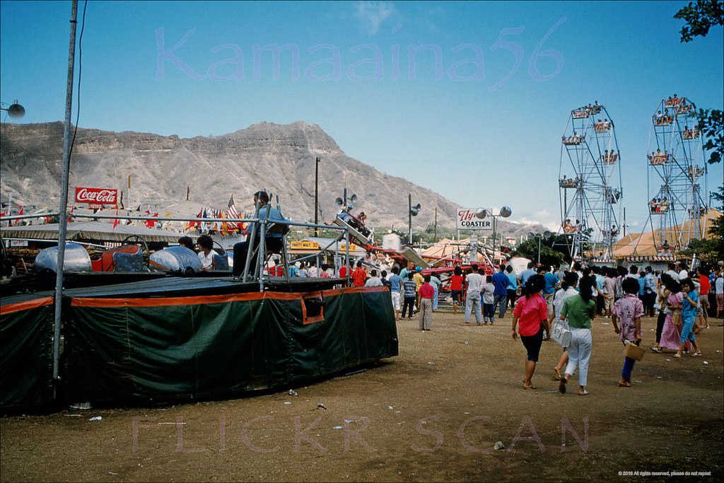
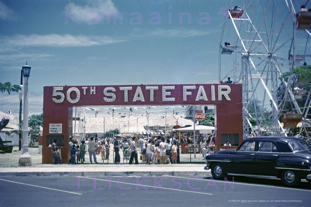
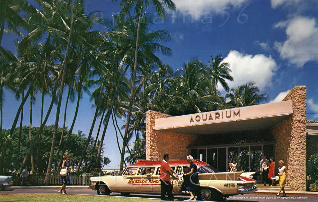
Kapiolani Park, at the far eastern edge of Waikiki, hosted the annual 50th State Fair throughout the early 1960s. Before Hawaii became the 50th state in 1959, the event had been known as the 49th State Fair — but Alaska’s admission to the union one year earlier had claimed that designation. The park also contained the Waikiki Aquarium, one of the oldest aquariums in the United States, which drew a steady stream of visitors arriving by tour bus along Kalakaua.
Occasion not identified but almost certainly the 50th State Fair in Kapiolani Park next to Diamond Head, 1961Entrance to Hawaii’s State Fair in Waikiki’s Kapiolani Park, 1962Mackenzie Tours stretch at the Waikiki Aquarium, across from Kapiolani Park on the south shore, 1960sColony Surf Ocean View, 1960s.
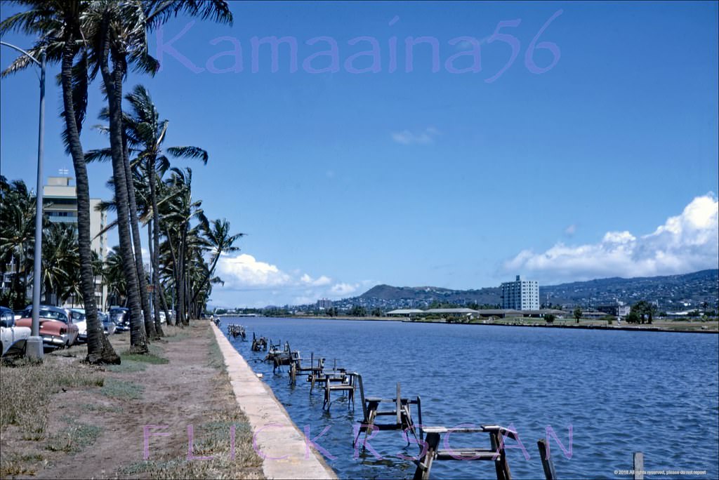
The Ala Wai Canal, built in the 1920s to drain the marshlands behind Waikiki, remained the district’s northern boundary throughout the 1960s. Looking east along Ala Wai Boulevard from near Liliuokalani Street, the canal stretched toward Diamond Head with the Ko’olau Mountains visible behind the city. The boulevard would be converted to a one-way westbound road in 1971, the same year Kalakaua was made eastbound only — a traffic reorganization that reflected just how much vehicle volume Waikiki was handling by the end of the decade.
The Ala Wai Canal separates Waikiki (left) from the rest of Honolulu (right), 1963.Ala Wai Diamond Head, 1963.
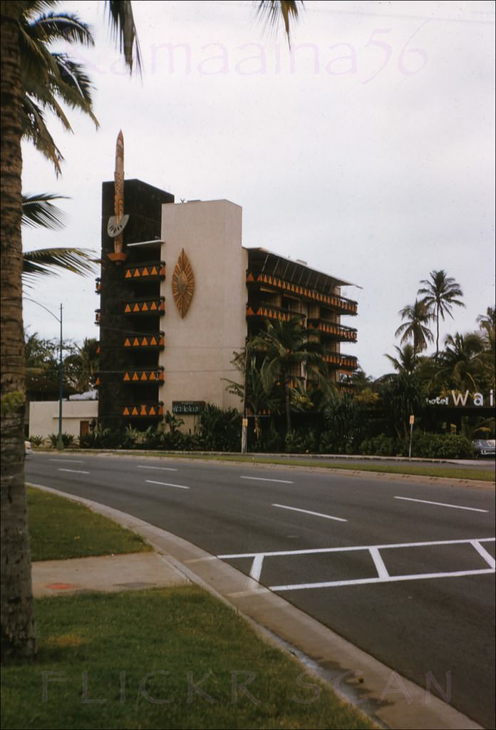
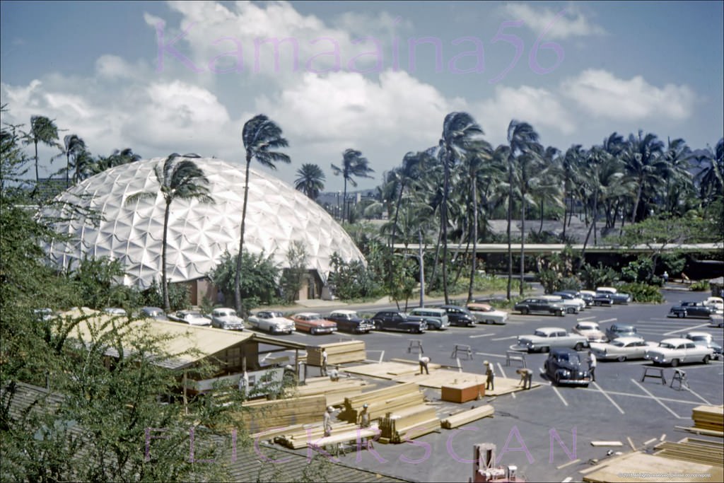
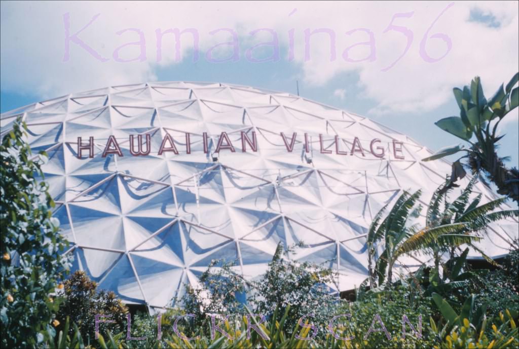
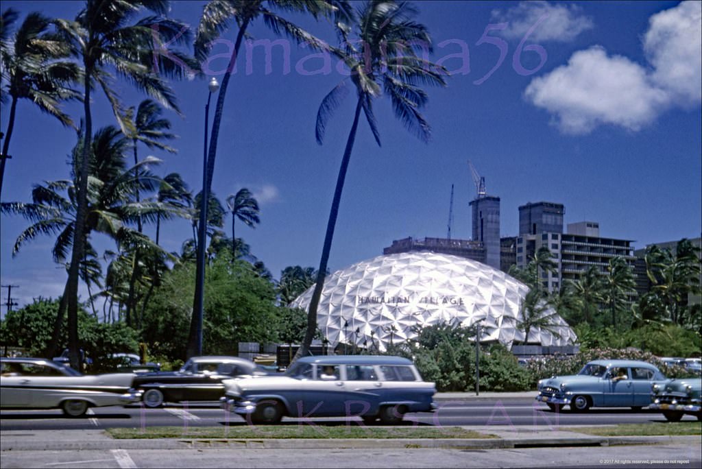
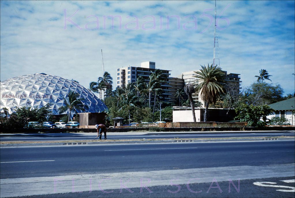
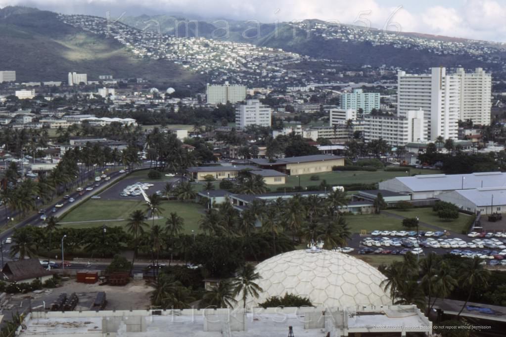
Waikiki’s western edge along Ala Moana Boulevard was the site of some of the decade’s most dramatic construction. The pre-Hilton Hawaiian Village Hotel featured a distinctive aluminum dome built by industrialist Henry Kaiser — a structure visible from across Ala Moana Boulevard at the John Ena Road intersection. By 1960, Kaiser had sold the property to the Hilton chain, but his dome remained a Waikiki landmark well into the decade.
The Tiki Tower at the 1956 Waikikian Hotel on Ala Moana Blvd. in Waikiki, 1961.Kaiser Dome Birdseye Waikiki, 1960.View of Kaiser Aluminum Dome at the pre-Hilton Hawaiian Village Hotel from the Ala Moana side, 1960Looking across Ala Moana Blvd. from the Kalia/Ena Road intersection towards the pre-Hilton Hawaiian Village Hotel, 1960The landmark Kaiser Dome at the pre-Hilton Hawaiian Village Hotel viewed from across Ala Moana Blvd. at John Ena Road, 1960
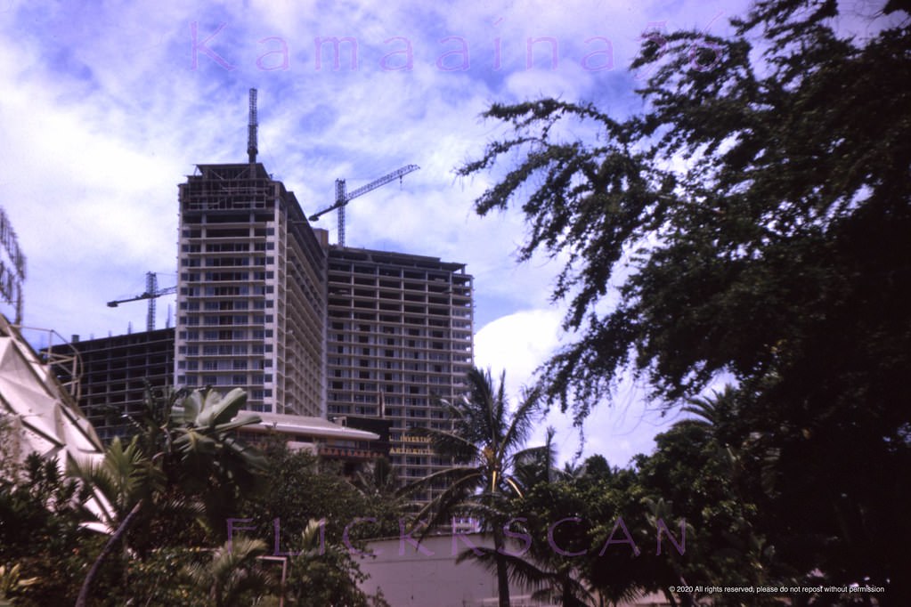
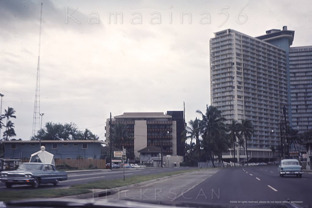
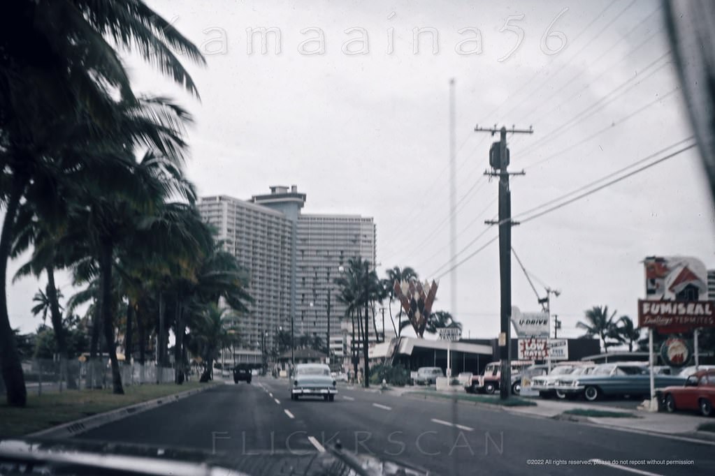
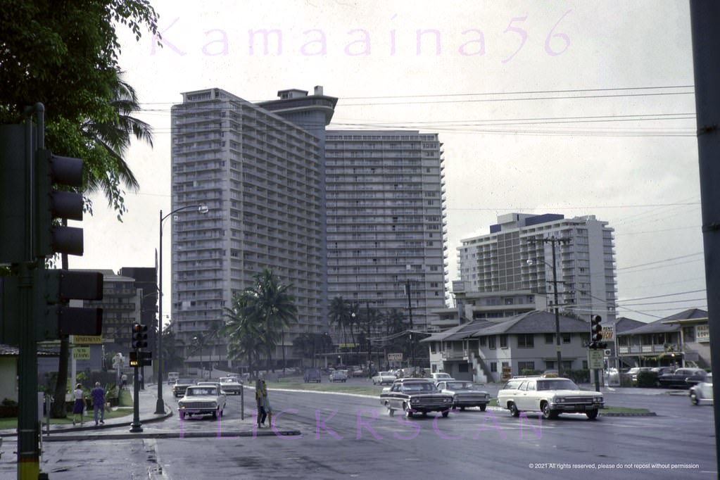
The single largest construction project on Waikiki’s western edge in the early 1960s was the Ilikai Hotel. The 26-floor tower was visible from across the district while still under construction in 1963, its steel frame rising above the Hilton Hawaiian Village next door. When it opened in 1964, the Ilikai was one of the tallest buildings in Hawaii. Its balconies overlooking Ala Wai Harbor and the Pacific became immediately iconic — and its appearance in the opening credits of Hawaii Five-O brought its image into living rooms across the country.
Waikiki’s landmark 26 floor Ilikai Hotel under construction viewed from the neighboring Hilton Hawaiian Village Hotel looking makai (towards the ocean), 1963A little further makai (towards the ocean) along Waikiki’s Ala Moana Blvd from the intersection with John Ena Road, 1964Shaky but interesting view of the makai (towards the ocean) lanes of Waikiki’s Ala Moana Blvd., 1964Makai view along the Waikiki stretch of Ala Moana Blvd. from the Kalia Road intersection looking towards the Ilikai Hotel and Yacht Harbor Tower, 1967Morning shot along Ala Moana Blvd looking more or less east towards the old Waikikian Hotel from the Ilikai Hotel parking lot, 1967View is looking Diamond Head (more or less east here) along Waikiki’s stretch of Ala Moana Blvd., 1964The ground floor deck at the 1964 Ilikai Hotel on Waikiki’s Ala Moana Blvd., 1964
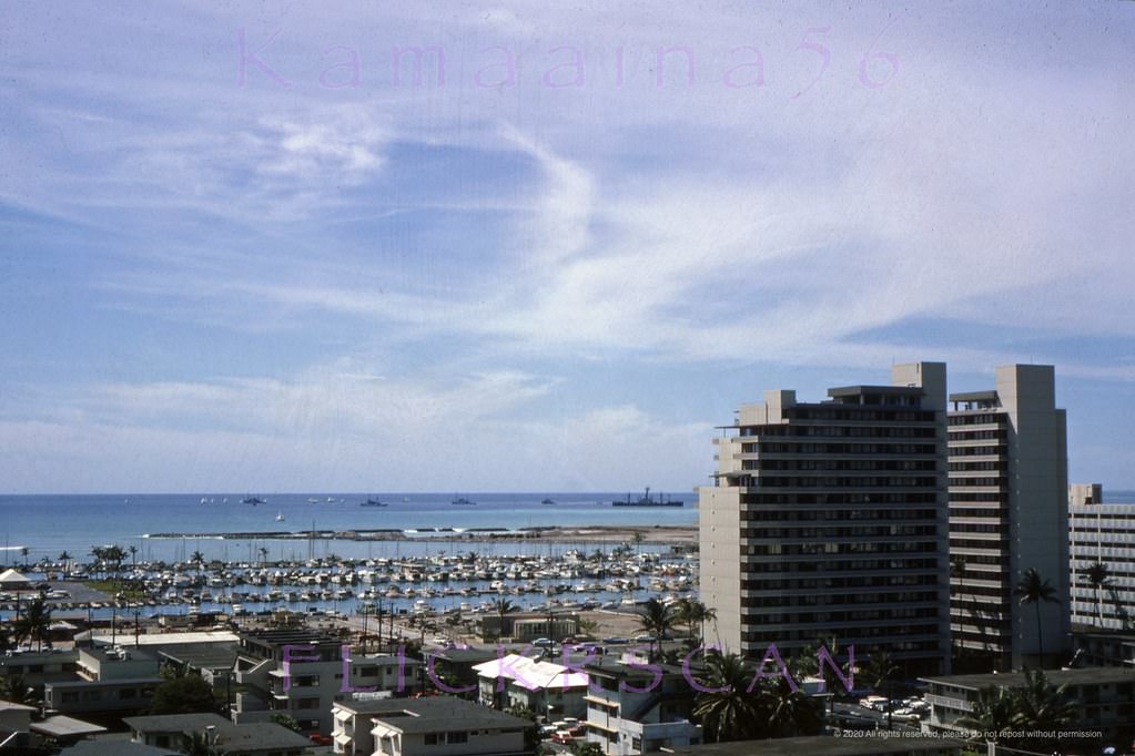
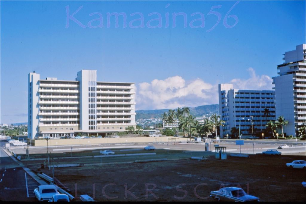
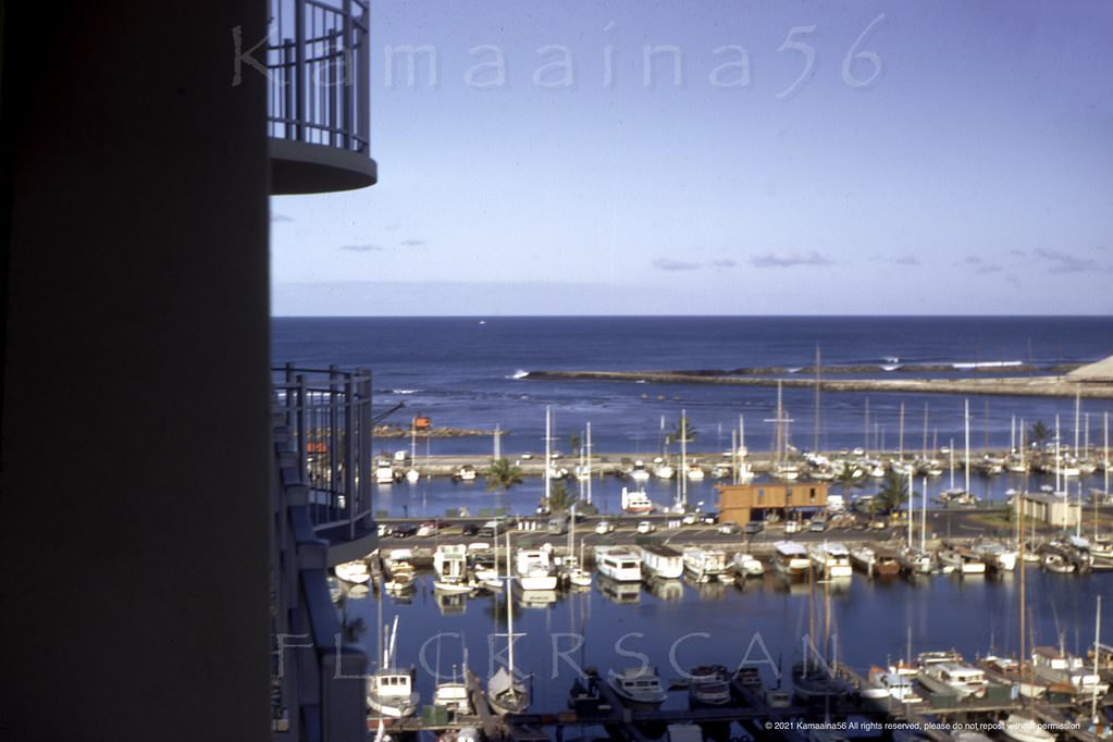
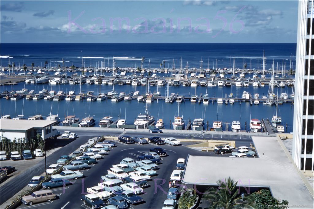
In 1966, a second Ilikai tower was added — the 17-floor Yacht Harbor Tower, built directly beside the original structure and fronting Ala Wai Harbor. From the upper floors of both towers, views extended across the harbor, over Ala Moana Boulevard, and back across Waikiki’s rooftops toward Diamond Head. The Kaiser Medical Center, a 10-floor building on the makai side of Ala Moana between Hobron Lane and Holomoana Street, was also visible from these vantage points — it had been built in 1958 and would stand until its demolition in 1986.
The 17 floor Ilikai Hotel Yacht Harbor Tower, built 1966 next to the 1964 Ilikai Hotel (right) fronting Ala Wai Harbor, 1967Beautifully detailed aerial view of Waikiki’s Hobron Lane area next to Ala Wai Harbor on south shore Oahu, 1963.A truly stunning makai (seaward) view of the Waikiki section of Ala Moana Blvd. when it was still a low-rise area, 1961.The Kaiser Medical Centre on the waterfront of Ala Wai Yacht Harbor on the west side of Waikiki, 1964Looking west towards Ala Wai Harbor and Honolulu along Ala Moana Blvd from the 26-story Ilikai Hotel, 1964The 10-floor Kaiser Medical Center makai side Ala Moana Blvd. between Hobron Lane and Holomoana Street, 1961.Aerial view looking Ewa (more or less northwest here) along Ala Moana Blvd from the Ilikai Hotel’s Yacht Harbor Tower, 1967Morning light at the Ala Wai Yacht Harbor seen from the Ewa (west) side of the 17 floor Ilikai Yacht Harbor Tower, 1967Unusual view of Ala Wai Yacht Harbor apparently taken from an upper balcony at the 10-story Driftwood Hotel across Ala Moana Blvd., 1962Diamond Head view of Waikiki from an upper floor of the 26-floor 1964 Ilikai Hotel, 1964Mauka view (inland) along Wakiki’s Ala Moana Blvd. from the top floor of the Ilikai Hotel, 1969Another inland view looking more or less east along Ala Moana Blvd from the Ilikai Hotel, 1965Mauka (inland) view looking more or less northeast from the Ilikai Hotel, 1965.
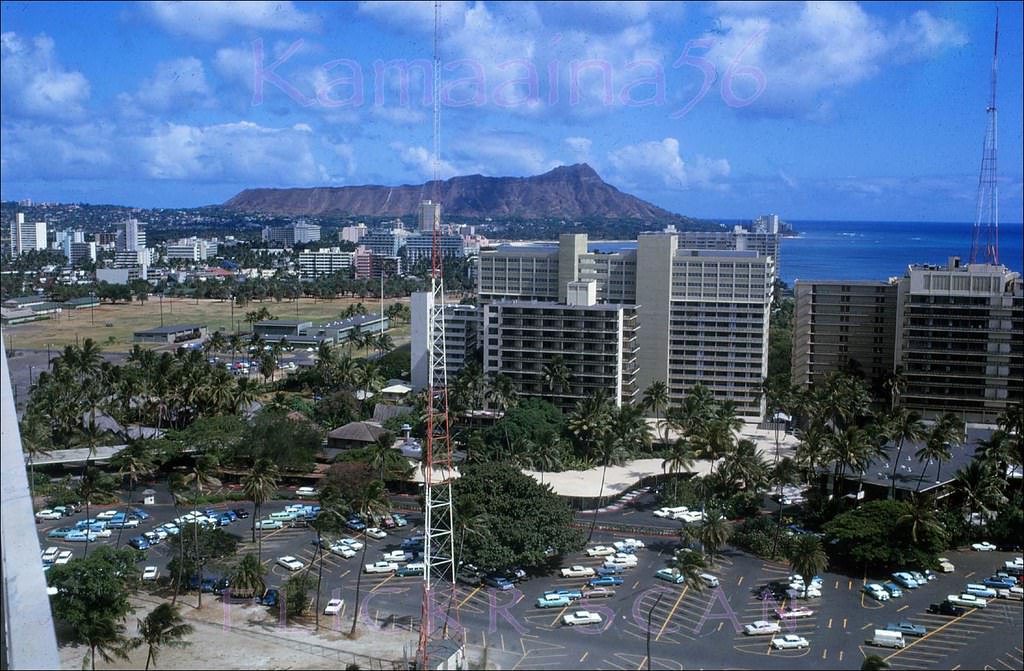
The Kapiolani Drive Inn — a longtime restaurant on the corner of Ala Moana Boulevard and John Ena Road — was still operating in 1966 when the Aloha Week parade rolled past it. By 1968, birdseye photographs taken from the new Rainbow Tower at the Hilton Hawaiian Village showed its footprint had disappeared, cleared for the high-rise Wailana Apartments that opened in 1970. The 21-floor Rainbow Tower itself, completed in 1968, gave photographers an entirely new elevated platform from which to document how much Waikiki had changed.
Kapiolani Drive Inn Now Gone, 1968.Aerial view from the Rainbow Tower at the Hilton Hawaiian Village looking mauka over Waikiki and Honolulu, 1968Aloha week parade in front of the old Kapiolani Drive Inn at Ala Moana Blvd. and Ena Road, 1966Parade on Ala Moana Blvd. at John Ena Road with Tops Coffee Shop in the background, 1960sKalakaua at Olohana Waikiki, 1962.Aloha Week parade on Waikiki’s Kalakaua Avenue at Olohana Street, 1960Parade along Waikiki’s Kalakaua Avenue looking Ewa (more or less northwest here) from the Beachwalk intersection, 1960Two story commercial building at 2051 Kalakaua Avenue in Waikiki, 1960

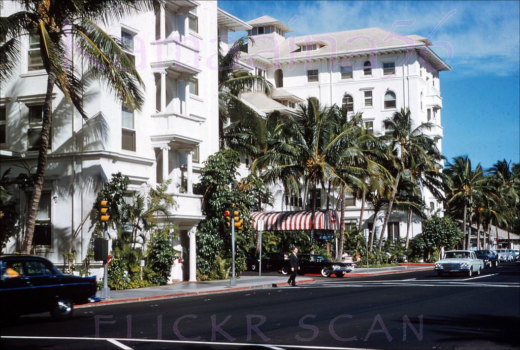
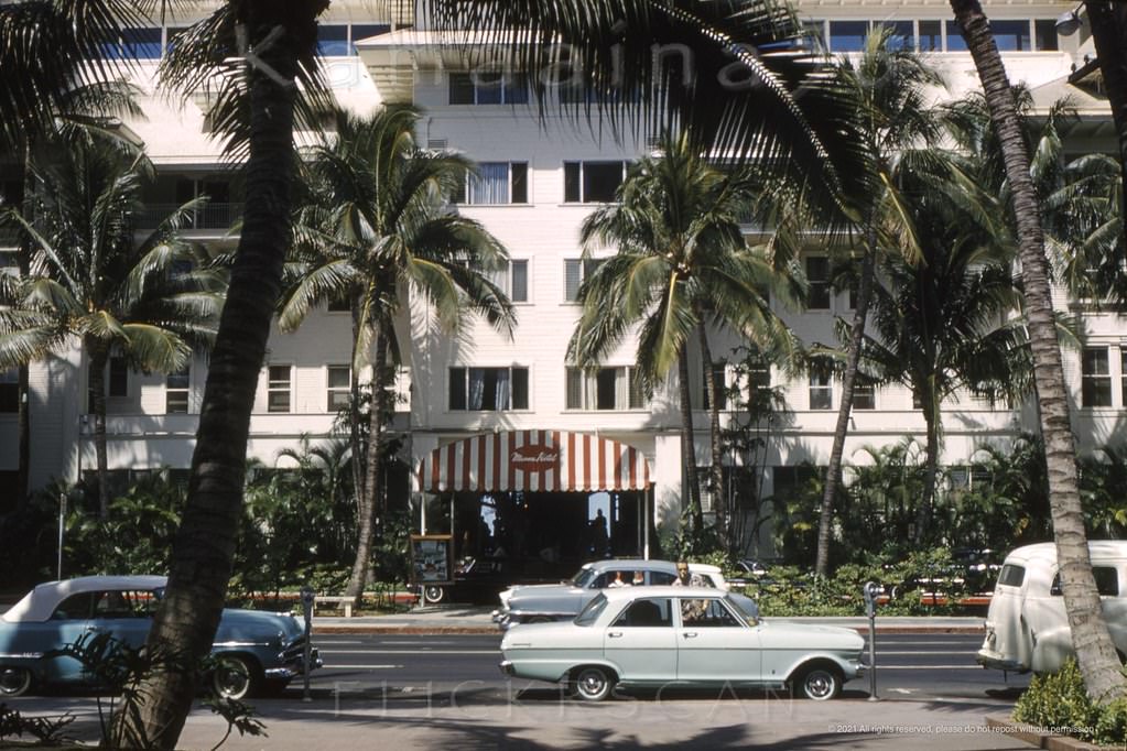
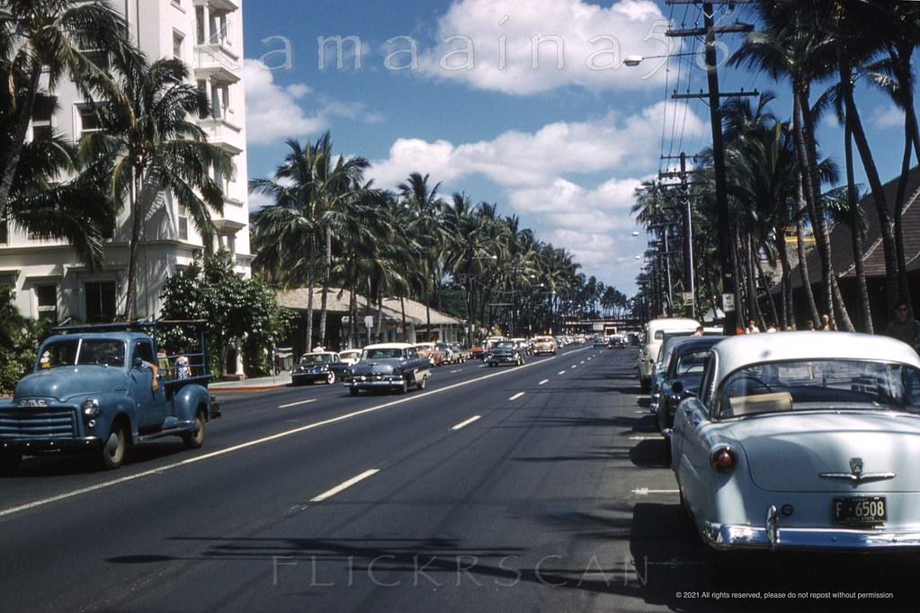
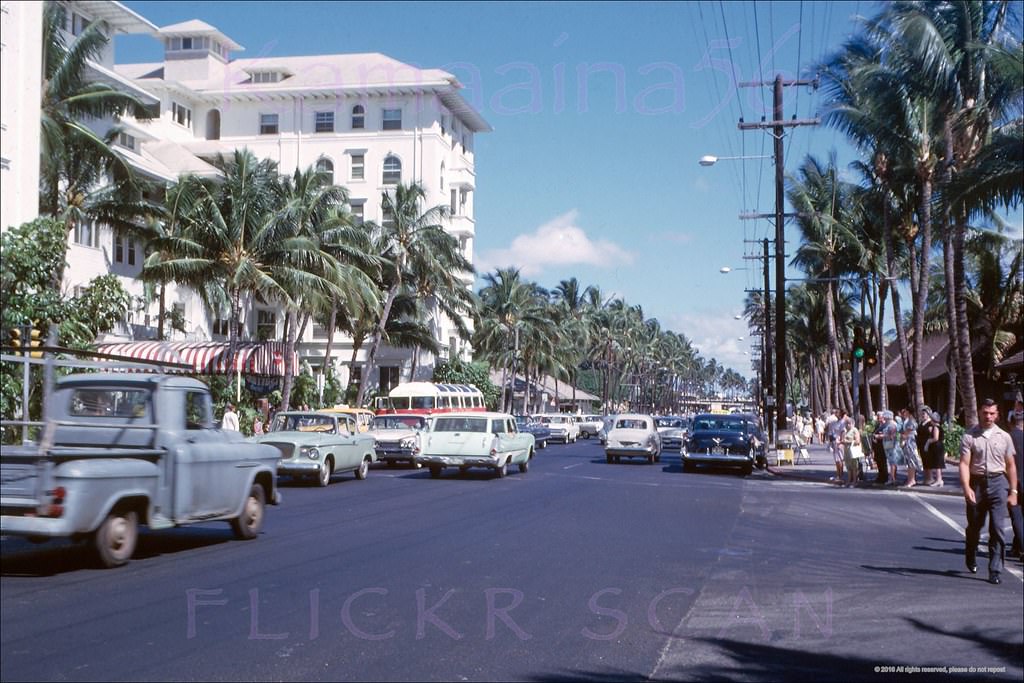
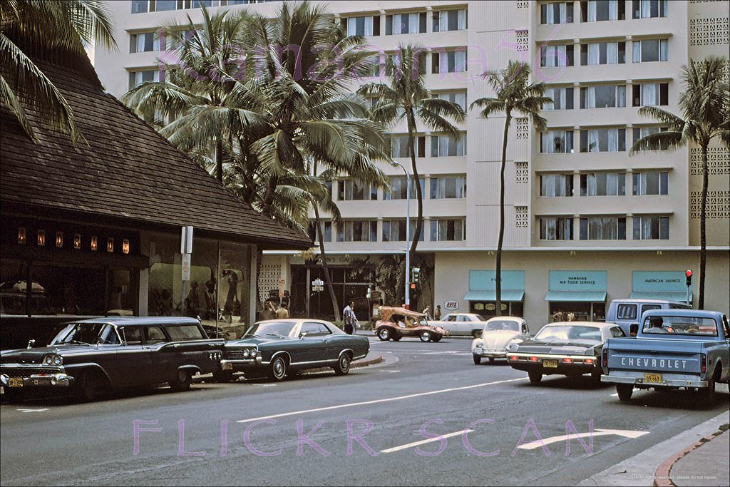
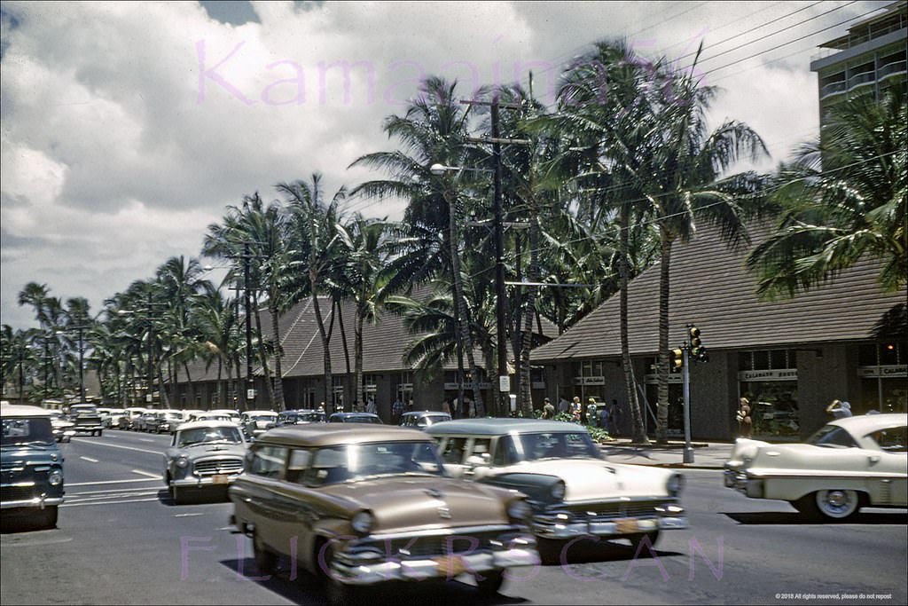
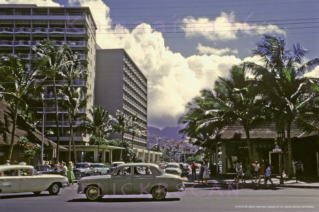
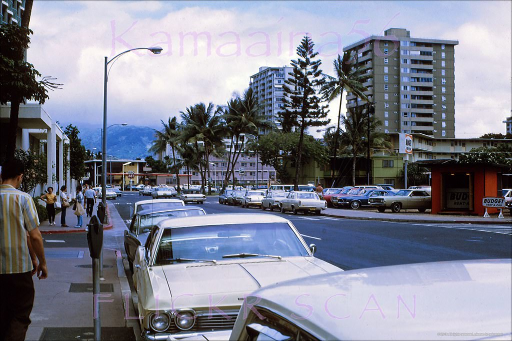
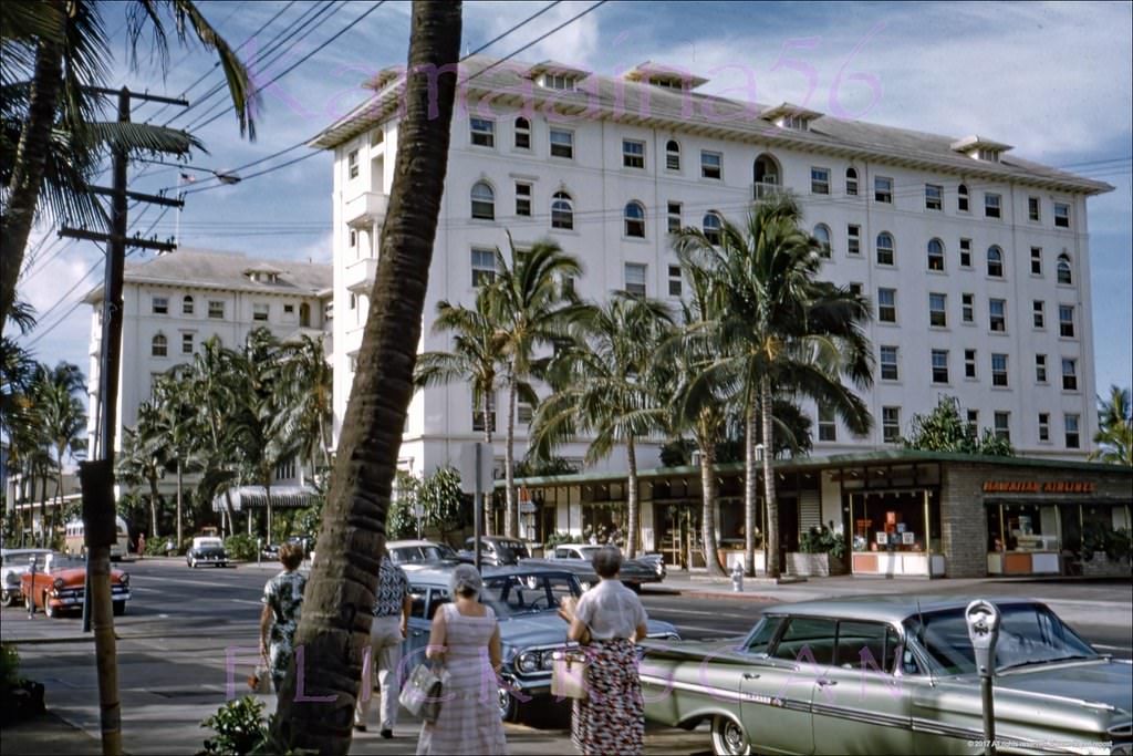
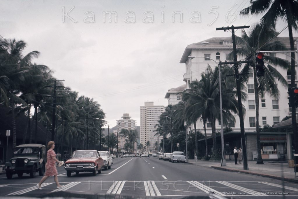
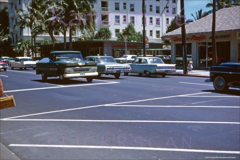
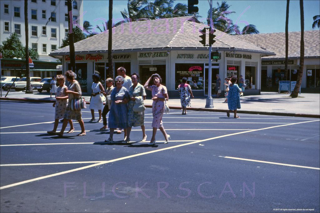
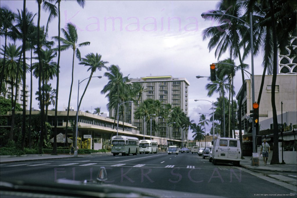
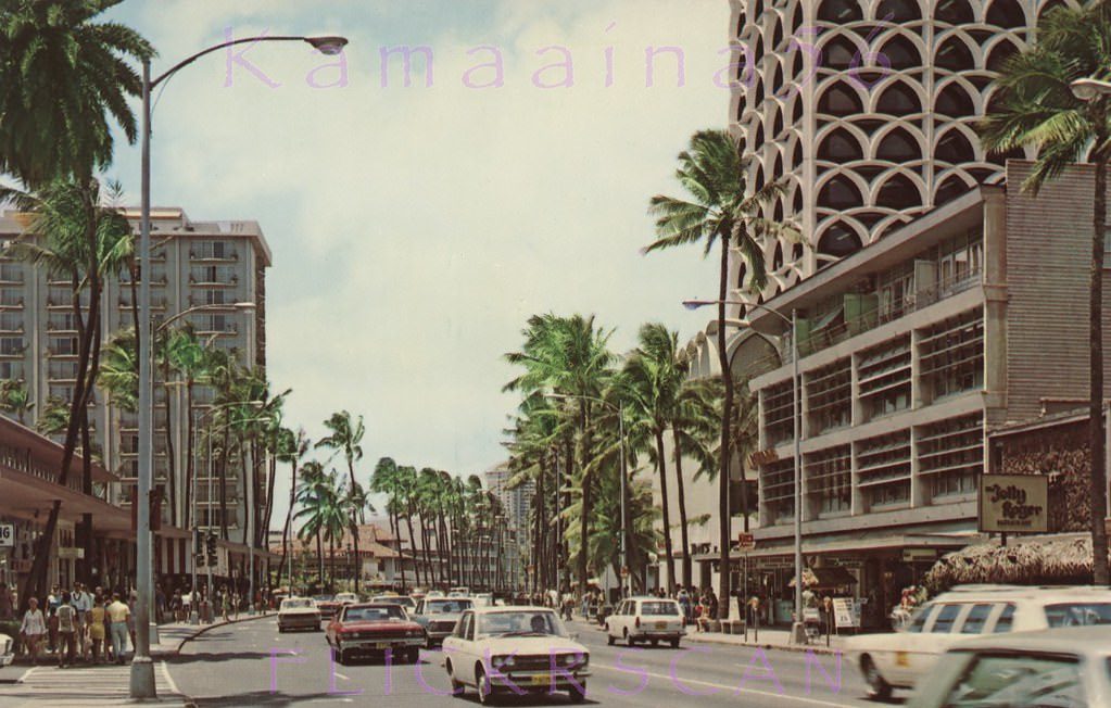
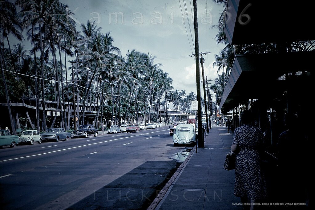
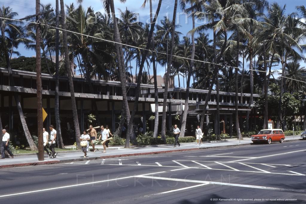
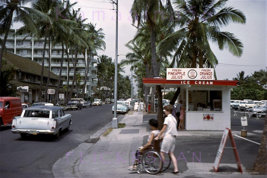
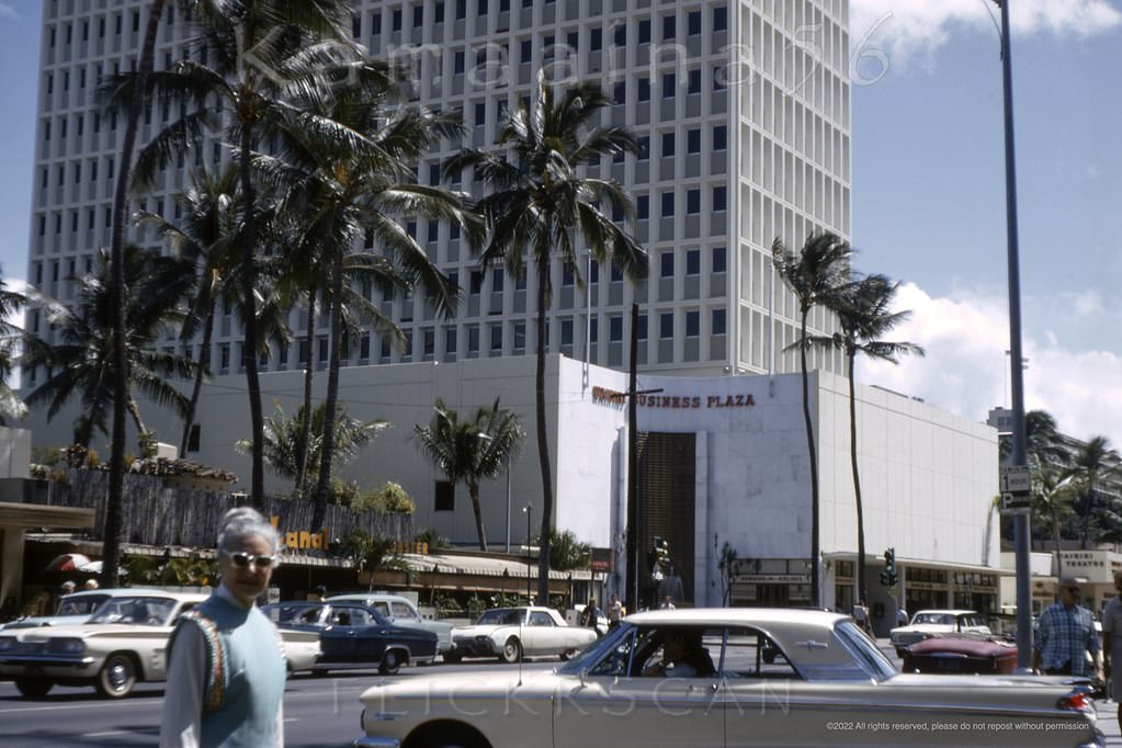
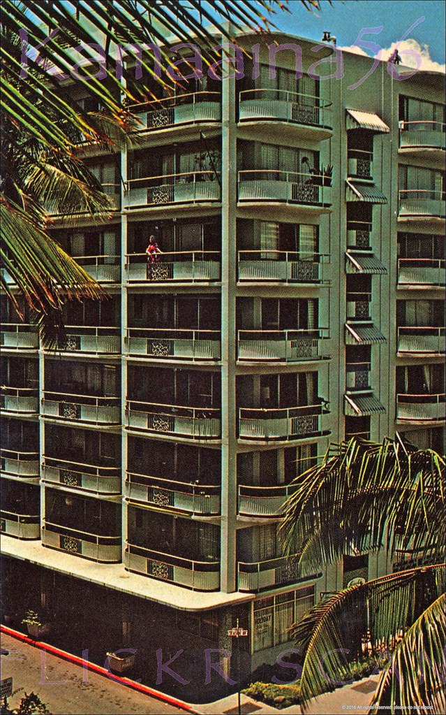
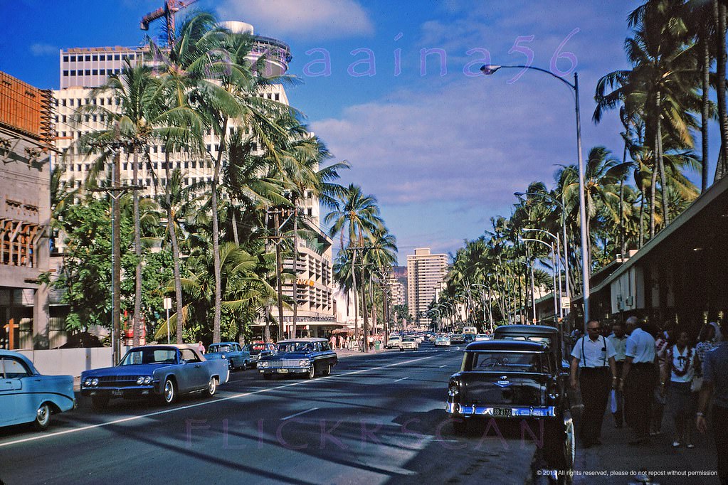
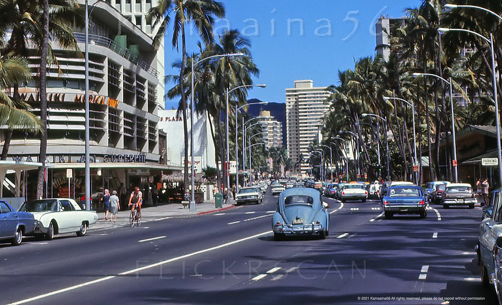
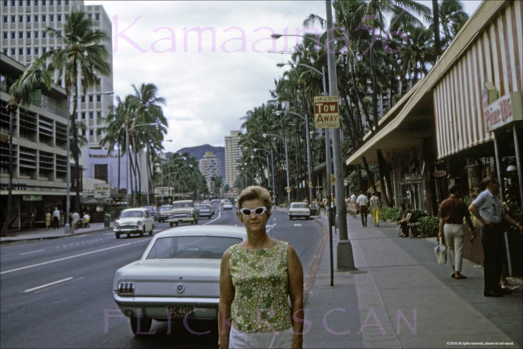
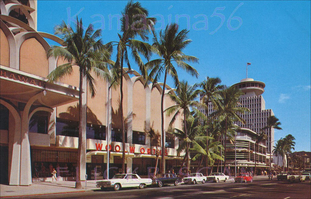
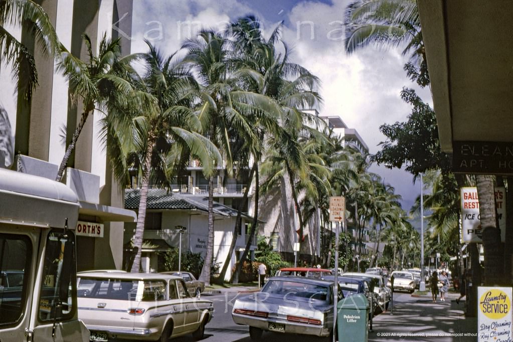
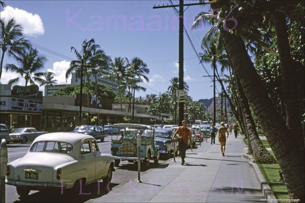
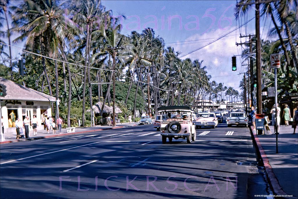
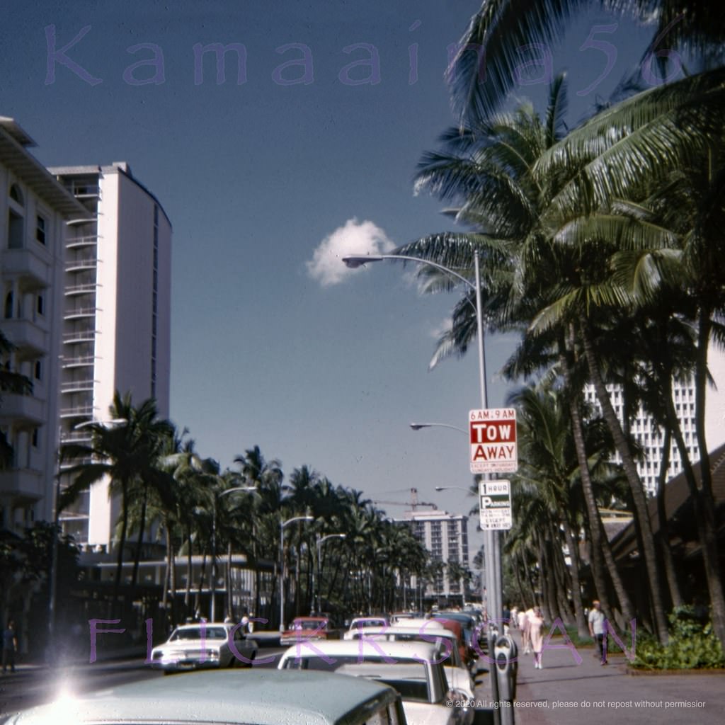
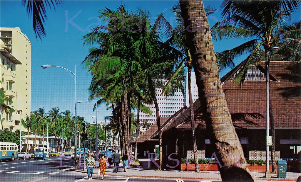
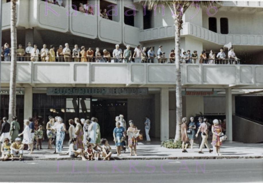
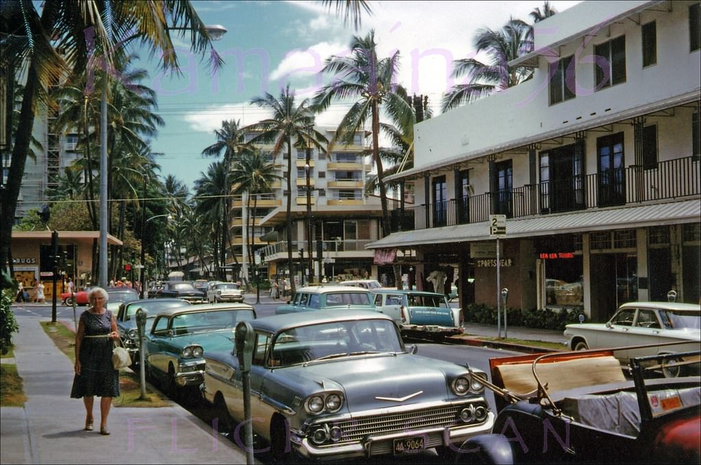
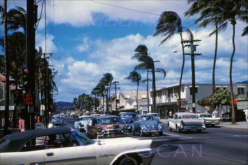
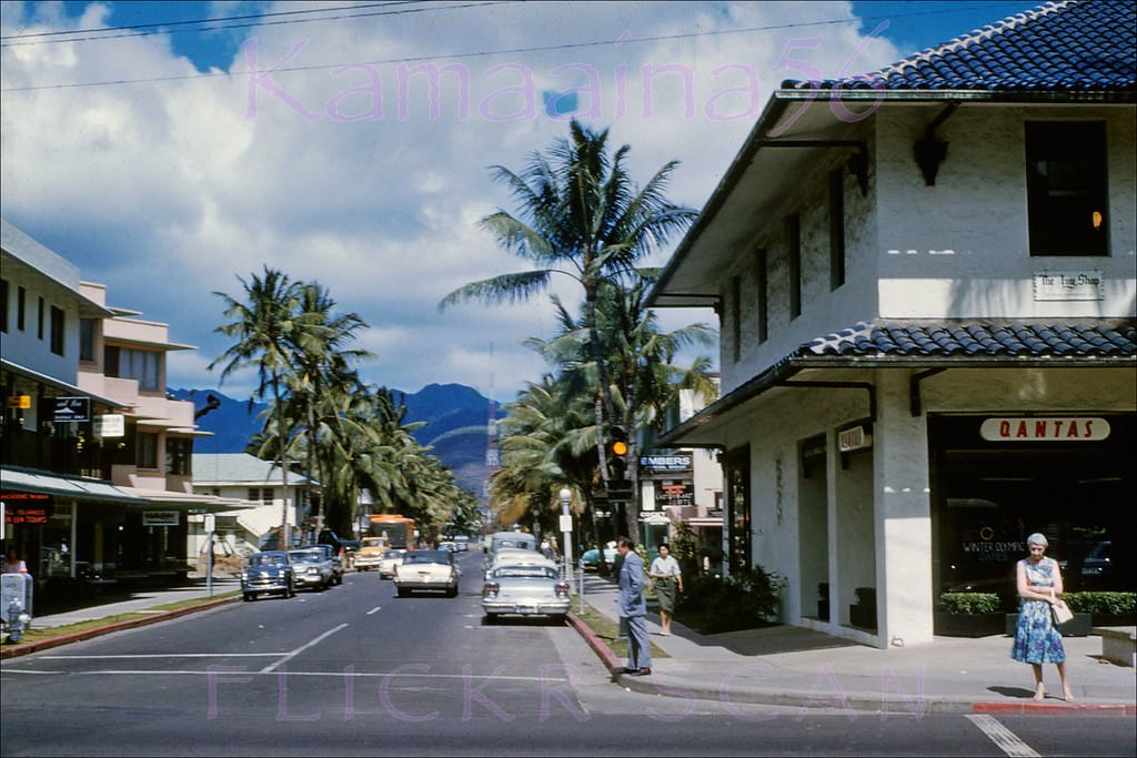
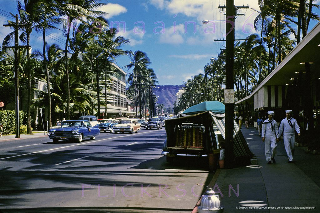
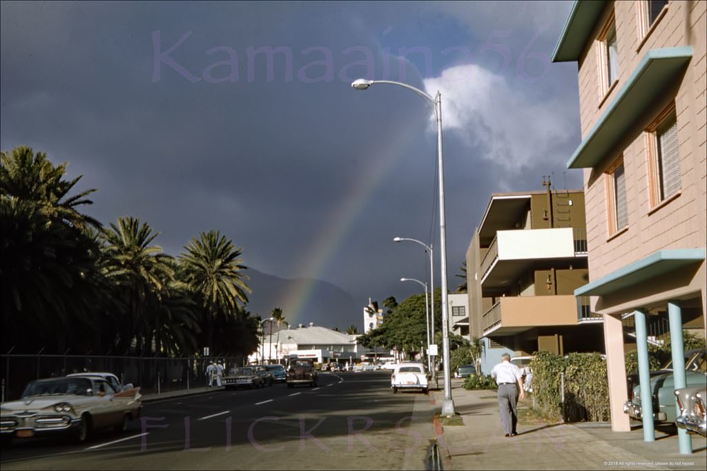
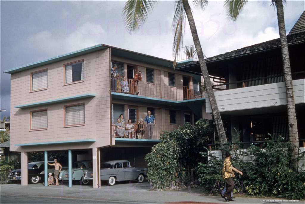
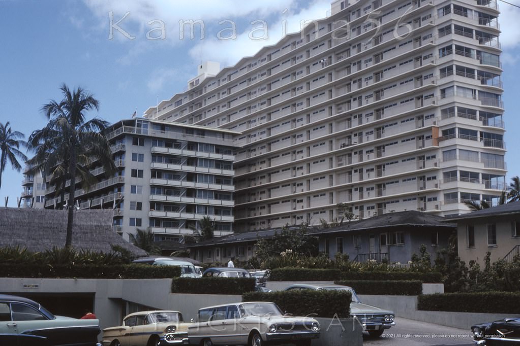
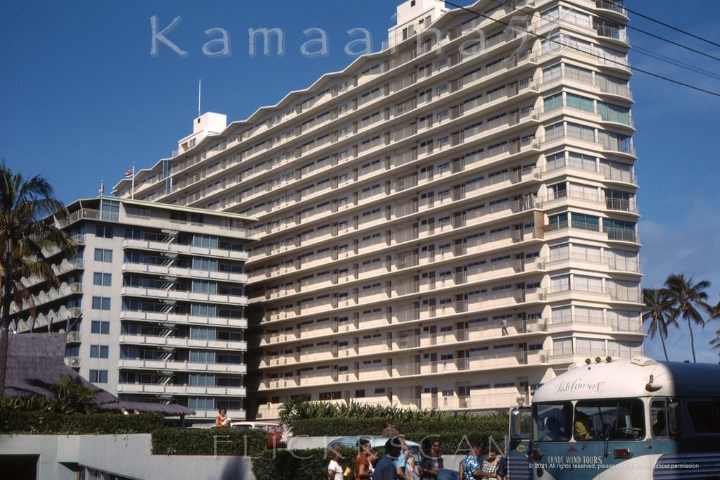
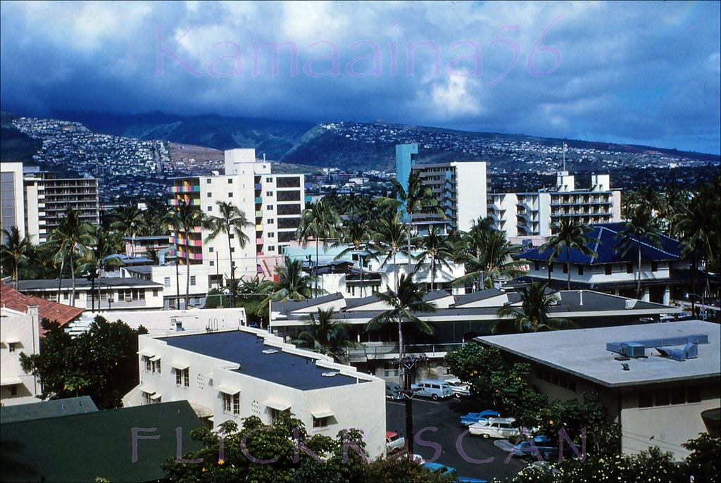
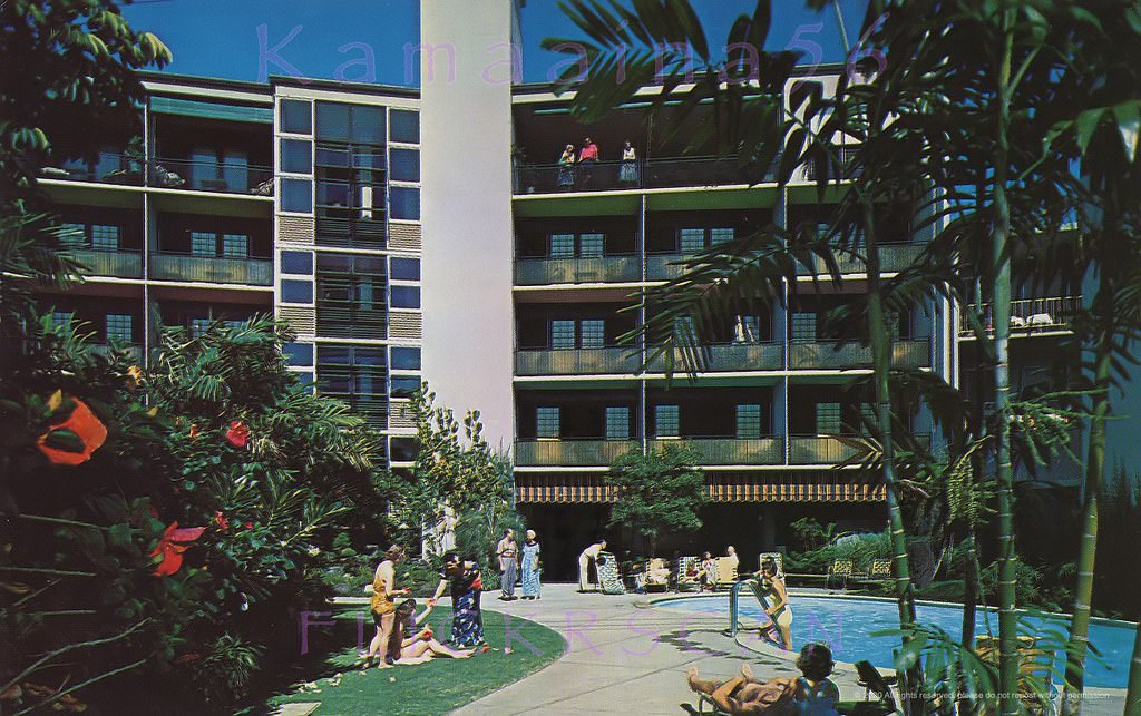
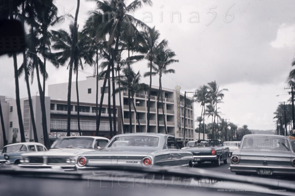
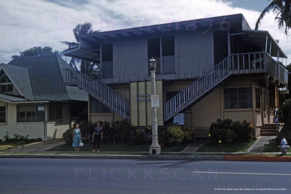
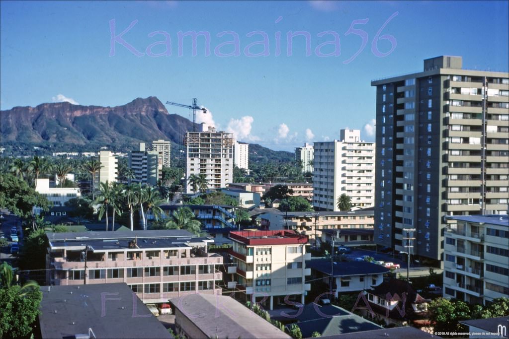
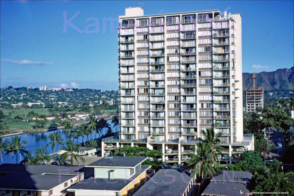
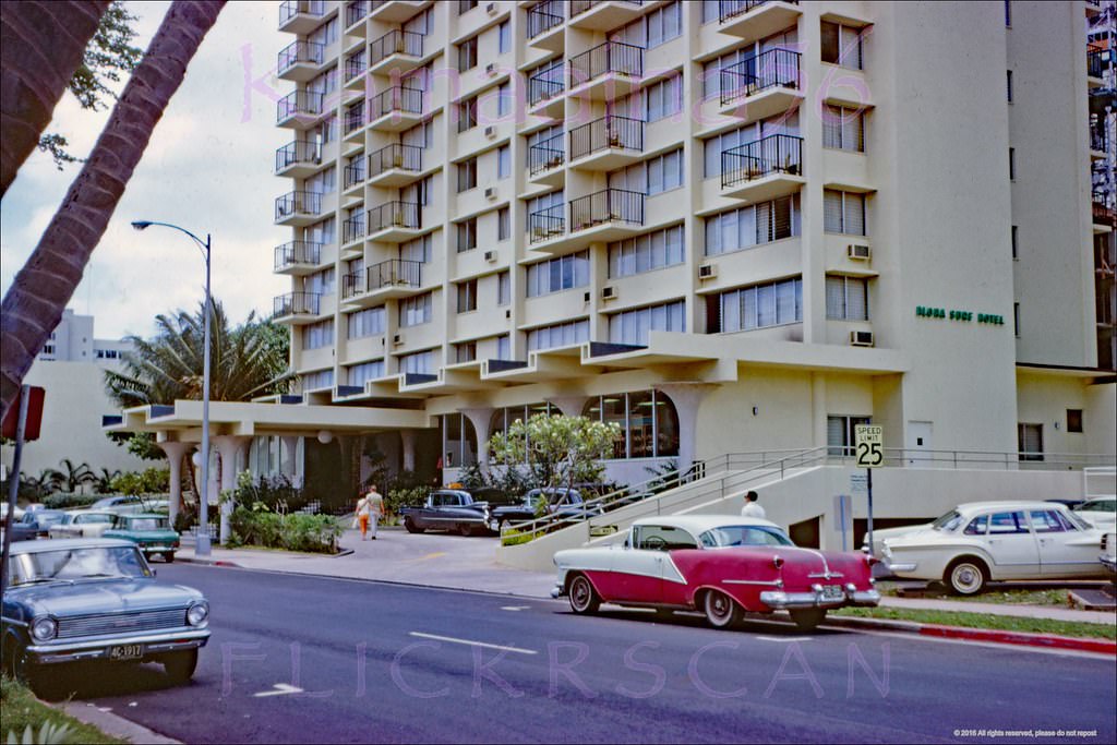
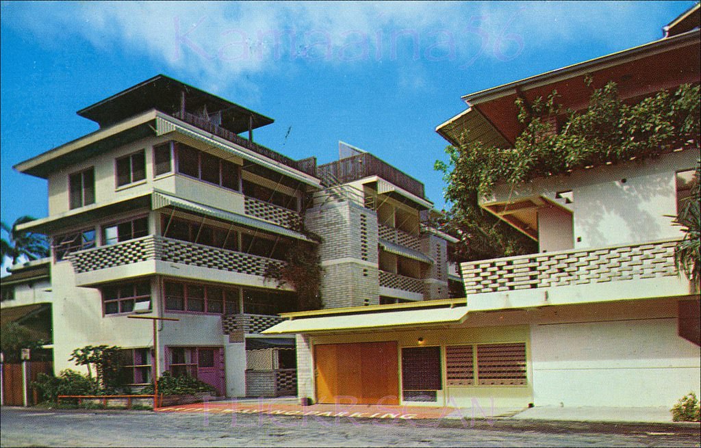
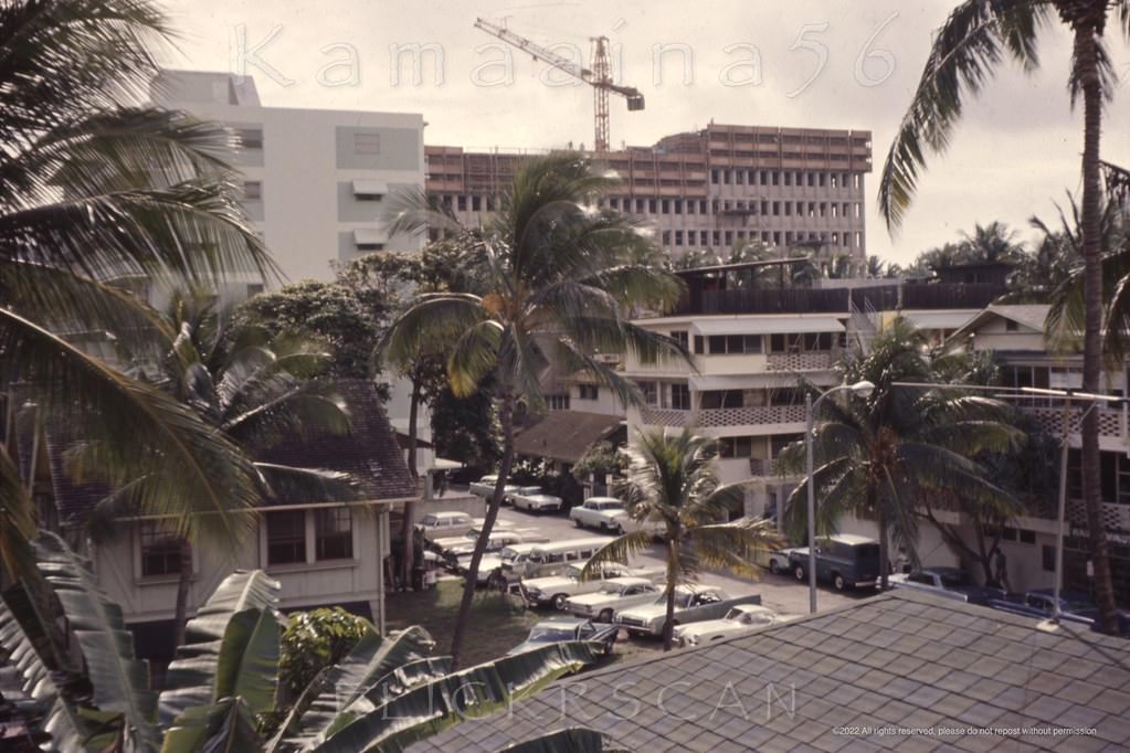
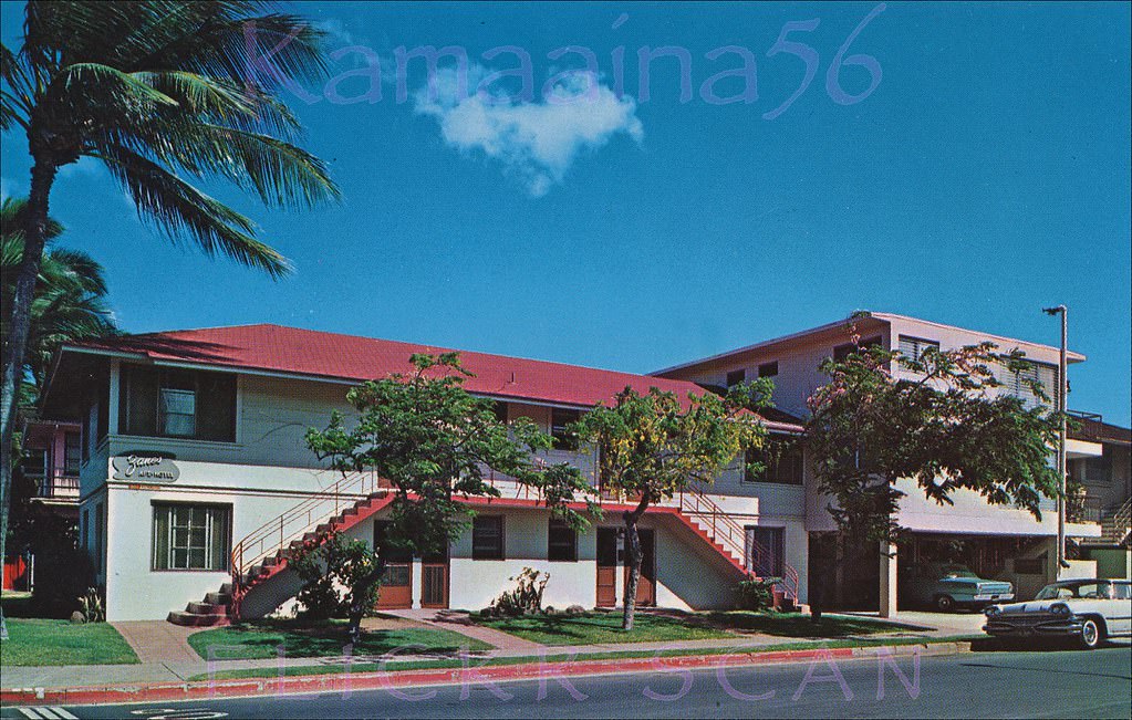
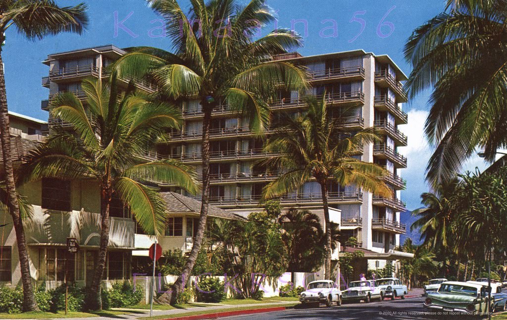
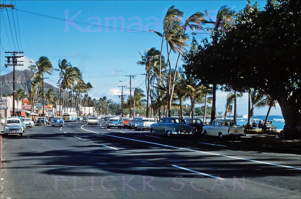
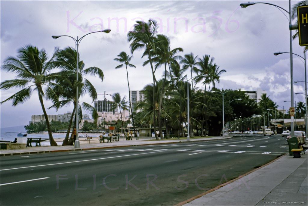
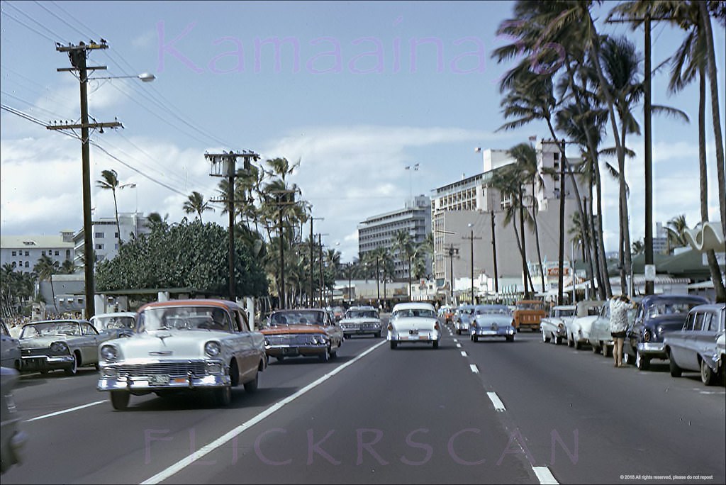
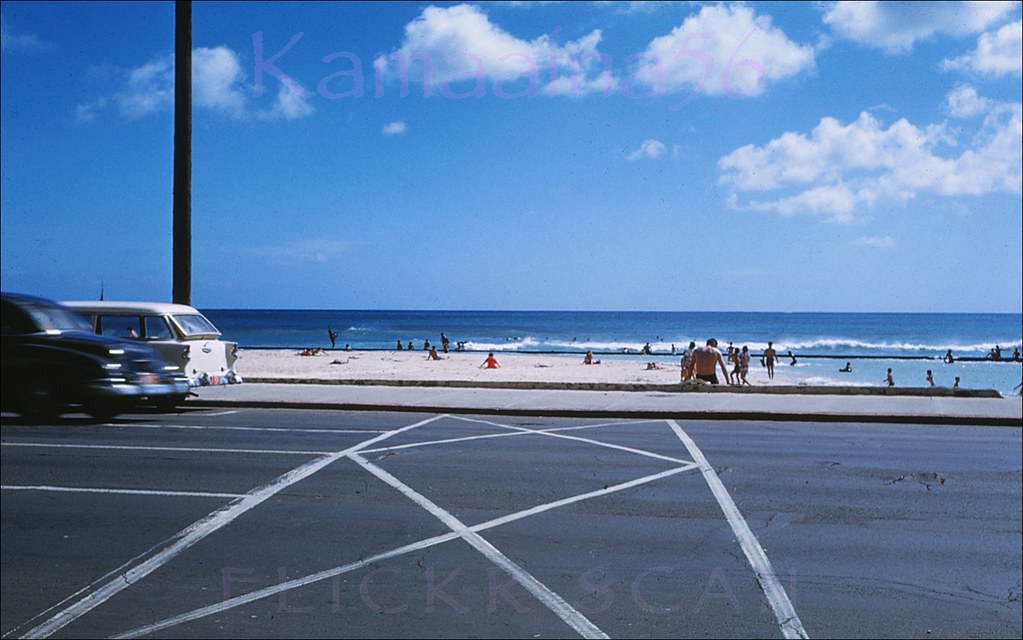
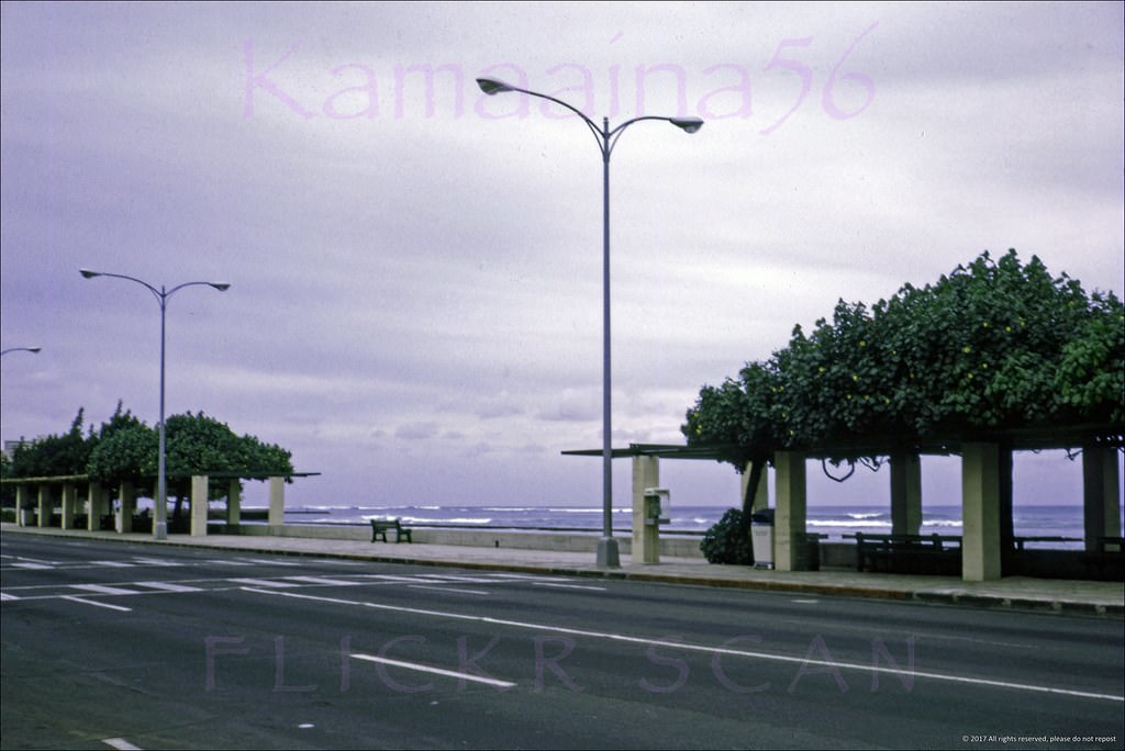
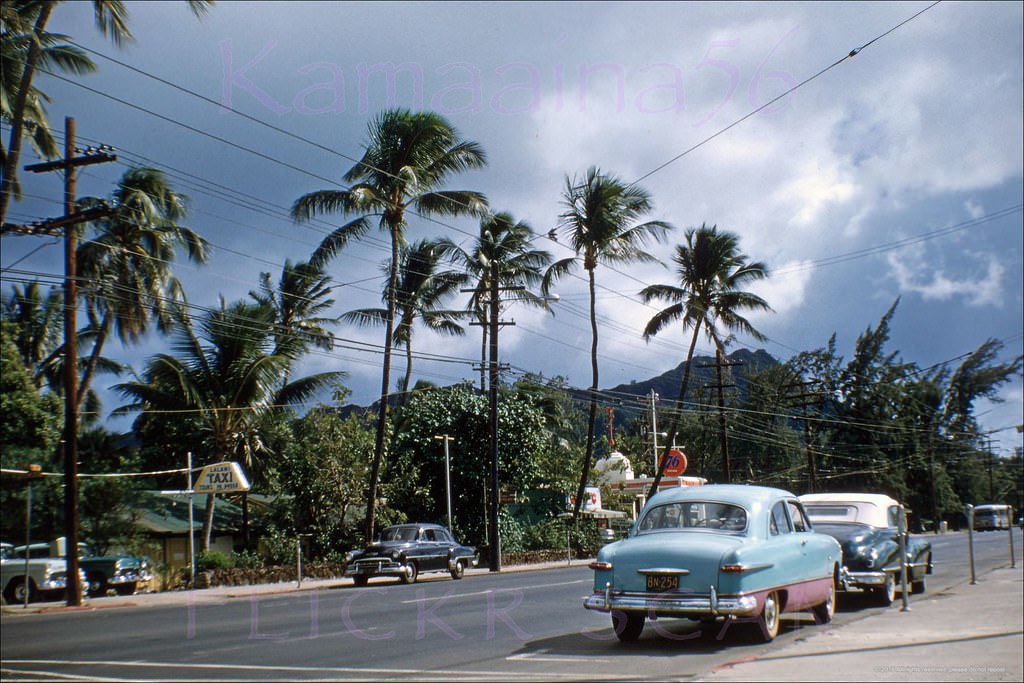
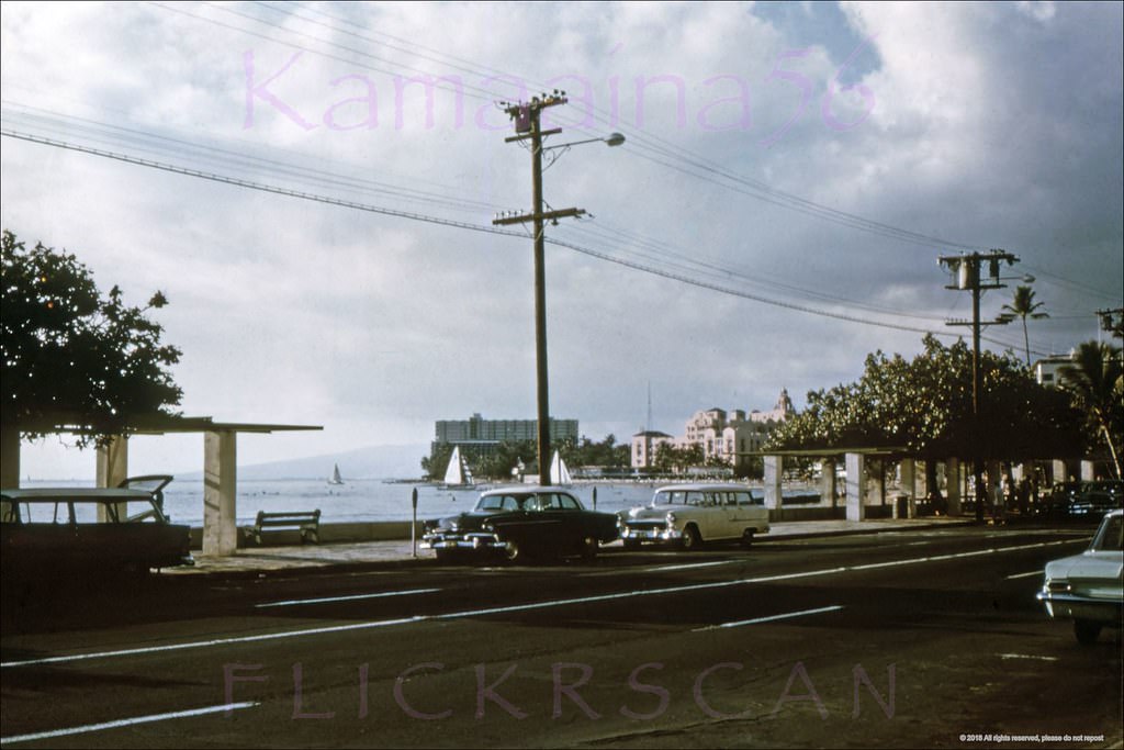
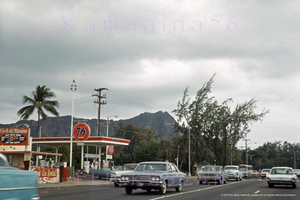
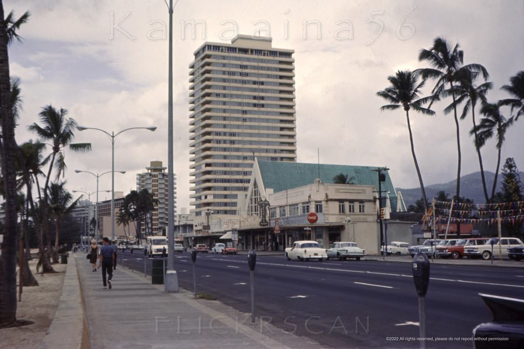
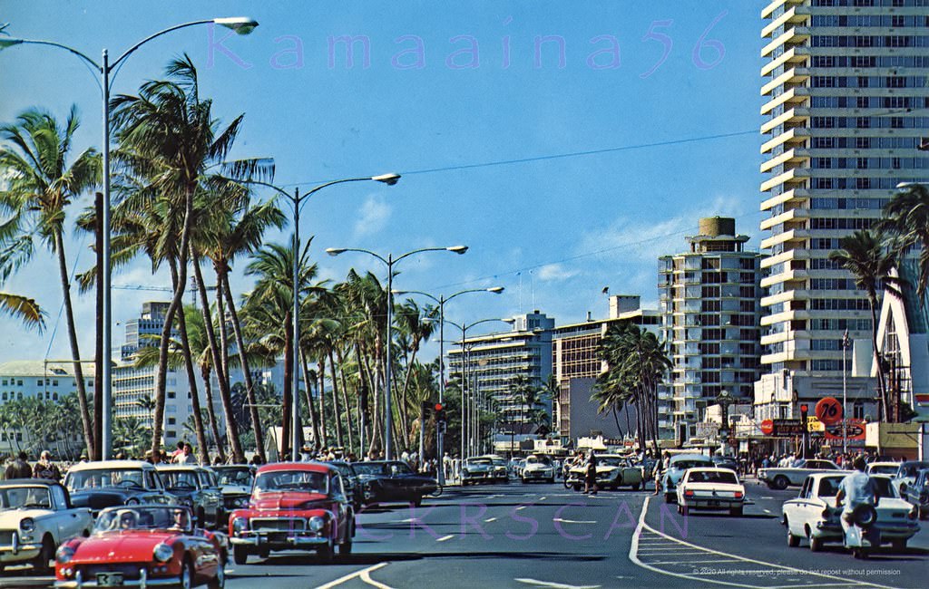
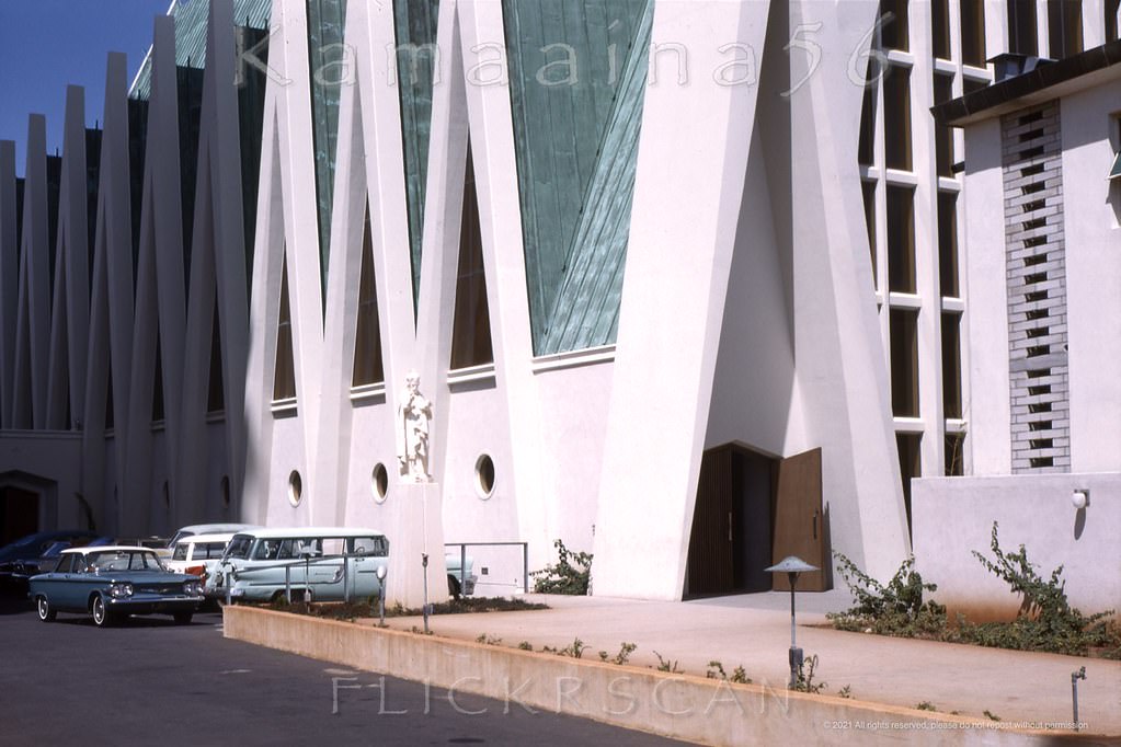
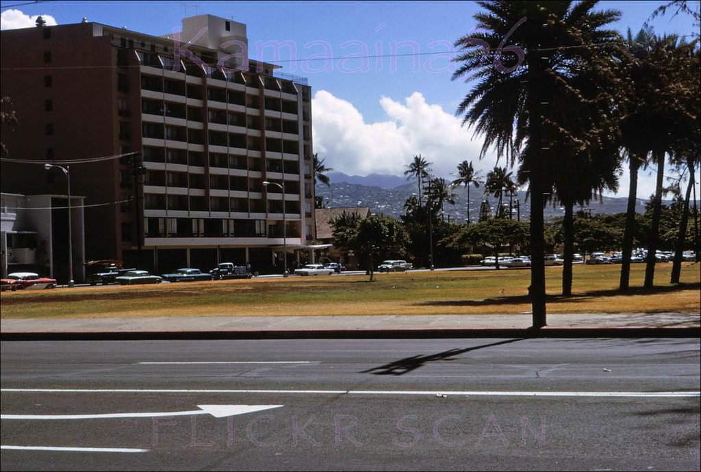
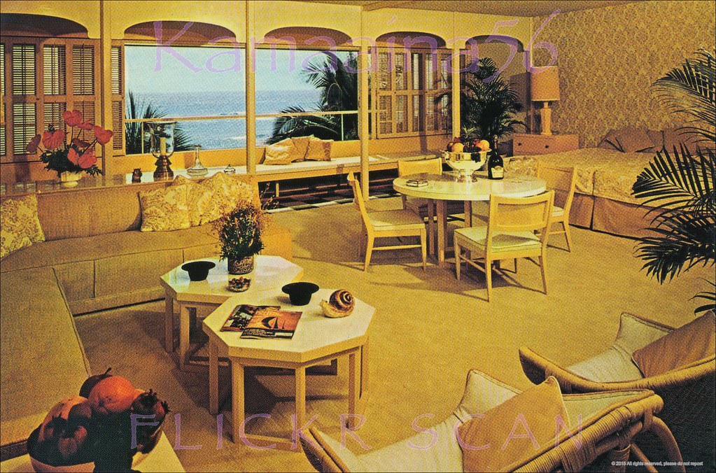
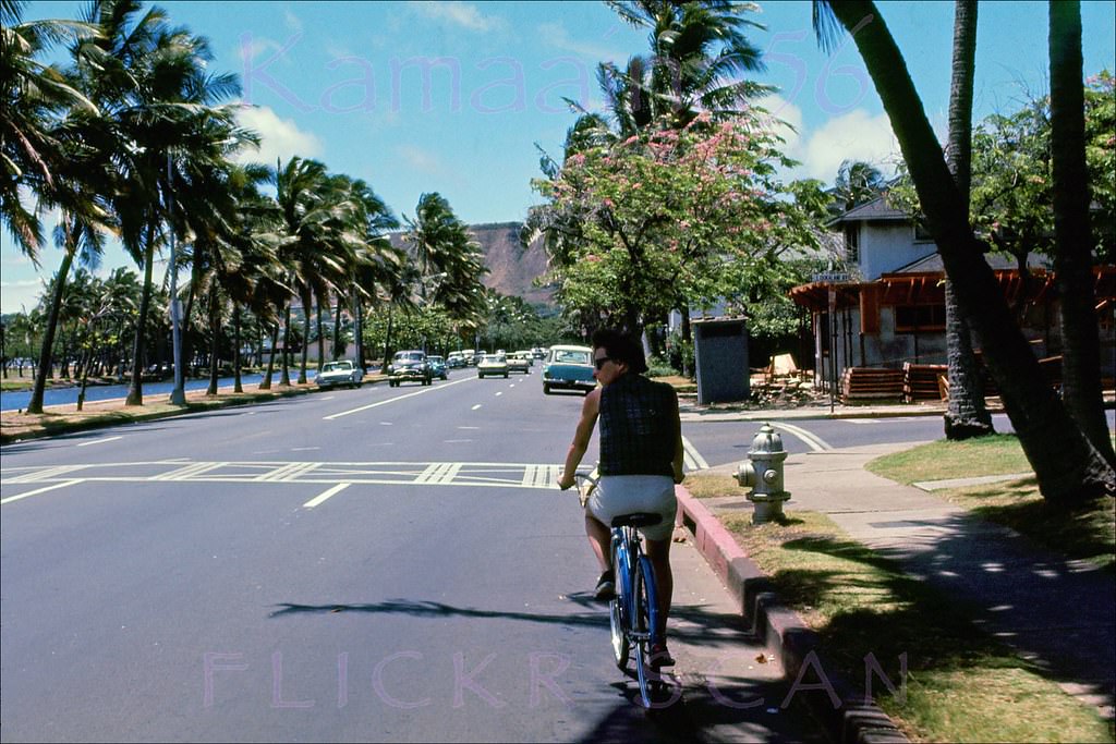
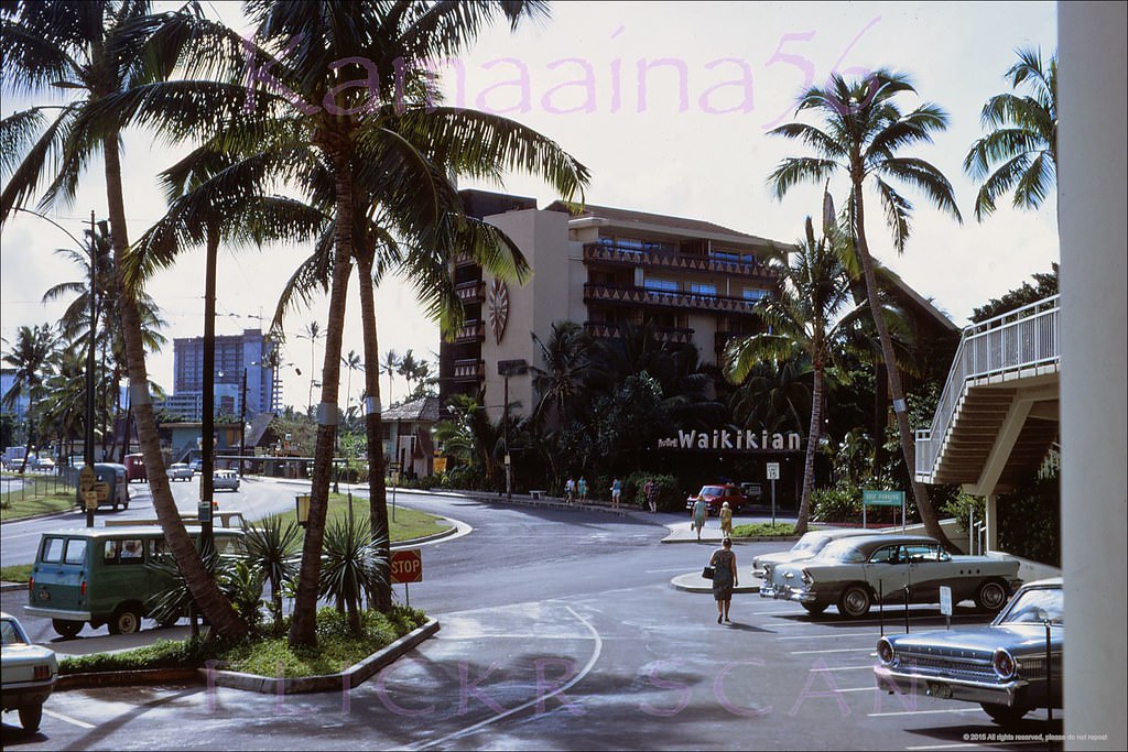
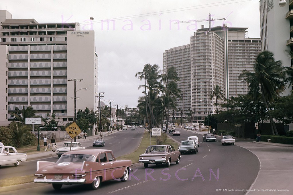
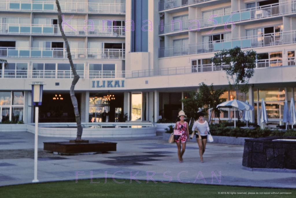
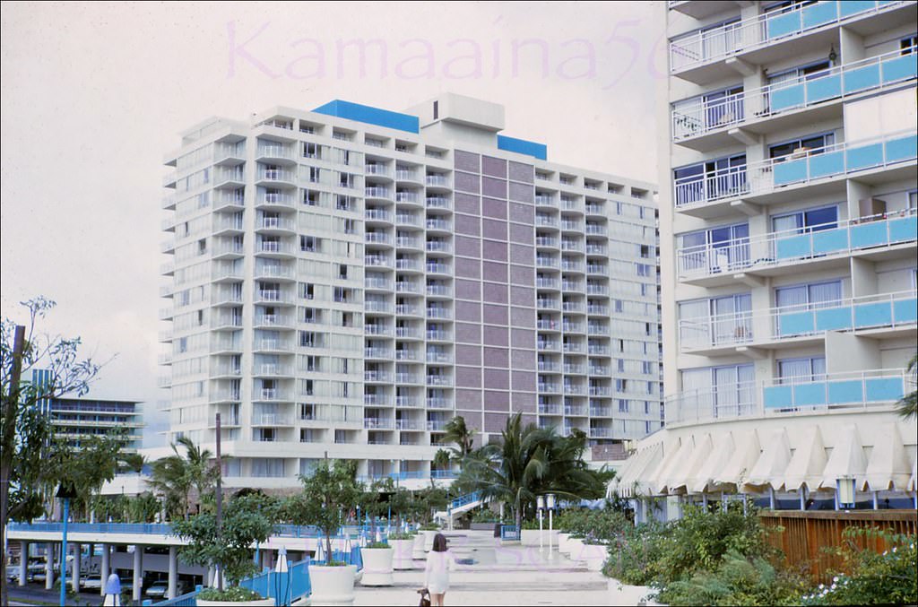






Hard to believe what it used to look like without ABC stores.
Neat
It’s crazy how massive the Moana and the Royal Hawaiian look when there is nothing around them.
Thank you for sharing these!
prefer the current version. Nice pictures though!