In 1886, the Russian Ministry of War ordered the construction of the Pskov-Riga Railway, including a branch line running from Valga to Tartu. The project was a major engineering undertaking that stretched across rivers, wetlands, ravines, and populated towns throughout the western reaches of the Russian Empire. By 1889, the railway was fully operational. The photographs collected here document every phase of that work, from the earliest foundation digging to the finished stations and depots. They were taken by photographers Hugo Hoffers and Peter Sohnwald, both of whom were also active in Tartu and Riga.
One of the most demanding tasks during construction was bridging the Velikaya River, known on this line as the Riga Bridge. Workers began driving the support pillars into the riverbed in August 1886, just weeks after the Ministry of War gave the green light for the project.
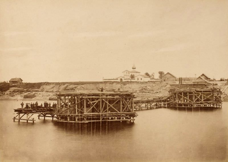
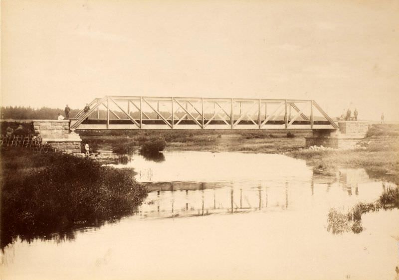
By the autumn of 1887, construction crews were spread across multiple river crossings simultaneously. The railway had to cross the Laatre, Rauna, and Väike Emajõgi rivers, each presenting its own challenges depending on the depth, flow, and surrounding terrain. The Rauna River crossing required substantial pillar work before any deck could be laid.
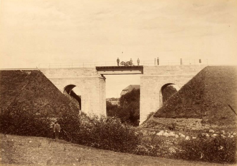
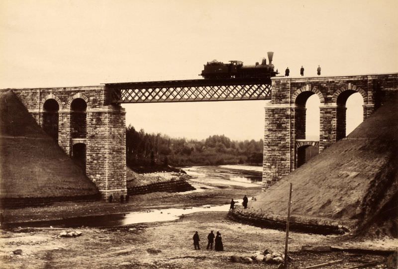
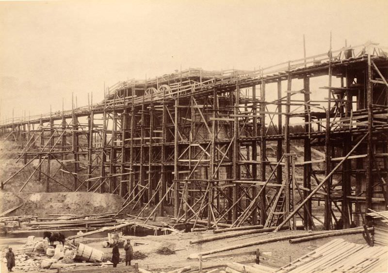
The Väike Emajõgi River required two separate photo sessions to capture its progress. The first image, taken September 1, 1887, shows the bridge mid-construction. Three weeks later, crews had moved on to laying the deck.
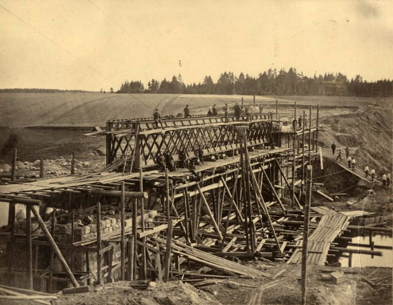
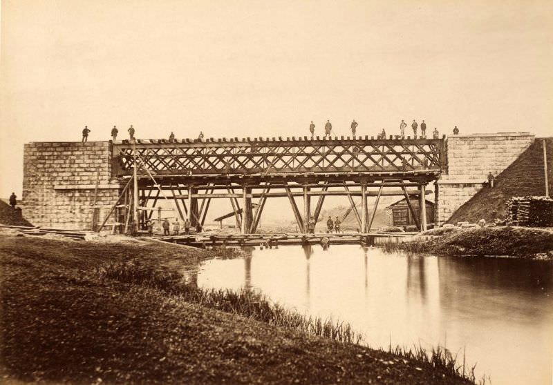
The Riga Bridge over the Velikaya River took nearly two years from pillar installation to completed deck. By July 1888, the deck was being laid — a full phase of work after those first pillar photographs from August 1886.
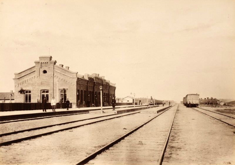
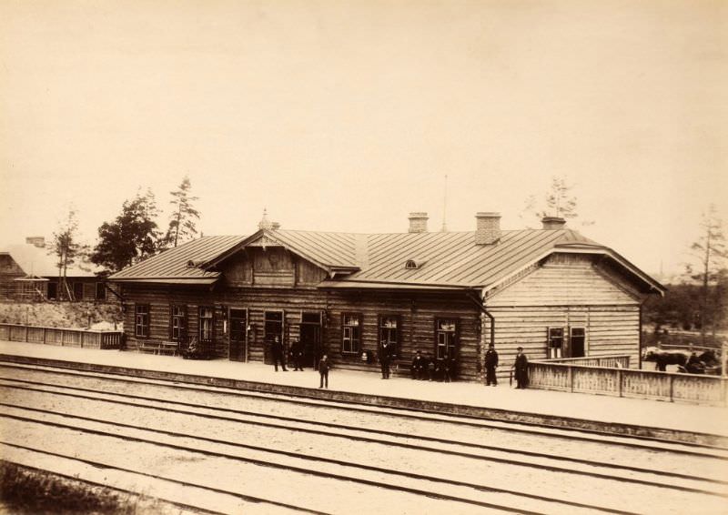
While bridge work continued, station buildings were also taking shape. Many structures along the line were built from standard plans, which is why stations at different stops share nearly identical appearances. The Tartu station, photographed from the rail side in May 1888, was among the first to be documented in its near-finished form.
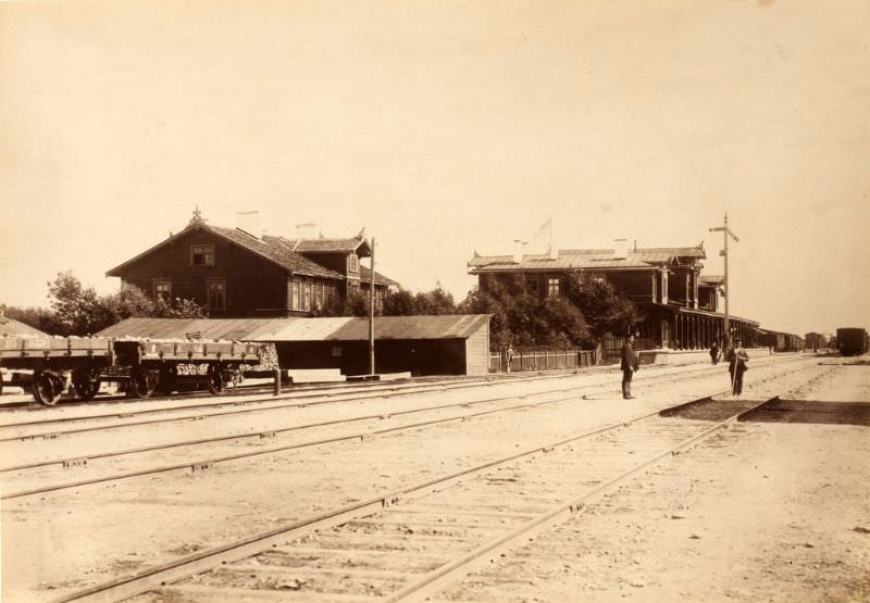
As 1889 arrived, the railway neared completion. Photographers recorded the finished infrastructure in rapid succession across June, July, and August. In Riga, the Čiekurkalns marshalling yard station was documented in June, serving as a key freight and switching point on the line’s southern end.
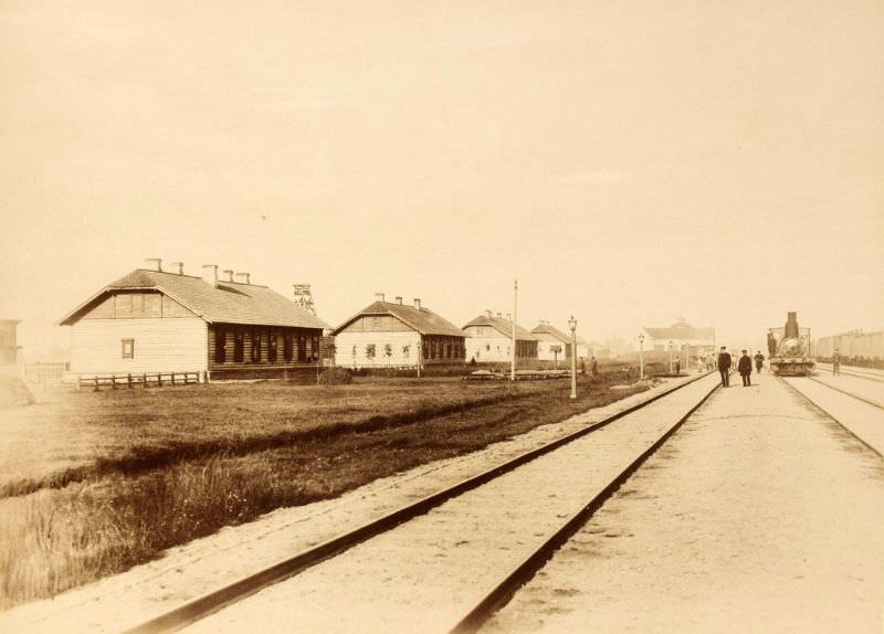
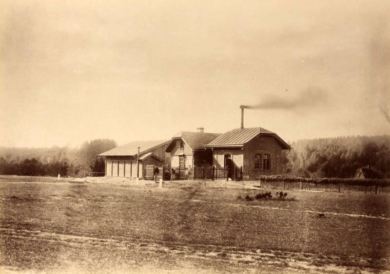
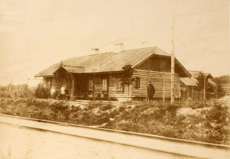
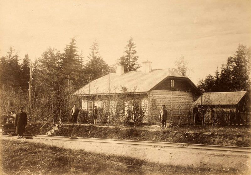
Away from the major cities, smaller but essential structures dotted the line. Guard houses were built at regular intervals so that railway watchmen could monitor tracks and respond quickly to problems. This example near Strenči was photographed in August 1889.
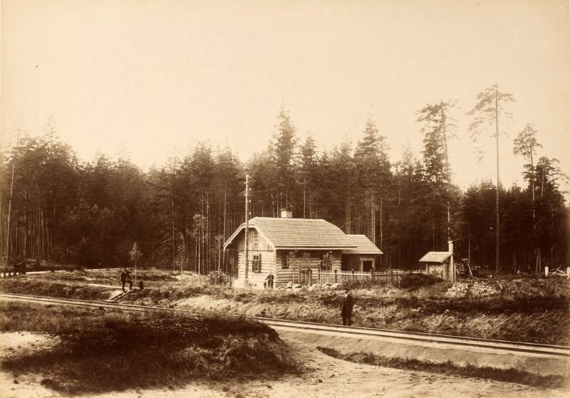
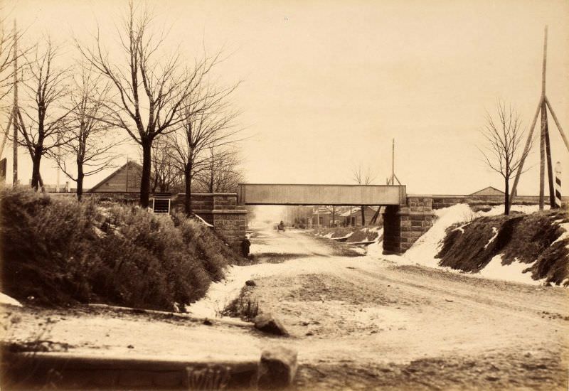
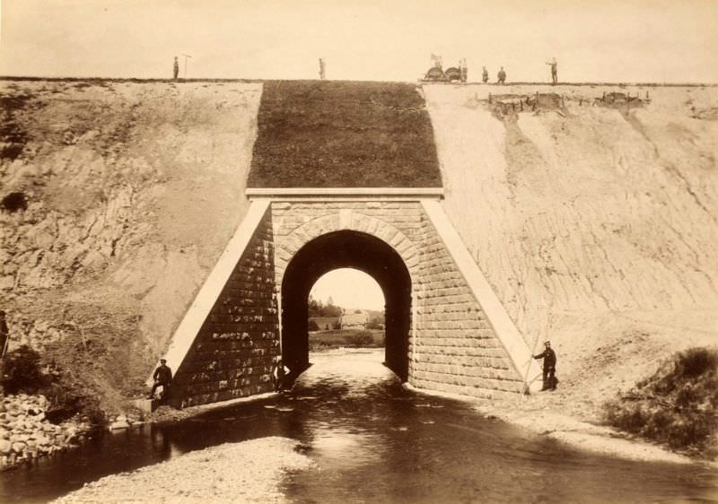
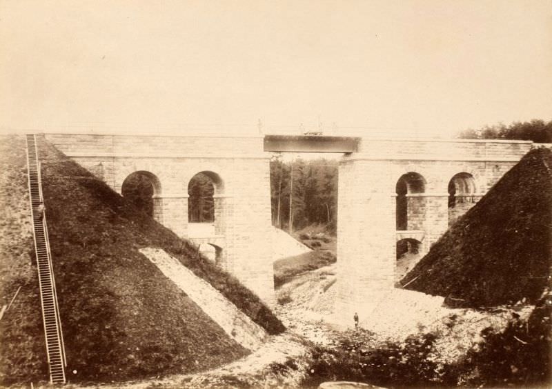
Overpasses were constructed where roads needed to cross above the tracks. Near the Līgatne station, a stone overpass bridged the railroad without disrupting local road traffic below.
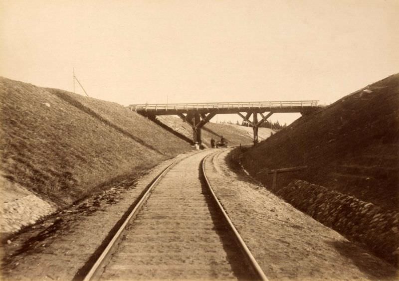
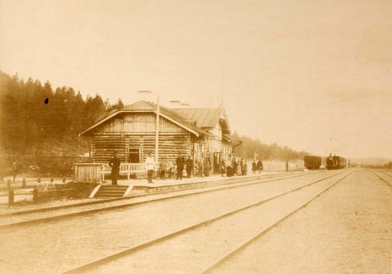
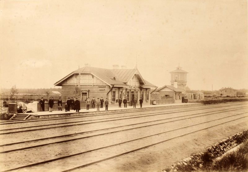
Pechory station, photographed in June 1889, sat near the western edge of the Pskov region. Like many stations on the line, it followed a recognizable template — practical, built for function rather than decoration.
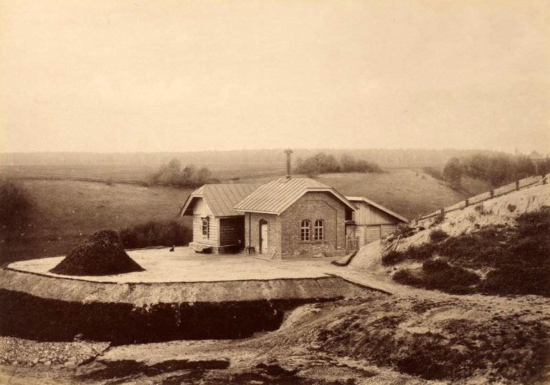
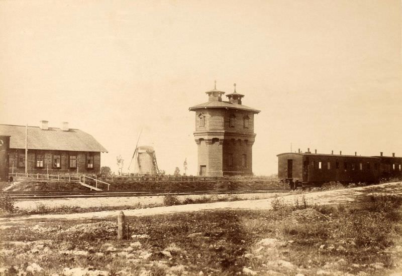
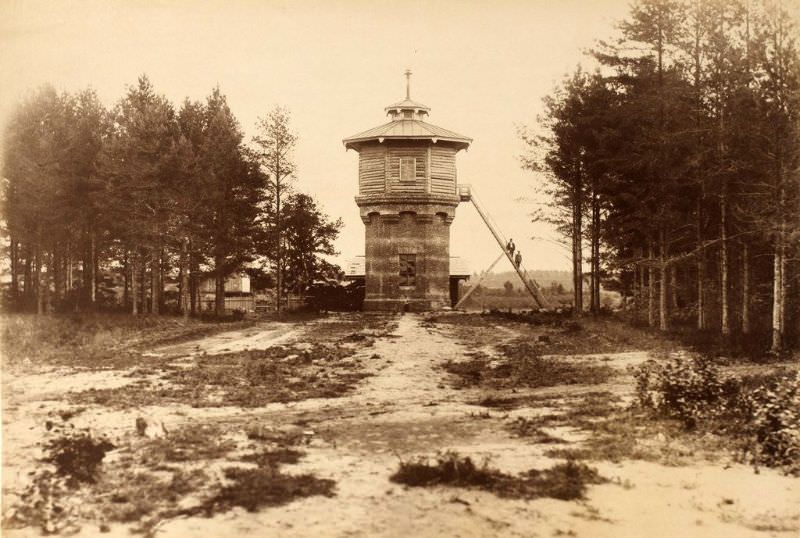
Steam locomotives required constant water supplies along the route. Pumping stations and water towers were built at several stops to keep engines running without long delays. The Cēsis station had both, photographed just days apart in August 1889.
In Tartu, the railway crossed directly over Riia Street via an elevated overpass. This photograph, taken in late November 1889, shows the overpass after completion — an early example of urban railway infrastructure in the Estonian portion of the empire.
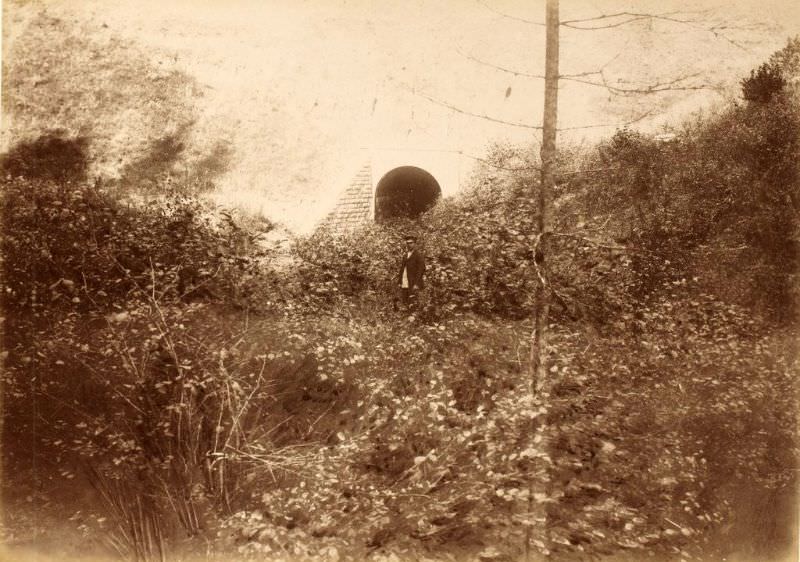
The line passed through demanding natural terrain. The Amata Hollow required the tracks to run through a narrow, forested valley, while the Lasva and Vastseliina wetlands demanded careful earthwork to keep the railbed stable.
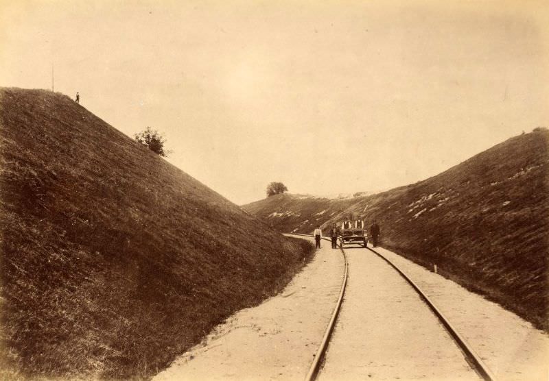
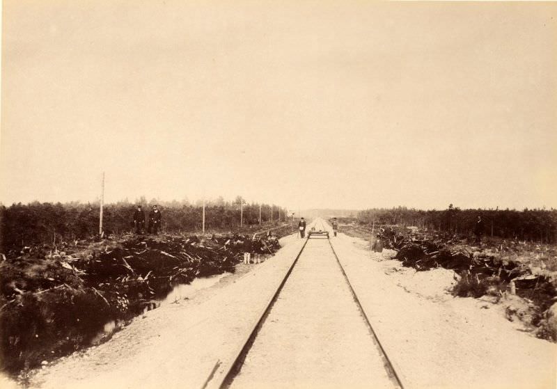
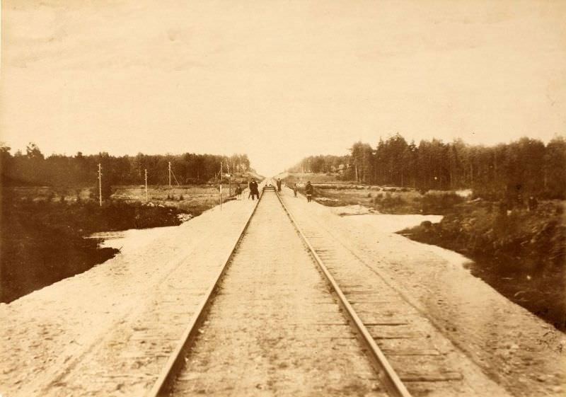
River bridges continued to be documented through the summer of 1889. The Amata, Ärnu, Elva, Gauja, Jugla, and Väike Emajõgi crossings were all photographed in this period, showing the completed spans across waters large and small.
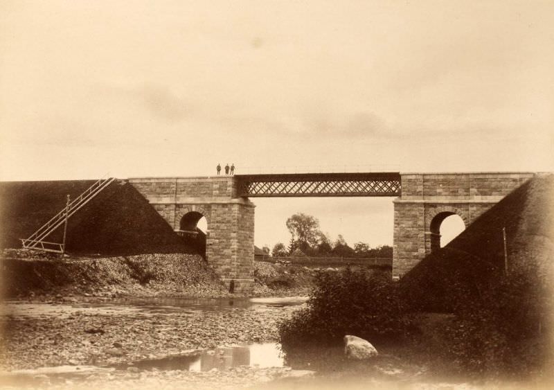
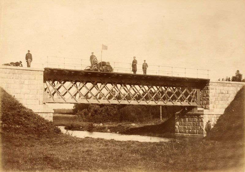
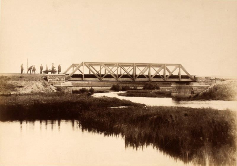
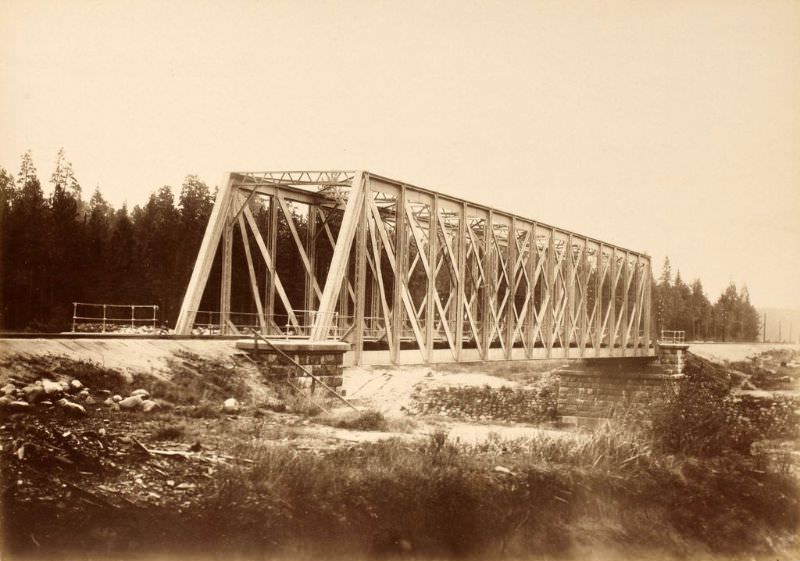
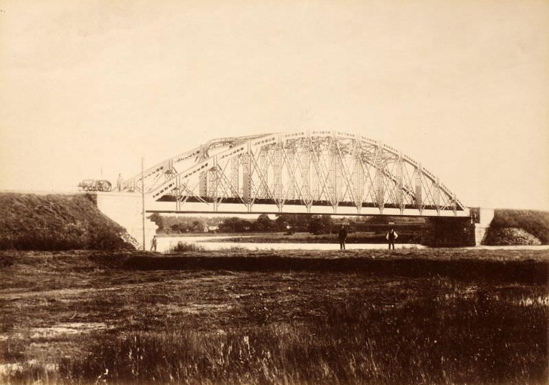
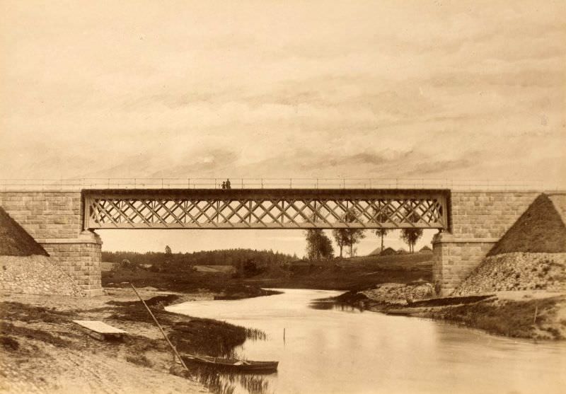
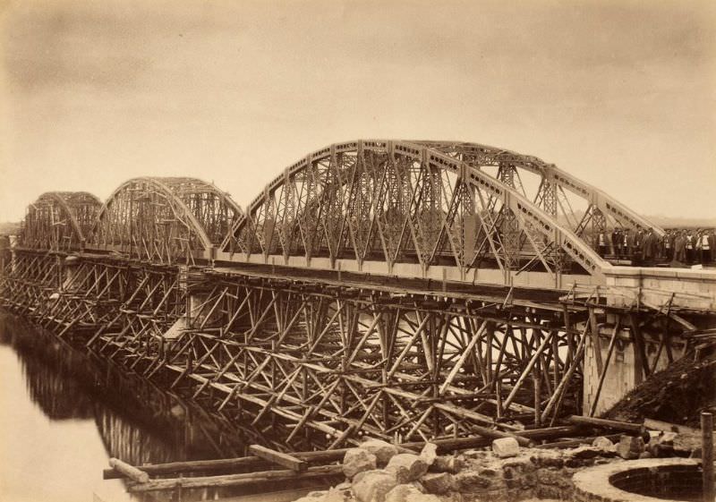
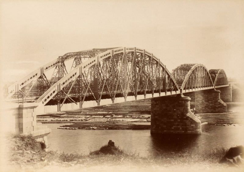
The Riga Bridge over the Velikaya River, started in August 1886, was finally documented in its finished form in late May 1889 — both from the front and the side. The two photographs together capture the full scale of what had taken nearly three years to complete.
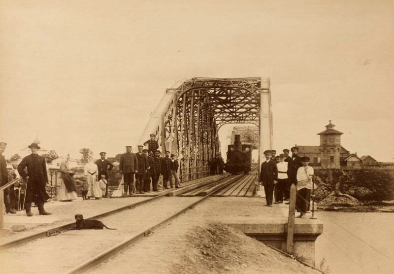
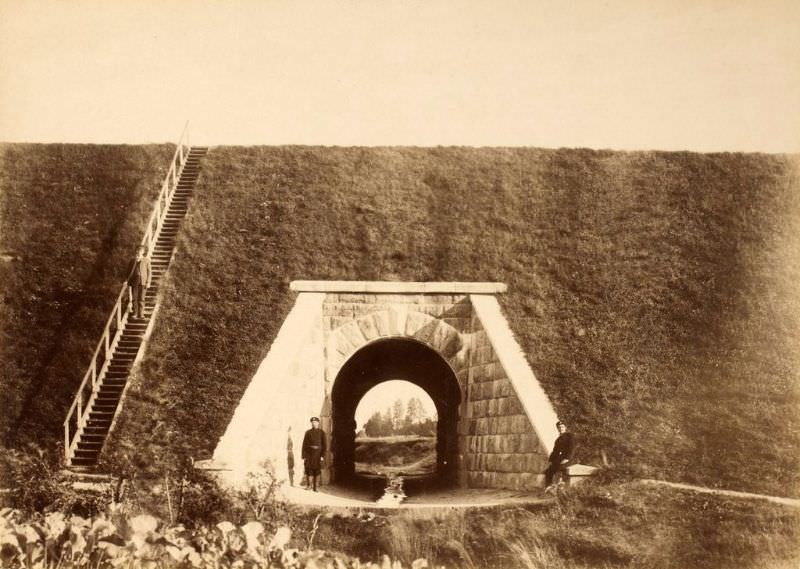
Smaller drainage structures called culverts were built where streams ran beneath the tracks. Near Valga, Līgatne, and Lorupe, these culverts kept water from undermining the railbed — unglamorous but critical work.
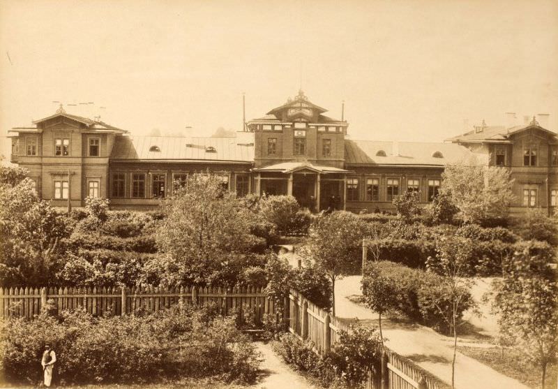
The Tartu station was photographed again in July 1889 from the street side, offering a different angle than the earlier rail-side image. The Valga station — the largest junction on the entire line — was also documented from the street in August 1889.
Workers who built and maintained the line needed housing along the route. Larger multi-family houses, like this one near Ieriķi, stood in contrast to the smaller single worker houses found at other points along the track.
Water towers were a common feature at the line’s stations. The towers at Cēsis, Elva, and Võru were all photographed in 1889, each feeding water to locomotives stopping along their respective segments of the route.
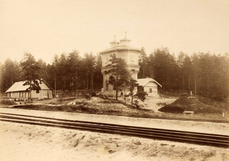
The Zemitāni station in Riga, also known as Alexander Gate, served as one of the main passenger entry points into the city from the north. It was photographed on the same day as the Čiekurkalns marshalling yard — June 12, 1889.
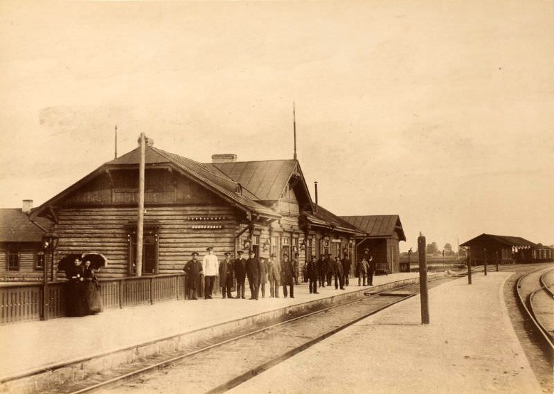
Documentation continued into 1890, capturing stations and infrastructure that had been in service for about a year. The Cēsis station was photographed in September 1890, and the locomotive depot at Čiekurkalns in Riga was recorded in June of the same year.
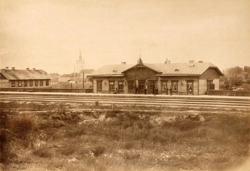
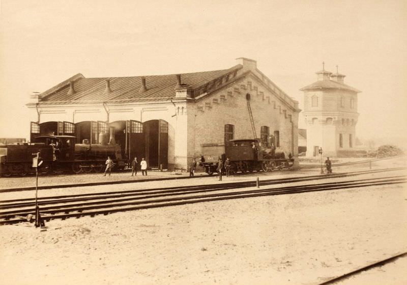
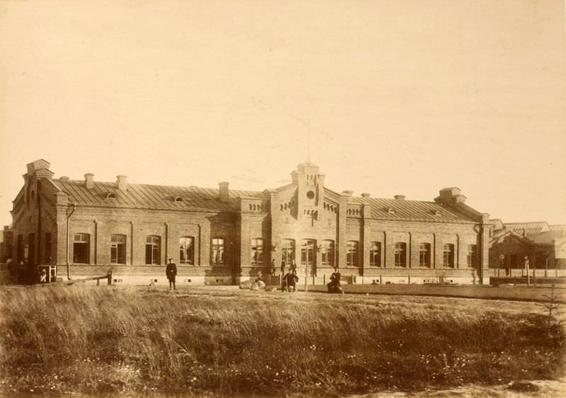
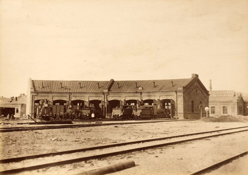
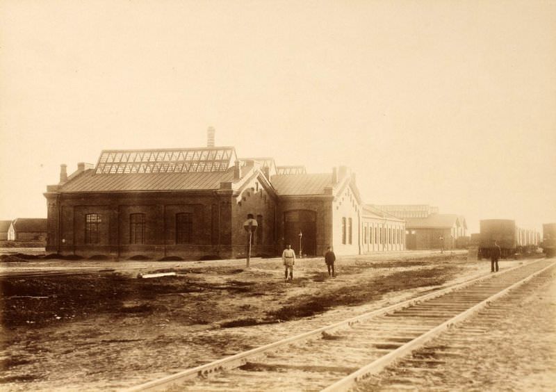
The nerve center of the entire line was Valga. The main depot and workshops here supported the full network, handling repairs, maintenance, and locomotive servicing. Both were photographed on the same day — April 30, 1890.
On the Russian side of the line, Pskov II station served the city of Pskov. The photograph from August 1890 shows a station already in active use, about a year into regular rail service.
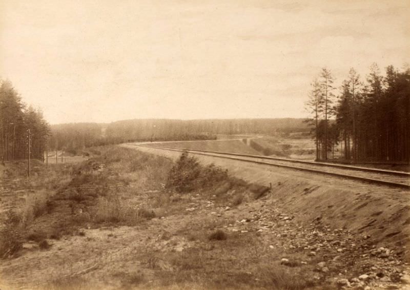
The Rauna Ravine presented one of the most dramatic landscape features along the entire route. By September 1890, the tracks had been laid directly through it, and the ravine’s steep wooded walls framed the rails on both sides.
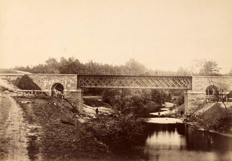
Three more river bridges were photographed in 1890: the Abuls, Piusa, and Tuderna crossings. Each one represented the same consistent engineering approach applied across very different waterways.
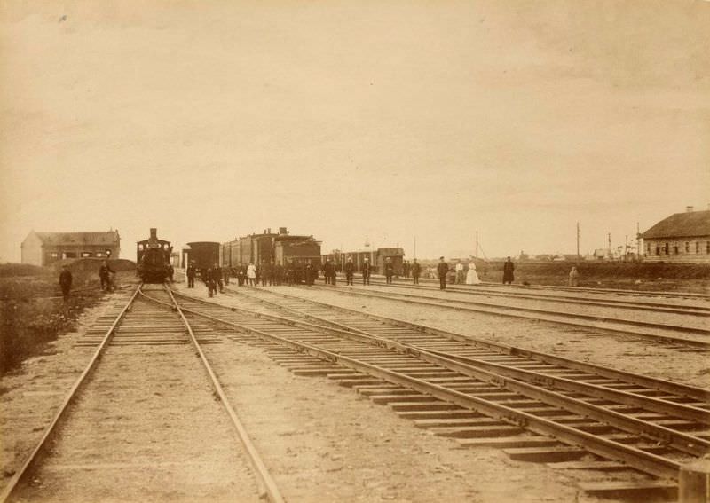
Valga station was photographed from the rail side in August 1890, providing a different view from the street-side image taken the previous year. Nearby, the Valmiera and Võru stations were also captured during this final documentation phase.
The workshops in Valga were the industrial backbone of the Pskov-Riga Railway. Photographed alongside the main depot on April 30, 1890, they housed the machinery and skilled labor needed to keep the line’s rolling stock operational.
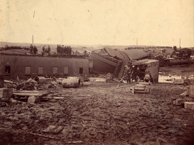
The final photograph in this collection steps outside the construction record entirely. On May 2, 1897 — eight years after the line opened — a rail accident occurred near Puka. The image documents the wreckage, a reminder that even a well-built railway carried real risks once trains began running at speed.