
Minneapolis entered the 1990s as a city in transition. Its population had peaked at 521,718 in 1950, then steadily declined for four decades as residents moved to the suburbs. By 1990, that decline had leveled off, and the city was beginning to reinvent itself. Downtown construction cranes were a common sight, old industrial buildings were finding new lives, and neighborhoods from Uptown to Dinkytown were humming with activity. These photographs capture that period in vivid detail — the streets, the storefronts, the skyline, and the everyday moments that defined the city.
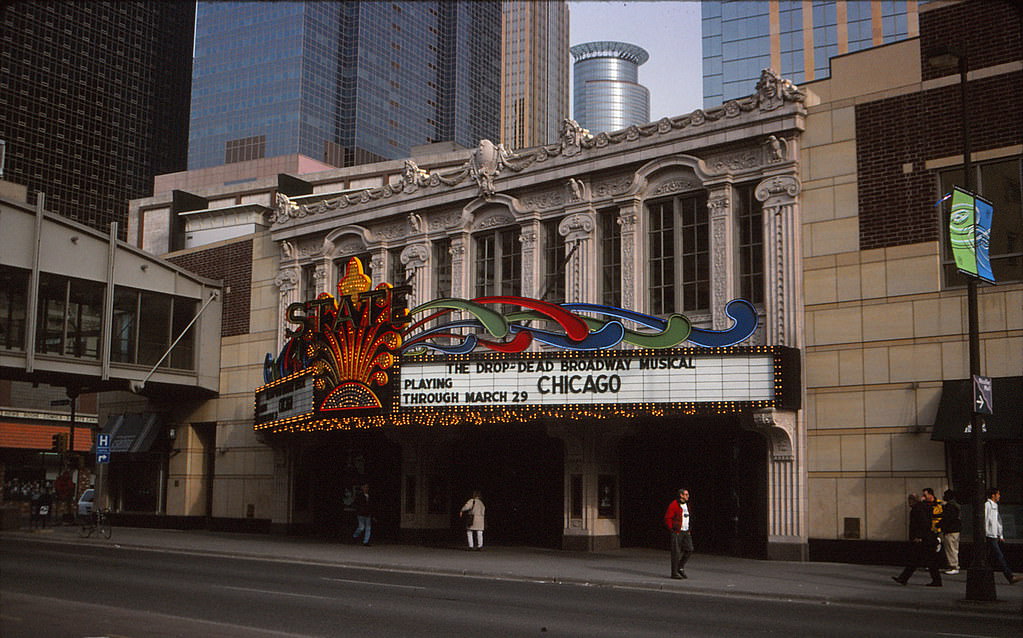
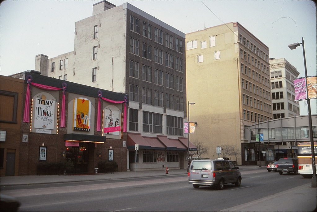
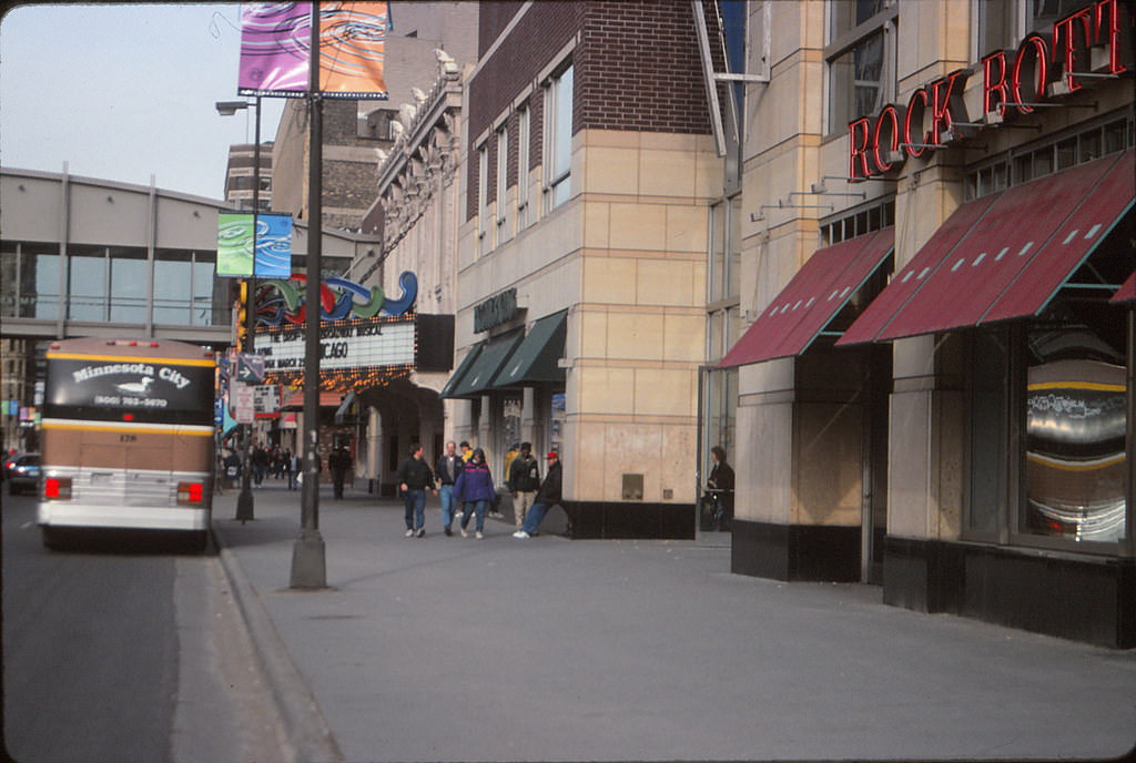
Hennepin Avenue was one of Minneapolis’s most recognizable corridors throughout the decade. The State Theater anchored the 800 block, a stretch that mixed entertainment venues, shops, and foot traffic from all walks of city life. The avenue had a gritty, lived-in character during this era — neither fully polished nor fully worn down — and it drew people in precisely because of that energy.
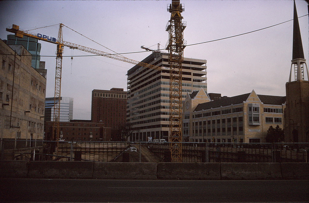
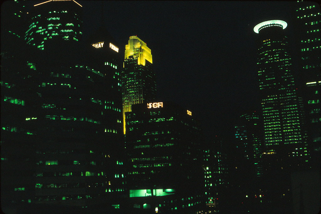
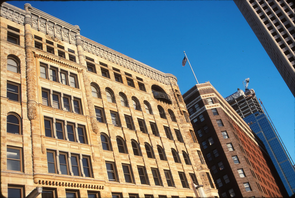
Downtown Minneapolis was not just a business district during the 1990s — it was also a place where people were beginning to live and raise families. New residential construction, including schools built to serve a growing downtown population, signaled a real shift in how the city thought about its core. The last wave of major downtown development during this period added towers up to 40 stories, clustering new skyscrapers near what would become the Target, Ameriprise, and AT&T buildings.
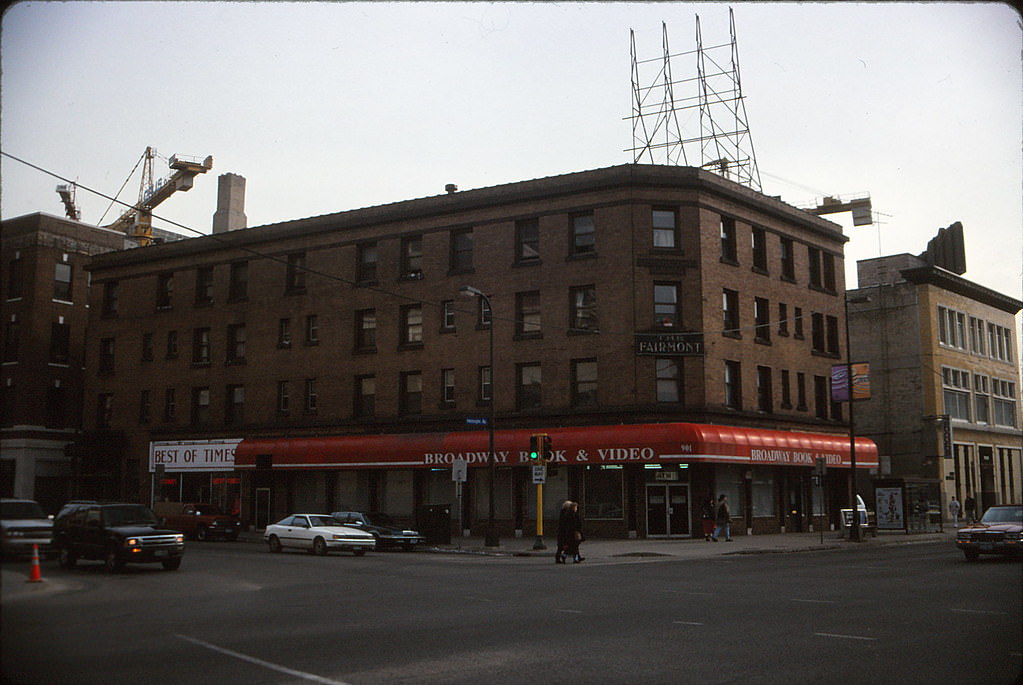
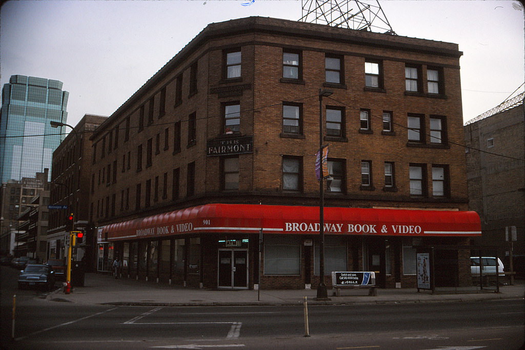
The Fairmont Hotel at 9th and Hennepin operated as a single-room-occupancy building, one of many such properties that provided low-cost housing in the urban core. These buildings were a fixture of city life before large-scale redevelopment took hold, and they sat alongside hotels, theaters, and retailers on one of downtown’s busiest streets.
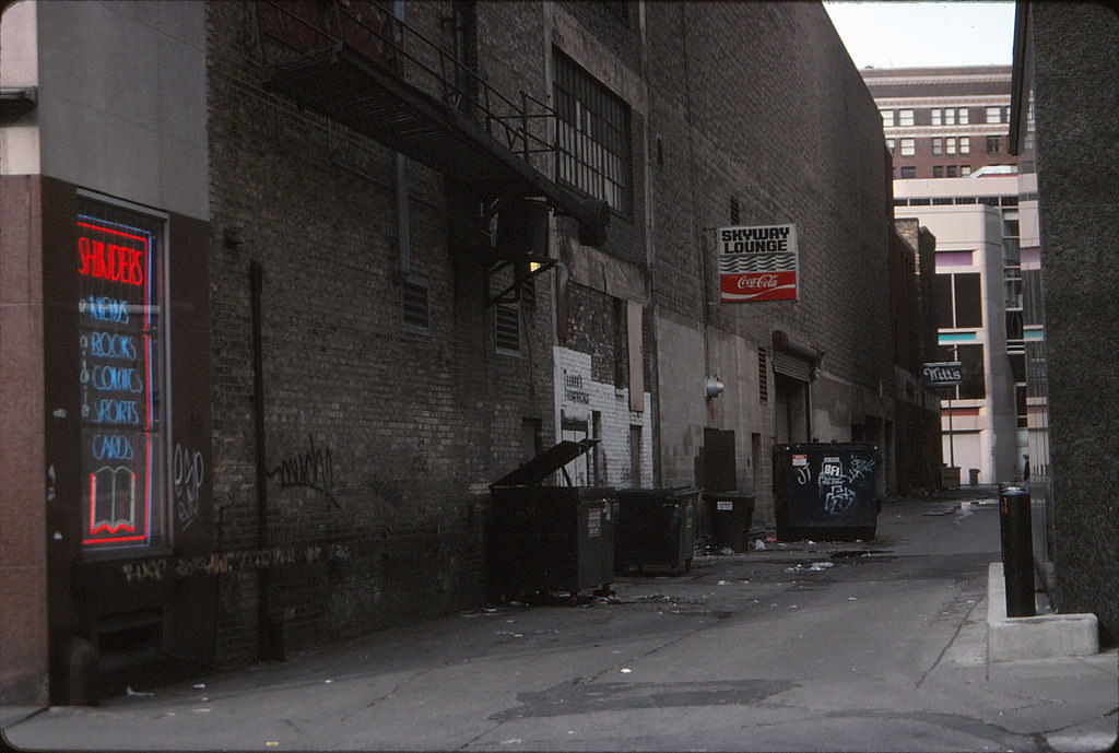
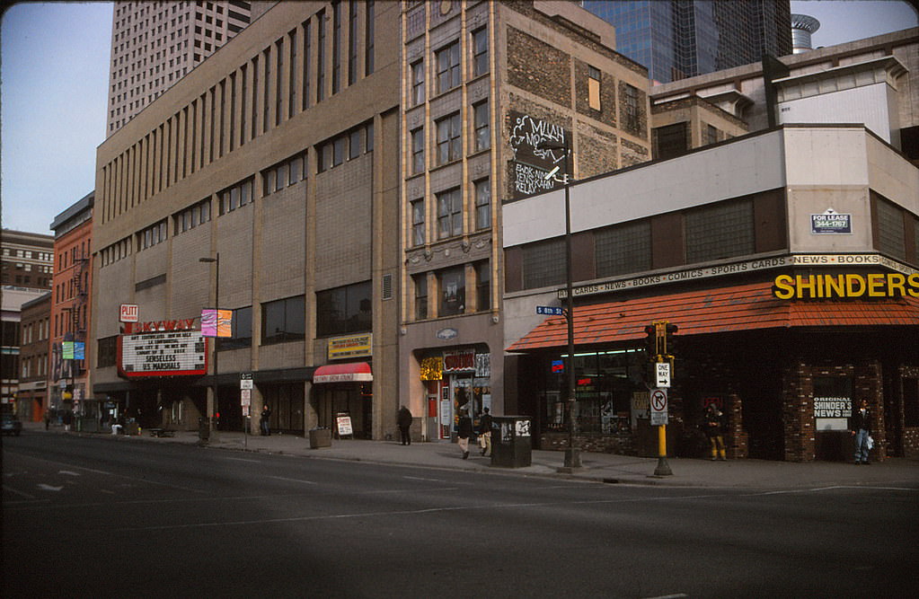
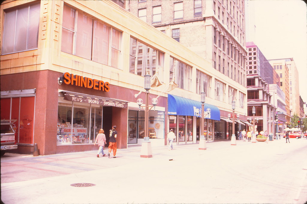
Shinder’s Books was a Minneapolis institution. The store on Hennepin Avenue stocked newspapers, magazines, books, and periodicals and served as a gathering point for locals. The alleys behind storefronts like Shinder’s told their own story — deliveries, dumpsters, graffiti, and the unglamorous machinery of daily commerce.
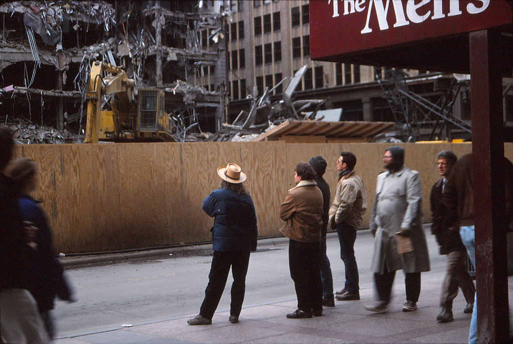
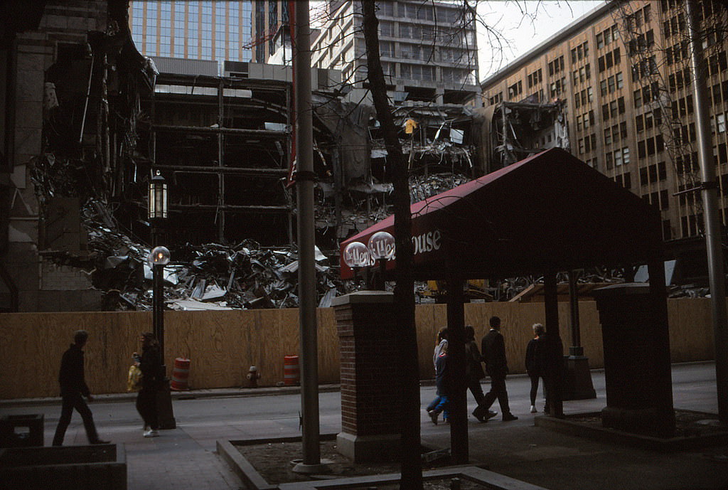
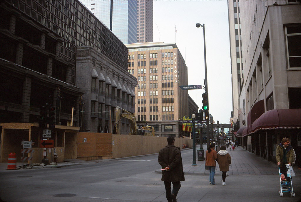
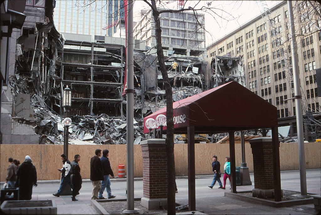
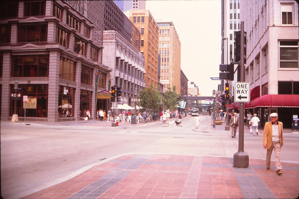
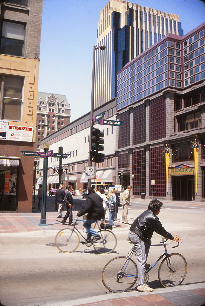
Nicollet Mall was undergoing significant change throughout the decade. One of the most dramatic events was the demolition of The Conservatory at 800 Nicollet Mall. The structure, a mid-rise retail complex, came down in stages, and curious onlookers gathered on the street to watch the process unfold. Demolition crowds were a routine part of city life whenever a familiar building fell.
While demolition cleared some blocks, the IDS Center remained one of the defining landmarks of downtown Minneapolis. Its Crystal Court — a glass-enclosed indoor public space — was a popular meeting point year-round. The atrium offered shelter from Minnesota’s harsh winters while connecting pedestrians to the city’s famous skyway system.
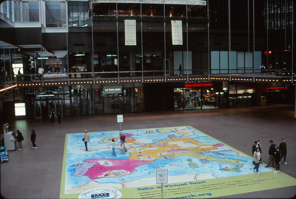
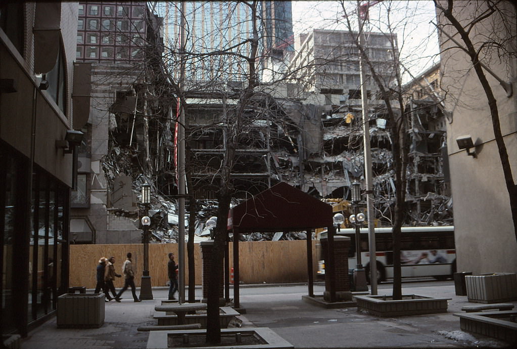
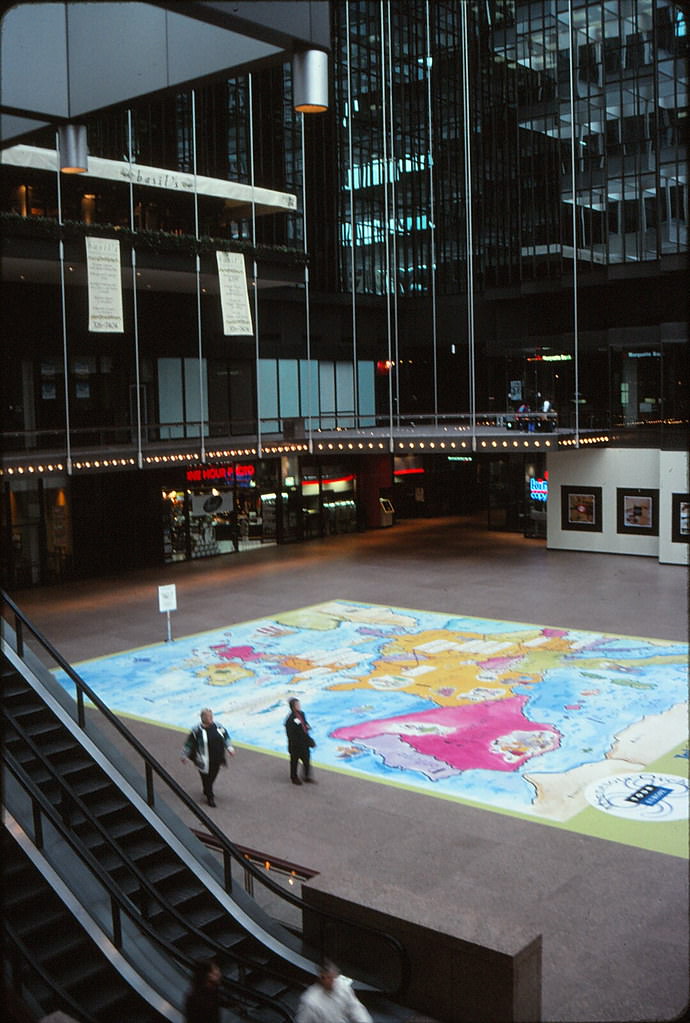
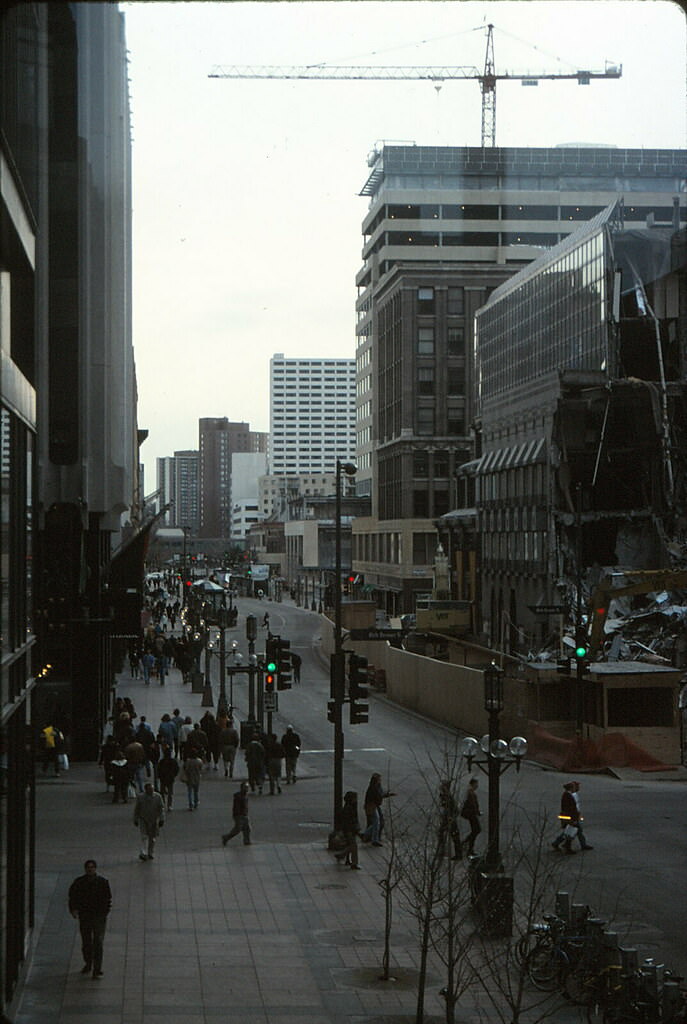
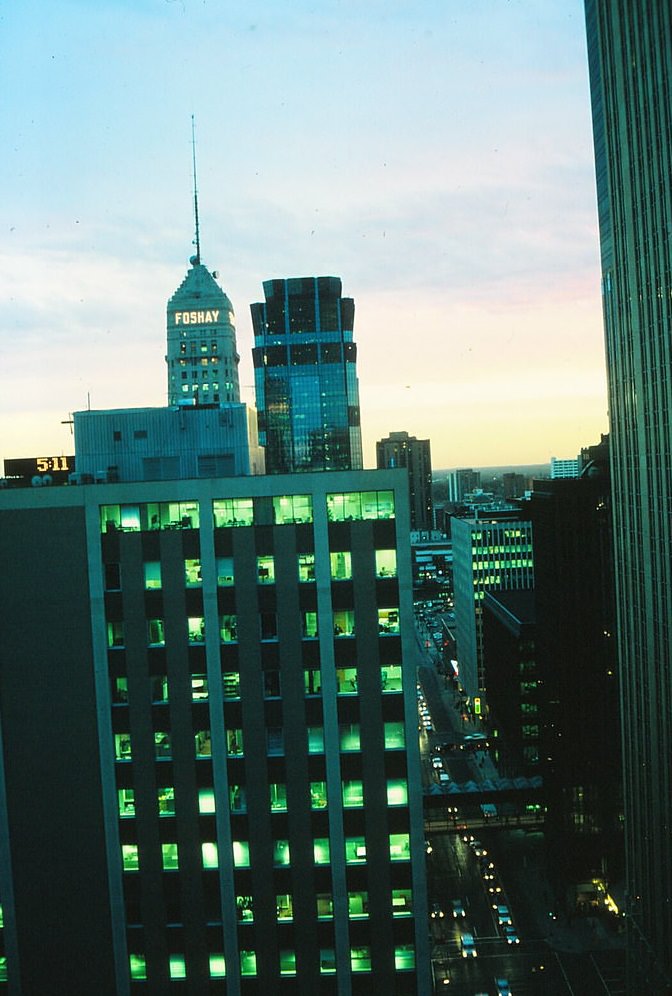
As evening fell over downtown, the city offered views that few appreciated from the street level. From the top of Rand Tower, the sunset over Minneapolis stretched across the skyline — a mix of older stone buildings and newer glass towers reflecting the fading light. The spring of 1998 captured the city at a moment when construction from the previous decade was settling in and the city’s modern form was taking shape.
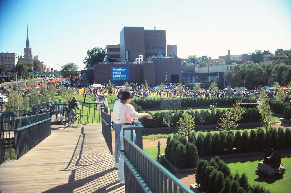
Beyond downtown, Minneapolis had a rich cultural landscape. The Minneapolis Sculpture Garden, located adjacent to the Walker Art Center and the Guthrie Theater, became one of the city’s most-visited public spaces in the early 1990s. The Spoonbridge and Cherry sculpture, installed in 1988, was already drawing visitors from across the region by the time September 1990 arrived.
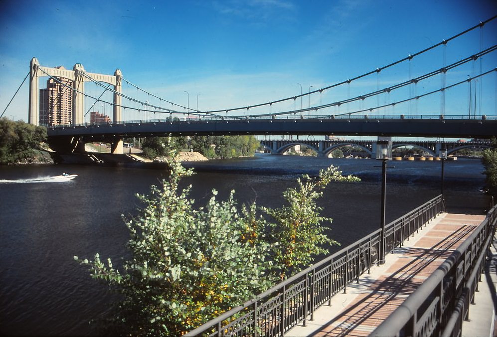
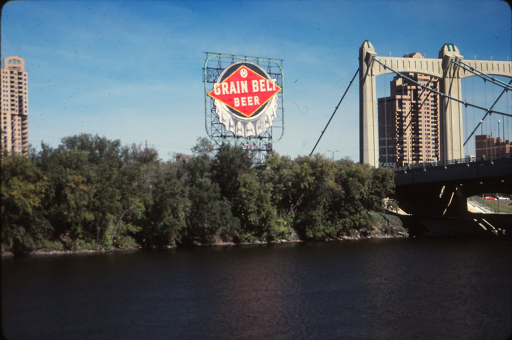
The Grain Belt sign, perched above the Mississippi River on the old brewery, was one of Minneapolis’s most recognized landmarks. Even after the Grain Belt brewery closed in 1975, the illuminated sign continued to glow over the riverfront, a neon relic of the city’s industrial brewing heritage. By 1990, it had become an unofficial symbol of the city’s identity.
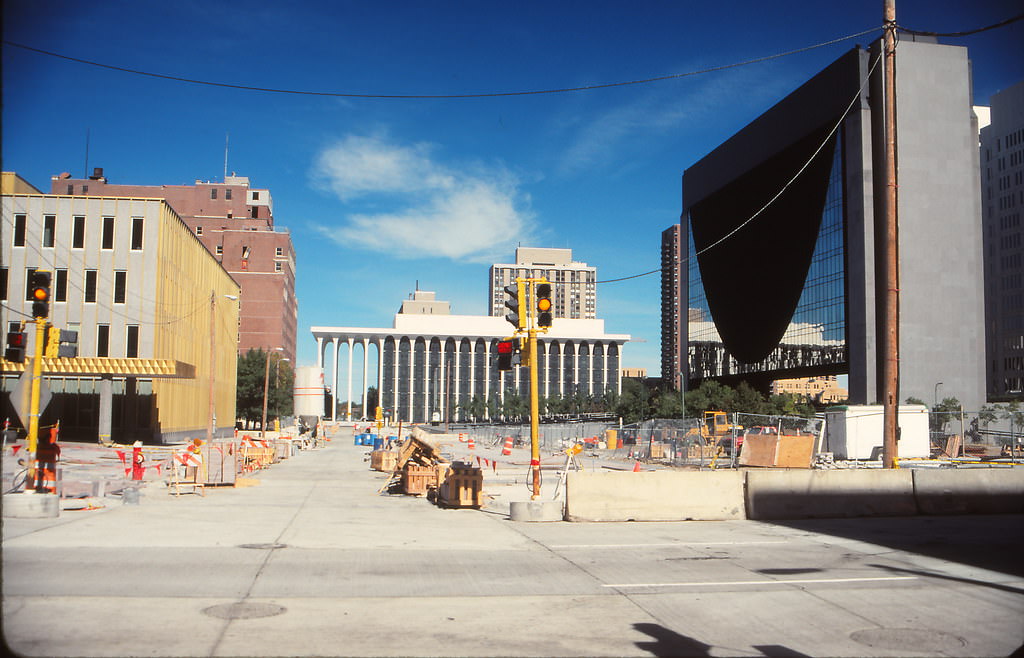
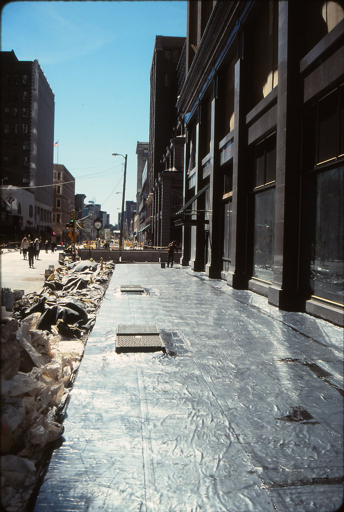
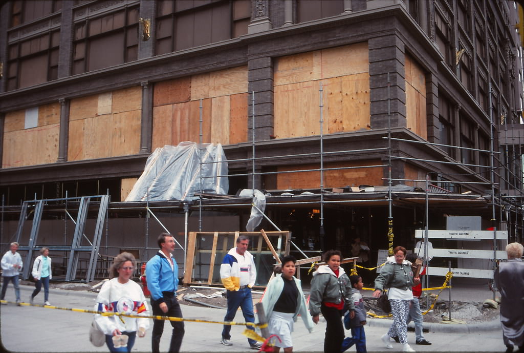
Nicollet Mall was not a finished product in 1990 — it was still being rebuilt. The north end of the mall was under reconstruction in September of that year, with construction equipment and barriers reshaping the pedestrian corridor that runs through the heart of downtown. The mall had been redesigned before and would be again, reflecting the city’s ongoing investment in its main commercial spine.
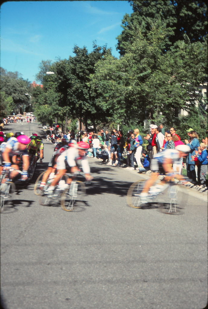
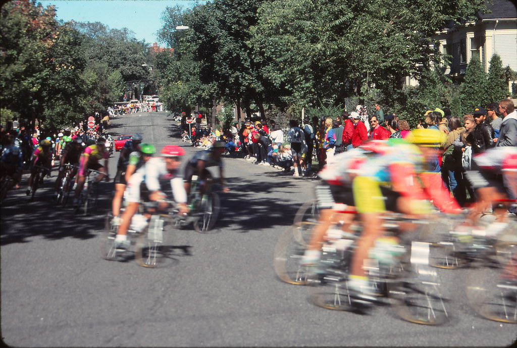
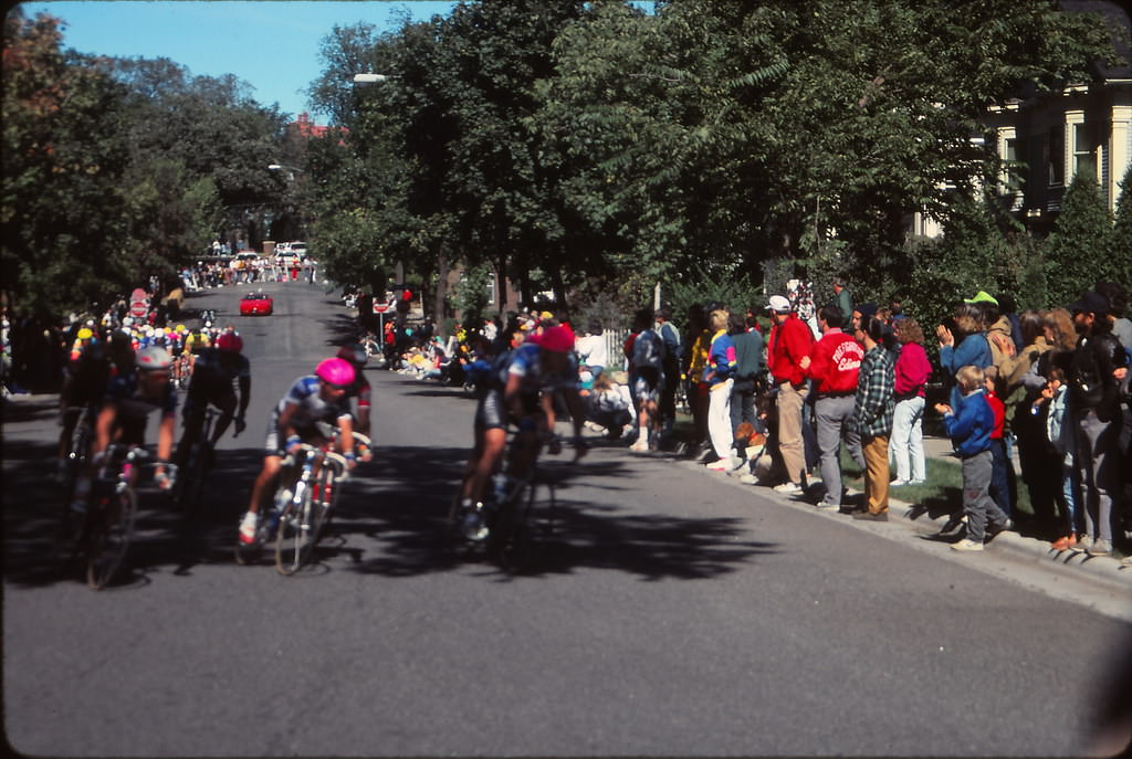
In September 1990, Minneapolis hosted a bike race that drew spectators to the streets. Crowds lined the route to watch cyclists move through the city, a reminder that public events were an active part of urban life even as the city was mid-construction. The race brought people out of their apartments and offices and onto the sidewalks in a way that few other events could.
Away from the downtown bustle, Minneapolis’s residential neighborhoods offered a quieter kind of beauty. Homes along Lake of the Isles sat on some of the city’s most coveted real estate. The chain of lakes — Isles, Calhoun, Harriet — defined the character of the southwest neighborhoods and gave Minneapolis a green, water-centered identity that set it apart from other Midwestern cities.
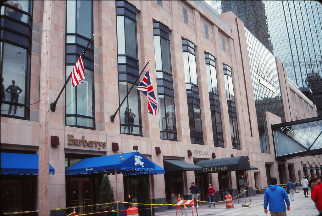
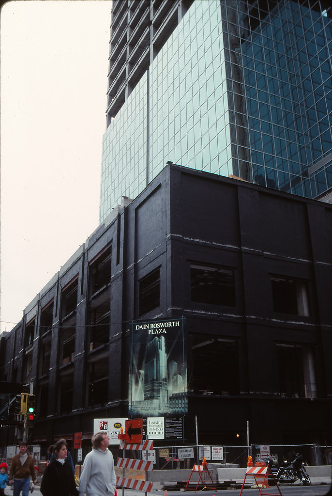
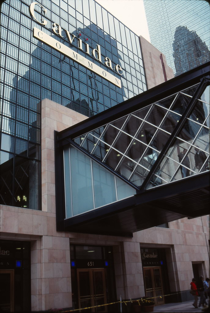
Back on Nicollet Mall, high-end retailers occupied prime blocks in 1990. Burberrys and Cole-Haan stood alongside Gavidae Common, a luxury retail complex on the 600 block. Meanwhile, construction was already underway on Gavidae II and the Dain Bosworth tower on the 500 block — a sign that development pressure on the mall was intensifying even as shoppers moved through the existing stores.
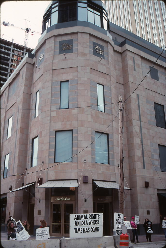
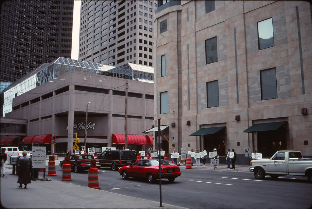
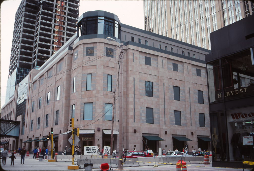
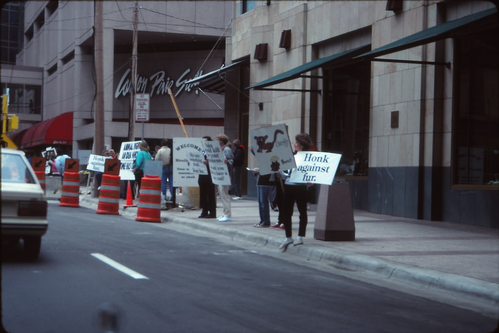
Political activism was also visible on the mall. In September 1990, protesters staged an anti-fur demonstration outside Saks Fifth Avenue, drawing attention to the fur trade at one of downtown’s most prominent retail addresses. A second protest appeared at 7th and Nicollet the same month. These demonstrations were part of a broader wave of animal-rights activism that targeted luxury retailers throughout the early 1990s.
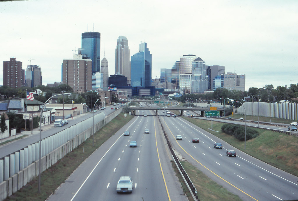
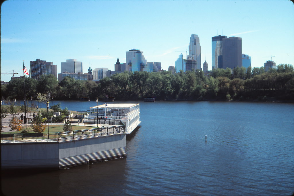
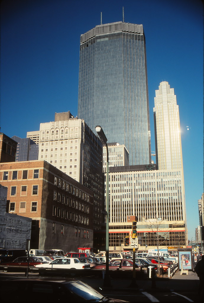
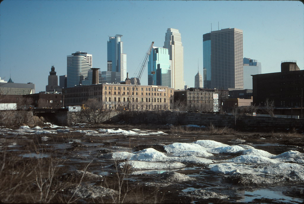
From a distance, the Minneapolis skyline in September 1990 already showed the ambition of a city adding to itself. Cranes dotted the horizon and new towers rose alongside older ones, creating a layered profile that reflected both the city’s history and its current momentum. The Norwest Center, completed in 1988, stood as one of the newest and tallest additions to the downtown cluster.
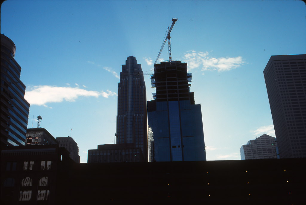
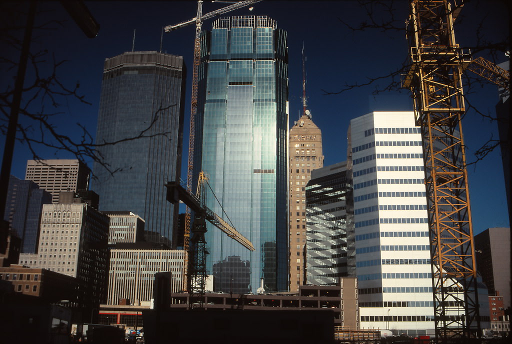
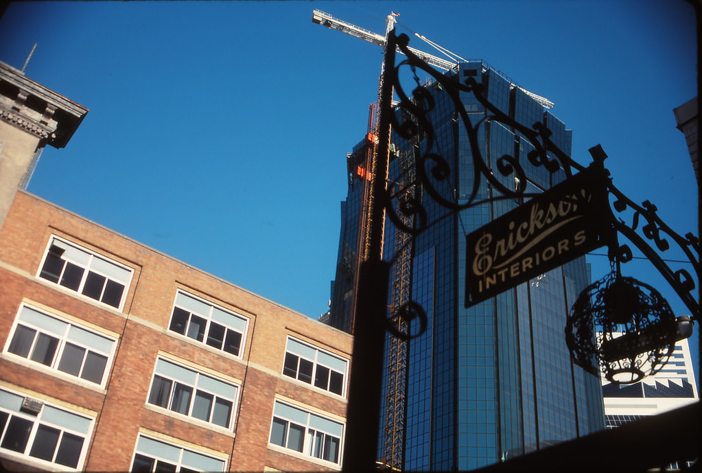
By November 1990, multiple major projects were underway simultaneously. The Dain Bosworth Tower was rising, the Hilton Hotel was under construction, and the AT&T Tower was taking shape. Looking down Marquette Avenue from 10th Street, the density of active construction was striking. Cranes from the Hilton and AT&T Tower projects were visible from multiple vantage points across the downtown grid.
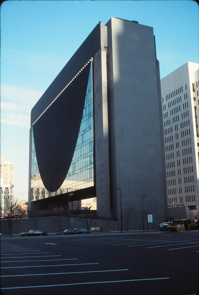
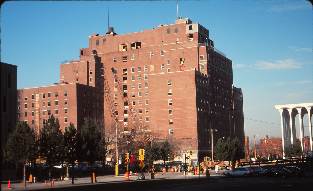
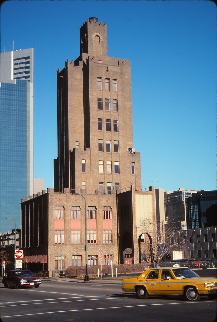
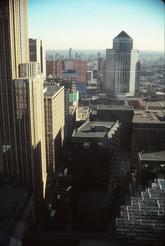
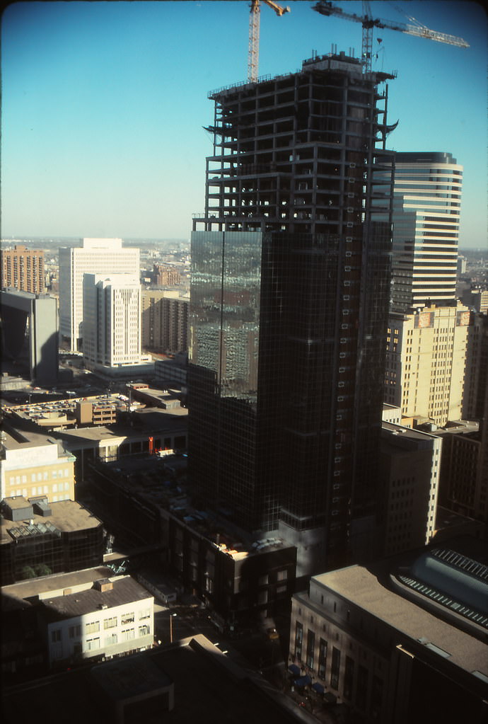
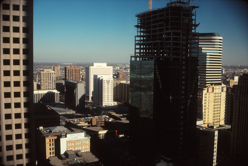
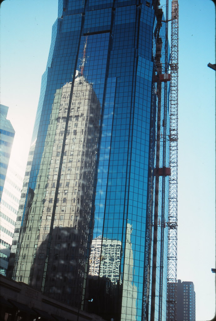
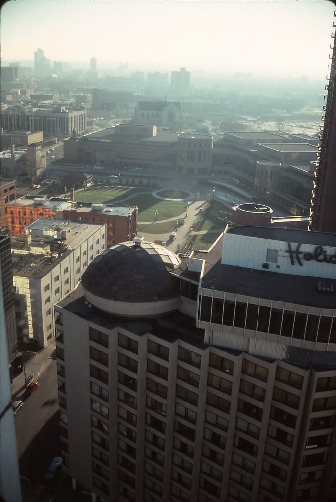
The Holiday Inn Minneapolis with its distinctive Holidome sat at 13th and Nicollet, within sight of the Minneapolis Convention Center. From the height of the Hyatt Regency, the surrounding area revealed itself as a patchwork of new construction, established residential buildings, and open green space. Loring Park and Loring Heights spread out to the southwest, offering a natural buffer between downtown and the city’s residential neighborhoods.
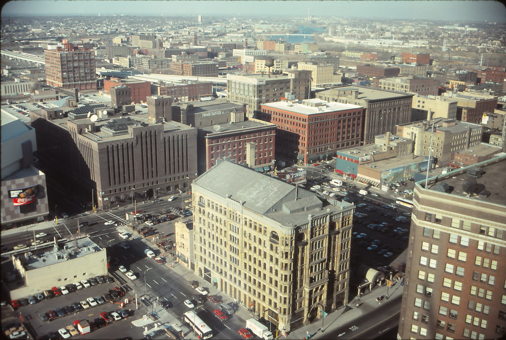
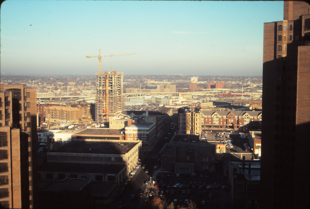
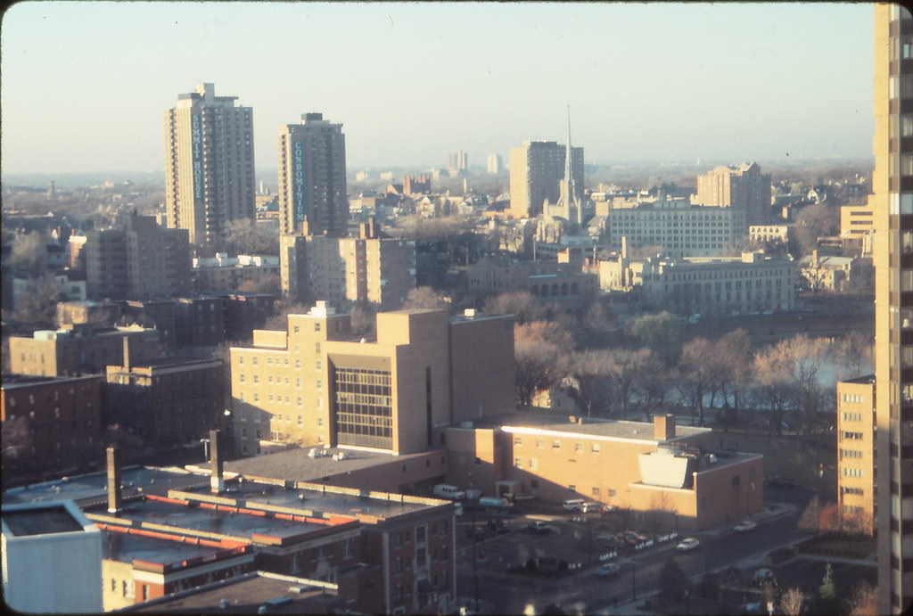
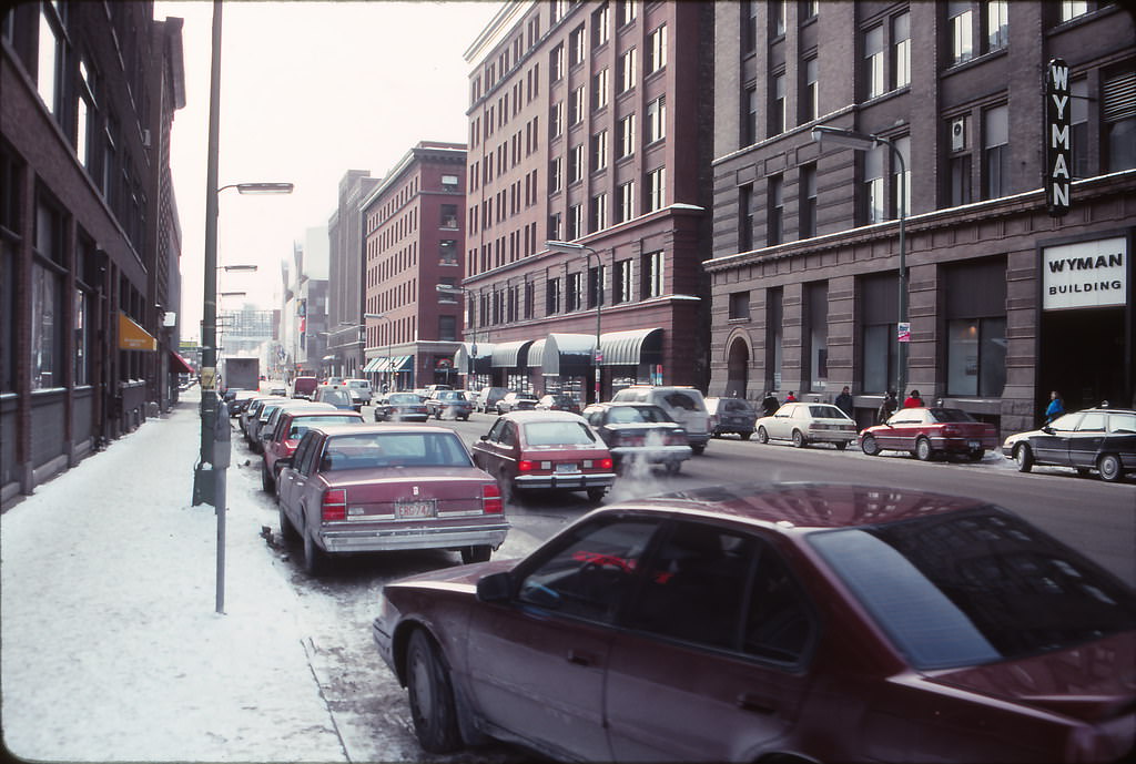
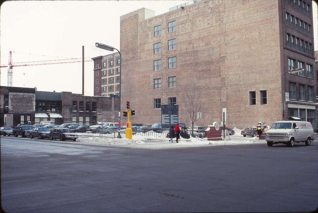
First Avenue in the Warehouse District was one of Minneapolis’s cultural anchors. The nightclub at First Avenue had been made famous by Prince and The Replacements, and it sat on a stretch of North First Street where the city’s entertainment and industrial histories collided. By December 1990, the area around First Avenue retained its raw, brick-and-steel character — wide streets, low buildings, and a sense of space rarely found in the denser parts of downtown.
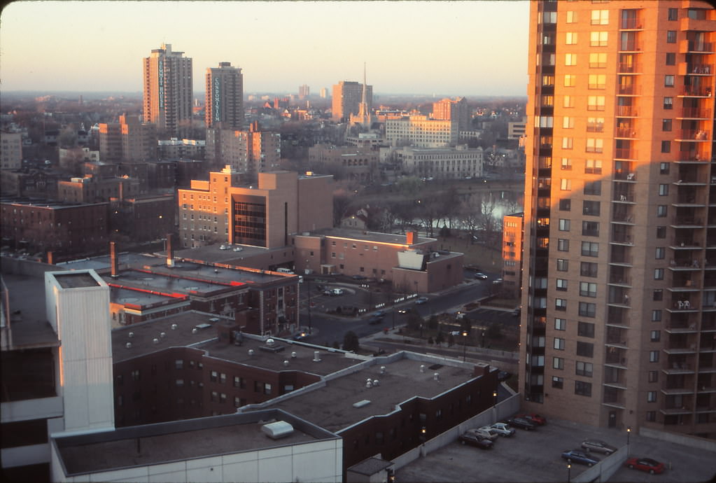
December brought quiet and cold to Lake of the Isles. Homes along the shoreline sat still against winter skies, and the lake itself reflected the last light of short December days. The twilight views from the lakeside in late 1990 showed a neighborhood that had changed very little from decade to decade — stable, leafy, and bounded by water.
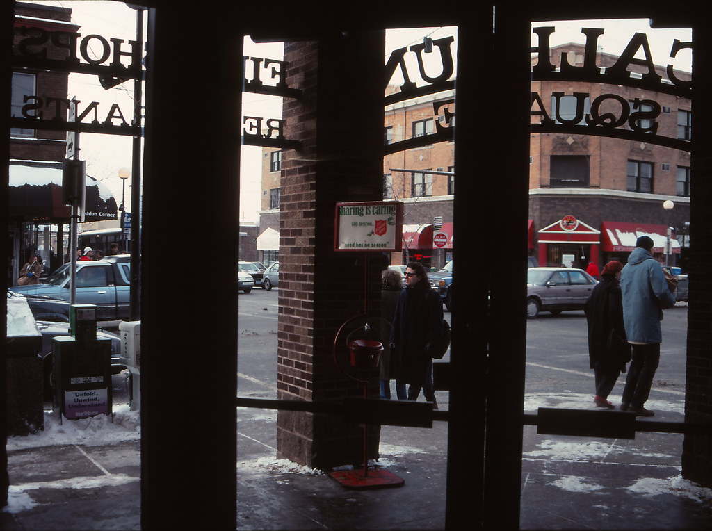
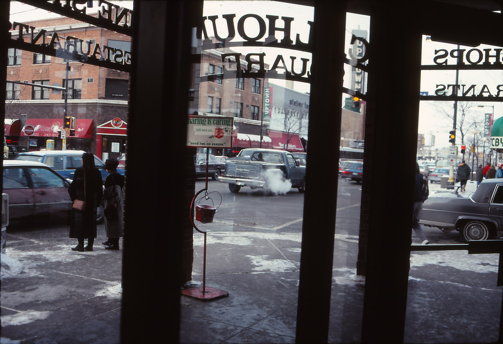
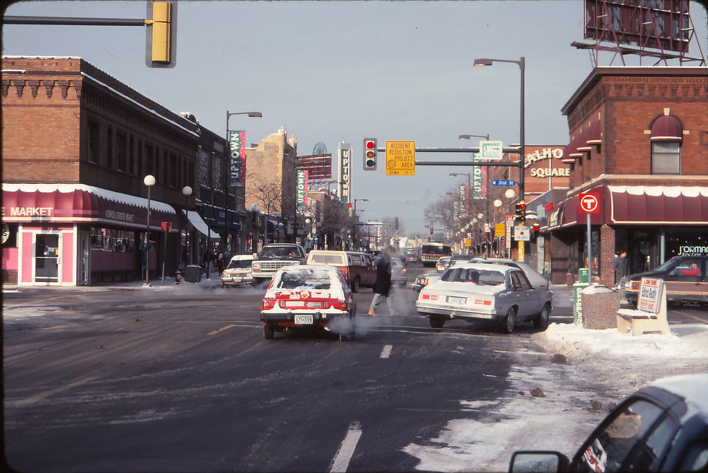
Uptown Minneapolis, centered around Hennepin Avenue and Lake Street, had a distinctly different energy from downtown. Calhoun Square provided a retail hub at the intersection of Hennepin and Lake, while the surrounding blocks were lined with independent shops, restaurants, and coffeehouses. By December 1990, the neighborhood was fully established as Minneapolis’s bohemian commercial district.


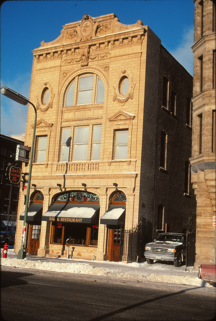
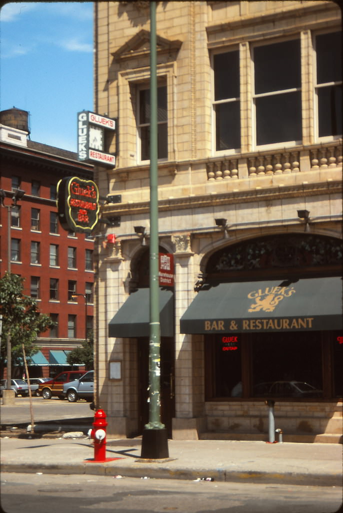
Gluek’s Bar on 6th Street was one of the oldest taverns in Minneapolis. The building dated back to the 19th century and had operated continuously through most of the 20th. By 1990, it sat as a remnant of old Minneapolis amid blocks that were changing around it — a watering hole with deep roots in the city’s German immigrant brewing tradition.
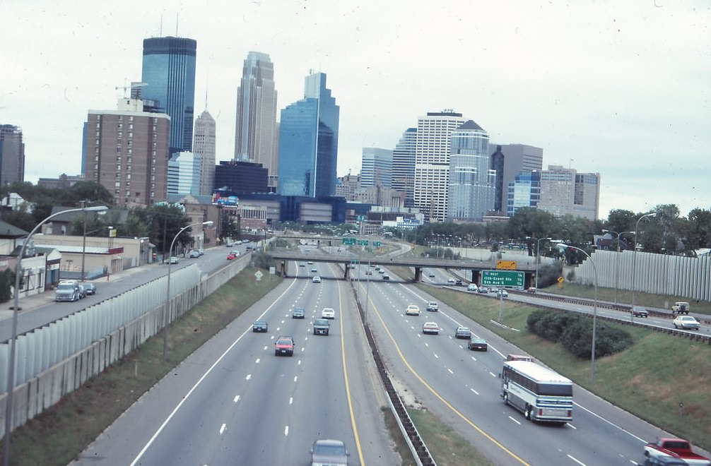
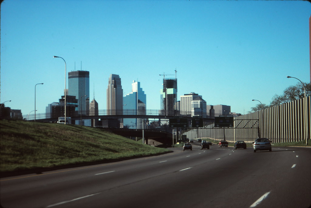
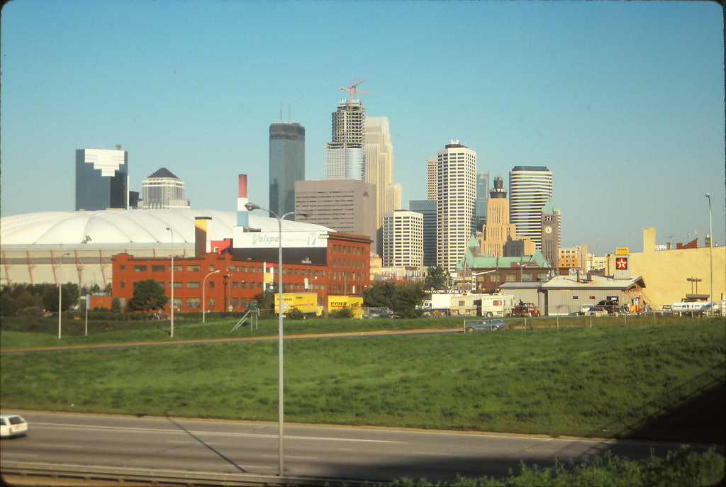
From Interstate 35W in May 1991, the Minneapolis skyline presented itself as a clean cluster of towers rising from the flat grid of the city. The highway offered one of the most common views that commuters and visitors had of downtown — a panorama that showed just how concentrated the city’s height was compared to the low residential neighborhoods spreading out in every direction.
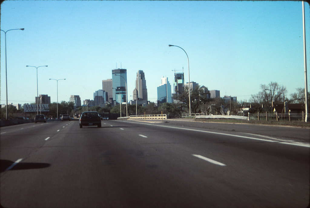
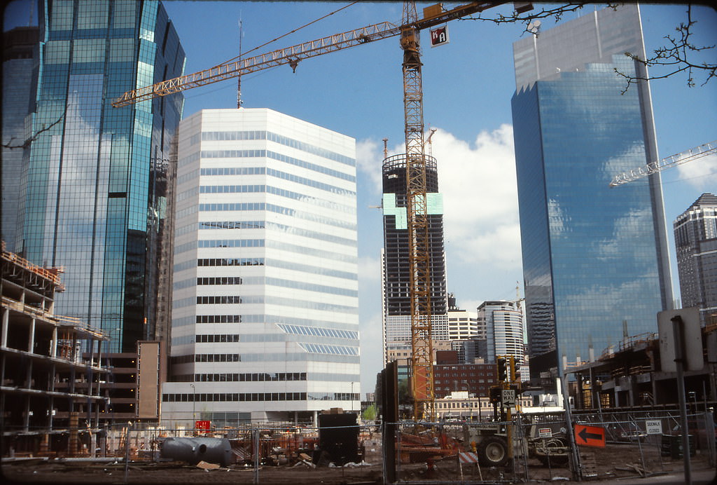
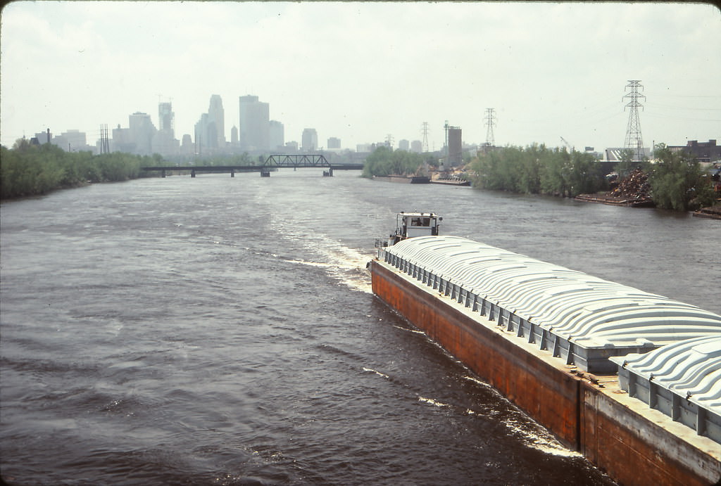
Spring 1991 also captured the downtown construction boom from new angles. The Hilton Hotel was going up on one corner while the Leamington Garage and First Bank Place occupied the center and right of the frame. A barge on the Mississippi River, with the Minneapolis skyline behind it, offered a reminder that the city’s relationship with its waterway remained very much alive even as the urban core focused inward on towers and skyways.
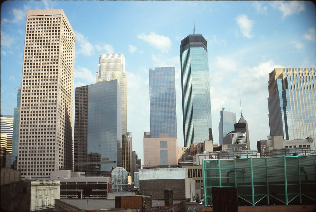
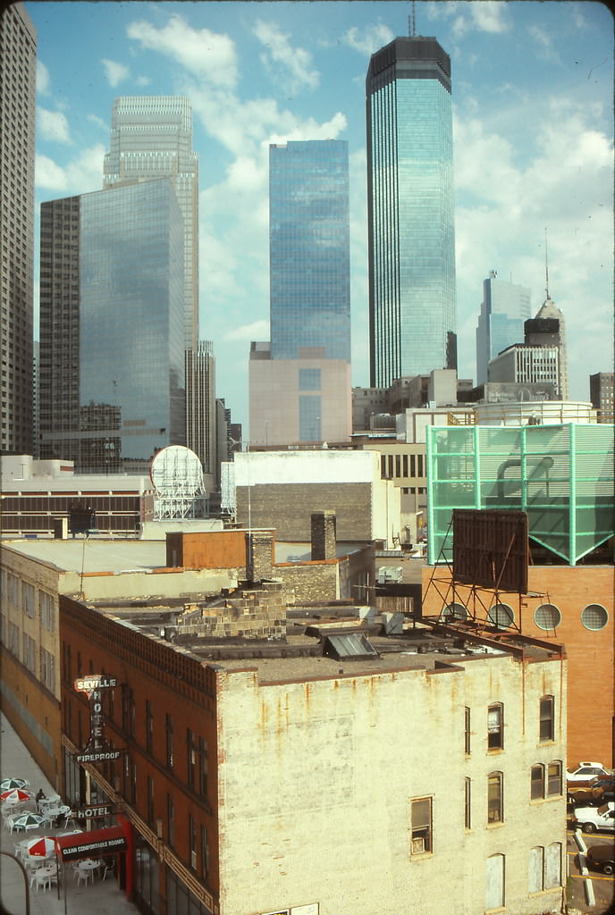
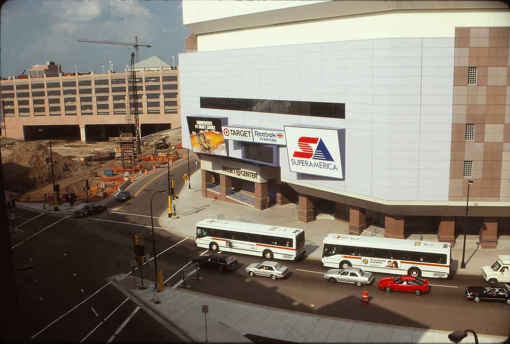
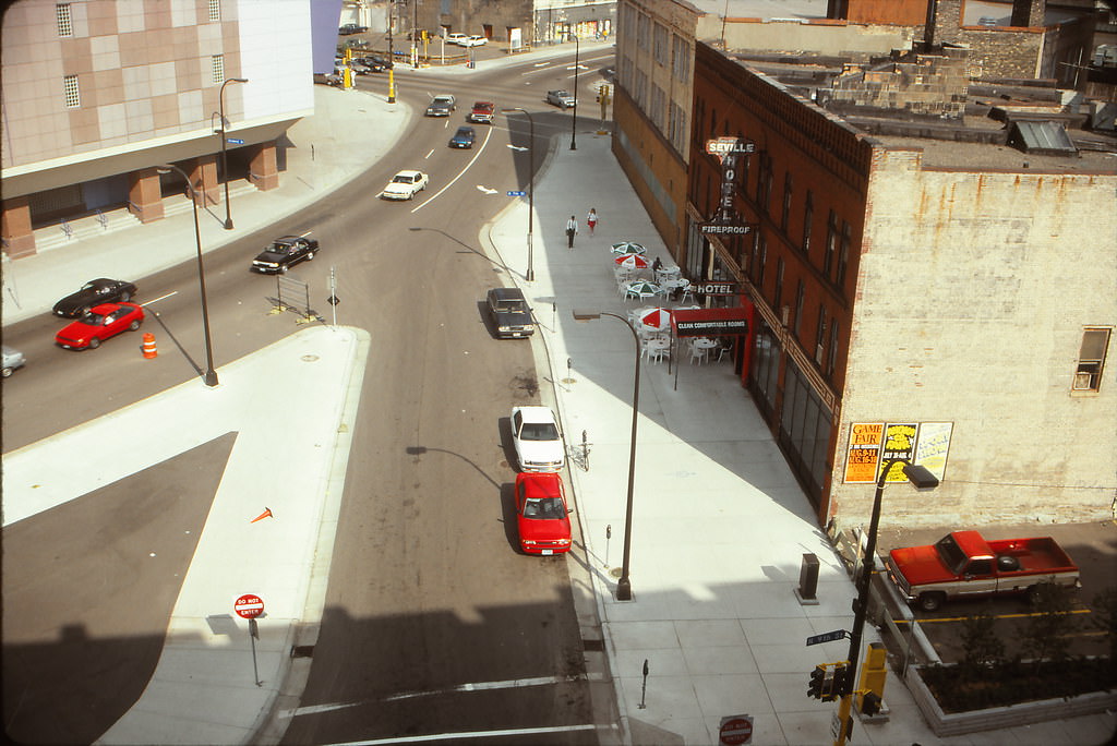
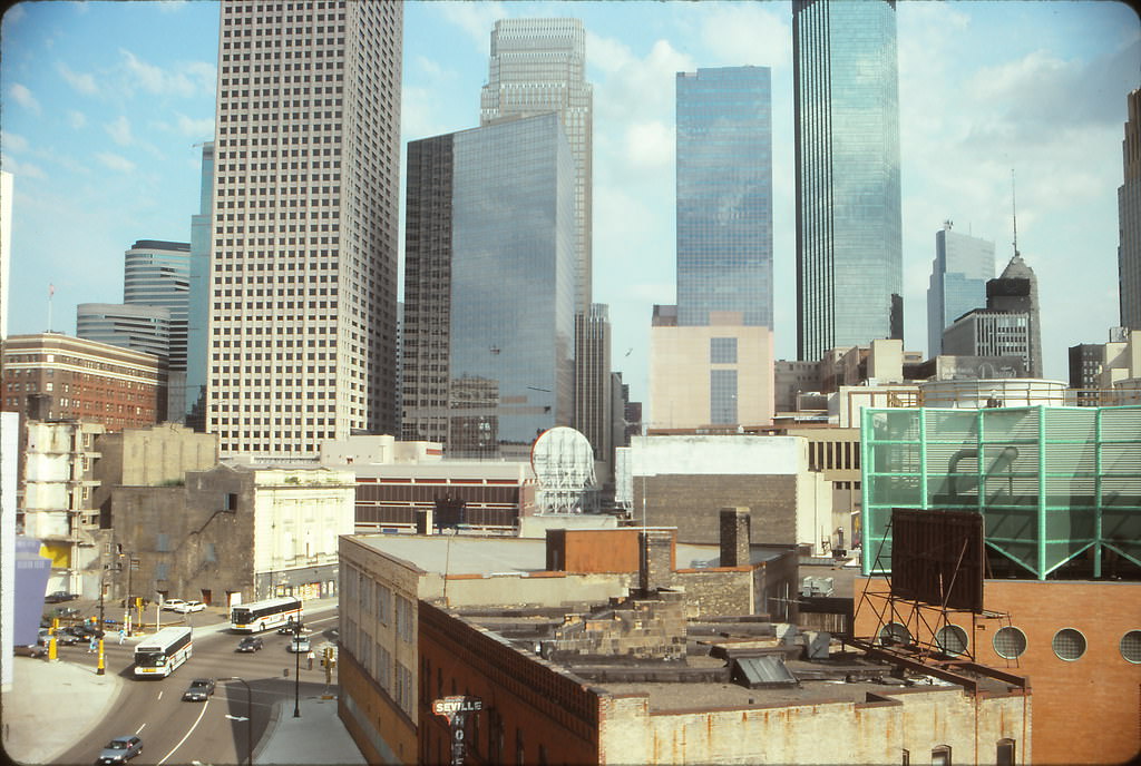
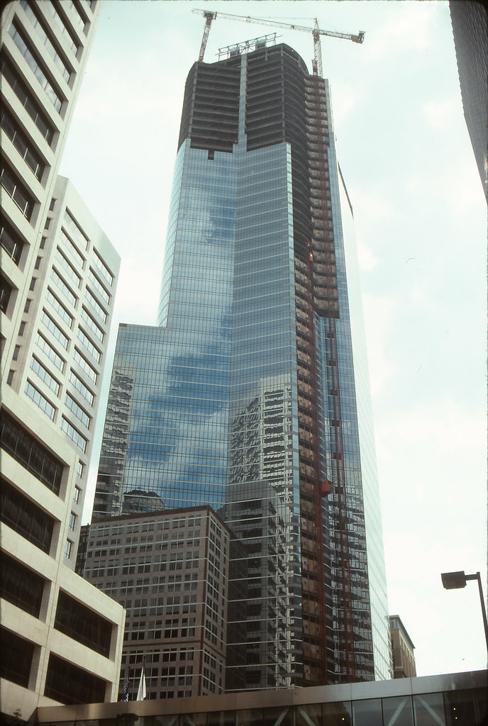
By August 1991, the 7th Street Garage had just opened and provided elevated views of the skyline that had not previously been accessible. From its upper levels, photographers could see the core cluster of towers, the newly opened Target Center, and the point where Glenwood Avenue began at 7th Street. The First Bank Place tower was still under construction, its upper floors incomplete against the summer sky.
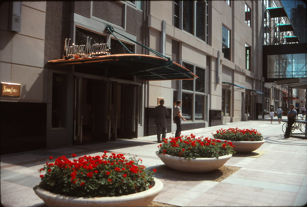
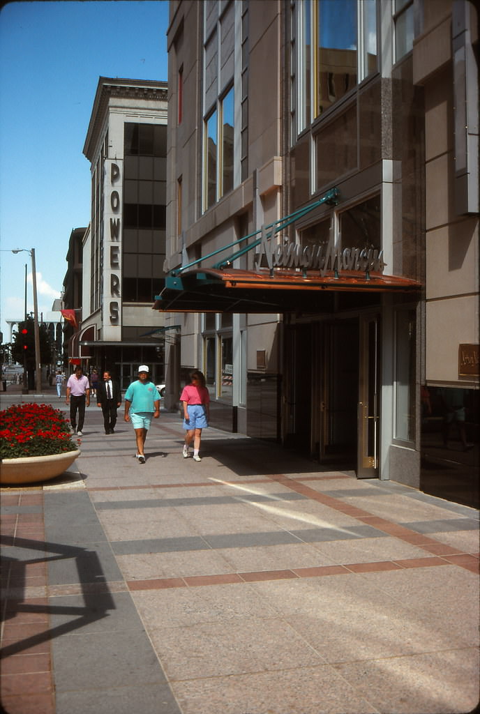
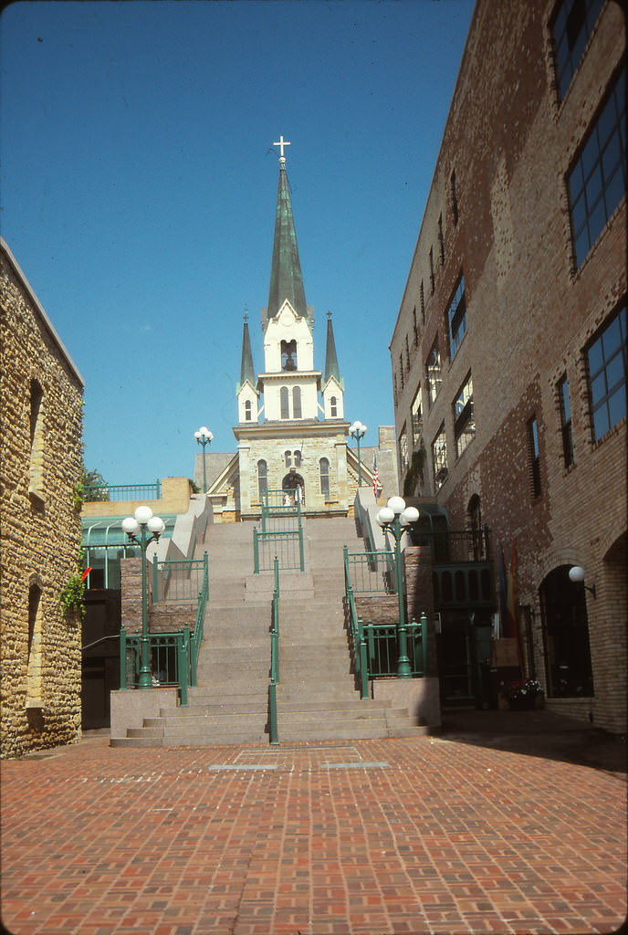
Neiman Marcus had a presence on Nicollet Mall in 1991, occupying prime retail space alongside other national names. On a quiet Sunday afternoon in August, the mall showed a calmer face — fewer crowds, more visible architecture, and a pace that let you actually look at the buildings rather than just the people in front of them. Our Lady of Lourdes Church, one of the oldest Catholic parishes in Minneapolis, stood in contrast to the commercial activity nearby, its stone facade unchanged for generations.
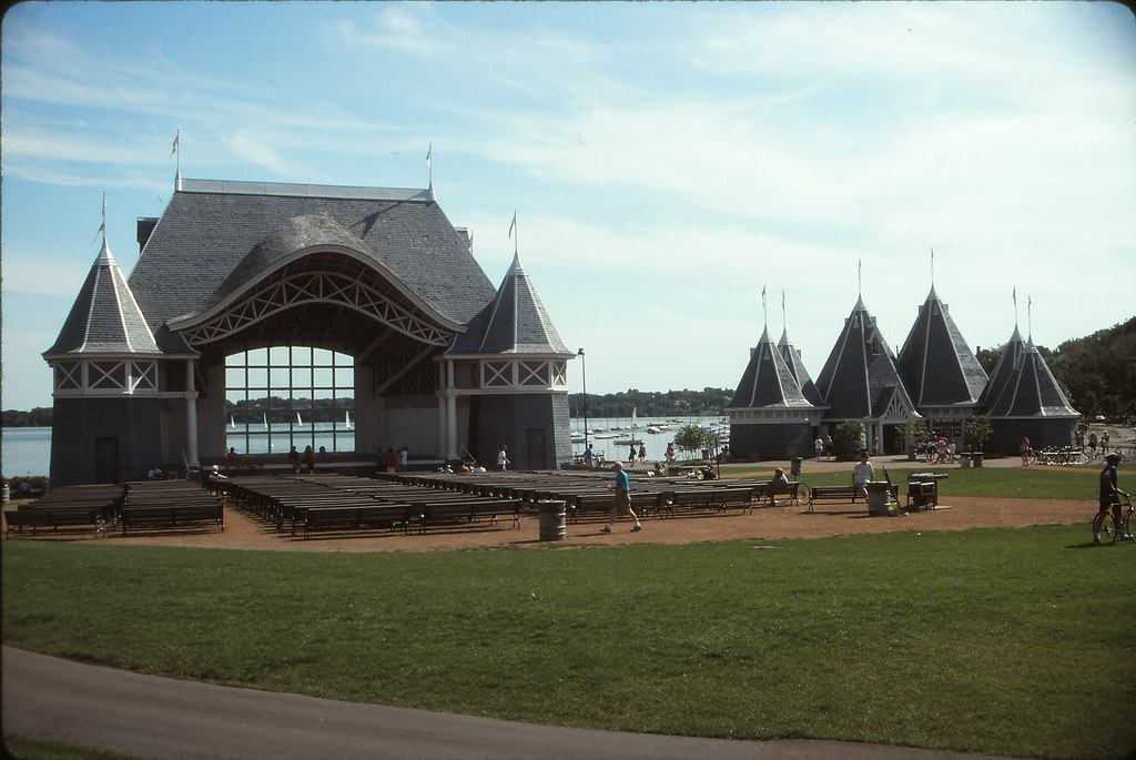
Lake Harriet’s bandshell was a summer fixture for Minneapolis residents. The outdoor venue hosted free concerts throughout the warm months, drawing families and neighbors to the lakeside lawn. In August 1991, the bandshell stood as a symbol of the city’s commitment to public green space and accessible culture — a tradition that had continued uninterrupted for decades.
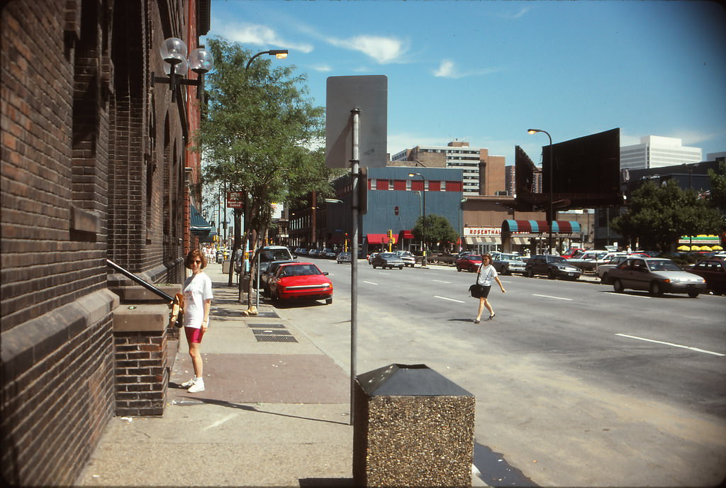
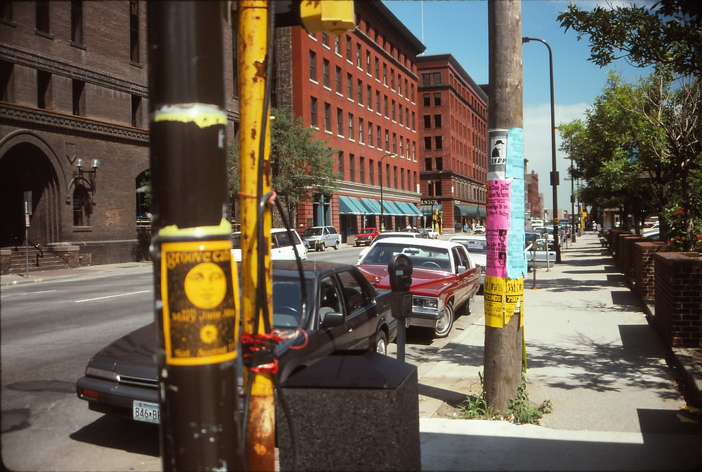
Gluek’s on 6th Street appears again in the August 1991 photos, this time in summer light. Block E, across the street, was still a surface-level commercial area at this point, with the Academy Theater standing on its edge. The view from Block E toward Gluek’s showed a 6th Street that was beginning to feel pressure from the larger development forces pushing through downtown, though the old bar held its ground.
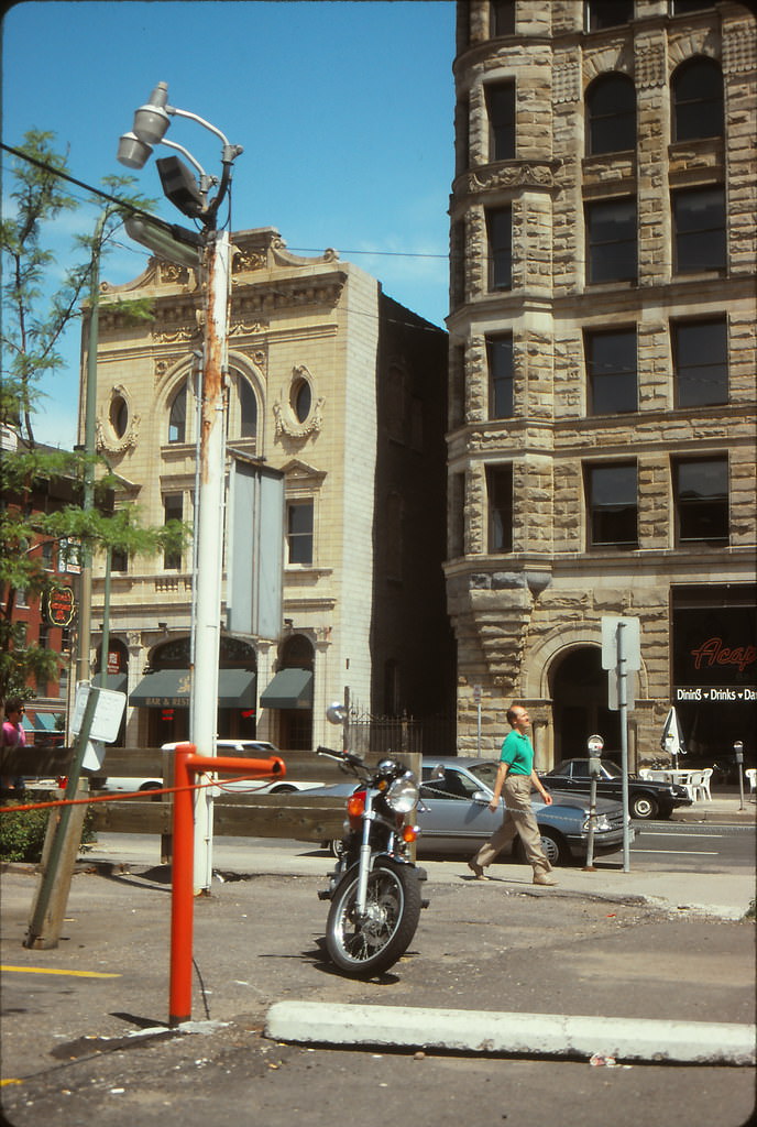
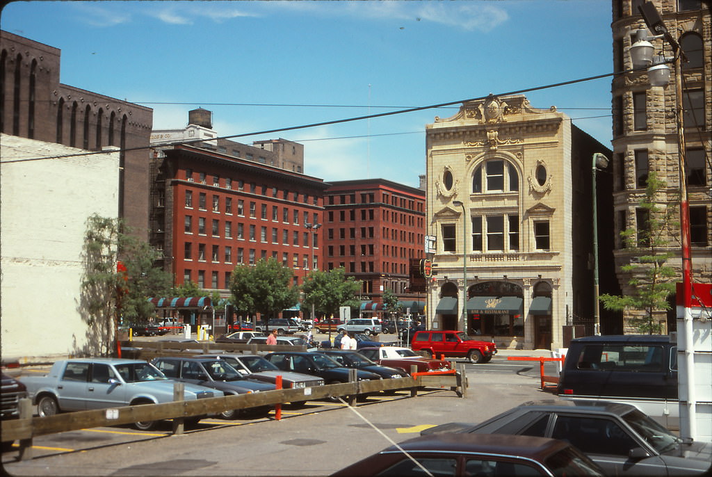
The Academy Theater on Block E sat next to First Avenue Nightclub on 7th Street, one of the most storied music venues in American rock history. Prince had filmed Purple Rain there, and The Replacements had built their reputation on its stage. By August 1991, the club was still active and drawing crowds, its star-studded exterior wall already filling up with the names of performers who had played there.
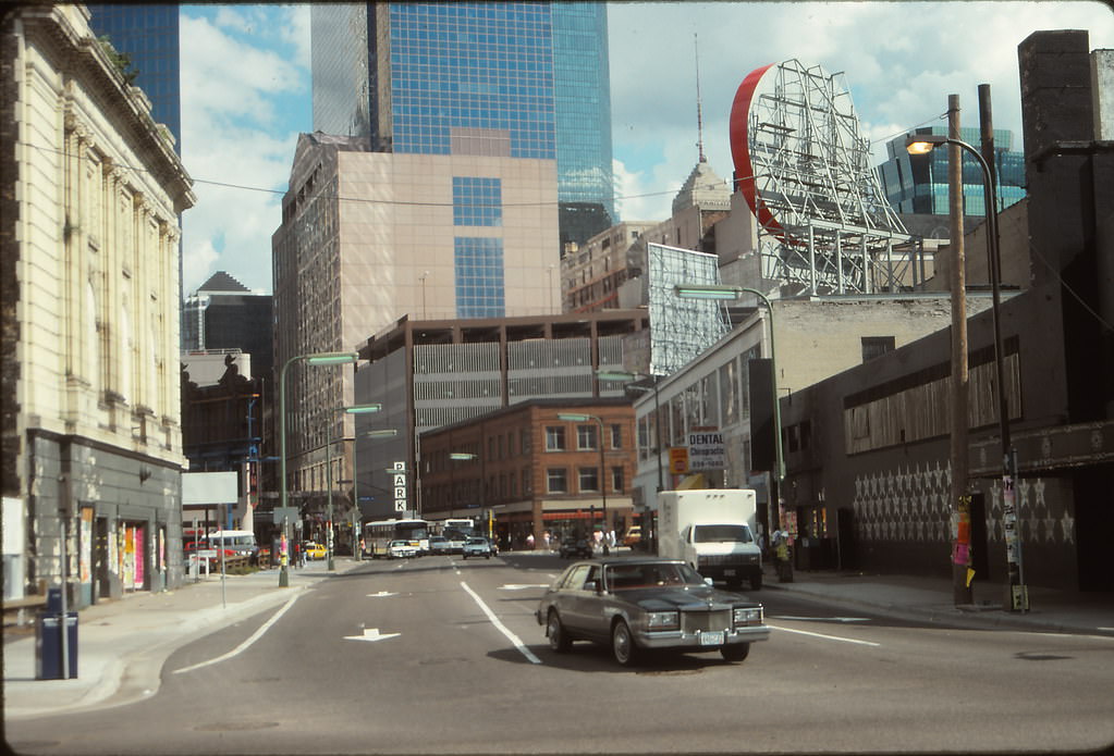
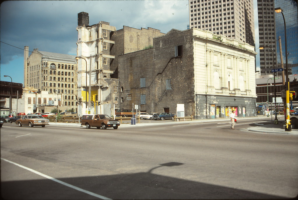
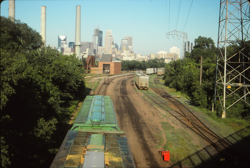
Dinkytown, the commercial neighborhood adjacent to the University of Minnesota, offered a completely different view of Minneapolis. From its streets in August 1991, the downtown skyline appeared in the distance across open rail tracks — a visual separation between student life and the city’s commercial center. Rail tracks ran through Dinkytown itself, a reminder of the industrial geography that once defined Minneapolis’s eastern neighborhoods.
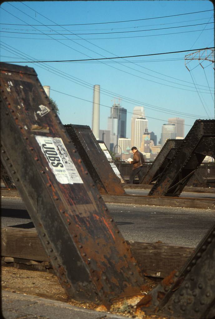
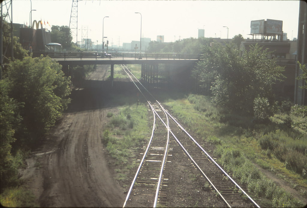
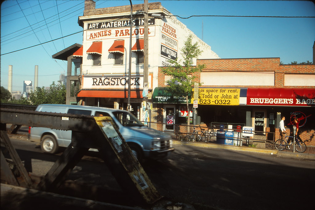
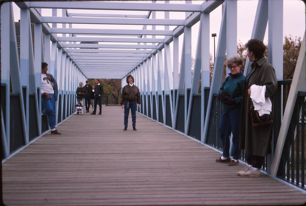
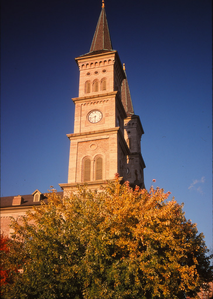
The Sculpture Garden Bridge connected the Walker Art Center grounds to Loring Park, and in September 1991 it was already a popular pedestrian link between the cultural district and the green space to the south. Nearby, the Church of the Assumption in St. Paul stood as one of the region’s most impressive examples of mid-19th century ecclesiastical architecture, its twin spires rising above the surrounding neighborhood.
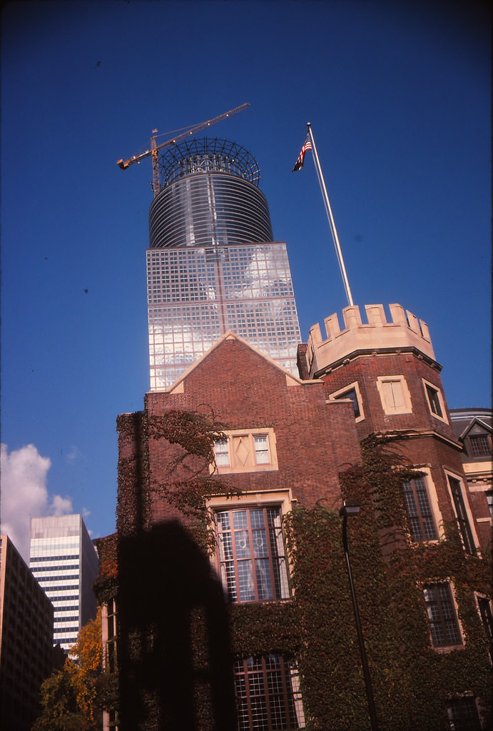
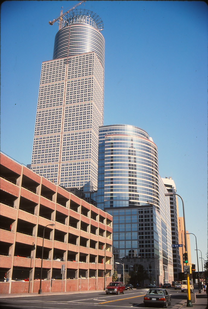
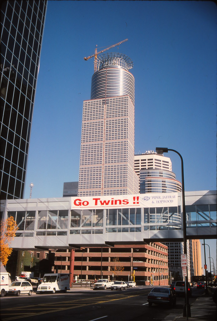
First Bank Place, later renamed the Capella Tower, was one of the signature skyscraper projects of the early 1990s. The building’s distinctive crown made it immediately recognizable on the skyline, and its construction was closely followed by city residents. A skyway banner celebrating the Twins added a local touch to the tower’s exterior while crews continued working on its upper floors.
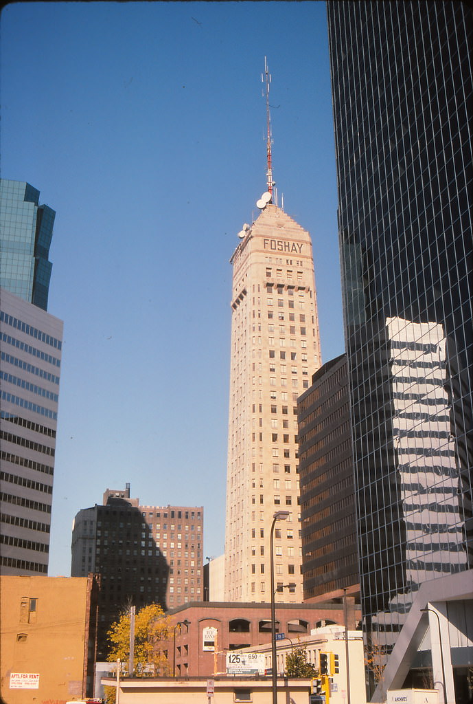
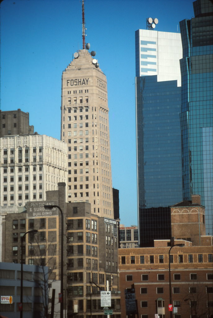
The Foshay Tower, built in 1929 and modeled after the Washington Monument, had long been the defining structure of the Minneapolis skyline before the modern tower boom. By 1991, it was surrounded by much taller neighbors, but it remained a beloved landmark. Its Art Deco design and distinctive pyramid cap made it stand out even among the glass and steel towers that dwarfed it in height.
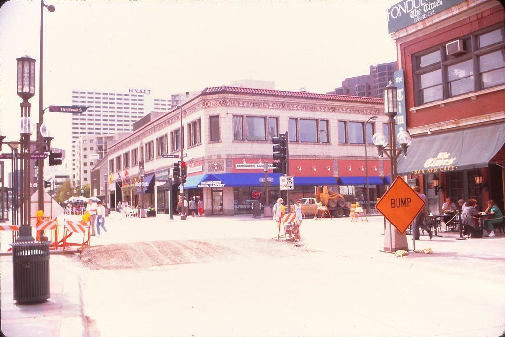
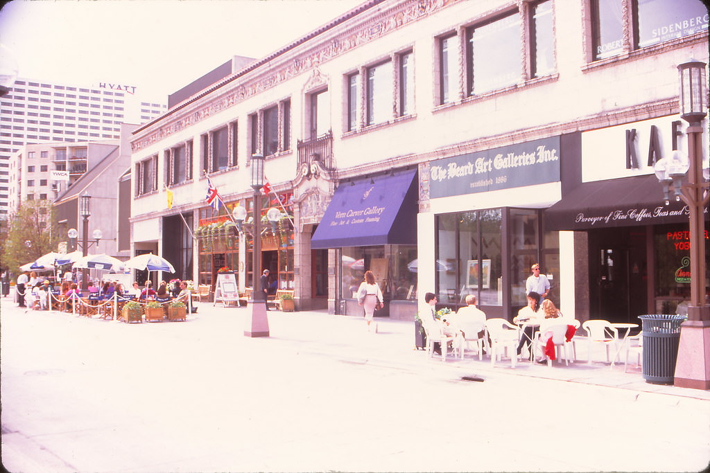
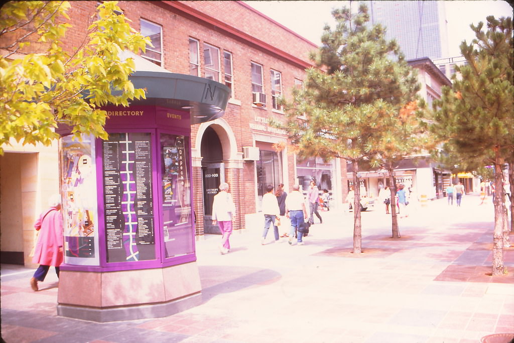
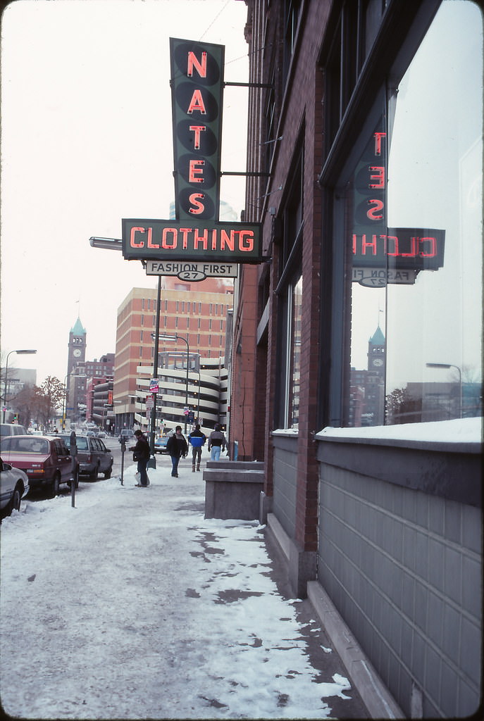
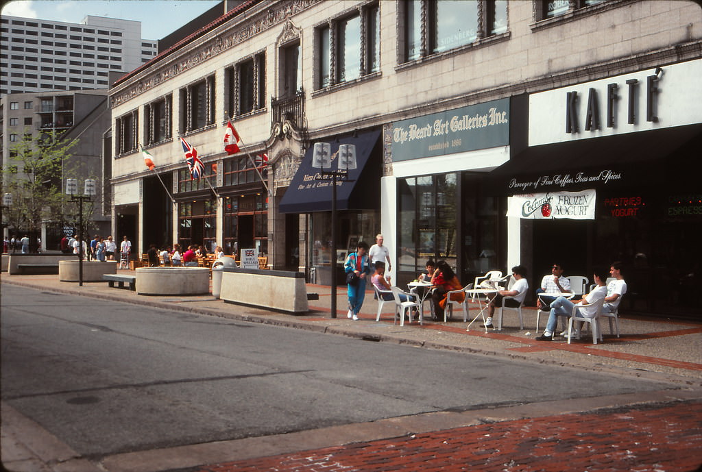
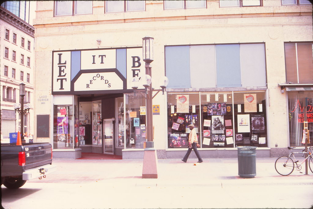
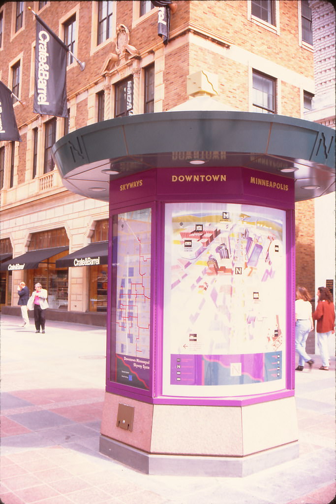
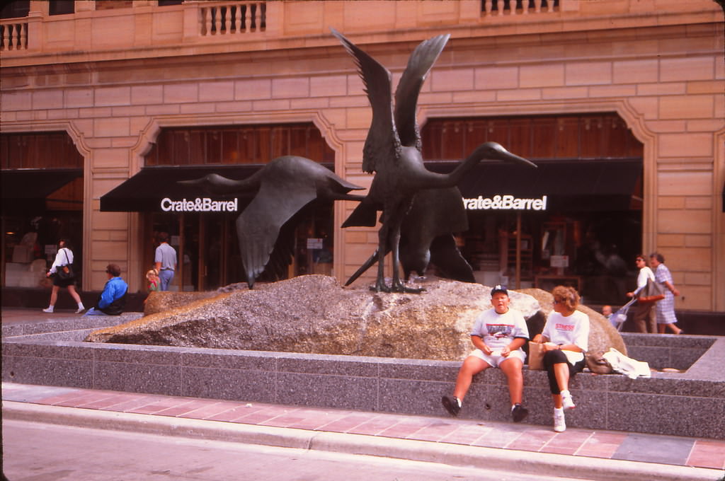
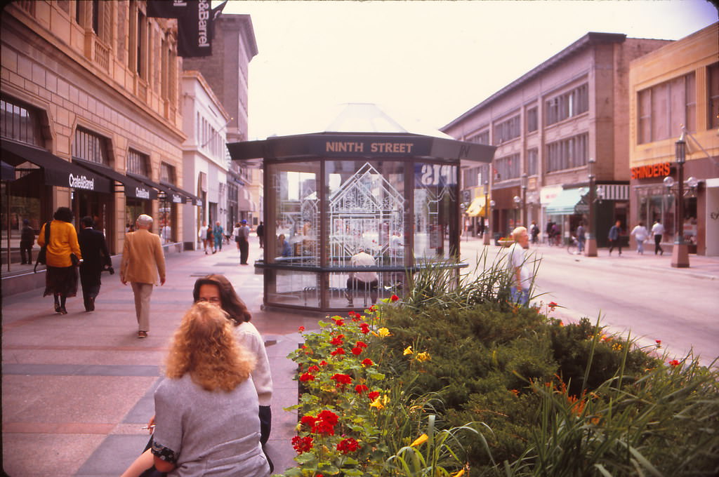
By August 1992, Nicollet Mall had a fully established retail identity. Let It Be Records at 10th and Nicollet served the city’s music community, while Shinder’s held down the 900 block with its newsstand and book selection. Crate & Barrel occupied a storefront nearby, and the mall’s kiosks with street maps helped visitors navigate the pedestrian corridor. The 9th Street intersection at Nicollet was a busy commercial node in both directions.
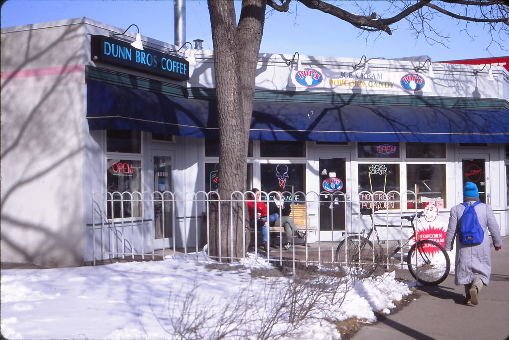
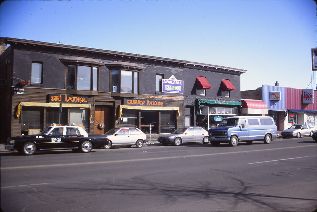
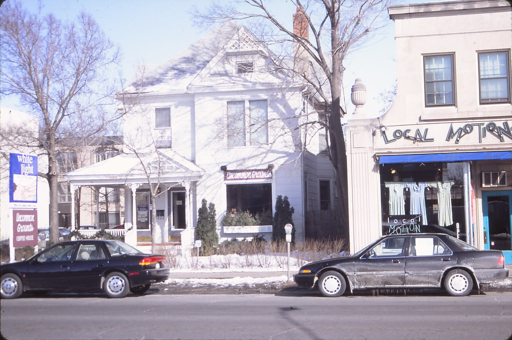
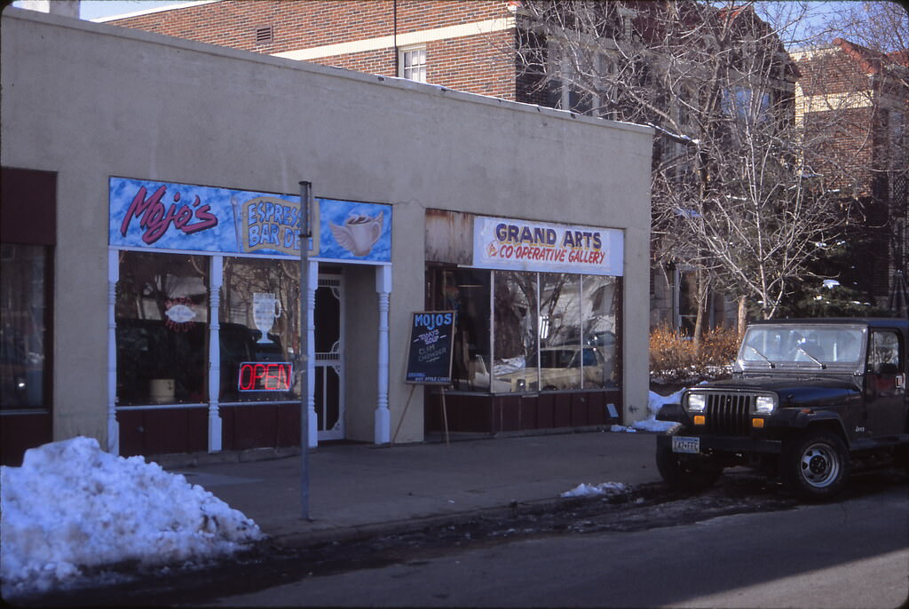
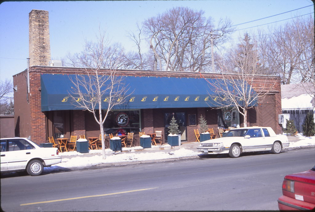
Uptown’s coffeehouse culture was in full swing by February 1993. Dunn Brothers, Cafe Wyrd, Uncommon Grounds, and Mojo’s were among the independent coffee shops that defined the neighborhood’s social fabric. These were not corporate chains — they were gathering places with bulletin boards, mismatched furniture, and regulars who treated them as second living rooms. The Sri Lanka Curry House on Hennepin Avenue added to the neighborhood’s international flavor.
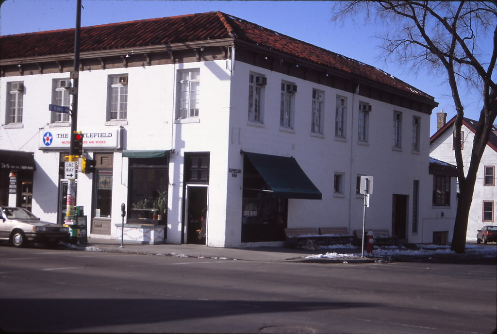
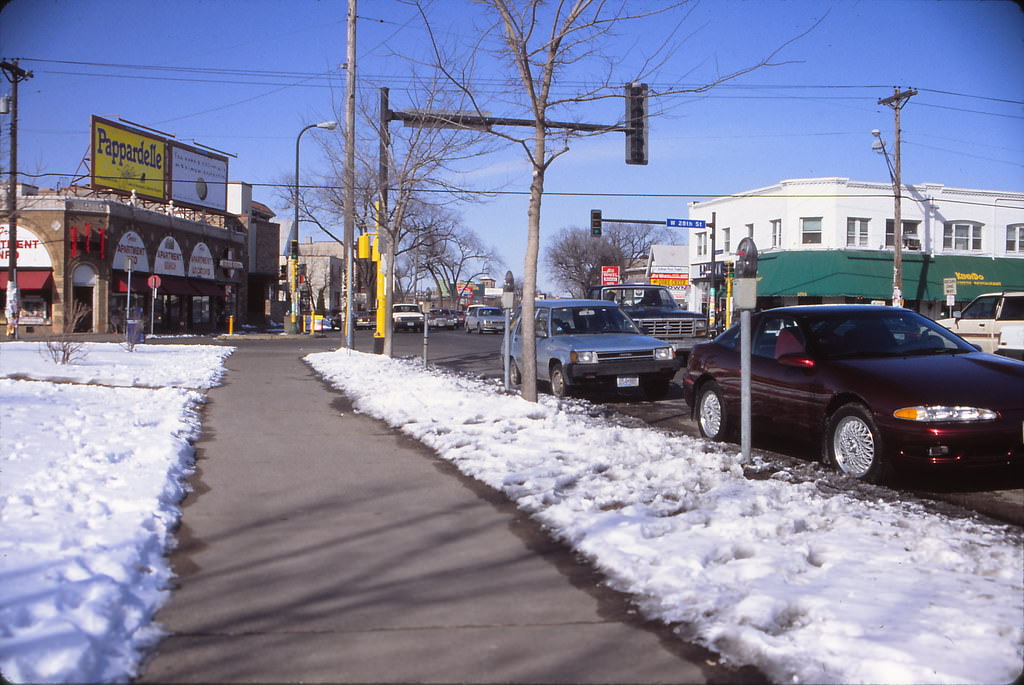
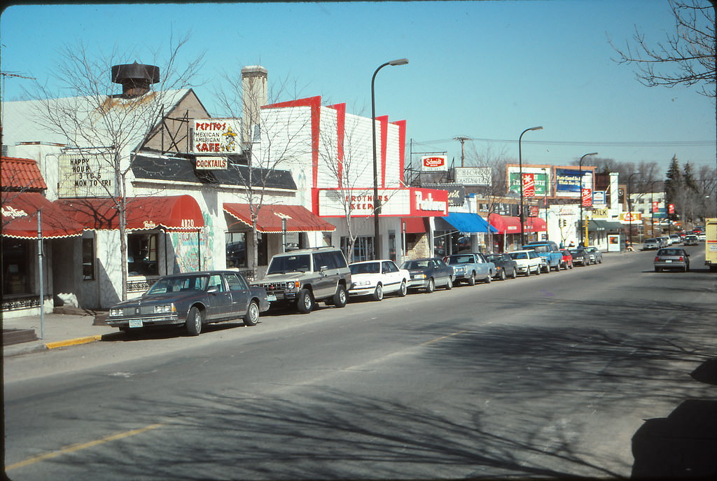
South Minneapolis had its own commercial anchors. The Parkway Theater on Chicago Avenue, next to Pepito’s restaurant, was a neighborhood movie house with a long history. Chicago Avenue around 49th Street showed a typical South Minneapolis commercial street — small storefronts, residential buildings nearby, and a scale that felt built for walkers rather than drivers.
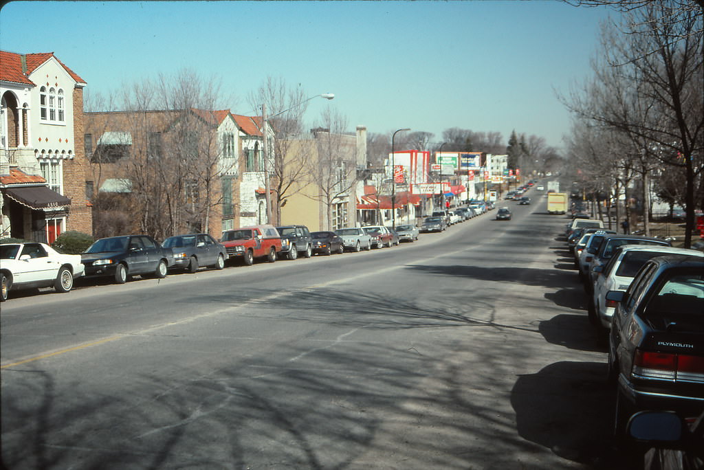
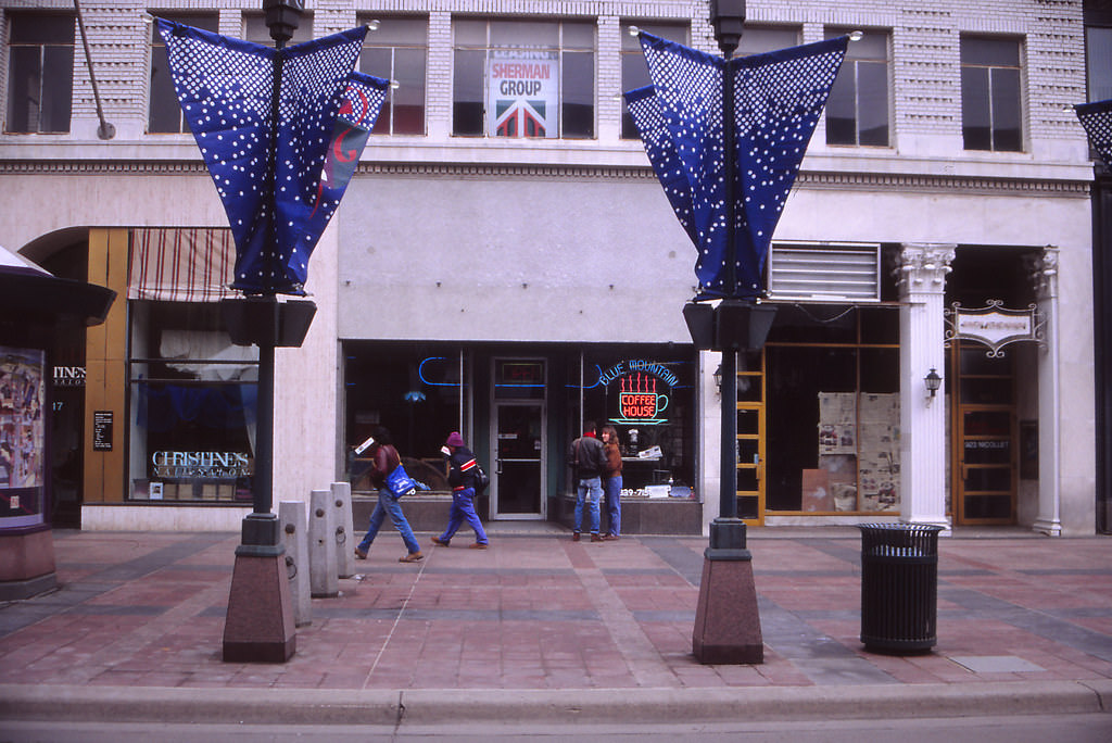
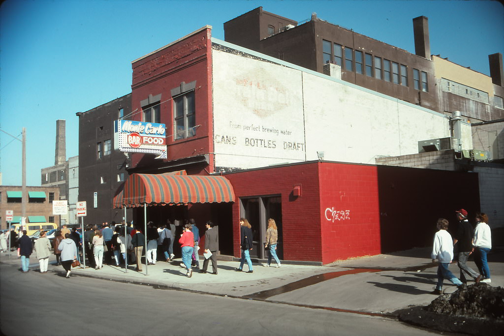
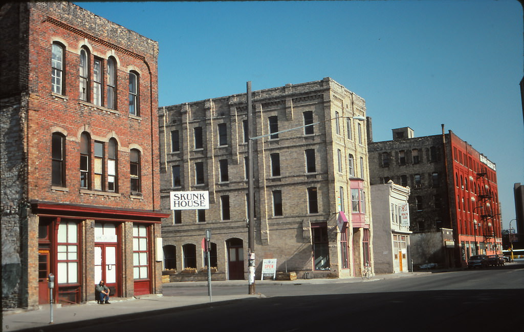
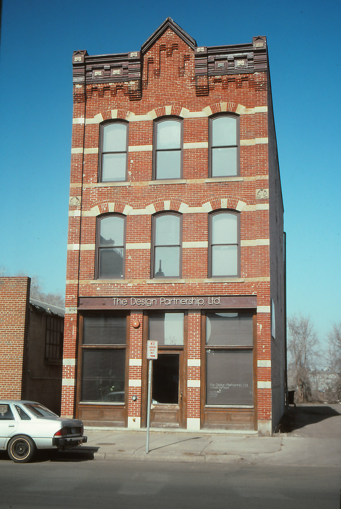
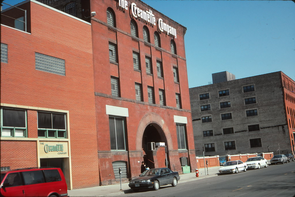
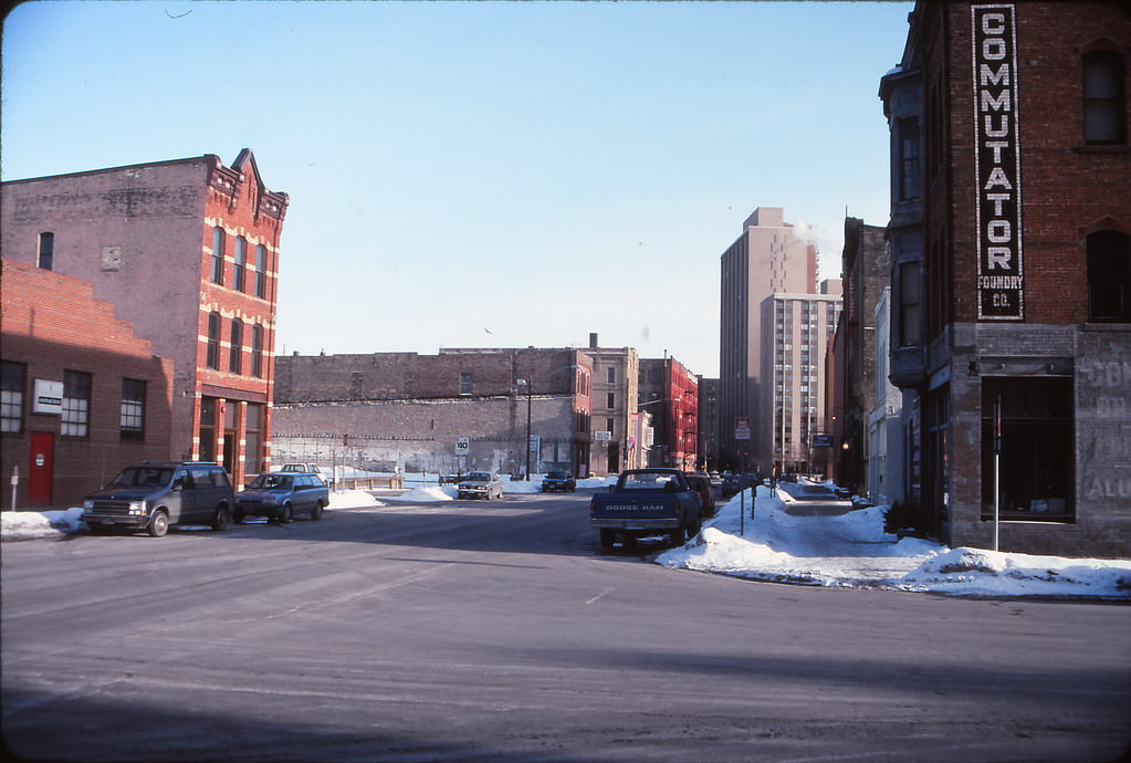
Spring 1993 brought new activity to the North Loop and Warehouse District. The Monte Carlo Restaurant on 3rd Avenue North was a Warehouse District fixture, serving the mixed crowd of warehouse workers, artists, and early gentrifiers who were beginning to fill the neighborhood’s renovated lofts. North 1st Street showed both the old brick commercial buildings and newly renovated structures side by side — the Creamettes Building being one of the most recognizable industrial conversions in the area.
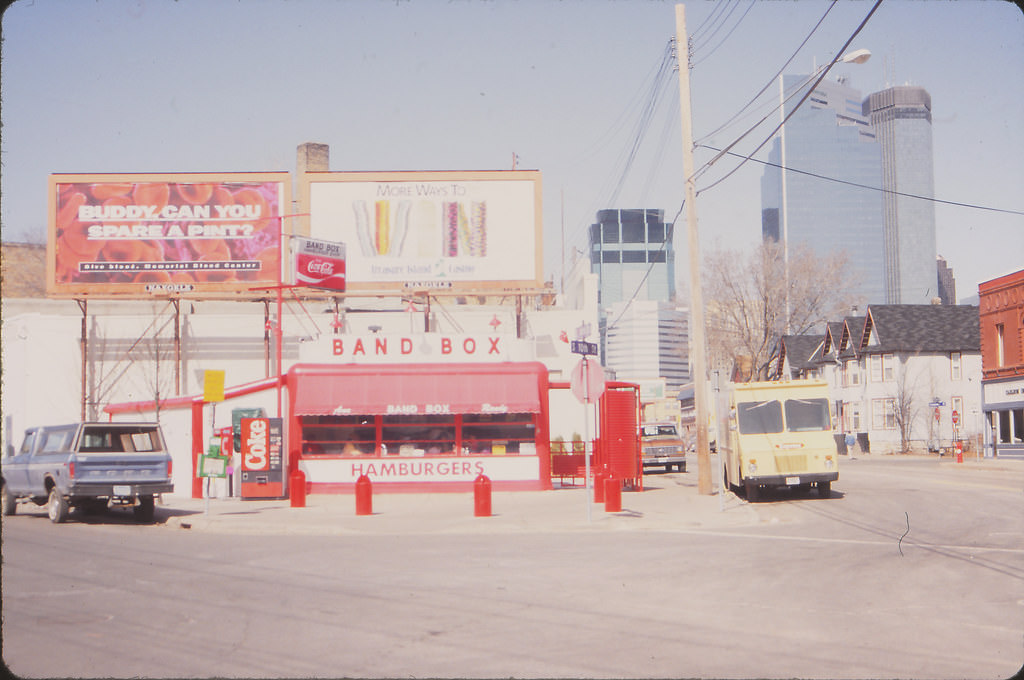
The Band Box Diner on 10th Street in the Elliott Park area was a small, circular diner that had served the neighborhood since the 1930s. By 1993, it was one of the most photographed small buildings in Minneapolis — its compact shape and neon signage made it an easy subject for anyone documenting the city’s street-level character.
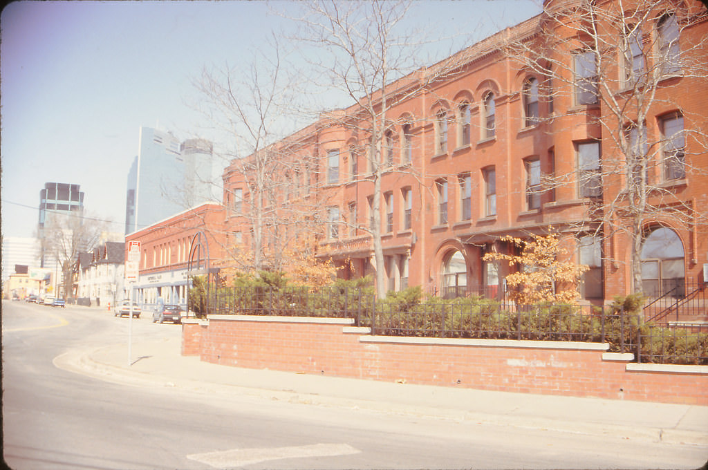
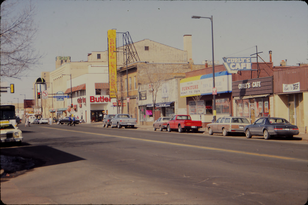
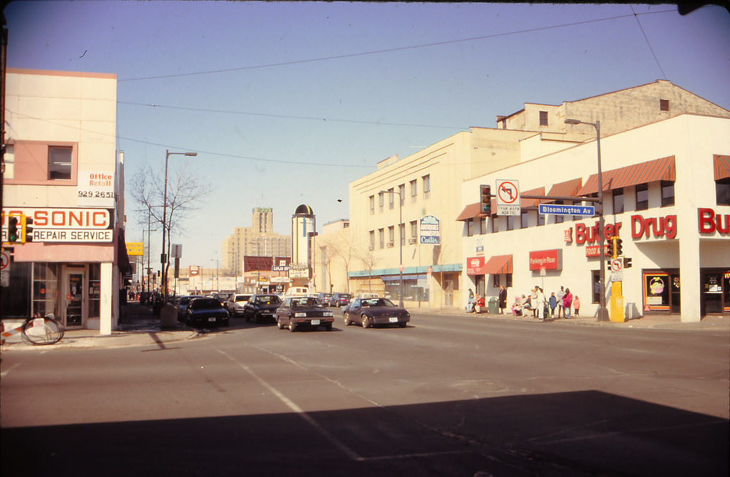
East Lake Street in April 1993 was a lively commercial corridor with a strong Scandinavian heritage. Ingebretsen’s, a landmark shop selling Scandinavian food and cultural goods, had anchored the street for decades. The intersection at Bloomington and Lake, looking west, showed the density of a neighborhood where commerce and residences were tightly woven together at every block.
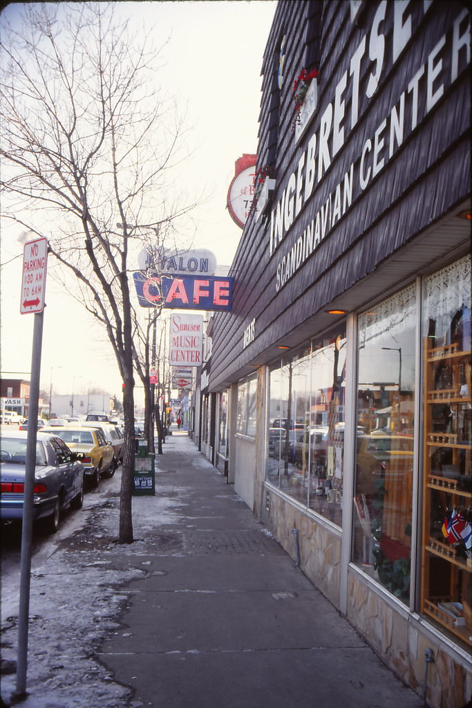
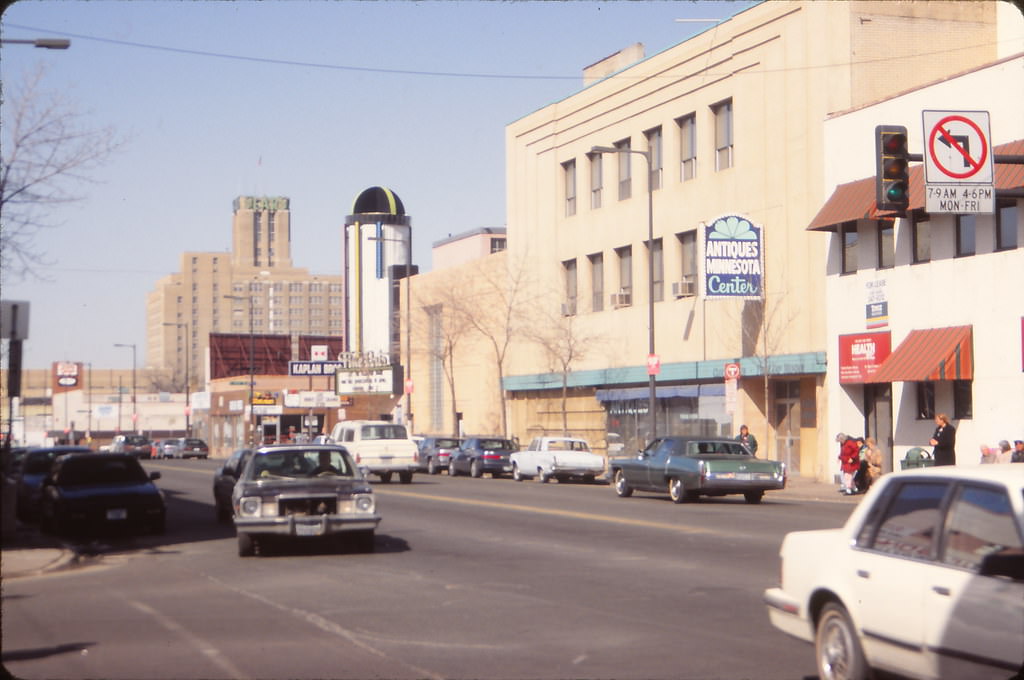
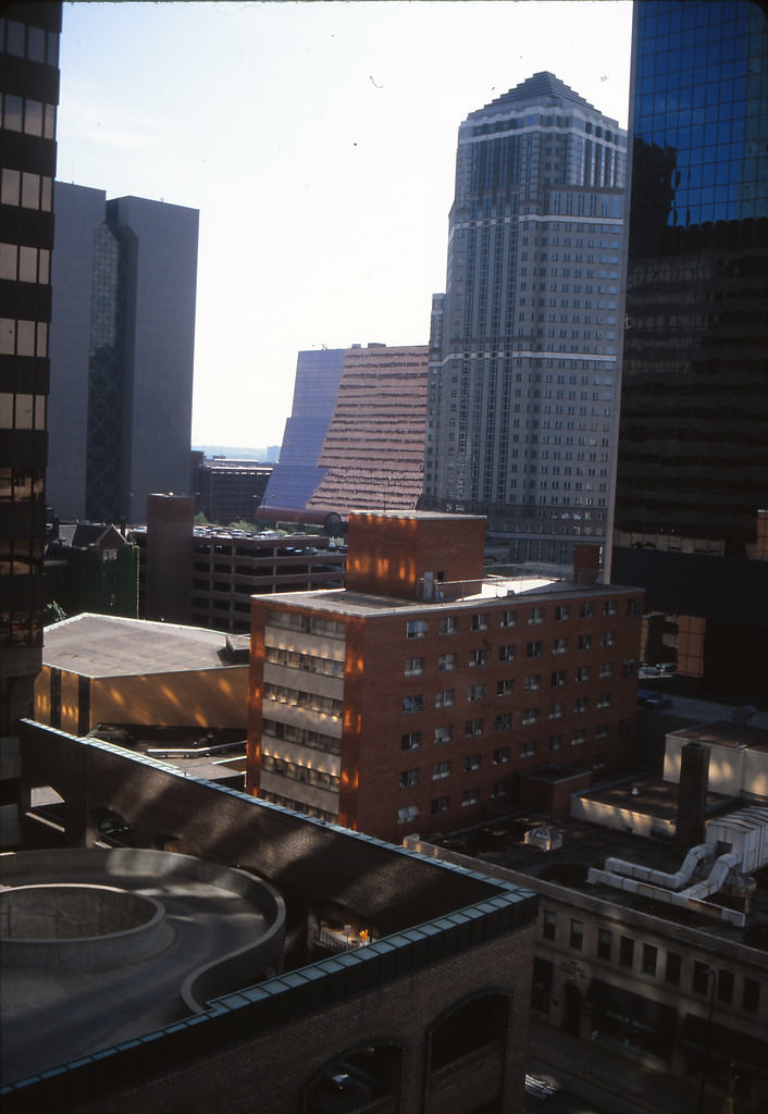
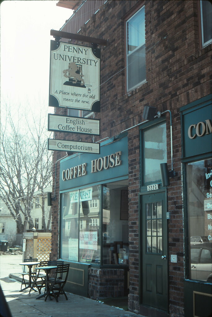
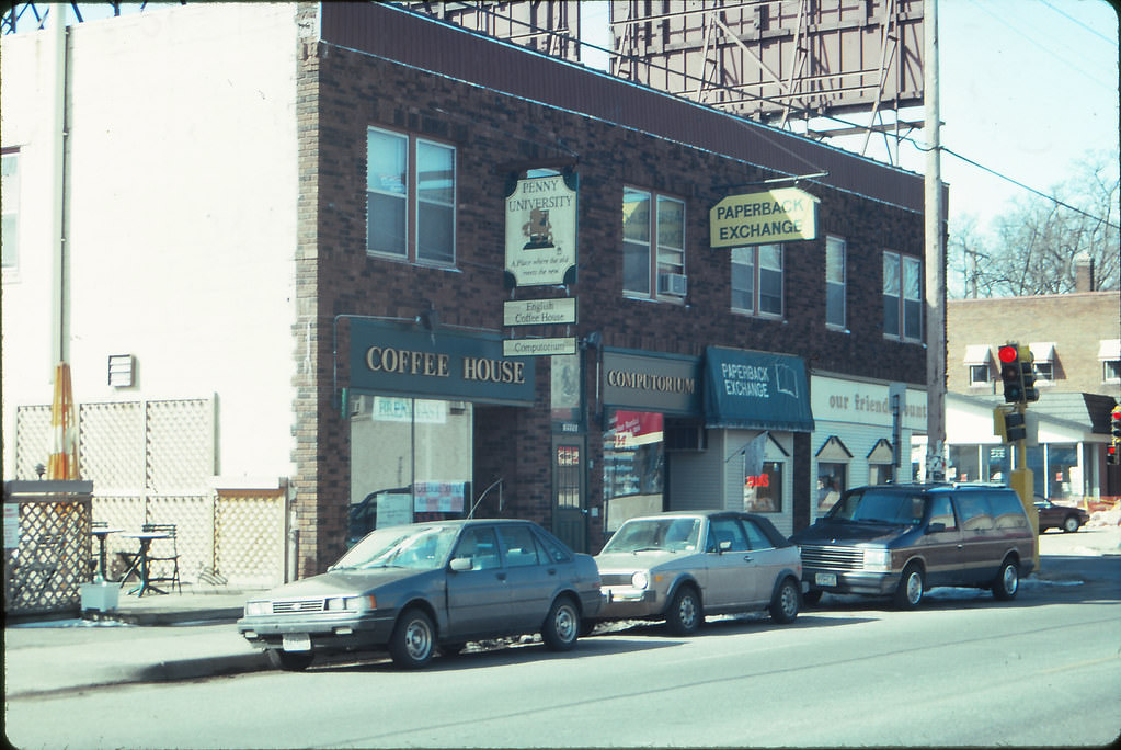
From the International Center in April 1993, downtown Minneapolis stretched out to the north and west. The view from higher floors showed how quickly the city’s tower cluster gave way to the low residential grid beyond. Coffeehouses and diners like the Penny University near 50th and Penn Avenue South served entirely different communities from those on Nicollet Mall — quieter, more neighborhood-oriented, and farther removed from the construction activity reshaping downtown.
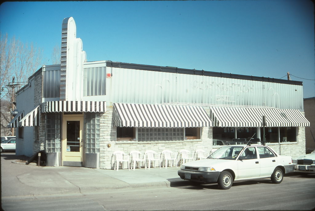
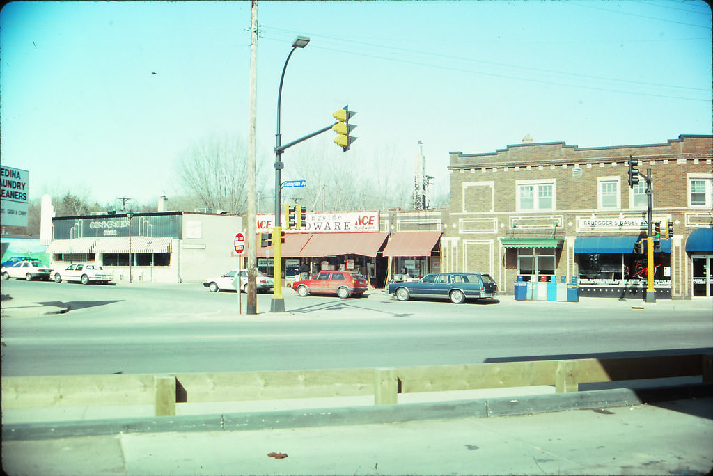
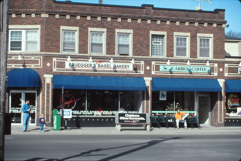
Edina, a suburb directly south of Minneapolis, had its own commercial character by 1993. France Avenue at 44th Street and Sunnyside hosted the Convention Grill, a classic diner that served the affluent residential neighborhoods nearby. Bagel shops and independent cafes filled out the France Avenue retail strip — a contrast to the big retail blocks of Nicollet Mall just a few miles to the north.
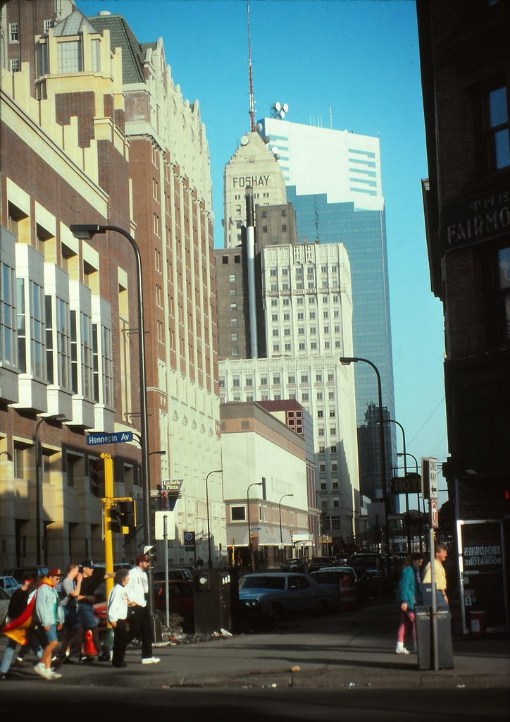
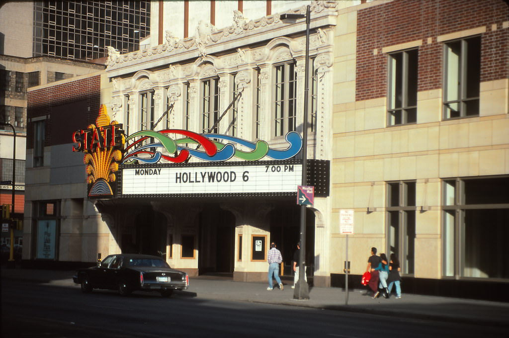
Back on Hennepin Avenue in April 1993, the State Theater and 9th Street corridor remained central to the city’s entertainment landscape. The Foshay Tower, photographed again from street level, showed how the 1929 skyscraper had become a visual touchstone — always present, always recognizable, always framed against whatever newer buildings surrounded it. Washington Avenue North and the North Loop were also active that spring, with warehouse buildings anchoring the streetscape and new development beginning to creep in.
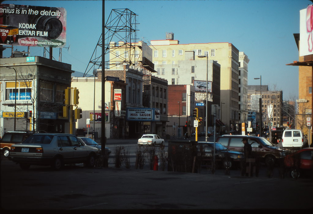
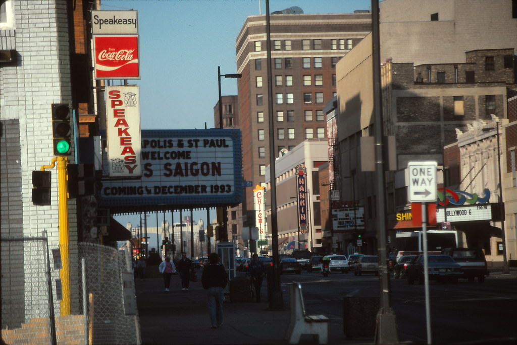
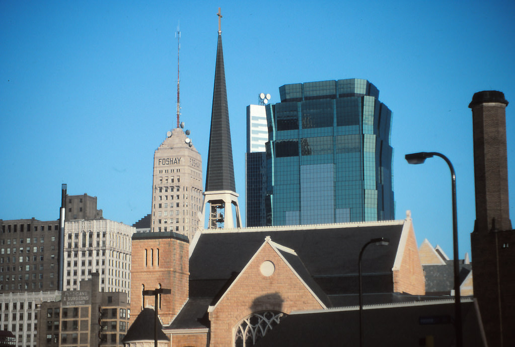
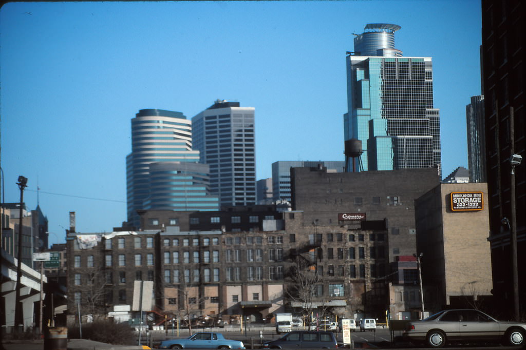
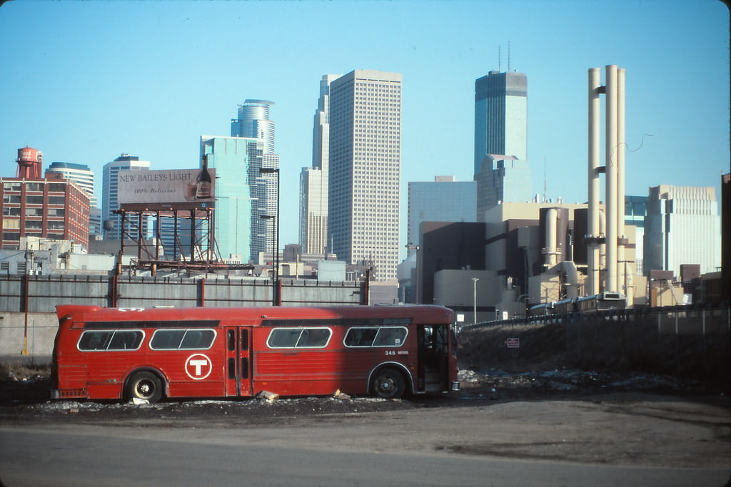
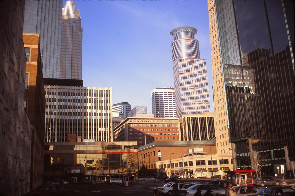
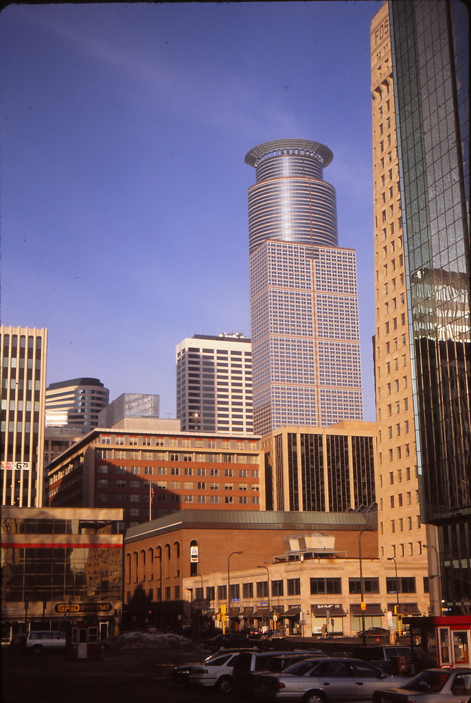
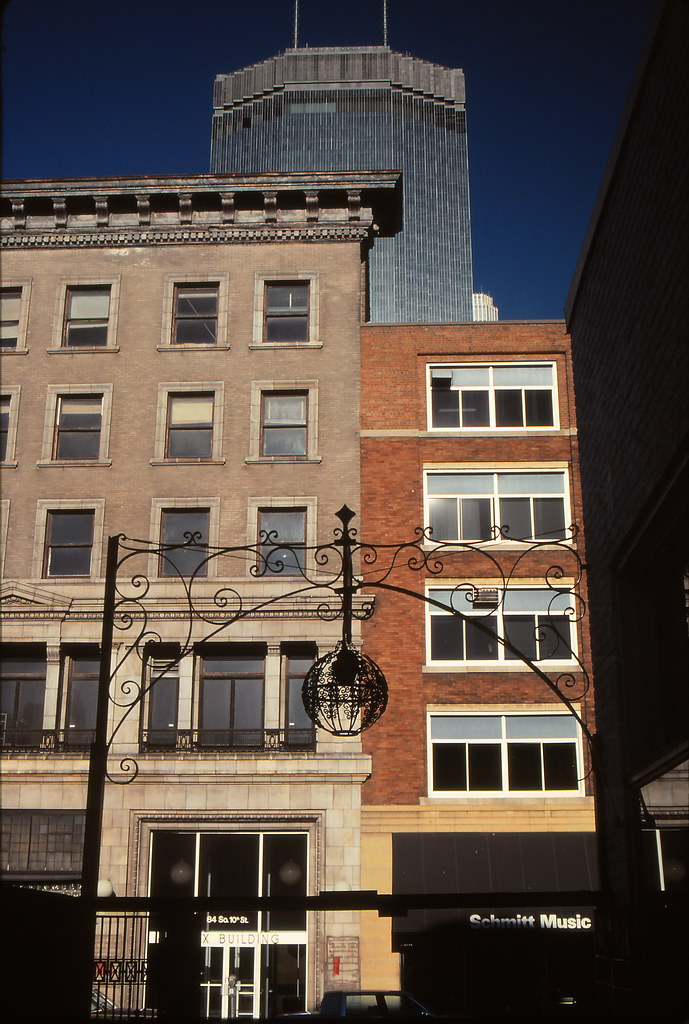
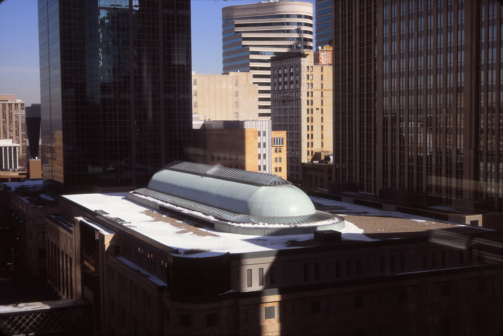
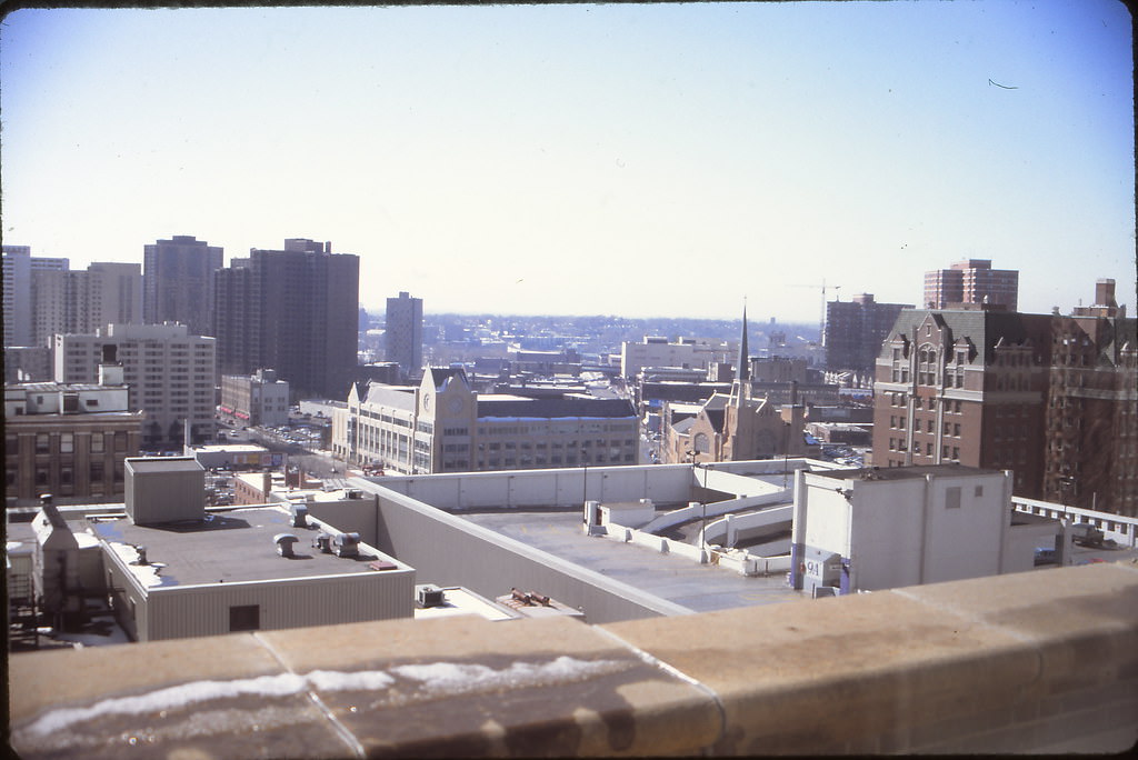
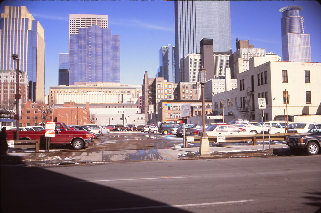
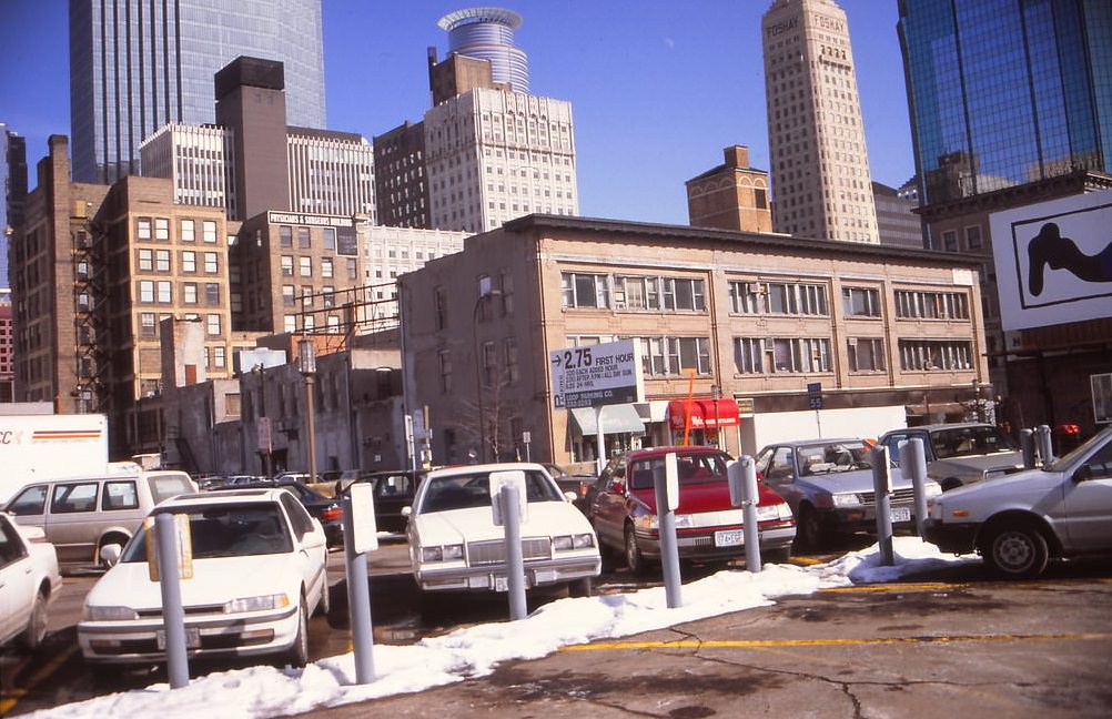
January 1993 brought a cold, clear light to Minneapolis that sharpened every architectural detail. From the parking lot next to Schmitt Music on 10th Street, the downtown towers appeared in sharp relief. The view from Dayton’s 12th-floor Skyroom restaurant looked north along Nicollet and south over Gavidae Common, showing the full commercial sweep of the mall from an elevation that few shoppers ever experienced.
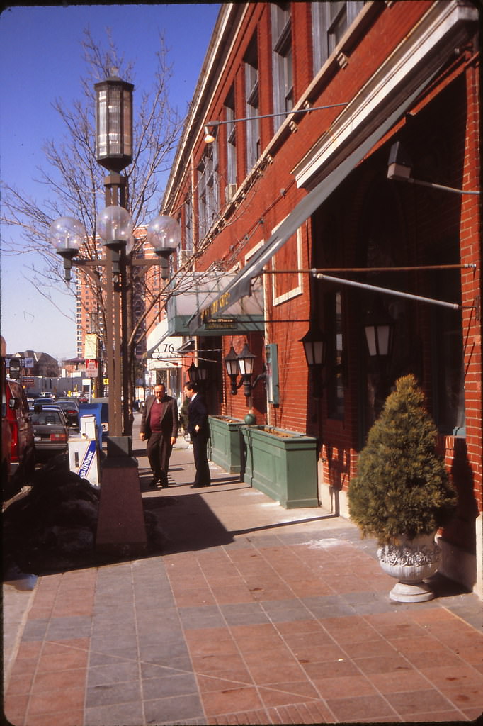
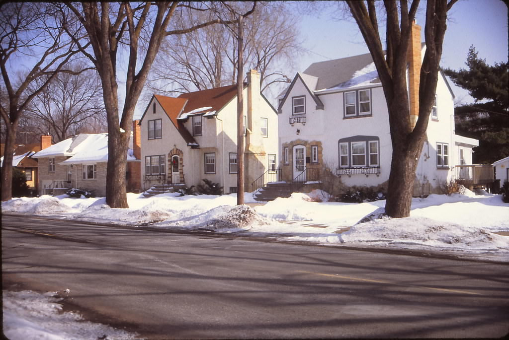
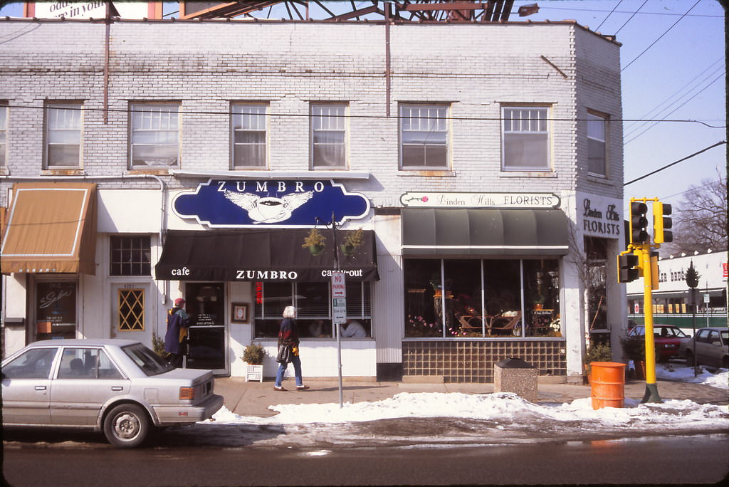
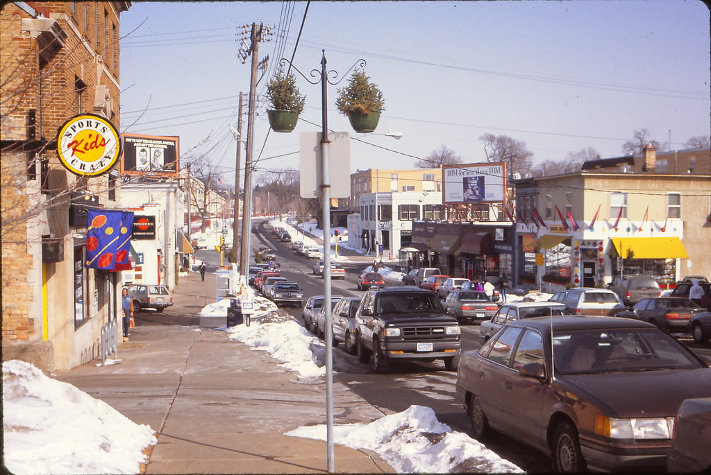
The residential neighborhoods of southwest Minneapolis presented a calm winter face in January 1993. Xerxes Avenue South and the Linden Hills neighborhood around 43rd and Upton had a settled, unhurried quality. The Zumbro Cafe in Linden Hills and the coffeehouses scattered through the area were gathering places for the professionals and families who filled these quiet streets. The Fair Oaks neighborhood, closer to downtown, showed how quickly the residential grid transitioned into the urban core.
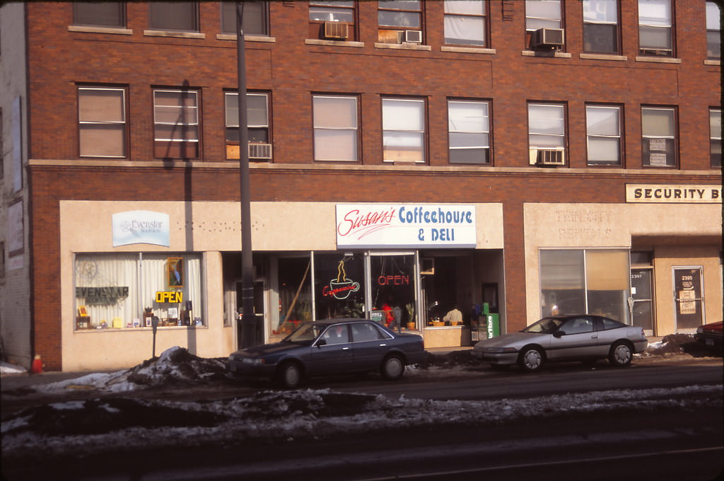
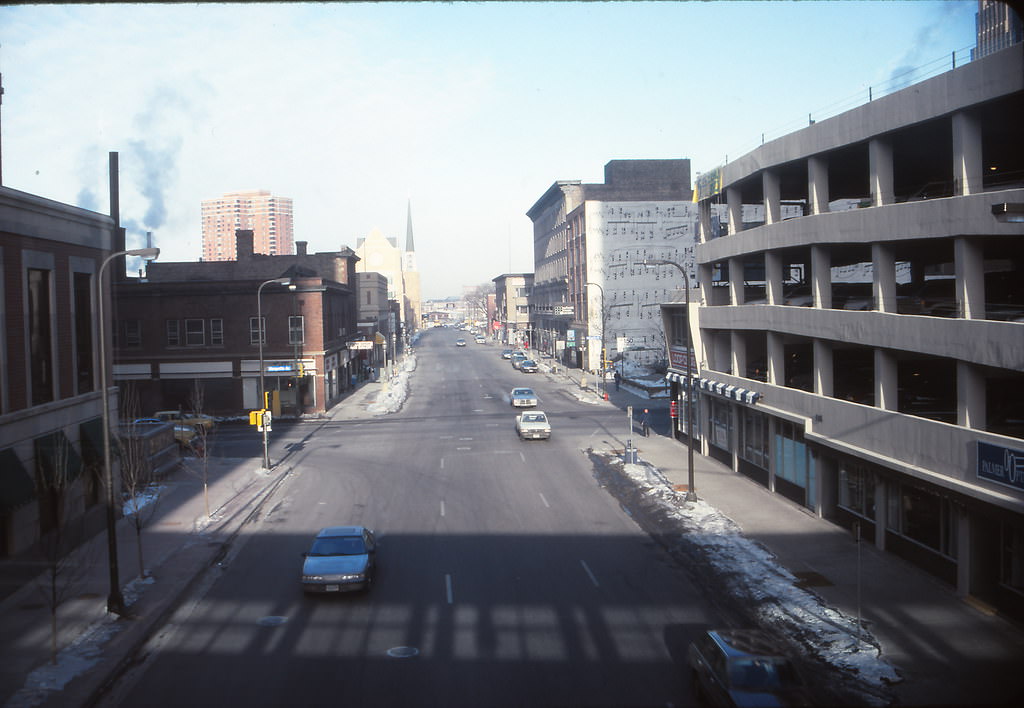
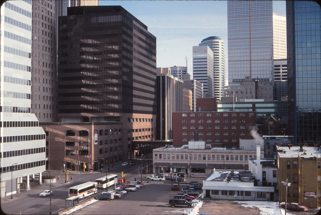
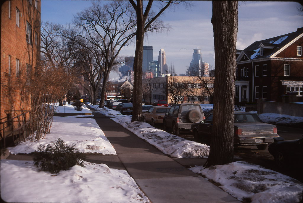
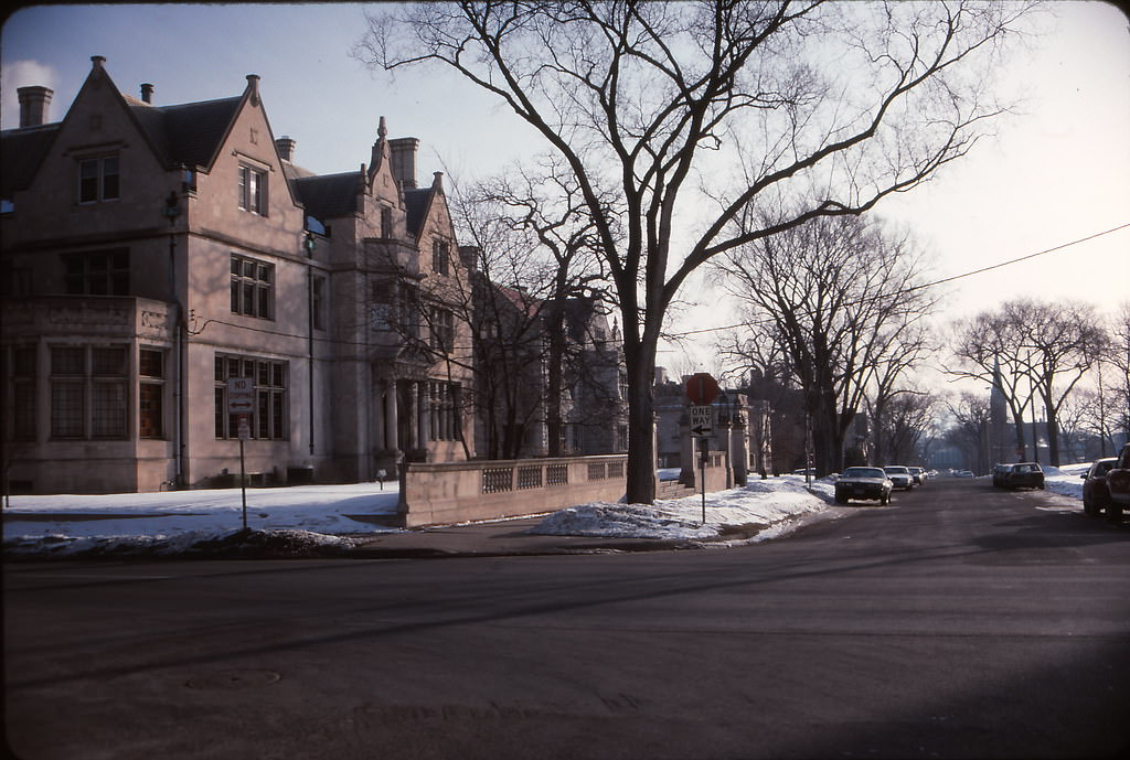
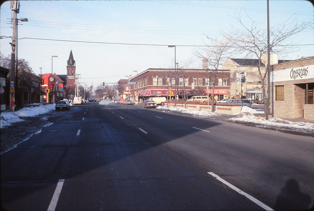
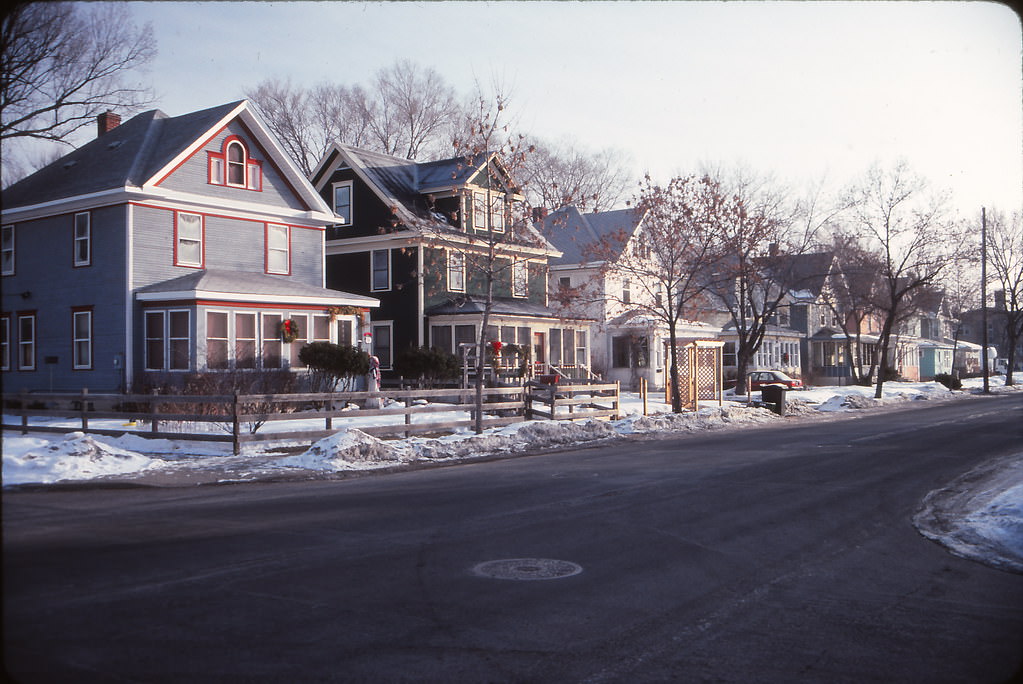
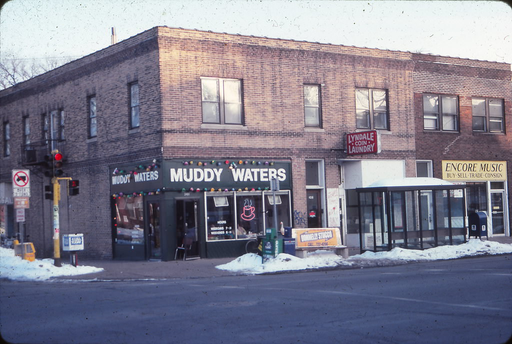
South Minneapolis streets in January 1993 showed the city’s residential backbone. The stretch of 26th Street looking toward Nicollet, and the homes around 34th and Pleasant, represented the dense but comfortable urban fabric that made up most of Minneapolis outside downtown. Muddy Waters Coffeehouse on 24th and South Lyndale was one of many neighborhood coffee spots that served as informal community centers throughout the decade.
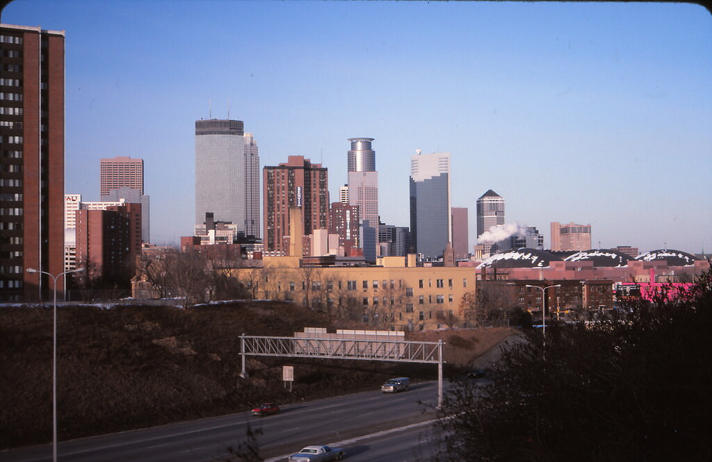
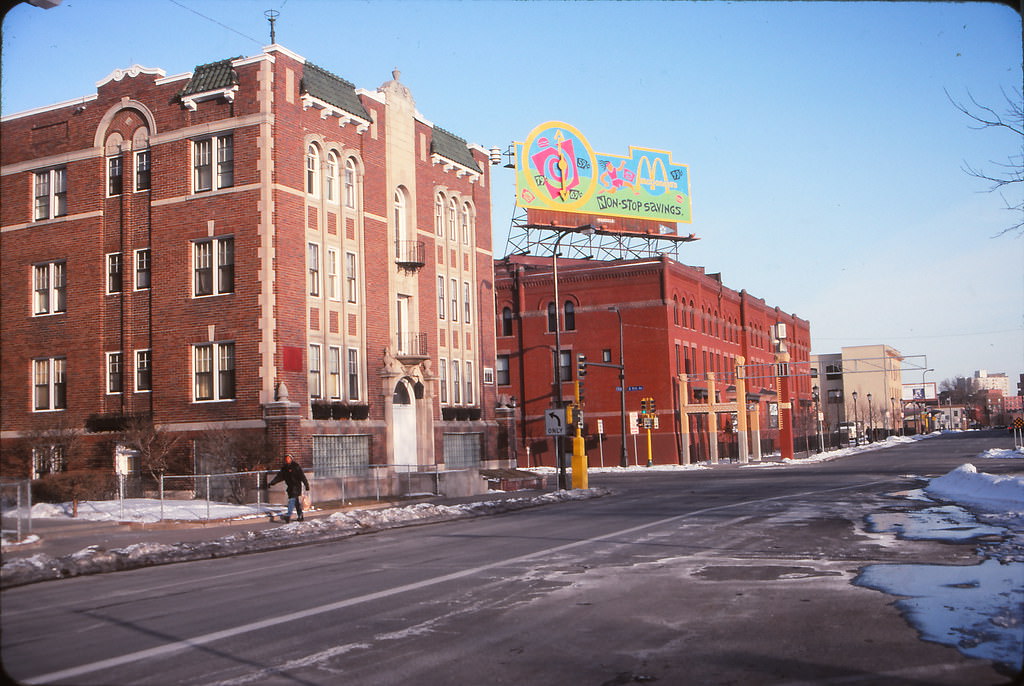
The milling district along South 2nd Street held some of Minneapolis’s most historically significant buildings. Abandoned mills sat frozen along the riverfront in January 1993, their massive stone and brick walls still standing long after production had stopped. The old North Star Woolen Mills had already begun its transformation into the North Star Lofts by this period, while other structures waited for developers to find a use for their thick walls and open floor plans.
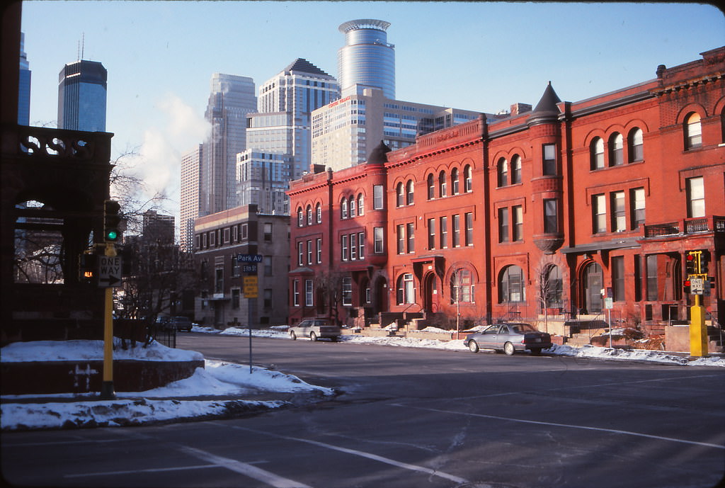
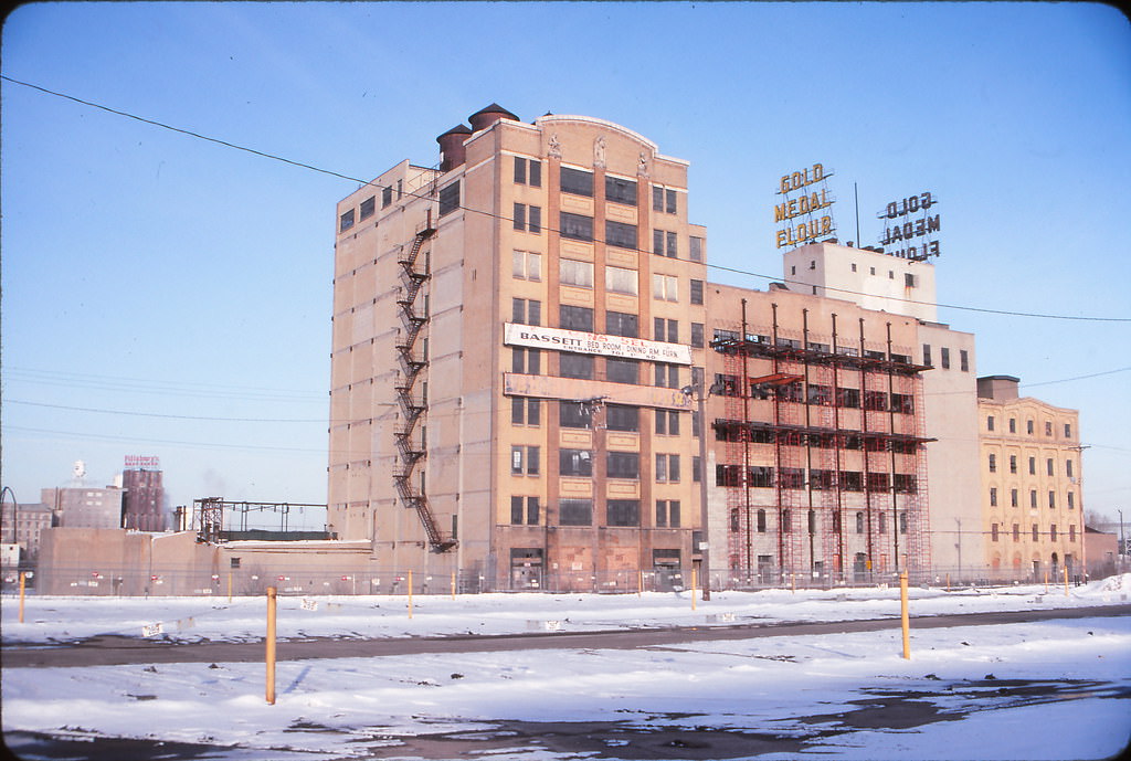
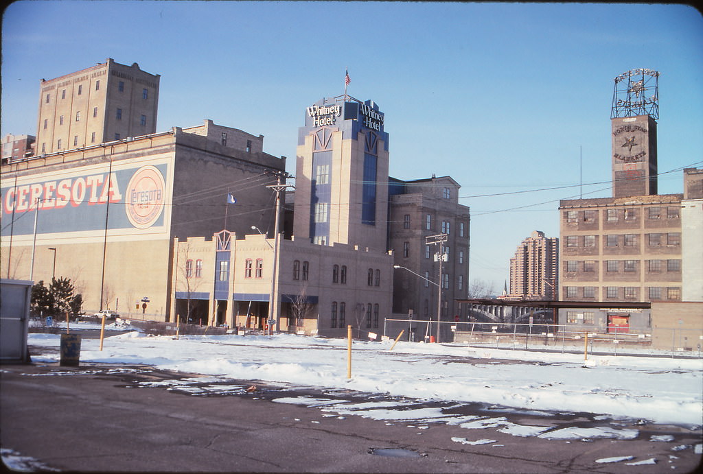
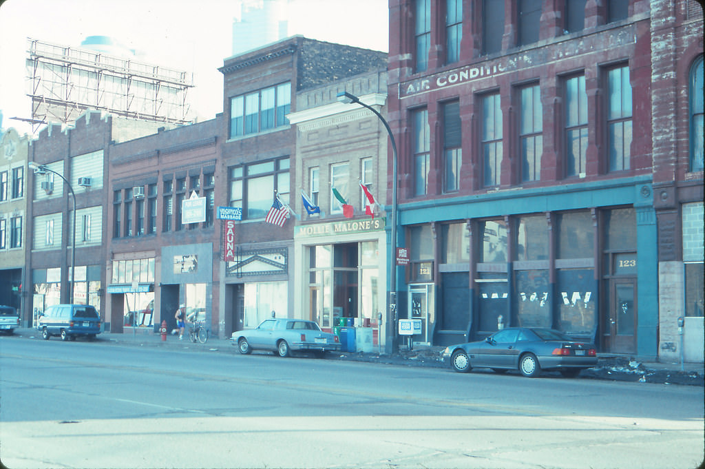
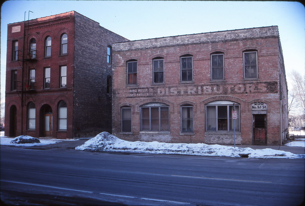
North Washington Avenue and the surrounding warehouse blocks told a similar story of industrial buildings waiting for reinvention. By January 1993, the redevelopment of these areas was still in its early stages. The brick warehouse facades along North Washington Avenue and North 1st Street would eventually house loft apartments, galleries, and restaurants — but in early 1993, they were still largely in their original commercial and industrial use.
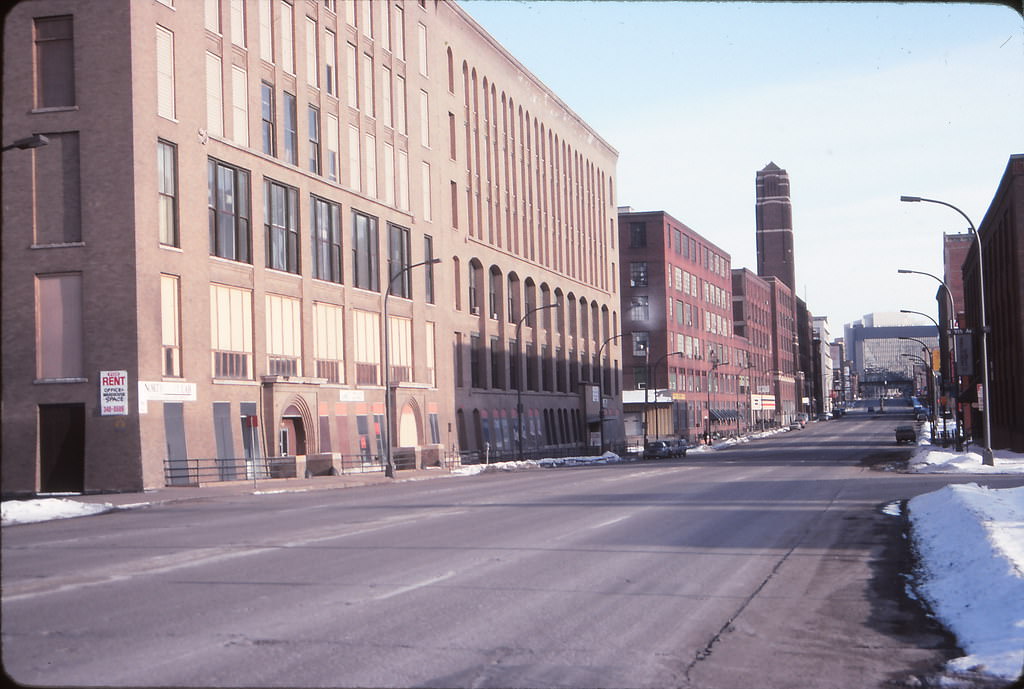
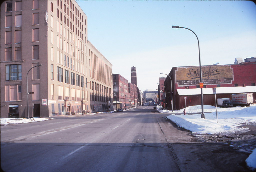
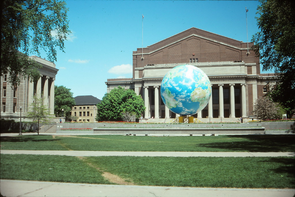
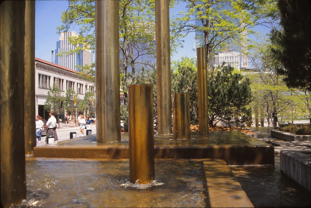
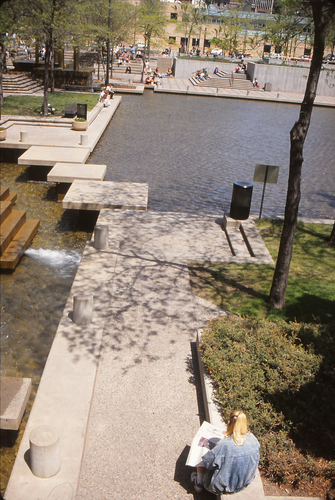
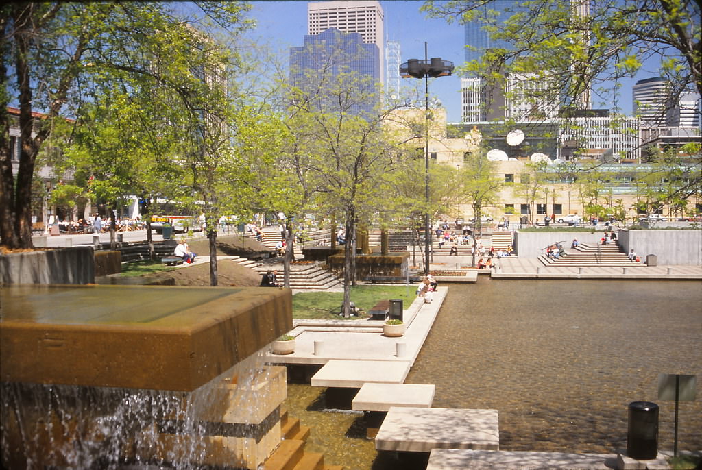
May 1993 brought warmer weather and a fresh round of photographs that captured the city’s public spaces. The giant globe at the University of Minnesota was a familiar campus landmark, while Peavey Plaza near Orchestra Hall offered a public fountain and seating area in the heart of the cultural district. The plaza’s terraced design, with its lower fountain pool, made it a popular midday destination for downtown workers and visitors.
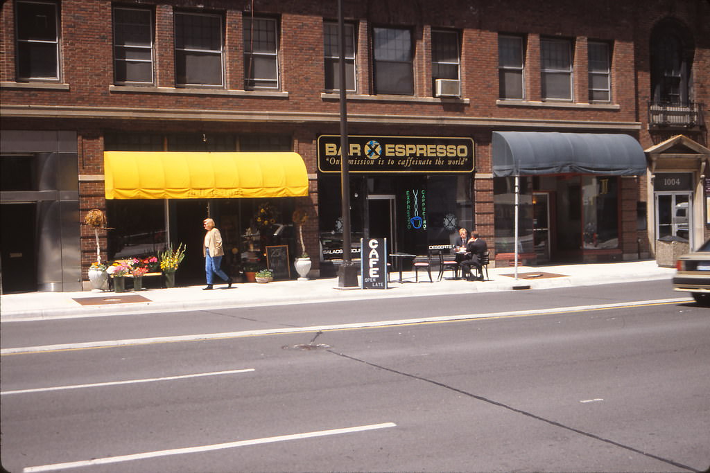
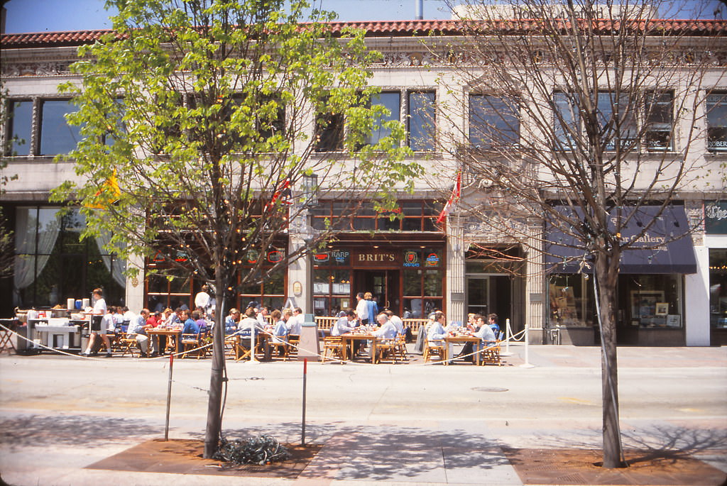
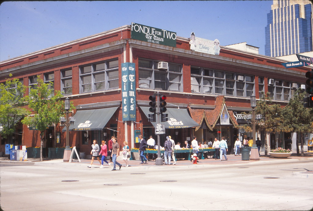
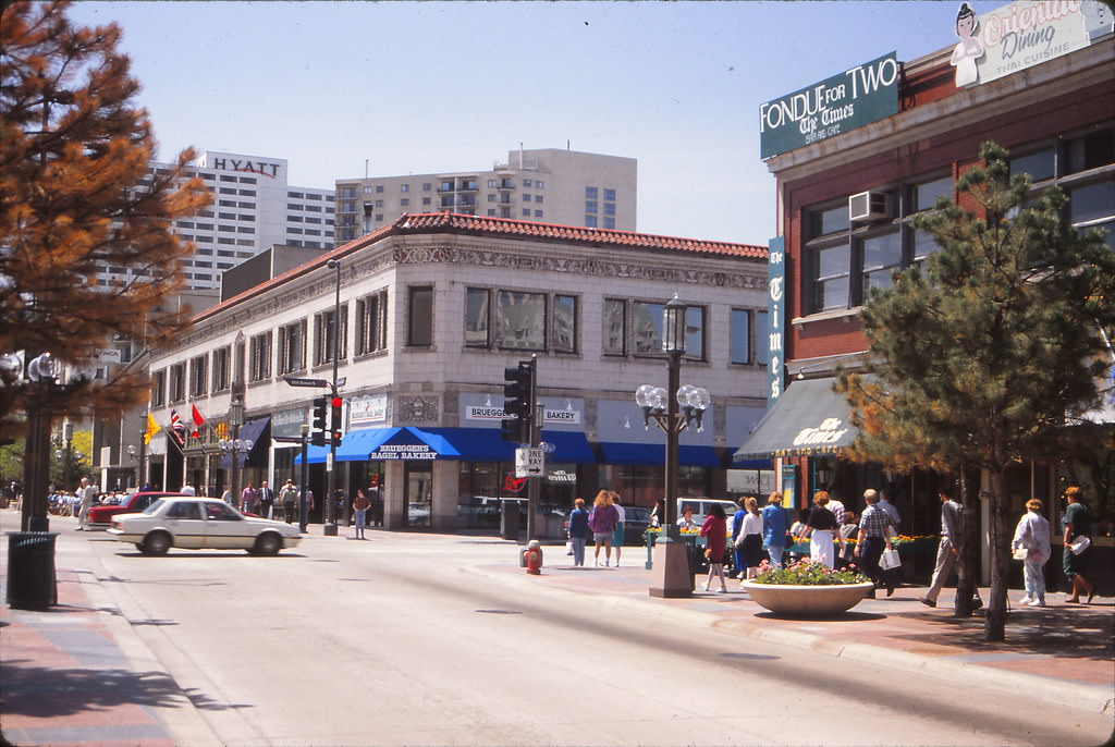
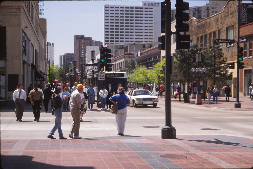
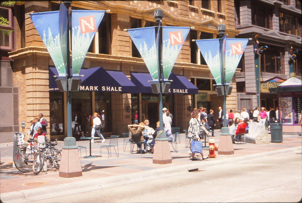
Nicollet Mall in May 1993 showed its full spring activity. Brit’s Pub had established itself as a fixture along the mall, while The Times Bar and Cafe at 11th and Nicollet added to the stretch of bars and restaurants that lined the pedestrian corridor. The Mark Shale store occupied a prominent spot on the mall, catering to the professional shoppers who filled the downtown during lunch hours and after work. At 9th and Nicollet, the intersection hummed with foot traffic moving between office towers, retail stores, and the skyway system overhead.





I miss Shinders.
It was always fun to go to Shinder’s and the arcade across the street.
I’m a GenX, so these are like photos from last year.
They act like it’s the 60s, not the 90s. It’s not that old.
Well, what the hell. It was like 20 years ago. It feels like an attack.
Does anyone remember Banks?
Yes, I don’t know about these. Although they look old, the 90s were only about a decade ago
Two Pecos was incredible. Does anyone else remember it?
The 90s weren’t that long ago, so pretty much the same as now.
These pictures are not particularly fascinating.
Mpls used to rock so hard, you had to be there to appreciate it
someone took the time to actually colorize these photos.
I remember this like it was yesterday. Spent so much time downtown because it was the “cool” thing to do for small-town kids.
Good ol days, you could go down town on a bus as a young kid/teen and be safe. Go shopping at the shops near city center and have a good day. Spend all your money at shinders and use your transfer ticket to get home
Weren’t the mid 90s the highest the murder rate has ever been in Minneapolis?
My dad worked at Pops Arcade man the times.
Loved pops . That was where I first saw then played moral kombat
Cafe Wyrd had parking and I could park there and go to dreamhaven and come back and read my comic books and drink coffee.
Even tho that isn’t a Shinder’s, I forgot they existed. Found that someone bought the domain I. 2021 and made a sort of memorial: https://shinders.com
This is cool, we used to love to hit Shinders on a weekend for comics and baseball cards.
I can just watch mighty ducks, thanks though.
Yes. Or Jingle All the Way.
ahh the skyway lounge, good times
Damn ppl were ugly in the 90s lol. The clothes could not have been worse!
Man do I wish Rock Bottom were still there.
That was some nostalgia for me. A lot of old places I used to go to. I was half expecting to see myself in one of those pictures.
I’m surprised there was a time when Crystal Court lacked a fountain
The Marq never should have enclosed the void space underneath the building
Shinders, Pops Arcade, downtown pretty much died time after Shinders closed
Jesus this unlocked so many memories from my early to pre-teen childhood… the nostalgia wave is hitting hard.
I wish he had ventured more into NE. I wanted to see A Bag Lady and the theater on Johnson
Look how clean everything thing is
There are a lot of not fascinating photos to slog through here.
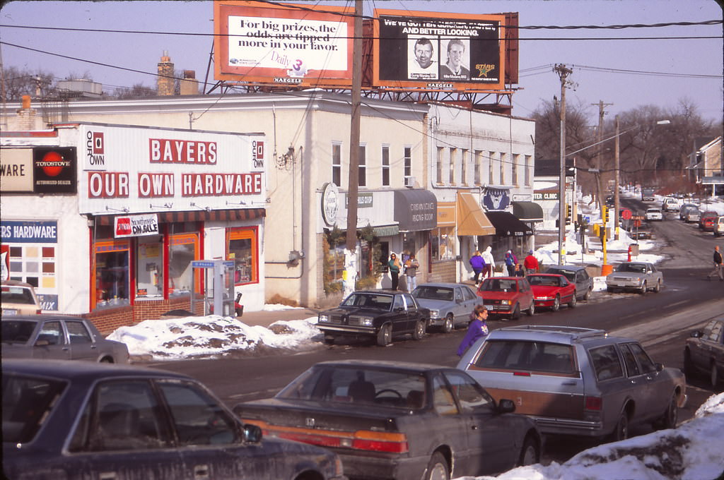
#23 is not Xerxes, but rather Upton Ave at 43rd Street. Bayers Our Own Hardware is now Martina.
This is pretty cool. I just moved to Loring park. Pretty cool to see what it was like.
Miss the red city busses
Damn do I miss Shinders