Belgium’s tram network is one of the oldest in the world, and its history stretches back more than 150 years. The very first horse-drawn trams rolled through Brussels in 1869, running from the Porte de Namur to the Bois de la Cambre. Steam trams arrived in 1877, but the engines struggled badly on Belgium’s hilly terrain and the tests were abandoned. It took until 1894 for the first electric tram lines to be laid, opening the door to a far more reliable and widespread network.
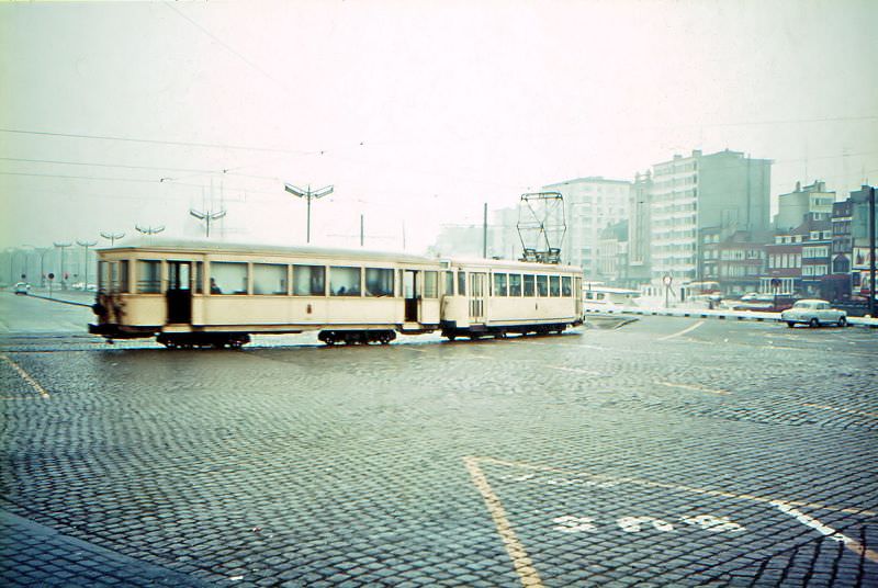
Several private companies built their own lines alongside the state-backed network, and by the early 20th century the system was fully operational across the country. The NMVB-SNCV — the national vicinal tram company — grew into one of the largest suburban tramway networks in all of Europe, threading together cities, towns, and industrial zones that would otherwise have been difficult to reach. World War I brought tram services to a halt. Poor maintenance and the demands of military use took a heavy toll on the infrastructure, and full service wasn’t restored until 1925.
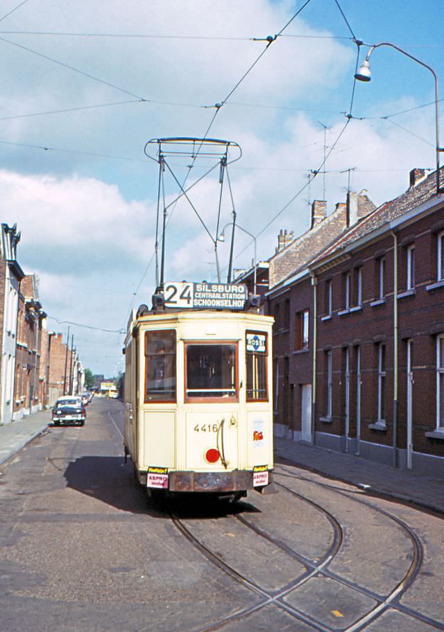
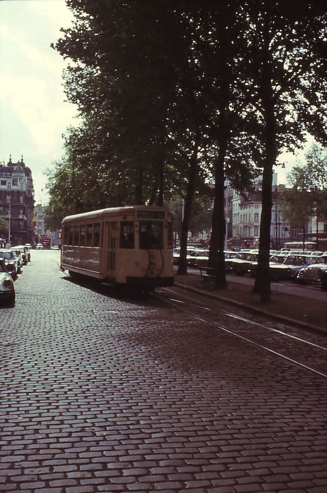
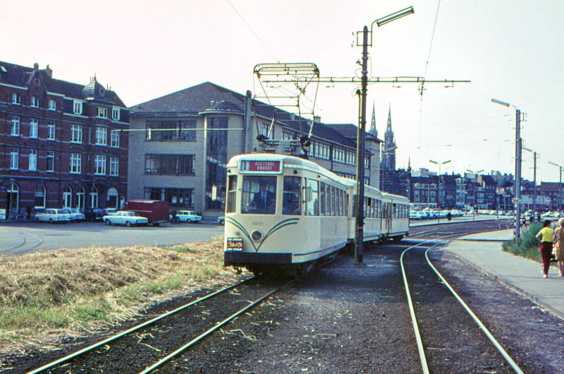
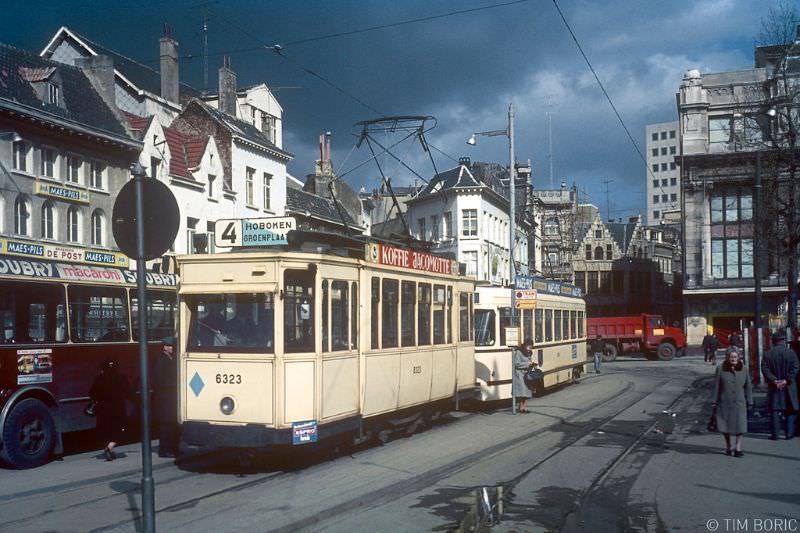
Antwerp was home to some of the most active tram operations in Belgium. Its depots at Hoboken, Grotehondstraat, and Merksem served dozens of routes that fanned out across the city and its surrounding areas. The PCC cars — a modern, streamlined design widely adopted across Europe — shared the streets with older motorcars that dated back decades. Watching a gleaming PCC car pull up beside a tram from a previous generation was a common sight on Antwerp’s streets throughout the 1960s and 1970s.
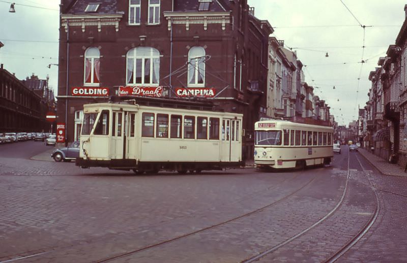
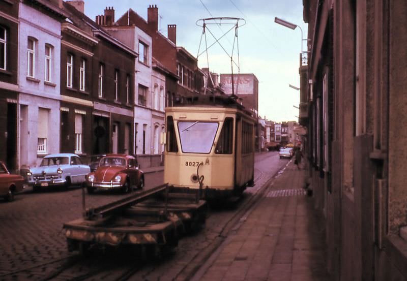
Antwerp’s routes stretched far beyond the city centre. Route 63, operated by the NMVB, ran all the way out to Brasschaat, passing through the city tram terminal at Merksem. Trams departing from the Franklin Rooseveltplaats would head out along the Italiëlei before reaching the suburban stretches of the network. These longer interurban runs gave the tram system a reach that no other mode of transport in the region could match at the time.
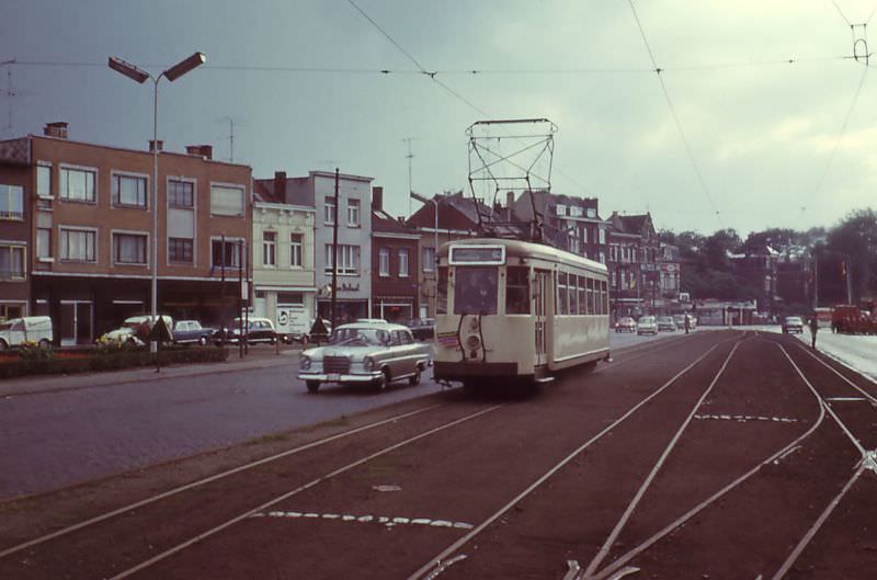
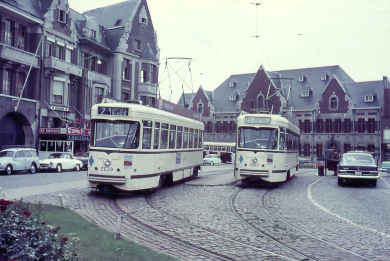
Central Antwerp was regularly disrupted by road and track reconstruction, yet trams kept moving through it all. PCC cars threaded through the Carnotstraat near the Central Station, navigating construction zones while keeping their schedules. The terminus at Mortsel, just southeast of the city, saw multiple routes cross paths — a busy junction where cars from route 7 and route 15 would often share the platform at the same time.
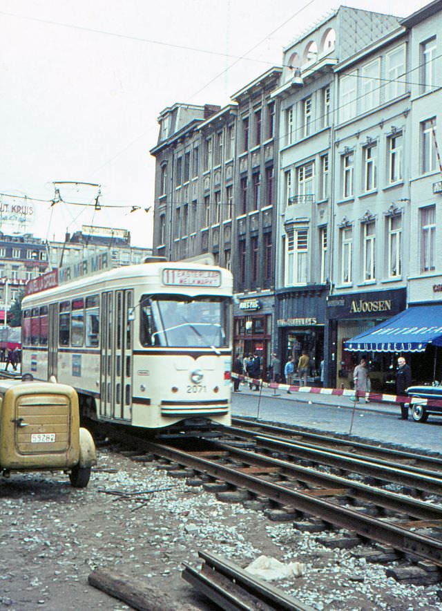
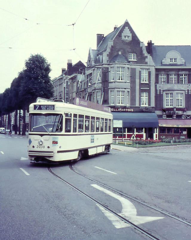
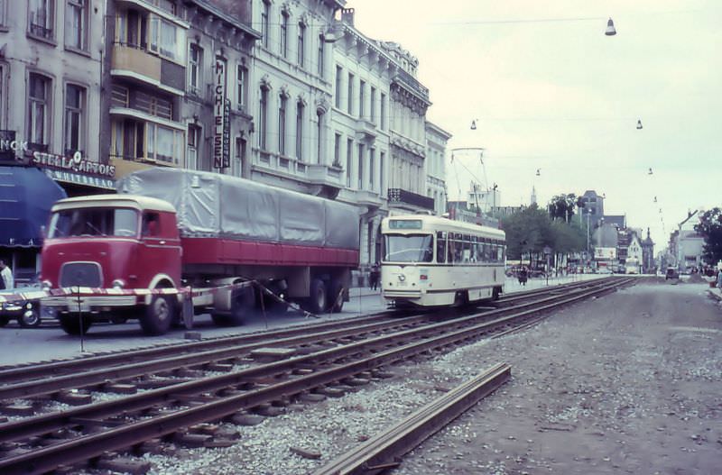
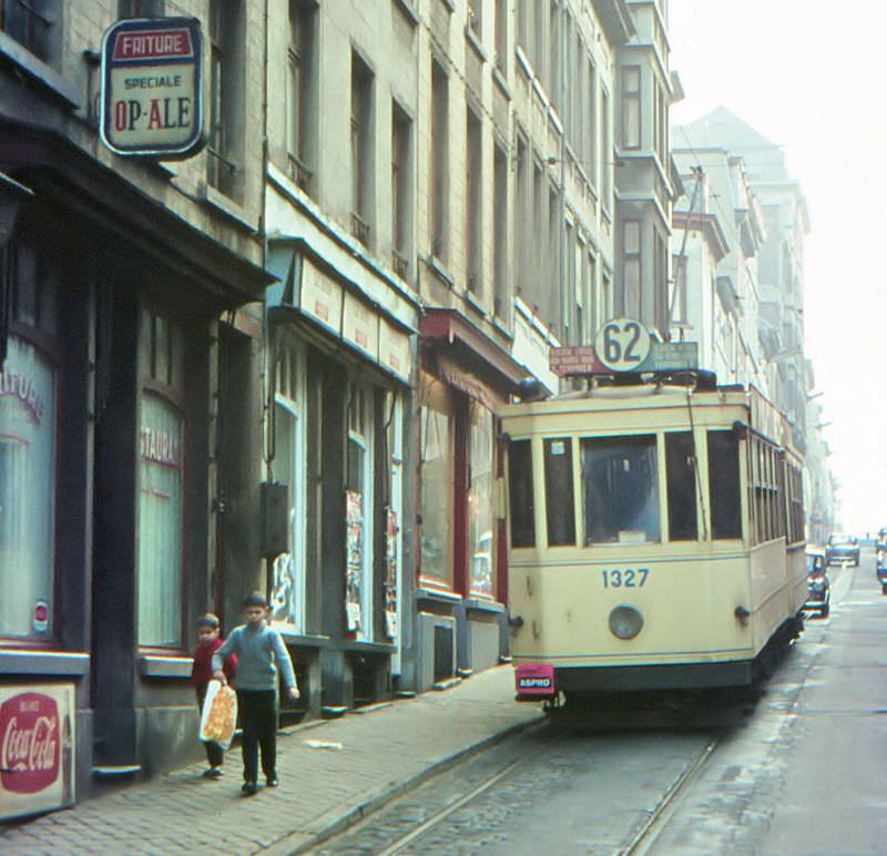
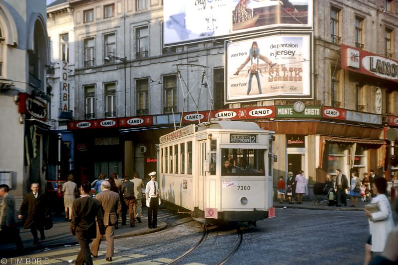
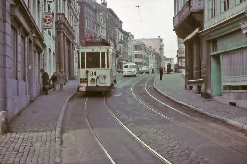
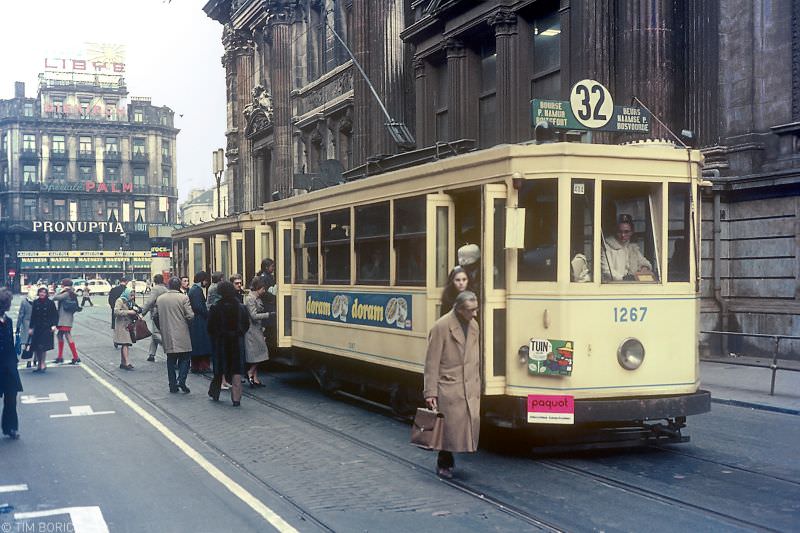
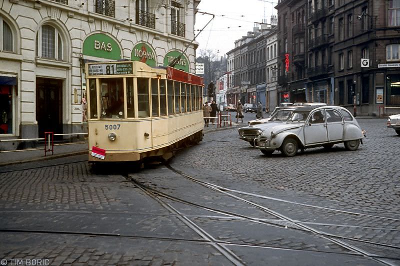
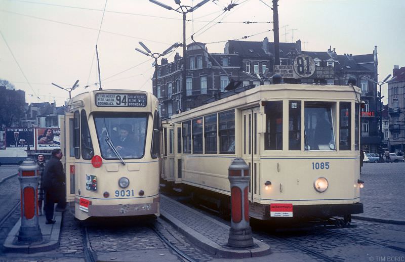
Brussels had its own distinctive tram character. For the World Exhibition of 1935, the city had introduced the famous ‘5000-series’ trams — the first in Brussels to run on two bogies, giving them a smoother and more stable ride. By the 1960s and 1970s, Brussels trams navigated a dense web of boulevards, steep hills, and narrow side streets. Route 62 ran along the Godfried van Bouillonstraat, a stretch of road with a steep gradient that tested both the trams and their drivers. From 1969, many Brussels trams were adapted to run in underground tunnels, using block signalling — a system that allowed safe operation at close intervals beneath the city.
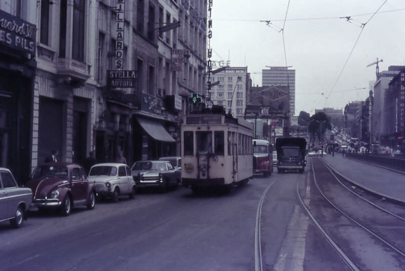
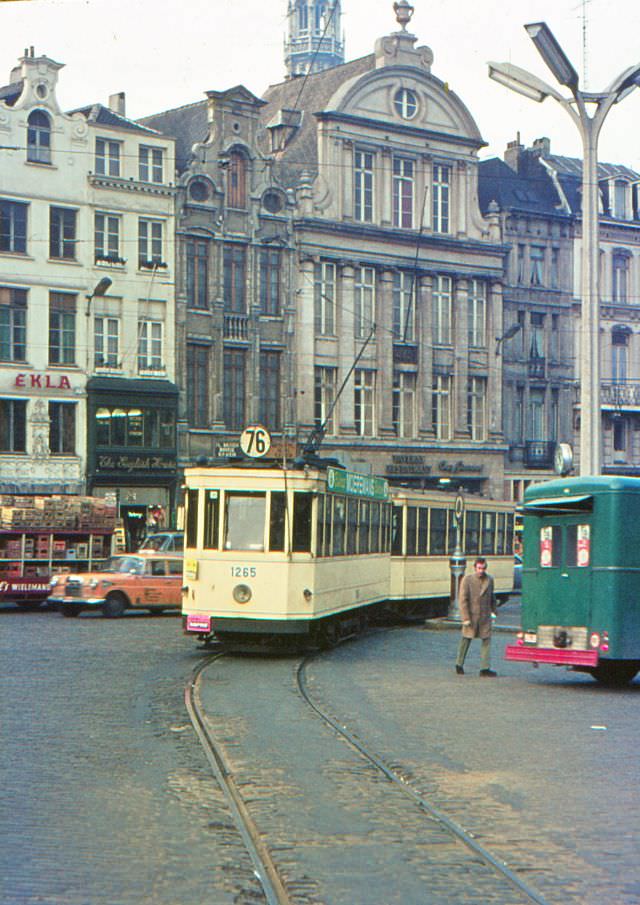
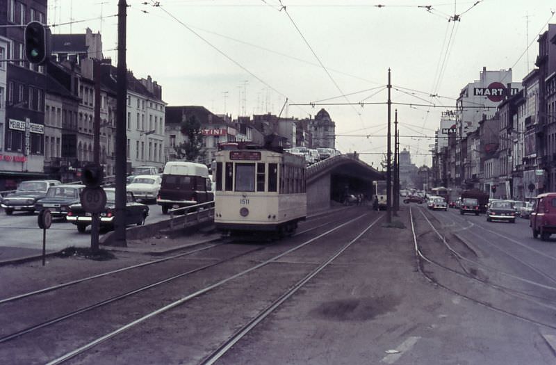
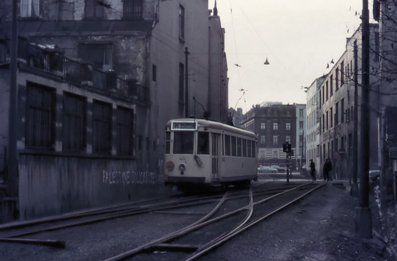
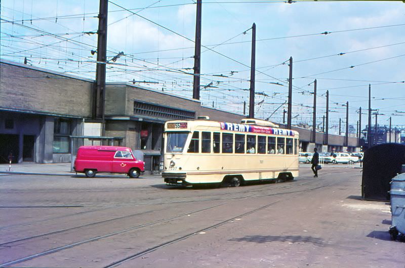
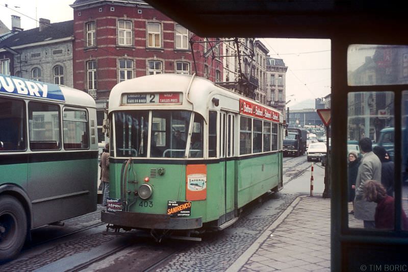
Charleroi, an industrial city in the south of Belgium, had a particularly dense tram network. Routes fanned out from the South Station to the surrounding mining and steel towns, passing through streets thick with factory smoke. The Eden terminus on Boulevard Jacques Bertrand served as a major hub, with multiple routes converging there. Trams in Charleroi operated through working-class neighbourhoods where factories and coke plants formed the backdrop to everyday life.
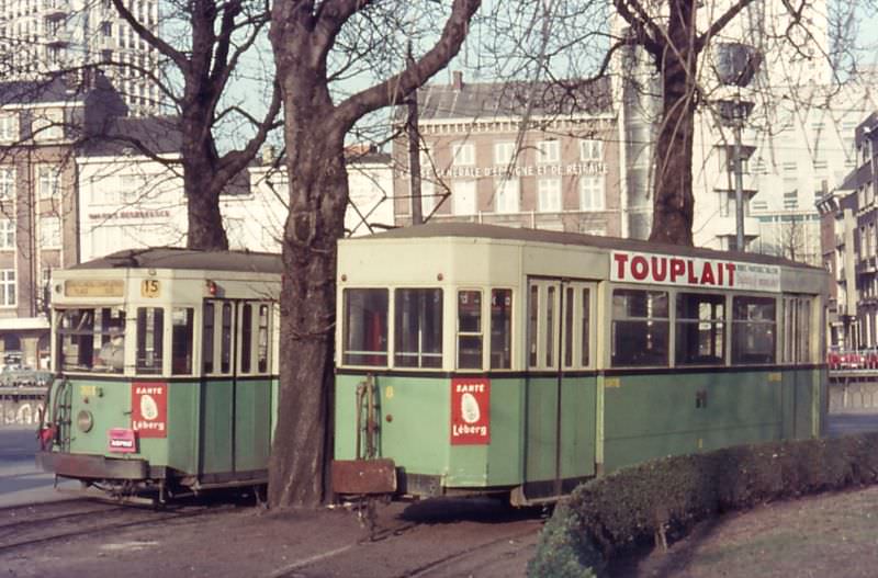
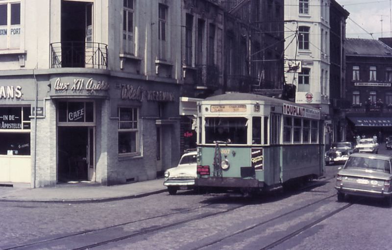
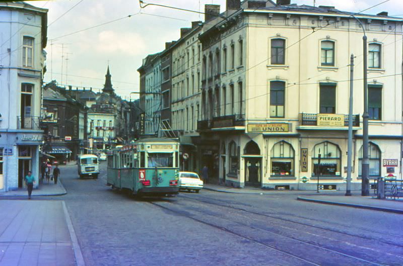
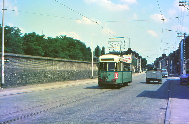
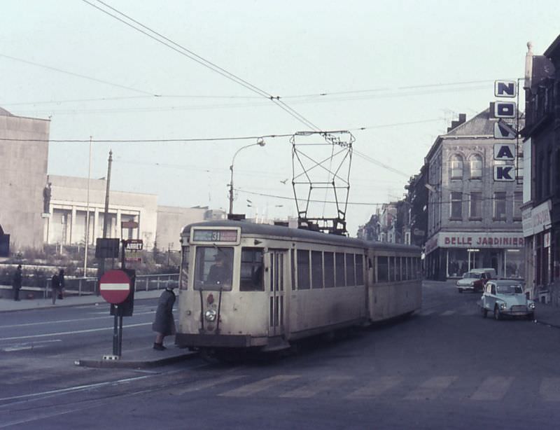
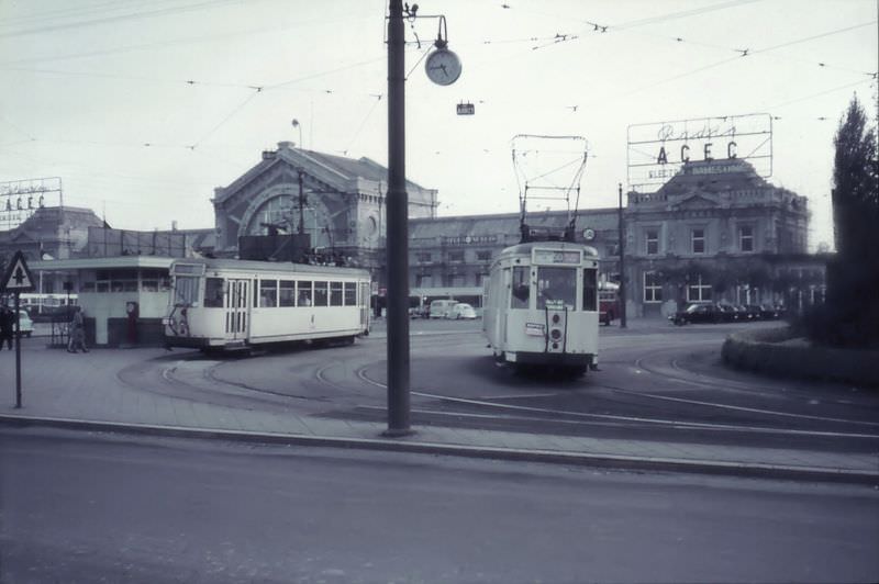
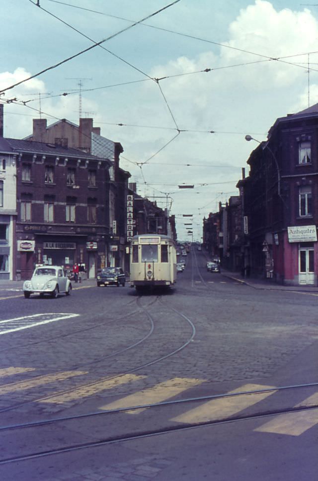
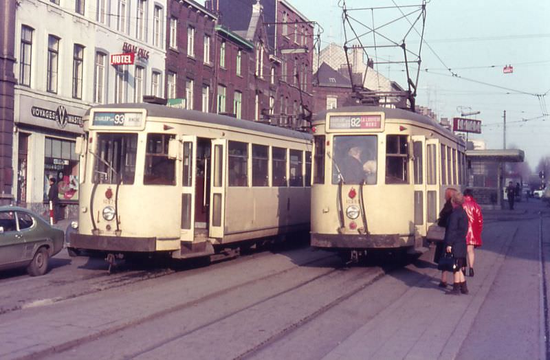
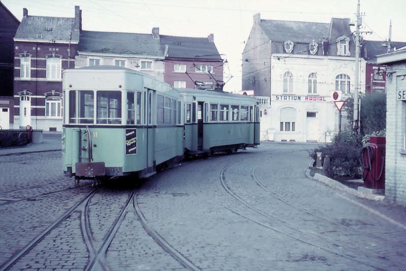
Ghent’s tram network wove through the medieval heart of the city, passing landmarks like the Gravensteen castle and crossing the bridges over its many canals. Route 1 ran toward a terminus simply named Moscou, and at the end of the line, the conductor or wattman had to manually change the pantograph — the arm on the roof that draws power from the overhead wire — to face the right direction for the return journey. Route 3 has since disappeared entirely from Ghent’s map, making the photographs of it running through the city centre particularly rare.
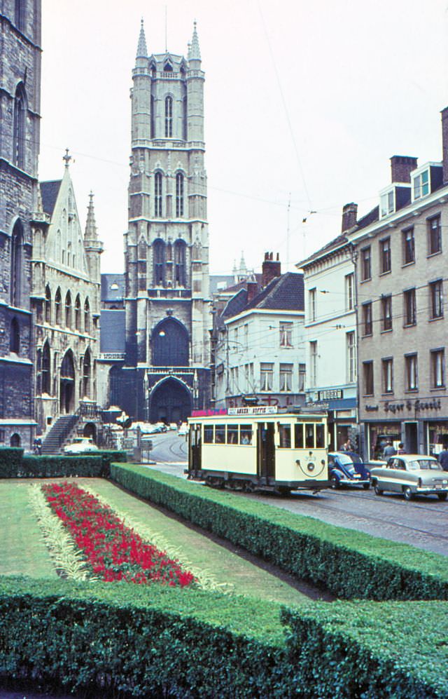
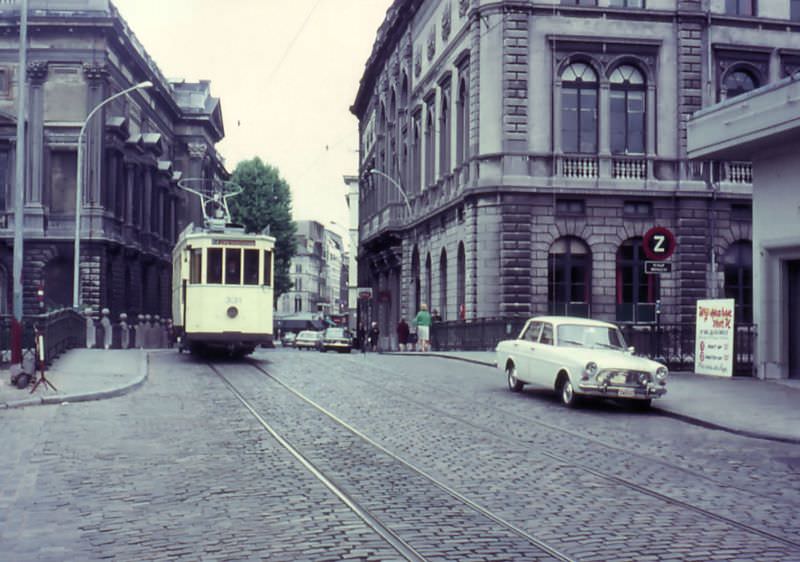
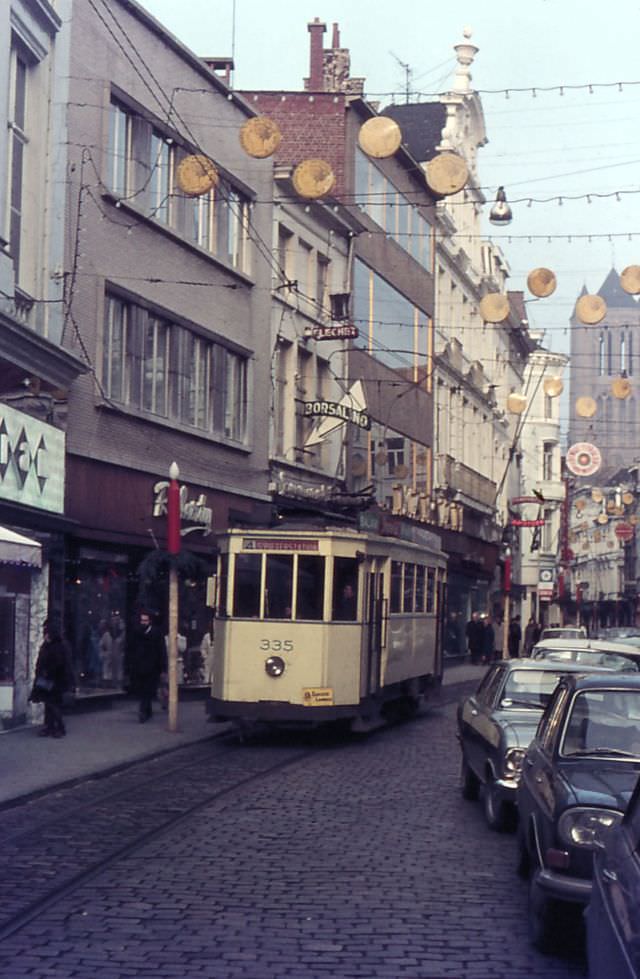
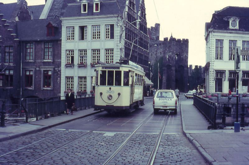
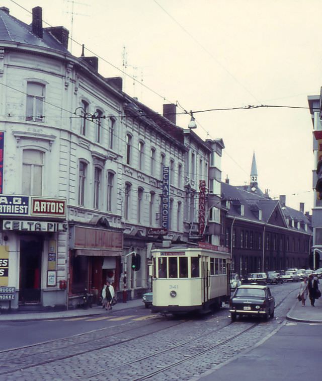
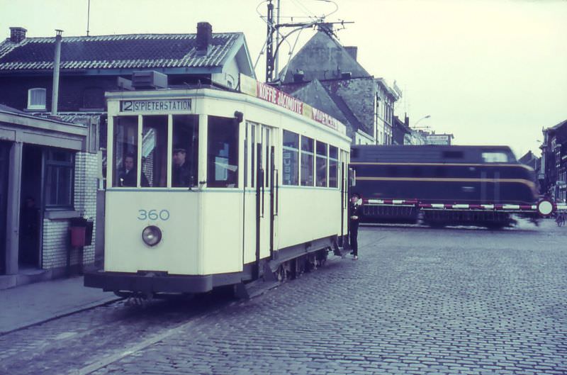
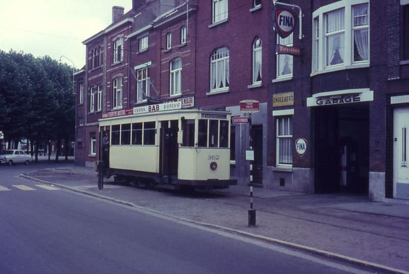
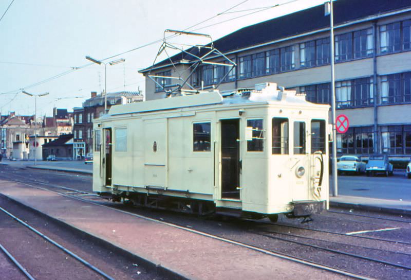
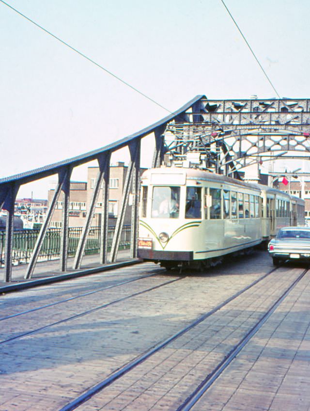
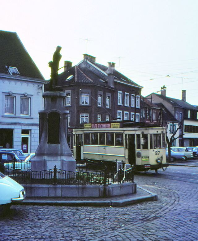
Beyond the major cities, the Belgian tram network reached smaller towns and industrial communities across Wallonia. In La Louvière, a tram wound its way through narrow streets on route 32. In Liège, motorcars ran along the banks of the River Meuse, heading to Flemalle and turning back through the city’s tight centre. Mons saw trams crossing its station square, while Ostend used a modified former diesel motorcar — converted for electric shunting — to move trailers at the tram station. The coastal route from Ostend toward Knokke ran past the harbour, giving passengers views of the working waterfront.
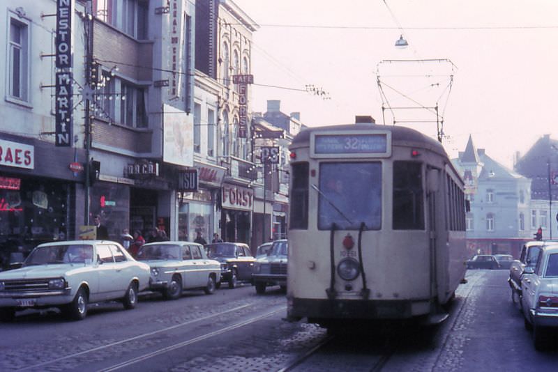
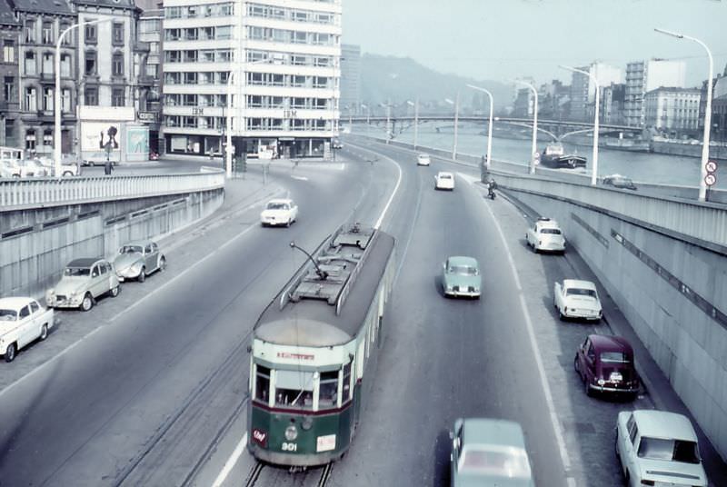

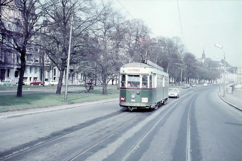
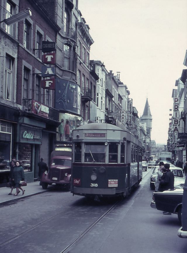
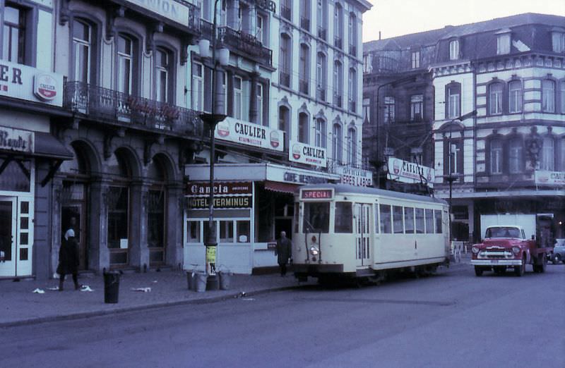
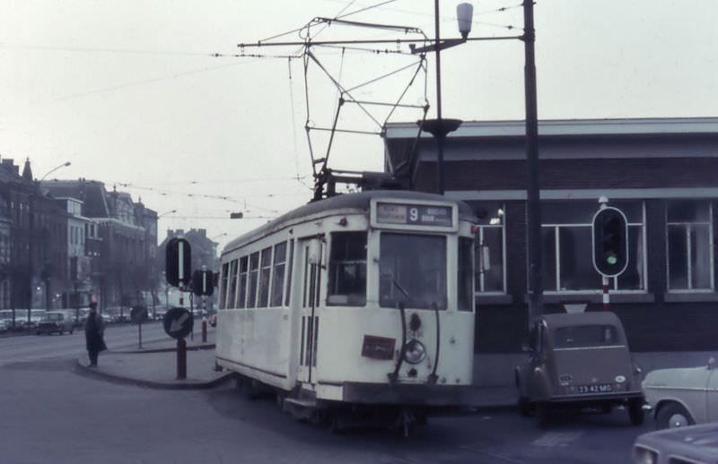
In Verviers, trams descended steep streets with names like Rue Thier Mère Dieu, navigating gradients that would challenge any vehicle. The conductor’s role on these routes was very much hands-on — at the depot in Roux in 1975, a conductor still wearing the traditional dust coat stepped off the tram to manually set the points, directing the car onto the correct track, all under the watchful eye of the driver. These small operational details capture just how labour-intensive running a tram network truly was.
The street-level photographs taken in and around Antwerp during the early 1970s show just how completely trams dominated the urban landscape. The Franklin Rooseveltplaats was one of the city’s key tram hubs, though for years it was overshadowed by a removable steel viaduct that cut across the square. A 1908 vintage tram car, still in service in 1973, navigated the curve from Van Wesenbekestraat to Gemeentestraat — a vehicle with more than six decades of service behind it, still carrying passengers through a modern city.
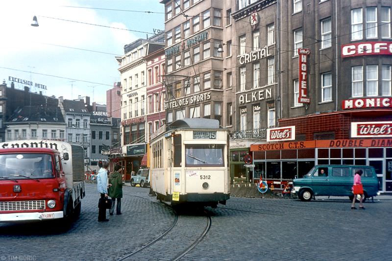
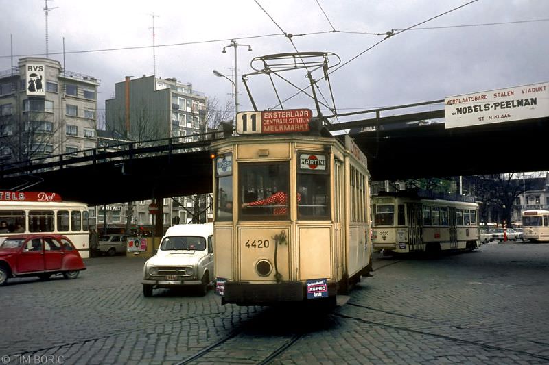
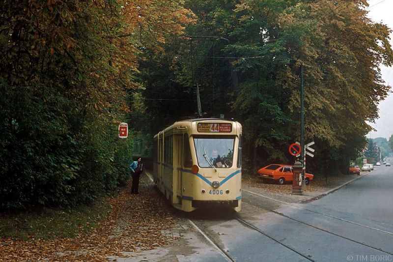
Brussels in the early 1970s offered a mix of grand boulevards and tight junctions where tram lines converged in complex arrangements. The Barrière de Saint-Gilles — a star-shaped intersection where six streets met — was one of the more dramatic spots on the network, with trams crossing each other’s paths from multiple directions. The Tervurenlaan, photographed in 1977, shows trams running along a wide tree-lined avenue, a very different environment from the cramped city-centre streets just a few kilometres away.
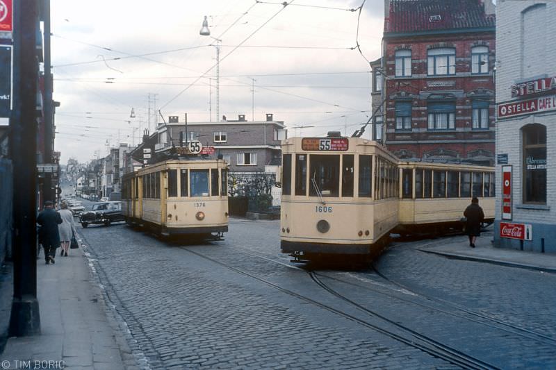
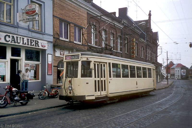
Around Charleroi, the NMVB’s suburban routes told a very different story from the city’s main tram lines. Route 89 was a short working of the longer route 80 service from Charleroi, ending at Chapelle-lez-Herlaimont right in front of the local friture — a chip shop. In Dampremy, a steelworker or miner sits in the winter sun outside his home as a vicinal tram passes by on the street, while in the background the coke factory at Marchienne-au-Pont fills the skyline with smoke. These images show the tram not as a tourist attraction but as a working tool embedded in the lives of industrial communities.
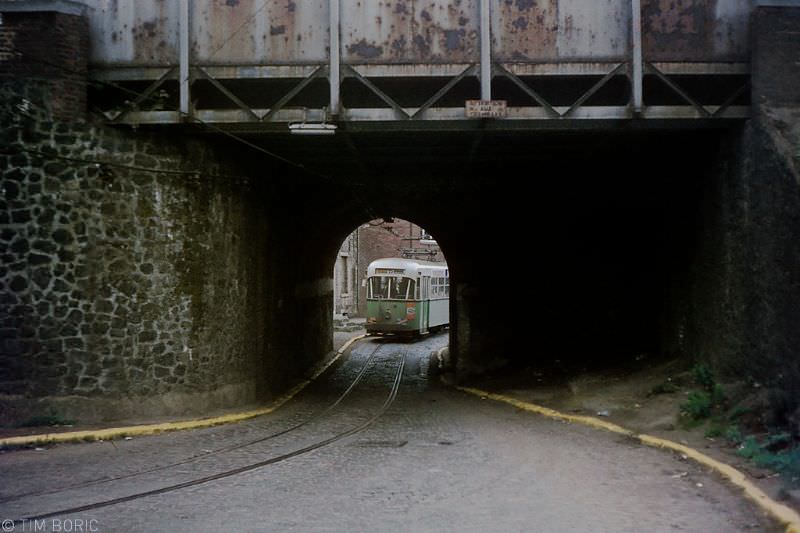
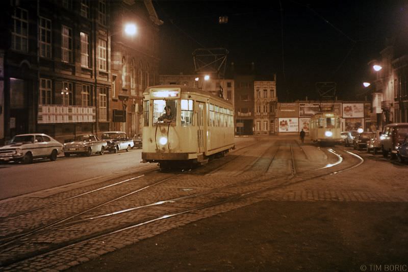
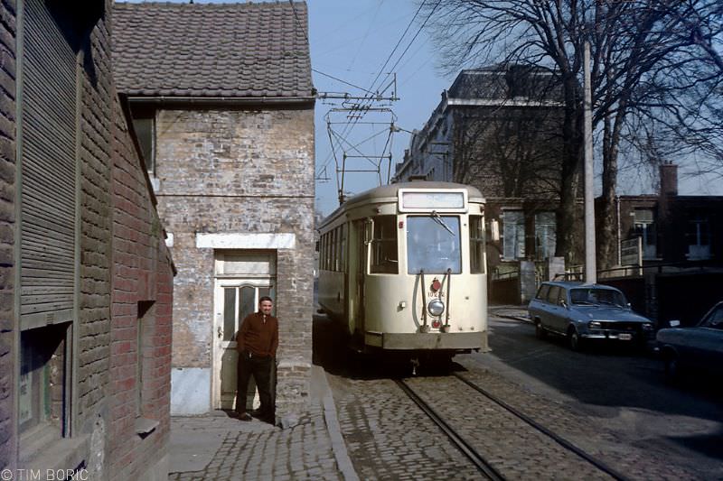
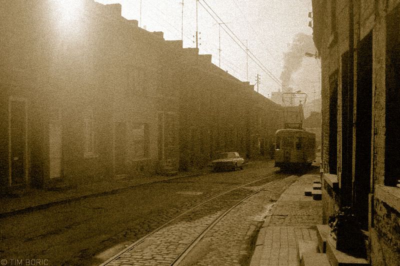
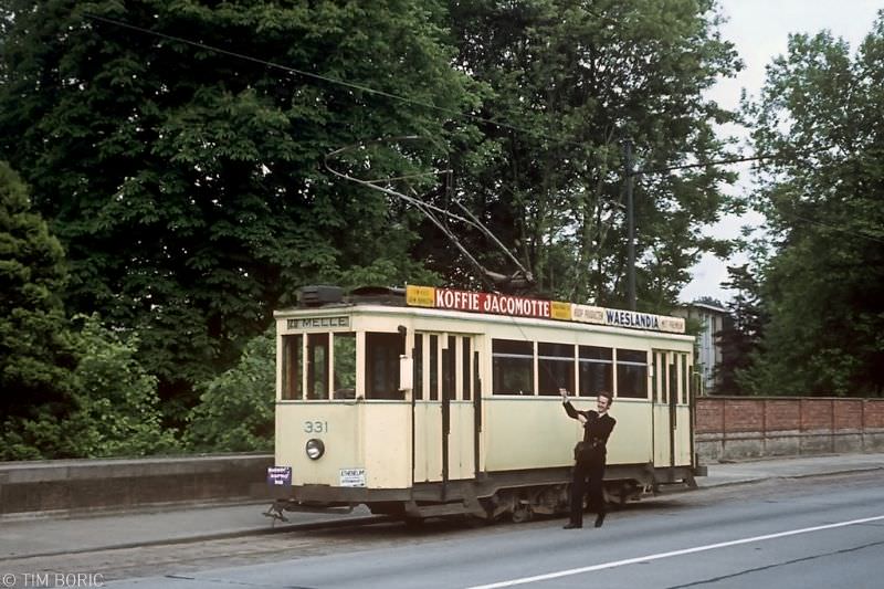
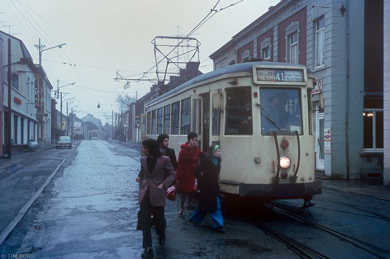
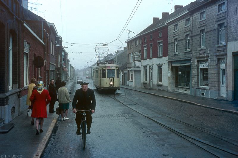
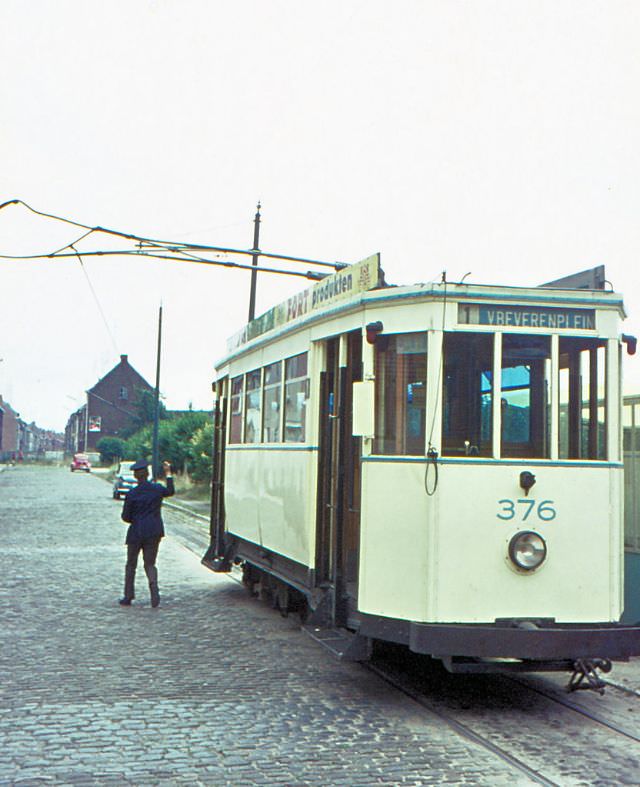
Near Ghent, at the terminus of line 20 in Melle, a crew member swings the bow collector — the device on the tram’s roof that contacts the overhead wire — to point the right way for the return trip. It’s a routine task performed dozens of times a day at every end-of-line terminus across Belgium. The final photographs from Souvret, taken around 1975, capture trams running through a grey drizzle with the street lights still burning on a bleak morning — an entirely ordinary scene from a network that ran through all weathers, every day, across a country built in no small part around its trams.