Hey There! Before You Go. 😧
Get the best vintage content straight into your inbox!

Don't worry, we don't spam

Spectacular Photos of Toronto Streets in the 1980s

Toronto in the 1980s was a city on the move. The population was growing fast, construction cranes dotted the skyline, and new businesses were opening across every neighbourhood. The CN Tower, completed in 1976, had already become the city’s most recognizable symbol, and by the early 1980s it was drawing visitors from around the world. Downtown’s Financial District was filling in with glass towers, and corporations were planting their headquarters along Bay Street and King Street West. The city was becoming a serious North American business hub — and the streets showed it.
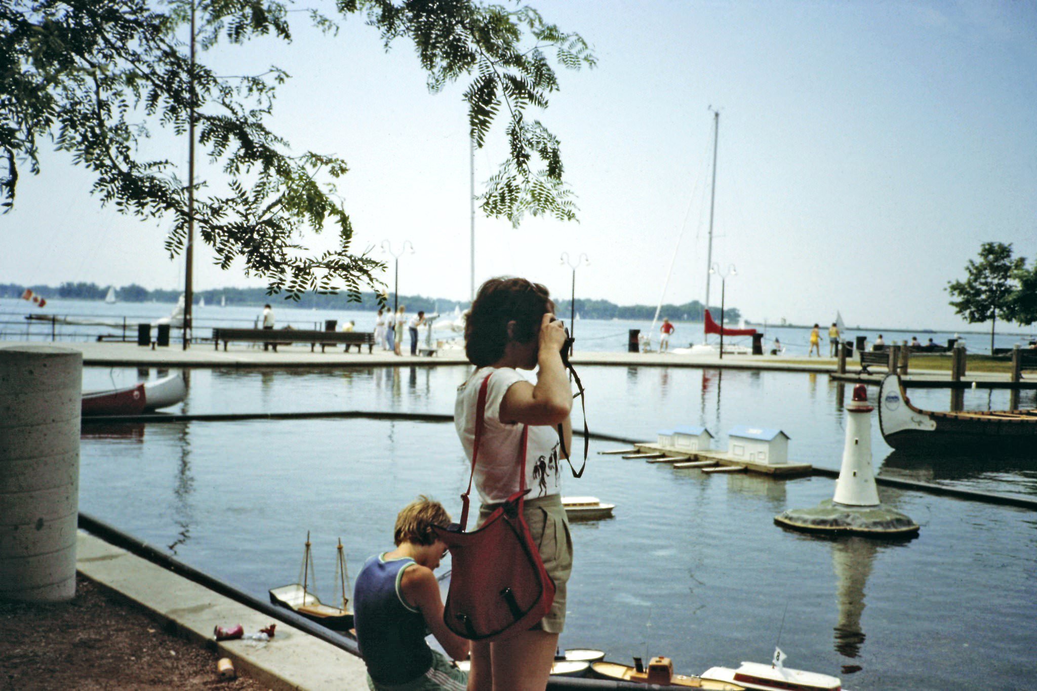
On the waterfront, 1982

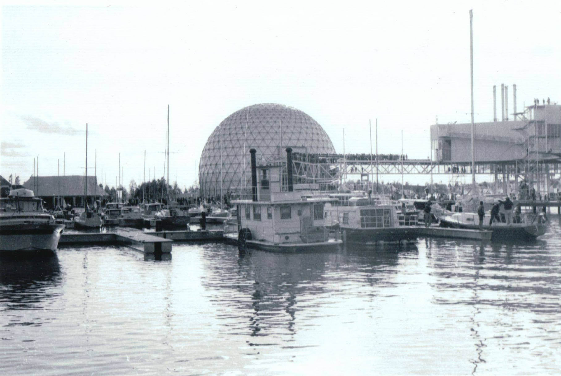
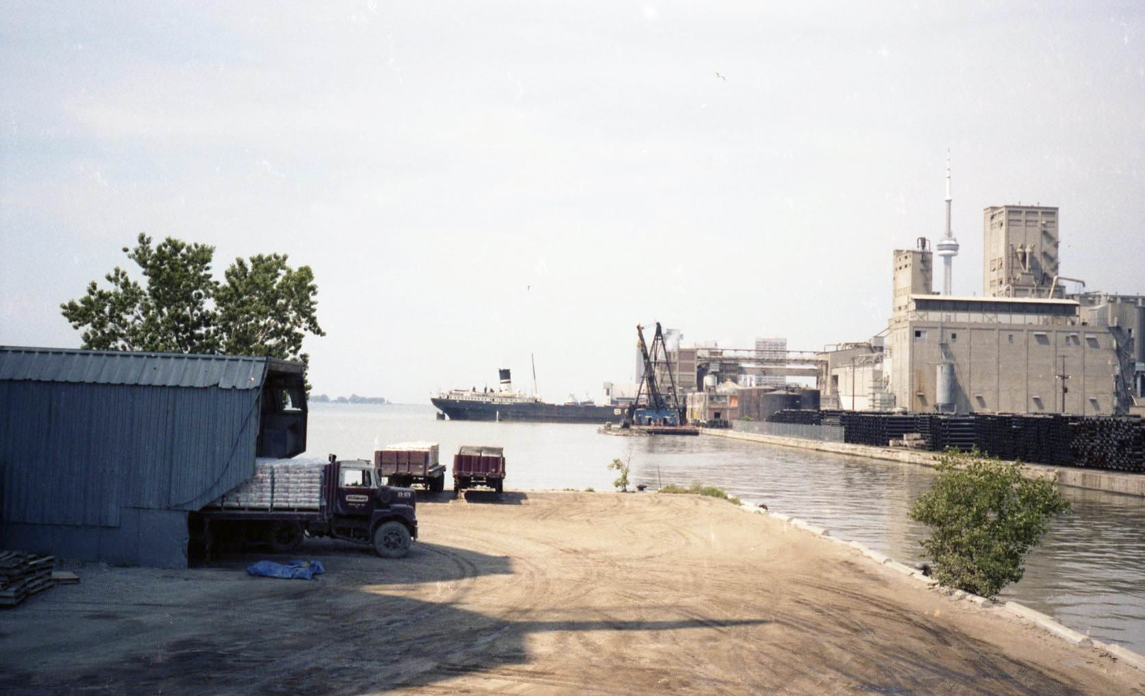
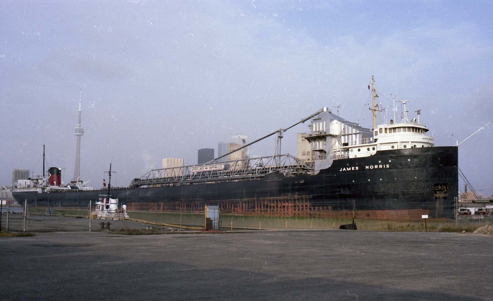
But Toronto in the 1980s wasn’t only about office towers and Bay Street suits. The waterfront was a busy, lived-in place. Ferries crossed to the Toronto Islands regularly, and Centre Island drew families on warm weekends. The portlands, just east of downtown, were still a working industrial zone, with vessels moored along the docks and the Hearn generating station looming in the distance.
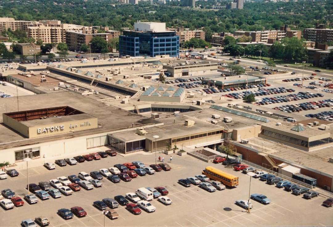
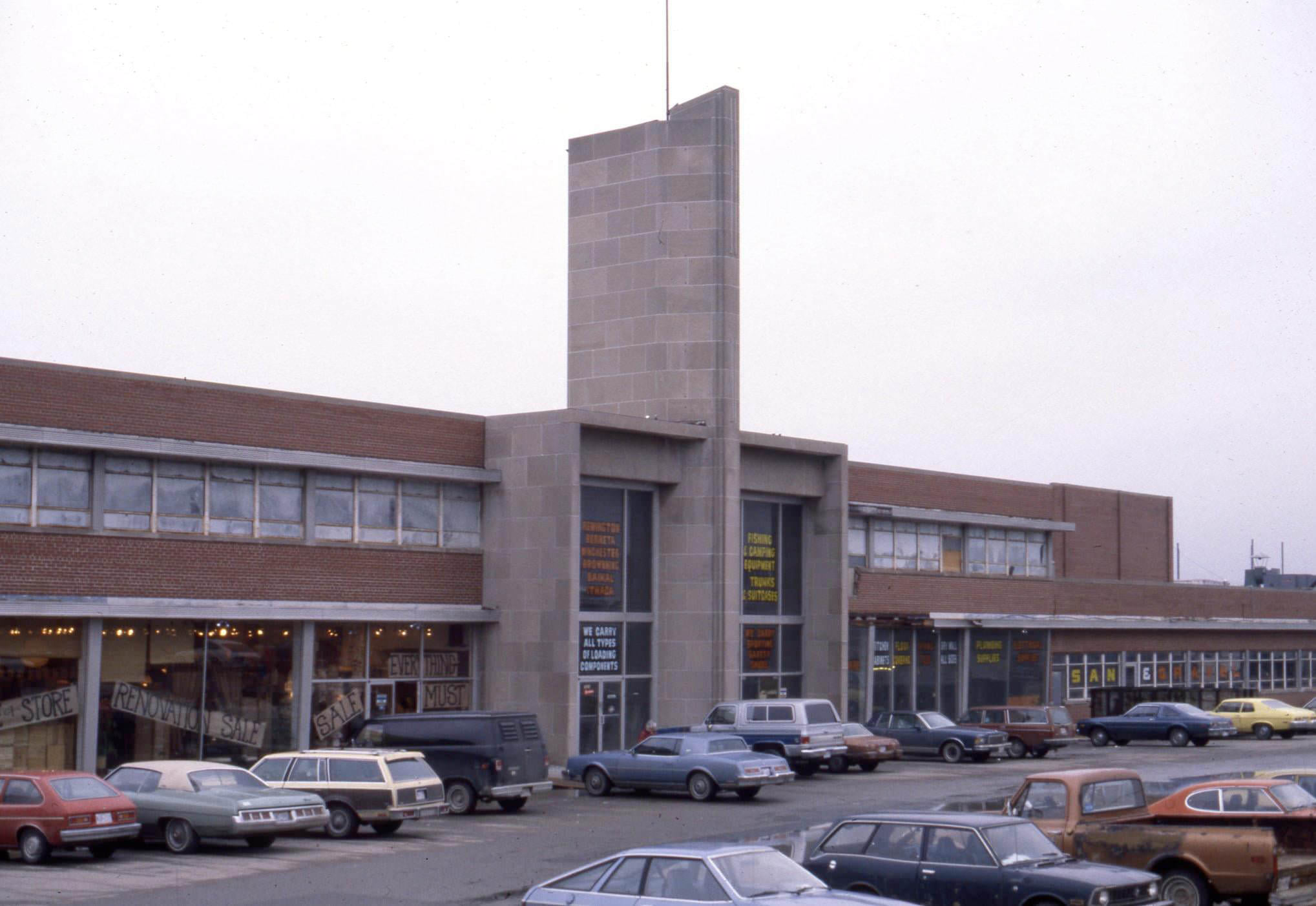
Don Mills Shopping Centre Looking Northeast, 1980
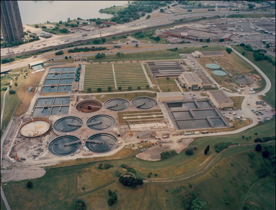
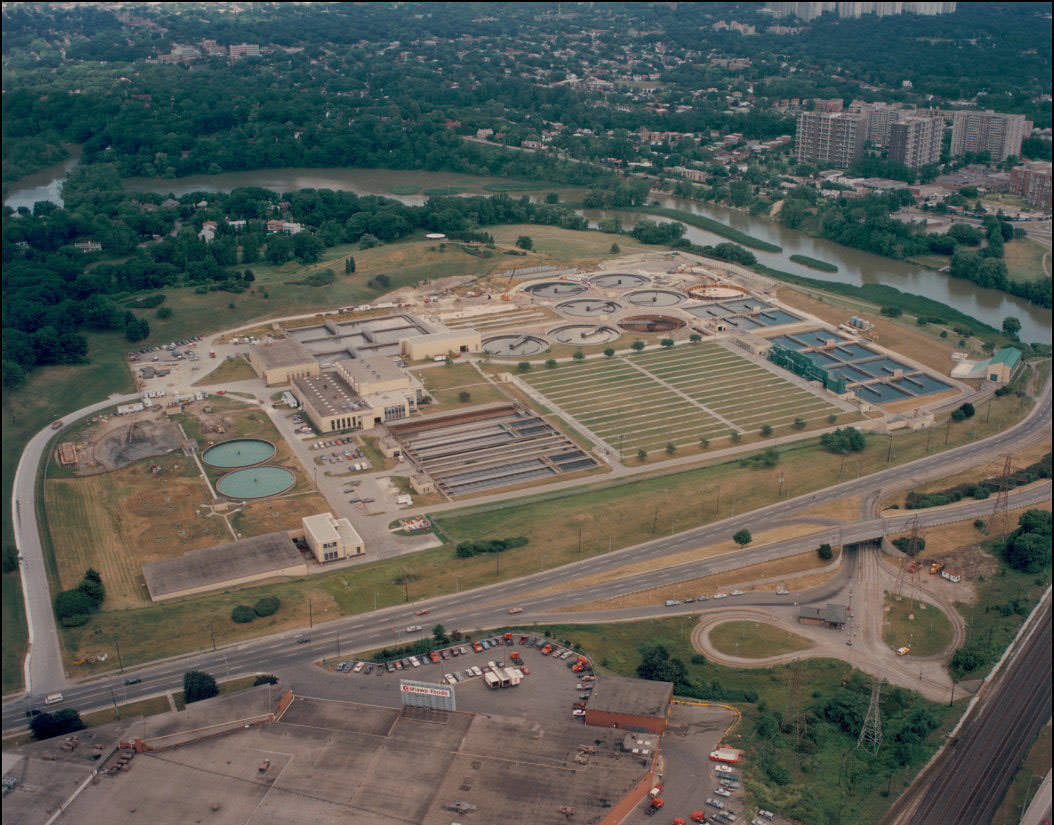
Humber Treatment Plant, 1989

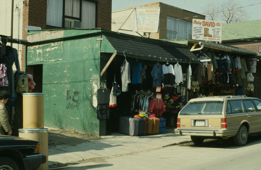
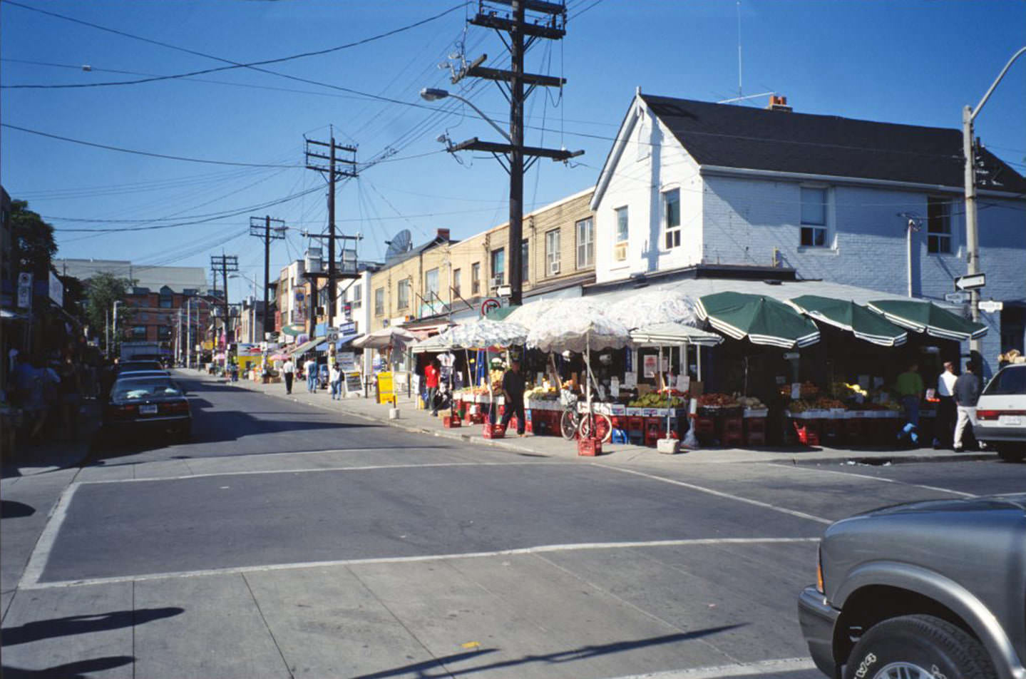
Neighbourhoods across the city each had their own distinct character. Brunswick Avenue in the Annex was lined with Victorian homes and quiet residential life. Chinatown along Dundas Street was a dense, vibrant stretch of markets, restaurants, and storefronts. Augusta Avenue, running through Kensington Market, was particularly well-documented during this period — its narrow street packed with meat markets, older row houses, and century-old buildings like the Edward Leadlay house at No. 25, built in 1876.
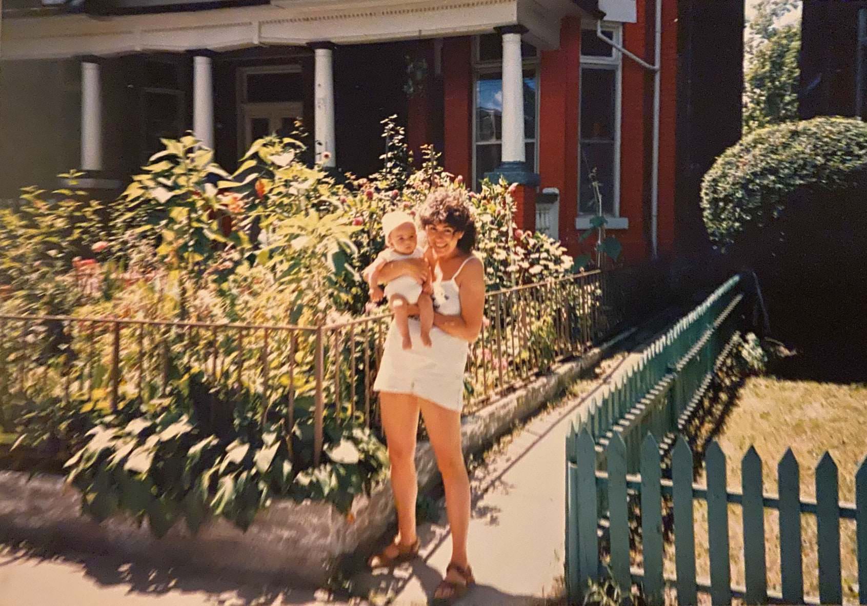
A woman holding her baby on Brunswick Avenue, 1985
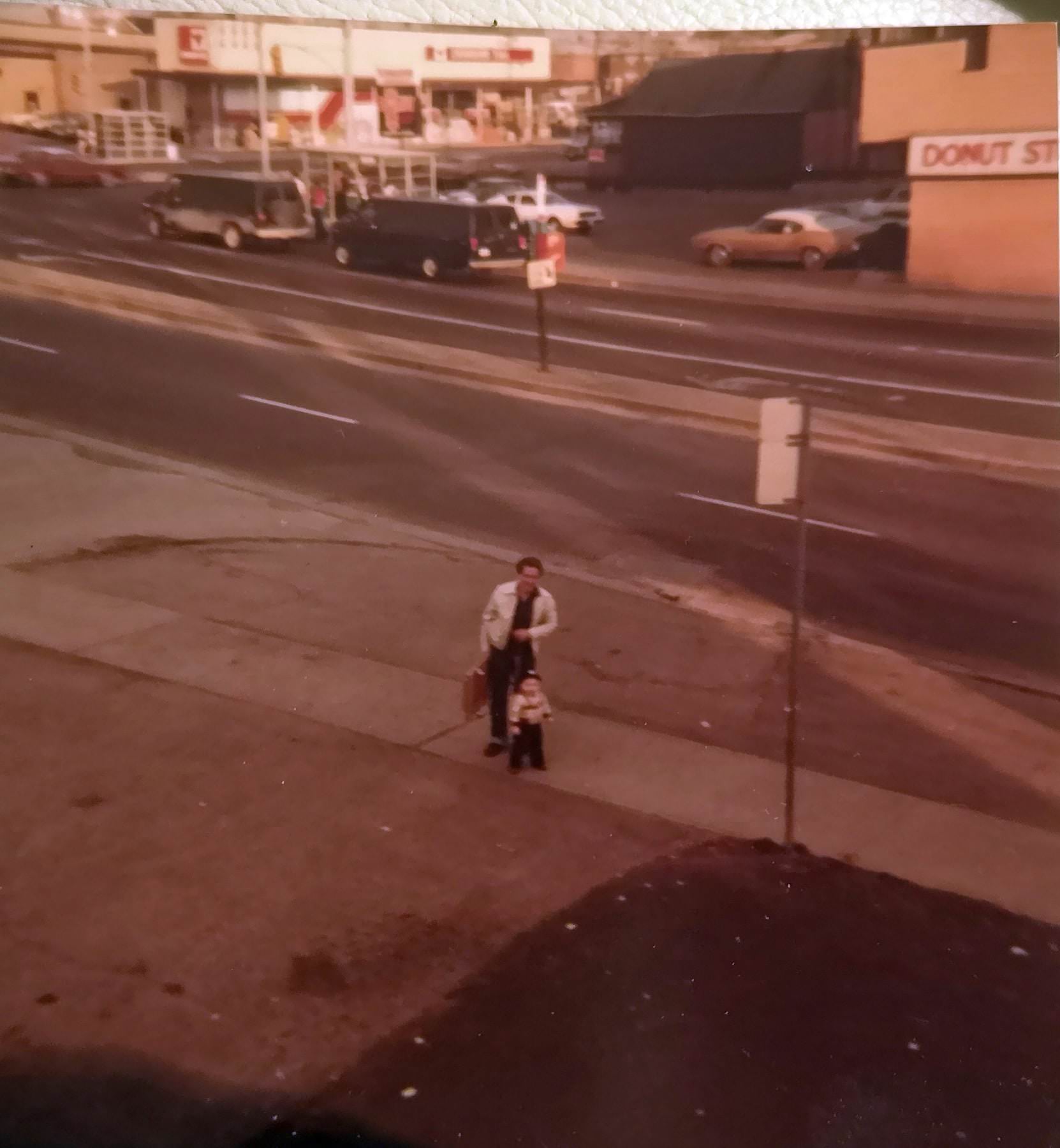
The corner of Jane & Lawrence with what appears to be a Canadian Tire store (now a transmission shop and a Salvation Army thrift store) and a Donut Stop, 1980s

The area around Fort York looked entirely different in 1985. Open land and industrial remnants dominated the view east from that part of the city — a landscape that has since been replaced almost entirely by condominiums. The same is true of Yonge and Sheppard, where photos from 1980 and 1985 show a far less dense intersection than what stands there today. The condo boom that would reshape central Toronto was still just beginning to gather steam by the end of the decade.
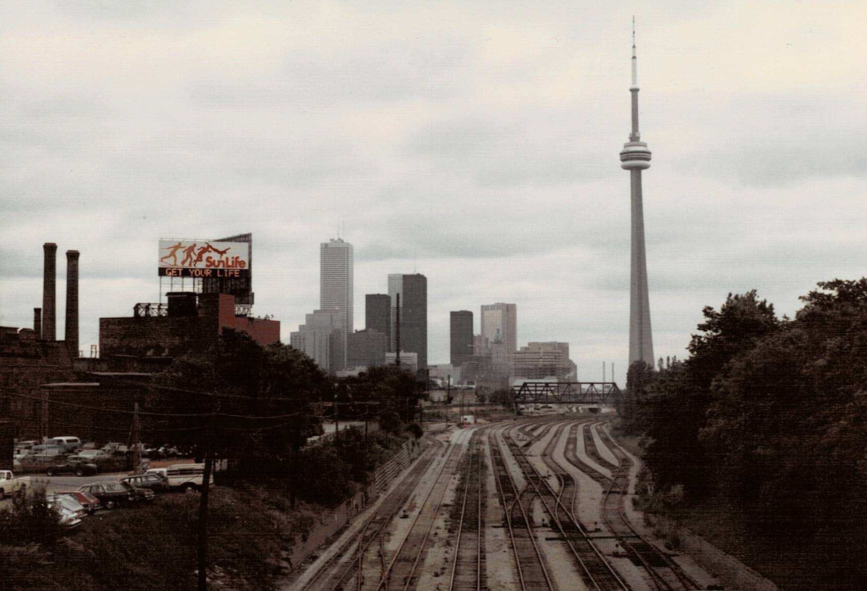
Taken in fall 1985 looking east from around Fort York. Totally different now.
Center island, 1982
Center island, 1982

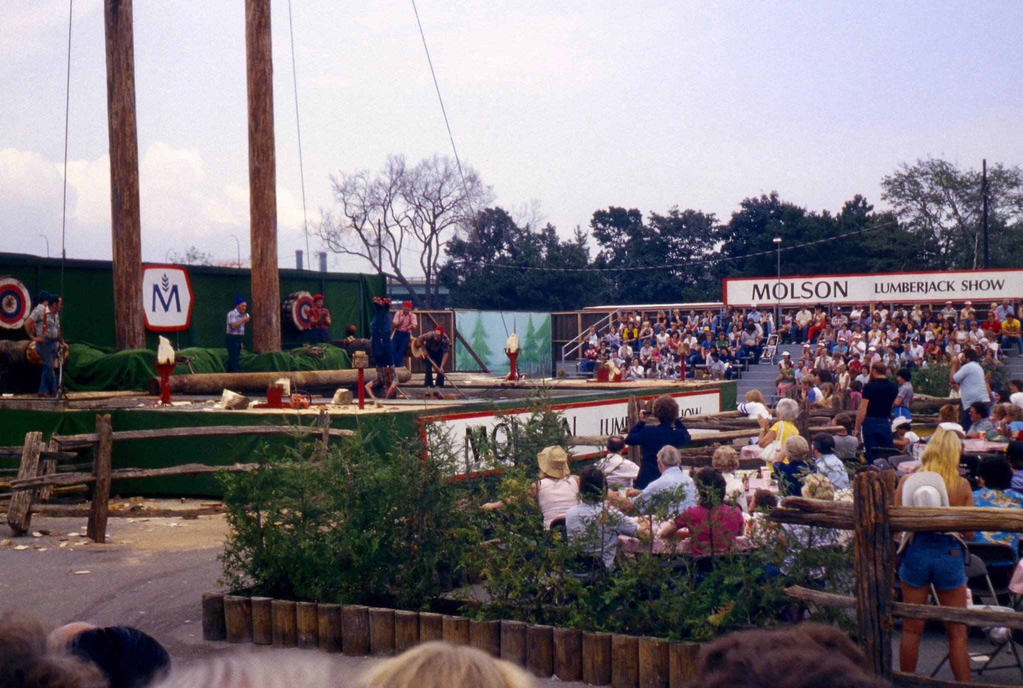
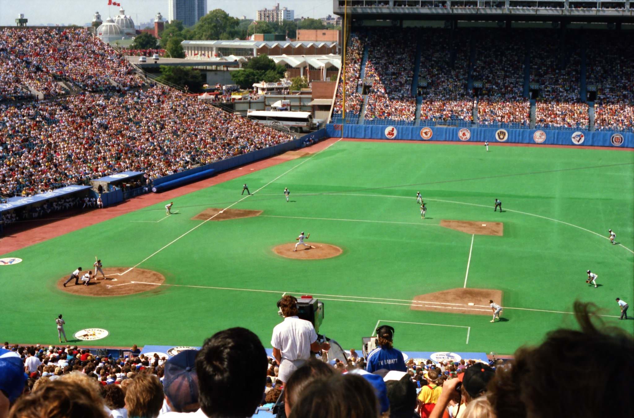
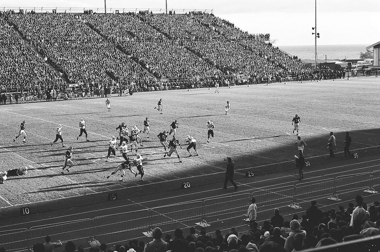
The Canadian National Exhibition was a major annual event throughout the decade. The CNE grounds at Exhibition Place hosted crowds every summer, and the nearby Exhibition Stadium was home to the Toronto Blue Jays, who played their home games there until the SkyDome opened in 1989. Football was also played at the stadium, with fans filling the stands for CFL games throughout the decade.
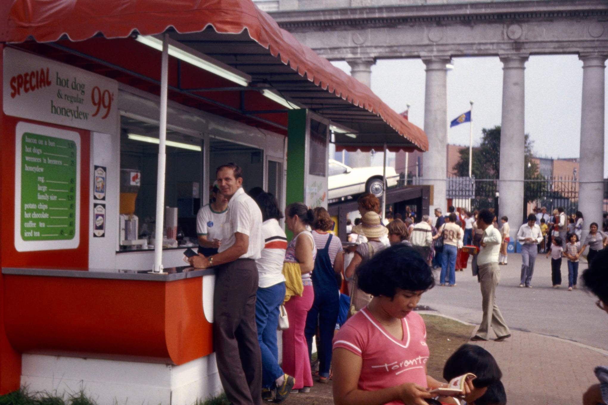
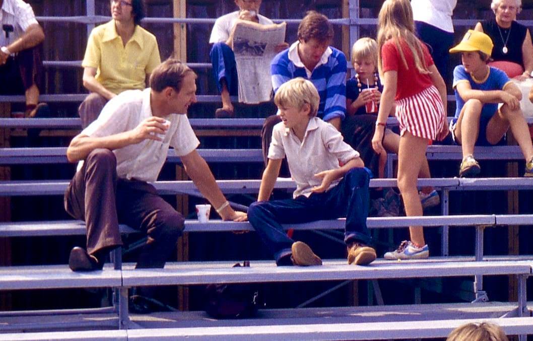
C.N.E. Toronto, 1980s
Carey Road in the 1980s.

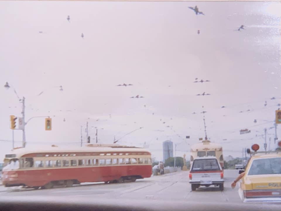
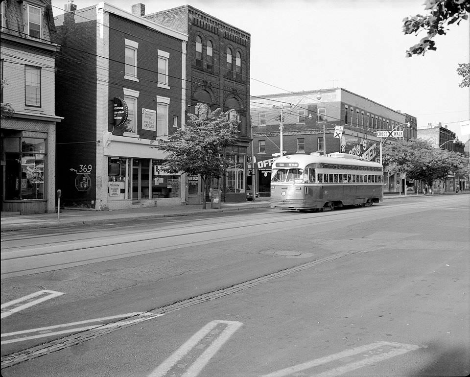
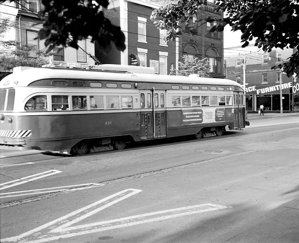
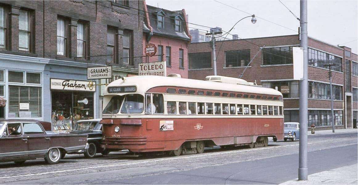
The Toronto Transit Commission was a constant presence on city streets. PCC streetcars — some of the older models still in service — ran along St. Clair, Queen, and other routes well into the decade. The CLRV streetcars, newer at the time, had entered service in the late 1970s and were still a relatively fresh sight by the early 1980s. TTC also ran a fleet of double-decker buses on special excursions, and a small number of articulated buses were tested in Toronto around 1982 as part of a Province of Ontario demonstration program that included 53 buses split across four transit agencies: Hamilton Street Railway, Mississauga Transit, OC Transpo, and the TTC.
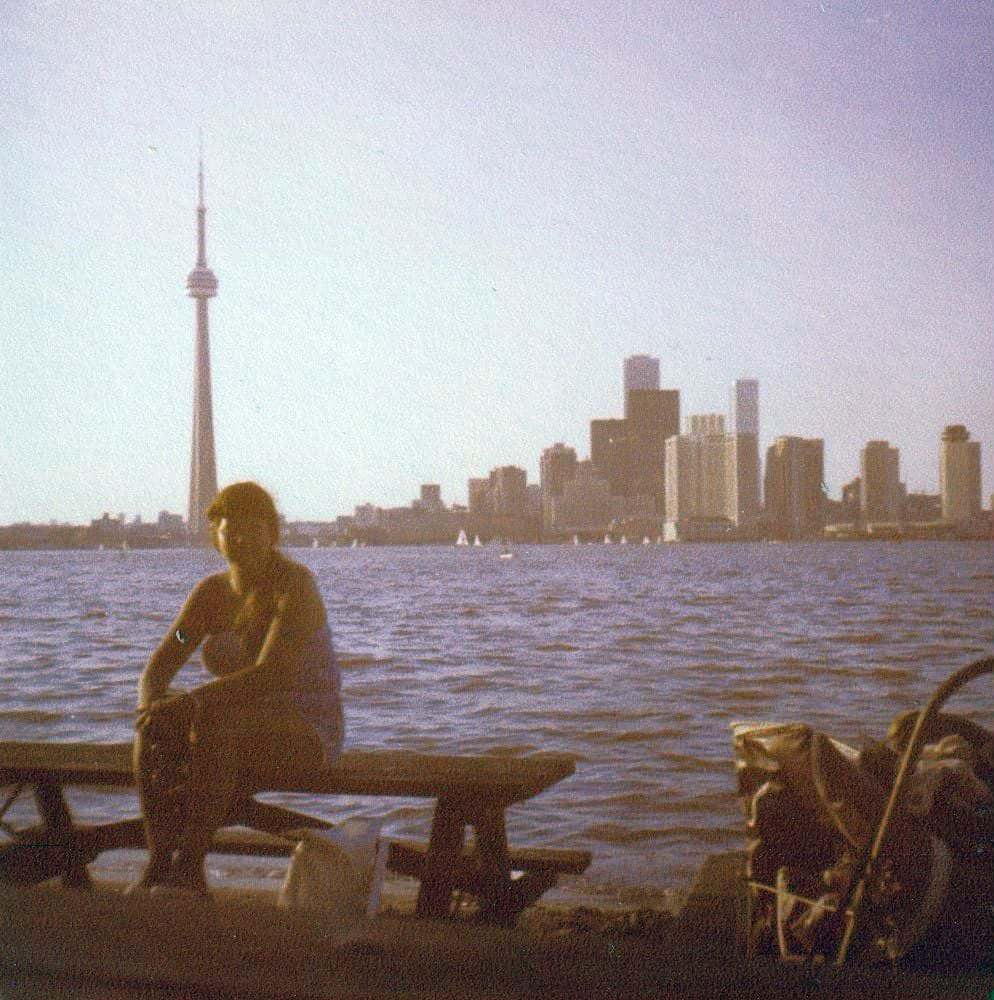
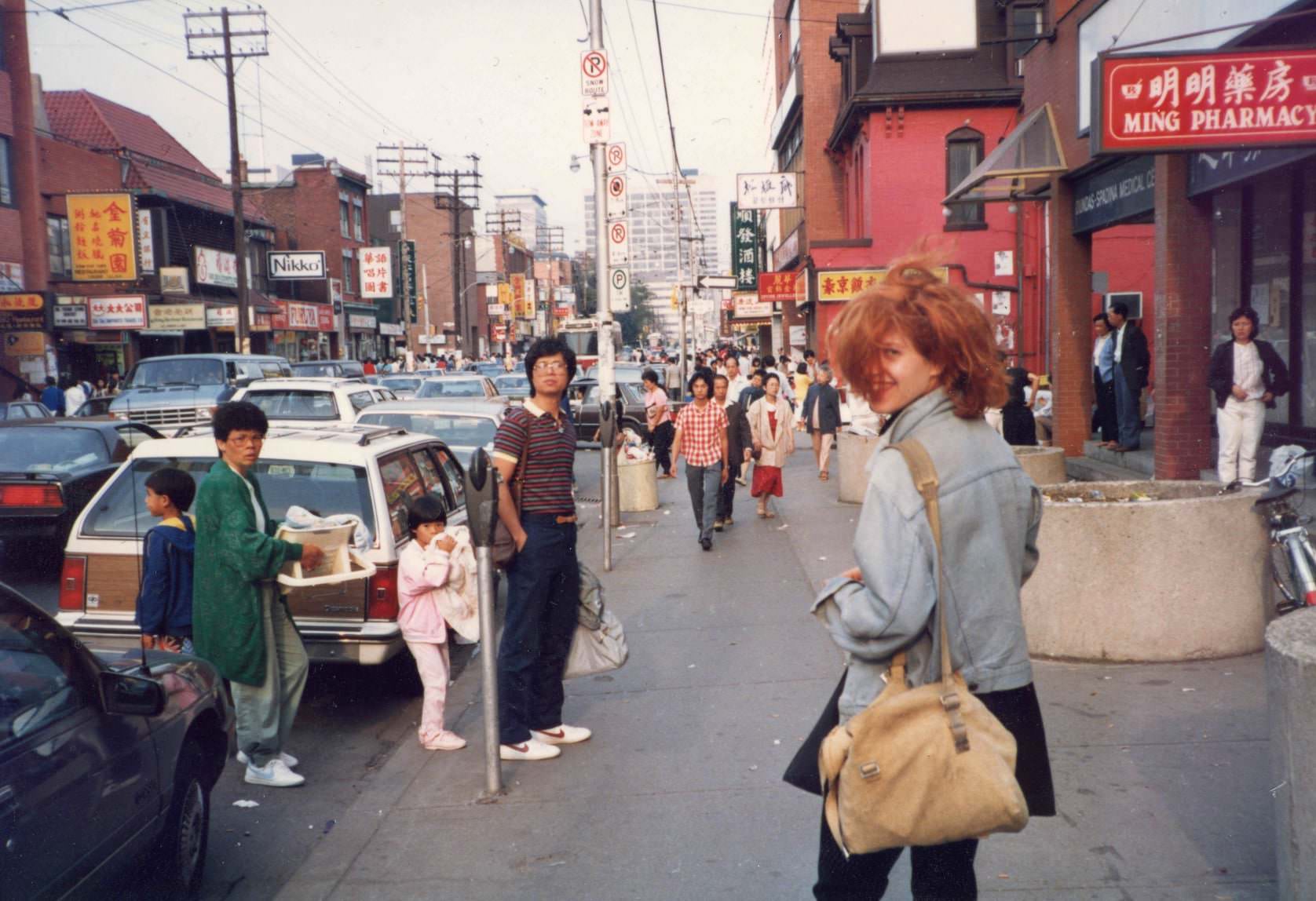
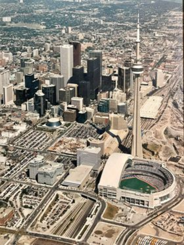
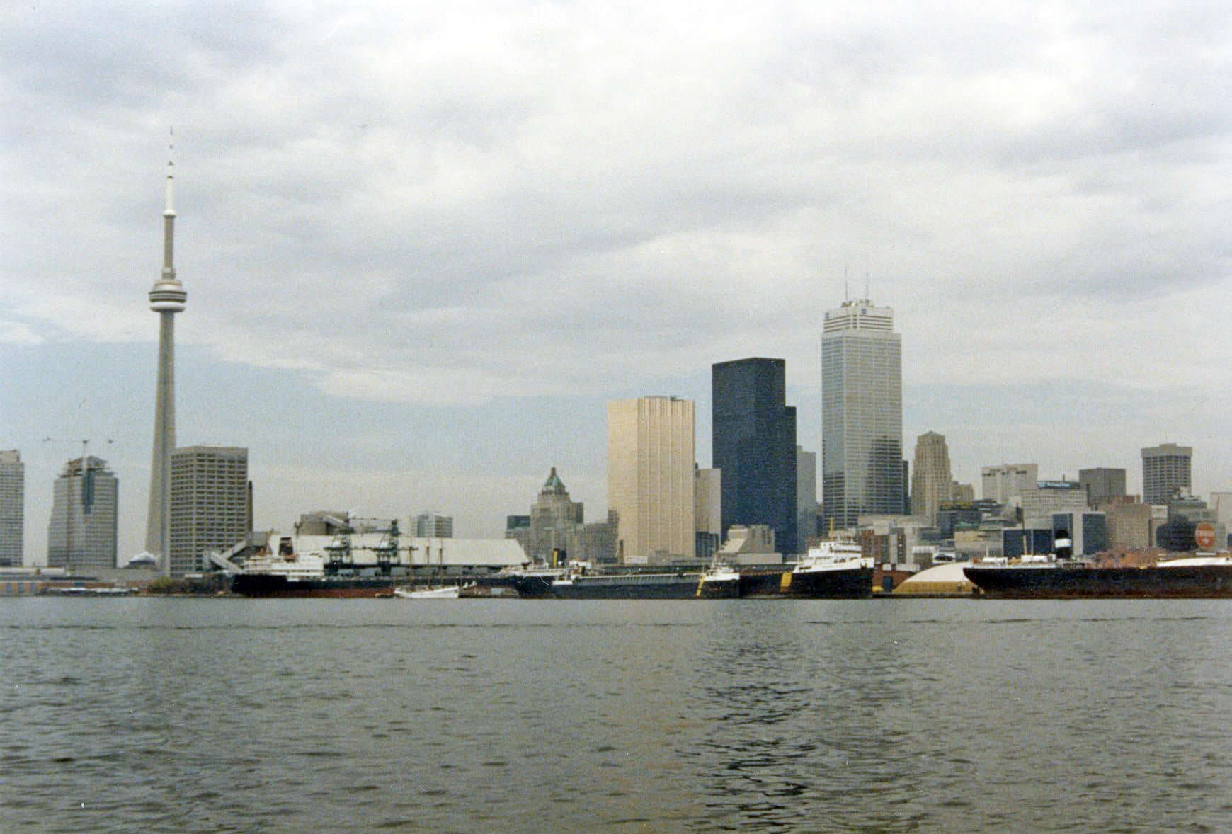
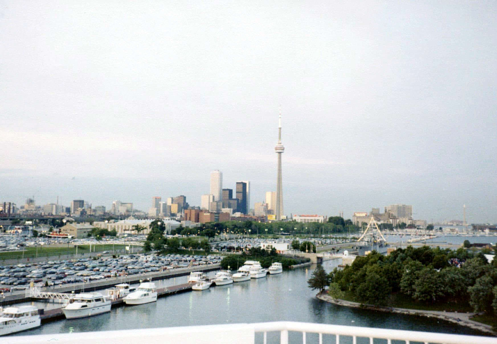
Toronto skyline, July 1981.
This is Sid on Dundas Street in Chinatown in 1983.
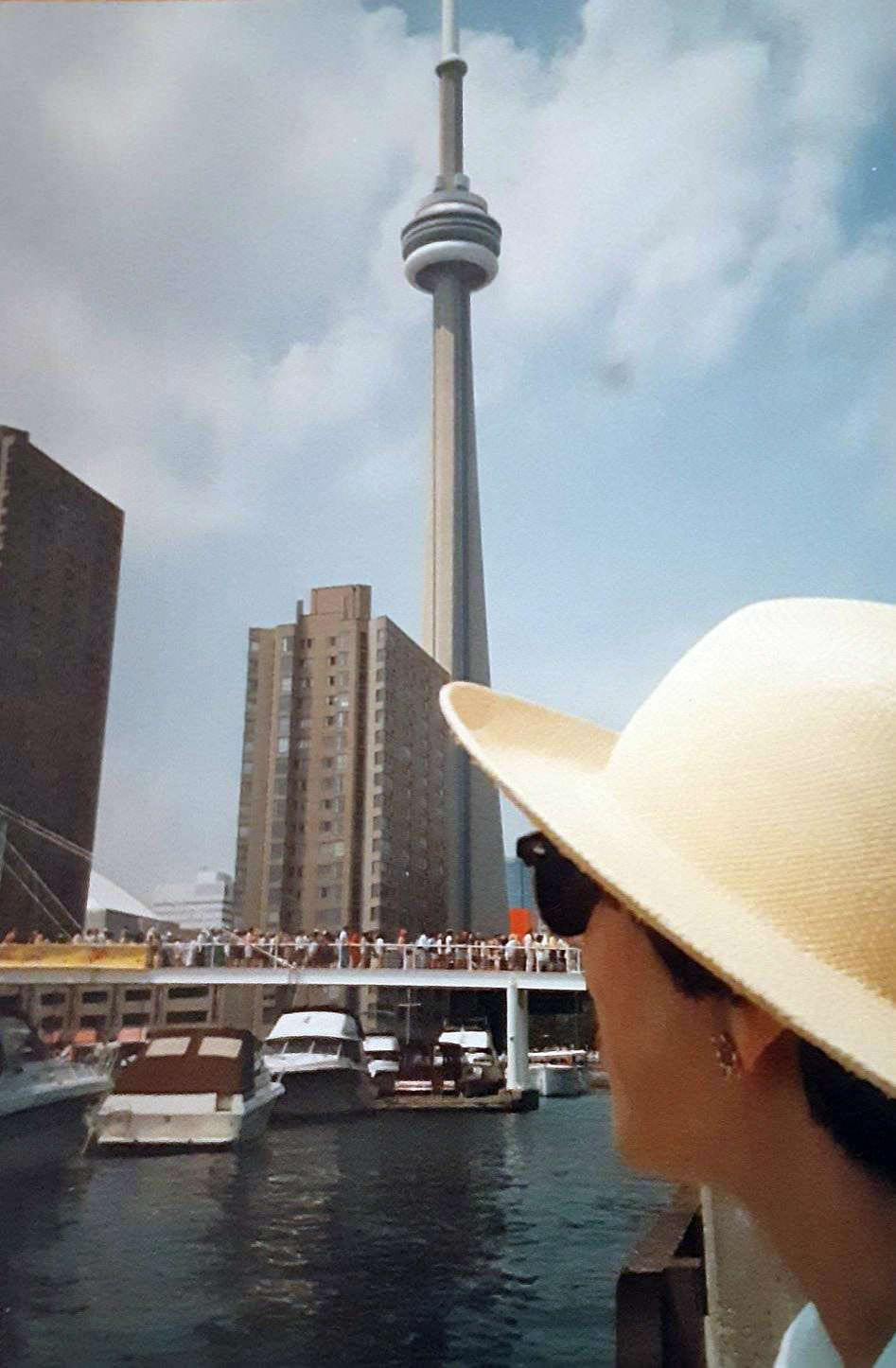
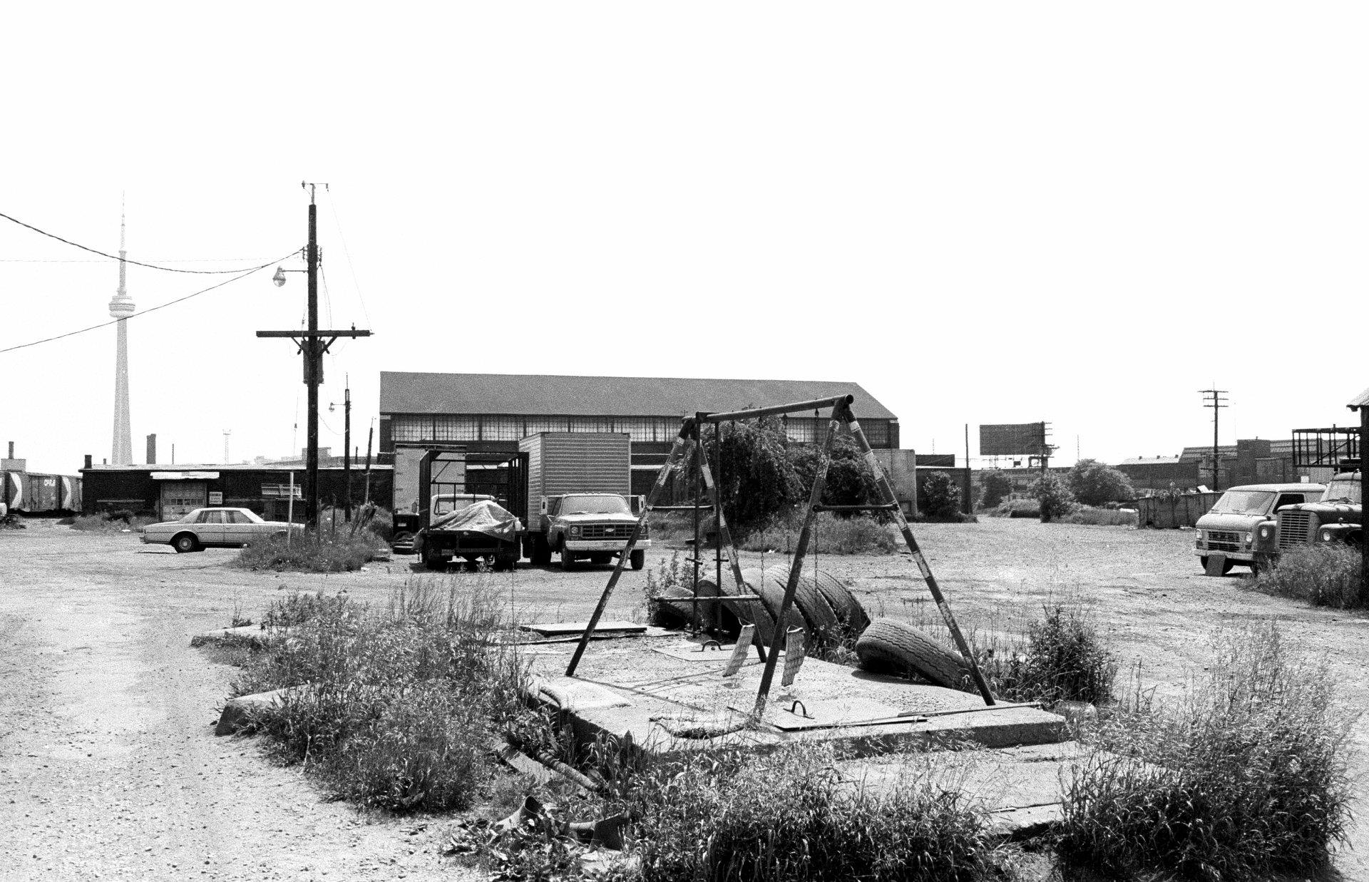
A view of the CN Tower, sometime in the 1980s.
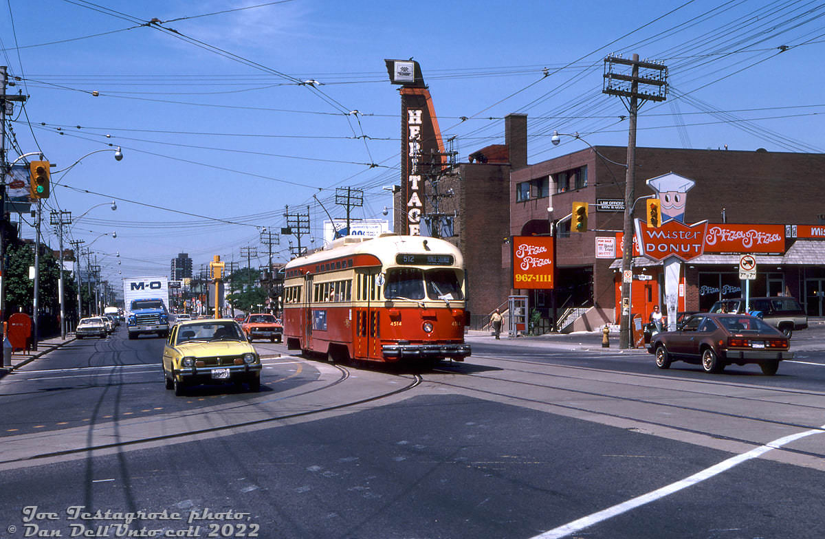
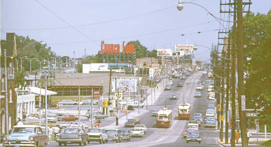
Some TTC PCC action on St. Clair at Vaughan Road back in 1980, complete with an old-school Pizza Pizza on the corner and early Honda Civic

King Street West near Spadina was a gritty, working stretch in the 1980s, far removed from the entertainment district it would later become. The Inglis plant on Strachan Avenue was still fully operational in 1989, with workers on the washing machine assembly line and trucks loading at the south-side dock next to the rail corridor. It was one of many manufacturing operations still running inside the city at that time. De Havilland Aircraft in Downsview was another — engineers there worked on the Dash 8 Series 300 planes through the late 1980s.
446 King Street West - Corner of King & Spadina, 1980s
446 King Street West – Corner of King & Spadina, 1980s
Eglinton looking east towards Leslie before Inn On The Park was built, 1980s
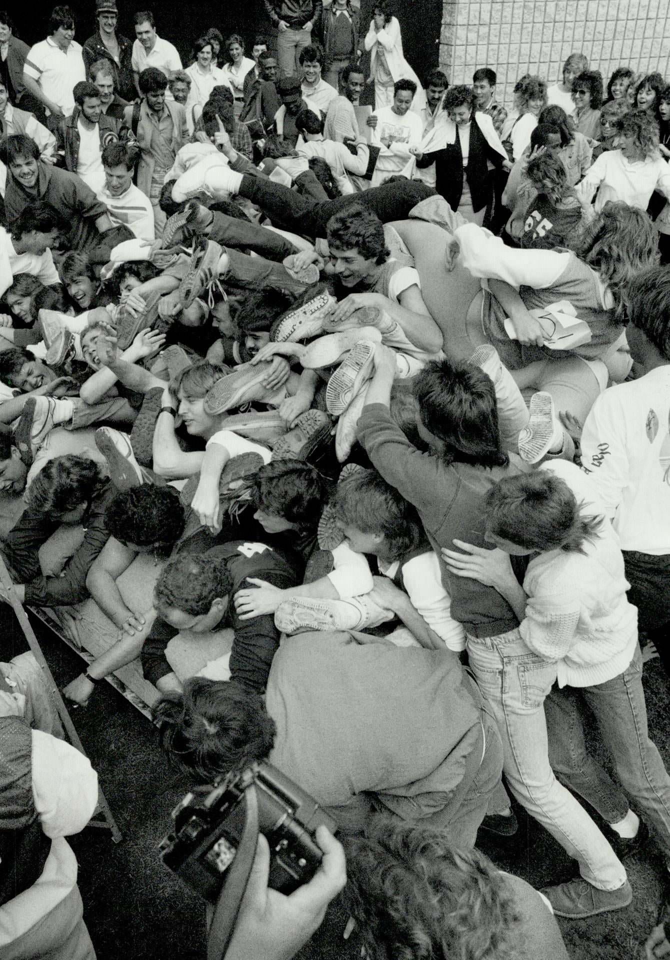
Piling on for a place in history, Sixty-five Centennial College students pile on to a waterbed yesterday at their Scarborough campus in a bid to win a place in the Guinness Book of World Records- 1987
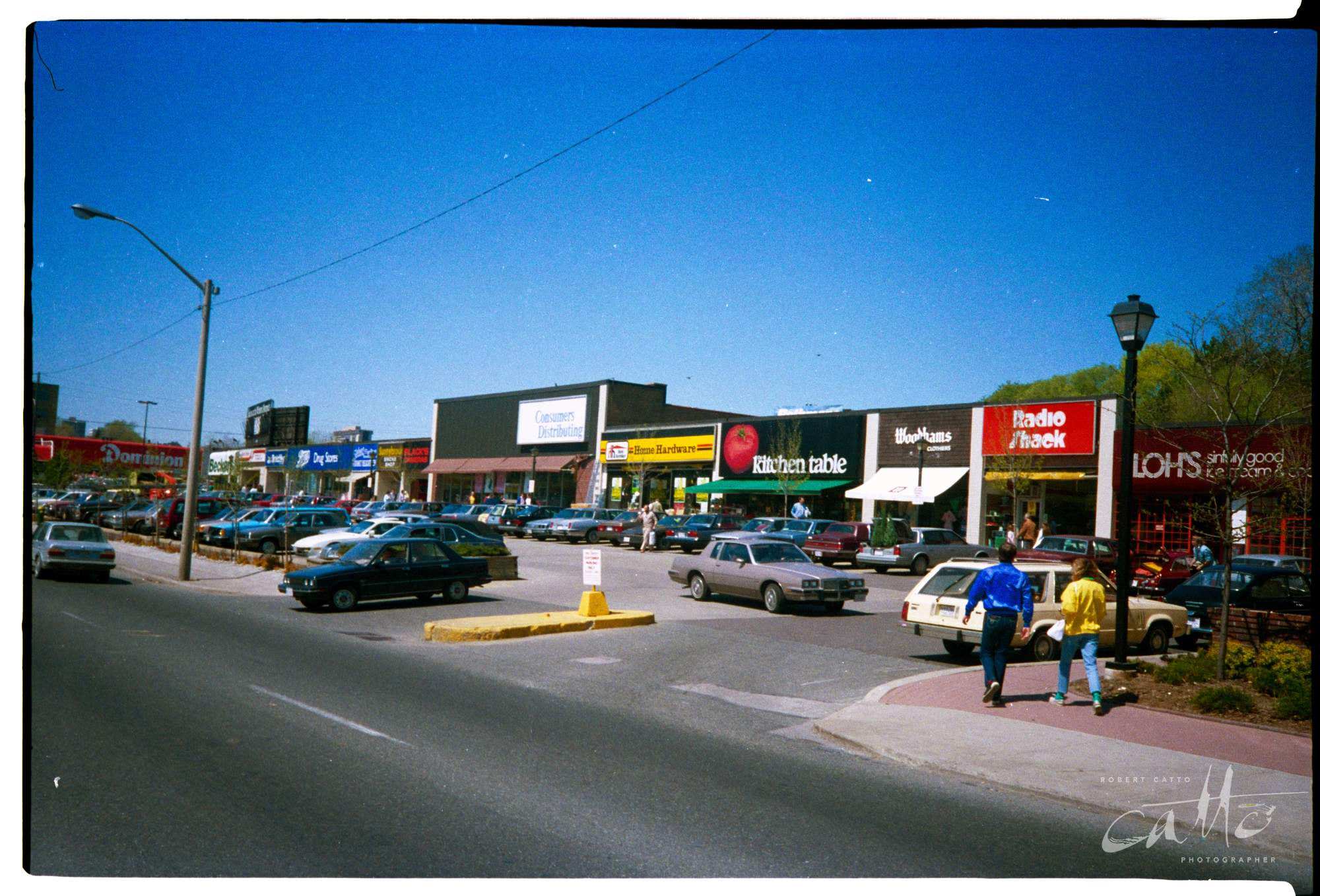
Sunnybrook Plaza, 1980s

From left to right: Dominion (across the road), Becker’s on the corner, CIBC, Sketchley’s Cleaners, Boots Drug Store, John & Chris Interiors, Sunnybrook Smoke Shop, Black’s Photography, Consumers Distributing, Sunnybrook Home Hardware, the Kitchen Table, Woodham’s clothiers, Radio Shack, and Loh’s Ice Cream.

Strip malls and plazas like Sunnybrook Plaza captured the retail mix of the era perfectly — a Dominion grocery store, a Becker’s on the corner, a CIBC branch, Radio Shack, Black’s Photography, and a local ice cream shop all sharing the same stretch. These were the everyday commercial hubs for Toronto’s residential neighbourhoods, and photos of them now read as time capsules of a pre-chain, pre-internet retail world.
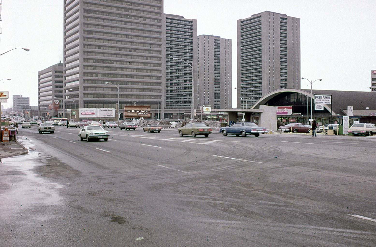
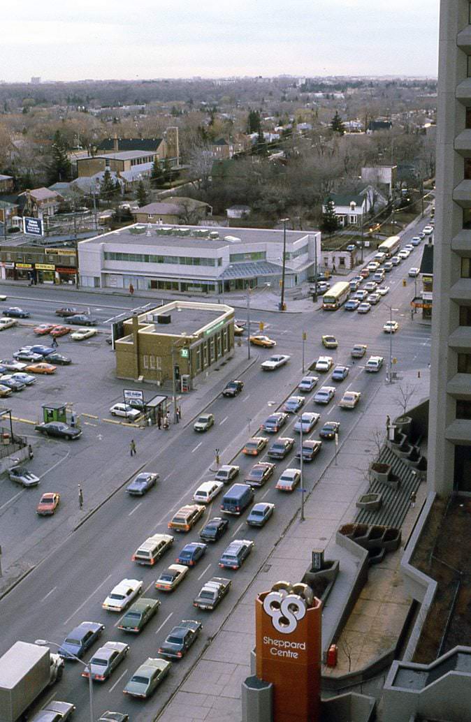
Looking northeast towards Yonge & Sheppard, 1980
Looking southwest towards Yonge & Sheppard, 1985
Just before the condo boom, 1989

Toronto’s music scene added some colour to the streets. In 1984, Nash the Slash — the rock fiddler known for performing in bandages — staged a surprise motorcade down Yonge Street. Sunnyside Beach, meanwhile, had already cemented its place in Canadian pop history: it was the location that inspired Mark Gane of Martha and the Muffins to write the 1980 hit song “Echo Beach.”
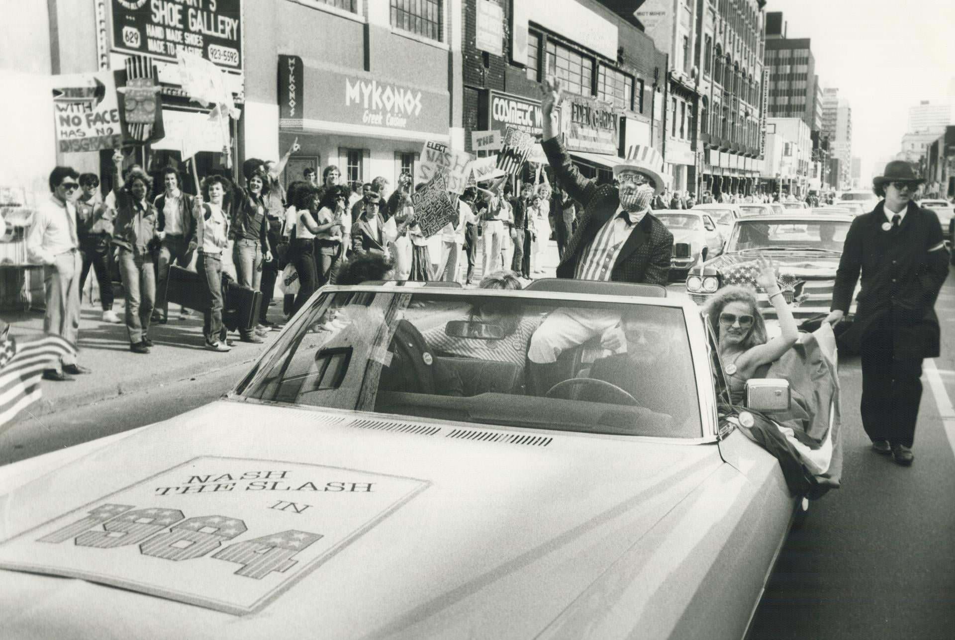
Nash The Slash, rock fiddler extraordinaire, staged a surprise motorcade down Yonge St., 1984
The Blue Jays playing at Exhibition Stadium, 1987
Wayne Edward George Shepherd, 1980s
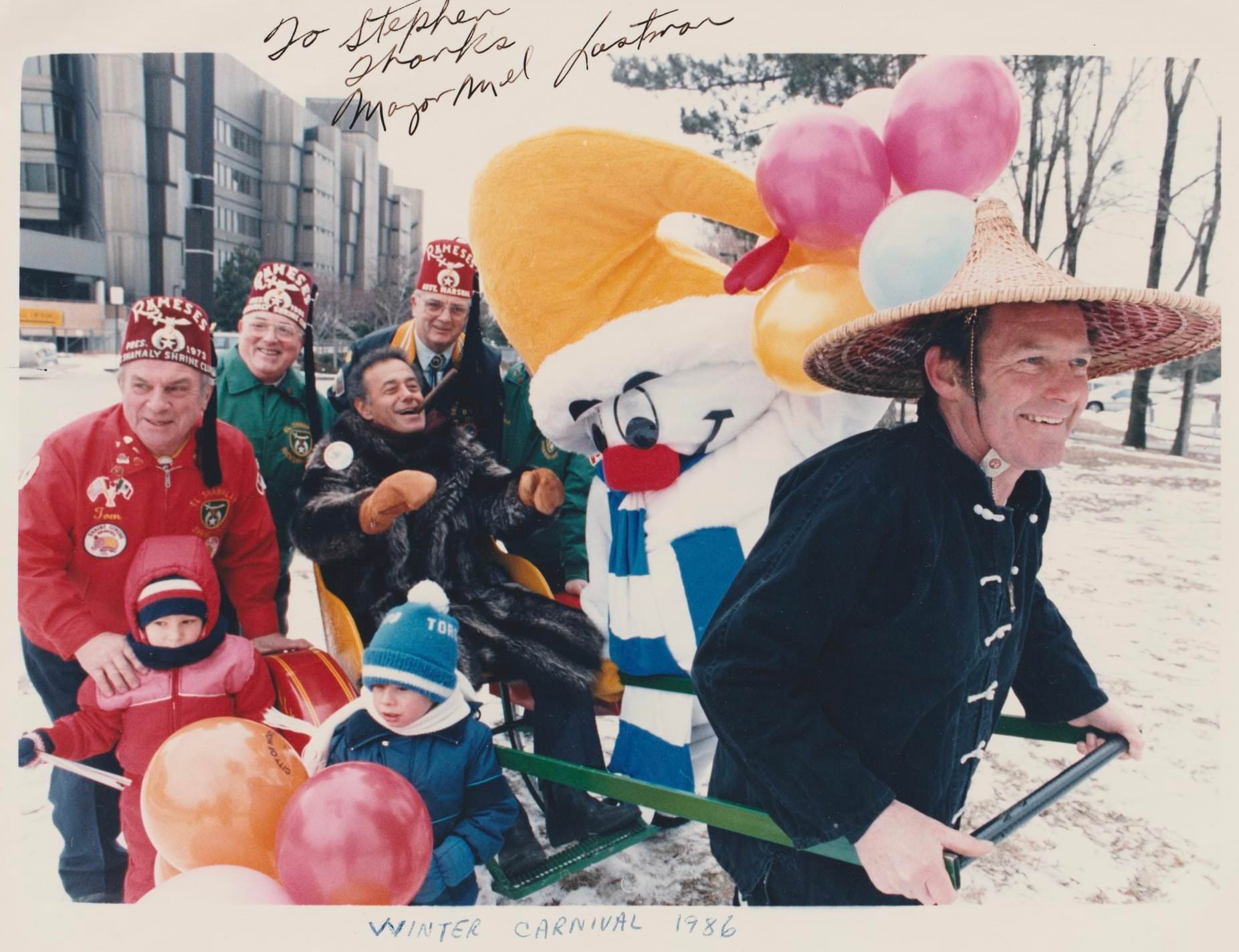
Goodbye Mayor Mel . North York Winter Carnival. Mel, Nork, Shriners, a rickshaw, 1986

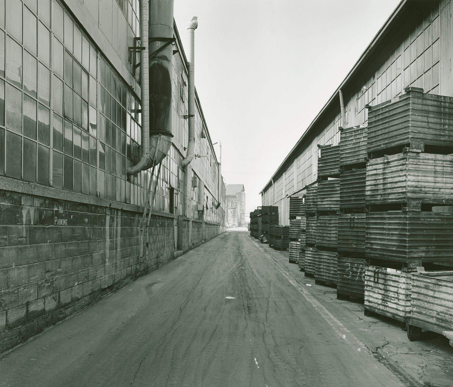
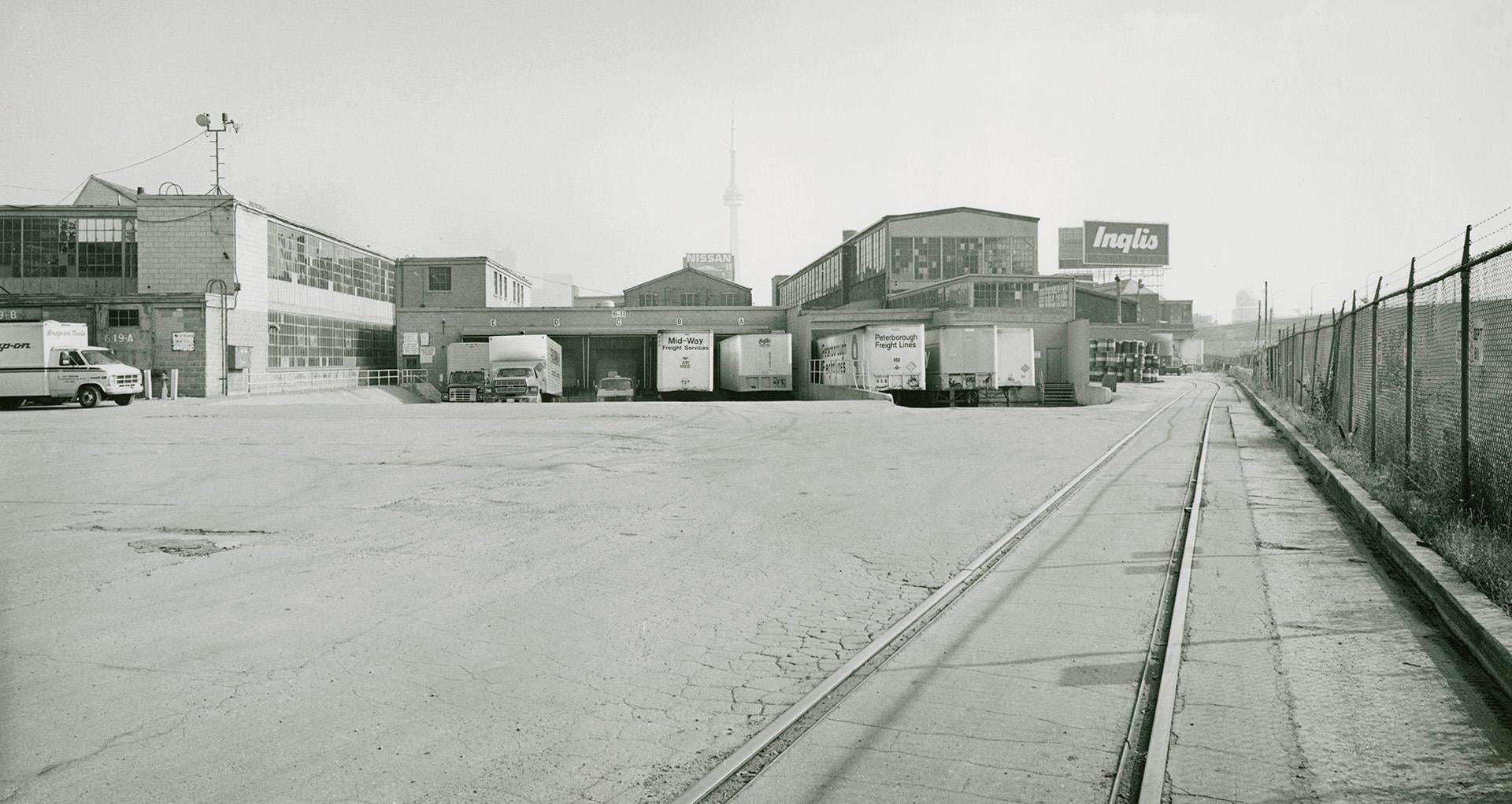
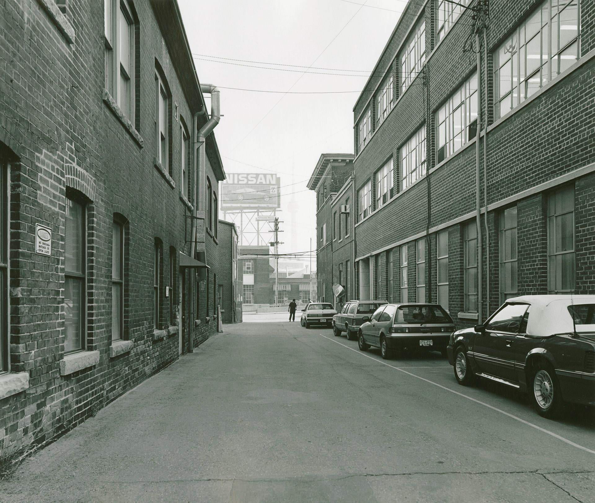
Manufacturing remained deeply woven into Toronto’s urban fabric throughout the decade. The Inglis plant on Strachan Avenue was photographed extensively in 1989, just before the city’s industrial character began its long decline. These images — the assembly lines, loading docks, and rear laneways — document a side of Toronto that has largely vanished.
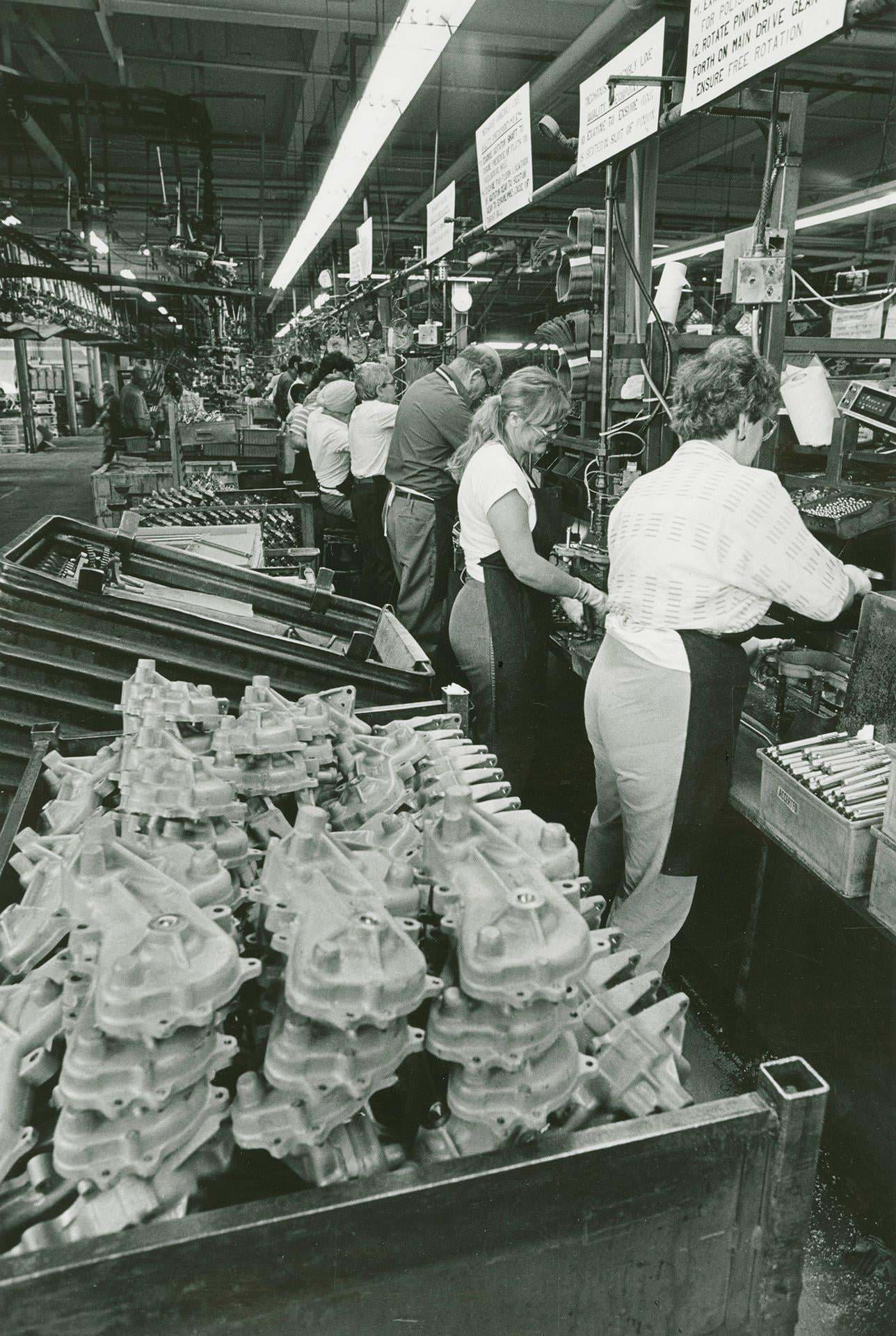
Inglis plant, Strachan Avenue, workers on washing machine assembly line, 1989
Inglis plant, looking toward main entrance off Strachan Avenue, 1989.
Inglis plant, Strachan Avenue, rear laneway, looking west, 1989.
Inglis plant, Strachan Avenue, loading dock, south side next to rail corridor, 1989

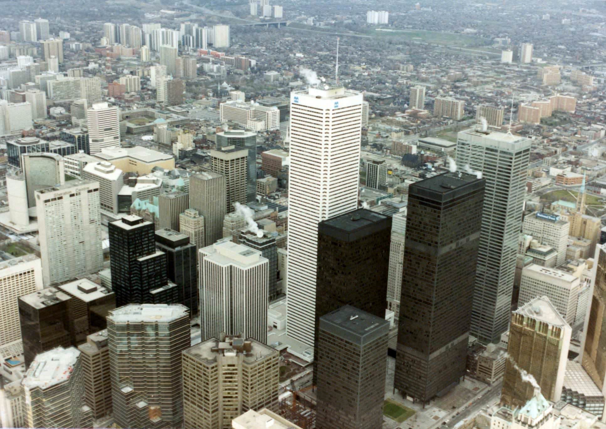
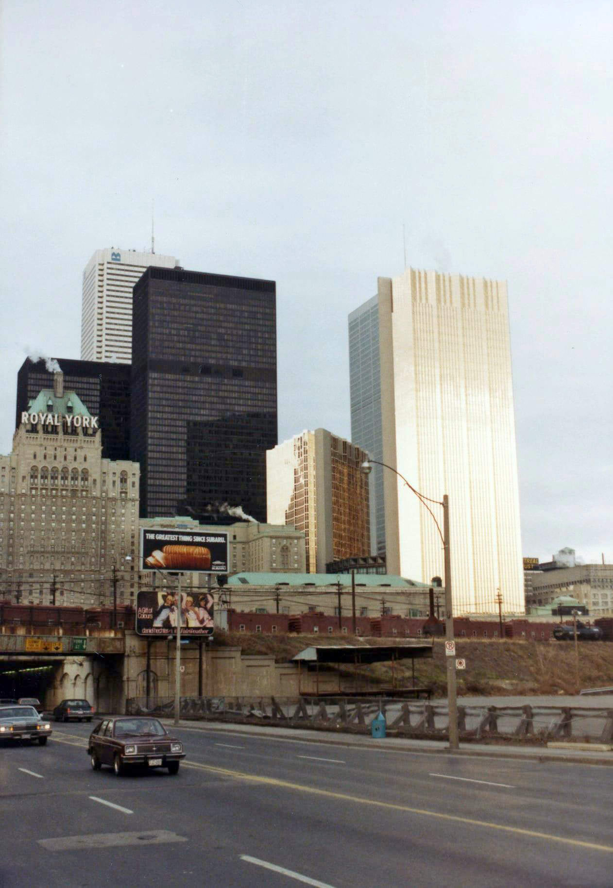
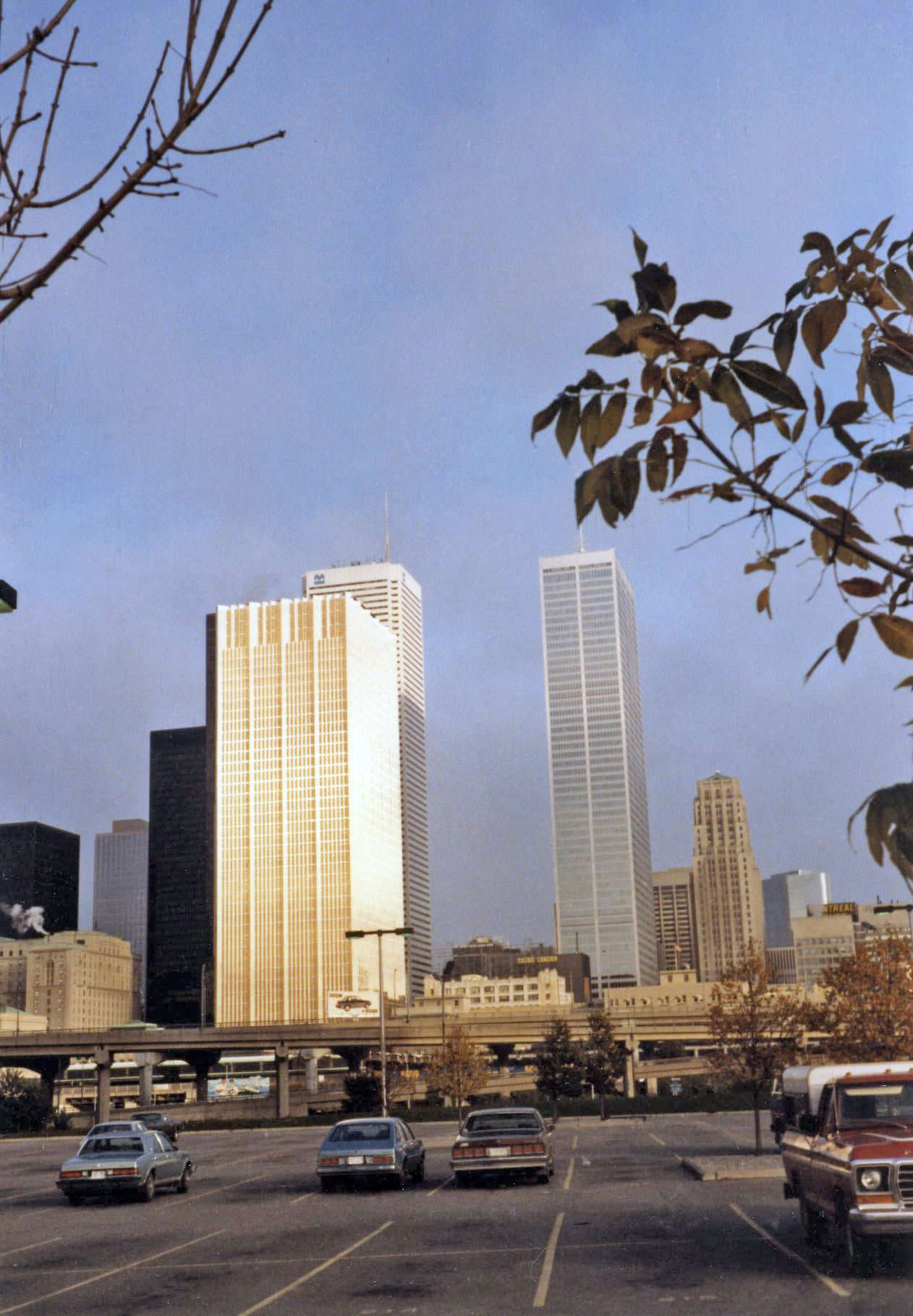
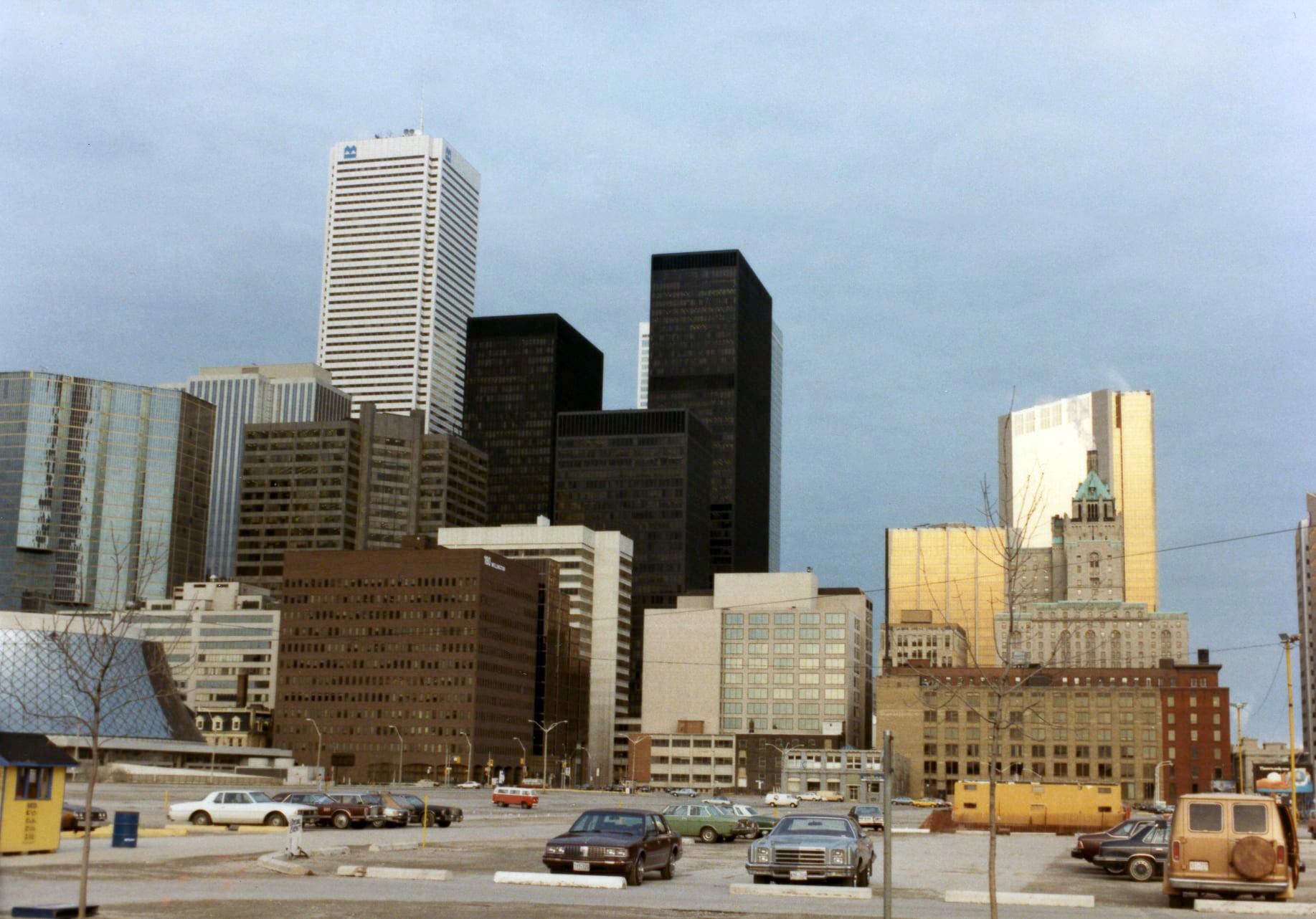
The Financial District was photographed repeatedly in 1983, showing a skyline that was growing but had not yet reached the density it holds today. Looking north on York Street, Union Station, the Royal York Hotel, and the towers of Bay Street all appeared together in a frame that felt monumental at the time. From the top of the TD Centre that same year, visitors could look out and still see the Royal Bank tower sparkling nearby — a vantage point that no longer exists as surrounding buildings have since blocked the view.
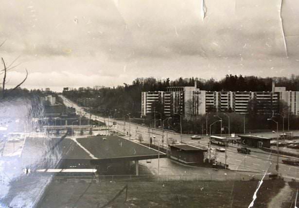
Yonge St and York Mills Rd, N.E. quadrant, looking S.W., circa autumn 1980
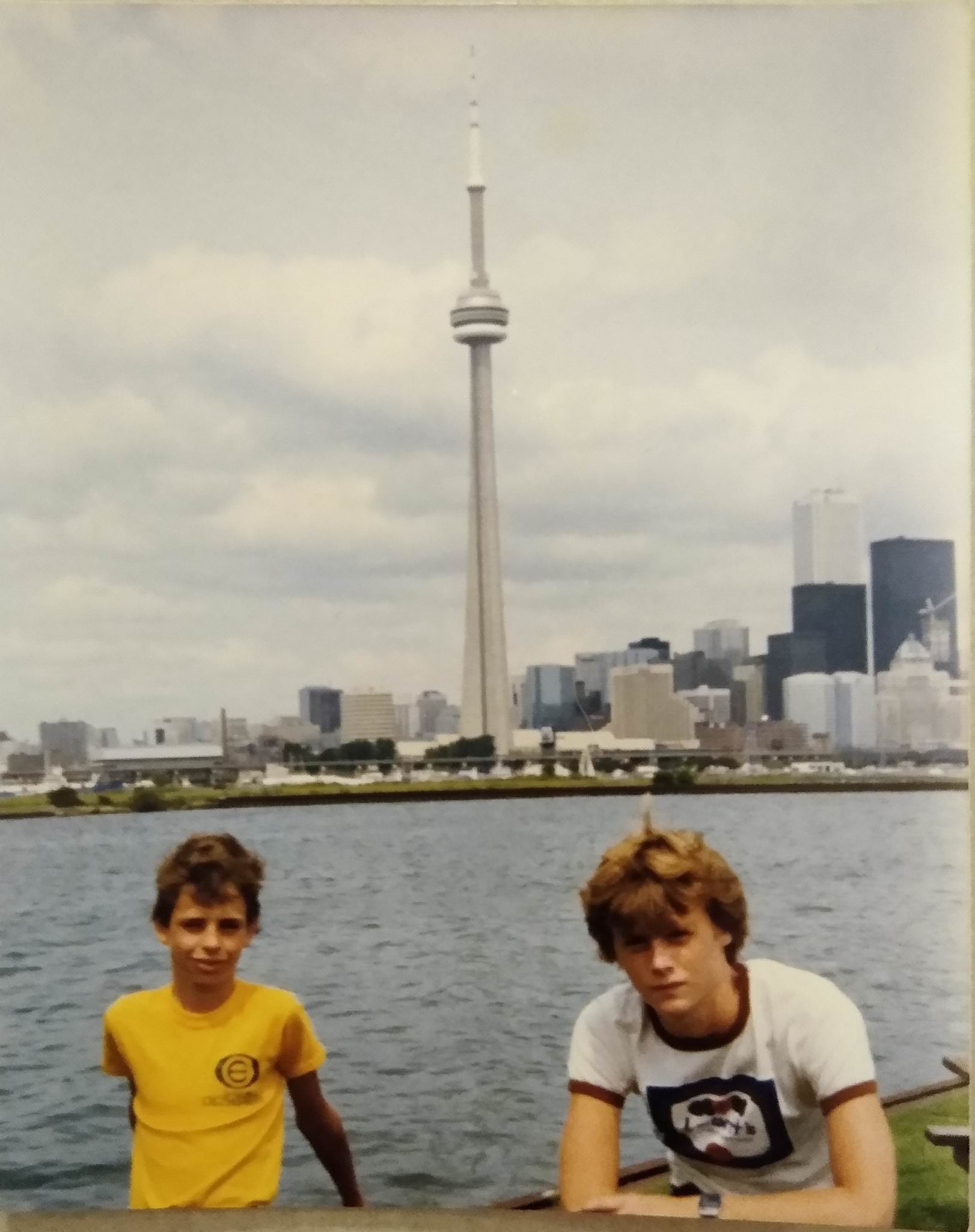
View of city skyline from Centre Island, 1984
1638 Bloor Street West and 2100, 1980s
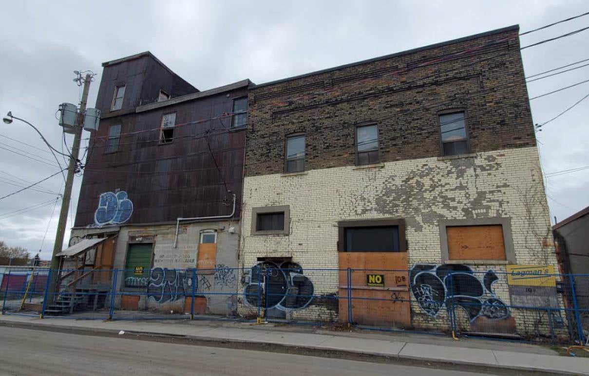
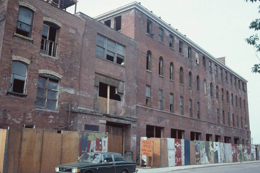
10 Dawes Road, constructed in the 1890s as a flour mill and grain elevator. Now a heritage building as a rare surviving mill building in Toronto, 1980s

A large condo complex will soon be built beside it and the mill building will be used as an arts complex.
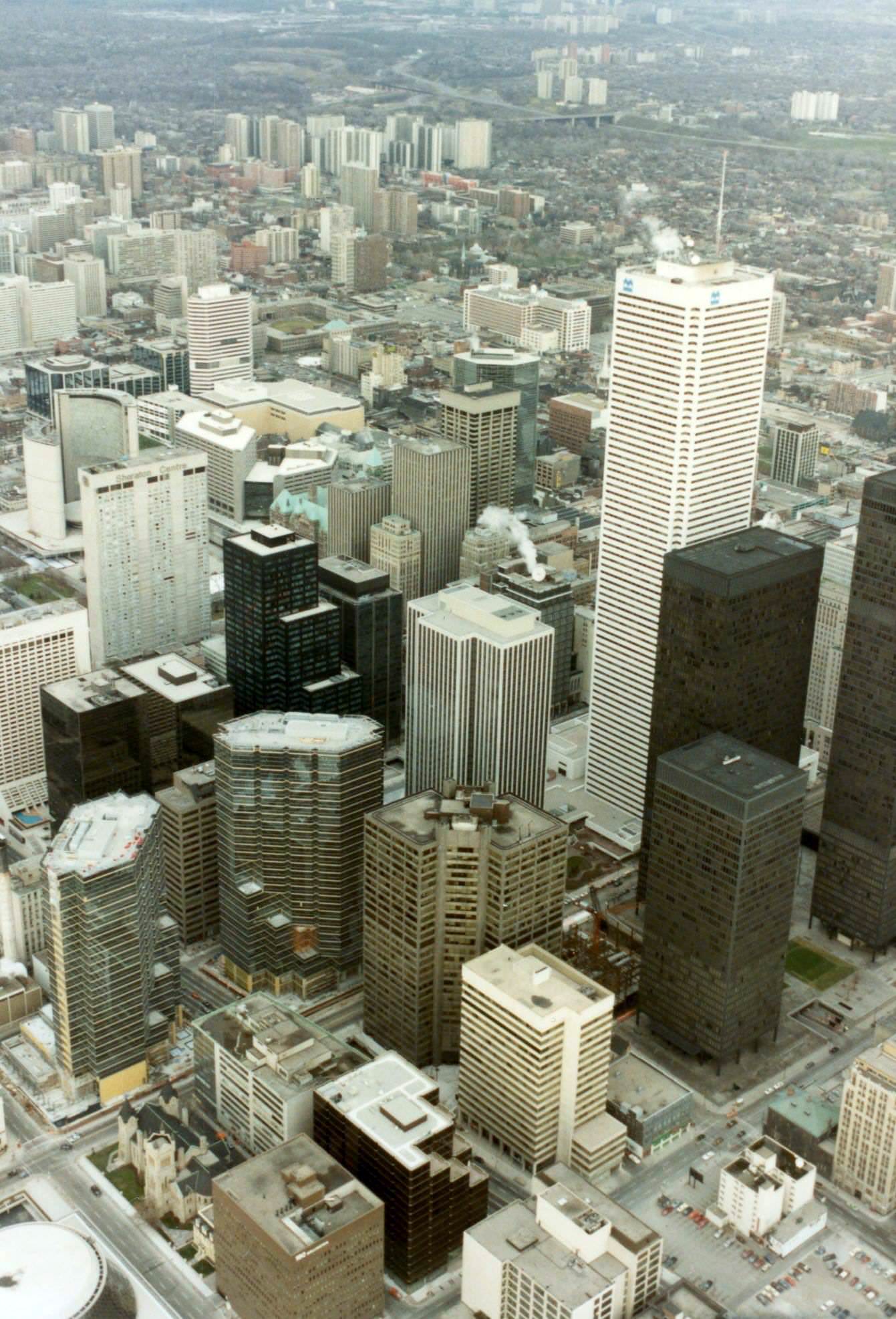
The Financial District, 1983.
Looking east to the Financial District, 1983.
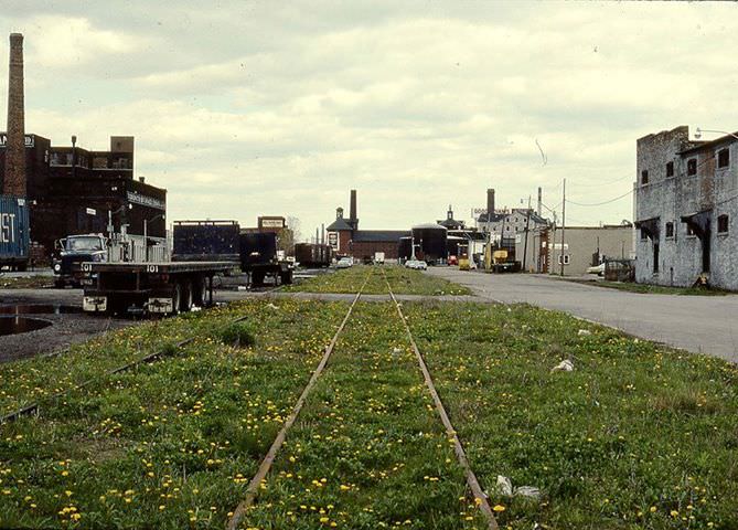
Don Roadway & Villiers Street, 1986
The Financial District, 1983.
Looking north on York Street to Union Station, the Royal York Hotel and the Financial District, 1983.

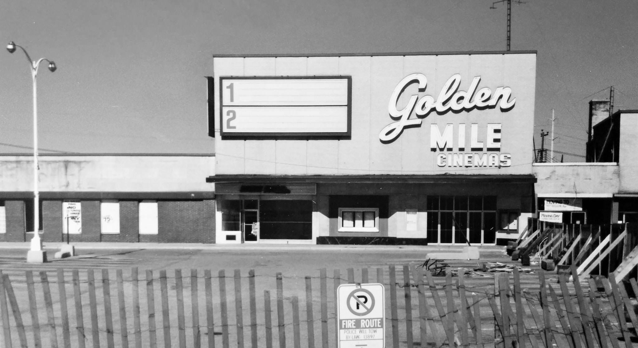
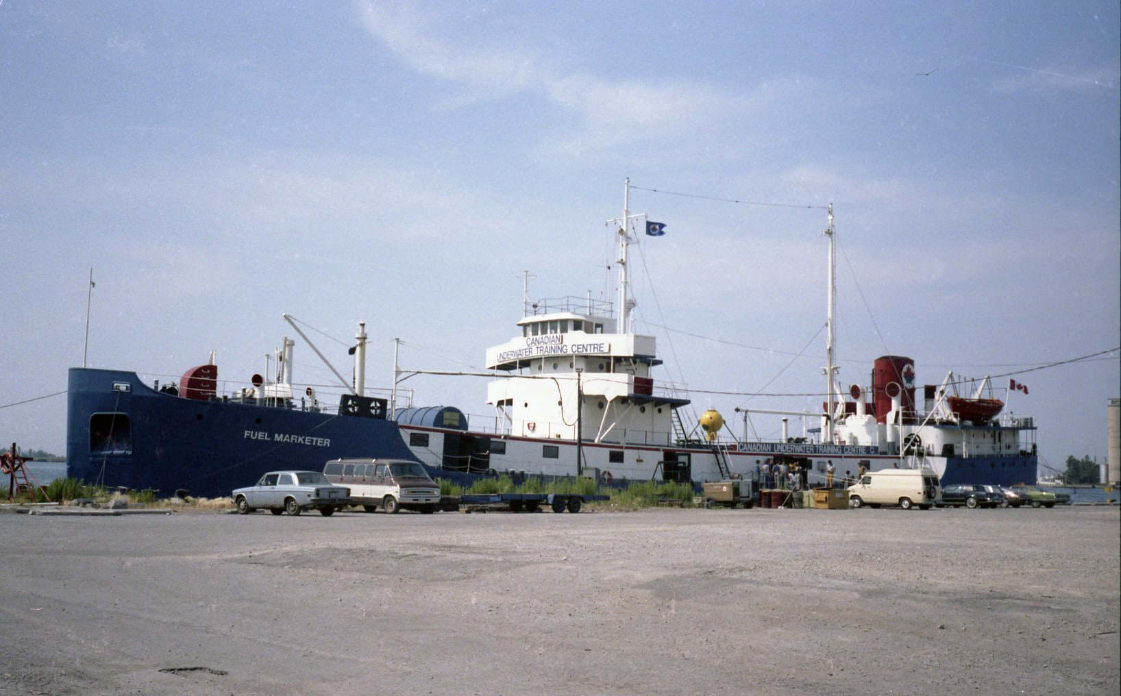
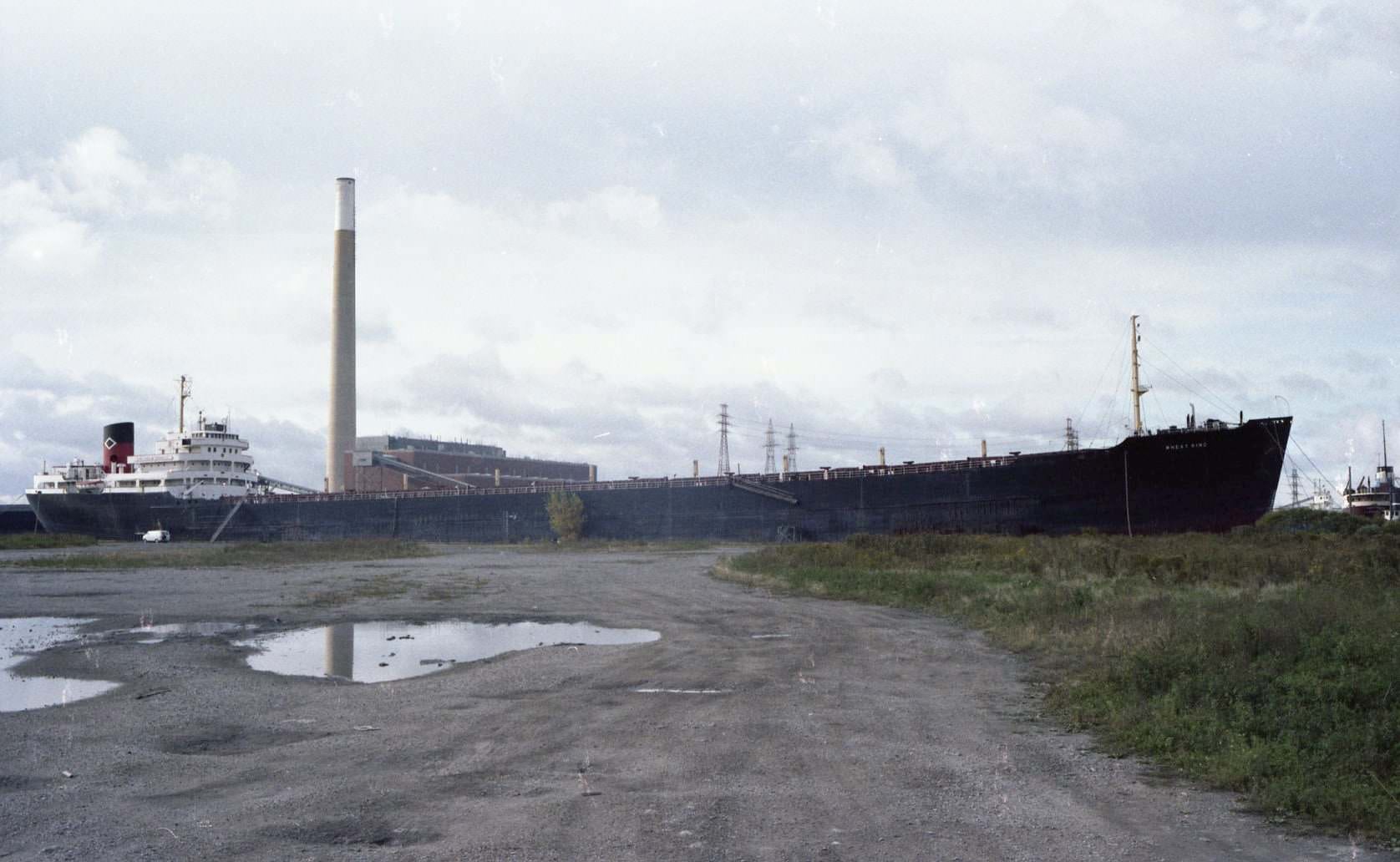
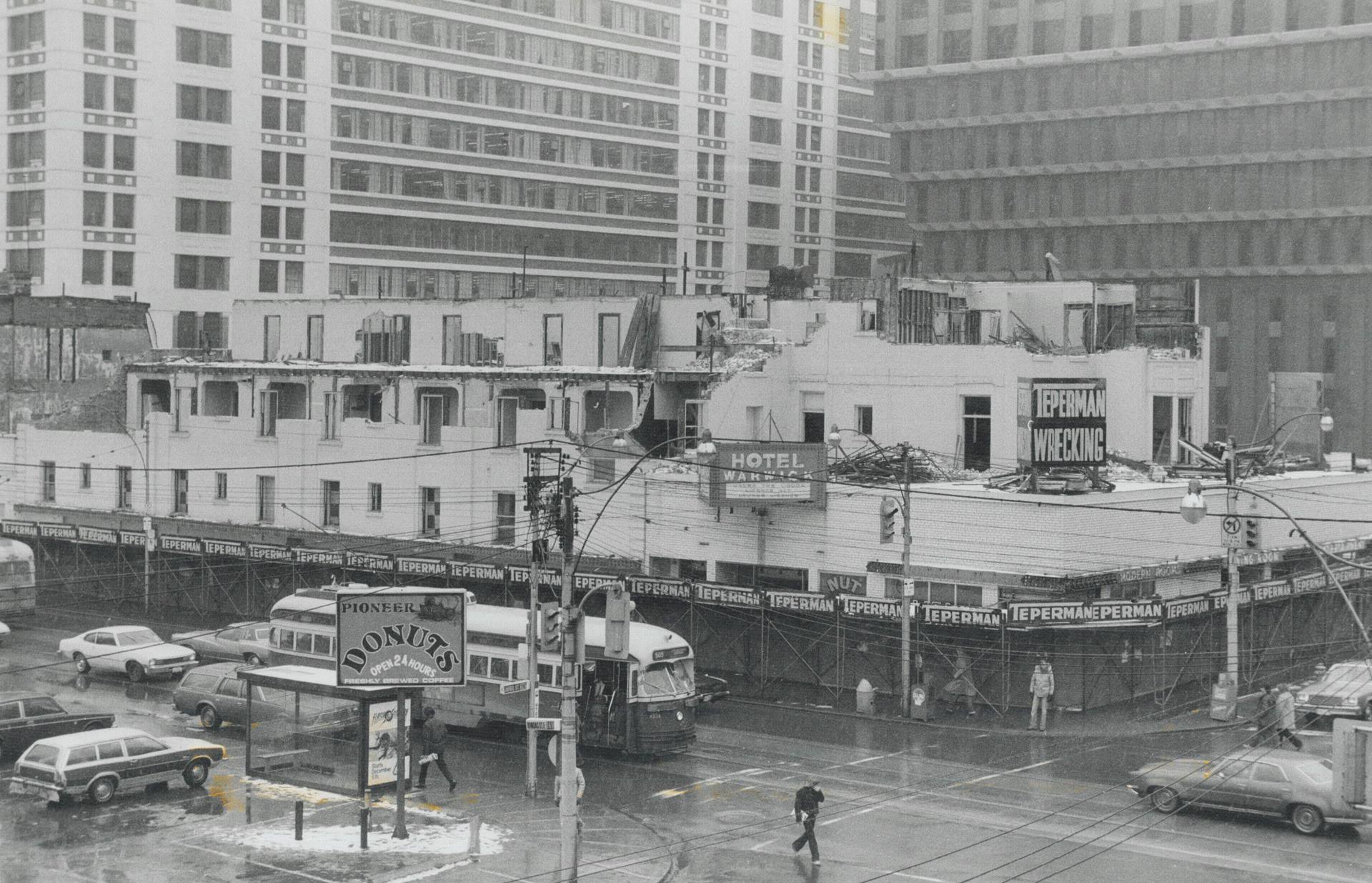
Not all of the 1980s Toronto streetscape survived. The Warwick Hotel was demolished in 1981 by Teperman Demolition. The Golden Mile theatre was photographed just before it came down in 1986. On the portlands, the ‘Fuel Marketer’ vessel was moored in 1981 and being used as the Canadian Underwater Training Centre, while the ‘Wheat King’ sat nearby with the Hearn generating station visible behind it.
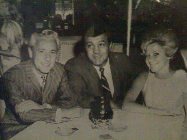
The Golden Nugget at Yonge & Bloor, 1980s
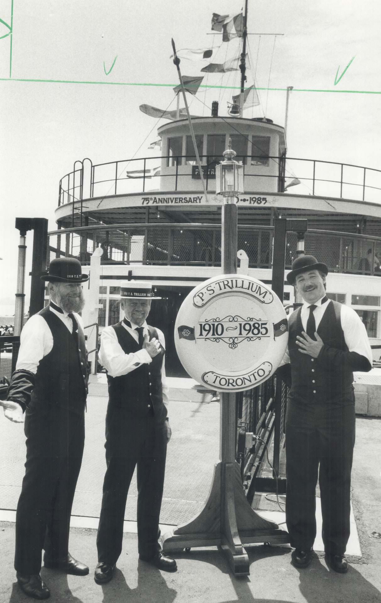
Trillium ferry boat, 1985
Golden Mile theatre about to be demolished in 1986
Yorkville Avenue between Yonge and Bay, 1980s.
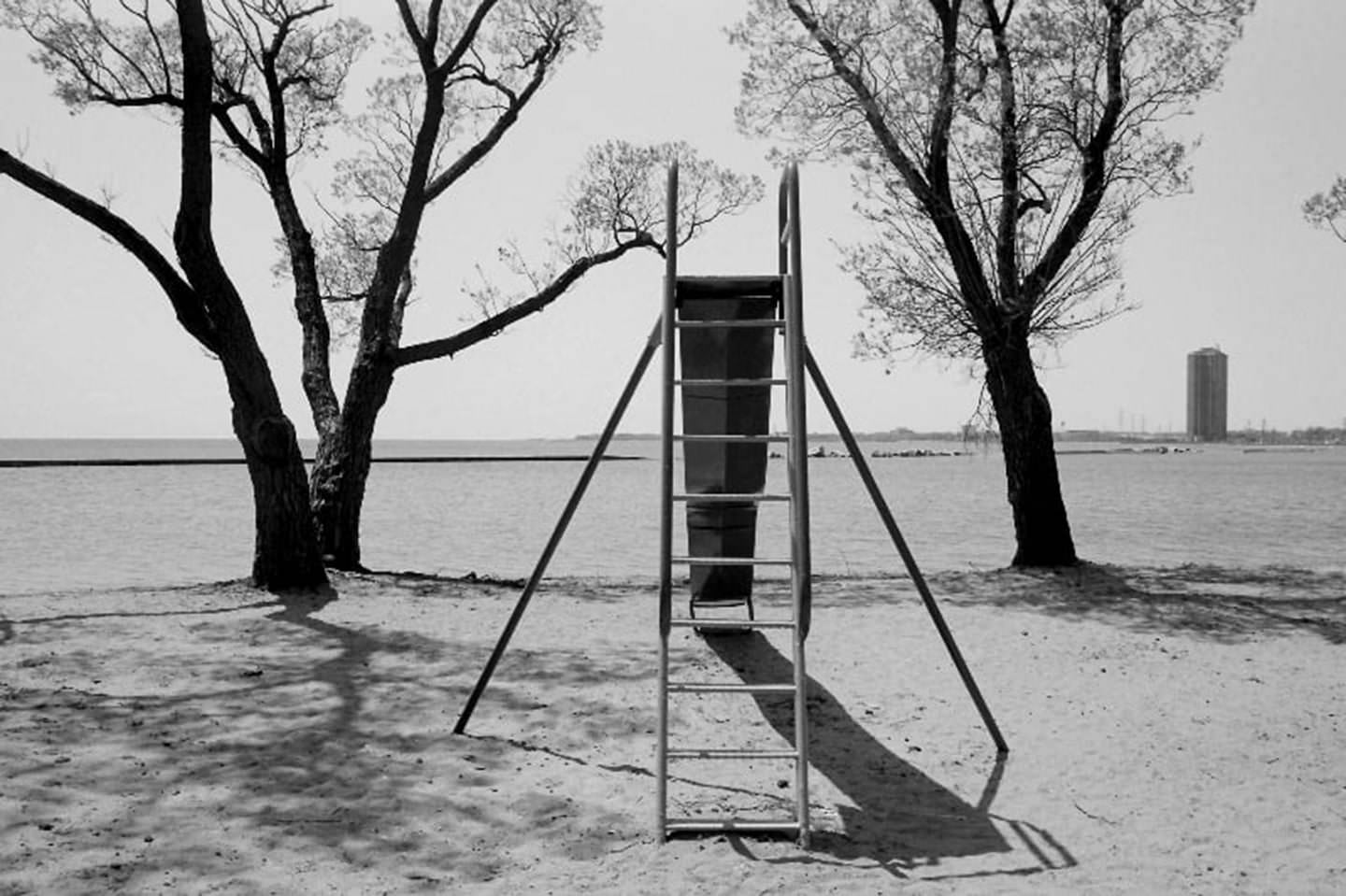
This is the location that inspired Mark Gane of Martha and the Muffins to write the 1980 hit song at Sunnyside Beach, Toronto, in 1984.
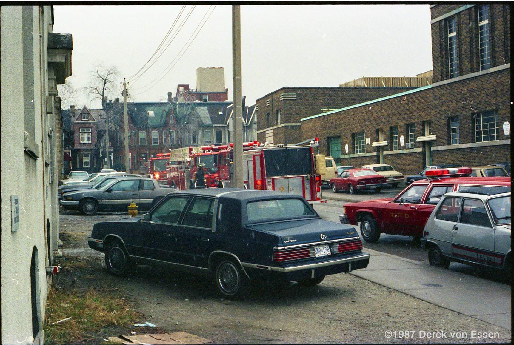
Emergency on Maud! Looking south towards Richmond in 1987.
A view from Ontario Place, 1980s

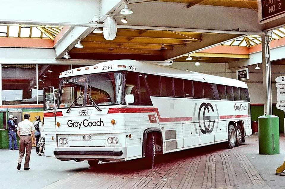
Gray Coach Lines, a subsidiary of the TTC, ran intercity bus service out of Toronto throughout the decade. A 1984 photo captures one of its coaches signed for Sudbury, complete with a Hostess Express sticker on the side. The company operated until 1990, when it was sold to Stagecoach. Meanwhile, TTC bus No. 1 — a vintage double-decker — was still being taken out on special excursions, drawing crowds wherever it appeared.
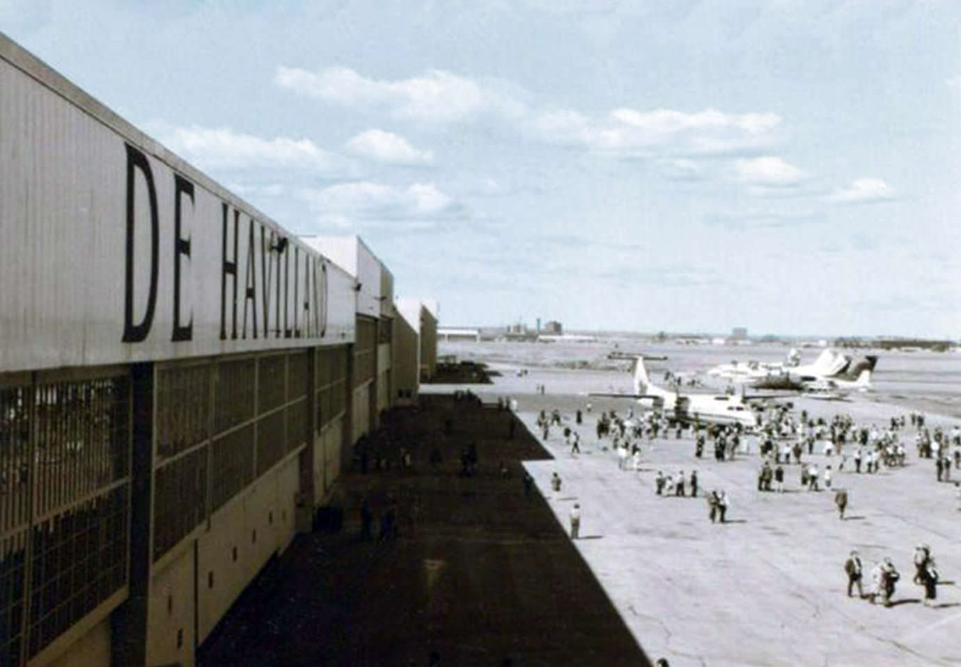
Dash 8 Series 300 planes, view from the Engineering Computing office at de Havilland Aircraft, Downsview, March 1987
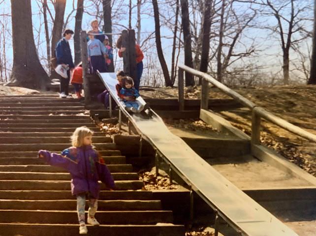
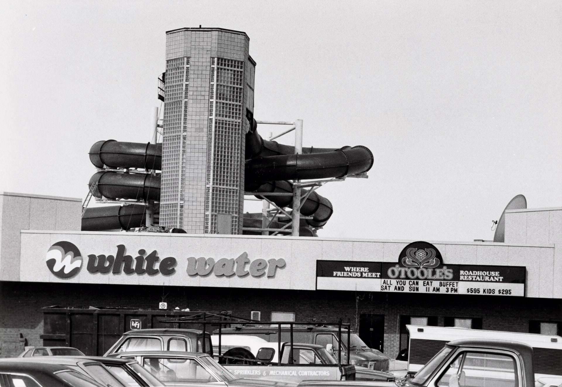
O'Tooles. Indoor water slide at Shoppers World Brampton, 1984
O’Tooles. Indoor water slide at Shoppers World Brampton, 1984
Toronto skyline, May 1986.
When you could still go to the top of the TD Centre and were still able to see the sparkling Royal Bank tower, 1983
The 'Fuel Marketer' moored in Toronto's Portlands as the Canadian Underwater Training Centre, 1981
The ‘Fuel Marketer’ moored in Toronto’s Portlands as the Canadian Underwater Training Centre, 1981
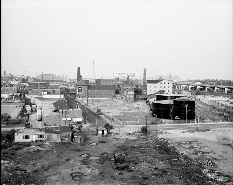
View looking west from the Toronto portlands, 1981.
Looking southwest to the 'Wheat King' moored in the portlands; the Hearn generating station in the distance, 1981.
Looking southwest to the ‘Wheat King’ moored in the portlands; the Hearn generating station in the distance, 1981.
Exploring the port in 1981.

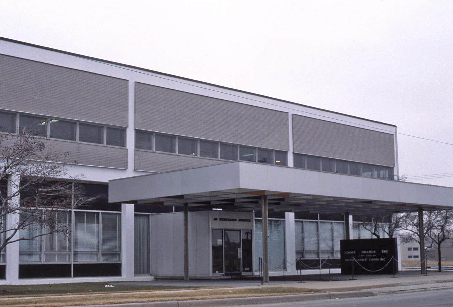
Scarborough had its own distinct industrial identity. A mysterious plant on Thermos Road and the Adams Brands Ltd. facility at 40 Bertrand Avenue were both photographed in 1981. The former Rootes Motors building that same year had been repurposed into a general sales operation — selling just about everything, according to those who saw it. These images show a part of Toronto that rarely made the postcards but kept the city functioning.
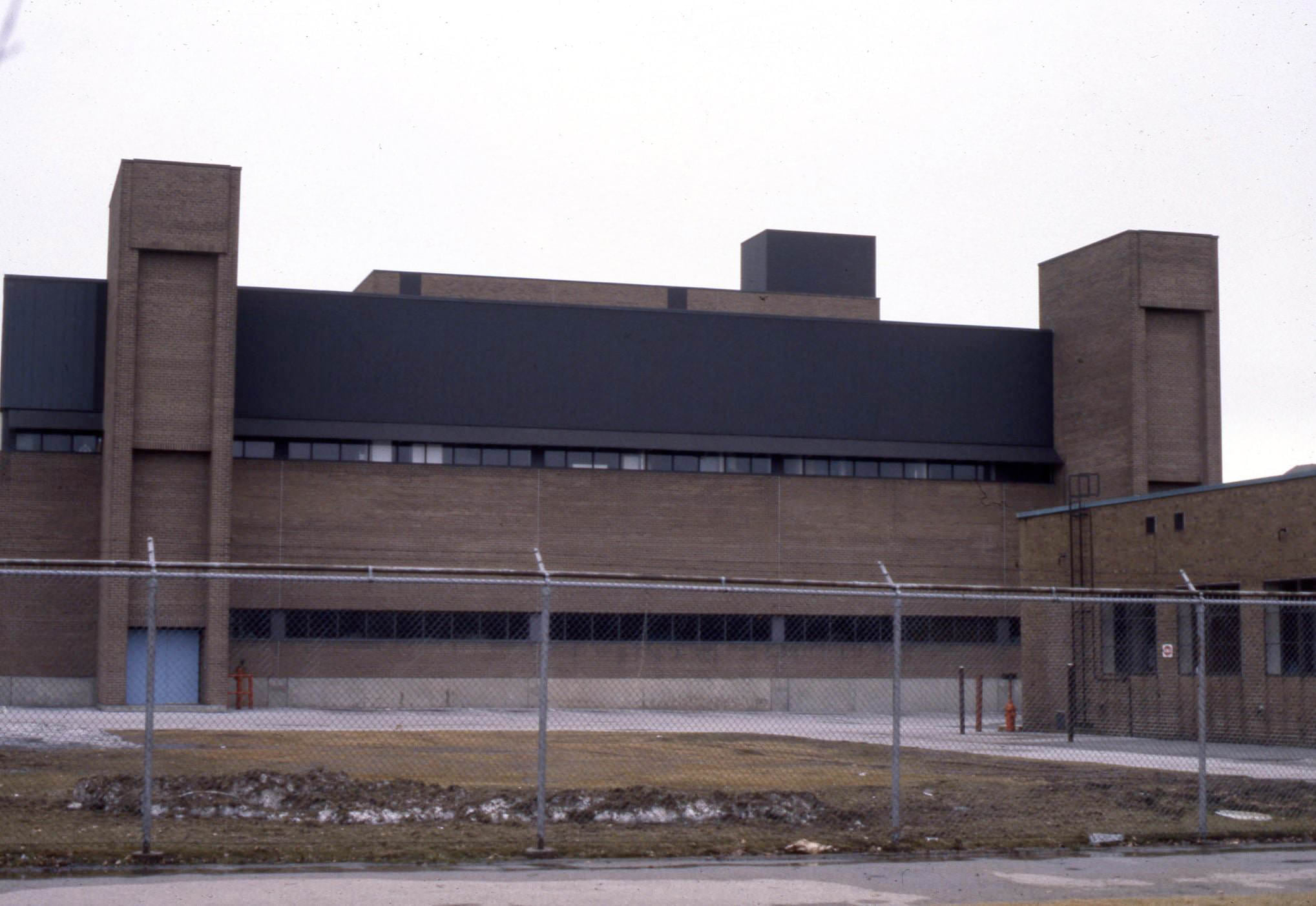
Mysterious Plant on Thermos Rd., Scarborough, 1981
Adams Brands Ltd., 40 Bertrand Ave., Scarborough, 1981.
The former Rootes Motors building in 1981, being used to sell just about everything.
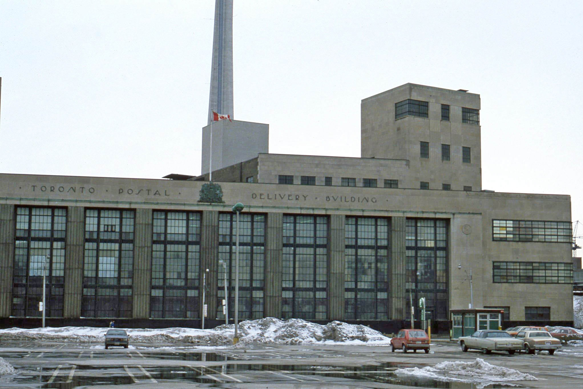
Looking west to the Toronto Postal Delivery Building, 40 Bay Street, 1982
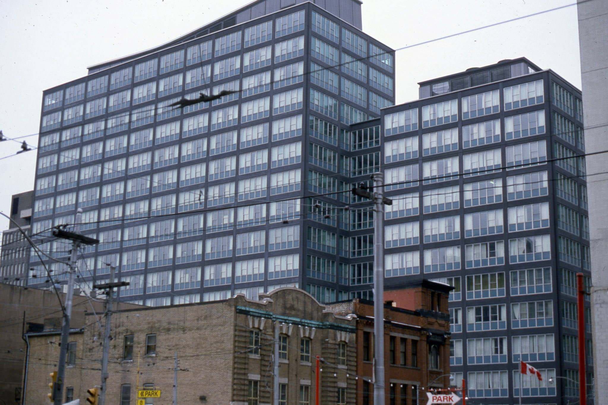
View looking south east from Victoria St., to Lombard Ave. The grey building in the background is 30 Adelaide St. E., 1982
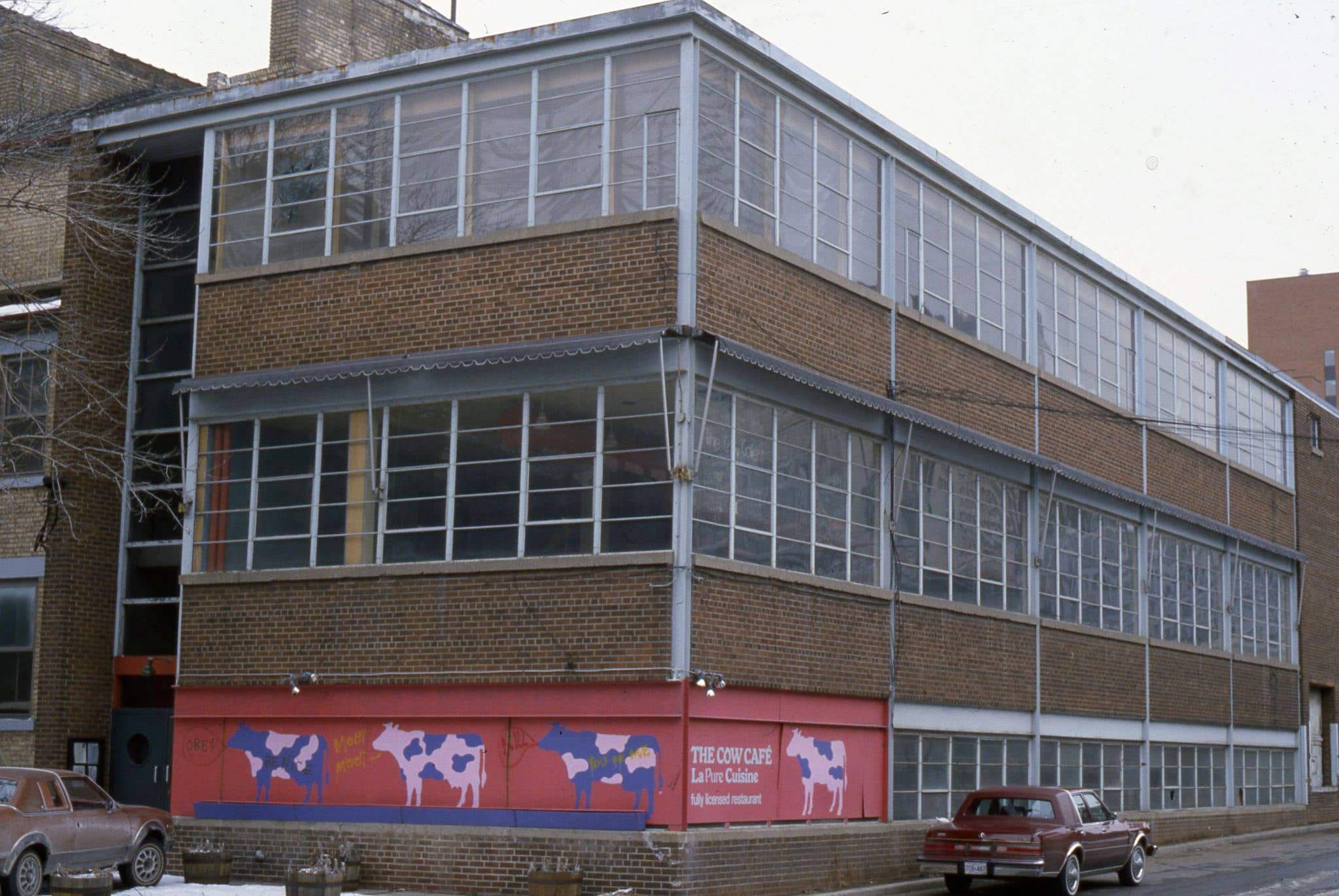
Not familiar with the building, but 'The Cow Cafe' was a vegetarian cafe, located at 165 John St., 1982
Not familiar with the building, but ‘The Cow Cafe’ was a vegetarian cafe, located at 165 John St., 1982
Toronto skyline from Ontario Place, 1982
Buildings courtesy of Teperman - Demolition of the Warwick Hotel, 1981
Buildings courtesy of Teperman – Demolition of the Warwick Hotel, 1981

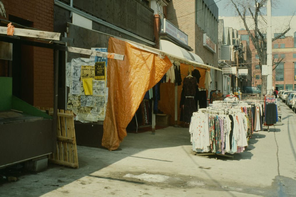
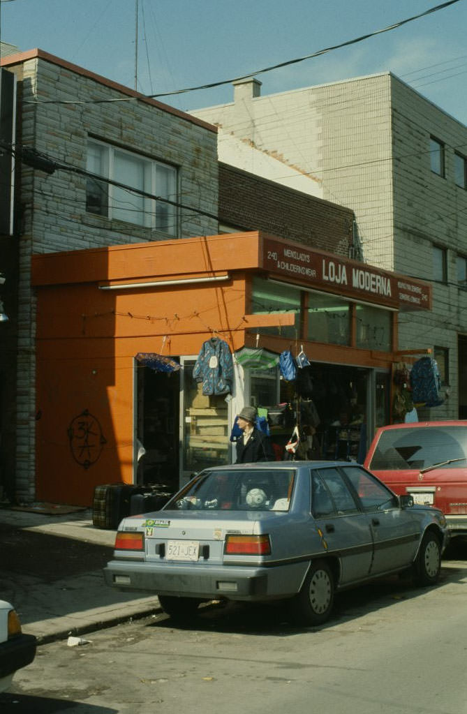
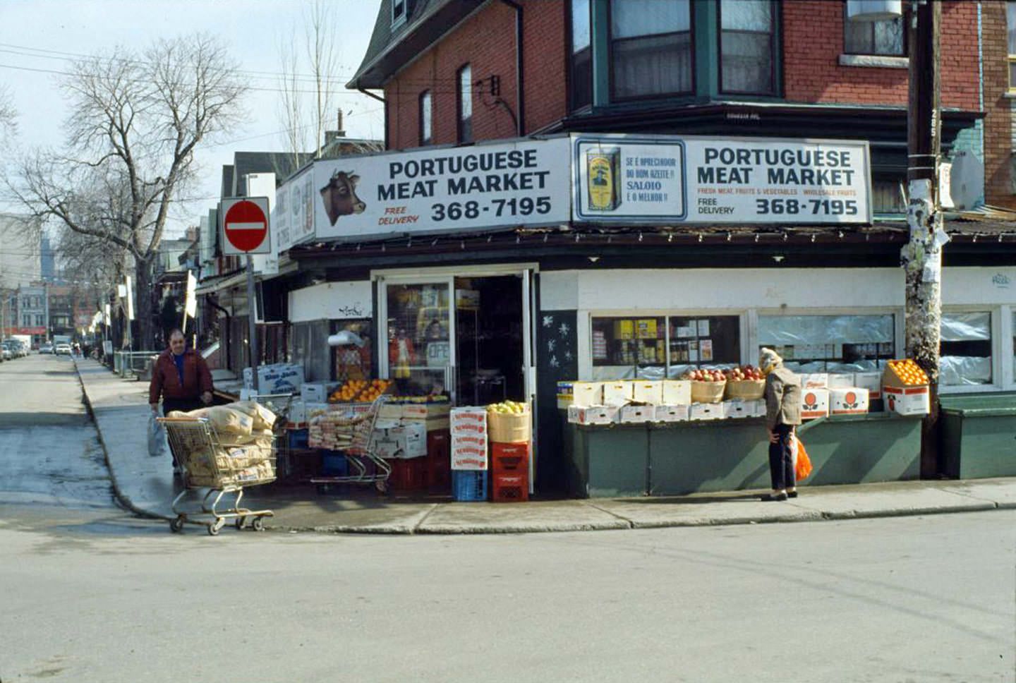
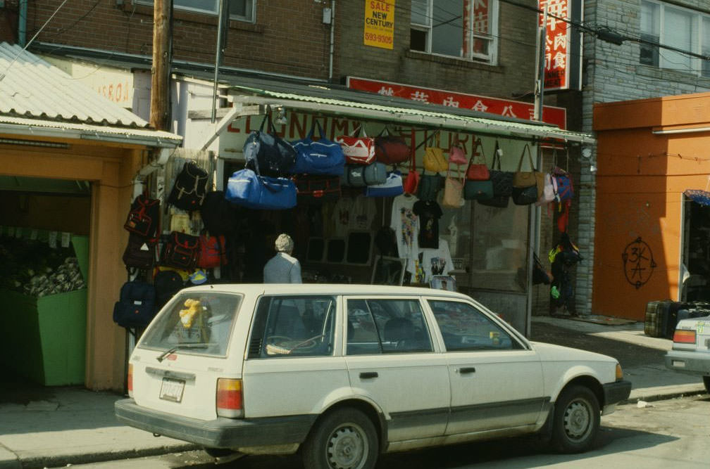
Augusta Avenue in Kensington Market was photographed extensively during this period, building by building. The block between Nassau and College Street shows a dense mix of residential and commercial properties — the Portuguese Meat Market at Oxford Street, older homes at 217, 220, 238, and 240 Augusta, and the imposing main entrance of the Leadlay house at No. 25, a Victorian-era home dating to 1876 that still stood intact through the decade.
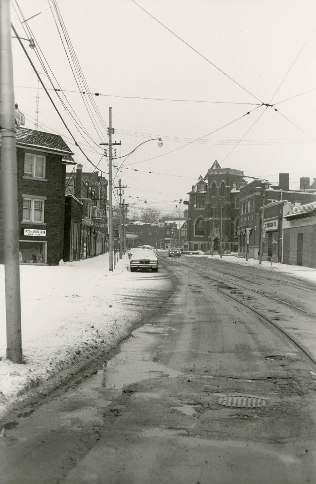
Vaughan Rd, looking north from south of St. Clair Ave W, (corner of Ellsworth Ave) Jan 29, 1984.
238 Augusta Ave., looking north, 1981
View looking north on Augusta Ave. looking north to College St, 1981
240 Augusta Avenue, 1981
220 Augusta Avenue, 1981
Looking north on Augusta Ave. to College St., 1980s
217 Augusta Ave., looking north, 1980s
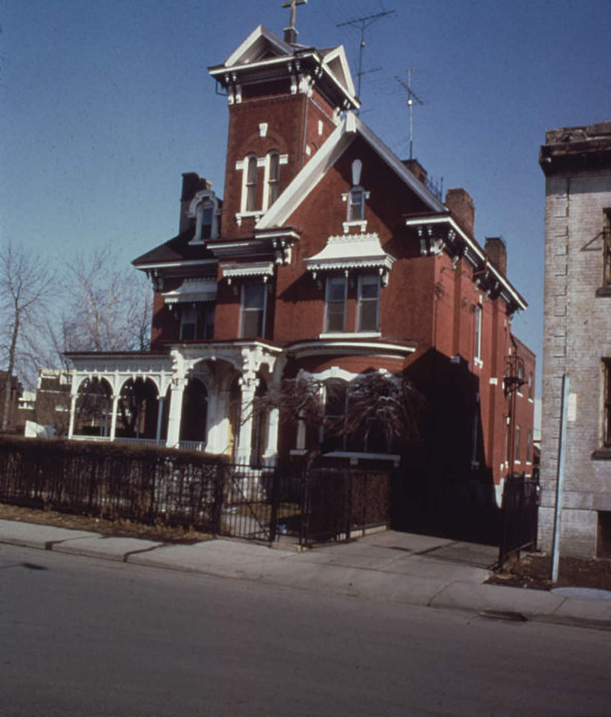
Main entrance, Edward Leadlay house, 25 Augusta Avenue, built in 1876. Photo take in 1980s
Portuguese Meat Market, looking east on Augusta Ave. at Oxford St., 1980s
Augusta Ave., looking north from Nassau, 1980s.
Edward Leadlay house, 25 Augusta Avenue, 1980s

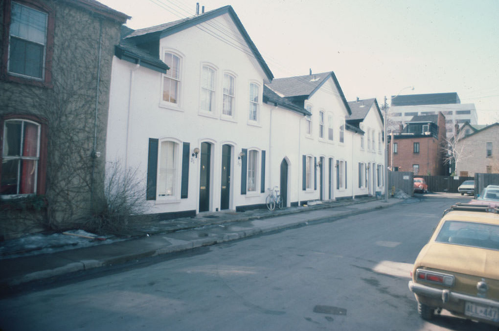
Berkeley Street in the St. Lawrence neighbourhood was another well-documented stretch, with multiple photos taken in 1980 and 1982 capturing its mix of older brick buildings and streetscapes. The Esplanade at Berkeley, photographed in 1985 looking northwest, shows how much the area has changed since. Beverley Street and Bishop Street received the same treatment — careful, block-by-block documentation that now serves as an important urban record.
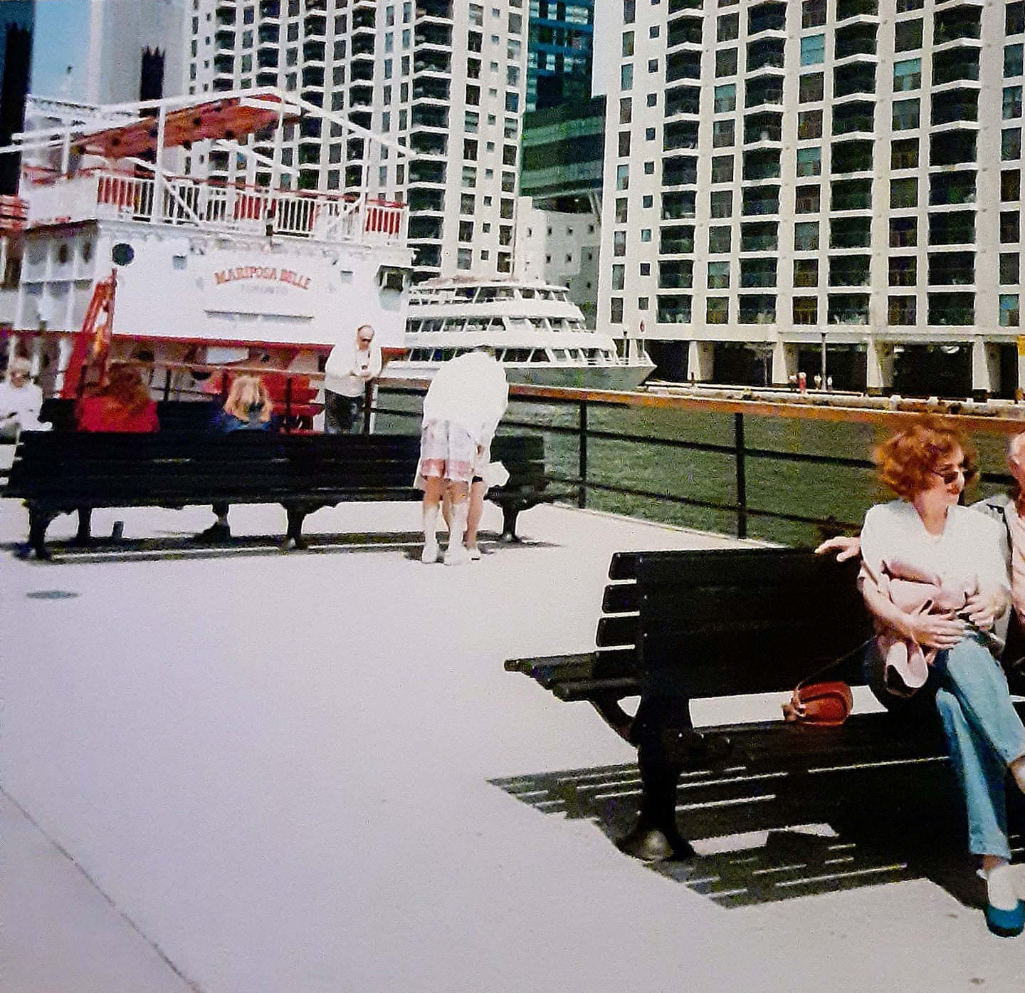
Queen's Quay... probably mid to late 1980s.
Queen’s Quay… probably mid to late 1980s.
31-41 Bishop Street, 1983
72-74 Beverley Street, 1981
70 Berkeley Street, 1980
26 Berkeley Street, 1980
Berkeley Street & The Esplanade looking northwest, 1985
Berkeley Street, 1982
6 Benlamond Drive, 1989
3 Beaumont Road, 1980
2 Beaumont Road, 1980
23-25 Beaconsfield Avenue, 1985

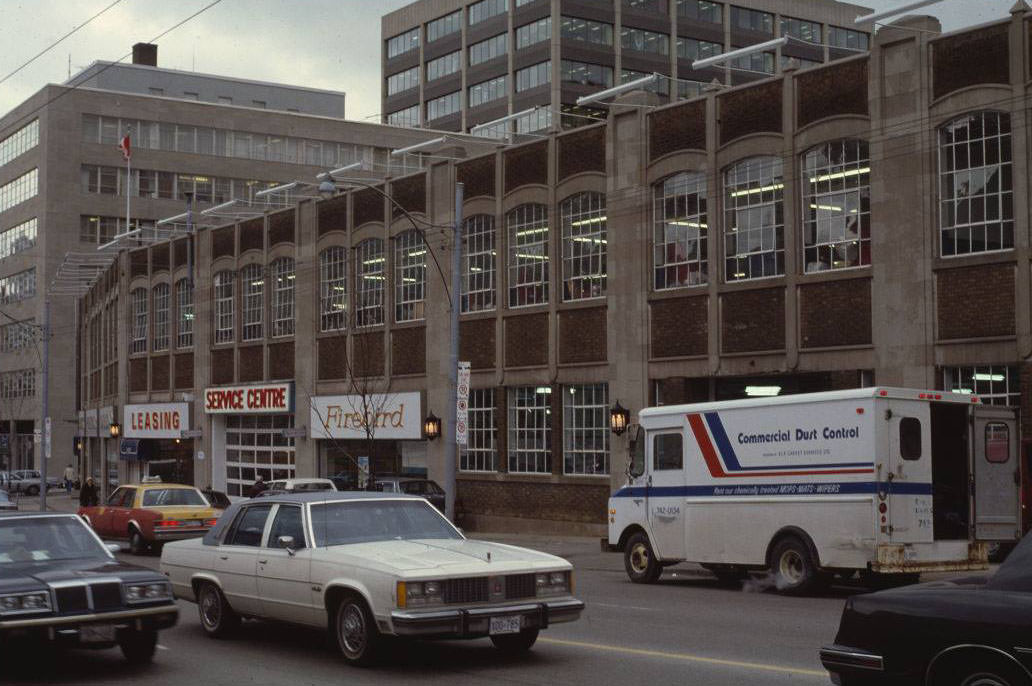
Bay Street in the early 1980s had its own personality apart from the towers. The Addison dealership at 832 Bay Street was captured twice in 1980, and the surrounding blocks show a street that mixed commercial and residential uses in ways that have since been replaced by denser development. Balsam Avenue in the Beach neighbourhood, photographed in 1980, showed quiet residential properties — a contrast to the intensity of the downtown core just a few kilometres west.
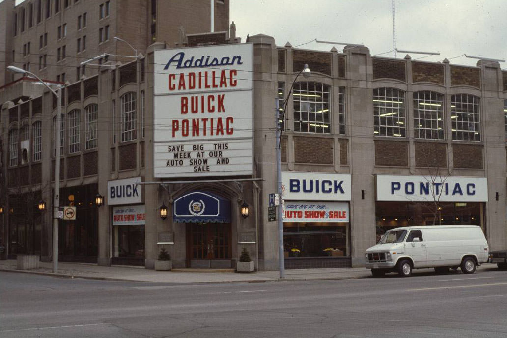
Addison - 832 Bay Street, 1980
Addison – 832 Bay Street, 1980
Addison - 832 Bay Street, 1980
Addison – 832 Bay Street, 1980
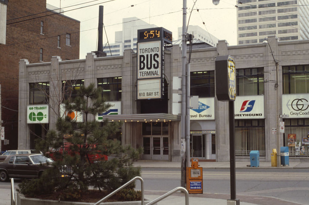
610 Bay Street, 1981
132 Balsam Avenue, 1980
93 Balsam Avenue, 1980
387 Balliol Street, 1980
183 Avenue Road, 1985
Looking southwest towards Avenue Road & Bloor Street, 1984
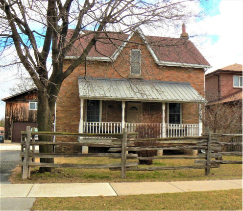
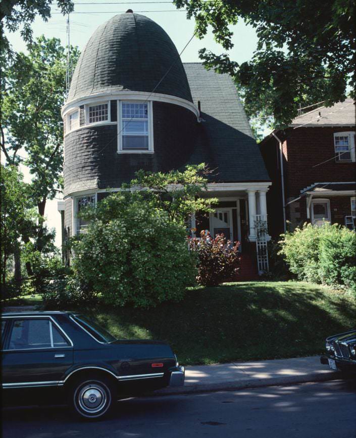
One of my favorite houses in Toronto, 1980
Ashby Place, 1980
Ashby Place, 1980

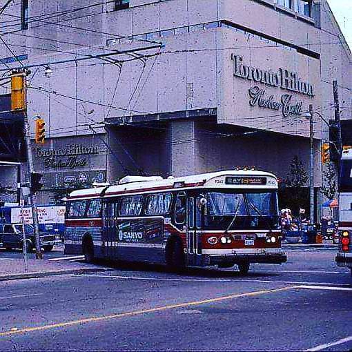
Toronto’s streetcar network was busy throughout the decade. A 1982 photo shows multiple streetcars lined up along Queen West between Beverley and Peter Streets. The PCC streetcar at Queen and Roncesvalles was still running as late as 1987, while the Humber Loop served as a turnaround point at the western end of the Queen route. The TTC Flyer Trolleybus, captured passing the Harbour Castle Hilton in September 1985, was another fixture of the era’s transit landscape.
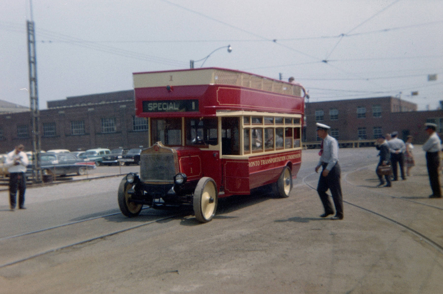
TTC double-decker bus No. 1, on special excursion. Photo taken in front of the TTC's Hillcrest Shops in Toronto, 1980s
TTC double-decker bus No. 1, on special excursion. Photo taken in front of the TTC’s Hillcrest Shops in Toronto, 1980s
Football at the CNE Stadium, 1980s.
High park, Toronto, 1980s
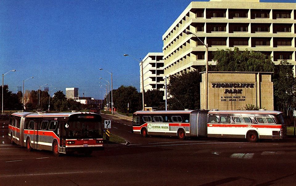
Ted Wickson shot of some brand new Toronto Transit Commission General Motors Diesel Division articulated buses at Thorncliffe Park around 1982.

The buses were essentially 3 buses in one, the front half a 35 foot bus, 40 foot bus behind the articulation joint, and a General Motors Classic model bus at the front. They were actually purchased for the transit agencies by the Province Of Ontario for testing to evaluate articulated buses in different cities. The Government of Ontario signed a $16.3-million contract with General Motors for 53 buses to be used in an articulated bus demonstration program. Four transit agencies participated: Hamilton Street Railway, Mississauga Transit, OC Transpo, and the Toronto Transit Commission. Of those 53, 2 have been preserved, one in the OC Transpo Fleet, and a Hamilton Street Railway bus at the Seashore Trolley Museum in Kennebunkport, Maine.
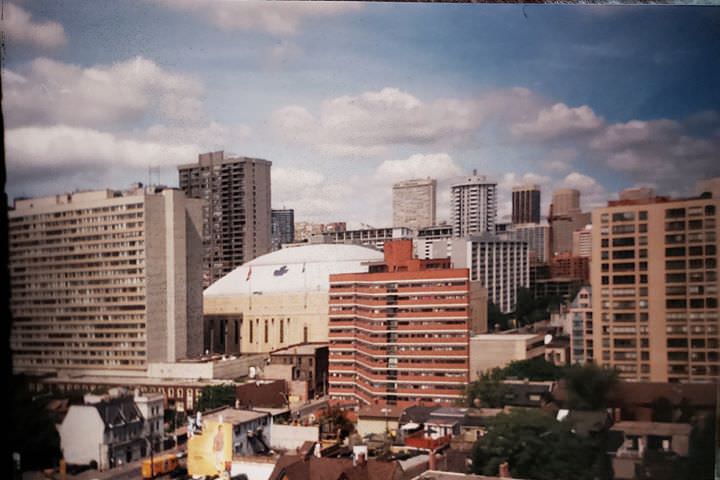
M.L.G. in the centre, 1980s
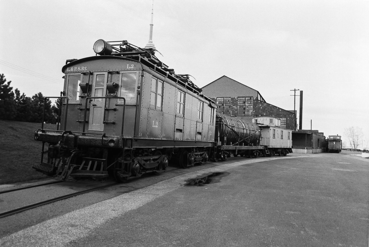
A lineup of railway artifacts. From the railway museum at Harbourfront, 1980.
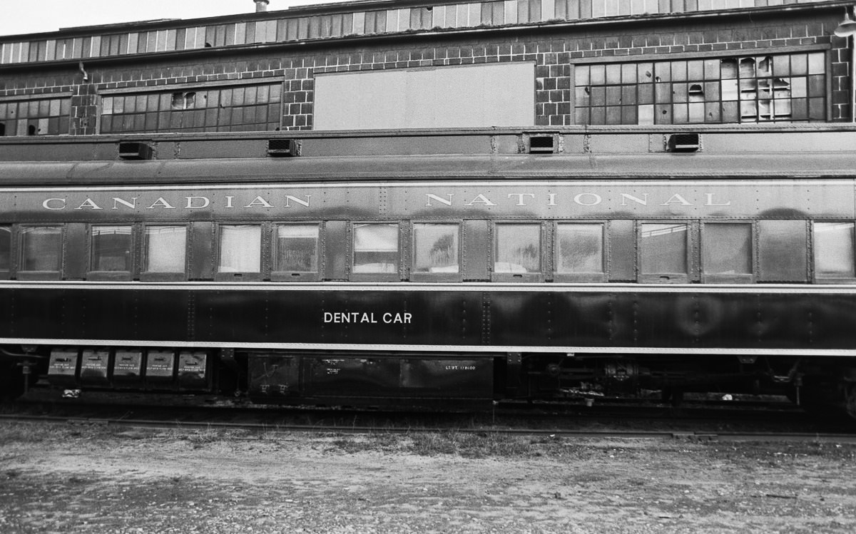
CNR Dental Car. From the railway museum at Harbourfront, 1980.

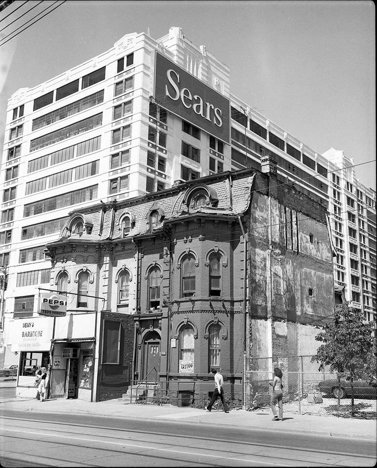
The restaurant scene captured in these photos tells its own story. Shopsy’s deli was photographed in 1983. Deny’s B.B.Q. at 154 Dundas Street East appeared in a 1981 shot. The Cow Cafe, a vegetarian spot at 165 John Street, was already operating in 1982. Queen’s Burger represented the local fast food scene, while the Golden Nugget at Yonge and Bloor occupied a prime corner. These were the places Torontonians actually ate — not chains imported from elsewhere, but local spots tied to specific blocks and communities.
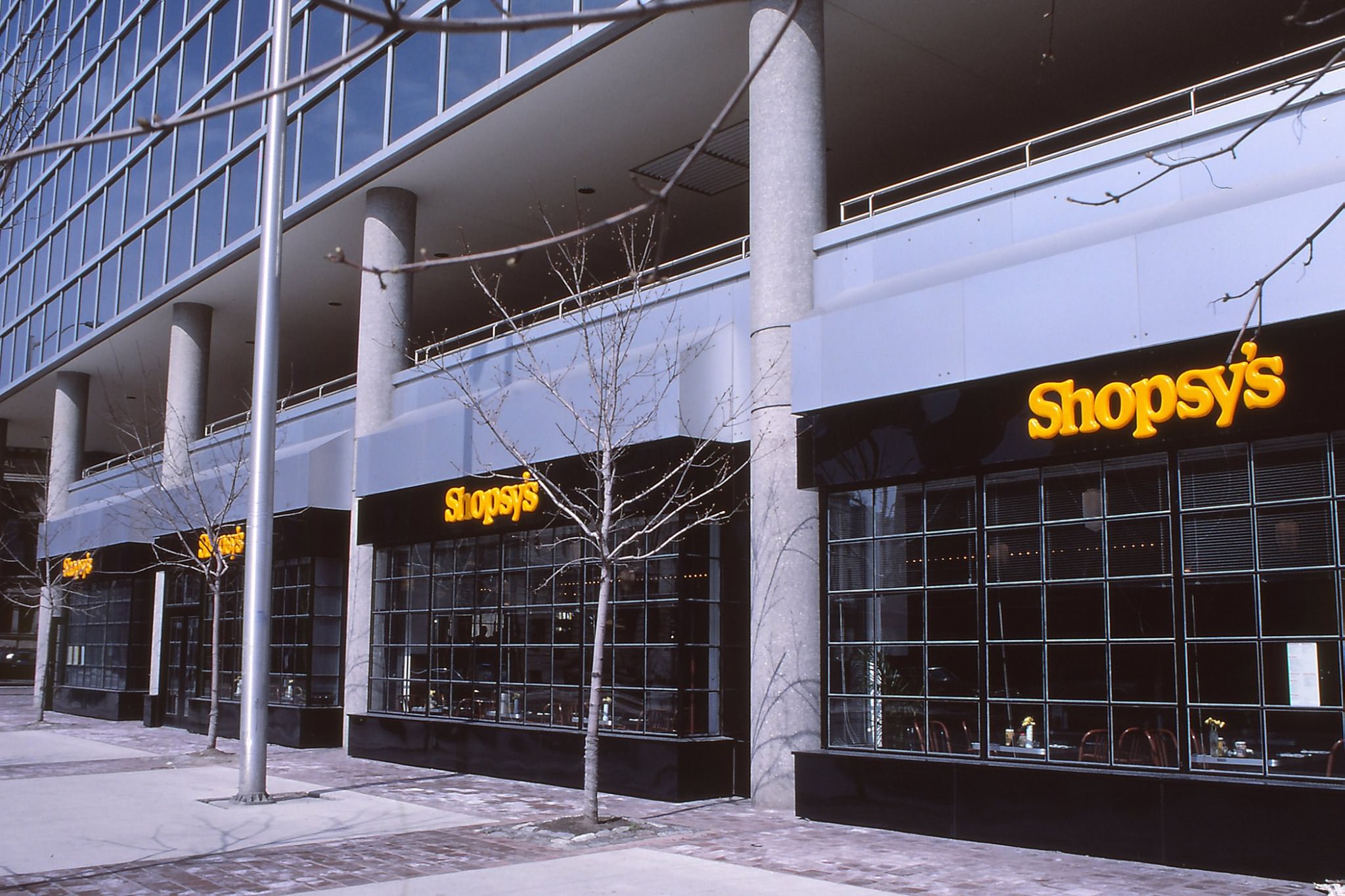
Shopsy's, 1983.
Shopsy’s, 1983.
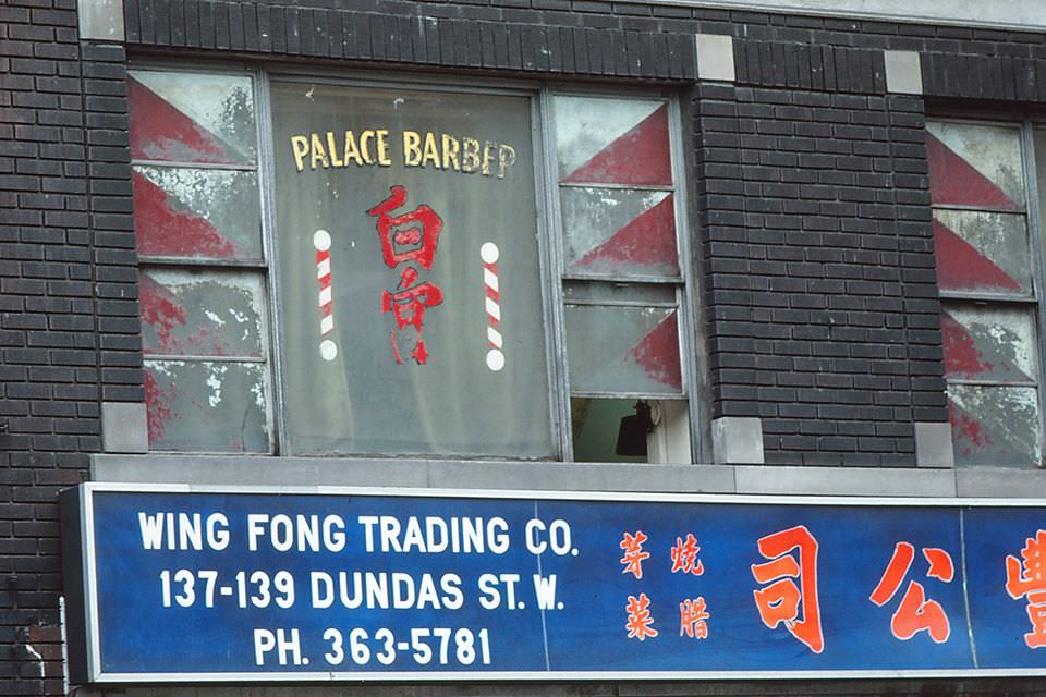
Chinatown, 1980.
Chinatown, 1980.
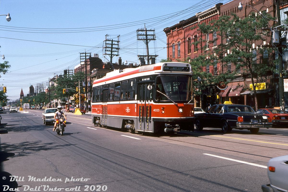
A hot afternoon in early September 1983 when the CLRV streetcars were just a few years old finds TTC 4023 heading eastbound on College past Major (west of Spadina), operating on the Rt.506 Carlton.
PCC streetcar at Queen and Roncesvalles, 1987
Humber Loop, 1987
Humber Loop, 1987
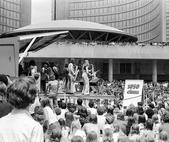
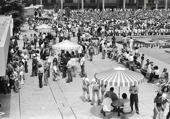
Free concert at City Hall, 1980s
TTC Flyer Trolleybus passing the Harbor Castle Hilton September 8, 1985.
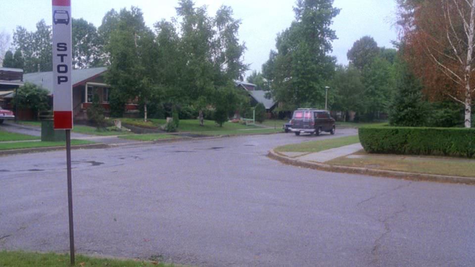
Prom Night 1980
Prom Night 1980

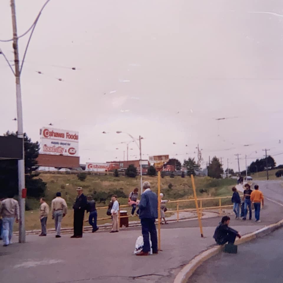
There is a TTC bus stop circa 1980 in it. I’m not sure if it’s a legit bus stop tho as it’s on a weird corner. One of the other houses used in the film was in the Steeles and Leslie area.
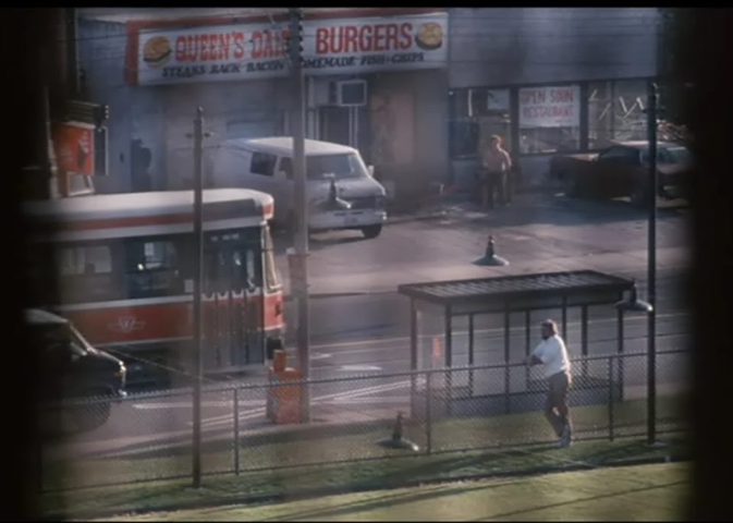
Queen's Burger in Toronto, 1980s
Queen’s Burger in Toronto, 1980s
Gray Coach Lines 2291 signed for Sudbury, 1984

Gray Coach Lines was a subsidiary of the Toronto Transit Commission that provided intercity service until its sale to Stagecoach in 1990. The bus has a Hostess Express sticker. Hostess

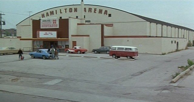
The intersection of Brimley and Eglinton captured in the 1980s shows a Red Barn restaurant and a Sayvette department store, along with the bridge crossing Danforth Road — commercial anchors of the Scarborough strip that have since changed hands or disappeared. The Rob Lowe film Youngblood, released in 1986, was partly filmed in Toronto, using the Scarborough Arena on Birchmount Road south of Danforth Avenue. The production renamed it Hamilton Arena for the film.
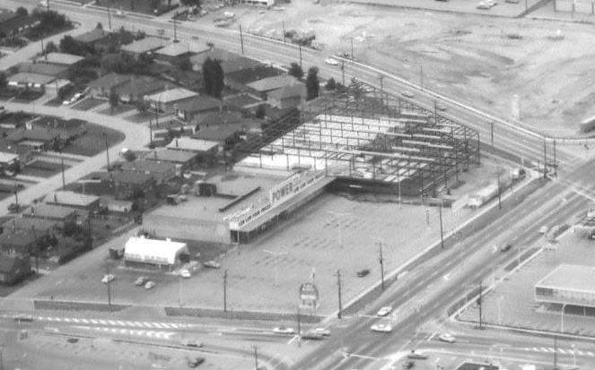
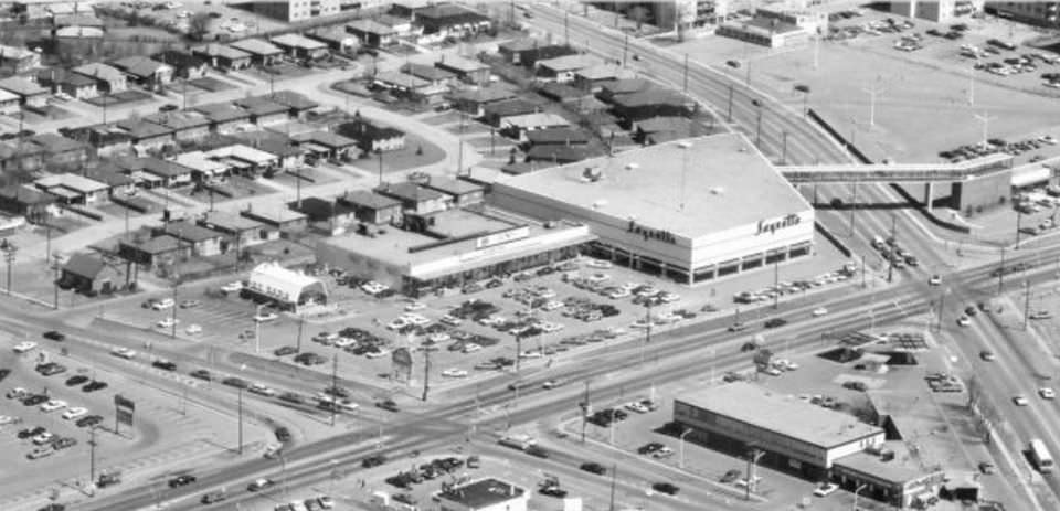
Brimley & Eglinton looking northeast, 1980s
Brimley & Eglinton looking northeast. Red Barn, Sayvette and the bridge crossing Danforth Road, 1980s
Corner of Avenue Rd. & Brooke Ave. - Credit Howard Hoffman‎, 1980s
Corner of Avenue Rd. & Brooke Ave. – Credit Howard Hoffman‎, 1980s
Corner of Avenue Rd. & Brooke Ave., 1980s
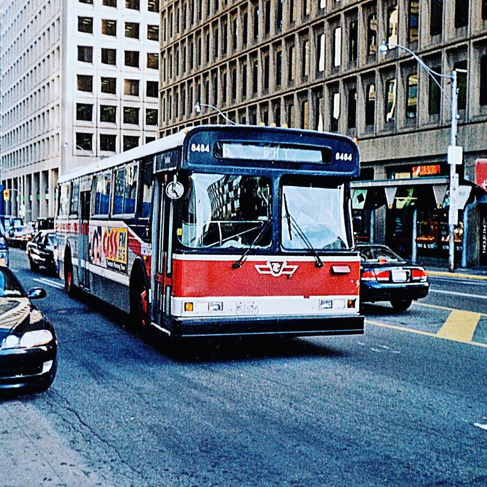
Toronto Transit Commission 8484 was outfitted for summer Gray Line sightseeing duties in the 1980s
Metro. Looking south-east, 1983
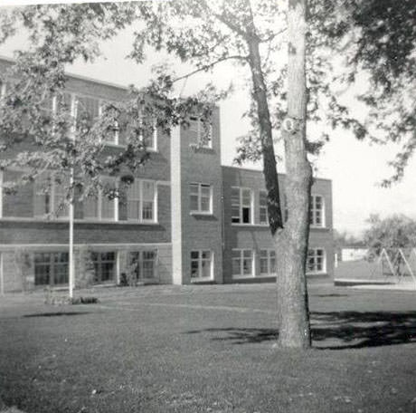
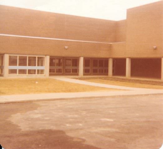
Thistletown Middle School, 1980s
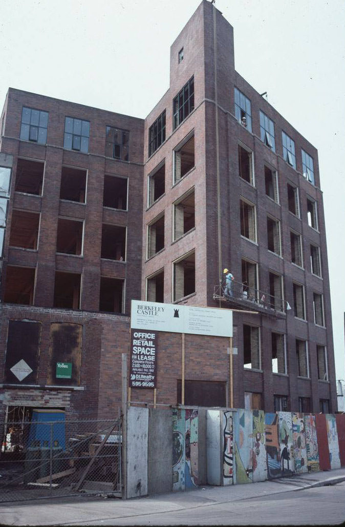
Looking East South-East from Berkeley Castle, 1982
Humbergrove Secondary School - Martin Grove and Finch (1982)
Humbergrove Secondary School – Martin Grove and Finch (1982)
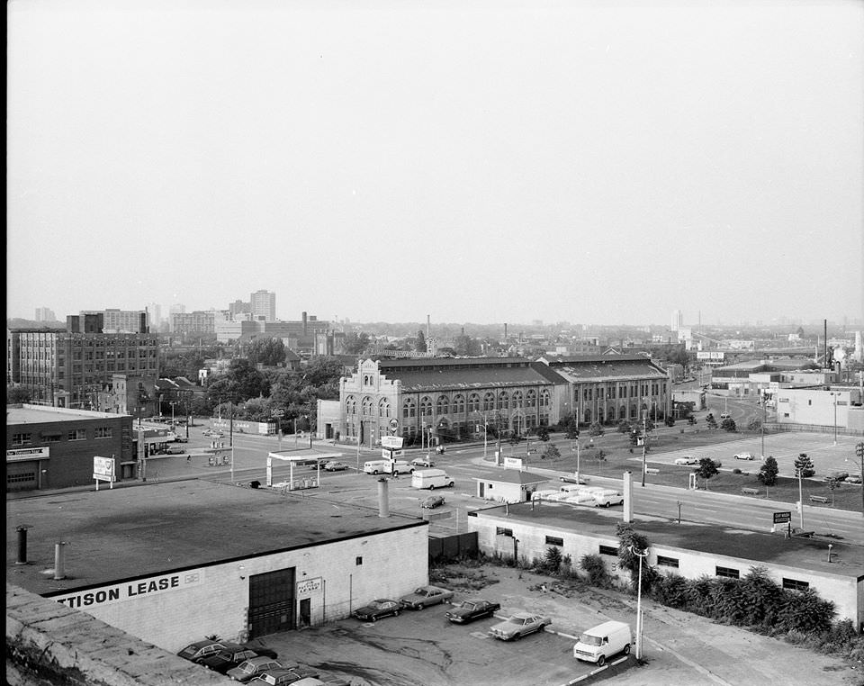
Looking north east towards Front Street and Parliament, 1982
Rob Lowe Cult Classic movie Youngblood (1986) was filmed in Toronto.

The Scarborough Arena , on the east side Birchmount Road south of Danforth Avenue & north of Kingston Road was used for the film. They changed the name to Hamilton Arena.

Avenue Road south of Brooke Avenue was a well-travelled corridor connecting the midtown neighbourhoods to the downtown core. Photos from 1980 and the mid-1980s show the stretch in a quieter state — fewer signs, lighter traffic, and a different rhythm than the busy arterial it is today. Yorkville, just to the south, was already transforming by this point from its 1960s counterculture roots into a more upscale neighbourhood, as shown in photos of Yorkville Avenue between Yonge and Bay from the 1980s.
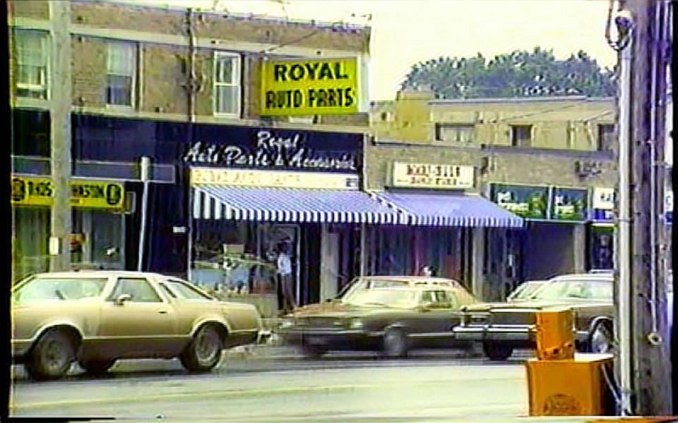
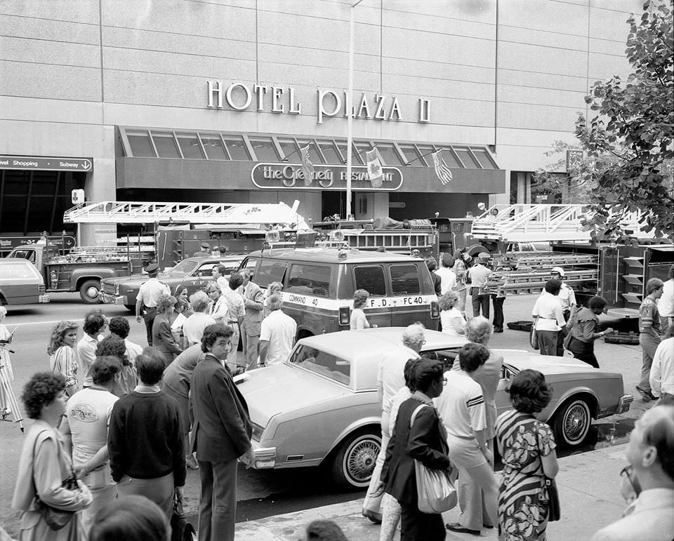
Avenue Road, south of Brooke Ave., 1980
Some TFD action at 90 Bloor Street East, 1983
Esplanade looking east from princess st, 1980s
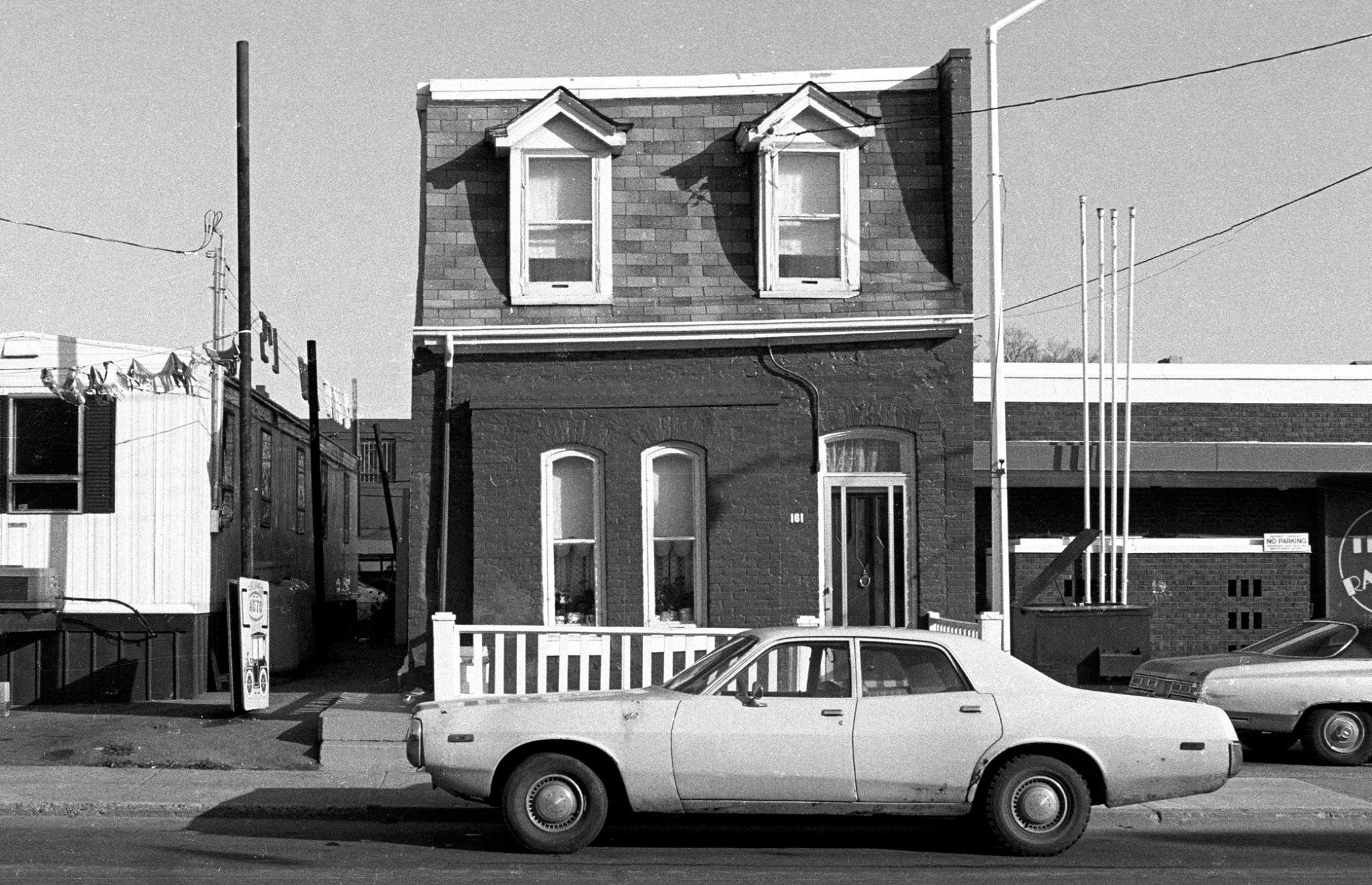
161 Parliament St - 1 - November 27, 1983
161 Parliament St – 1 – November 27, 1983
Streetcars along Queen West between Beverley and Peter Streets, 1982
134 Dundas Street East - just east of Dalhousie, 1981
134 Dundas Street East – just east of Dalhousie, 1981
Loved Deny's B.B.Q. - 154 Dundas Street East, 1981
Loved Deny’s B.B.Q. – 154 Dundas Street East, 1981
Enjoyed this post? Get new ones in your inbox.

11 thoughts on “Spectacular Photos of Toronto Streets in the 1980s”

  1. Man those parking lots! I remember walking from Union to the dome from ‘89 through the early ‘90’s and it was like a prison march along Bremner with old rails everywhere, oppressive heat and only concrete as far as the eye could see

  2. Thank you for sharing. Only photo that didn’t bring back happy memories was #2.

    Exhibition stadium (aka the mistake by the lake) was a terrible venue for baseball games.

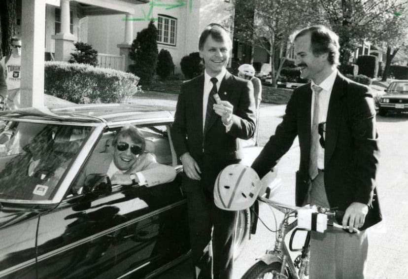
    Is that Jack Layton on the bike in #20?

Leave a Comment

Your email address will not be published. Required fields are marked *

Share this Post 🥺

Please take a moment to share this content. Your support is greatly appreciated! 🙌🙏

Share this Post 🥺

Please take a moment to share this content. Your support is greatly appreciated! 🙌🙏
Scroll to Top
 
Hey Friend, Before You Go.. Please like & follow for more interesting content