

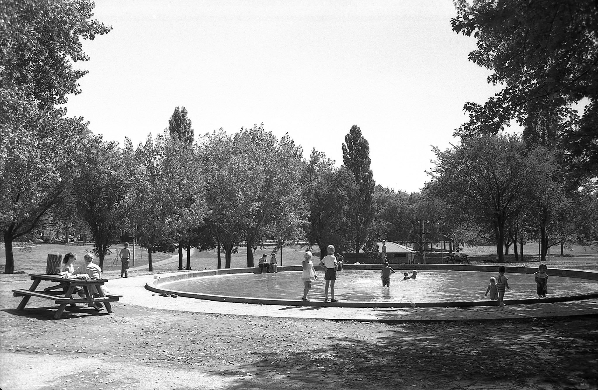
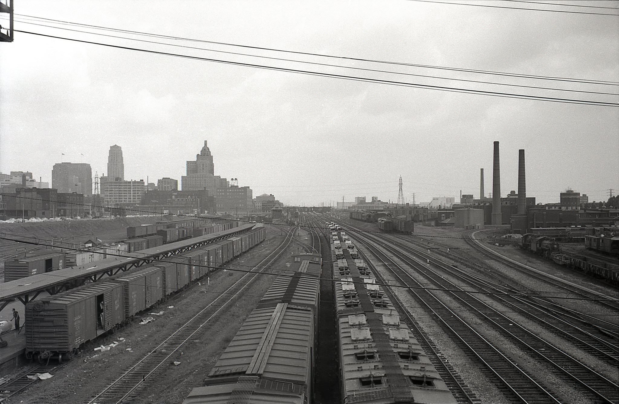
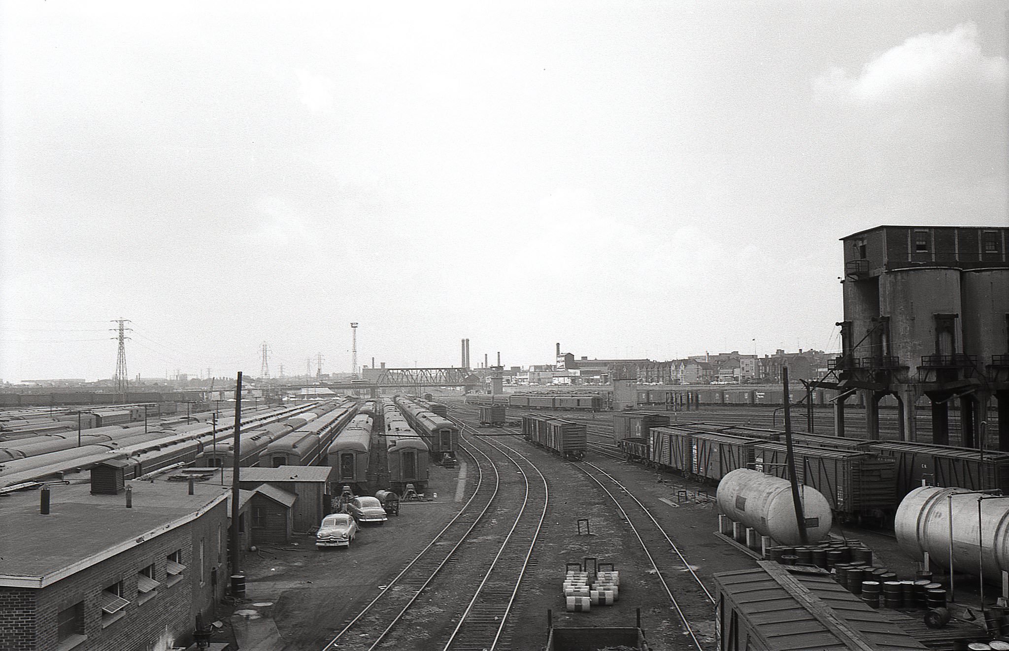
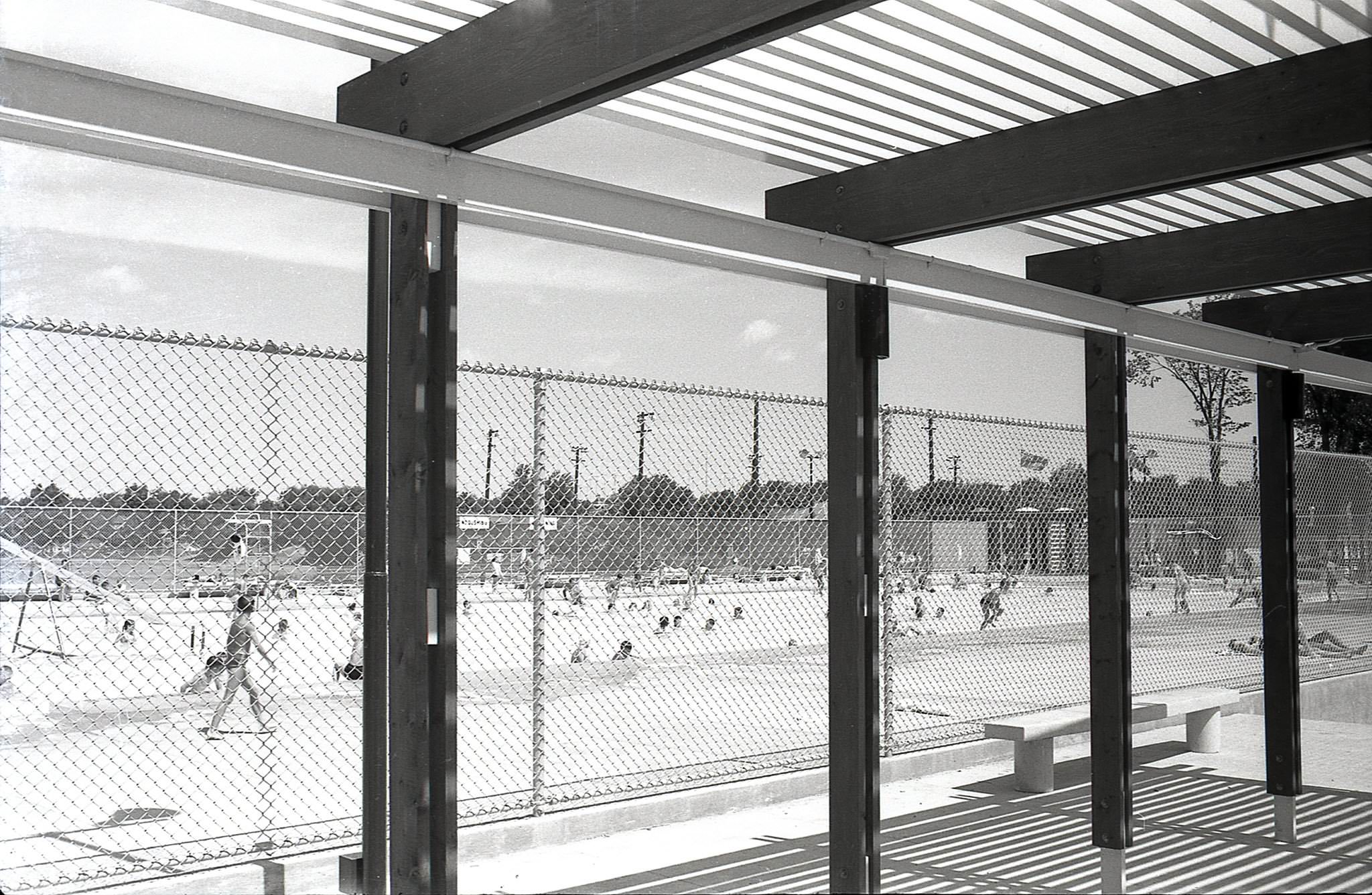
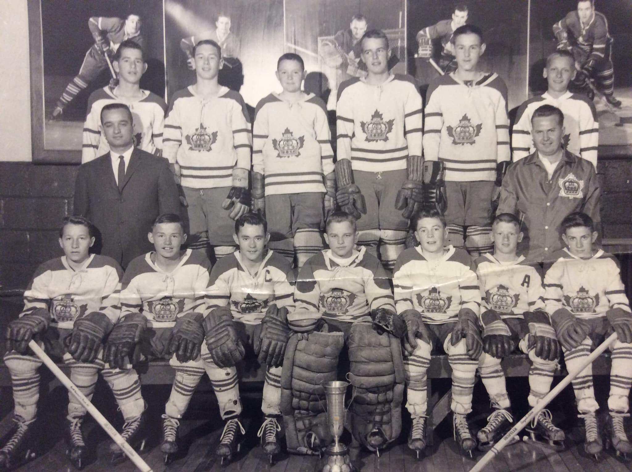
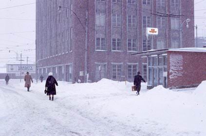
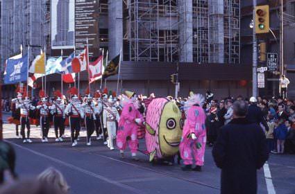
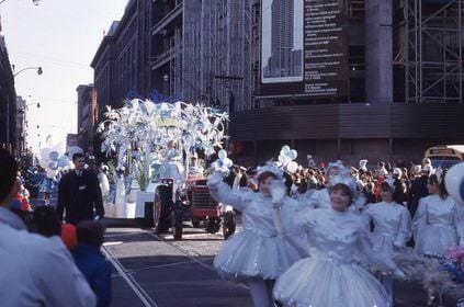
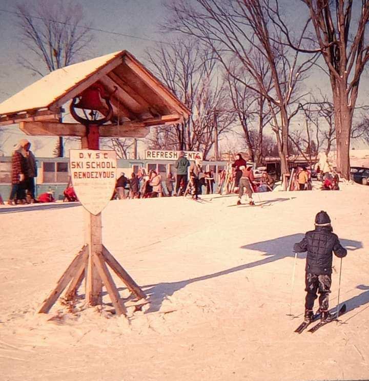
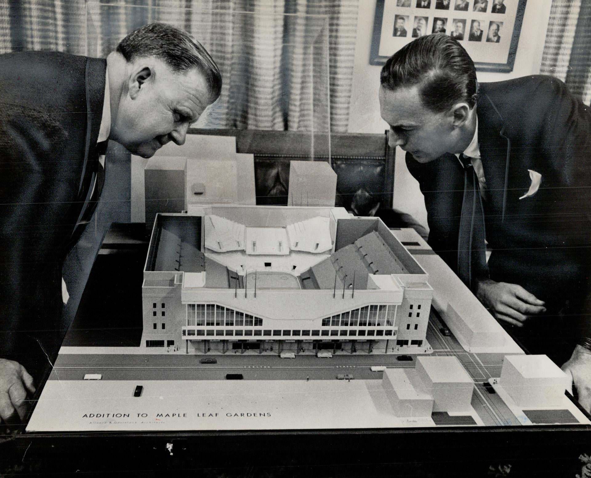
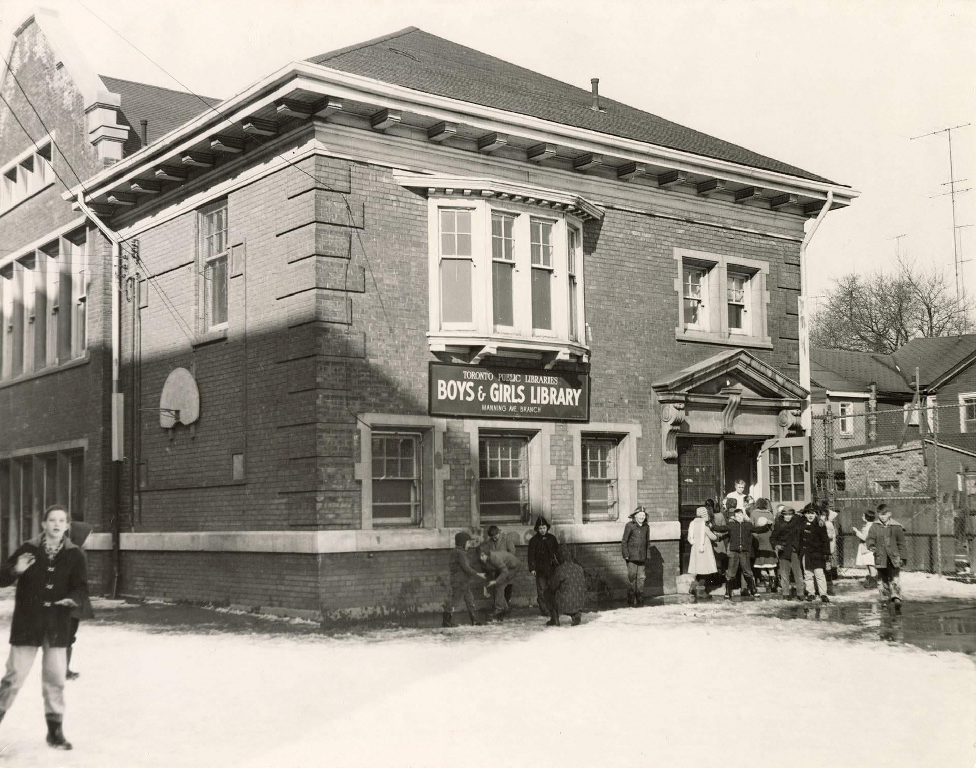
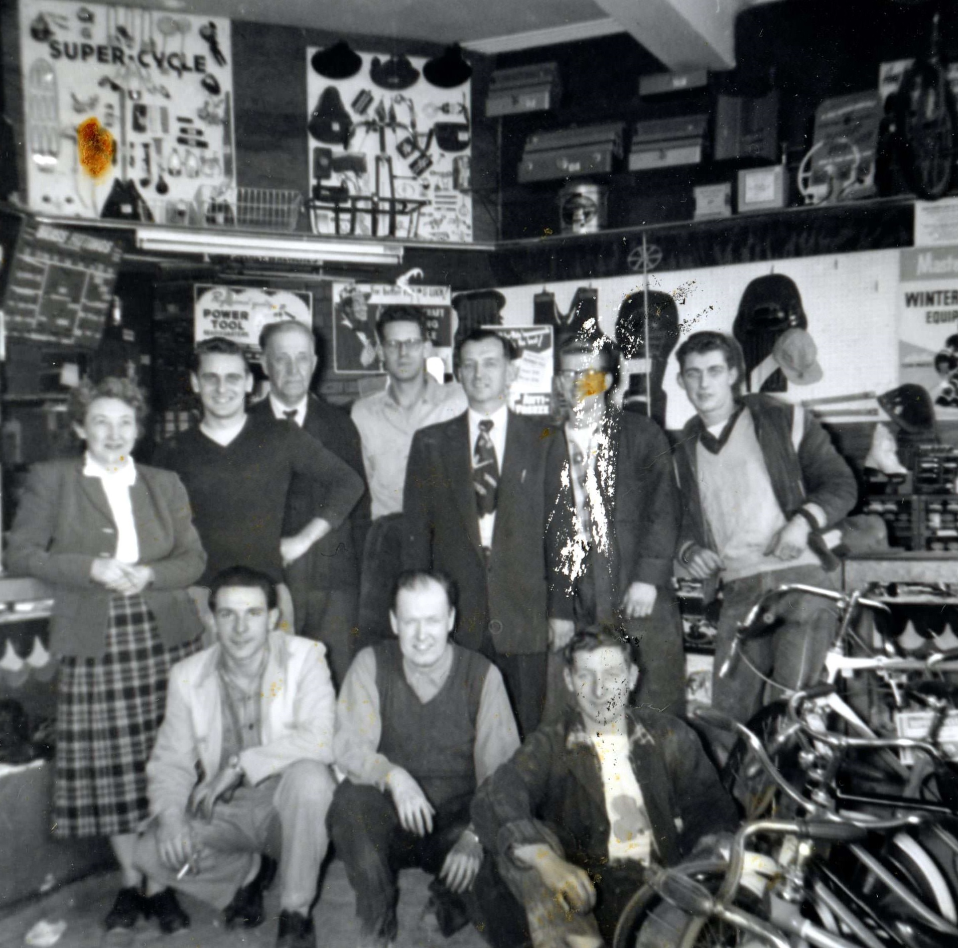
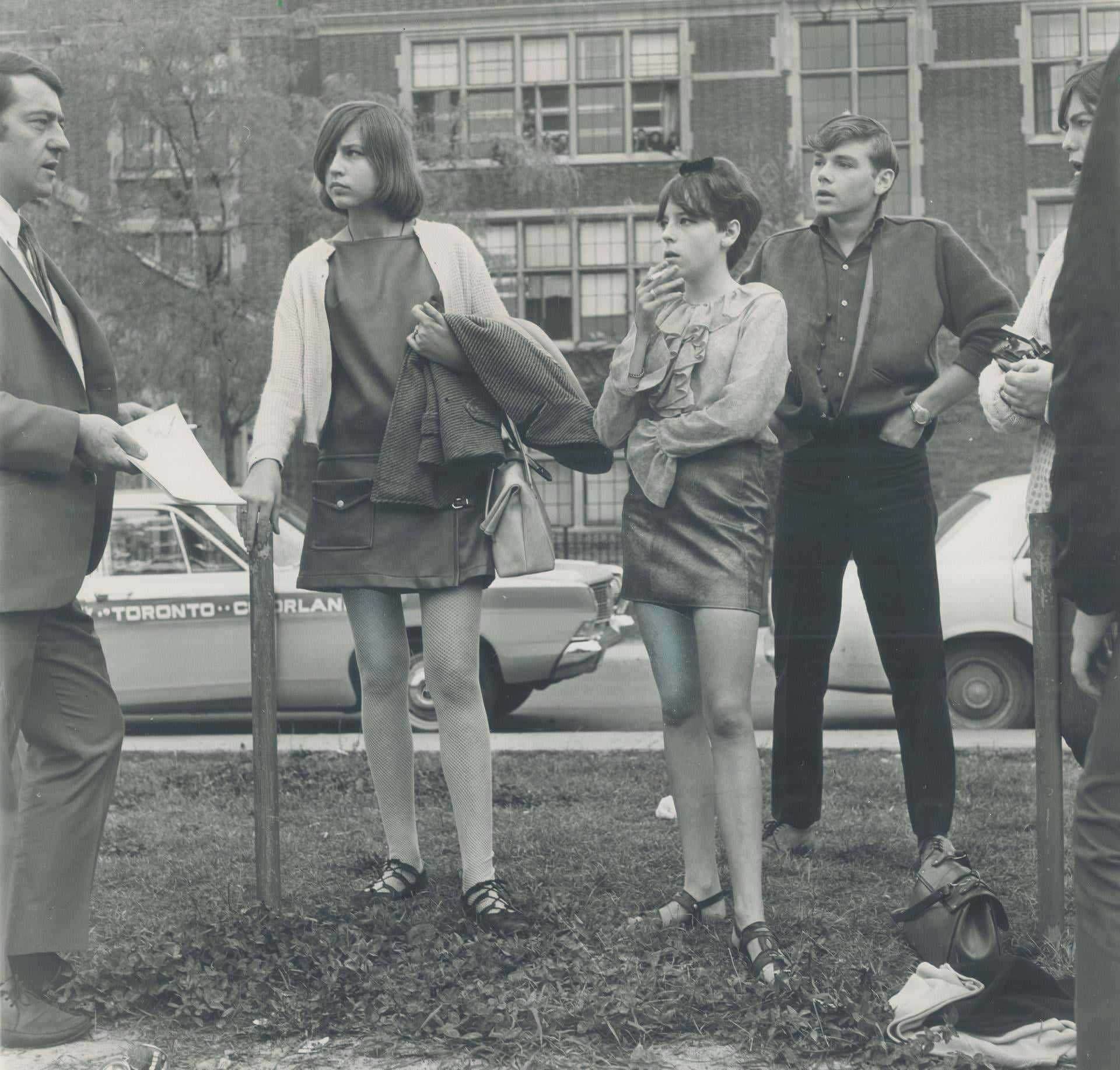
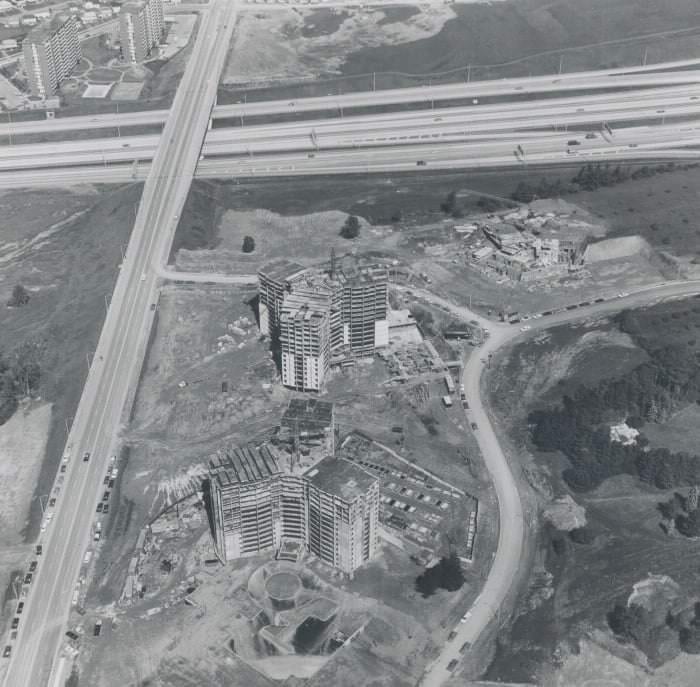
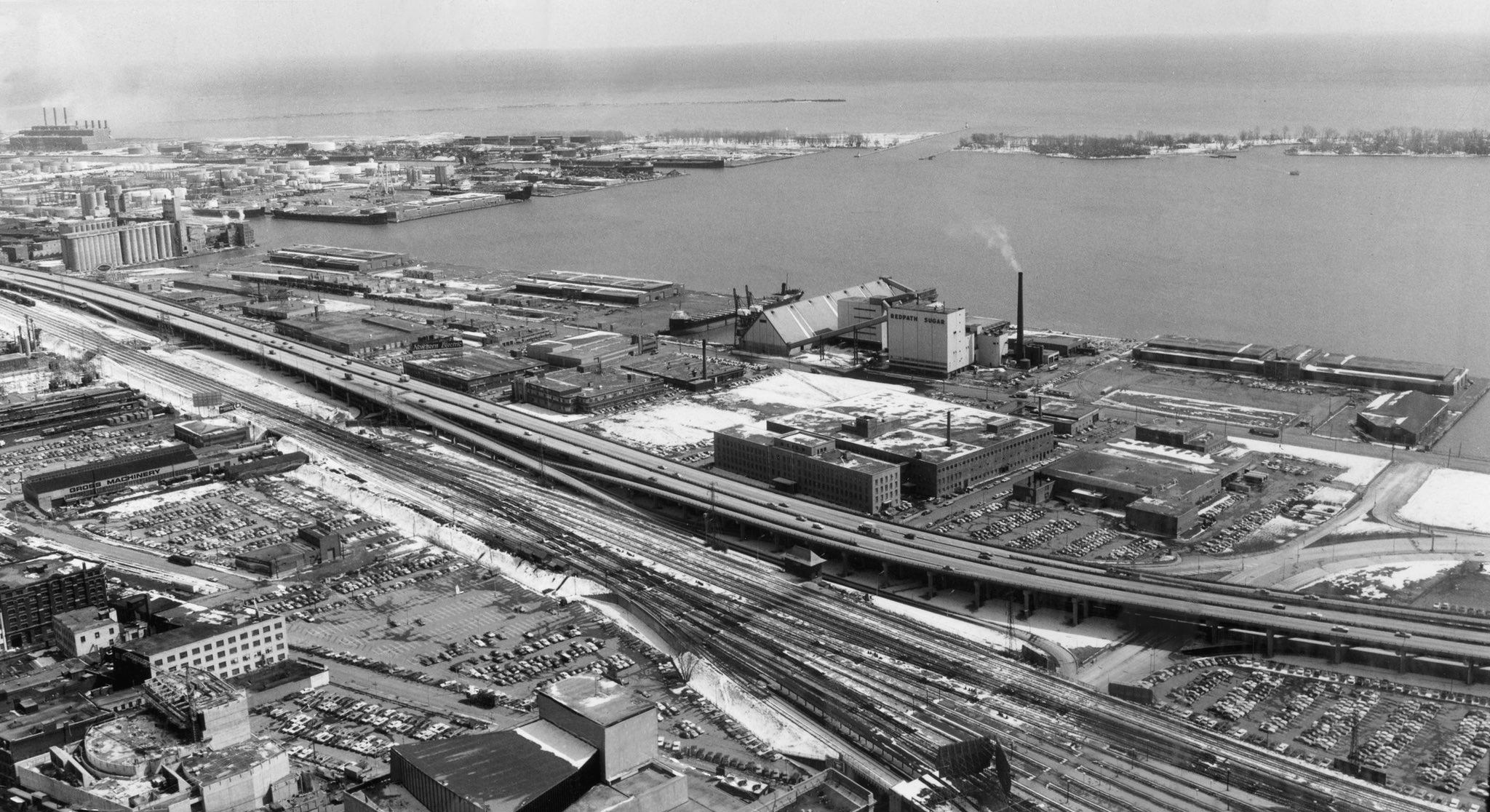
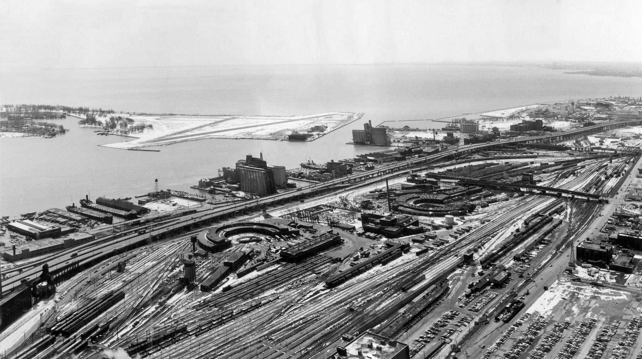
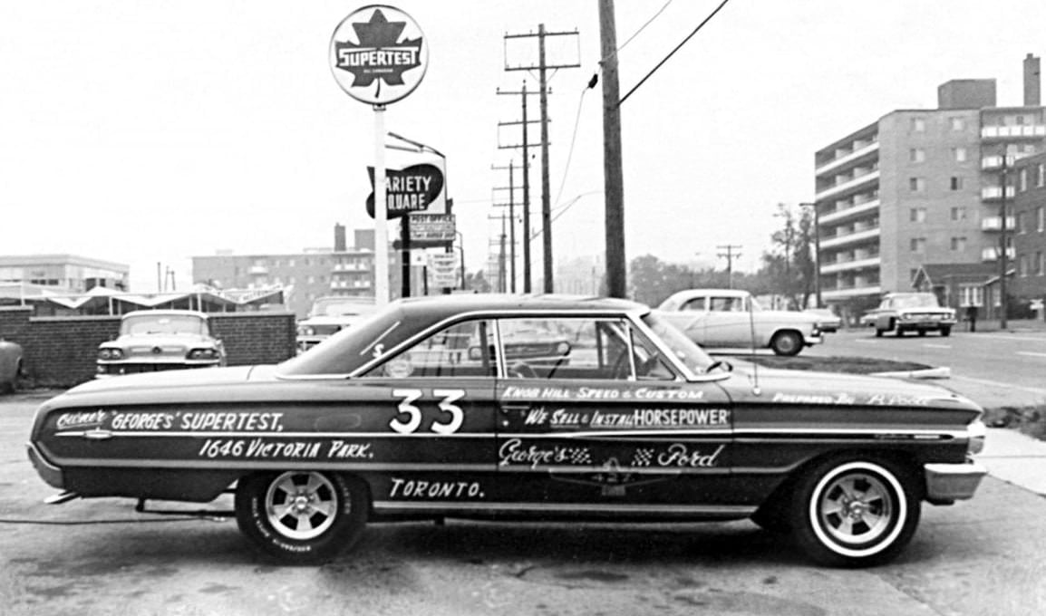
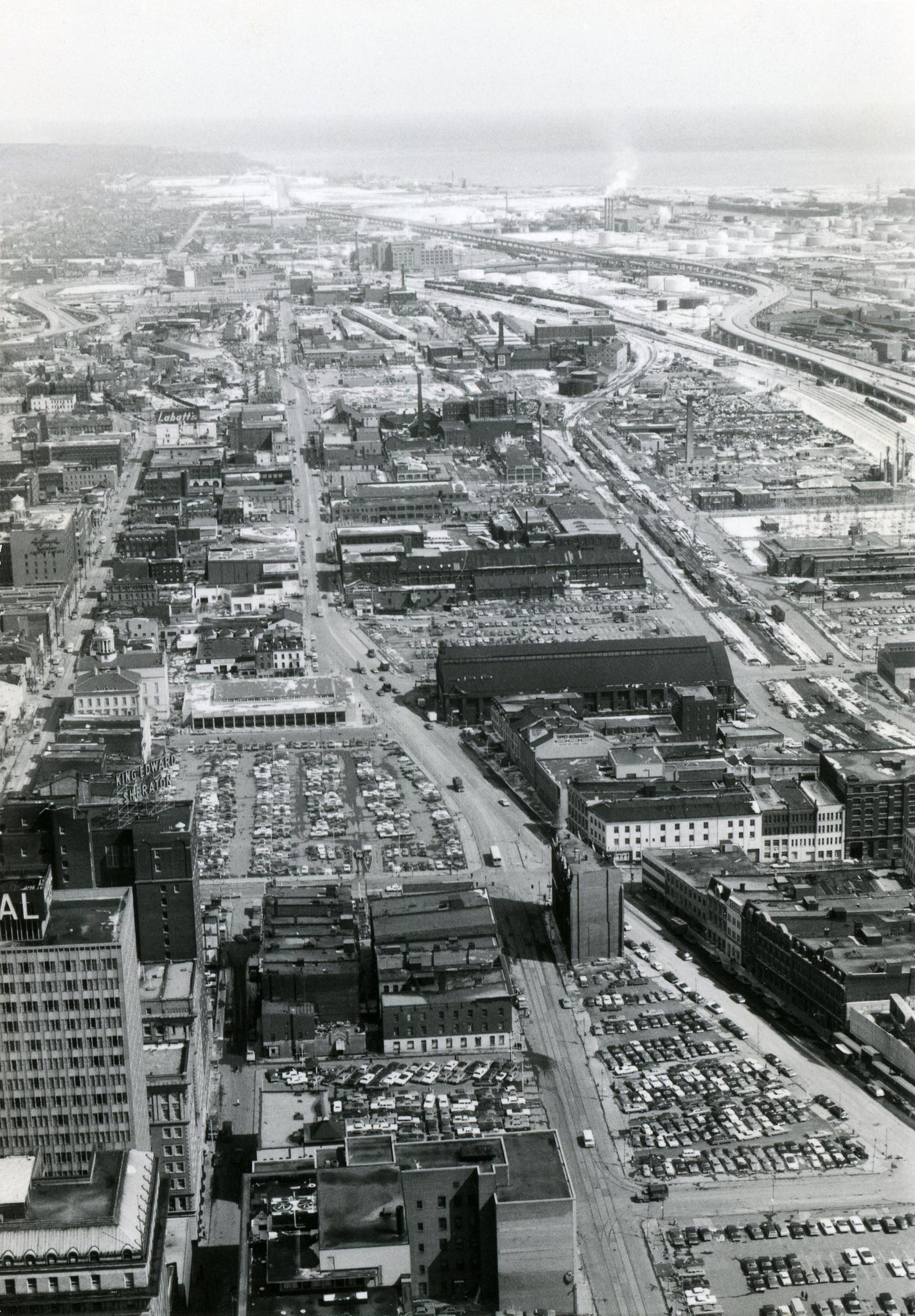
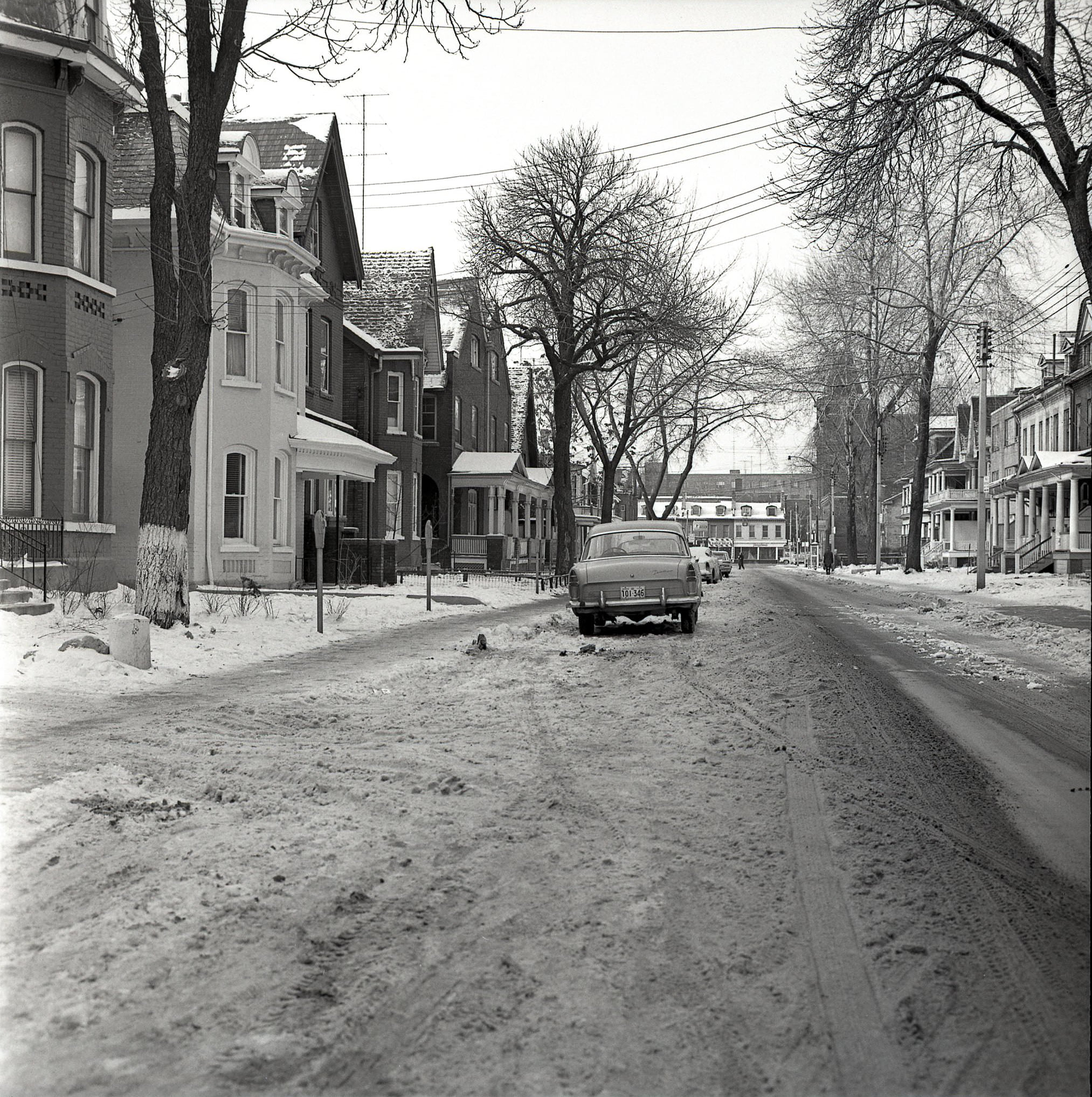
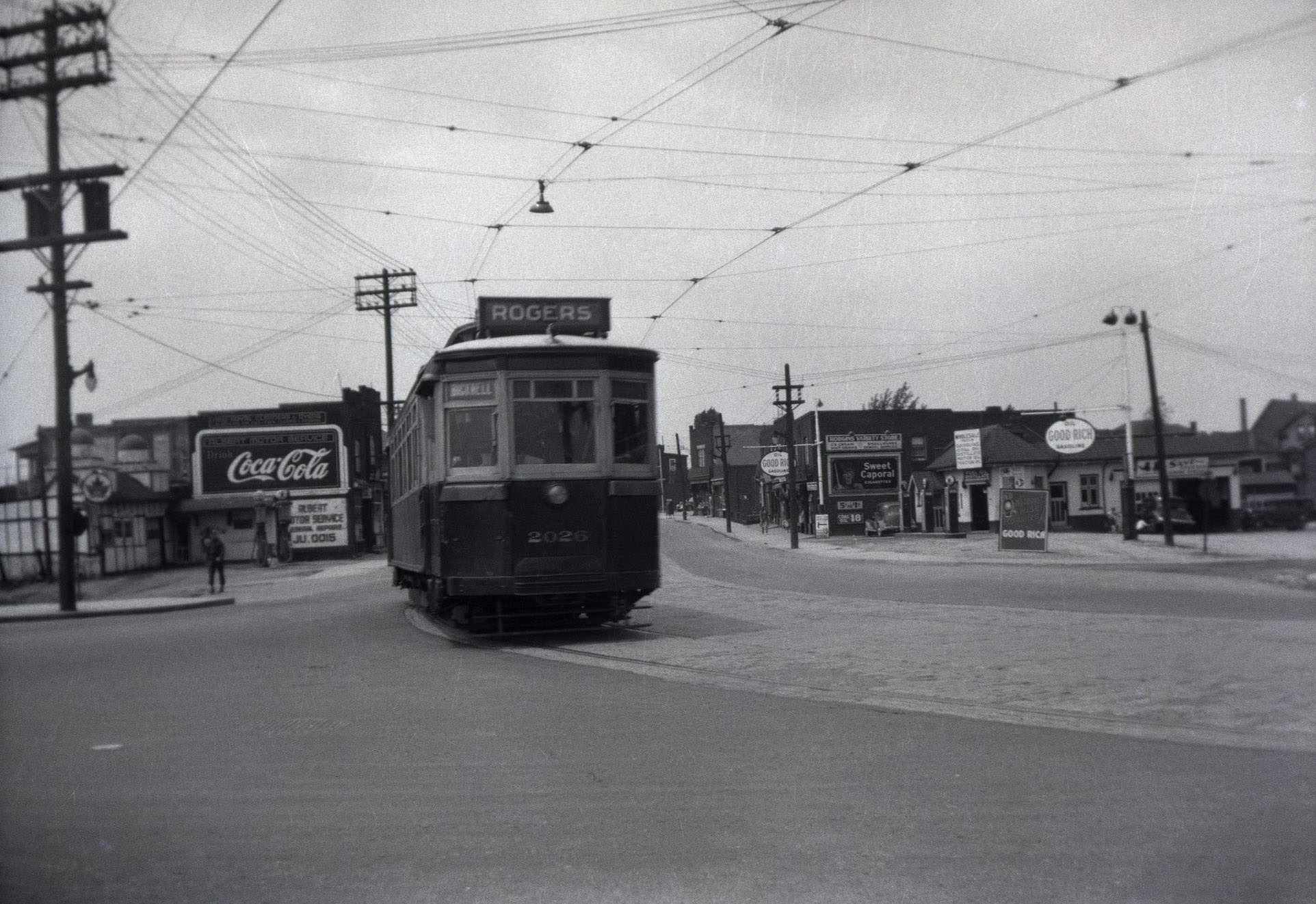
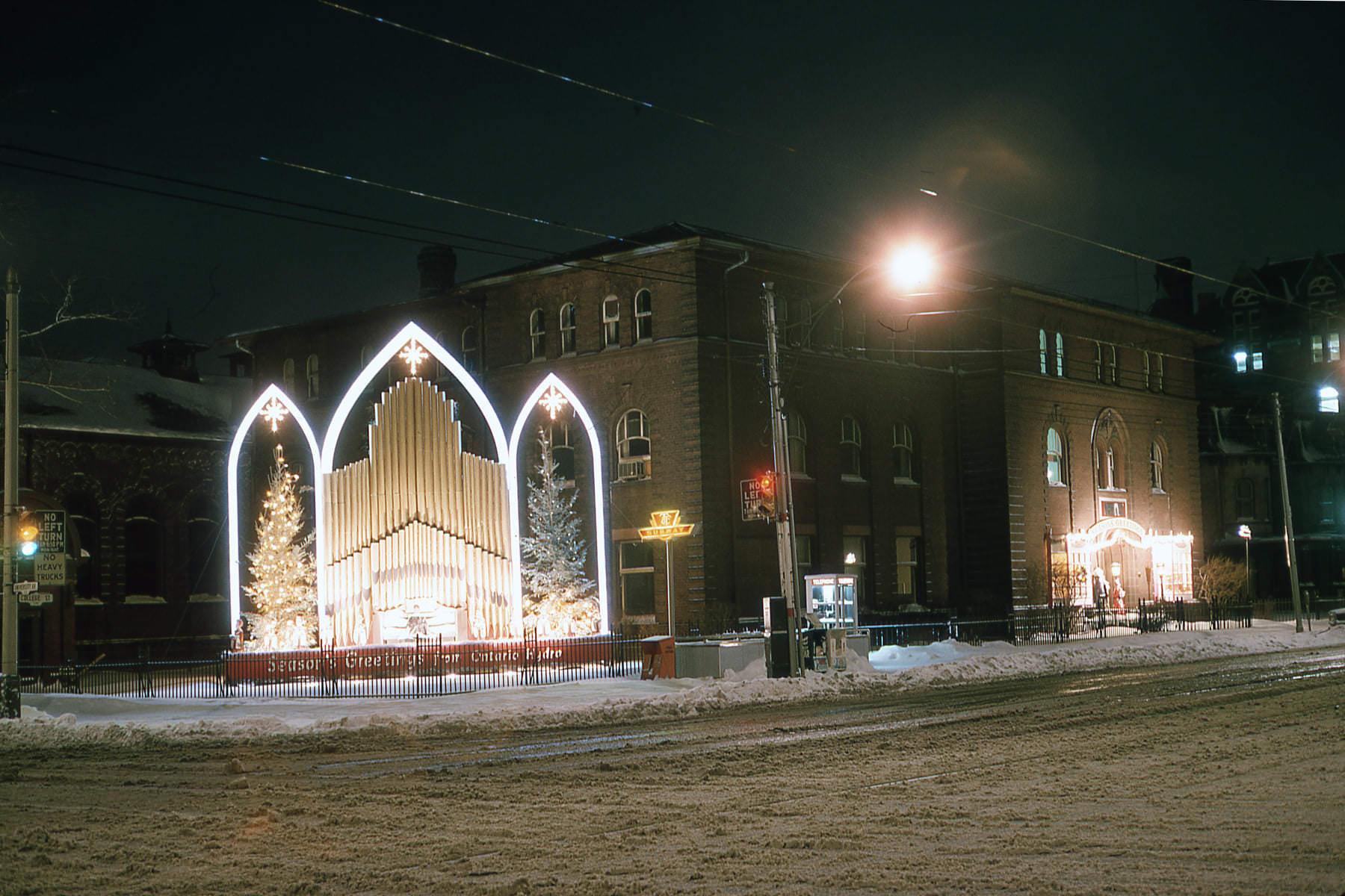
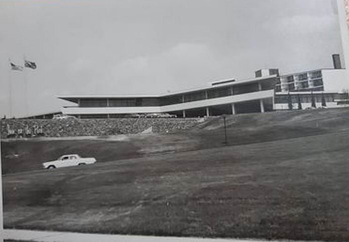
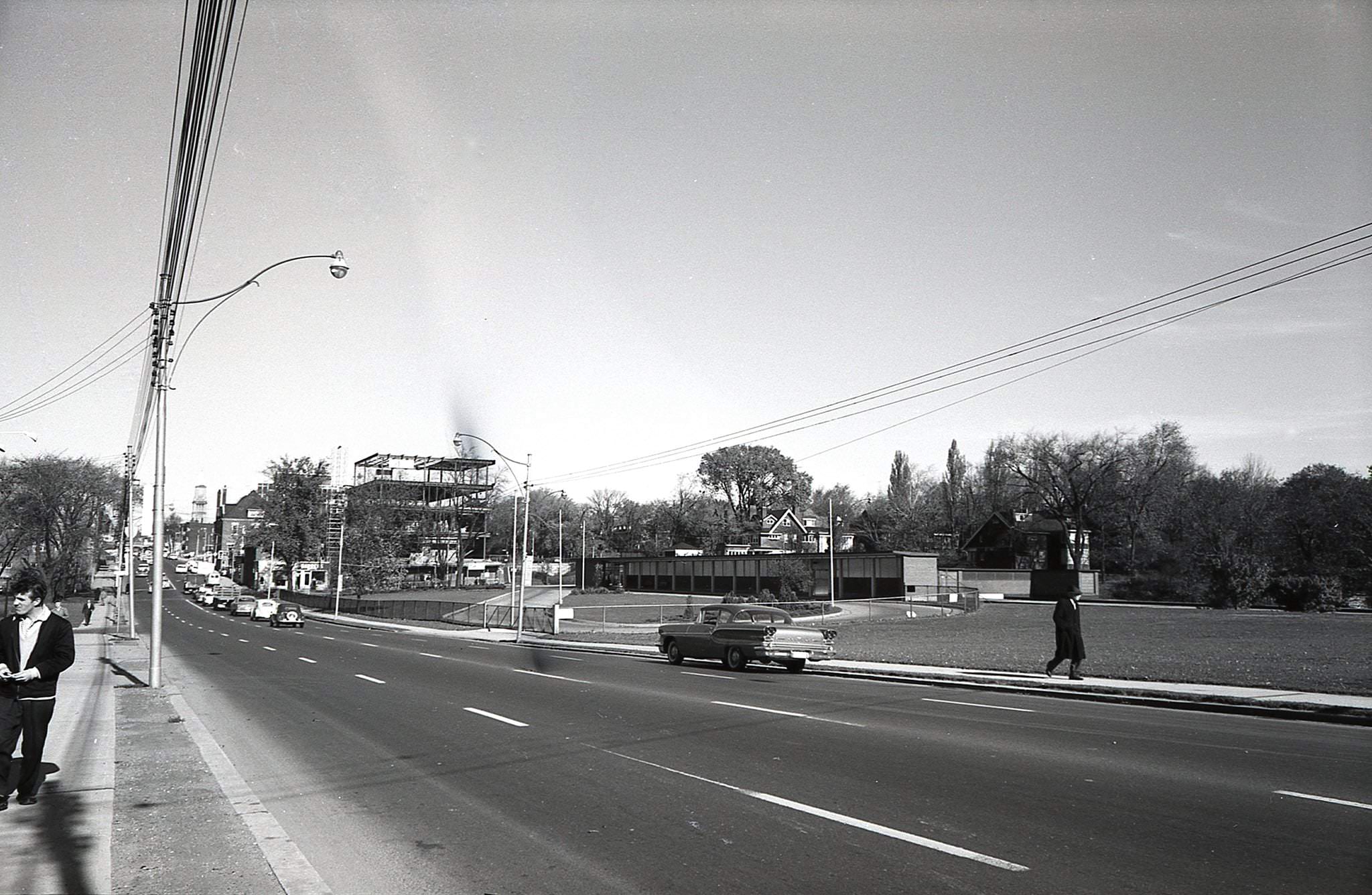
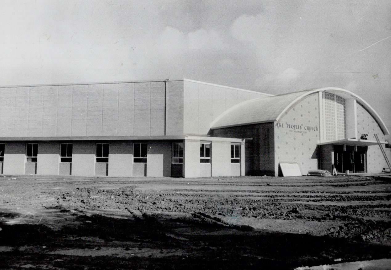
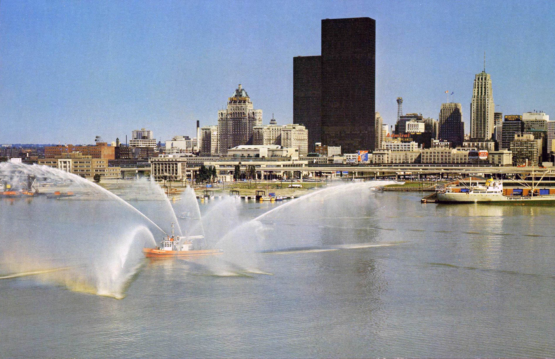
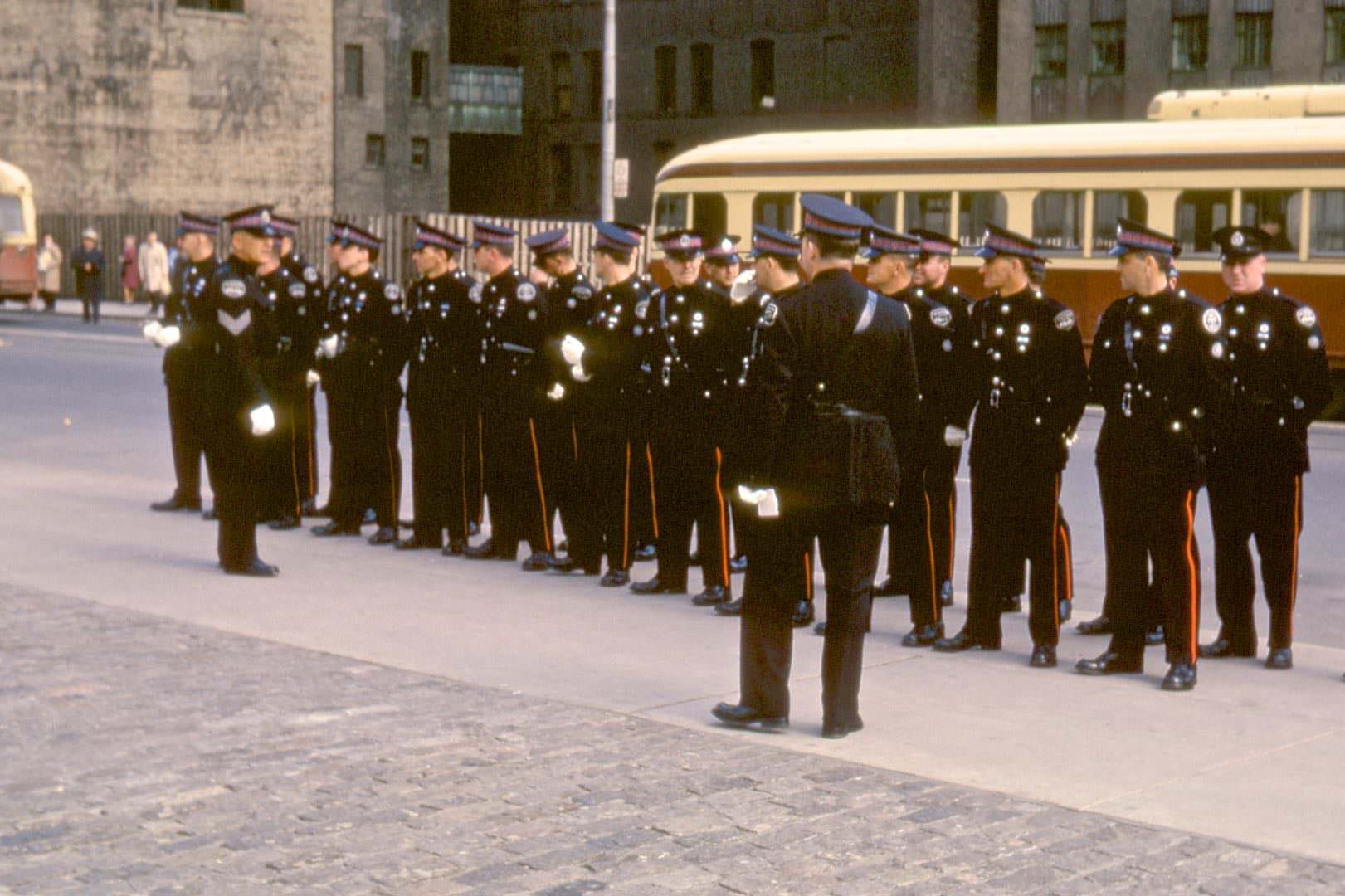
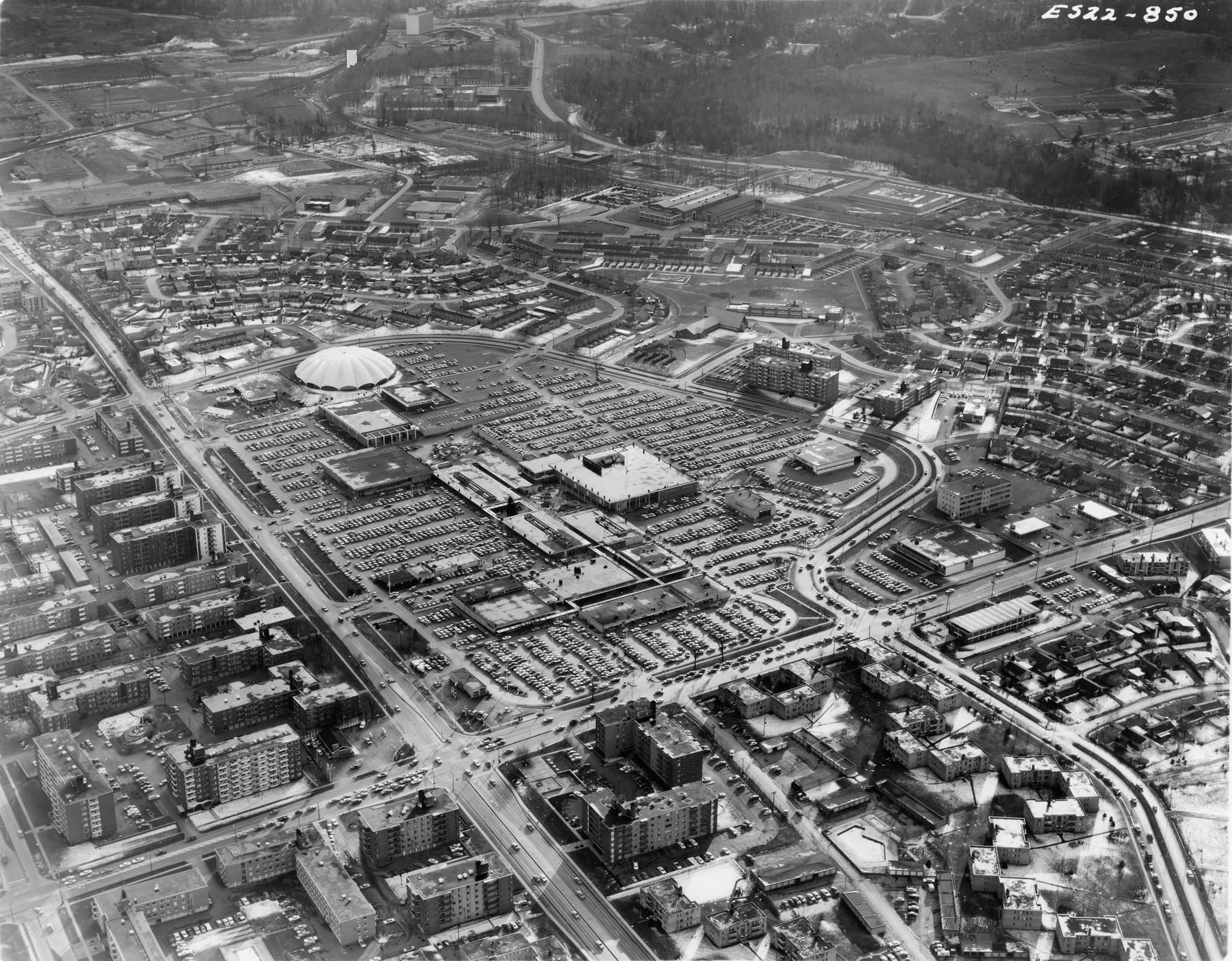
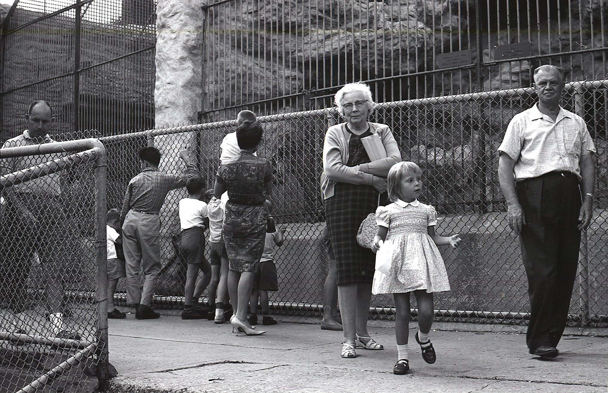
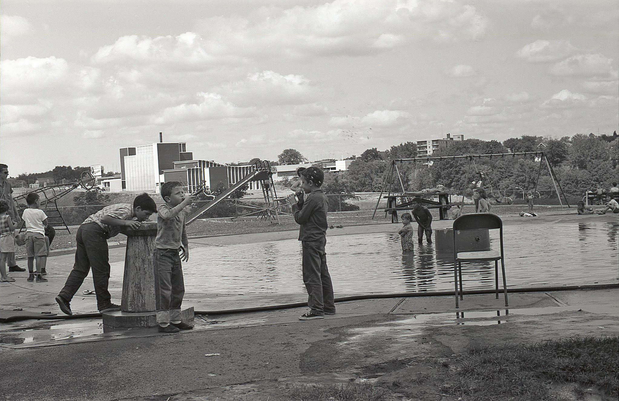
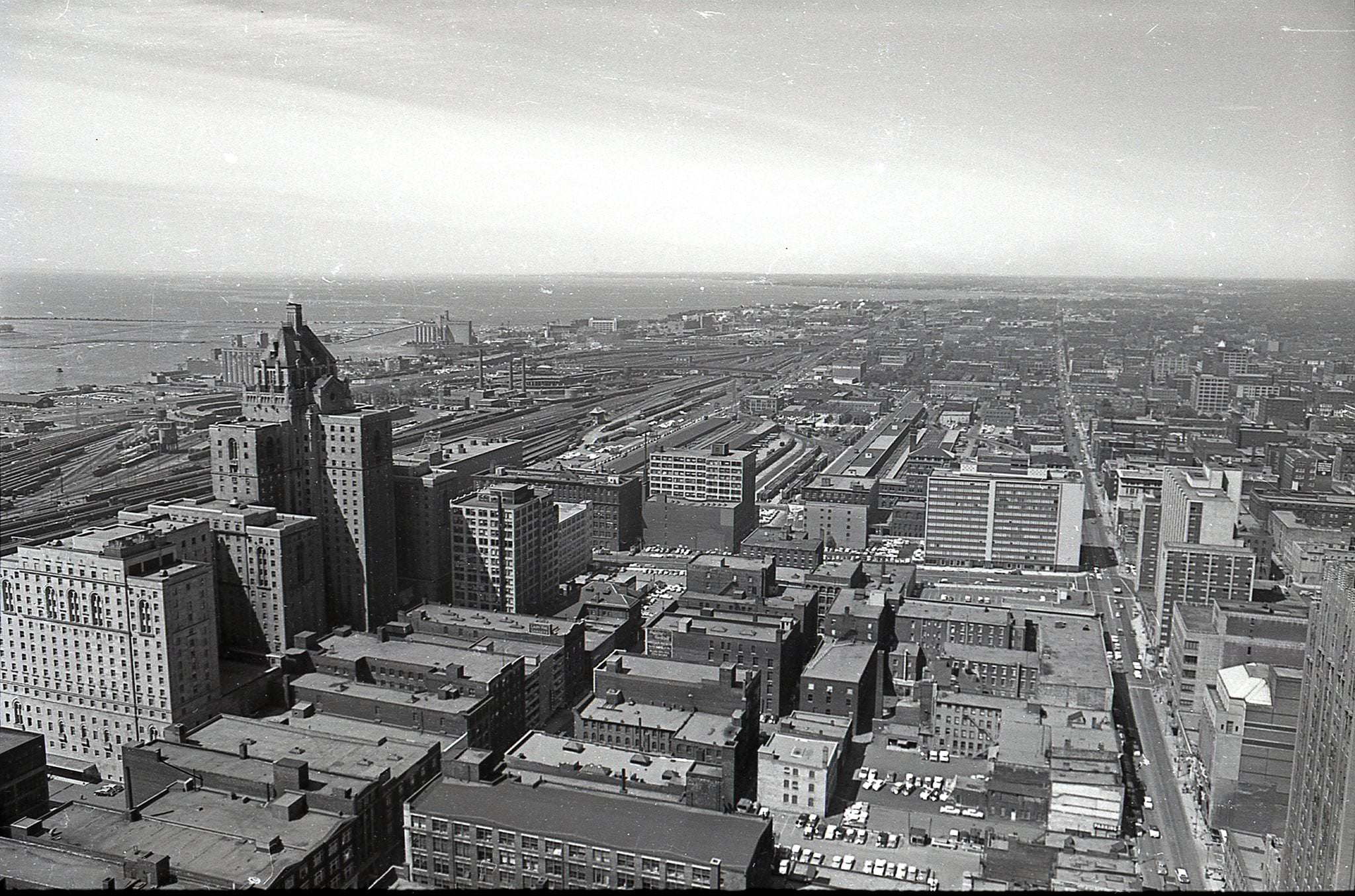
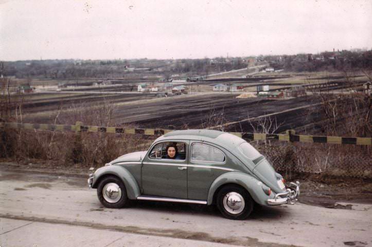
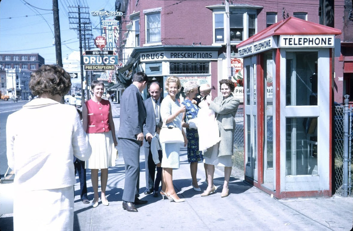
The 1960s were a time of significant social and cultural change in Toronto. The city was undergoing rapid growth and development, and many new buildings and landmarks were constructed during this period. The Toronto Maple Leafs won the Stanley Cup in 1967, and the city played host to a number of major cultural events, including the opening of the Royal Ontario Museum. The city also saw an influx of immigrants from around the world, which added to its cultural diversity. Despite these positive developments, the 1960s were also a time of tension and conflict, as the city struggled with issues such as poverty and racial discrimination.
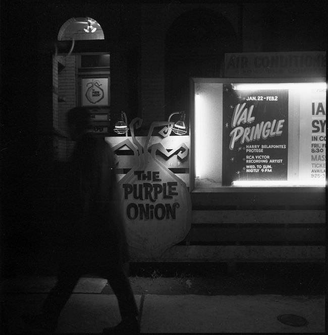
In the 1960s, Toronto was also home to a thriving music scene. Many popular bands and musicians got their start in Toronto during this time, including the legendary rock band Rush. The city was also home to many jazz clubs and other music venues, and it was a popular destination for touring musicians from around the world.
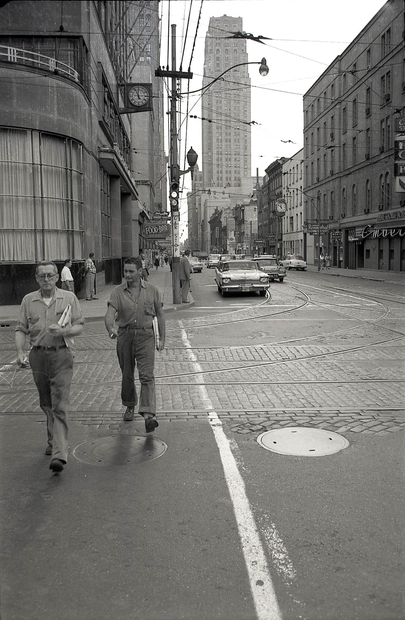
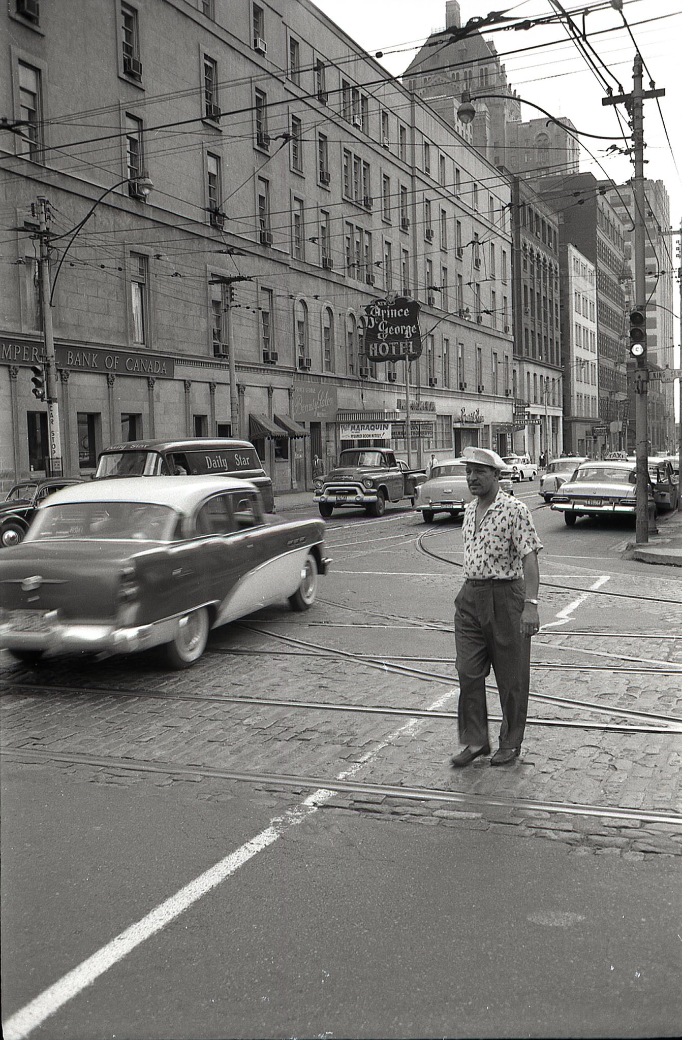
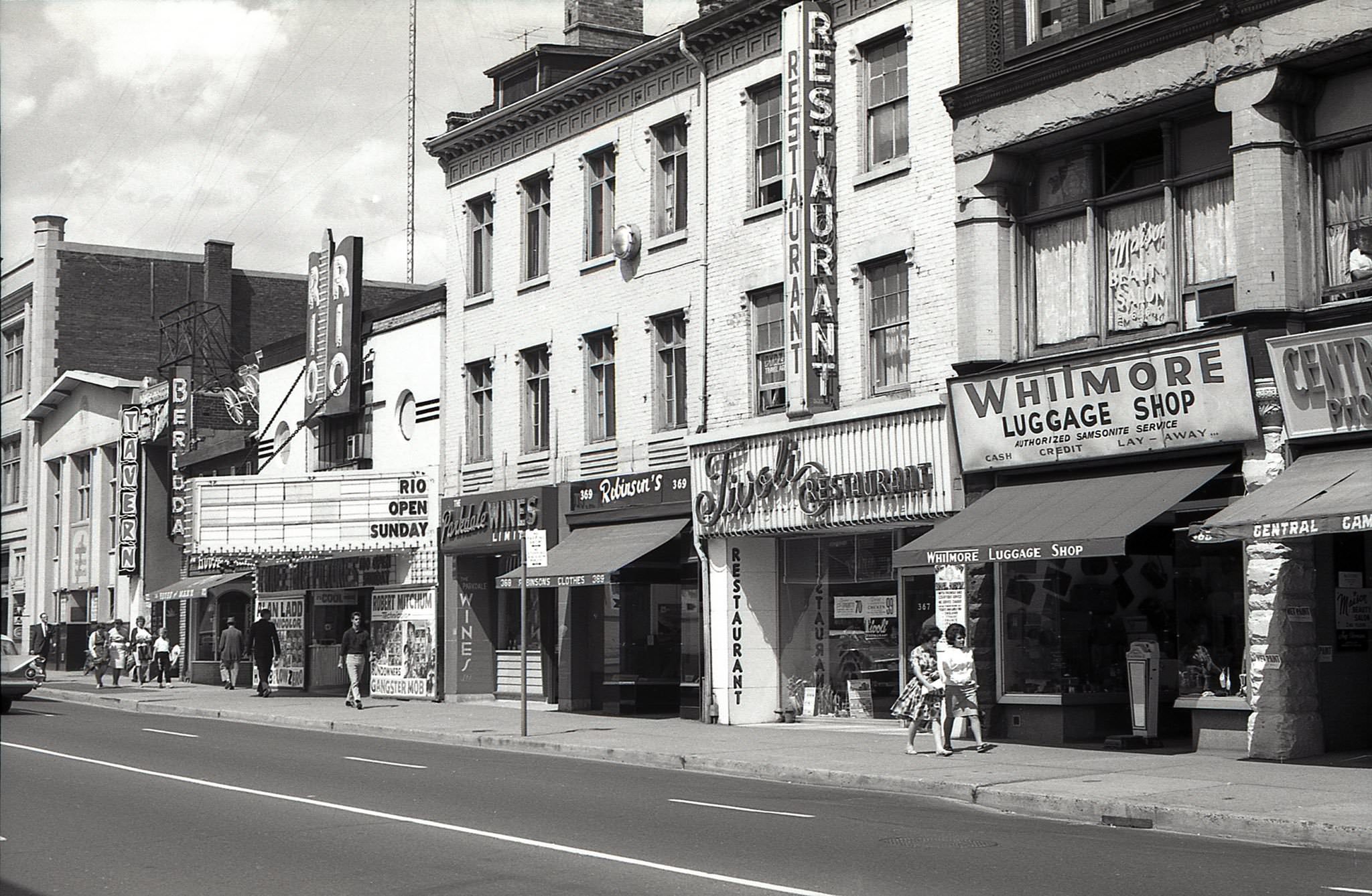
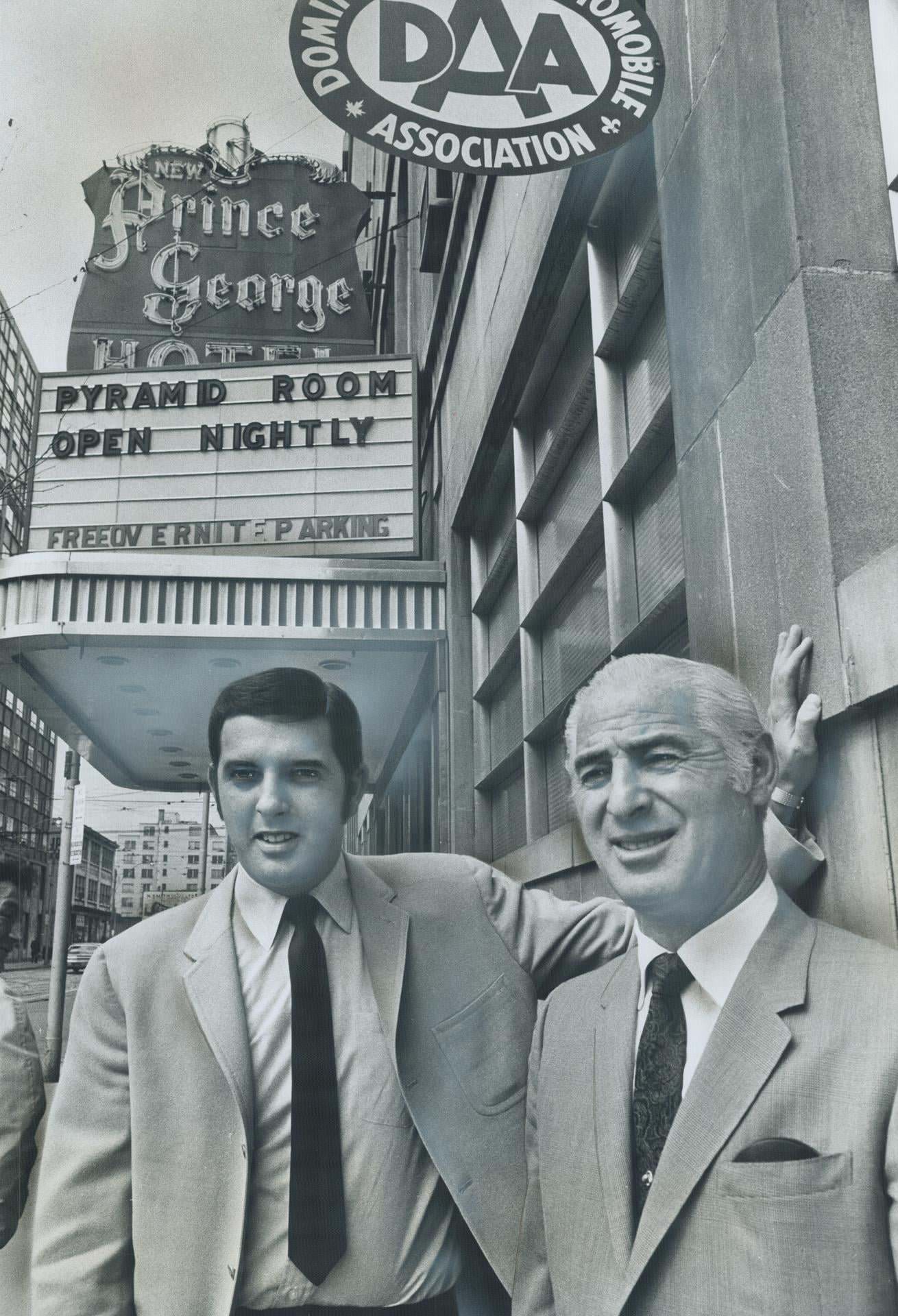
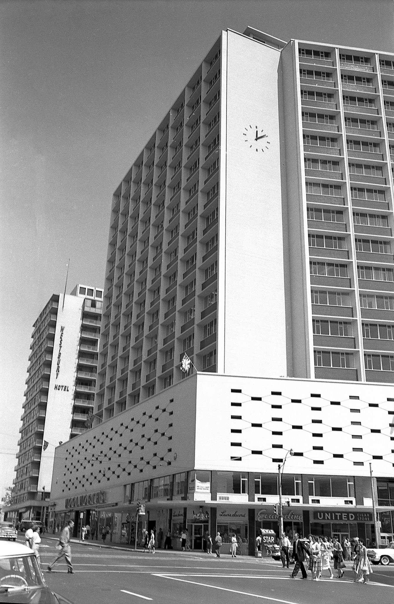
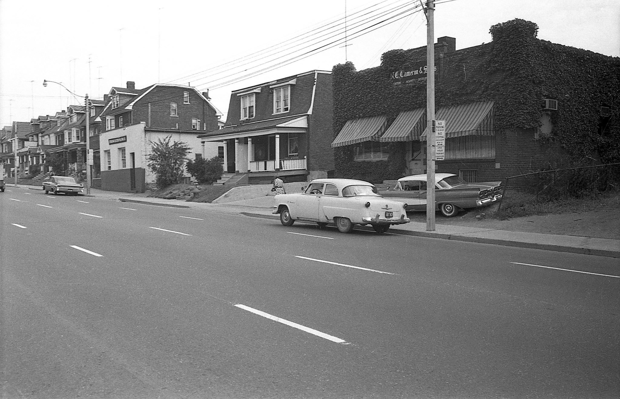
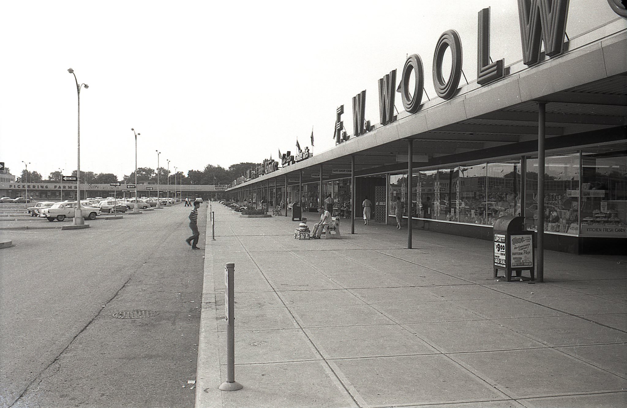
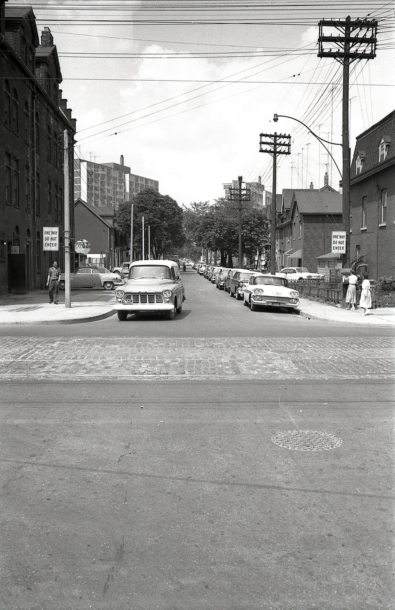
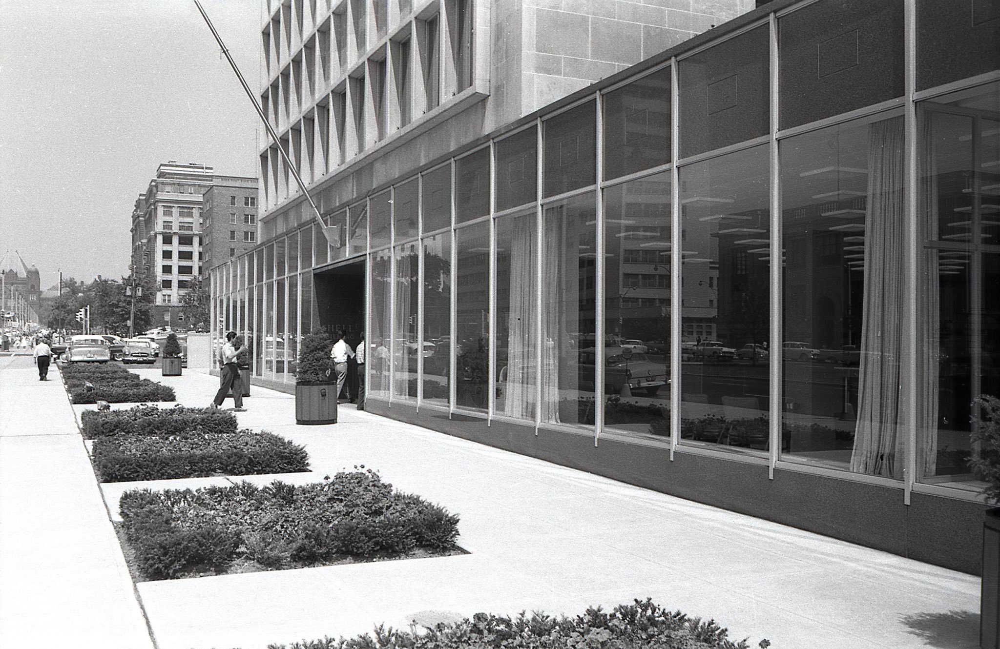
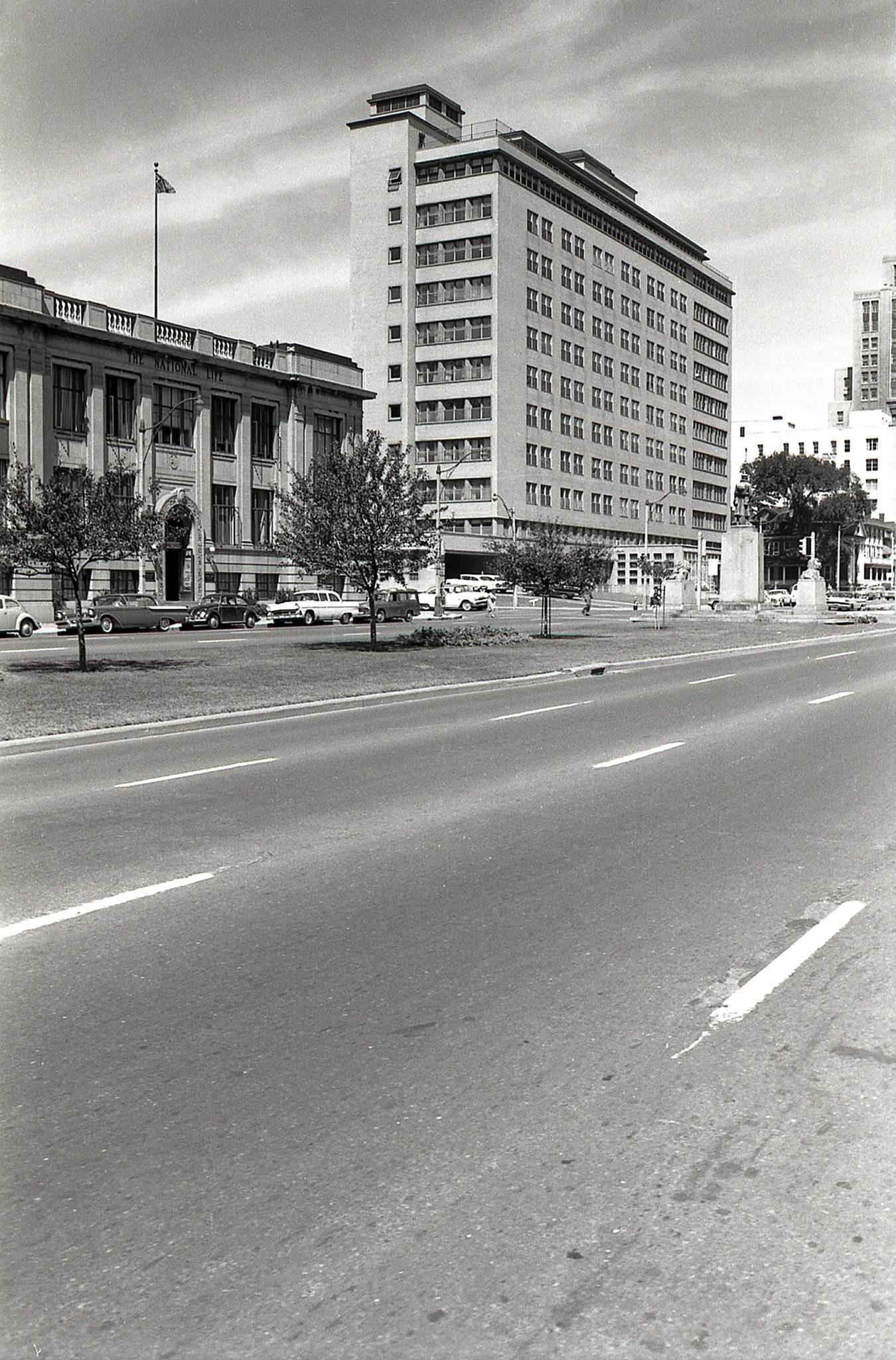
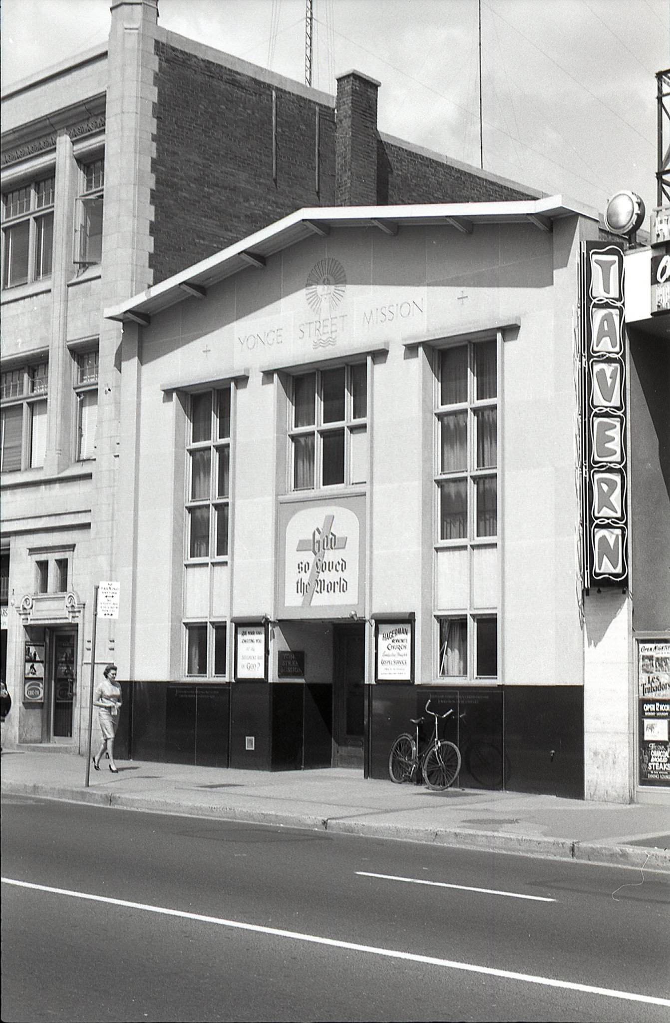
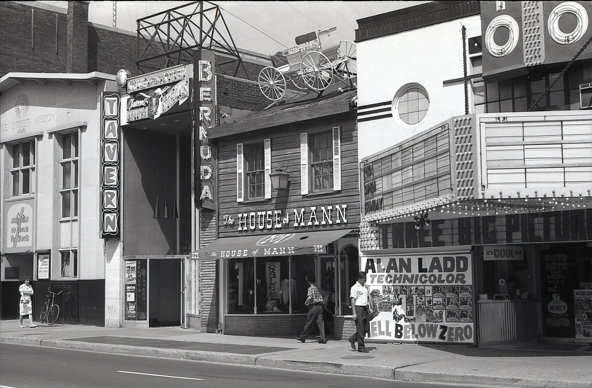
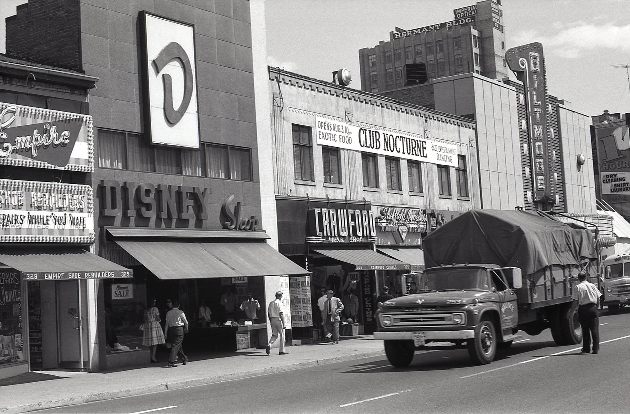
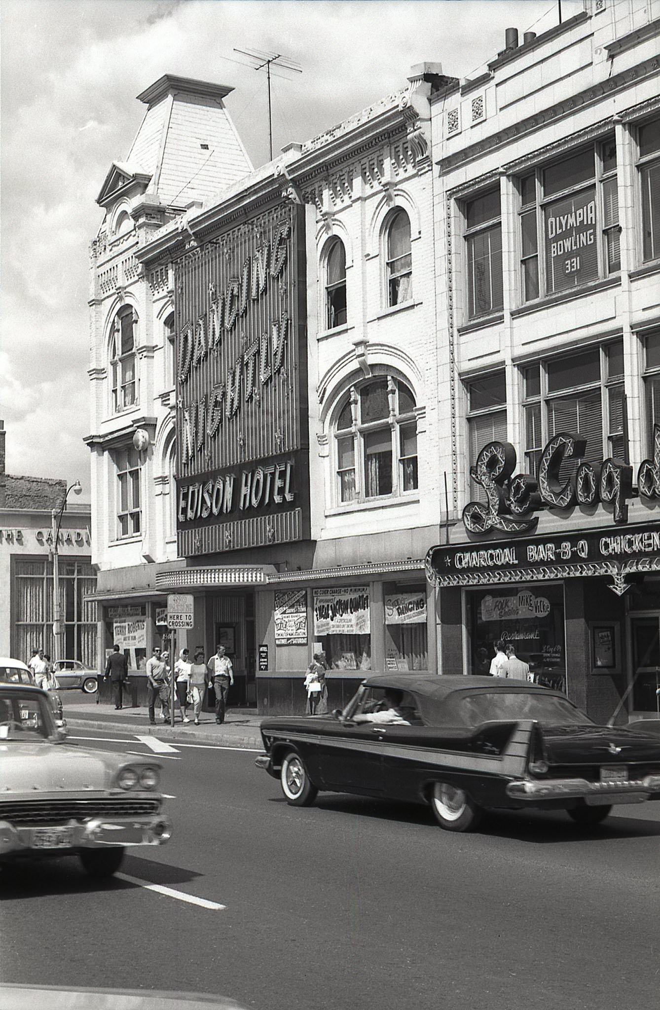
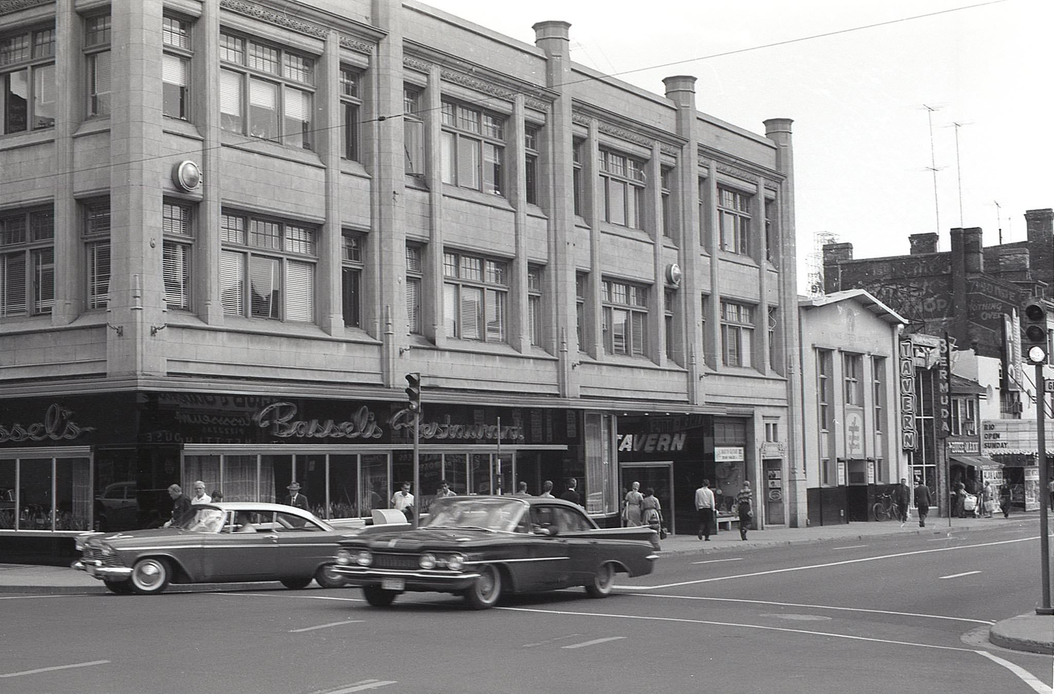
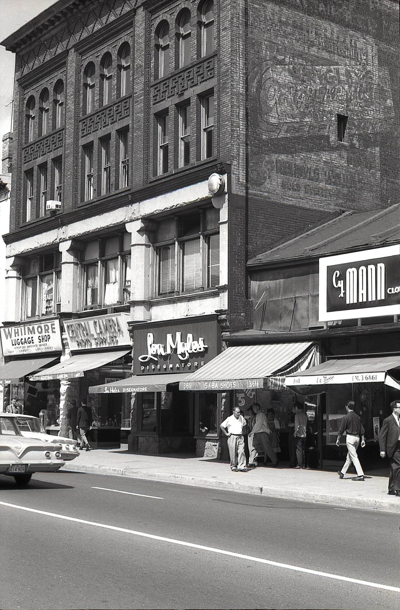
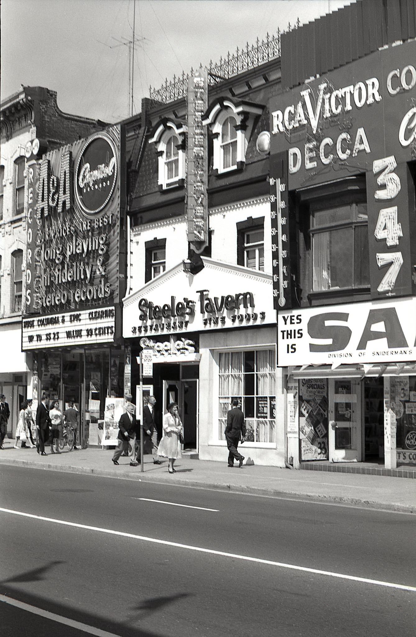
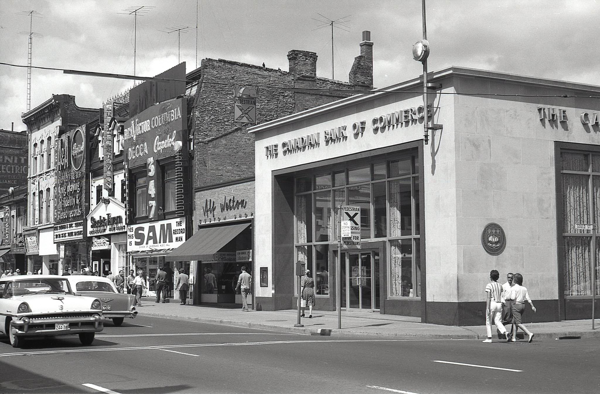
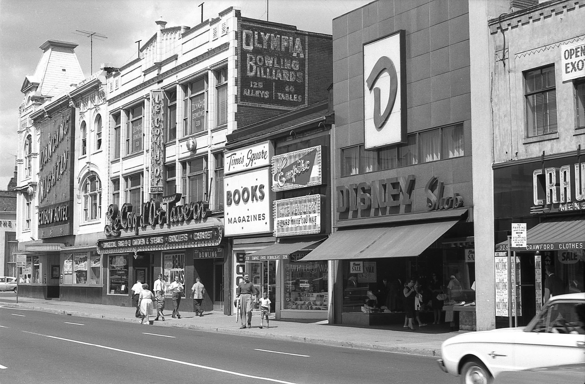
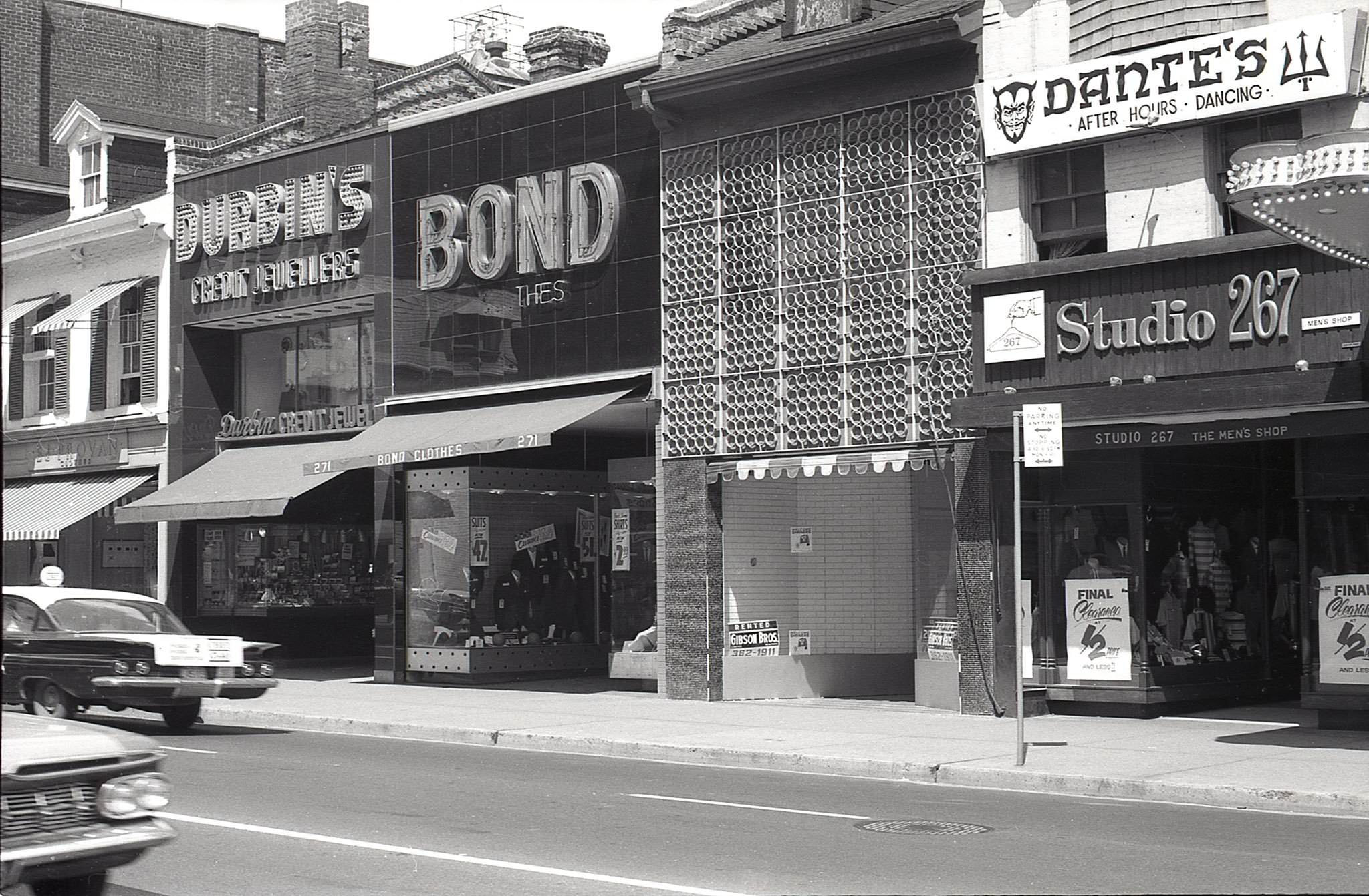
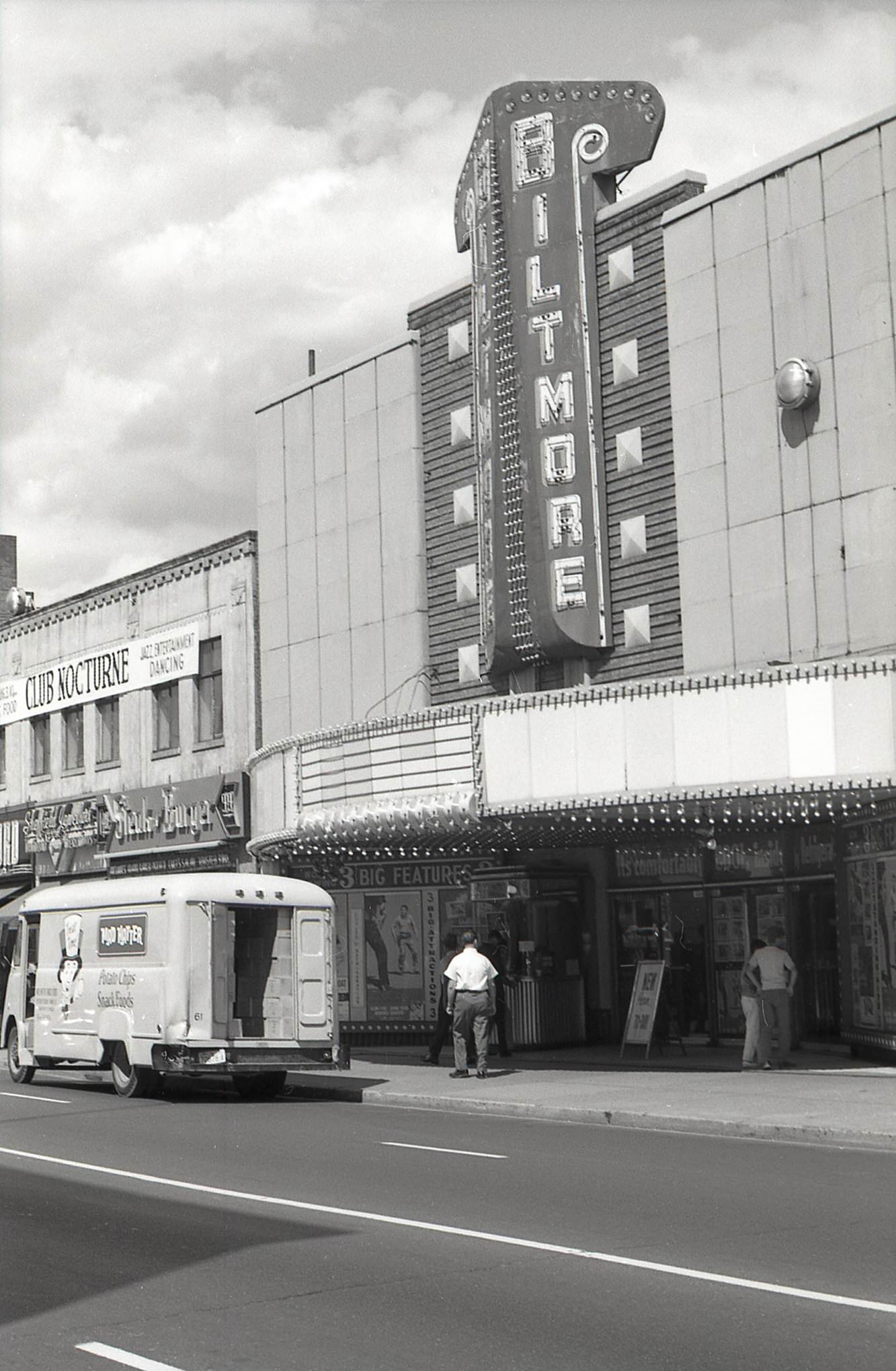
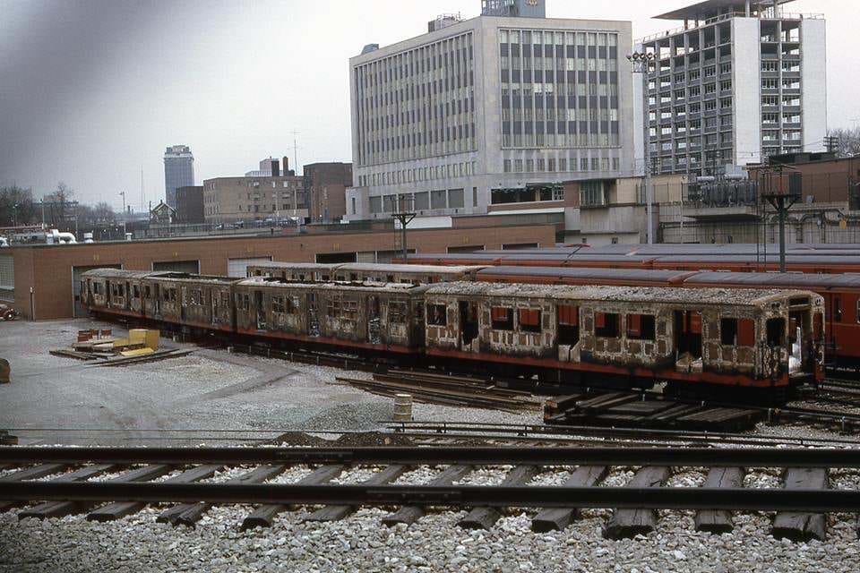
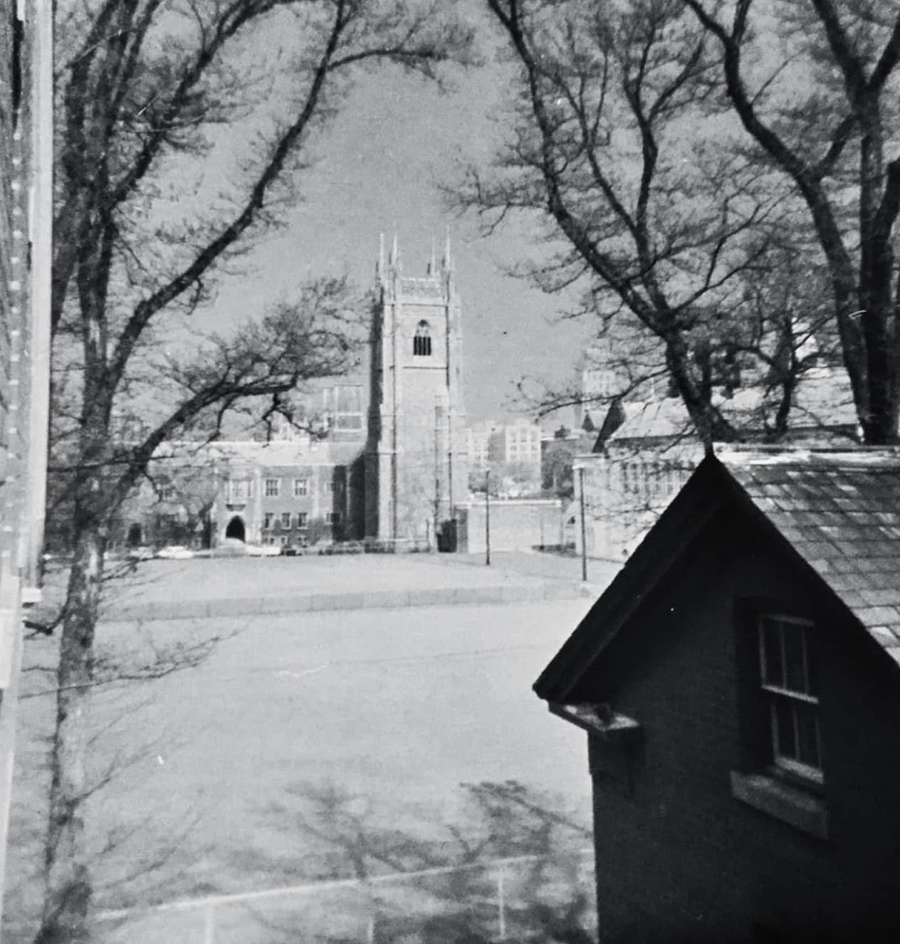
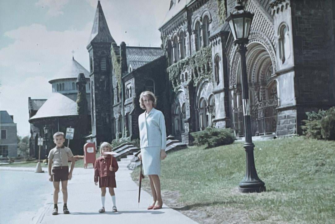
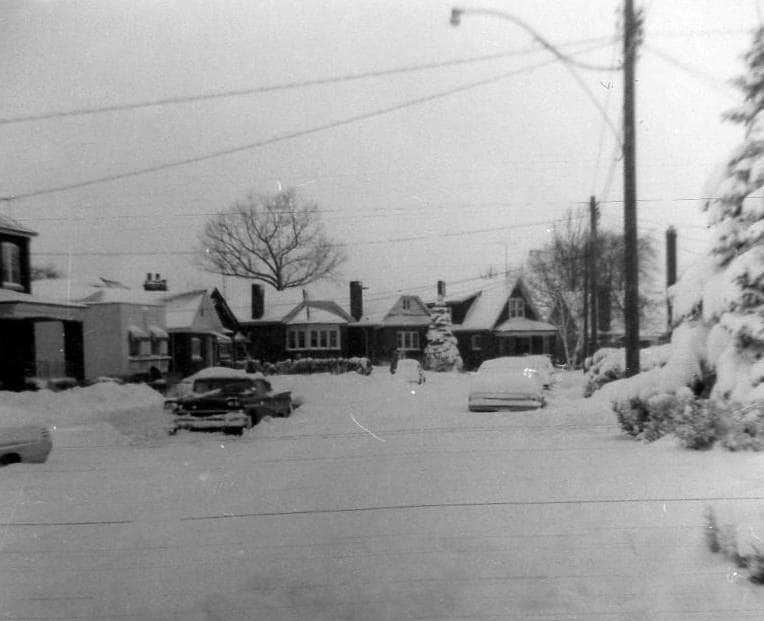
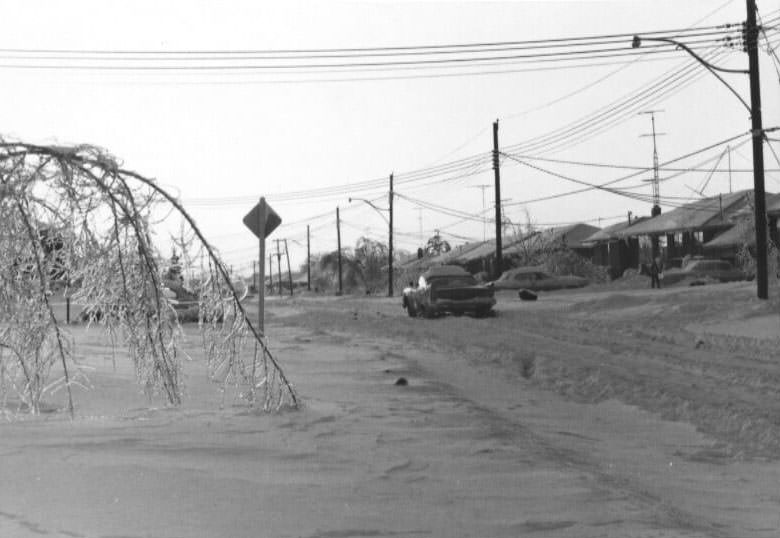
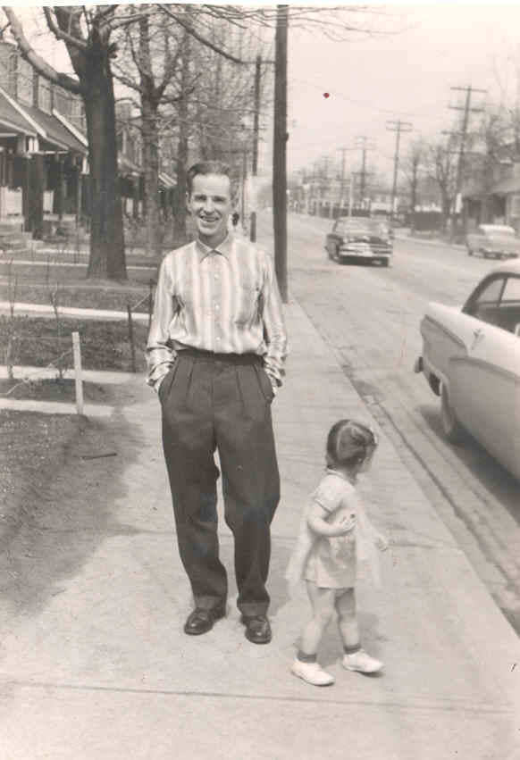
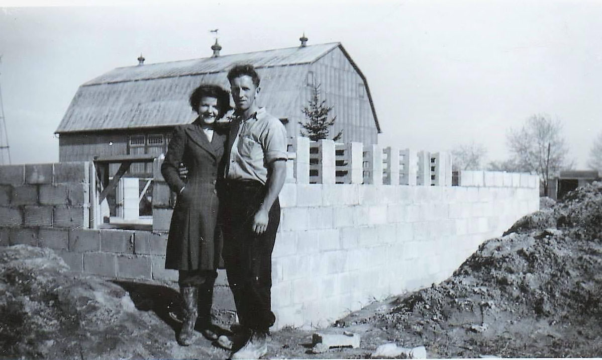
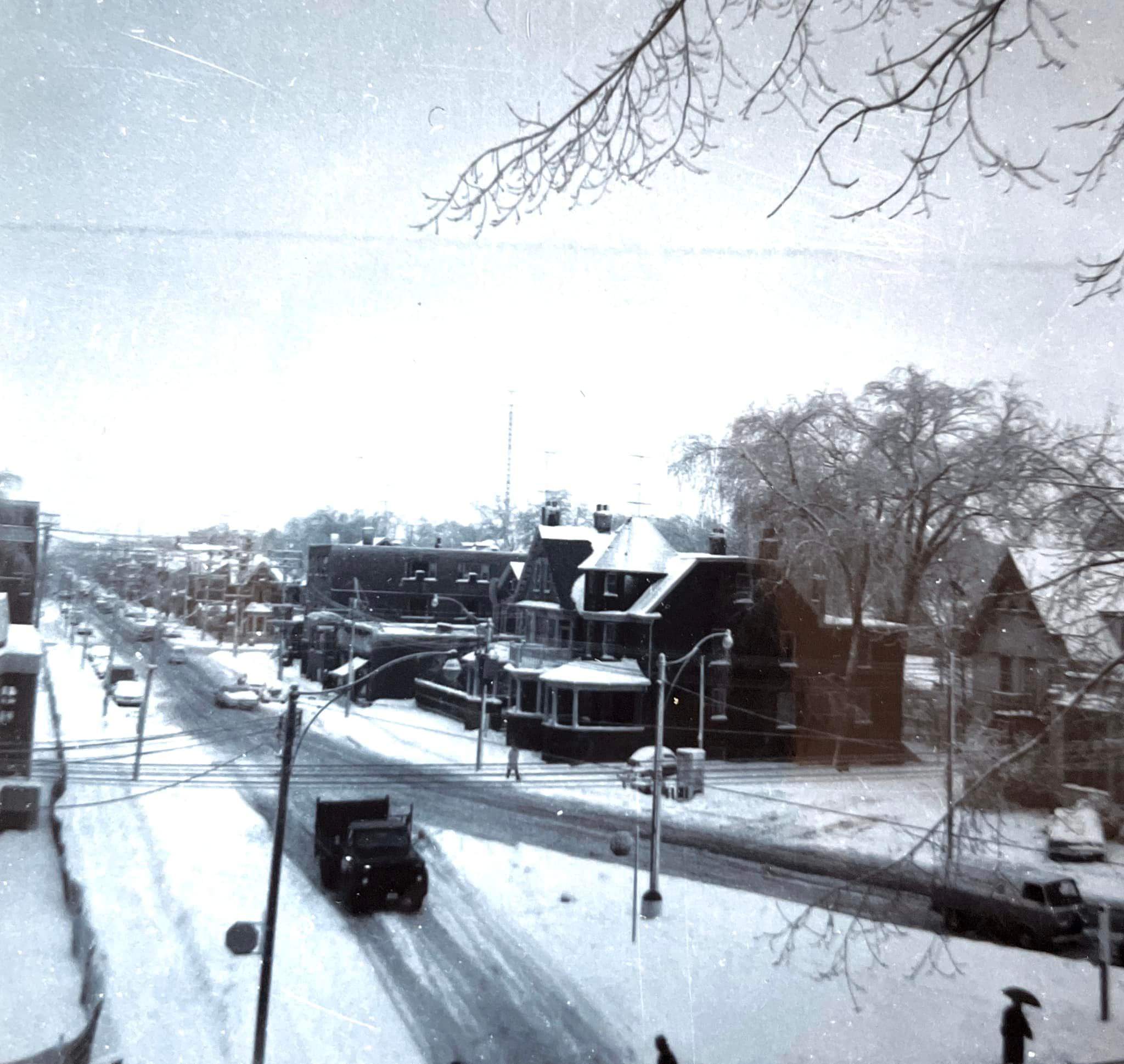
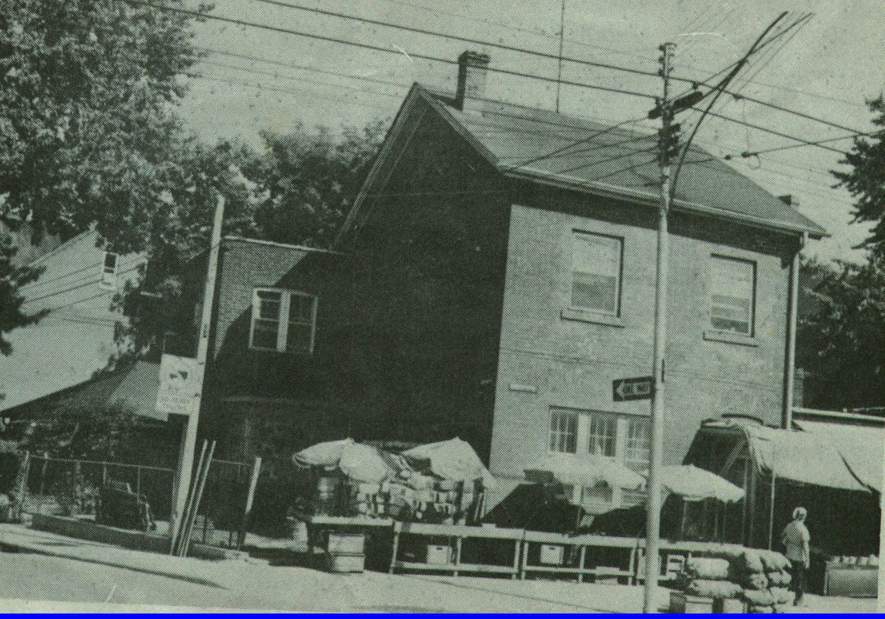
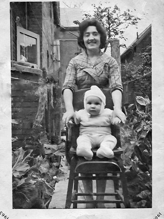
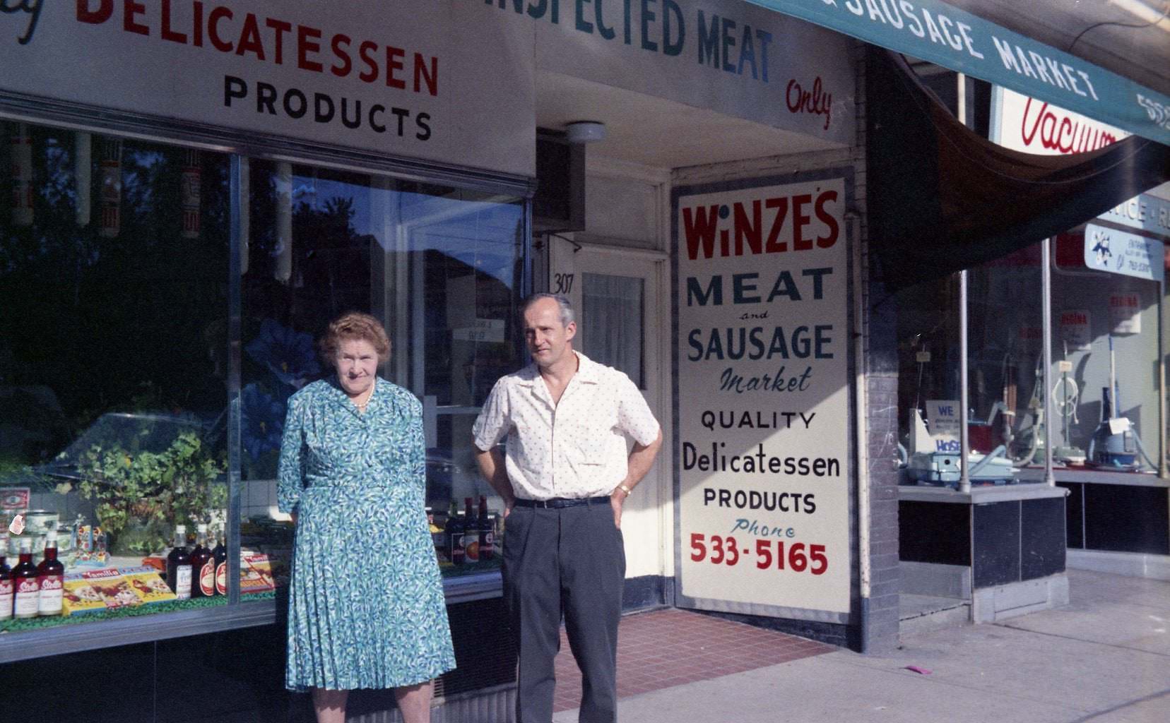
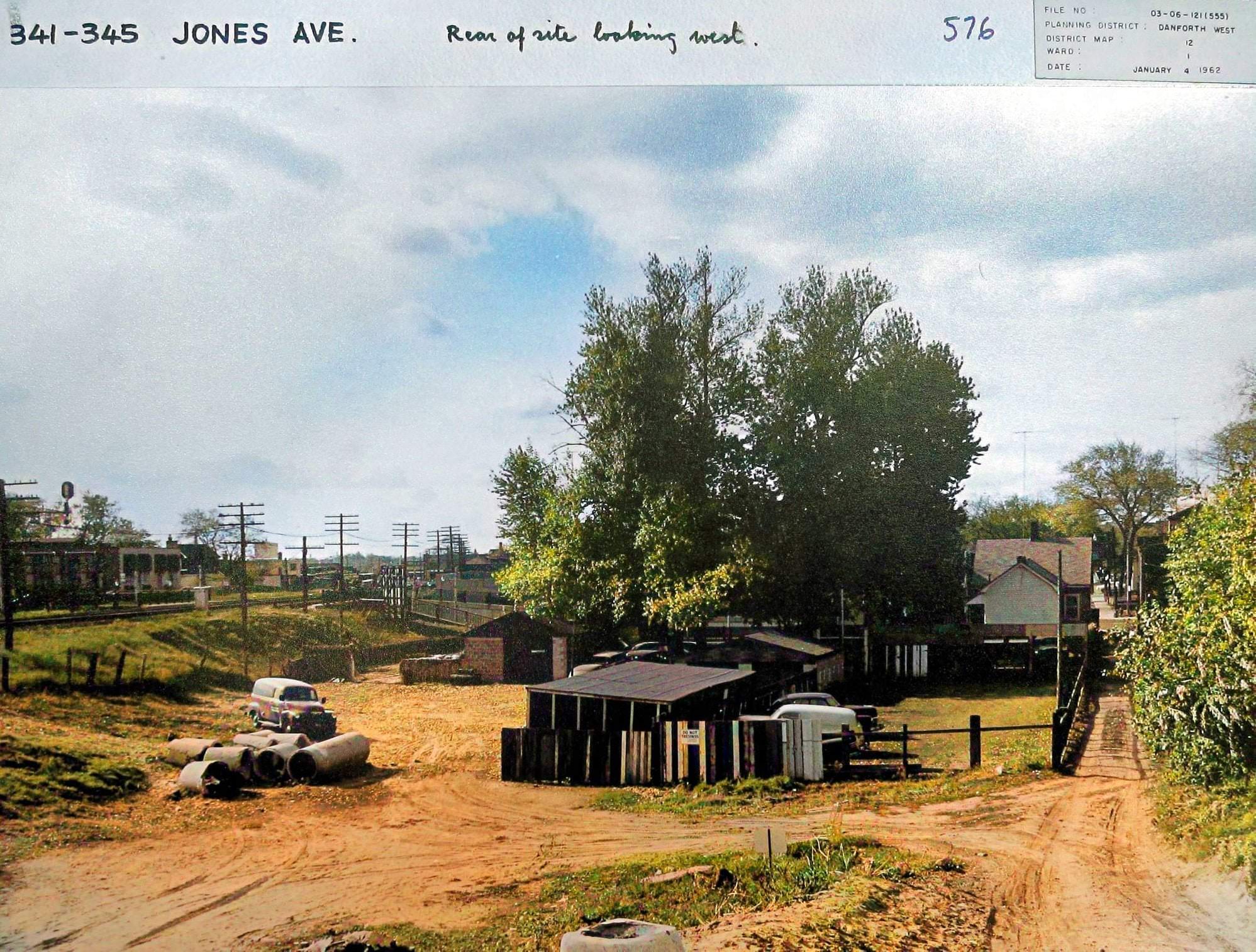
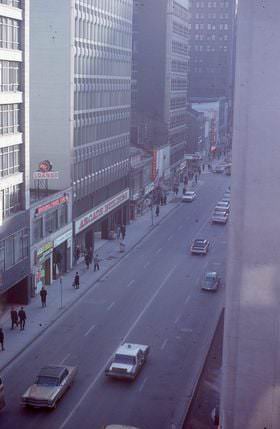
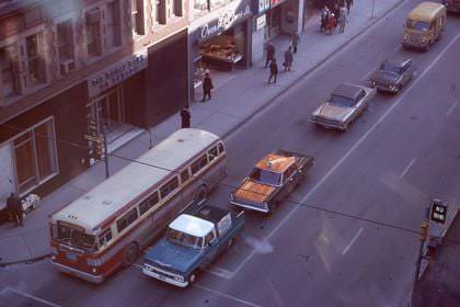
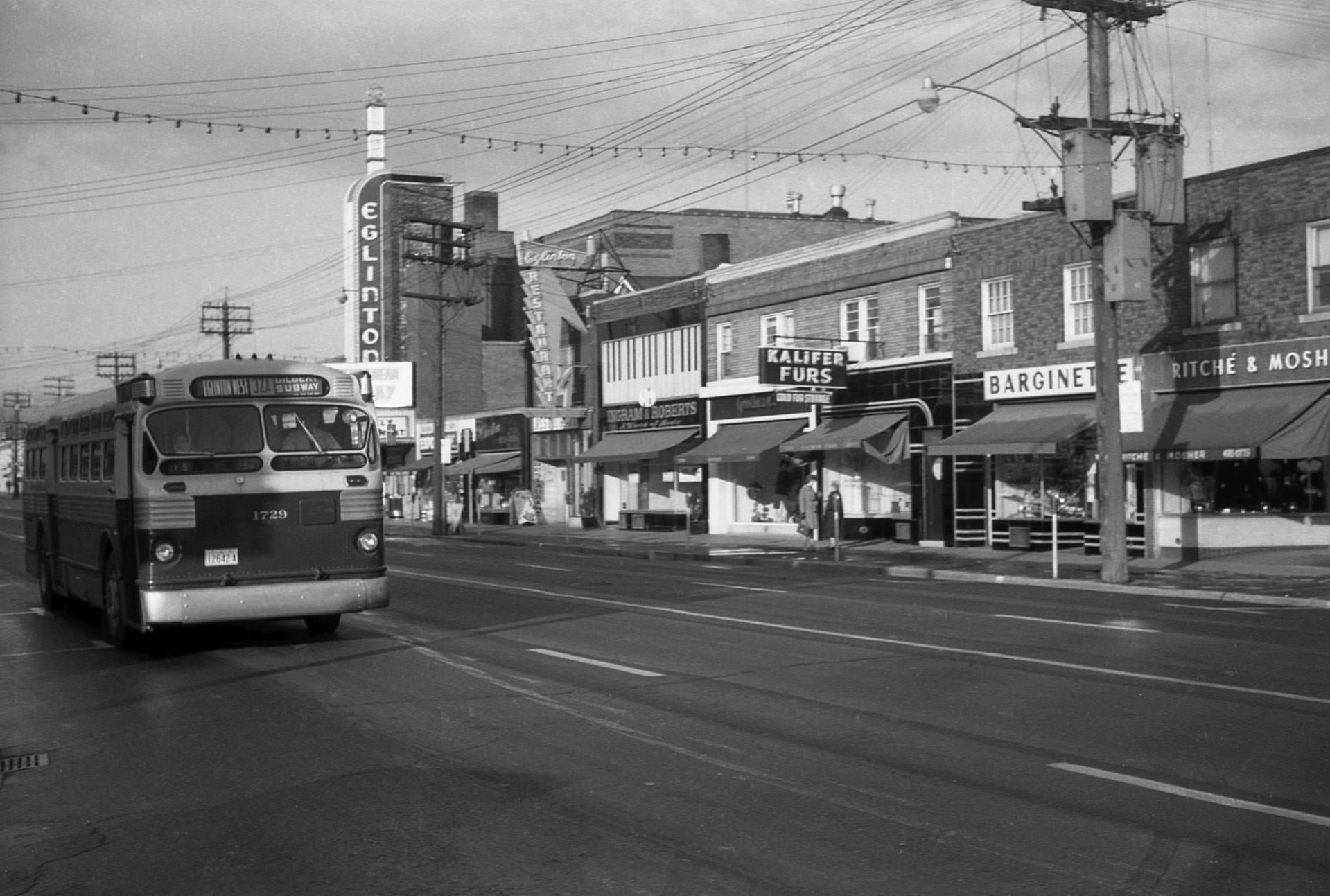
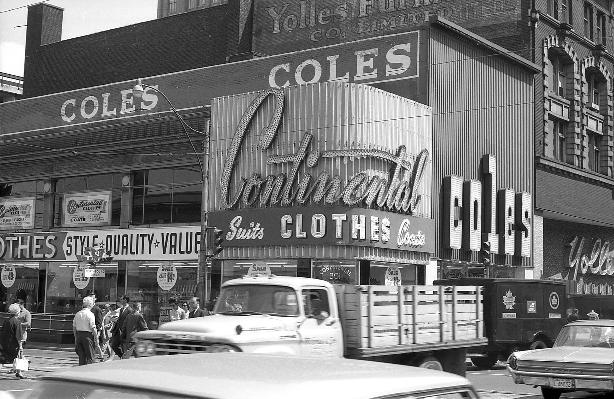
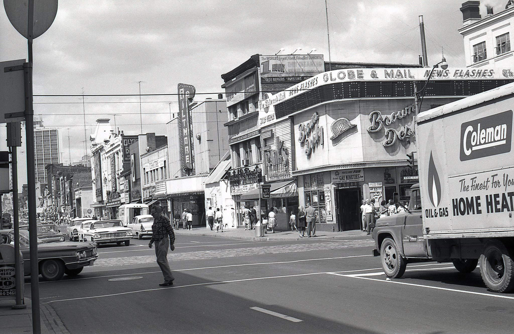
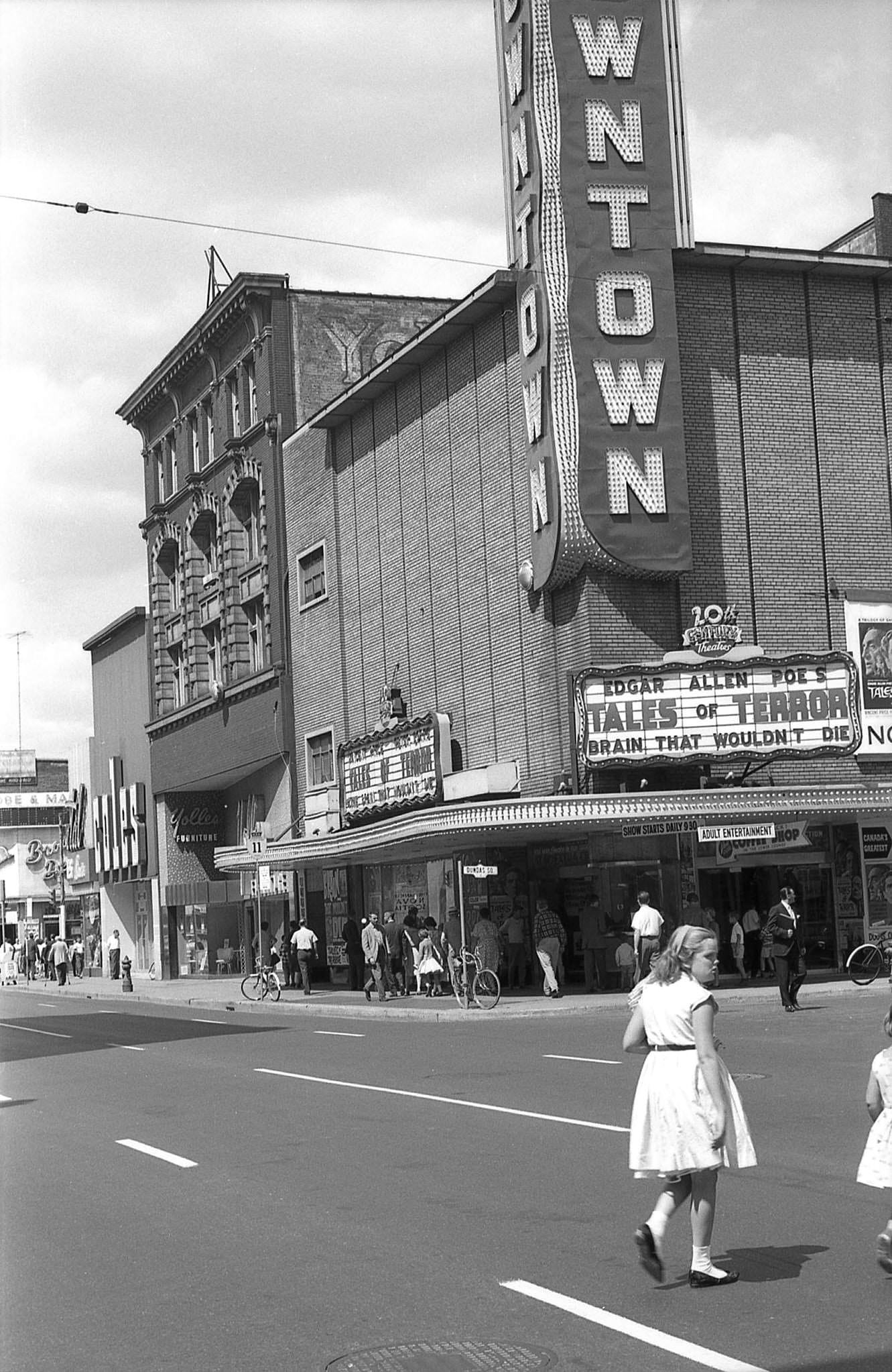
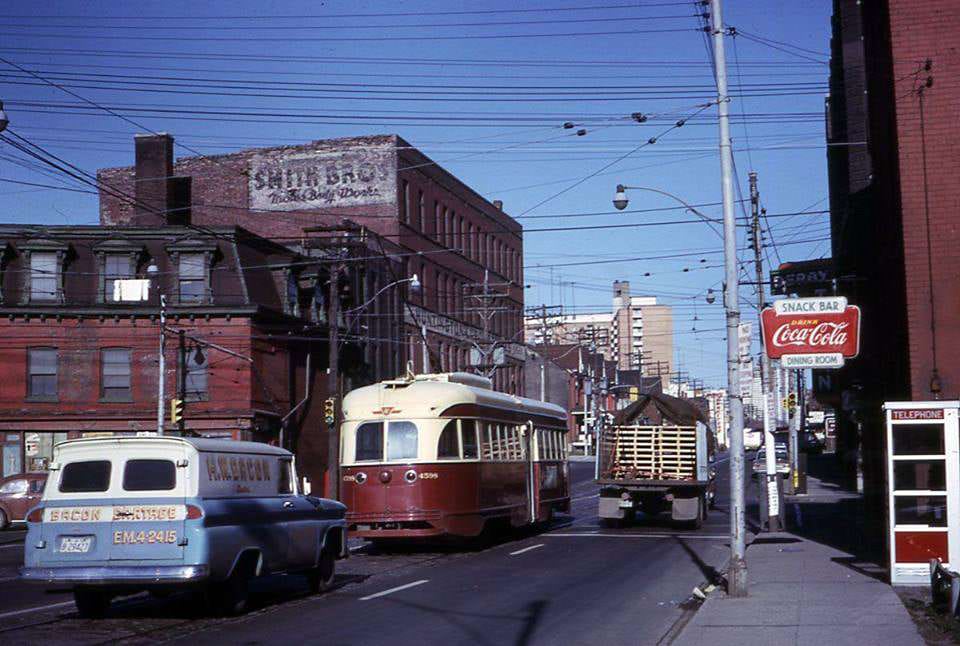
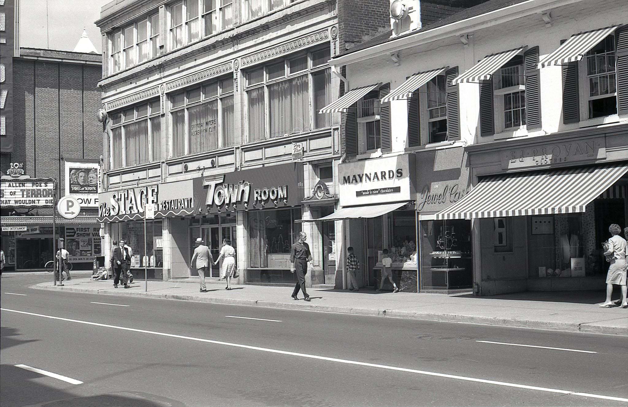
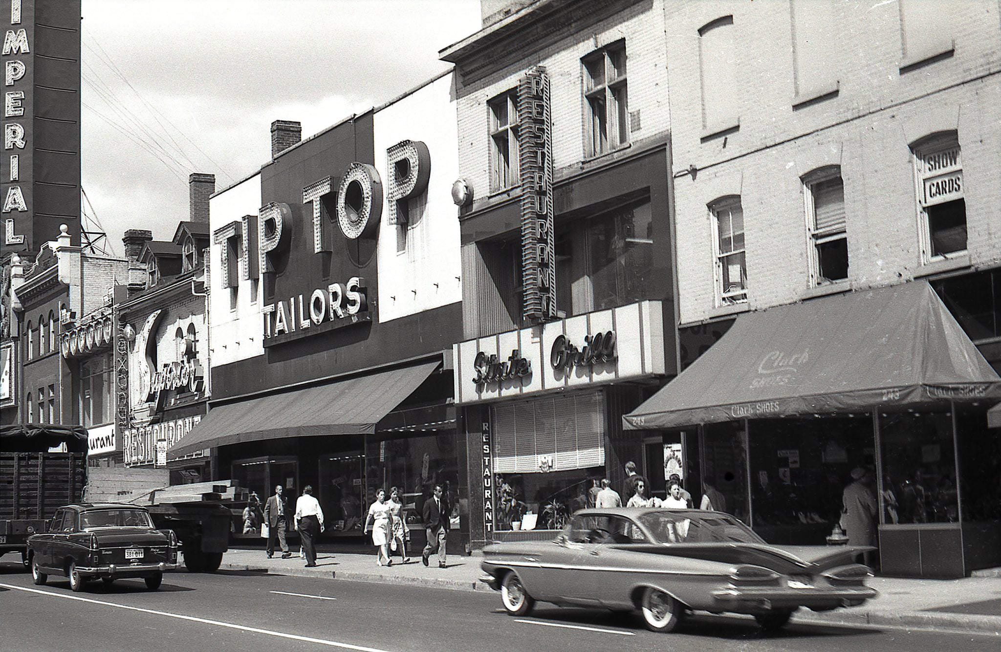
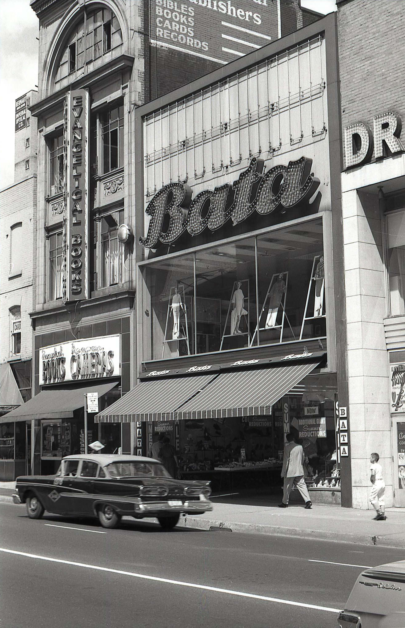
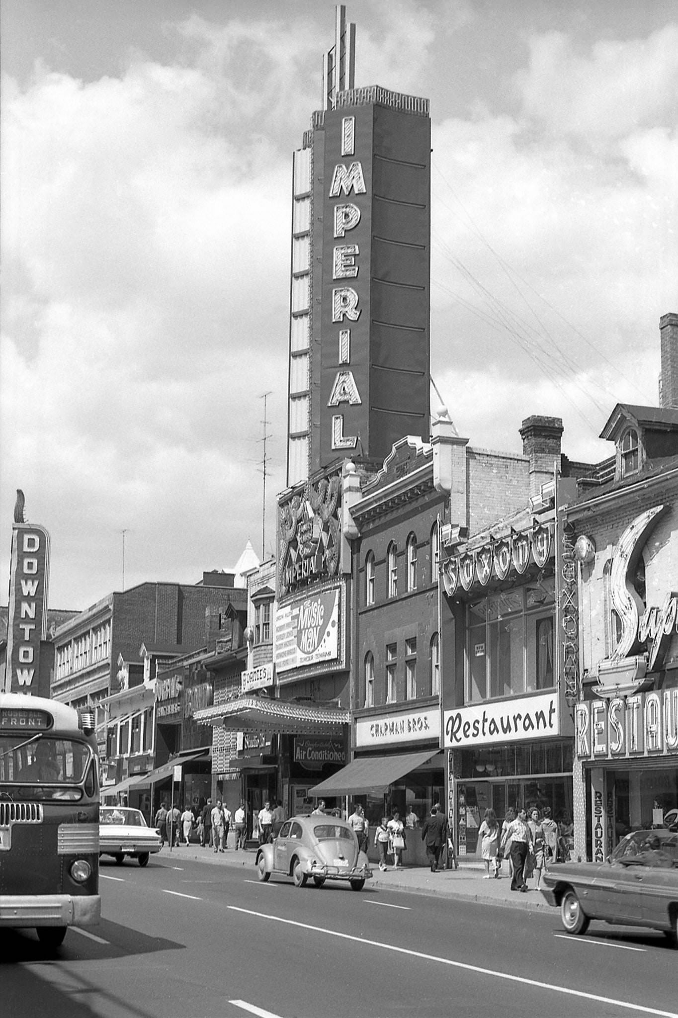
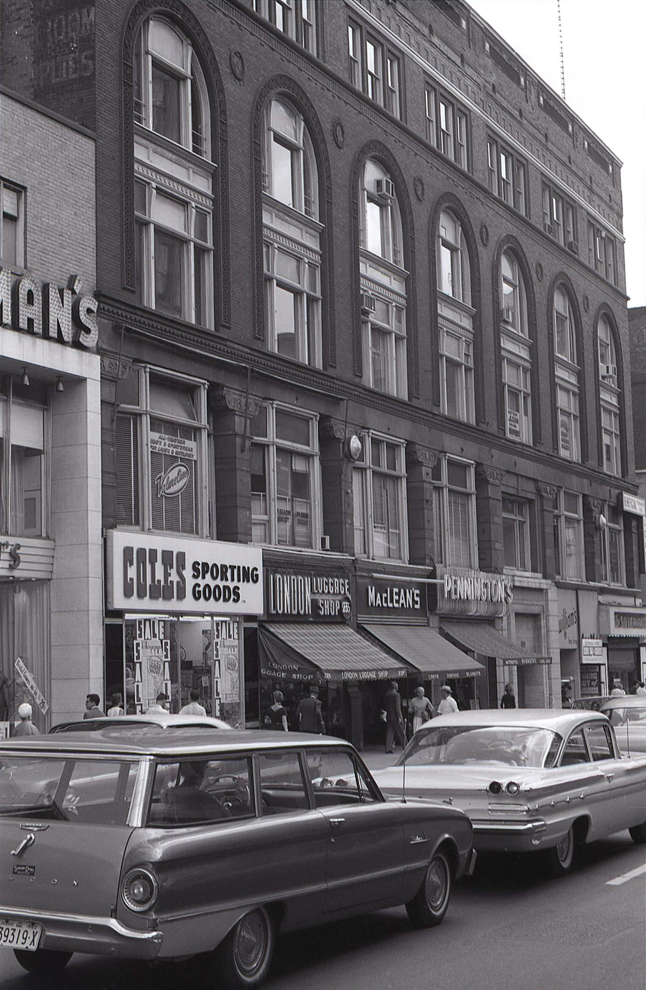
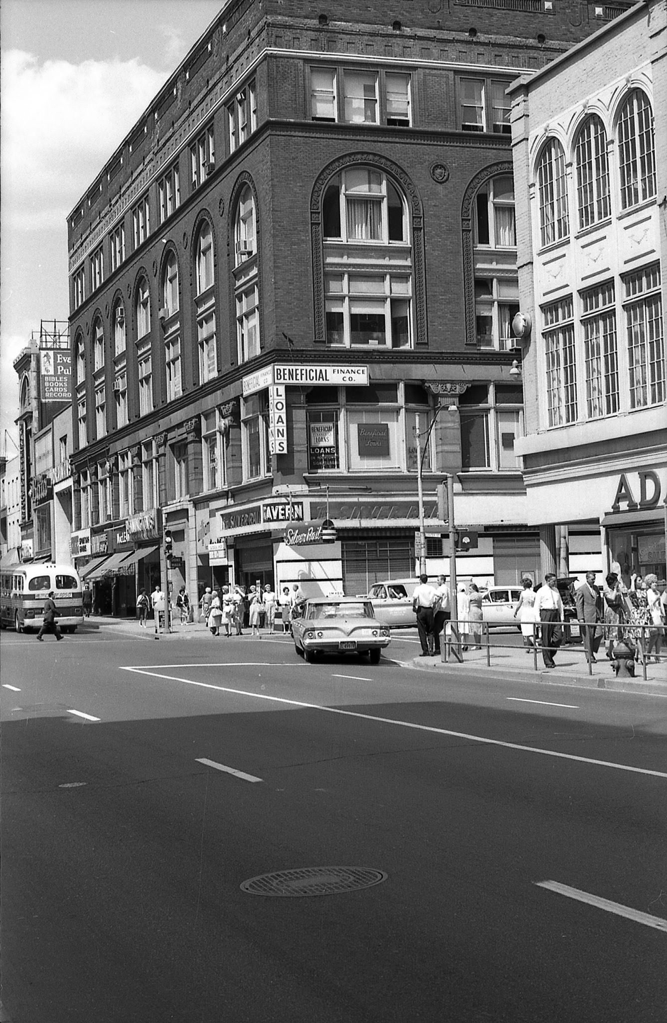
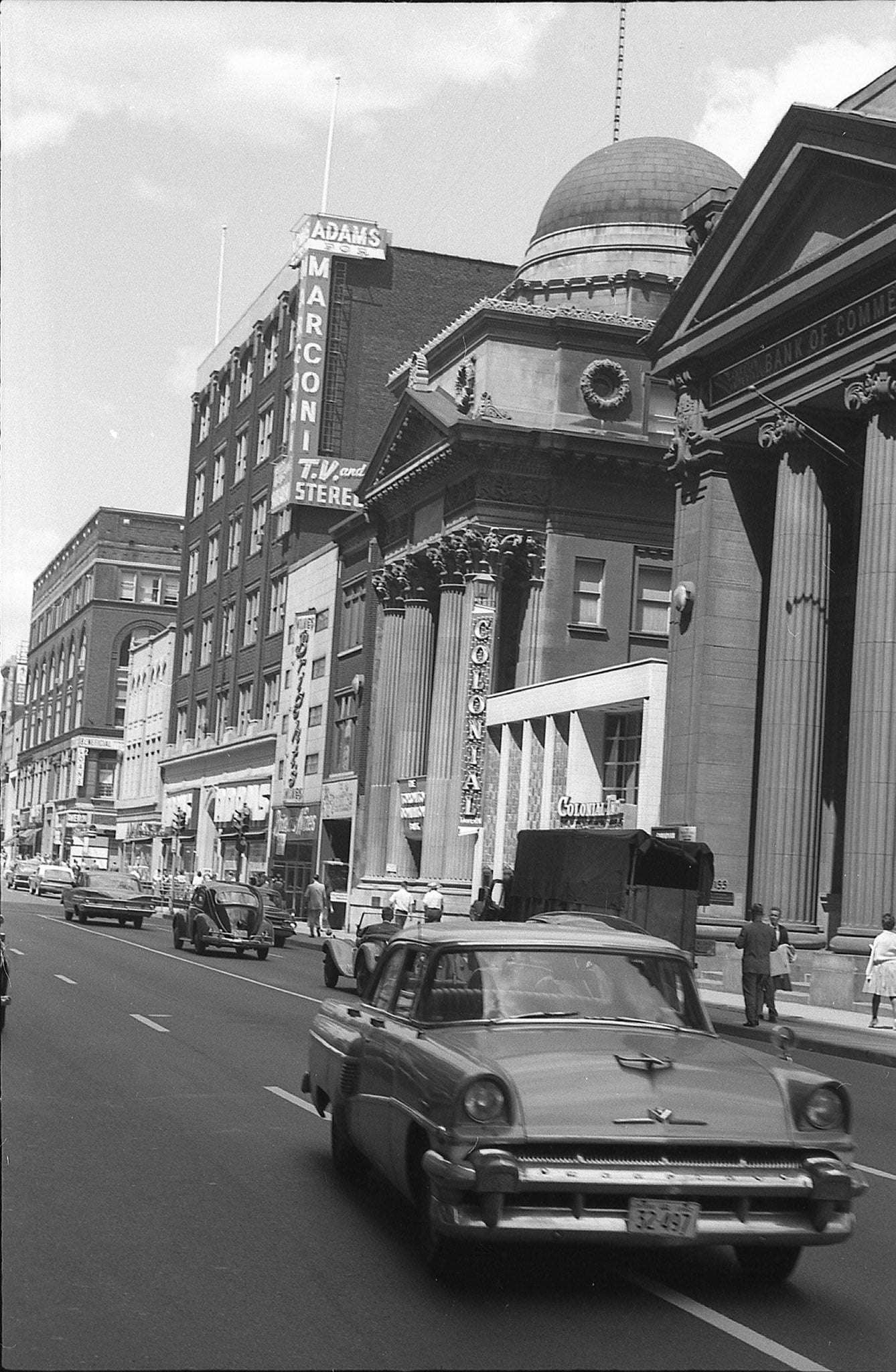
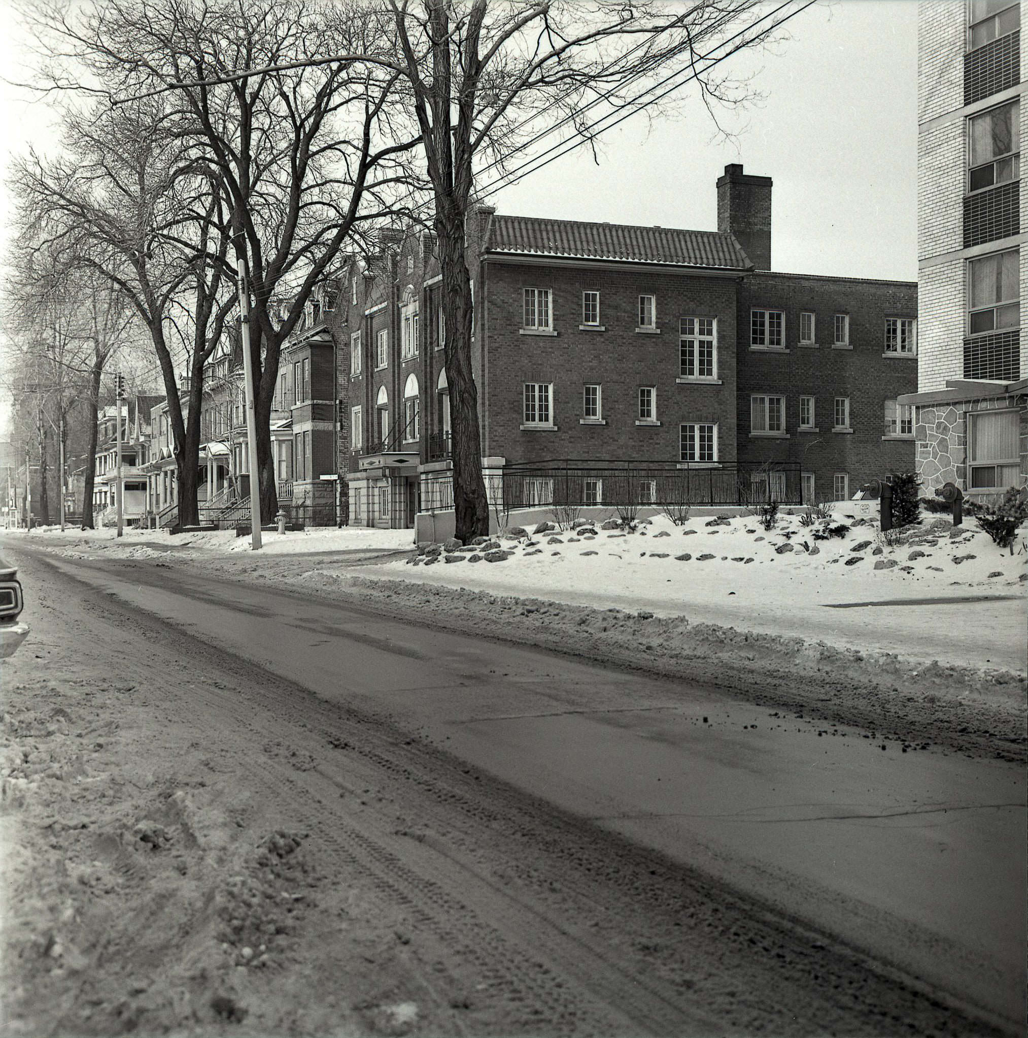
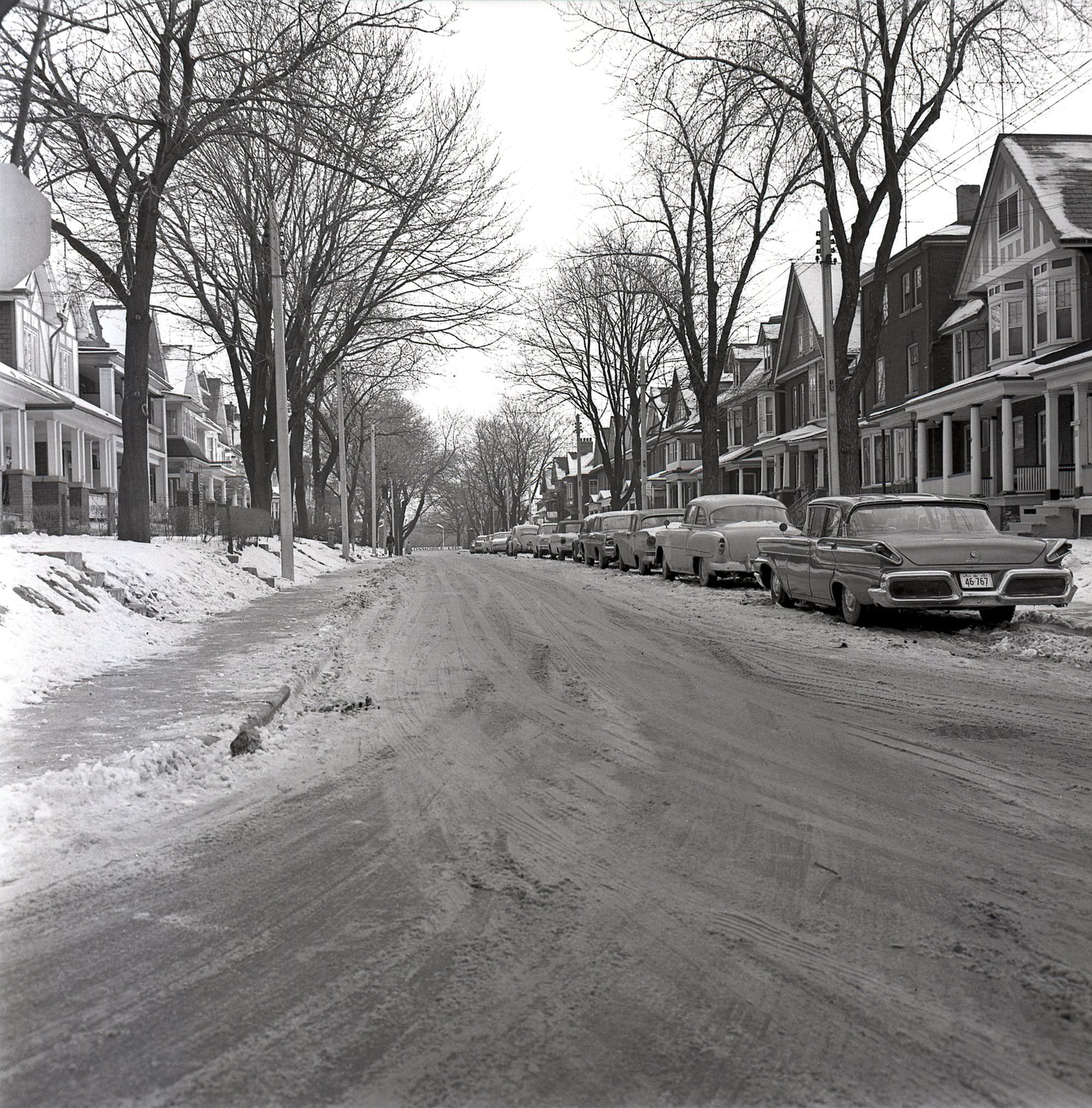
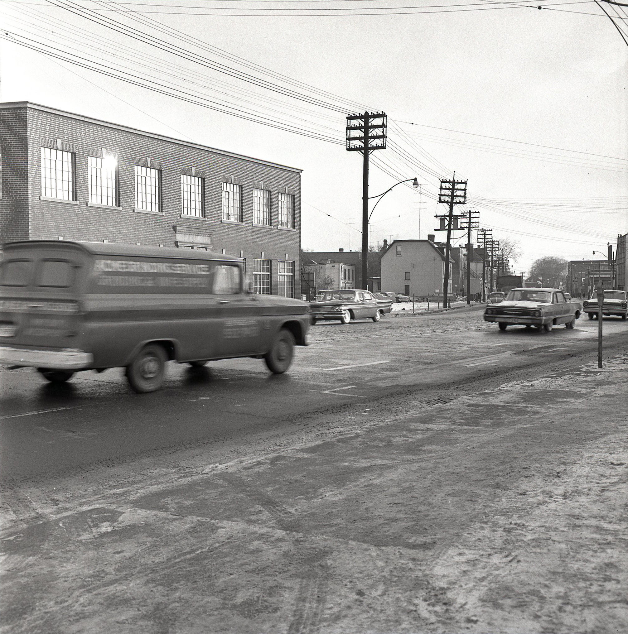
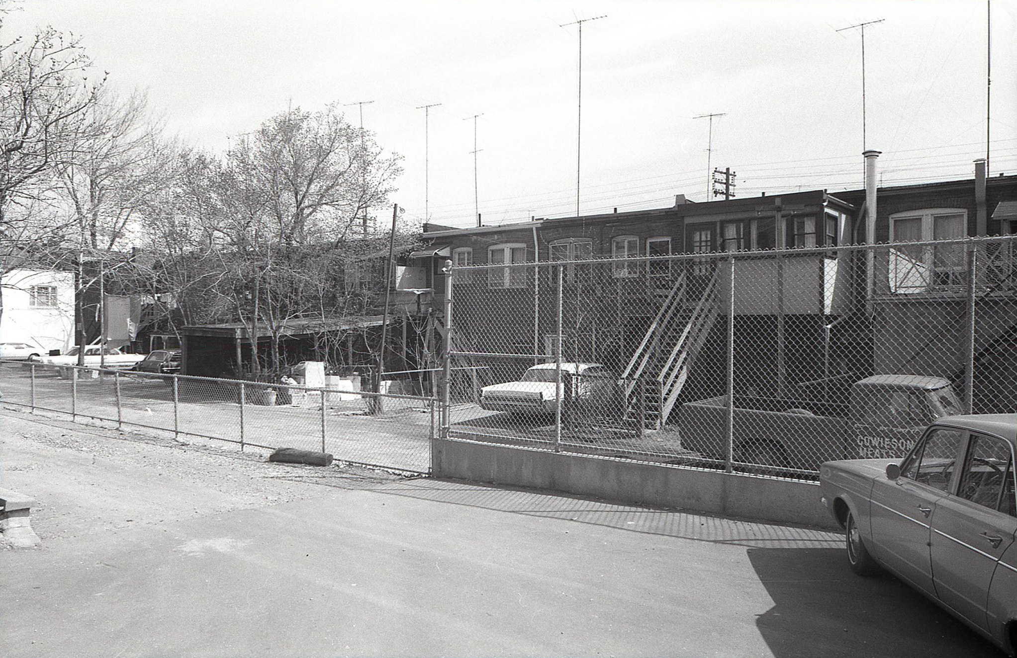
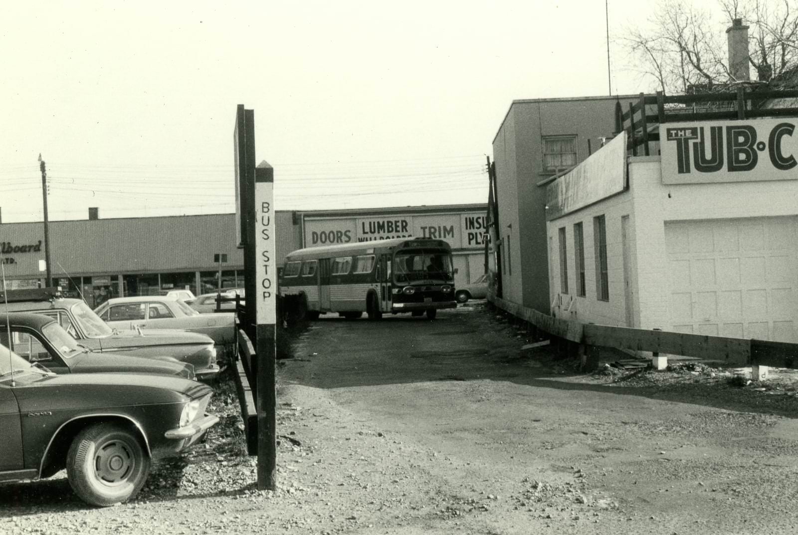
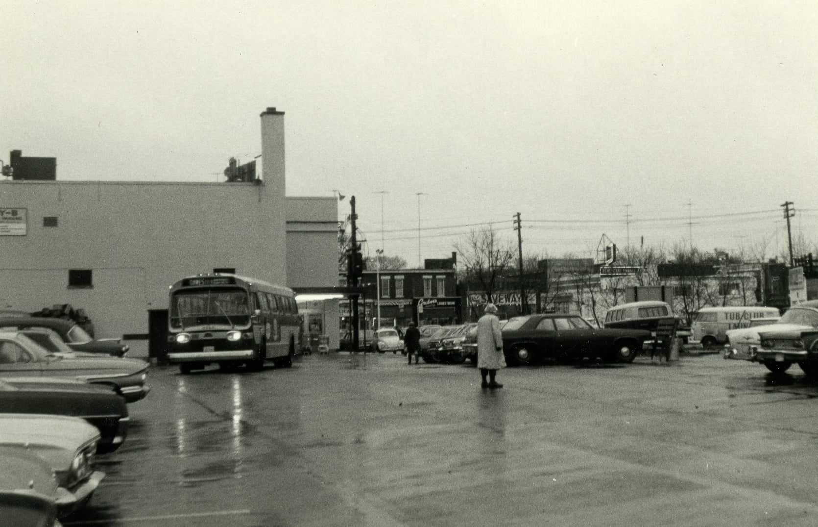
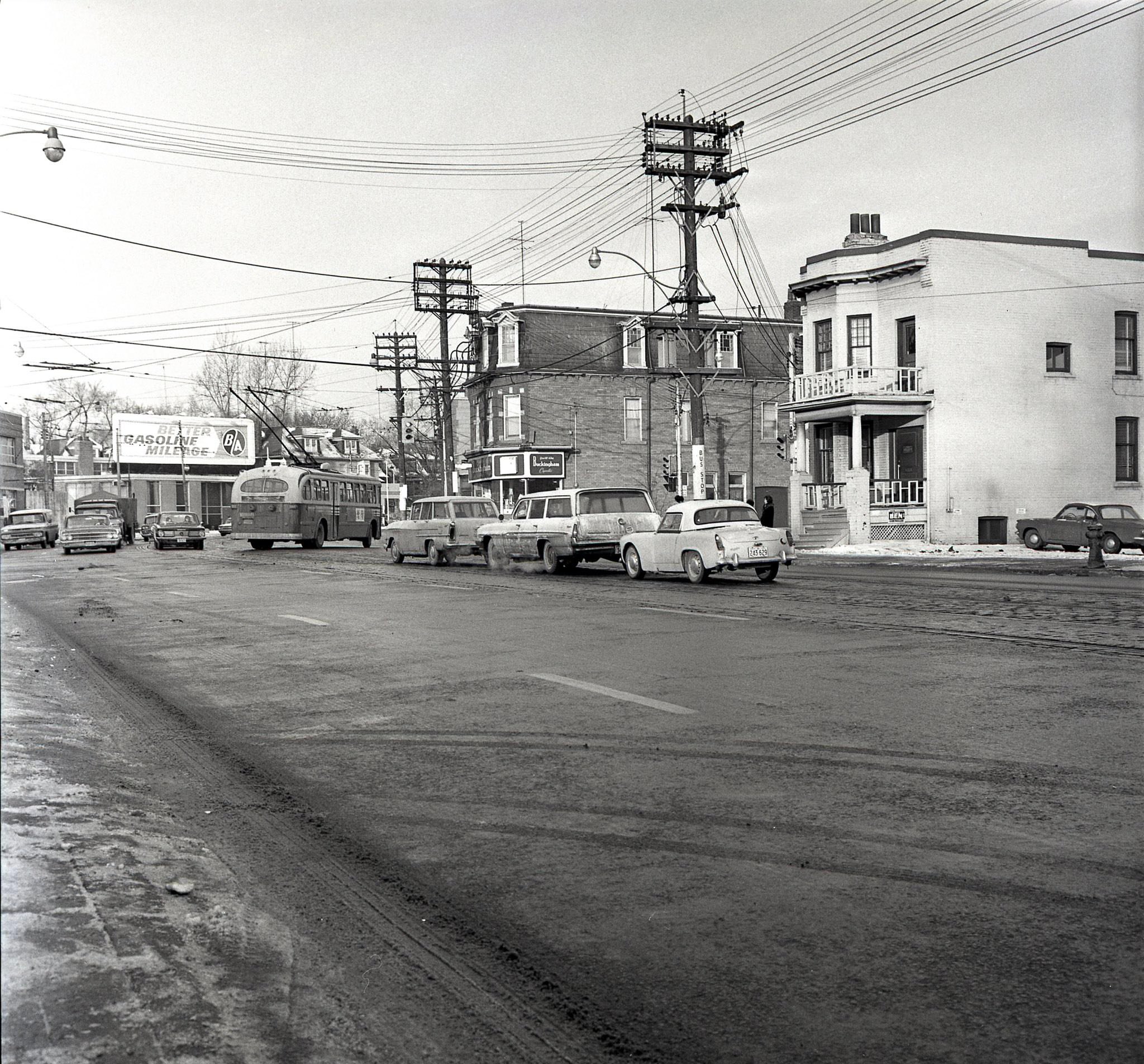
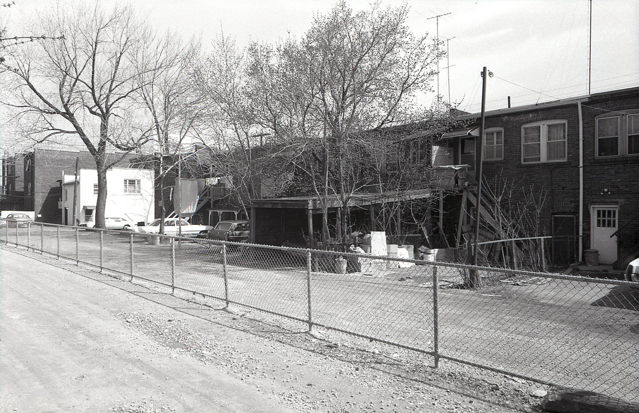
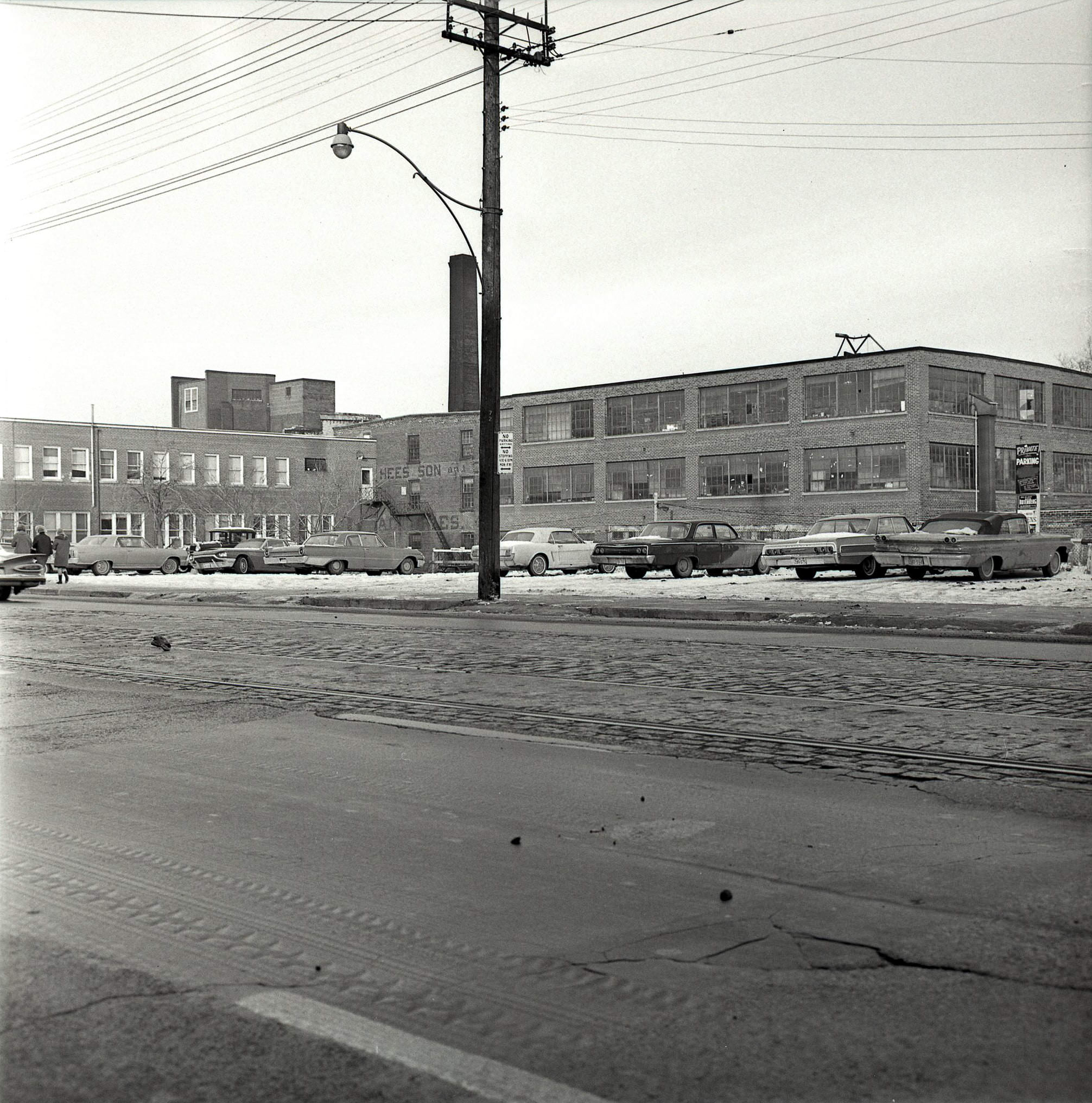
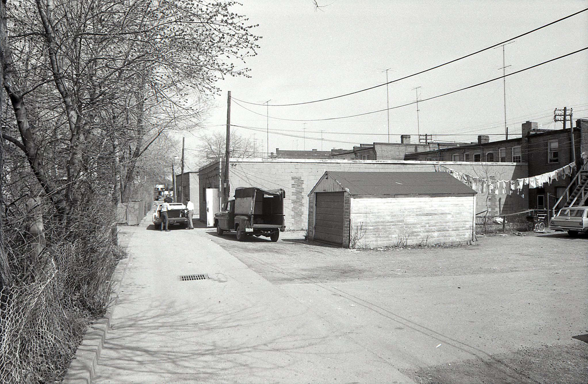
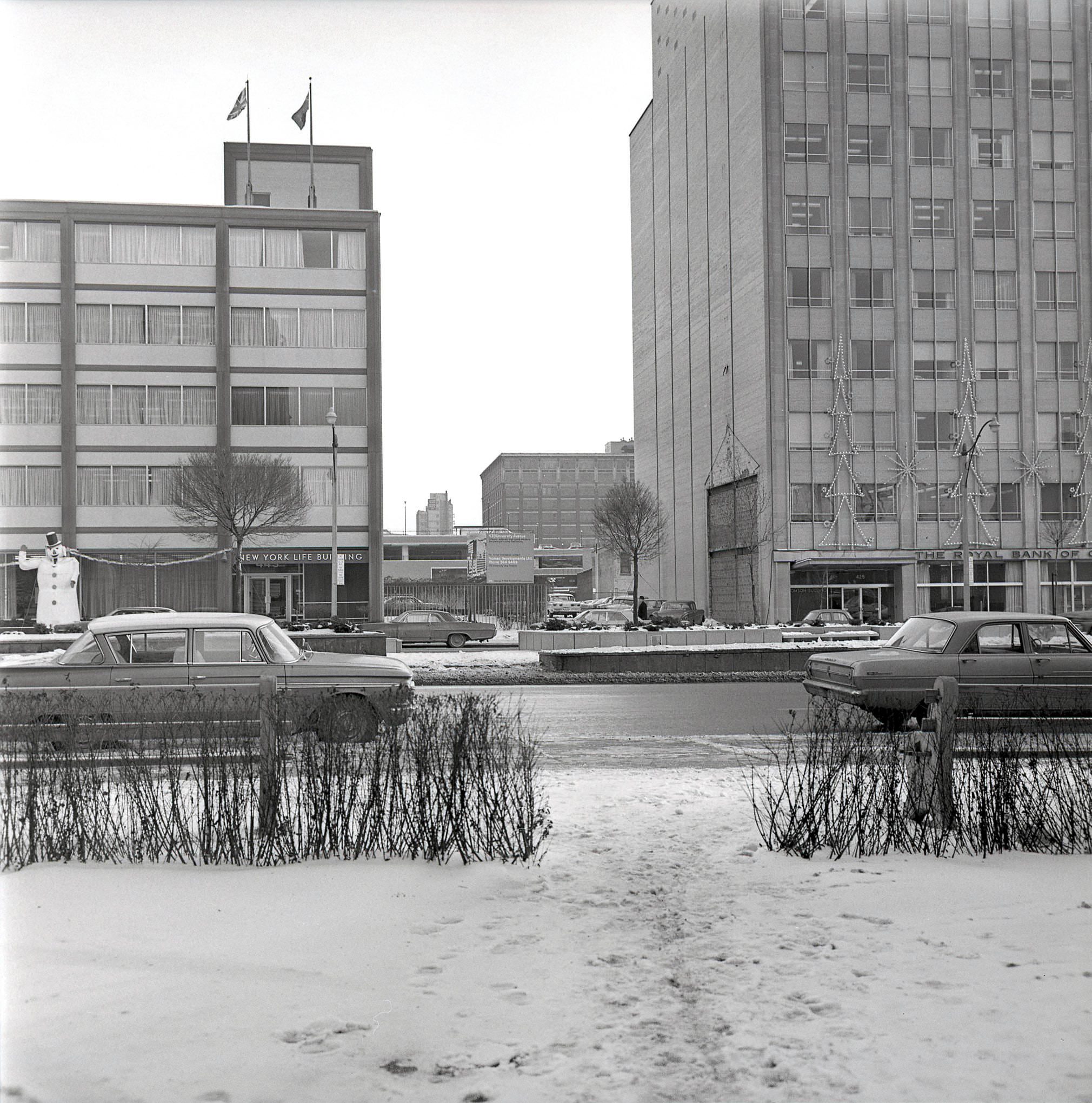
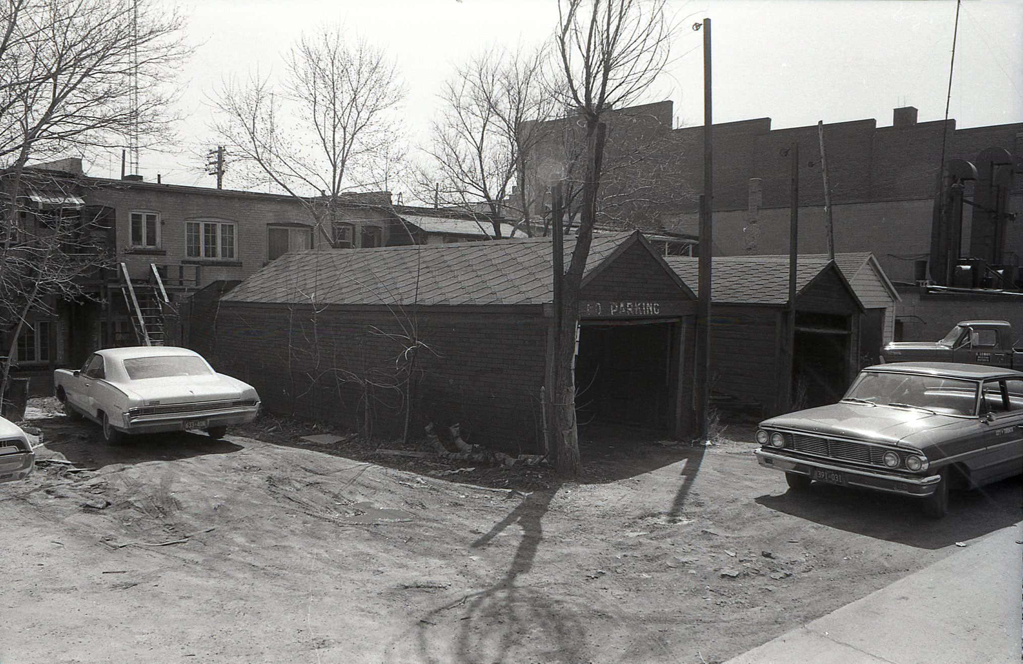
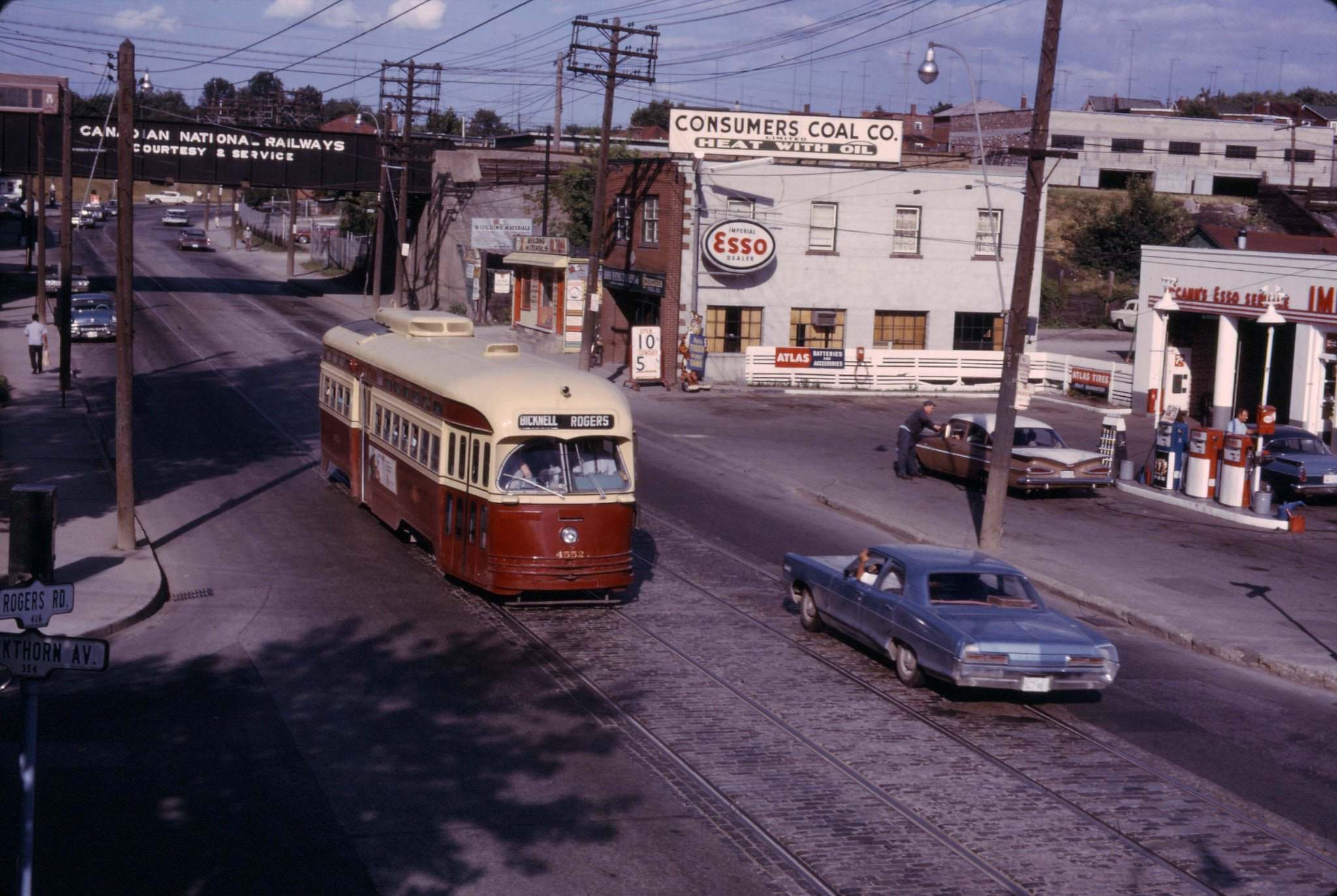
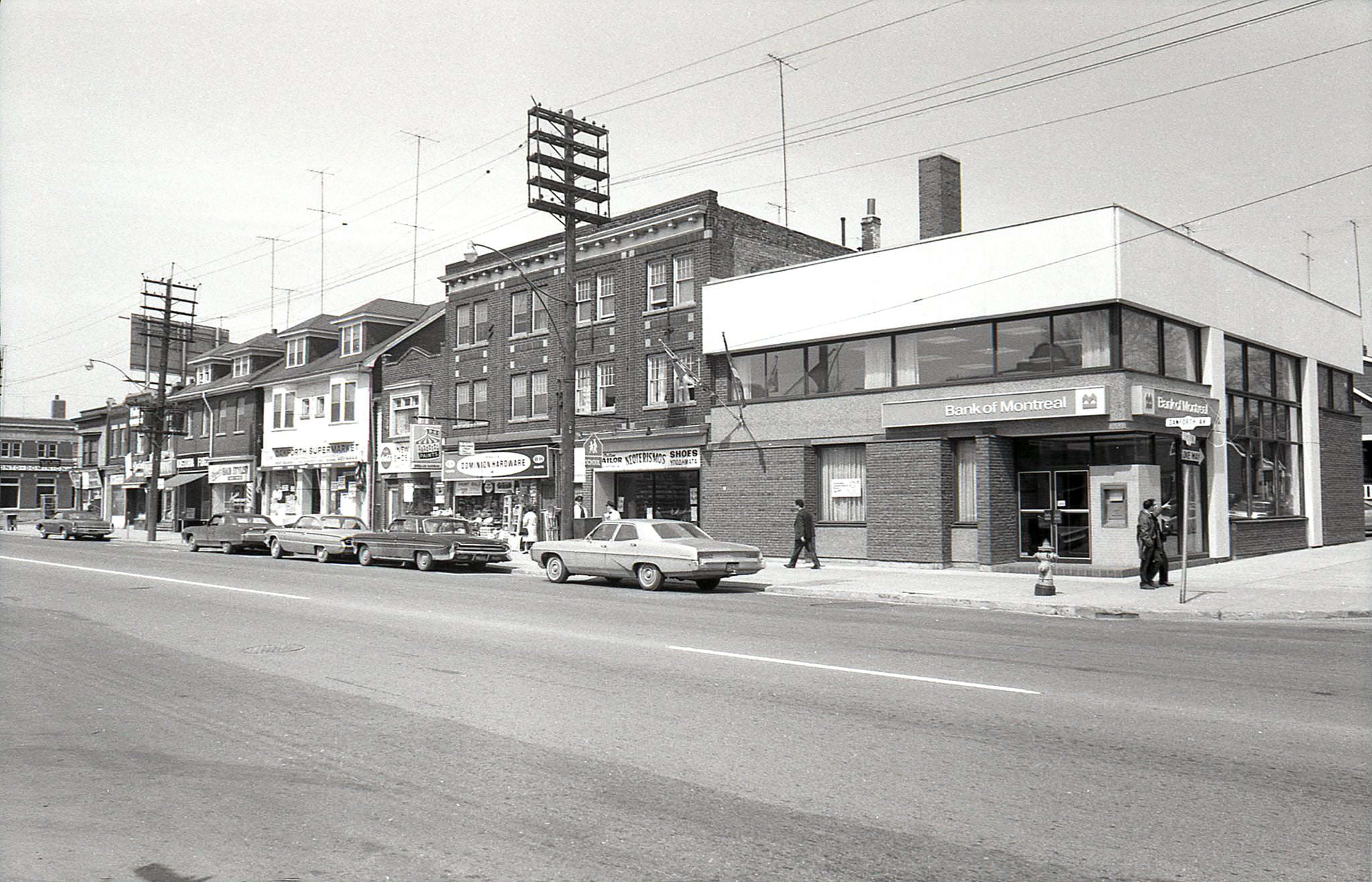
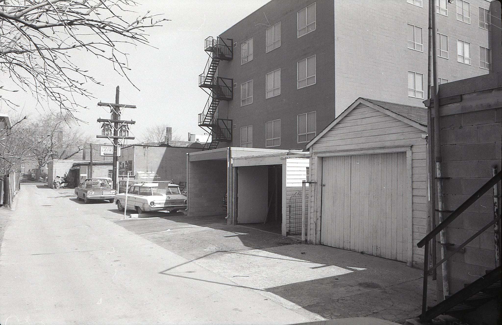
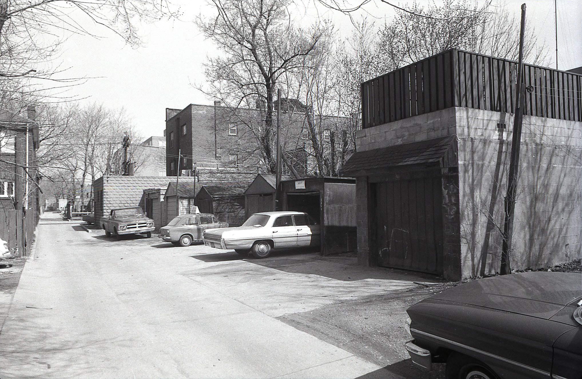
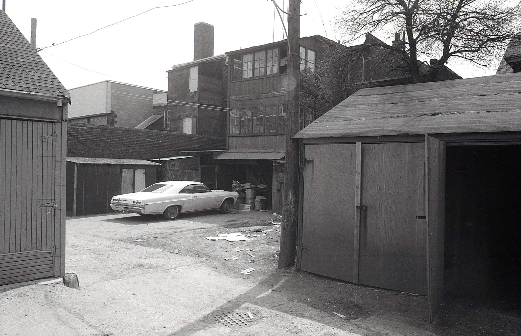
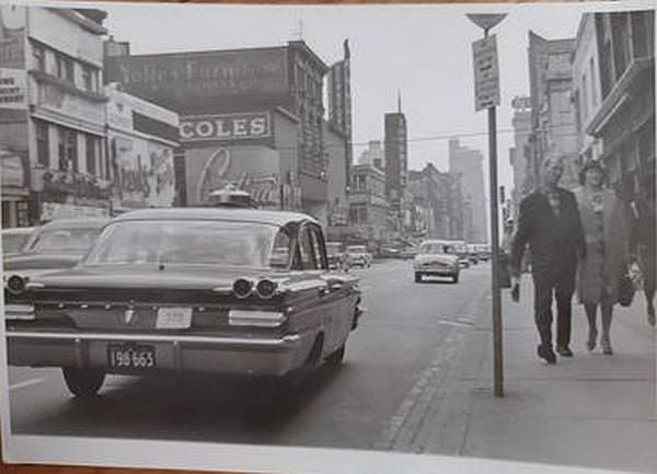
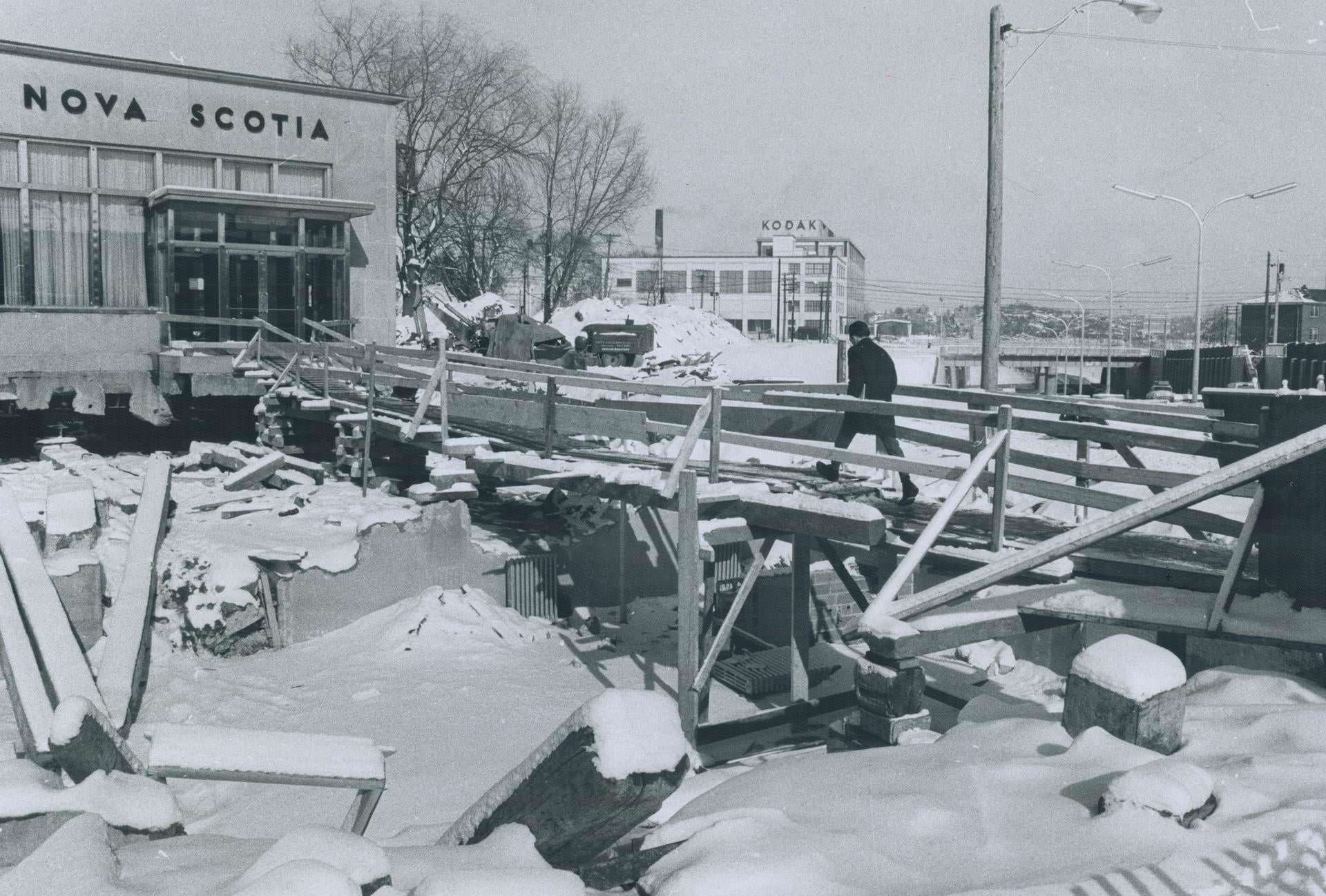
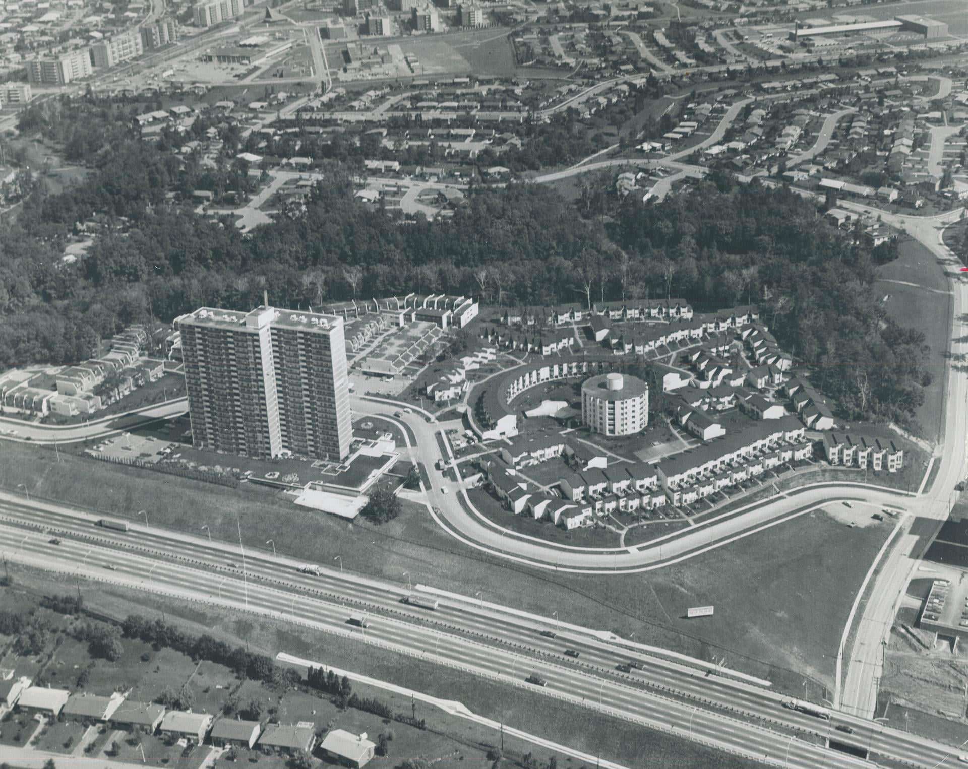
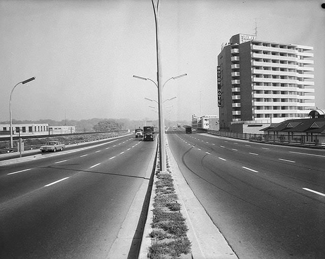
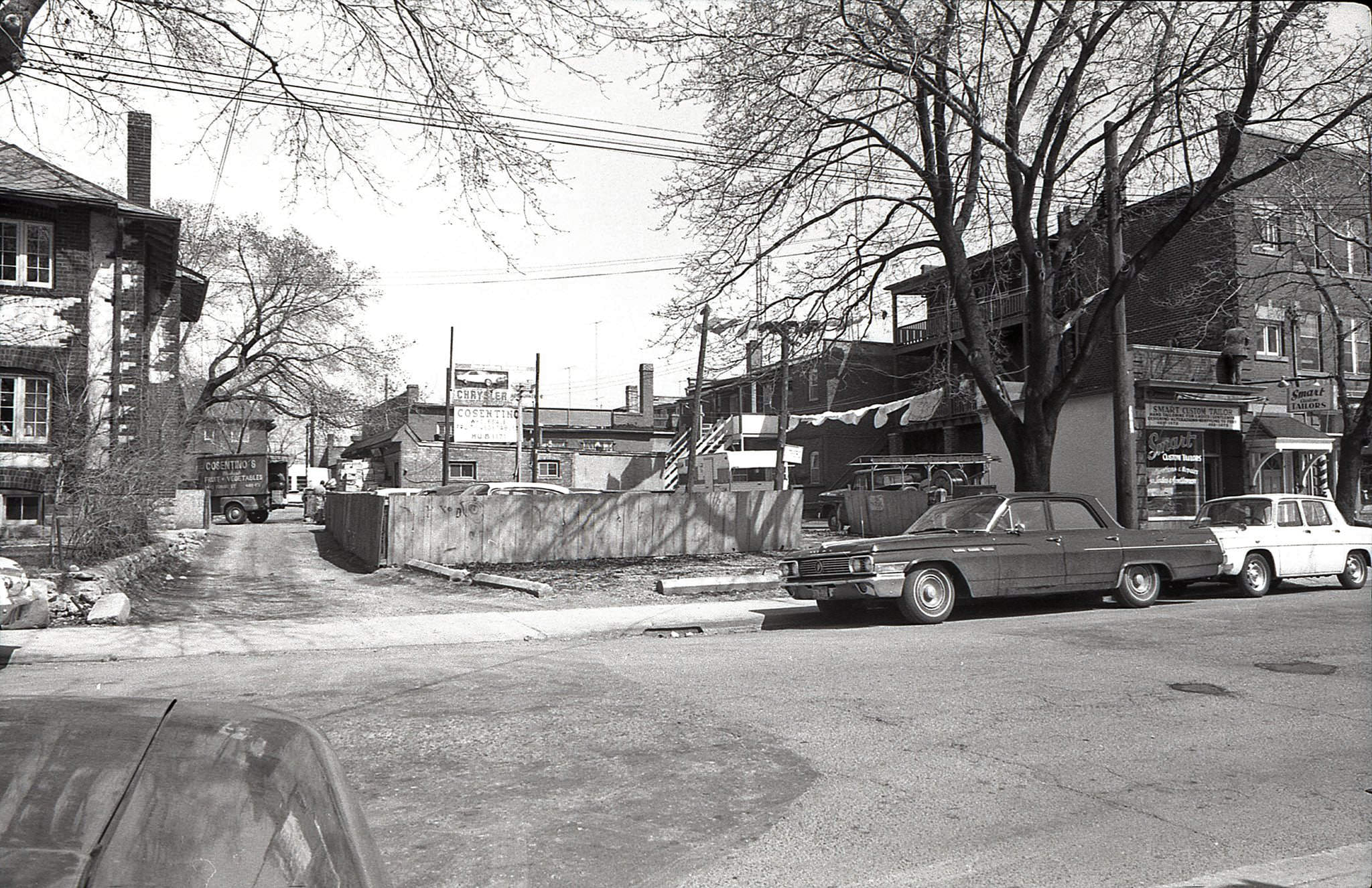
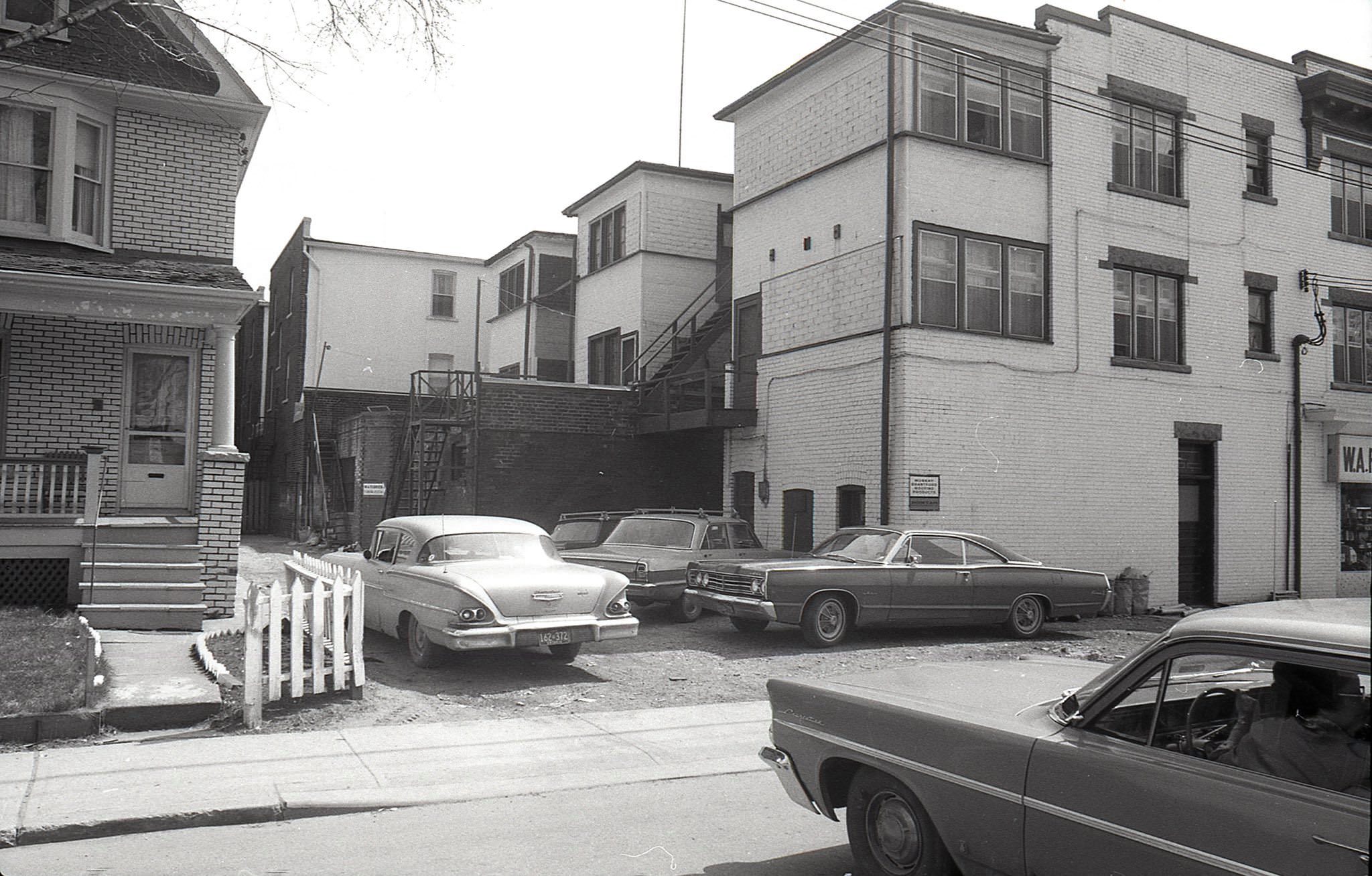
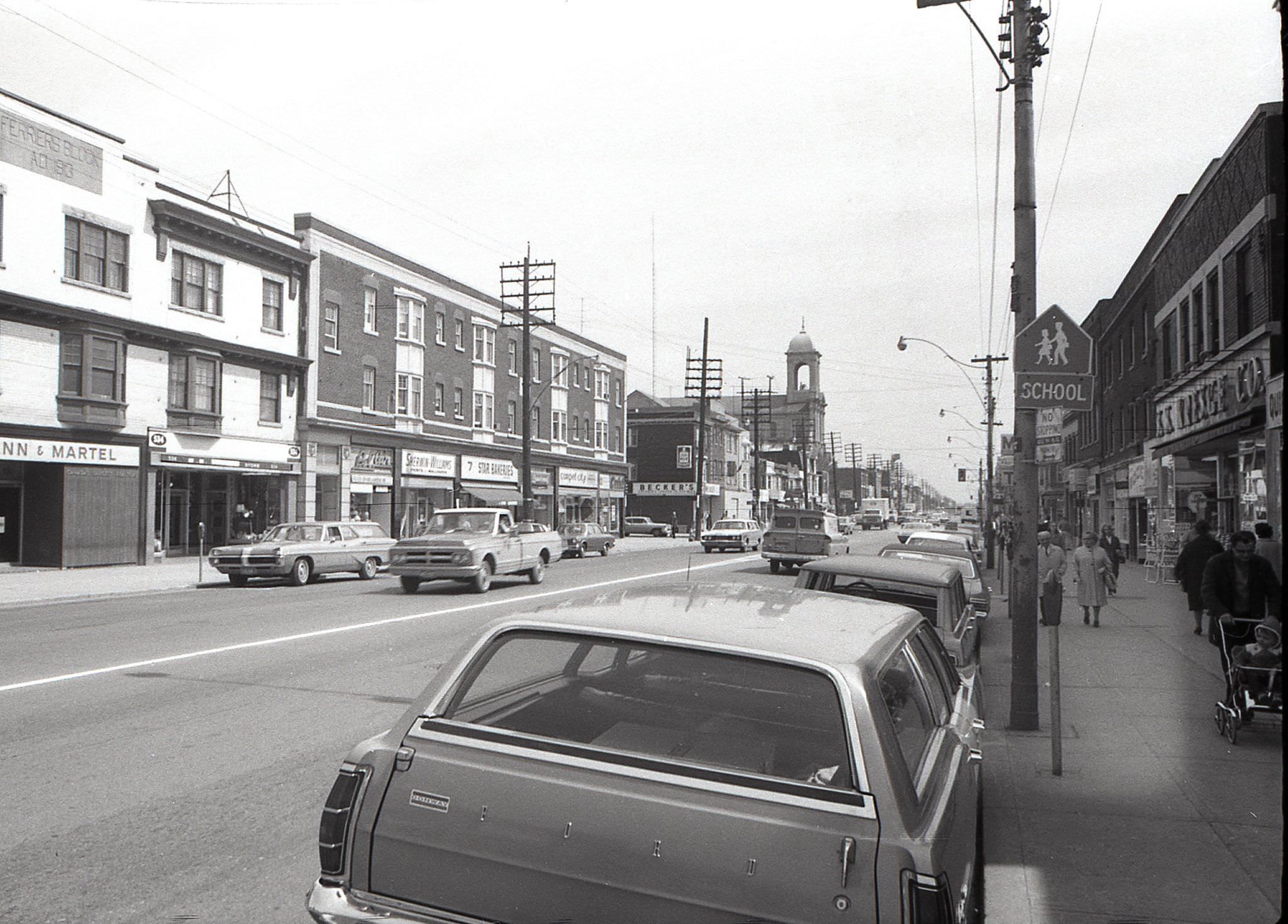
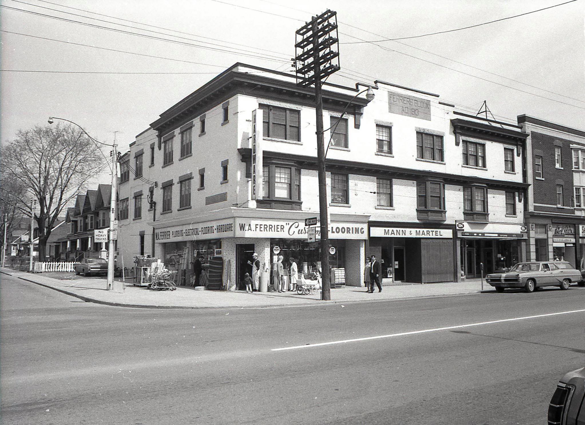
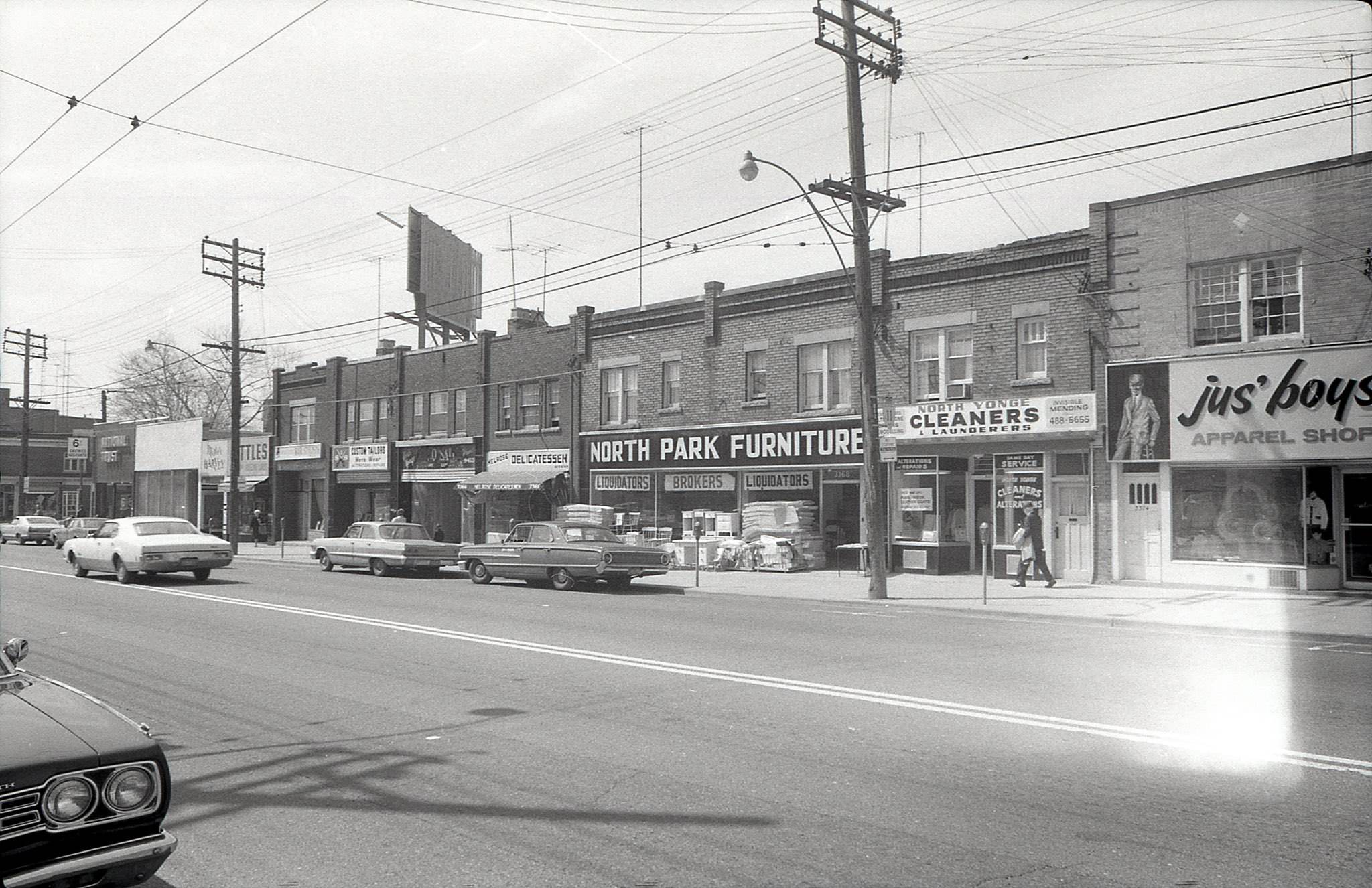
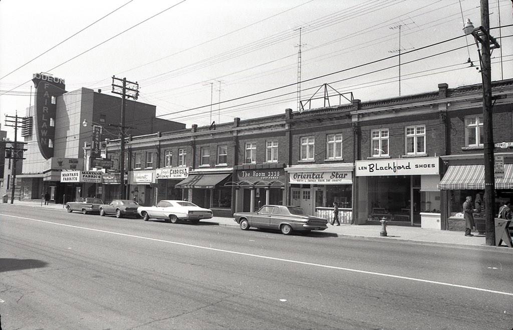
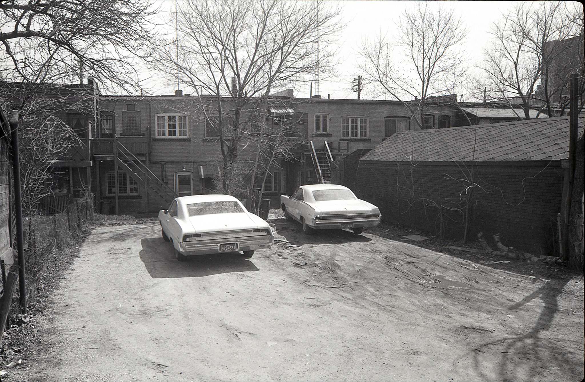
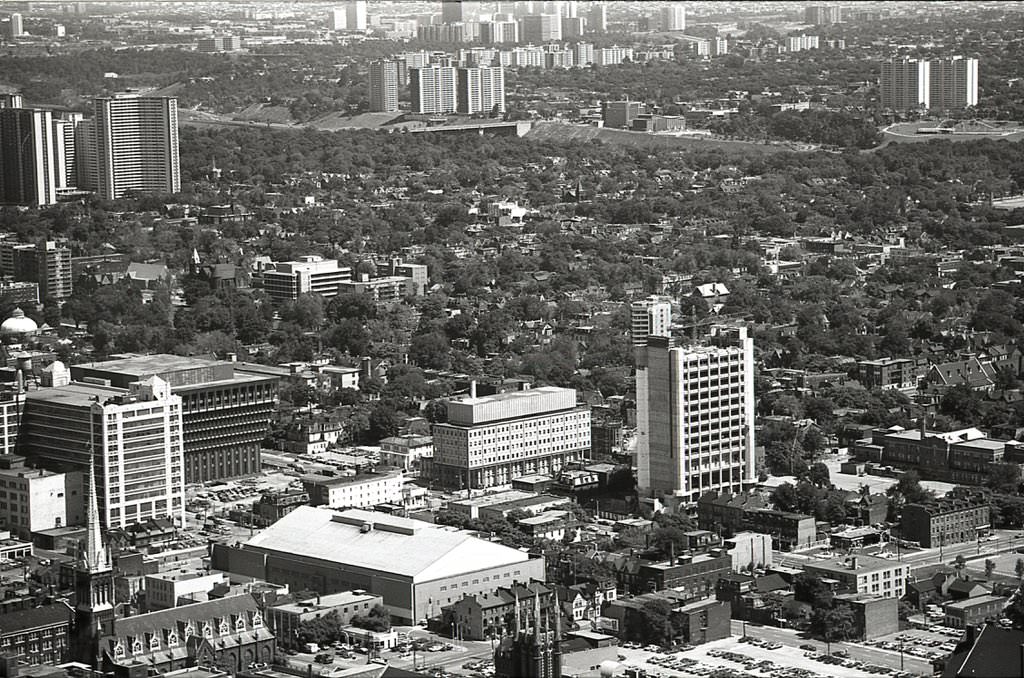
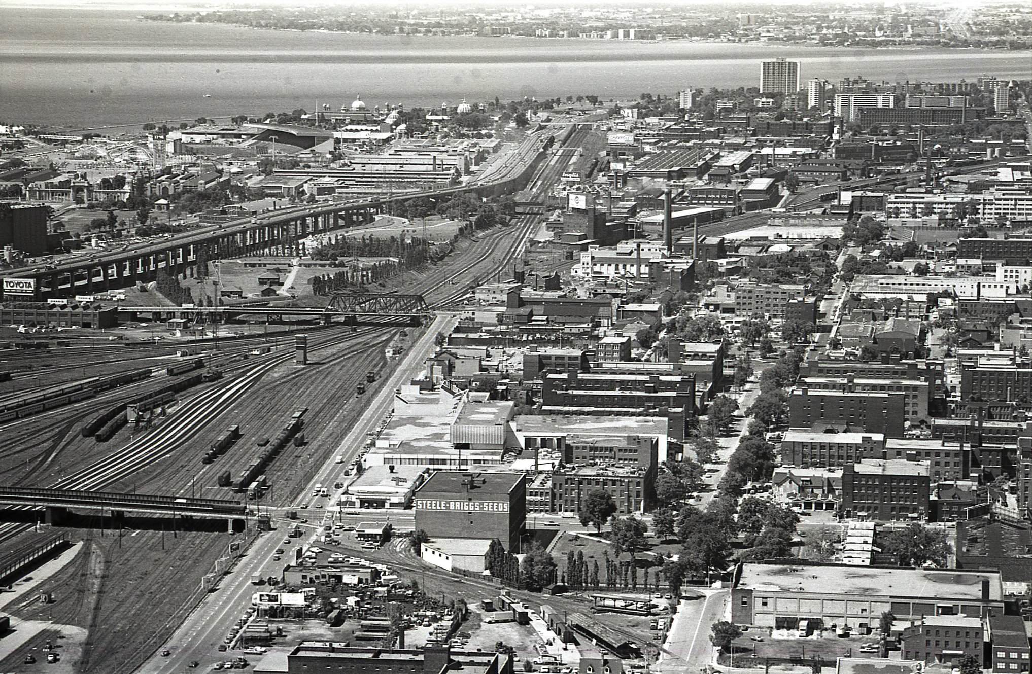
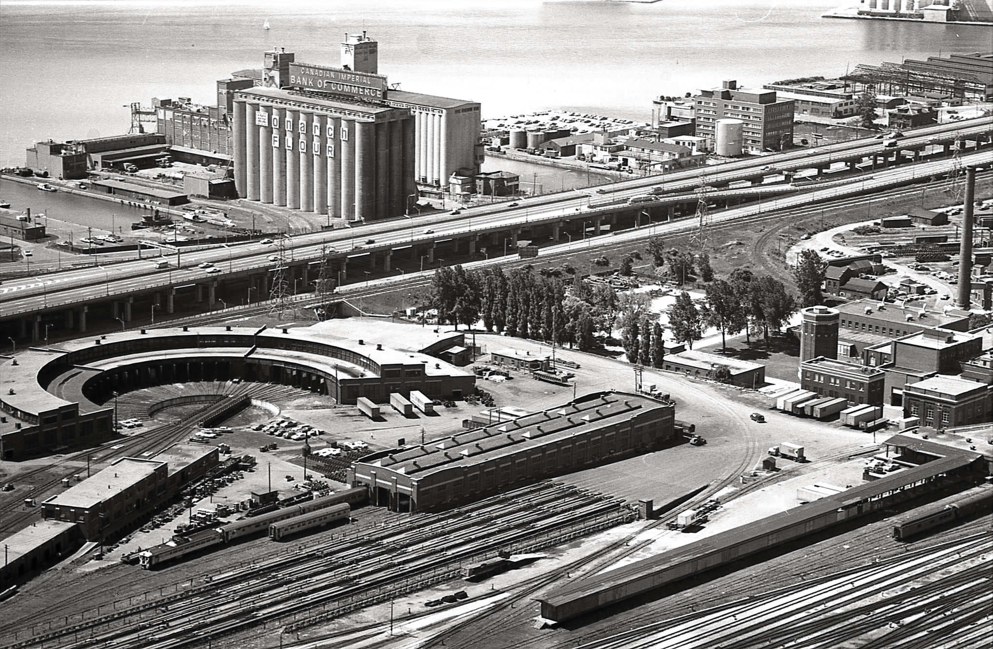
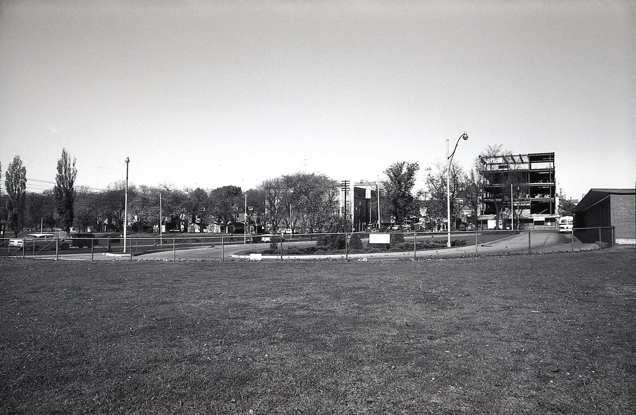
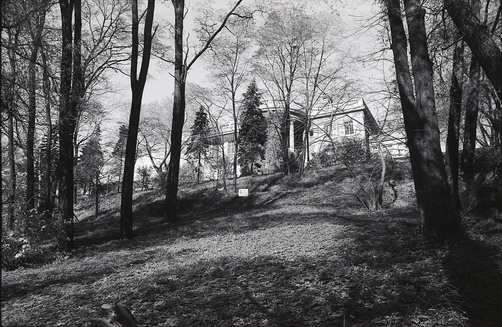

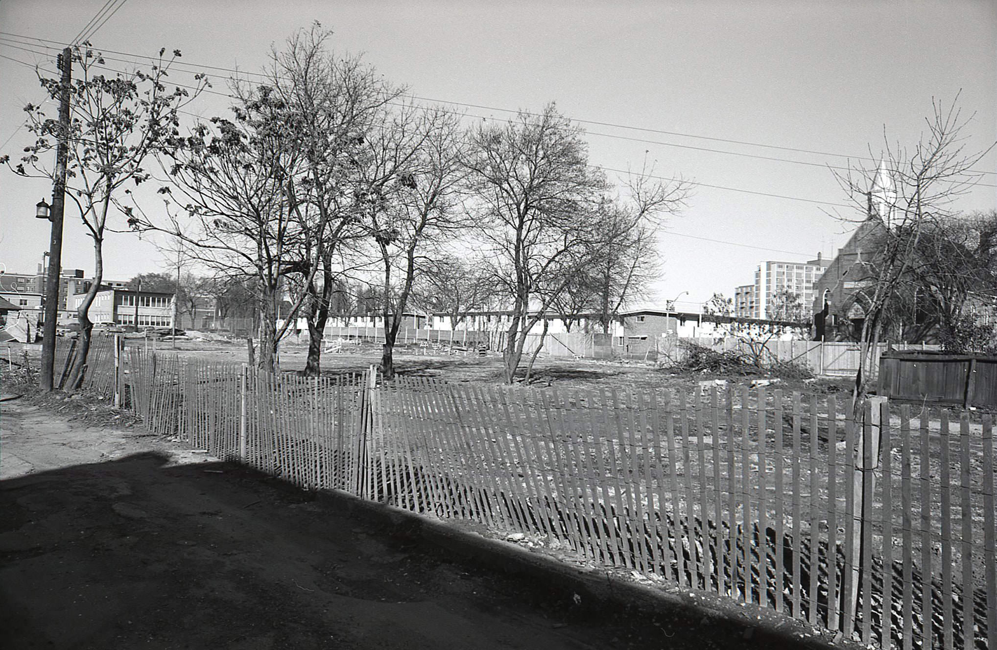
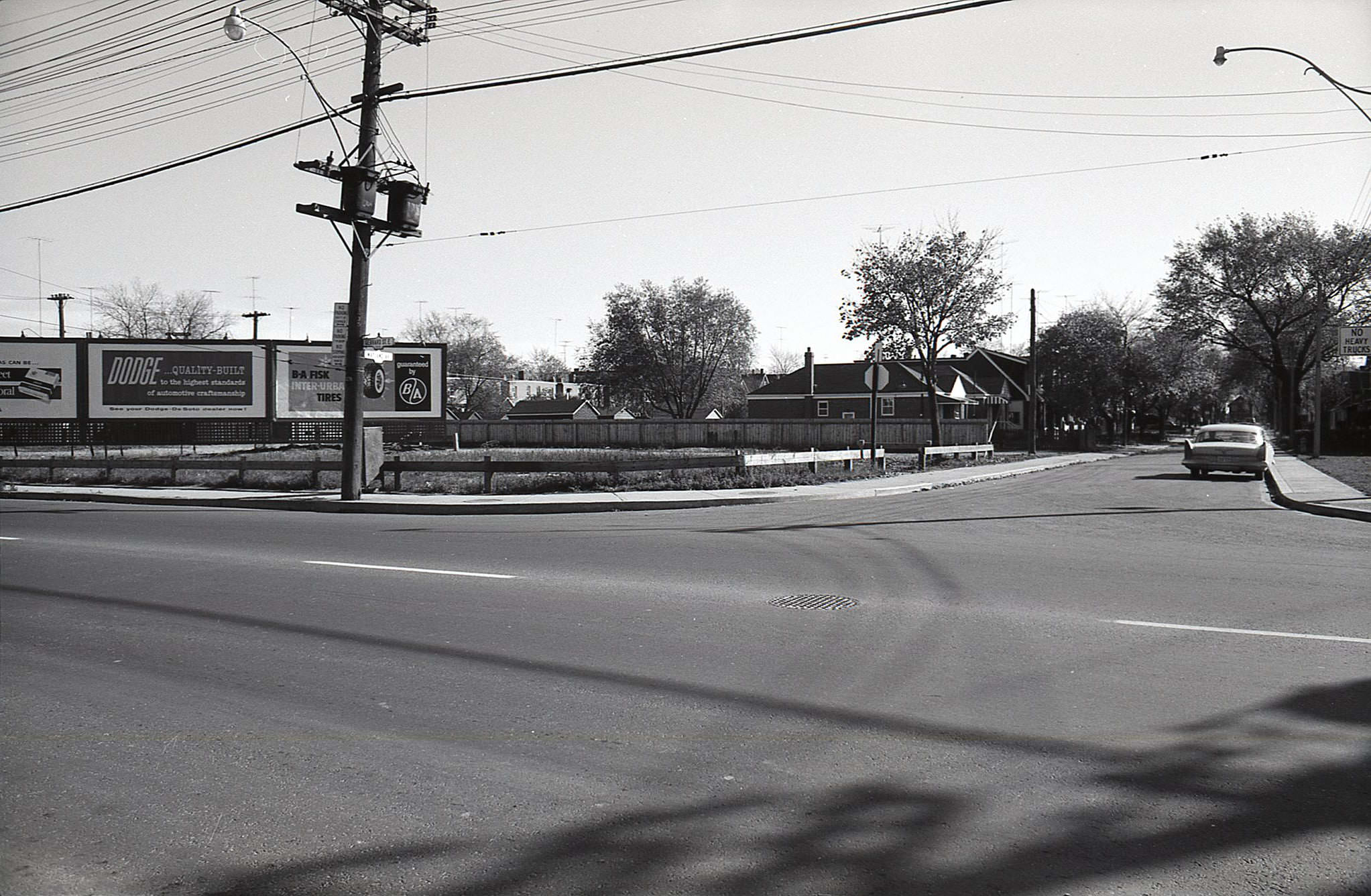
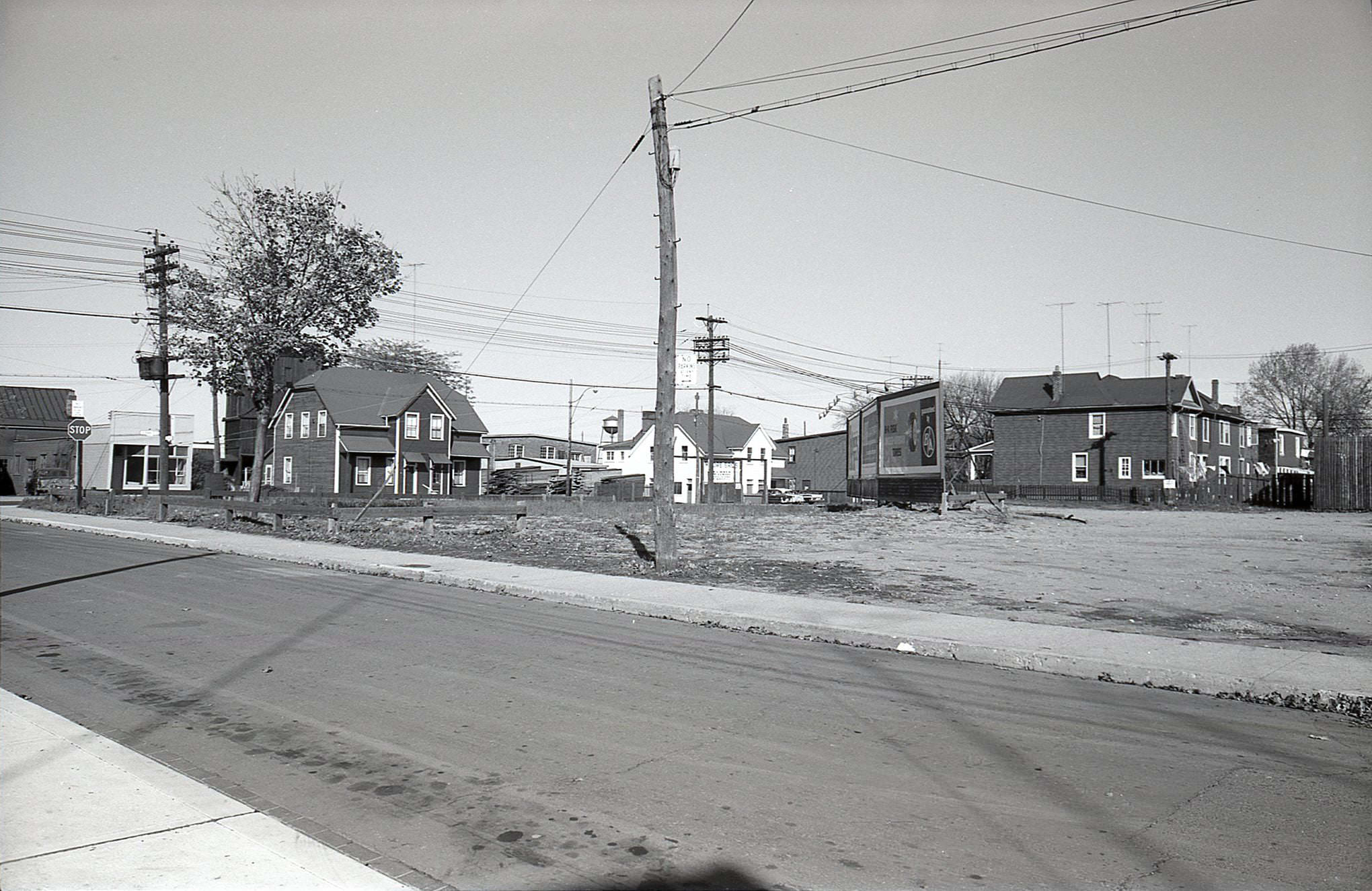
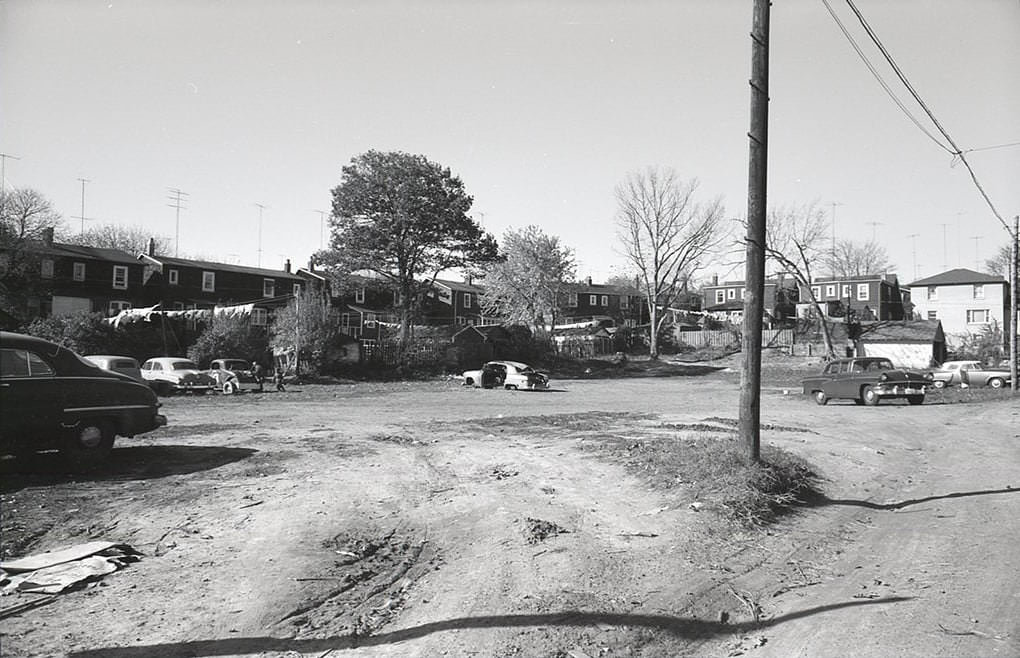
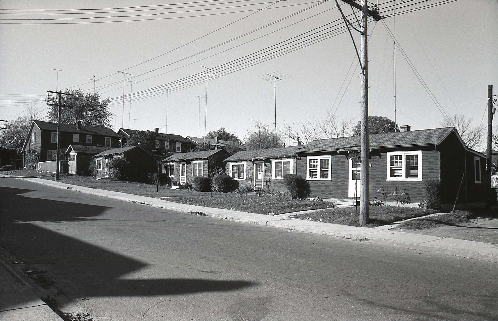
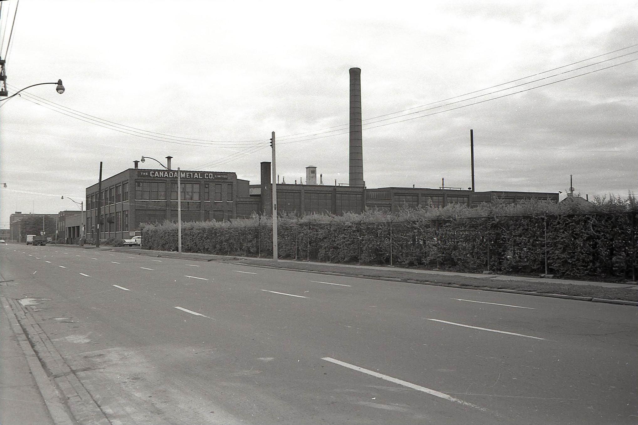
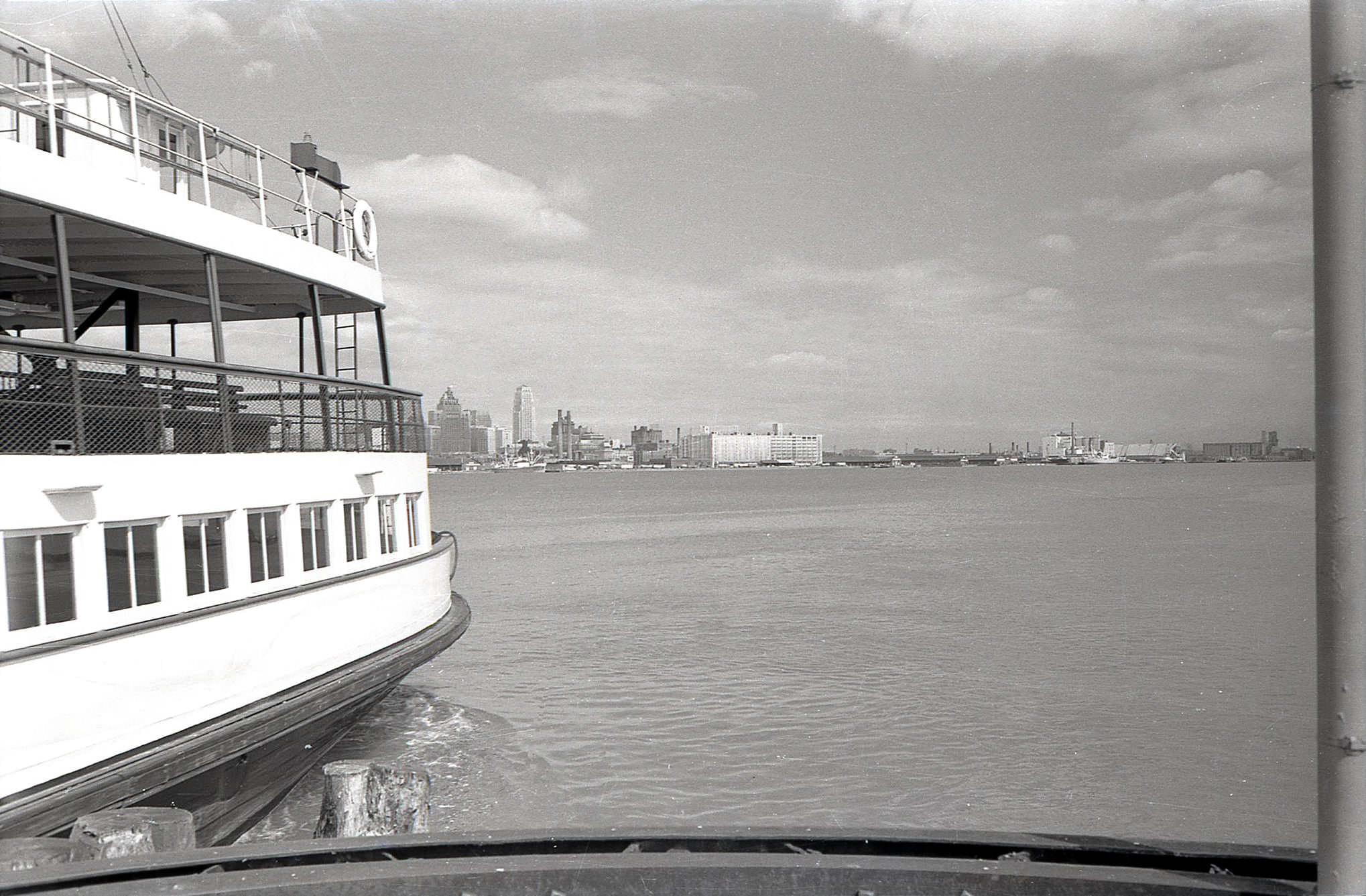
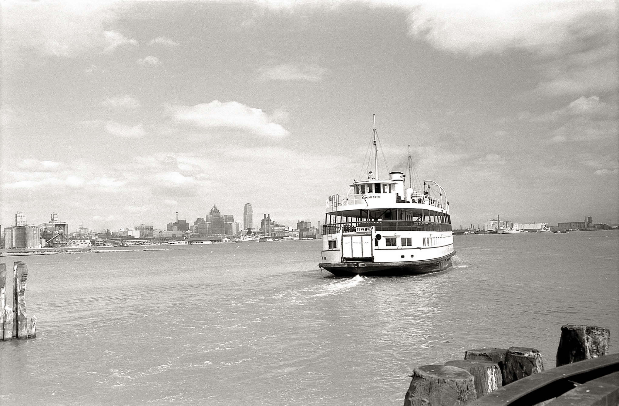
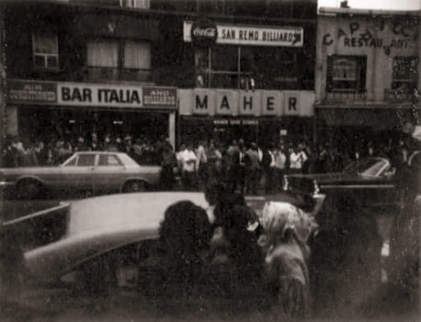
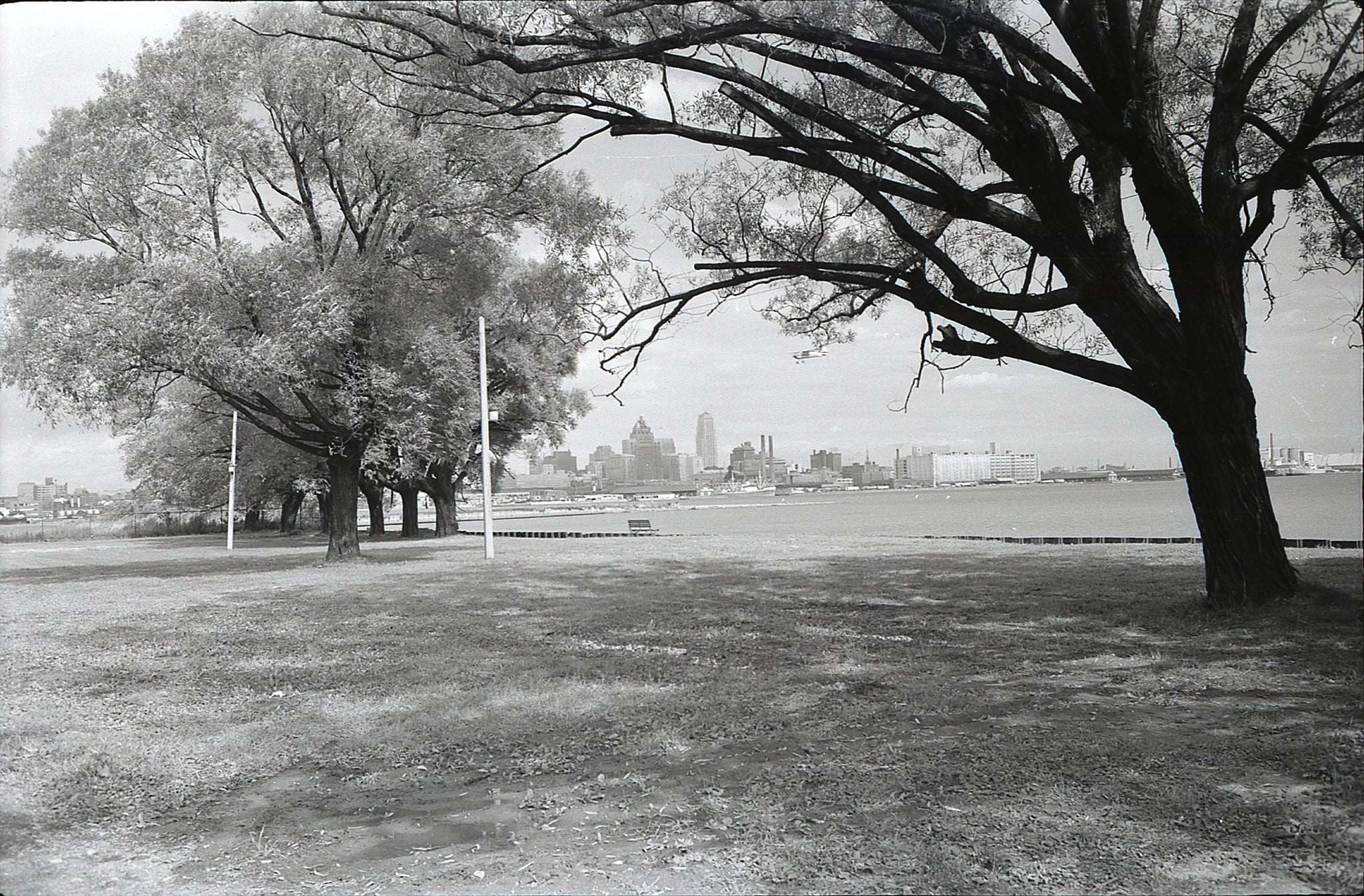
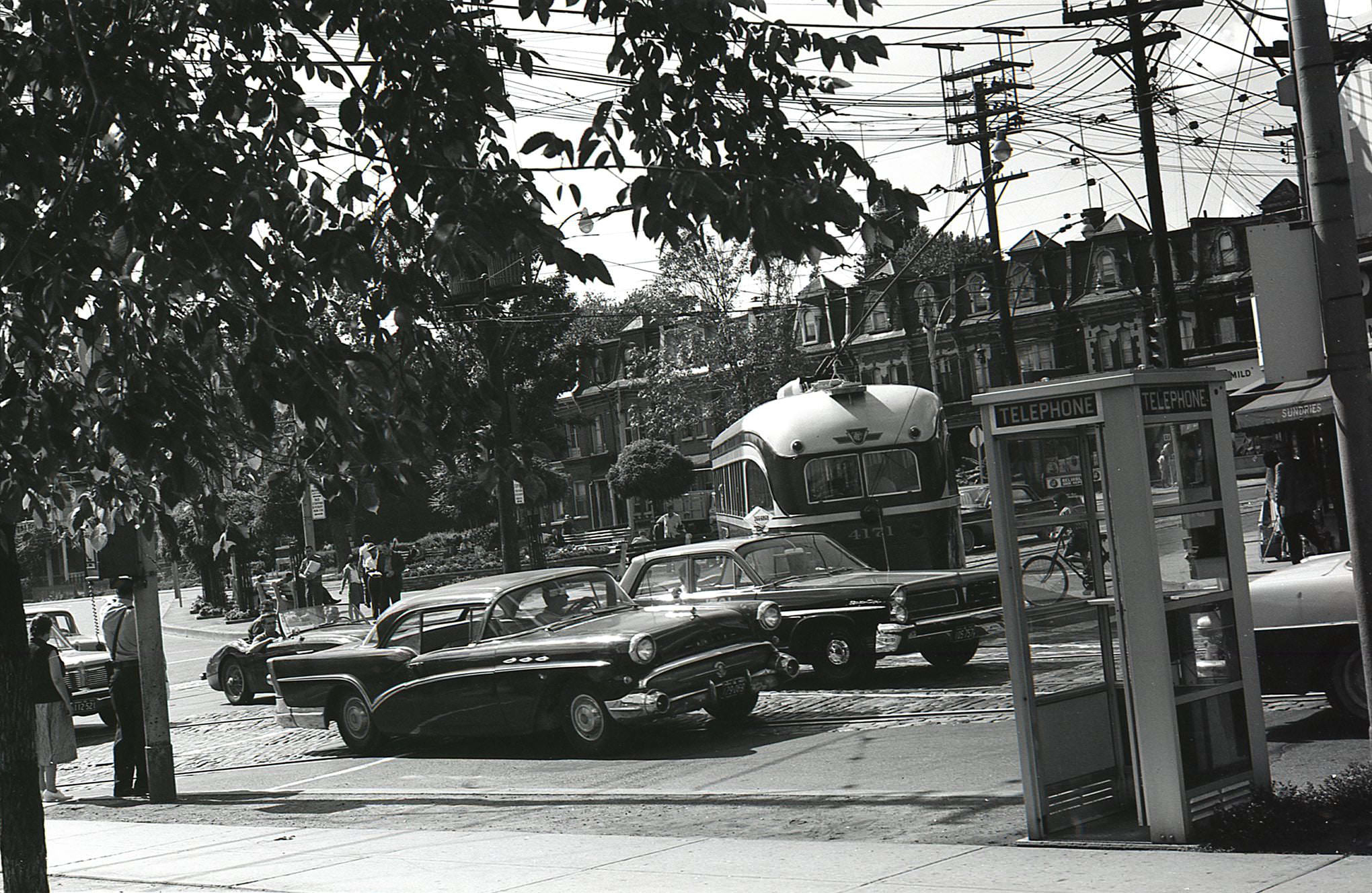
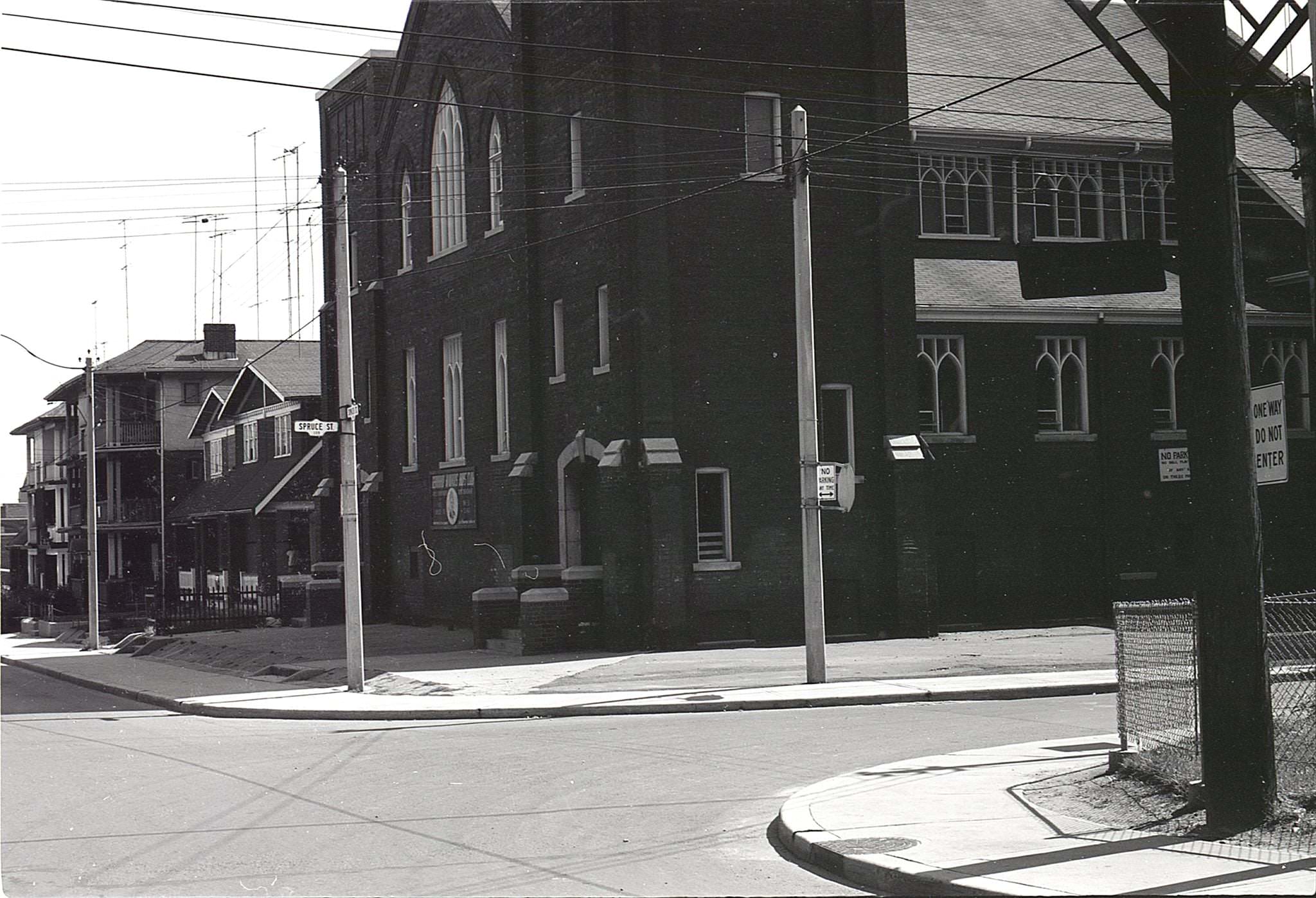
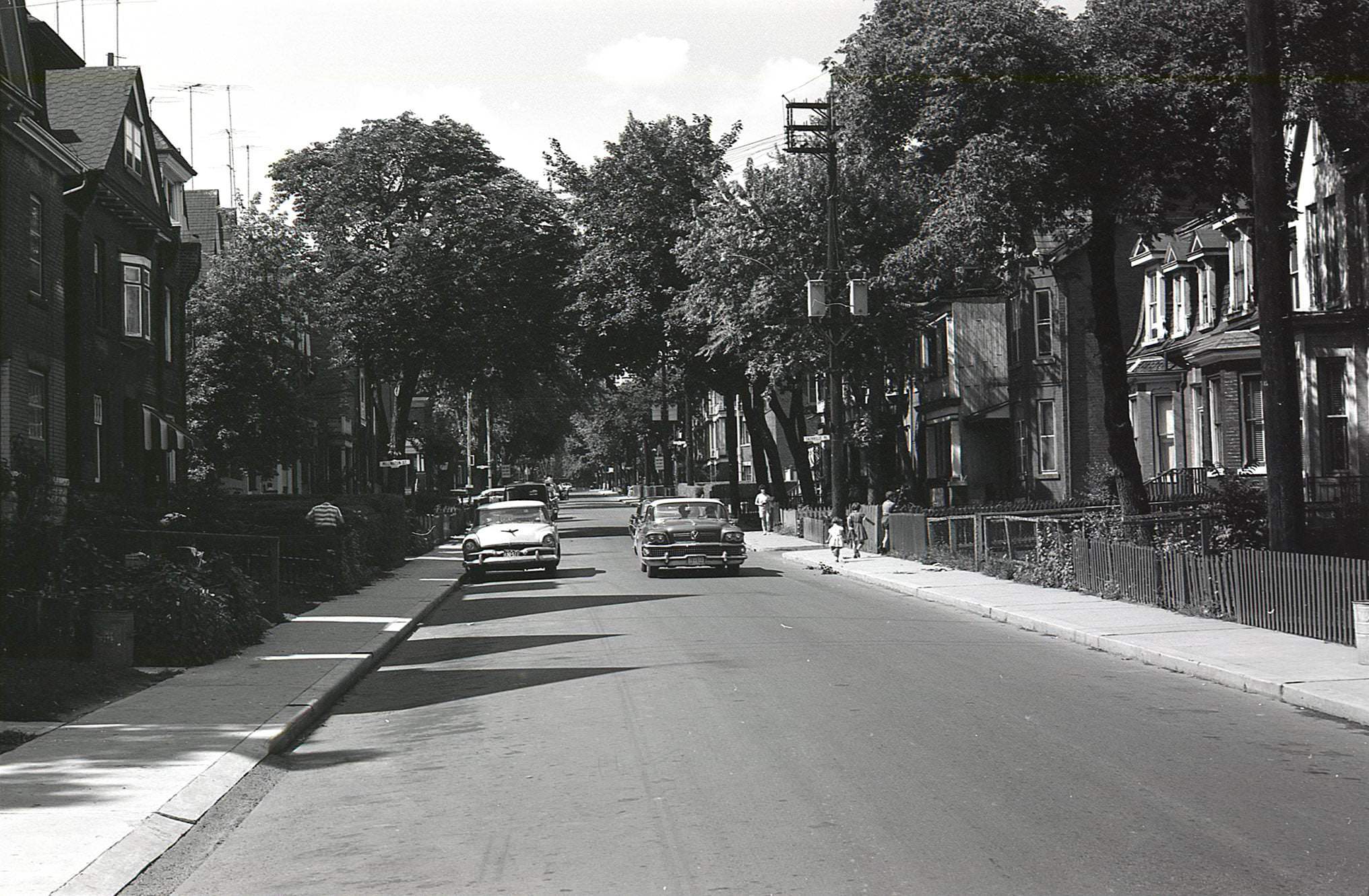
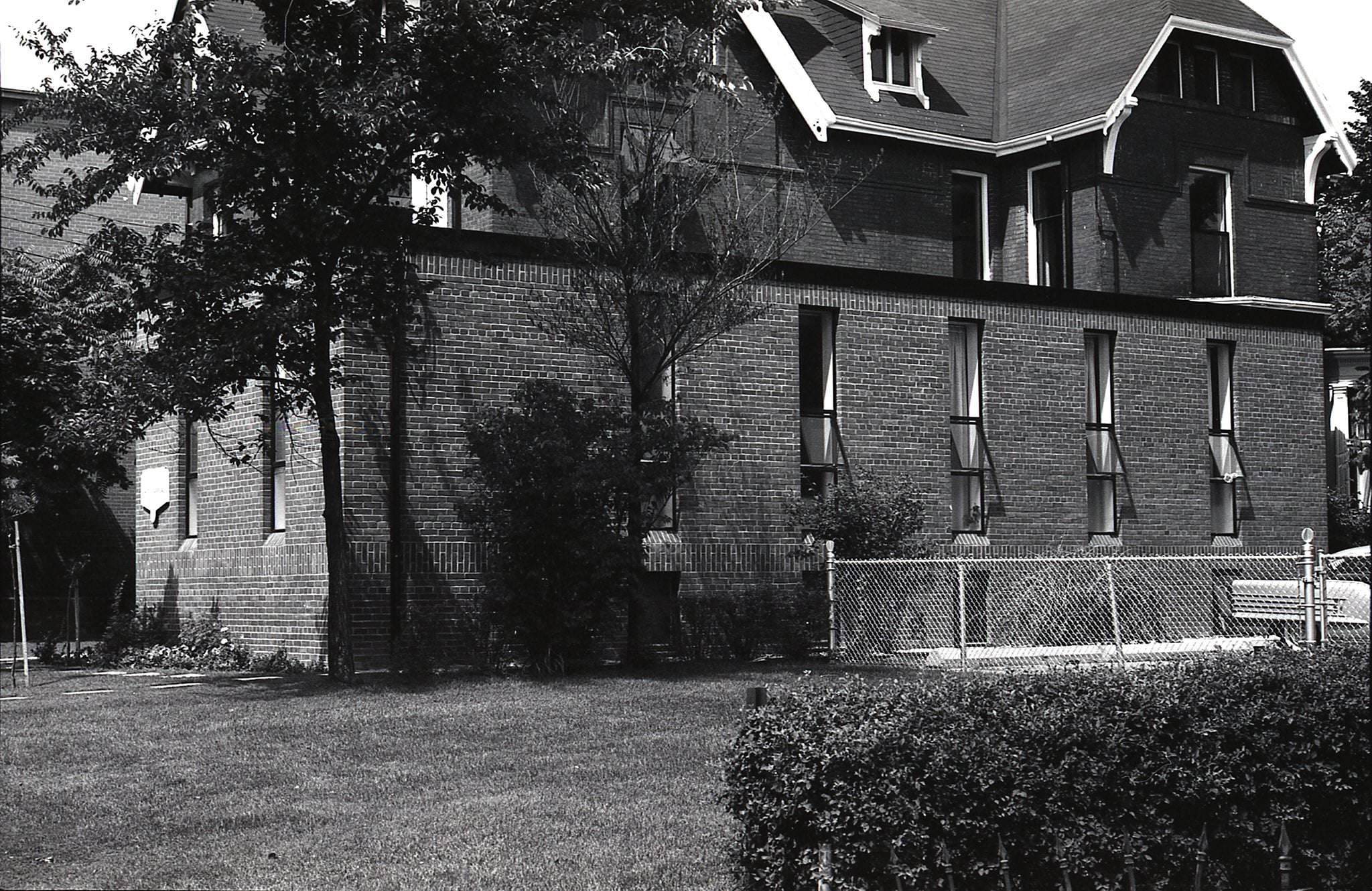
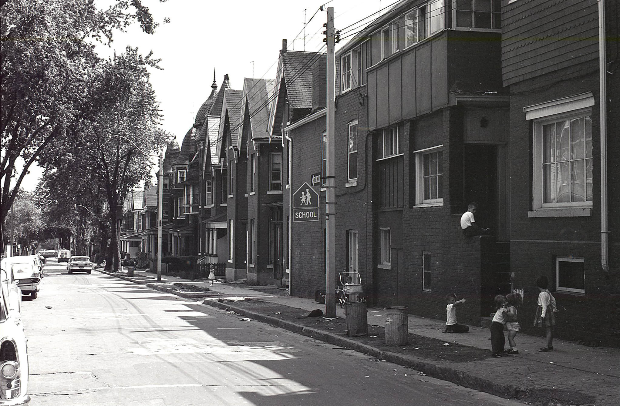
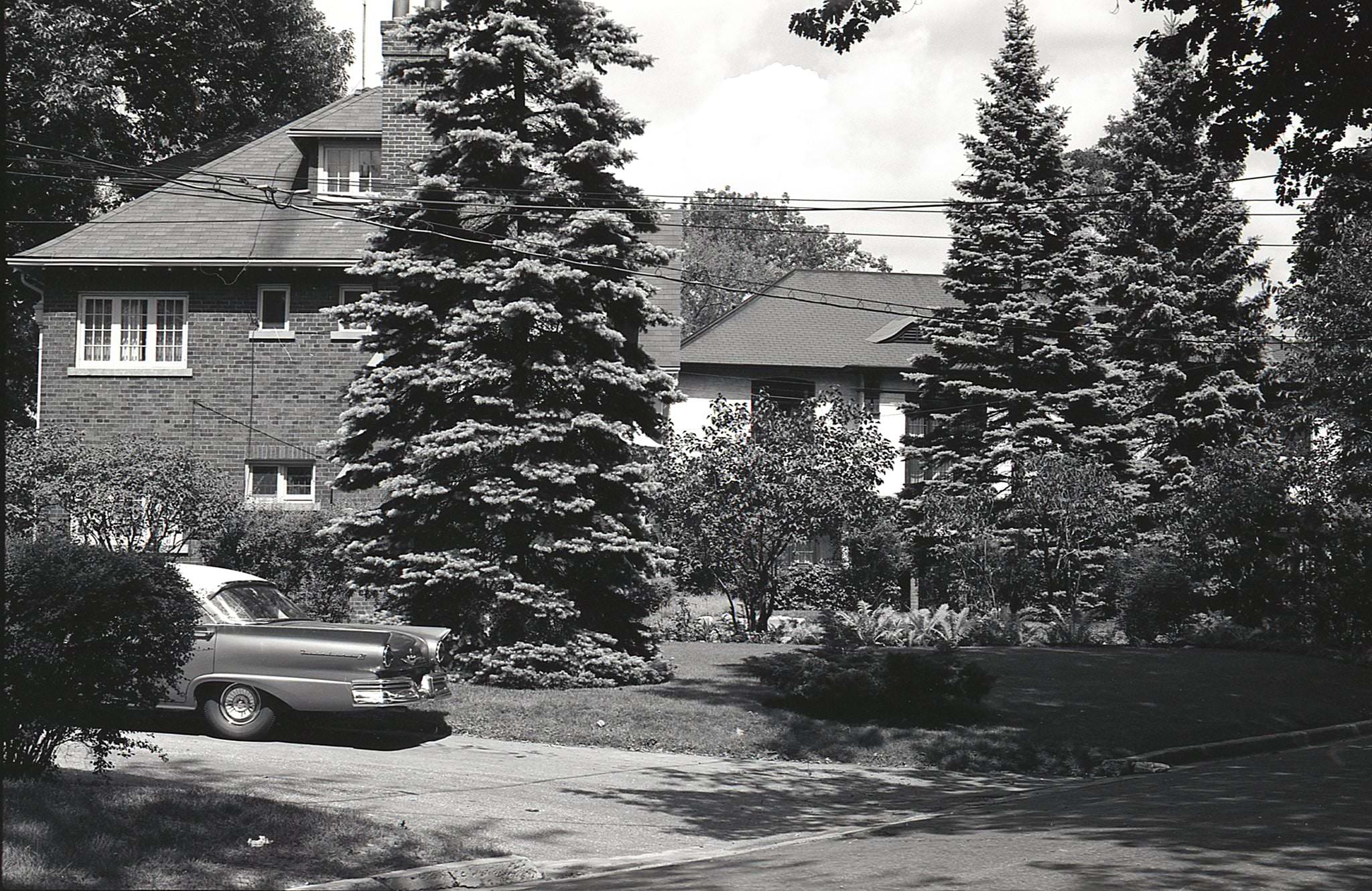
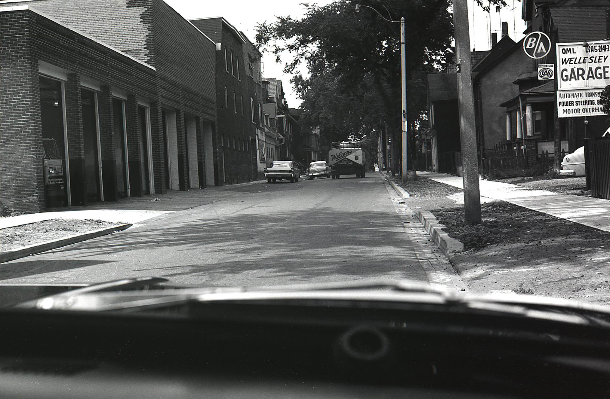
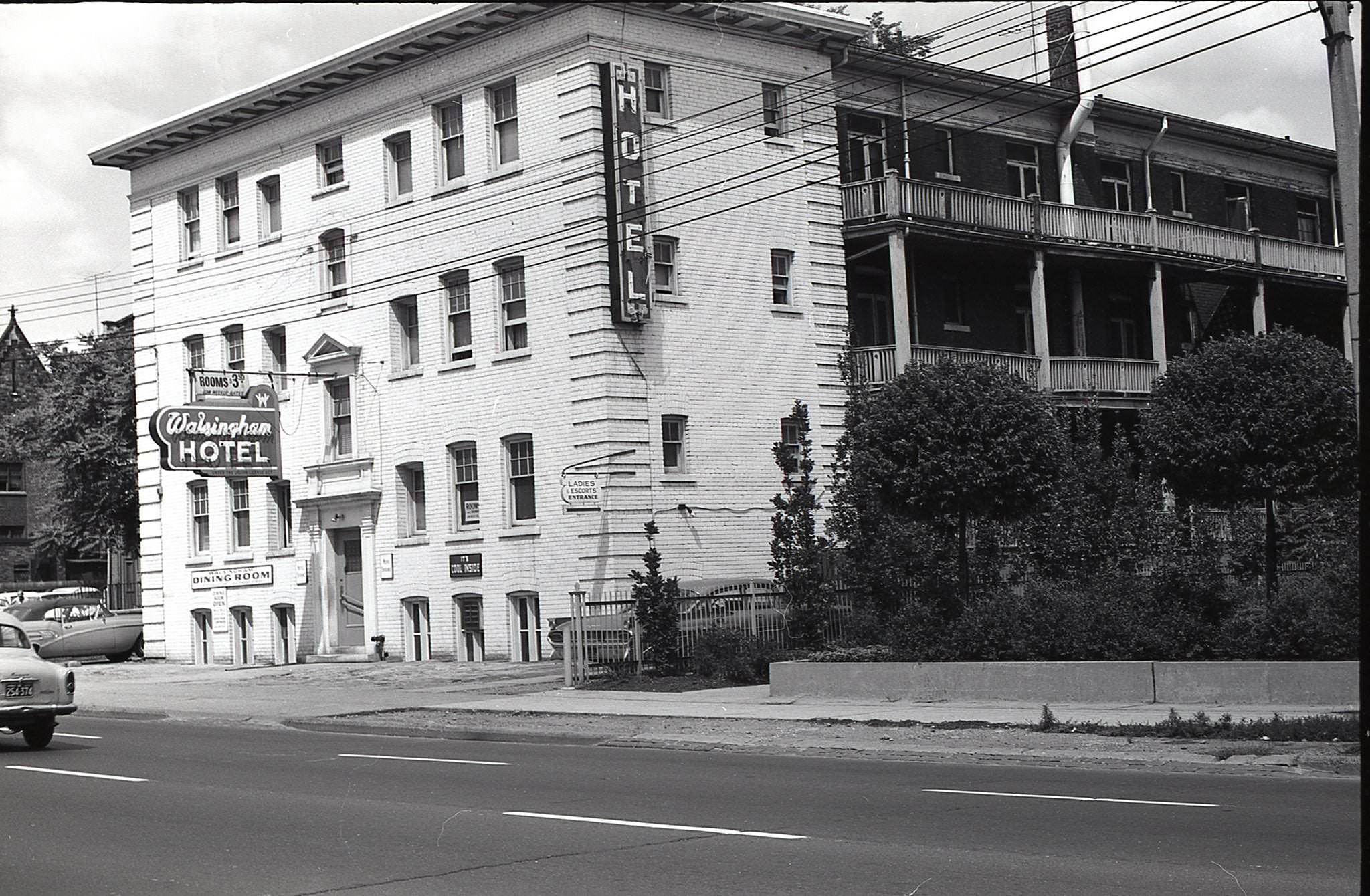
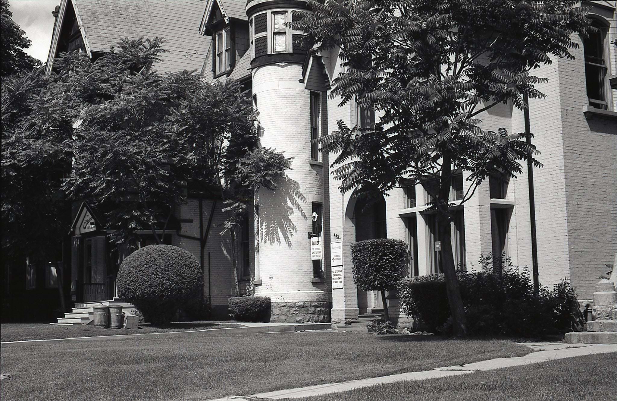
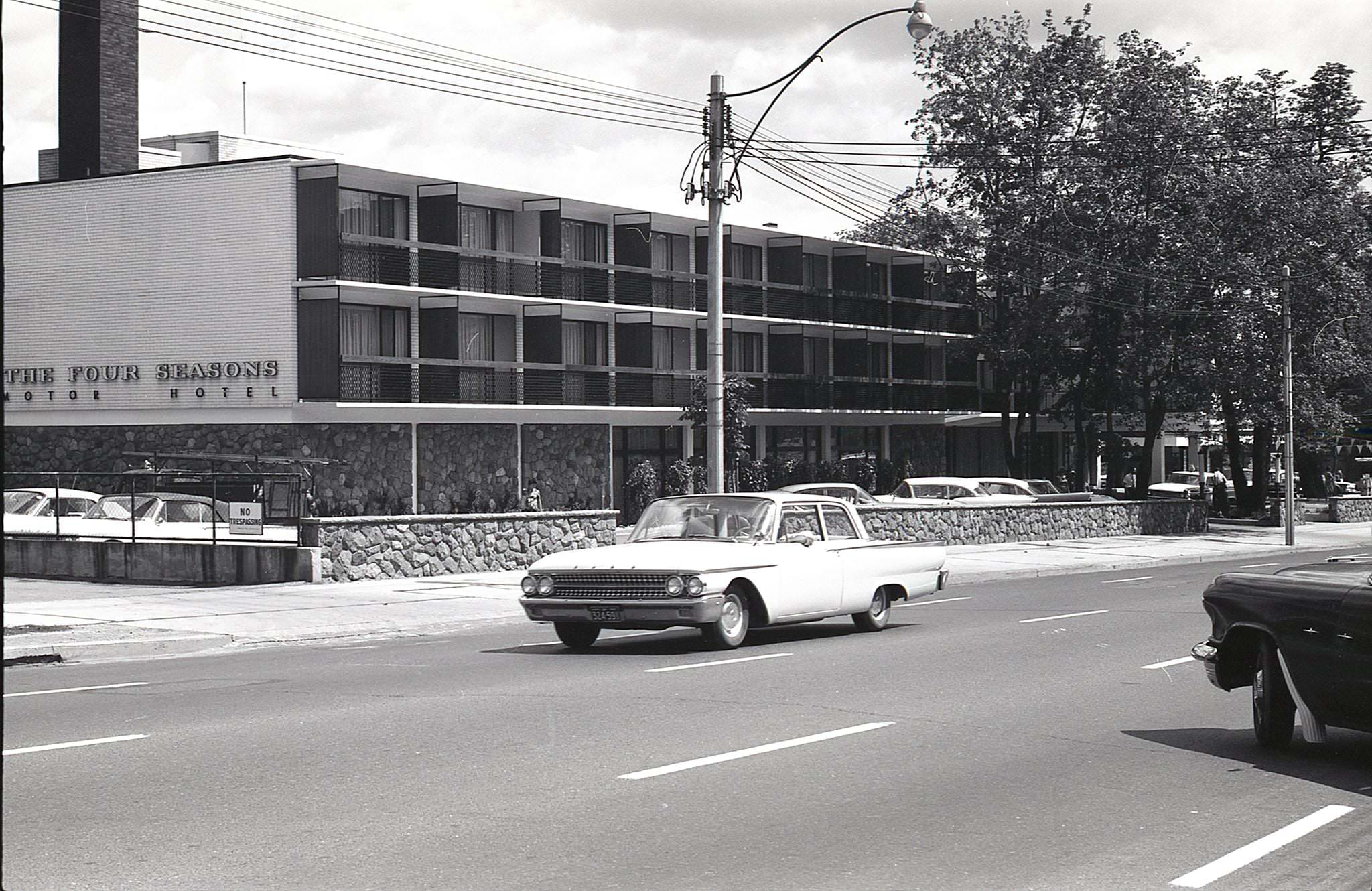
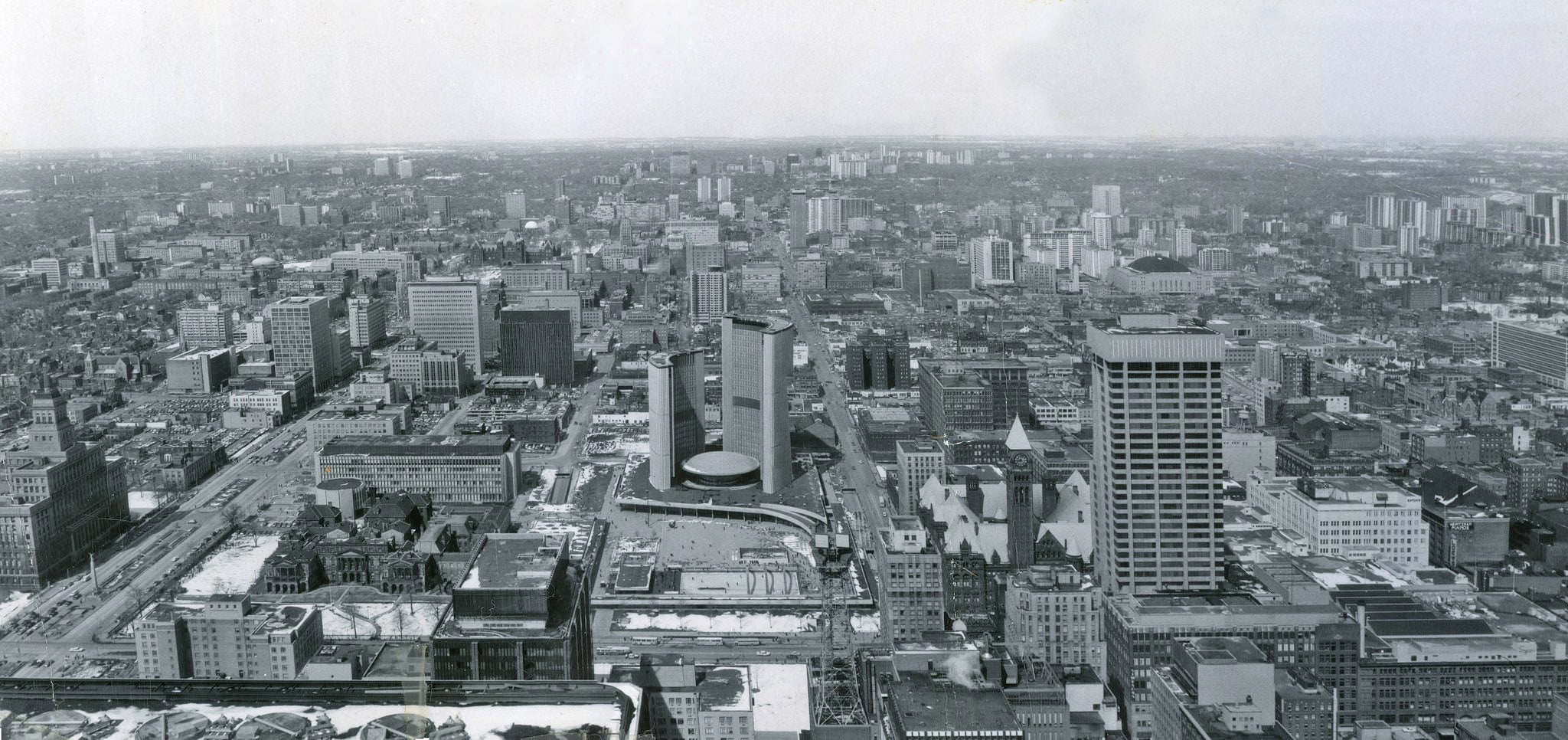
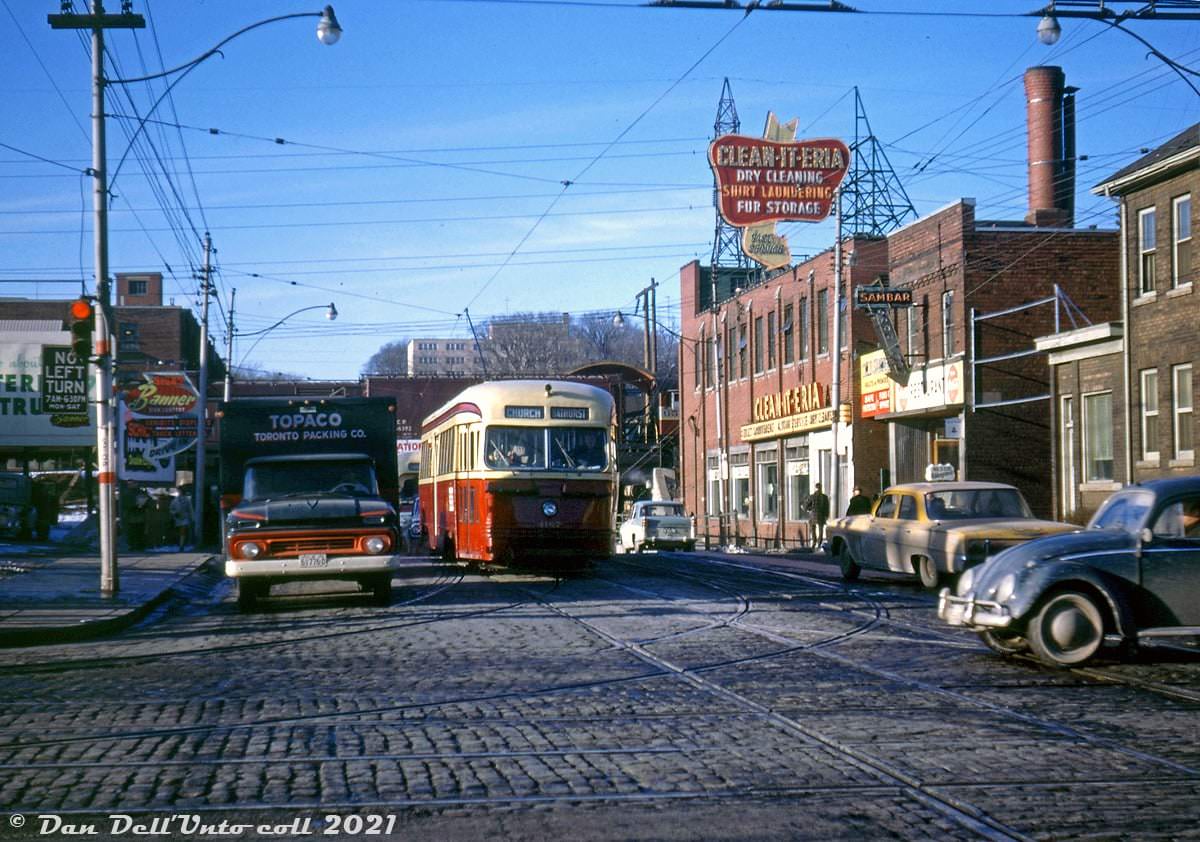
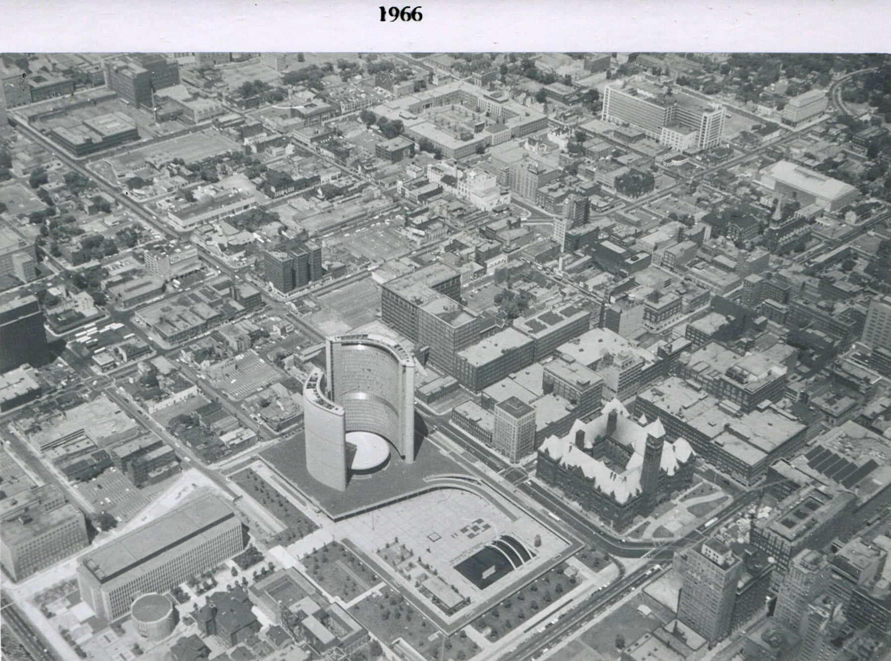
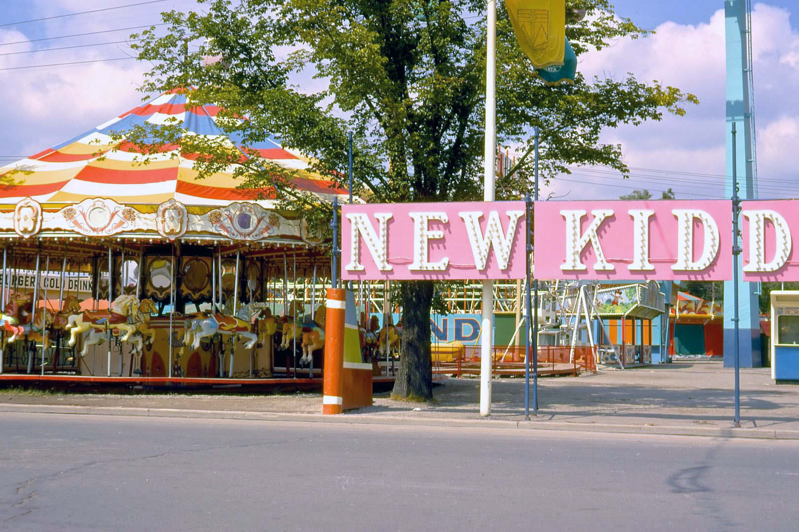
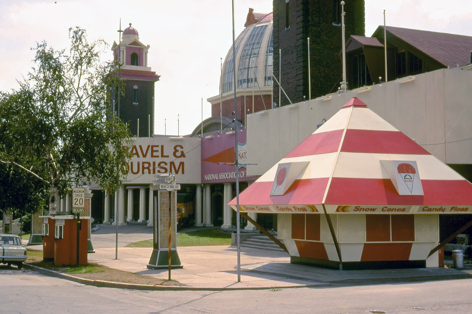
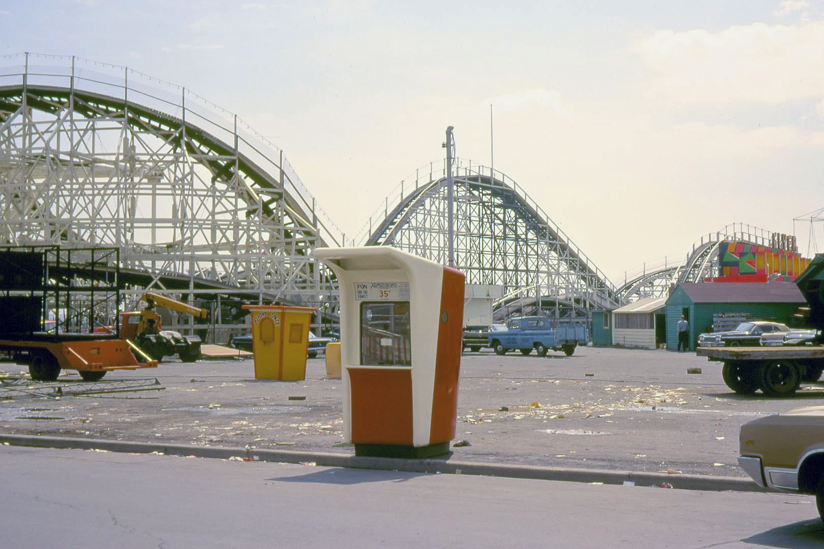
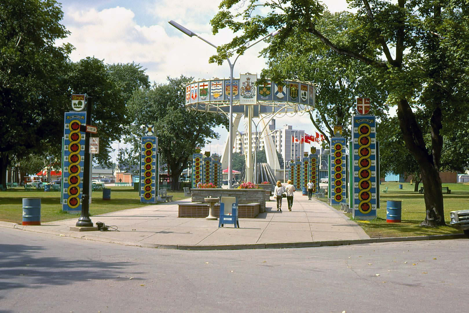
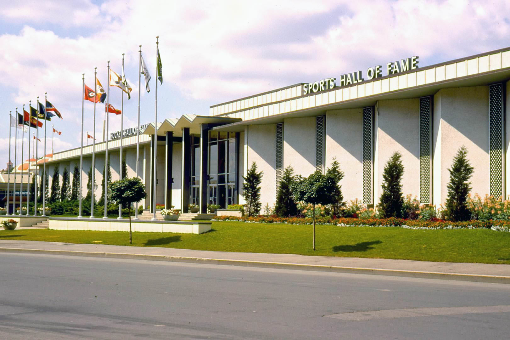
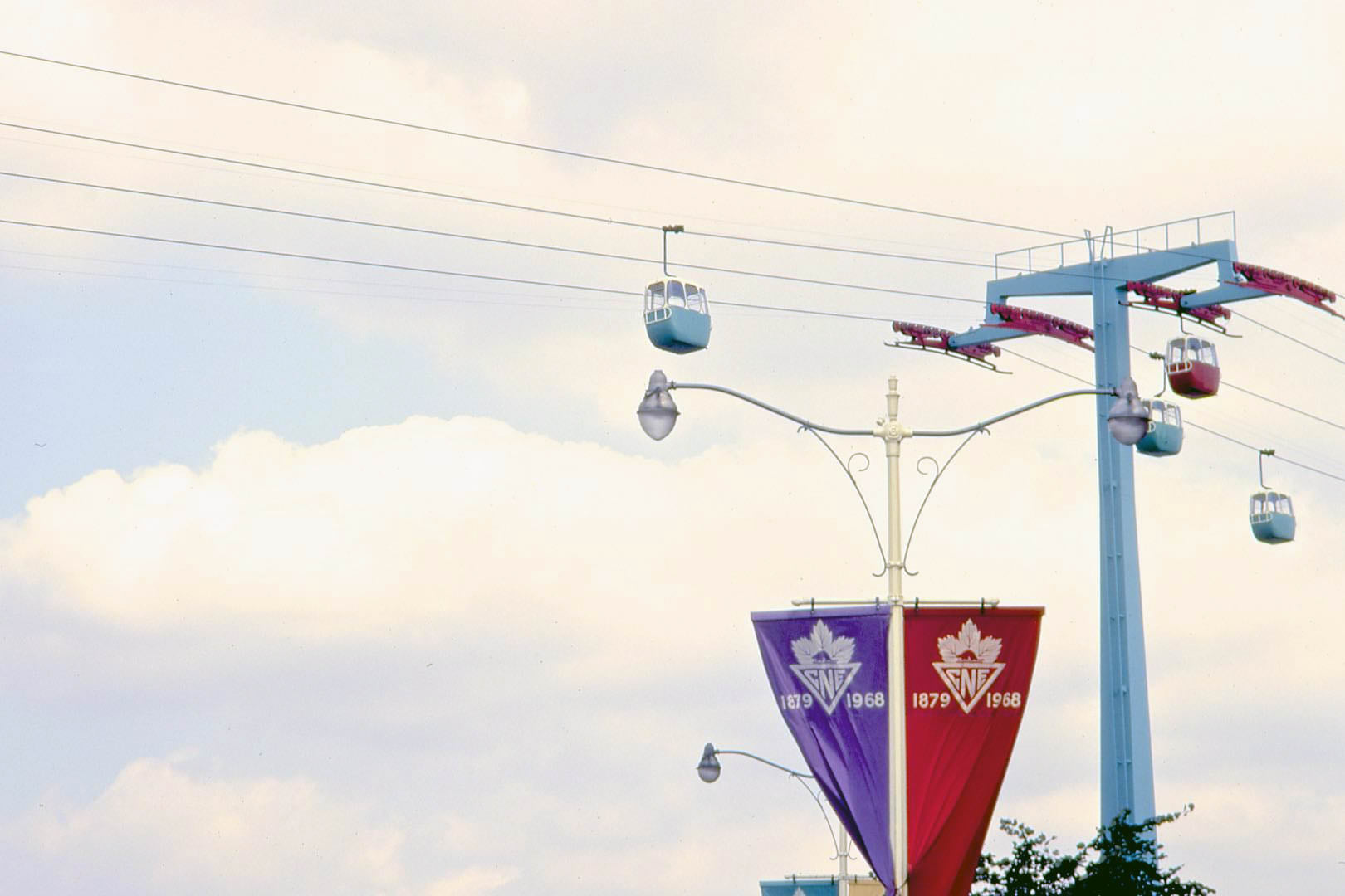
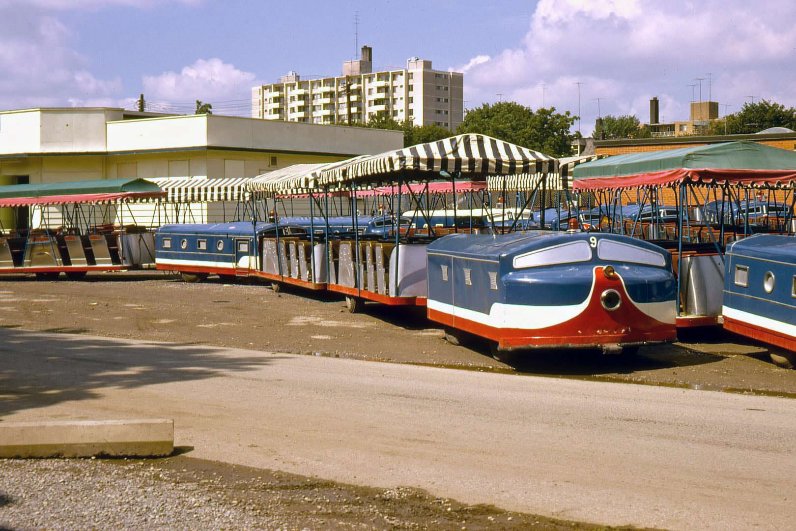
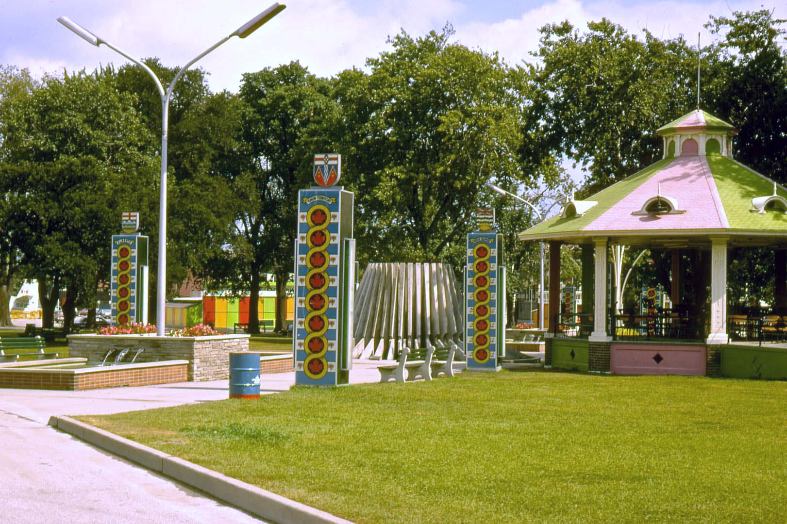
There was an age when Toronto actually had a style all its own. That was eventually traded in for concrete and corporate logos.
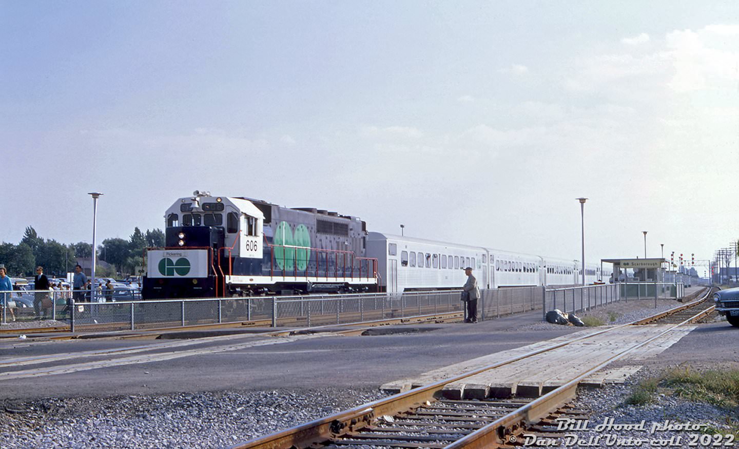
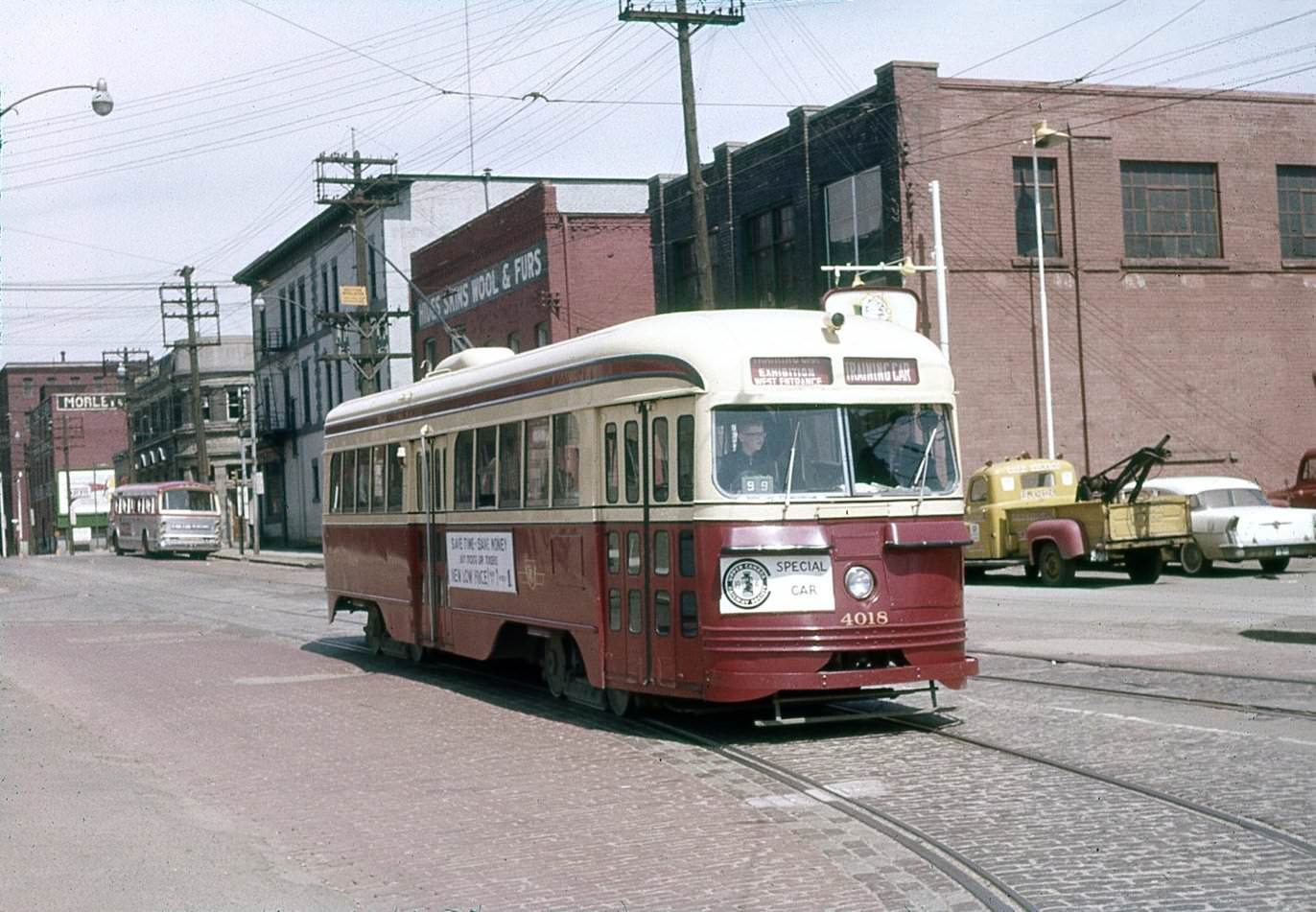
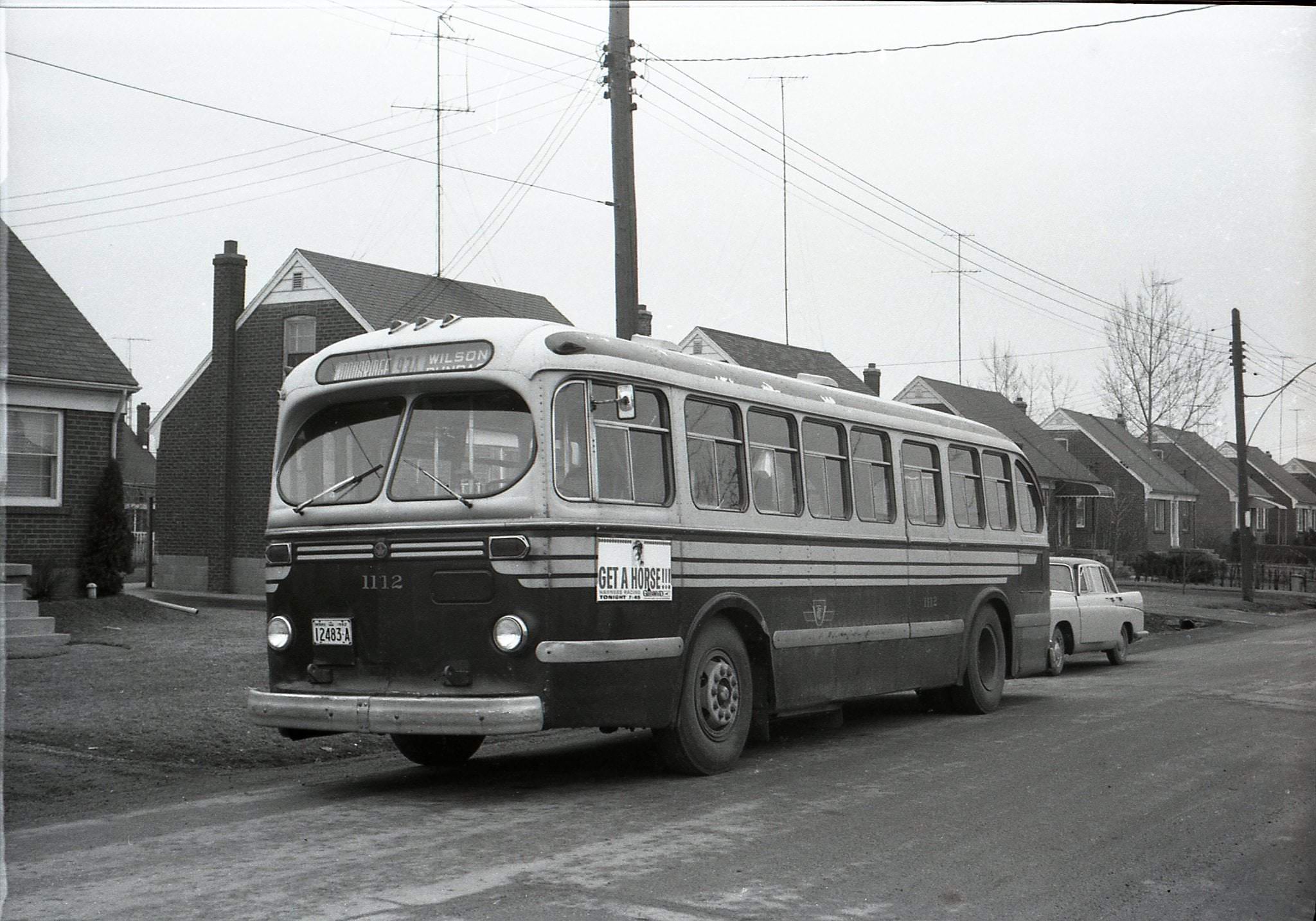
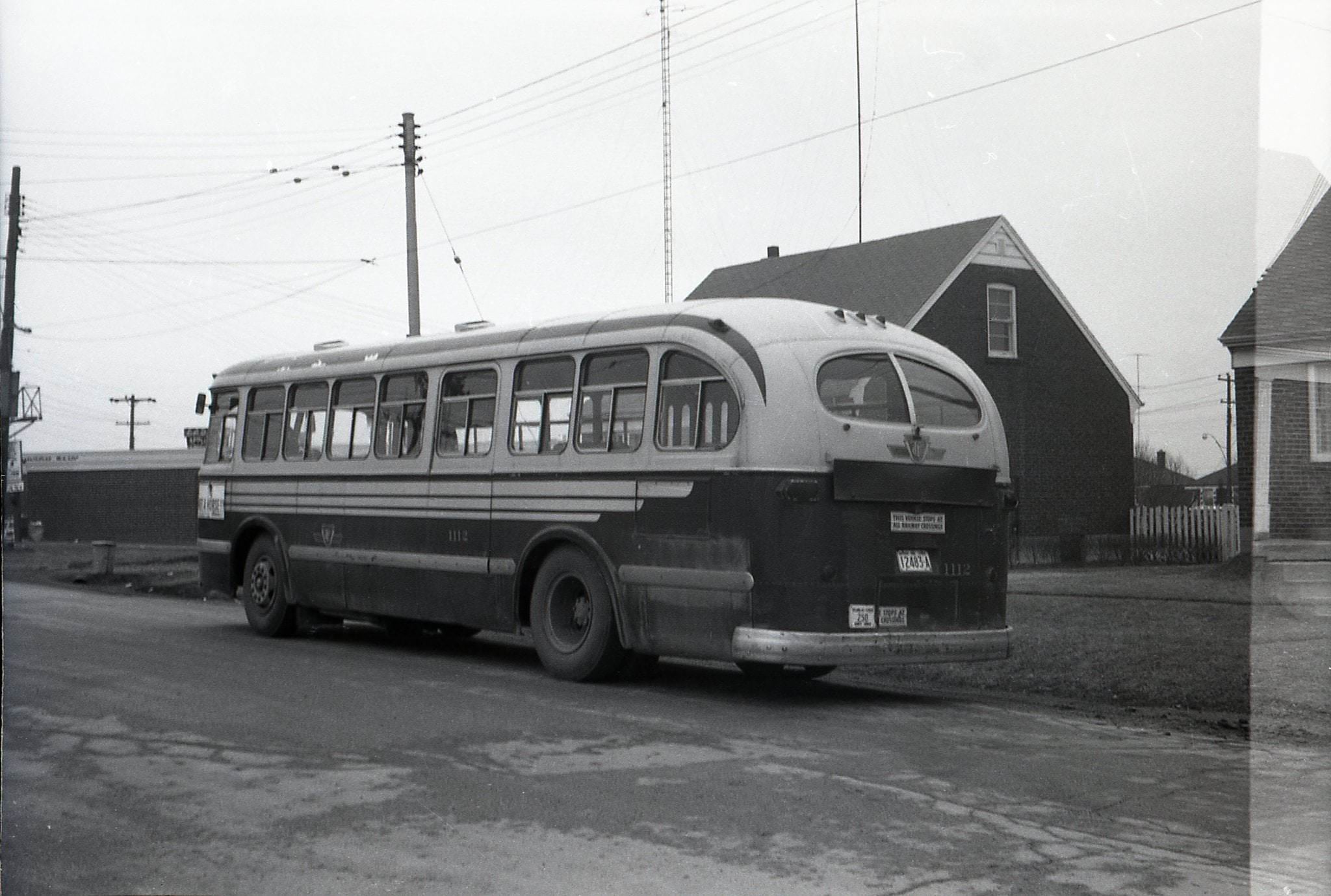
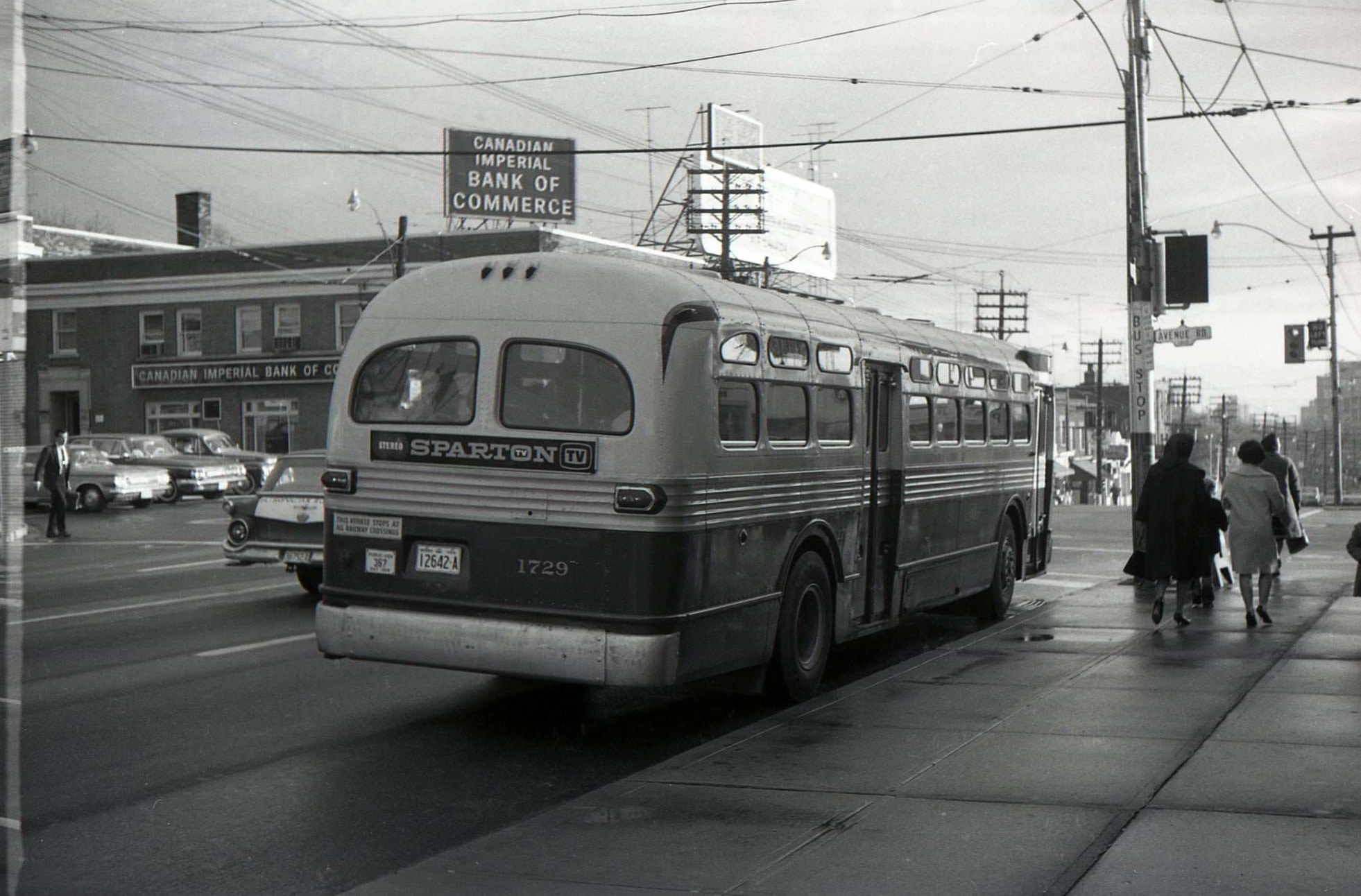
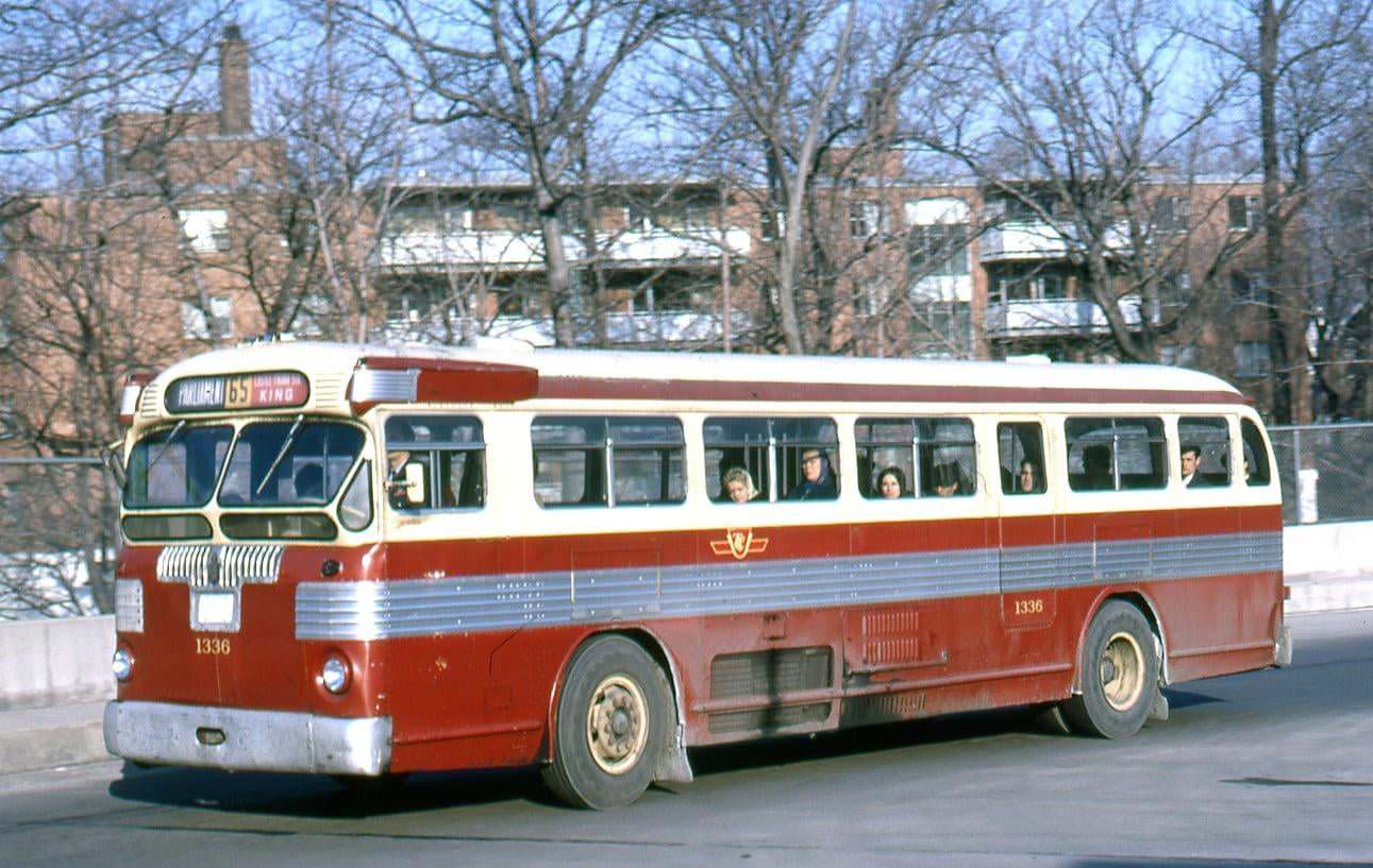
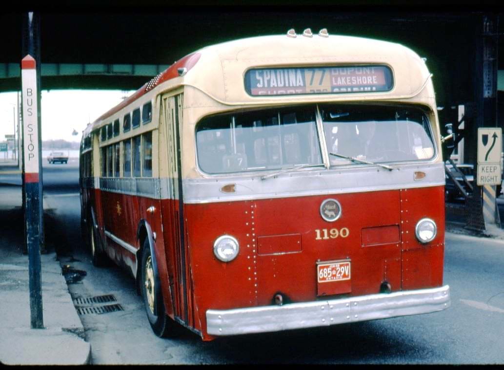
And a piss poor transit system
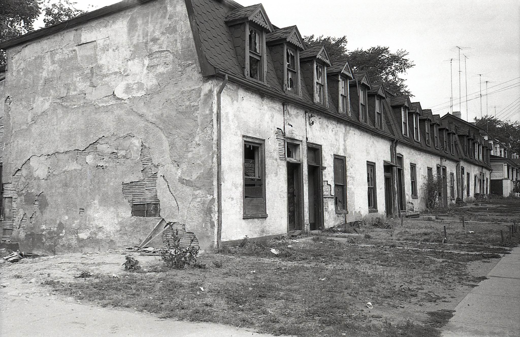
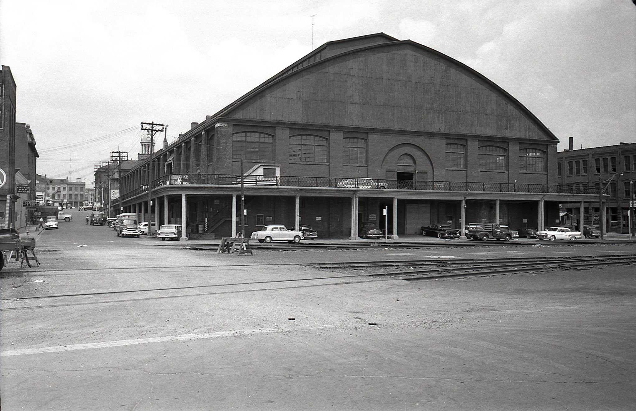
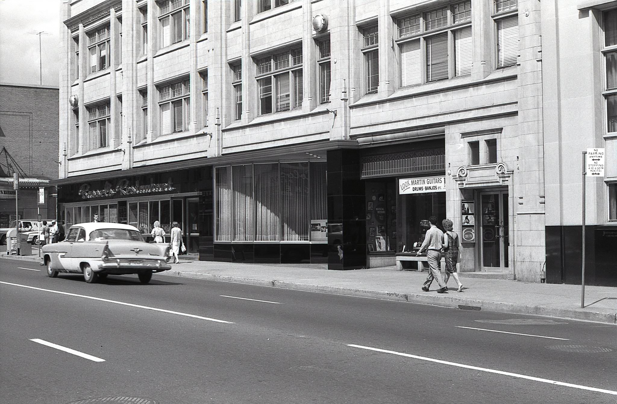
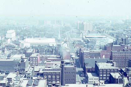
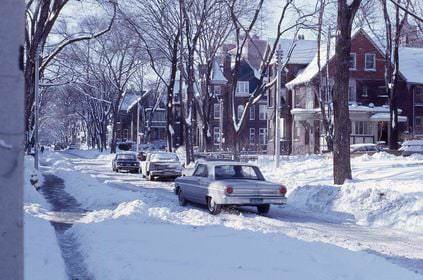
It kind of looks like Montréal in some photos but so many of those older buildings in Toronto have since been bulldozed.
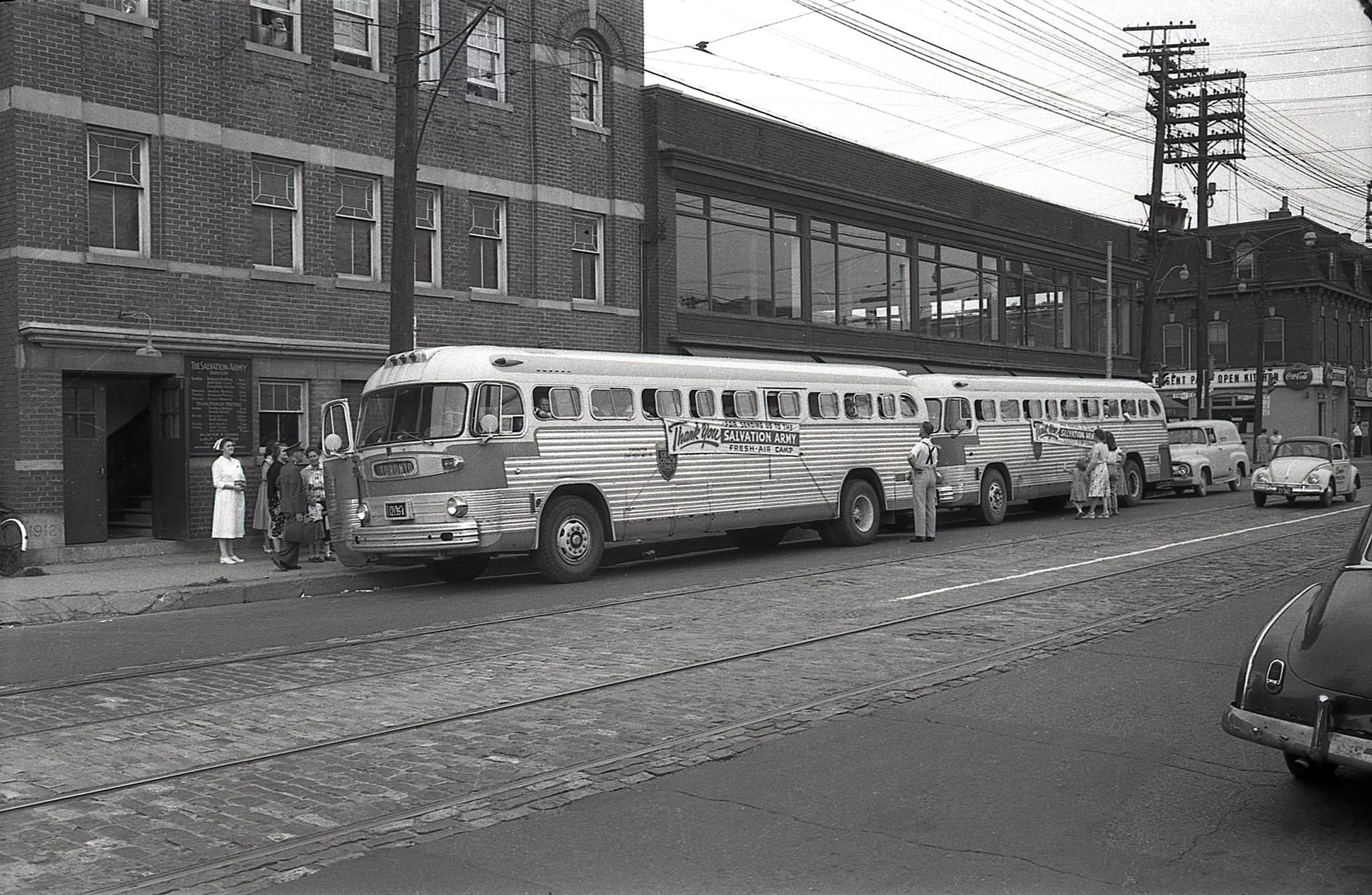
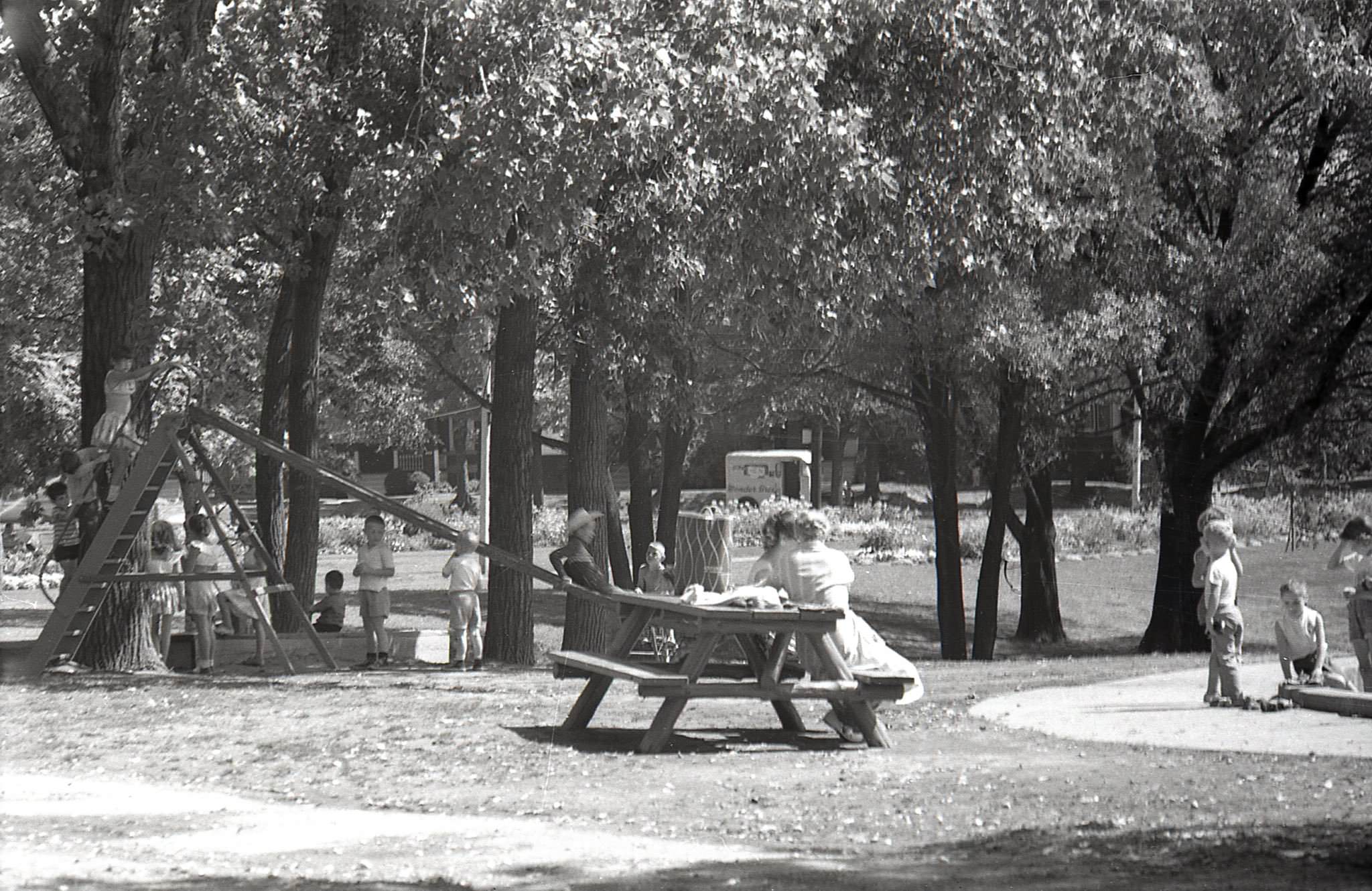
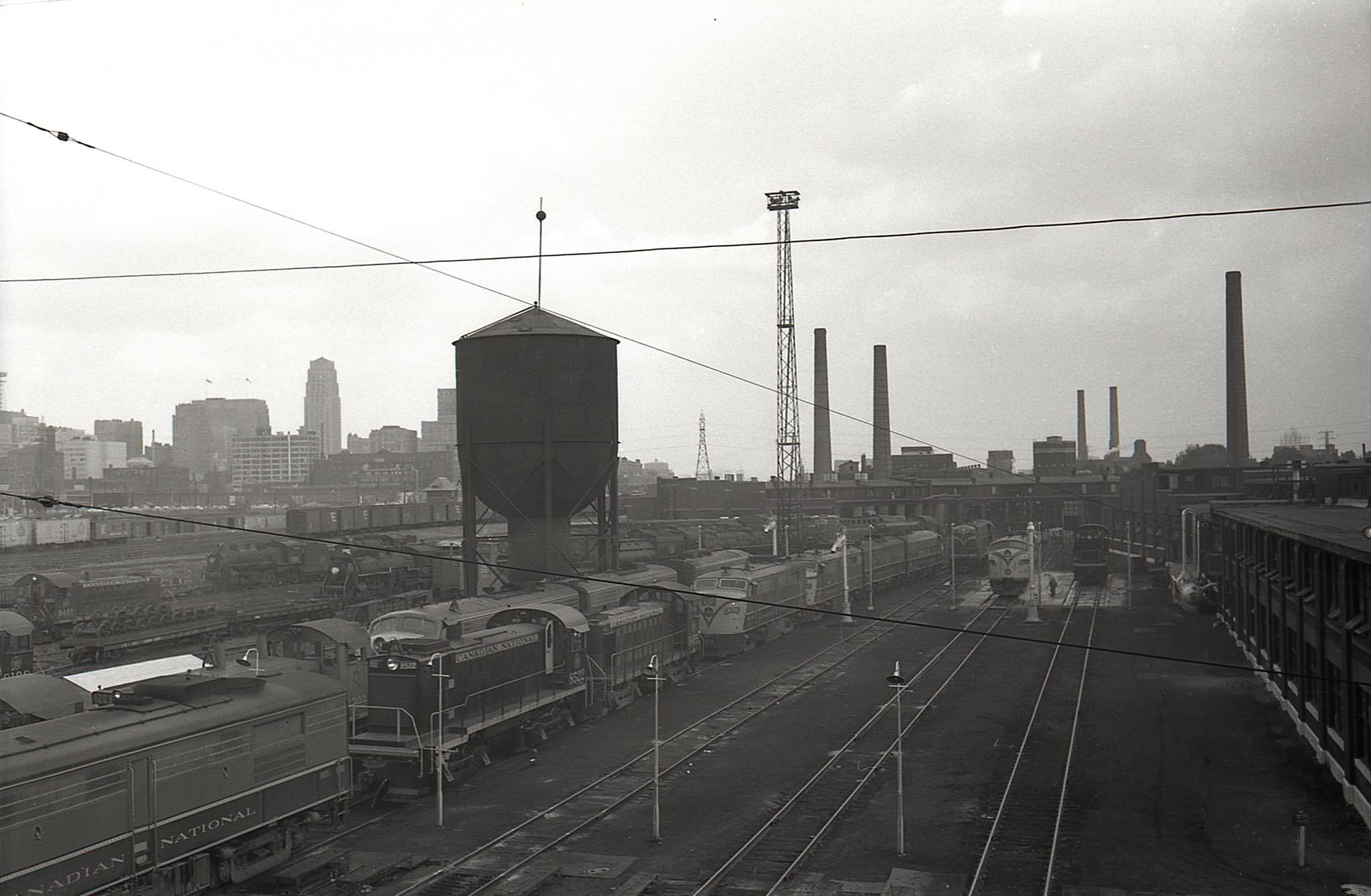
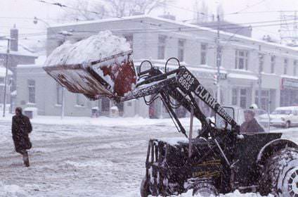
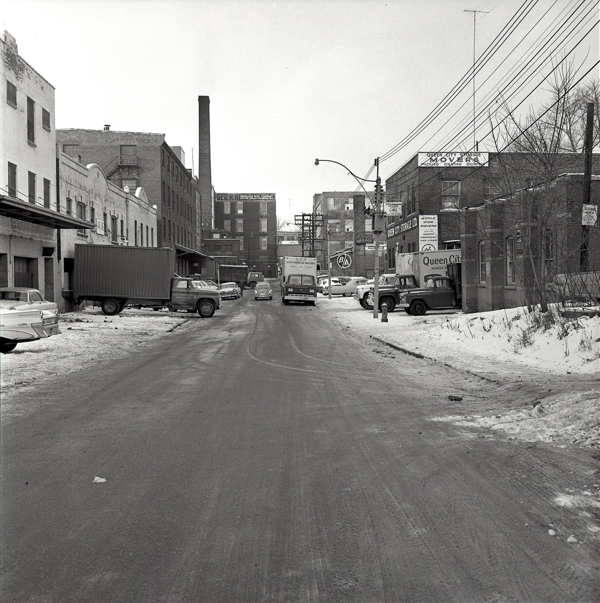
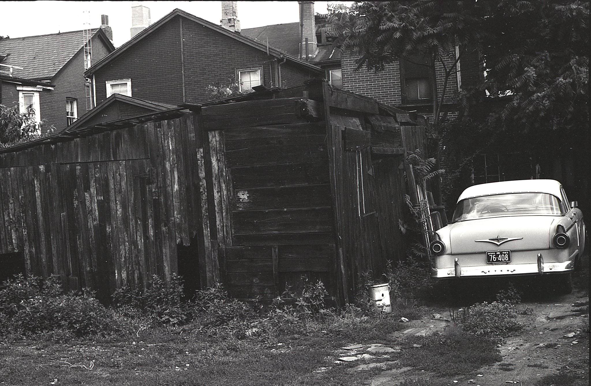
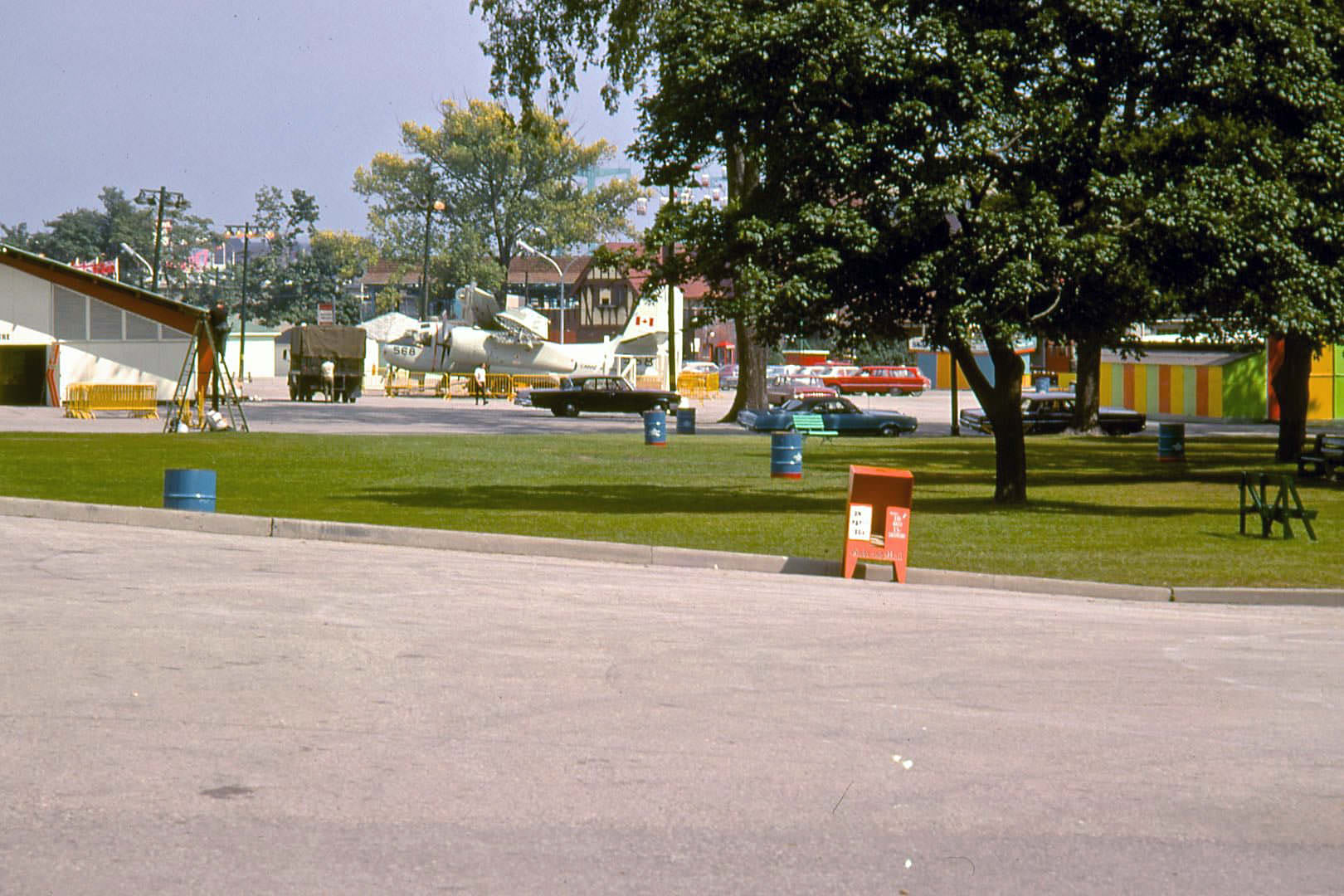
It was dirty as hell. Don’t get fooled by black-and-white style photography which inevitably triggers some kind of nostalgia.
You obviously haven’t traveled much. Compared to other cities in North America, Toronto was almost pristine, especially no litter.