San Antonio in the 1920s was a city caught between its deep historical roots and an urgent push toward the modern age. With a population of around 161,379, it was growing fast. New buildings rose along downtown streets, parks were landscaped and expanded, and construction crews broke ground on flood control projects that would reshape the city’s most iconic waterway — the San Antonio River. Military installations like Brooks Field and Fort Sam Houston kept the city tightly connected to the U.S. armed forces, a relationship that had defined San Antonio since the Civil War era and showed no sign of fading.
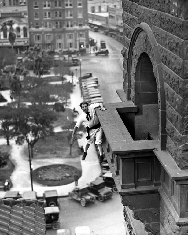
Human fly” Babe White hanging from balcony of the Bexar County Courthouse overlooking Main Plaza, 1925
Not everything happening in 1920s San Antonio was construction and civic planning. The city also had its share of spectacle. Babe White, known as a “human fly,” drew crowds to Main Plaza by scaling the exterior of the Bexar County Courthouse and dangling from its balcony. Acts like this were a popular form of street entertainment in the 1920s across American cities, and San Antonio was no exception. People lined the plaza below to watch, craning their necks upward at the man gripping stone ledges dozens of feet above the ground.
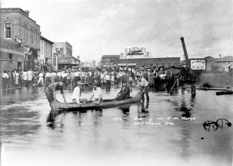
Crowd watching men in a canoe on the floodwaters of the San Antonio River at the intersection of St. Mary’s and Travis Streets, 1921
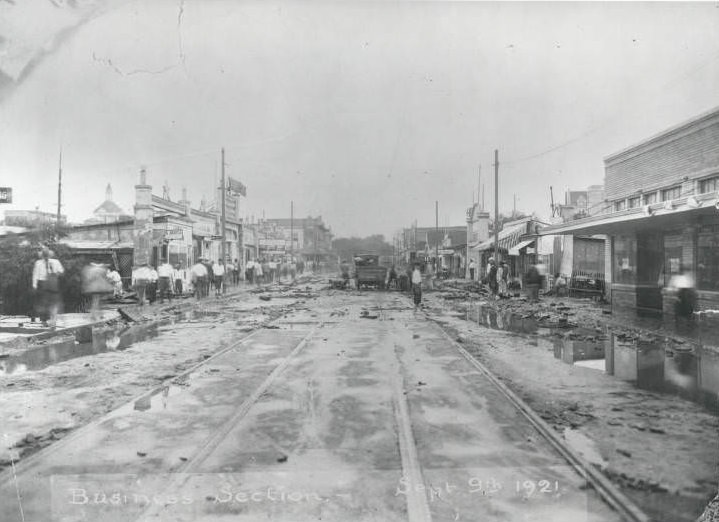
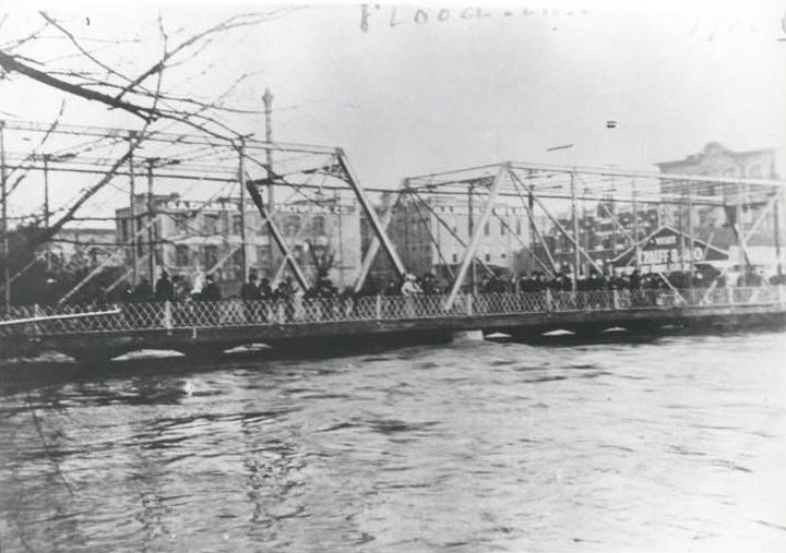
The San Antonio River was both a beloved feature of the city and a serious danger. In 1921, the river flooded severely, sending water pouring into downtown streets. Crowds gathered at the intersection of St. Mary’s and Travis Streets to watch men navigate the floodwaters by canoe — a scene that made clear just how vulnerable the city was to the river’s seasonal rises. The 1921 flood killed dozens of people and caused enormous property damage, and it became the driving reason behind the city’s later flood control efforts, including the construction of Olmos Dam.
San Antonio River floods, 1921San Antonio River floods, 1921
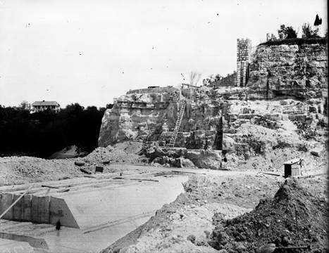
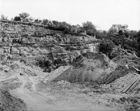
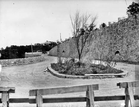
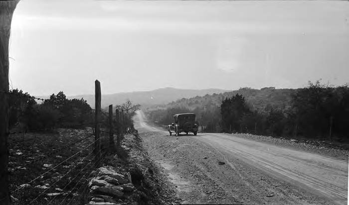
The flood damage seen in 1921 prompted city engineers to begin serious work on flood control infrastructure. By 1926, construction on Olmos Dam was underway just north of the city. The dam was designed to hold back stormwater from Olmos Creek before it could surge into downtown. Workers blasted and shaped the landscape, carving the dam’s foundation out of the limestone terrain that defines much of Bexar County’s geology.
Olmos Dam under construction, 1926Limestone cliff beside Olmos Dam construction site, 1926Serpentine Road from Olmos Dam construction site to Alamo Heights, 1926
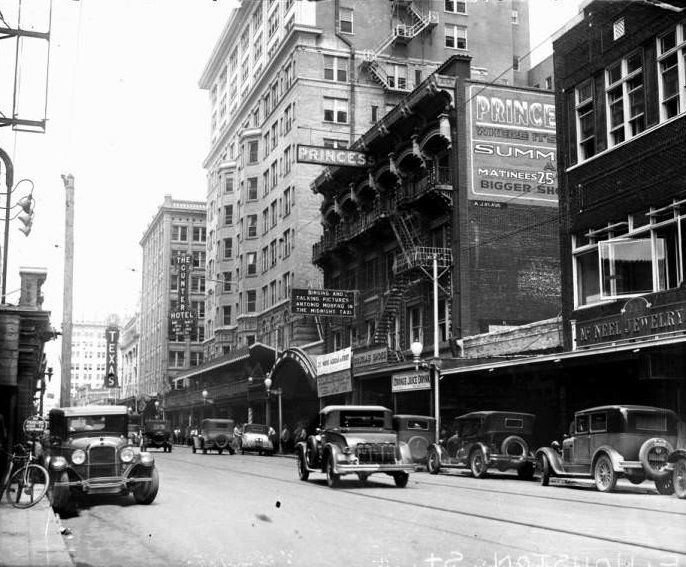
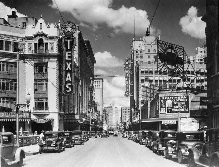
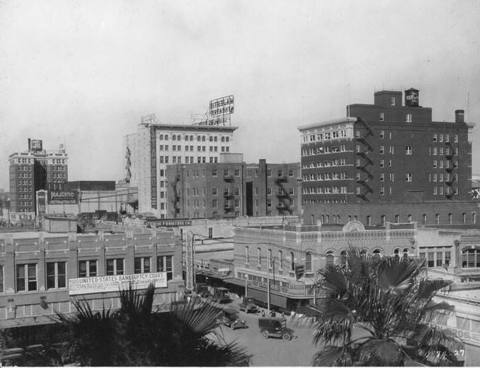
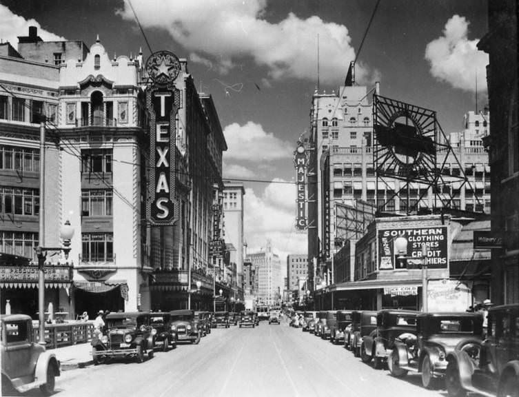
Downtown San Antonio’s streets were busy and getting busier. Houston Street served as the city’s main commercial corridor, lined with theaters, hotels, office buildings, and retail shops. The Texas Theater and the Majestic Theater were two of the most prominent landmarks on the strip, drawing crowds for film screenings and live performances. Streetcars ran along widened streets to accommodate the growing volume of traffic, though many historic structures were lost in the process of modernizing the road network.
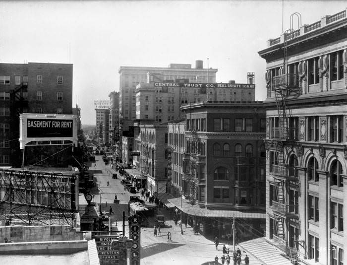
Looking west on Houston Street, 1929.Looking east on Houston Street with the Texas Theater and the Majestic Theater in view, 1920s
Among the historic buildings lost to street widening was the Veramendi House, a large adobe structure that had stood at the southwest corner of Houston and Soledad Streets. Built in the typical Mexican style around a central courtyard, it had been the home of the Veramendi family — one of San Antonio’s most prominent families. Jim Bowie, the frontier figure who would later die at the Battle of the Alamo, had married into this family when he settled in San Antonio. The demolition of the Veramendi House erased one of the city’s most direct physical connections to that period of its history.
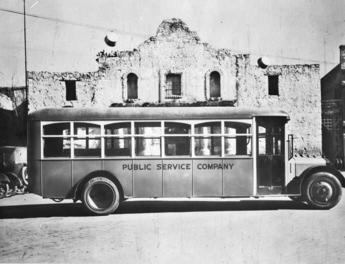
View of the north end of Alamo Plaza, 1921A San Antonio Public Service Company bus parked in front of the Alamo, 1924
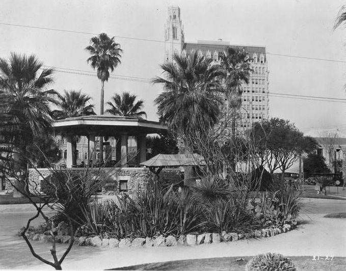
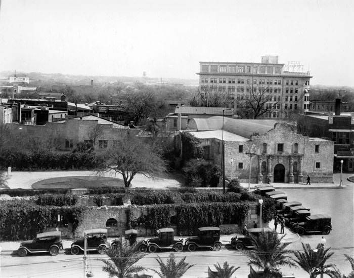
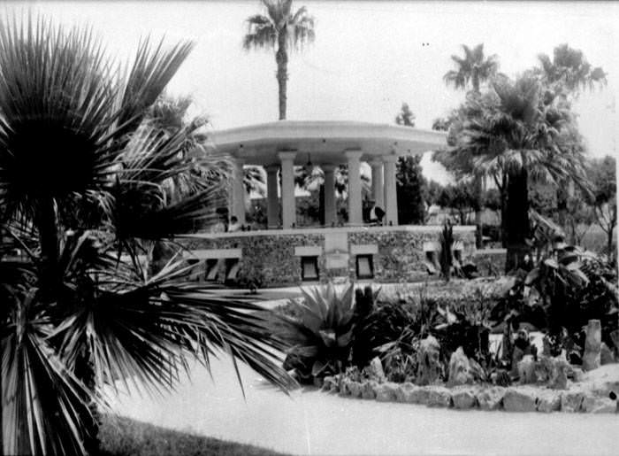
The Alamo itself remained the center of the city’s identity throughout the decade. Alamo Plaza was a busy public space featuring a bandstand surrounded by palms and tropical plantings, with the historic chapel on one side and modern commercial buildings rising on the others. Public Service Company buses ran regular routes past the Alamo’s front, a sign of how thoroughly modern infrastructure had wrapped itself around the city’s oldest landmarks.
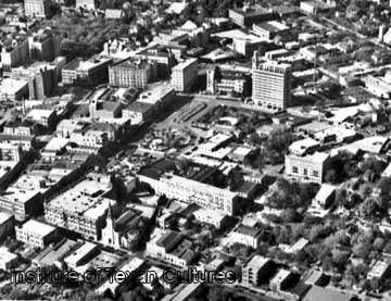
Aerial view of Alamo Plaza and surrounding area, San Antonio, 1927Alamo Plaza, San Antonio, 1927Bandstand in Alamo Plaza, San Antonio, 1927
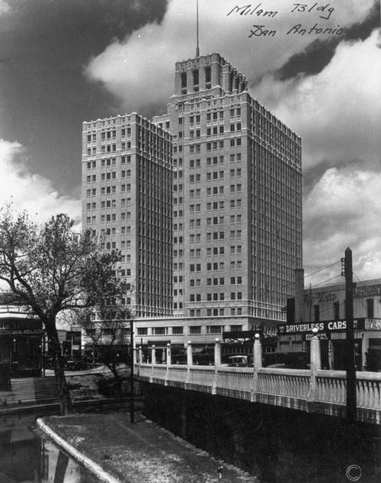
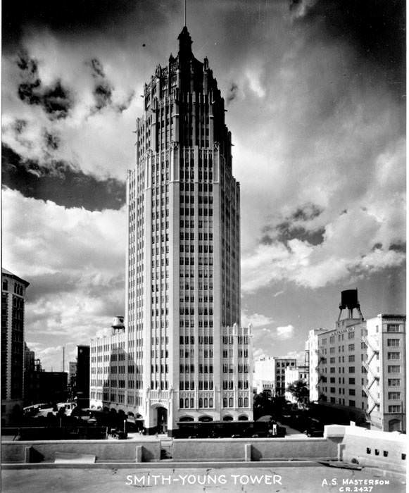
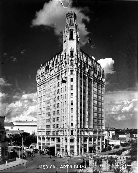
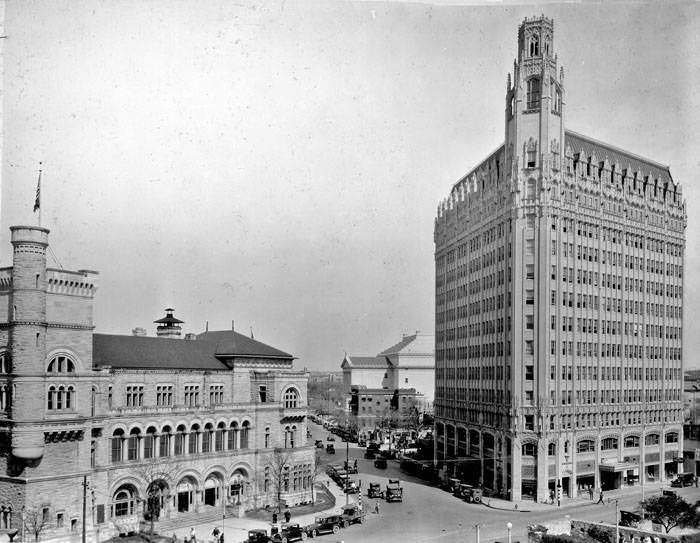
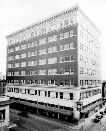
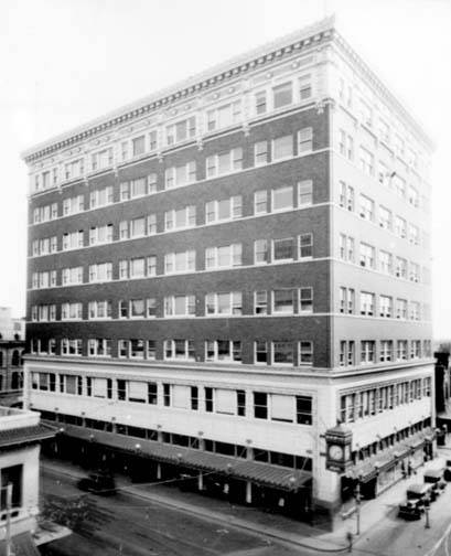
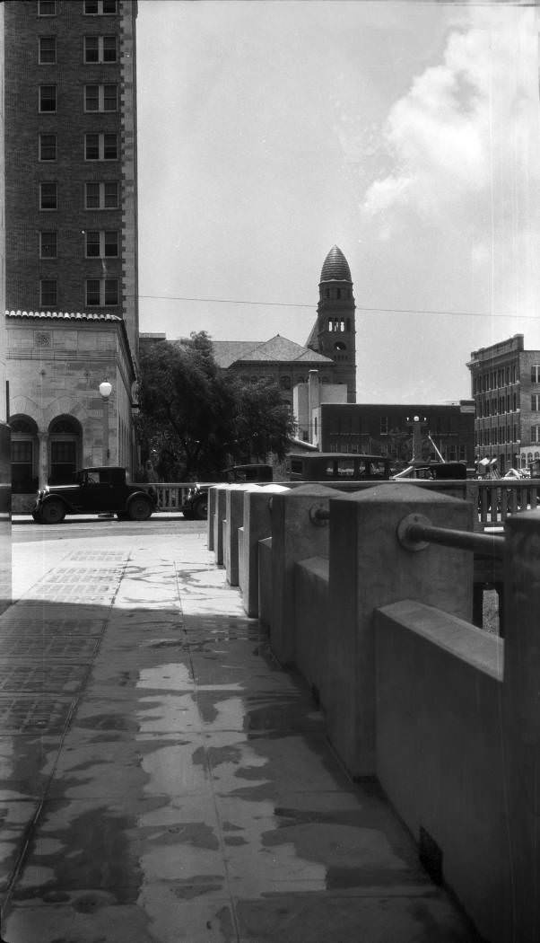
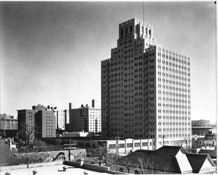
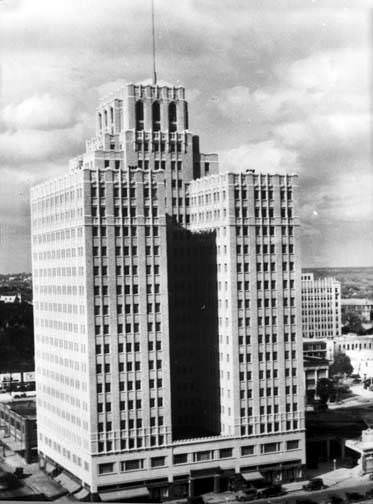
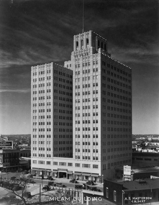
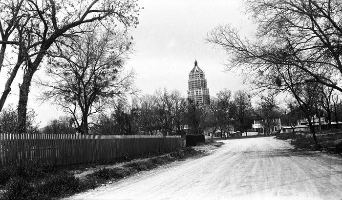
Just outside the Alamo compound, the city’s skyline was changing. The Medical Arts Building at 705 East Houston Street rose prominently at the corner of Avenue E, and the Smith-Young Tower at 310 South St. Mary’s Street was completed later in the decade, giving the downtown district a cluster of tall buildings that hadn’t existed a decade before. The Milam Building on West Travis Street was another notable addition — it became the first fully air-conditioned office building in the United States, a landmark achievement at a time when San Antonio’s summers were as brutal as ever.
Exterior of the Milam Building, 105-125 W. Travis Street, San Antonio, 1920s
Smith-Young Tower, San Antonio, 1929
Medical Arts Building, San Antonio, 1925
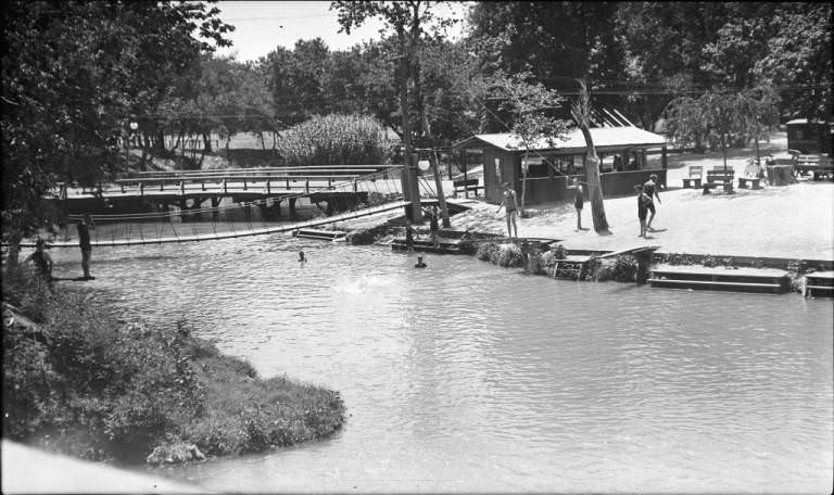
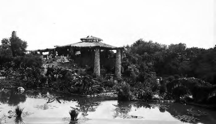
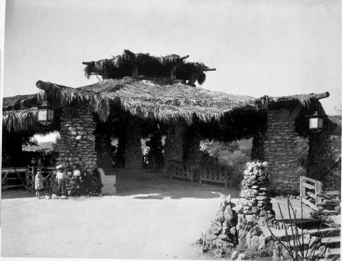
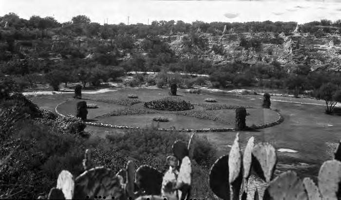
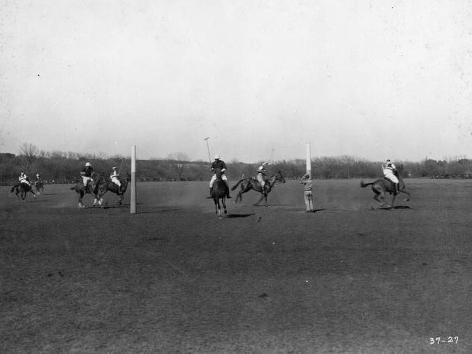
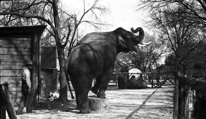
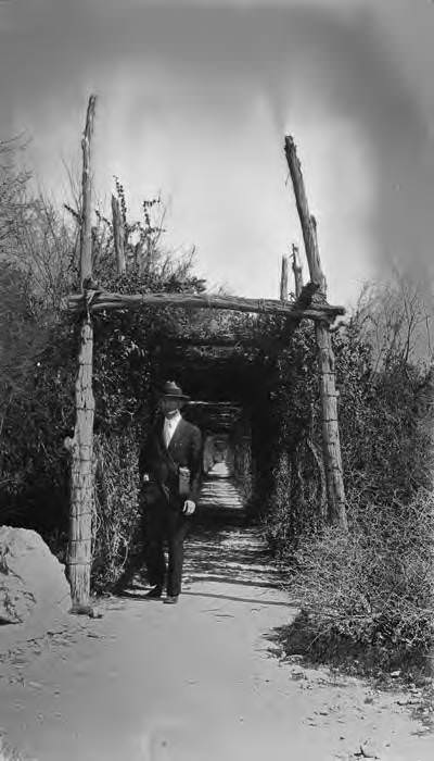
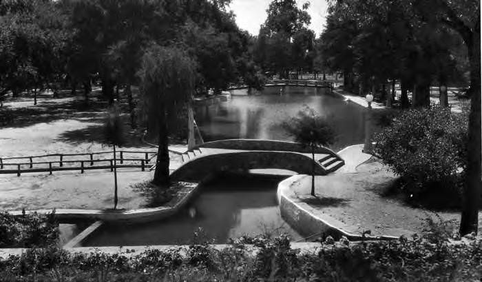
Brackenridge Park was one of the city’s most active public spaces during the 1920s. Located along the San Antonio River north of downtown, the park offered swimming at Lambert Beach, golf at the Brackenridge Park Golf Course, and polo matches on its open fields. The San Antonio Zoo operated within its boundaries, and visitors could stroll through the Japanese Tea Garden — built inside a former rock quarry — or walk the arbor-covered path known as “Lover’s Lane” that connected the Tea Garden to the zoo. Park commissioner Ray Lambert oversaw the creation of the Lone Star Garden, a flower bed inside another former quarry shaped in the form of the Texas Star.
The Lambert Beach Swimming Pool at Brackenridge Park on the San Antonio River, 1920Japanese Tea Garden, Brackenridge Park, San Antonio, 1927Tea House, Japanese Sunken Garden, Brackenridge Park, San Antonio, 1927Lone Star Garden, Brackenridge Park, San Antonio, 1927Polo players, Brackenridge Park, San Antonio, 1927African elephant in pen at San Antonio Zoo, Brackenridge Park, San Antonio, 1927“Lover’s Lane,” Brackenridge Park, San Antonio, 1927
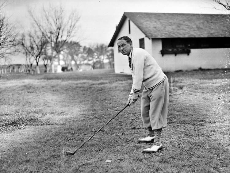
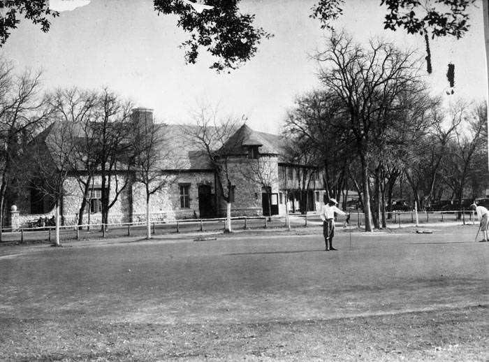
Golf was a growing pastime in 1920s San Antonio. The Willow Springs Golf Course hosted major competitive events, including the Texas Open Golf Championship. In 1927, golfer Bobby Cruickshank competed there, swinging on a course that had already built a reputation as one of the better venues in the region. The Brackenridge Park Golf Course also drew players, its stone clubhouse — designed by architect Ralph Cameron — serving as a gathering point for those finishing a round on its greens.
Bobby Cruickshank, 1927Putting green and clubhouse, Brackenridge Park Golf Course, San Antonio, 1927
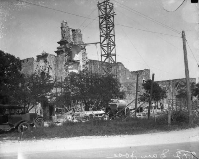
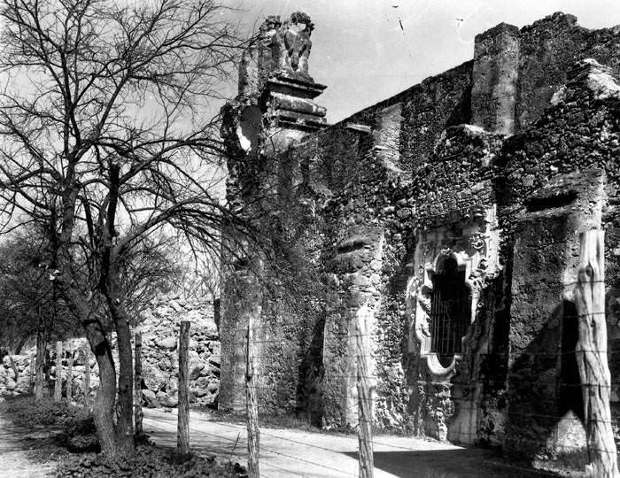
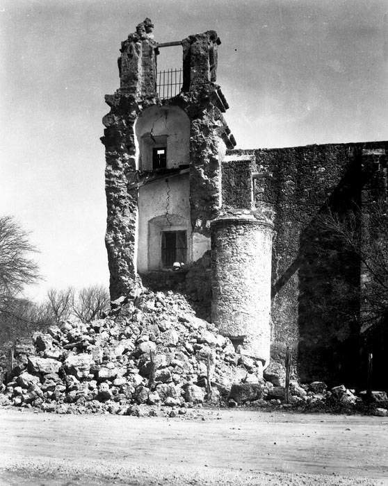
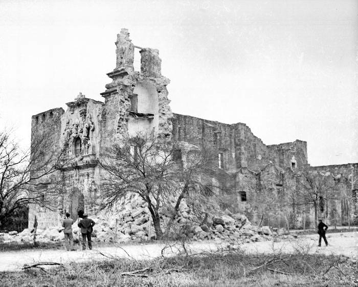
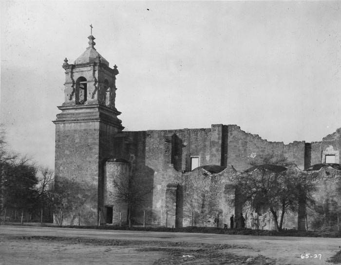
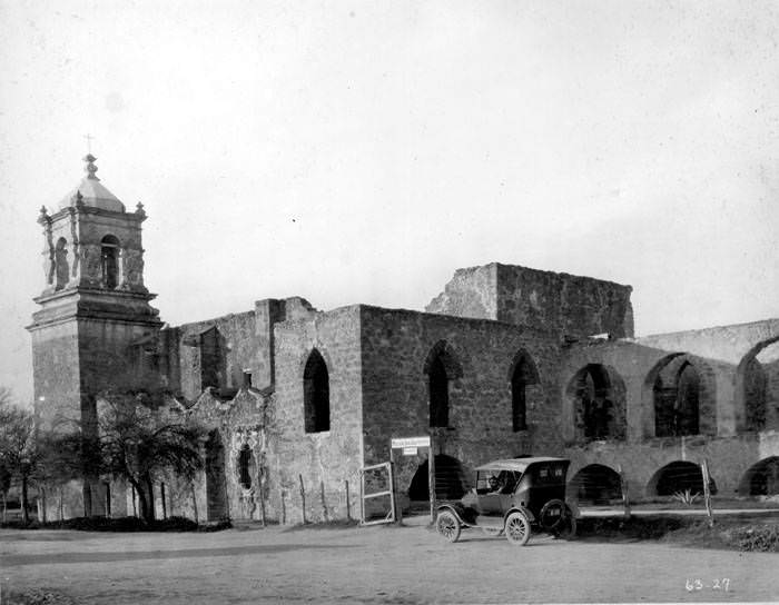
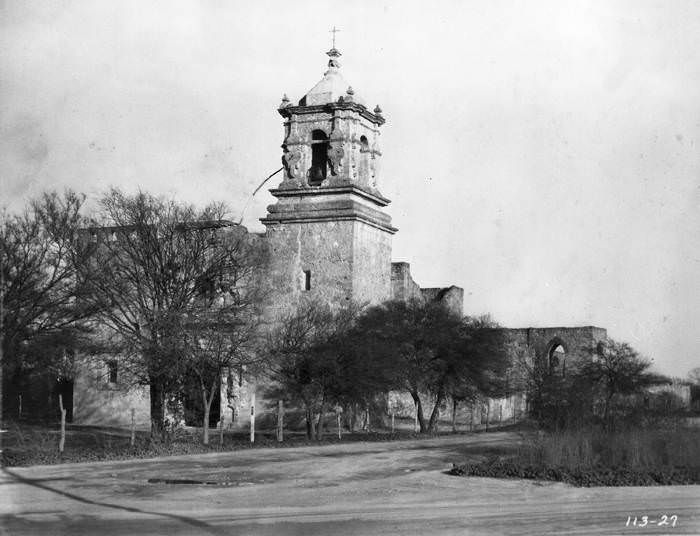
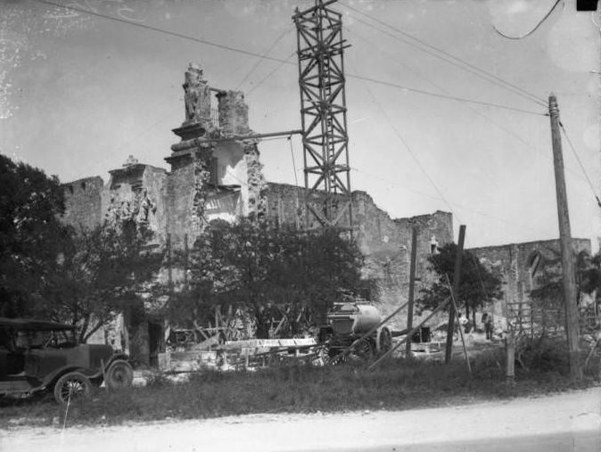
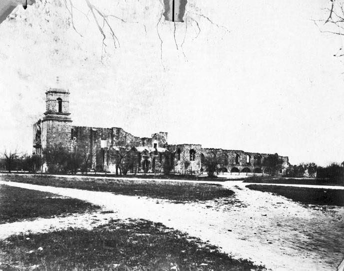
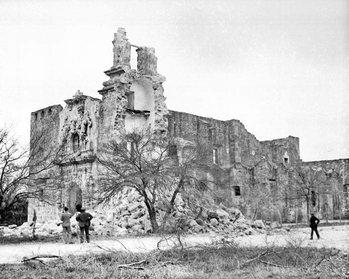
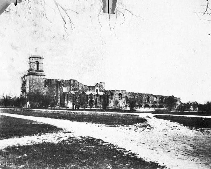
San Antonio’s Spanish colonial missions remained standing throughout the 1920s, though not all of them in perfect condition. Mission San Jose y San Miguel de Aguayo was undergoing restoration work during this period. Then, on the night of March 8, 1928, the mission’s bell tower collapsed, leaving rubble scattered across the south elevation of the church near the famous Rose Window. Photographs taken in the days following the collapse show the extent of the damage, with unidentified men examining the debris. Restoration efforts continued despite the setback.
Exterior view of San Jose y San Miguel de Aguayo Mission during the restoration of the tower, 1928Exterior of church at Mission San Jose after the collapse of the bell tower, San Antonio, 1928Remains of bell tower at Mission San Jose shortly after collapse, San Antonio, 1928Exterior of church after collapse of the bell tower, 1928
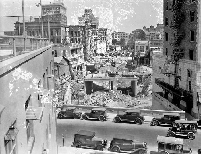
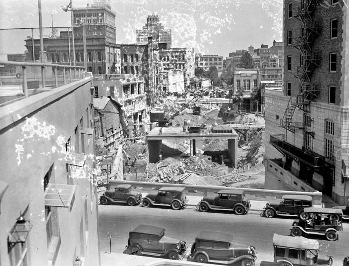
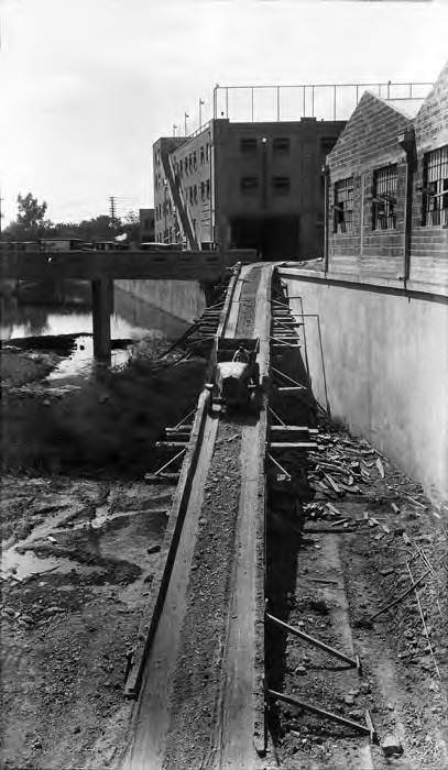
The San Antonio River itself was the subject of major engineering attention throughout the decade. By 1929, crews were excavating a cutoff channel — a straight bypass channel designed to divert floodwater around the downtown river bend. Photographs taken from above show the Villita Street Bridge in the foreground, the Market Street Bridge at center, and the Houston Street Bridge further north, with exposed earth and construction equipment filling the space between them. The project was part of the broader effort to prevent a repeat of the 1921 disaster.
Construction of cutoff channel, San Antonio River, San Antonio, 1929Construction of cutoff channel, San Antonio River, San Antonio, 1929Truck going down ramp from Villita Street to construction site of San Antonio River cutoff channel, San Antonio, 1929
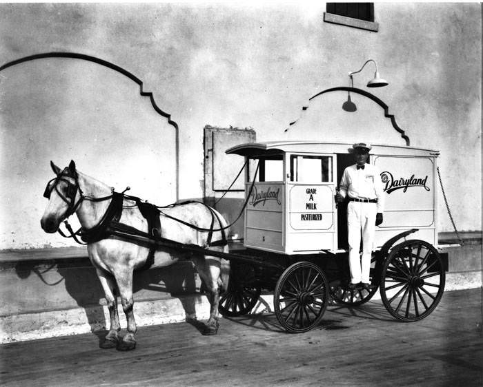
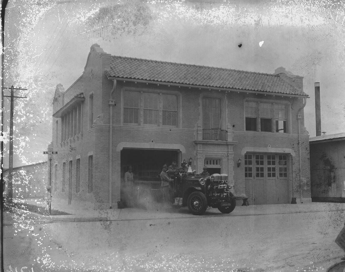
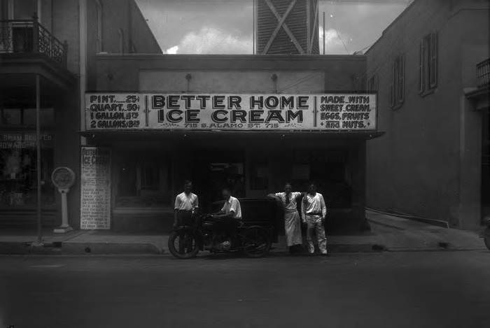
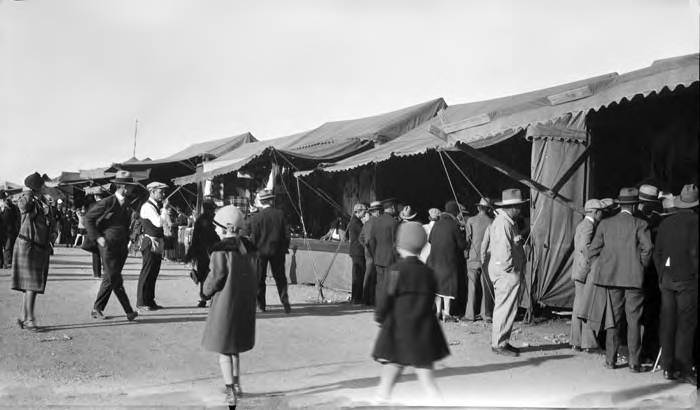
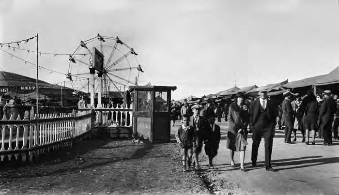
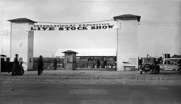
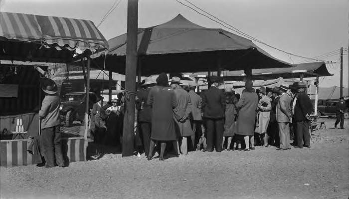
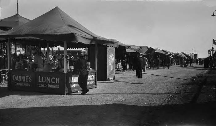
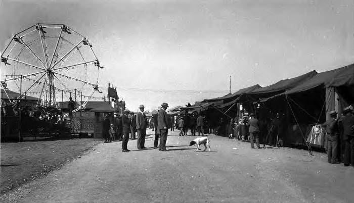
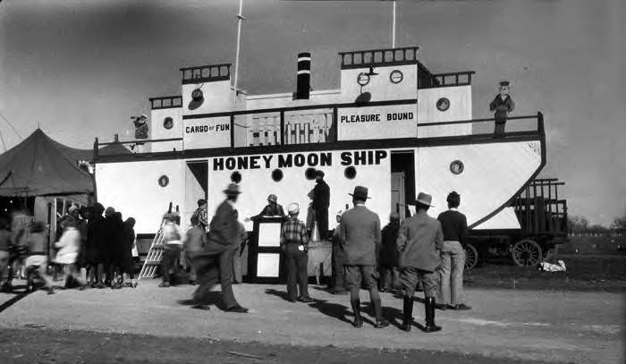
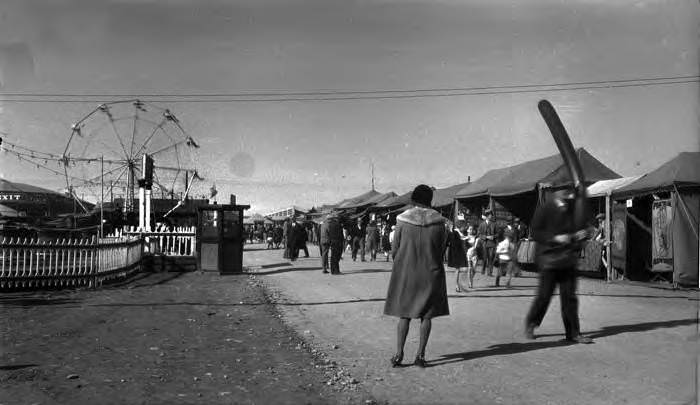
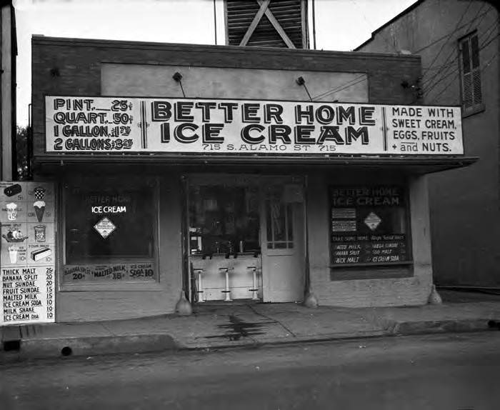
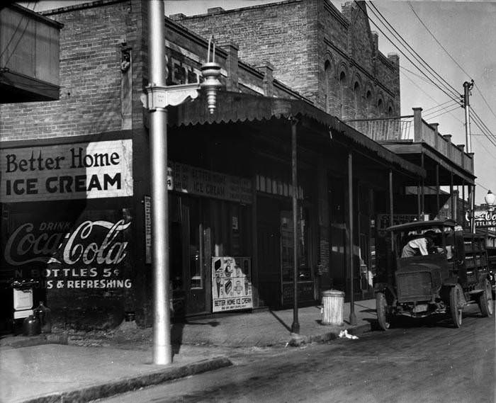
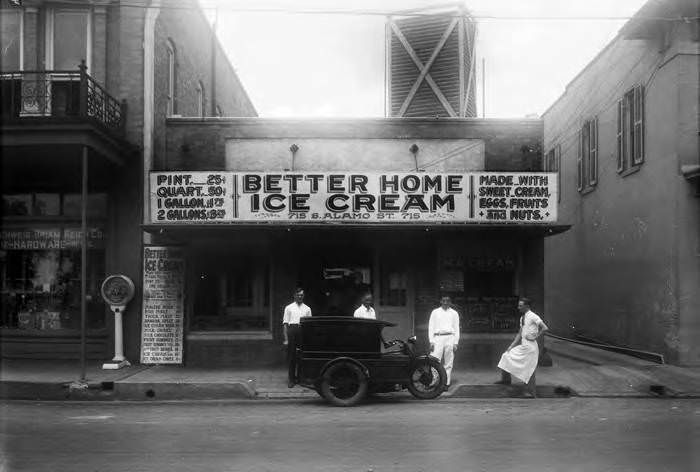
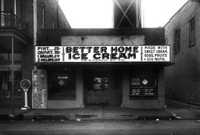
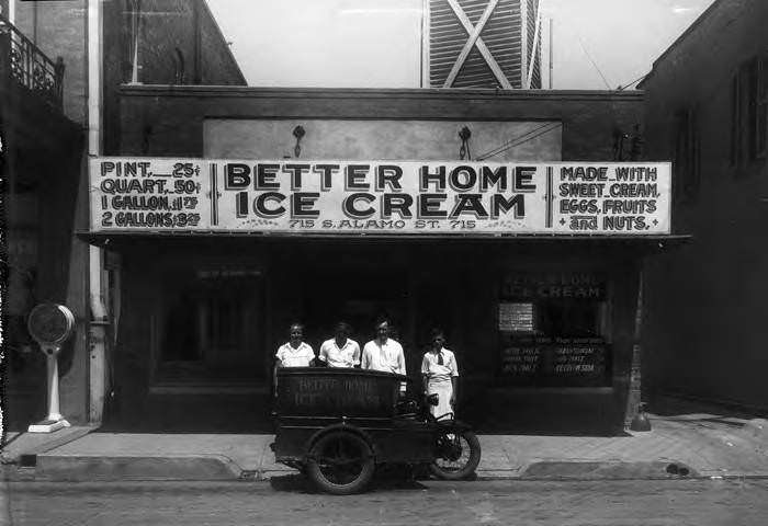
In quieter parts of the city, life carried on with its own rhythms. Milk wagons made morning deliveries, fire stations posed their crews for photographs beside gleaming trucks, and local businesses like the Better Home Ice Cream Company on South Alamo Street operated their three-wheel motorcycles through the streets. The International Exposition and Live Stock Show brought carnival rides, food booths, and crowds to East Houston Street each year, drawing visitors from across the region to its midway attractions.
Dairyland milk wagon, San Antonio, 1928Fire Station No. 11 at the corner of Frio and Matamoros Streets with firemen and a fire truck on the drive, 1925Better Home Ice Cream Company, 715 S. Alamo Street, San Antonio, 1928Midway at Rice-Dorman Carnival, International Exposition and Live Stock Show, San Antonio, 1928Midway at Rice-Dorman Carnival, International Exposition and Live Stock Show, San Antonio, 1928
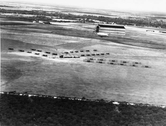
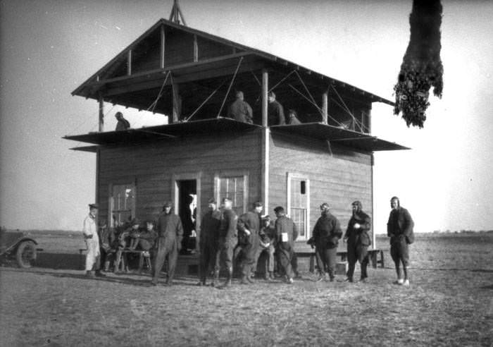
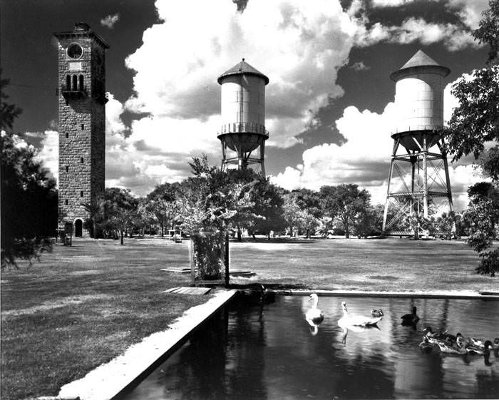
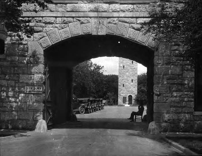
Brooks Field, located on the south side of the city, was one of the most active military aviation installations in the country during the 1920s. The U.S. Army Air Service used it as a training base, and aerial photographs from 1927 show rows of Martin MB-2 bombers and other aircraft lined up on its grounds. Fort Sam Houston, the large Army post on the northeast side of the city, was equally active. Its famous Quadrangle — with its central clock tower, ponds, and free-roaming deer — was a well-known landmark that blended the practical with the picturesque.
Aerial view of Martin MB-2 bombers and other aircraft at Brooks Field, 1927Airmen outside building, Brooks Field, San Antonio, 1923Quadrangle, Fort Sam Houston, 1928Entrance to Quadrangle, Fort Sam Houston, 1927
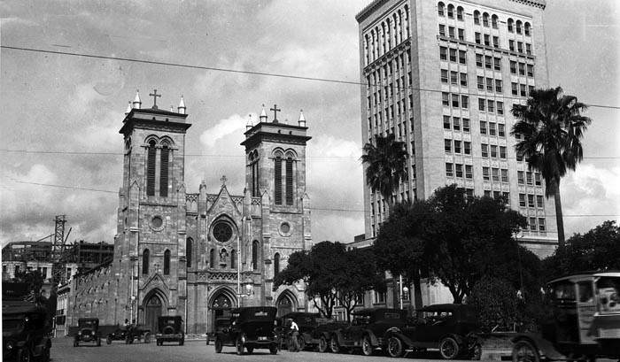
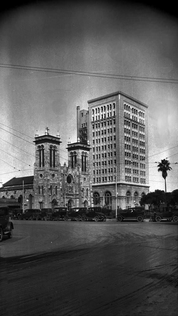
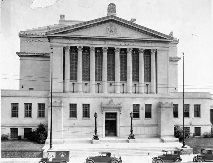
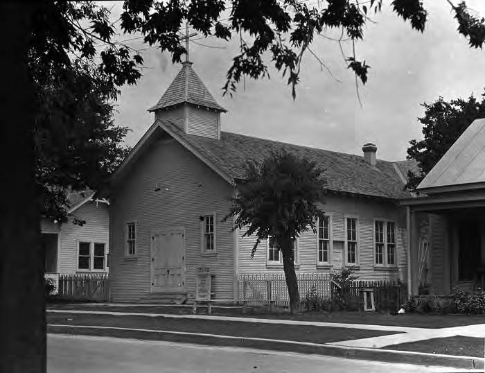
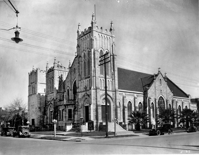
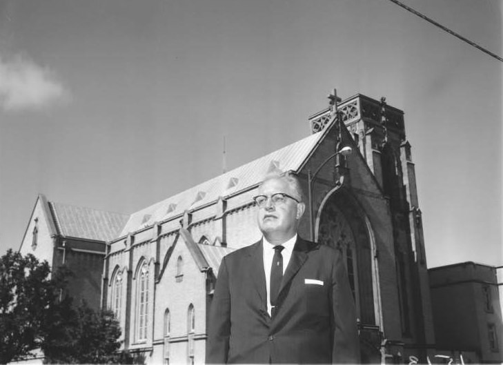
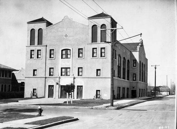
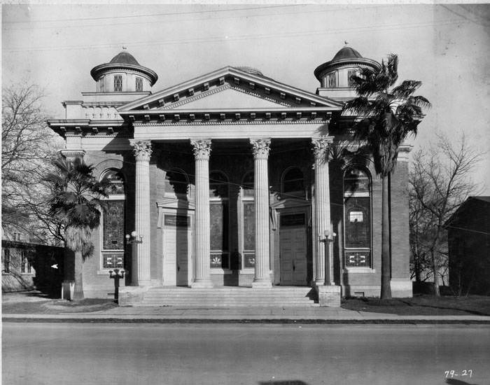
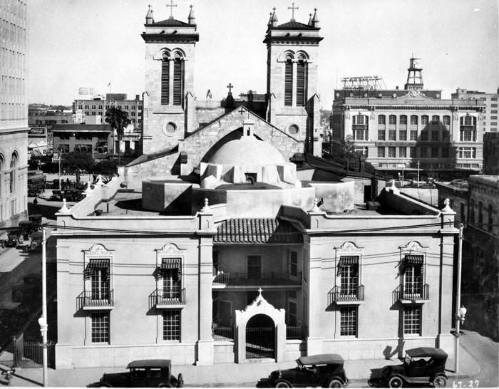
Churches, schools, and civic institutions filled in the city’s neighborhoods. San Fernando Cathedral anchored Main Plaza on the west side, its dome visible from multiple directions across the downtown grid. The Frost National Bank stood just beside it, and City Hall was adding a fourth floor during construction that was visible in photographs taken in 1927. Across the city, neighborhoods had their own congregations — from St. Paul’s Evangelical Lutheran Church to the First Presbyterian Church, the Scottish Rite Cathedral, and the Primera Iglesia Evangelica Lutherana Mexicana on West Houston Street.
San Fernando Cathedral and Frost National Bank, Main Plaza, San Antonio, 1927San Fernando Cathedral and Frost National Bank, Main Plaza, San Antonio, 1928Exterior of Scottish Rite Cathedral, 308 Avenue E, San Antonio, 1927Primera Iglesia Evangelica Lutherana Mexicana,W. Houston Street, San Antonio, 1927
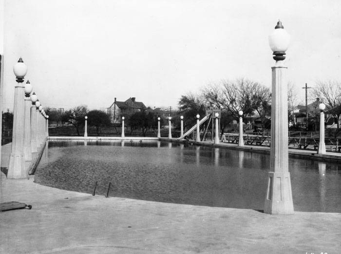
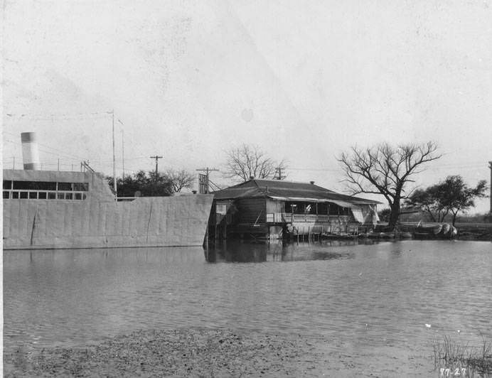
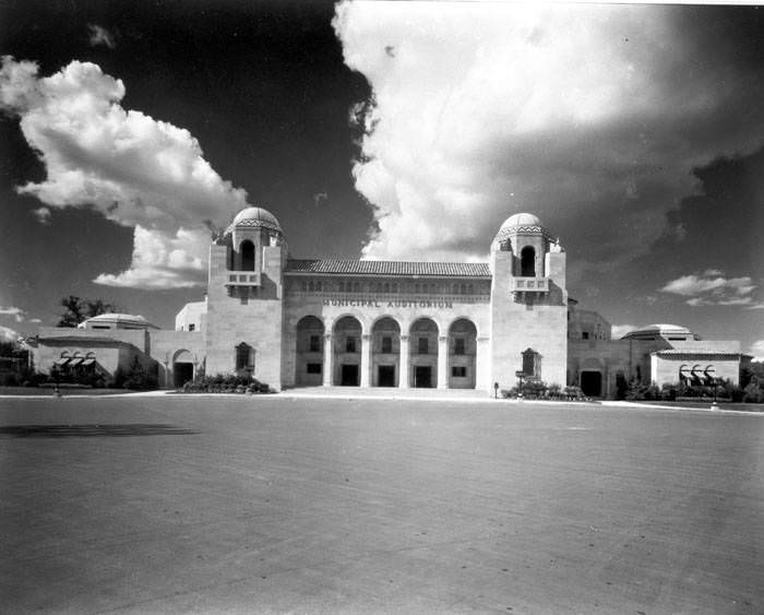
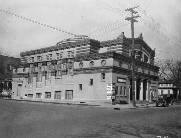
Kiddie Park opened in 1925 and quickly became a fixture of family life in San Antonio. Featuring old-fashioned amusement rides scaled for children, it holds the distinction of being the oldest children’s amusement park in the United States. It was one of many new public amenities added during the decade, alongside the Municipal Auditorium, the swimming pool at San Pedro Park, and Woodlawn Lake’s pavilions, one of which was built to resemble an ocean liner. These spaces gave San Antonio residents places to gather that had nothing to do with churches or commerce.
Swimming pool in San Pedro Park, San Antonio, 1927Woodlawn Lake Swimming Pool, San Antonio, 1927Pavilions on Woodlawn Lake, San Antonio, 1927Municipal Auditorium, San Antonio, 1928
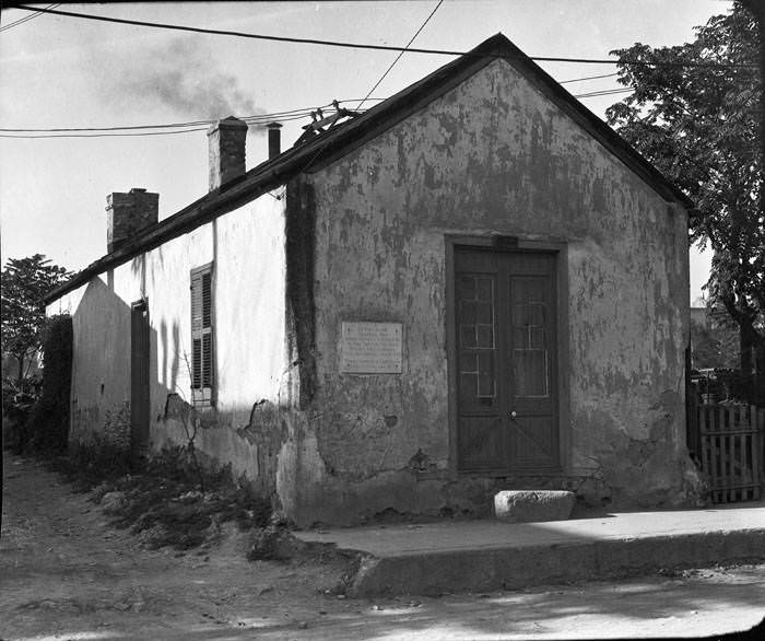
The Spanish Governor’s Palace on Military Plaza was still standing in the 1920s, though it had fallen into disrepair and was up for sale. A sign above its doorway read “For Sale / This Property 95×160 Ft.” before the city eventually stepped in to restore it. The building was one of the rare surviving examples of Spanish colonial civil architecture in North America. The contrast between its deteriorated state and the construction happening all around it in the 1920s captured exactly where San Antonio stood during this era — a city with one hand firmly on its past and the other reaching forward.
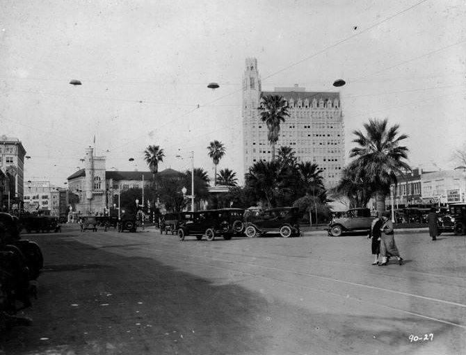
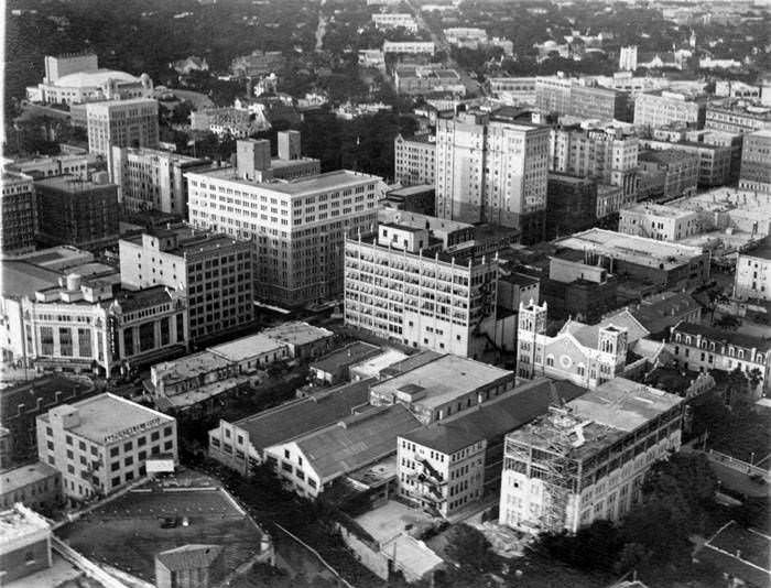
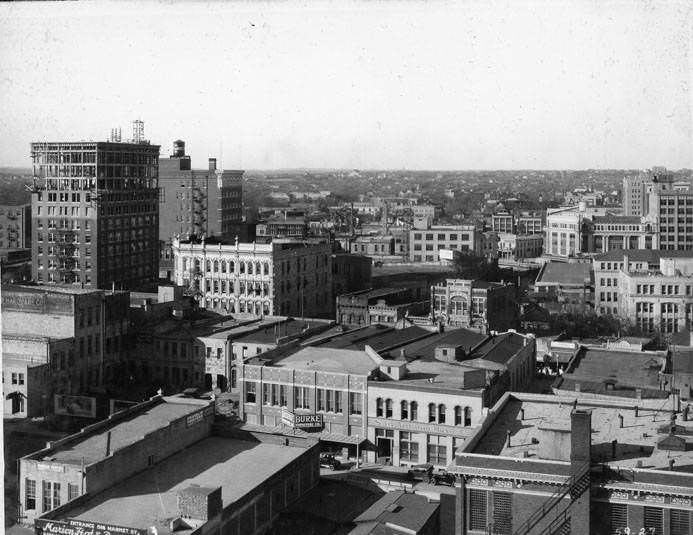
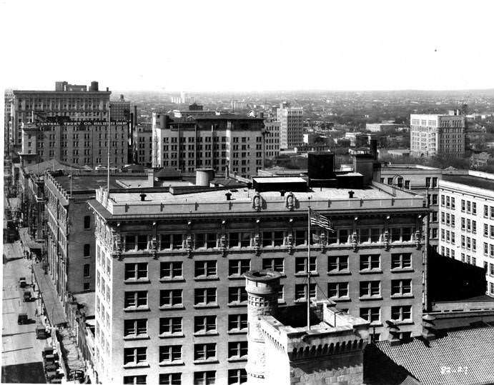
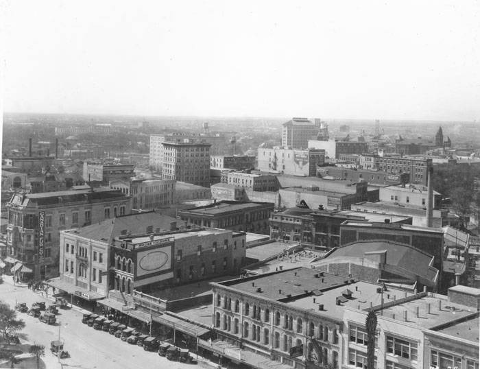
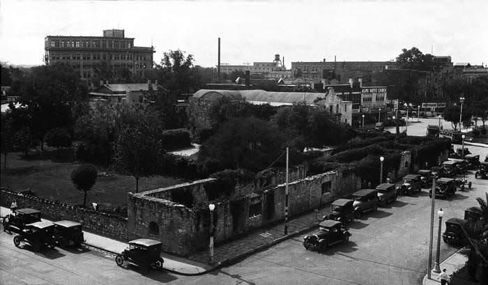
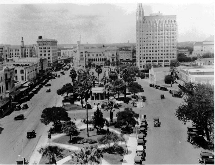
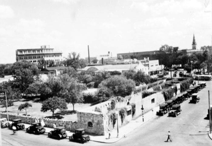
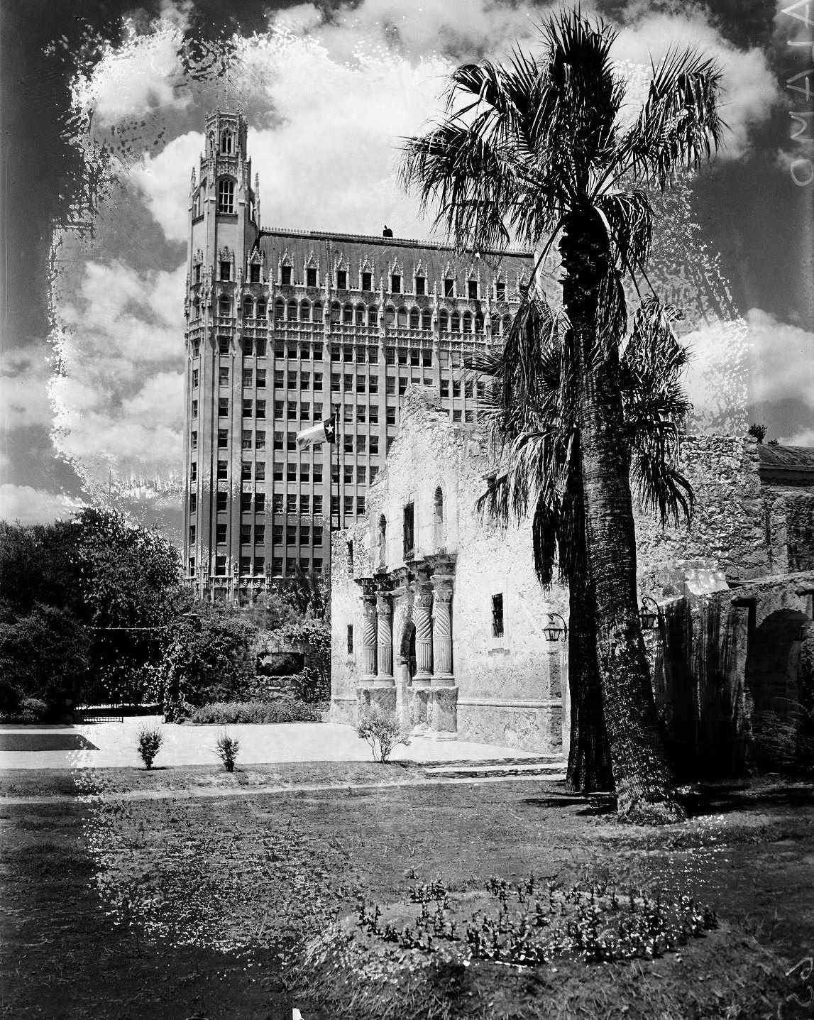
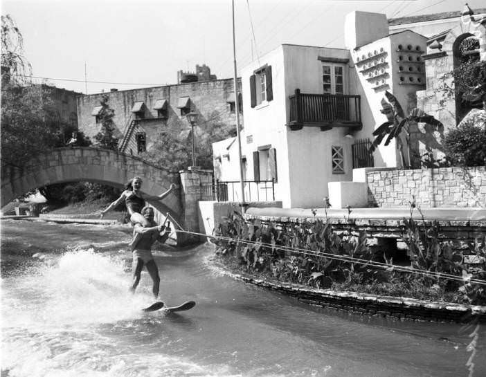
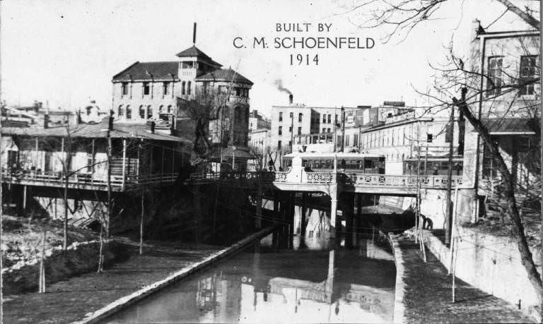
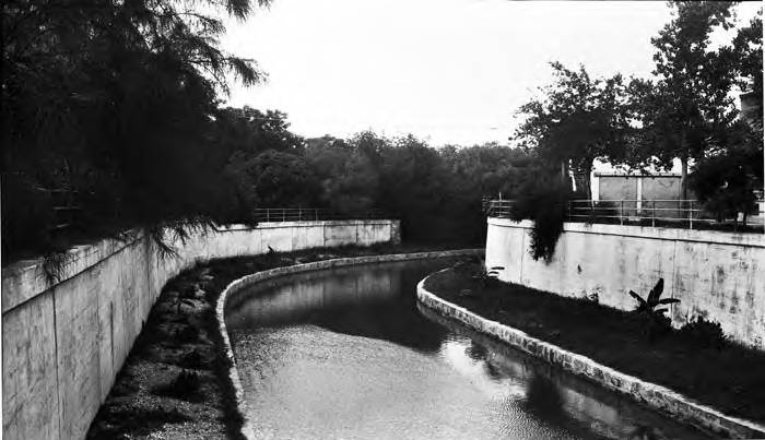
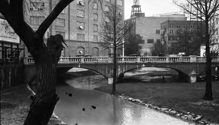
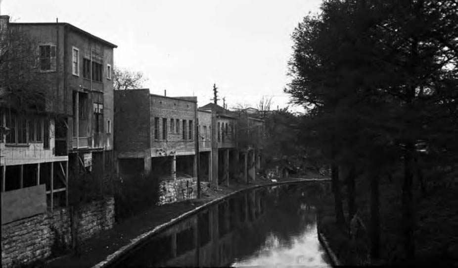
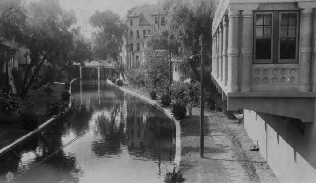
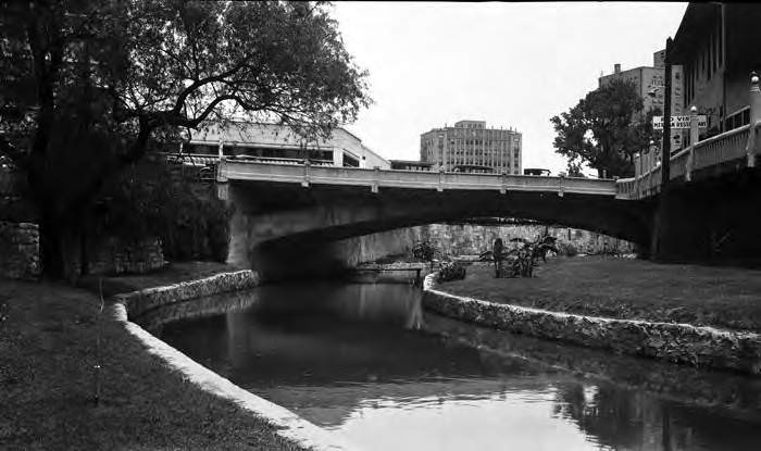
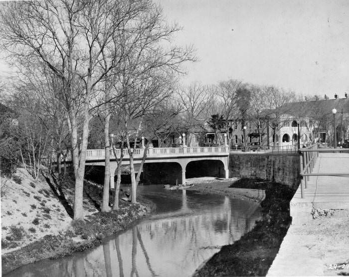
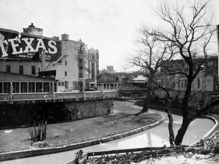
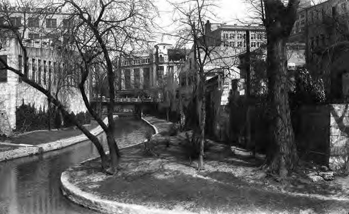
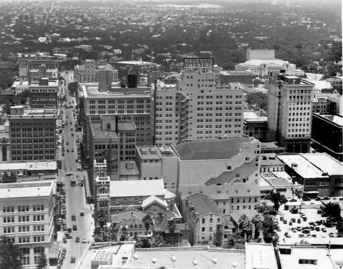
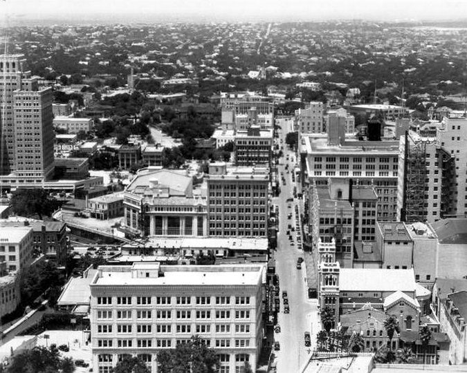
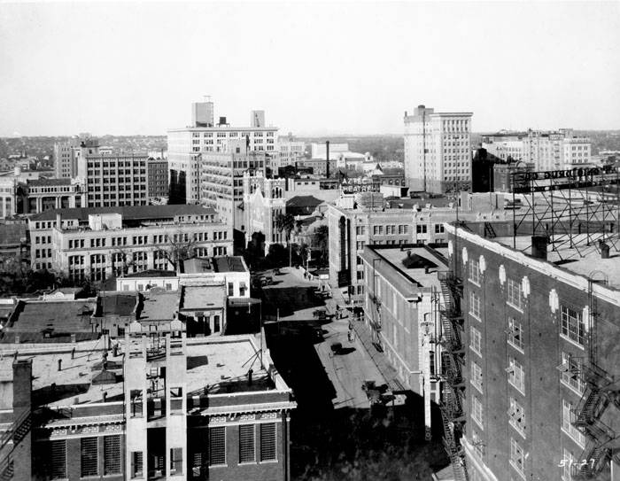
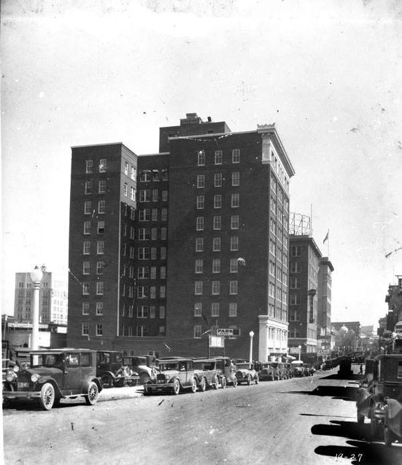
Spanish Governor’s Palace, San Antonio, 1927Northeast corner of Military Plaza, San Antonio, 1927Aerial view looking northeast towards intersection of St. Mary’s and Houston Streets, San Antonio, 1927View looking north, northwest from roof of Plaza Hotel, San Antonio, 1927Houston Street looking west from Woolworth Building, San Antonio, 1927Northwest corner of Alamo Plaza, San Antonio, 1927Northeast corner of Alamo Plaza, San Antonio, 1927View looking west, northwest from top of the Medical Arts Building, San Antonio, 1927West side of Alamo Plaza as seen from top of Medical Arts Building, San Antonio, 1927The Alamo and Crockett Hotel from roof of building on west side of Alamo Plaza, San Antonio, 1927Bird’s-eye view of the Alamo from Post Office and Federal Building, San Antonio, 1928Alamo Plaza, San Antonio, 1928Northwest corner of Alamo Compound, San Antonio, 1924The front of the Alamo with the Emily Morgan Hotel, 1925Buzzy Mueller & Mimi Williams water skiing on the San Antonio River at the Arneson River Theater, 1925A view of the Commerce Street Bridge from the Market Street Bridge over the San Antonio River, 1920sSan Antonio River, San Antonio, 1927Navarro Street Bridge on lower arm of the San Antonio River Bend, San Antonio, 1927San Antonio River south of the Market Street Bridge, San Antonio, 1927San Antonio River from Crockett Street Bridge, 1927Travis Street Bridge over the San Antonio River, San Antonio, 1927San Antonio River and the Lexington Street Bridge, San Antonio, 1927West side of Texas Theater and San Antonio River, San Antonio, 1927San Antonio River between Houston and Commerce Streets, San Antonio, 1925
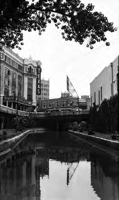
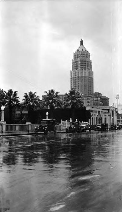
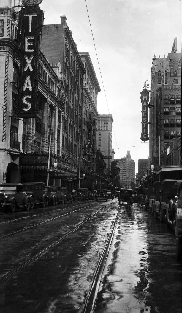
Texas Theater and Houston Street Bridge over the San Antonio River, San Antonio, 1927
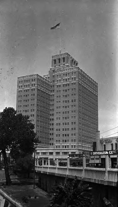
Milam Building, San Antonio, 1928
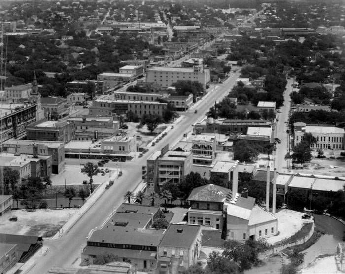
Smith-Young Tower from Market Street Bridge, San Antonio, 192Bird’s-eye view of Market Street, looking east, northeast from the Smith-Young Tower, San Antonio, 1929
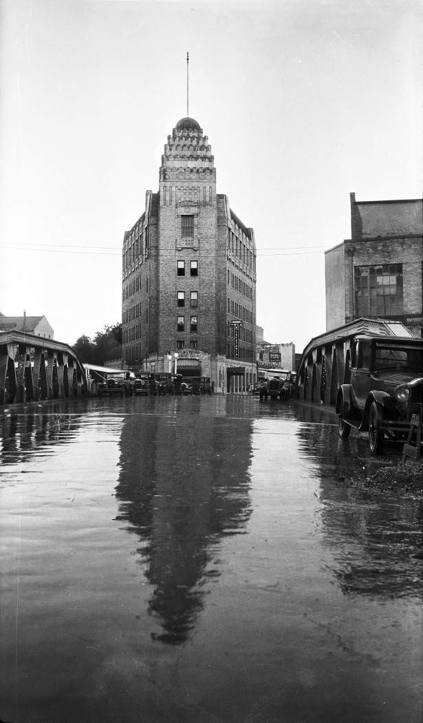
Casino Club Building following a rain shower, San Antonio, 1929
W. Crockett Street looking west from Losoya Street, San Antonio, 1929
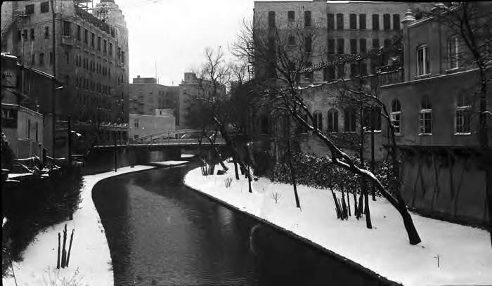
San Antonio River between Crockett and Commerce Streets after a snowfall, San Antonio, 1929
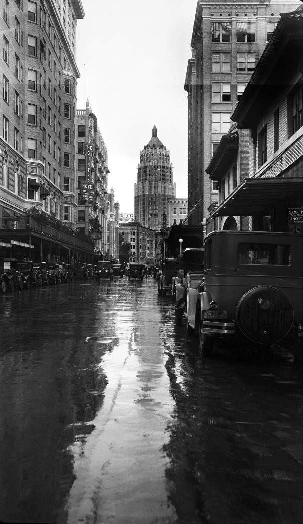
Houston Street looking east from San Antonio River bridge following rain shower, San Antonio, 1929
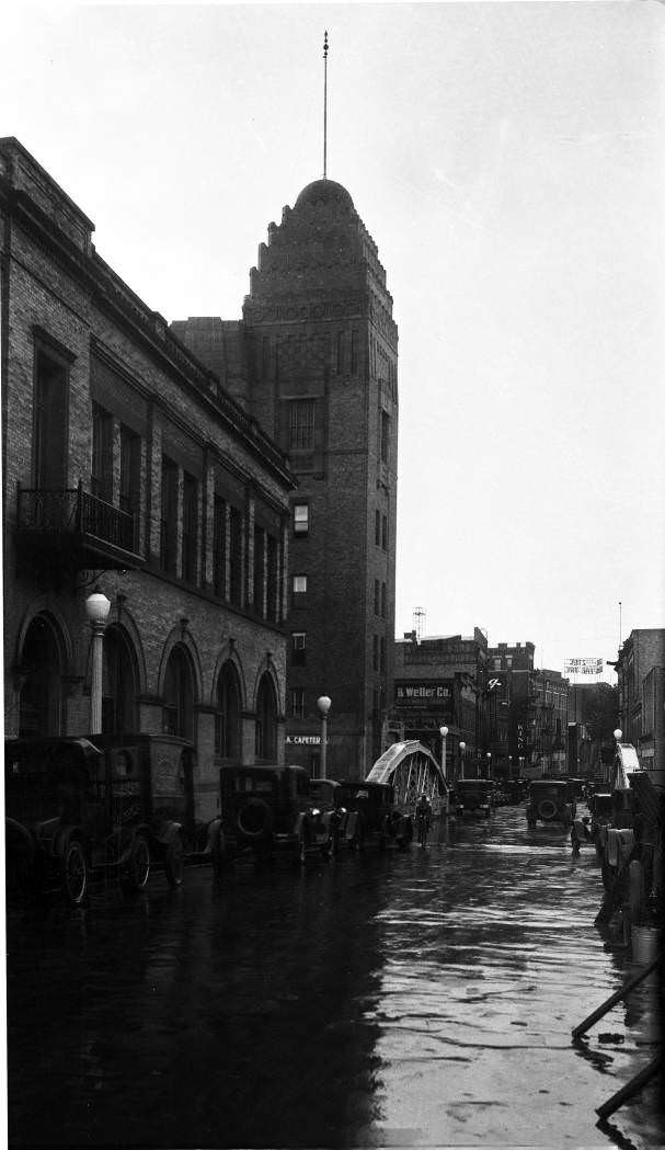
St. Mary’s Street looking south from Travis Street following a rain shower, San Antonio, 1929
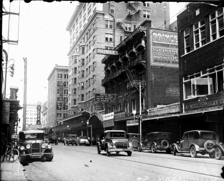
Looking west on Houston Street. The Princess Theater and the Gunter Hotel are in view, 1929
Rand Building, 202-210 W. Houston Street. 1929
Rand Building, 202-210 W. Houston Street, 1926
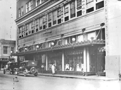
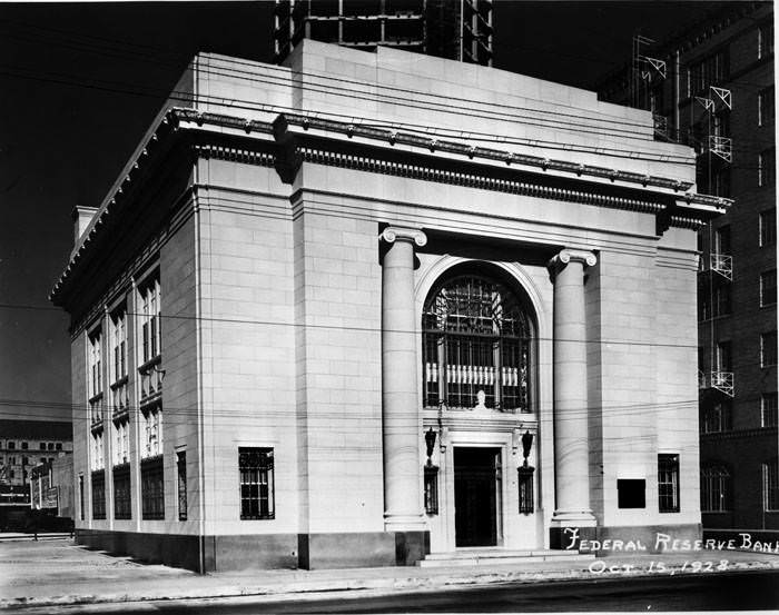
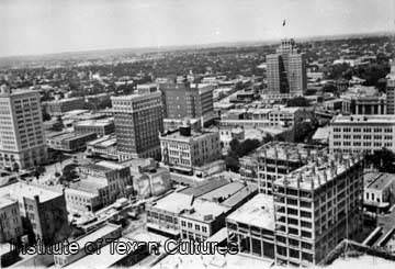
Wolff and Marx display windows on Main Avenue, 1920sKampmann Building, northeast corner of Soledad and Commerce Streets, 1920sSan Antonio National Bank, 213 E. Commerce Street, 1920sAlamo National Bank Building, southwest corner of Presa and Commerce Street, 1925Exterior of the Federal Reserve Bank, 127 Navarro Street, San Antonio, 1928Bird’s-eye view looking northwest, from the Smith Young Tower, San Antonio, 1929Bird’s-eye view of North St. Mary’s Street from Smith-Young Tower, San Antonio, 1929Bird’s-eye view of North St. Mary’s Street from Smith-Young Tower, San Antonio, 1929St. Mary’s Street from roof of Plaza Hotel, San Antonio, 1927
West elevation of the Travis Building from intersection of W. Travis and Soledad Streets, San Antonio, 1927
Walkway outside north side of Smith-Young Tower, San Antonio, 1928
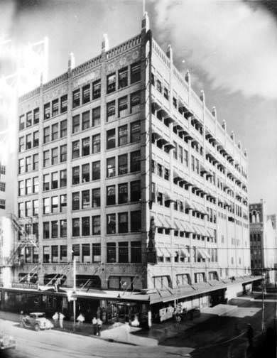
Milam Building, San Antonio, 1928
Milam Building, 1928
Milam Building, San Antonio, 1925
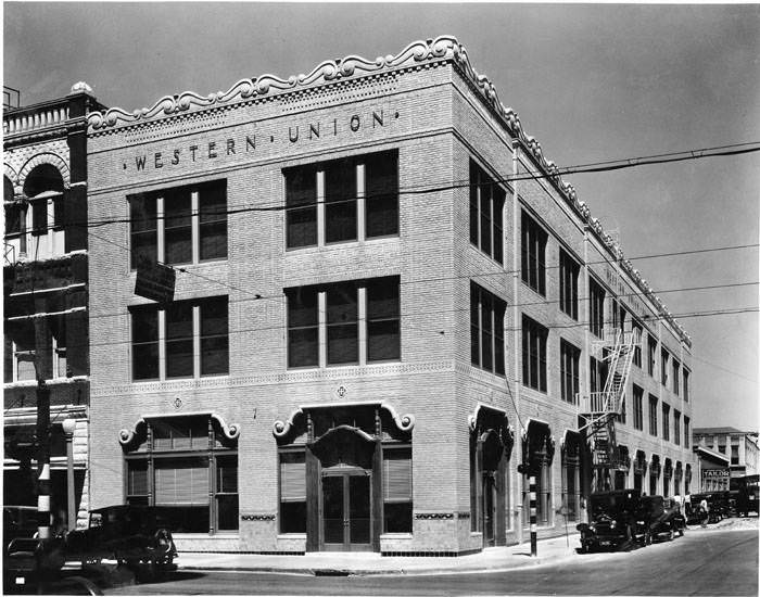
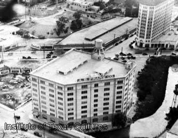
Western Union Building, San Antonio, 1928A. B. Frank Company Building, 201 Navarro Street, San Antonio, 1923
A. B. Frank Company, 201 Navarro Street, 1927
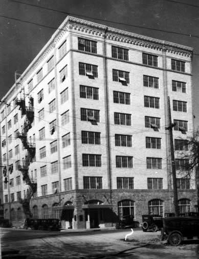
Brady Building, 202 E. Houston Street, 1925
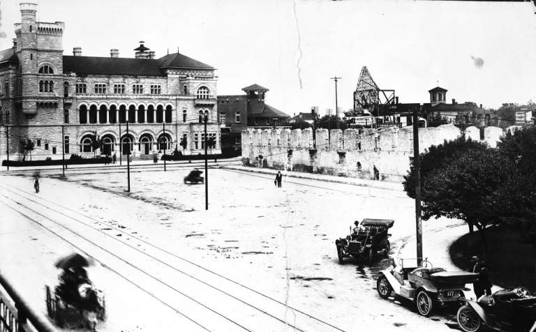
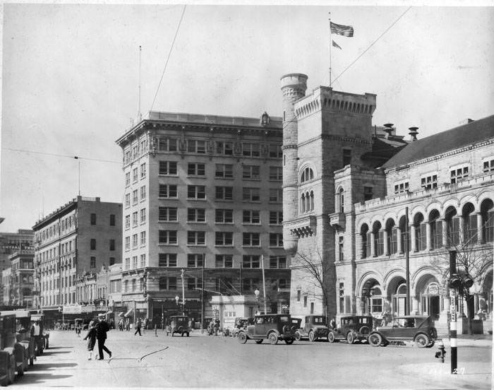
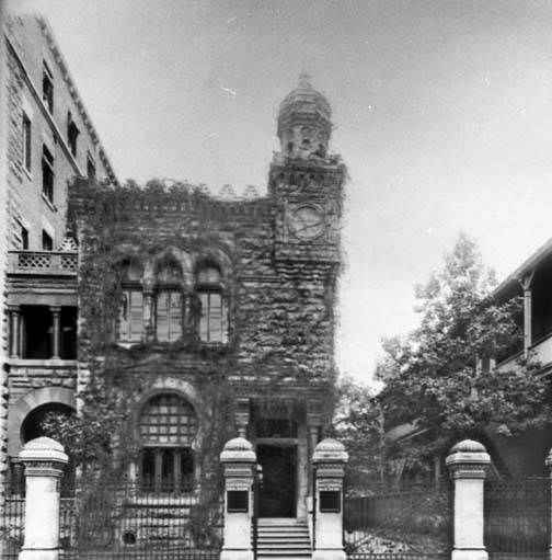
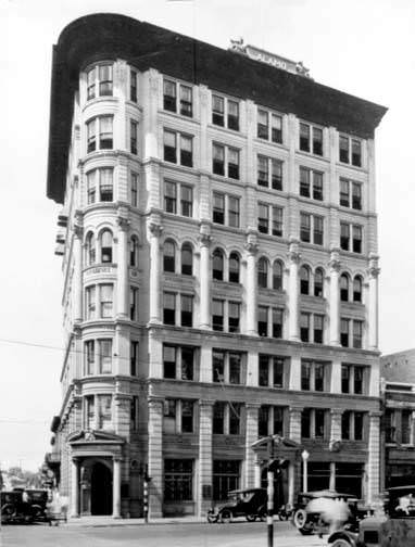
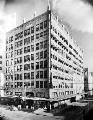
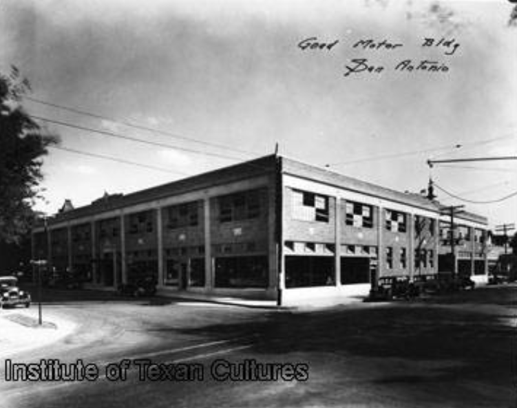
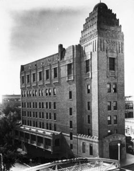
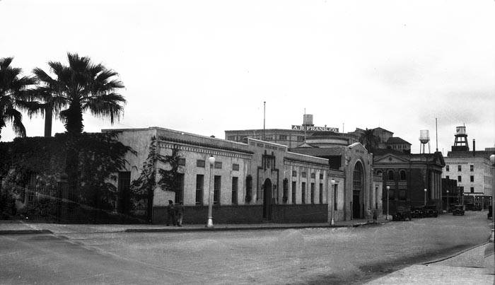
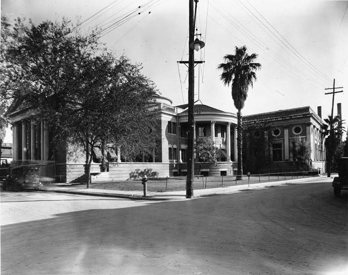
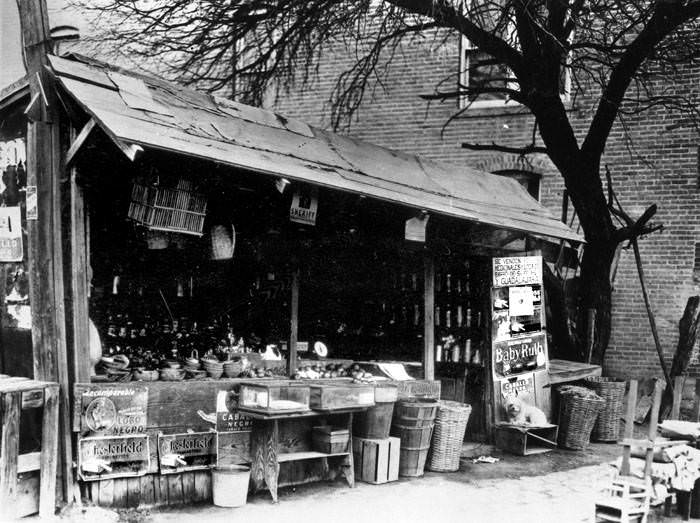
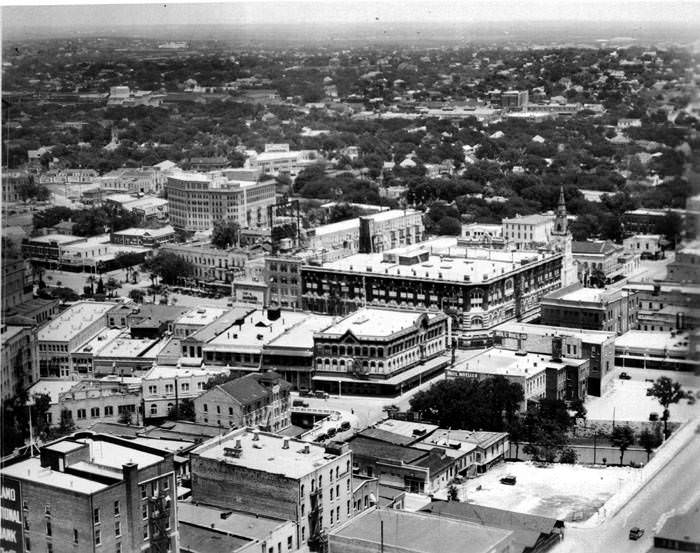
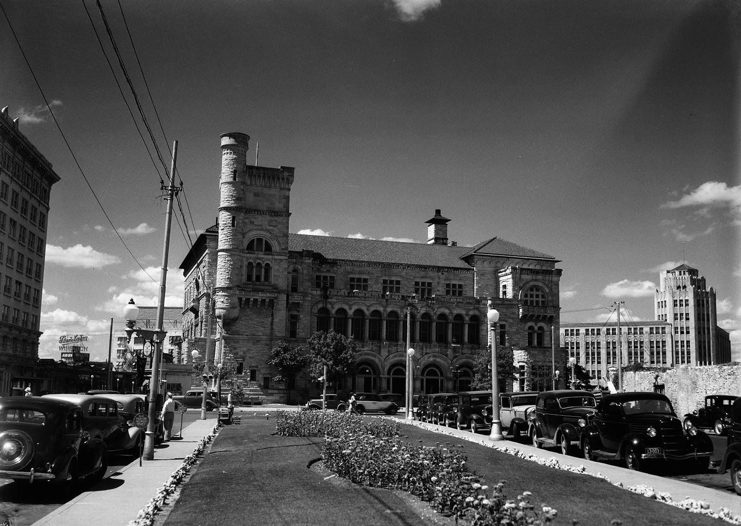
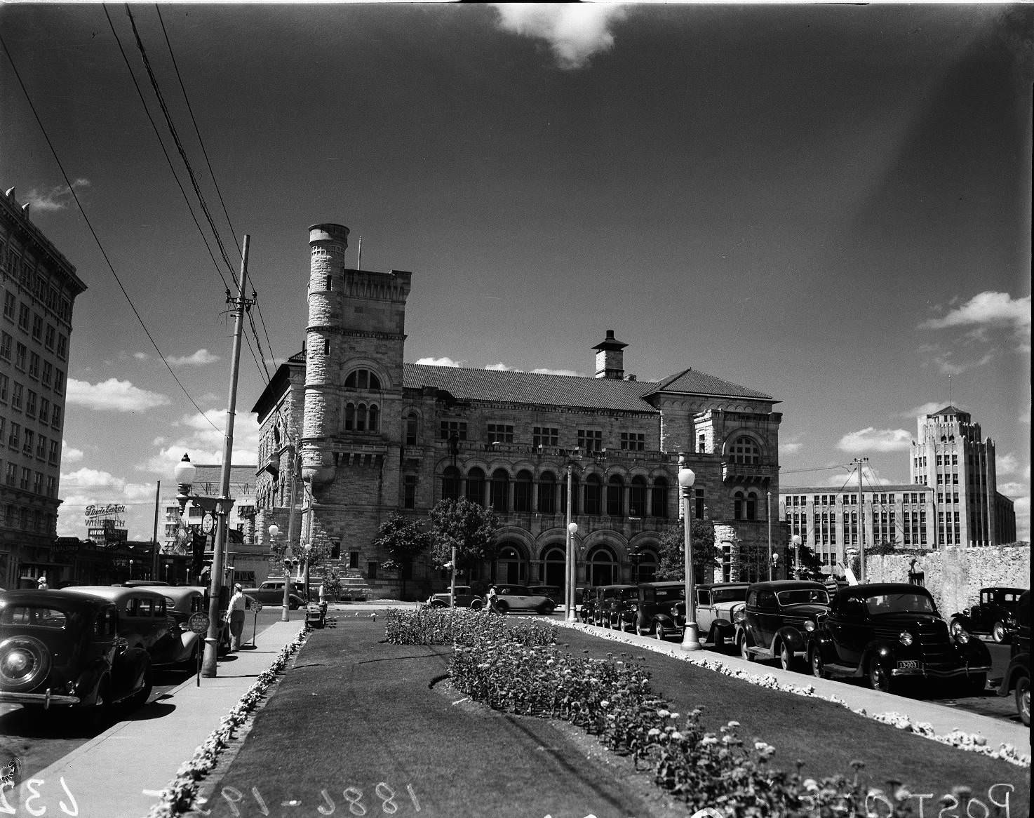
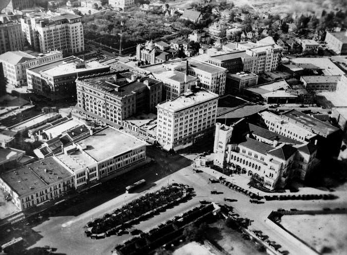
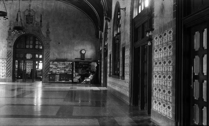
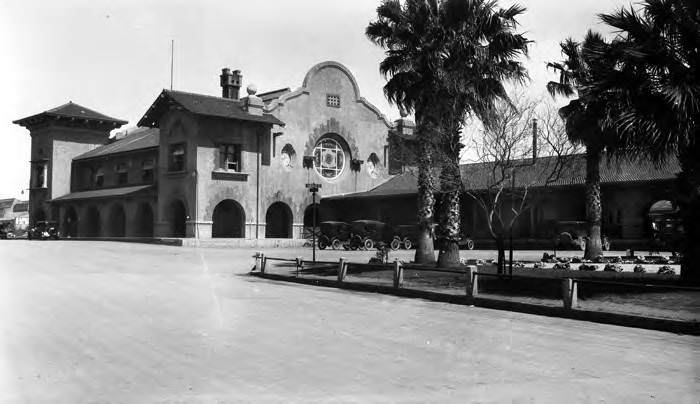
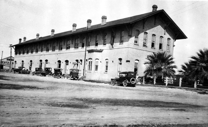
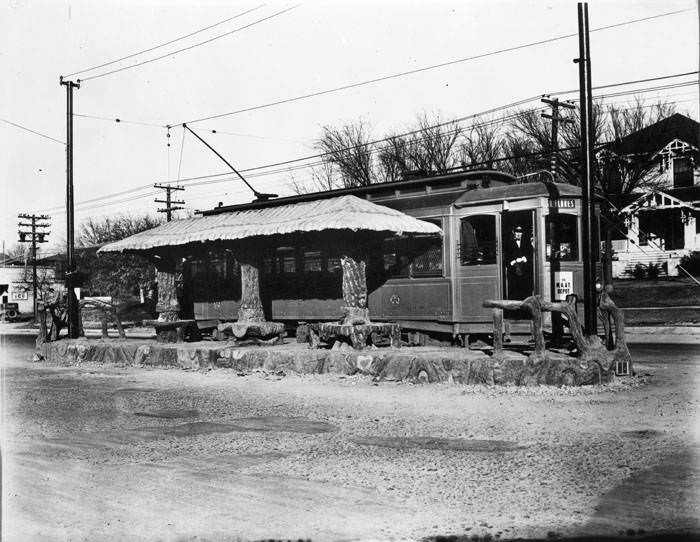
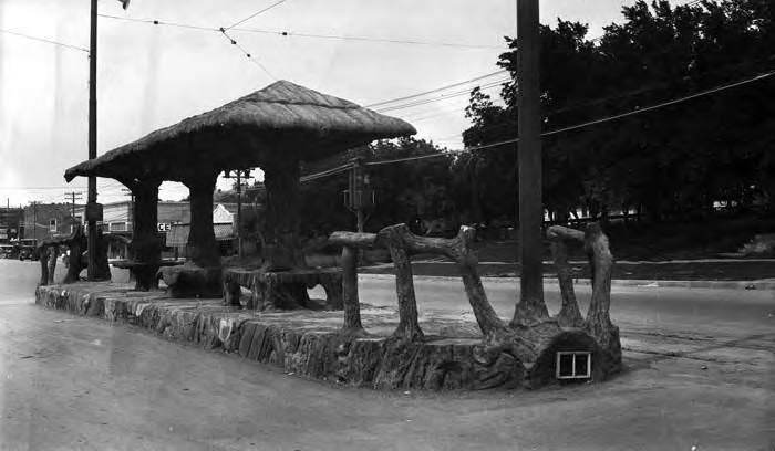
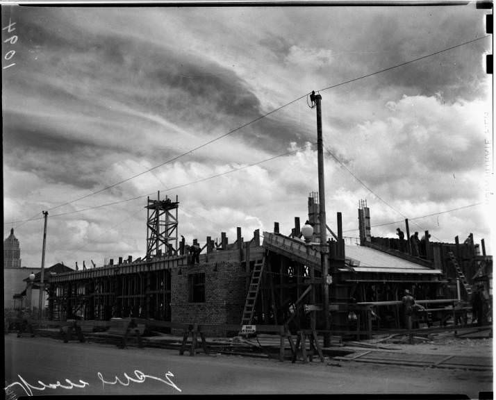
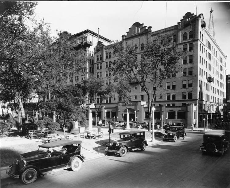
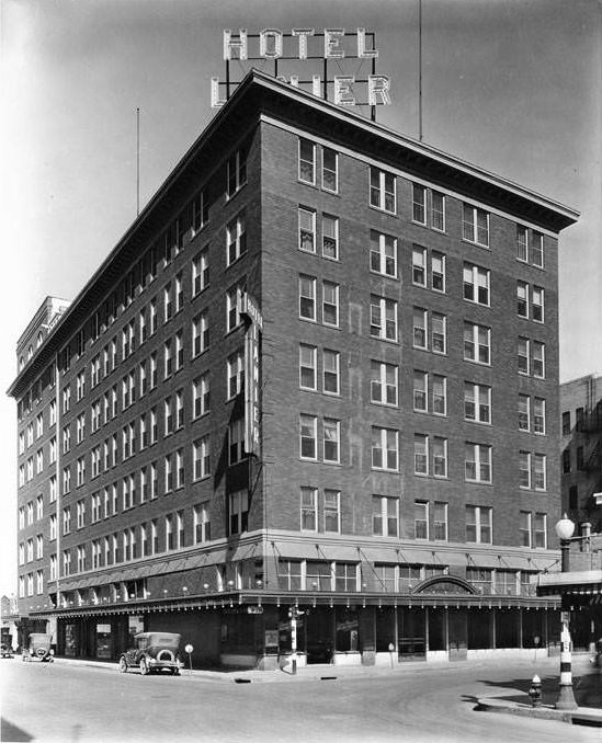
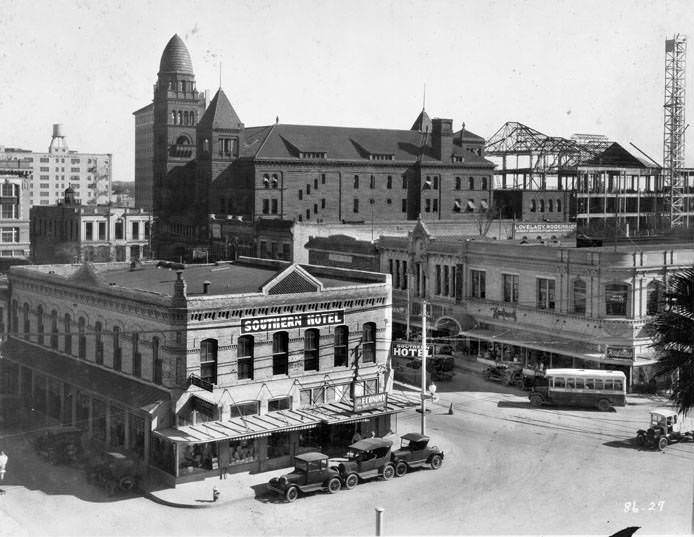
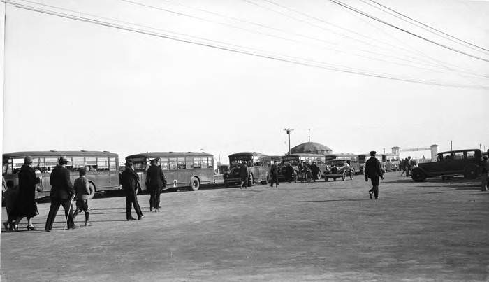
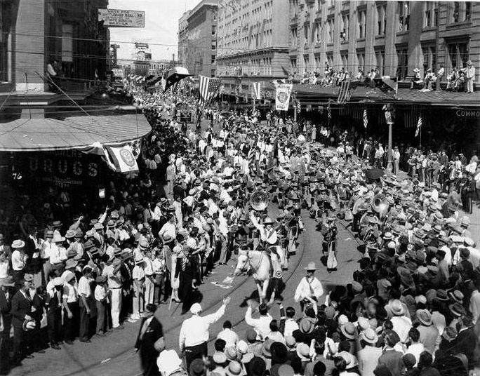
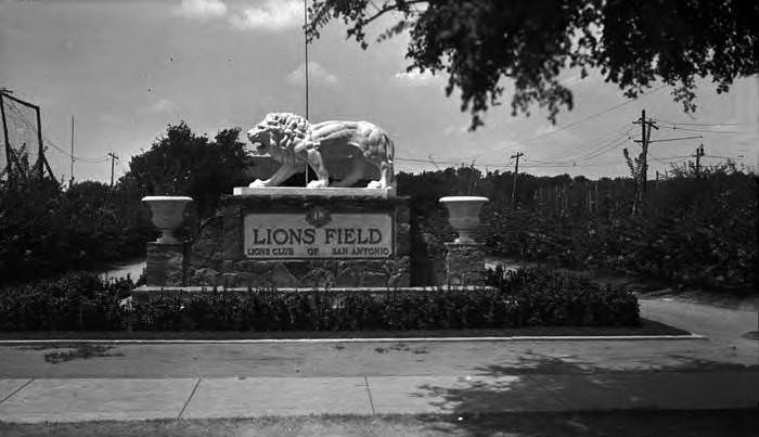
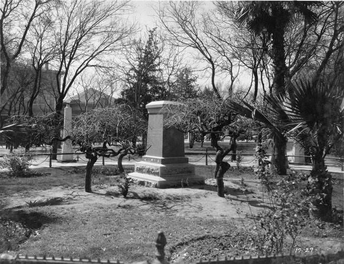
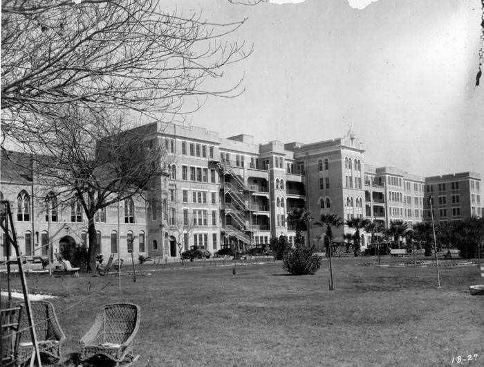
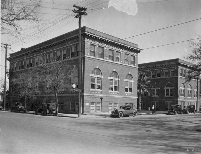
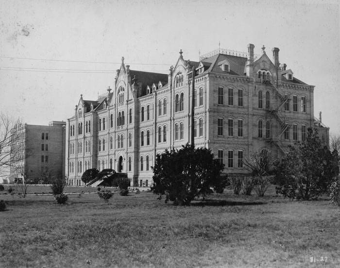
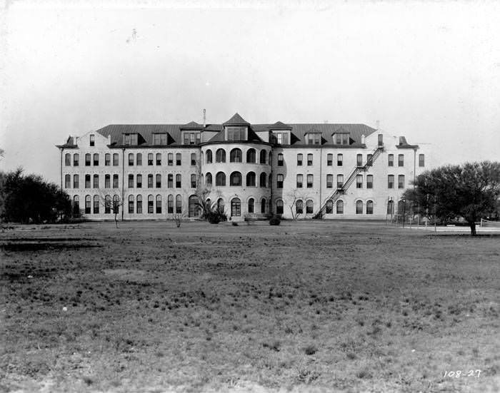
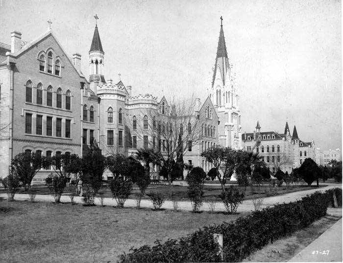
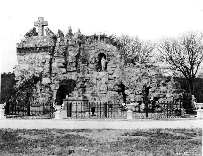
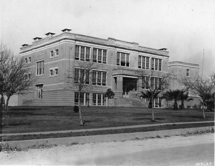
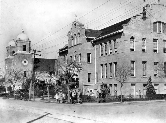
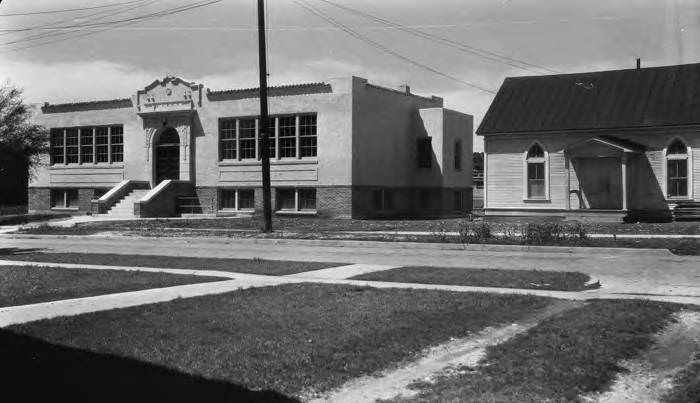
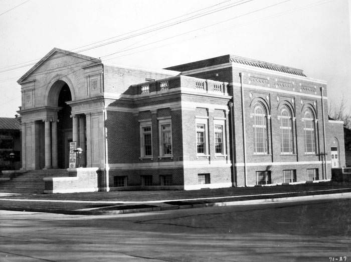
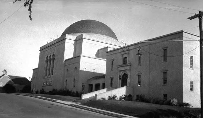
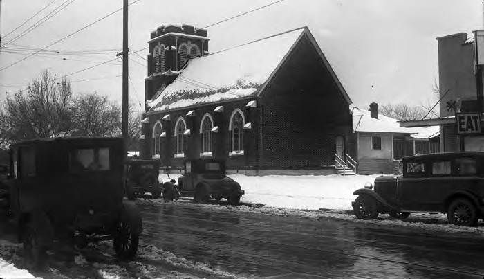
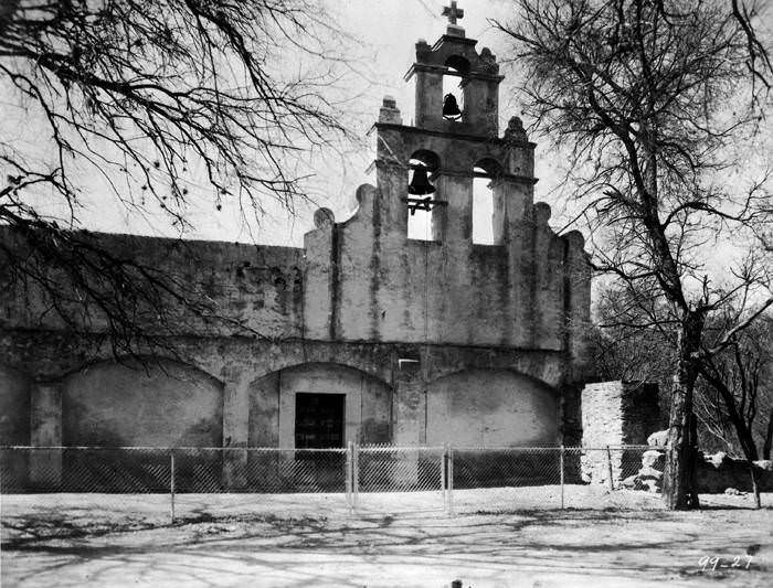
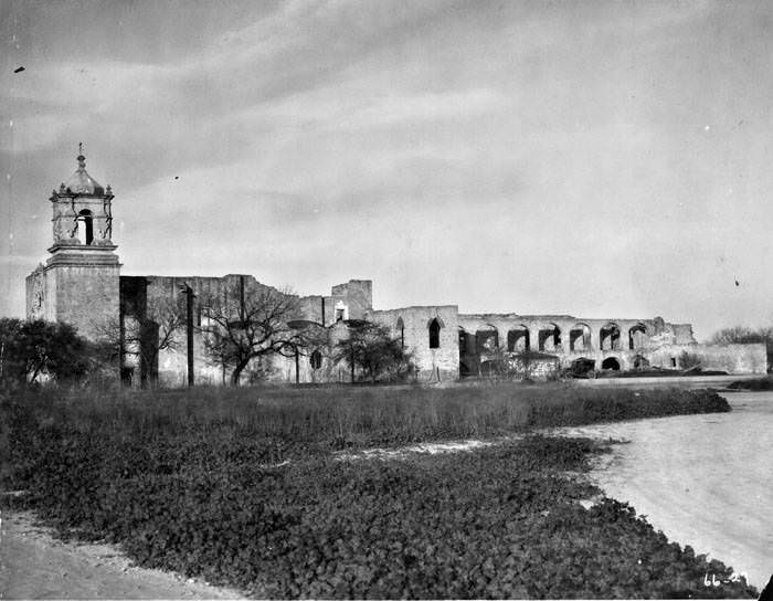
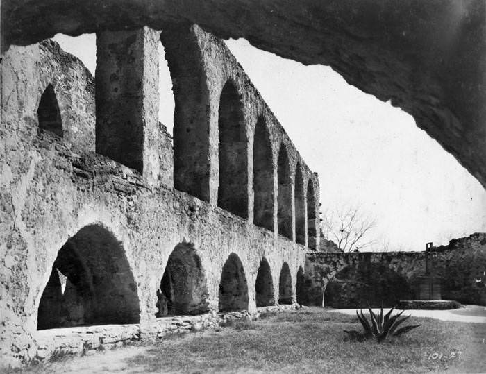
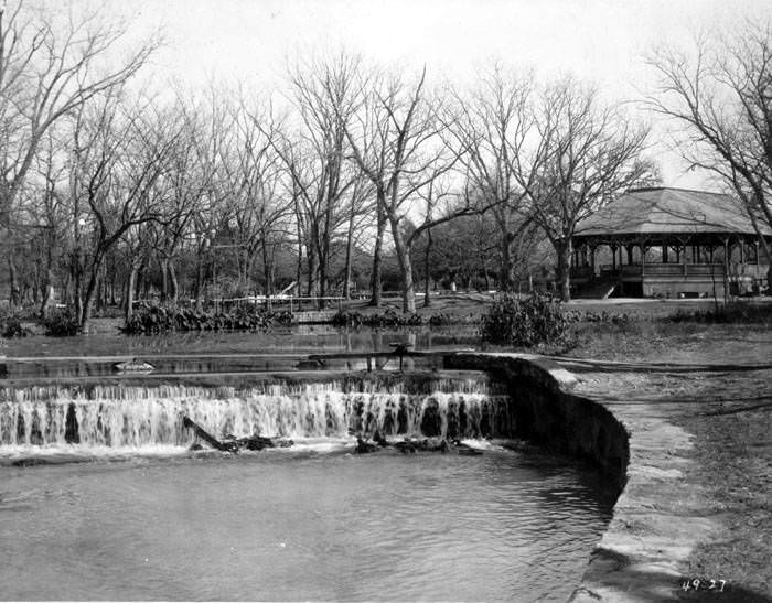
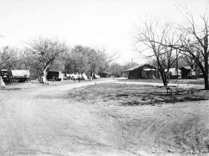
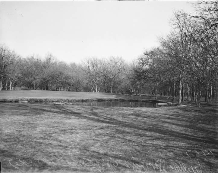
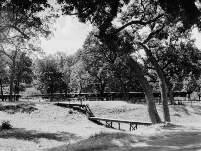
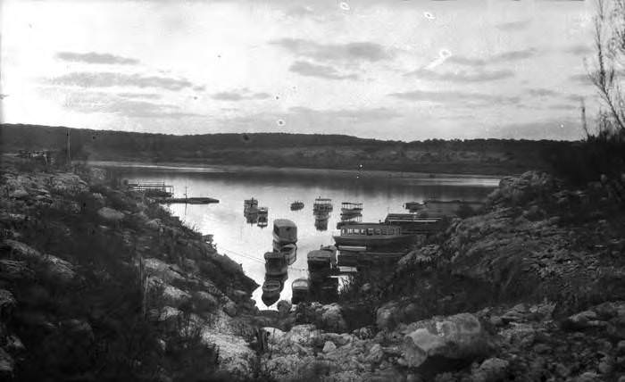
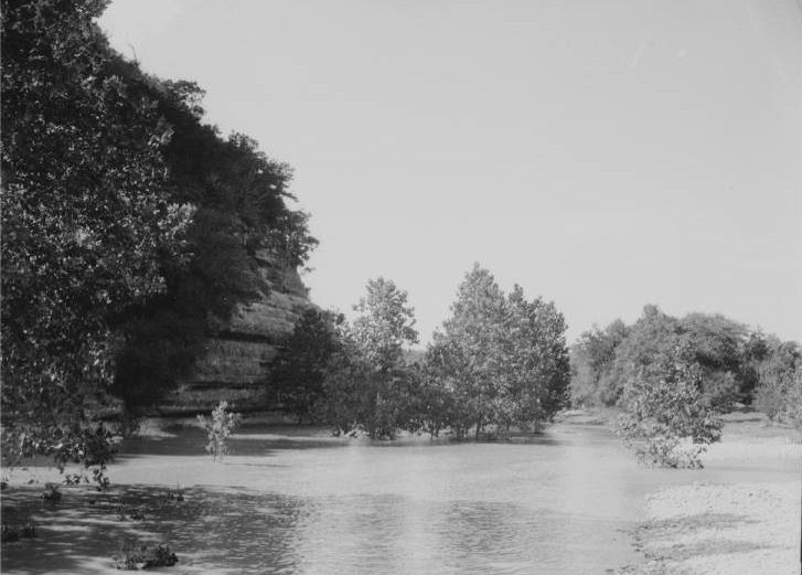
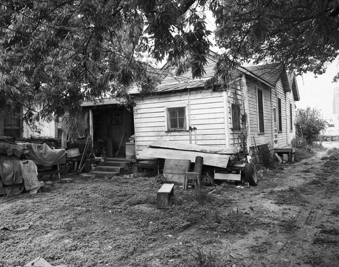
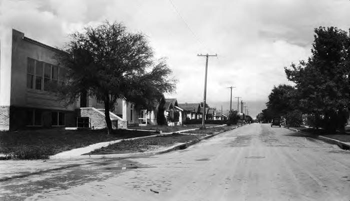
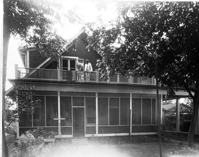
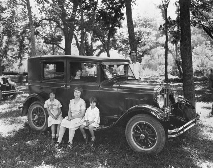
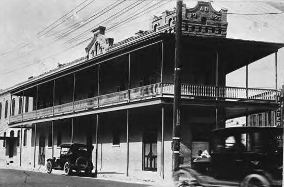
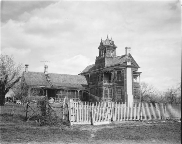
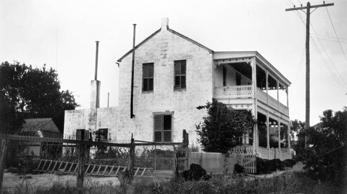
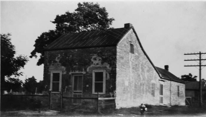
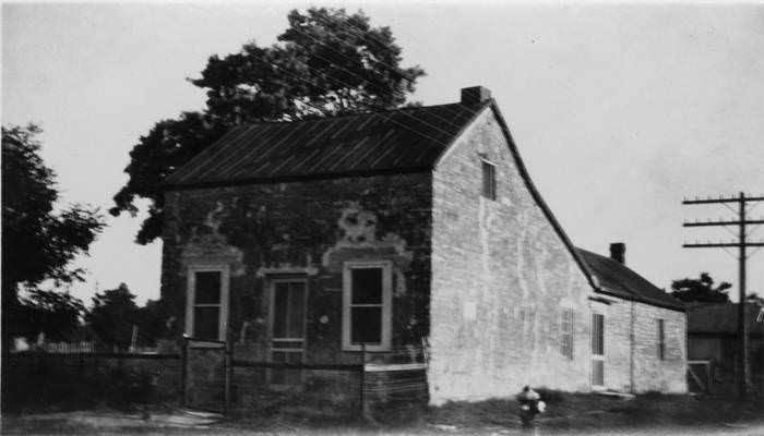
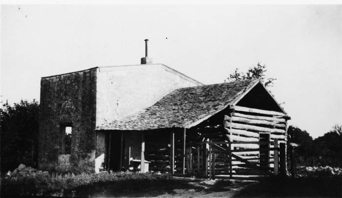
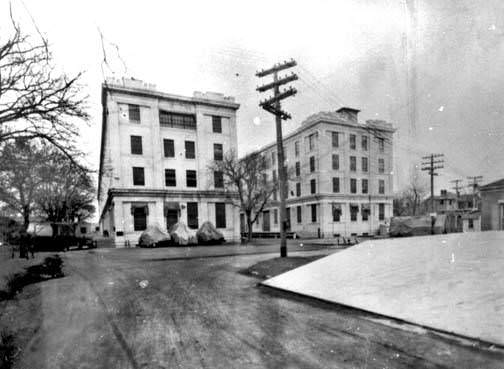
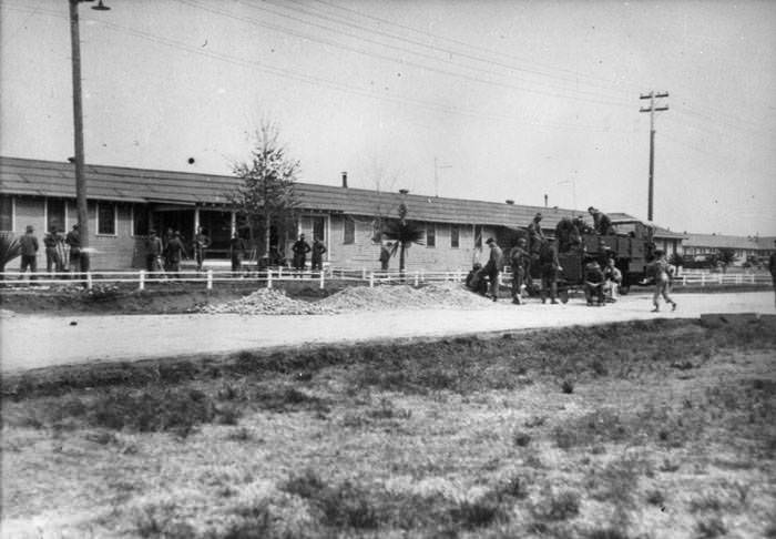
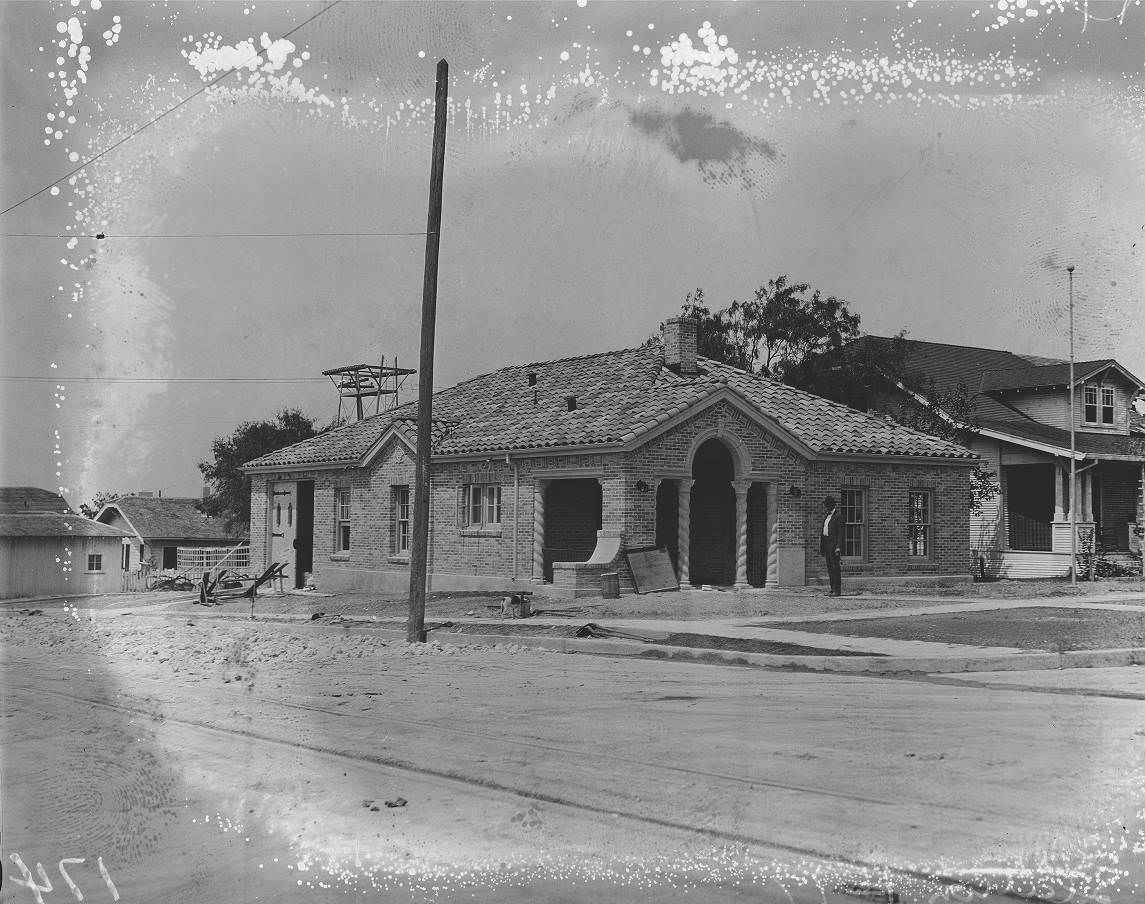
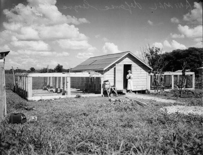
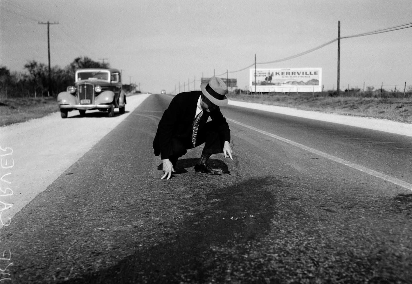
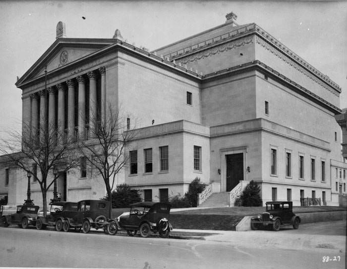
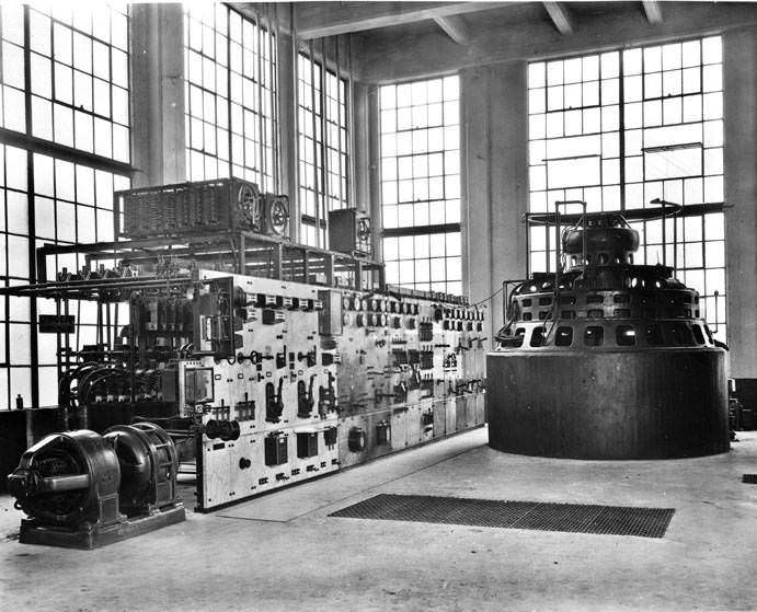
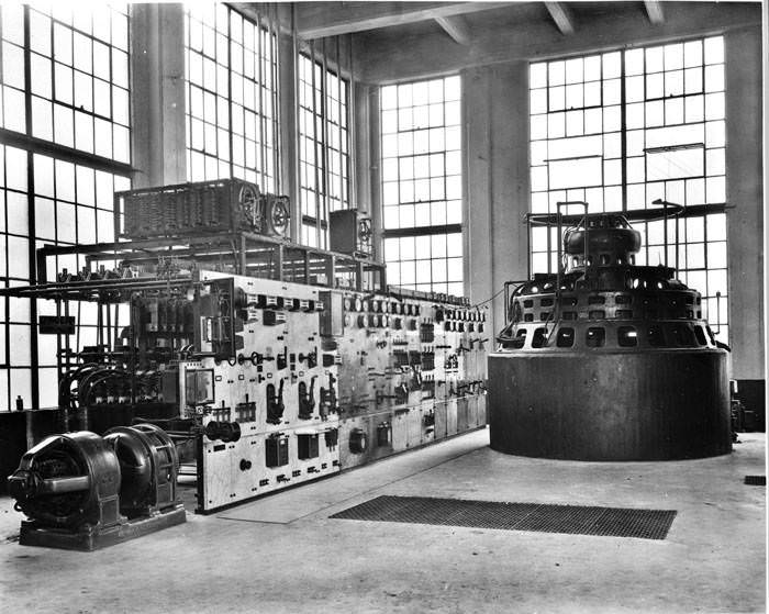
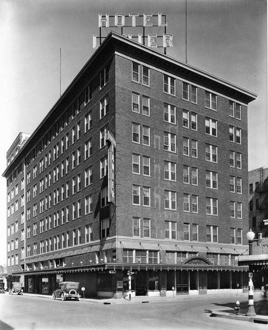
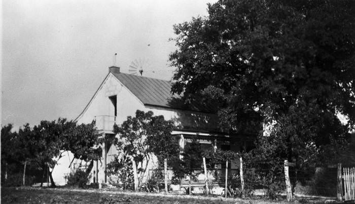
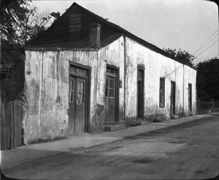
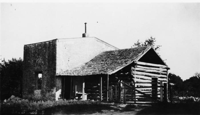
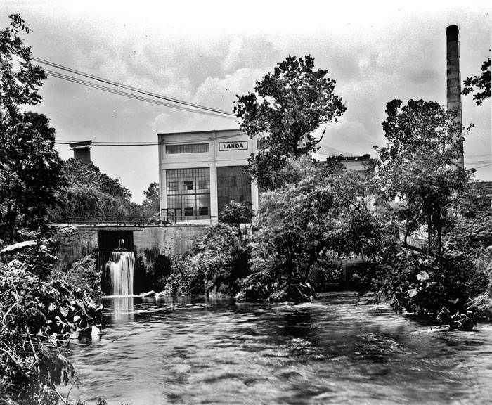
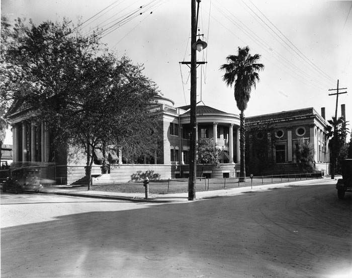
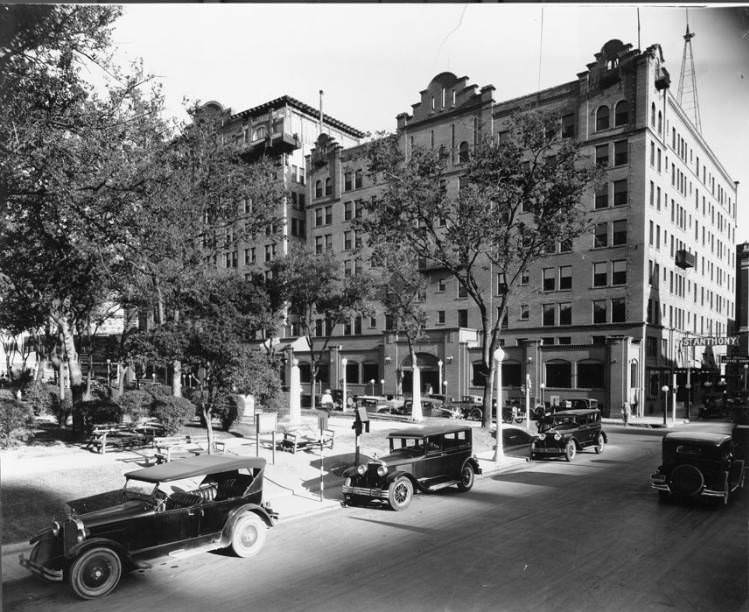
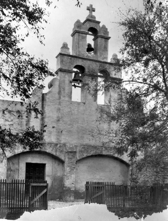
Brady Building, 202 E. Houston Street, 1925Goad Motor Company, southwest corner of Lexington Avenue and Dallas Street, San Antonio, 1927Casino Club Building, 102 W. Crockett Street, San Antonio, 1927Market House, Market Street, San Antonio, 1922South side of W. Market Street between the San Antonio River and S. Presa Street, San Antonio, 1927Carnegie Library, San Antonio, 1929Mexican curio store, San Antonio, 1925Washington Street looking north toward intersection of Martinez Street (later Durango Blvd.), San Antonio, 1929Bird’s-eye view of Dullnig Building, Joske Brothers Department Store, and surrounding area, San Antonio, 1929A Post Office in downtown San Antonio, 1924A Post Office in downtown San Antonio, Texas. It was built in 1886 and demolished in 1935.Aerial view of Federal Building and Post Office and north side of Alamo Plaza, San Antonio, 1923Alamo Plaza bandstand, San Antonio, 1920sMissouri-Kansas-Texas Railroad Station, 501 S. Flores Street, San Antonio, 1927Southern Pacific Railroad Station, San Antonio, 1927Texas-Mexican Railroad Station, Laredo, 1925Streetcar 245 at waiting station, Alamo Heights, San Antonio, 1929Streetcar stop on Broadway at corner of Patterson Avenue, Alamo Heights, San Antonio, 1927Bulverde Road, Bexar County, 1924A building under construction, 1925St. Anthony Hotel, San Antonio, 1920sLanier Hotel, 1923Southern Hotel and Bexar County Courthouse as seen from City Hall, San Antonio, 1927Exterior of Argyle Hotel, Alamo Heights, 1920sEntrance gate to International Exposition and Live Stock Show, San Antonio, 1928Midway at Rice-Dorman Carnival, International Exposition and Live Stock Show, San Antonio, 1925Food booth on the midway at Rice-Dorman Carnival, International Exposition and Live Stock Show, San Antonio, 1925Public Service Company buses near entrance to the International and Live Stock Show, San Antonio, 1925Midway at Rice-Dorman Carnival, International Exposition and Live Stock Show, San Antonio, 1925“Honeymoon Ship” at Rice-Dorman Carnival, International Exposition and Live Stock Show, San Antonio, 1928Midway at Rice-Dorman Carnival, International Exposition and Live Stock Show, San Antonio, 1928Old Gray Mare Band in American Legion Parade, San Antonio, 1928Marble lion at entrance to Lions Field, 2809 Broadway, San Antonio, 1927Granite monument marking the site of Ben Milam’s grave, Milam Park, San Antonio, 1927Exterior of Santa Rosa Infirmary, 745 W. Houston Street, San Antonio, 1927Exterior of Young Women’s Christian Association, 403 Fifth Street, San Antonio, 1927Exterior of Administration Building, St. Mary’s University, San Antonio, 1927Exterior of Westmoorland College, 726 W. Waco, San Antonio, 1927Sisters of Divine Providence Convent and Our Lady of the Lake College, S.W. 24th Street, San Antonio, 1927Grotto of Our Lady of Lourdes on grounds of Incarnate Word College, 4301 Broadway, San Antonio, 1927Exterior of Highland Park School, 600-624 Hammond Avenue, San Antonio, 1927St. Gerard’s Catholic Grade School, 1619 Iowa Street, San Antonio, 1927St. Paul’s Evangelical Lutheran Day School, 201 Roseborough, San Antonio, 1927Exterior of First Church of Christ Scientist, 501 N. Alamo Street, San Antonio, 1927Exterior of First Prebyterian Church, San Antonio, 1927Portrait of Dr. R.E. Braulick in front of St. Johns Lutheran Church, 1925Exterior of Beacon Hill Presbyterian Church, 1101 W. Woodlawn Avenue, San Antonio, 1927Exterior of Central Christian Church, 716 Main Avenue, San Antonio, 1927Exterior of Second Church of Christ Scientist, 230 W. Magnolia Avenue, San Antonio, 1927Temple Beth-El, San Antonio, 1928San Fernando Cathedral Rectory, San Antonio, 1927St. Paul’s Evangelical Lutheran Church, 2302 S. Presa Street, San Antonio, 1929Belfry and entrance to church, Mission San Juan Capistrano, 1927South elevation of the church, Mission San Jose y San Miguel de Aguayo, San Antonio, 1927Exterior of church and convento at Mission San Jose, San Antonio, 1927Convento as seen from outside sacristy door, Mission San Jose y San Miguel de Aguayo, San Antonio, 1927Side and rear of church, Mission San Jose y San Miguel de Aguayo, San Antonio, 1927Front exterior of church, Mission San Jose, 1927Exterior view of San Jose y San Miguel de Aguayo Mission during the restoration of the tower, 1928Exterior of church and convento, Mission San Jose, San Antonio, 1924Exterior of church after collapse of the bell tower, Mission San Jose, 1928Chapel and crematorium, Mission Burial Park, San Antonio, 1927Entrance gate, Mission Burial Park, San Antonio, 1927Landscaped area of Brackenridge Park, San Antonio, 1927San Antonio River spillway and park pavilion, Brackenridge Park, San Antonio, 1927Tourist camp beside San Antonio River on south end of Brackenridge Park, San Antonio, 1927Cafe and cold drink pavilion at “Mexican Village,” Brackenridge Park, San Antonio, 1927A building at the Willow Springs Golf Course, 1925The 5th hole at Willow Spring Golf Course, 1925A Riverside Park Golf Course, 1925Boats in cove at Medina Lake, 1927Picture of a river flowing though Classen Ranch State Park, 1925Back of one-story frame duplex, 321 Columbus Street, San Antonio, 1920s200 block of Roseborough Avenue, San Antonio, 1928Hensel residence, San Antonio, 1927Nellie Ankenman Masterson seated in car with four of her children beside it, 1928427 Laredo St, 1920sAn old home on Butler Rach in Karnes County, 1925Schmidt-Gold House, Fredericksburg, 1925Schmidt-Gold House, Fredericksburg, 1920sJohann Joseph Knopp House, Fredericksburg, 1929Johann Joseph Knopp House, Fredericksburg, 1929Christian Crenwelge House, Fredericksburg, 1929Better Home Ice Cream Company, 715 S. Alamo Street, San Antonio, 1928Better Home Ice Cream Company, 715 S. Alamo Street, San Antonio, 1928Better Home Ice Cream Company, 715 S. Alamo Street, San Antonio, 1928Better Home Ice Cream Company, 715 S. Alamo Street, San Antonio, 1928Better Home Ice Cream Company, 715 S. Alamo Street, San Antonio, 1928Warehouse buildings, San Antonio Arsenal, 1925Men working in yard; others gathered around a truck, Brooks Field, 1923The exterior of Fire Station No. 17 at 547 W. Gramercy before it was completed, 1925Photograph of the Animal Defense League Kennels, 1925Duke Carver investigating the death of Clara Marsh, 1925Exterior of Scottish Rite Cathedral, 308 Avenue E, San Antonio, 1927Interior of light and power plant at Landa Industries, New Braunfels, 1920sInterior of light and power plant at Landa Industries, New Braunfels, 1920s
I throughly enjoyed the display of photos! Born in Texas, raised in California but I have lots of family throughout Texas including San Antonio.
The quote you included in your self introduction is amazing, thank you for sharing. Bless you!
Glad that you enjoyed these photos. And thanks for the kind words 🙂
Are you saying that San Antonio hasn’t changed in the past century, except for the fact that nobody would want to swim in the river anymore?
Share this Post 🥺
Please take a moment to share this content. Your support is greatly appreciated! 🙌🙏






I throughly enjoyed the display of photos! Born in Texas, raised in California but I have lots of family throughout Texas including San Antonio.
The quote you included in your self introduction is amazing, thank you for sharing. Bless you!
Glad that you enjoyed these photos. And thanks for the kind words 🙂
Are you saying that San Antonio hasn’t changed in the past century, except for the fact that nobody would want to swim in the river anymore?