in

What Norfolk looked like in the 1950s Through these Fascinating Photos

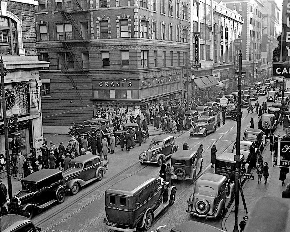
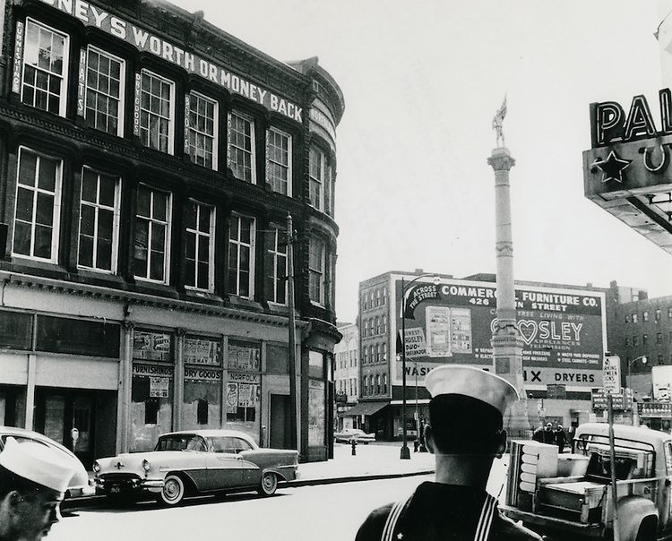
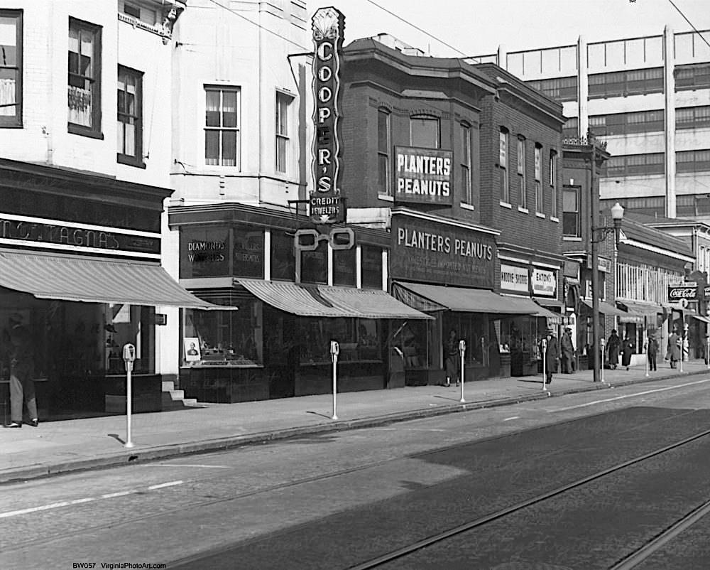
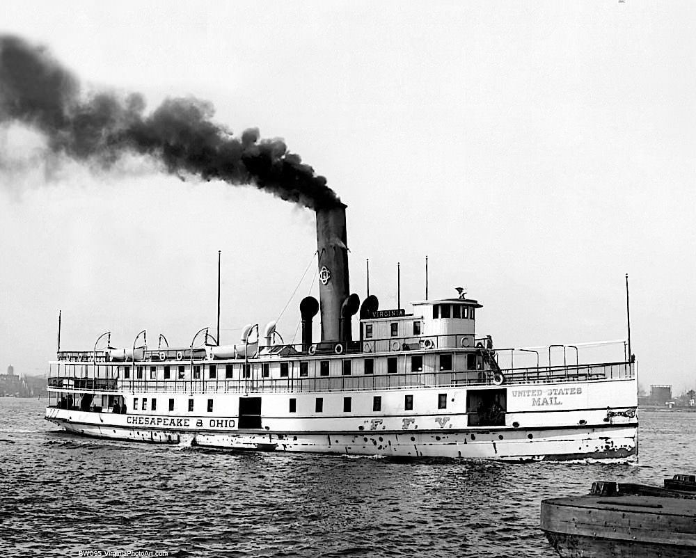
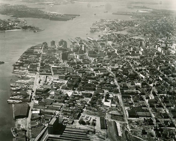
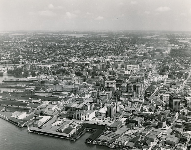
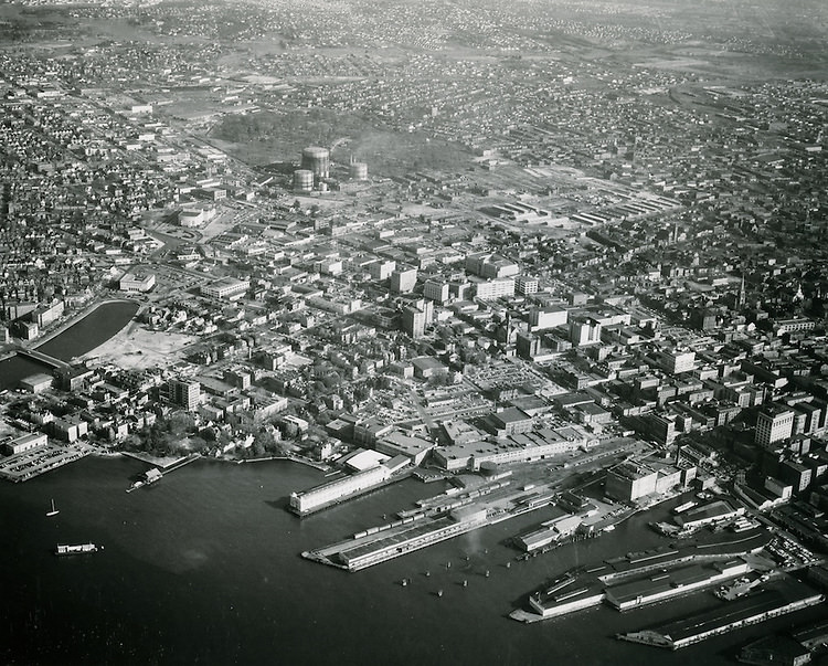
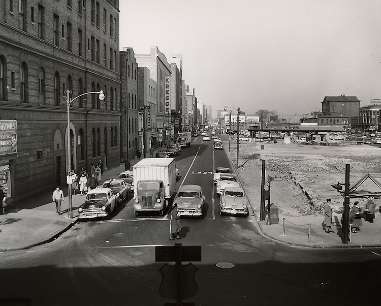
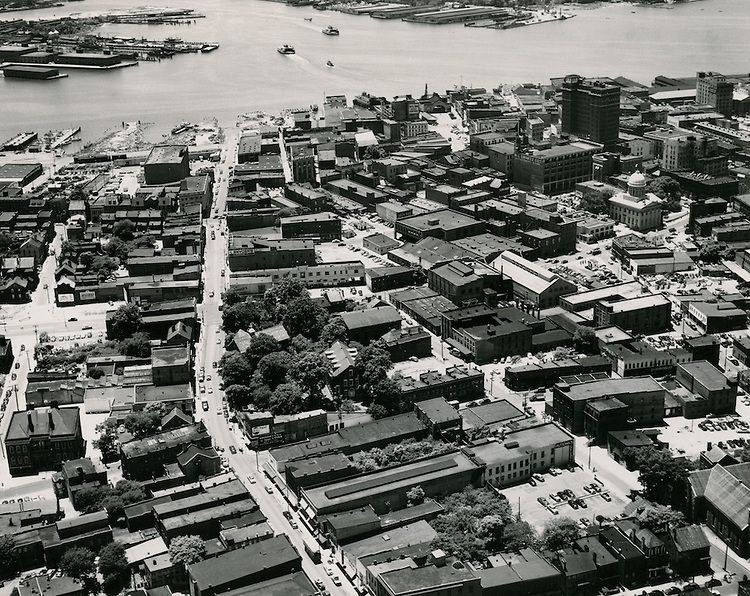
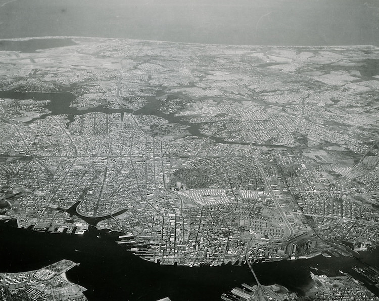
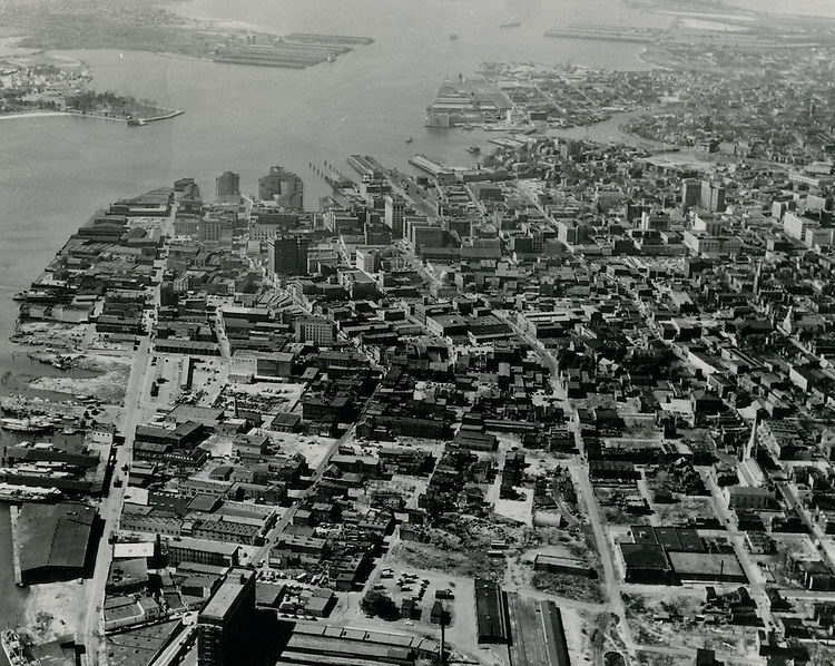
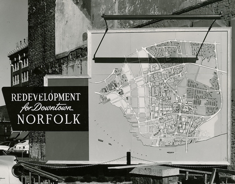
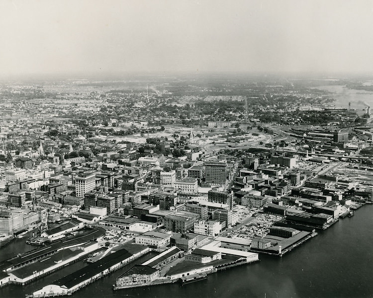
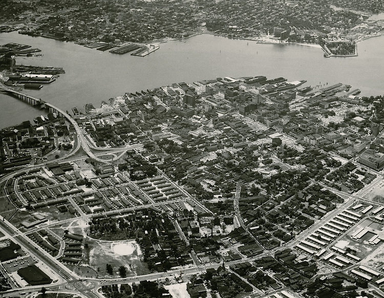
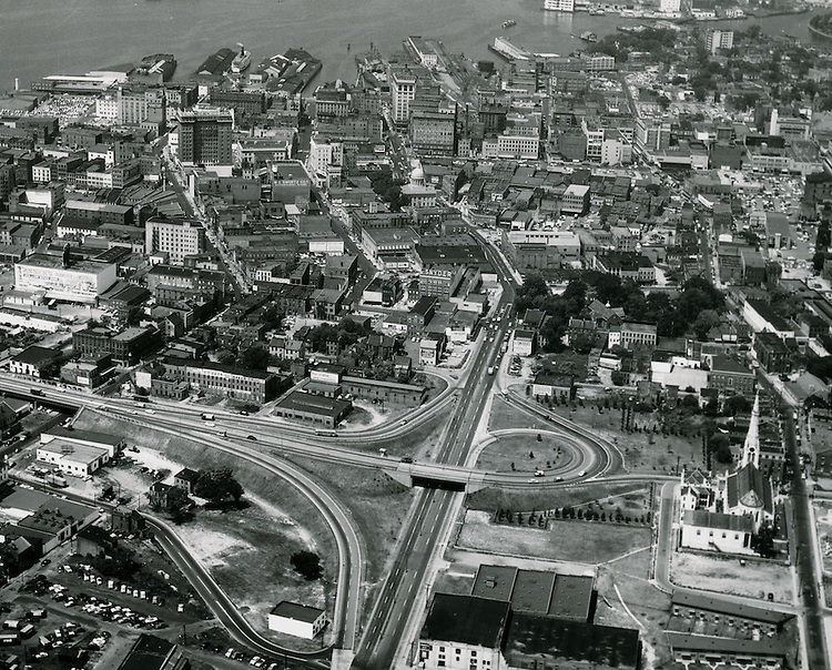
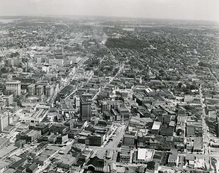
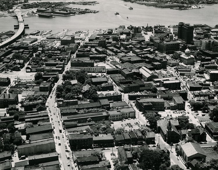
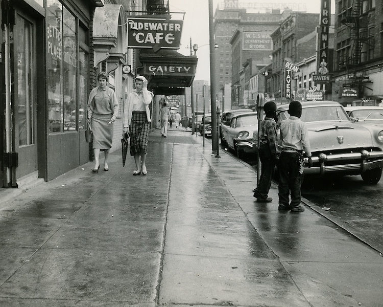
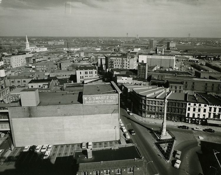
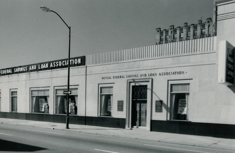
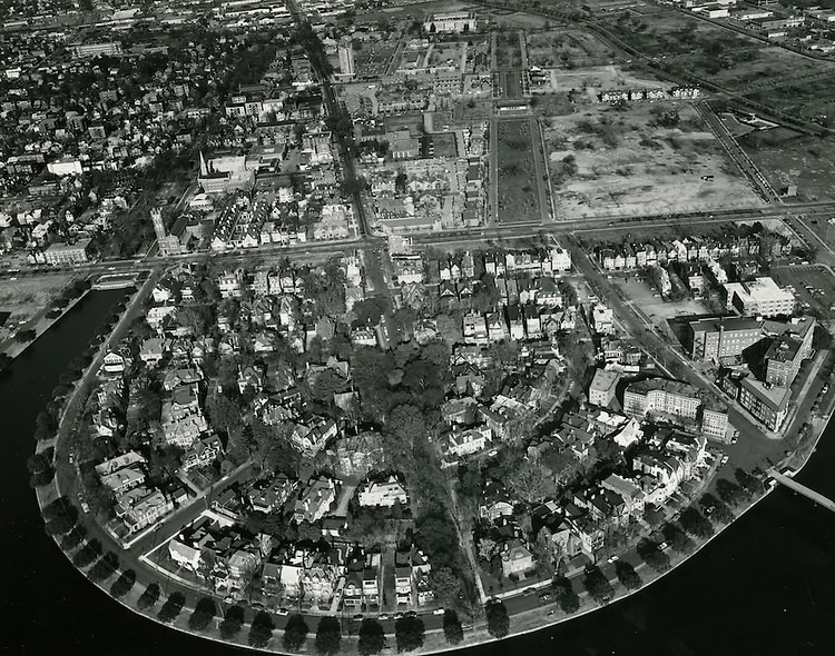
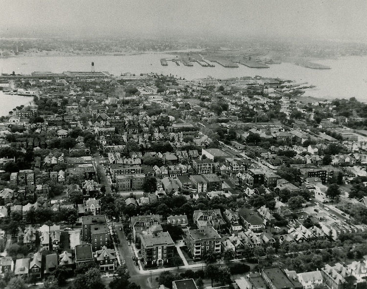
The 1950s were a time of growth and prosperity for the city of Norfolk, Virginia, as the city’s economy rebounded from the challenges of the Great Depression and World War II. Norfolk’s port and shipping industries continued to be a major source of economic activity, and the city’s manufacturing and retail sectors also experienced significant growth. Many new businesses and industries were established in Norfolk during this decade, and the city’s population increased as people moved to the area in search of work and opportunity.

In addition to its economic growth, the 1950s were also a time of cultural change and development in Norfolk. The city’s population became more diverse, as people from different backgrounds and regions moved to the area. This influx of new residents brought with it a variety of new ideas, customs, and traditions, and the city became more vibrant and cosmopolitan.

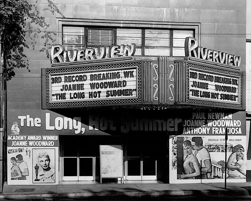
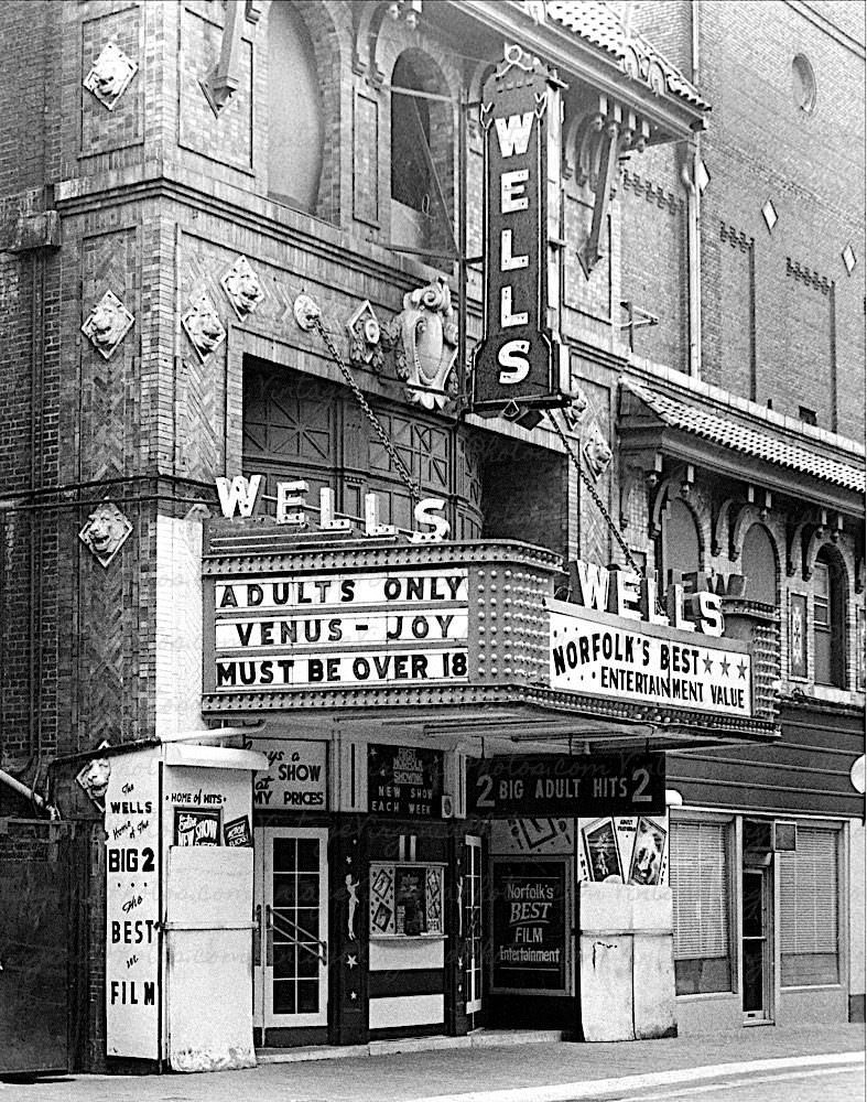
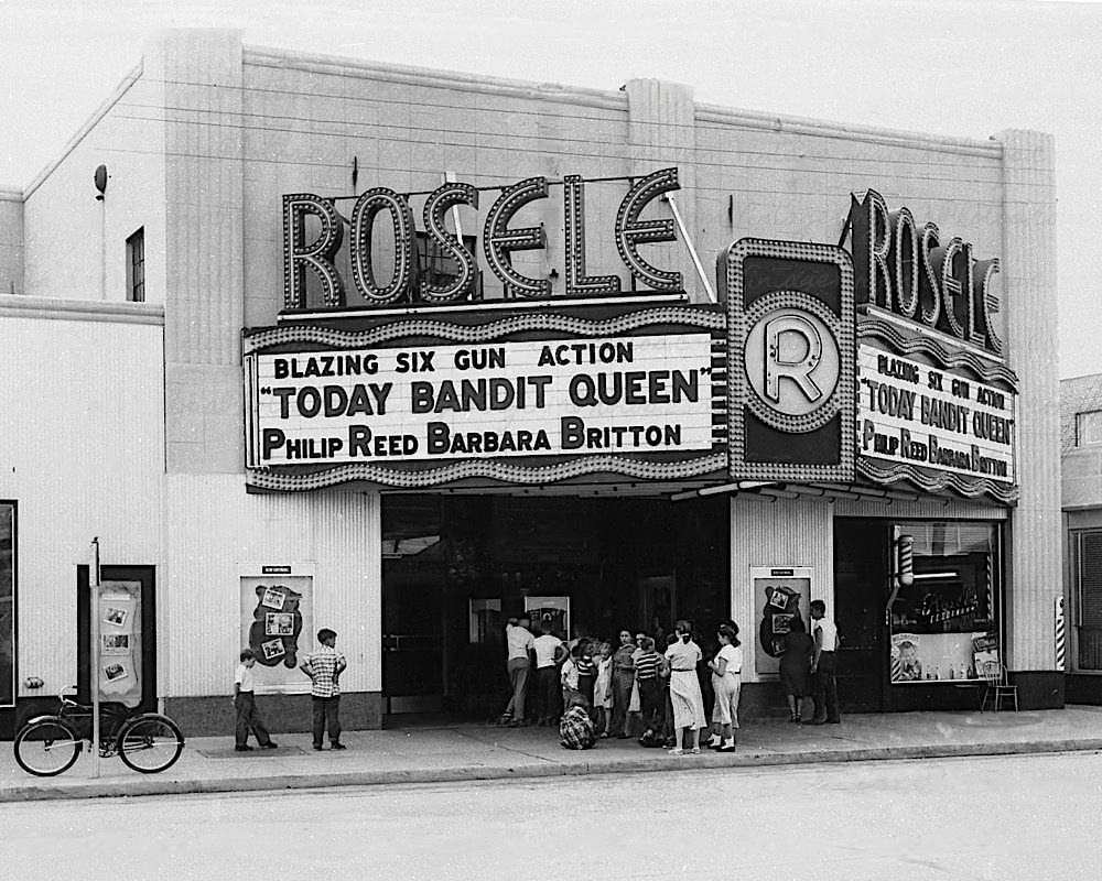
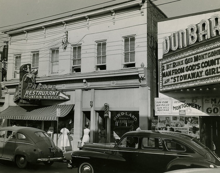
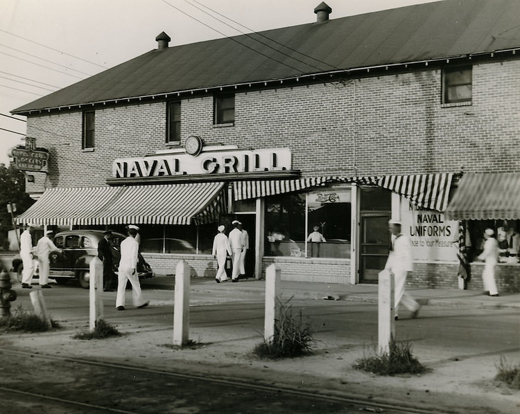
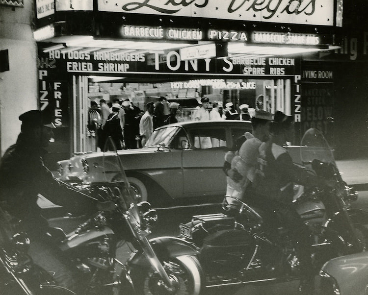
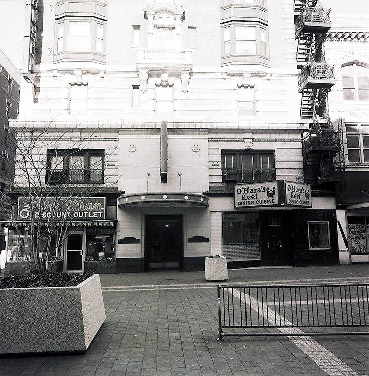
The arts and entertainment scene in Norfolk also flourished during the 1950s, with a growing number of theaters, music halls, and other venues for performance and entertainment. Many talented artists and performers called Norfolk home, and the city became known for its vibrant and dynamic cultural life.
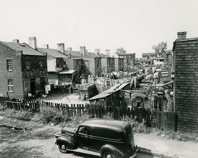
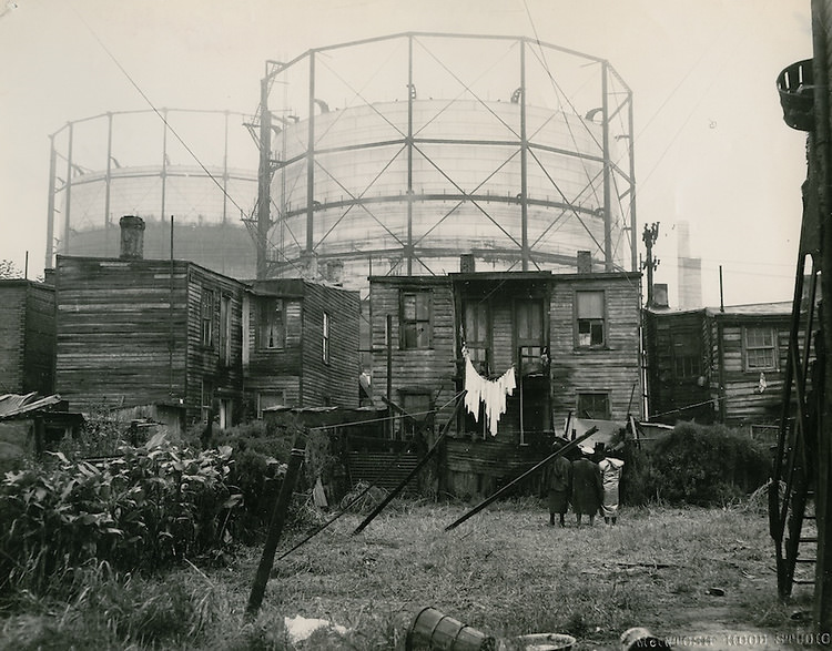
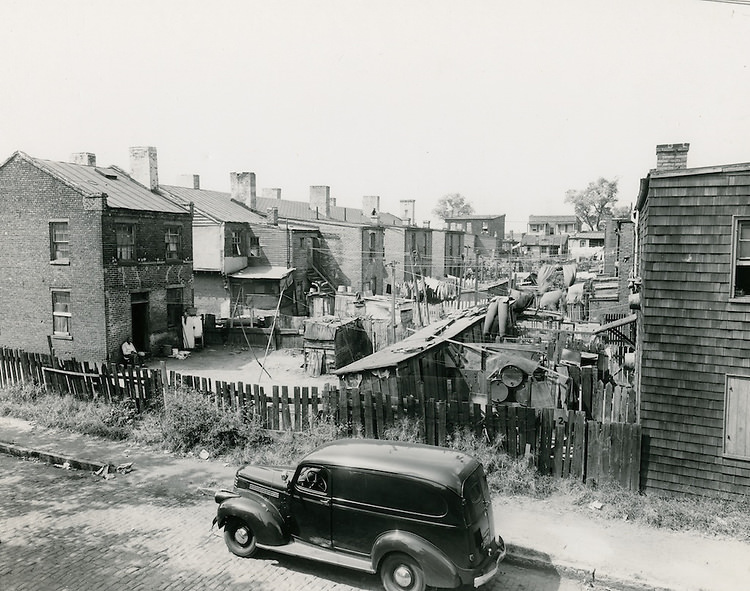
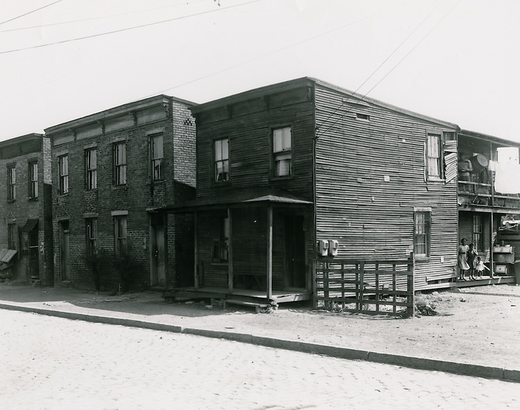
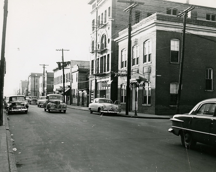
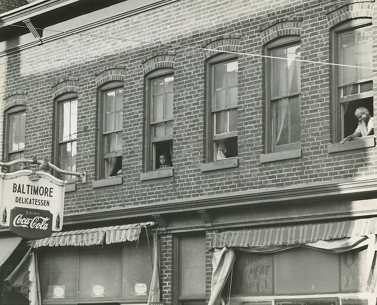
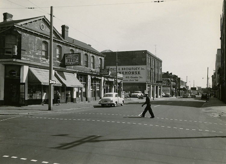
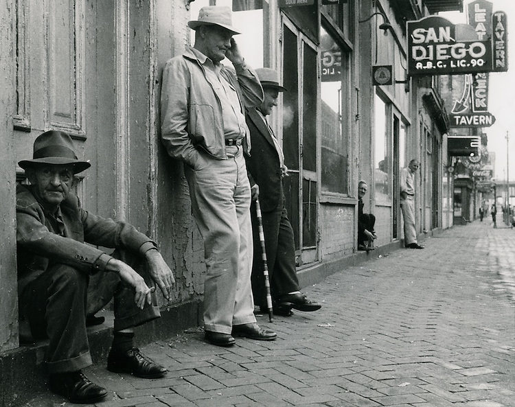
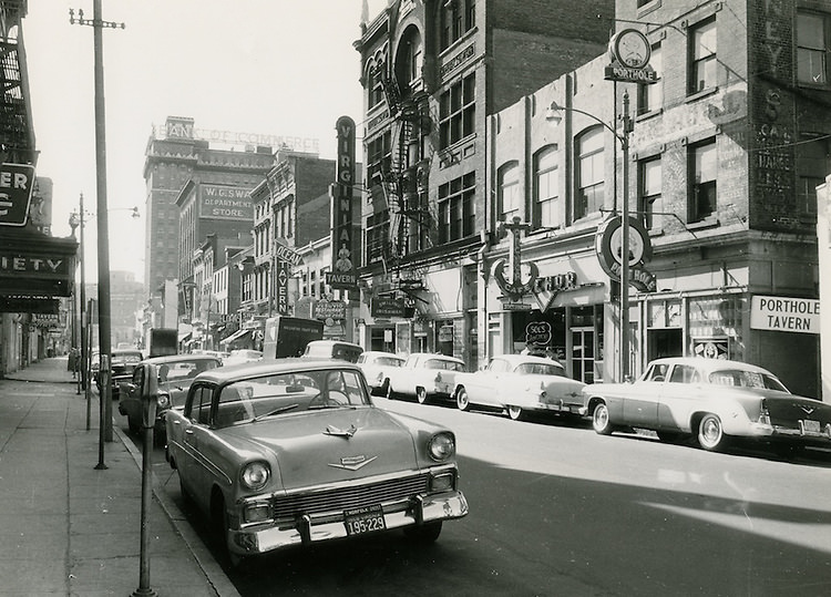
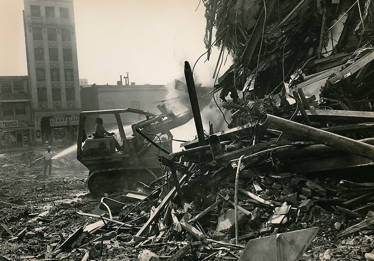
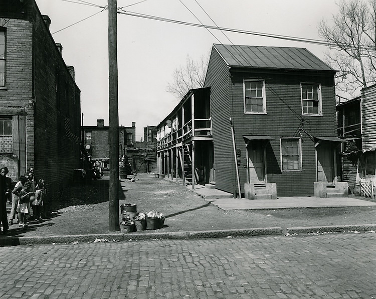
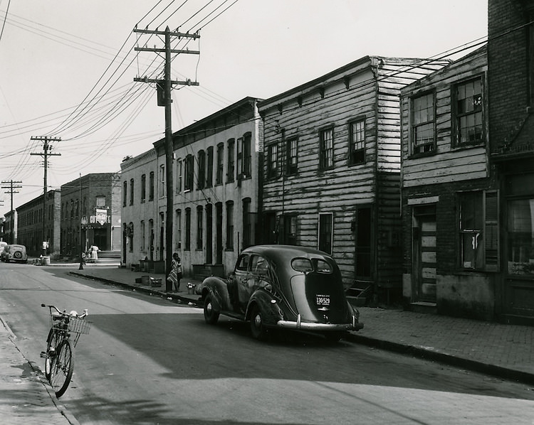
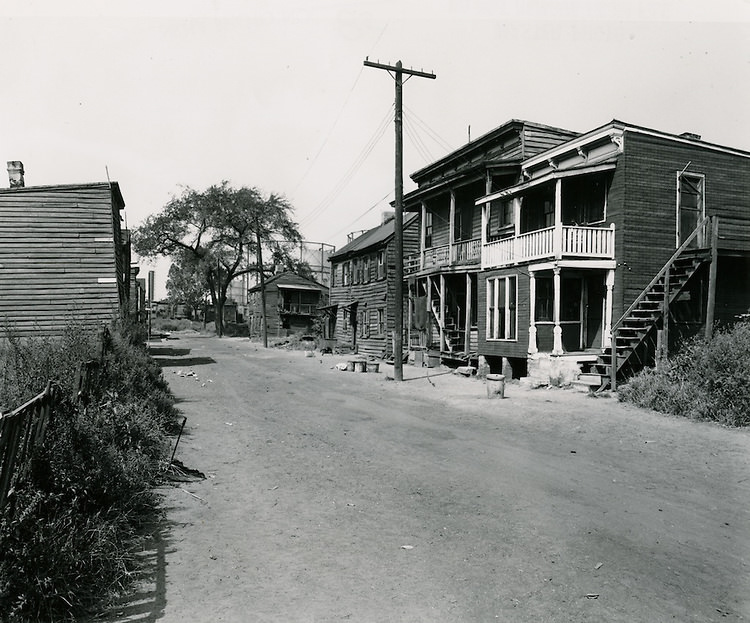
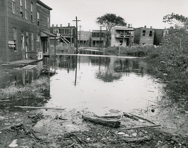
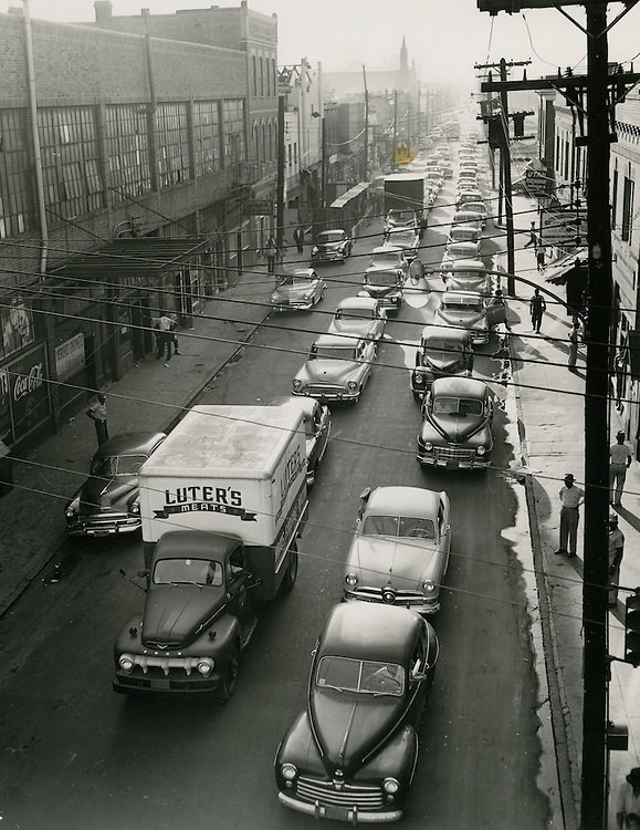
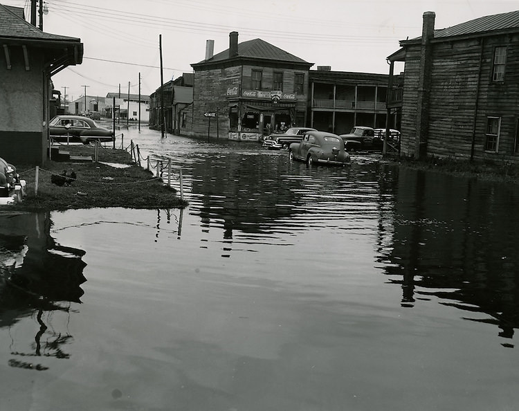
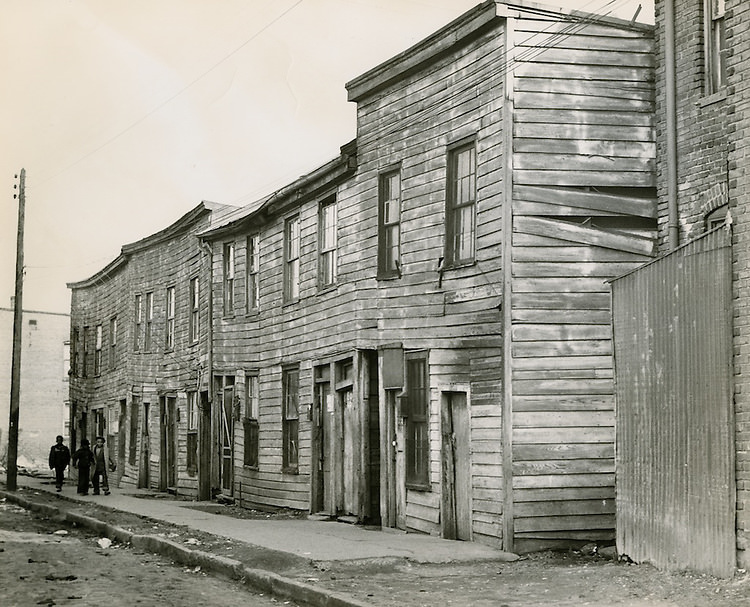
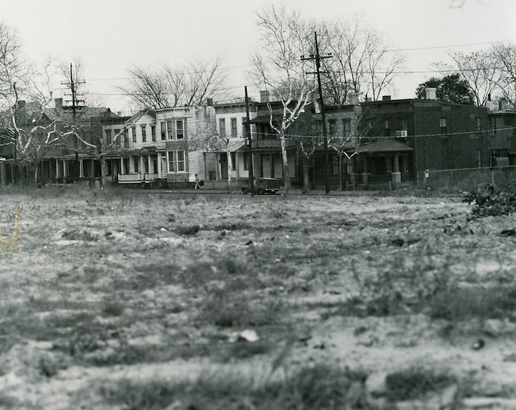
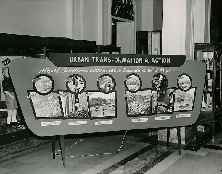
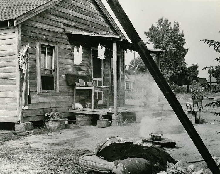
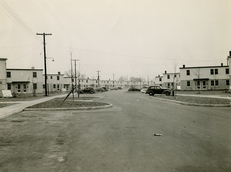
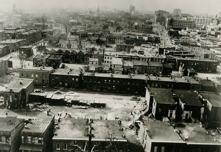
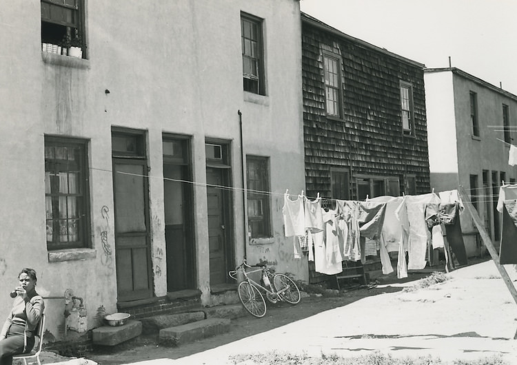
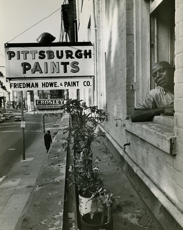
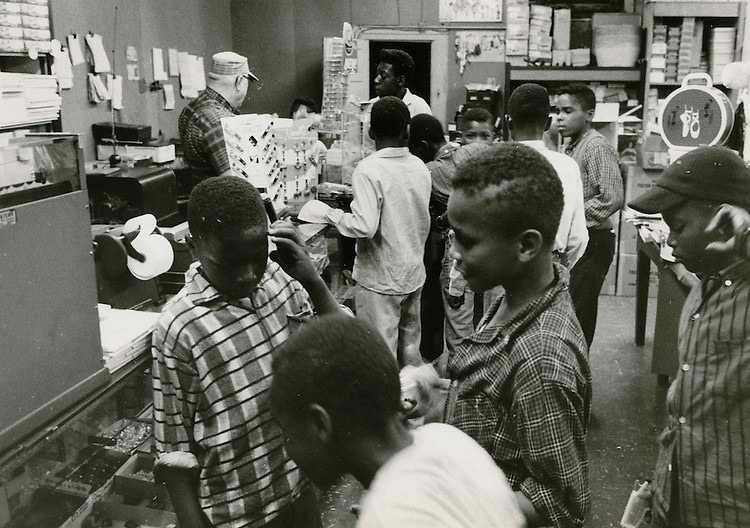
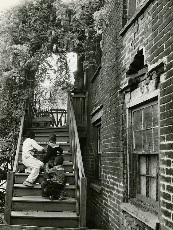
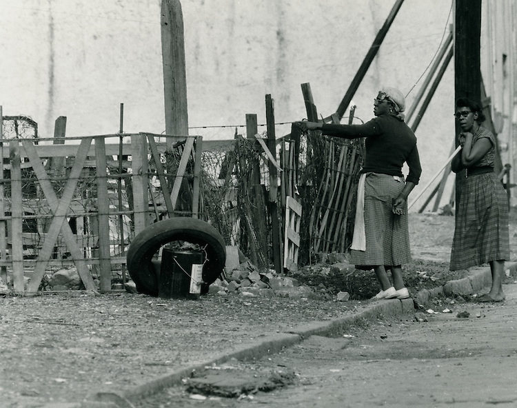
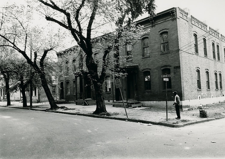
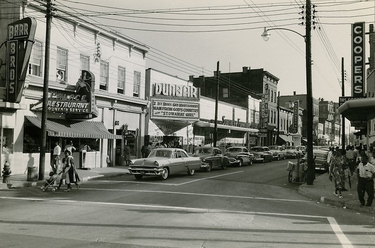
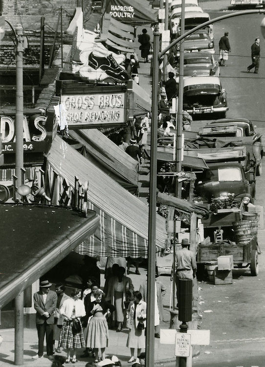
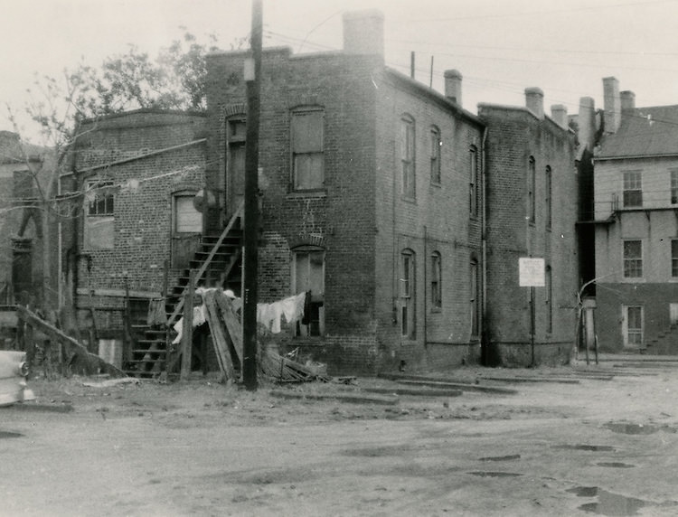
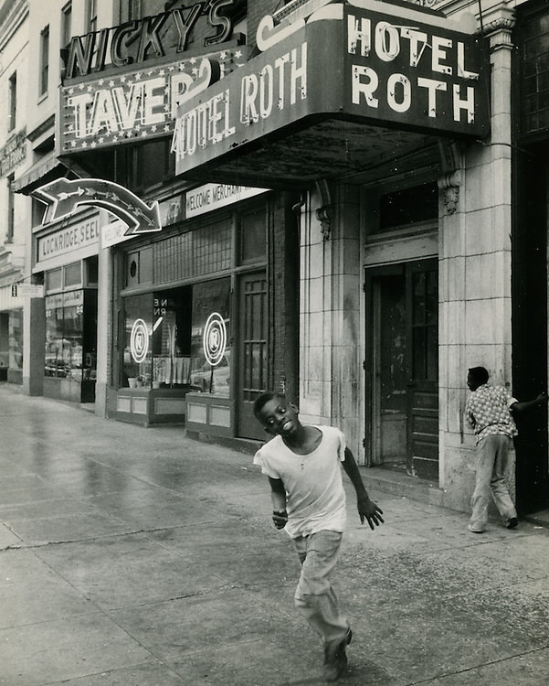
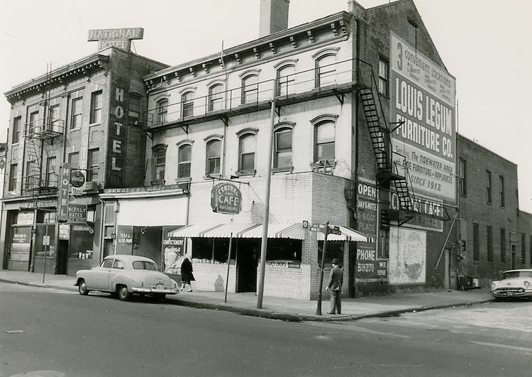
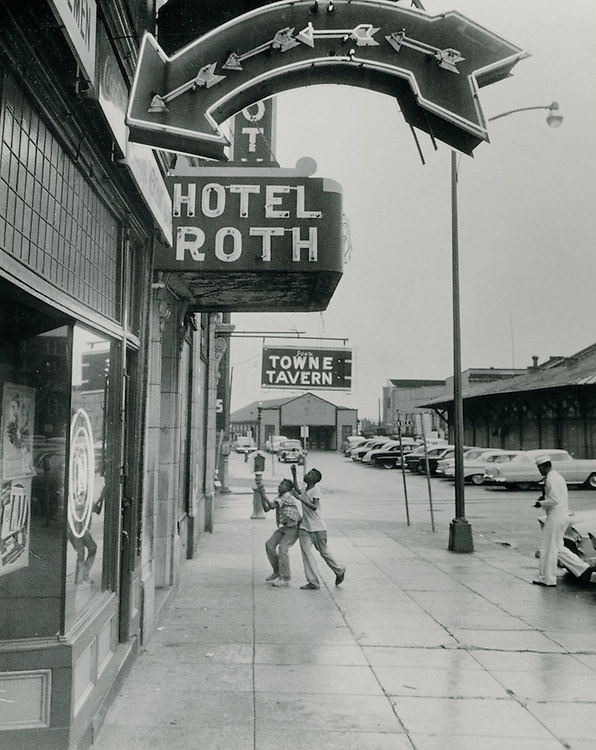
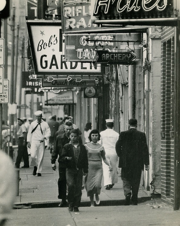
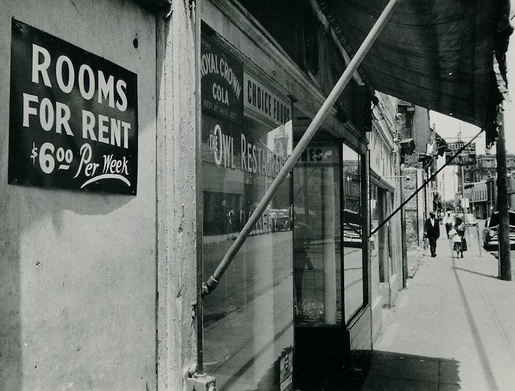
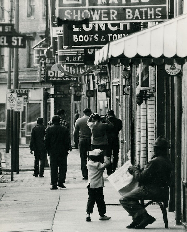
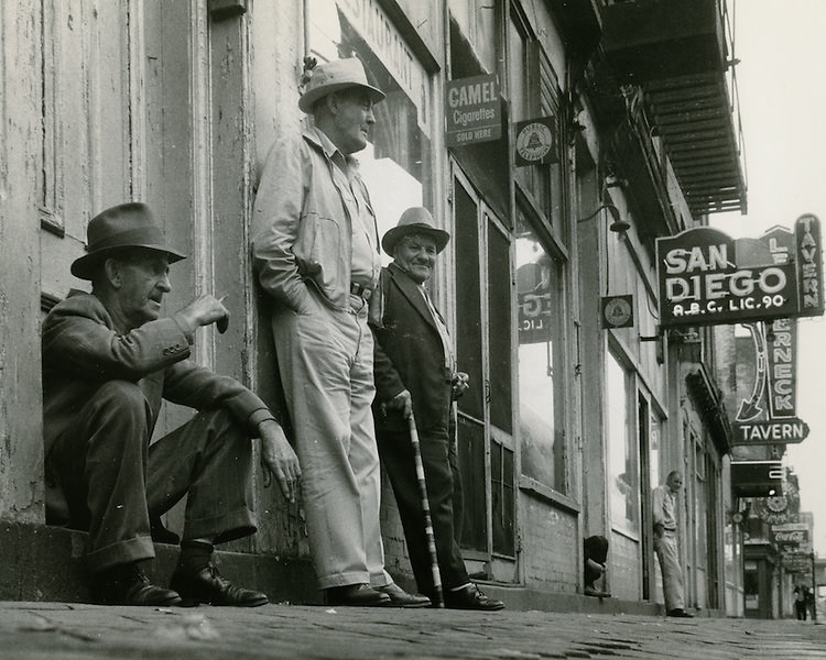
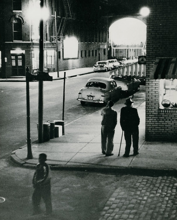
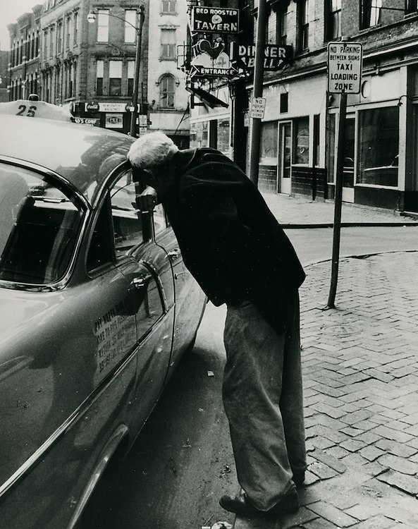
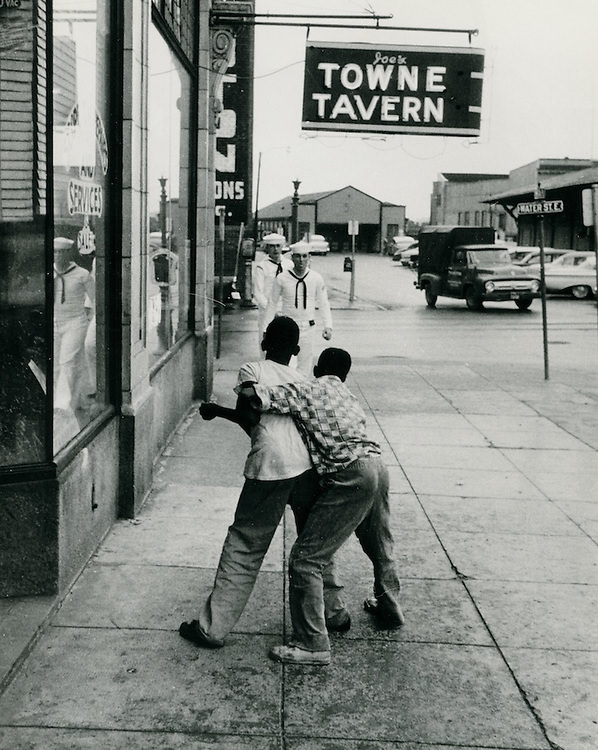
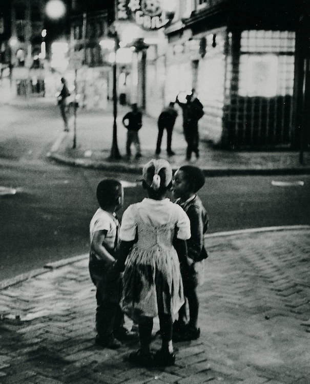
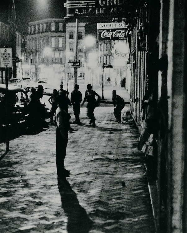
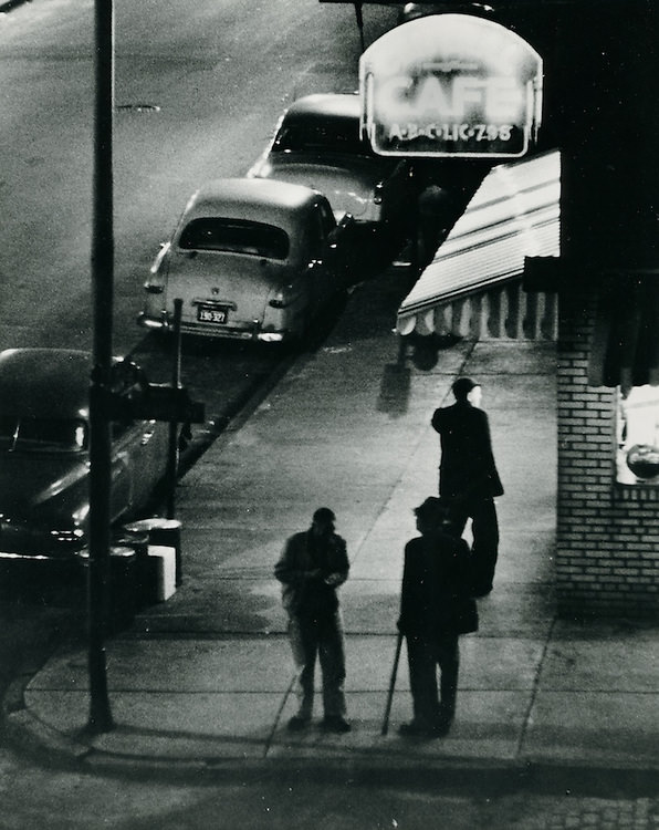
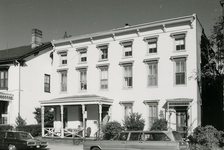
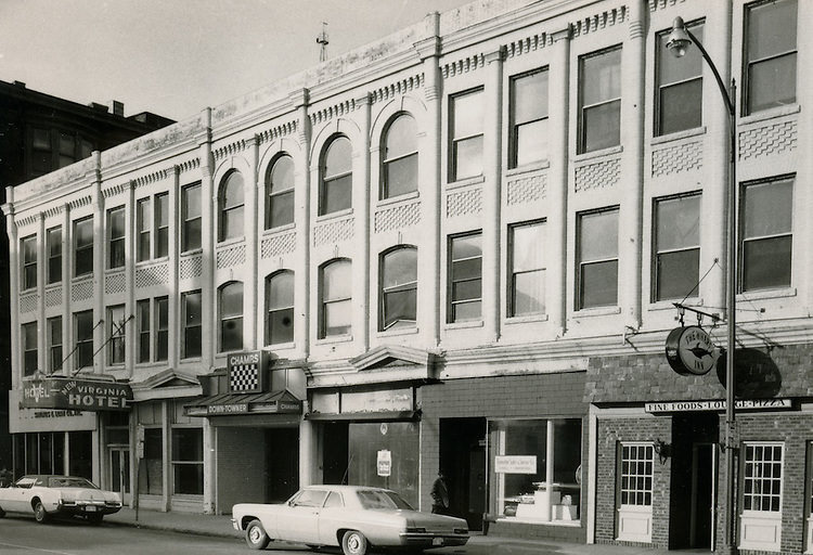
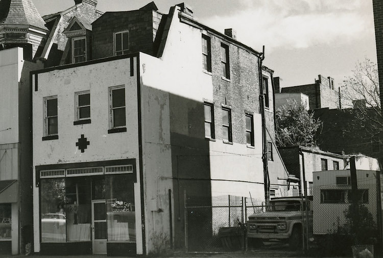
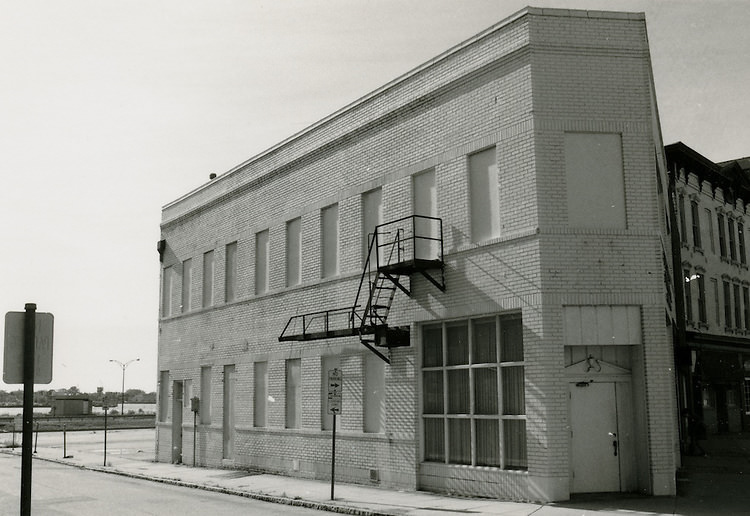
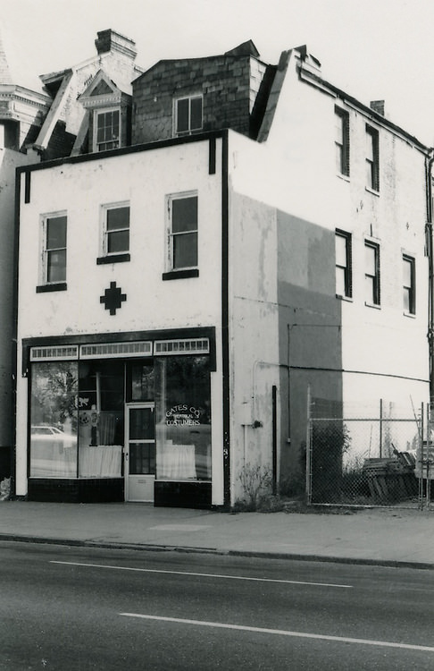
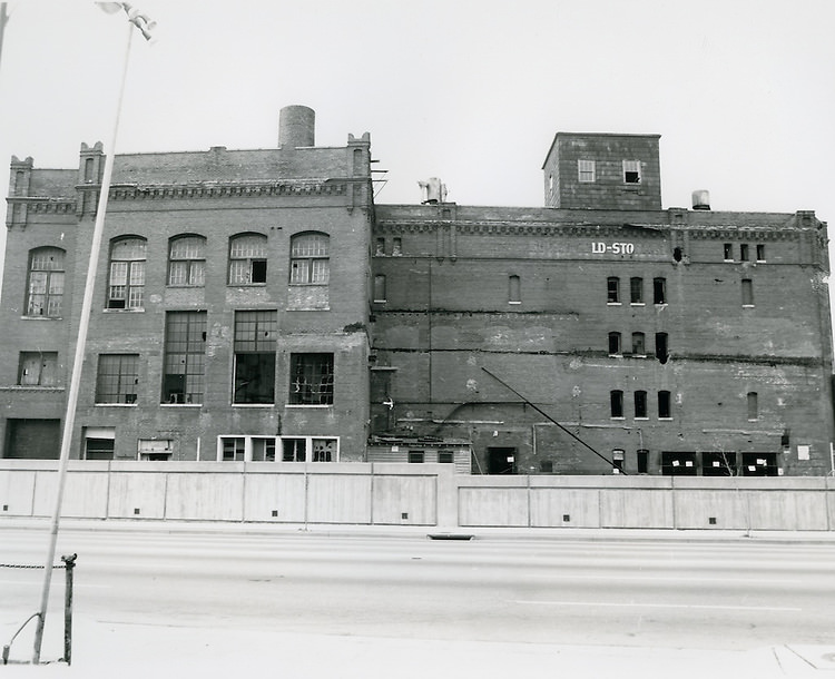
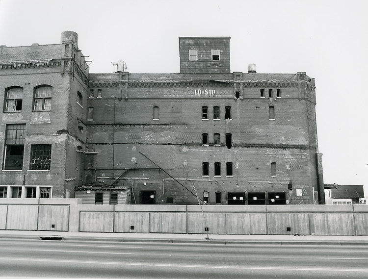
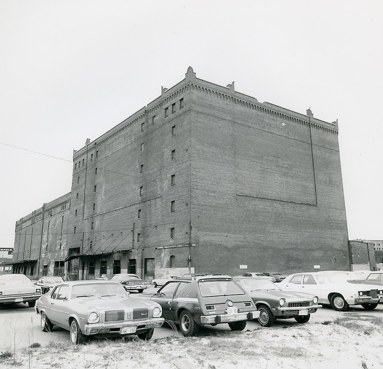
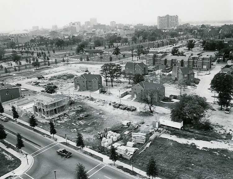
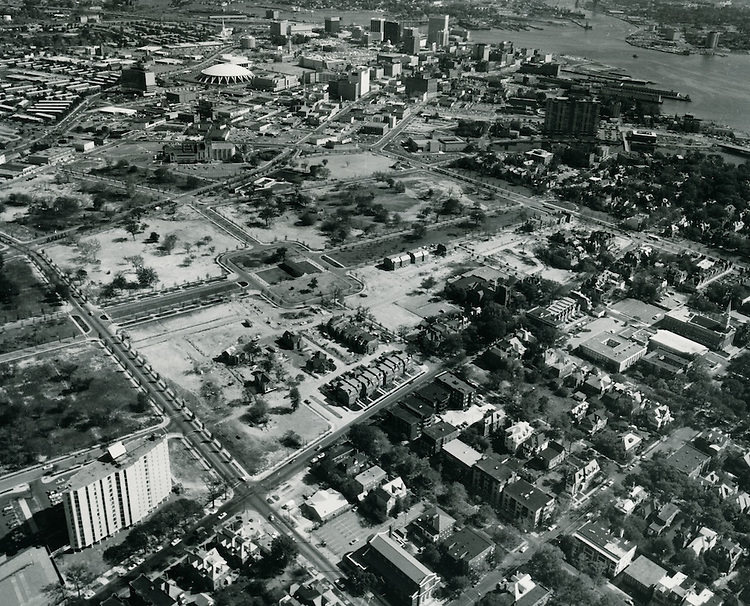
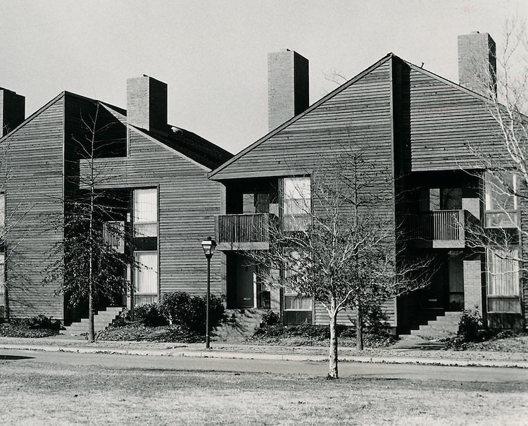
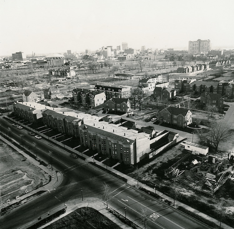
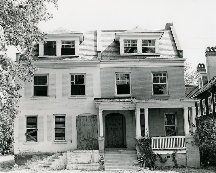
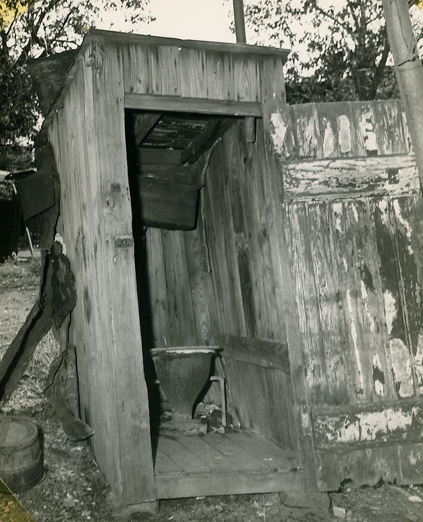
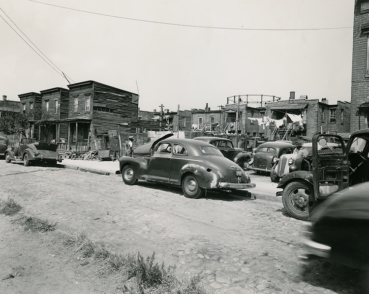
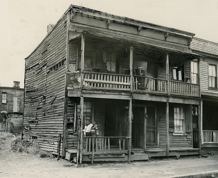
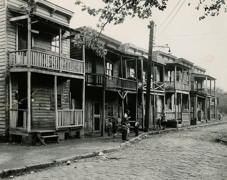
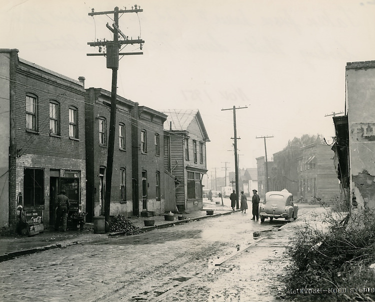
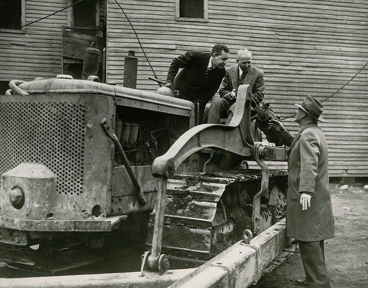
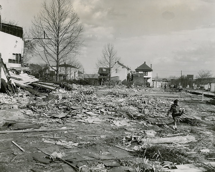
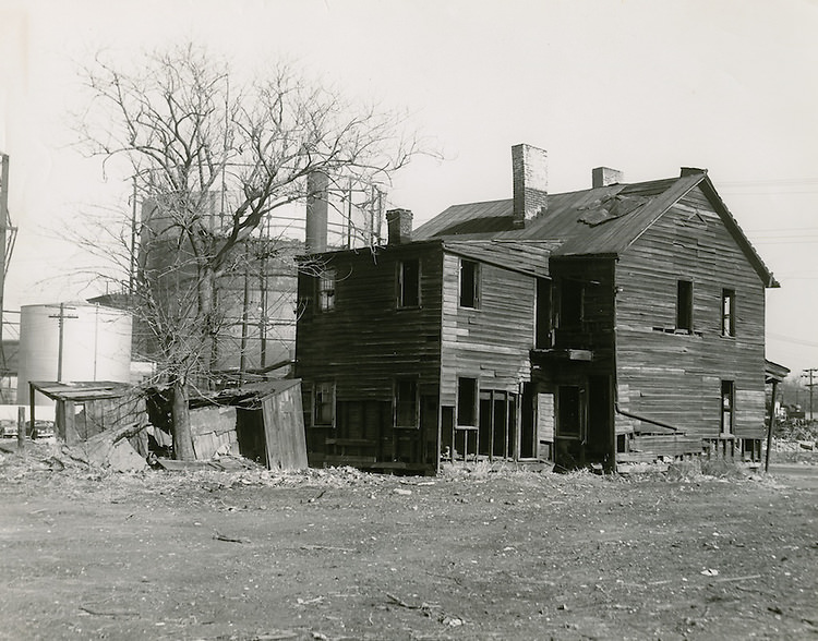
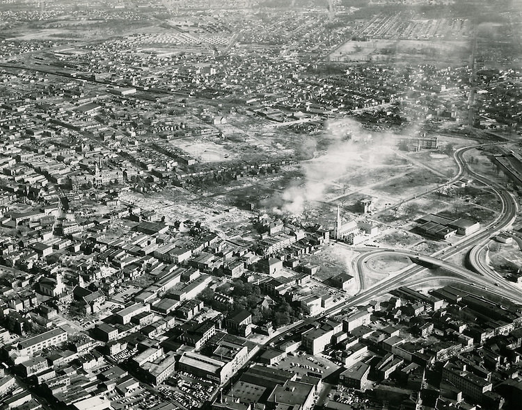
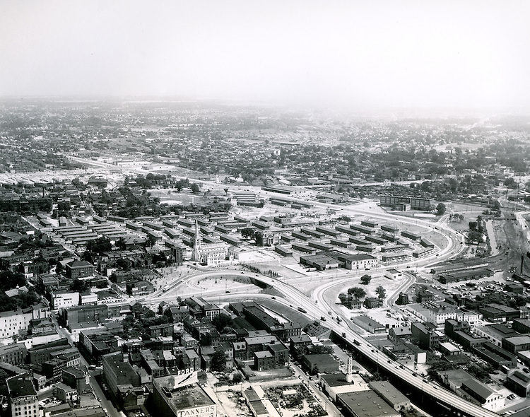
#2 Granby St. at College Place, Grant’s Dept Store, 1950s

#4 Ocean View Amusement Park Aerial, 1954

Ocean View Amusement Park Aerial, 1954

#6 St Pauls between Olnet & Lewis. Backyards Young Park, 1950s

#7 Backyards of houses facing Starr Street, 1951

Backyards of houses facing Starr Street, 1951

#11 Norfolk, 1950s

Norfolk, 1950s

#14 View looking Northwest at Downtown Norfolk, 1951

View looking Northwest at Downtown Norfolk, 1951

#15 Looking North at Docks & Waterfront Freemason Area, 1952

#17 View looking North up Monticello Avenue from City Hall Avenue, 1956

View looking North up Monticello Avenue from City Hall Avenue, 1956

#19 Corner of Charlotte Street & Monticello Avenue, 1950s

#21 Downtown South, 1958

Downtown South, 1958

#23 Main Street. Commercial Place.Confederate Monument, 1958

#24 East Main Street looking West, 1958

East Main Street looking West, 1958

#27 116 East Plume Street, 1950s

116 East Plume Street, 1950s

#31 Cumberland Street between Olney & Lewis, 1950

Cumberland Street between Olney & Lewis, 1950

#32 Slum Conditions. Lodge between Howard & St Pauls, 1950s

#34 Looking South St Pauls Boulevard, 1953

Looking South St Pauls Boulevard, 1953

#37 Slum Conditions in Norfolk, 1953

Slum Conditions in Norfolk, 1953

#41 Norfolk, 1958

Norfolk, 1958

#42 Aerial view looking North of entire city to Ocean View, 1958

#44 Old Christ Church, Norfolk, 1958

Old Christ Church, Norfolk, 1958

#46 Looking South down Bute Street at Freemason District, 1959

#47 Brambleton Avenue at Church Street, 1959

Brambleton Avenue at Church Street, 1959

#51 Norfolk, 1950s

Norfolk, 1950s

#54 Aerial view looking Northeast, 1950s

Aerial view looking Northeast, 1950s

#56 Redevelopment..Slum Conditions.Looking South, 1952

#57 Naval Grill. Outside NOB Gate 2, 1952

Naval Grill. Outside NOB Gate 2, 1952

#61 Downtown North (R-8)…Brambleton Avenue (After). Photograph shows newly widened Brambleton Avenue and surroundind redeveloped area, 1958

Downtown North (R-8)...Brambleton Avenue (After). Photograph shows newly widened Brambleton Avenue and surroundind redeveloped area, 1958

#62 Downtown North (R-8)..Friedman Hardware & Paint Co., 1958

#64 Slum Conditions in Norfolk, 1958

Slum Conditions in Norfolk, 1958

#66 View looking South at Downtown Norfolk. Young Terrace & Tidewater Gardens in foreground, 1958

#67 Bank Street Baptist Church. 501 Bank Street, 1958

Bank Street Baptist Church. 501 Bank Street, 1958

#71 Looking west down City hall Avenue, 1950s

Looking west down City hall Avenue, 1950s

#73 Looking North to Commercial Place from Waterfront, 1959

#74 Downtown South (R-9). Looking South to Waterfront, 1953

Downtown South (R-9). Looking South to Waterfront, 1953

#75 Downtown South (R-9)..Slum Conditions and Civic Center Site, 1957

#77 East Main Street. View of Corner of Main Street and Chapel Street, 1958

East Main Street. View of Corner of Main Street and Chapel Street, 1958

#79 604 East Main Street.Looking West.from North Side of Street.Drop in Sidewalk is Metcalf Lane, 1958

#81 Downtown South, Norfolk, 1958 Spring

Downtown South, Norfolk, 1958 Spring

#84 Downtown, Norfolk, 1958

Downtown, Norfolk, 1958

#87 Downtown, Norfolk, 1958

Downtown, Norfolk, 1958

#91 Downtown, Norfolk, 1958

Downtown, Norfolk, 1958

#94 Downtown South, 1958

Downtown South, 1958

#97 116 Tazewell Street, 1950s

116 Tazewell Street, 1950s

#100 Mutual Federal Savings & Loan Association, 1950s

#101 312 Boush Street, 1950s

312 Boush Street, 1950s

#104 Downtown West, Norfolk, 1955

Downtown West, Norfolk, 1955

#107 312 Boush Street, 1955

312 Boush Street, 1955

#111 View of Federal Office Building. Site of Monticello Hotel, Norfolk, 1950s

View of Federal Office Building. Site of Monticello Hotel, Norfolk, 1950s

#114 Freemason District, 1950s

Freemason District, 1950s

#117 Granby Street, Pedestrian mall, 1950s

Granby Street, Pedestrian mall, 1950s

#121 Granby Street, Pedestrian mall, 1950s

Granby Street, Pedestrian mall, 1950s

#124 Aerial View looking South before construction, 1950

Aerial View looking South before construction, 1950

#127 New construction looking South from Princess Anne Road, 1950s

New construction looking South from Princess Anne Road, 1950s

#130 View looking North.Ghent.East Ghent South, 1950s

#131 View looking South, 1950s

View looking South, 1950s

#134 Starr Street. McIntosh Studio, 1951

Starr Street. McIntosh Studio, 1951

#136 Taken from house #622 on Nicholson Street looking West down Nicholson Street, 1951

#137 Demolition Ceremony, 1951

Demolition Ceremony, 1951

#139 Young Park Demolition. Scene showing area being cleared for new Second Precinct Police Station, 1951

#140 Duckworth Property. Slum Conditions. Site of Young Park, 1951

#141 Tidewater Gardens. Looking Northeast, 1953

Tidewater Gardens. Looking Northeast, 1953

#142 Aerial view of Civic Center site prior to construction, 1958

#143 View looking West at Downtown Norfolk. Financial District on left.17 acres site center.Norfolk Scopr upper right, 1950s

View looking West at Downtown Norfolk. Financial District on left.17 acres site center.Norfolk Scopr upper right, 1950s

-1 Points
Upvote Downvote
Avatar of Aung Budhh

Written by Aung Budhh

Husband + Father + librarian + Poet + Traveler + Proud Buddhist. I love you with the breath, the smiles and the tears of all my life.

Leave a Reply

Your email address will not be published. Required fields are marked *