
Norfolk, Virginia in the 1980s was a city in motion. Its port remained one of the busiest on the East Coast, and the shipping industry kept thousands of workers employed. New businesses were opening across the city, and people from across the country were arriving in search of work. The population grew steadily throughout the decade, reshaping neighborhoods and pushing development into new corners of the city. One of the defining moments of Norfolk’s economic story during this period came in 1980, when the Southern Railway and the Norfolk and Western Railway merged to create the Norfolk Southern Corporation — one of the largest railroads in the United States. The company planted its headquarters right in Norfolk, cementing the city’s role as a major hub for freight and commerce on the Eastern Seaboard.
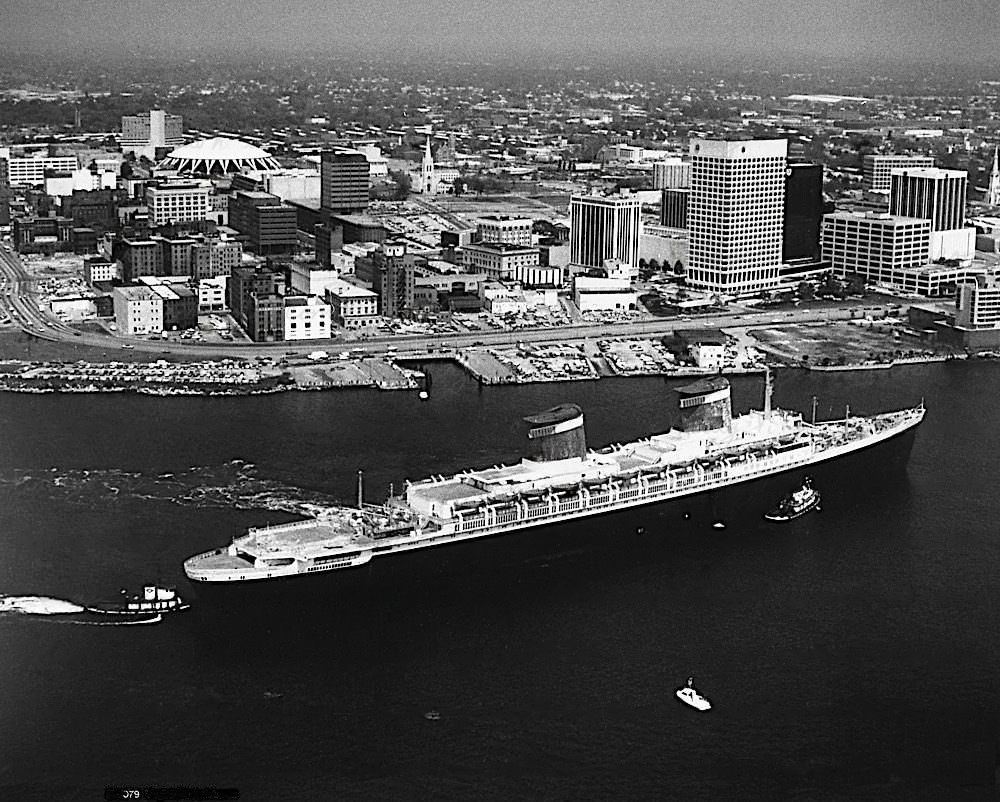
The SS United States, the fastest ocean liner ever built, could still be seen docked in Norfolk waters at the start of the decade. Though the ship had been retired from passenger service years earlier, its massive presence along the downtown waterfront was a striking reminder of the city’s deep ties to the sea. Norfolk’s identity has always been shaped by the water — from commercial shipping to the United States Navy.
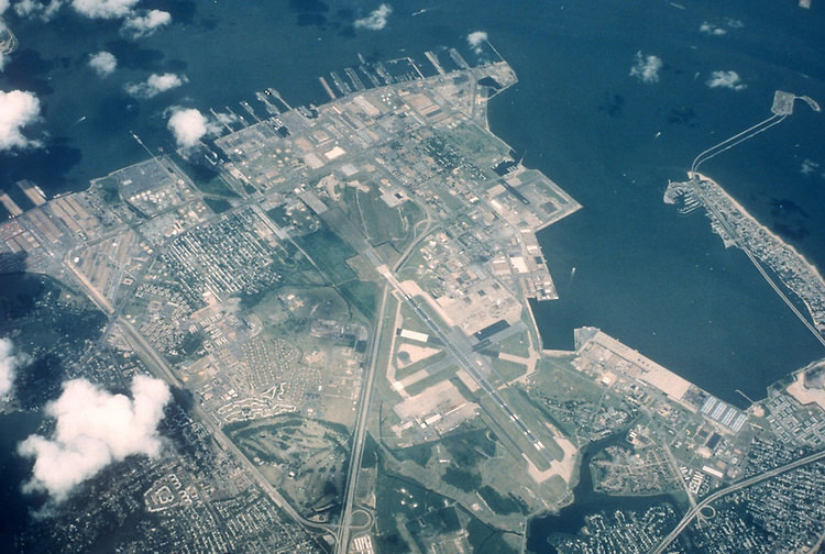
Naval Station Norfolk, the largest naval base in the world, dominated the city’s northern shore and was a constant presence in everyday life. Tens of thousands of sailors, civilians, and military families lived and worked in and around the base. By the end of the decade, the base had grown even further, with rows of warships stretching along the piers as far as the eye could see. Downtown Norfolk reflected this military energy, with shops, restaurants, and hotels all catering to the steady flow of service members.
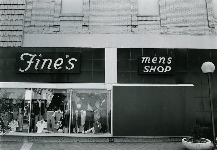
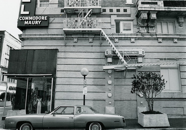
Street-level commercial life in downtown Norfolk during the 1980s was defined by local businesses. Fine’s Mens Shop was a familiar fixture, part of a retail landscape where independent stores still held their own against the slow creep of national chains. The Hotel Commodore Maury stood as one of the area’s recognizable landmarks, its architecture rooted firmly in an earlier era of American travel and hospitality. These blocks gave downtown a lived-in, working character.
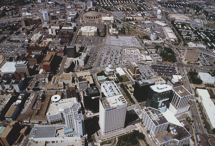
From above, downtown Norfolk in the 1980s showed a city that was dense but not overwhelmingly tall. A cluster of mid-rise office buildings anchored the business district, surrounded by older brick structures and wide streets built for a port city’s heavy traffic. The Elizabeth River curved along the southern edge of downtown, framing the skyline from the water. Development was concentrated near the waterfront, while inland blocks transitioned into residential neighborhoods.
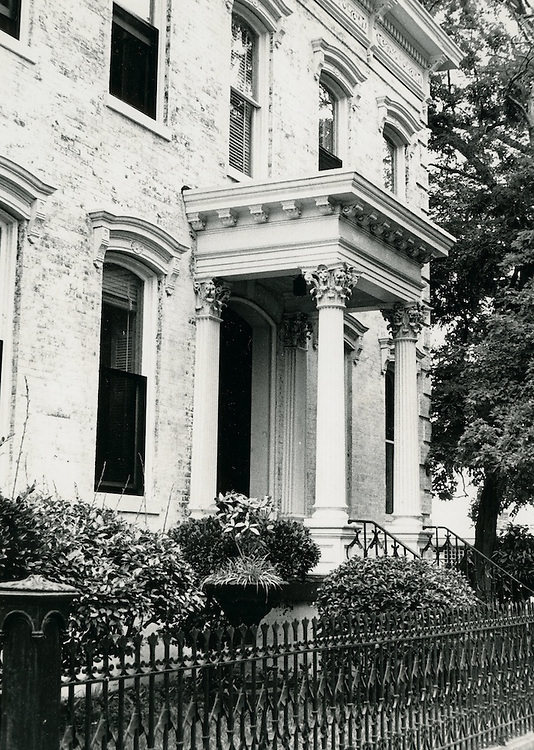
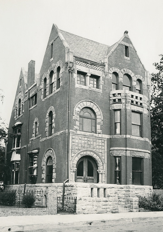
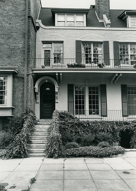
The Freemason District, one of Norfolk’s oldest residential neighborhoods, retained much of its 19th-century character through the 1980s. Tree-lined streets, Federal and Victorian-style rowhouses, and brick sidewalks gave the neighborhood a quiet, historic feel just a short walk from the noise of downtown. The district sat near the waterfront and attracted residents who valued the older architecture and close proximity to the city’s core. By this decade, preservation efforts were underway to protect Freemason’s historic buildings from demolition.
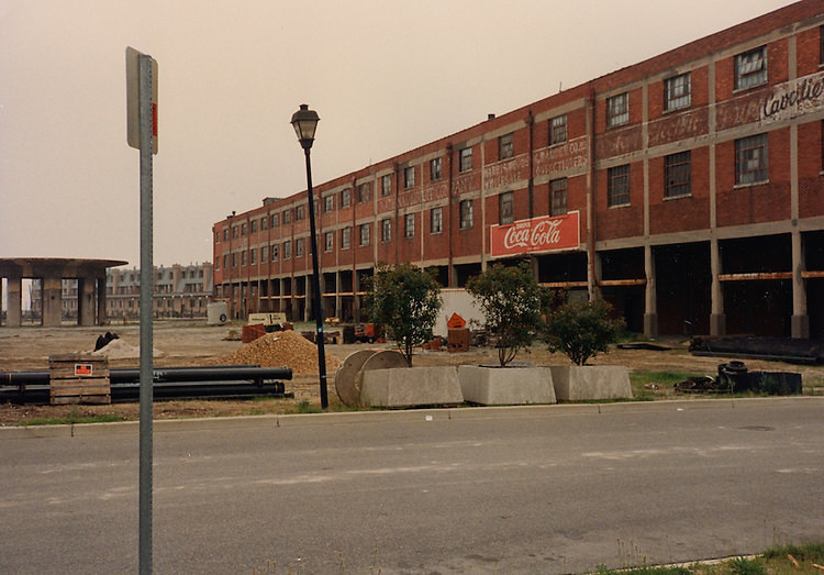
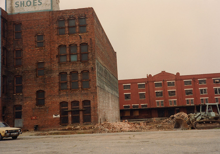
The western edge of downtown showed a different face of the city — wider lots, more utilitarian architecture, and streets that connected the central business district to the surrounding neighborhoods. This part of the city was transitional by nature, caught between the pull of downtown commerce and the quieter residential blocks further west. Some buildings dated back decades, their facades showing the wear of a city that had been building and rebuilding since the colonial era.
Ghent was one of Norfolk’s most distinctive neighborhoods throughout the 1980s. Originally developed in the late 1800s as a streetcar suburb, it featured wide boulevards, mature trees, and a mix of apartment buildings and single-family homes. The southern part of East Ghent blended into the broader urban fabric of the city, with small businesses, coffee shops, and galleries catering to a younger, artistically inclined population. Norfolk’s arts scene found a natural home here.
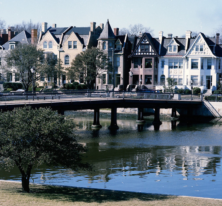
Mowbray Arch, viewed across the still waters of The Hague — an inland tidal inlet — was one of the most scenic spots in the entire city. The Hague formed the southern boundary of Ghent, and the homes along Mowbray Arch faced the water directly, their reflections visible on calm days. This stretch of Norfolk looked in the 1980s much as it had for generations, a quiet, elegant waterfront street largely untouched by the development pressure affecting other parts of the city.
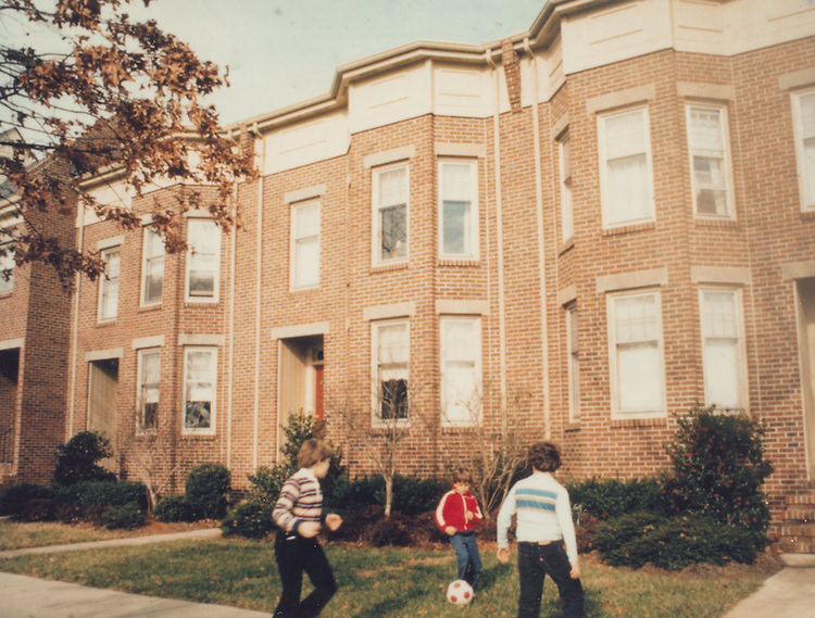
Ghent Square served as one of the neighborhood’s central gathering points. The small commercial strip anchoring the square brought together residents for everyday errands and casual socializing. Boutique shops, local eateries, and professional offices filled the buildings around the square, giving Ghent a self-contained, walkable quality that set it apart from more car-dependent parts of the city.
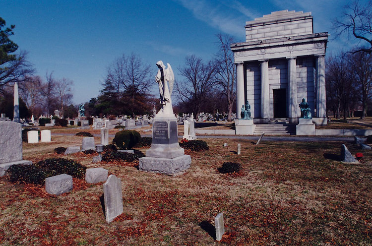
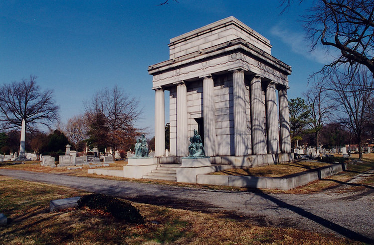
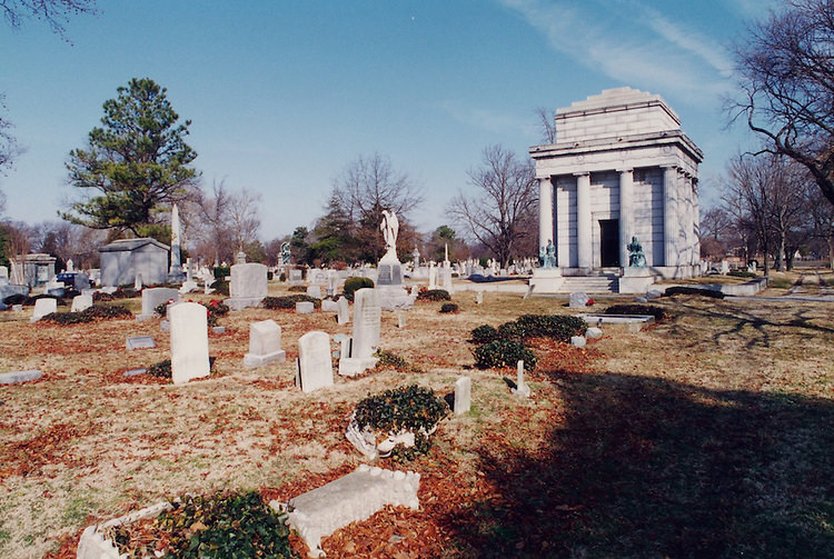
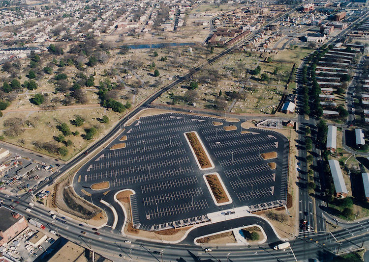
Cedar Grove Cemetery, established in the 19th century, held the remains of some of Norfolk’s earliest residents. By the 1980s, the cemetery was a quiet, shaded space surrounded by an increasingly urban landscape. Its headstones marked names stretching back to the Civil War era and earlier. The grounds served as both a burial site and a record of the city’s long history, with graves reflecting the diverse communities that had lived in Norfolk over the centuries.
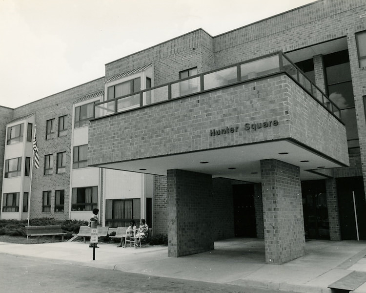
Hunter Square captured the everyday texture of Norfolk neighborhood life in the 1980s. Modest commercial storefronts, parked cars lining the curb, and the low-scale architecture typical of Norfolk’s older residential districts made up the scene. Across the city, these kinds of squares and local gathering spots defined how residents experienced their neighborhoods — not through major landmarks, but through the familiar rhythm of daily life on streets they had known for years.




