
By 1941, Norfolk, Virginia was already straining at its seams. World War II had turned the city into one of the most strategically important military hubs on the East Coast. The Norfolk Navy Yard was running around the clock, and nearly 100 ships and landing craft were built in the area during the war. Defense contracts drew workers from across the South — from the farms of North Carolina to the towns of Maryland — flooding a city that had neither the housing nor the infrastructure to handle them. Between 1940 and 1944, Norfolk’s population nearly doubled. The photographs taken during this period capture a city in the middle of a dramatic, often painful transformation.
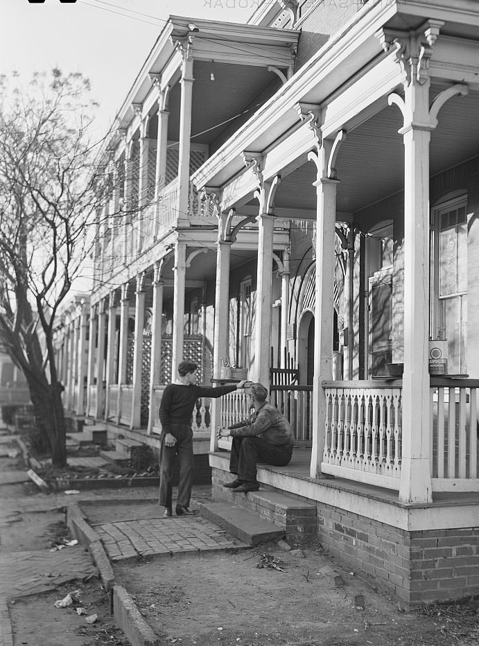
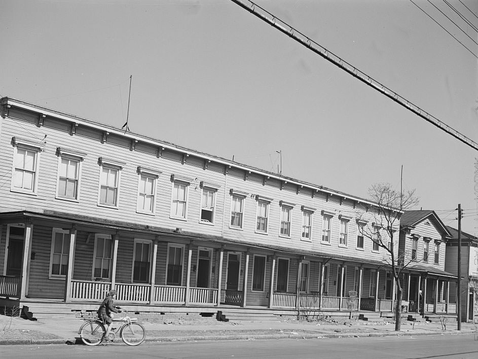
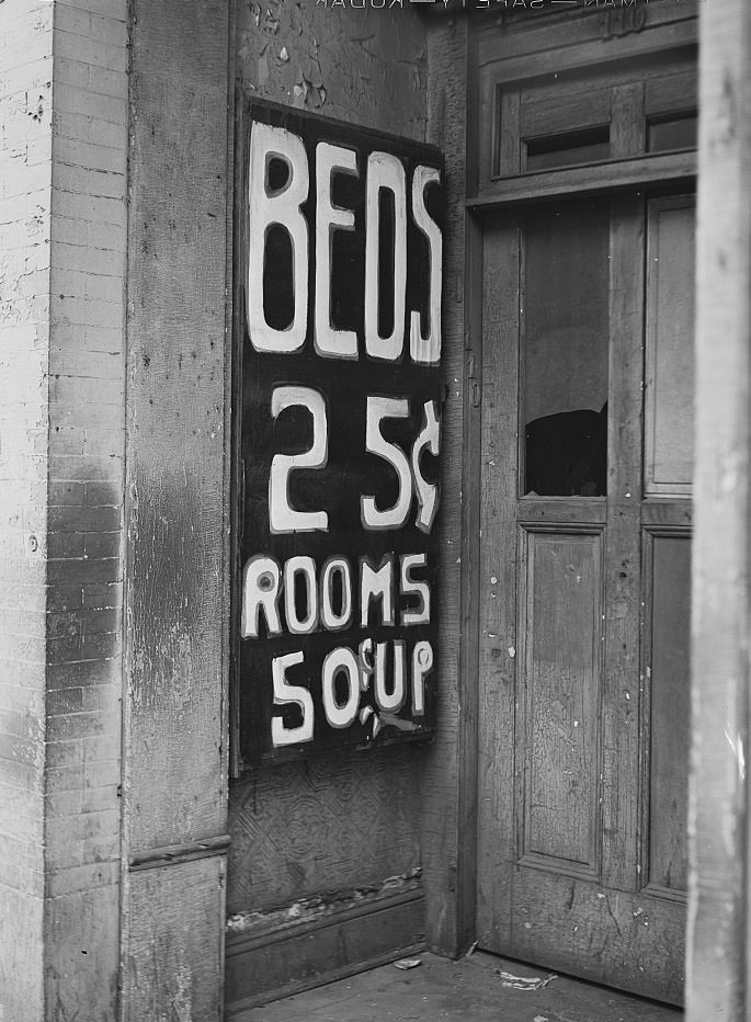
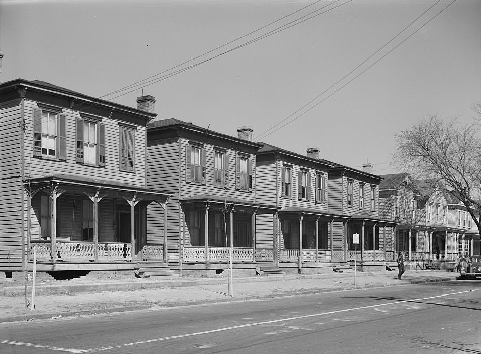
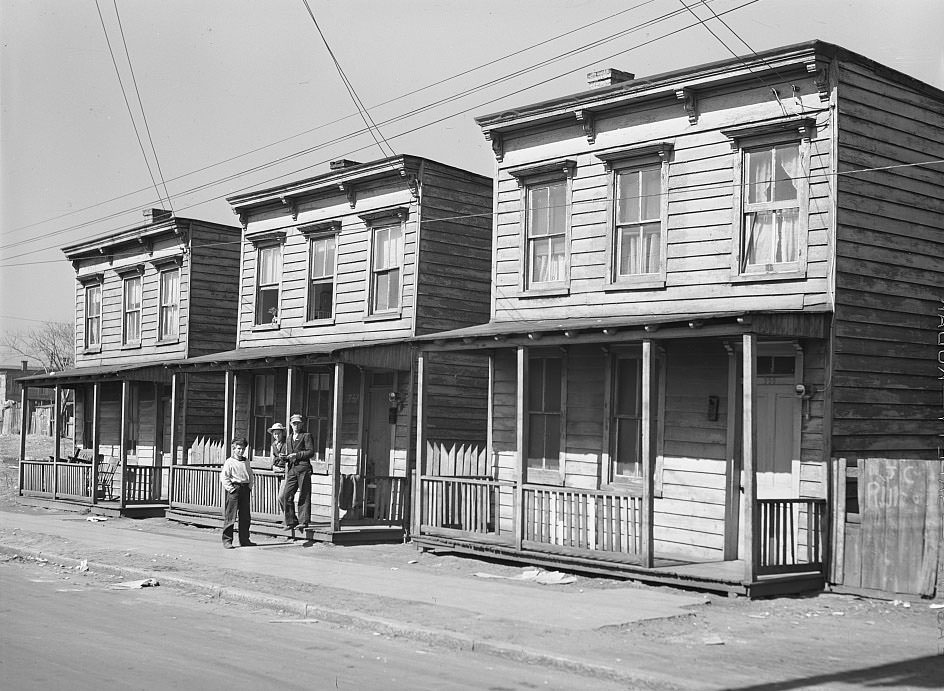
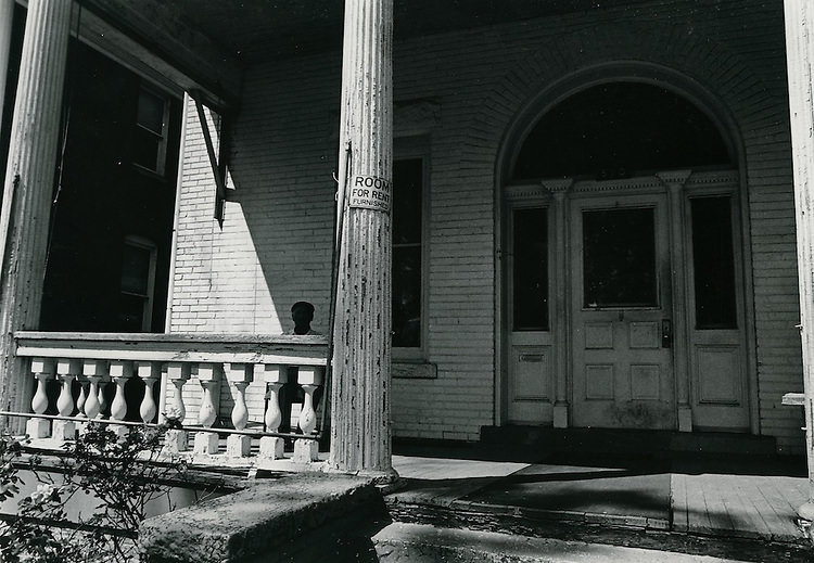
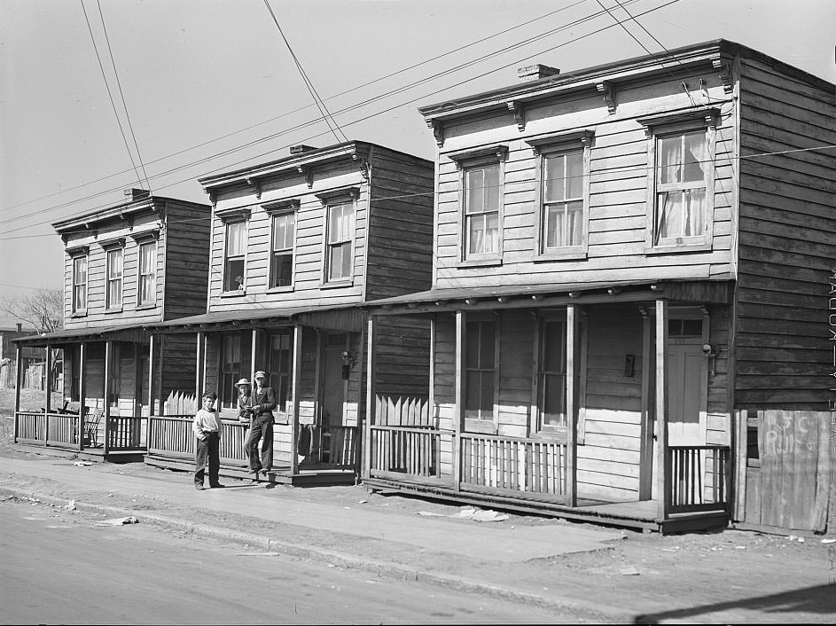
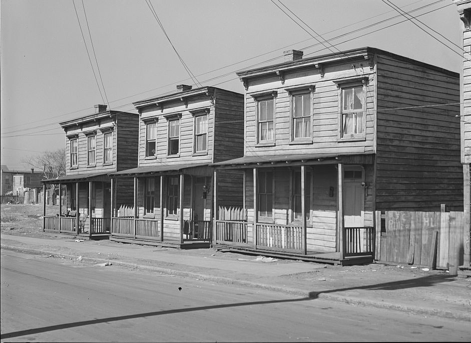
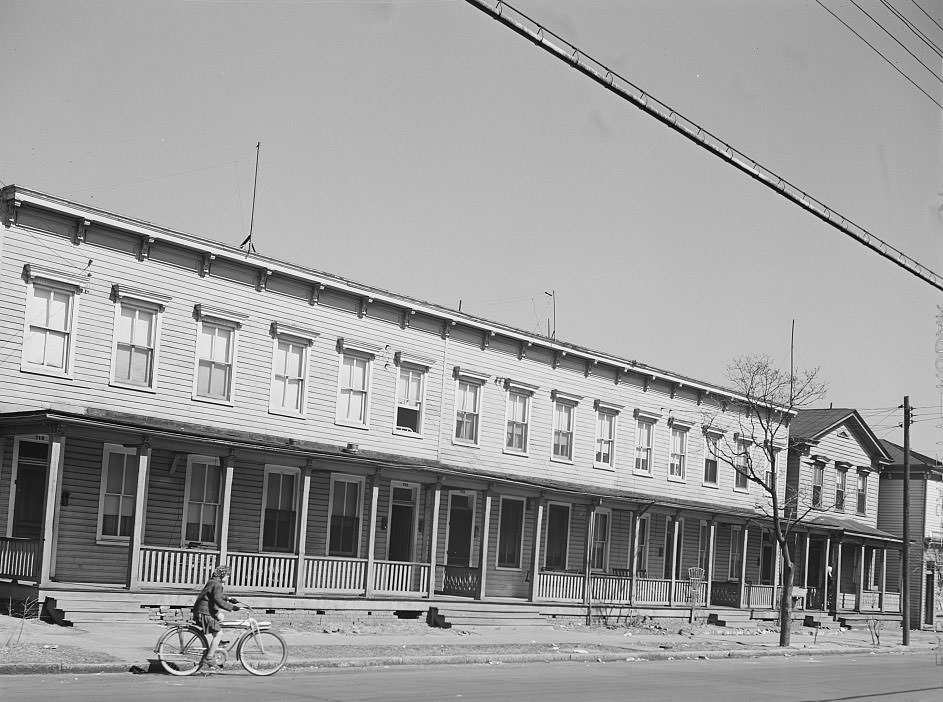
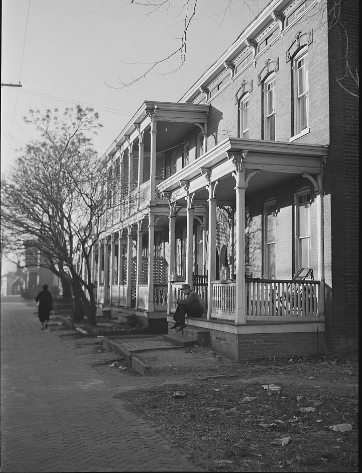
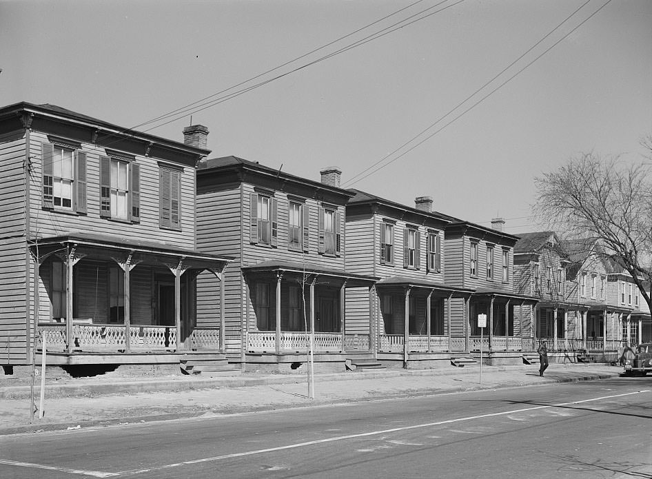
Rooming houses quickly became the primary option for the thousands of workers who arrived with little money and no local connections. Landlords packed as many tenants as possible into existing residential buildings, and rents climbed as demand far outpaced supply. Workers stood on stoops and sidewalks in front of aging houses that had been divided and subdivided to fit the surge. The city could not build fast enough to keep up.
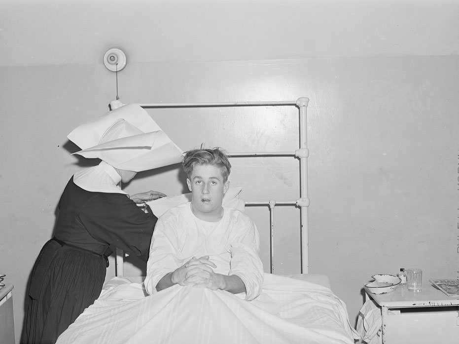
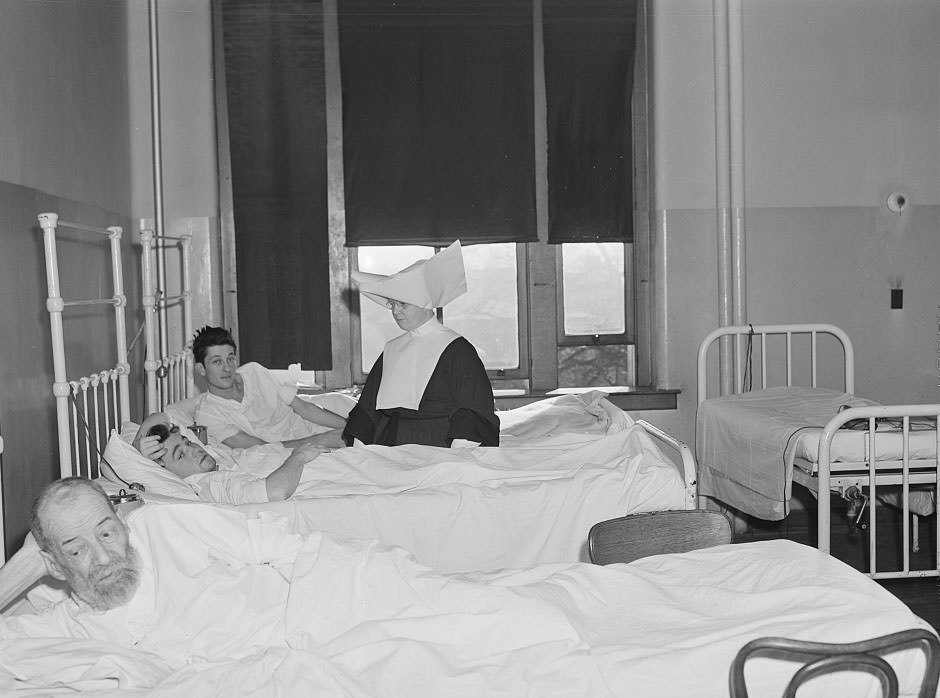
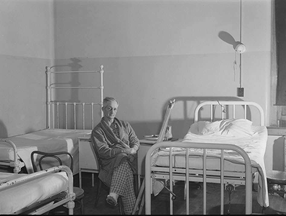
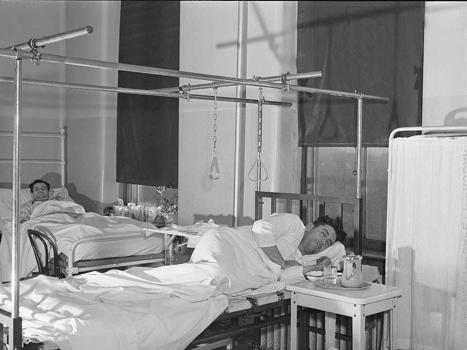
The city’s hospitals felt the pressure just as sharply. Saint Vincent’s Hospital operated a charity ward that served workers and their families who had no money for private care. A boy from Maryland, likely the child of a defense worker, was among those treated there. Workers injured on job sites — including one from North Carolina who was hurt during construction — ended up in the same ward, dependent on charity care to survive. The overcrowding that defined Norfolk’s streets extended into its medical facilities as well.
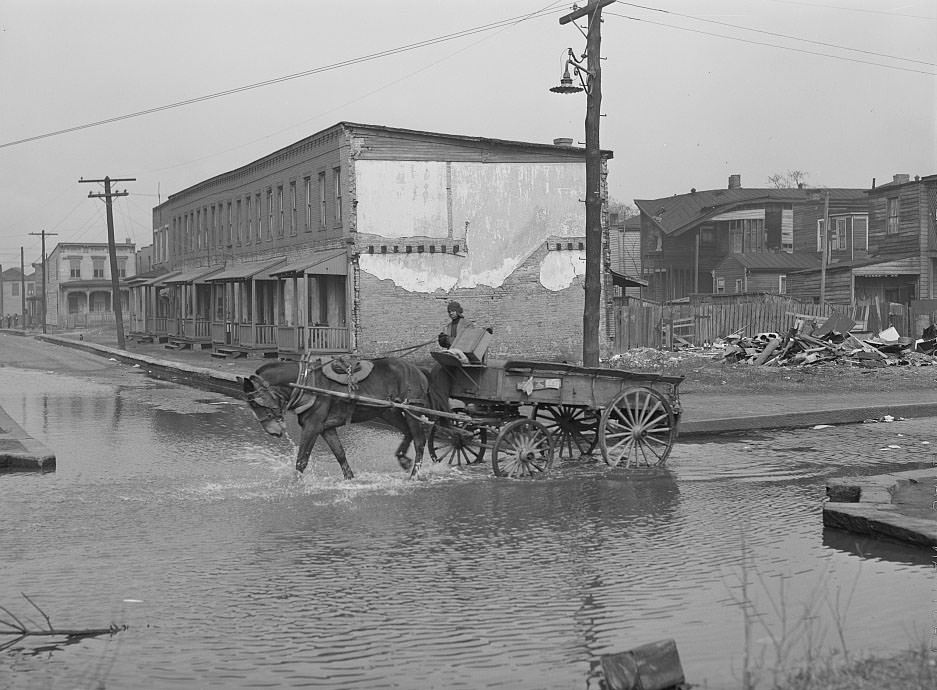
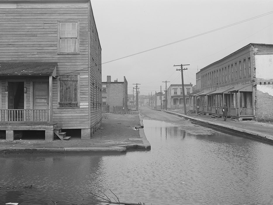
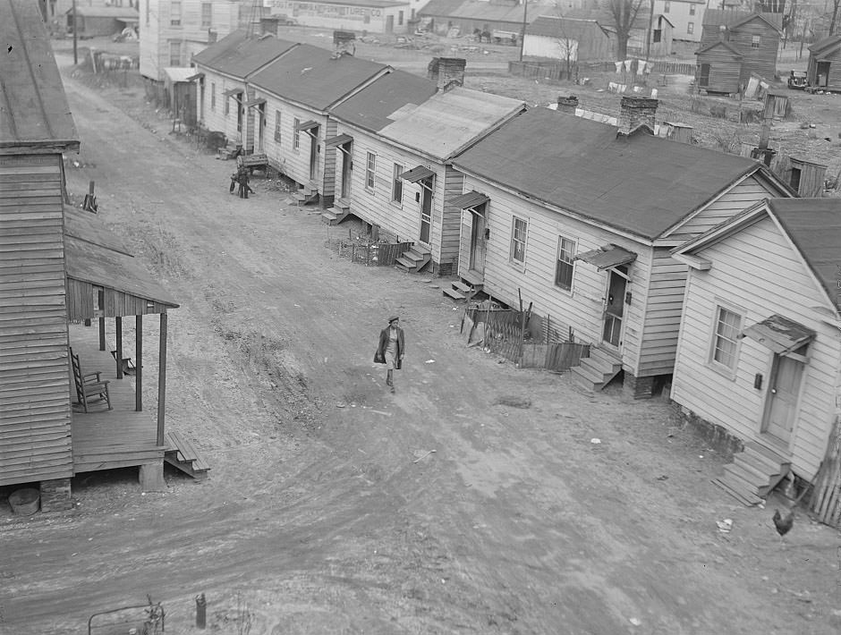
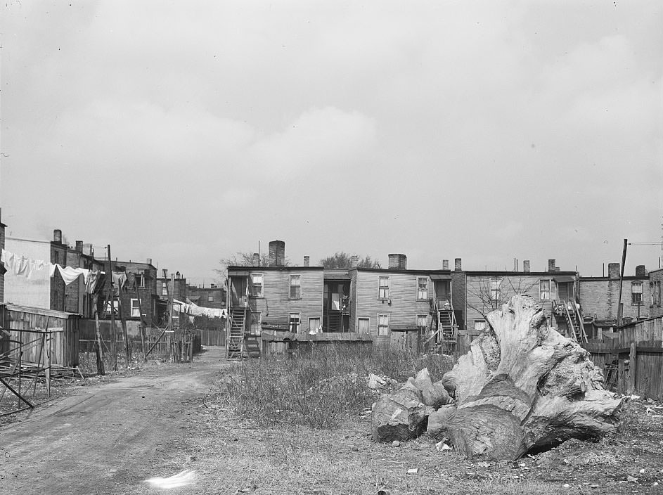
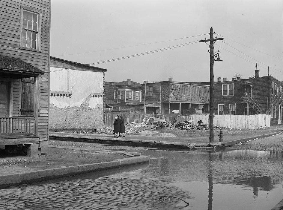
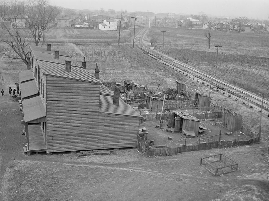
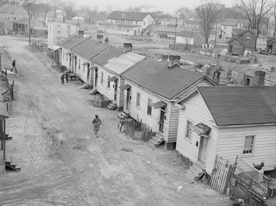
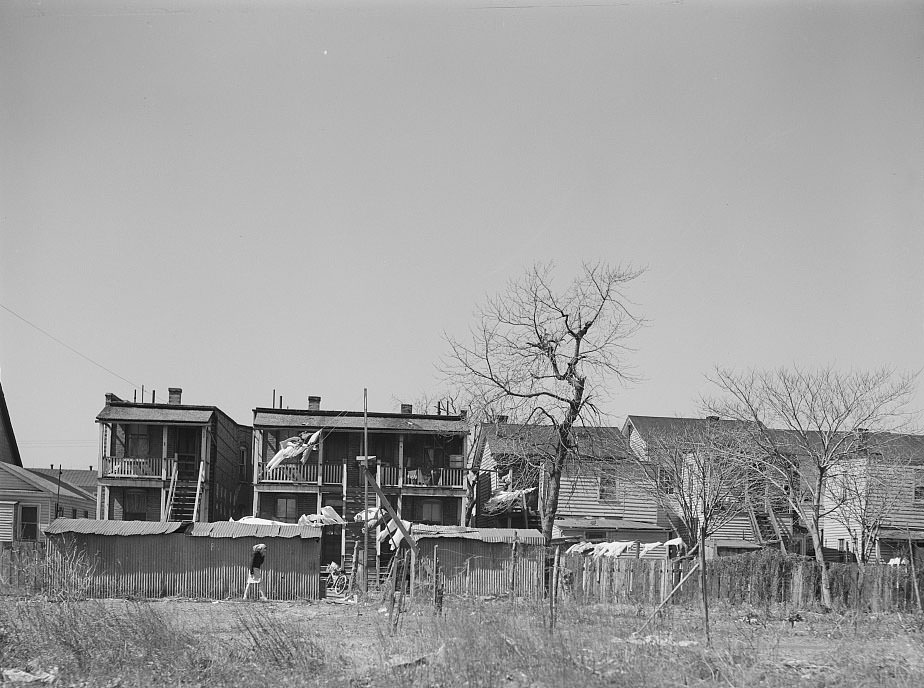
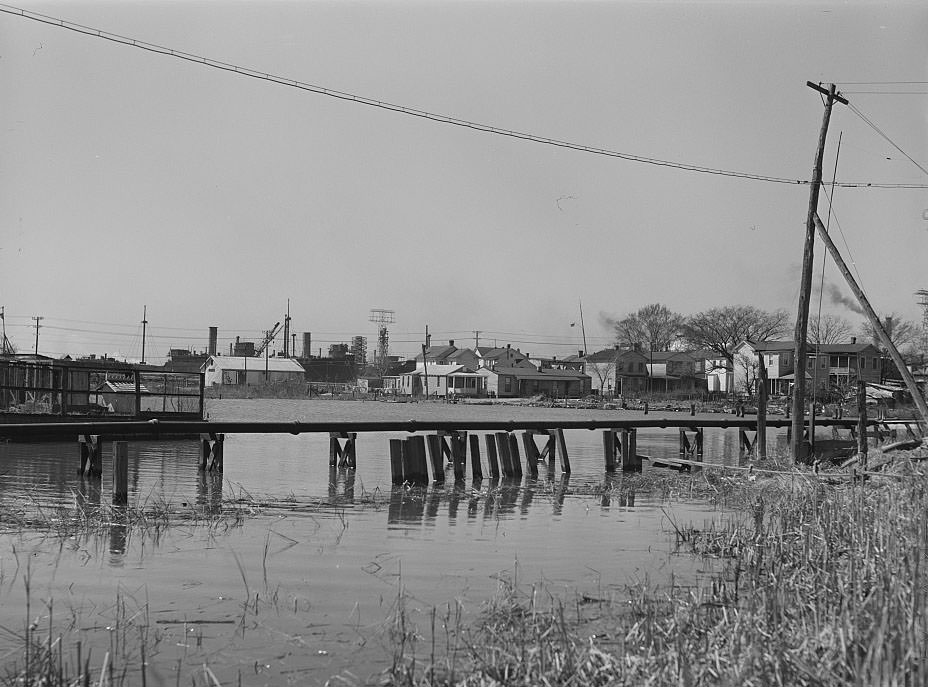
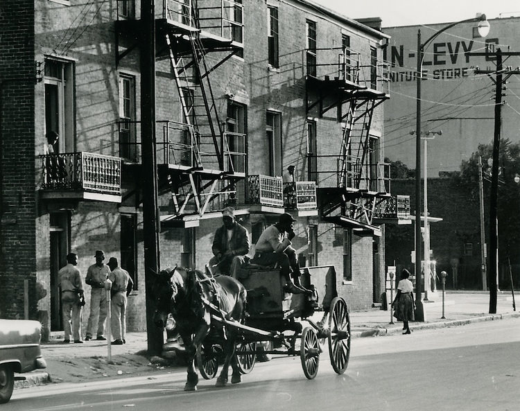
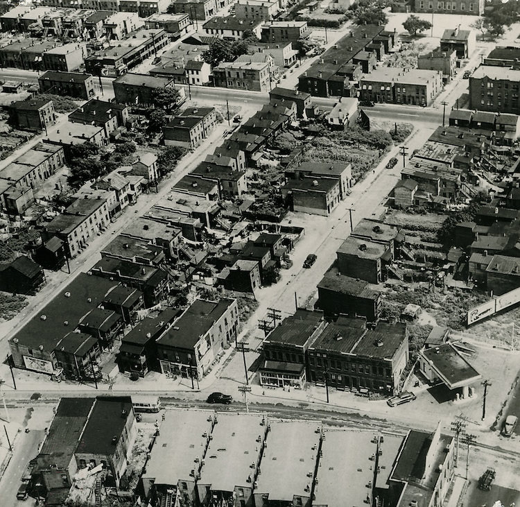
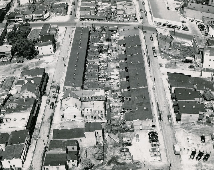
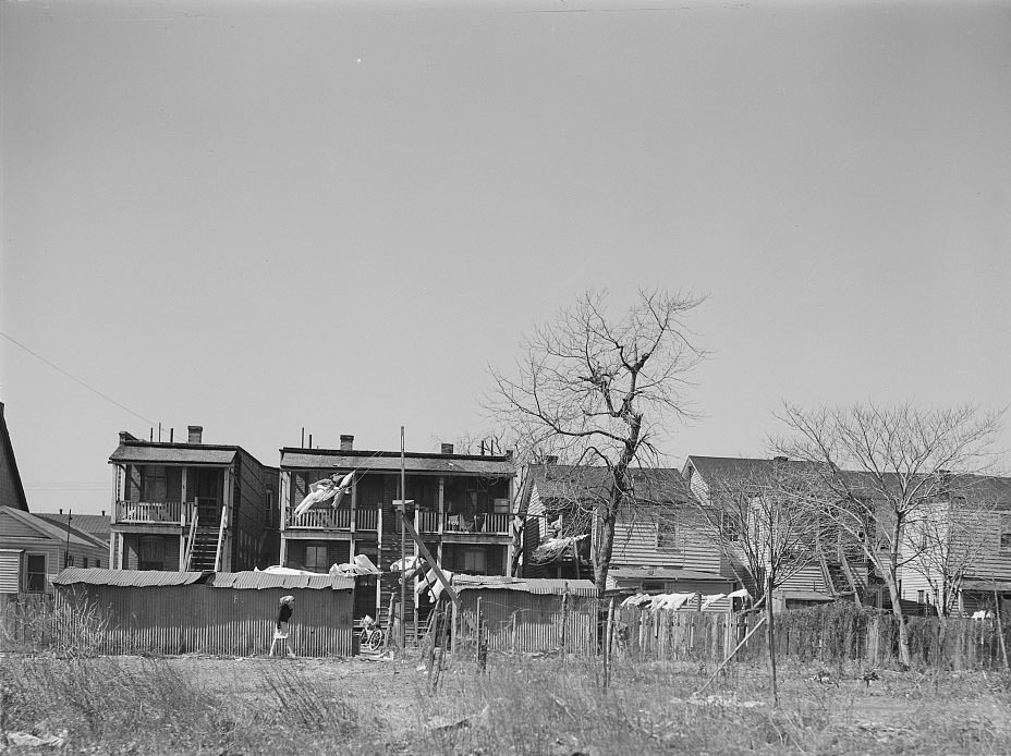
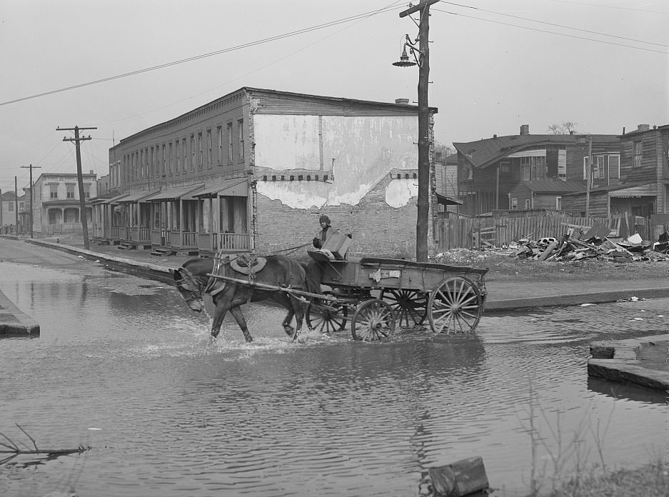
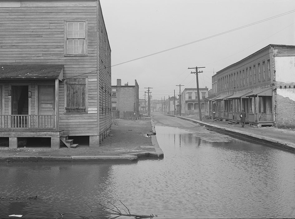
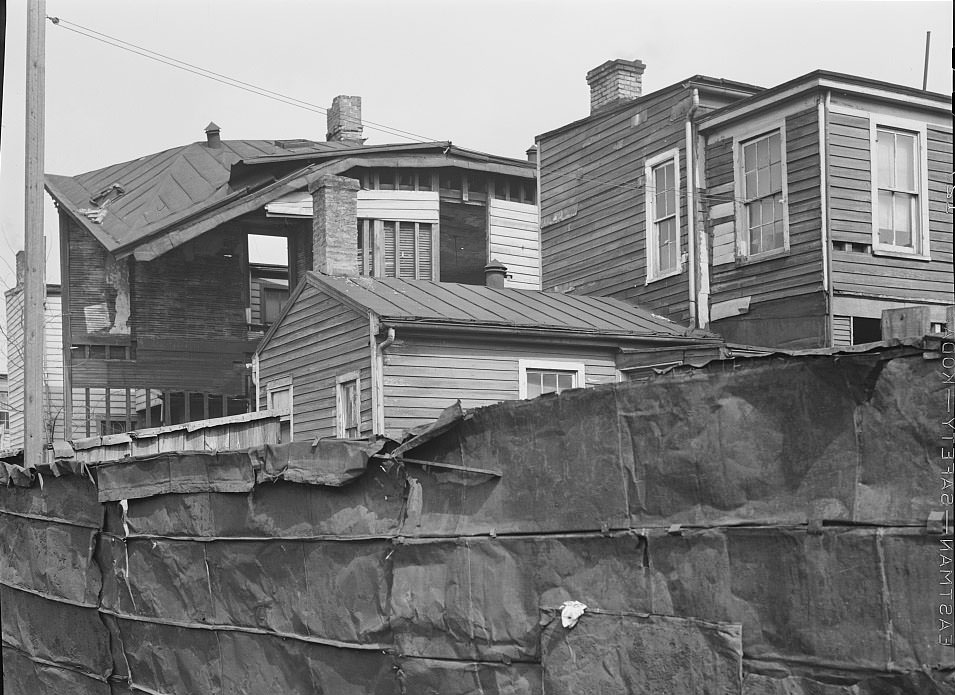
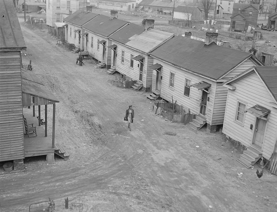
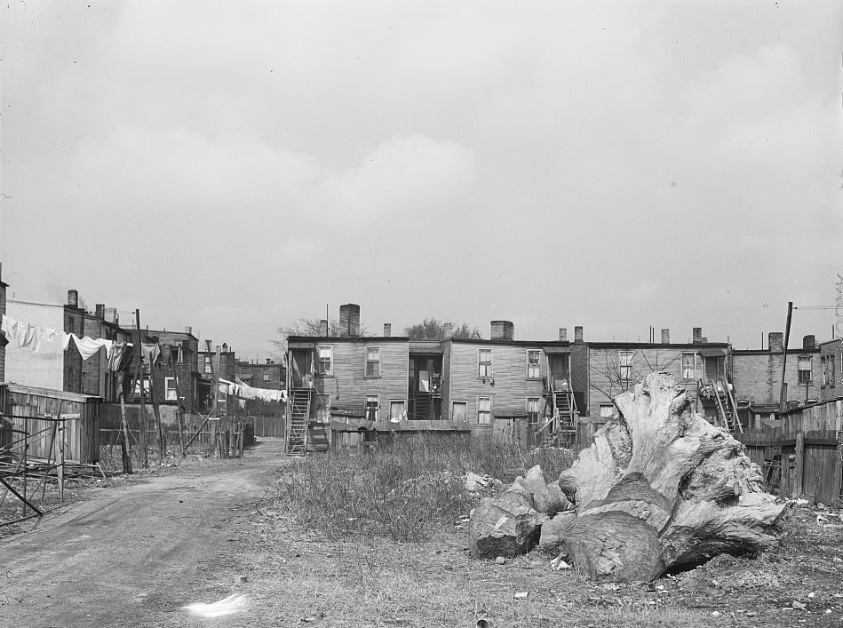
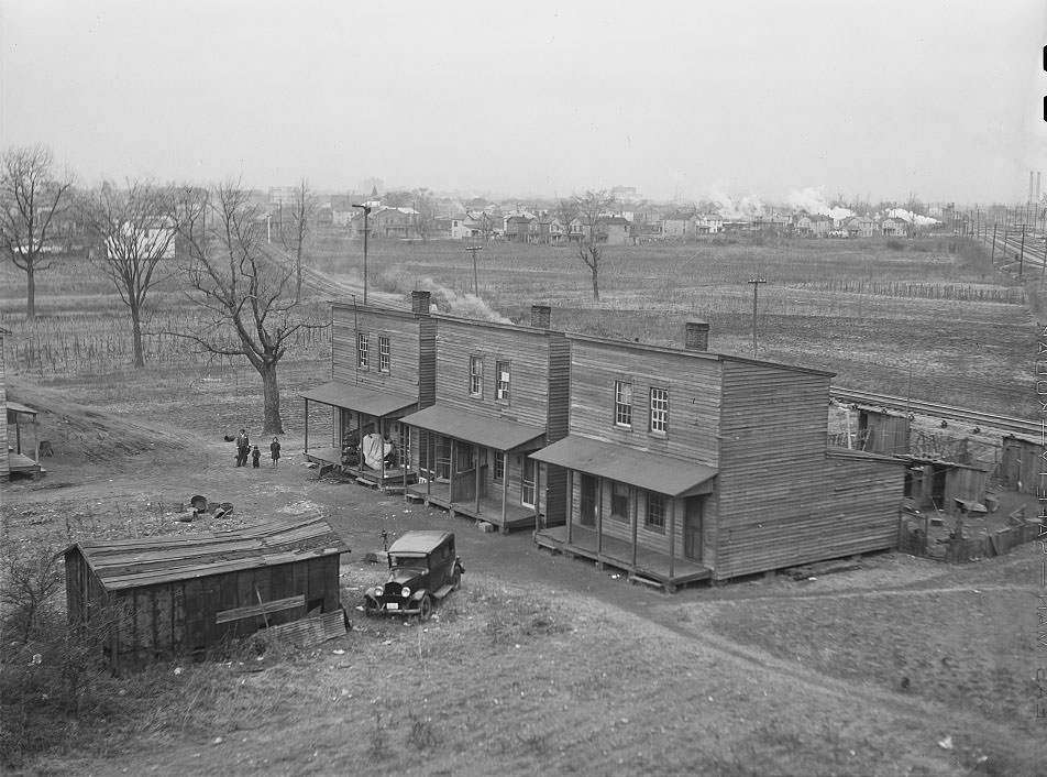
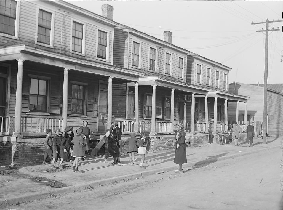
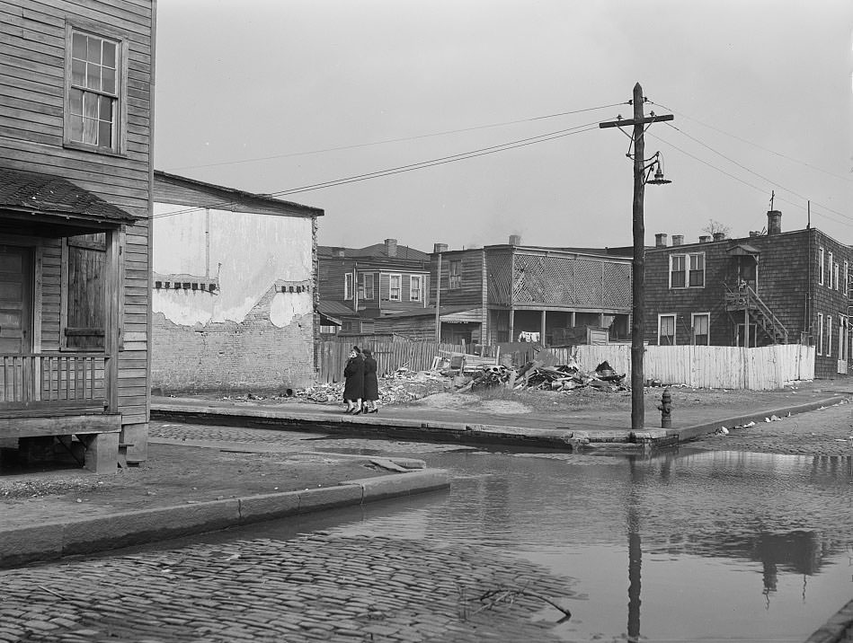
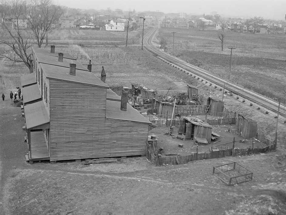
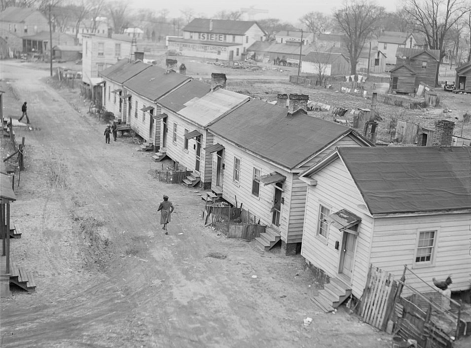
Norfolk’s Black neighborhoods were among the hardest hit by the city’s infrastructure failures. Sewers backed up in the slum districts, leaving standing waste in yards and along streets. These were not temporary problems caused by the war — they reflected years of municipal neglect. The city had long underfunded basic services in Black residential areas, and the wartime population surge made those conditions dramatically worse.
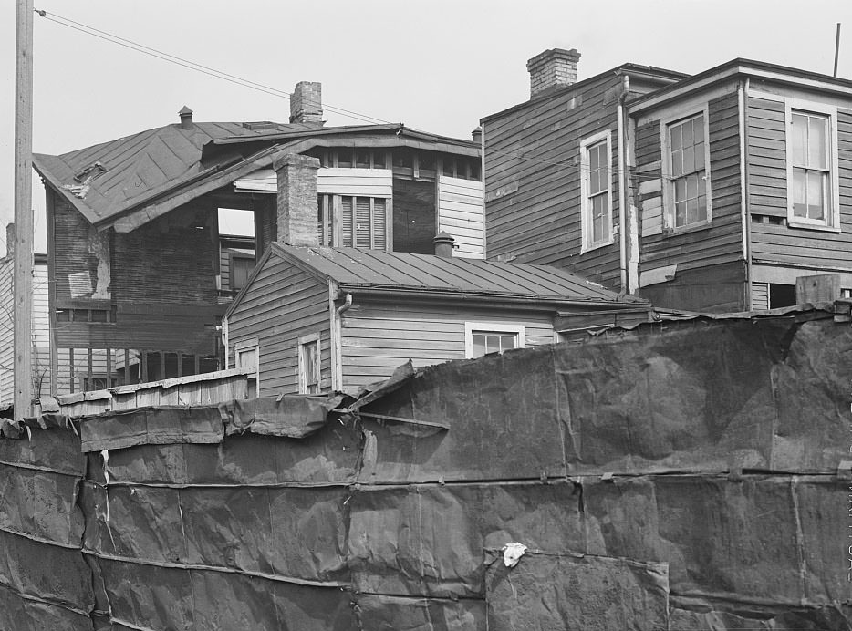
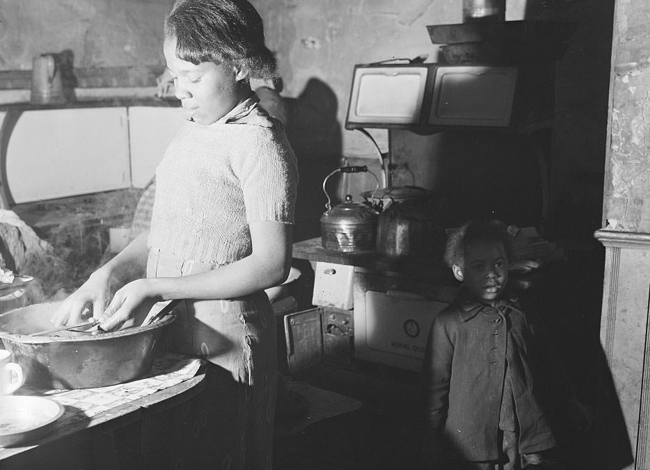
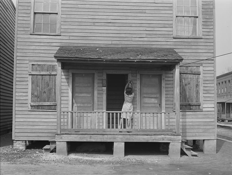
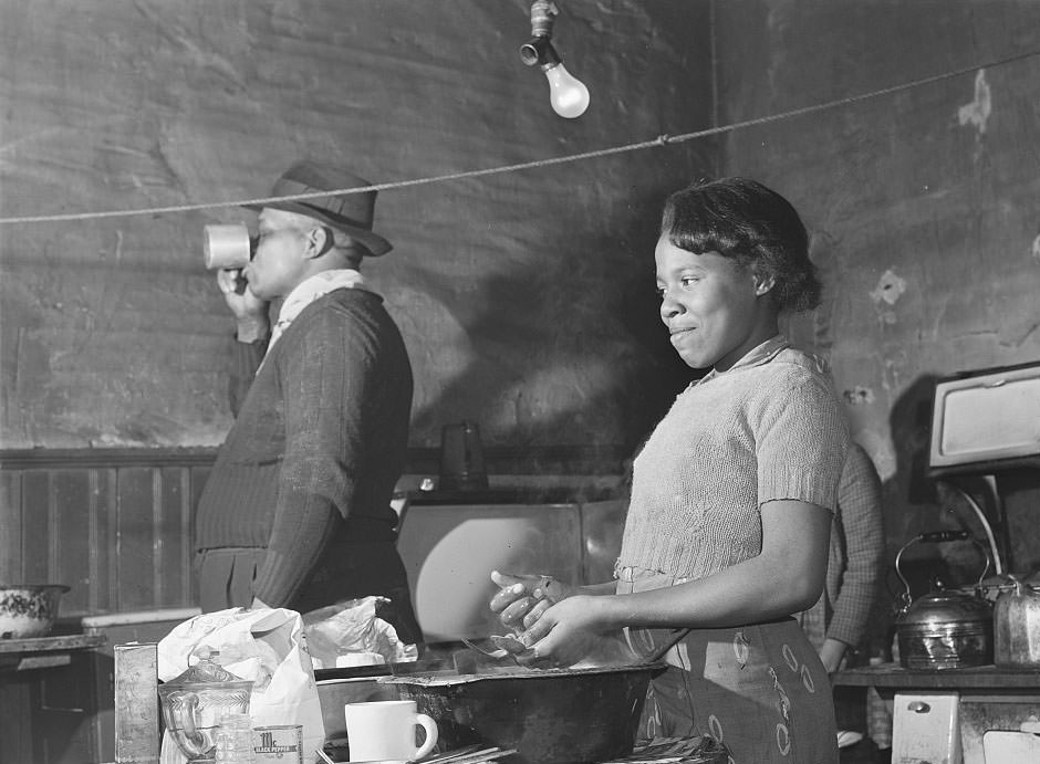
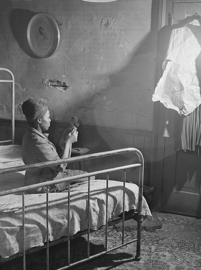
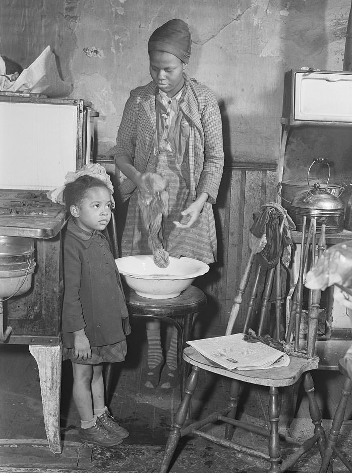
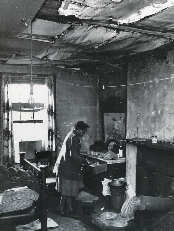
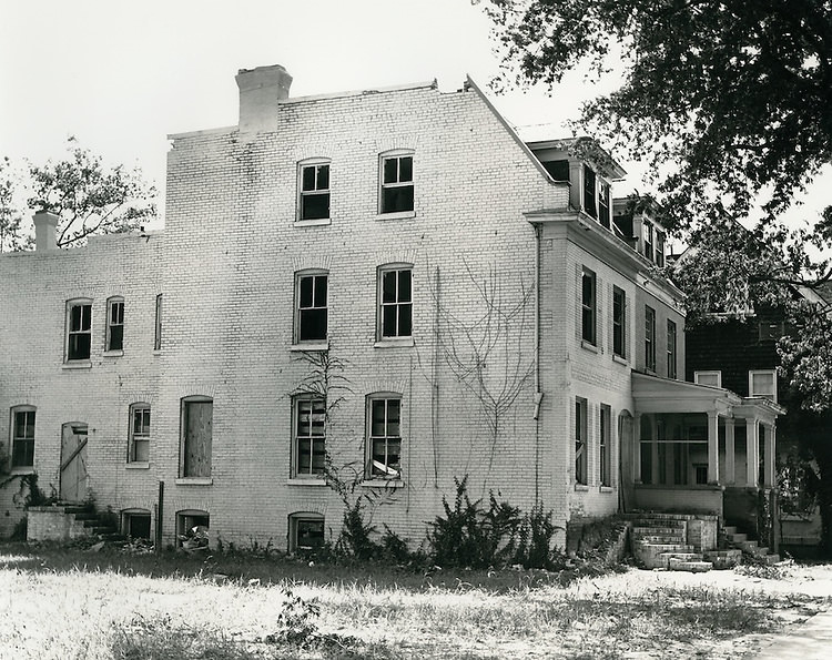
The housing stock in Norfolk’s slum districts was visibly deteriorated. Kitchens in these rental properties — some going for $16 a month — had bare, crumbling walls, minimal fixtures, and no modern conveniences. Families lived in these conditions not by choice but because the city offered them nothing better. Sixteen dollars in 1941 was not cheap. It represented a significant portion of a laborer’s weekly pay, and the conditions rarely matched even that modest price.
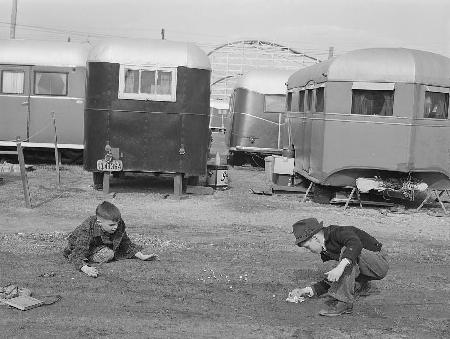
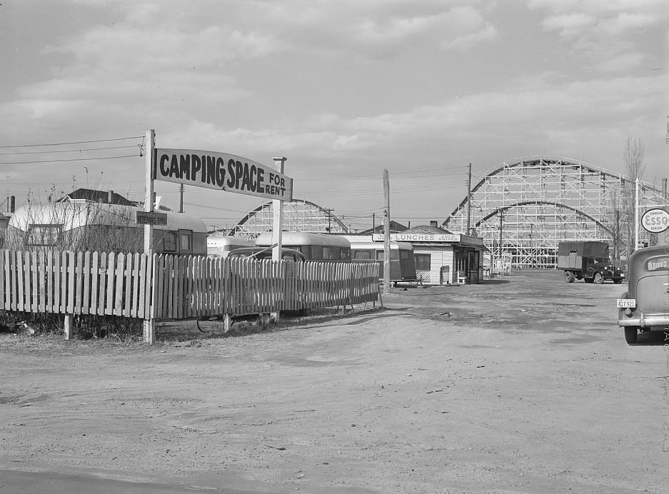
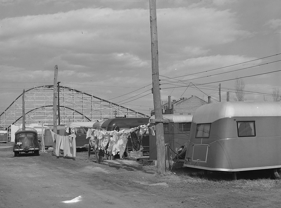
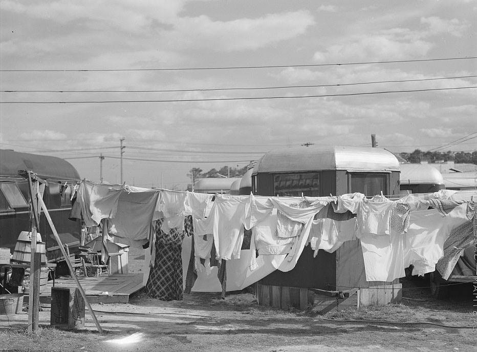
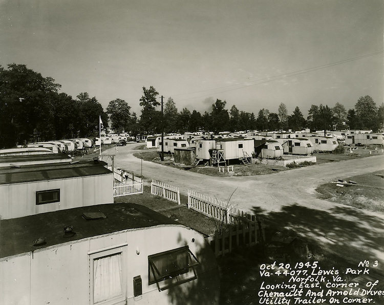
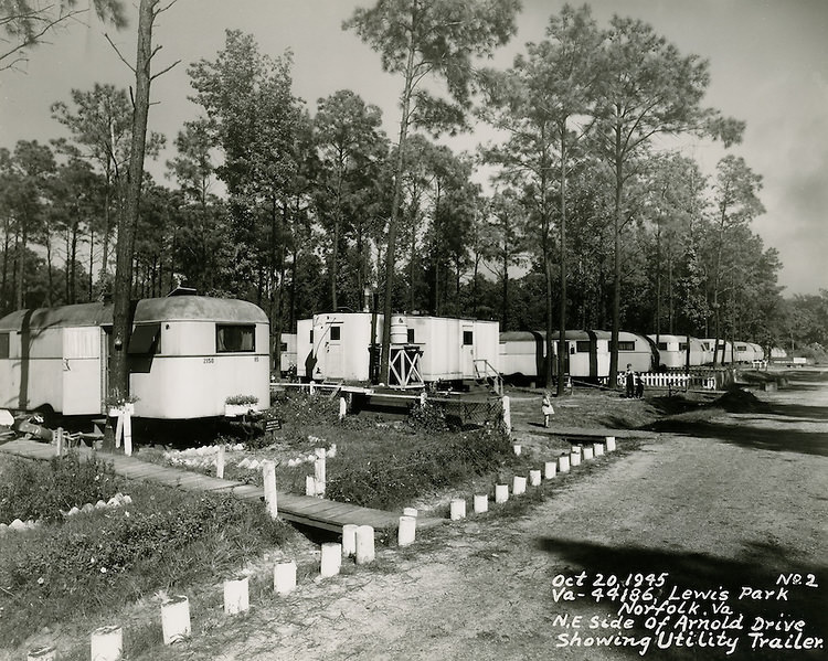
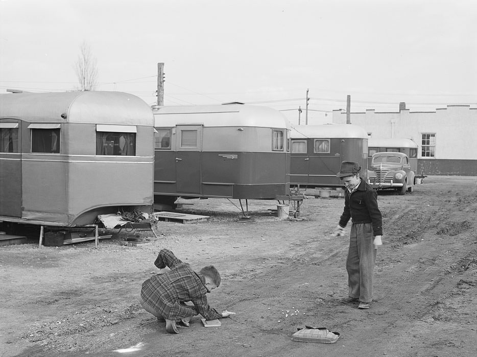
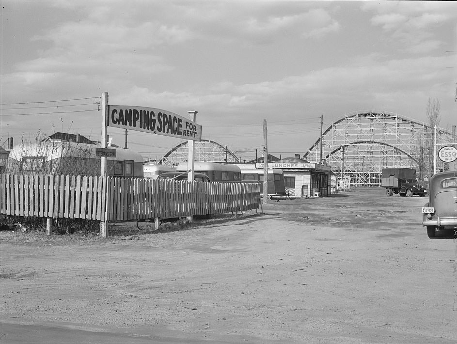
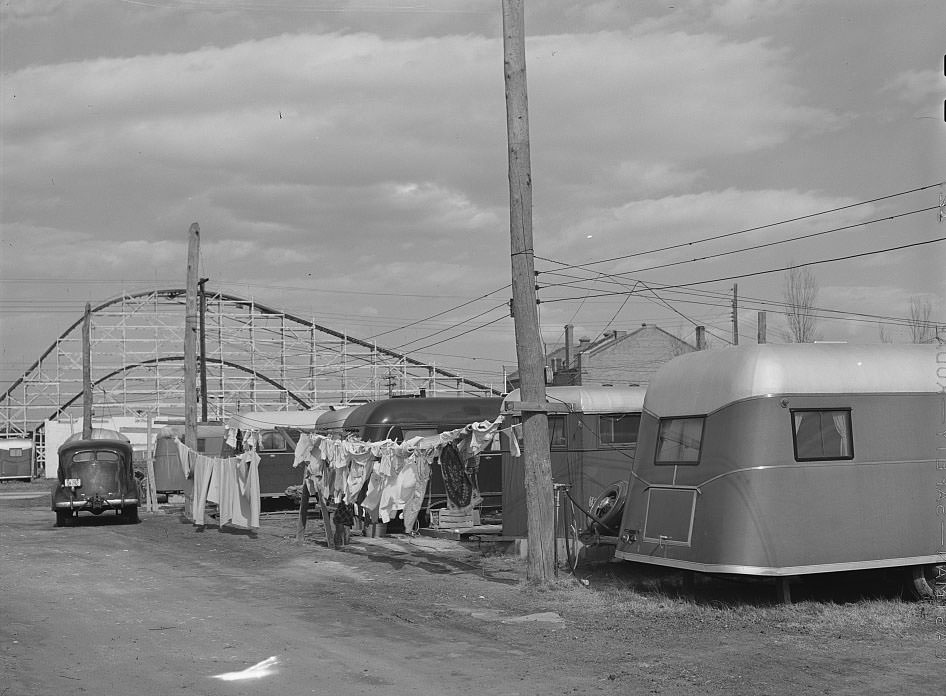
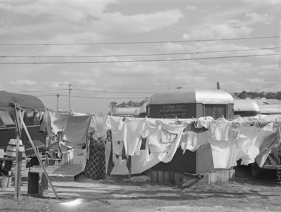
On the outskirts of the city, at Ocean View, construction workers set up trailer camps. Rows of small trailers served as home for the men building the very facilities that Norfolk’s war effort depended on. These camps had basic facilities but offered little comfort. Families squeezed into trailers designed for temporary use, and the camps grew large enough to become communities in their own right.
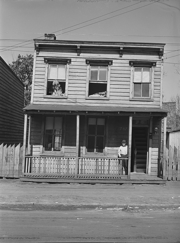
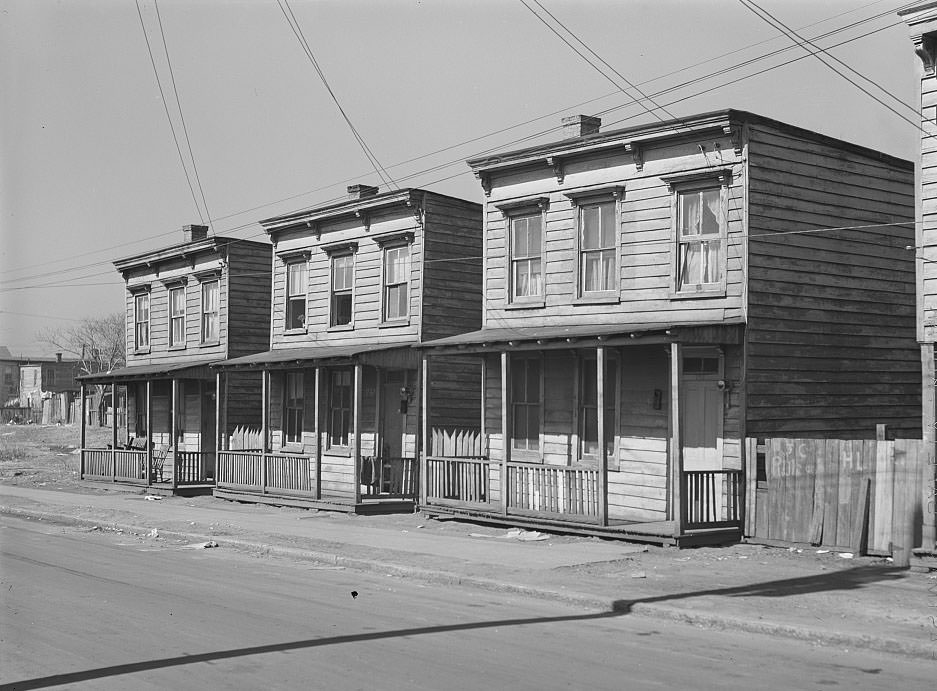
Many defense workers came from rural backgrounds, trading farm life for factory and shipyard work. One family, who had come from a North Carolina farm, rented a house for $10 a month — a step above the worst conditions but still modest by any measure. These workers were not seeking luxury. They came because Norfolk offered wages that farming never could, and they made do with whatever shelter they could find.
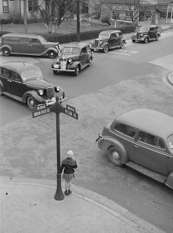
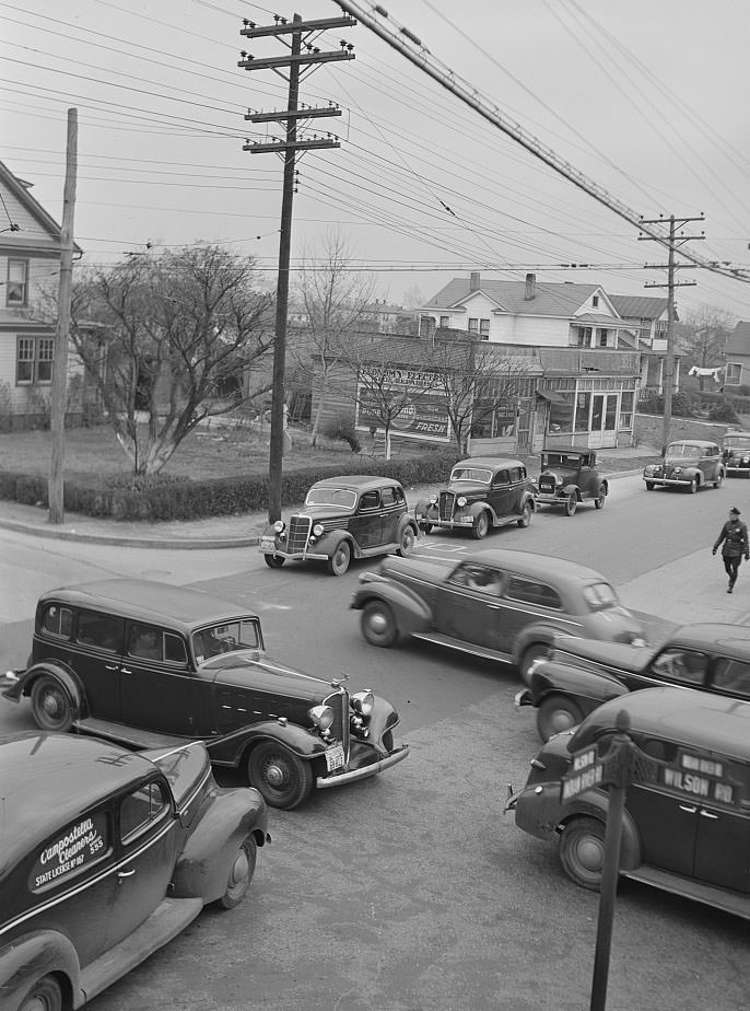
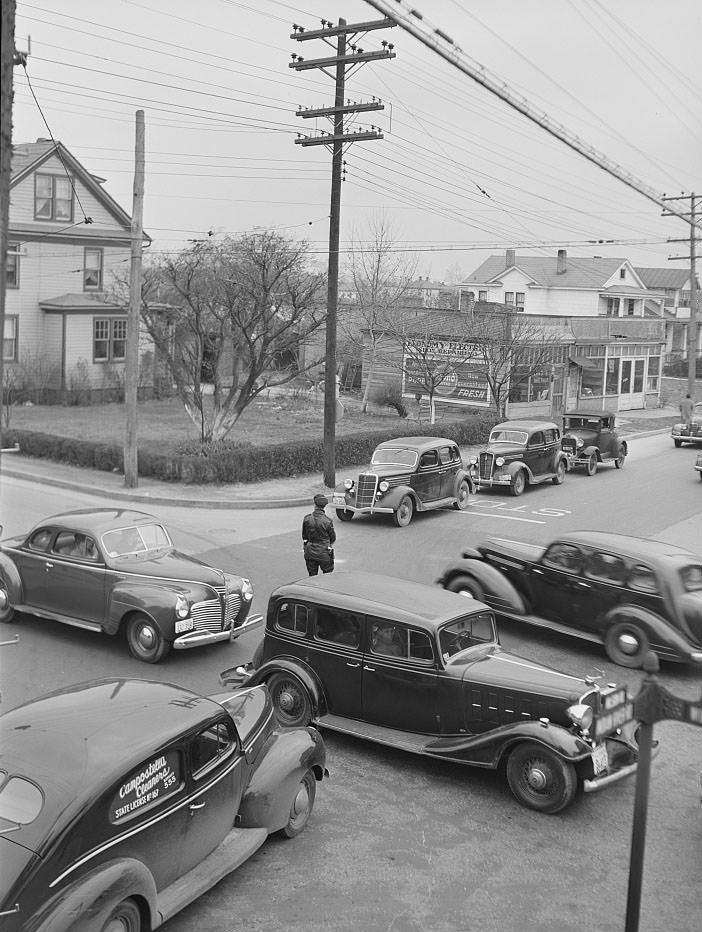
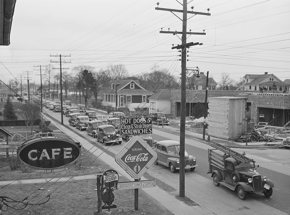
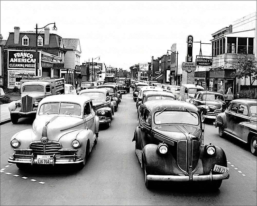
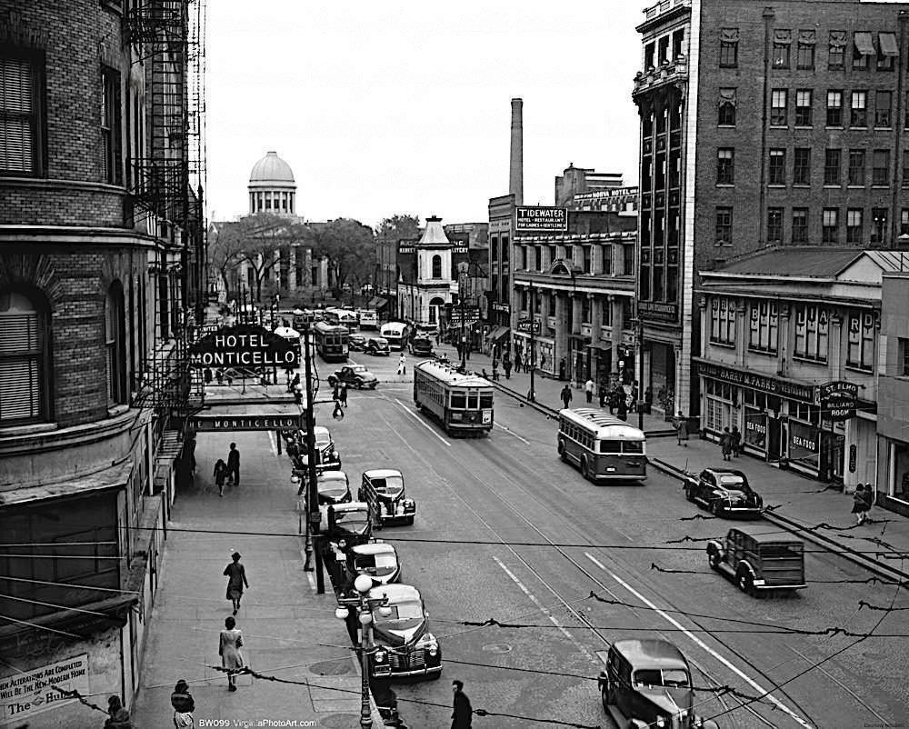
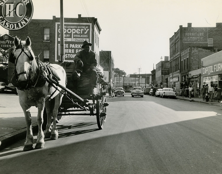
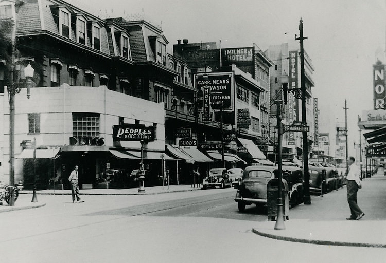
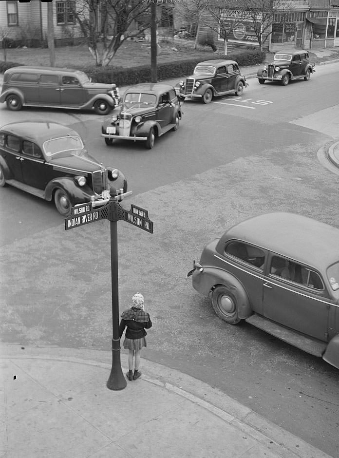
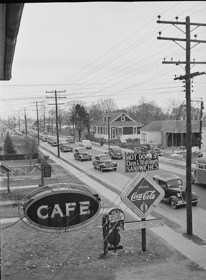
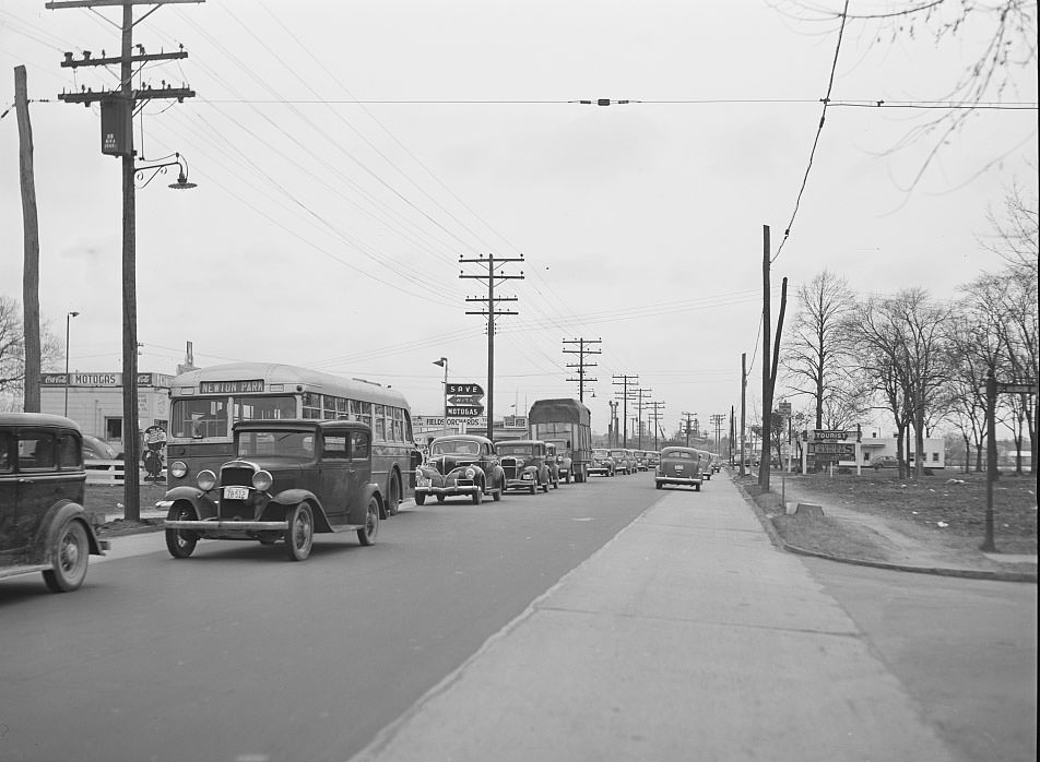
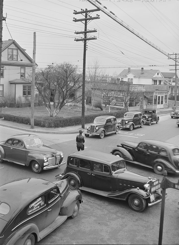
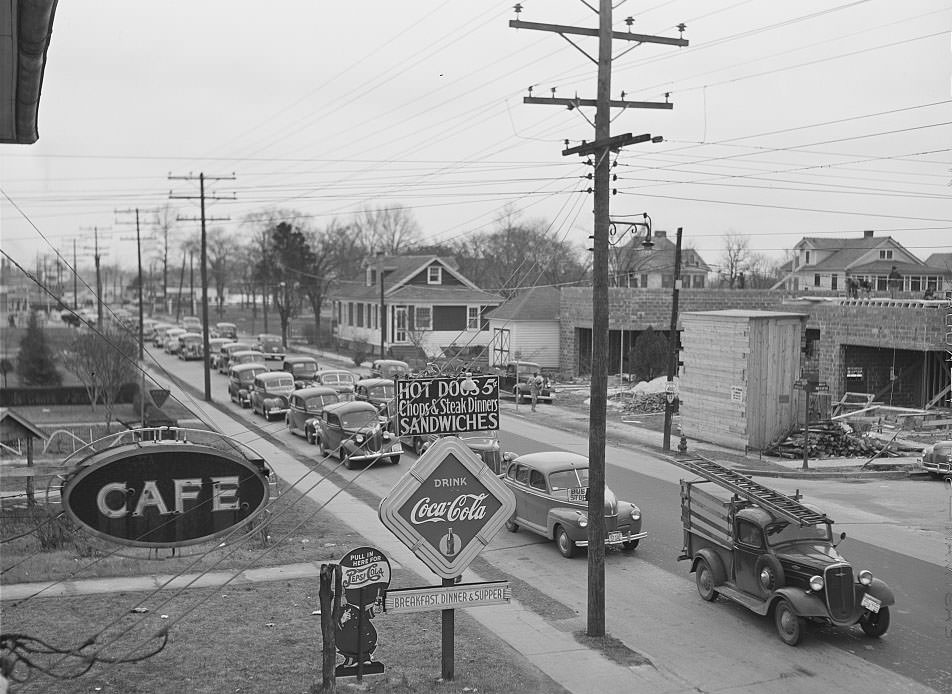
When the afternoon shift ended, Norfolk’s streets turned into gridlock. The four o’clock traffic photographs from 1941 show dense crowds of pedestrians and vehicles filling the main thoroughfares. The city’s road network was never designed for this volume. Streetcars, cars, and people on foot all competed for the same narrow corridors through downtown, and the congestion was a daily reminder of just how much the city had grown in a very short time.
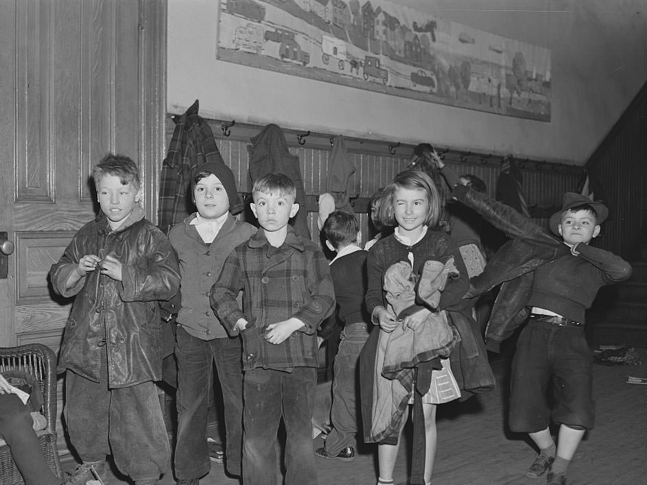
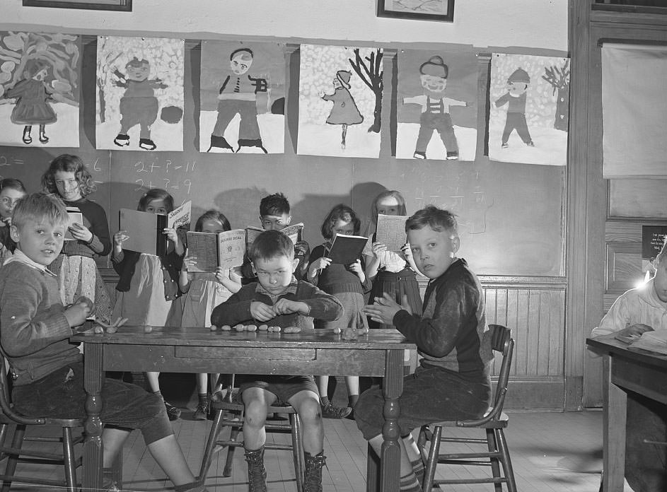
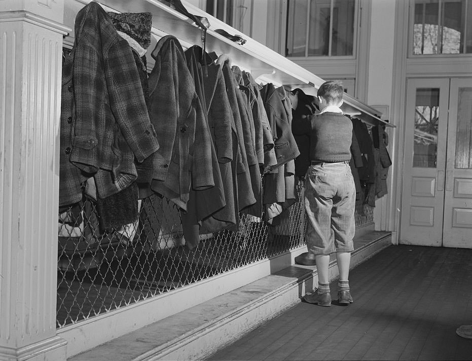
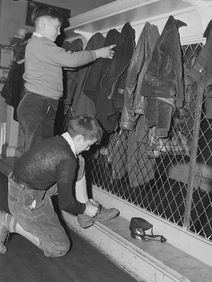
Norfolk’s public schools were also caught in the surge. Classrooms overflowed, and schoolchildren navigated a system that was scrambling to accommodate them. First-grade classrooms in 1941 were packed, and cloakrooms — small spaces where children stored their coats and belongings — were jammed. The photographs of children preparing to go home show a city where even the youngest residents were shaped by the pressures of wartime growth.
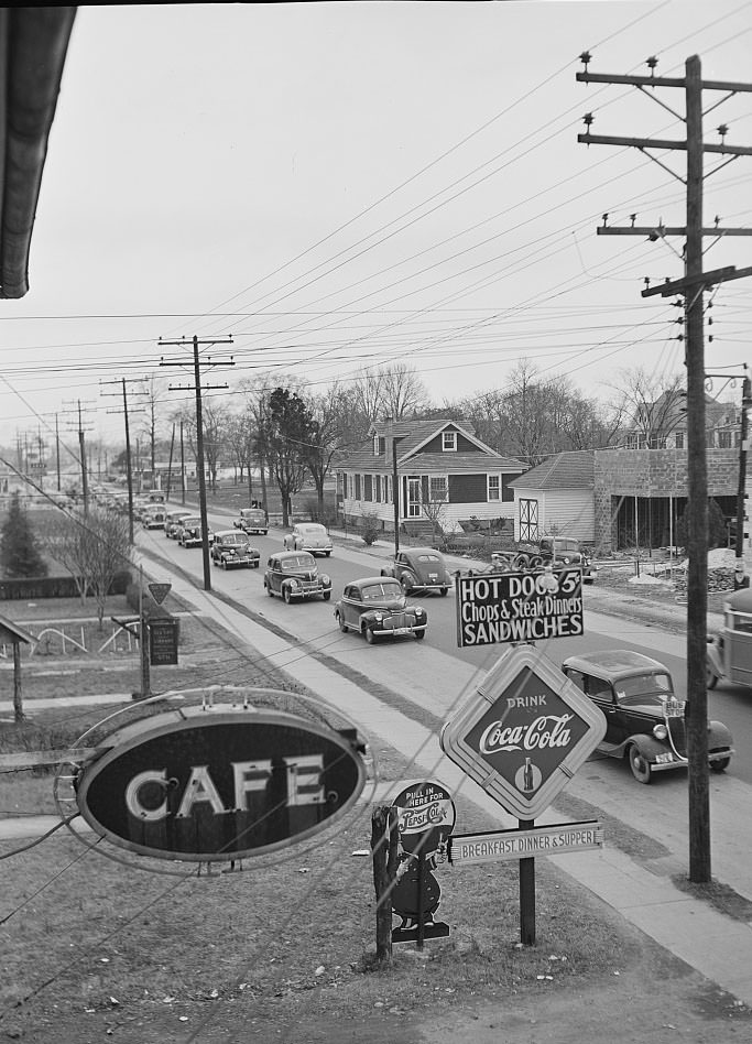
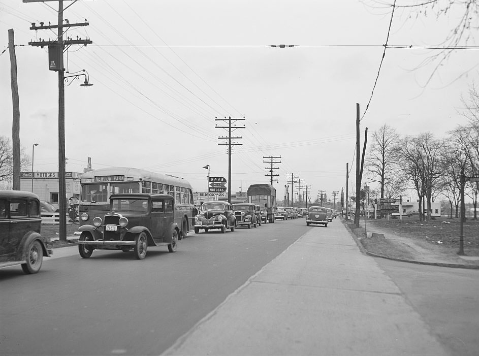
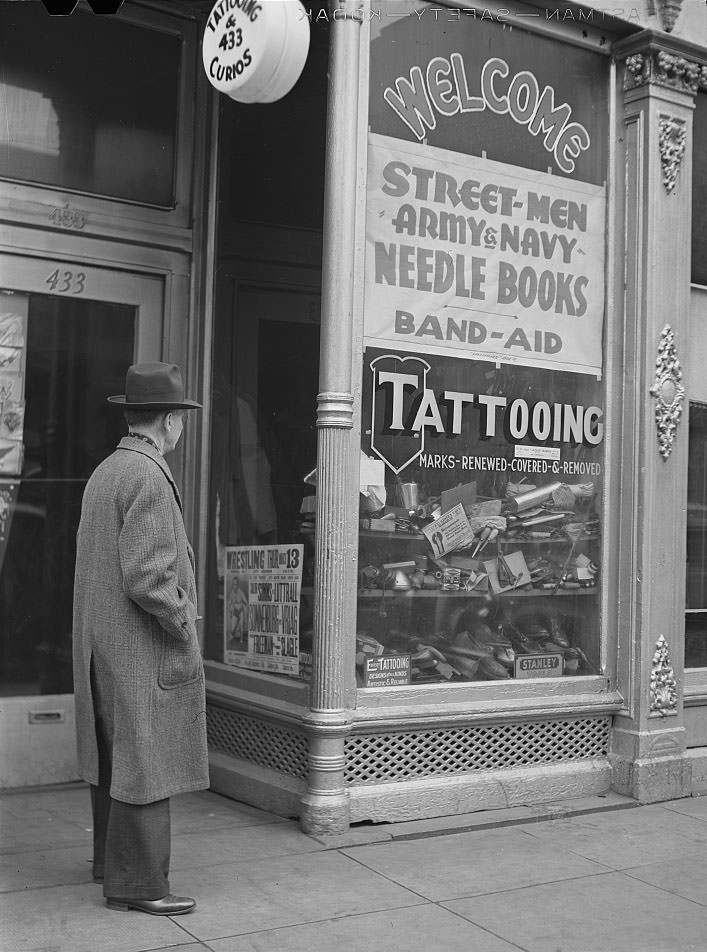
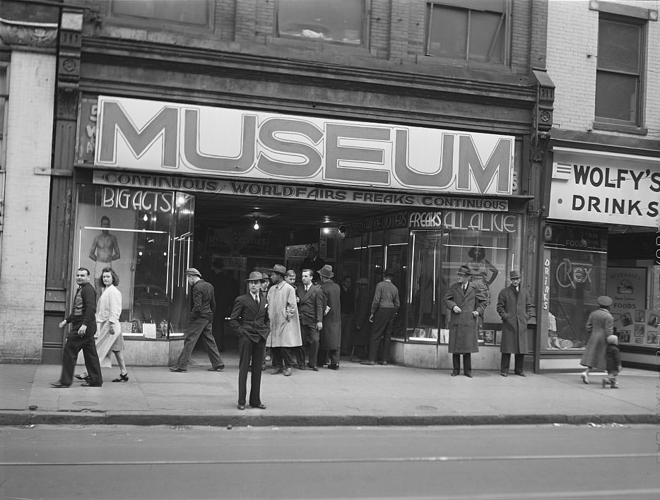
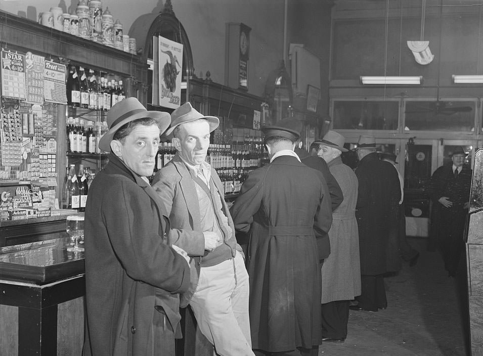
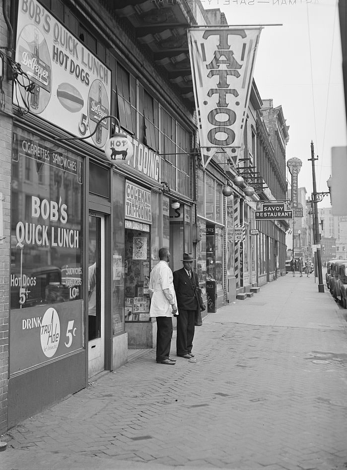
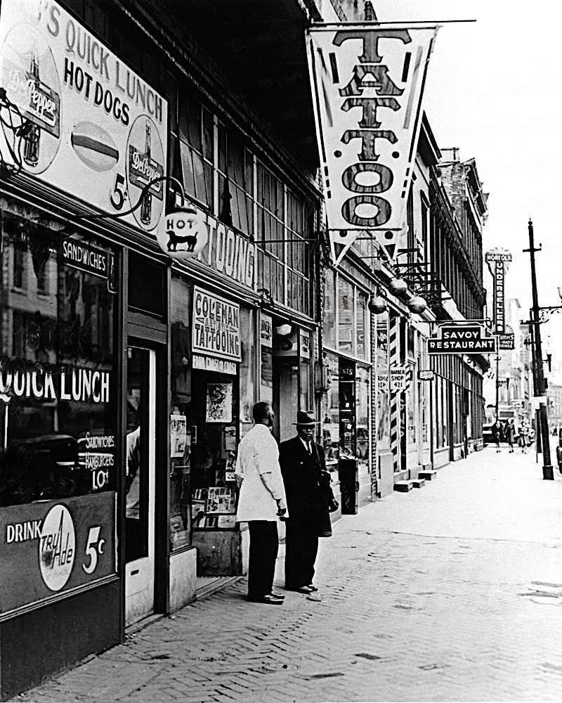
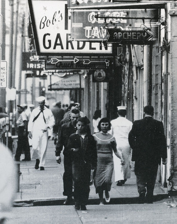
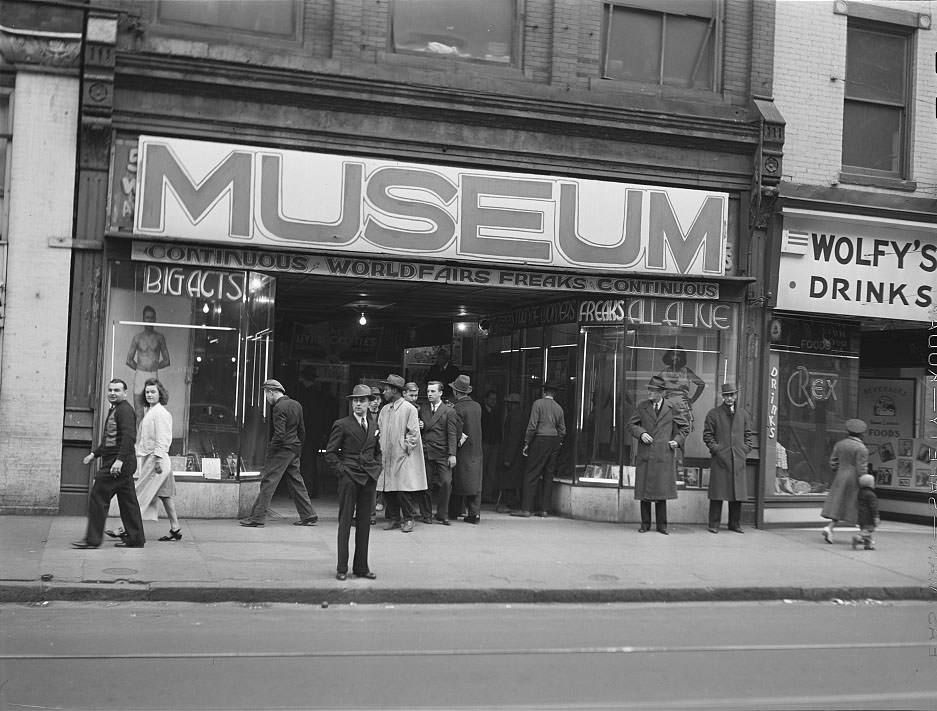
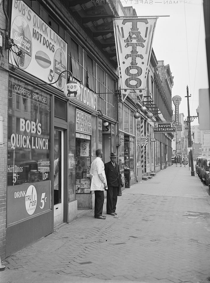
West Main Street offered a different side of wartime Norfolk — a commercial strip alive with activity. Tattoo parlors, bars, and storefronts catered to sailors and defense workers who flooded the area on nights and weekends. One tattoo shop on West Main Street was typical of the businesses that thrived near military installations. The street was loud, crowded, and unmistakably shaped by the presence of thousands of men far from home.
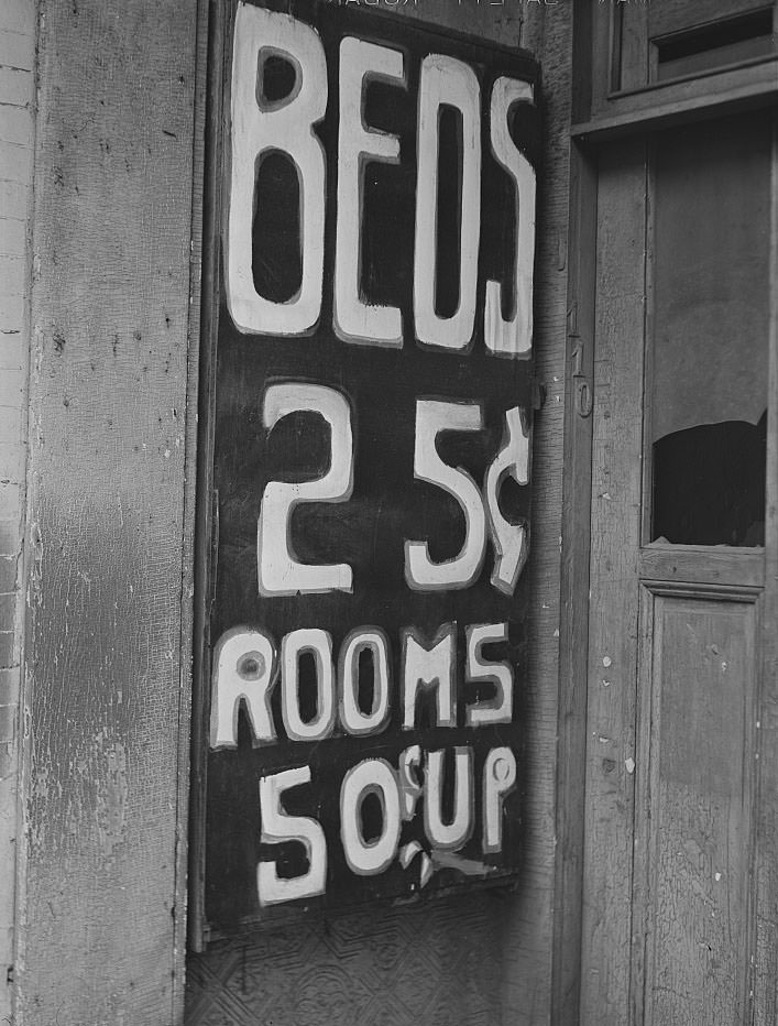
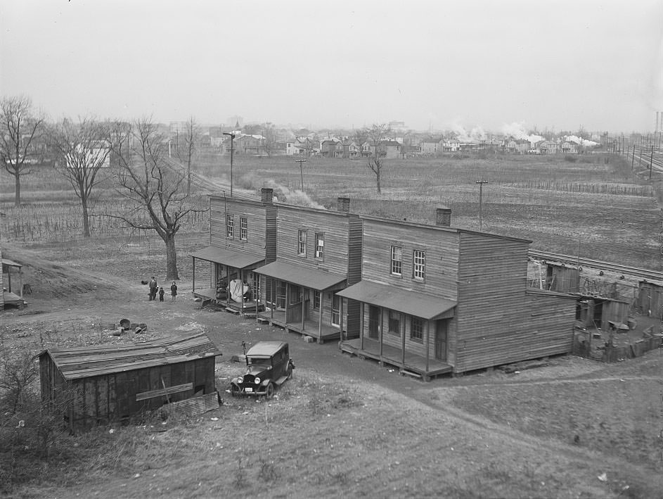
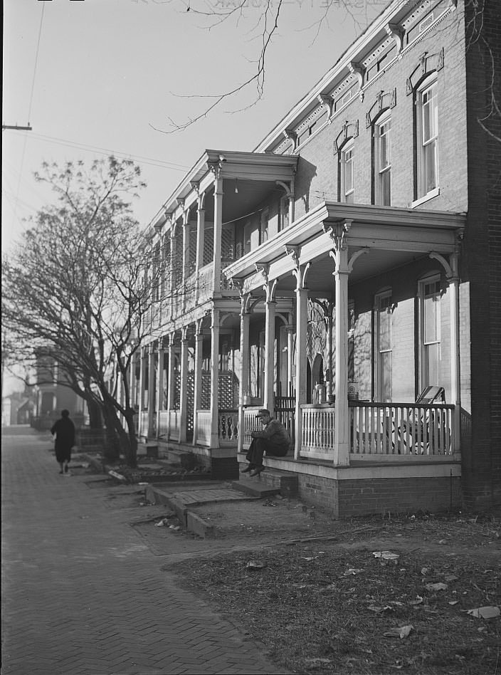
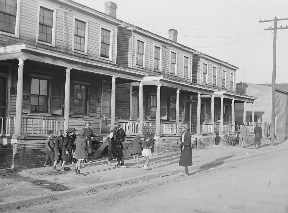
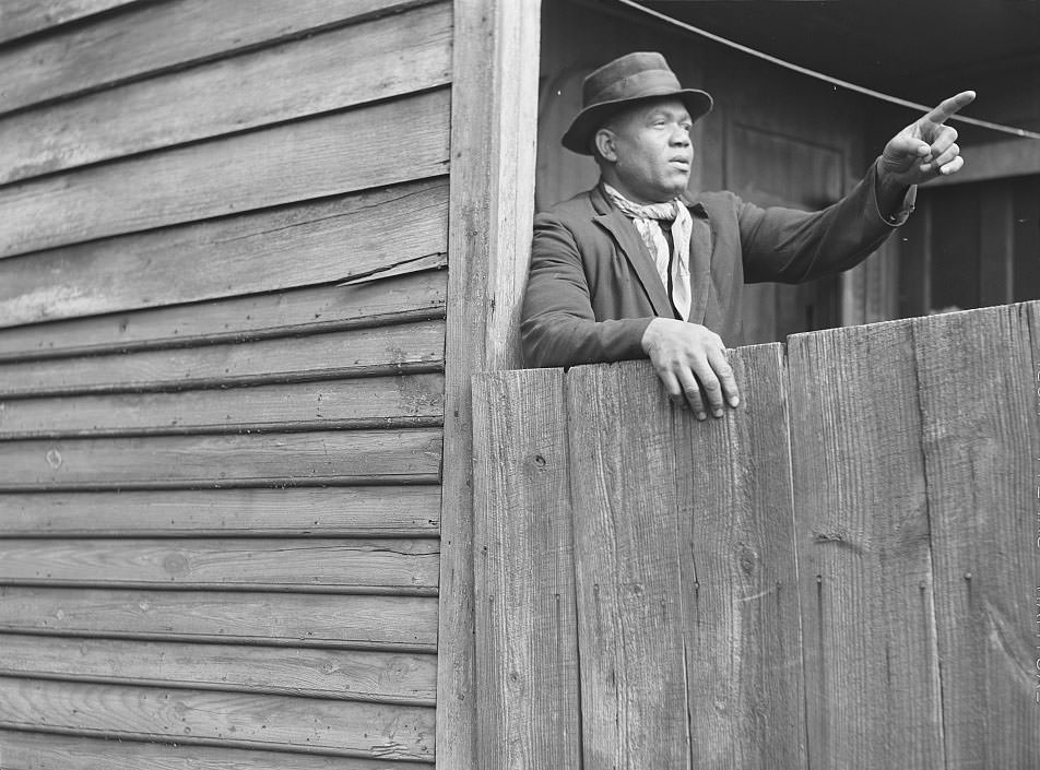
Even workers who held steady defense jobs sometimes had no better option than the slum districts. One defense worker photographed in his home in the slum area showed that employment alone did not guarantee decent housing. The city simply did not have enough livable rental units to go around. The gap between the number of workers arriving and the number of adequate homes available was enormous, and it did not close quickly.

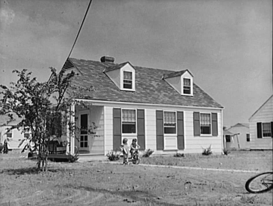
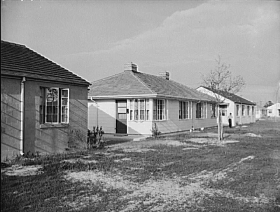
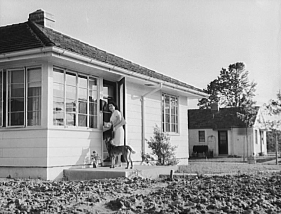
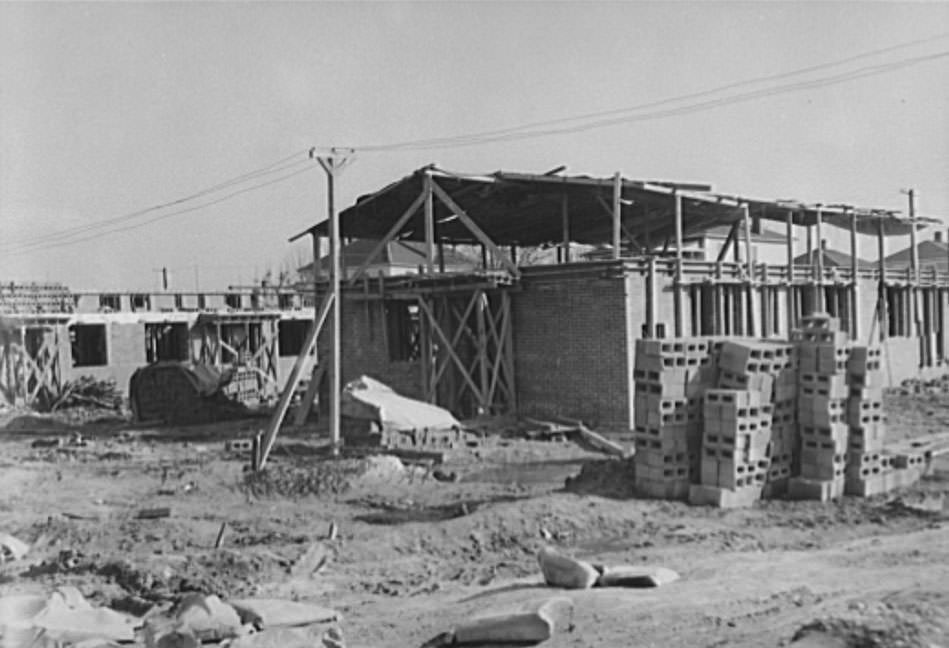
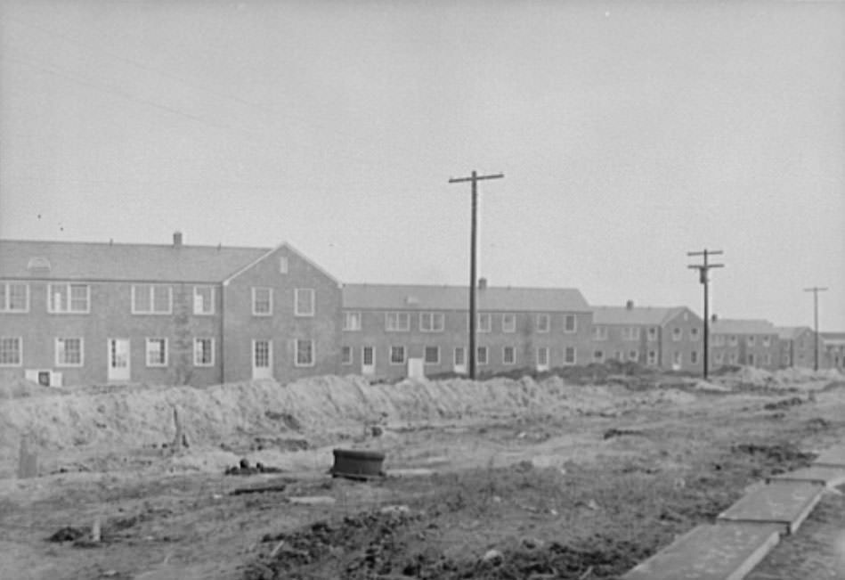
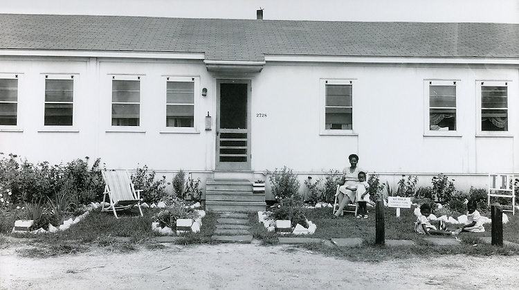
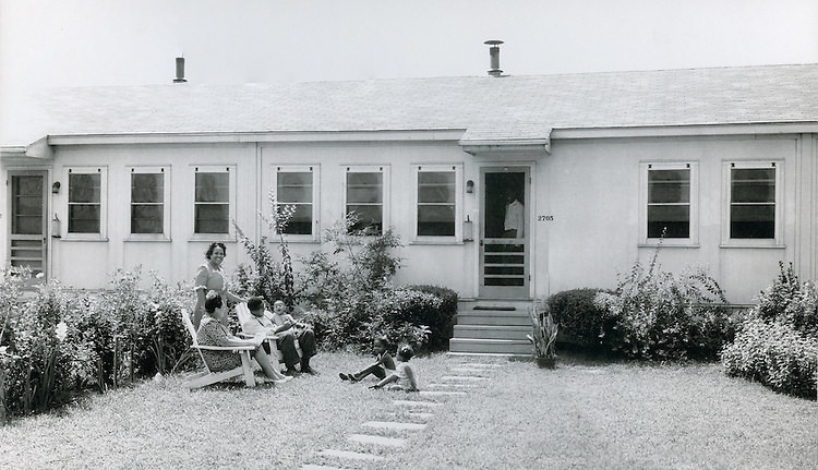
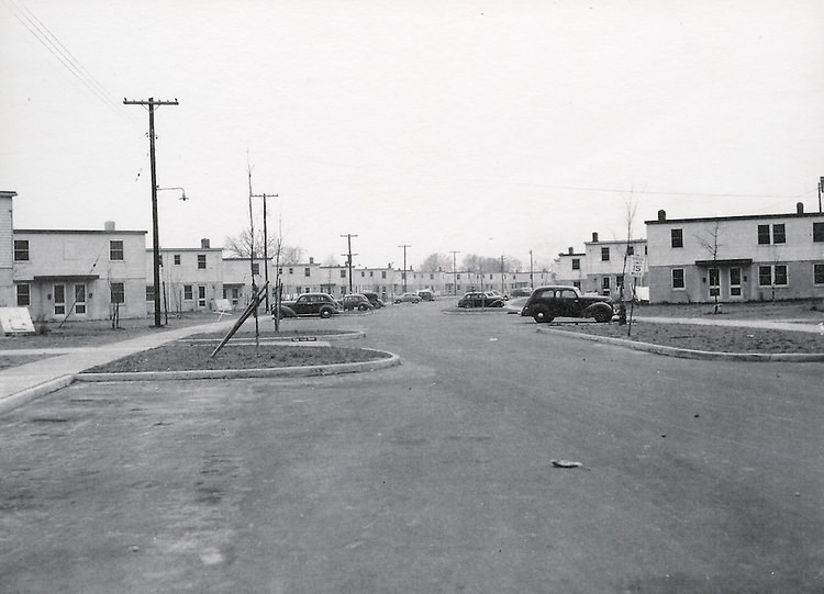
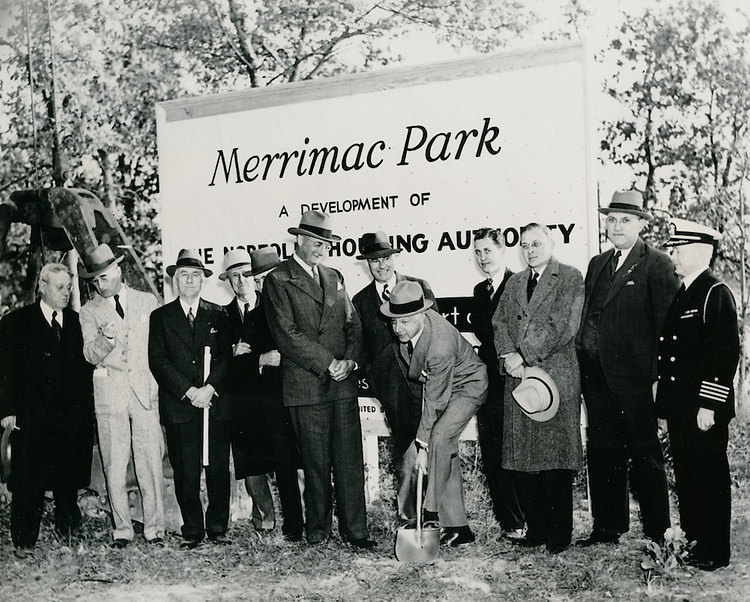
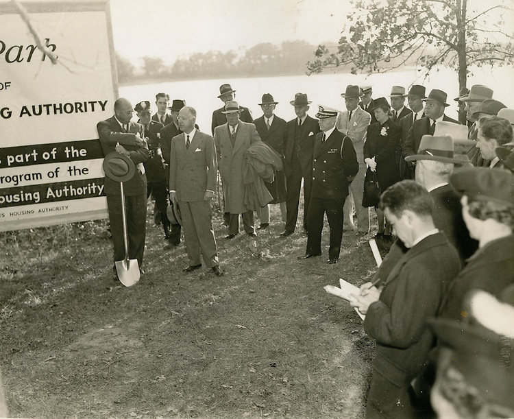
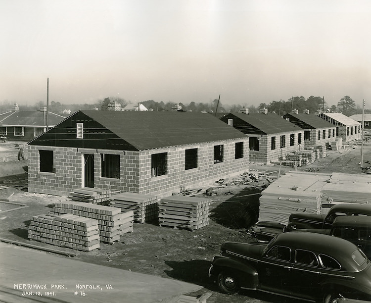
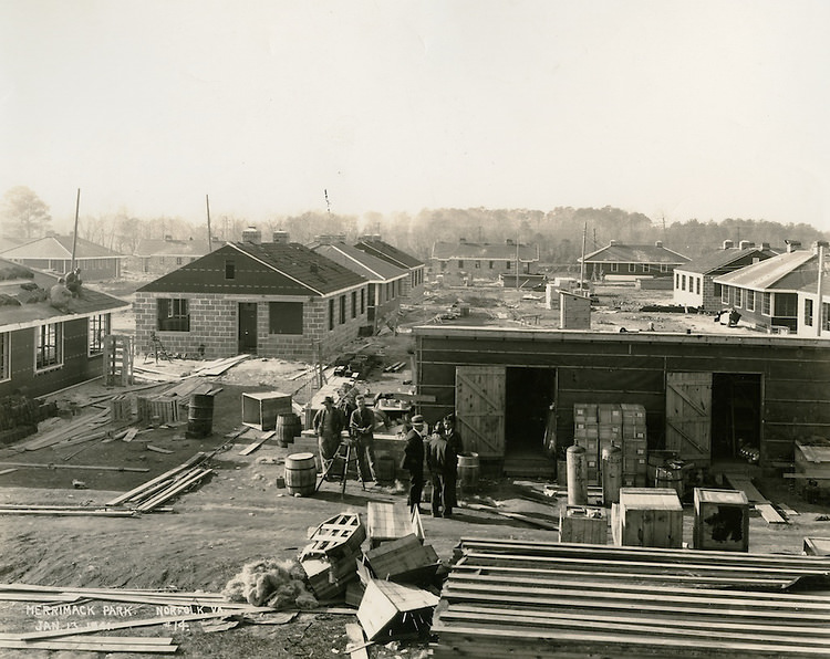
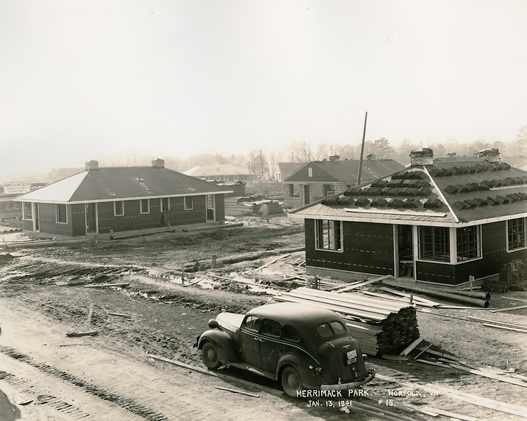
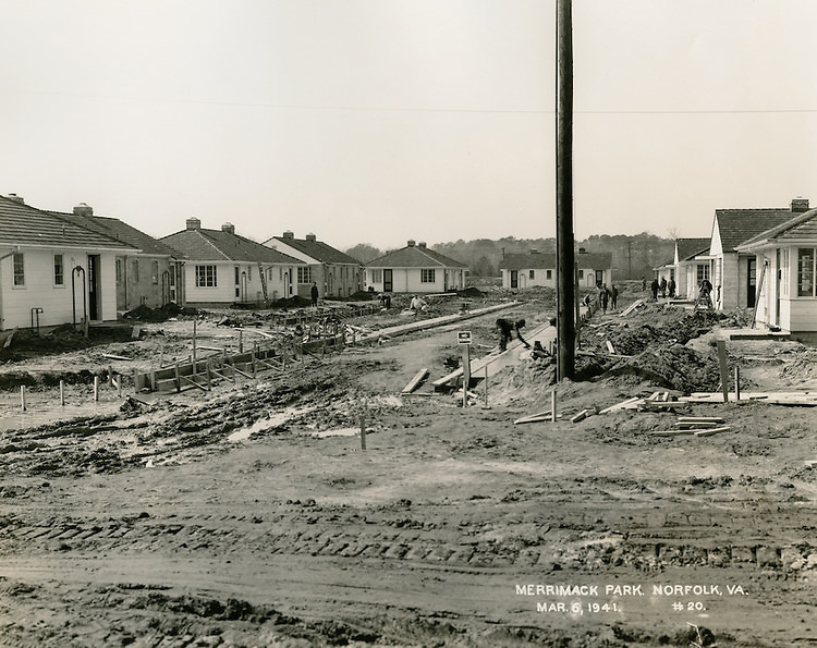
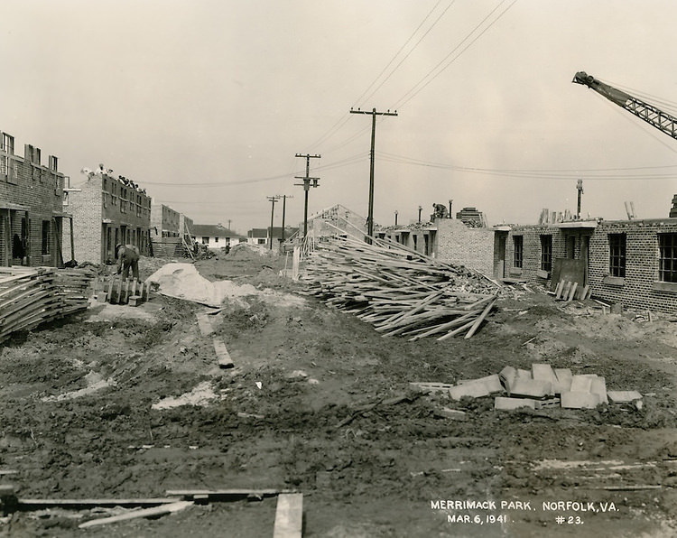
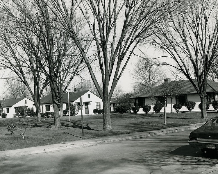
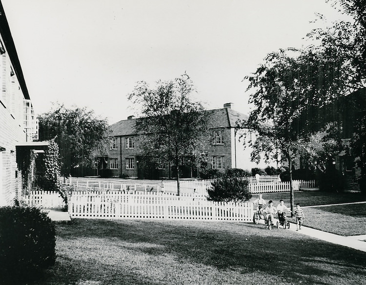
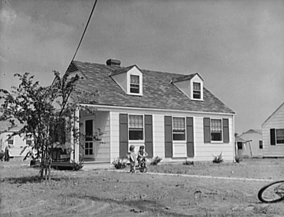
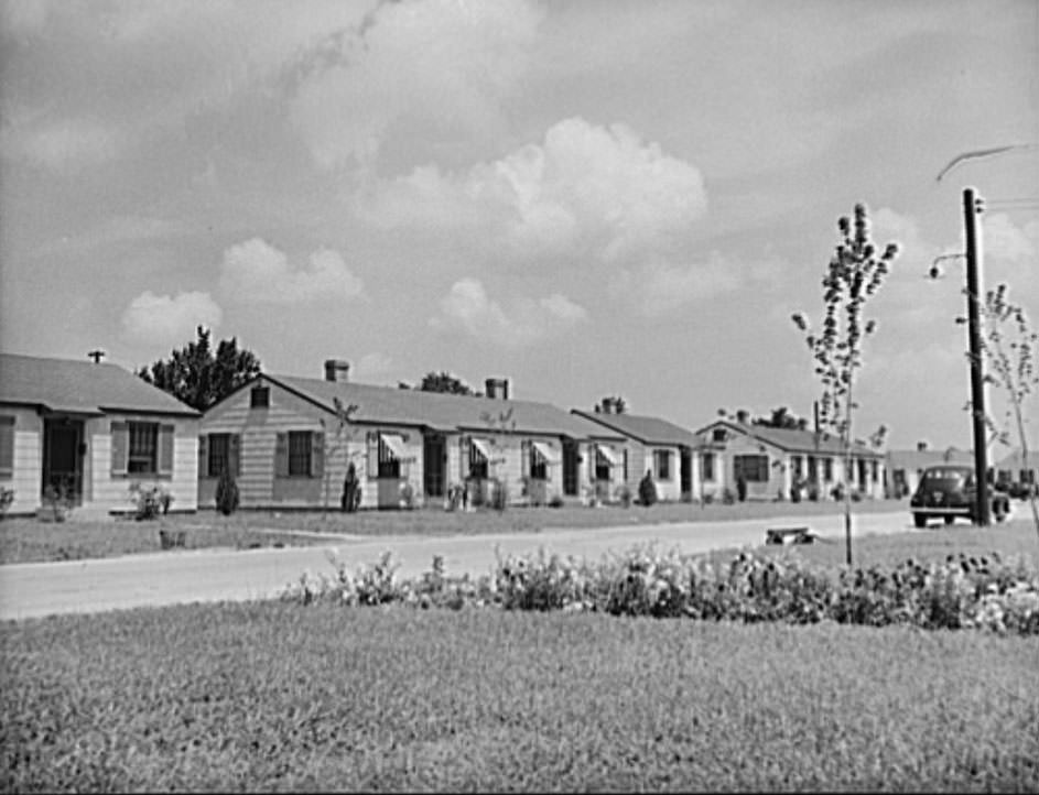
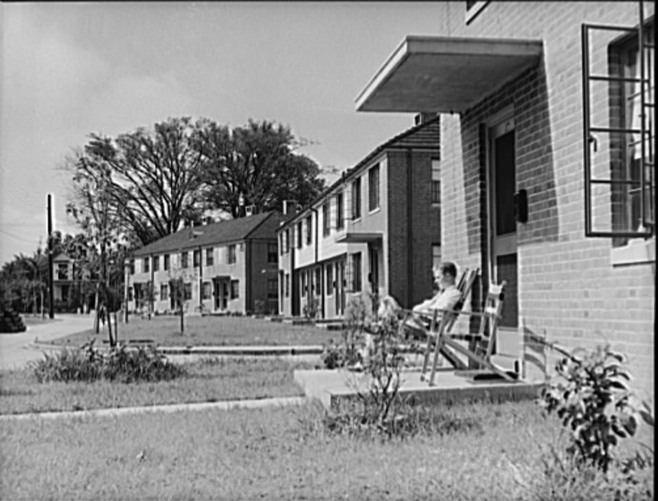
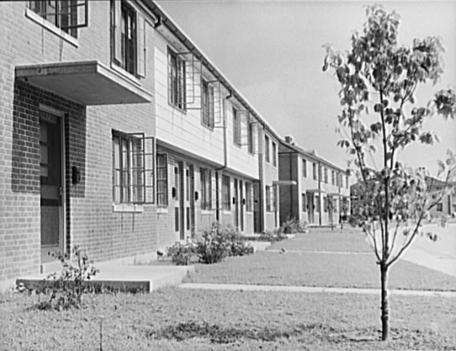
The federal government stepped in with planned housing developments to relieve some of the pressure. The Merrimack Park project was built by the U.S. Housing Authority specifically to house married enlisted personnel from the Norfolk naval base. The development included 500 units — single-story detached homes, two-family houses, two-story group houses, and apartments. It cost $1,980,000 to build and opened for occupancy on July 1, 1941. Monthly rents ranged from $13 to $33 depending on the unit, making it genuinely affordable for military families.
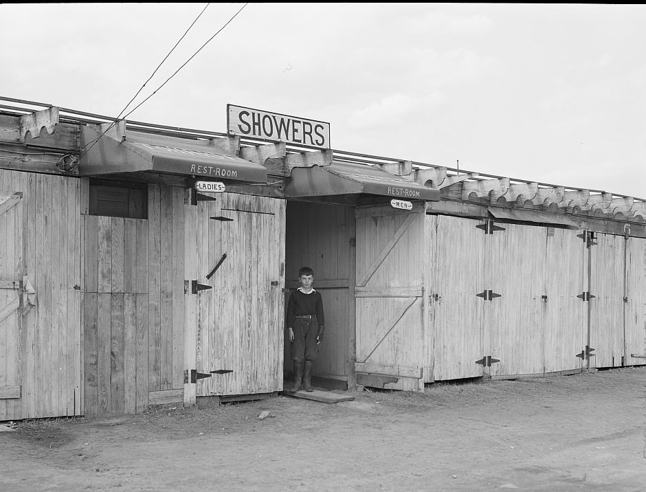
The Ocean View trailer camps on the outskirts of Norfolk provided basic facilities for construction workers who had no other option. The camps had shared washing and sanitation facilities — minimal but functional. Children of the workers, including the sons of construction workers, grew up in those trailers on the edge of the city, playing between rows of parked vehicles while their fathers worked long shifts building military installations.
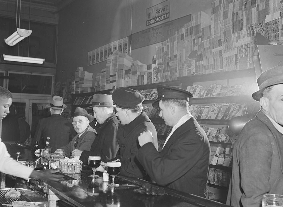
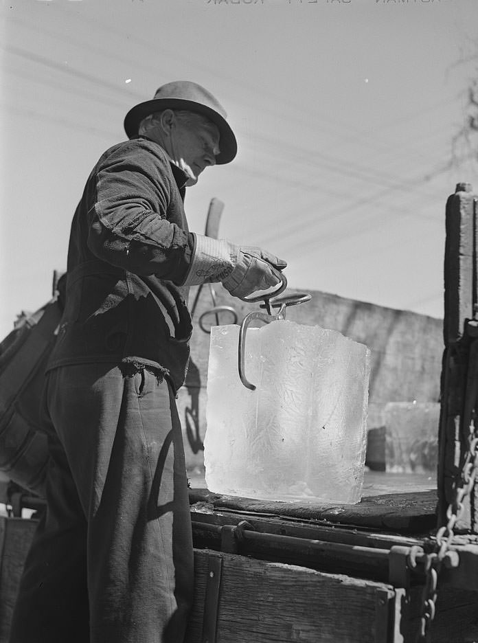
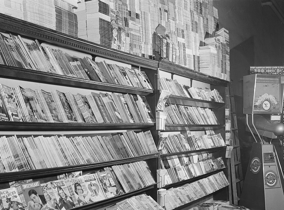
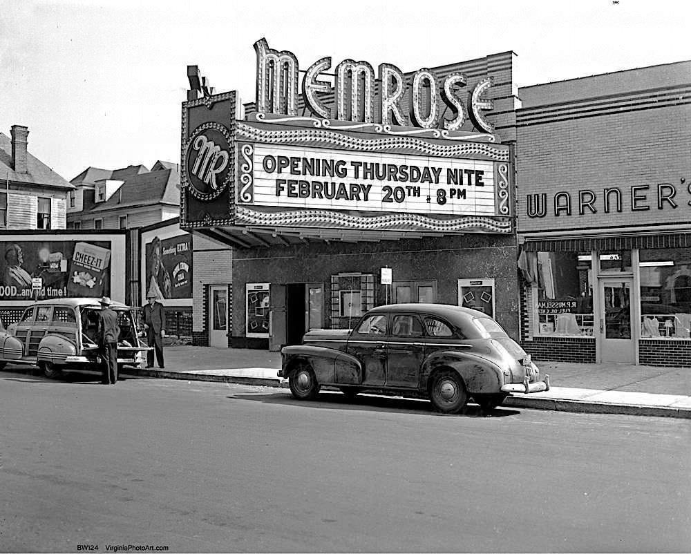
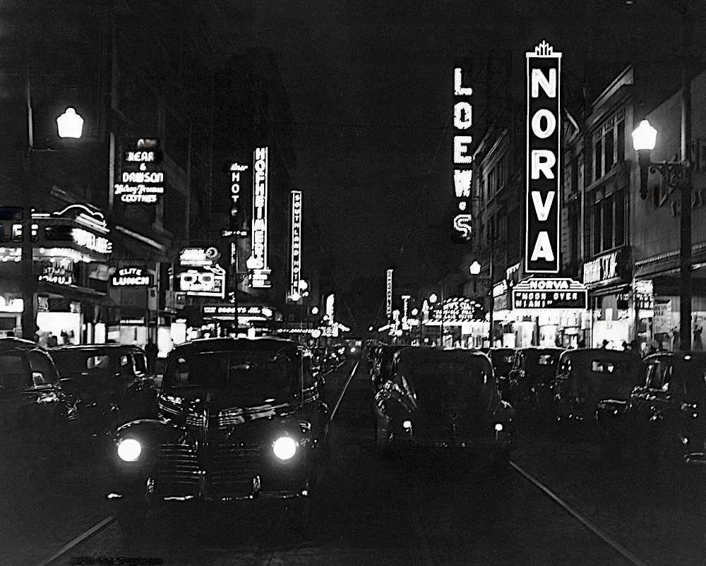
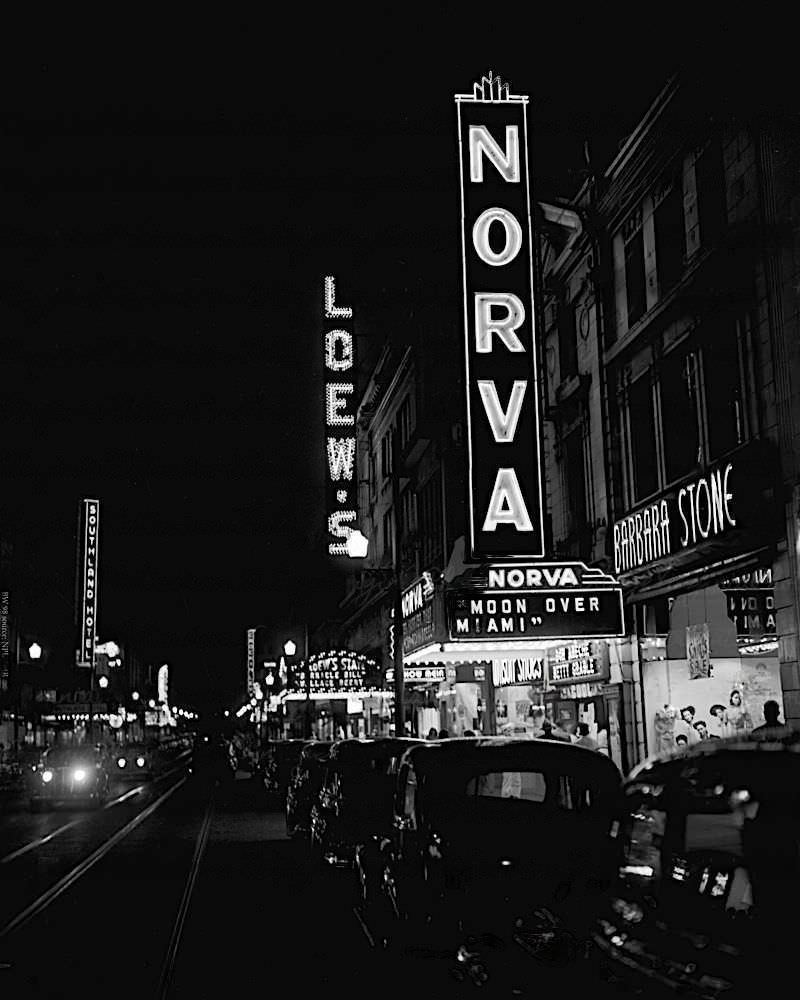
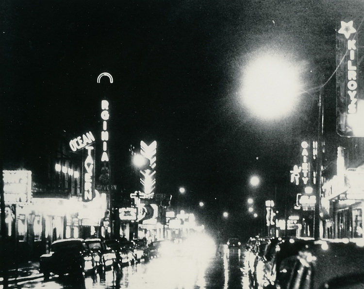
Not every part of the wartime city was grim. An iceman making his rounds in Norfolk in 1941 was a reminder that daily life continued alongside the chaos of rapid growth. Newsstands stocked with magazines lined the streets. Granby Street lit up at night with theaters like the Norva and Loew’s showing films to crowds of servicemen and civilians. The Memrose Theatre on Colley Avenue drew audiences from the surrounding neighborhood. For a few hours, the movies offered an escape from overcrowded rooming houses and long shifts at the shipyard.

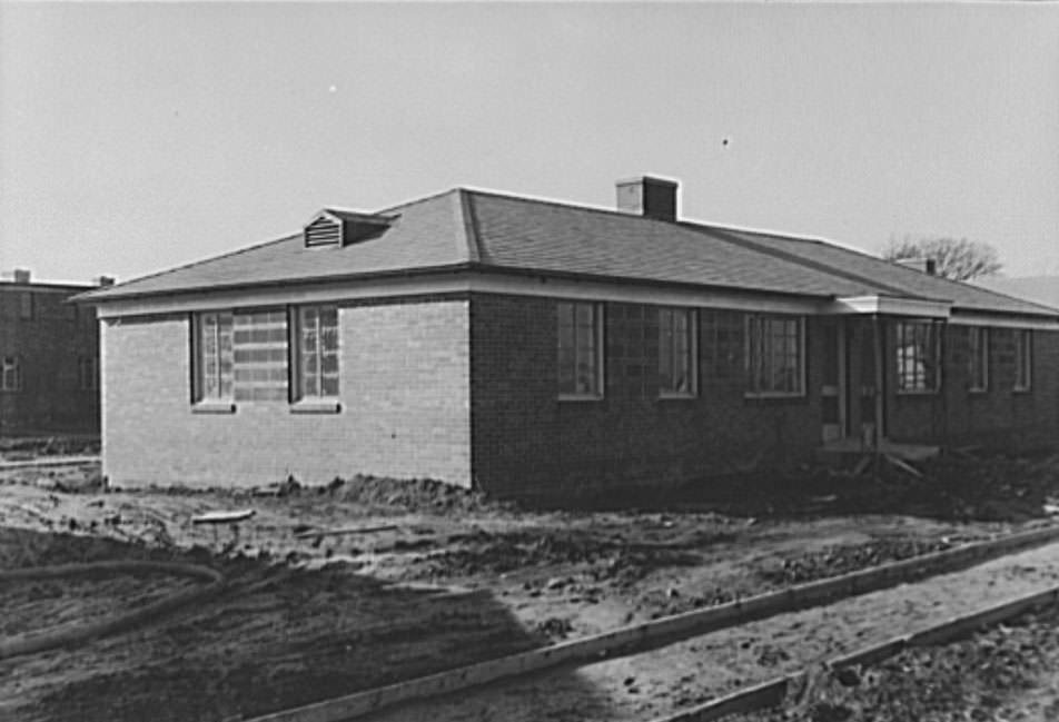
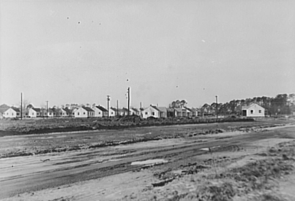
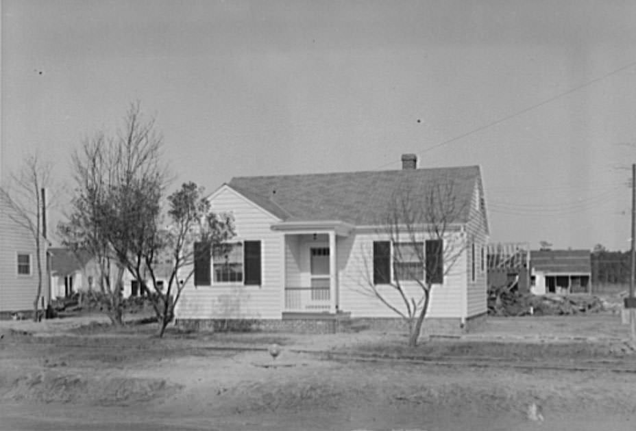
The Federal Housing Administration played a major role in expanding Norfolk’s residential stock. FHA-insured small home developments went up near the air base, offering low-cost homes that workers could purchase. Large-scale rental housing projects, also privately financed through the FHA, provided apartment-style living for families of defense industry workers. The USHA-financed rental developments added more options for those who could not afford to buy. These projects represented a coordinated federal effort to address a housing emergency that was undermining the city’s ability to function as a war production center.
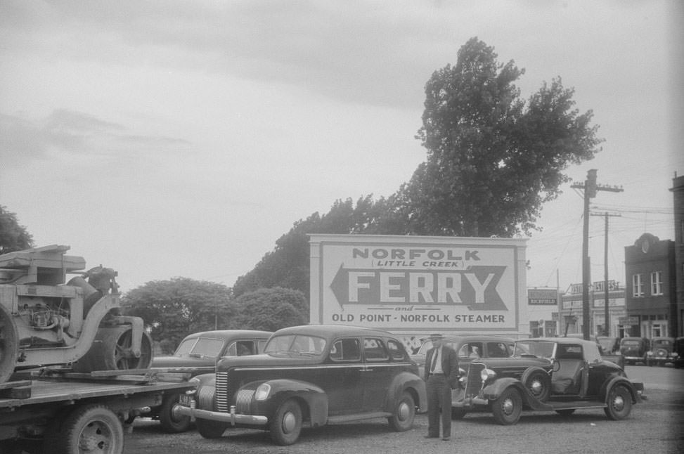
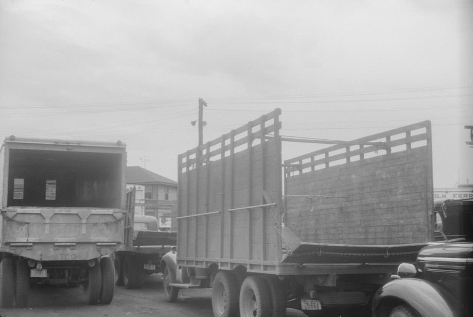
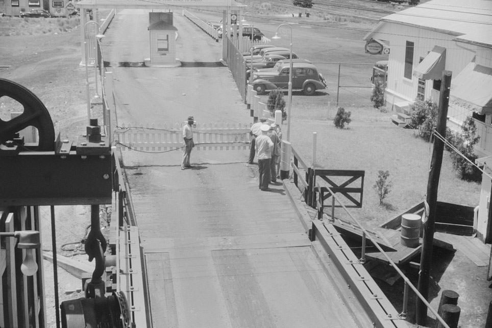
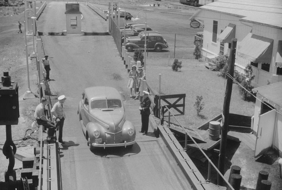
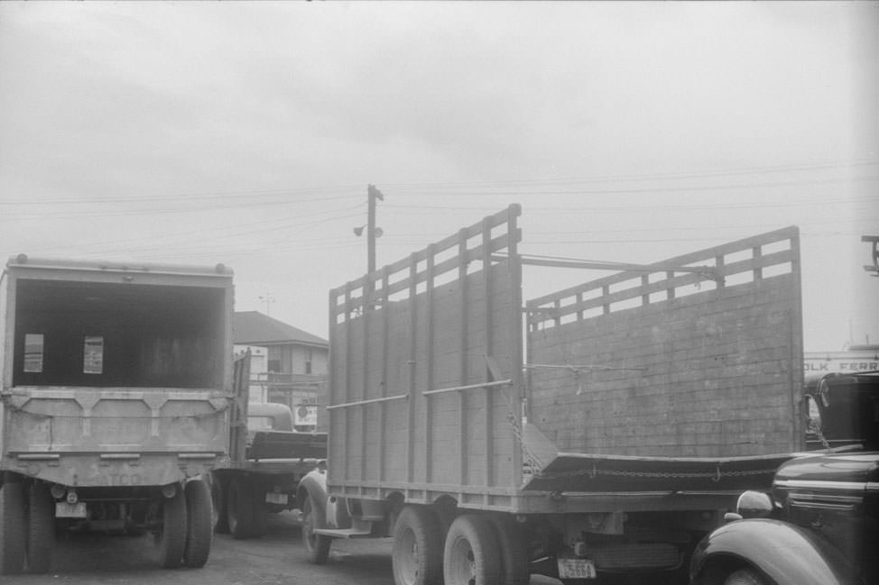
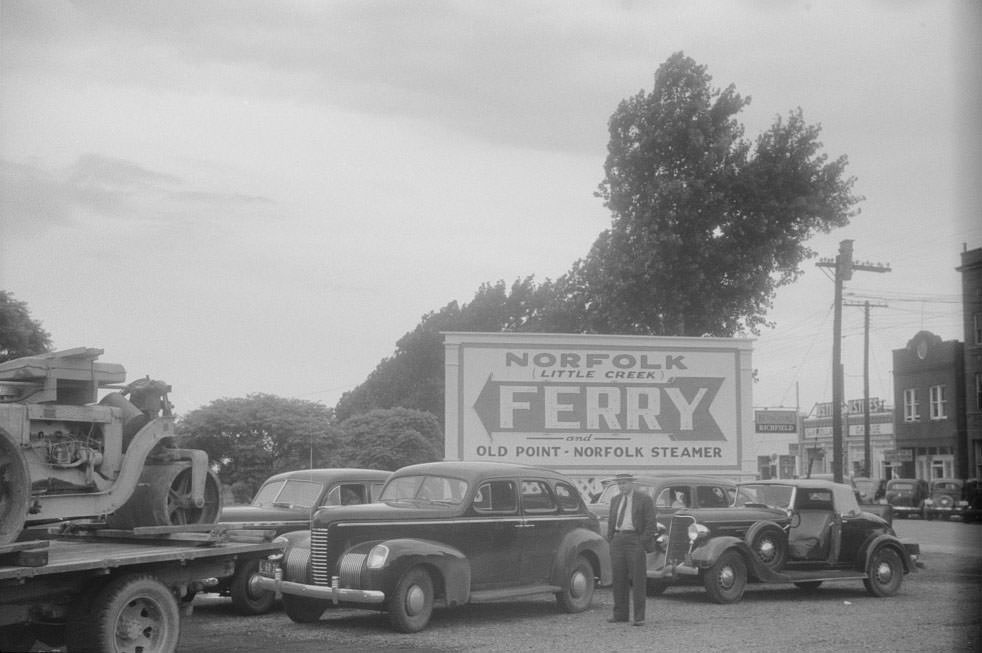
Getting into Norfolk required crossing water. Cars and trucks lined up at Cape Charles, Virginia, waiting for the ferry that crossed to Norfolk. The nine o’clock ferry was a busy crossing, with vehicles backed up as workers, families, and freight all competed for spots. The sheer volume of traffic at the ferry landing was another measure of how many people were moving in and out of the city during those years.
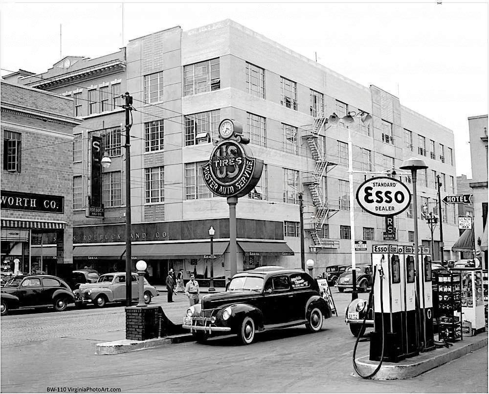
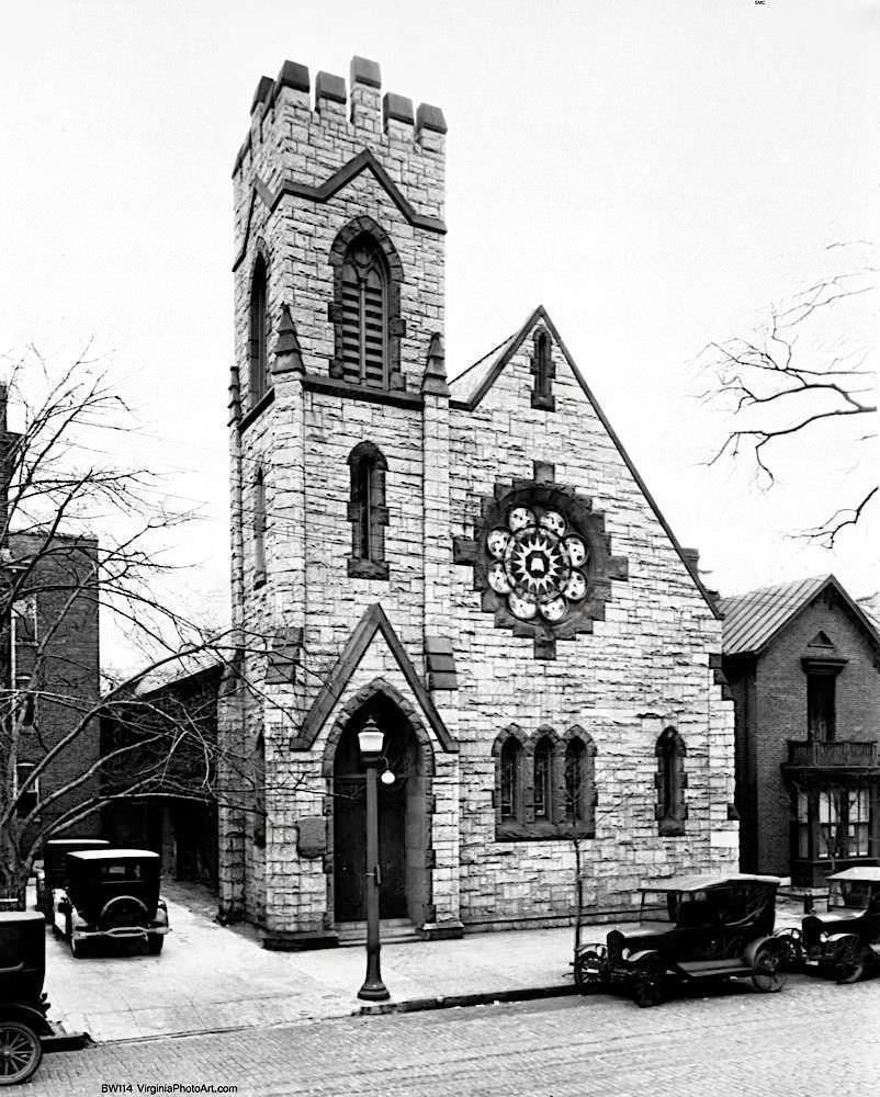
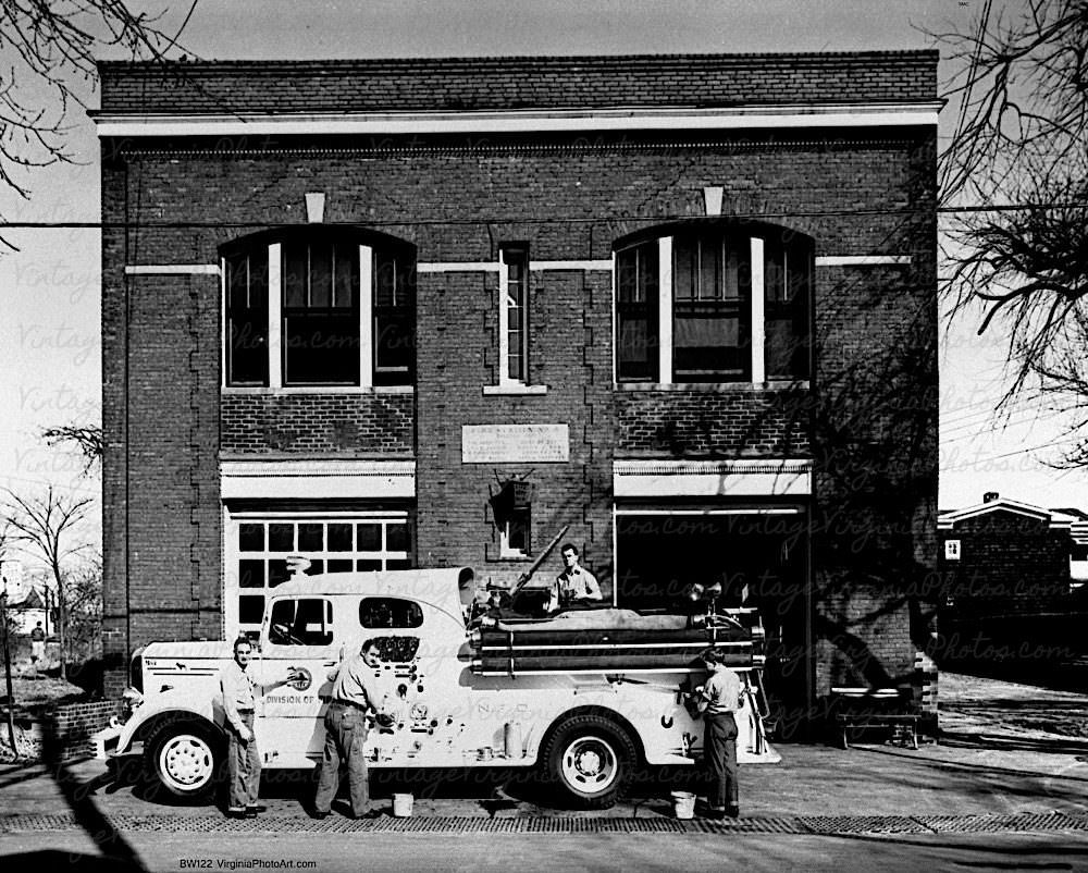
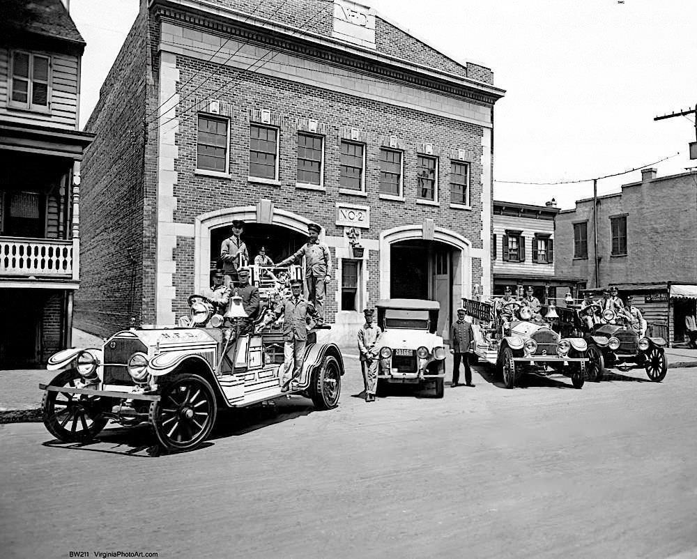
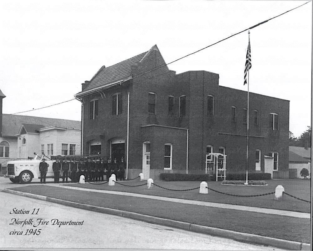
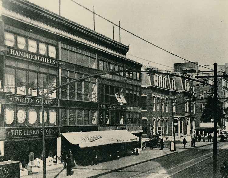
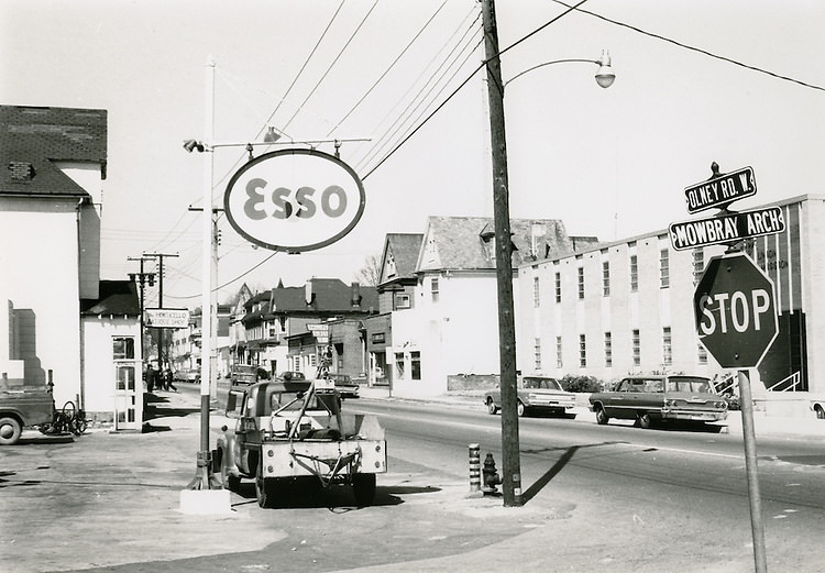
Beyond the defense industry, Norfolk’s commercial and civic fabric remained visible throughout the decade. A Sears and an Esso station stood at the corner of Freemason and Monticello in 1940. The Second Presbyterian Church — later known as Freemason Abbey — anchored the Freemason Street neighborhood. Fire stations, including Station No. 4 and Station No. 2 on Bute Street, continued to serve a city that was rapidly spreading into new territory. The Ocean View Train Station connected the beachside community to the rest of the region.
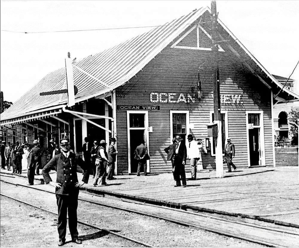
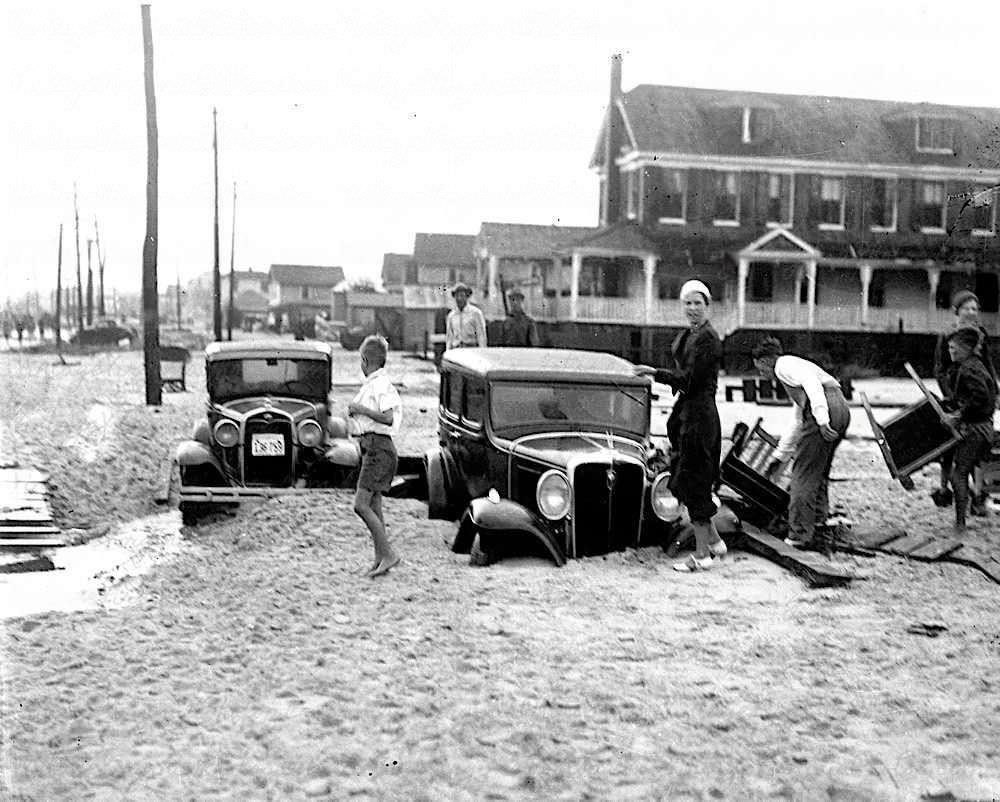
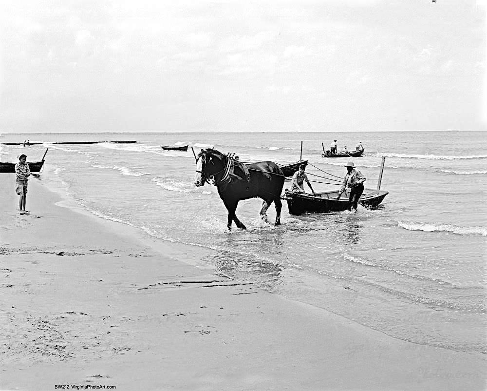
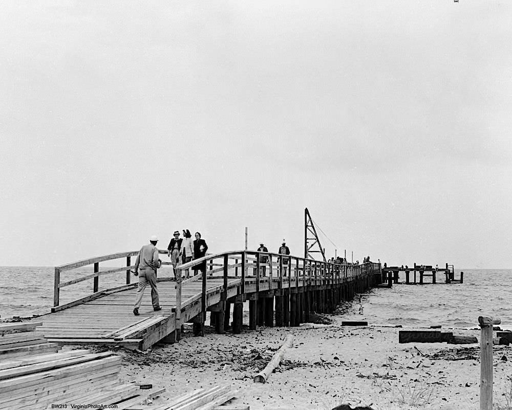
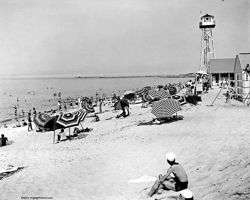
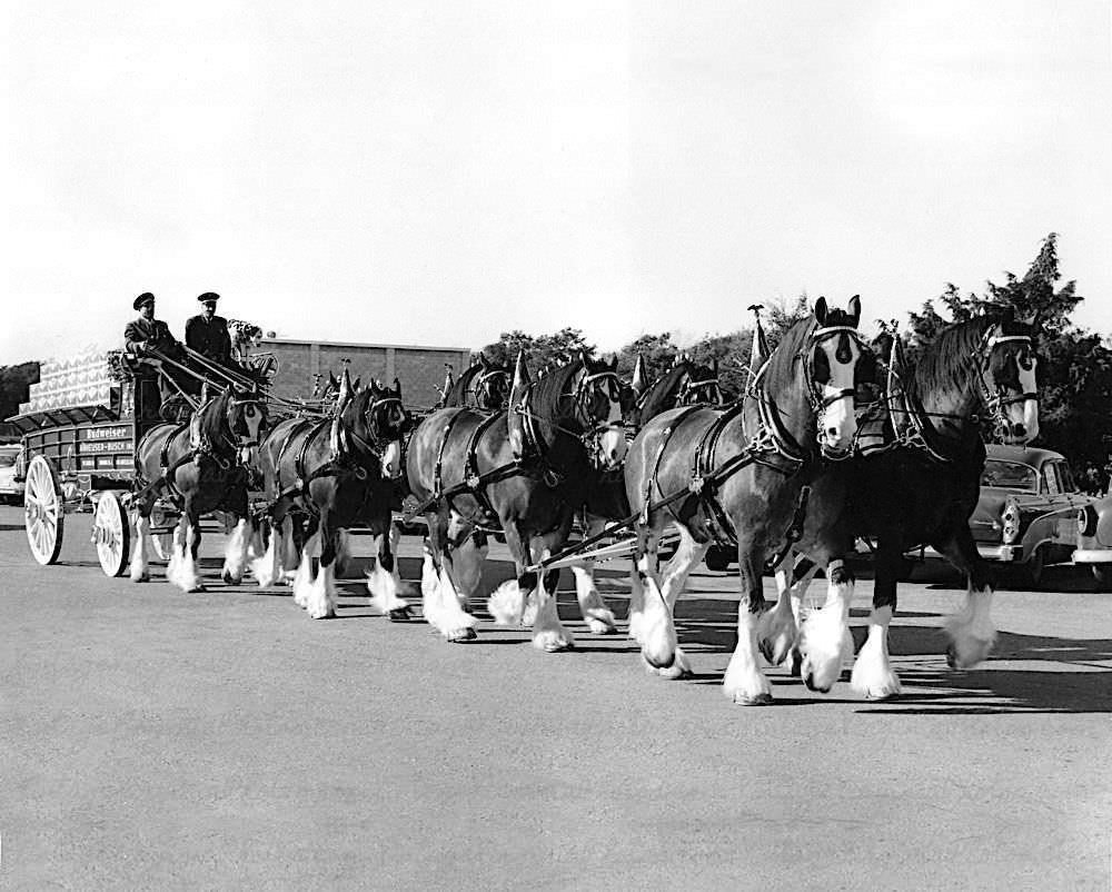
Ocean View was not only a site for trailer camps and worker housing. It was also one of the area’s main recreational destinations. The Ocean View Amusement Park offered a kiddie train ride that drew families looking for a break from the pressures of wartime life. The Navy YMCA Beach Club gave enlisted men a place to swim and relax. The Nansemond Hotel stood as one of the neighborhood’s established institutions. Even a notable horse named Big Ben made an appearance at Ocean View Beach in 1944, a slice of ordinary spectacle in an otherwise extraordinary time.
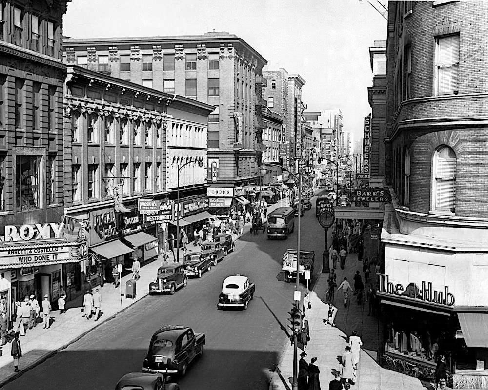
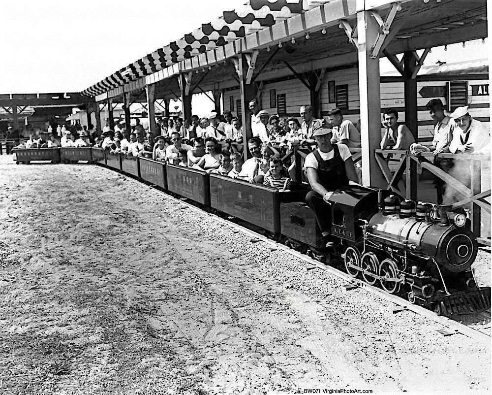
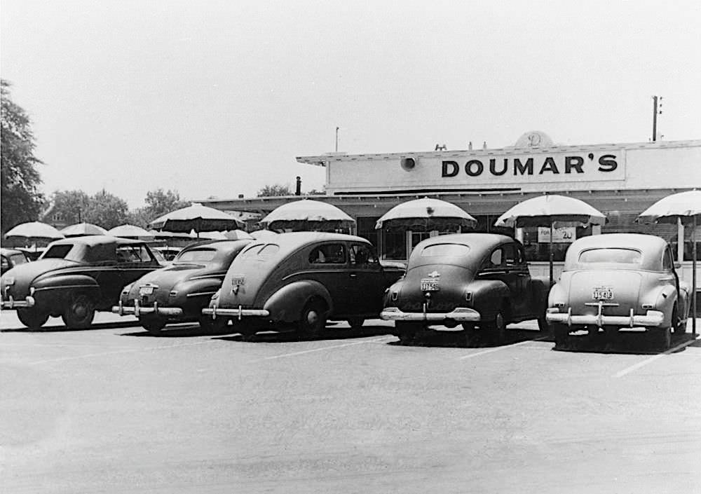
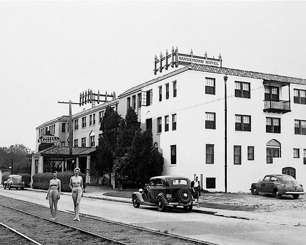
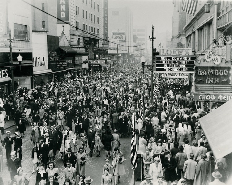
When the war ended in August 1945, Norfolk’s Granby Street erupted. The VJ Day celebration on August 15, 1945 drew enormous crowds into the downtown core. Servicemen and civilians packed the sidewalks along Granby Street, celebrating the end of years of wartime sacrifice. The theaters that had provided entertainment throughout the war — the Norva, Loew’s, and others — stood as backdrop to one of the most memorable nights in the city’s history.
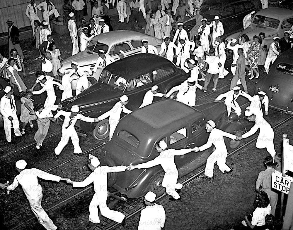
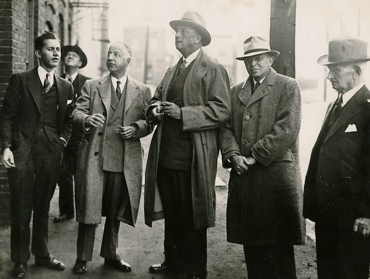
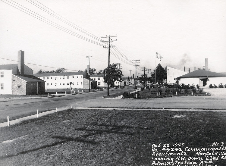
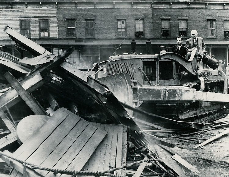
The housing crisis in Norfolk’s slum districts drew scrutiny from federal inspectors throughout the 1940s. U.S. Housing Authority officials inspected an apartment-hotel building in the 800 block of Whites Avenue, identified as part of the heart of the Norfolk slum area. Commonwealth Apartments on 23rd Street represented a different model — larger, more organized housing meant to serve working-class families. Lewis Park and other planned residential areas began to take shape as the city tried to bring order to its chaotic growth.
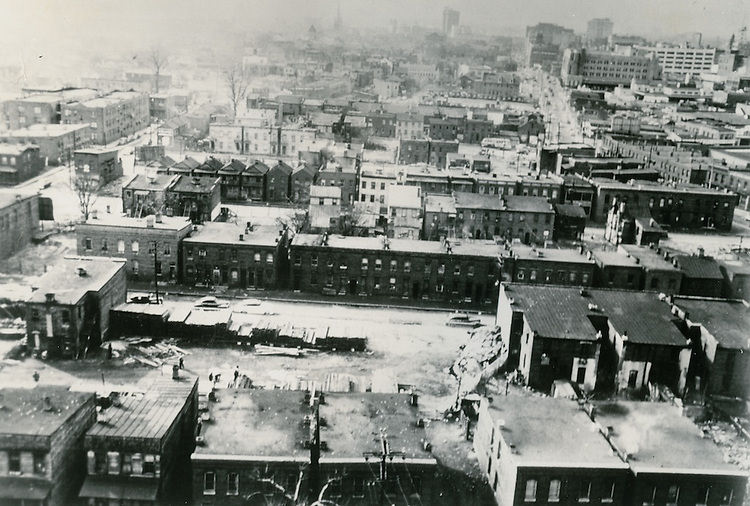
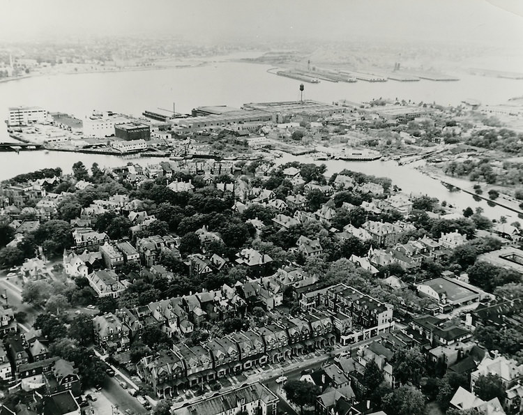
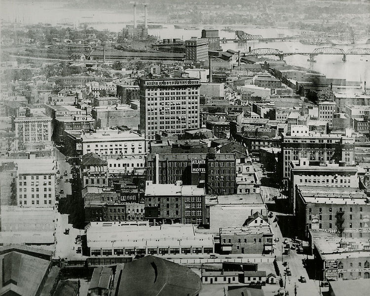
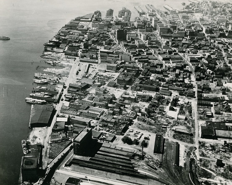
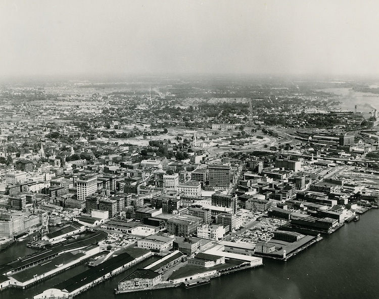
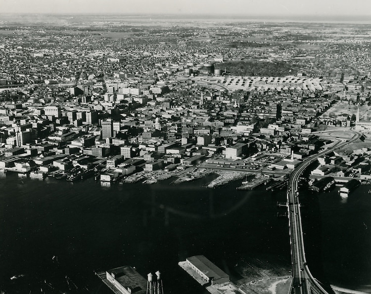
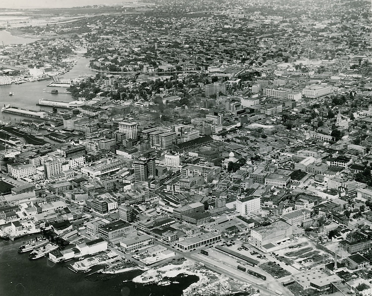
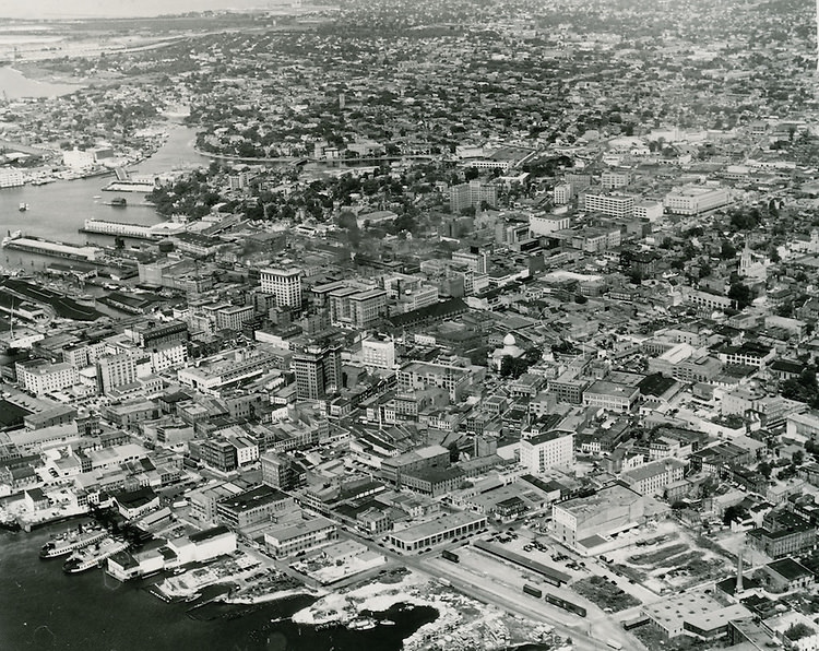
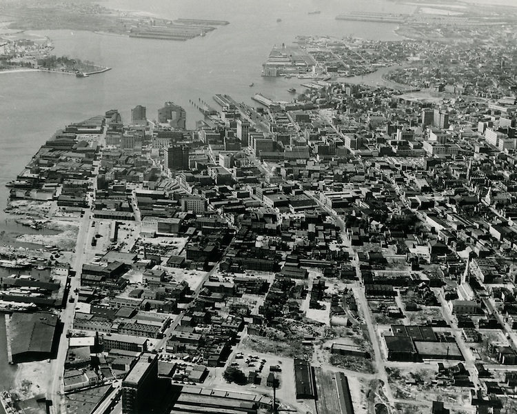
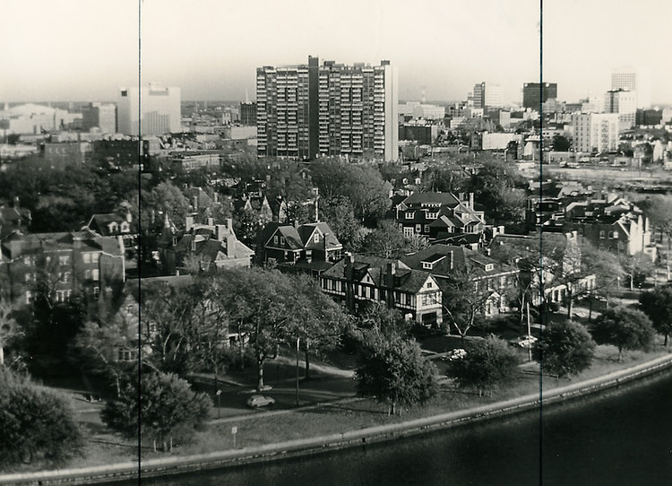
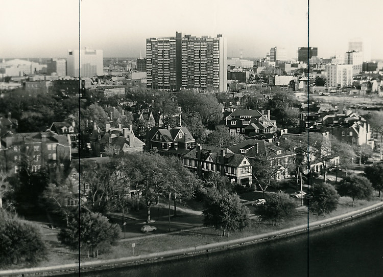
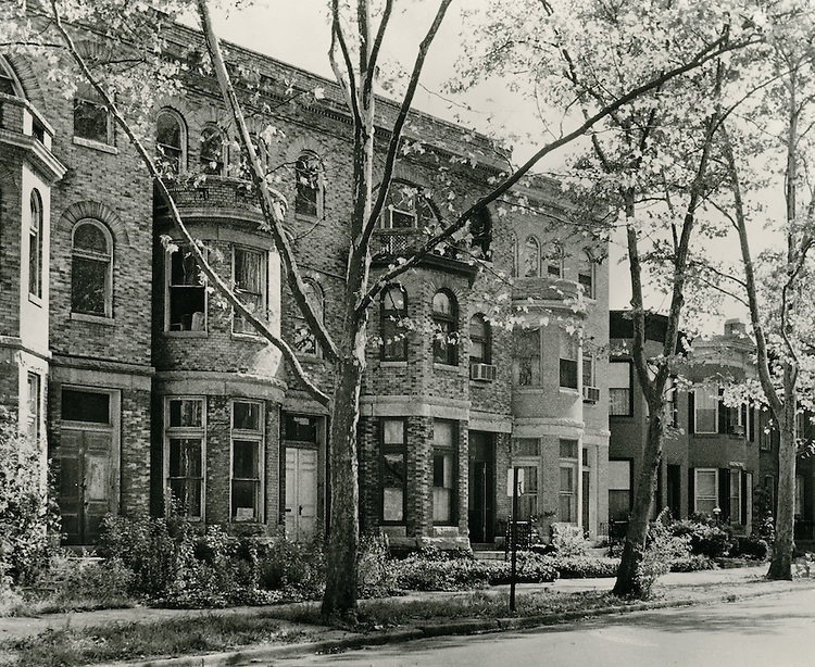
Aerial photographs from the 1940s reveal how much of Norfolk was still low-density and open, even as the downtown core was dense and congested. The Ghent neighborhood, with its tree-lined streets and established homes along Mowbray Arch, showed a more settled face of the city. Looking south across Ghent toward downtown, the skyline was modest — a collection of mid-rise buildings above a compact commercial district. The Freemason district, one of the oldest residential areas in Norfolk, held its historic character through the decade despite the pressure all around it.
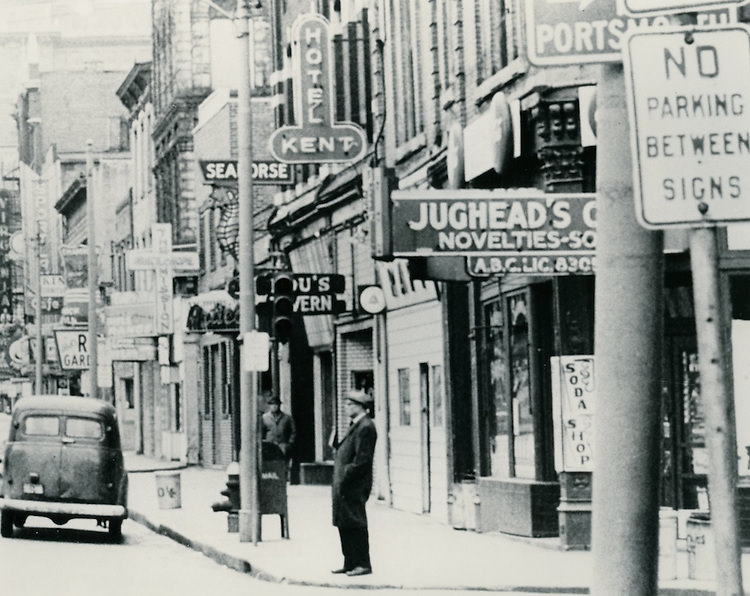
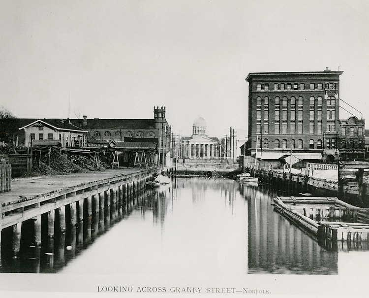
Air raid warnings were a real part of daily life in wartime Norfolk. One photograph shows Granby Street looking north from Market Street during an air raid warning — the street emptied, storefronts quiet, a stark contrast to the usual four o’clock rush. The city practiced blackout procedures and civilian defense drills because its naval facilities made it a legitimate target. Norfolk City Hall, visible from across Granby Street, stood as the administrative center of a city trying to govern itself under extraordinary pressure.
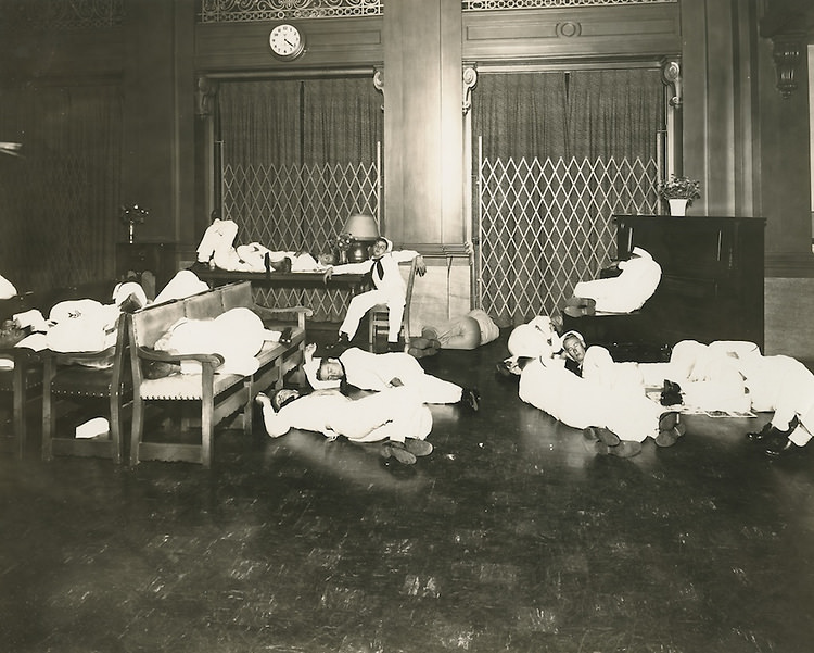
With thousands of sailors stationed in and around Norfolk, the Navy YMCA became a critical institution. Photographs from the decade show sailors sleeping in the lobby — men who had nowhere else to go between assignments, stretched out on chairs and benches in a building that was not designed to serve as a barracks. It was one of the more striking images of what wartime Norfolk actually looked like on the ground: a city overflowing with young men in uniform, short on beds, relying on whatever space the city could offer.
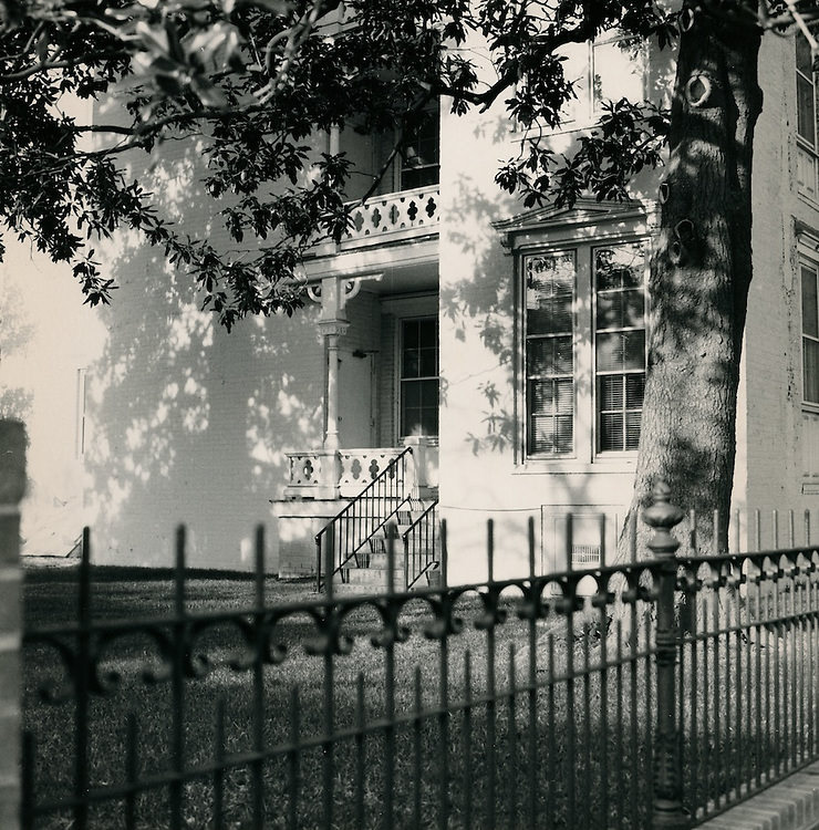
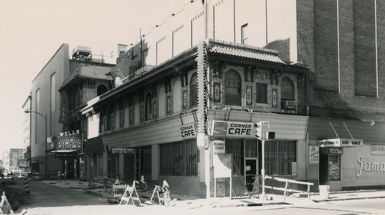
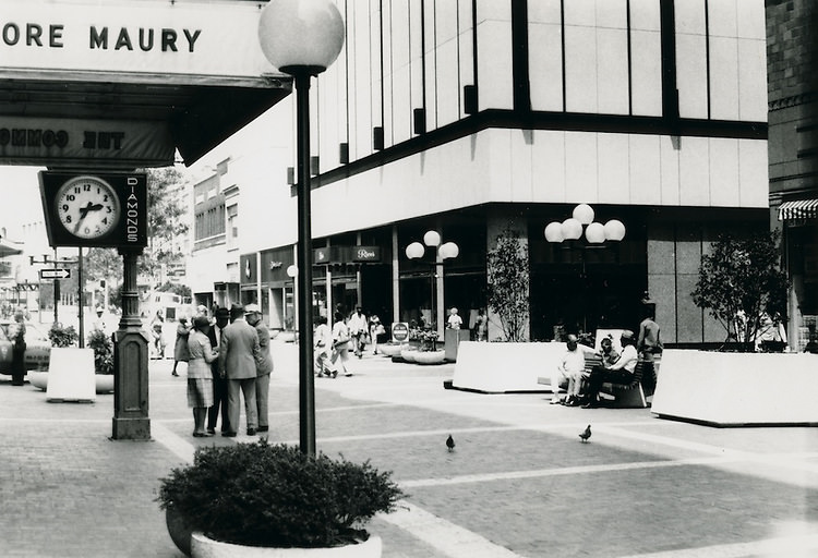
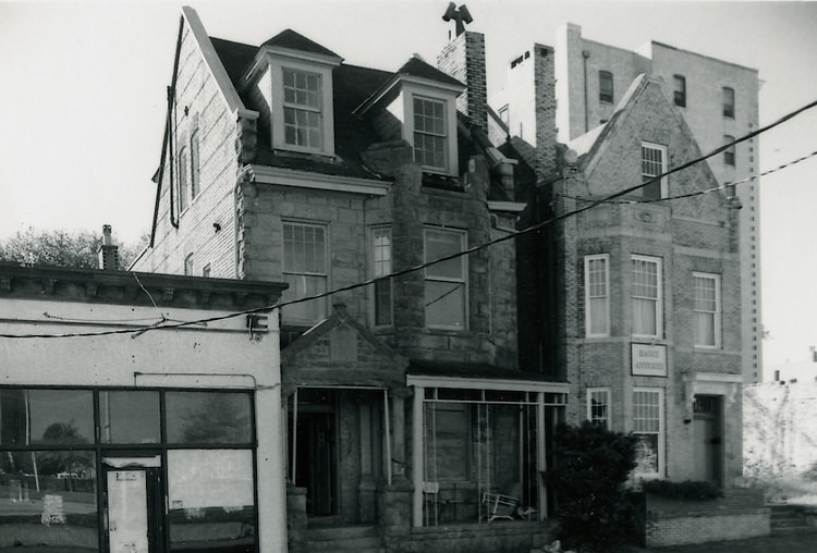
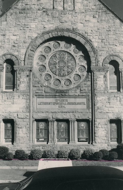
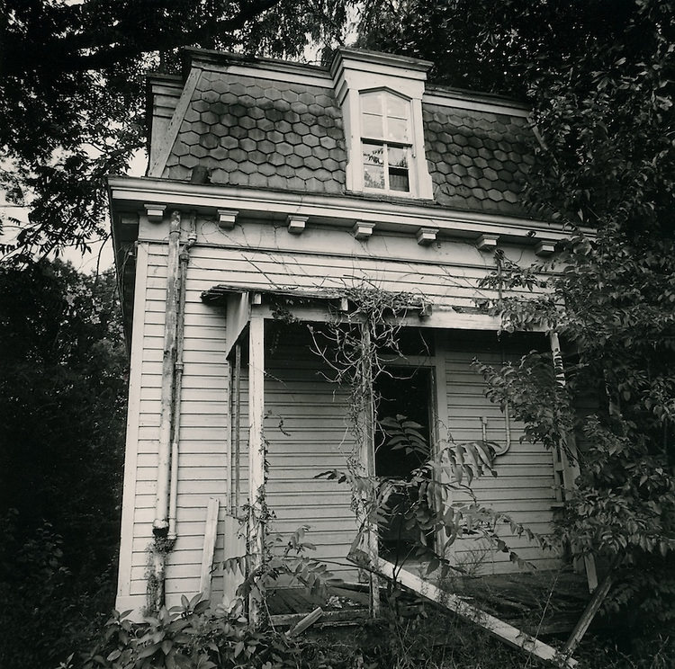
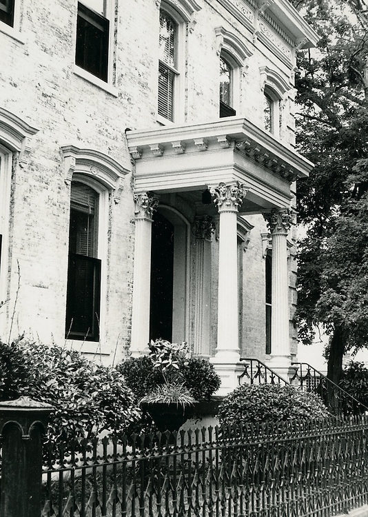
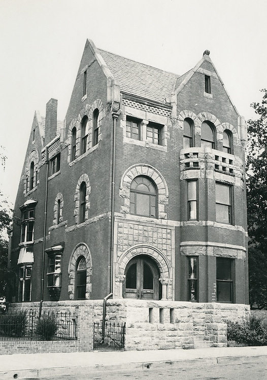
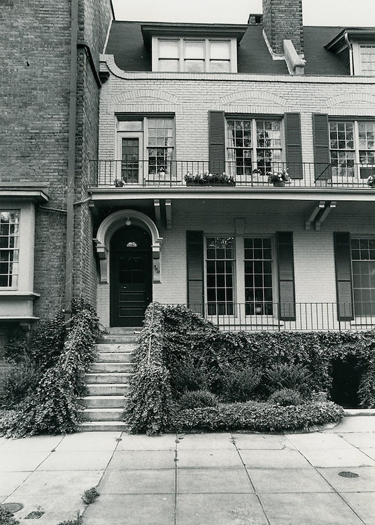
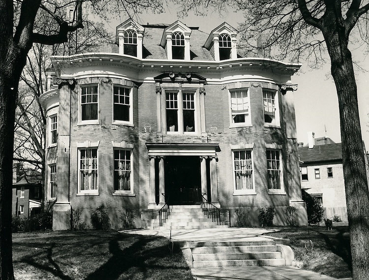
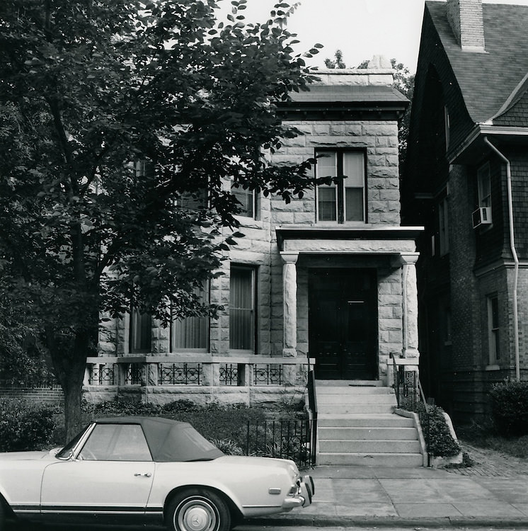
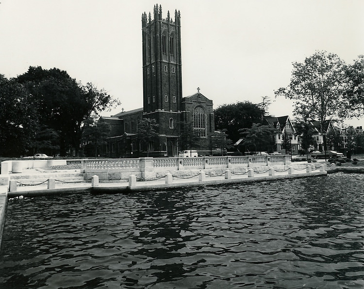
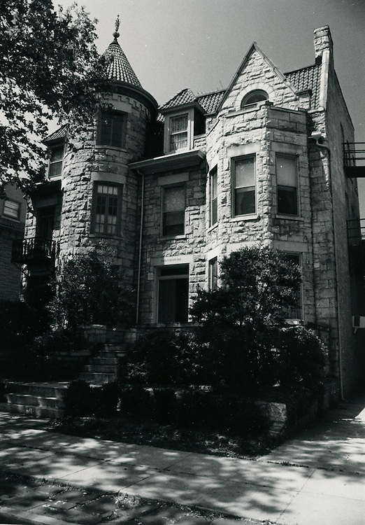
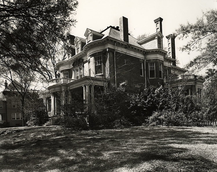
The Freemason district’s older homes and established streetscapes survived the decade relatively intact. Homes along Mowbray Arch and the surrounding blocks retained their 19th-century character even as the rest of the city was being rapidly redeveloped. Christ and St. Luke’s Church, viewed from across the Hague, anchored the neighborhood visually and spiritually. The Royster House on Colonial Avenue was photographed both before and after its front porch was removed — a small but visible sign of the changing standards and financial pressures reshaping even Norfolk’s most established residential streets.
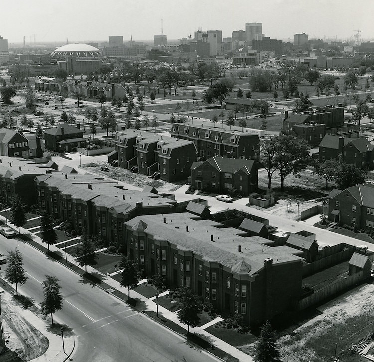
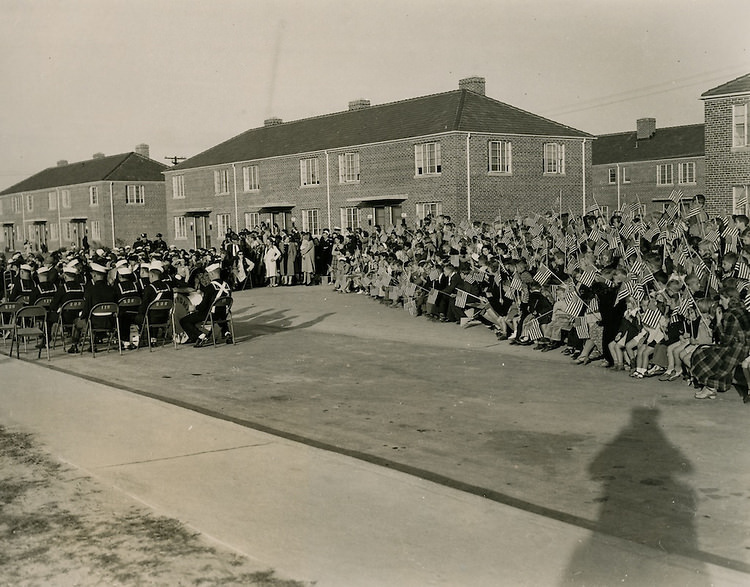
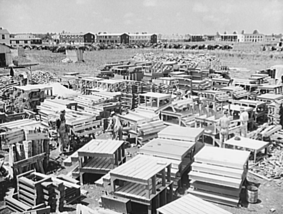
Merrimack Park was one of the largest planned housing efforts of the era in Norfolk. Its groundbreaking ceremony drew an audience of children who filled sections of seats set up for the occasion — a public event meant to signal that the city was taking the housing crisis seriously. The project’s roads and service drives, photographed as construction progressed, showed orderly rows of modest but functional housing units. Merrimack Landing and the surrounding residential blocks were designed to house hundreds of families in decent conditions, a direct contrast to the slum districts they were meant to replace.
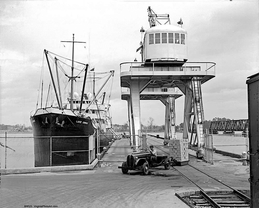
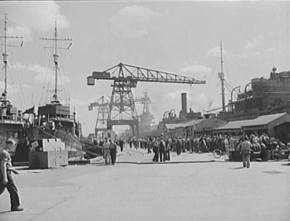
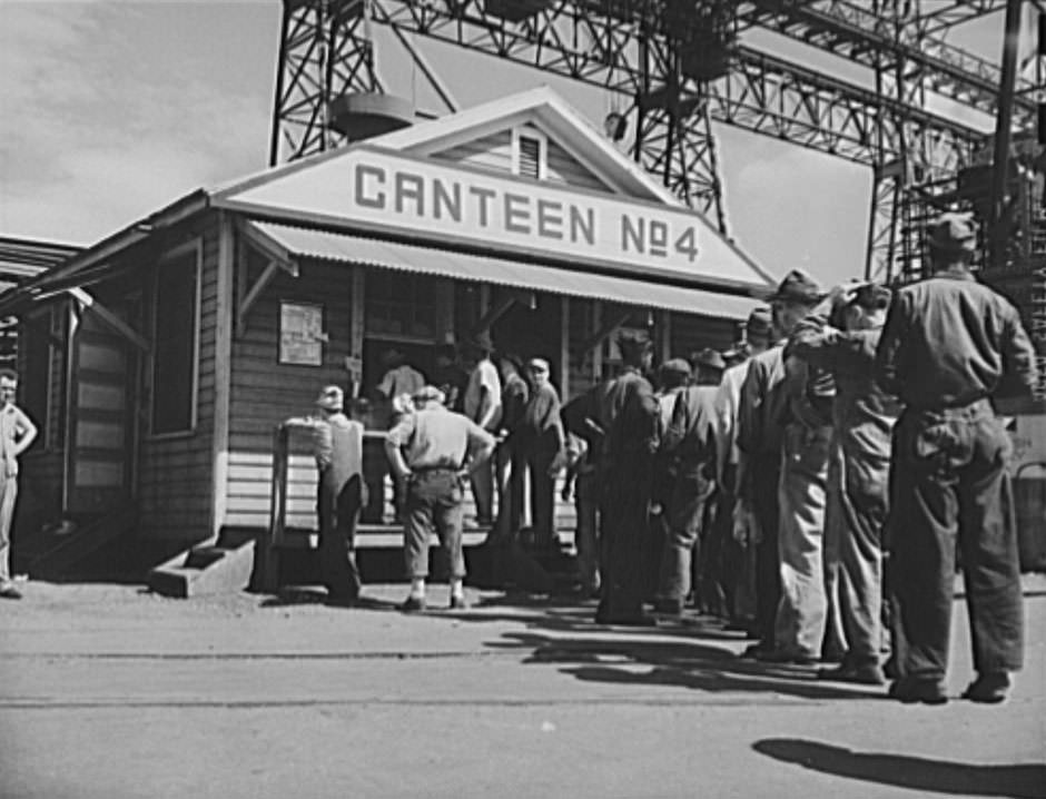
The Norfolk Navy Yard was the engine that drove all of this growth. The shipyard ran multiple shifts and employed thousands of workers at any given time. Canteens on the grounds sold sandwiches, cigarettes, and soft drinks to workers who did not have time to leave the facility. Cafeterias served hot meals. The scale of the operation was enormous — ships were not just repaired there, they were built from scratch, rolled into the water, and sent to war. The docks at Little Creek, known as the “Gateway to the South,” processed cargo and personnel moving in and out of the region throughout the war years.
Defense housing projects extended beyond the city limits to Portsmouth, where the Hale Homes development provided war housing for families connected to the regional military-industrial complex. The Ben Morrell Project in Norfolk added more units to the city’s defense housing stock. These were not luxury developments — they were functional, no-frills housing built quickly to meet an urgent need. Together with the Merrimack Park development and the FHA-financed projects, they represented a broad government-backed effort to bring some order to a housing situation that had spiraled well beyond the private market’s ability to manage.
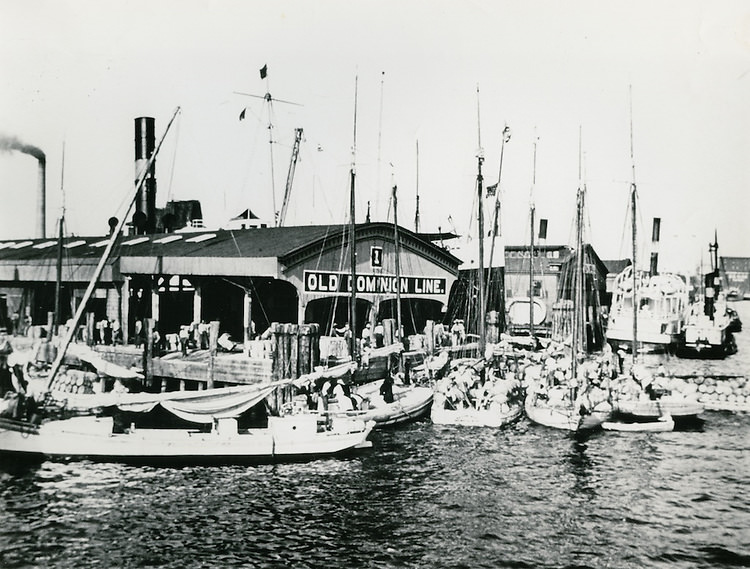
The ferry crossings at Cape Charles and the docks at Little Creek were critical links in the transportation network that kept Norfolk functioning. Trucks loaded with cargo waited at Cape Charles for the ferry to Norfolk. The Old Dominion Line ran passenger and freight service into the city. Without these connections, the flow of workers, materials, and supplies that sustained the war effort would have been severely disrupted. The waterfront was not just a scenic backdrop — it was the logistical backbone of everything Norfolk did during the war.





so it looks like the “four o clock traffic” photo set is over by the old ford plant. I would love to see more photos of suburban norfolk. does anyone know where the “slums” were at the time?
most of the slums in the photos were downtown, stretching north through East Ghent to about where Maury HS is. Then there were a number of housing projects to the east.
Desolate. Thanks for sharing.
I does seem pretty rough in these photos!
In recent decades, we have taken for granted the huge advances in quality of life that took place between 1945 and 1970. Growth and innovation in the postwar industrial base led to even more growth. Norfolk’s 4 o’clock traffic probably consists of the wealthiest residents, and many other cities looked similar. However, the backed-up sewers and power lines show that some things never change.
It’s true – and Norfolk, Portsmouth, Newport News, and Hampton experienced two world wars of military build up and decline. There were thousands of people hungry for shelter -any kind – to chase the shipyard and war buildup dollars. Additionally, we had a large influx of military personnel.
Many homes near Portsmouth’s yard were converted into boarding houses … and many of them were destroyed after WWII.
The photos also show the stark differences in segregated housing … little to no zoning and rental laws … slum lords making a lot of money from poor residents.
They aren’t all from the 1940s, like the ones with Scope in the background. It was built around 1970.
Those are fascinating.