

Central Pacific Railroad built an ice-cooled freight car in 1870 to transport California-grown fruit across the country. Sacramento became the permanent State Capital at the 1879 Constitutional Convention after the California State Legislature moved there in 1854. The city prospered quickly due to its new status and strategic location. The Pony Express and First Transcontinental Railroad terminated in Sacramento, becoming a distribution and transportation center.
The Sacramento Fire Department was established on March 30, 1872, after the City formed Engine Companies 1 and 2. On September 2, 1876, Sacramento High School was completed at 9th and M Streets at the cost of $10,687. The school opened for students in January 1877. The building burned down in 1909.
Here are some stunning historical photos of Sacramento in the 1870s. Also check, what Sacramento looked in the 1850s and 1860s.
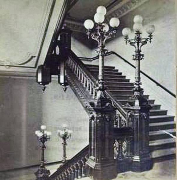
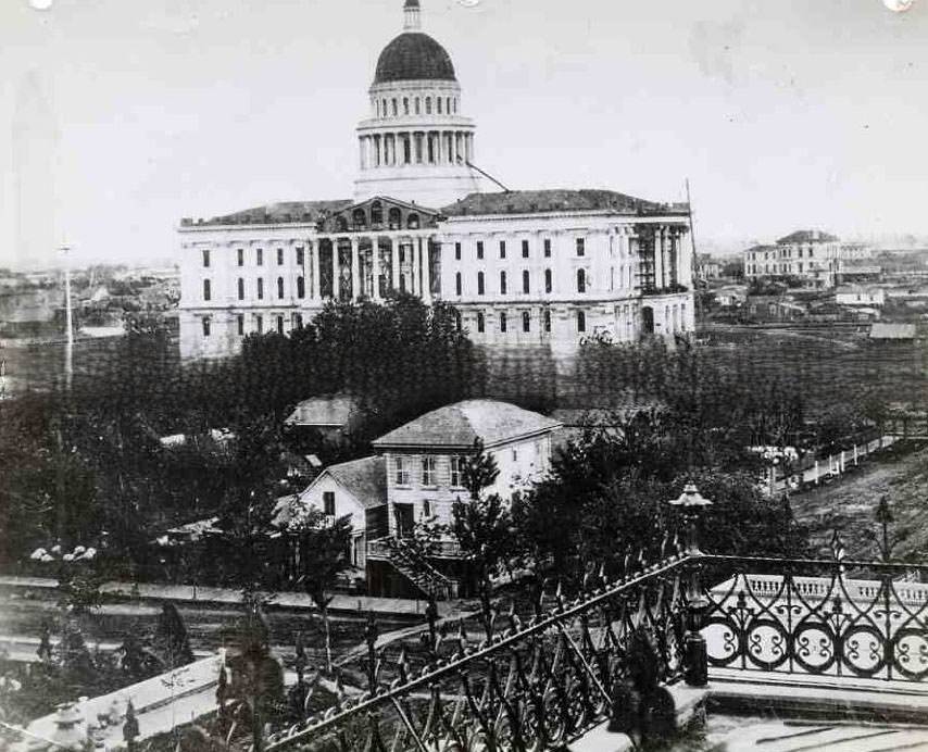
#1 Sacramento, Stairway of State Capitol, 1870s
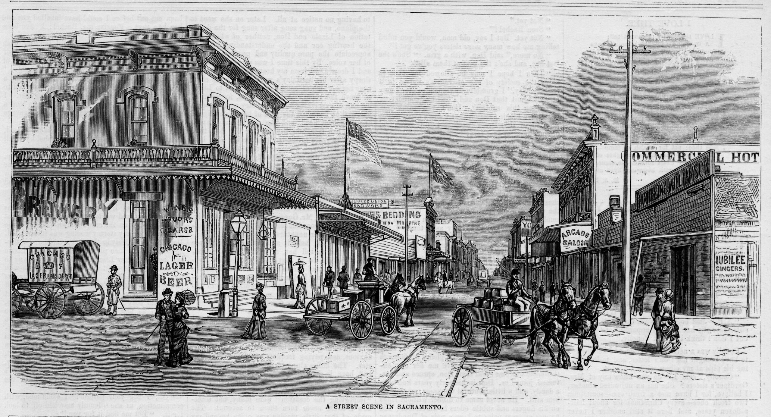
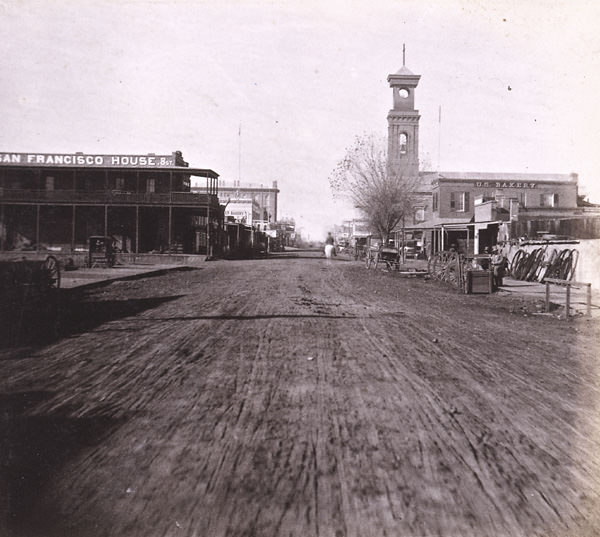
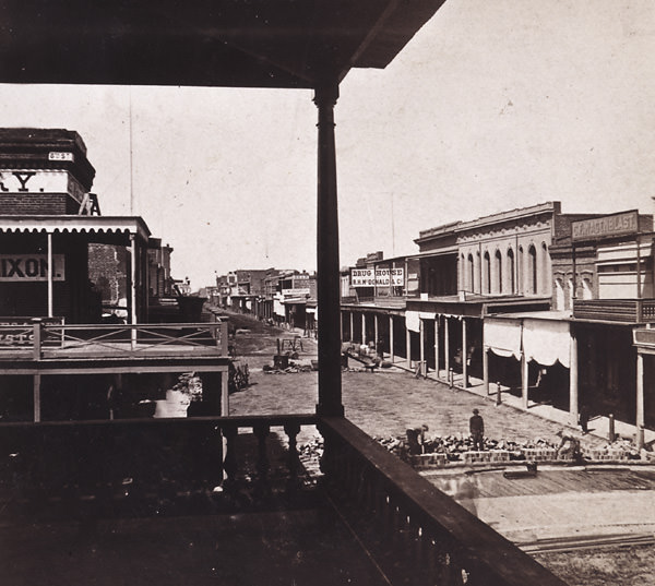
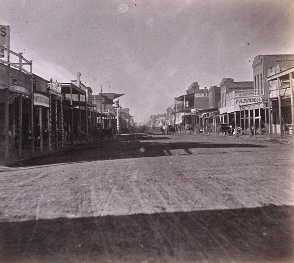
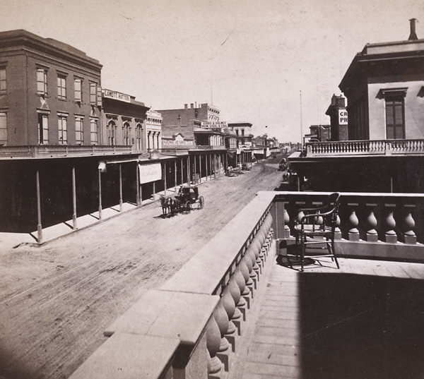
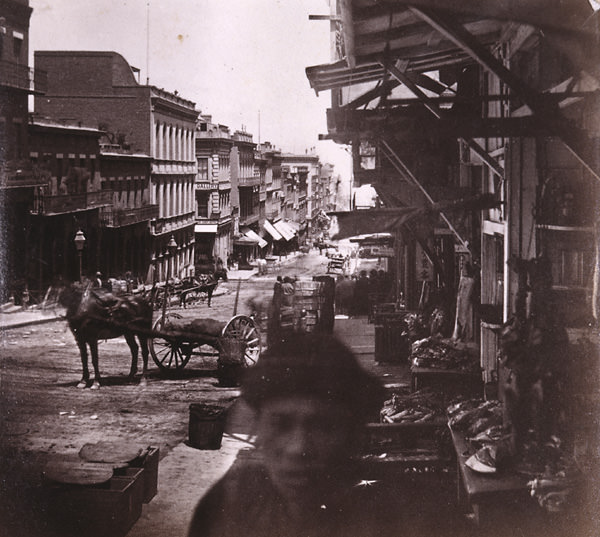
#2 A Street Scene in Sacramento, 1878
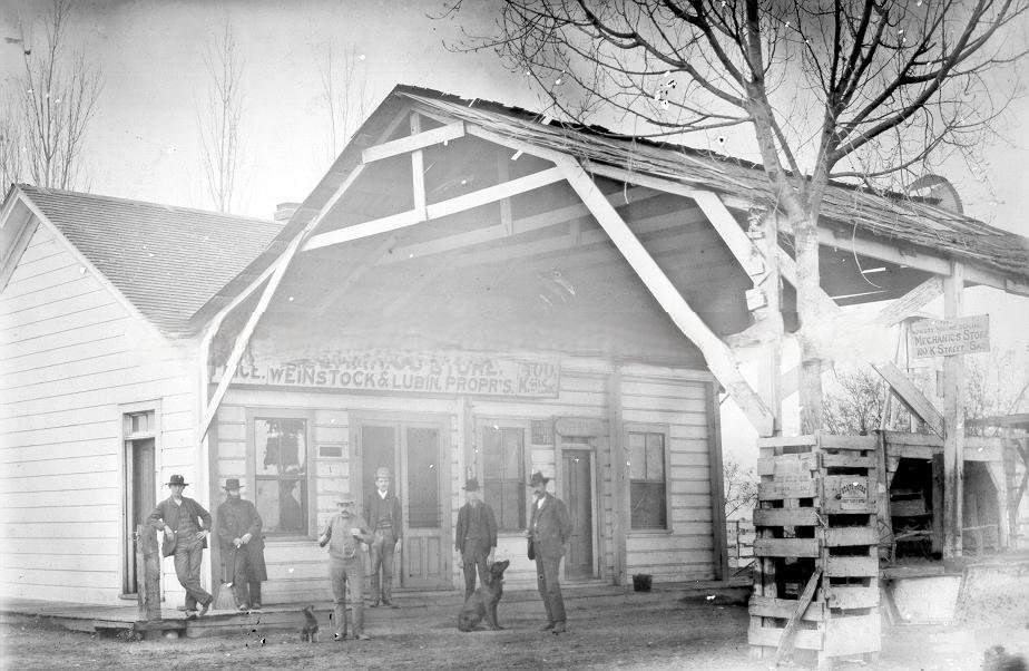
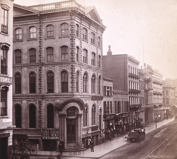
#3 Store, Weinstock & Lubin, Proprietors at 400 K Street, Sacramento, 1870
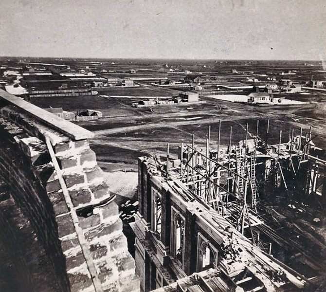
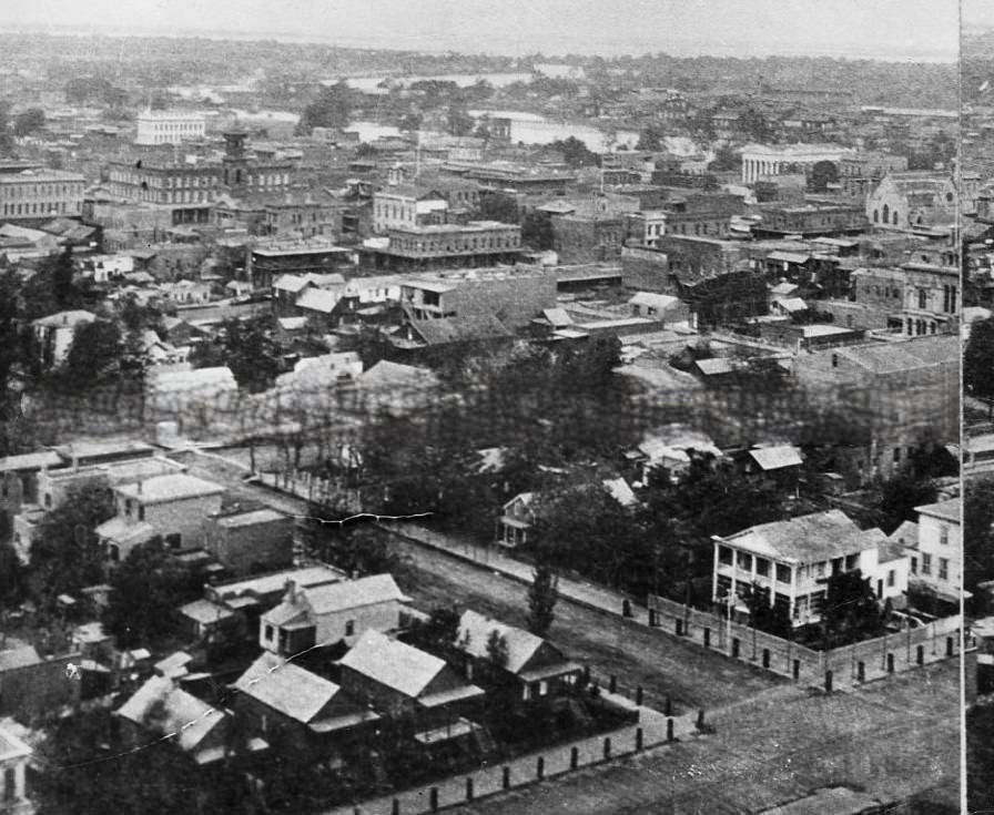
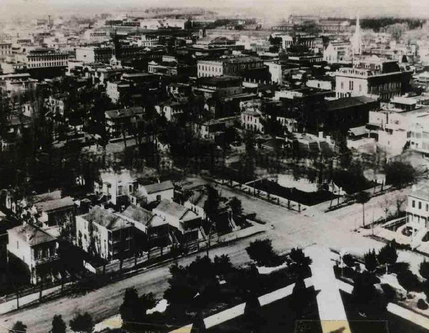
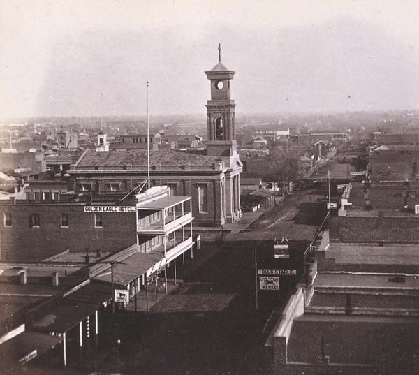
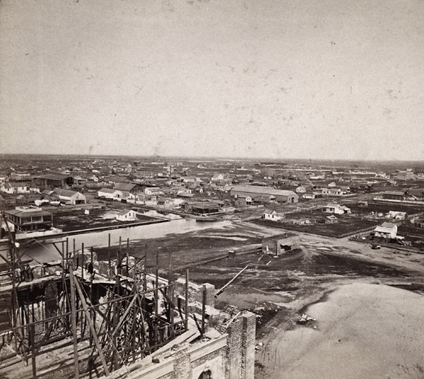
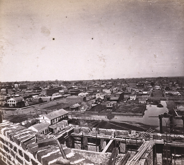
#4 Sacramento City from the new Capitol Building, Looking Northeast by East, 1870s
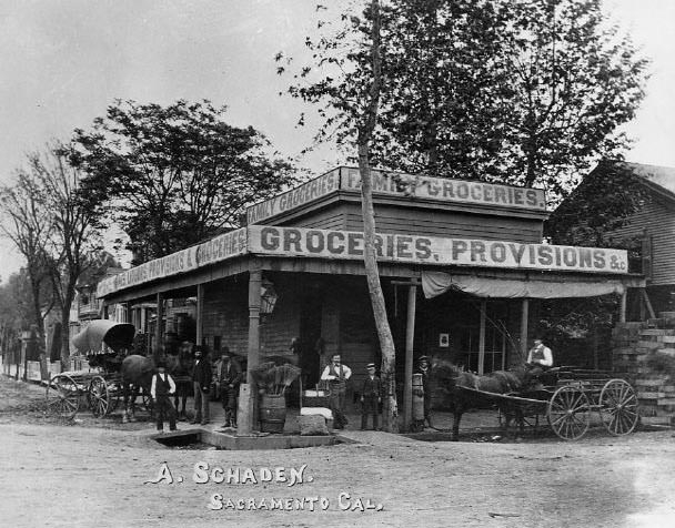
#5 Exterior view of the A(rend) Schaden Family Grocery at the southeast corner of 2nd and M Streets in Sacramento, 1878
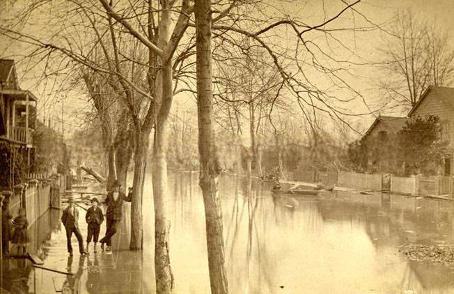
#6 Flood in Sacramento on N Street between 4th and 5th Streets, 1870s
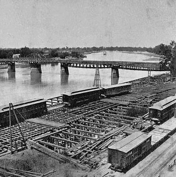
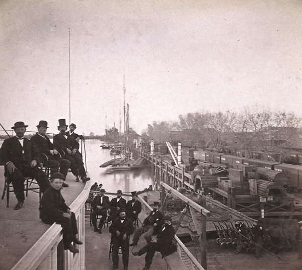
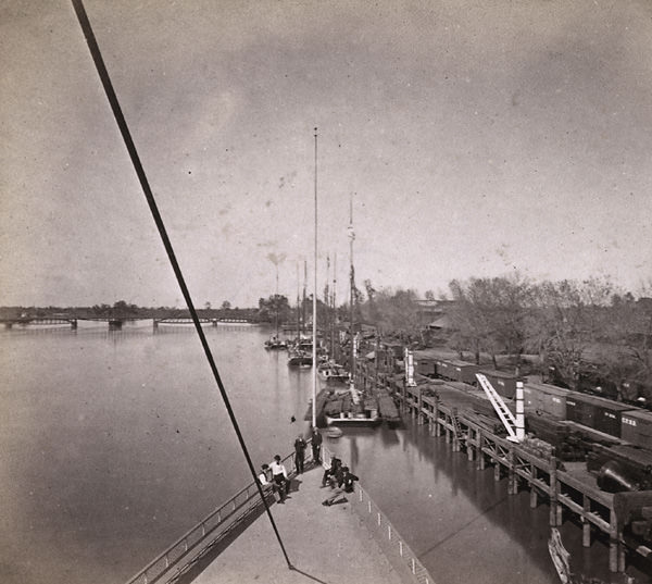
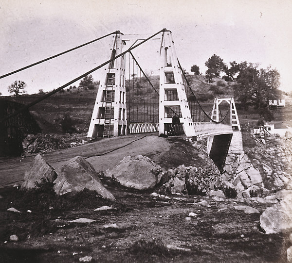
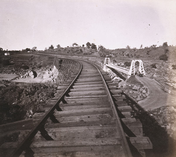
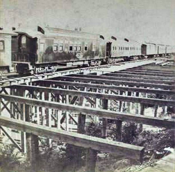
#7 Bridge across the Sacramento and C.P.R.R. Cars, 1870.
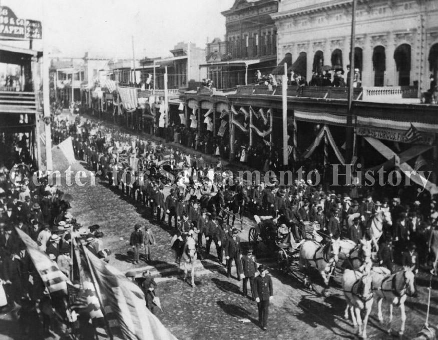
#8 President Grant’s Visit to Sacramento, 1875
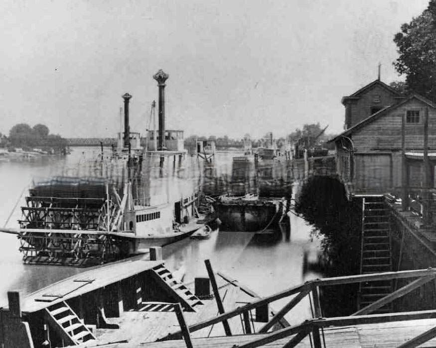
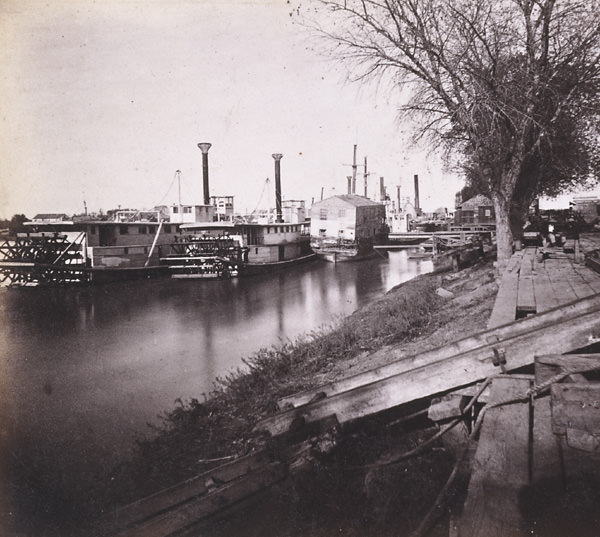
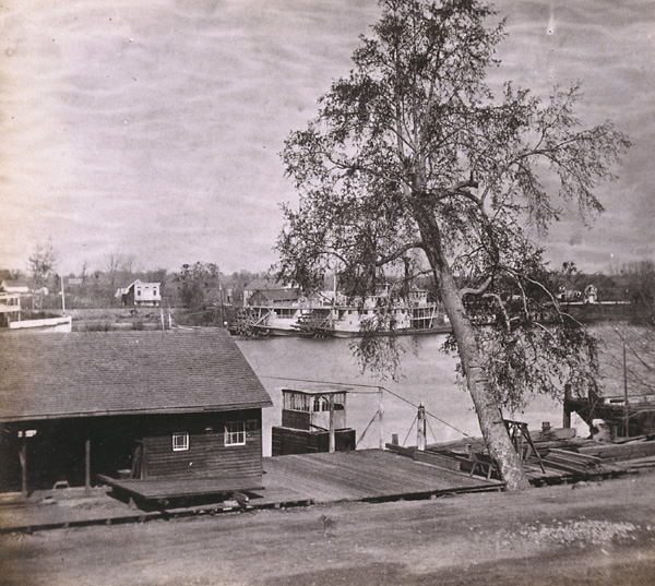
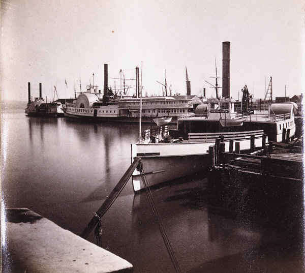
#9 Sacramento River front, “Dover”, 1875
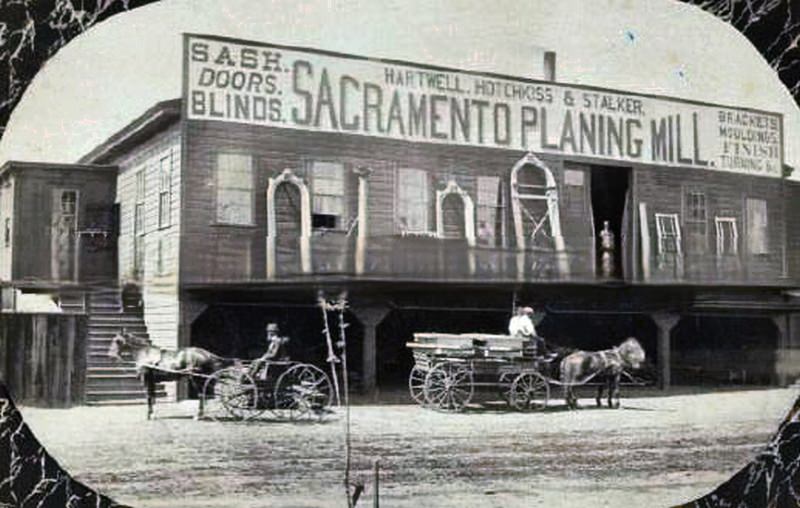
#10 Hartwell, Hotchkiss & Stalker Sacramento Planing Mill, 1875
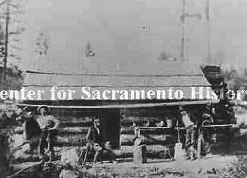
#11 Miners standing in front of a cabin, 1870
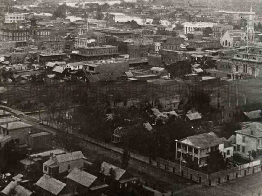
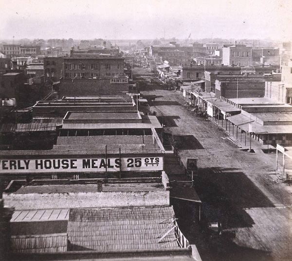
#12 Sacramento, 1870s
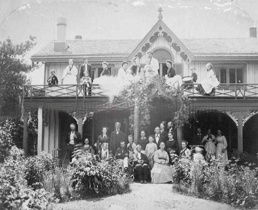
#13 Mrs. Barbara Wurm, assistant director of the Amador County Chamber of Commerce, 1870s
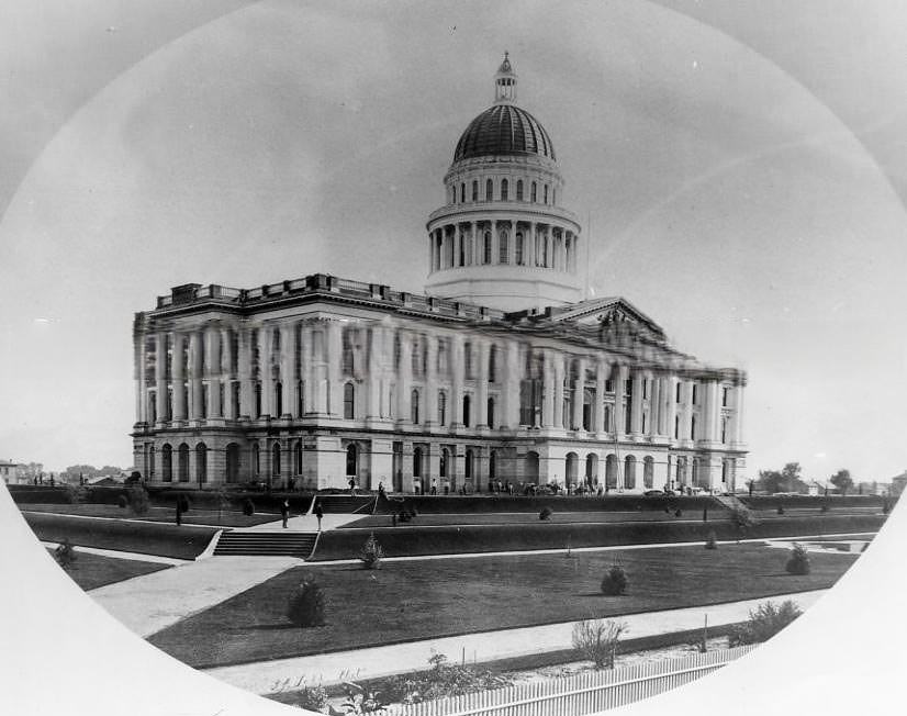
#14 2nd Sacramento County Courthouse being raised, 1870
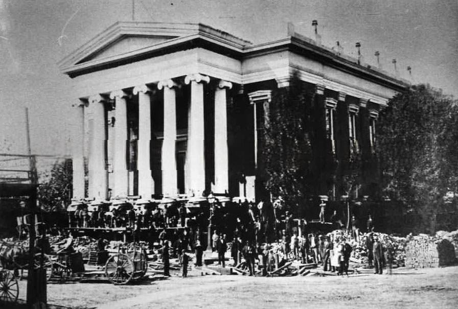
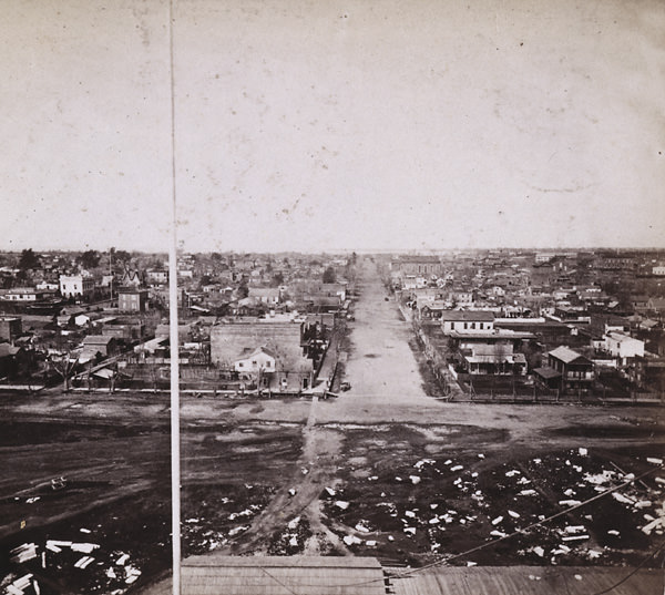
#15 Sacramento from 10th and L Streets, looking northwest, 1870.
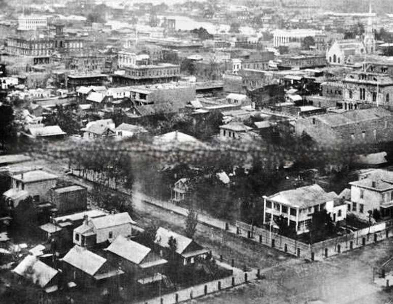
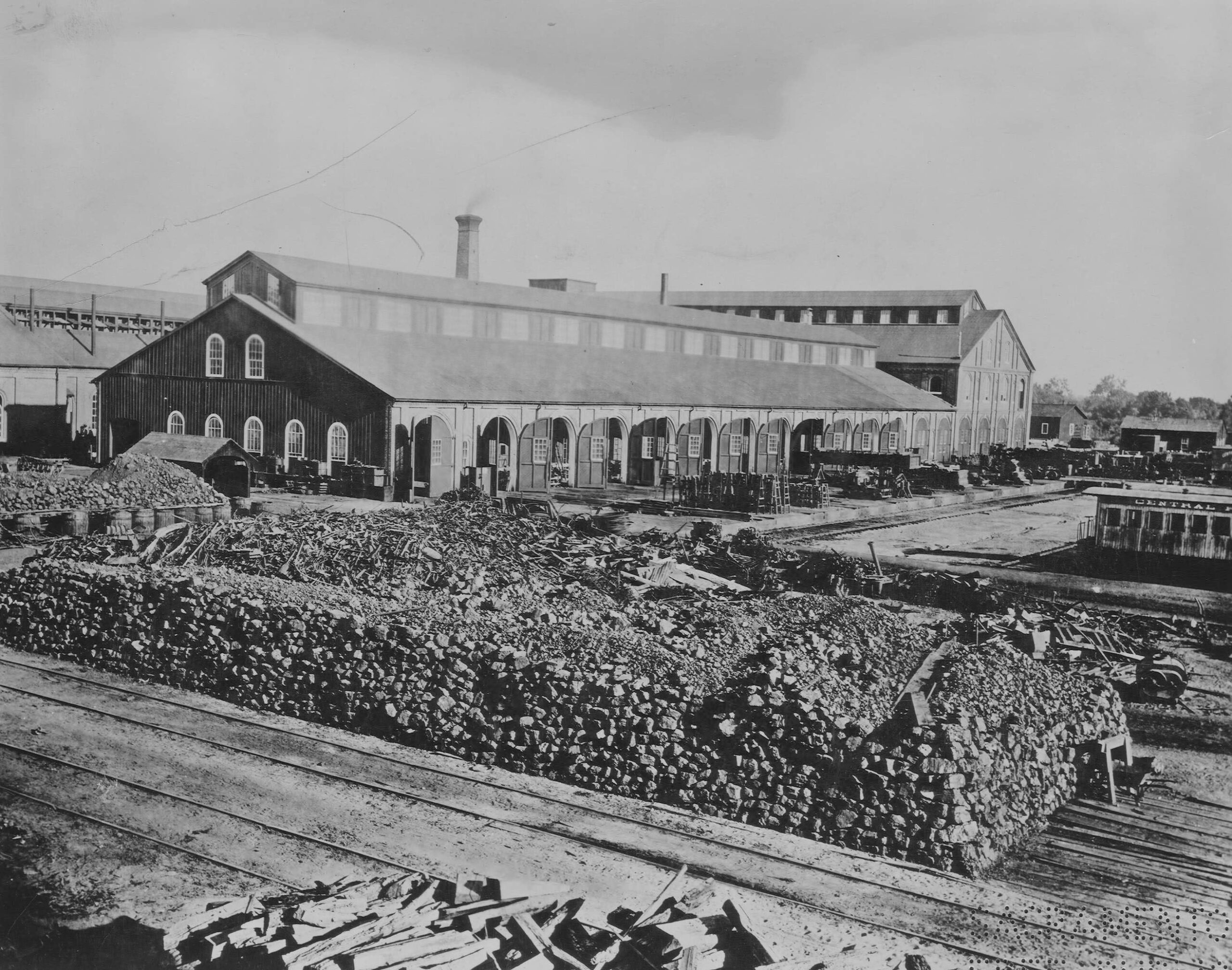
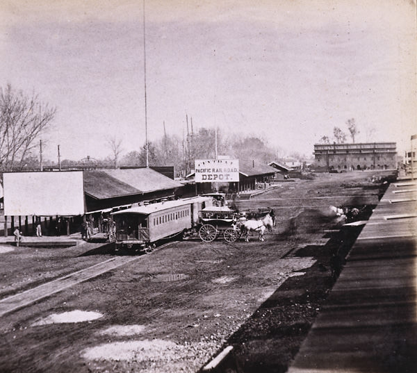
#16 Central Pacific yard, Sacramento, 1870
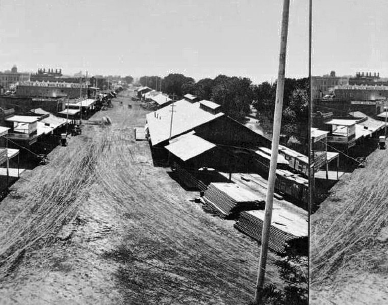
#17 Orangevale House, 1871
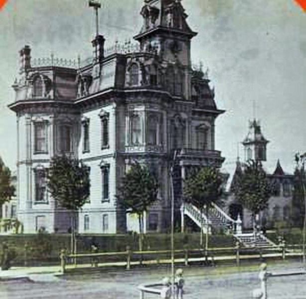
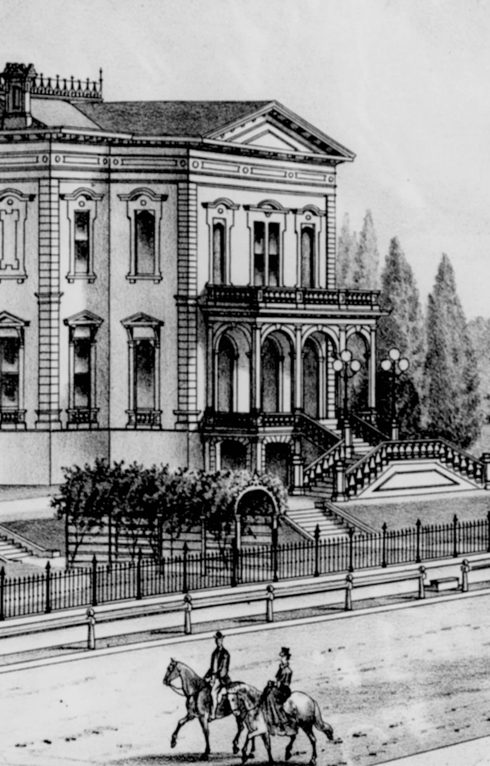
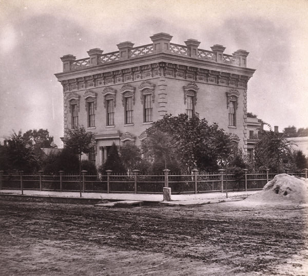
#18 Mansion of A. Galletin, Sacramento, 1879
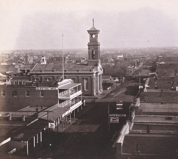
#19 Sacramento cityscape, 1870
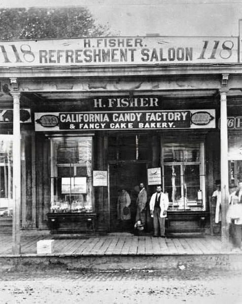
#20 H. Fisher Refreshment Saloon, 1870s
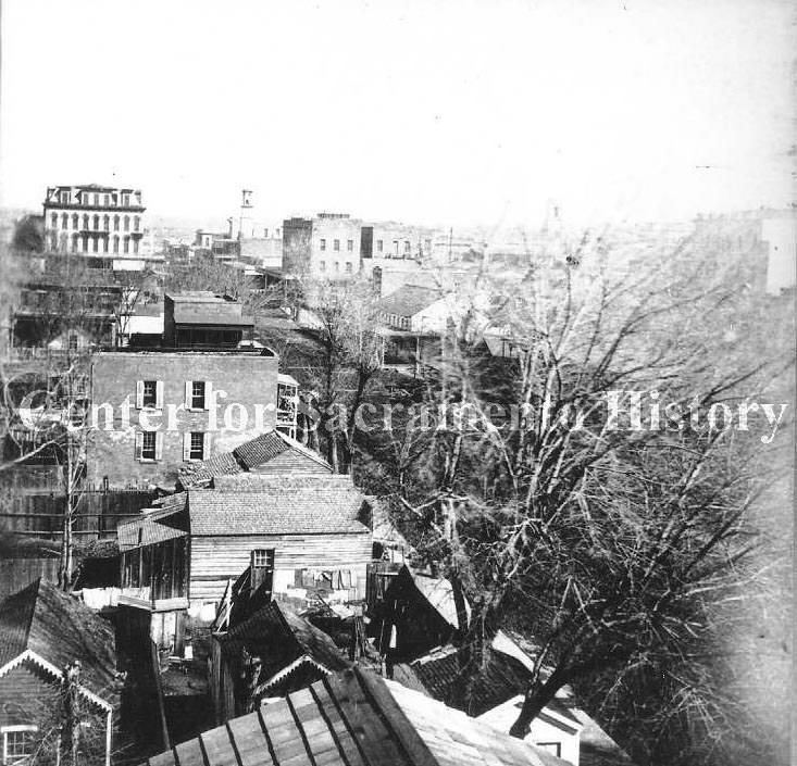
#21 Cityscape taken from atop the Edward Johnson home at 5th and M Streets; view southwest, 1870s
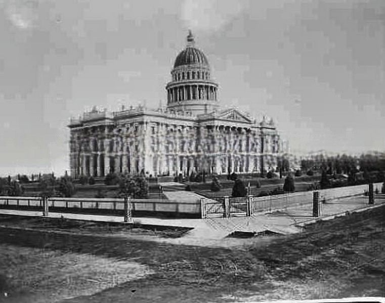
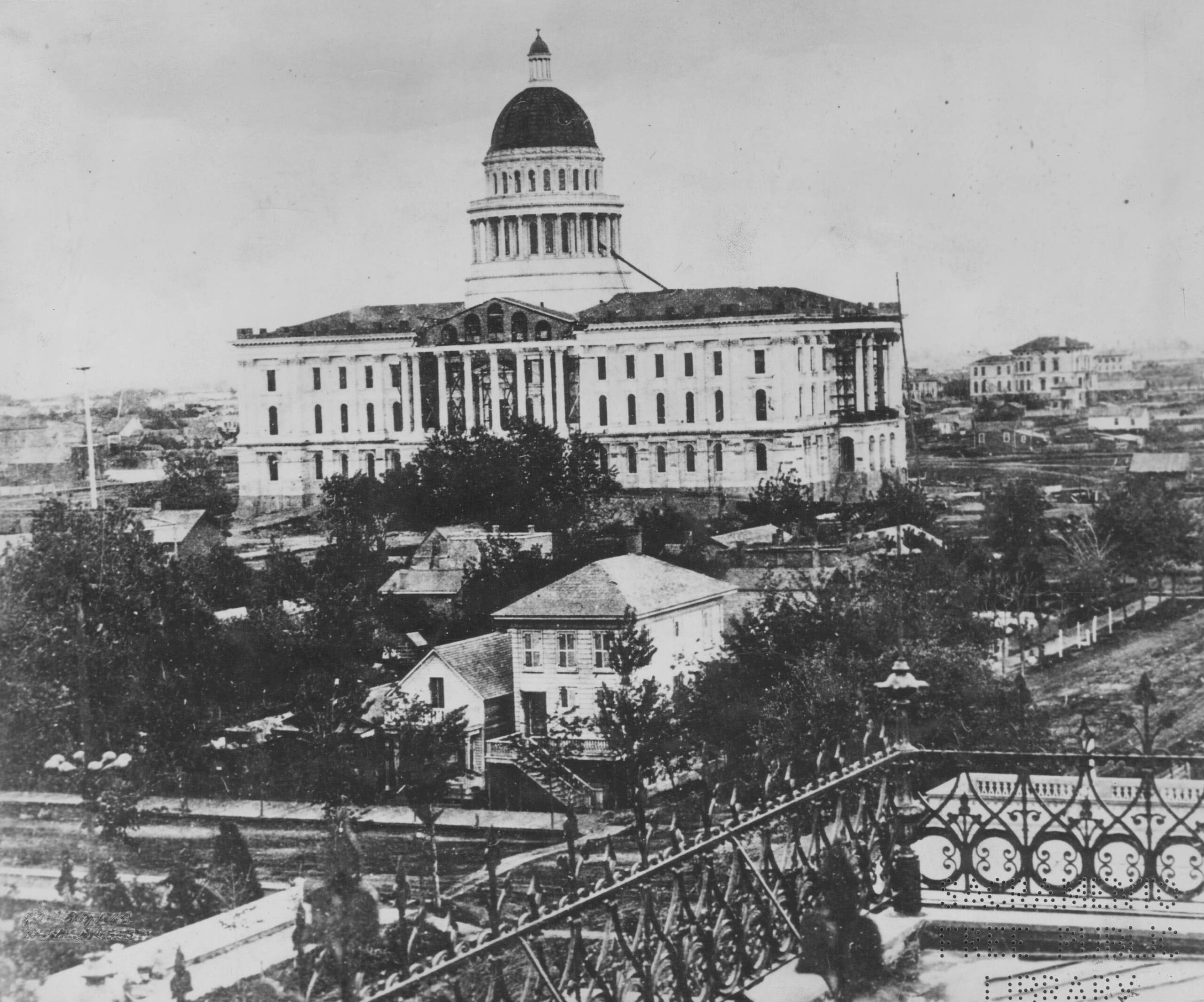
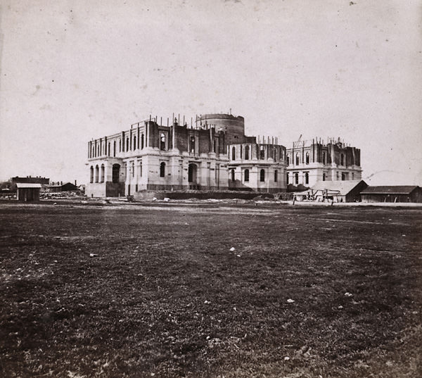
#22 Exterior view of the state capitol during its construction. View taken from the northwest side of the building
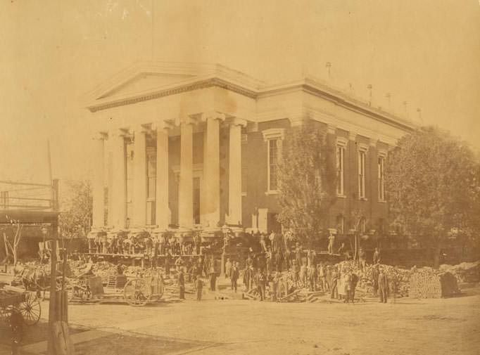
#23 View of the raising of the Sacramento County Courthouse on the northwest corner of 7th & I Streets, 1870
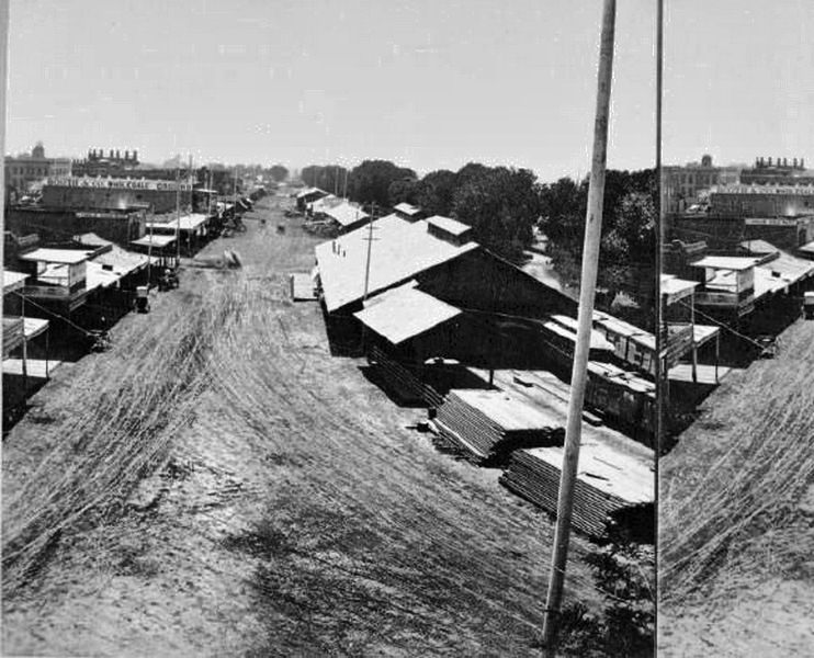
#24 Central Pacific yard, Sacramento, 1870
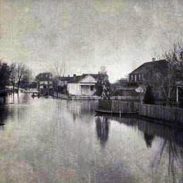
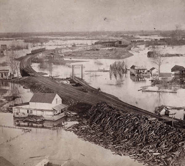
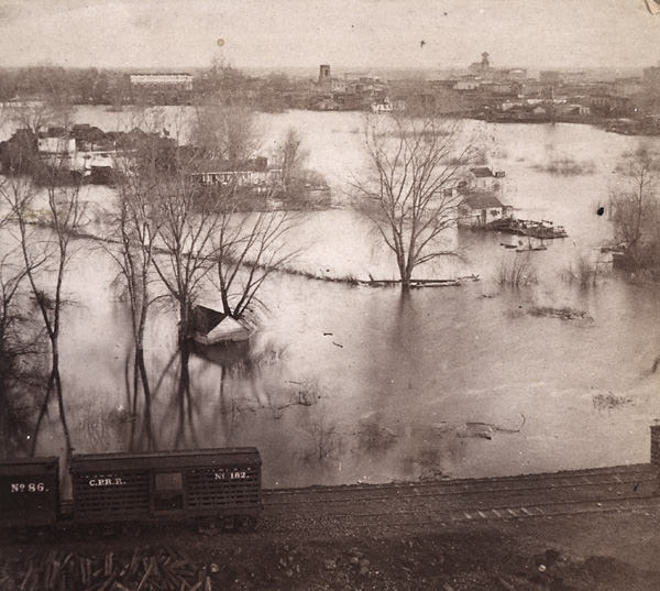
#25 View of Sacramento during the flood of 1871, houses, trees, and fenced yards surrounded by water.
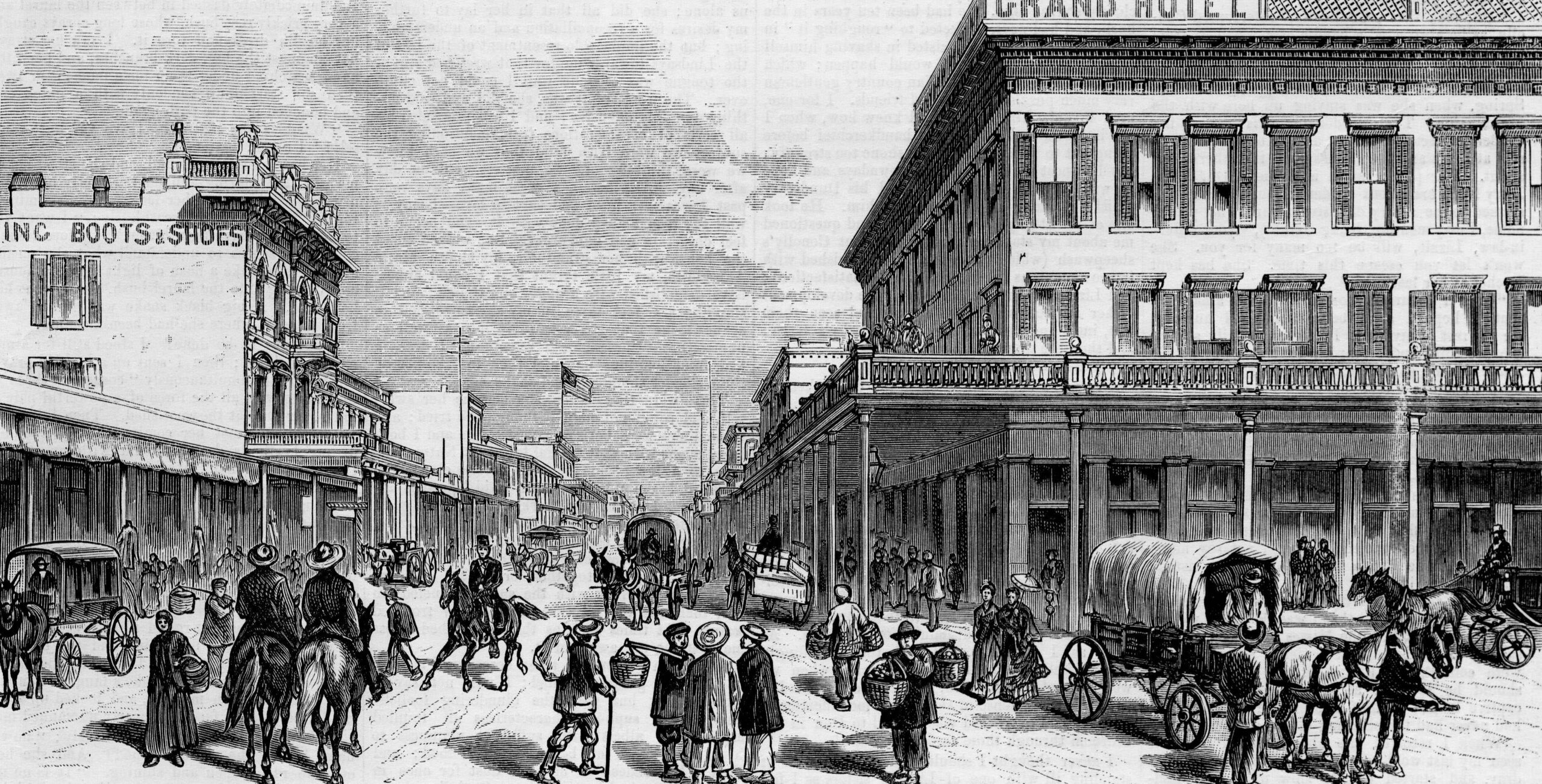
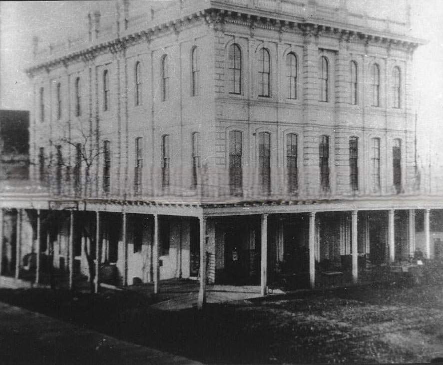
#26 The Grand Hotel in Sacramento City, 1878
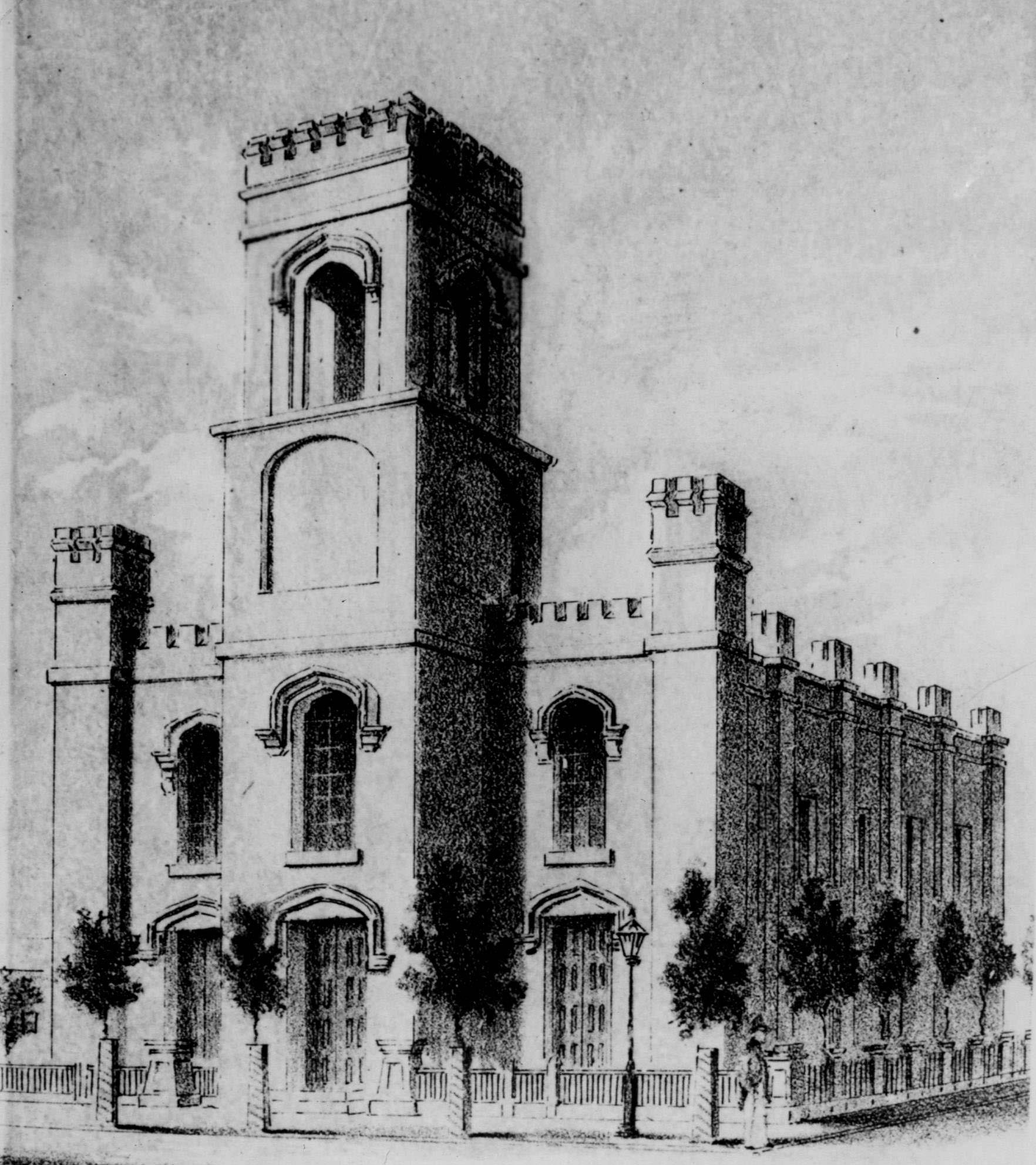
#27 It The Fist Congregational Church opened on September 23, 1849 when Sacramento was still very small.
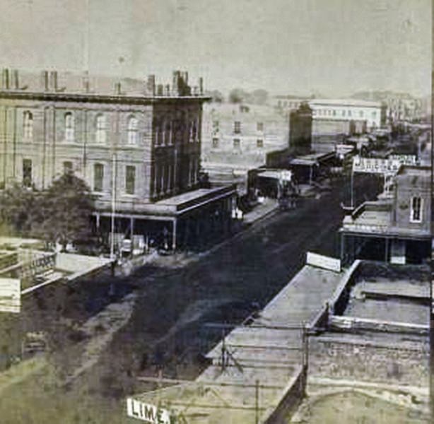
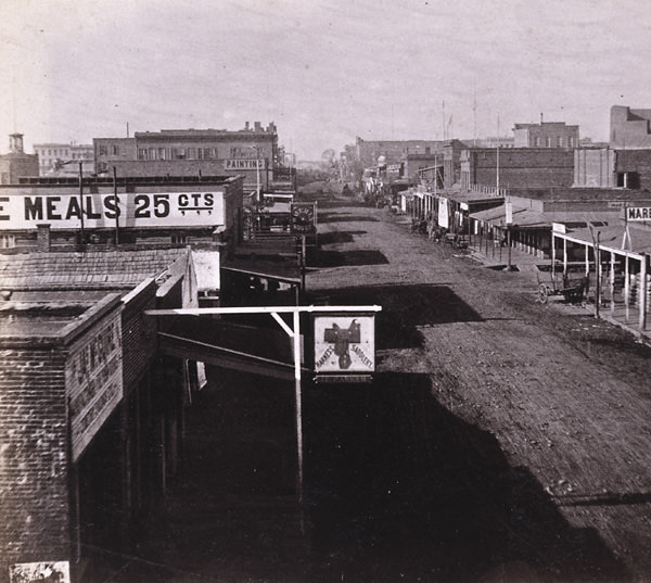
#28 Raised view of the Free Mason’s Hall on K street in Sacramento (southwest corner of k and 6th streets). Street is lined with storefronts and restaurants, including Louisiana Restaurant (164 K street).
#29 Sacramento, Odd Fellows’ Hall. No. 1594, 1870s
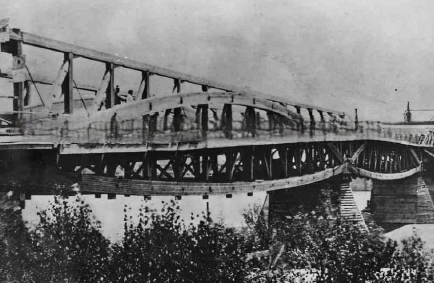
#30 Central Pacific Railroad bridge across the Sacramento River, 1870
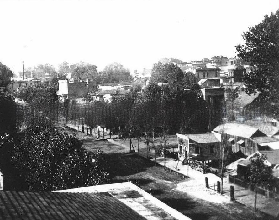
#31 Sacramento cityscape, 1870s
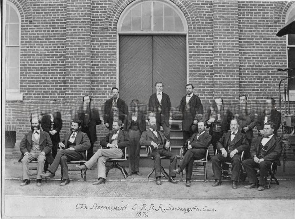
#32 Car Department C.P.R.R., 1876
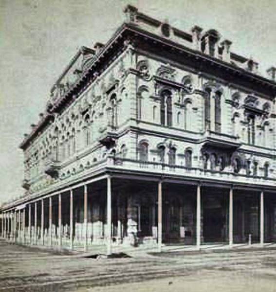
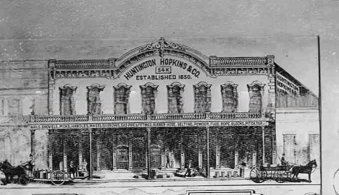
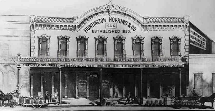
#33 Huntington Hopkins & Co. hardware store, 1870s
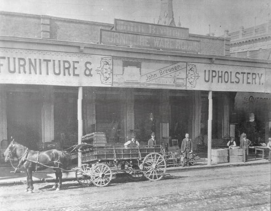
#34 John Breuner Furniture Company on K Street in Sacramento, 1871
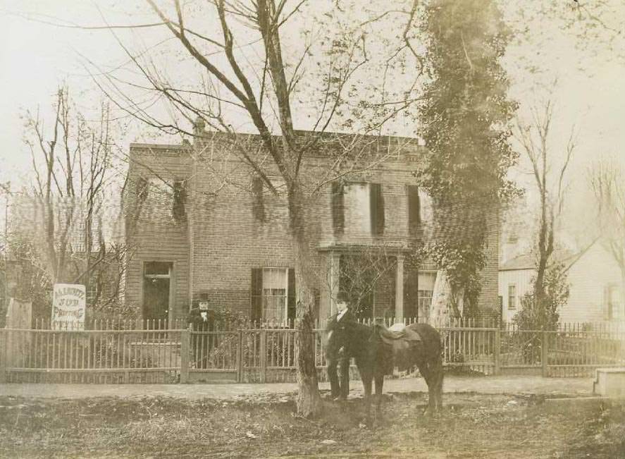
#35 View of 216 M Street. It was used as a printing shop, 1870s
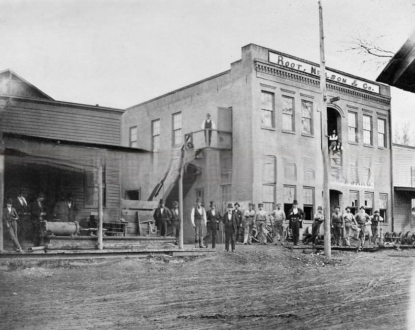
#36 The Union Iron Works of Root, Neilson & Company located at Front Street between N and O Streets, Sacramento, 1876
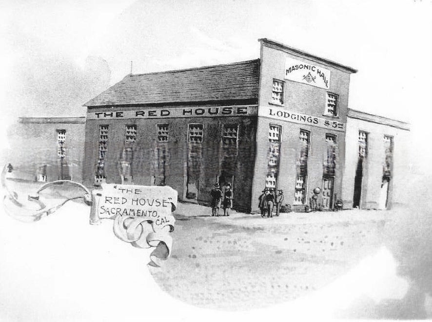
#37 The Red House, 1870
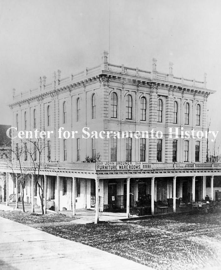
#38 Breuner’s Furniture Store on K Street in Sacramento, 1871
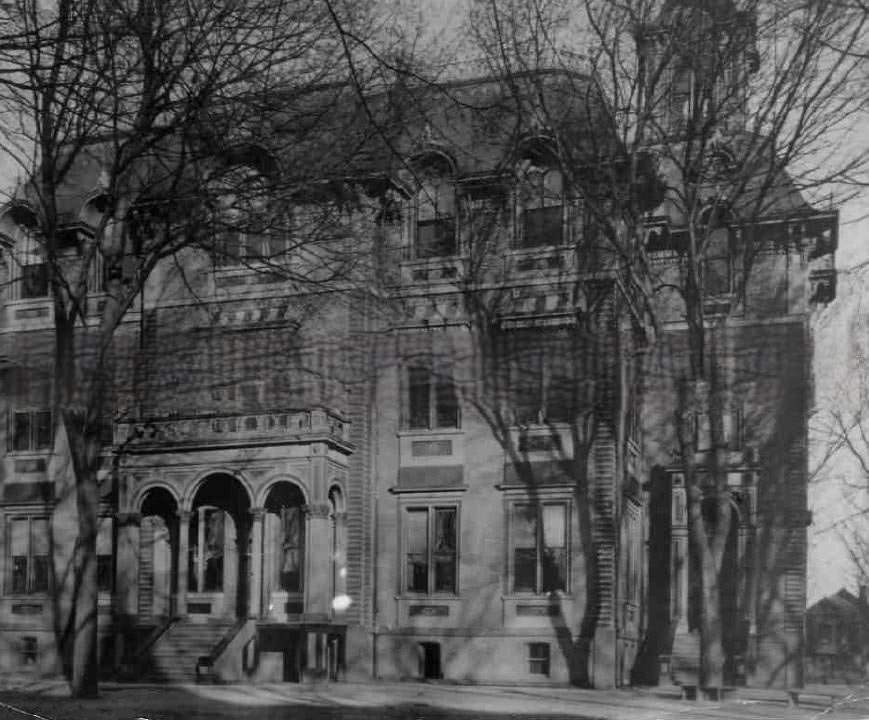
#39 Mary Watson School or Sacramento Grammar School, 1872
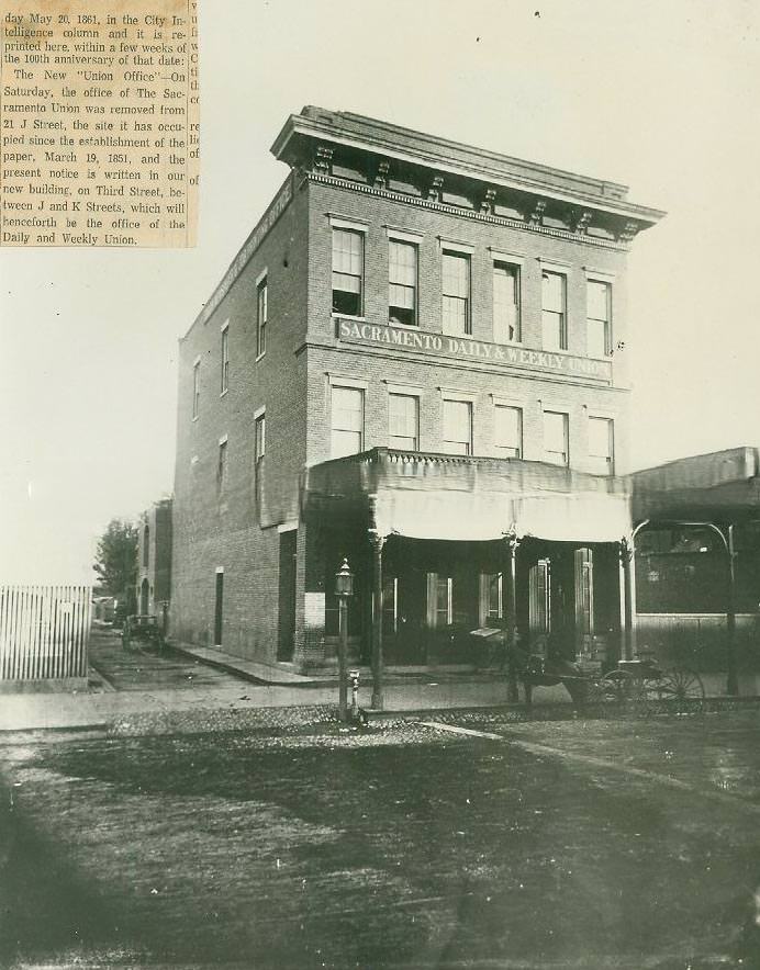
#40 Sacramento Daily & Weeklyl Union newspaper building, 1871
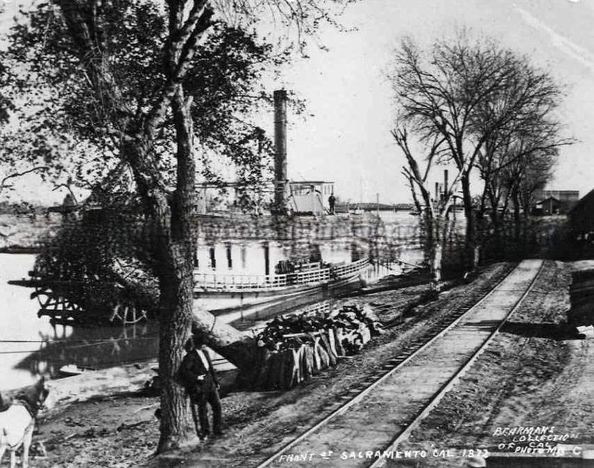
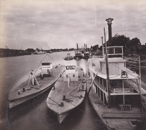
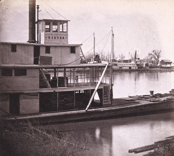
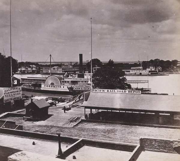
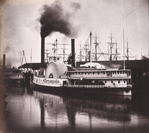
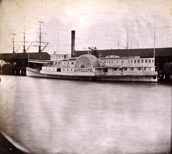
#41 Sacramento wharf, stemboat docked, 1870
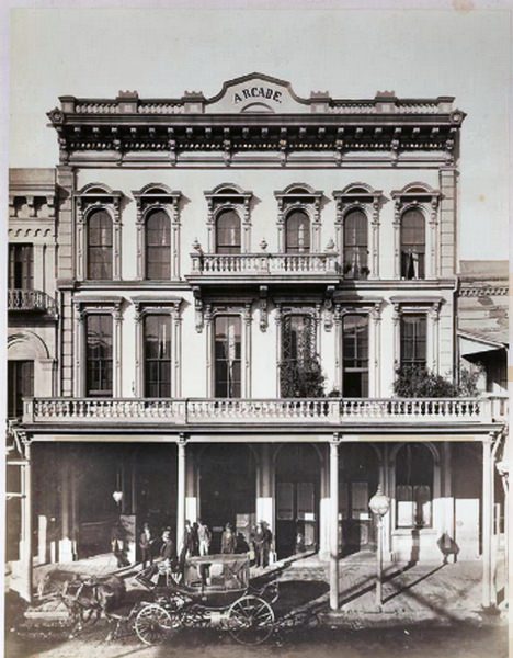
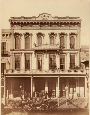
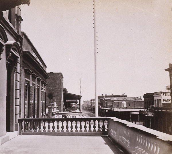
#42 View of the three-story Arcade Hotel with balcony across the second floor, partial balcony at third floor, 1875
#43 Cityscape of Sacramento. Taken from the top of the State Capitol Bldg. Looking towards 10th & L street, 1870s
#44 St. Rose of Lima Church, 1870s
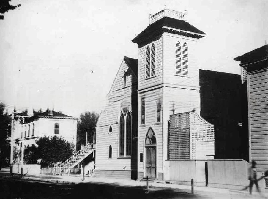
#45 Methodist church, 1874
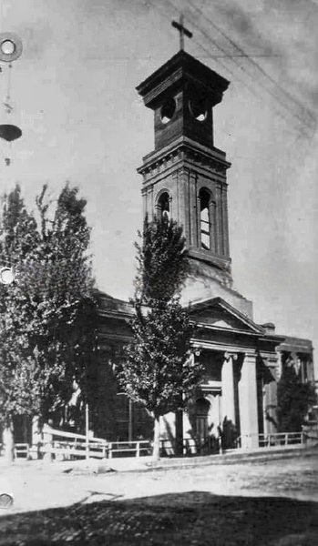
#46 Exterior view of the Sunderland Family home, 1872
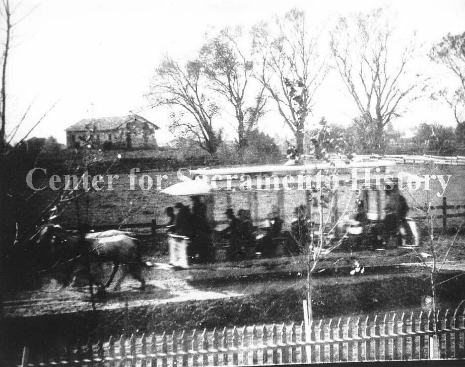
#47 A horse drawn street car passing the Sutter’s Fort derelict building, 1870s
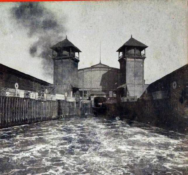
#48 Sacramento, 1870s
#49 Central Pacific Depot, 1878
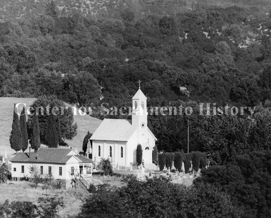
#50 California State Capitol, 1870
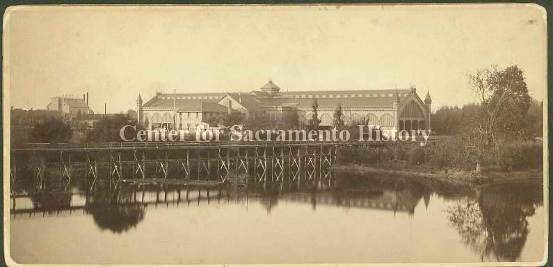
#51 St. Paul’s Episcopal Church, 1871
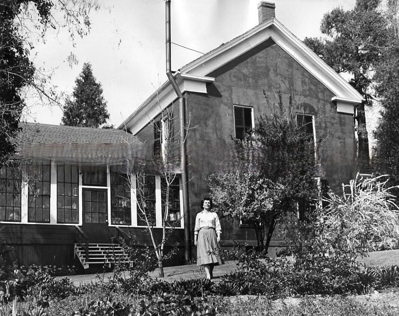
#52 California State Capitol, 1870
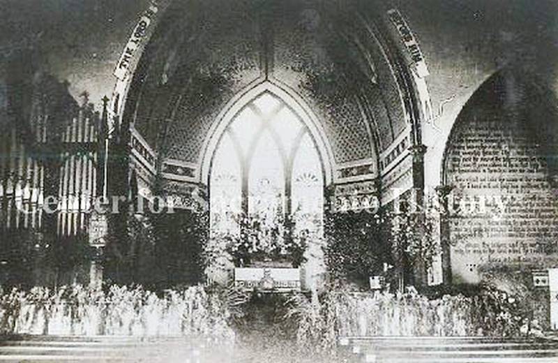
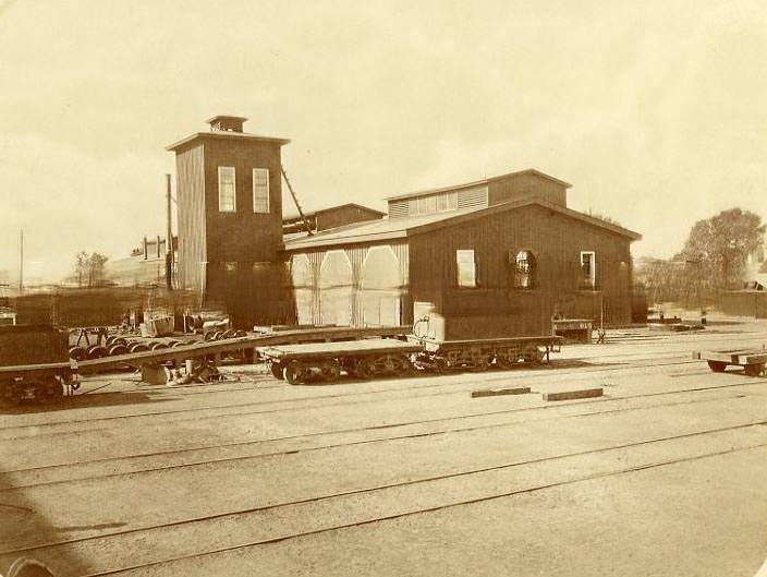
#53 Exterior view of the first machine shop of the Central Pacific Railroad Company, 1876

#54 John Bruener Furniture Ware Rooms at 160 K Street, 1870
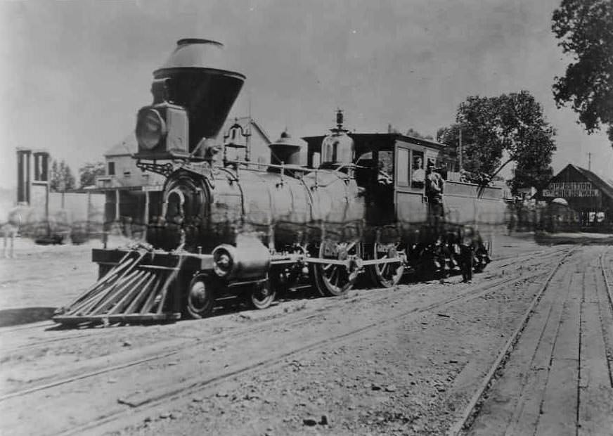
#55 Locomotive, 1874
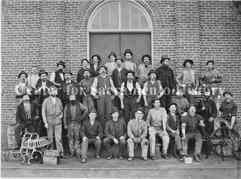
#56 C.P.R.R. Car Shop Drills Machine Department, 1876
#57 Sutter’s Fort, 1870s
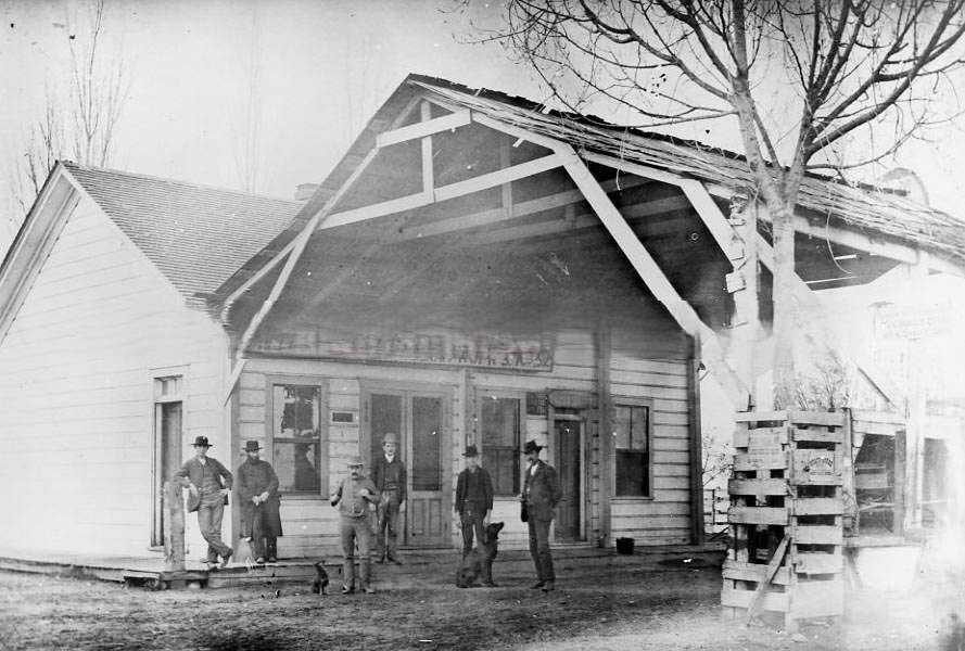
#58 Six men and two dogs pose in front of this small wooden store, 1878
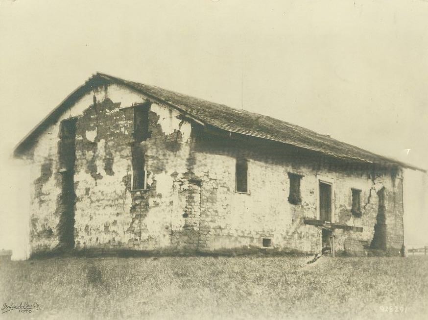
#59 Union Iron Works or Root, Neilson & Co., 1876
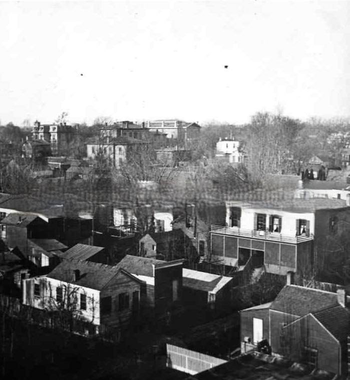
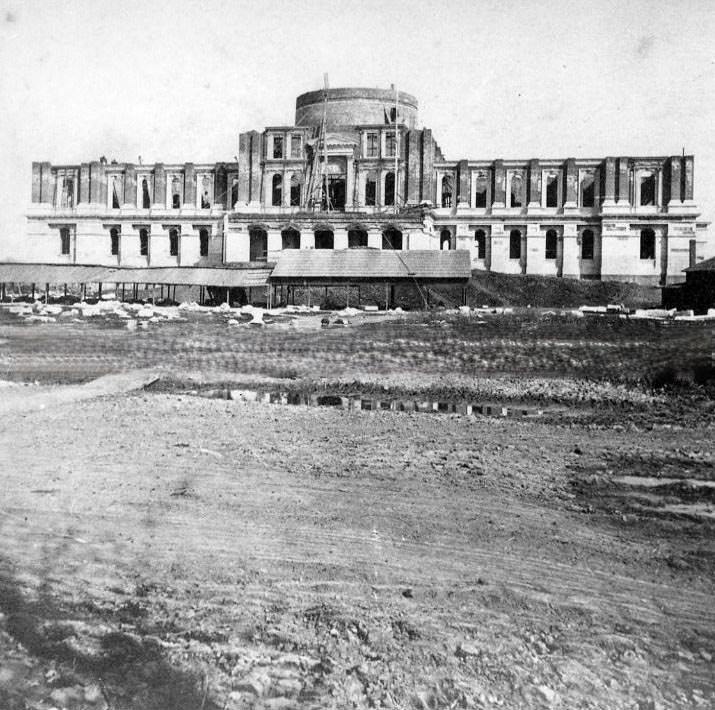
#60 California State Capitol, 1879.
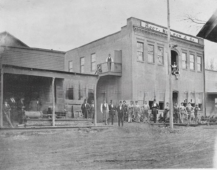
#61 Jefferson Davis’ House, 1870
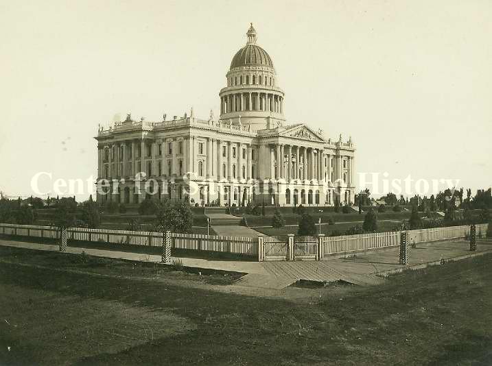
#62 Exterior view of the state capitol during its construction, 1870
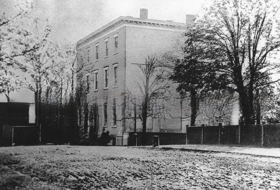
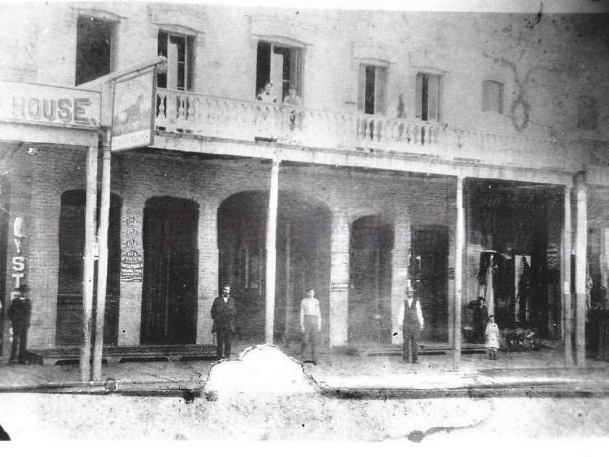
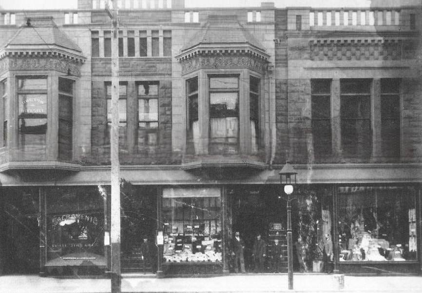
#63 Unidentified street scene with storefronts, 1875
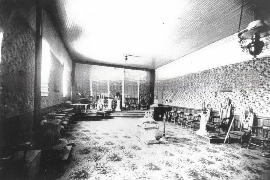
#64 An interior view of what appears to be an unidentified fraternal or lodge meeting room in an unidentified location, 1870s
#65 Turnverein Hall, 1874
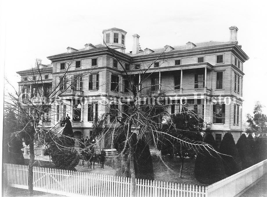
#66 View of the original Central Pacific Railroad Hospital with horse and carriage in circular drive, 1875
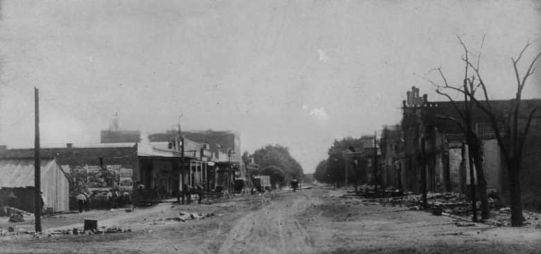
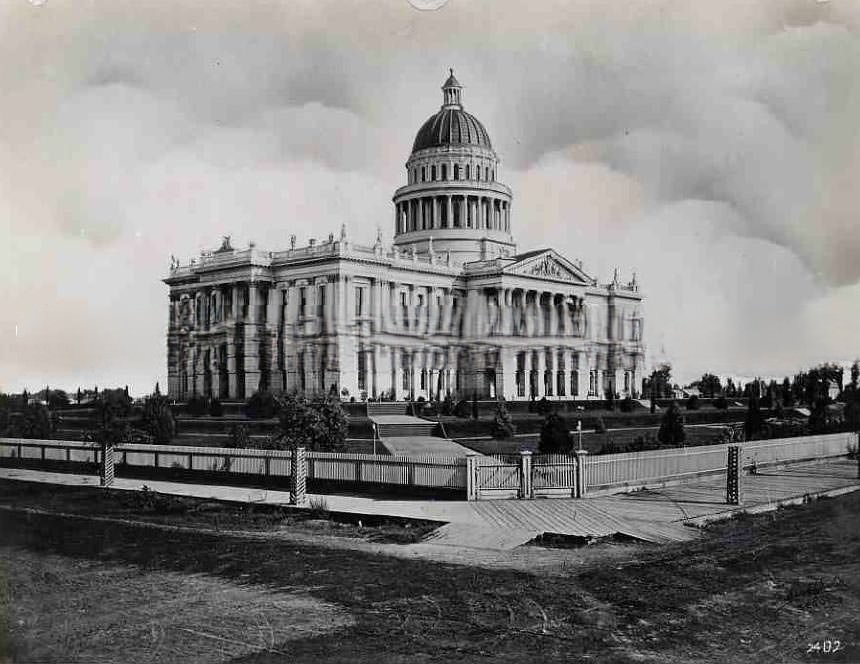
#67 California State capitol, 1870s
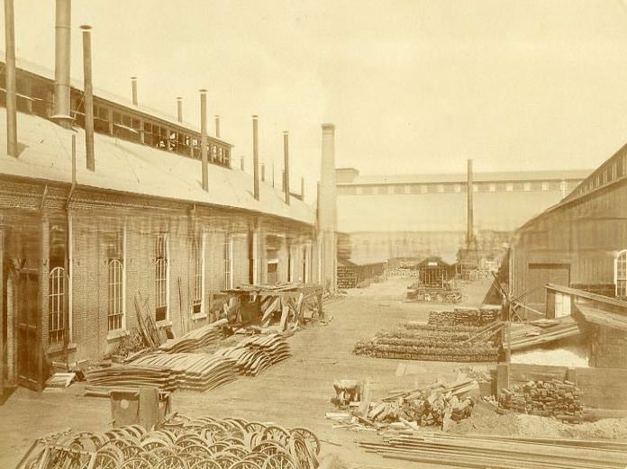
#68 Exterior view of the first machine shop of the Central Pacific Railroad Company, 1876
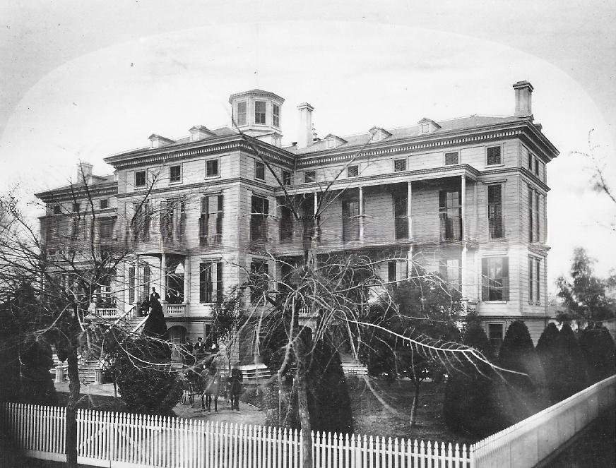
#69 View of the original Central Pacific Railroad Hospital and grounds with carriage in circular drive, 1875
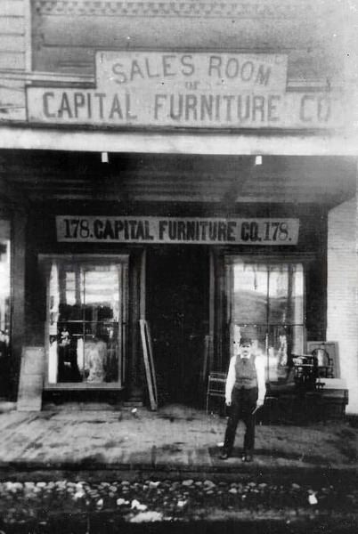
#70 Capital Furniture Sales Room at 178 J Street, 1879
#71 Huntington Hopkins & Co. hardware store, 1870s
#72 A view of the California State Capitol building in about 1879.
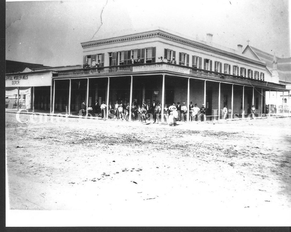
#73 Union Restaurant and Capital Woolen Mills, 1870s
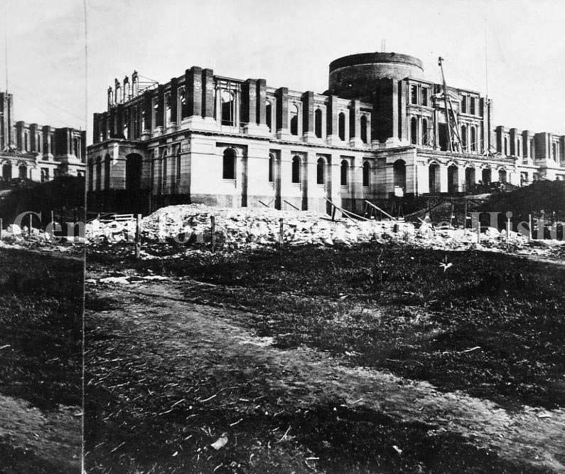
#74 View of the California State Capitol building from 2 blocks away and looking southeast, 1870
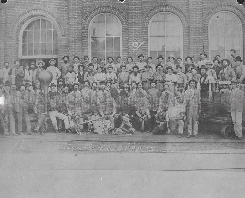
#75 Machine Shop No. 2 workers, staff and crew, 1870s
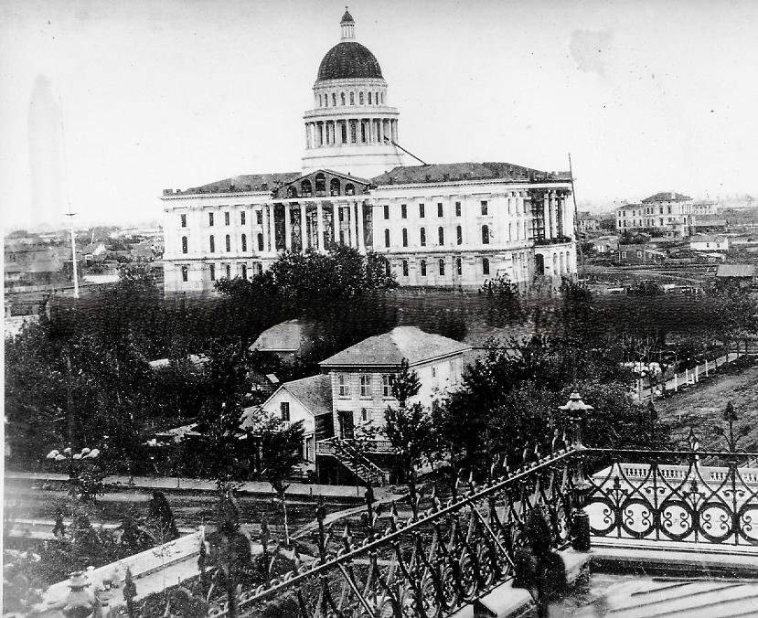
#76 State Capitol Building, 1879. The trees of Capitol Park are small and park is fenced with wooden sidewalks to outside.
#77 Central Methodist Church, 1870s
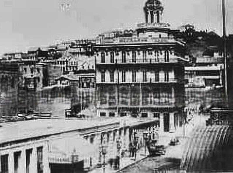
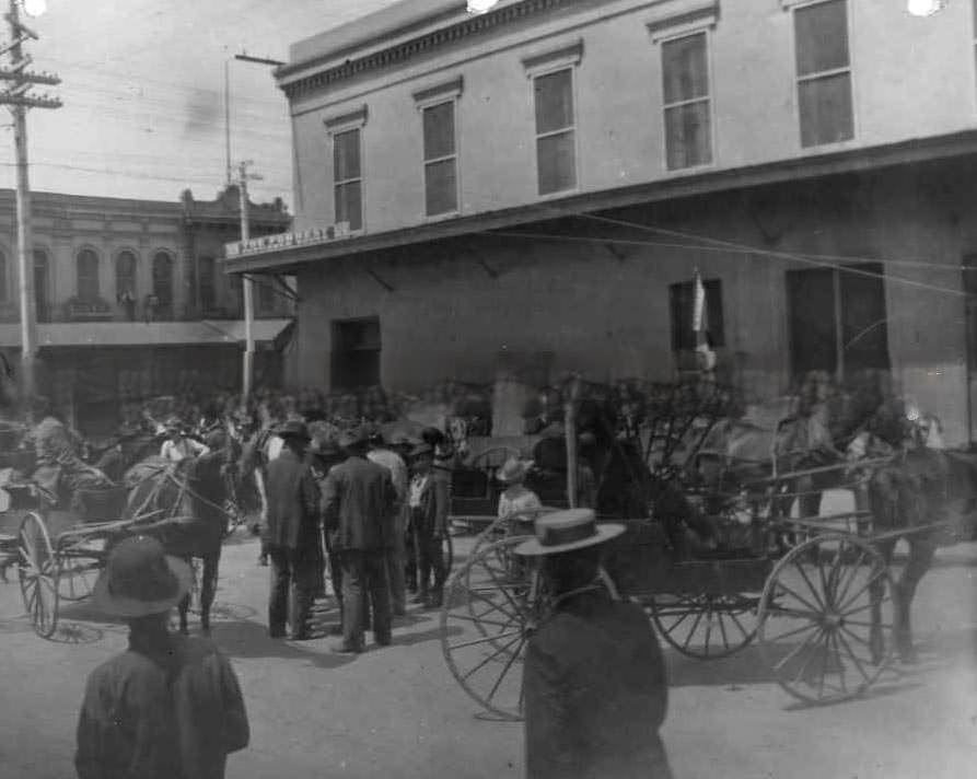
#78 Horse auction at 3rd and J Streets, 1879
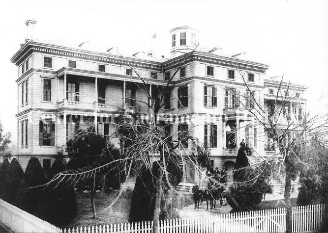
#79 Front view of the Central Pacific Railroad Hospital building, 1875
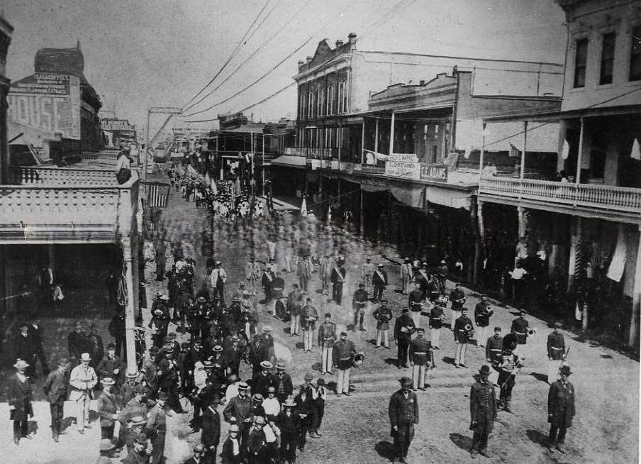
#80 Parade halts for photographer (apparently), 1875
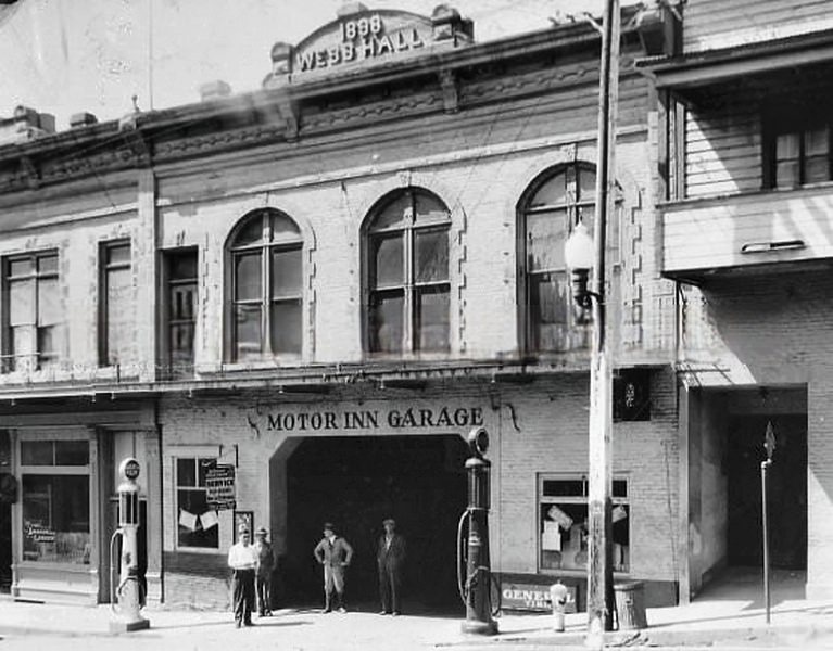
#81 Webb Hall, 1870s
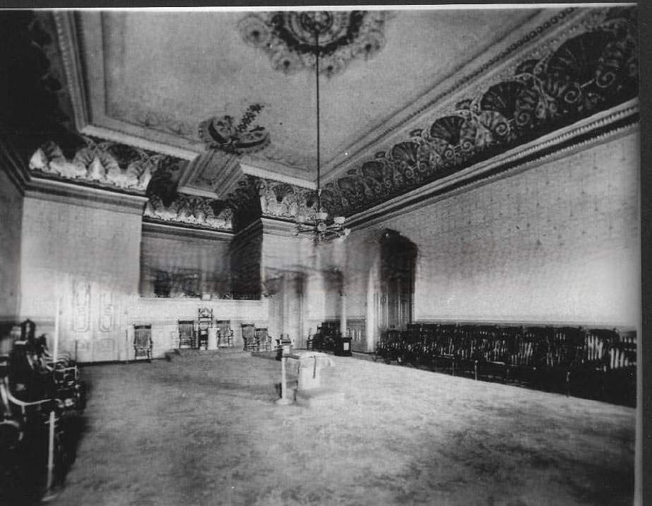
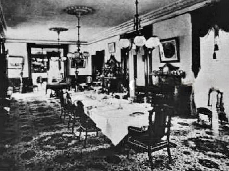
#82 The interior of what appears to be a lodge meeting room, in an unidentified location and decorated in high Victorian style, 1870
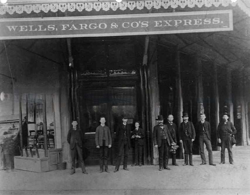
#83 Wells Fargo Express Building, 1870s
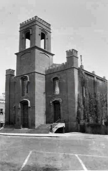
#84 Congregational Church, 1870s
#85 The Red House, 1875
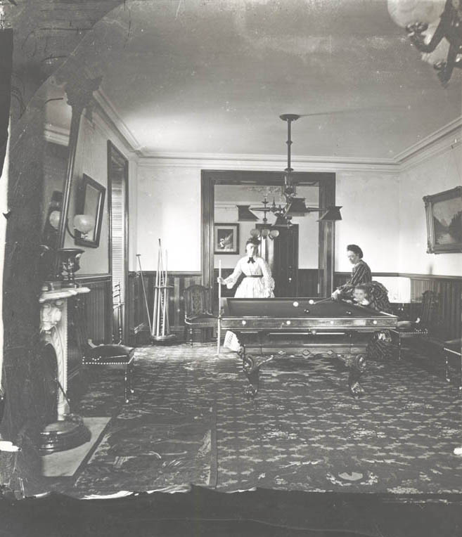
#86 Jane Lathrop Stanford is playing pool with Anna Lathrop Hewes in their home, the Stanford Mansion in Sacramento, 1873
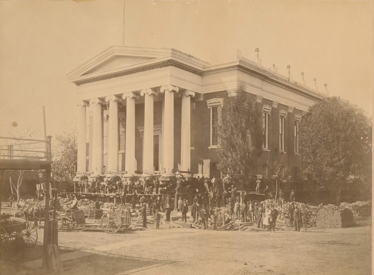
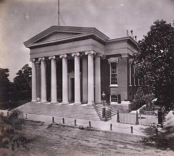
#87 Sacramento County Courthouse, corner of 7th & I Streets, served as State Capitol building, 1870.
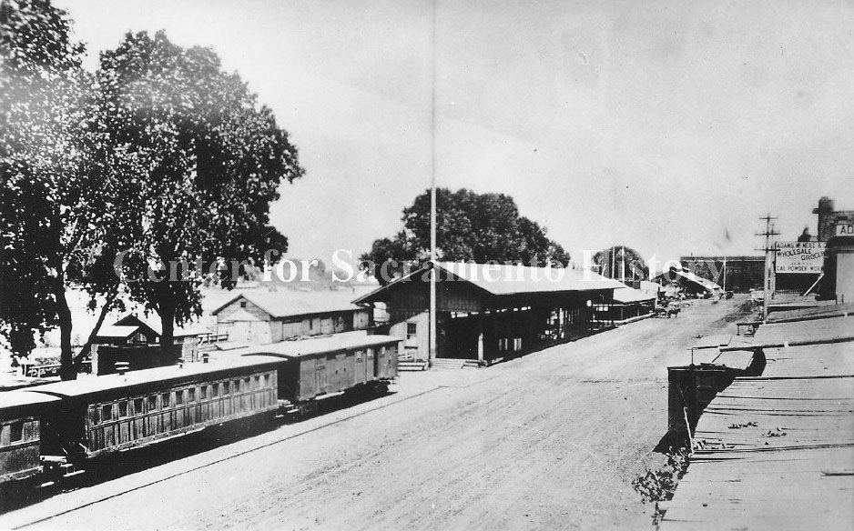
#88 View of a Sacramento Valley R.R. train parked beside train depot on Front St. Adams McNeil wholesale grocers, 1874
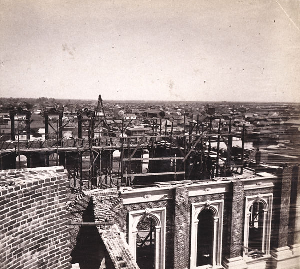
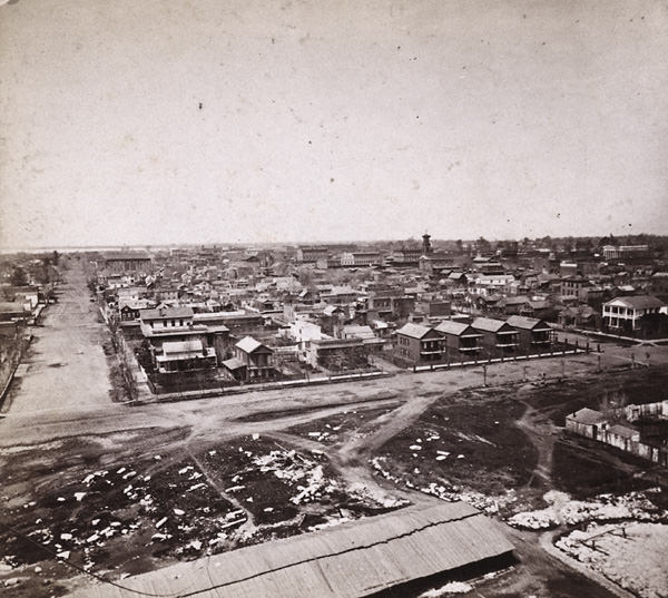
#89 Elevated view of Sacramento from the California state capitol during its construction looking northwest out across the city, 1870
#90 Corner of 10th & L street, Sacramento, 1874
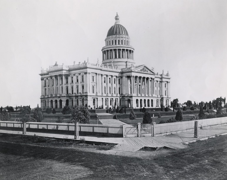
#91 California State Capitol, 1879
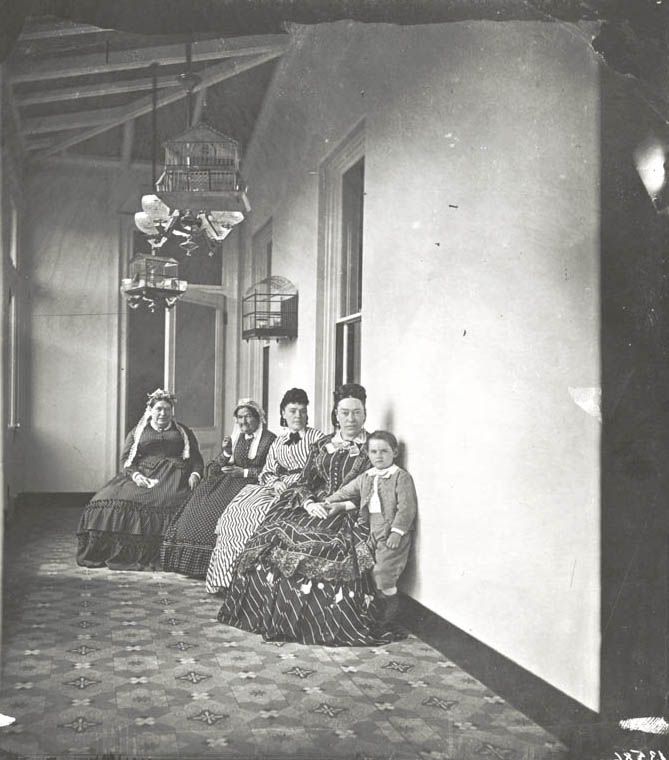
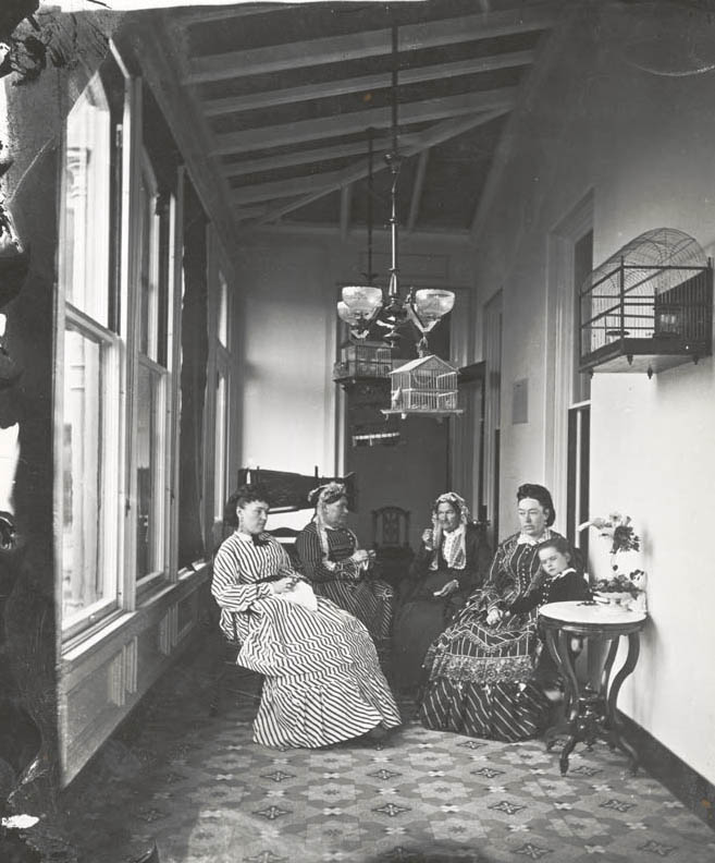
#92 Four seated women in a sun parlor at the Stanford Mansion and young Leland standing next to his mother, 1873
#93 Stanford family portrait, 1873
#94 Central Pacific Railroad shops, 1870
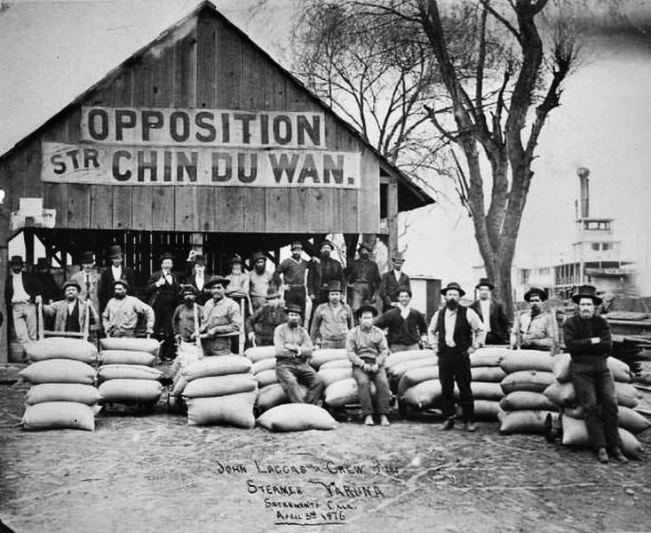
#95 Steamer Varuna, 1876
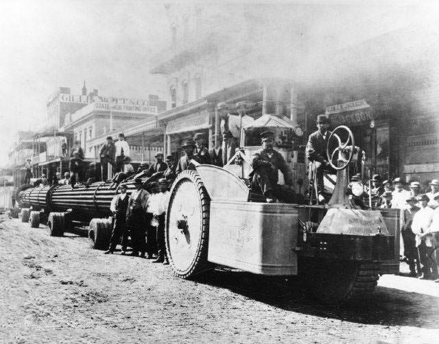
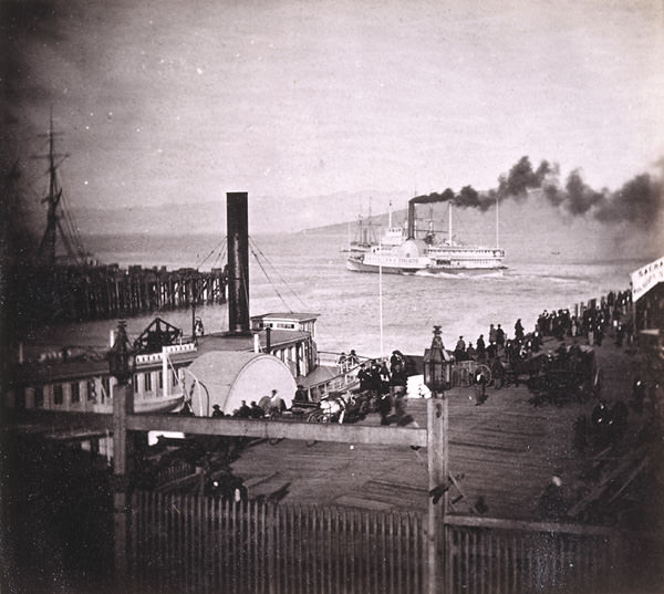
#96 Hauling columns from Central Pacific Railroad wharf to Capitol building, on J Street between 3rd and 4th Streets, Sacramento. May 25, 1871.
#97 Stanford Home interior views, 1870s
#98 The California State Capitol building is shown here under construction, 1873.
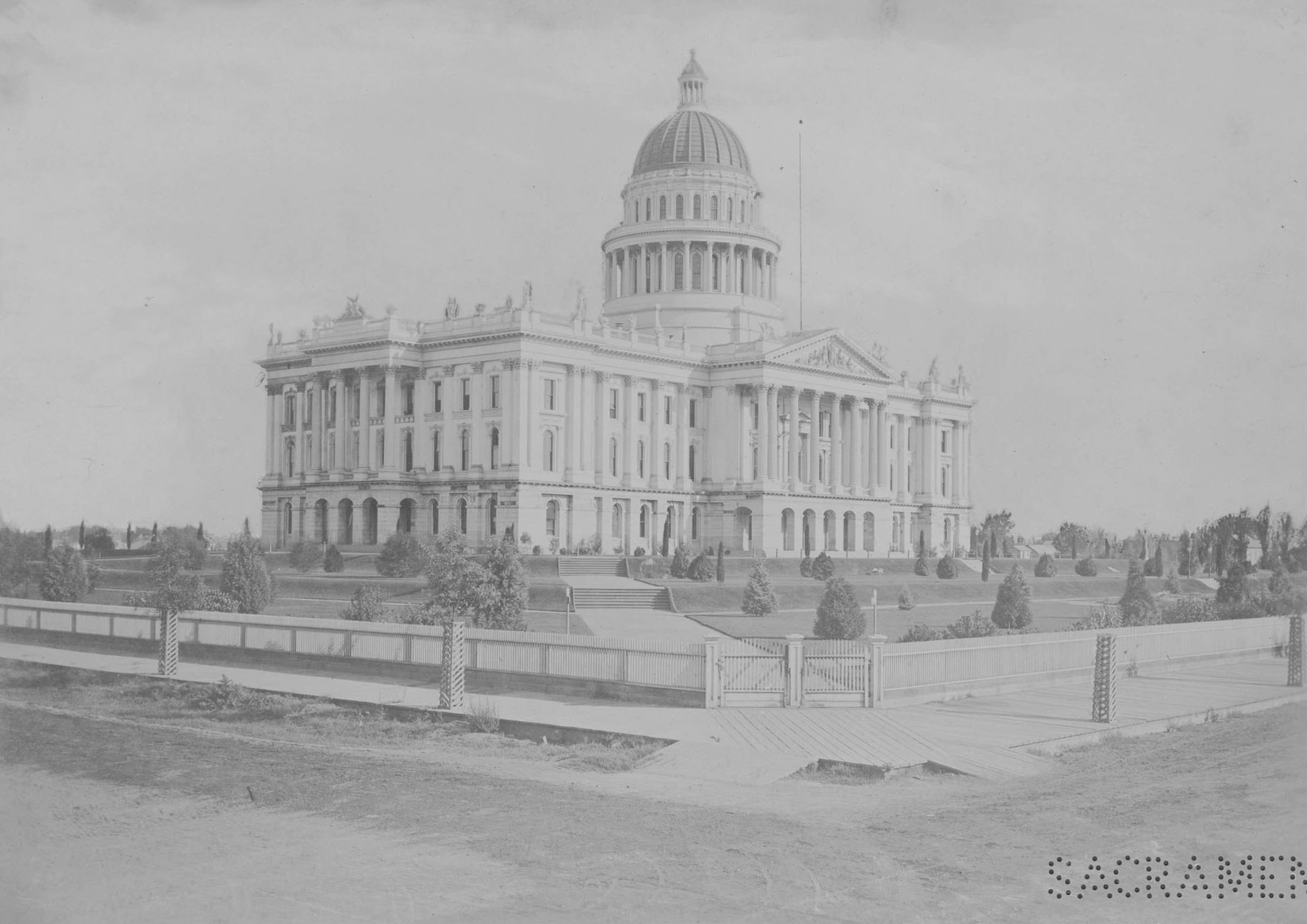
#99 This 1879 photograph captures a youngish California State Capitol building as viewed from the corner of 10th and L streets.
#100 Central Pacific Railroad Shops, 1873
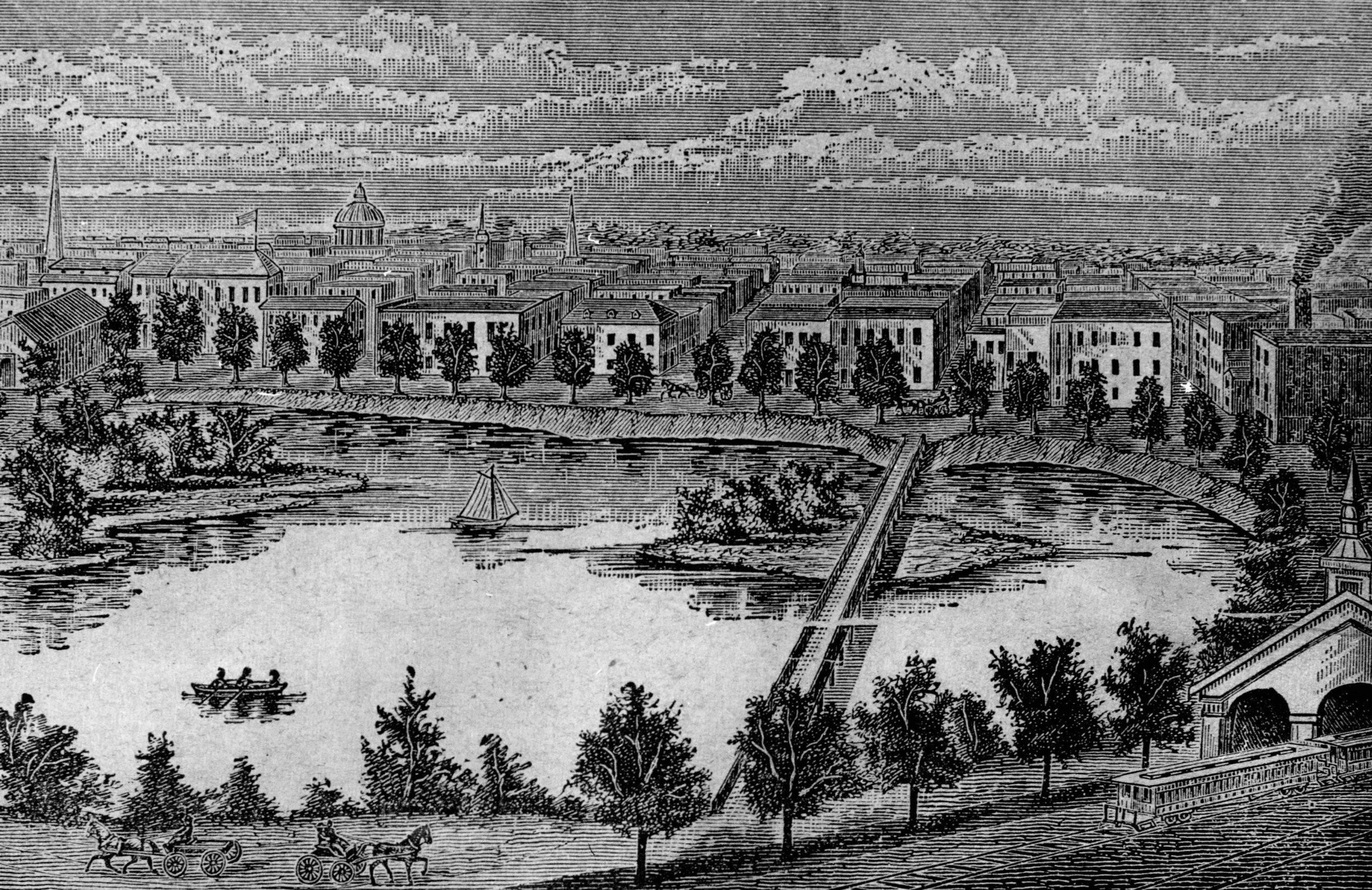
#101 Sutter Lake Scene, 1878
Slough (another local term for Sutter Lake, since filled in to house expansions on the Southern Pacific Rail Yards and Shops) and the thriving Chinatown that bordered it in the decades following the Gold Rush. Eucalyptus trees are visible surrounding the lake. The railroad planted the trees in the hopes of combating “miasmas” from the toxic lake but the trees, like the lake itself, proved to be a significant fire hazard. The dome of the state capitol, finished four years prior, is visible in the background.

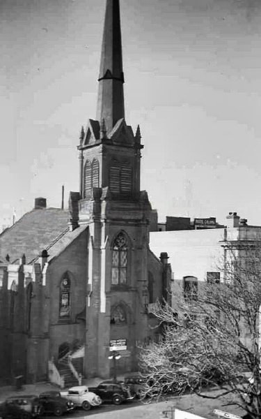
Cool, but at least the view from the Sutherland family home, the church, it has cars from the 1930s or 40s parked out front.
Cool, but at least the view from the Sutherland family home, the church, it has cars from the 1930s or 40s parked out front.