
By 1963, Manchester was a city in the middle of a slow and painful transformation. The decades following World War II had stripped away much of what had made it powerful. The city lost control of its gas and electricity utilities — both of which had been major sources of municipal income — as nationalisation handed those assets to central government. Heavy industry contracted. The cotton trade, once the engine of the regional economy, was in steep decline. Warehouses and mills that had once bustled with workers stood quiet or empty.
Between 1961 and 1983, Manchester shed 150,000 manufacturing jobs. The human cost of that collapse showed up in the population figures. In 1961, the city held 662,000 residents. By 1971, that number had dropped to 544,000. Families left for new towns and expanding suburbs, chasing work and better housing. The streets they left behind told the story plainly.
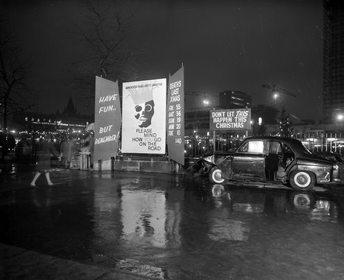
The photographs collected here were taken in 1963 and capture that moment of transition with striking clarity. Shot in black and white, they show a Manchester that was simultaneously being torn down and built up. Whole neighbourhoods of back-to-back terraces — many of them overcrowded and in poor condition — were being cleared to make room for high-rise apartment blocks and new housing schemes.
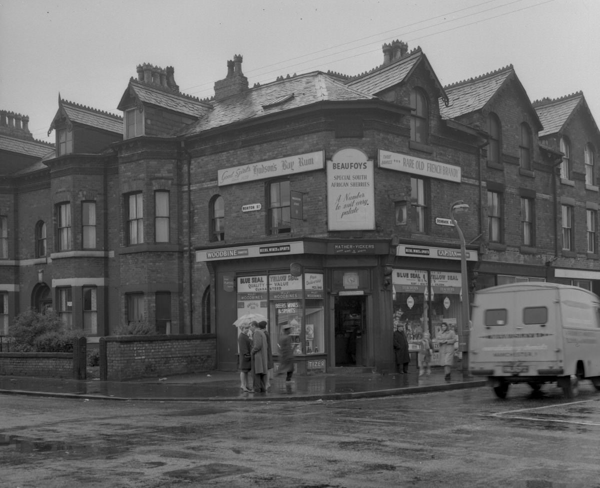
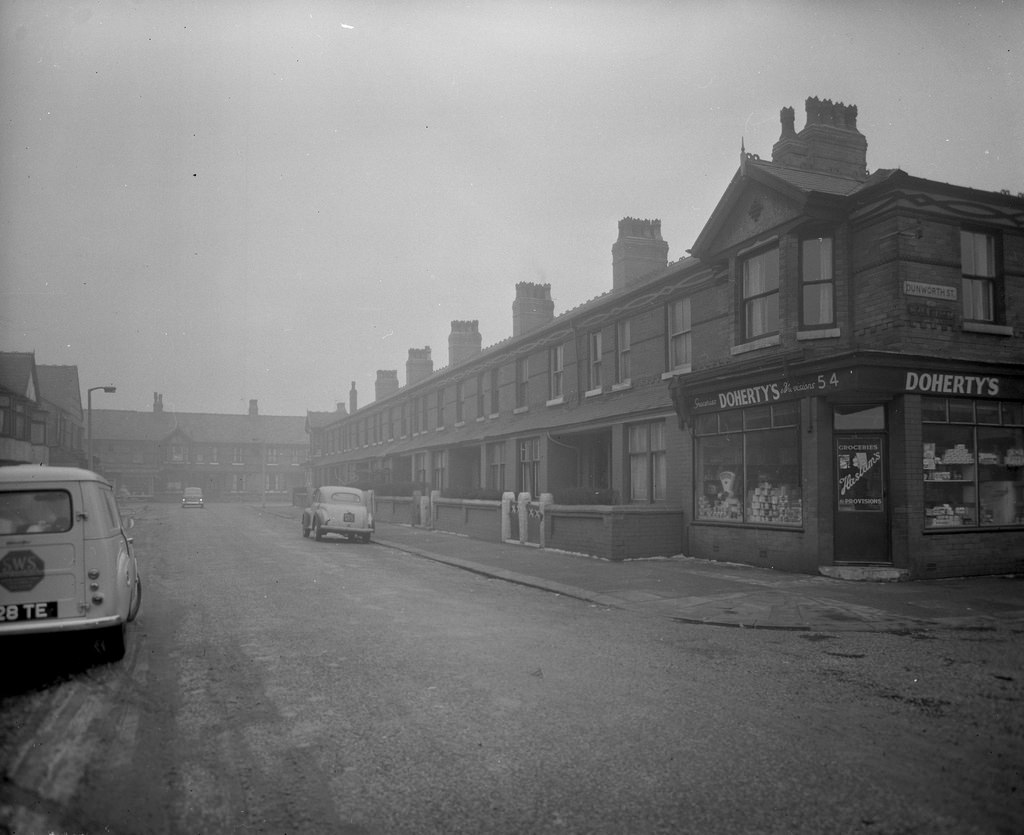
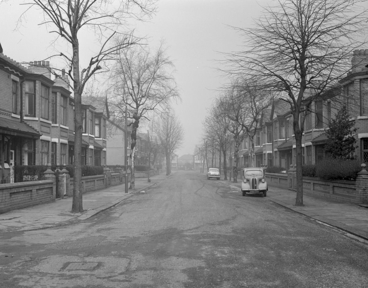
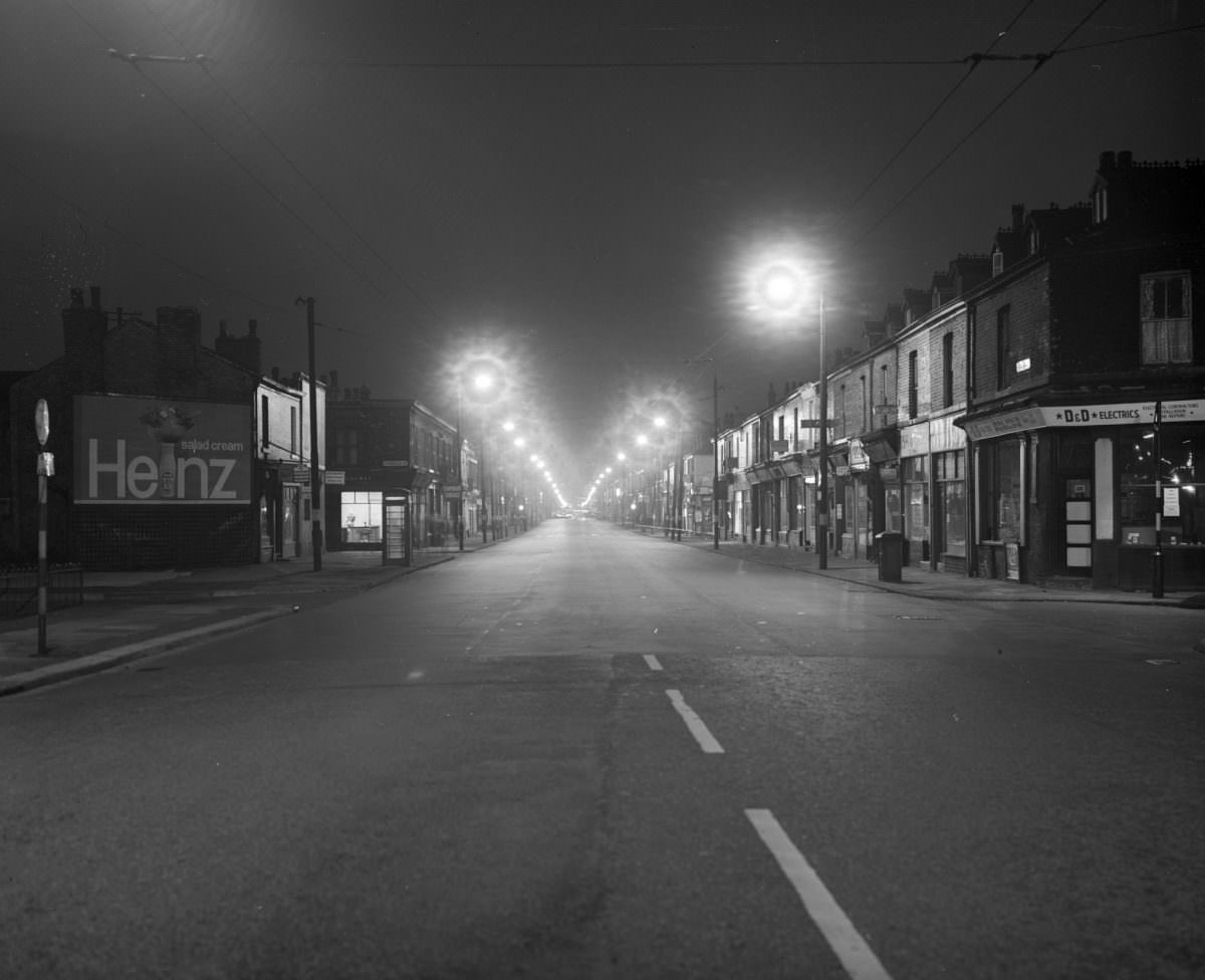
Some streets appear completely deserted in these images. There are no cars, no pedestrians, no sign of daily life. In many cases, the buildings had already been vacated ahead of demolition. The emptiness is not accidental — it reflects a deliberate clearing of urban space that was happening across Manchester’s inner districts throughout the 1960s.
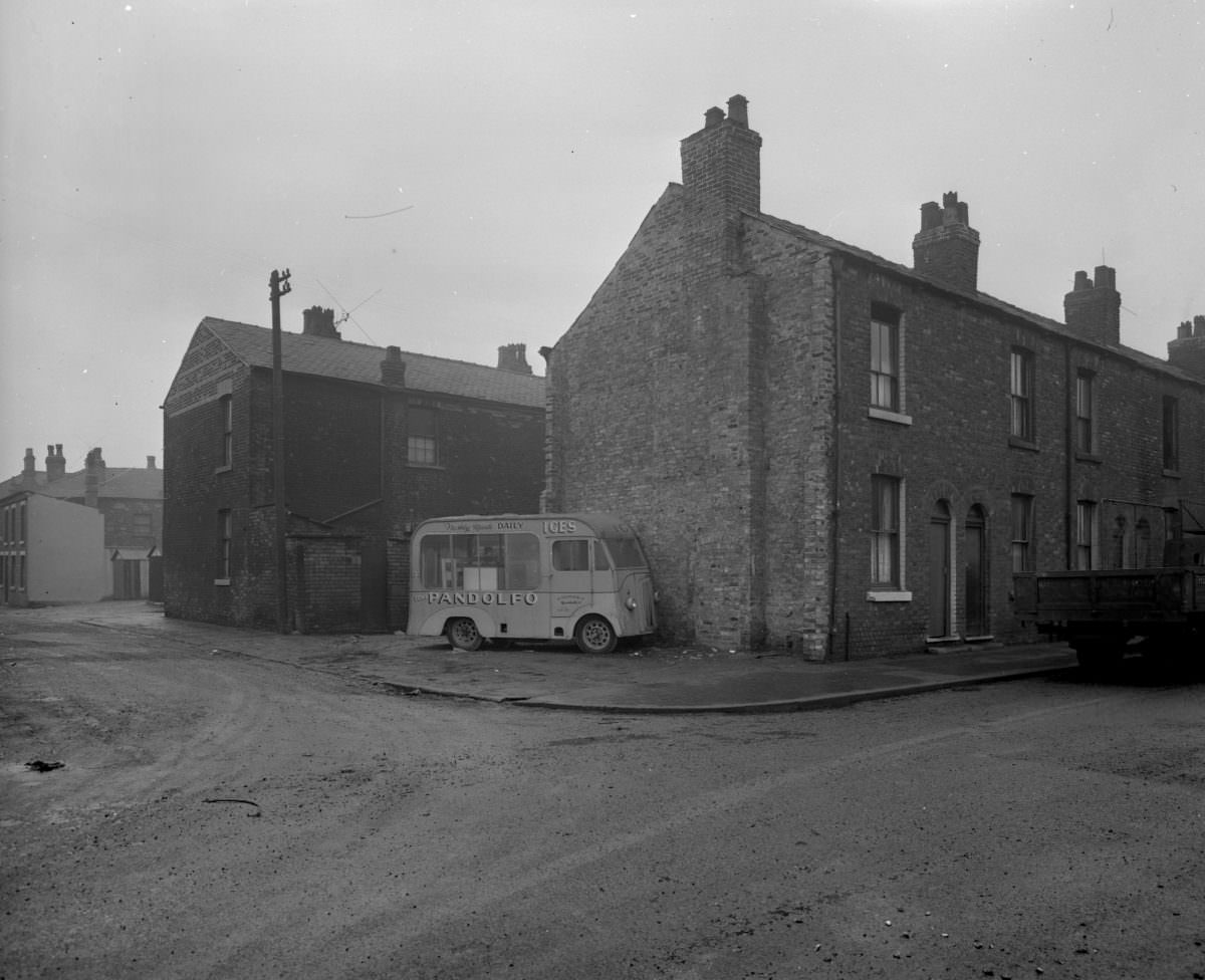
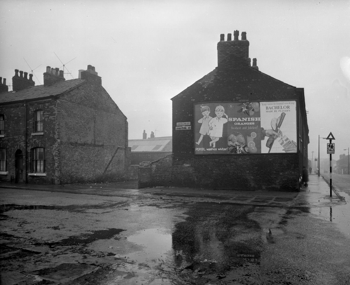
Not all of 1960s Manchester was defined by loss and clearance. The decade also brought a new skyline. In 1962, the CIS Tower was completed at 118 metres, making it the tallest building in the United Kingdom at the time. Three years later, the Piccadilly Plaza followed. These were bold statements of modernist ambition rising above streets that, at ground level, still carried the worn texture of the Victorian city.
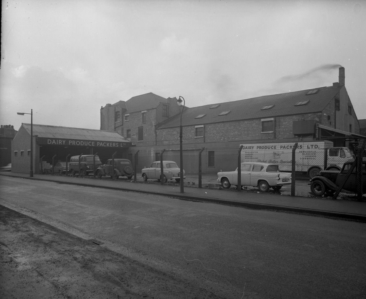
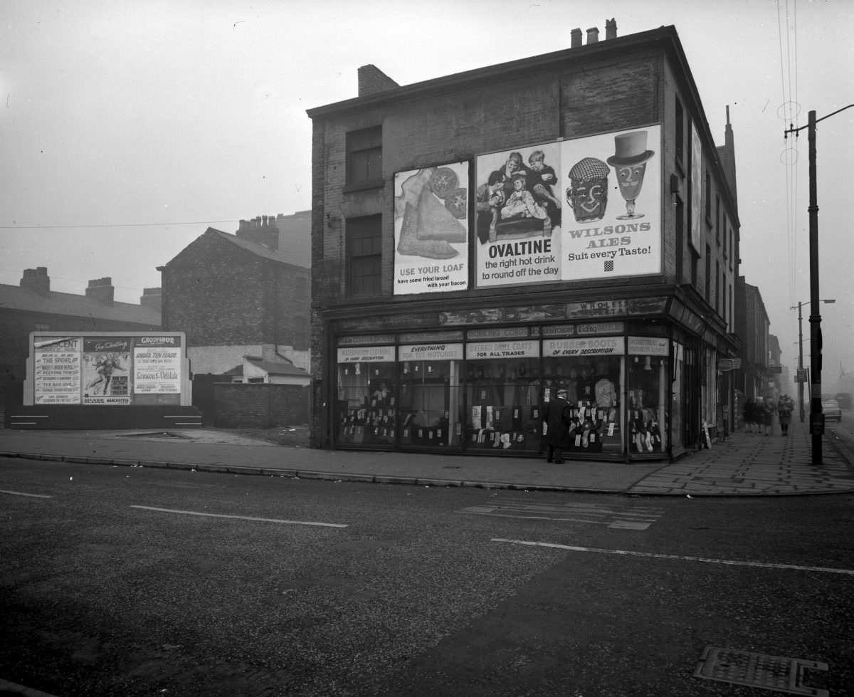
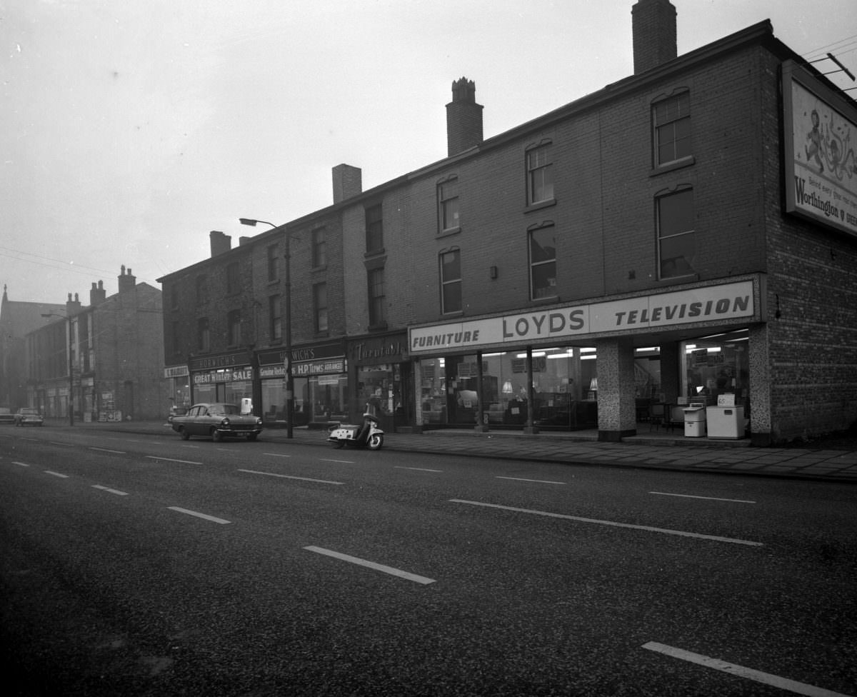
The construction boom of the 1950s and 1960s produced a mixed architectural record. A handful of the buildings put up during those decades went on to become genuine landmarks. Most did not. Utility and speed of construction were often prioritised over design. The result was a patchwork city — grand ambitions on the skyline, functional and often bleak at street level.
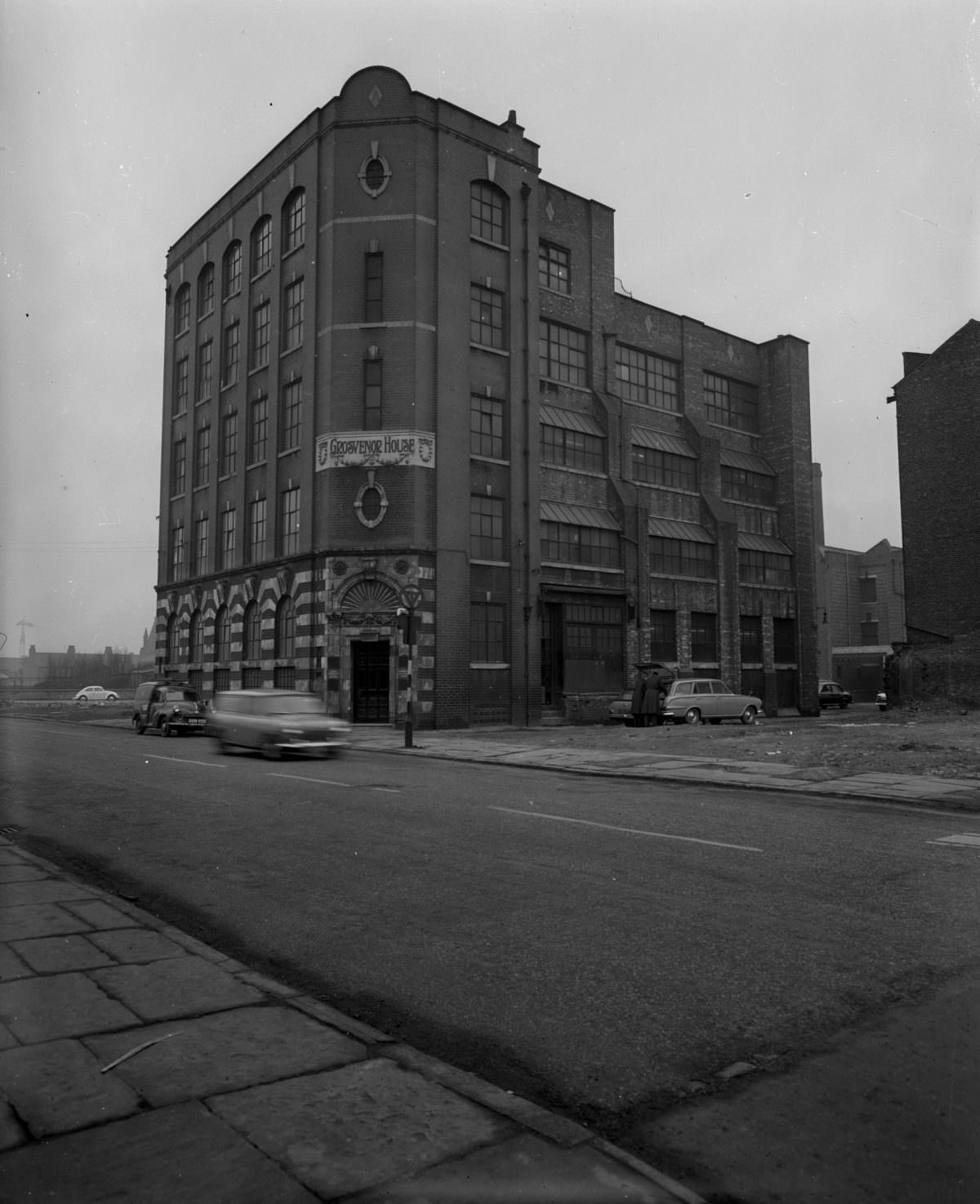
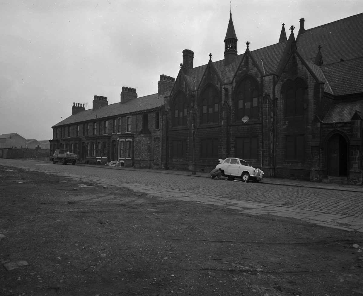
Areas like Hulme, Moss Side, and Ancoats were among the most heavily affected by slum clearance programmes. Rows of terraced housing that had stood since the mid-19th century were pulled down. The communities living in them were dispersed — some into the new tower blocks, others out to overspill estates on the city’s edge. The old street grids remained on maps, but the life on them was gone.
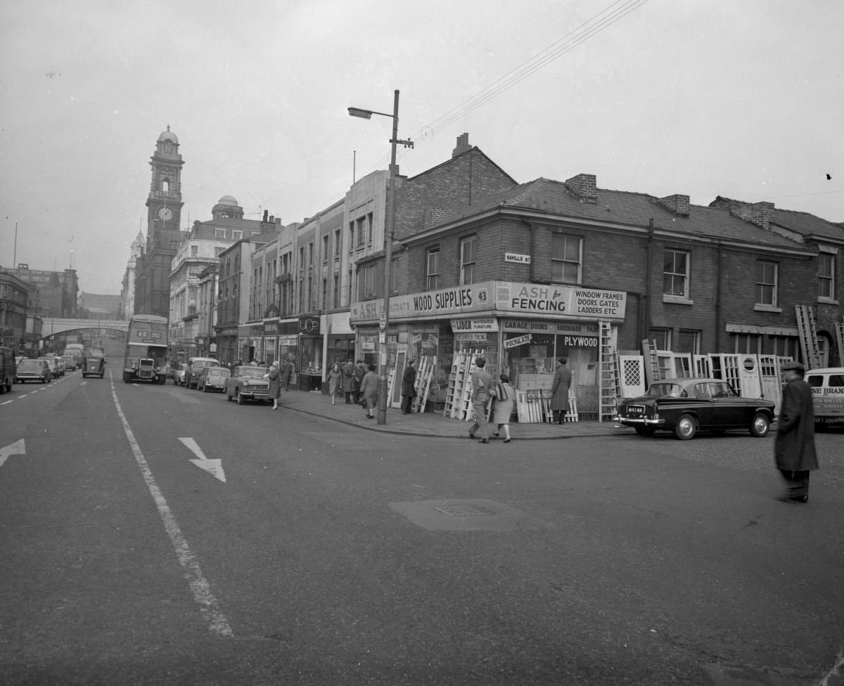
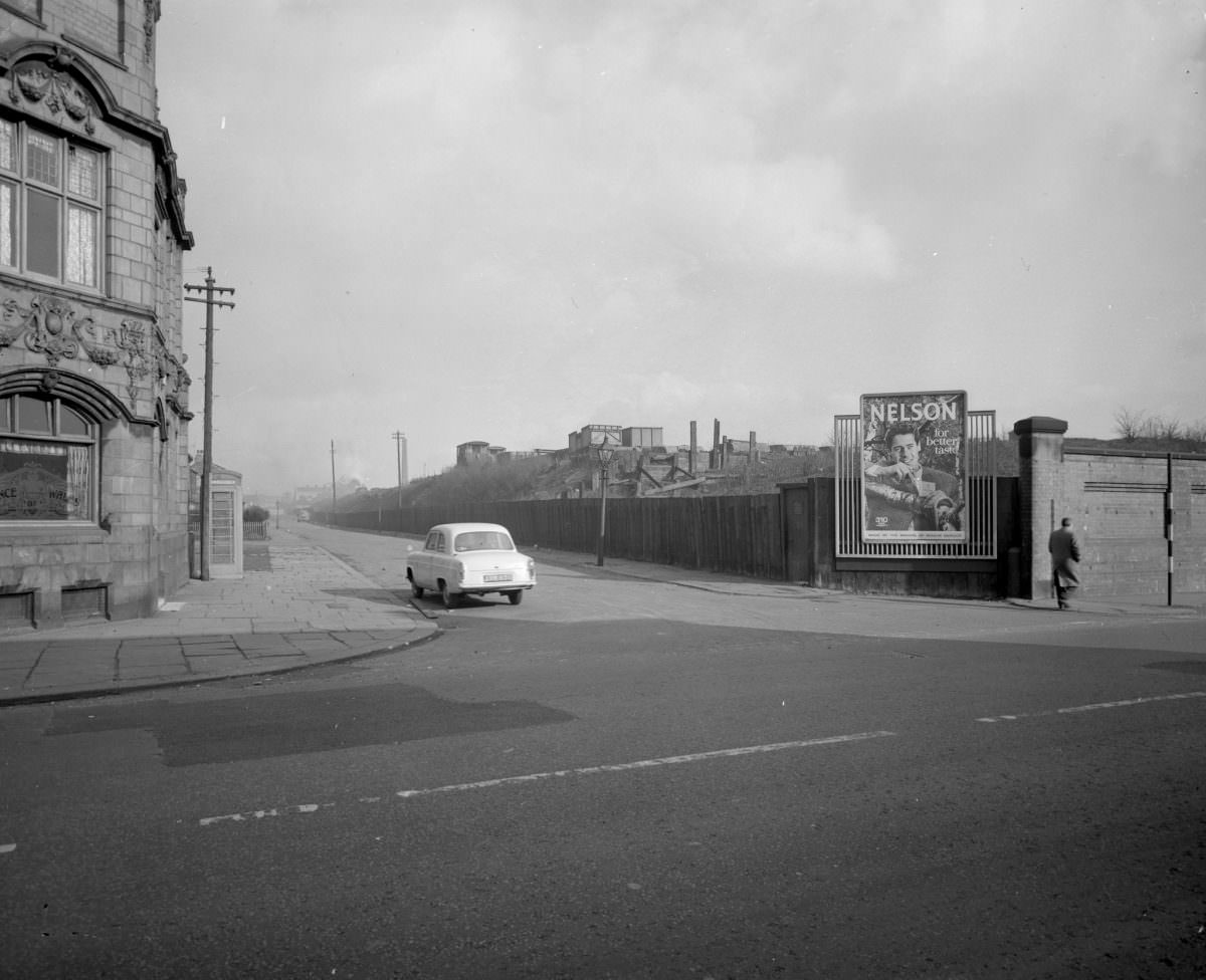
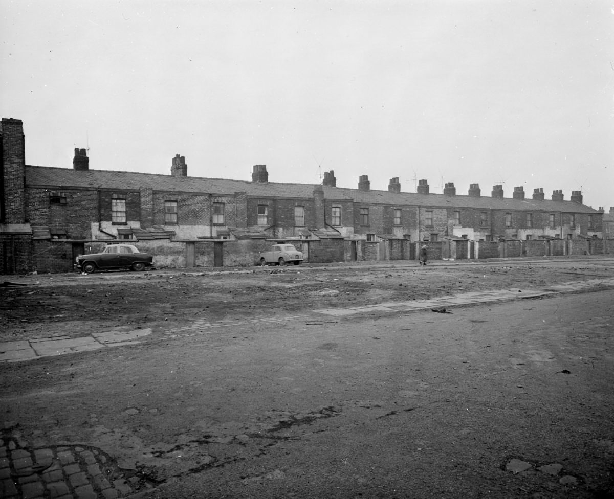
The photographs from streets like Saville Street, Emmett Street, and Lodge Street show the raw edges of this process — buildings stripped back, rubble visible, facades exposed where adjoining structures have already come down. These were not abandoned places. They were places in the active process of being erased.
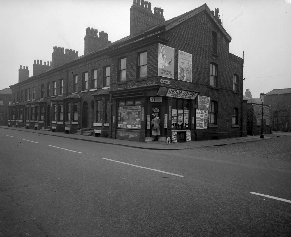
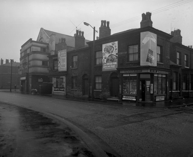
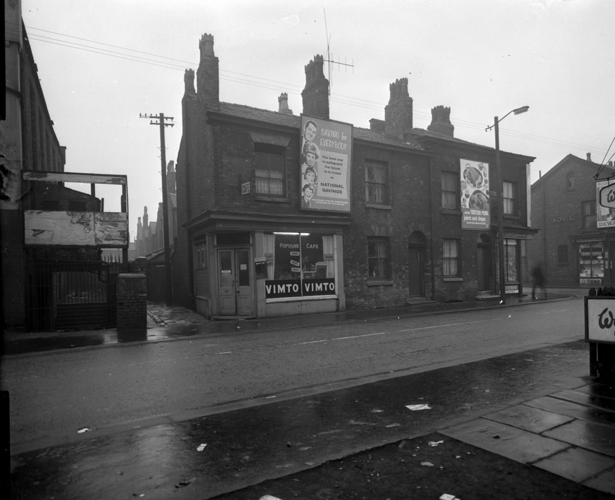
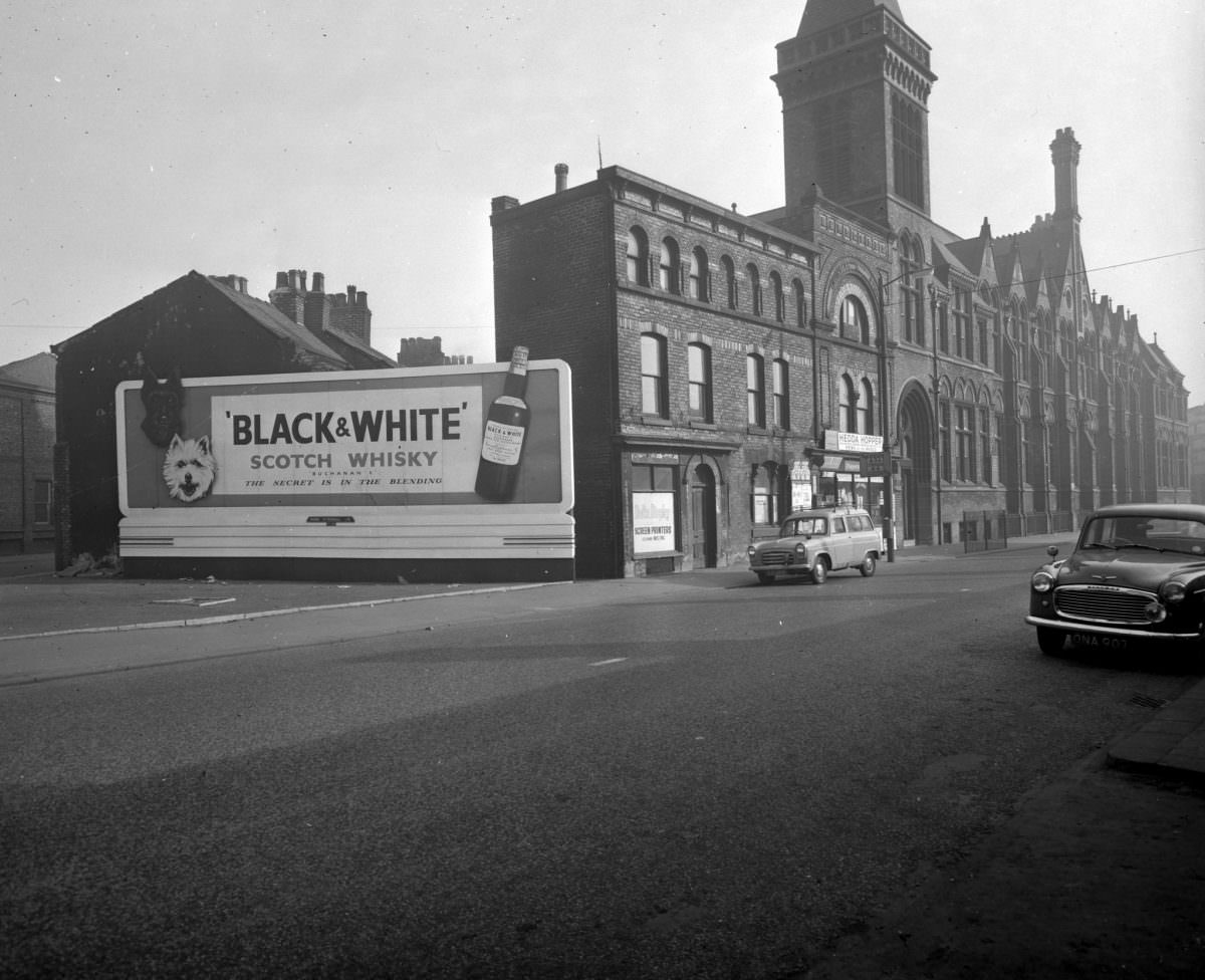
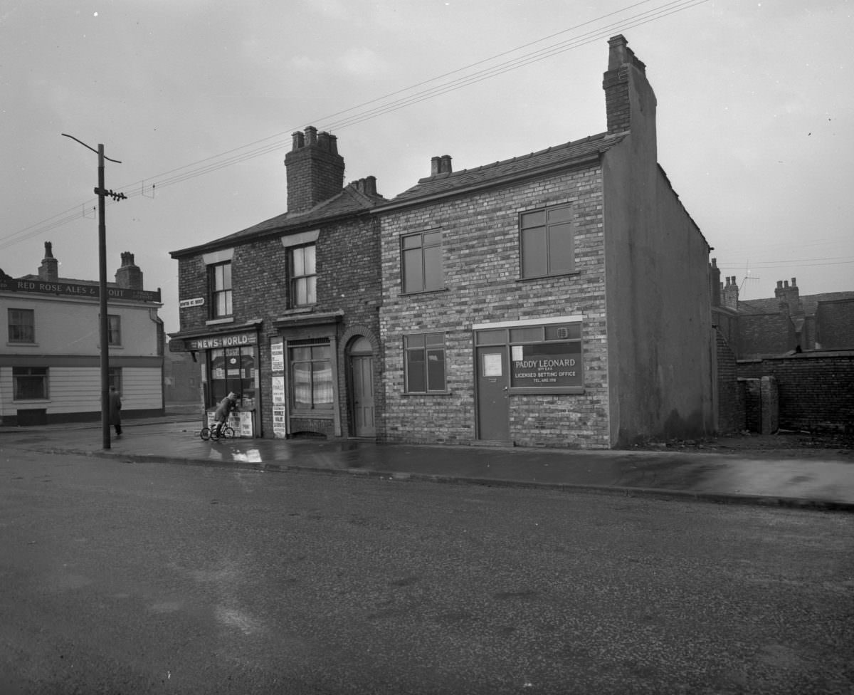
Beyond demolition, the photographs also document the quieter, everyday fabric of the city — corner shops, cobbled streets, brick walls blackened by decades of industrial smoke. Manchester in 1963 still carried the physical marks of its manufacturing past. Coal soot had darkened almost every surface. The clean, glass-fronted modernism of the new developments stood in sharp contrast to those smoke-stained Victorian terraces.
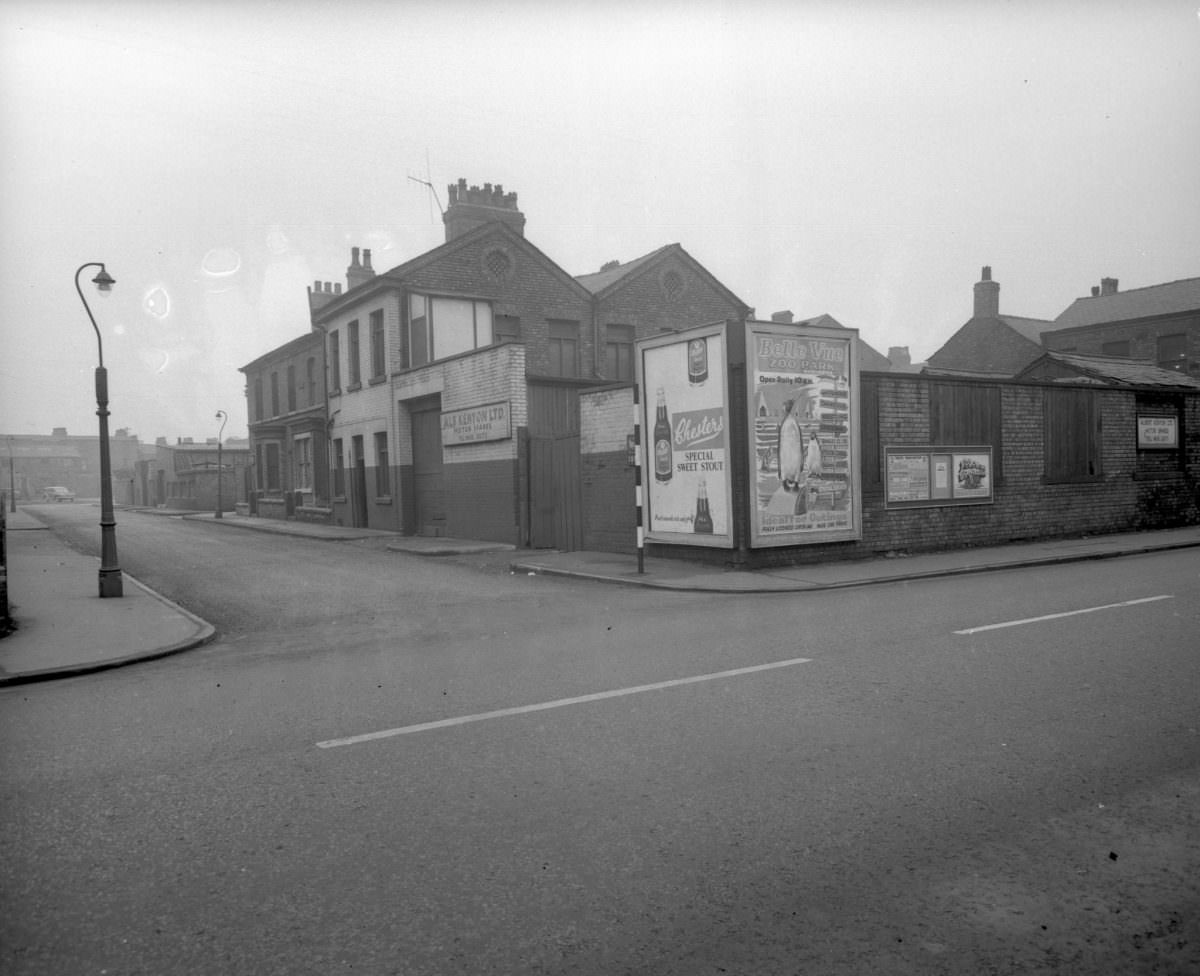
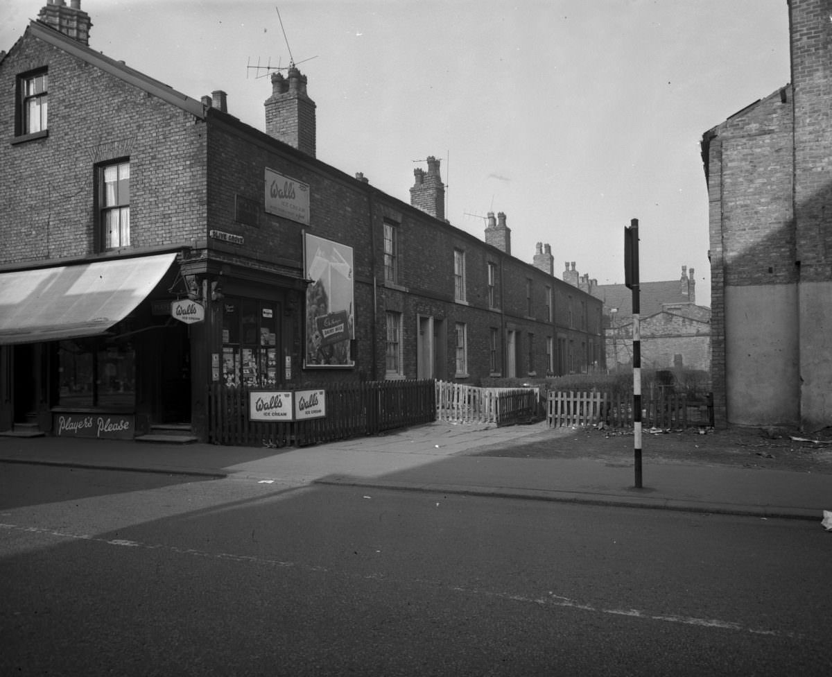
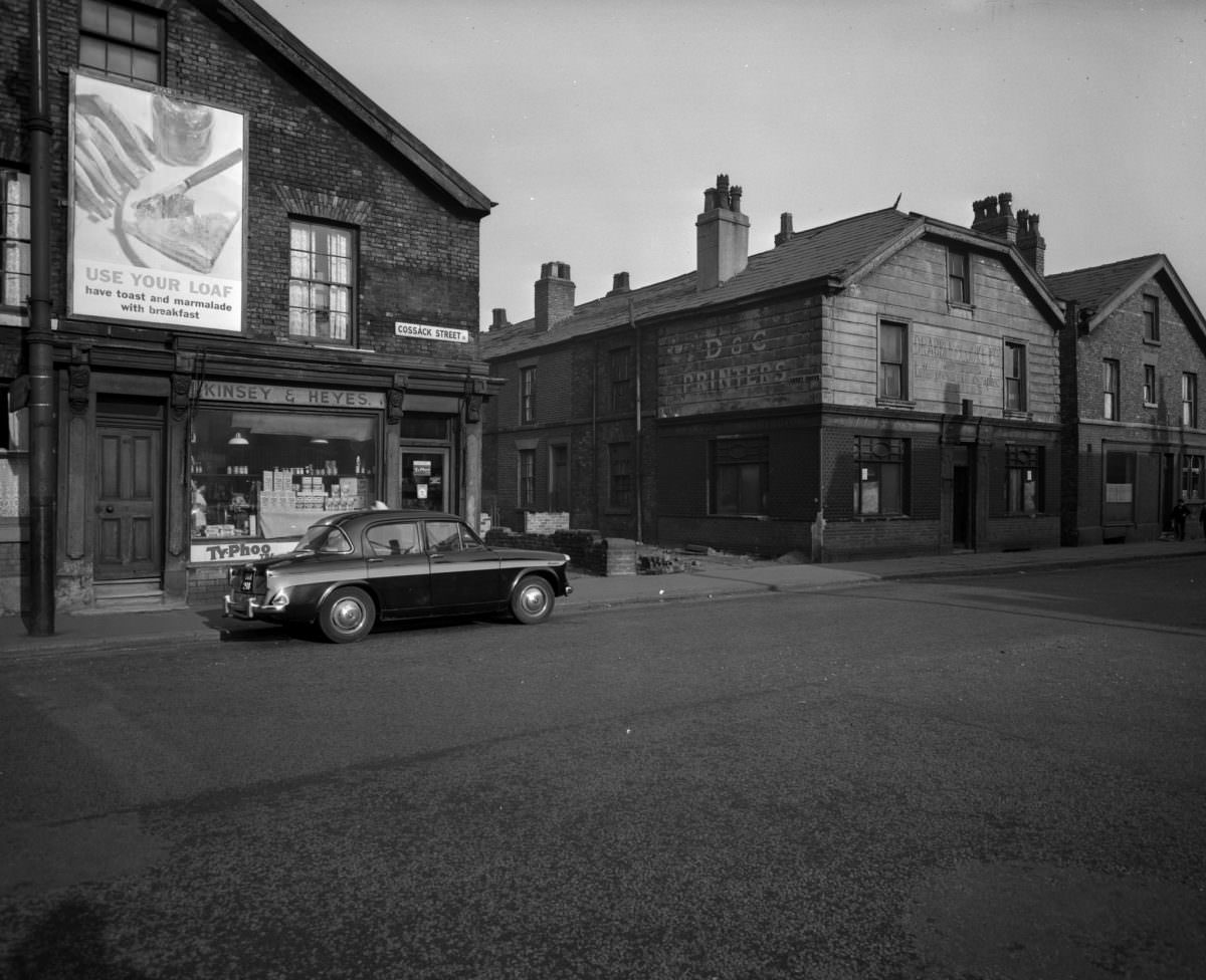
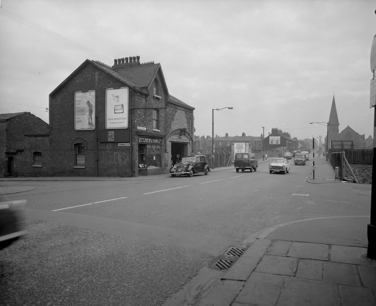
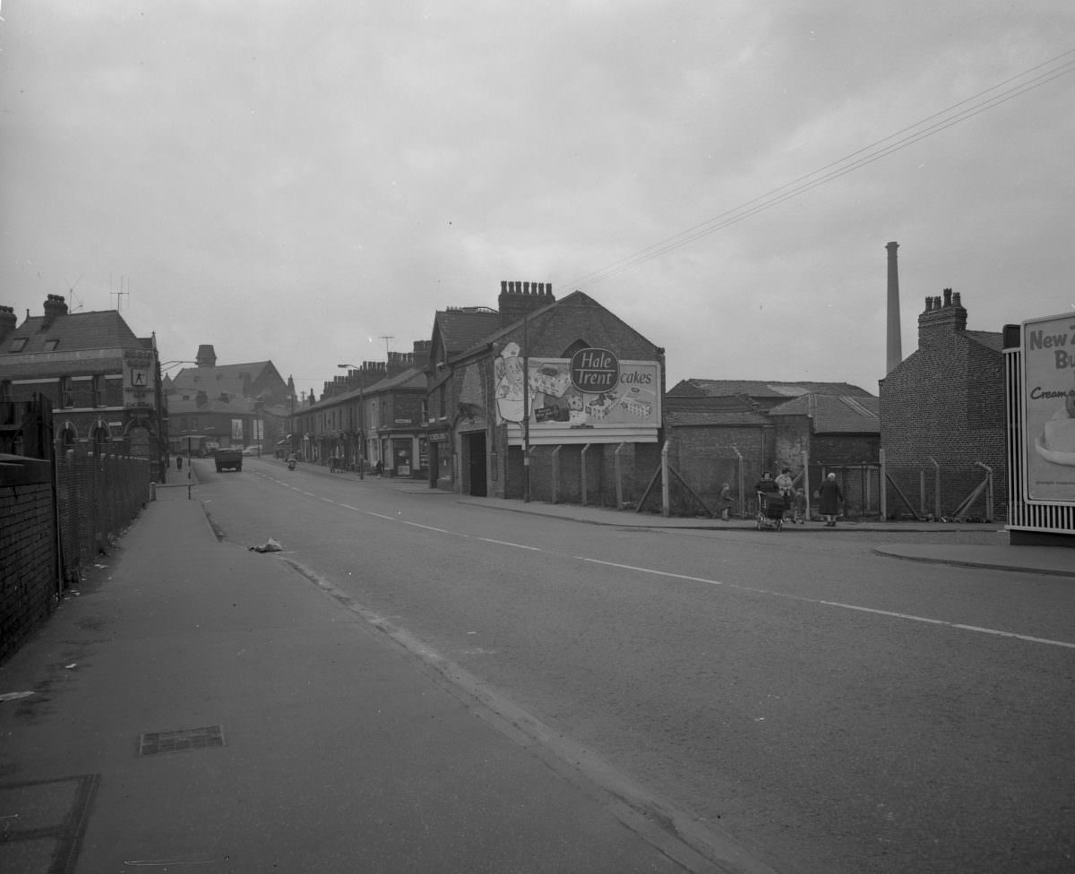
High unemployment made life harder for those who stayed. With manufacturing contracting and the service economy not yet grown enough to fill the gap, many working-class families in Manchester’s inner areas faced real economic hardship. The decline wasn’t abstract — it showed up in poorly maintained housing, closed shops, and streets that grew quieter year by year.
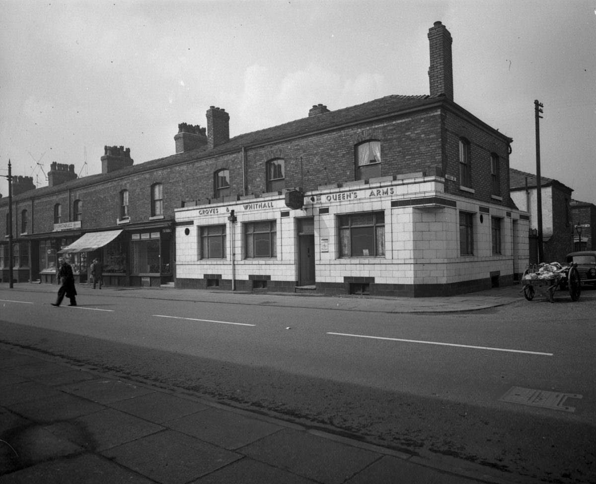
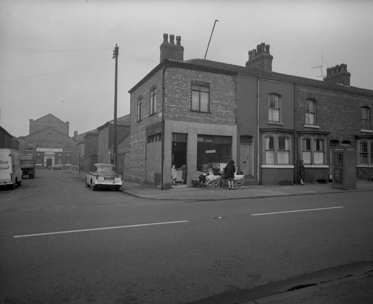
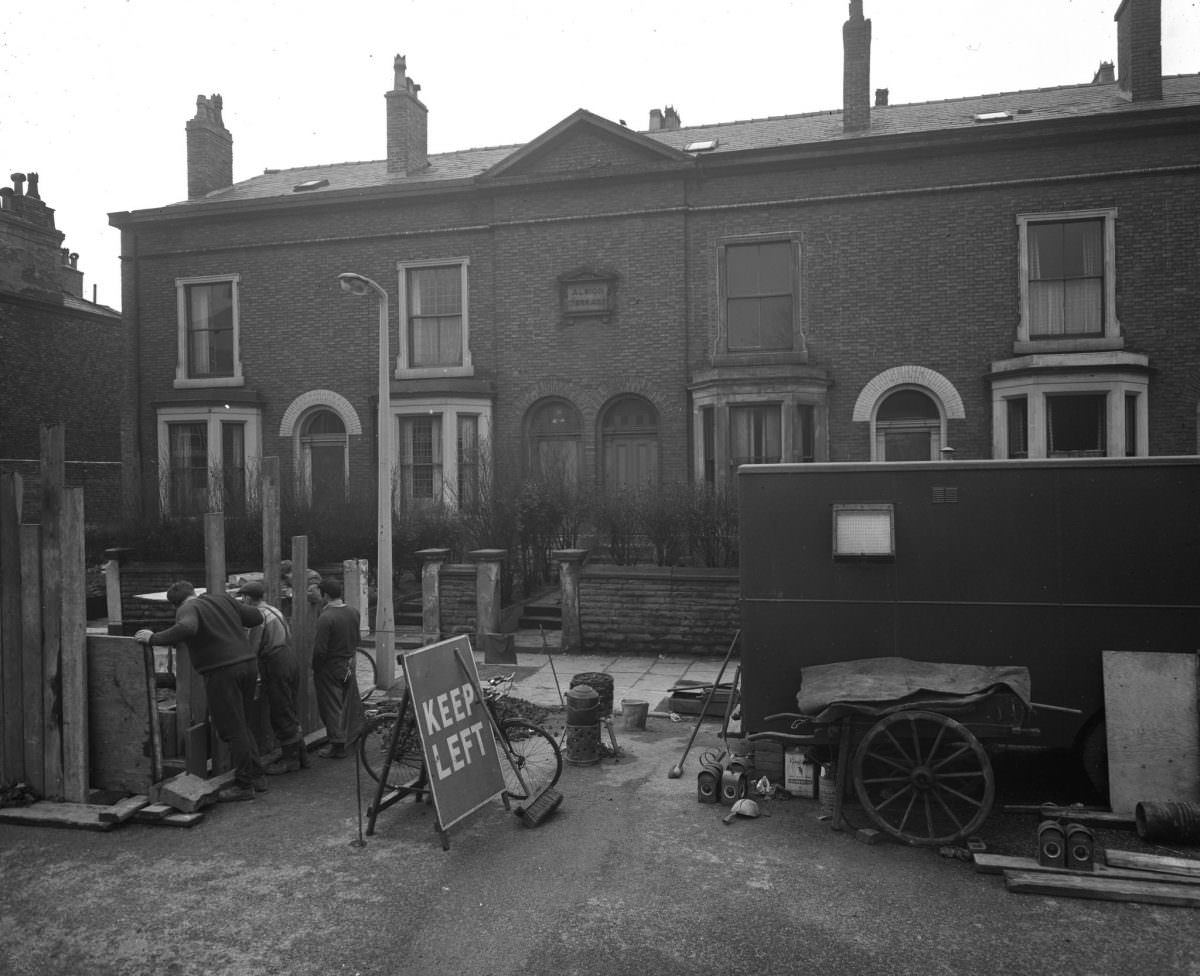
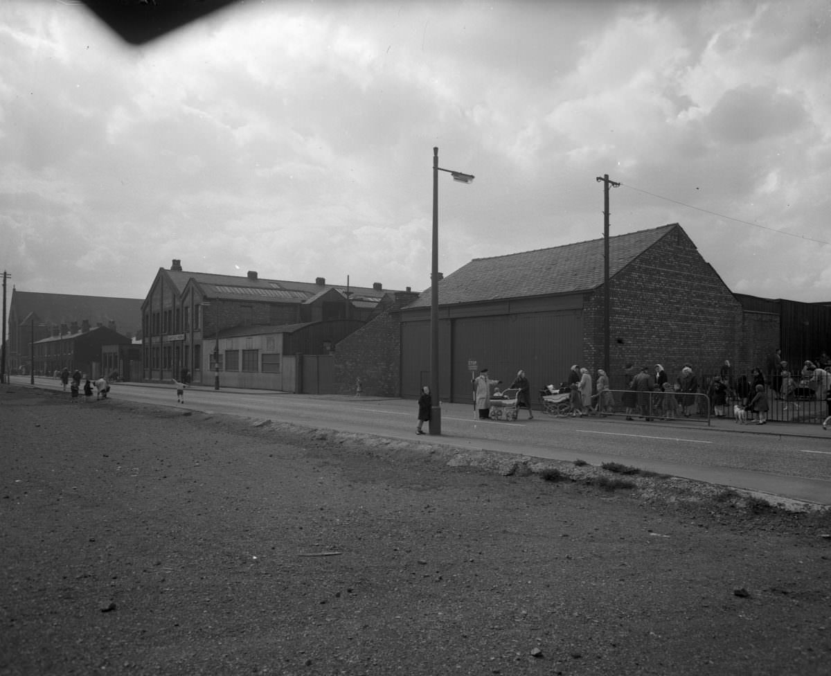
Streets like Acombe Street, Devas Street, and Monsall Street appear in the archive as quiet, almost desolate corridors. The scale of the housing stock visible in these images gives a sense of how densely packed the inner city once was — and how much of it was being cleared away during this period.
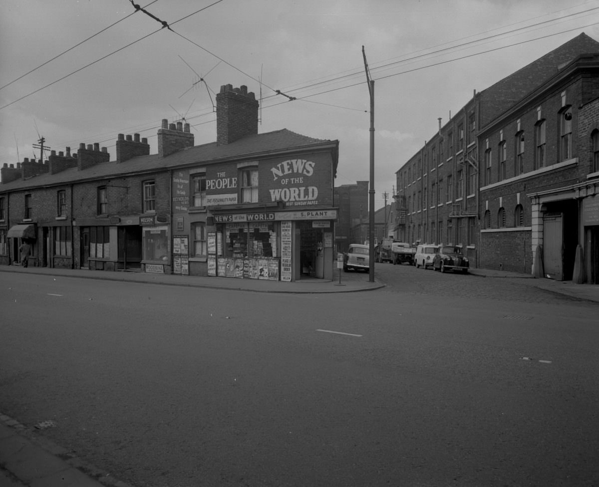
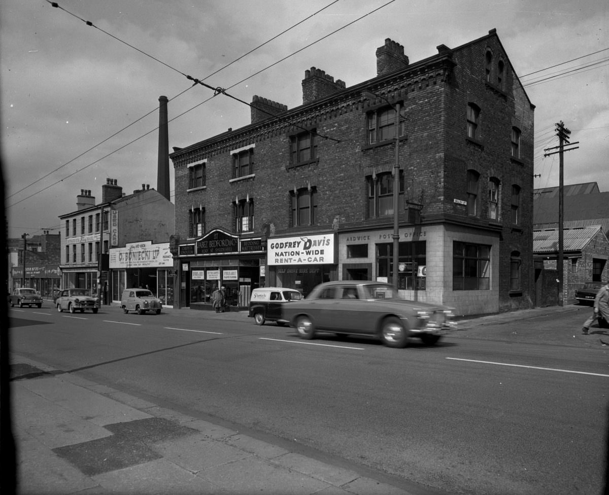
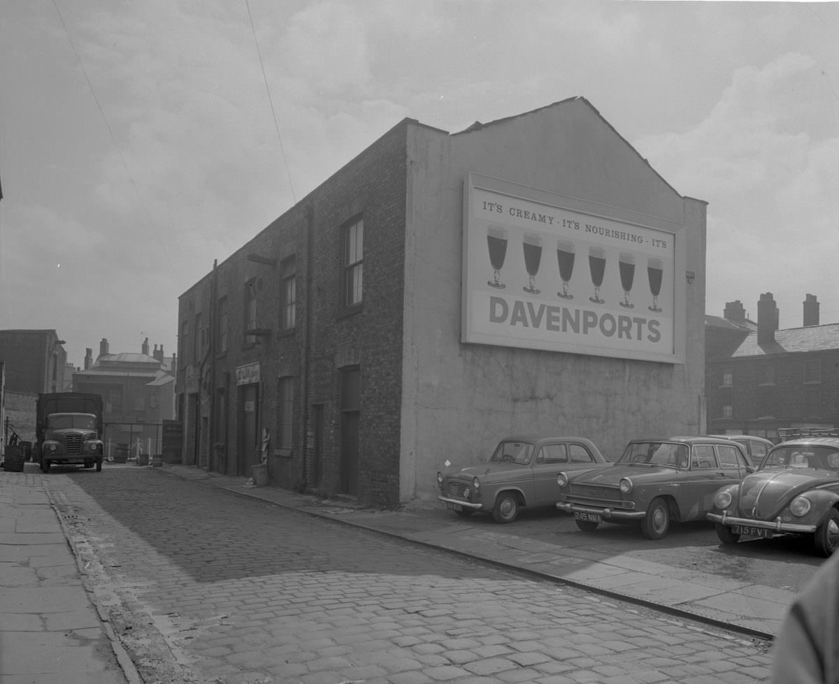
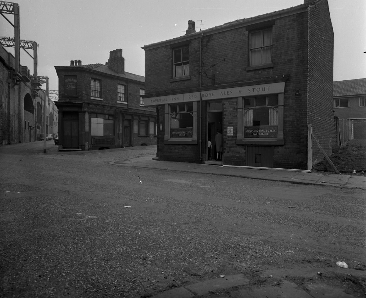
City planners in the early 1960s had a clear directive: replace inadequate housing as fast as possible. The approach was to build tall and build fast. High-rise blocks went up across areas of the city that had previously been covered in two-storey terraces. Whether or not those new blocks actually improved residents’ lives was a question that would take another decade to fully answer.
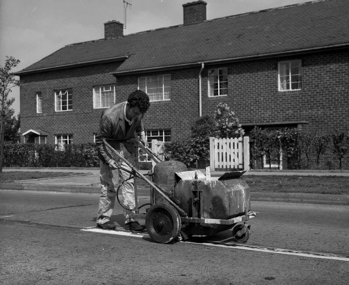
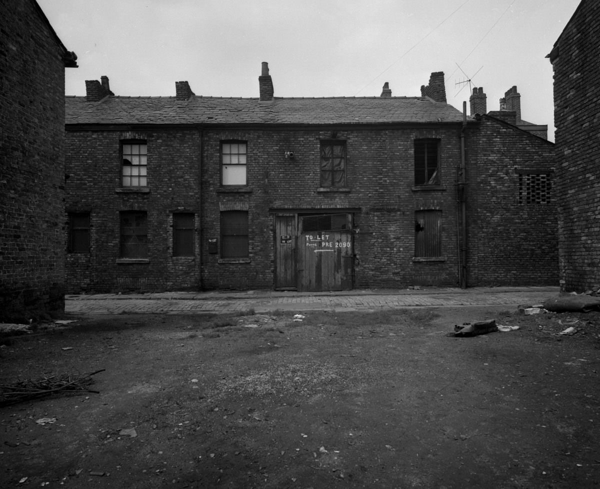
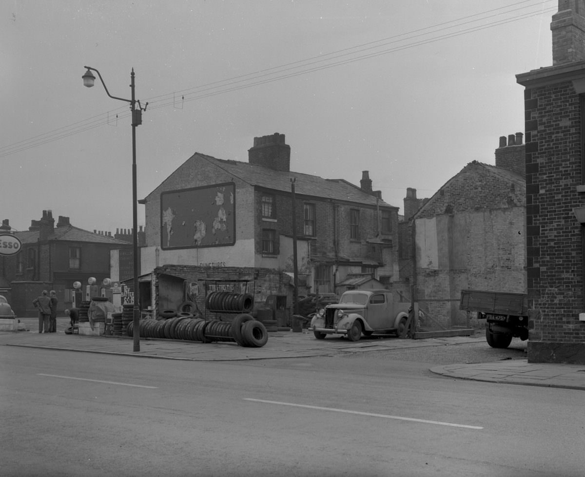
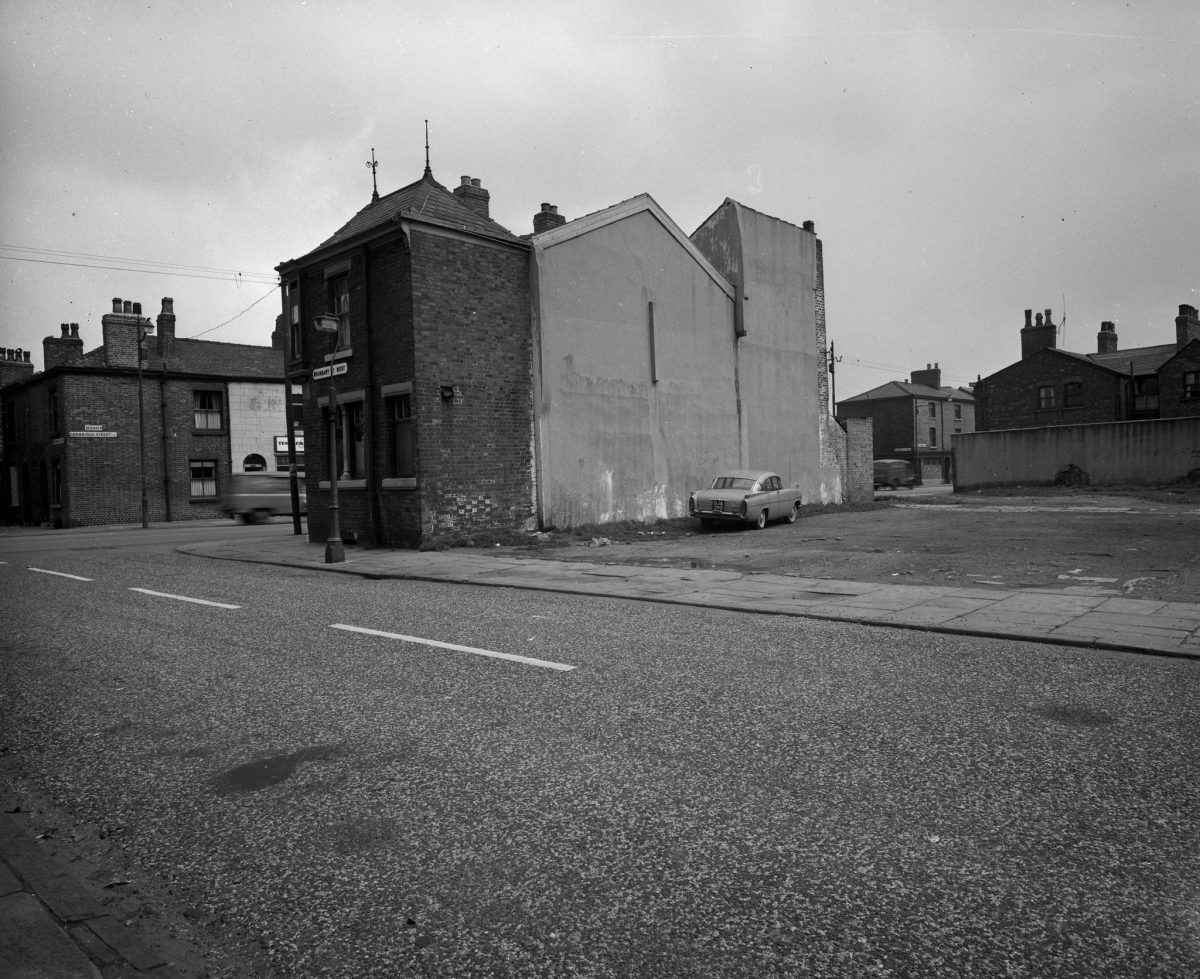
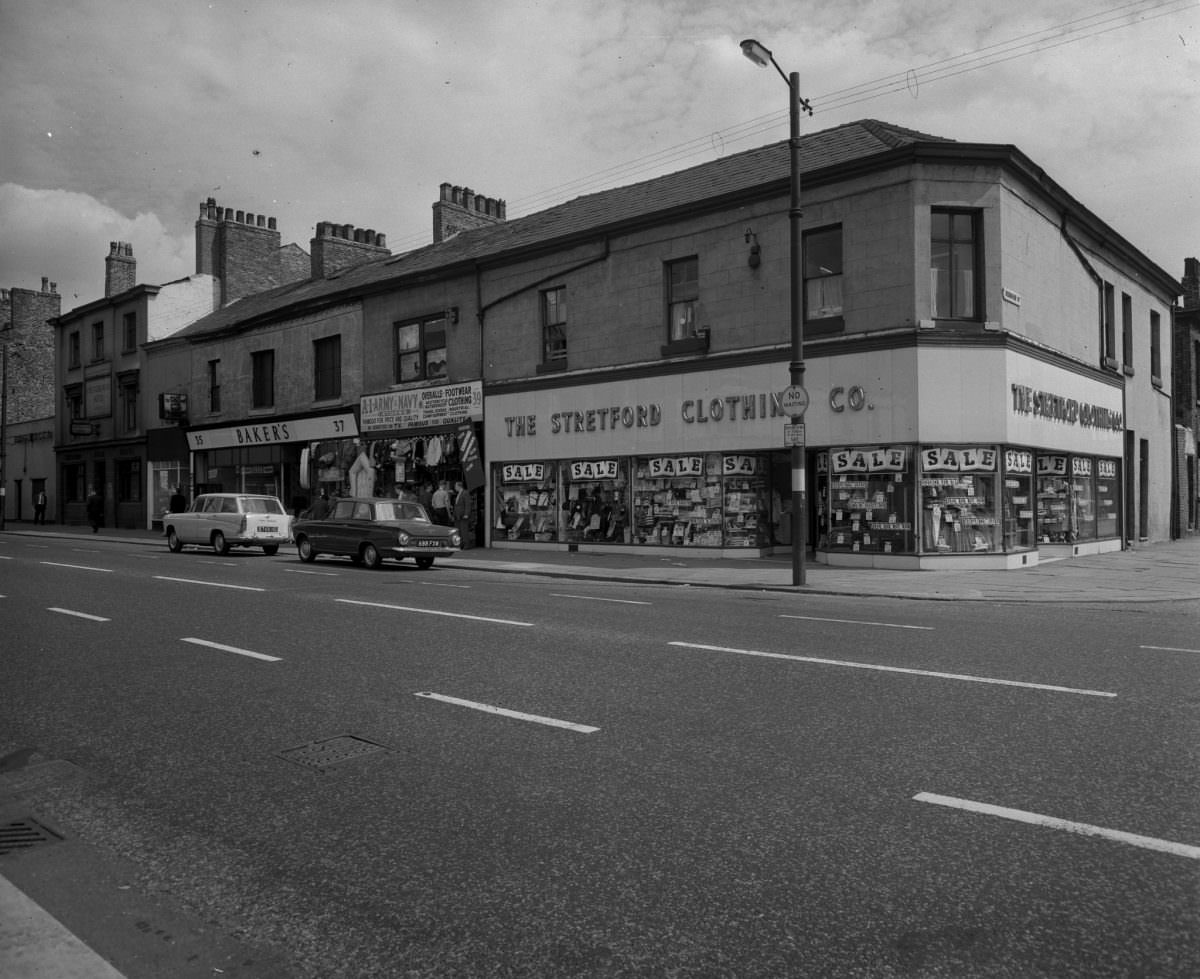
Areas around City Road, Stretford Road, and Hulme are well represented in the photographs. These were among the districts most deeply affected by both the economic downturn and the clearance programmes. City Road in Hulme, in particular, captures the look of a neighbourhood in transition — structures still standing but clearly at the end of their useful life.
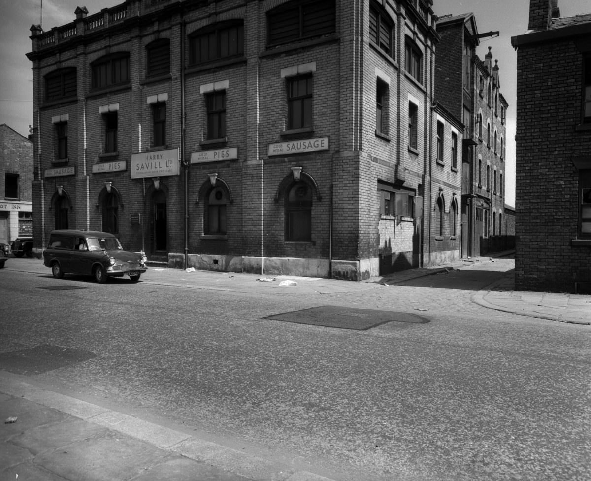
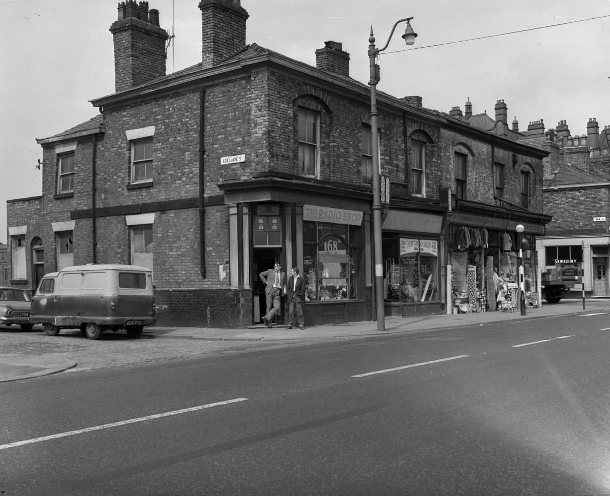
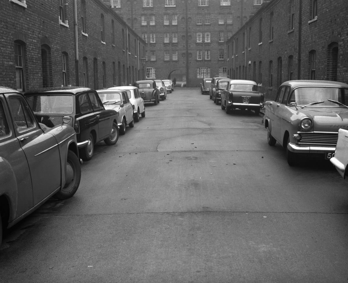
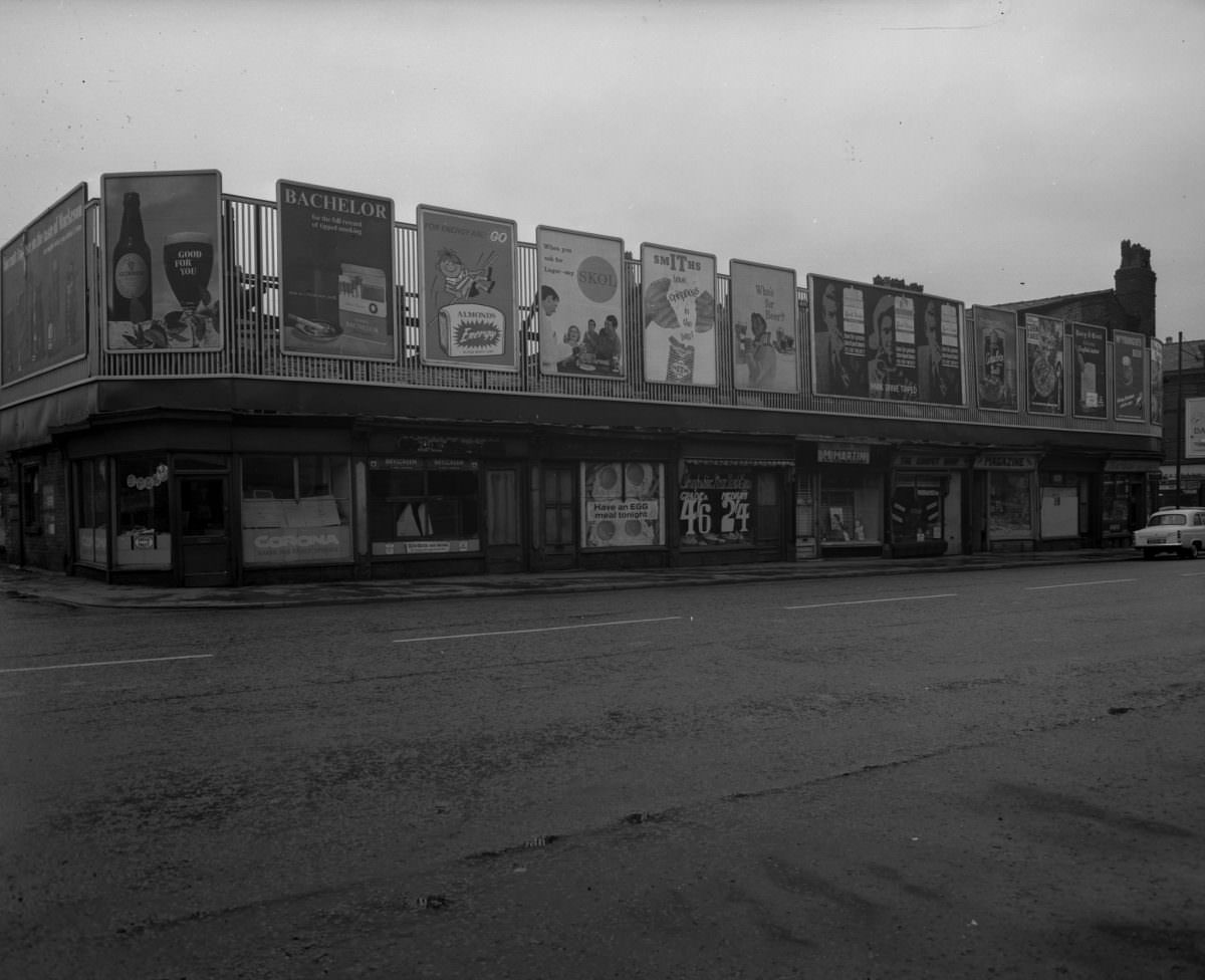
Streets like Radnor Street and Upper Moss Lane, photographed in 1963, show the kind of modest terraced housing that made up the bulk of the inner city’s residential stock. Two-storey brick rows, narrow doorways, small windows — built cheaply in the 19th century to house industrial workers as quickly as possible. By 1963, many had been standing for over a century with minimal maintenance.
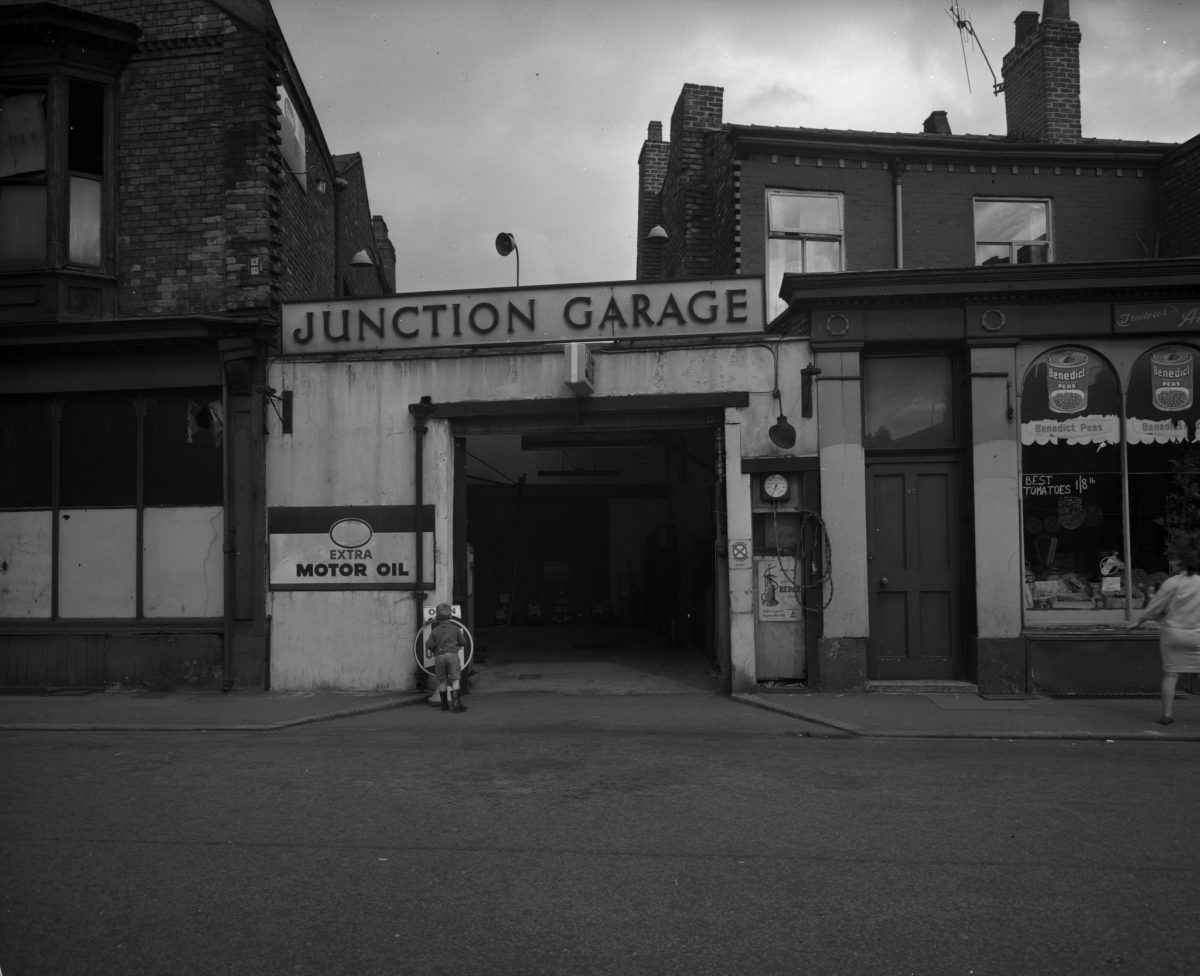
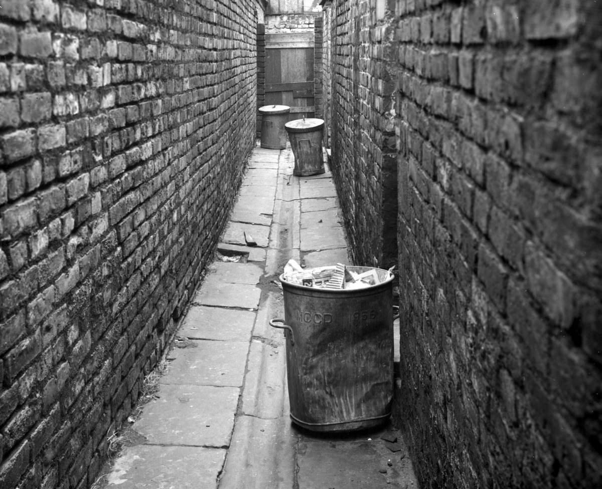
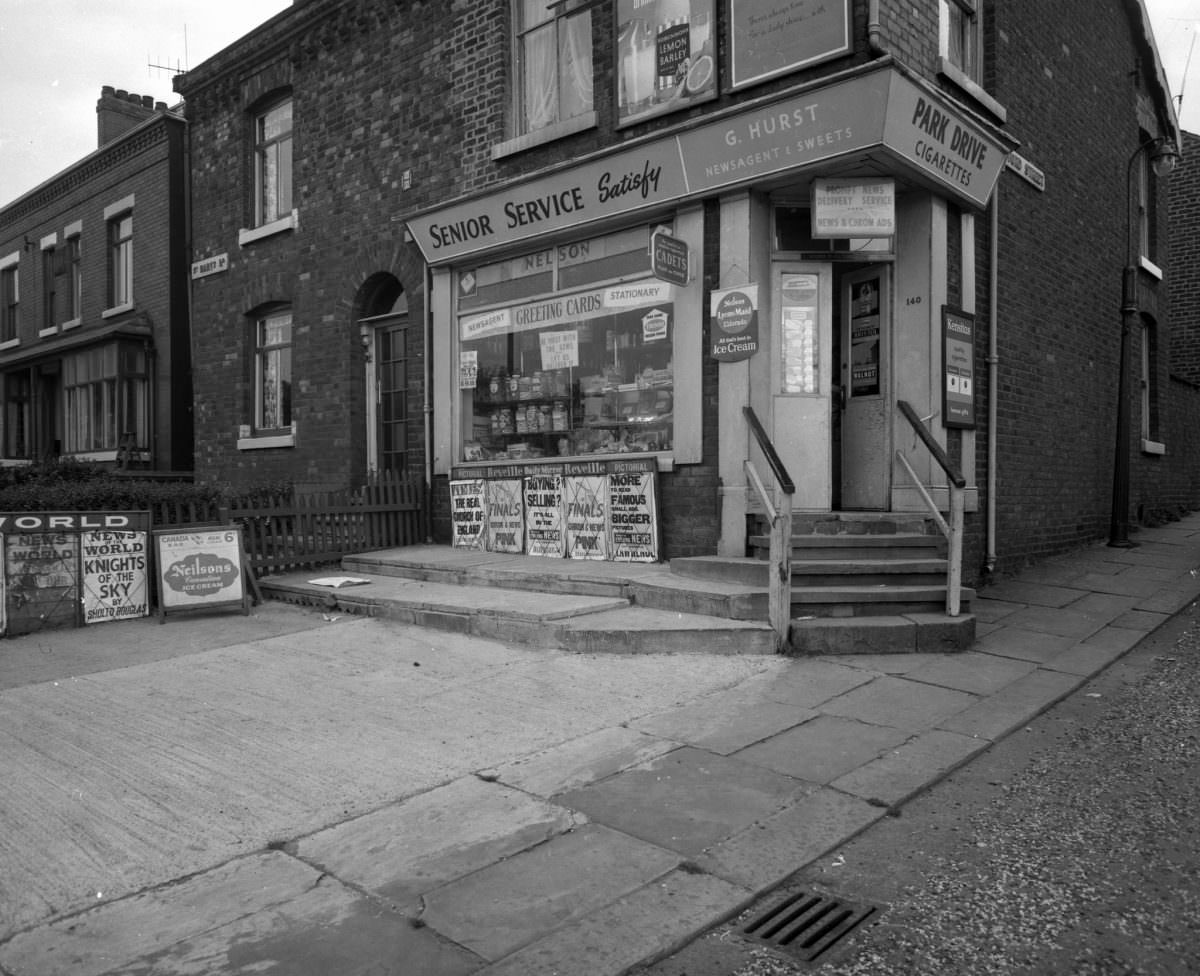
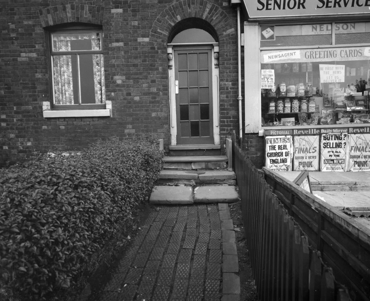
Cheetham Hill Road and Stretford Road appear in the collection as wider arterial streets — the kind that connected the inner residential districts to the commercial centre. Even on these busier thoroughfares, the photographs convey a stillness. Traffic is sparse. Shop fronts are modest. The scale is human and low-rise, with nothing yet of the urban renewal that would reshape these corridors in later years.
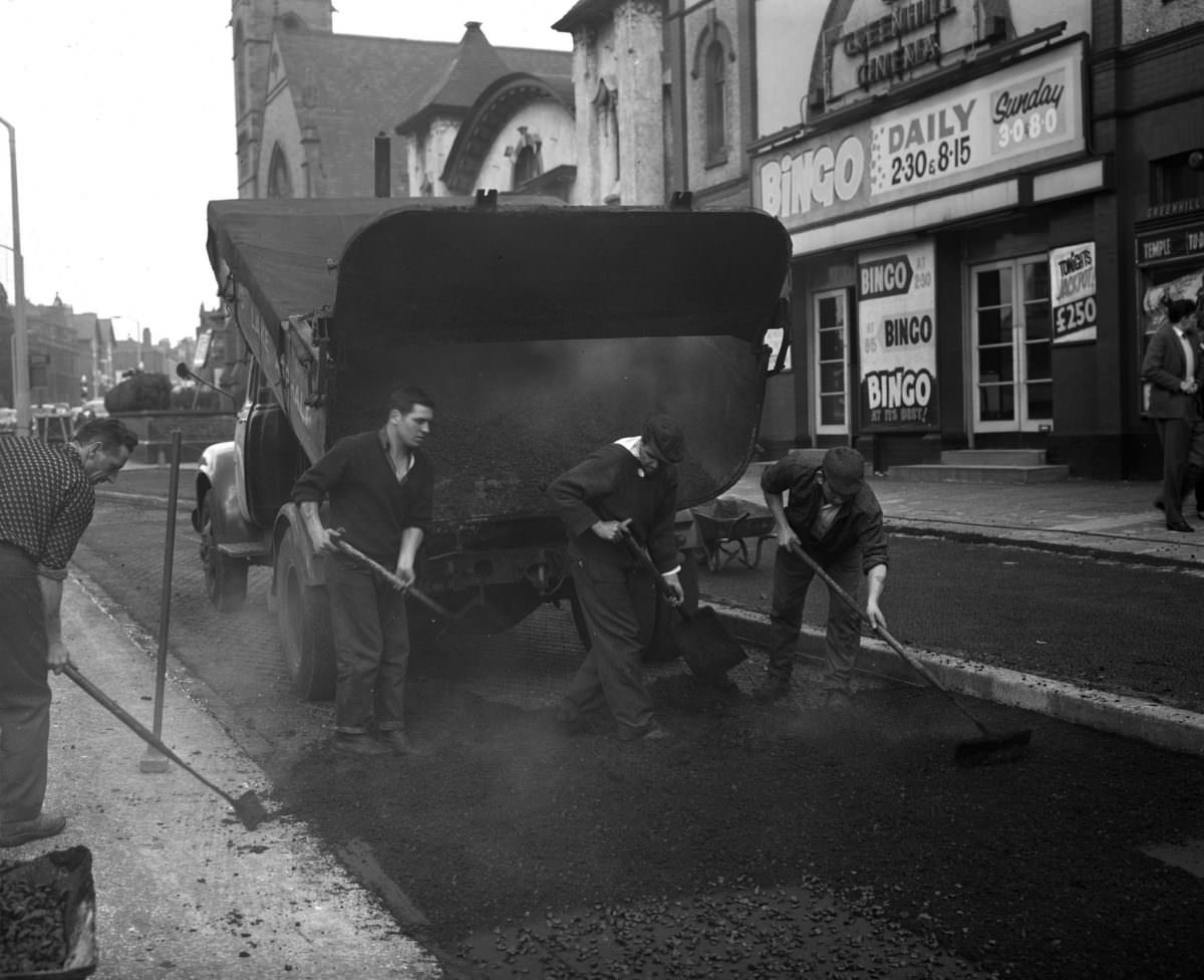
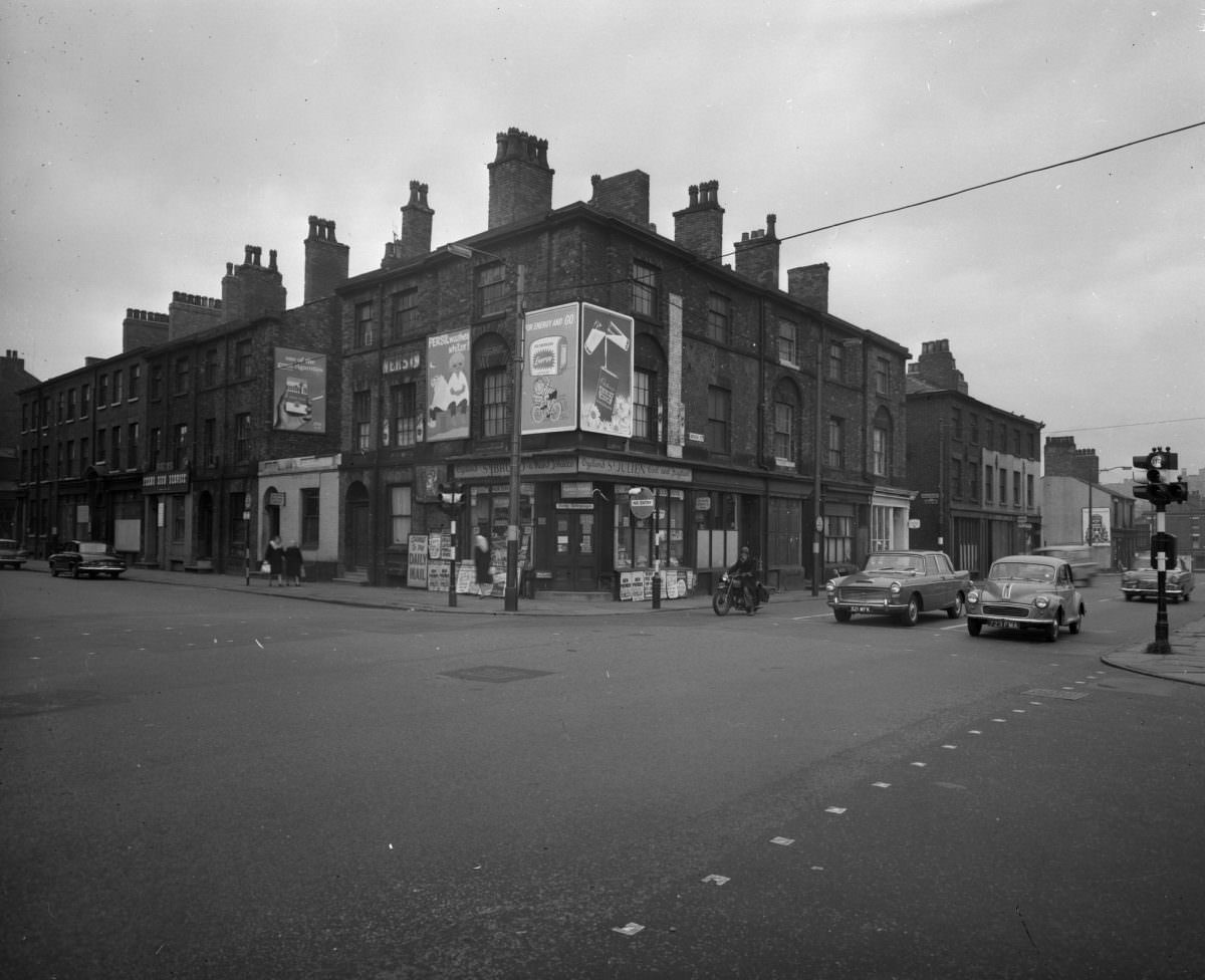
Livesey Street shows up multiple times in the archive — three separate frames from slightly different angles or moments. The repetition is not unusual. Survey photographers working for the city council often documented streets systematically, walking the length of a road and capturing each block in sequence. These images were tools for planning, not art, but they ended up as something more.
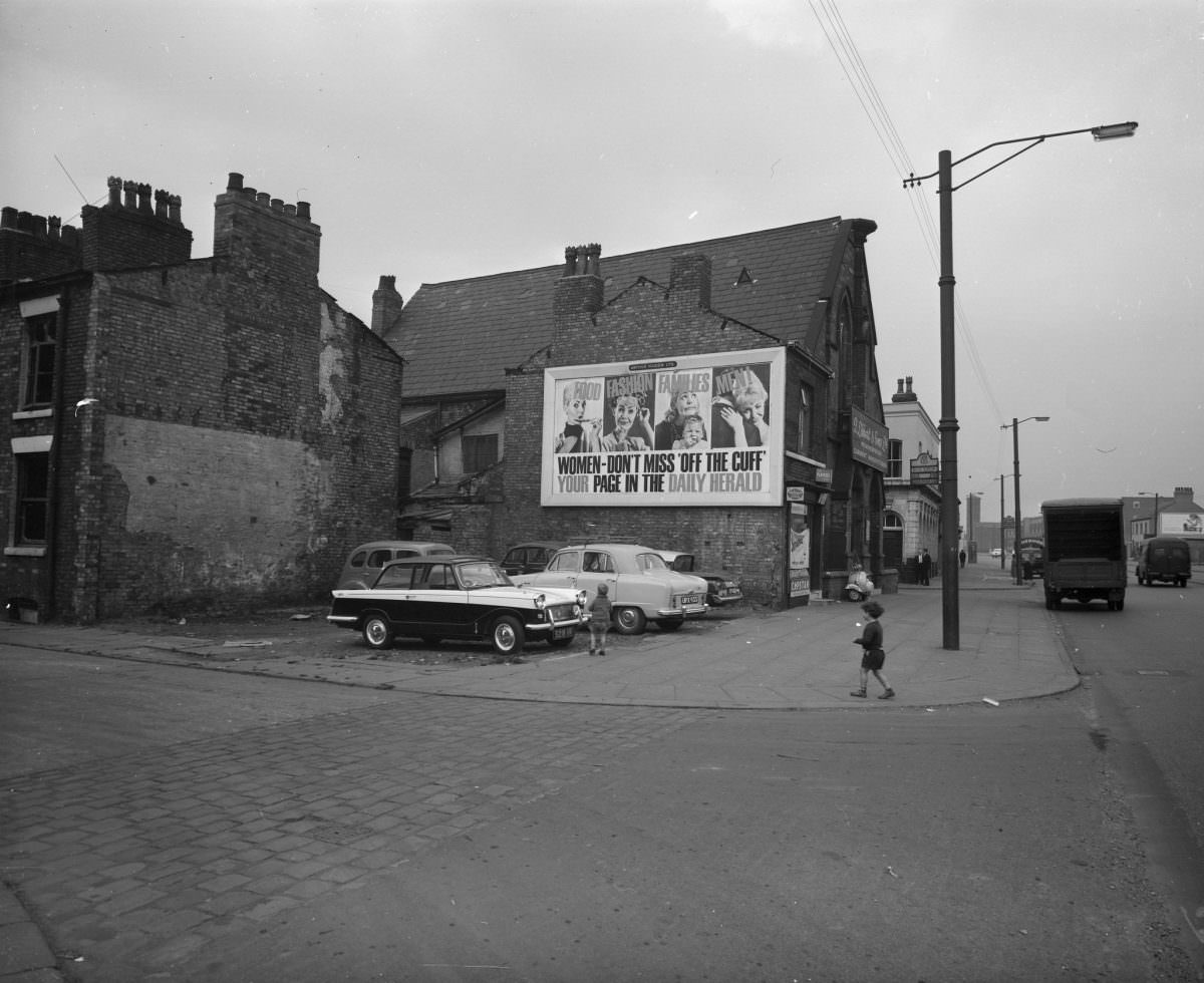
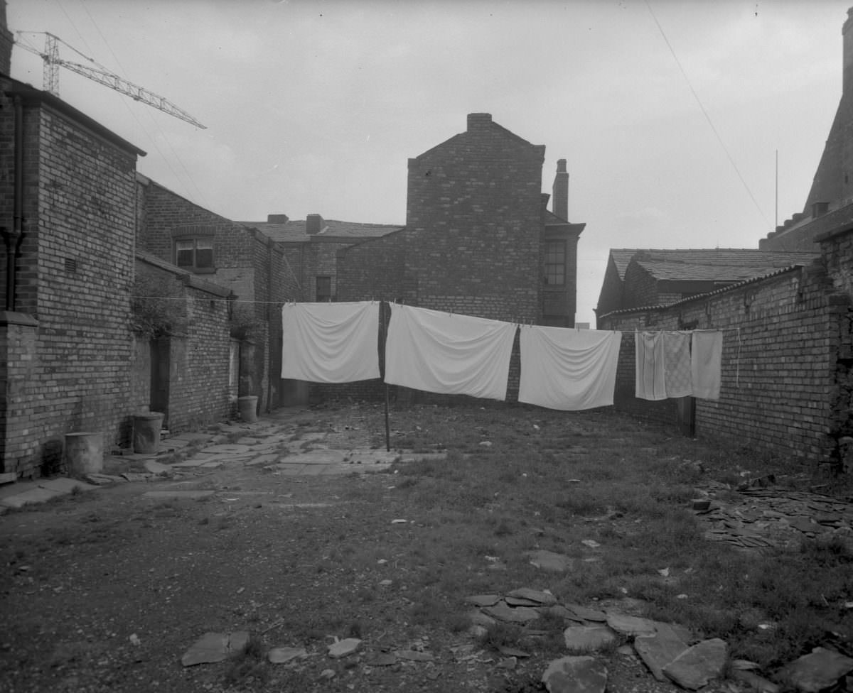
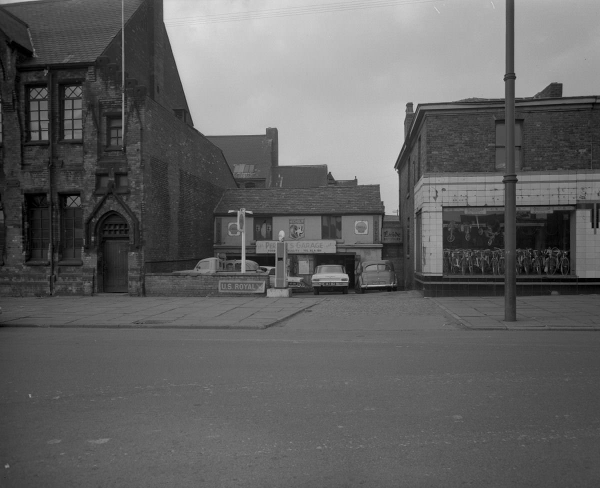
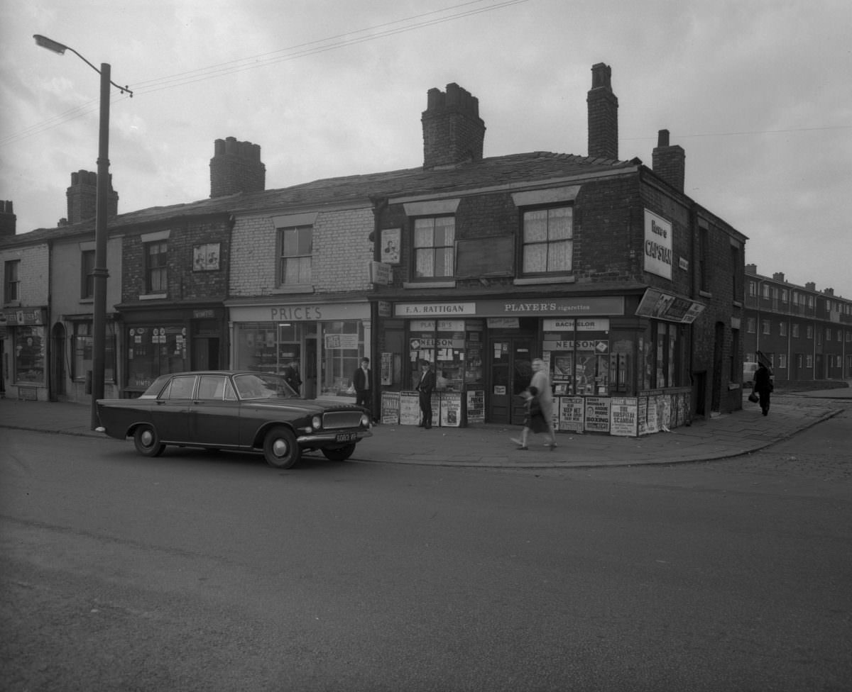
Vine Street, which also appears more than once in the collection, is another example of a street captured mid-clearance. Like many of the roads photographed in 1963, it no longer exists in the same form today. The Manchester street map changed profoundly between the 1960s and 1980s, with whole sections of the old residential grid erased and rebuilt.
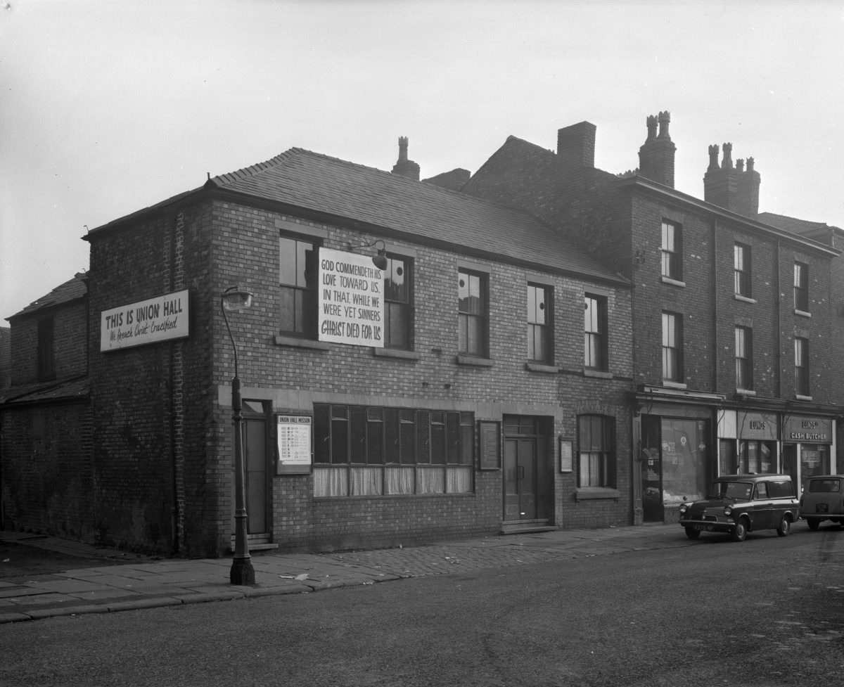
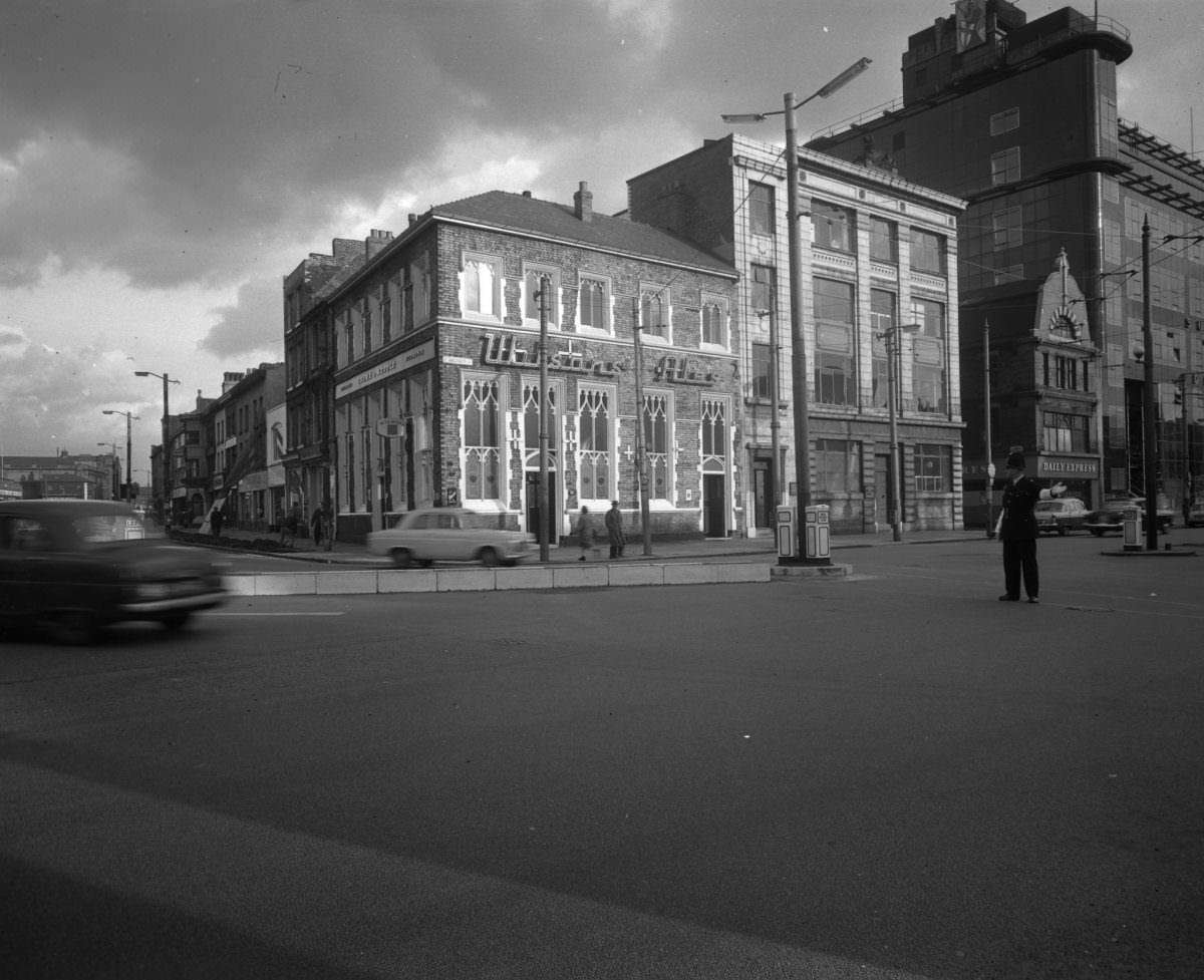
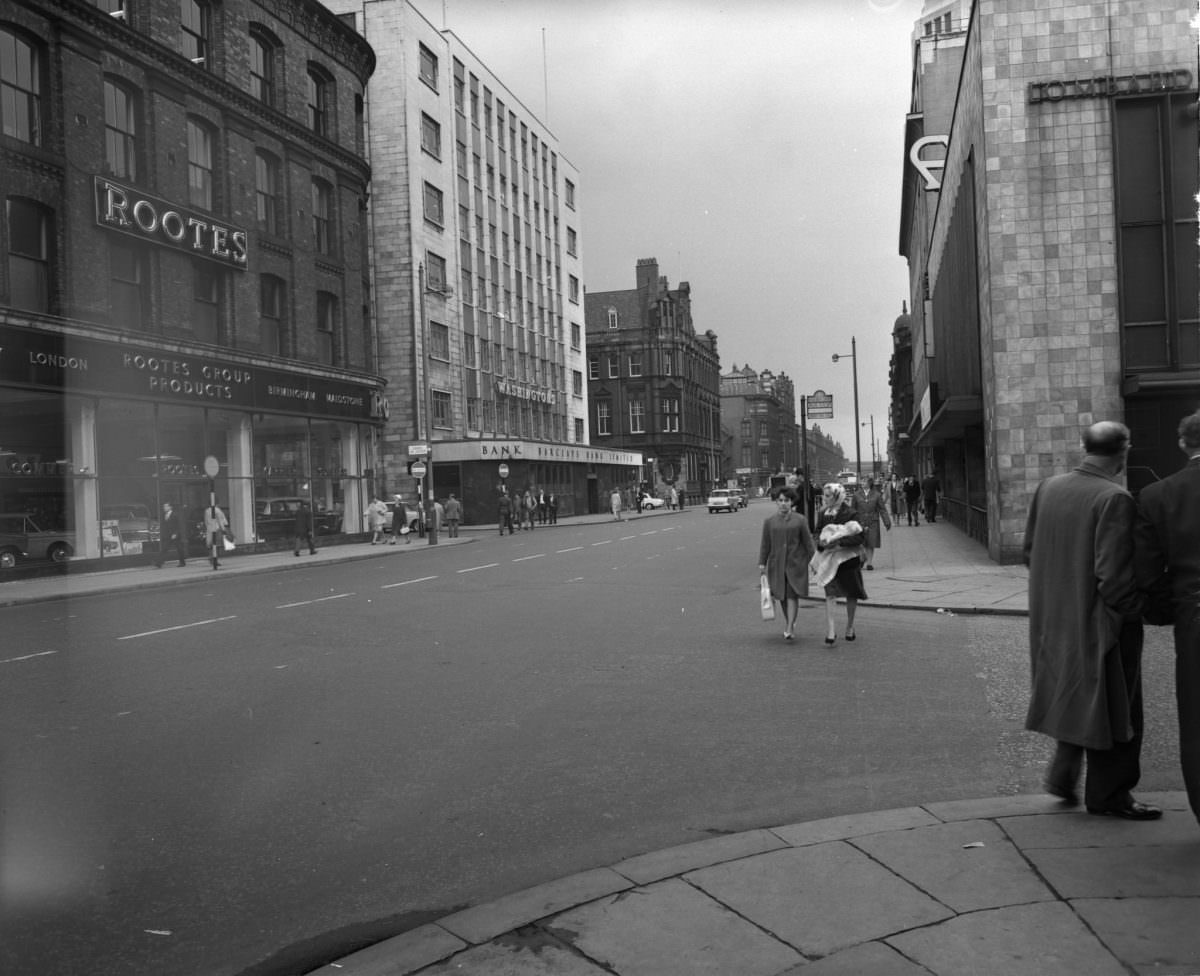
Deansgate and Church Street represent a different face of 1963 Manchester — the city’s commercial and civic core rather than its residential districts. Deansgate was already one of the city’s main thoroughfares, lined with substantial Victorian buildings. Church Street, by contrast, sat closer to the older dense neighbourhoods and showed the same wear visible throughout much of the inner city.
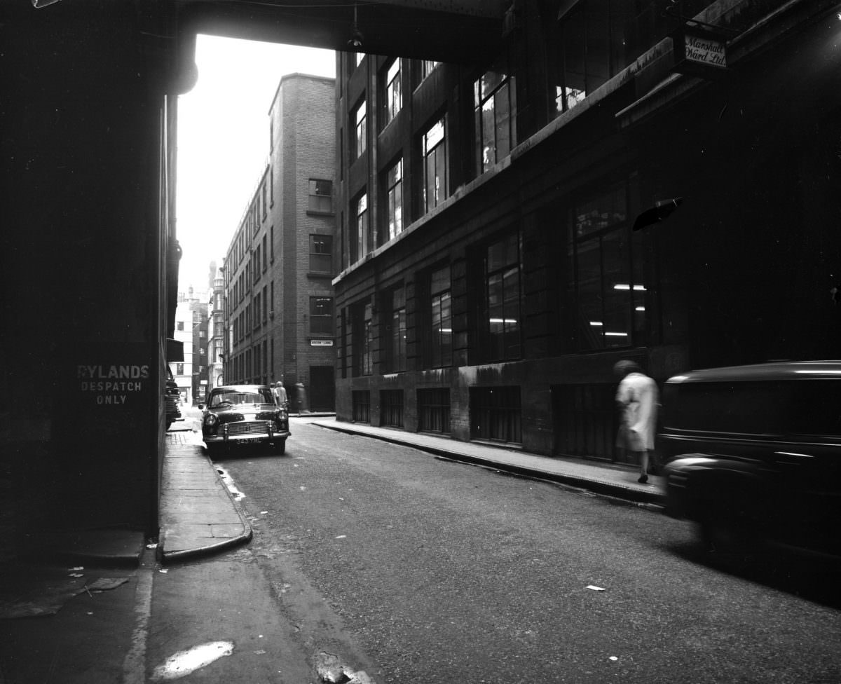
Hyde Road, the final image in this collection, runs east from the city centre through Ardwick and beyond. In 1963, it passed through some of the most densely populated and heavily worn parts of the inner city. The road itself was old — a historic route out of Manchester — but the housing along it reflected the same pressures visible across every other street in this archive.





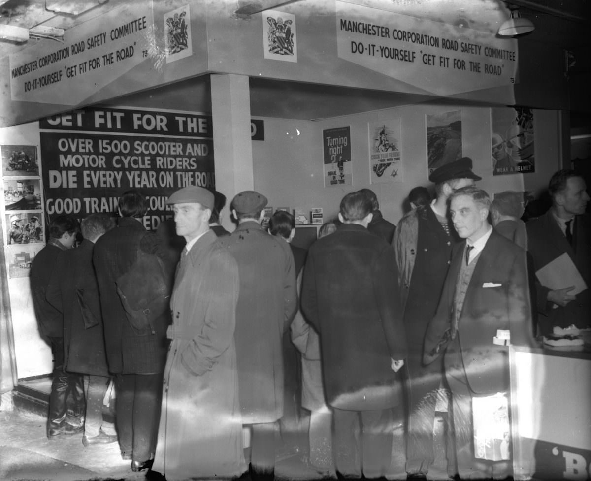
Number 12 shocked me – 140 deaths on the road last Christmas!
Really stood out to me too. Road safety was really worked onby authorities in the 1970s. Mandatory seat belts and to some extent the Green Cross Code scheme made a huge difference.
Drink driving laws too.
We take seatbelts for granted so much that it’s hard to remember what a huge change it was.
Probably the coolest thing I’ve seen this Christmas. Thank you.
These are great.