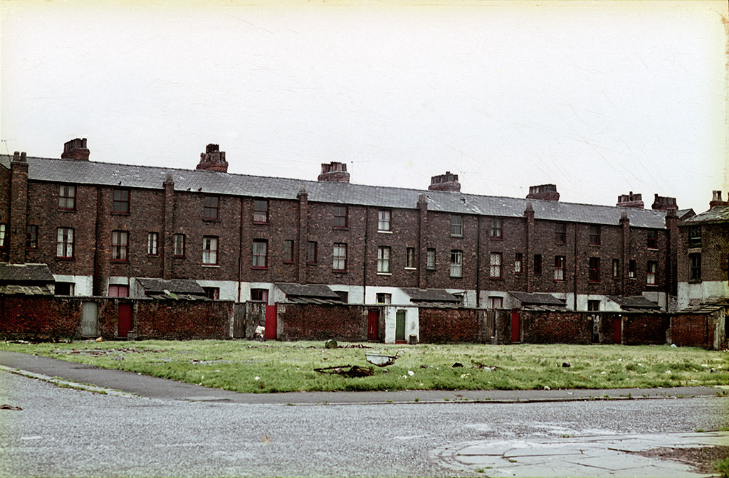
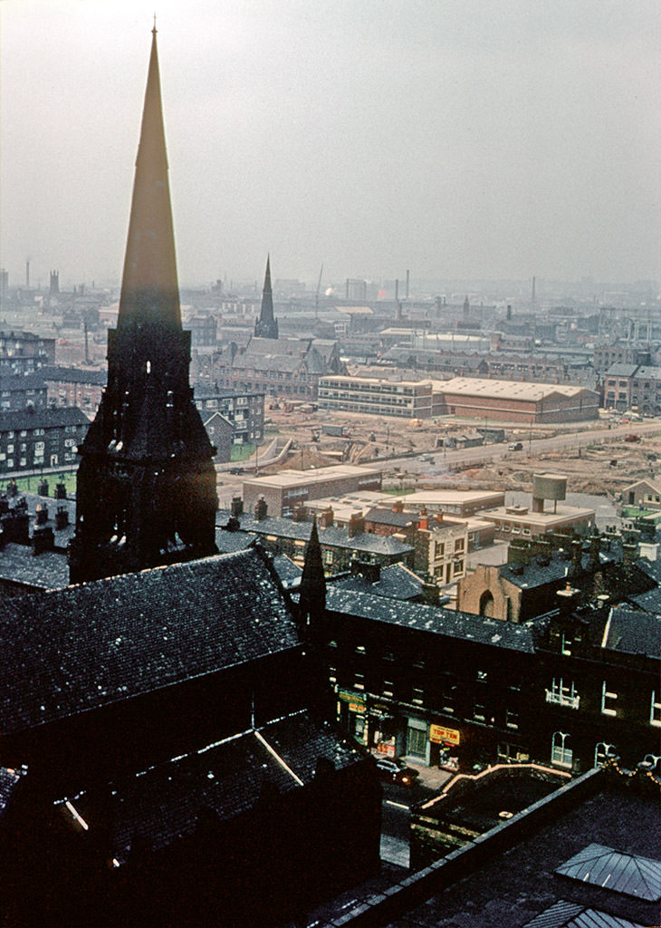
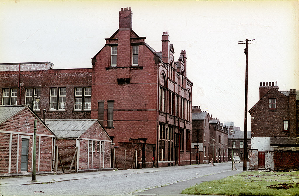
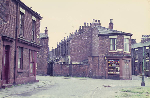
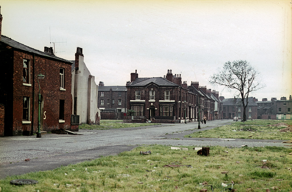
Hulme, a district in inner-city Manchester, looked very different in the 1960s than it does today. Before the bulldozers arrived, the area was filled with tight rows of Victorian terraced houses and back-to-back properties. These streets were densely packed with working-class families who had lived there for generations. Schools, corner pubs, and small shops formed the backbone of daily life.
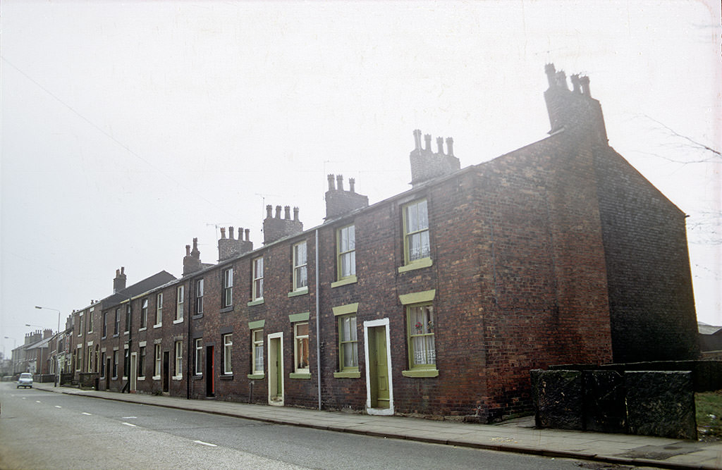
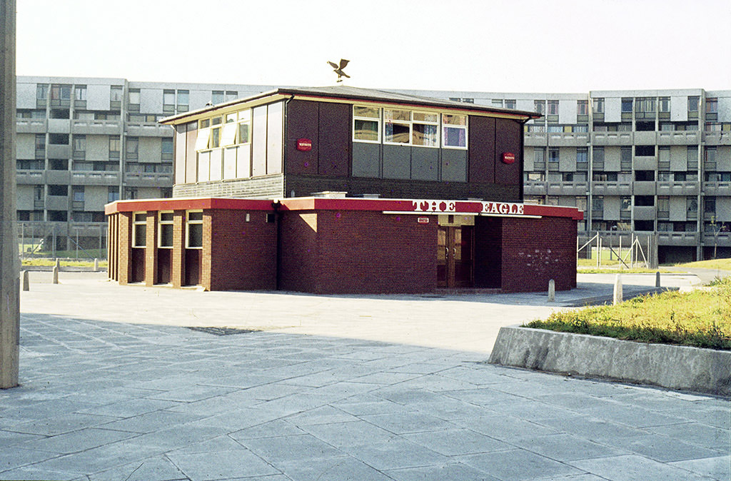
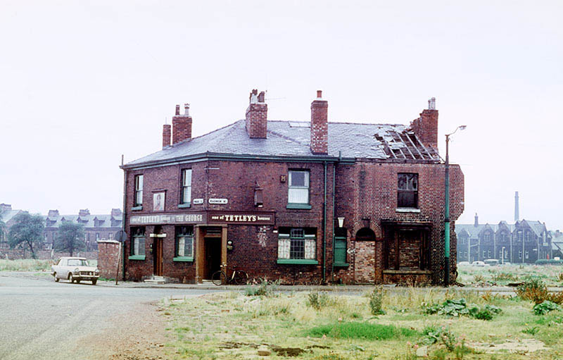
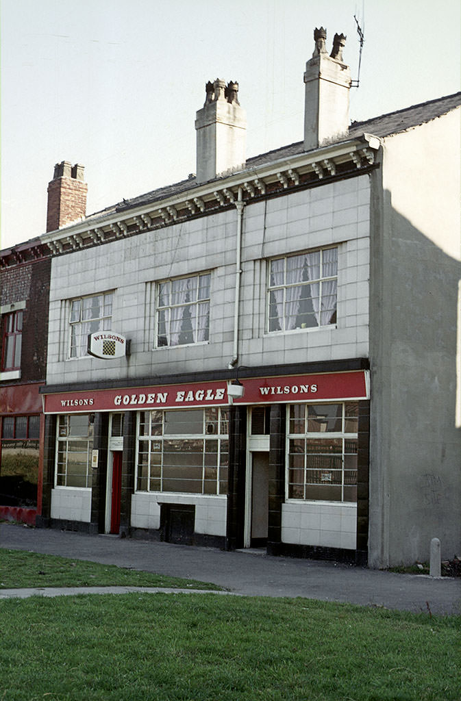
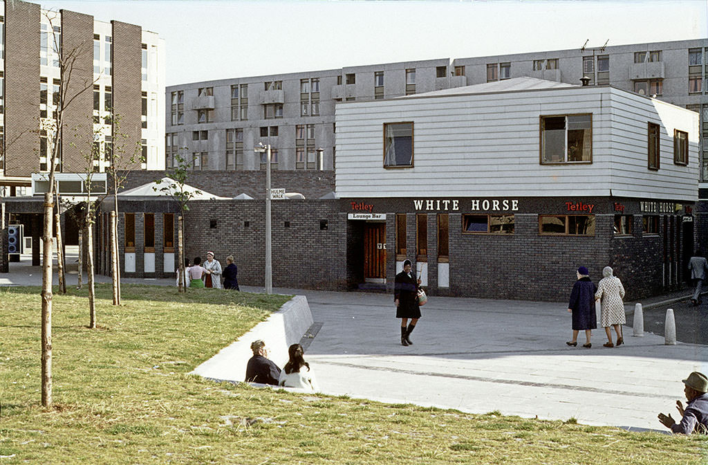
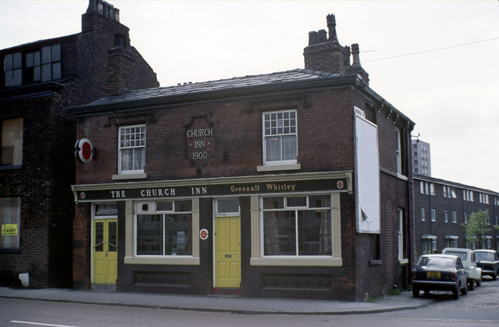
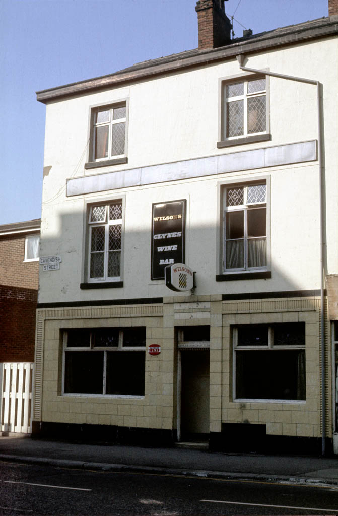
Streets like Radnor Street, Denton Street, and Crowborough Street reflected the older face of Hulme — narrow, worn, but alive with activity. Children played outside, neighbours spoke across doorsteps, and the local pub was a regular gathering point. The George, the White Horse, the Church Inn, and the Eagle were all well-known fixtures in the area.
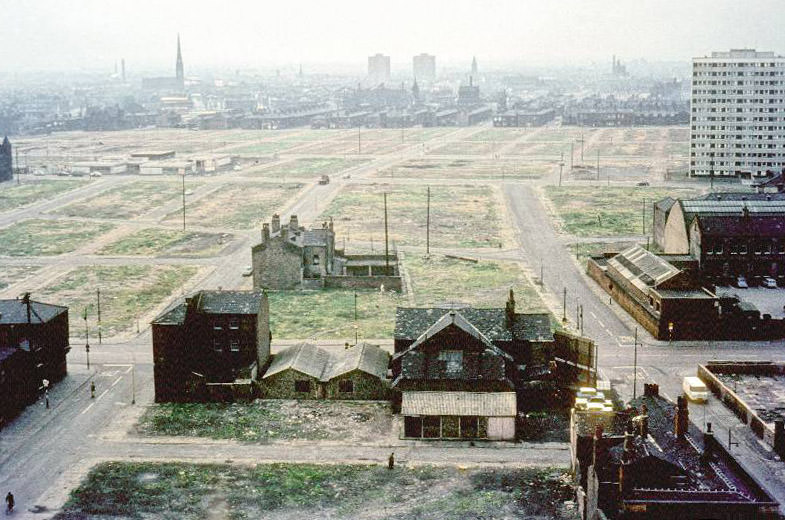
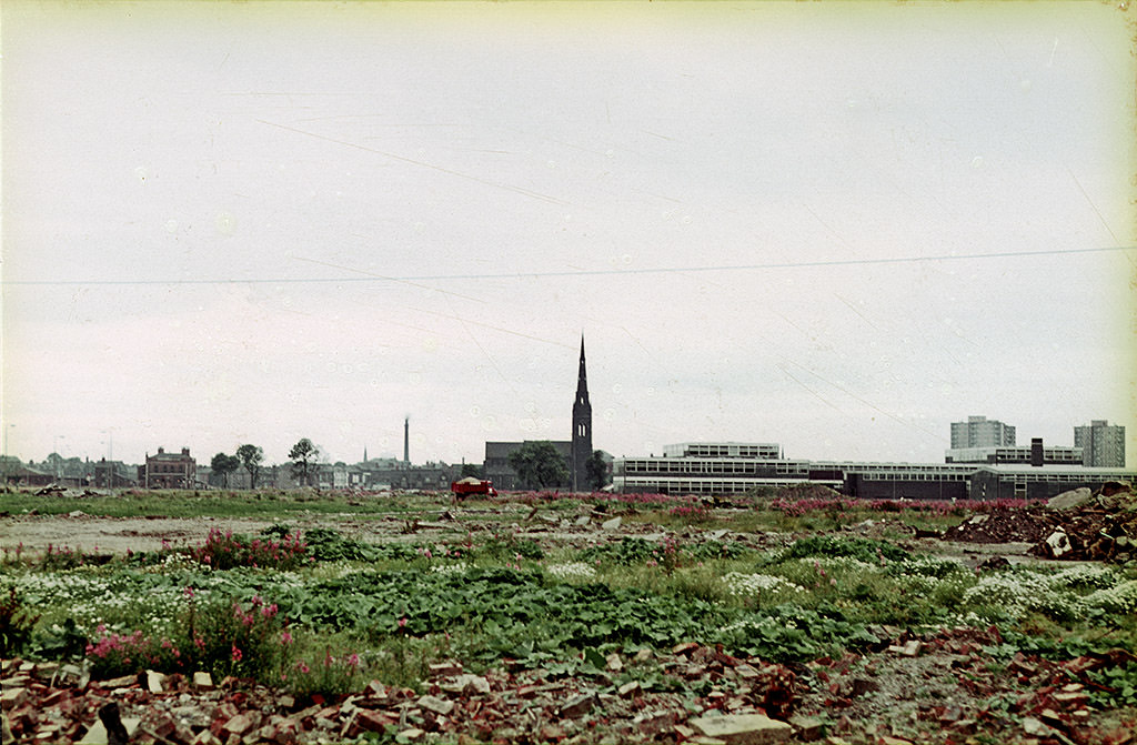
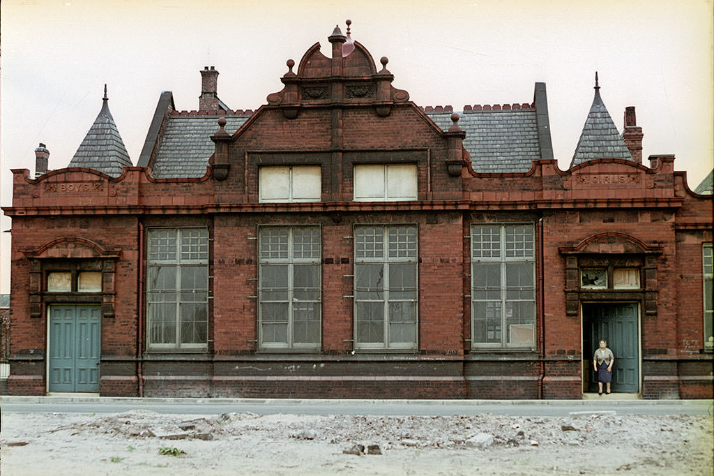
The local schools — including Embden Street School, Webster Street School, and the Marist School for Girls — served the surrounding neighbourhoods. Open ground and cleared lots were common sights as early demolition of older housing had already begun by the mid-1960s, making way for what planners promised would be a better future.
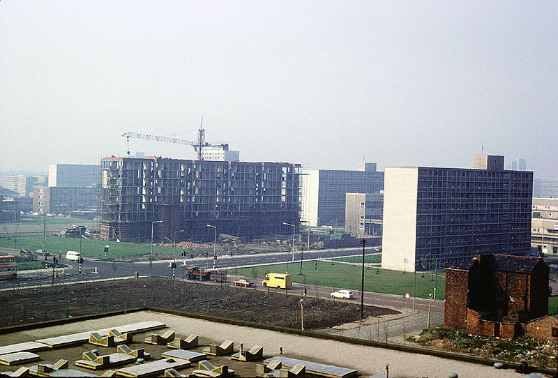
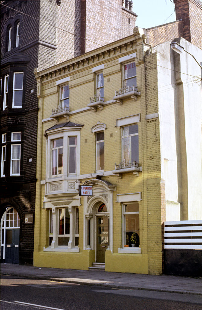
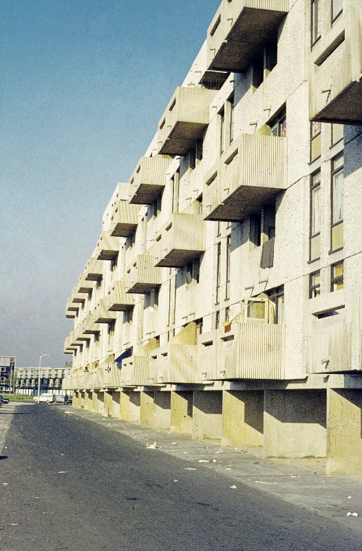
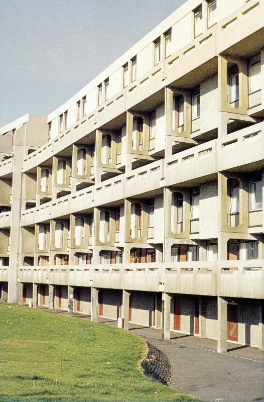
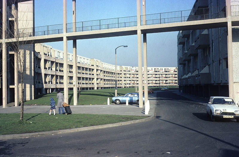
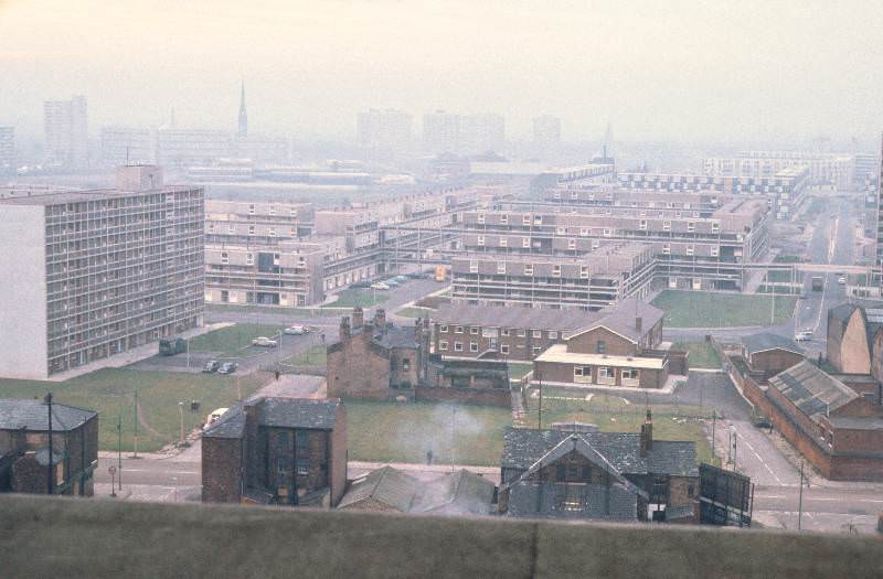
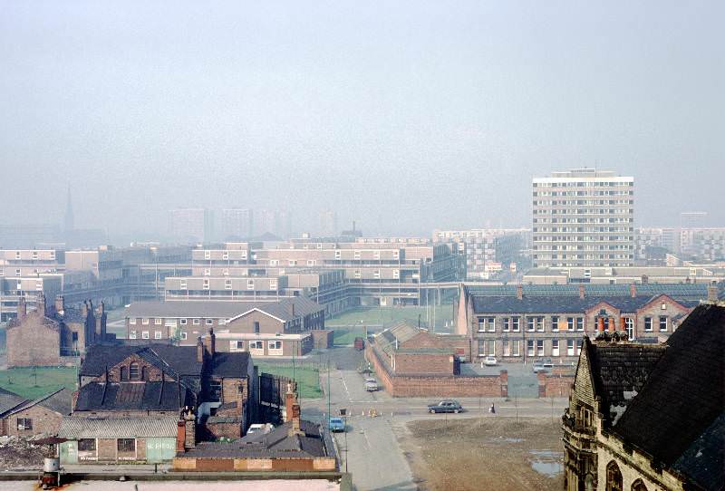
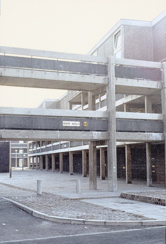
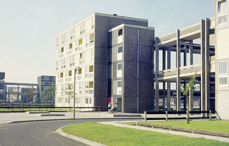
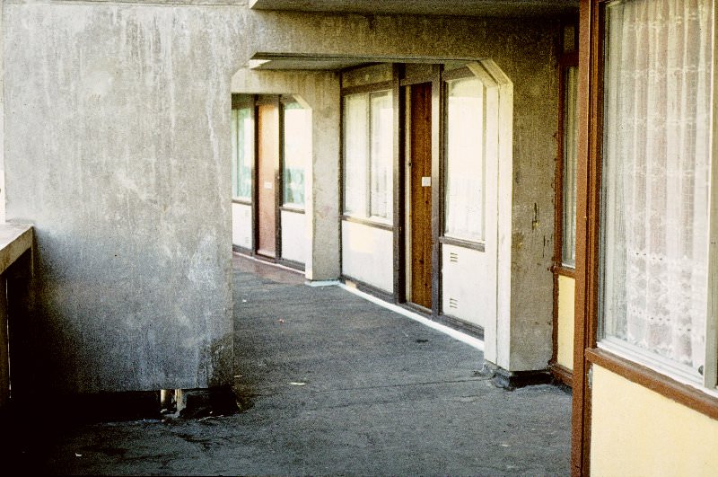
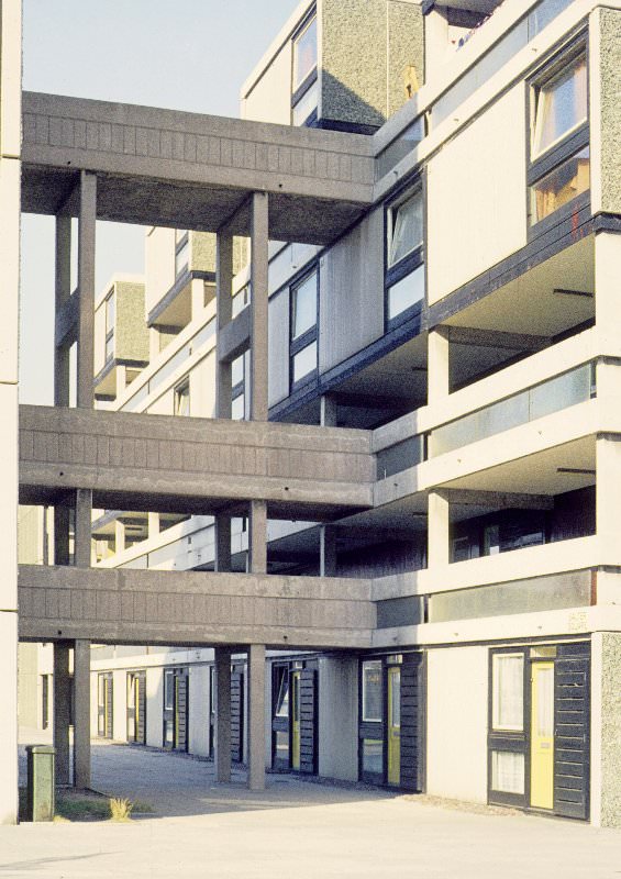
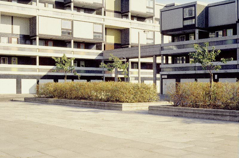
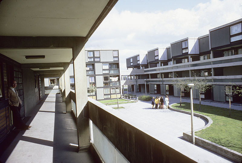
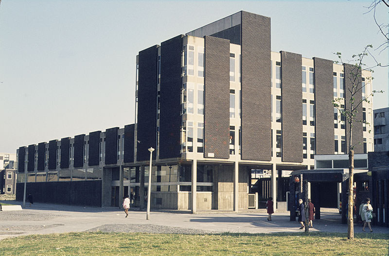
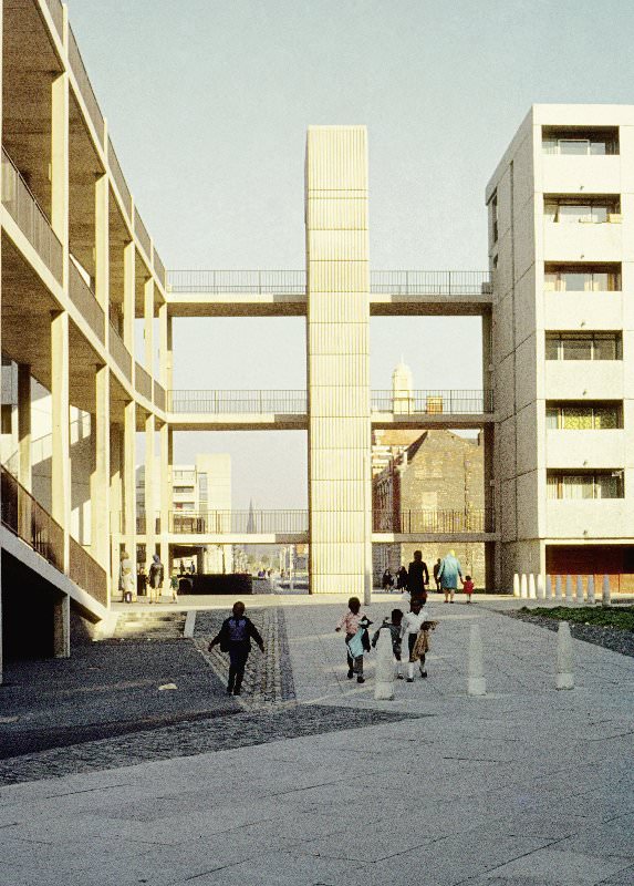
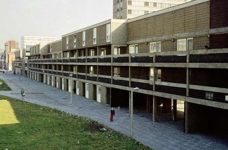
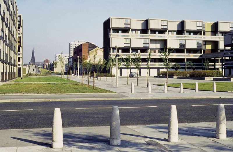
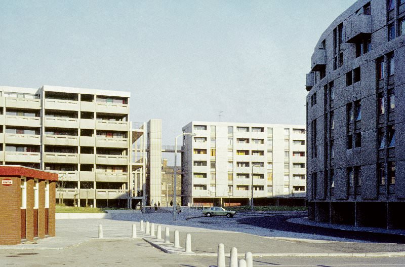
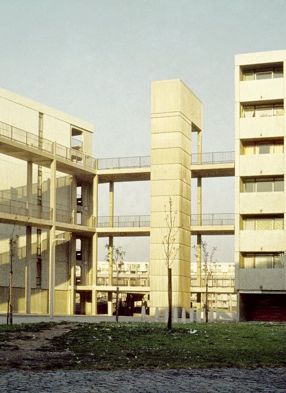
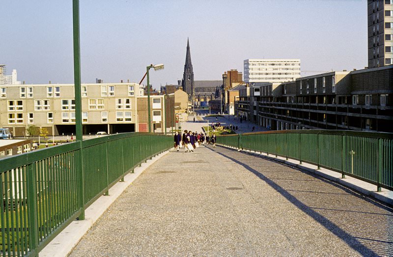
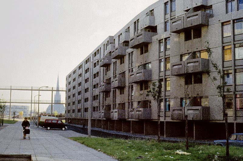
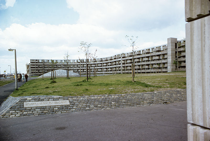
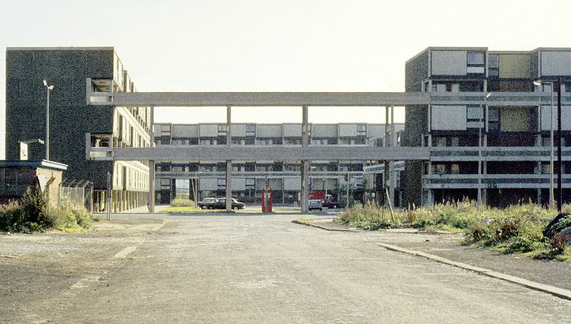
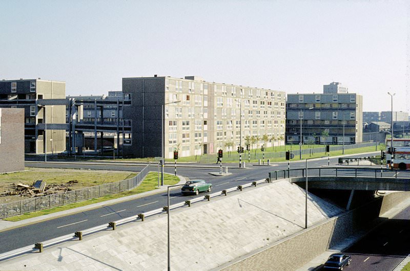
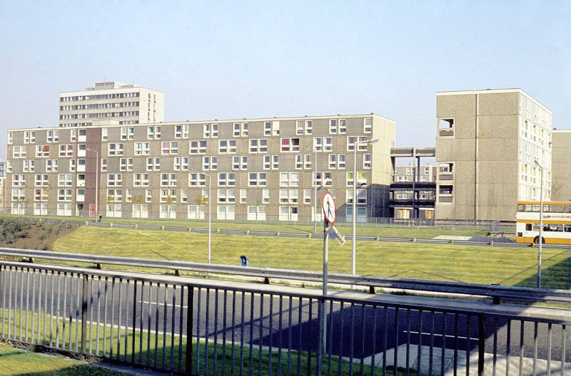
The most dramatic change to Hulme came with the construction of the Crescents — a series of large, curved deck-access housing blocks named after architects: Charles Barry Crescent, John Nash Crescent, Robert Adam Crescent, and William Kent Crescent. Completed in the late 1960s, they were designed to replace the old terraces with modern, efficient housing. Elevated walkways connected the buildings, creating what planners called “streets in the sky.”
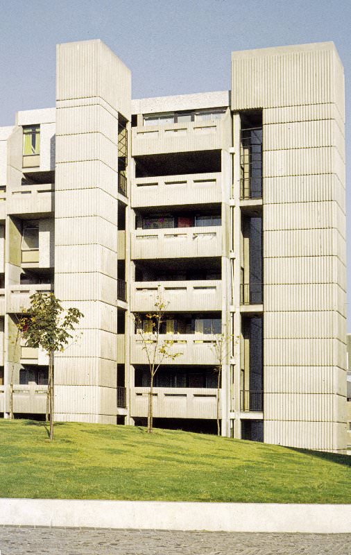
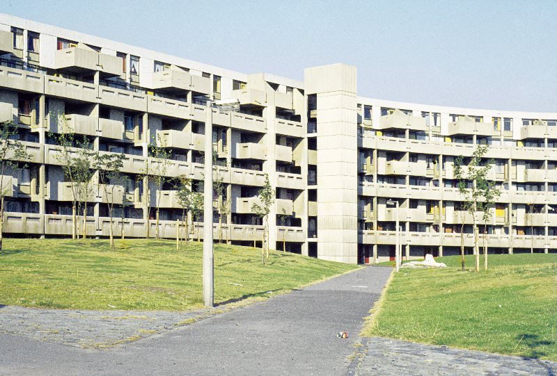
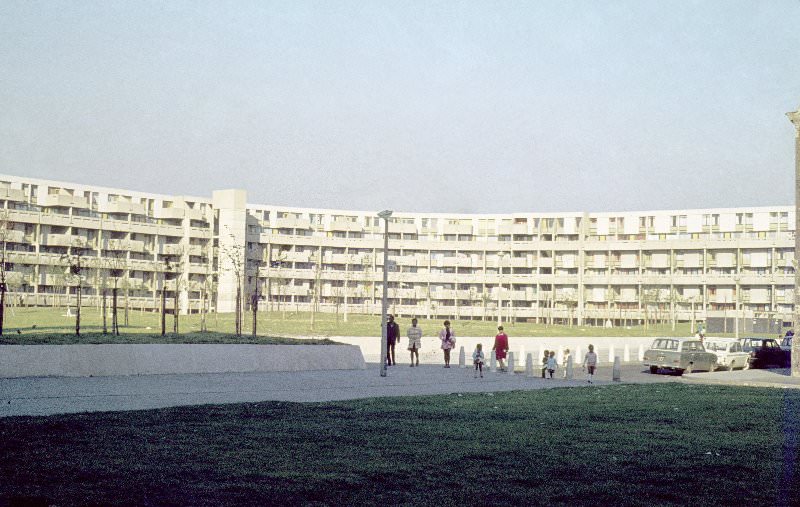
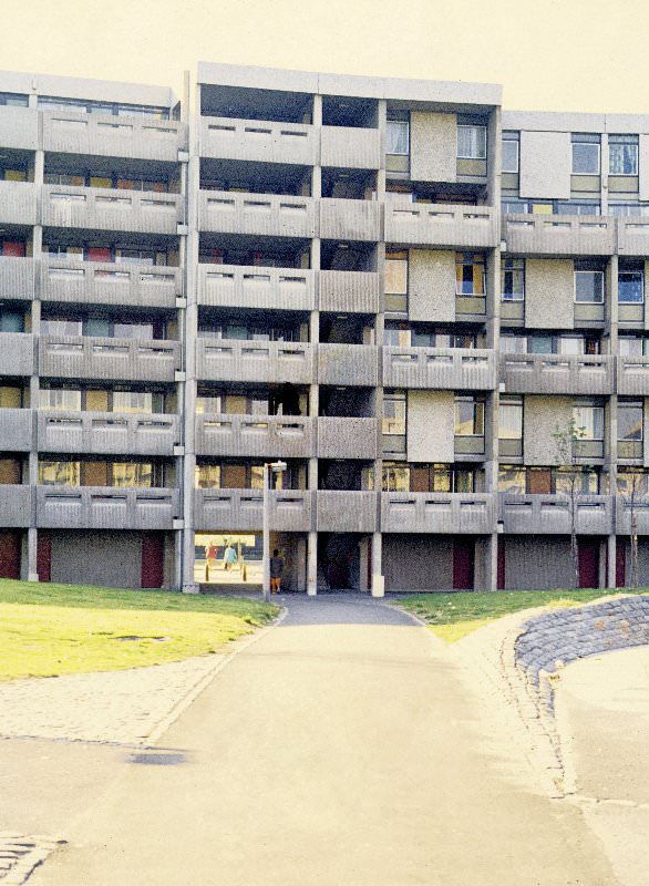
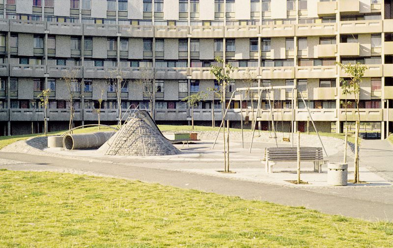
By 1972, the Crescents were fully occupied, and photographers documented them in detail. The scale of the development was striking — long concrete facades, raised walkways, and open decks that stretched for hundreds of metres. From a distance, the structures looked bold and futuristic. Up close, the reality was more complicated.
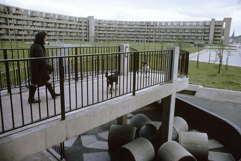
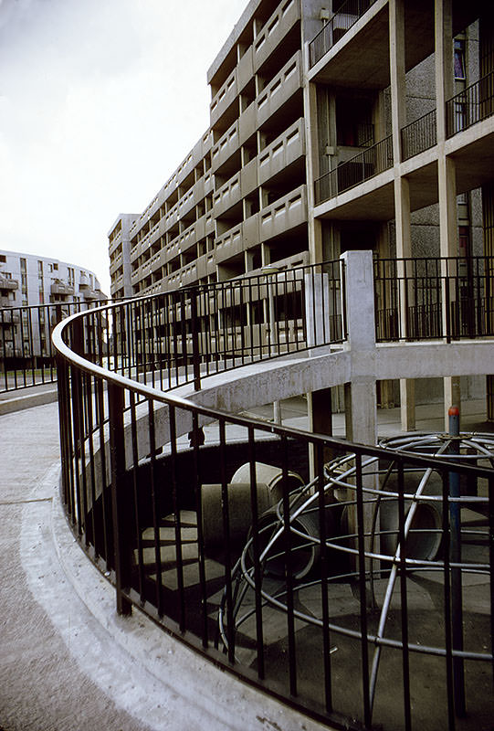
Manchester’s wet climate exposed serious flaws in the design almost immediately. Damp spread through the walls, heating systems were costly and inefficient, and the concrete structures deteriorated faster than expected. The deck walkways, meant to encourage community interaction, instead became dark and unsafe corridors. Families with young children found the high-rise environment particularly difficult.
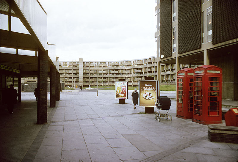
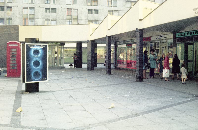
The shopping precinct at Clopton Walk and local amenities like Hulme Library served residents daily, but the surrounding infrastructure struggled under the pressure of such a dense population. Roads were often in poor condition, and public spaces showed signs of neglect throughout the decade.
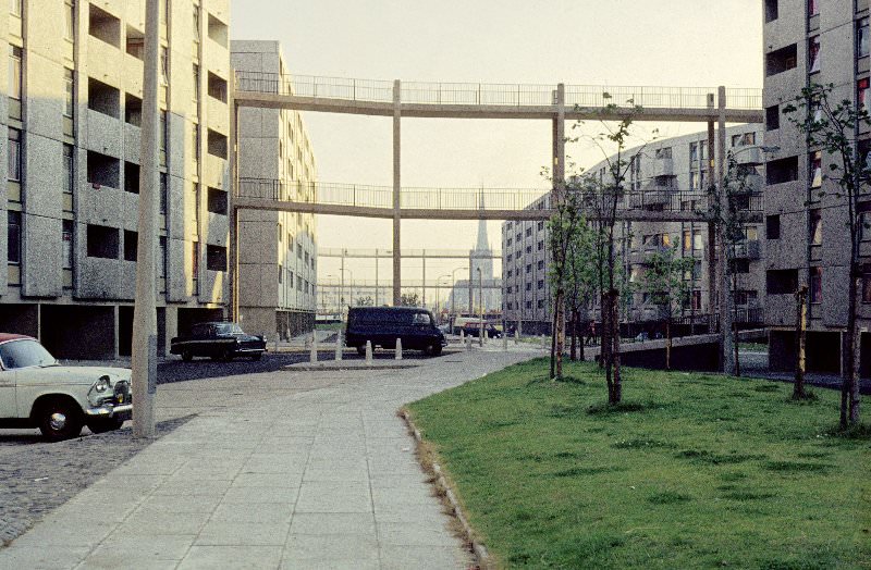
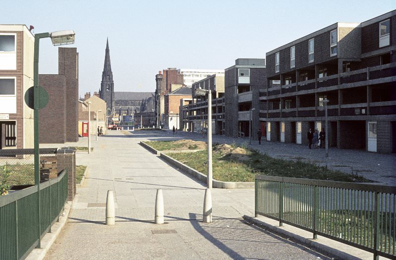
The deck-access flats were not limited to the Crescents alone. Maisonettes and smaller blocks were scattered throughout Hulme, all sharing the same architectural philosophy. Walks — named paths like Hulme Walk, Elmin Walk, Ribchester Walk, and Blanshard Walk — formed a network of raised pedestrian routes across the estate.
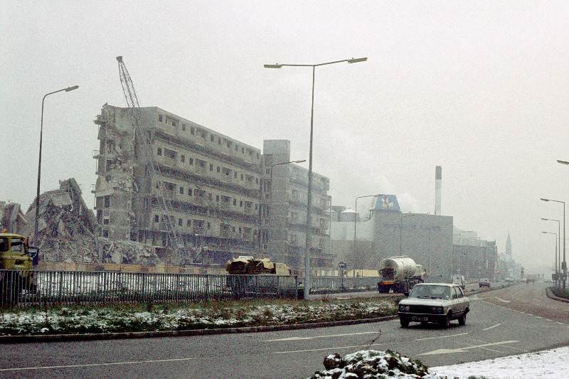
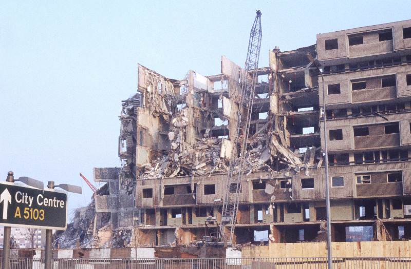
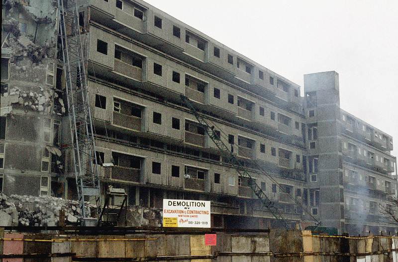
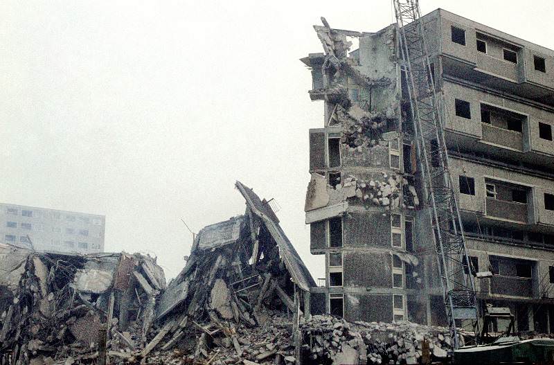
By the late 1970s, the case for demolition was building. Crime rates had risen, unemployment had surged as local industries collapsed, and the physical condition of the buildings had worsened rapidly. What had been designed as a model of modern urban living was widely regarded as a planning failure. Residents were displaced as the council began drawing up redevelopment plans.
The 1970s also saw Hulme become a magnet for counterculture. Artists, musicians, and those rejecting mainstream lifestyles moved into the cheap, vacant flats. Punk music had a presence here, and arts projects took root across the estate. This gave Hulme a reputation that was raw and unconventional — a district where the system had visibly failed, and where those outside the mainstream felt at home.
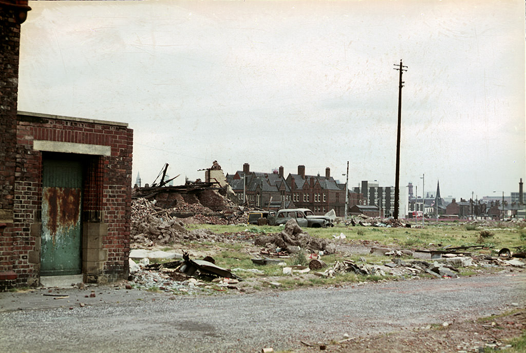
Views from elevated points like Chatham Tower in 1965 showed just how dramatically the skyline had changed. Where terraced rooftops once stretched in all directions, cranes and new concrete blocks were beginning to dominate. By 1970, the transformation of North Hulme was well underway, and the old street patterns had largely been erased.
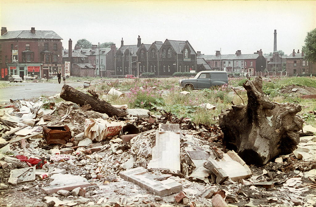
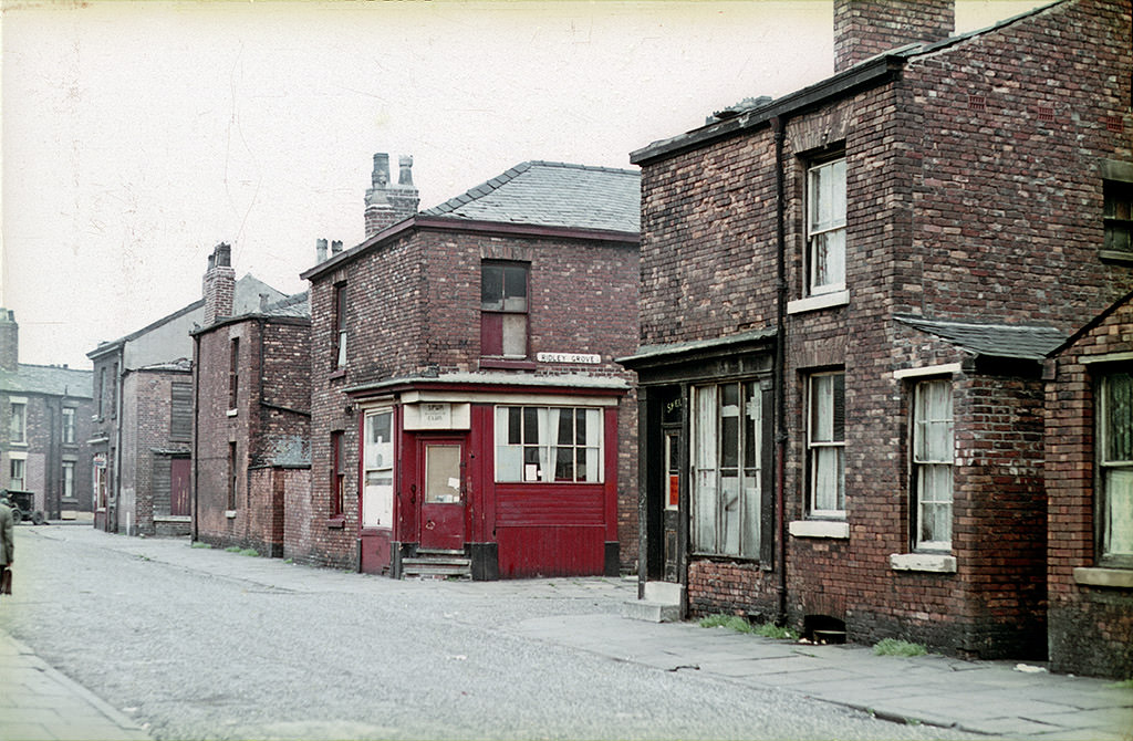
Older parts of Hulme, still standing in the early 1960s, showed what the district looked like before redevelopment. Streets like Lucknow Grove, Pigott Street, and Radnor Street featured three-storey terraced houses typical of Victorian Manchester. These were the homes that were demolished to make room for the new estates.
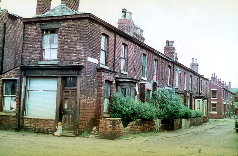
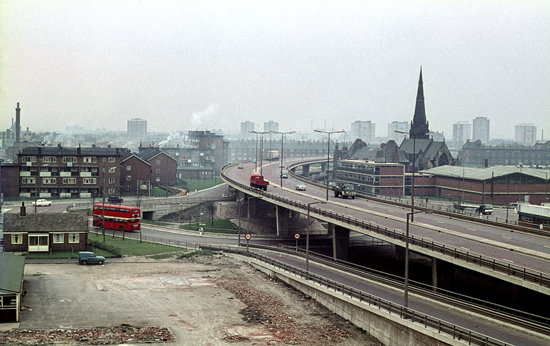
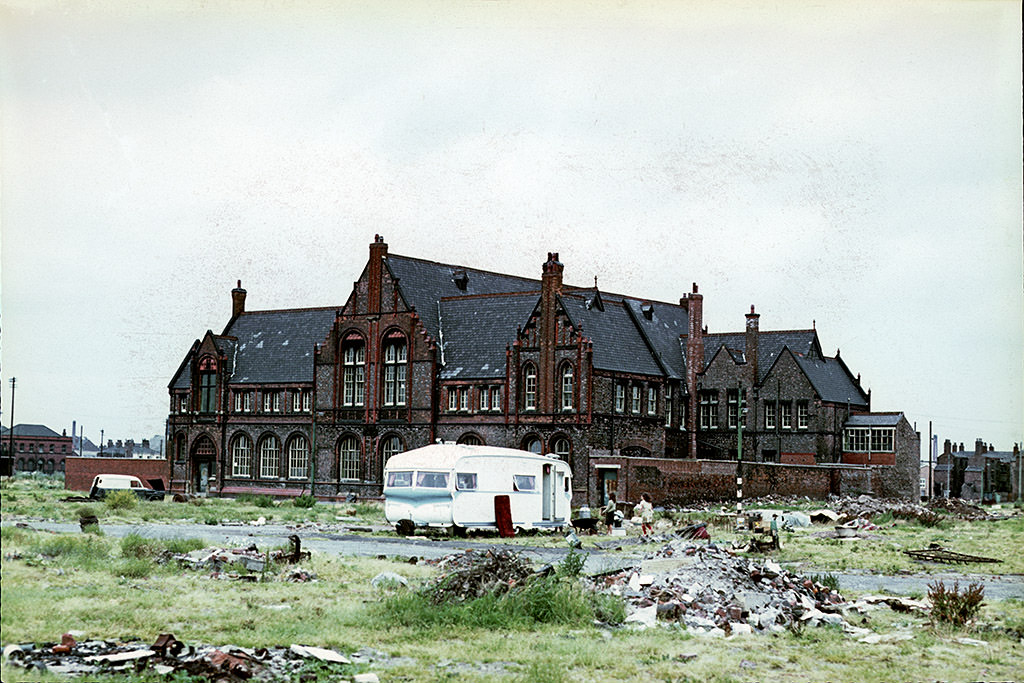
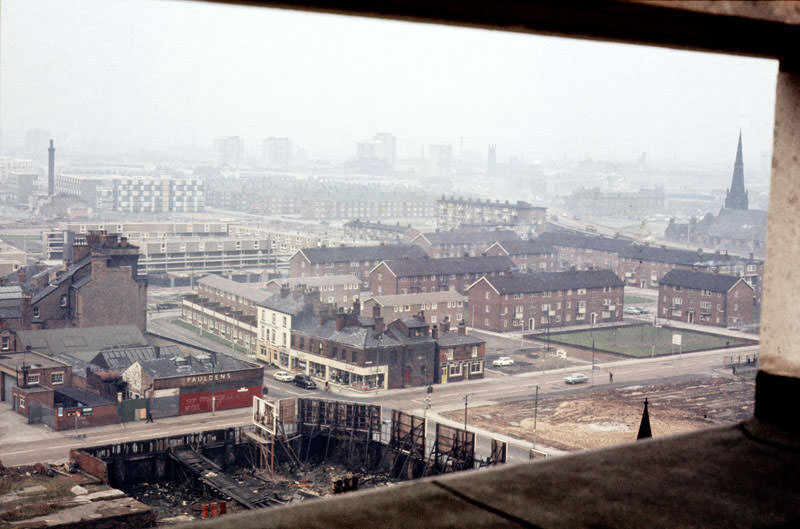
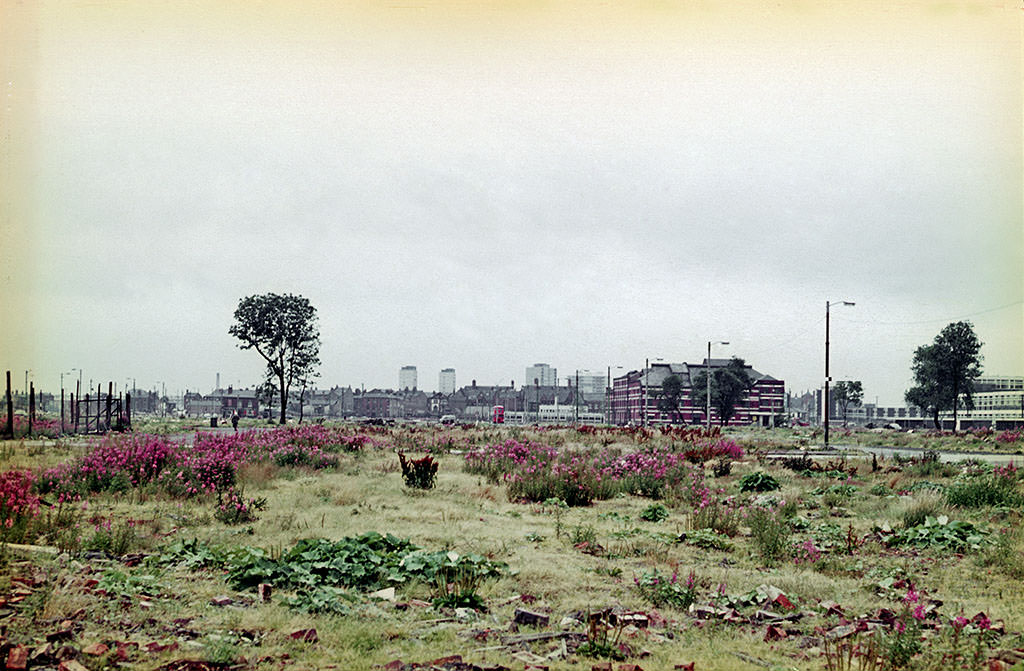
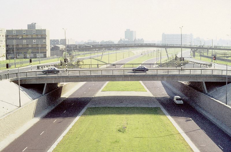
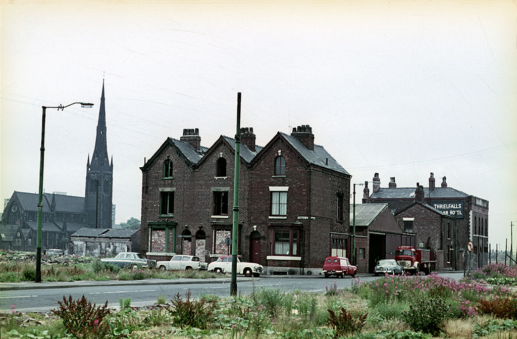
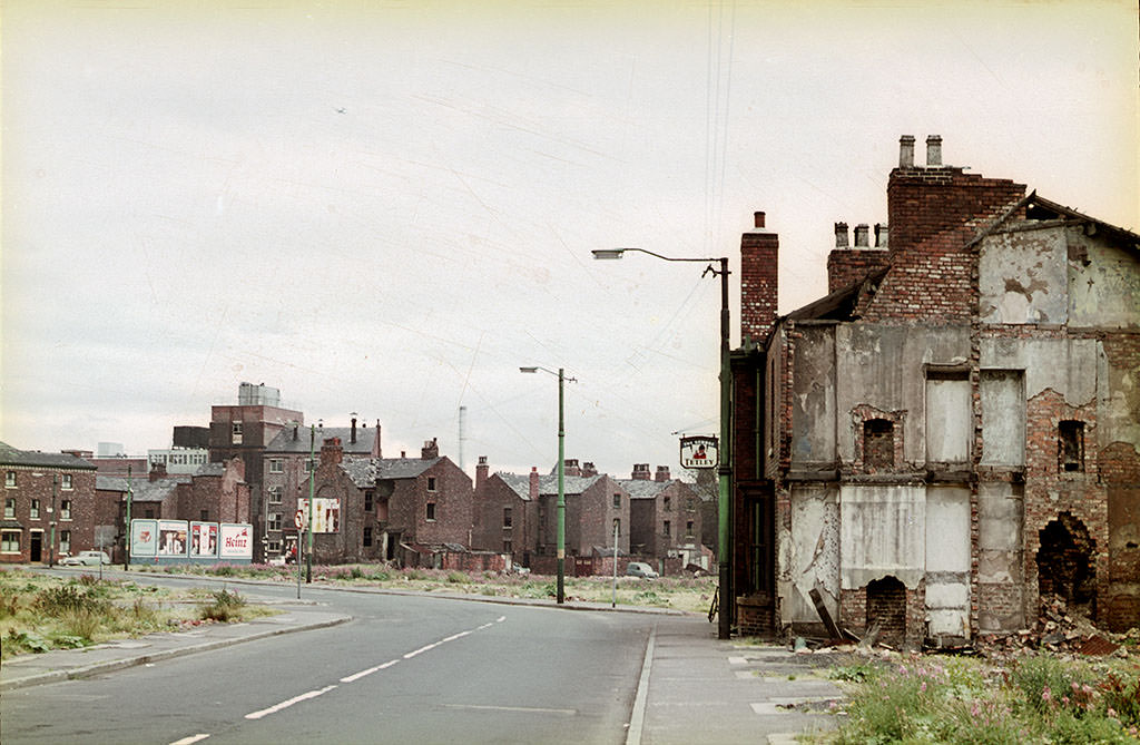
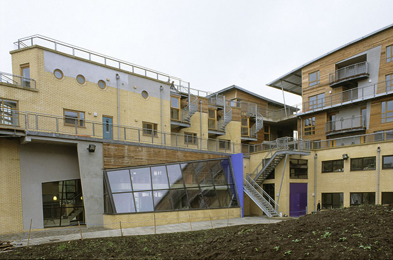
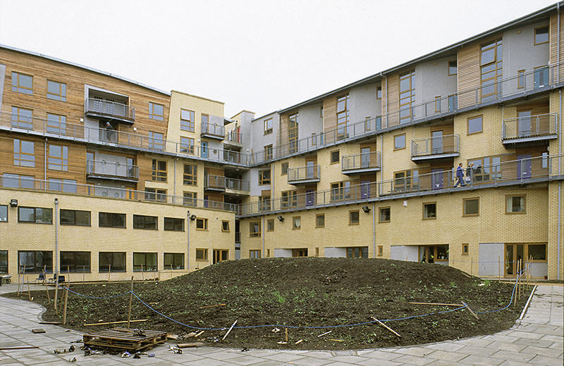
Rebuilding Hulme was not a single event but a long, disruptive process that spanned over two decades. Demolition of the old terraces in the 1960s was followed by the rapid construction of the new estates. Then, by the 1980s, the Crescents themselves were being torn down. The district was in a near-constant state of upheaval during this entire period.
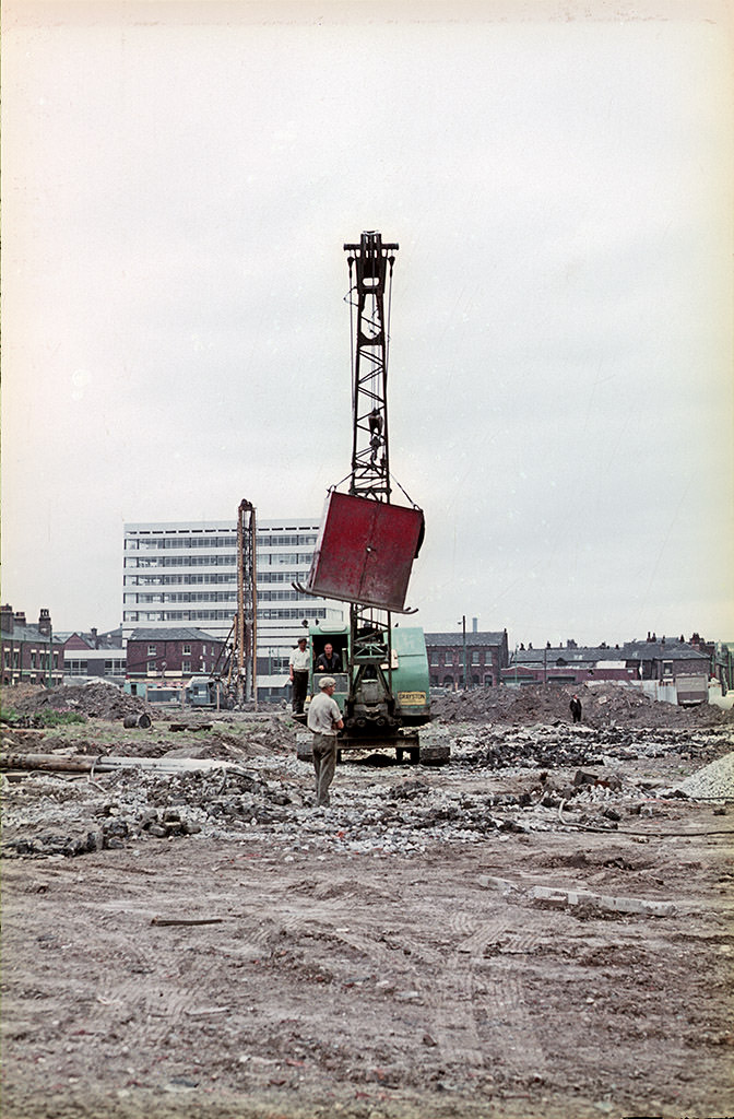
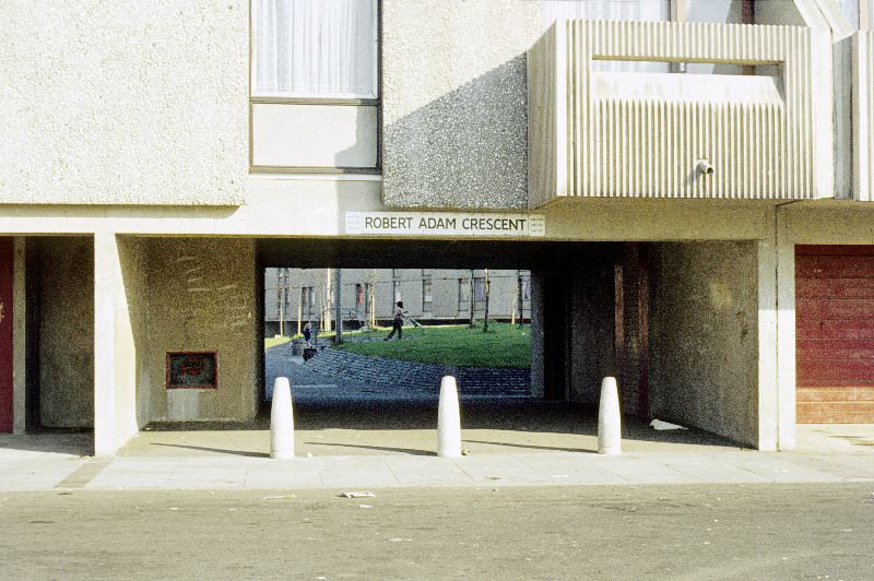
The Crescents at their peak in the early 1970s housed thousands of people. Photographs from 1972 and 1976 show the scale of these structures — long, unbroken lines of concrete balconies, communal decks stretching the length of several football pitches, and the sheer density of people living in close quarters. The ambition of the project was clear. So were the cracks forming in its walls.