Columbus, Ohio, in the 1980s was a city on the move. It was shaking off its reputation as a quiet Midwestern town and building something bigger. New towers were going up downtown, neighborhoods were holding onto their character, and everyday life played out on streets lined with diners, record shops, and corner stores. These photographs capture that era in sharp detail — not just the skyline, but the residential blocks, the storefronts, and the houses that made Columbus home for hundreds of thousands of people.
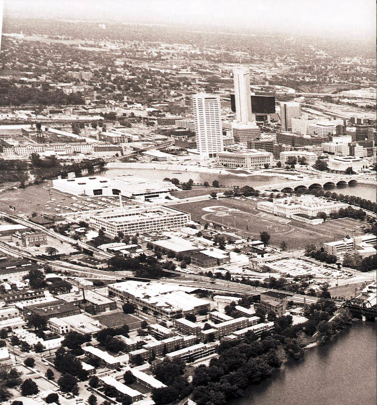
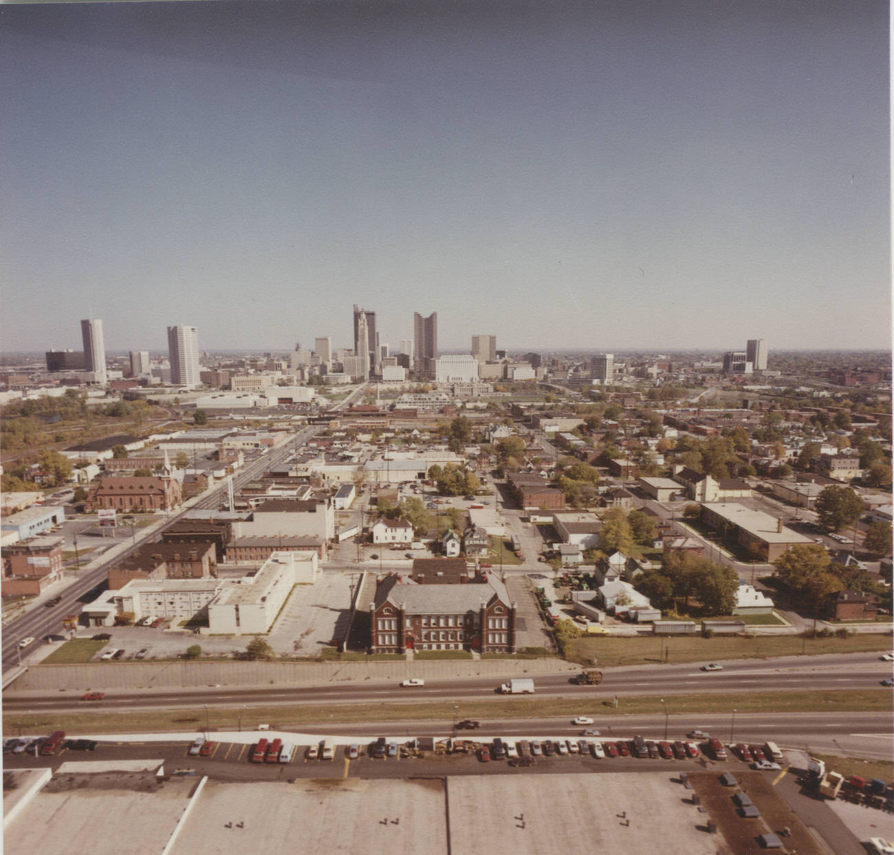
Aerial view of downtown Columbus looking east, 1985.
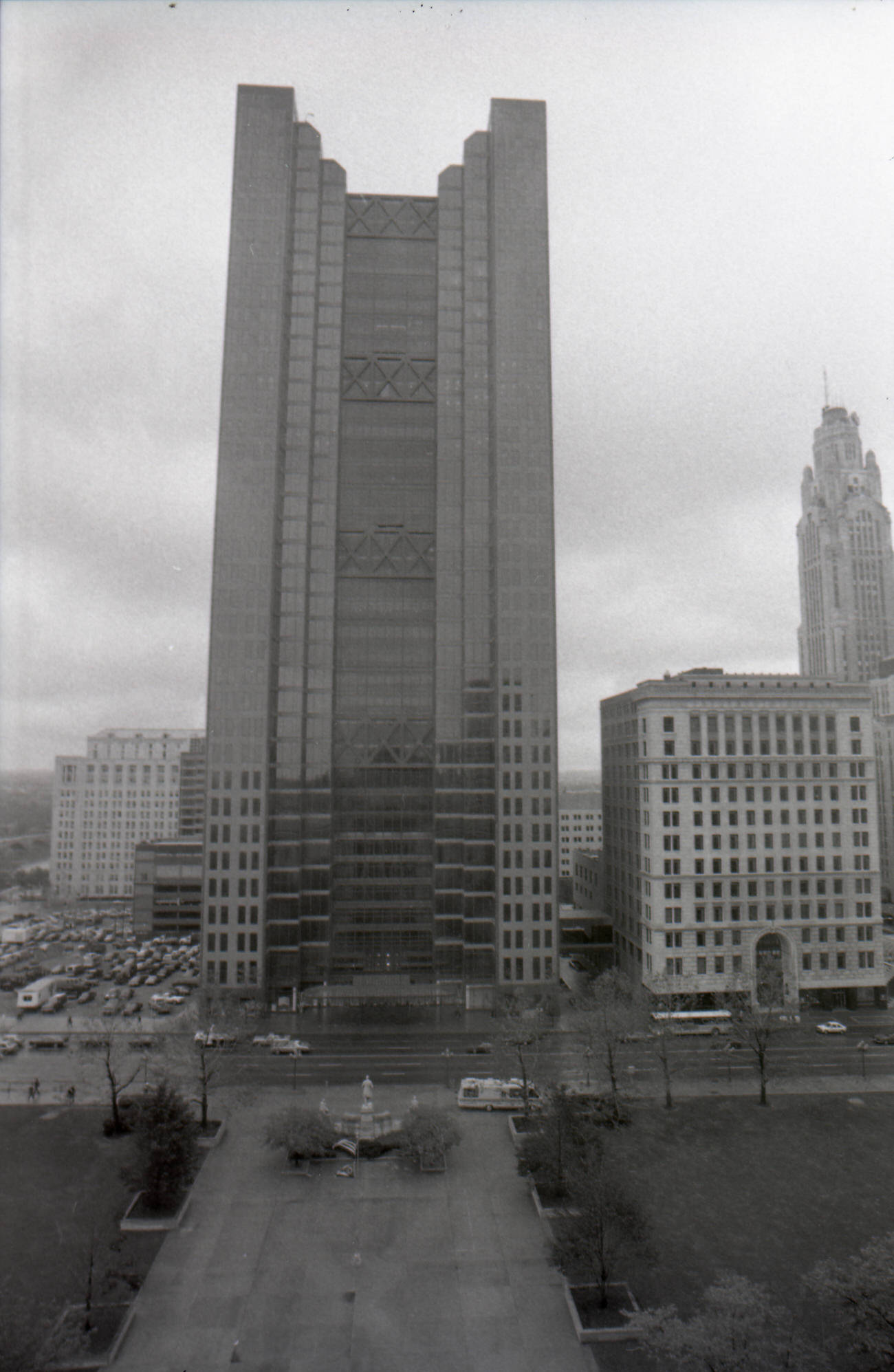
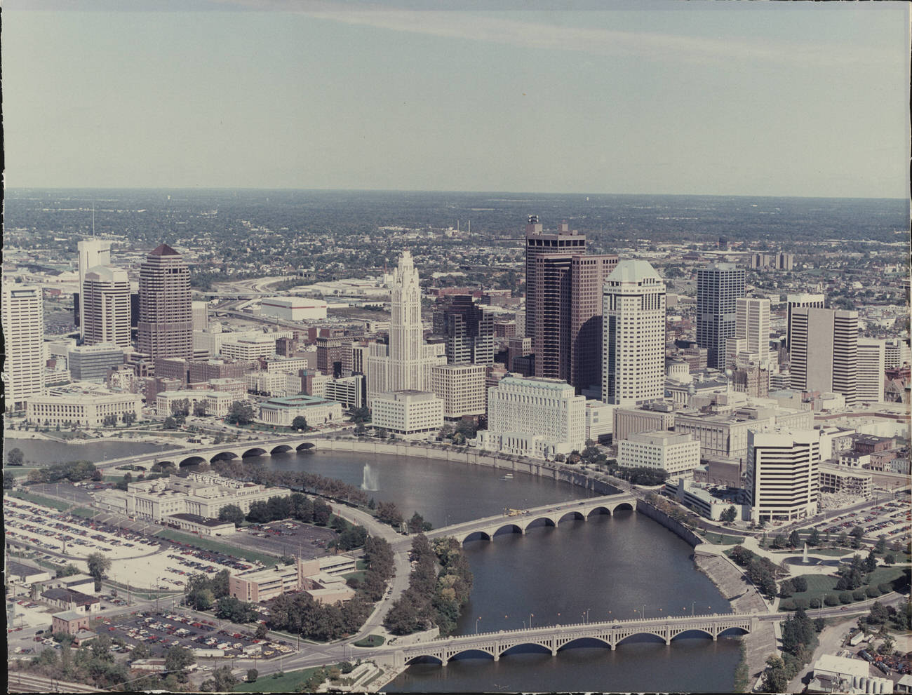
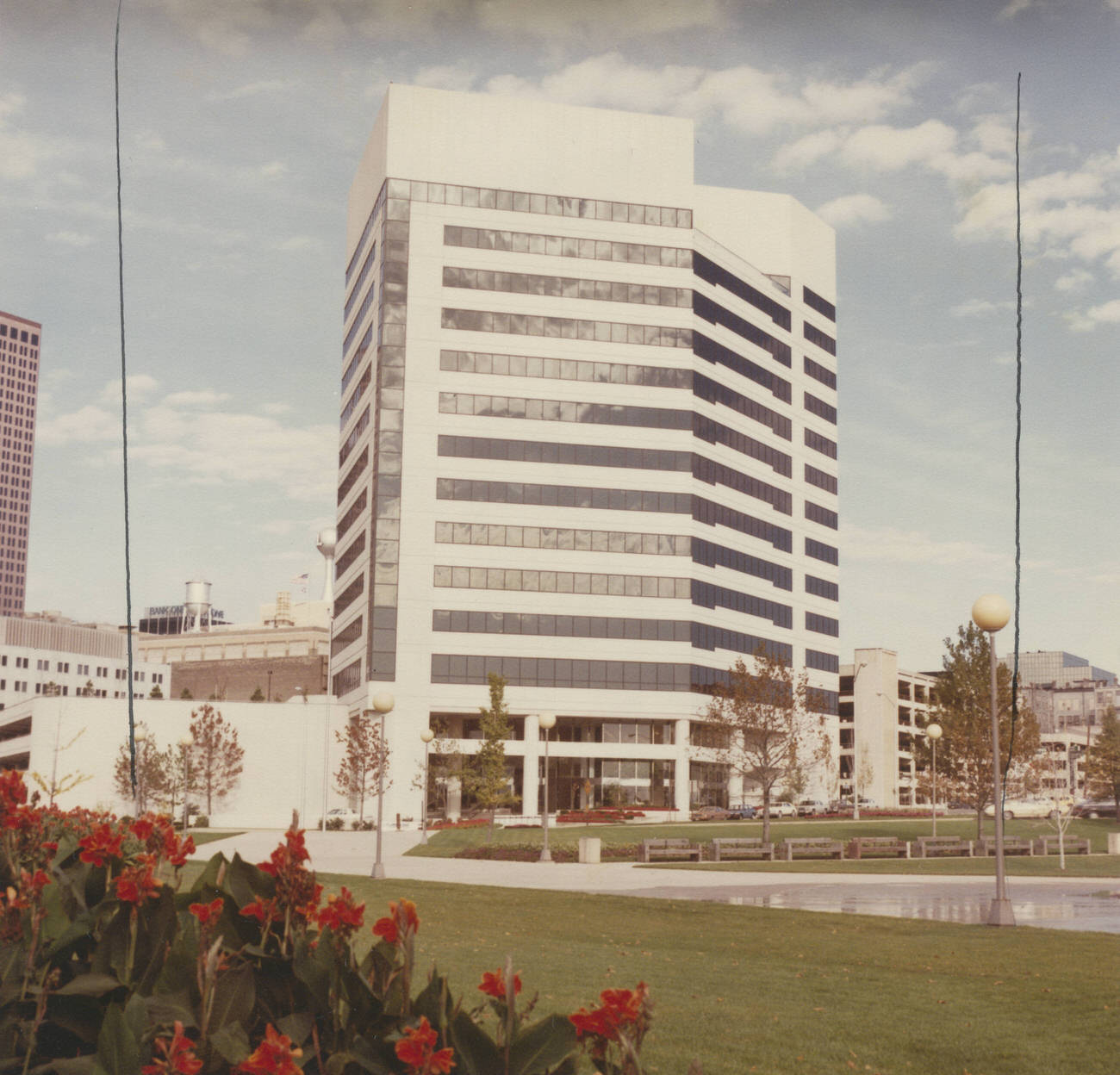
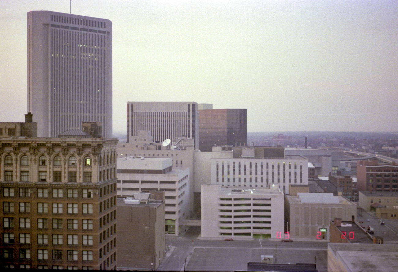
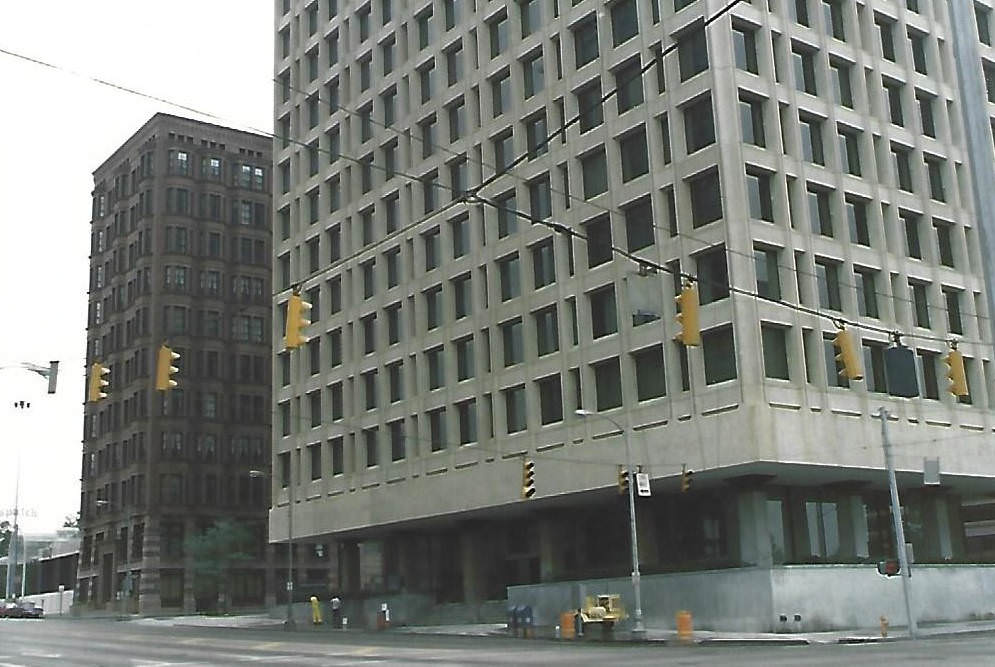
By the mid-1980s, downtown Columbus had a skyline worth photographing from the air. New corporate buildings were rising alongside older landmarks, and the Scioto River ran alongside it all. The Huntington Center opened on May 11, 1985, adding a major modern tower to the mix. The Columbia Gas of Ohio building, which opened on July 25, 1983, brought 14 floors and 259,000 square feet of office space to the downtown corridor at a cost of $30 million. These weren’t just buildings — they were signals that Columbus was competing with larger American cities.
Aerial views of downtown Columbus, with early construction of the Huntington Center, circa 1984.Huntington Center building, photograph from Statehouse rotunda, opening dedication May 11, 1985.
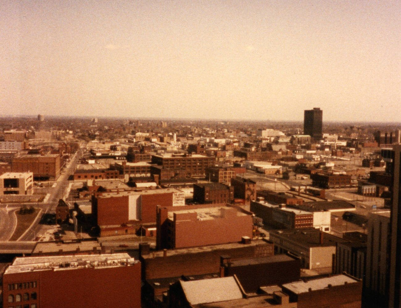
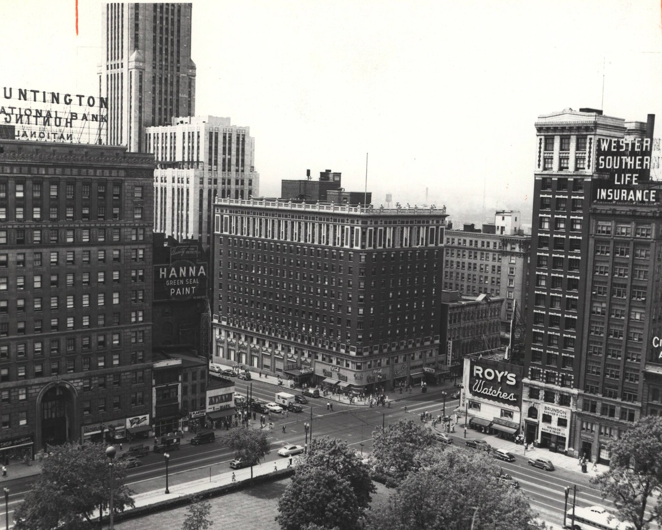
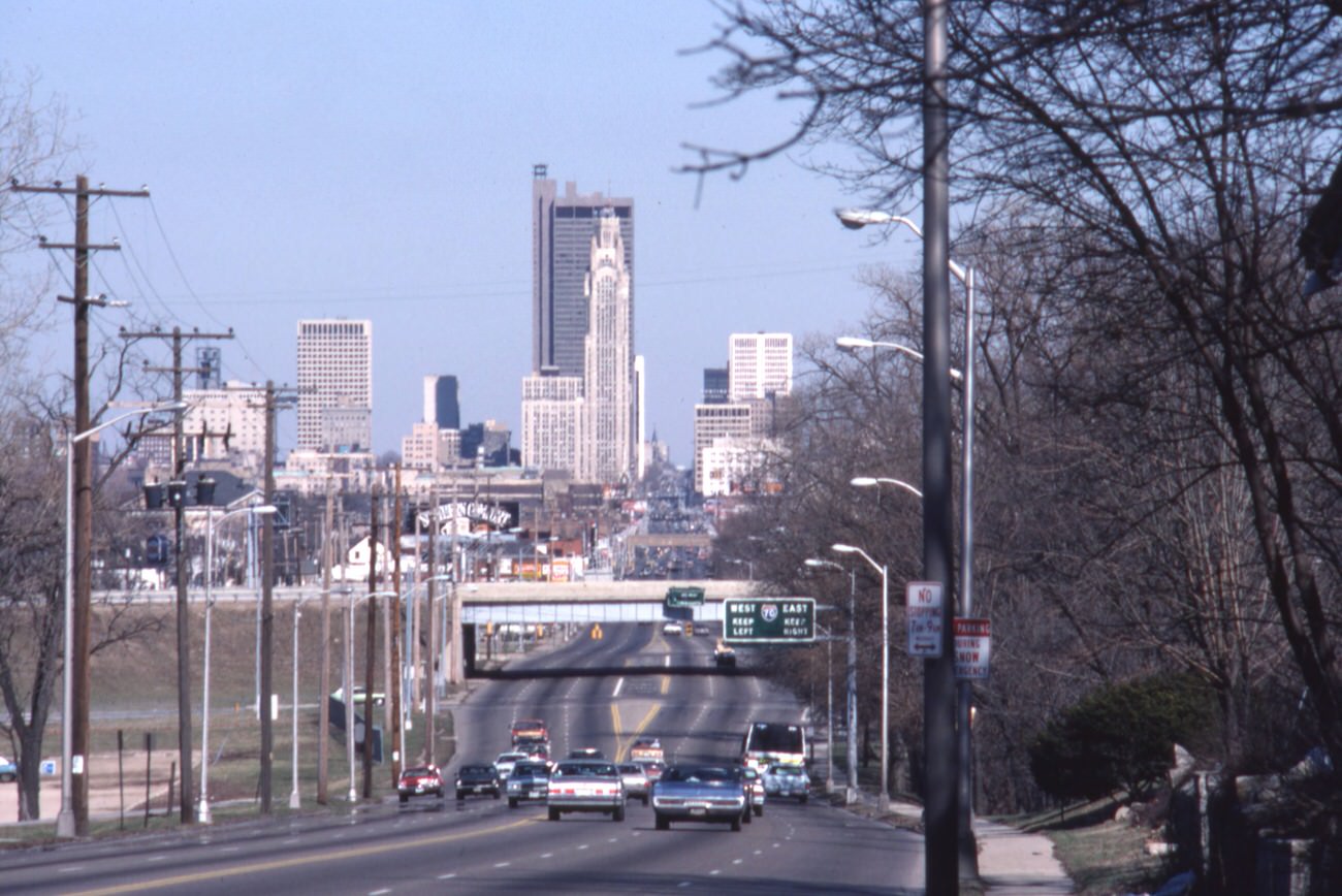
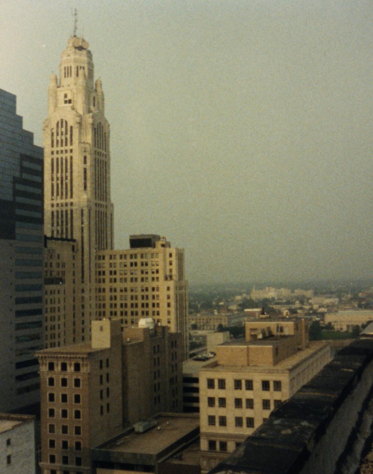
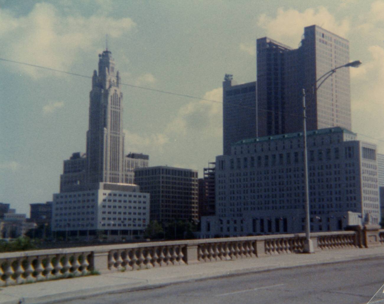
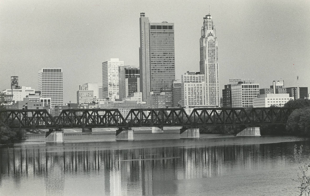
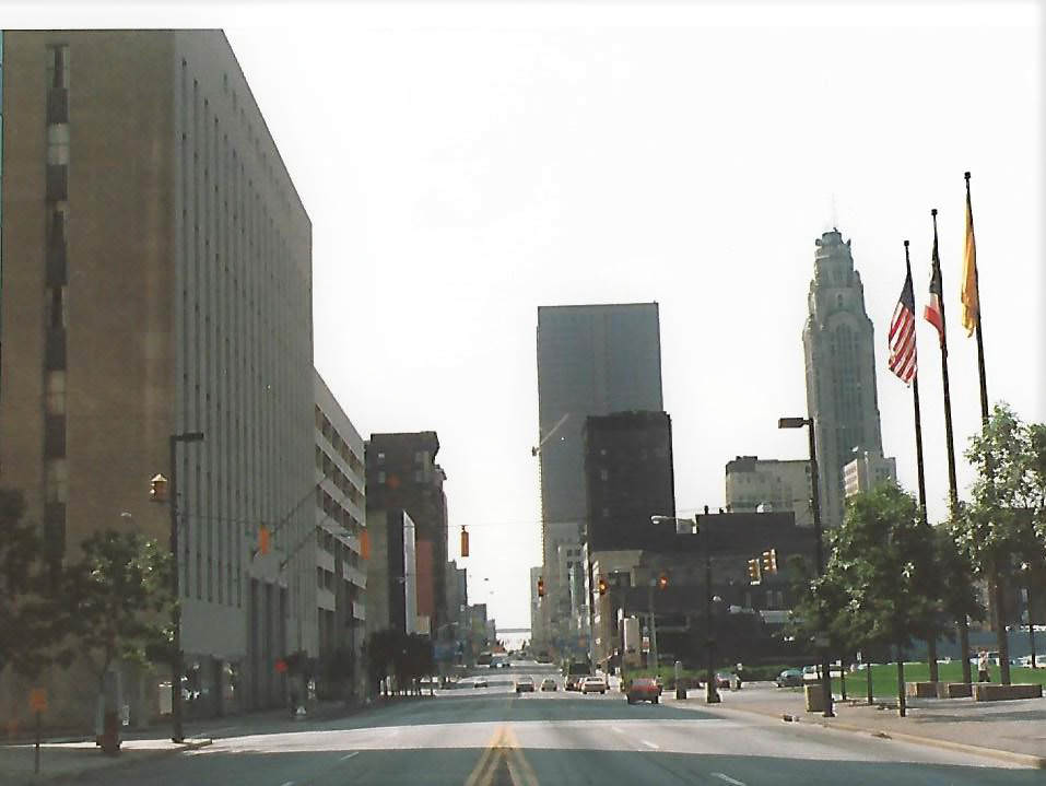
The Leveque Tower and the AEP building anchored the skyline’s older identity, while new construction pushed the city’s profile higher each year. Views from the Town Street Bridge in August 1984 showed a downtown that was dense with activity, and photos taken from the roof of the Buckeye Building in 1989 revealed just how much had changed across the decade. The Deshler Hotel still stood at Broad and High Streets, a reminder of an earlier era of Columbus elegance.
View of Downtown Columbus, featuring the AEP building and the Leveque Tower, 1988Aerial view of the intersection at Broad and High Streets, centering on the Deshler Hotel, Columbus, 1980s
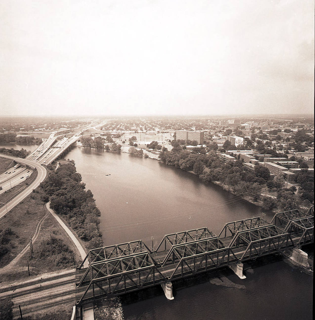
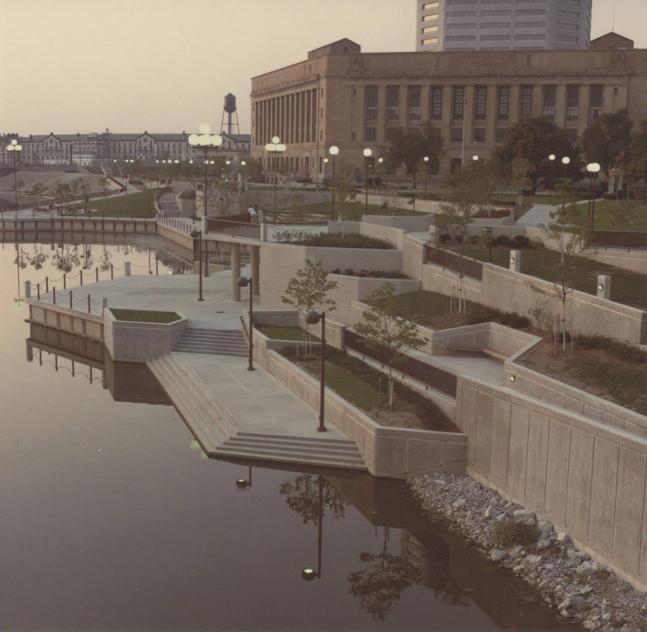
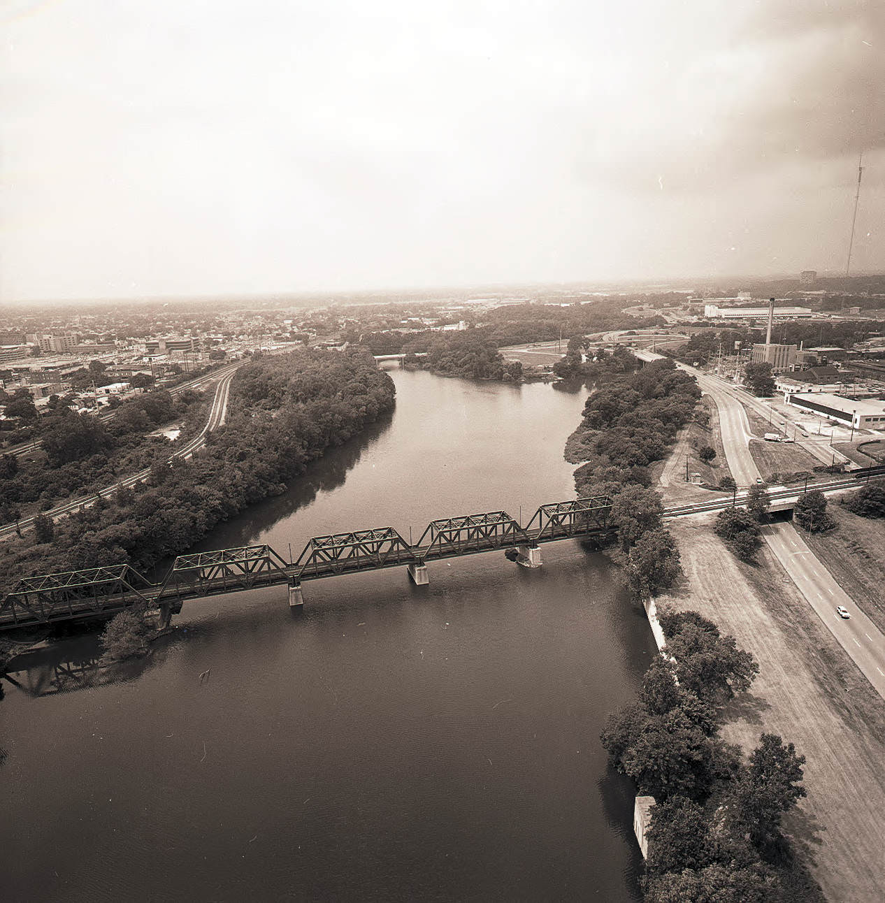
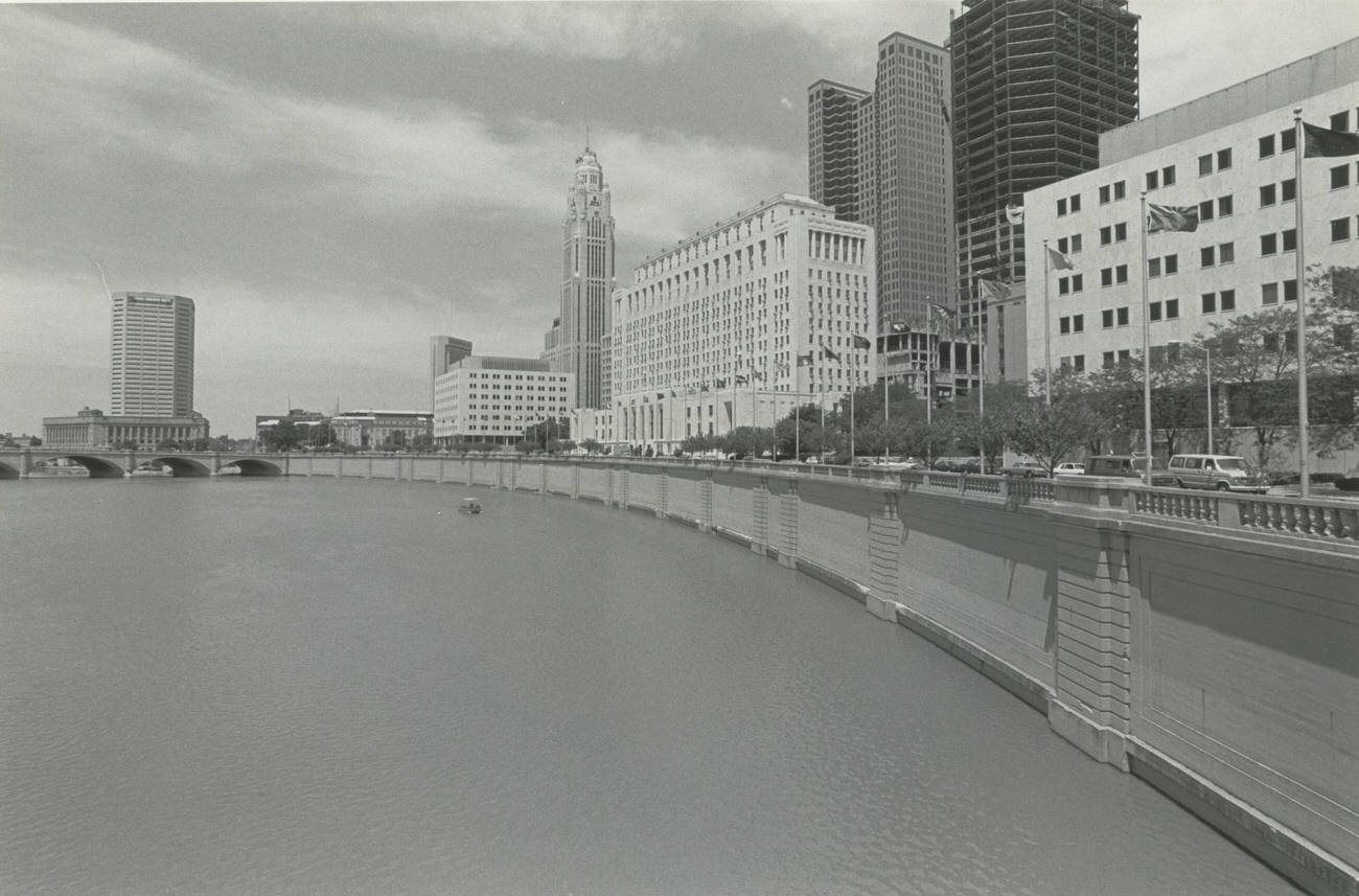
The Scioto River gave downtown Columbus its western edge, and aerial photographers made the most of it throughout the decade. Views from 1984 and 1985 captured the bridges, the riverbanks, and the way the city fanned out in every direction from the water. Battelle Riverfront Park, photographed before the installation of the Santa Maria replica, showed a quieter stretch of riverfront that would soon become a public landmark. The park’s dedication came on April 15, 1983.
Aerial views of Columbus looking south and west along the Scioto River, 1984.Battelle Riverfront Park before the installation of the Santa Maria, dedicated April 15, 1983.
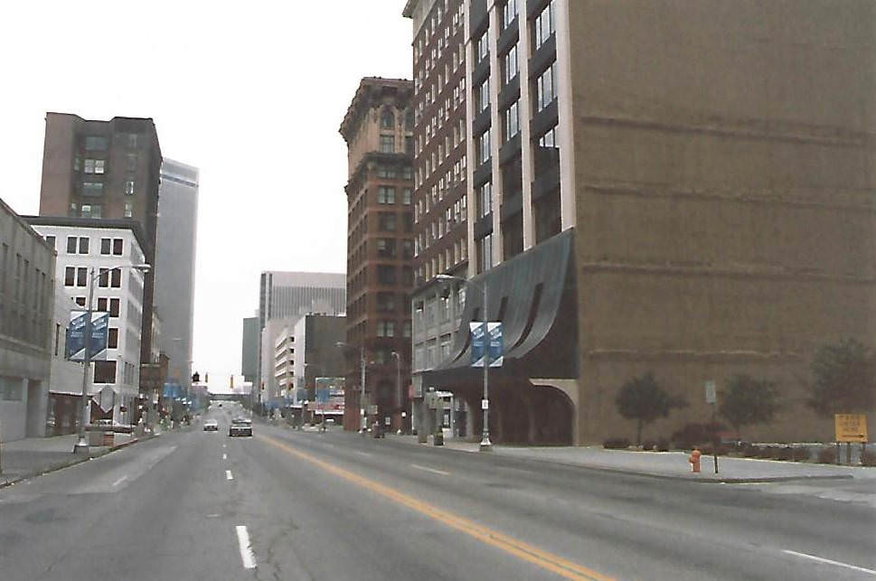
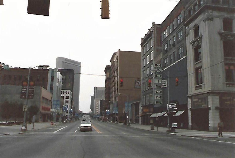
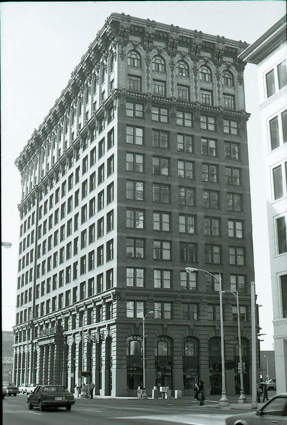
High Street was Columbus’s main artery, and 1985 photographs taken along different stretches of it tell the story of a commercial corridor in transition. Looking north from Elm Street, you could see the Atlas Building — originally the Ferris Building, designed by architect Frank L. Packard with its groundbreaking in 1904 and a major renovation completed in 1982. Further along, the Madison department store and the White Haines Building stood near Gay Street. The Ohio Department of Health and Nationwide Plaza marked the northern stretch near Chestnut Street.
View north on High Street from Elm Street, looking towards the Atlas Building, 1985.View north on High Street from Gay Street, towards Madison department store and White Haines Building, 1985.
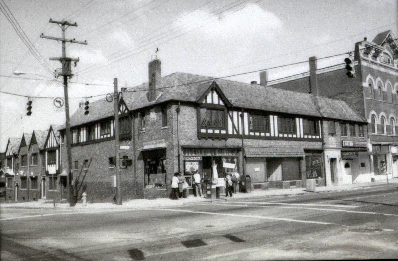
The businesses lining North High Street in the Short North and surrounding blocks gave the street a lot of its flavor. The west side of North High Street, between West Hudson and a nearby alley, held a cluster of independent spots: Benchworks Art Gallery, Garcia’s International Restaurant, Apocalypse Records, Karen Wickliff Books, Artists Workshop Gallery, and Schreiner Plumbing and Hardware, among others. These weren’t chain stores. They were the kinds of places that drew a loyal crowd and gave a block its personality.
Businesses along west side of North High Street between West Hudson and the alley, including Benchworks Art Gallery, James H. Jewett law office, Garcia’s International Restaurant, Apocalypse Records, Karen Wickliff Books, Artists Workshop Gallery, Schreiner Plumbing and Hardware, Circa 1980s
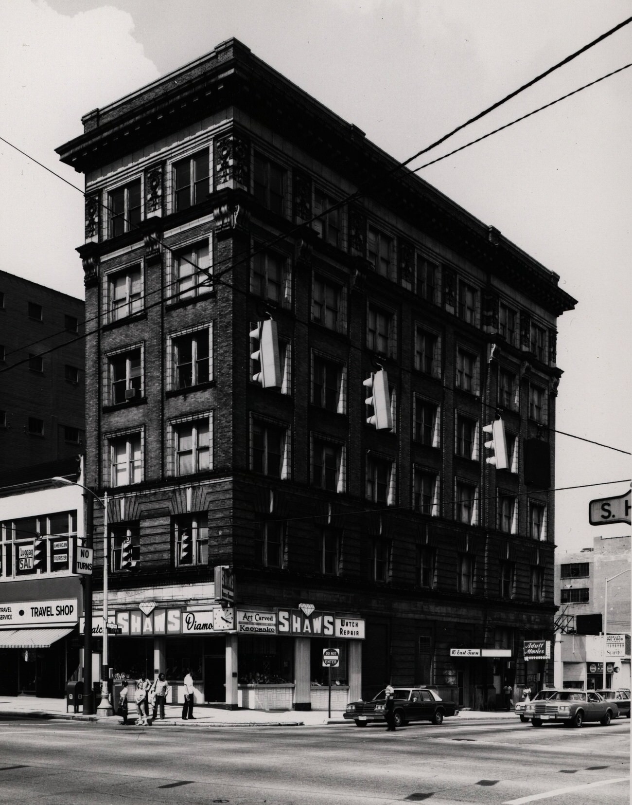
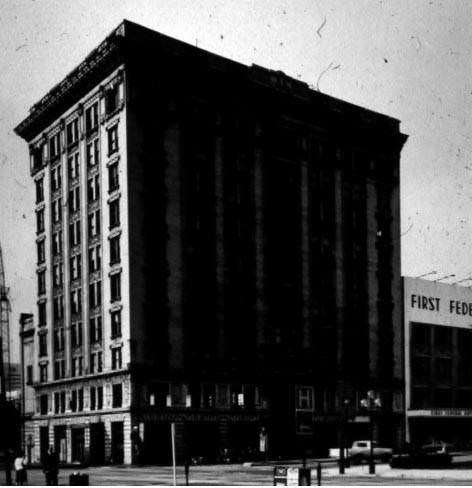
Not every Columbus landmark survived the decade. The Central National Bank building at 152 South High Street, constructed in 1901, was demolished in 1983. A photograph from 1980 captured it just before the wrecking crews arrived. The Hartman Building, a Columbus institution for 70 years by the time it was photographed in 1980, was part of the Hartman family’s broader holdings, which included a theater and a farm. These photos are now the most complete record of what those structures looked like.
Central National Bank building at 152 South High Street, constructed in 1901, demolished in 1983, 1980.Hartman Building, a Columbus tradition for 70 years, 1980.
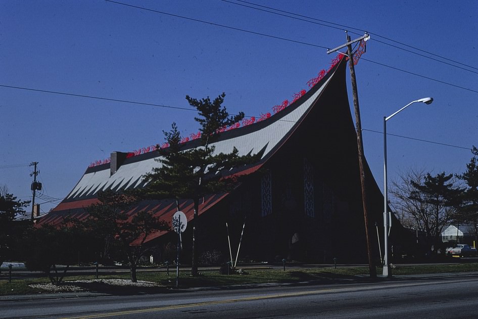
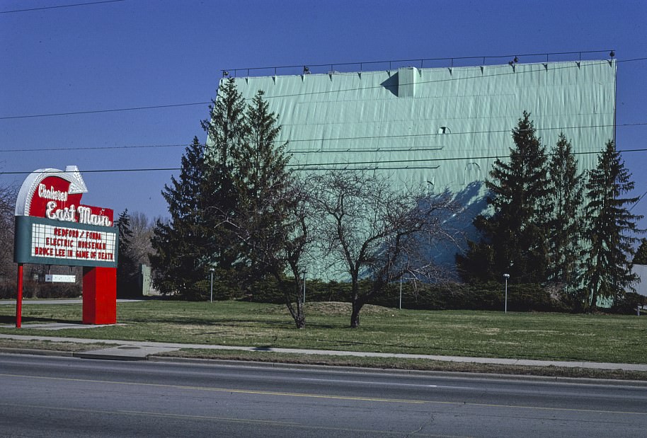
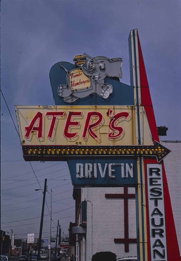
Columbus’s restaurant scene had deep roots in specific neighborhoods. Schmidt’s Sausage Haus operated in German Village, and the Kahiki Restaurant on East Broad Street was a tiki-themed destination that drew crowds for its theatrical atmosphere. A 1980 photograph gives a close look at the Kahiki’s exterior — the building was unlike anything else in the city. Drive-in culture was also still alive. The East Main Drive-in Theater was photographed in 1980, and Ater’s Drive-in sign was still standing in 1984.
Closer view of Kahiki Restaurant, E. Broad Street, Columbus, Ohio, 1980.East Main Drive-in Theater, Columbus, Ohio, 1980.
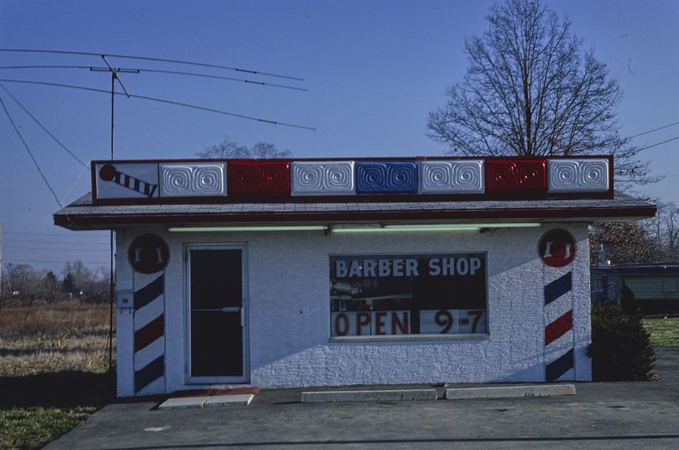
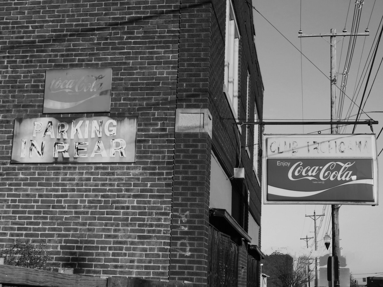
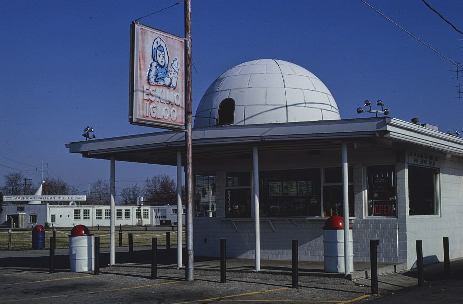
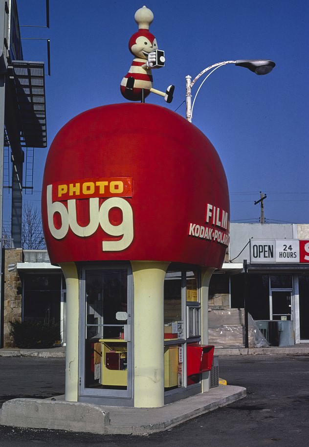
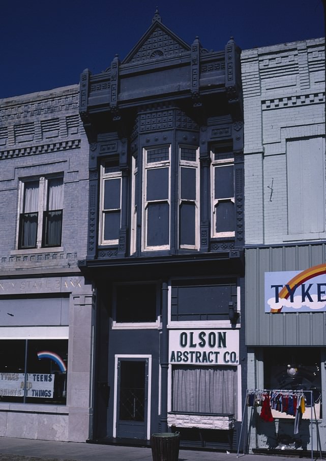
Street-level Columbus in the early 1980s was full of small businesses that rarely made the history books. A barber shop on Livingston Street, a Photo Bus on Hamilton Avenue, an Eskimo Igloo Ice Cream shop, and the Olson Abstract Co. photographed in 1982 — these images document ordinary commercial life with precision. Club Tropicana, photographed on August 19, 1982, was known for hosting the Willie Pooch Blues Band, and places like it were central to Columbus’s live music scene before the city’s entertainment district formalized.
Barber shop on Livingston Street, Columbus, Ohio, 1980.Club Tropicana, noted for hosting the Willie Pooch Blues Band, August 19, 1982.
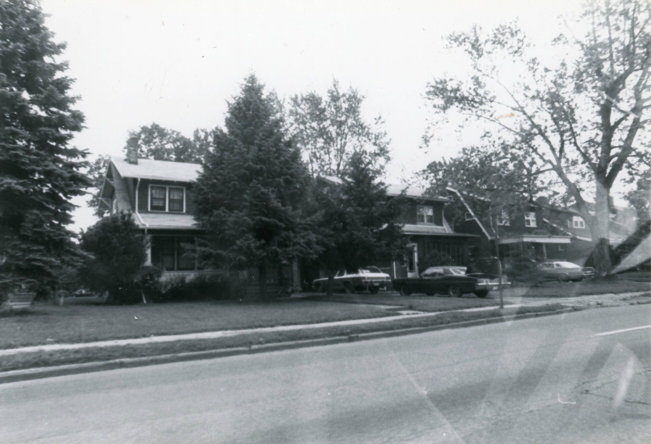
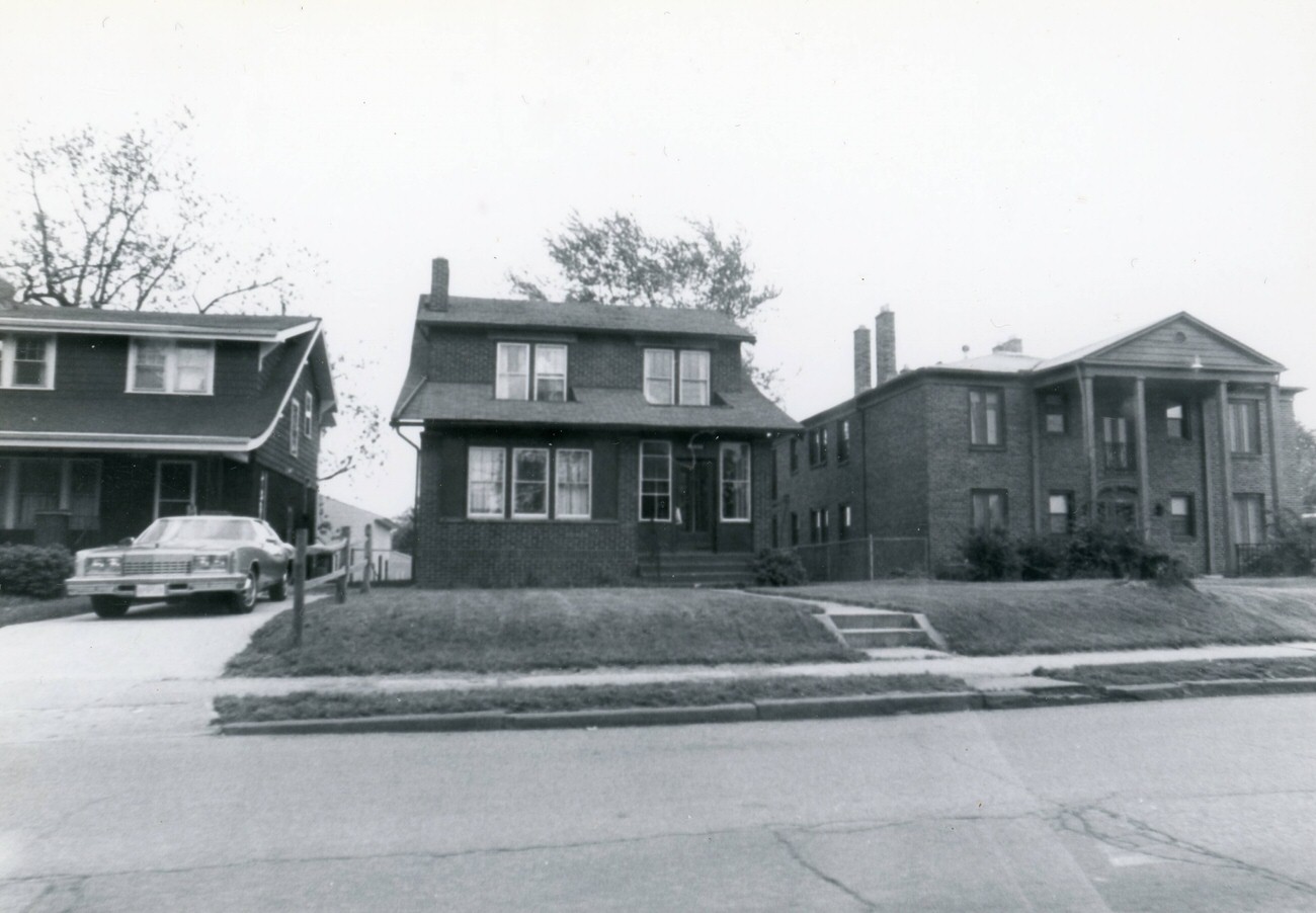
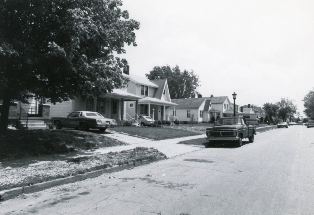
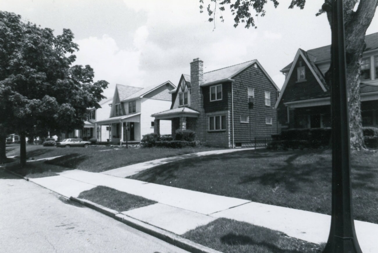
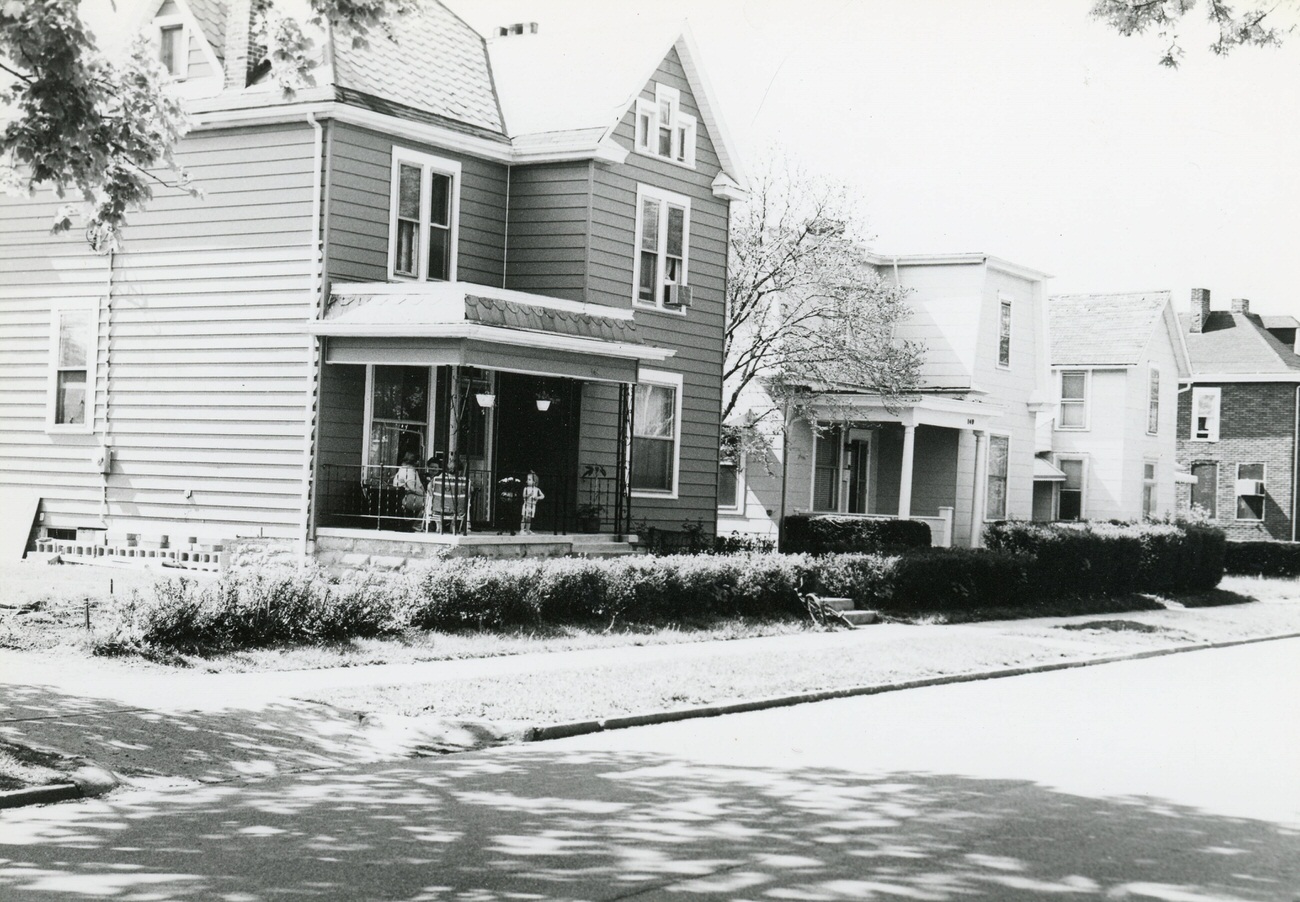
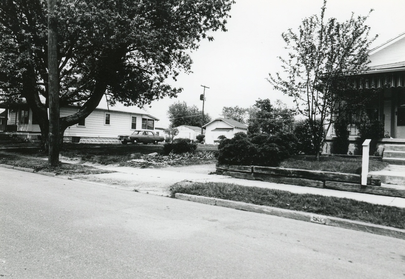
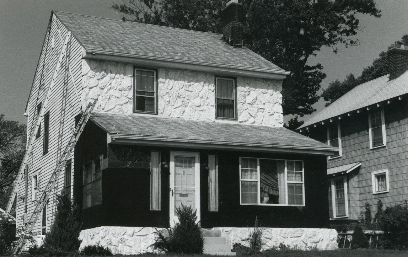
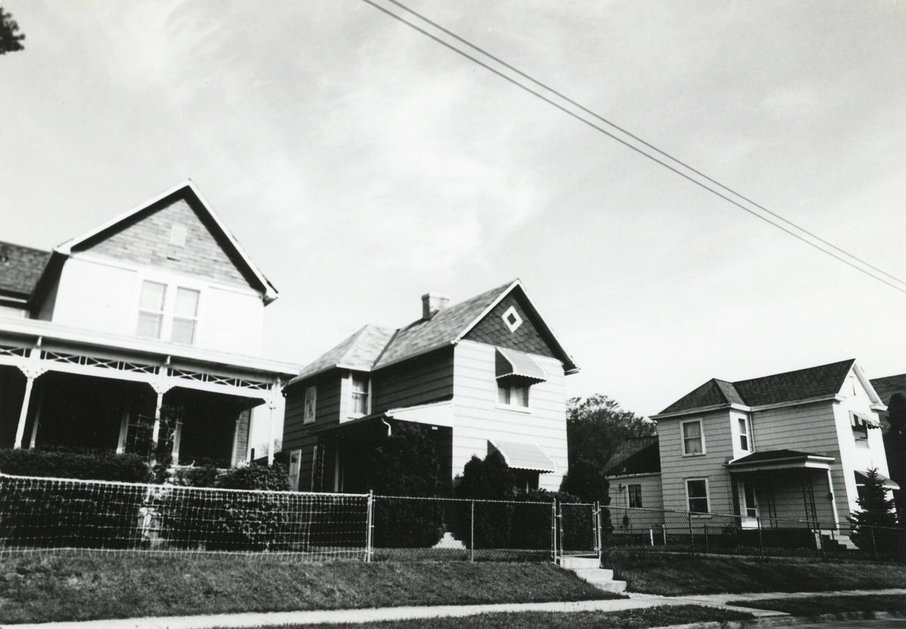
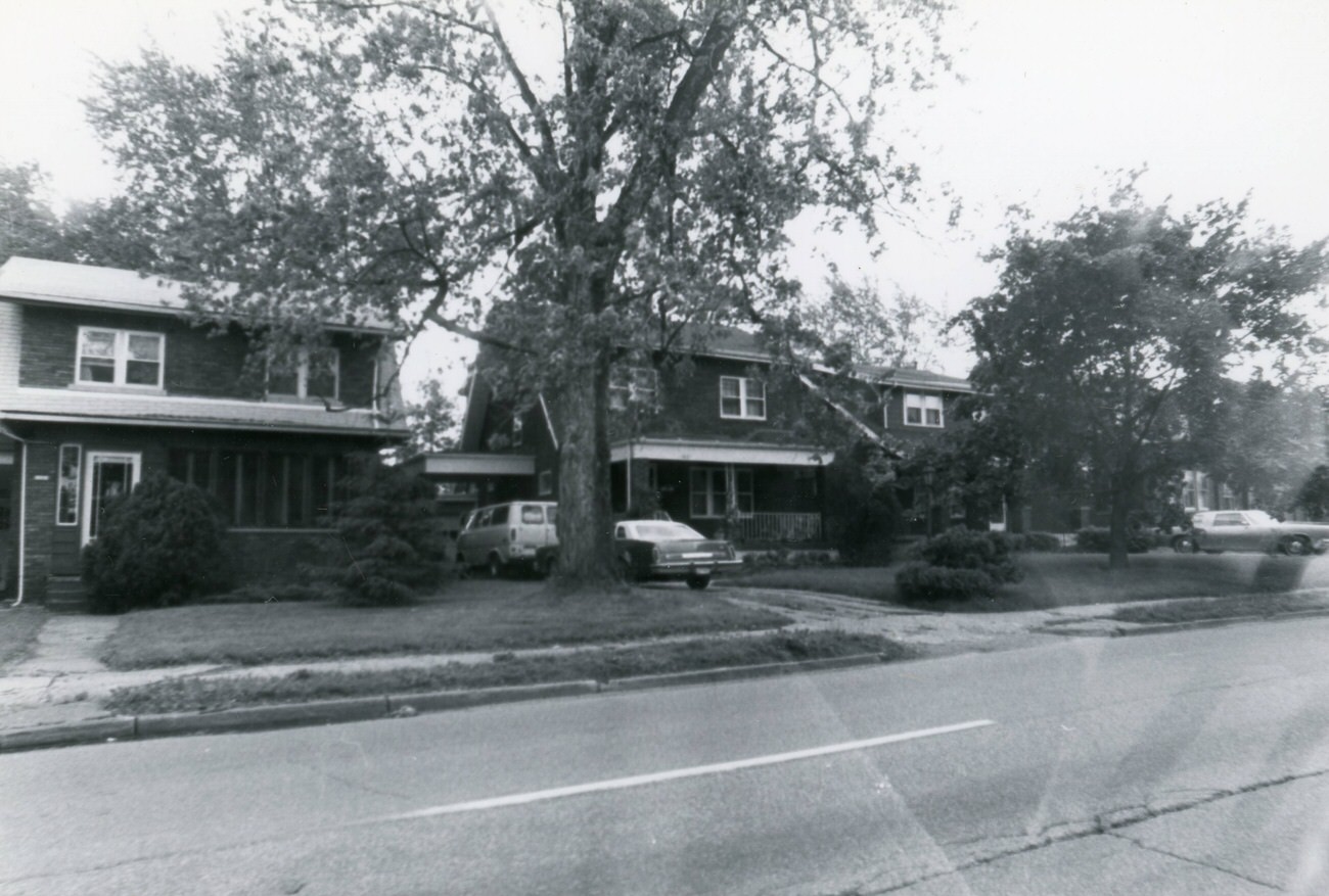
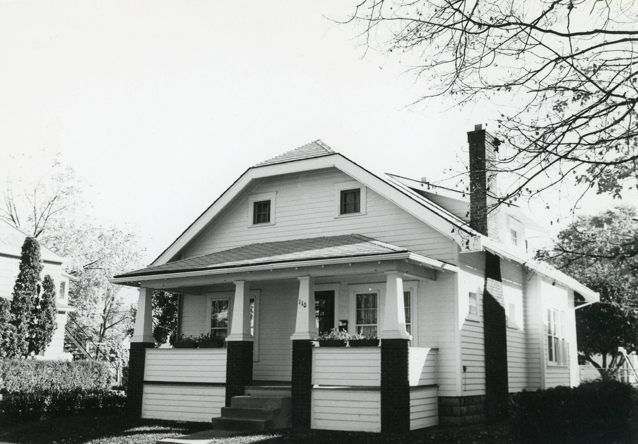
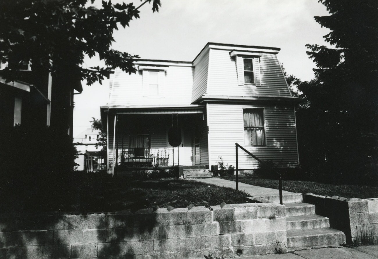
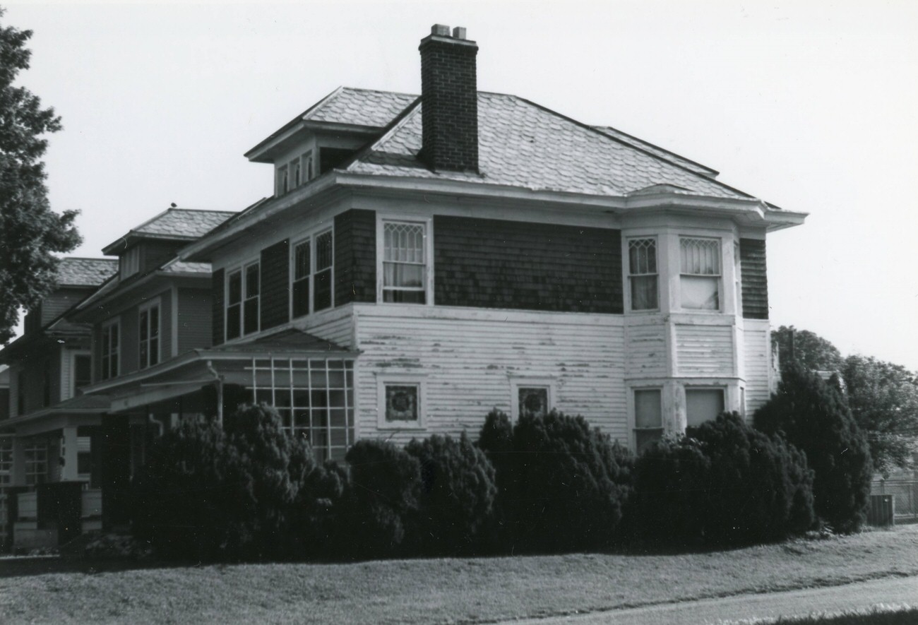
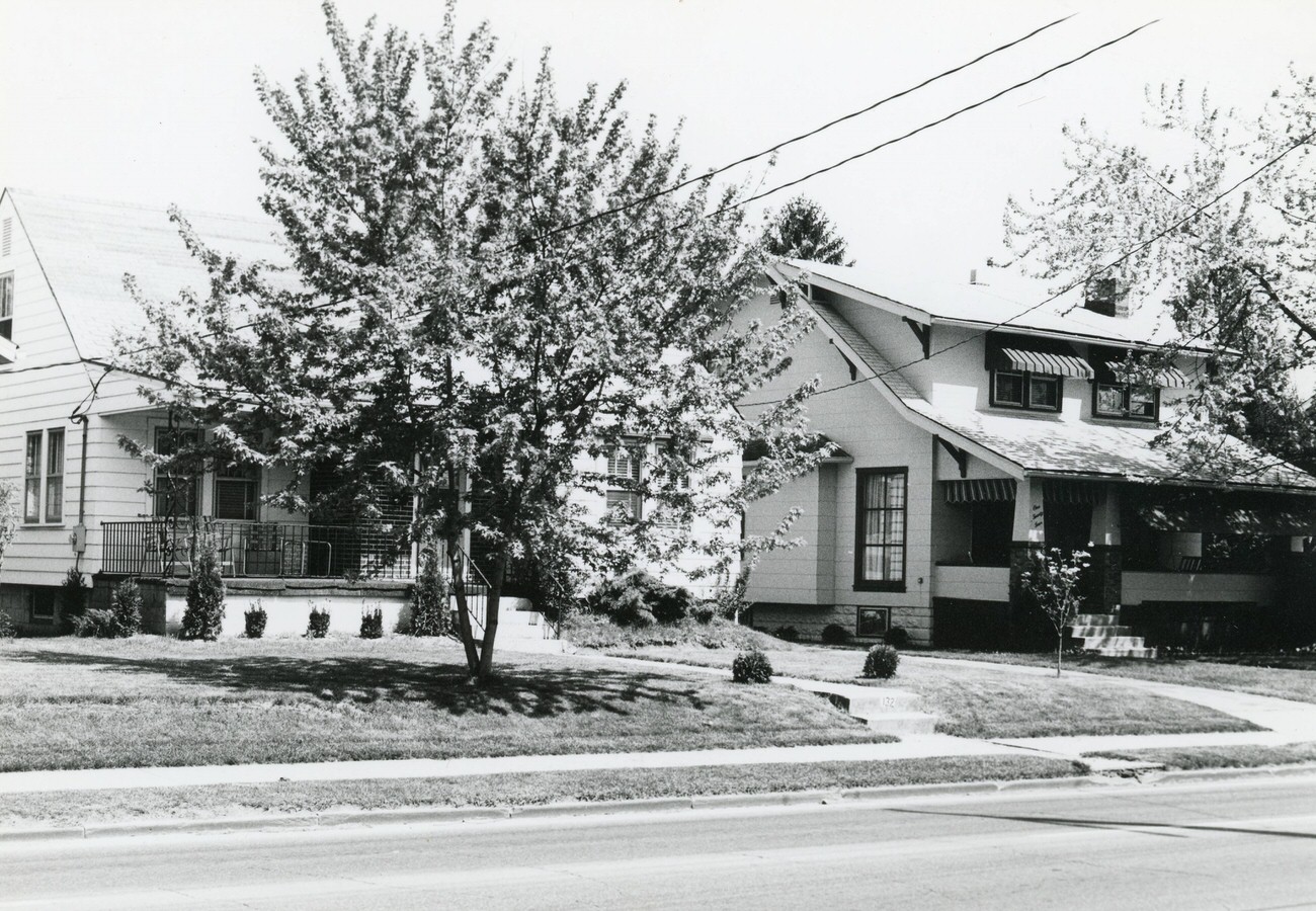
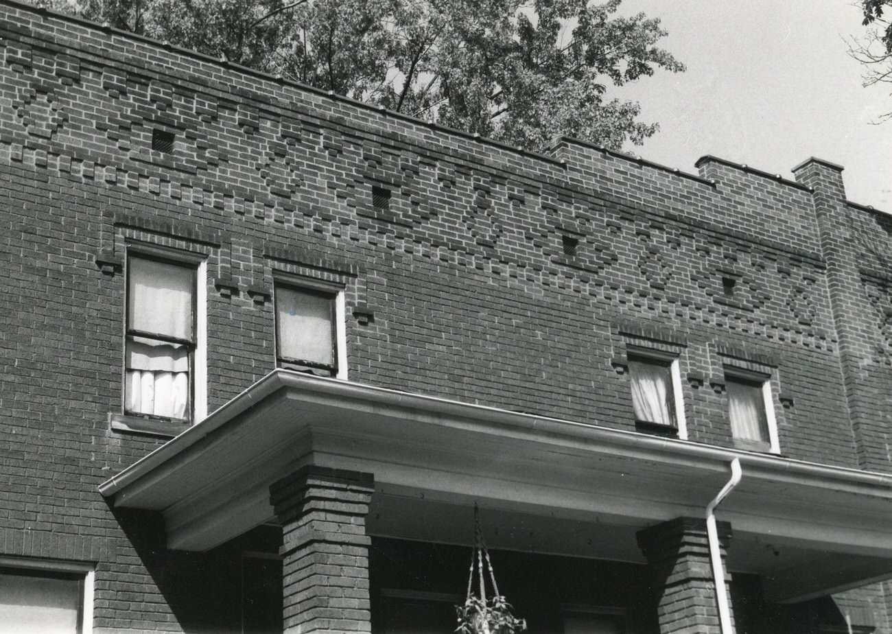
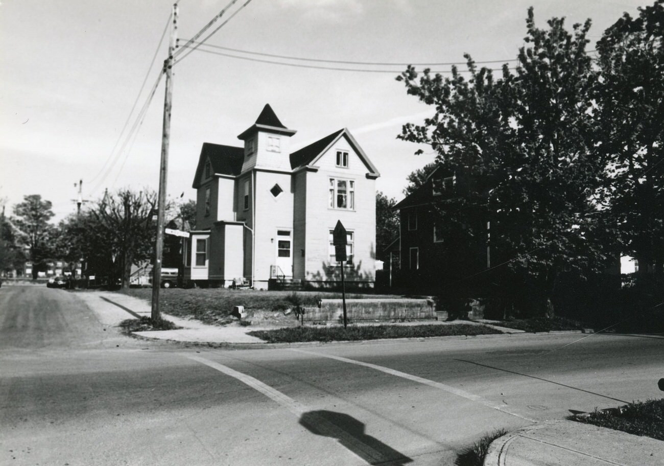
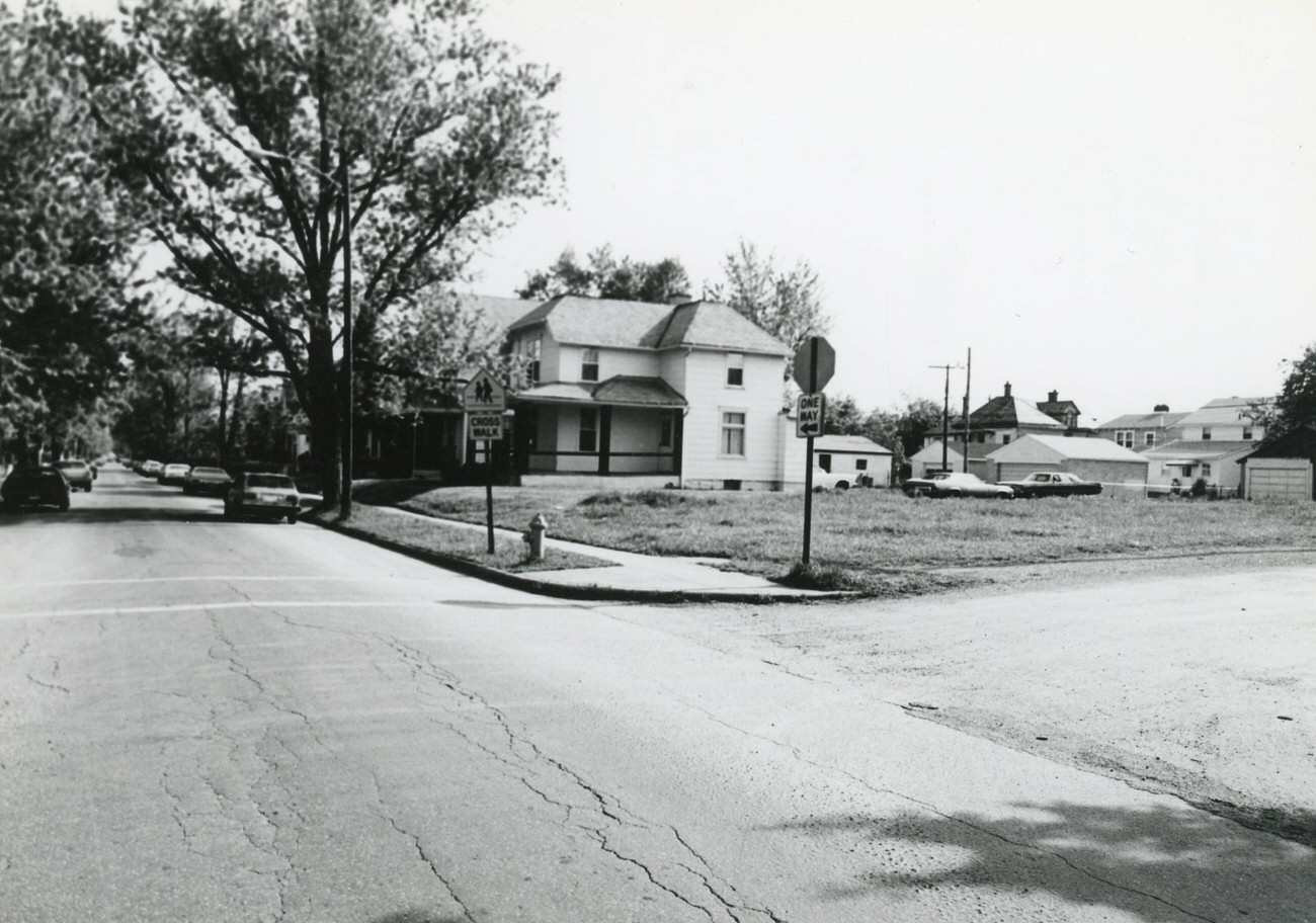
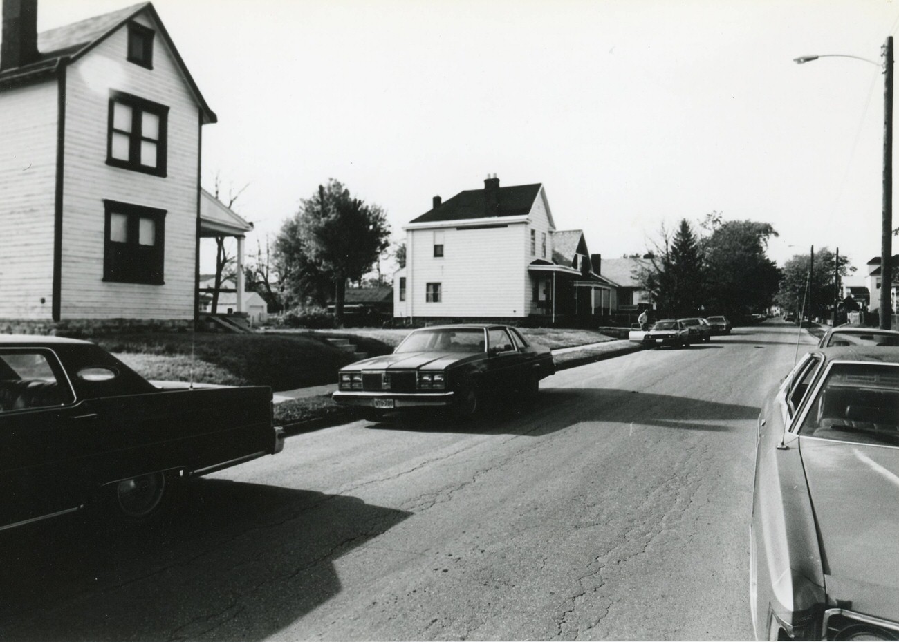
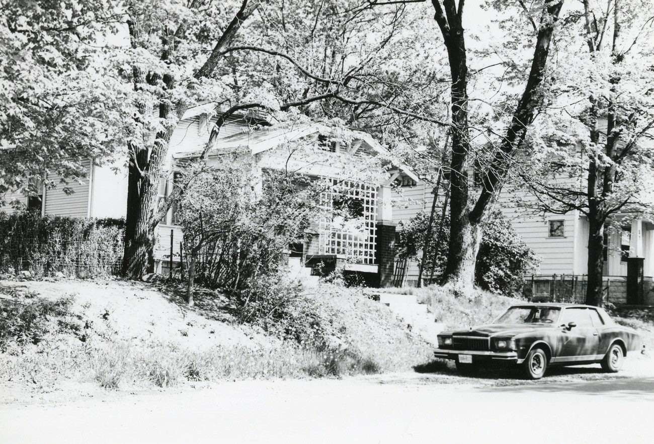
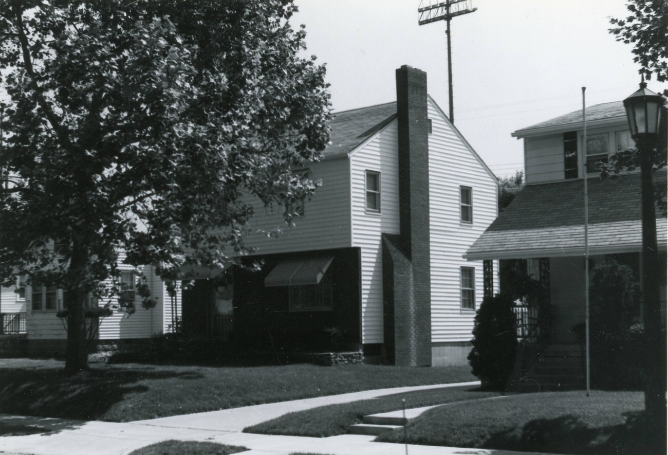
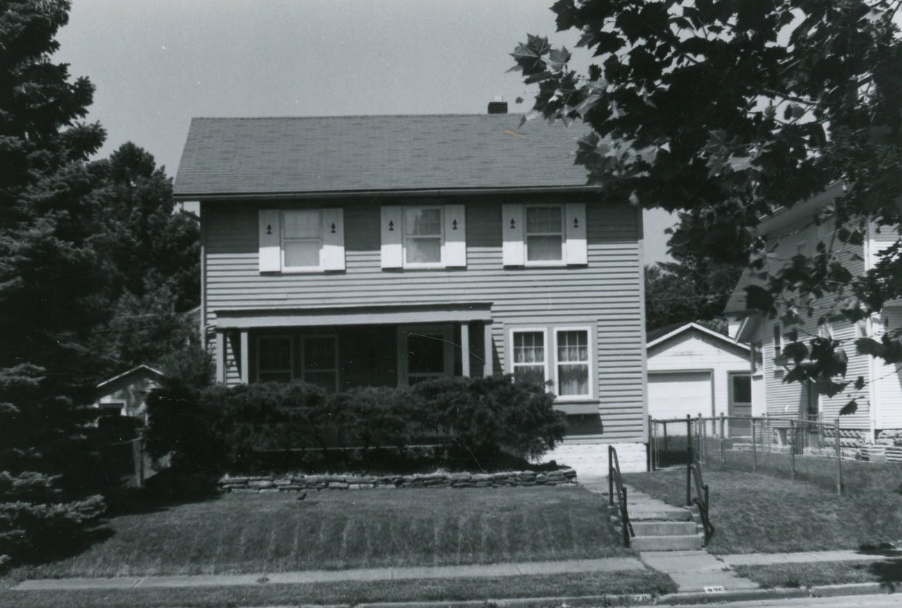
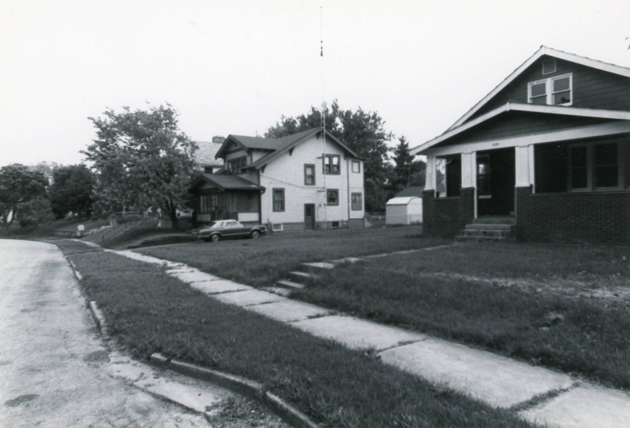
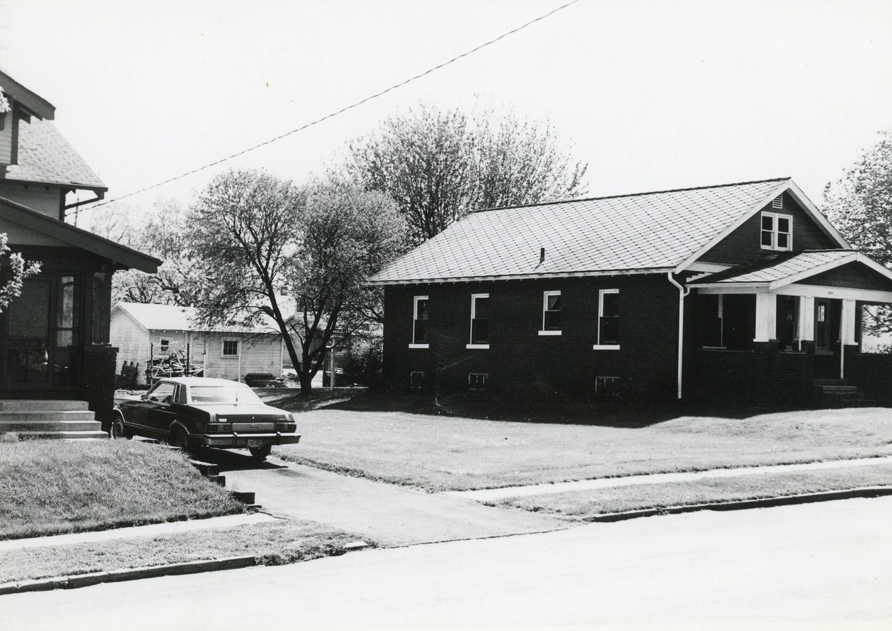
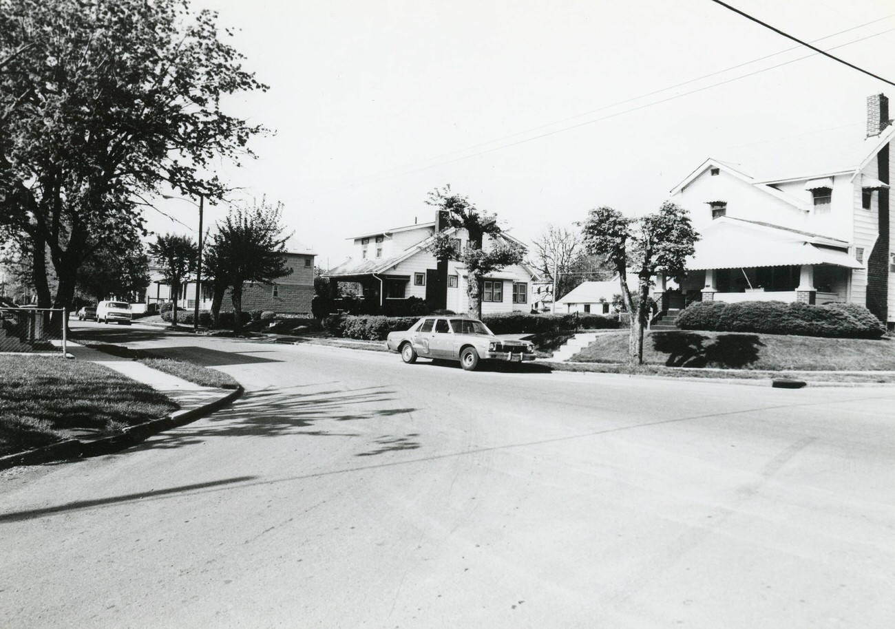
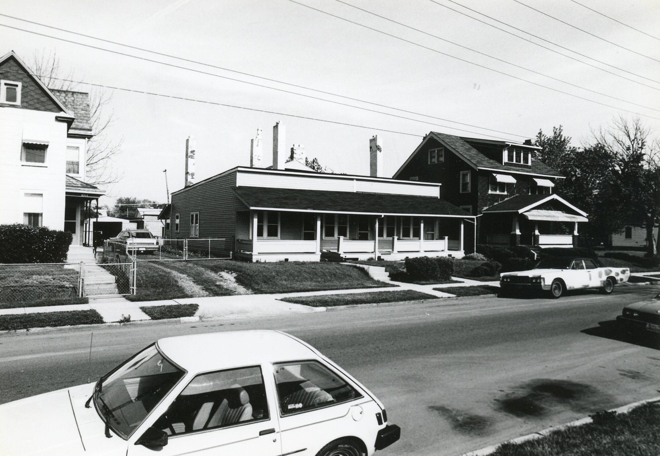
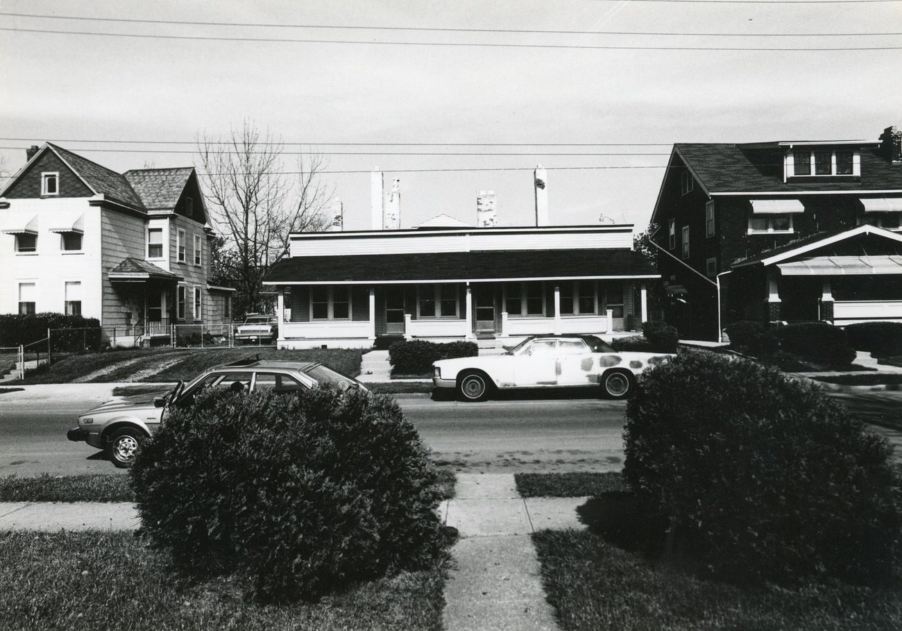
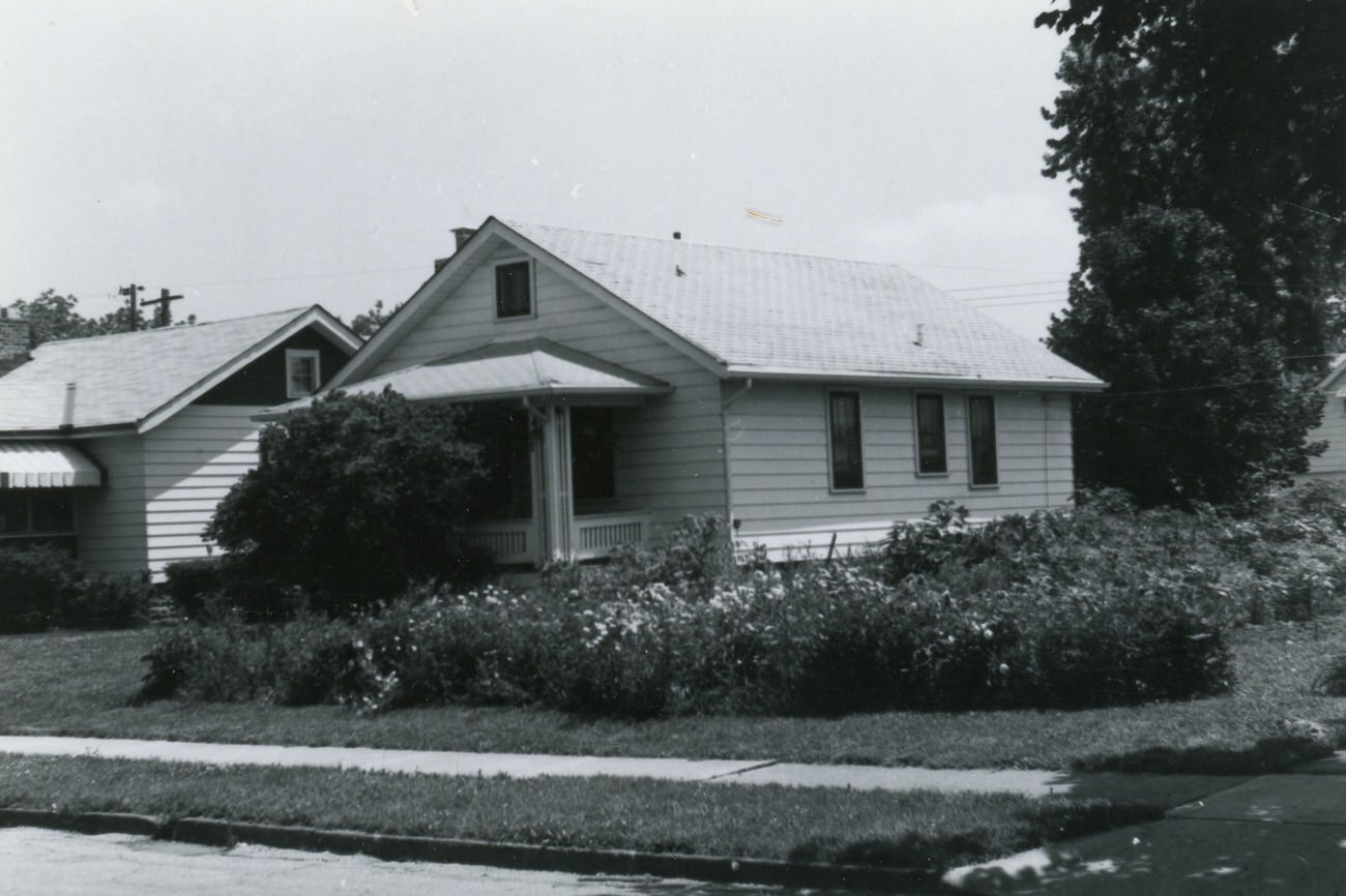
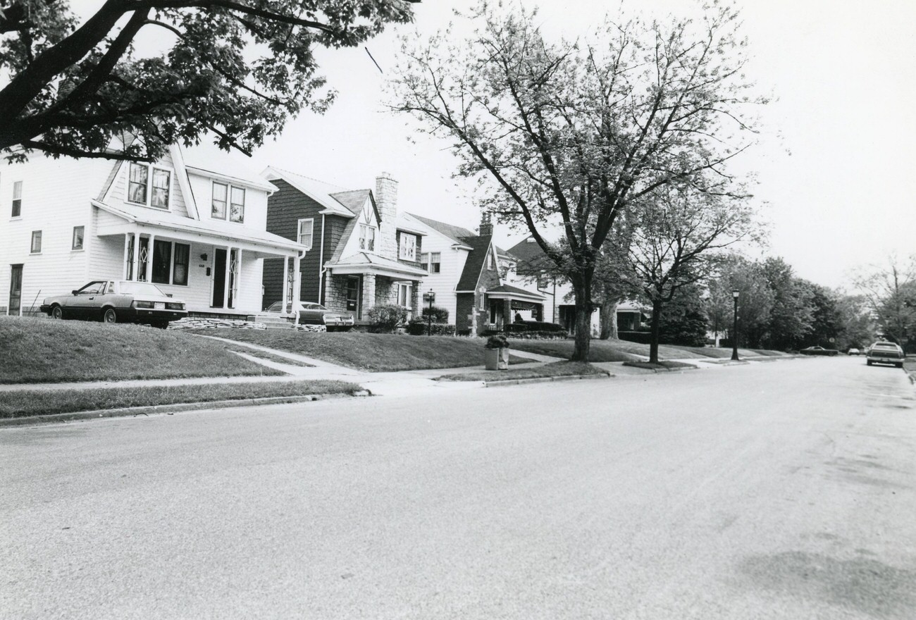
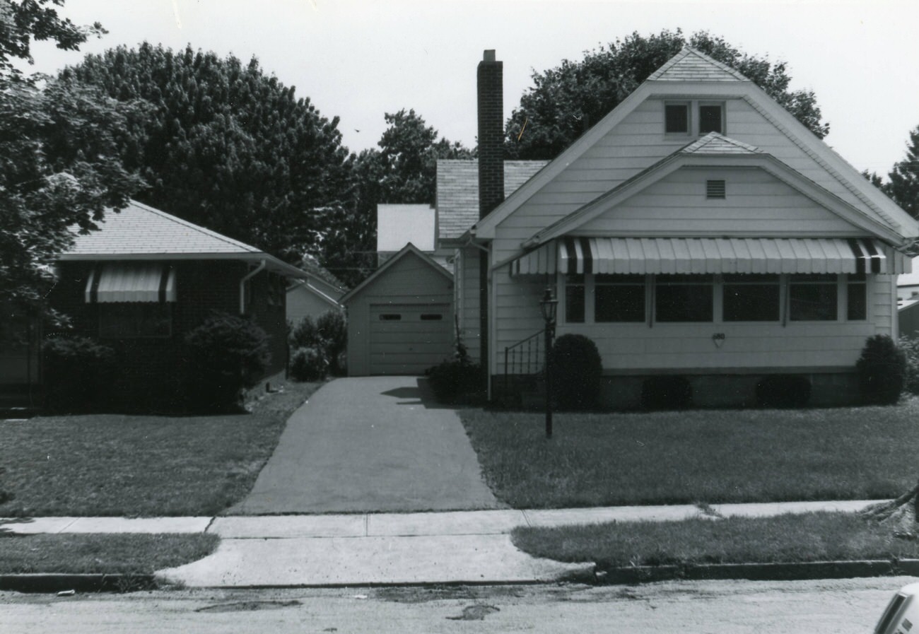
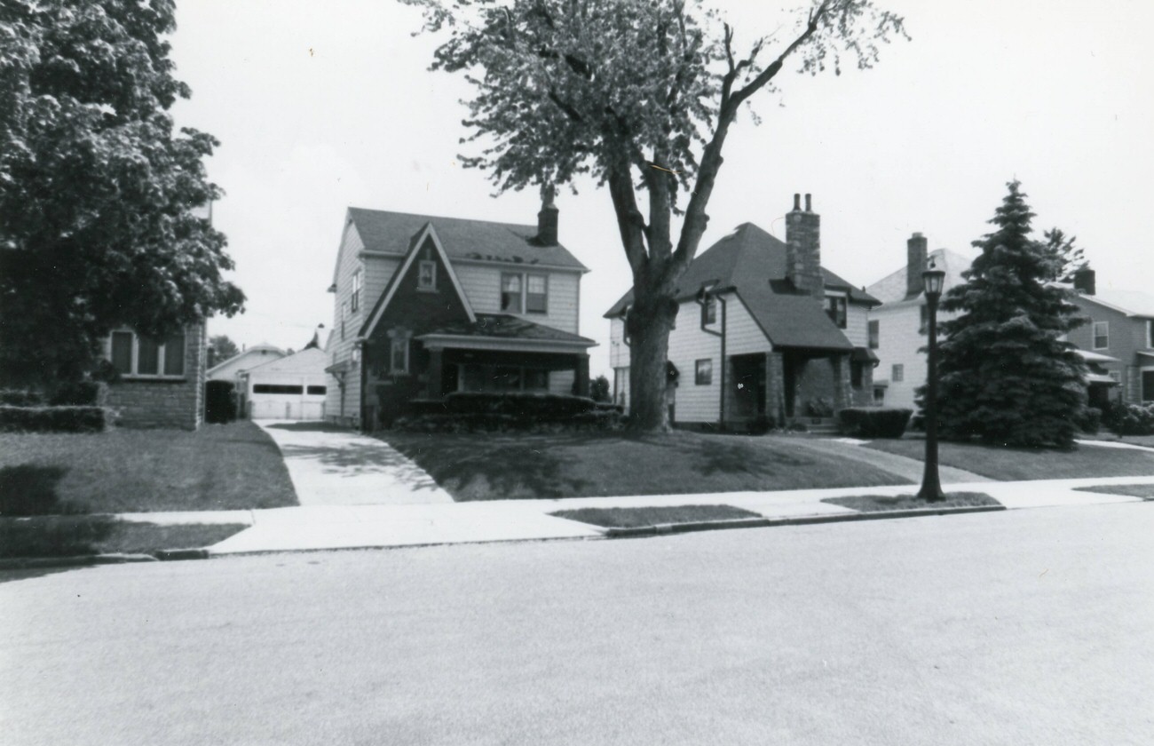
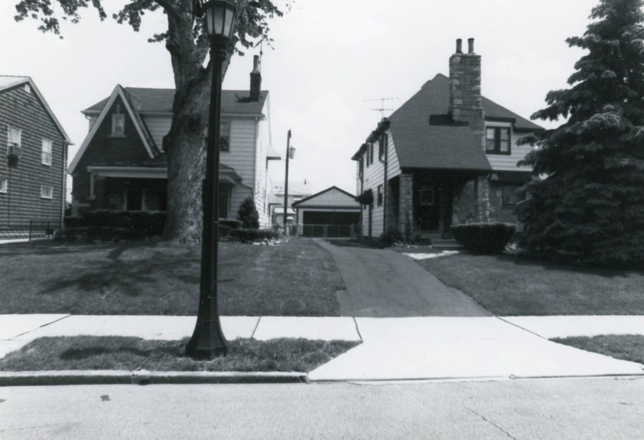
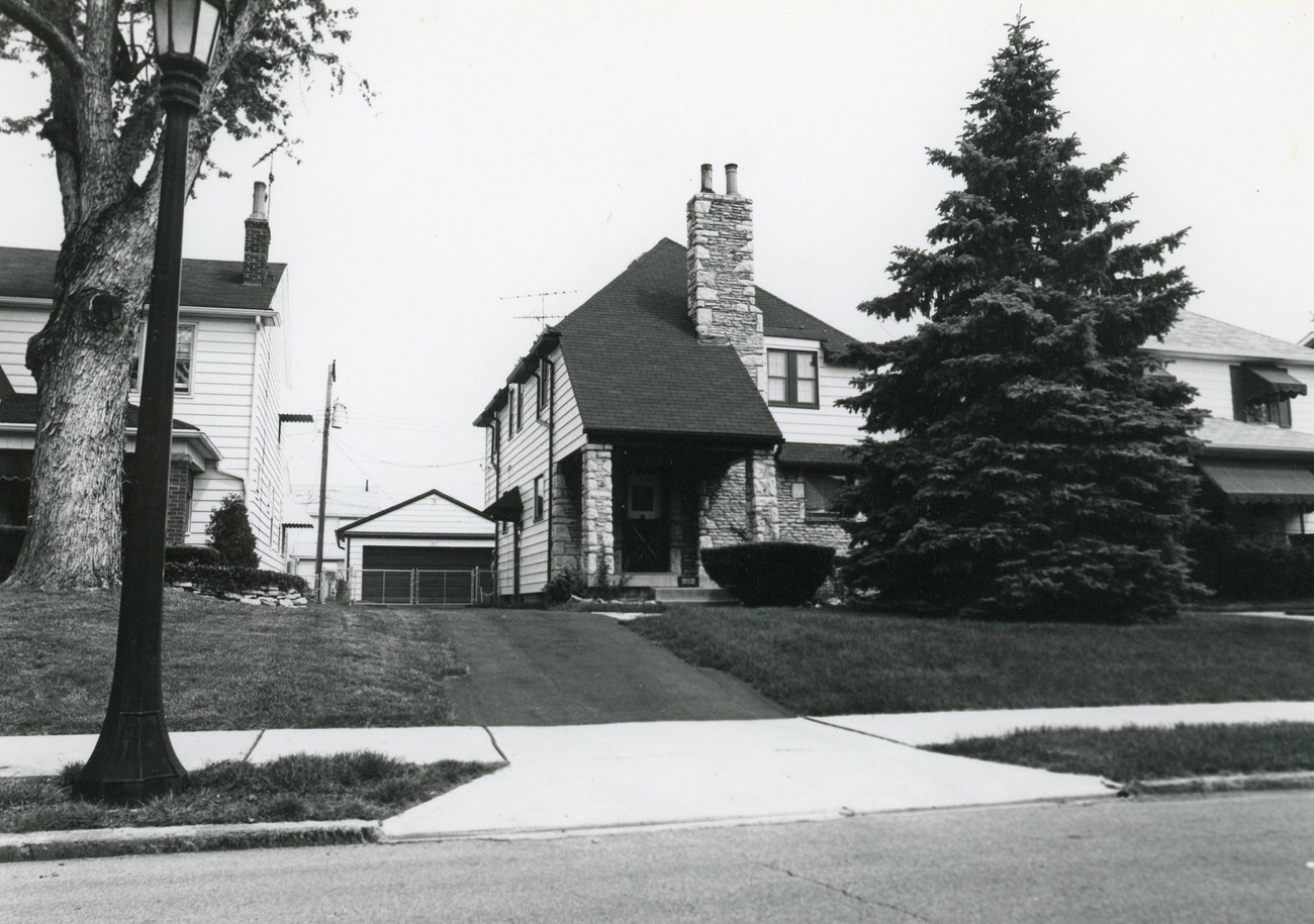
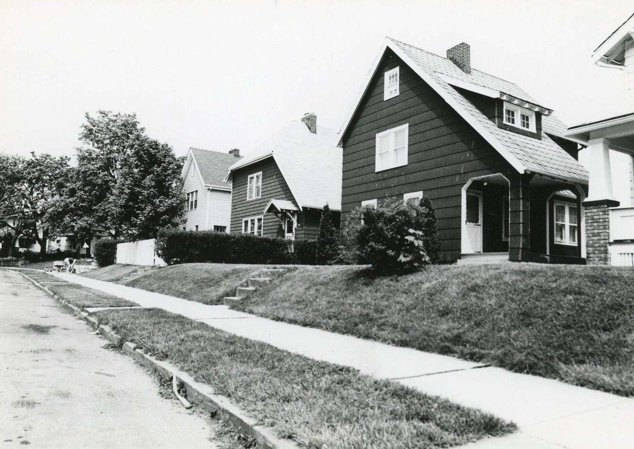
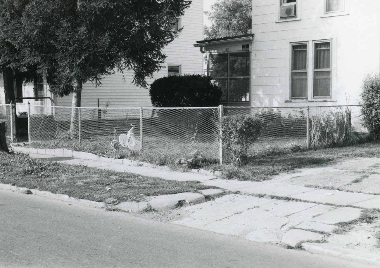
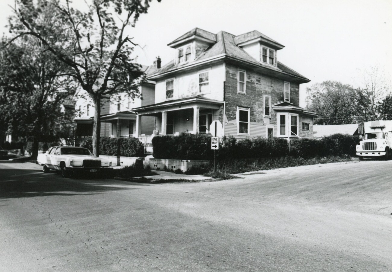
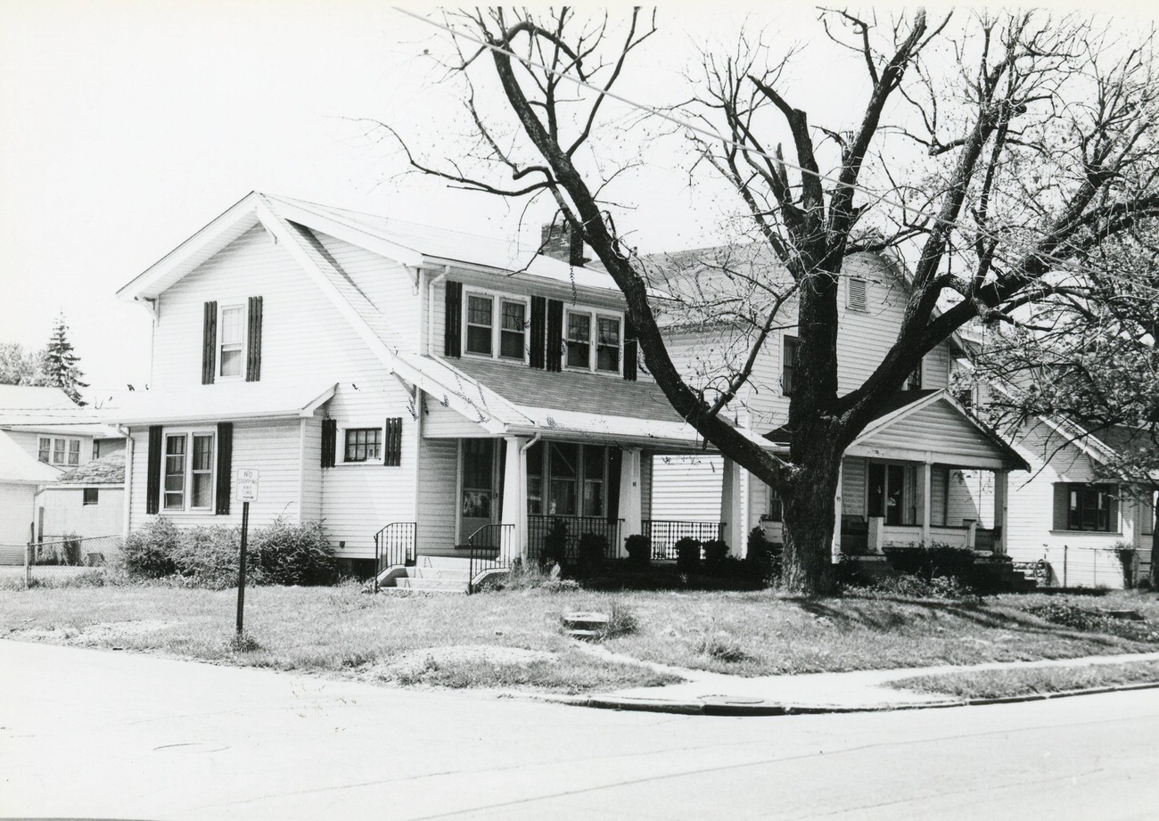
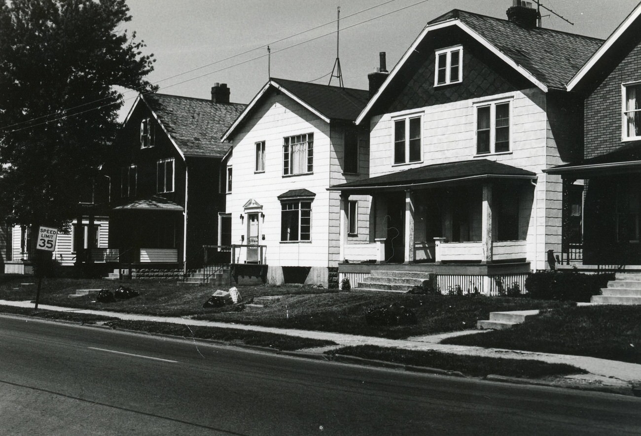
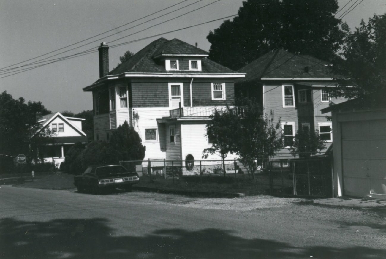
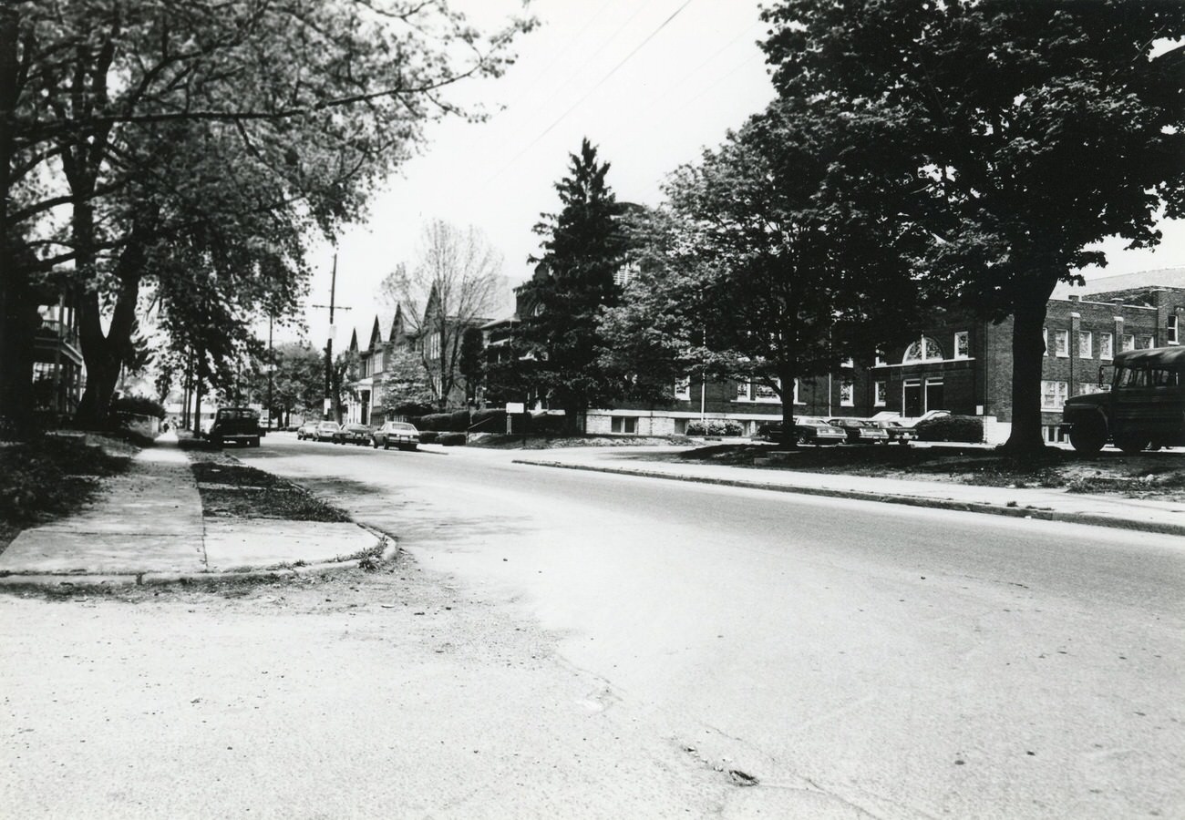
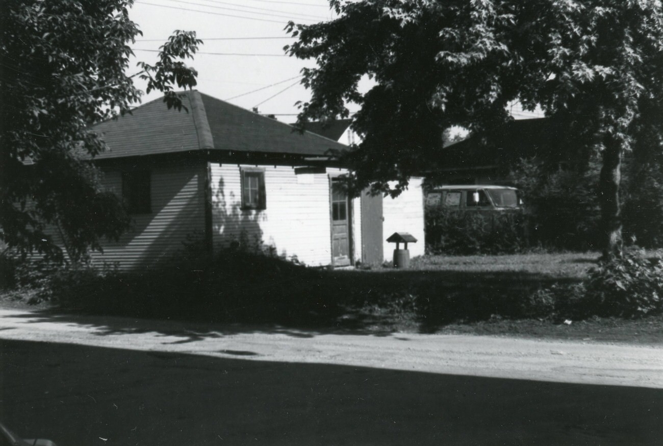
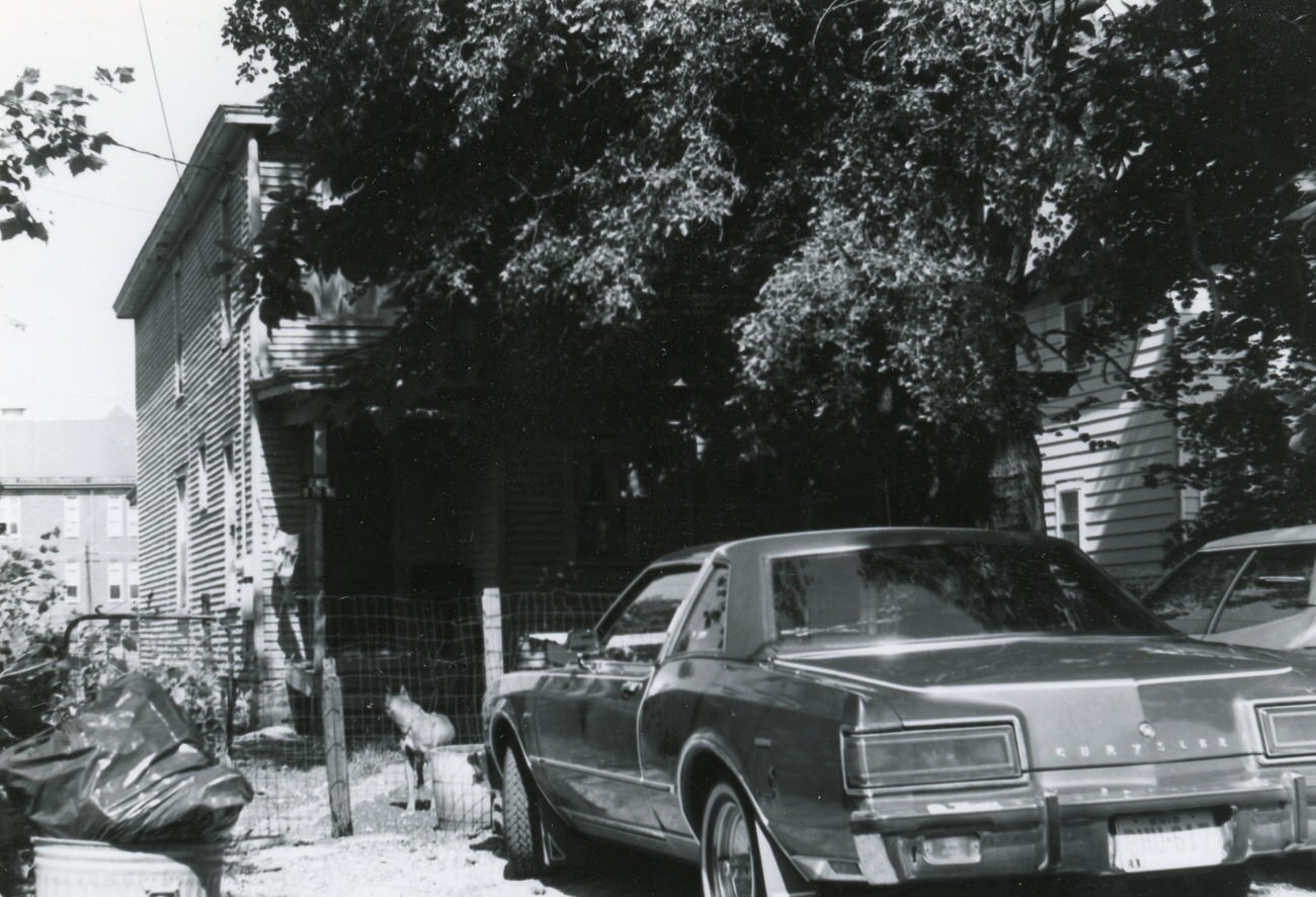
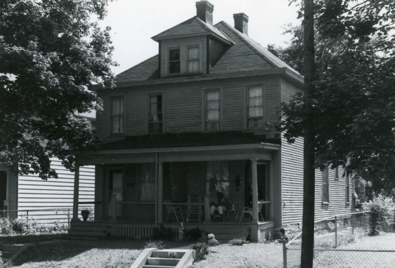
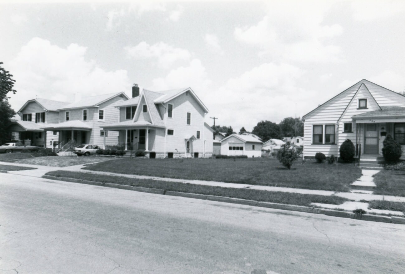
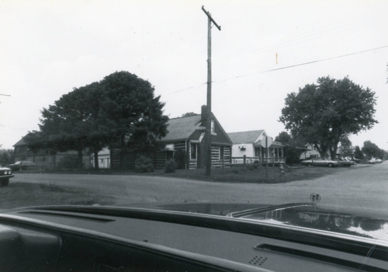
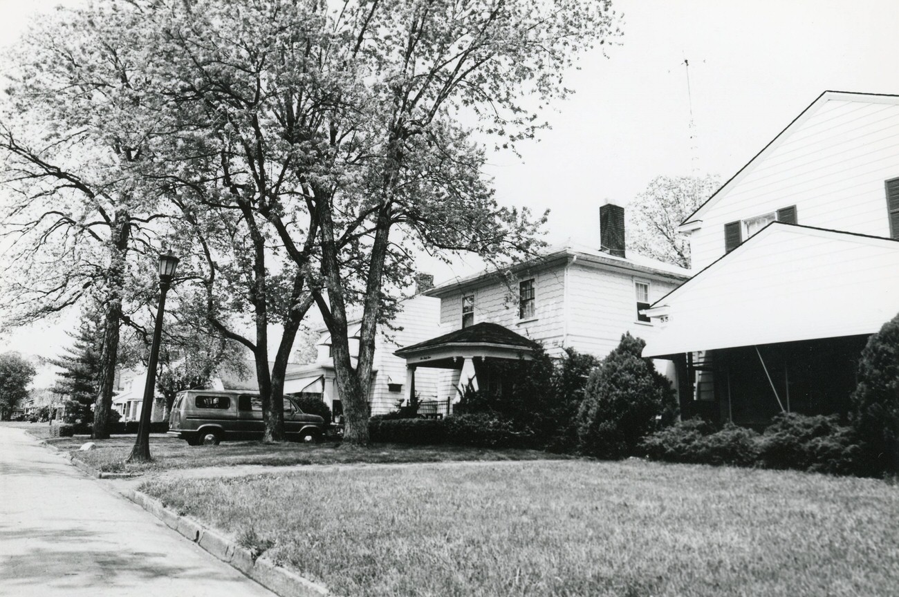
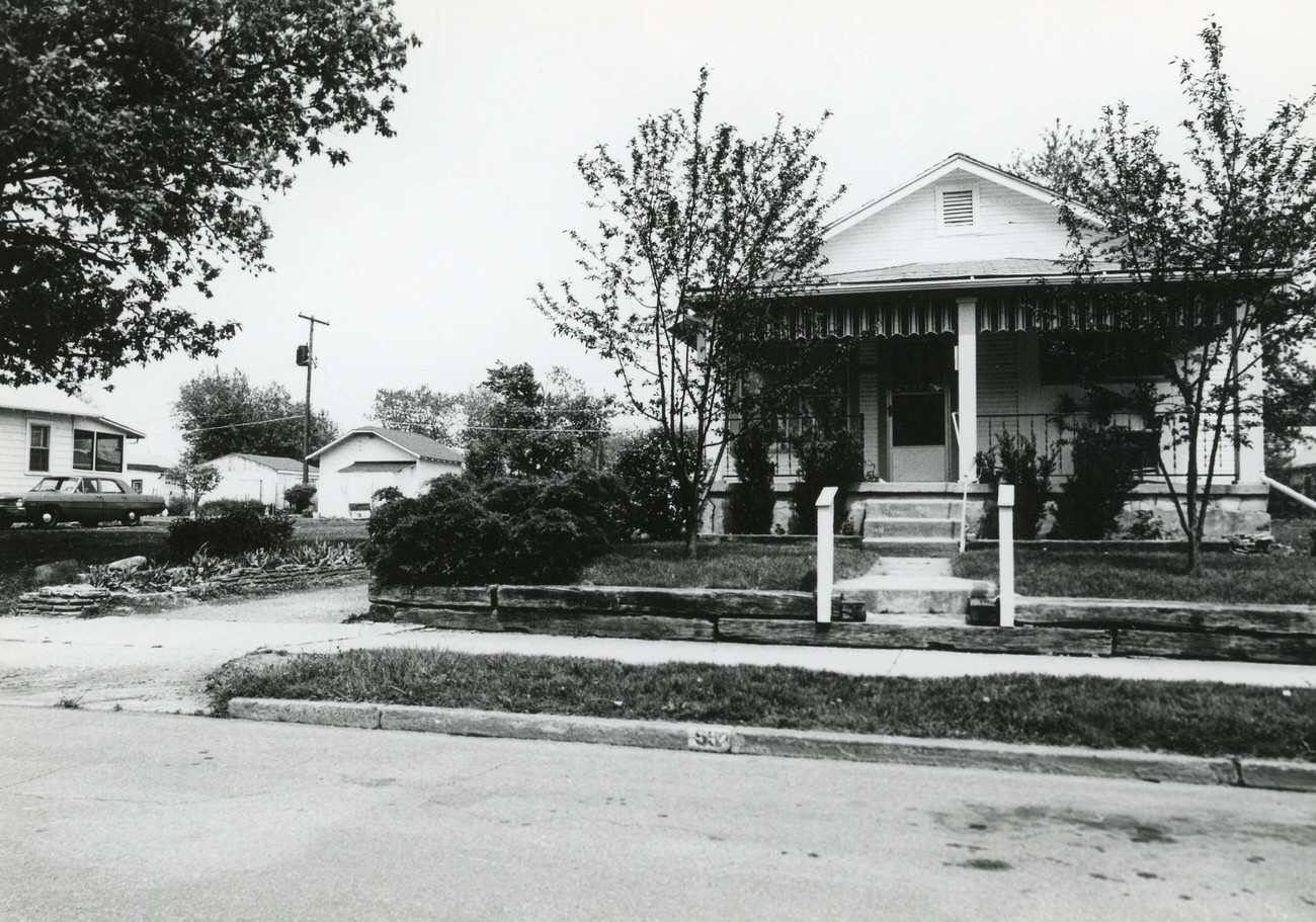
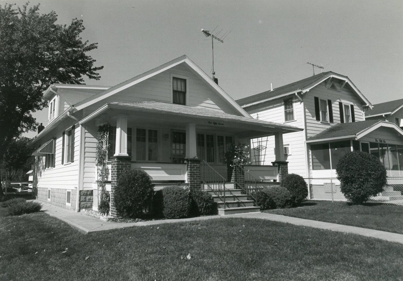
While downtown was changing fast, the Hilltop neighborhood on Columbus’s west side was being documented with equal care. The Greater Hilltop Area Commission undertook a major project in the early 1980s to photograph and catalogue the neighborhood’s homes and streets for a guide called “Hilltop U.S.A.: History and Homes.” Photographers walked block by block, shooting houses on Sullivant Avenue, Eureka Avenue, Wheatland Avenue, and dozens of other streets. The resulting archive covers hundreds of addresses across the neighborhood.
1817, 1823, and 1827 Sullivant Ave. in Hilltop, featured in the Greater Hilltop Area Commission’s guide to the area’s history and architecture, 1982View of 1831, 1837, and 1845 Sullivant Ave., taken for the Greater Hilltop Area Commission’s guide to Hilltop, 1983
Sullivant Avenue was one of Hilltop’s main east-west streets, and the commission photographed it in detail beginning in 1982. Individual addresses on Eureka Avenue, both north and south of the main corridor, were also catalogued. Some of these homes have since been demolished. The house at 127 S. Highland Ave. was photographed for the guide in the 1980s and demolished sometime between 2009 and 2011, making the archival photo the only surviving image of the structure. The same is true for the property at 381 S. Hague Ave.
127 S. Highland Ave. in Hilltop, demolished between 2009 and 2011, captured for the Greater Hilltop Area Commission’s neighborhood guide, 1980sView of 202, 192, and 184 N. Eureka Ave. in Hilltop, taken for the Greater Hilltop Area Commission’s neighborhood guide, 1980s
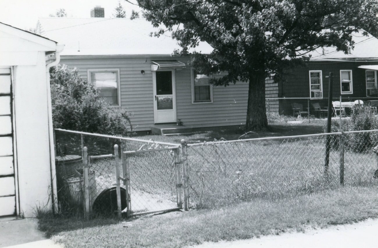
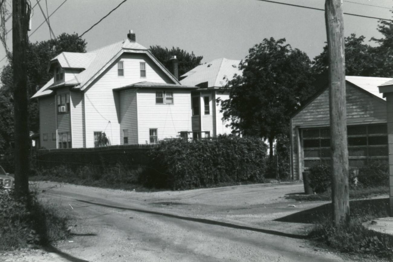
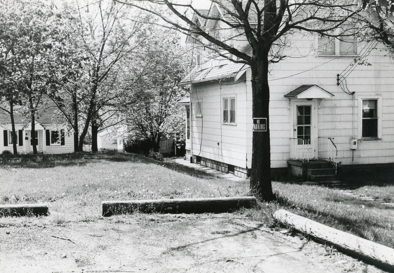
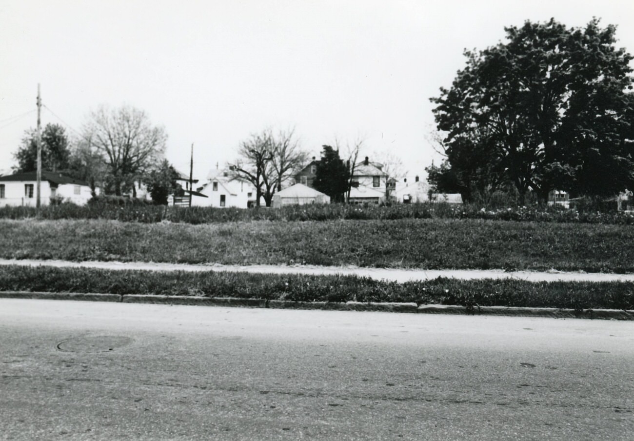
The commission’s photographers didn’t limit themselves to front facades. They shot rear views of houses, vacant lots, and unidentified garages — details that give historians a fuller picture of what the neighborhood actually looked like from every angle. Streets like Larcomb Avenue, Wiltshire Road, Racine Avenue, and Whitethorne Avenue were all covered. Residential blocks on South Terrace, Woodbury, Wrexham, and Clarendon were included too, building what amounts to one of the most thorough neighborhood surveys carried out in Columbus during the decade.
View south on Larcomb Ave. from 530 Larcomb Ave., with 538 Larcomb Ave. in the center, 1980s.668, 674, and 680 Wiltshire Rd. in Hilltop, part of the Greater Hilltop Area Commission’s guide, 1980s.
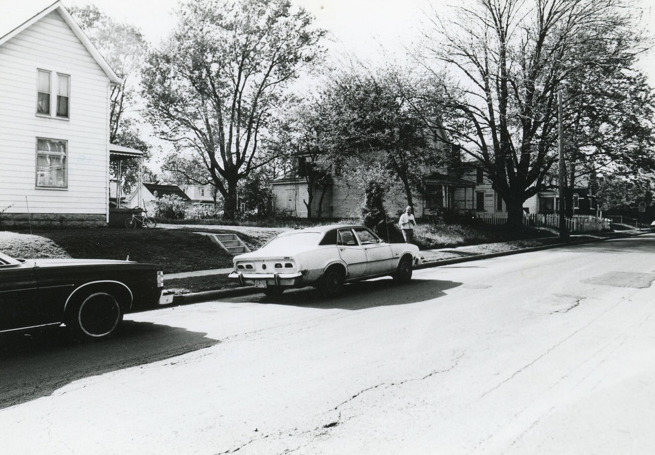
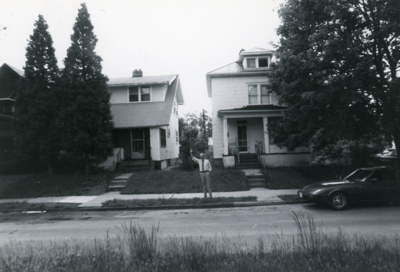
The commission’s work also captured the human side of the neighborhood. One photograph shows 249 and 253 S. Burgess Ave. with an unidentified man standing outside and waving at the camera — a small but vivid reminder that these weren’t empty streets. People lived here, knew their neighbors, and went about their daily routines while history was being documented around them.
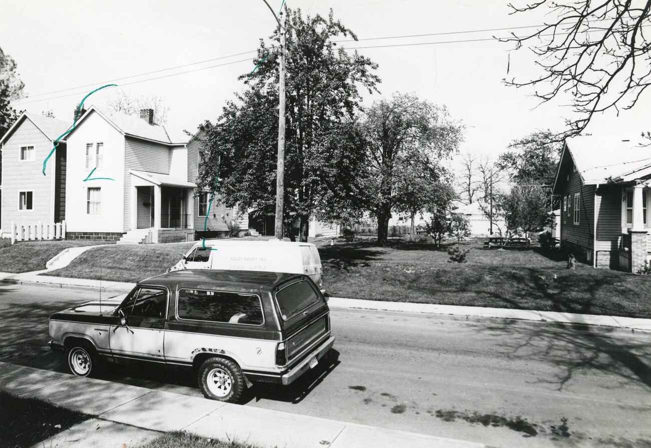
249 and 253 S. Burgess Ave., with an unidentified man waving, featured in the Greater Hilltop Area Commission’s guide, 1980s.Photograph of a vacant lot in Hilltop, part of the Greater Hilltop Area Commission’s guide, 1980s.
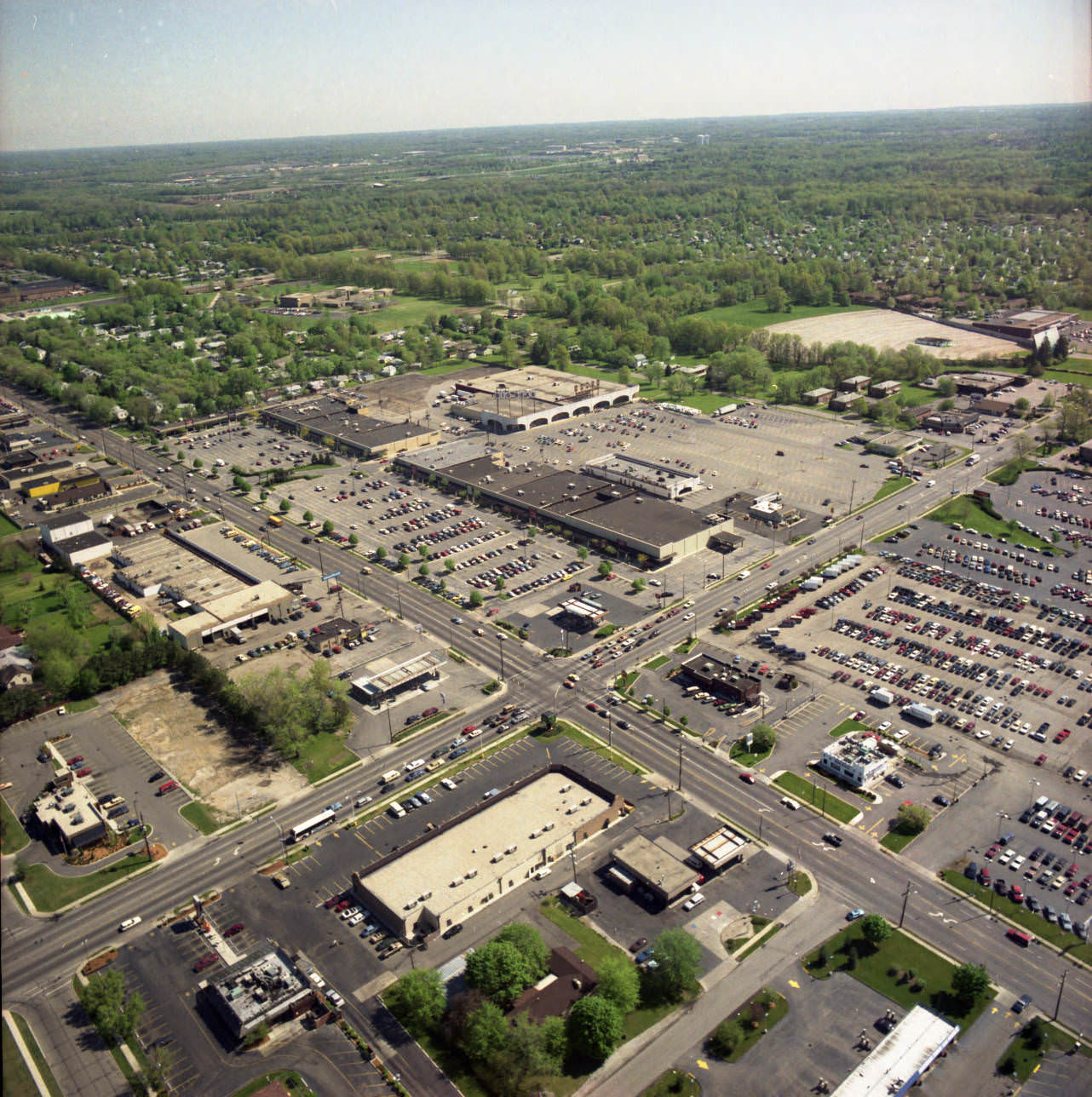
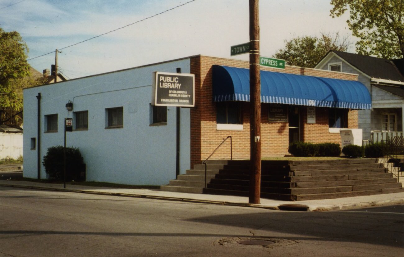
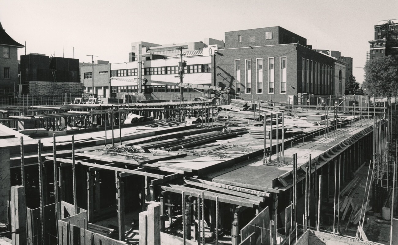
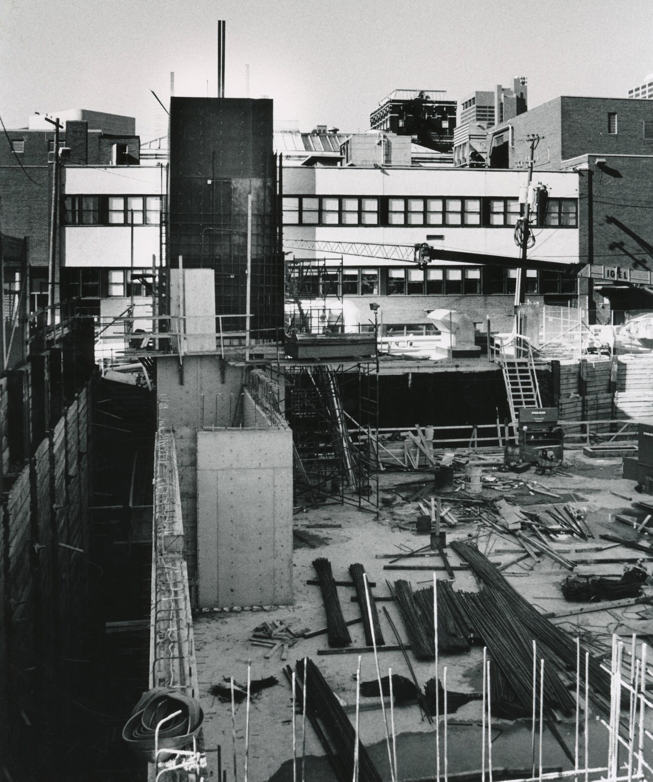
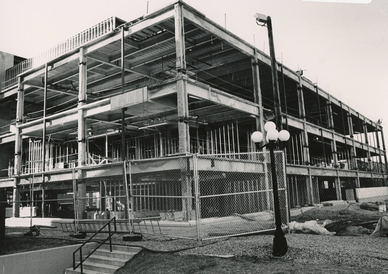
Beyond Hilltop and downtown, Columbus offered scattered snapshots of 1980s life across the whole city. The Great Eastern Shopping Center at East Main Street and Hamilton Road was photographed from the air around 1986, showing its sprawling parking lots. The Columbus Metropolitan Library was in the middle of a major expansion by the late 1980s, with construction on the parking garage beginning in 1988 and a temporary interim building staying open to serve patrons during the project. The Franklinton Branch, operating in a former dental lab that opened in 1976, was photographed in October 1988 — it was demolished in 1995.
Aerial views of Great Eastern Shopping Center, located at East Main Street and Hamilton Road, circa 1986.Columbus Metropolitan Library Franklinton Branch, second location, opened in former Cranfill Dental Lab in 1976, demolished in 1995, photograph from October 20, 1988.
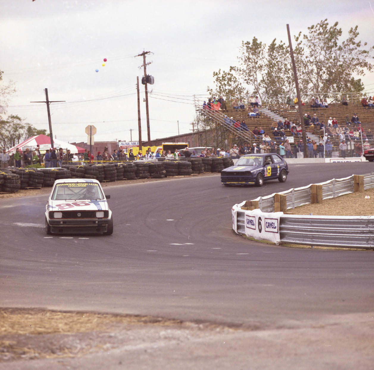
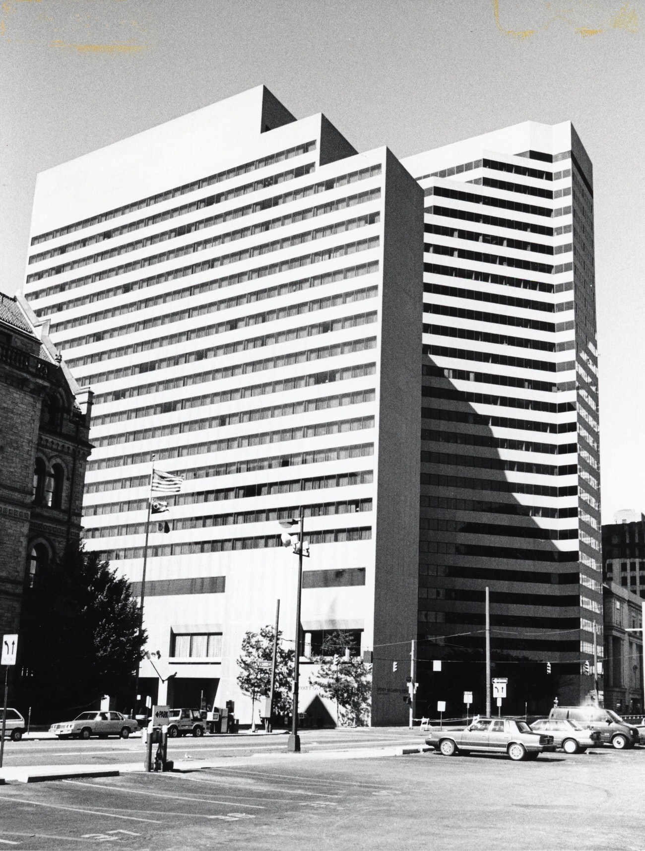
The Columbus Ford Dealers 500 brought automobile racing to the city on October 4–6, 1985, and photographers were on hand to capture the action. The race was one of many events that gave Columbus a lively public calendar throughout the decade. The Hyatt Regency Hotel near Route 315 and Dublin Road was another sign of the city’s ambitions — photographed from the air in 1984, it stood as one of the most prominent hospitality developments of the era. The Hyatt Pickett Hotel, a separate property, opened on January 16, 1984.
Scenes from the 1985 Columbus Ford Dealers 500 automobile races, October 4-6, 1985.Aerial views over Route 315 near Dublin Road, showing the Hyatt Regency Hotel, 1984.
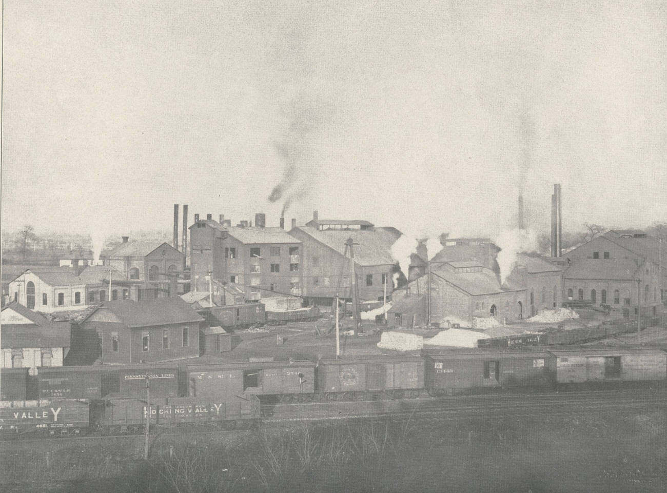
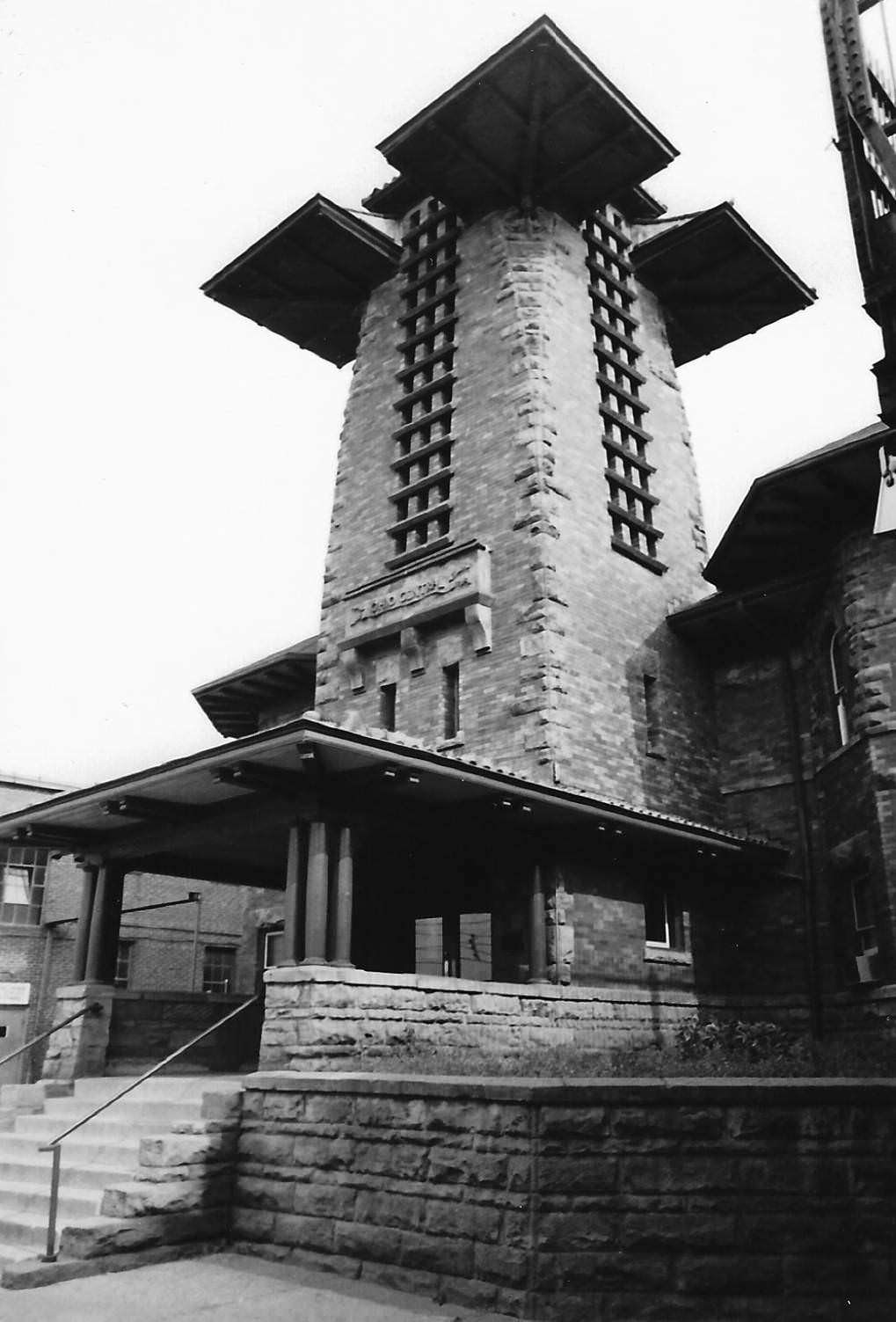
Columbus’s industrial history was still visible in the 1980s. The Buckeye Steel Castings Company factory on Parsons Avenue, founded in October 1902, had merged with Worthington Industries in 1980. It remained a physical presence in the city’s landscape as photographed in that era. The Columbus Train Depot was photographed in 1988 by Marlo Bartels as reference material for a mural — the kind of repurposing that often keeps a record of a building alive longer than the structure itself.
Buckeye Steel Castings Company factory, founded October 1902, located on Parsons Avenue, merged with Worthington Industries in 1980.Columbus Train Depot, photograph by Marlo Bartels for mural inspiration, 1988.
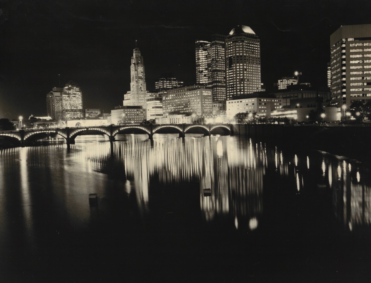
Night photos of the downtown riverfront in the 1980s show a city that didn’t shut down after dark. The Scioto River reflected the lights of the skyline, and by 1987 the Columbus skyline had reached a density that made for dramatic photography from any angle. The view of the Ohio Statehouse from West Broad Street in May 1982 framed one of the city’s oldest landmarks against a backdrop that was constantly shifting. Taken together, these images — from Hilltop’s residential blocks to the boardrooms rising downtown — show Columbus exactly as it was.
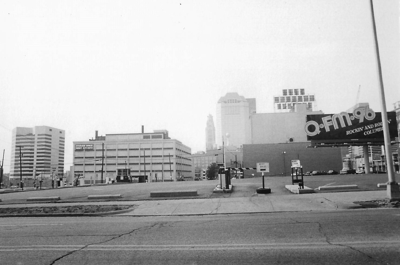
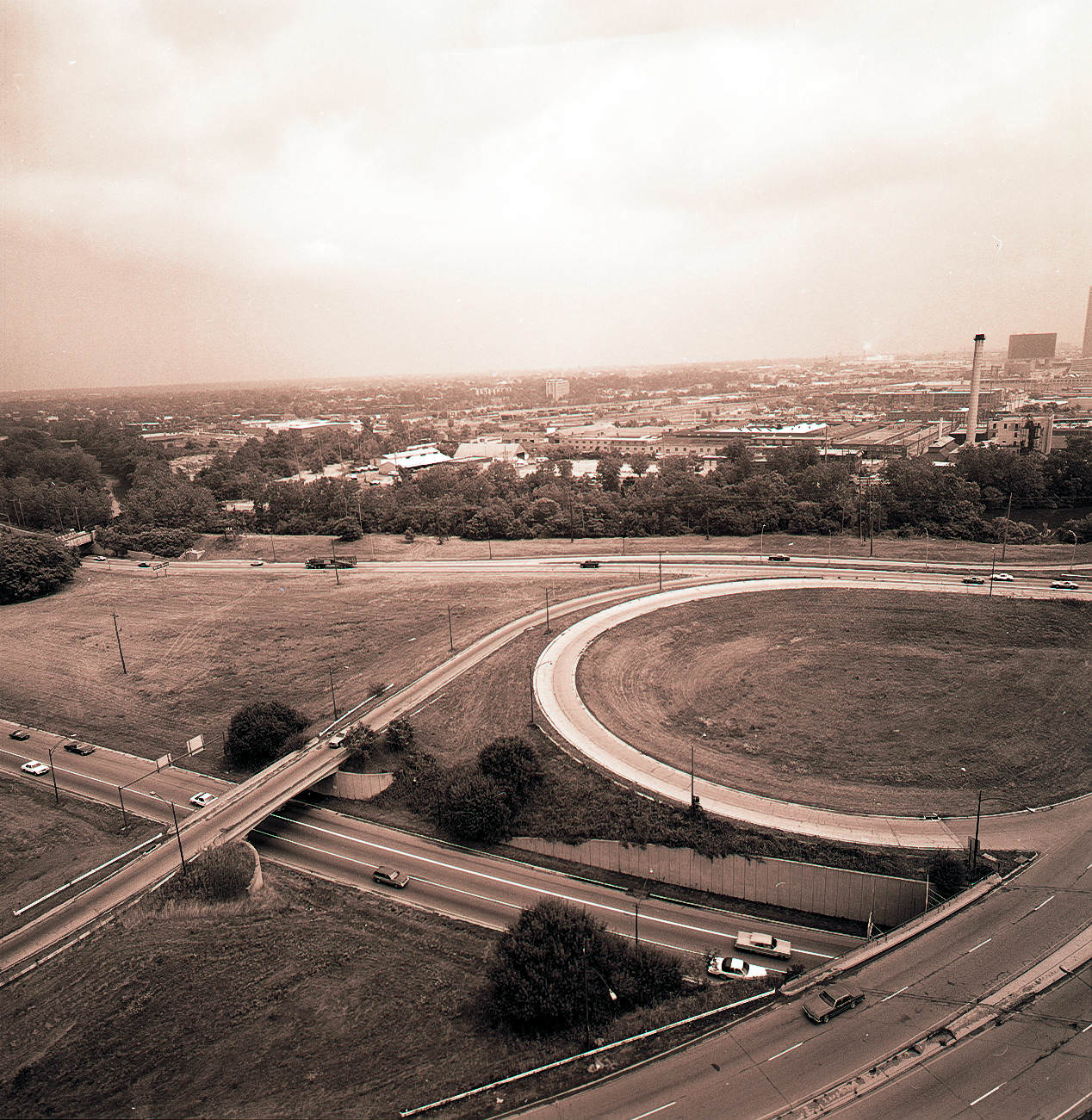
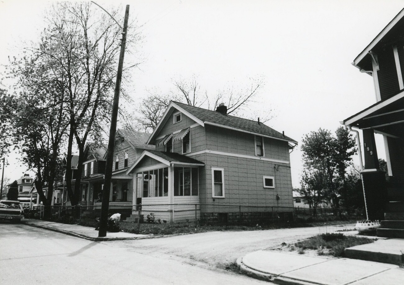
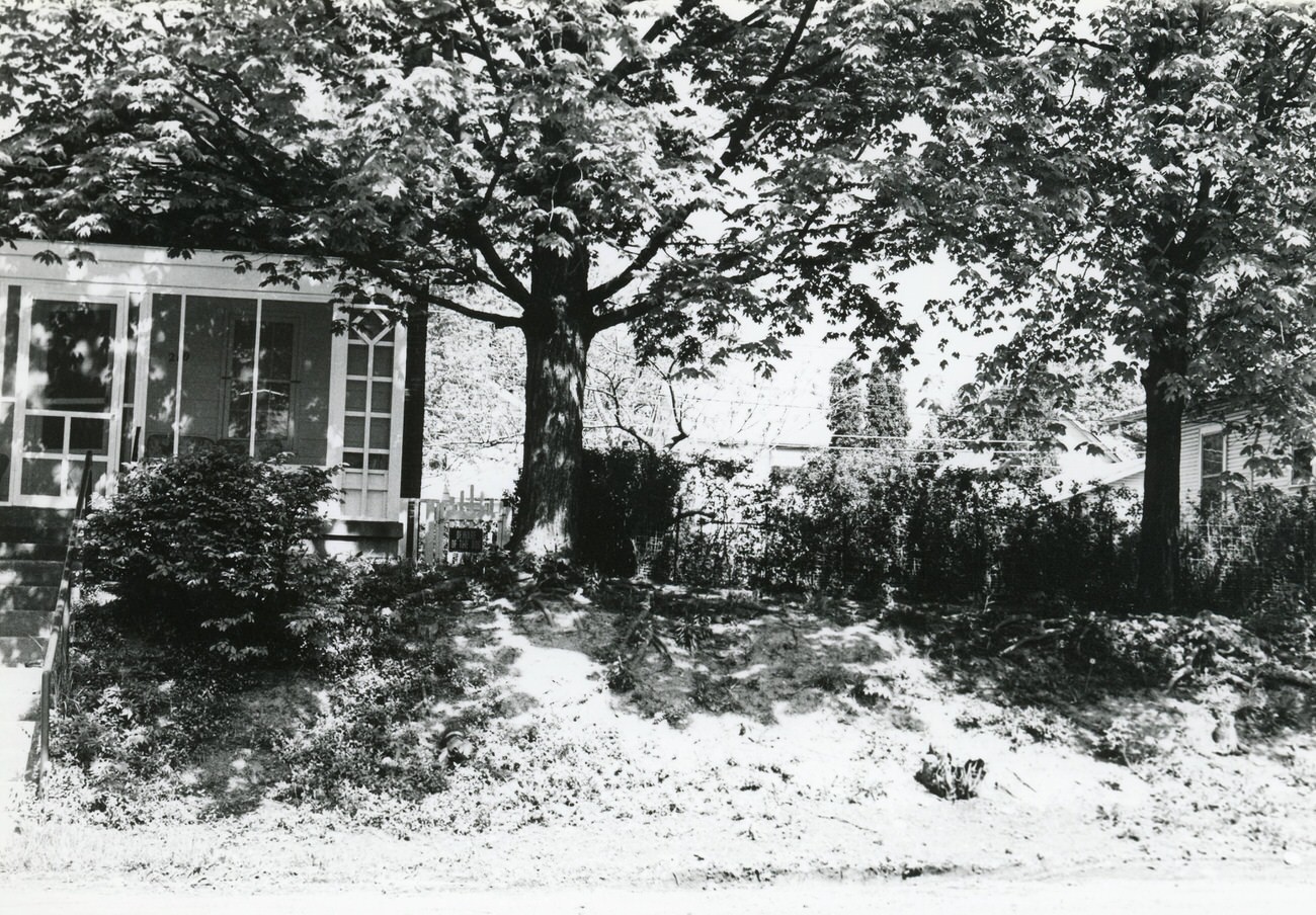
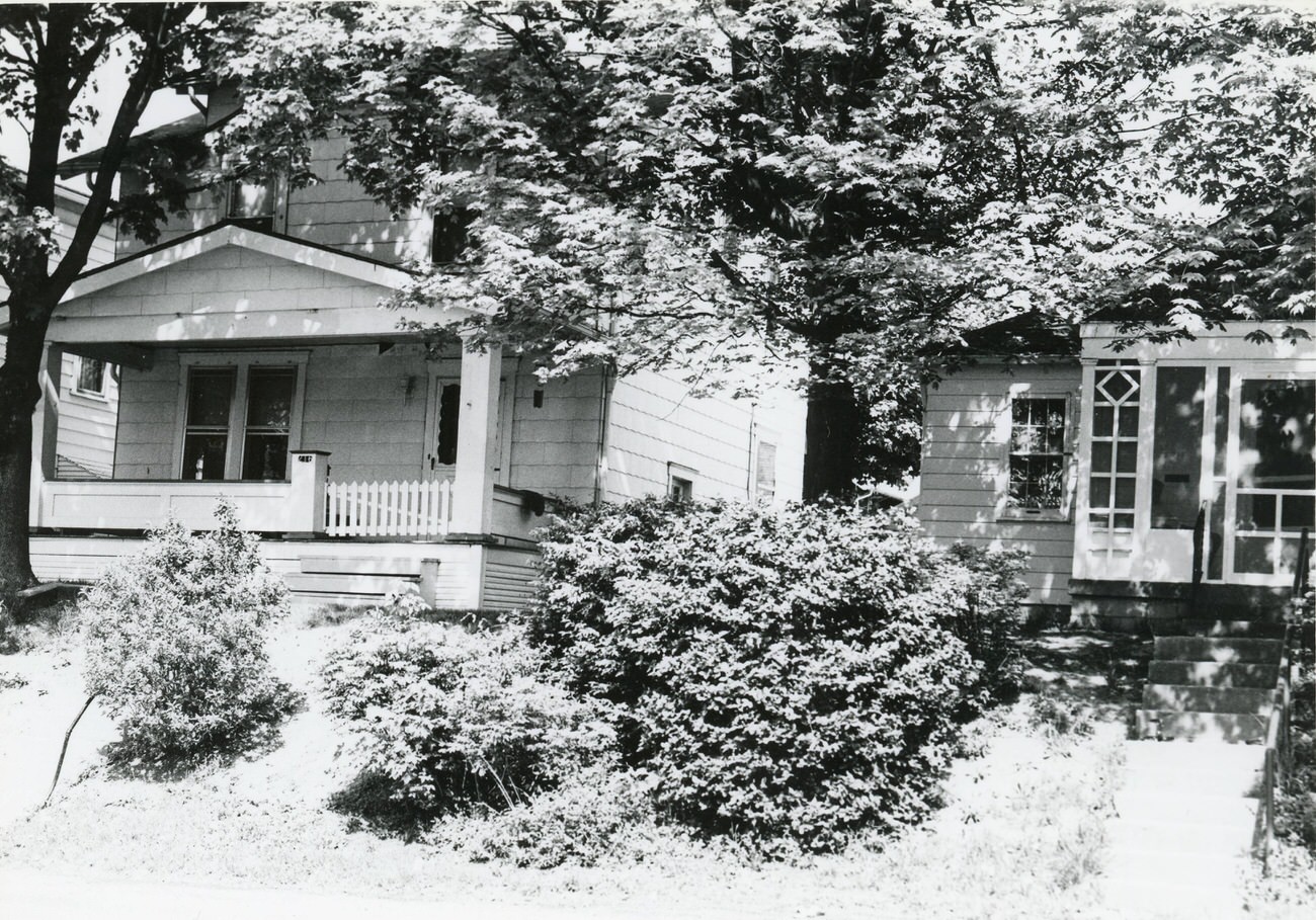
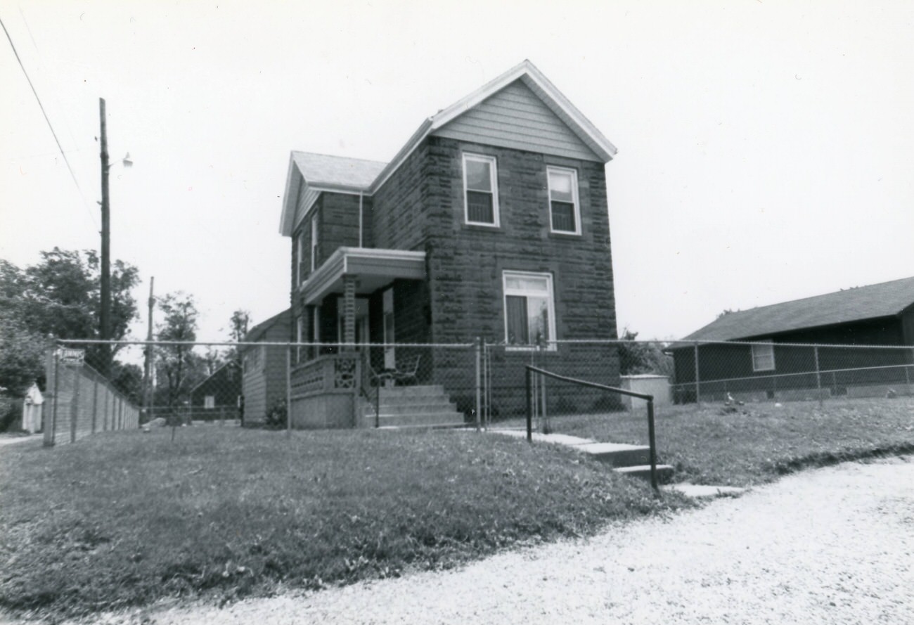
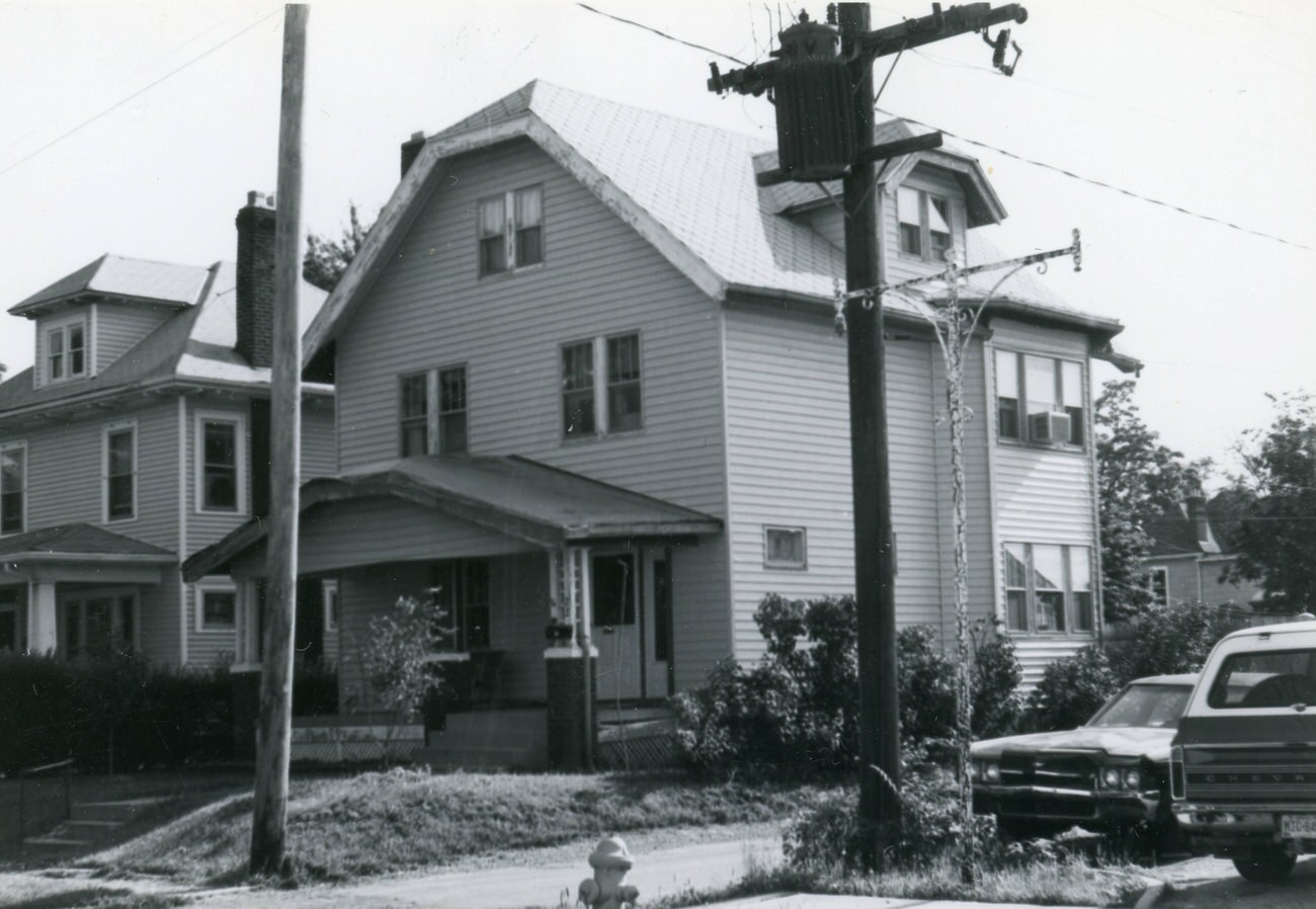
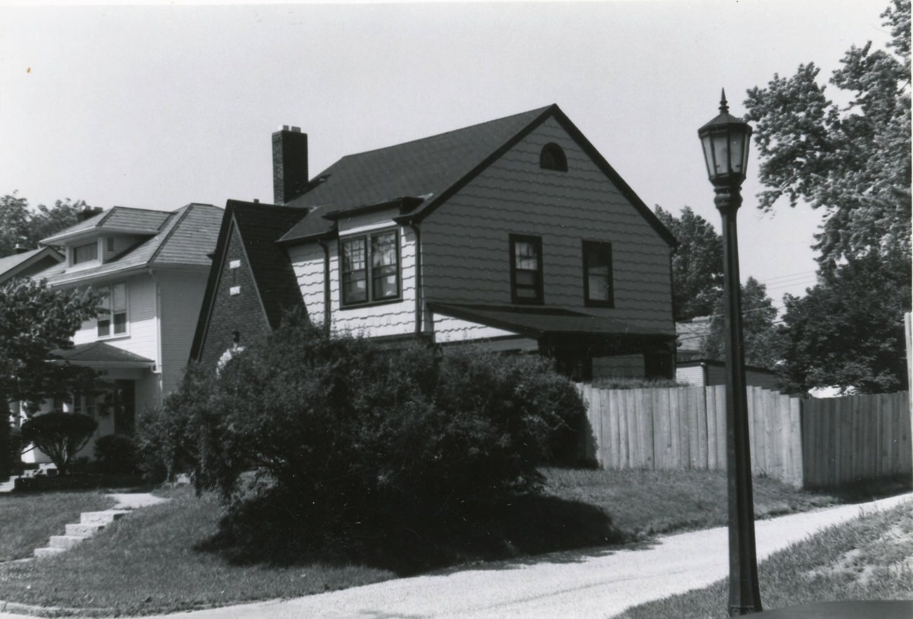
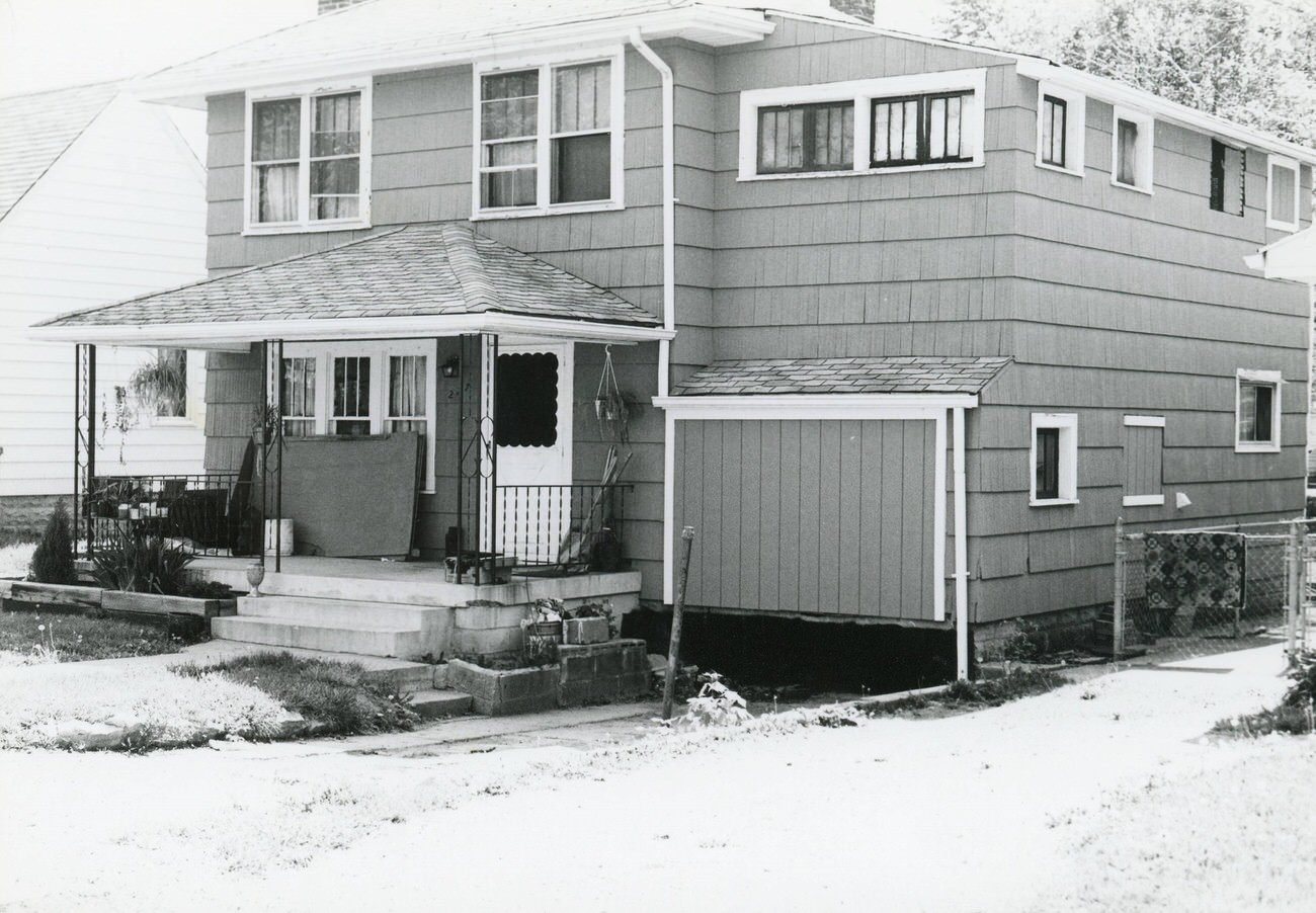
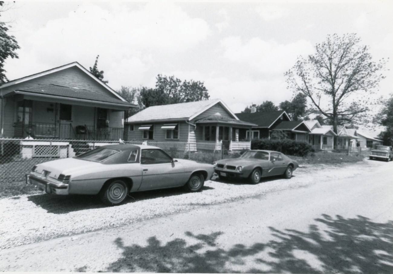
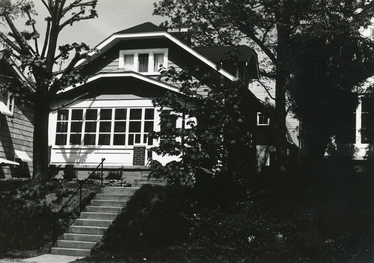
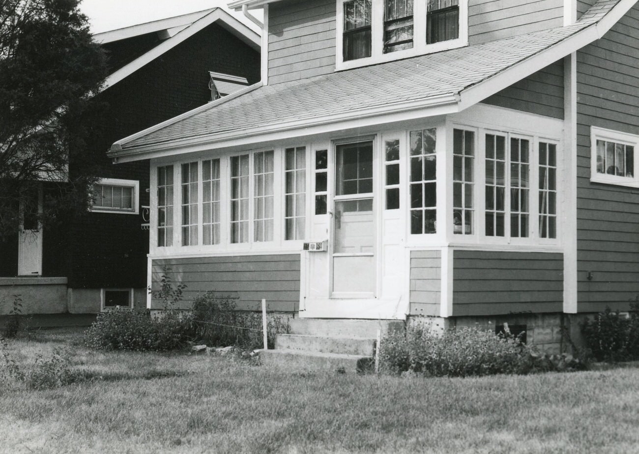
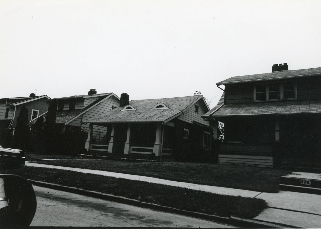
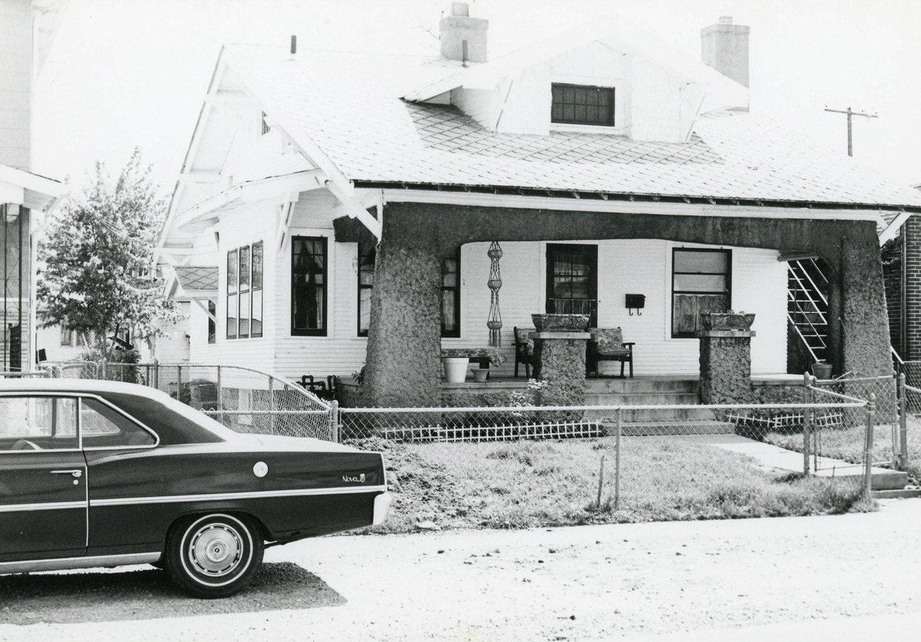
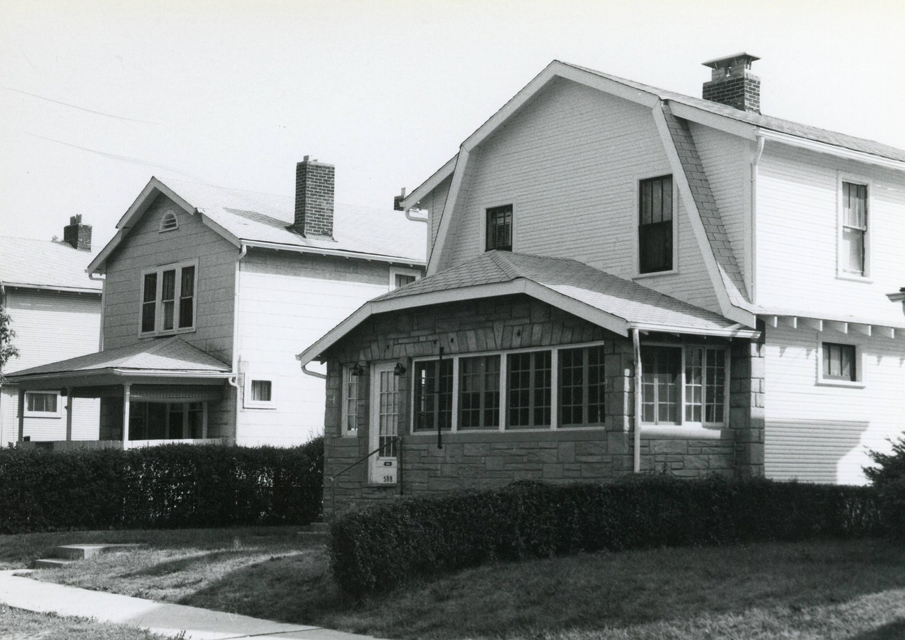
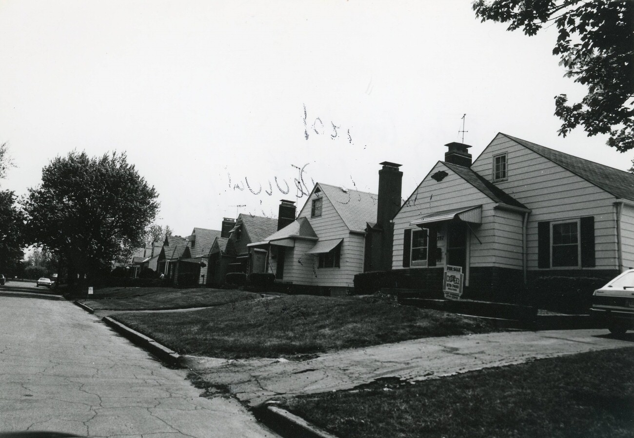
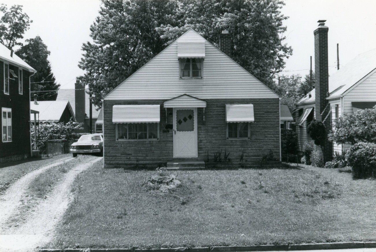
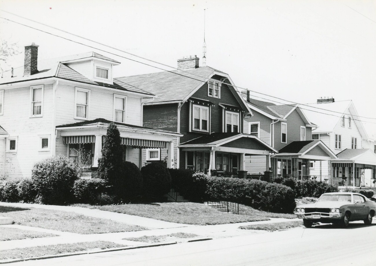
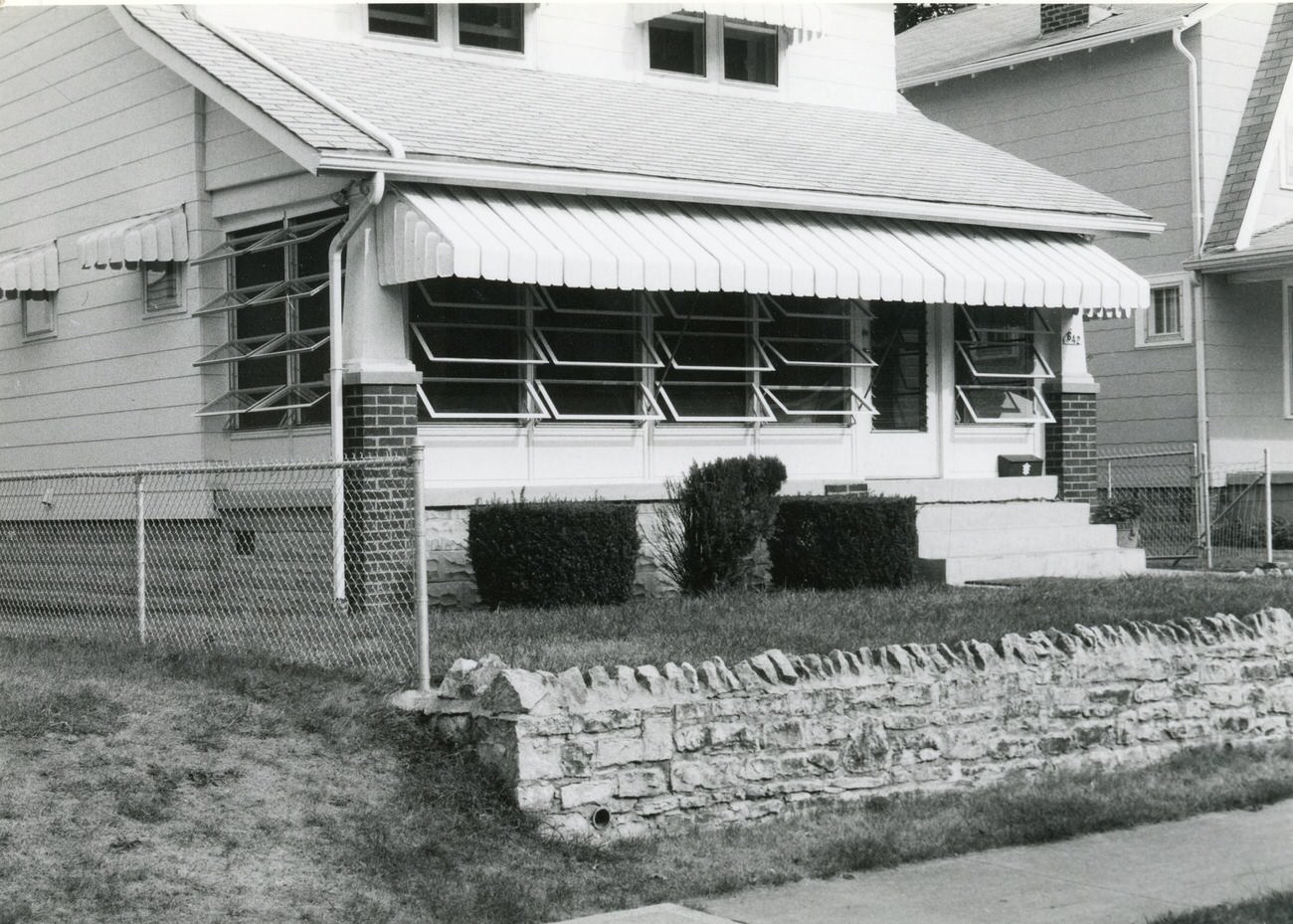
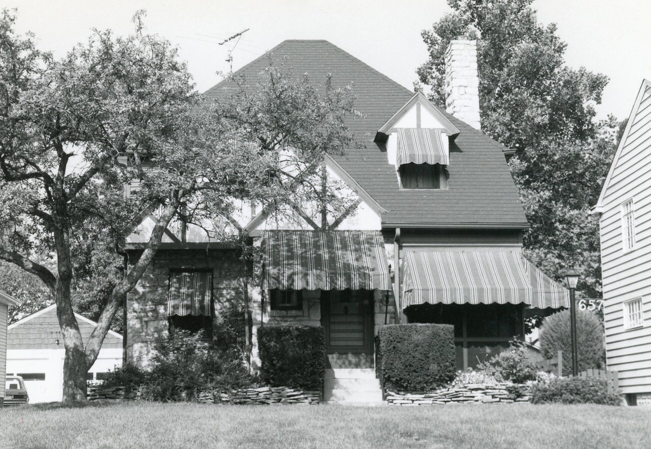
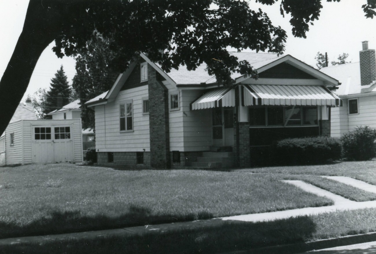
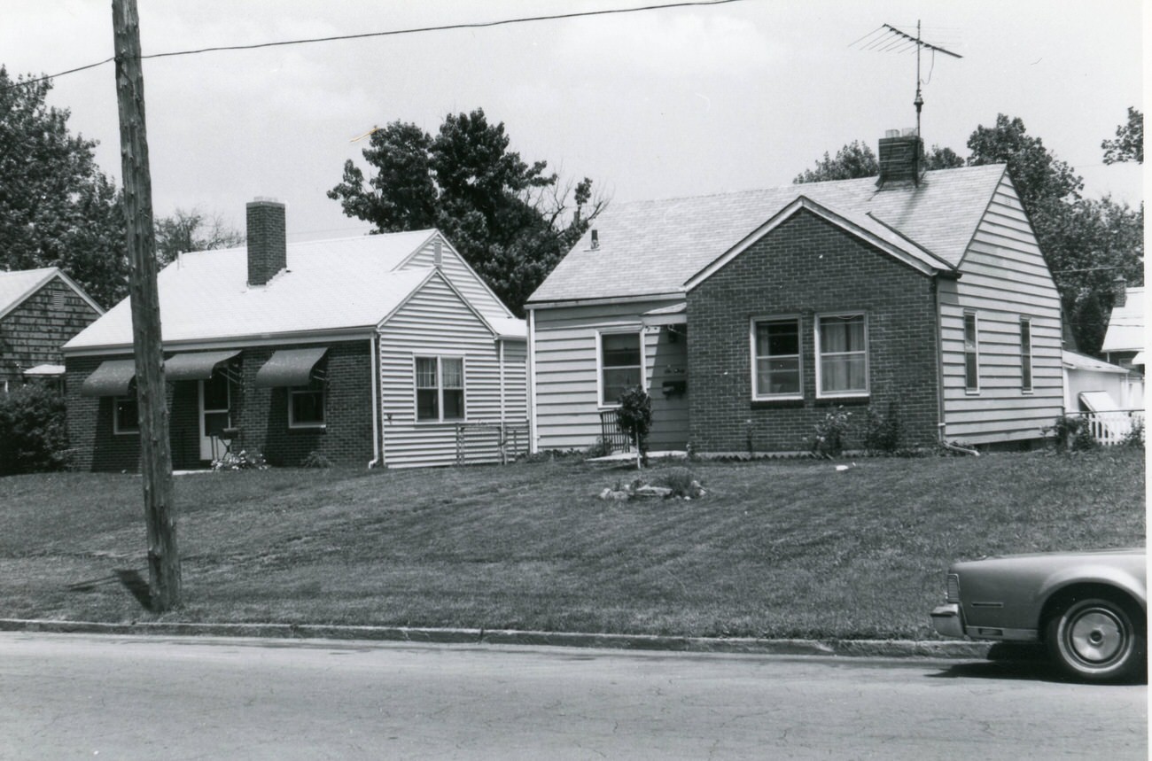
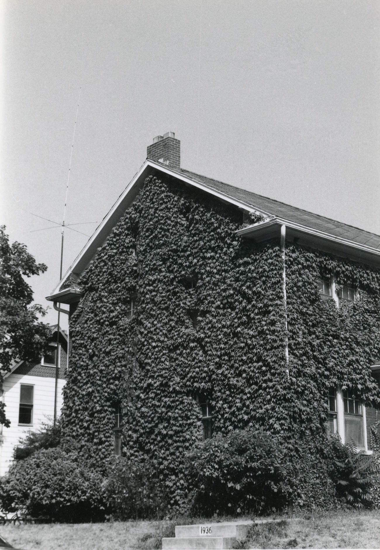
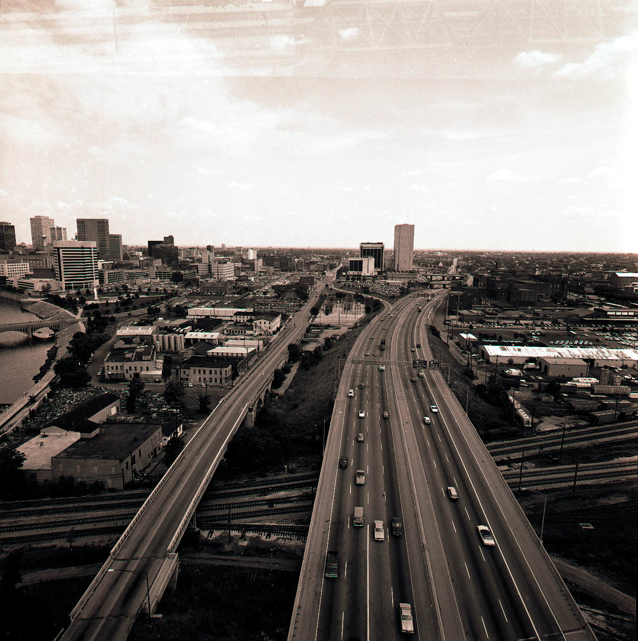
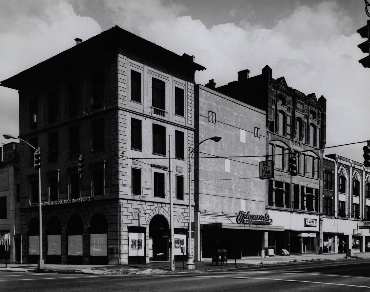
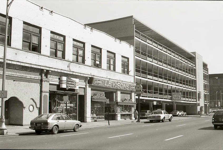
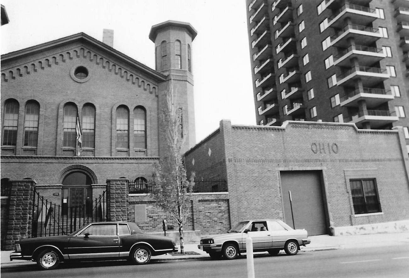
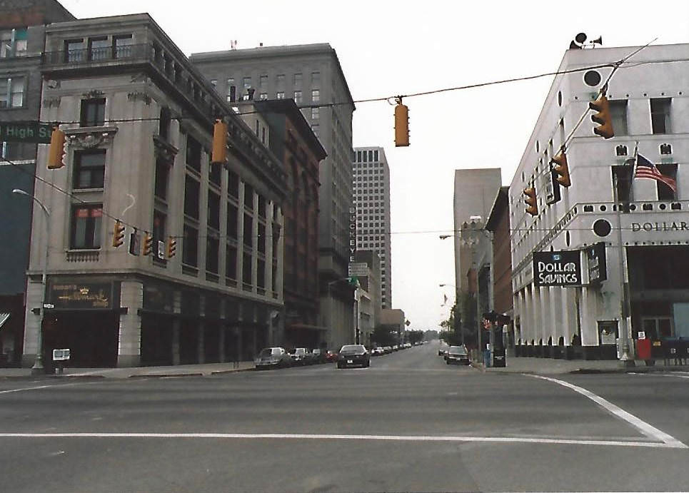
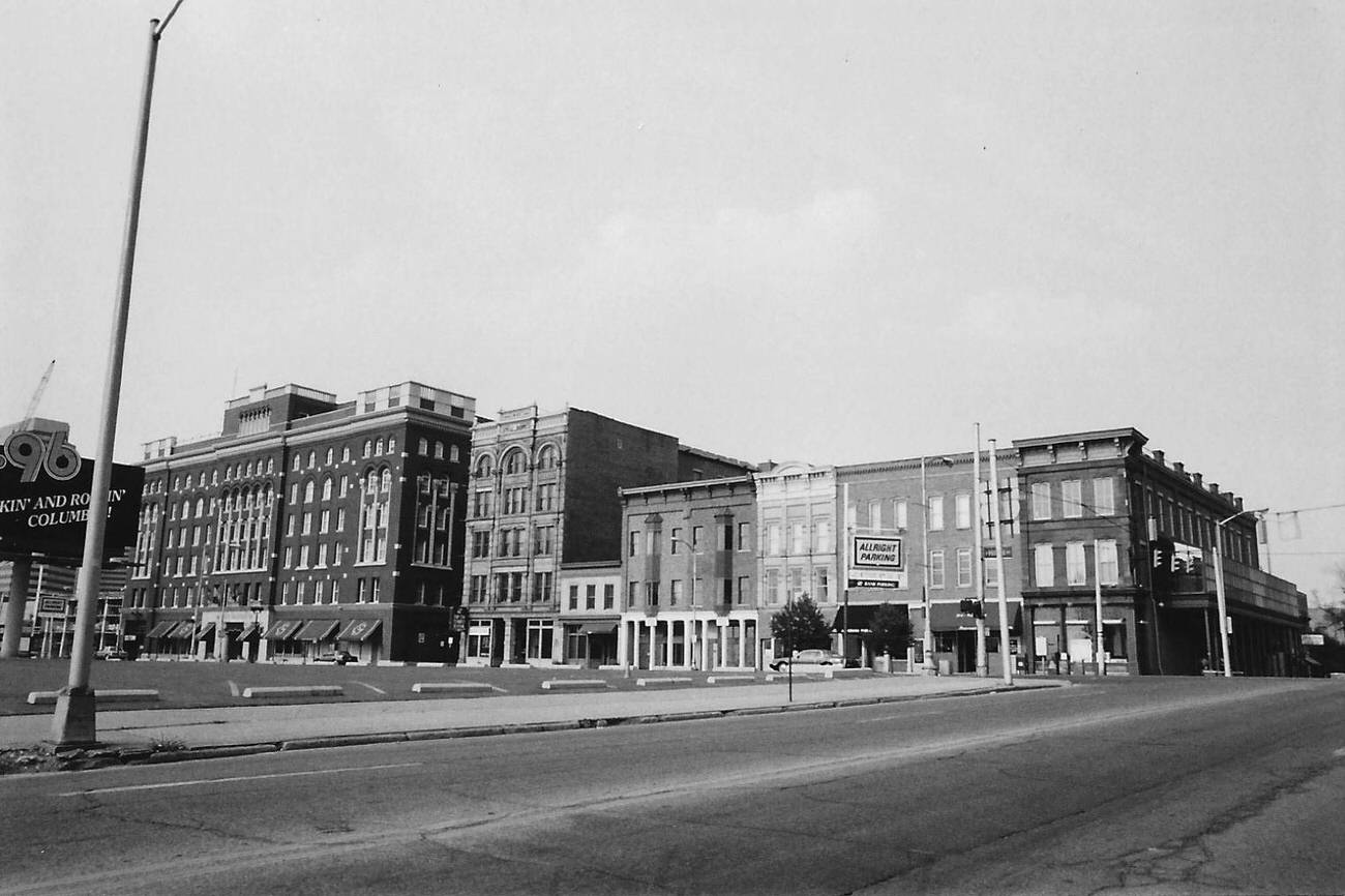
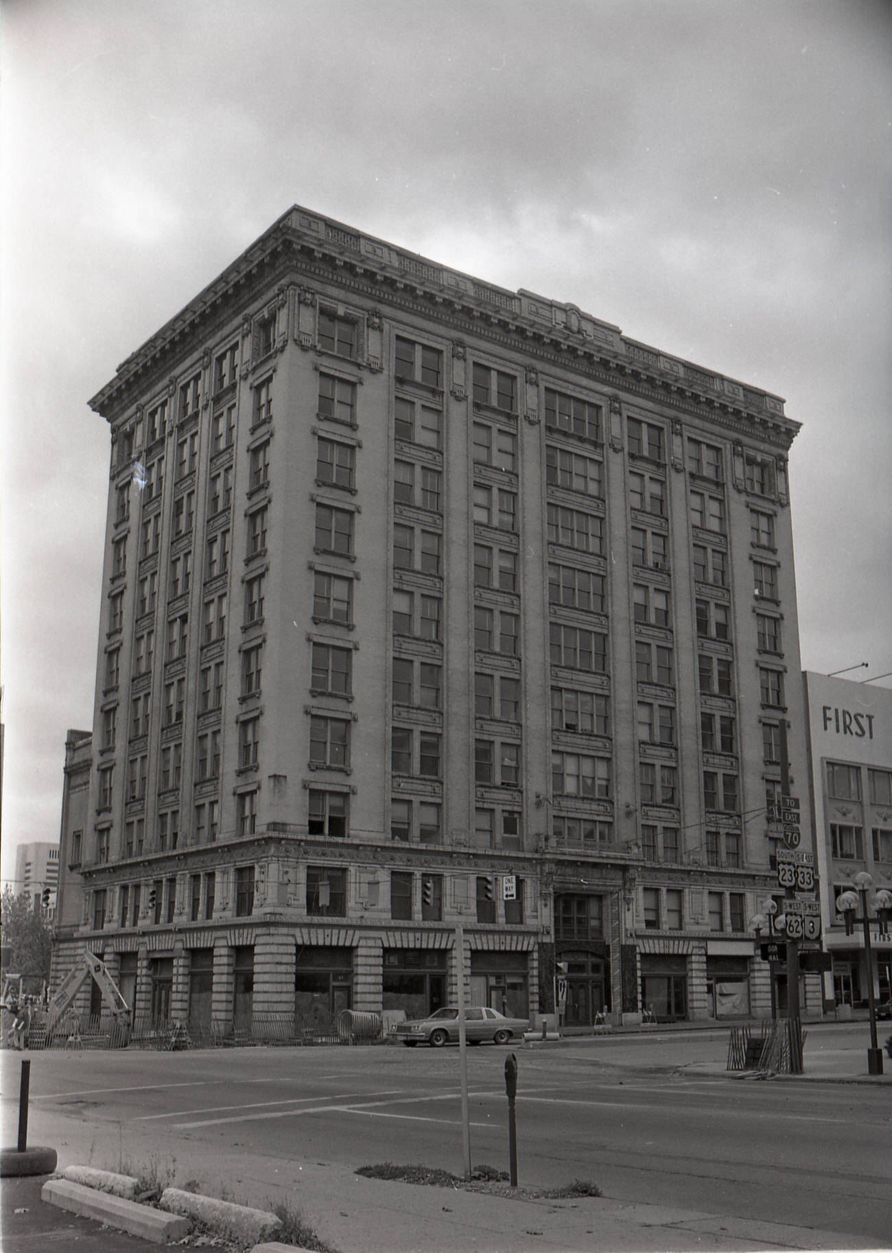
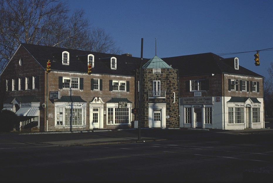
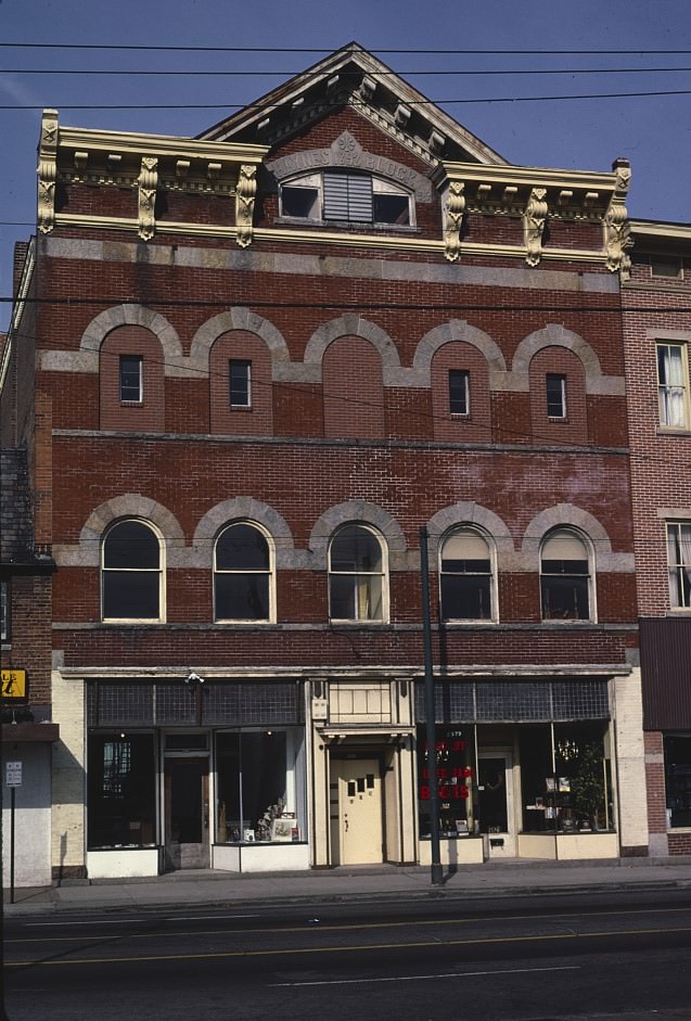
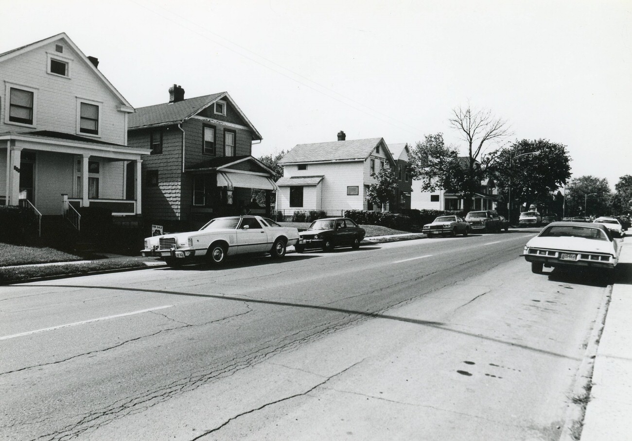
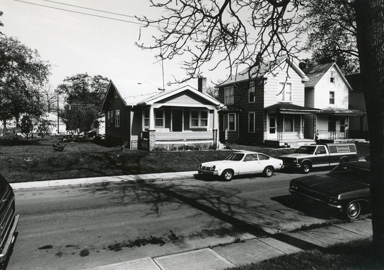
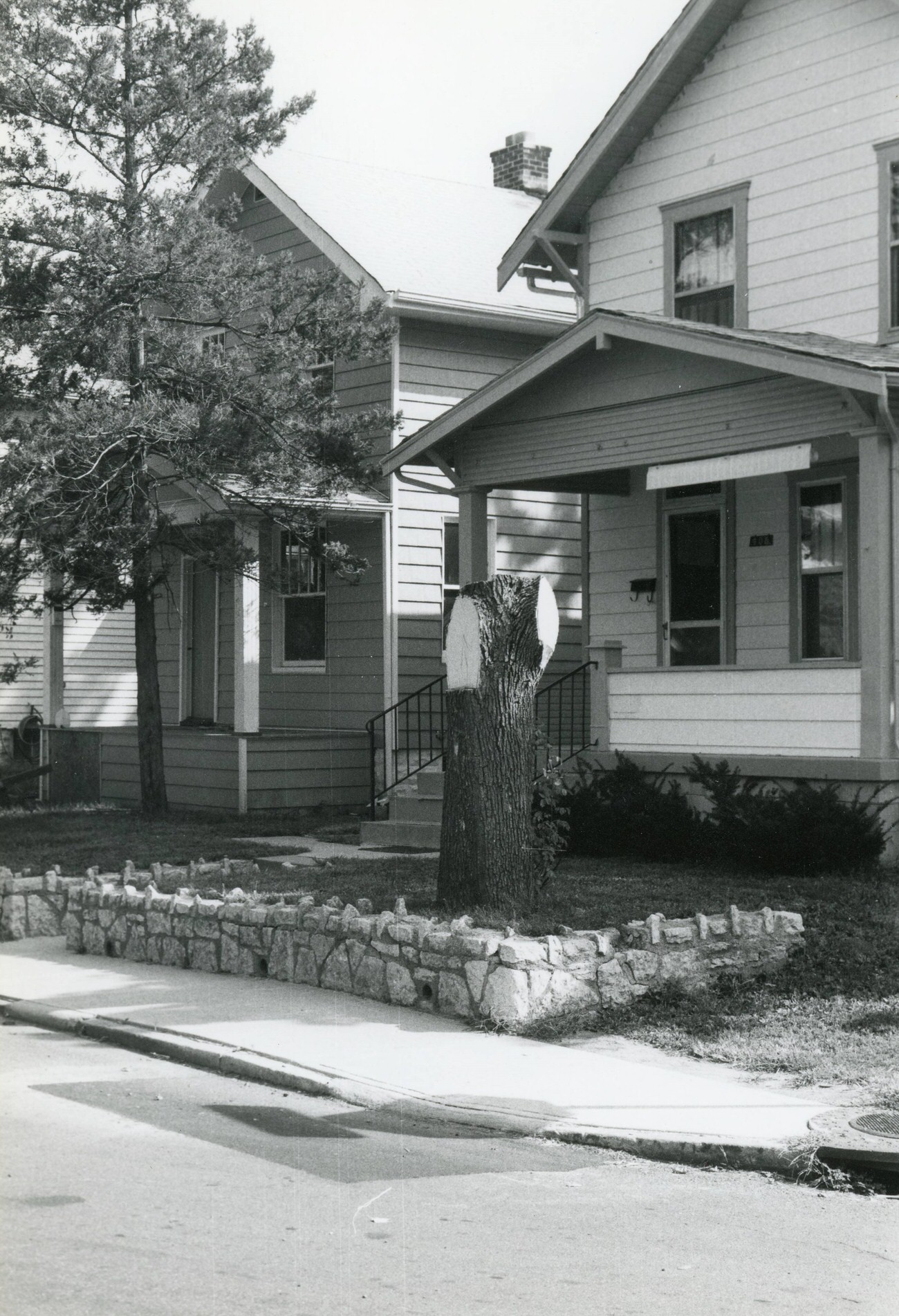
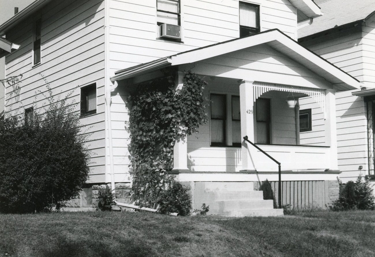
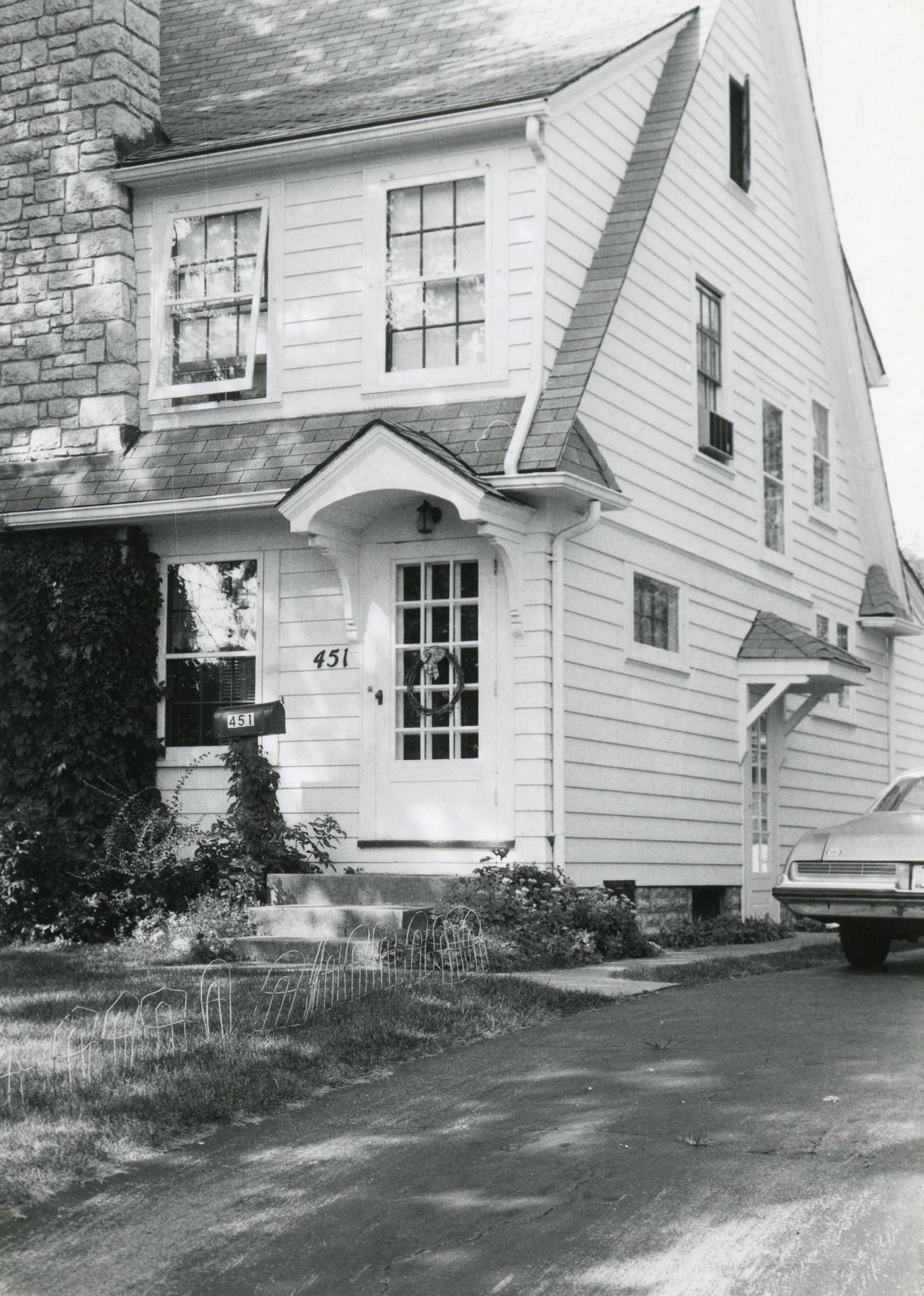
Night view of downtown Columbus riverfront and Scioto River, 1980sView of Ohio Statehouse and downtown Columbus from West Broad Street, May 1982.145 and 149 N. Eureka Ave. in Hilltop, taken for the Greater Hilltop Area Commission’s guide to the neighborhood’s history and architecture, 1980sView of 152 South Wheatland Ave. in Hilltop, part of the Greater Hilltop Area Commission’s historical and architectural guide, 1980s157 Nashoba Ave. in Hilltop, captured for a guide by the Greater Hilltop Area Commission on local history and architecture, 1980s170 South Wheatland Avenue in Hilltop for the Greater Hilltop Area Commission’s historical and architectural guide, 1980s1823 and 1827 Sullivant Ave. in Hilltop, part of a project by the Greater Hilltop Area Commission, 1982110 N. Eureka Ave., part of the Greater Hilltop Area Commission’s guide to Hilltop’s history and architecture, 1980s110 S. Wheatland Ave., featured in the Greater Hilltop Area Commission’s Hilltop guide, 1980sPhoto of the corner of Grace St. and Eldon Ave, with 116 Eldon Ave., for the Greater Hilltop Area Commission’s guide, 1980s116 Eldon Ave. in Hilltop, captured for the Greater Hilltop Area Commission’s neighborhood guide, 1980s124 and 132 N. Hague Ave., part of the Greater Hilltop Area Commission’s Hilltop guide, 198213 Belvidere Avenue, part of the Greater Hilltop Area Commission’s Hilltop U.S.A. guide, 1980s.106 S. Wheatland Ave., featured in the Greater Hilltop Area Commission’s Hilltop U.S.A. guide, 1980s.107 Wheatland Ave. in Hilltop, included in the Greater Hilltop Area Commission’s project, 1980s.Bird’s eye view of downtown Columbus including the bridges over the Scioto River, 1980s.199 South Wheatland Avenue, highlighted in the Greater Hilltop Area Commission’s Hilltop guide, 1980s.192 and 202 N. Eureka Ave., part of the Greater Hilltop Area Commission’s Hilltop project, 1980s.205 Lechner Avenue in Hilltop, from the Greater Hilltop Area Commission’s guide, 1980s.210 N. Eureka Ave. in Hilltop, featured in the Greater Hilltop Area Commission’s guide, 1980s.210 and 216 N. Eureka Ave. in Hilltop, included in the Greater Hilltop Area Commission’s Hilltop guide, 1980s.2160 Springmont Avenue in Hilltop, part of the Greater Hilltop Area Commission’s project, 1980s.22 N. Eldon Ave. in Hilltop, featured in the Greater Hilltop Area Commission’s guide, 1980s.223 S. Roys Ave. in Hilltop, included in the Greater Hilltop Area Commission’s Hilltop U.S.A. guide, 1980s.227 N. Eureka Ave. in Hilltop, part of the Greater Hilltop Area Commission’s guide, 1980s.2278, 2272, and 2268 Springmont Ave. in Hilltop, featured in the Greater Hilltop Area Commission’s guide, 1980s.234 S. Roys Ave. in Hilltop, included in the Greater Hilltop Area Commission’s project, 1980s.235 South Roys Avenue in Hilltop, part of the Greater Hilltop Area Commission’s guide, 1980s.2539 and 2525 Ridge Ave. in Hilltop, part of the Greater Hilltop Area Commission’s Hilltop guide, 1980s.2539 Ridge Avenue in Hilltop, included in the Greater Hilltop Area Commission’s project, 1980s.254 North Eureka Avenue, featured in the Greater Hilltop Area Commission’s Hilltop U.S.A. guide, 1980s.2562 Eakin Road in Hilltop, part of the Greater Hilltop Area Commission’s guide, 1980s.275 Columbian Avenue, included in the Greater Hilltop Area Commission’s Hilltop U.S.A. guide, 1980s.2751 Steele Ave. in Hilltop, featured in the Greater Hilltop Area Commission’s project, 1980s.308 and 296 S. Wheatland Ave. in Hilltop, part of the Greater Hilltop Area Commission’s guide, 1980s.320, 326-332, and 334 S. Highland Ave. in Hilltop, included in the Greater Hilltop Area Commission’s Hilltop guide, 1980s.322, 326, and 334 S. Wheatland Ave. in Hilltop, featured in the Greater Hilltop Area Commission’s guide to the neighborhood’s history and architecture, 1980s.320, 326-332, and 334 S. Highland Ave. in Hilltop, featured in the Greater Hilltop Area Commission’s guide, 1980s.588 S. Terrace Ave. in Hilltop, part of the Greater Hilltop Area Commission’s guide, 1980s.597 Woodbury Ave. in Hilltop, featured in the Greater Hilltop Area Commission’s guide, 1980s.611 Whitethorne Ave. in Hilltop, included in the Greater Hilltop Area Commission’s project, 1980s.63-65 North Hague Avenue in Hilltop, part of the Greater Hilltop Area Commission’s guide, 1980s.642 S. Terrace Ave. in Hilltop, featured in the Greater Hilltop Area Commission’s guide, 1980s.657 Wiltshire Ave. in Hilltop, included in the Greater Hilltop Area Commission’s project, 1980s.660 Racine Ave. in Hilltop, featured in the Greater Hilltop Area Commission’s guide, 1980s.654 and 660 Whitethorne Ave. in Hilltop, part of the Greater Hilltop Area Commission’s project, 1980s.666 Racine Ave. in Hilltop, included in the Greater Hilltop Area Commission’s guide, 1980s.668 Wiltshire Rd and surrounding houses in Hilltop, featured in the Greater Hilltop Area Commission’s guide, 1980s.676 and 680 Racine Ave. in Hilltop, included in the Greater Hilltop Area Commission’s project, 1980s.680 and 684 Wiltshire Rd. in Hilltop, featured in the Greater Hilltop Area Commission’s guide, 1980s.680 and 684 Wiltshire Rd. in Hilltop, part of the Greater Hilltop Area Commission’s project, 1980s.684 Wiltshire Rd. in Hilltop, included in the Greater Hilltop Area Commission’s guide, 1980s.716 and 710 S. Terrace Ave. in Hilltop, featured in the Greater Hilltop Area Commission’s guide, 1980s.81 North Eureka in Hilltop, part of the Greater Hilltop Area Commission’s project, 1980s.1936 Fairmount Ave. in Hilltop, included in the Greater Hilltop Area Commission’s guide, 1980s.Aerial views near the Scioto and Olentangy River confluence, looking west and southwest, 1984.Aerial views from Route 315 looking east across Franklinton toward downtown Columbus, 1985.Aerial views looking east toward southern downtown Columbus, 1984.Views of downtown Columbus from the roof of the Buckeye Building, 1989.86 S. Wheatland Ave. in Hilltop, part of the Greater Hilltop Area Commission’s guide, 1980s.91 and 95-97 North Hague Ave. in Hilltop, 1980s.94-96 and 98-100 N. Hague Ave. in Hilltop, 1980s.Atlas Building, originally Ferris Building, created by Frank L. Packard, groundbreaking in 1904, extensive renovation in 1982.Back of 116 Eldon Ave. in Hilltop, part of the Greater Hilltop Area Commission’s guide, 1980s.Back of 22 N. Eldon Ave. in Hilltop, included in the Greater Hilltop Area Commission’s project, 1980s.Back of an unidentified house in Hilltop, 1980s.Baker Art Gallery, prominent photography studio in Columbus, 1980sChick’s Camera Exchange, Levison’s pawnbroker, and Allright Parking on East Long Street, 1986.Columbia Gas of Ohio building, opened on July 25, 1983, with 259,000 square feet on 14 floors, cost $30 million, view from Bicentennial Park, Circa 1980sColumbus Cultural Arts Center, gallery and teaching space for visual artists and crafters, located at 139 West Main Street, part of Scioto Mile tourist district, 1988Columbus Metropolitan Library Interim Building, remained open during expansion project in the late 1980s, 1988.Columbus Metropolitan Library Interim Building Construction, expansion of Main Library, 96 S. Grant Avenue, began with construction of parking garage, 1988.Southeast corner of the Columbus Metropolitan Library under expansion, 1989.Columbus downtown skyline views from the Town Street Bridge, August 1984.Highland Avenue and Floral Avenue, Columbus, 1982Downtown Columbus aerial view from WTVN radio building, 1983.Southeast view of downtown Columbus along the Scioto River, 1980sViews of downtown Columbus skyline, 1987.Dollar Savings Bank and Susan’s Hallmark Shop at the corner of Gay and High, Columbus, 1985.Great Southern Hotel on Mound Street, in use today as The Westin Columbus Hotel, 1988.Hartman Building, part of the Hartman family’s holdings including farm and theater, 1980.View south on High Street from north of Chestnut Street, showing Ohio Department of Health and Nationwide Plaza, 1985.An unidentified garage in the Hilltop area, part of the Hilltop U.S.A.: History and Homes project, 1980sA vacant lot in Hilltop, from the Hilltop U.S.A.: History and Homes project, 1980sHouse on Clarendon Avenue, Hilltop, 1980sHuntington Plaza, view from W Broad Street and S. Front Street, featuring Wyandotte building, 1985Hyatt Pickett Hotel, opened January 16, 1984.Eskimo Igloo Ice Cream shop, Columbus, Ohio, 1980.Commercial building, Columbus, Ohio, 1980.
Photo Bus on Hamilton Avenue, Columbus, Ohio, 1980.
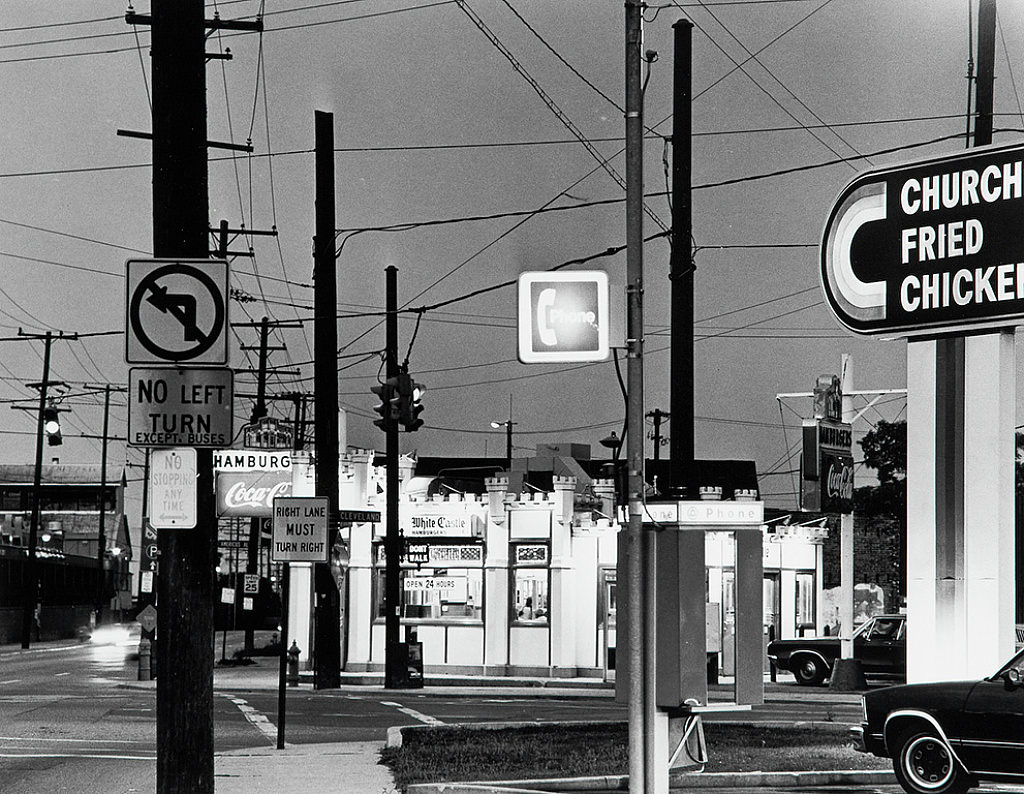
Exterior of White Castle Restaurant, Columbus, Ohio, 1985.381 and 375 S. Hague Ave. in Hilltop, with the former since demolished, 1980s.382 South Ogden Avenue in Hilltop, part of the Greater Hilltop Area Commission’s guide, 1980s.406 South Warren Avenue in Hilltop, featured in the Greater Hilltop Area Commission’s guide, 1980s.429 S. Terrace Ave. in Hilltop, included in the Greater Hilltop Area Commission’s project, 1980s.Front door and right side of 451 S. Guernsey Ave. with a car in the driveway, Hilltop, 1980s.46-48 Clarendon Ave. in Hilltop, part of the Greater Hilltop Area Commission’s guide, 1980s.548, 538, and 534 Larcomb Ave. in Hilltop, featured in the Greater Hilltop Area Commission’s guide, 1980s.550 S. Clarendon Ave. in Hilltop, included in the Greater Hilltop Area Commission’s project, 1980s.550 and 544 Wrexham Ave. in Hilltop, part of the Greater Hilltop Area Commission’s guide, 1980s.552 South Wheatland Avenue in Hilltop, featured in the Greater Hilltop Area Commission’s guide, 1980s.557 Larcomb Avenue in Hilltop, included in the Greater Hilltop Area Commission’s project, 1980s.
Kevin Clark is a historian and writer who is passionate about sharing the stories and significance behind historical photos. He loves to explore hidden histories and cultural contexts behind the images, providing a unique insight into the past.
we should bring the old style bumpers back, much easier to fix after an accident when you can just remvoe the bumper and its not molded into the vehicle

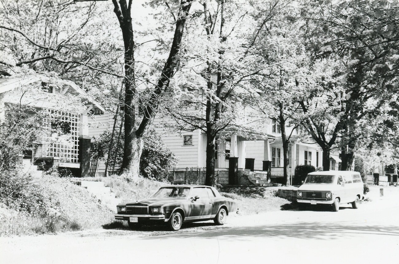
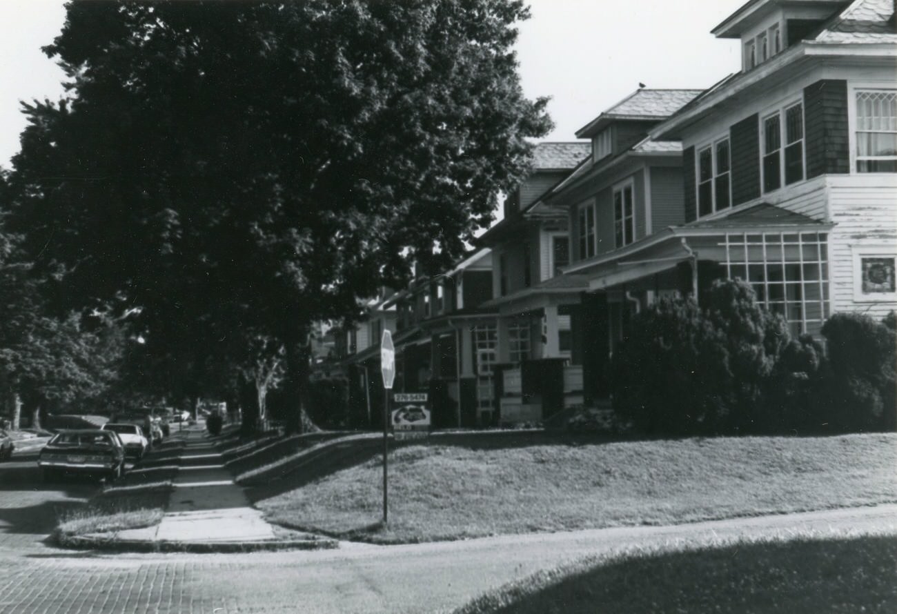
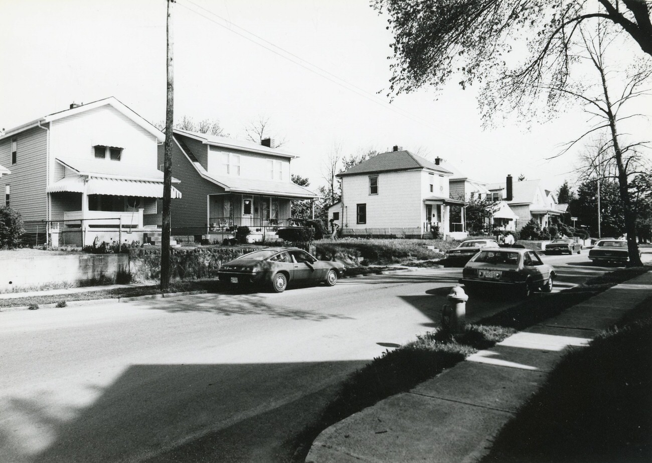





Good ol’ S. Roys Ave making an appearance!
we should bring the old style bumpers back, much easier to fix after an accident when you can just remvoe the bumper and its not molded into the vehicle
interesting!