
Columbus, Ohio in the 1960s was a city in motion. Neighborhoods were being built up and torn down at the same time. New highways sliced through old communities. Familiar landmarks disappeared almost overnight. And yet, the city’s energy — its ambition, its civic pride, its everyday street life — was very much alive. These photographs capture Columbus during one of its most transformative decades, offering a street-level and aerial record of a city caught between its past and its future.
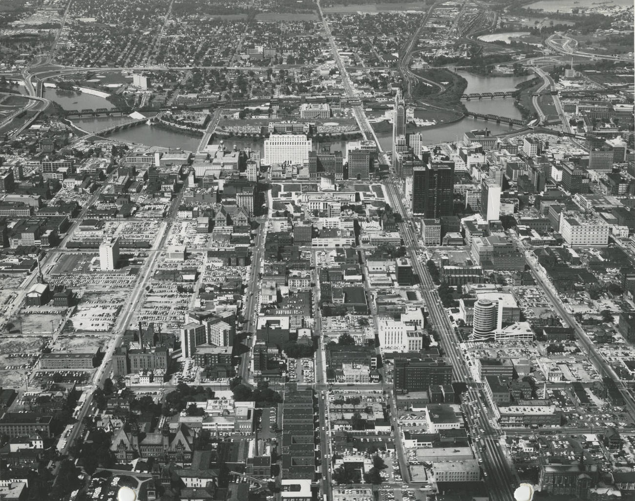
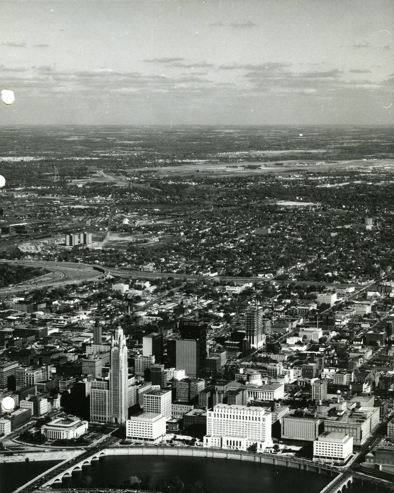
By the mid-1960s, Columbus had grown into a regional powerhouse. The city’s economy extended well beyond factories and warehouses. State government operations and The Ohio State University together formed the backbone of a stable, white-collar workforce. This combination attracted investment, supported construction, and kept the city’s unemployment low even as other Midwestern cities struggled. The downtown skyline reflected that confidence.
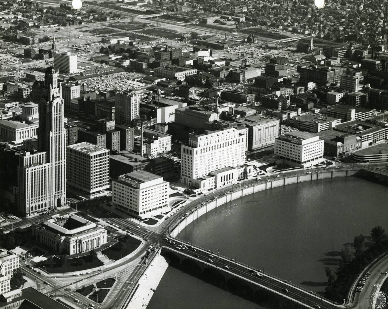
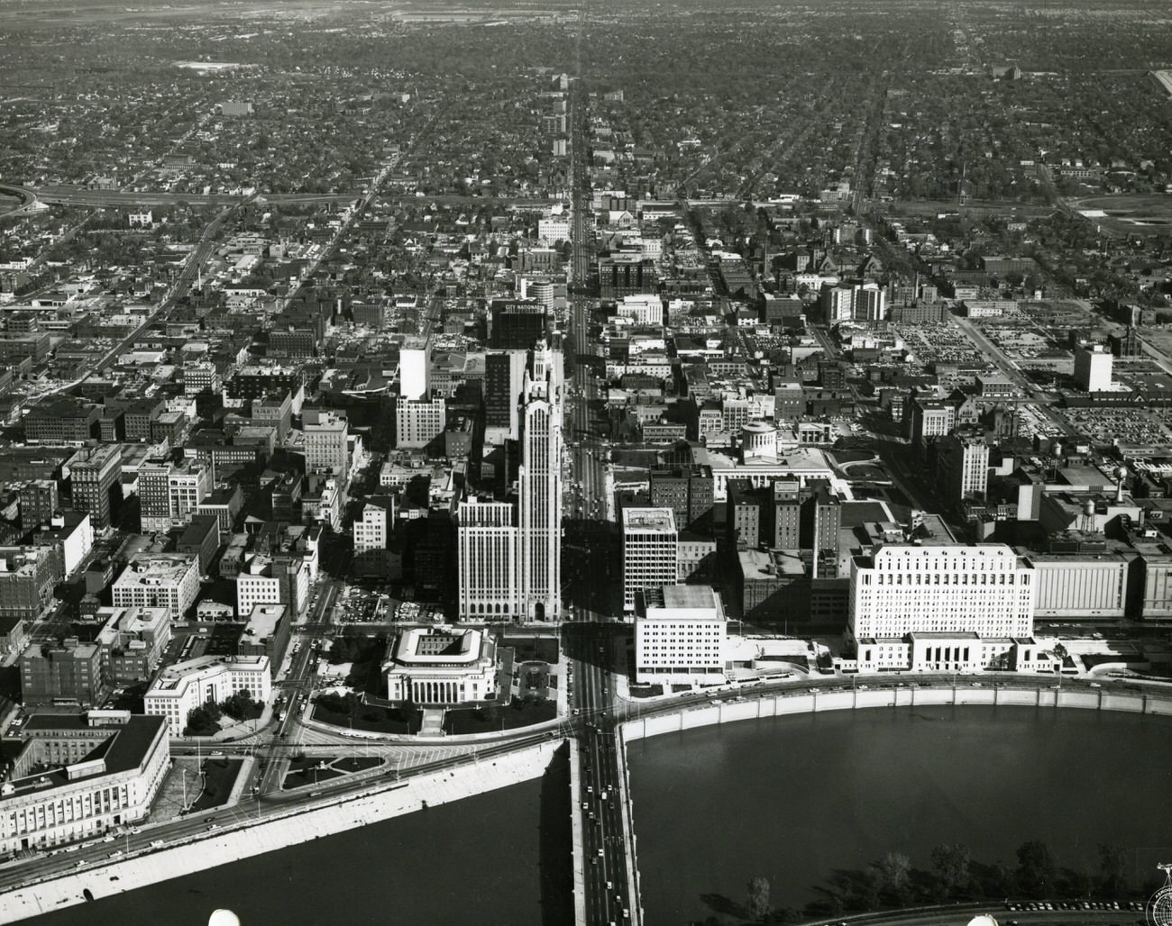
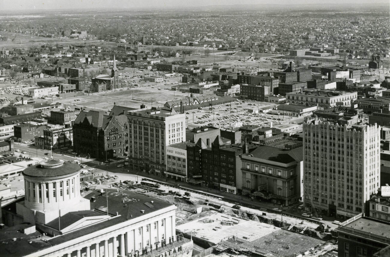
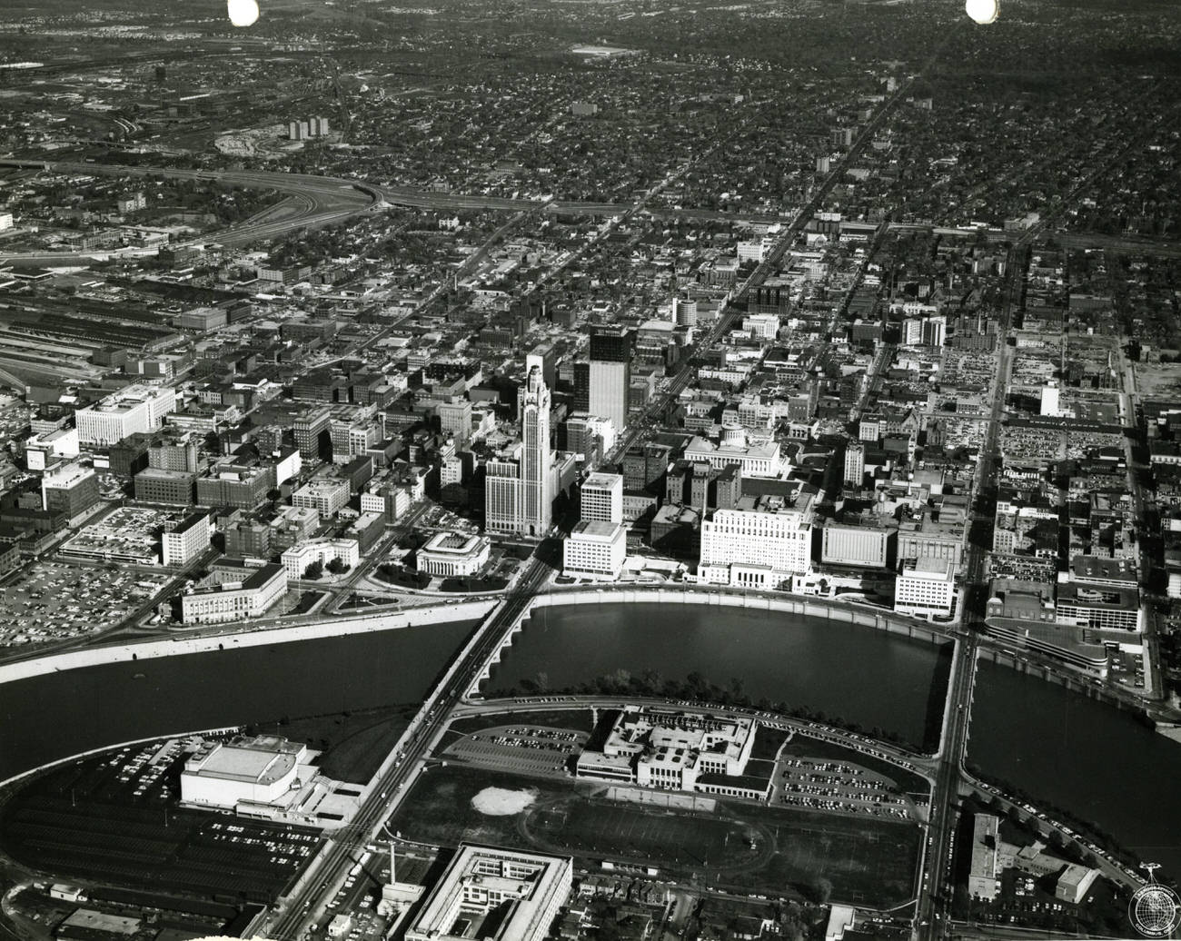
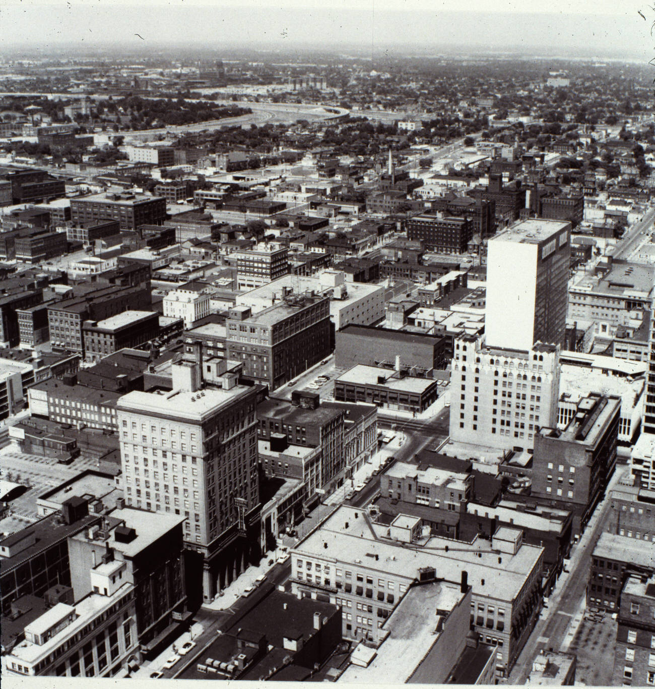
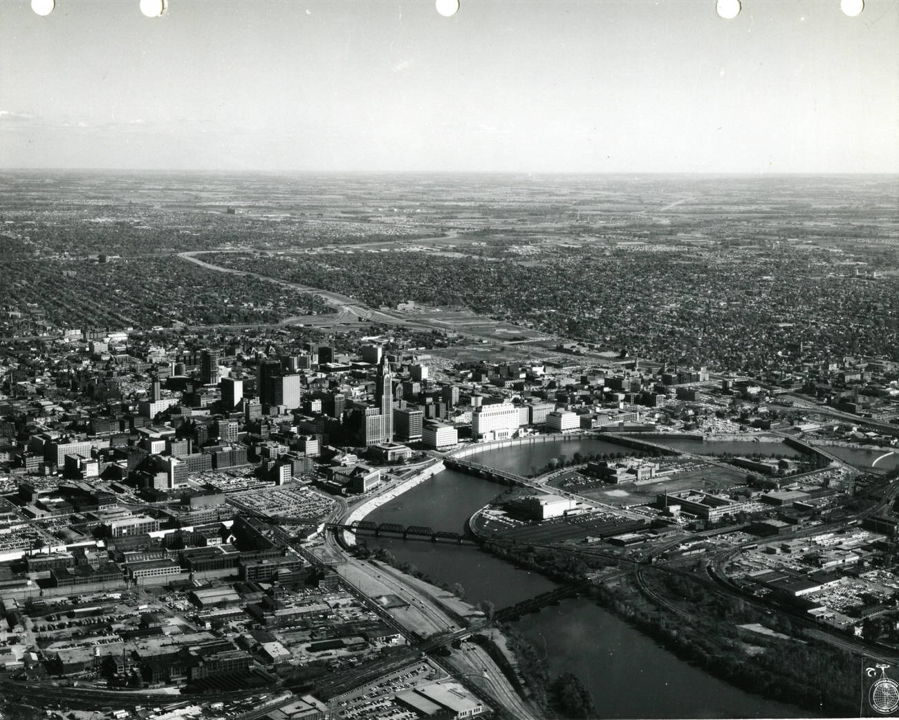
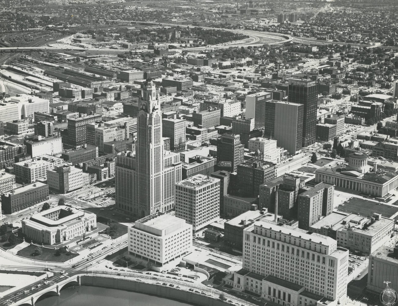
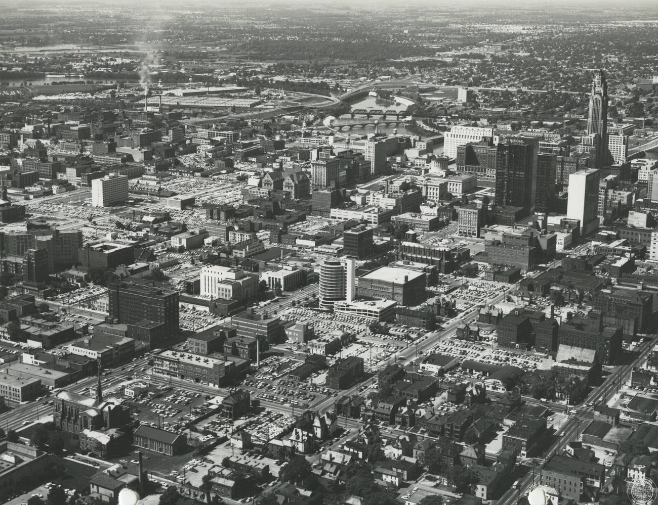
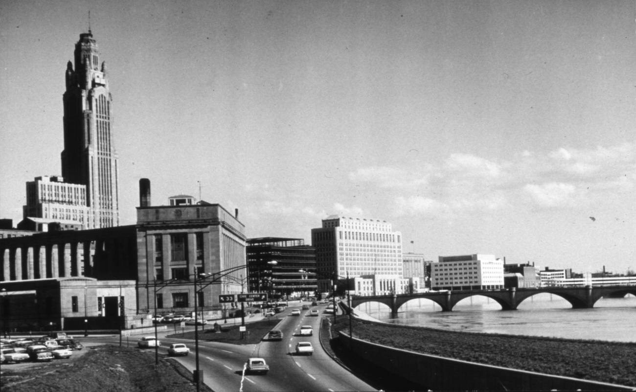
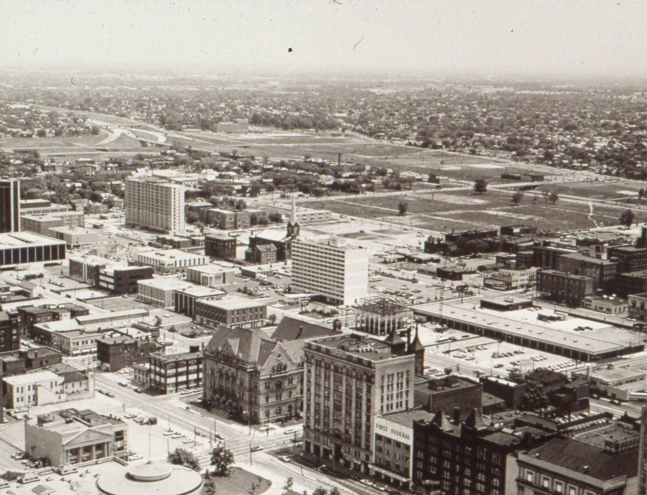
Seen from above, the grid of streets, rooftops, and river crossings tells the story of a city still organized around its historic core. Broad Street was the spine of downtown commerce, lined with banks, department stores, restaurants, and office buildings. The Scioto River framed the western edge of downtown, and the bridges crossing it carried thousands of commuters each day.
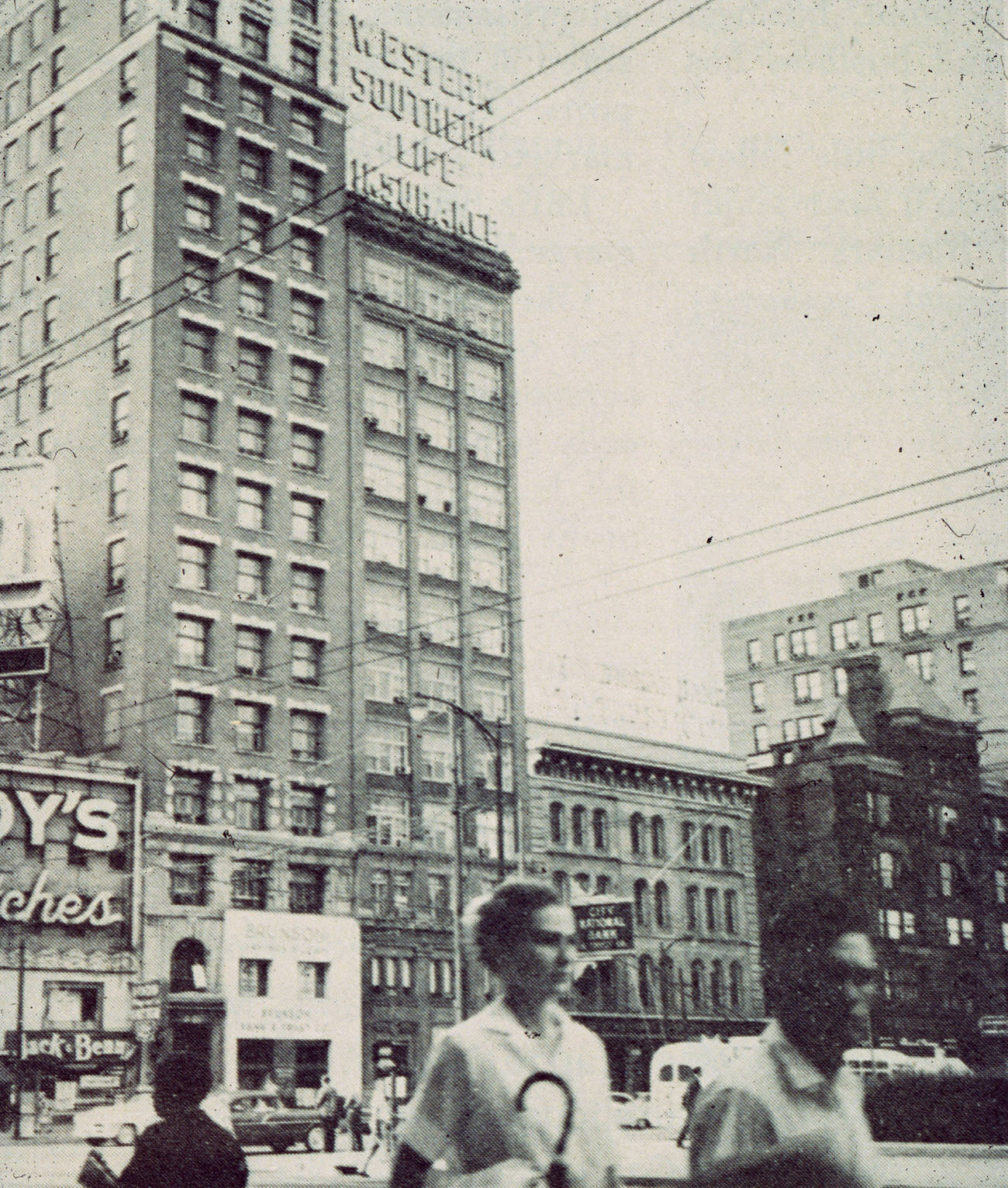
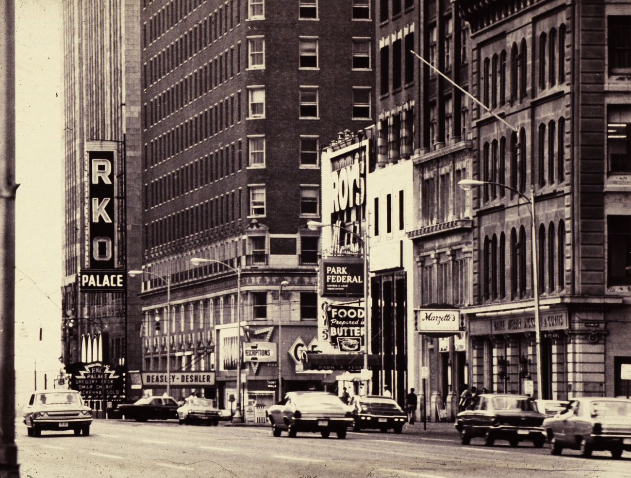
Along East Broad Street, local businesses and national chains competed for foot traffic. Roy’s Jewelers and Marzetti’s Restaurant were familiar stops for shoppers and office workers alike. Marzetti’s, in particular, had been a Columbus institution long before the 1960s, and it held its ground at 16 East Broad Street through the decade’s rapid changes.
Capital Square, home to the Ohio Statehouse, was not immune to construction. In 1964, workers broke ground on an underground parking garage beneath the square — a modern solution to the growing problem of downtown congestion. The project was a symbol of the era: even the most historic public spaces were being adapted to accommodate the automobile.
The Civic Center along the Scioto River brought together several major institutions in one stretch. The Veterans Memorial Auditorium and the Veterans Administration building anchored the area, which drew both government workers and the general public. On a clear October afternoon in 1965, the view east across the river — with the Broad Street Bridge in the center — showed a city proud of its public architecture.
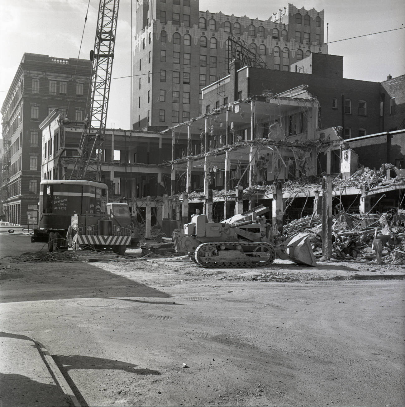
Not every structure in Columbus made it through the decade intact. The Columbus Citizen Building came down in 1960, marking the beginning of a wave of demolitions that would reshape large portions of the city. Schools, hotels, churches, and civic buildings all fell to the wrecking ball as urban renewal projects gained momentum.
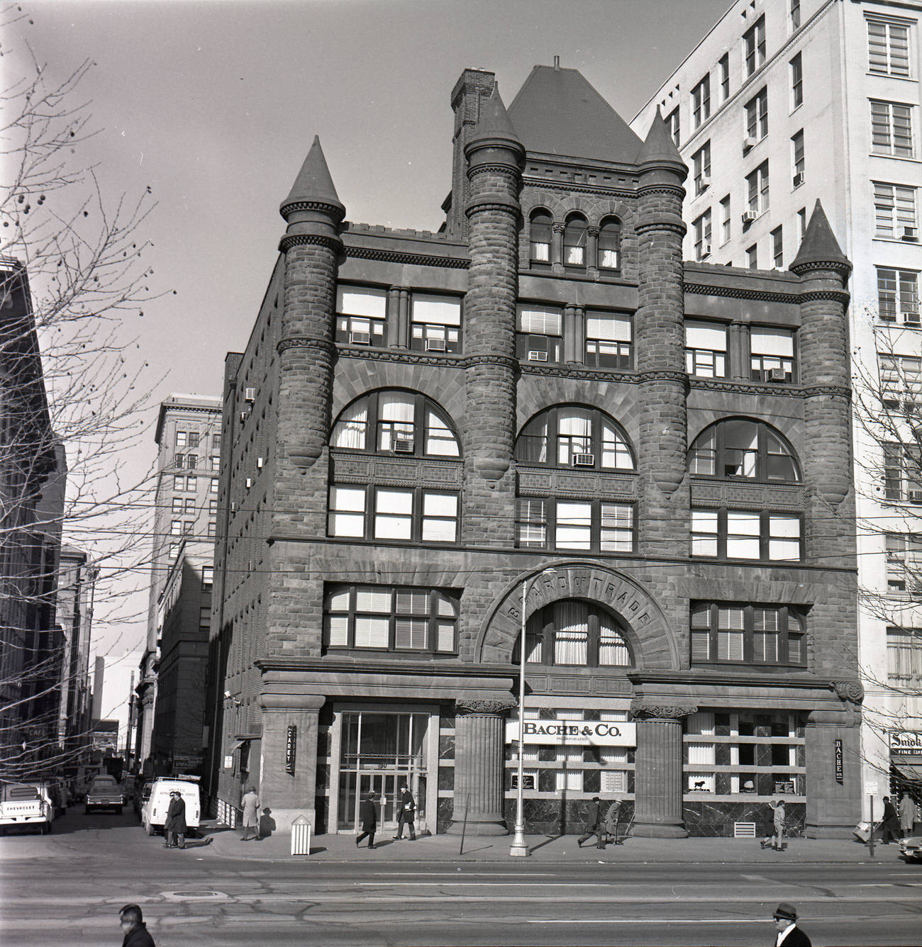
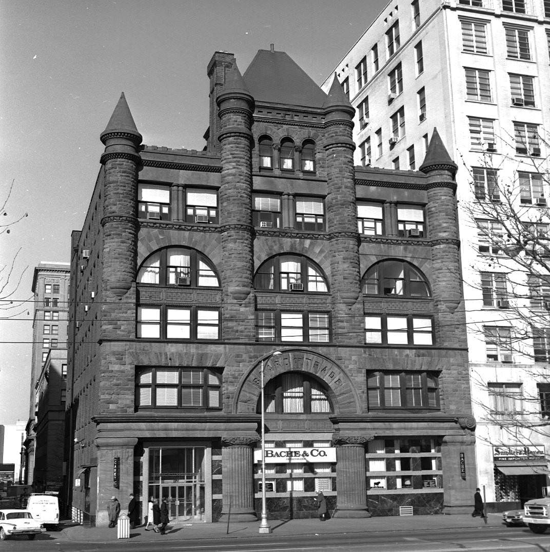
The Board of Trade and Chamber of Commerce building, completed in July 1889, stood as one of Columbus’s most recognizable Victorian-era structures. It was demolished in 1969, replaced by what would become the James A. Rhodes State Office Tower. Its loss was part of a broader pattern — older, ornate buildings giving way to larger, more functional modern structures.
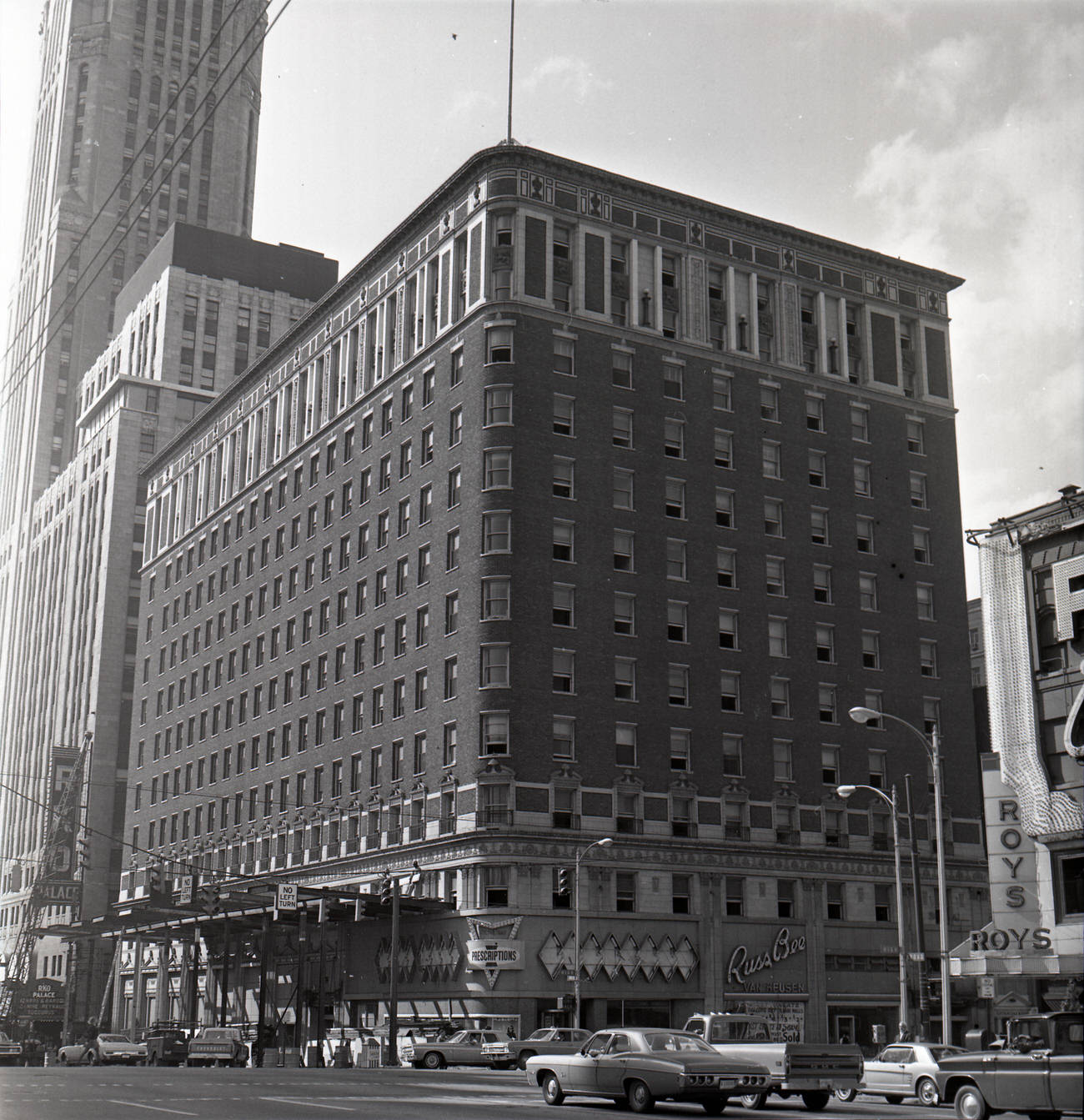
The Deshler Hotel, which had opened its doors in 1916, closed in 1968 after more than five decades as one of Columbus’s premier accommodations. Its final summer saw it standing largely unchanged from its earlier years — a grand building out of step with a city that was rapidly rebuilding itself around new priorities and new tastes.
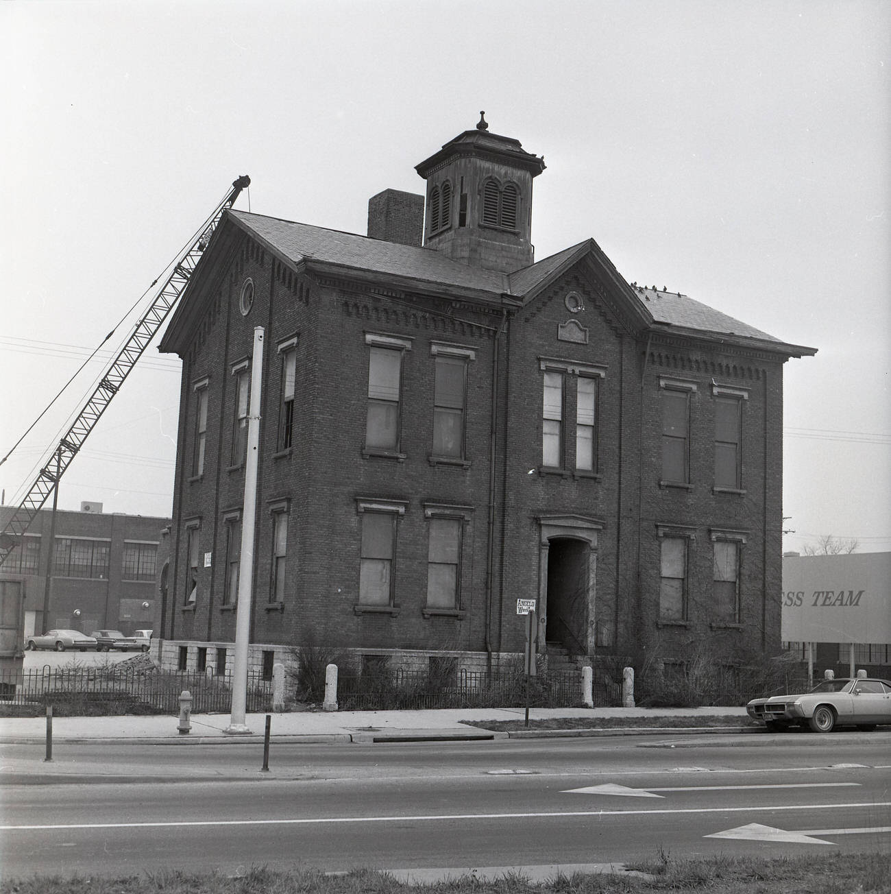
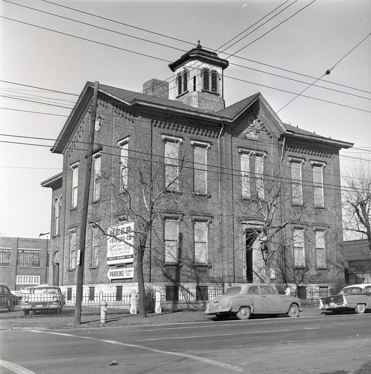
Schools faced similar fates. Fourth Street Elementary School, which had originally opened in 1863, was demolished around 1967. Another photograph from around 1961 shows the building as it appeared after being auctioned off in 1955, still standing but no longer serving students. These schools had educated generations of Columbus children before being cleared away for redevelopment.
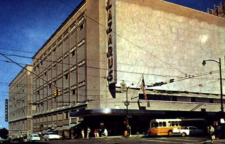
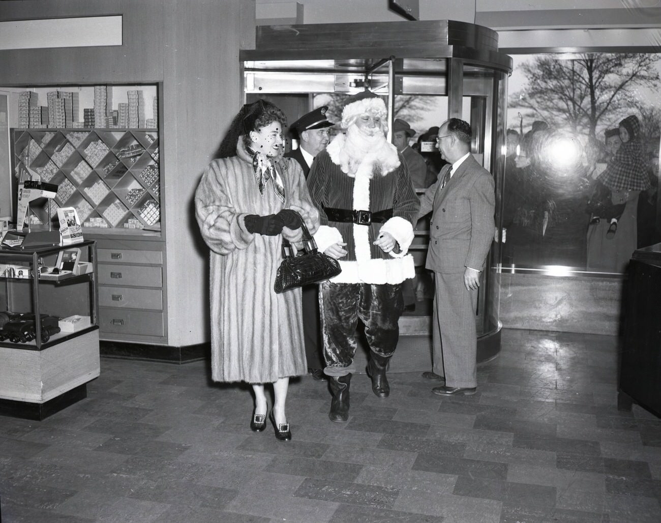
F. & R. Lazarus Company, the beloved Columbus department store at Town and South High Streets, remained one of the city’s busiest retail destinations throughout the decade. The store was more than a place to shop — it was a gathering point, a social hub. Celebrities even passed through its doors. Hildegarde, known for her signature song “Darling, Je Vous Aime Beaucoup,” made a personal appearance at the downtown Lazarus location.
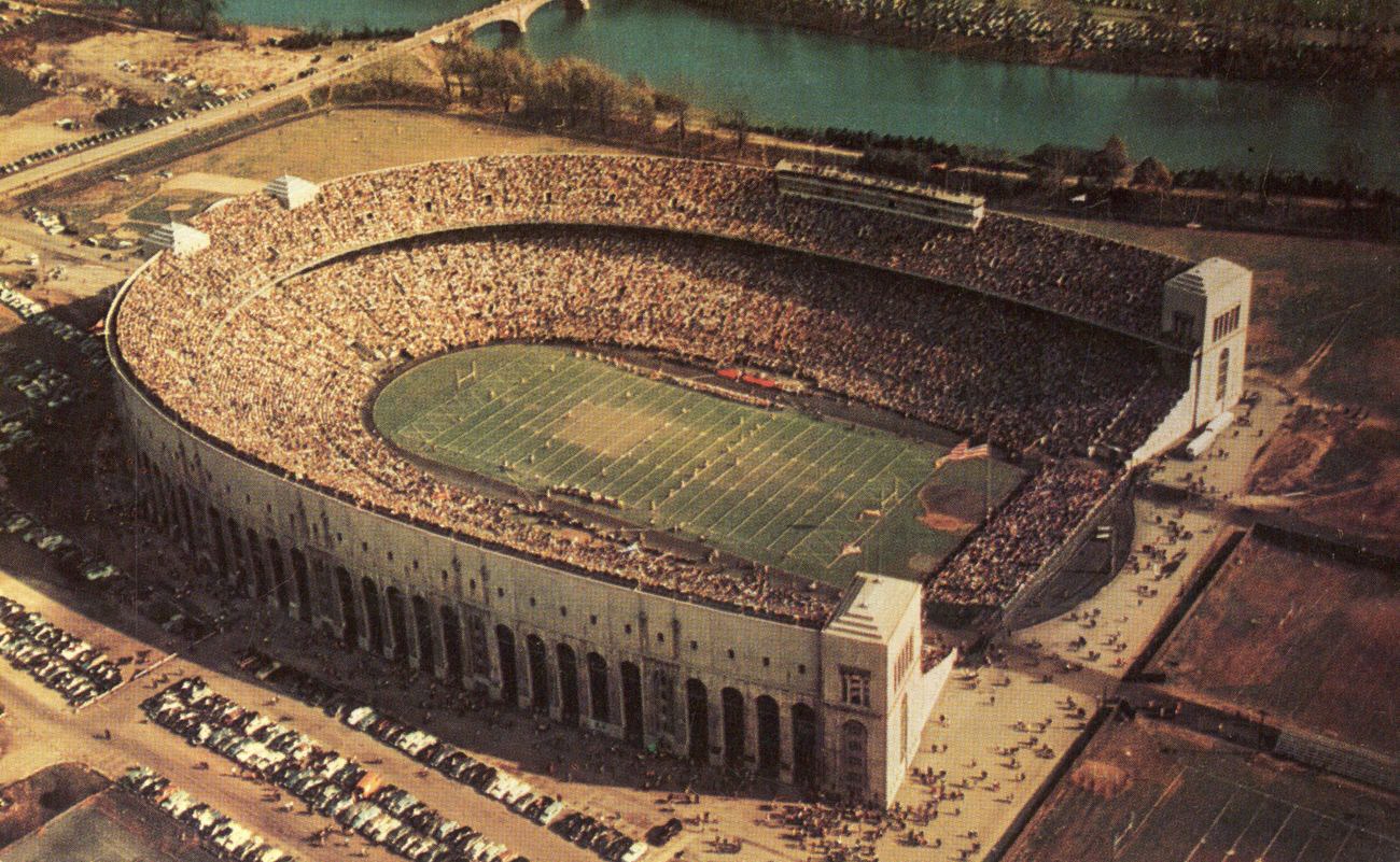
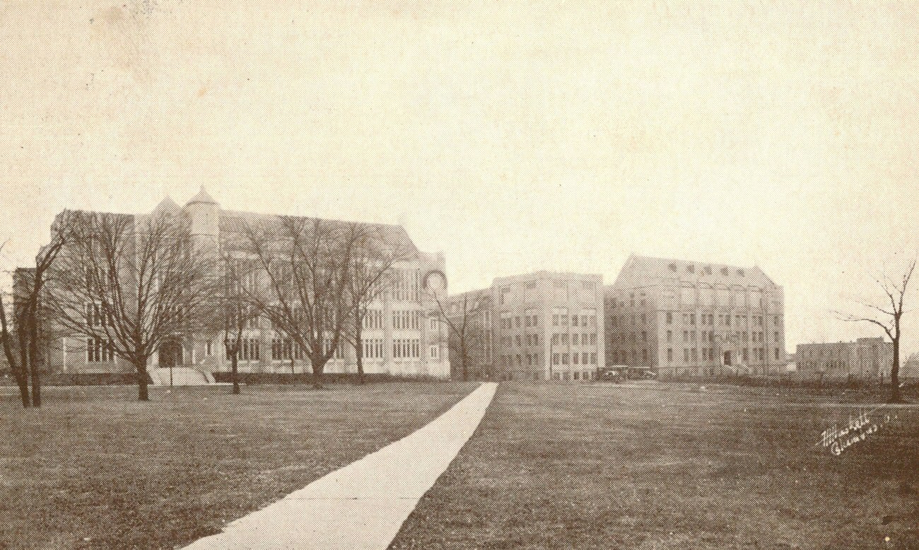
Ohio State University was expanding rapidly during the 1960s, and its footprint on the city was hard to miss. Ohio Stadium — the Horseshoe — sat at the center of campus life, drawing massive crowds on fall Saturdays. The university’s hospital and medical group were growing as well, cementing OSU’s role not just as an educational institution but as a major healthcare provider for central Ohio.
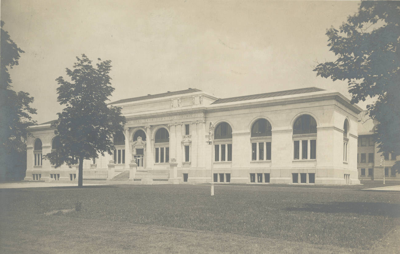
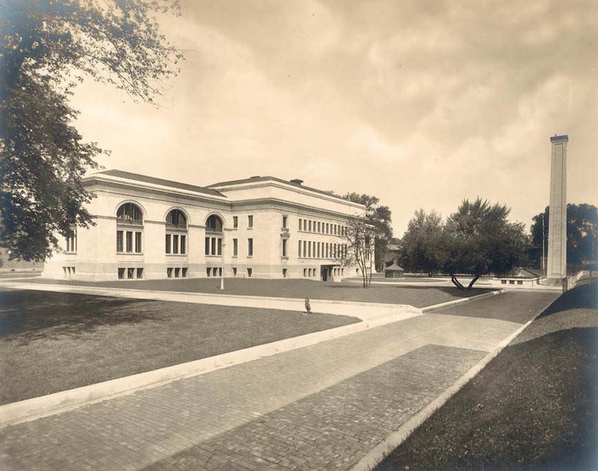
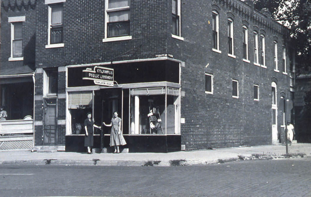
Columbus’s library system was a steady presence through the decade’s upheaval. The original Carnegie Library — the city’s main branch — served patrons from its historic building, while neighborhood branches like the Franklinton location on Sullivant Avenue reached residents across the city. The Franklinton branch had been serving that community since 1943 and would continue to do so until 1976.
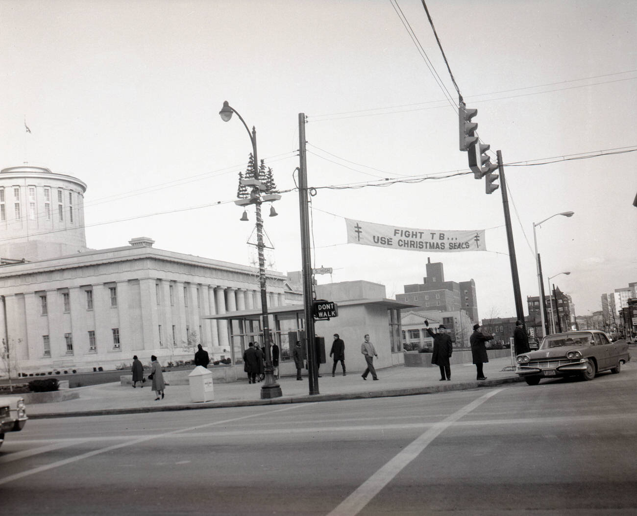
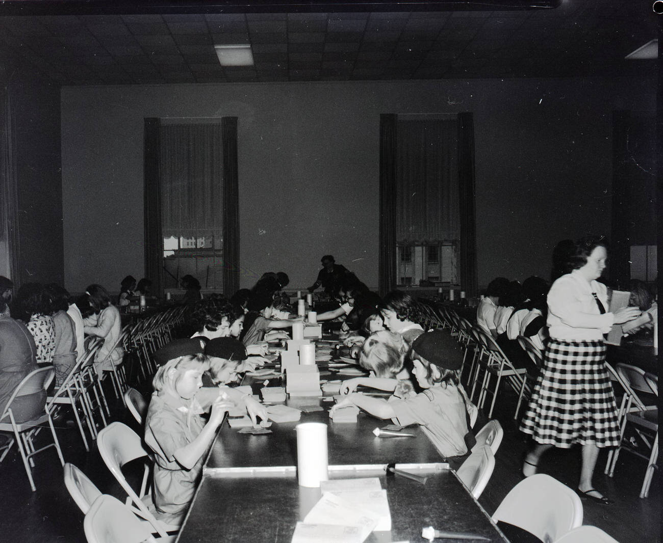
Public health was a visible priority in 1960s Columbus. The Columbus Society for the Prevention and Control of Tuberculosis ran active community programs, including the annual Christmas Seal Campaign. In 1965, a banner promoting the campaign hung near the Ohio Statehouse, and Girl Scouts volunteered their time to support the effort. Chairman Will Partridge led the organization’s activities as late as 1968.
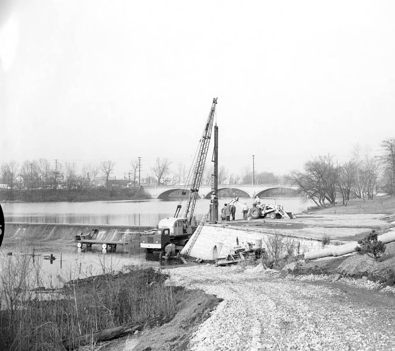
Infrastructure projects were reshaping the city’s physical layout. Construction on the Fifth Avenue Dam over the Olentangy River in 1964 was one example of large-scale public works underway. On the southeast side of the city, aerial views of Alum Creek Road taken in June 1967 showed new development pushing further into areas that had recently been farmland.
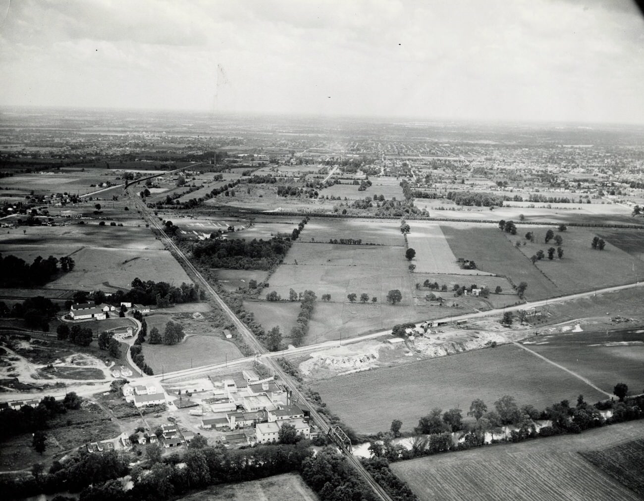
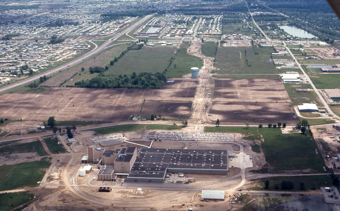
The Wightman farm, by 1968, had been taken over by Anheuser-Busch for use in their Columbus-area operations. The aerial photograph of the property shows a vast stretch of land that once served agriculture being absorbed into the city’s growing commercial and industrial network. It was a scene playing out all over the Columbus metro area as suburban expansion accelerated.
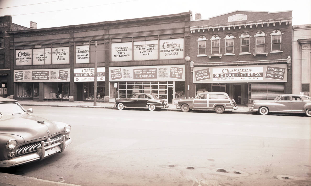
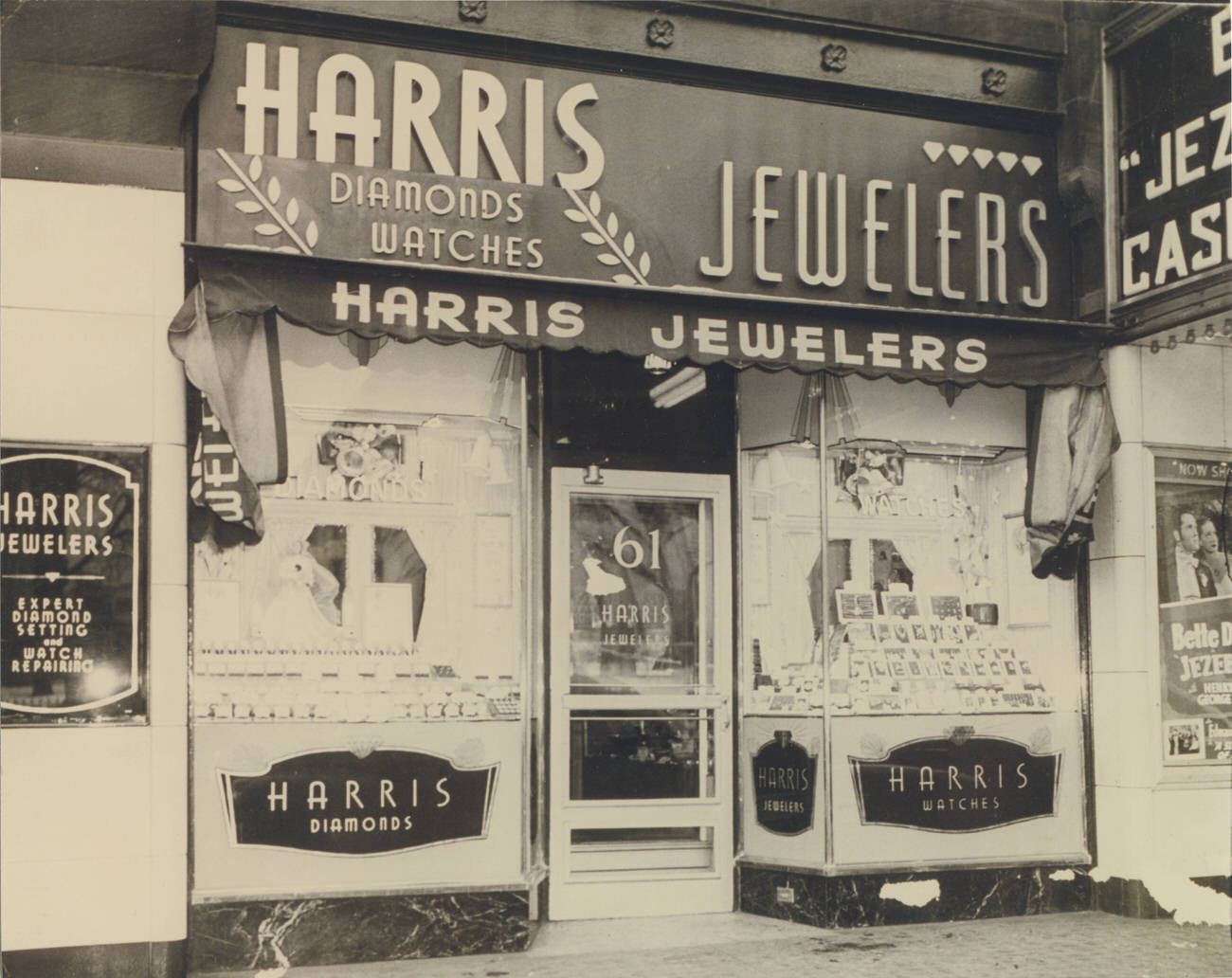
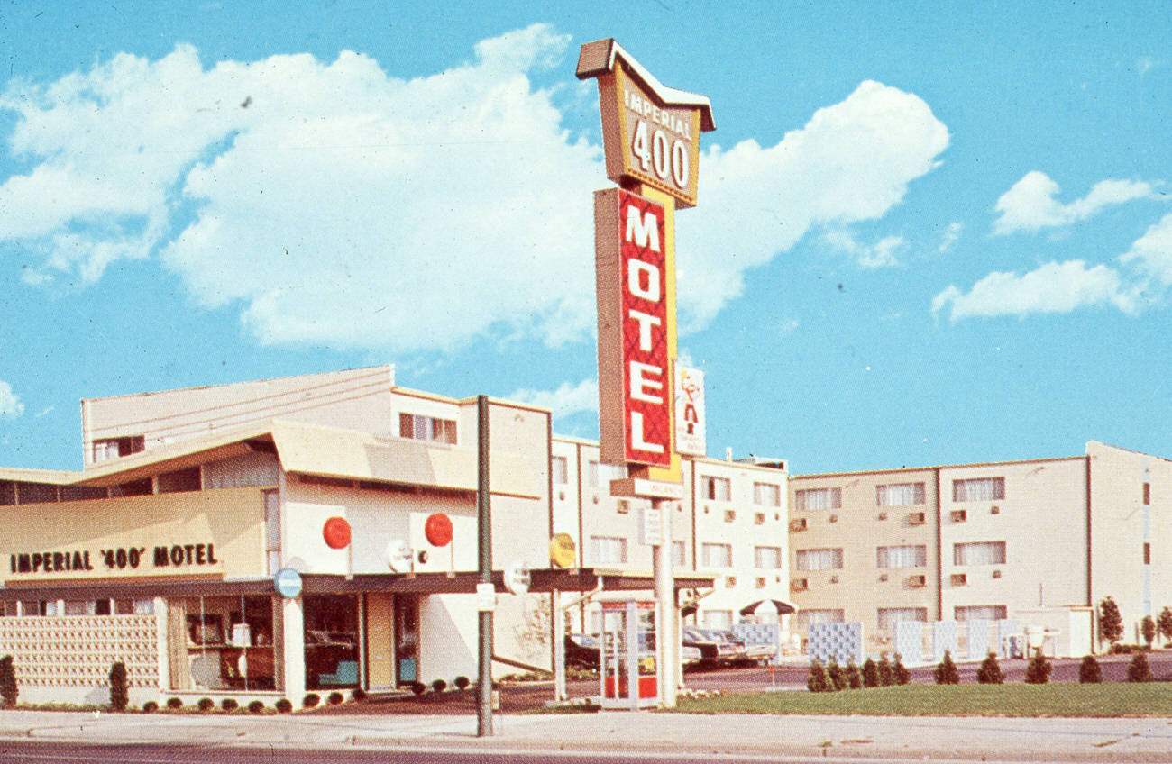
Downtown Columbus’s streetscape was full of local character. North High Street was home to the Chakeres Ohio Food Fixture Company, which occupied the full block from 532 to 546 North High. Harris Jewelers operated at 61 East State Street under owner Ben Harris. On East Long Street, the Sheraton Plaza Hotel stood as one of the city’s prominent lodging options, and the Imperial 400 Motel offered another choice for travelers passing through.
Cultural institutions added depth to the city’s identity. The Hartman Theater remained a venue for live performance in 1968, while the Hartman Office Building nearby was part of the broader downtown office landscape. Central Presbyterian Church held one of the city’s most striking pieces of art — a stained glass window created by Ludwig Von Gerichten that had been displayed at the Chicago World’s Fair. The window was photographed in 1961, still vibrant and intact.
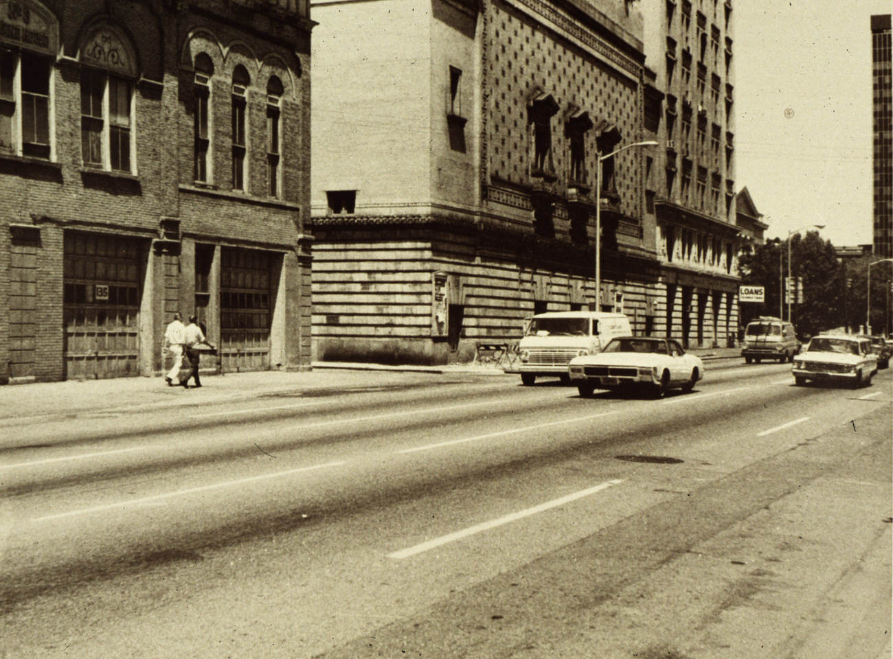
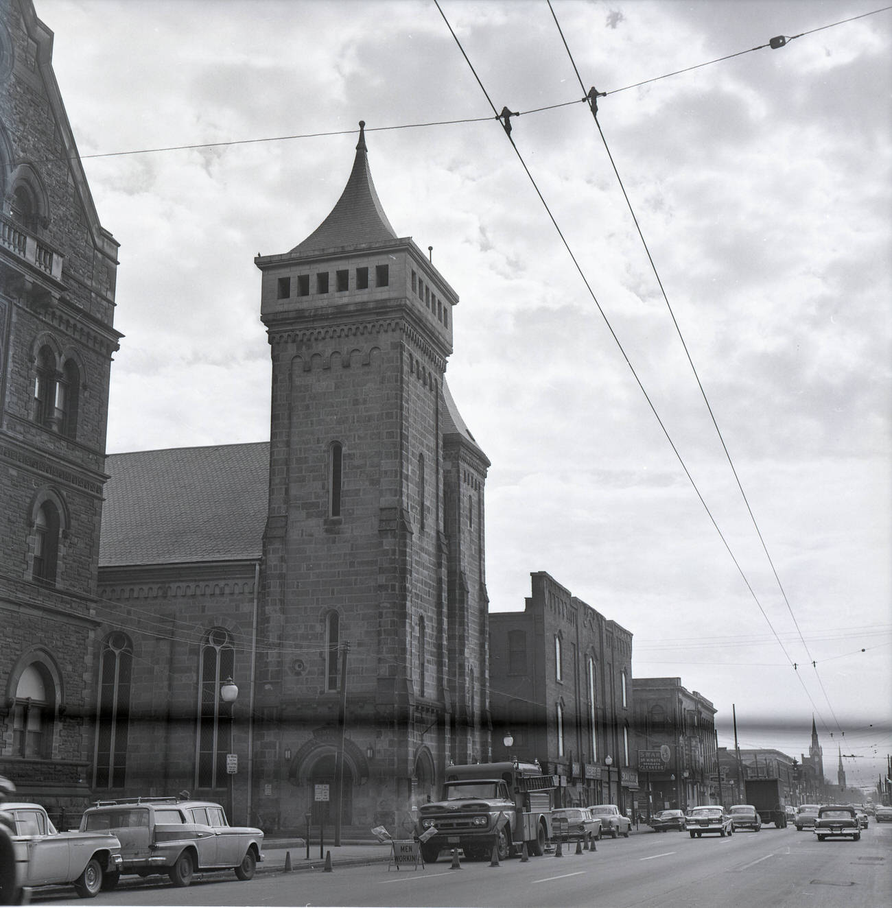
The Ohio Penitentiary, a massive walled complex just northwest of downtown, appeared in aerial shots of the city well into the late 1960s. Its presence loomed over the surrounding neighborhood. By 1969, aerial views looking southeast captured both the penitentiary and the downtown skyline in the same frame — a striking juxtaposition of civic pride and institutional confinement within the same city limits.
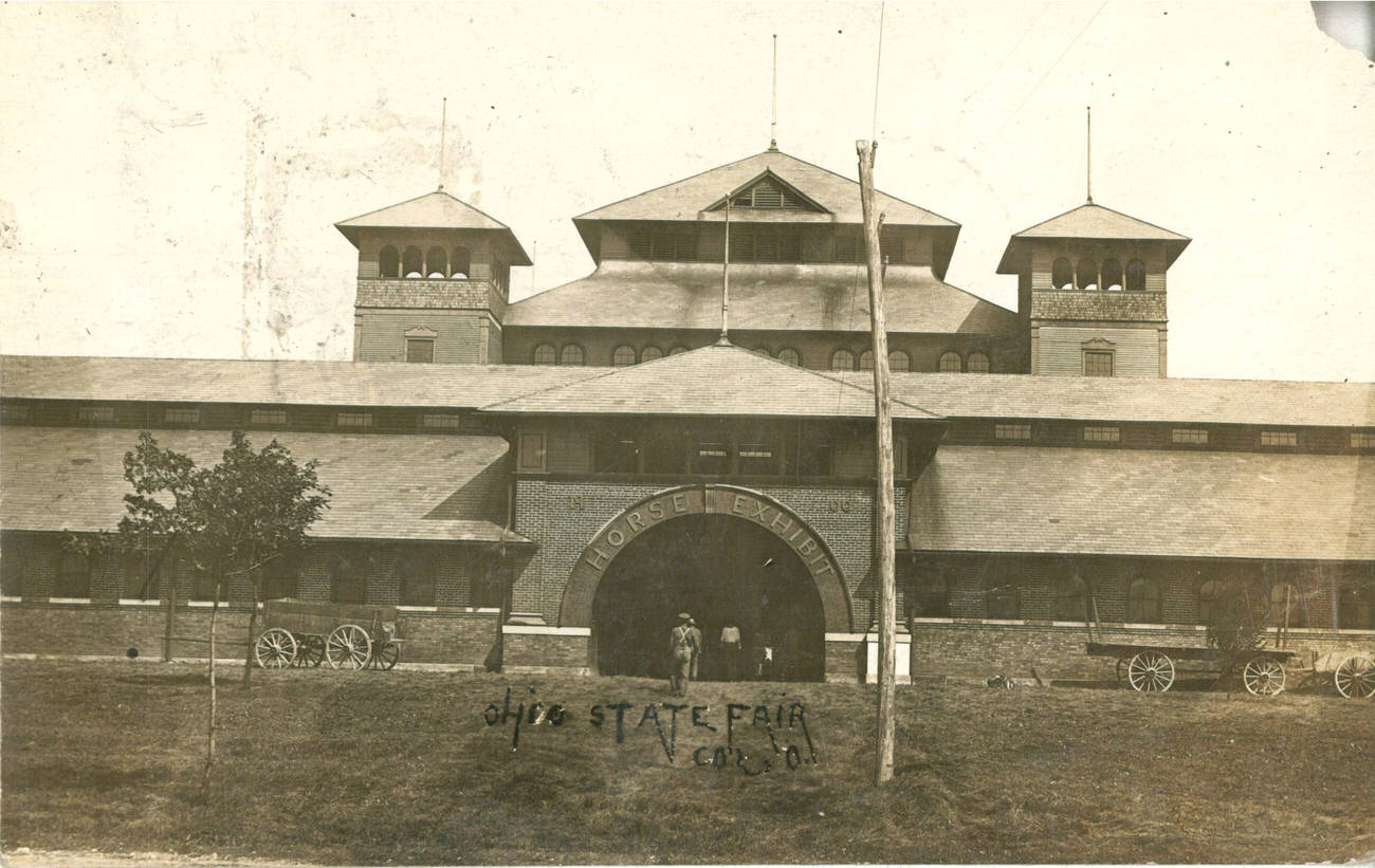
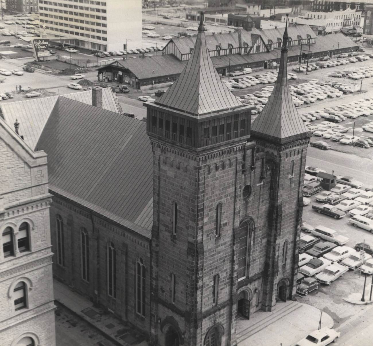
The Ohio State Fair was a constant in Columbus life. The Horse Exhibit Building on the fairgrounds was a fixture at the annual event, drawing visitors from across the region. Grace Central Presbyterian Church and the Central Market appeared together in a November 1965 aerial photograph, showing how religious and commercial spaces coexisted in close quarters across the city’s older neighborhoods.
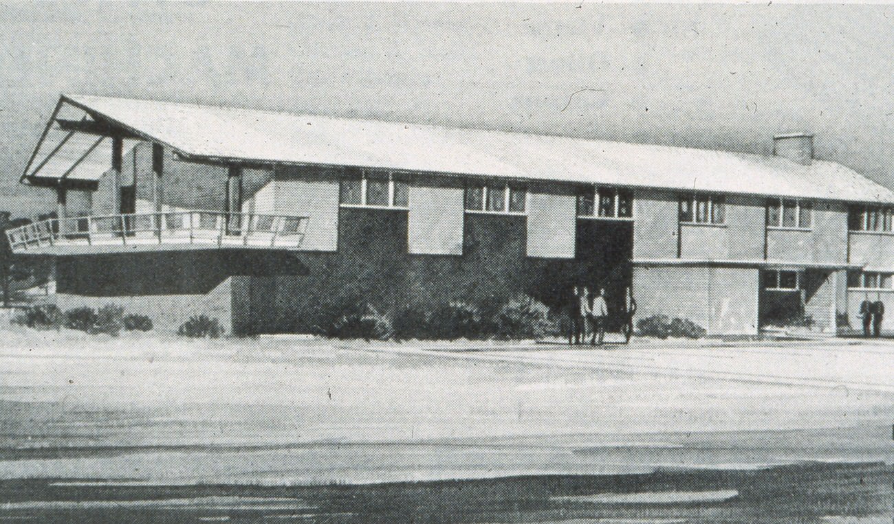
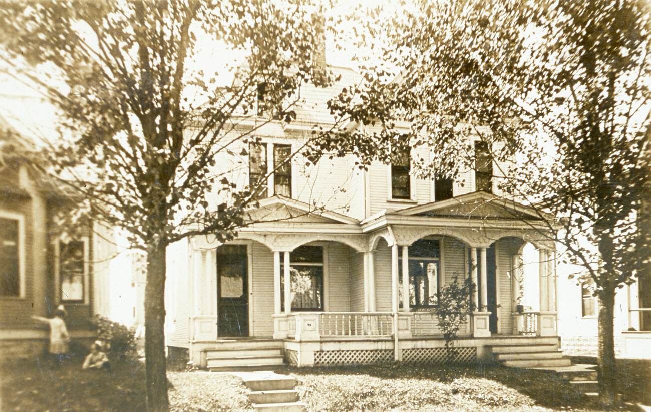
The Columbus Police Academy opened in March 1965, a sign of the city’s investment in its law enforcement infrastructure. The Friends Rescue Home on North Harris Avenue provided services for at-risk youth, reflecting the community’s awareness that rapid growth came with social costs that needed to be addressed. From above and at street level, Columbus in the 1960s was a city working hard to keep pace with itself.
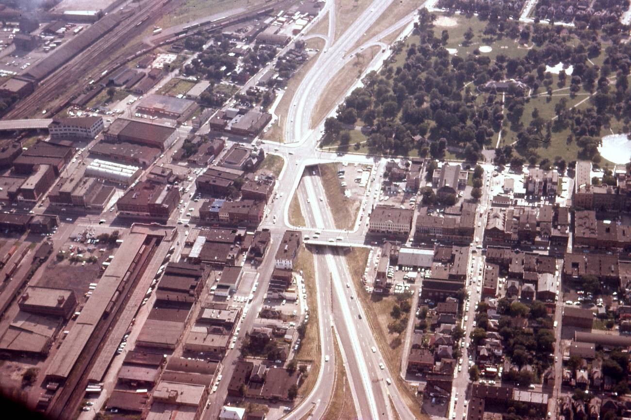
By the end of the decade, the view from above Central High School told the story clearly. Downtown was denser, taller, and more modern than it had been in 1960. Some of the old buildings were gone. New ones had taken their place. Streets that once moved slowly were now designed for speed. The Goodale Expressway near High Street, photographed in July 1960 with Goodale Park still visible in the background, showed just how aggressively the city was reorganizing itself around the car and the commute.
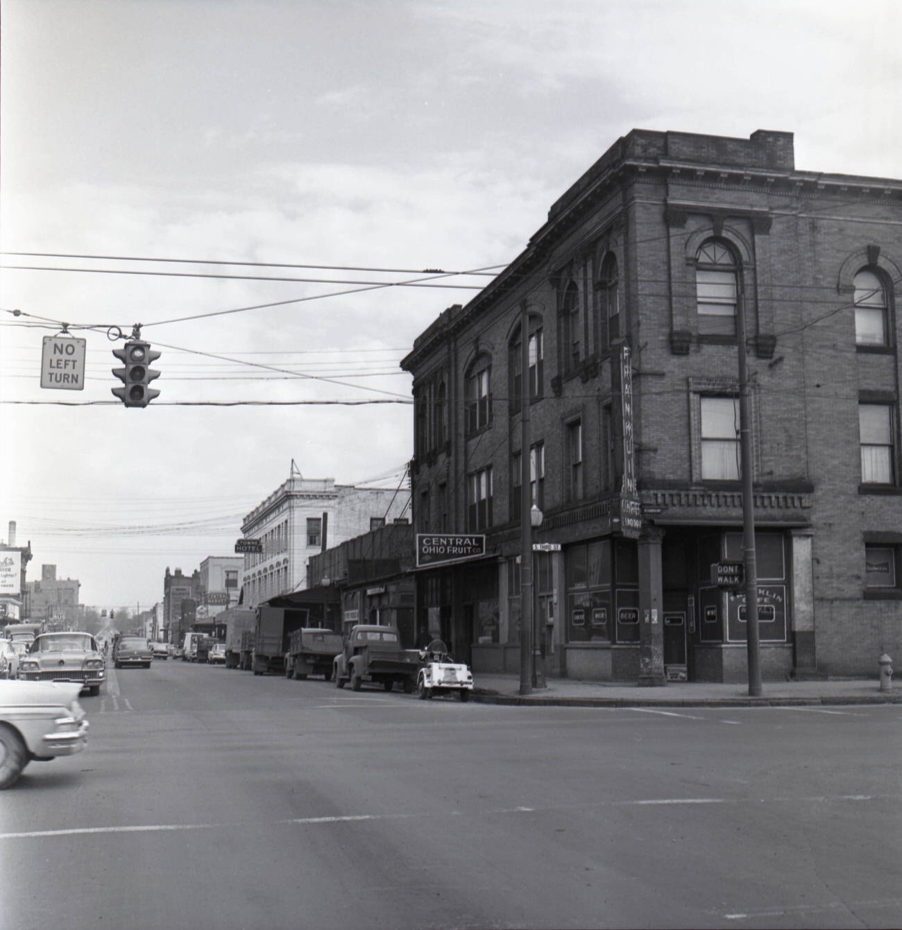
Remnants of the decade’s street life appear in photographs of East Broad Street in 1969, where Park Federal Savings and Loan and Marzetti’s Restaurant still anchored their corners. East Town Street, photographed looking east from South Third Street in 1961, captured a quieter moment — parked cars, storefronts, and the ordinary rhythm of a mid-century American city going about its day. The Board of Trade Building, photographed in black and white in 1969, stood near the end of its life — a remnant of the Victorian city that Columbus had largely chosen to leave behind.





I’m amazed by the lack of trees in so many of the photos. Downtown and otherwise.
Why are these in black and white?
Every year we made a trip to go to downtown Lazarus for the amazing Christmas displays. I also got to meet Luci from Luci’s Toy Shop.
Today i learned there was a Marzetti’s restaurant.
Wonder if they started Johnny Marzetti??