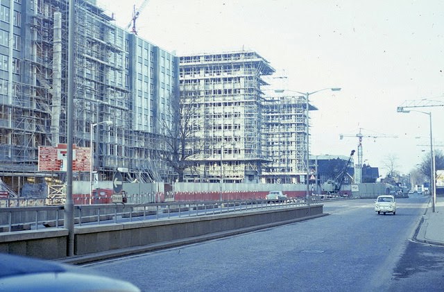
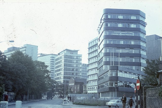
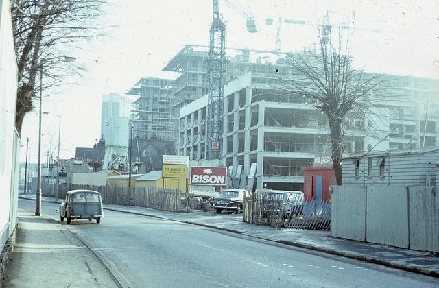
By the late 1960s, Croydon looked almost nothing like it had a generation earlier. Planners tore down rows of 19th-century brick buildings and replaced them with steel and glass office towers. The skyline changed so fast and so dramatically that locals and the press gave the town a new nickname: “Mini Manhattan.” Croydon had become one of the most aggressively modernised towns in all of England.
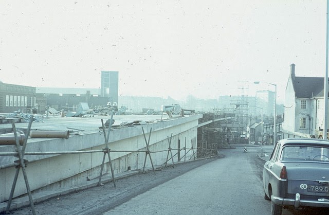
The streets themselves were reshaped to serve the car. Engineers built the Croydon Flyover, a six-lane elevated highway that cut straight through the urban centre, rising above the streets below. To make room for it, hundreds of homes were demolished. By 1969, traffic moved freely along this concrete artery while the neighbourhoods it had displaced were gone for good.
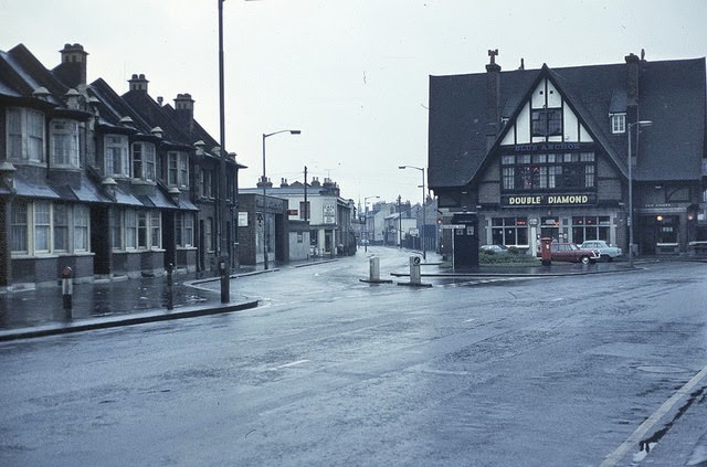
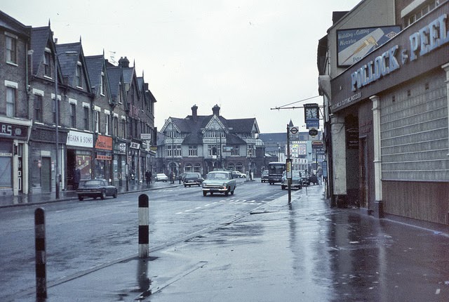
The views from and around the flyover told the story of a town caught between two eras. Below its elevated span, older roads, pubs, and warehouses sat in the shadow of the new infrastructure. Streets like Southbridge Road and Scarbrook Road offered a ground-level view of just how thoroughly the construction had reorganised daily life in central Croydon.
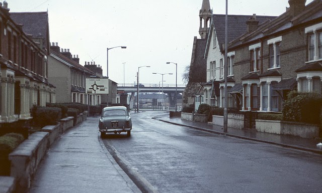
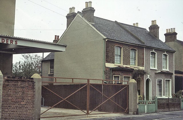
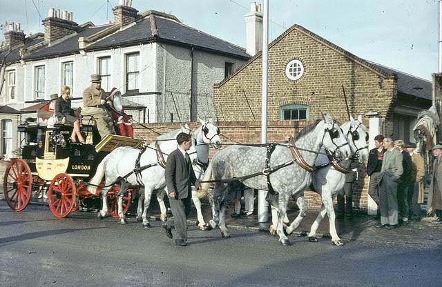
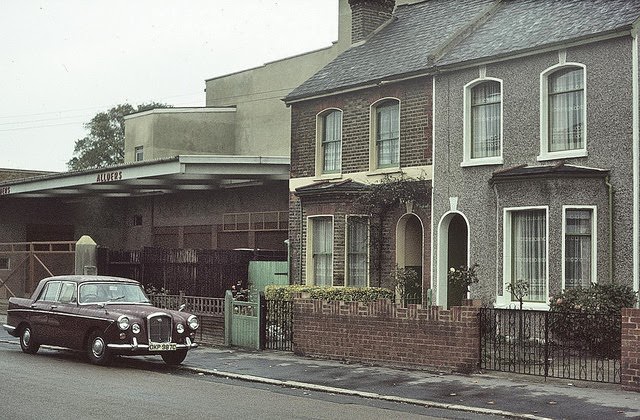
West Croydon’s Canterbury Road retained much of its older character during this period. Buildings like the Allders Warehouse at Nos. 76–78, previously known as Ebbutts Warehouse, stood alongside modest terraced properties. Horse-drawn carriages with destinations like “Box Hill” sign-painted on the rear were still a familiar sight, moving through streets that were rapidly changing around them.
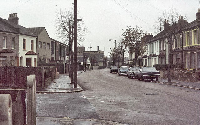
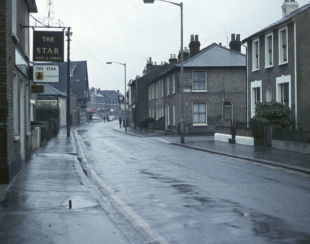
Along South End, the Blue Anchor pub anchored a stretch of road where older commercial life still carried on. Pubs like the Blue Anchor and the Star on Southbridge Road served the working population of the area — people whose daily routines existed alongside, and often in spite of, the enormous building projects unfolding nearby.
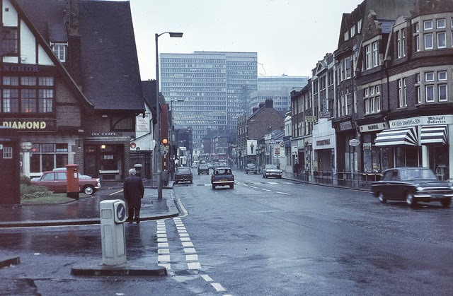
Central Croydon and Wellesley Road showed the full force of the decade’s ambitions. Wide roads, underpasses, and tower blocks like the stark St. George’s House redefined what the town centre looked and felt like. Pedestrians were increasingly separated from traffic by raised walkways, especially around the new Whitgift Centre — a sprawling shopping precinct built on the former grounds of Whitgift School, featuring the hard geometric lines of Brutalist design.
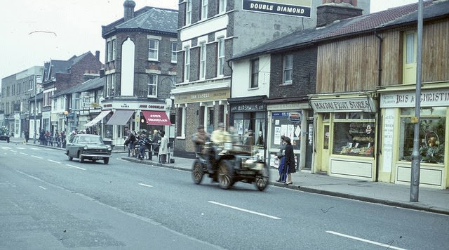
Not everything in late-1960s Croydon was about concrete and commerce. On London Road near Mayday Hospital, the annual London to Brighton Vintage Car Rally drew crowds, filling the northward route with gleaming historic vehicles. Surrey Street Market, meanwhile, kept its daily rhythm going entirely unchanged — fruit and vegetable sellers calling out prices from wooden stalls, their voices echoing against the grey office towers looming above them.
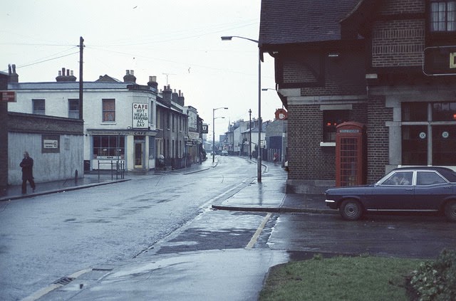
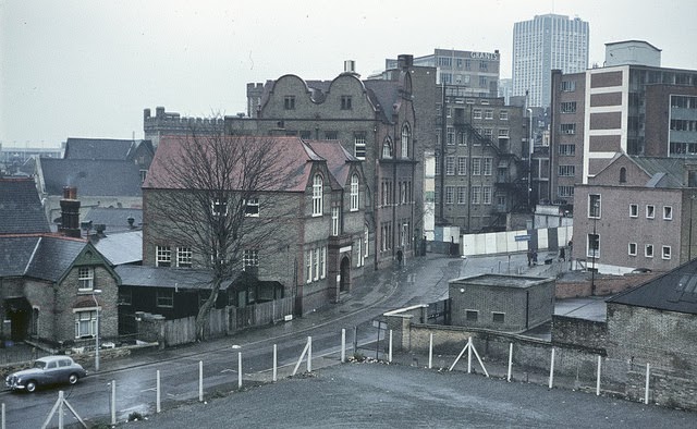
The views from the flyover itself captured the scale of the transformation most clearly. Looking down over Scarbrook Road or back towards Southbridge Road, the elevated vantage point revealed a townscape in the process of being entirely rewritten — older rooftops, chimney stacks, and narrow streets compressed beneath wide lanes of moving traffic.
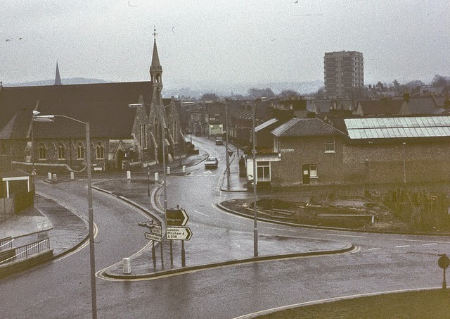
Quieter residential streets, like what is probably Fell Road looking westward, offered a different side of the borough — rows of terraced houses largely untouched by the redevelopment happening just minutes away. These pockets of ordinary suburban life stood in sharp contrast to the glass towers and concrete ramps that defined Croydon’s new public image.