

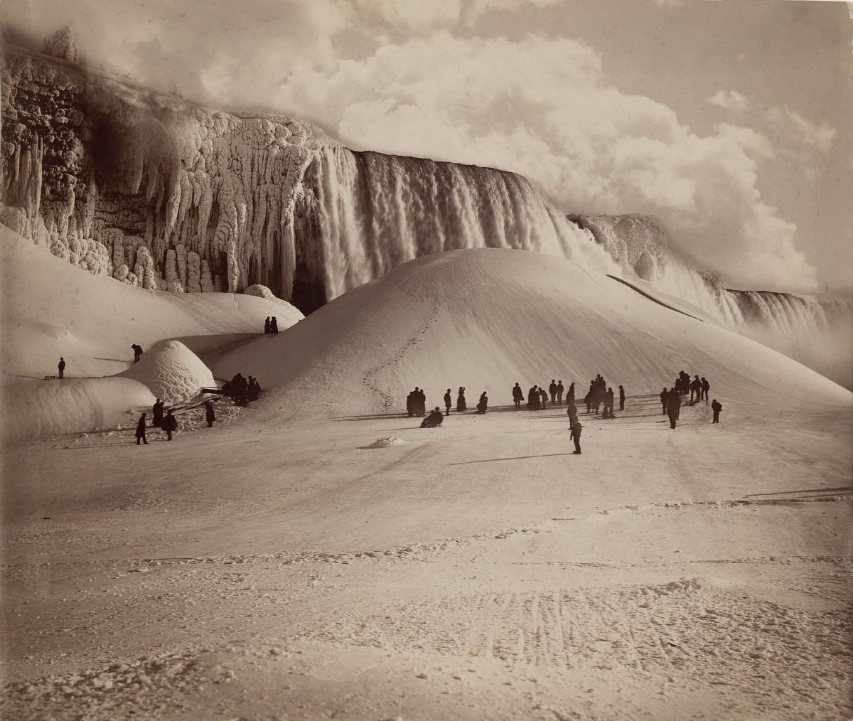
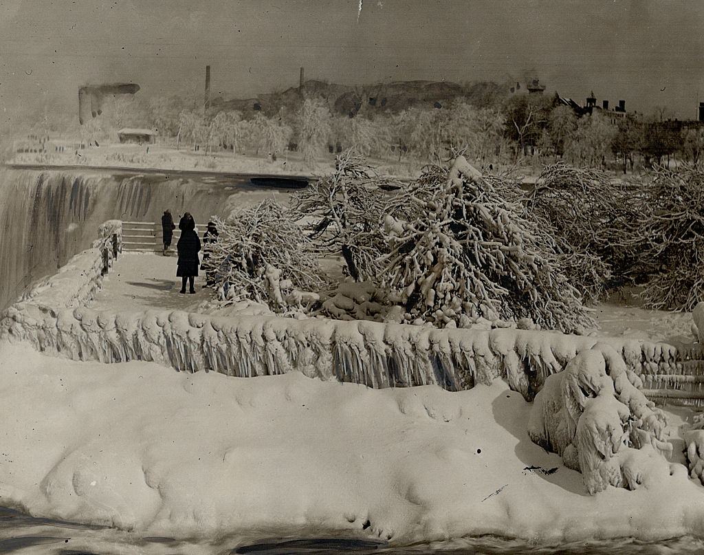
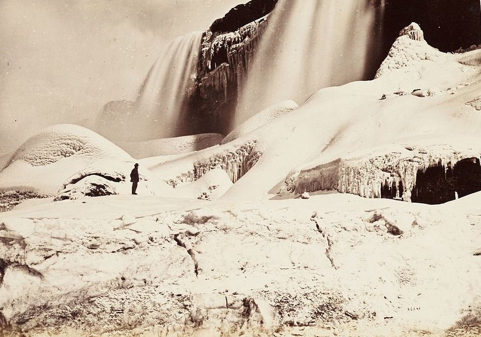
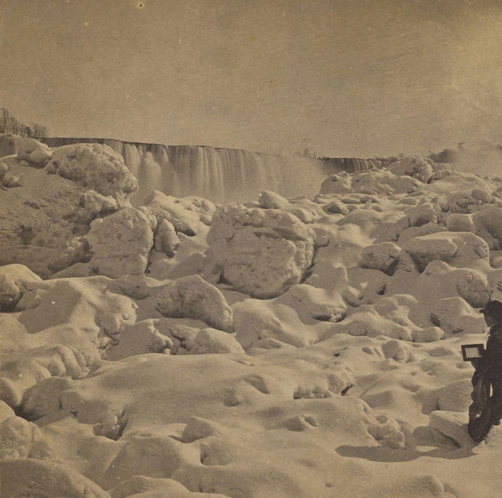
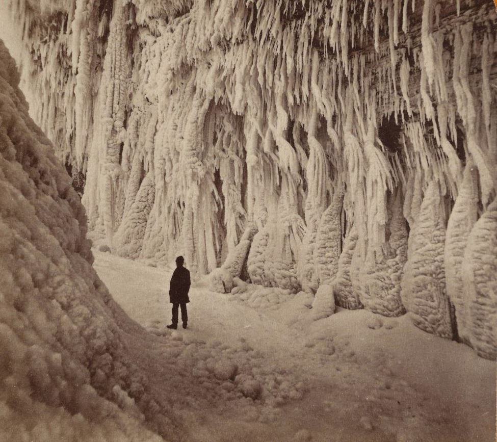
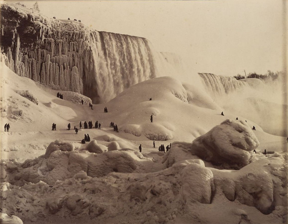
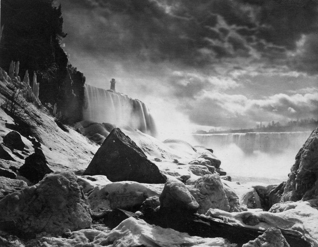
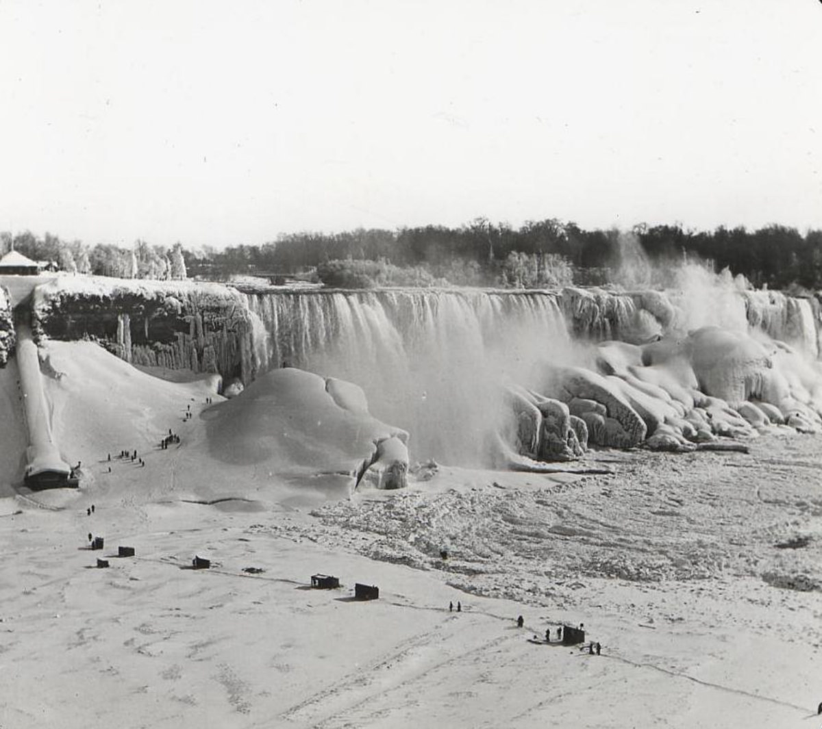
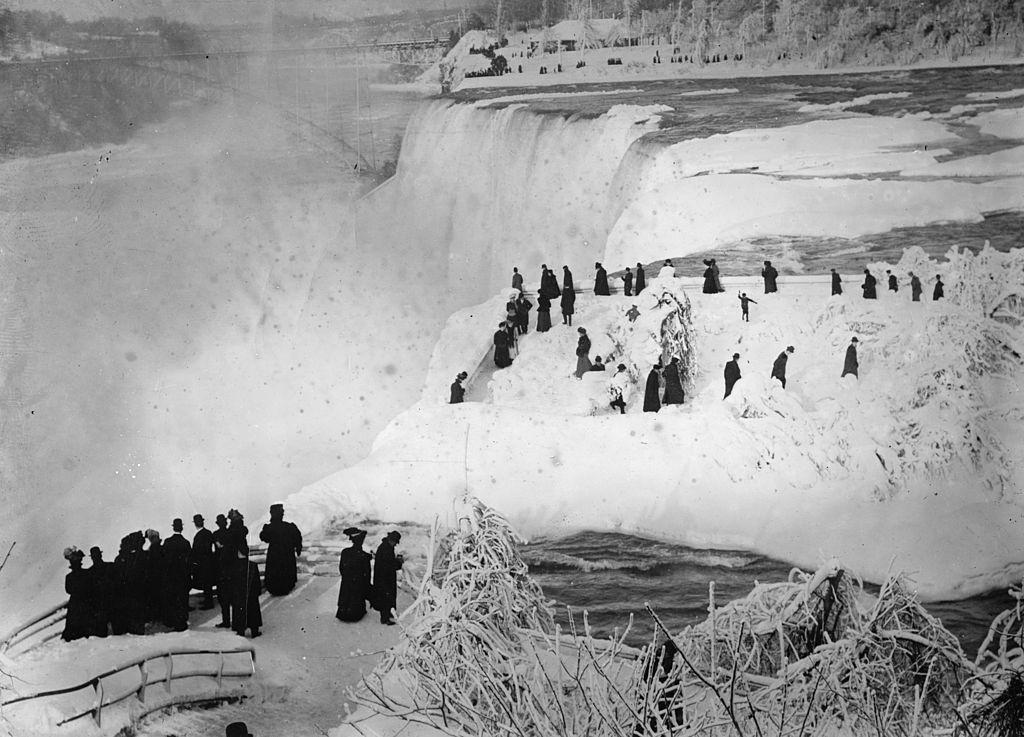
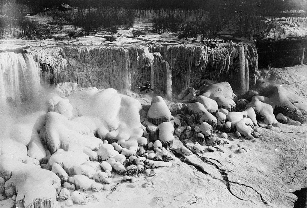
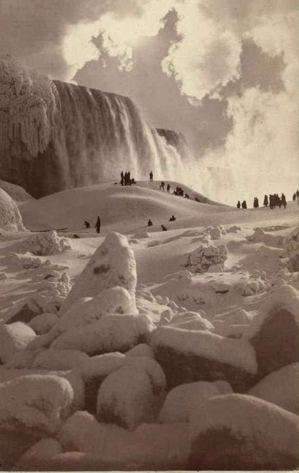
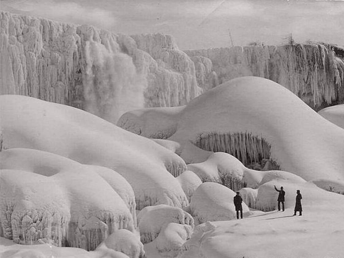
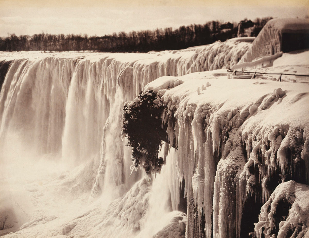
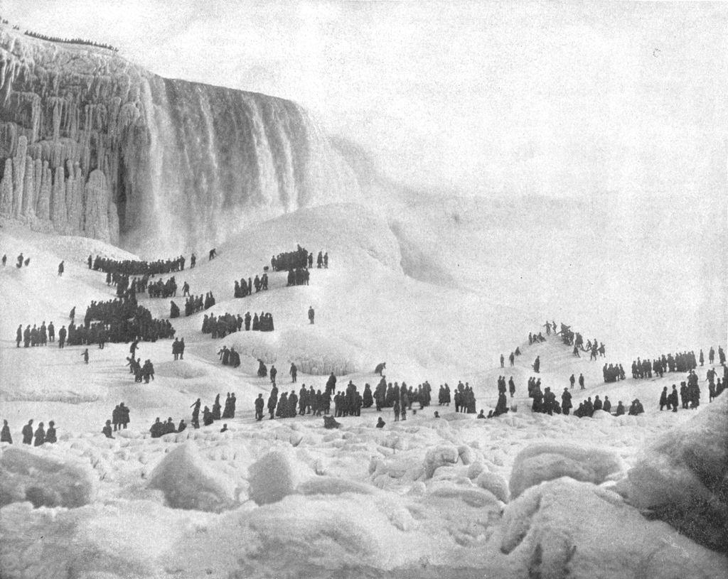
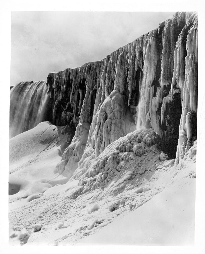
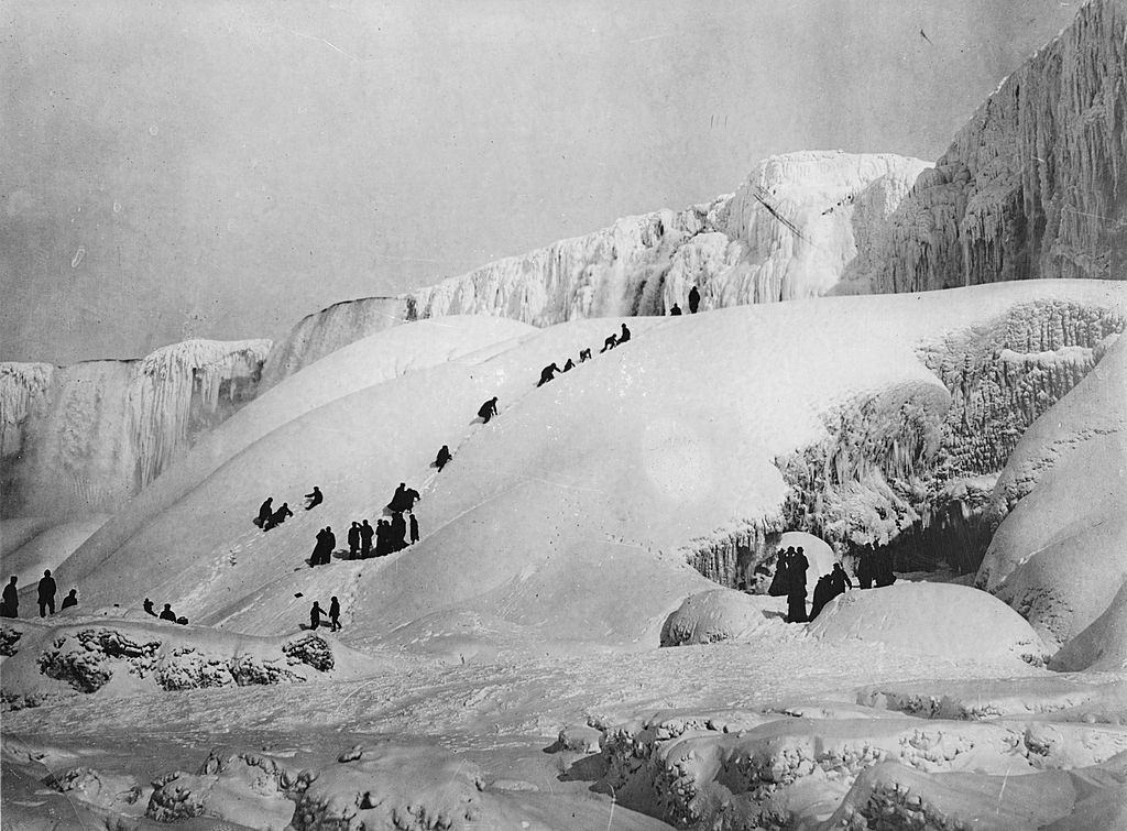
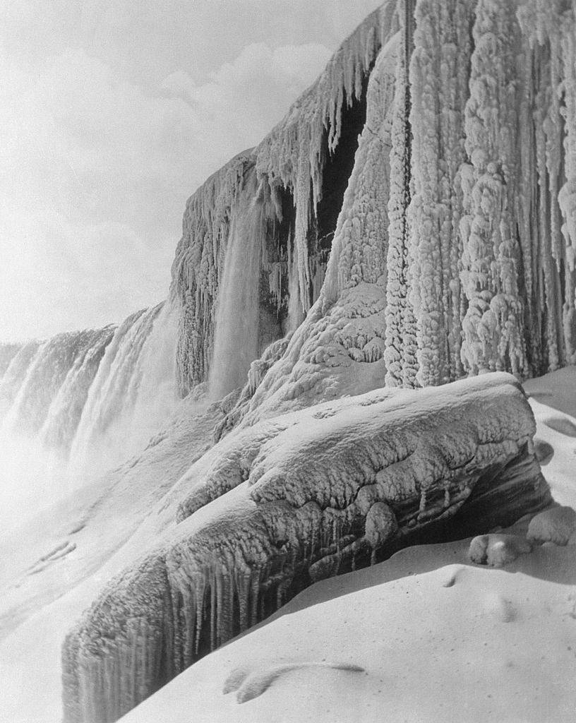
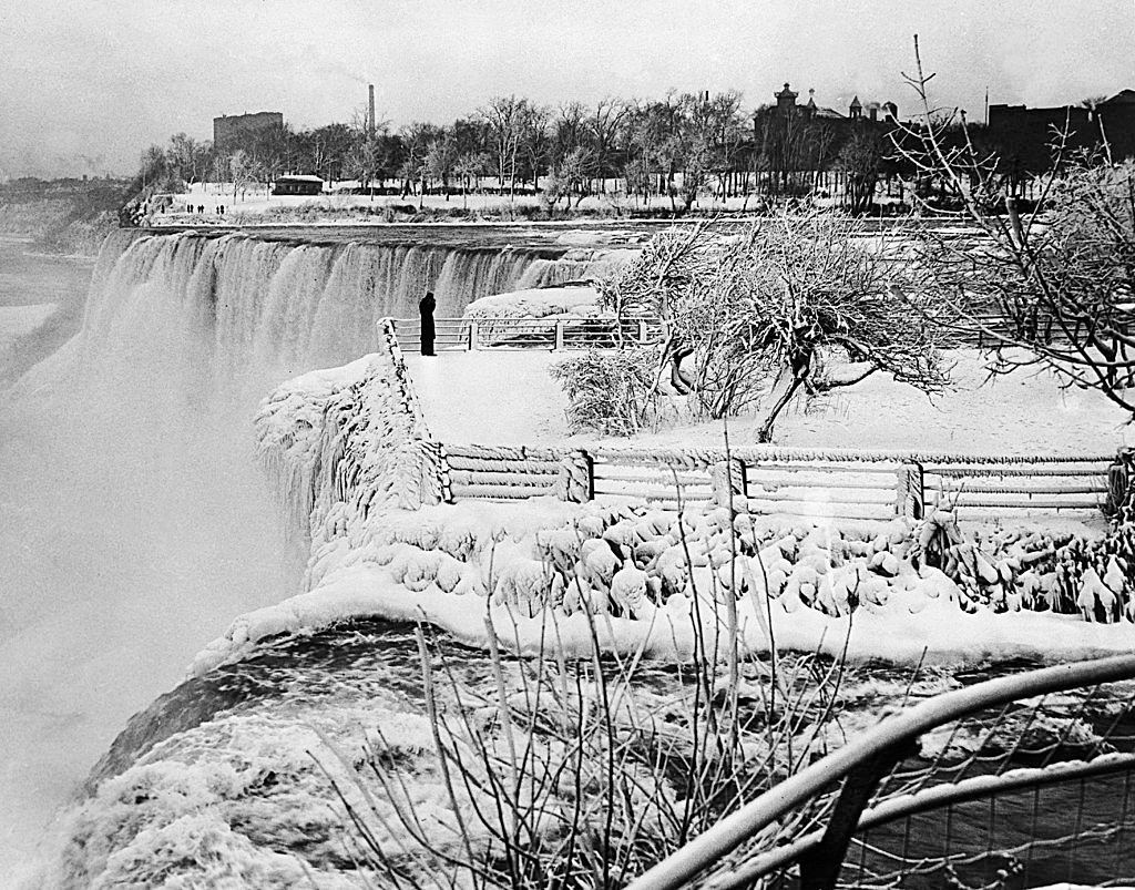
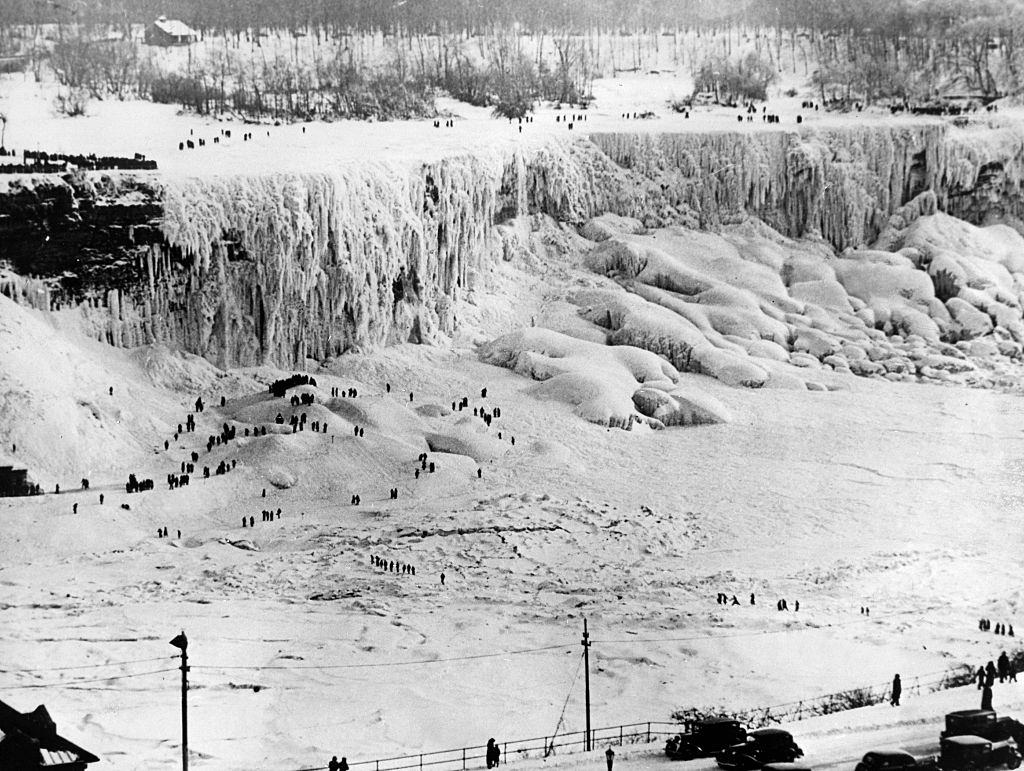
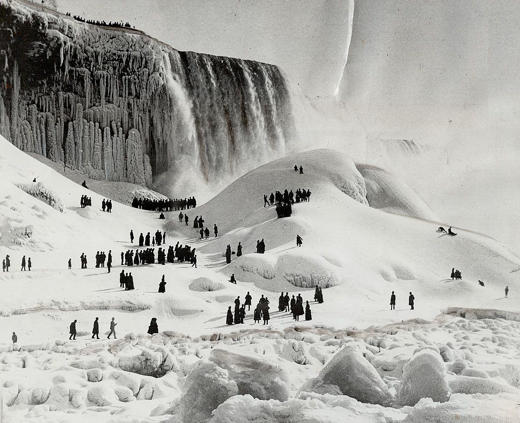
People used to walk to Canada across the Frozen Niagara Falls until the late 1880s. Tourists strolled between the two countries, and entrepreneurs sold food and hot drinks from makeshift concession stands. Climate change and global warming fueled by human activities mainly affect Niagara Falls like the other precious regions of the world, such as Antarctica. In the last 40 years, an average of about 1.3-degree Celsius temperature is increasing. An annual increase in the average number of frost-free days with ten more compared to 1970. More rain and less snow in winter are increasing the water levels.
The scientists and martyrologists expect a 20% decrease in rainfall, 30 days free-free days, and an annual drop of 3-4 degrees Celsius by the 2050s. This will significantly increase the cooling requirements and energy costs for greenhouse operators. Lower water levels are likely to increase the concentration of chemical contaminants. It’s our collective responsibility to save this precious wonder of nature.
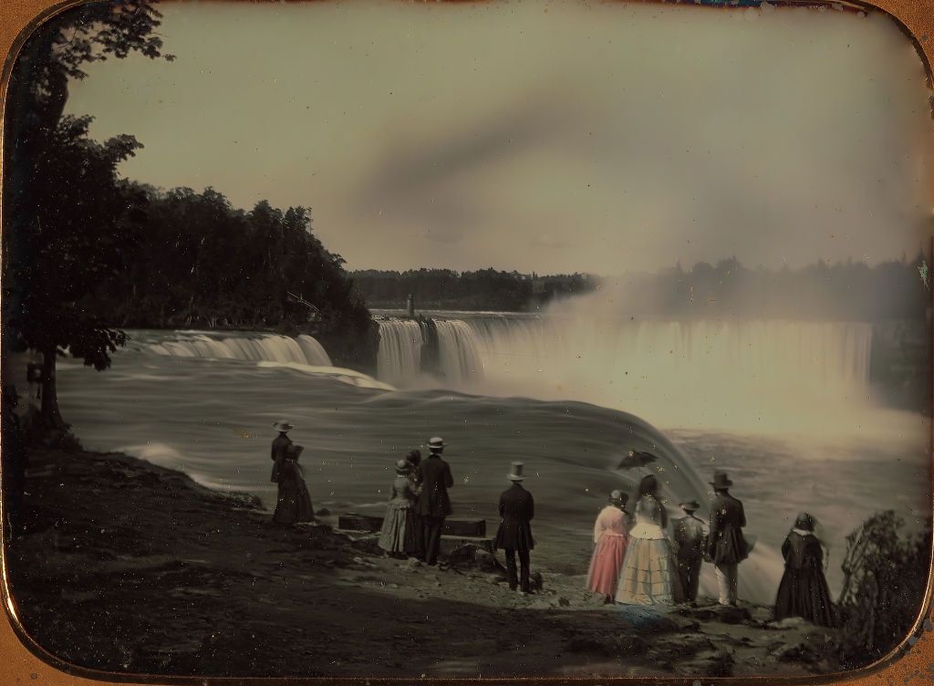
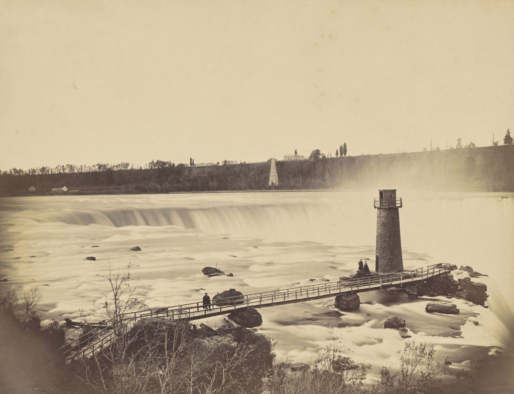
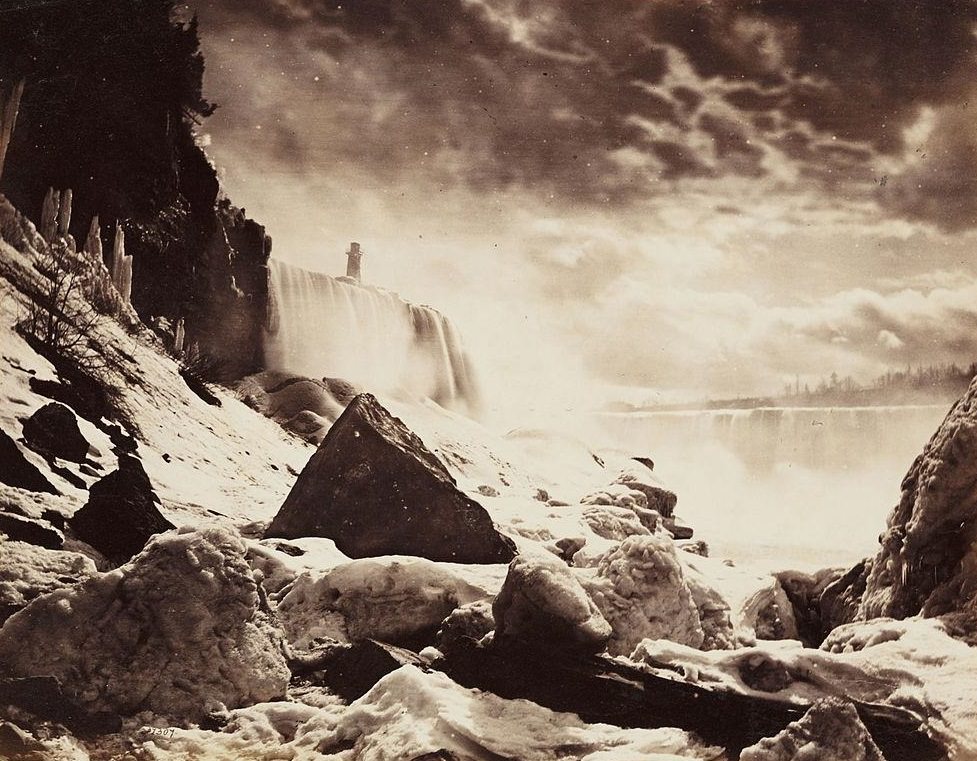
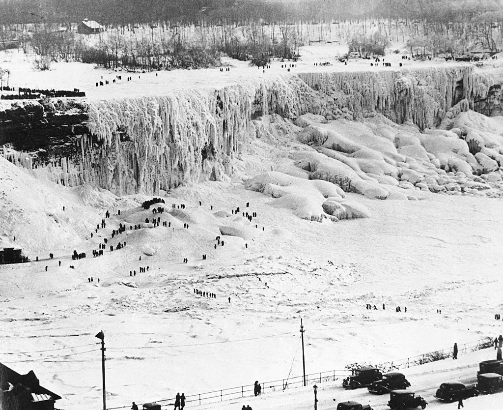
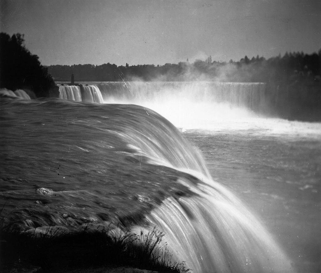
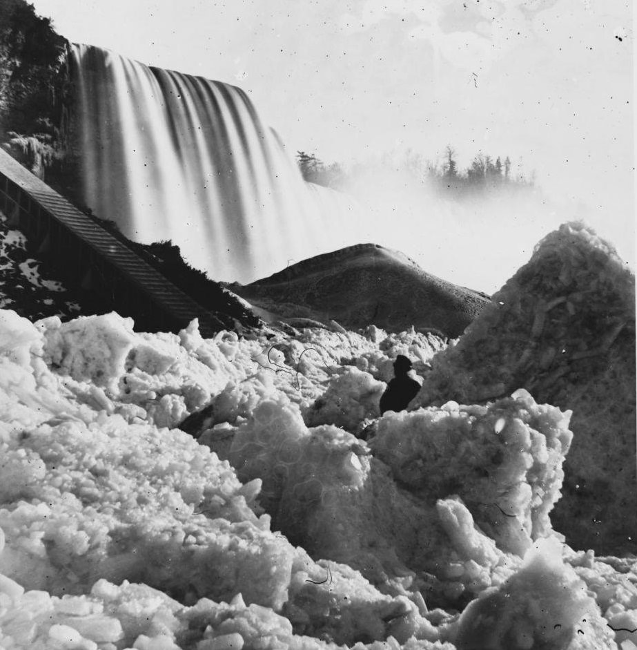
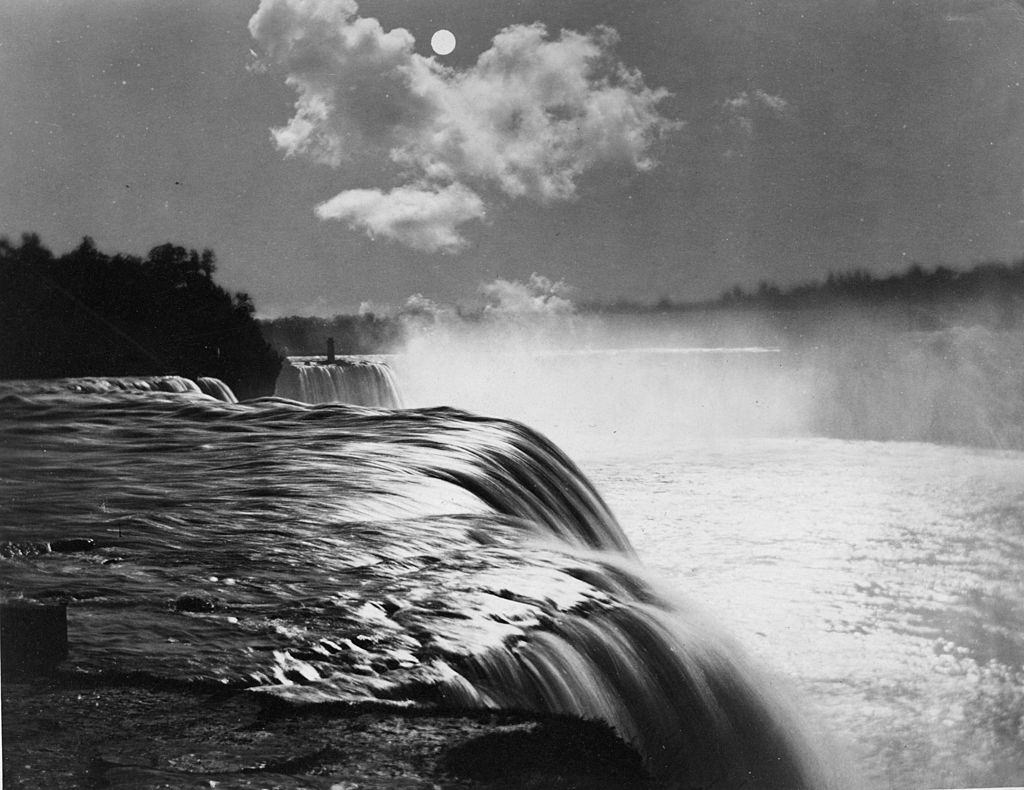
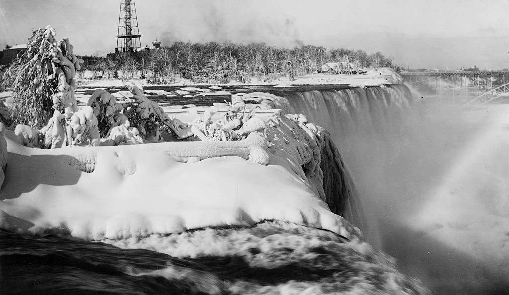
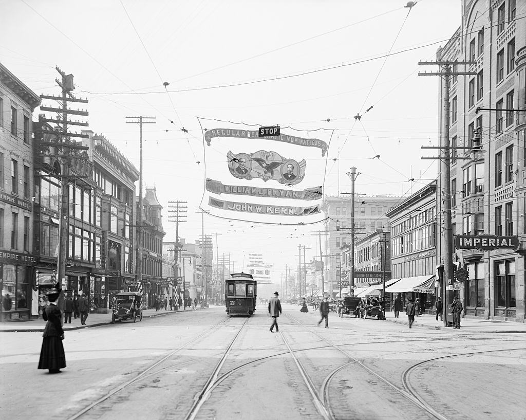
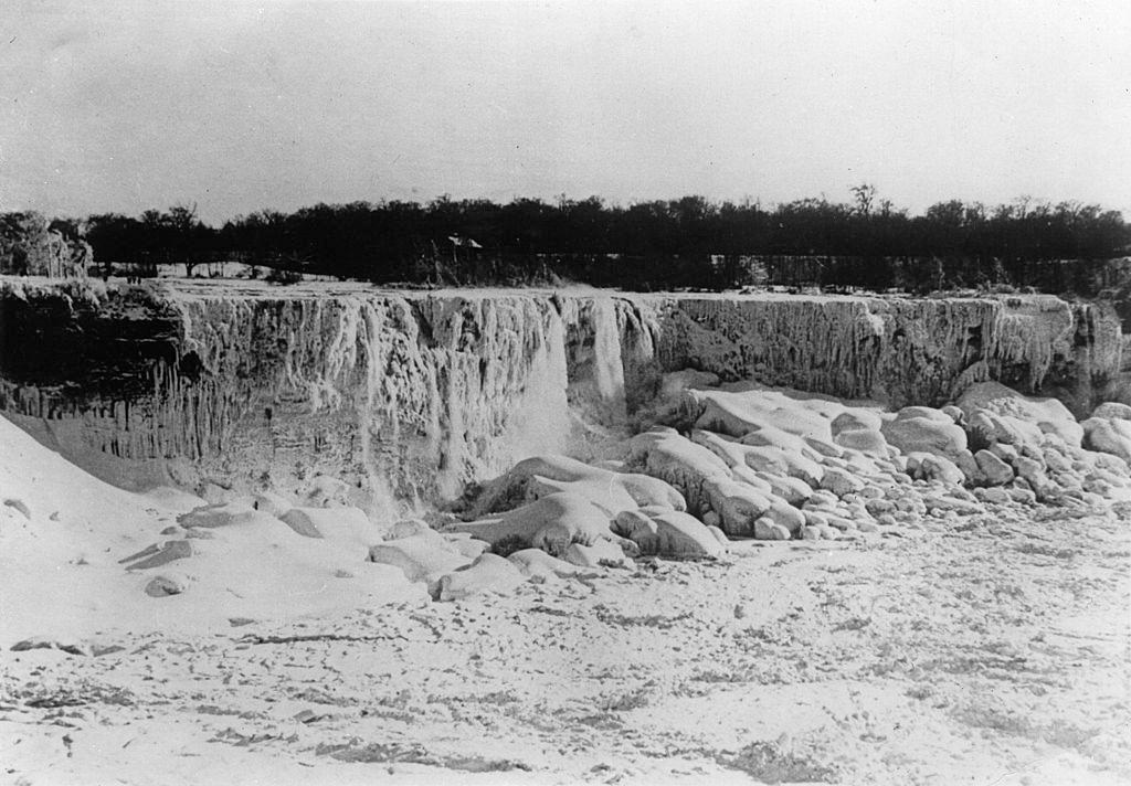
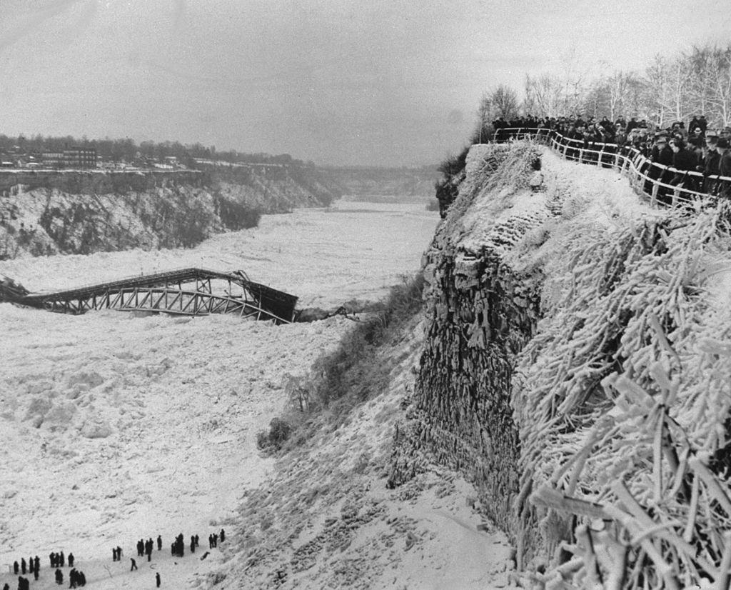
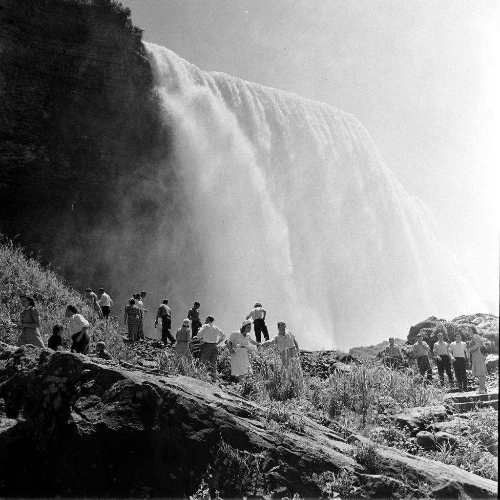
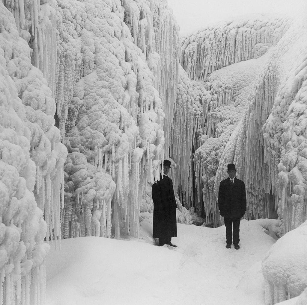
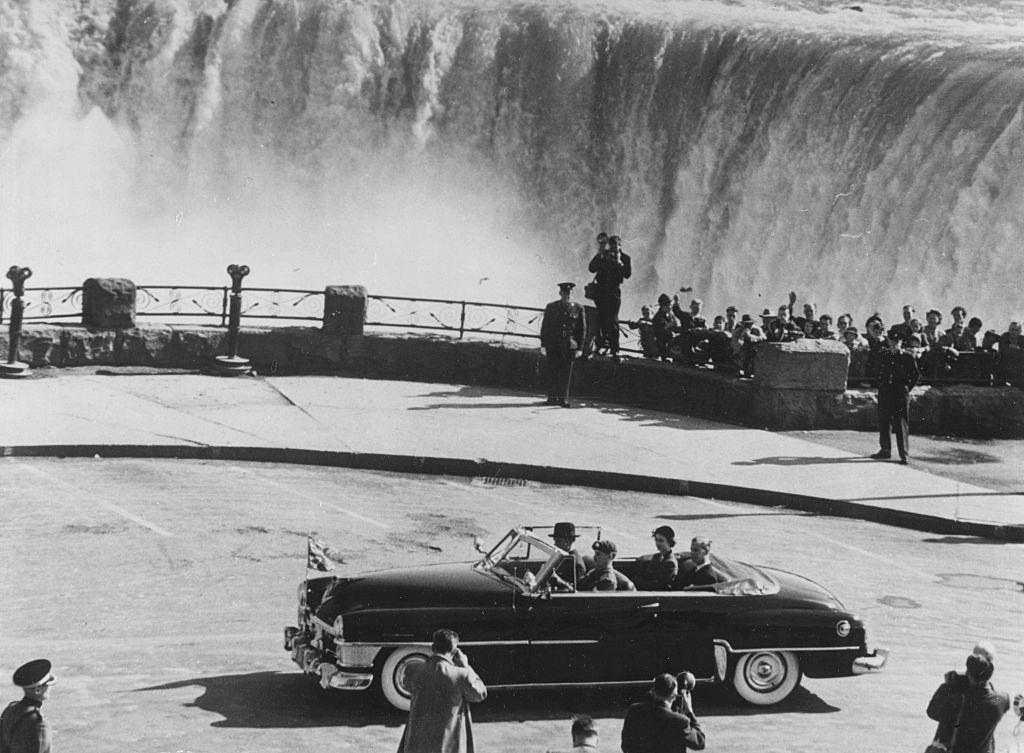
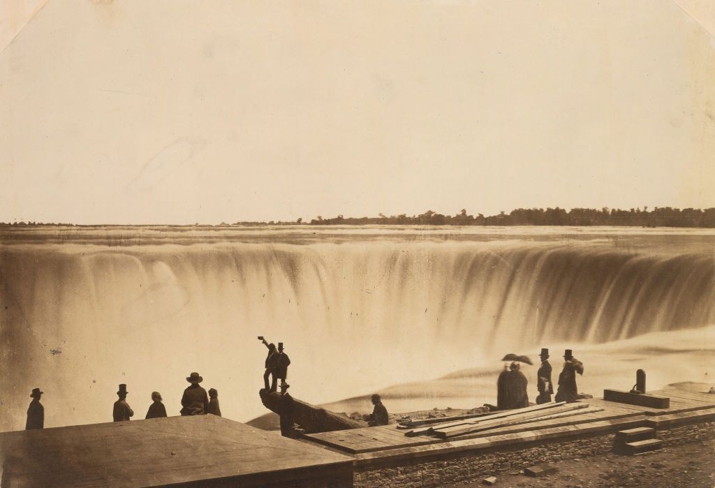
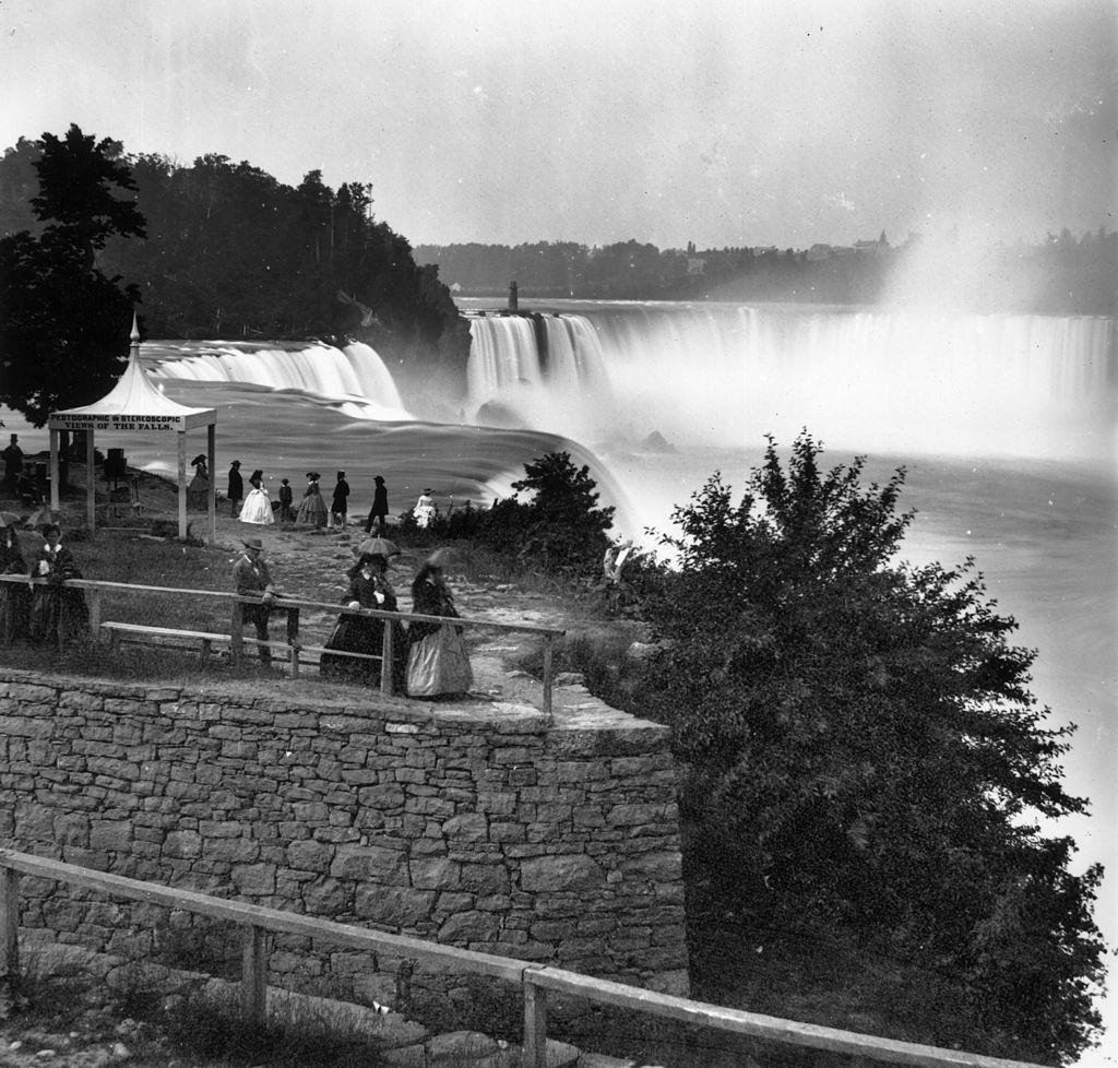
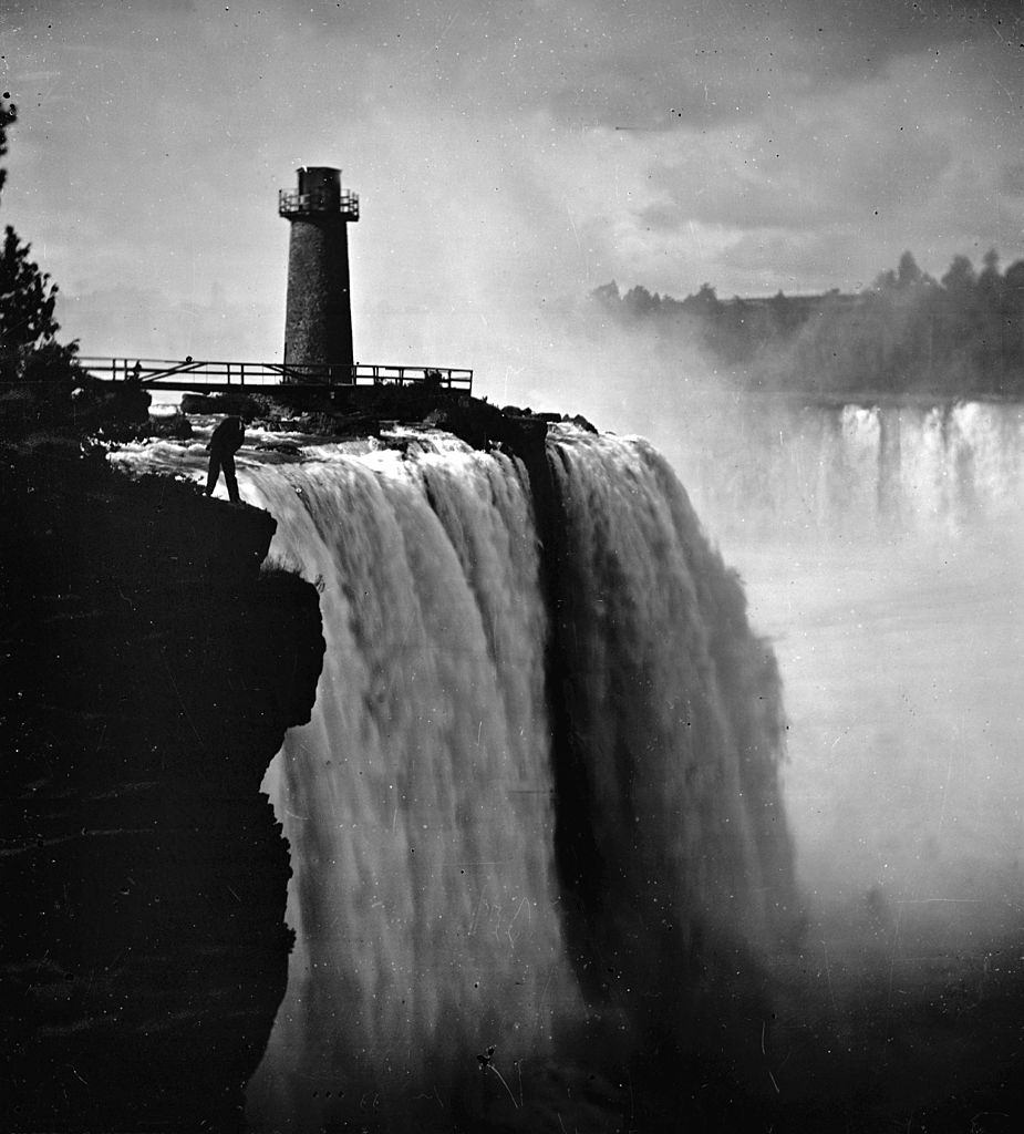
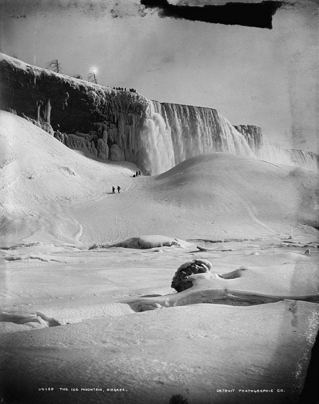
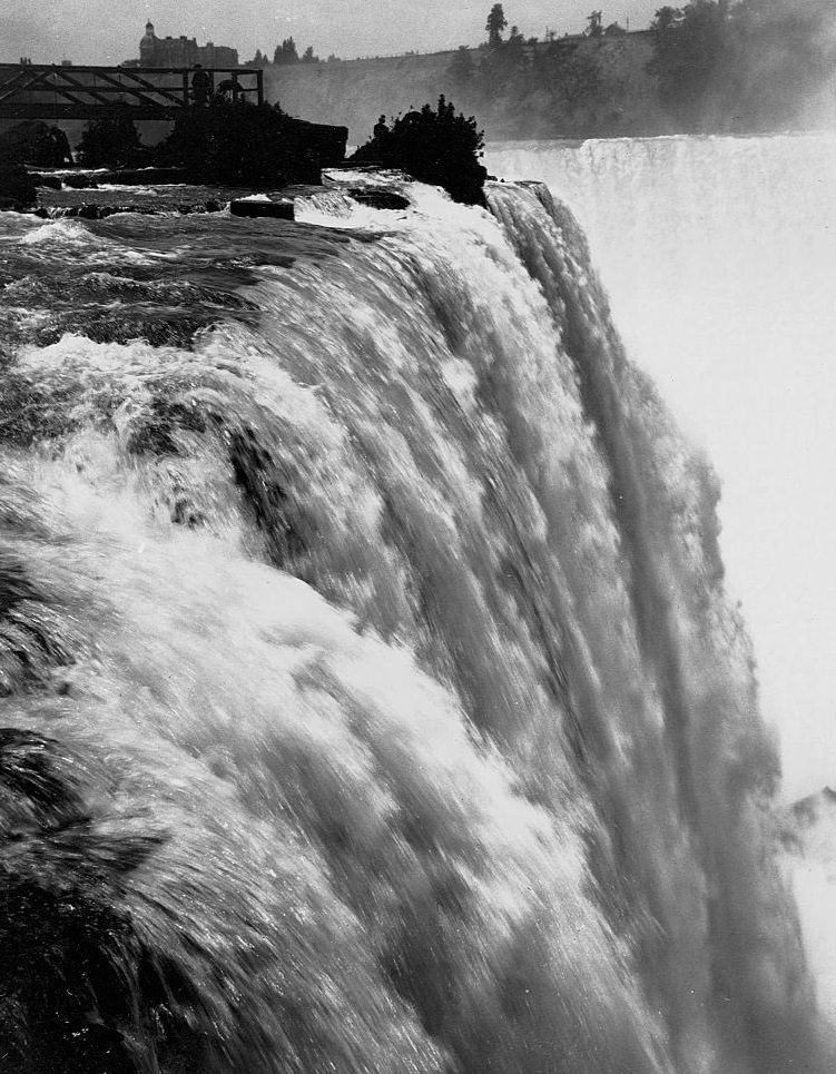
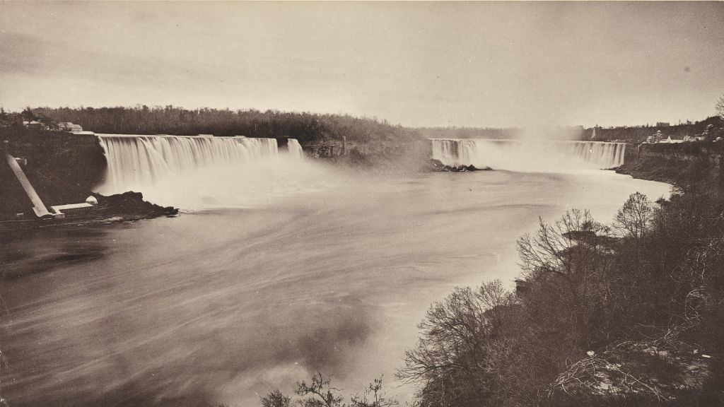
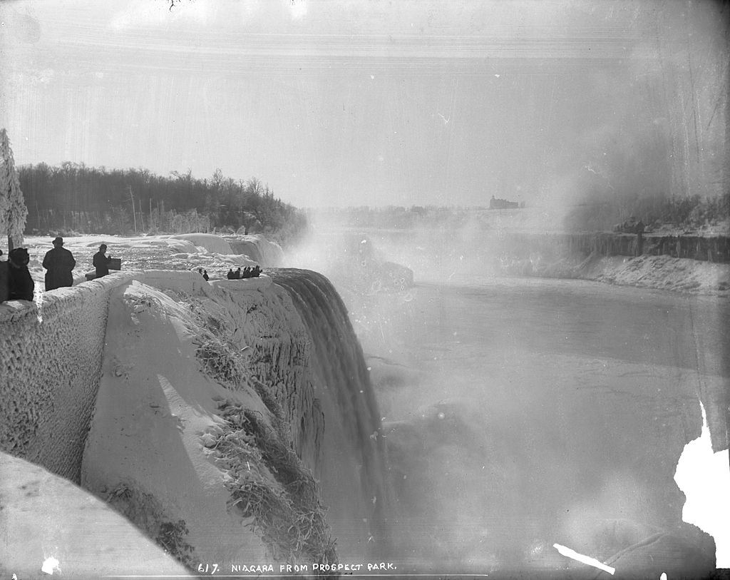
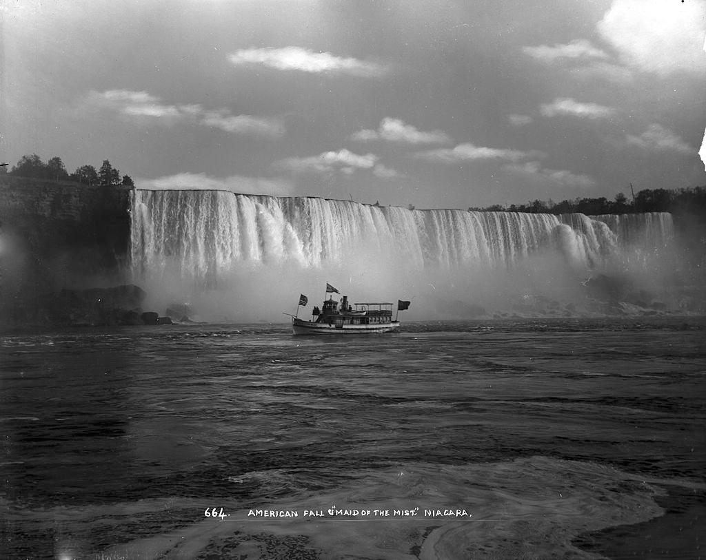
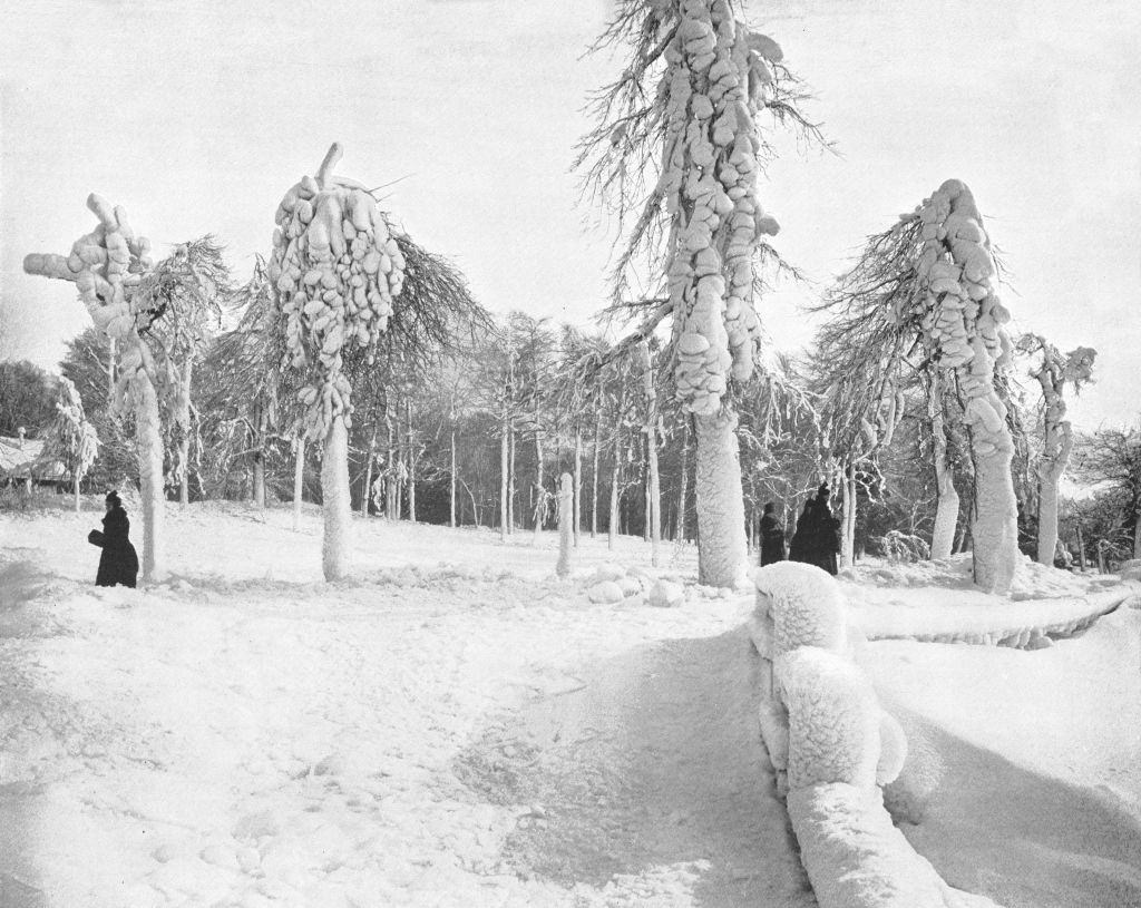
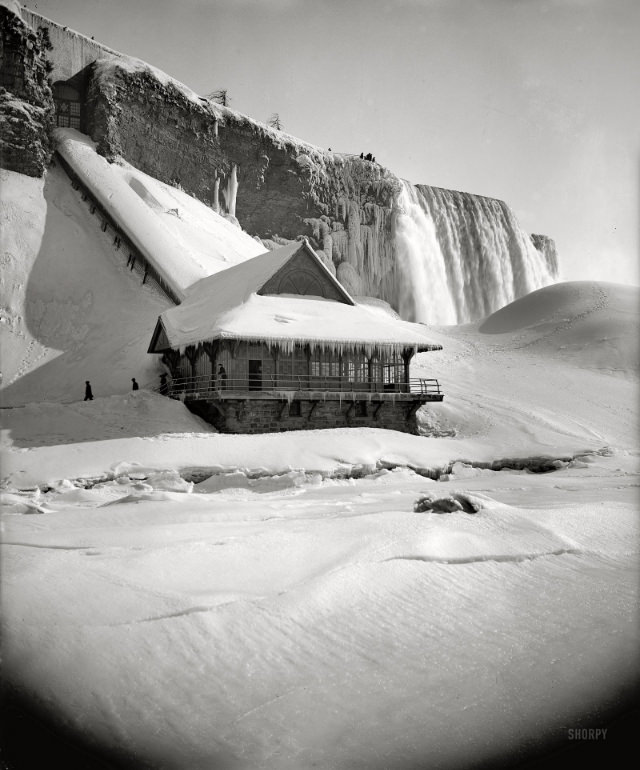
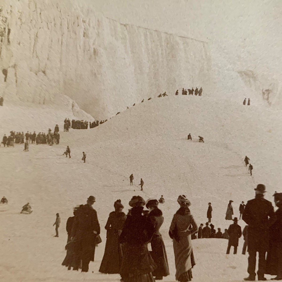
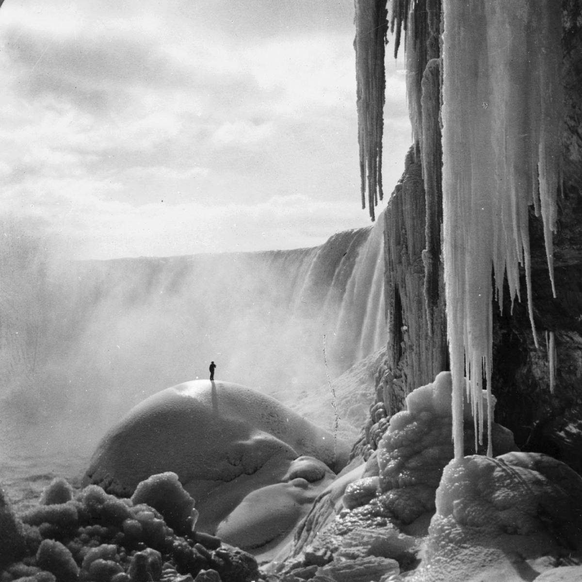
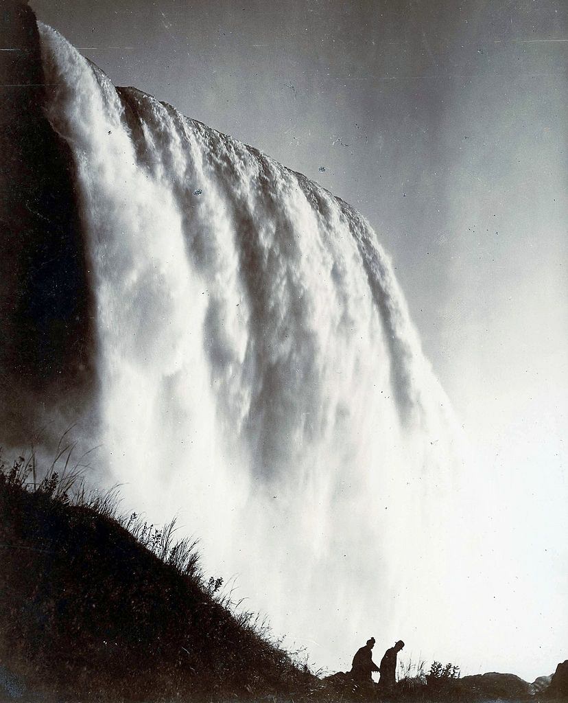
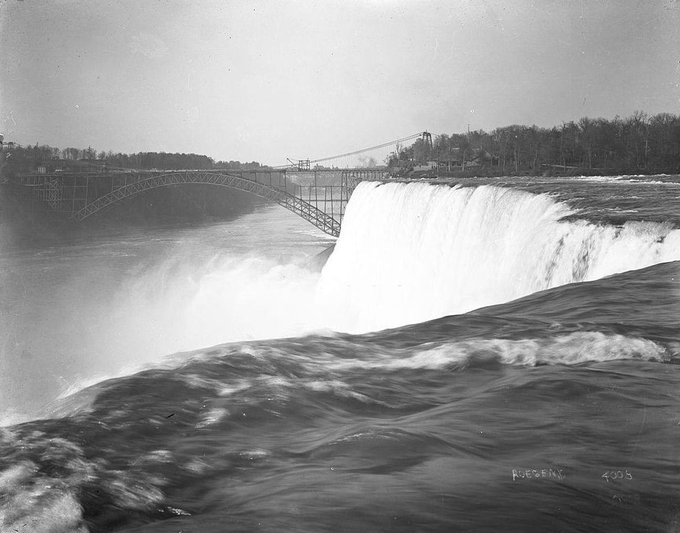
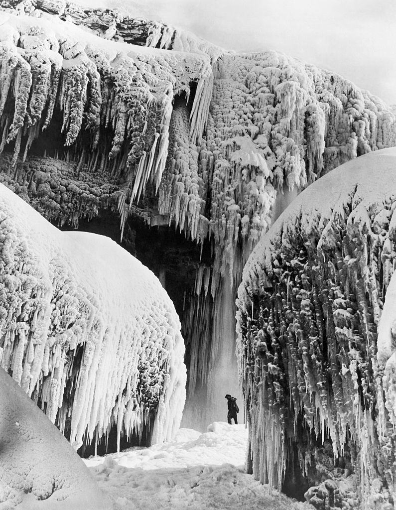
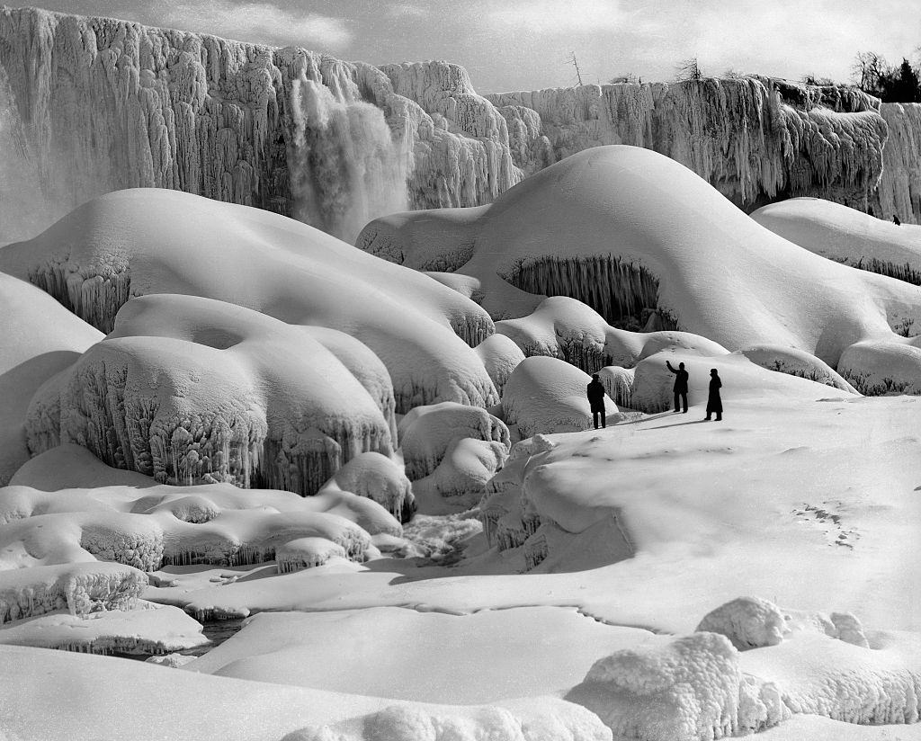
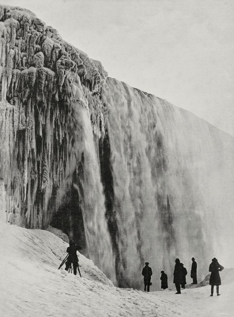
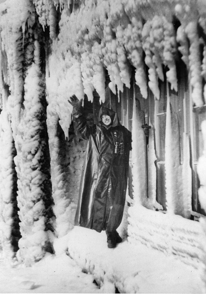
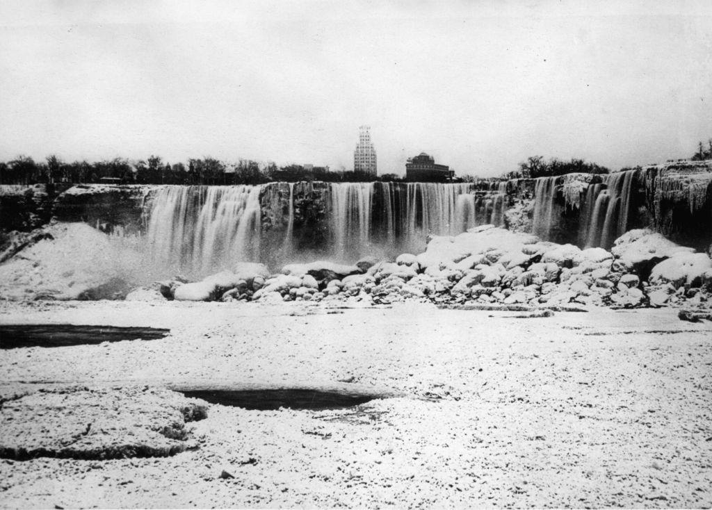
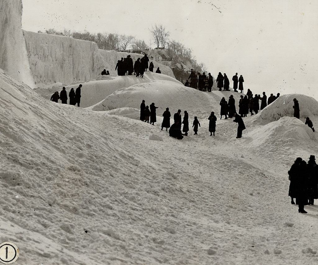
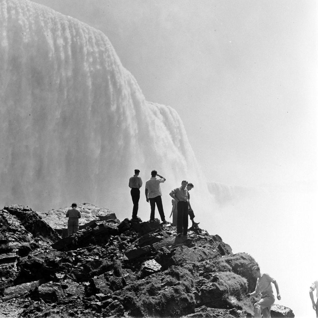
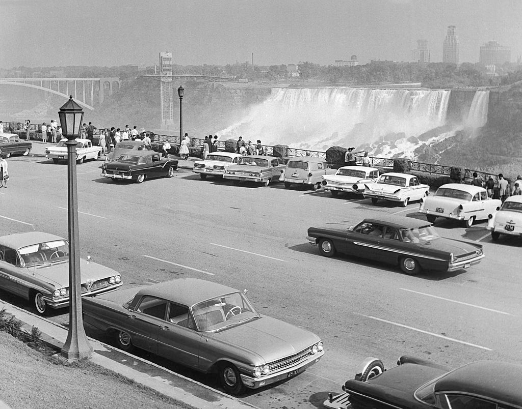
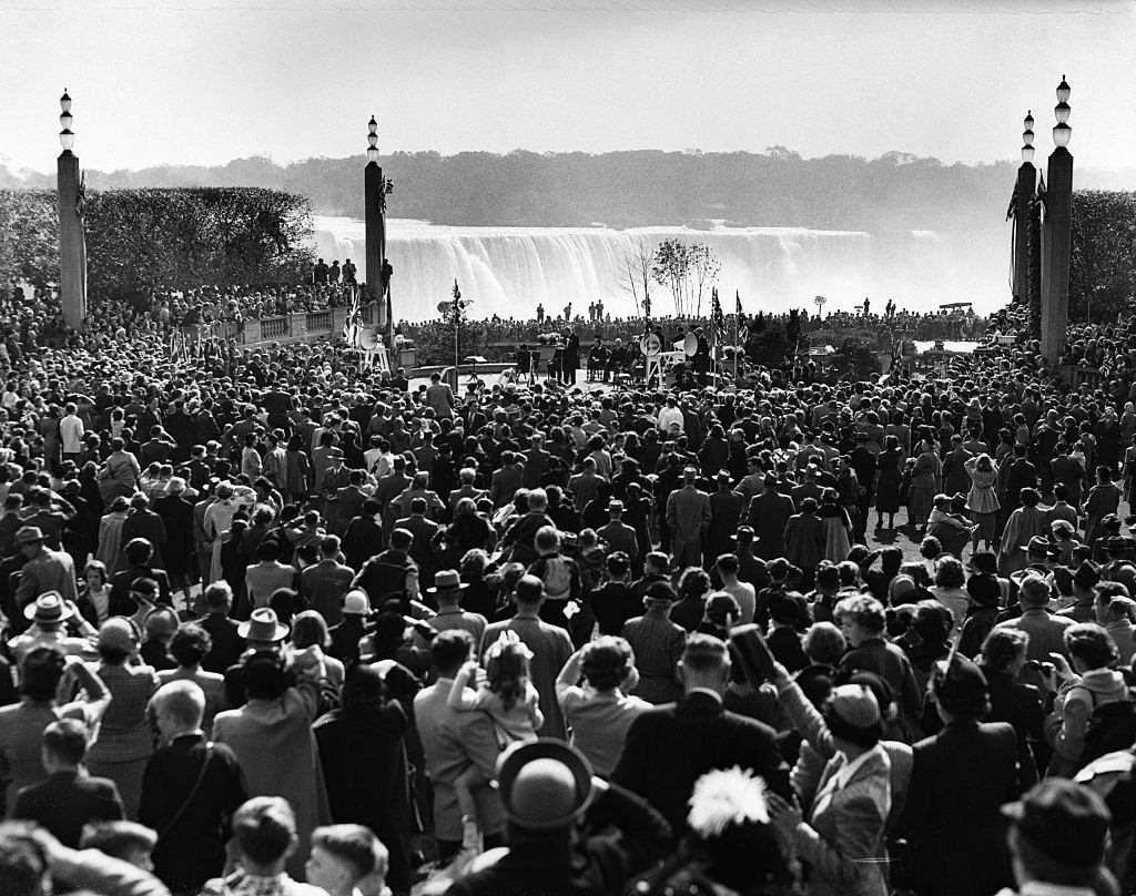
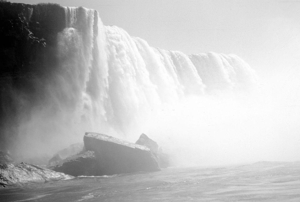
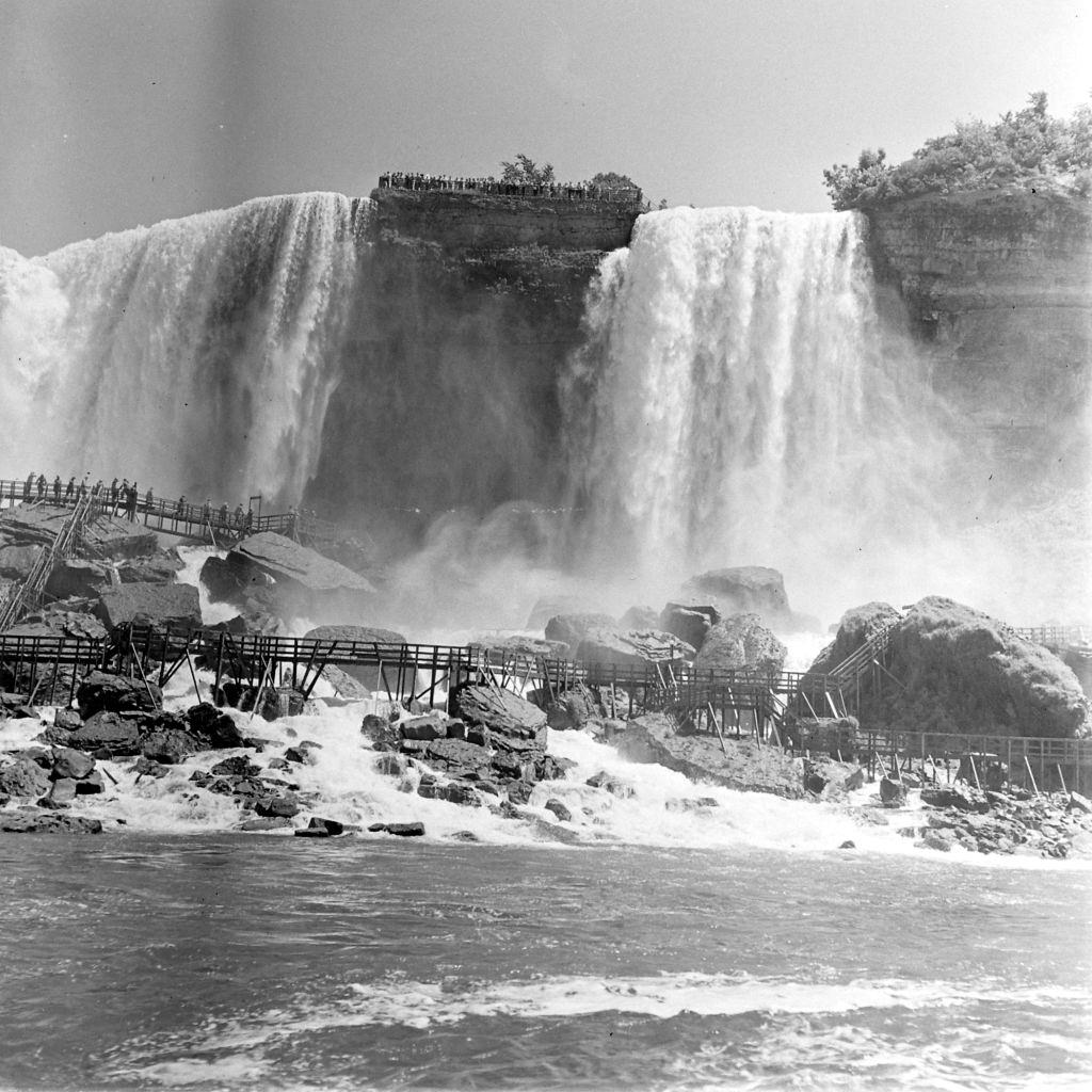
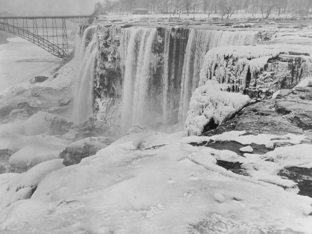
Below are some historical photos from the mid-19th century to the 20th century that show how Niagara Falls looked over the years.


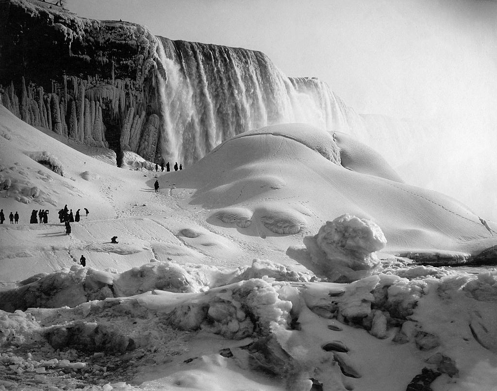
When was the last time the falls completely froze over?
It was either 2017 or 2018 when we experienced that fierce cold snap. During the winter of 2019, we shared another cold snap harder than in 2017, but not as long as the one in 2017.
Our lives were better when we had cold winters and when people weren’t morons and were trusted to go into fun areas.
With the hydro generation plant in place, it is easier for the falls to freeze over – a lot of water is diverted to the generators and enters the river farther down. Natural erosion has also been reduced.
Can someone confirm that the lady is Princess Elizabeth or Queen Elizabeth
She was crowned in 1953 so she would have been Princess at the time.