

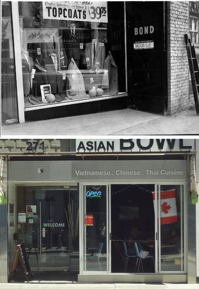
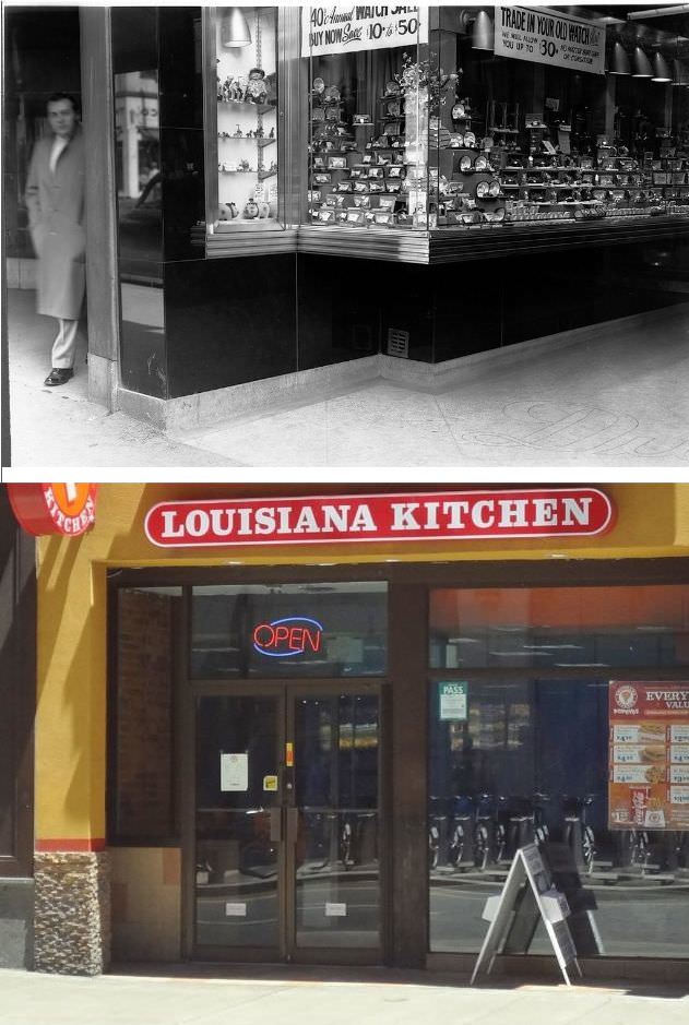
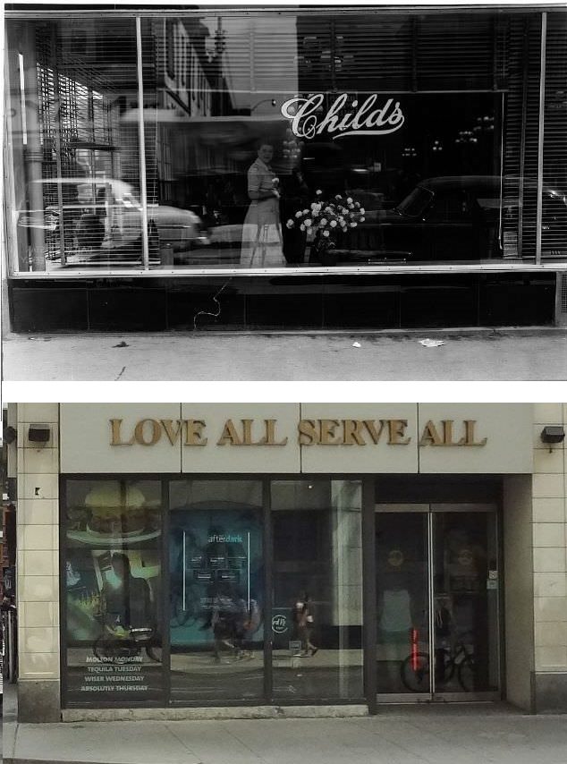
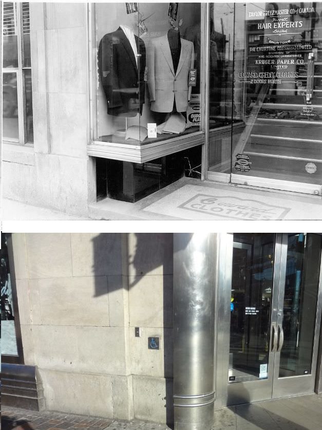
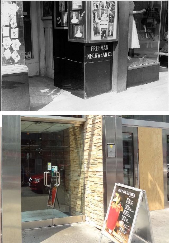
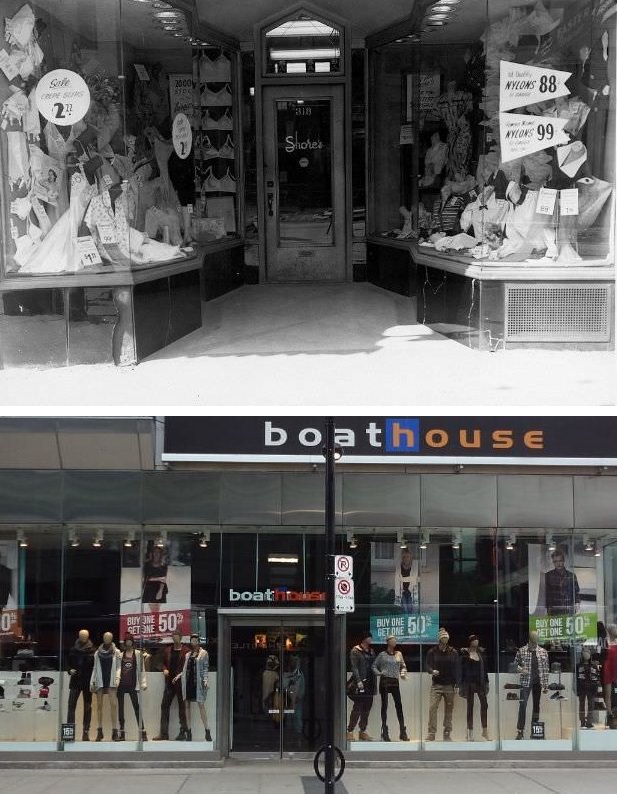
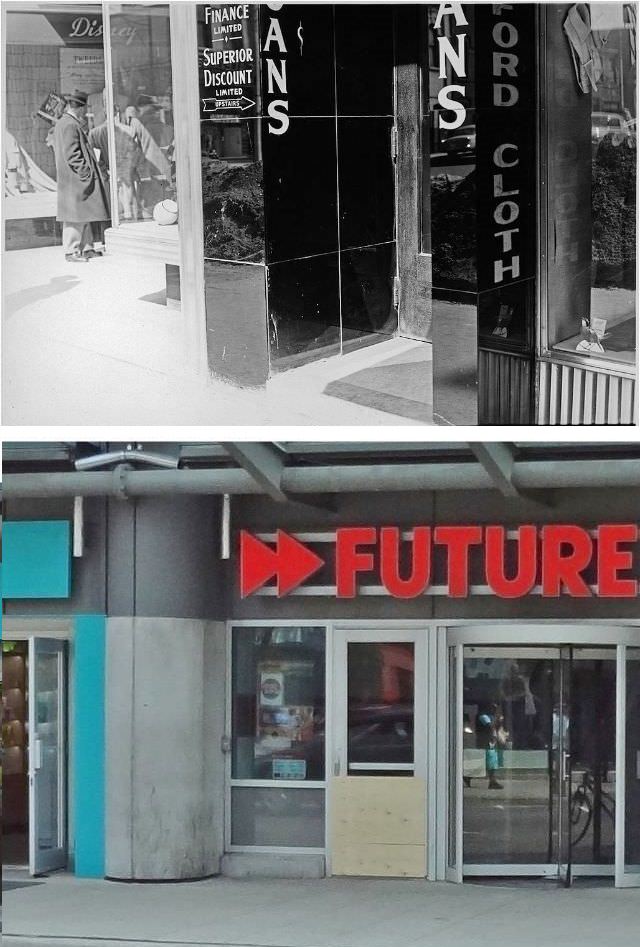
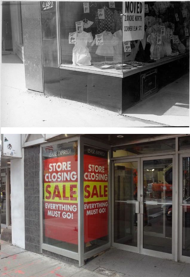
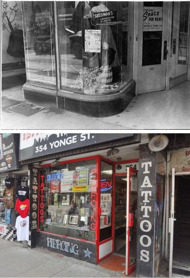
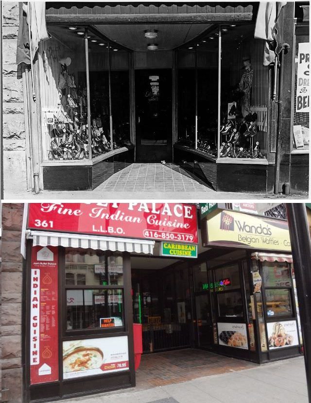
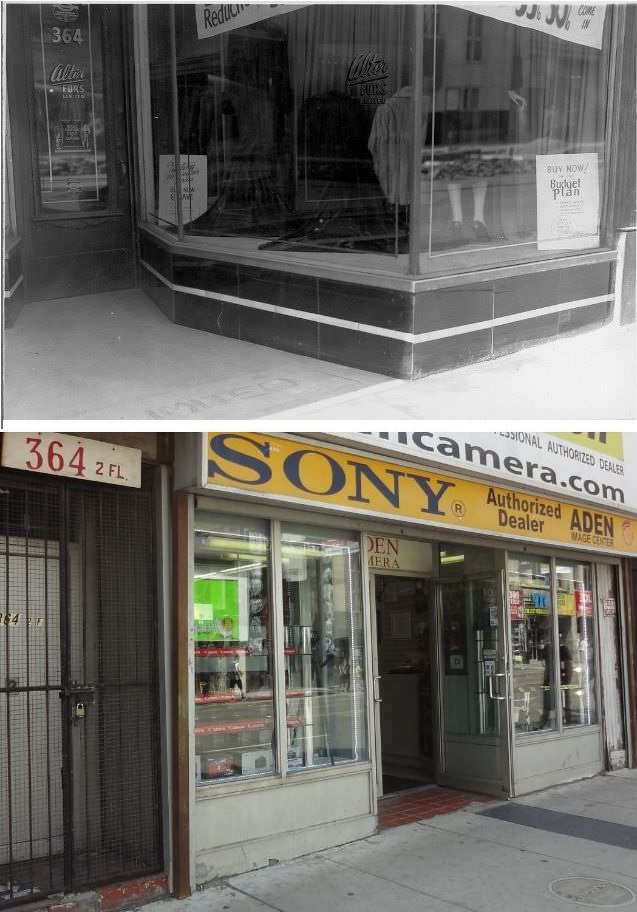
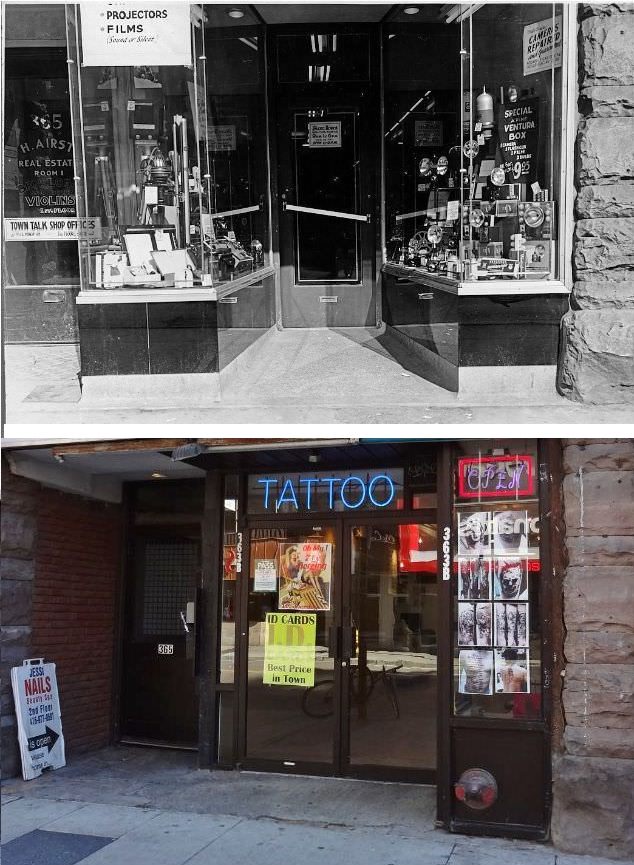
Ontario’s Yonge Street connects Lake Ontario and Lake Simcoe, a gateway to the Upper Great Lakes in Toronto. Yonge Street (including the Bradford-to-Barrie extension) is 86 kilometres (53 mi) long and used to be the southernmost leg of provincial Highway 11, linking the provincial capital with northern Ontario.
Street numbering in Toronto and York Region is based on Yonge Street, which runs north-south. Line 1 Yonge-University runs nearly the entire length of Yonge Street in Toronto; it serves as the spine of the subway system, linking to suburban commuter rail systems like Viva Blue. Downtown Yonge is a shopping and entertainment district with landmarks such as the Eaton Centre and Yonge-Dundas Square, making it a commercial thoroughfare rather than a ceremonial one.
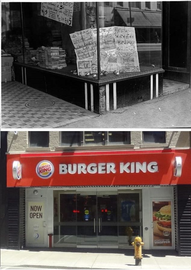
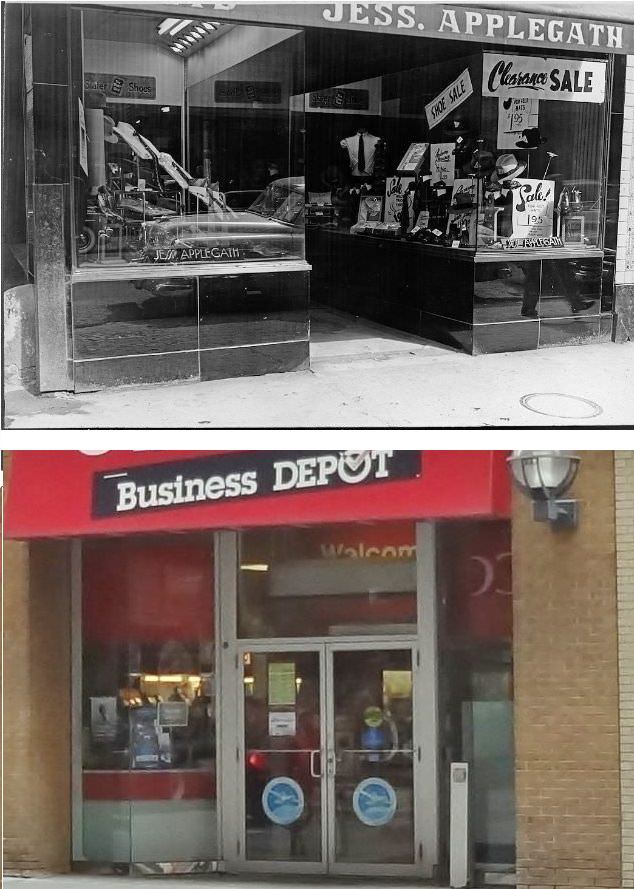
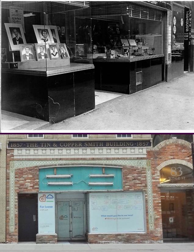
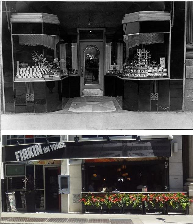
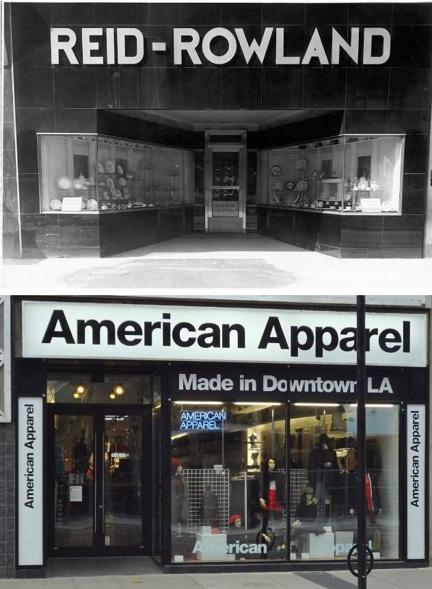
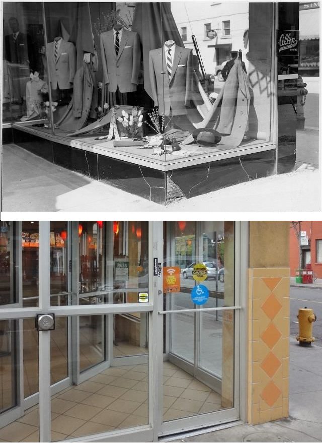
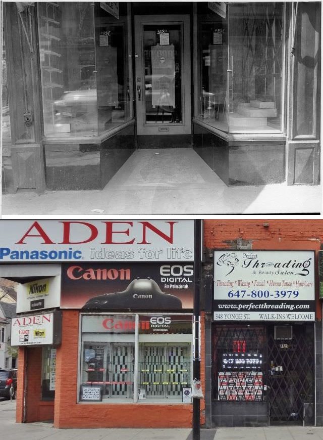
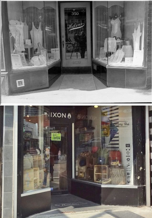
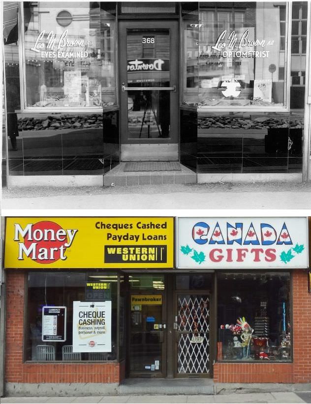
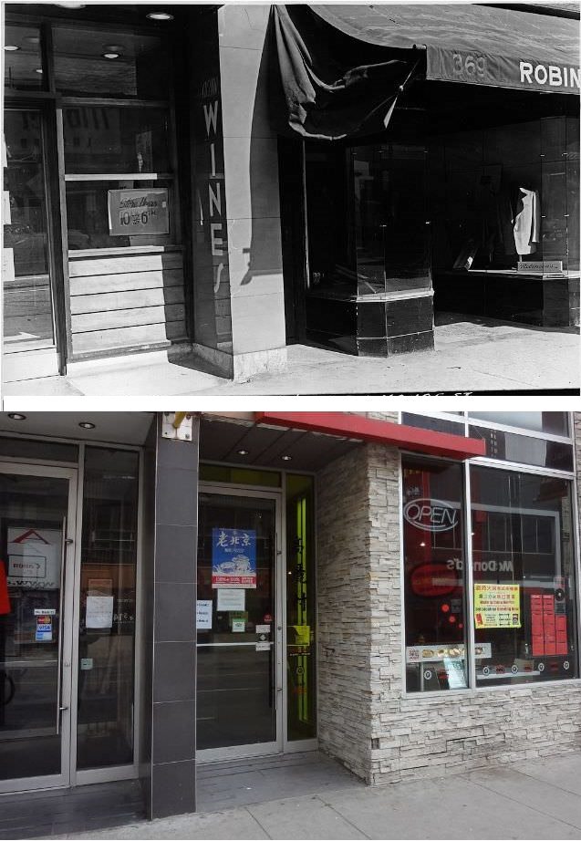
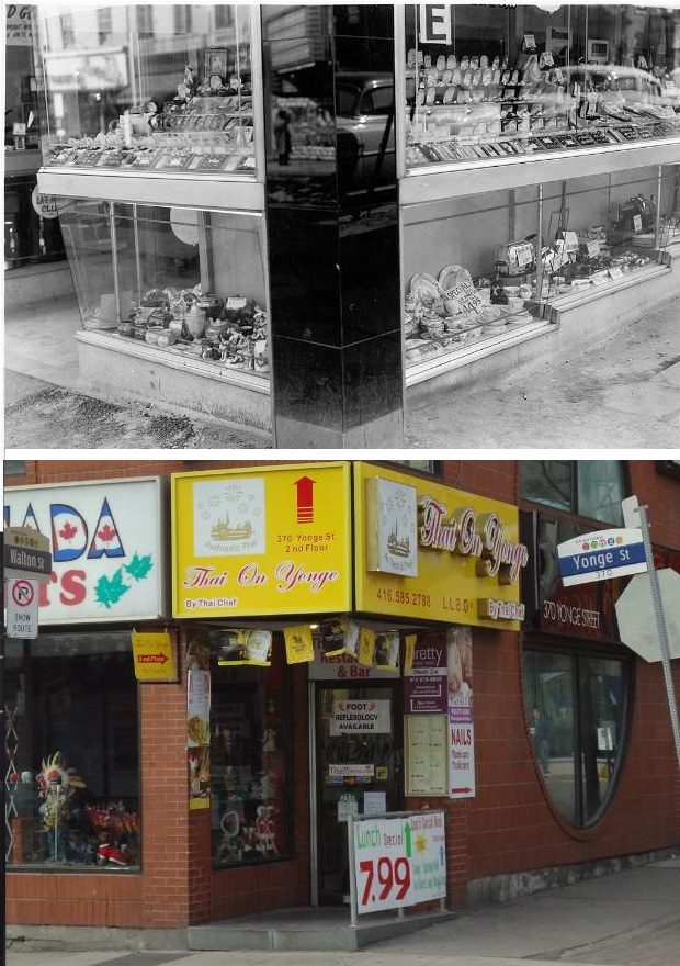
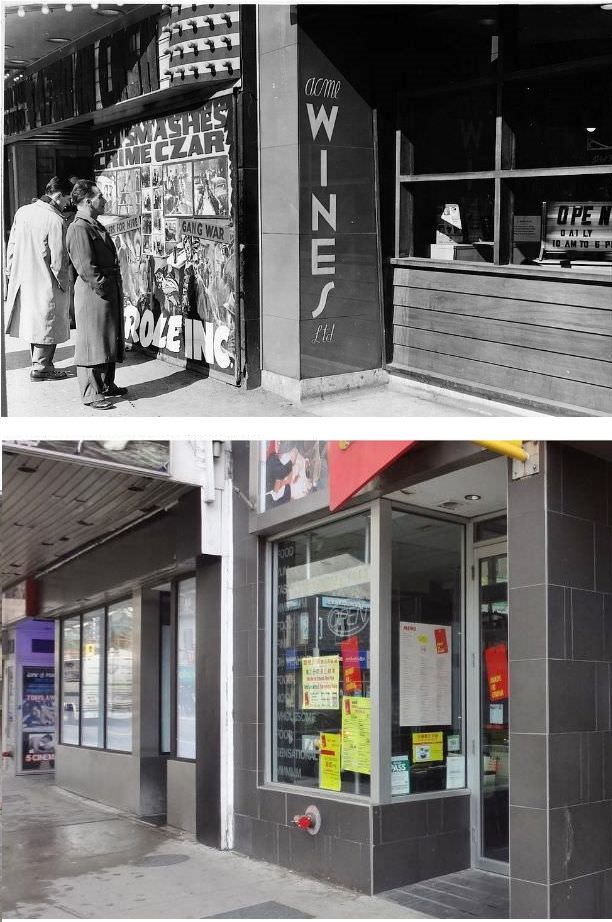
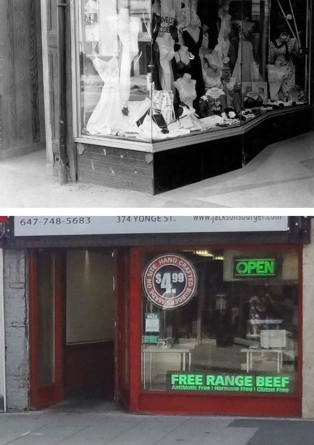
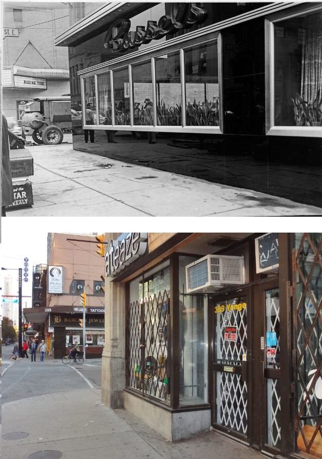
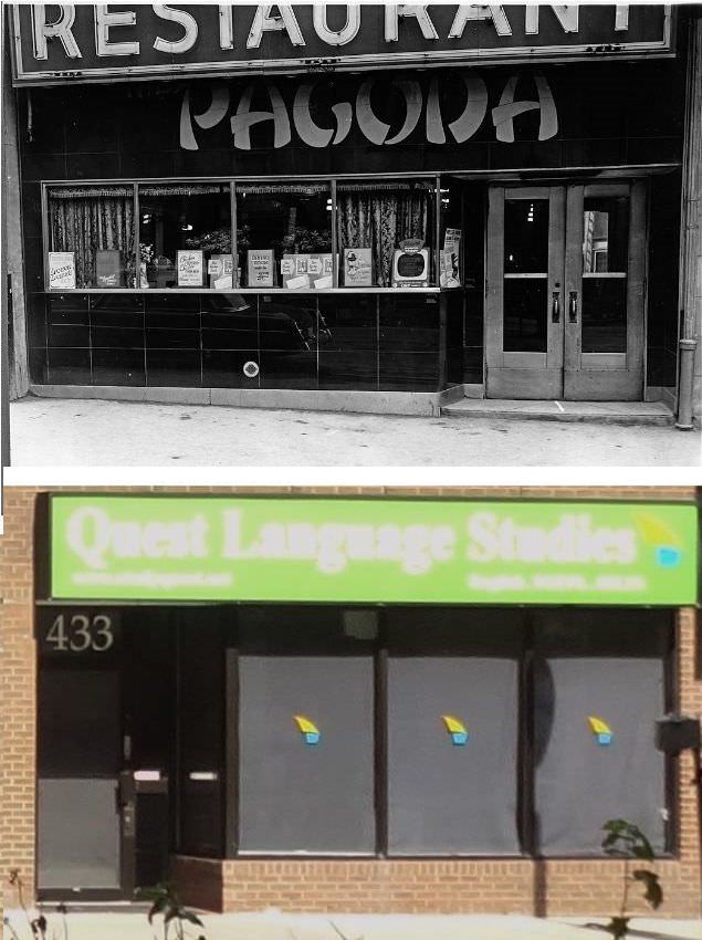
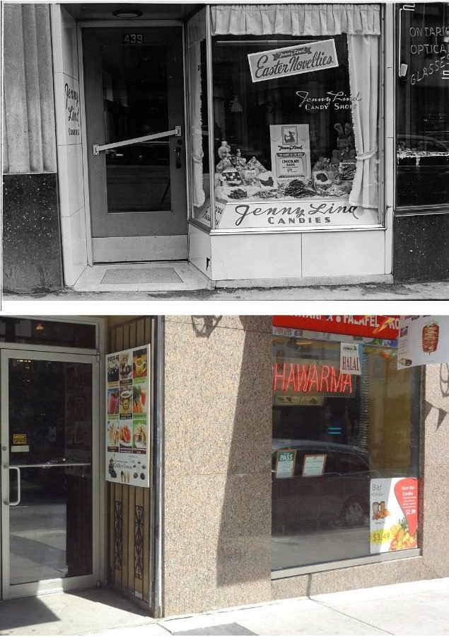
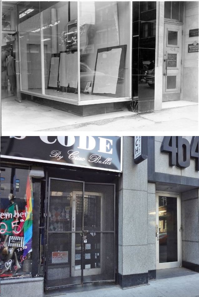
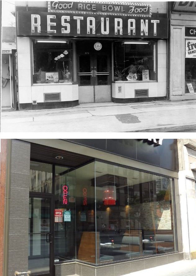
Below are some stunning photos of Yonge Street in 1954 and 2014 that show how much it has changed in the 60 years.
The exclusive condo lobbies and empty retail spaces are great additions post 2014!
f they have any photos of the firkin on yonge (formally an arcade!), that would be fucking awesome.
Well fuck, it was a jewellery store, then an arcade (no photos of it! SHAME!!), then a firkin pub.
Noticed a few duplicates. Guess they didn’t keep track.
The city has gotten duller since then, which is a shame.
There are a lot of chains and fast food restaurants. All those stand-alone specialty stores must have made window shopping much more interesting.
These are the most boring photos i’ve ever seen
What’s stunning about them?