
On the afternoon of June 8, 1953, a tornado carved a path of destruction through Sarnia, Ontario, leaving seven people dead and hundreds injured. It remains one of the deadliest tornadoes in Canadian history. The storm formed over Lake Huron and intensified rapidly as it moved inland, reaching wind speeds of up to 250 km/h by the time it tore through the city’s streets and neighborhoods.
Sarnia sits in the far southwest corner of Ontario, where Lake Huron narrows toward the St. Clair River. That geography gave the tornado a clear path to build strength before making landfall. When it hit, it did so without mercy. Entire blocks were wiped flat. Homes were reduced to splinters, trees were snapped or uprooted entirely, and the city’s power and communication lines went down almost immediately. Emergency services were overwhelmed within minutes.
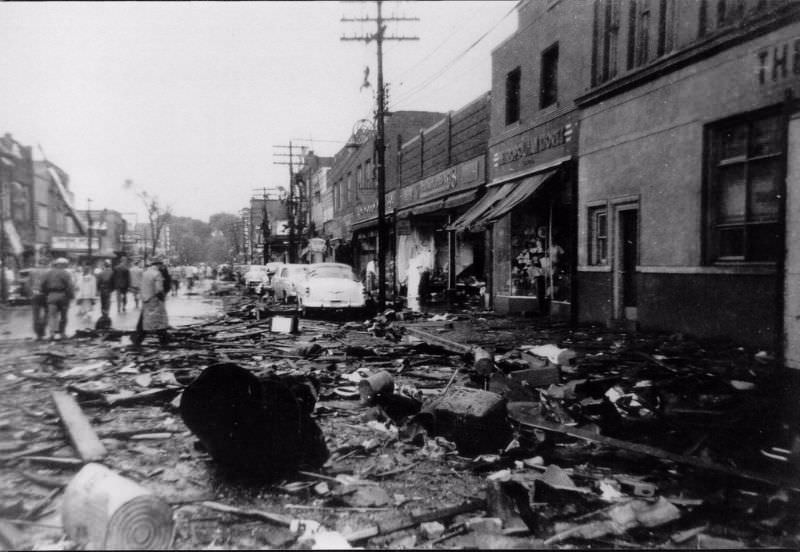
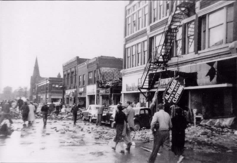
Christina Street was one of the hardest-hit corridors in the city. Looking south from Lochiel Street, the scale of the damage was staggering — storefronts stripped bare, rubble scattered across the road, and facades torn clean off buildings. The street, normally a busy commercial artery, was now barely passable.
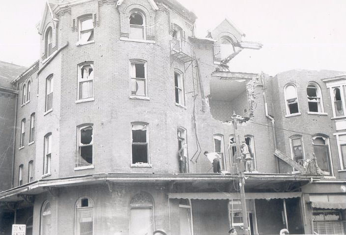
The Vendome Hotel took a direct hit. Workers began clearing debris from its structure in the hours and days after the storm, though the full extent of the damage made the job enormous. The hotel was just one of many commercial buildings across the downtown core that suffered heavy structural destruction.
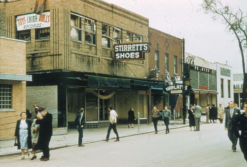
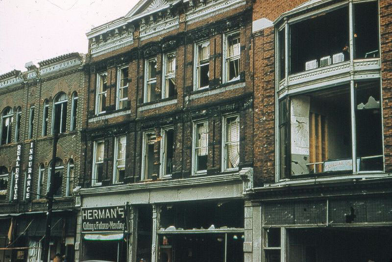
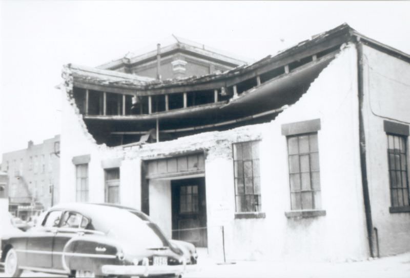
Front Street sustained some of the most visible commercial losses. The Barr building and the Mackenzie-Milne building, both located on the east side between Lochiel and Cromwell Streets, were severely damaged. Walls had collapsed, roofs were gone, and the interiors of both structures were exposed to the open sky.
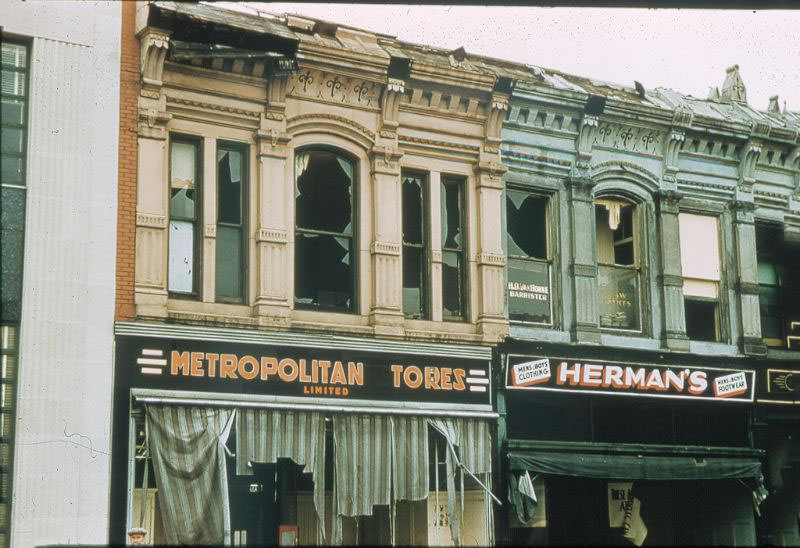
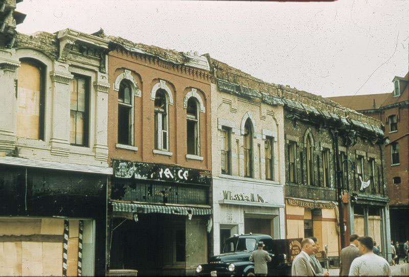
The destruction along Front Street extended for several blocks. Even buildings that remained standing had suffered broken windows, collapsed rooflines, and damaged foundations. The tornado’s path was not random — it cut through the commercial heart of Sarnia with concentrated force, targeting some of the city’s most established blocks.
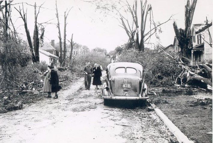
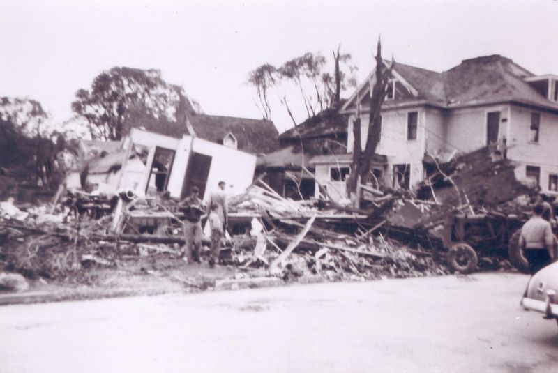
Residential streets fared no better. Euphemia Street, photographed looking north from Lochiel, showed the tornado’s reach into the neighborhoods beyond the downtown core. Houses sat partially demolished, their contents exposed, while debris filled the road in both directions.
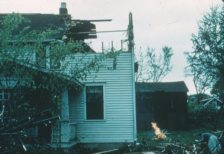
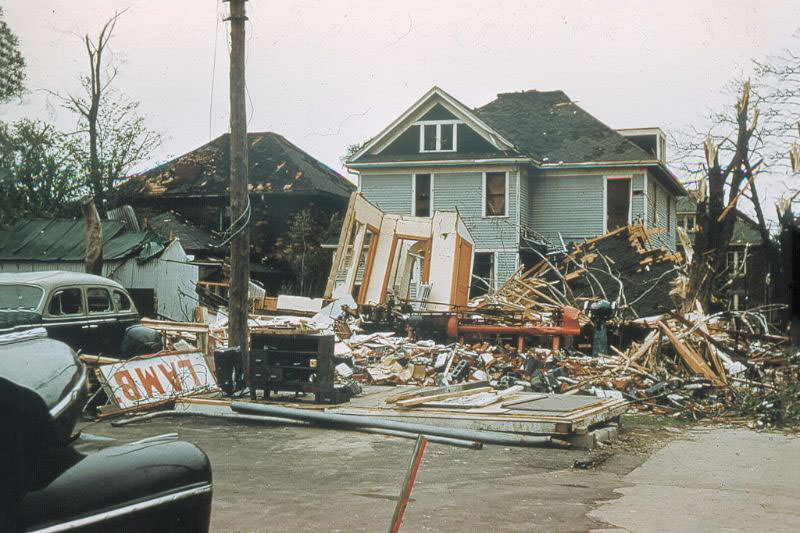
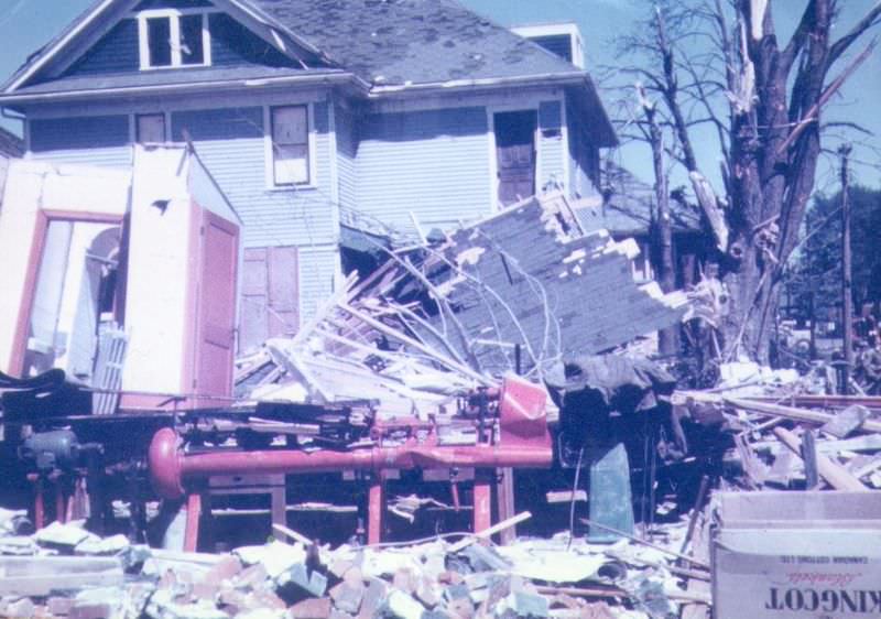
Across Sarnia’s residential areas, homes were left in varying states of ruin. Some had lost their roofs entirely. Others had walls pushed inward or outward by the force of the wind. Many residents were trapped inside the wreckage of their own houses and had to wait for rescue teams to reach them, a process that stretched for hours as emergency workers moved from address to address across the devastated city.
Lochiel Street, running east from Christina and toward Brock, showed the tornado’s reach across multiple city blocks. Debris lined the road, and damaged buildings stood on both sides. The intersection at Brock and Lochiel became a focal point for early rescue and assessment work in the hours after the storm passed.
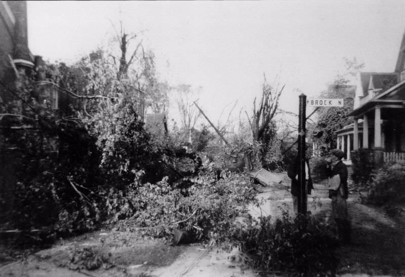
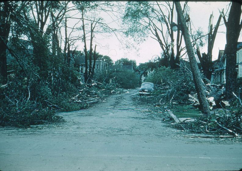
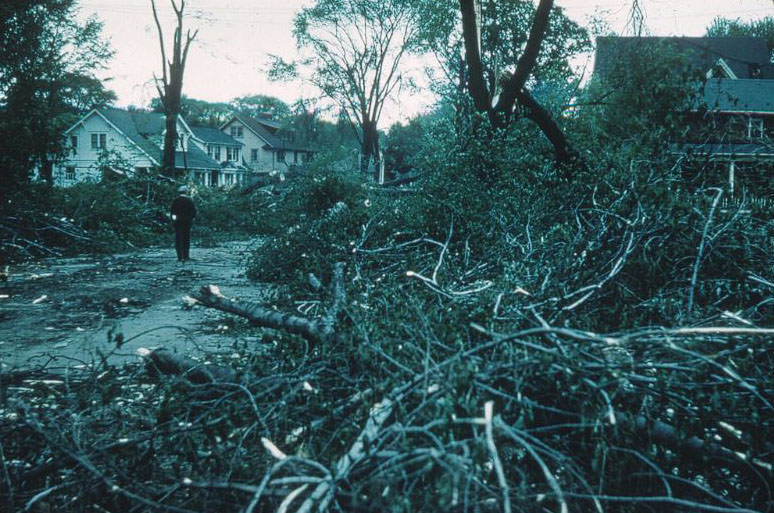
George Street and its surrounding blocks captured the breadth of the tornado’s footprint. Looking east from Brock, north along Euphemia, and north up College Avenue, photographs from all three vantage points show the same scene: downed trees, displaced building materials, and streets choked with wreckage. The tornado had not targeted a single corridor — it had rolled through a wide swath of the city.
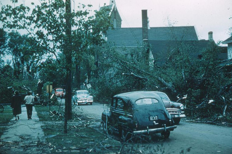
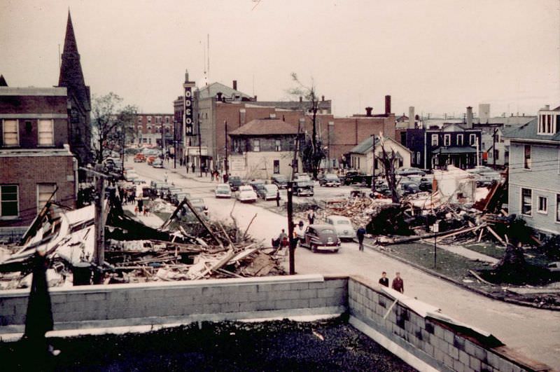
The view west down Lochiel from Brock Street made the scale of the disaster immediately clear. What had been a functioning urban street was now a corridor of destruction. Buildings on both sides were gutted, and the road itself was buried under piles of timber, brick, and personal belongings thrown from nearby homes.
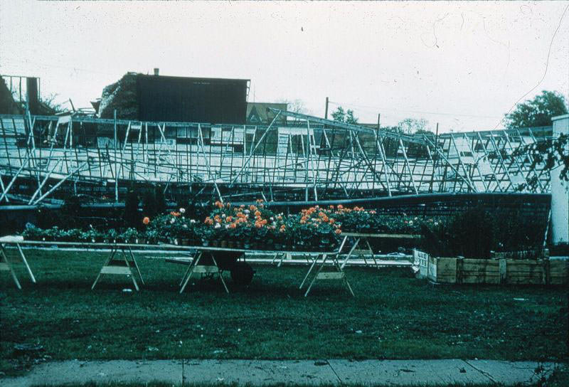
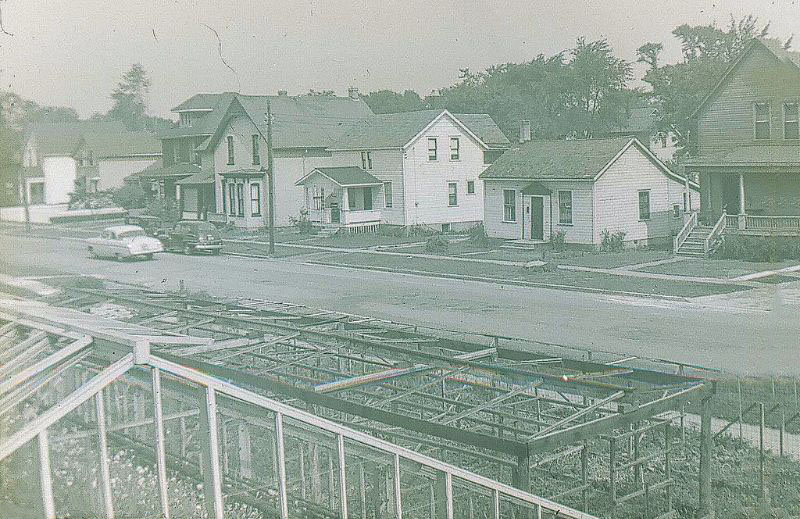
Macklin’s Greenhouses were destroyed by the storm. Glass structures offered almost no resistance to winds of 250 km/h, and the greenhouses were shattered completely. The images show the skeletal framework left behind — twisted metal and broken glass spread across the ground where plants and flowers had stood just hours earlier.
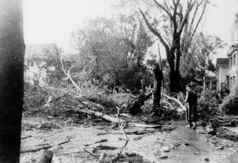
In the immediate aftermath, residents moved through the streets in shock. A single figure walking through the debris-strewn road captures what many Sarnia residents experienced that evening — the surreal quiet after the roar of the storm, surrounded by the wreckage of a city that had been functioning normally just hours before.
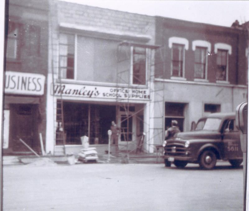
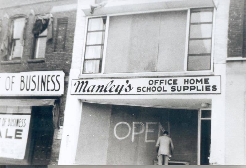
Manley’s, a local business, was left in ruins by the storm. Two photographs document the damage from different angles, showing collapsed walls and a structure that had been fundamentally compromised. Businesses like this one faced not just the immediate physical loss but the economic reality of rebuilding from nothing.
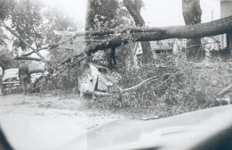
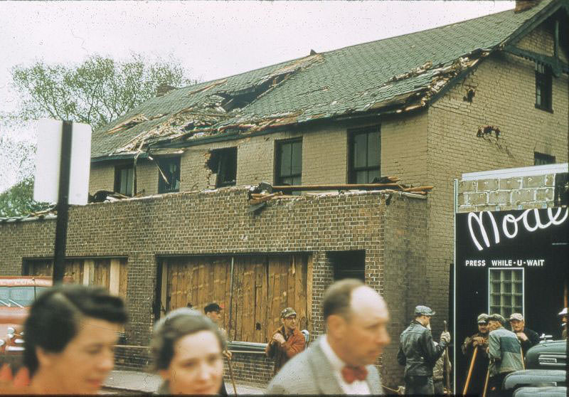
The tornado’s damage extended to quieter residential streets like Maria Street and commercial operations like Modern Dry Cleaning on Cromwell Street. No part of Sarnia’s urban fabric was untouched. Small businesses that served everyday needs — cleaning, groceries, repair — were stripped away alongside the larger commercial buildings.
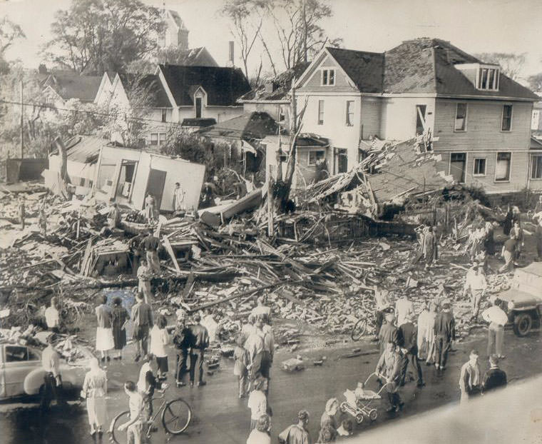
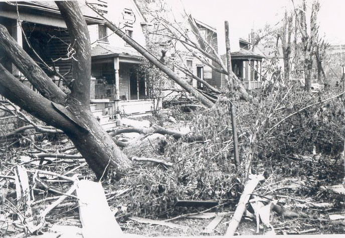
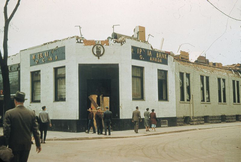
The intersections of Lochiel at Brock and Christina at Cromwell became some of the most photographed spots in the disaster’s aftermath. Corner buildings, which took wind pressure from multiple directions, were often the most heavily damaged. At these intersections, walls had collapsed outward onto the sidewalks and roads below.
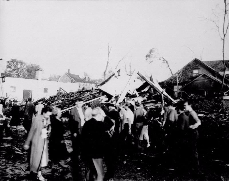
As the storm passed, people began to gather in the streets. Neighbors checked on each other, assessed the damage around them, and started the difficult process of accounting for who was missing. With communications down across much of the city, information spread slowly and mostly by word of mouth in those first hours.
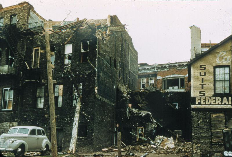
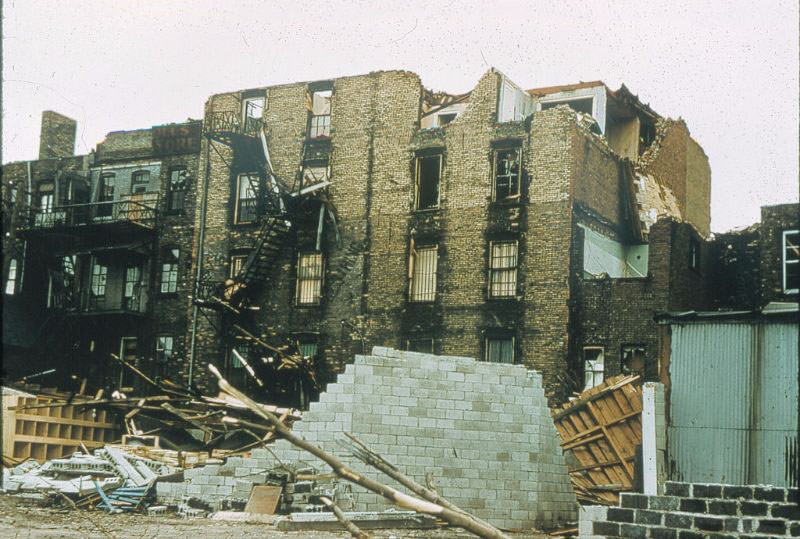
The rear of the Front Street buildings told a different story than the street-facing facades. While some fronts remained partially intact, the backs of these structures were often fully collapsed or exposed. The Purity Dairy building was among the commercial properties that sustained major damage, affecting the supply of everyday goods to the community at a time when residents needed them most.
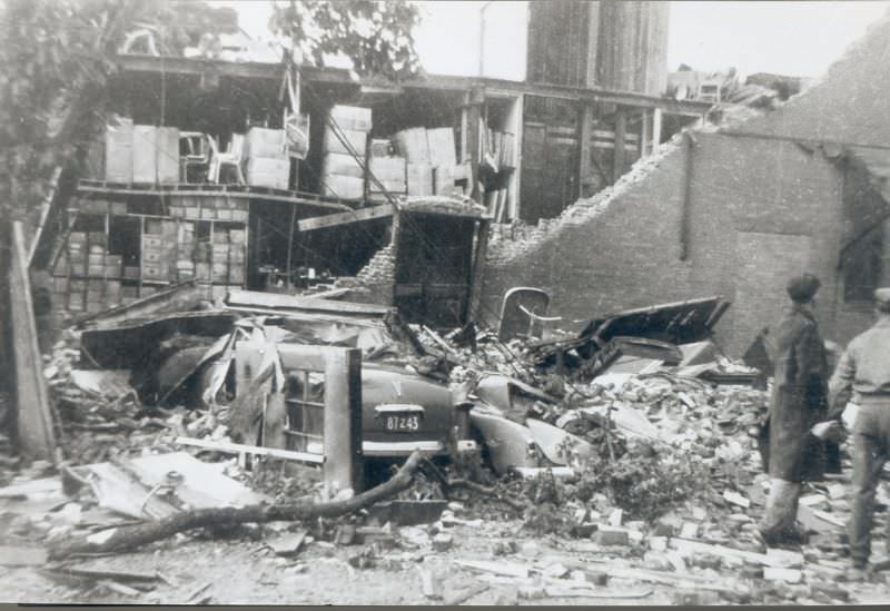
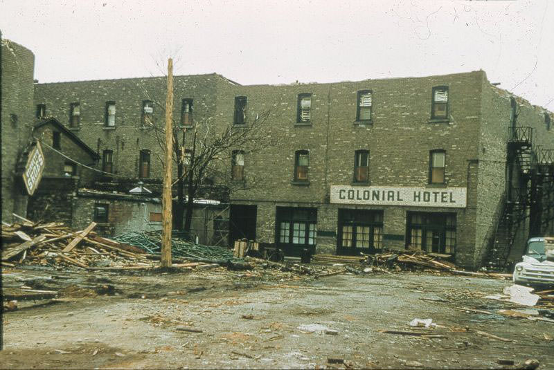
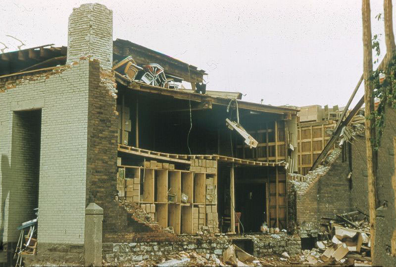
Taylor’s Furniture and the Colonial Hotel were both gutted by the tornado. The rear views of these buildings show that the structural damage went far deeper than surface-level. Floors had collapsed, load-bearing walls were gone, and the interiors were open to the elements. Both would require complete reconstruction.
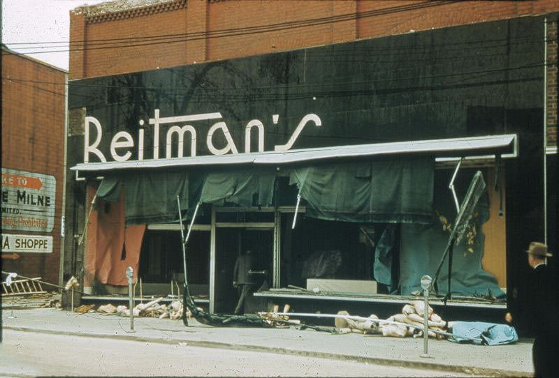
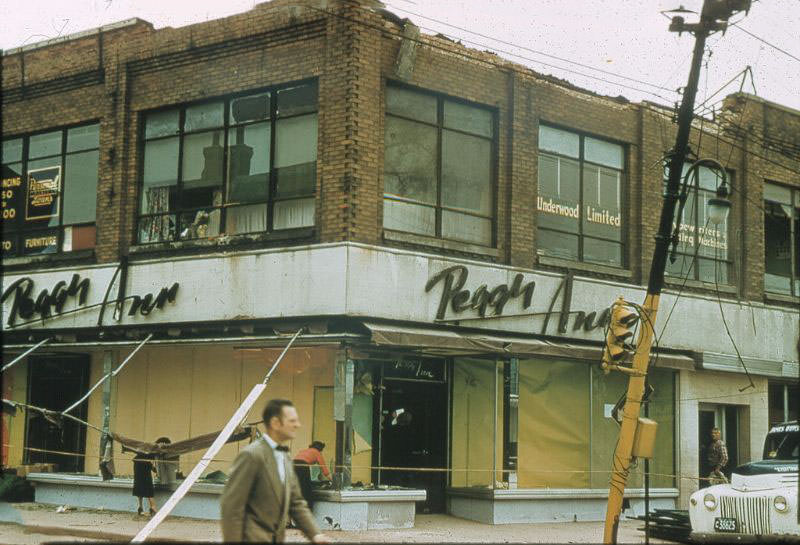
Reitman’s, a clothing retailer on Christina Street, lost its storefront to the storm. The image shows the extent of damage to one of the street’s well-known shops, with the building’s face torn away and merchandise and fixtures scattered by the wind. Christina Street, as one of the city’s main commercial strips, suffered some of the most photographed and most severe business losses.
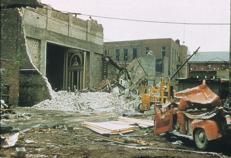
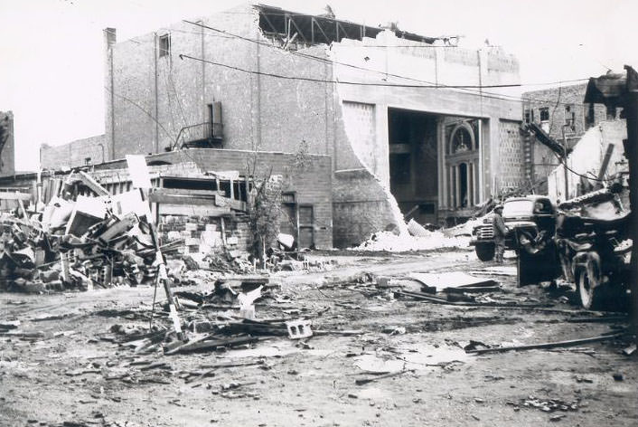
The Imperial Theatre was reduced to its shell. Two photographs document what remained of the building — crumbled walls, collapsed sections, and rubble filling what had been a gathering place for the community. The theatre’s destruction stood as one of the most visible cultural losses in the disaster.
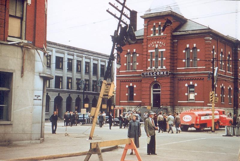
Even Sarnia’s City Hall did not escape damage. The building that housed the city’s government and administrative functions was struck hard, adding to the crisis by disrupting the very institutions that would need to coordinate the relief effort. Broad aerial and street-level views taken after the storm showed the extent of the damage across the downtown and surrounding neighborhoods — block after block of destroyed or heavily damaged structures.
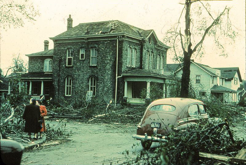
Stewart’s Funeral Home, situated in a city that had just lost seven of its residents, was itself damaged in the storm. The building’s condition in the days following the tornado reflected a grim reality: the infrastructure needed to respond to the disaster had been compromised by the disaster itself.
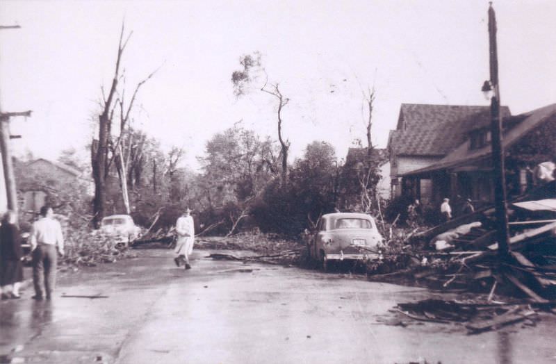
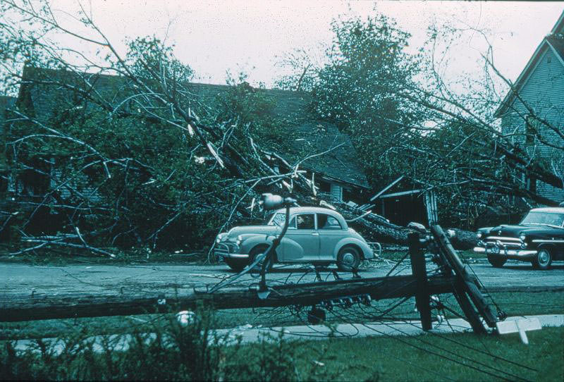
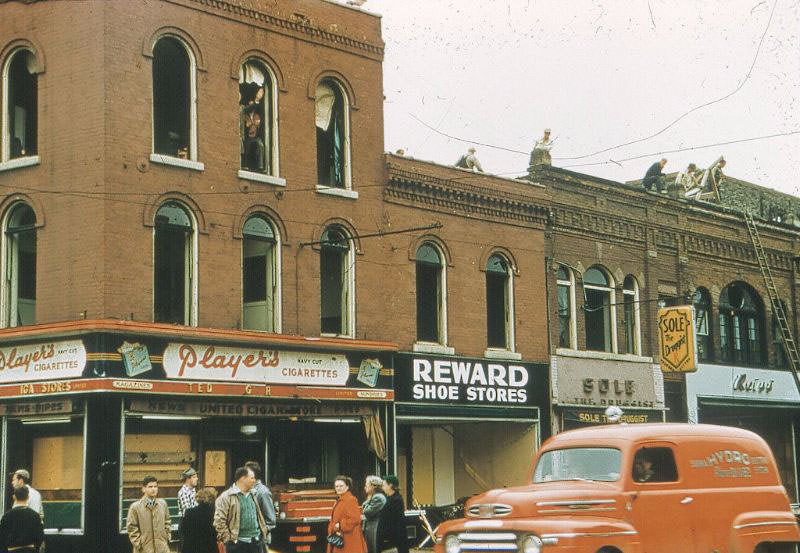
Street-level photographs taken across Sarnia in the days after June 8 present a consistent picture: downed power lines, shattered storefronts, crumbled facades, and roads buried under debris. Rescue teams from surrounding communities arrived to assist Sarnia’s overwhelmed emergency services, working through the rubble street by street to reach those still trapped.
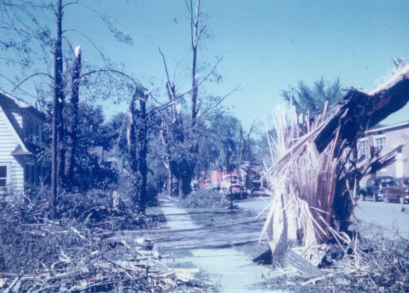
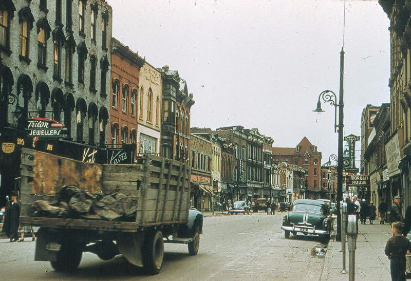
Mitton Street and the west side of Front Street showed damage that matched the devastation documented throughout the rest of the city. The tornado had not spared any single district. From Mitton in the east to Front Street running along the waterfront, the storm’s path had cut across Sarnia with consistent force.
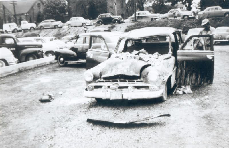
Vehicles caught on the streets during the storm were buried under fallen walls and structural debris. Cars crushed flat by collapsed masonry were a common sight in the days after the tornado, and clearing them was part of the enormous clean-up effort that volunteers and city workers undertook in the days and weeks that followed.
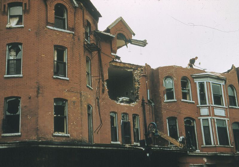
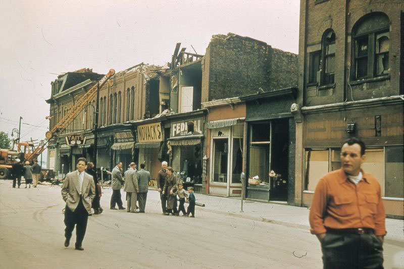
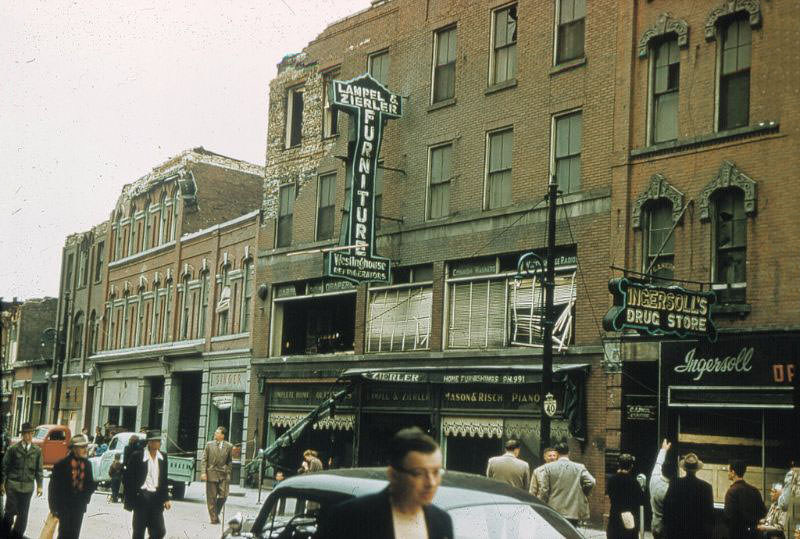
The Vendome Hotel, photographed after the tornado, shows a building that had been partially gutted by the storm. The west side of Front Street, looking south toward Ferry Dock Hill, captured the full length of destruction along one of Sarnia’s most important commercial roads. Aid came in the days that followed — food, shelter, and supplies organized by relief efforts from across the region. The government provided financial assistance for rebuilding, and hundreds of volunteers from surrounding communities arrived to help clear the wreckage. For the families who lost relatives, homes, and livelihoods on June 8, 1953, the road back was long and hard.




