
By the early 1900s, Spokane’s rapid expansion had come to a halt. The boom years driven by mining gave way to stagnation as local families and organizations lost control of regional mines and natural resources. National corporations stepped in, and the money those resources generated stopped flowing back into Spokane. Investment dried up, growth slowed, and unemployment climbed. The city that had once been a fast-growing Pacific Northwest hub found itself struggling to hold its footing.
The unemployed faced not just hard times but outright exploitation. Workers seeking jobs were preyed upon by so-called “job sharks” — employment agents who charged fees just to sign workers up for positions. The scheme didn’t stop there. These agents bribed foremen and supervisors to fire entire work crews on a rotating basis, forcing the same workers to pay fees again and again just to stay employed. The practice was widely known but difficult to stop.
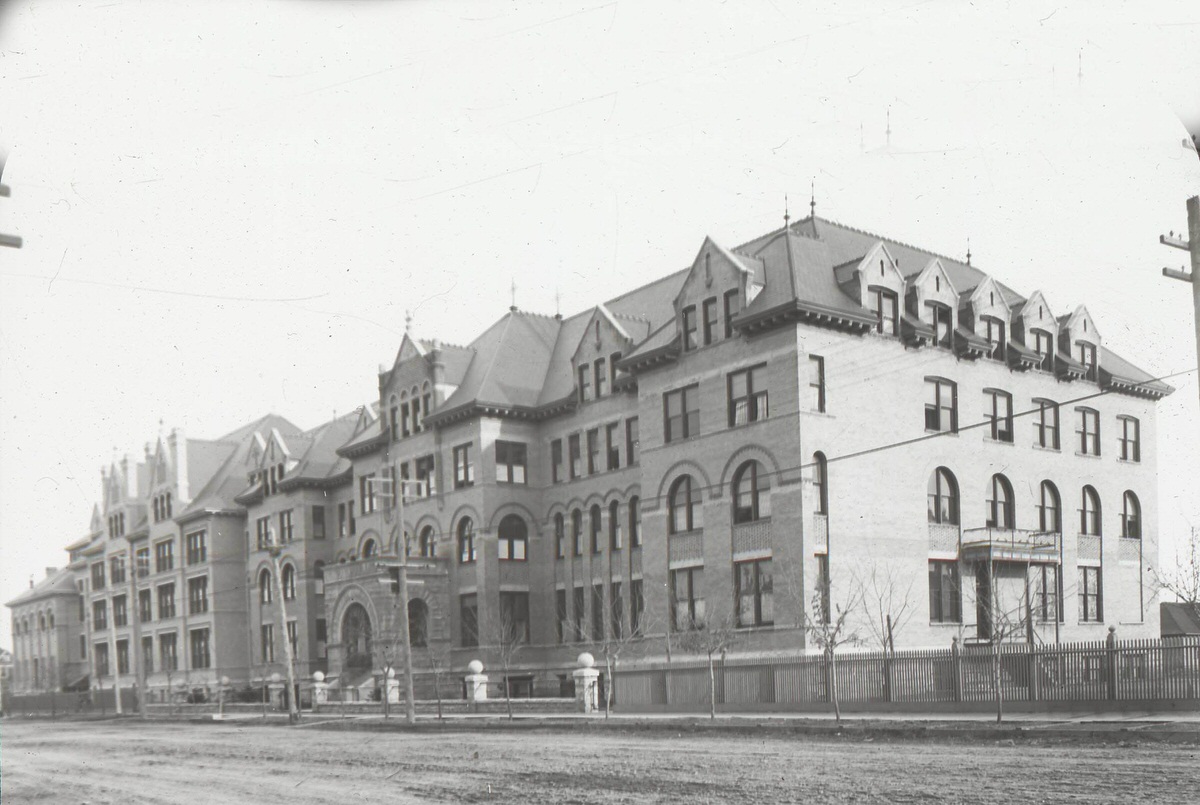
As mining declined, Spokane’s economy shifted toward agriculture and logging. Northern Idaho and southern British Columbia had vast forests, and population growth in the region created strong demand for lumber. Railroads needed timber for ties, mines needed it for structural supports, and a growing number of residents needed it for homes. Spokane positioned itself at the center of this industry and became a notable producer of doors, window sashes, blinds, and other planning mill products.
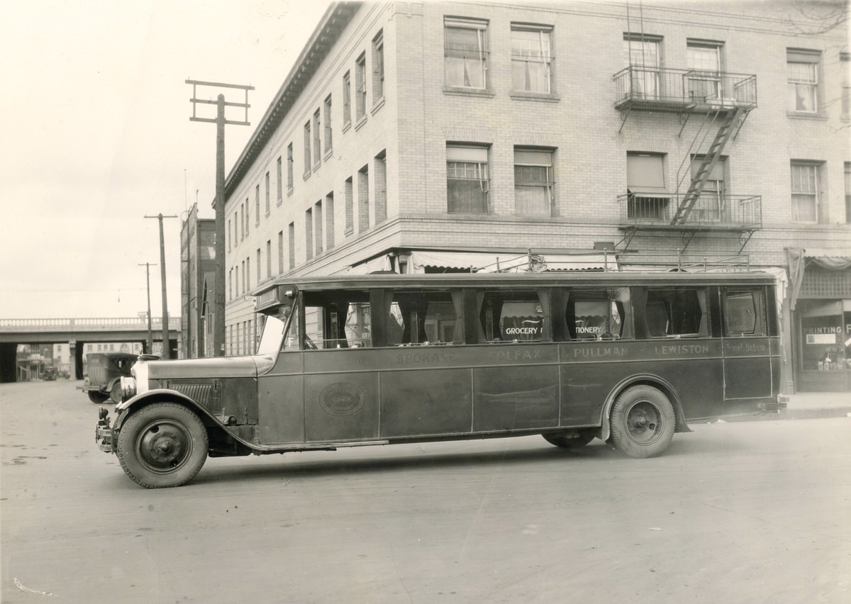
However, Spokane’s timber industry faced real disadvantages. The forested areas west of the Cascades were far larger and more productive. Worse, Spokane was stuck with higher rail freight rates than coastal cities like Seattle and Portland. The situation was so skewed that a merchant in Minneapolis could ship goods to Seattle and then back east to Spokane for less money than shipping directly to Spokane — even though the rail line passed right through Spokane on its way to the coast. That kind of structural disadvantage made it hard for local businesses to compete.
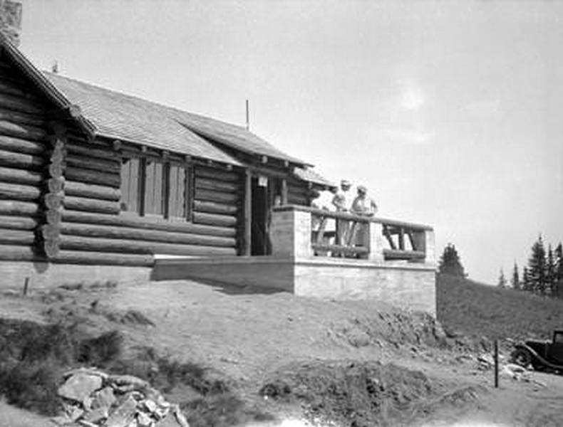
Despite these economic pressures, life in Spokane carried on. Parks, schools, civic institutions, and neighborhoods continued to develop. Mount Spokane State Park became a place where residents could escape the city and enjoy the outdoors. Construction projects in the 1930s, many connected to New Deal programs, brought workers together to build cabins, latrines, and other facilities that the public could use for generations.
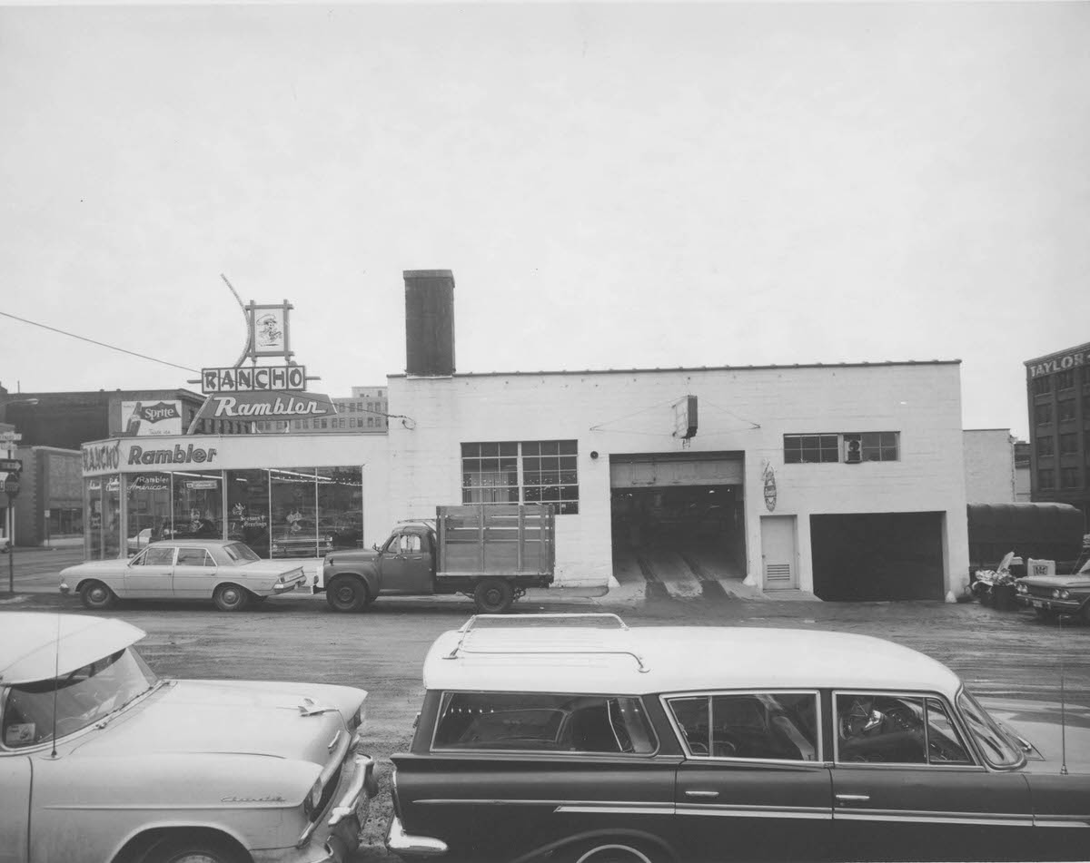
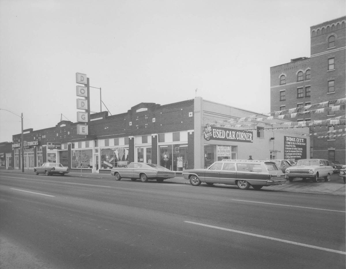
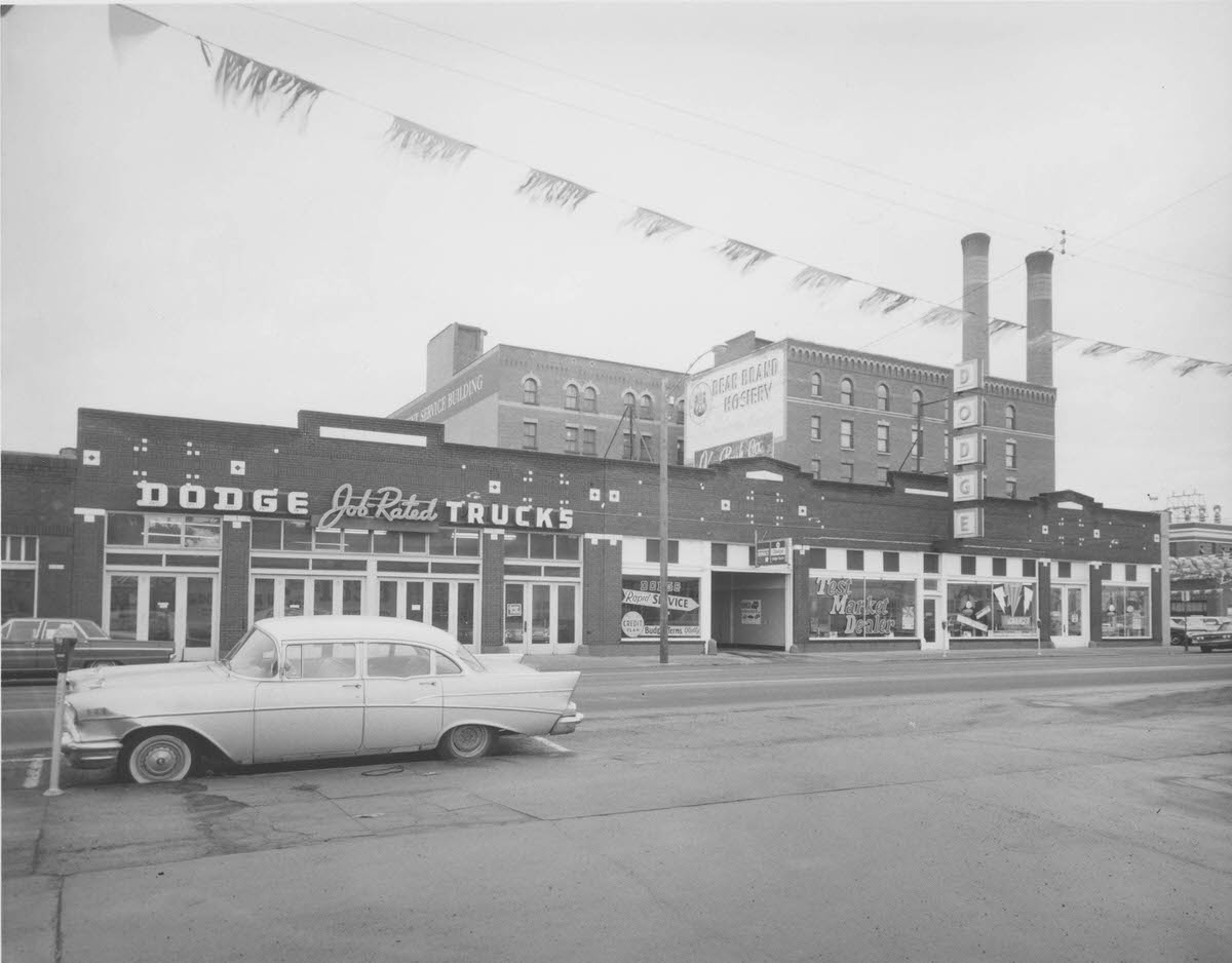
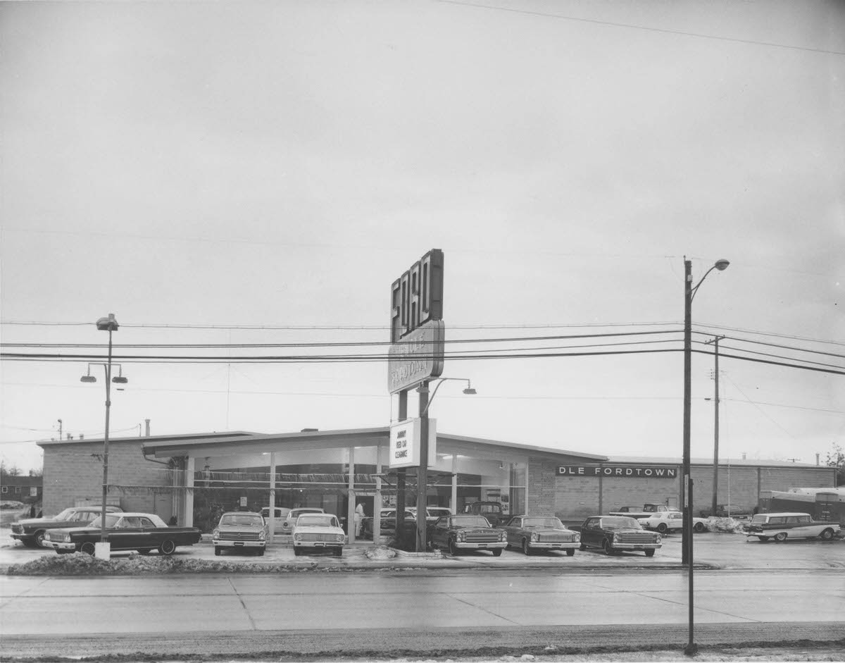
By the 1960s, Spokane’s commercial corridors were alive with dealerships, shops, and businesses. Second Avenue was a particularly active stretch, lined with automobile dealers eager to capitalize on postwar car culture. The Dodge dealership between Lincoln and Monroe advertised “Dodge Job Rated Trucks” and “Dodge Rapid Service,” while the Freeman Center and steam plant towers rose in the background. Cars had become central to daily life, and the city’s streetscape reflected that shift completely.
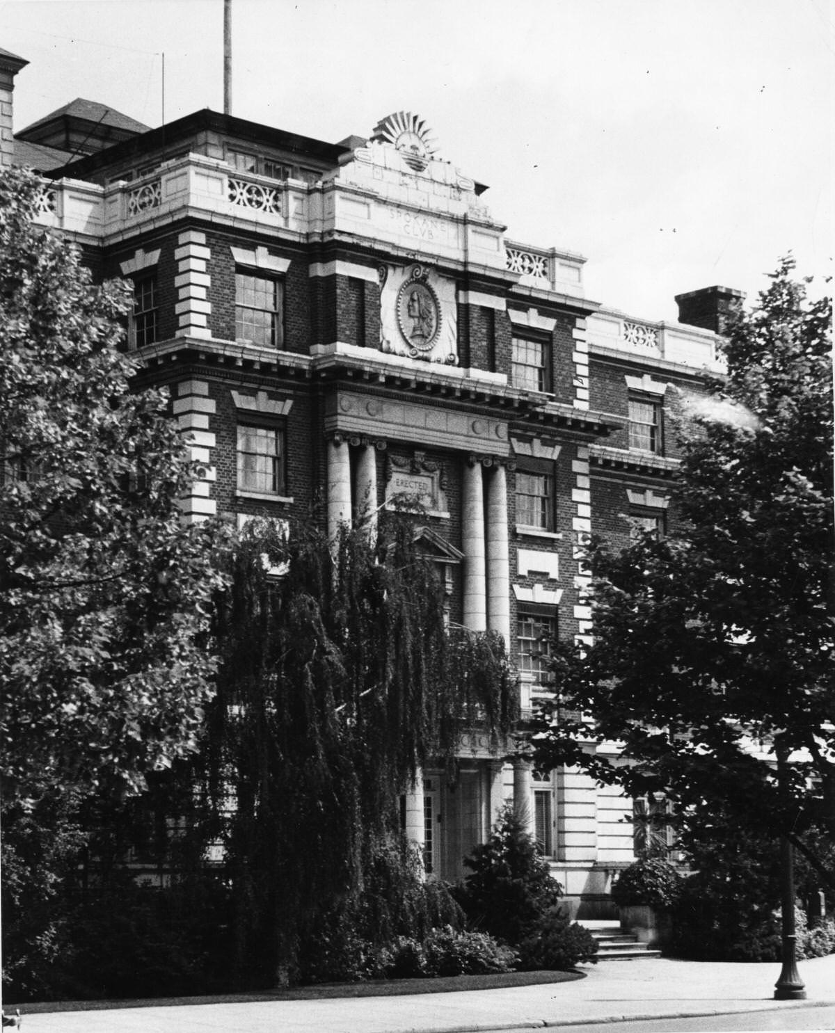
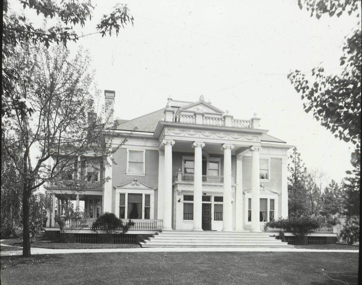
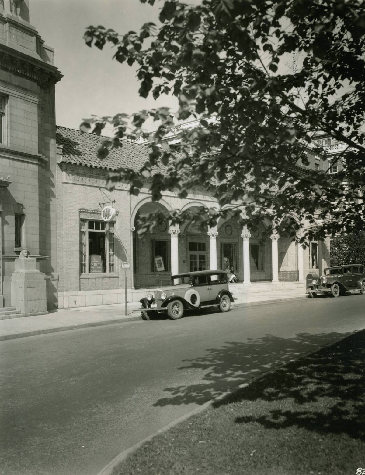
Spokane’s architectural legacy was anchored by buildings that still drew attention decades after they were built. The Spokane Club, designed by architect Kirtland K. Cutter, stood as one of the city’s most distinguished structures and was eventually listed in the National Register of Historic Places. Cutter’s work gave Spokane a refined civic character that set it apart from many western cities of similar size.

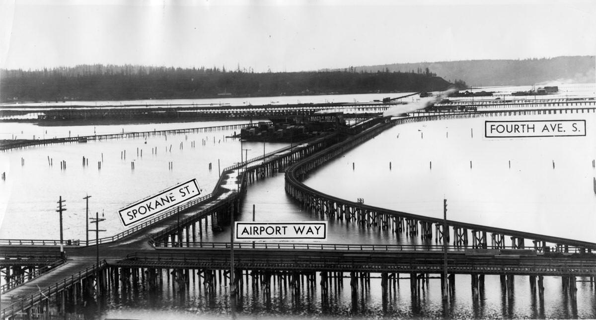
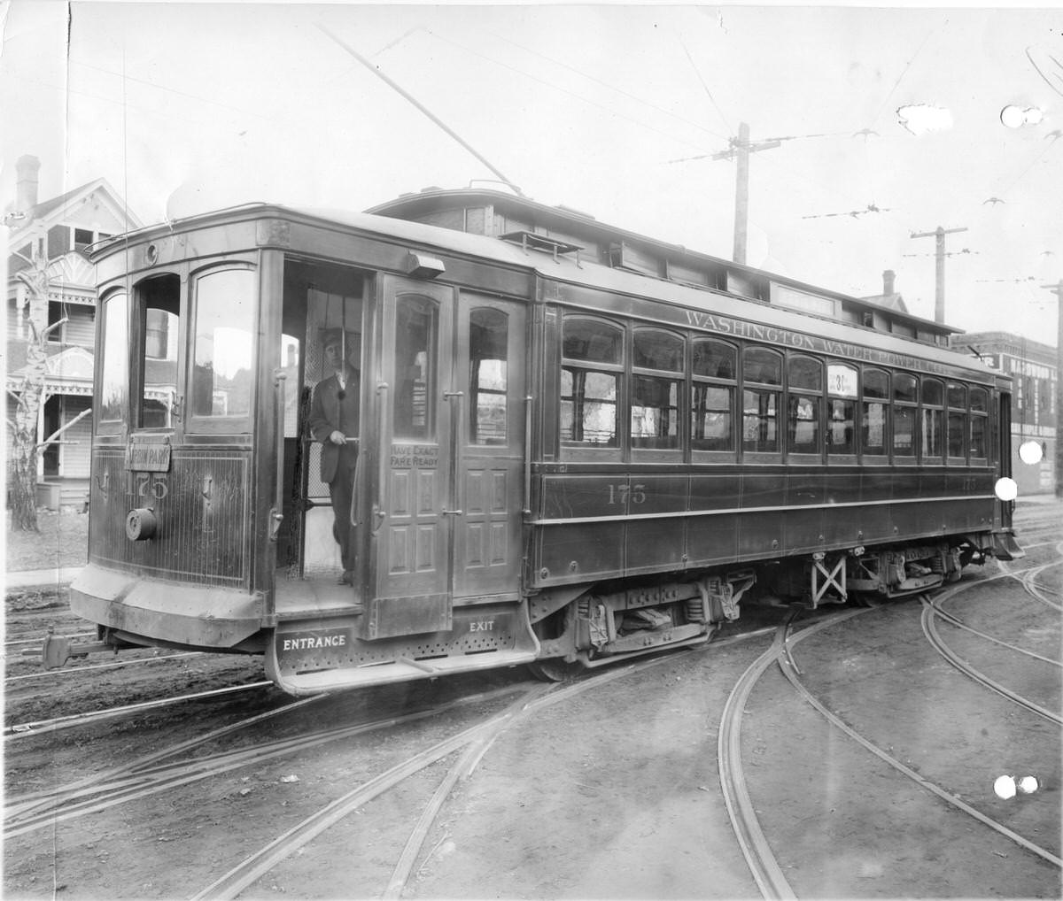
Infrastructure shaped Spokane’s identity throughout the 20th century. Bridges, roads, and transit lines connected neighborhoods to the downtown core. Streetcars were the backbone of urban transit in the early decades, carrying residents across the city before automobiles took over. Streetcar No. 175, photographed in 1915, represents a time when electric rail was the primary way most Spokane residents got around.
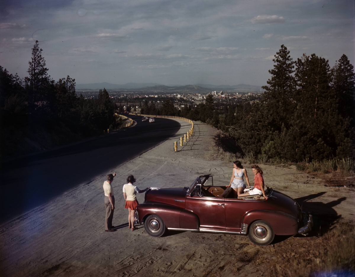
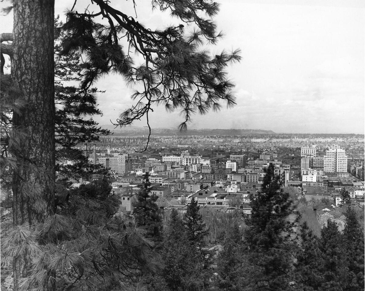
The Sunset Highway offered travelers a dramatic entrance into Spokane from the west. By the 1940s, the road was well traveled by both tourists and locals, and photographs from the era capture visitors stopping to take in views of the city spread out in the valley below. The highway connected Spokane to the broader Pacific Northwest road network at a time when car travel was reshaping how Americans experienced the country.
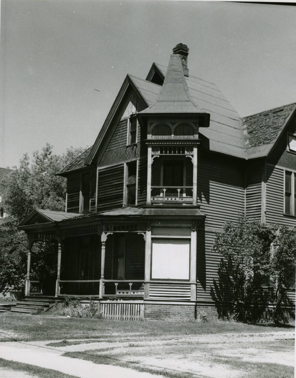
Spokane’s residential neighborhoods held some genuinely striking architecture. A three-story wooden house on Second Avenue, photographed in 1968, showed off the decorative gingerbread trim and wide porches that were common in late-Victorian construction. These homes were built during the city’s earlier boom years and remained standing well into the modern era, serving as reminders of what Spokane looked like before the 20th century fully transformed it.
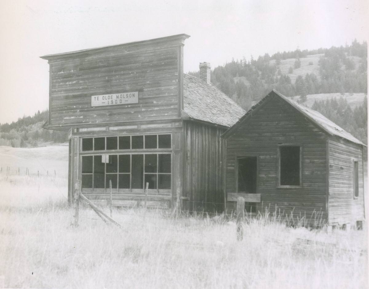
Not every community near Spokane survived the passage of time. Molson, photographed in 1963, had become a ghost town. Its former bank building still stood, but the interiors were abandoned, with wallpaper peeling from the walls of empty farmhouses. Barns, outbuildings, rusting farm equipment, and a windmill labeled “Spokane Red Cross” were scattered across the grounds. Molson was a stark visual record of what happens to small towns when the economic forces that built them move on.
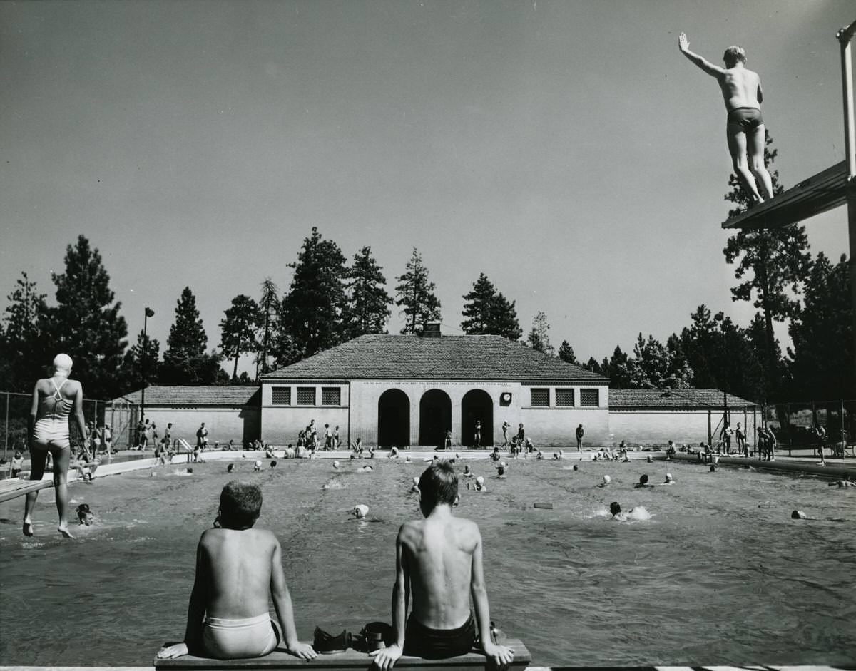
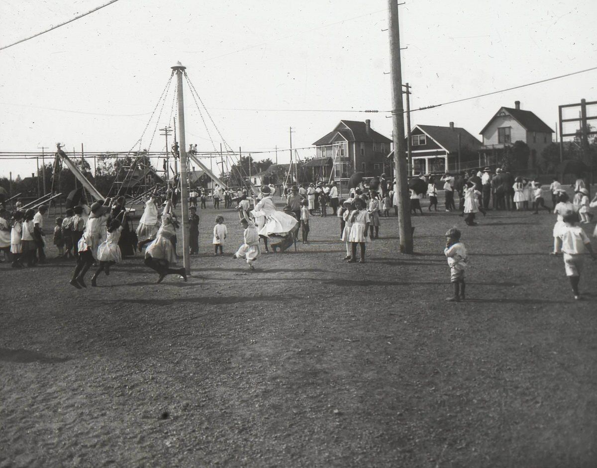
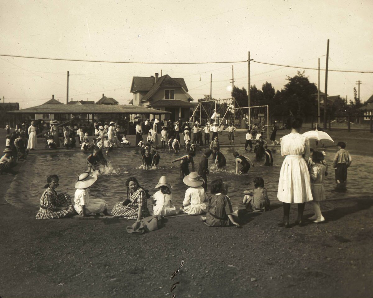
Public spaces gave Spokane residents places to gather, play, and relax across every decade of the 20th century. Comstock Pool drew crowds in the summer heat of 1950. A. M. Cannon Park offered playgrounds and a pool earlier in the century. Manito Park and Coeur d’Alene Park provided scenic drives and green space to a city that valued outdoor recreation. These parks were not background details — they were central to how Spokane’s residents lived their daily lives.
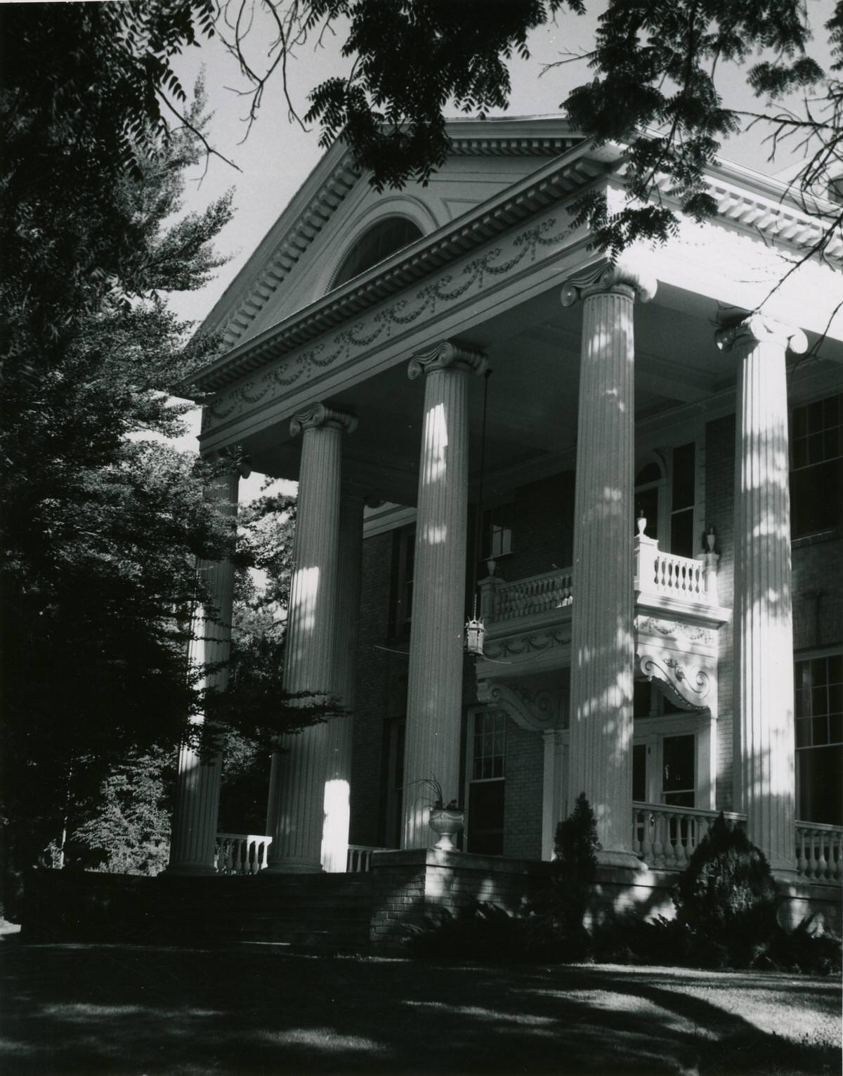
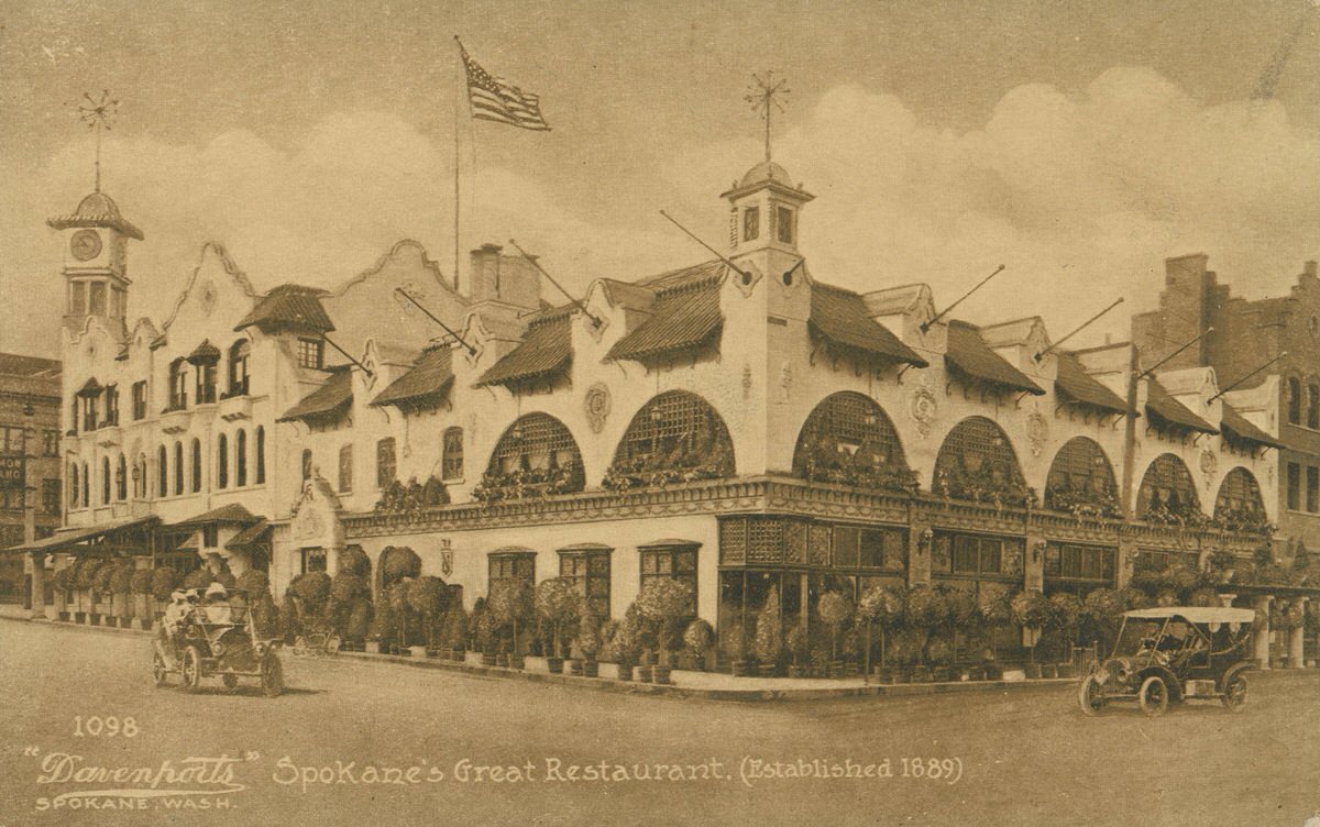
Davenport’s restaurant, photographed in 1913, was already establishing itself as one of Spokane’s most celebrated dining destinations. The restaurant would go on to become one of the most famous in the Pacific Northwest, but in 1913 it was still in its early years of building that reputation. Fine dining in Spokane was not just for the wealthy — establishments like Davenport’s became part of the city’s cultural identity.
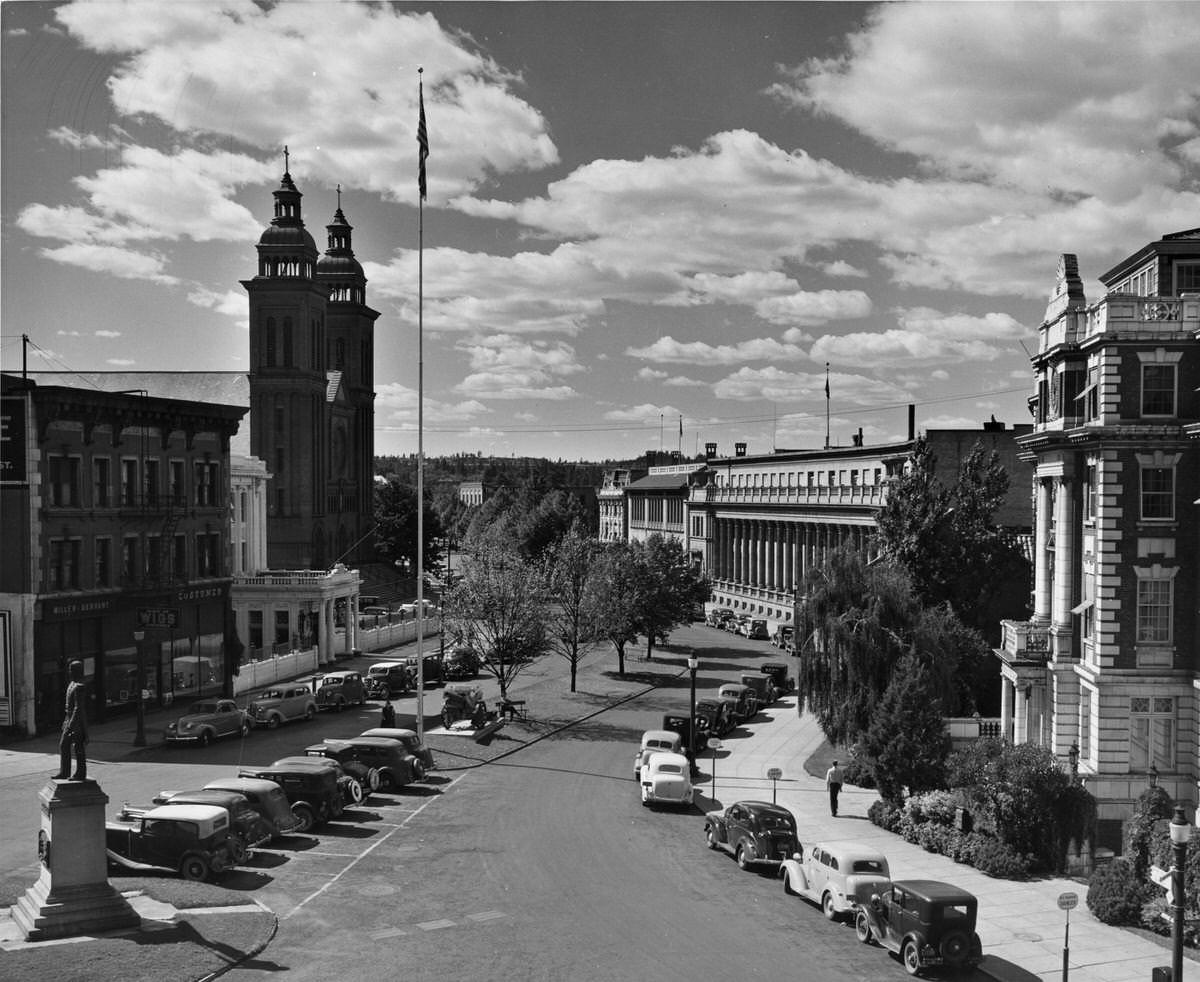
Downtown Spokane in the 1930s was a busy and visually rich environment. Riverside Avenue at Monroe Street was lined with parked cars and framed by landmarks on every side. The statue of John Robert Monaghan stood at the far left near Our Lady of Lourdes Catholic Church. To the right were the Sunset Club and the Masonic Temple. By 1935, the Paulsen Center and the Old National Bank building dominated the western view down Riverside Avenue, with cars moving through and pedestrians filling the sidewalks.
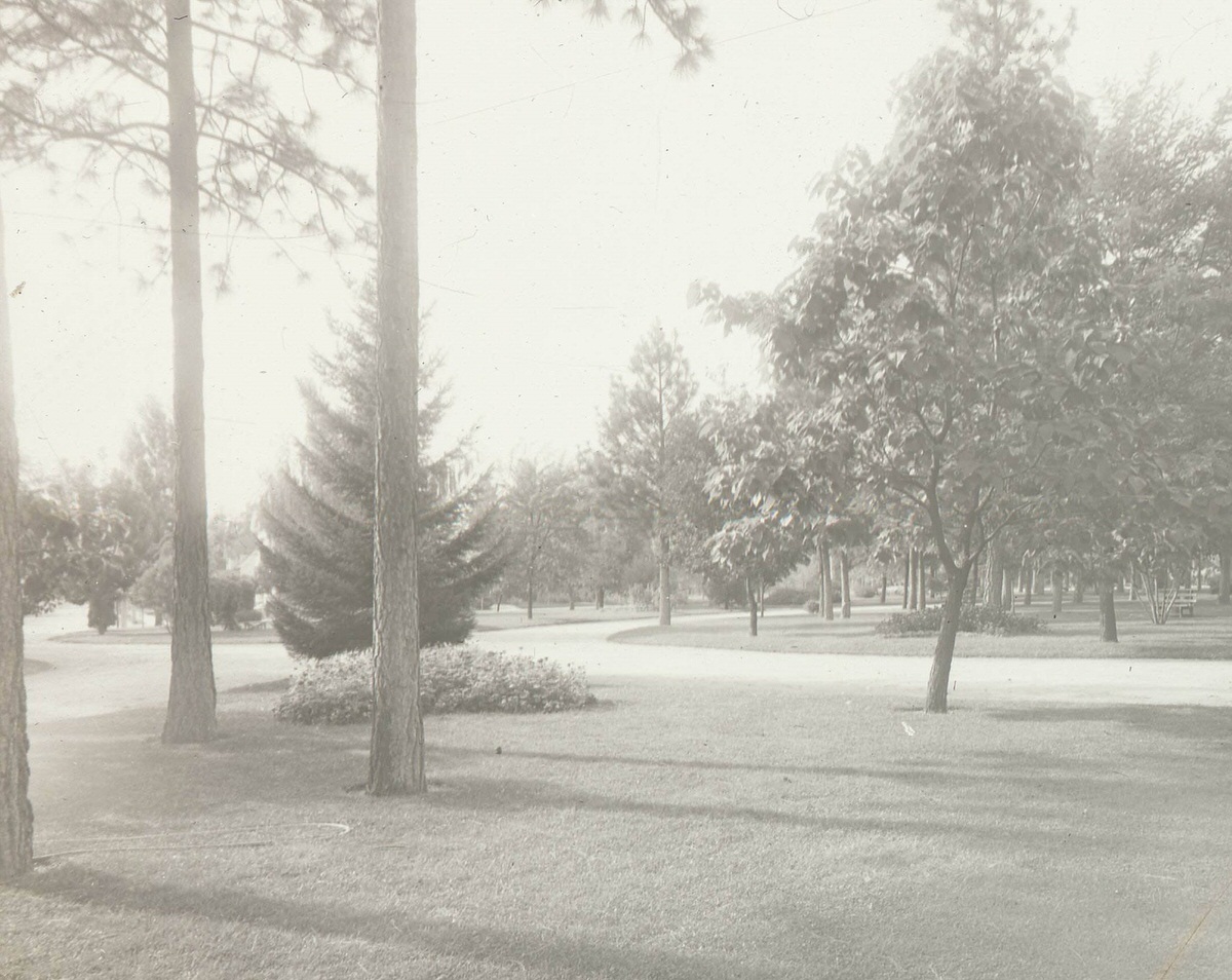
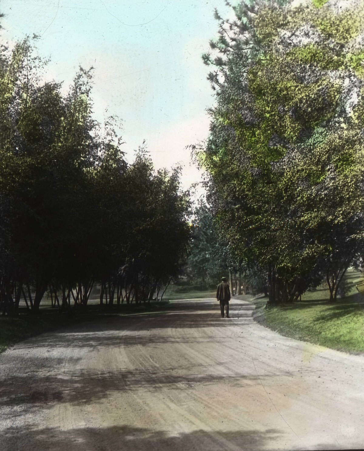
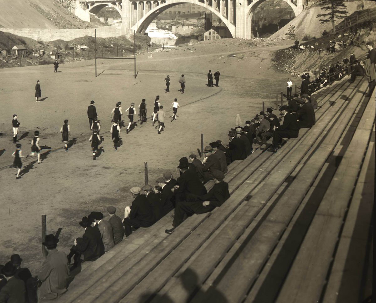
The early 1900s parks and drives around Spokane gave residents a sense of an ordered, planned city. Coeur d’Alene Park and Manito Park both had formal drives that carried visitors through landscaped grounds. These spaces were designed with care, reflecting an era when American cities invested heavily in public parks as a civic good. Spokane’s park system was a point of genuine local pride.
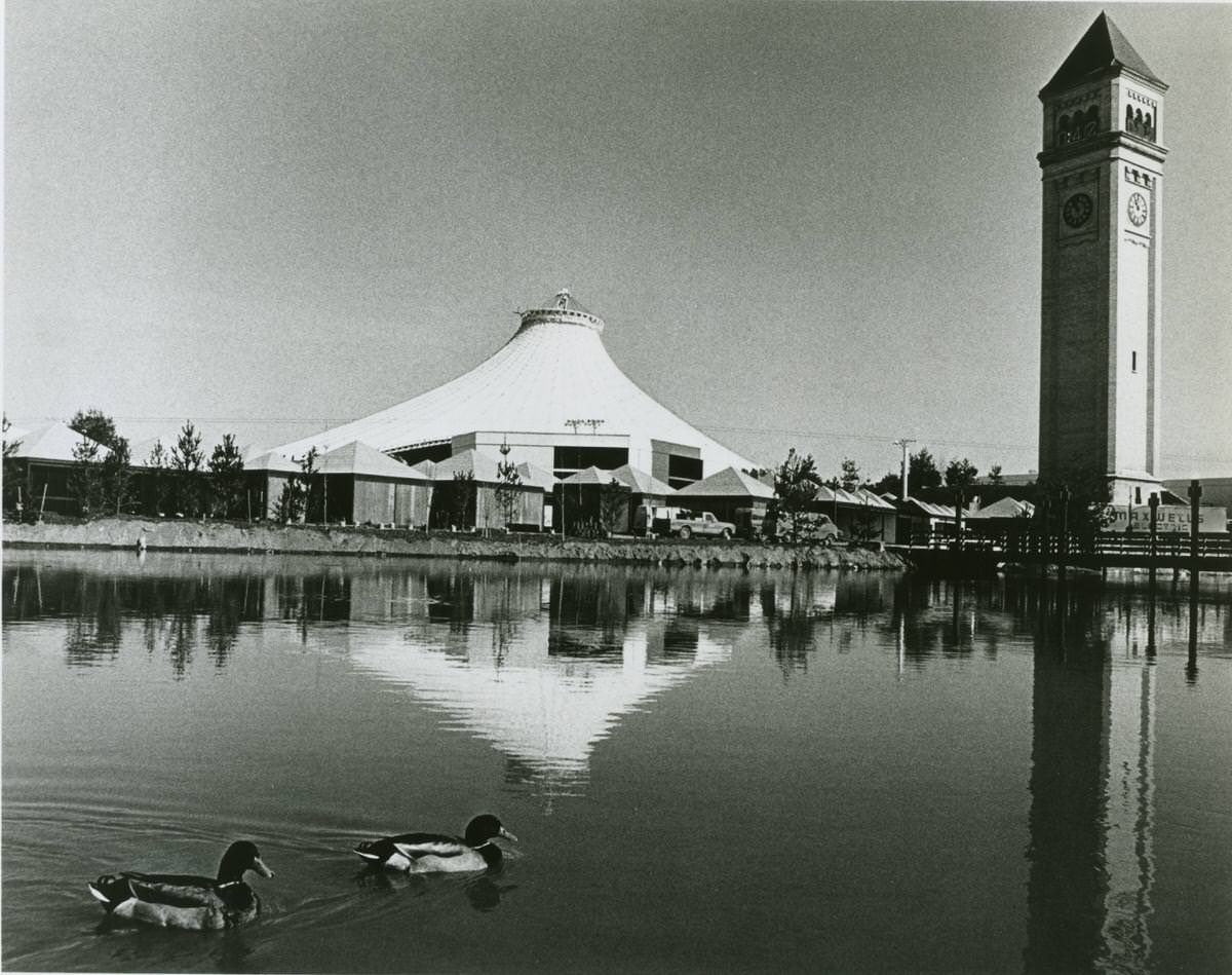
One of the most significant events in Spokane’s 20th-century history was the 1974 World’s Fair, officially known as Expo ’74. Spokane became the smallest city ever to host a World’s Fair, and the event was centered on an environmental theme. It transformed a rail yard along the Spokane River into a public gathering space and drew international attention to a city that had long been overshadowed by Seattle and Portland.
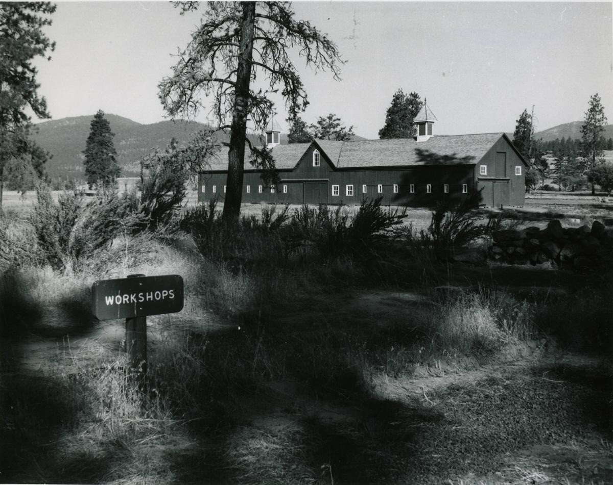
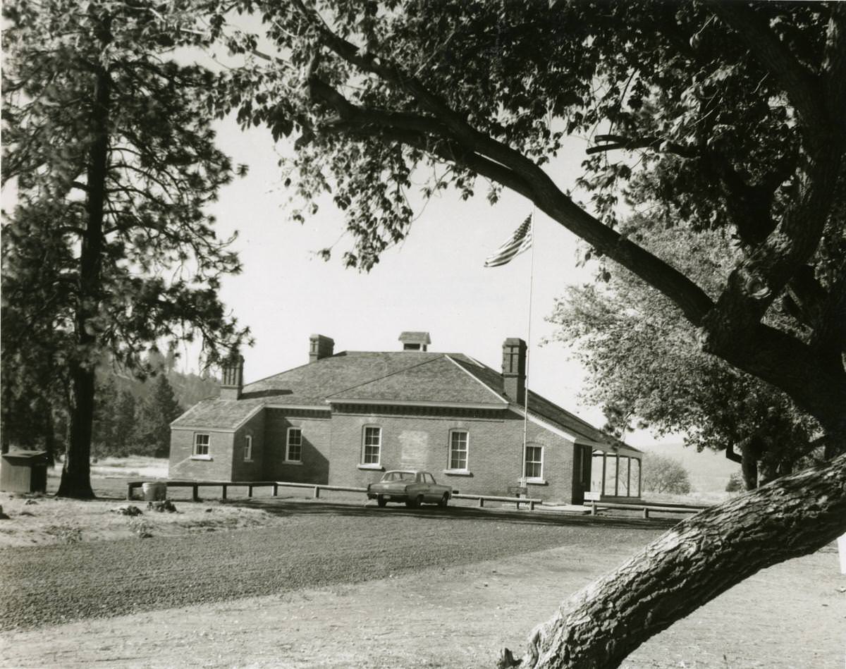
Fort Spokane, established in the post-Civil War era to oversee relations between settlers and Native tribes, remained a physical presence in the region well into the 20th century. By 1969, when photographers documented the site, the fort’s stable and visitor center were still standing, preserved as historical landmarks. The fort’s existence was a reminder of the federal government’s direct role in shaping the Inland Northwest.
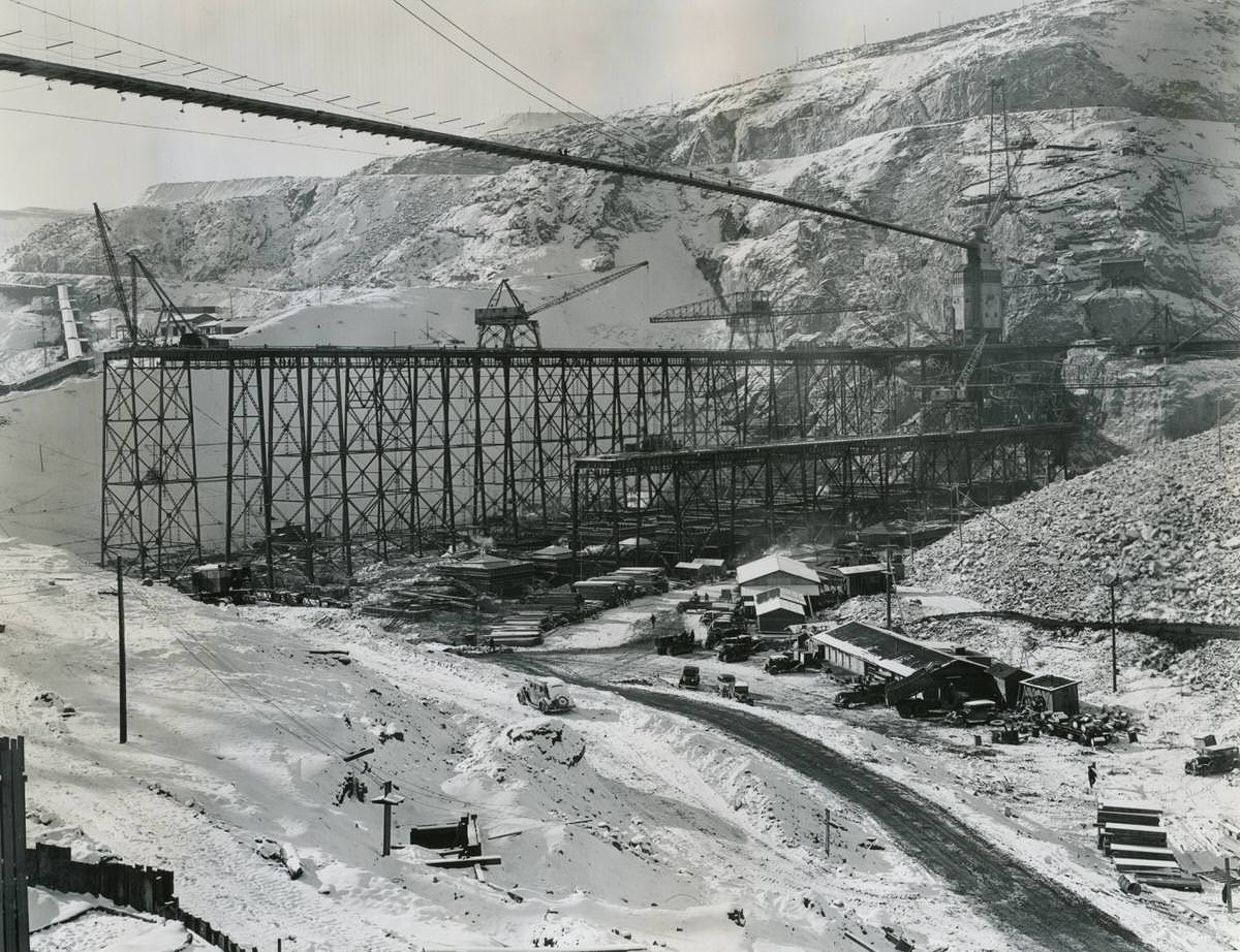
The Grand Coulee Dam, while located outside Spokane proper, was one of the largest construction projects in the region’s history and touched nearly every aspect of the local economy. Construction began in the 1930s, and photographs from 1937 document the scale of the work: the cofferdam, excavation along the west bank of the Columbia River, cement mixing operations, and the suspension bridge spanning the construction site. The dam brought electricity and irrigation water to the region for decades to come.
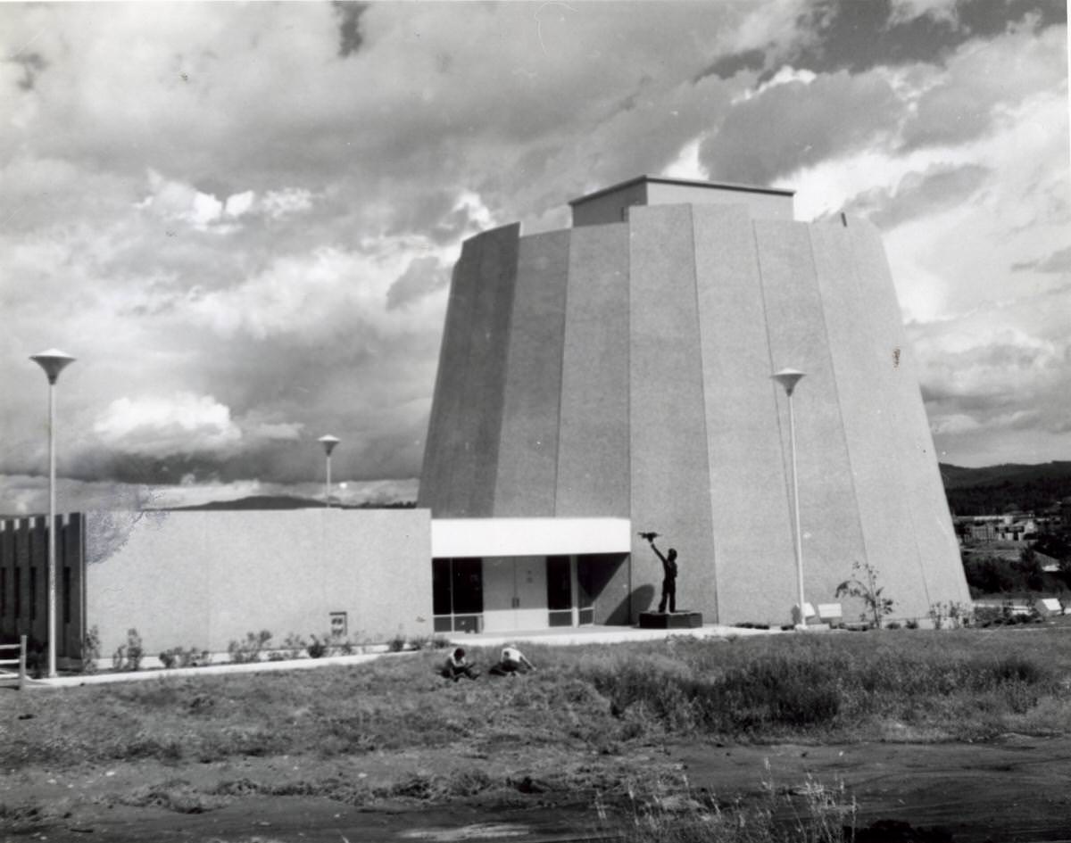
The Indian Center in Spokane, photographed in 1976, represented a formal space where Native American communities could gather, organize, and maintain cultural ties in an urban setting. As Native residents from surrounding reservations and tribal communities moved into Spokane throughout the mid-20th century, institutions like the Indian Center played a practical role in providing services and maintaining community connections.
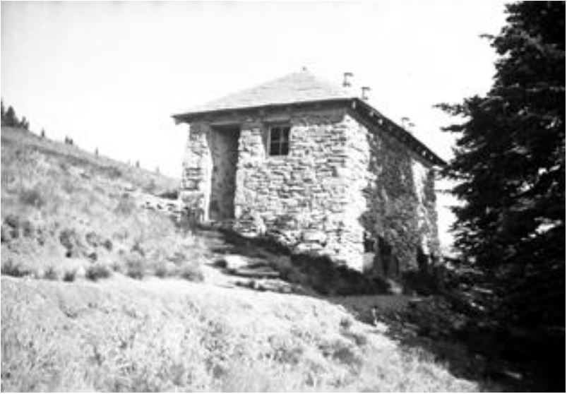
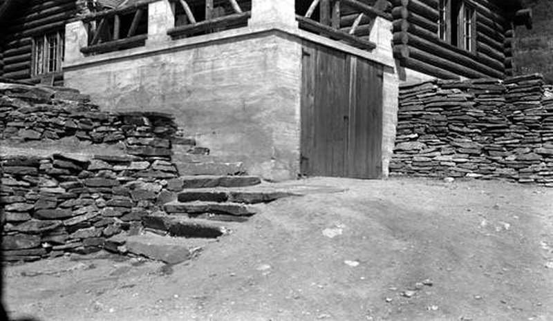
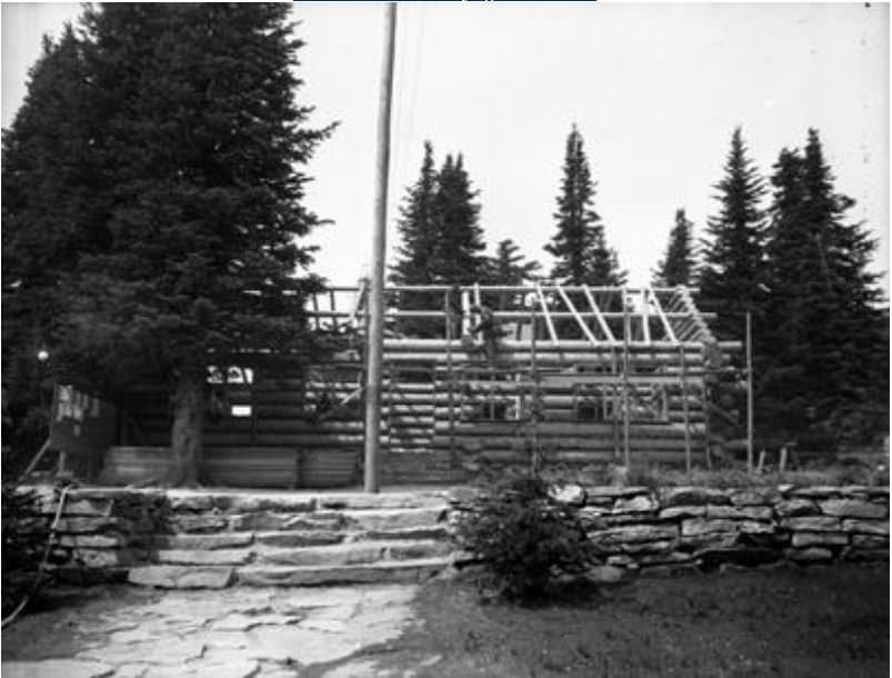
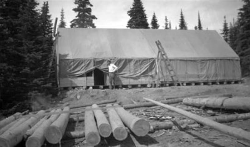
The Civilian Conservation Corps left a visible mark on Mount Spokane State Park throughout the 1930s. Workers peeled tamarack logs to build community cabins, laid rafters, and constructed basic facilities. The photographs from these work projects show young men doing hard physical labor in forested terrain, constructing structures that park visitors would use for decades. The CCC’s work in the park was part of a national effort to put unemployed Americans to work during the Great Depression.
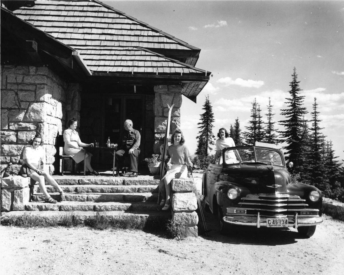
Mount Spokane drew skiers and outdoor enthusiasts throughout the mid-20th century. A 1947 photograph at the chalet below the summit captures the casual atmosphere of the era — two young women sitting on the steps, an older couple at a table with sodas, skis and ski poles in hand, and a couple relaxing in a convertible nearby. The mountain served as a recreational escape just outside the city, accessible enough for a day trip.
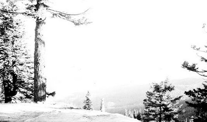
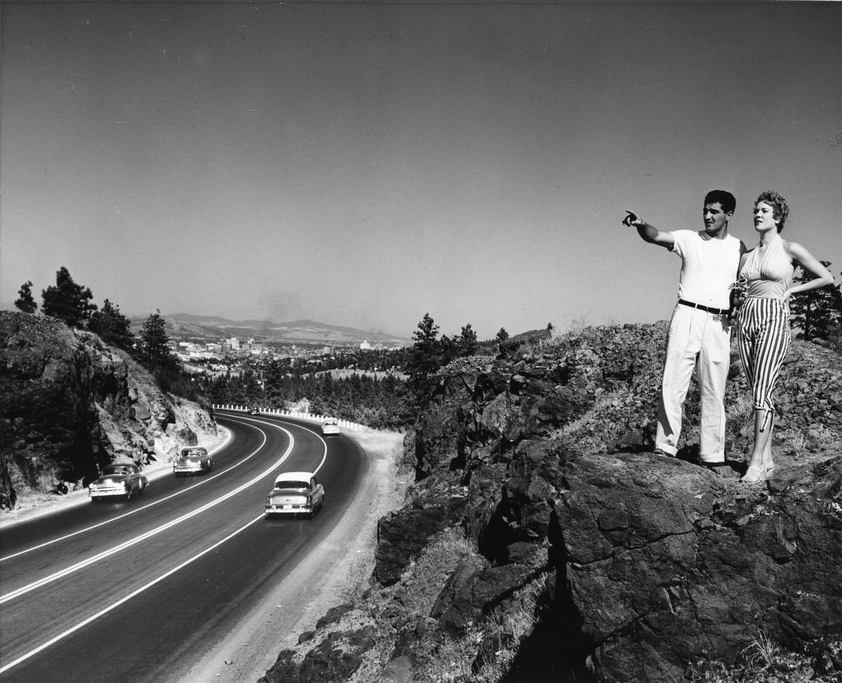
Roadside vantage points along the Sunset Highway offered visitors some of the most dramatic views of the Spokane valley. A 1940s photograph shows a man and woman standing on a rock formation above the highway, with the city visible in the valley behind them. Cars pass below on the road, and Spokane sits spread out against the horizon. It was the kind of scene that appeared in travel brochures and postcards of the era — the American West, modern and accessible.
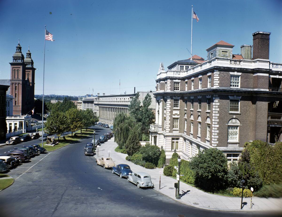
The Spokane Civic Center anchored the city’s public and religious geography through the mid-20th century. Our Lady of Lourdes Catholic Church stood prominently to the left, while the Sunset Club and the Masonic Temple occupied the right side of the view. These buildings appeared together in photographs from both 1940 and 1945, providing a consistent visual reference for the city’s institutional core during the wartime years and the years that followed.
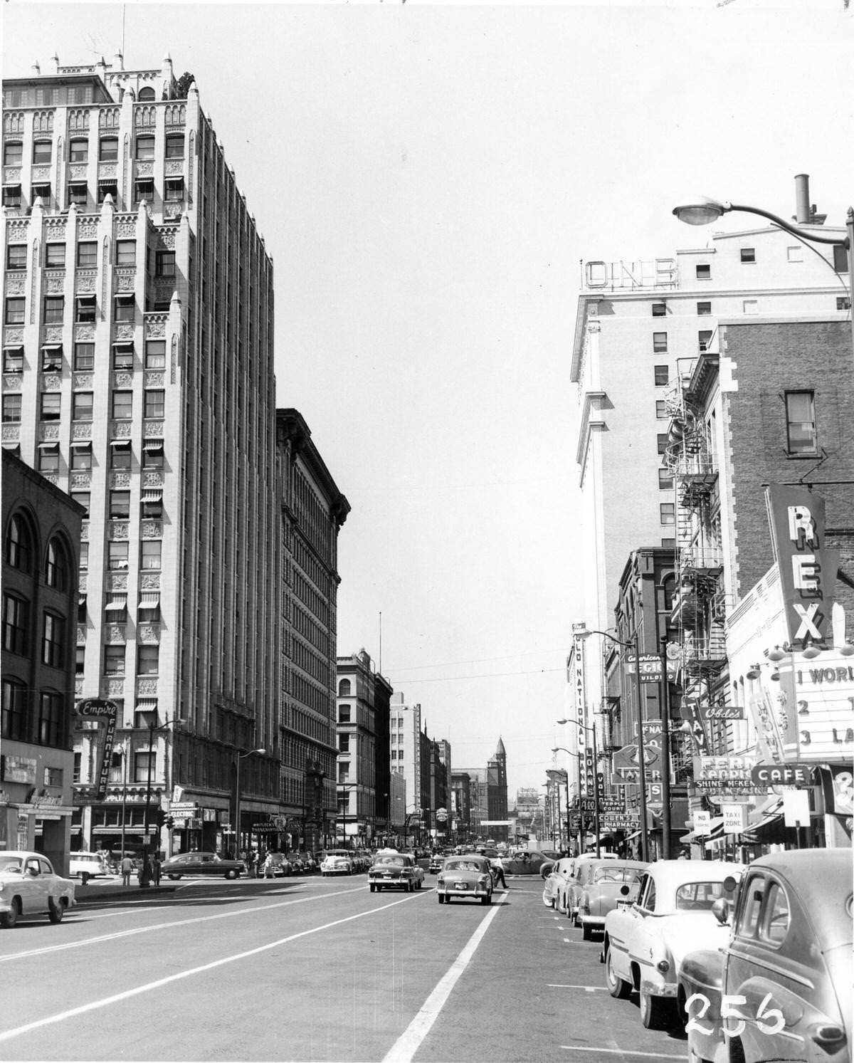
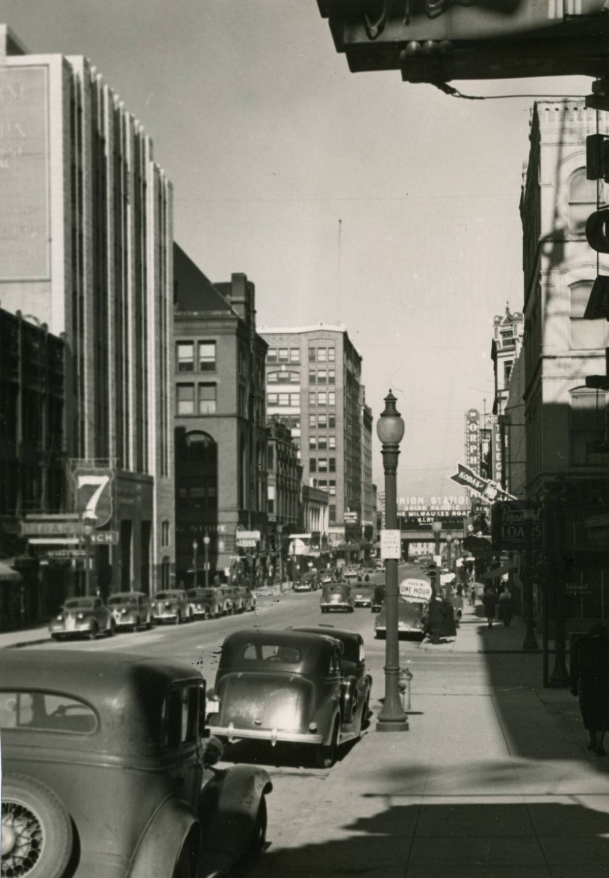
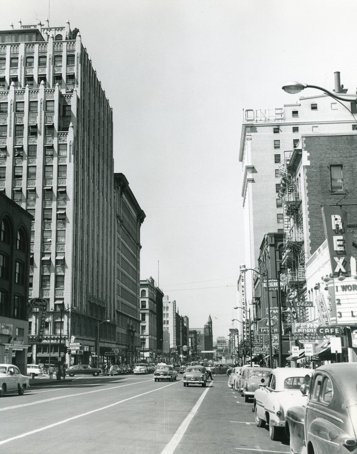
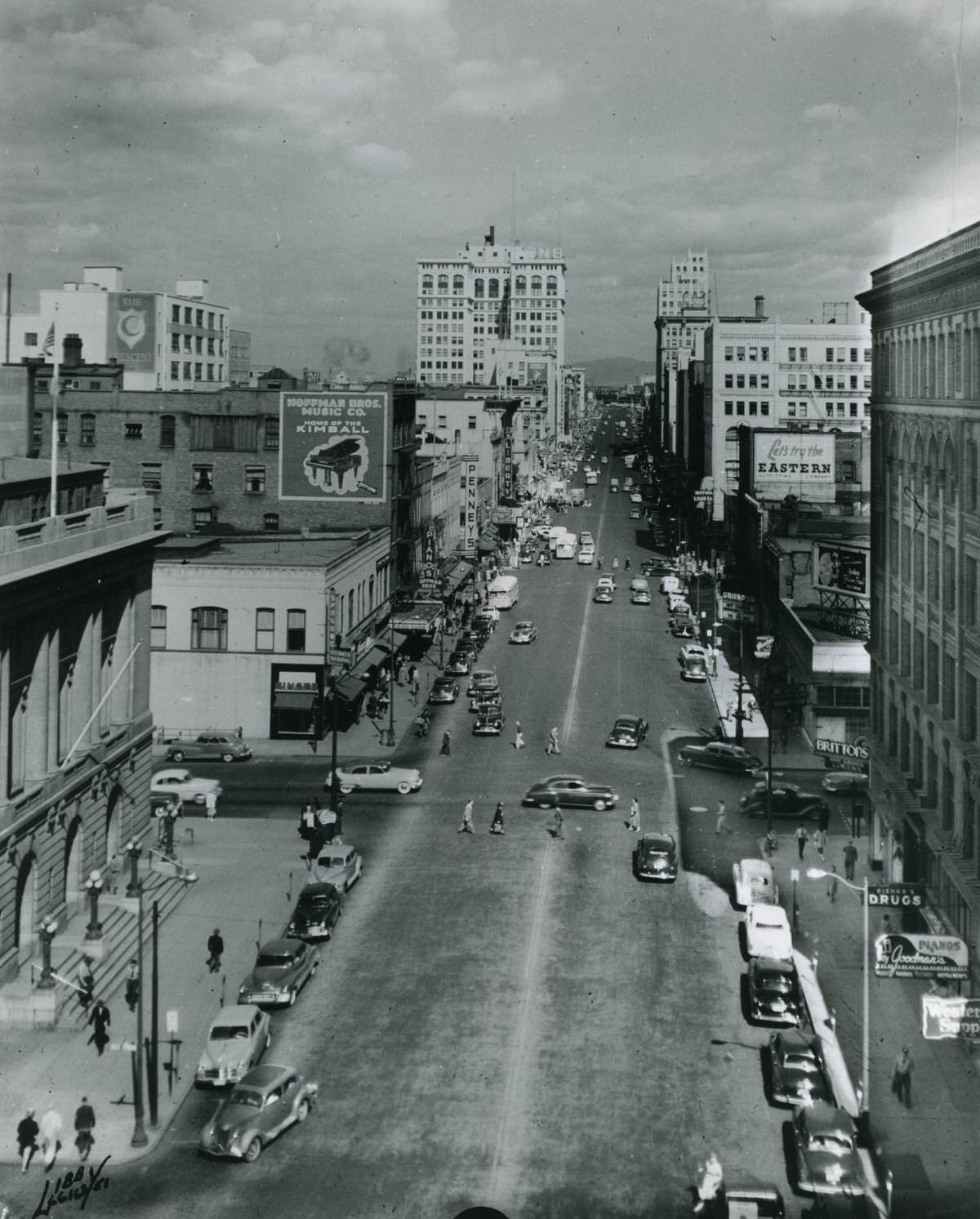
Howard Street in 1947 and Riverside Avenue in the 1940s and early 1950s showed a city moving at a steady urban pace. Buses, automobiles, and pedestrians shared the street. Billboards along Riverside Avenue advertised Hoffman Bros. Music Co., Eastern Outfitting Company, Fisher’s Drugs, The Crescent, Goodman’s Pianos, and Western Supply — a snapshot of Spokane’s mid-century commercial life. The businesses on those signs served real customers in a working city.
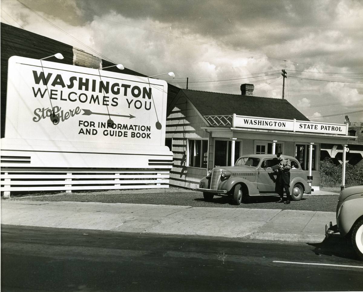
By 1938, State Patrol welcome lodges marked the entry points into Washington State, greeting travelers arriving by road and directing them toward their destinations. These lodges were part of a broader effort to manage and encourage tourism during an era when driving for leisure was becoming genuinely common. For visitors arriving from out of state, the welcome lodge was the first official face of Spokane and Washington they encountered.
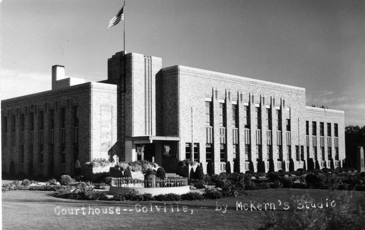
Stevens County, to the north of Spokane, had its own civic institutions that reflected the region’s growth. The Stevens County Courthouse in Colville, photographed in the 1950s, was a symbol of governmental presence in a largely rural county. Communities like Colville depended on county government to provide services across a wide geographic area, and the courthouse was the physical center of that function.





Nicer than today …
That’s so cool; thanks for sharing this!
After my great grandmother passed away in the 70s, we found boxes of glass negatives in her house. Her home dates back to the late 1800s. We ended up giving the negatives to a museum. Several photos showed the aftermath of the great fires in 1889.
Early 1900s Spokane was a cool city, as the pictures demonstrate. Spokane was the richest town in North America (#1 per capita income) during the silver boom and a major railroad hub during the roaring 20s. These mansions in Browne’s and Cannon’s additions, as well as in Corbin Park, are relics of a bygone era. Imagine riding a trolley to its own amusement park (Natatorium).
Loved these vintage snaps, thanks for this.
This website is the best place to find old pictures.
I’m pretty certain these were from the archives.
Tons of really cool pictures, but don’t trust the dates on them