

Scotland in the 1960s was a country under pressure. Unemployment was high, shipyards were shutting down, and long-standing industries were collapsing one by one. Communities that had depended on manufacturing and heavy industry for generations were left scrambling. Yet even in the middle of all that hardship, daily life carried on — ferries still crossed the water, fishermen still worked the docks, and people found ways to keep moving forward. The photographs below capture that world in remarkable detail, from the rugged Argyll coast to the quiet villages of the Western Isles.
Campbeltown, a small fishing town on the Kintyre peninsula, was one of the many Scottish communities feeling the squeeze during this era. Its lifeboat station was a vital part of coastal life, serving the unpredictable waters of the Firth of Clyde. These two images show the Campbeltown lifeboat up close — a working vessel that stood between local fishermen and the sea’s worst moods.
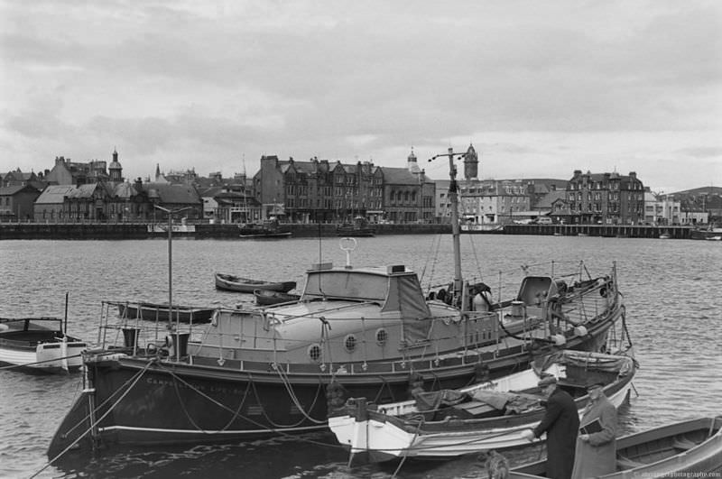
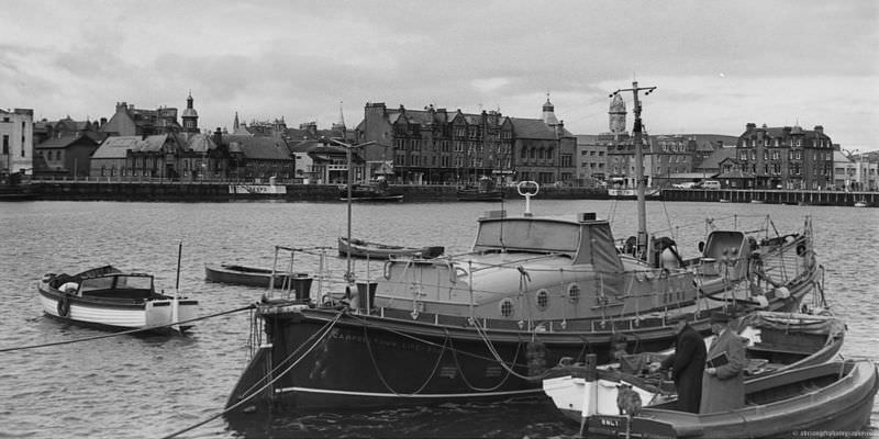
The town of Campbeltown itself still held onto its character in this period, even as economic decline bit hard. Whisky distilleries had long defined the area, though many had already closed by the 1960s. What remained was a tight-knit community anchored by the sea.
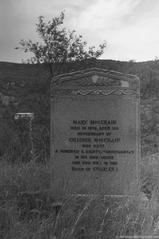
Out on the island of Jura, the pace of life was entirely different. The island had fewer than 200 residents and miles of open moorland. The cemetery at Inverlussa, tucked into the northern end of the island, reflects just how remote and self-contained life there was. For islanders, burial grounds like this one were deeply personal — local history written in stone.
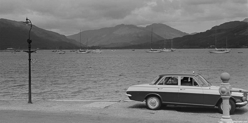
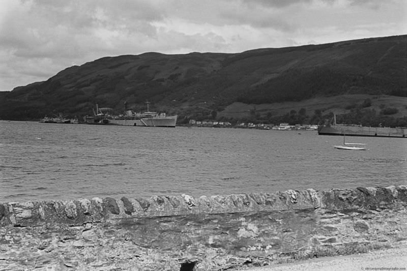
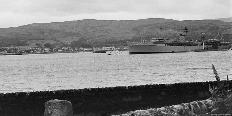
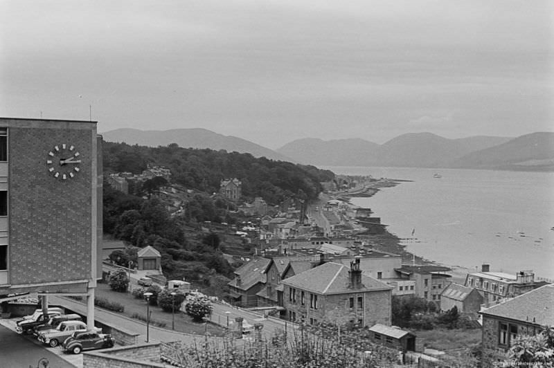
Holy Loch, on the eastern shore of the Cowal peninsula, took on a very different character in the 1960s. In 1961, the United States Navy established a submarine base there — home to Polaris nuclear submarines during the Cold War. The base made Holy Loch one of the most strategically significant spots in the entire United Kingdom, and its presence was felt throughout the surrounding area.
Further west, the island of Islay was a hub of activity for the surrounding region. Port Ellen’s dock served as a key landing point for supplies, passengers, and goods coming in from the mainland. Without reliable ferry links, islands like Islay would have been almost entirely cut off.
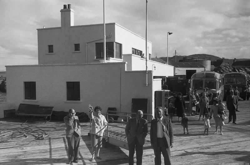
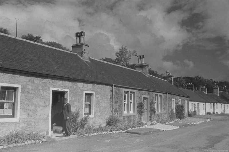
On Jura, the small village of Craighouse was the island’s main settlement. Lorne Cottage, pictured here, gives a sense of the modest, functional architecture that defined island living. Life in Craighouse revolved around the local distillery, the pier, and the handful of families who called the village home.
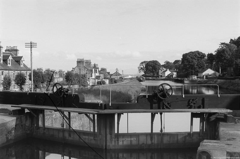
Scotland’s canal system was another piece of infrastructure that shaped movement across the country. By the 1960s, commercial traffic on many canals had declined sharply, but they remained important corridors connecting inland areas to coastal ports.
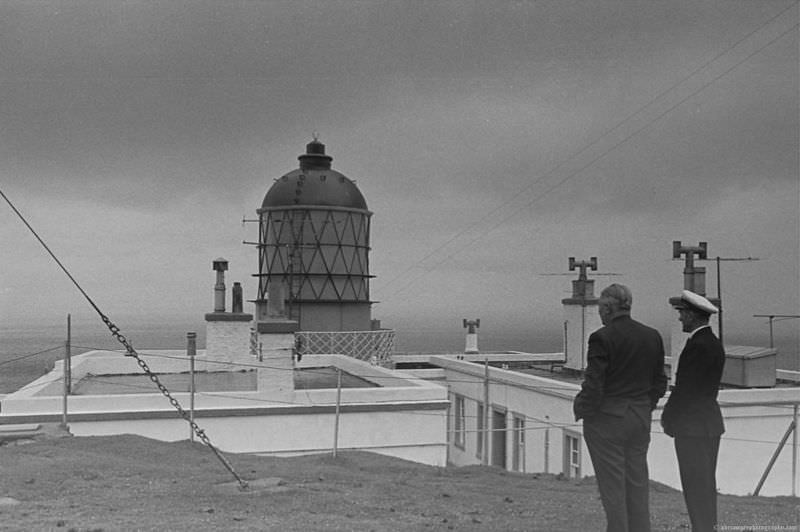
At the very tip of the Kintyre peninsula stands the Mull of Kintyre lighthouse, first lit in 1788. By the 1960s it was one of the most recognizable landmarks on Scotland’s west coast, warning ships away from the dangerous waters where the Atlantic meets the North Channel.
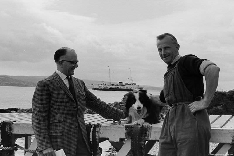
Ferries were the lifeline of the west coast. The MV Bute was one of the vessels operated by Caledonian MacBrayne — known locally as CalMac — connecting the islands and mainland ports that made up this scattered coastal world. Without these ships, communities across Argyll and the Isles simply could not function.
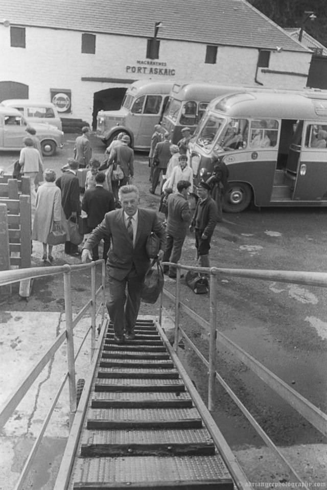
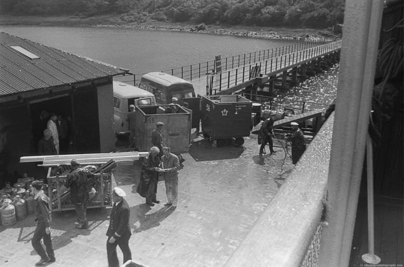
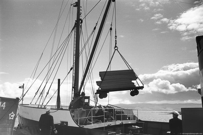
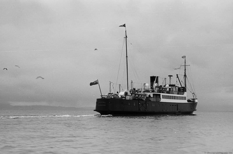
The MV Lochiel was another key CalMac vessel during this period, regularly serving routes to Islay and other Western Isles destinations. These next several photographs show her at various docks — loading, unloading, and going about the essential work of keeping island communities supplied and connected.
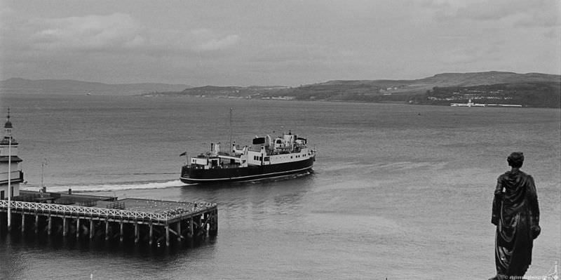
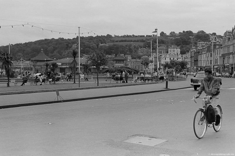
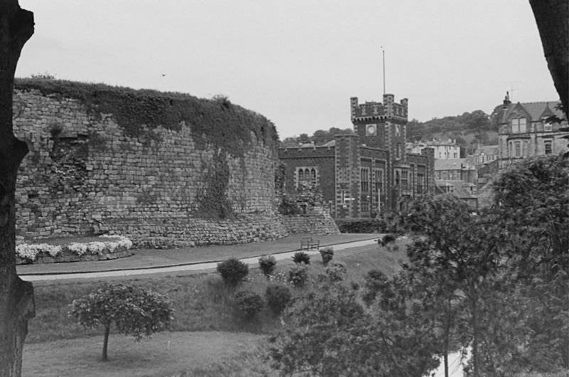
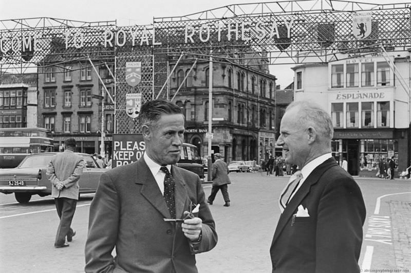
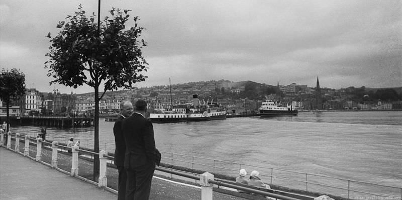
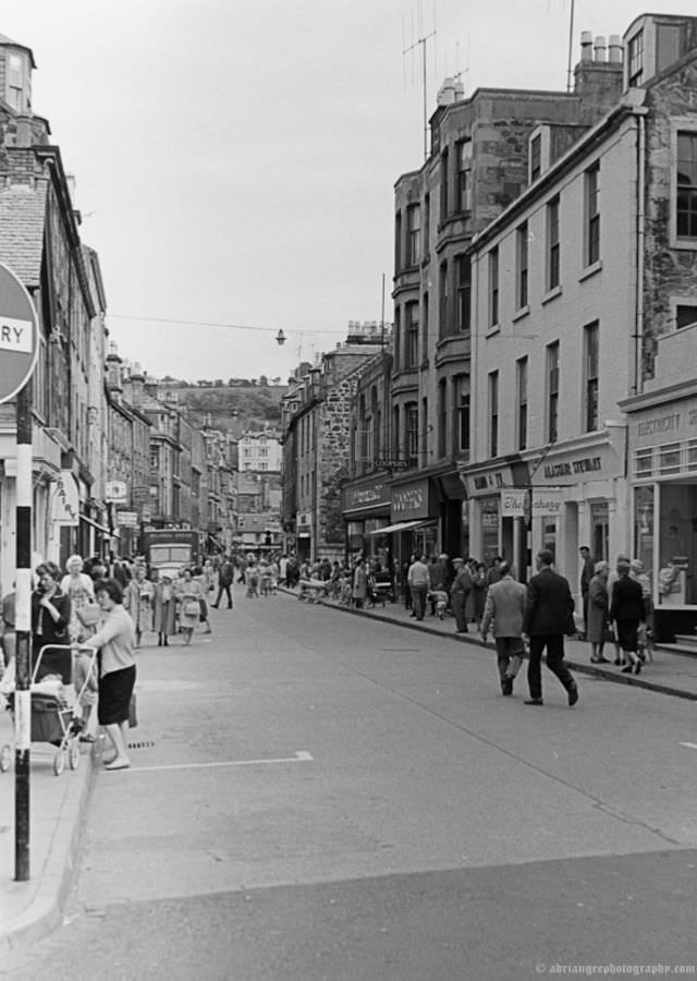
Rothesay, on the Isle of Bute, was one of Scotland’s most popular seaside resorts. Even in the 1960s, as mass foreign travel began to pull tourists away from domestic destinations, Rothesay retained much of its Victorian-era charm. Argyle Street, the castle, and the seafront Esplanade Hotel were all central features of the town. The PS Talisman — a paddle steamer that served the Clyde — was a familiar sight in Rothesay’s harbor.
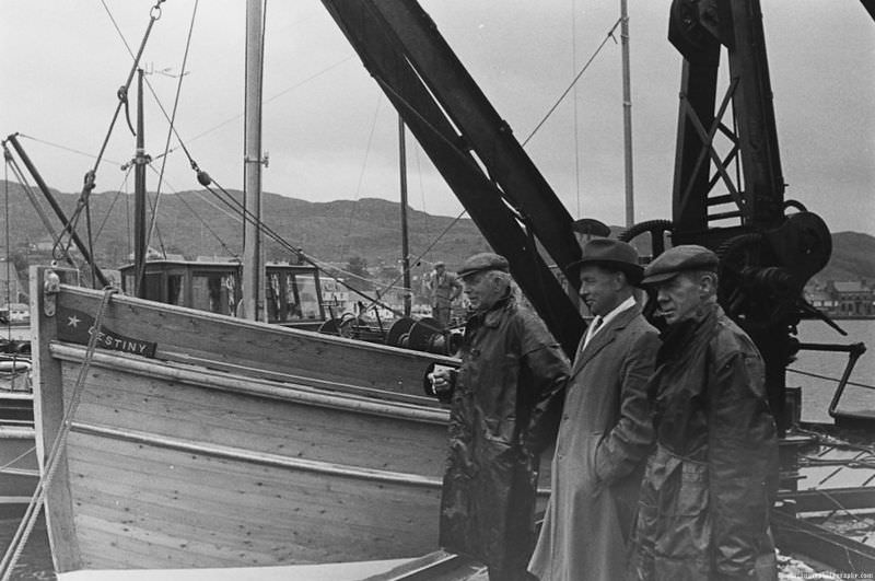
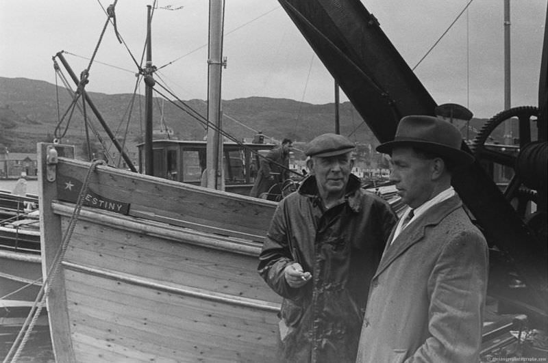
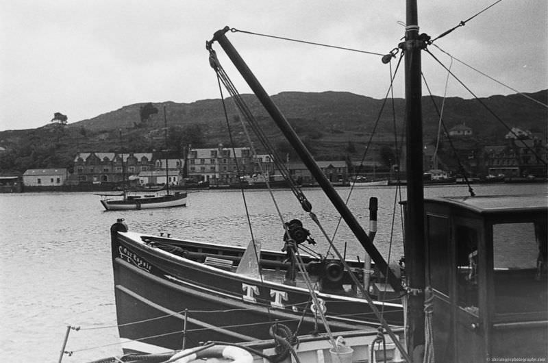
The fishing village of Tarbert sat at the northern end of the Kintyre peninsula, where Loch Fyne meets West Loch Tarbert. It was a working harbor in the truest sense — boats, nets, and the smell of the sea were constants. These three photographs show Tarbert as it was in the 1960s, still very much a community defined by fishing and the water.
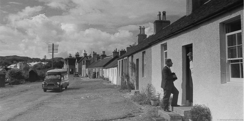
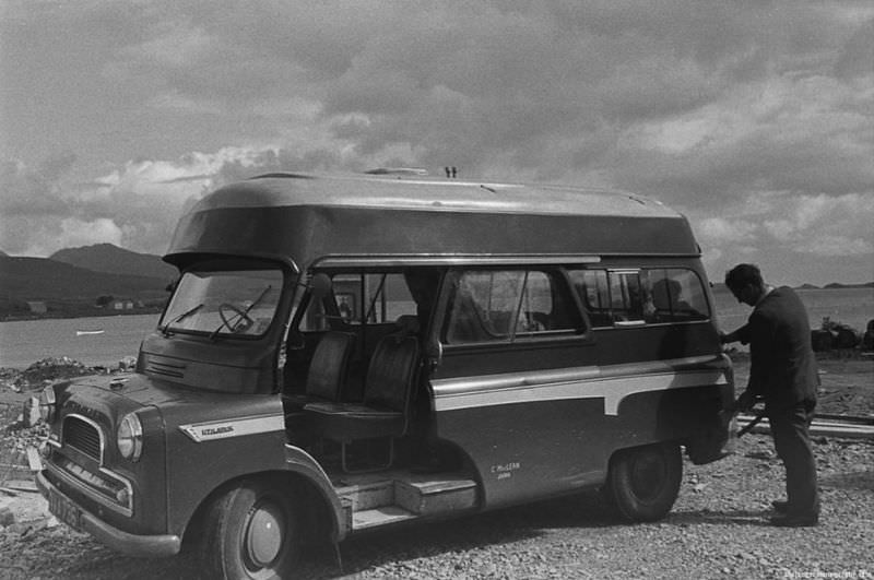
Getting around Jura was no simple task. The island had — and still has — just one main road, running along its eastern coast. The Jura bus served as the only regular public transport for residents, connecting the scattered farms and cottages to Craighouse and the ferry pier at Feolin.
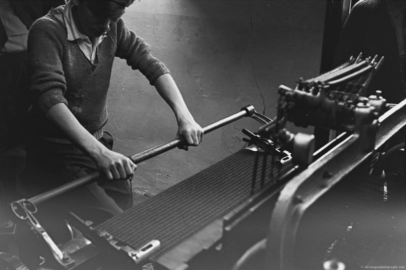
Weaving was one of the traditional crafts that persisted across the Western Isles well into the 1960s. Harris Tweed, produced by hand on foot-powered looms in islanders’ homes, was internationally recognized and carried a legal certification to prove its authenticity. This image captures that craft still very much alive.
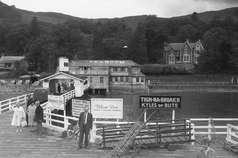
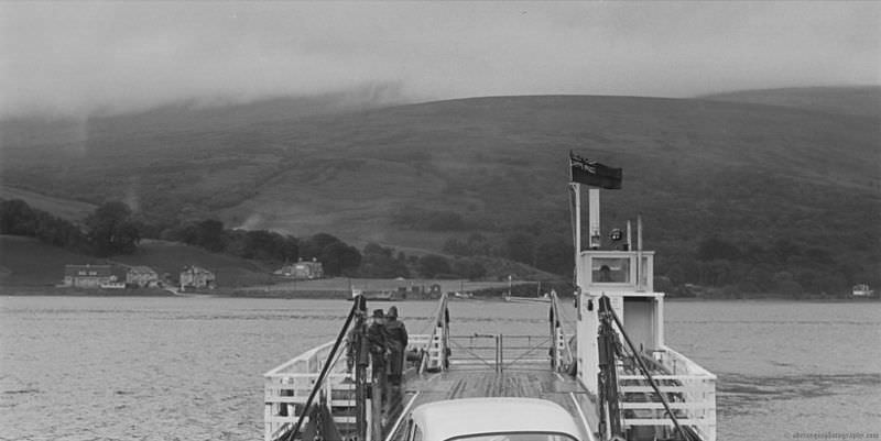
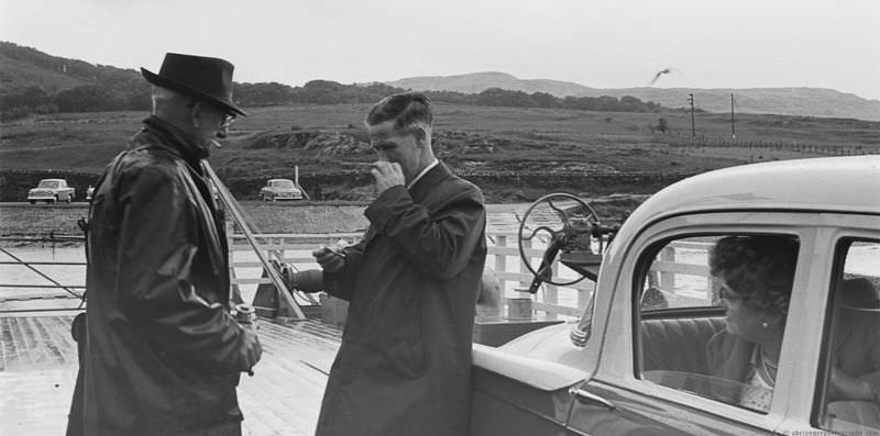
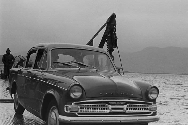
Ferry crossings to the Western Isles were a regular part of life for tens of thousands of people. Whether carrying livestock, postal deliveries, or passengers, these vessels were the arteries of island Scotland. The following photographs document those crossings — the boats, the docks, and the people who depended on them.
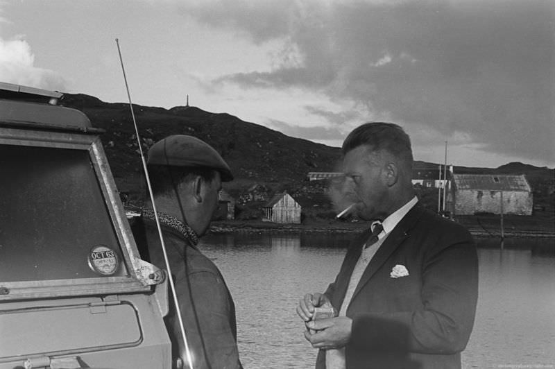
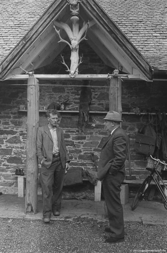
The role of the gamekeeper was deeply embedded in the culture of the Scottish Highlands and Islands. Gamekeepers managed deer, grouse, and other wildlife across vast private estates. In the 1960s, these estates still employed significant numbers of local men in this capacity, and the work was both physically demanding and highly skilled.
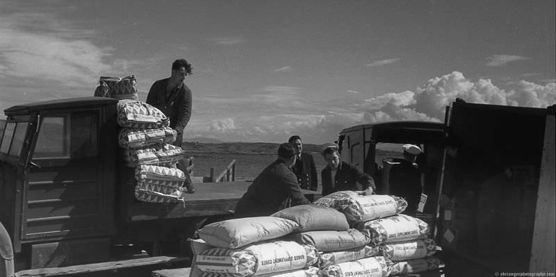
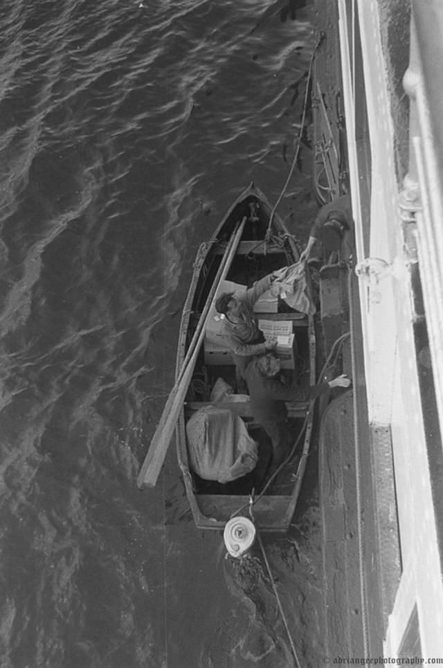
Delivering post and supplies to remote island communities required constant effort and careful logistics. Roads were few, weather was unreliable, and ferry schedules dictated everything. This photograph shows that supply chain in action — the unglamorous but essential work of keeping island life stocked and connected.
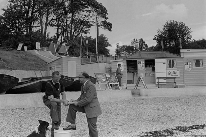
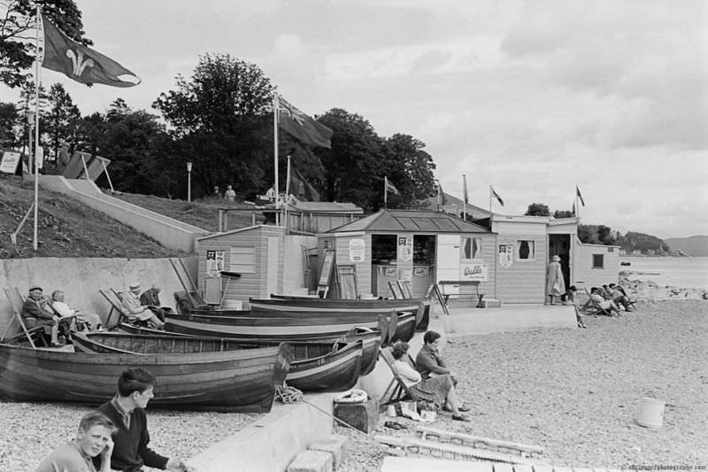
Kirn Lido, located near Dunoon on the Cowal peninsula, was a popular outdoor swimming venue in its day. These three photographs show the lido in use — a reminder that leisure and community life continued even as the broader economic picture darkened across Scotland during the 1960s.
By the late 1960s, the political landscape in Scotland was shifting. The Scottish National Party won its first Westminster seat in 1967, and the idea of Scottish independence moved from the fringes onto the mainstream political agenda. These final images from the Western Isles capture a Scotland in transition — communities that had endured decades of hardship and were beginning to ask bigger questions about their future.

I think some of those calmac ferries are still in service 😀
Can the 1960s really be considered vintage now? It’s getting old for me.
Seemed to have a fair number of ferries in those days..