
In 1968, Saigon was one of the most electric cities in Southeast Asia. Photographer and journalist Brian Wickham walked its streets during the height of the Vietnam War, capturing a city that refused to stand still. His images show crowded markets, busy waterways, ornate temples, and ordinary people going about their lives in extraordinary circumstances.
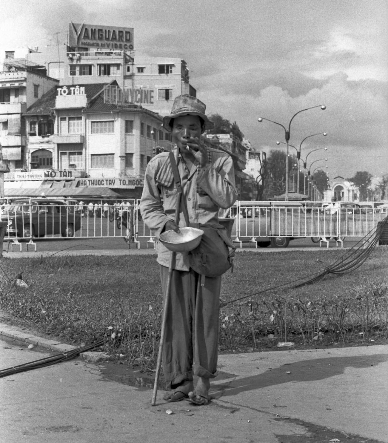
Poverty was visible on Saigon’s streets alongside its bustle and commerce. The war had displaced many people, and the gap between rich and poor was sharp. French colonial buildings lined wide, tree-shaded boulevards while makeshift stalls crowded the sidewalks below them.
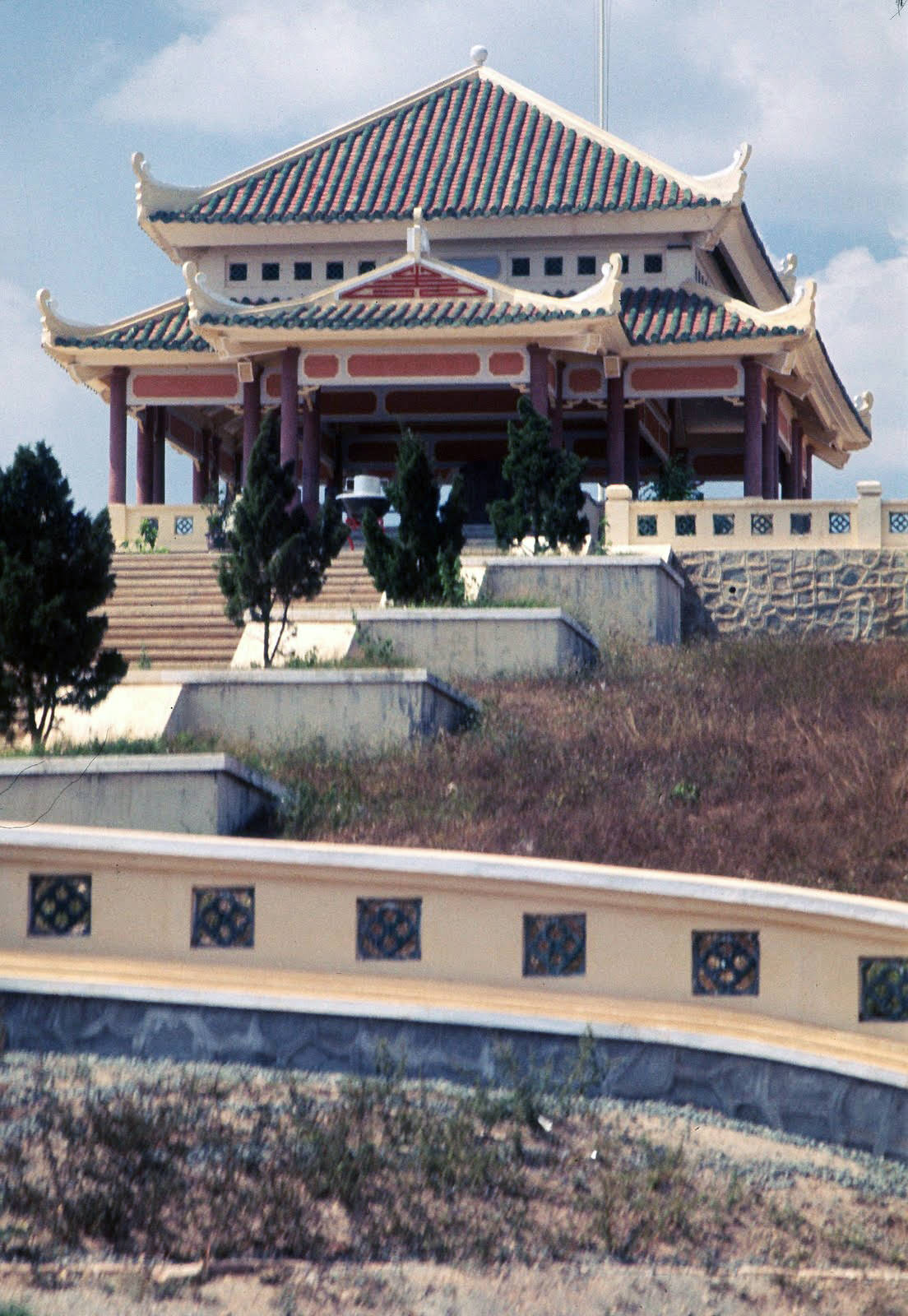
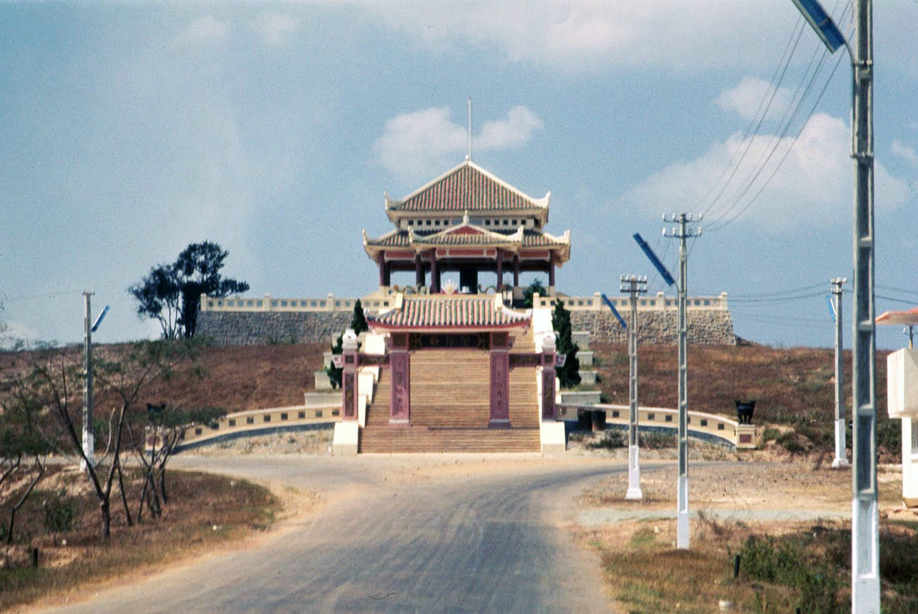
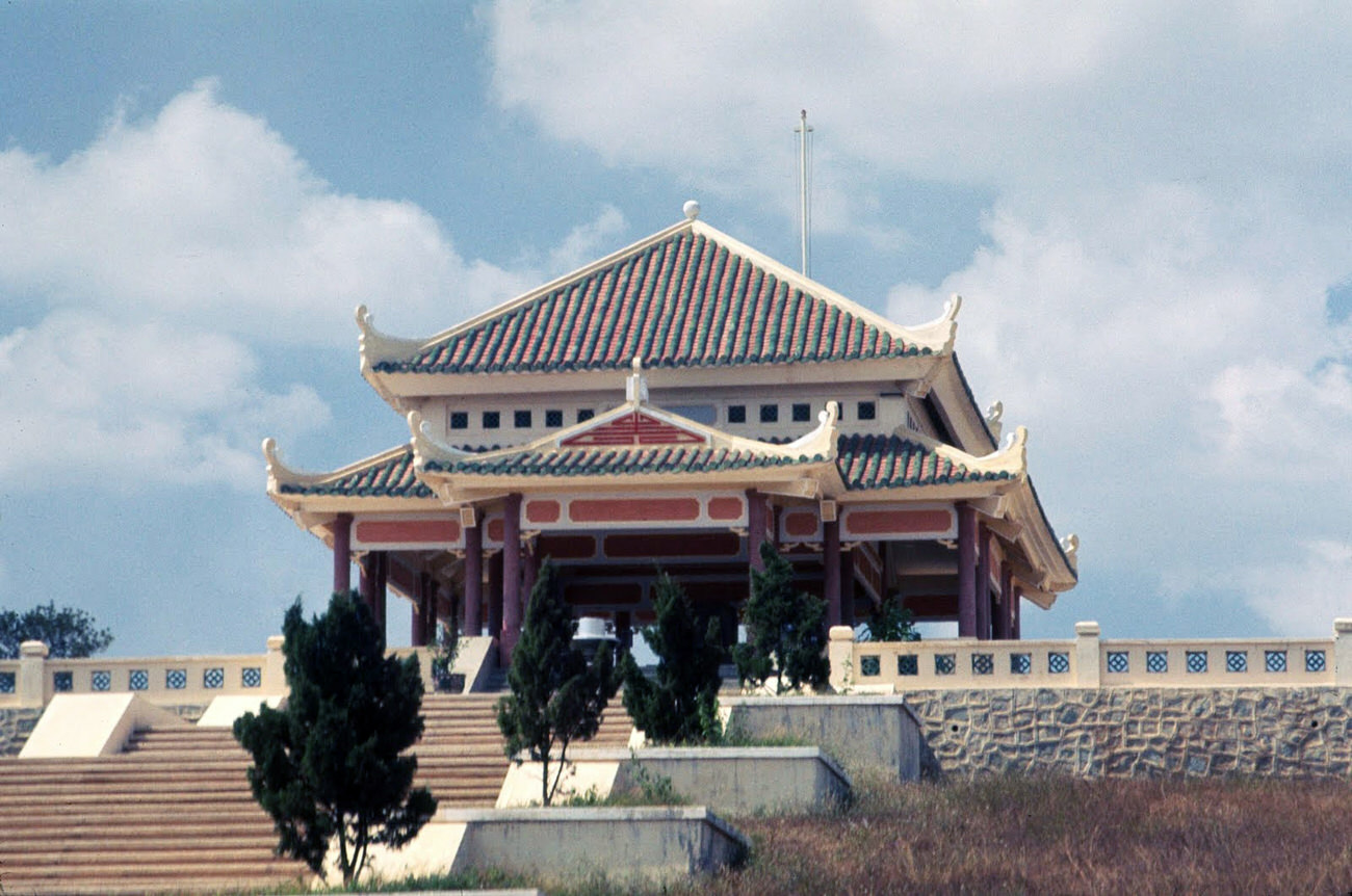
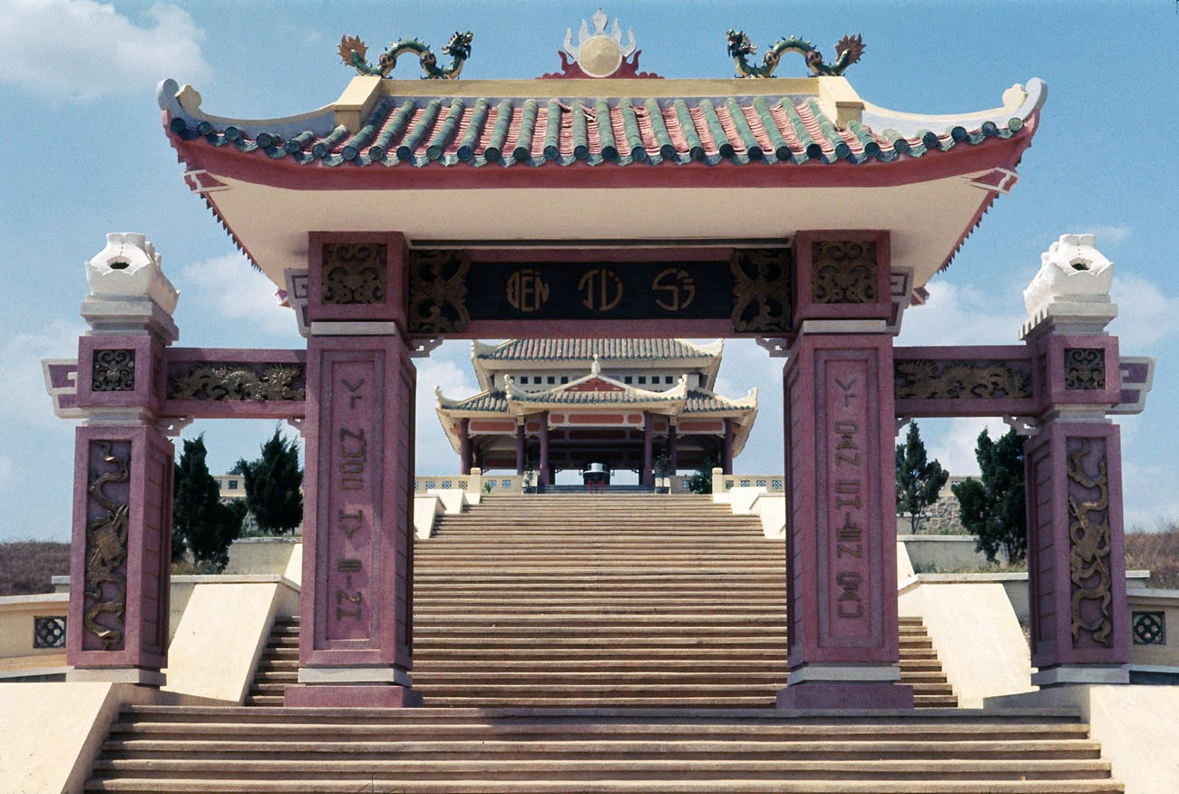
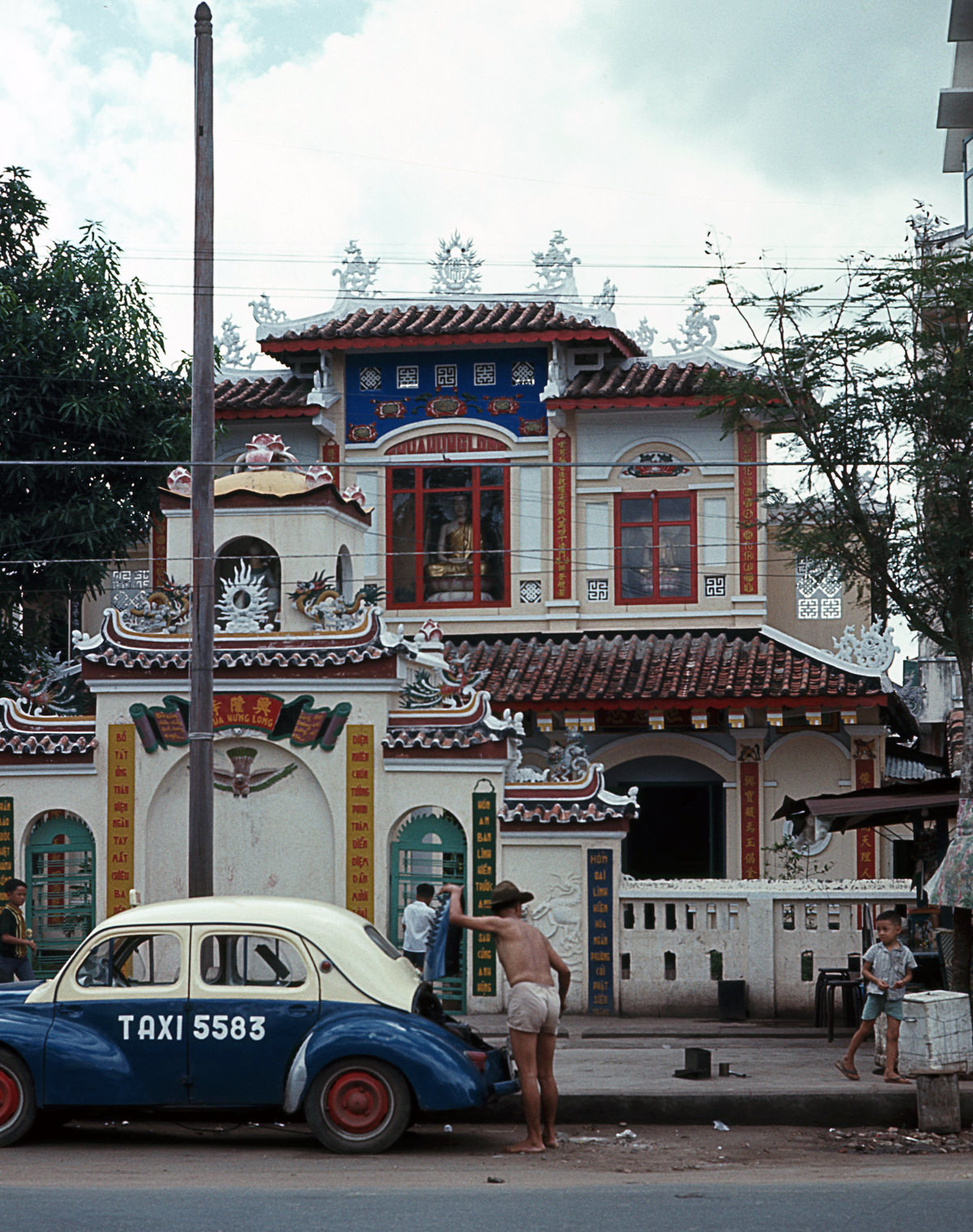
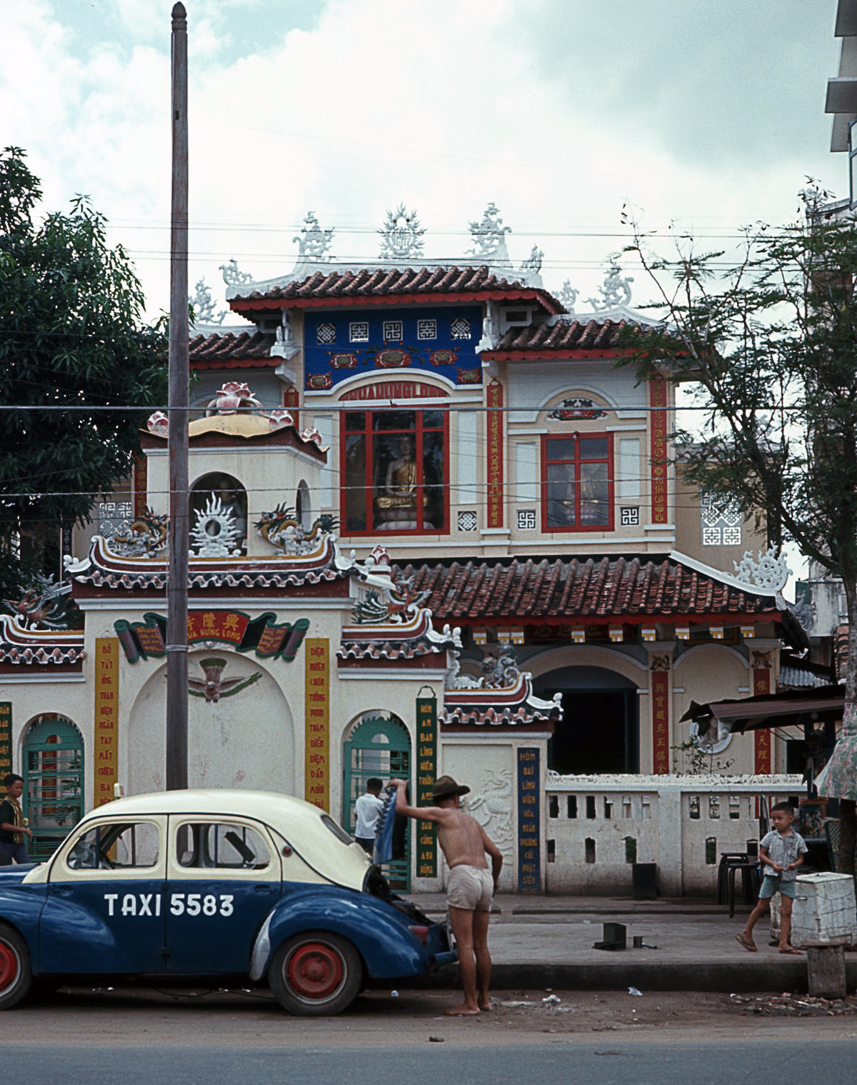
Religion remained central to daily life. Temples dotted the city and its outskirts, including those near military cemeteries like the ARVN burial grounds along the Bien Hoa Highway — a constant reminder of the war’s human cost.
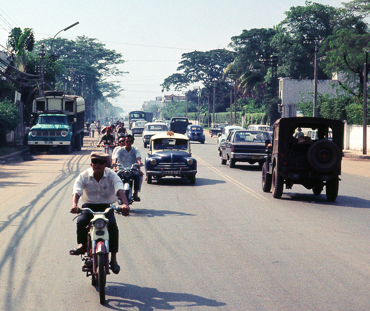
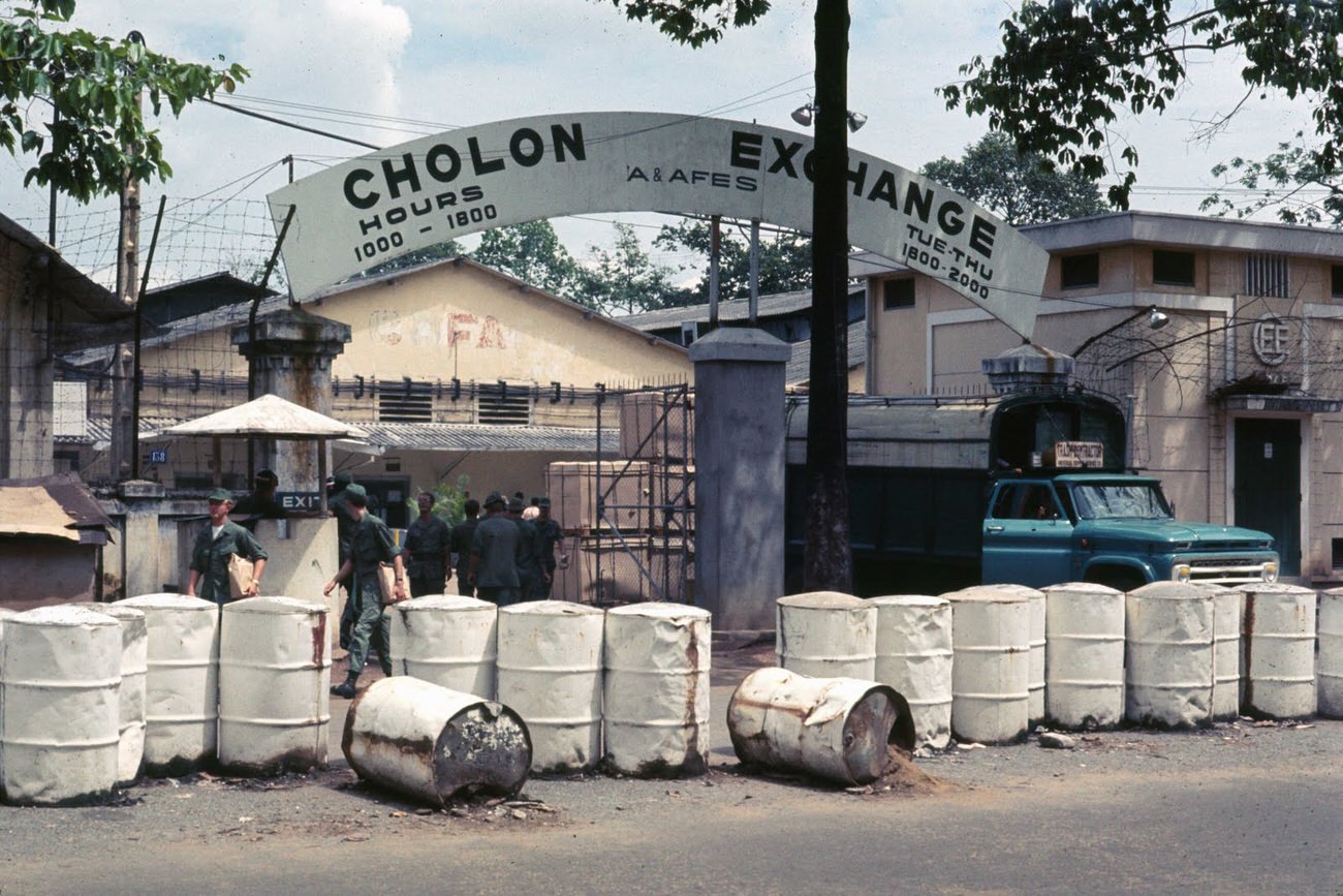
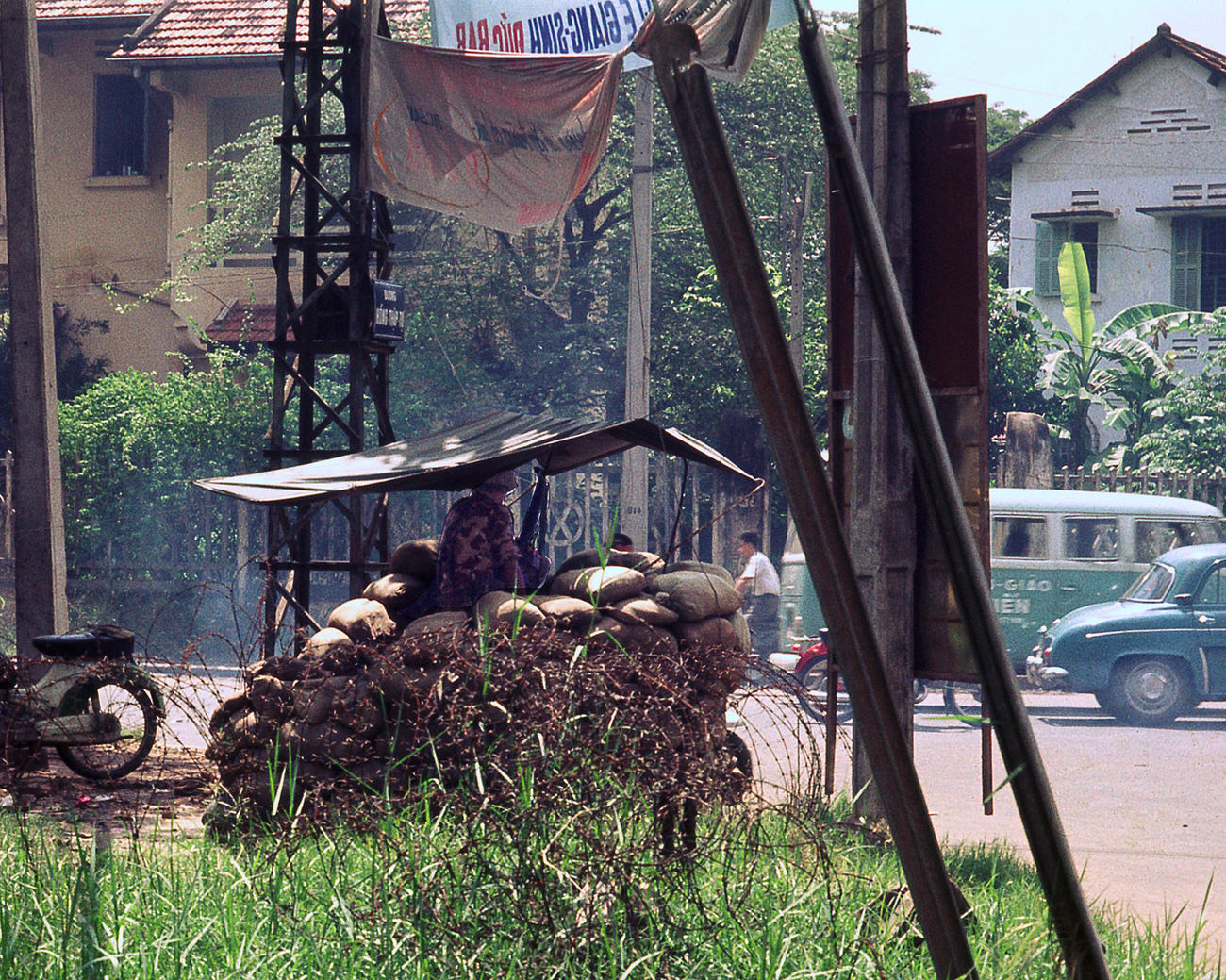
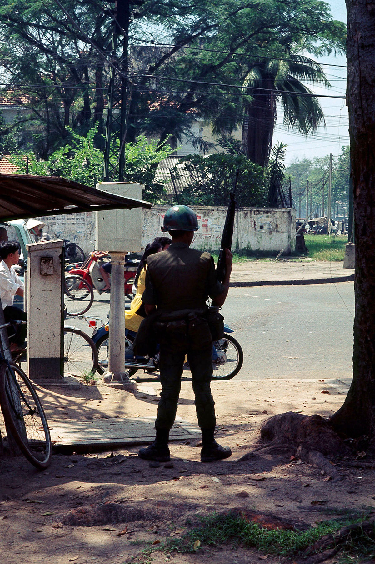
Soldiers were a constant presence on Saigon’s streets. Both American and South Vietnamese troops moved through the city daily. Armed vehicles, checkpoints, and uniformed men were woven into the same urban fabric as street vendors and schoolchildren.
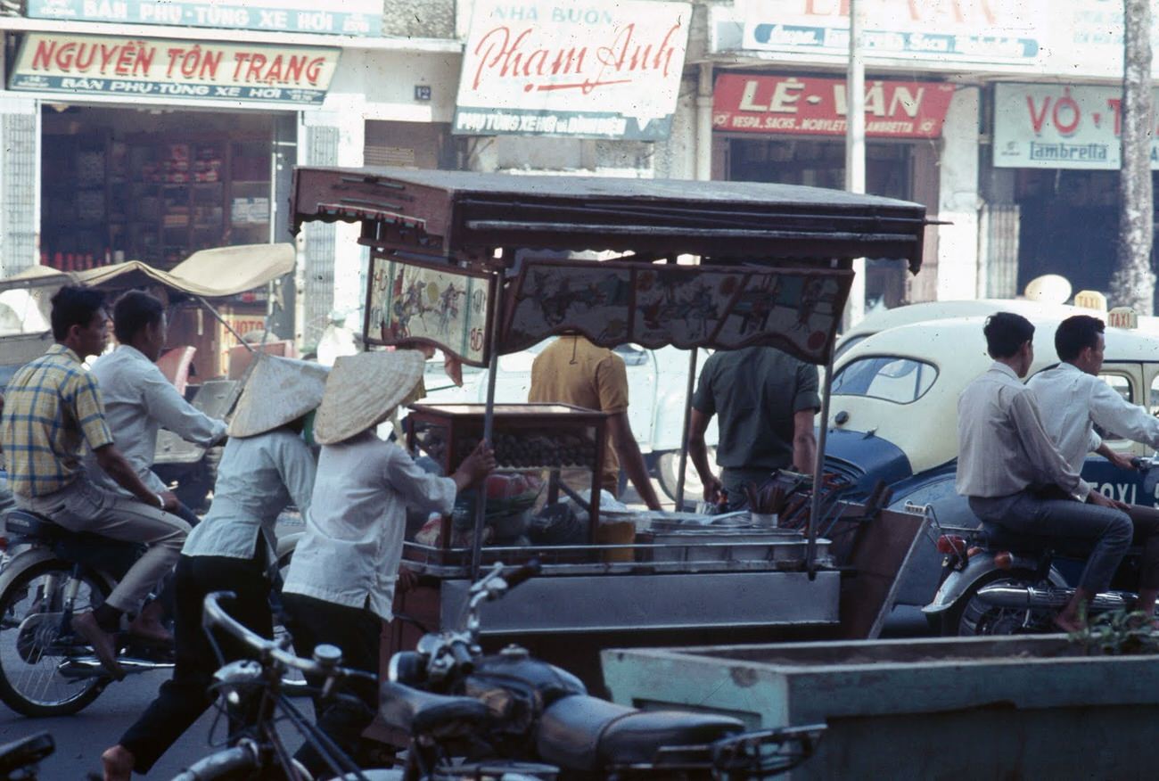
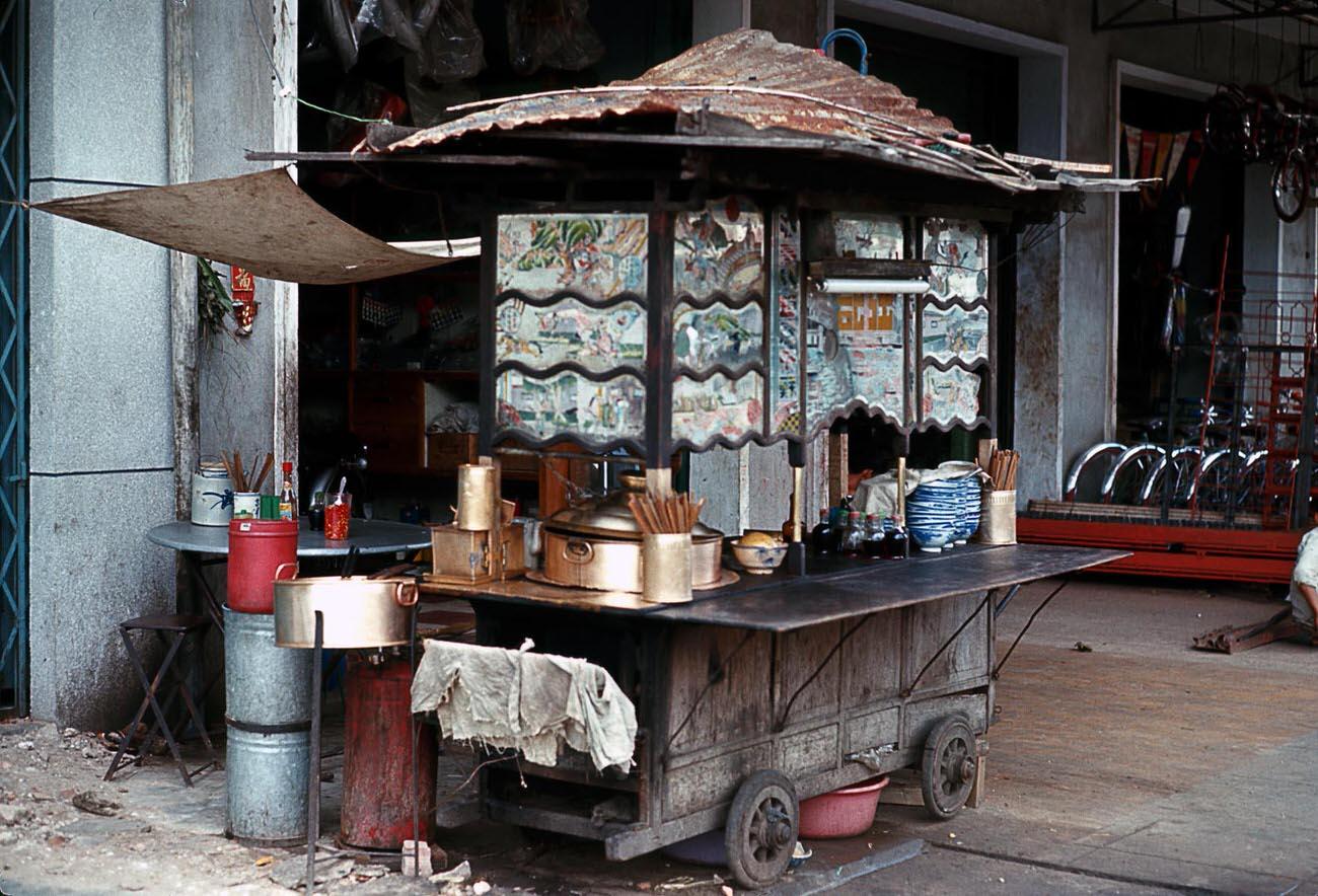
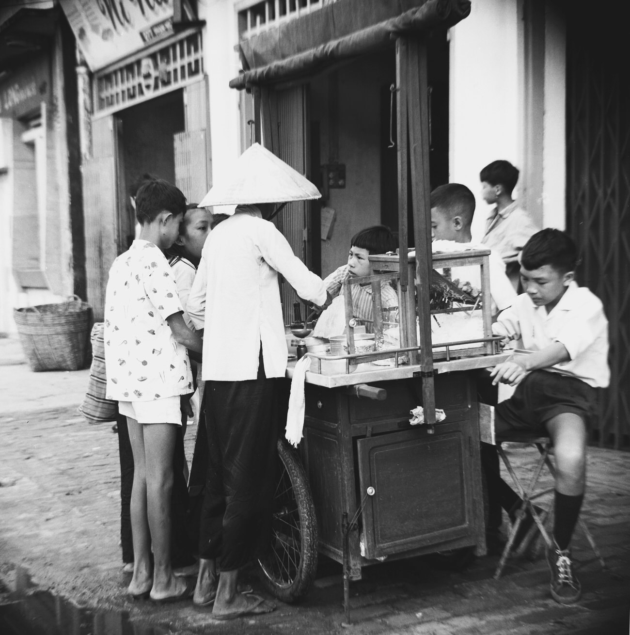
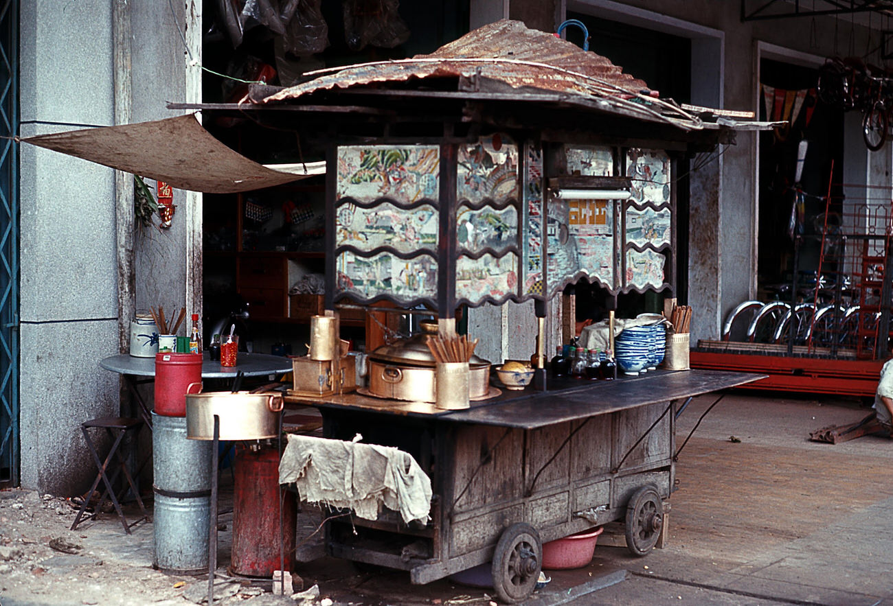
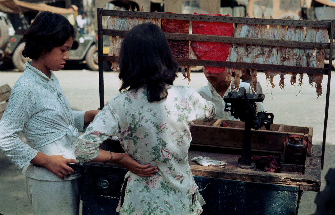
Food was everywhere. Vendors pushed carts through neighborhoods, set up along busy avenues, and crowded the dockside areas near the Saigon River. Cholon, the city’s ethnic Chinese district, was especially known for its noodle carts and dense, aromatic street food scene.
Wickham’s lens also reached beyond Saigon itself. Nha Trang, a coastal city to the north, offered striking contrast to the capital — quieter, more open, and framed by the South China Sea.
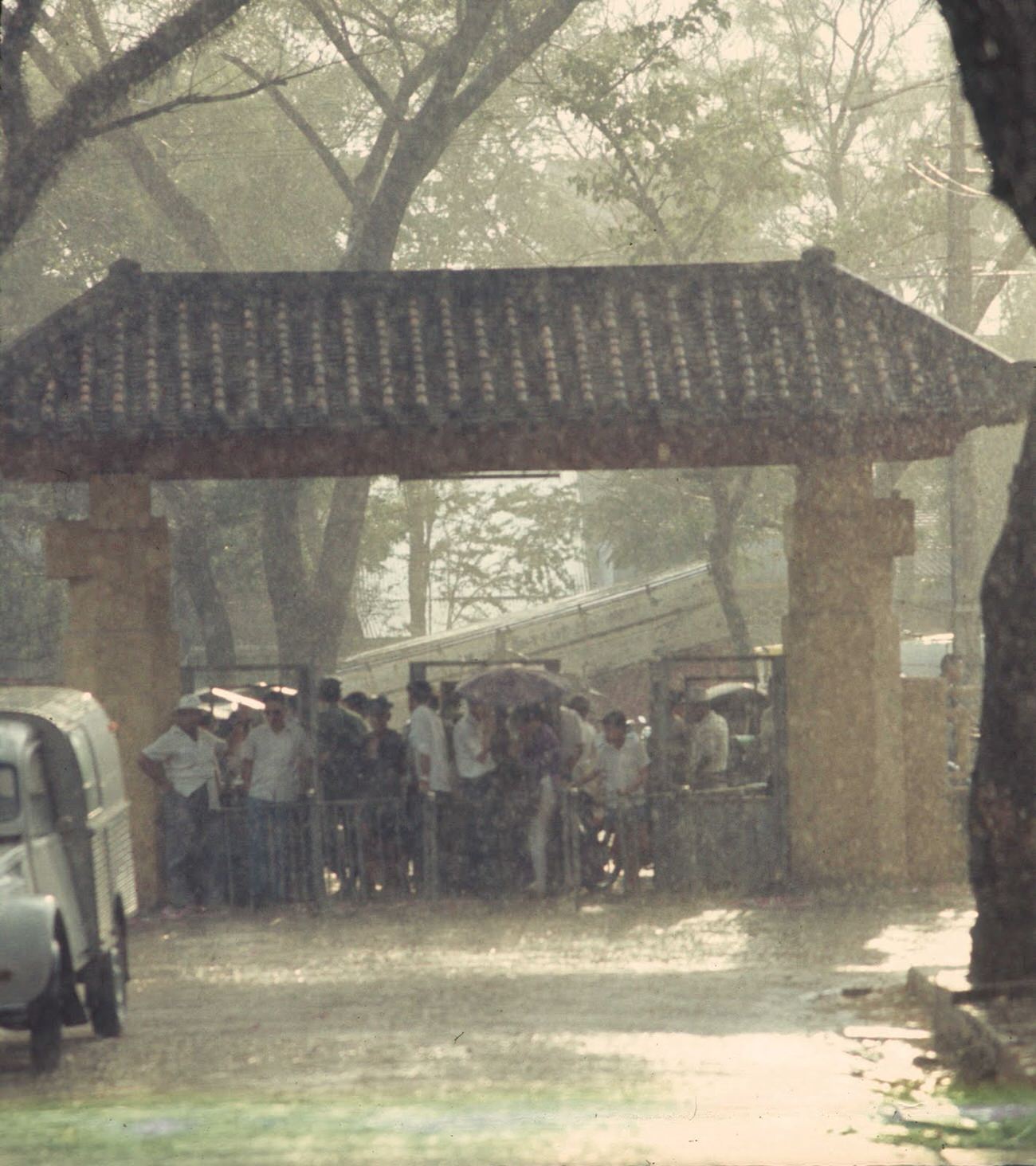
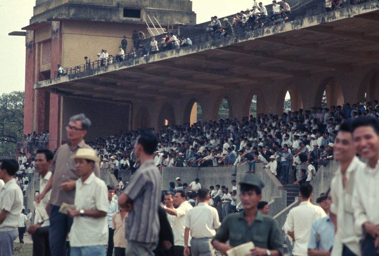
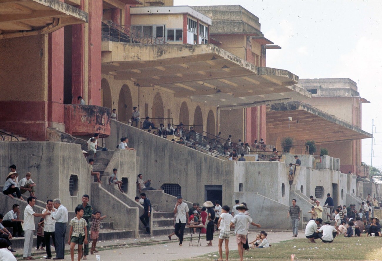
Horse racing at Phu Tho drew crowds despite the war. The racetrack was one of the few recreational venues that continued operating through 1968, giving residents a brief escape from the tension that defined the year.
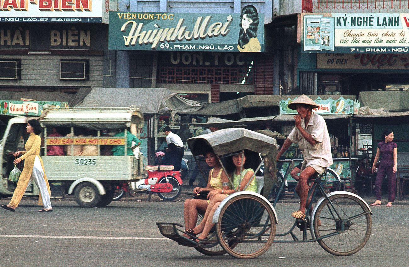
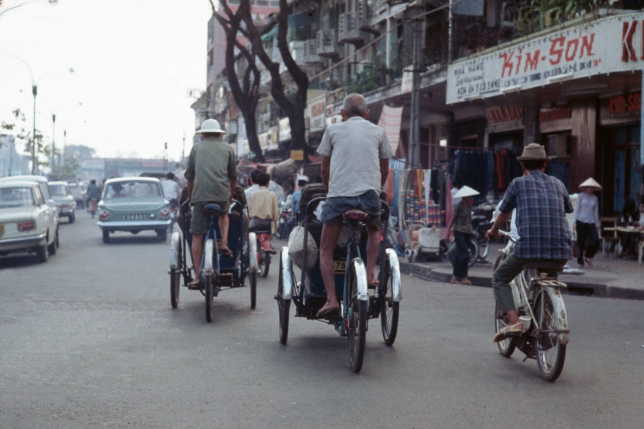
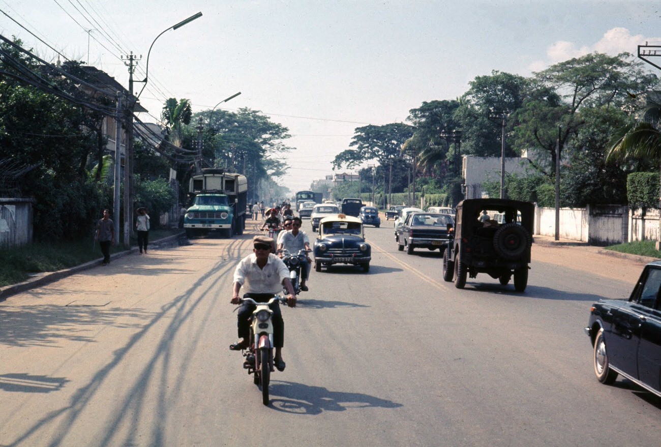
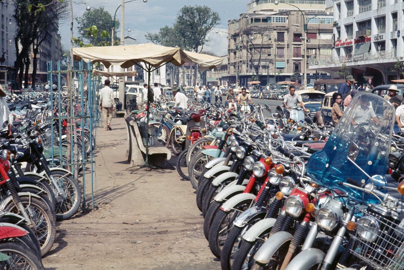
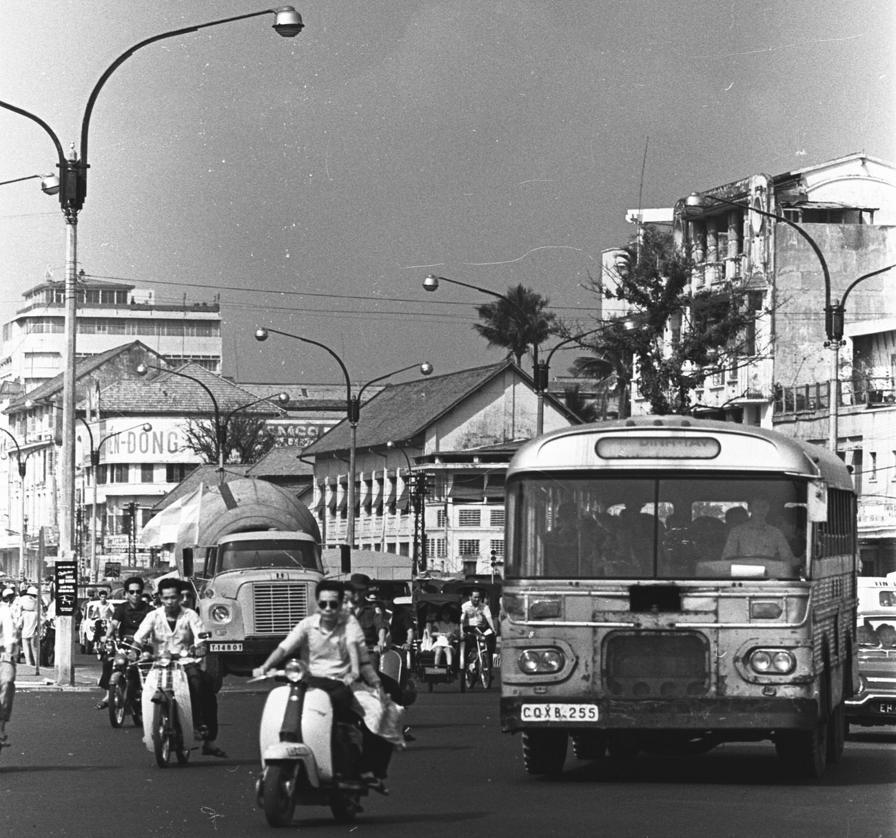
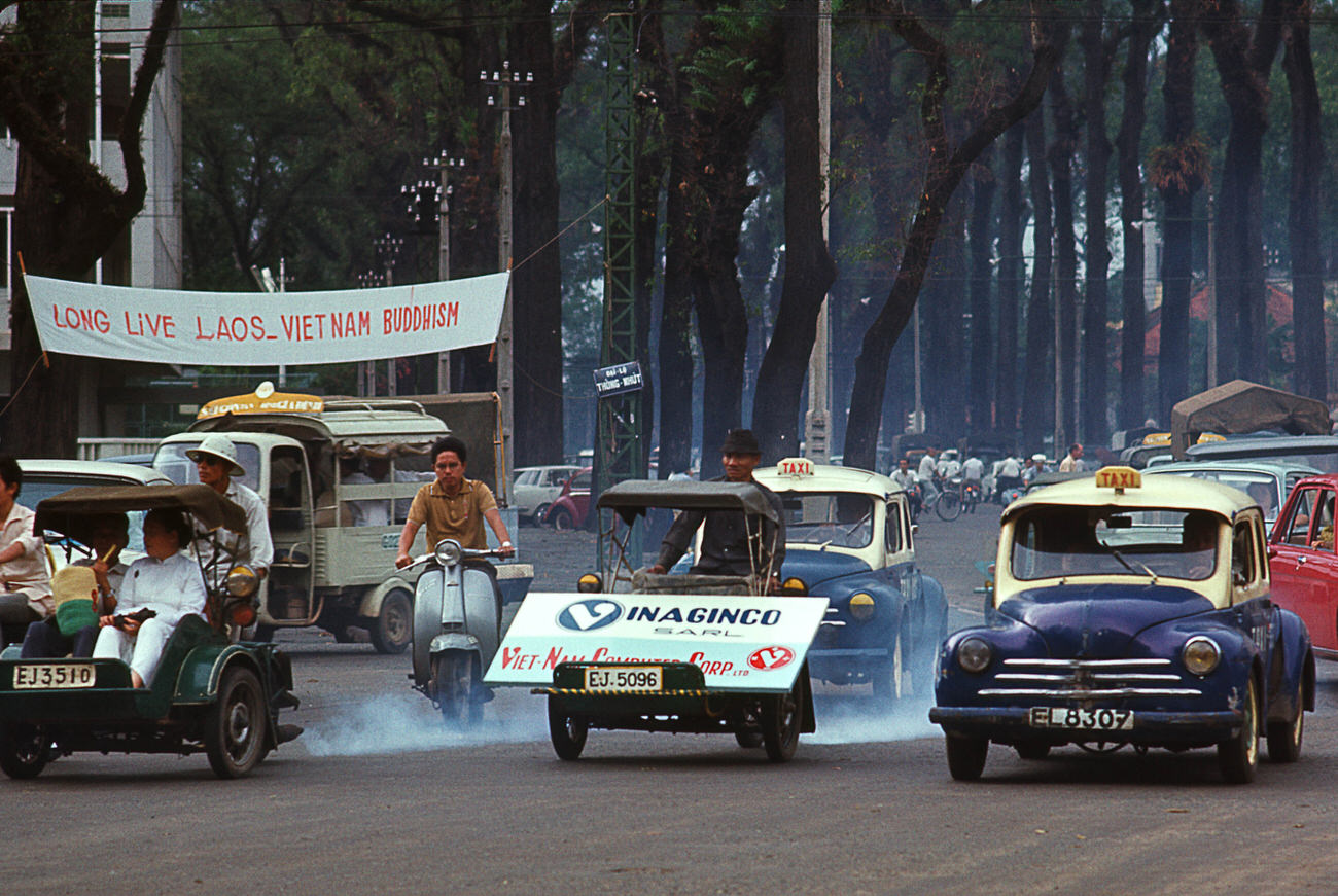
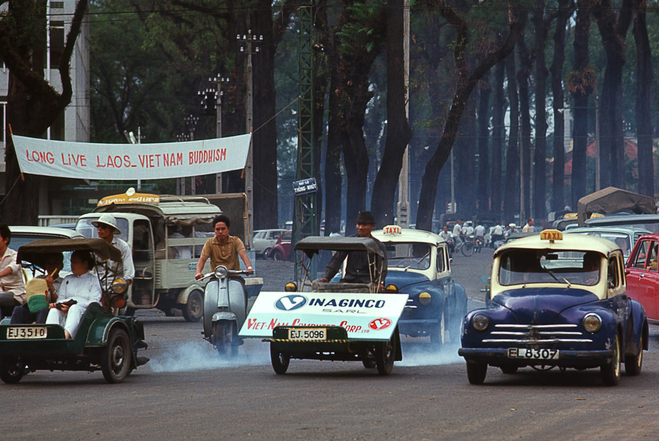
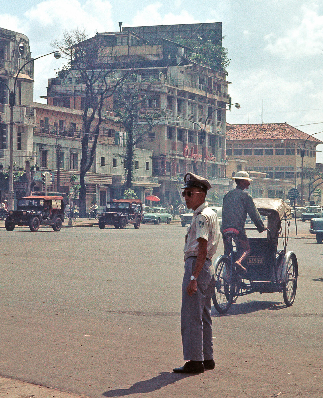
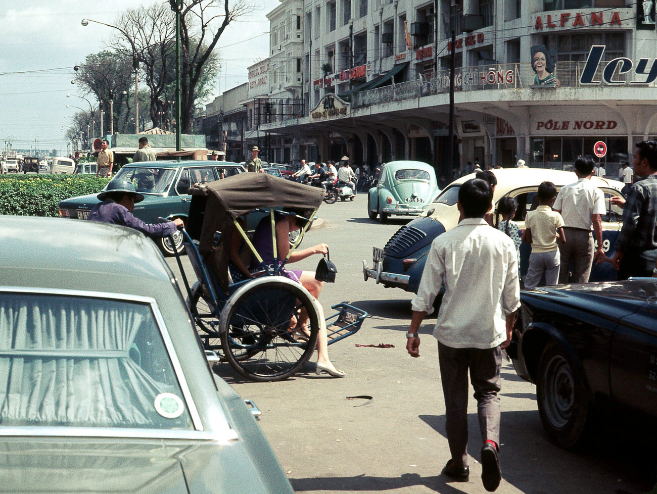
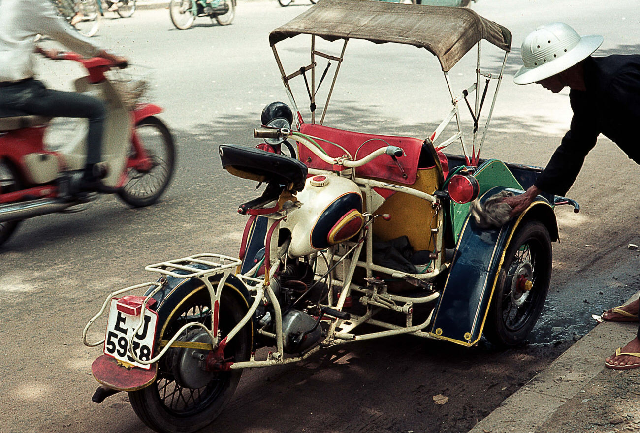
The cyclo — a three-wheeled pedal-powered vehicle — was one of the most common ways to get around Saigon. Drivers navigated the congested streets alongside motorbikes, bicycles, military jeeps, and the occasional pre-war Citroën. Traffic was relentless and loud.
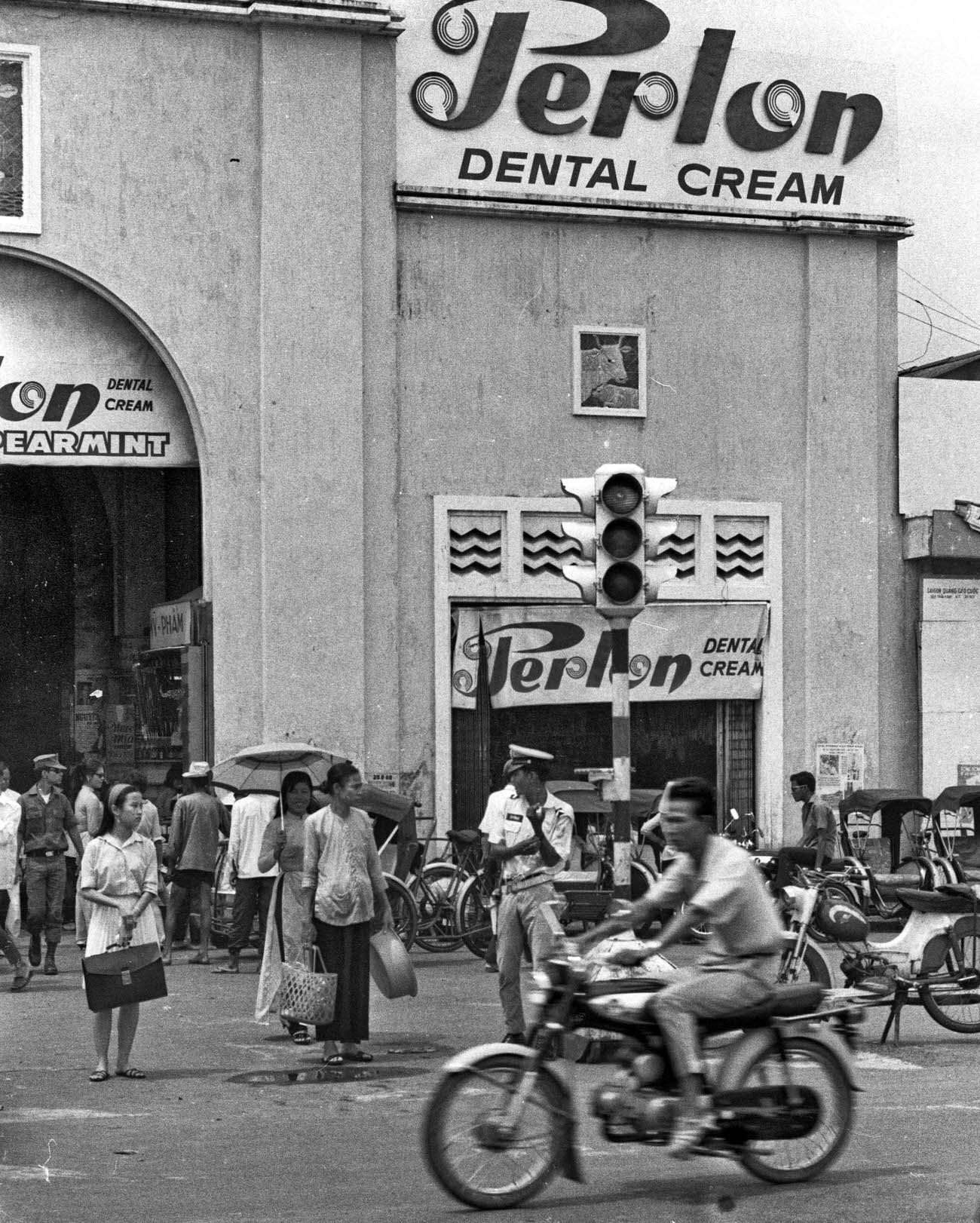
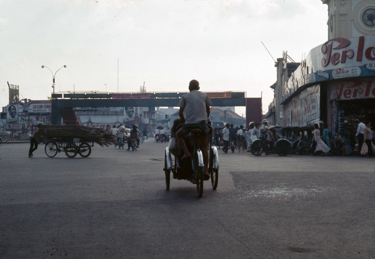
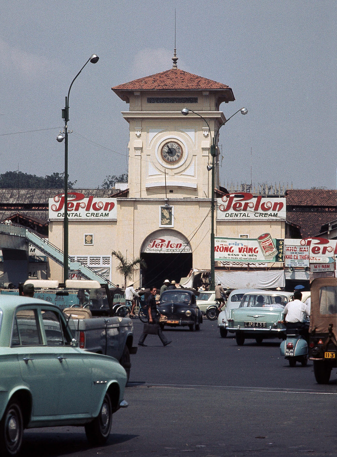
The Central Market and Cholon’s commercial streets were packed with goods — fresh produce, dry foods, cloth, and household items. Vendors competed for space and customers from early morning until well after dark.
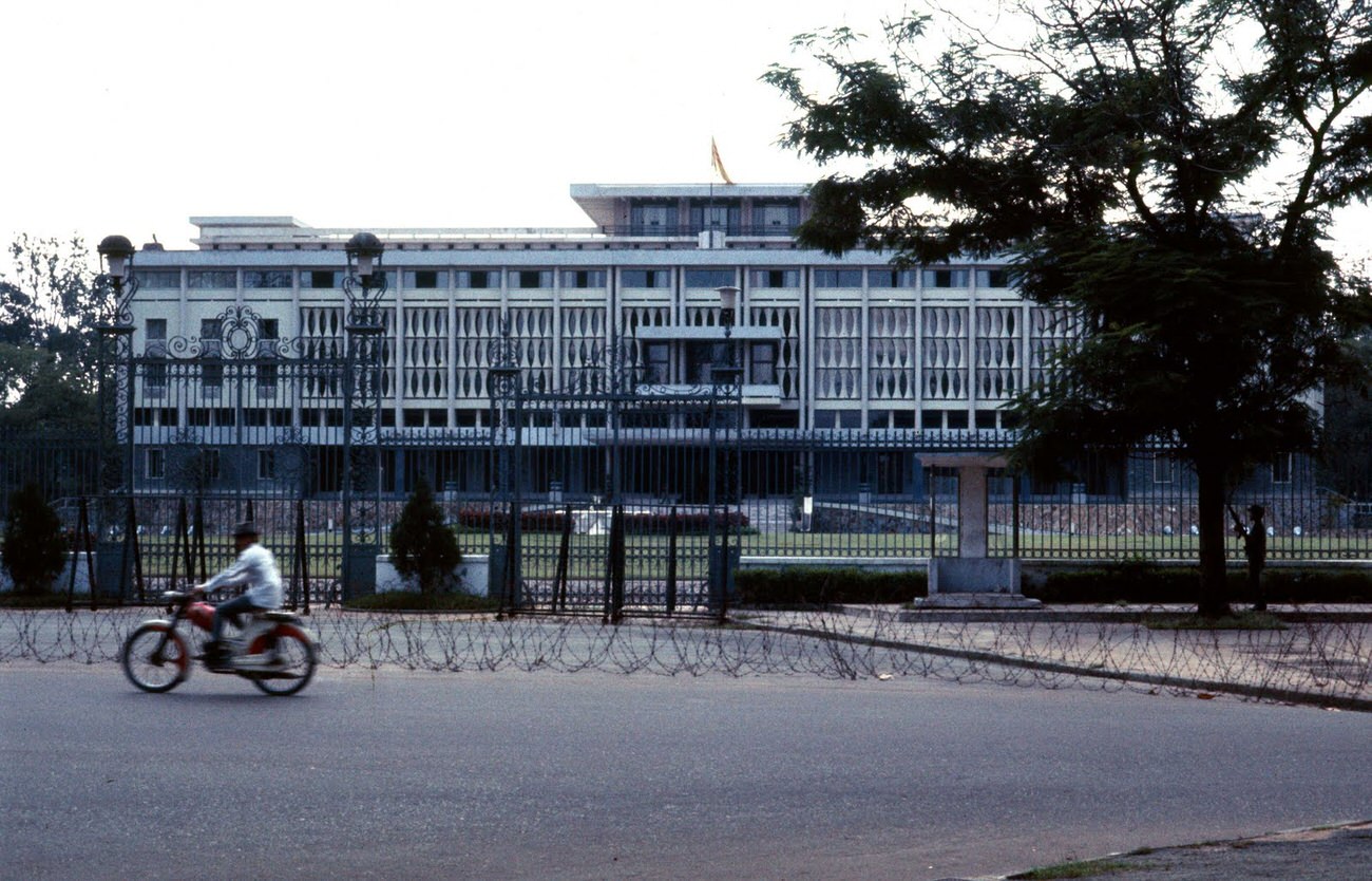
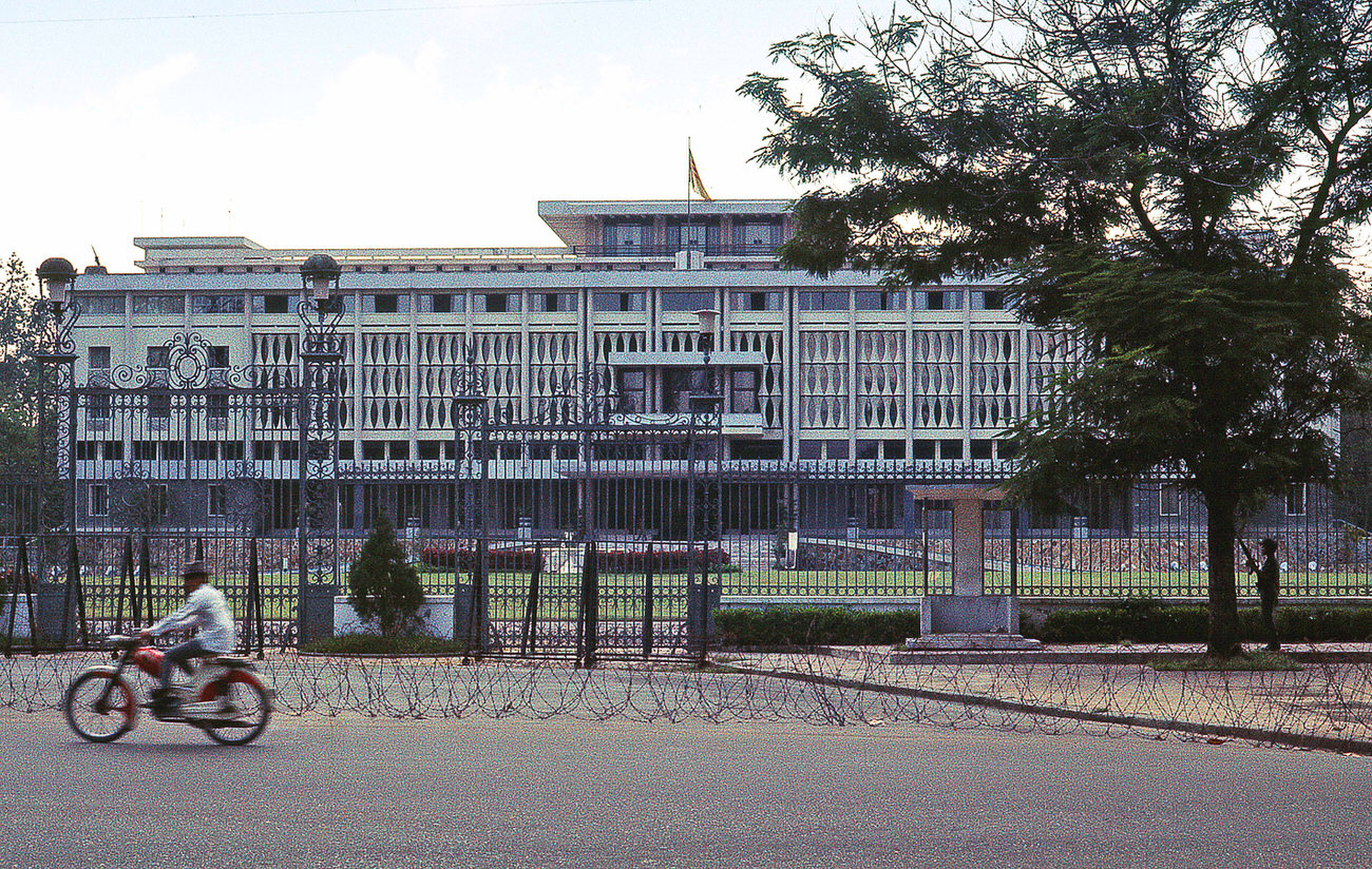
Independence Palace stood as the seat of South Vietnam’s government. In early 1968, the Tet Offensive brought the war directly to Saigon’s streets, and the Palace grounds themselves came under attack — a shock to a city that had not yet seen that level of urban combat.
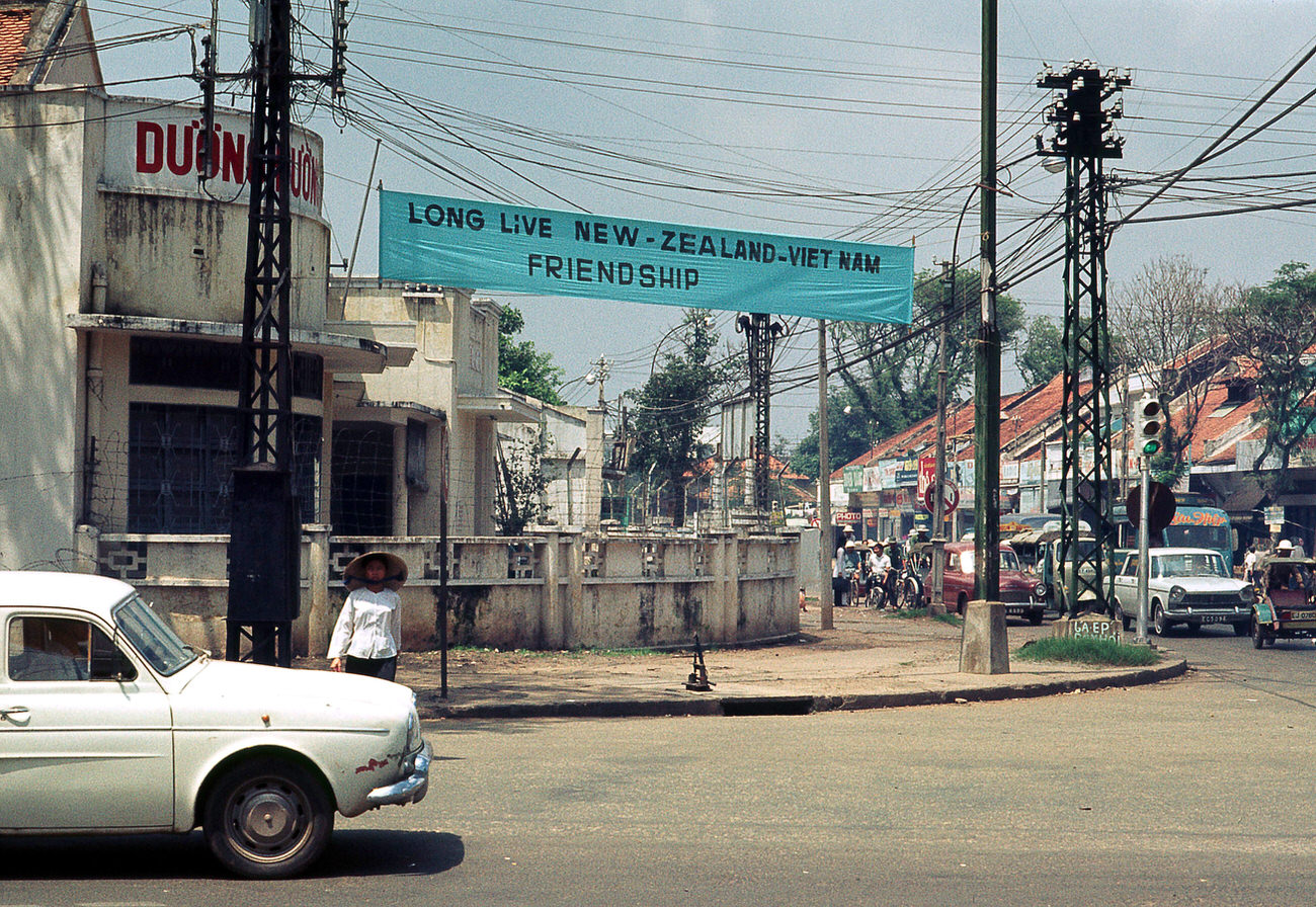
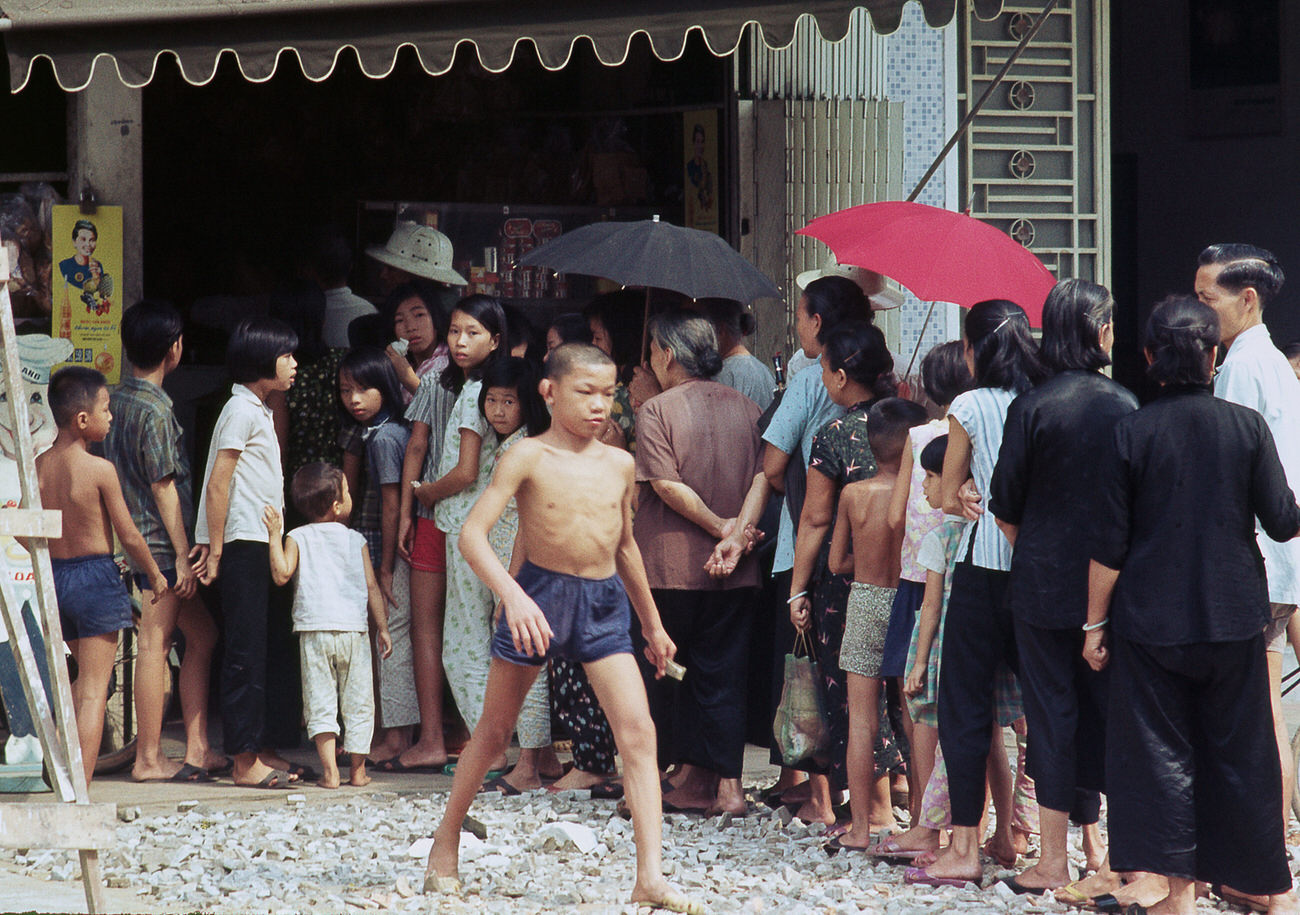
Even amid war, daily routines persisted. Families cooked meals, parents worked long hours, and children helped with errands after school. Street-level Saigon in 1968 was loud, crowded, and relentlessly alive.
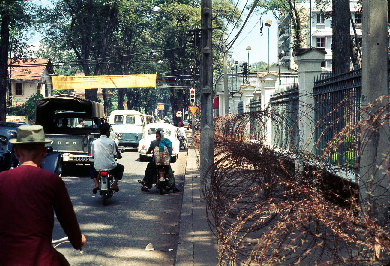

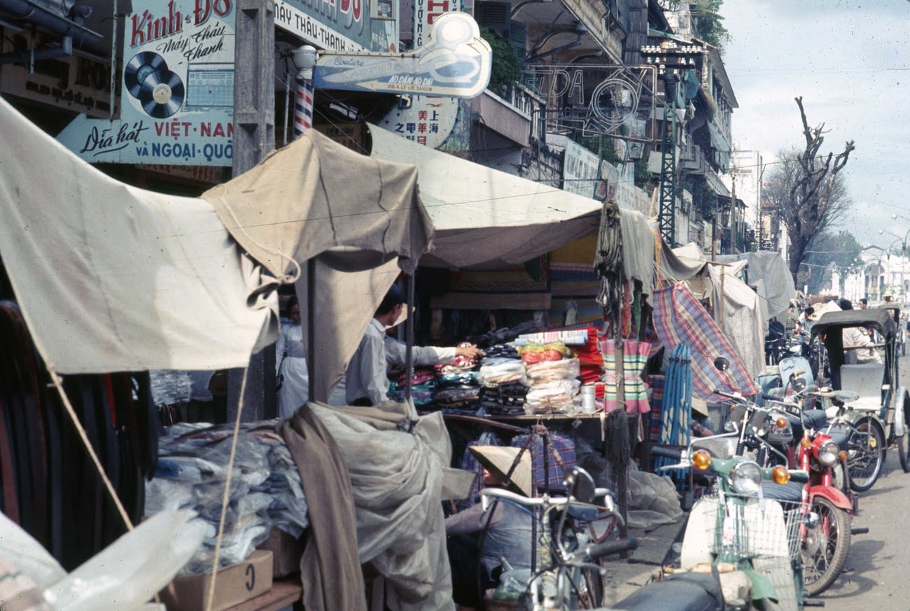
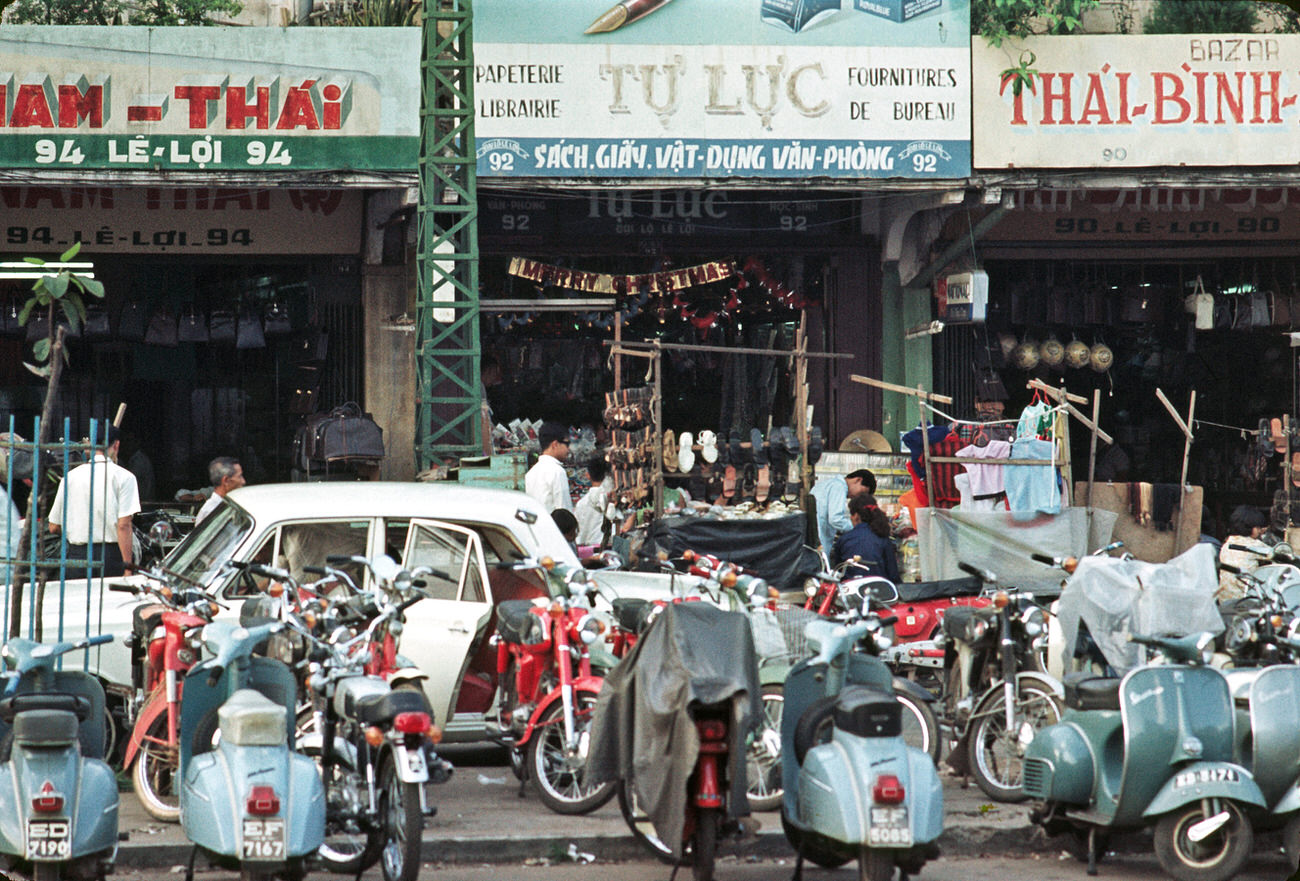
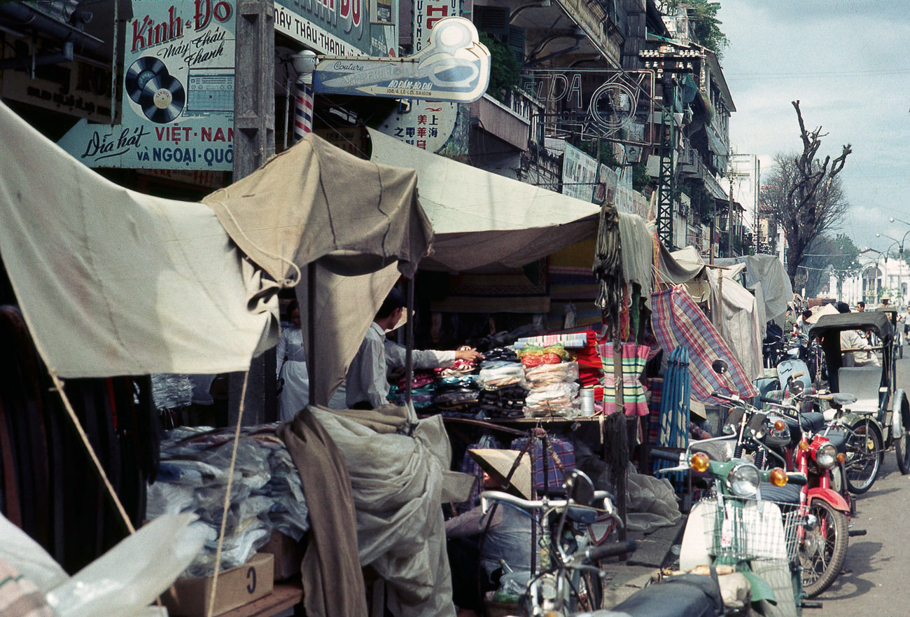
Le Loi Street was one of Saigon’s main commercial arteries. Shops, vendors, bread sellers, and street hawkers lined both sides. It was also a street where the city’s contrasts were most visible — modern storefronts next to makeshift stalls, and police alongside civilians.
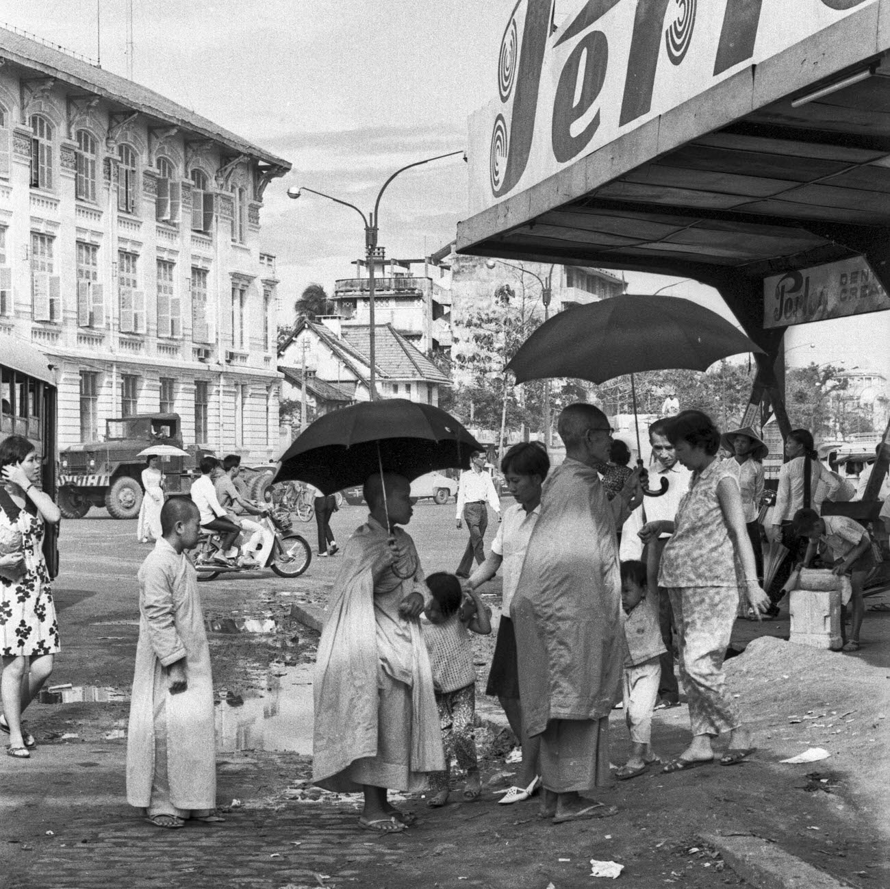
Buddhist monks were a familiar sight throughout the city. They moved through bus stations, markets, and temple grounds, representing a spiritual life that continued alongside the political and military storm gripping South Vietnam.
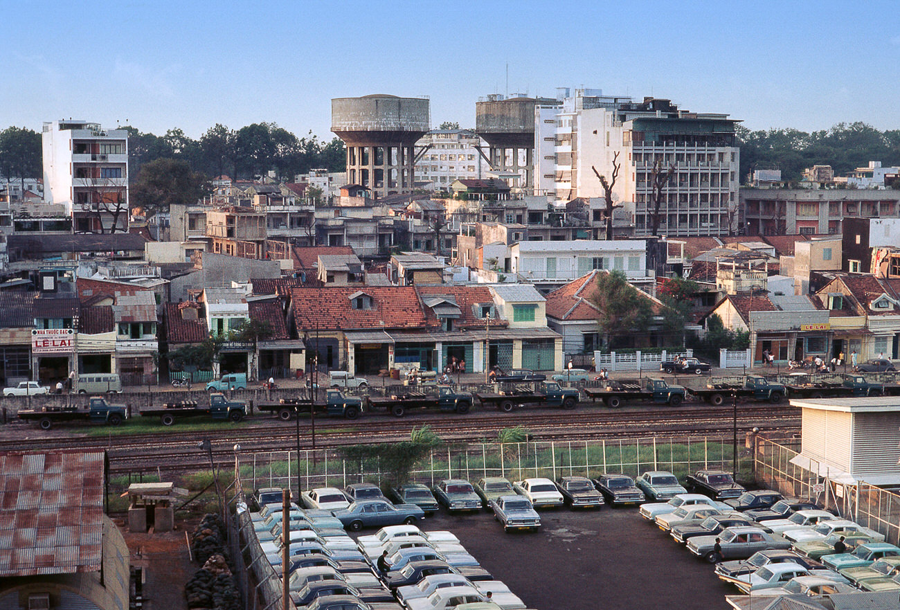
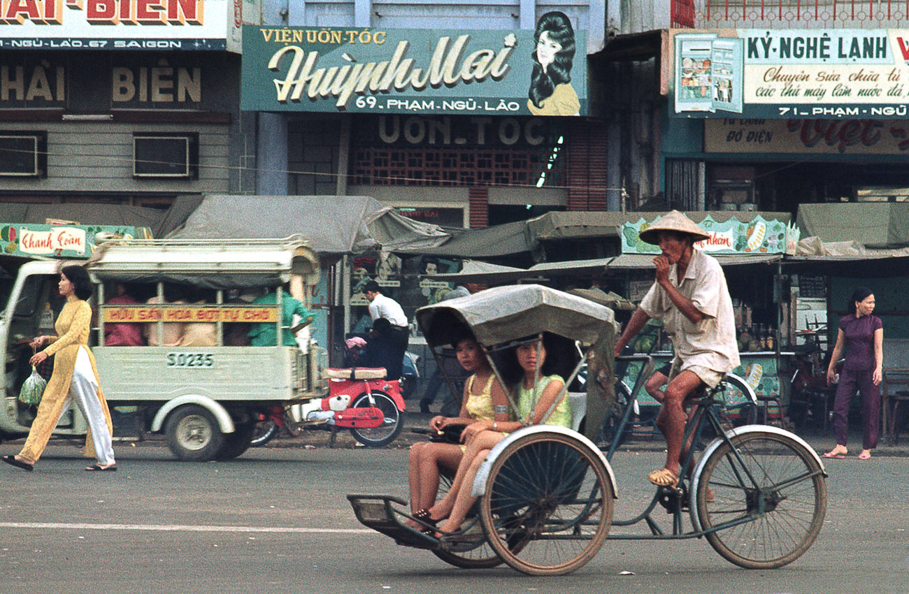
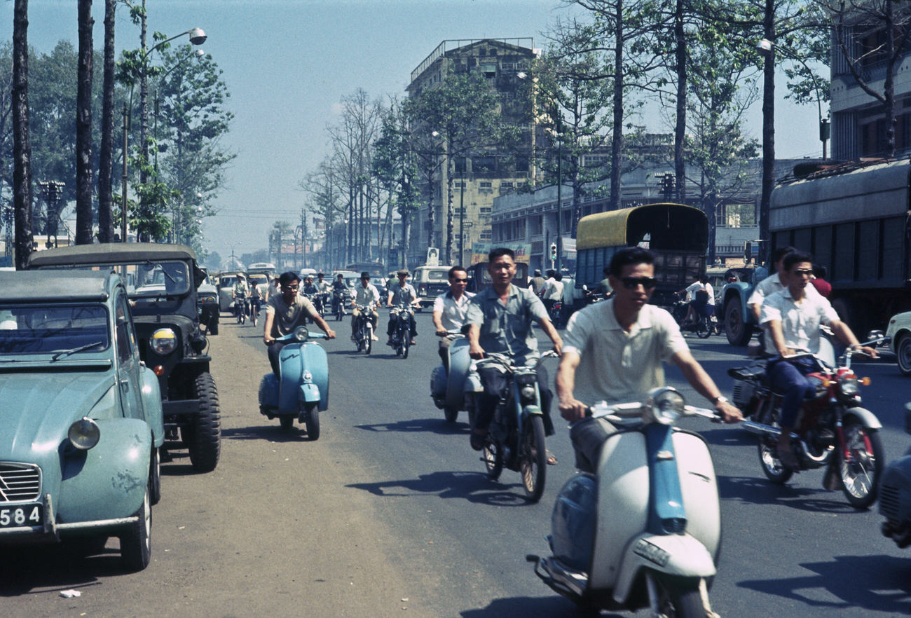
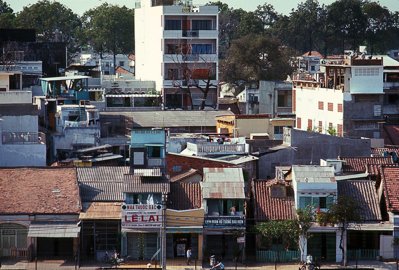
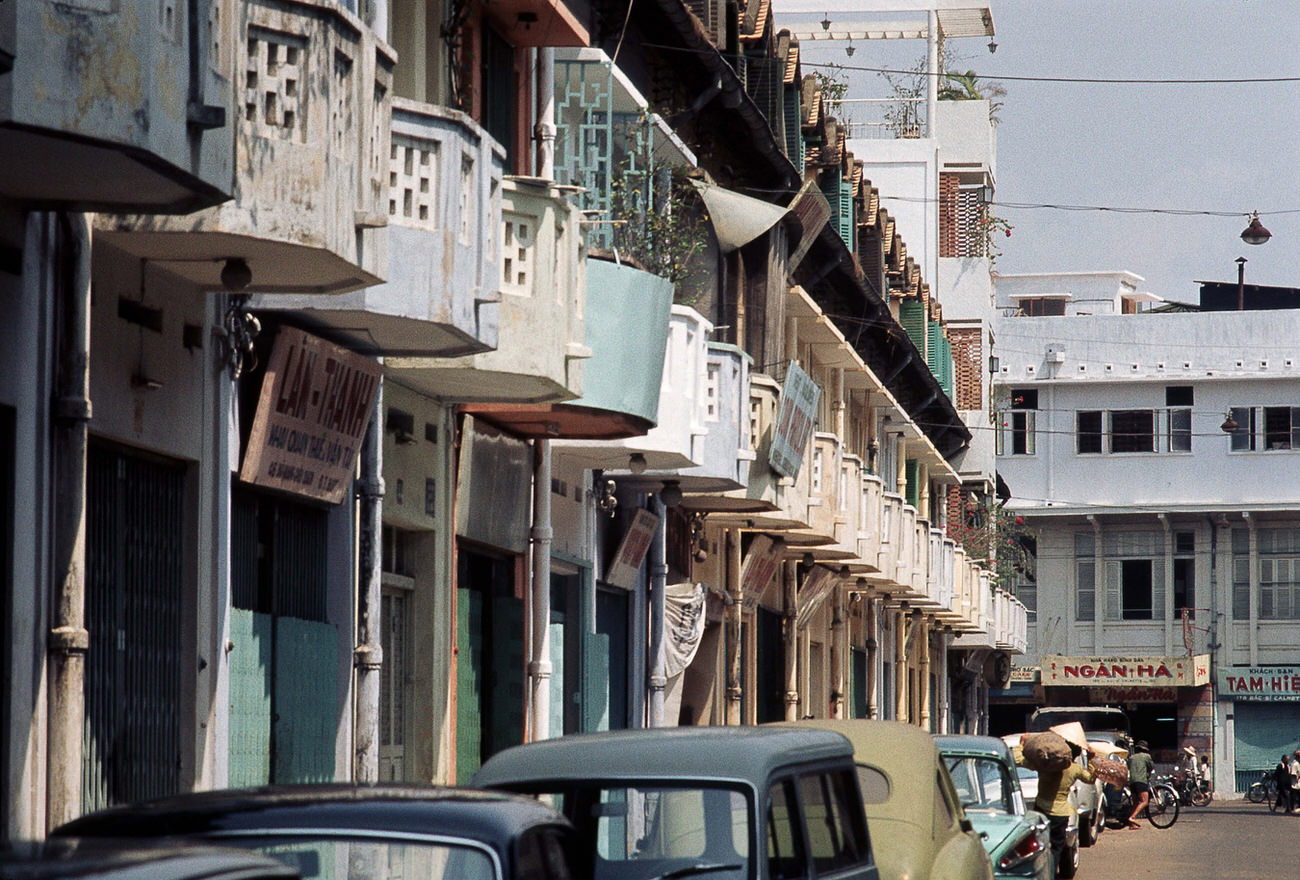
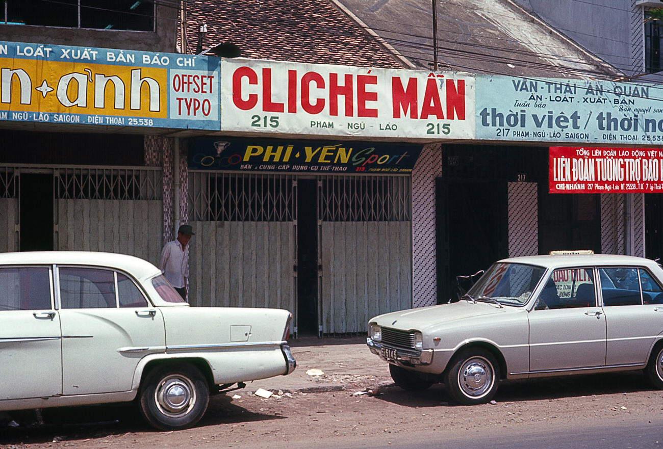
Pham Ngu Lao and the surrounding streets formed a dense residential and commercial zone. Narrow lanes connected larger avenues, and life spilled out of doorways and onto sidewalks at every hour of the day.
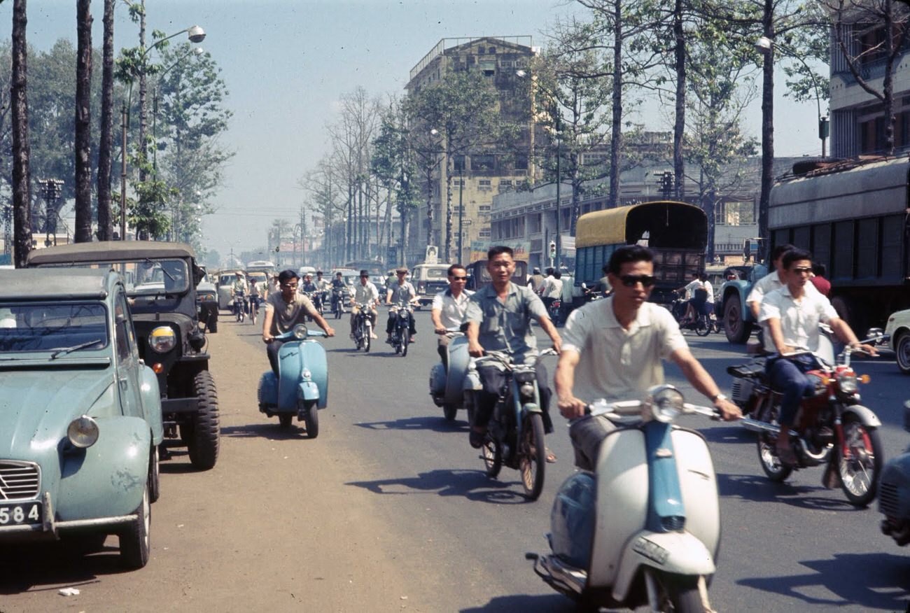
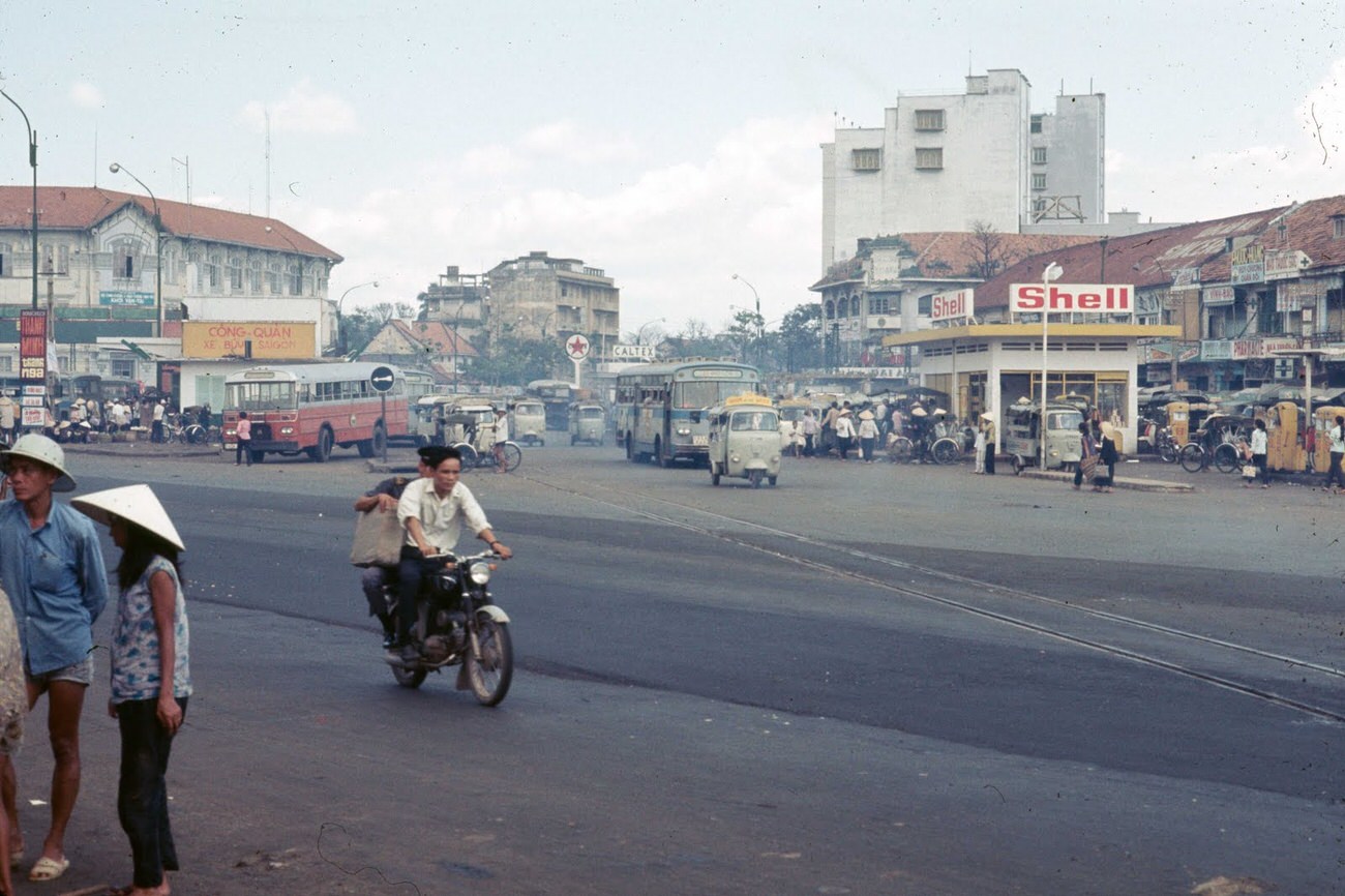
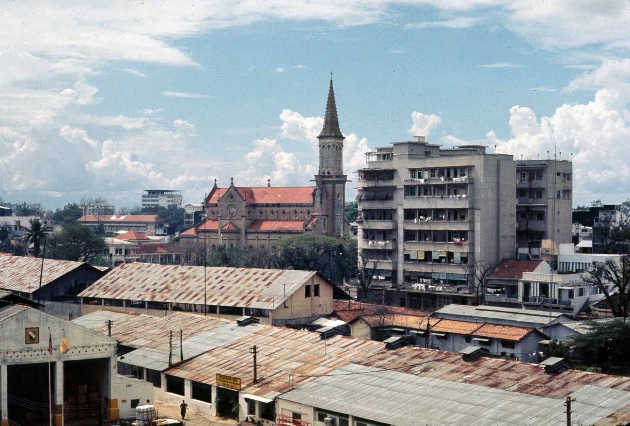
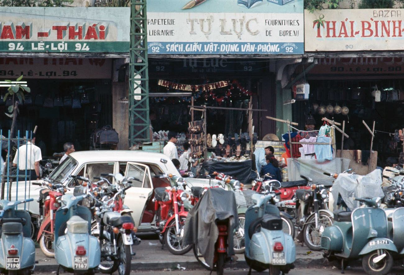
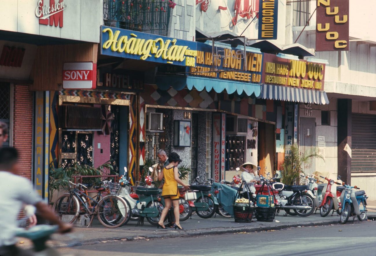
The shops along Le Loi Street stocked a wide range of goods, some local and some imported. American consumer products had made their way into the city through the U.S. military presence, and signs for brands like Coca-Cola appeared alongside Vietnamese signage throughout the downtown area.
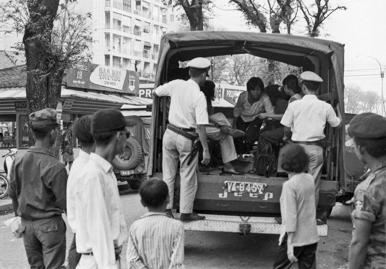
Law enforcement was highly visible. Motorcycle police, known locally as Canh Sat, patrolled major streets like Nguyen Hue and Le Loi. Their presence was as much about maintaining order in a war-strained city as it was about ordinary traffic control.
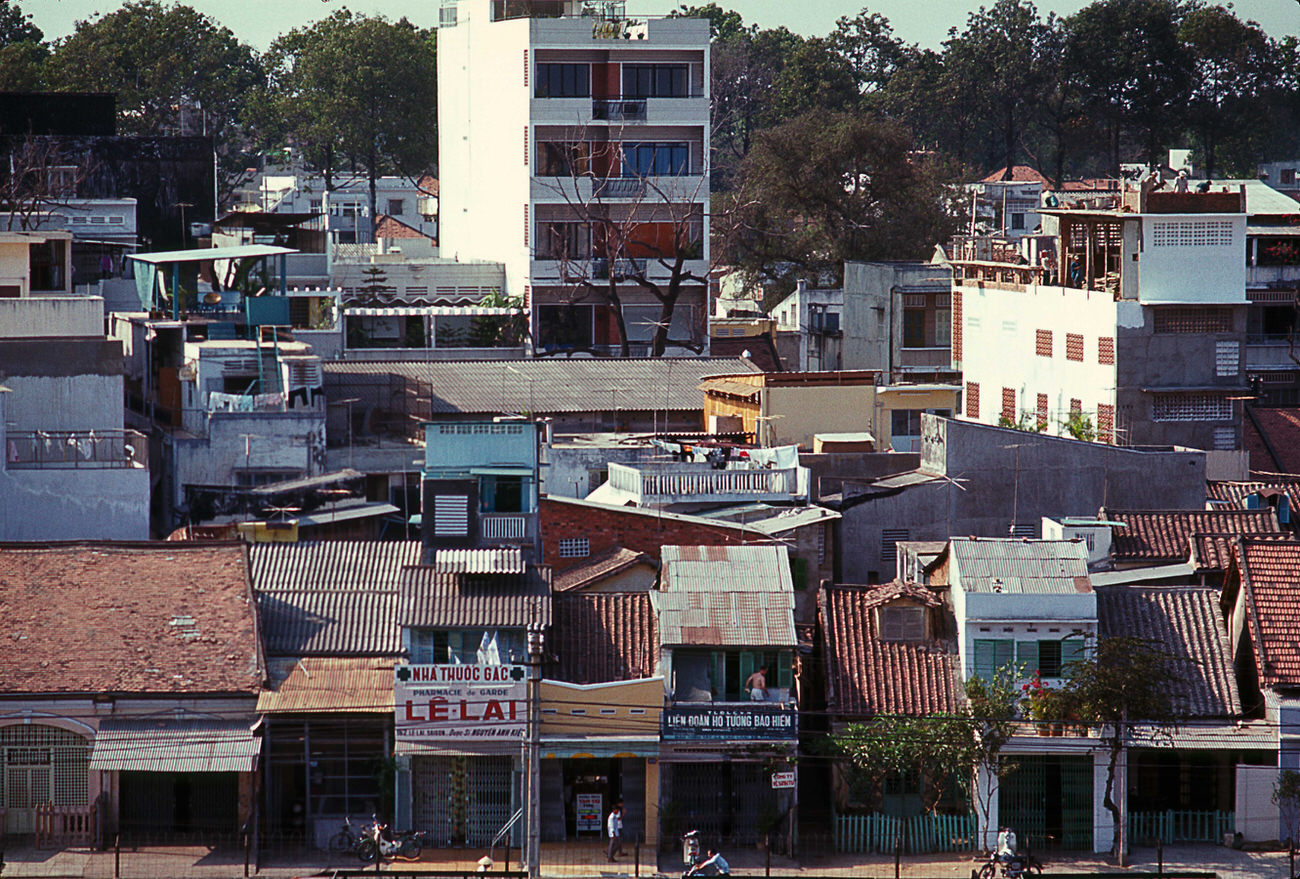
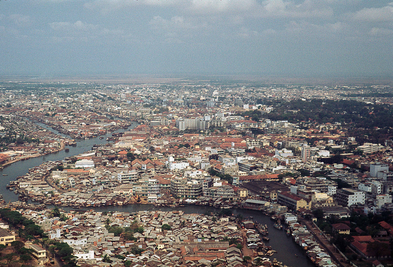
From above, the scale of Saigon’s activity became clear. Views from hotels like the Walling revealed a city packed with traffic, signage, and movement in every direction. Aerial photographs taken from helicopters that year showed how rapidly the city was growing, with new construction rising above the older colonial buildings.
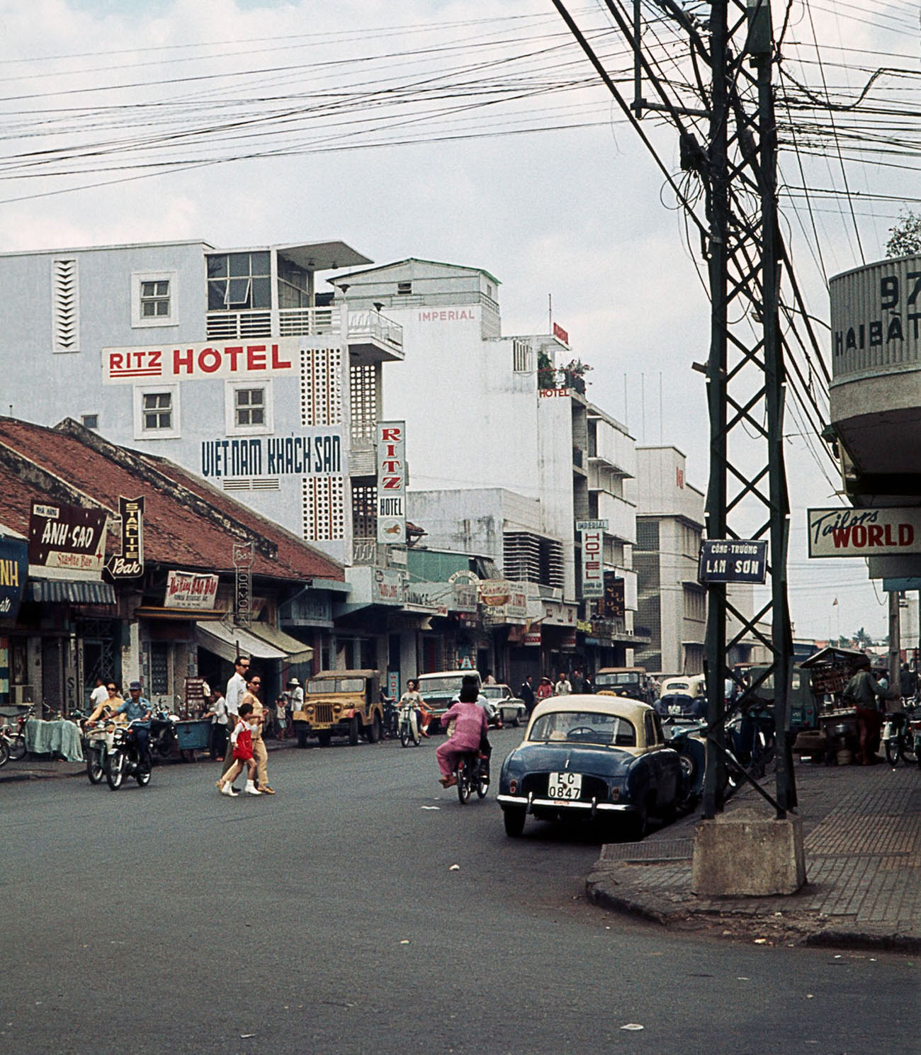
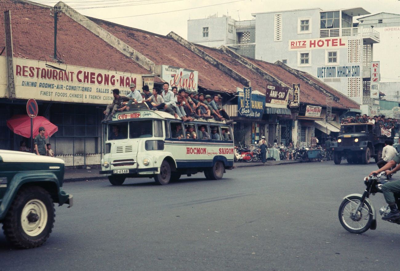
Hai Ba Trung Square, named after Vietnam’s legendary Trung sisters, was a public space that reflected the city’s mix of history and wartime present. Statues and civic monuments stood in open plazas where residents gathered, even as conflict raged elsewhere in the country.
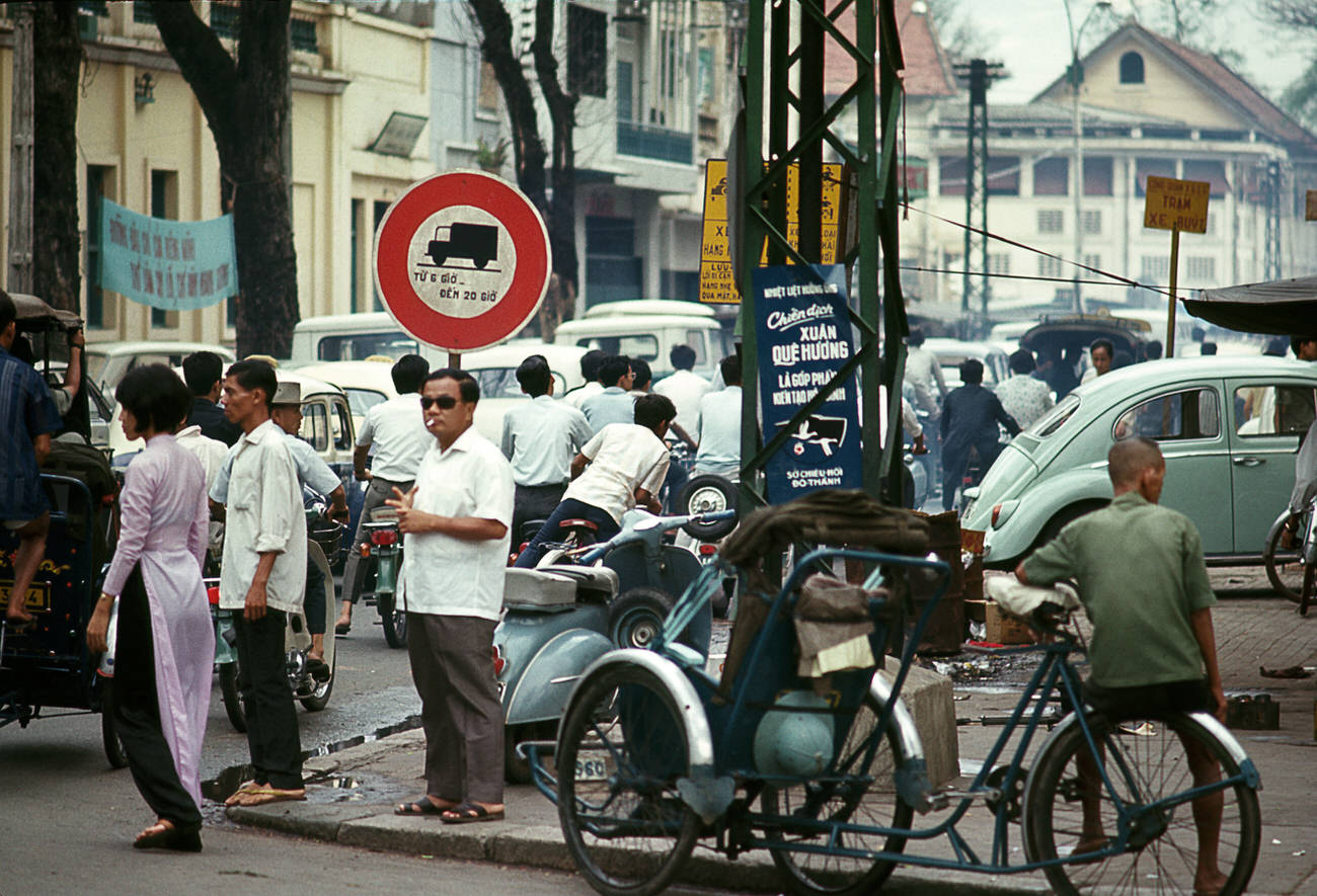
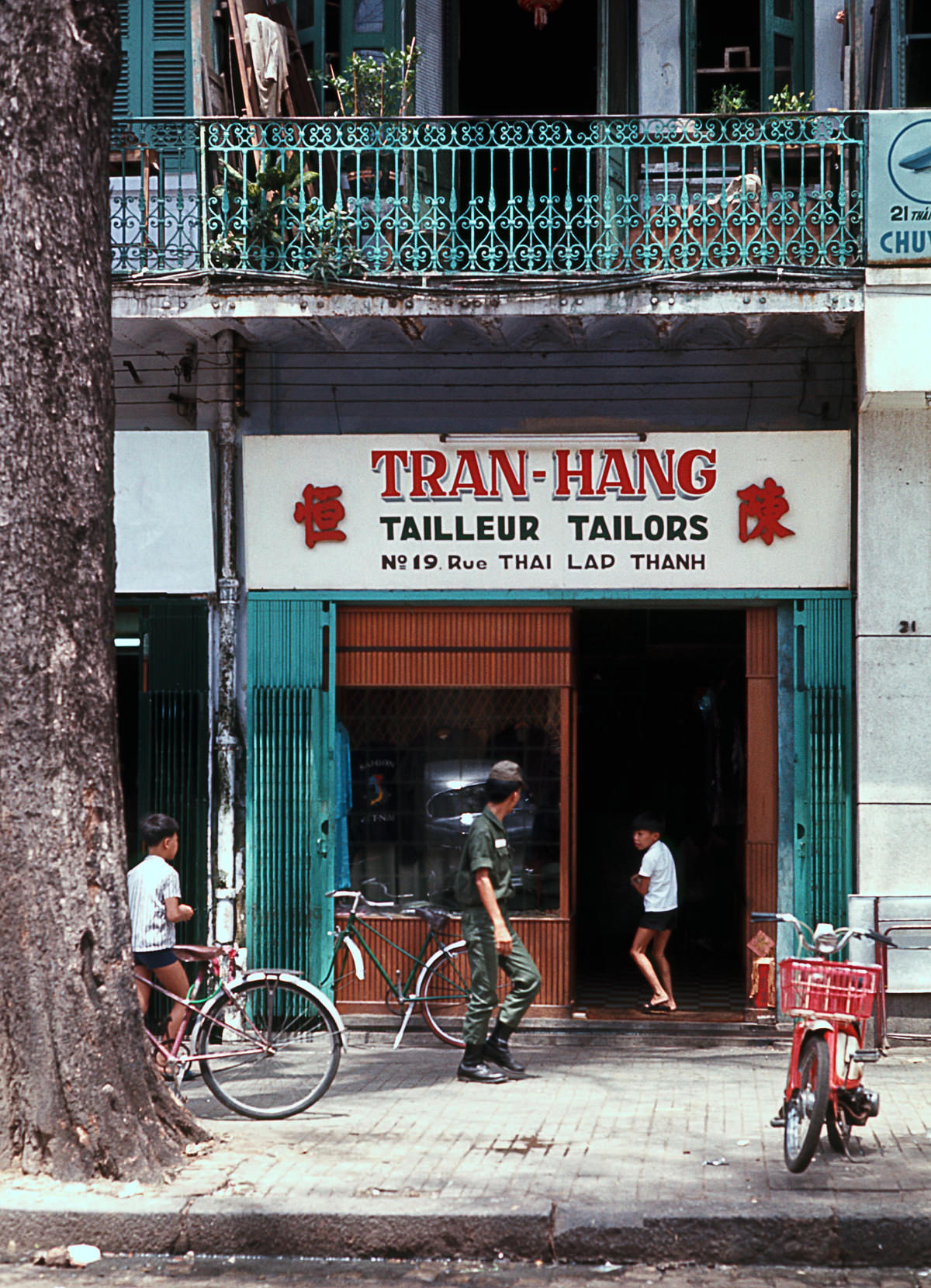
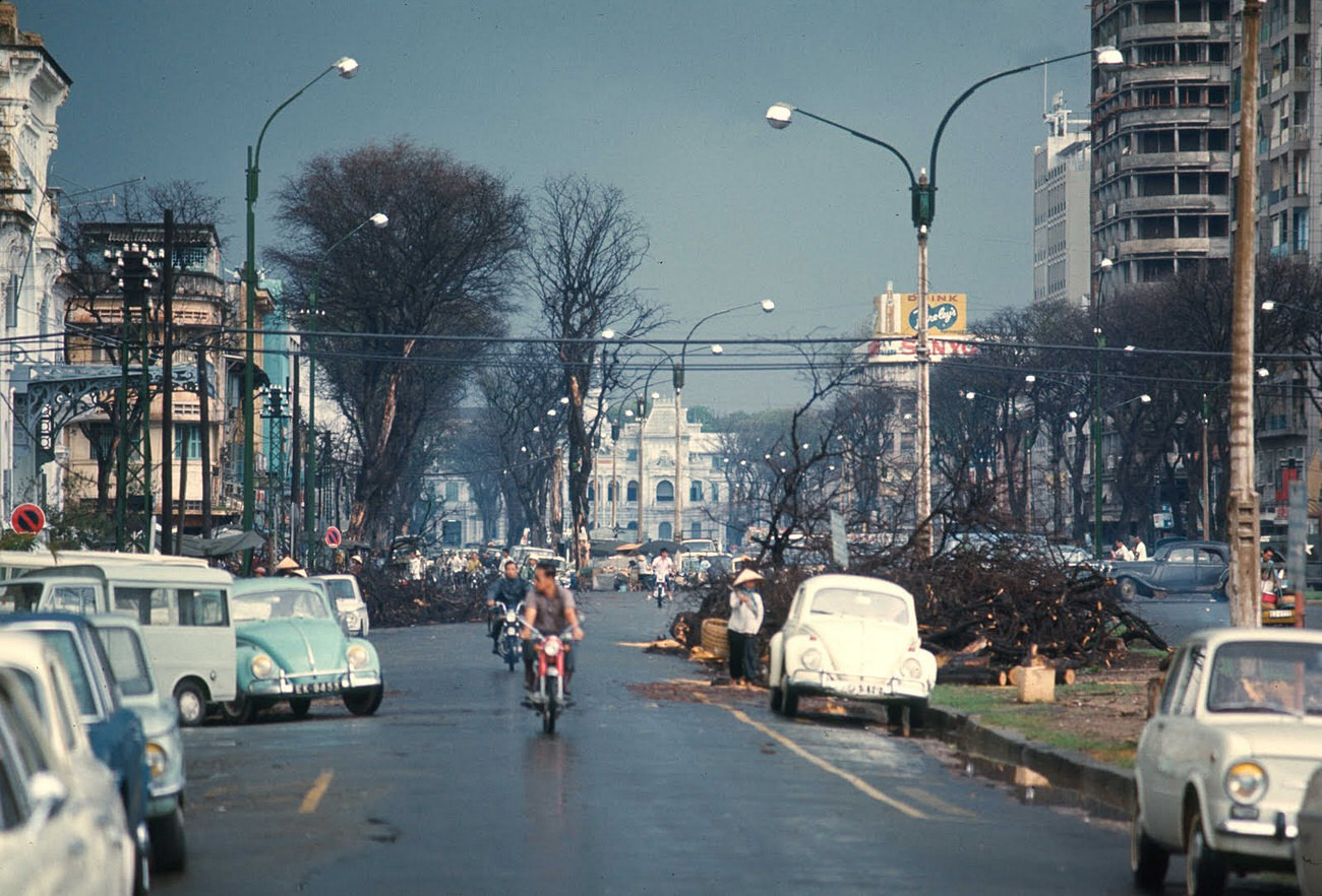
Nguyen Hue Street, sometimes called the ‘Street of Flowers,’ was one of the most recognizable in the city. Wide and well-maintained, it hosted flower markets and balloon vendors alongside government buildings and hotels frequented by foreign journalists and military personnel.
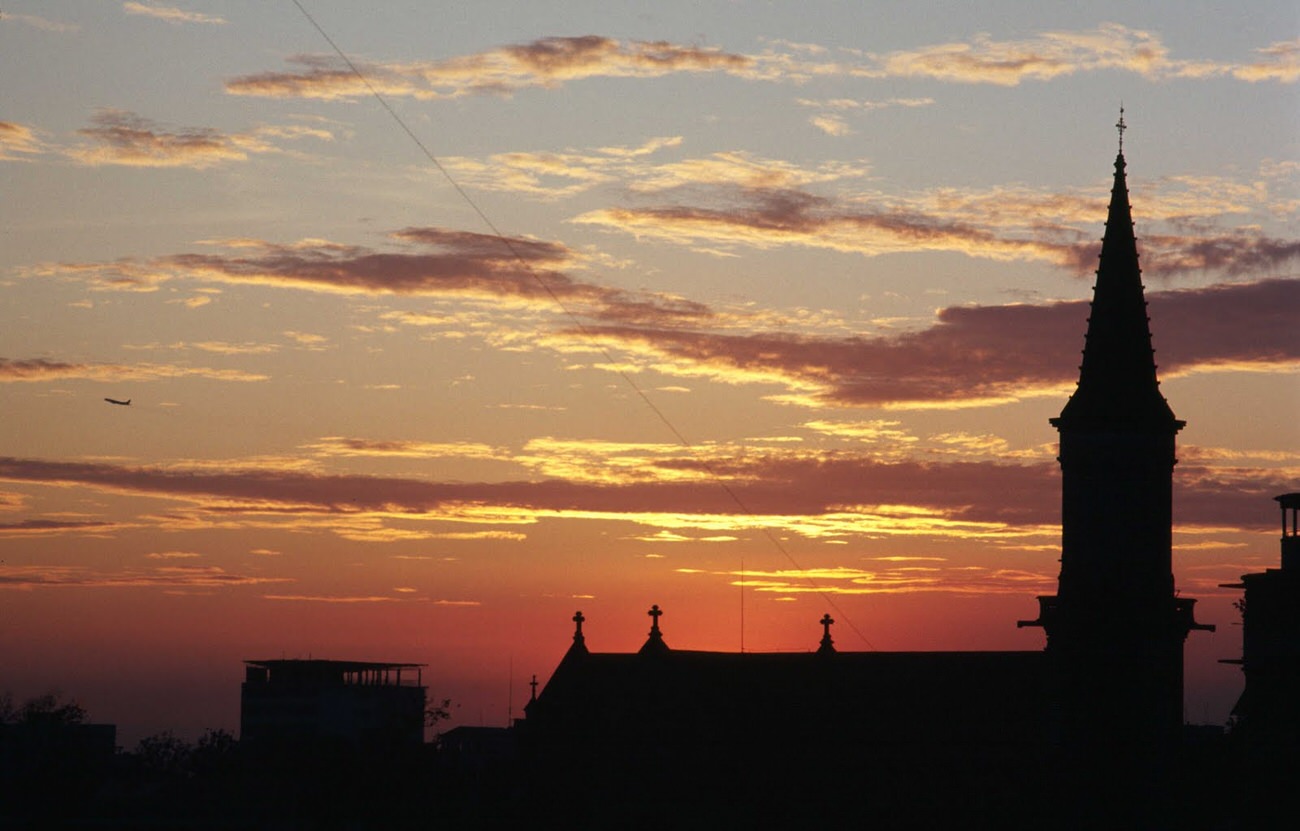
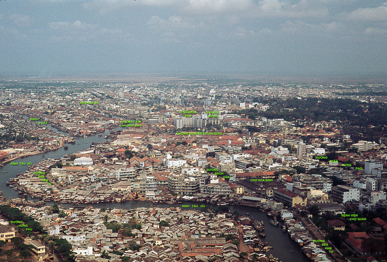
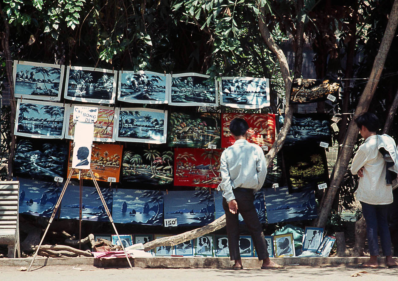
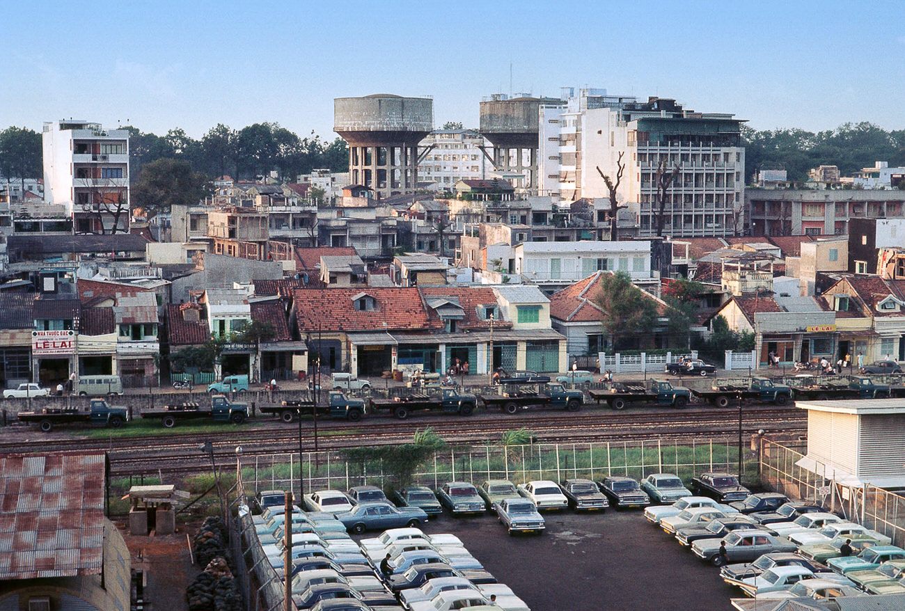
The aerial views Wickham captured from helicopters revealed the layout of downtown Saigon — its grid of streets, the Saigon River curving along the eastern edge, the rail yards, docks, and tightly packed neighborhoods stretching outward from the city center.
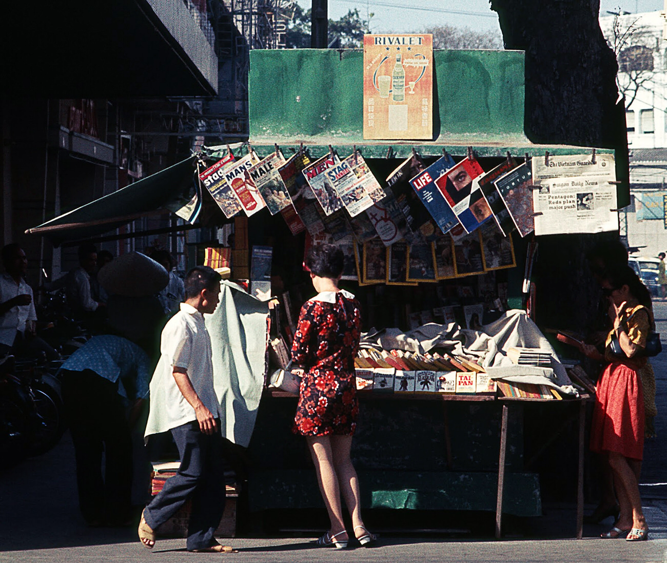
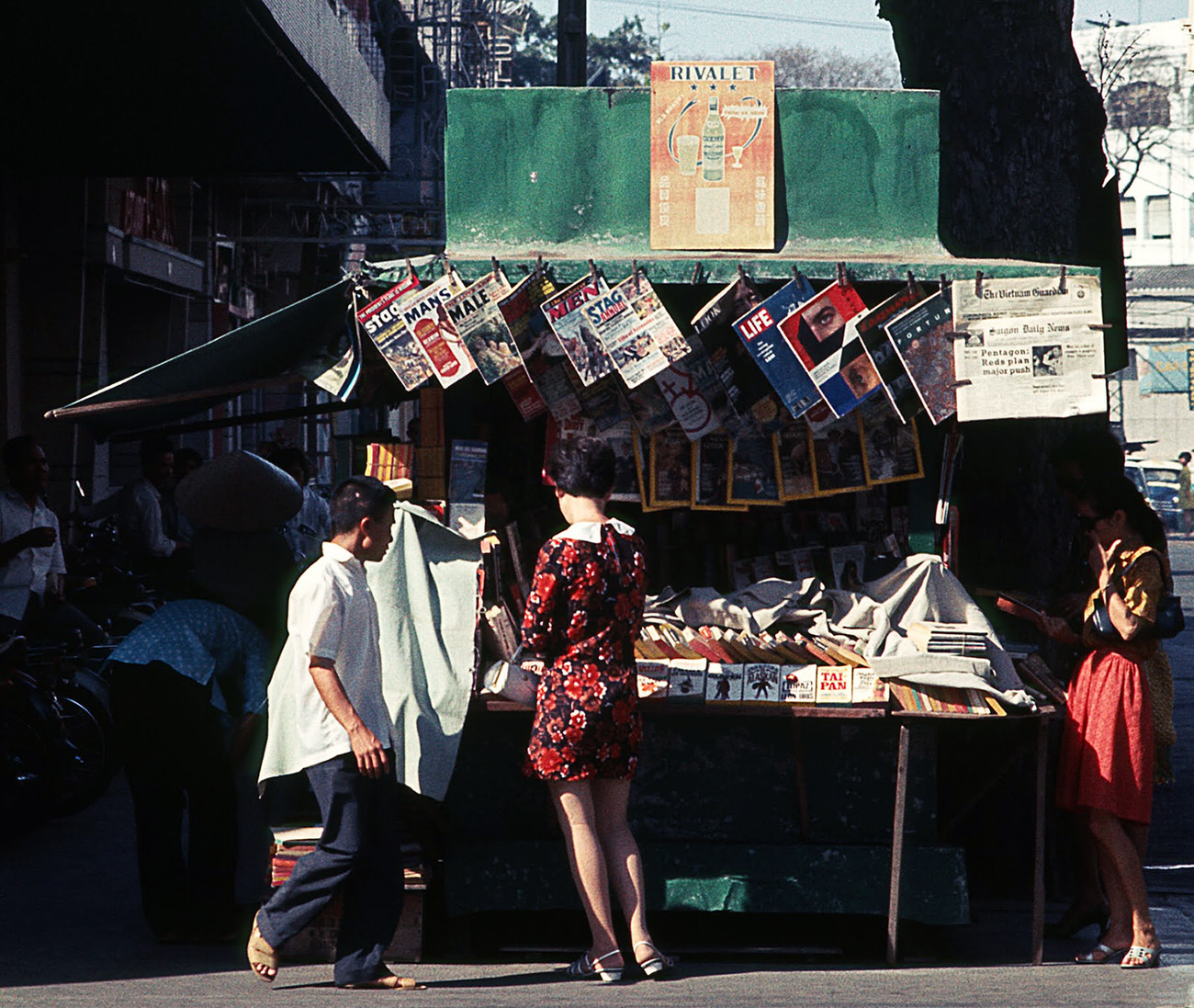
Tu Do Street was Saigon’s most internationally known avenue, lined with cafes, bars, and newsstands stocked with both Vietnamese and foreign press. In 1968, those papers carried daily reports of battles, casualty figures, and political turmoil that directly affected every person in the city.
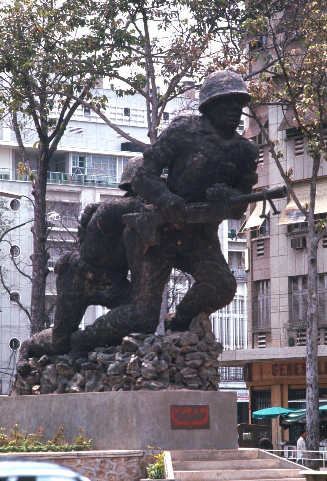
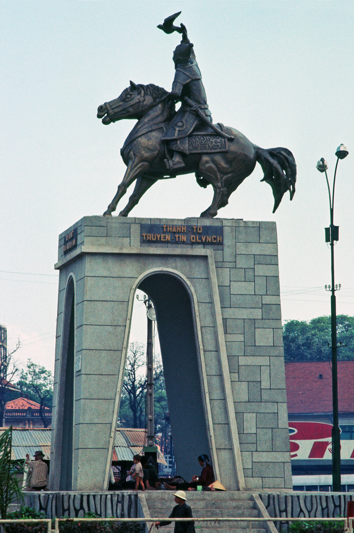
Military statues and memorials appeared across the city. The Vietnamese Marines Statue was one of several monuments honoring South Vietnamese fighting forces. These were not just symbolic — they stood in a city where families were actively losing members to the war.
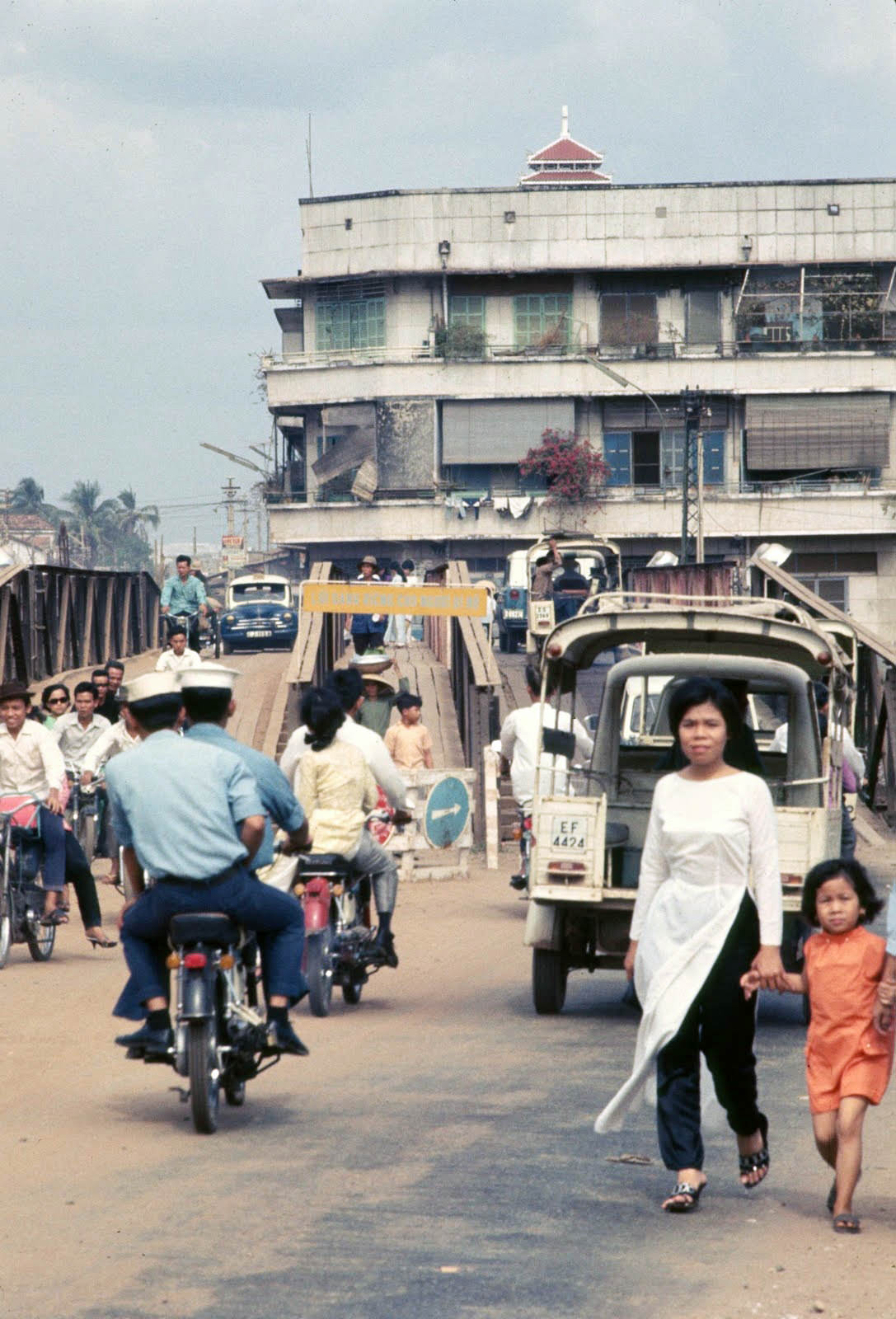
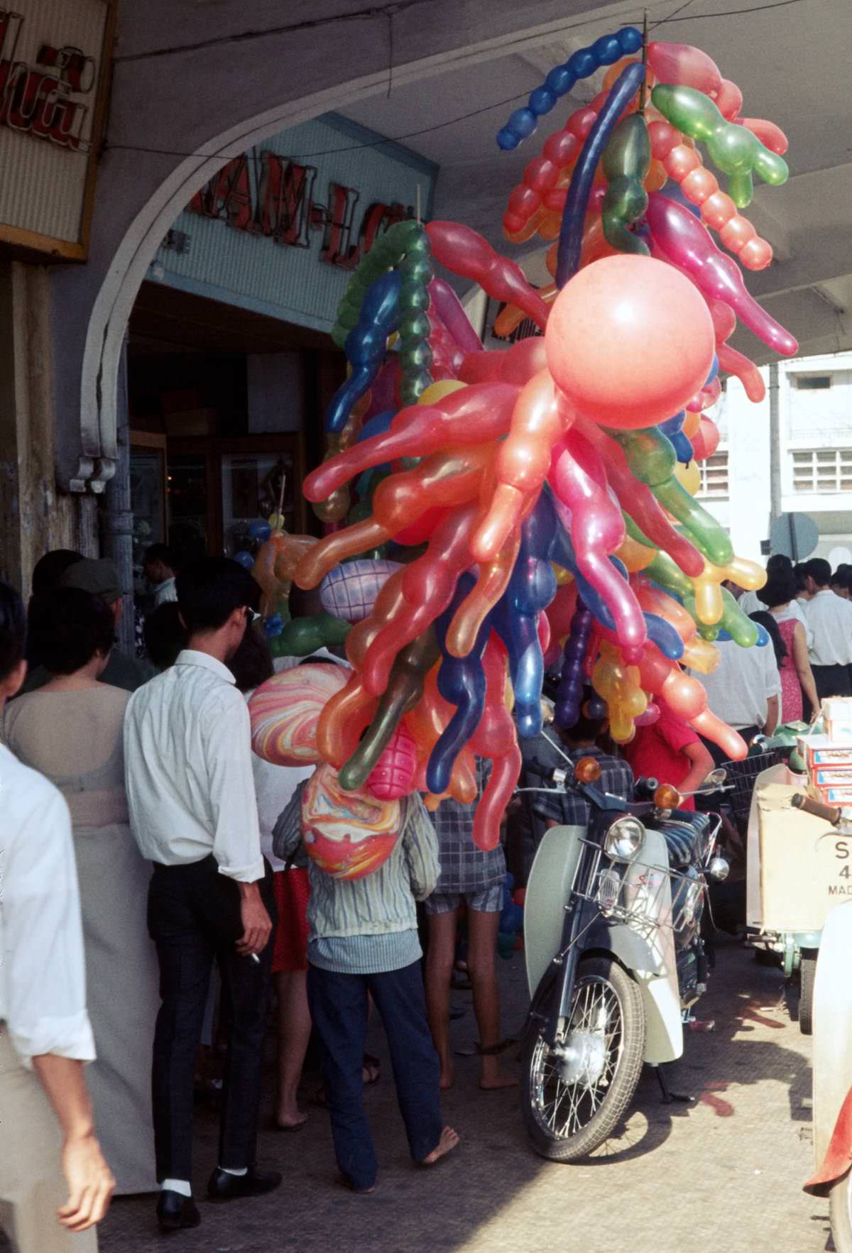
Children still found moments of joy. Saigon Zoo drew families on weekends, and balloon vendors on Nguyen Hue Street did steady business. These small, ordinary pleasures existed right alongside the sirens, sandbags, and military checkpoints that defined the city in 1968.
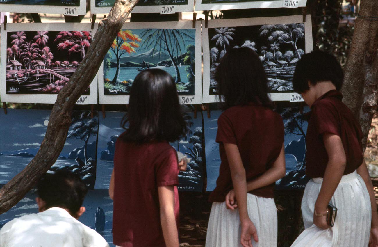
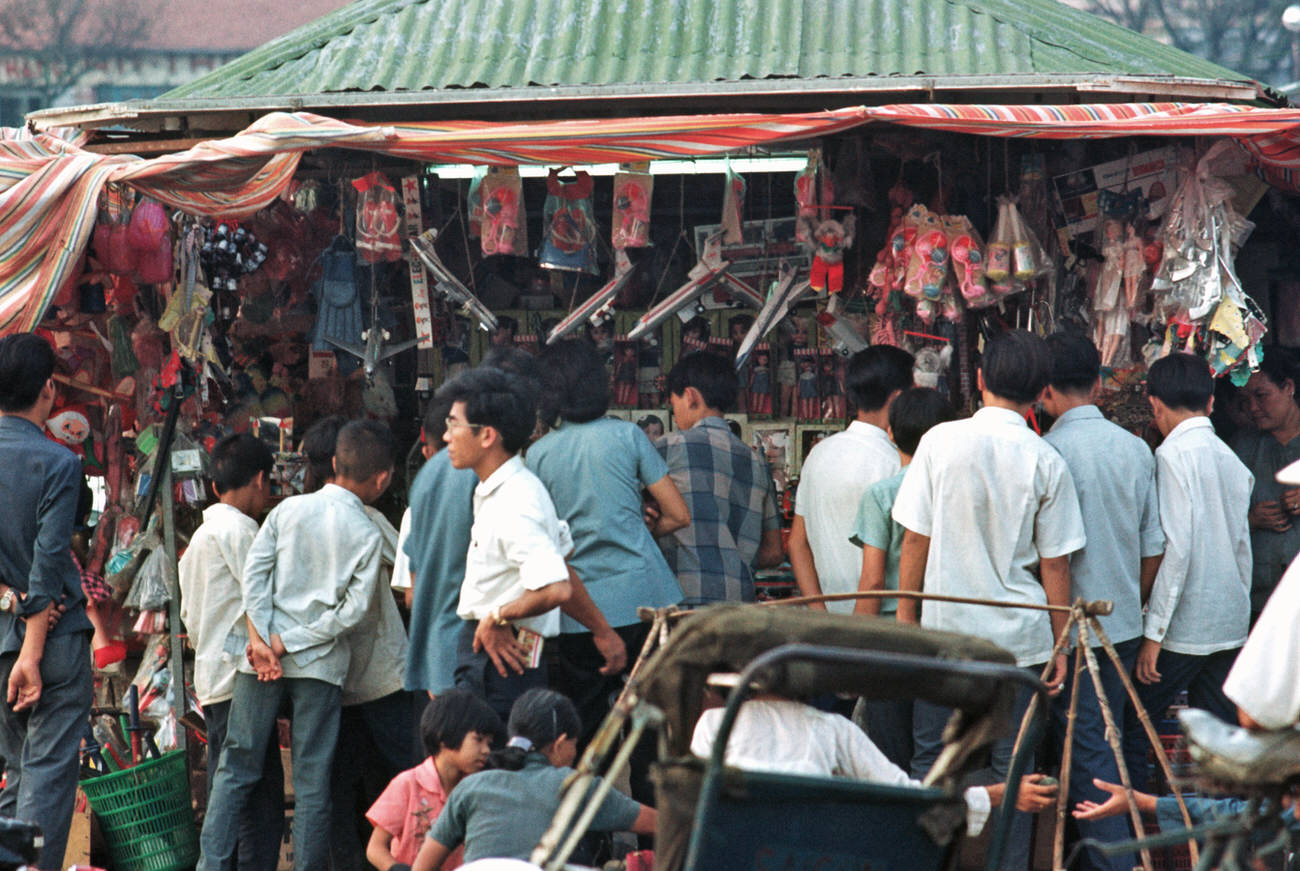
By December 1968, Christmas shopping was underway in Saigon’s markets and shops. The American military presence had introduced Western holidays into the city’s commercial calendar, and toy vendors found a ready market among both local families and U.S. servicemen sending gifts home.
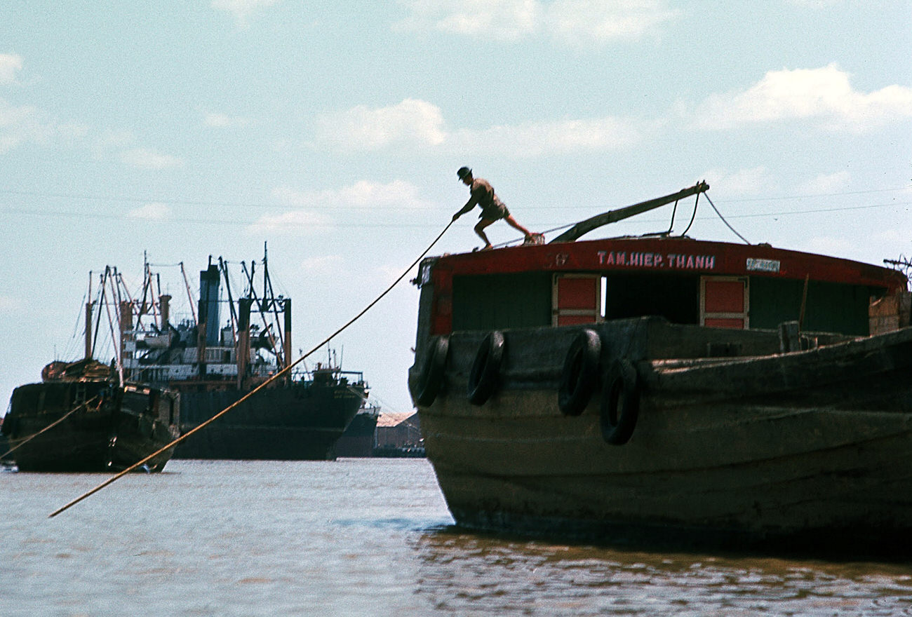
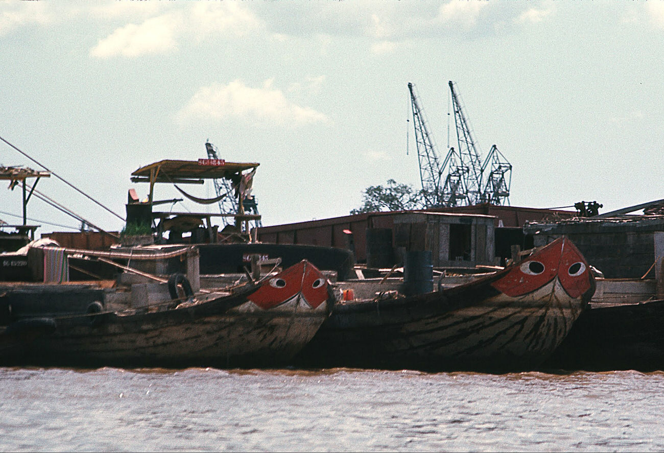
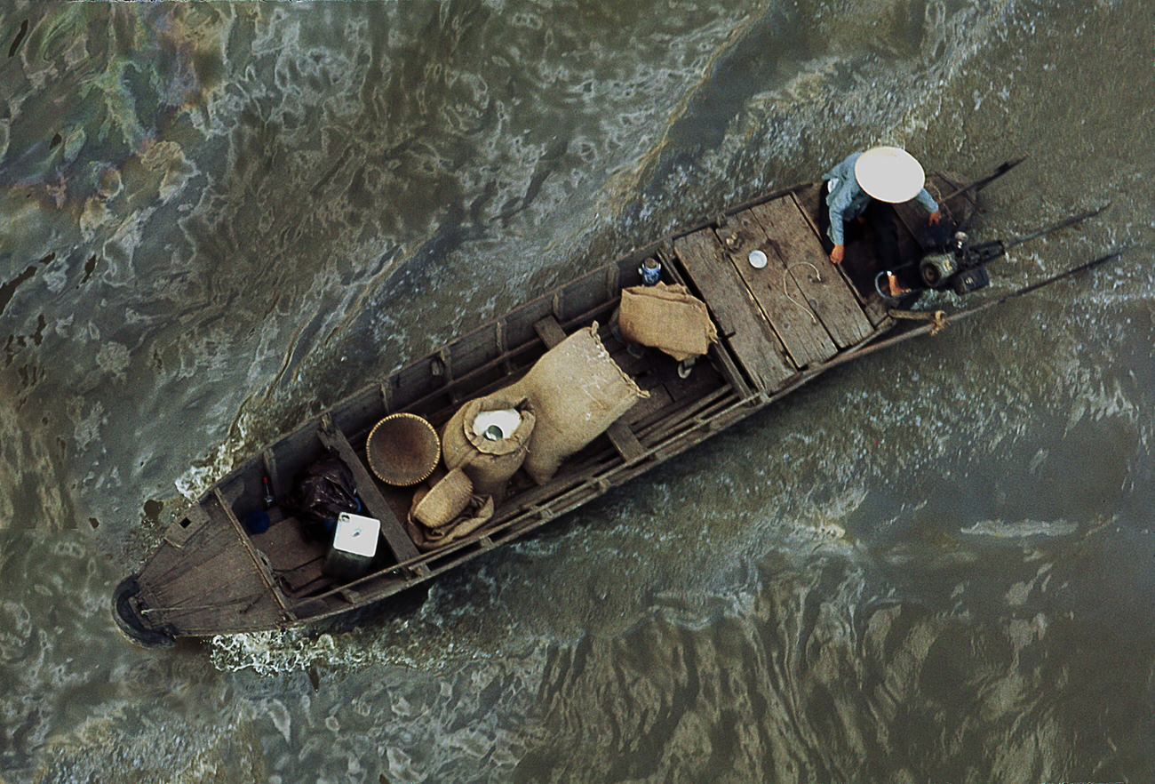
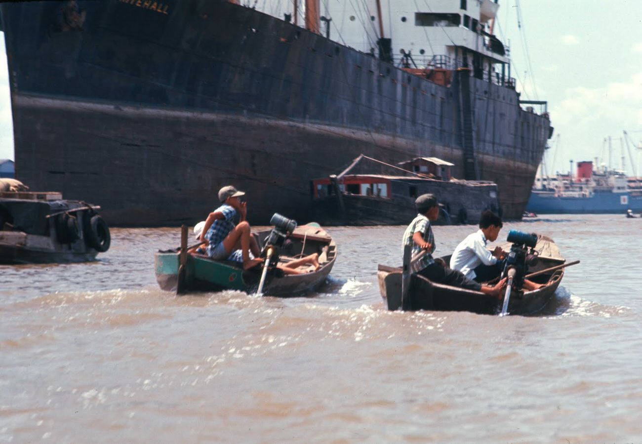
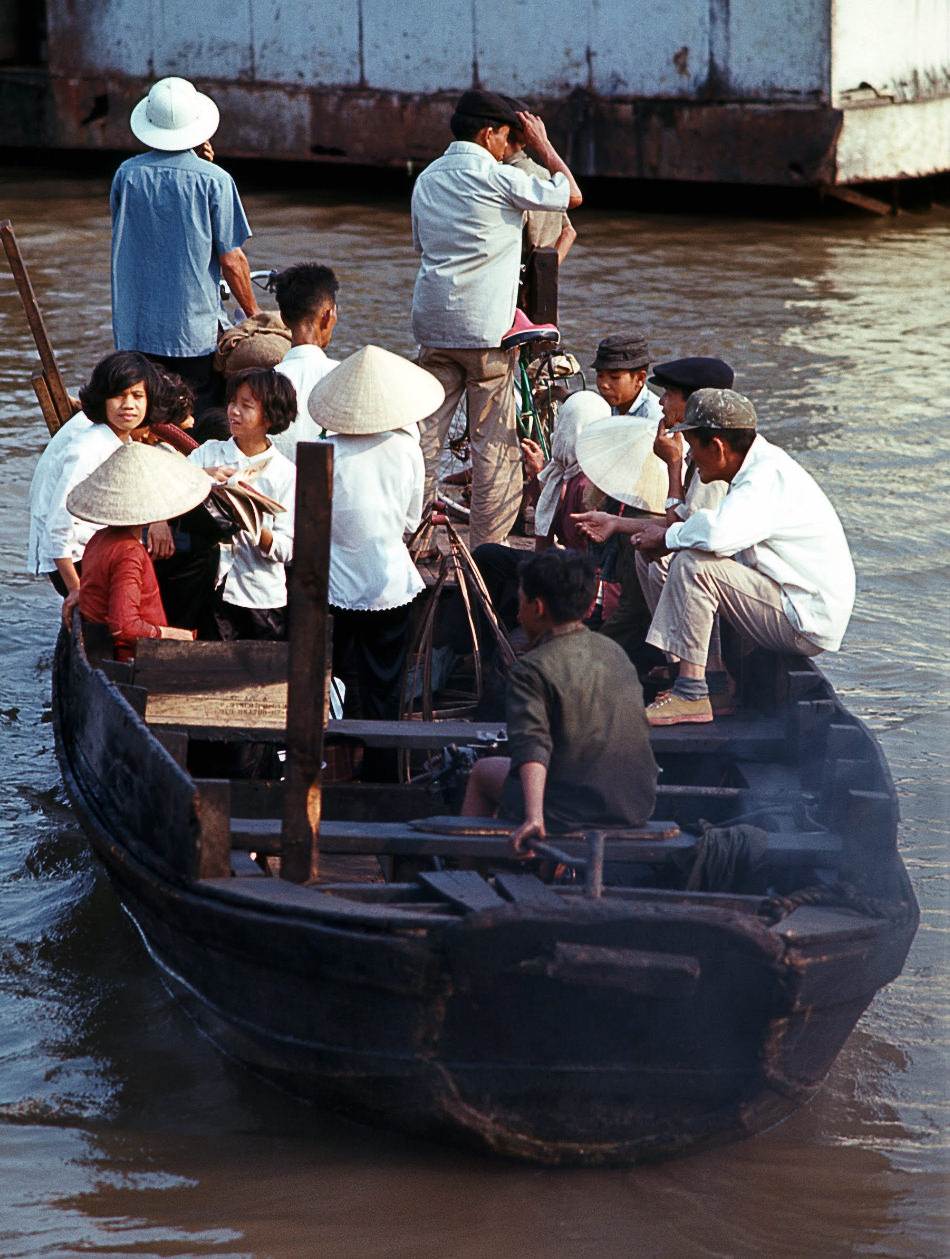
The Saigon River was the city’s commercial lifeline. Barges, tugboats, ferries, and water taxis moved constantly along its surface, carrying goods, passengers, and military supplies. Some families lived on the river itself, in small boats that served as both home and livelihood.
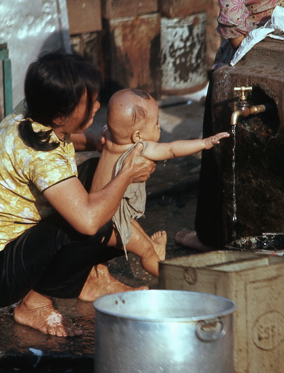

For river-dwelling families, the Saigon River was the source of water for cooking, washing, and bathing. Children bathed alongside the boats while adults cleaned and prepared meals on deck — a routine that carried on regardless of the military patrol boats passing nearby.
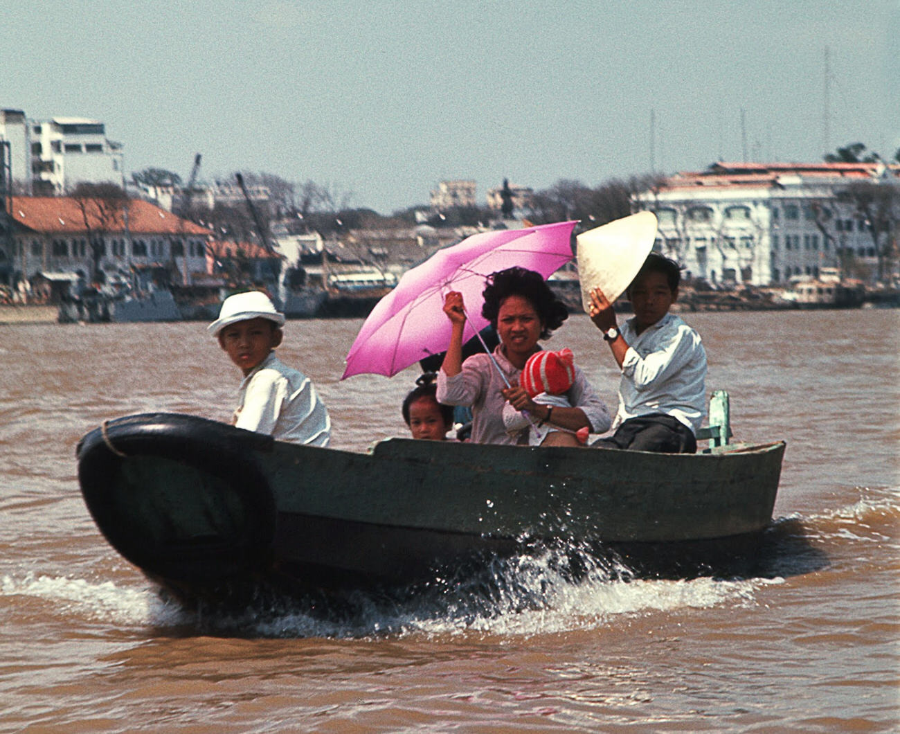
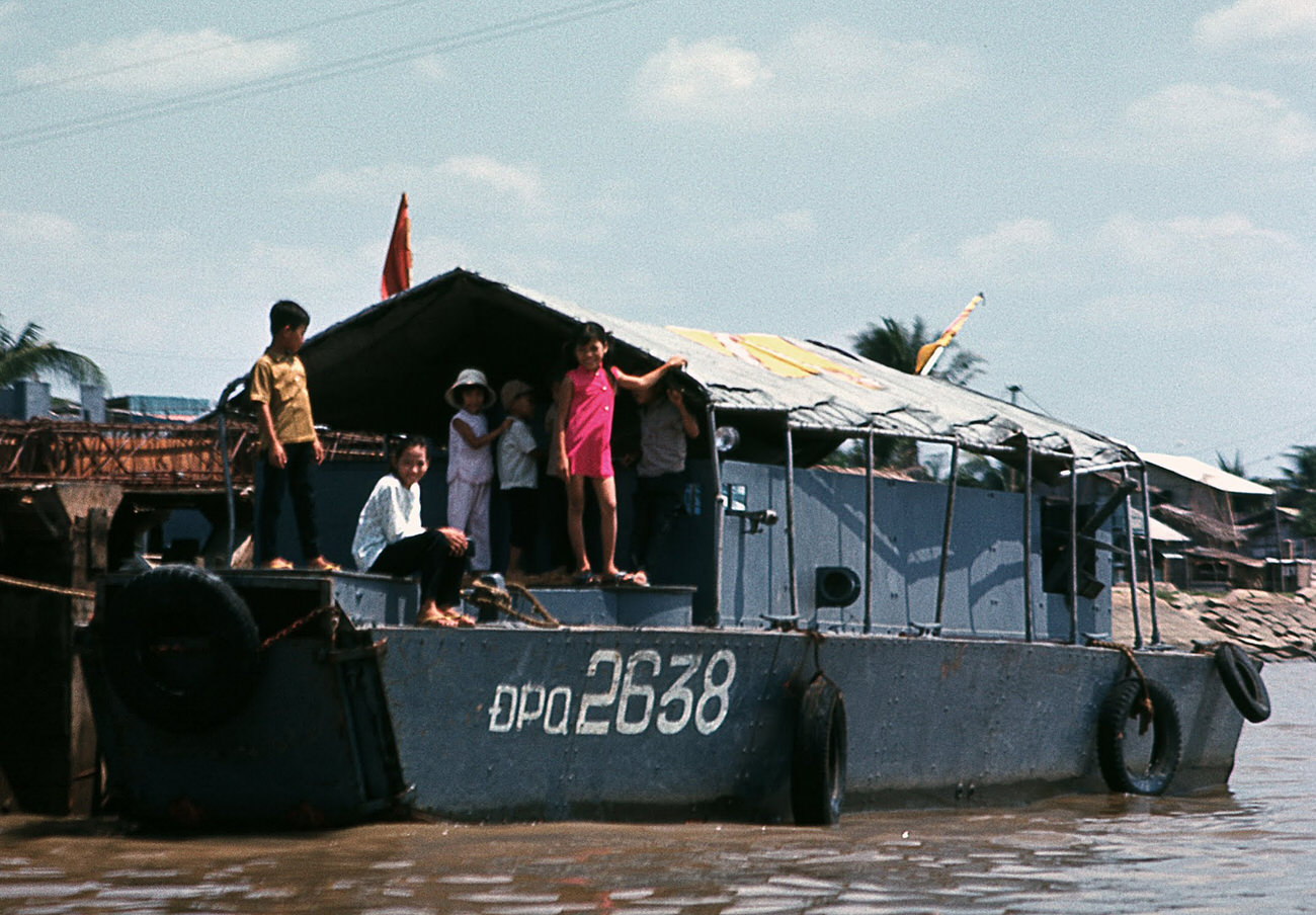
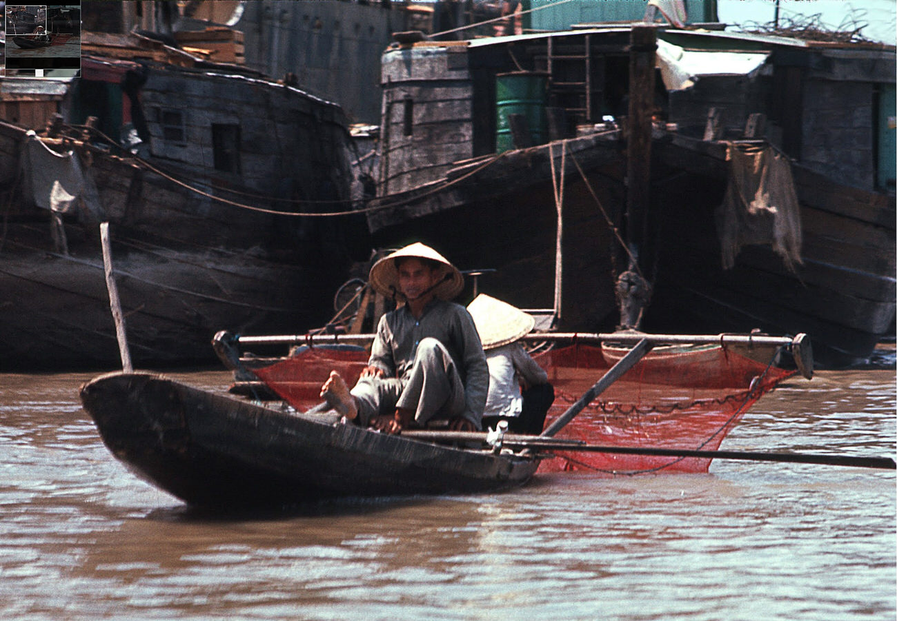
River families were a distinct community within Saigon. They traded goods along the water, fished for daily meals, and navigated a world apart from the city’s streets — though they were never truly separated from the war that surrounded them.
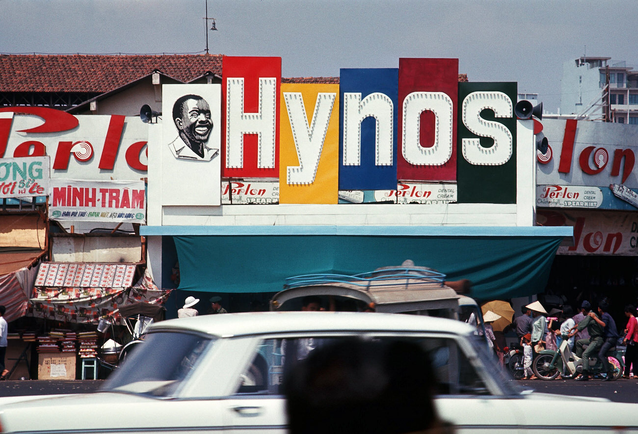
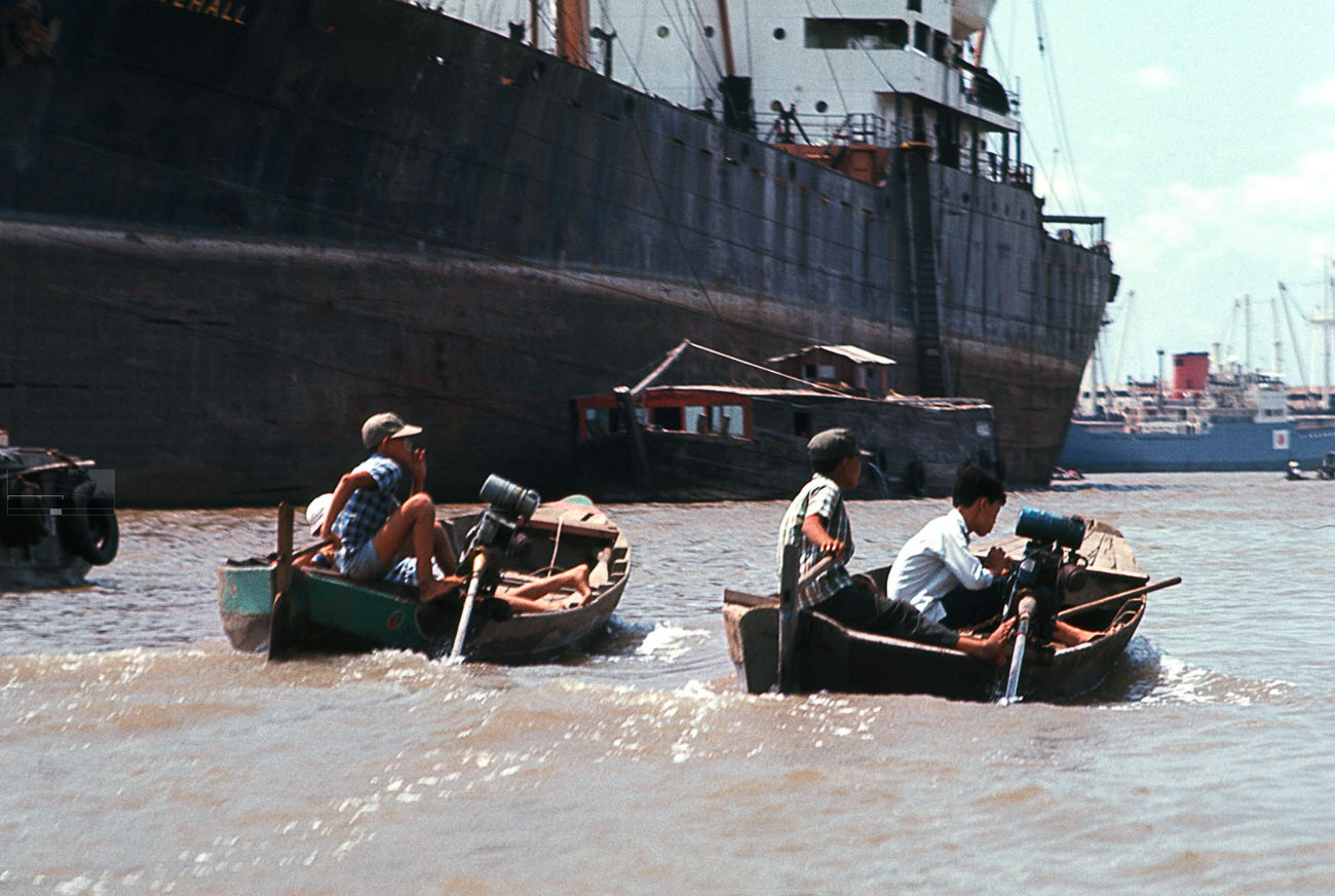
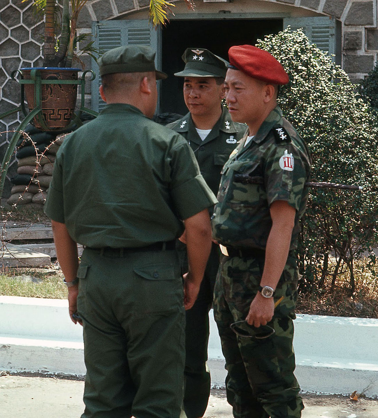
Children on the river moved between boats with ease, paddling small crafts and playing along the banks. The Central Market nearby drew crowds from across the city, its signs and storefronts a blend of Vietnamese, French, and by 1968, American commercial influence.
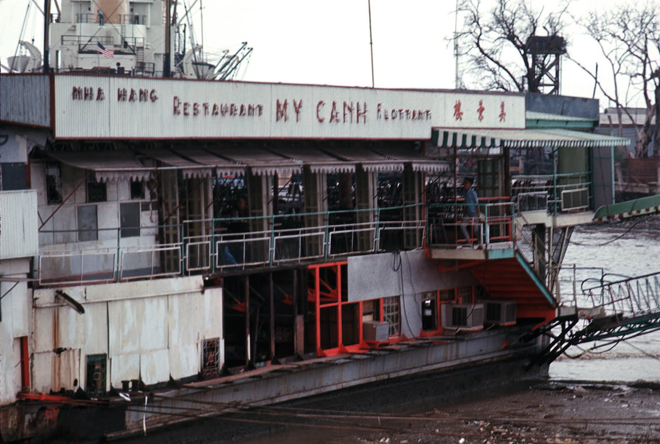
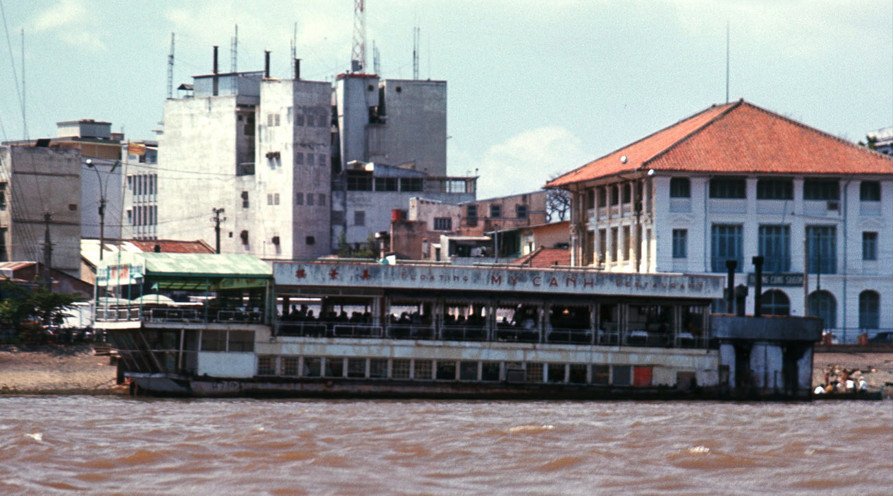
My Canh restaurant, a floating eatery on the Saigon River, was one of the city’s best-known dining spots. It had been the site of a deadly Viet Cong bombing in 1965, yet by 1968 it was still operating — a testament to how Saigon’s residents adapted to persistent danger.
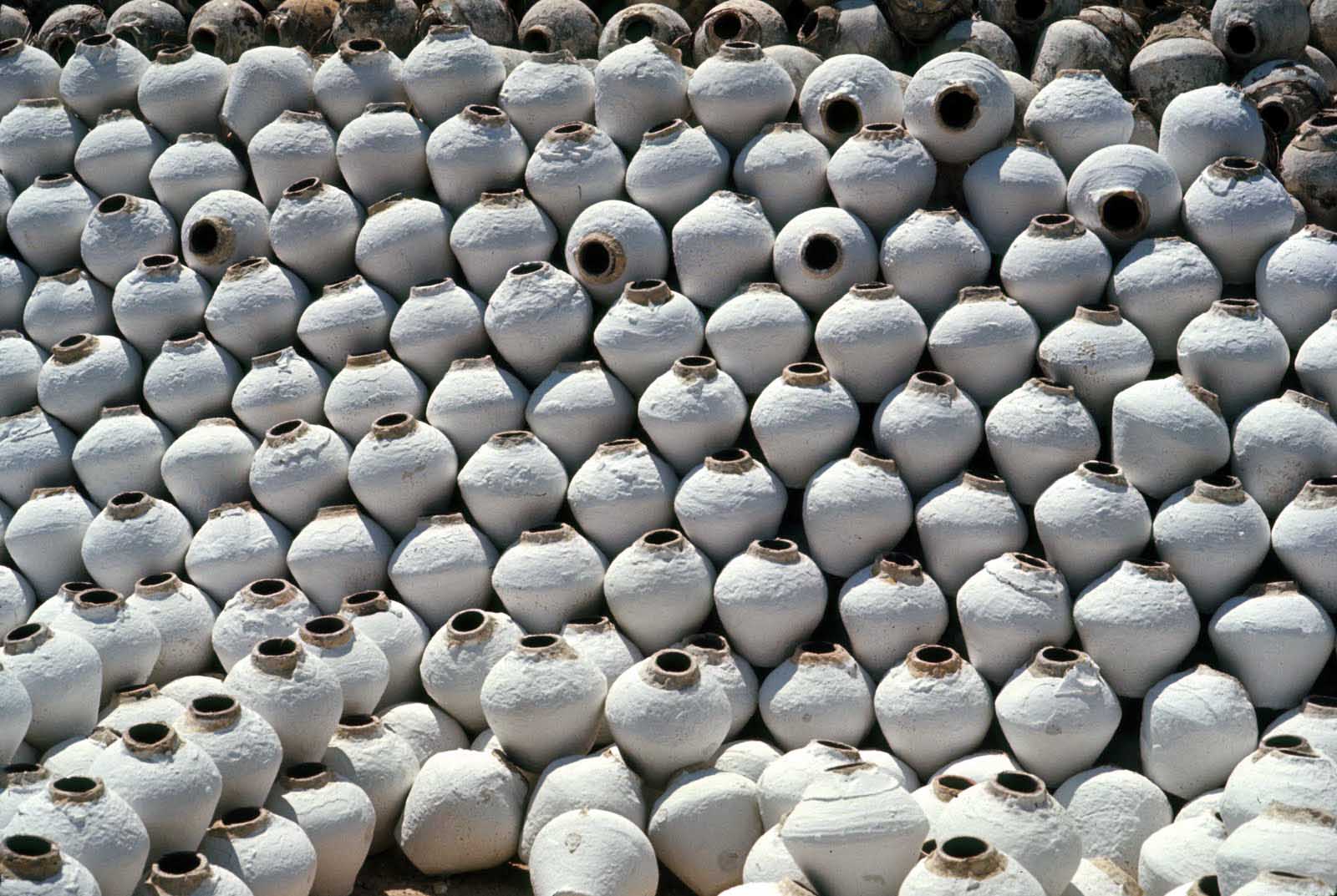
Nuoc mam — fermented fish sauce — was a staple of Vietnamese cooking sold throughout Saigon’s markets in large ceramic jars. Its sharp, pungent smell was part of the sensory backdrop of every market and street food stall in the city.
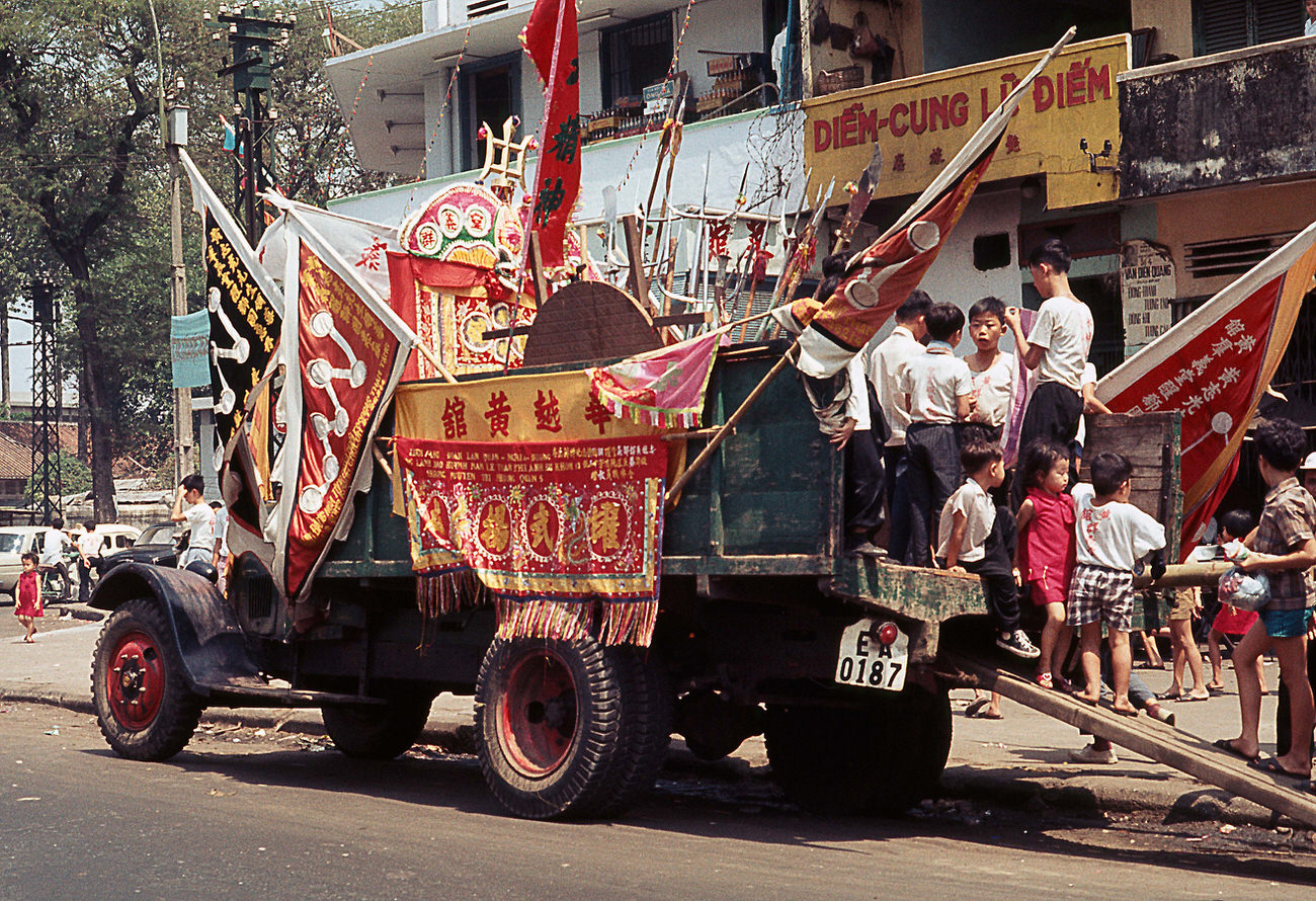
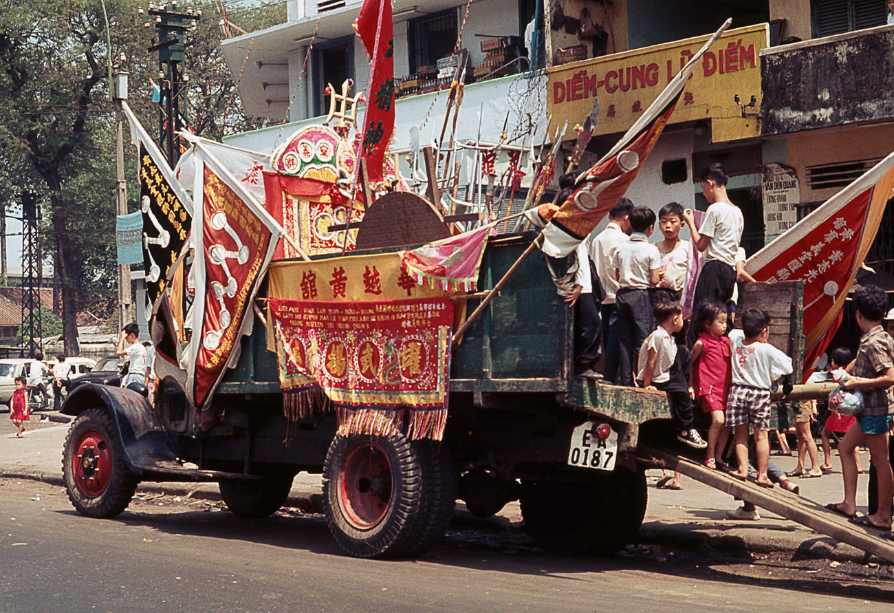
In late January 1968, Saigon prepared for Tet — the Vietnamese Lunar New Year. Streets filled with flowers, firecrackers, and festive goods. Within days of these celebrations, the Tet Offensive launched coordinated attacks across more than 100 South Vietnamese cities and towns, including Saigon itself.
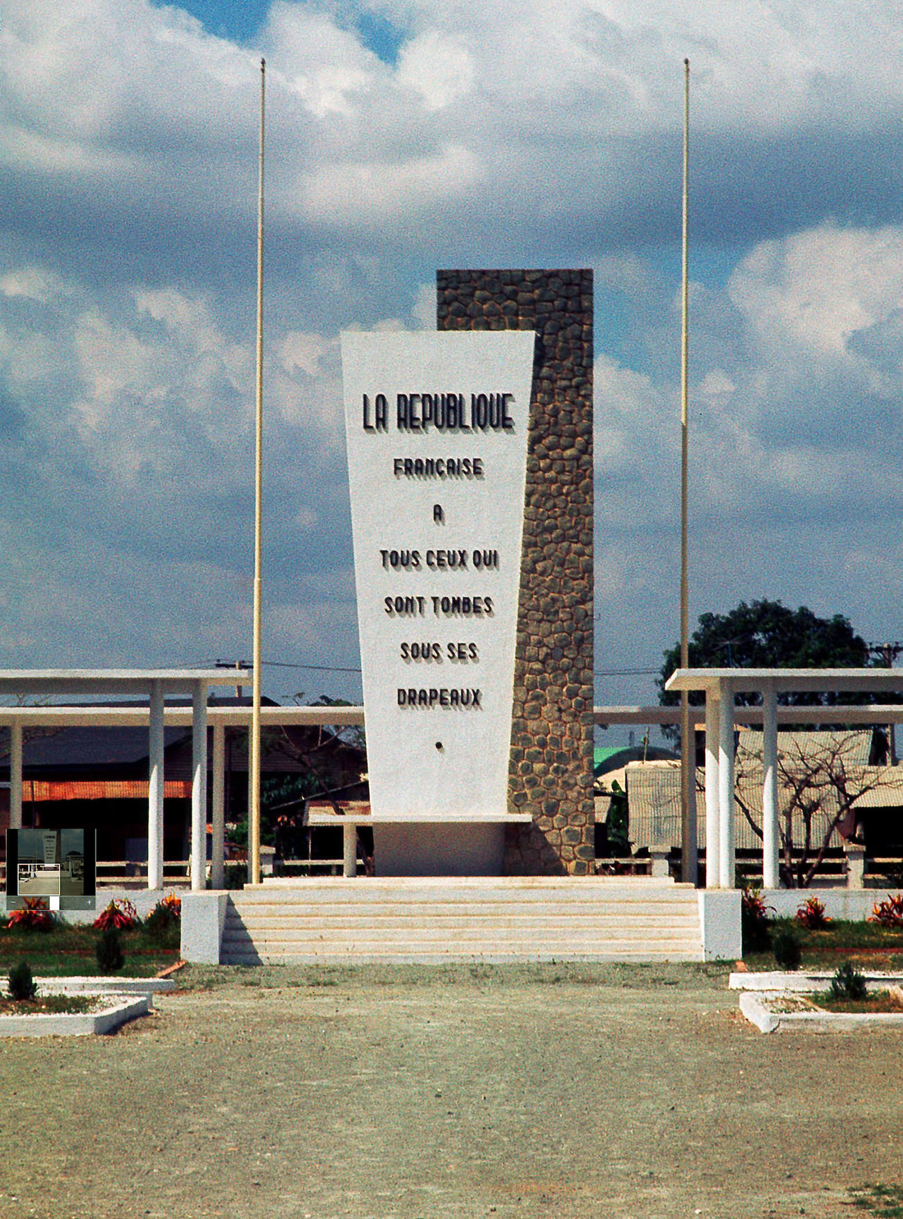
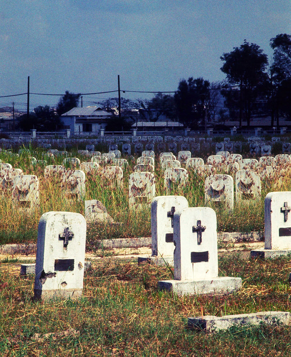
The French military cemetery was a physical record of an earlier war fought on the same ground. France had lost its colonial hold on Vietnam in 1954, but the graves remained — a quiet, overgrown reminder that Saigon had been a city at war for decades before 1968.
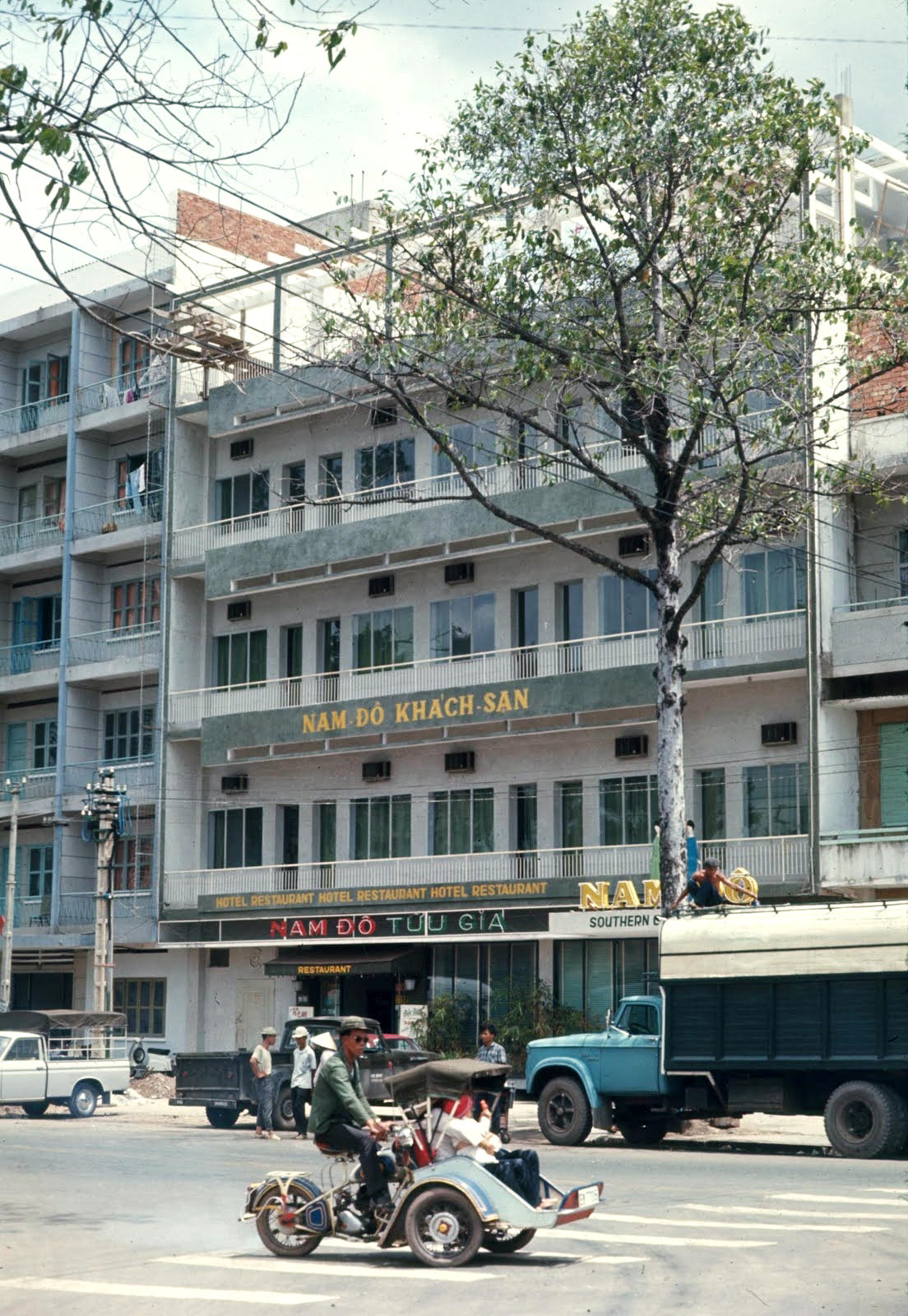
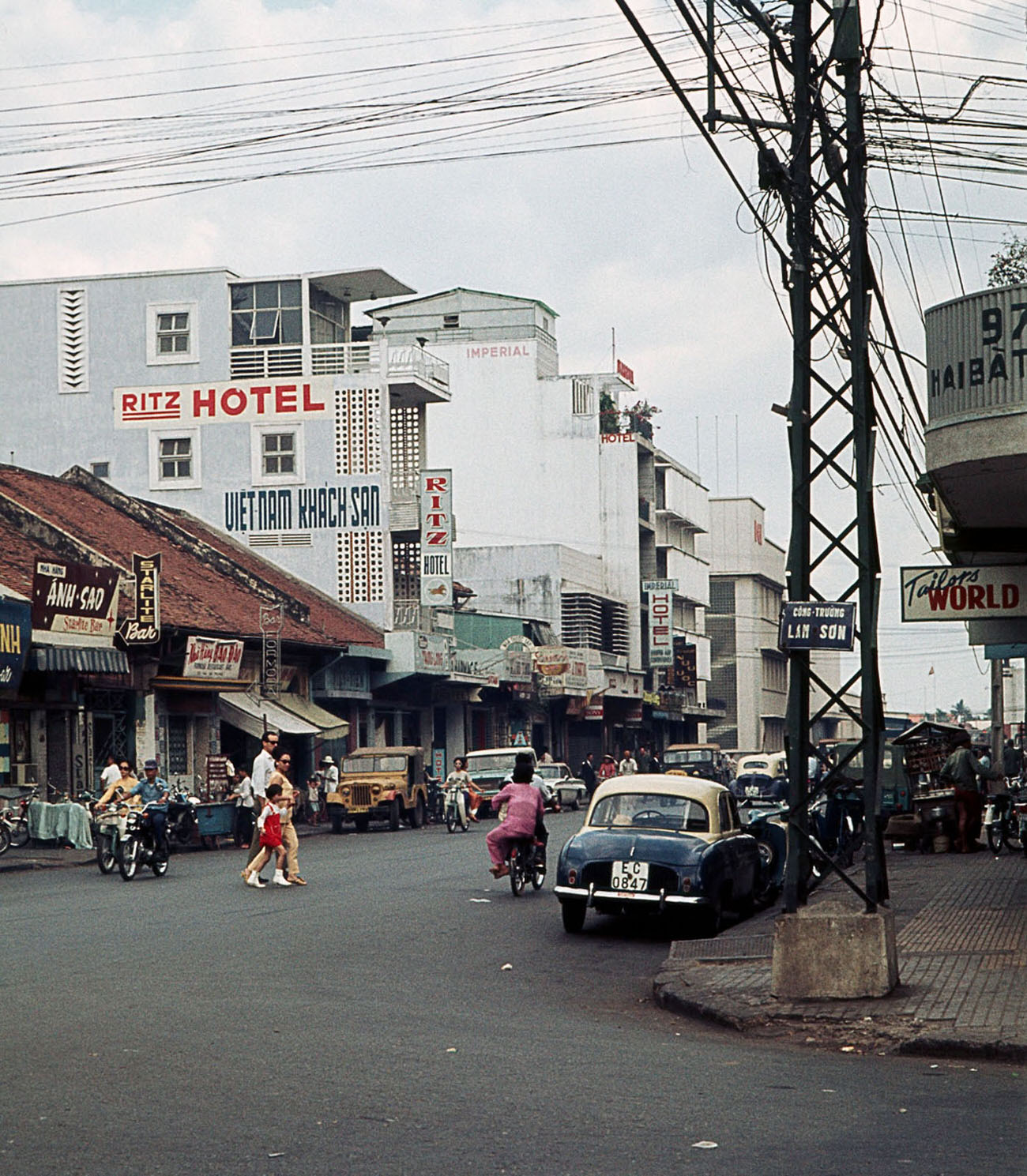
Hotels like the Nam Do served a mix of local businessmen, foreign correspondents, and military officers. By 1968, Saigon had a significant international press corps, and hotels near the city center were central hubs for information, rumor, and the daily churn of wartime journalism.
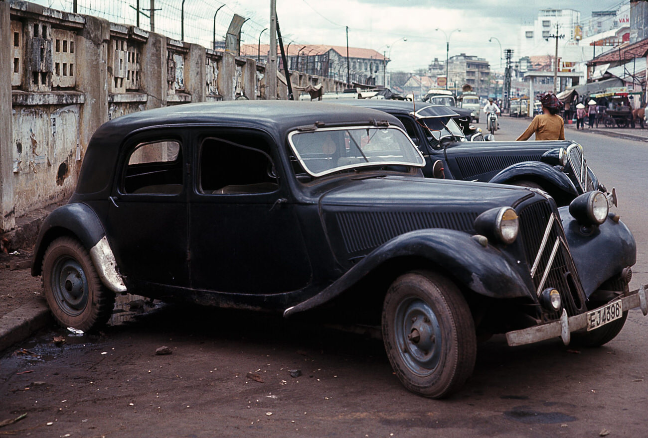
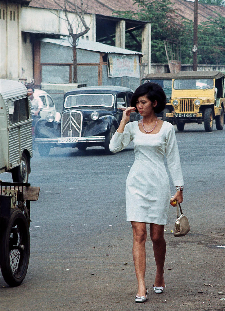
Pre-war Citroëns from the French colonial period still rolled through Saigon’s streets in 1968, sharing the road with military trucks and motorbikes. The cars were a living artifact of the city’s French past — maintained and still running more than a decade after independence.
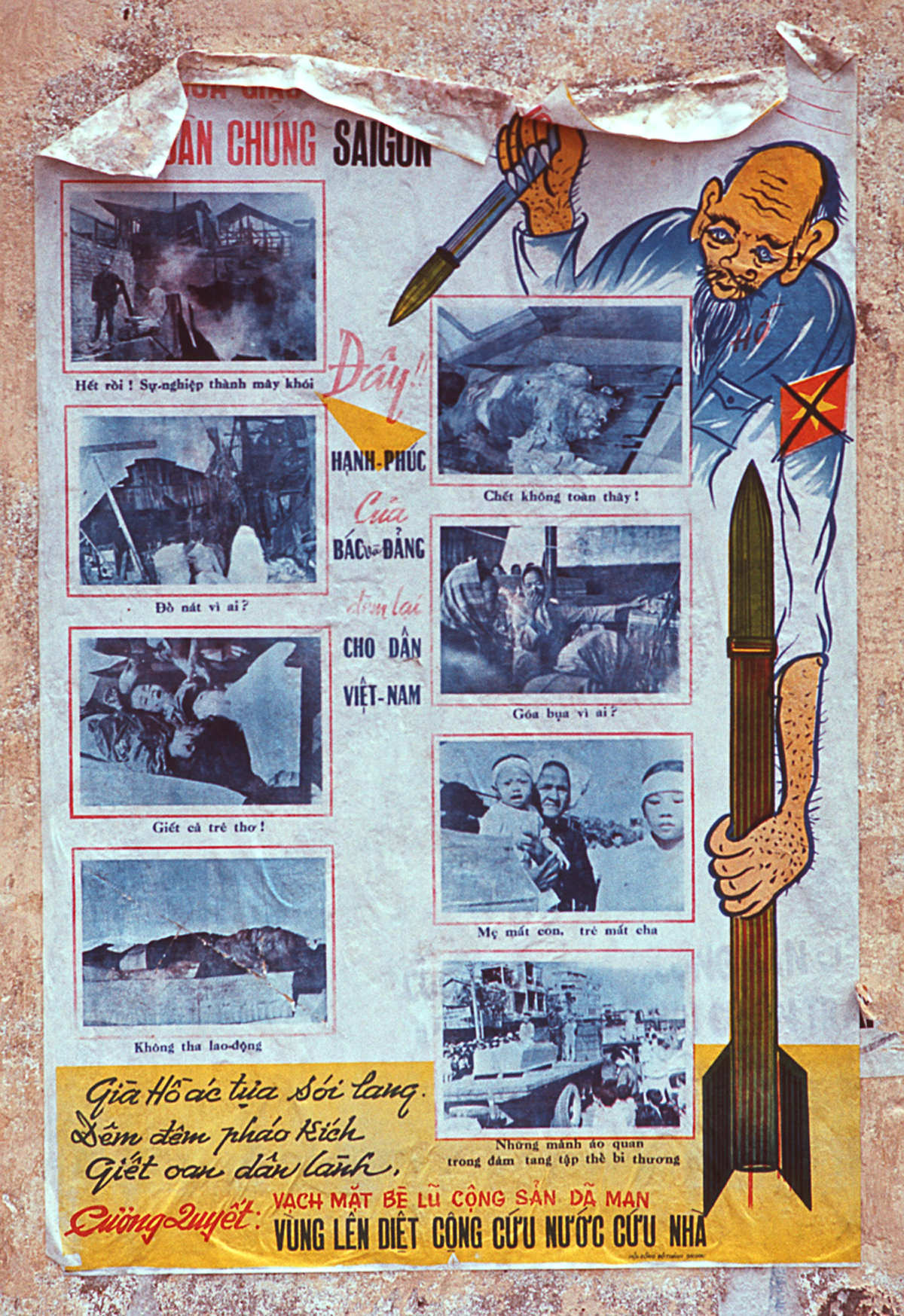
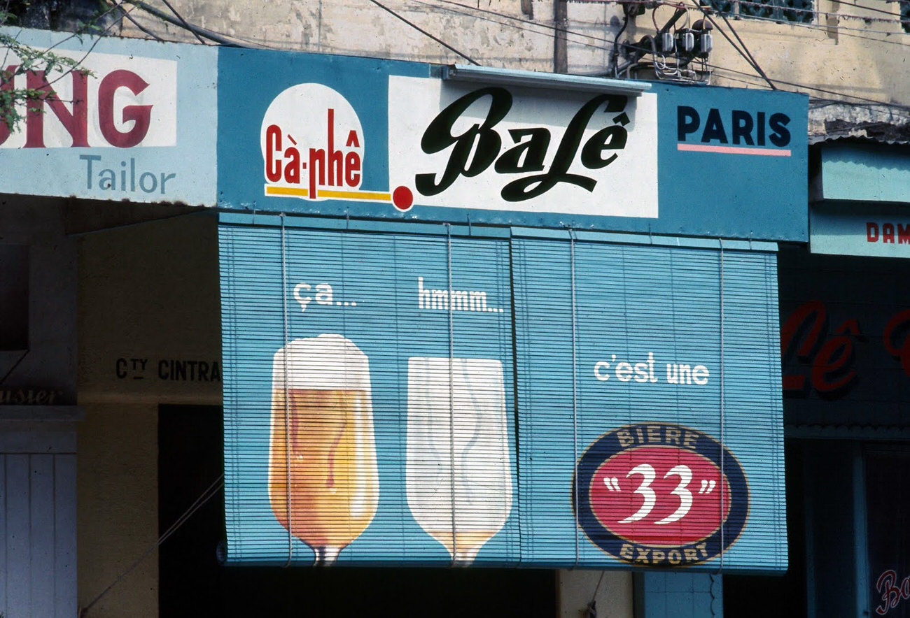
Government propaganda posters appeared on walls and billboards across Saigon, promoting loyalty to South Vietnam and the war effort. They competed for visual space with temple banners, commercial advertising, and handwritten signs — all layered onto the city’s surfaces.
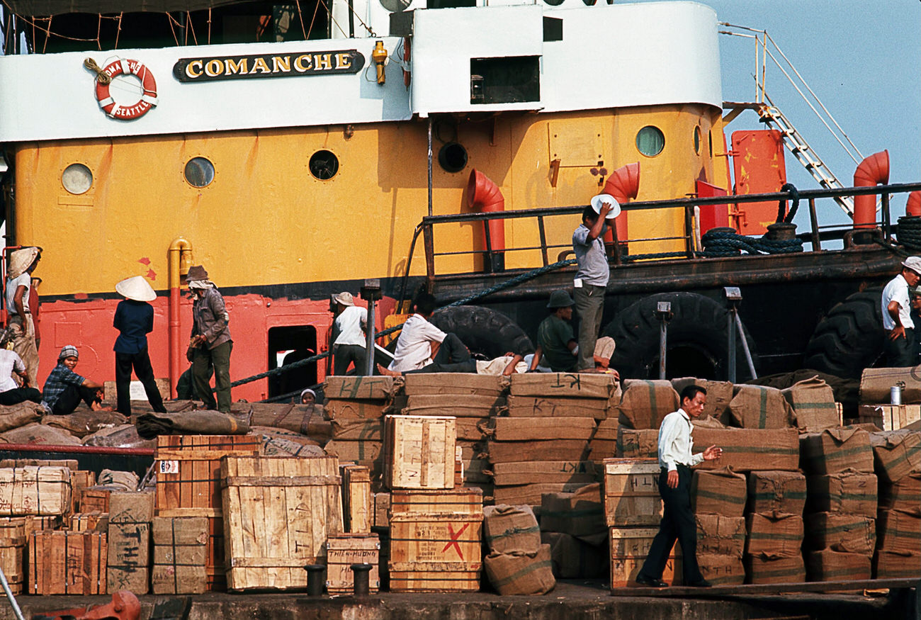
The Saigon Docks were one of the busiest points in the entire country. Military supplies, food, fuel, and commercial cargo arrived by ship and were offloaded onto the docks daily. Food vendors set up stands nearby to serve the dockworkers, soldiers, and drivers who kept the port running.
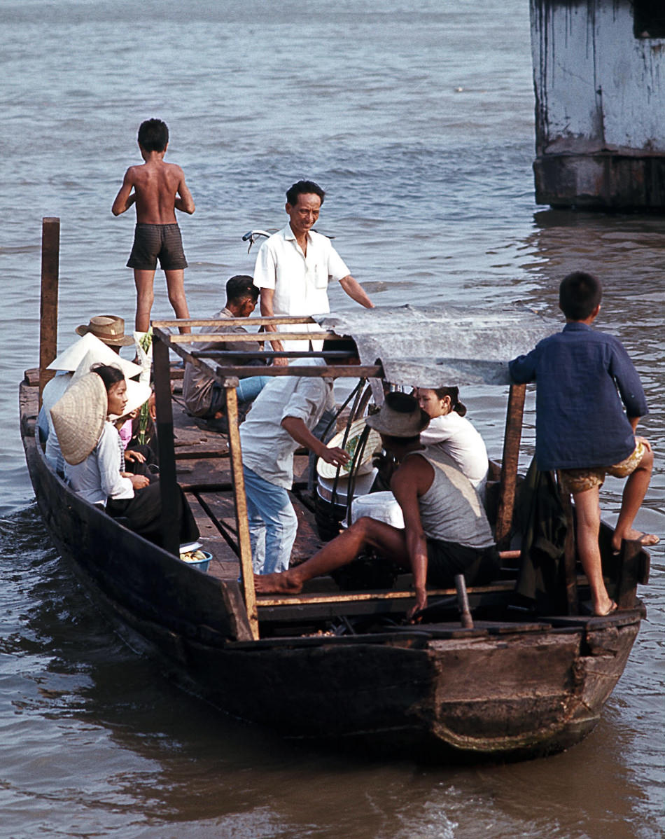
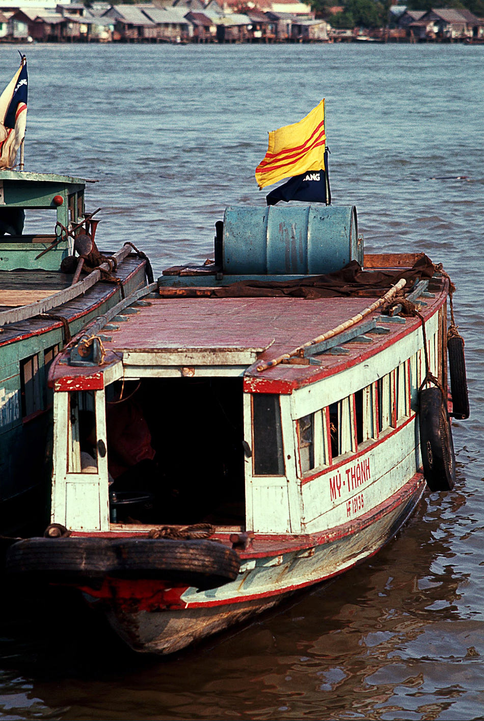
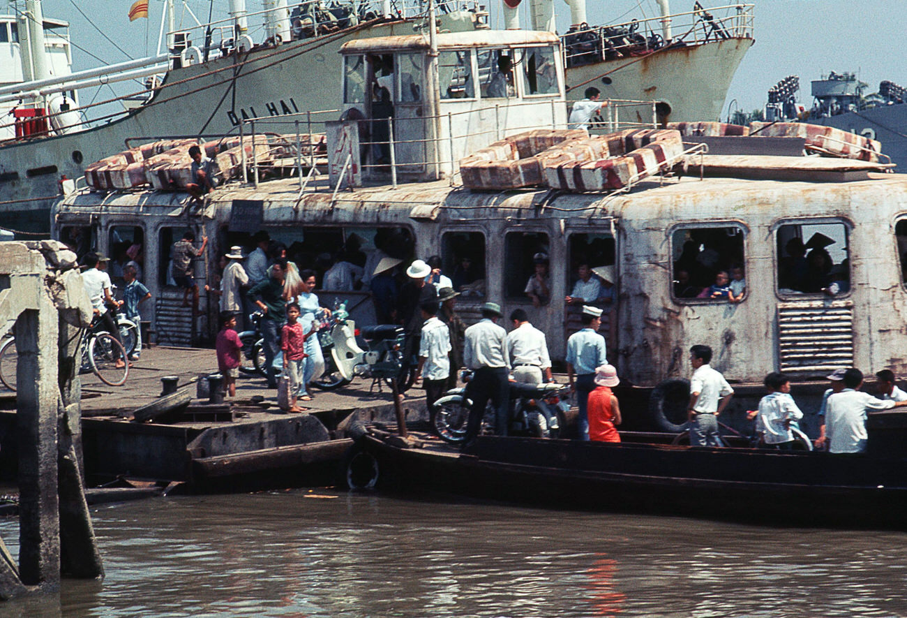
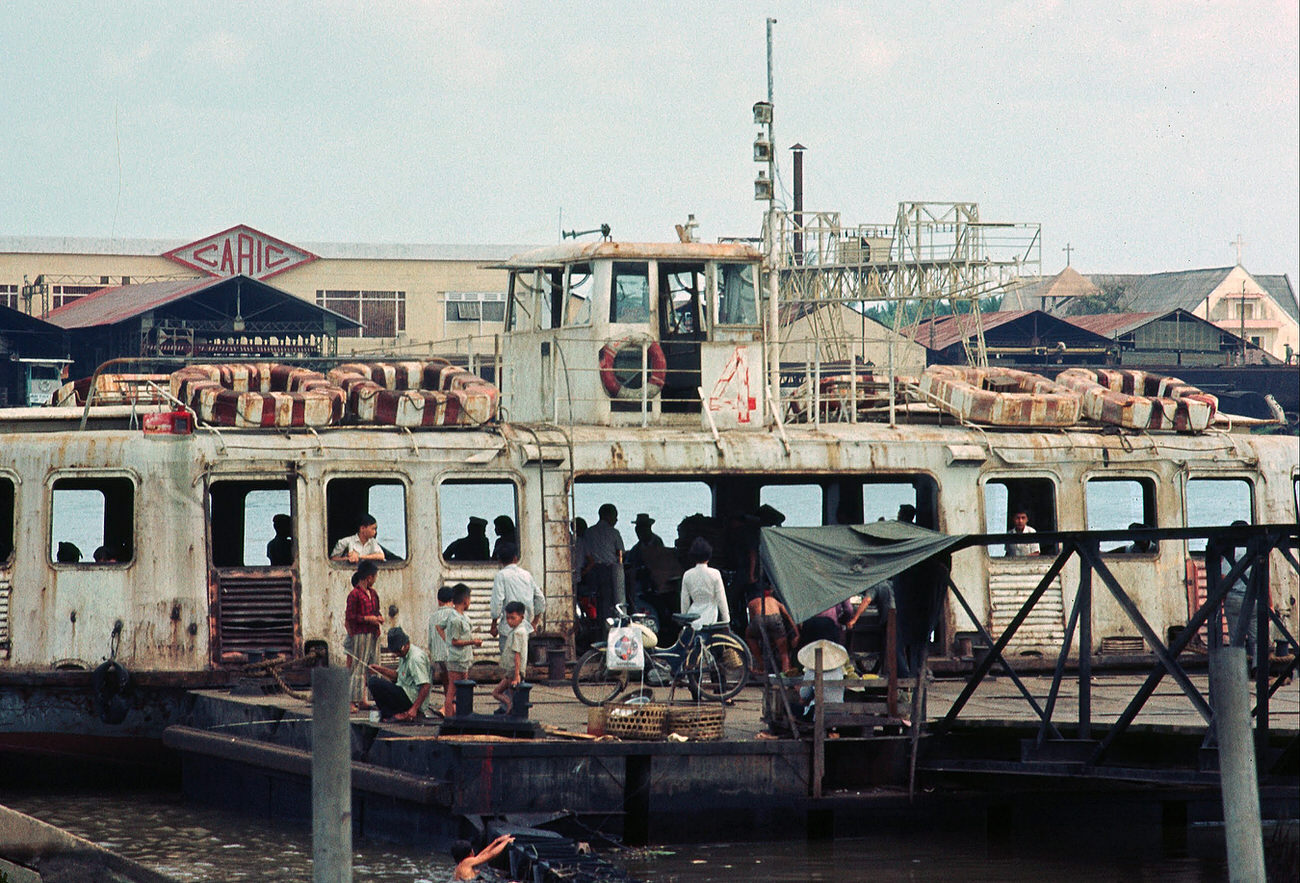
Ferries crossed the Saigon River at regular intervals, carrying commuters, traders, and goods between the city and the districts across the water. They were cheap, heavily used, and essential to the daily movement of thousands of people.
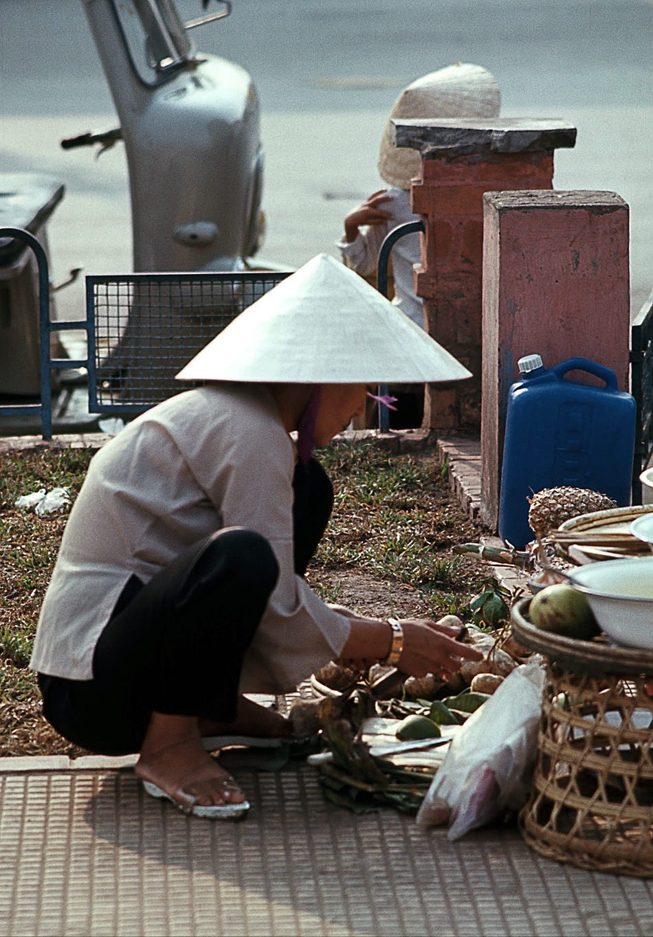
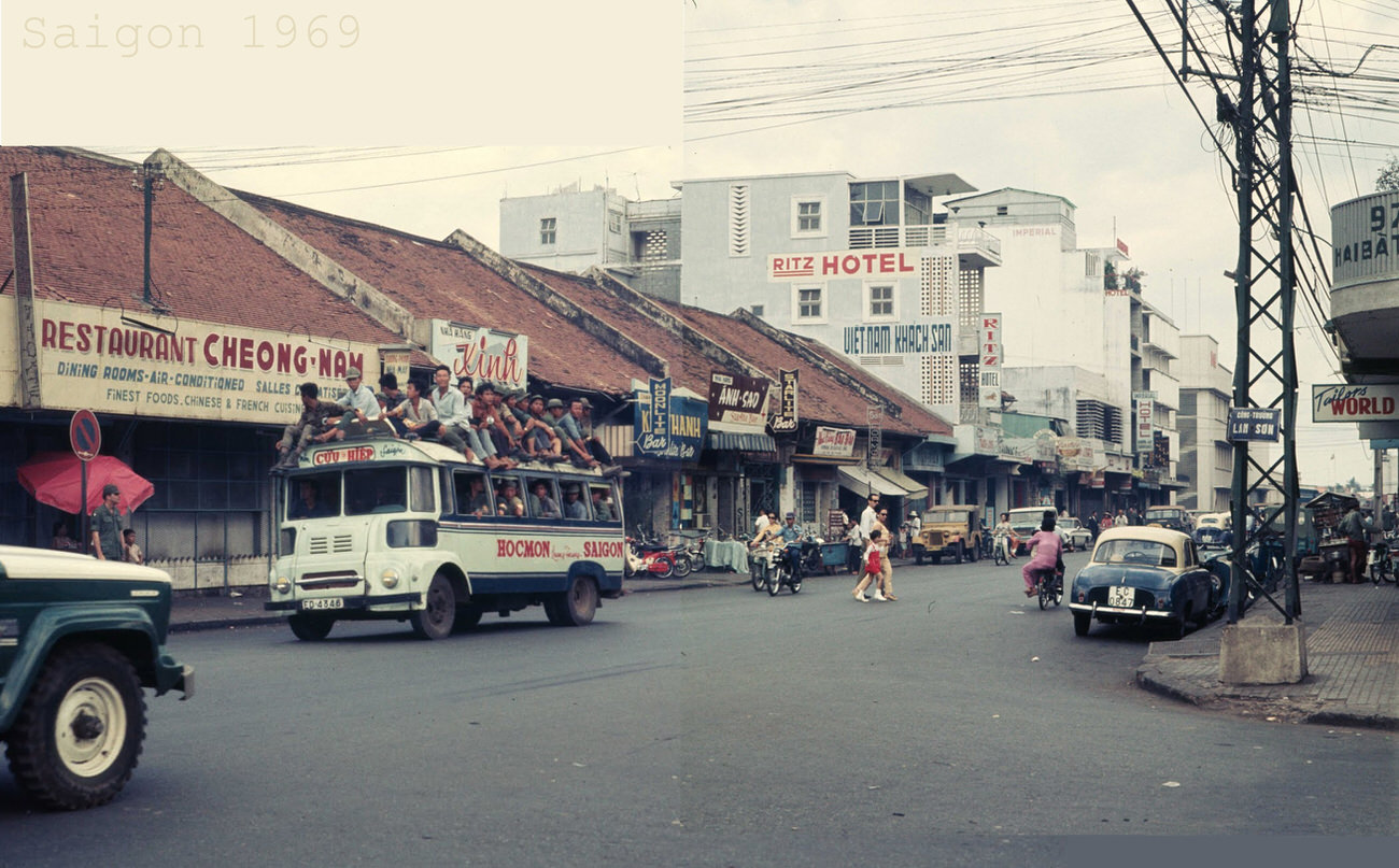
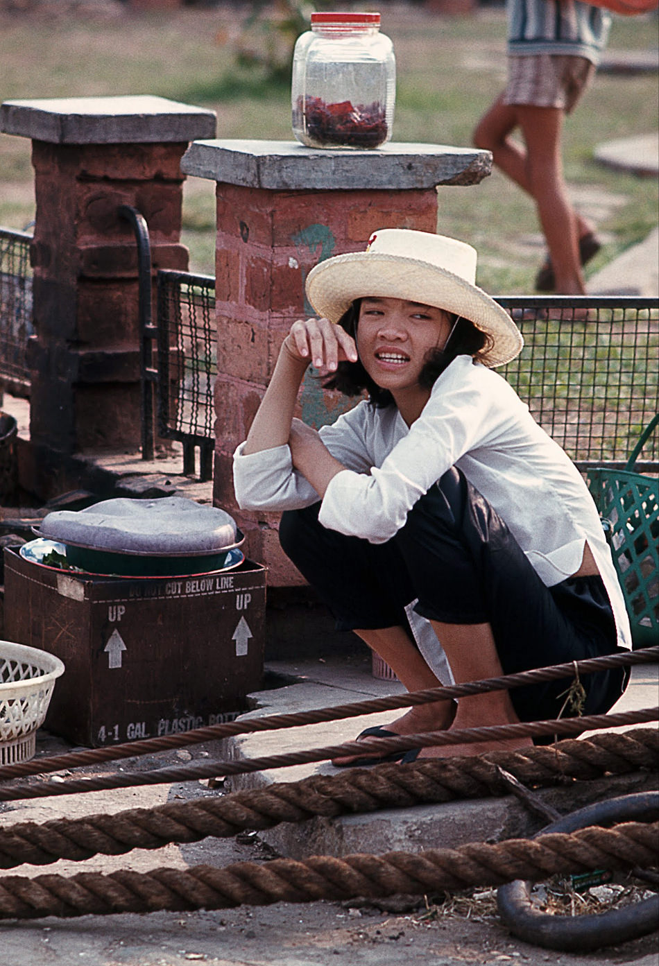
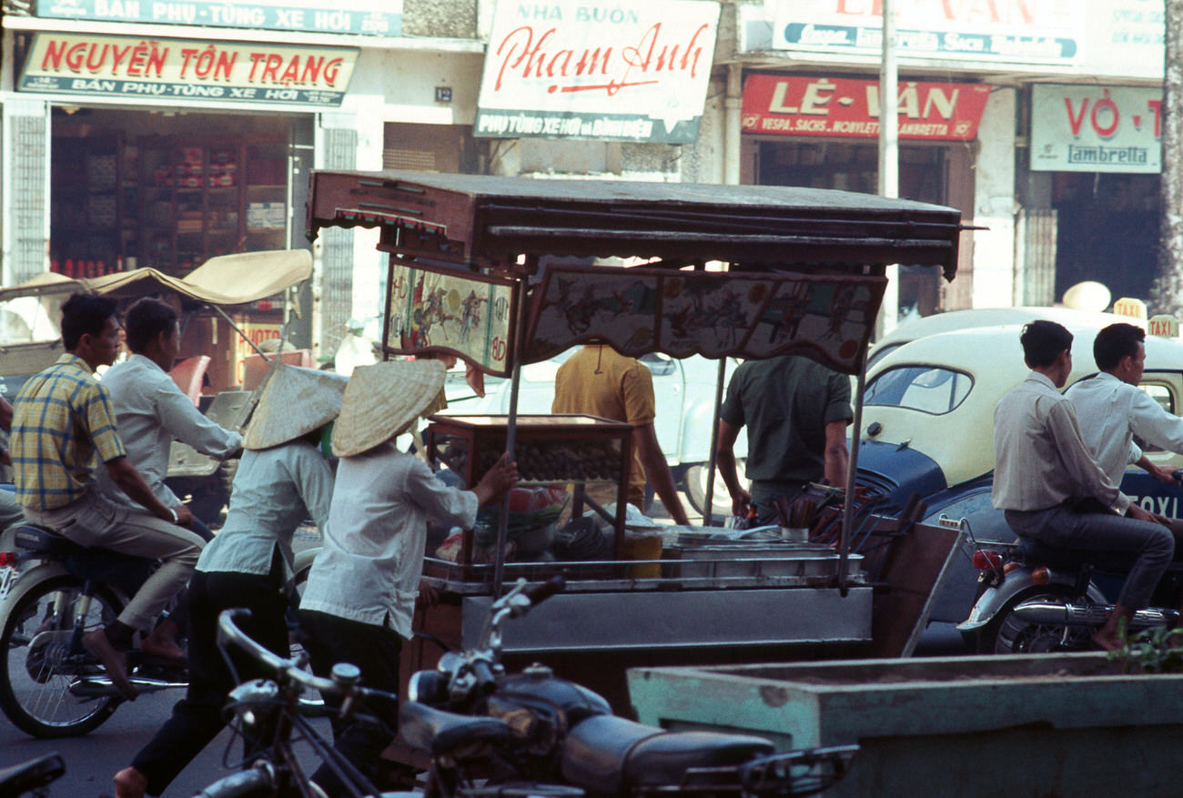
Street food vendors were stationed wherever people gathered in large numbers — dockside, in squares, along major avenues, and outside market entrances. They sold grilled meats, noodles, pastries, and bread to customers who ate standing up or perched on small stools.
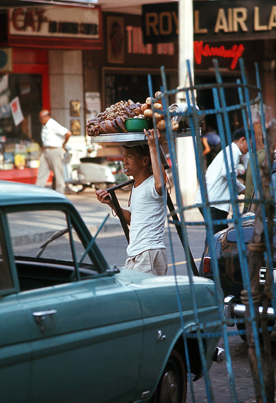
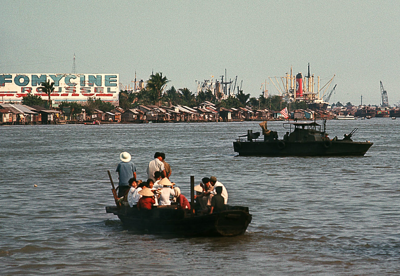
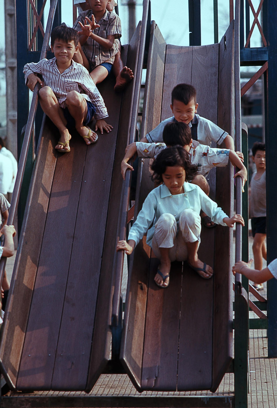
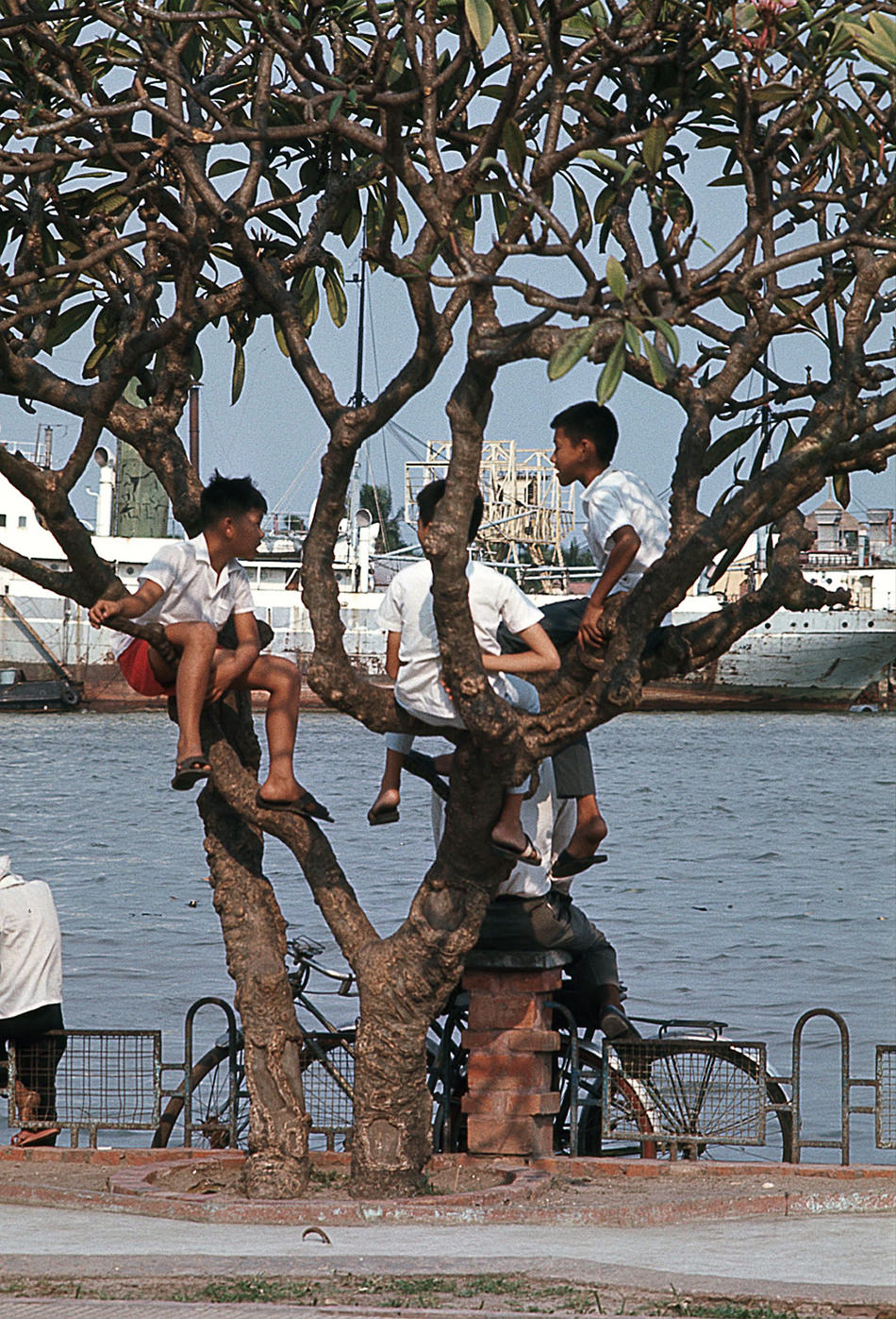
The riverfront park offered a rare open space in the dense city. Residents walked along the bank, and children played near the water while barges and patrol boats passed. The river view gave a sense of calm that the city’s interior streets rarely offered.
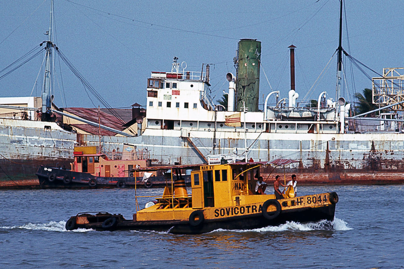
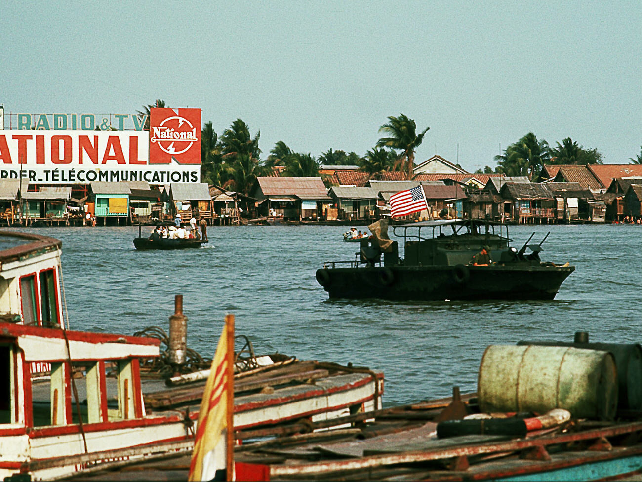
Water taxis and tugboats operated alongside U.S. Navy PBRs — Patrol Boat, River — which monitored the Saigon River for enemy movement. Civilian river traffic and military watercraft shared the same stretch of water every day.
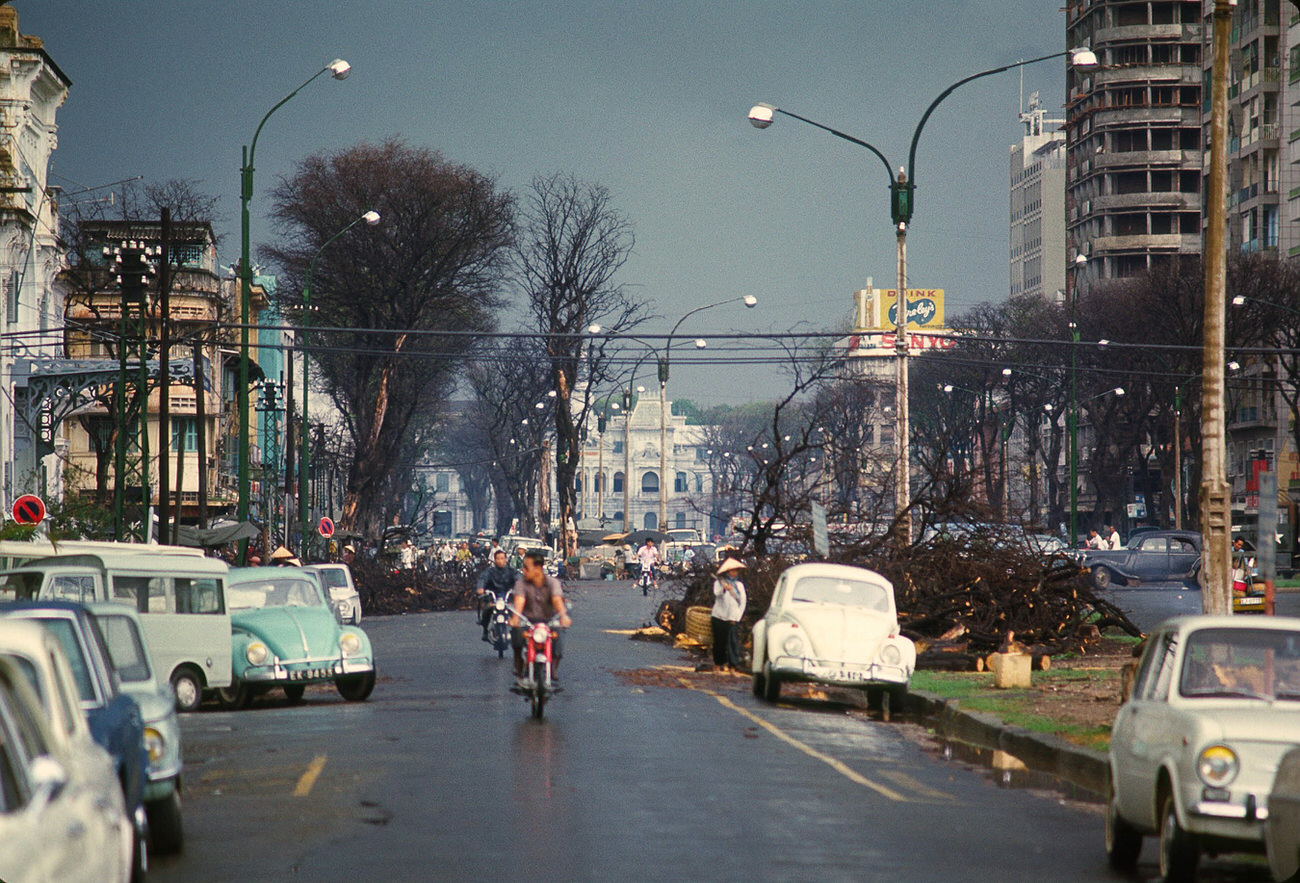
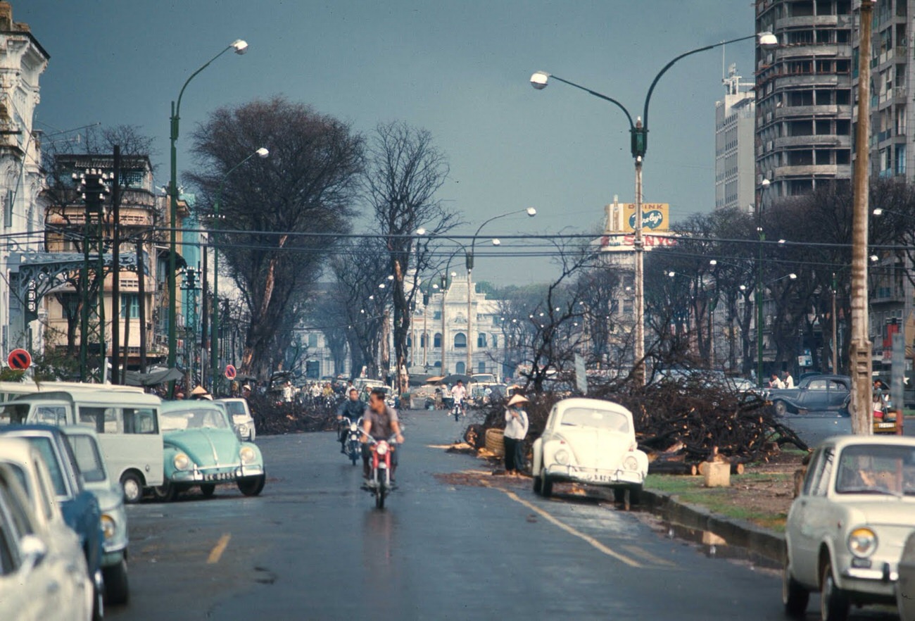
Nguyen Hue Street in the heart of downtown was one of Saigon’s most photographed locations. Wide enough to feel like a boulevard, it hosted flower stalls, government buildings, and the steady flow of traffic that defined urban life in South Vietnam’s capital.
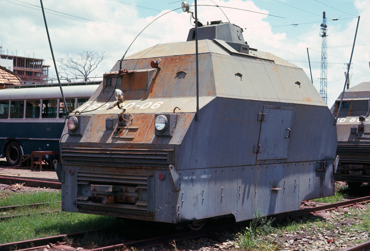
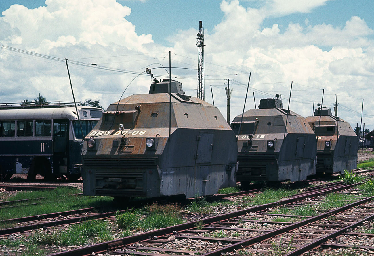
The Saigon rail yards were a key part of the city’s transportation network, though rail travel across Vietnam was heavily disrupted by the war. The yards still handled freight and some passenger service, and their scale reflected how ambitious the city’s infrastructure had been before the conflict escalated.
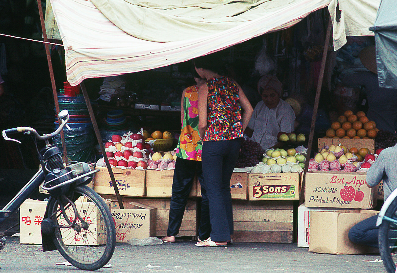
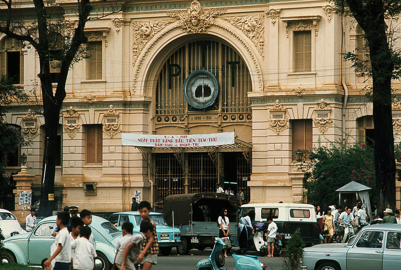
JFK Square, named after President John F. Kennedy, was another marker of American influence on the city’s public spaces. The PTT building nearby served as Saigon’s main post and telecommunications center — a building that kept the city connected to the outside world during the war.
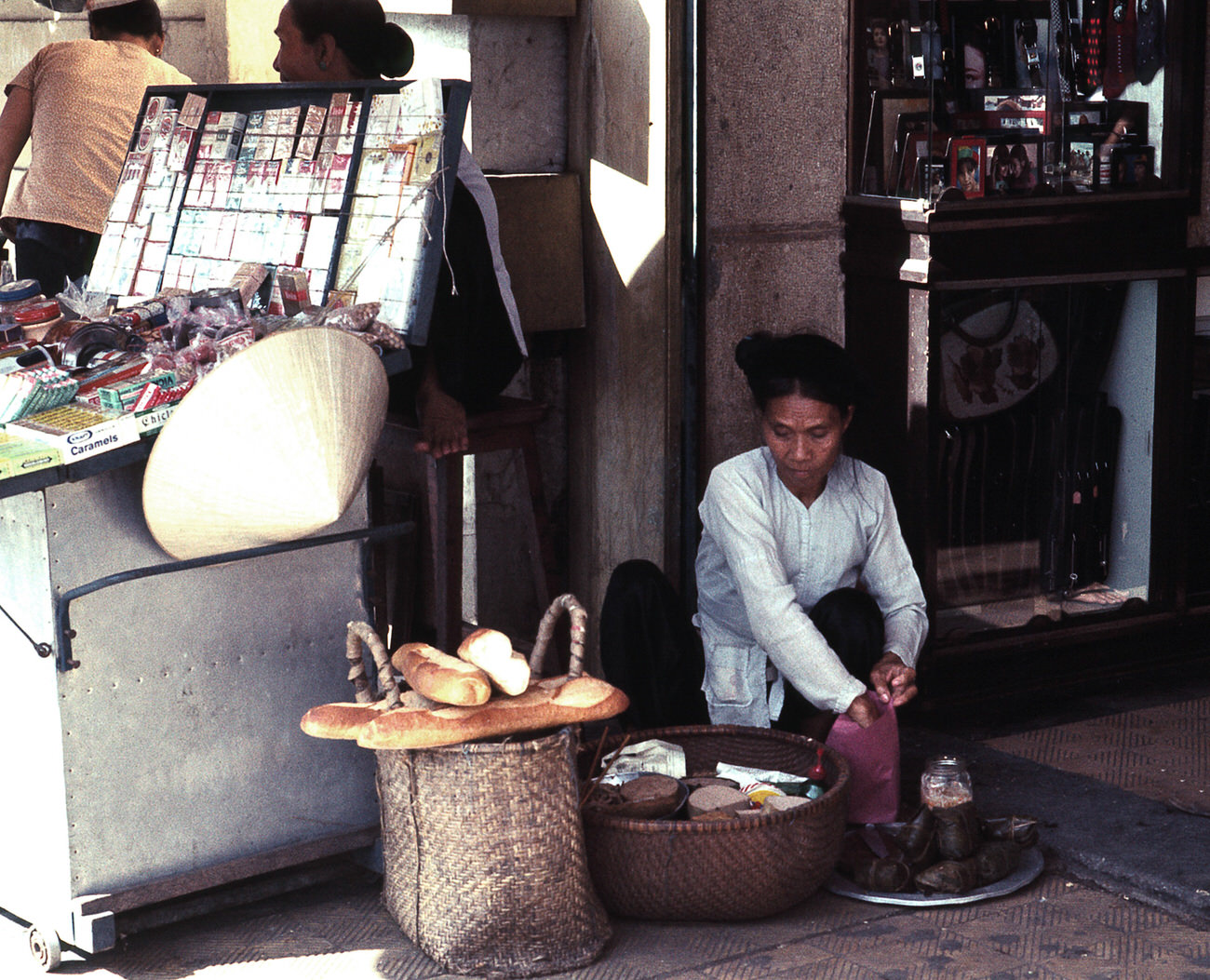
Bánh mì — the Vietnamese baguette sandwich — was a direct product of French colonial influence and had become a staple of street food in Saigon by 1968. Bread vendors on Le Loi Street sold loaves and filled rolls to passersby throughout the day.
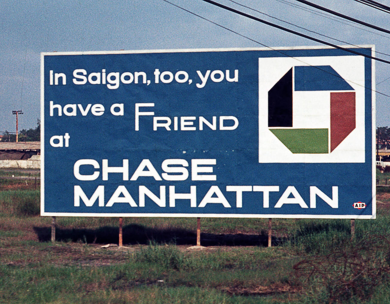
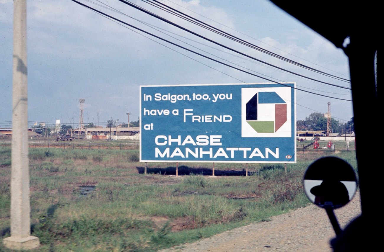
A Chase Manhattan Bank sign outside MACV — the Military Assistance Command, Vietnam — captured how thoroughly American institutions had embedded themselves in Saigon. MACV was the nerve center of U.S. military operations in South Vietnam, and the area surrounding it reflected the blending of military and commercial American presence.
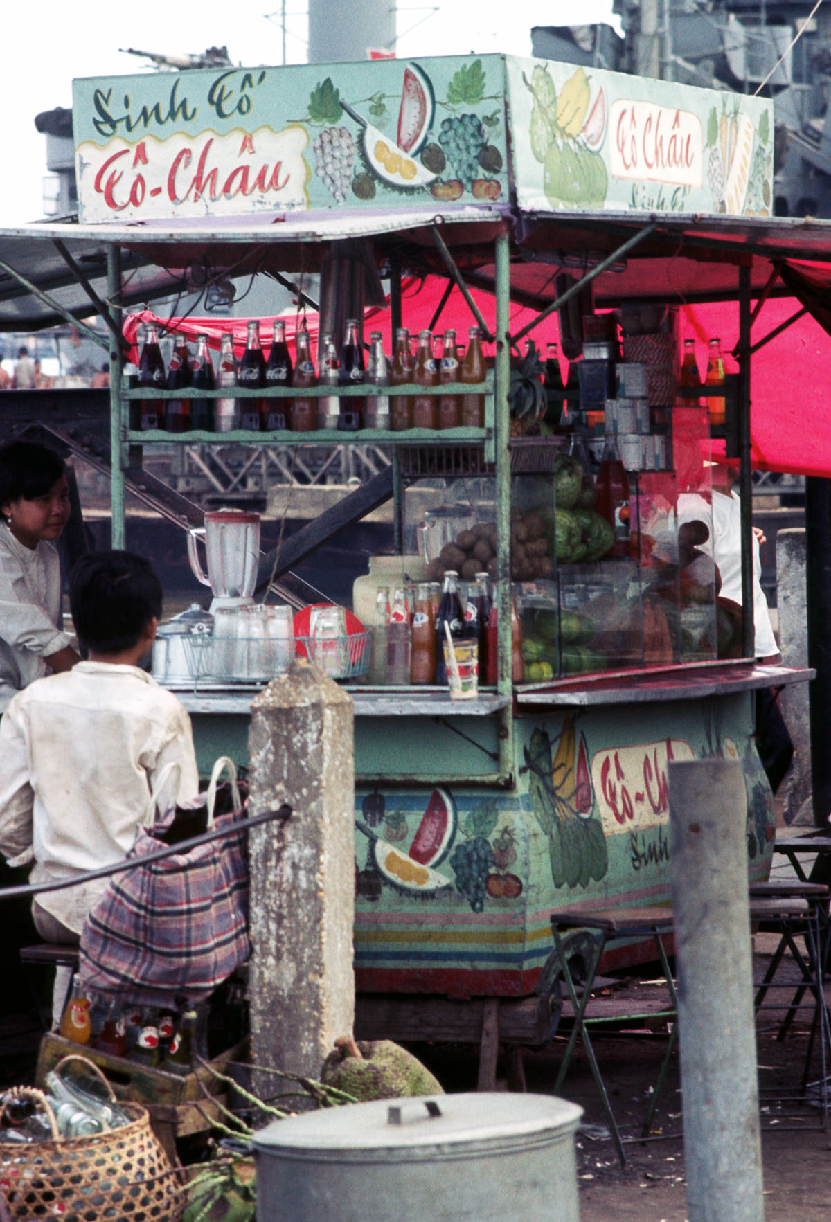
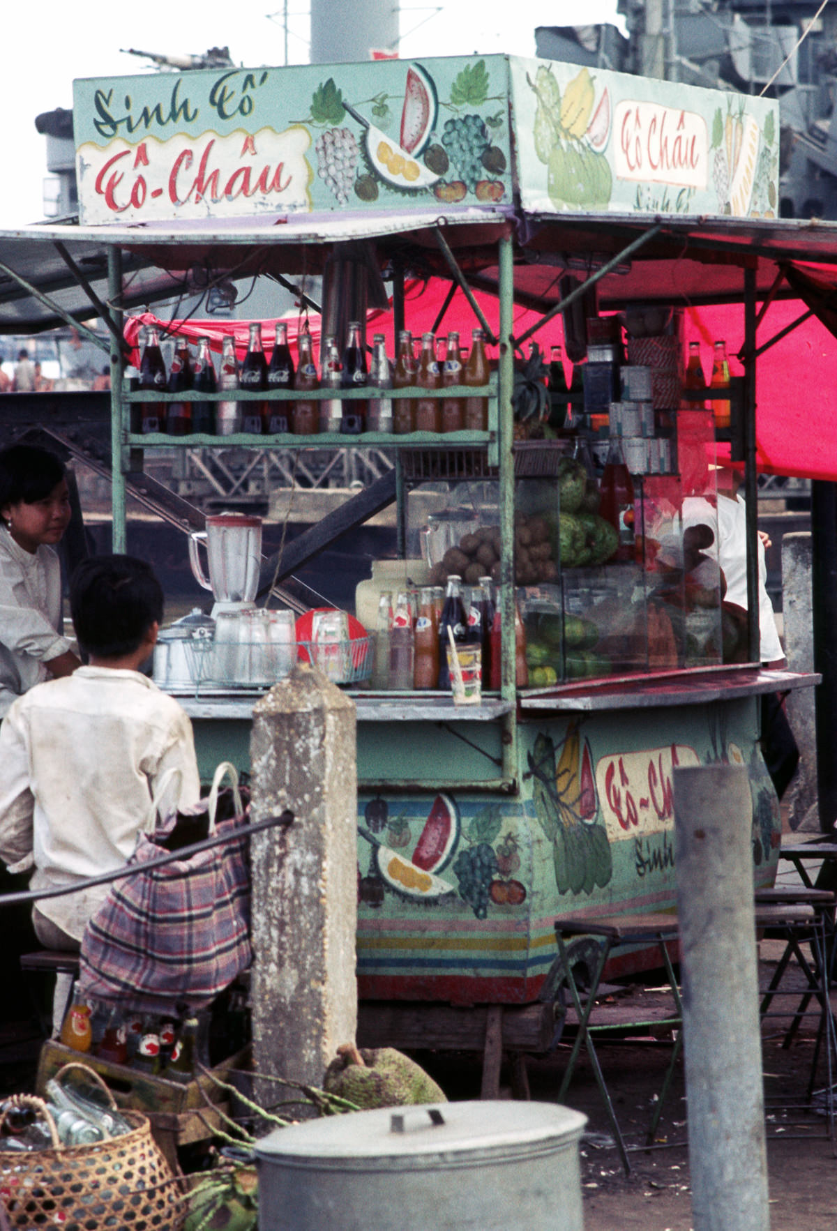
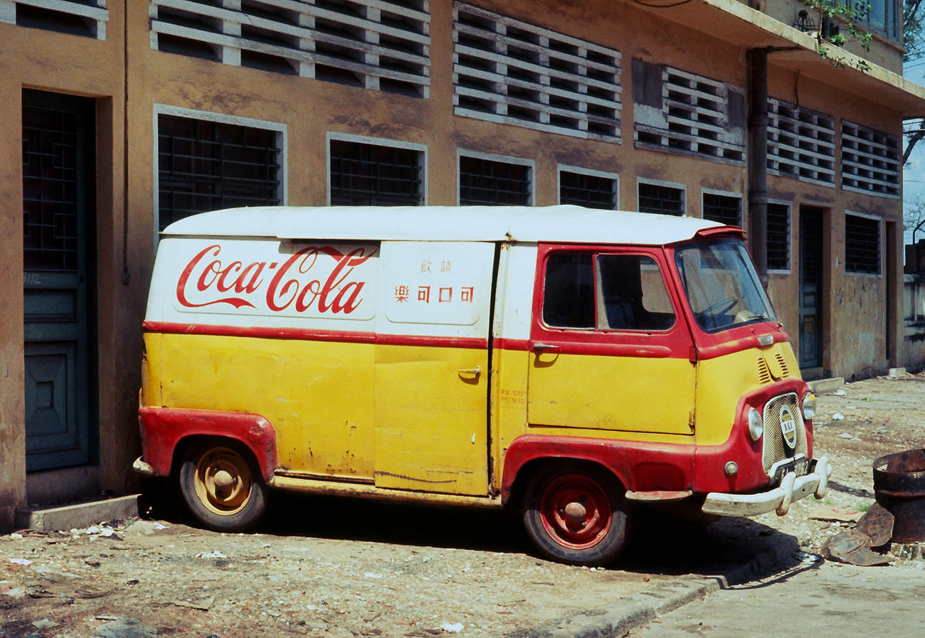
American brands were visible throughout the city by 1968. Coca-Cola trucks made deliveries on Saigon’s streets, and the drink was sold in cafes, restaurants, and market stalls. The brand’s presence was one of many signals of how deeply the U.S. presence had shaped the city’s economy and culture.
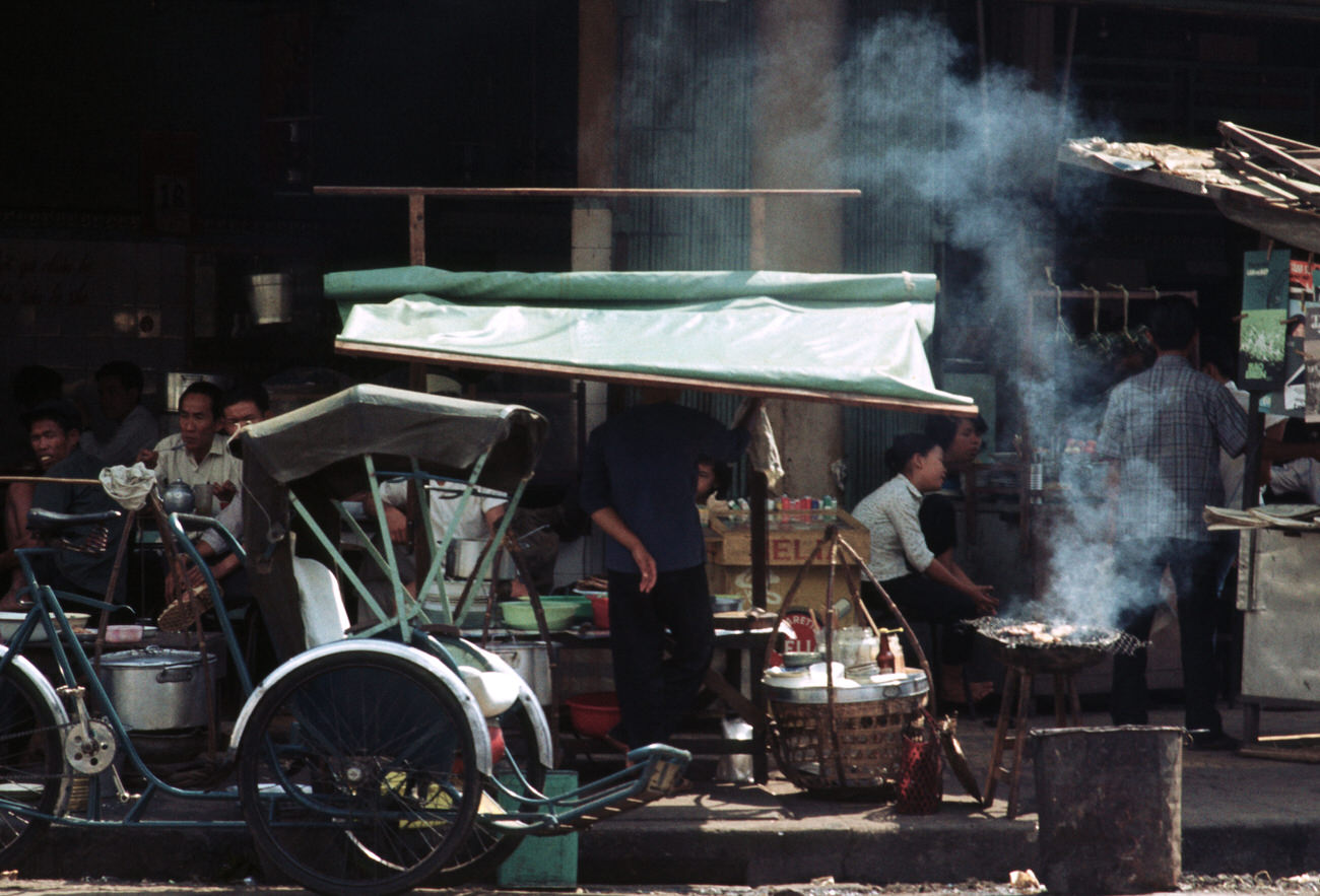
Food vendors at the docks served a working crowd that moved cargo around the clock. Their stands were simple and functional — a cart, a flame, and whatever ingredients were available that day. It was the same model repeated all over Saigon, from the busiest avenues to the quietest back streets.
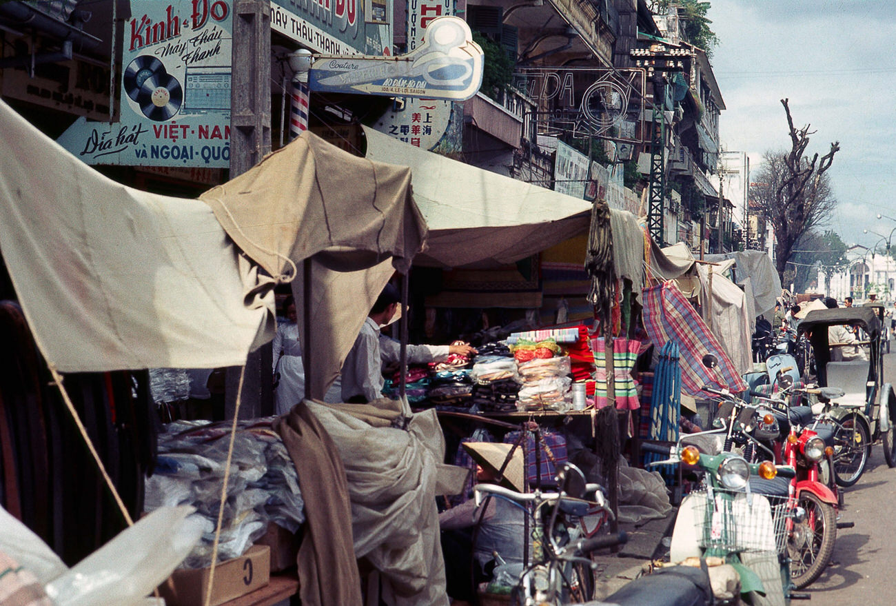
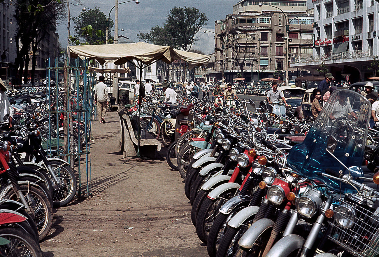
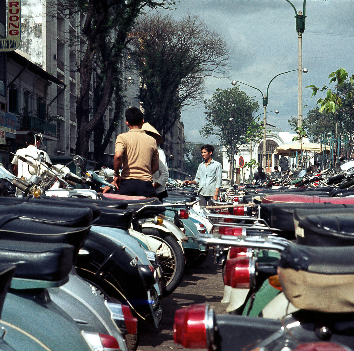
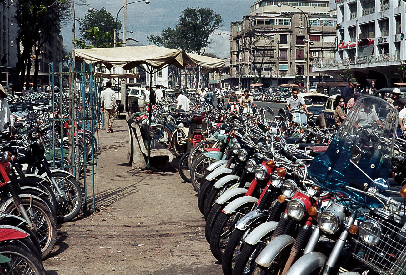
Le Loi Street’s commercial activity ran without interruption through 1968, even as the Tet Offensive earlier in the year had brought street battles to parts of the city. Shops reopened quickly after the fighting, and merchants returned to their stalls within days.
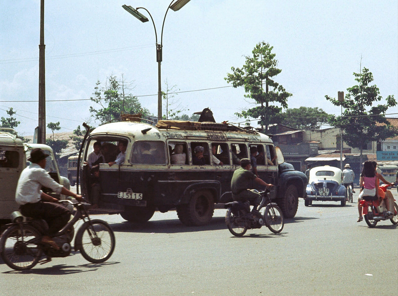
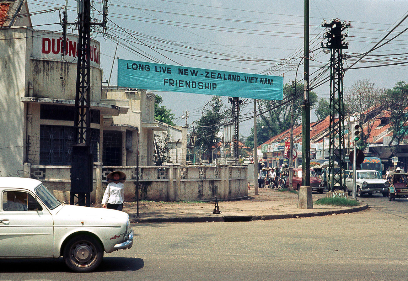

Le Loi Avenue was broad enough to accommodate both vehicle traffic and the sidewalk commerce that defined the street’s character. Trees provided shade, and the avenue retained much of its French-era layout even as the buildings along it changed with the times.
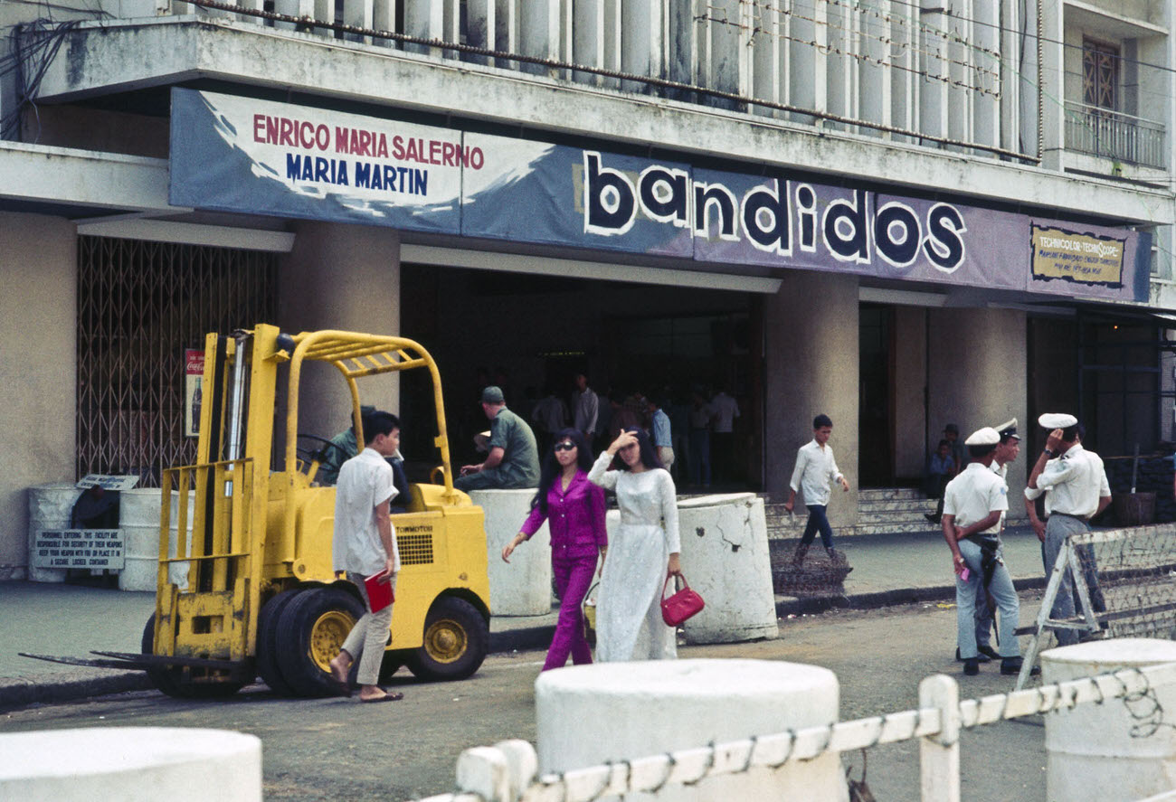
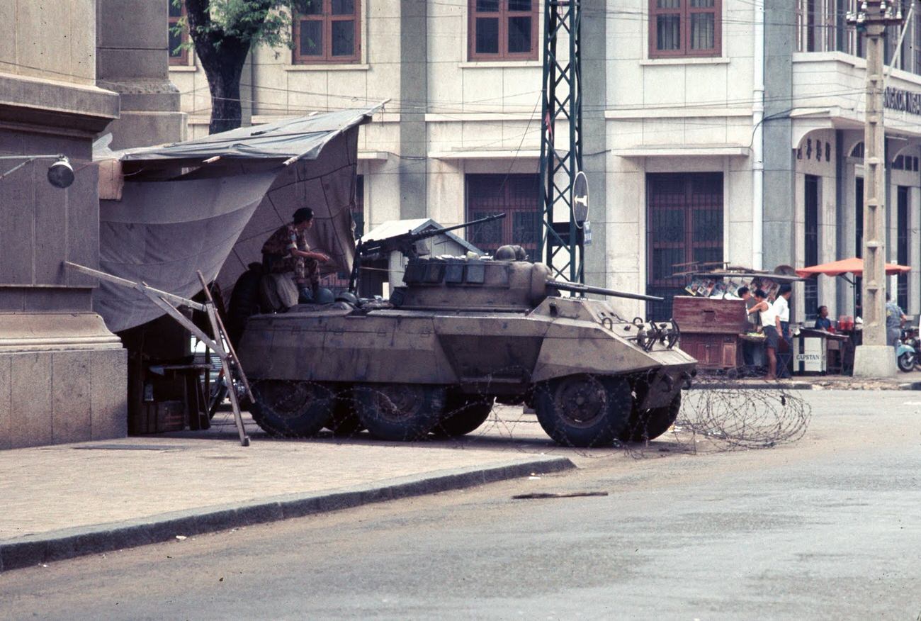
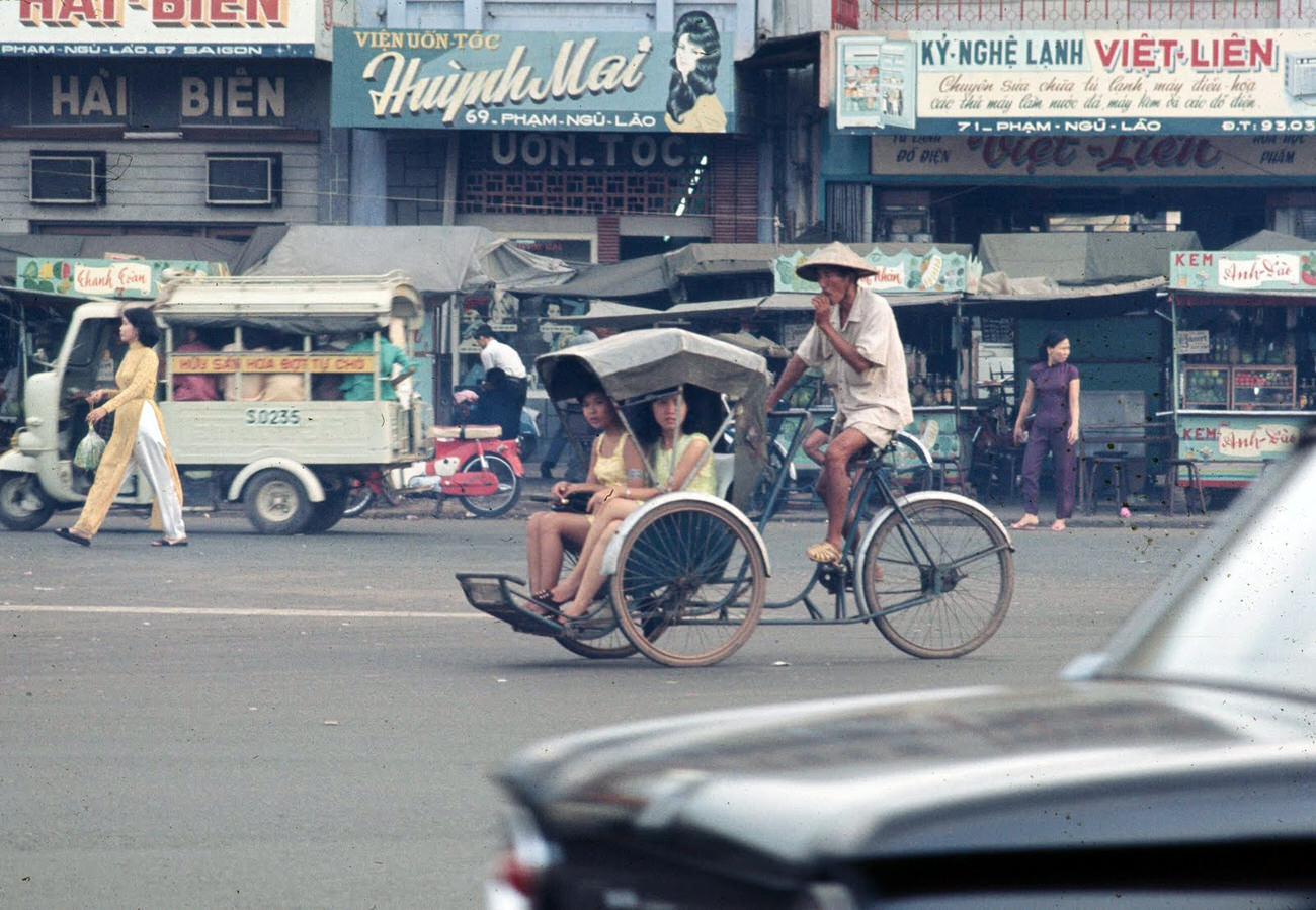
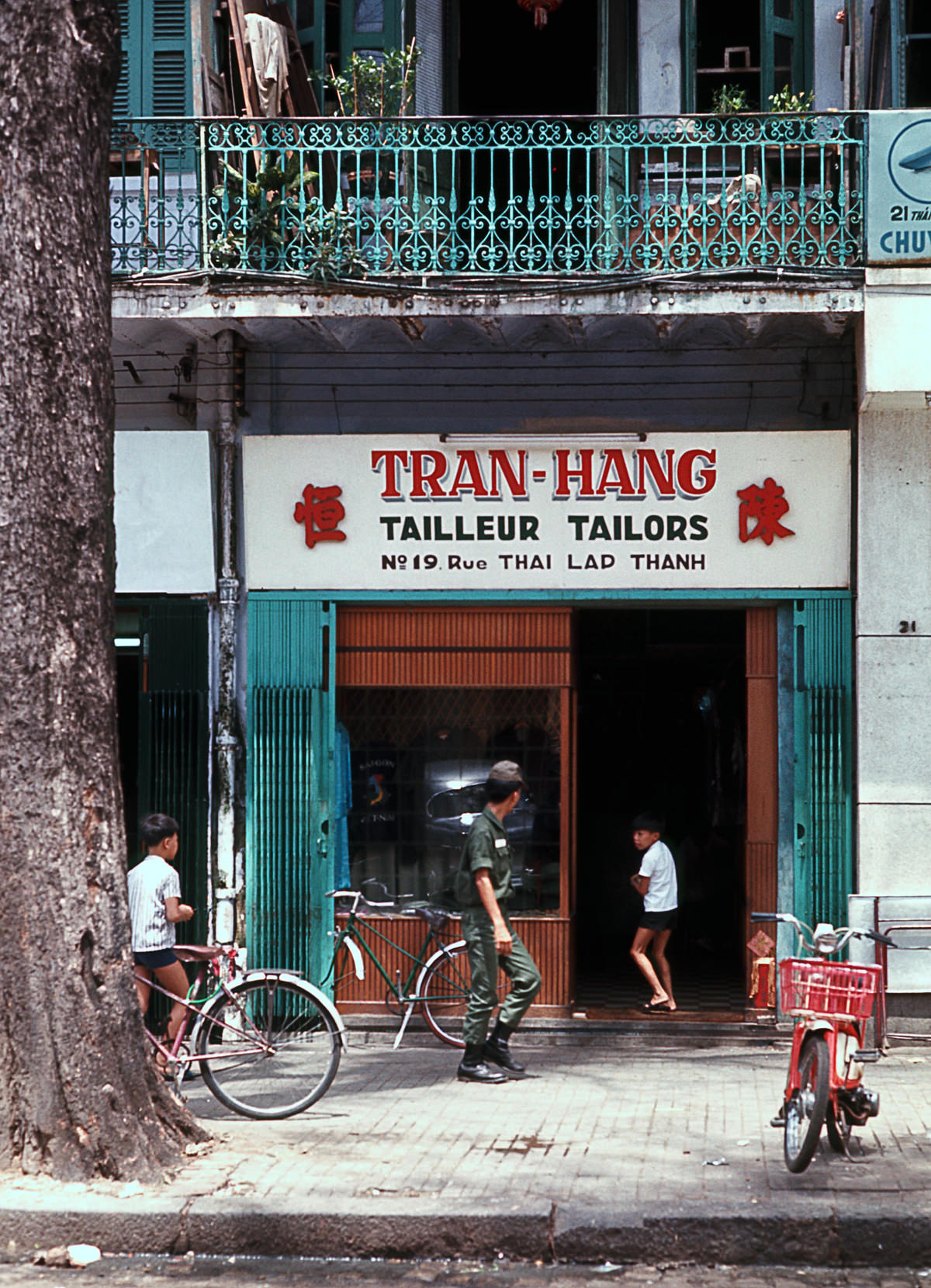
Le Van Duyet Street passed through residential areas where families lived in close quarters. Schools, tailors, small shops, and temples occupied the same blocks, reflecting how tightly all aspects of daily life were packed into Saigon’s neighborhoods.
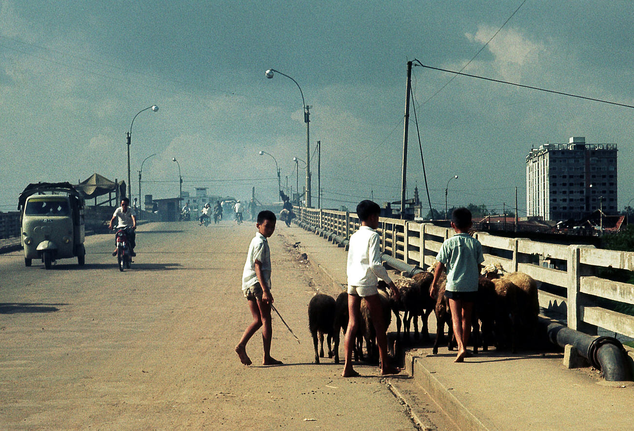
Cinemas stayed open in Saigon throughout 1968, drawing audiences despite the war. Just outside, National Field Police armored cars patrolled the streets. The contrast between a movie marquee and an armored vehicle parked nearby was a typical scene in the city that year.
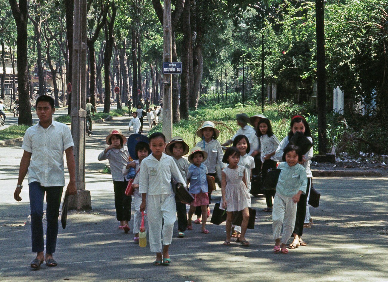
Education continued in Saigon’s schools despite the war. Nguyen Du School children attended packed classrooms, studying in a system that placed high value on academic achievement. After school, the same streets that children walked home on were shared with military trucks and police patrols.
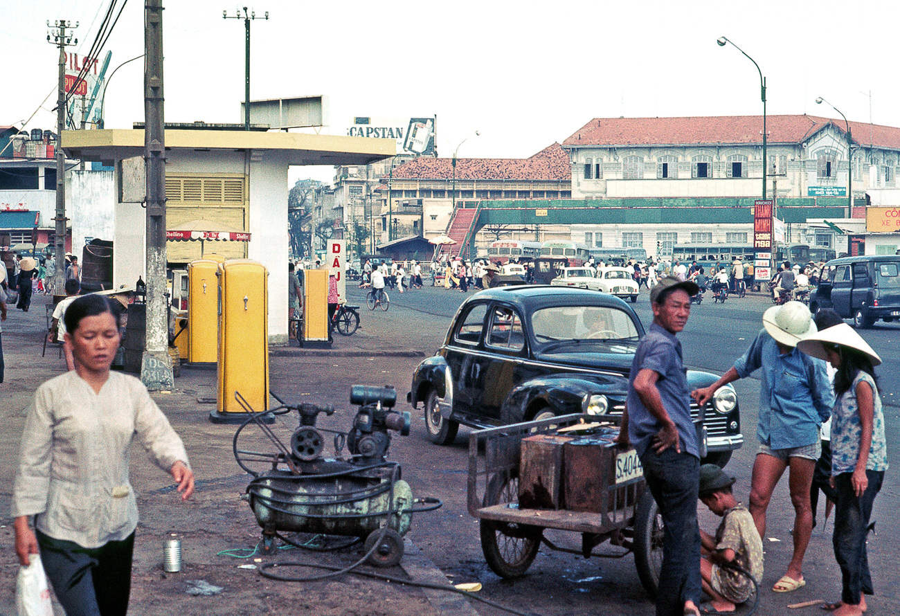
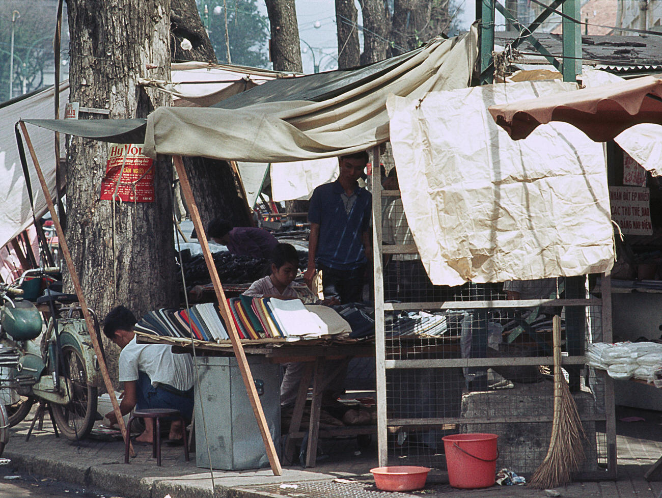
Street vendors competed for position along Le Loi, setting up wherever foot traffic was heaviest. They sold newspapers, clothing, food, and household goods. Some operated from fixed stalls while others moved through the crowds with goods balanced on shoulder poles or loaded onto bicycles.
Tran Hung Dao Street, named after the 13th-century Vietnamese military leader, was one of the city’s main southern arteries. Hotel rooftop views like those from the Walling showed how this street connected the commercial core to the wider urban sprawl beyond.
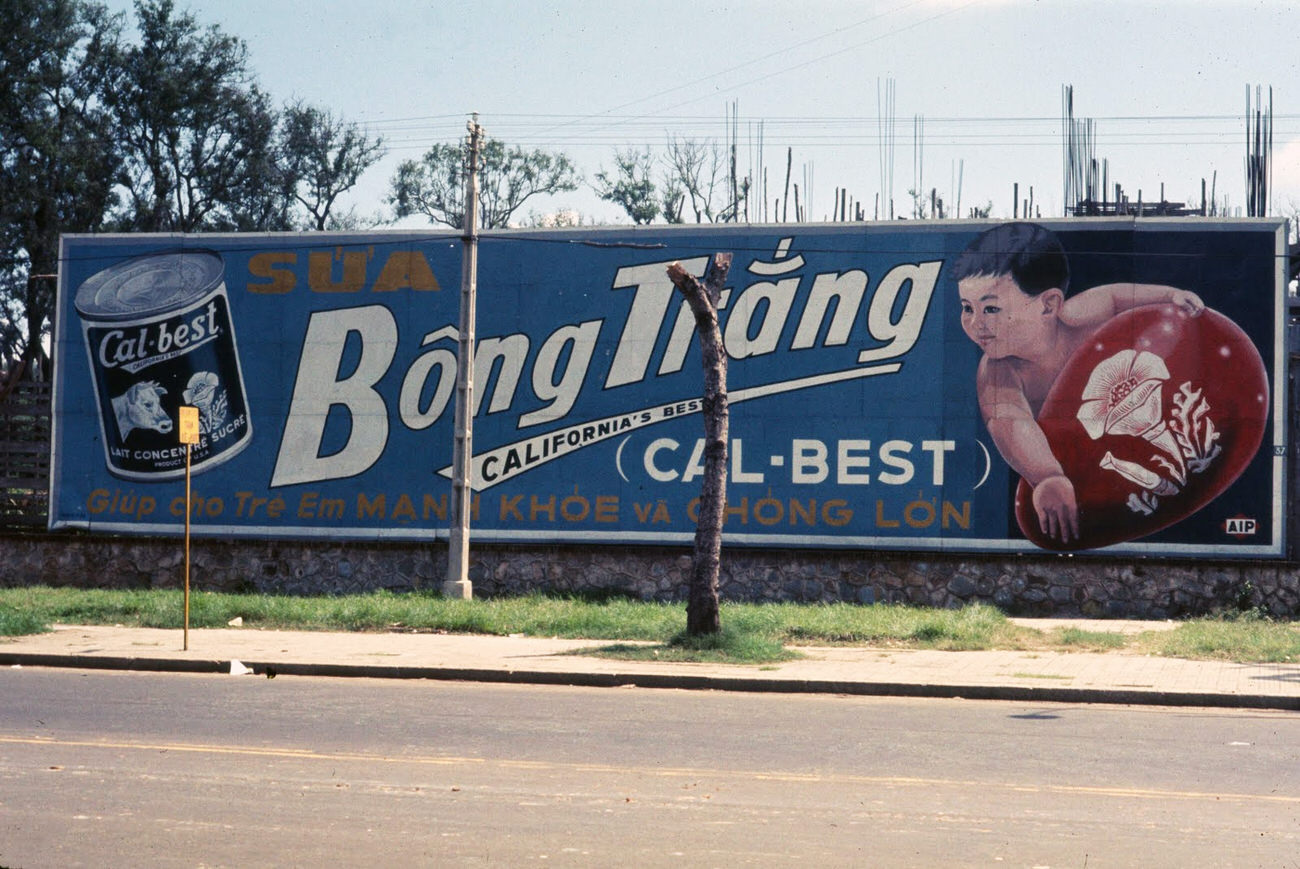
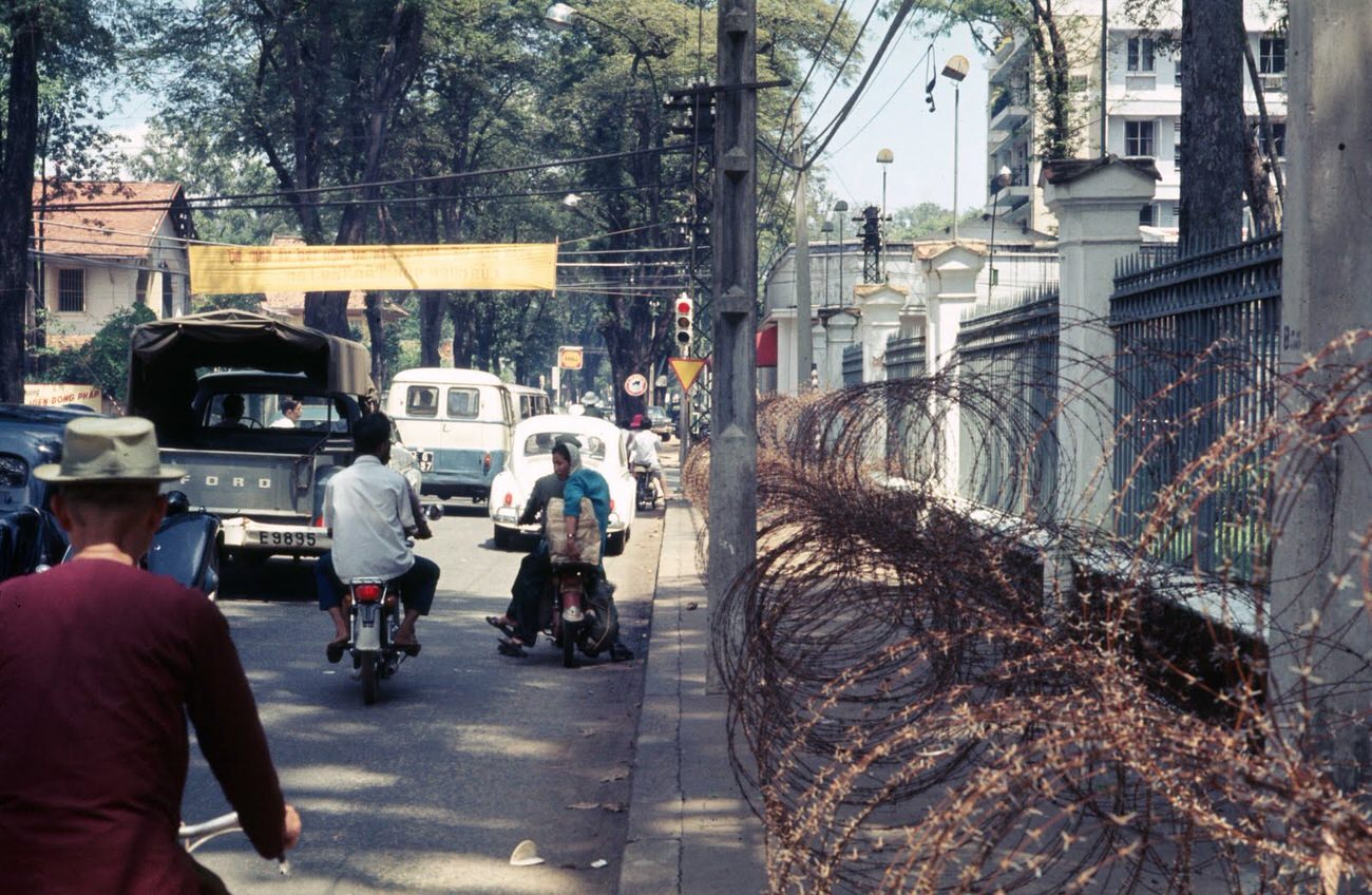
The American Embassy was one of the most heavily guarded buildings in Saigon — and one of the most attacked during the Tet Offensive, when Viet Cong fighters breached its compound walls in January 1968. A Cal-Best commercial sign across the street stood as a strange counterpoint to the fortified compound behind it.
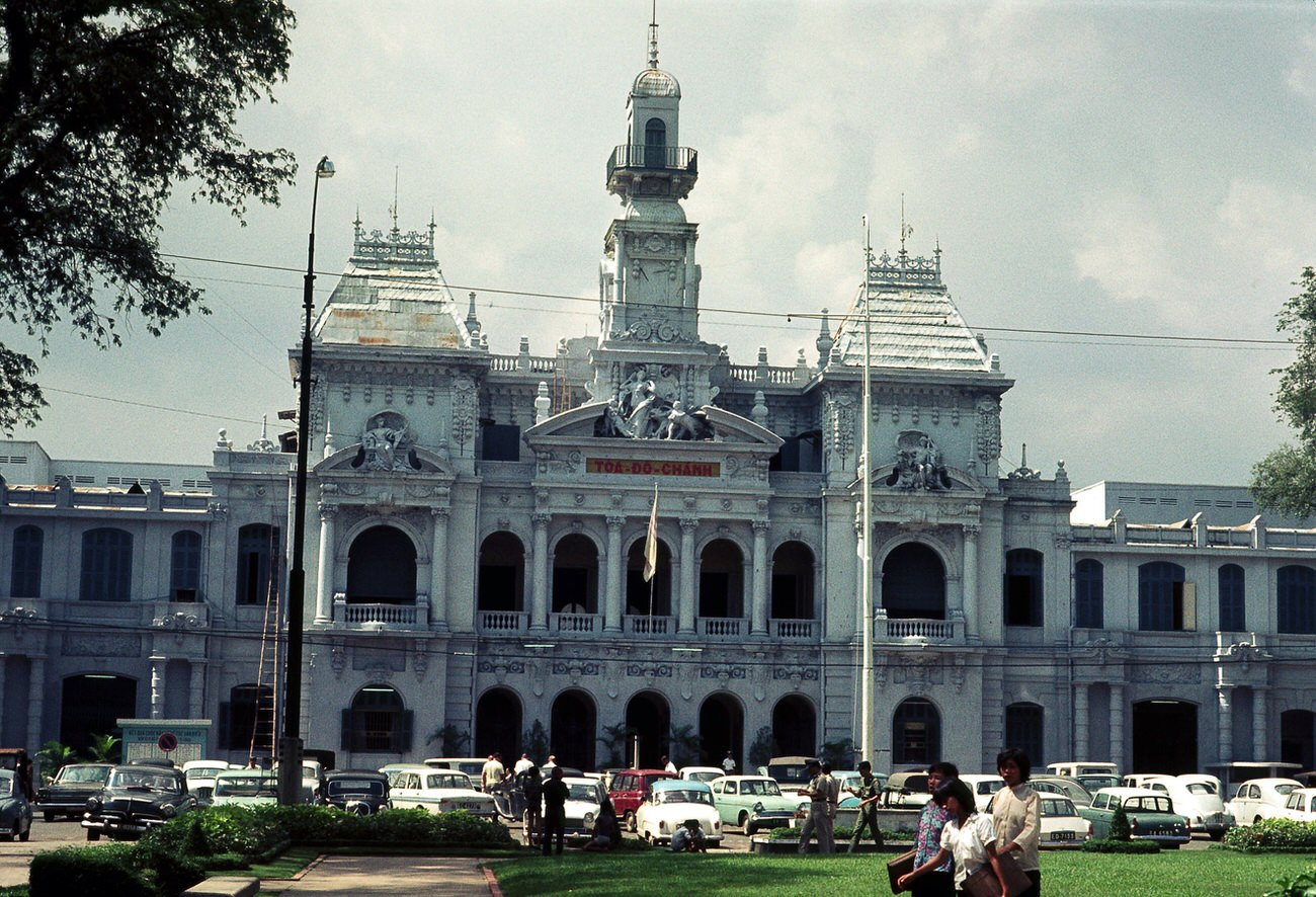
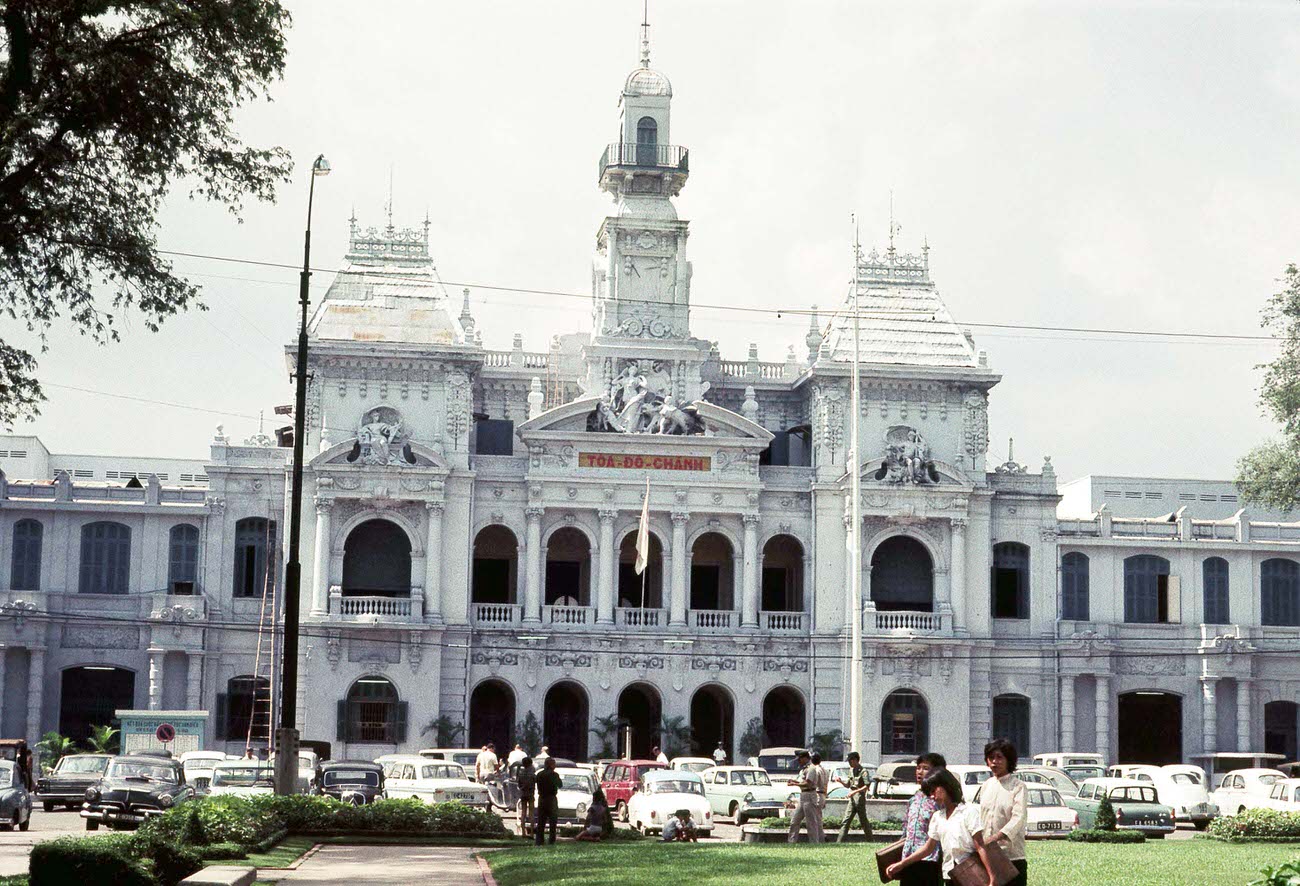
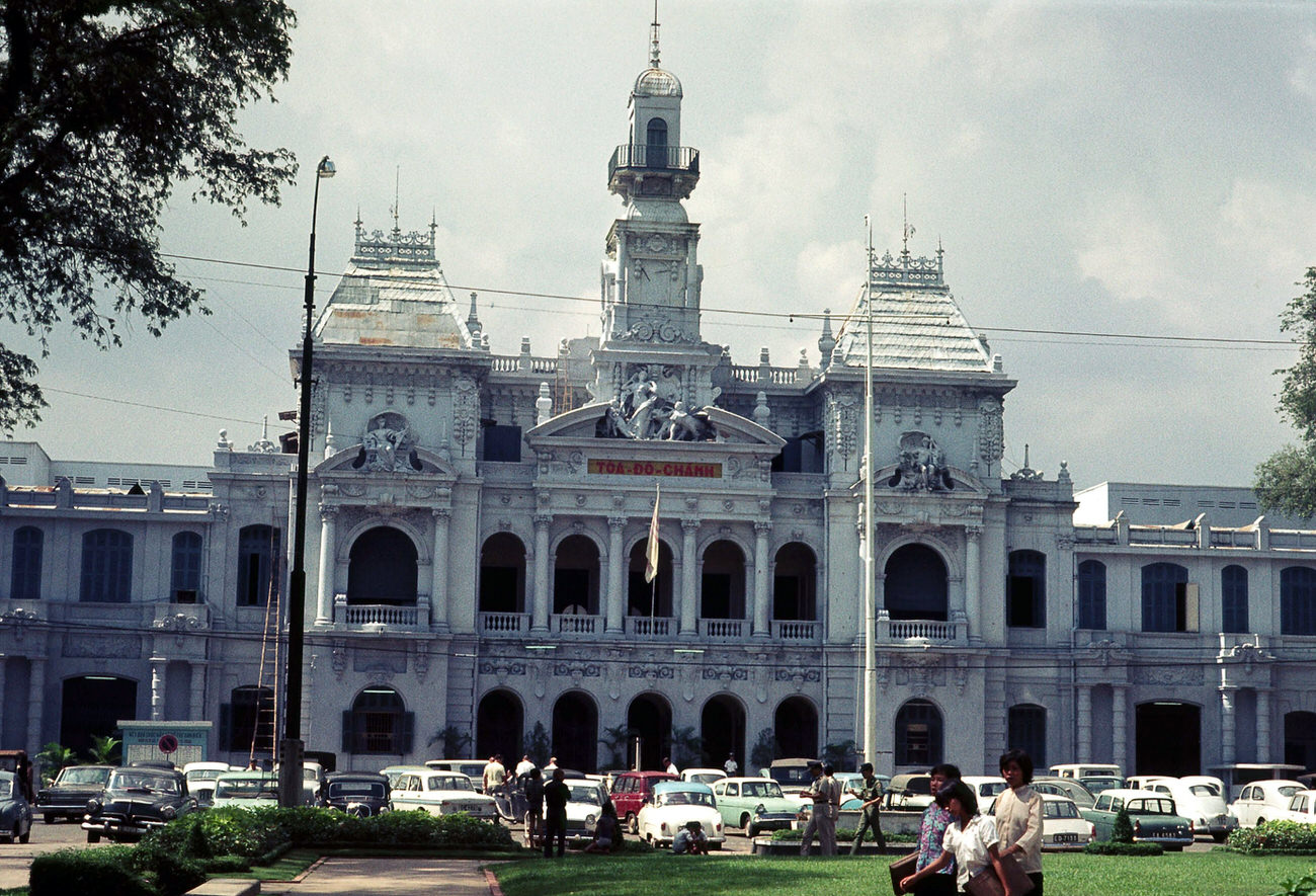
Saigon City Hall — a grand French colonial building completed in 1909 — remained a central landmark in 1968. Its ornate facade faced the upper end of Nguyen Hue Street, and it continued to function as the seat of municipal government throughout the war.
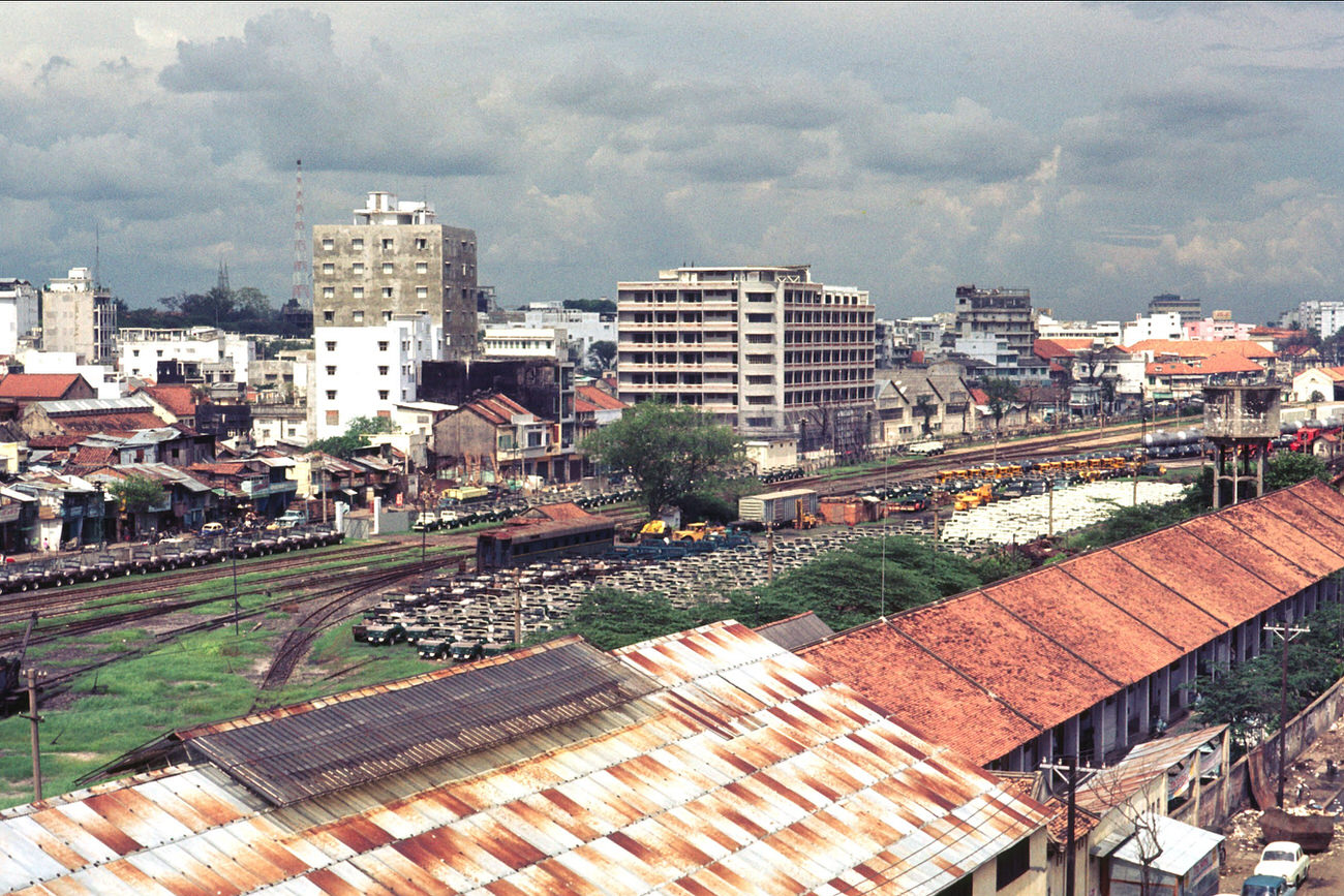
The rail yards visible from above showed the scale of Saigon’s logistical operations. Trains carried supplies, troops, and goods through a network that was constantly under threat from sabotage and attack, yet continued to operate as a critical artery for the South Vietnamese war effort.
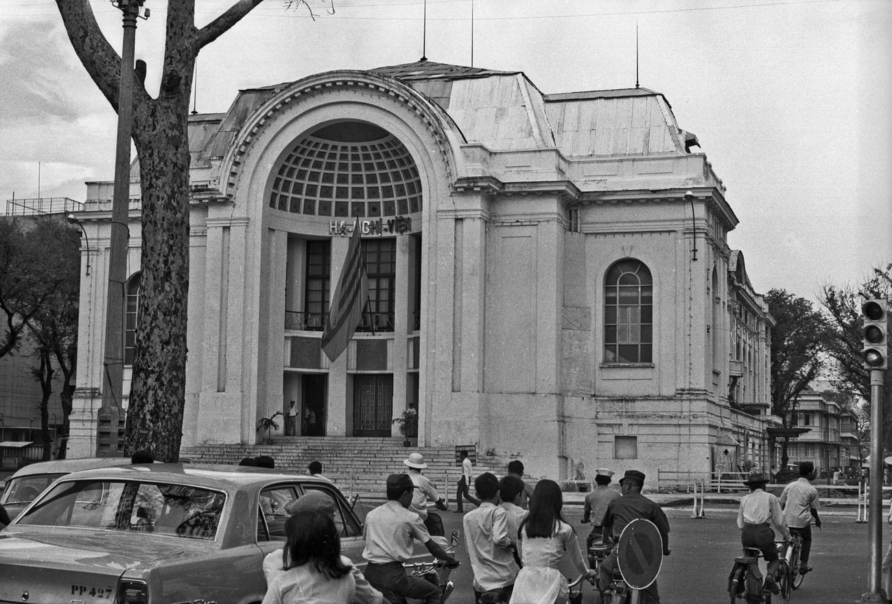
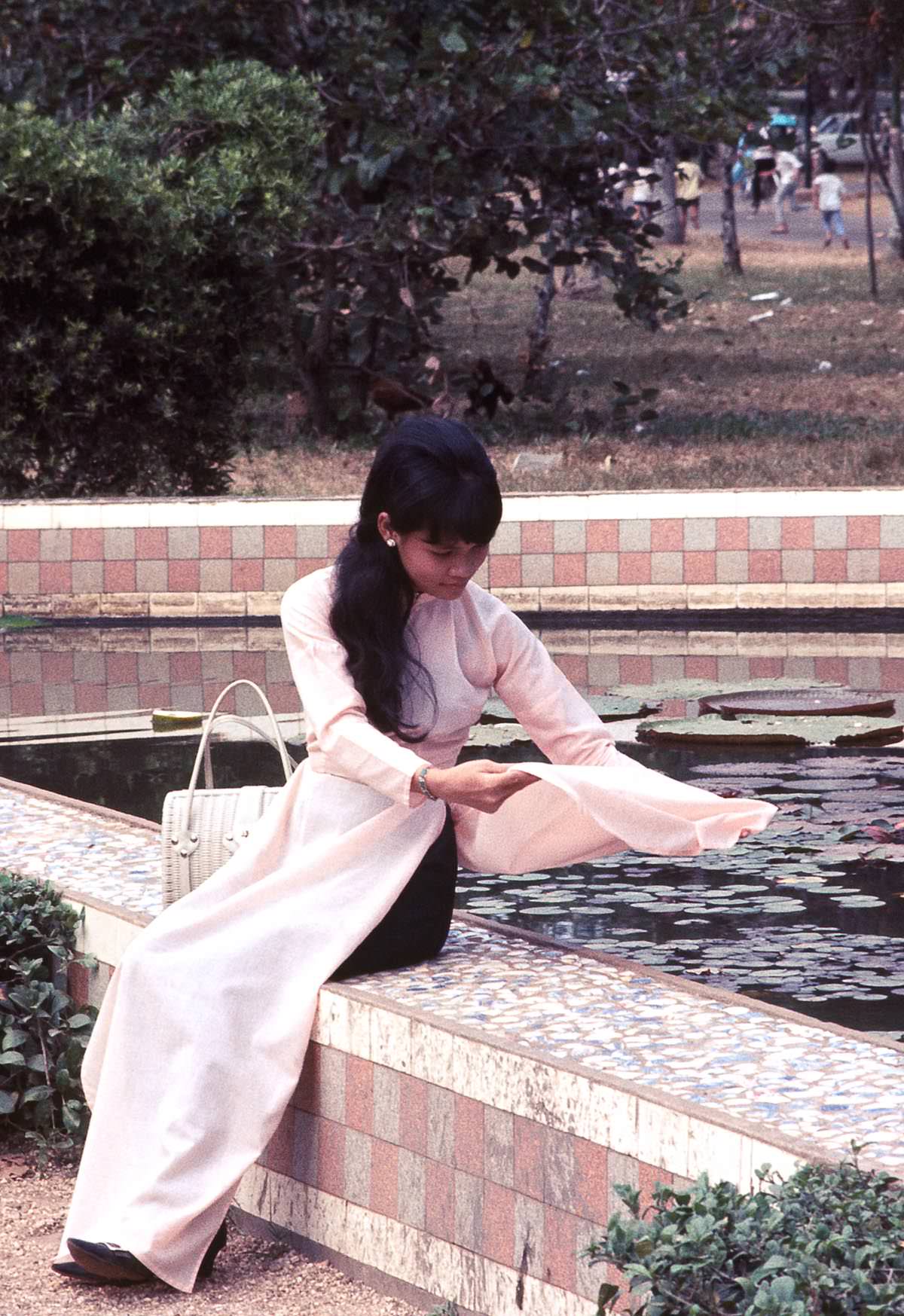
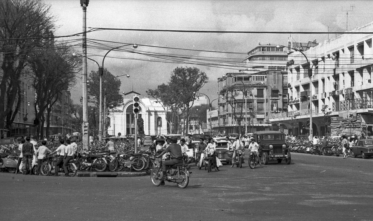
The Saigon Opera House — another French colonial landmark — served as the home of the National Assembly in 1968 rather than as a performance venue. The zoo nearby drew families throughout the year. Together, these spaces show a city that maintained its public institutions and social fabric even as the war pressed in from all sides.




