Hey There! Before You Go. 😧
Get the best vintage content straight into your inbox!

Don't worry, we don't spam

What Mỹ Tho, Vietnam looked like in the 1960s

Mỹ Tho sits at the northern edge of Vietnam’s Mekong River Delta, a flat, river-laced region in the south of the country. For centuries, the city served as the main gateway into the delta, and by the 1600s it had grown into one of the most important trading centers in what is now southern Vietnam. Its position along the river made it a commercial hub that attracted merchants and migrants from across the region.

My Tho contrasts
My Tho contrasts

When France launched its military campaign in Vietnam during the 1860s, Mỹ Tho was a primary target. French forces captured the city in 1862, a victory that effectively sealed French control over Cochinchina — the southern region of Vietnam. That capture opened nearly a century of French colonial rule. Under colonization, the local economy grew steadily, pulling in more immigrants and deepening the city’s role as a commercial center. During World War II, the French Vichy government used Mỹ Tho to intern foreign nationals. In May 1945, Japanese forces seized those camps ahead of an expected Allied assault, and the internees remained confined until the war ended.

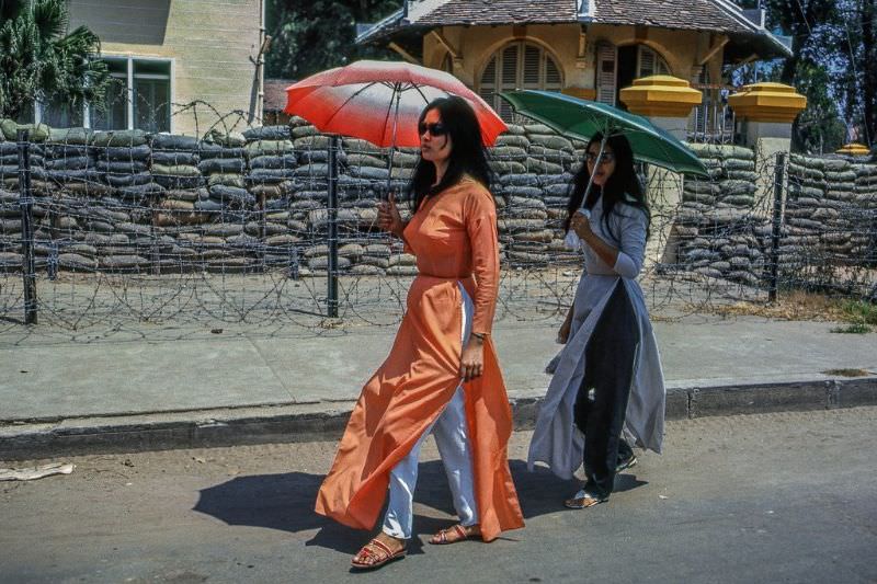
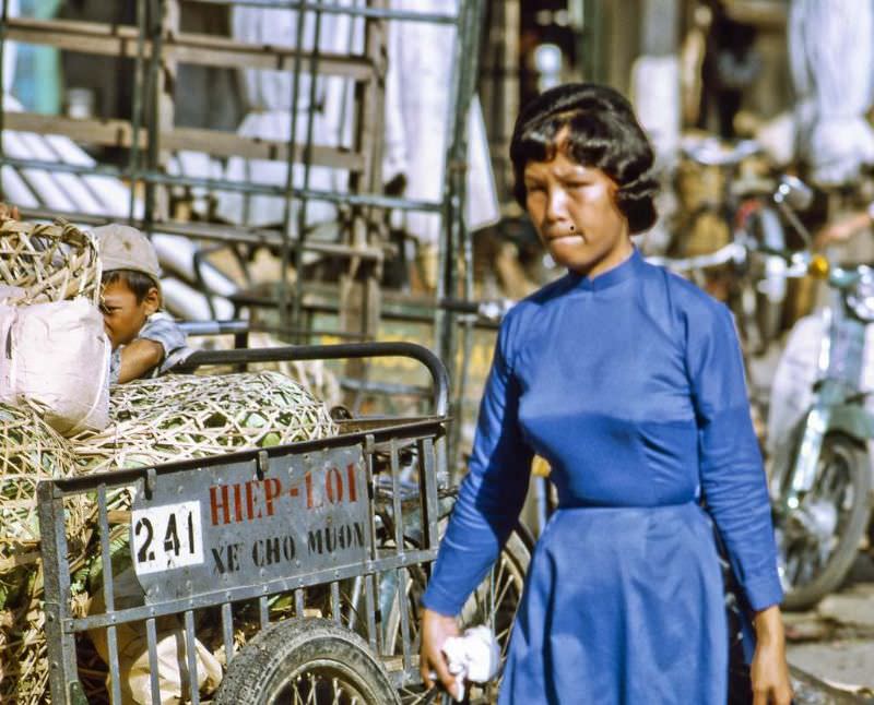
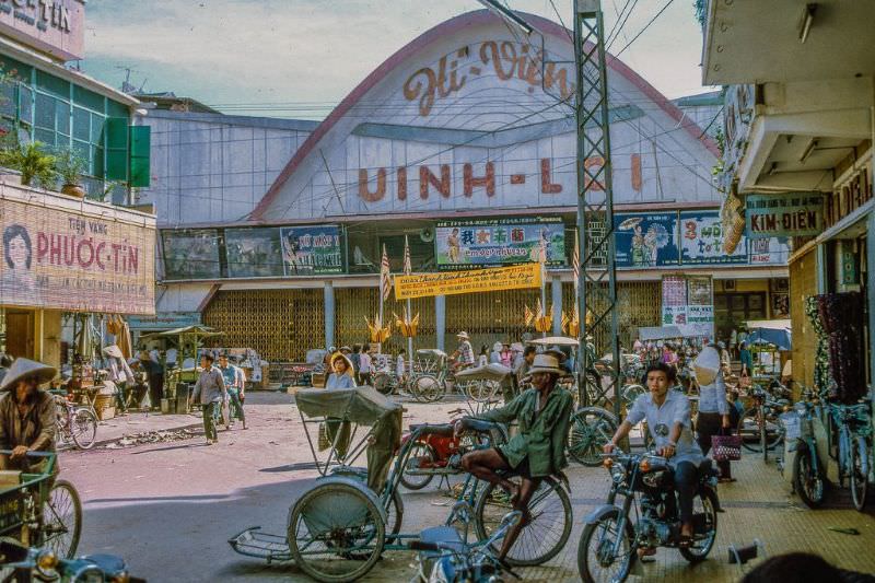
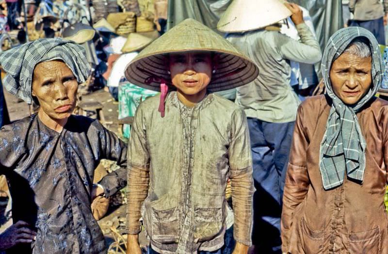
By the 1960s, Mỹ Tho was a city of sharp contrasts — a war ongoing to the north and west, but daily life pressing forward in the markets, along the riverfront, and in the streets. These photographs capture that reality.

My Tho's downtown market
My Tho’s downtown market

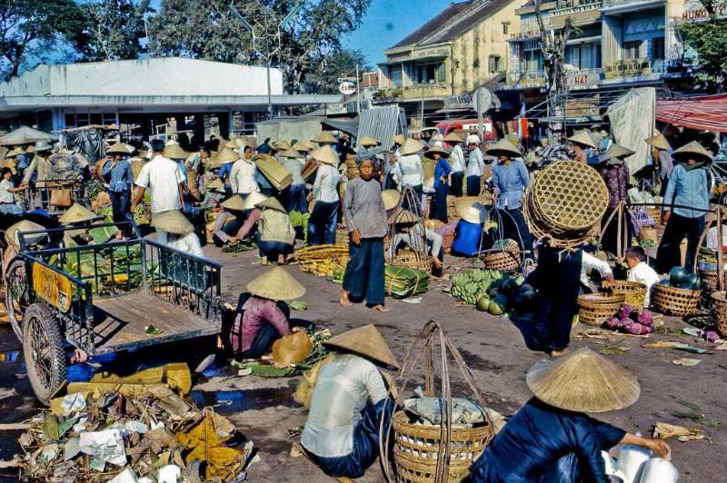
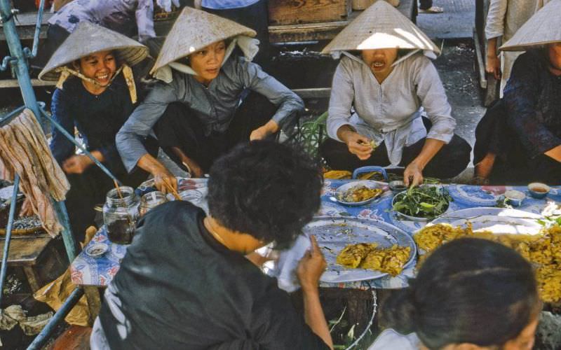
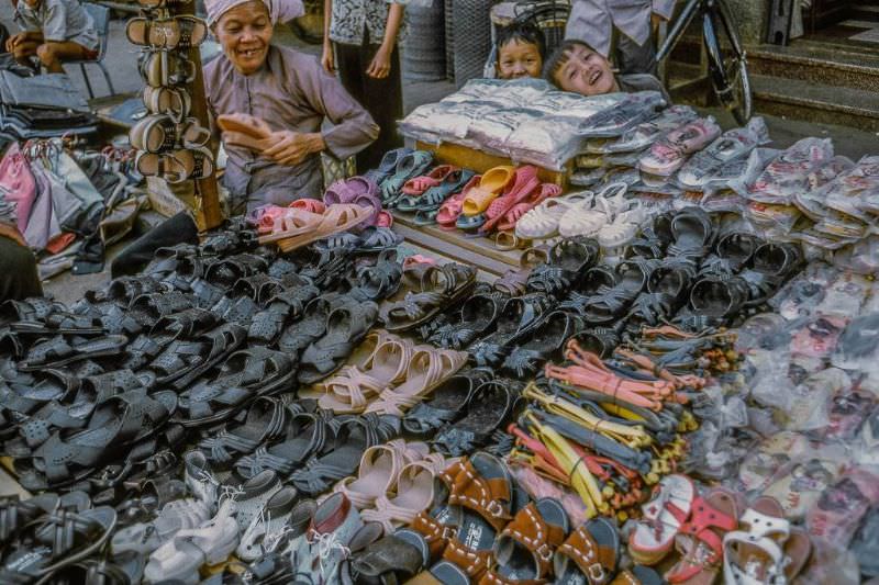
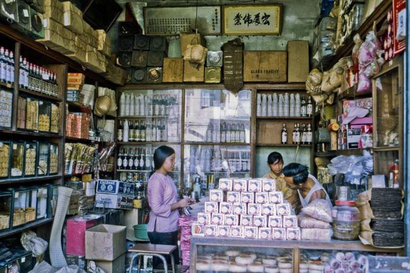
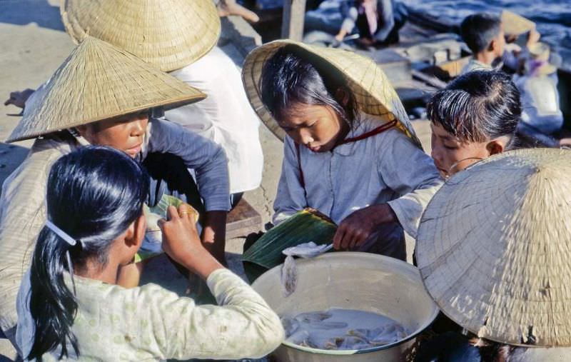
The downtown market was the beating heart of the city. Vendors packed its stalls with produce, fish, dry goods, and prepared food. The market drew crowds from early morning through midday, with shoppers moving through narrow lanes between sellers calling out their prices.

My Tho's downtown market
My Tho’s downtown market
My Tho's market
My Tho’s market
Busy with mid-day shoppers at the My Tho market
My Tho's market
My Tho’s market

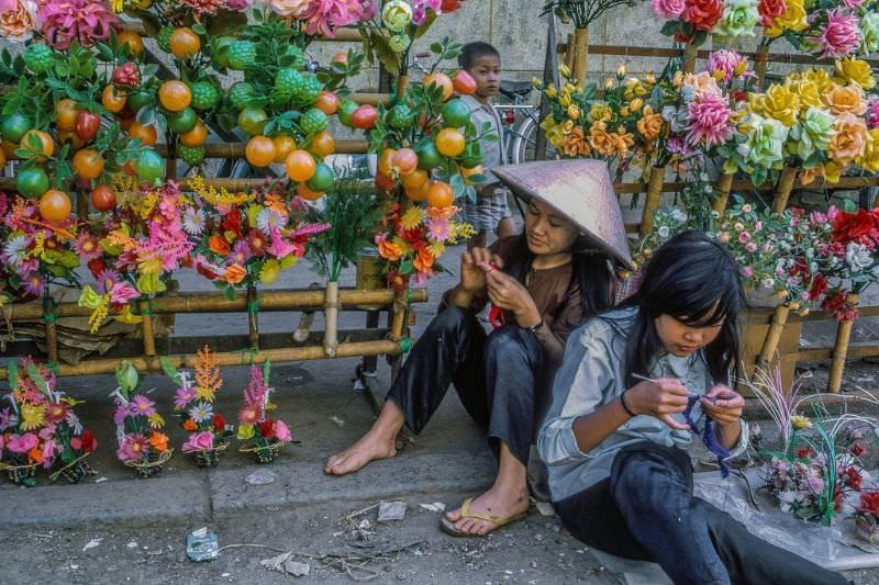
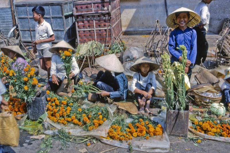
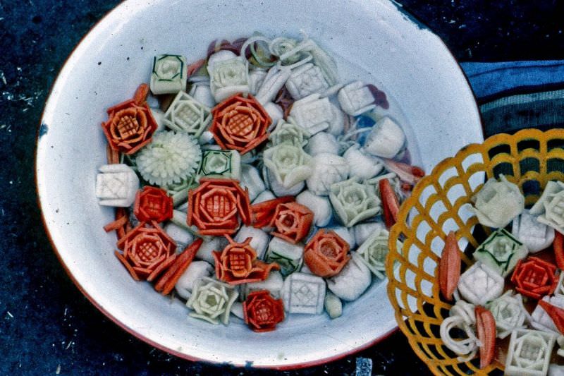
As Tết — the Vietnamese lunar new year — approached, the market took on a festive character. Vendors set up displays of marigolds and ornamental vegetables, both central to Tết traditions. Marigolds, with their bright yellow and orange blooms, were used for altar offerings and home decoration. Decorative vegetables were arranged as symbols of prosperity for the coming year.

Marigolds for Tet
Marigolds for Tet
Decorative vegies for Tet

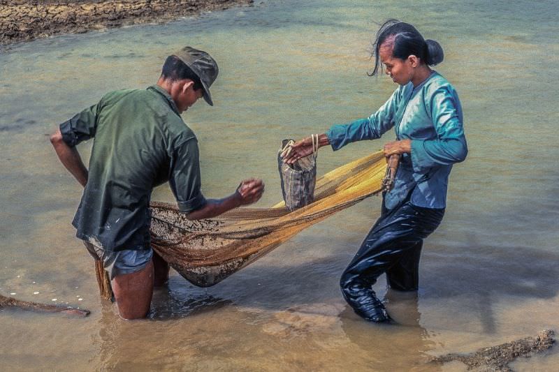
Outside the city, life continued under the shadow of the conflict. Near the Binh Duc airstrip west of Mỹ Tho, an ARVN soldier and his wife worked the shallow, rain-fed ponds left drying by the season — gleaning the last remaining fish from the receding water. It was a practical, everyday act of survival in a wartime landscape.

ARVN soldier and his wife gleening the last fish from the drying rain ponds by the Binh Duc air strip west of My Tho

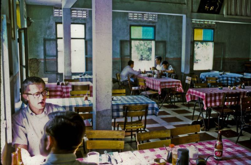
Back in the city, restaurants like the Cuu Long offered a place to sit and eat along the riverfront. The name itself — Cuu Long — is the Vietnamese word for the Mekong River, meaning “Nine Dragons,” a reference to the nine tributaries through which the river empties into the sea.

Cuu Long Restaurant
Cuu Long Restaurant

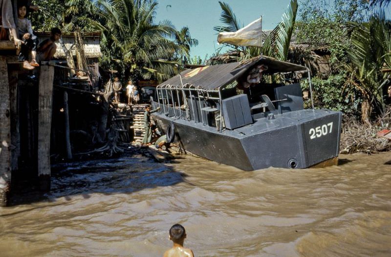
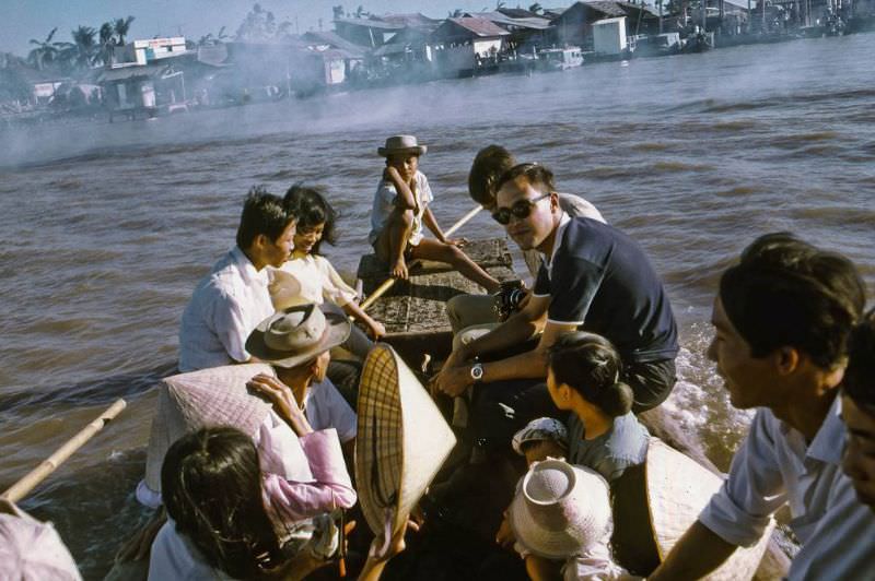
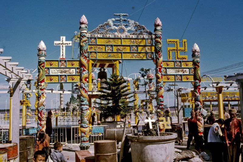
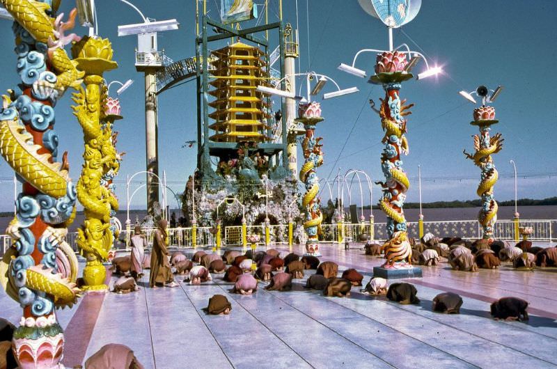
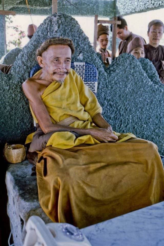
A short distance from Mỹ Tho, in the middle of the Mekong, lay the island compound of the Coconut Monk — a Vietnamese religious figure named Nguyễn Thành Nam, who had studied in France before returning to Vietnam and founding his own spiritual movement. He lived on a floating platform refuge anchored near the island, where devotees gathered for services and visitors arrived by water taxi from both sides of the river. South Vietnamese military boats patrolled the surrounding waters.

South Vietnamese war boat on the south shore of the Coconut Monks island
Stern view of water taxi approaching Kien Hoa Province from Coconut Monk's island
Stern view of water taxi approaching Kien Hoa Province from Coconut Monk’s island
The entrance to the Coconut Monk's complex and "floating" refuge
The entrance to the Coconut Monk’s complex and “floating” refuge
Coconut Monk devotees holding services on the "floating" platform
Coconut Monk devotees holding services on the “floating” platform
Vietnam's Coconut Monk in his tower at the east end of his "floating" platform refuge
Vietnam’s Coconut Monk in his tower at the east end of his “floating” platform refuge
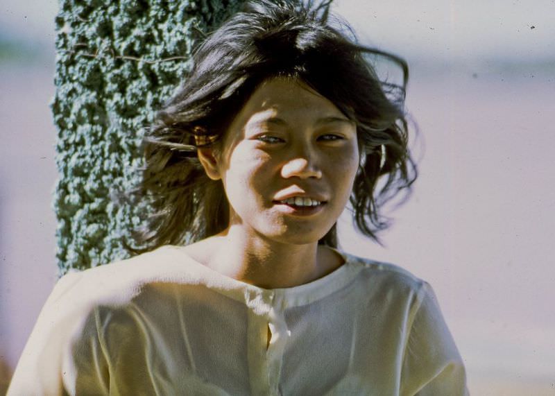
Young visitor to Coconut Monk

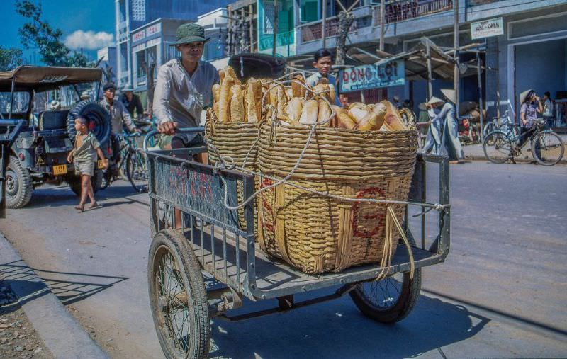
Back on the mainland, the eastern side of Mỹ Tho had its own active commercial district. Shopfronts lined the streets, and vendors sold produce, goods, and food to a steady flow of foot traffic. French colonial rule had left a visible mark on the city’s food culture — long baguette-style loaves of French bread were a common sight, sold in quantity by street vendors and baked locally every day.

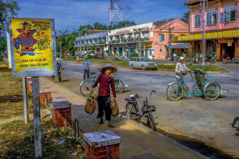
Shopping district in eastern My Tho
In My Tho's eastside commercial district
In My Tho’s eastside commercial district
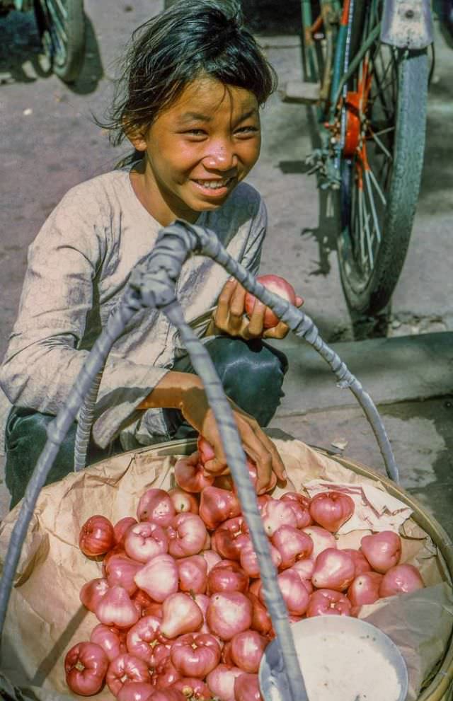
3 My Tho produce vendors
A reminent from the French colonial days, the long loaves of french bread were plentiful in My Tho

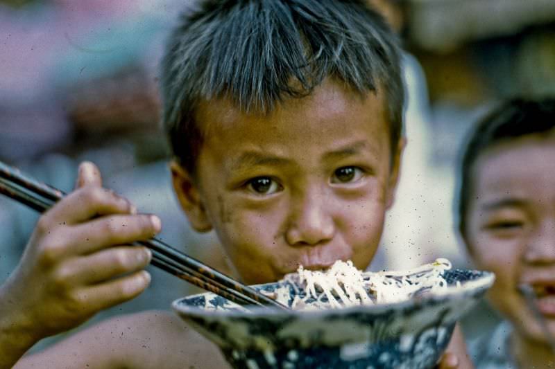
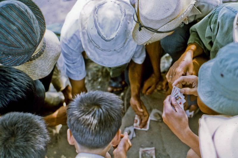
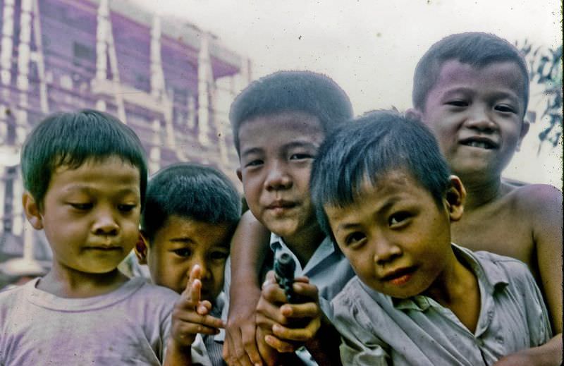
Street food was central to daily life. Noodle dishes were eaten quickly and cheaply at outdoor stalls, while card games filled the midday lull when the heat settled over the city and business slowed. Children ran through the streets freely, and small groups gathered in shaded spots to pass the time.

Noodle gobbler
Noodle gobbler
Local men take a mid-day break for a little card game
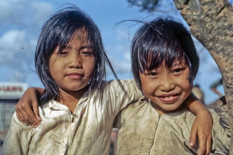
Street brats
Street brats
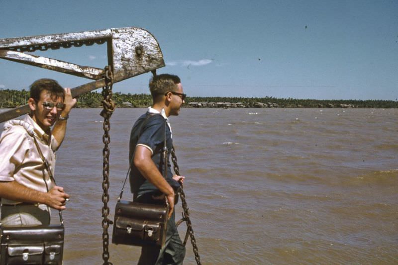
Intel staff from Saigon

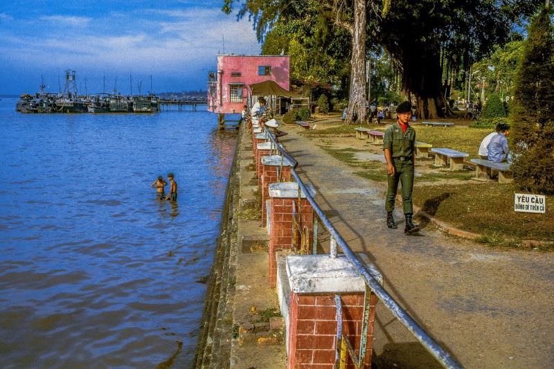
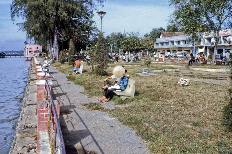
At the southeastern corner of the city, a public park ran along the bank of the Mekong River. It was one of the most recognizable spots in Mỹ Tho — a wide, open space where the city met the water. Children played near the riverbank, boats moved across the wide channel, and residents used the park as a place to gather and rest.

The public park fronting on the Mekong River at the southeast corner of My Tho
At the southeast corner of My Tho where it fronts on the Mekong River
River front kids
River front kids
At the southeast corner of My Tho where it fronts on the Mekong River

The Mekong itself was not just a backdrop — it was a working river. Boats of all sizes carried people, goods, and fish along its broad, brown surface. The river connected Mỹ Tho to the wider delta and to the provinces beyond, making it as important to daily movement as any road in the city.

In southeast My Tho by the Mekong River
In My Tho on the Mekong River
Enjoyed this post? Get new ones in your inbox.

Leave a Comment

Your email address will not be published. Required fields are marked *

Share this Post 🥺

Please take a moment to share this content. Your support is greatly appreciated! 🙌🙏

Share this Post 🥺

Please take a moment to share this content. Your support is greatly appreciated! 🙌🙏
Scroll to Top
 
Hey Friend, Before You Go.. Please like & follow for more interesting content