
In January 1910, Paris stopped being a city of streets and became a city of waterways. The Seine River, which winds through the heart of the French capital, had been building toward disaster since the end of 1909. Weeks of unusually heavy rainfall had already saturated the soil across the region. When January arrived, the river had nowhere left to go.
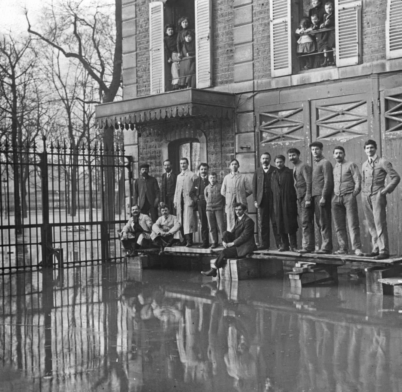
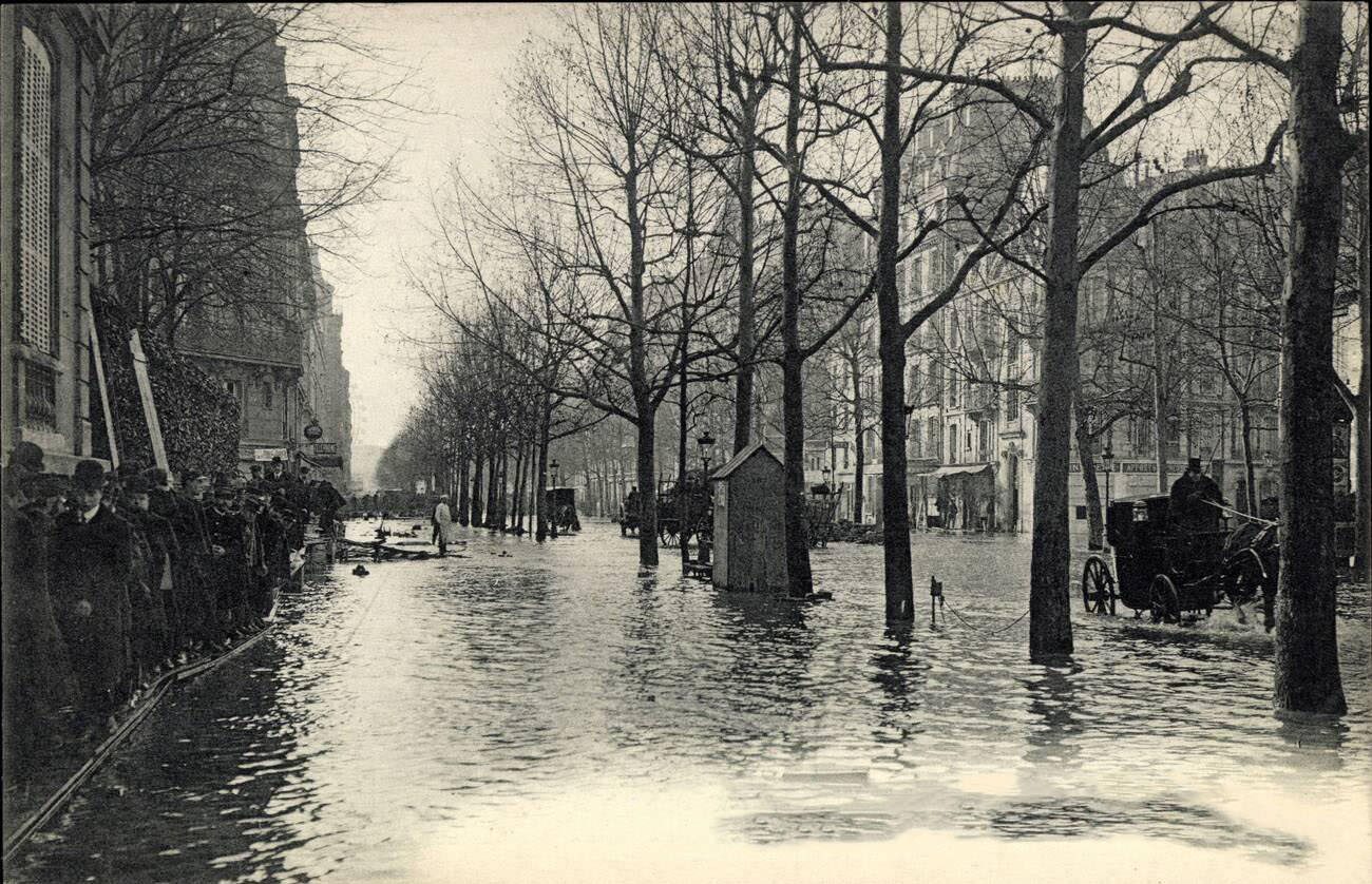
The Seine rose steadily, day after day, until it burst its banks entirely. At its peak, the water reached 8.62 meters above normal — nearly 20 feet higher than usual. Entire neighborhoods disappeared under a gray, slow-moving sheet of water. Streets that Parisians had walked every day became unrecognizable canals.
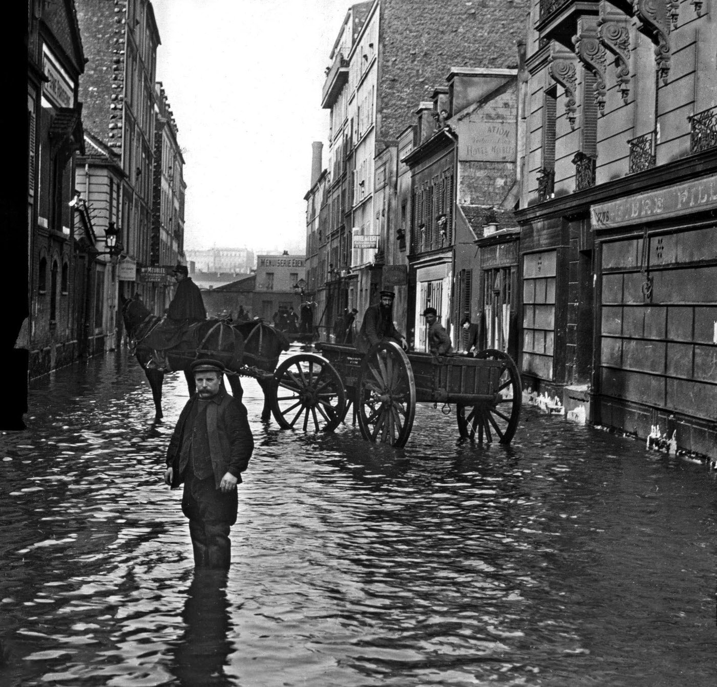
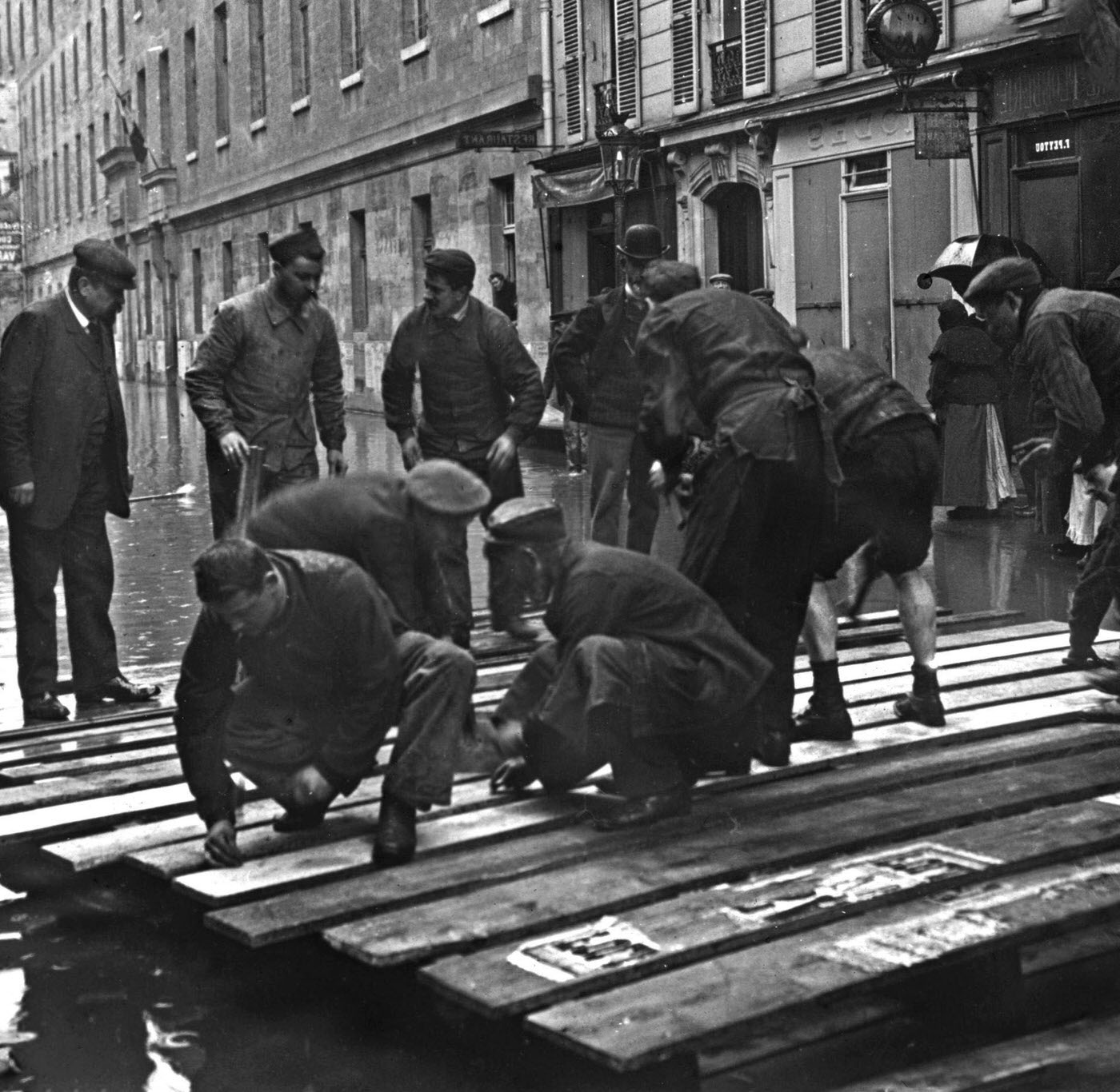
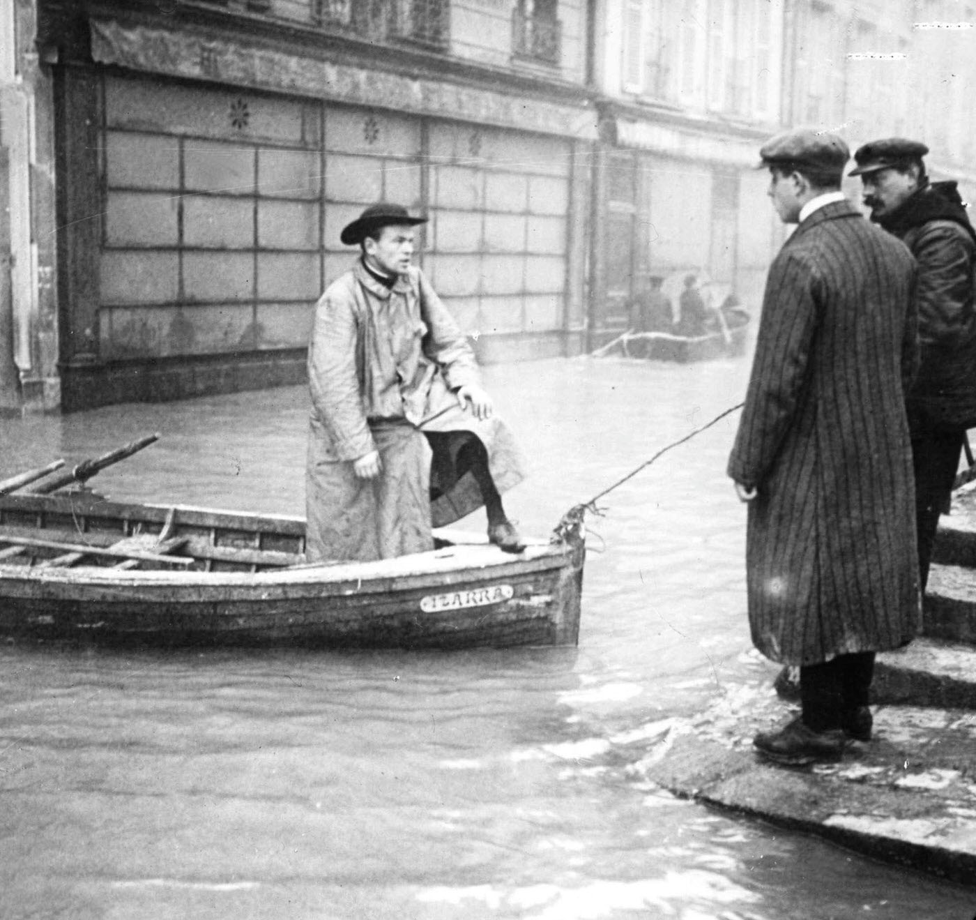
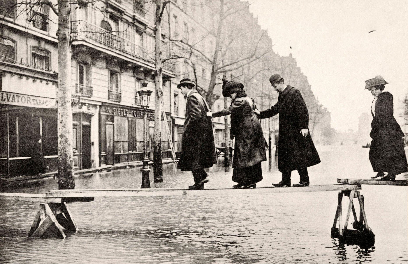
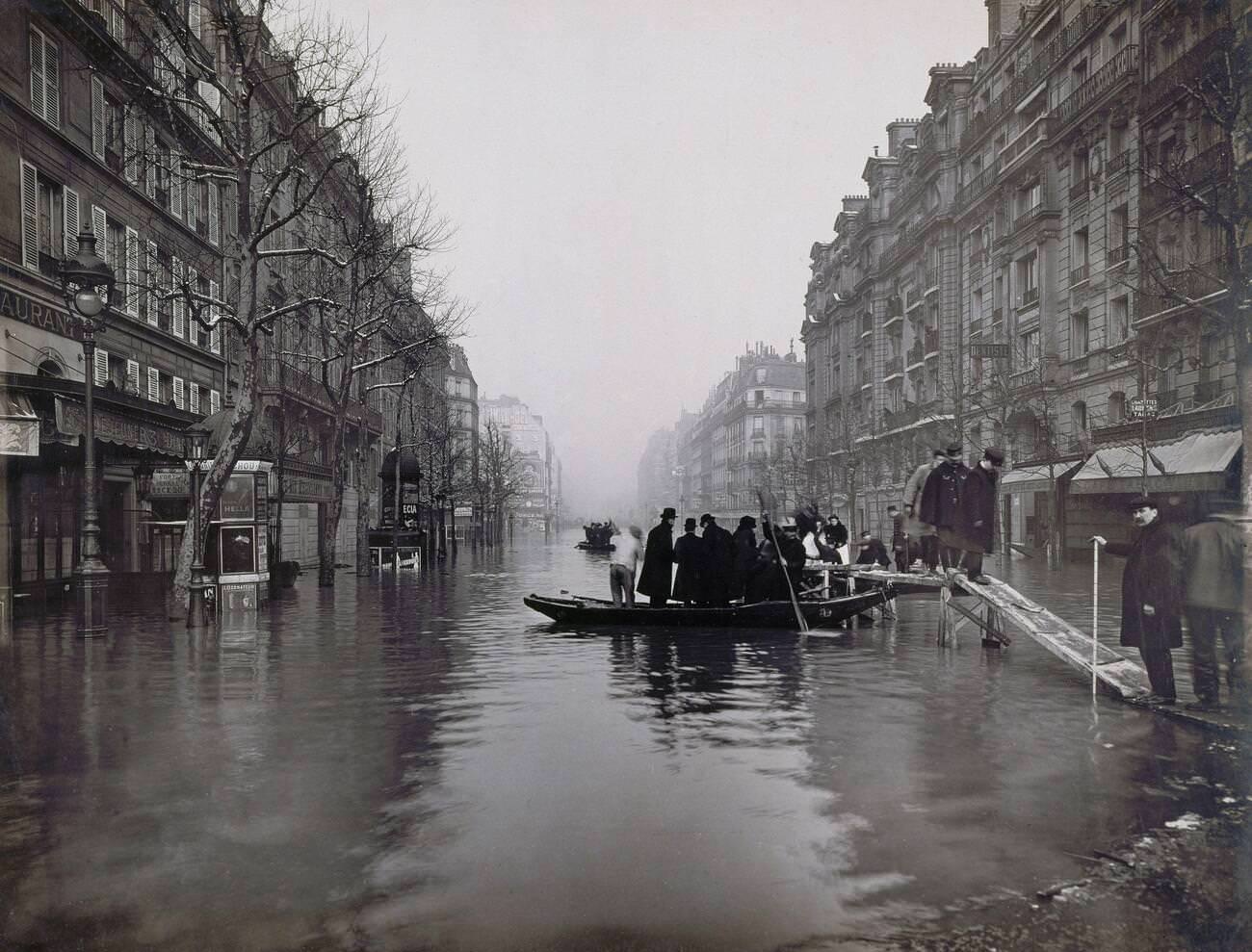
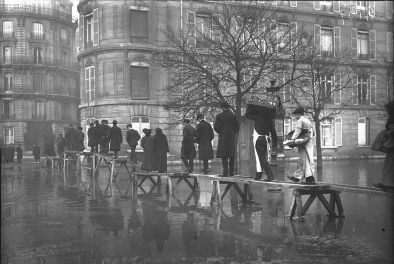
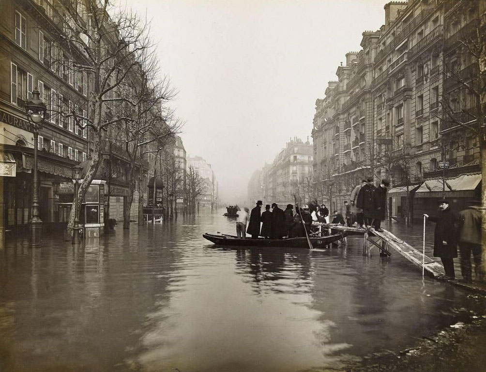
Getting around the city required a complete change in thinking. Horse-drawn carts were replaced by rowboats. Pedestrians balanced on makeshift wooden walkways and bridges thrown together from whatever materials were available. Neighbors helped each other through second-story windows. The flood did not strike overnight — it crept in gradually, giving most residents enough time to move valuables upward or evacuate.
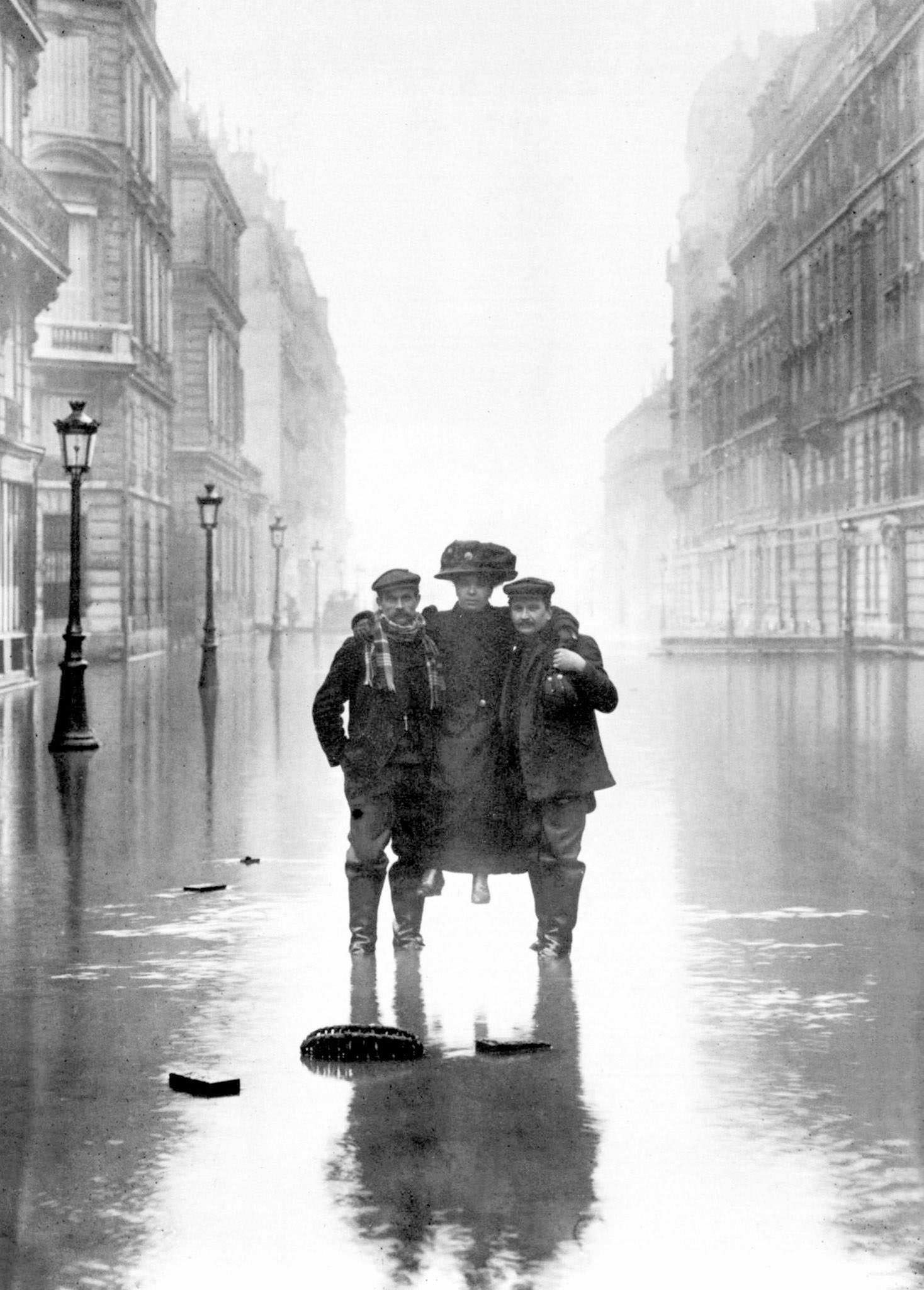
One of the most recognized symbols of the flood was a statue on the Alma Bridge — the Zouave, a carved soldier that Parisians had long used informally to gauge the river’s level. When the Seine rose high enough to reach the Zouave’s shoulders, the city knew the situation was critical. His submerged form became a daily reference point for how bad things had gotten, and the term “Les Zouaves” became shorthand for flood-watching in the weeks that followed.
The flood cut through the city’s infrastructure without mercy. Gas lines failed, leaving homes cold and dark. Electrical service was knocked out across wide sections of the city. Telephone lines went silent. Paris’s modern underground Metro system, which had only opened in 1900, flooded completely, shutting down tunnels that had been built just a decade earlier. The city that prided itself on being modern was suddenly operating like it had stepped back in time.
Cultural institutions were also threatened. At the Louvre Museum, staff and volunteers formed chains to move paintings, sculptures, and other works to higher floors and safer sections of the building. The effort was urgent and physically exhausting — thousands of objects needed to be relocated before the water reached them.
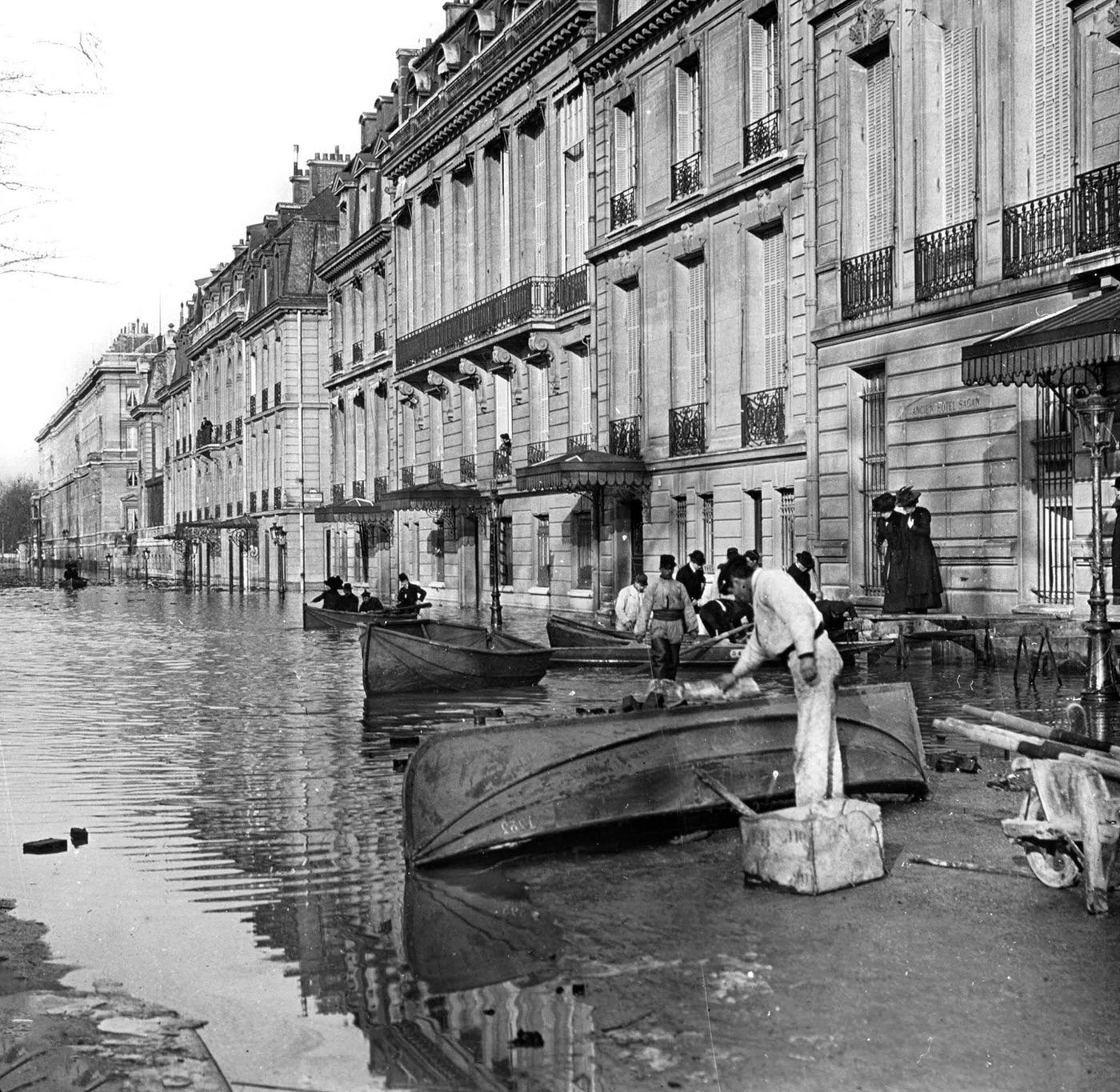
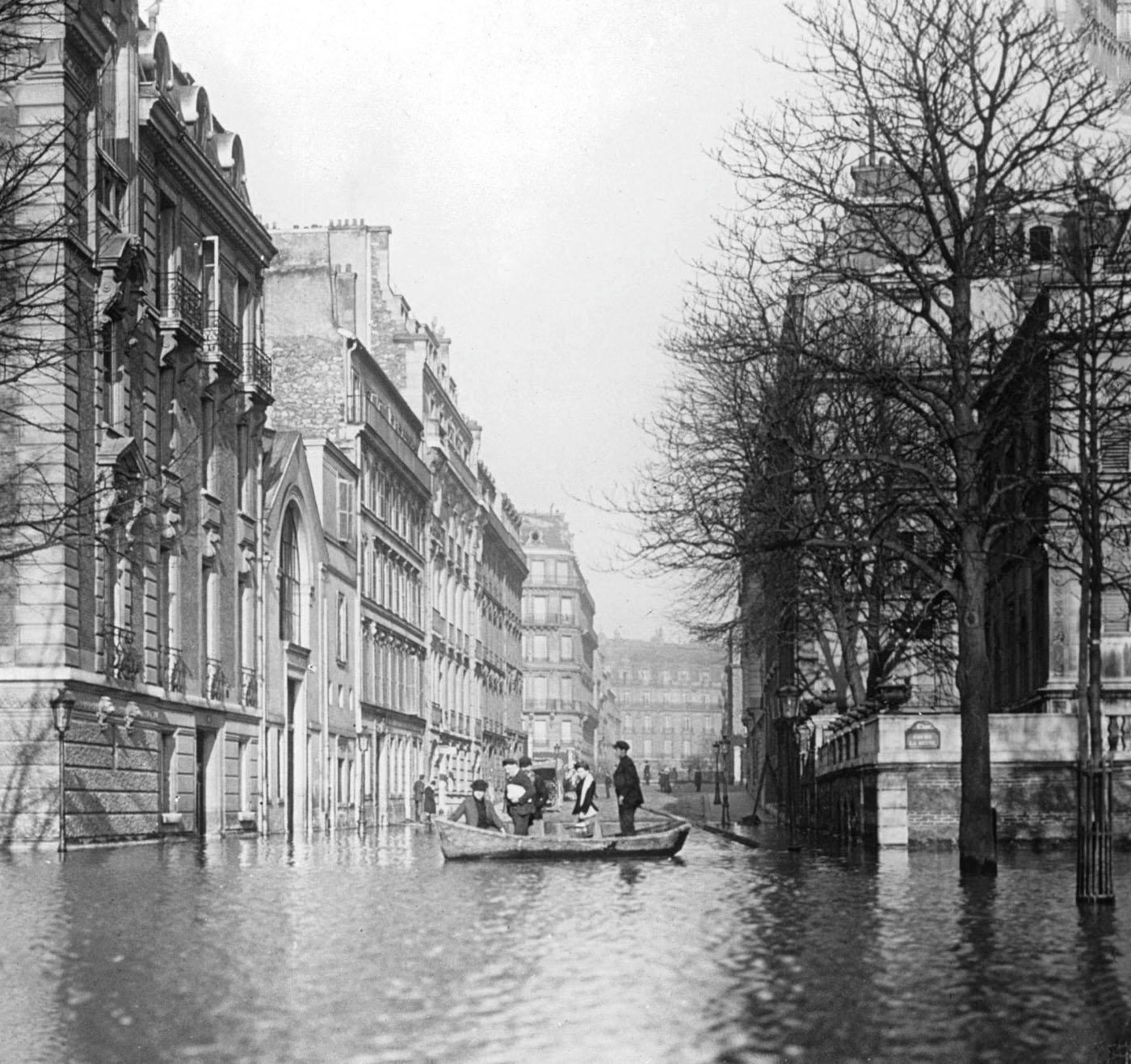
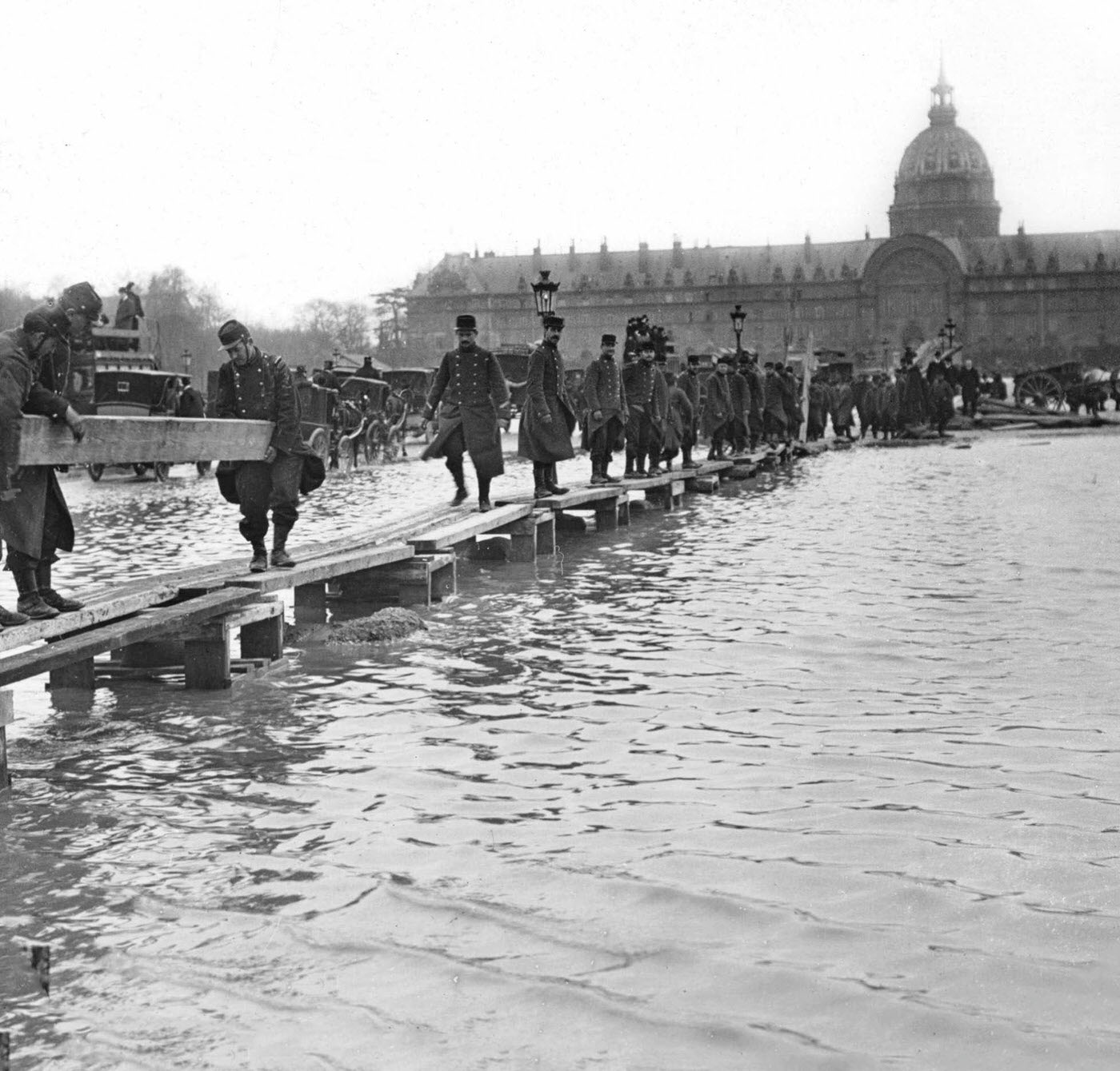
Across the city, the army mobilized. Engineers and soldiers deployed boats to reach residents stranded on upper floors. Military units operated from key points along the flooded quays, coordinating rescues and supply runs. Army engineers set up temporary pontoon stations, turning Paris’s grand boulevards into staging areas for relief operations.
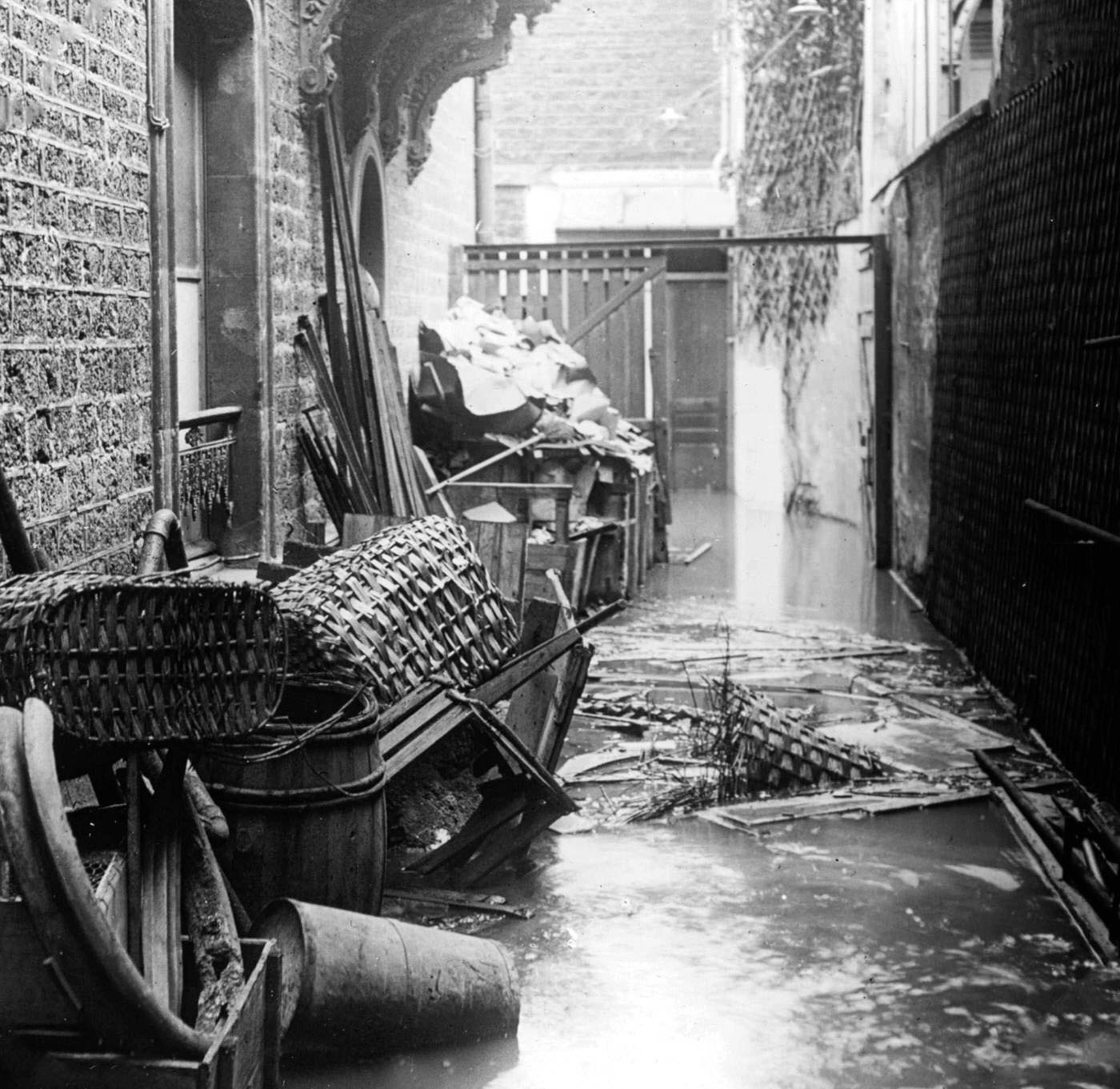
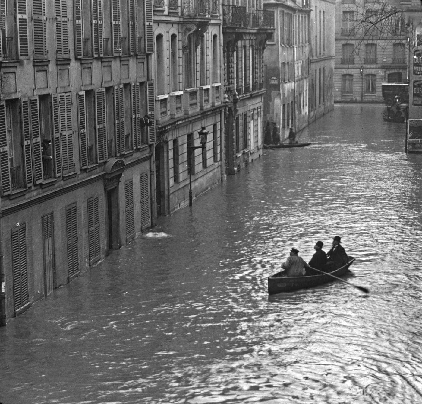
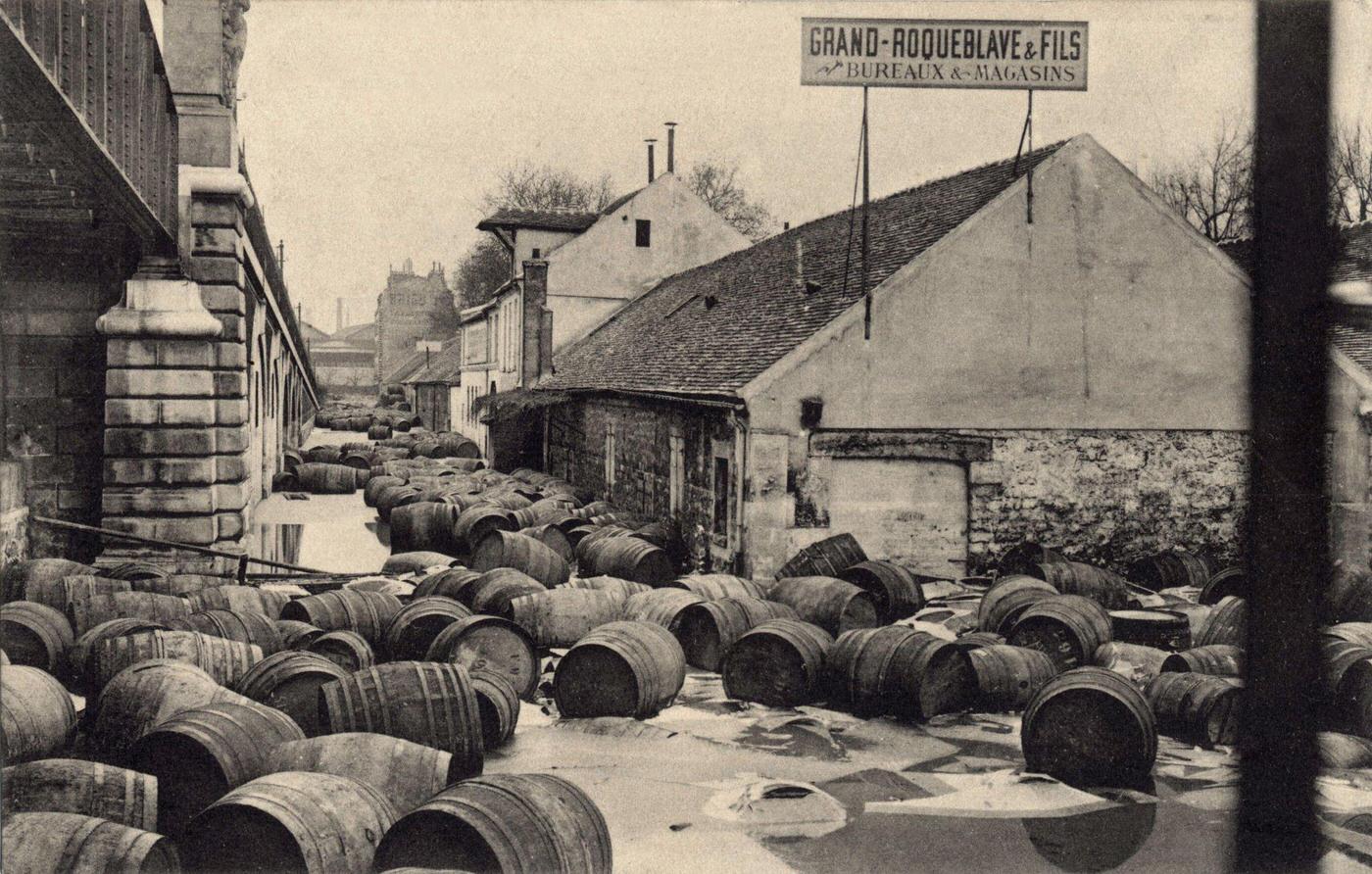
The warehouse district at Bercy, which stored enormous quantities of wine and goods along the river’s edge, took a severe hit. Barrels and crates were swept into the floodwaters. The docks at Bercy, a commercial hub for the city, were completely inundated.
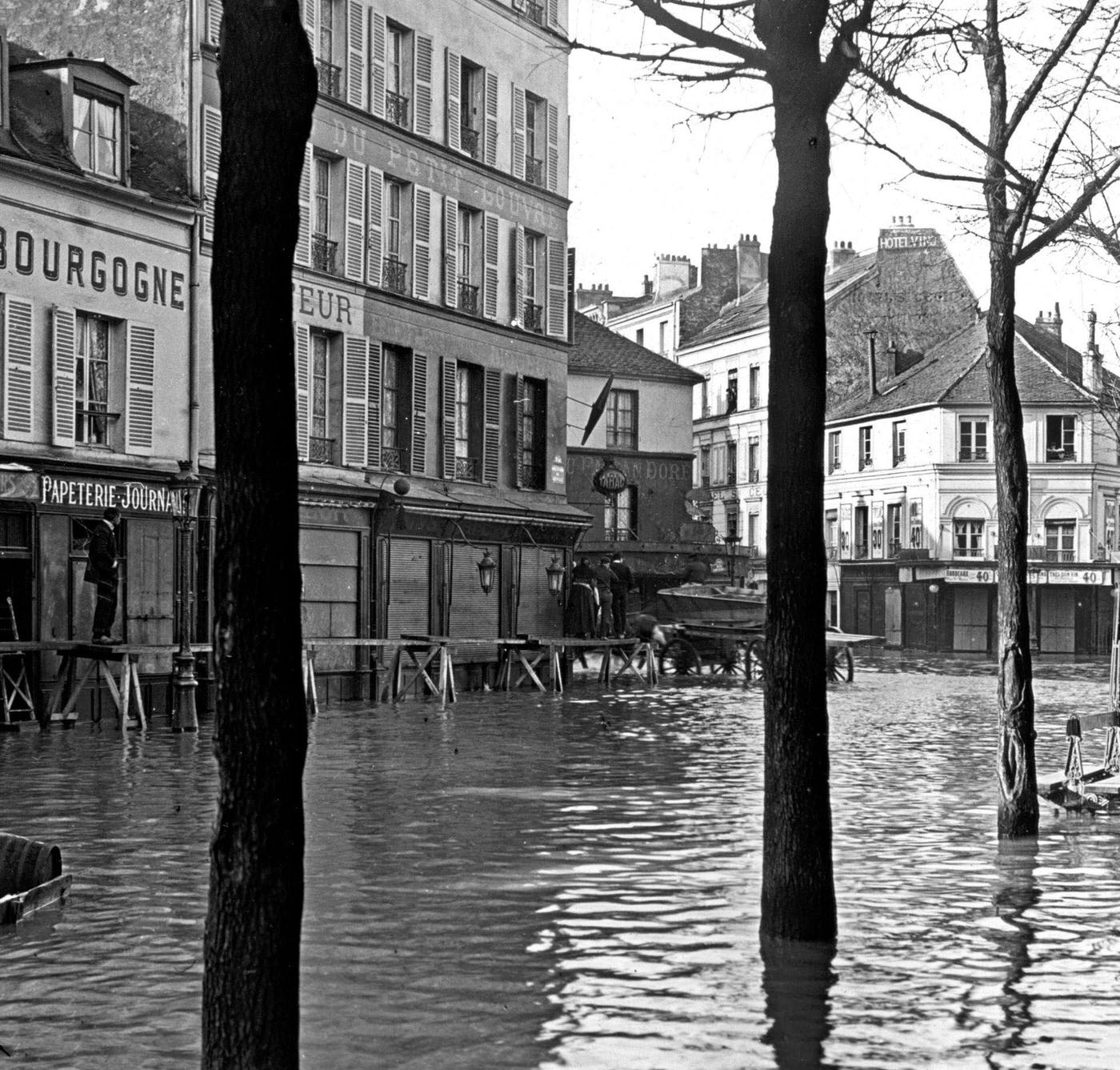
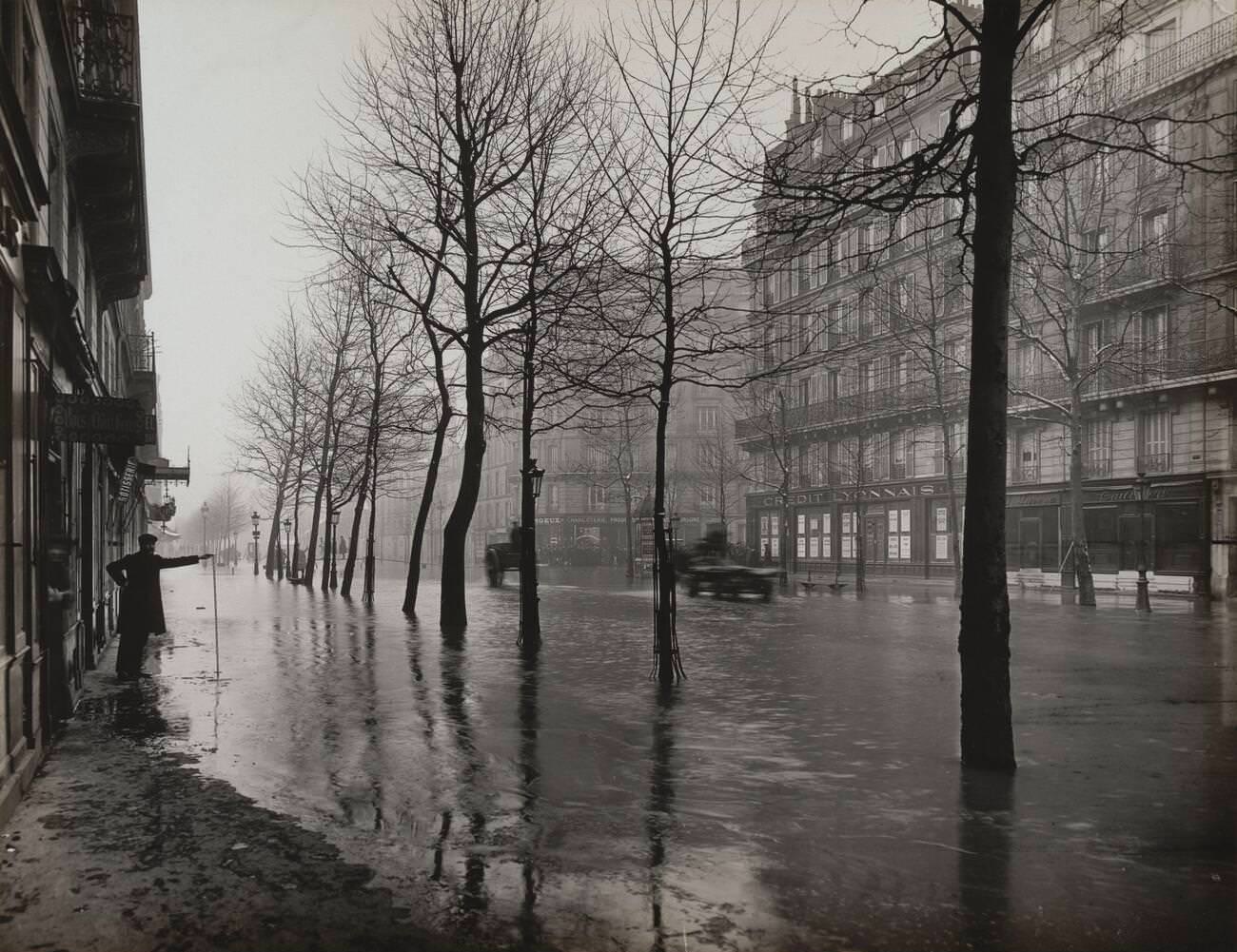
The flood did not confine itself to the riverside neighborhoods. Water pushed through the city’s underground sewer and drainage network, backing up into streets far from the Seine. Roads in the 12th, 15th, and 16th arrondissements flooded. The rue de Lyon, Boulevard Haussmann, Avenue Montaigne — places associated with Parisian elegance — all stood underwater.
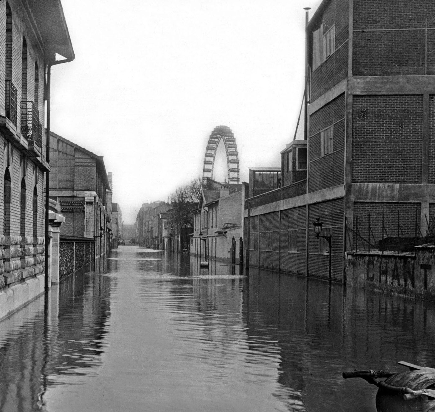
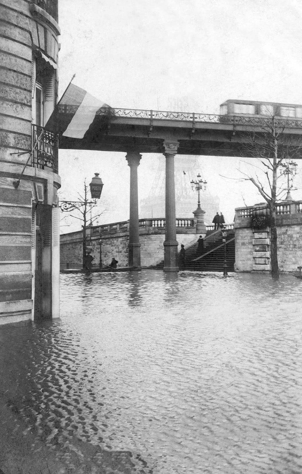
Rescue operations along the quays were constant. Boats moved between flooded buildings, pulling people from windows and rooftops. On the Quai de Billy, rescuers worked steadily to reach those who could not get out on their own. Rowing through what had been busy streets, rescue teams navigated by the tops of lampposts and the upper floors of buildings.
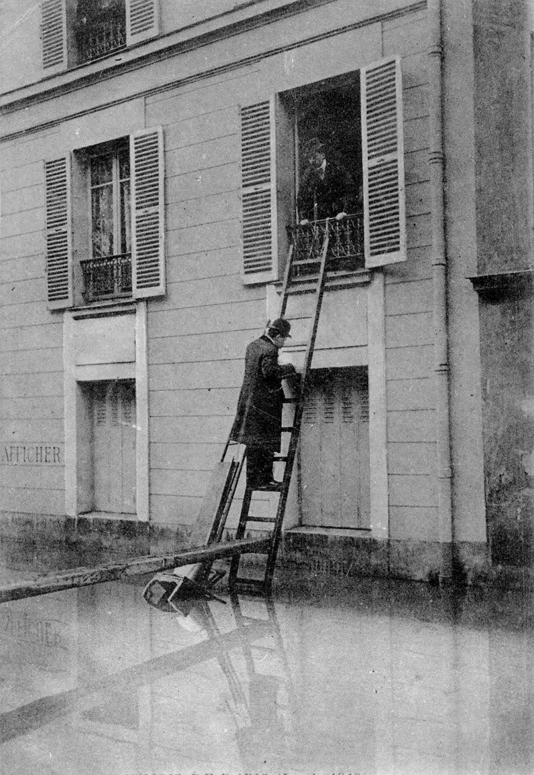
Sewer workers and gendarmes were among the first to operate in the worst-hit streets. These workers waded through water contaminated by the city’s own drainage system, working to assess and contain structural damage underground. Their efforts kept the flooding from spreading even further into already battered neighborhoods.
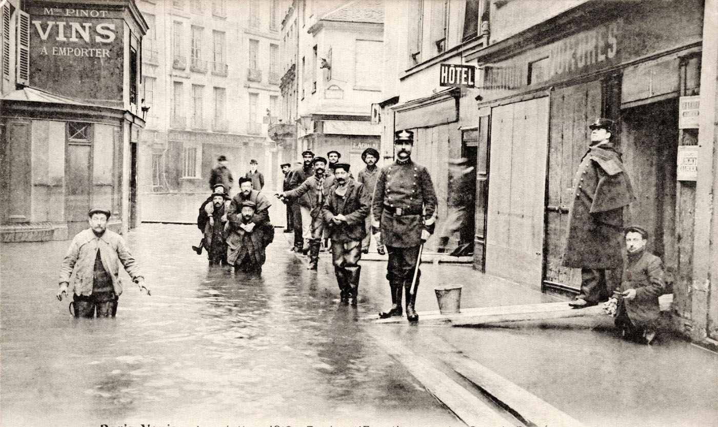
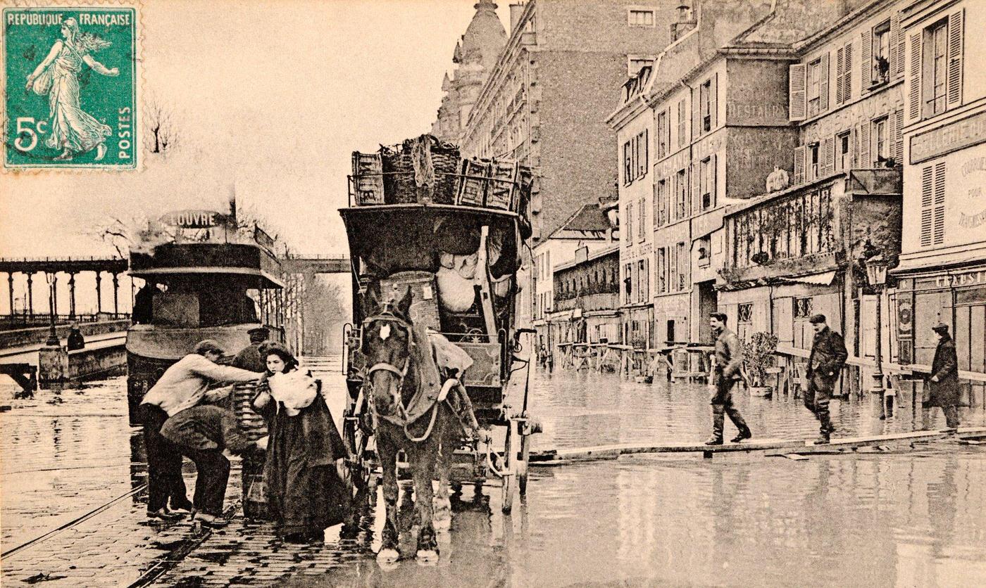
North of Paris, communities like L’Île-Saint-Denis and Asnières faced their own severe flooding. The Seine’s reach extended well beyond the city’s administrative boundaries. Cleanup crews worked in the suburbs just as intensively as in central Paris, clearing mud, debris, and damaged structures left behind as the water slowly began to pull back.
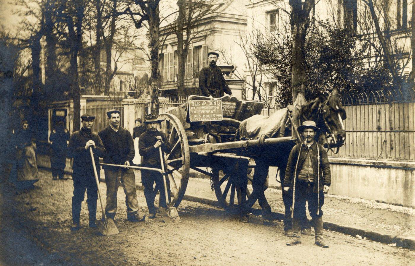
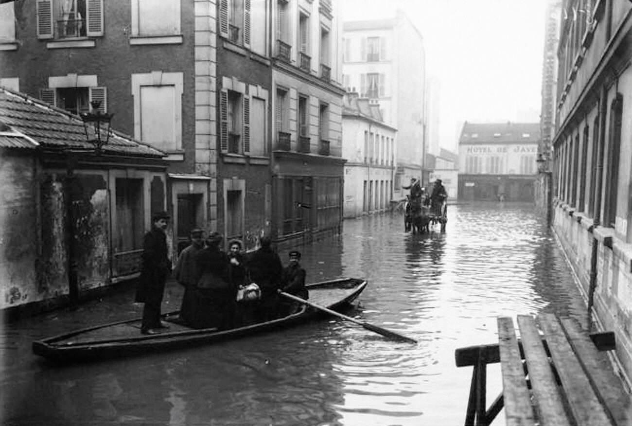
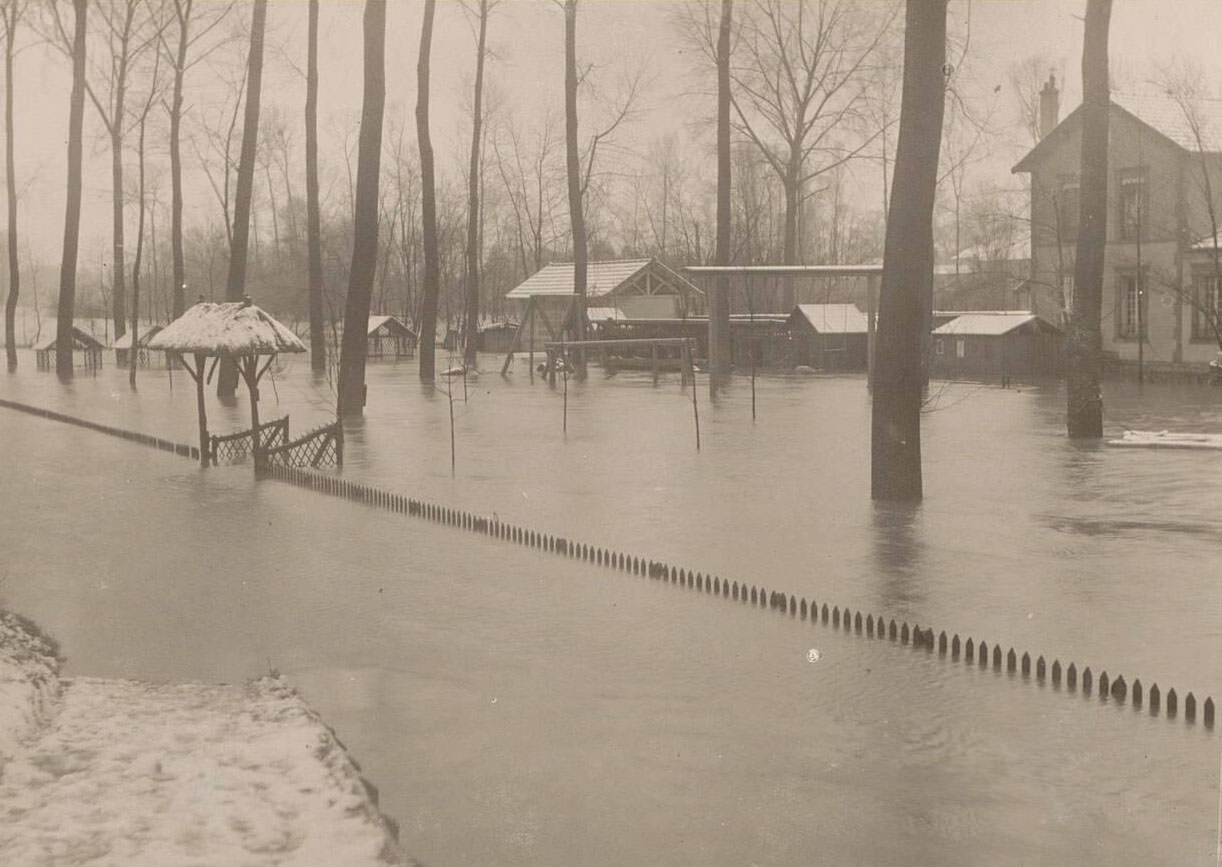
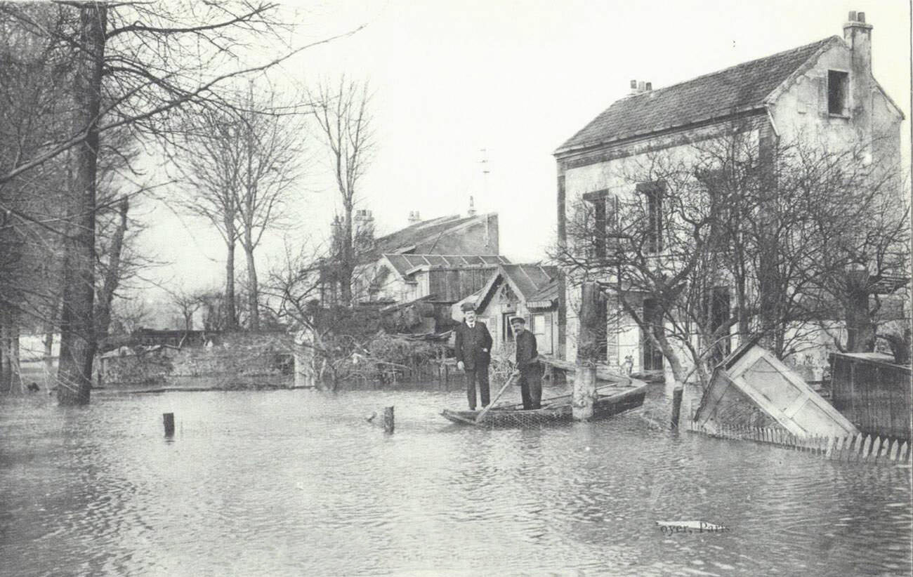
Private homes in Paris and its surrounding suburbs suffered serious structural damage. Gardens became ponds. Ground floors filled entirely. Residents who stayed behind lived on upper floors for weeks, lowering buckets for supplies and waiting for the water to recede. Photographs from the period show villas with only their rooftops and upper windows visible above the waterline.
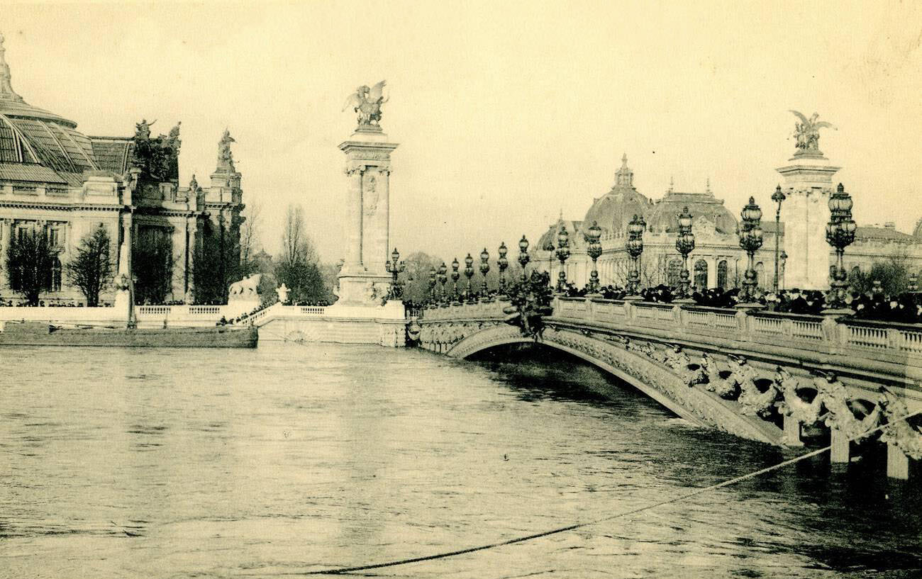
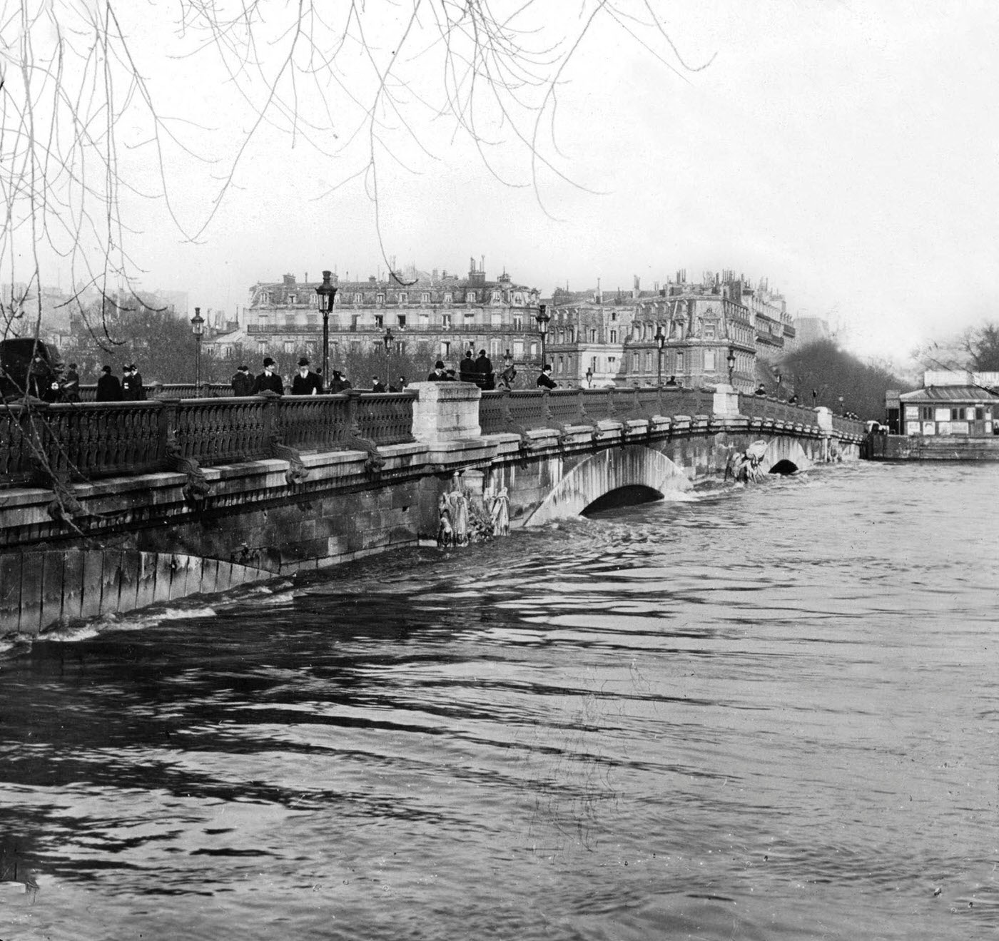
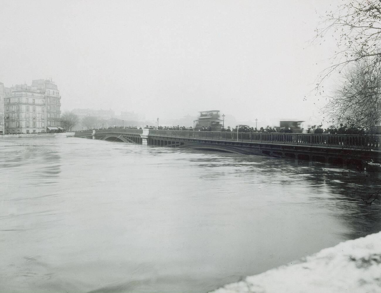
The Seine’s bridges, including the ornate Pont Alexandre III and the Pont de Sully, remained standing but were barely above the floodwater. The river’s surface had risen so dramatically that the arches of older bridges were almost completely submerged. Looking across the water, the familiar landmarks of Paris — Notre Dame, the Grand Palais, the Invalides — appeared as islands rising from a vast, still lake.
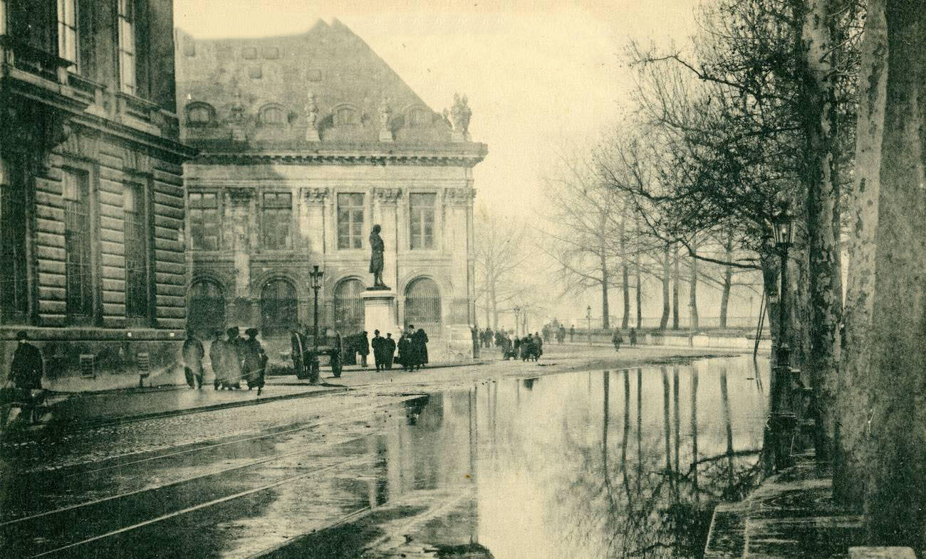
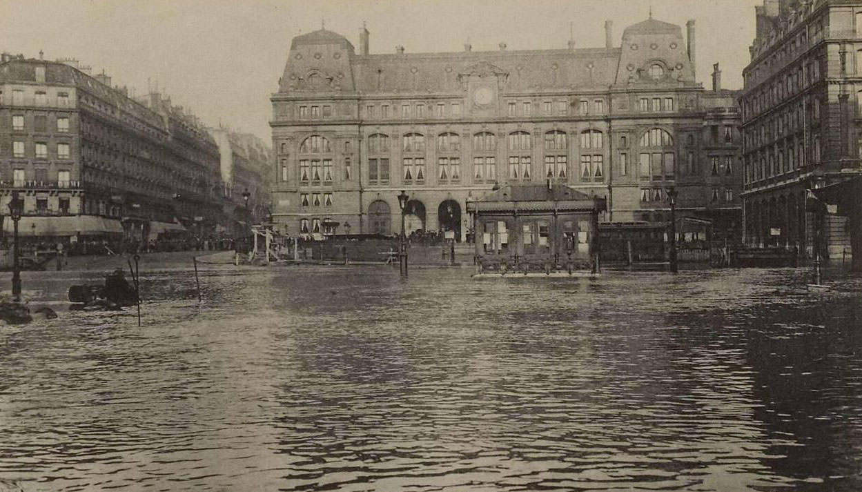
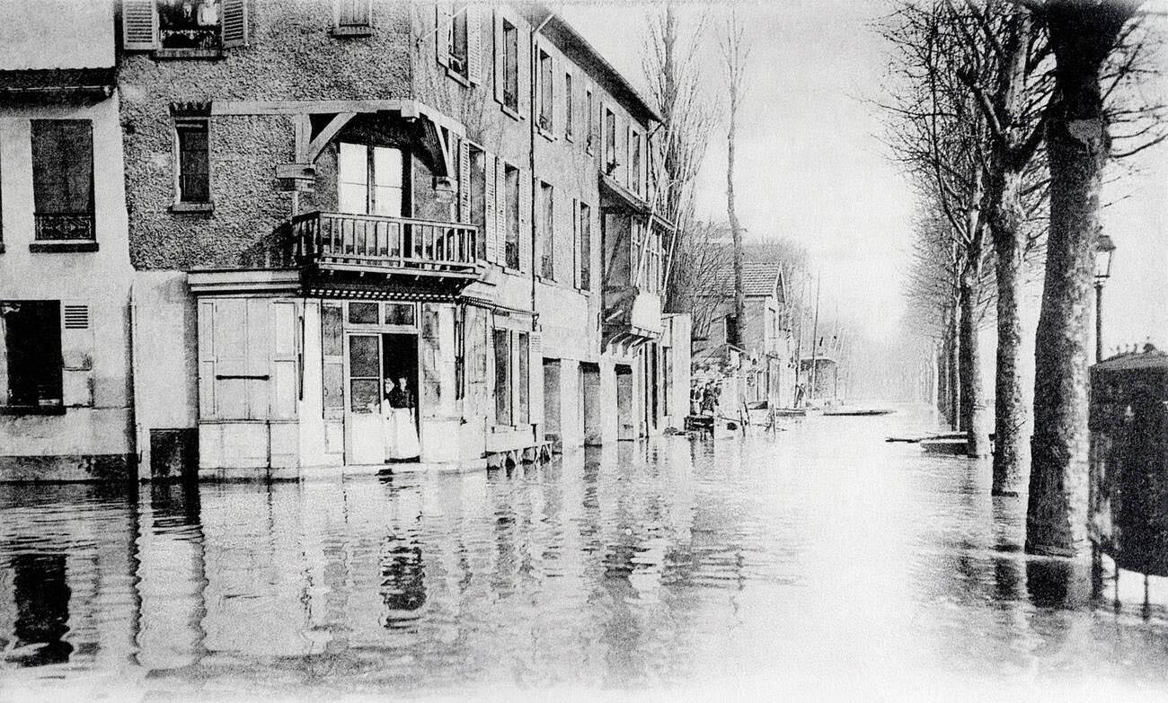
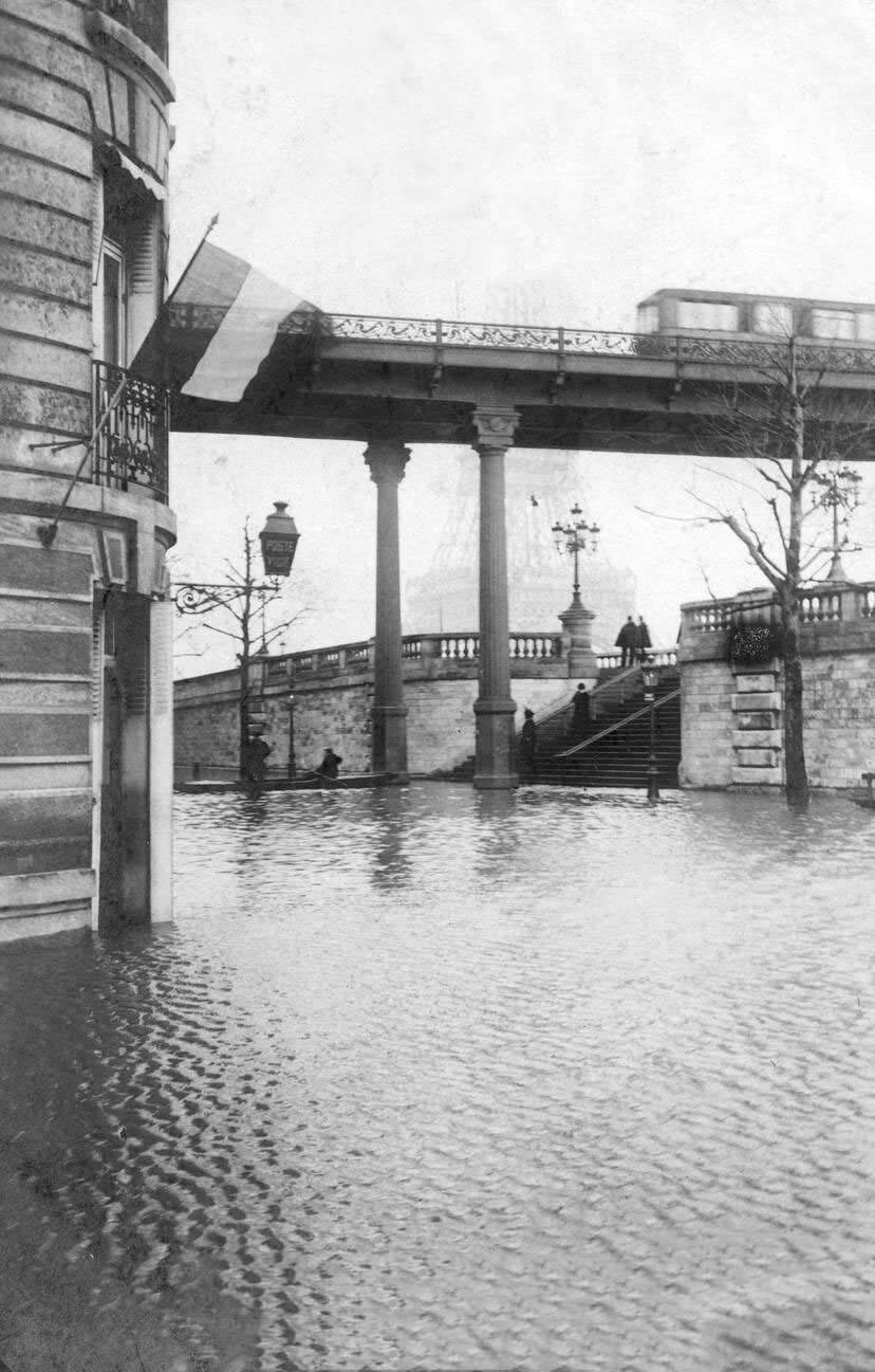
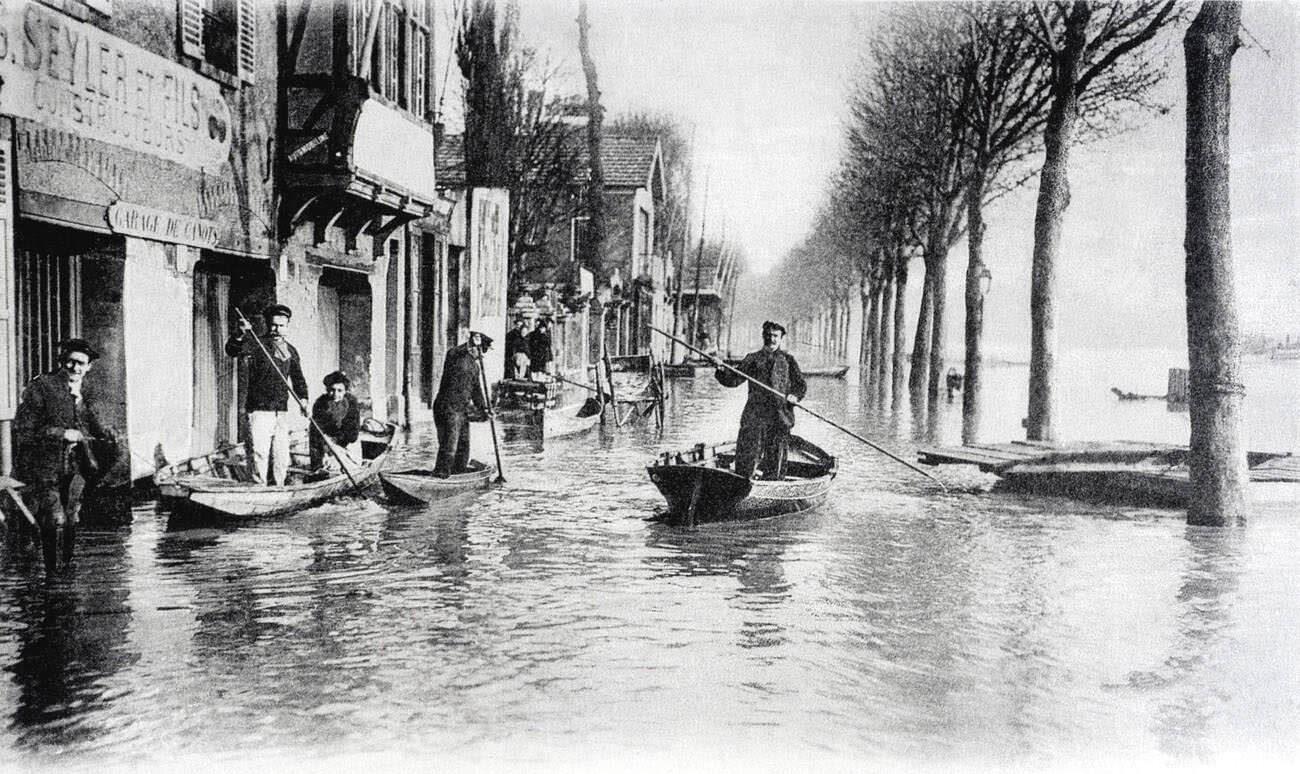
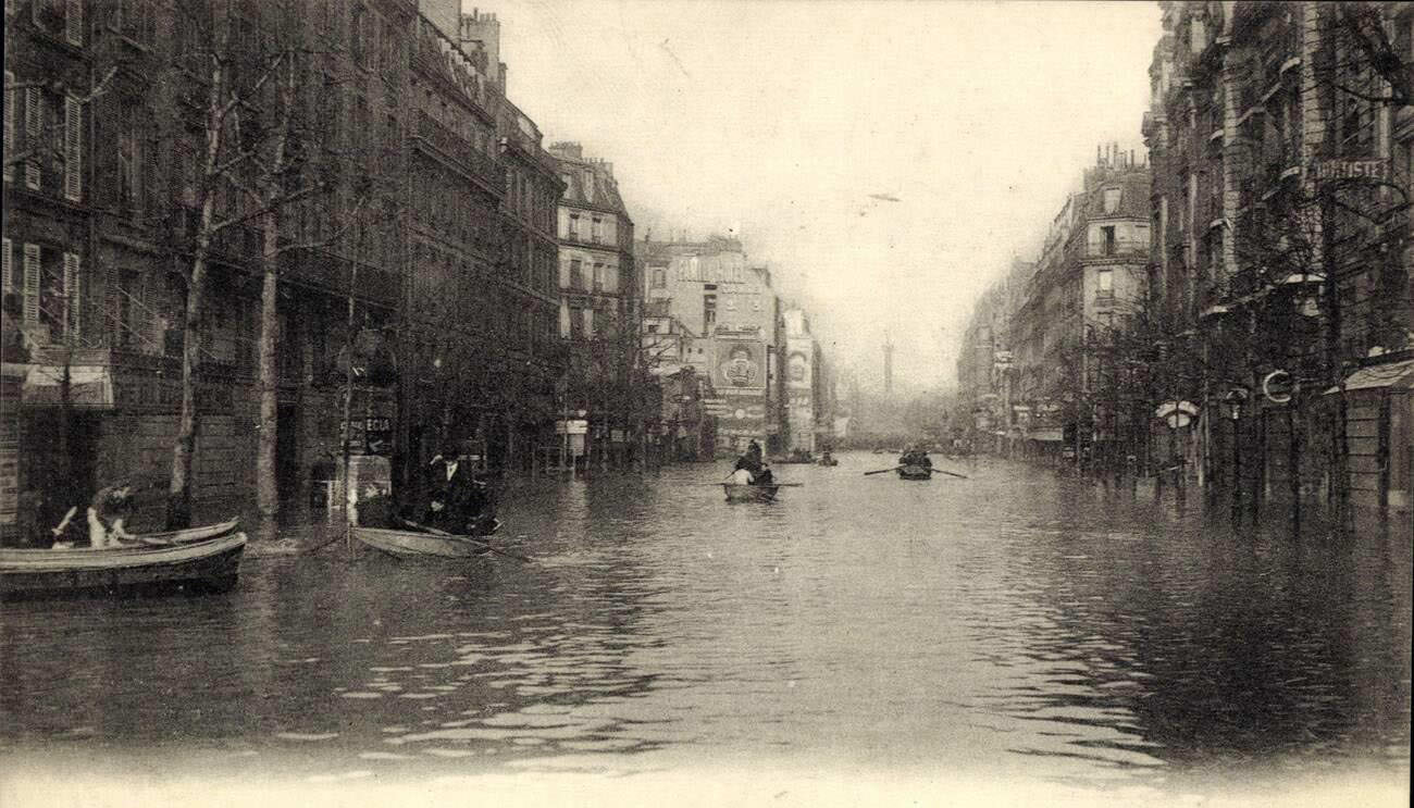
Transportation was at a standstill across much of the city. Streets that had been busy commercial corridors were now navigated only by flat-bottomed boats. Fences and lampposts jutted out of the water at odd angles, marking where roads and sidewalks had been. Some early automobiles, still a rare sight in 1910, were abandoned in place as water rose around them.
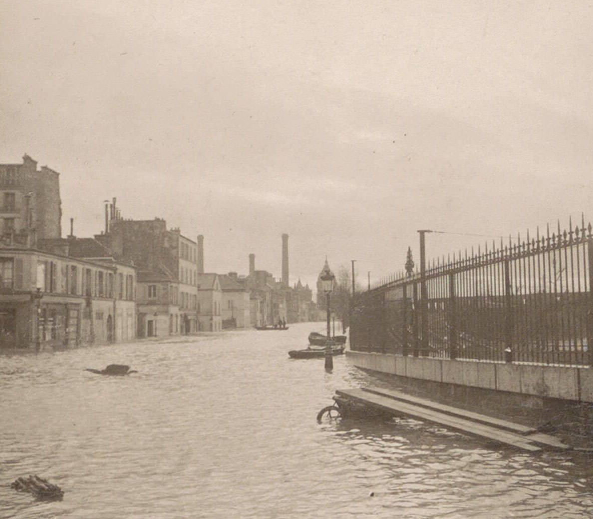
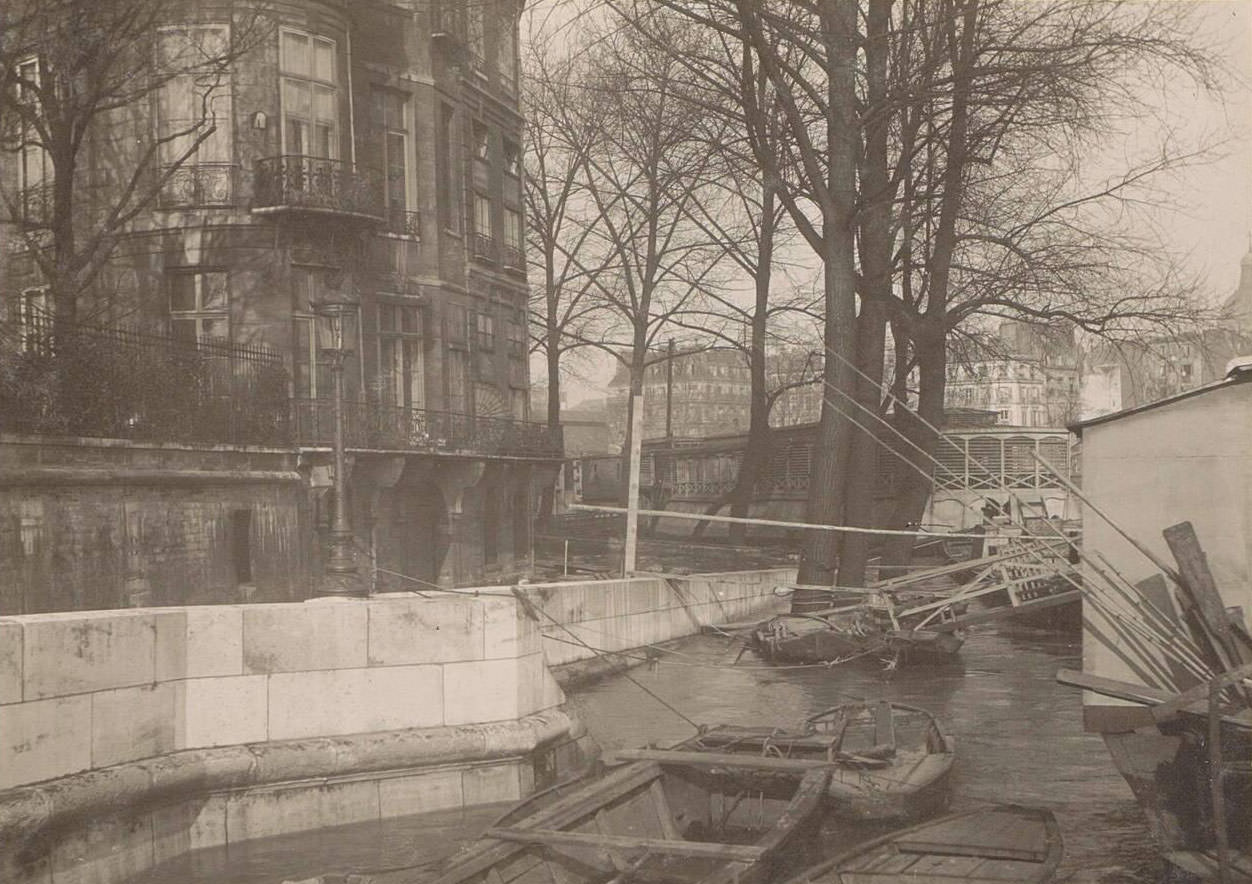
In the outer neighborhoods near Billancourt and Porte de la Gare, the flood created the same scenes of disruption found in central Paris. Rail lines were underwater. Stations that served thousands of commuters daily sat silent, their platforms and tracks fully submerged. The disruption to rail travel cut off supply chains and left outlying districts even more isolated.
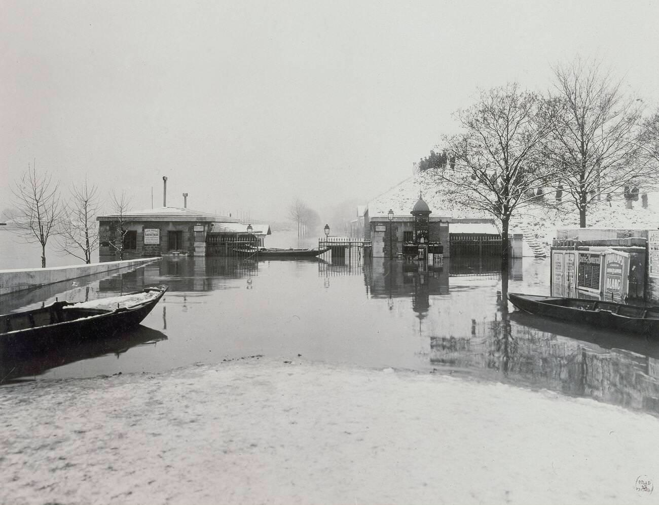
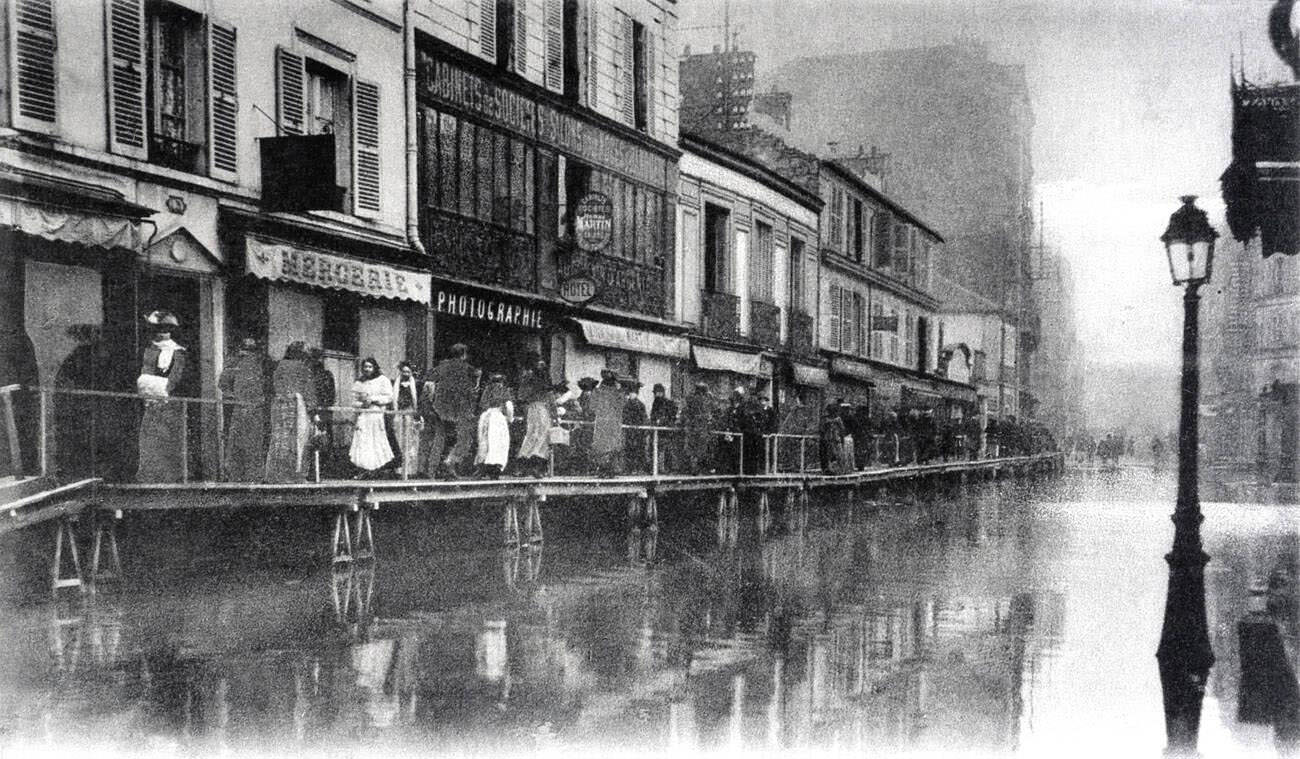
Rescue operations extended across all districts of the city. On the Boulevard de Grenelle, boats carrying rescuers moved through what had been one of the Left Bank’s busiest corridors. The quays, built for commerce and leisure, became emergency docking points for rescue fleets.
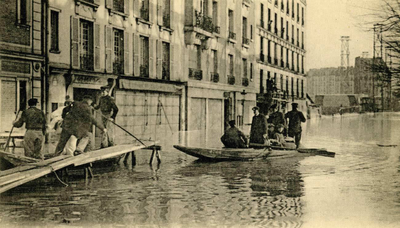
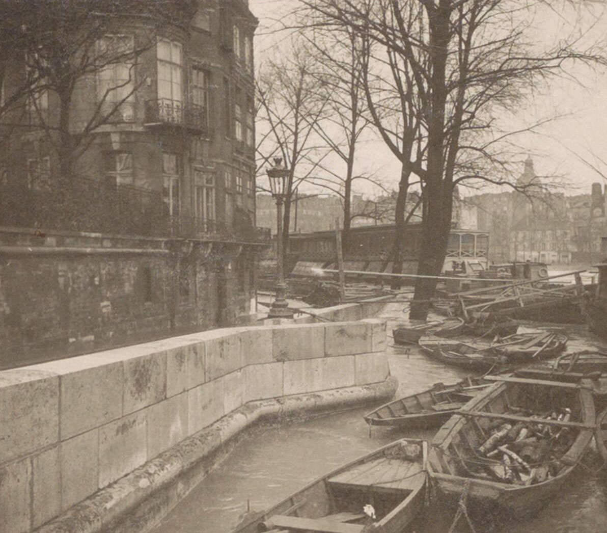
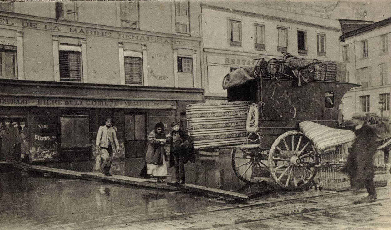
Residents who needed to move belongings between flooded properties did so by boat. On the Quai de Billy, people loaded furniture, clothing, and food onto flat-bottomed vessels and rowed them to drier ground. These informal moving operations played out across the city as families relocated whatever they could carry.
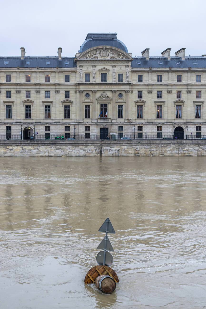
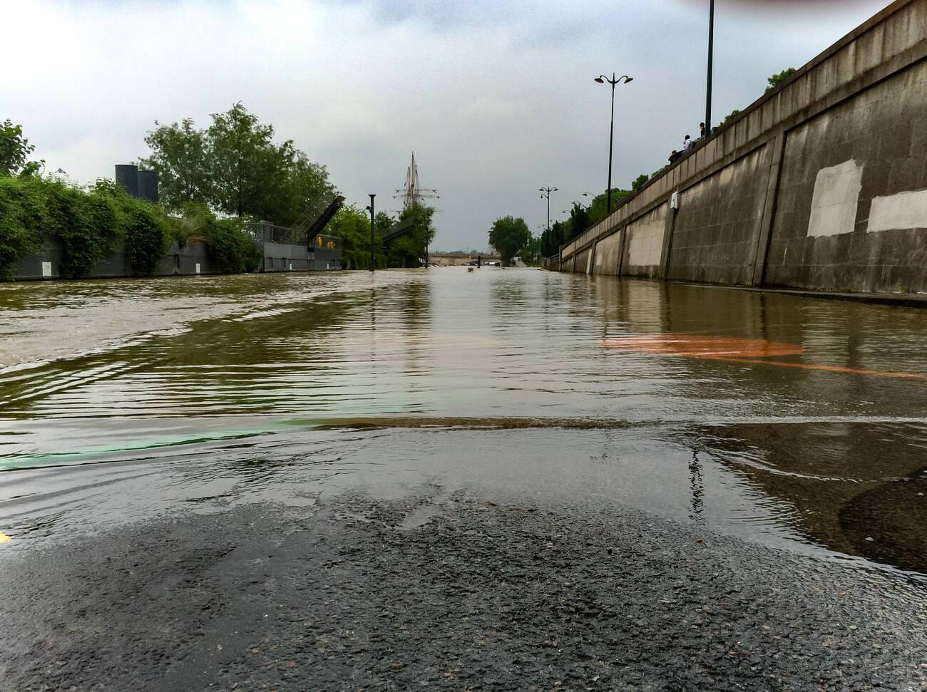
The flood of 1910 was not the last time Paris would face severe flooding from the Seine. In June 2016, the river rose again to its highest level since 1910, prompting evacuations and renewed concern about the city’s flood defenses. The 1910 disaster remained the modern benchmark against which all subsequent flooding was measured.
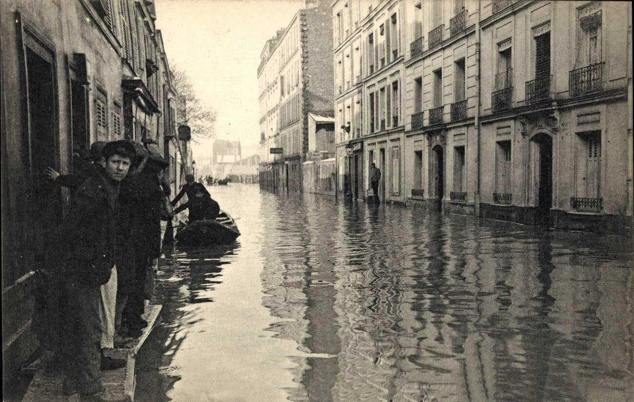
The Javel quarter, located in the 15th arrondissement along the river’s edge, was among the hardest-hit residential areas. Passersby picking their way through flooded lanes became a common sight, captured in dozens of photographs and postcards that circulated widely in the weeks that followed.
Île-Saint-Denis, the narrow island in the Seine north of the city, was almost entirely swallowed by the floodwaters. Its low-lying position on the river made it especially vulnerable. The island’s residents faced a prolonged ordeal, with water remaining for weeks before drainage and relief efforts could make the area livable again.
Along the Quai de Passy on the Right Bank, the water level reached the upper portions of the riverside embankments. The fashionable 16th arrondissement, normally associated with wealth and order, was no more immune to the flood than the working-class neighborhoods further east. Wealth offered no defense against the Seine.
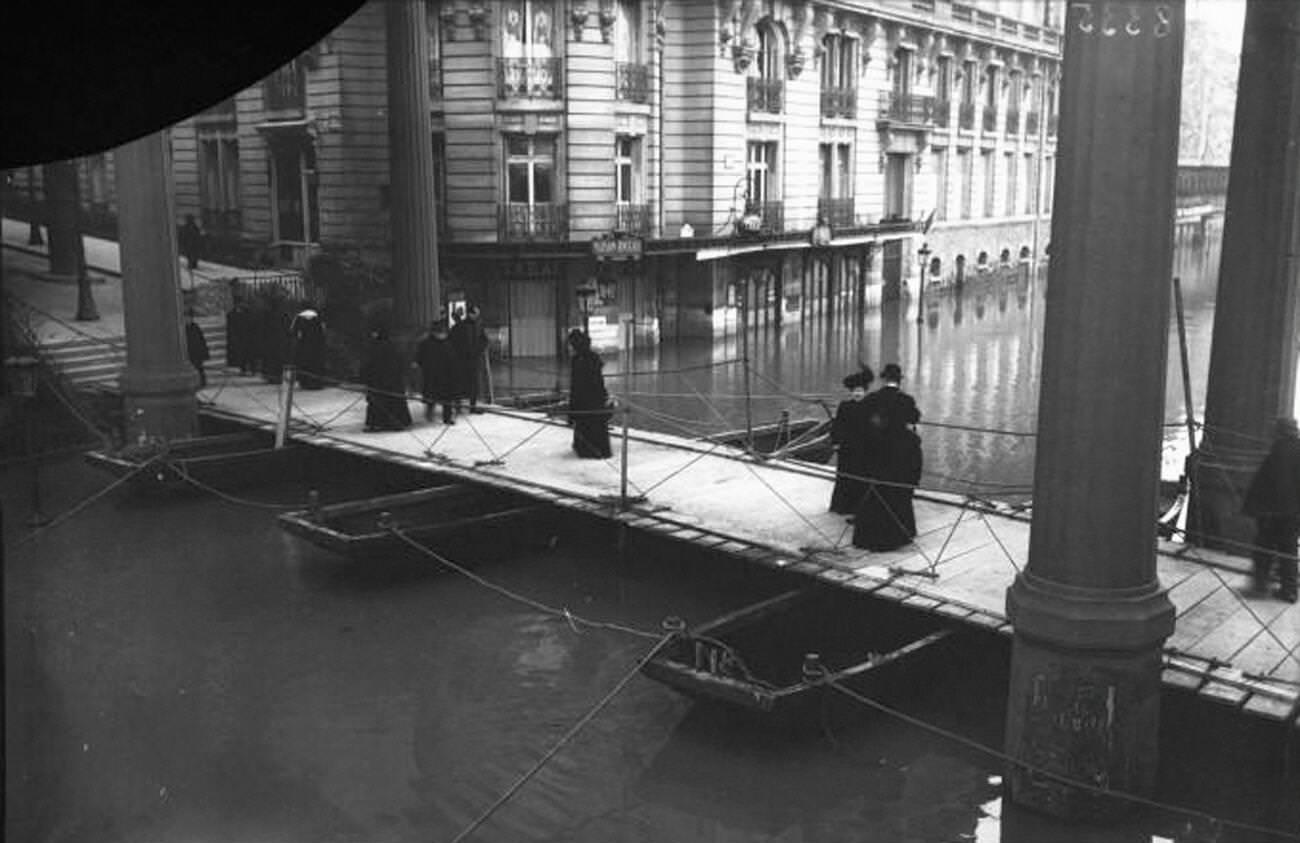
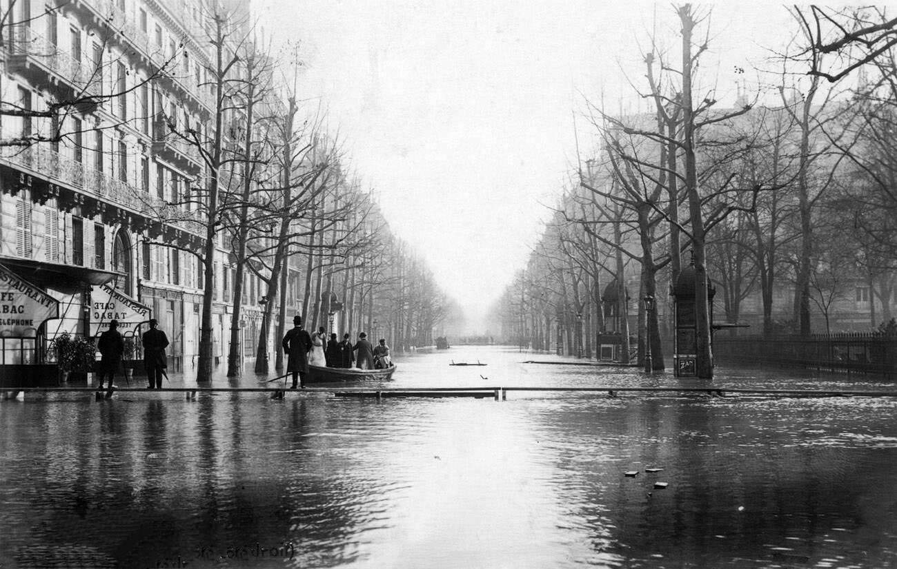
Boulevard Haussmann, the wide thoroughfare carved through central Paris during the renovation works of the Second Empire, stood flooded. The collapse of a major sewer beneath it added to the destruction, opening a large sinkhole that swallowed part of the road surface and forced emergency repairs even as the water remained high.
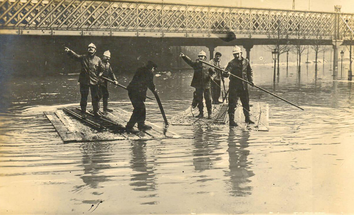
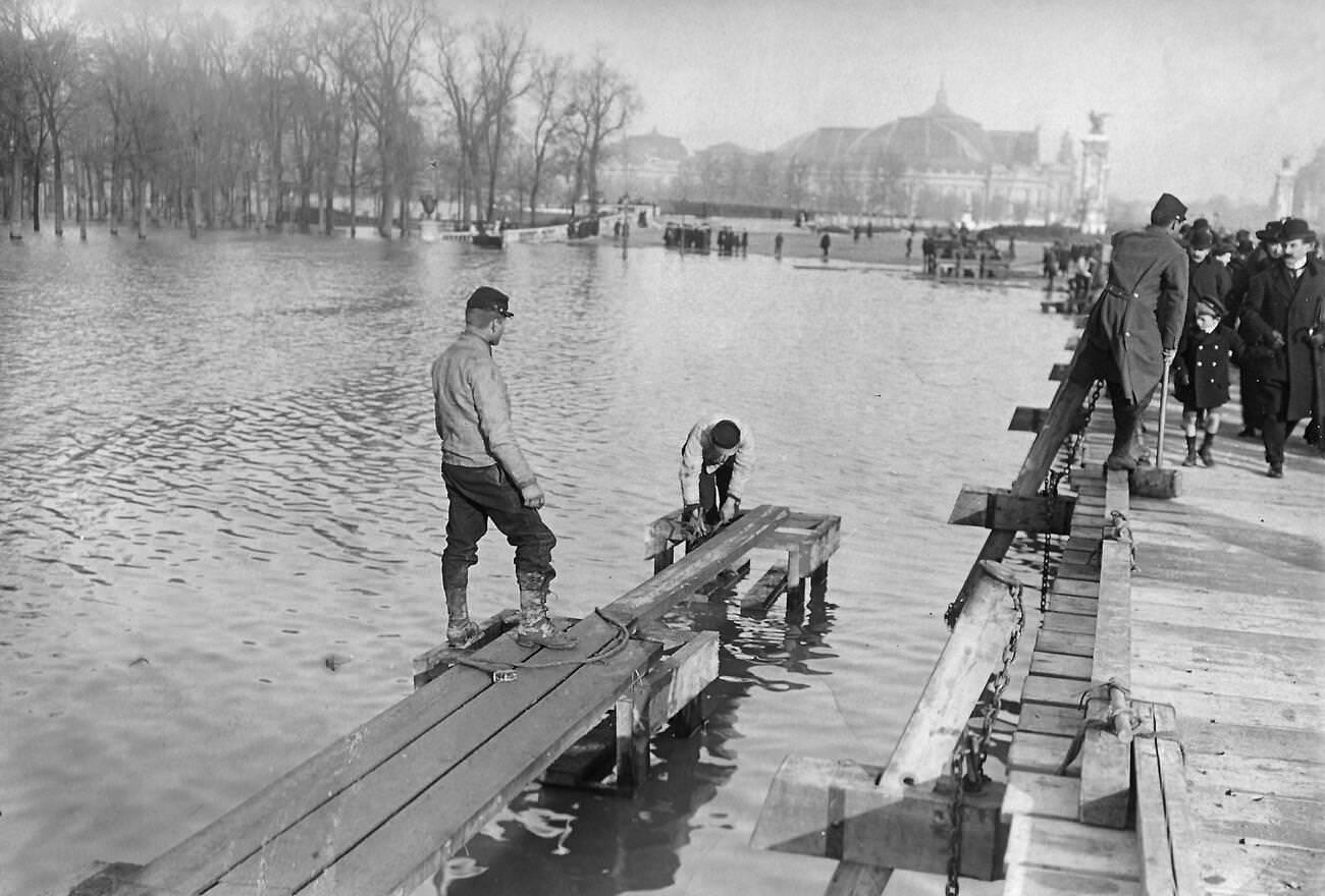
The Esplanade des Invalides, the broad open space fronting Napoleon’s tomb and the military museum, transformed into a temporary lake. The Second Engineering Regiment from Angers set up a pontoon installation there, using the flooded esplanade as a staging area for coordinating relief across the Left Bank districts.
Avenue Montaigne, one of the most prestigious addresses in Paris, appeared in numerous photographs from the flood. Rows of elegant buildings flanked streets covered in murky water. Cars sat abandoned where their drivers had left them when the roads became impassable. These images stripped away any sense that the flood respected social boundaries.
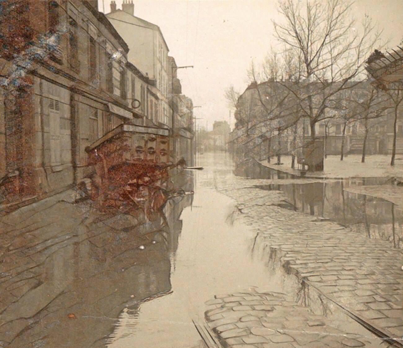
The Avenue Ledru-Rollin in the 12th arrondissement was a busy neighborhood artery that flooded badly. Photographs from the period show residents and workers navigating the street on foot through knee-deep water. Postcards of this street, like many others taken during the flood, were produced and sold rapidly as the public’s appetite for images of the disaster proved enormous.
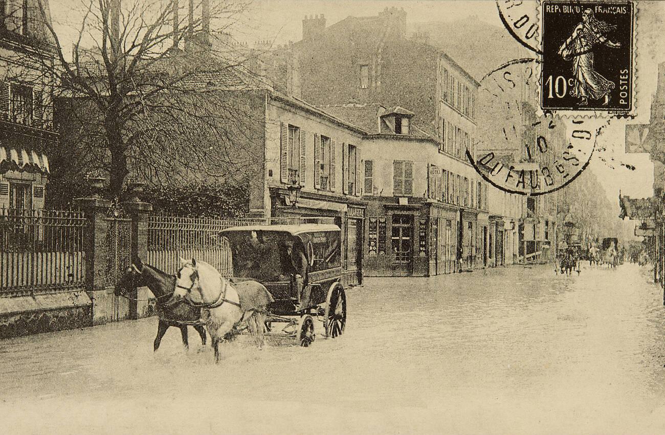
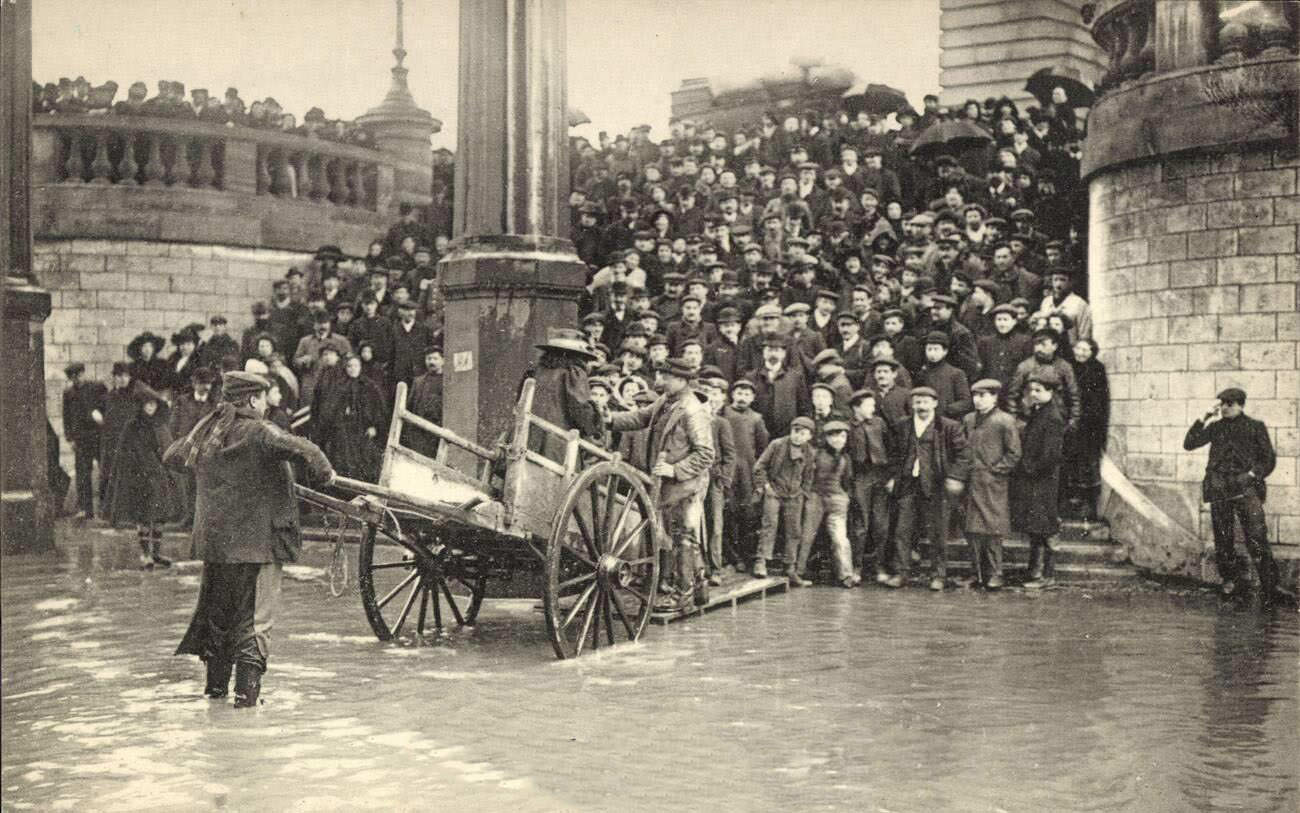
Even basic food delivery adapted to the flood. On the Rue Lourmel, a baker continued his rounds from a horse-drawn cart raised high enough to move through the floodwaters. Bakers, butchers, and other suppliers found ways to reach their customers, understanding that the city still needed to eat regardless of the water in the streets.
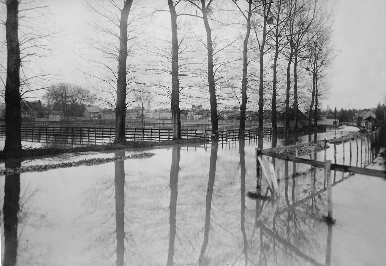
The flooding extended far beyond the city itself. Fields near Coulommiers, east of Paris, were inundated by the rising Marne River, a tributary that added to the Seine’s swollen volume. Agricultural land sat under water for weeks, and the damage to crops and rural property added to the overall scale of the disaster across the greater Paris region.
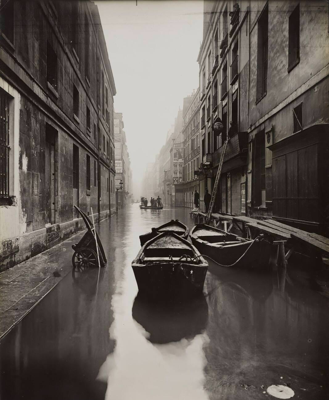
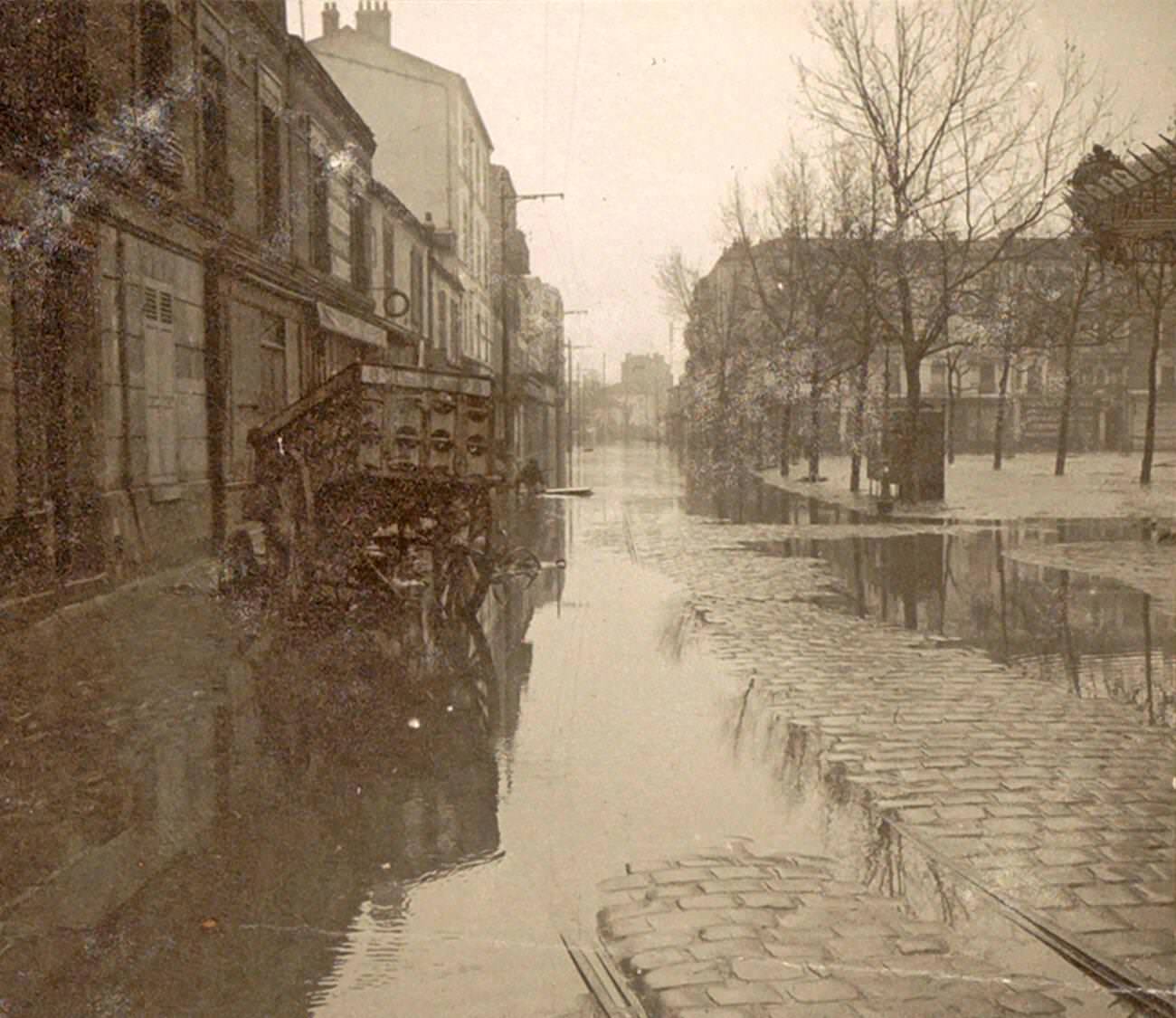
Between January 27 and 31, the flood reached its worst point. Streets that had seen only a few inches of water at the start of the month were now navigable only by boat. Carts and early automobiles sat submerged to their axles. The juxtaposition of modern vehicles and floodwaters in a world-class capital made for images that were startling at the time and remain striking today.
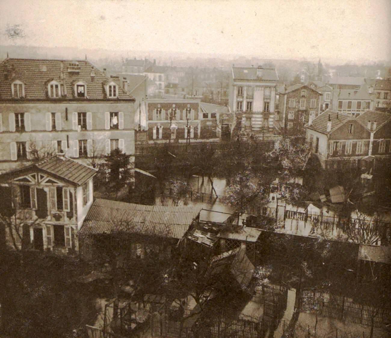
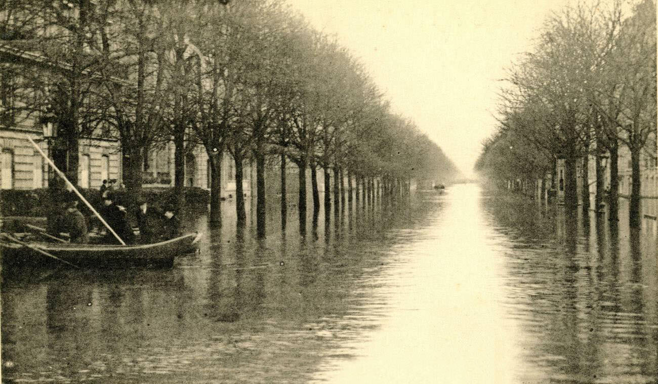
Residents trapped in upper floors watched the flood from their windows. Looking down into flooded suburban streets, they saw boats weaving between rooftops and treetops. For many, the wait lasted weeks before the water dropped enough to return to ground level. Those who had evacuated entirely faced the task of returning to homes coated in mud and debris.
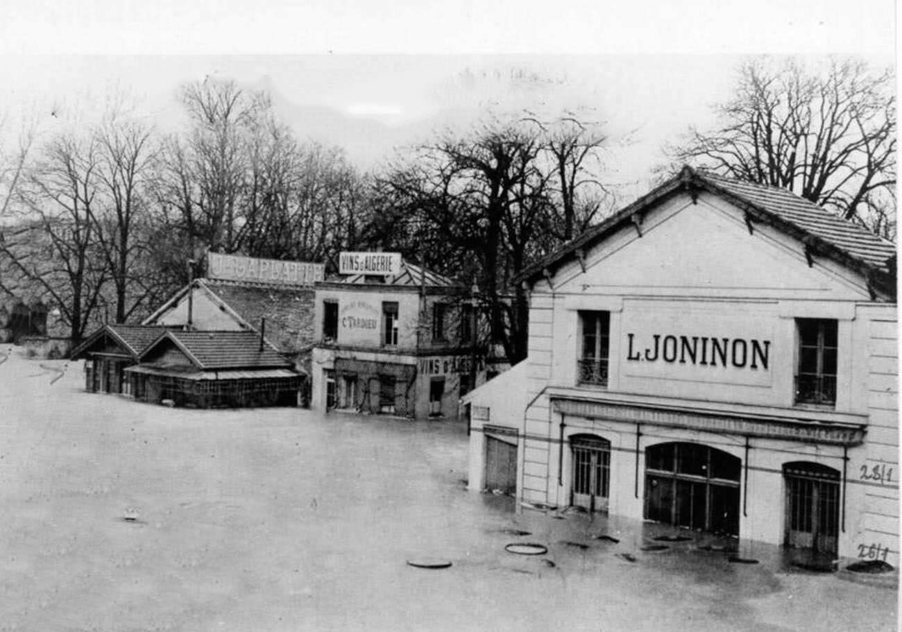
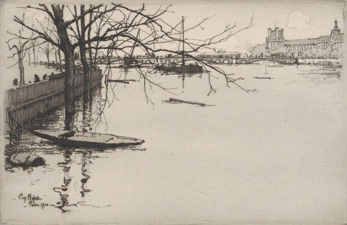
The Entrepôt de Bercy, a vast wine storage complex on the Right Bank, sustained major damage. The warehouses held thousands of barrels of wine and other goods in transit. Floodwater swept through the ground-level storage areas, spoiling stock and damaging the brick buildings. Artist Eugène Béjot documented the flood’s visual reality in his 1910 work, capturing the quiet devastation of the submerged city with a detached, observational eye.
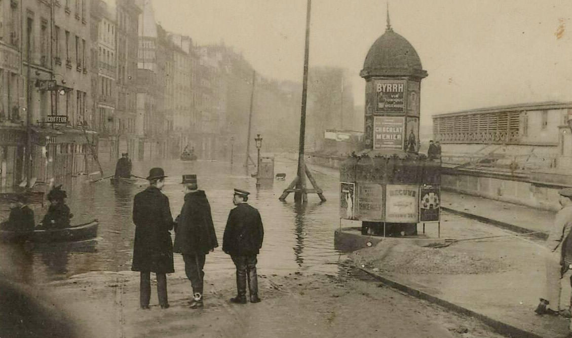
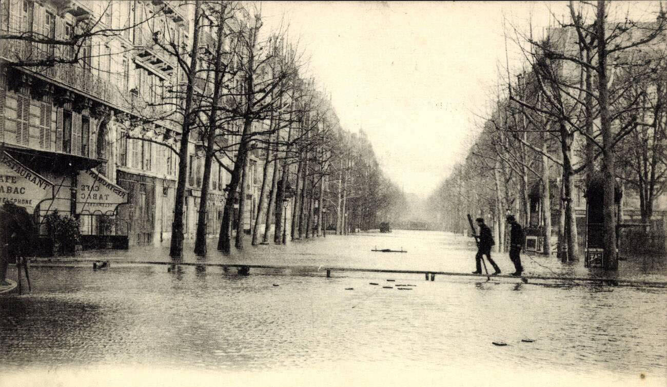
The Quai des Grands Augustins on the Left Bank, one of the oldest quays in Paris, disappeared entirely beneath the Seine. Buildings that had stood along the riverbank for centuries had water lapping at their upper-floor windows. On Boulevard Haussmann, a temporary footbridge was installed so that pedestrians could cross streets that had turned into fast-moving channels.
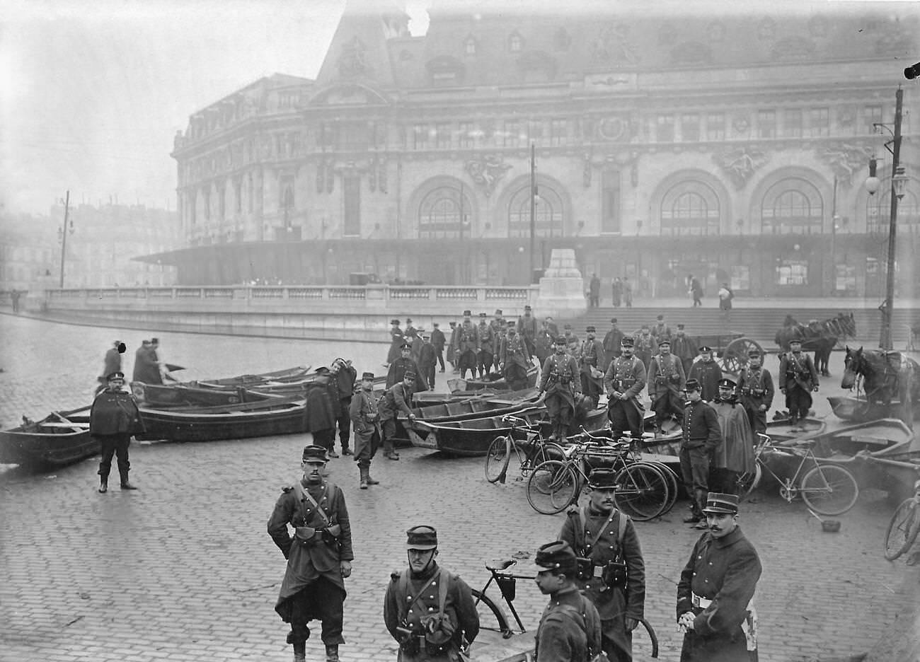
At the Gare de Lyon, one of Paris’s major railway terminals, army engineers positioned boats directly in front of the station’s grand facade. The station itself was partly flooded, its lower levels unusable. Trains could not reach their platforms, and the engineers’ boats were among the few means of reaching the area at all.
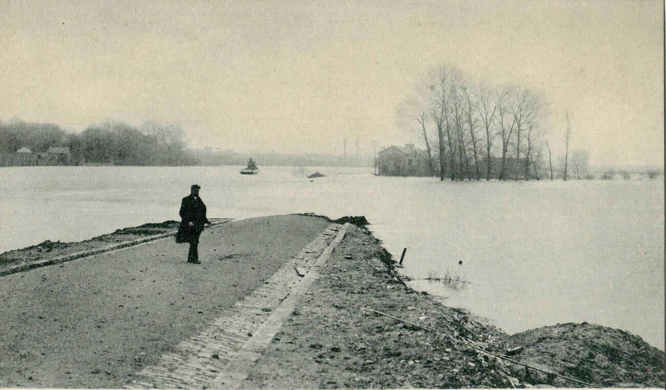
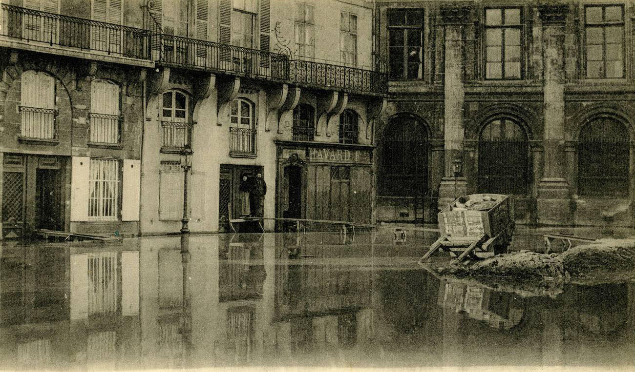
The industrial commune of Gennevilliers, northwest of Paris along the Seine, flooded heavily. Its location on a large meander of the river made it especially susceptible. Factories, storage yards, and residential streets all went under. The Quai Conti on the Left Bank, meanwhile, was fully submerged, with only the upper portions of its stone embankment walls visible above the waterline.
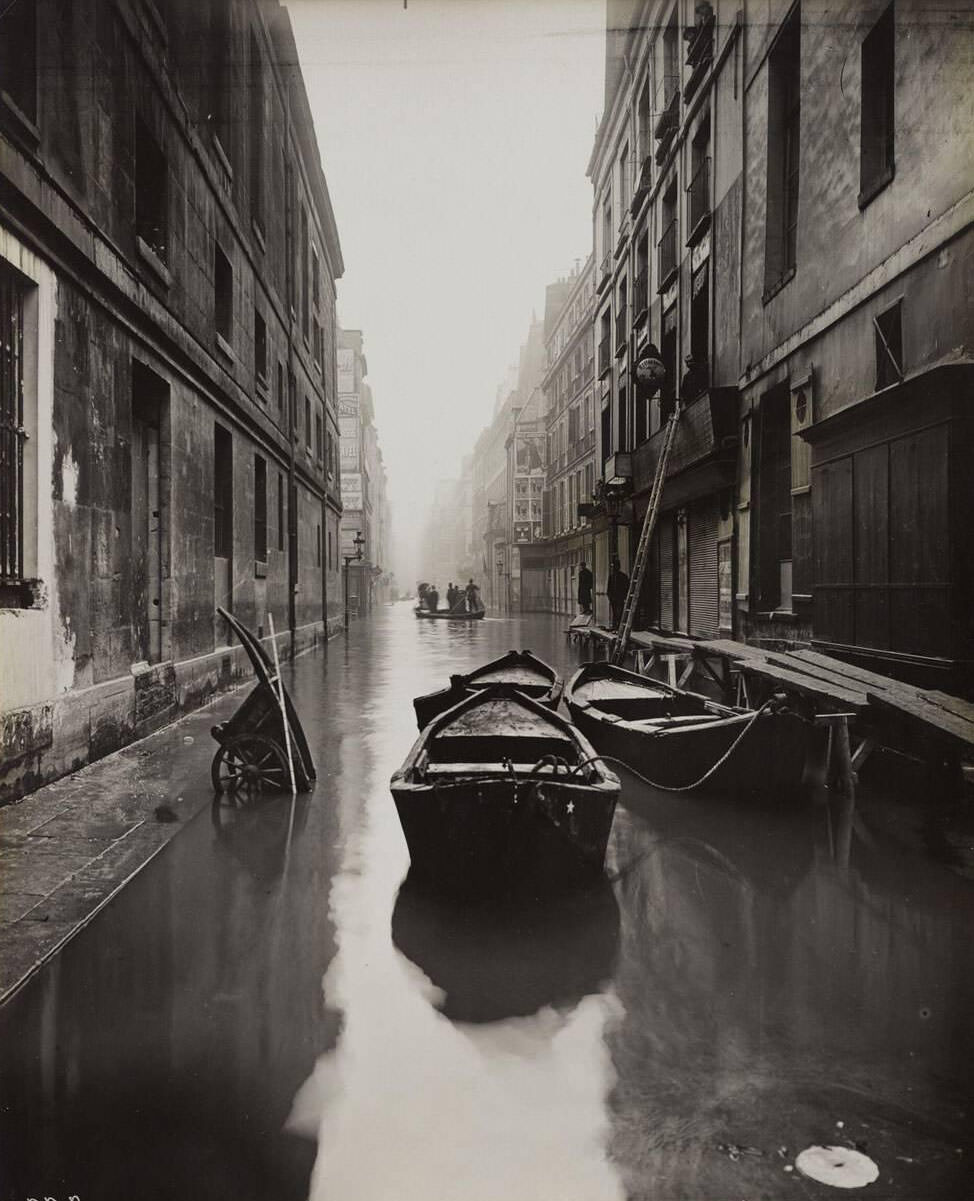
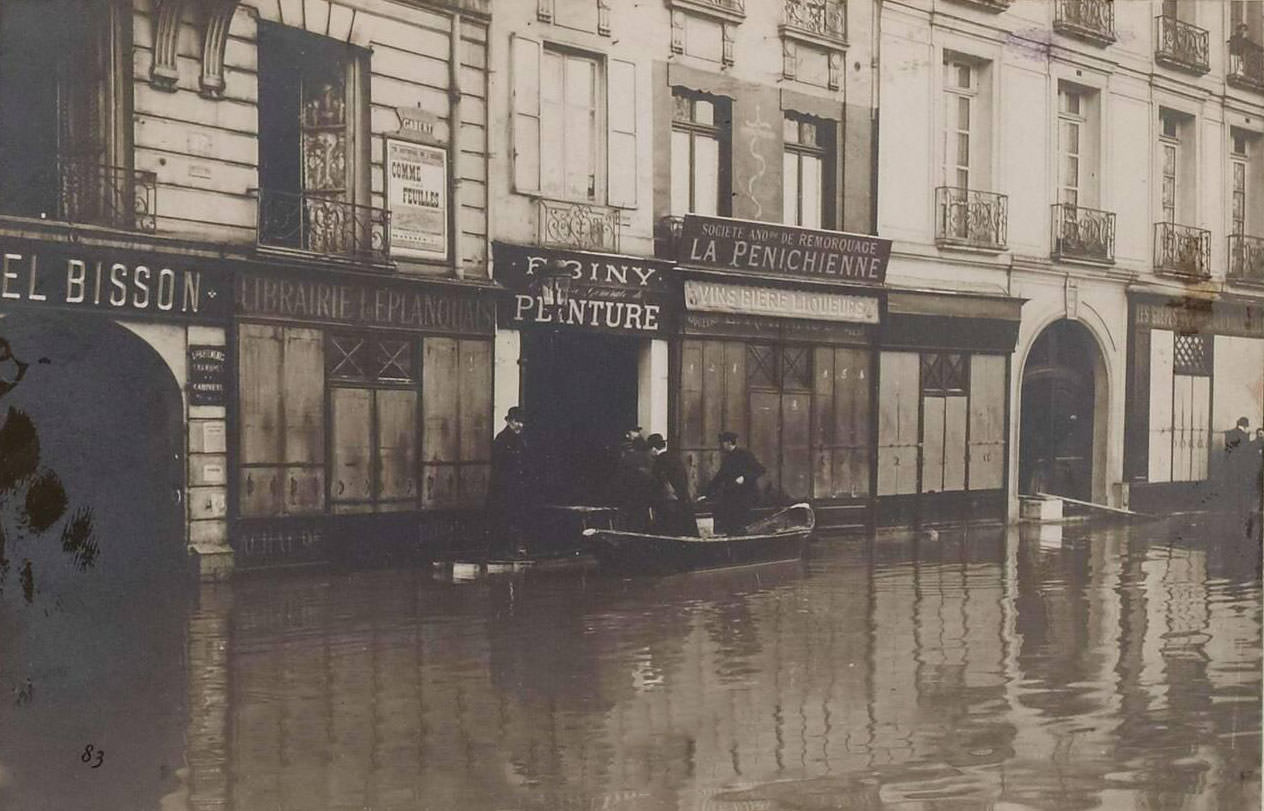
Photographs taken between January 27 and 31 captured the flood at its peak. Boats shared space with horse-drawn carts on streets that were technically still roads. Vendors continued moving goods as best they could, unwilling to let commerce stop entirely. The Quai des Grands Augustins appears in multiple photographs from this period, each one showing the same gray water pressing against the same ancient stone walls.
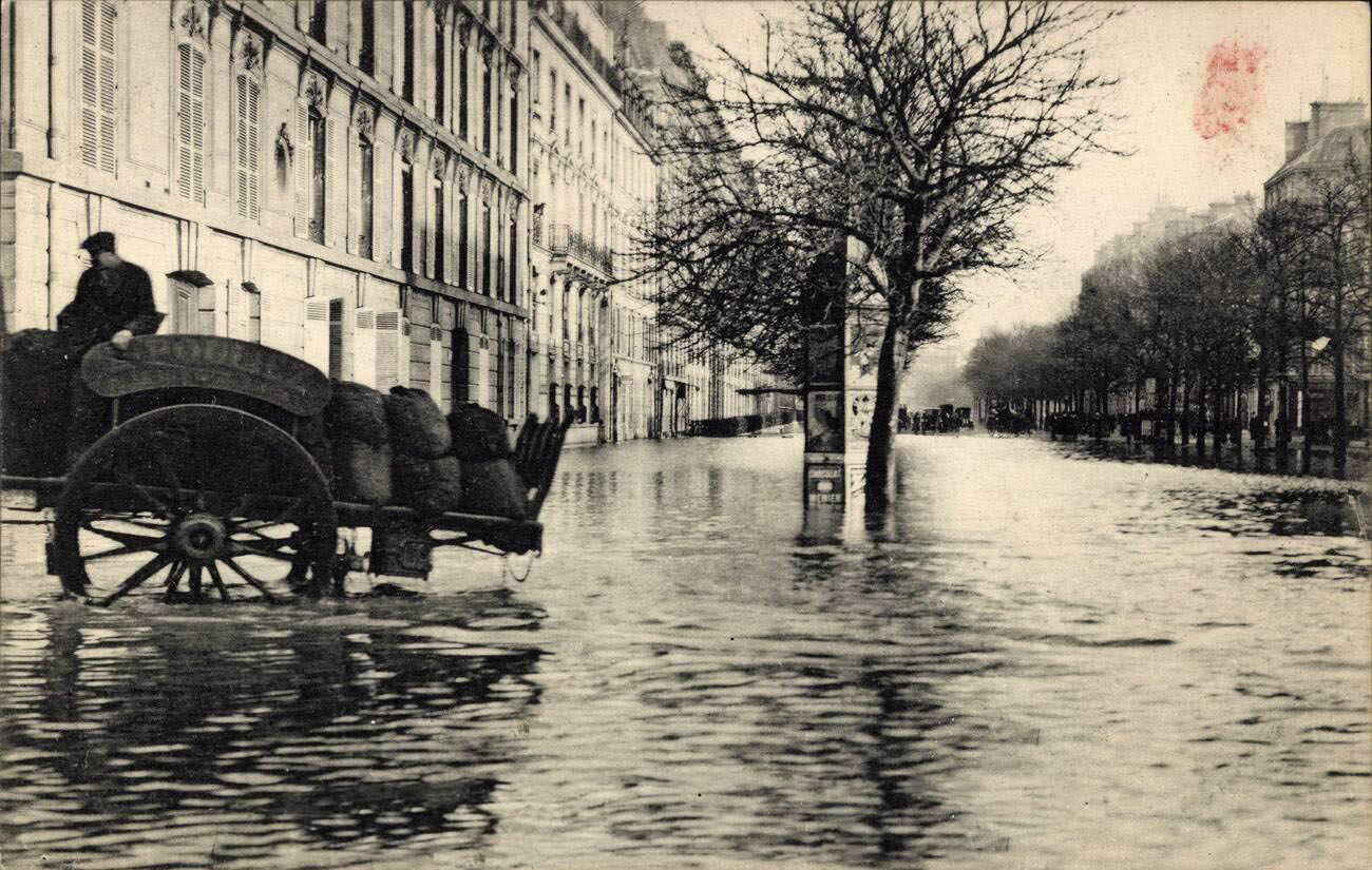
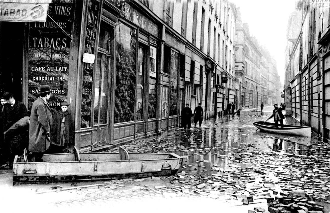
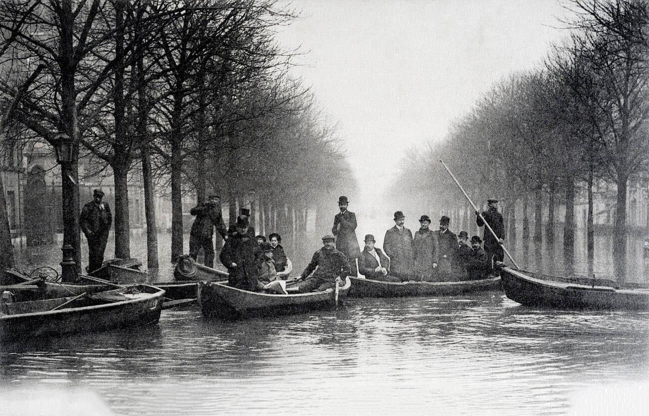
Rowing boats moved through flooded Paris streets in scenes that looked more like Venice than a northern European capital. The Avenue Montaigne, photographed from multiple angles during the flood, showed boats tied up in front of couture houses and luxury apartment buildings — a contrast that underscored just how completely the flood had upended the city’s normal rhythms.
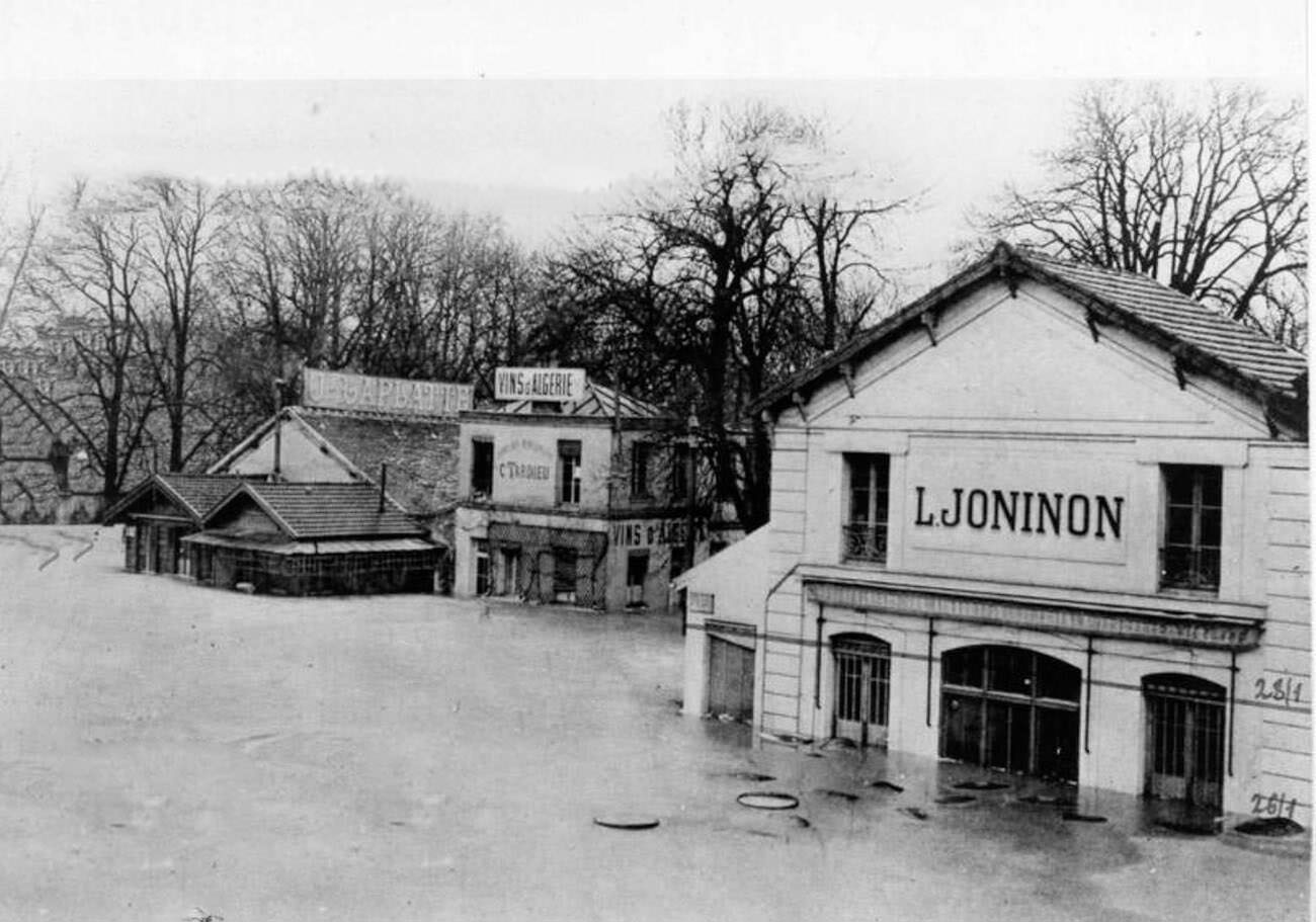
The Entrepôt de Bercy’s scale made it one of the most photographed flood sites outside the city center. Its long rows of warehouses, flooded to their rooflines in places, illustrated the economic damage the disaster inflicted on Paris’s trade and commerce. Postcards of the site circulated widely, documenting the destruction for audiences across France and beyond.
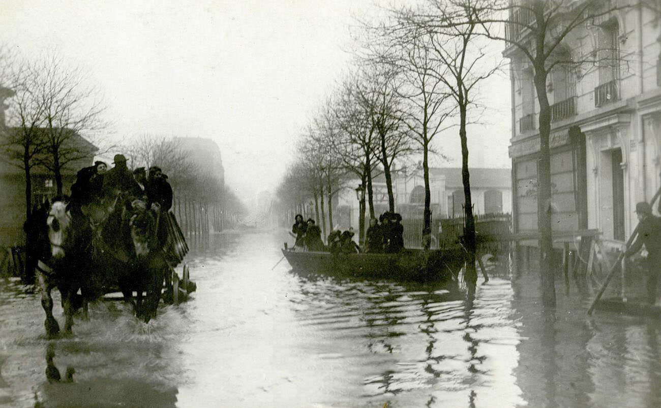
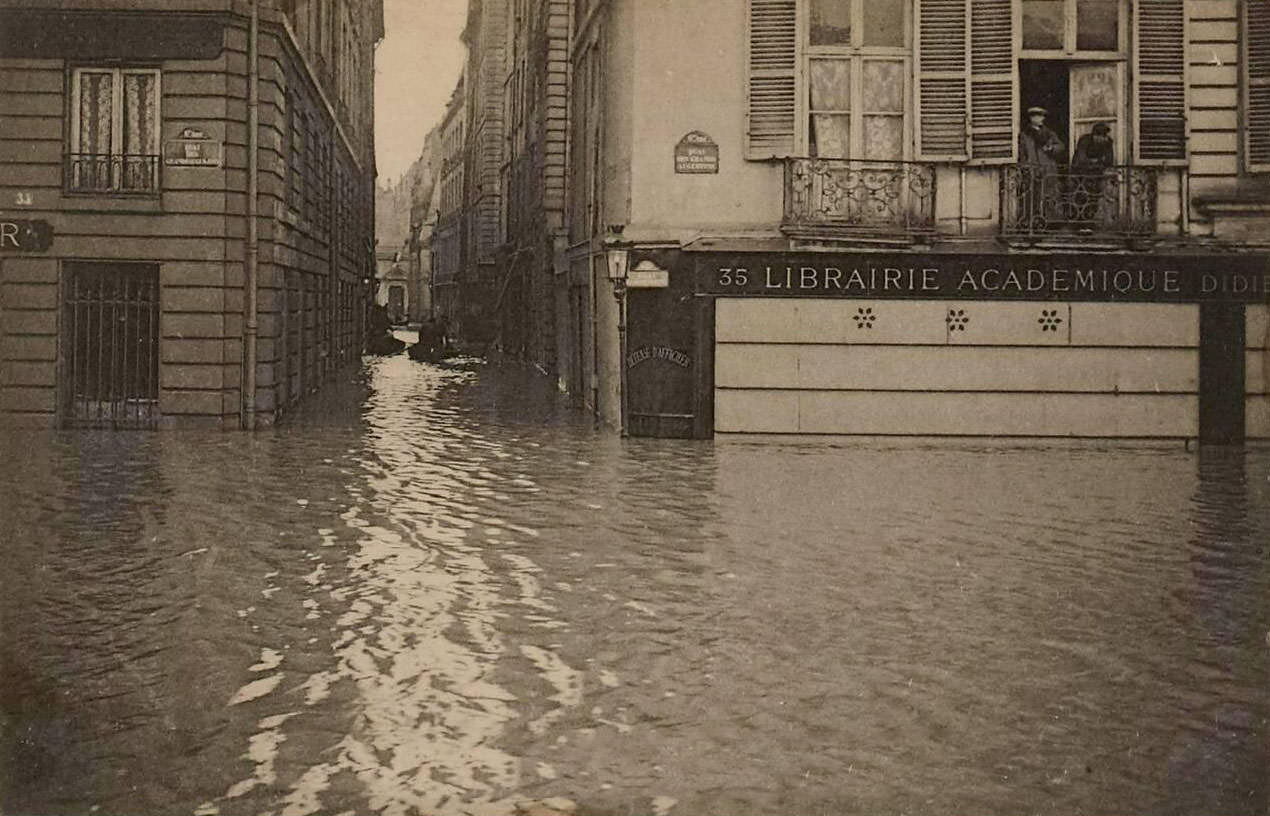
The Avenue Félix-Faure in the 15th arrondissement, a neighborhood of workers and small businesses, stood knee-deep in water. Residents navigated on foot or by boat, their daily routines completely disrupted. The Quai des Grands-Augustins continued to serve as a key reference point for photographers and relief workers tracking the river’s behavior.
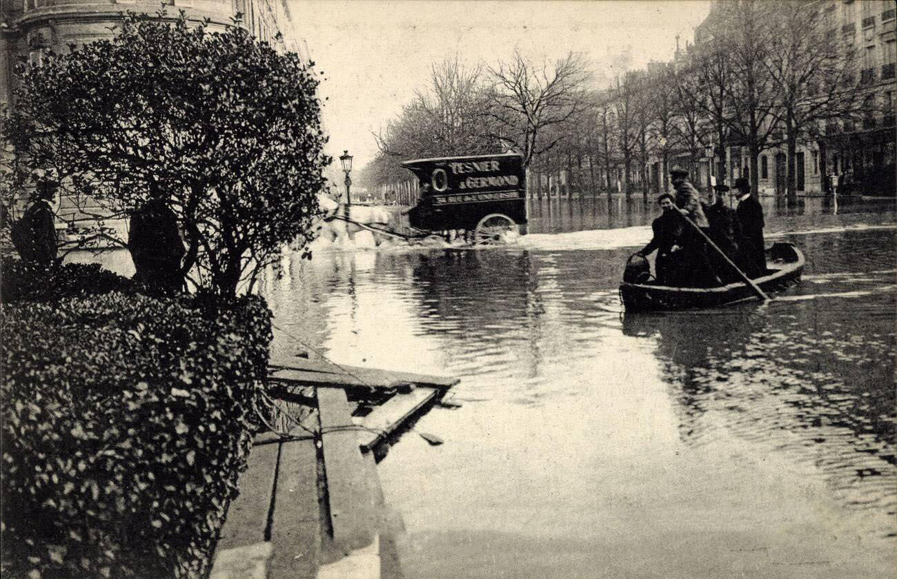
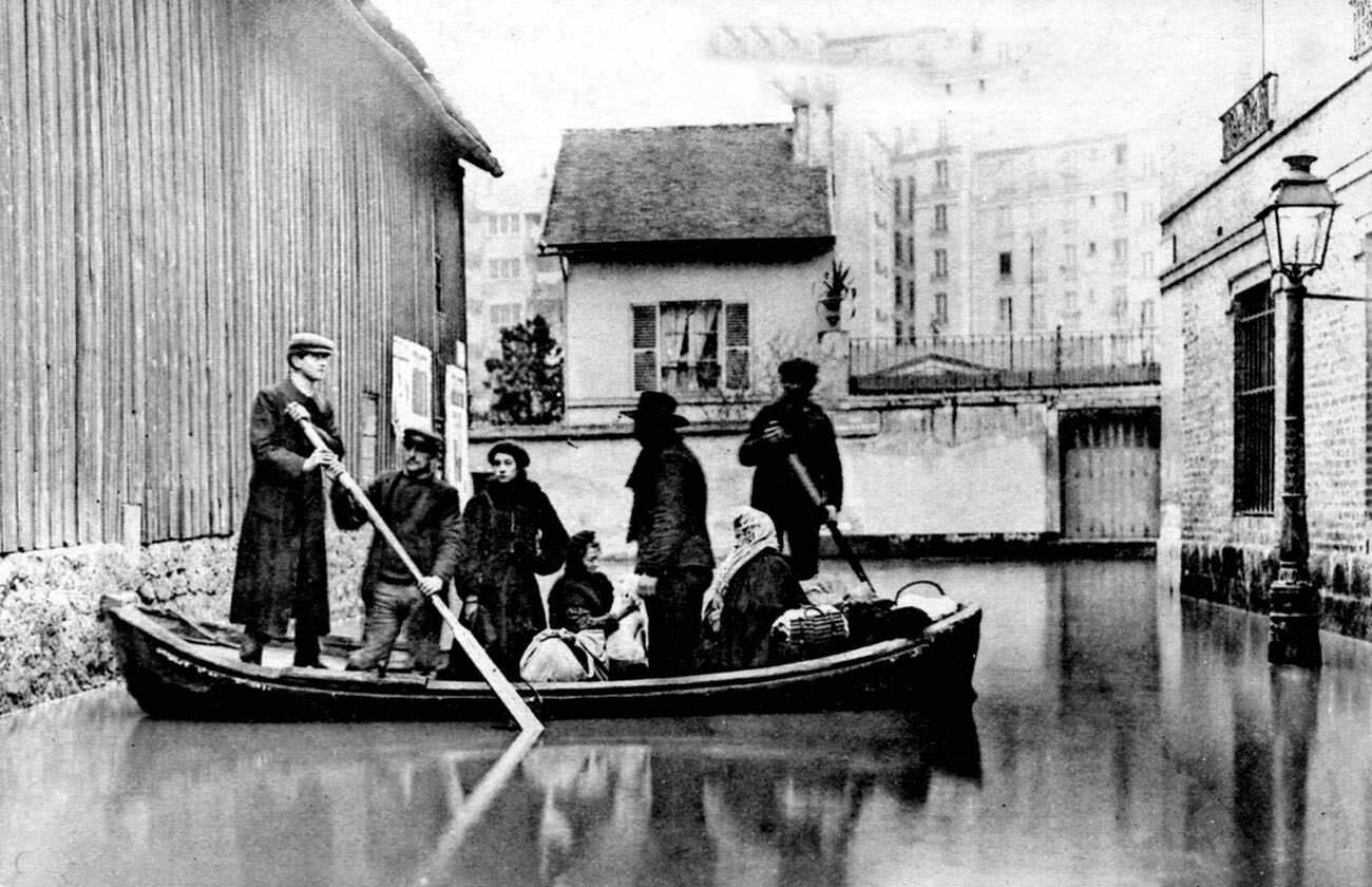
A single rowboat navigating a flooded Parisian street became one of the defining images of the disaster. These photographs — taken on a large format, with careful composition — were not accidental snapshots. Photographers recognized that they were documenting something historic and moved deliberately through the flooded city to capture it.
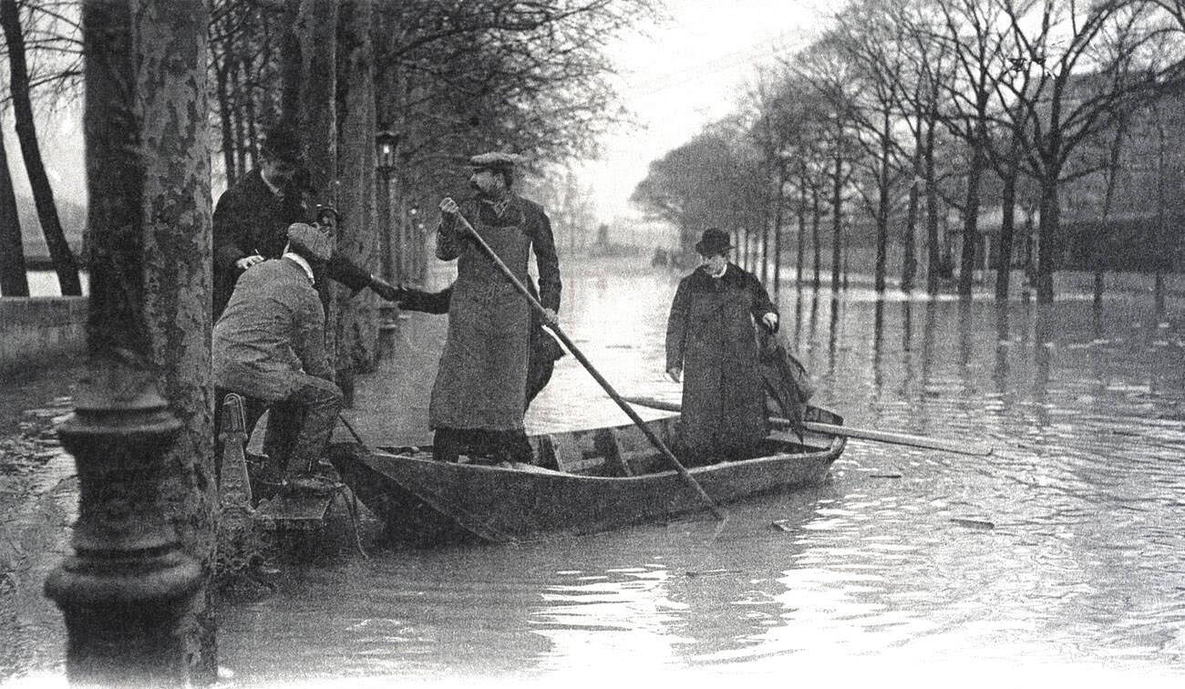
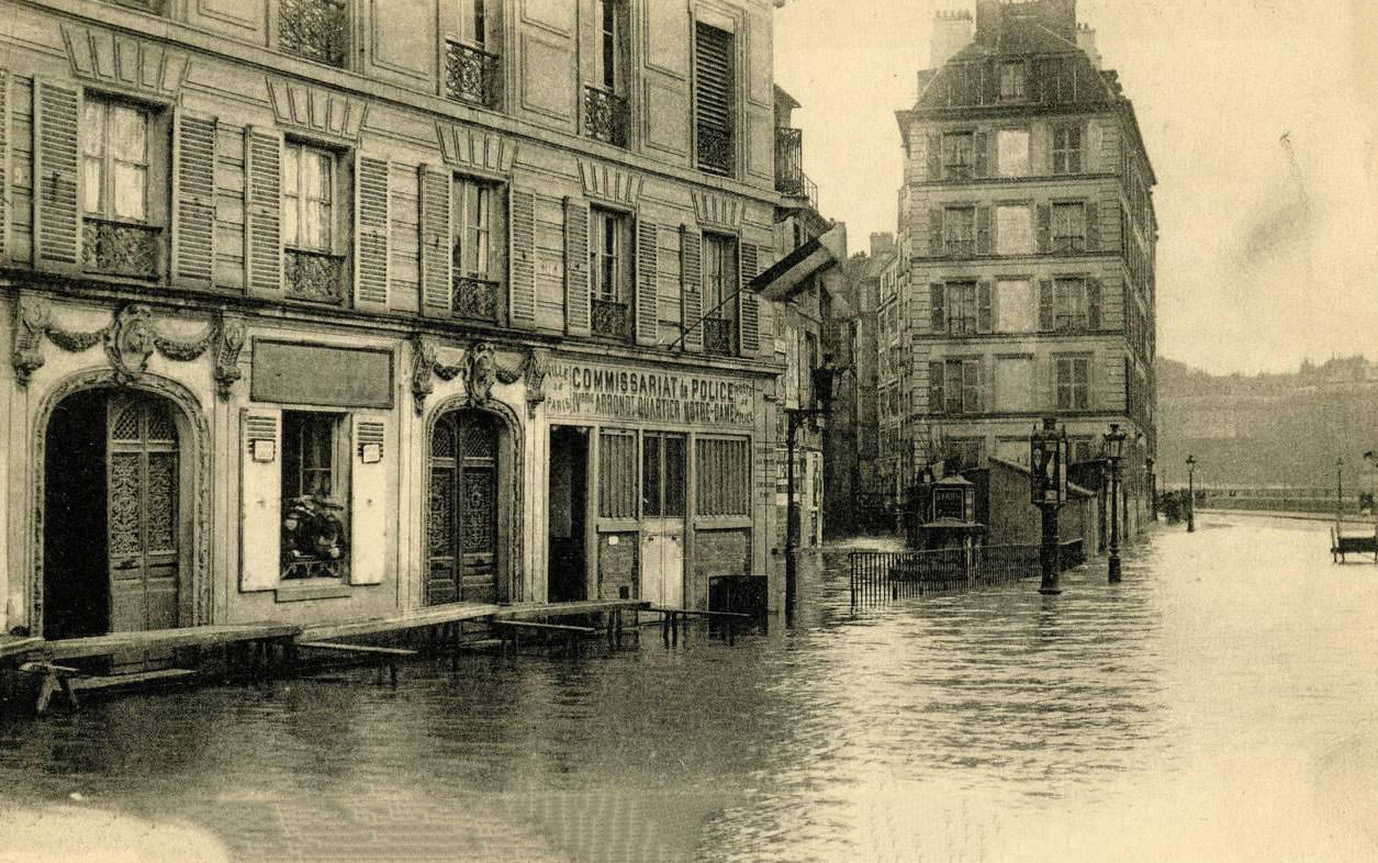
International assistance reached Paris during the crisis. Belgium sent a mission to assist with relief efforts, and photographs show the boarding arrangements made for this delegation as they arrived to help. The Quai aux Fleurs, which ran along the Île de la Cité near Notre Dame, was completely submerged, its flower market long since abandoned.
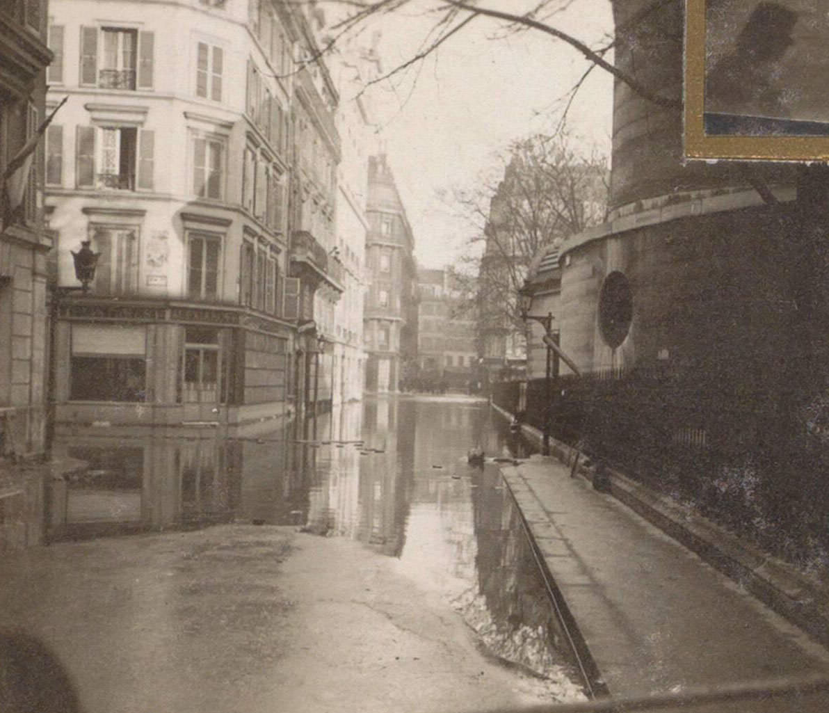
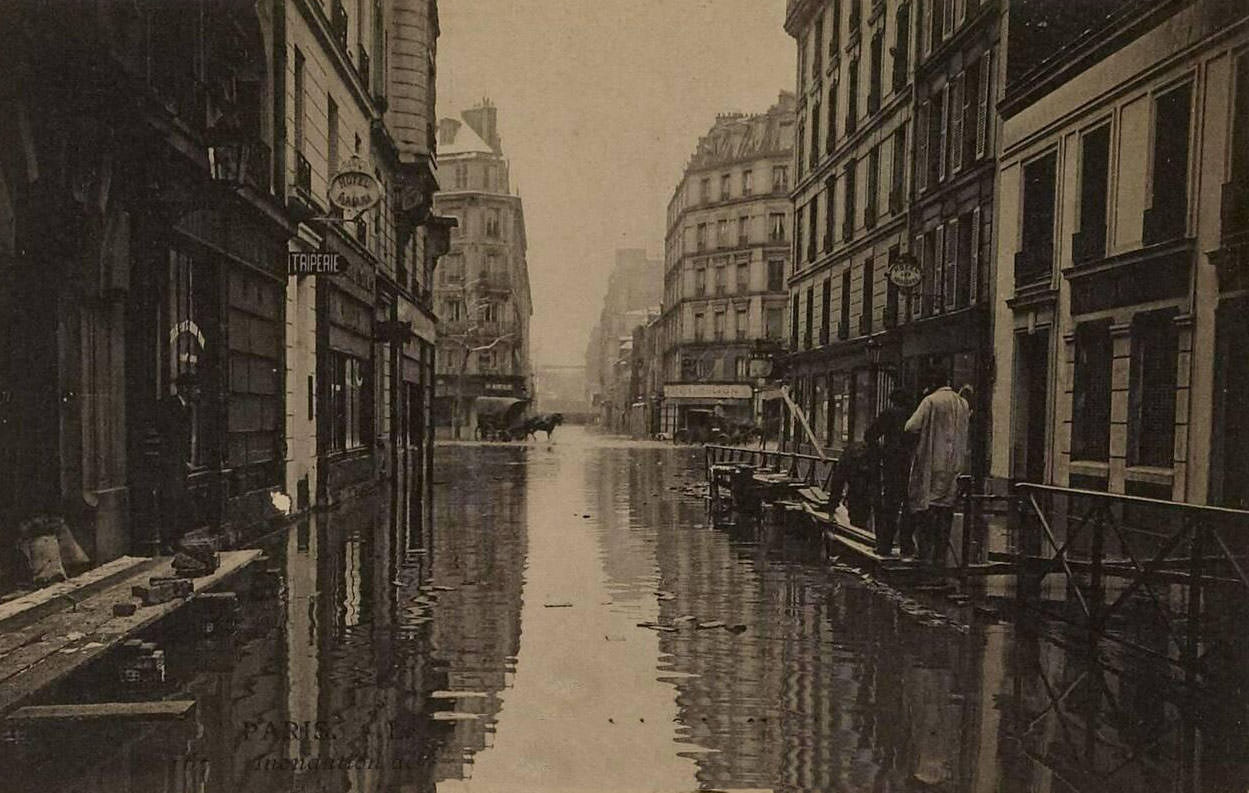
Not every street flooded to the same depth. Some roads in the outer arrondissements saw only a few inches of standing water while neighboring streets became impassable channels. This uneven pattern of flooding made it difficult to navigate the city, as residents could not predict where the water would be shallow enough to cross on foot.
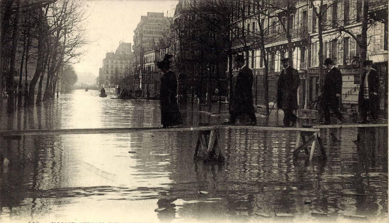
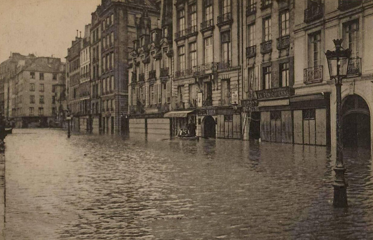
The Avenue Ledru-Rollin appears in multiple photographs from different days of the flood, showing how the water level fluctuated as the Seine rose and then slowly fell. These sequential images serve as a rough timeline of the disaster, tracking the river’s behavior from its peak back toward normalcy over the course of several weeks.
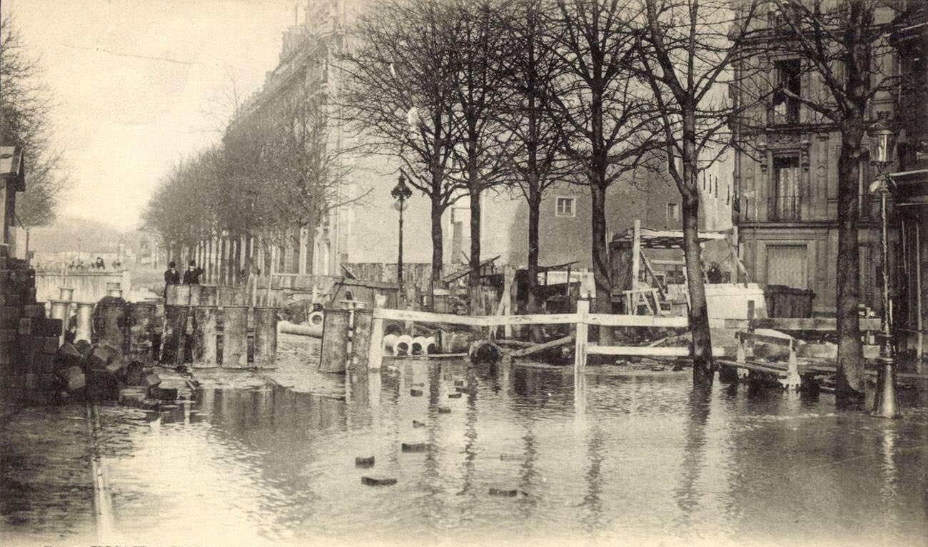
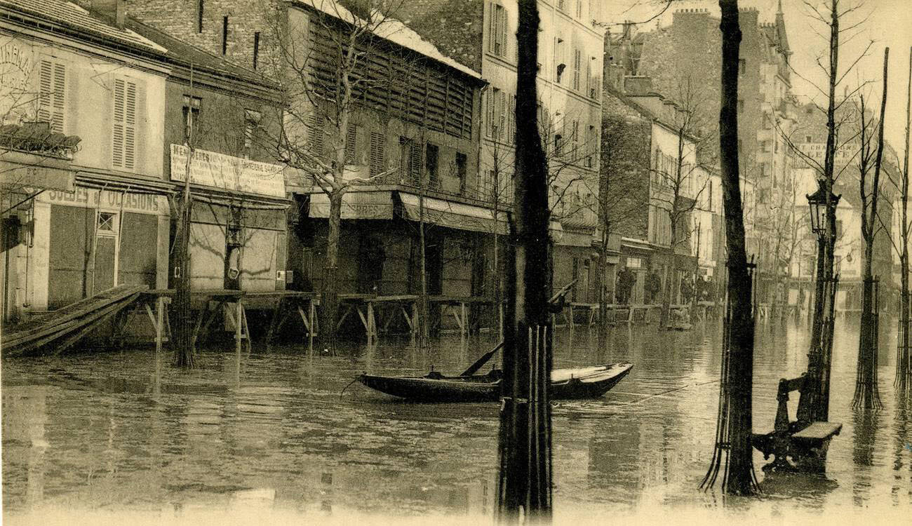
Boulevard Saint-Germain, the intellectual heart of the Left Bank, flooded along its lower sections near the river. Cafés and bookshops that lined the boulevard were shuttered. On the Rue Saint Charles in the 15th arrondissement, floodwaters ran deep enough to require boats for movement through what was normally a street of small shops and apartments.
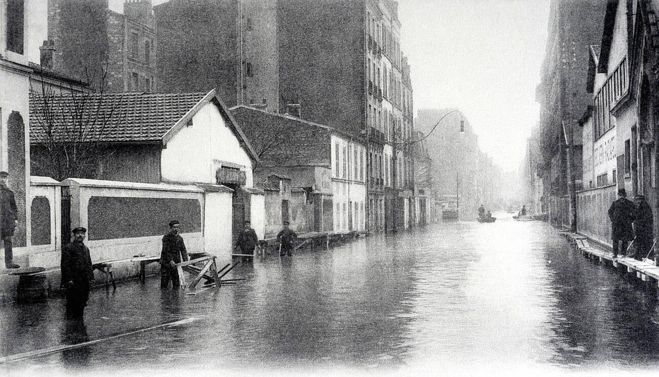
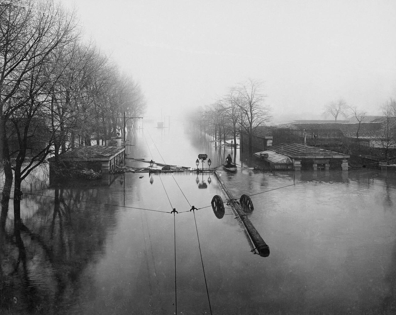
In the suburbs, towns like Levallois-Perret to the northwest were badly affected. Streets like the Rue Fazillau and the Rue Raspail in Levallois-Perret flooded, cutting off residents from normal services. The Porte de la Gare in the 13th arrondissement, a gateway to a major rail station, was also under water, contributing to the transport breakdown affecting the entire region.
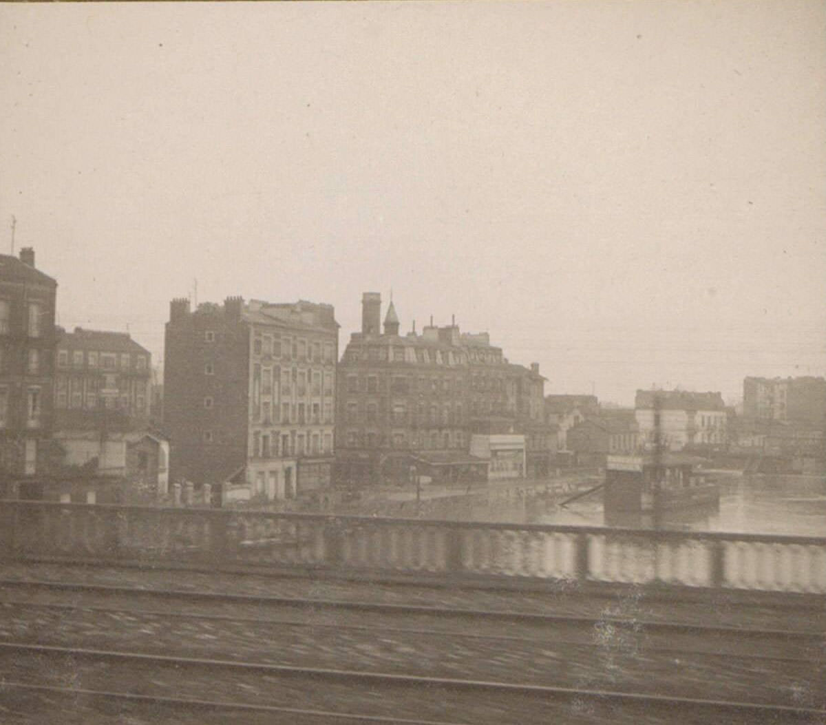
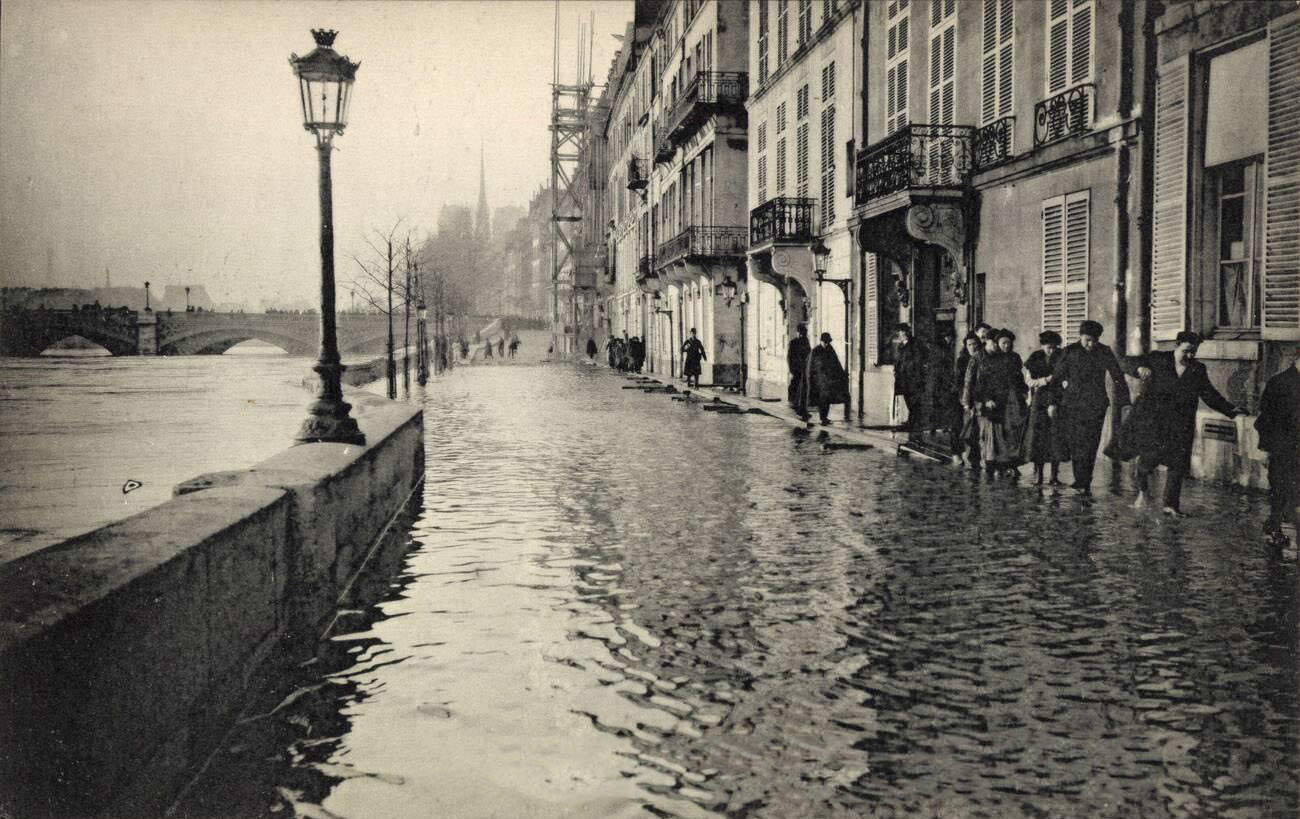
Some rail lines continued operating at reduced capacity, and photographers aboard trains documented the flooding from a moving vantage point. These images show blocks of flooded buildings stretching away from the tracks — an aerial-like perspective that conveyed the scale of the disaster in a way that ground-level photographs could not. On the Quai Béthune, residents gathered to watch the river from what dry ground remained.
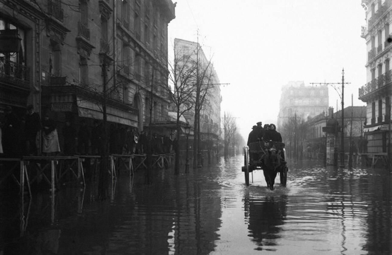
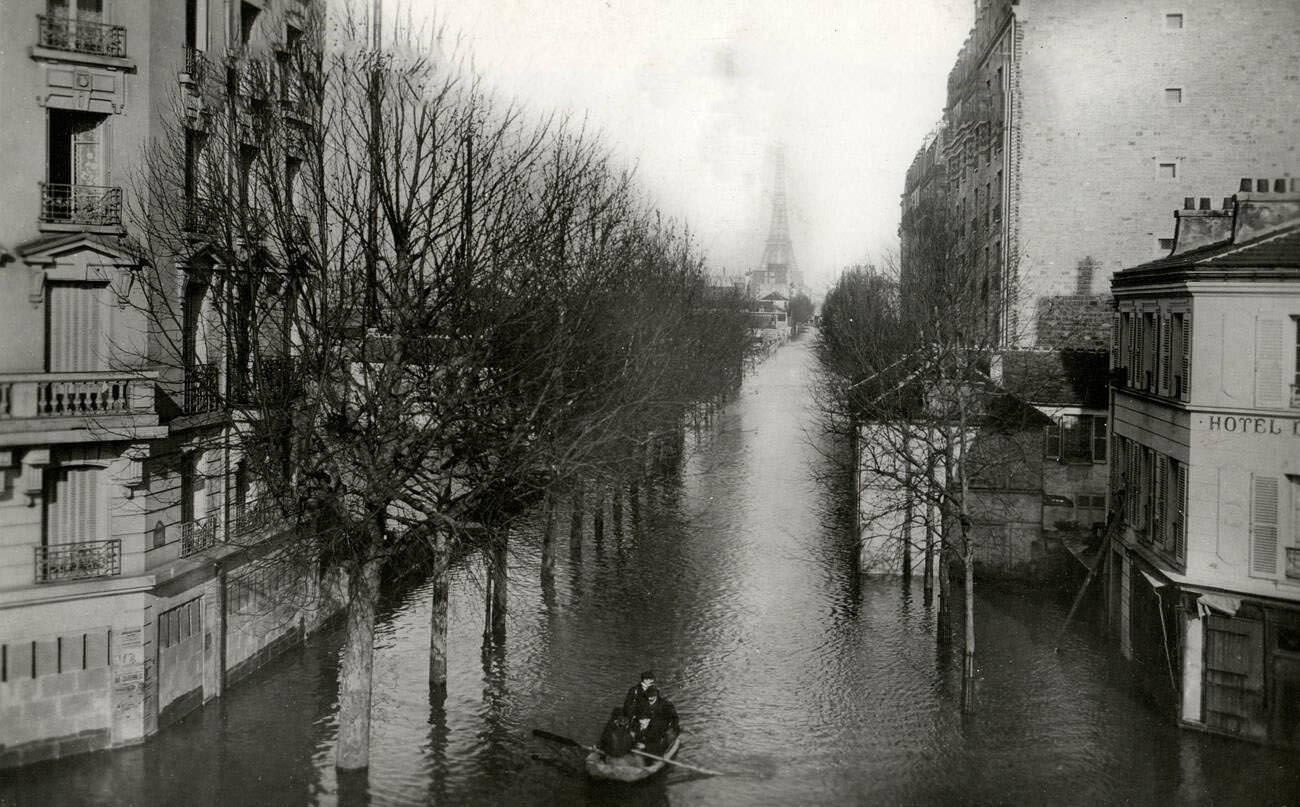
The Rue de la Convention in the 15th arrondissement was one of many residential streets that flooded deeply. The district, home to a large working-class population, had few resources to fall back on once the water arrived. Residents relied heavily on army rescuers and the city’s emergency networks, which were themselves stretched thin across dozens of neighborhoods simultaneously.
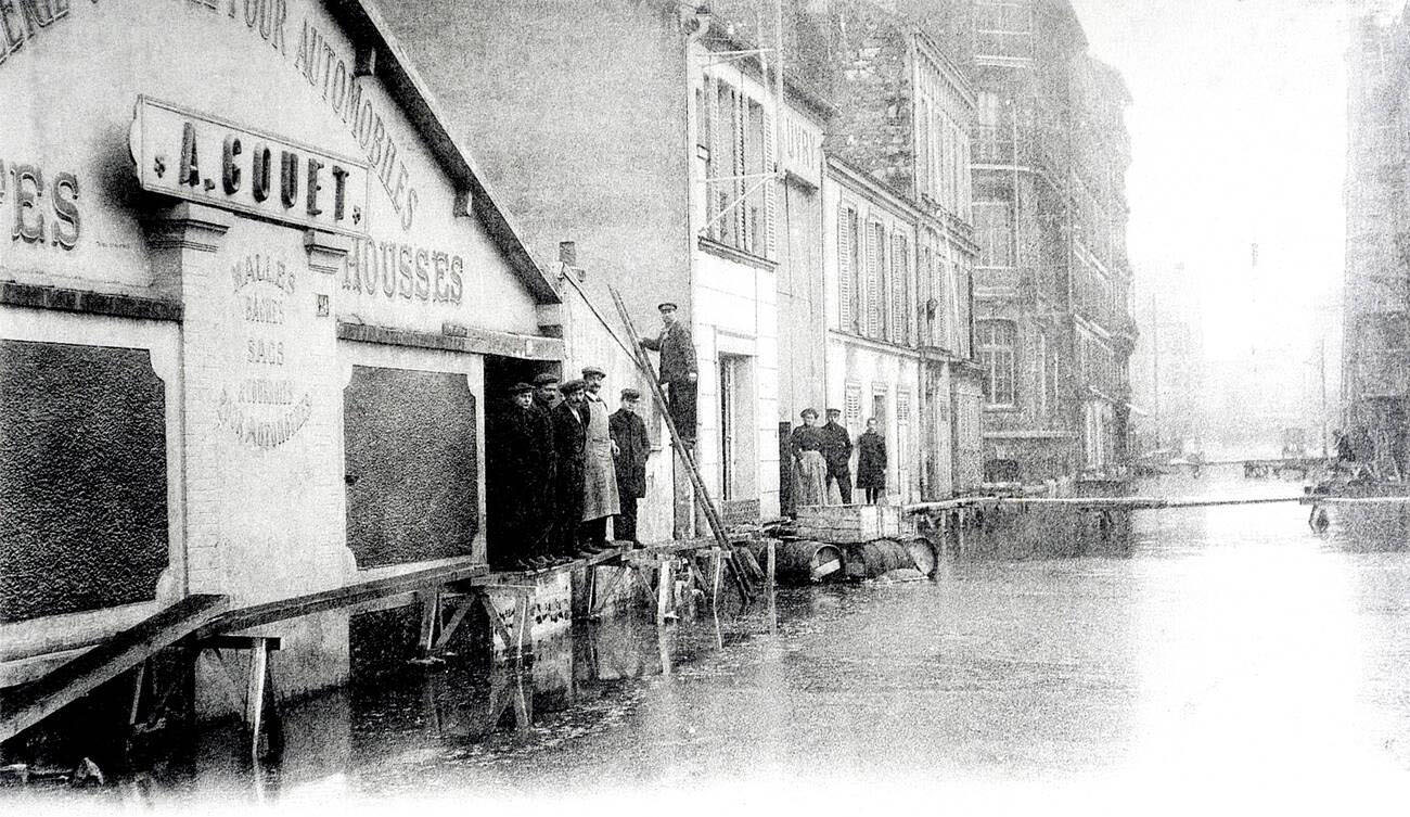
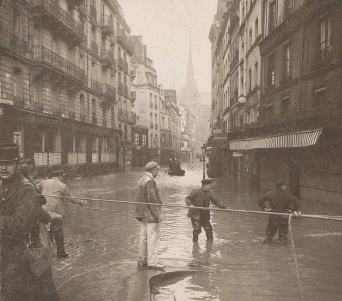
Rescue teams operated in the suburbs just as they did in the city. Men in boats pulled stranded residents from flooded homes across Levallois-Perret and neighboring communes. These rescues were carried out without the specialized equipment that would exist in later eras — just physical strength, flat-bottomed boats, and knowledge of the local streets.
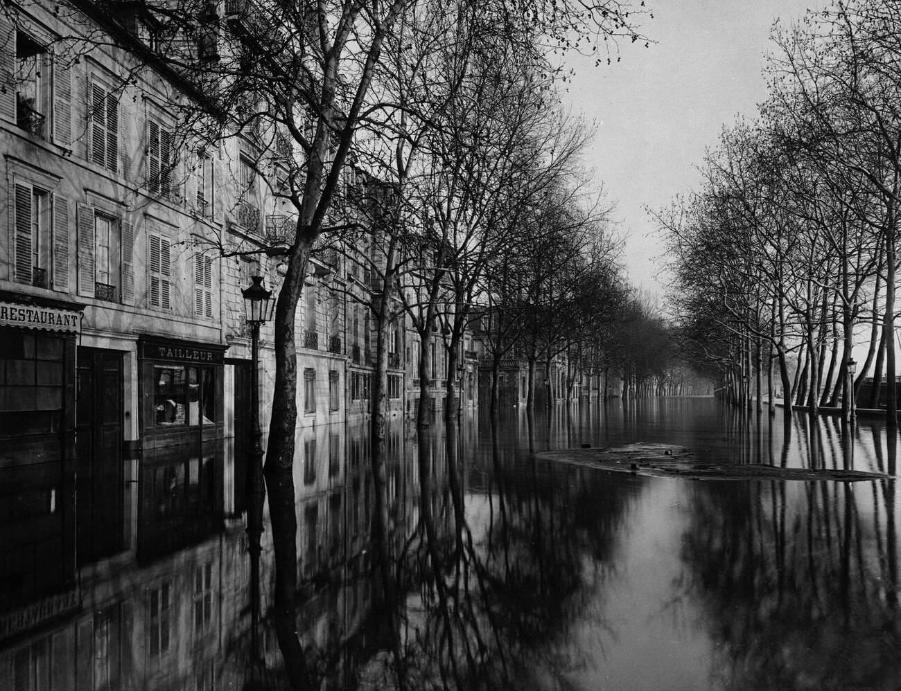
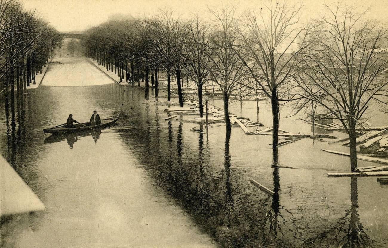
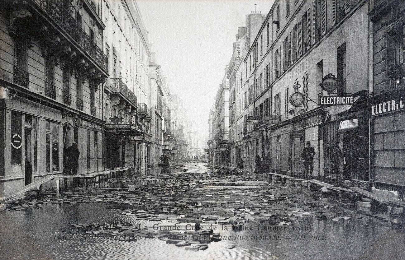
The Quai Debilly in the 16th arrondissement — now known as the Avenue de New York — served as a docking area during the flood. Its wide embankment made it useful for staging boats and storing supplies. The Rue de Lyon in the 12th arrondissement was one of the most photographed flooded streets in the city, its length and the depth of its submersion making it a stark visual record of the disaster.
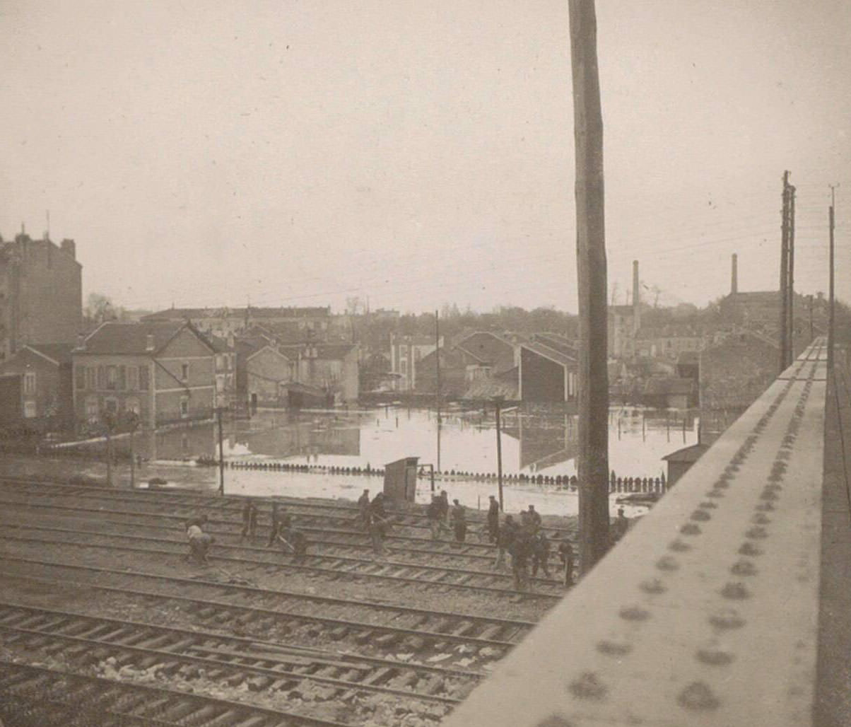
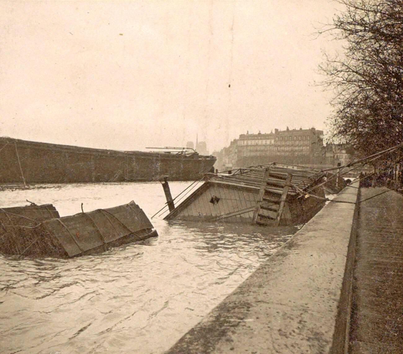
In Asnières, just north of the city, boat houses along the Seine were submerged, their posts and moorings barely visible above the surface. Railway workers continued efforts to repair and maintain flooded rail lines, photographed from bridges above the tracks. Restoring rail service was a priority, as it was the fastest way to resume the movement of people and goods into and out of the affected area.

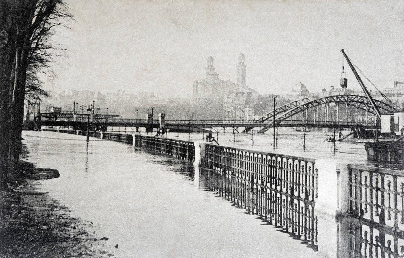
Boats became the defining image of the flood. They crowded the quays and moved through streets in every direction. Photographs labeled simply “Bateaux” — boats — captured the sheer number of vessels that took over the city. Every available rowboat, barge, and flat-bottomed craft was pressed into service, whether for rescue, supply, or simple transport.
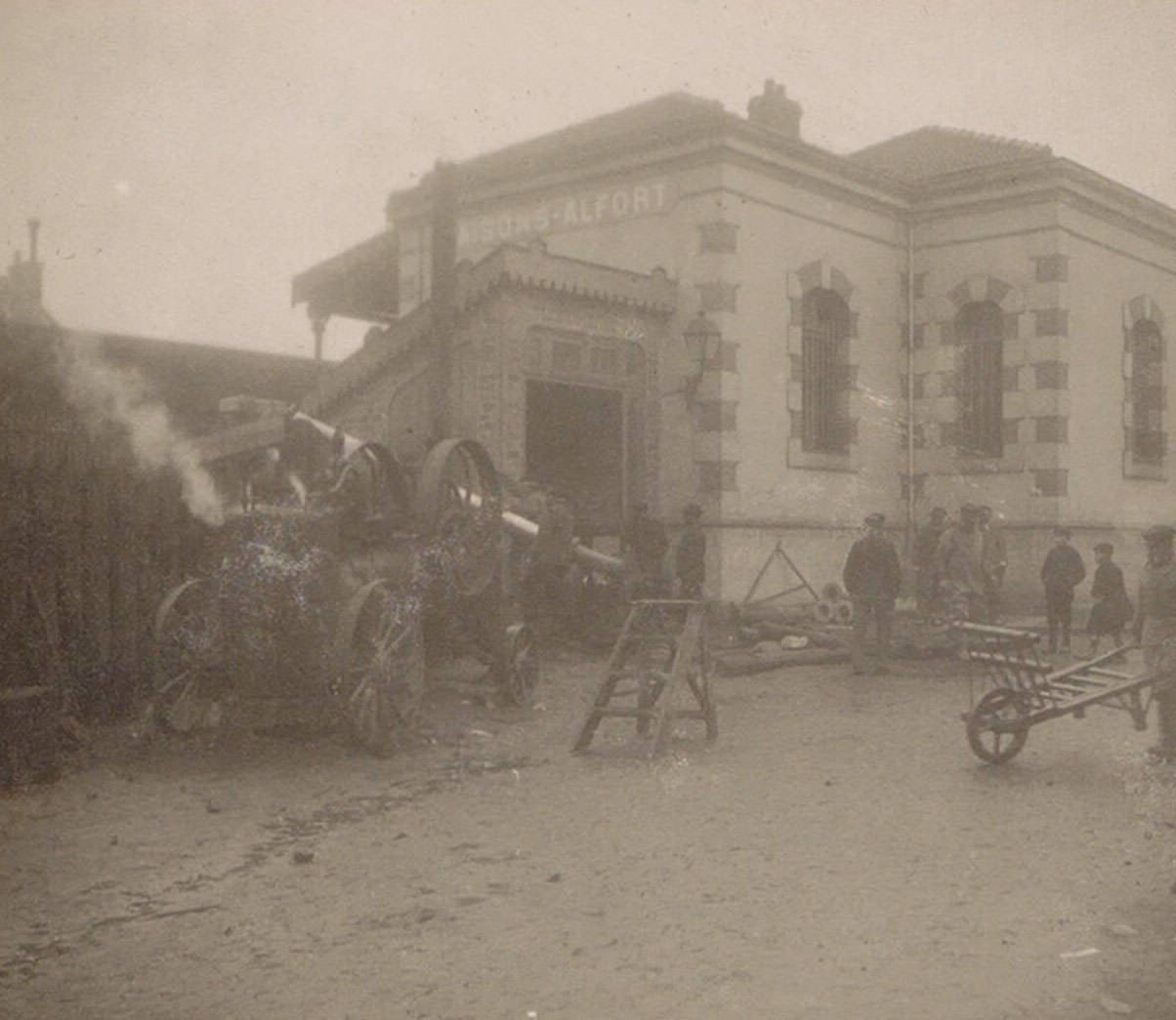
At Maisons-Alfort, a commune southeast of Paris along the Marne River, workers at the railway station used wheelbarrows and hand machinery to clear flood debris and restore the station to working order. The station was a critical junction point, and getting it operational again was essential for restoring regional rail connections.
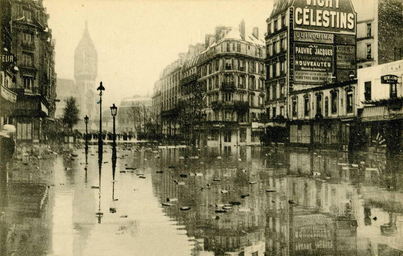
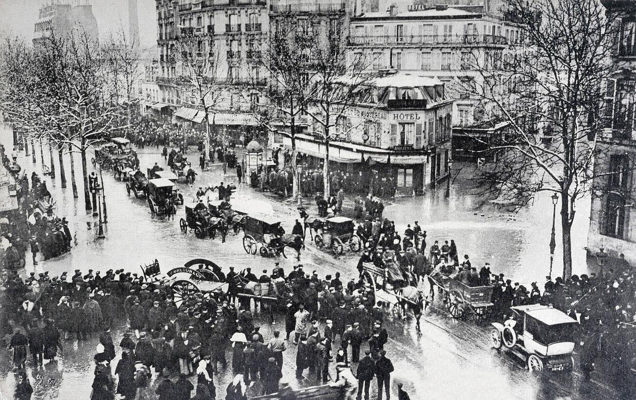
The Rue de Lyon’s submersion was total. Multiple photographs taken from different angles show the street entirely covered, with boats the only viable means of passage. At the intersection of Boulevard Diderot and the Rue de Bercy in the 12th arrondissement, floodwaters pooled across a wide commercial zone, halting the movement of goods between the Gare de Lyon area and the Bercy warehouses.
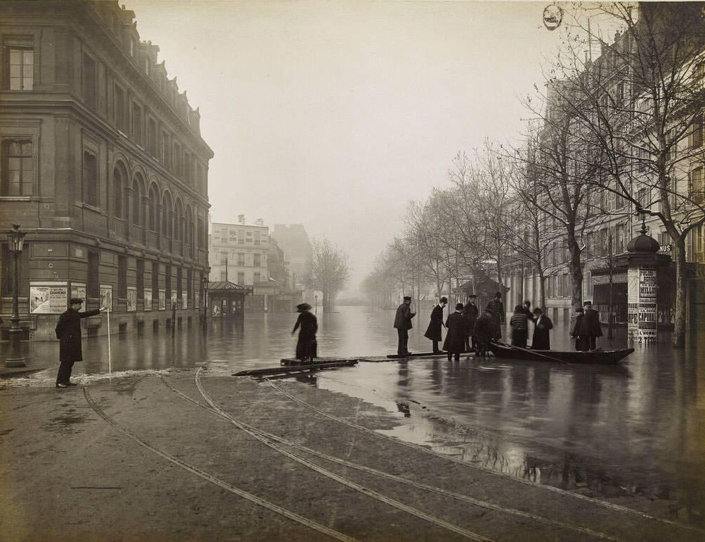
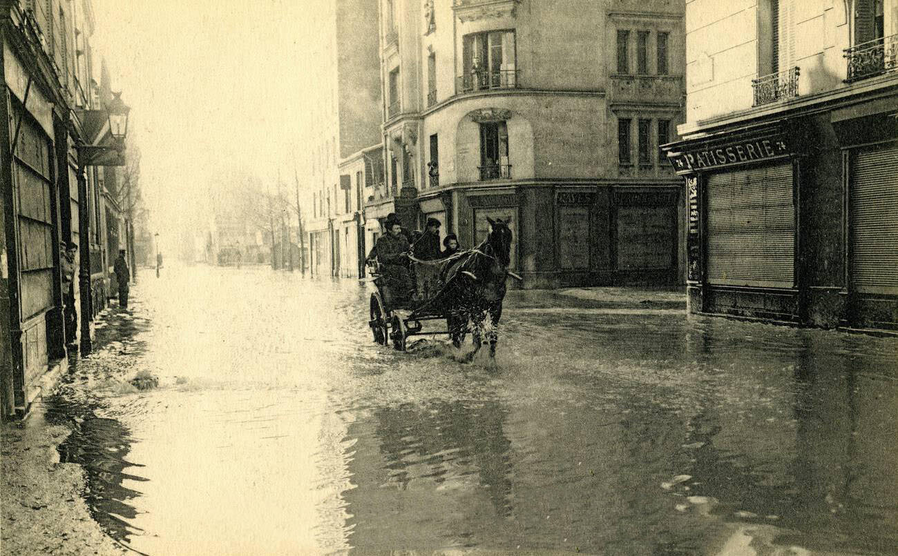
On January 27, the Boulevard Diderot was under water from one end to the other. The 12th arrondissement, home to the Gare de Lyon and a dense network of commercial streets, was among the worst-affected central districts. The Quartier de Javel, a riverside industrial neighborhood in the 15th, was similarly devastated — its factories and workshops flooded alongside the homes of the workers who operated them.
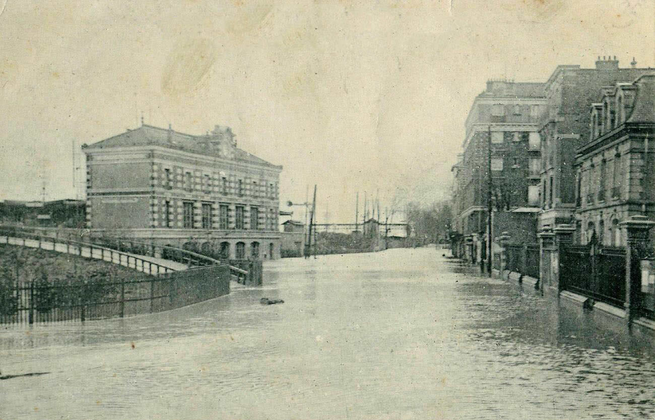
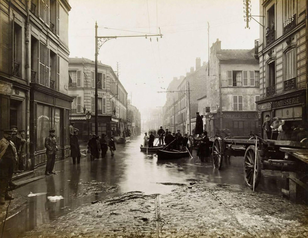
South of Paris, Villeneuve-Saint-Georges had its train station square — the Place de la Gare — fully underwater. On January 31, the town of Ivry-sur-Seine, another southern suburb, recorded flooding at the Rue de la Mairie, right in front of its town hall. These images from surrounding towns demonstrate that the Seine’s flood was a regional catastrophe, not just a Parisian one.
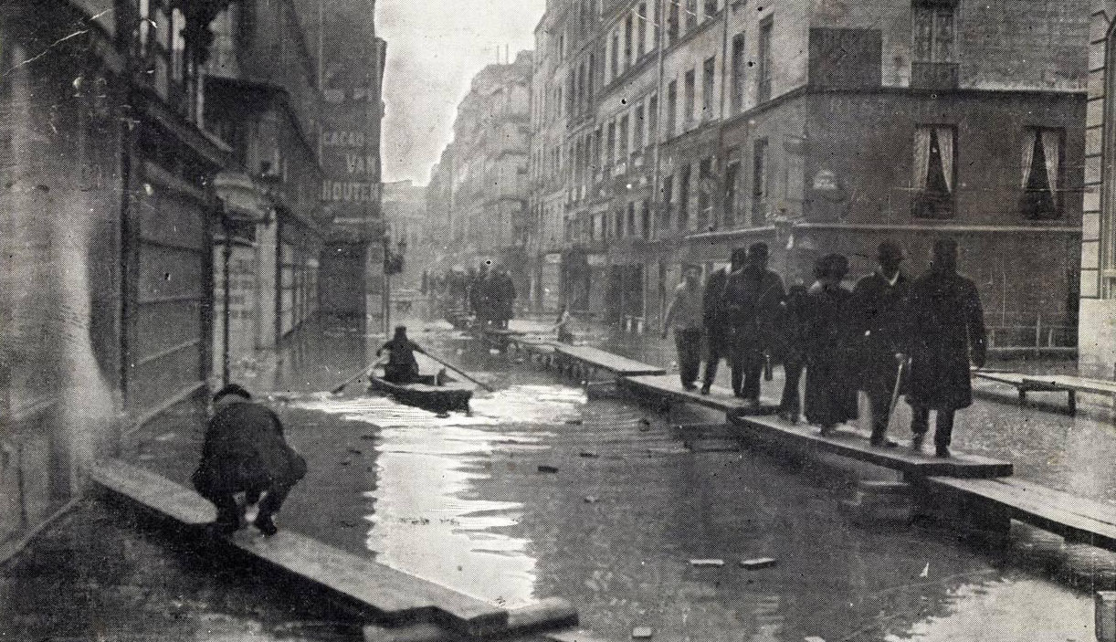
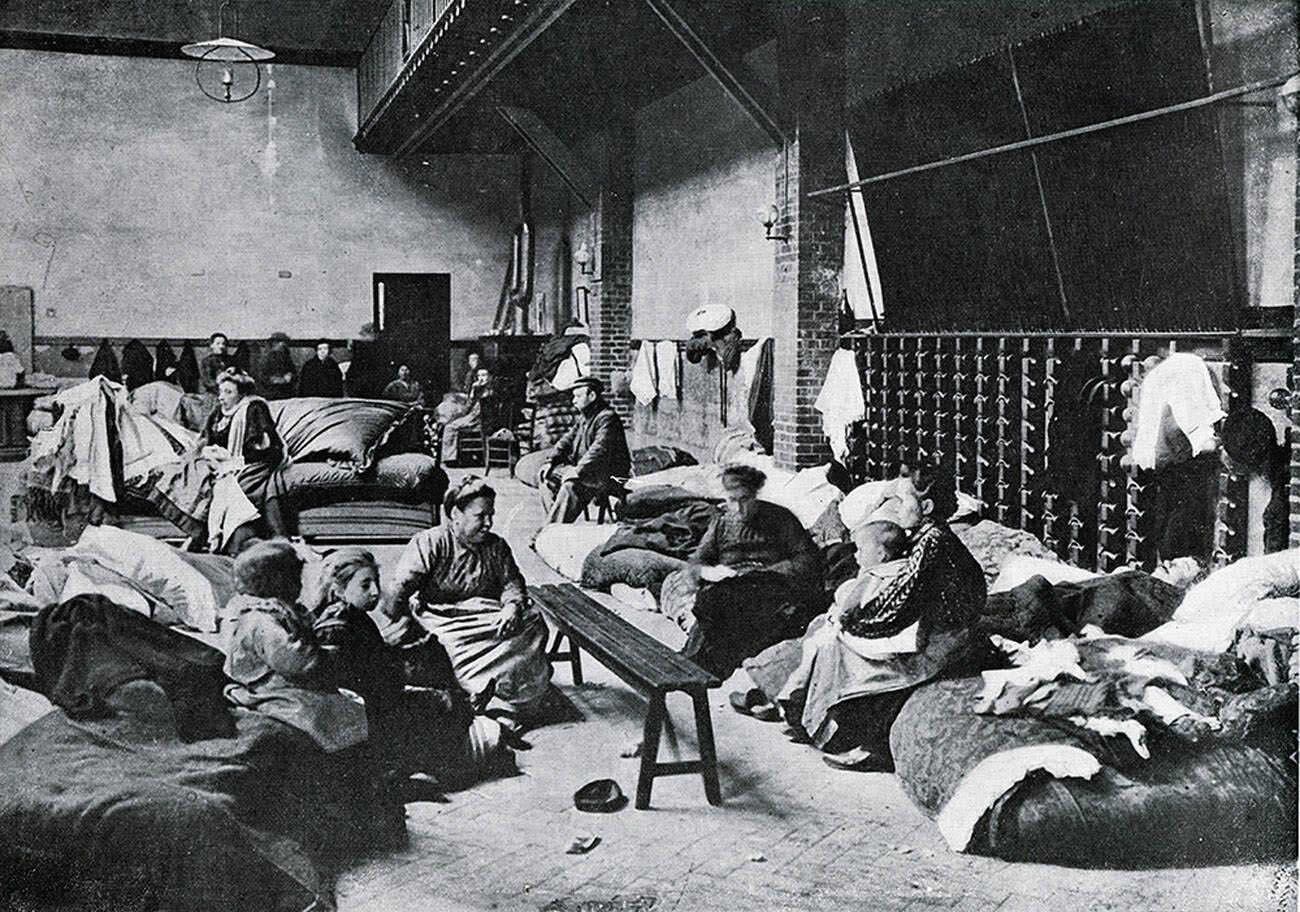
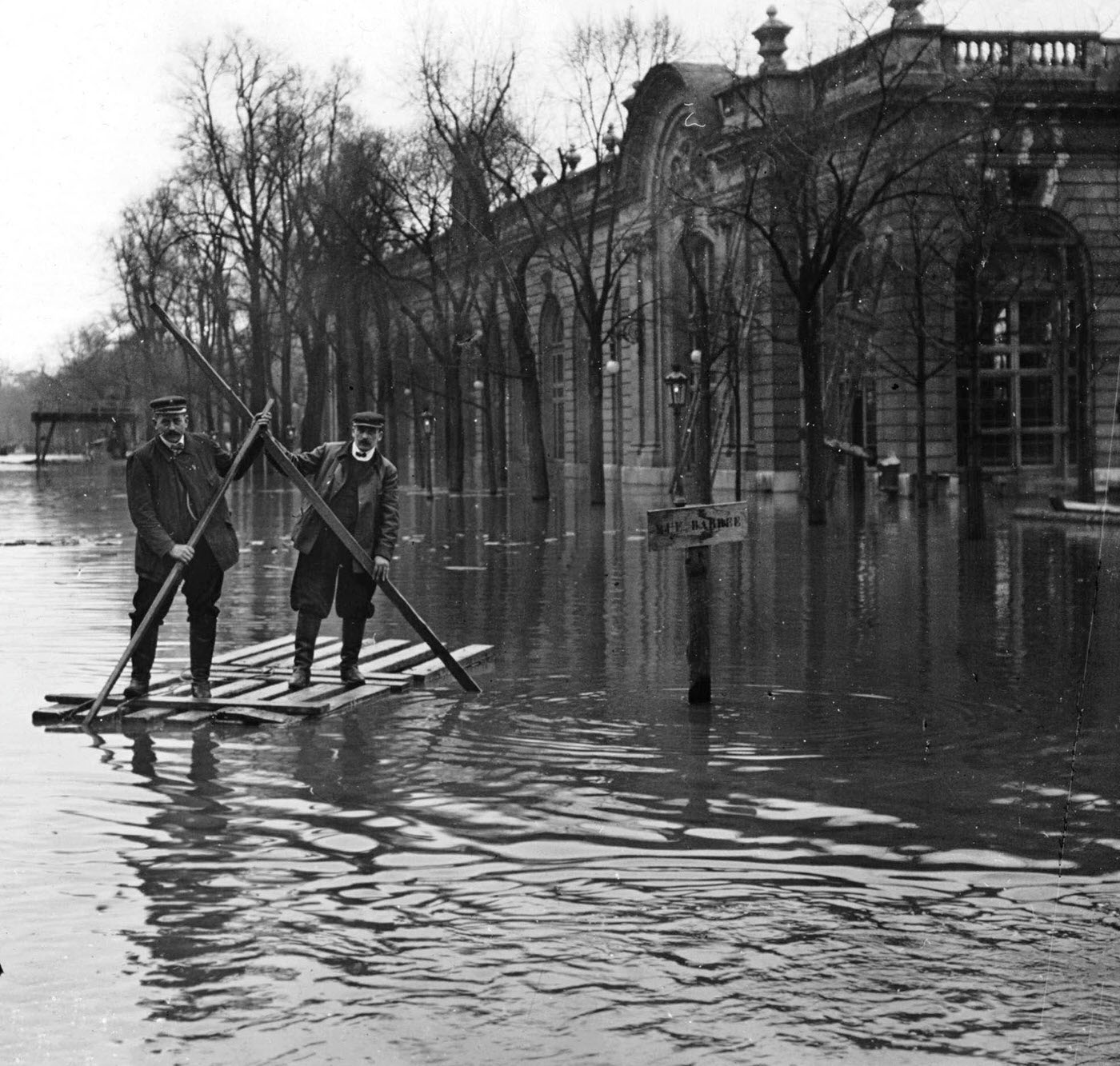
The Rue du Bac in the 7th arrondissement, which connects the Left Bank riverfront to the interior of the district, was marked by high water signs photographed from street level. Public buildings also suffered. The gymnasium on the Rue Saint Lambert, in the 15th arrondissement, flooded completely, its interior filled with water and mud.
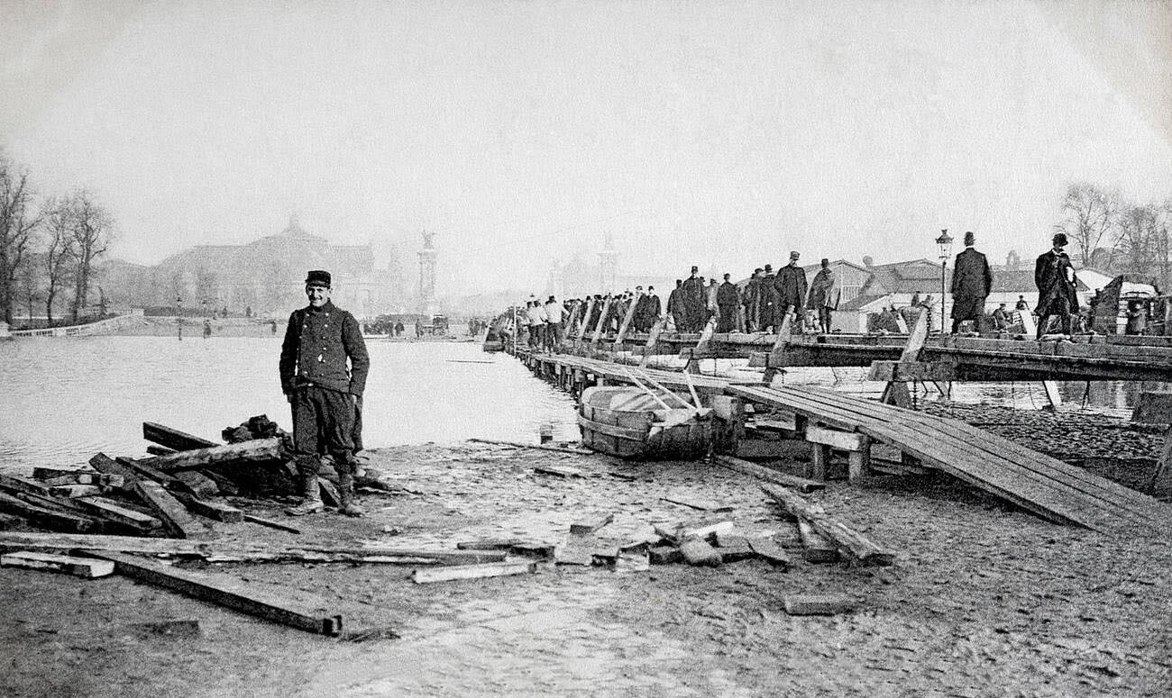
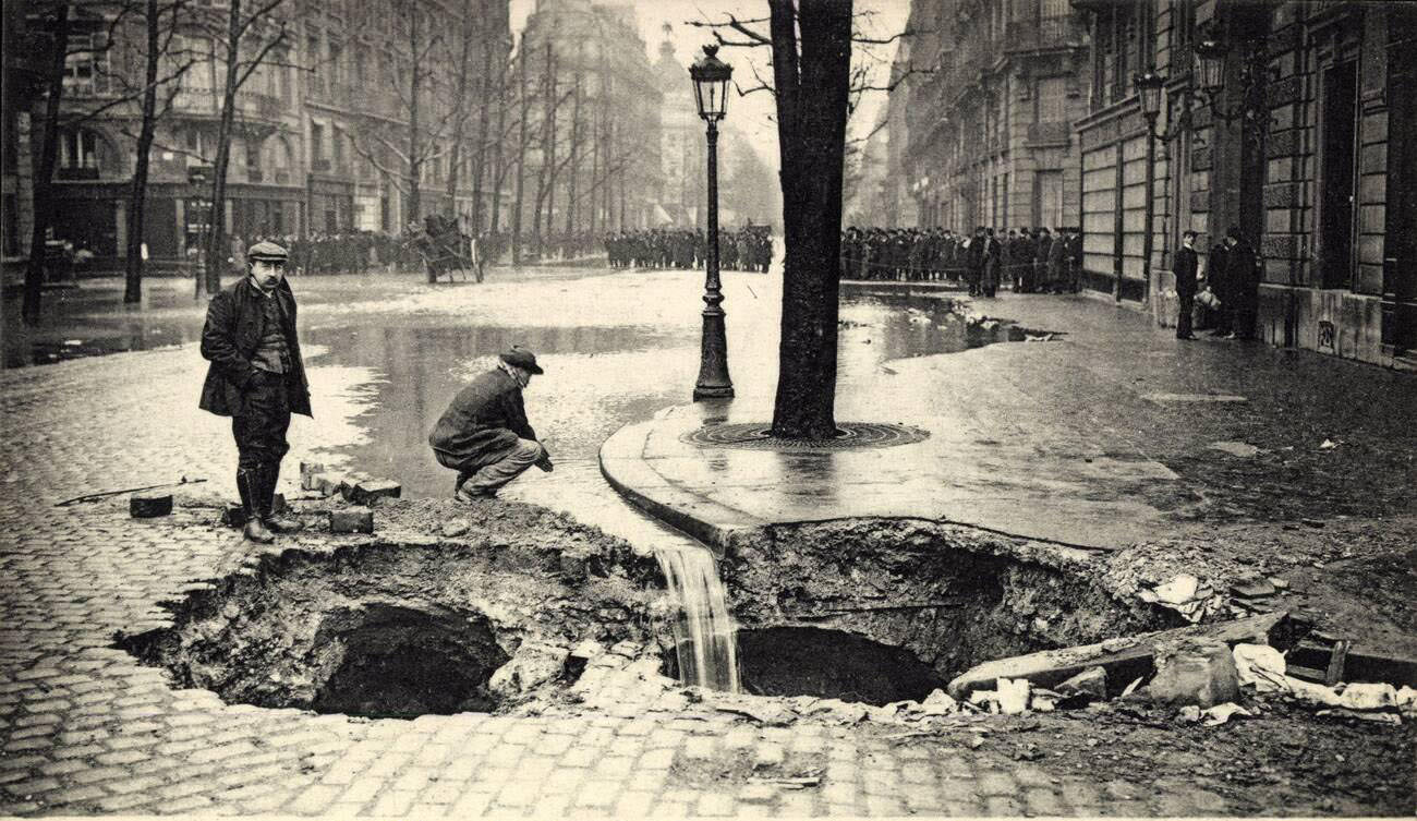
The Second Engineering Regiment from Angers installed a pontoon structure on the flooded Esplanade des Invalides, effectively creating a temporary pond to manage drainage and boat traffic in the area. The collapse of a major sewer on Boulevard Haussmann added a secondary crisis to the flood response — the road surface gave way, requiring immediate shoring up to prevent further structural failure.
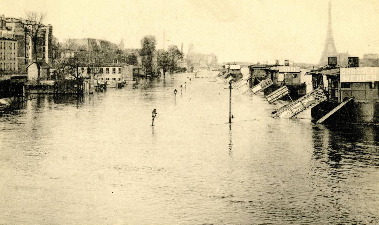
The Quai d’Auteuil, viewed from the elevated viaduct at Pont du Jour, presented a panoramic image of just how far the flood had pushed into the city’s western edges. From this height, the extent of the inundation was clear — streets, parks, and embankments all merged into one continuous sheet of water. On January 27, the Rue de Lyon was captured again from a low vantage point, showing the waterline at door-handle height on the street-level buildings.
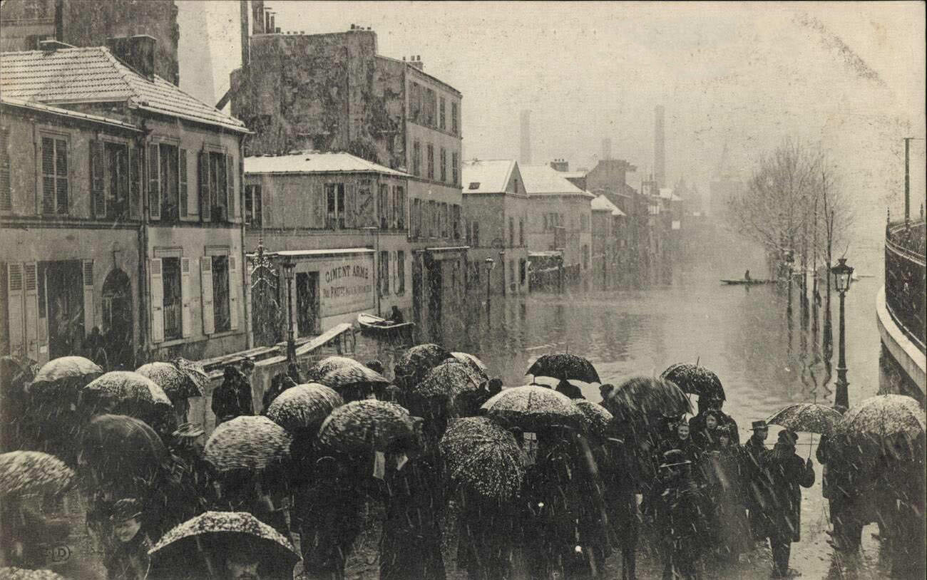
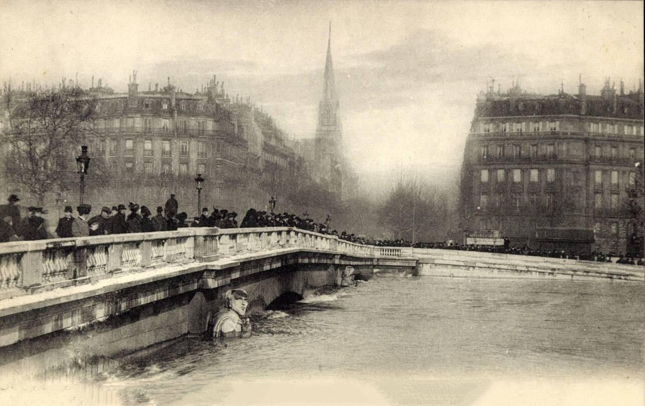
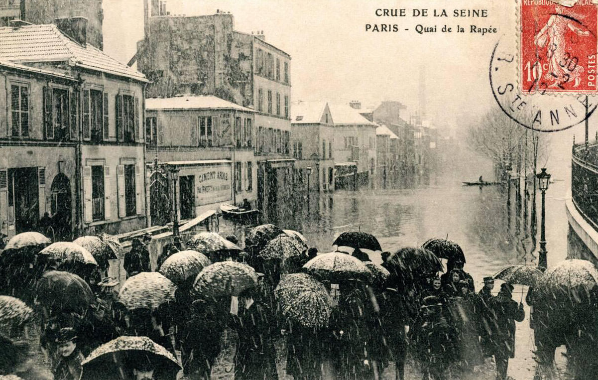
At the Quai de la Rapée, passersby navigated whatever dry ground remained along the embankment wall. The Pont de l’Alma, home to the famous Zouave statue used as a flood gauge, was photographed from above during the peak of the flood. The river’s surface had risen so dramatically that the bridge’s arches were barely visible and the Zouave stood almost entirely submerged.
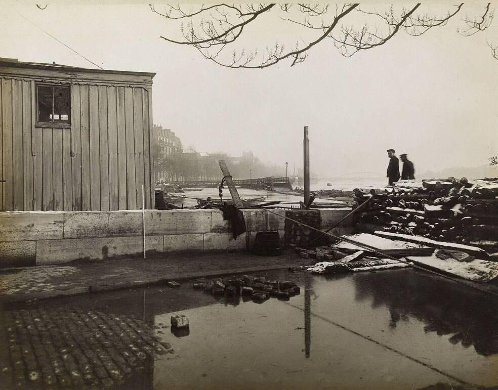
Bridge piers throughout the city were nearly engulfed. In the 4th arrondissement, a photograph taken on January 27 shows a bridge pier with water pressing hard against its stone base, the force of the current visibly distorting the water’s surface around it. On the Avenue Rapp in the 7th arrondissement, one of the streets closest to the flooded Champ-de-Mars area, the water pushed well into the residential blocks.
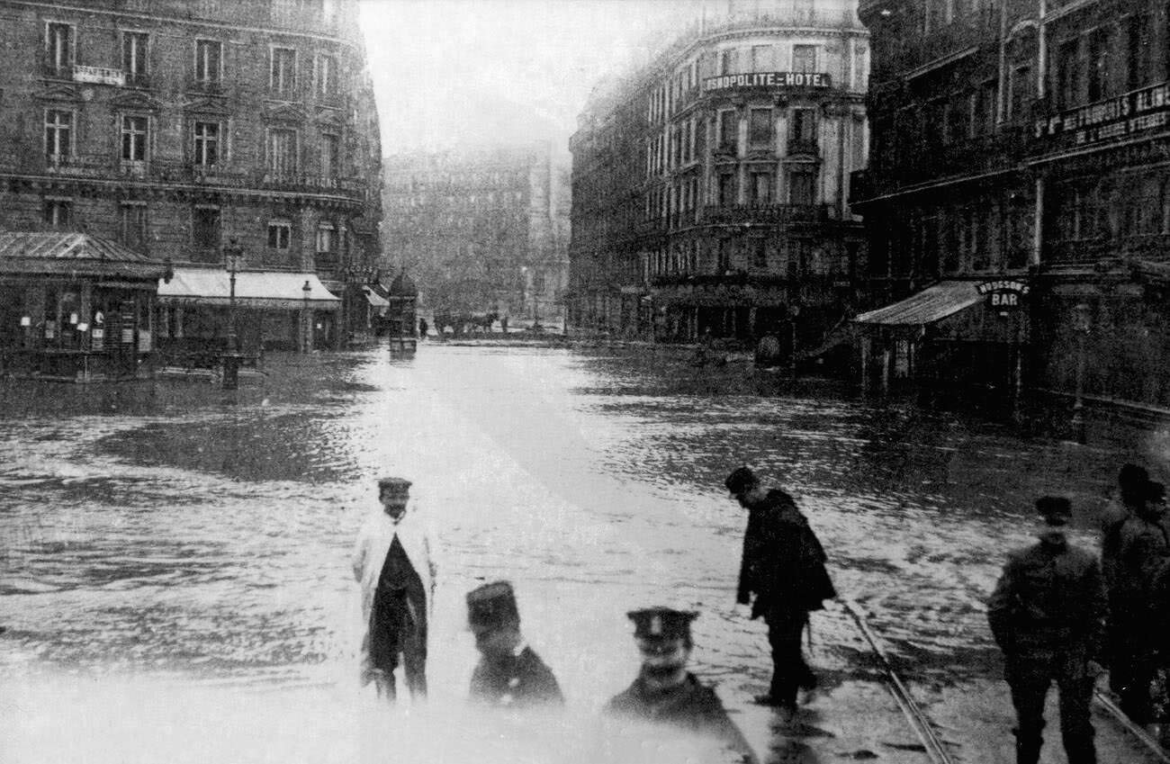
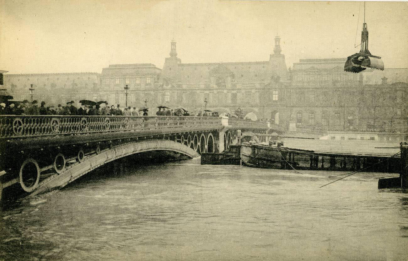
The Place de Rome, near the Saint-Lazare railway station, flooded deeply — an important detail given that this was a major transport hub. Makeshift walkways appeared wherever the water was shallow enough. The Pont des Saints-Pères, now known as the Pont du Carrousel, had its lower structure entirely underwater, the river flowing at a level that made the bridge’s original design almost unrecognizable.
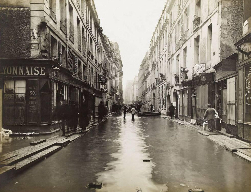
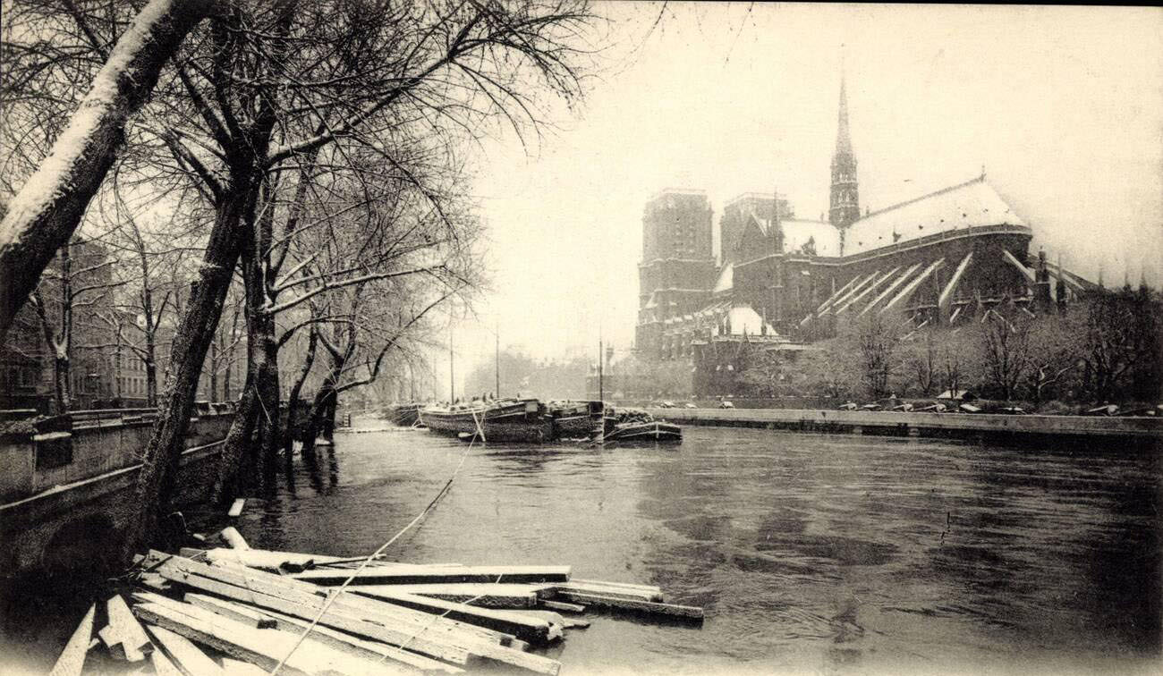
On January 31, the Rue Saint-André des Arts in the 5th arrondissement was still flooded, showing how long the water persisted in certain neighborhoods even as the peak began to pass. The panoramic view of Notre Dame Cathedral from across the flooded river became one of the most iconic images of the entire disaster — the medieval cathedral rising above the floodwaters as the river swallowed everything around it.
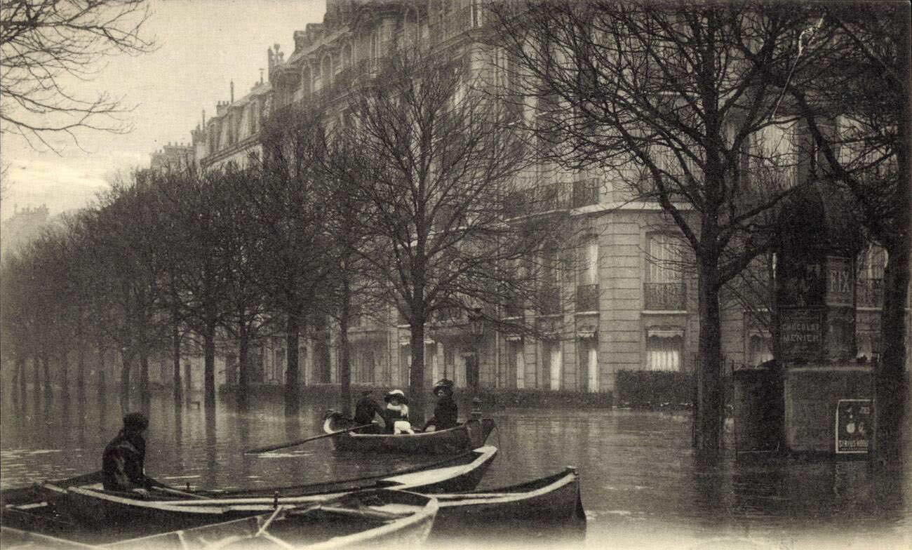
Transshipment operations on the Quai de Passy coordinated the transfer of supplies between boats and the dry sections of the embankment. Workers unloaded crates and parcels from larger barges onto smaller, shallower craft that could navigate the flooded streets inland. Avenue Montaigne, photographed once more in January, showed the flood at its deepest point along this central artery.
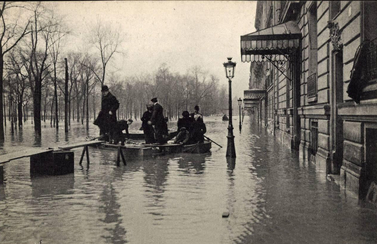
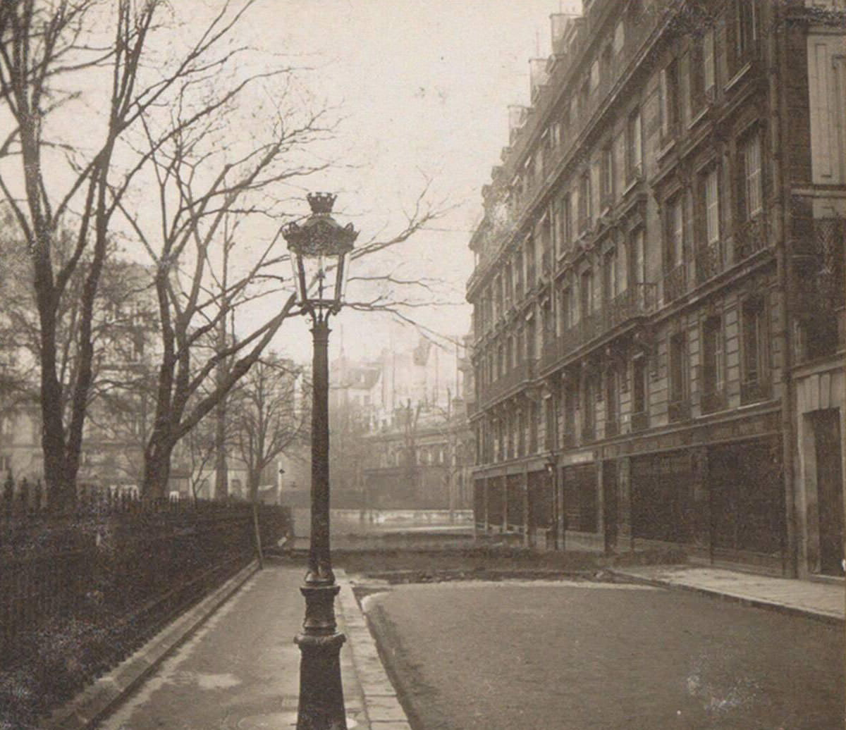
The city’s estacade — a fixed pier structure on the Seine — served as a docking point for supply vessels moving provisions around the flooded city. In some areas, temporary earthen dams were constructed to hold back water from streets that had not yet flooded or to protect critical infrastructure. Photographs show these improvised barriers holding a clear line between wet and dry ground.
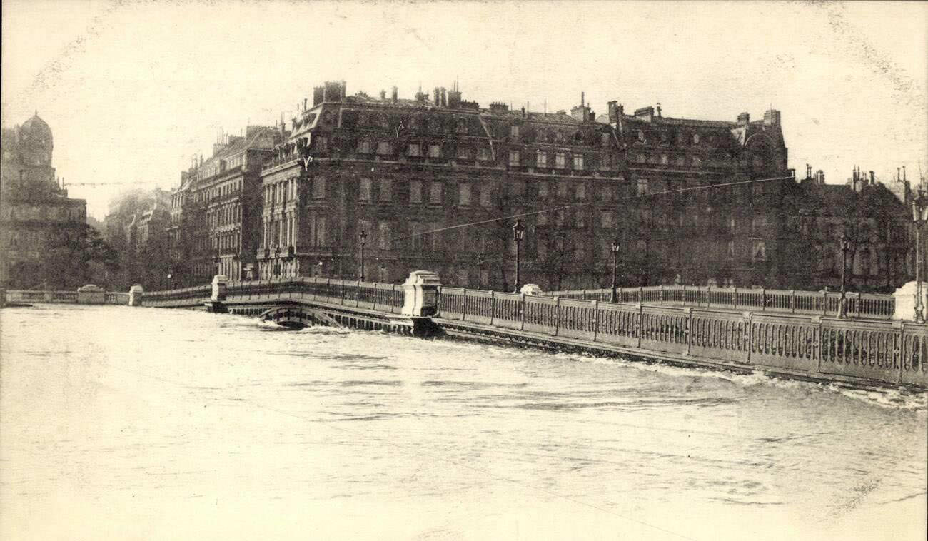
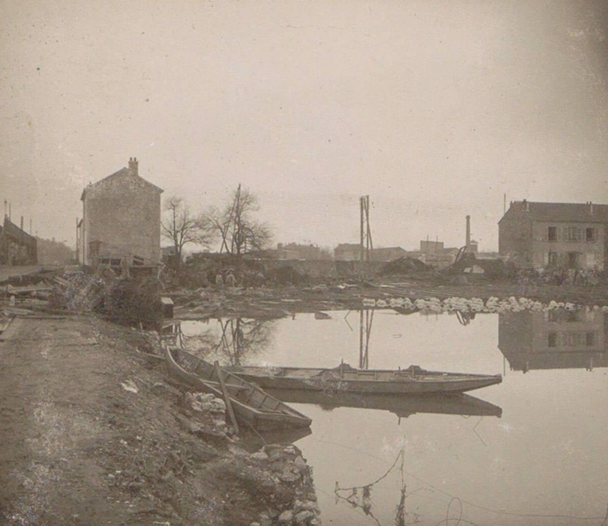
The panoramic view of the Pont de Solférino showed the bridge barely clearing the swollen Seine, the river’s surface approaching the road deck. In the suburbs, photographs from personal albums captured boats tied up in front of residential houses, the floodwater surrounding them on all sides. These amateur images, collected into photo albums by witnesses to the disaster, preserved a ground-level perspective that professional photographers rarely captured.
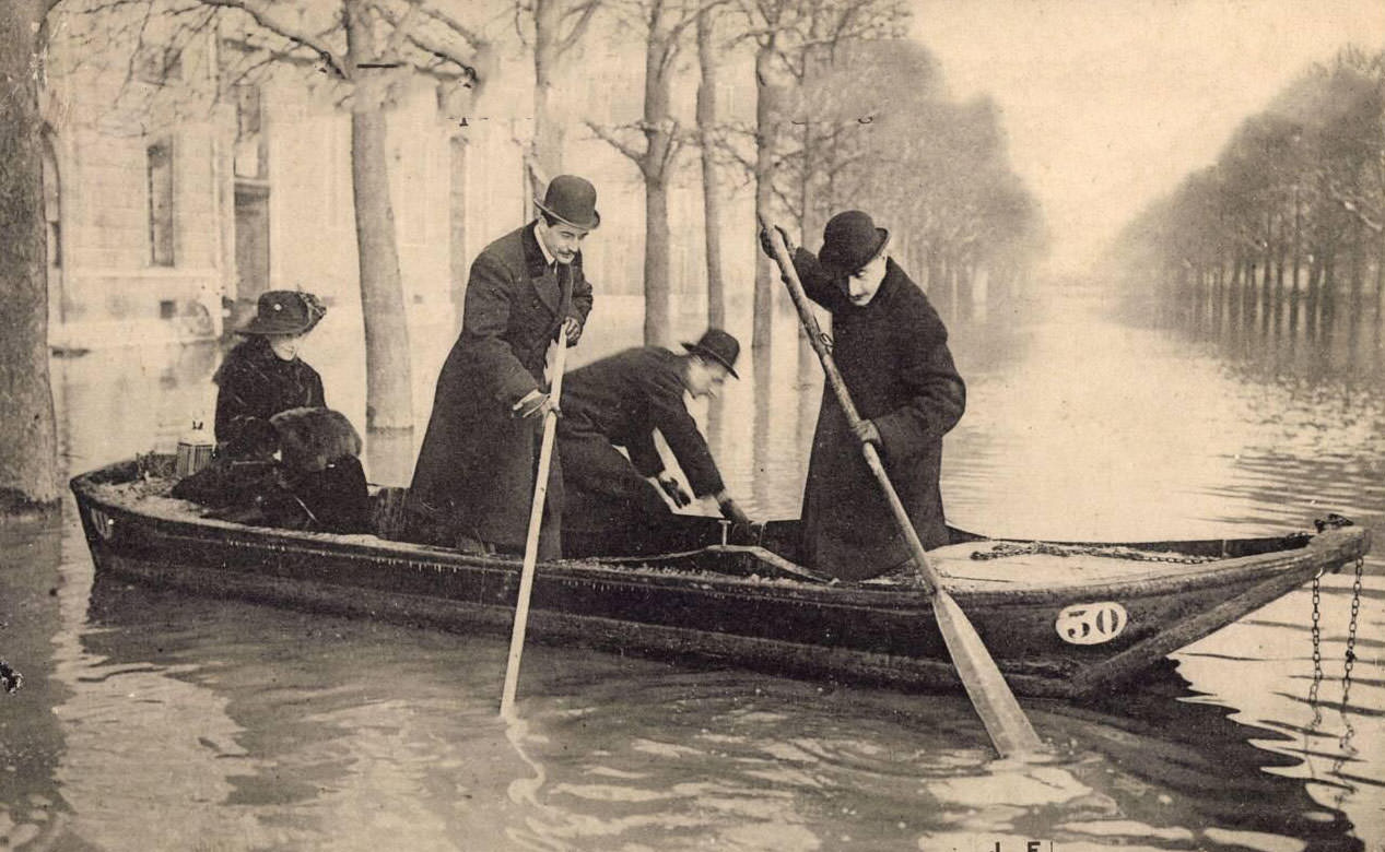
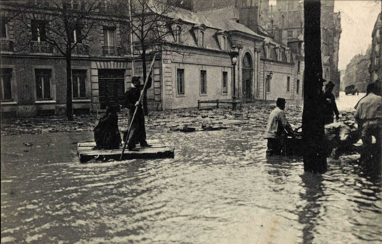
Not all visitors to the flood scene came out of necessity. Aviator Lesseps and Baroness Delagrange were photographed during the floods between January and February, their presence illustrating how the disaster drew public figures from across French society. On the Boulevard Saint-Germain, a resident was photographed navigating on a homemade raft — a practical solution that required no boat-building skills, just buoyant material and a pole.
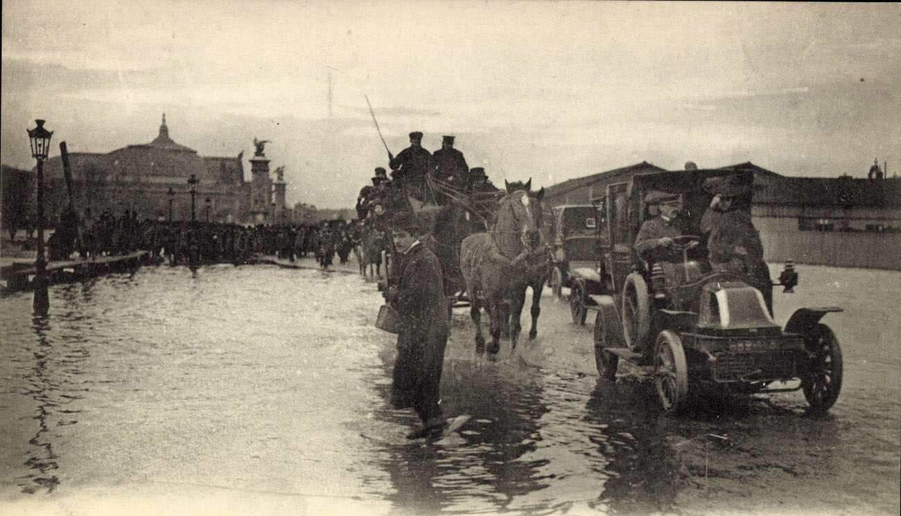
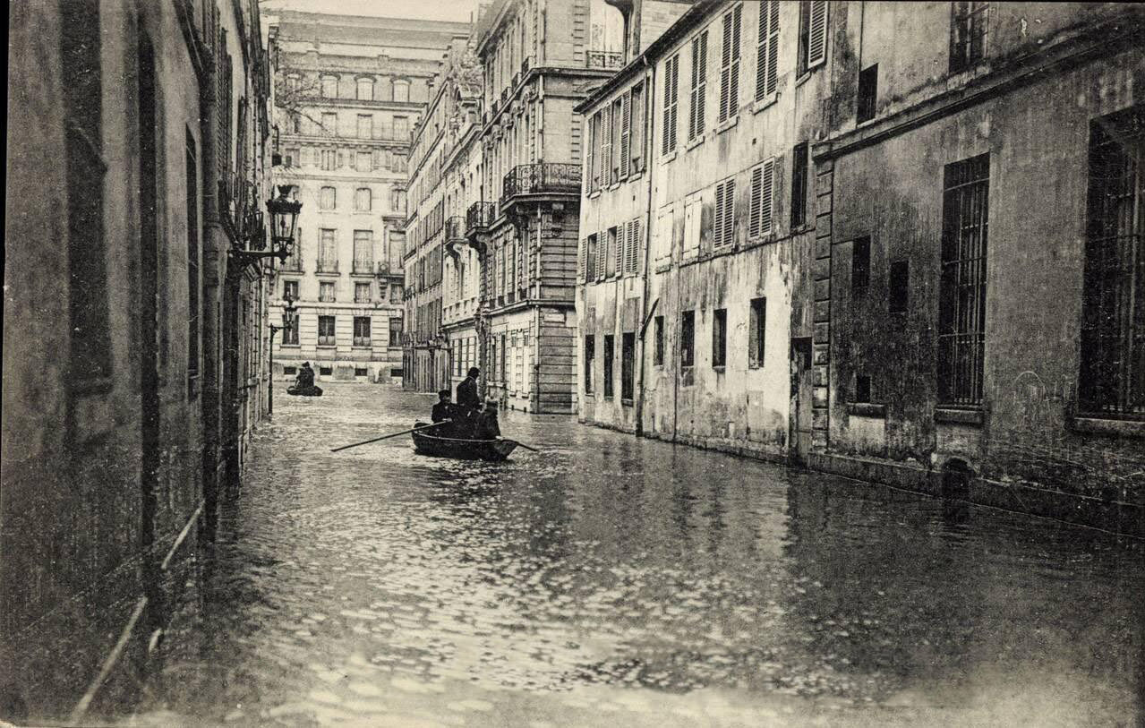
The Grand Palais, built for the 1900 World’s Fair, was surrounded by floodwater, though horse-drawn carriages still moved along the edges of the drier sections nearby. On January 26, the Orsay station — then still operating as a railway terminus — was photographed from the Rue de Poitiers as water encroached on its riverside facade. The station would eventually be forced to suspend rail service as the water rose further.
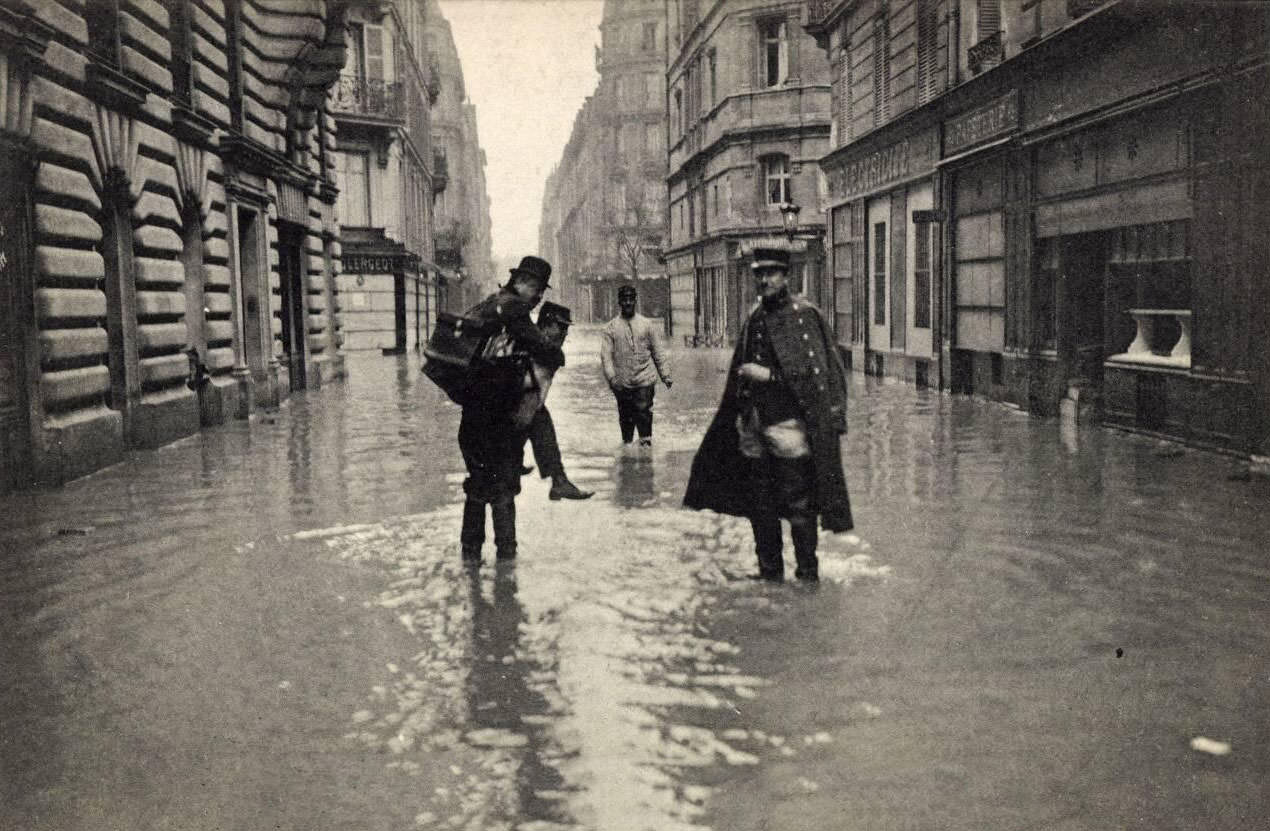
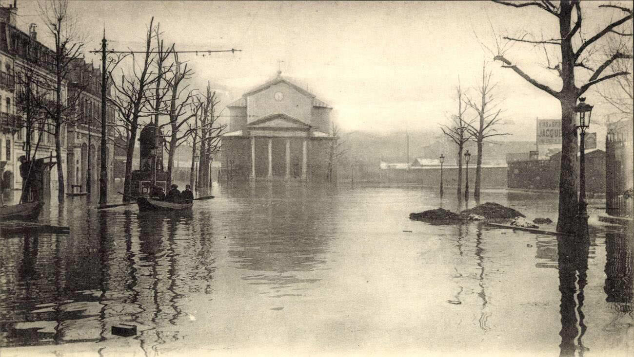
Military rescue teams operated throughout the Left Bank, working district by district to reach those unable to self-evacuate. Their boats moved steadily through flooded streets from early morning until last light. The Place de la Nativité, a public square in the 12th arrondissement, stood entirely underwater, its open space offering no barrier against the flood.
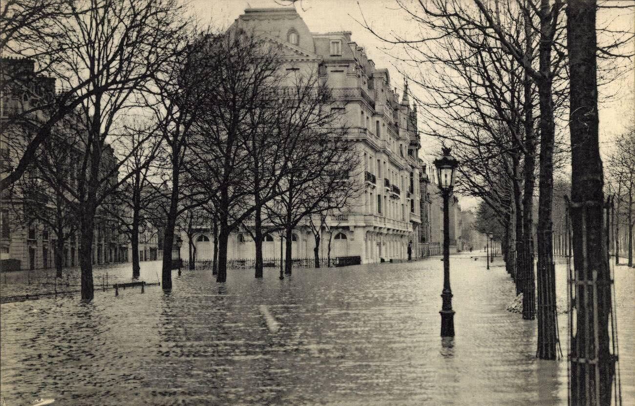

The Cours la Reine, a tree-lined promenade along the Right Bank between the Place de la Concorde and the Pont de l’Alma, flooded completely. Its elm trees rose out of the water like markers in a drowned landscape. The Rue de la Pépinière near the Saint-Lazare district showed that the flood had pushed well inland from the river, reaching streets that Parisians would not have associated with flood risk. When the waters finally began to recede in February, they left behind a city coated in mud, facing weeks of cleaning, repair, and rebuilding.





Il y a une plaque commémorative de la hauteur atteinte par la crue à la station Mairie d’Ivry, dans la rue, au pied d’un immeuble.
Great album, so many pics, thank you