Between March 23 and 27, 1913, a series of intense storms swept across the Midwest and unleashed one of the deadliest natural disasters in Ohio’s history. Rivers swelled beyond their banks, cities went underwater, and nearly 470 people lost their lives. The Great Ohio Flood of 1913 struck fast and with little warning, leaving communities from Dayton to Cincinnati to Columbus scrambling to survive.
Two conditions combined to make the disaster far worse than it might have been. First, the winter of 1912–1913 had been unusually heavy with snow, leaving the ground fully saturated and unable to absorb additional water. Second, when the March storms hit, some areas received between 6 and 11 inches of rainfall in just a few days. The Miami, Scioto, and Muskingum rivers, along with dozens of smaller tributaries, rose with terrifying speed.
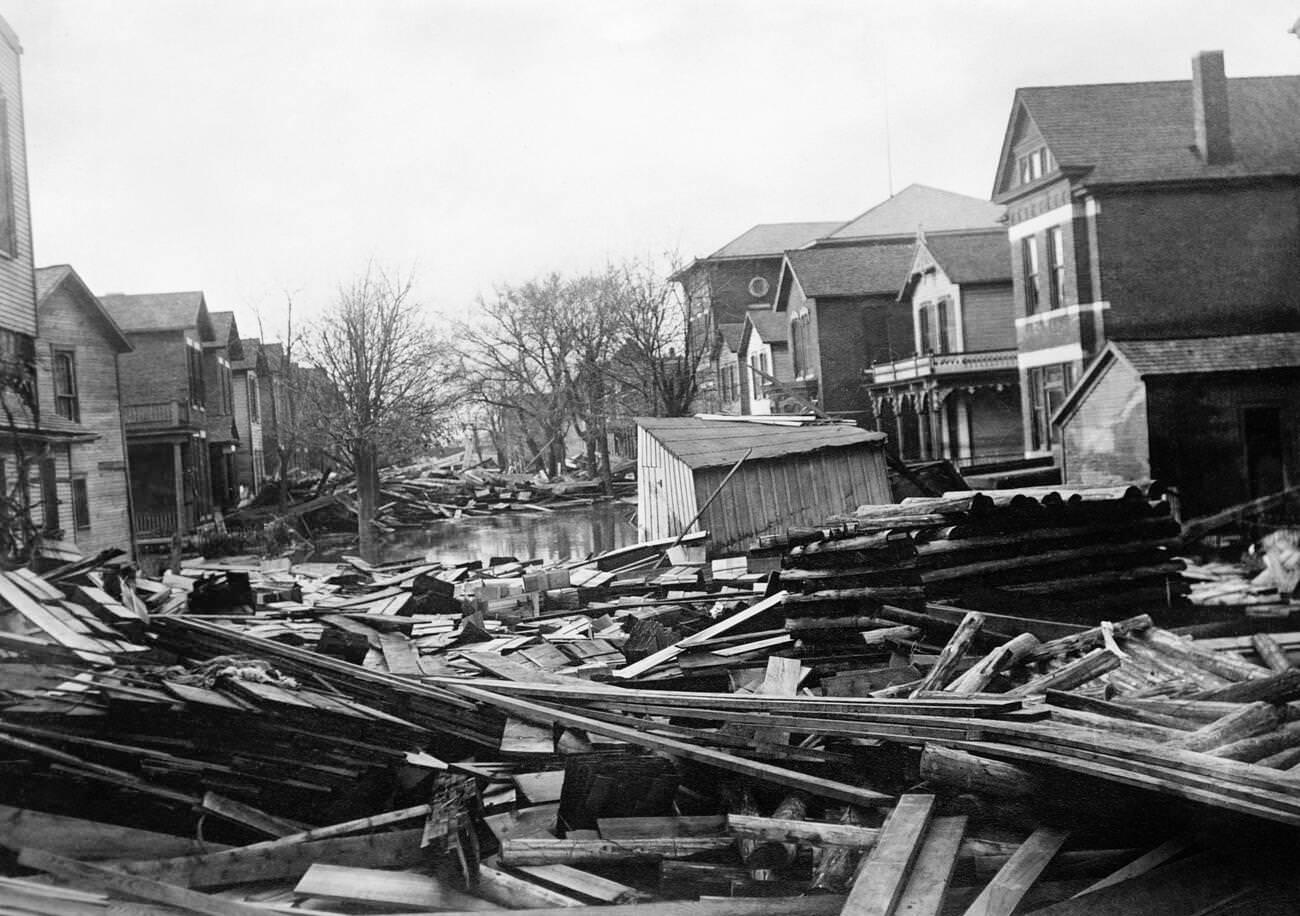
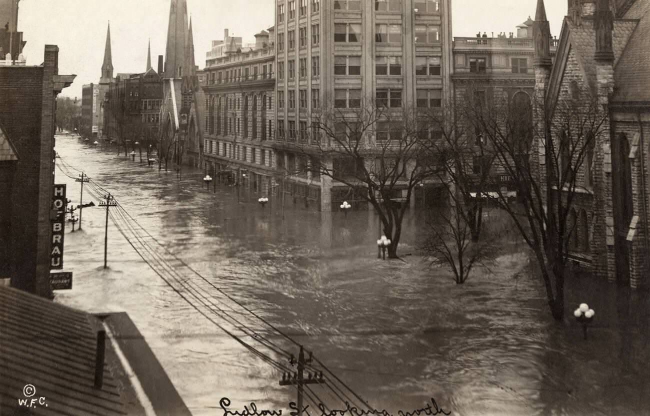
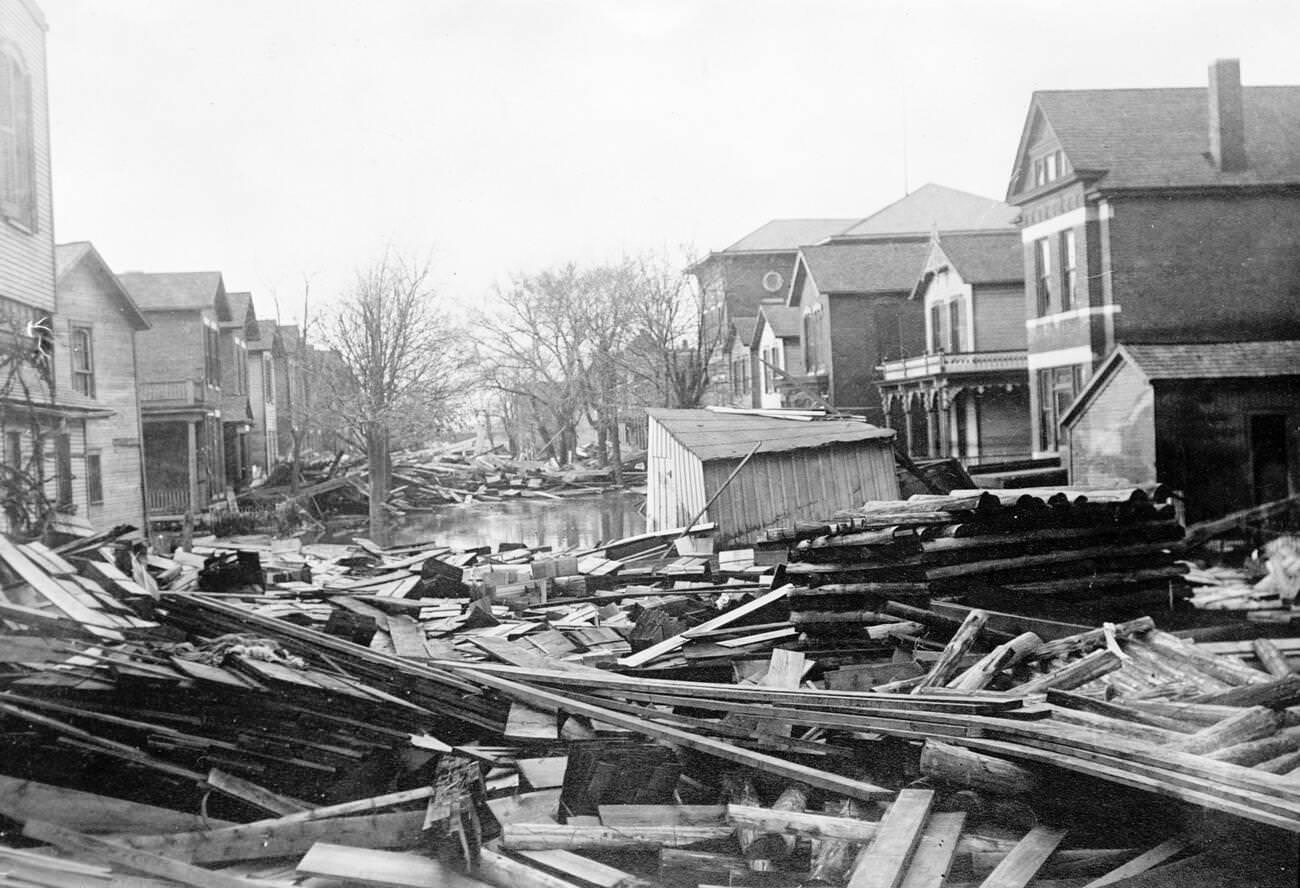
Dayton took the hardest hit of any city. Floodwaters reached depths of ten feet or more on some downtown streets, destroying entire neighborhoods. Houses were knocked off their foundations, and in lower-lying areas, structures were carried away entirely by the current. The speed of the water gave residents almost no time to act.
In 1913, weather forecasting was still a primitive science. Some warnings were issued before the floodwaters arrived, but they were vague and failed to convey how severe the flooding would be. Most residents had no real sense of what was coming. By the time the danger was clear, the water was already at their doors.
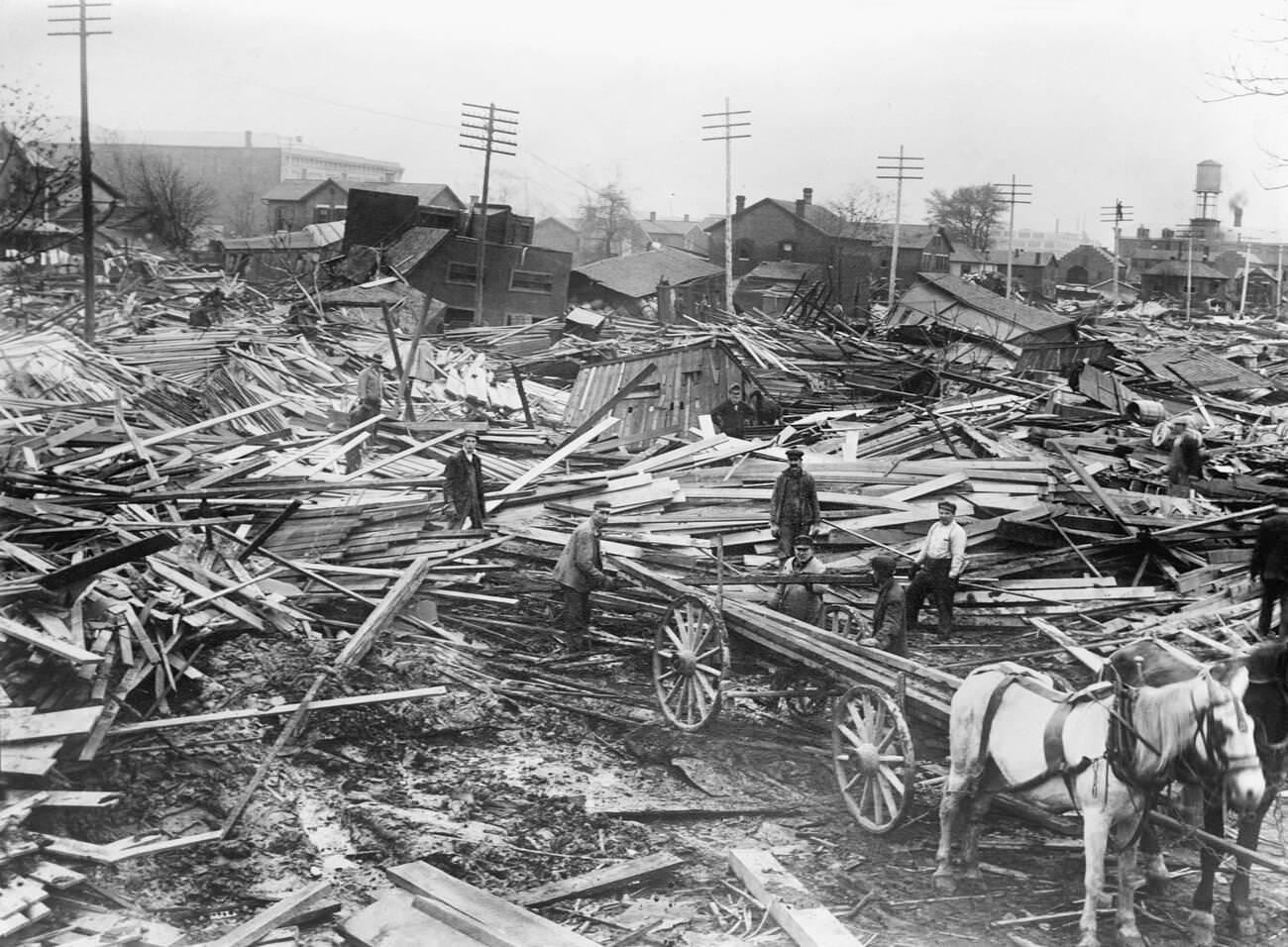

Columbus, Cincinnati, Massillon, and dozens of smaller towns were also submerged. The flood did not discriminate — residential streets, commercial districts, rail yards, and industrial areas all went under. Bridges across the state were destroyed or made impassable, and communication lines snapped, cutting off towns from each other and from outside help.
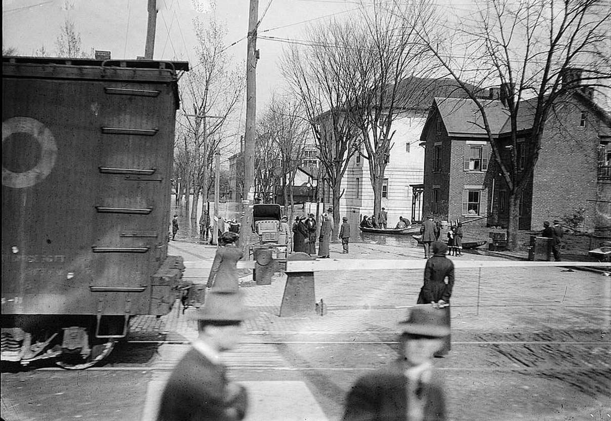
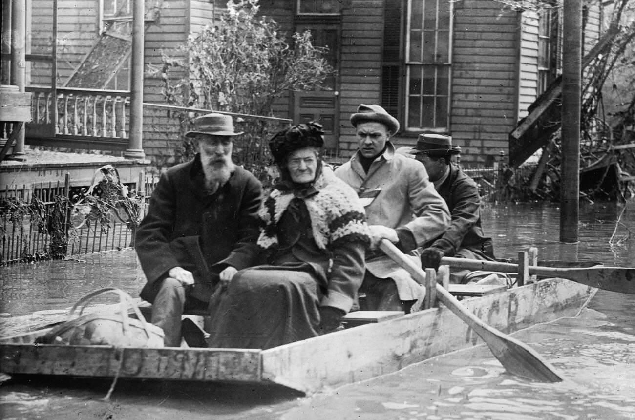
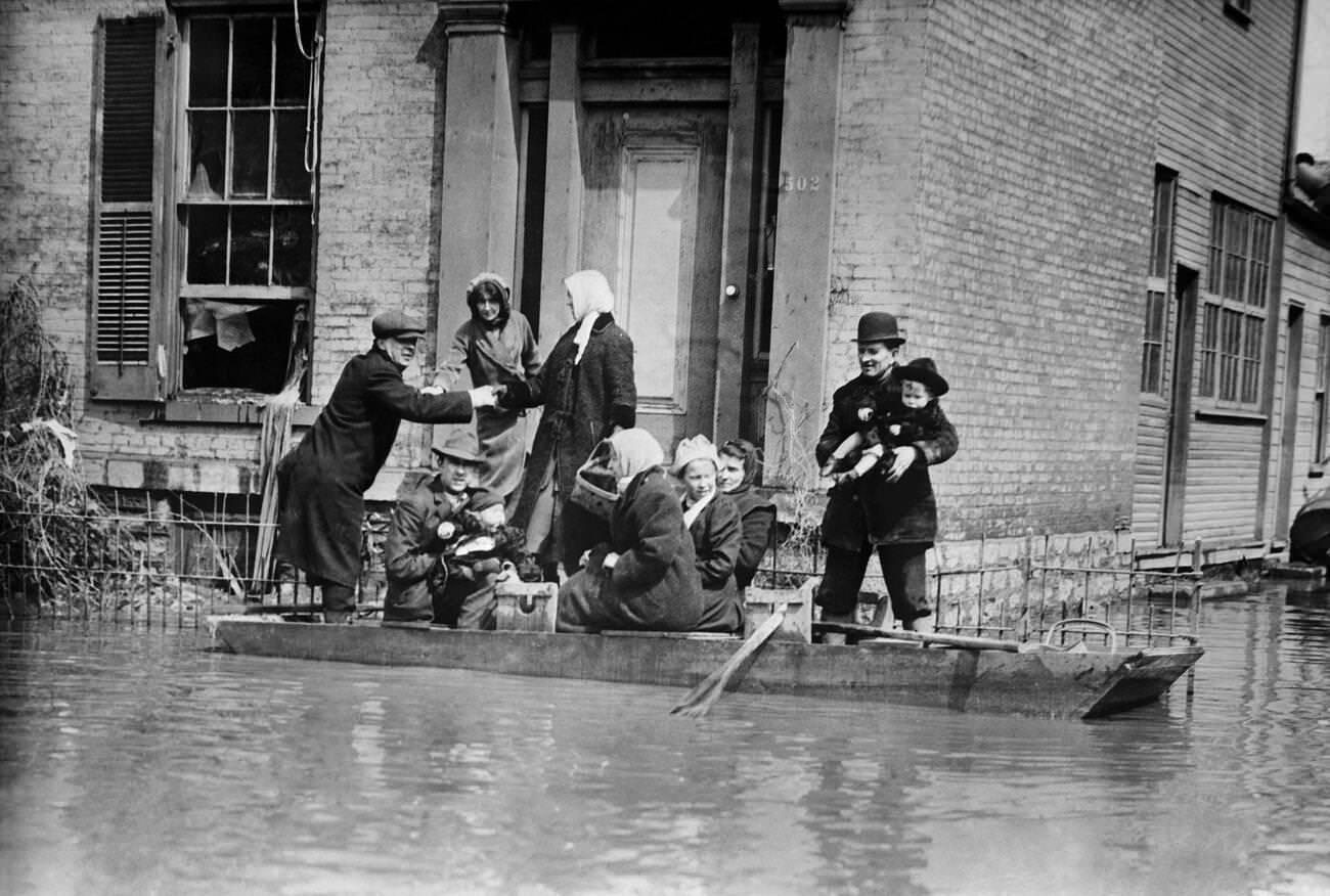
The human cost was staggering. Around 470 people died in Ohio alone, many of them trapped in their homes as the water rose faster than they could escape. Families climbed to rooftops and upper floors, waving for help from rescuers moving through the streets in rowboats. Those who could not get high enough drowned.
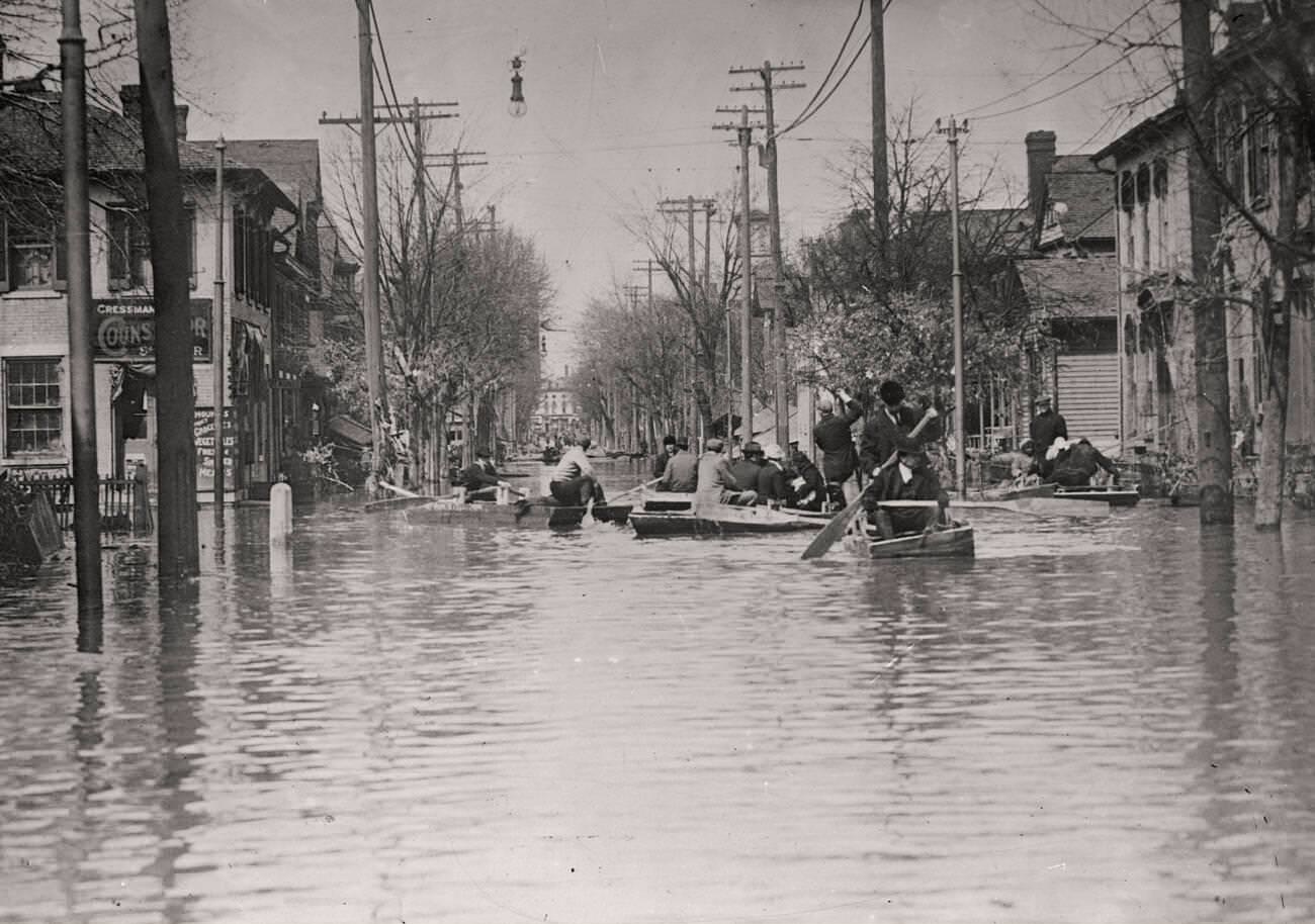
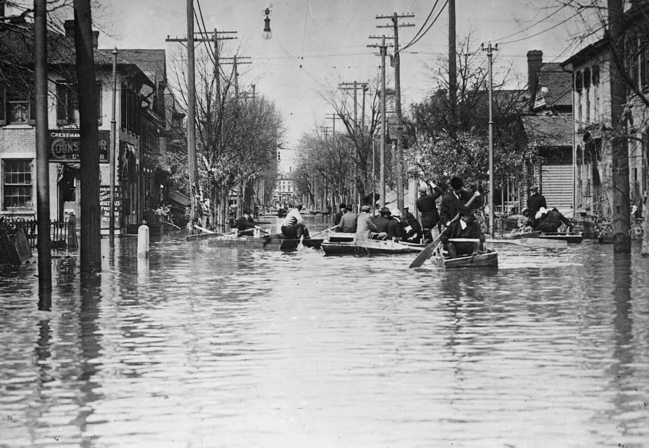
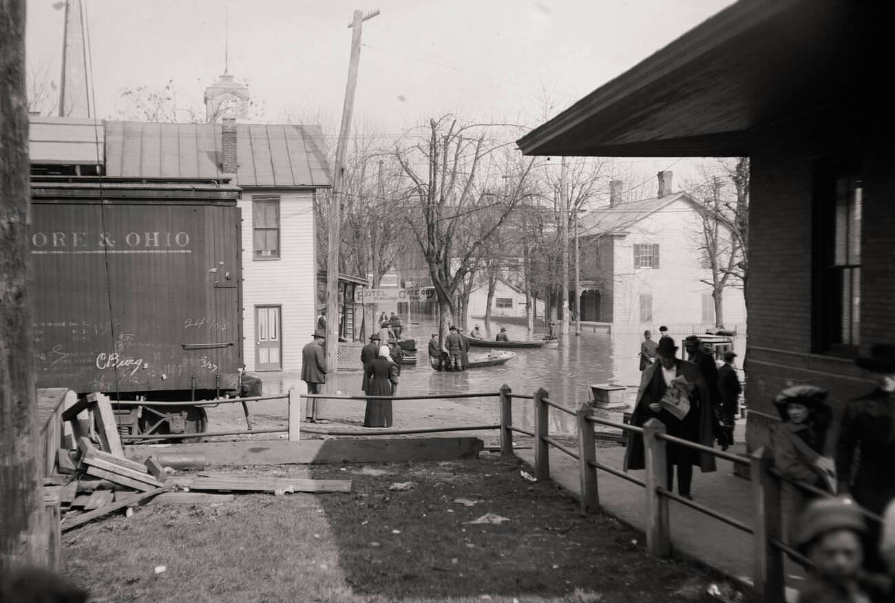
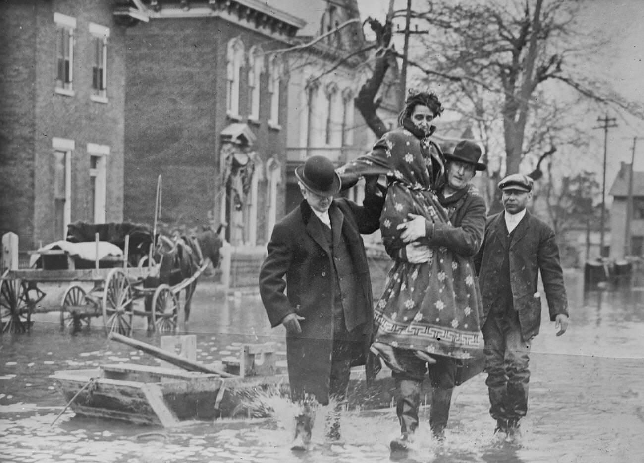
Rescue operations began almost immediately. Police officers, firefighters, National Guard soldiers, and ordinary citizens launched boats into the current and pulled survivors out of second-story windows. Workers moved through dangerous, debris-filled water to reach people who had been stranded for hours or even days.
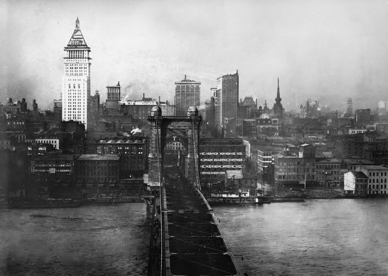
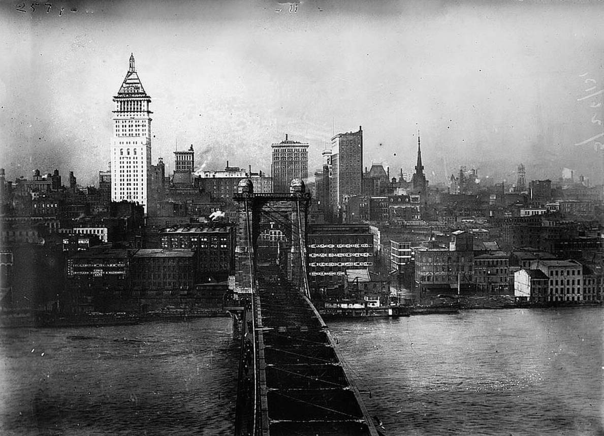
Cincinnati’s riverfront neighborhoods flooded deeply, with the Ohio River overflowing far into the city’s East End and commercial districts. Warehouses near the waterfront were swallowed by the surge, and the rising river made the suspension bridge between Ohio and Kentucky a dramatic landmark above the chaos below.
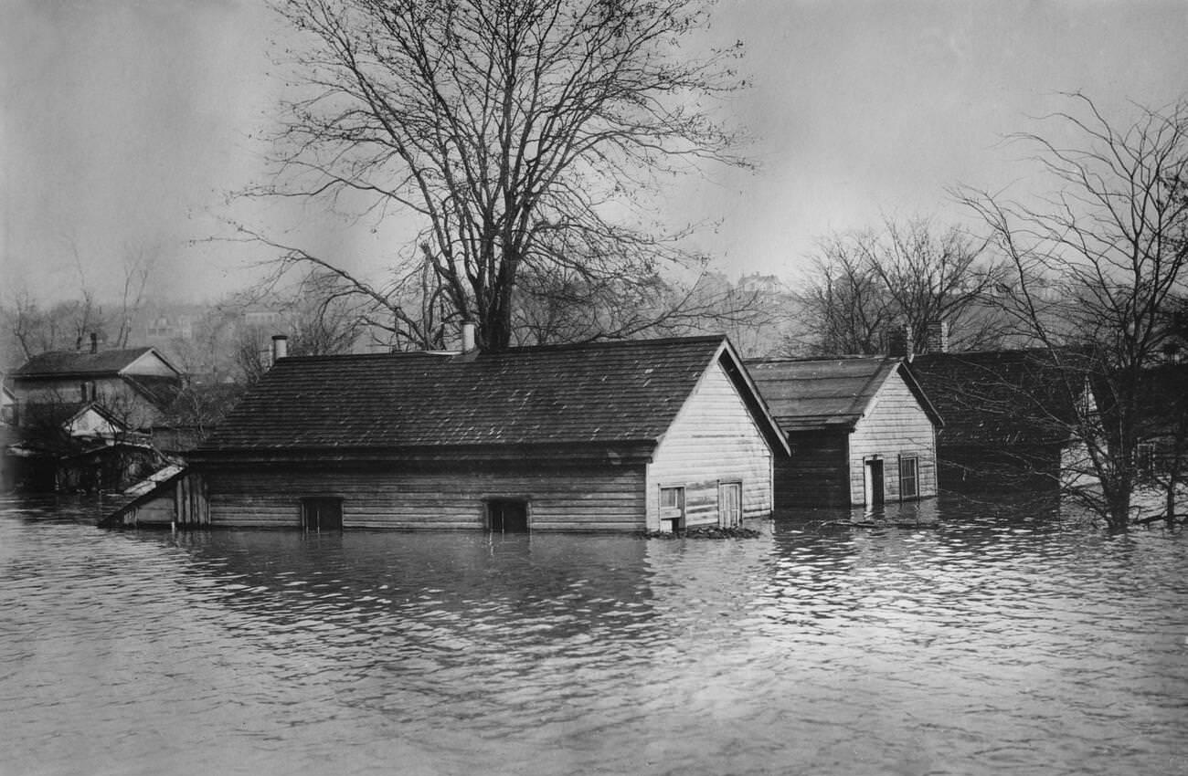
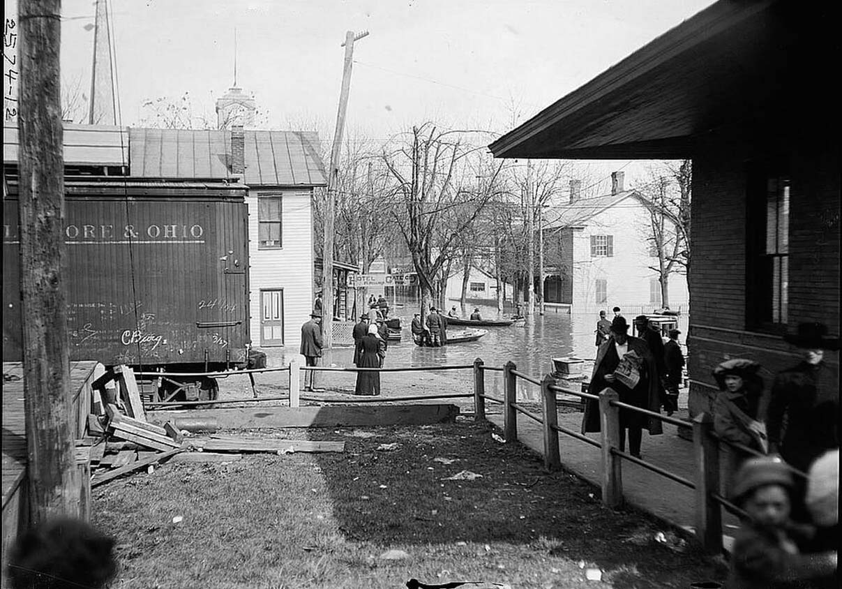
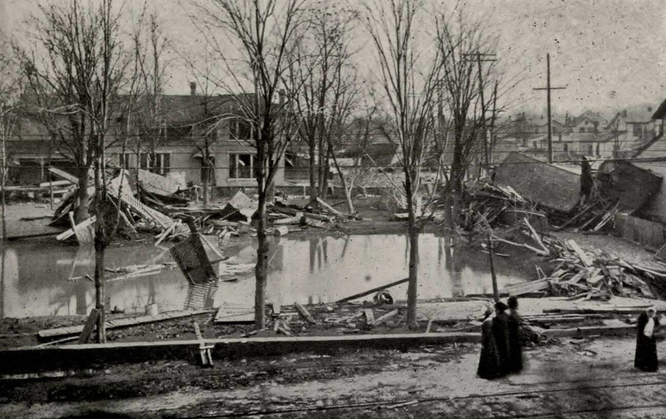
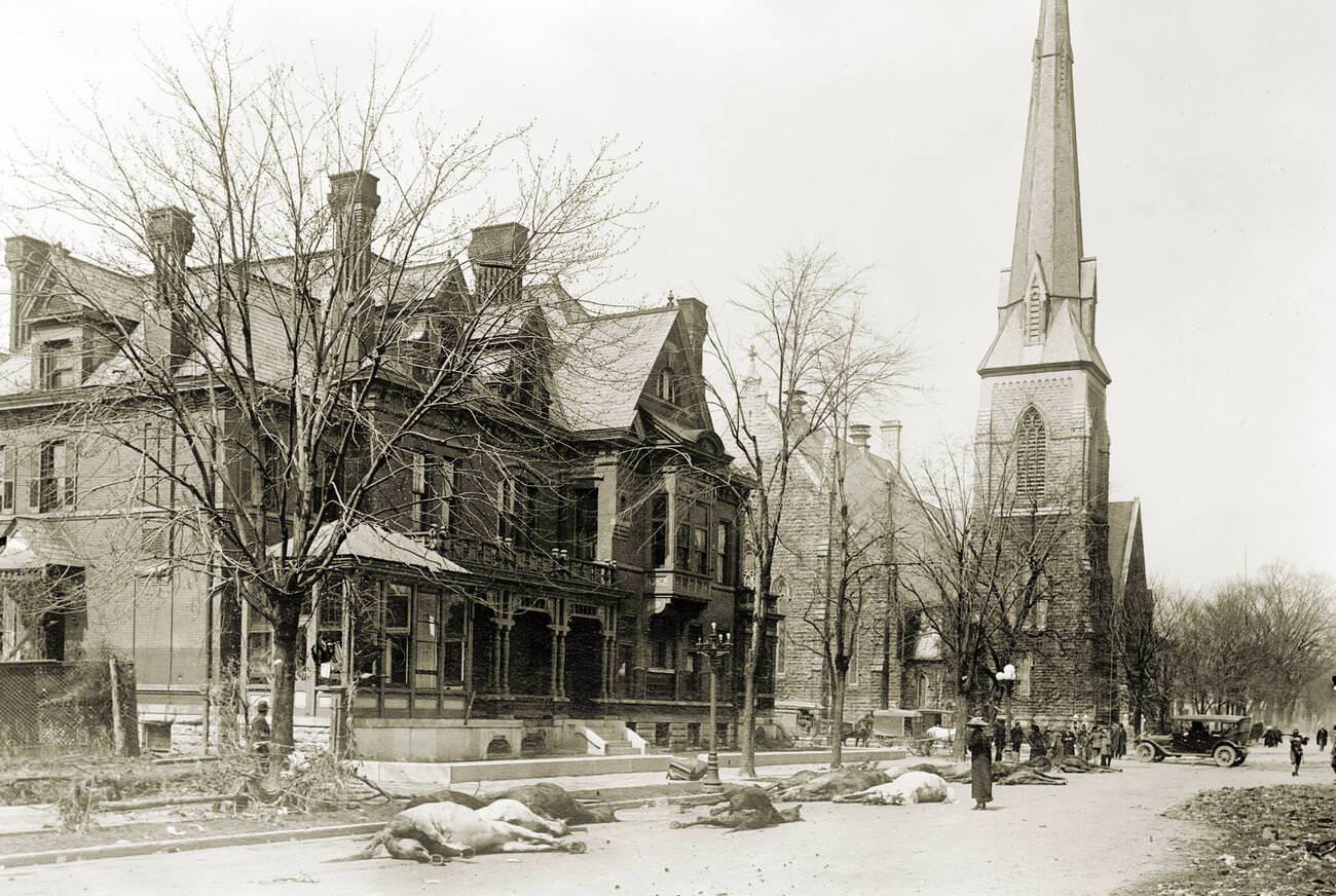
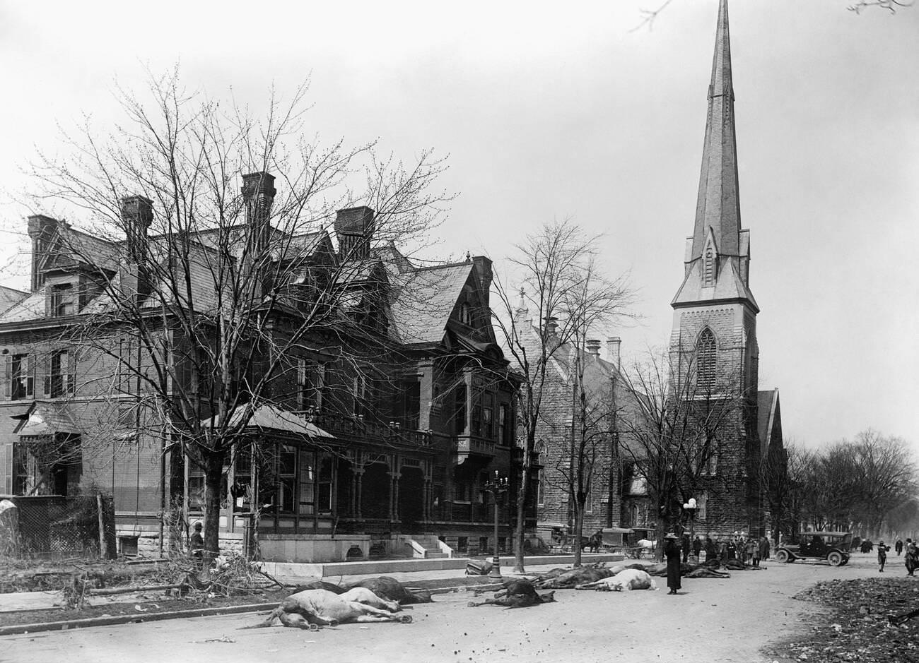
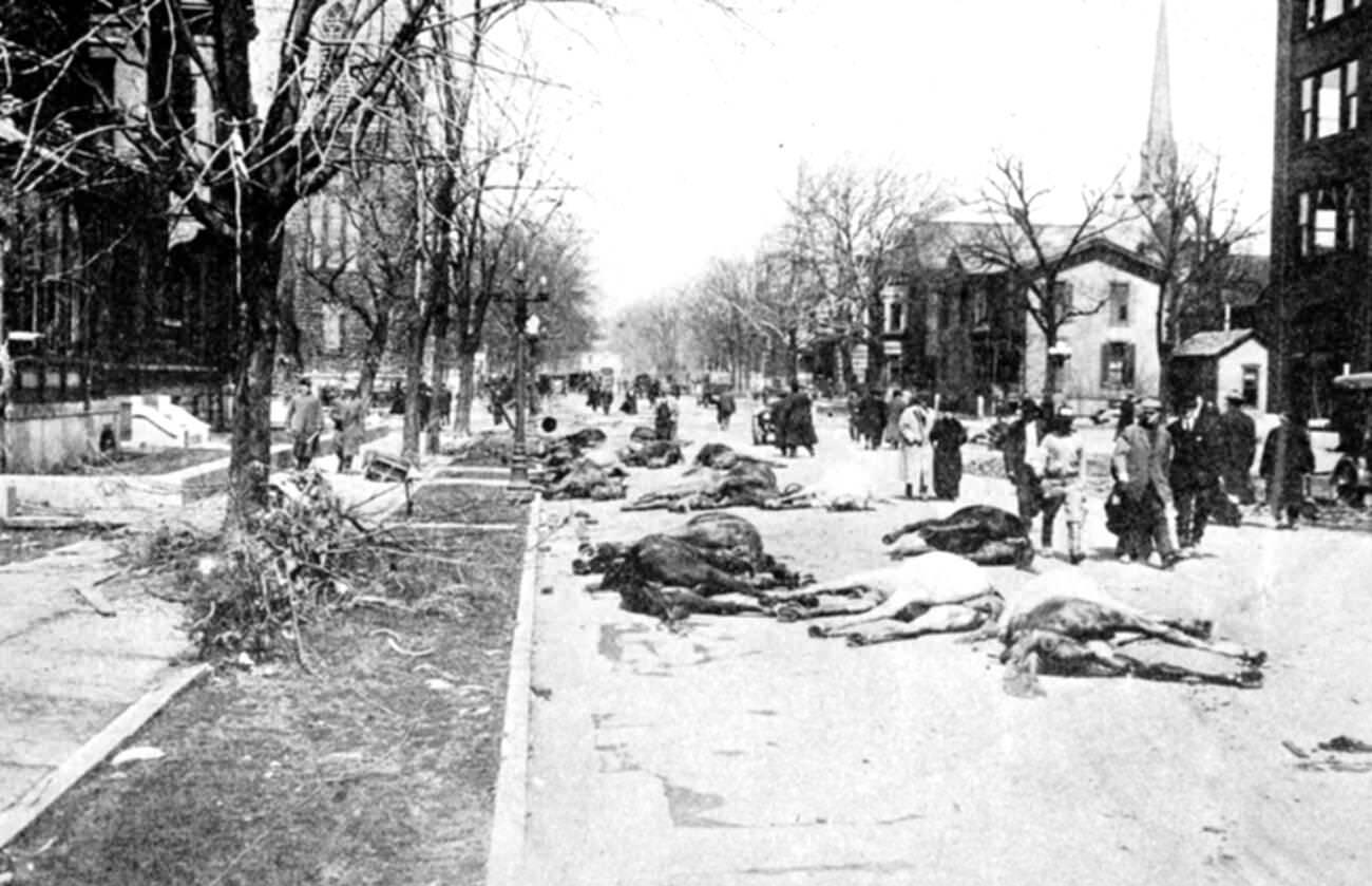
When the water finally receded, the full scale of the destruction became visible. Entire blocks were reduced to collapsed timber. Streets were buried under mud, debris, and the carcasses of drowned animals. The total property damage across Ohio reached an estimated $100 million — more than $2.6 billion in today’s dollars — making it one of the costliest disasters in American history up to that point.
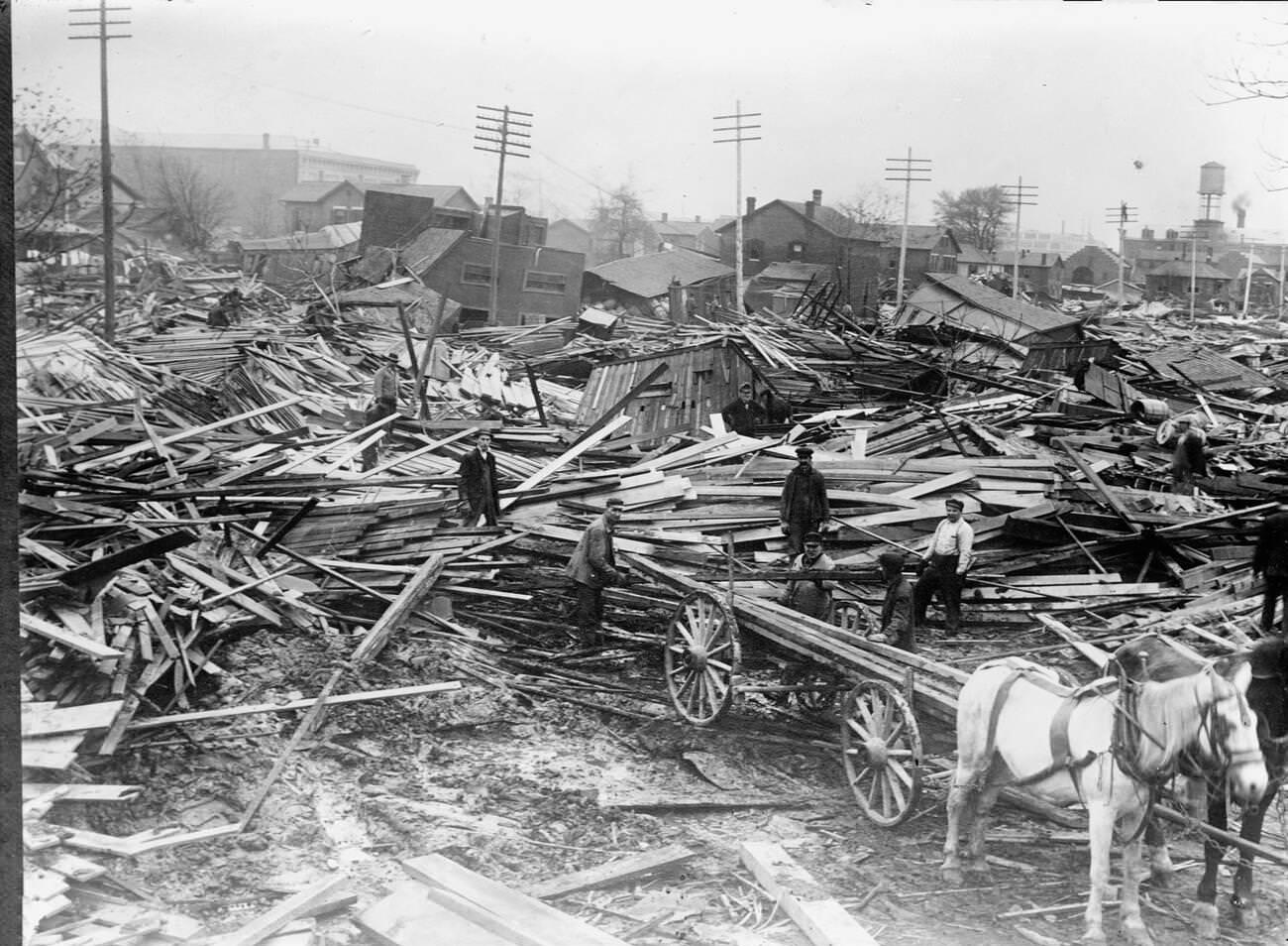
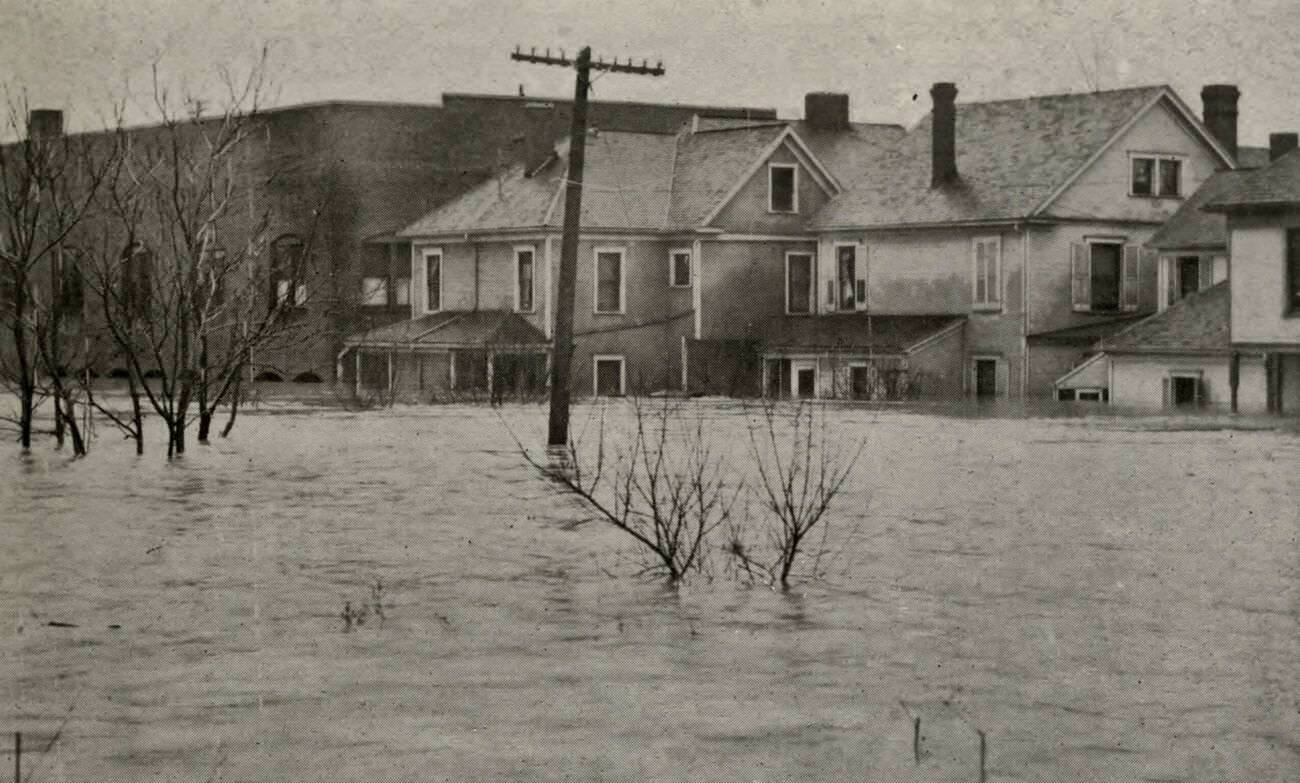
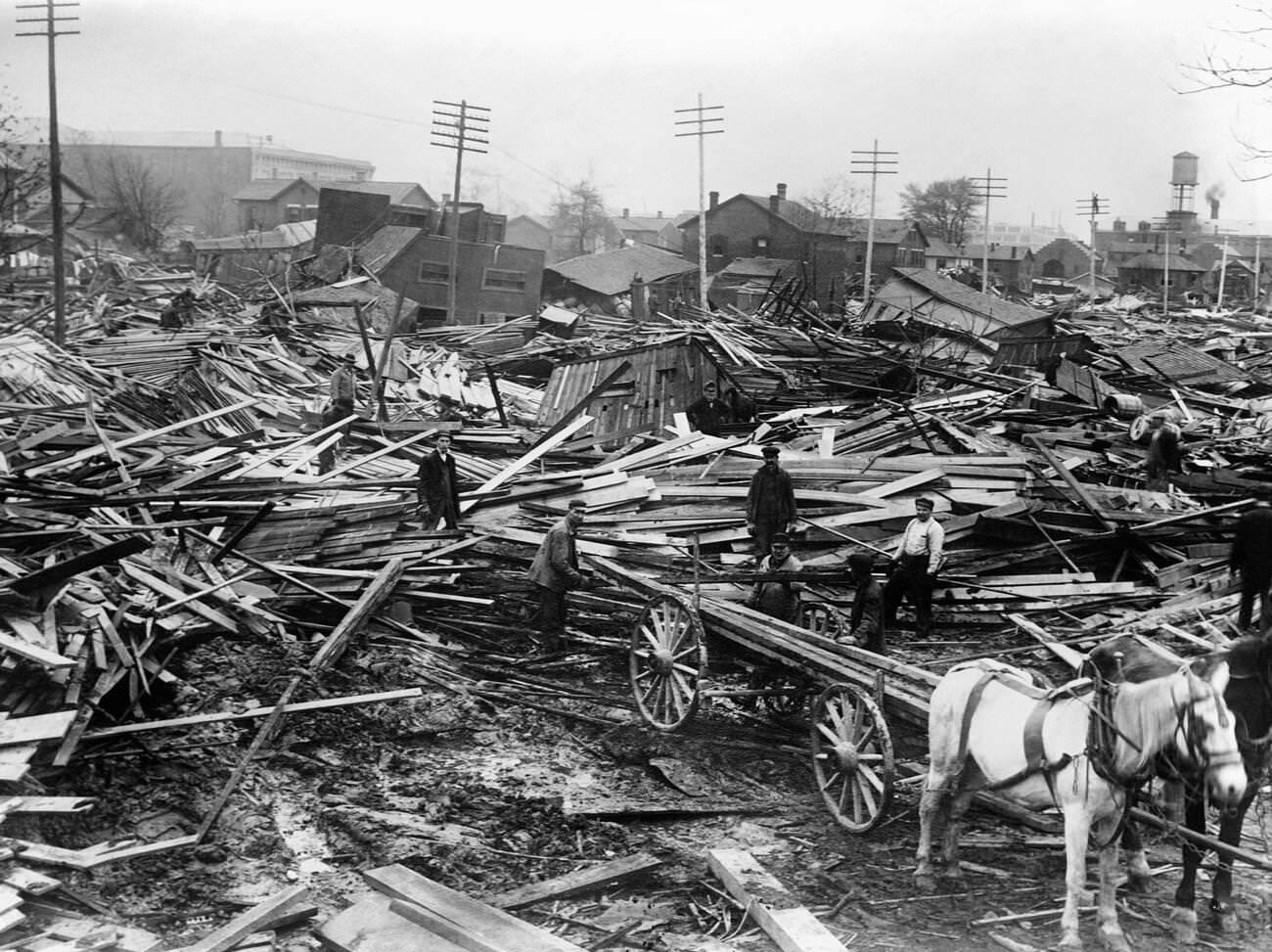
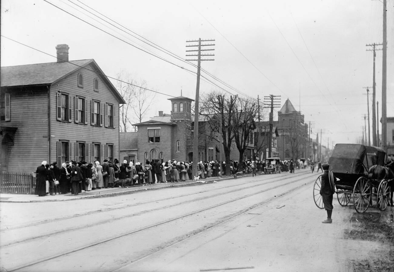
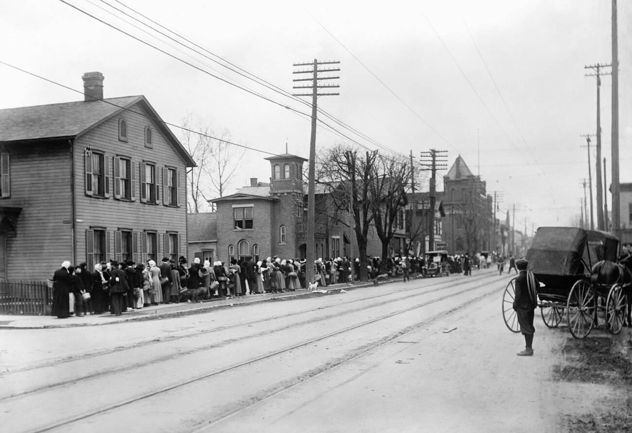
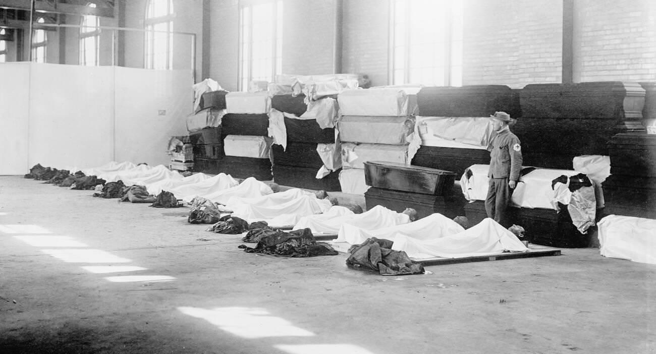
Photographers documented the disaster in remarkable detail. Their images captured not just the scale of the flooding, but the human reality of the event — people waiting in long relief lines, rescue workers carrying survivors through the wreckage, and the grim rows of bodies and coffins assembled in temporary morgues.
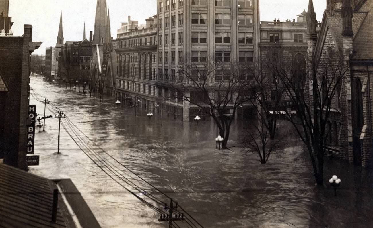
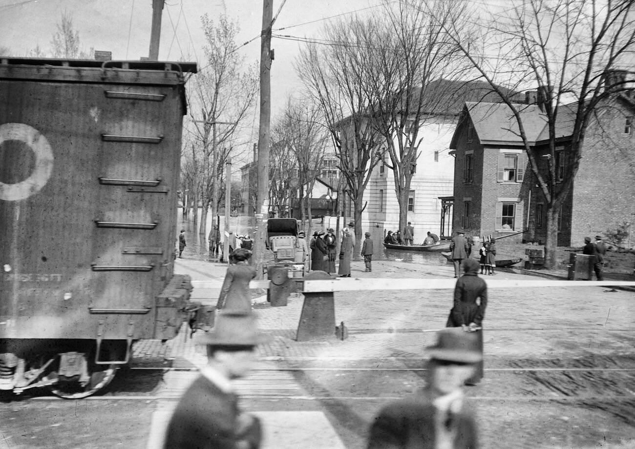
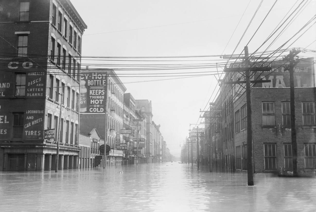
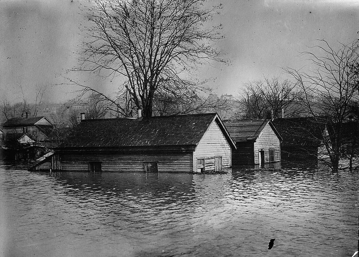
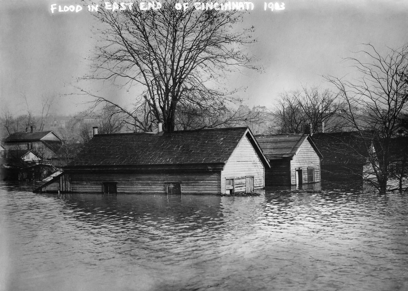
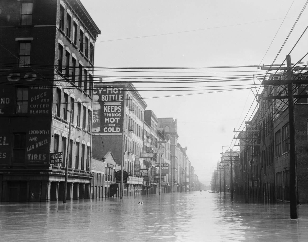
Cincinnati’s flooded streets presented scenes that were equally striking. Water filled entire city blocks, and residents navigated neighborhoods by boat. The East End, a densely populated working-class district along the river, was among the hardest hit areas in the city.
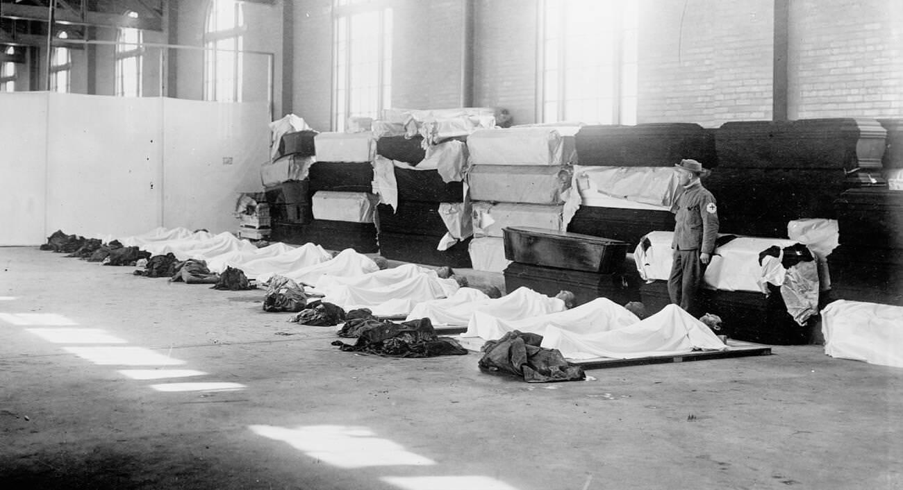
Dead bodies were recovered from buildings, streets, and riverbanks across the flood zone. Emergency workers collected the victims and laid them out in makeshift morgues where families came to identify the dead. Coffins lined the walls as the count of the lost continued to rise in the days after the water receded.
From the Kentucky side of the Ohio River, the full sweep of Cincinnati’s flooding came into view. The suspension bridge stood above the swollen river while the city’s downtown district lay partially submerged below it — a stark image that captured just how far the water had risen.
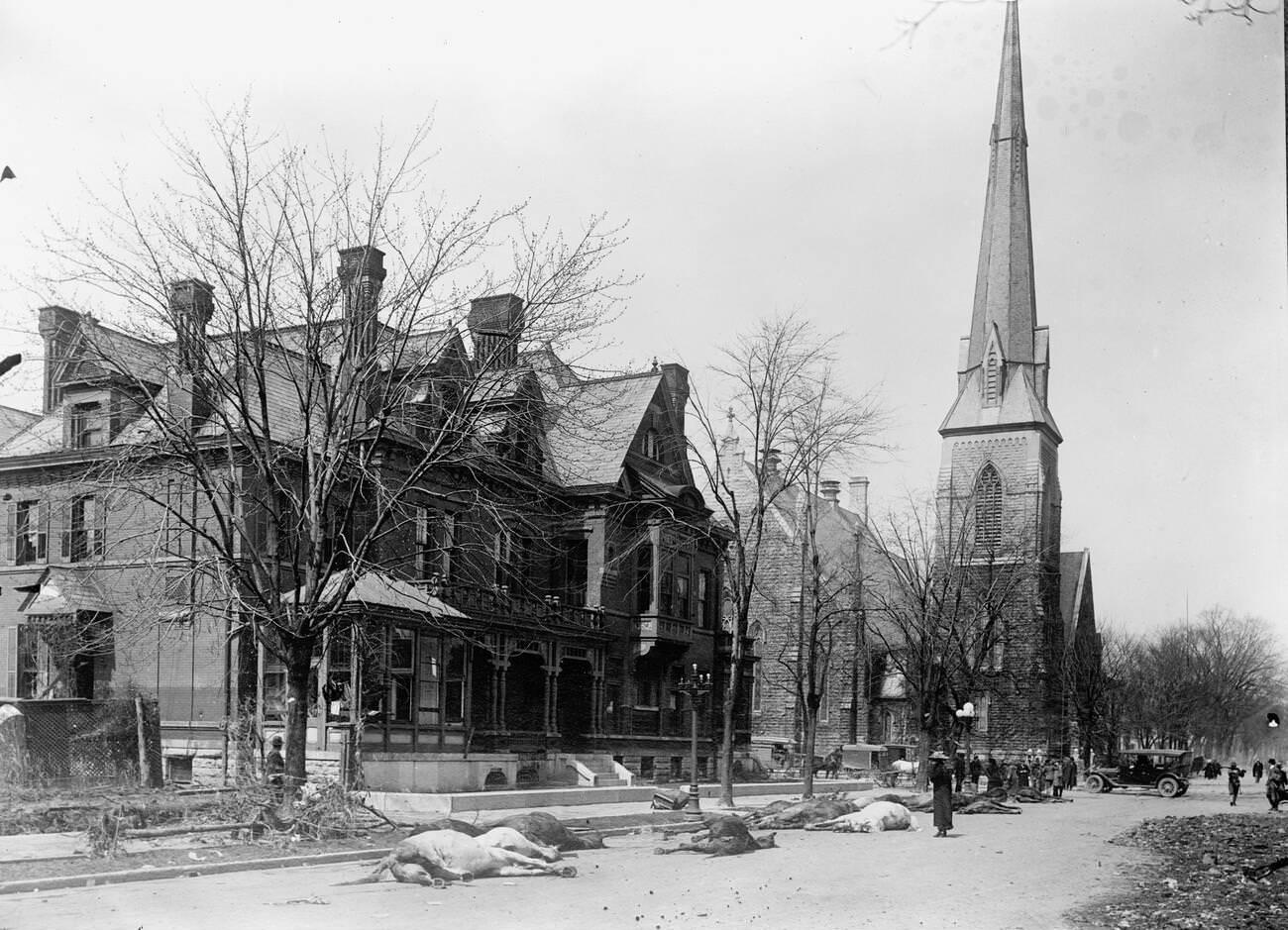
Dead horses littered the streets of Dayton and other cities after the flood. Working animals were as much a part of the urban landscape in 1913 as motor vehicles, and they perished in large numbers when the waters hit. Their bodies, left in the streets as floodwaters drained, added to the overwhelming task of cleanup.
Cincinnati’s commercial waterfront was devastated. Warehouses that stored goods for trade along the Ohio River were flooded from ground to ceiling, destroying inventories and crippling business operations that would take months to restore.
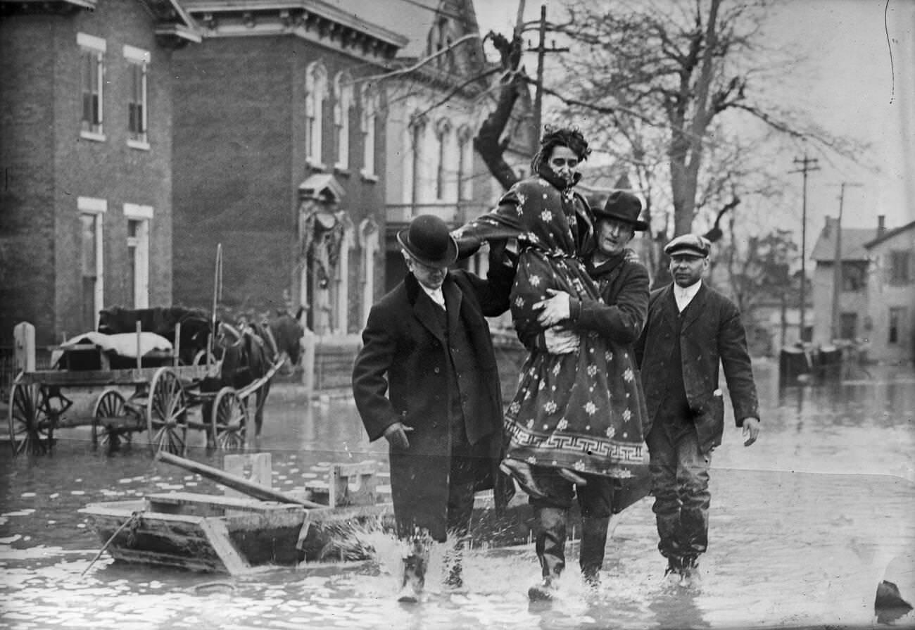
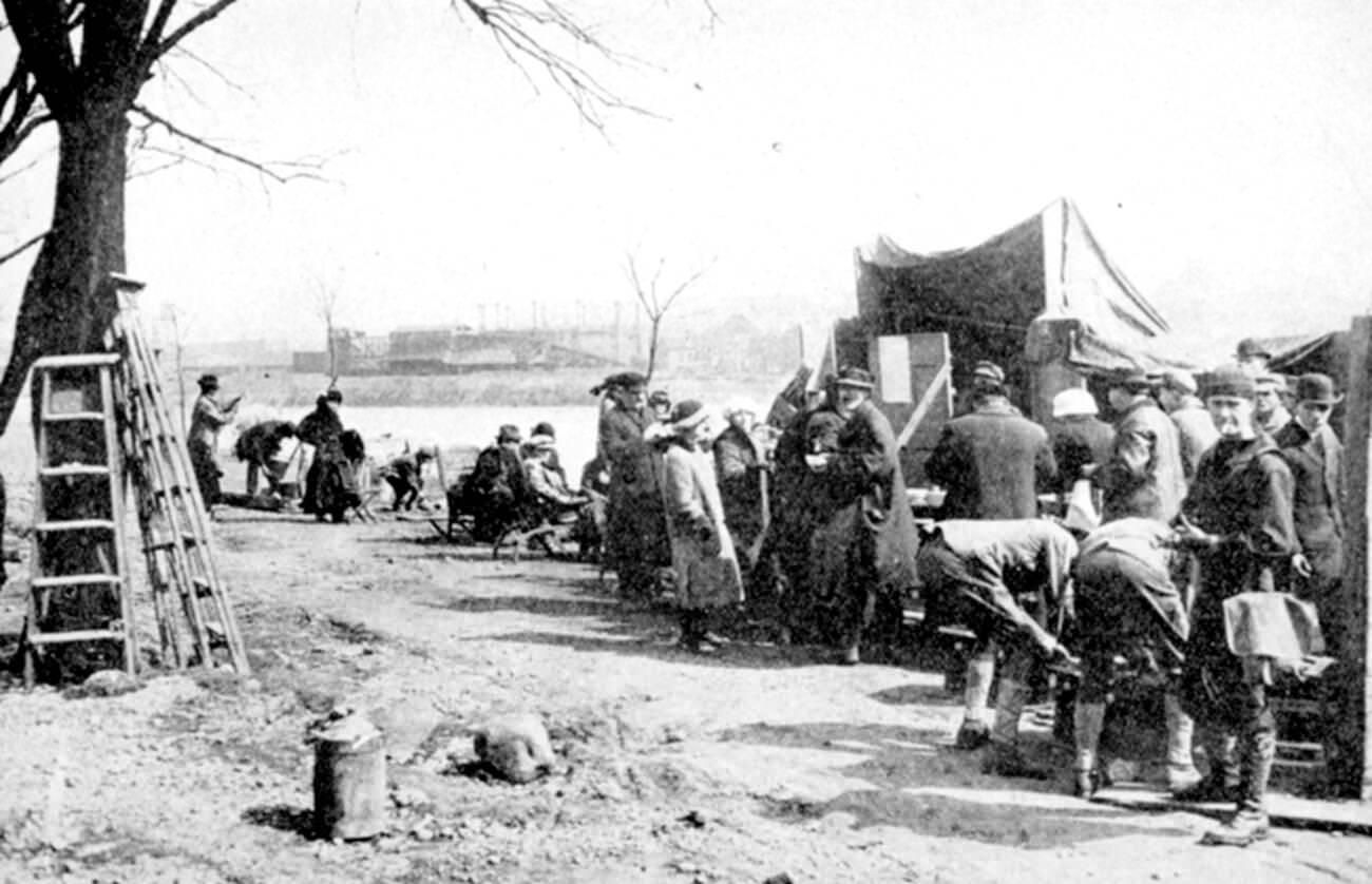
Among those who joined rescue operations in Dayton was Orville Wright, the aviation pioneer who lived there. Wright helped distribute food and supplies along a relief line, working alongside neighbors and strangers to keep survivors fed while the city remained cut off from normal commerce.
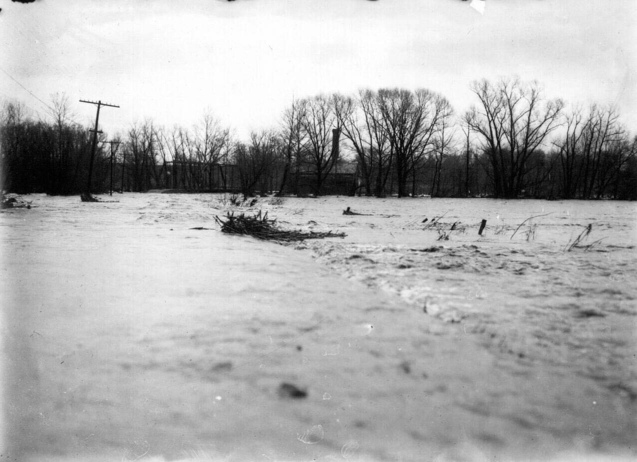
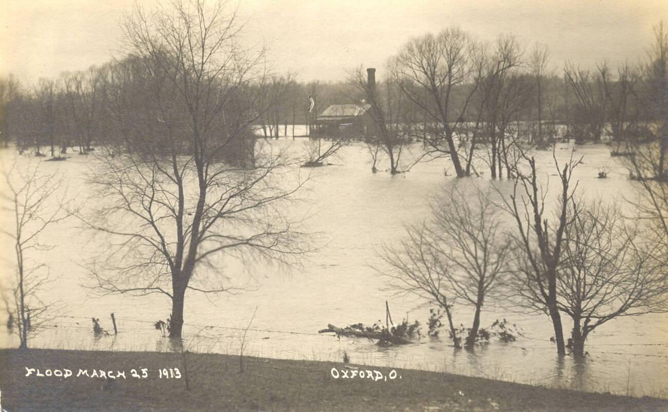
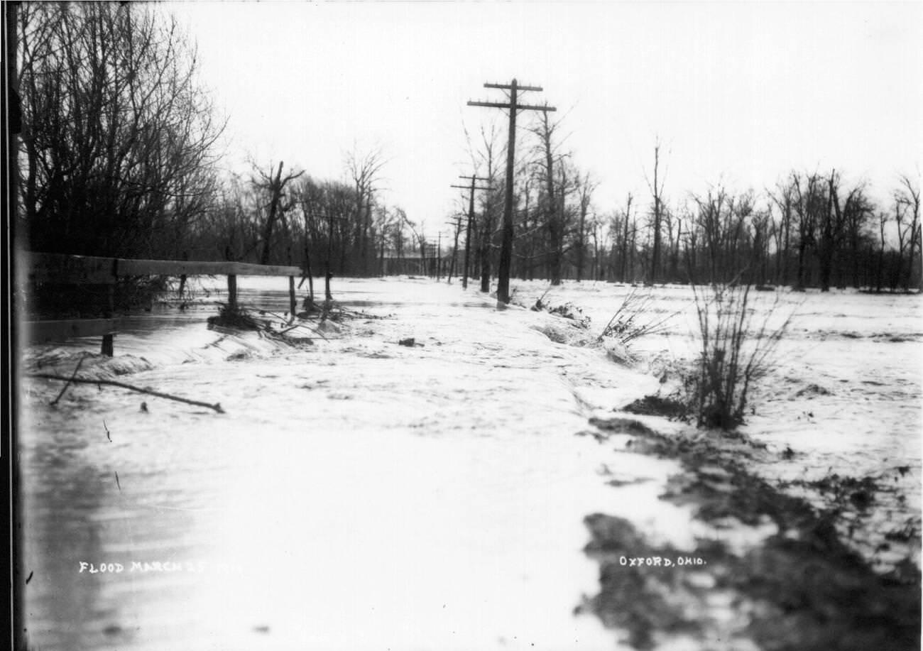
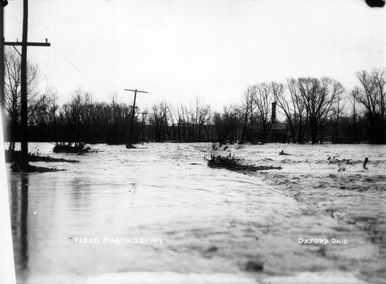
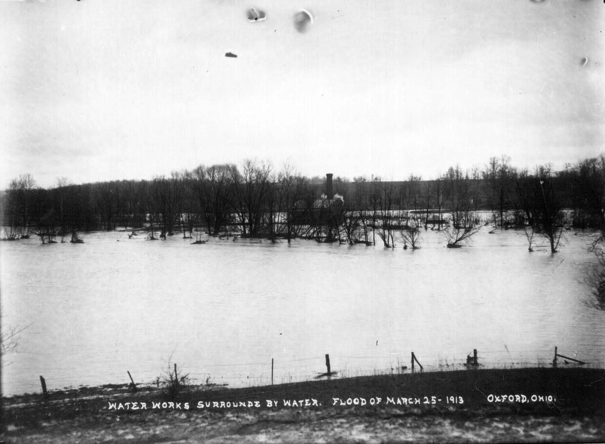
Oxford and other smaller Ohio towns also faced the rushing surge of floodwaters tearing through their streets. Town waterworks and utility infrastructure were quickly overwhelmed and surrounded, leaving residents without clean water even as floodwater filled their neighborhoods.
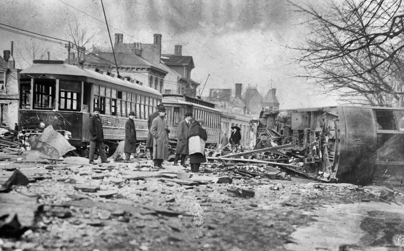
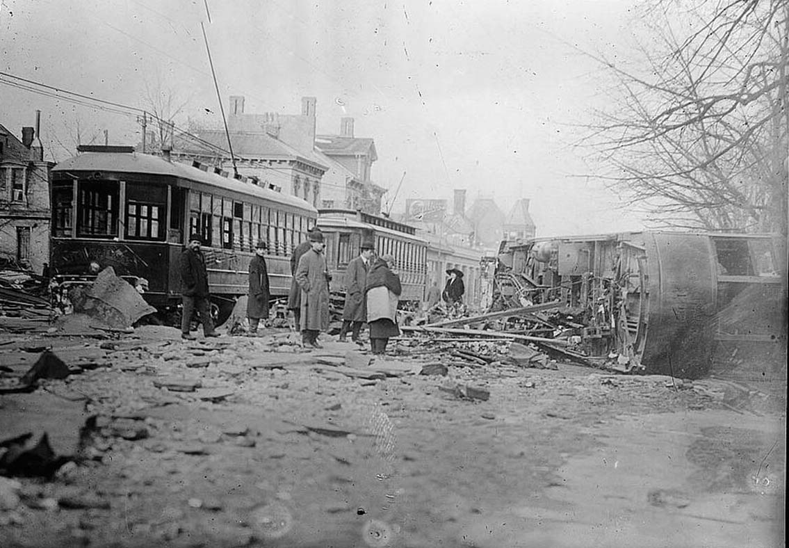
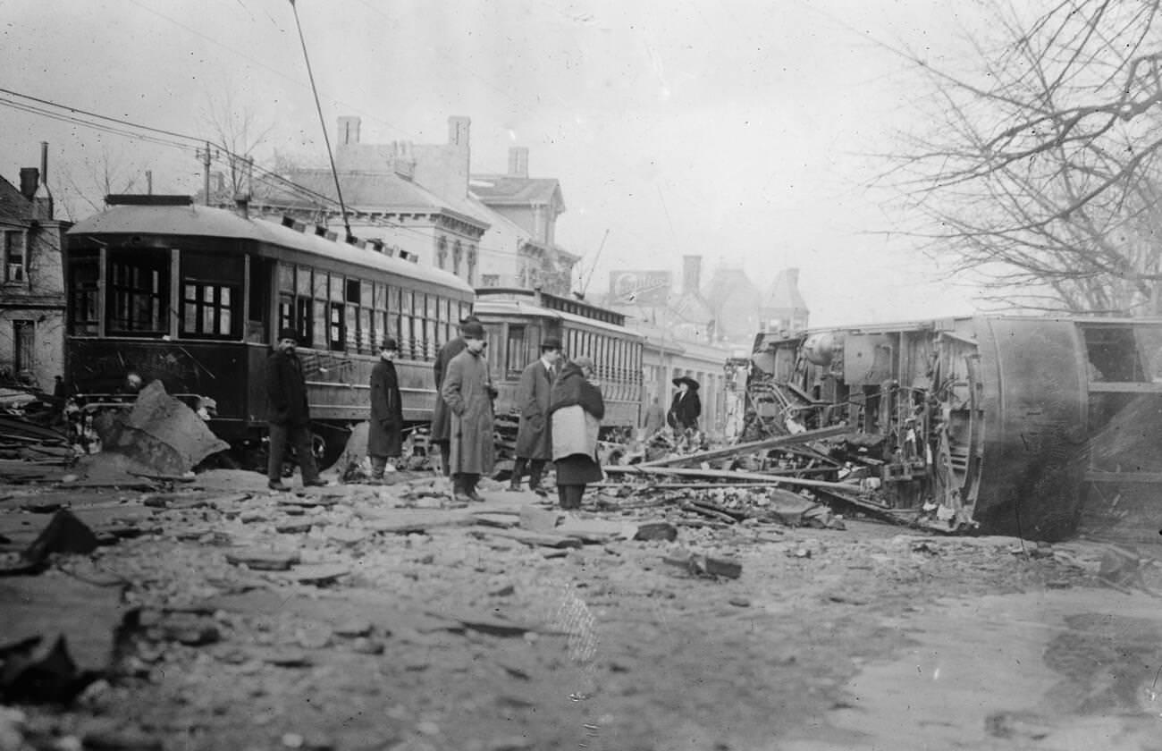
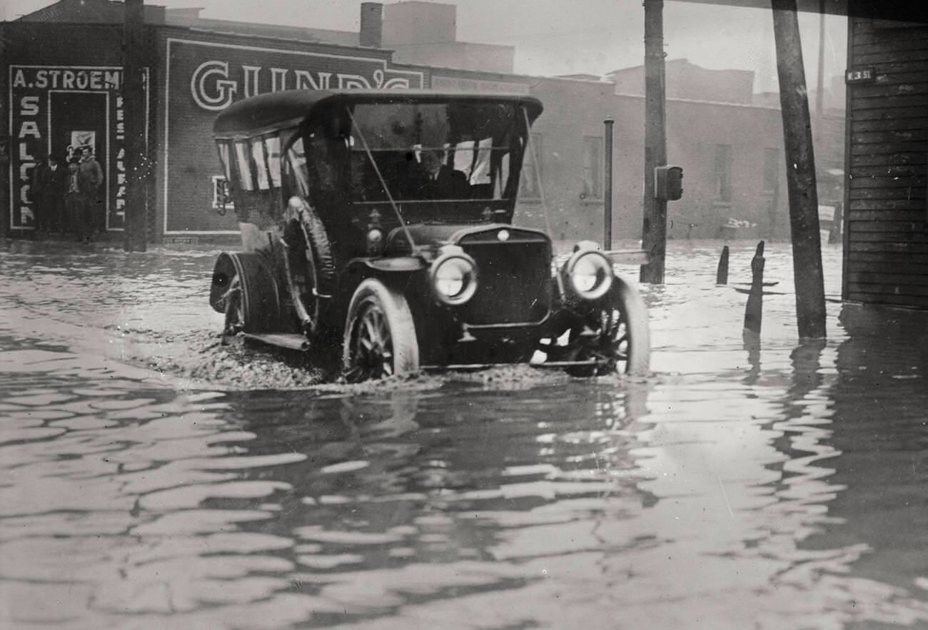
Streetcars — a primary mode of urban transportation in 1913 — were overturned and left capsized in Dayton’s streets by the force of the water. Automobiles, still a relatively new technology at the time, fared no better. In Columbus and Cleveland, cars sat abandoned in flooded streets or were swept from roads entirely.
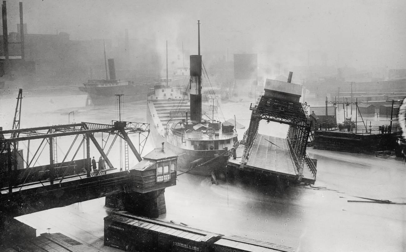
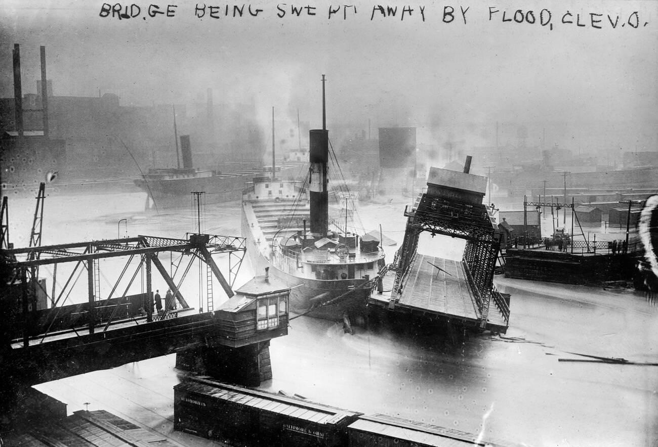
Bridges across Ohio were among the most visible casualties of the flood. In Cleveland, the current ripped bridges from their supports and carried them downstream, severing connections between neighborhoods and halting the movement of people, goods, and emergency responders.
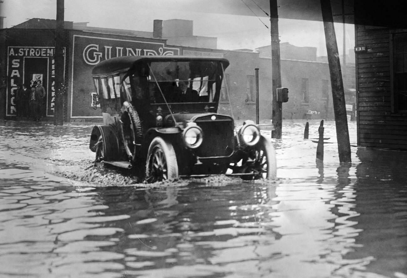
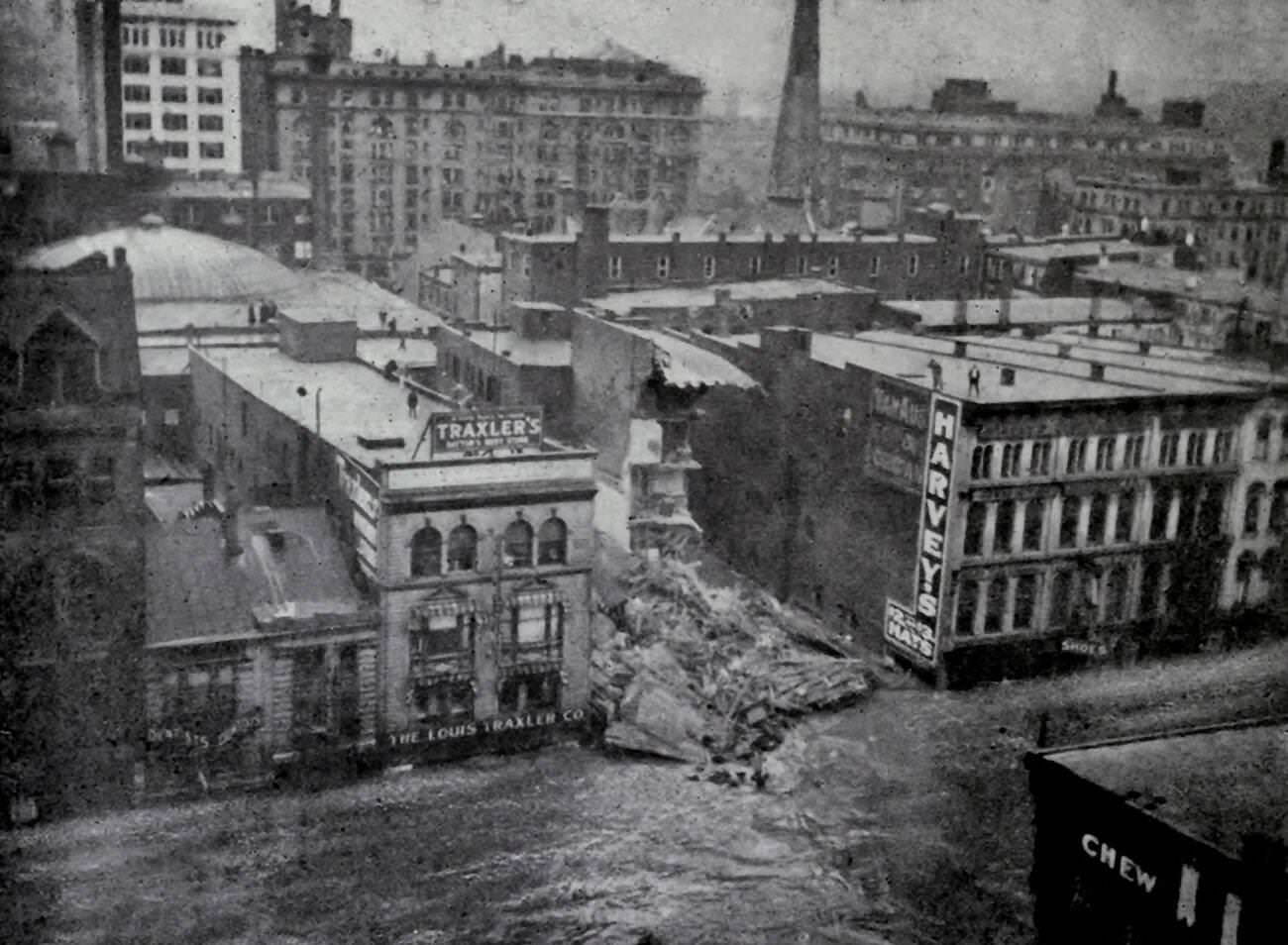
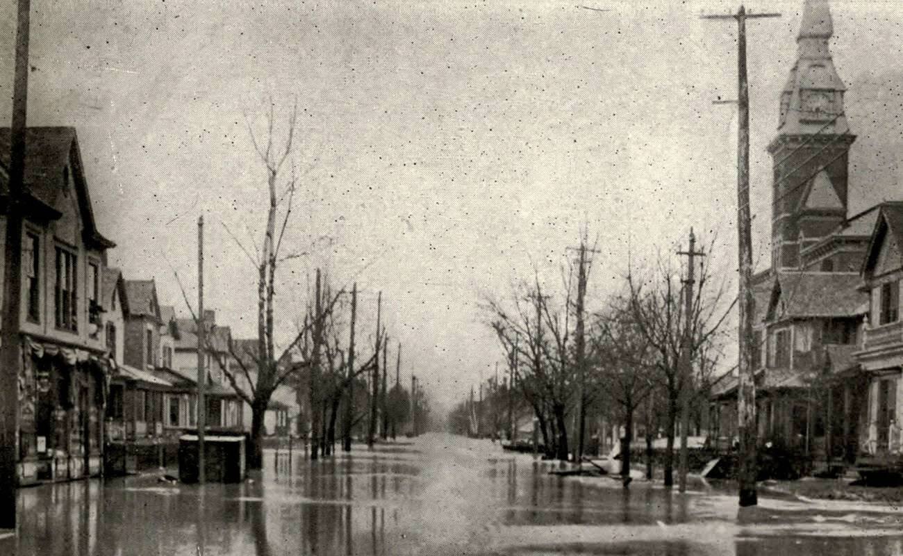
Ten feet of water on Main Street in Dayton was not an exaggeration — it was the documented reality. The depth of the flood in the city’s core left entire storefronts invisible beneath the surface. Only rooftops and upper floors showed above the waterline in some areas.
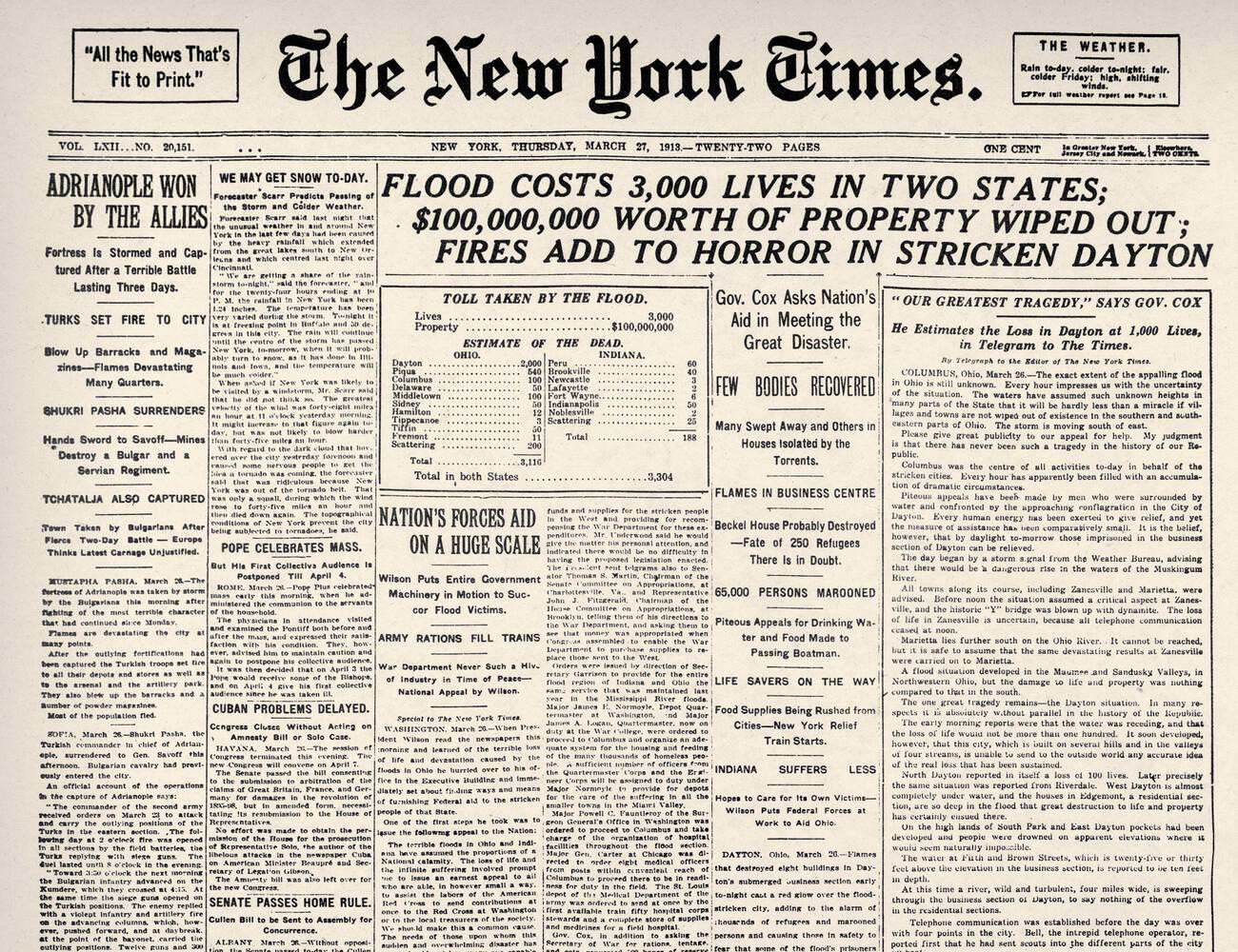
The national press tracked the disaster closely. The New York Times ran front-page coverage on March 26, 1913, reporting flooding across Ohio and Indiana. The reports reached readers across the country and helped mobilize outside relief efforts as the full scope of the catastrophe became clear.
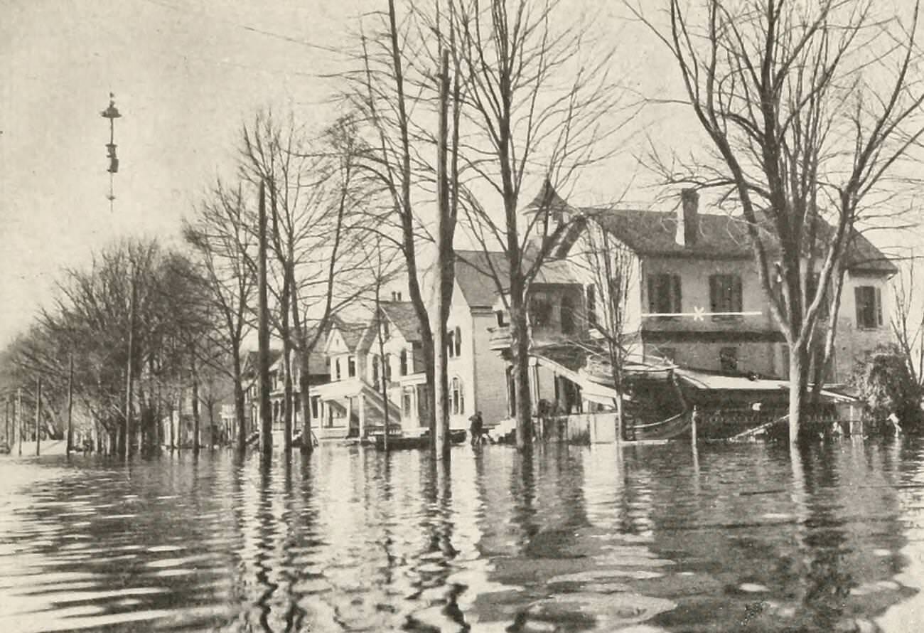
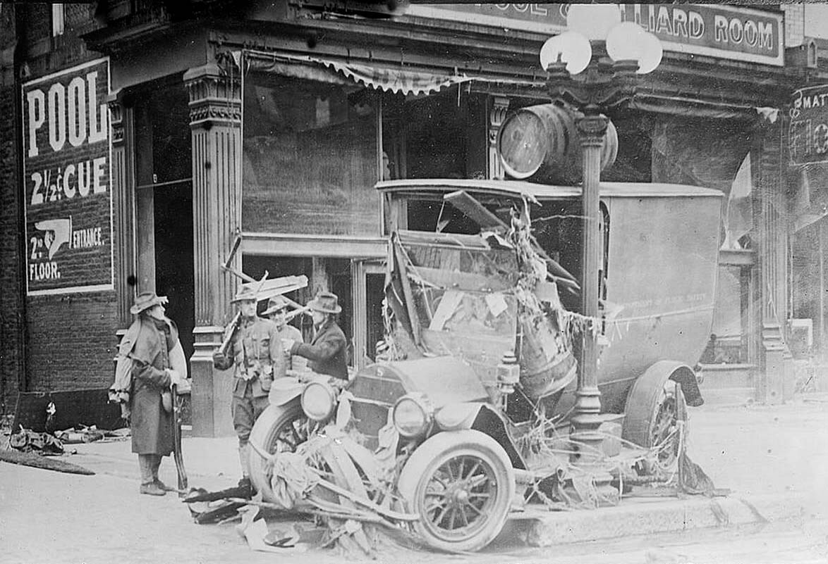
In Marietta and other towns along Ohio’s river systems, the flood peaked and then slowly retreated, leaving behind mud, wreckage, and the ruins of streets and buildings that had stood for decades. Residents returned to find their neighborhoods nearly unrecognizable.
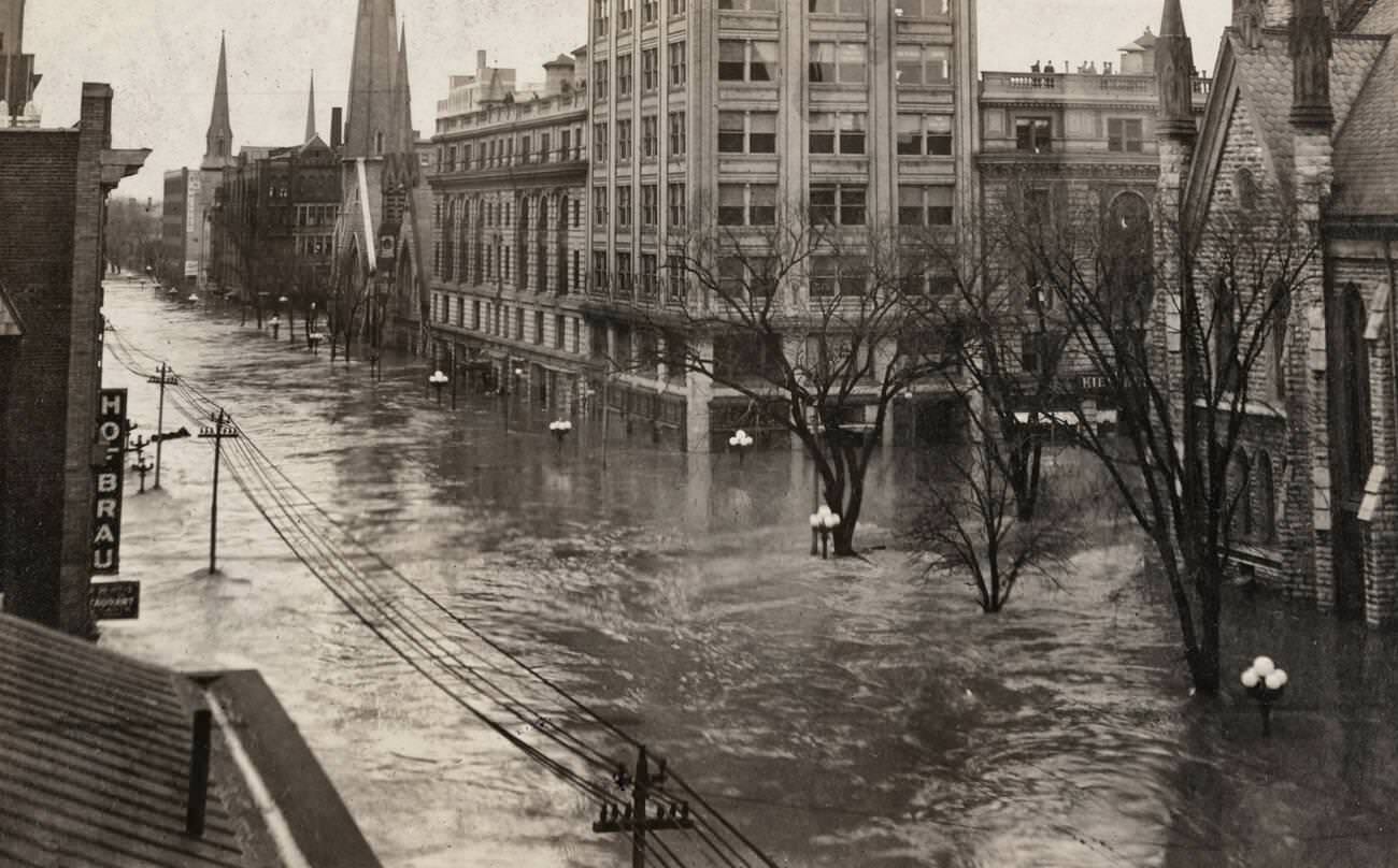
Downtown Dayton’s Ludlow Street, normally one of the city’s busiest corridors, became a wide, muddy river during the flood. Photographs taken there show water stretching to the horizon, with building facades rising straight up from the surface like walls in a flooded canyon.