

Norfolk, Virginia in the 1970s was a city in motion. Its port and shipping industries kept the local economy humming, while new businesses took root across the city. The waterfront remained one of the most active stretches of the entire East Coast, and the neighborhoods surrounding it were alive with daily commerce and community. These vintage photographs capture a city that was growing, changing, and finding its identity through one of the most dynamic decades in American history.
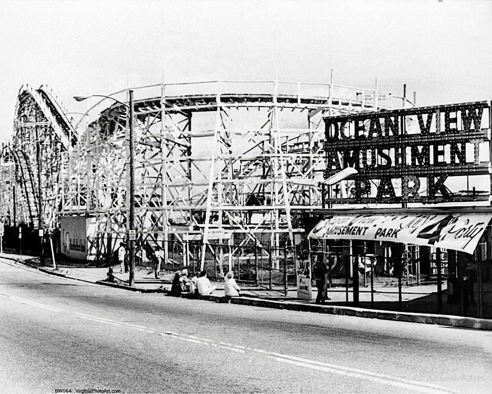
One of the most beloved spots in Norfolk during this era was Ocean View Amusement Park. Families from across the region made the trip to ride its attractions, and few thrills topped the Rocket Roller Coaster. By 1979, the park had been a fixture of Norfolk summers for decades, and photos from that year show just how much energy and life it still held.
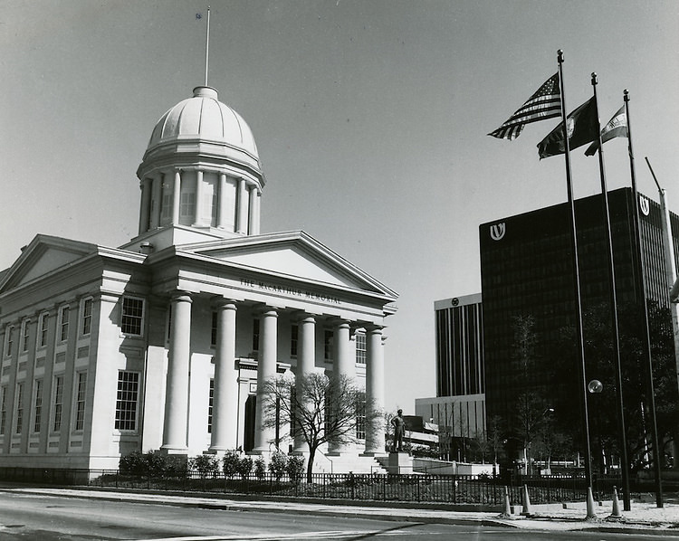
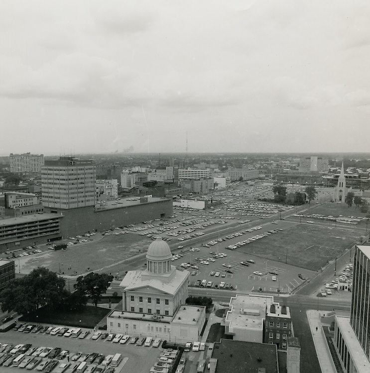
At the heart of downtown Norfolk stood the MacArthur Memorial, one of the city’s most recognized landmarks. Set on a 17-acre site, the memorial served as both a museum and a public gathering place. In 1970, the grounds were well established, drawing visitors who came to learn about General Douglas MacArthur’s life and military career. The site anchored the civic identity of downtown Norfolk throughout the decade.
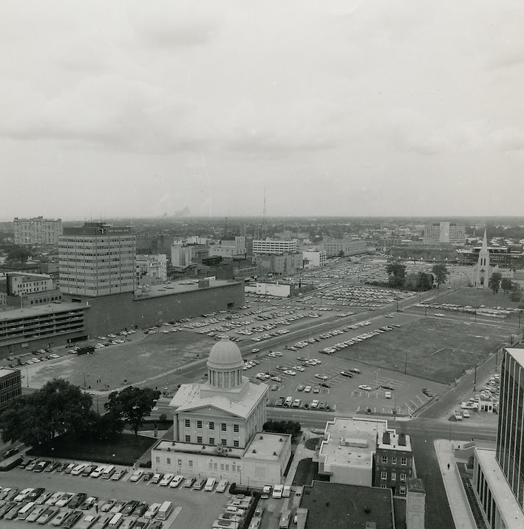
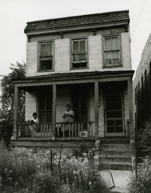
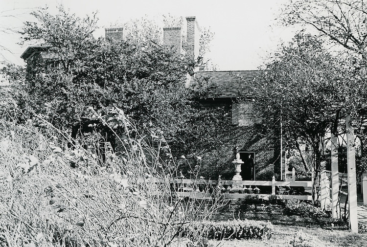
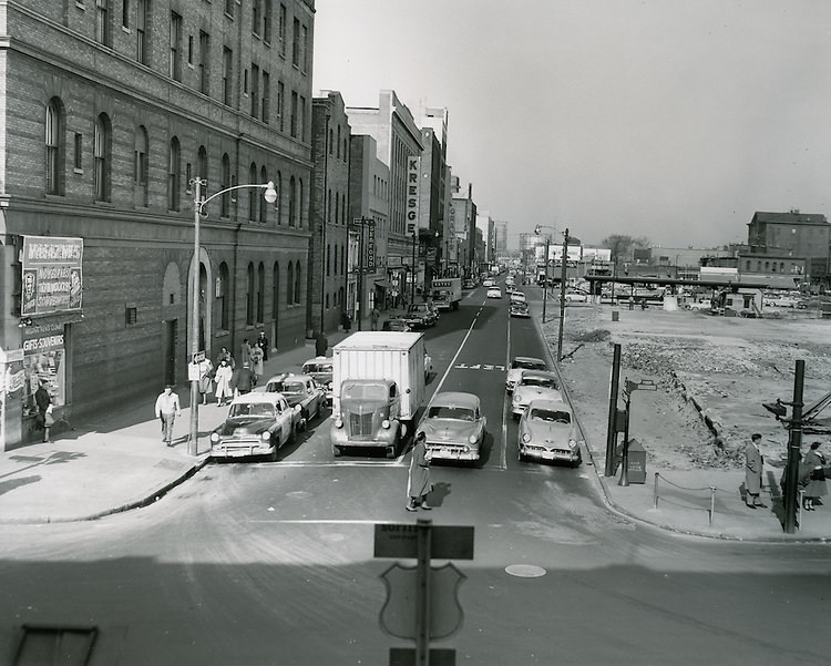
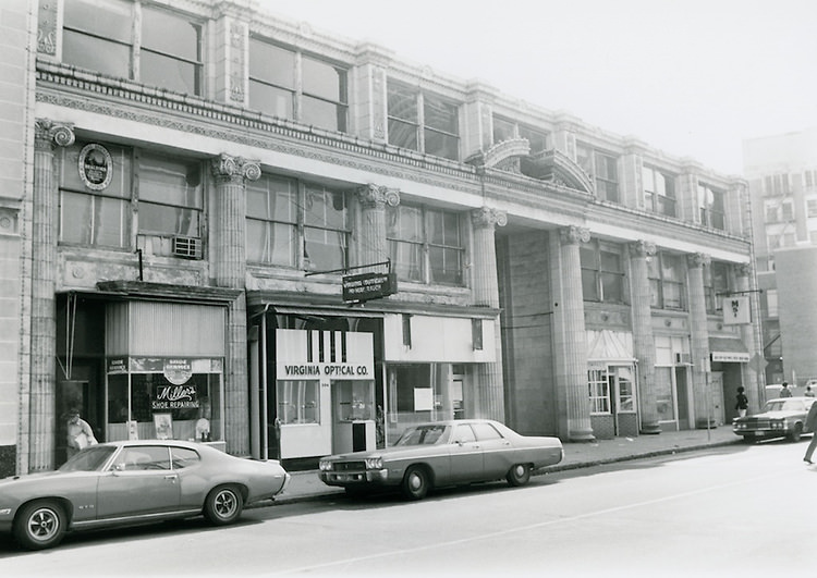
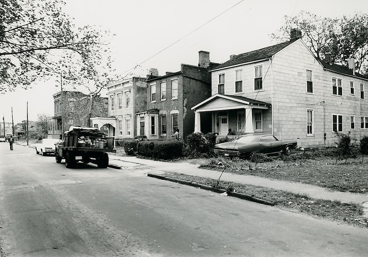
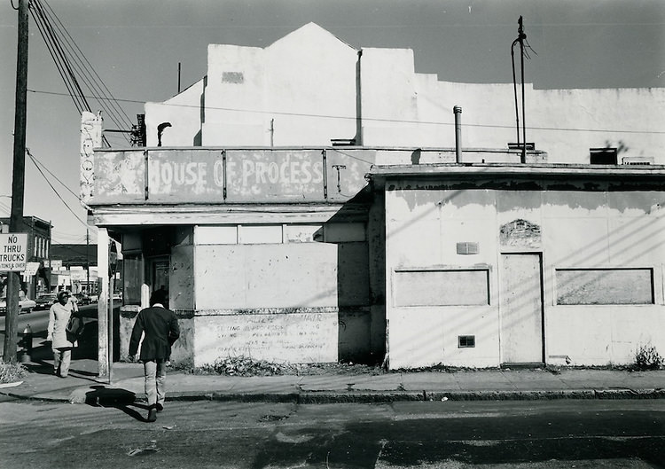
Street-level Norfolk in 1970 and 1971 tells its own story. The roads were busy with period cars, storefronts carried hand-painted signs, and the pace of daily life was visible in every block. These images from 1970 and 1971 freeze moments that would otherwise be lost — a pedestrian crossing, a storefront window, the particular quality of light on a Norfolk afternoon.
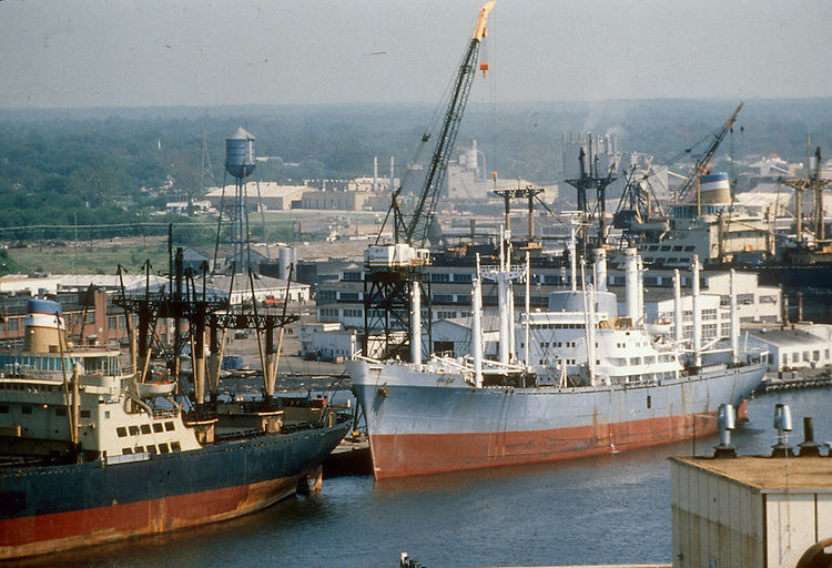
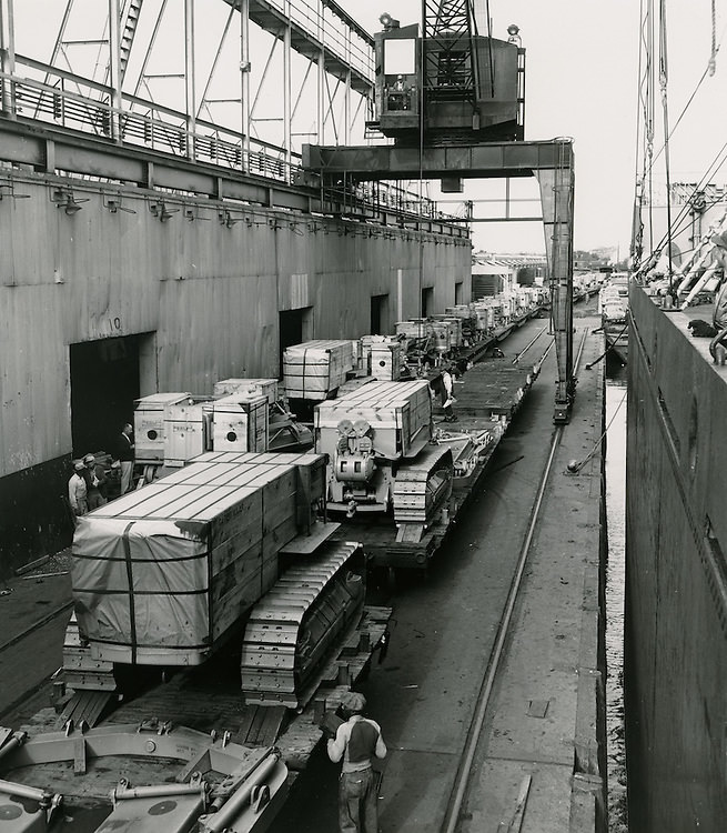
The waterfront was always the engine of Norfolk’s economy. Shipyards like the one photographed in 1978 were working operations, not tourist attractions. Cranes, docks, and heavy equipment defined the landscape along the water’s edge. Lambert’s Point Docks, one of the largest coal-exporting terminals in the world, kept goods moving in and out of the city on a massive scale throughout the decade.
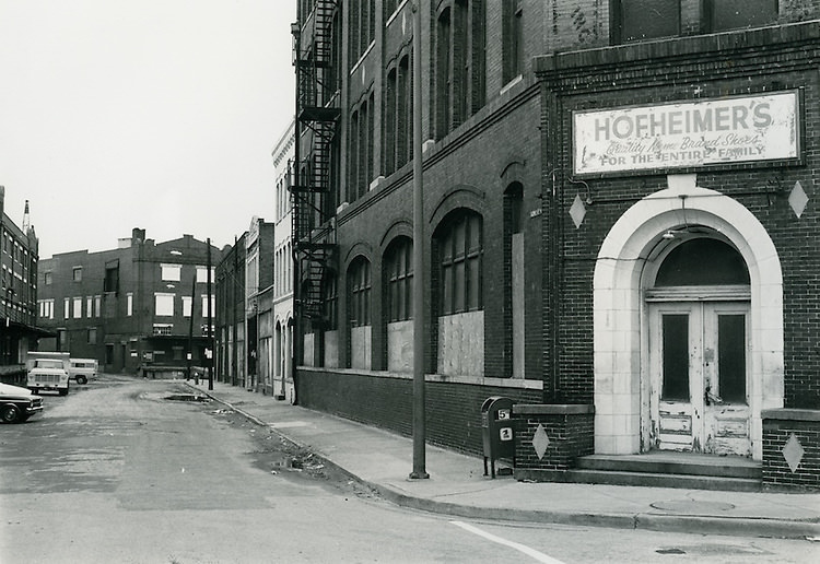
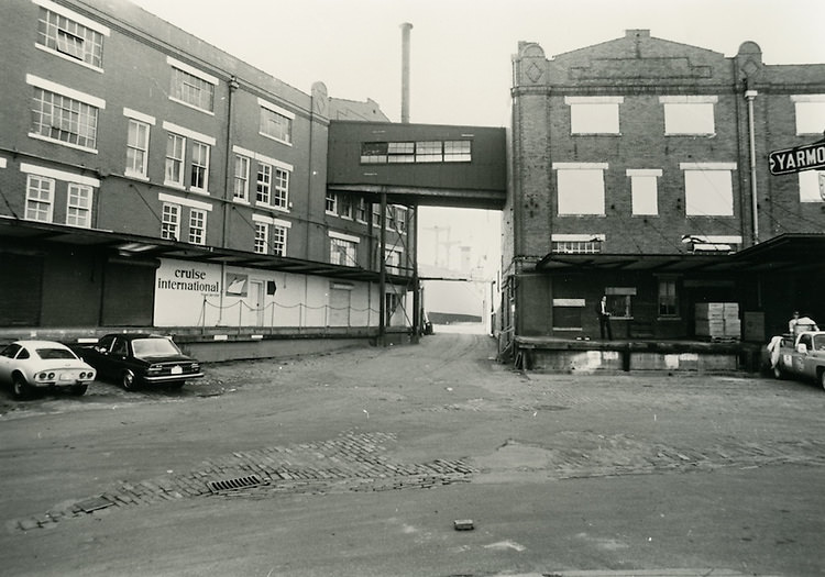
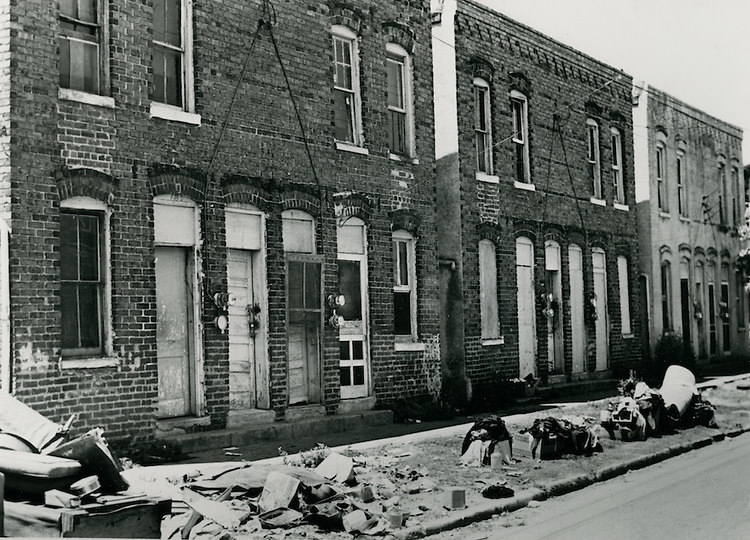
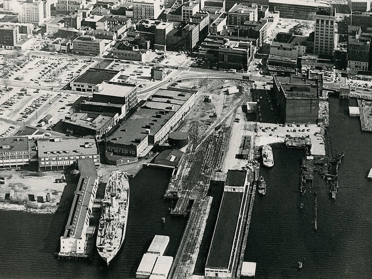
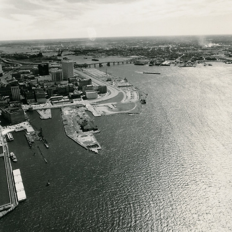
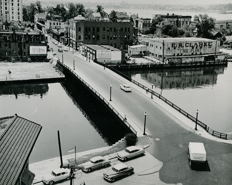
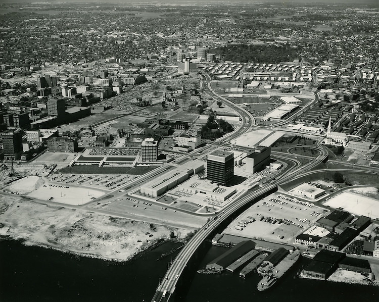
The Freemason Harbor area was one of Norfolk’s most historically rich neighborhoods. By the 1970s, it retained much of its older architectural character, with brick buildings and narrow streets that dated back generations. Photographs taken from the corner of Tazewell Street and Yarmouth Street show the neighborhood before major redevelopment altered its character. Aerial views of the harbor reveal the full scale of the area and how closely it sat against the working waterfront.
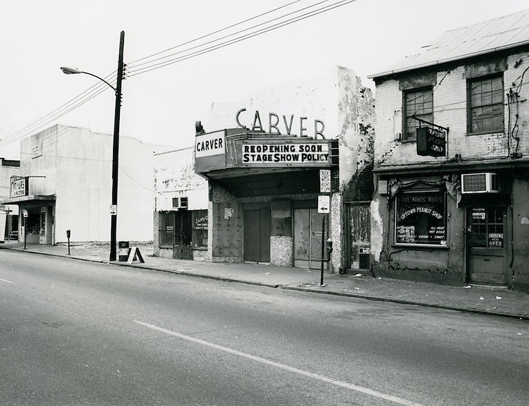
Norfolk’s cultural life was deeply tied to its neighborhoods and local institutions. The Carver Theatre served the Black community as a center for entertainment and gathering during an era when segregation had only recently been dismantled. Its presence in these photographs is a reminder of how much the city’s cultural fabric was shaped by its African American residents, who built thriving institutions even under the pressures of discrimination.
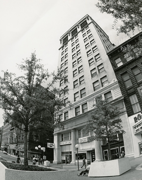
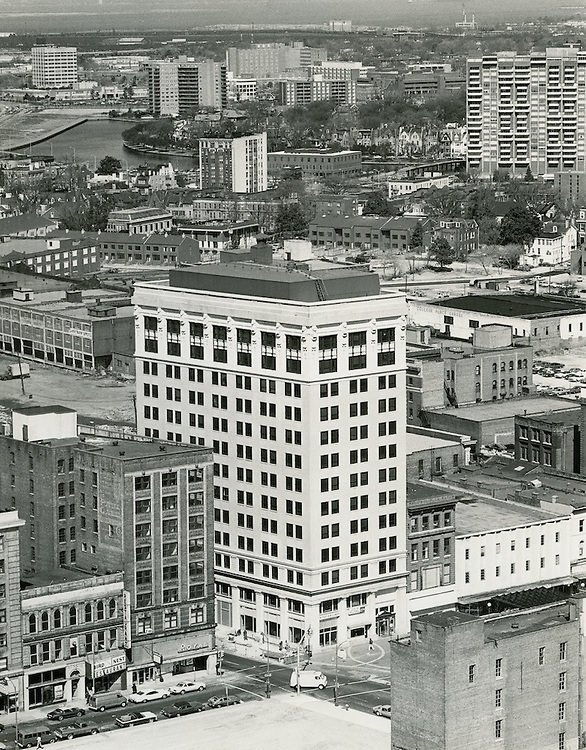
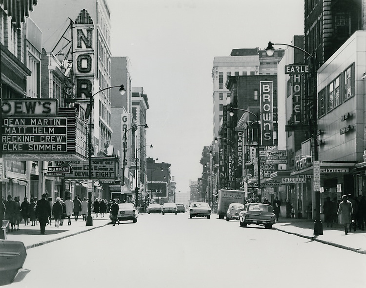
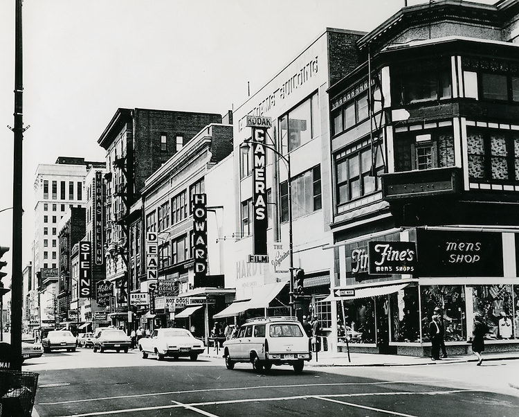
Granby Street was Norfolk’s main commercial spine. The 201 Granby Street Building stood as one of its prominent addresses, and looking south down Granby Street in the 1970s revealed a dense stretch of retail shops, banks, and offices. The street was active on weekdays and weekends alike, and these photographs document it during a period before suburban shopping malls drew business away from downtown commercial corridors.
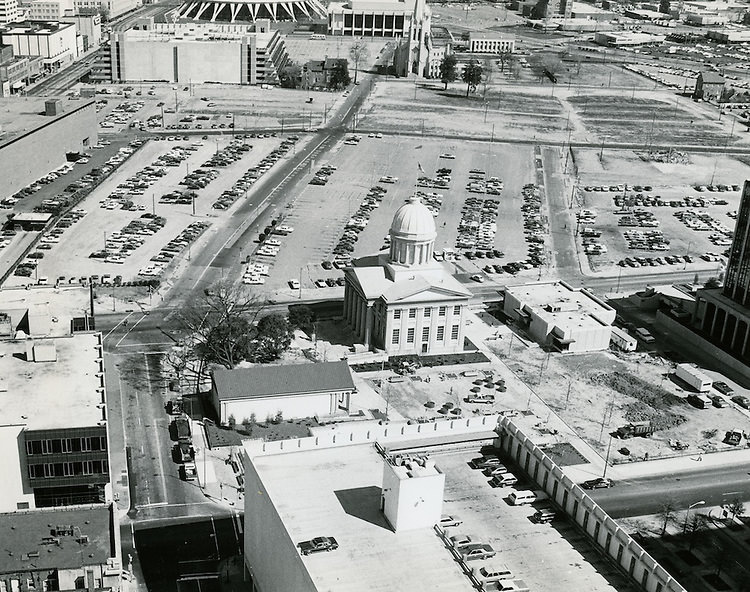
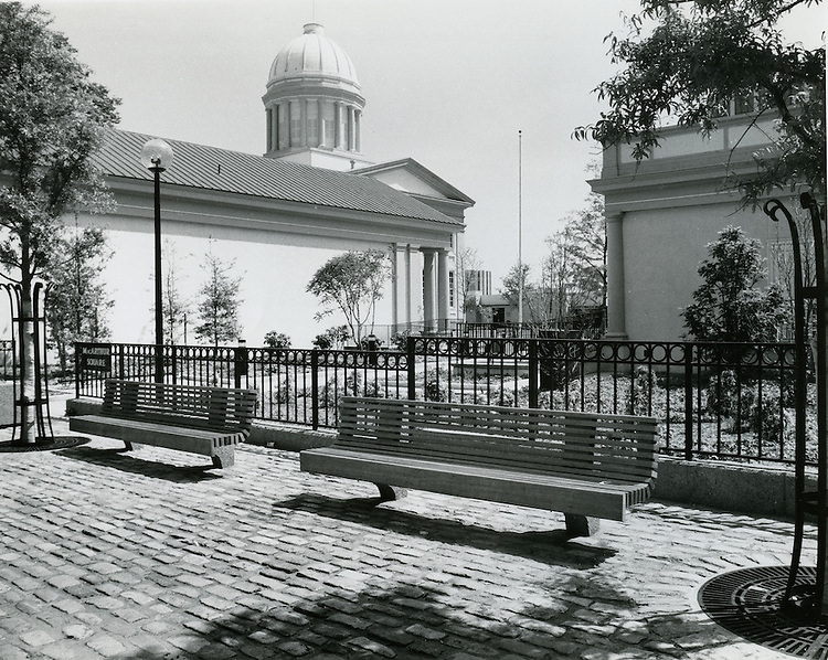
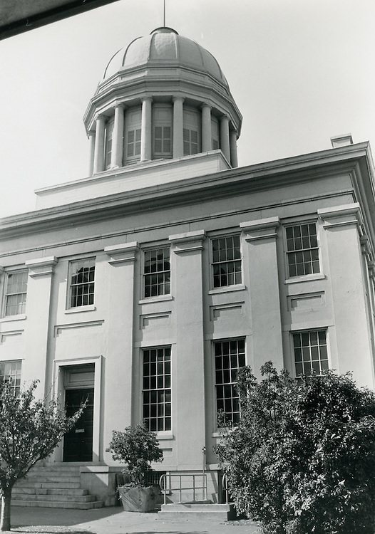
The MacArthur Memorial appeared frequently in photographs of 1970s Norfolk, and for good reason. The site evolved over the decade, with multiple views documenting the grounds, architecture, and surroundings at different points in time. These images show the memorial not just as a historic site, but as an active part of the downtown landscape that residents passed and visited regularly.
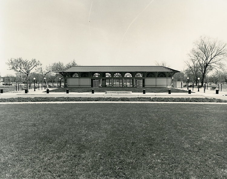
Norfolk’s ferry terminals were a practical and well-used part of the city’s transportation network. The waterways around Norfolk made ferry crossings a necessary part of daily life for many residents, and the terminals bustled with commuters and travelers. These photographs from the 1970s show the terminals in their working state — functional, busy, and built for steady use.
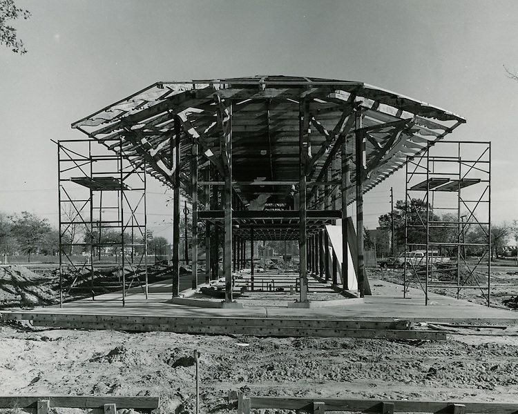
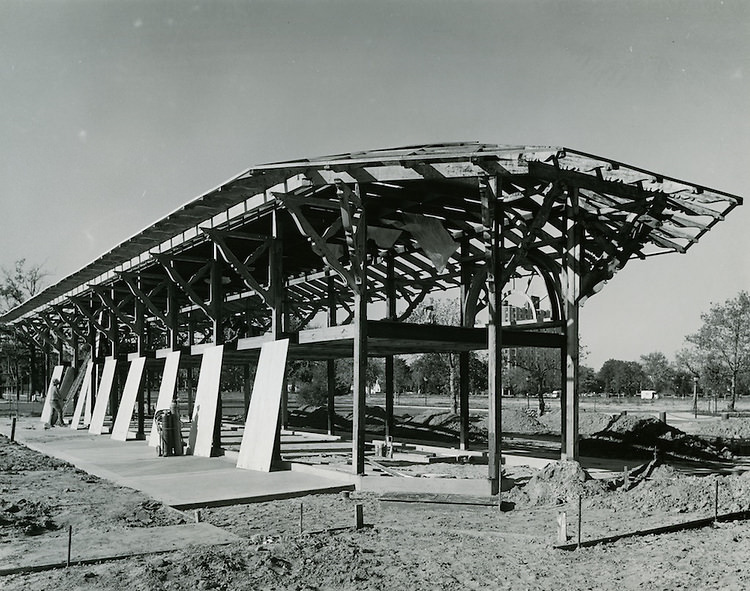
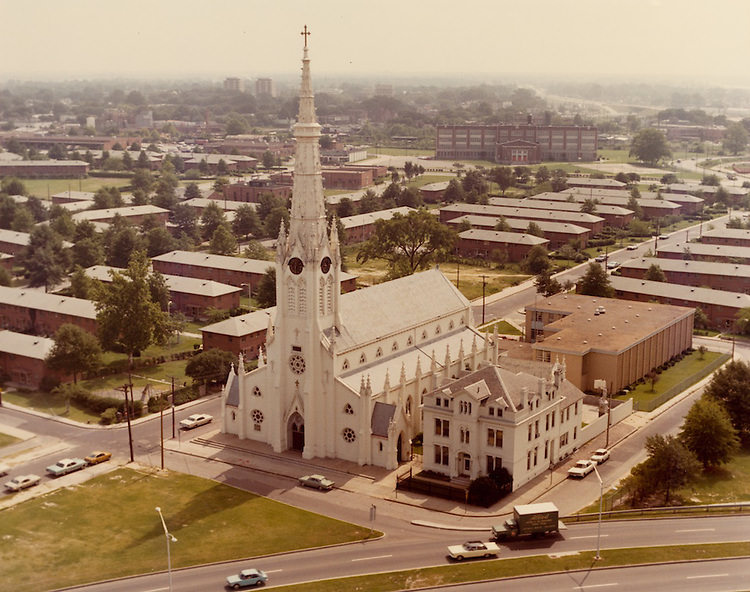
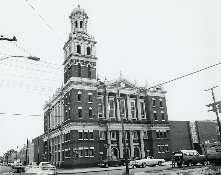
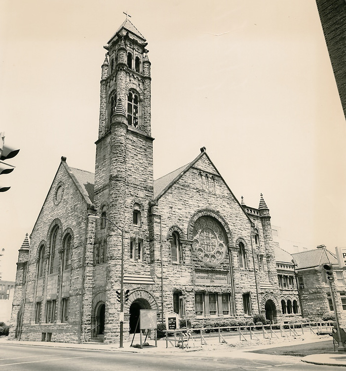
Norfolk’s religious institutions were central to community life across every neighborhood. St. Mary’s Catholic Church stood as one of the city’s notable houses of worship, its architecture a fixed point in a changing urban landscape. Other churches throughout the city, including First Calvary Baptist Church at the corner of Henry Street and Wide Street, served as gathering places that went far beyond Sunday services.
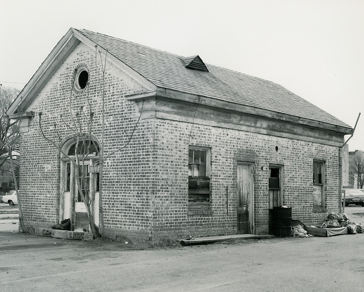
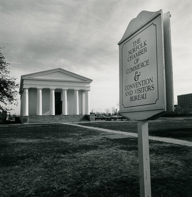
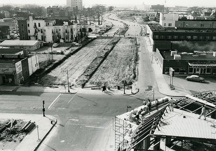
The Old Norfolk Academy building was another architectural landmark that survived into the 1970s, a remnant of the city’s educational history. Brambleton Avenue was actively being widened during this period, with construction photographs from the intersection of Boush Street capturing the disruption and progress that came with expanding the city’s road network. These infrastructure projects reshaped how residents moved through Norfolk.
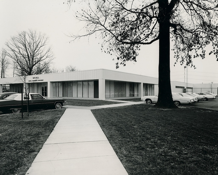
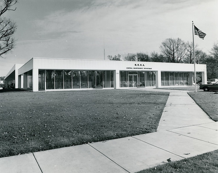
The Norfolk Redevelopment and Housing Authority, known as the NRHA, played a major role in shaping the physical city during the 1970s. Its Central Maintenance Department oversaw the upkeep of public housing and managed large-scale urban renewal projects. Photographs of the department and its facilities show the operational side of city planning — less glamorous than a new building going up, but just as important to how Norfolk functioned day to day.
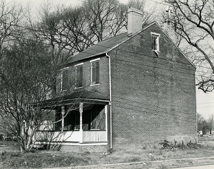
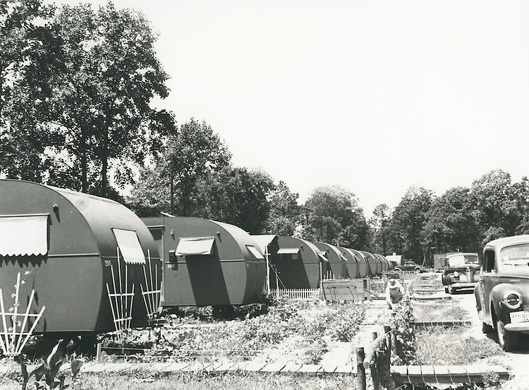
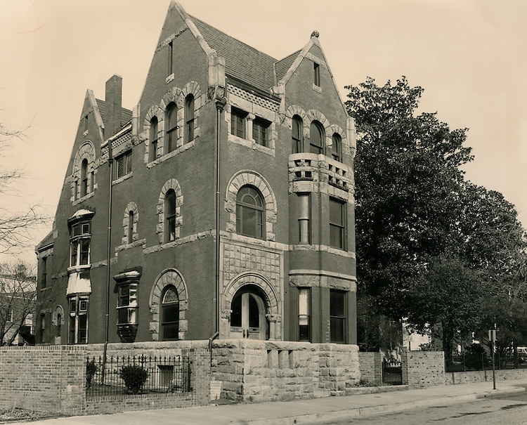
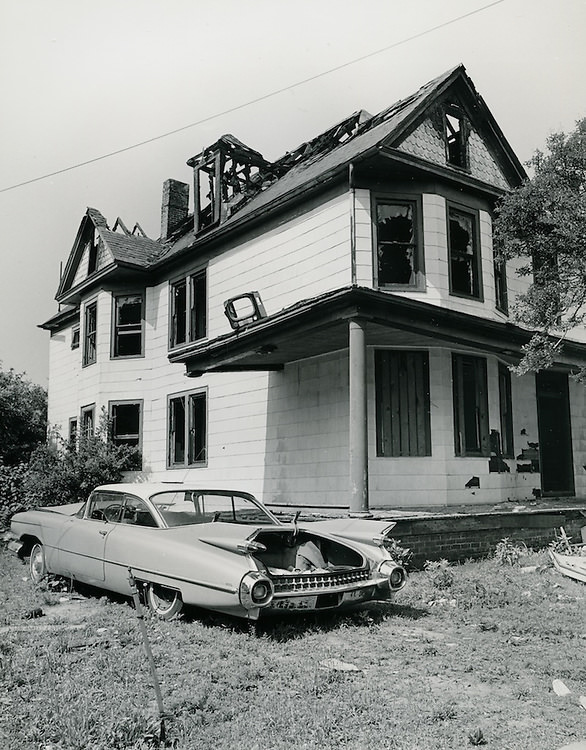
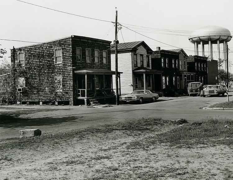
Urban renewal in Norfolk during the 1970s sometimes meant moving entire structures. The Grandy House was photographed before being relocated from East Ghent, a process that preserved an older building while clearing space for redevelopment. Temporary housing with gardens also appeared across the city during this period, reflecting the gap between what was torn down and what had yet to be built.
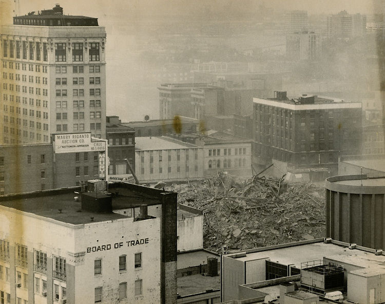
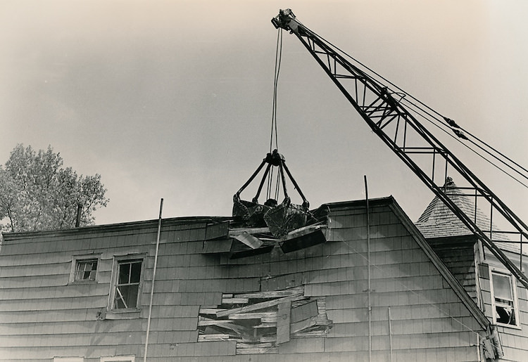
One of the most dramatic events of the decade was the demolition of the Monticello Hotel in 1976. Once a grand centerpiece of downtown Norfolk, the hotel came down in a series of carefully documented stages. These photographs show the building mid-demolition — floors exposed, walls crumbling — a stark visual record of a city clearing space for whatever would come next.
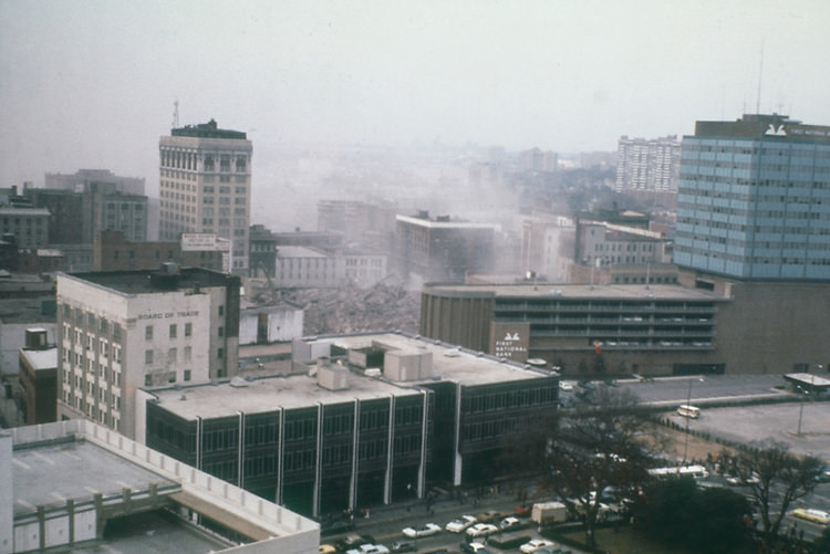
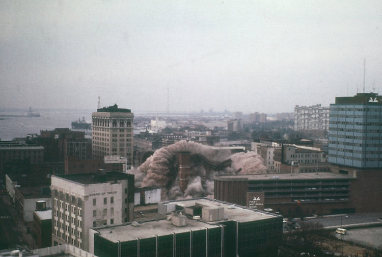
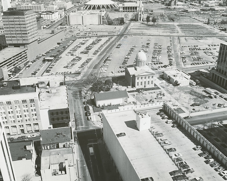
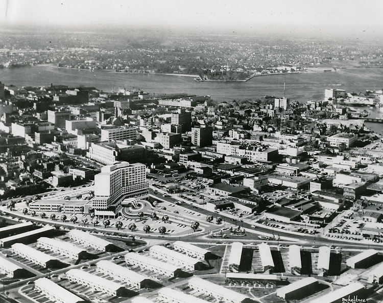
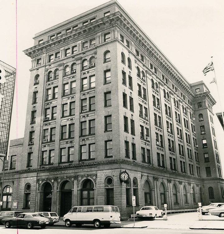
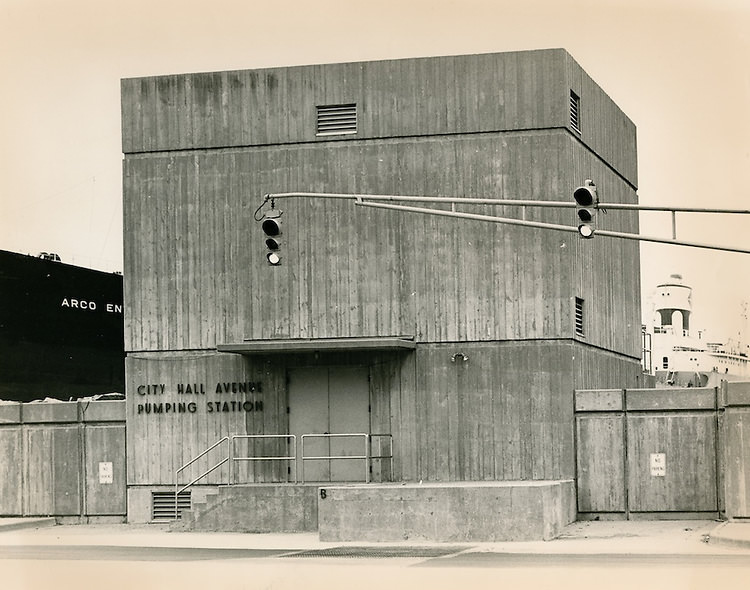
Downtown Norfolk’s commercial blocks held a range of businesses throughout the decade. The Citizens Bank Building on Main Street was a steady presence, as was the Monticello Arcade with its north entrance on City Hall Avenue. The City Hall Avenue Pumping Station, the U.S. Post Office and Federal Court Building, and the Epworth Methodist Episcopal Church on Freemason Street all appeared in photographs from the period, each one a piece of the city’s built environment that residents navigated every day.
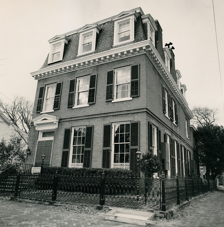
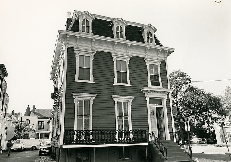
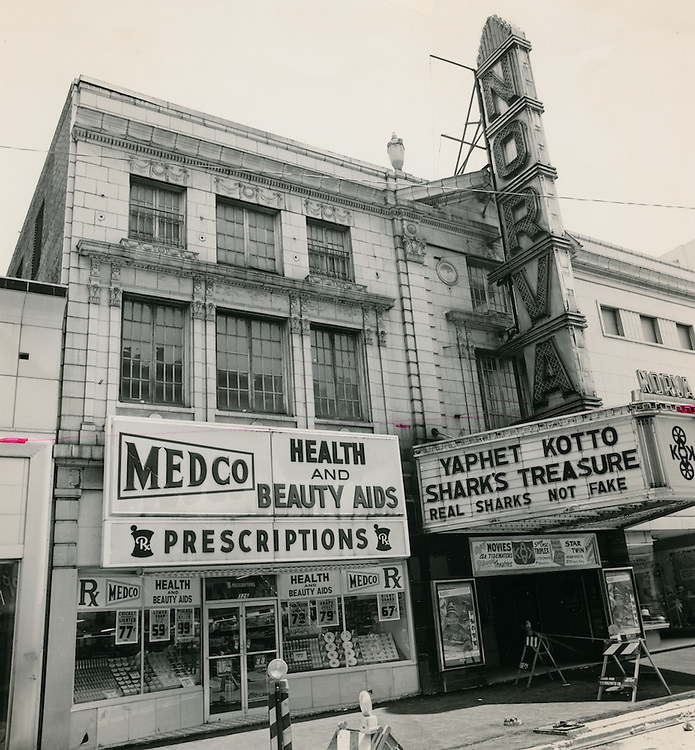
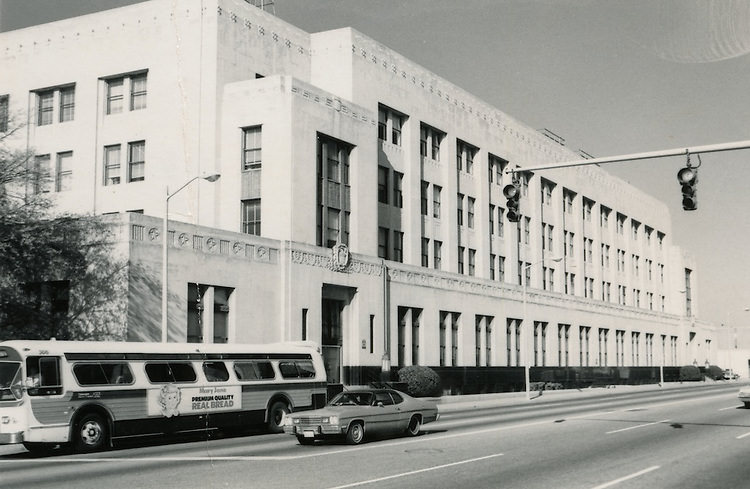
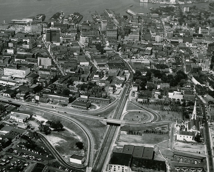
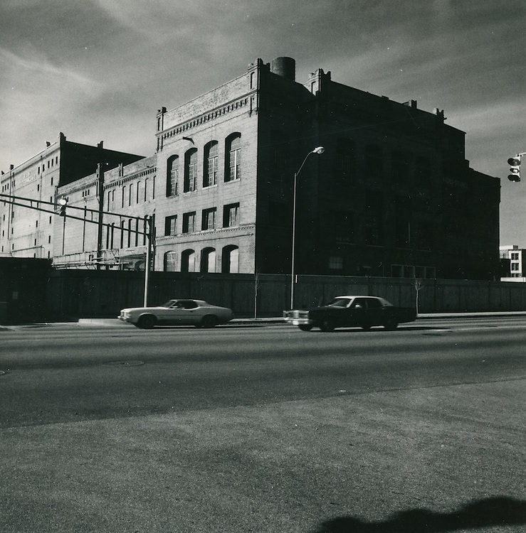
A 1976 aerial view looking west showed Granby Street and the Federal Building in the foreground, with Freemason Harbor stretching out behind them. The image captures how tightly the city’s commercial core, civic buildings, and waterfront were packed together. The Boush Cold Storage Building appeared in multiple photographs from the decade, its industrial bulk a fixture along the waterfront before later redevelopment projects transformed the area.
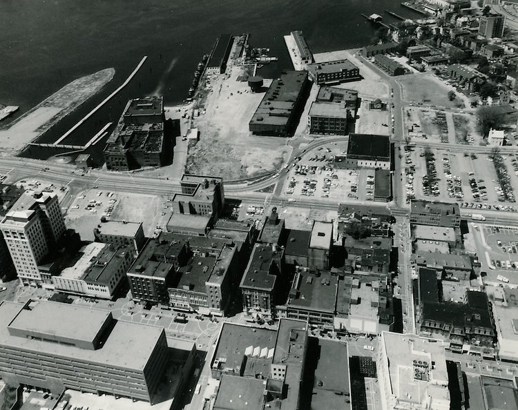
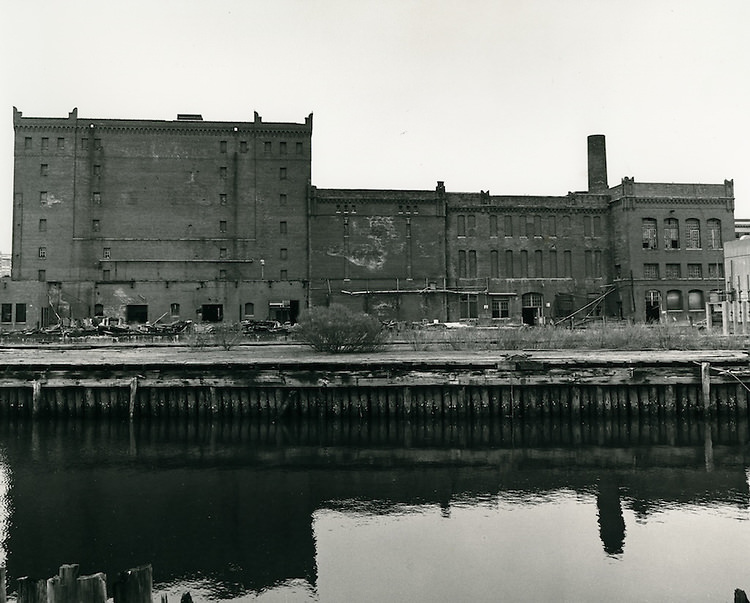
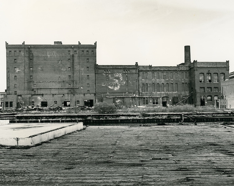
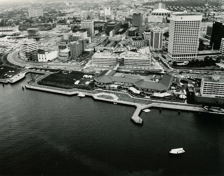
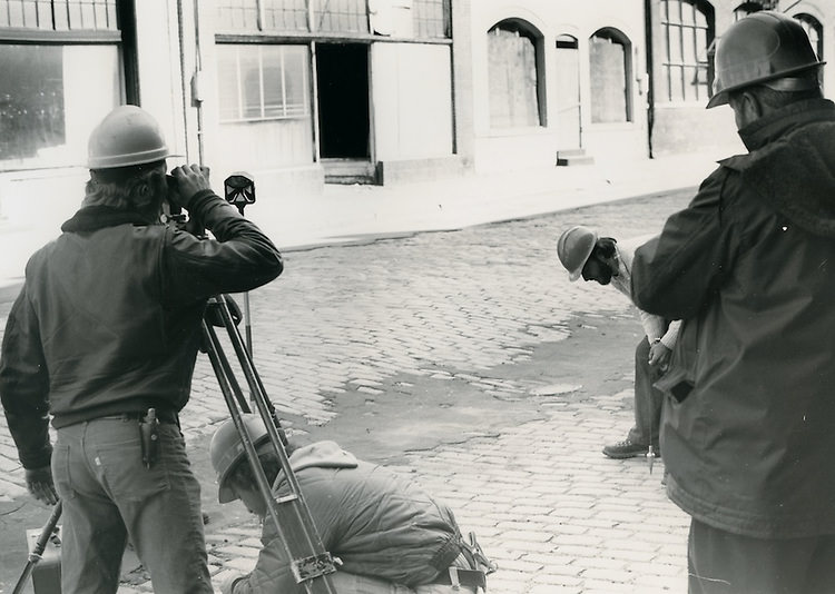
The Norfolk waterfront looking east from what would eventually become the Nauticus site gives a clear sense of how much open space and industrial infrastructure still defined the shoreline in the 1970s. Survey crews were already at work in this period, beginning the long process of planning and measurement that would eventually lead to major waterfront development projects in the decades that followed.
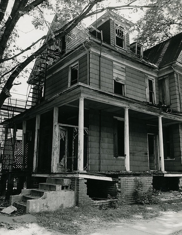
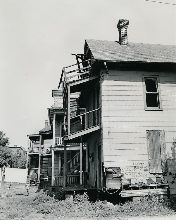
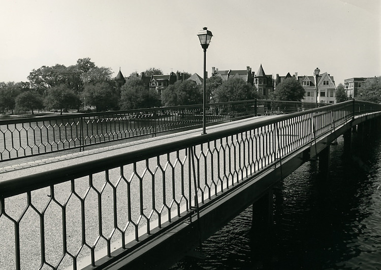
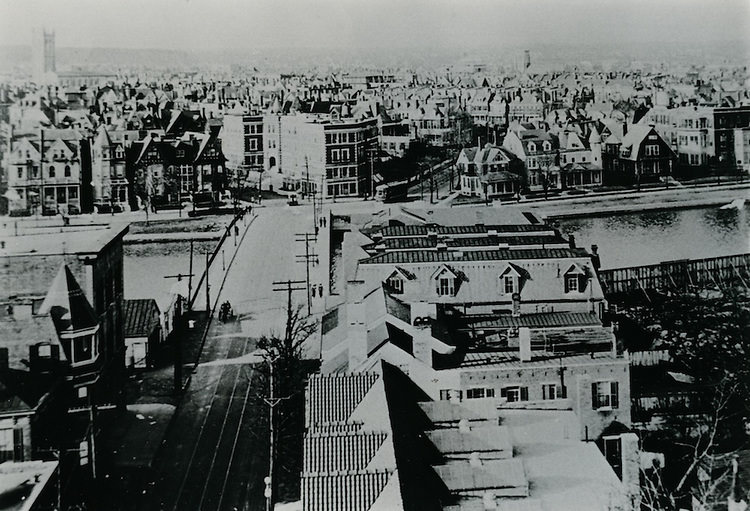
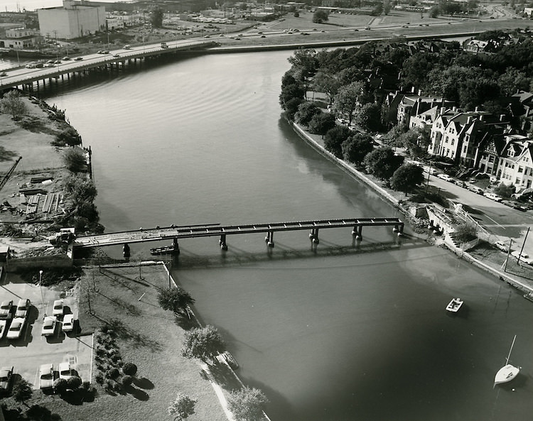
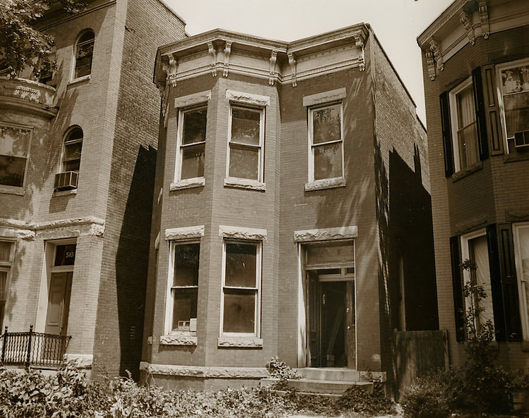
The Ghent neighborhood drew particular attention during the 1970s. East Ghent South was photographed repeatedly, both at street level and during planning and conservation efforts. A visit from the mayor to the Ghent neighborhood reflected the political attention the area received as city officials weighed preservation against redevelopment. The Botetourt Street bridge was photographed in multiple stages — the old bridge, the pedestrian bridge, and the full reconstruction — showing how even the city’s infrastructure was undergoing significant change.
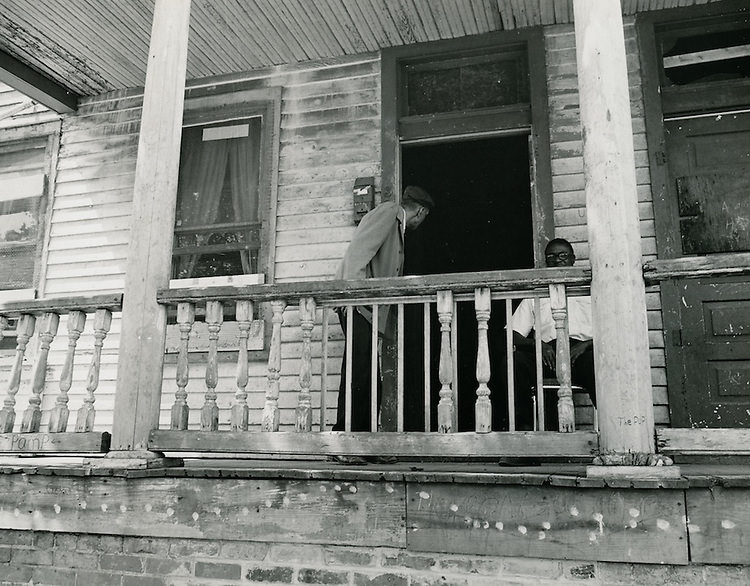
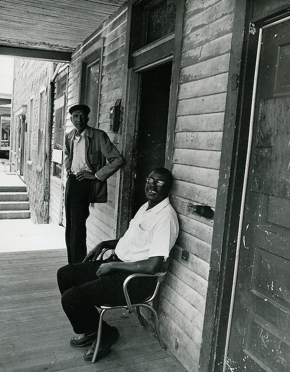
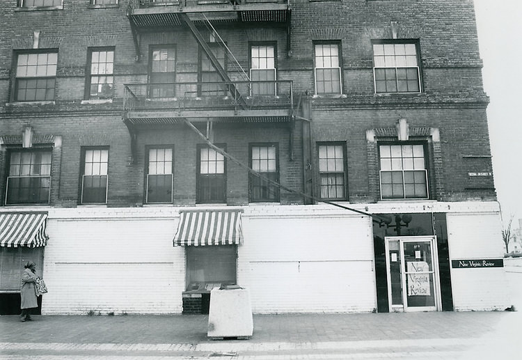
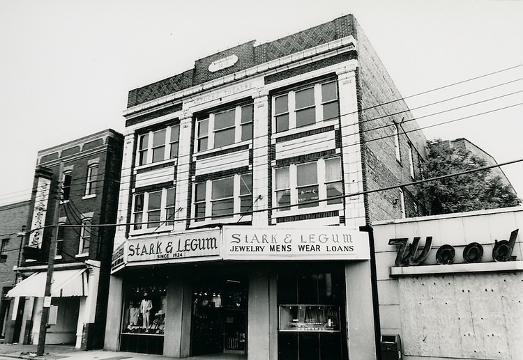
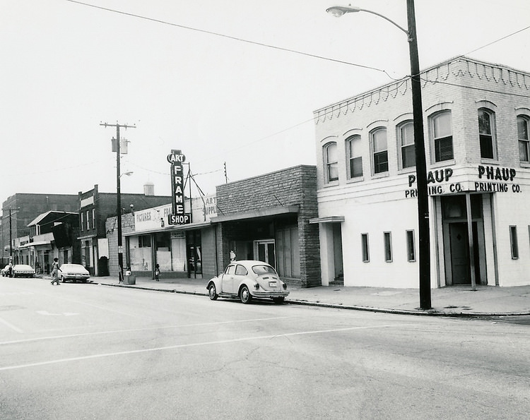
Retail life across Norfolk in the 1970s ranged from department stores to small neighborhood shops. Stark & Legum Department Store was one of the recognizable commercial names that appeared in photographs from the period. An art frame shop captured in another image reflects the quieter, more personal side of the city’s business community — the kind of small storefront that served a steady local clientele year after year.
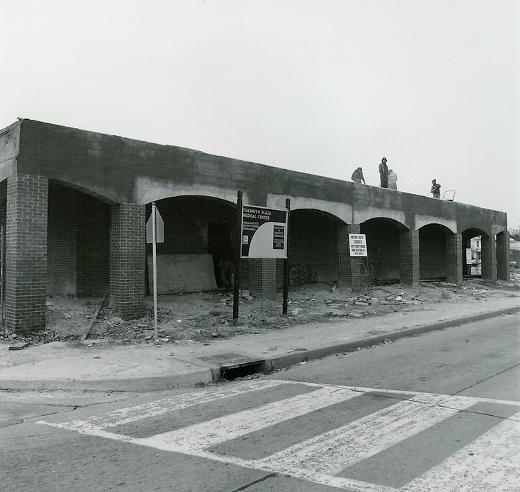
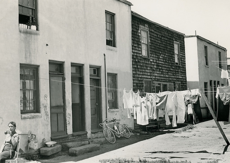
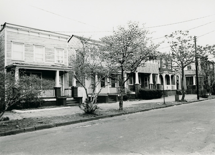
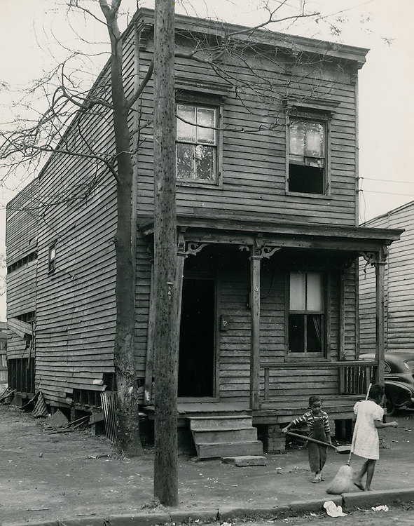
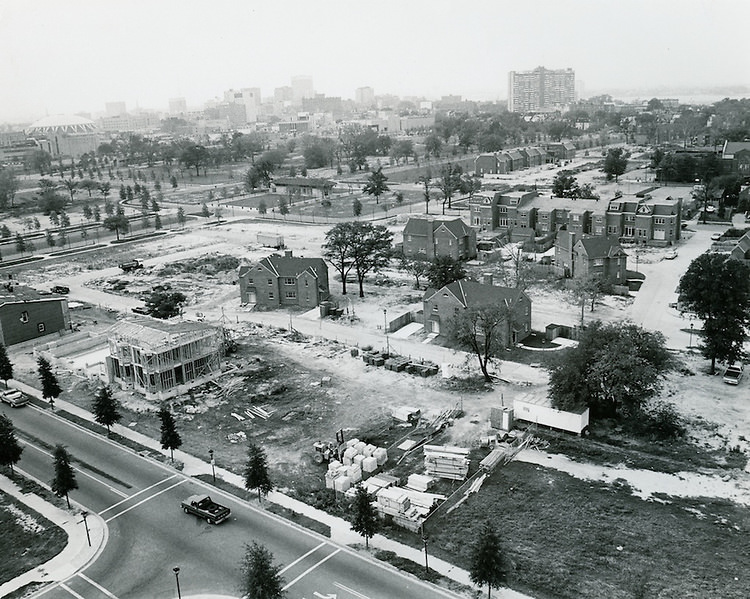
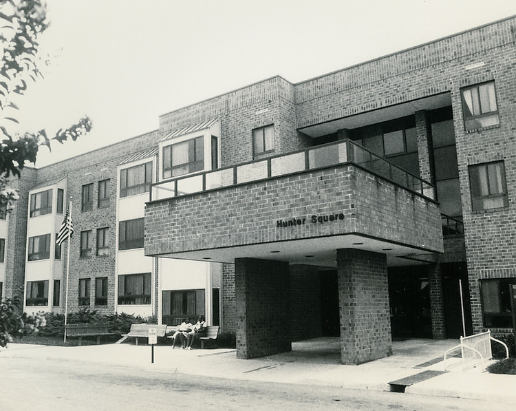
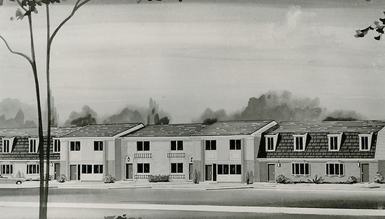
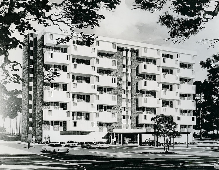
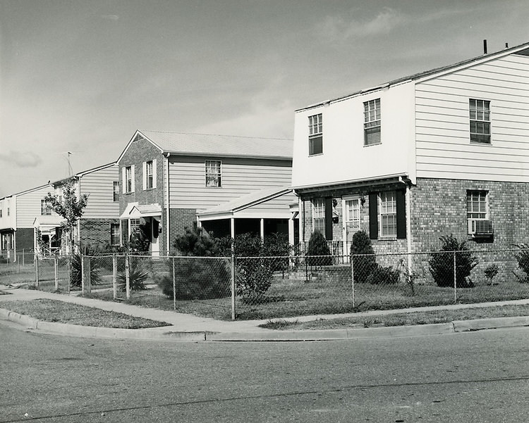
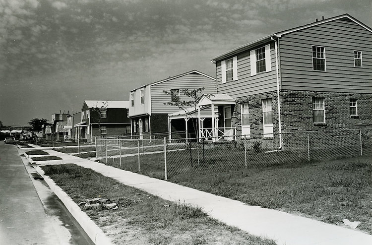
Housing was a major focus of city planning throughout the decade. Renderings for projects like Grace Covenant Housing illustrated how planners envisioned new residential developments. Assisted housing and mid-rise buildings for elderly residents were constructed across the city, and photographs of these sites show both the planning stages and the completed structures. These projects were part of a broader effort by the NRHA to address housing needs for Norfolk’s growing and increasingly diverse population.
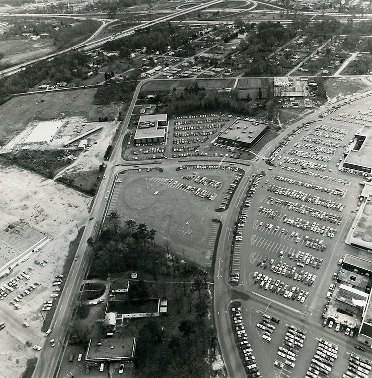
Looking northwest from the Berkley Bridge, the downtown Norfolk skyline in the 1970s was compact and clearly defined. The view shows a city still very much built around its historic core, with low-rise blocks giving way to a handful of taller buildings near the center. Survey crews working along the waterfront during this period were the first step in a long chain of planning activities that would eventually reshape what that skyline looked like from the water.
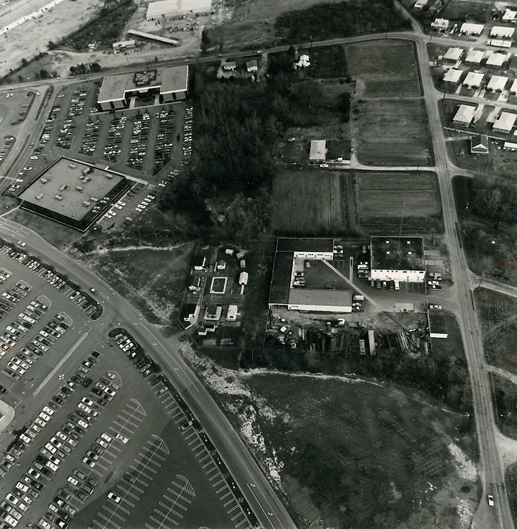
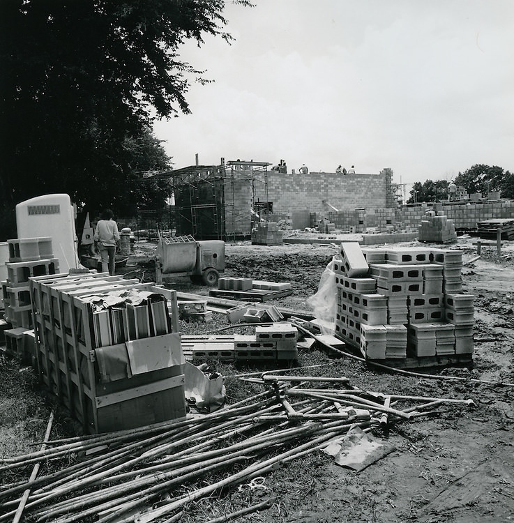
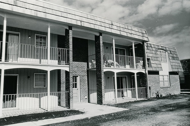
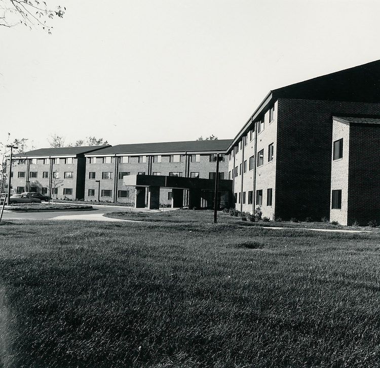
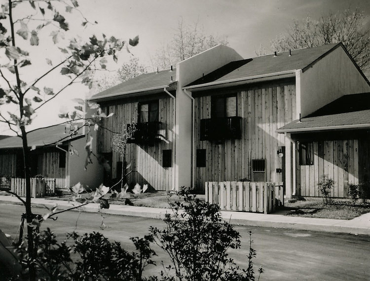
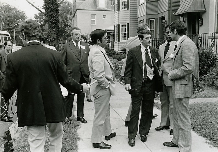
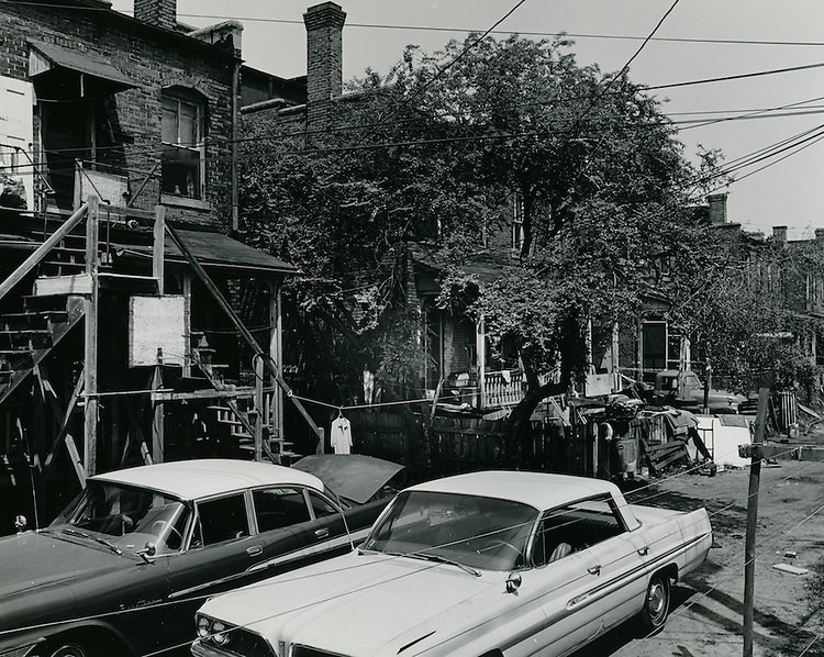
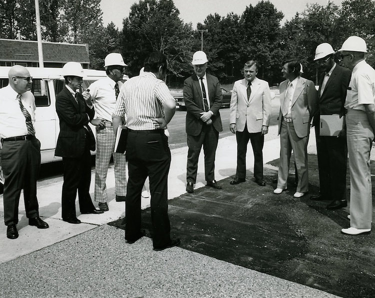
Commissioner tours and public visits to various city sites were a regular part of Norfolk’s civic life in the 1970s. Officials moved through neighborhoods, inspected projects, and made decisions that directly affected how residents lived. These photographs of commissioner tours and everyday street scenes across the city are a rare and detailed record of what Norfolk looked like from one end of the decade to the other — a city working hard to keep up with the demands of a changing era.

I miss the old Church st. Have great memories of the good old days much fun food music and laughter now it’s dull
I thought Waterside was built in the 80s
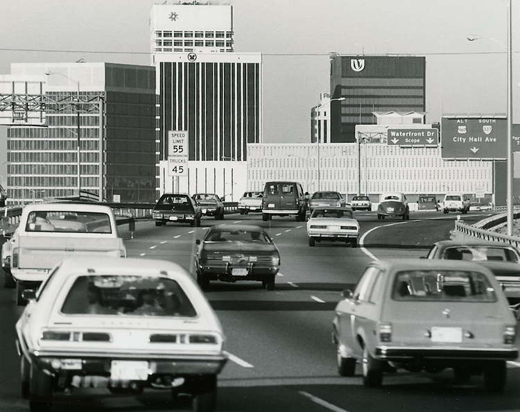
I gotta call BS on some of these. Waterside started construction in late 70’s & didn’t open until June 1, 1983. Look @ photo# 9. There’s not a 1970’s vehicle in sight. Not sure there’s a 1960’s vehicle in sight either. Also, in #30 – The Wrecking Crew movie on the Loew’s theater sign came out in 1968. Still cool pix & memories
I agree. I was there when Waterside was built. Photos in black and white makes the times seem back in the 30s.
Uncle told me stories about Navy MPs patrolling Granby and thumping anybody who got out of line
Did that article seriously just say Naval Station Norfolk was established in the ’70s? Norfolk’s population didn’t grow during the ’70s. People were still fleeing. And the city had just ripped out its heart by forcing residents out to demolish most of downtown, so it was in kind of a rough patch.
But I will say the photos are cool, even if we can’t necessarily rely on them being from the ’70s
I’m very confused by the timeline on these. Some seem before the 70s and some seem after. At bare minimum, but Norva isn’t on Granby.
The back of it is. Its been a bunch of things over the years. Not sure what it is now.
It’s chichos. Guess I didn’t realize there was ever signage on Granby. I have a large photo in my living room. Looks like the current sign, but maybe it’s also Granby …