

Ipswich is the county town of Suffolk, located at the head of the Orwell Estuary in the south-eastern corner of the county. Its modern name comes directly from the medieval name “Gippeswic,” a settlement that grew into one of East Anglia’s most important towns. By the 17th century, Ipswich was thriving as a port, sitting at the center of the export trade for East Anglian textiles. That commercial energy shaped the town for generations.
The 19th century brought a new direction. Light engineering firms set up operations in Ipswich, and the local economy shifted away from its purely port-driven roots. Engineering and agricultural industries took hold and remained at the heart of the town’s working life well into the 20th century. By the time the 1970s arrived, Ipswich was a busy, evolving town — carrying centuries of history in its street layouts and architecture while also pushing forward with new development schemes and road works.
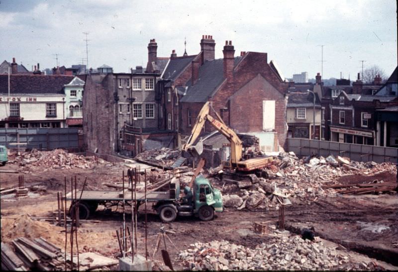
The photographs in this collection capture Ipswich at a defining moment. Road widening projects, demolition of old properties, and large-scale construction were reshaping familiar streets. At the same time, the town’s older character — its half-timbered buildings, quiet lanes, and historic landmarks — was still very much present. These images preserve a version of Ipswich that, in many cases, no longer exists in the same form today.
Dogs Head Street, running westward from Tacket Street, was one of the town’s well-known central routes. In the 1970s, its streetscape still held much of its older building stock before redevelopment altered the area.
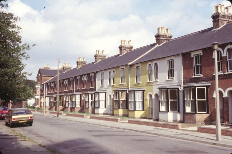
Alderman Road, seen here looking east, was a residential corridor in Ipswich that reflected the quieter, neighborhood-scale streets away from the town center.
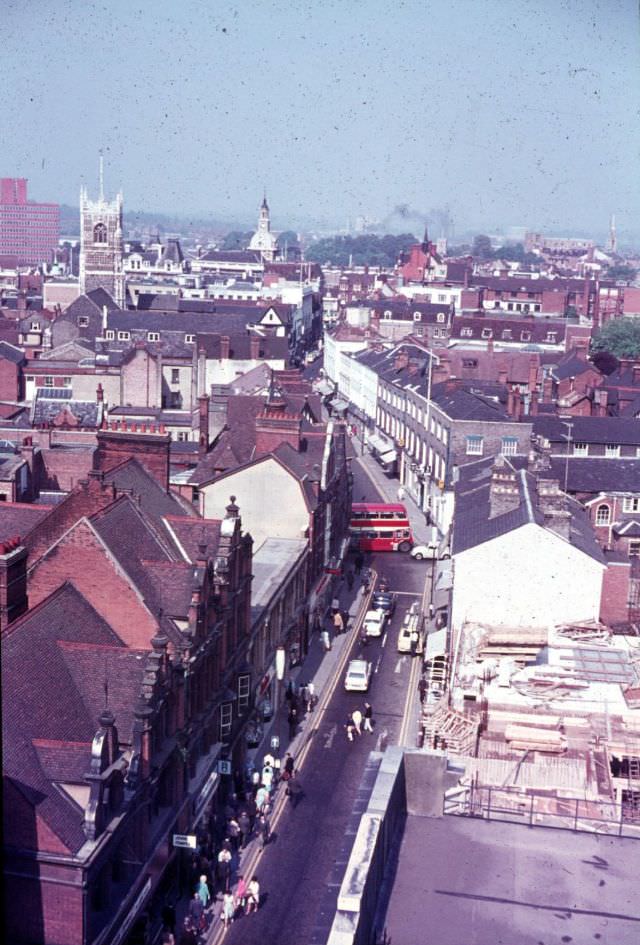
The Eastgate Development was one of the major construction projects reshaping central Ipswich during this period. From the top of that development, the view westward along Carr Street toward Tavern Street opened up across the town’s rooftops in a way that few ground-level vantage points could offer.
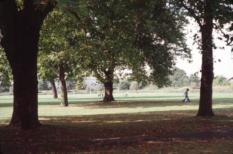
Green space remained an important part of life in Ipswich neighborhoods. The Alderman Road Recreation Ground served as an open area for local residents, sitting within walking distance of the surrounding streets.
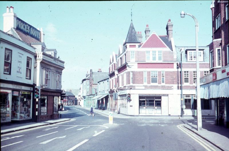
The Buttermarket was one of the commercial hearts of Ipswich, and the stretch opposite St. Lawrence Lane showed the mix of shops and foot traffic typical of a busy market town center in the 1970s.
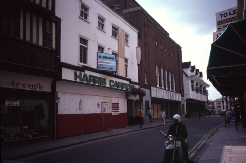
Cemetery Road, seen from Christchurch Street, led through one of the town’s quieter residential zones. The street connected the busier central areas to the more settled outskirts of Ipswich.
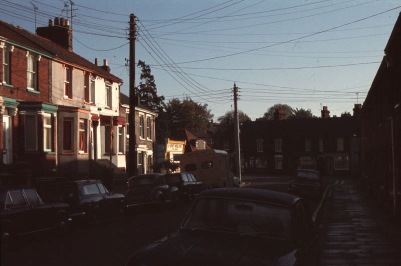
Christchurch Street itself was another example of Ipswich’s layered urban fabric — a mix of period properties and everyday street life that defined the residential neighborhoods of the town.
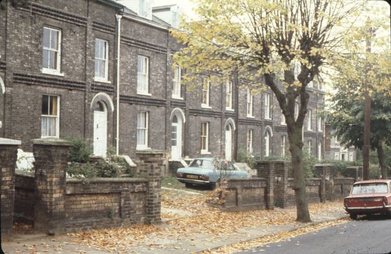
Coytes Gardens, tucked off the east side of Princes Street, offered a narrow passage leading to Friars Street via a right-angled corner. Pedestrian routes like this one gave Ipswich much of its distinctive, compact character.
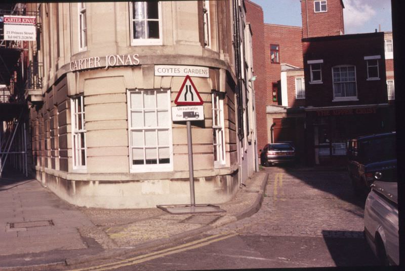
Felixstowe Road served as one of the main arteries connecting Ipswich to the coast, and in the 1970s it carried the steady traffic of a town with strong ties to the nearby port at Felixstowe.
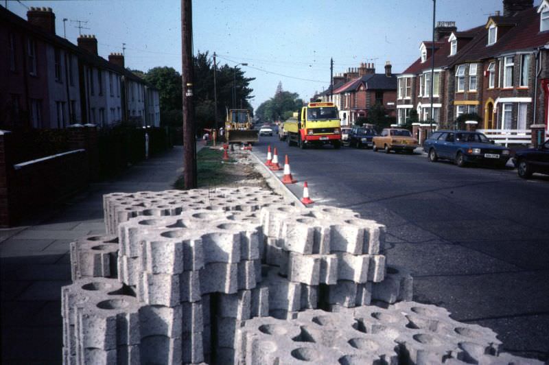
Looking south along Foundation Street, the presence of Cranfields — a well-known local business — is visible in the distance. The street itself was a working part of town, lined with commercial and industrial buildings.
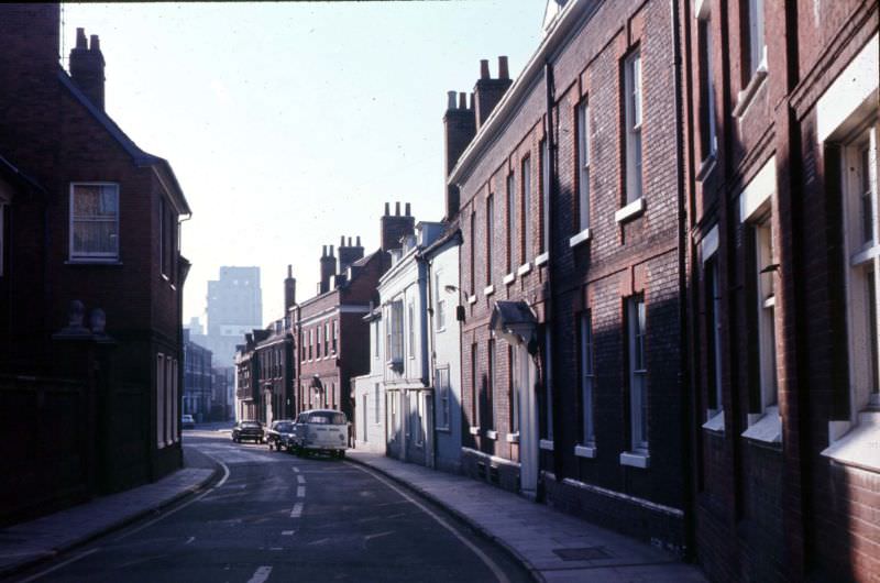
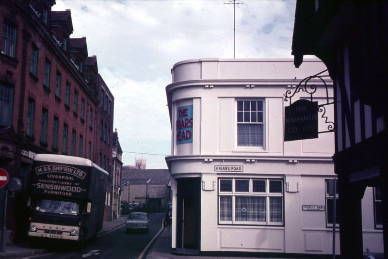
The junction of Friars Road and Friars Street was a point where several routes through the older parts of central Ipswich converged. The area retained much of its historic street pattern even as the town modernized around it.
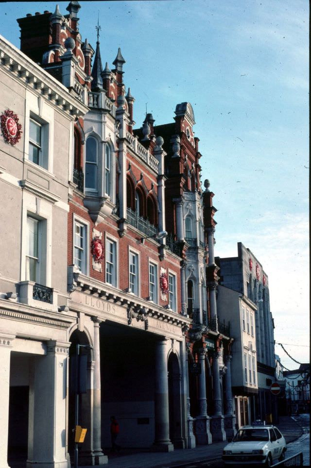
Lloyds Avenue was known for its distinctive arch, which marked one of the more architecturally notable pedestrian passages in the town center. It was a recognizable feature of Ipswich’s commercial district.
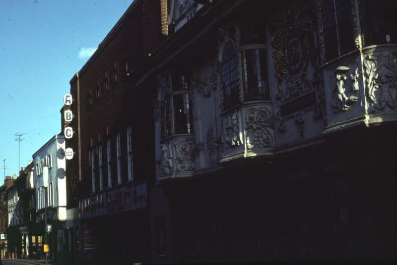
The Ancient House on Buttermarket is one of Ipswich’s most celebrated buildings, famous for its elaborate pargeting — a form of decorative plasterwork — on its exterior. In this 1970s view looking east, the ABC Ritz Cinema appears alongside it, a pairing of historic architecture and mid-century entertainment culture that perfectly captured the era.
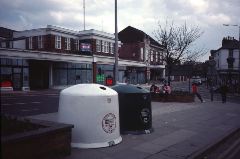
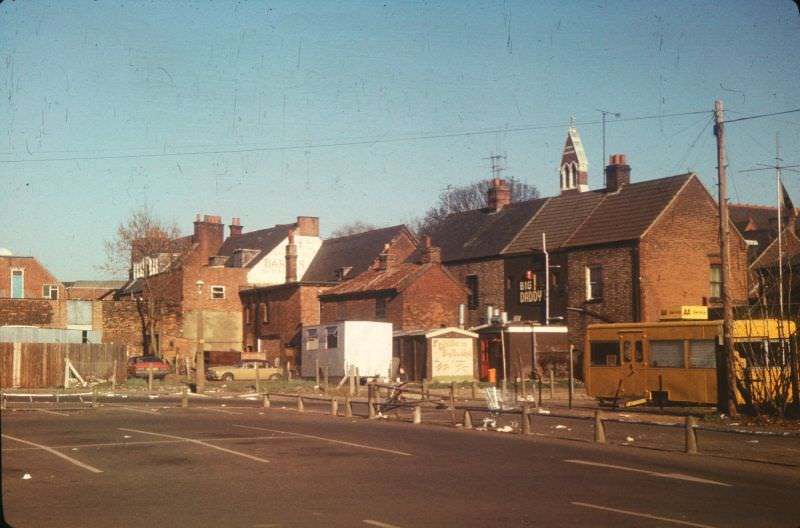
St. Helens Street, seen here looking east, had Botwoods garage prominent on the left. Garages and motor trade businesses were a common feature of Ipswich’s streetscape by the 1970s, reflecting the growing dominance of the car in everyday life.
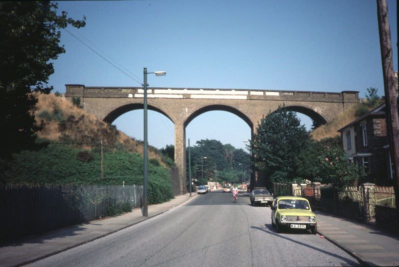
Spring Road Viaduct carried the Westerfield to Felixstowe railway line over the road below. This eastward view along Spring Road shows the viaduct as a fixed landmark in that part of Ipswich, connecting the town to the wider rail network of East Anglia.
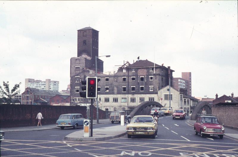
Stoke Bridge crossed the River Orwell in the southern part of Ipswich. This photograph looks north over the bridge while the former yeast works were in the process of being demolished — a clear sign of the industrial change that was sweeping through the town during the decade.
The Civic Centre was one of Ipswich’s major civic buildings, visible here looking north from Great Gipping Street over the back gardens of Little Gipping Street. The view illustrates how densely the residential and civic areas of the town were woven together.
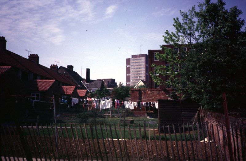
The west side of Foundation Street, looking north toward Tacket Street, showed the commercial and mixed-use buildings that lined one of the town’s busier central corridors.
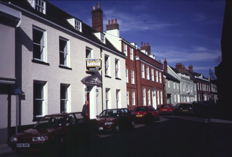
Upper Brook Street, seen here along its east side with the Tacket Street junction visible in the distance, was part of the network of streets in central Ipswich that connected the main shopping areas to surrounding neighborhoods.
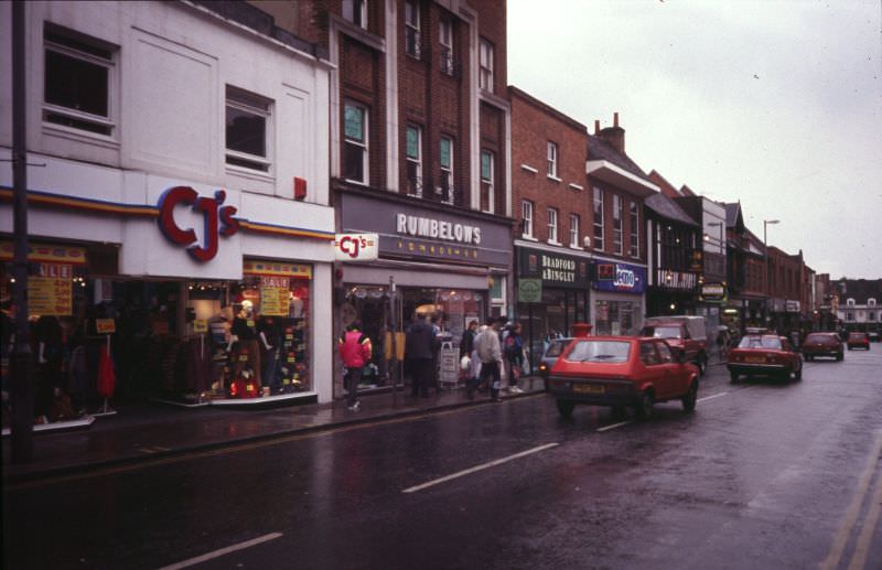
Museum Street ran through a quieter part of the town center, close to the Ipswich Museum. Its buildings in the 1970s reflected the Victorian and Edwardian heritage that survived in pockets throughout the town.
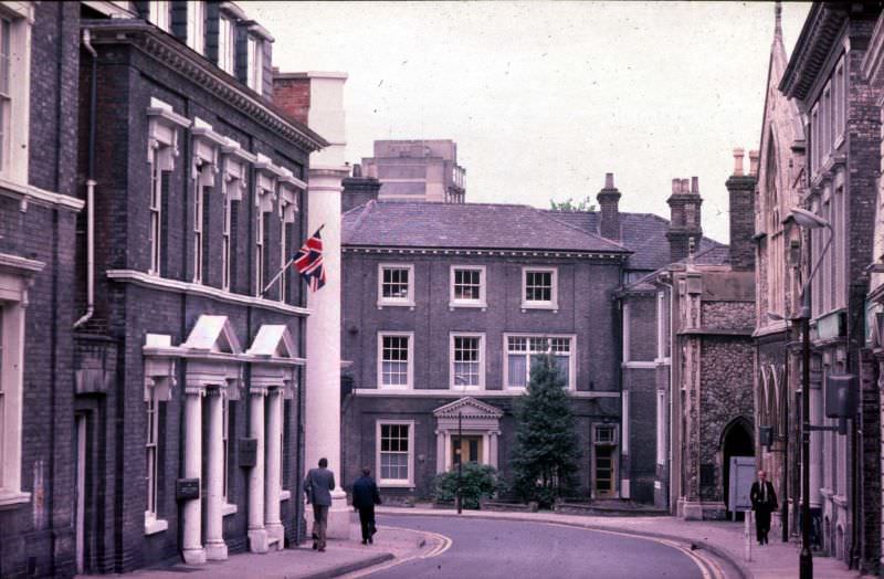
Queen Street and Princes Street formed part of the central road network in Ipswich. These streets carried both traffic and foot passengers through the commercial heart of the town on a daily basis.
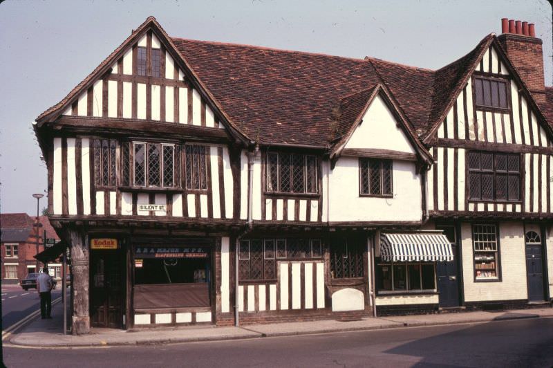
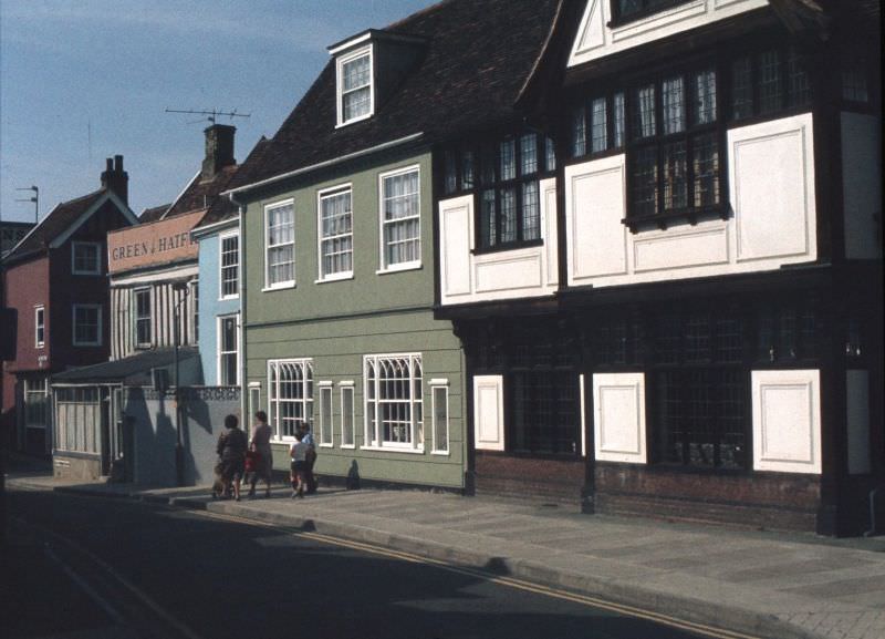
Silent Street is one of the most atmospheric streets in Ipswich, lined on its north side by a row of half-timbered buildings. This view looking south toward St. Nicholas Street captures the medieval architectural character that made Silent Street one of the most distinctive in the entire town.
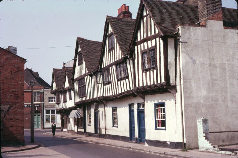
Viewed from Falcon Street, Silent Street takes on a different perspective, showing how the narrow lane fit into the surrounding street grid of central Ipswich.
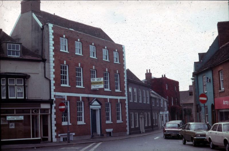
St. Matthews Street saw significant change during the 1970s as dual carriageway development altered the south side of the road. This kind of road improvement work was common across English towns at the time, often at the cost of older buildings and street frontages.
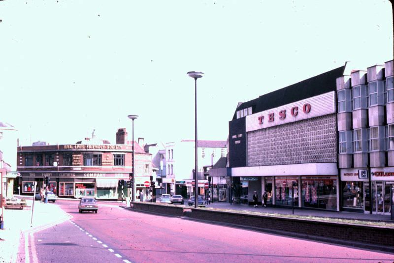
Star Lane was incorporated into the College Street traffic gyratory scheme, one of several traffic management projects undertaken in Ipswich during the 1970s as planners tried to manage the increasing volume of vehicles moving through the town center.
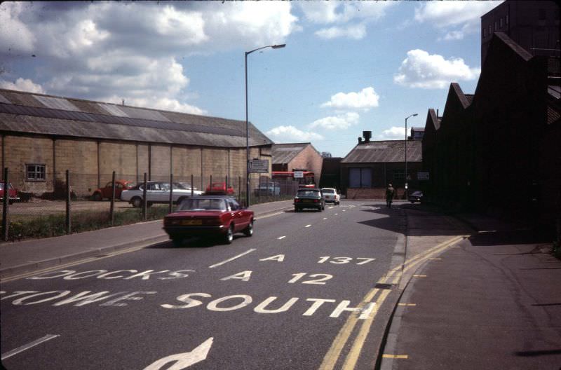
The Cornhill stands at the very center of Ipswich, a large open space surrounded by civic and commercial buildings. It has been the focal point of the town for centuries, and in the 1970s it remained the busiest public square in Ipswich.
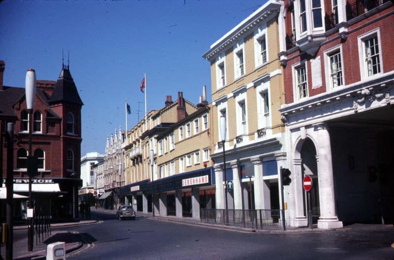
The Willis Faber and Dumas building on Friars Street was one of the most talked-about construction projects in Ipswich during the early 1970s. Designed by Norman Foster, the building featured a flowing glass curtain wall that wrapped around the entire exterior. This photograph shows the glass cladding being installed — a striking image of a building that would go on to become a landmark of 20th-century British architecture.
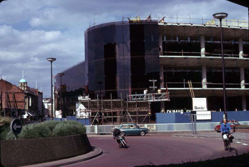
Old Foundry Road, seen here along its north side, reflected the industrial origins embedded in its very name. Foundry works and light engineering were woven into Ipswich’s urban landscape, and streets like this one carried that working heritage.
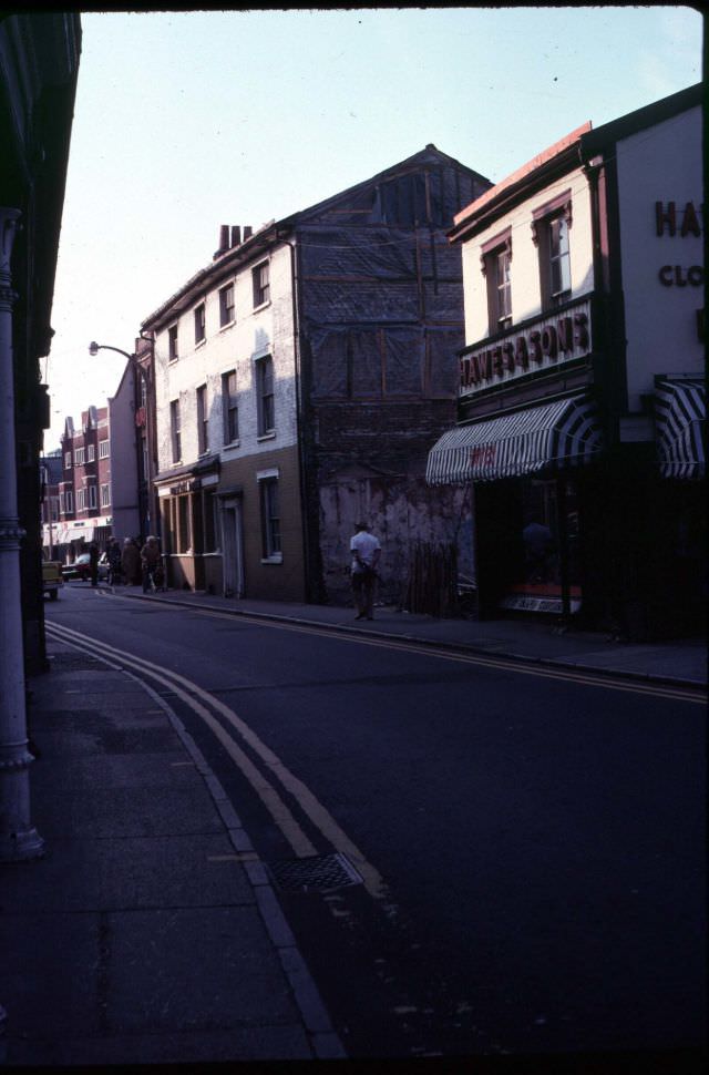
Tacket Street’s north side shows a row of properties that were standing in the 1970s but earmarked for demolition to allow for road widening. This photograph is a record of buildings that were soon lost — a before-shot of a street that would look completely different within a few years.
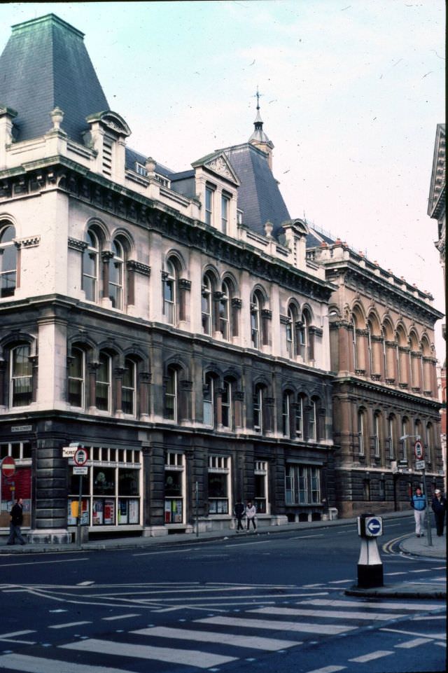
St. Nicholas Street, on its west side, ran from Franciscan Way northward to Friars Street. The top of the Town Hall is visible in the right background, anchoring the scene to the civic center of Ipswich.
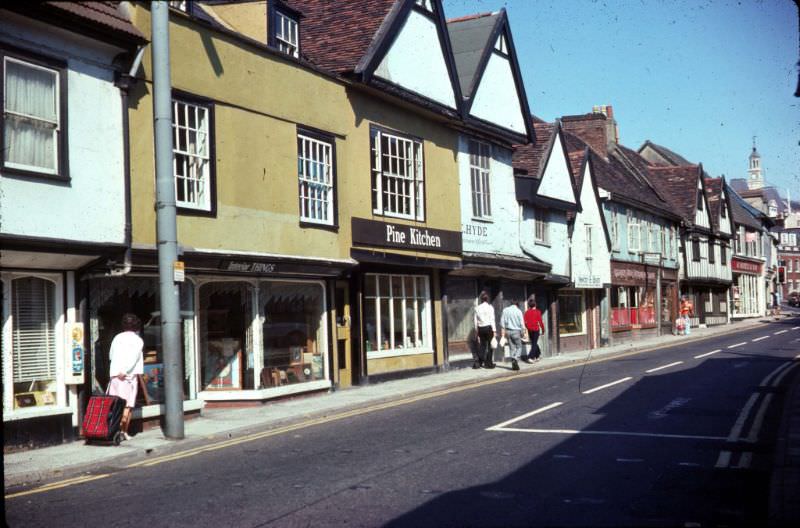
The junction of Upper Brook Street and Dogs Head Street was a busy crossing point in the town center, where commercial and residential traffic merged as shoppers and workers moved through the area.
Upper Orwell Street connected the town center to the river and the areas beyond. Like many streets in Ipswich, it carried a mix of older buildings and the incremental changes brought by 20th-century development.
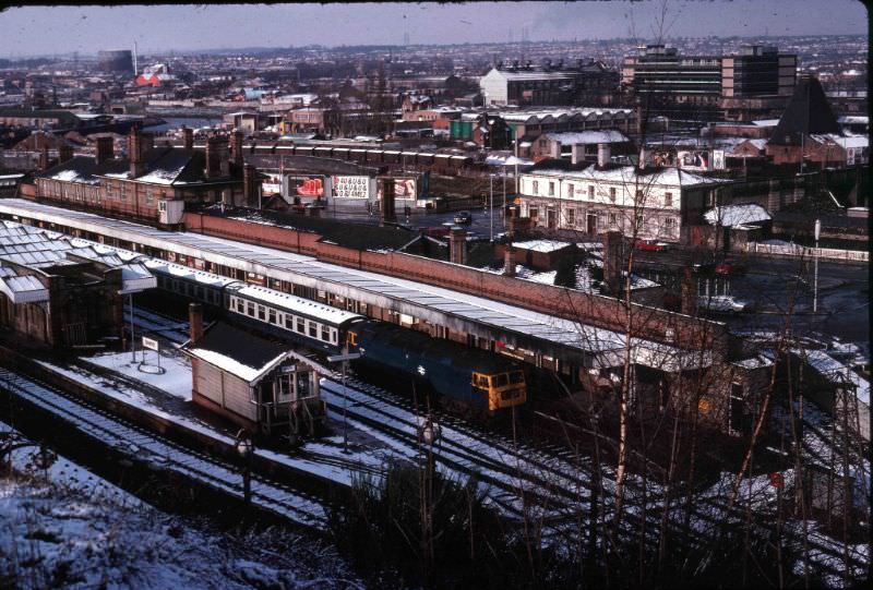
Ipswich Station sits in the foreground of this north-westward view from the Belstead Road embankment. The station was — and remains — the main rail gateway into the town, connecting Ipswich to London Liverpool Street and the wider East Anglian network.
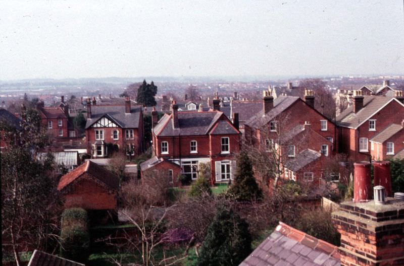
This final view, taken from the roof of Ipswich School looking westward, shows the back gardens and rear of houses along Warrington Road. It offers a quiet, domestic glimpse of the town — rows of gardens and rooftops stretching out behind the school, a reminder that beyond the roads and development schemes, Ipswich in the 1970s was above all a place where people lived.

Silent Street remains one of the nicest streets in Ipswich
The shops and attitudes have gone backwards since then.