Canada at the start of the 20th century was a country still finding its footing. Economically and politically, it leaned heavily on both Great Britain and the United States. For most Canadians, daily life was hard. For the waves of immigrants arriving at its ports, it was even harder. Roads were rough, horse-drawn carriages were the standard way to get around, and modern infrastructure was barely taking shape. Yet across this vast country, cities, rivers, mountains, and monuments told a story of a nation growing fast.
The photographs in this collection were made using the Photochrom process — a technique developed in the late 19th century that added color to black-and-white photographs through lithographic printing. The results are vivid, almost painterly images that bring early Canada to life in a way that standard photographs of the era simply cannot. Quebec City appears frequently, and for good reason. It was one of Canada’s oldest and most storied urban centers, packed with history on every street corner.
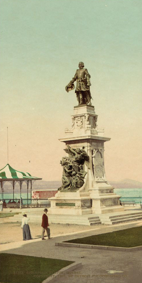
Samuel de Champlain founded Quebec City in 1608, and his statue remained one of the city’s most recognized landmarks by the time these photos were taken. Just as prominent in Quebec’s landscape were the monuments honoring the battles that shaped the region’s identity — none more so than those tied to the Battle of the Plains of Abraham in 1759.
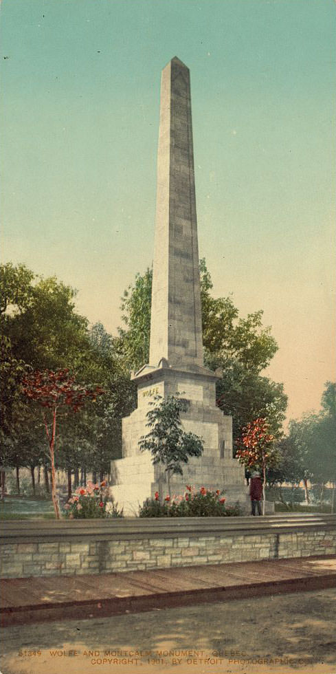
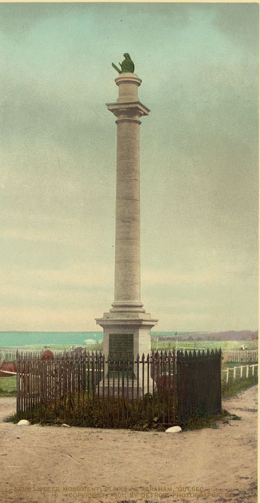
The Wolfe–Montcalm Monument is unique in the world — it honors both the British General James Wolfe and the French General Louis-Joseph de Montcalm, two commanders who died in the same battle on opposing sides. The Plains of Abraham, where they fell, became a national historic site. These images show those grounds as they looked around the turn of the century, open and quietly dignified.
Beyond the monuments, Quebec’s streets and waterways were just as photogenic. The Saint Lawrence River was the lifeblood of eastern Canada, connecting cities and carrying commerce deep into the continent.
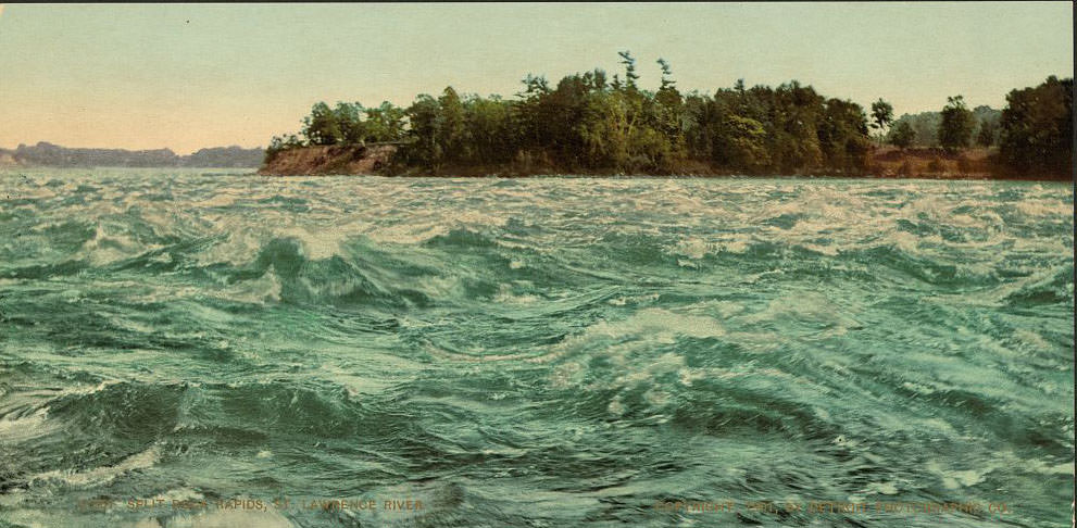
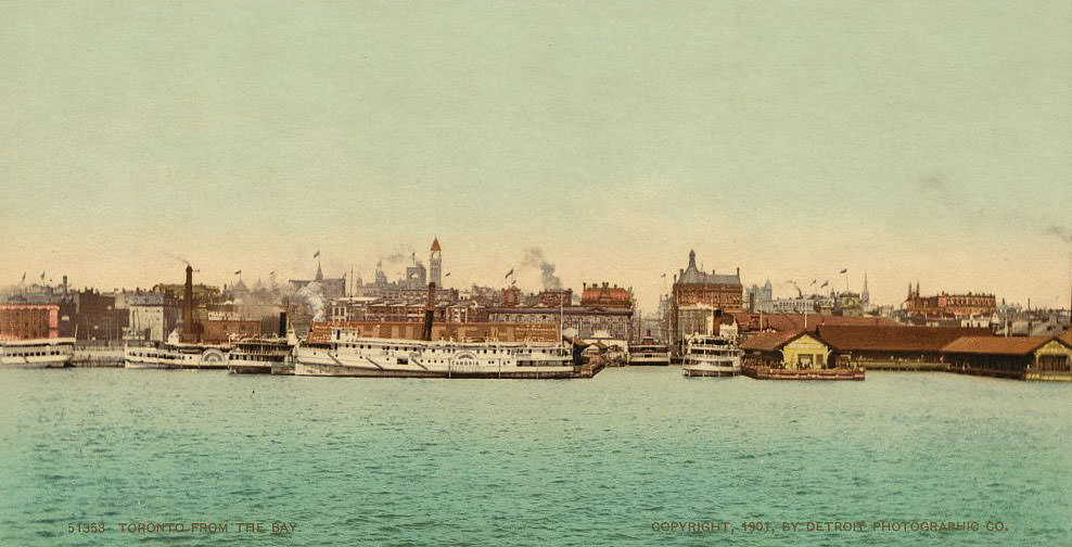
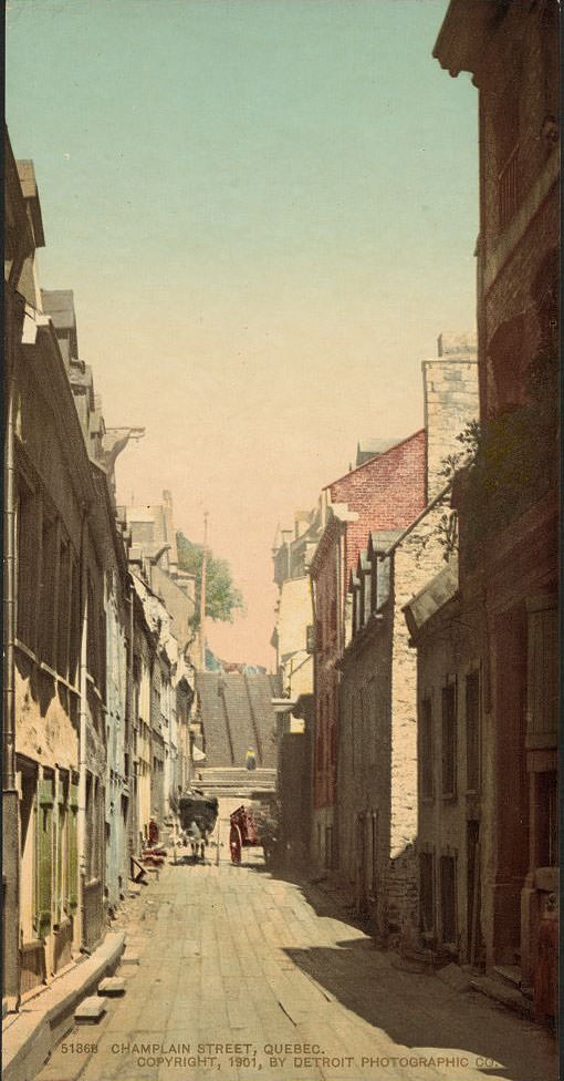
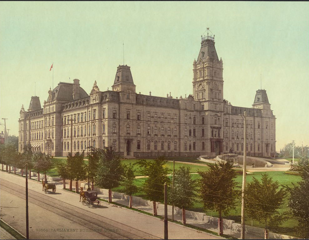
Toronto, viewed from the bay, was already establishing itself as one of Canada’s most important cities. Its Parliament buildings and growing waterfront reflected a city with serious ambitions. Meanwhile, back in Quebec, the narrow, winding streets of the old city offered a completely different kind of urban scene.
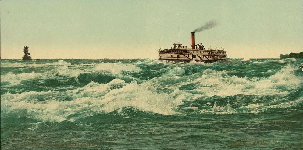
The Lachine Rapids on the Saint Lawrence River near Montreal were both a natural wonder and a practical obstacle for early navigation. Travelers and traders had long needed to portage around them. Niagara, further west in Ontario, drew visitors for an entirely different reason — its raw, thundering power.
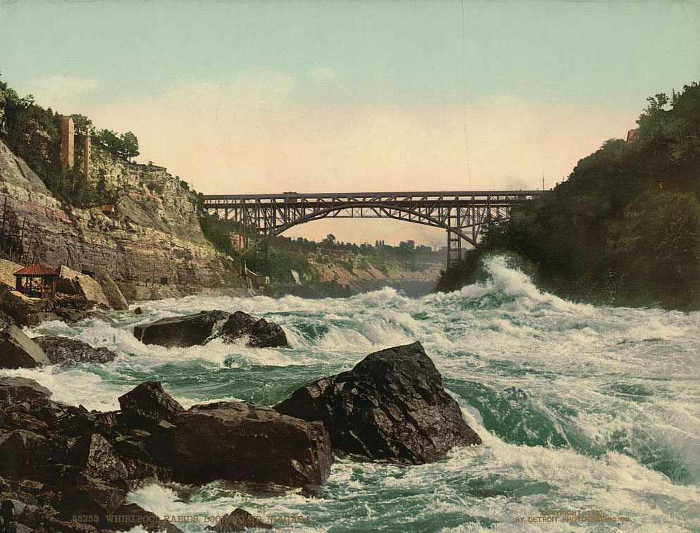
Montreal was Canada’s largest city at the time and a hub of commerce, culture, and architecture. Mount Royal Park, designed by Frederick Law Olmsted — the same landscape architect behind New York’s Central Park — sat at the heart of the city.
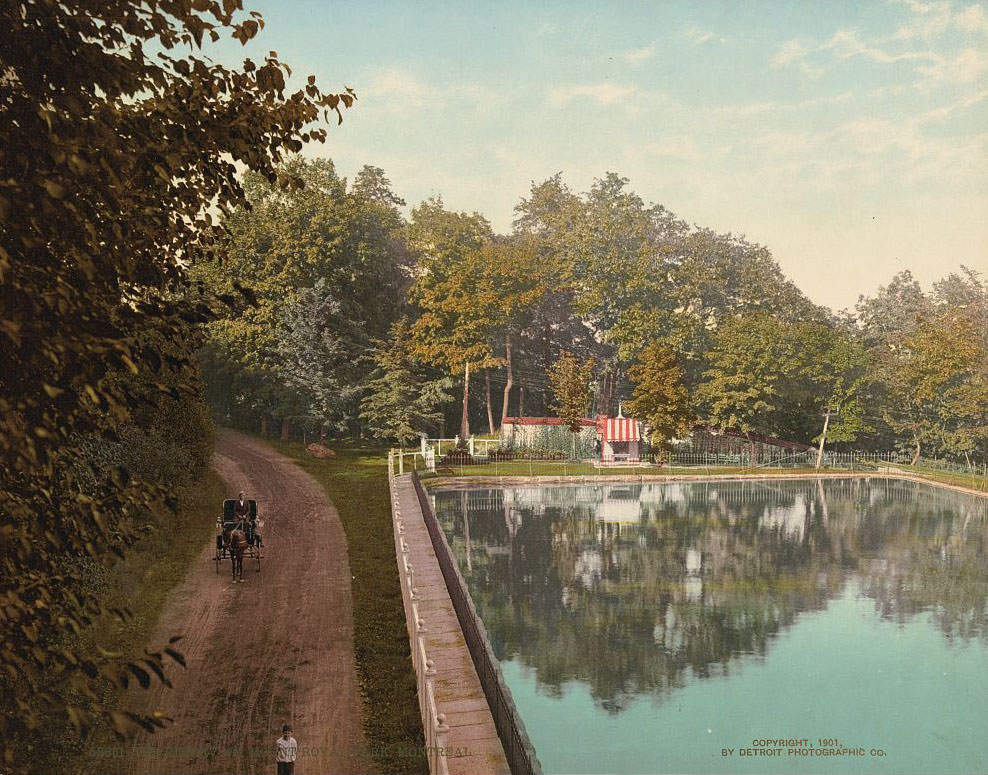
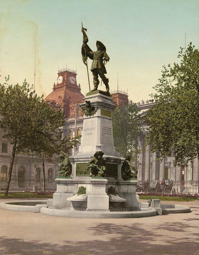
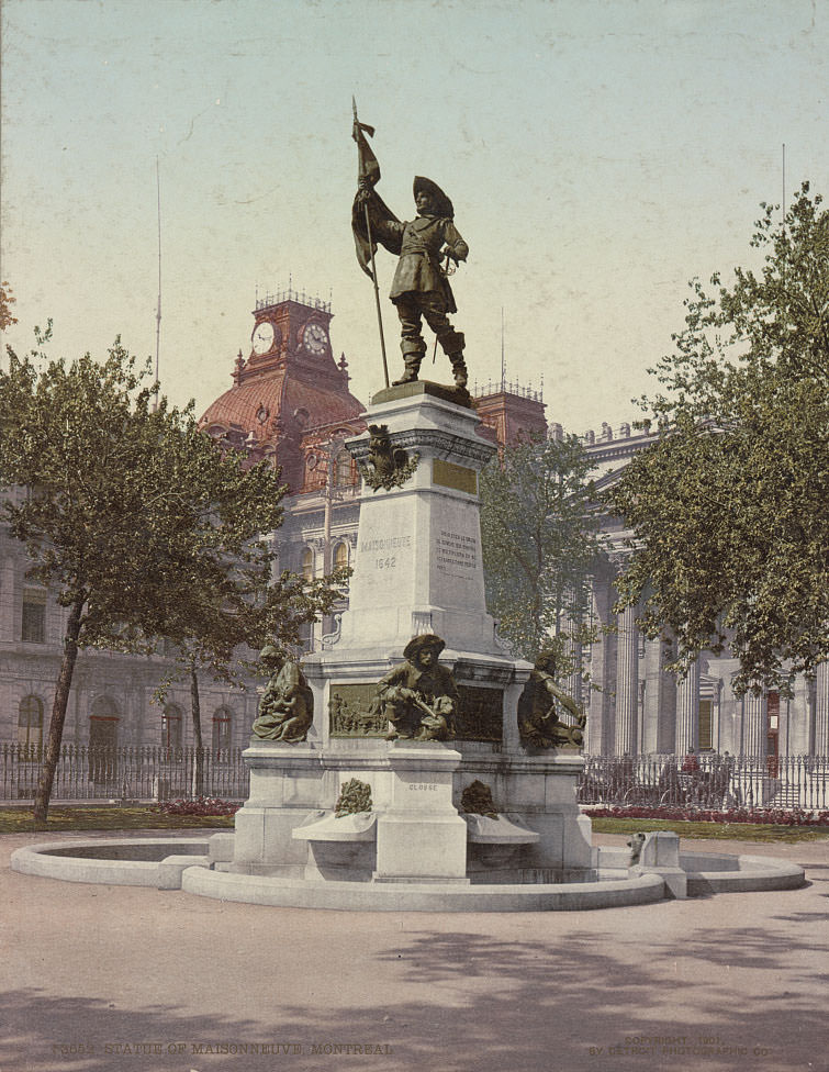
Paul Chomedey de Maisonneuve founded Montreal in 1642, and his monument stood as a proud marker of the city’s French colonial origins. Ottawa, as the nation’s capital, carried its own architectural weight. Construction of the Parliament Buildings there defined the city’s skyline and symbolized federal authority over a country still knitting its provinces together.
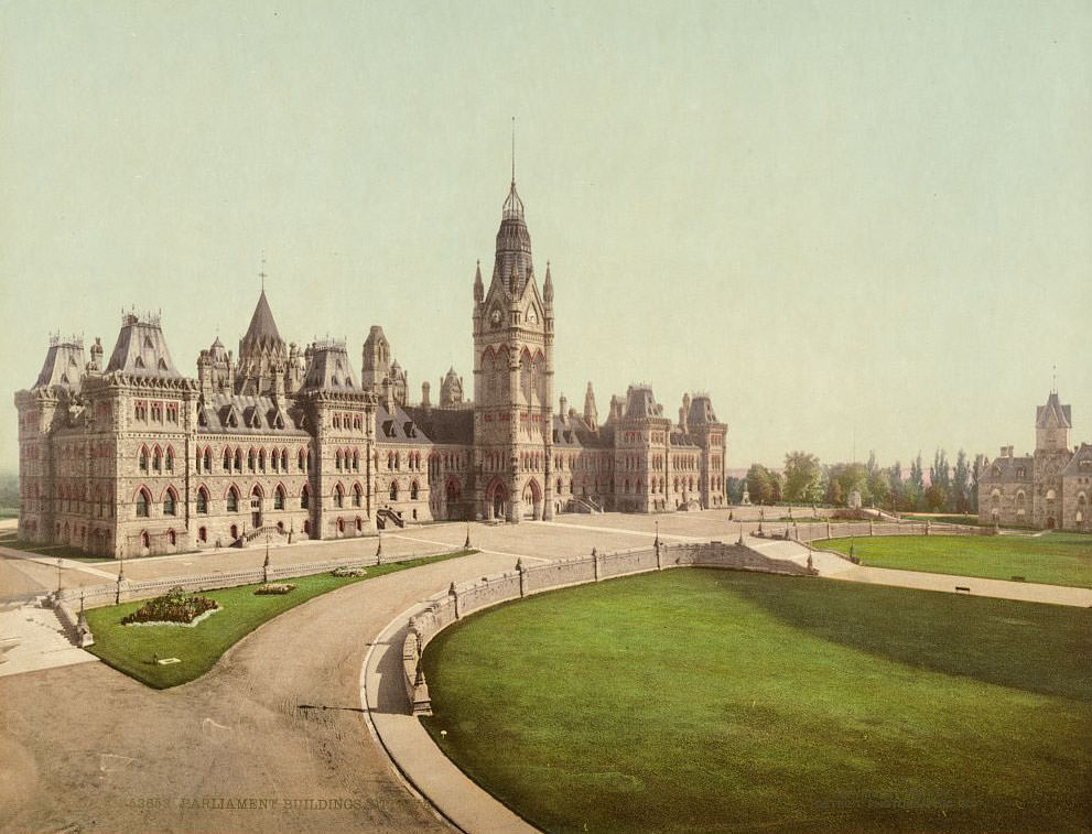
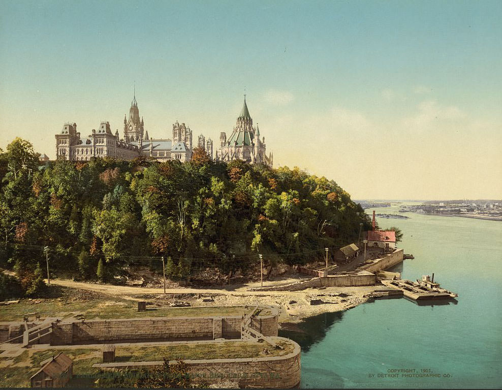
Britain maintained firm control over Canada’s foreign affairs under the Constitution Act of 1867. That arrangement would prove consequential — when Britain declared war on Germany in August 1914, Canada was automatically pulled into World War I. But in these photographs taken before that war, the country carries no such shadow. Religious life was also central to early Canadian communities, particularly in Quebec.
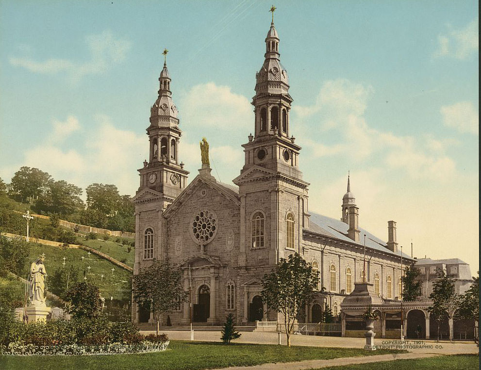
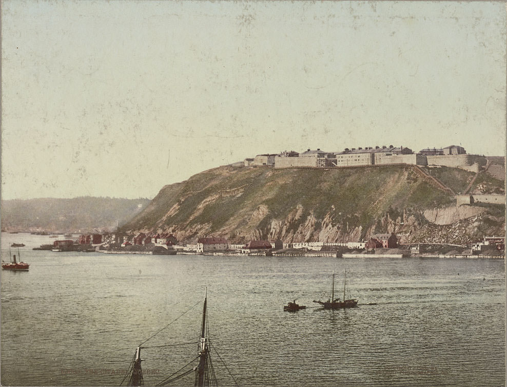
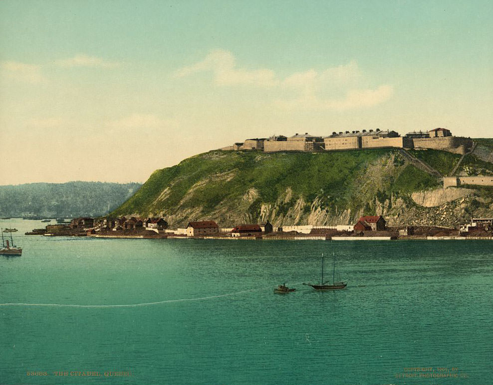
The Sainte-Anne-de-Beaupré shrine, located east of Quebec City along the Saint Lawrence, was already a major pilgrimage site by the early 1900s. Hundreds of thousands of visitors came each year seeking spiritual healing. Quebec City’s Citadel, the fortified military complex on the cliffs above the river, represented a different kind of permanence — military and political power carved into stone.
In 1903, construction began on Canada’s second transcontinental railway, a massive undertaking that would physically bind the country from coast to coast. Two years later, in 1905, Alberta and Saskatchewan officially became Canada’s eighth and ninth provinces. The country was expanding rapidly, and nowhere was that more visible than in the wild landscapes of the west.
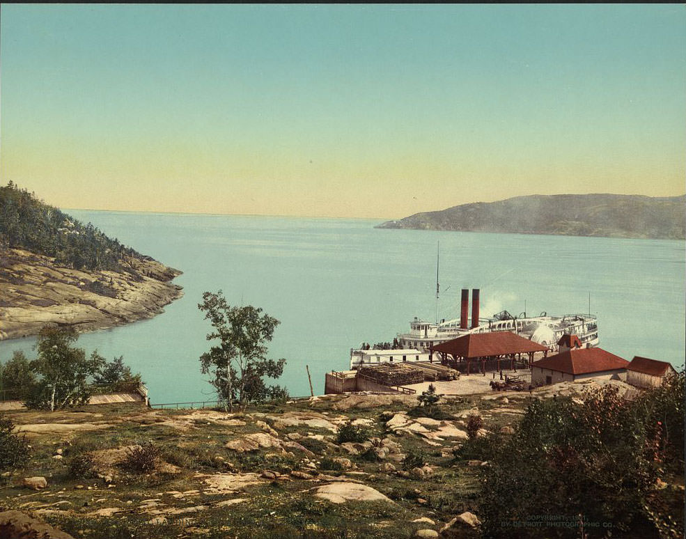
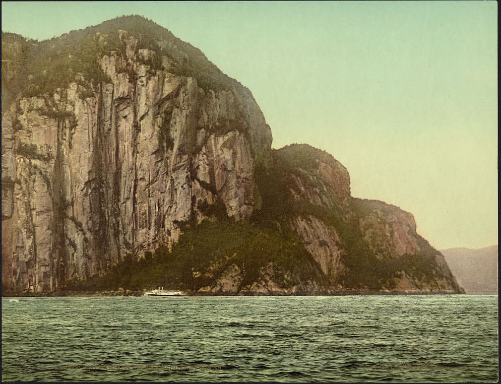
The Saguenay River, cutting through deep fjords north of the Saint Lawrence, produced some of the most dramatic scenery in eastern Canada. Cape Trinity’s towering cliffs rose hundreds of feet above the water. Further west, Toronto’s Parliament Buildings reflected the province of Ontario’s growing influence in national affairs.
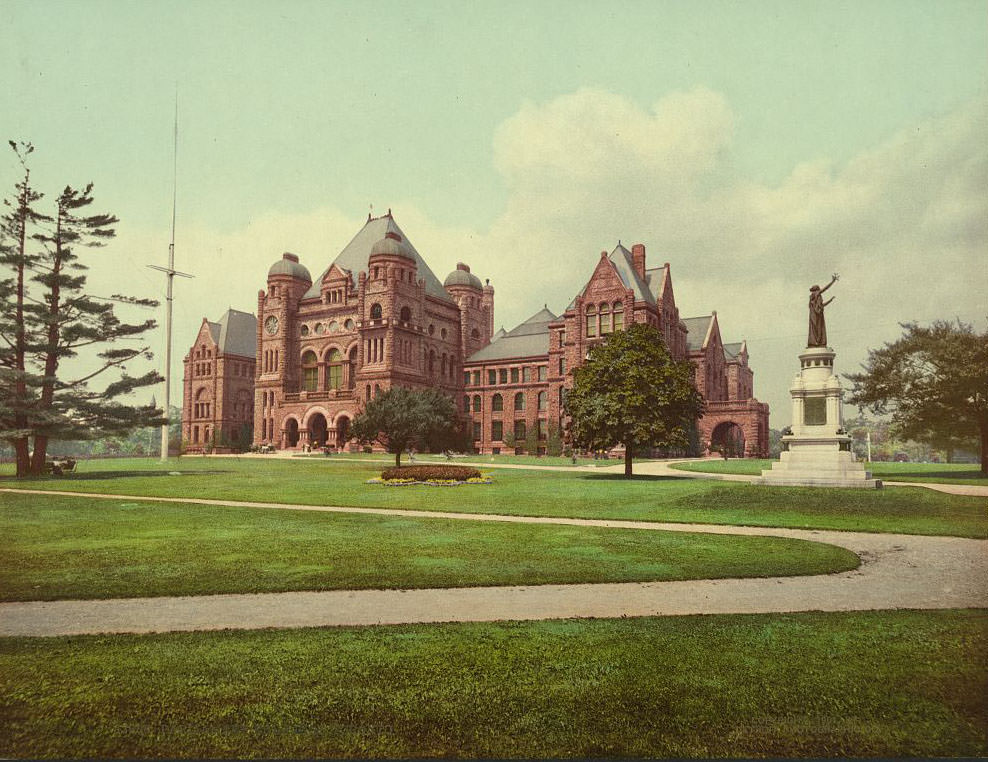
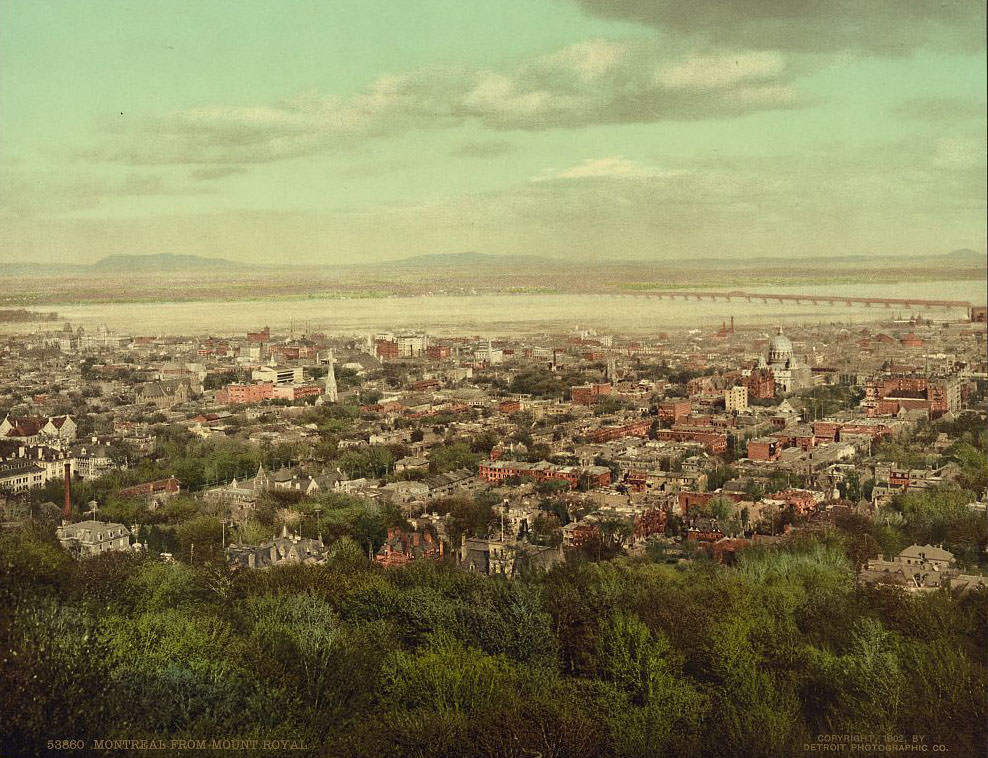
Viewed from the summit of Mount Royal, Montreal spread out across the island below — church spires, rooftops, and the wide silver band of the Saint Lawrence stretching to the horizon. The Photochrom process renders this view with a warmth and depth that makes it feel almost like a painting. The western provinces offered an entirely different kind of grandeur.
![Emerald Lake and Van Horn [i.e., Horne] Range, British Columbia](https://www.bygonely.com/wp-content/uploads/2020/01/1900s_Canada_20.jpg)
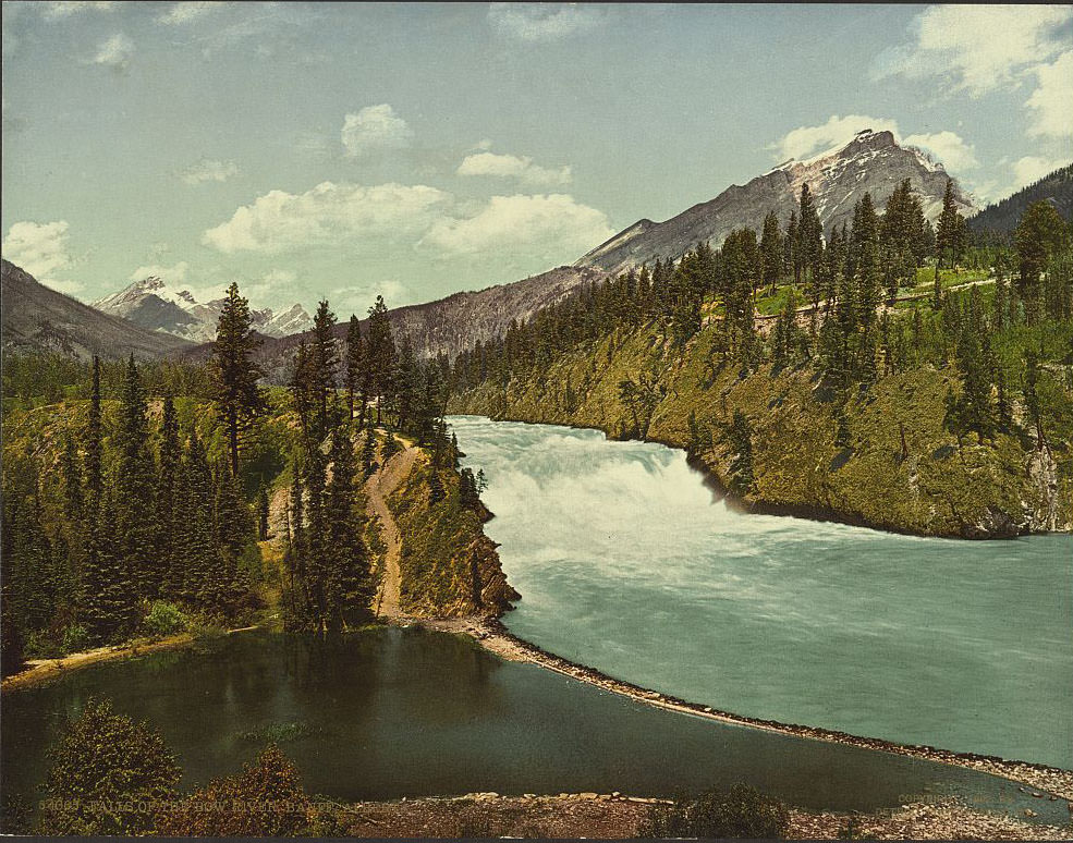
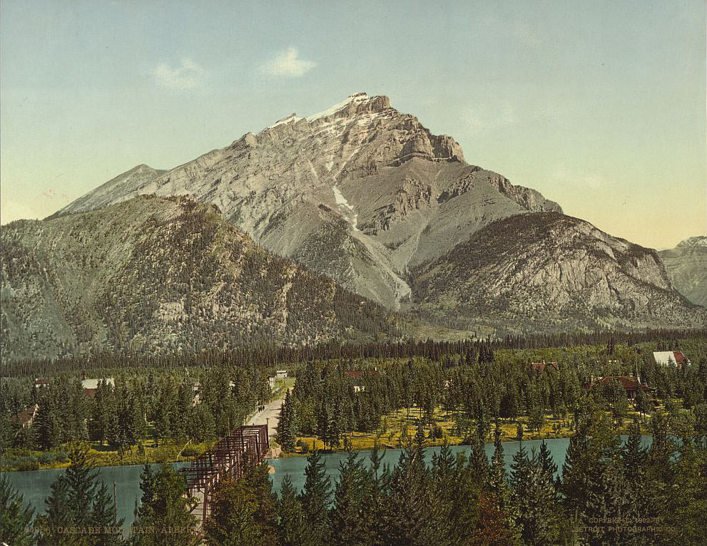
Banff, established as Canada’s first national park in 1885, was already drawing visitors by the early 1900s thanks to the Canadian Pacific Railway. The falls of the Bow River and the surrounding Rocky Mountain terrain were among the park’s most celebrated features. Cascade Mountain loomed over the town of Banff itself.
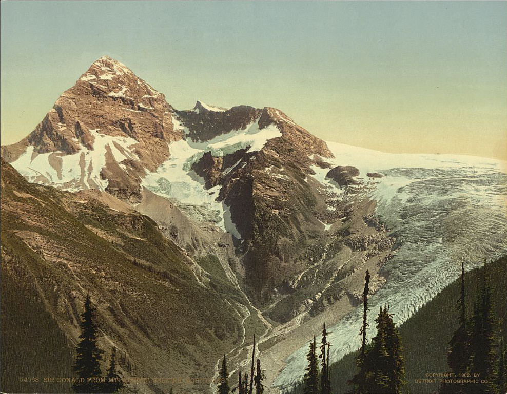
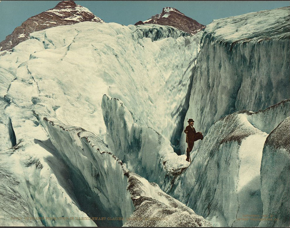
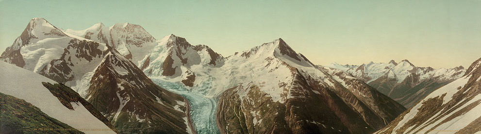
The Selkirk Mountains in British Columbia offered some of the most technical and imposing terrain in the country. Mount Sir Donald, seen here from the slopes of Mount Abbott, was a sharp granite peak that attracted early mountaineers. The glaciers of the Selkirks were another draw entirely.
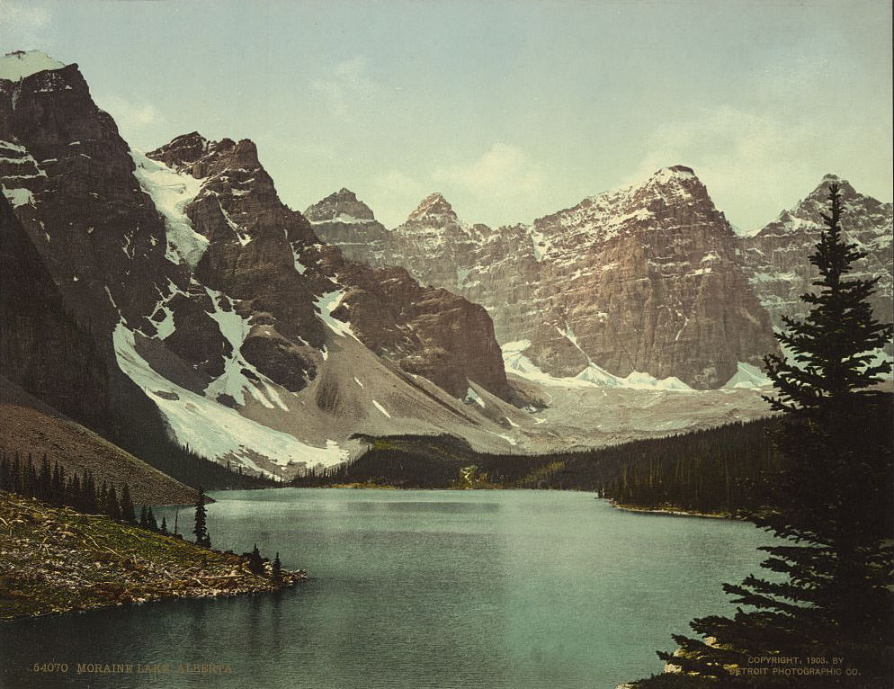
Moraine Lake, nestled in the Valley of the Ten Peaks in what is now Banff National Park, sat at an elevation of nearly 6,200 feet. Its deep blue-green water, fed by glacial melt, was one of the most striking natural sights in all of Canada. The peaks of the Selkirks offered equally impressive views from high alpine passes.
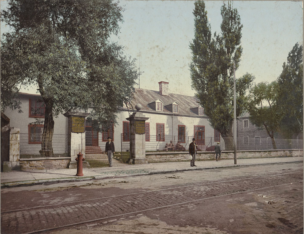
Back in Montreal, the city’s historic architecture told the story of centuries of French and British influence side by side. The Château Ramezay, built in 1705, served at various points as a governor’s residence, a courthouse, and a government building. By the early 1900s it was being preserved as a museum.
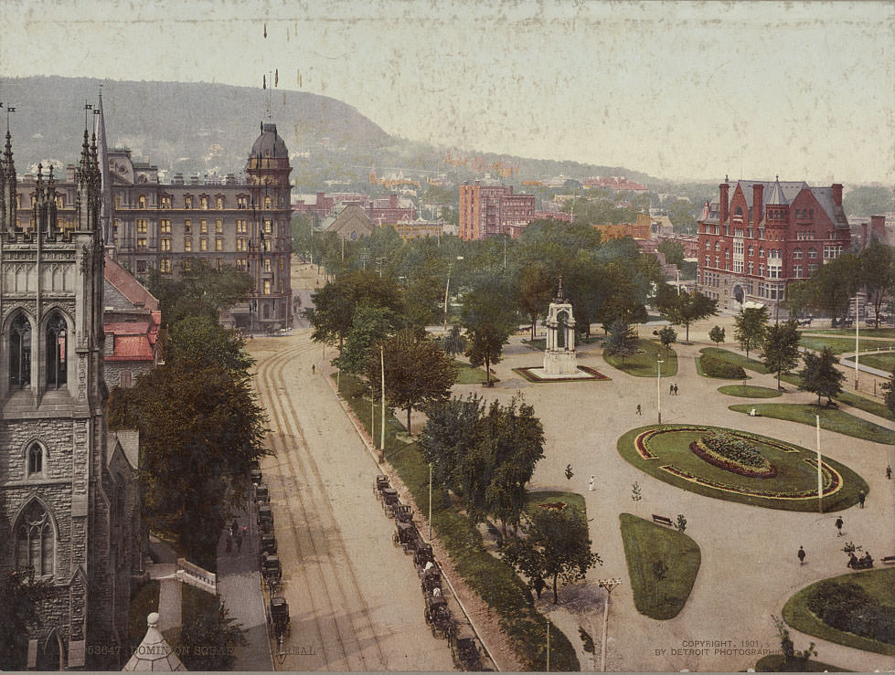
Dominion Square, in the heart of downtown Montreal, was one of the city’s main public gathering spaces. Nearby, the statue of Maisonneuve stood as a permanent reminder of the city’s founding. Jacques Cartier Square, closer to the river, was named after the French explorer who had sailed the Saint Lawrence in the 1530s.
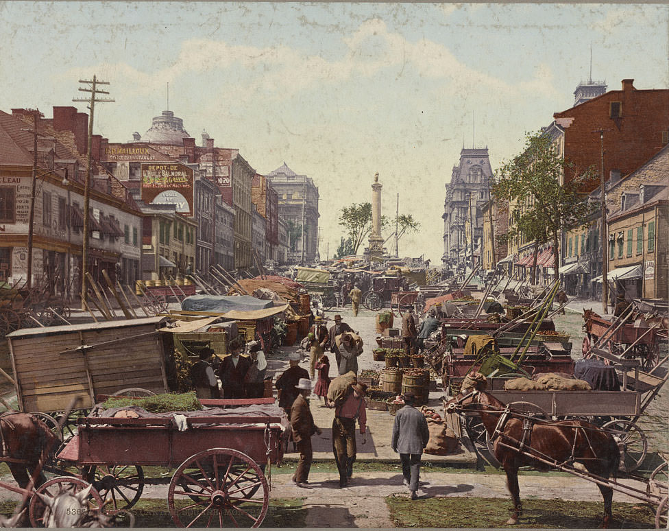
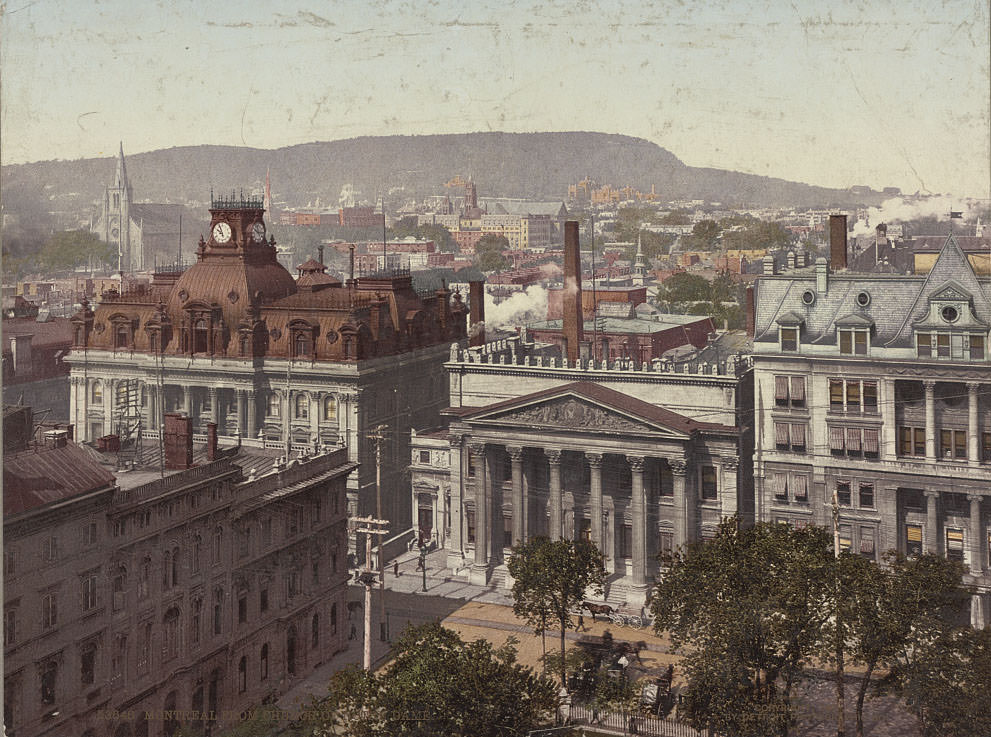
The Church of Notre-Dame in Montreal, completed in 1829, was one of the largest churches in North America at the time of its construction. The view of the city from its towers gave photographers — and the Photochrom artists who colorized their work — a sweeping panorama of rooftops and the river beyond. McGill University, founded in 1821, was already one of Canada’s most respected academic institutions by the early 1900s.
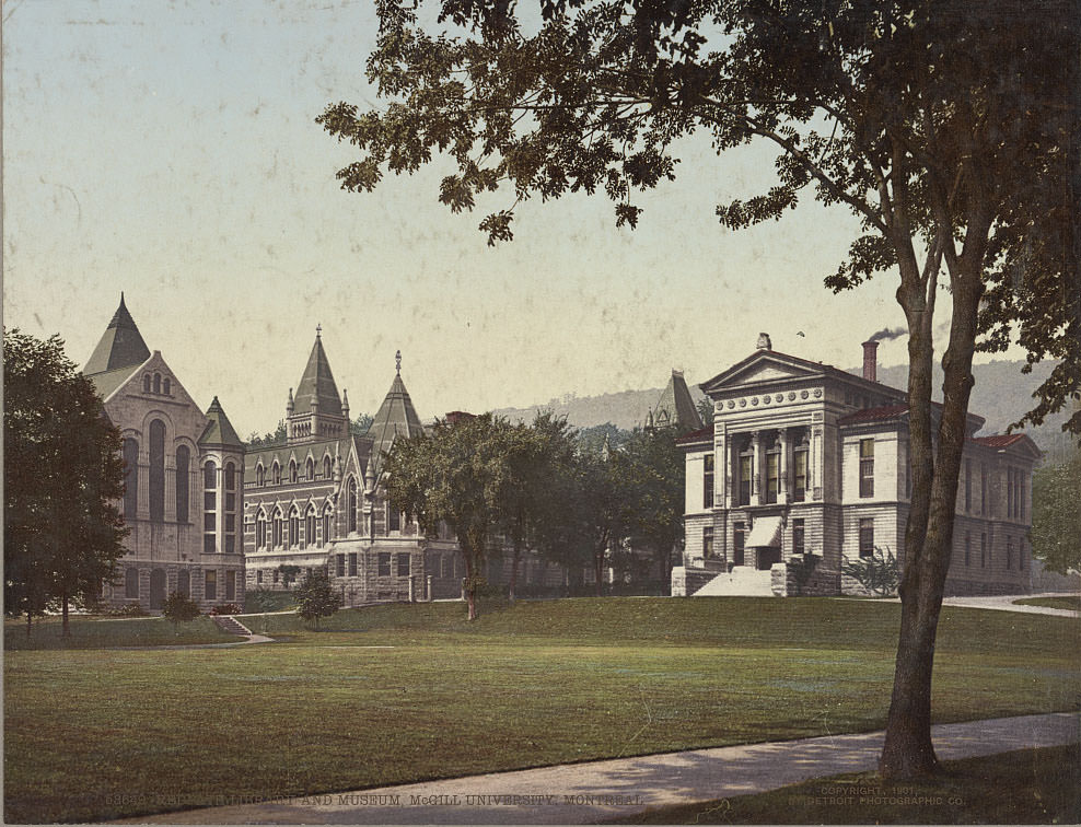
The Redpath Library and adjacent museum at McGill housed one of the country’s finest collections of books, natural history specimens, and scientific materials. The Quebec Citadel, shown here once more, served as the headquarters of the Canadian garrison and remained an active military base well into the 20th century.