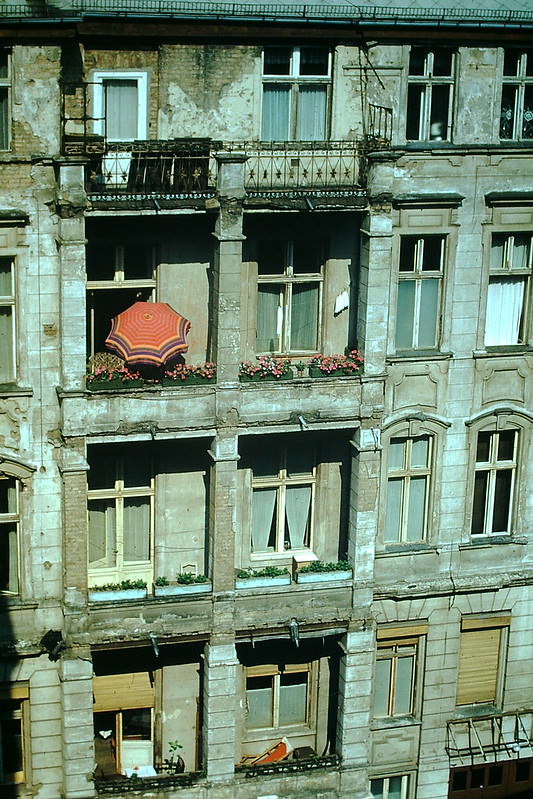
After World War II ended, Germany was carved into four occupation zones controlled by Britain, France, the United States, and the Soviet Union. Berlin was divided the same way. What began as a temporary arrangement hardened quickly as Cold War tensions grew. By the early 1950s, it was clear that two separate German states would exist for the foreseeable future. West Germany, formally known as the Federal Republic of Germany, made up the western two-thirds of the country and operated under a democratic constitution from 1949 onward. The photographs below were taken in 1954, just five years into West Germany’s existence, offering a rare look at the country’s landscapes, cities, and people during a pivotal decade.
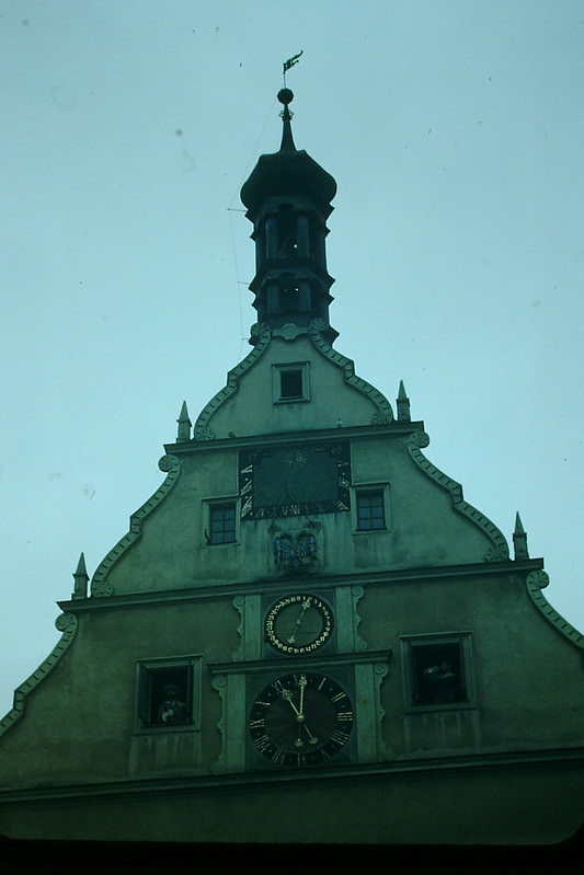
The medieval town of Rothenburg ob der Tauber was already drawing attention in 1954 for its well-preserved old-town architecture. Craftsmen and tradespeople were a central part of life in towns like this, carrying on traditions that stretched back centuries.
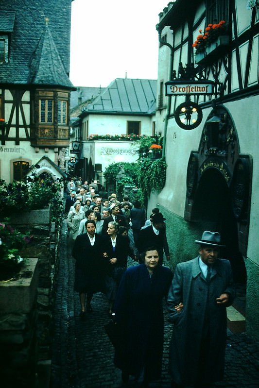
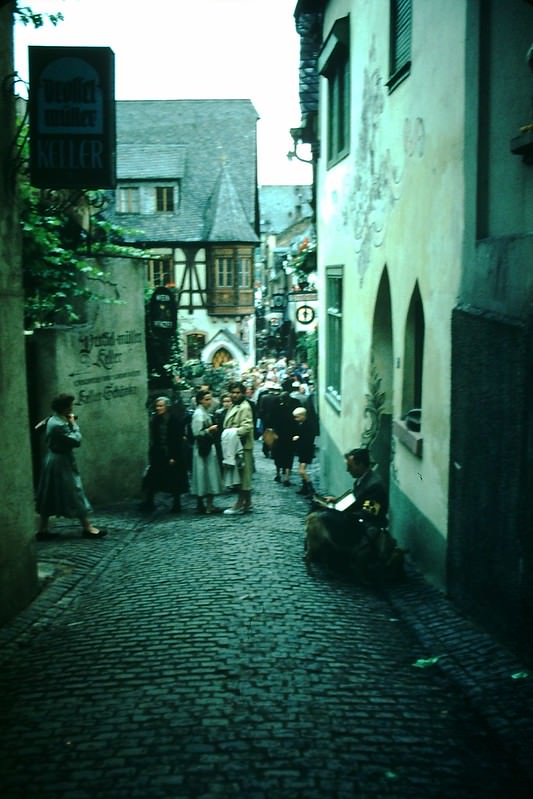
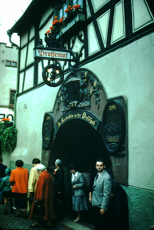
The Drosselgasse, a narrow pedestrian lane in Rüdesheim am Rhein, was one of the most celebrated streets in the Rhine region. By 1954, it was already famous for its wine taverns and festival atmosphere. Wine culture was deeply woven into life along the Rhine and Mosel rivers, and annual festivals drew crowds from across the region.
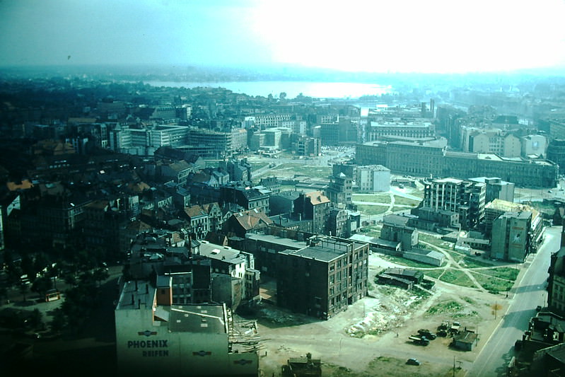
Hamburg, West Germany’s largest port city, presented a striking mix of water, commerce, and architecture in 1954. The Inner and Outer Alster lakes sat at the heart of the city, framed by St. Michael’s Church — a Protestant landmark known locally as ‘Michel.’ The church’s copper green spire was one of Hamburg’s most recognizable silhouettes.
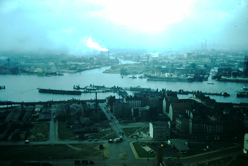
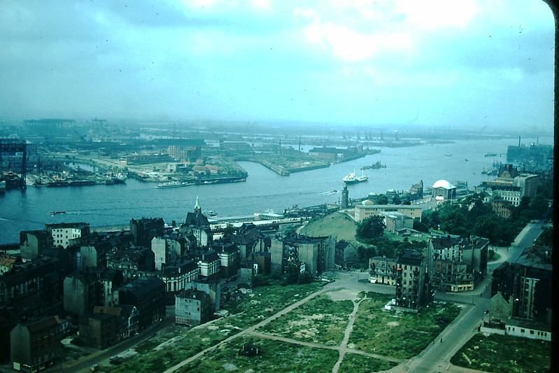
The Elbe River was Hamburg’s economic lifeline. Ships moved constantly along its wide channel, carrying goods in and out of one of Europe’s busiest ports. These 1954 photographs of the Elbe capture the river’s industrial energy as West Germany’s post-war economy began its dramatic recovery.
Heidelberg sits along the Neckar River and is home to Germany’s oldest university, founded in 1386. By 1954, the city had survived the war largely intact and remained one of the most visited destinations in the country. Its hilltop castle ruins and baroque old town made it a symbol of German cultural heritage.
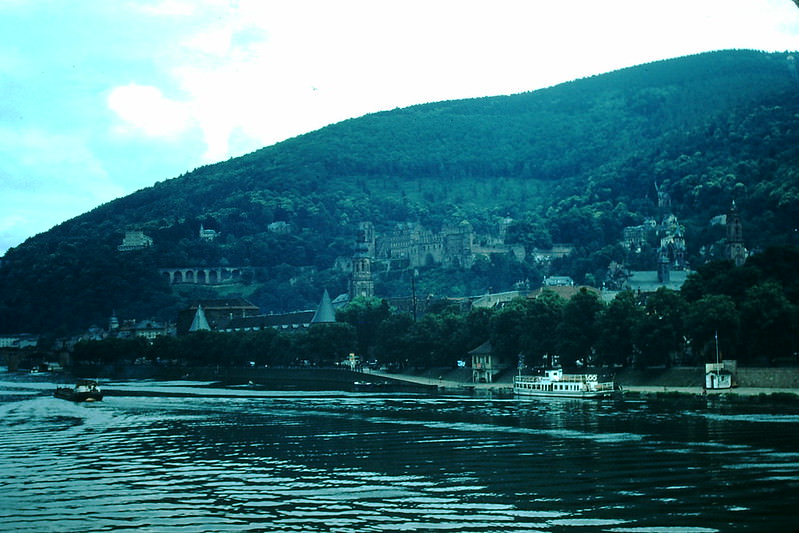
Along the Weser River, smaller towns and hotels offered a quieter side of West Germany. The Hotel Rothhaus on the Weser was typical of the riverside hospitality found throughout the region, where travelers could stop and take in the gentle pace of river life.
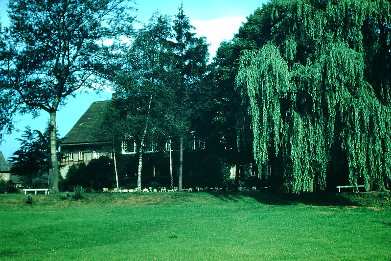
Koblenz sits at the confluence of the Rhine and Moselle rivers — a strategically and scenically important location that has shaped the city for over two thousand years. In 1954, its riverbanks and bridges were still bearing the marks of reconstruction after wartime damage.
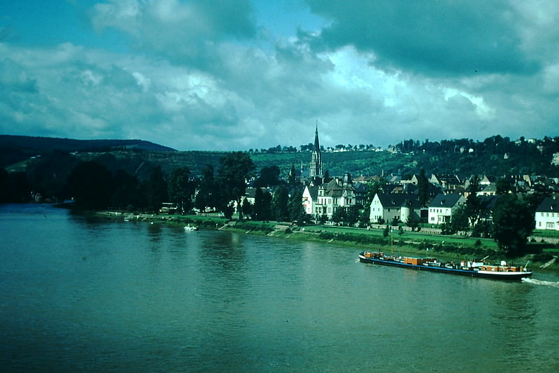
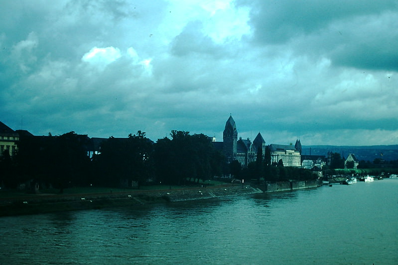
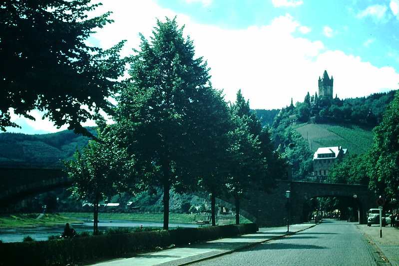
Cochem on the Moselle River is one of the most picturesque towns in the region. Its hilltop Reichsburg Castle dominates the skyline above a town of half-timbered houses and steep vineyard slopes. In 1954, Cochem’s wine trade and scenic setting made it a popular stop for visitors traveling through the Moselle Valley.
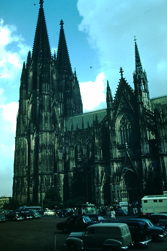
Cologne’s Gothic cathedral — the Kölner Dom — is one of the largest in the world and took over 600 years to complete. It famously survived significant bombing during World War II, though much of the surrounding city did not. By 1954, it stood amid an urban landscape still in the process of rebuilding, making it both a spiritual landmark and a symbol of resilience.
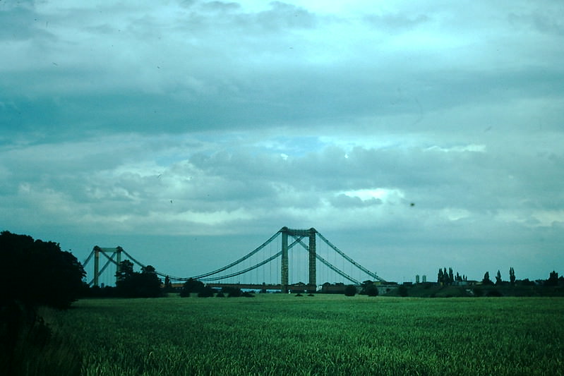
Postwar reconstruction in Cologne also included rebuilding its bridges across the Rhine, most of which had been destroyed during the war. New spans like the one captured here in 1954 were critical to reconnecting the city and restoring commerce across the river.
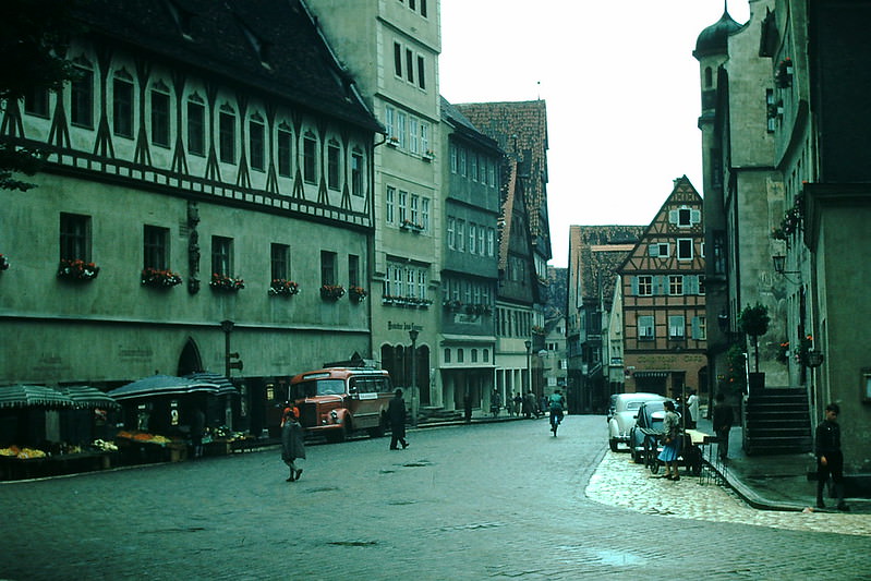
The Romantic Road, stretching from Augsburg to Würzburg, passed through some of the most historically rich towns in Bavaria and Franconia. Nördlingen, one of its key stops, is a medieval town built inside a meteorite crater. Its circular layout and ancient walls were still a defining feature of the streetscape in 1954.
The Moselle Valley’s steep hillside vineyards were producing some of Germany’s finest Rieslings by the mid-20th century. The terraced slopes required intensive hand labor and had changed little in appearance over hundreds of years. This 1954 photograph shows the vines clinging to the rocky hillsides above the river.
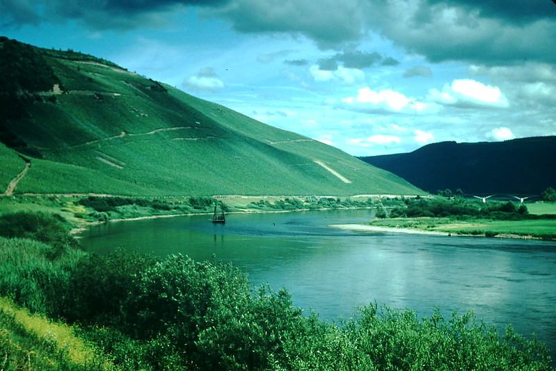
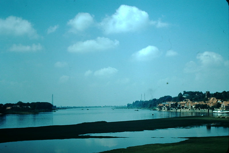
The Weser River runs north through central Germany before emptying into the North Sea near Bremerhaven. At Wahmbeck, the river moves through a forested, hilly landscape that attracted visitors for its natural scenery. This stretch of the Weser had long been popular for boating and recreation.
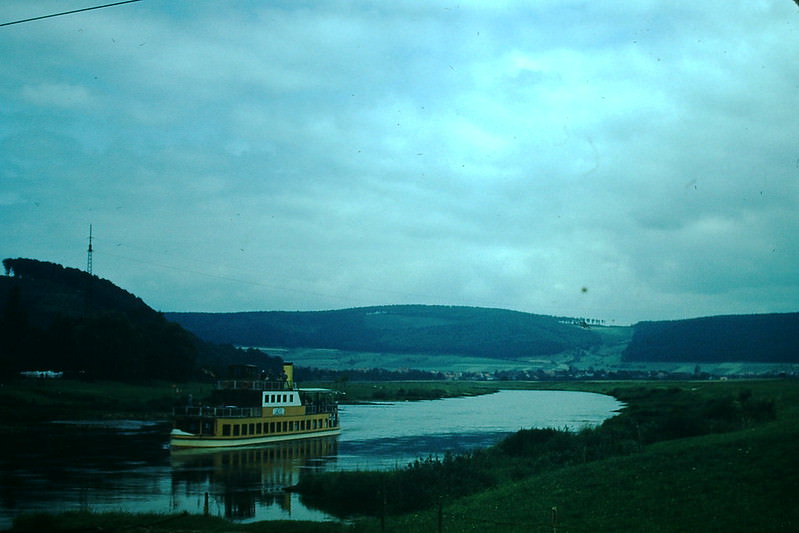
The small Moselle town of Alf hosted its own wine festival in 1954. These local festivals were deeply embedded in the social calendar of Moselle villages, where the grape harvest and wine production defined the rhythm of community life.
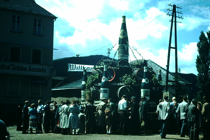
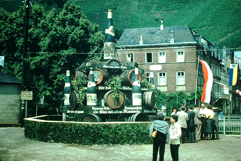
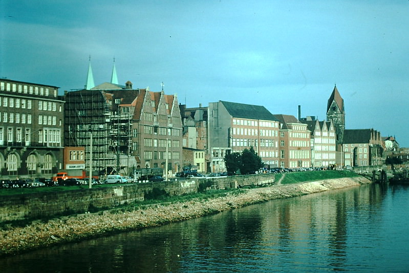
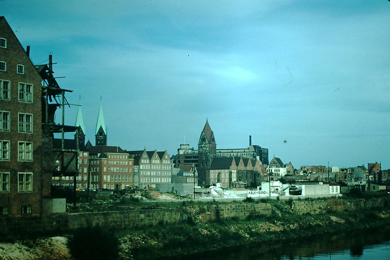
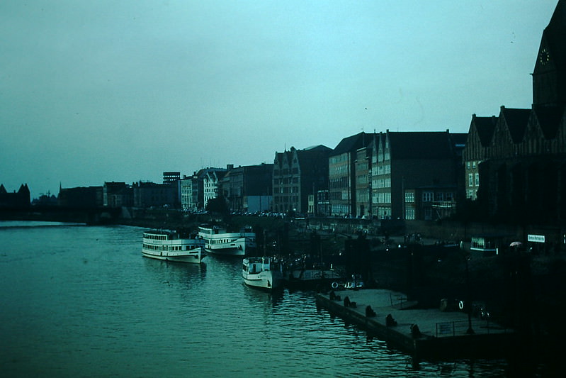
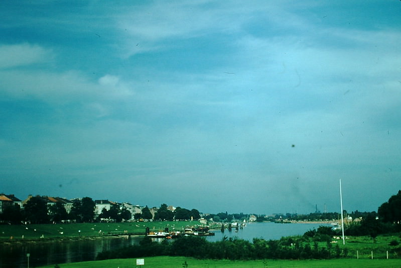
Bremen, one of West Germany’s most important port cities, sits along the Weser River. The Kleine Weser, a smaller branch of the river, cuts through the city’s older districts. These 1954 photographs show Bremen’s waterfront at a time when maritime trade was fueling the city’s economic recovery.
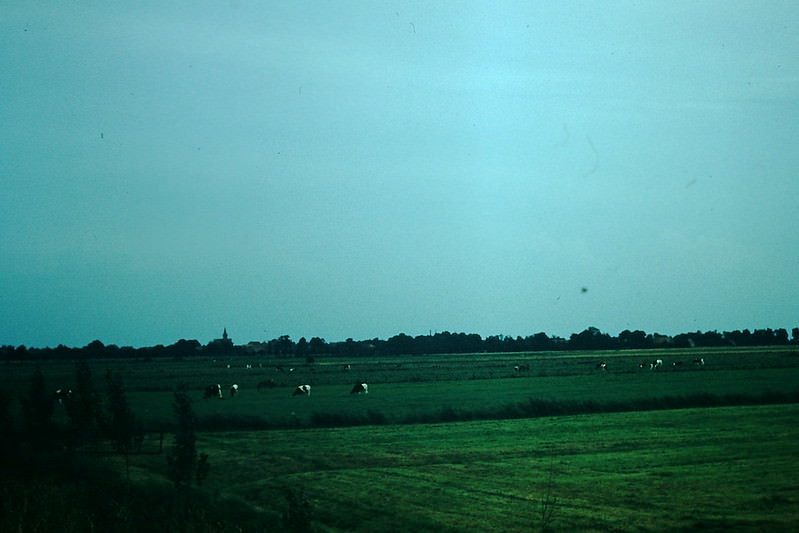
Ostfriesland, tucked near the Dutch border in northwestern Germany, had a flat, open landscape shaped by centuries of land reclamation from the sea. Its countryside in 1954 looked much as it had for generations — wide skies, grassy lowlands, and farmsteads spread across the plains.
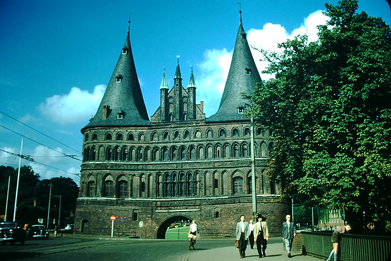
Lübeck’s Holstentor — the iconic 15th-century gate — was one of the most recognized medieval monuments in northern Germany. Built in 1437, it served as both a defensive fortification and a symbol of Lübeck’s power as a leading member of the Hanseatic League. By 1954, it was a protected landmark at the heart of the city.
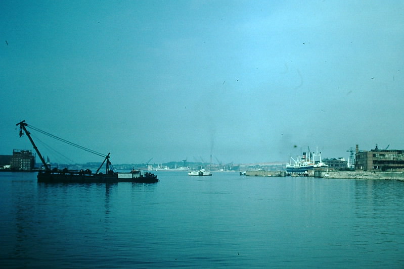
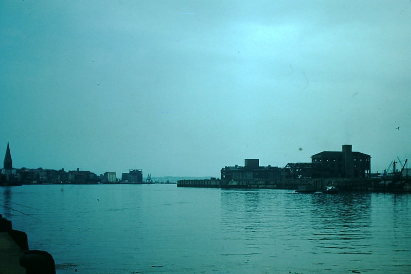
Kiel, located on the Baltic Sea coast, was home to one of Germany’s most important naval fjords. The Kieler Förde had been a major military harbor during World War II and sustained heavy bombing. By 1954, the city was rebuilding and its waterway was returning to commercial and civilian use.
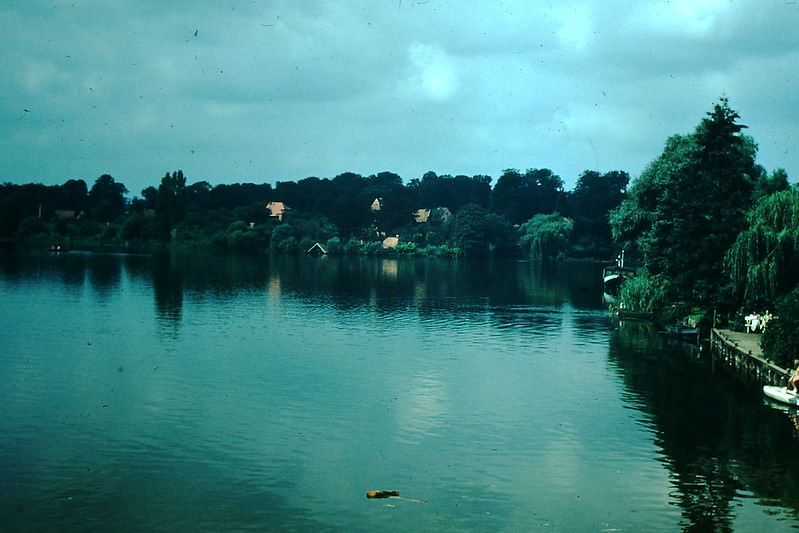
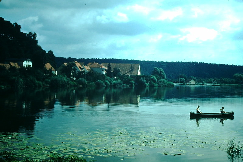
Mölln, a small town in Schleswig-Holstein, was known for its lakes and green surroundings. It served as a quiet resort destination for visitors seeking rest away from Germany’s larger industrial cities. The lake scenes from 1954 show a peaceful, unhurried setting.
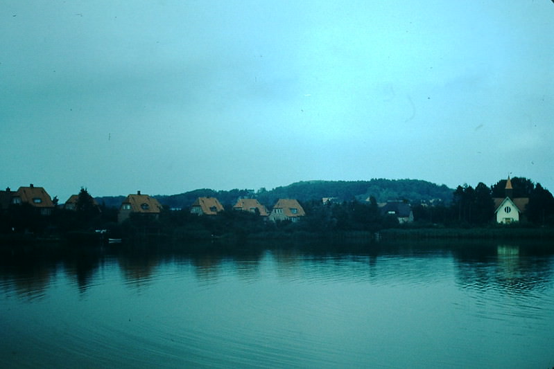
Plön sits between Kiel and Lübeck in Schleswig-Holstein and is surrounded by more than 70 lakes. Its position along the route between the two major Hanseatic cities made it a natural stopping point. The residences photographed here in 1954 reflect the town’s long-established character as a prosperous lakeside community.
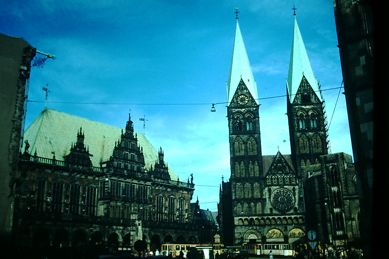
Bremen’s Rathaus — its historic town hall — stands beside the city’s cathedral on the central market square. The building dates to the early 15th century and is one of the finest examples of Weser Renaissance architecture in Germany. Both structures survived World War II and remained central to Bremen’s civic identity in 1954.
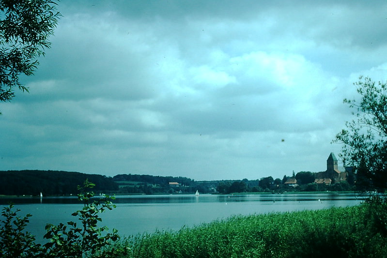
Ratzeburg, another lake town in Schleswig-Holstein, sits on an island in the middle of a series of connected lakes. In 1954, it was a popular resort destination with a cathedral that dated to the 12th century. The town’s island geography gave it a distinct and tranquil character.
Großenbrode, on the Baltic coast, was a key ferry terminal in postwar Germany. Ferries operating here connected the mainland to the Danish island of Fehmarn before a fixed link was built. In 1954, the unloading of vehicles and cargo at Großenbrode was a busy, routine operation along this northern transit route.
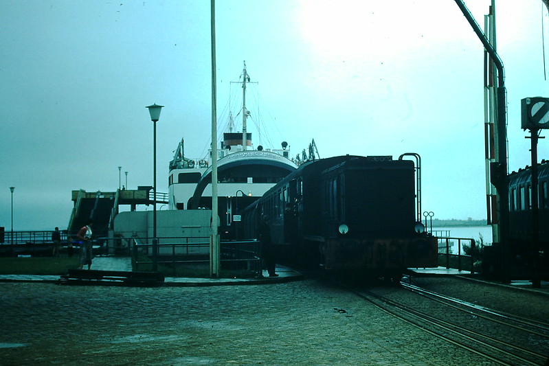
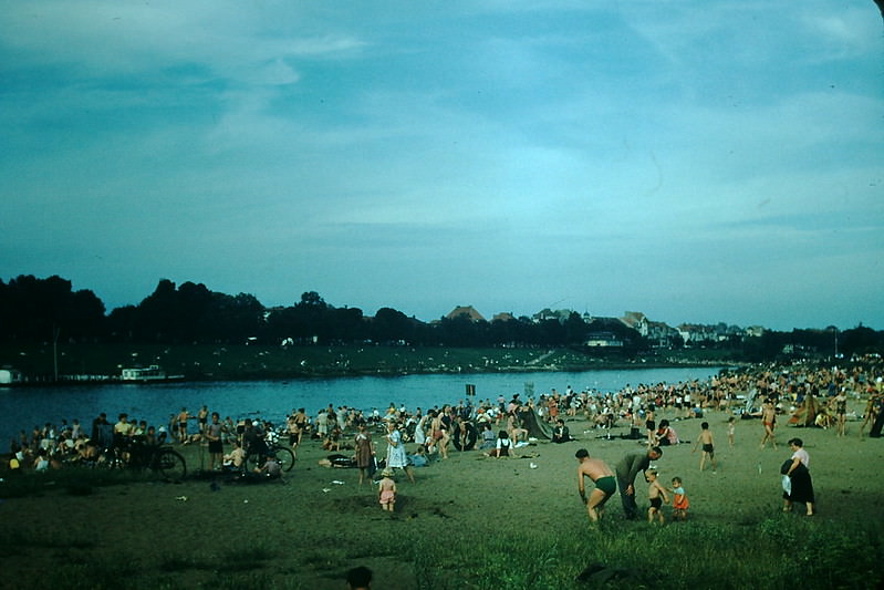
The Weser River through Bremen was a constant presence in the city’s daily life. These three photographs from 1954 capture different views of the river and its banks, showing the working waterfront that powered Bremen’s port economy alongside quieter stretches where the pace of the river slowed.
Berlin in 1954 was still a divided city deep within East German territory, though West Berlin remained under Allied control. Apartment life in the western sectors carried on with a sense of normalcy even as the city remained one of the most politically tense places in the world. This photograph of a Berlin apartment captures the everyday reality of urban life in a city split by ideology and guarded borders.