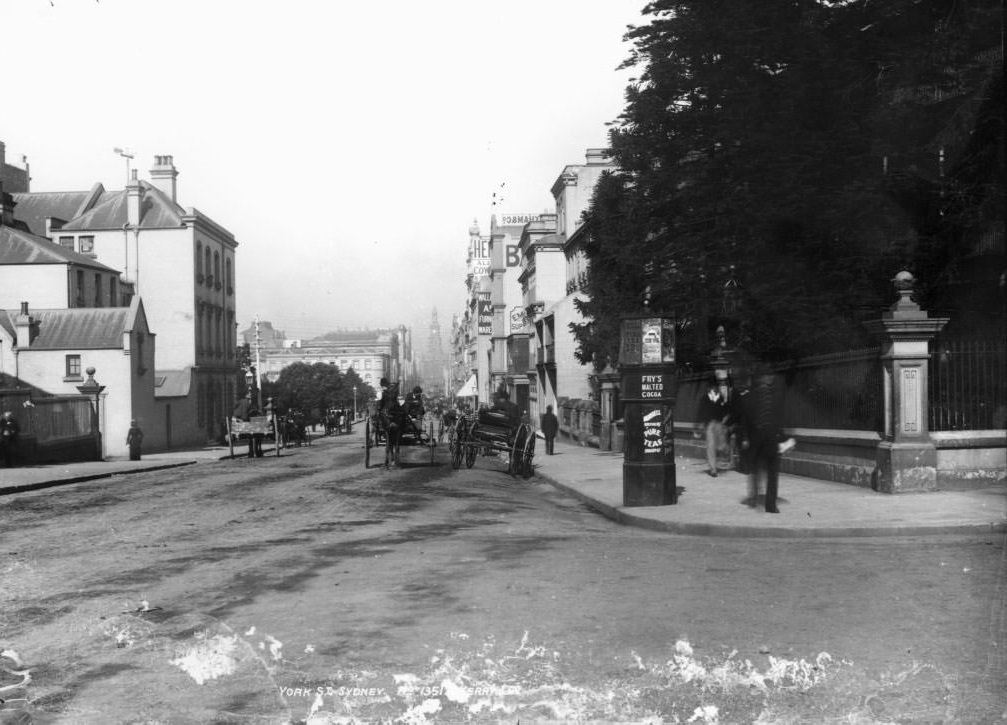
At the turn of the 20th century, Sydney was already one of the busiest cities in the Southern Hemisphere. More than a million people called it home, and its streets were filled with horse-drawn wagons, commuters on foot, and the growing rumble of electric trams. The city was in the middle of a fast and sometimes painful transformation — shifting from steam power to electricity, tearing down old neighbourhoods, and rebuilding entire districts from scratch.
On January 1, 1901, the Commonwealth of Australia was proclaimed, ending the era of colonial rule. Sydney remained the capital of New South Wales, but the city’s identity was changing along with the nation’s. The photographs below were taken in those pivotal early decades and offer a rare window into what Sydney actually looked like — its streets, its landmarks, its working waterfront, and the darker corners that most people never saw.
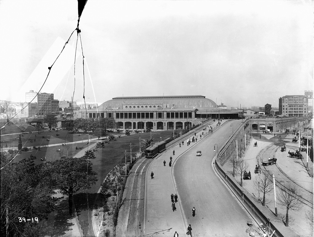
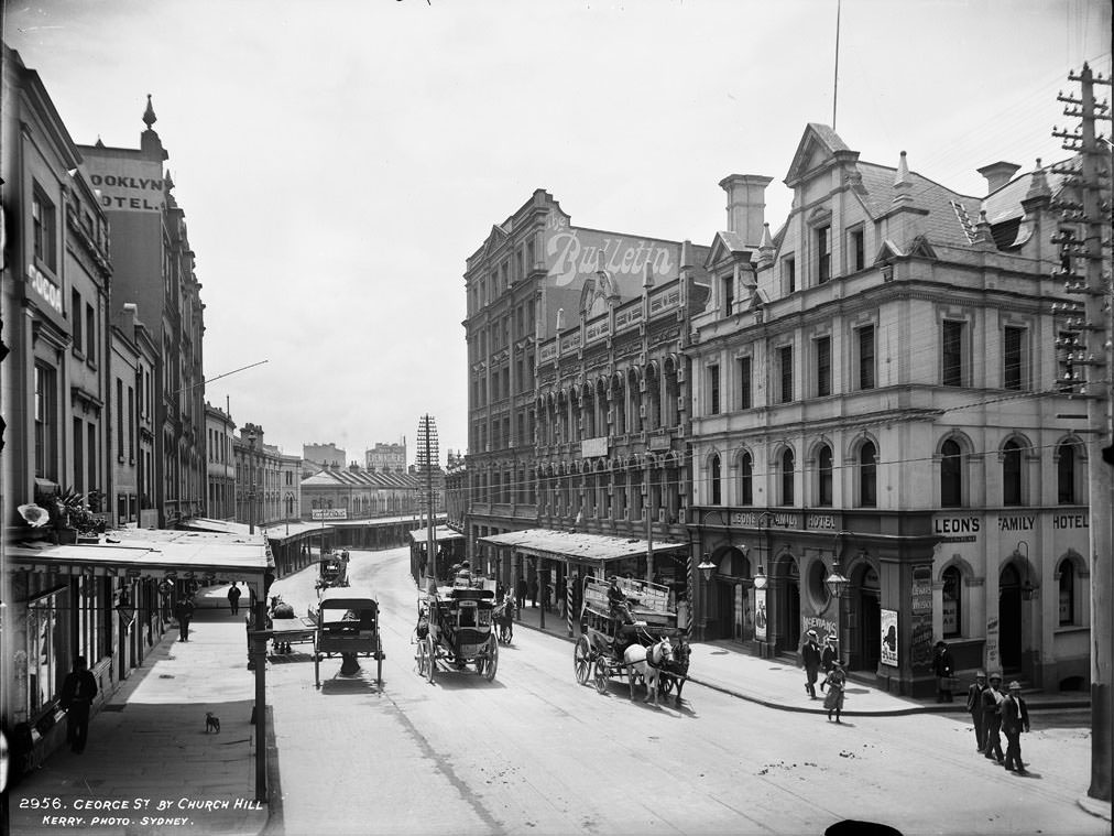
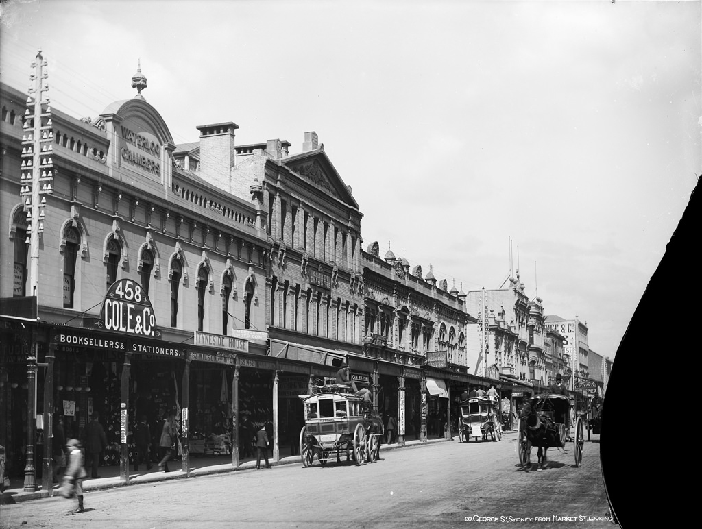
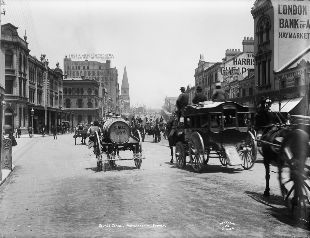
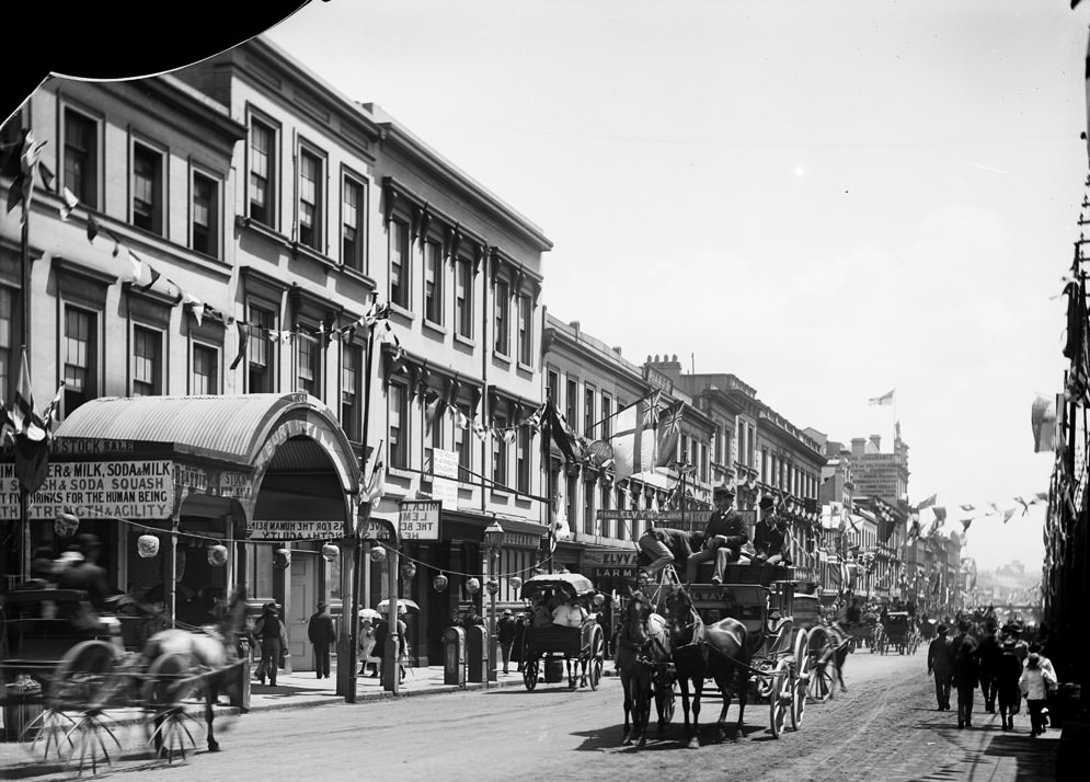
Central Railway became one of the city’s most important transit points during this period. Plans were drawn up to electrify and extend the rail network, and the approach to Central was already a hub of activity — a point where the city’s growing suburbs connected to its commercial core. George Street, running through the heart of the city, was among the busiest corridors in the country.
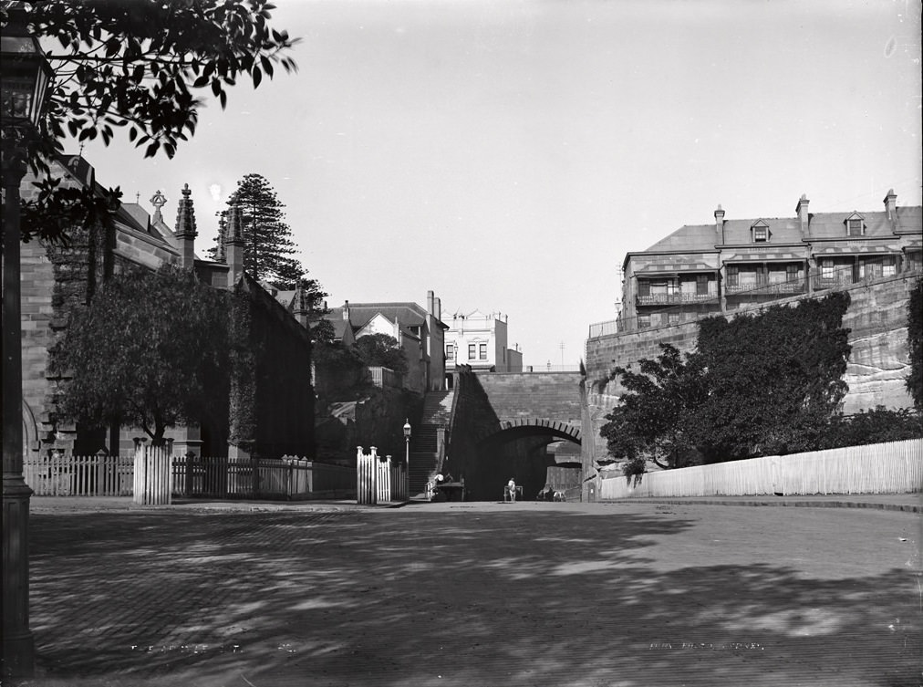
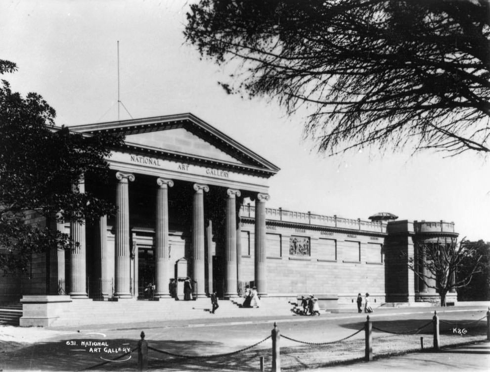
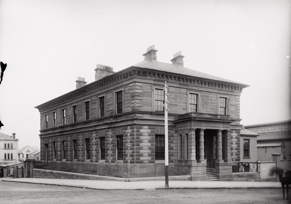
The Art Gallery of New South Wales stood as one of the city’s most recognisable stone buildings, set near the Domain and Hyde Park. Public institutions like it were markers of civic ambition — Sydney was not just growing in size but trying to build the cultural foundations of a major city. Meanwhile, areas like The Rocks and Surry Hills were being razed and rebuilt, their Victorian-era streetscapes swept away in large sections.
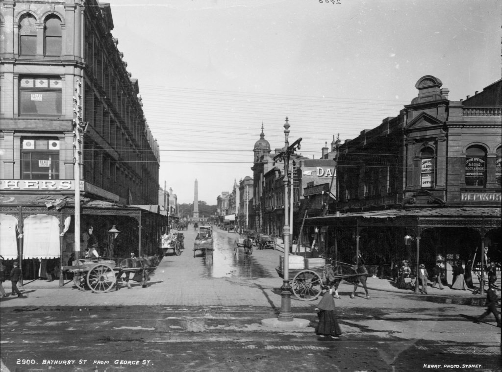
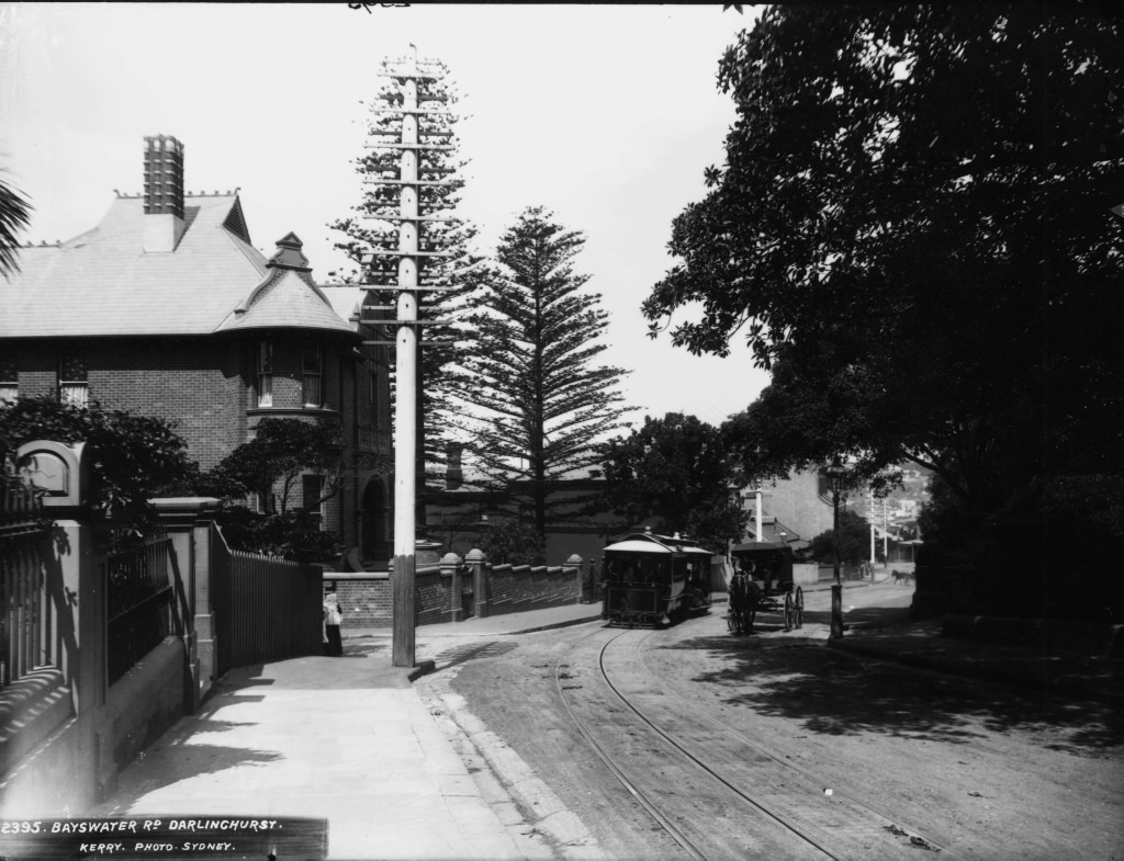
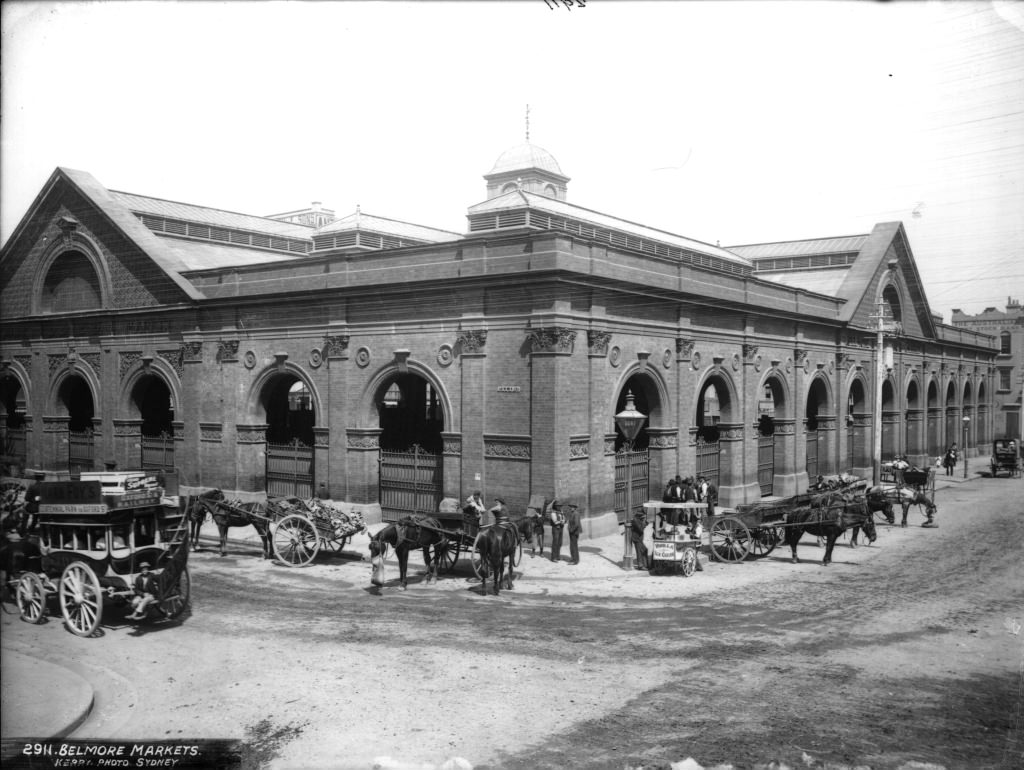
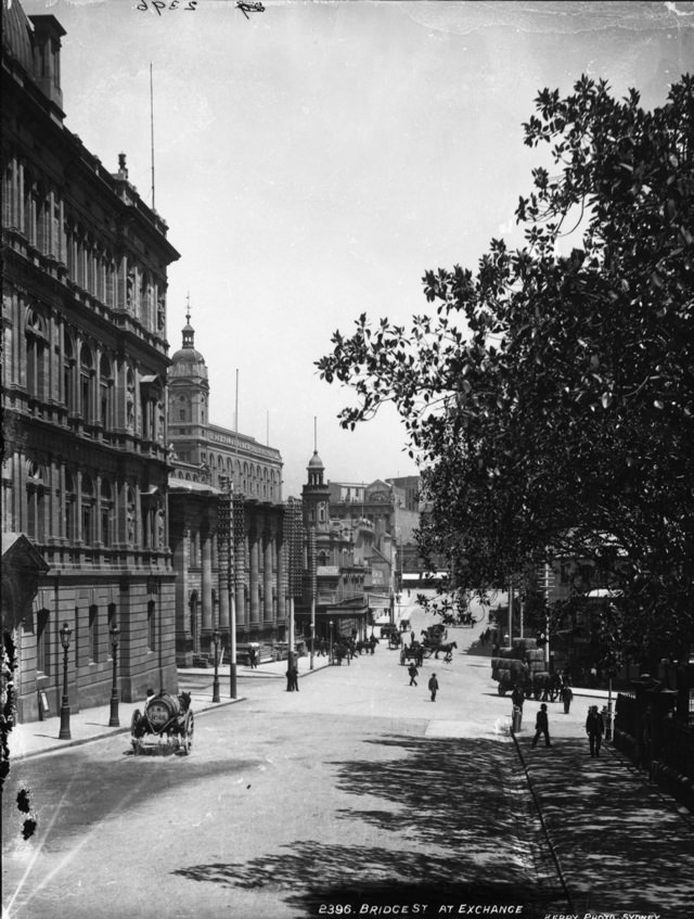
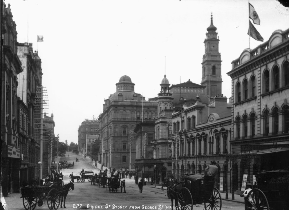
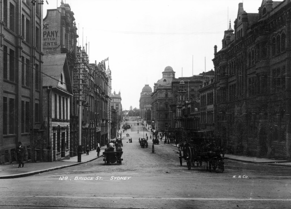
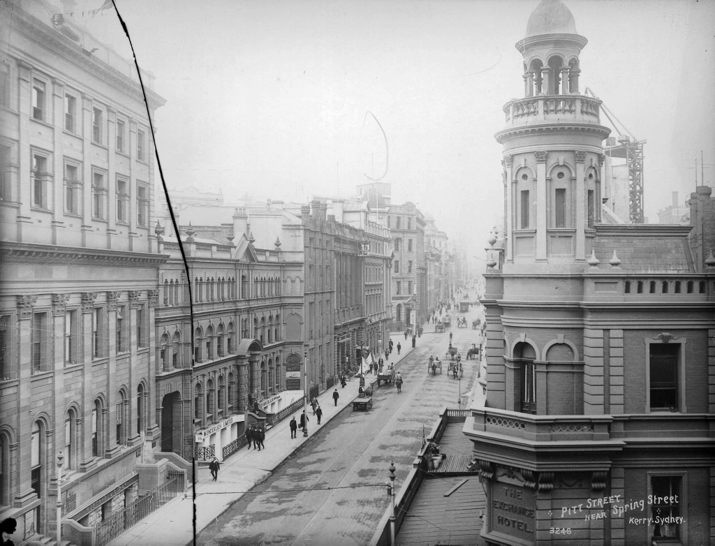
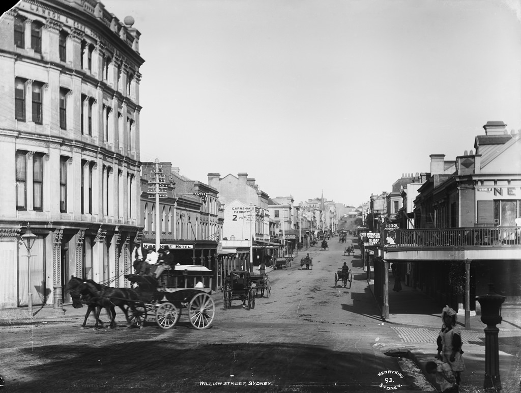
The inner-city streets captured in these photos show a city that was dense, layered, and very much alive. Markets like Belmore drew crowds daily, while commercial corners such as Bridge Street at the Exchange were the financial nerve centres of colonial and post-colonial commerce. These were places where wool brokers, merchants, and bankers did business that shaped the entire country.
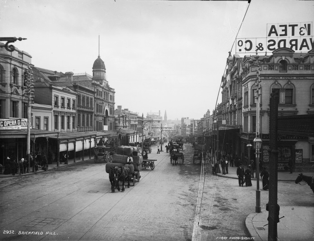
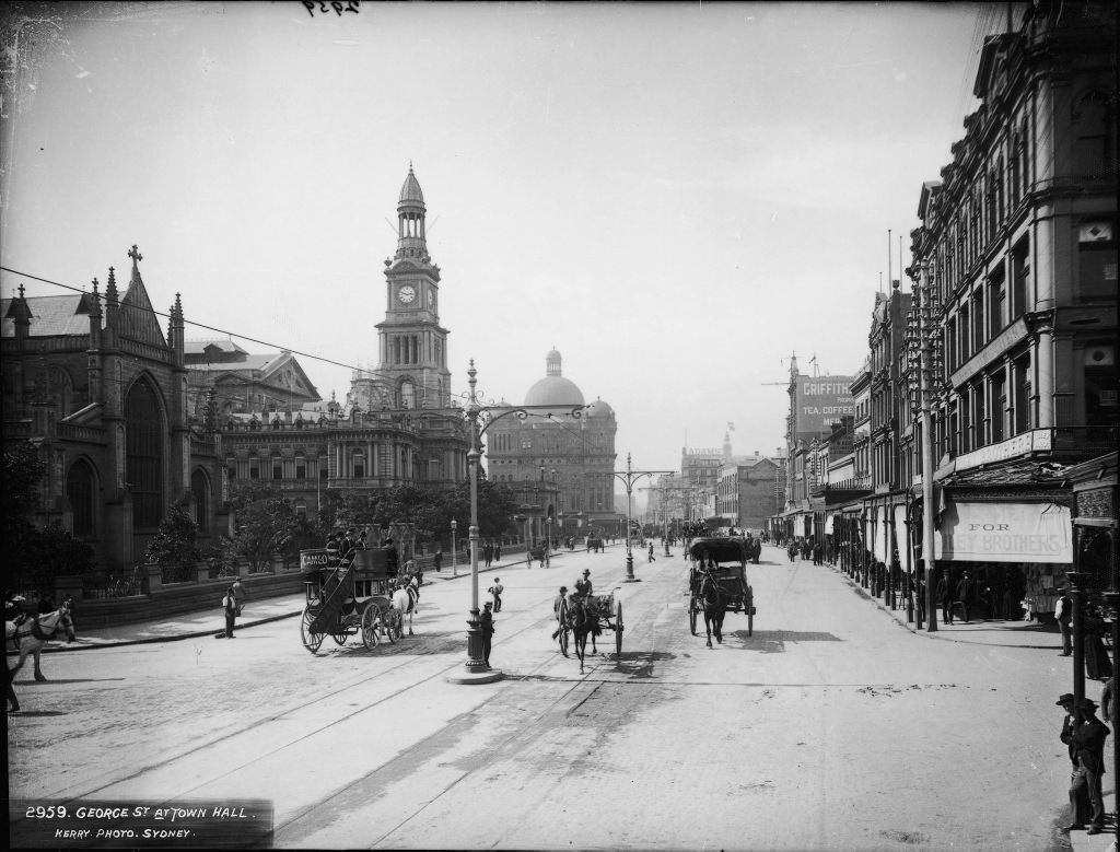
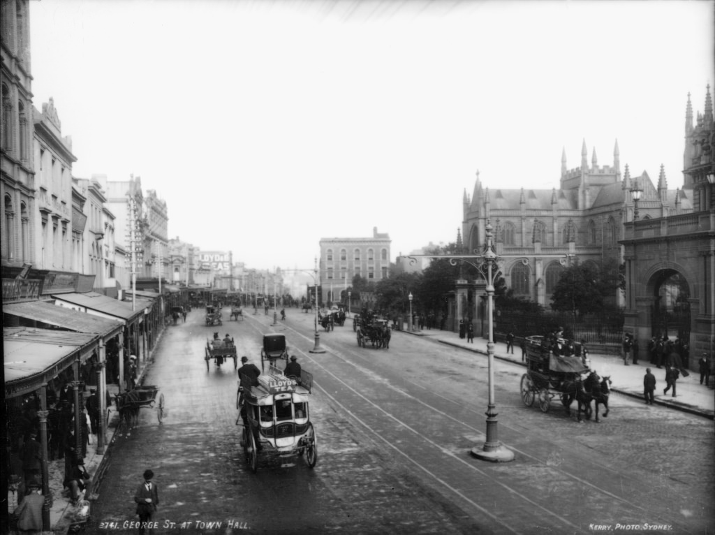
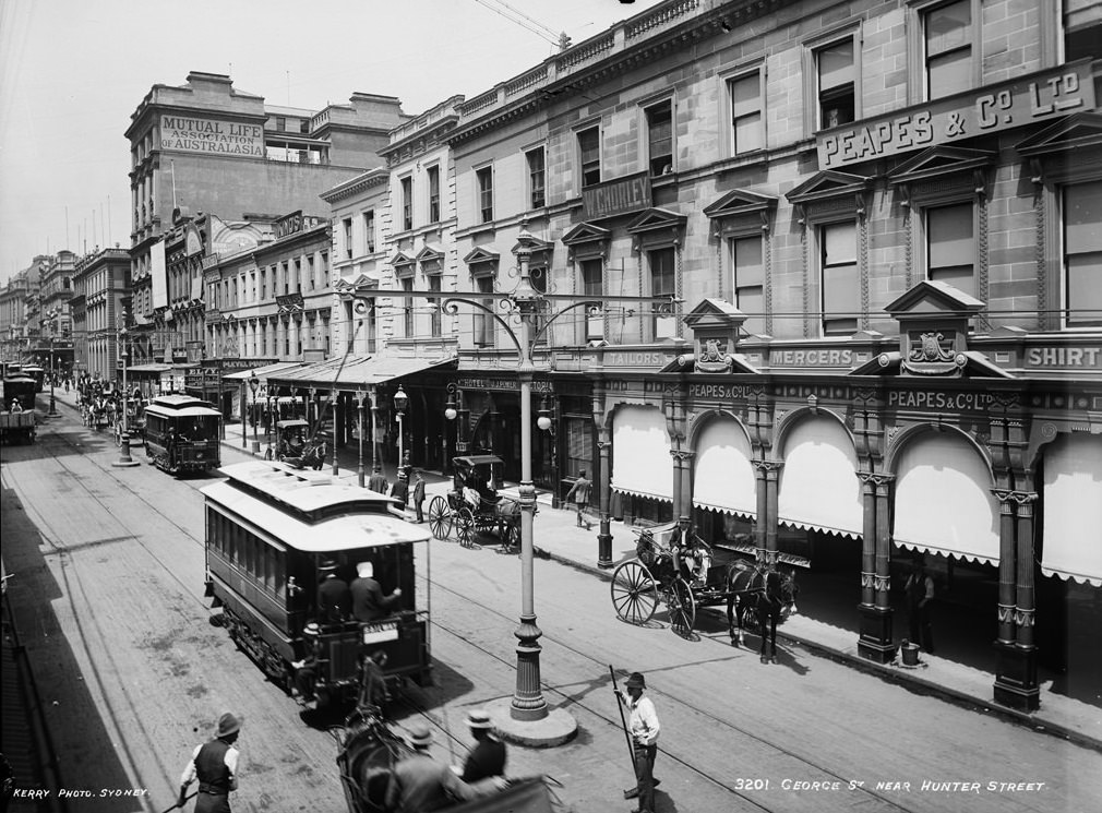
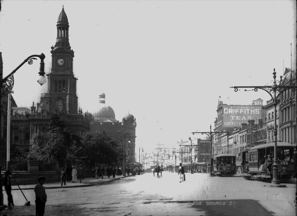
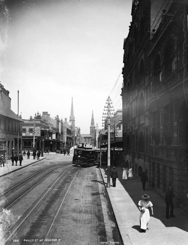
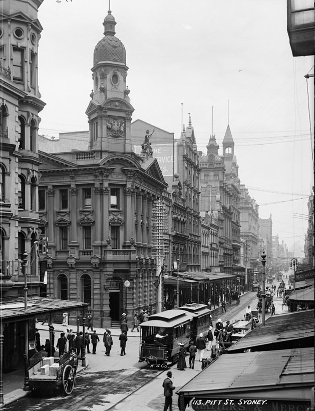
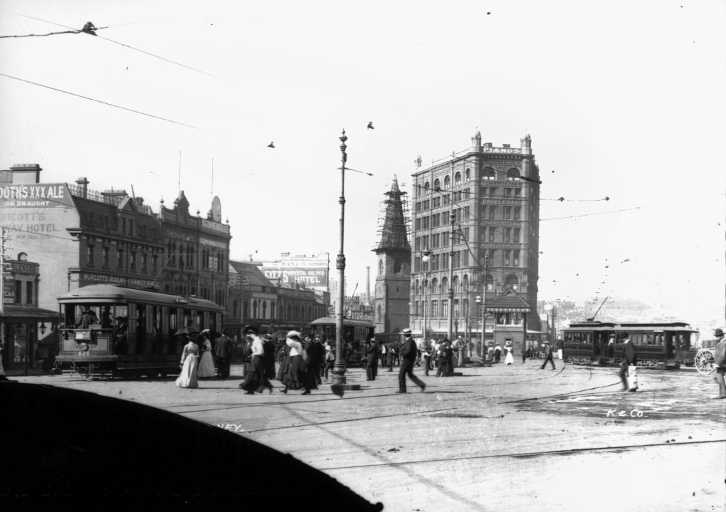
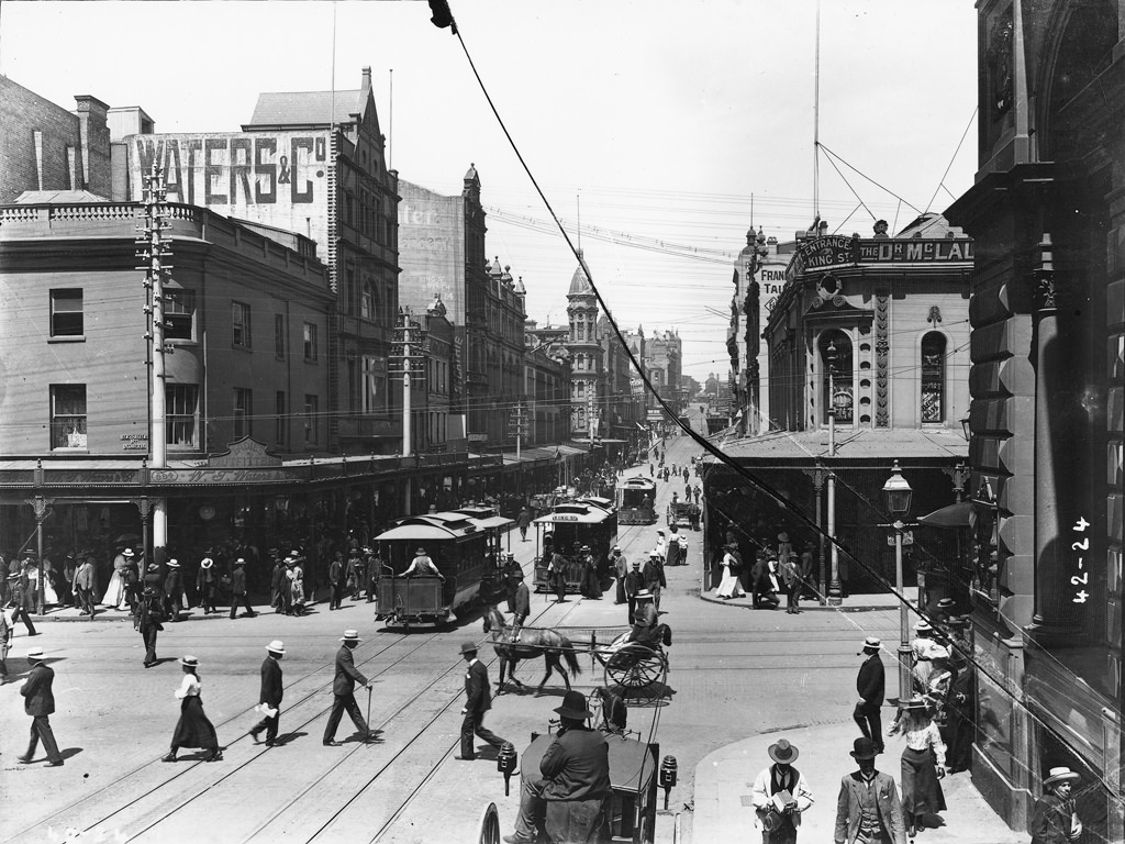
Sydney’s tram network was one of the defining features of city life in the early 1900s. Electric trams had replaced horse-drawn cars on many routes, and the lines along George Street were among the busiest. The city was rethinking its entire transport system for the first time as a unified whole — roads, railways, trams, and harbour ferries were all being considered together as part of a single expanding network.
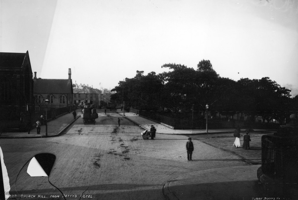
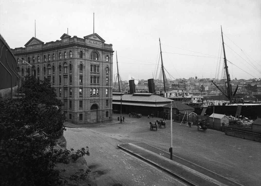
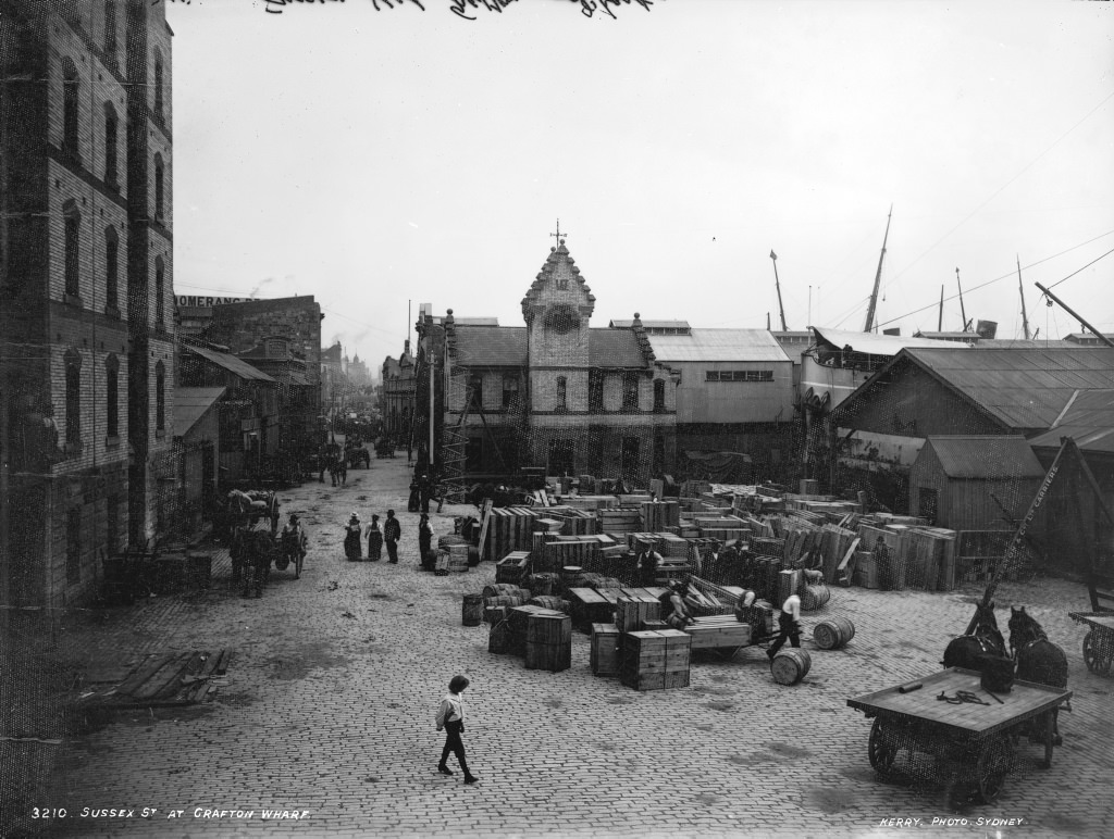
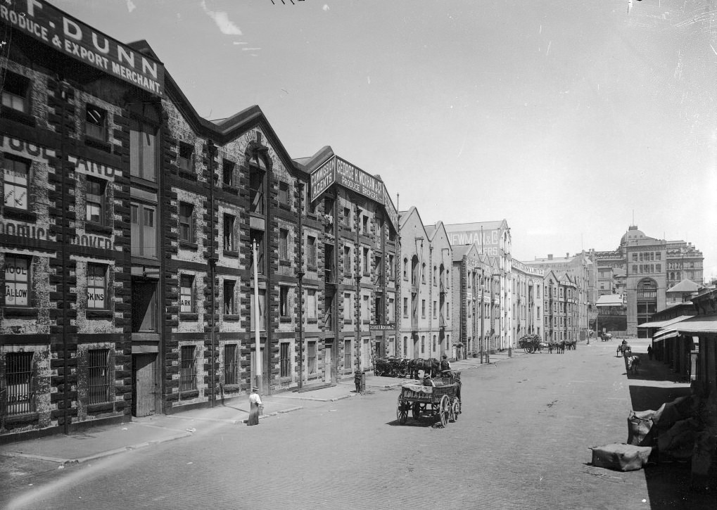
Circular Quay was the gateway to Sydney for passengers and freight alike. Wool stores and wharves lined the waterfront, and the port handled enormous volumes of goods. Darling Harbour’s older facilities had been deemed insufficient for the scale of trade passing through, and sections of it were abandoned and redeveloped to meet the demand. Sydney Harbour itself was a constant focus of investment, particularly the question of a permanent link between its northern and southern shores.
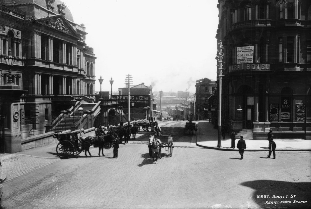
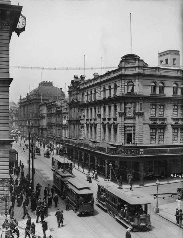
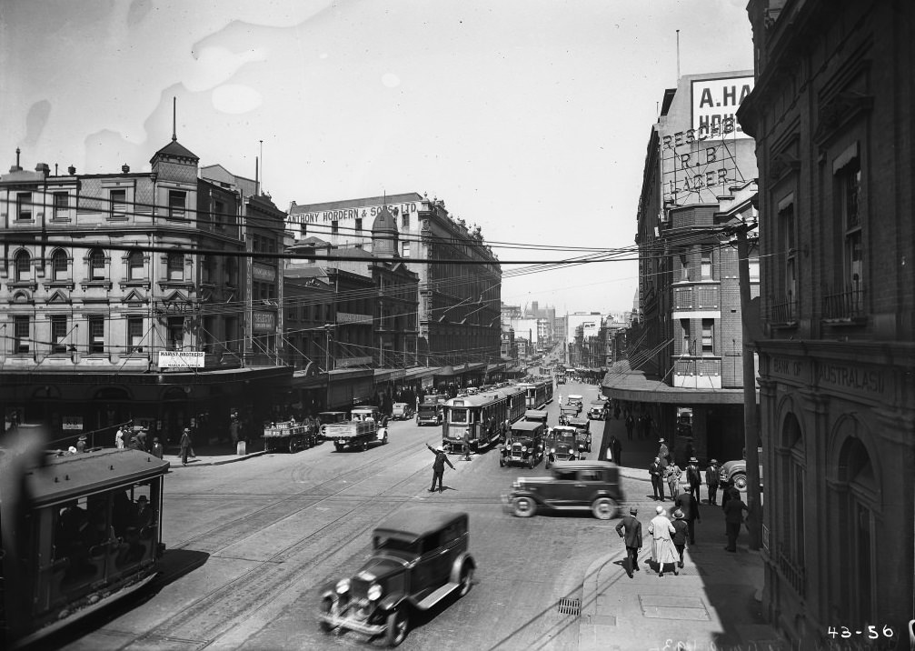
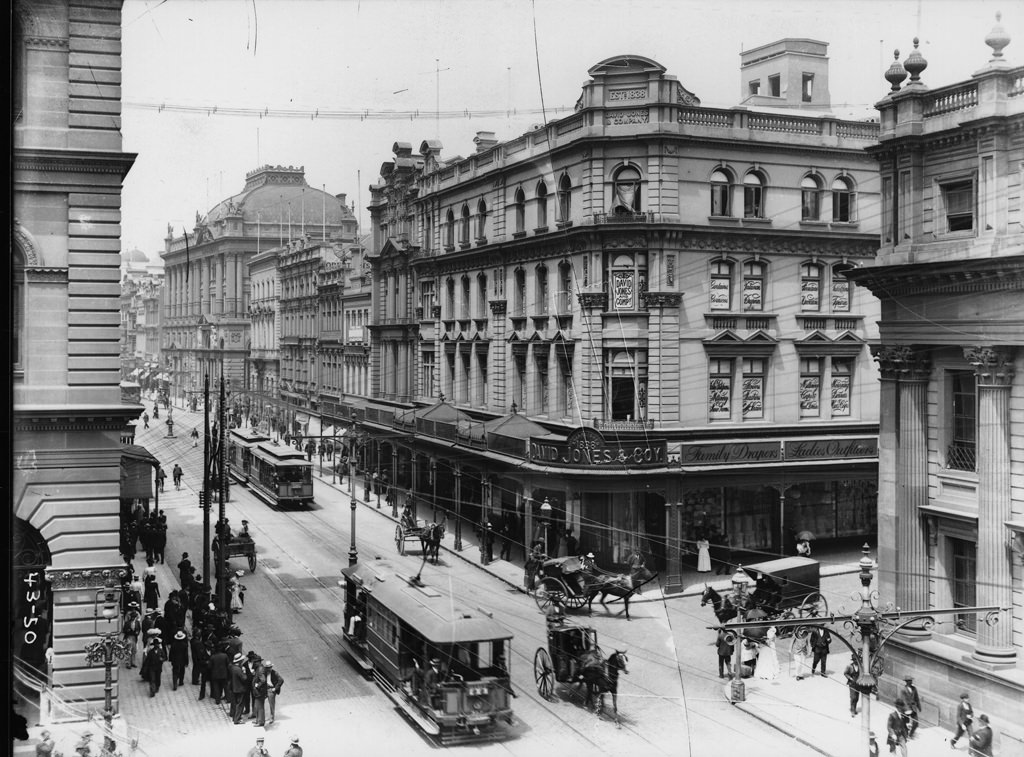
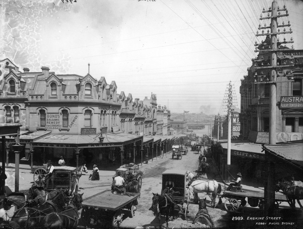
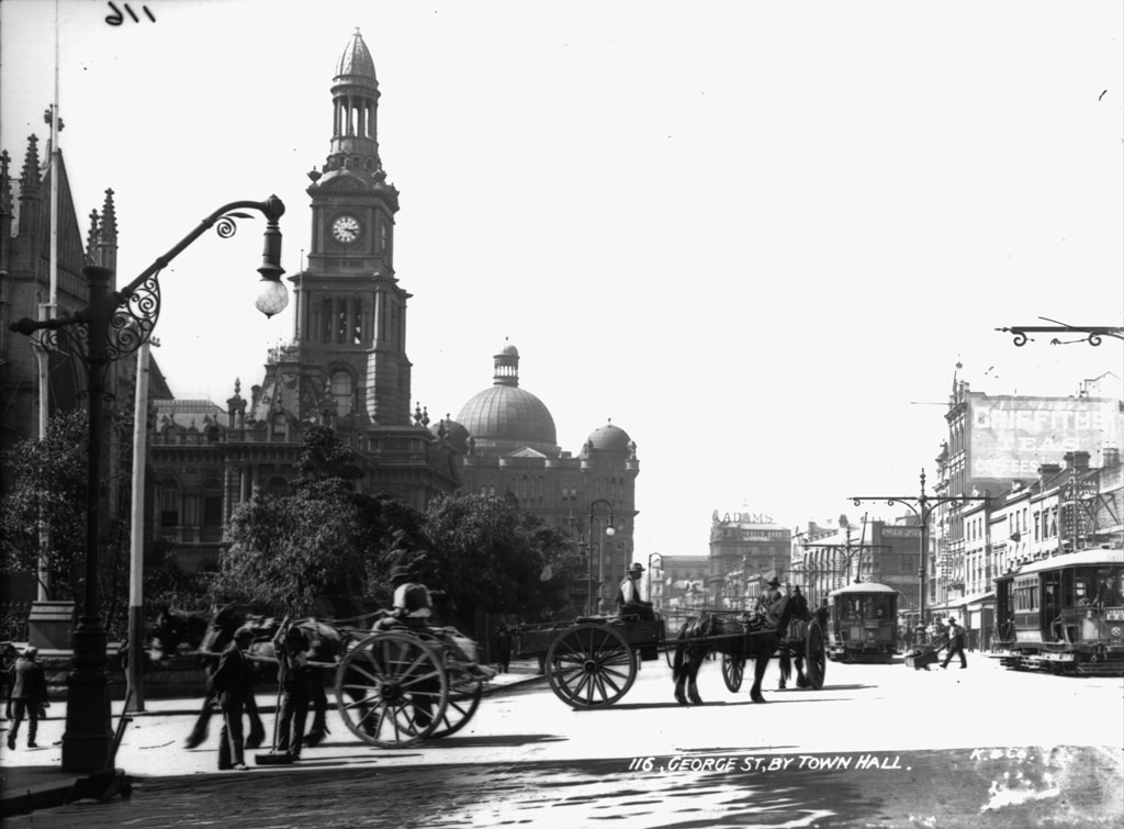
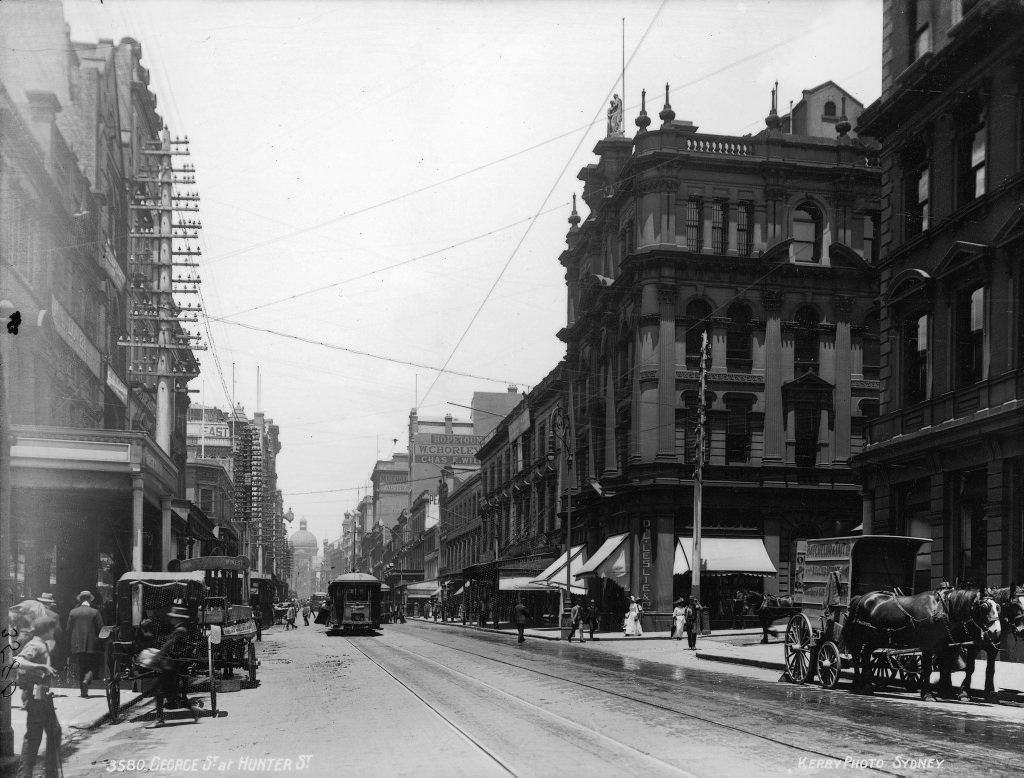
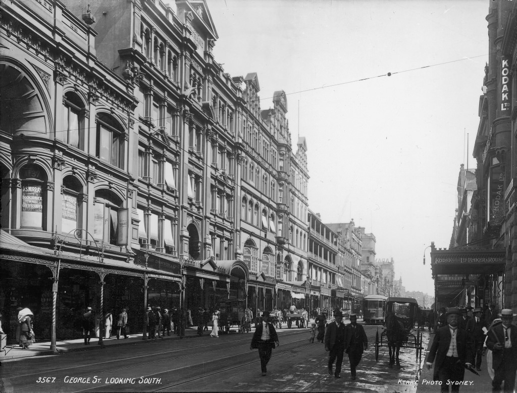
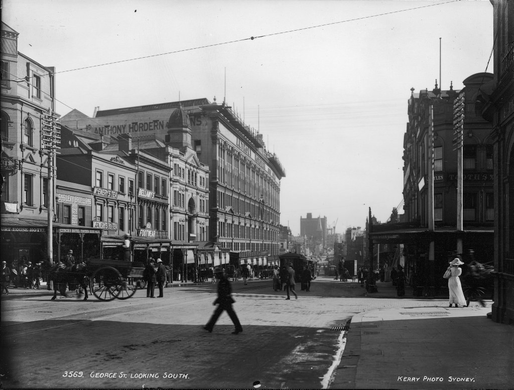
Electric trams on George Street were a symbol of Sydney’s modernisation. The David Jones corner was already a prominent commercial landmark, and the trams running past it carried thousands of people each day. The shift from horse power to electric power on the tramways happened quickly, and the streets in these photographs show that transition mid-stride — overhead wires strung above sandstone footpaths.
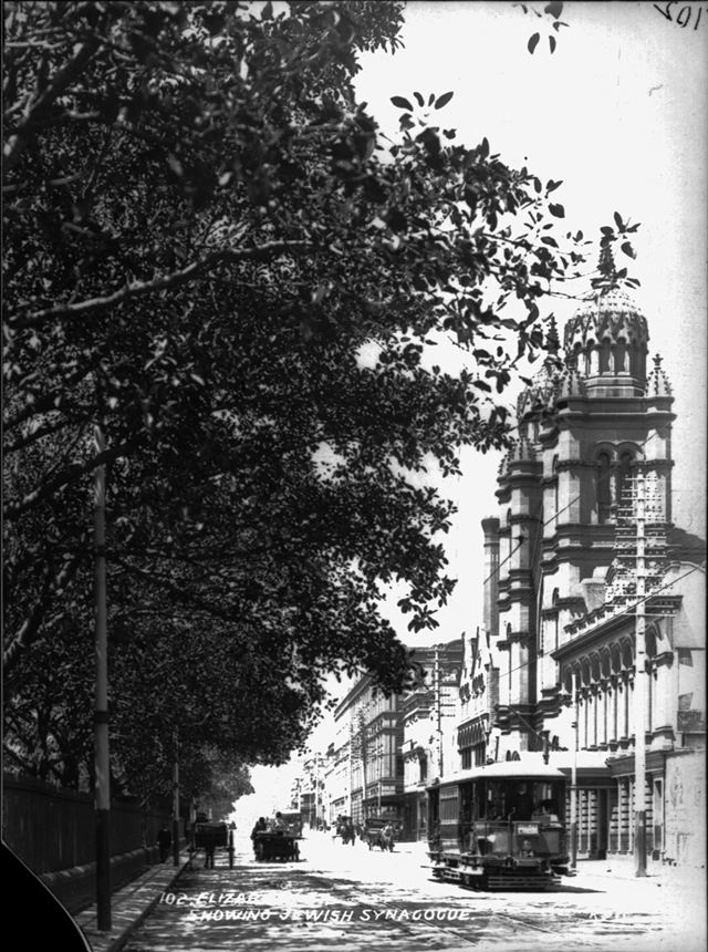
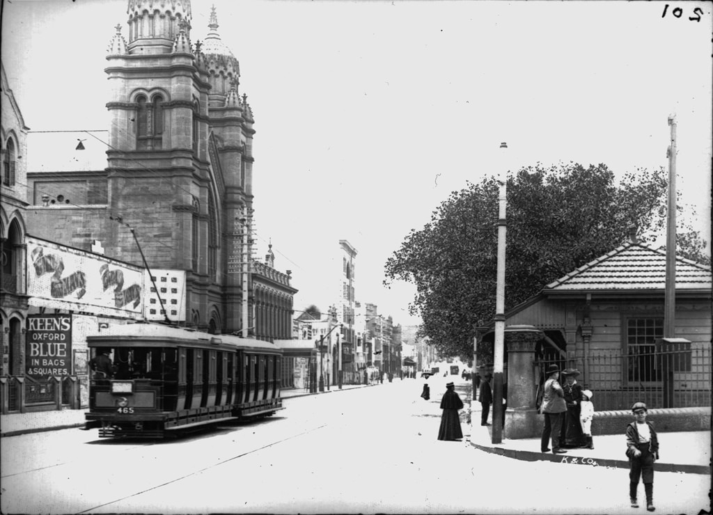
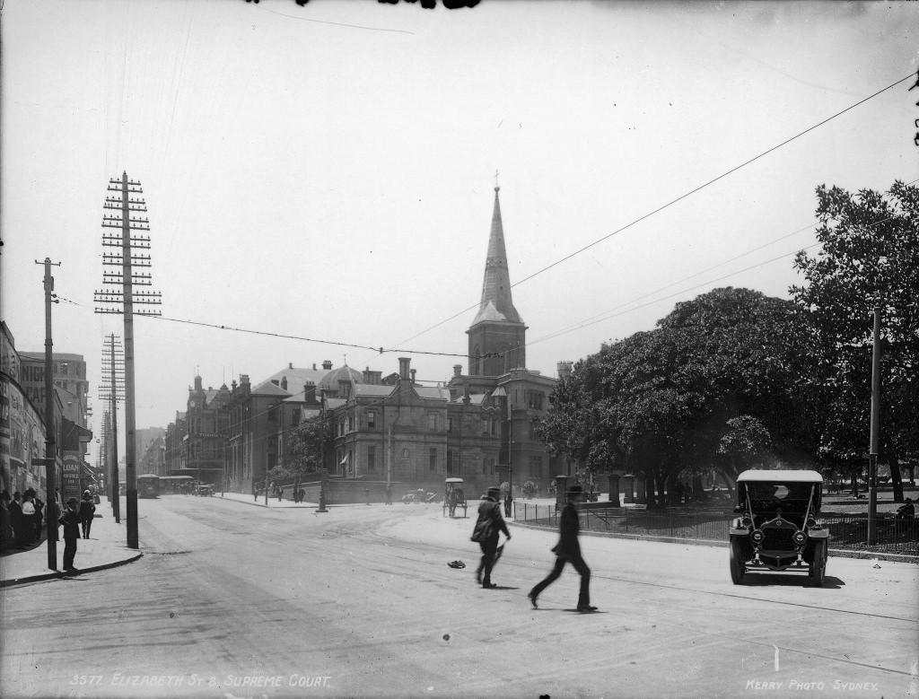
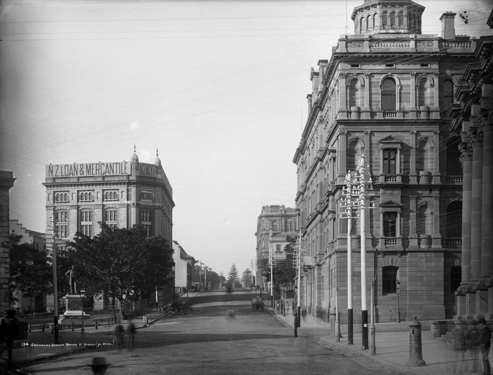
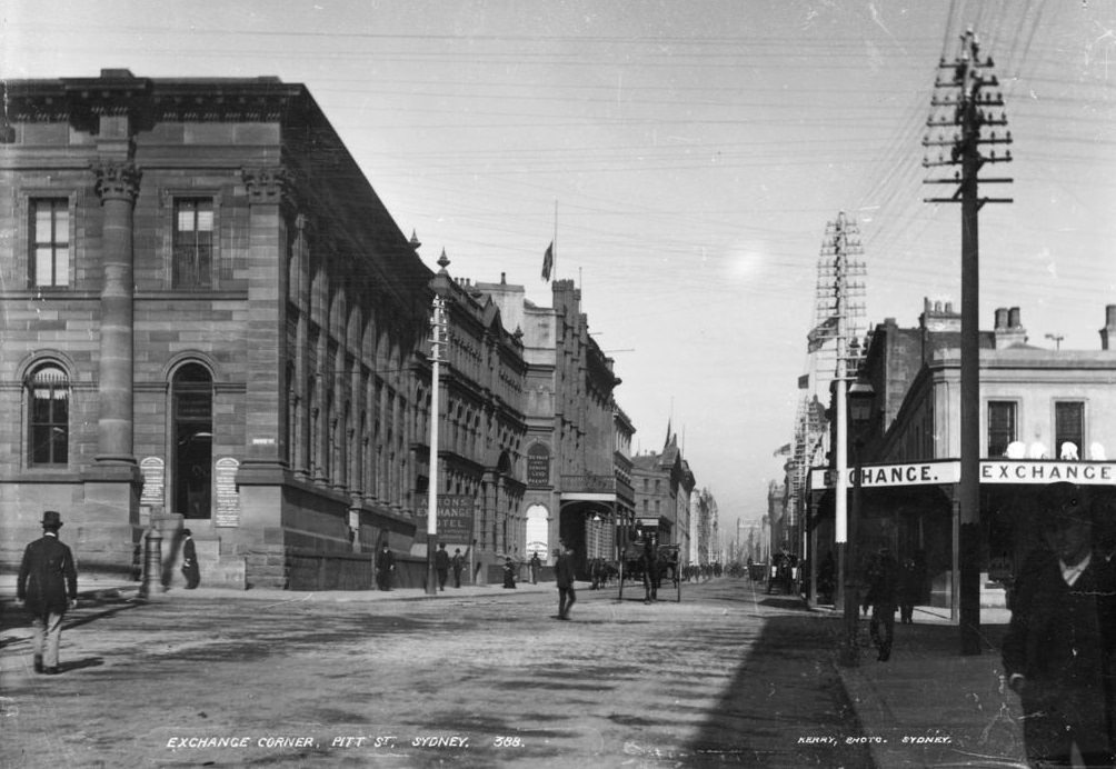
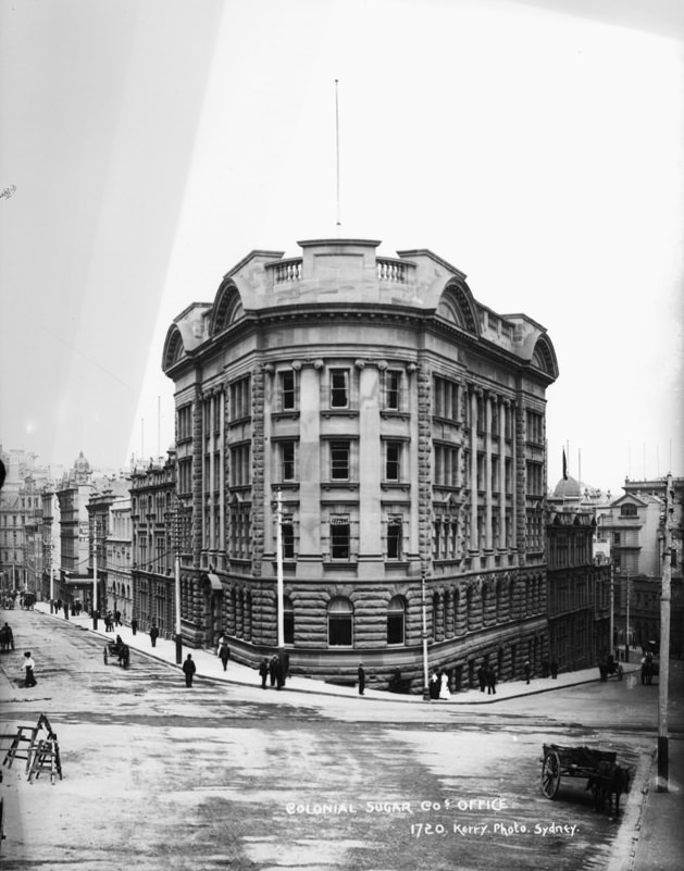
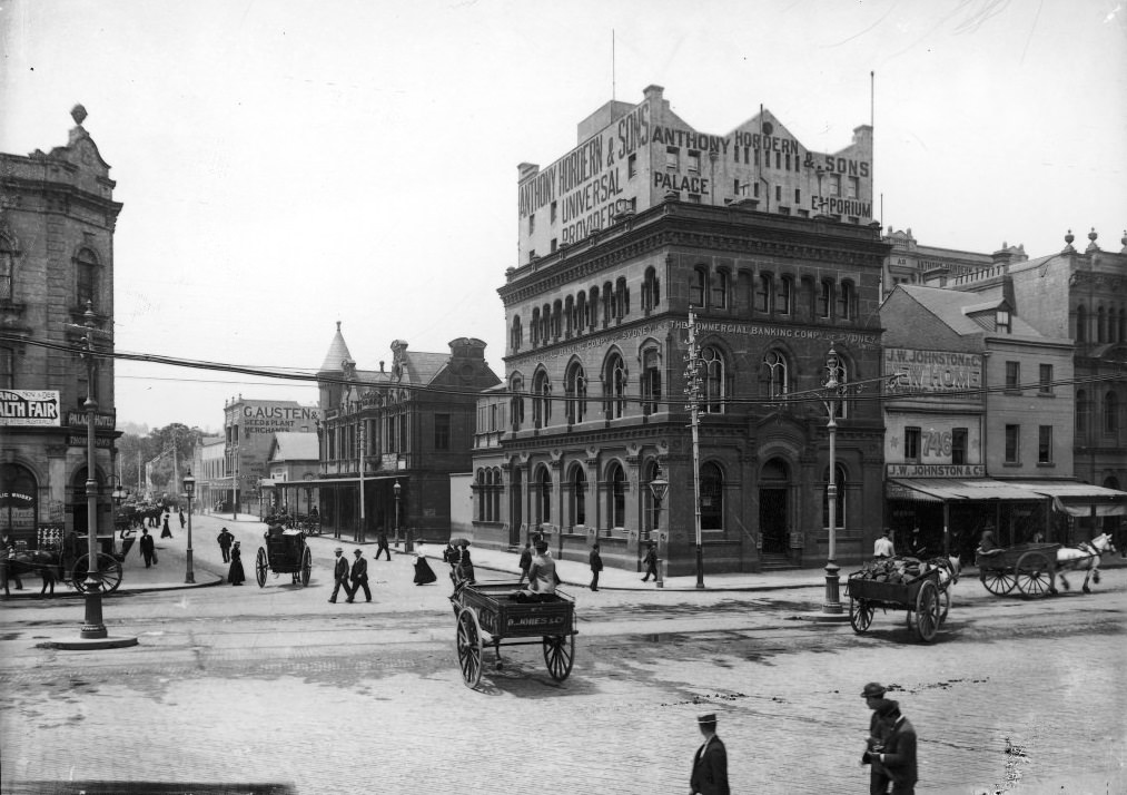
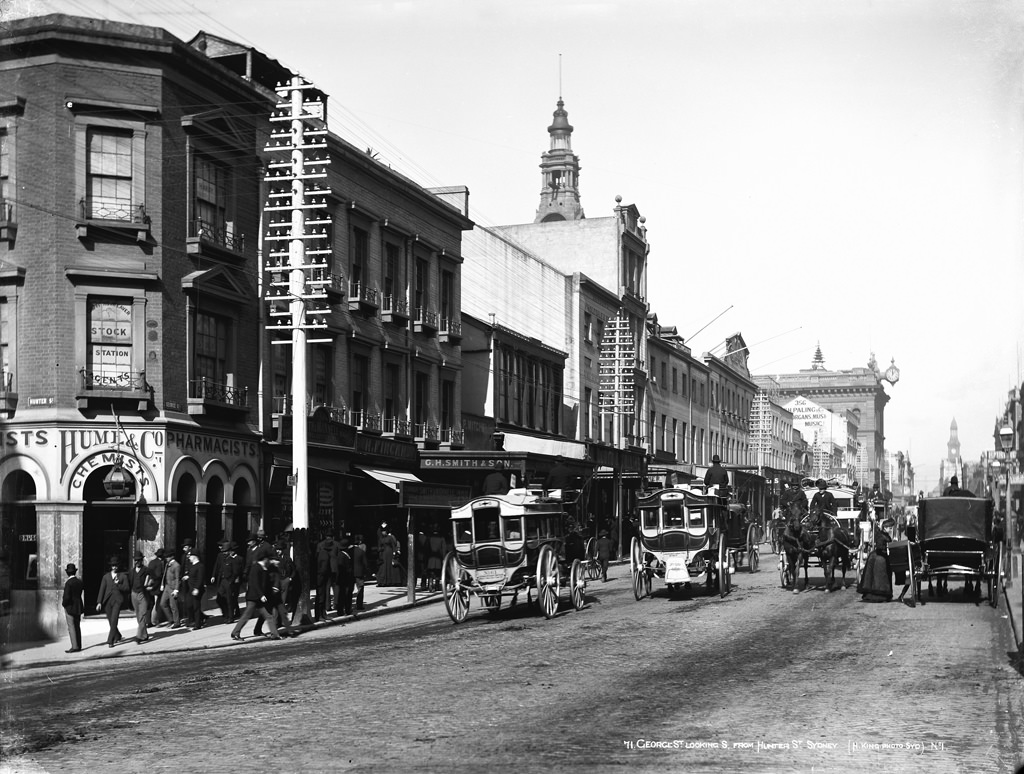
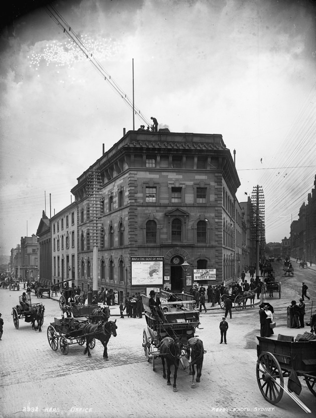
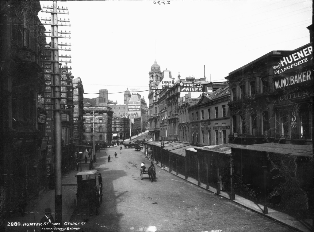
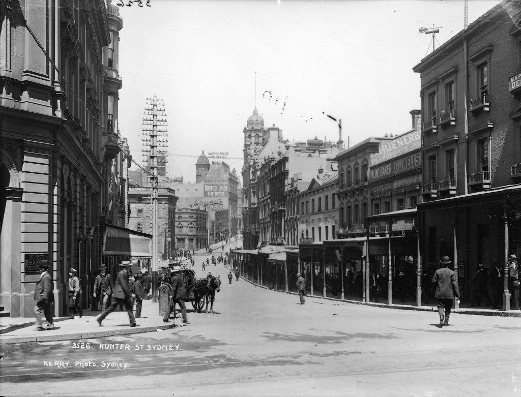
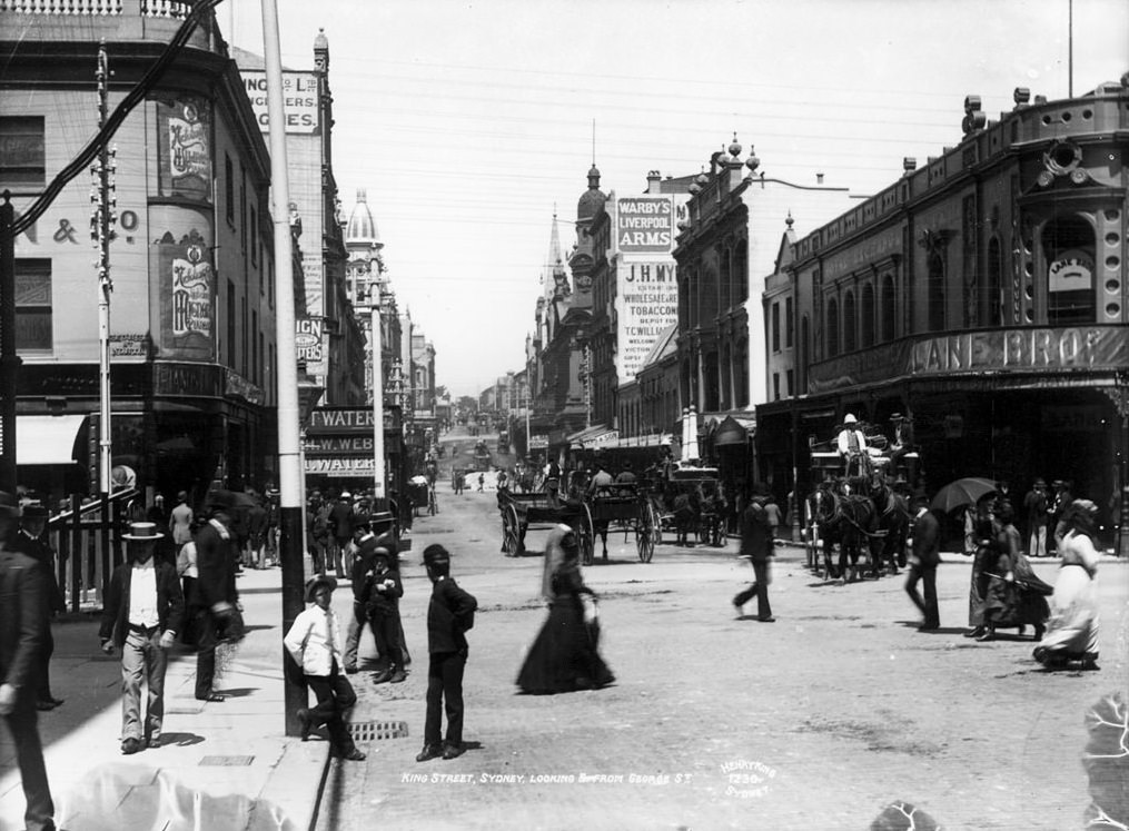
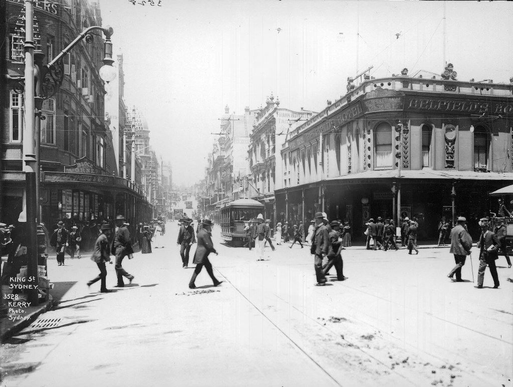
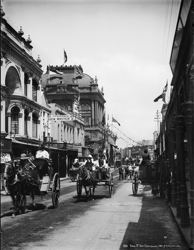
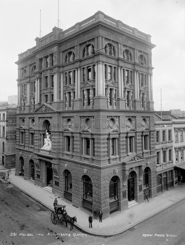
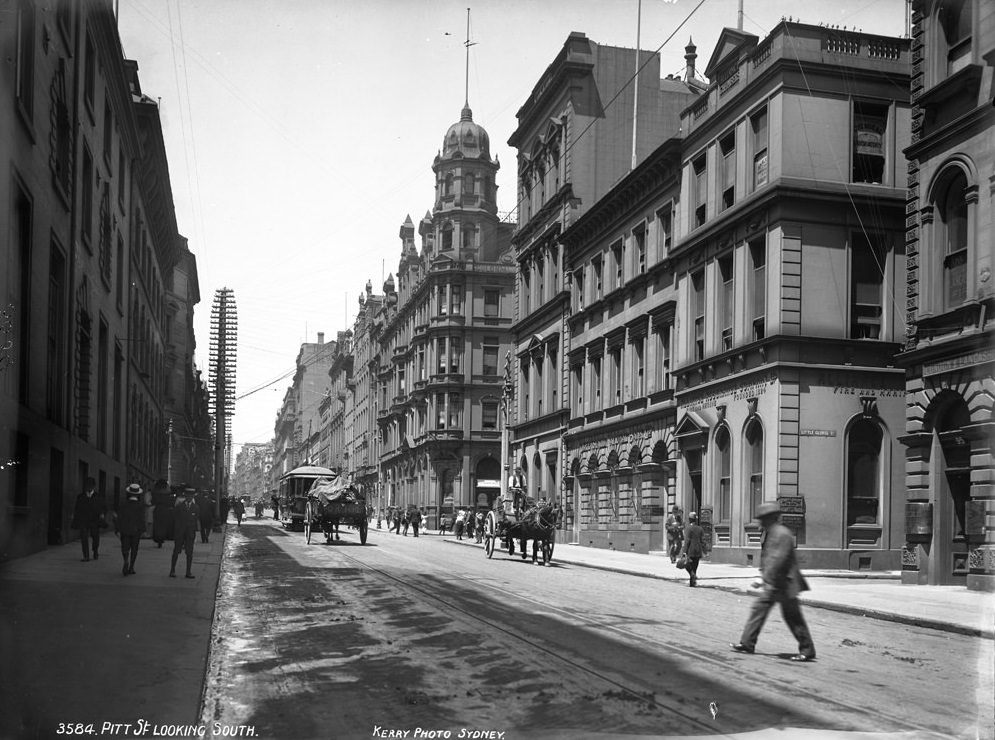
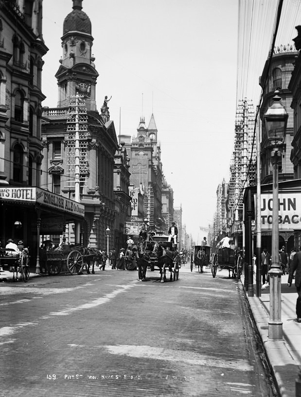
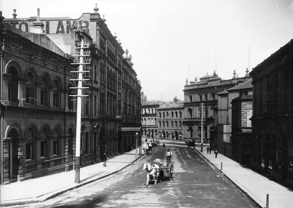
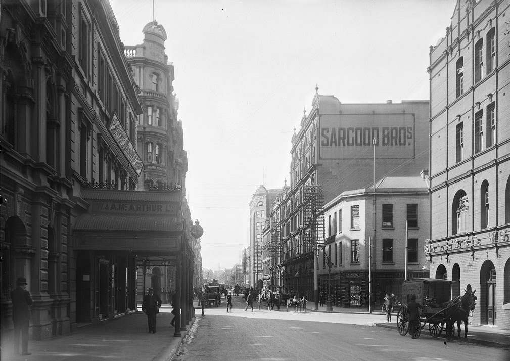
Pitt Street and George Street formed the commercial spine of the city. Banks, insurance offices, newspaper buildings, and retail stores lined these thoroughfares, and the corners they shared — at King Street, Hunter Street, and the Exchange — were photographed repeatedly because they were the busiest intersections in Australia. The Mutual Life Assurance offices and the Herald building were among the most photographed structures of the era.
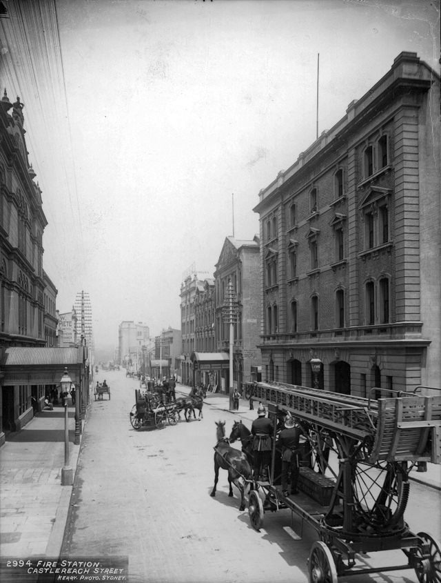
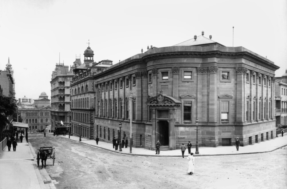
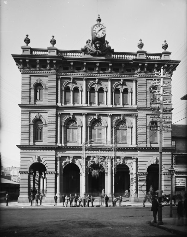
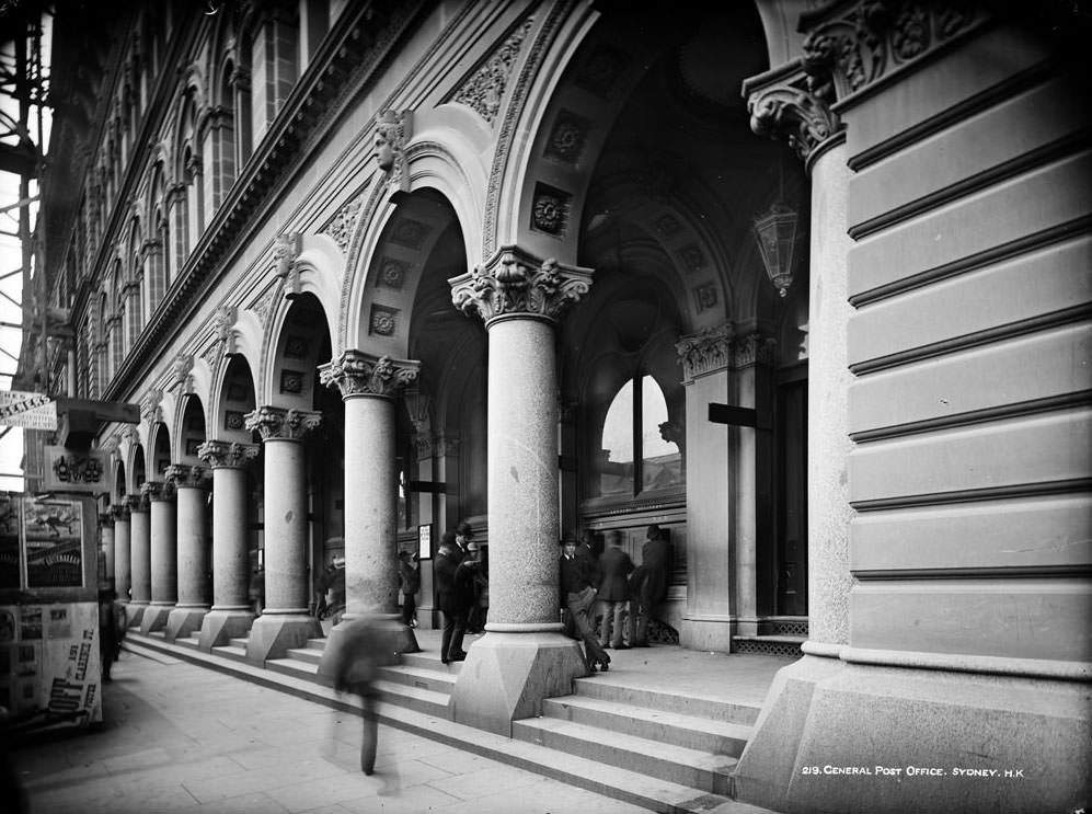
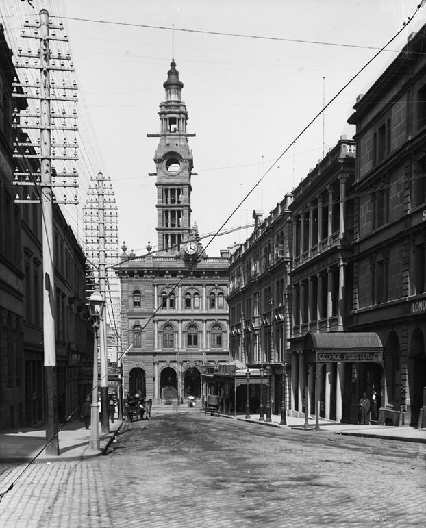
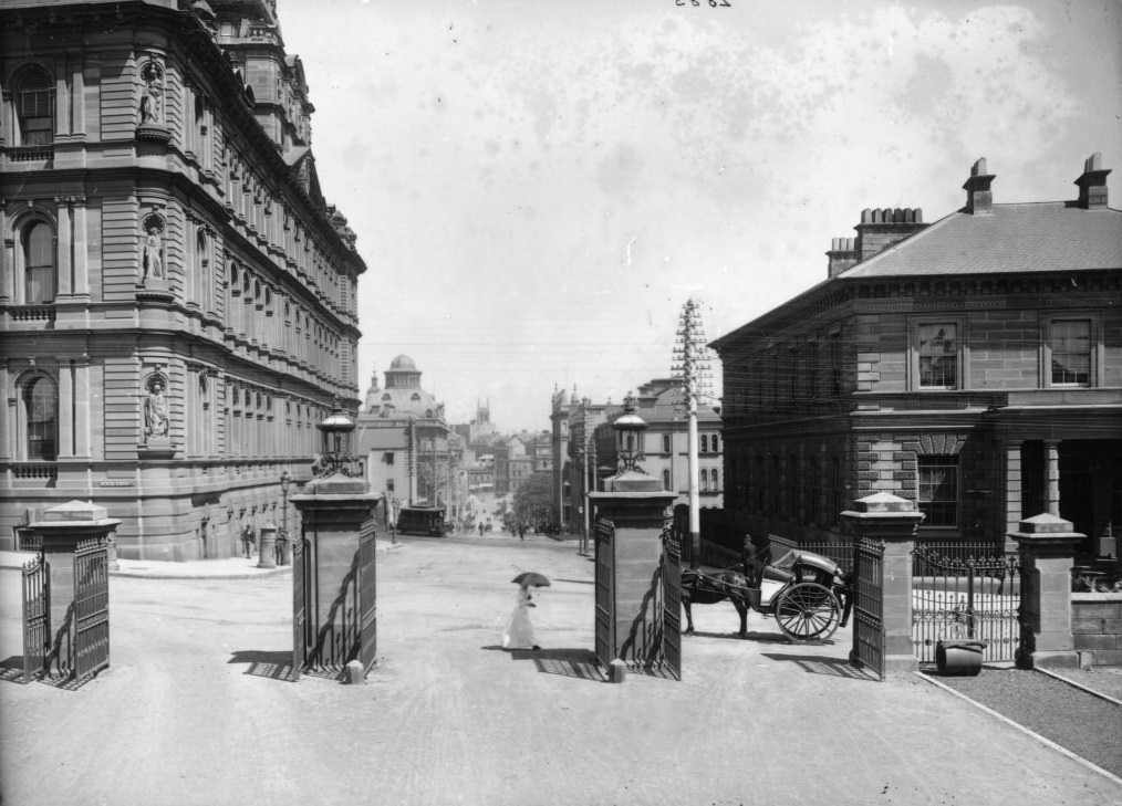
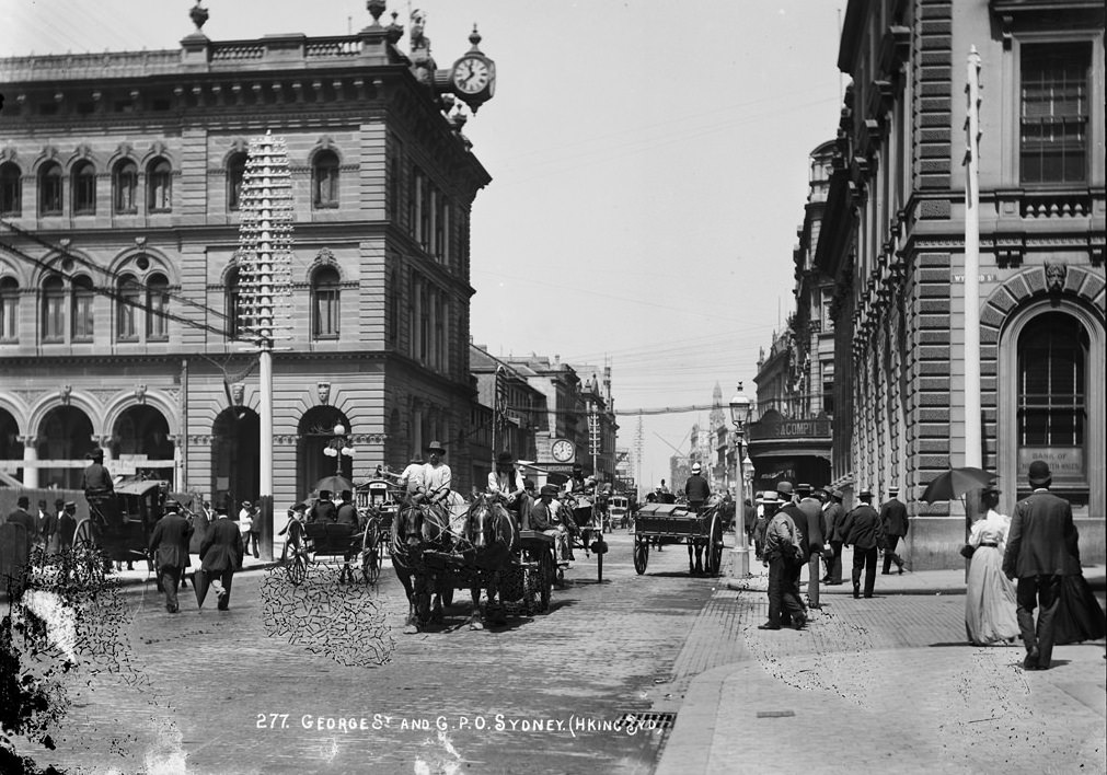
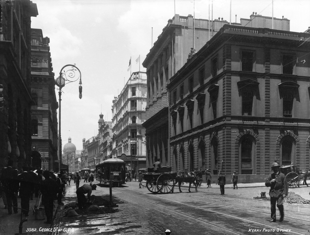
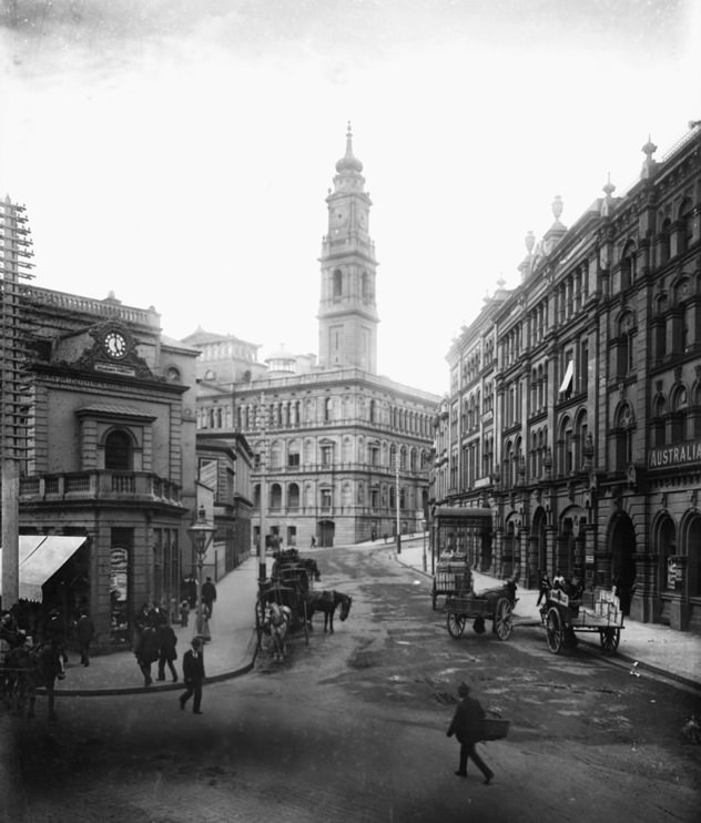
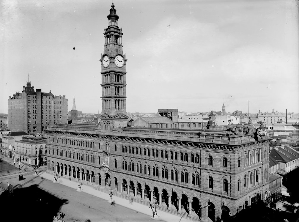
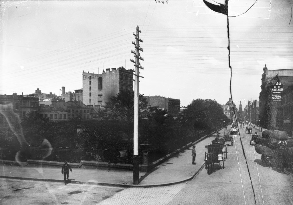
The General Post Office on George Street was one of the grandest buildings in the city. Its clock tower was a reference point for anyone navigating central Sydney, and the surrounding streets — captured here from multiple angles — show just how dense and active the city centre was. Horses, pedestrians, trams, and delivery wagons all shared the same road space.
Suburban growth was spreading outward from central Sydney along the railway and tram lines. The North Shore, once mostly rural, began to take on the character of a suburb as housing spread along the western railway and Parramatta Road. Settlements in the north, west, and south gradually merged into one another, forming the continuous urban fabric that defines Sydney today. The city was also building model suburbs — planned residential areas inspired by housing developments in Europe and North America — as an alternative to the overcrowded Victorian housing that had fallen out of favour after a bubonic plague outbreak in the early 1900s.
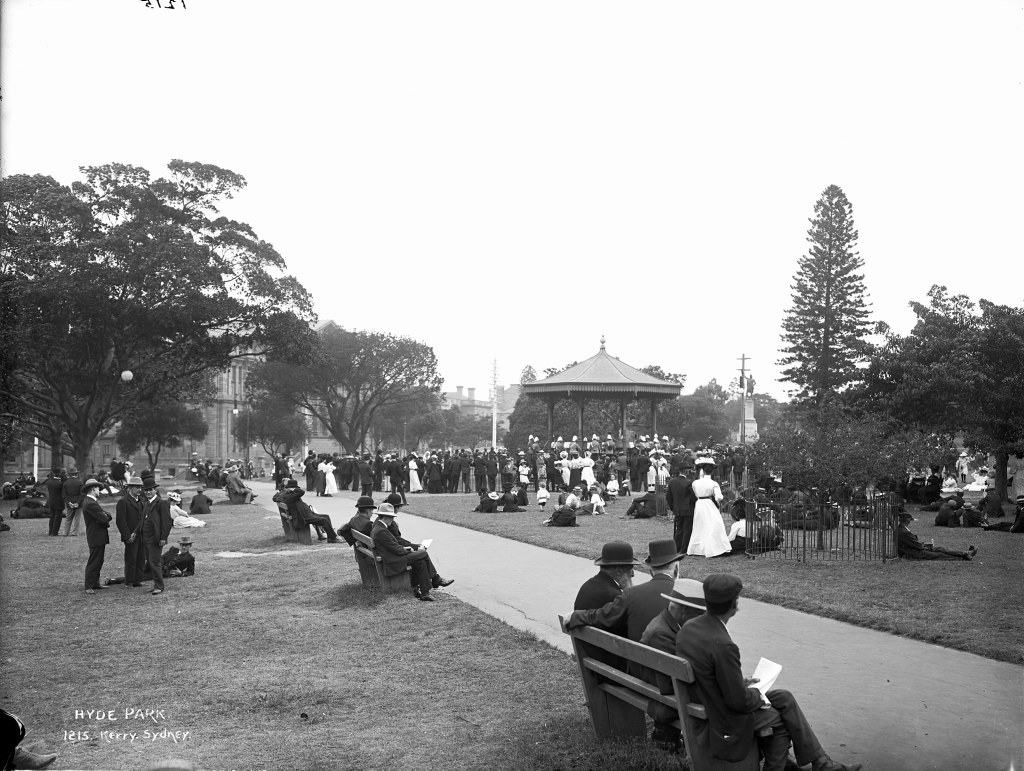
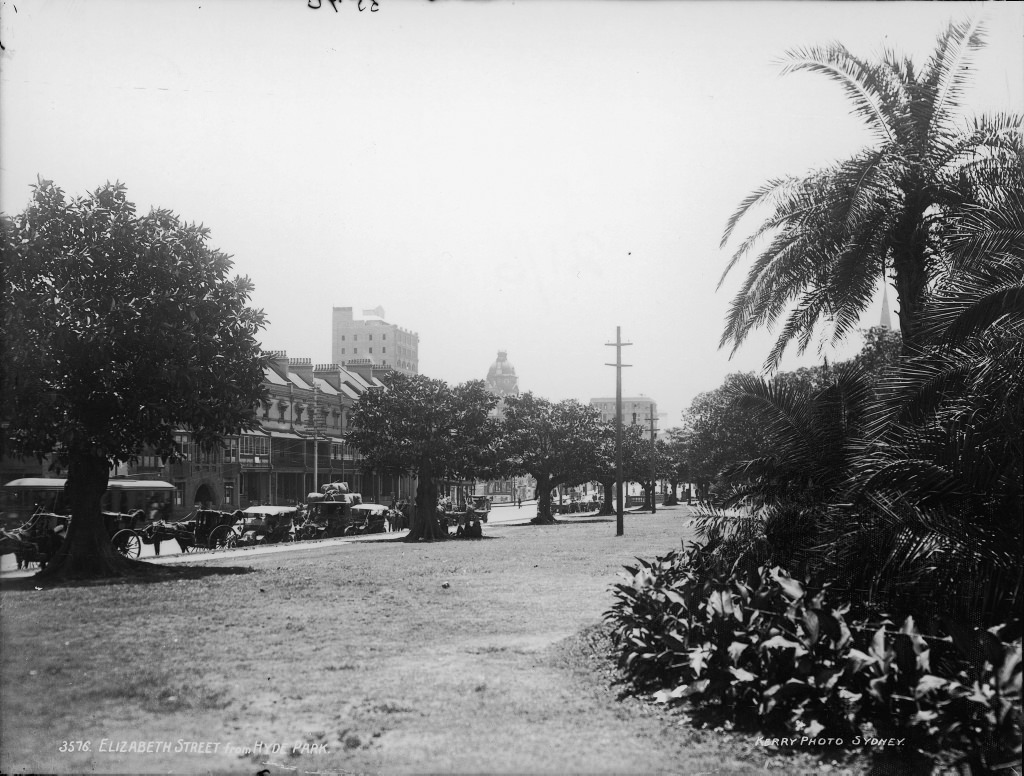
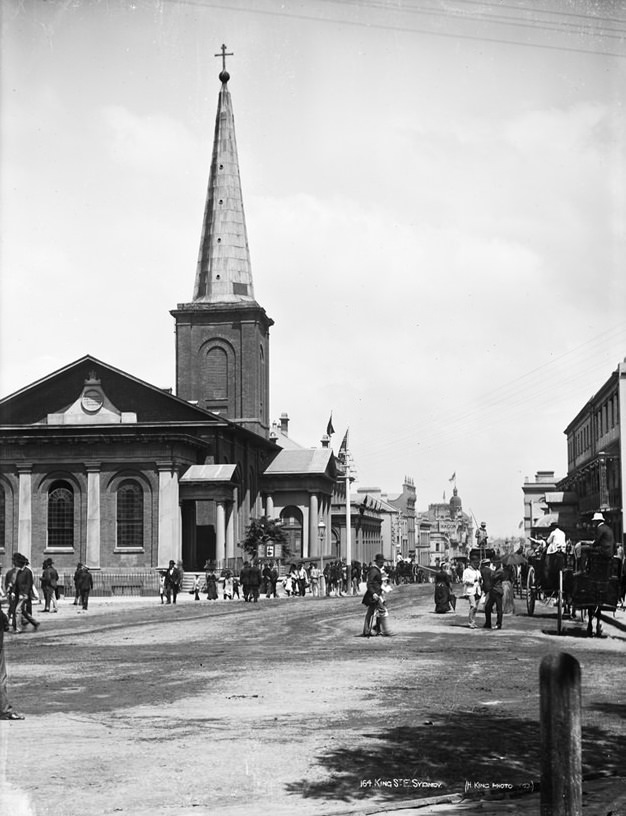
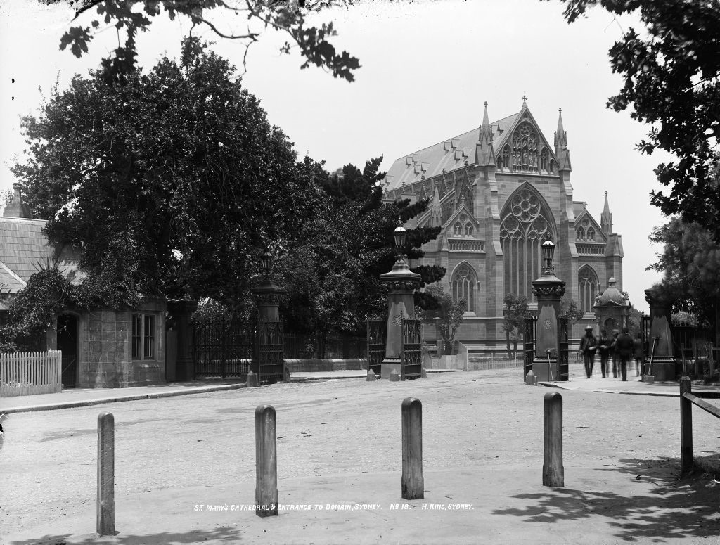
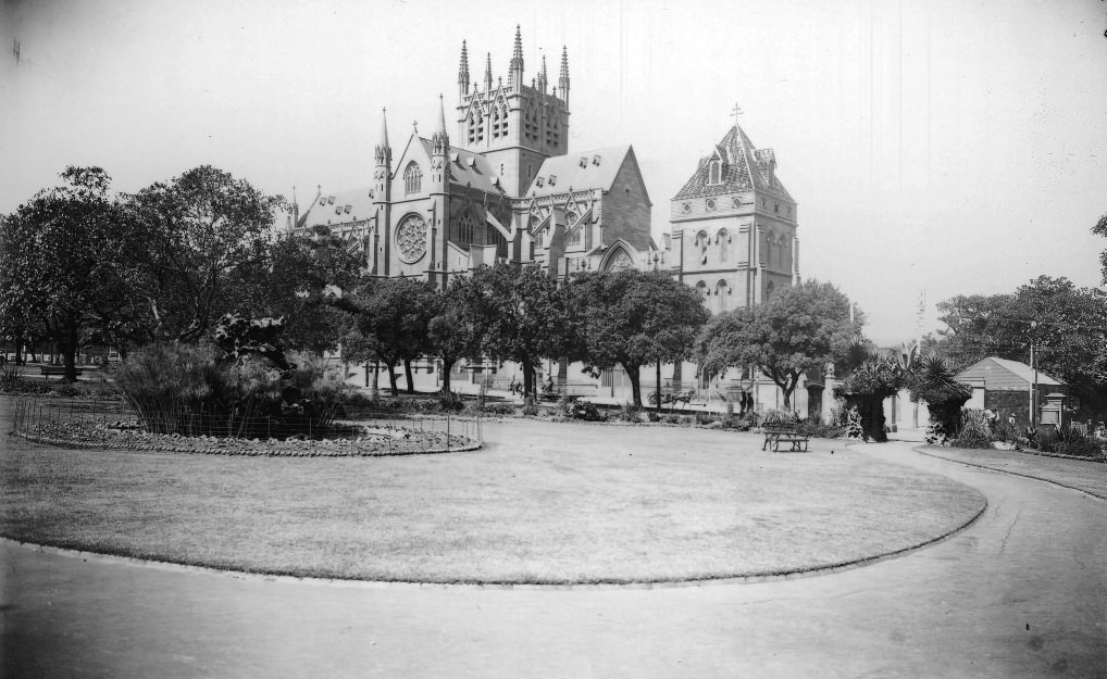
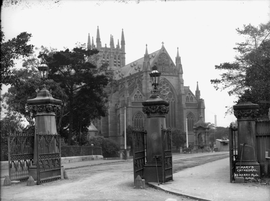
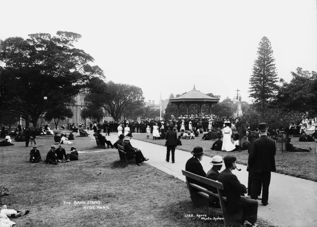
Hyde Park was the green heart of central Sydney, and photographs of it from this era show a formal, well-kept public space used by residents of all classes. St Mary’s Cathedral rose above its eastern edge, while the bandstand in the park was a gathering place for weekend crowds. King Street, running east from George Street toward the cathedral, was one of the city’s main legal and retail corridors.
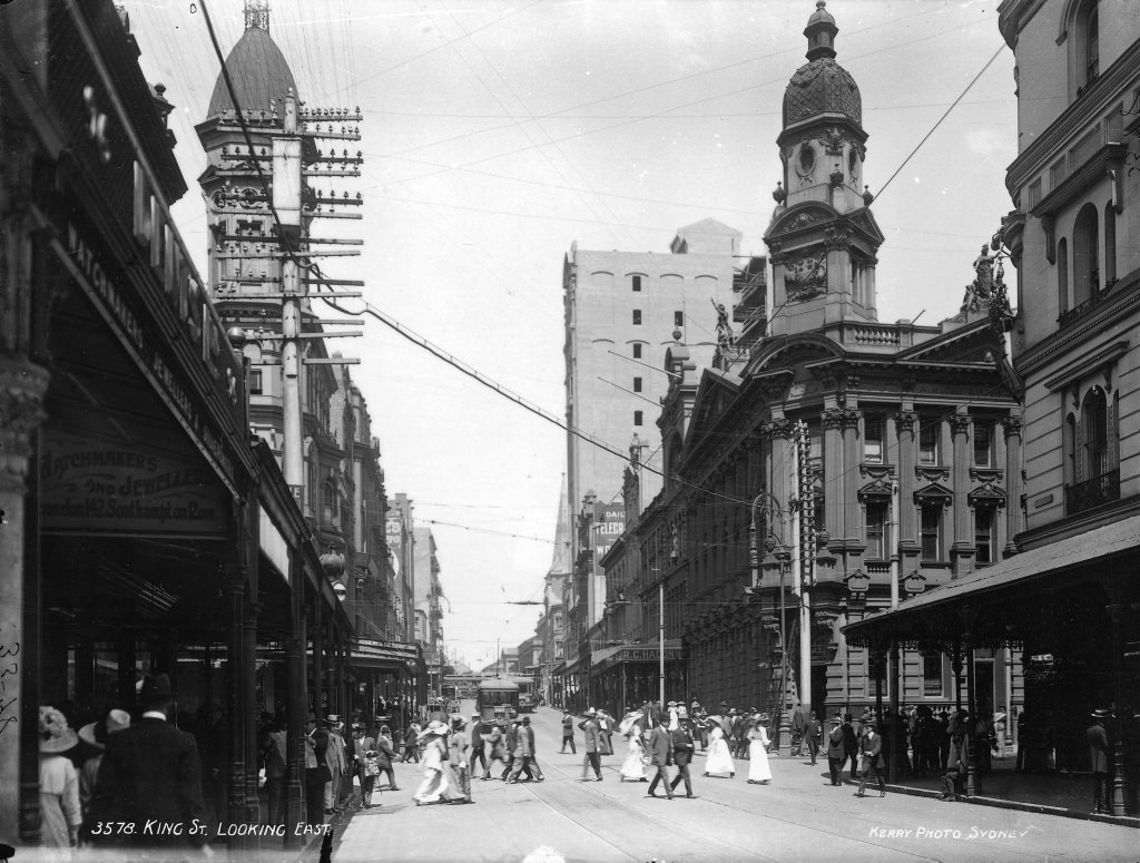
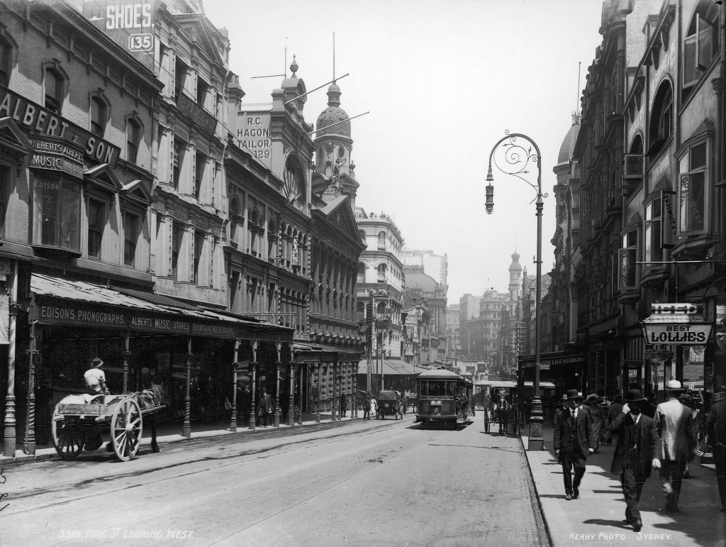
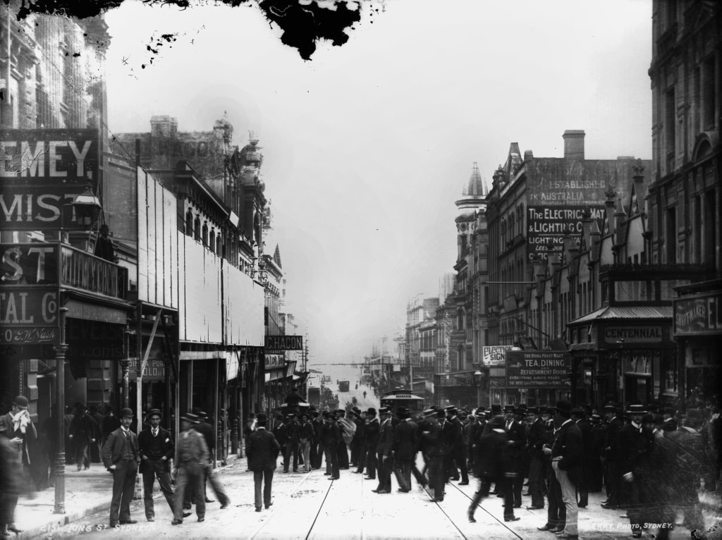
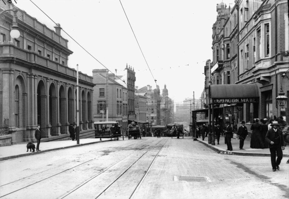
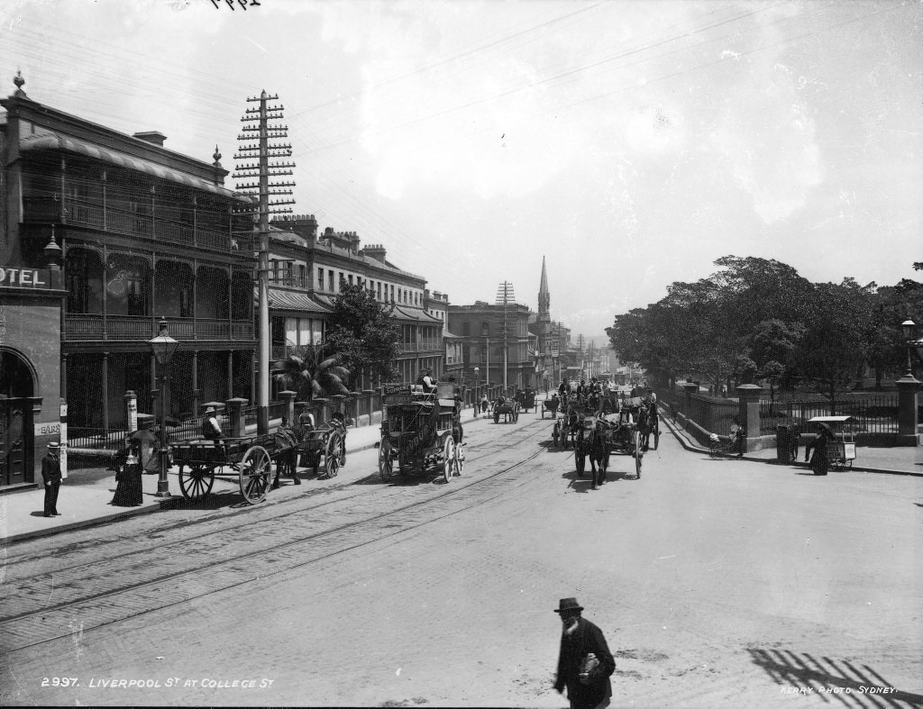
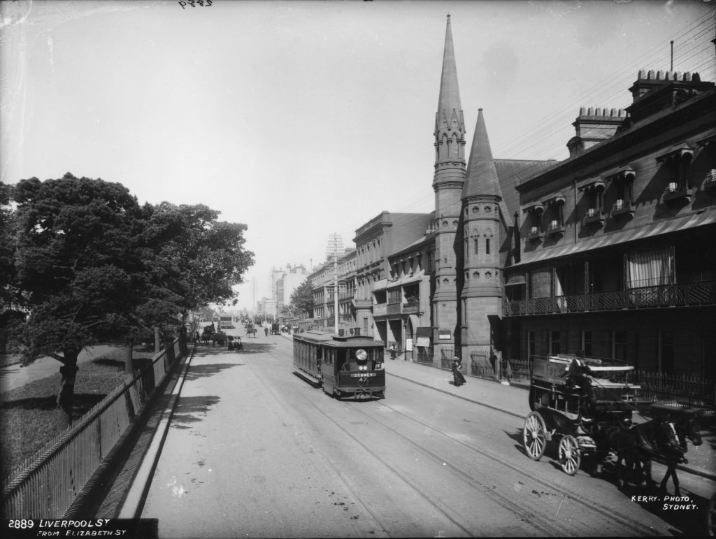
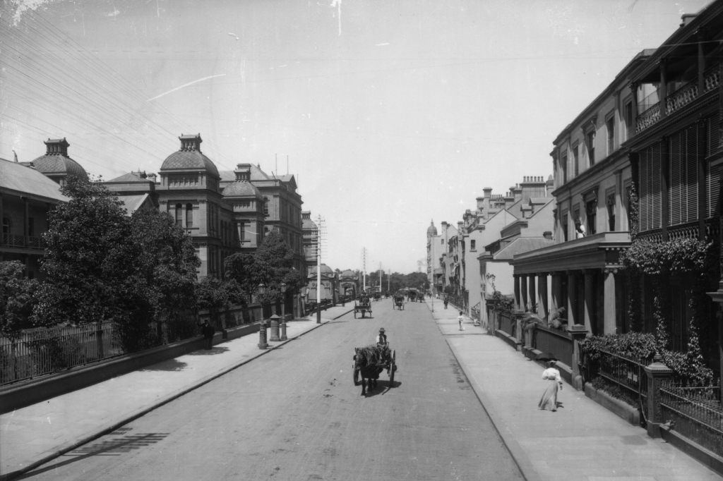
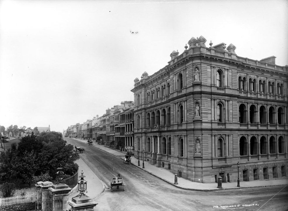
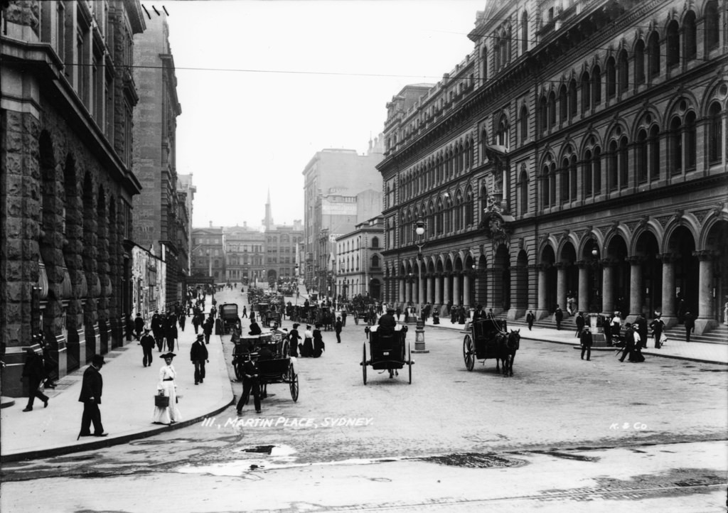
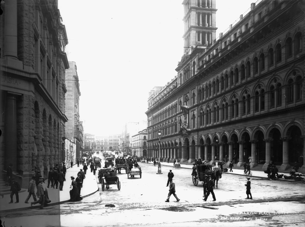
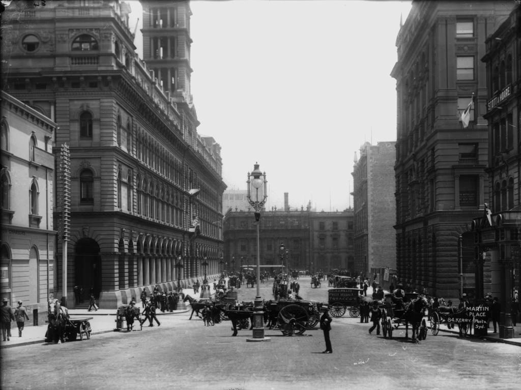
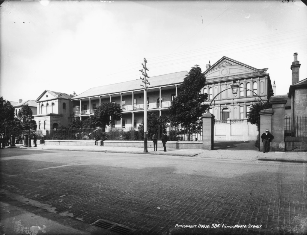
Macquarie Street was Sydney’s most prestigious address for institutions and government buildings. The hospital, the parliament, and grand stone offices lined its length, with Sydney Harbour visible from its upper reaches. Martin Place, running off Pitt Street, was already developing into the ceremonial and financial centre it would become — its wide pedestrian space flanked by banks and insurance buildings.
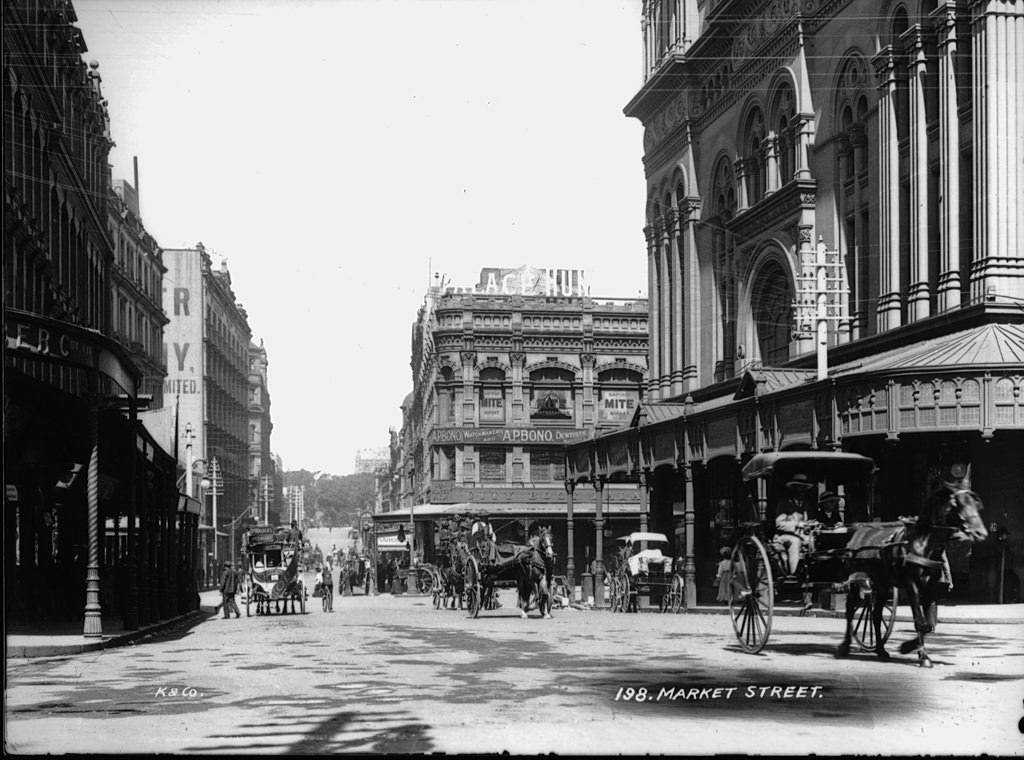
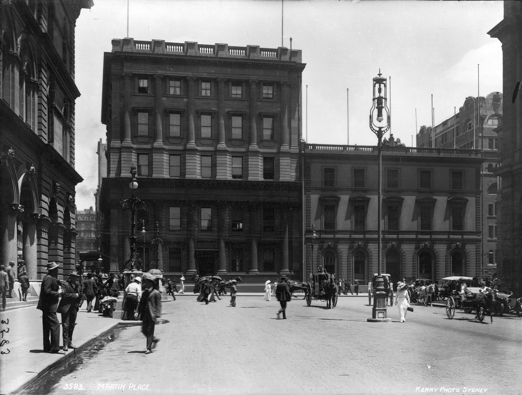
Sydney’s beaches had been popular day-trip destinations throughout the 19th century, but a strict social rule banned daylight swimming in the sea. That changed dramatically on October 10, 1902, when William Gocher walked into the water at Manly Beach wearing a neck-to-knee costume and was removed by police. Rather than end the matter, his act of defiance accelerated it. The following year, Manly Council lifted its ban on all-day bathing — with the condition that swimmers wear neck-to-knee swimsuits — and Sydney’s relationship with its beaches was permanently transformed.
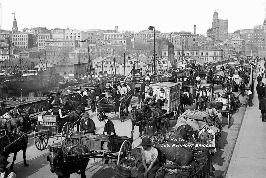
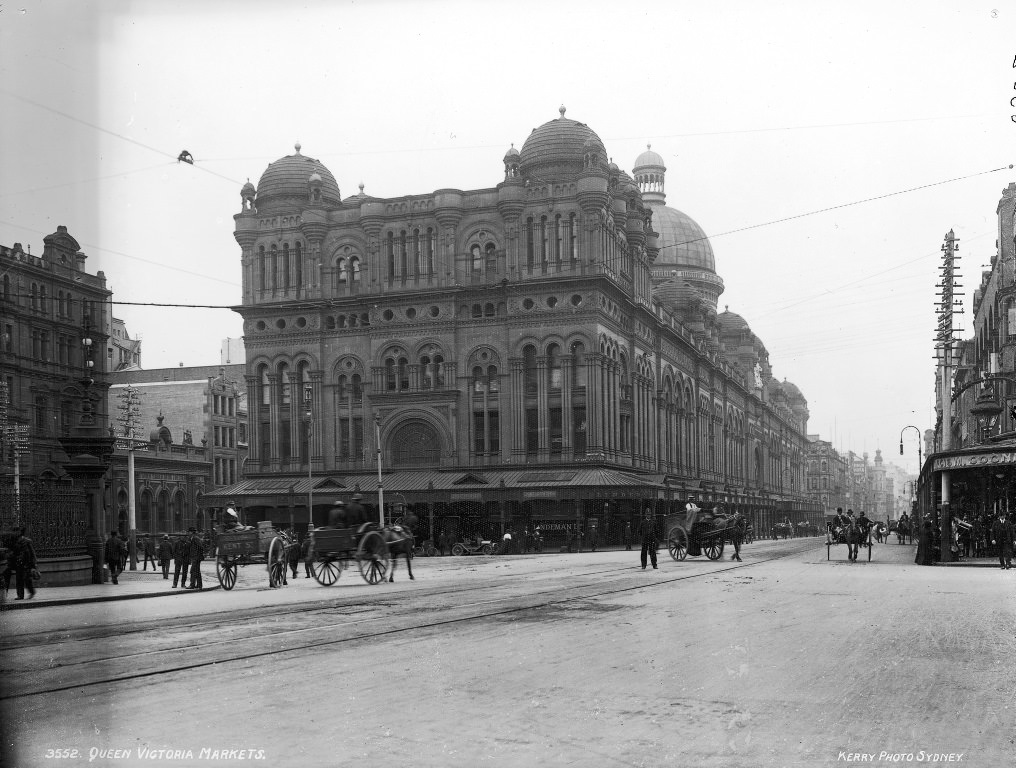
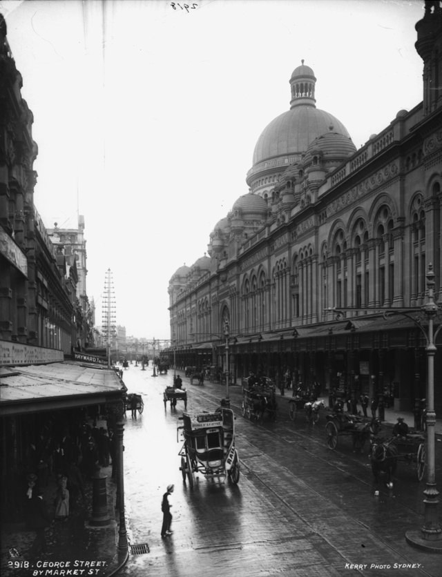
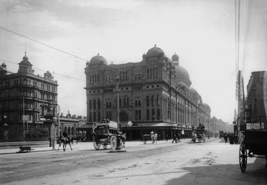
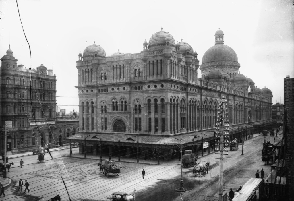
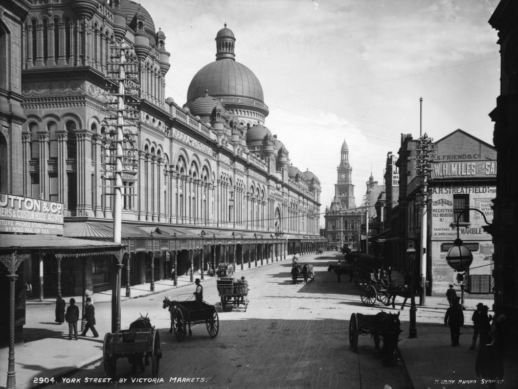
The Queen Victoria Building on George Street was among the most elaborate structures in the city. Built in the 1890s and functioning as a market in the early 1900s, it stood as an example of the grand Victorian architecture that Sydney was both building upon and moving away from. Pyrmont Bridge, linking the city to the western suburbs over Darling Harbour, was another key piece of infrastructure during a period when the city’s physical connections were being remade.
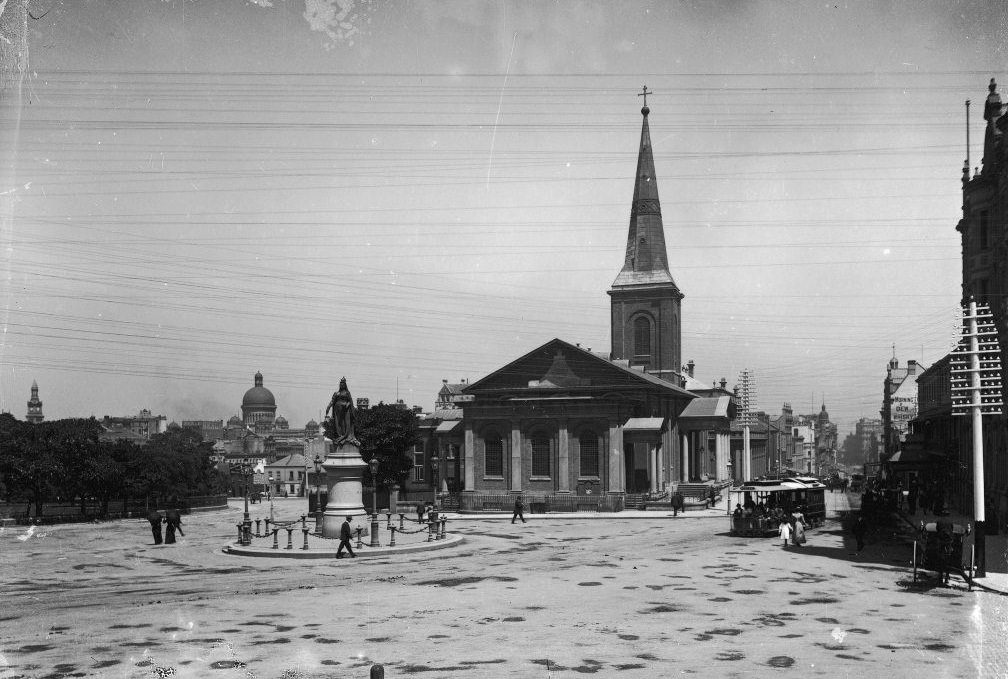
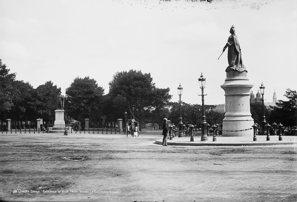
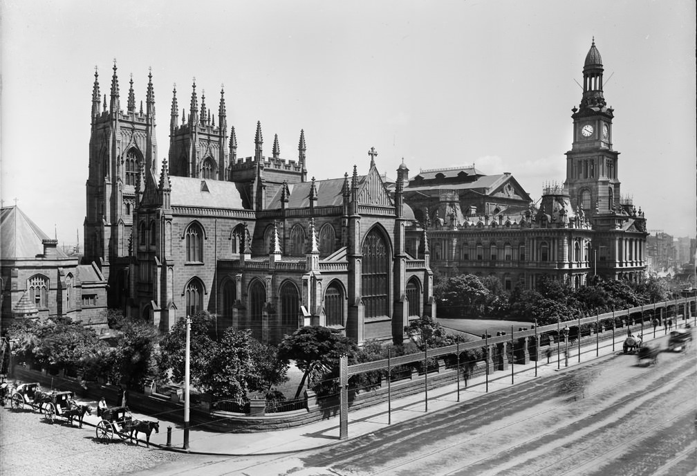
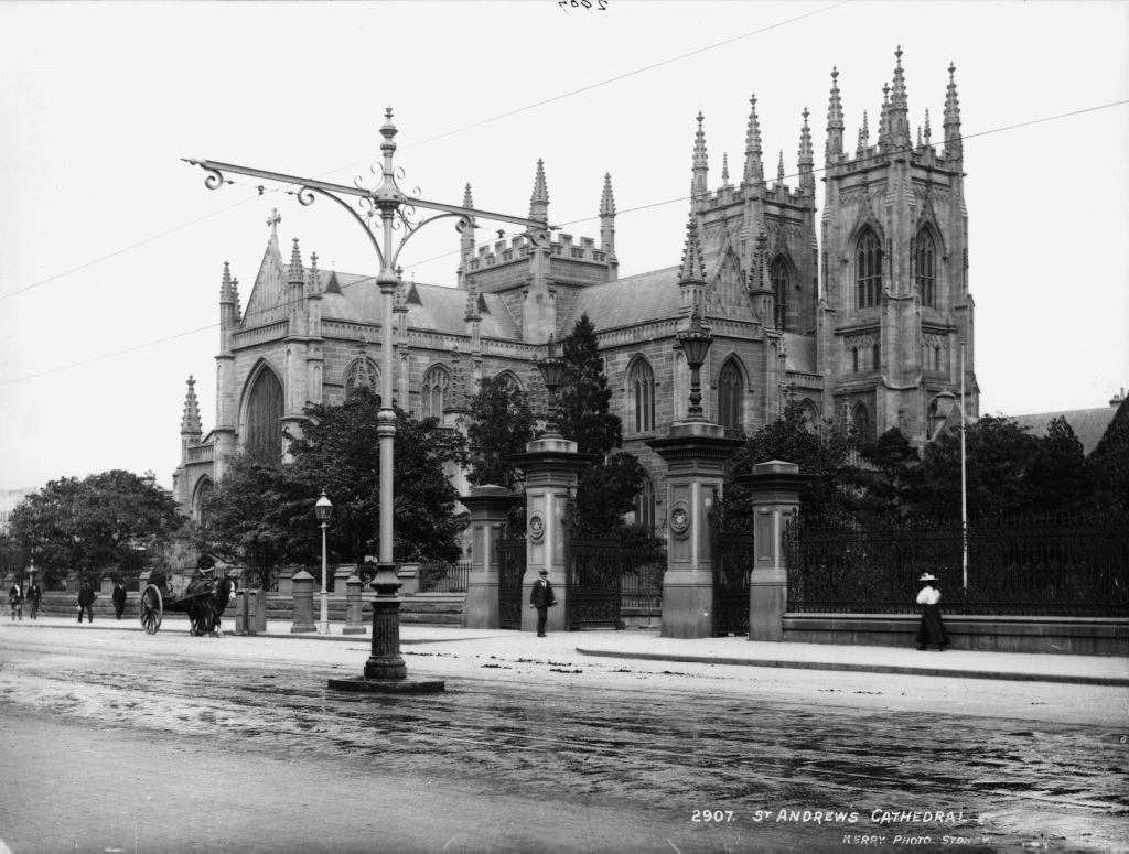
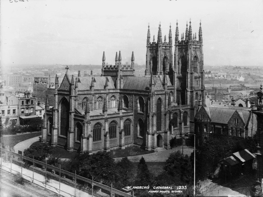
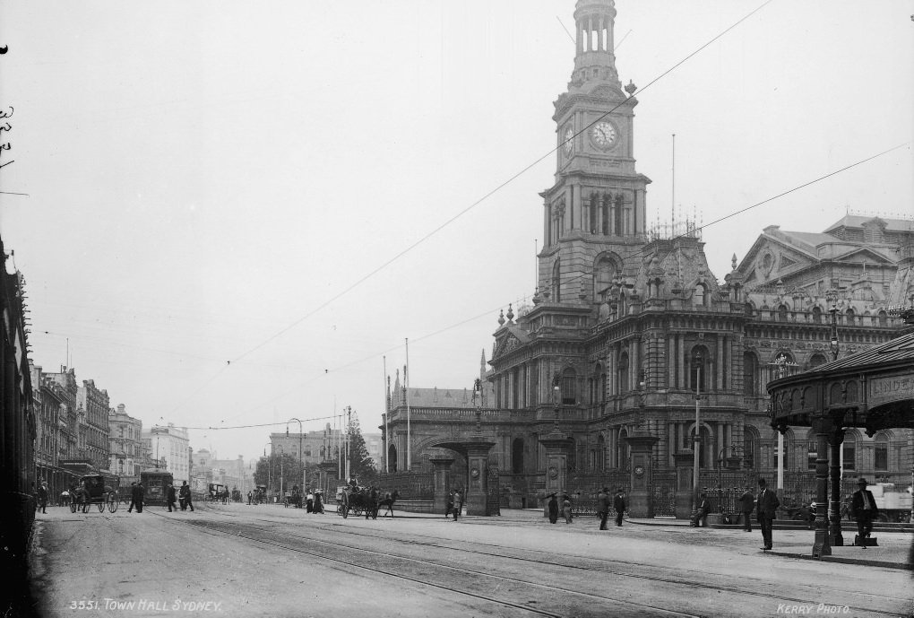
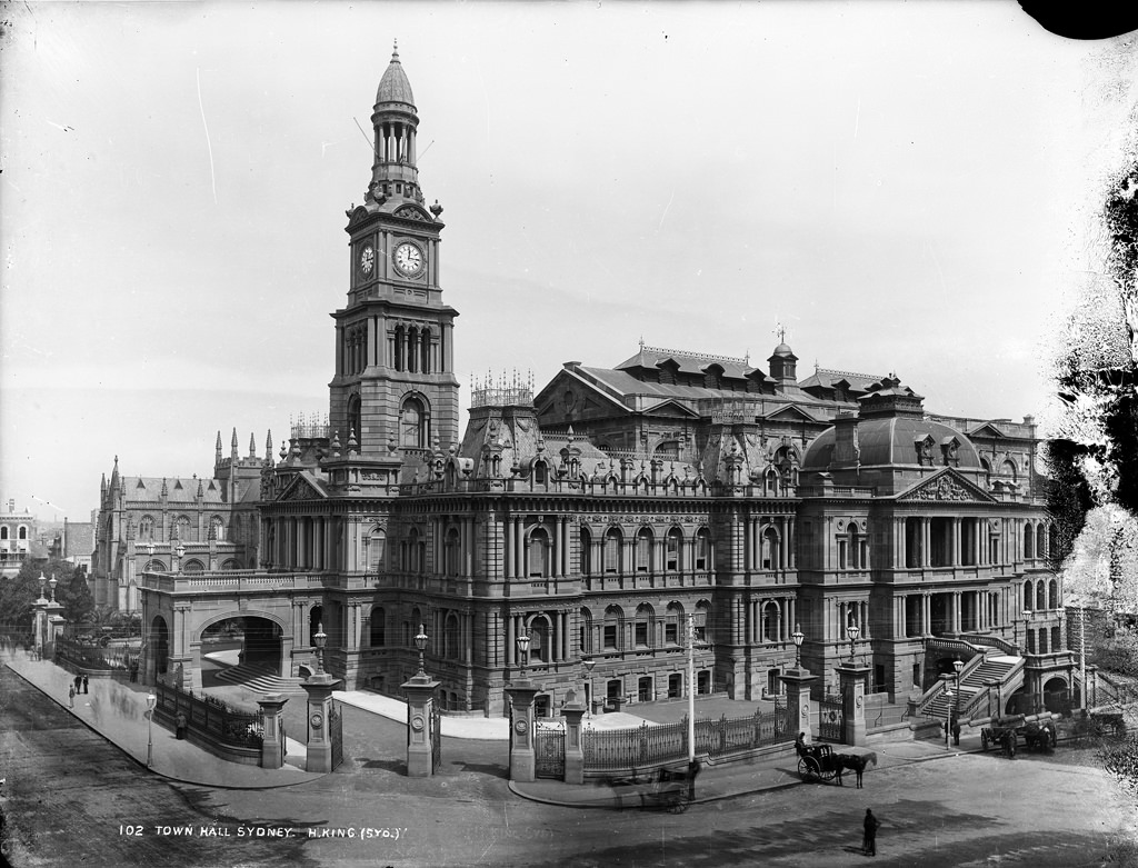
St Andrew’s Cathedral and Sydney Town Hall sat side by side on George Street, one representing the city’s Anglican heritage and the other its civic authority. Both were among the most photographed structures of the era. Nearby, St Mary’s Cathedral marked the eastern boundary of Hyde Park, its twin spires visible from considerable distance across the low-rise city.
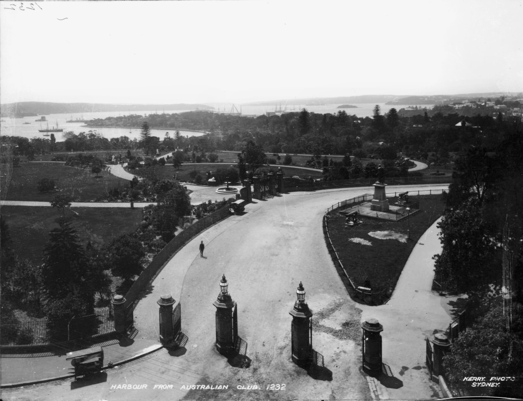
Sydney Harbour was the city’s most strategic asset. Photographed from the Australian Club, its vast expanse made clear why a permanent crossing between the north and south shores was such a pressing concern. Ferry routes already connected the two sides, but the demand for a bridge was growing with the population. The wool stores at Circular Quay handled vast quantities of Australia’s most valuable export, and the waterfront was rarely quiet.
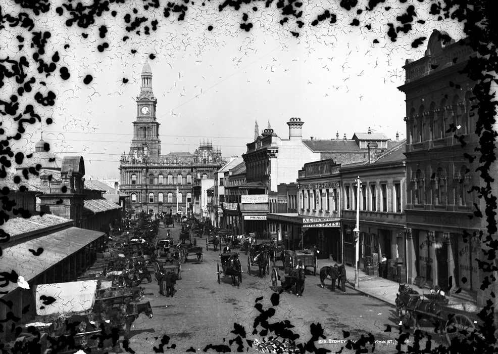
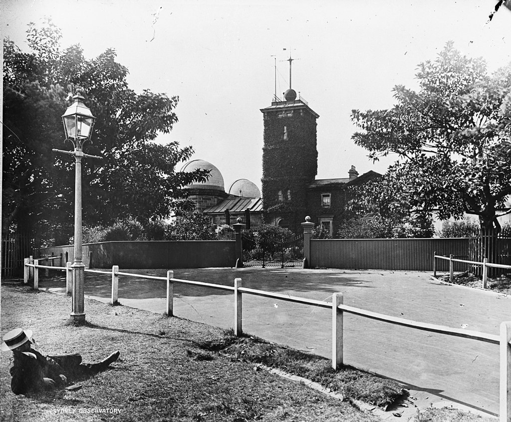
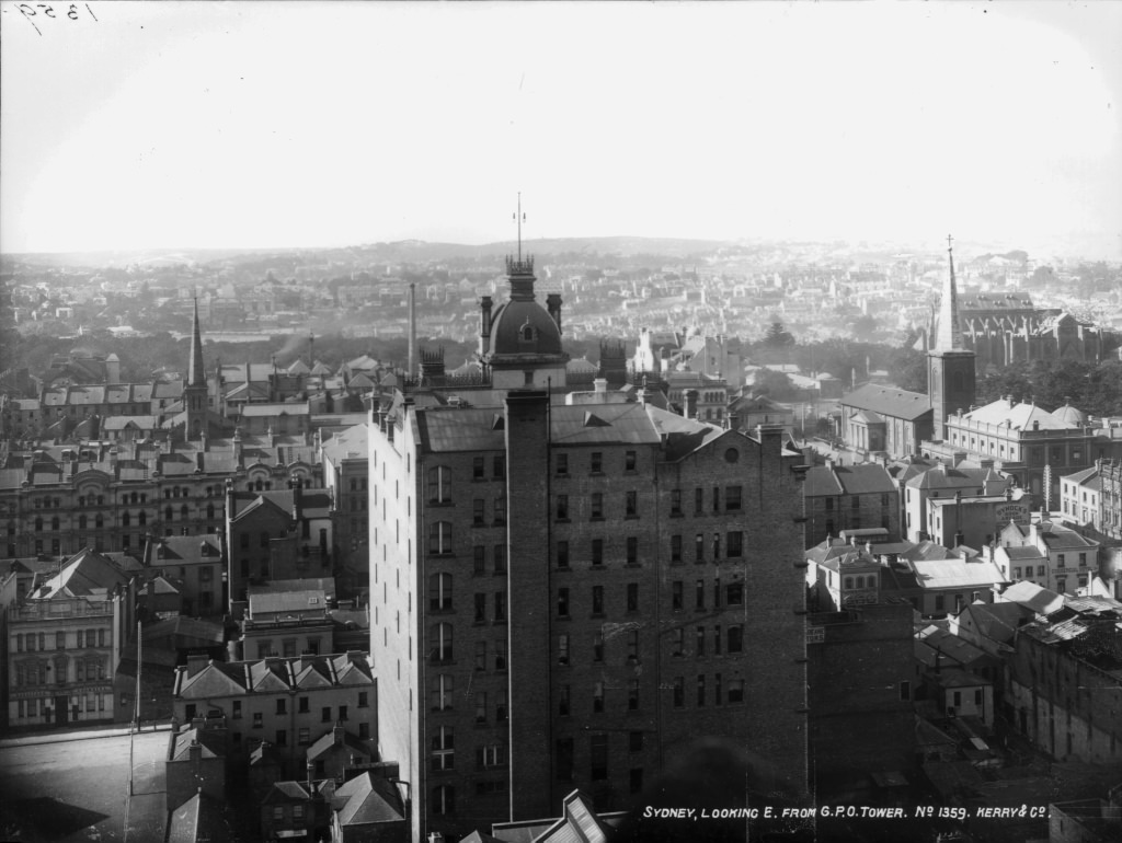
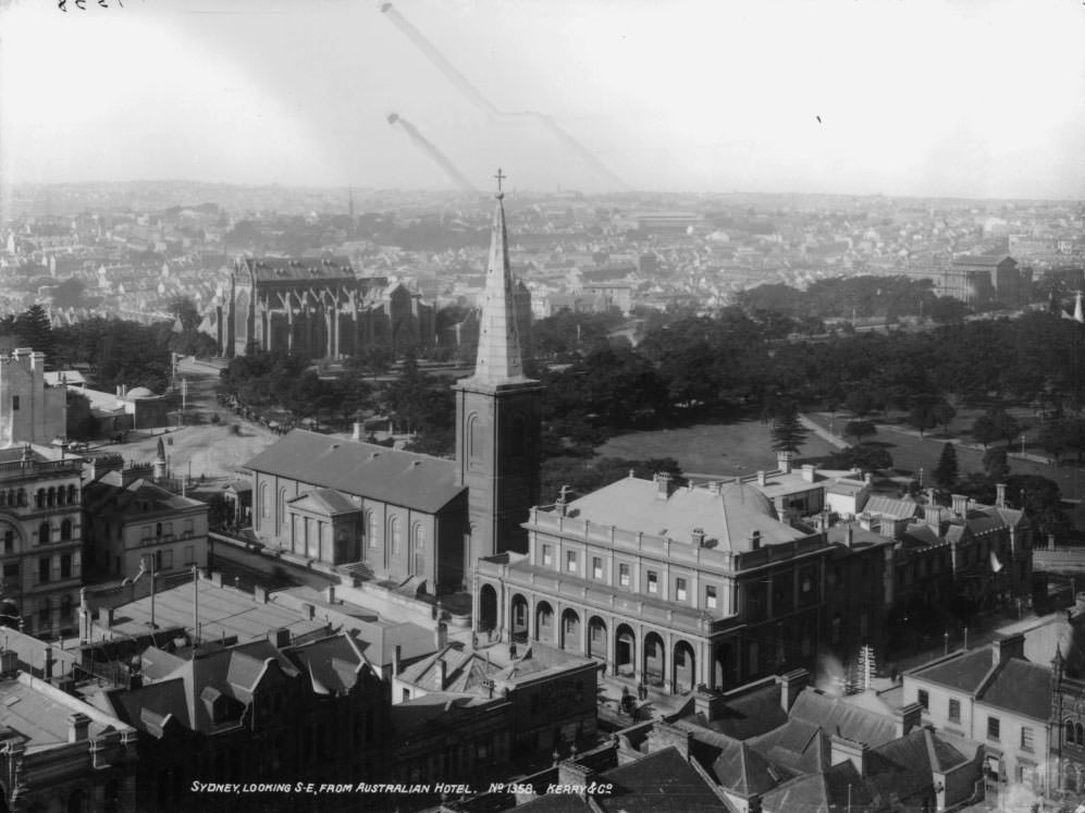
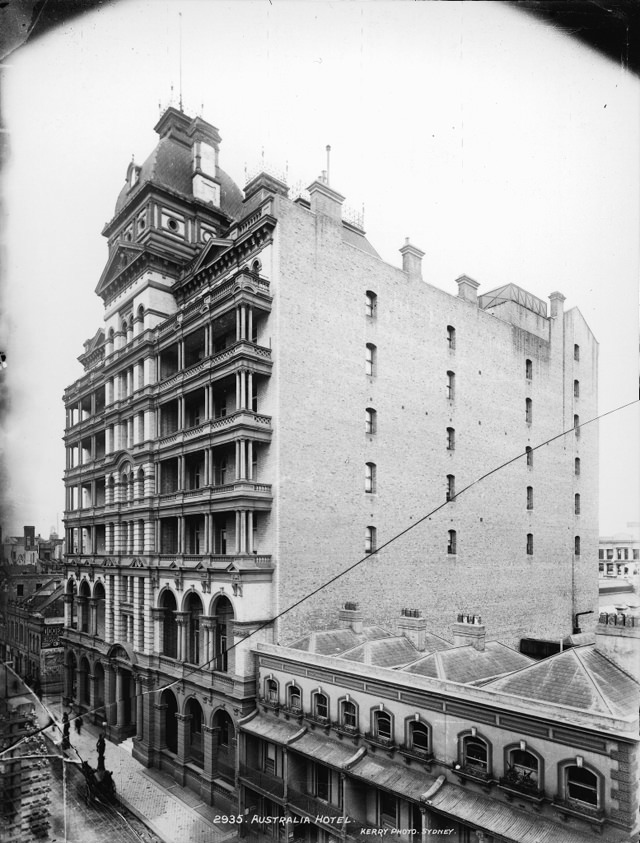
Aerial and elevated views from the GPO tower and the Australian Hotel show just how densely packed central Sydney had become. Rooftops stretched in every direction, interrupted by church spires, market halls, and the occasional chimney stack. In 1906, the world’s first surf lifesaving club was founded at Bondi Beach, formalising what had become an increasingly popular — and increasingly dangerous — activity along the city’s coastline.
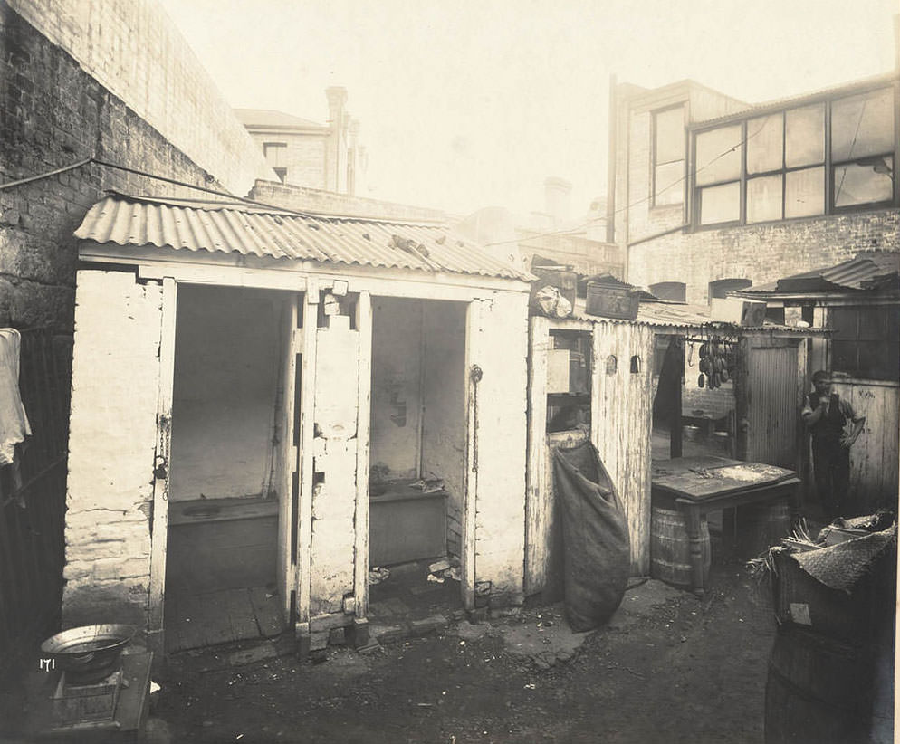
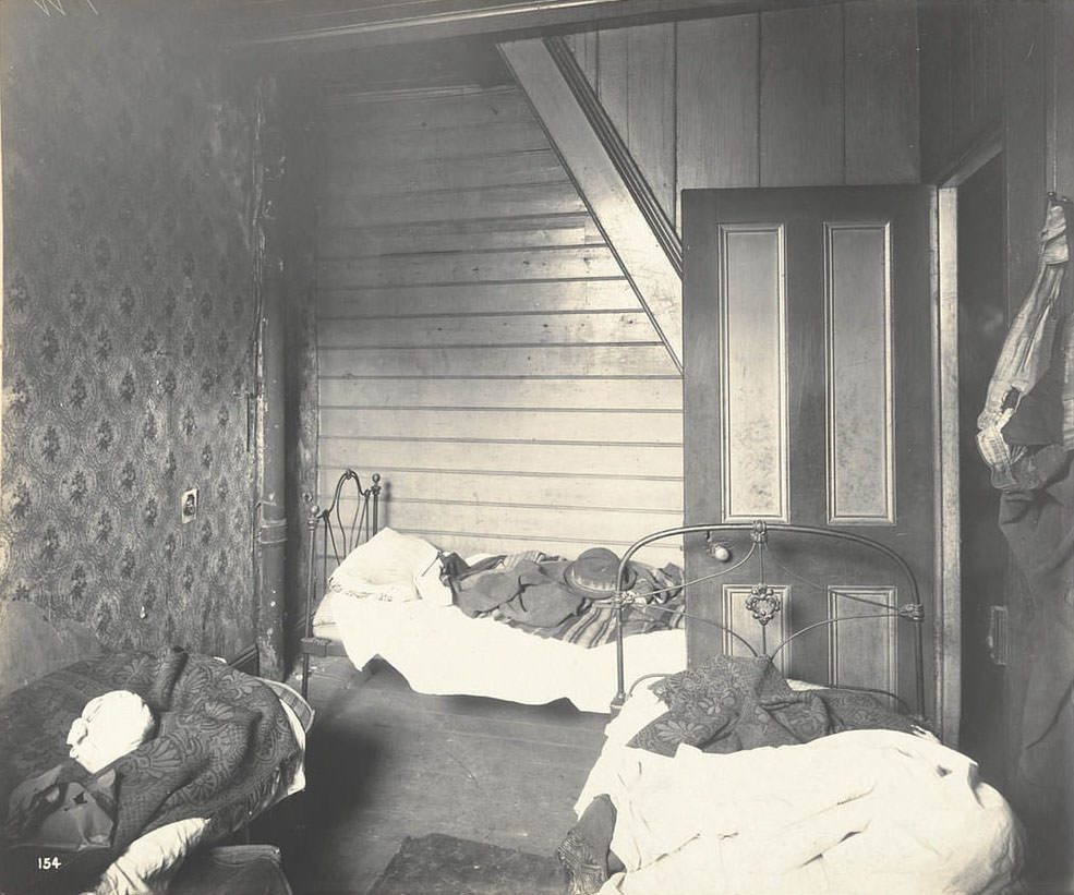
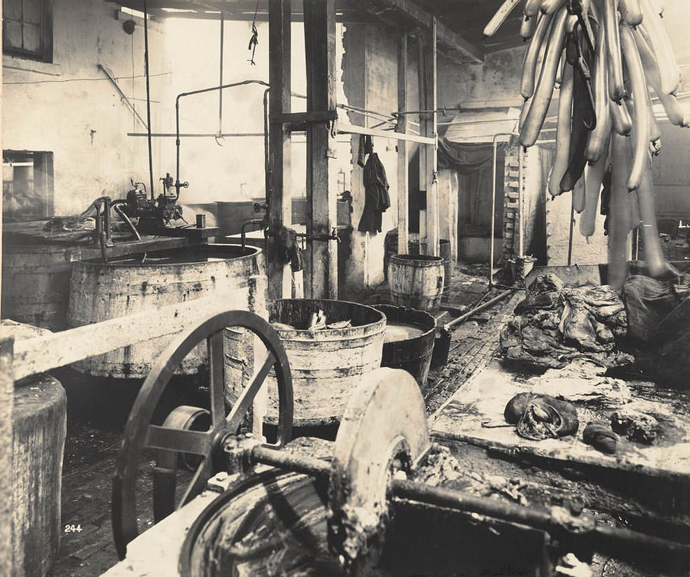
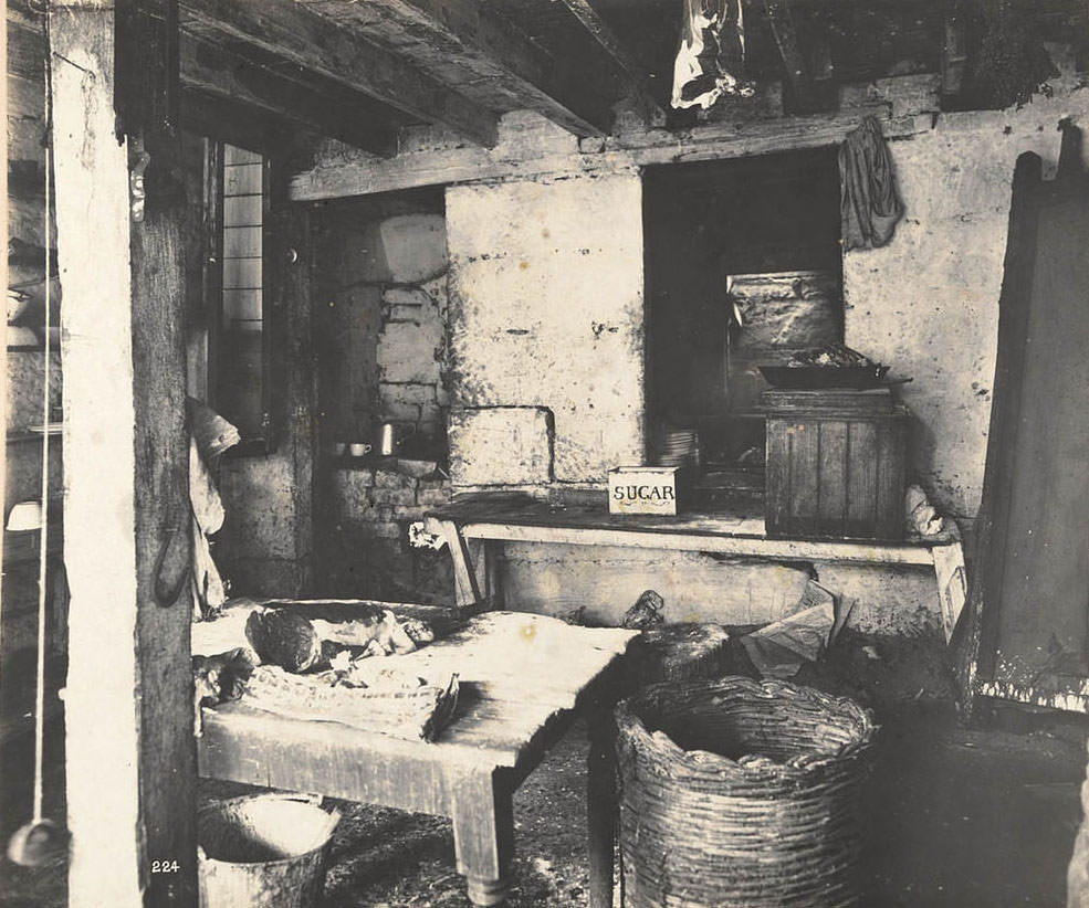
Not all of Sydney’s story from this era was one of civic progress and gleaming tram lines. A second set of photographs, taken by health inspectors and government officials, documents the conditions in the city’s back lanes, worker housing, and industrial quarters. These images were produced as part of the government’s response to the bubonic plague outbreaks that struck Sydney beginning in 1900. The disease spread through rat populations in the crowded inner-city, and authorities photographed problem sites to support their case for demolition and rebuilding.
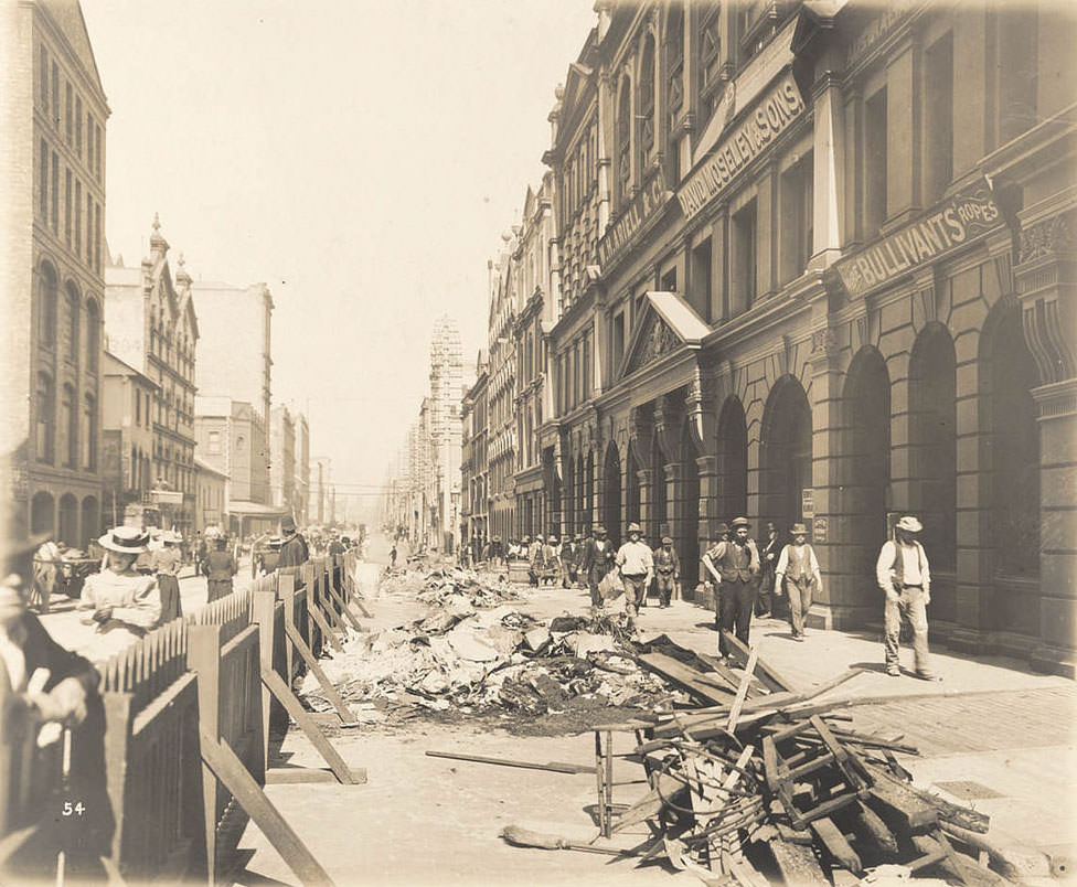
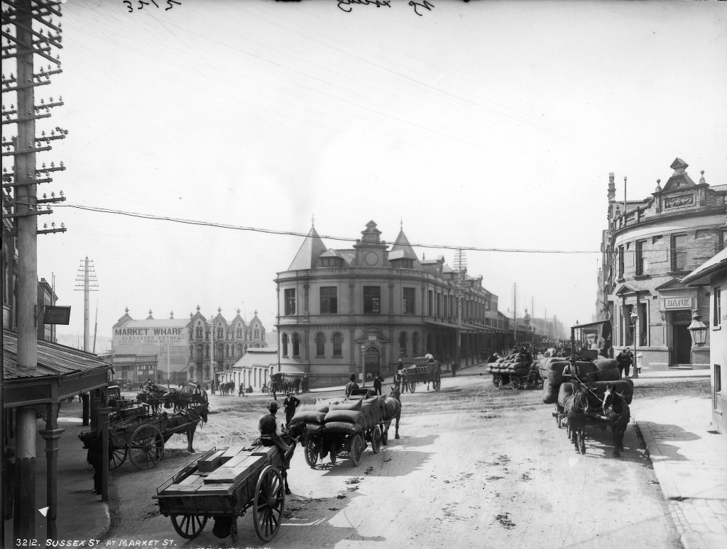
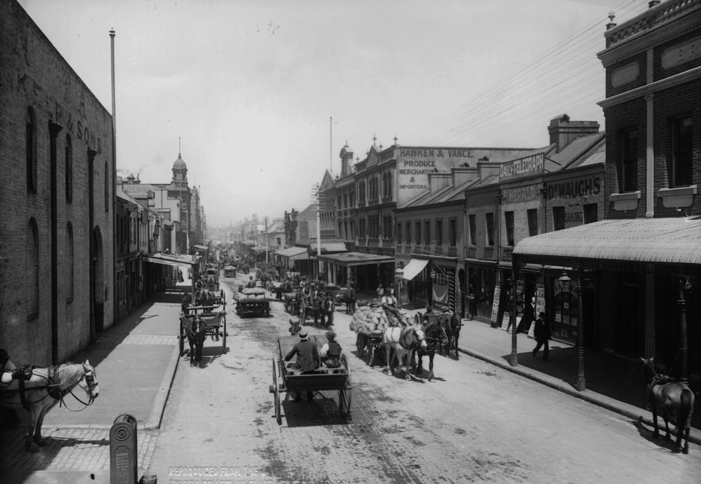
The lanes off Sussex Street, the yards behind Castlereagh Street, and the cramped housing along Wexford Street were among the areas targeted by inspectors. What the photographs show is a city within a city — narrow passages, timber sheds propped against stone walls, open drains, and outhouses shared between multiple households. These conditions were not rare. They were common across the inner suburbs.
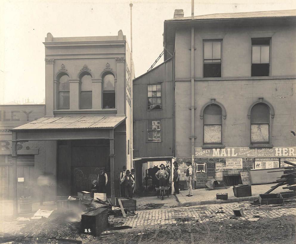
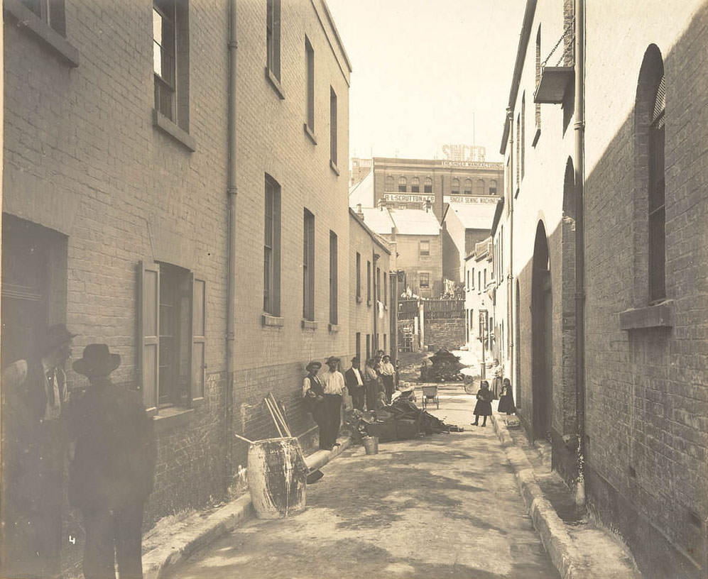
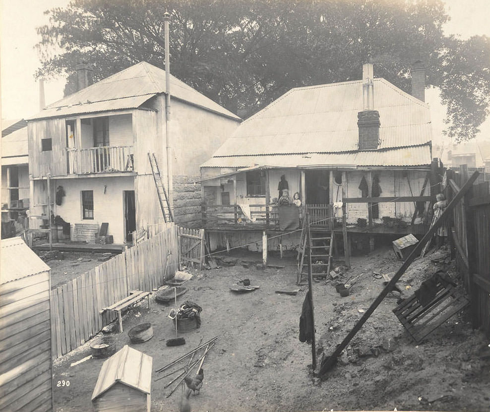
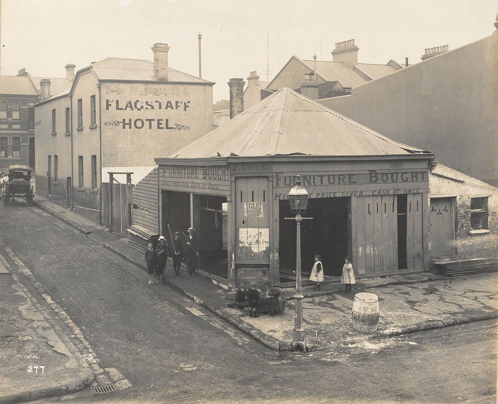
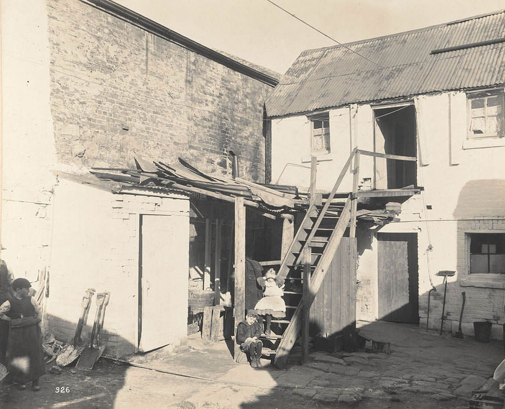
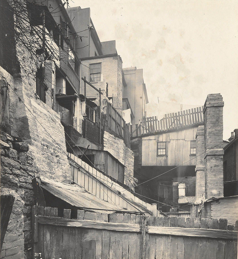
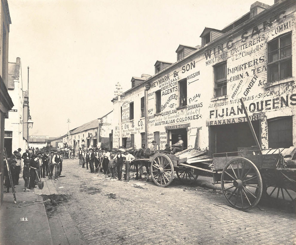
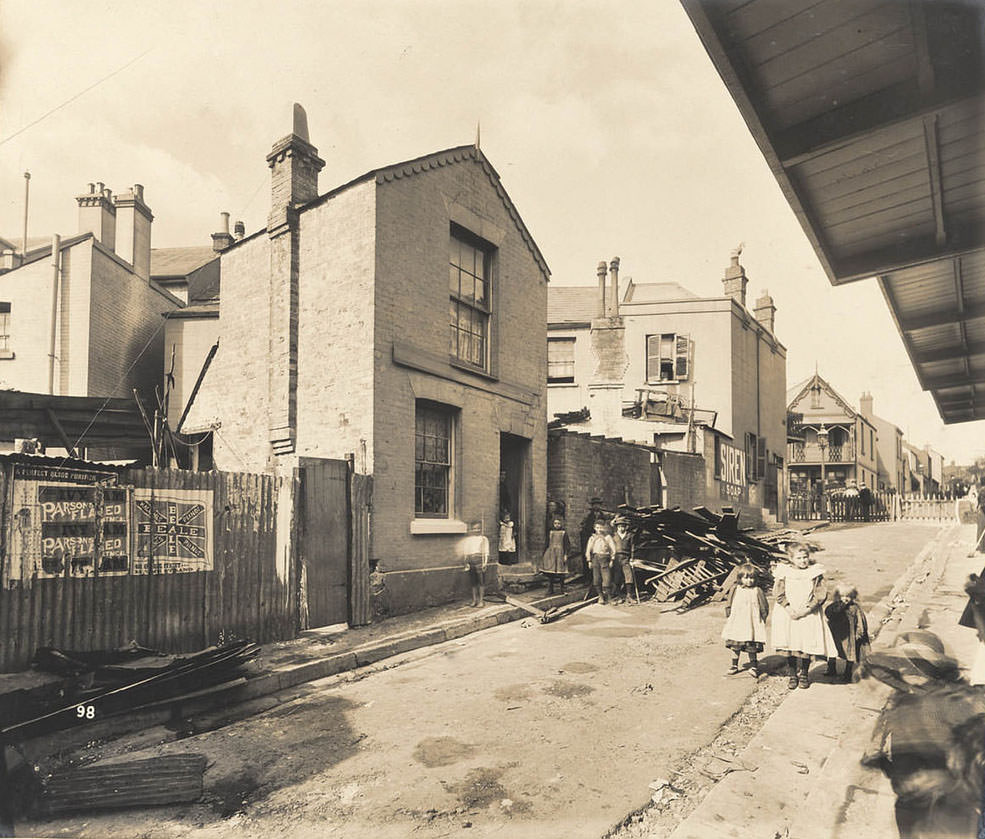
The photograph captioned as a Chinese bedroom at the rear of 50 Wexford Street is particularly striking. It documents the living conditions of Chinese residents in the area — a population that faced both legal discrimination and social marginalisation during this period. These images were not made with any sympathy for the people living in them. They were evidence gathered to justify demolition. But they now serve as one of the few direct visual records of how the city’s poorest and most marginalised residents actually lived.
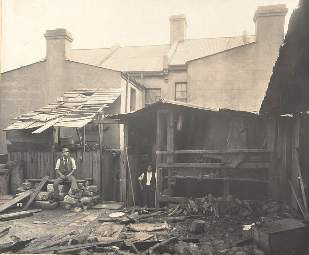
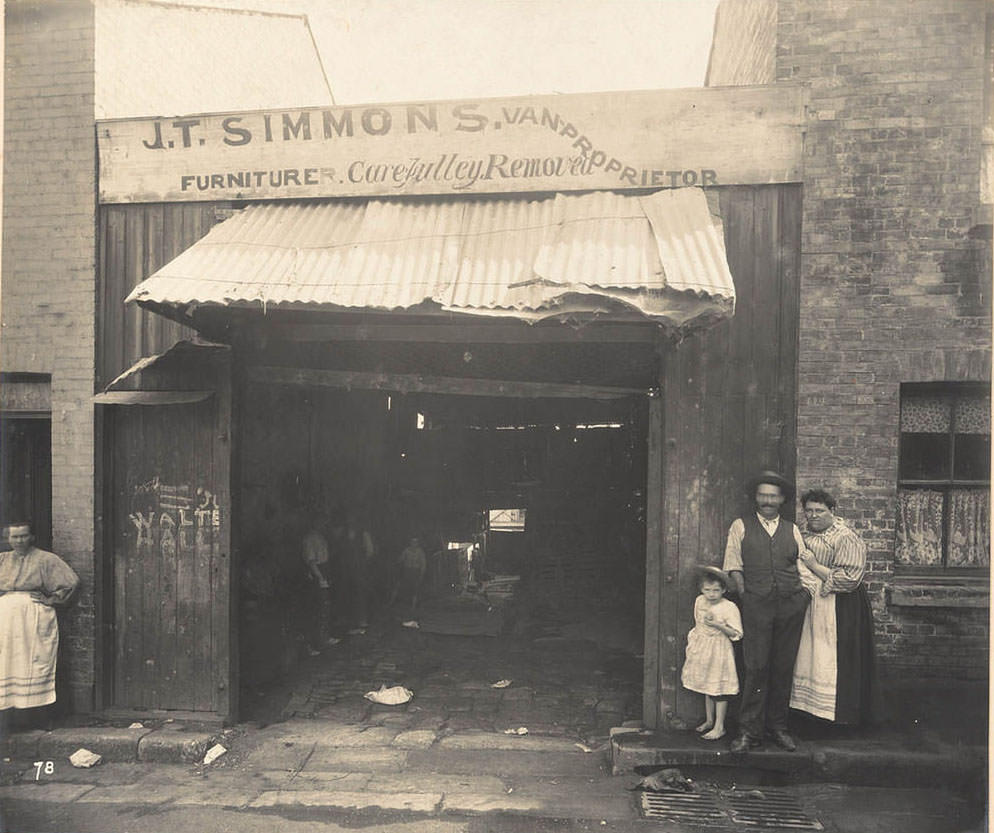
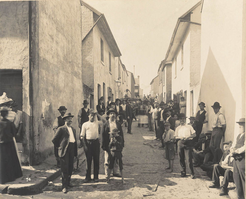
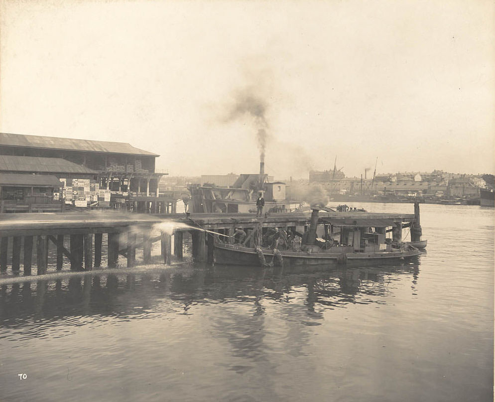
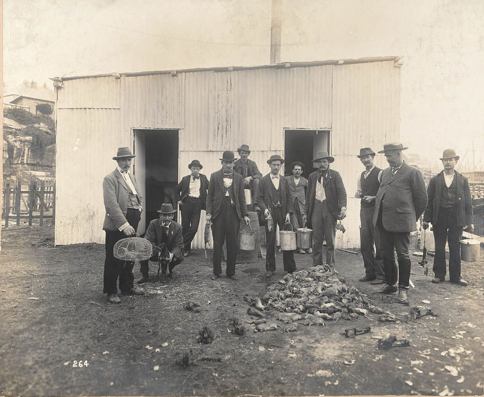
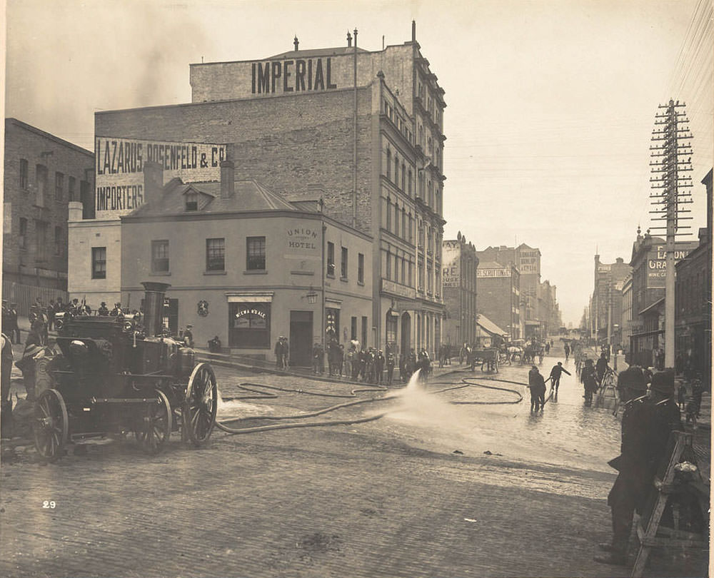
The wharves along Darling Harbour and Circular Quay were disinfected and scrubbed down as part of the plague response. Butcher’s yards — where rats had easy access to offal and waste — were photographed and inspected. Professional ratcatchers were employed across the city. Between 1900 and 1910, more than 1,300 people contracted the plague in Sydney, and 535 died. The city responded with a systematic campaign of inspection, fumigation, demolition, and reconstruction that reshaped entire neighbourhoods.