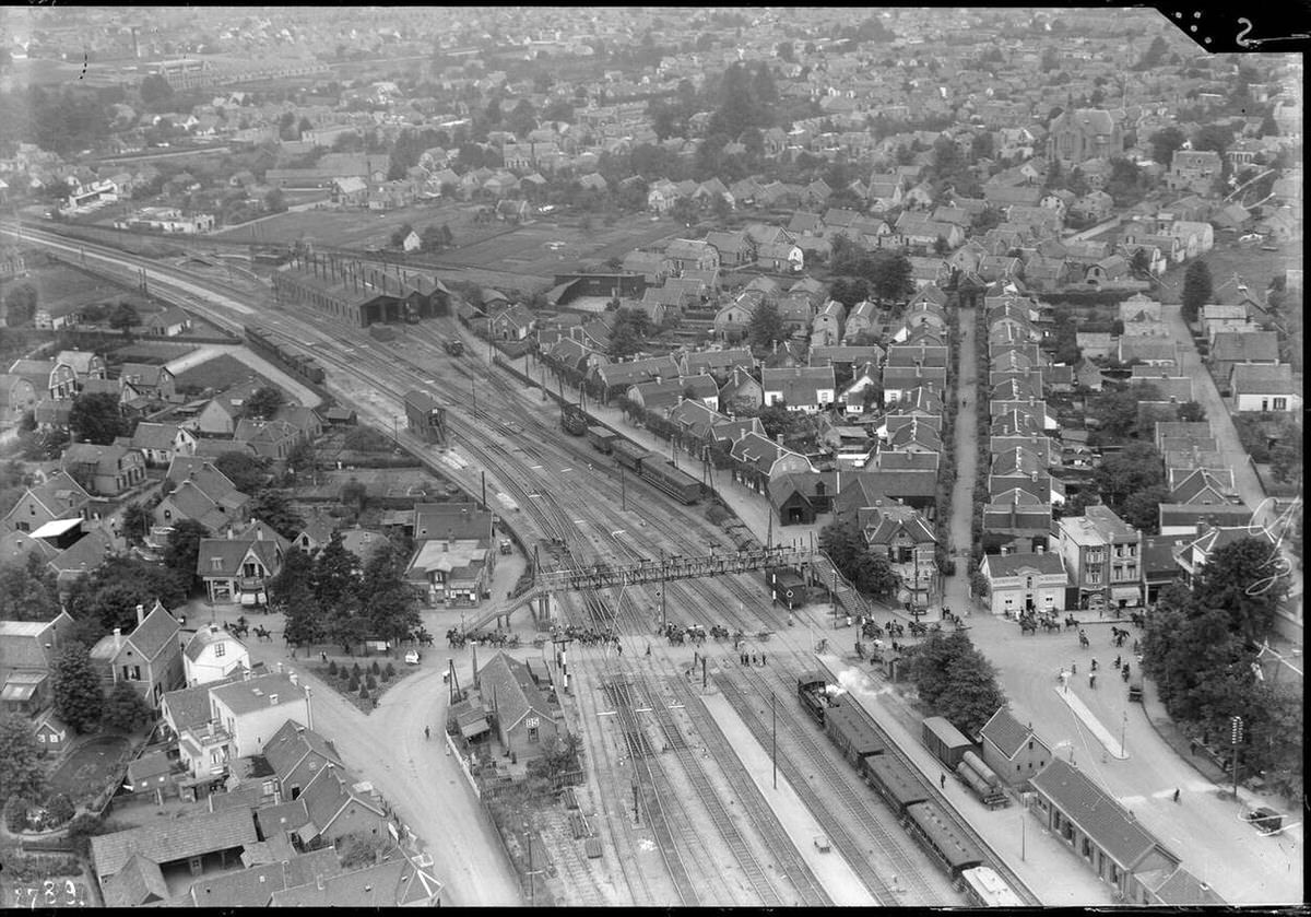
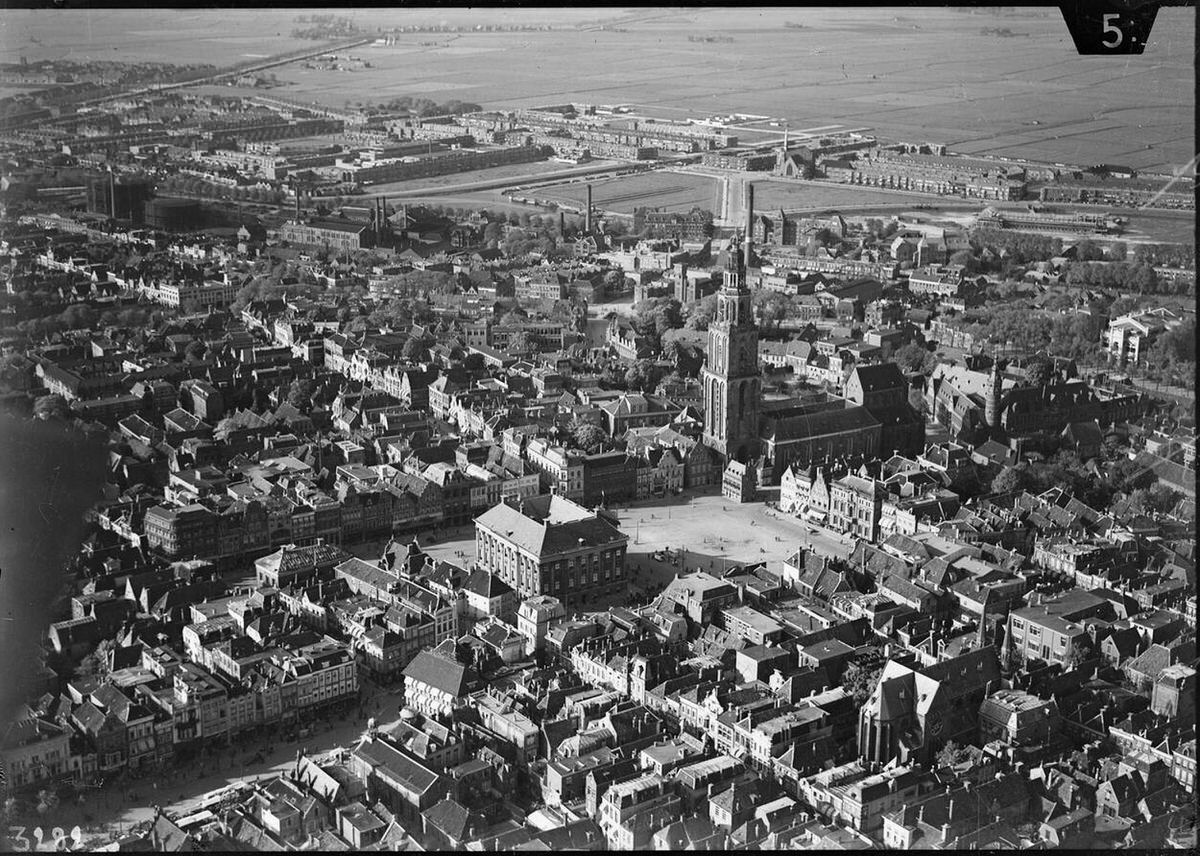
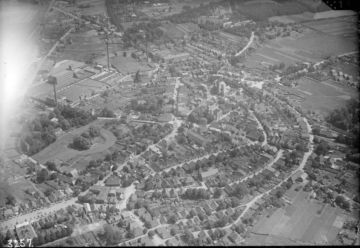
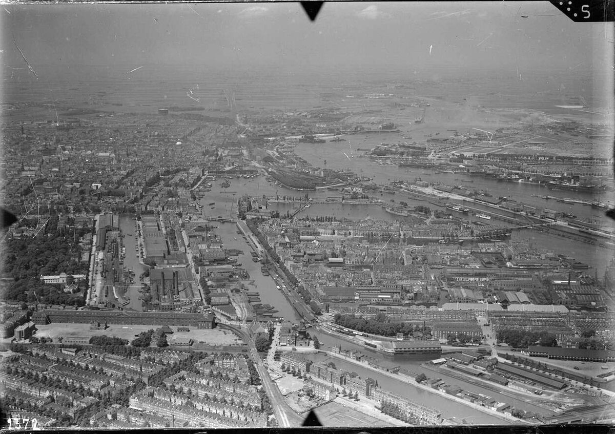
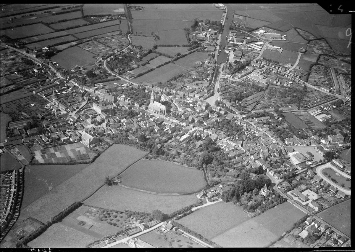
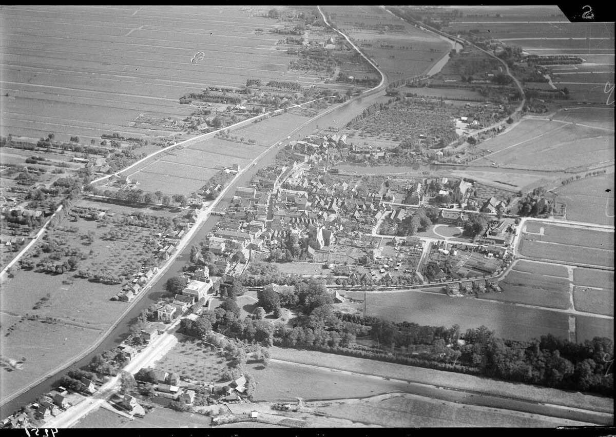
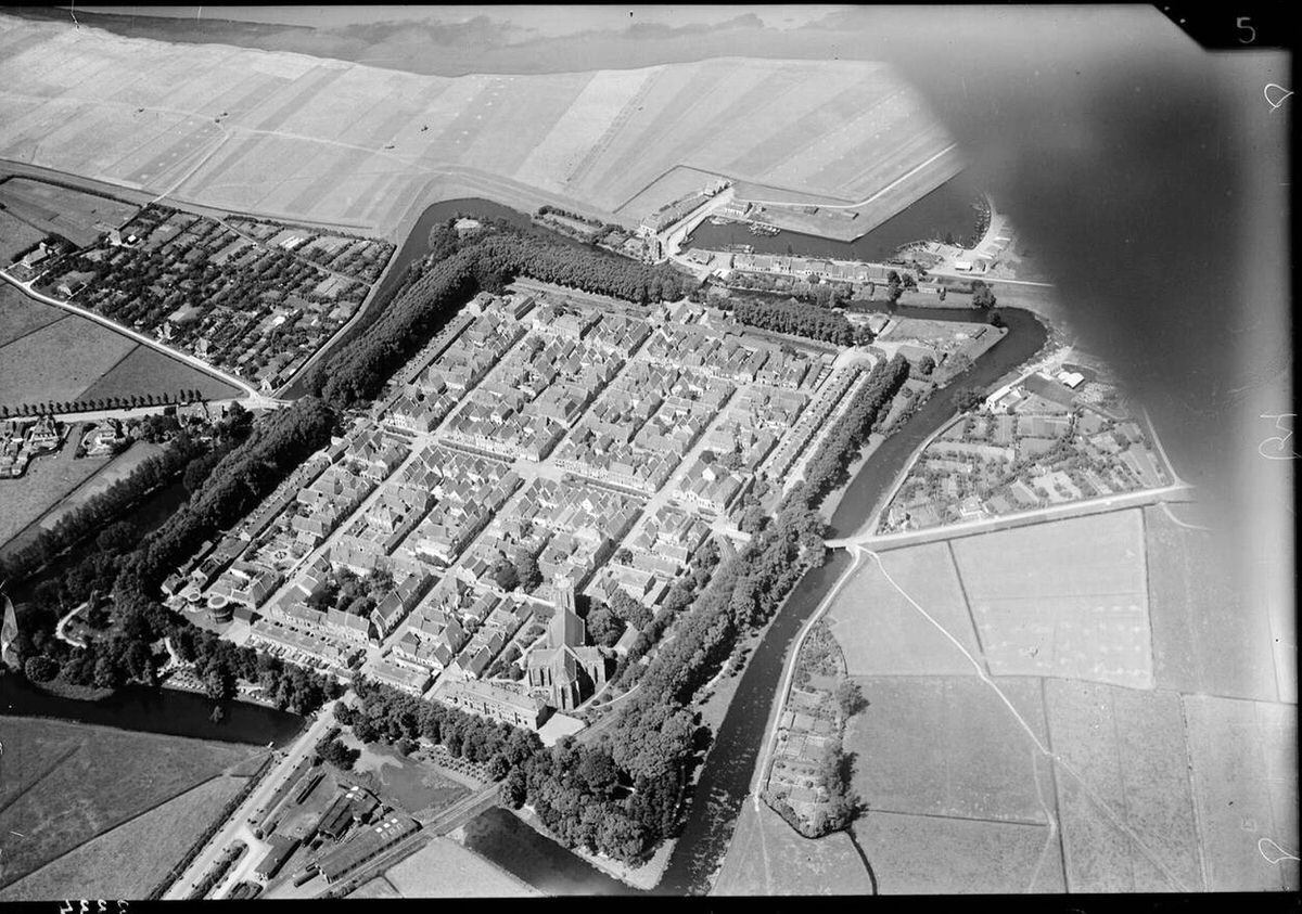
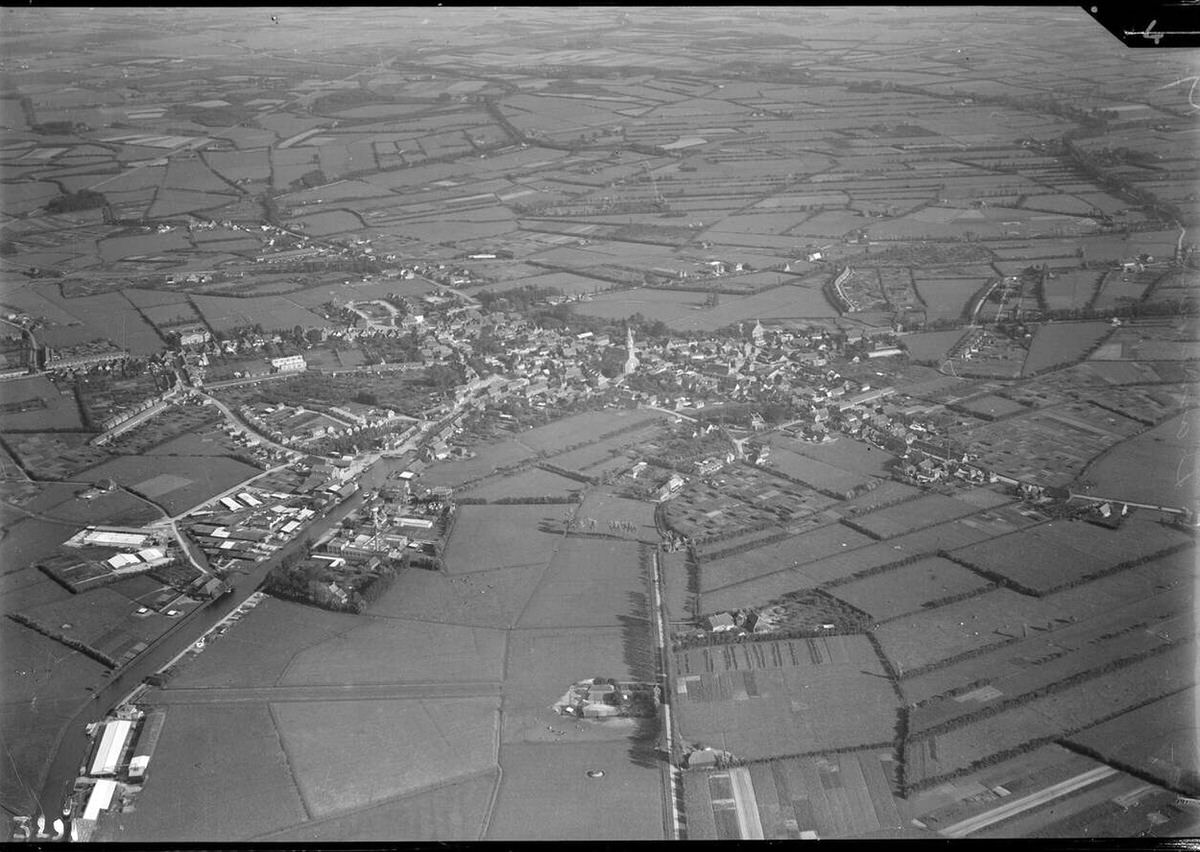
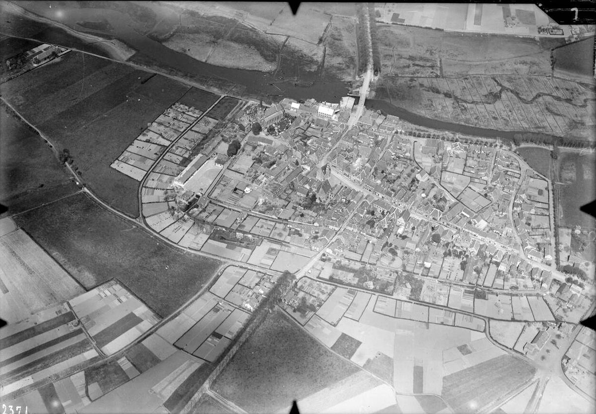
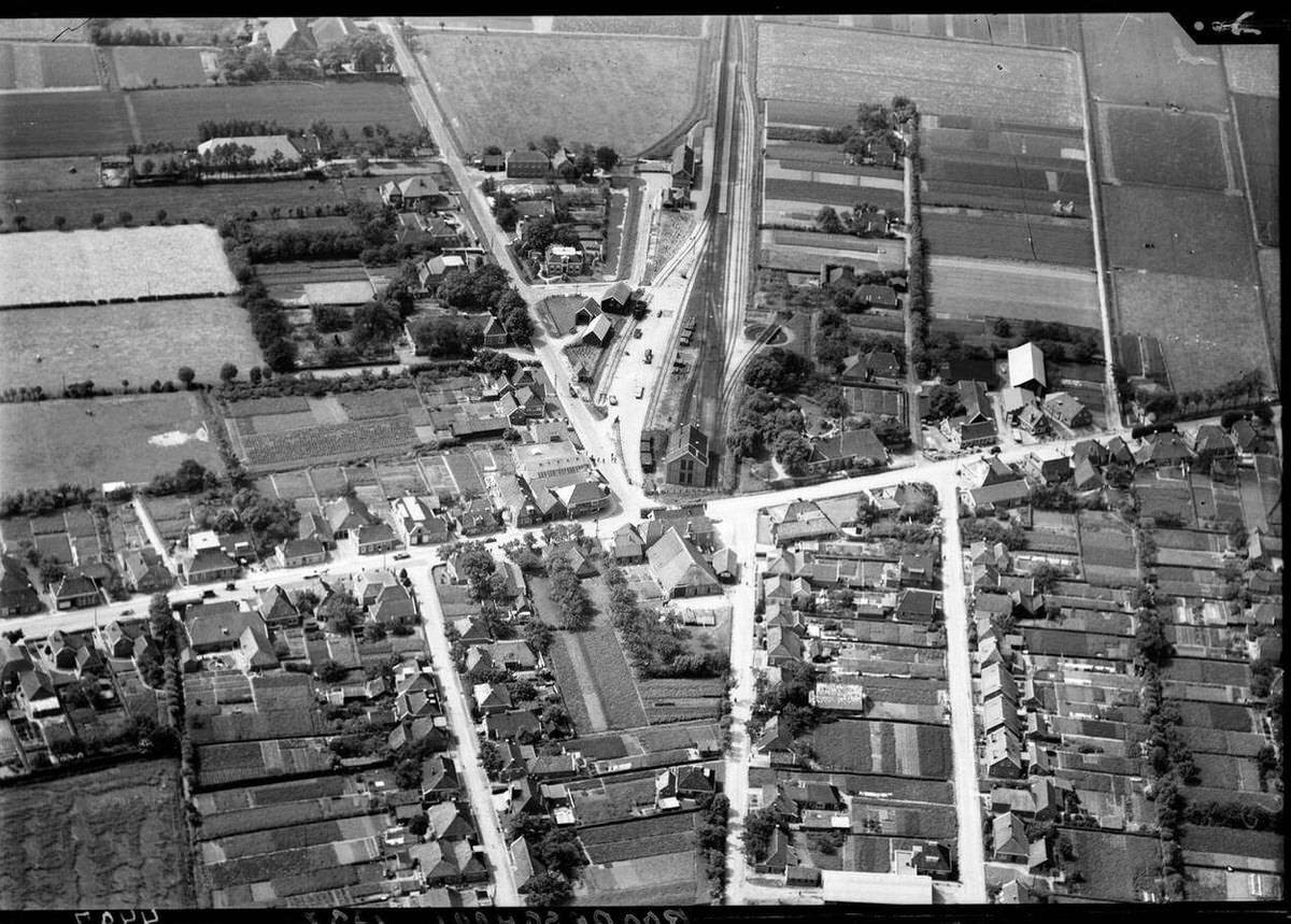
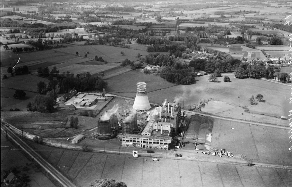
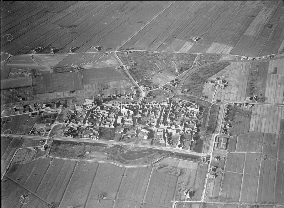
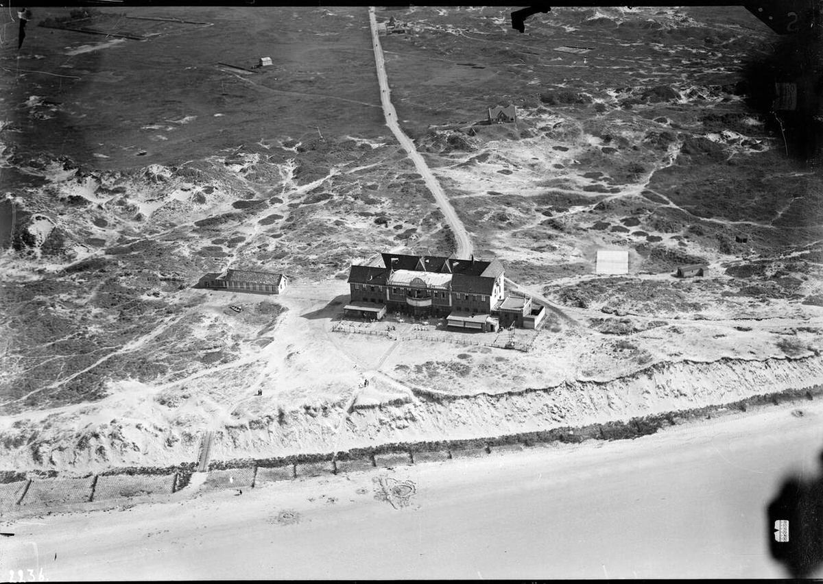
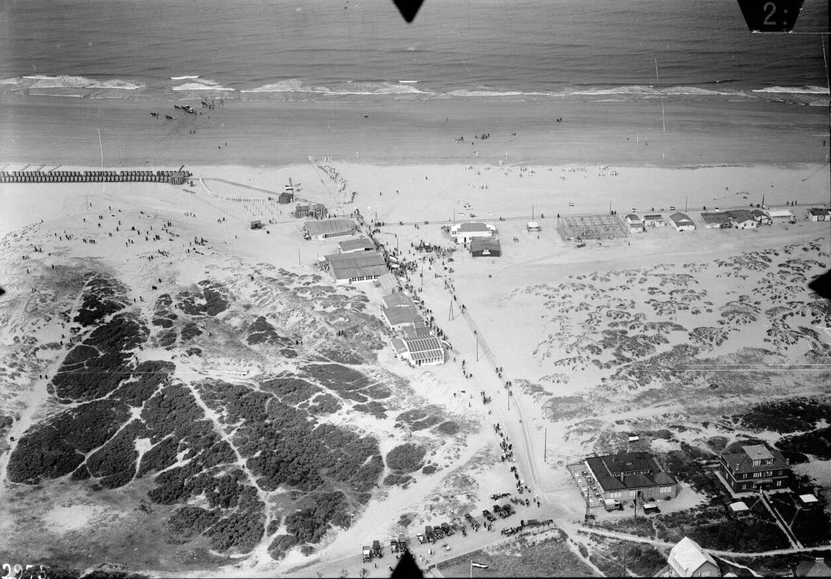
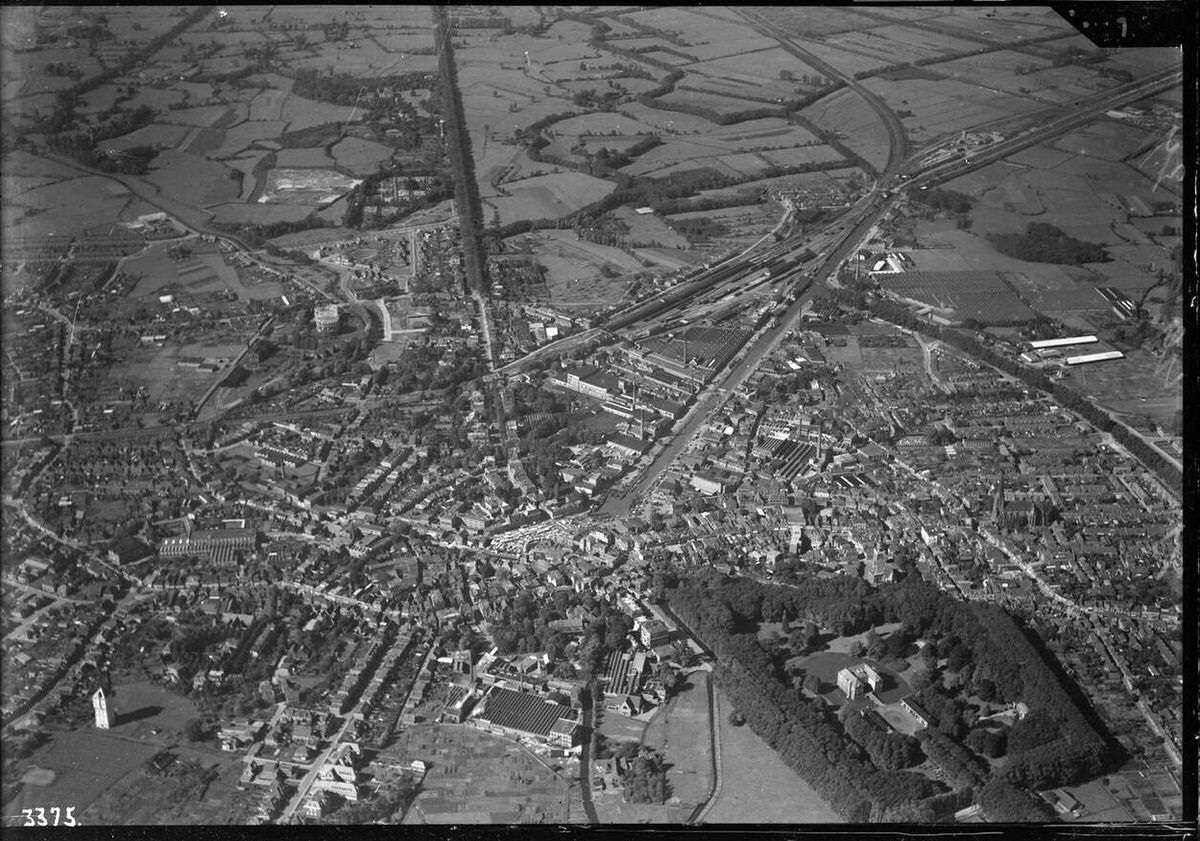
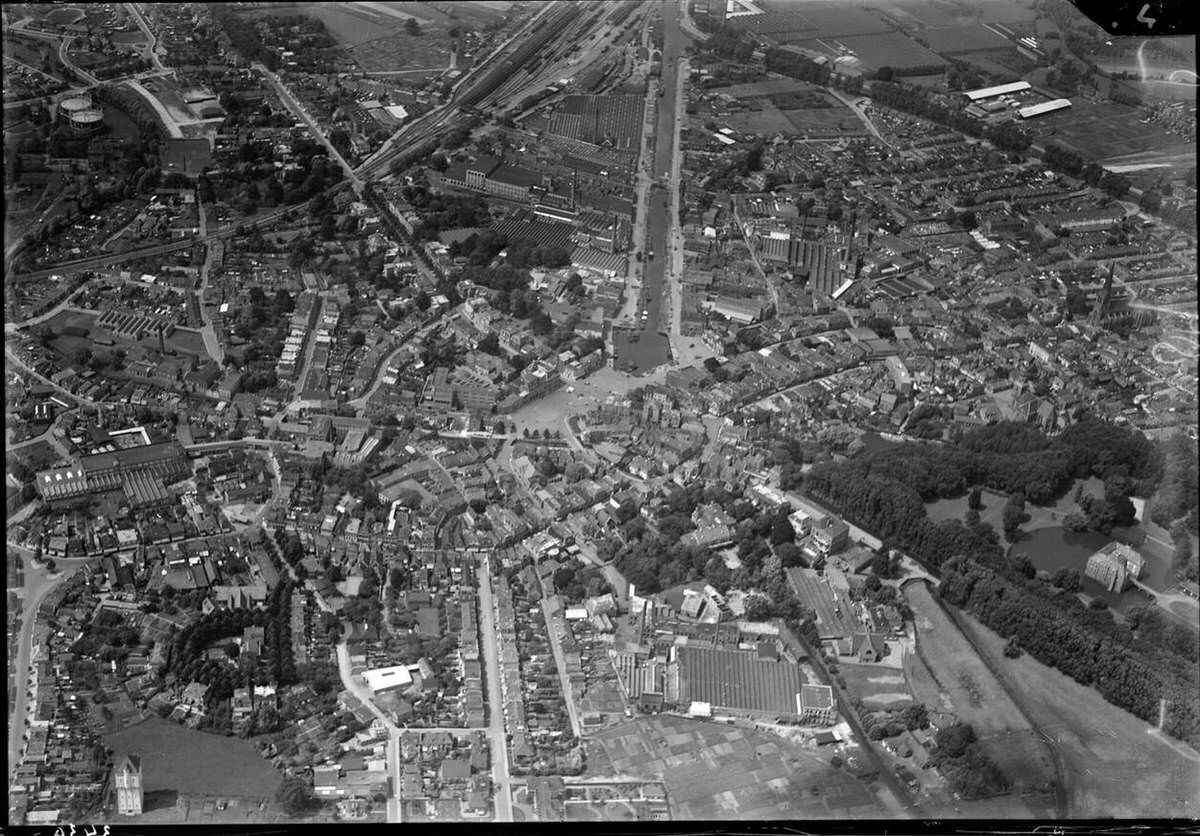
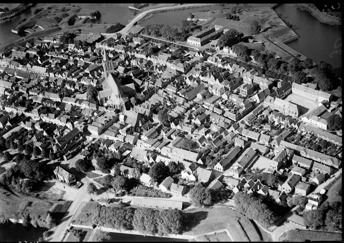
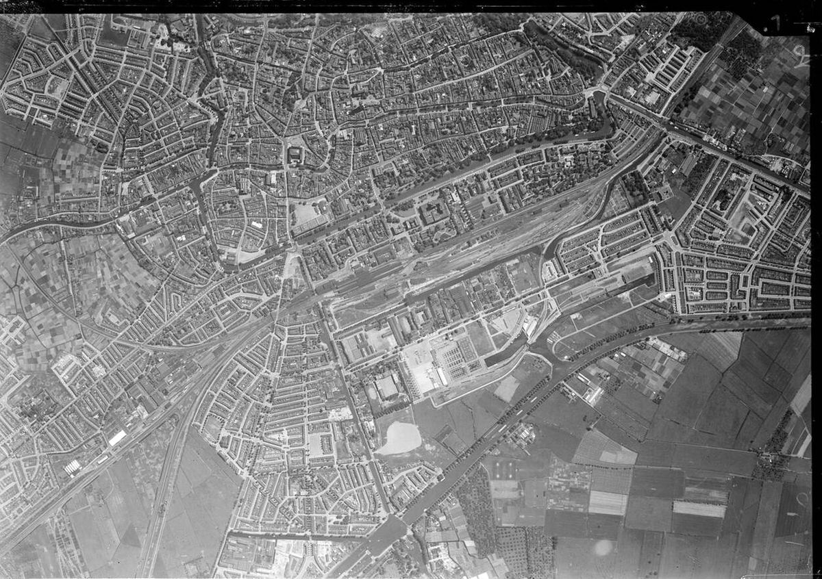
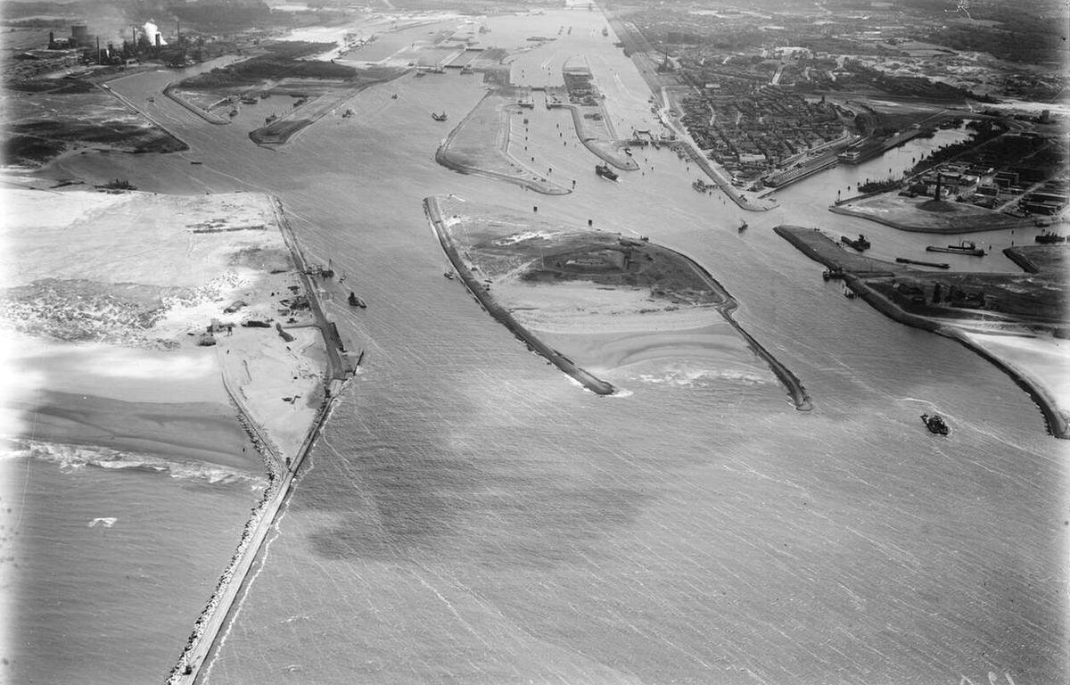
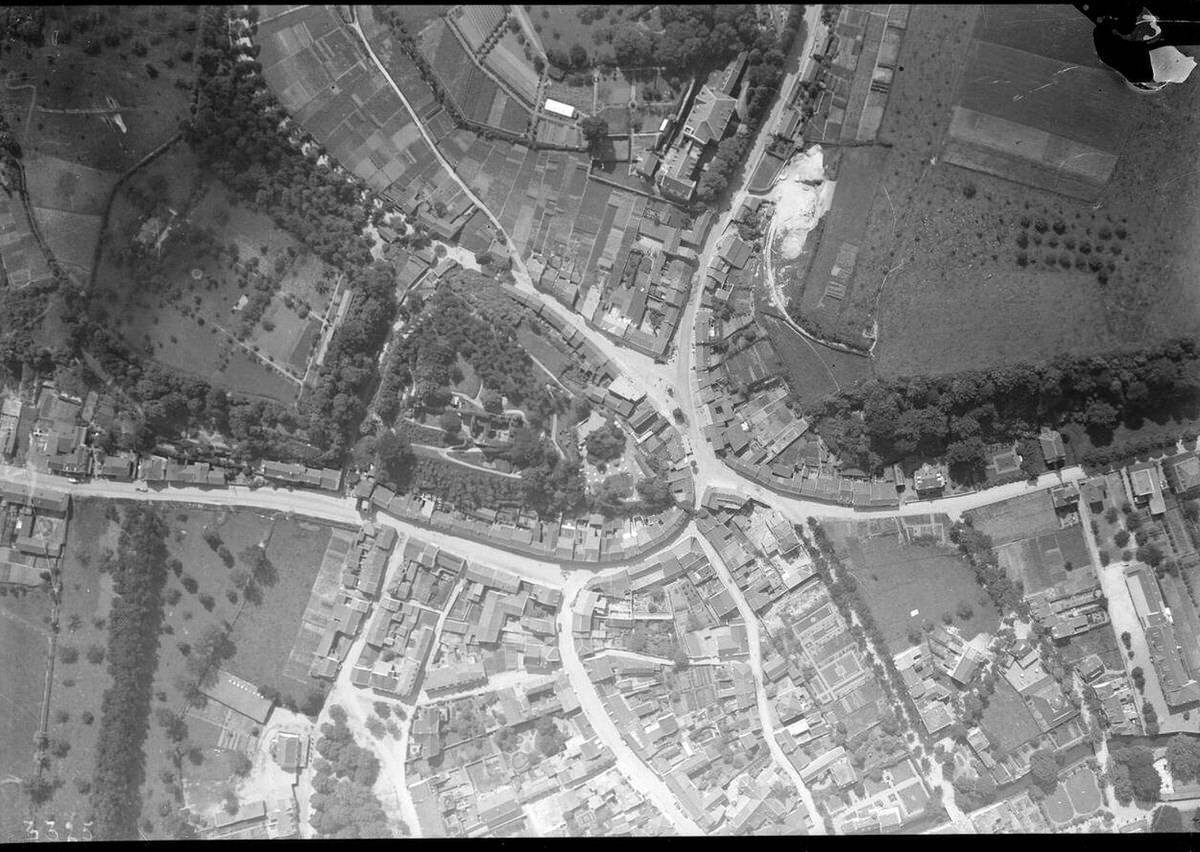
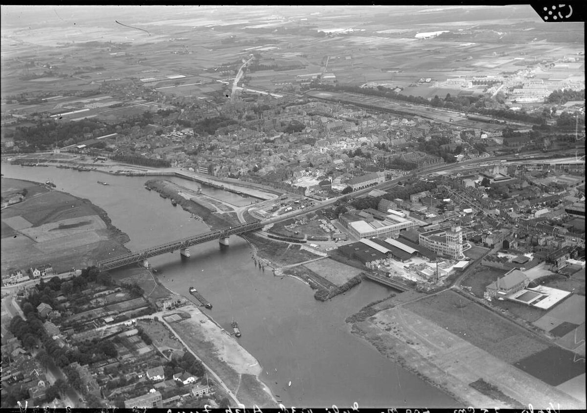
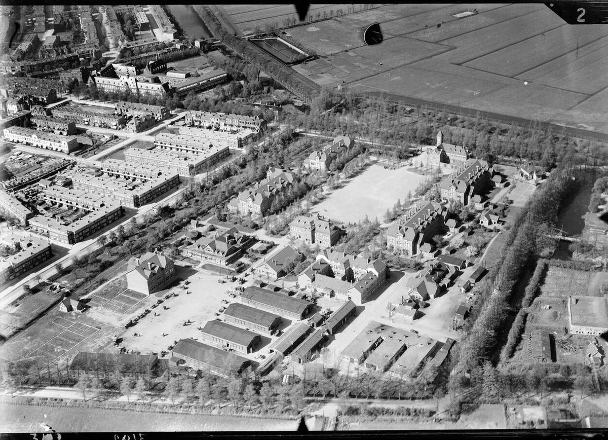
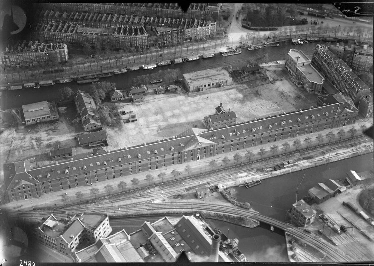
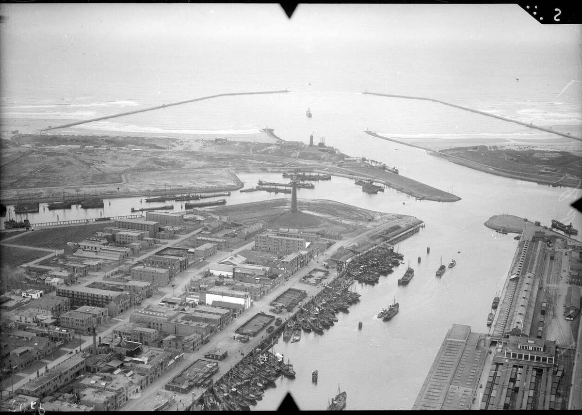
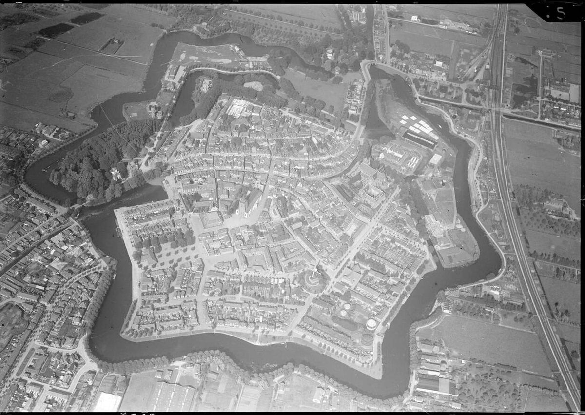
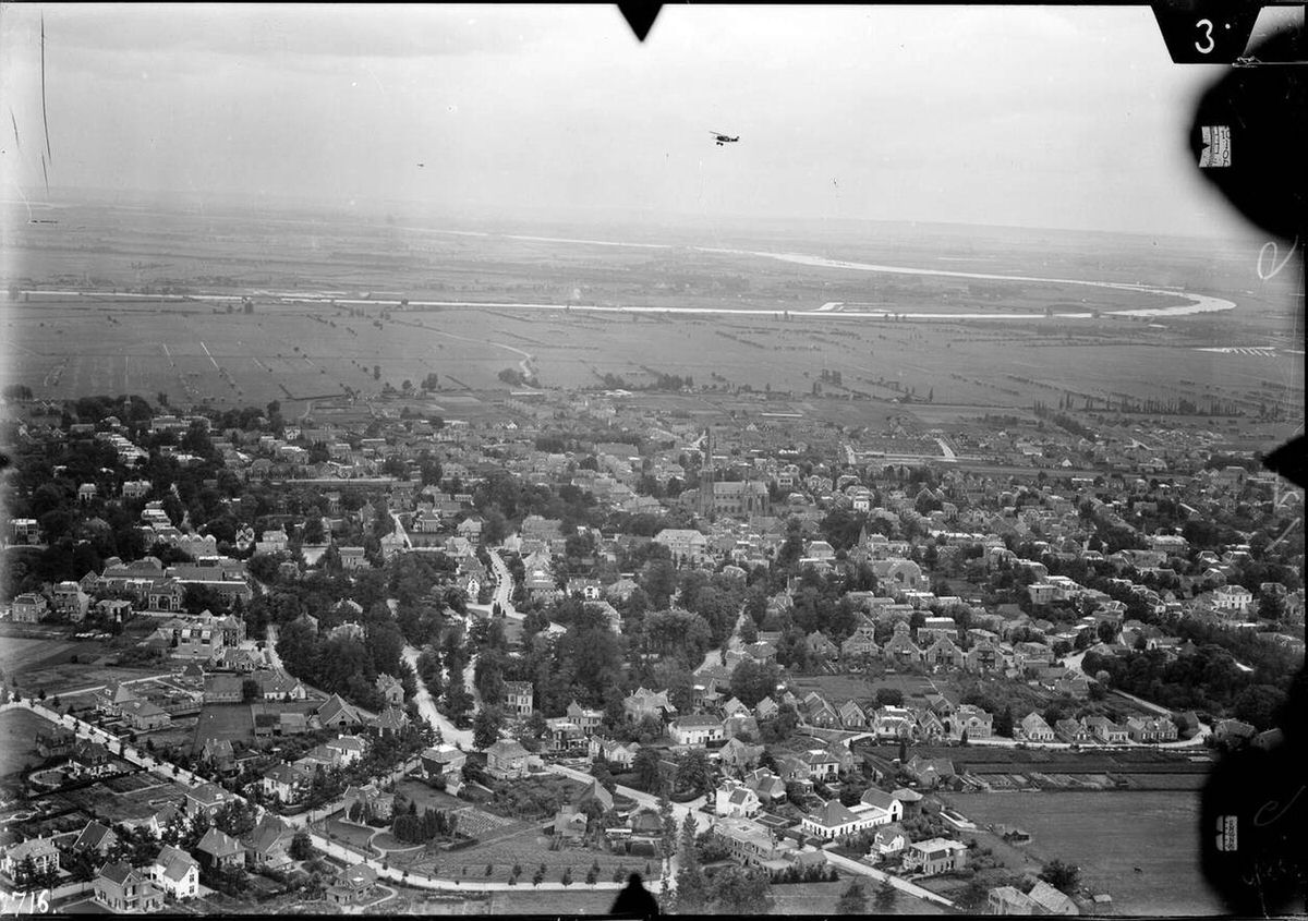
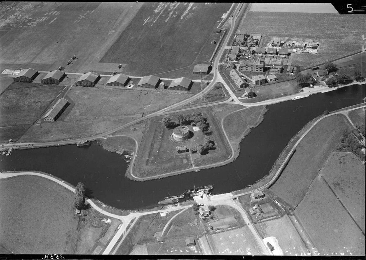
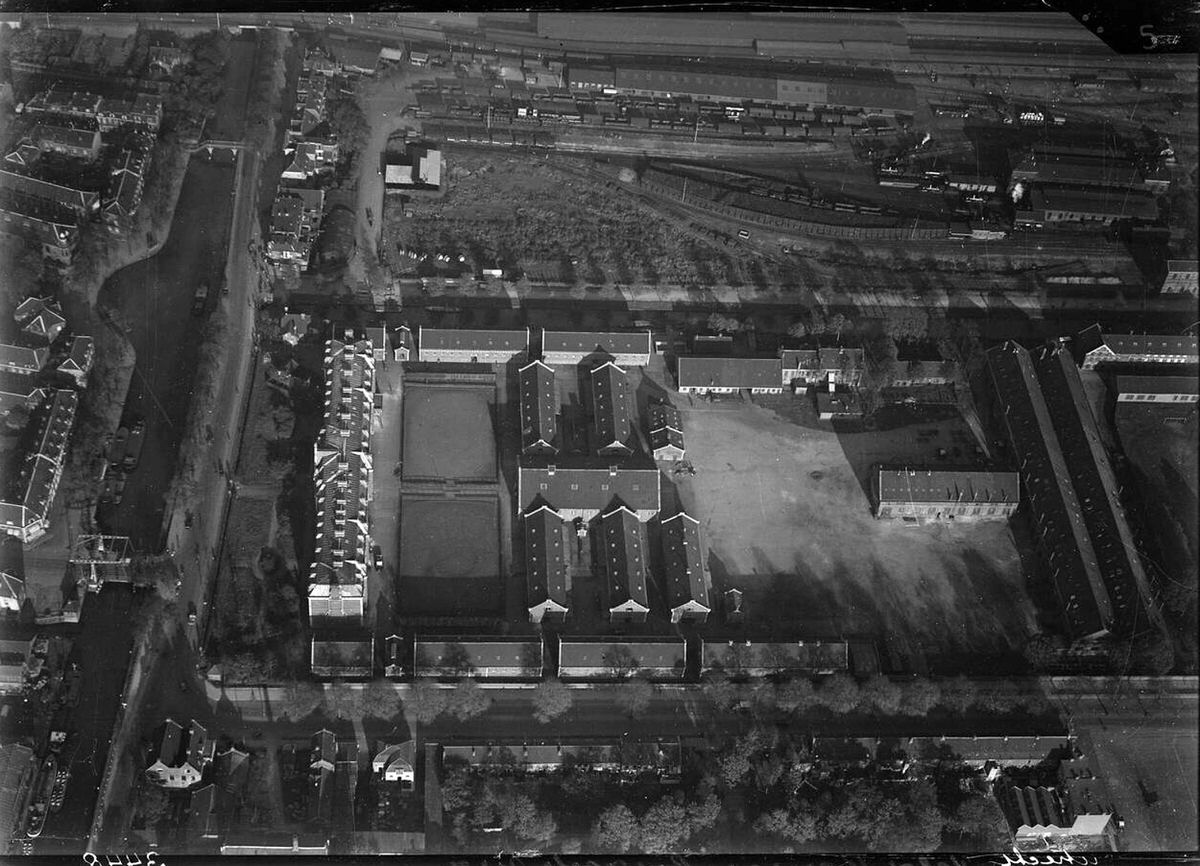
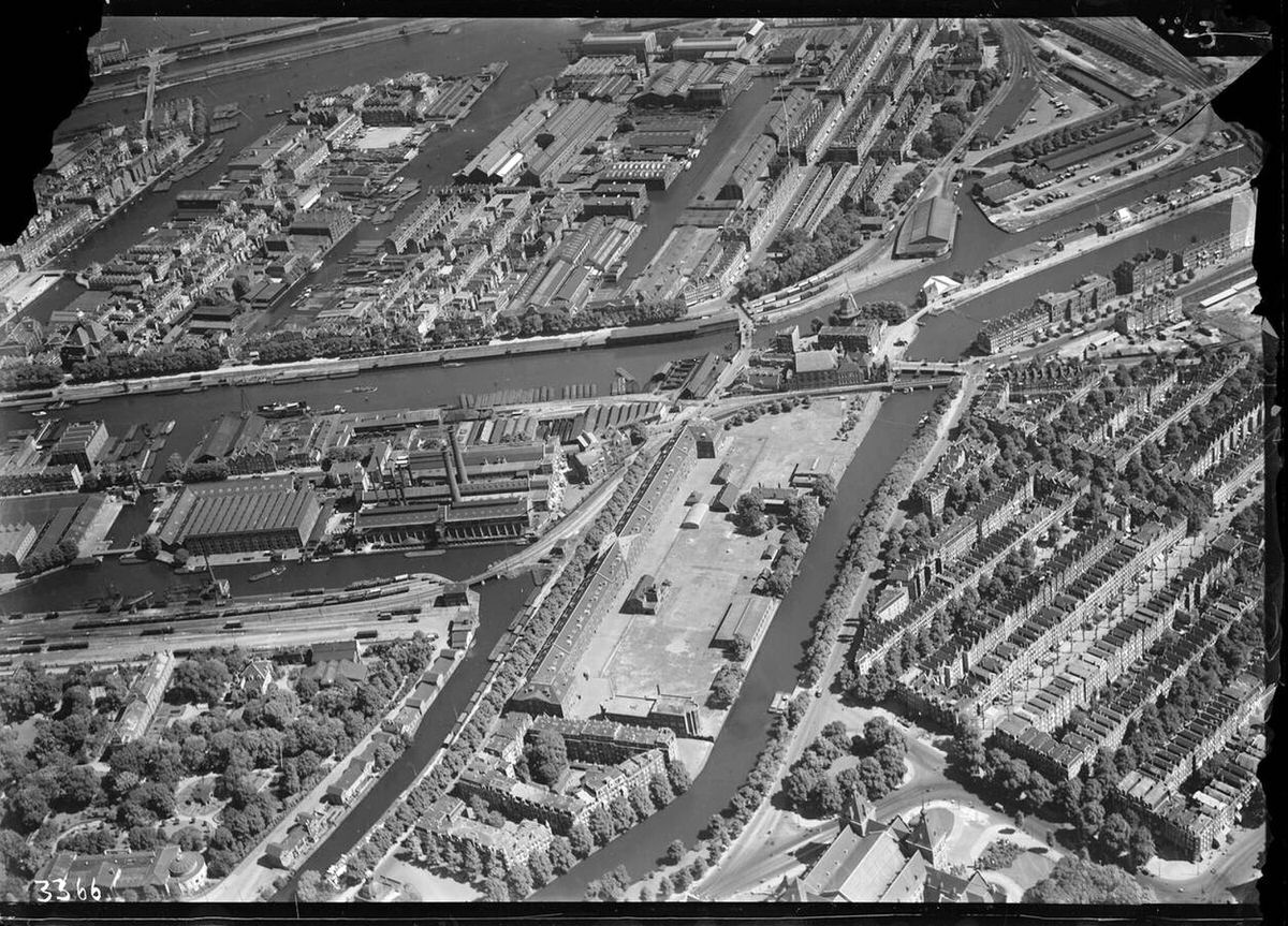
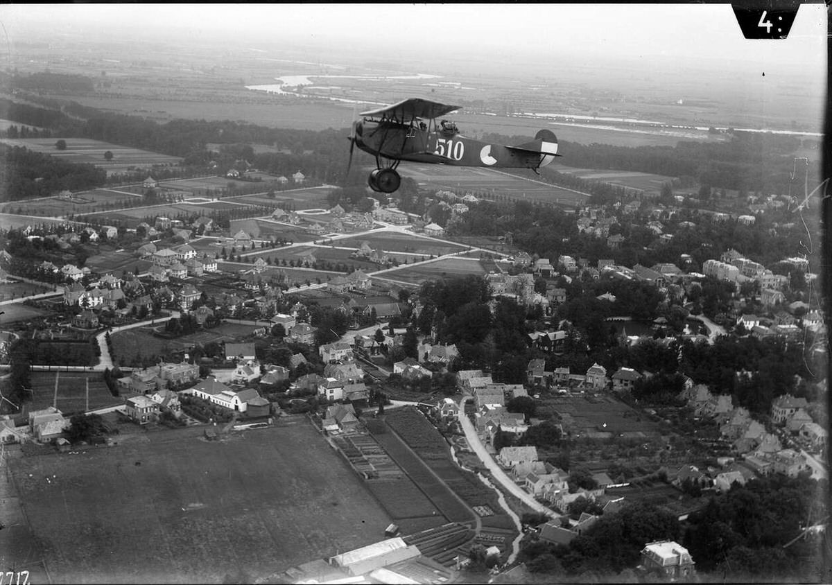
From the 1920s onward, the Netherlands became a leader in aerial photography. The country’s flat terrain and constant fight against flooding made a bird’s-eye view essential for engineers and government planners alike. The Royal Netherlands Army Air Force shot thousands of vertical and oblique photos across the provinces, producing maps far more precise than any ground survey could deliver.
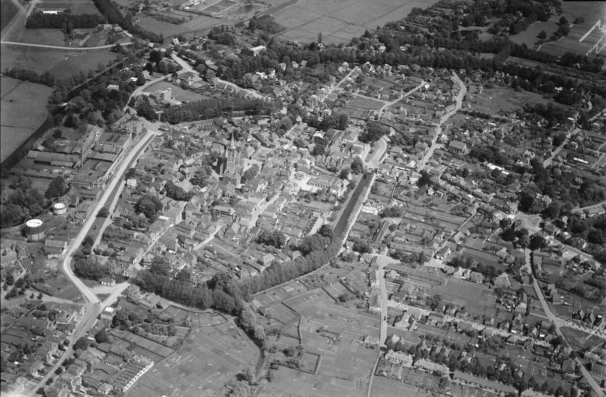
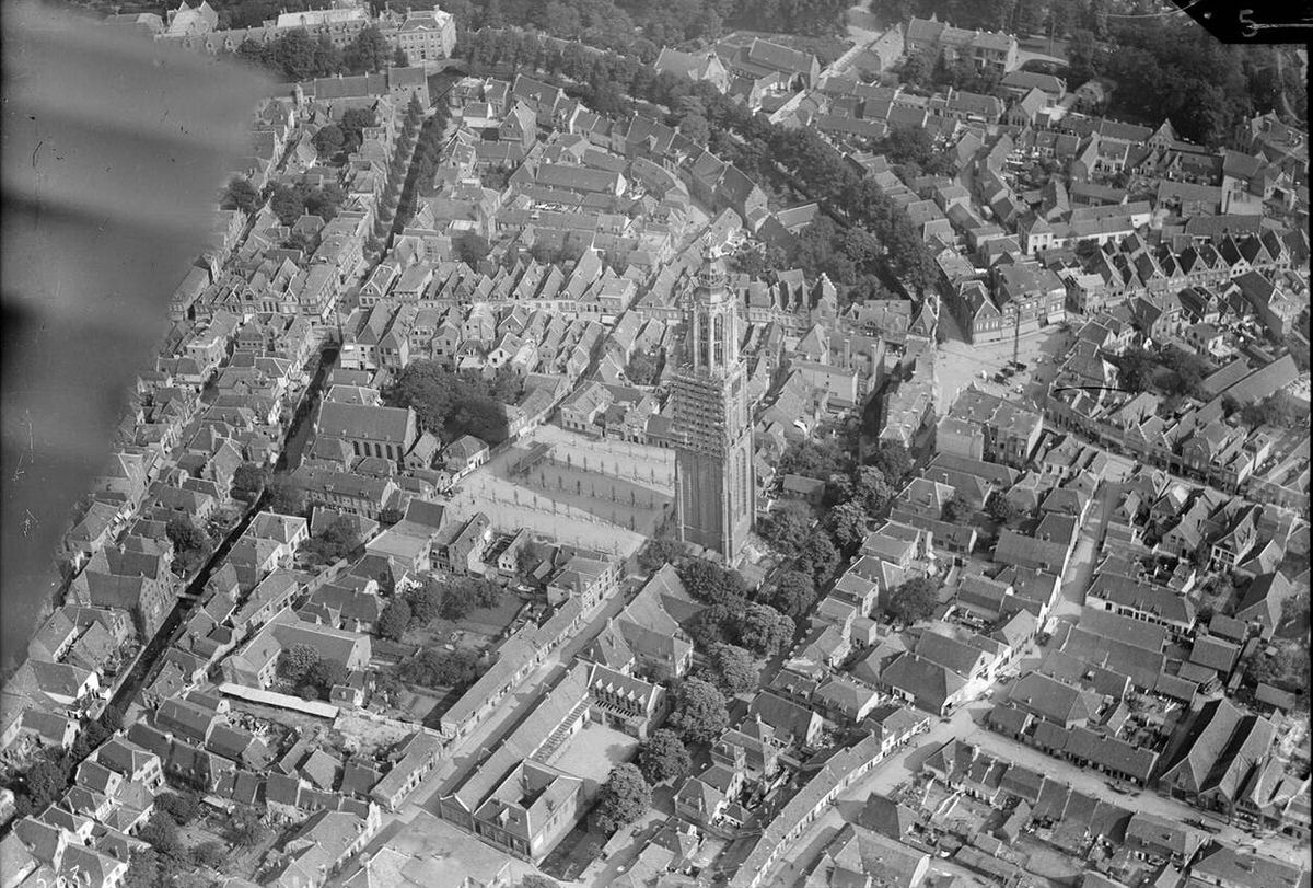
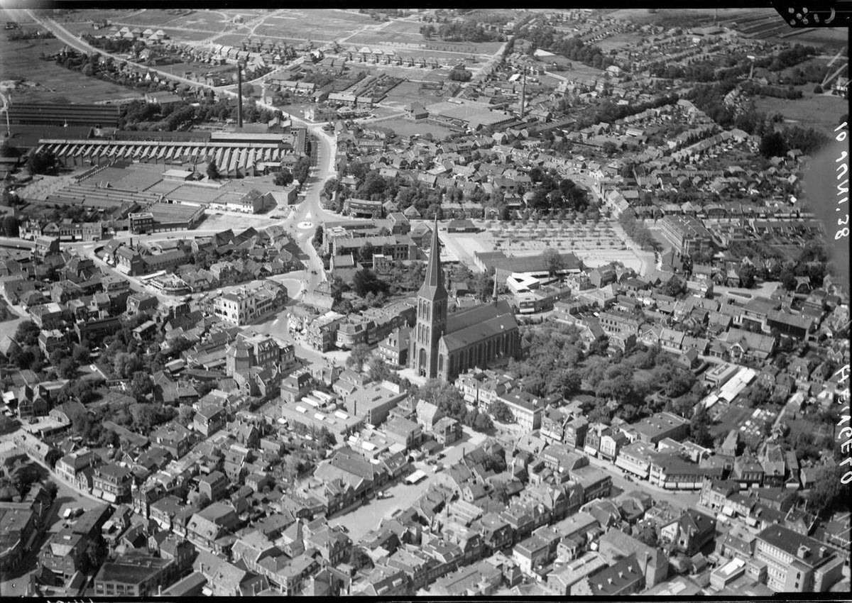
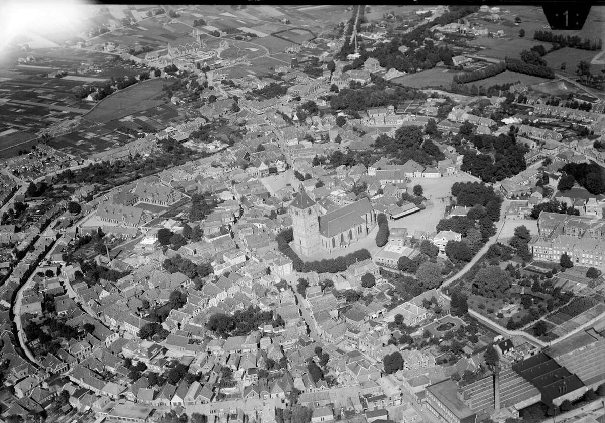
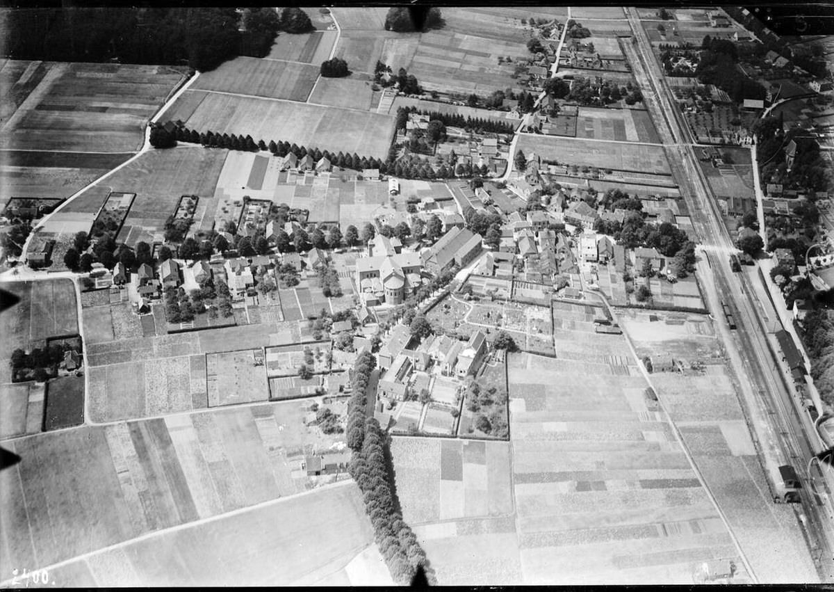
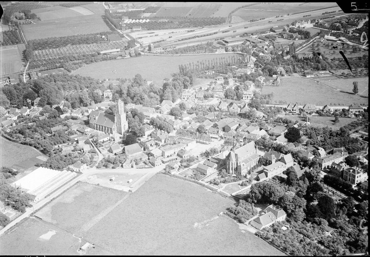
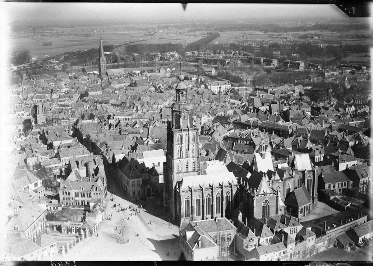
Aerial view of Lochem, 1920s-1940s.
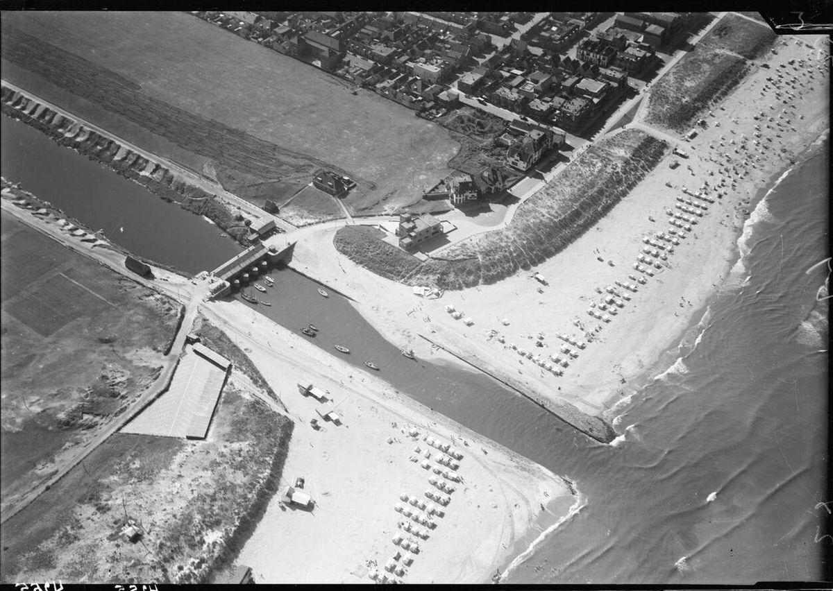
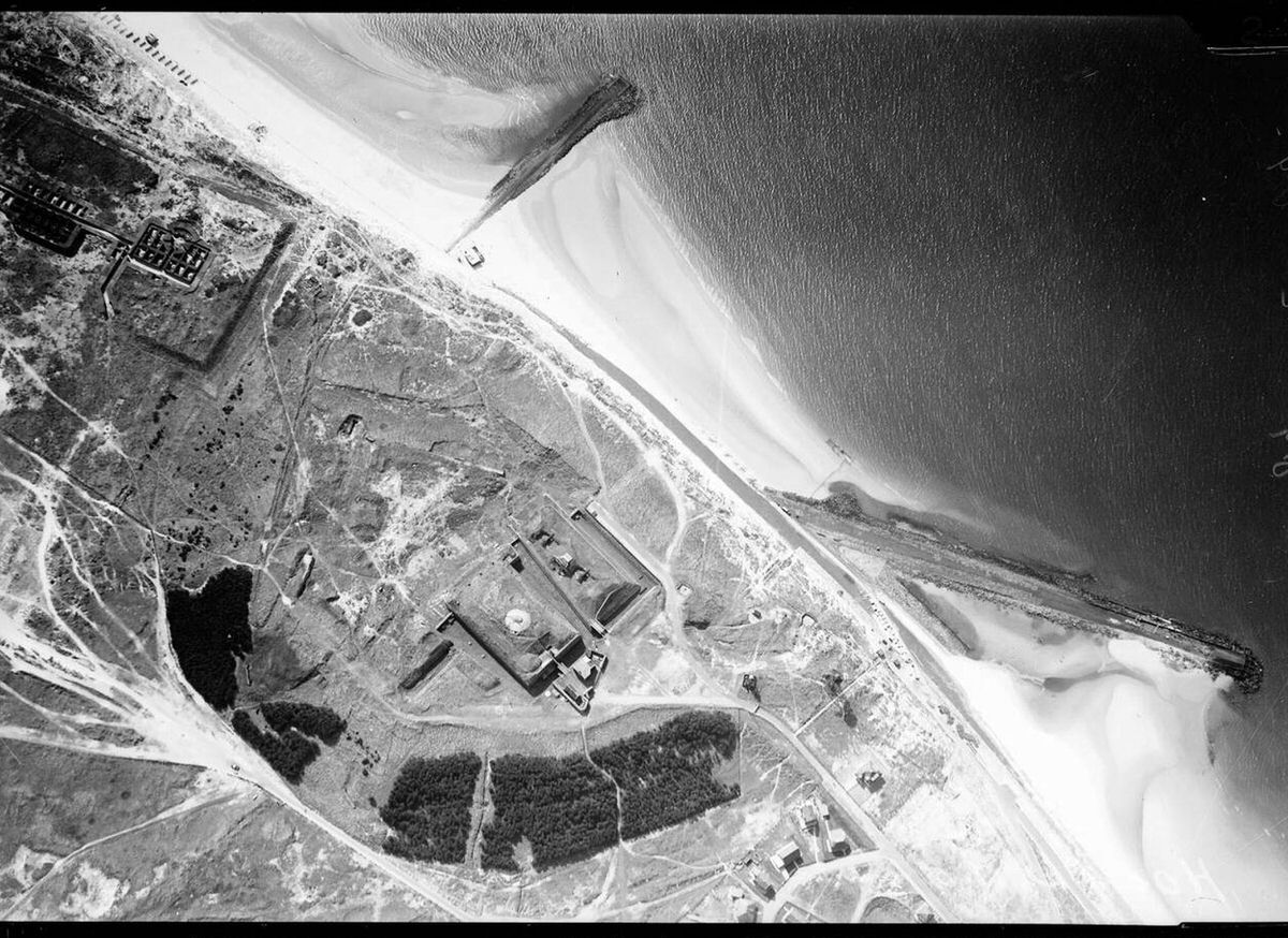
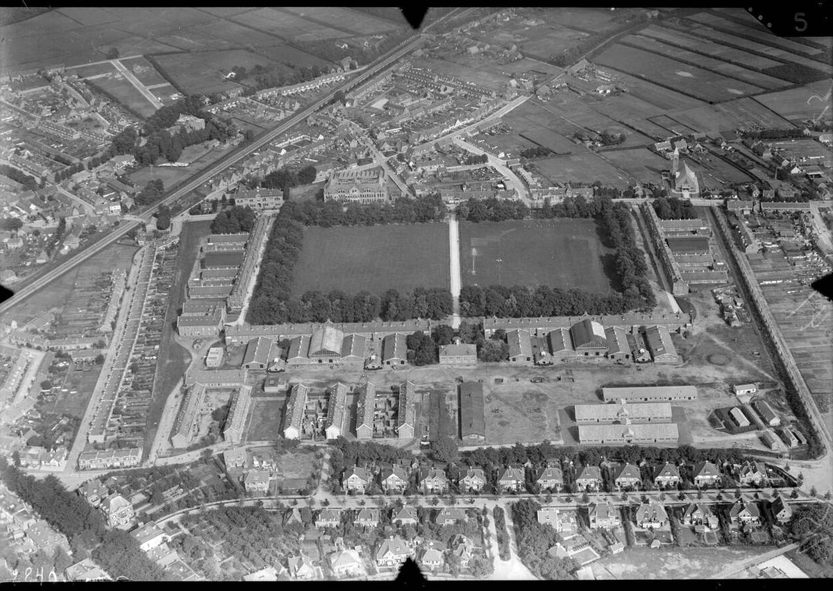
Cities, coastlines, and polders were all documented from the air. Officials used the images to track urban growth and monitor shifts along the shoreline in real time.
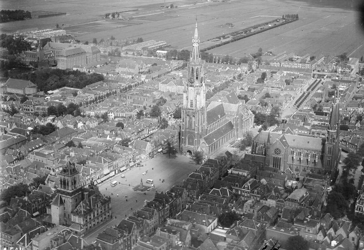
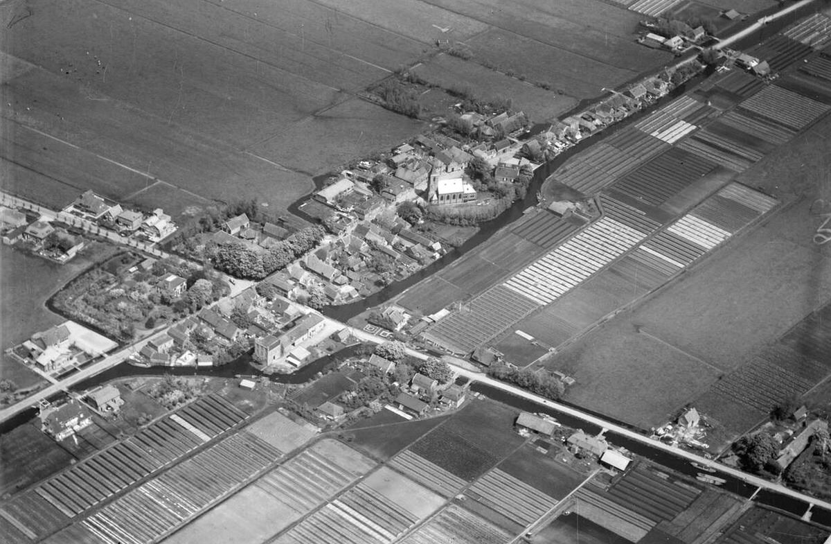
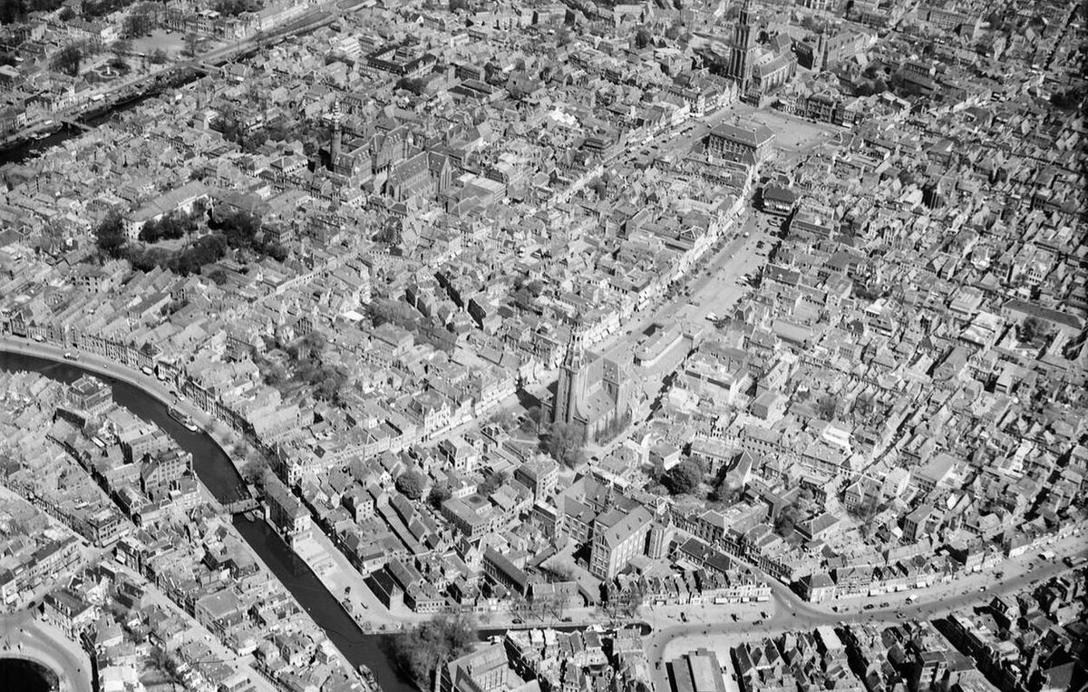
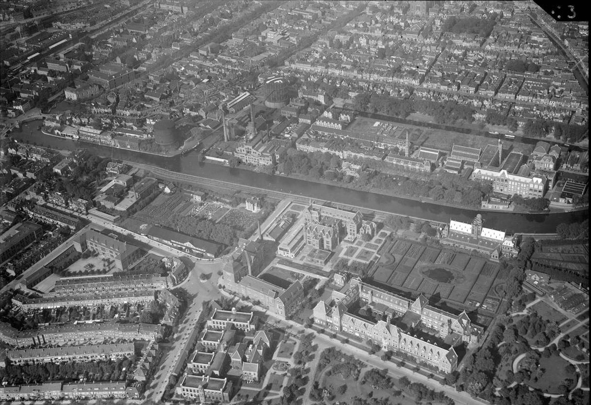
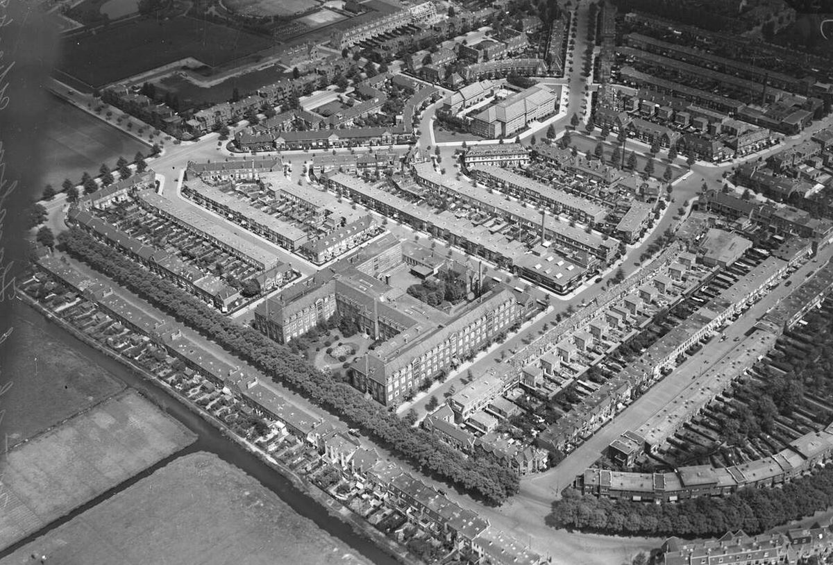
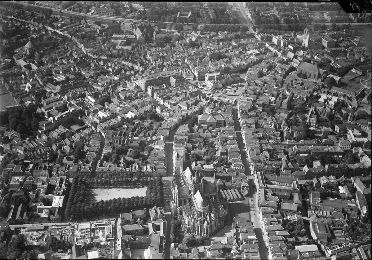
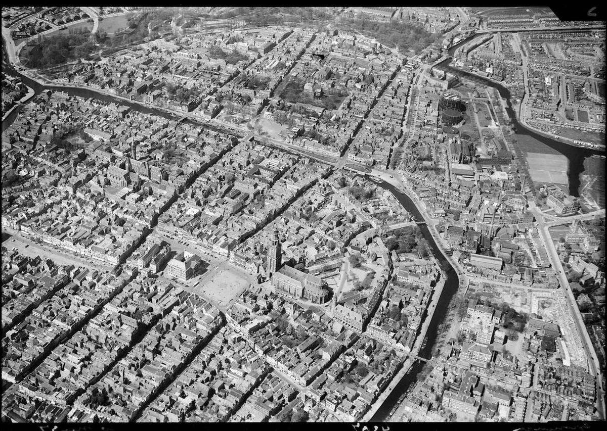
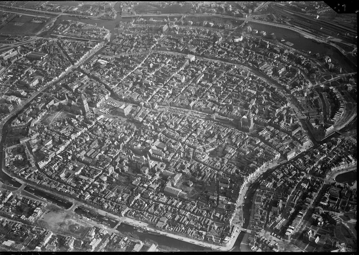
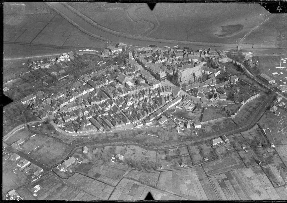
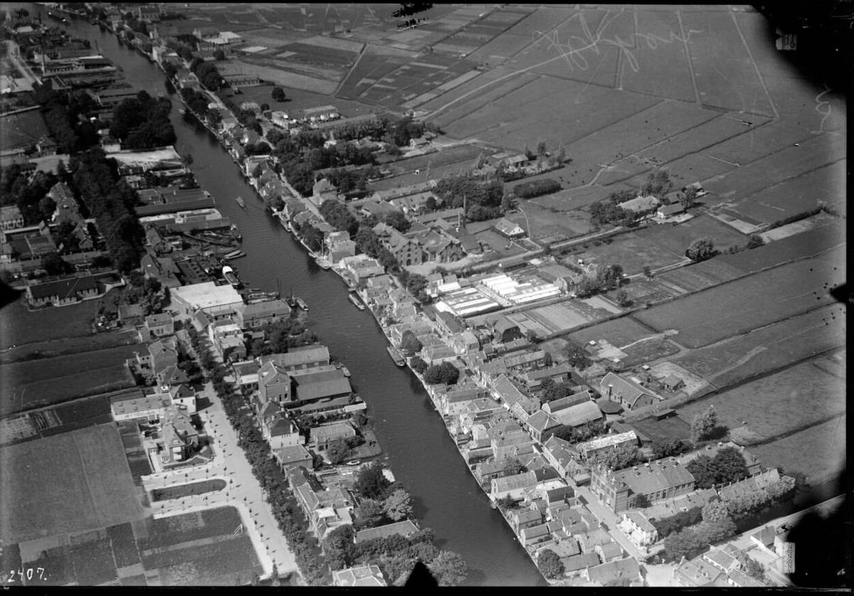
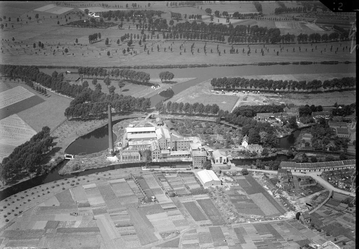
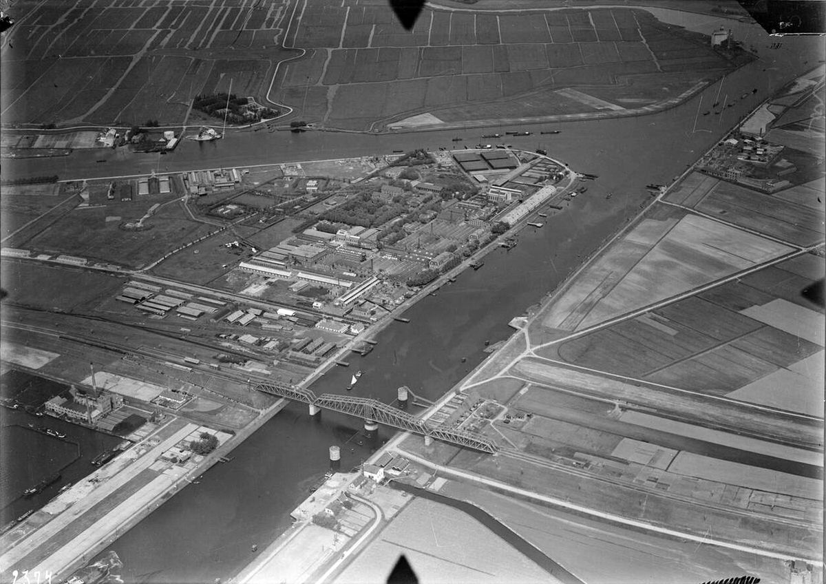
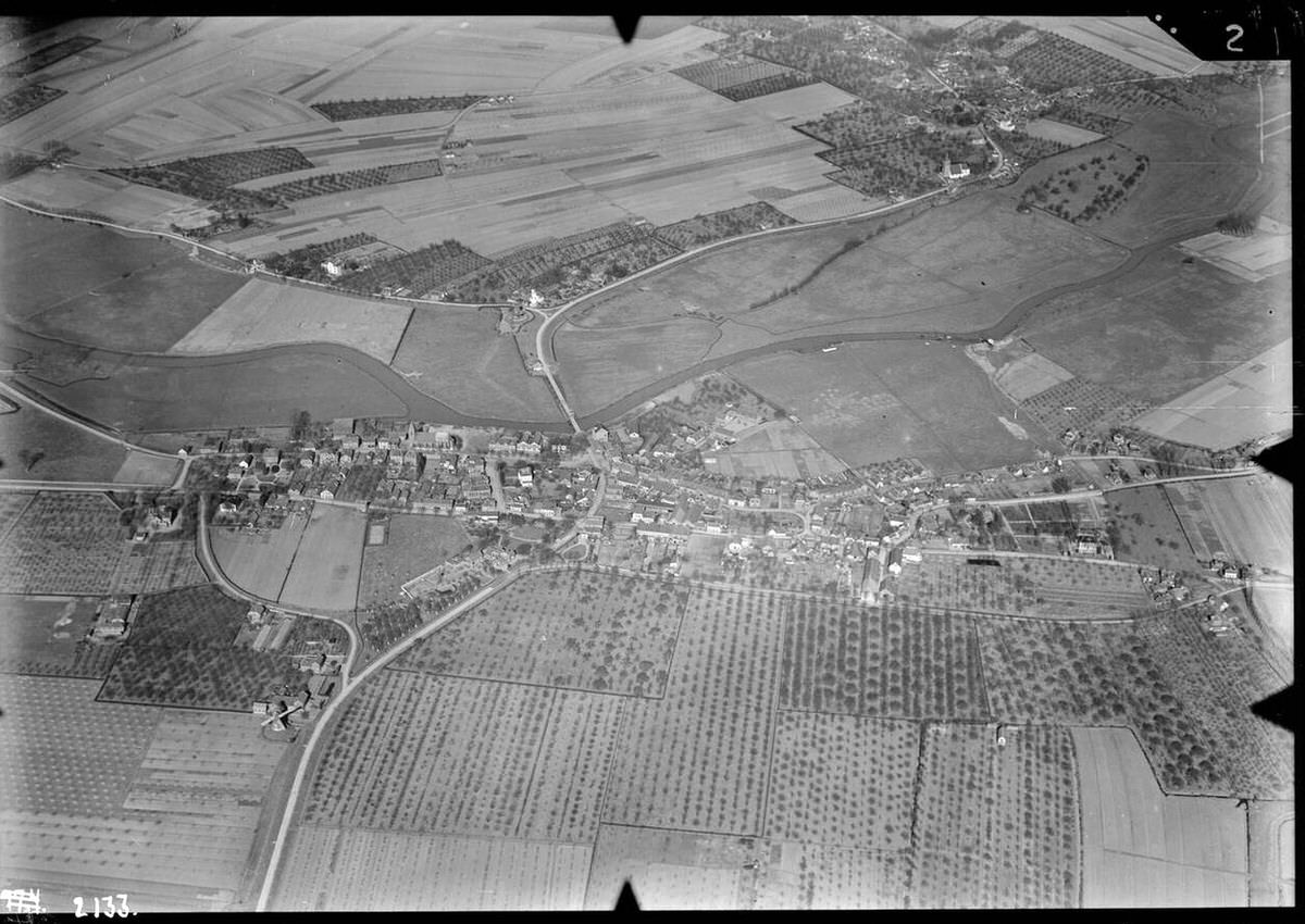
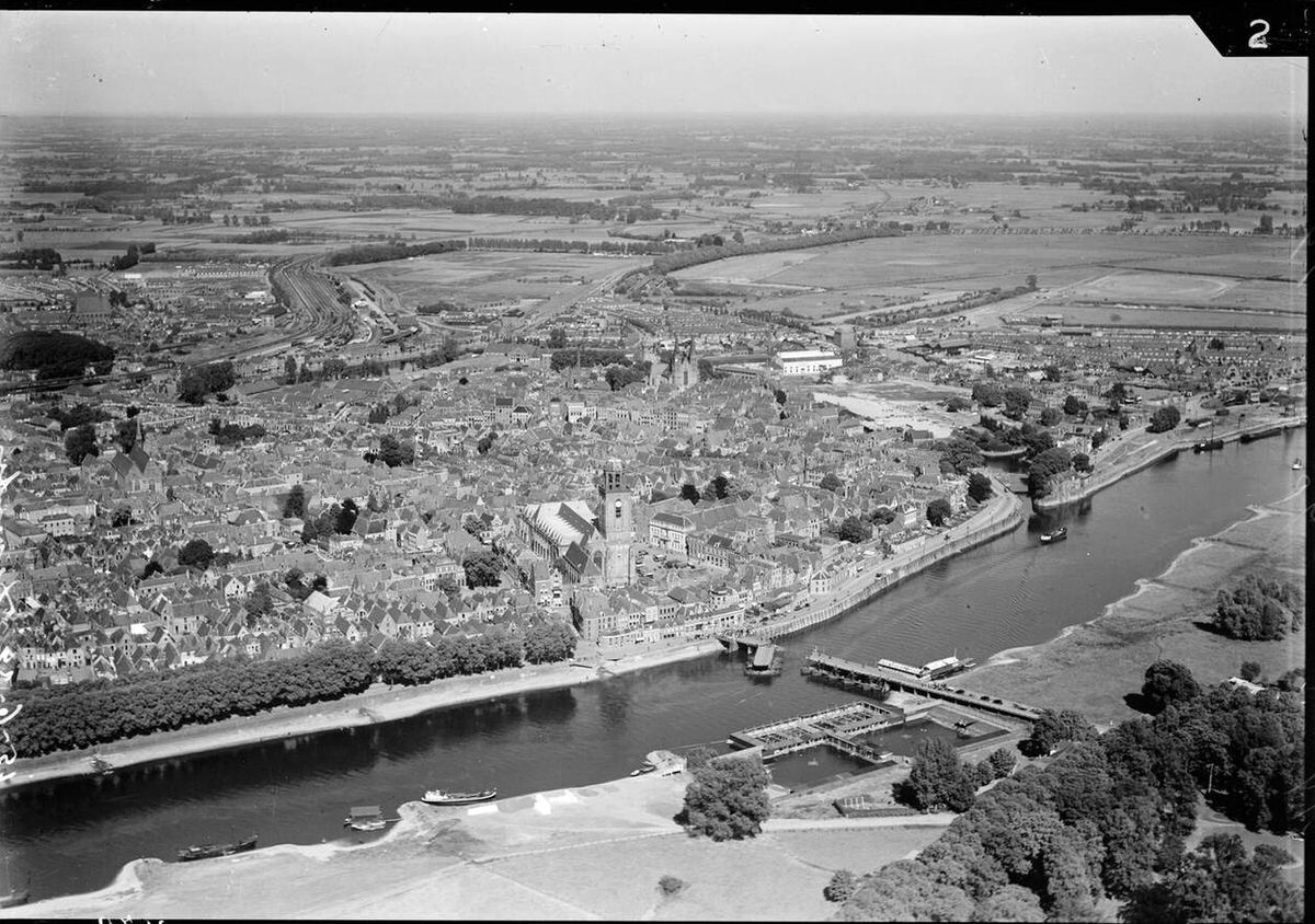
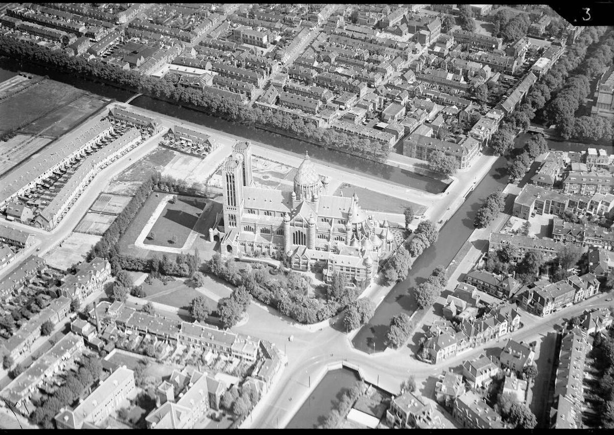
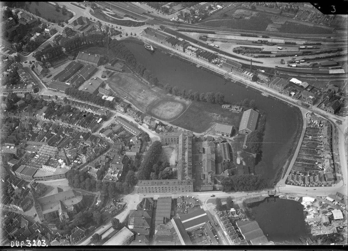
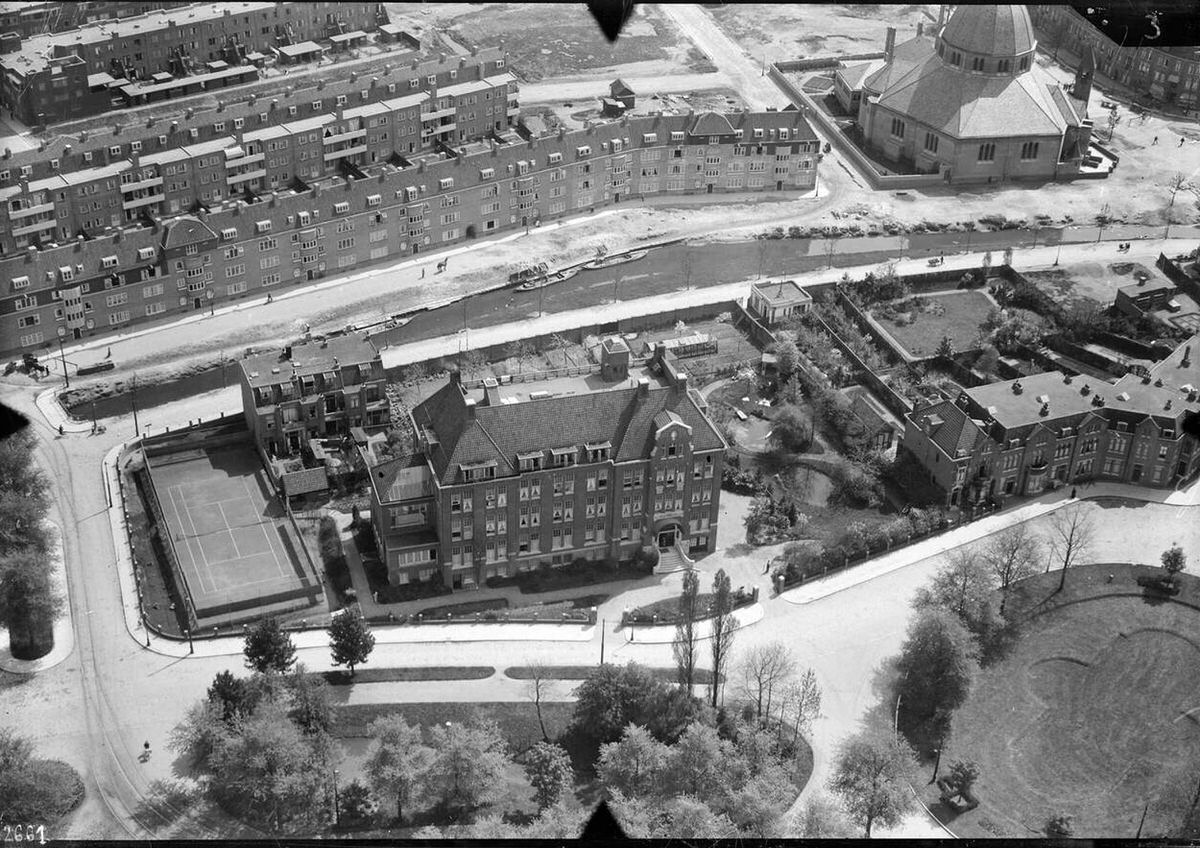
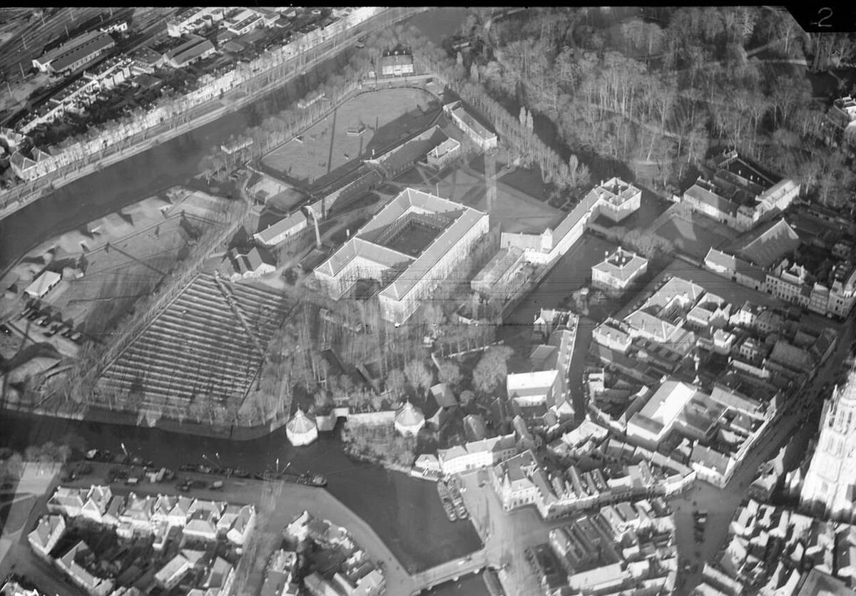
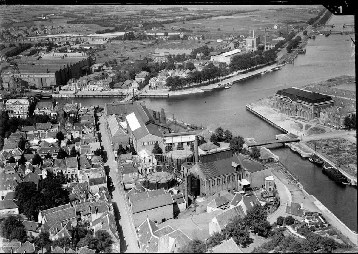
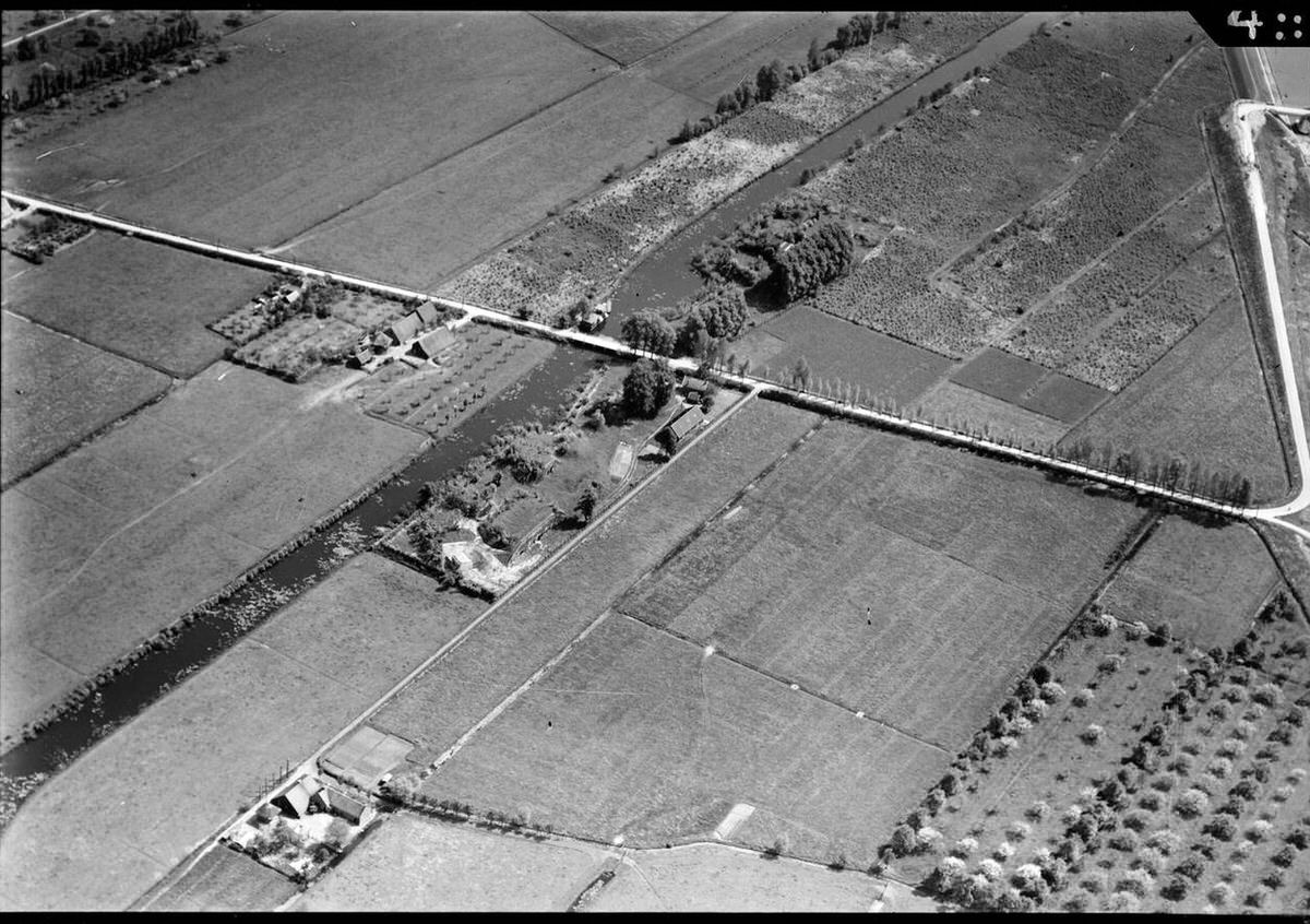
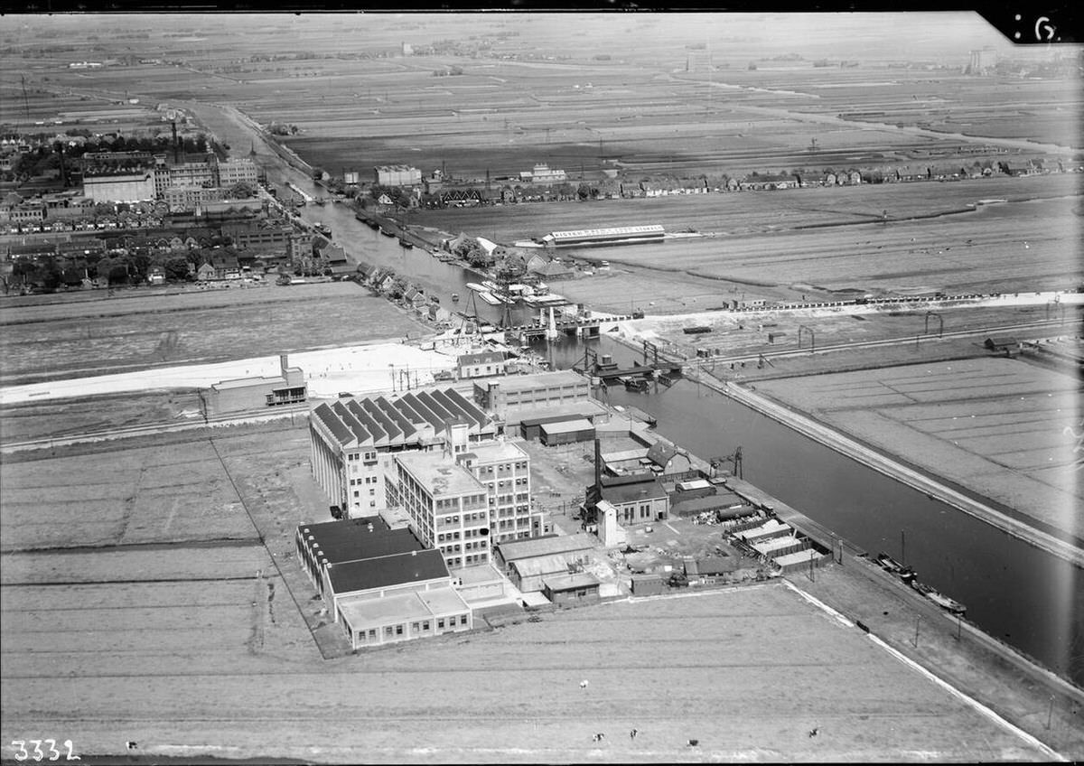
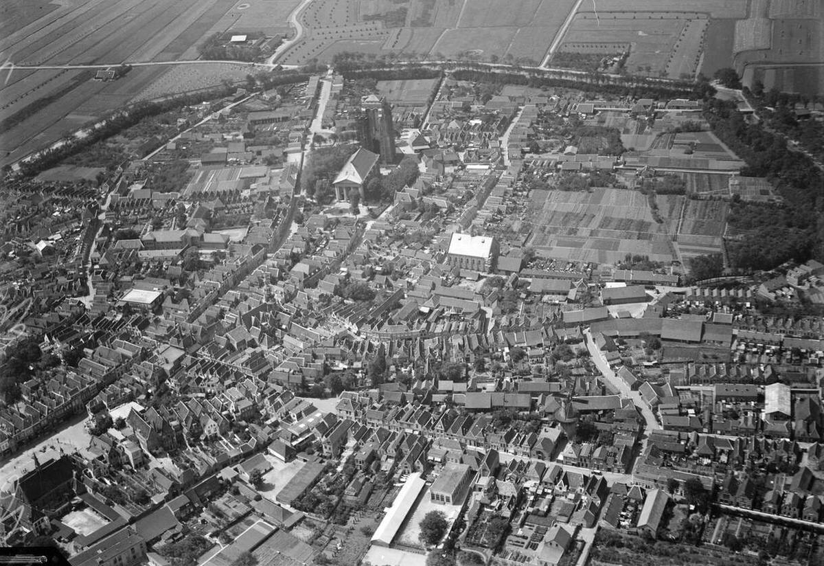
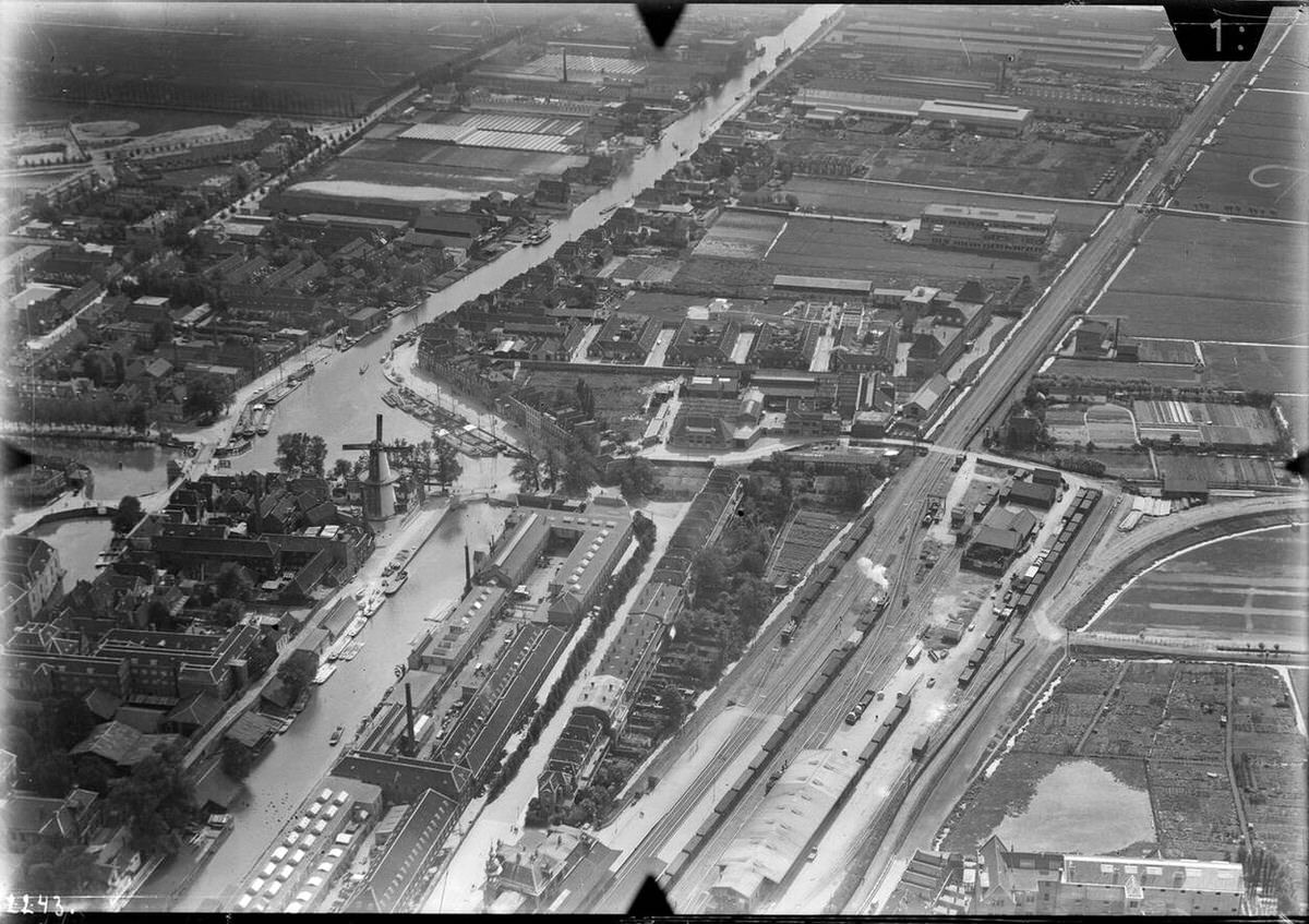
Aerial view of Delft, 1920s-1940s.Aerial view of Nootdorp, 1920s-1940s.Aerial view of Groningen, 1920s-1940s.
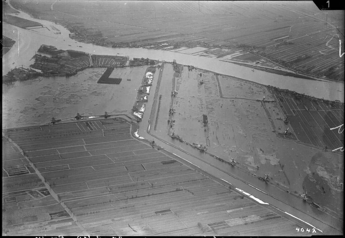
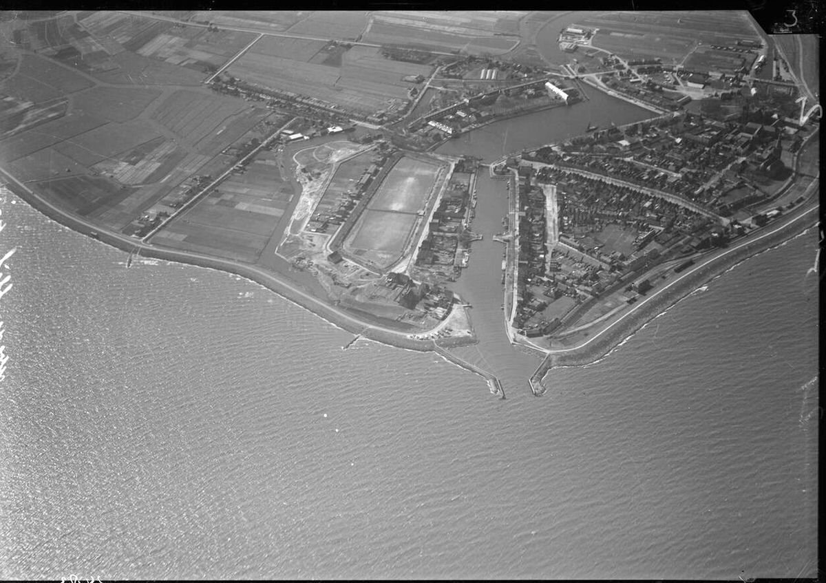
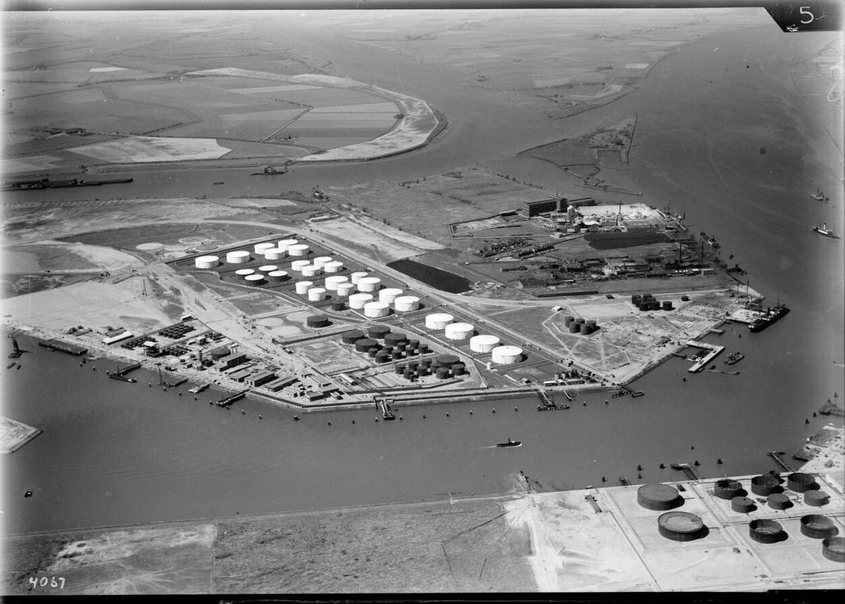
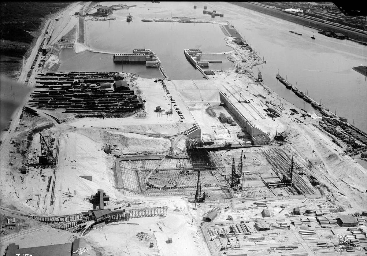
During the 1930s, aerial photography played a direct role in the Zuiderzee Works. Cameras mounted on aircraft tracked the construction of the Afsluitdijk and the draining of new polders. Engineers studied the images to understand water current patterns and identify exactly where dikes needed extra reinforcement.
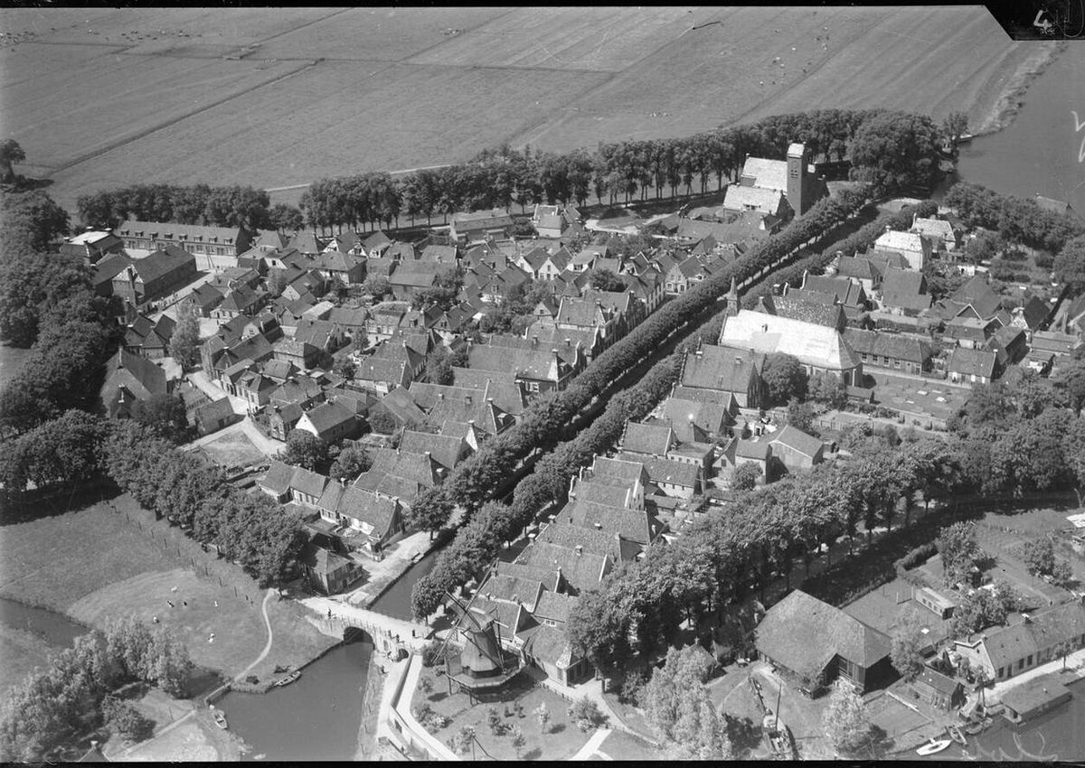
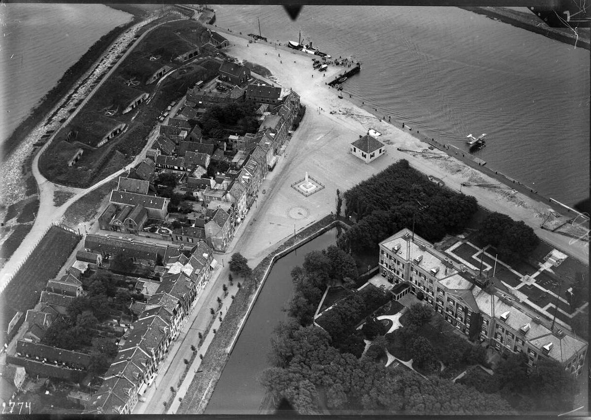
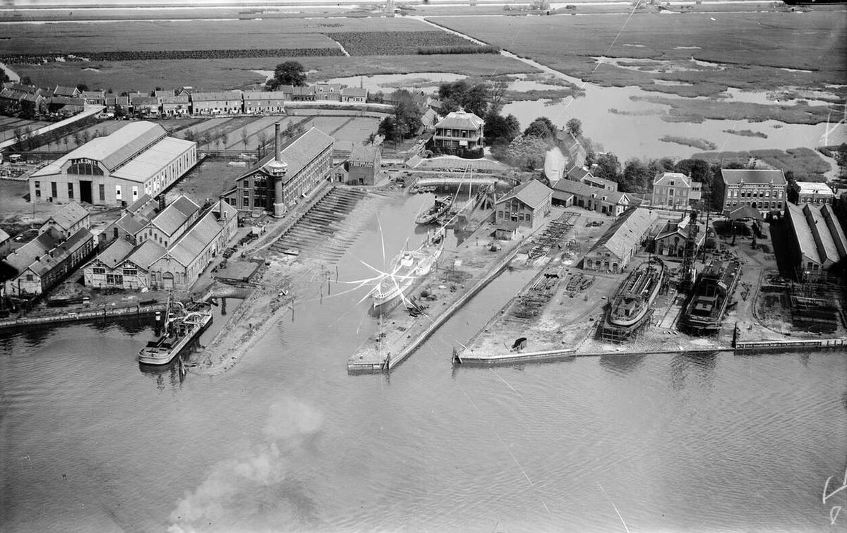
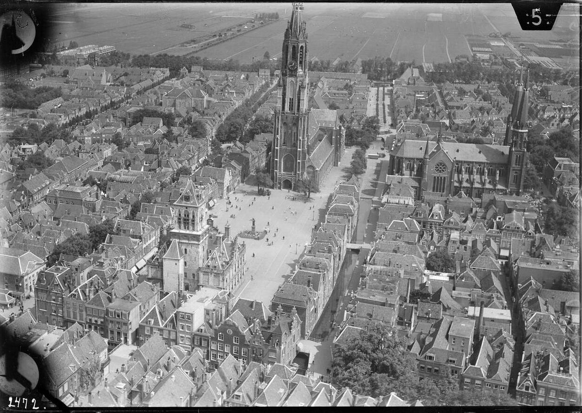
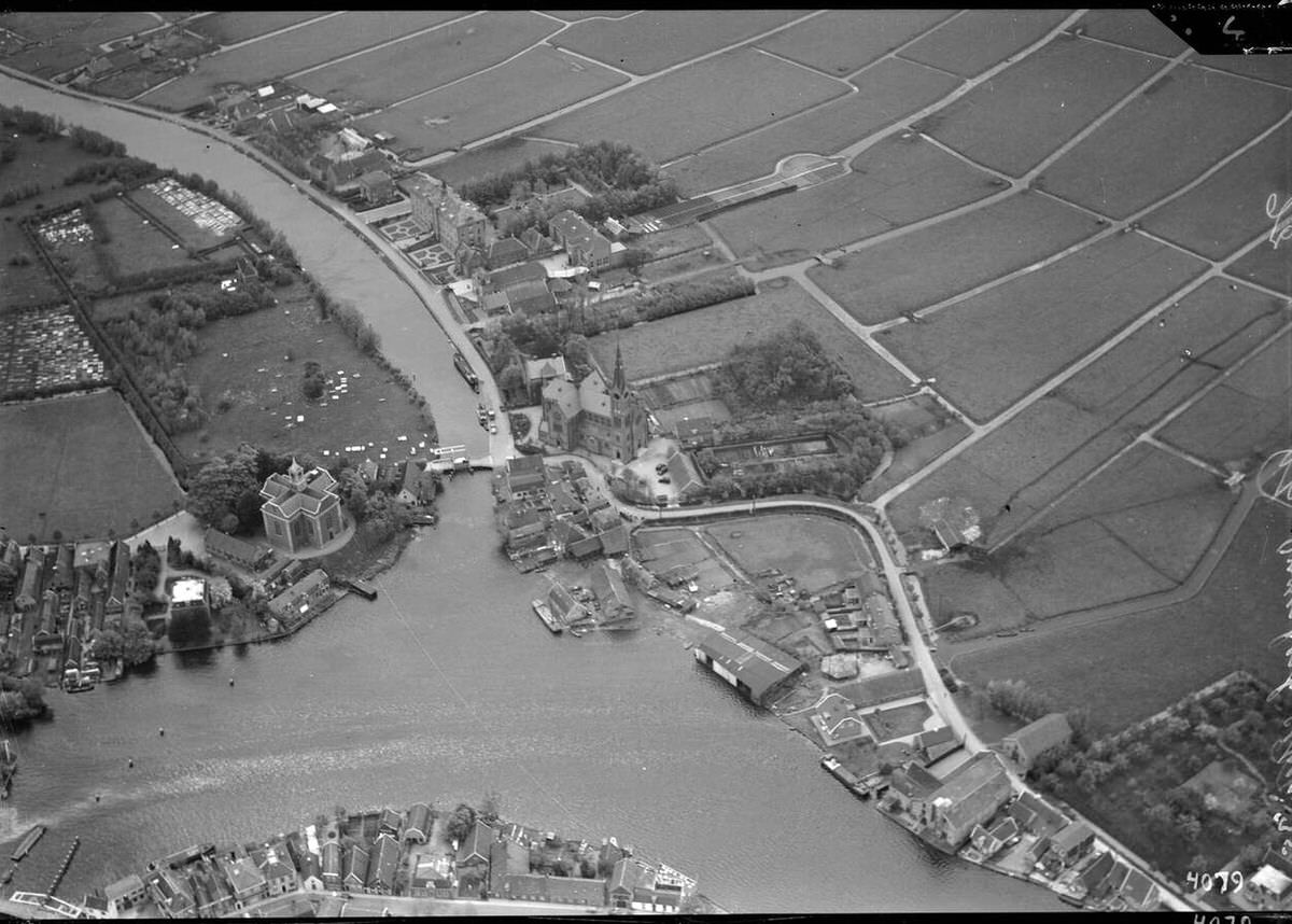
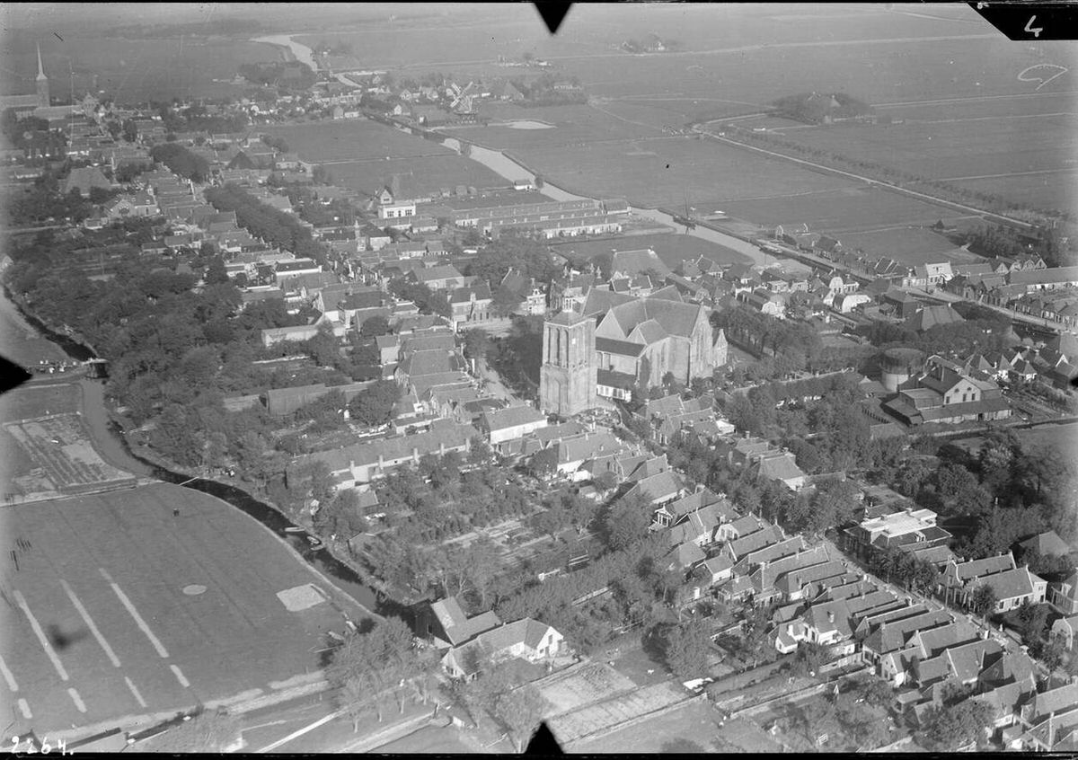
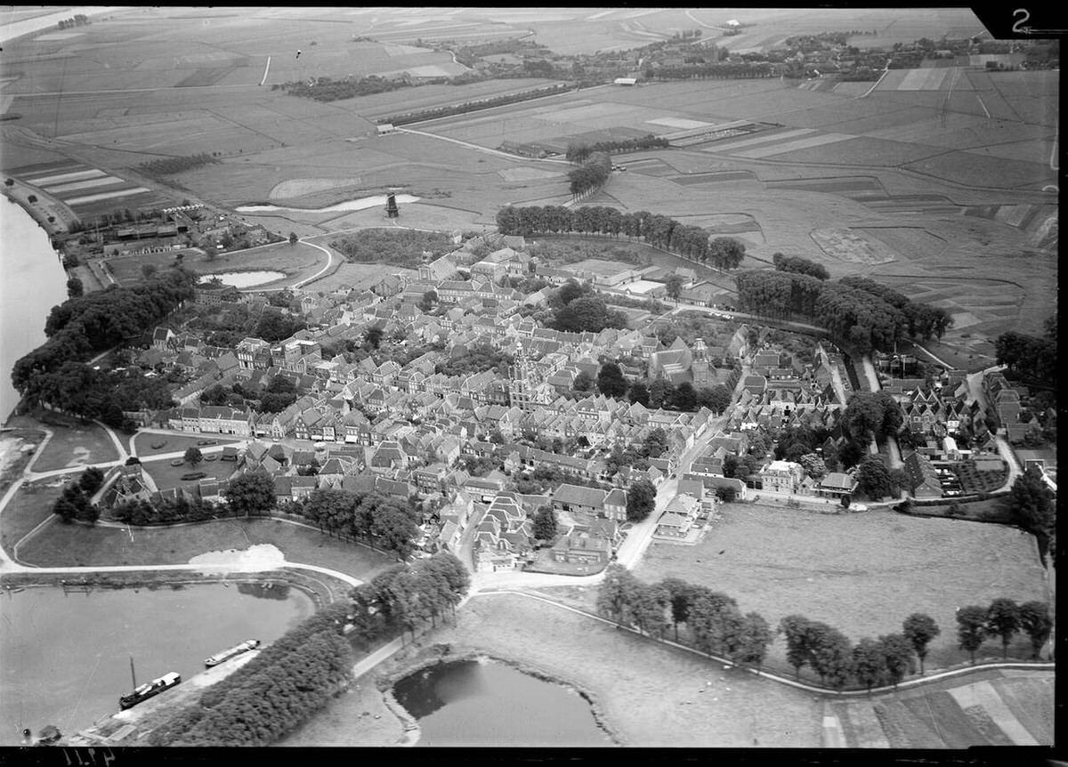
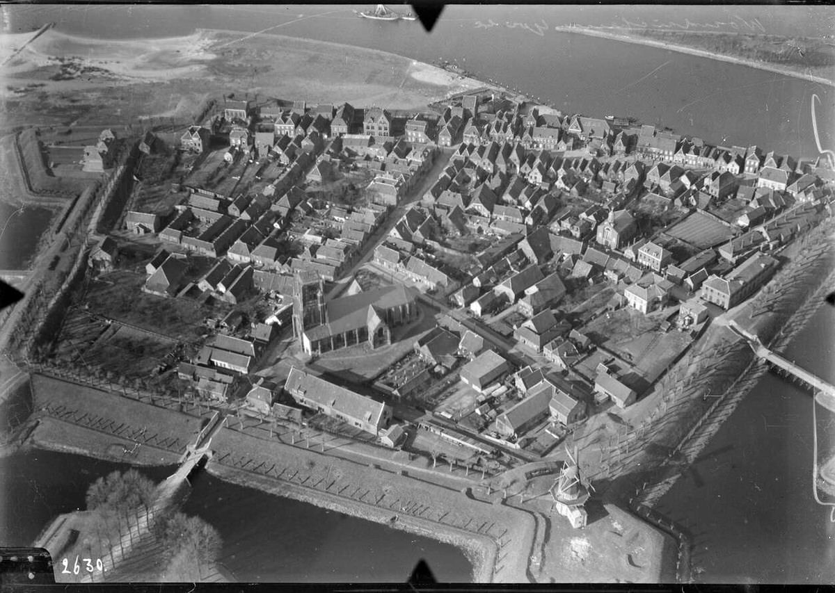
Aerial view of Delft, 1920s-1940s.Aerial view of Sloten, Friesland, 1920s-1940s.Aerial view of Haarlem, 1920s-1940s.Aerial view of Den Helder, 1920s-1940s.
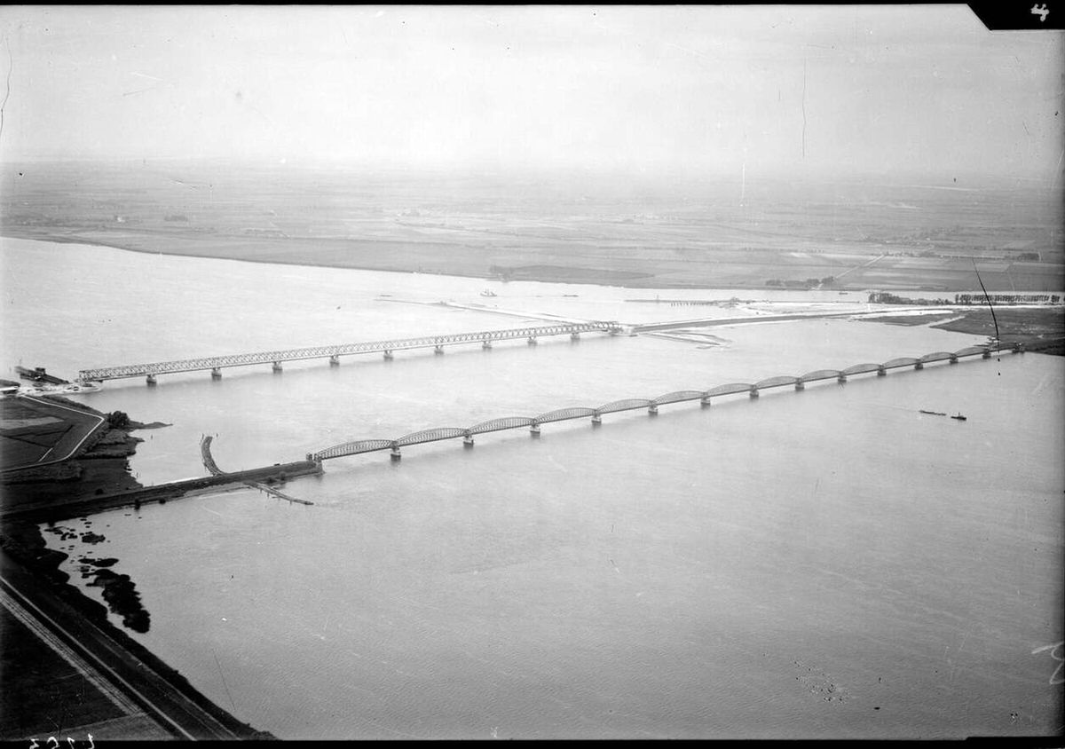
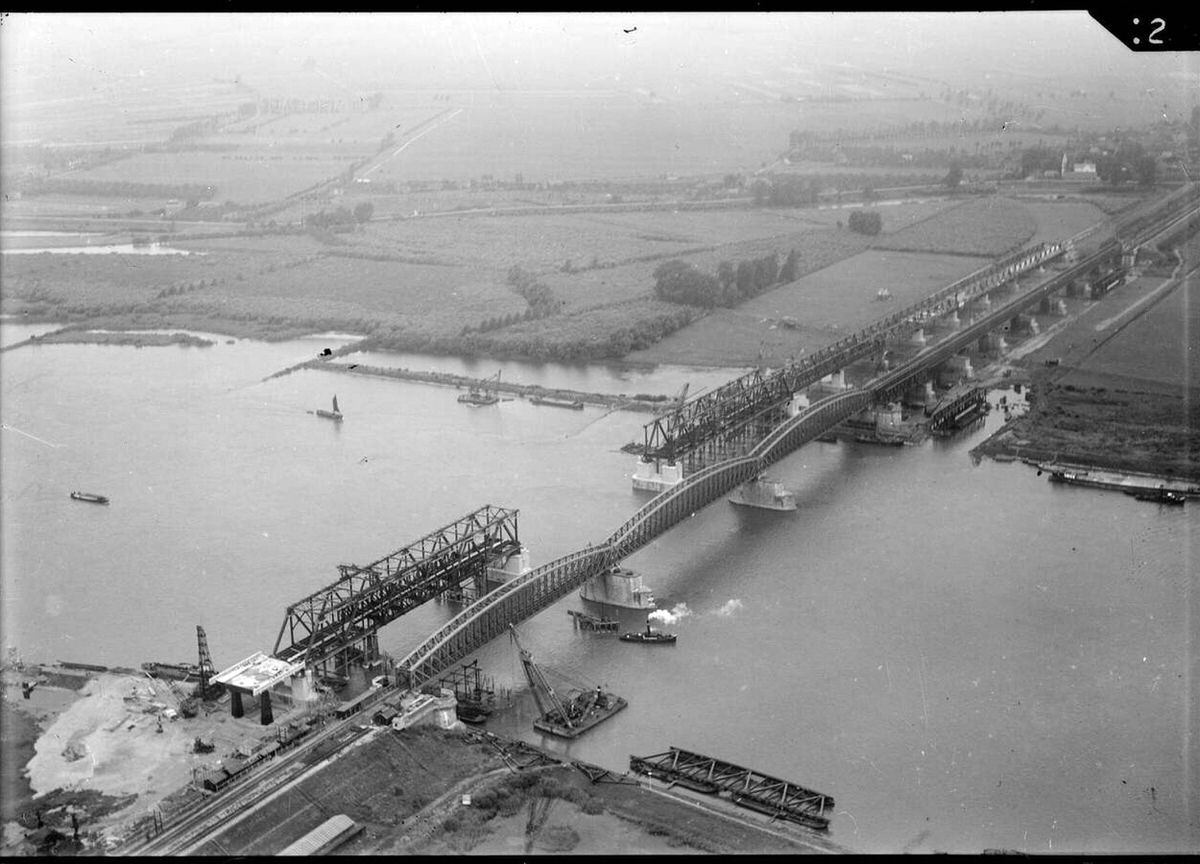
By the 1940s, aerial surveys served both military planning and postwar reconstruction. After liberation in 1945, survey photos gave the Wederopbouw reconstruction teams a precise record of destroyed bridges and railways, letting planners prioritize the most urgent repairs across cities like Rotterdam.
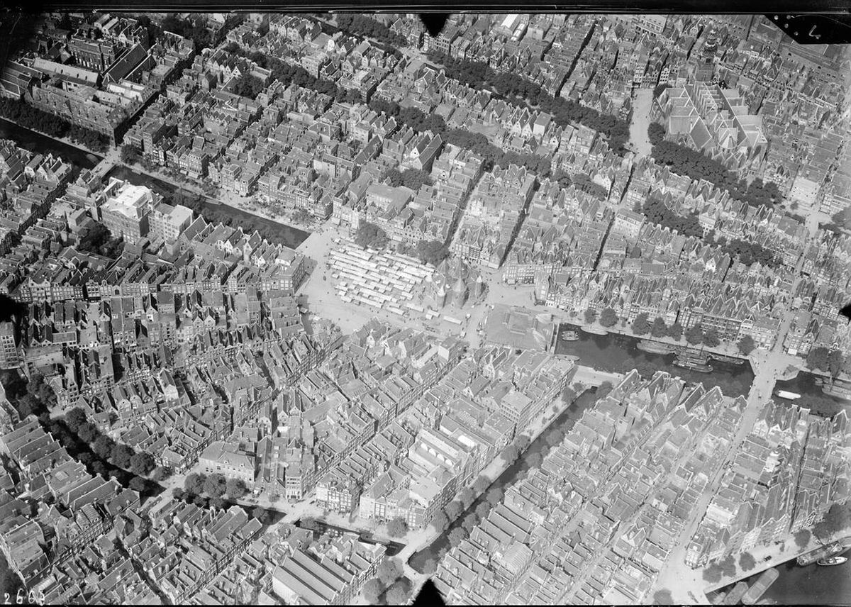
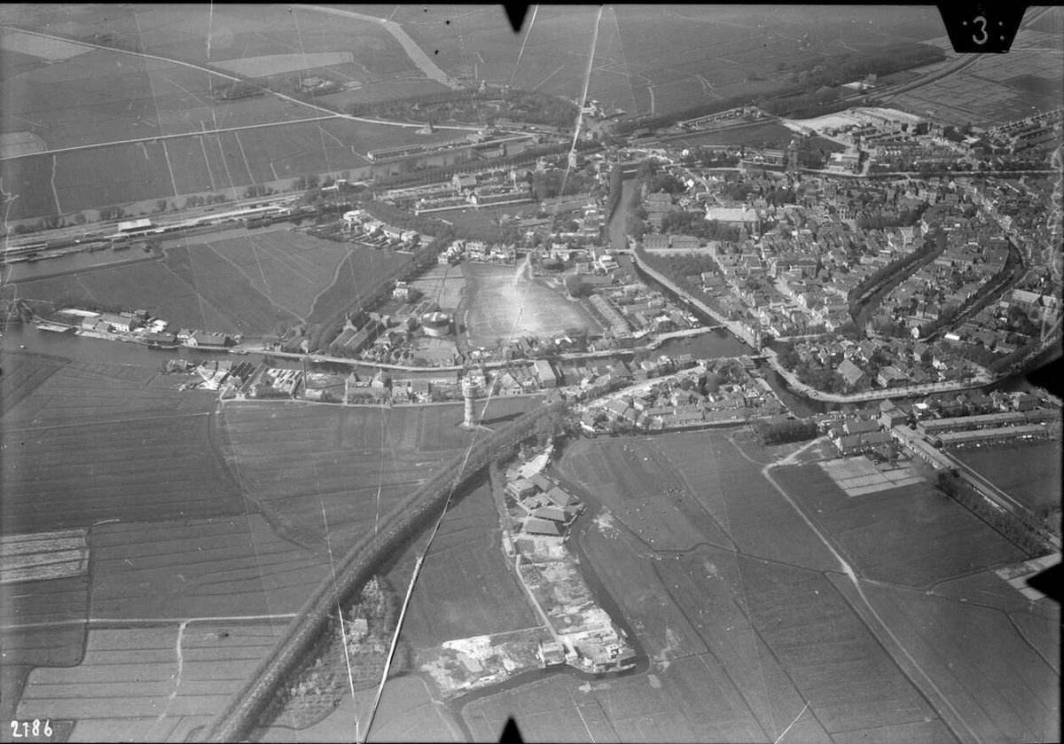
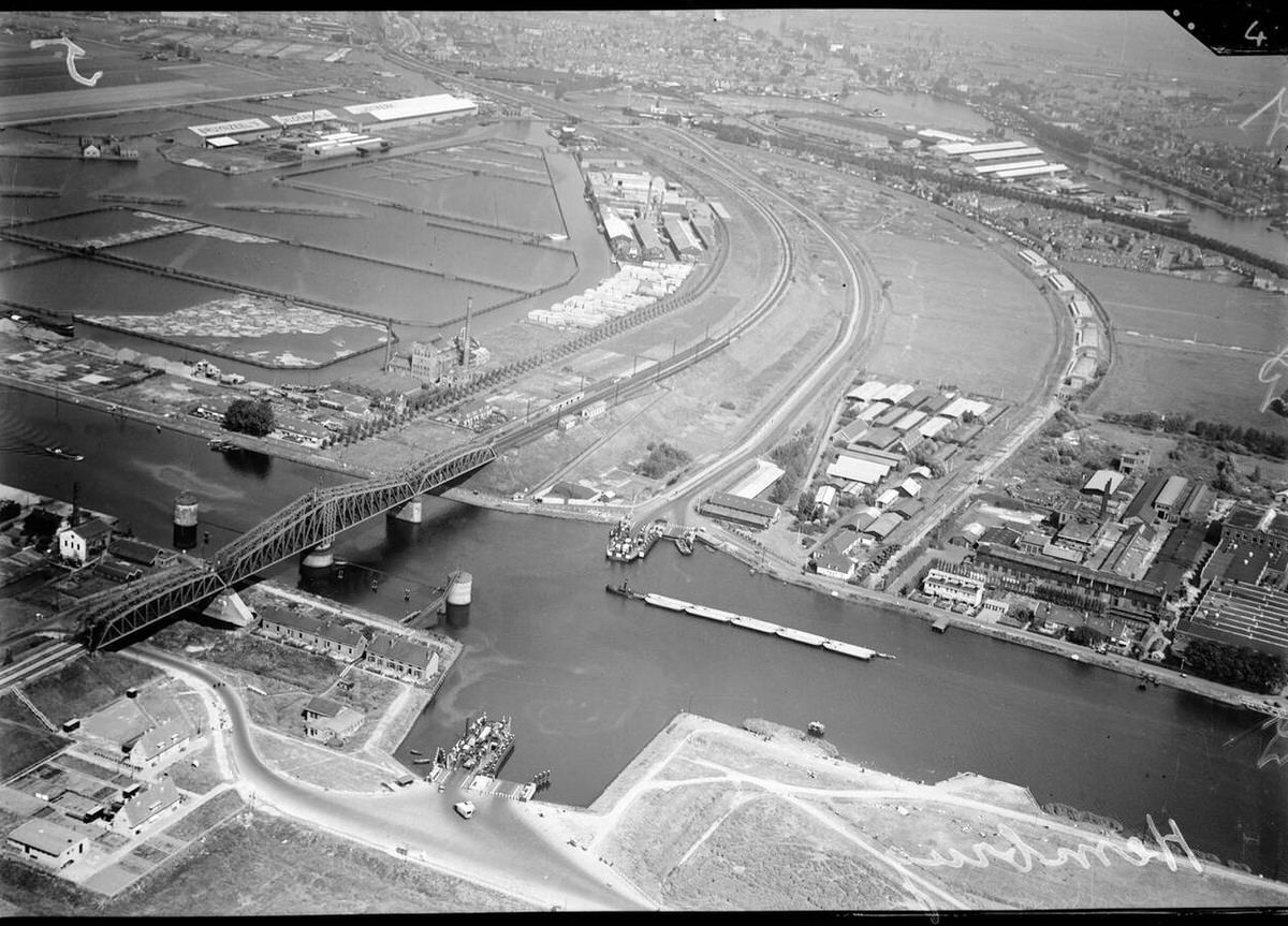
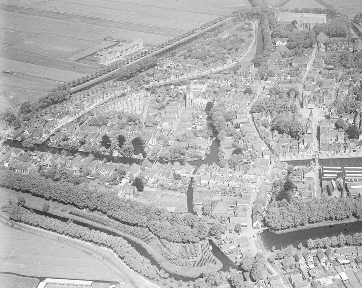
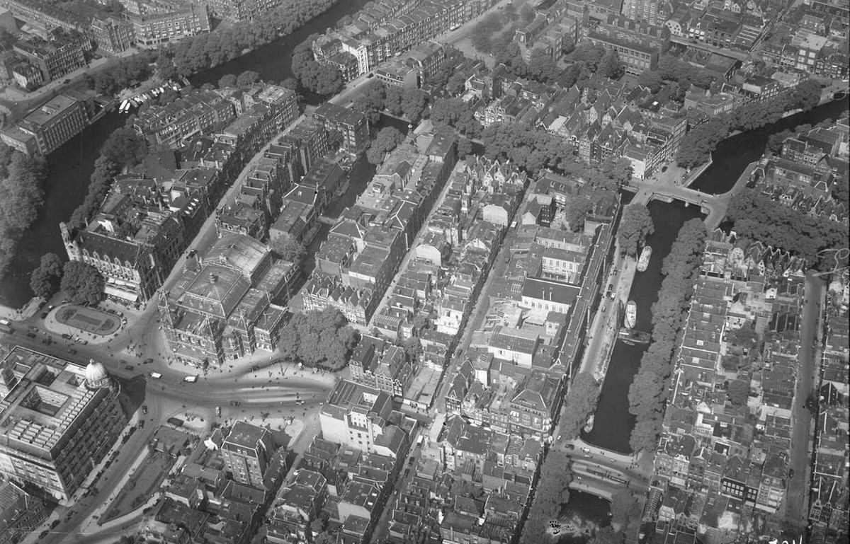
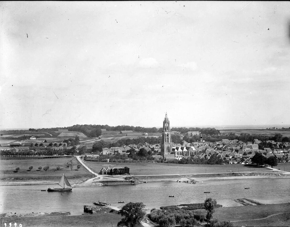
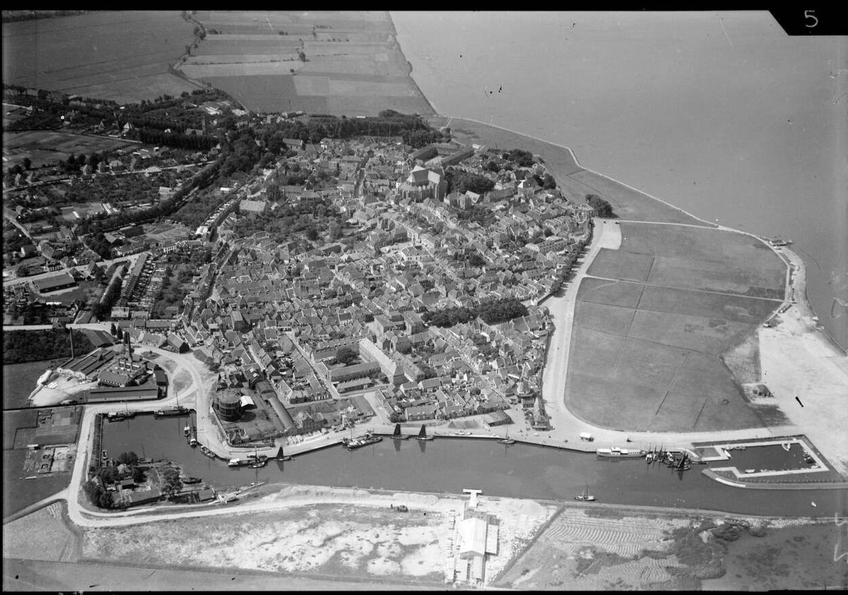
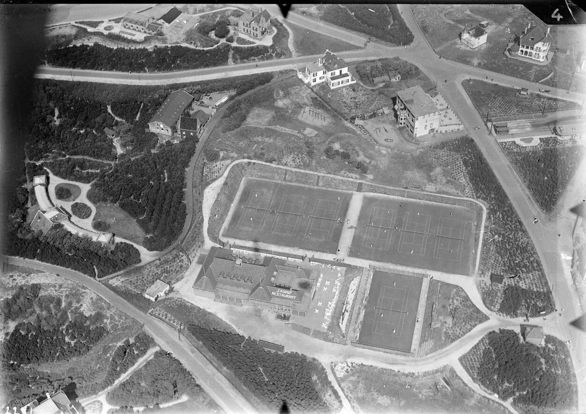
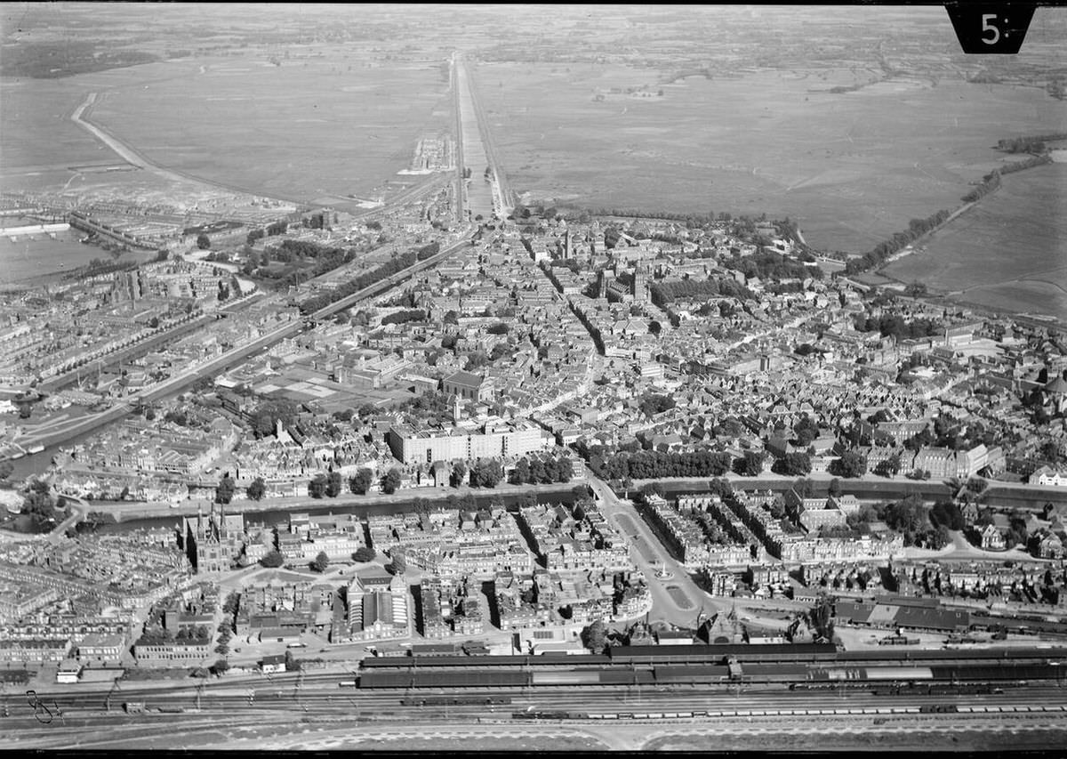
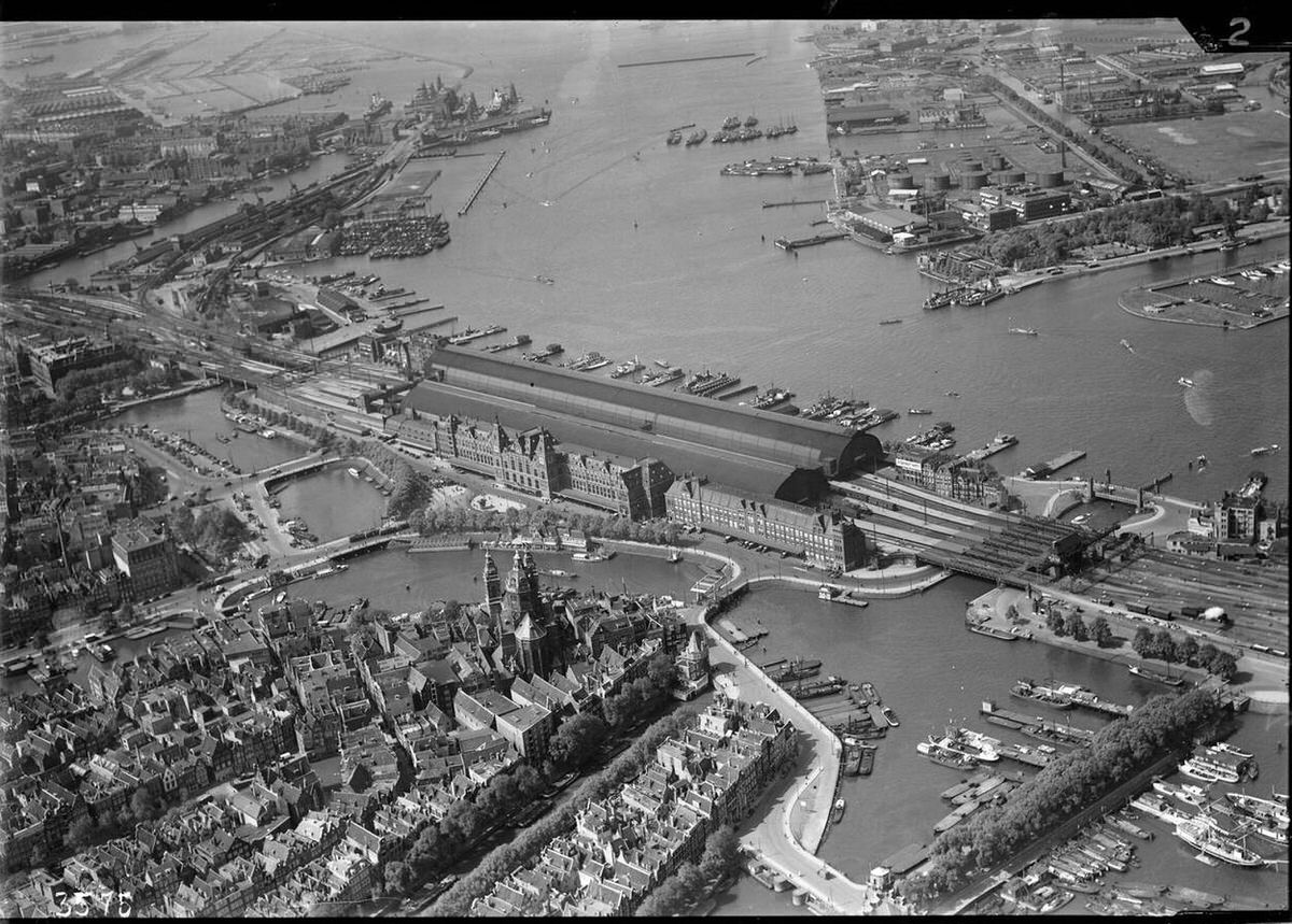
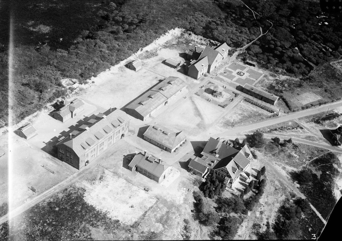
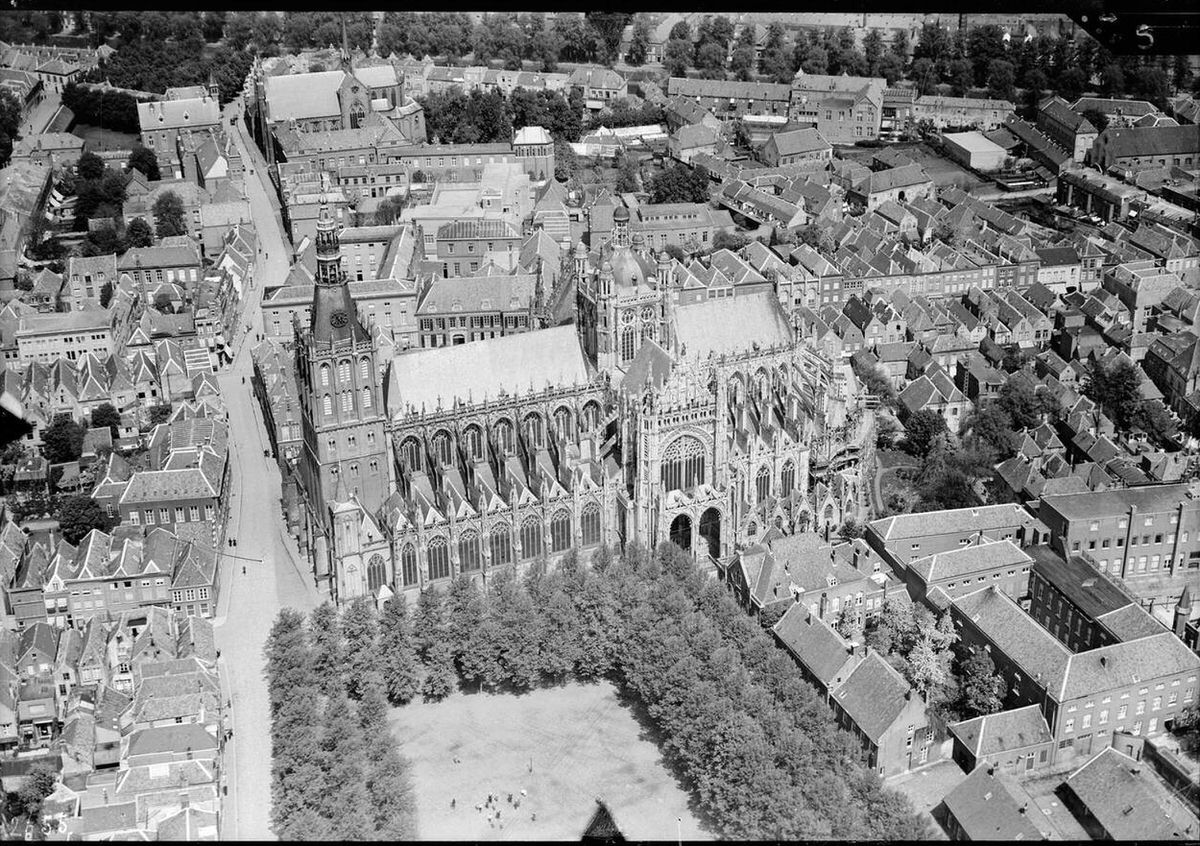
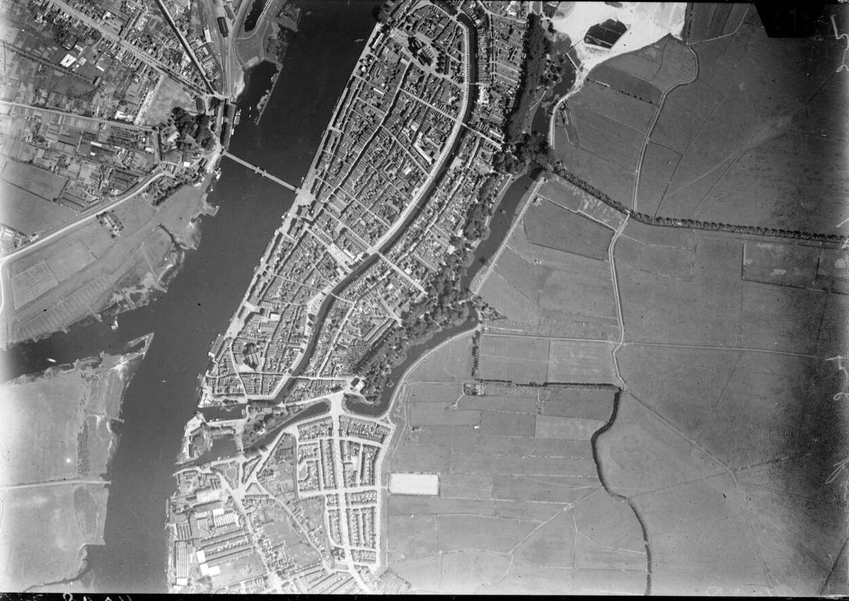
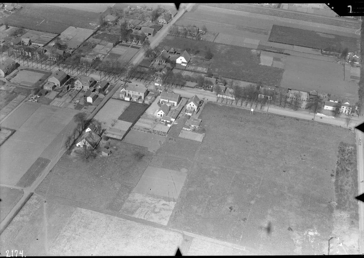
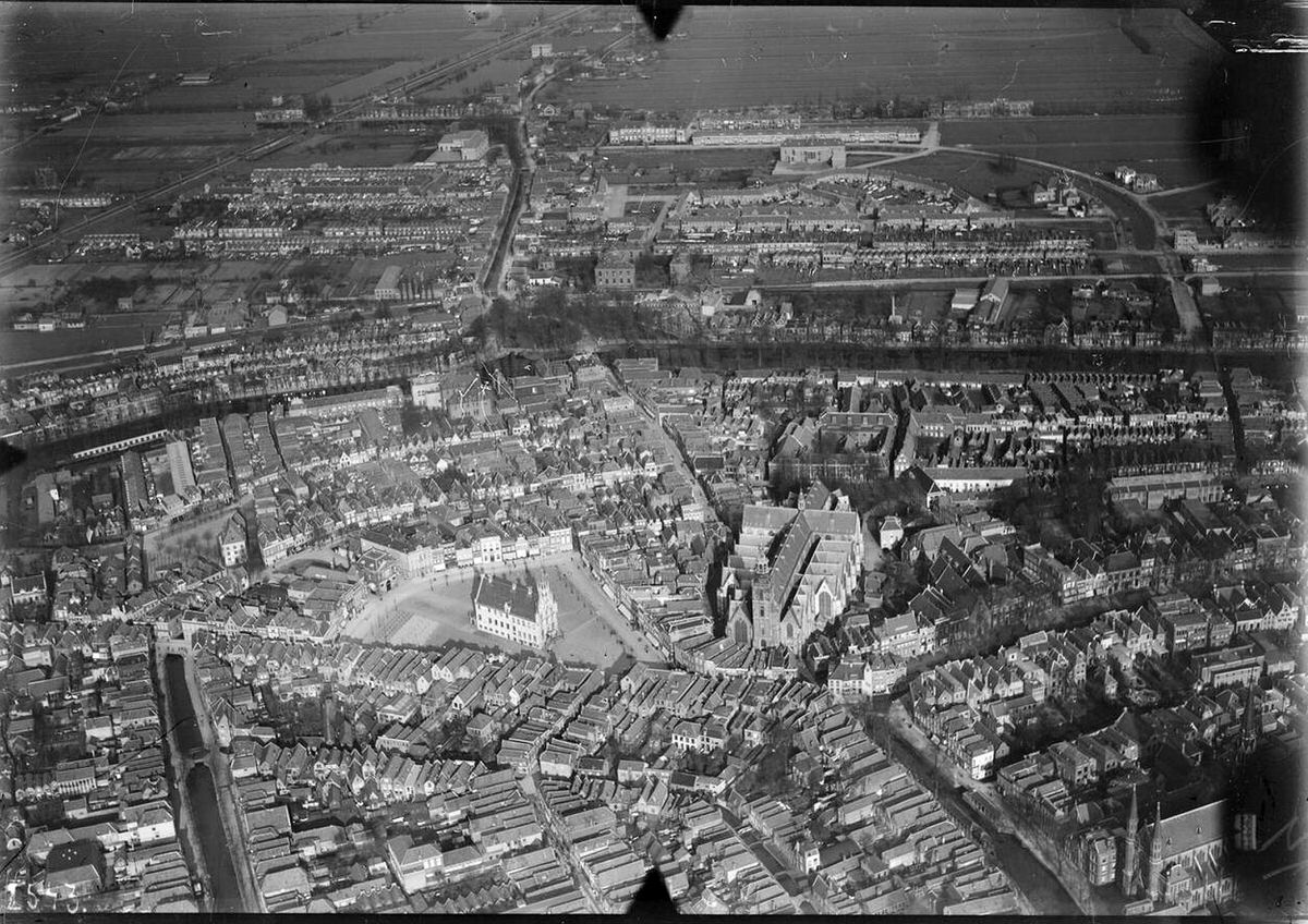
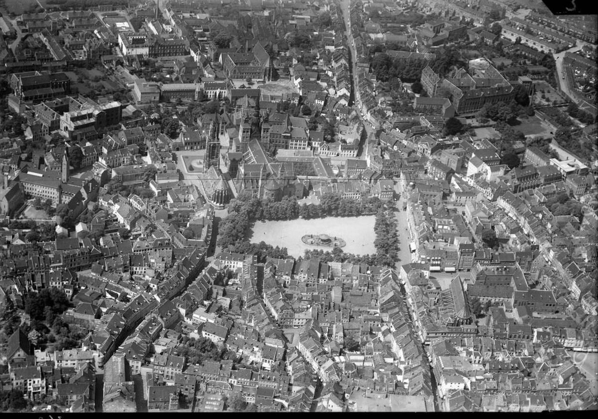
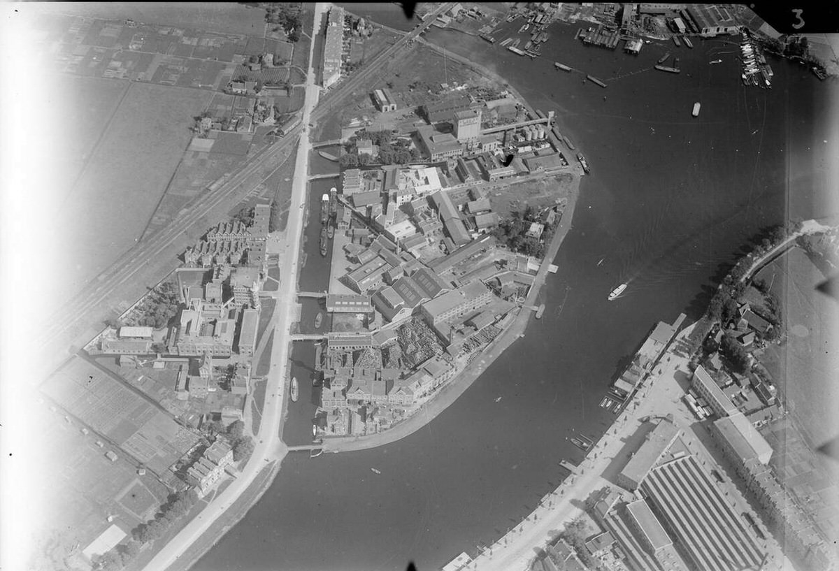
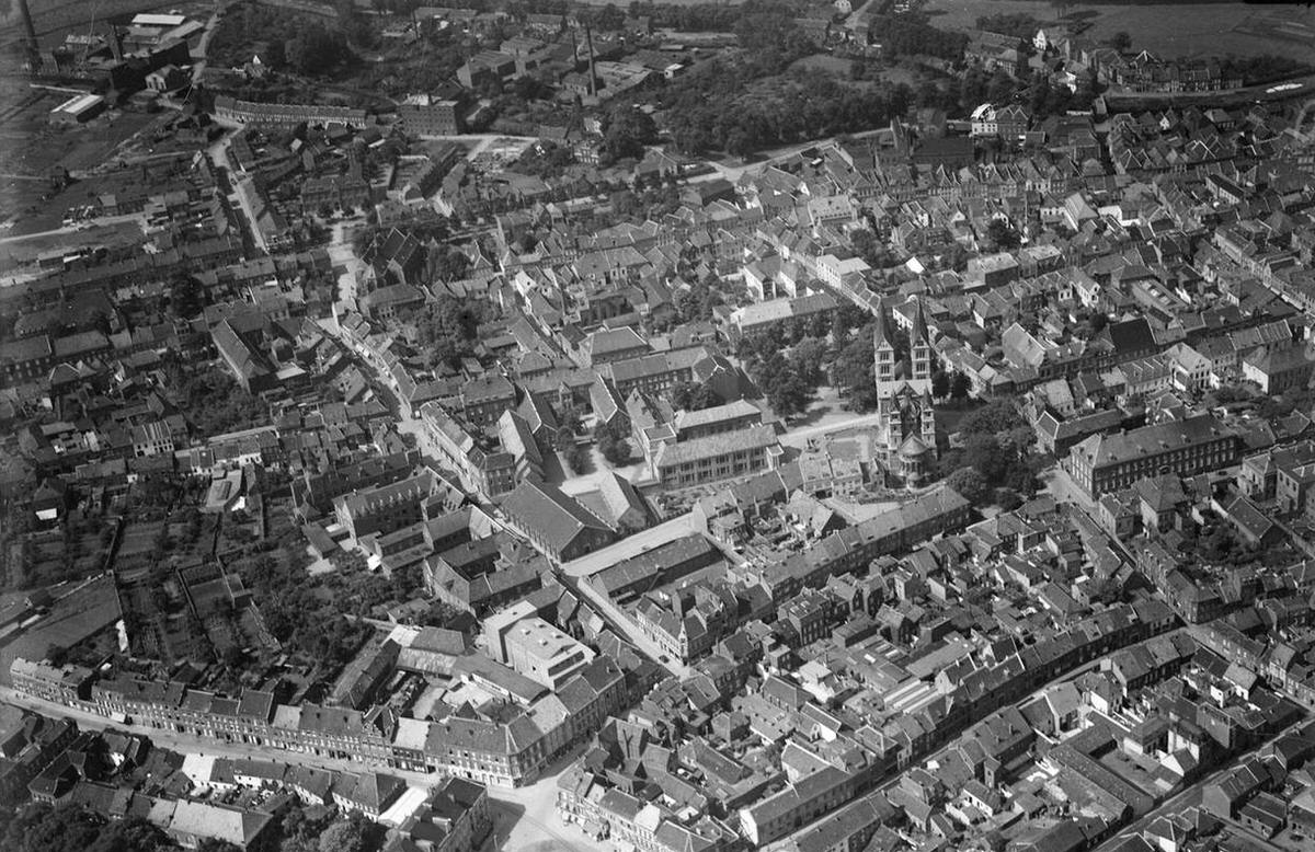
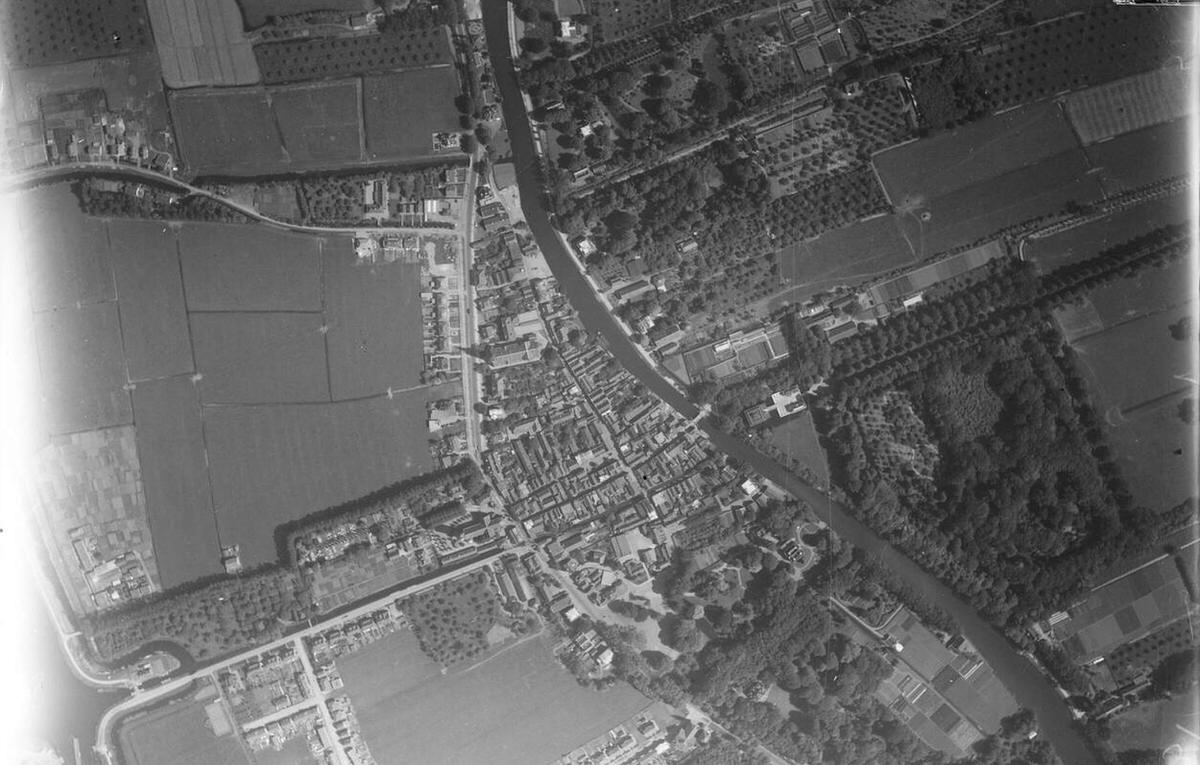
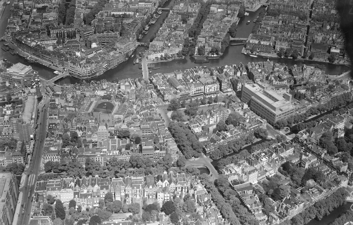
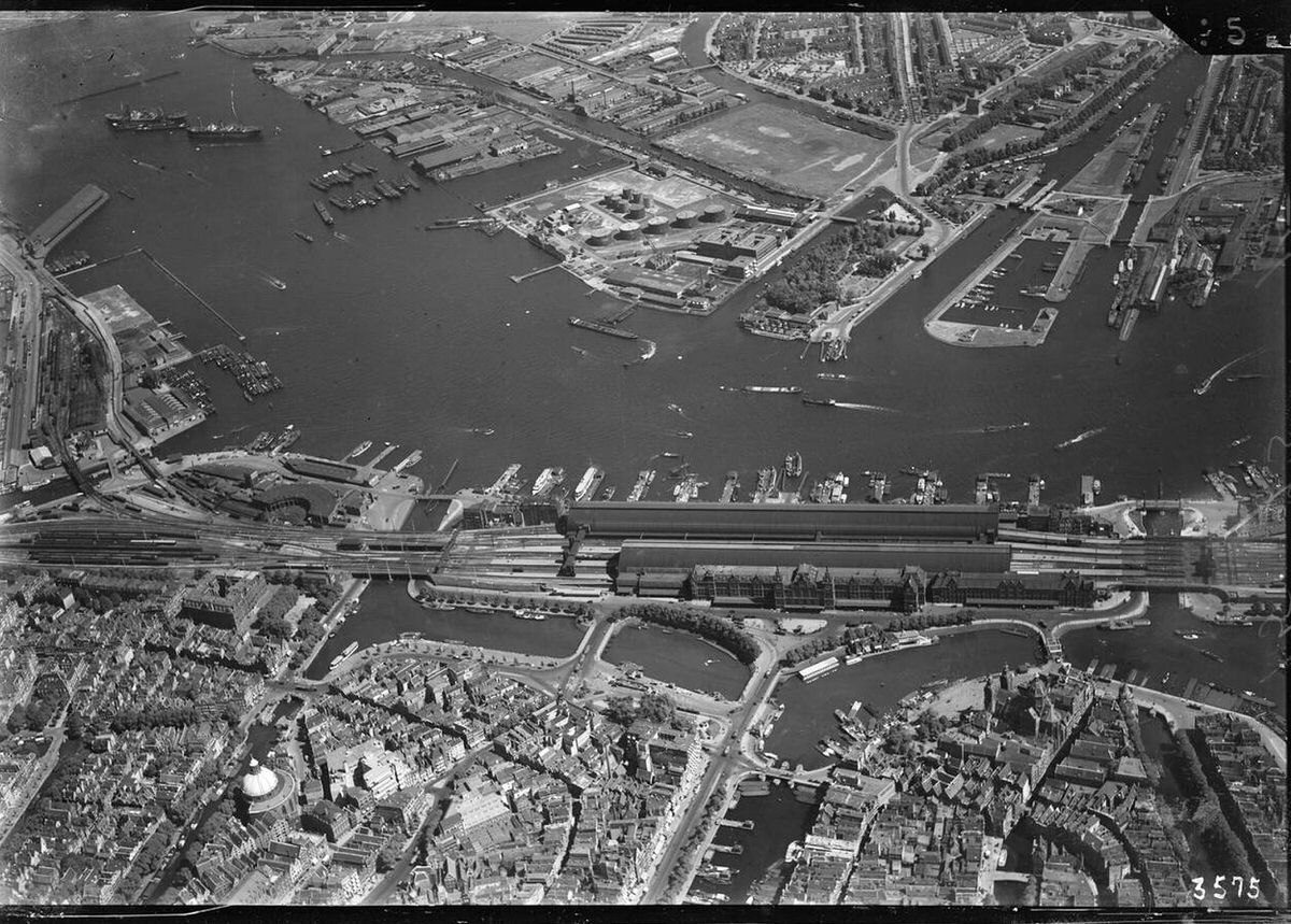
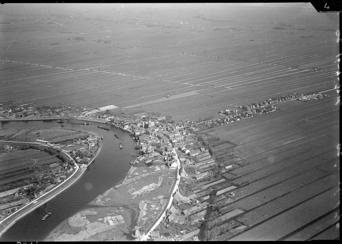
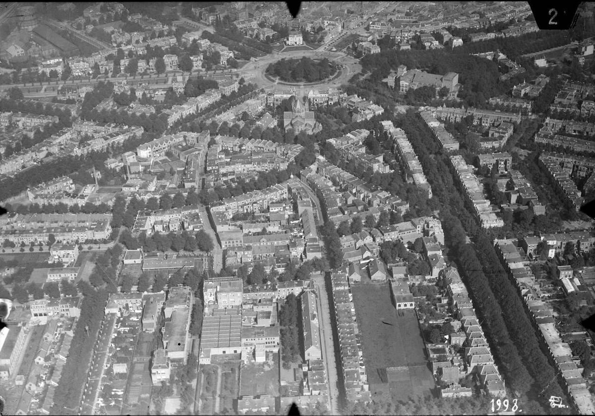
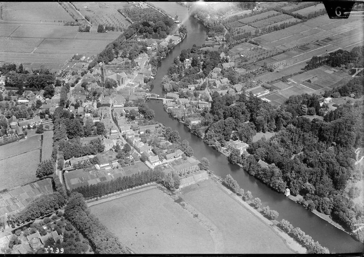
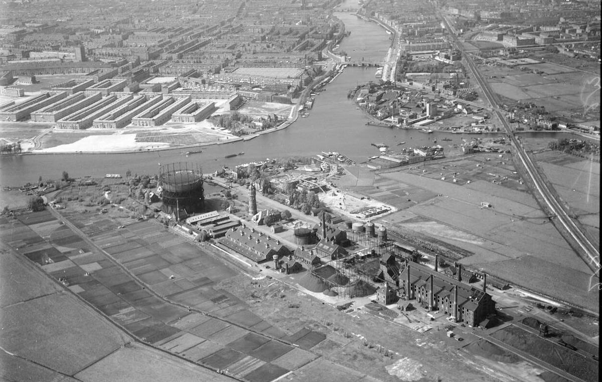
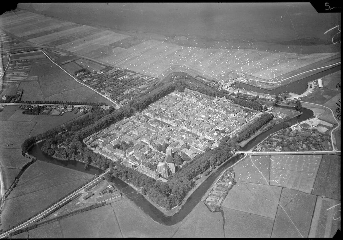
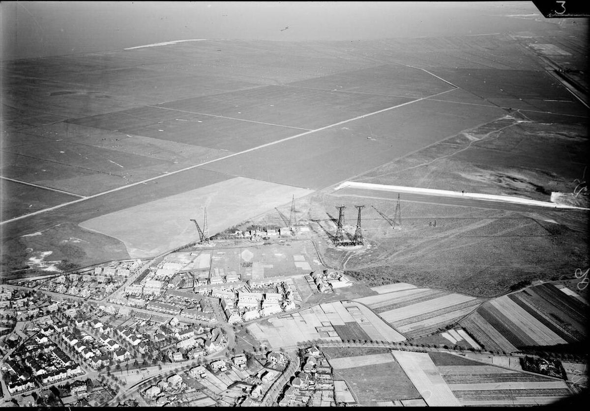
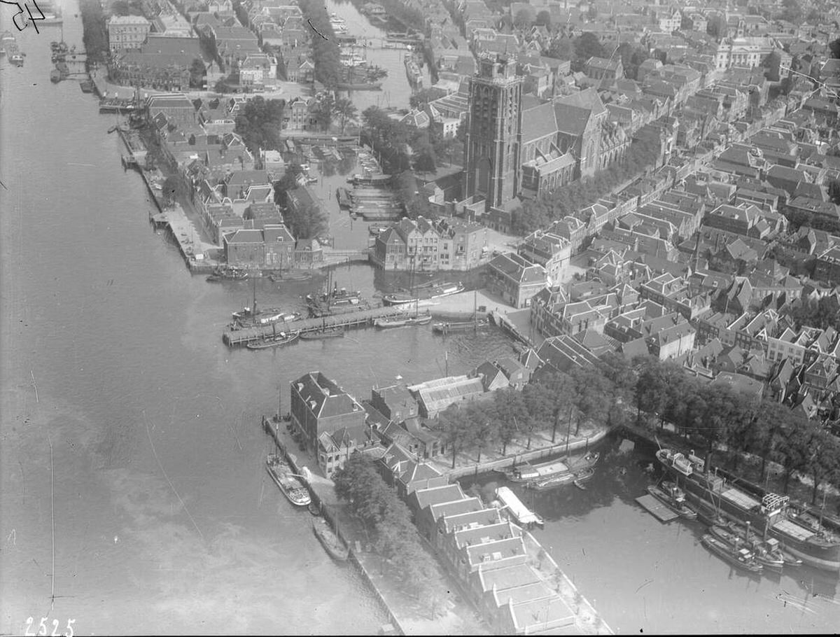
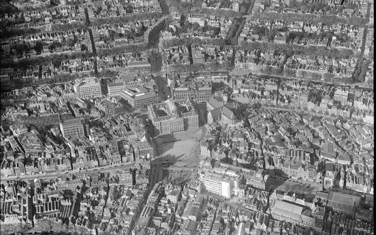
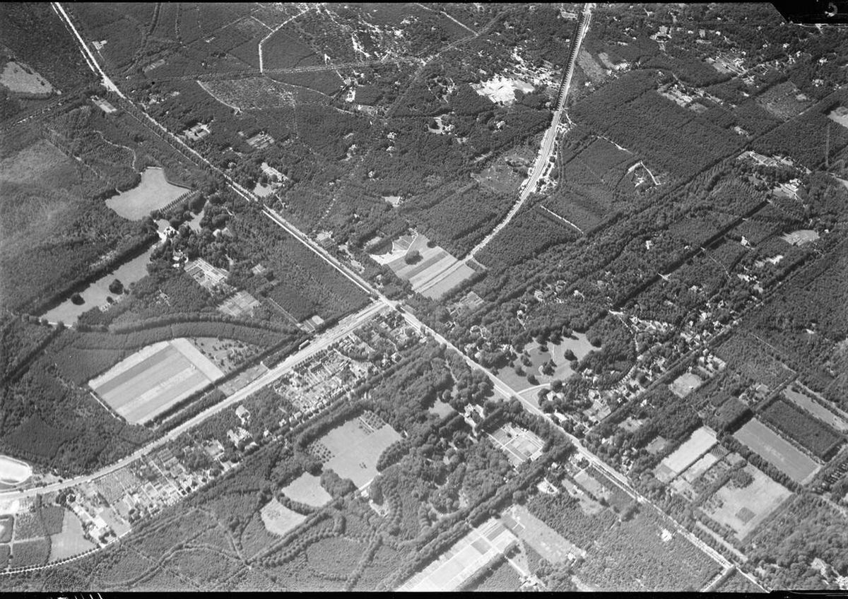
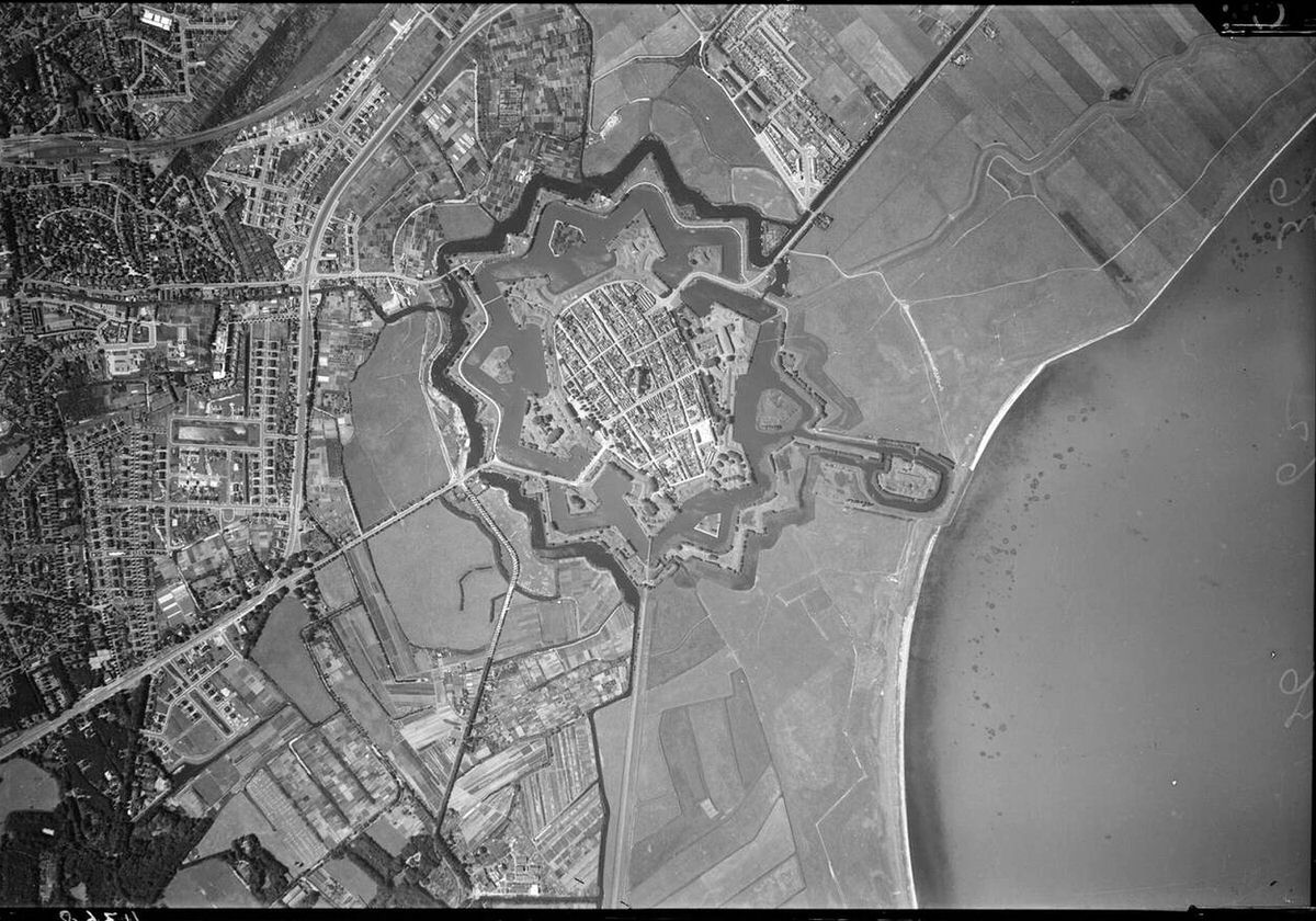
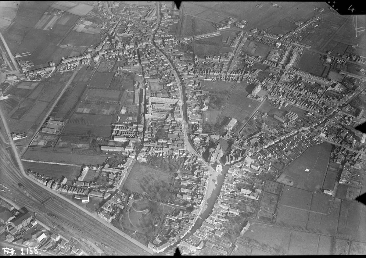
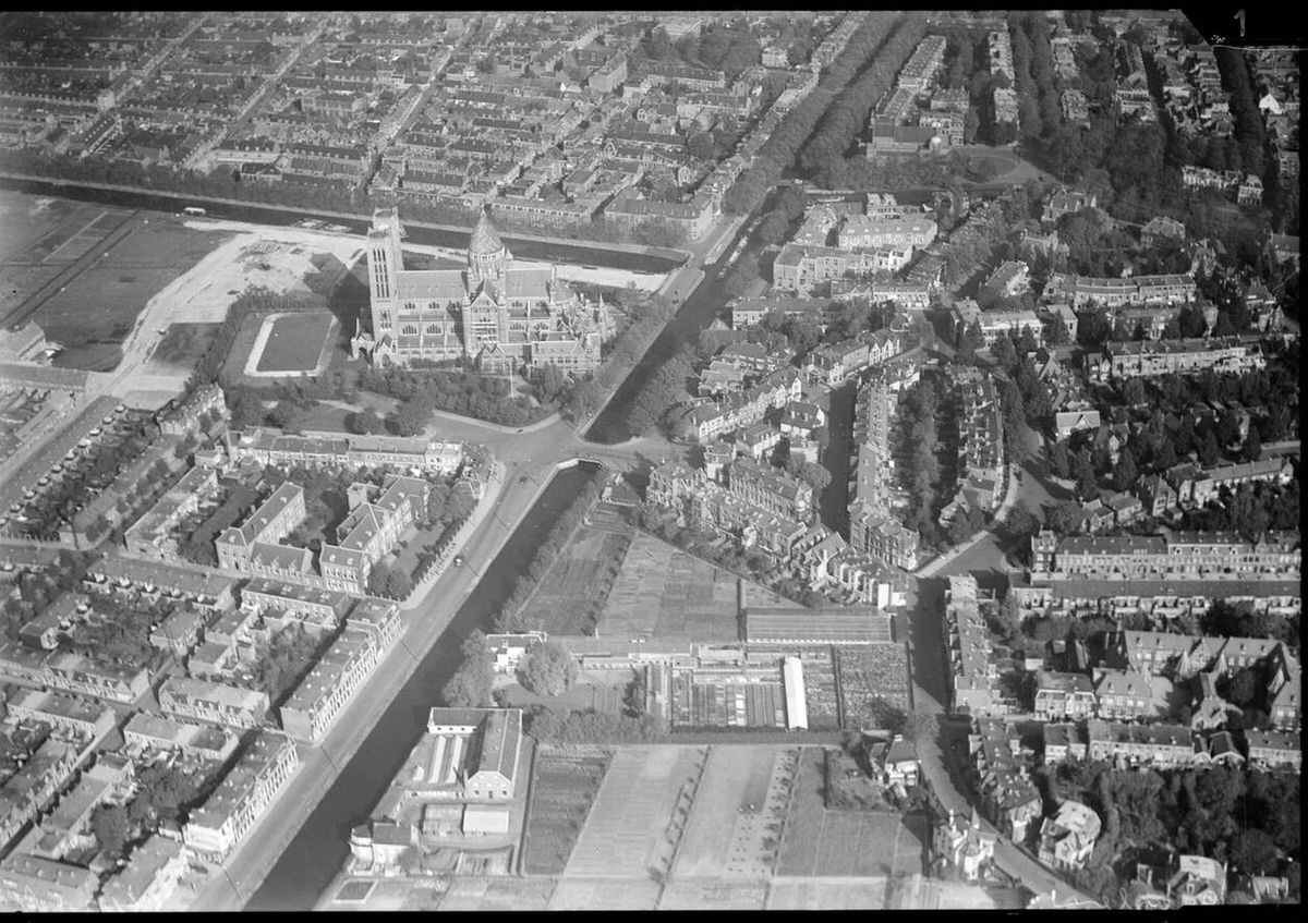
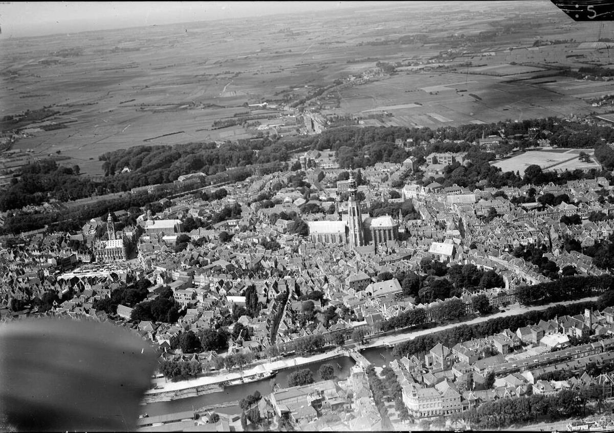
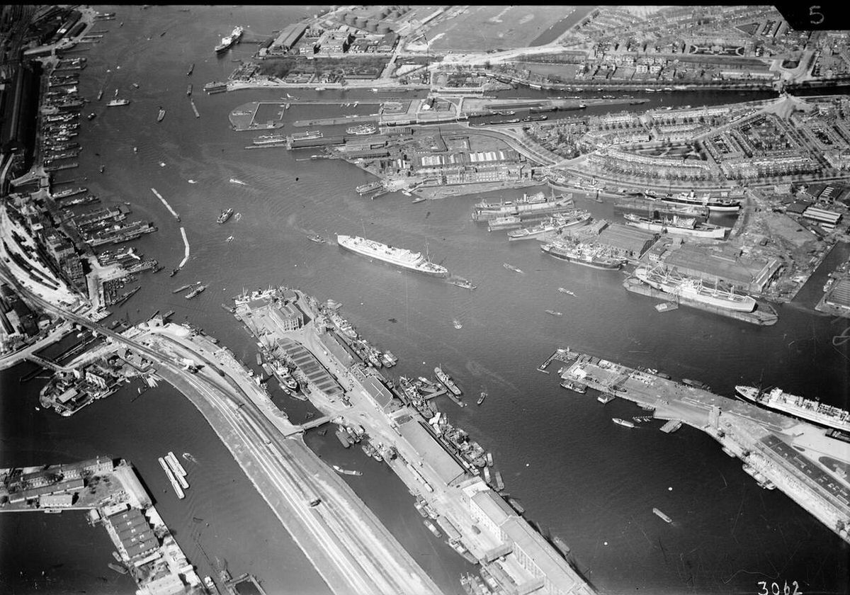
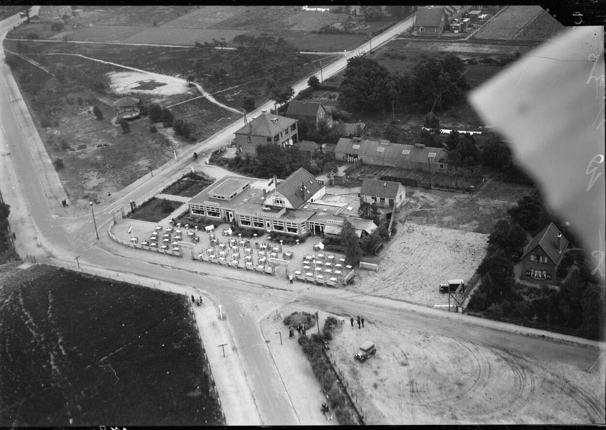
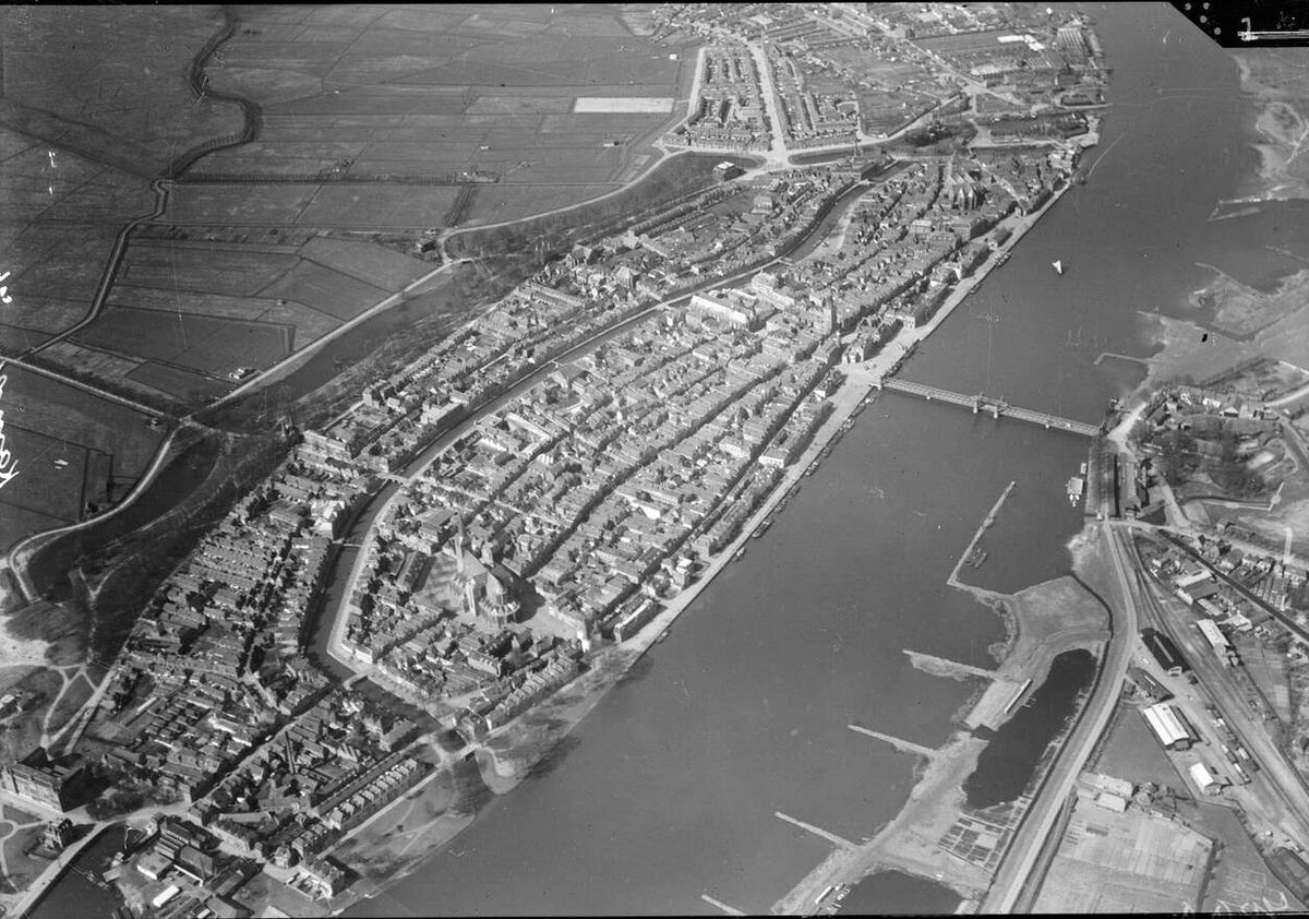
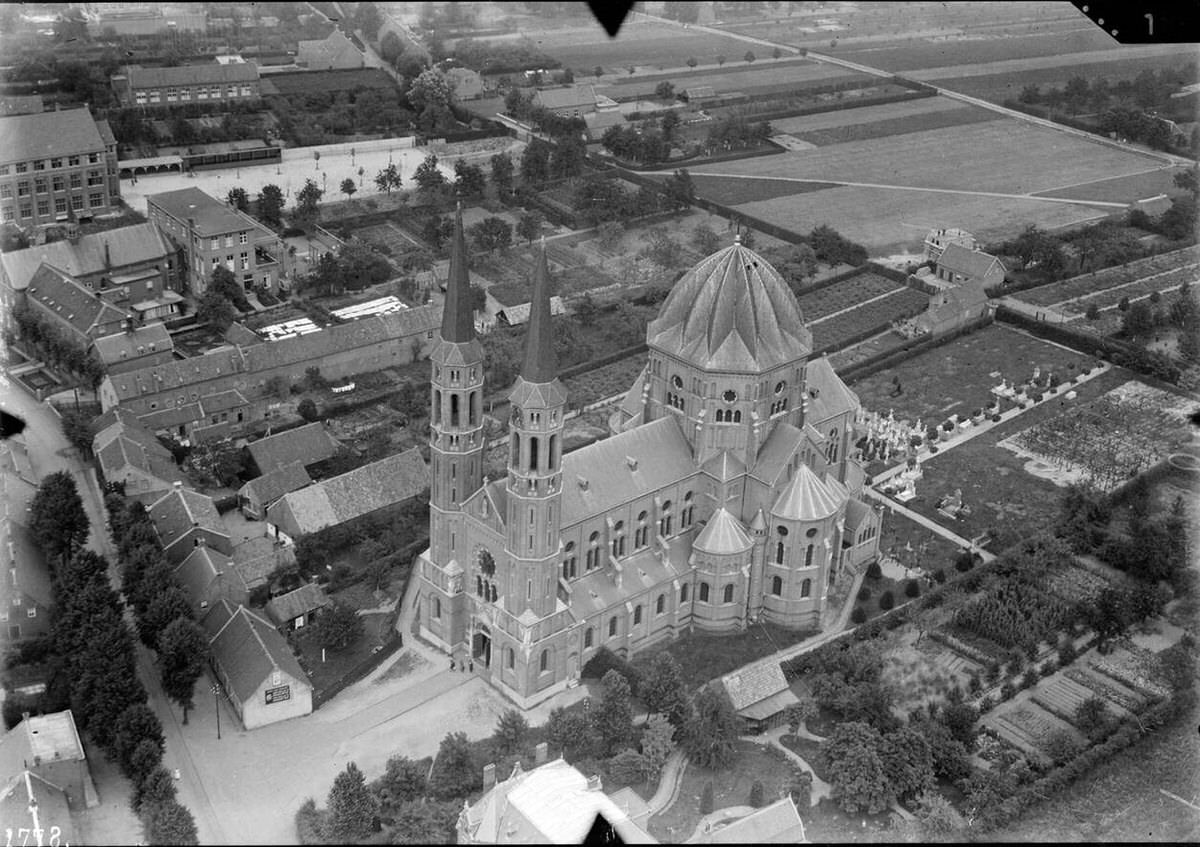
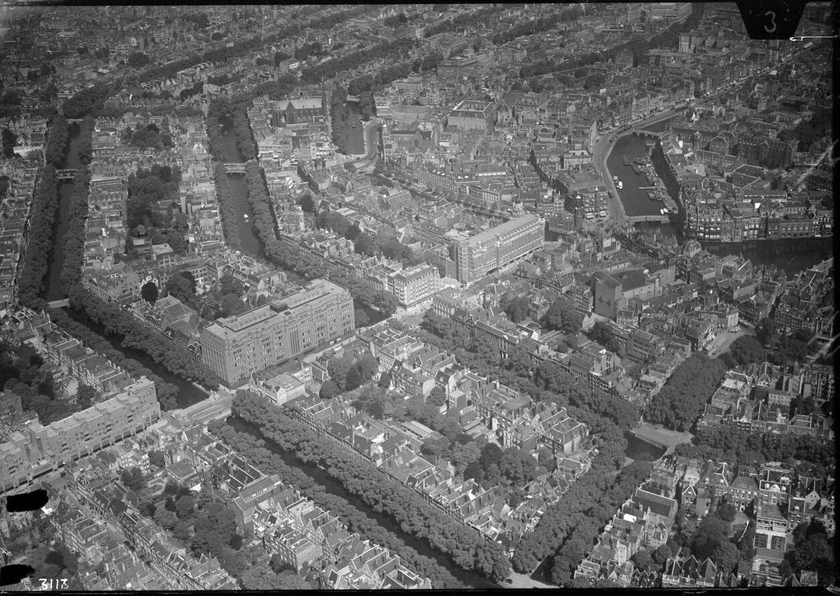
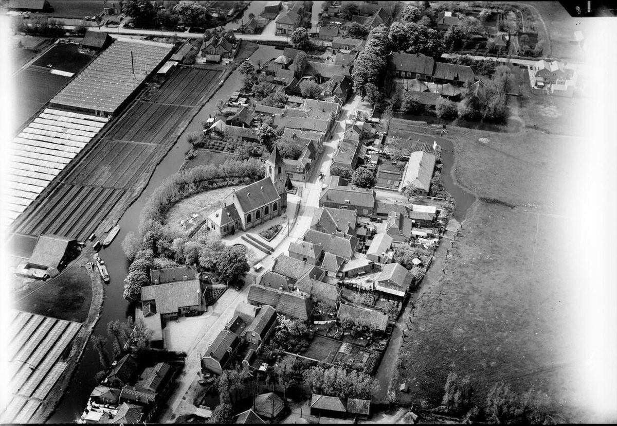
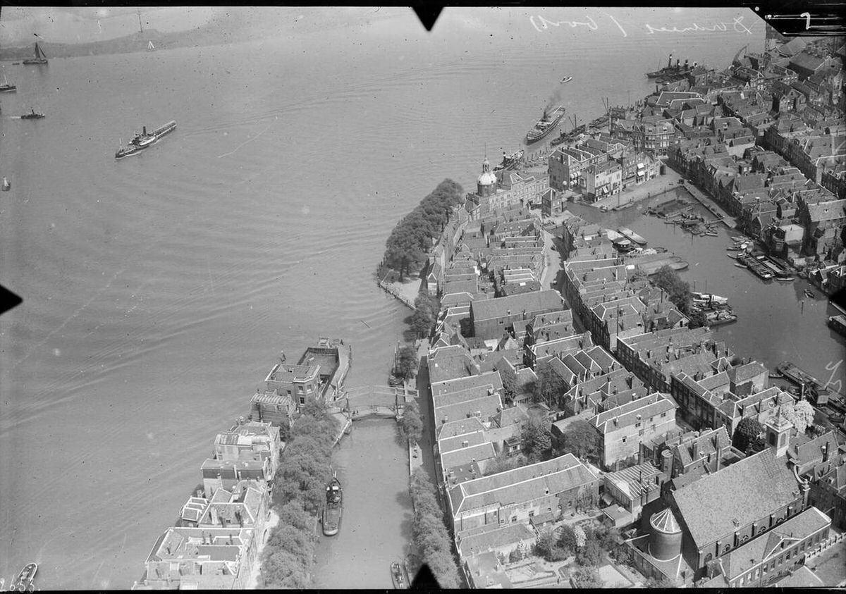
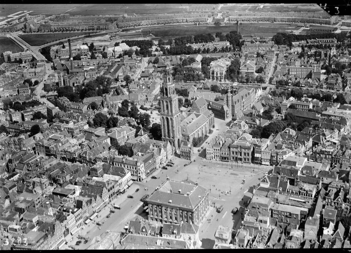
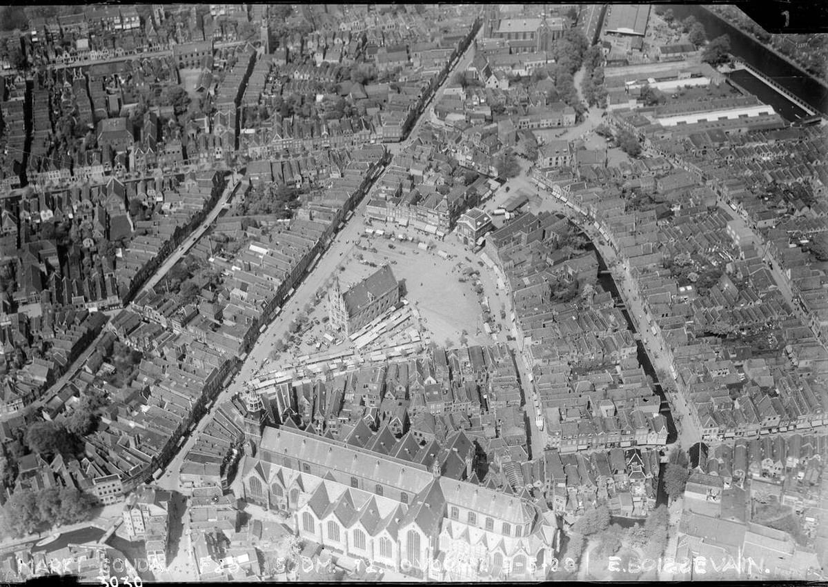
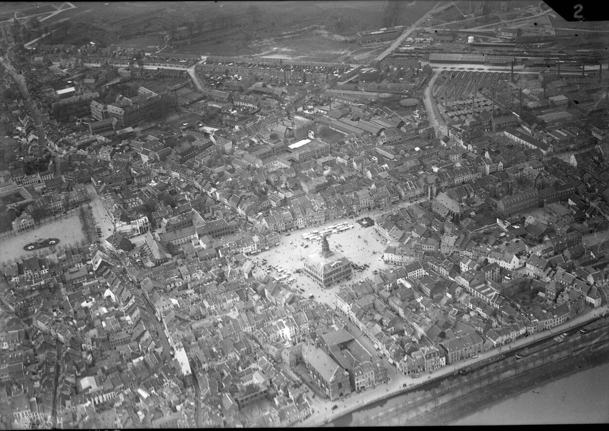
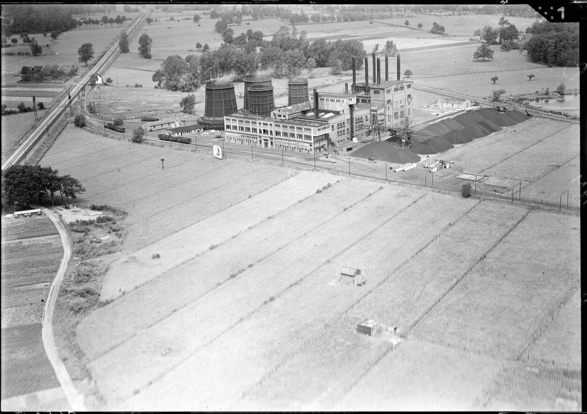
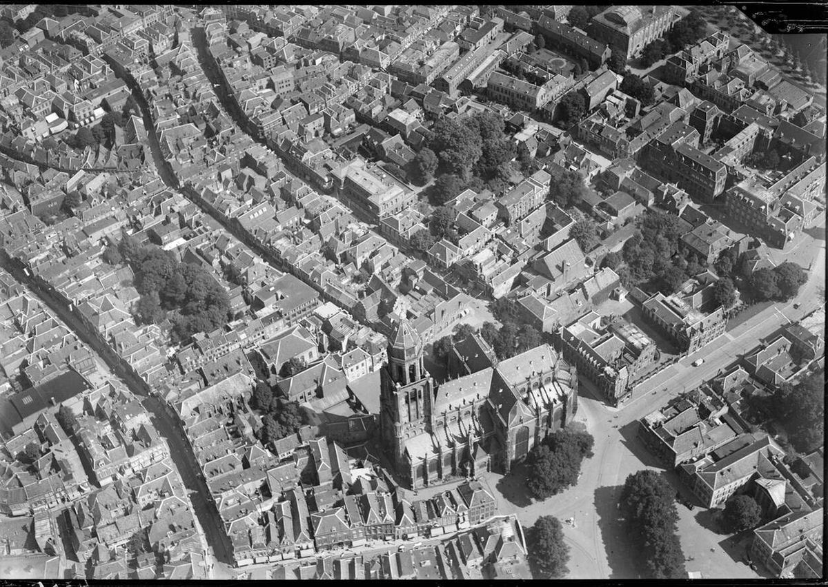
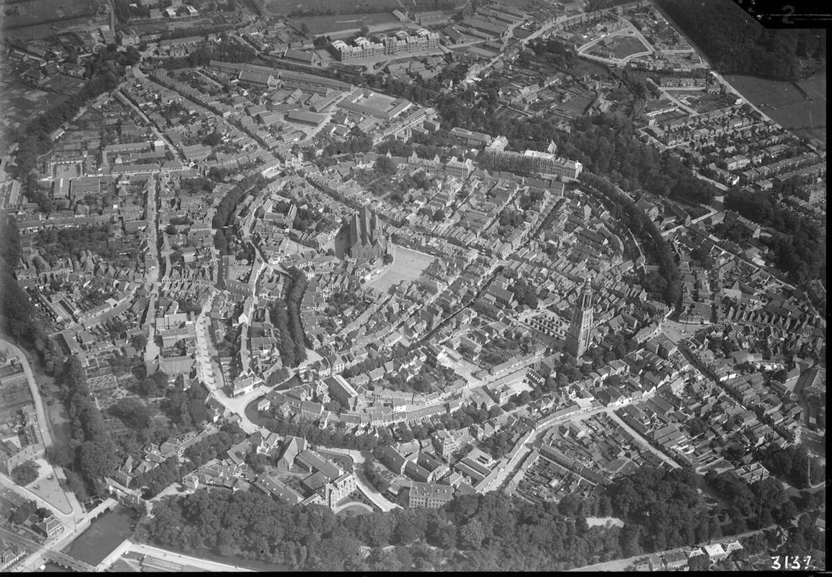
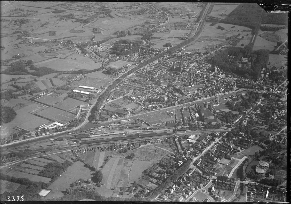
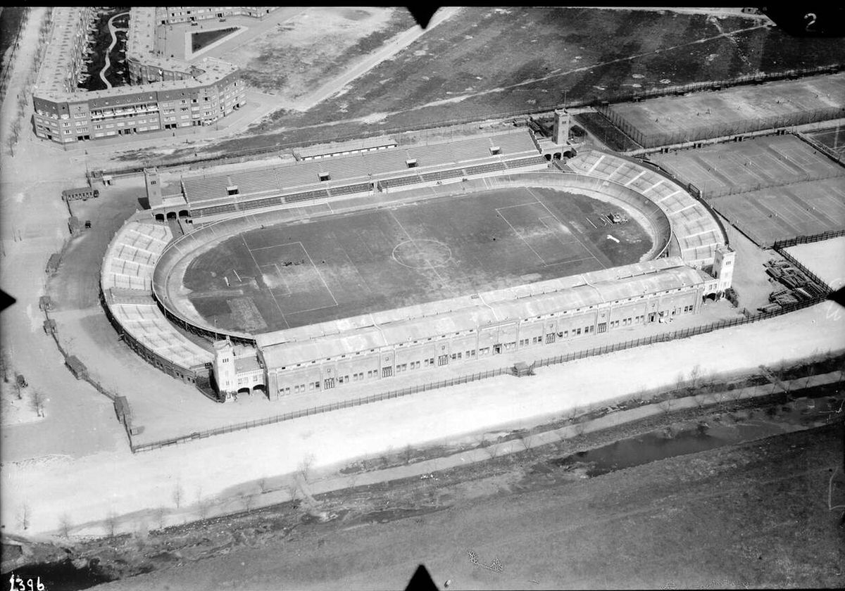
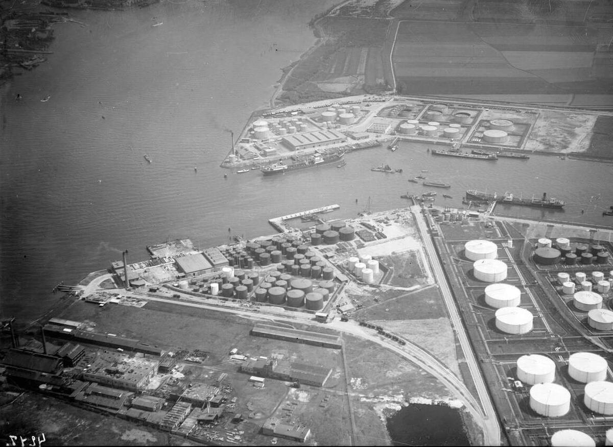
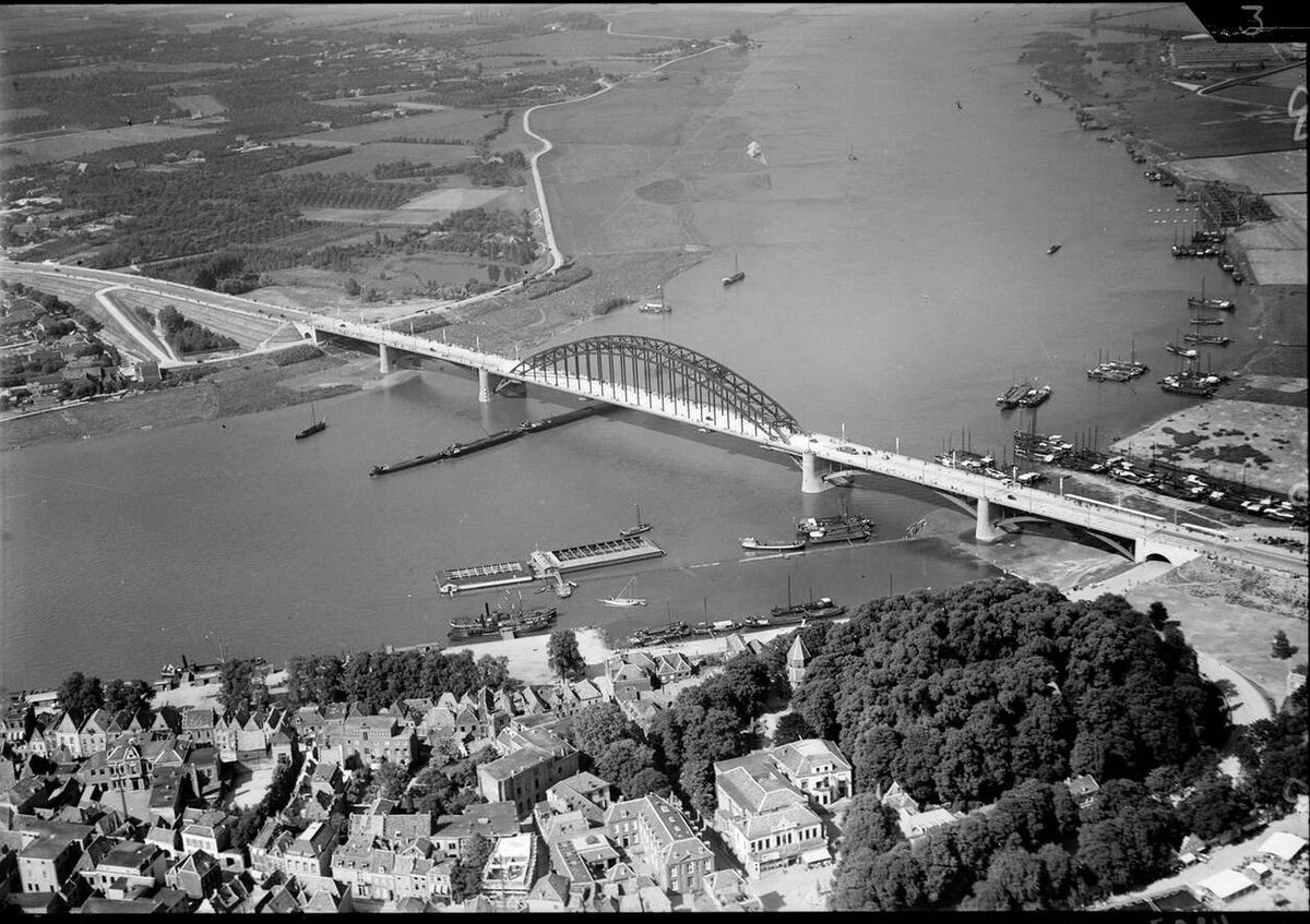
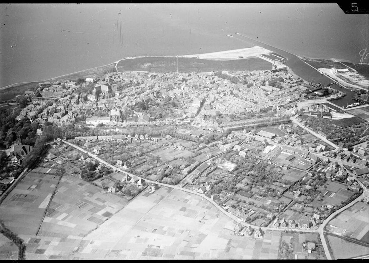
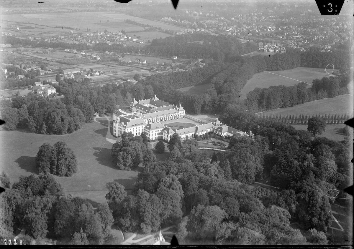
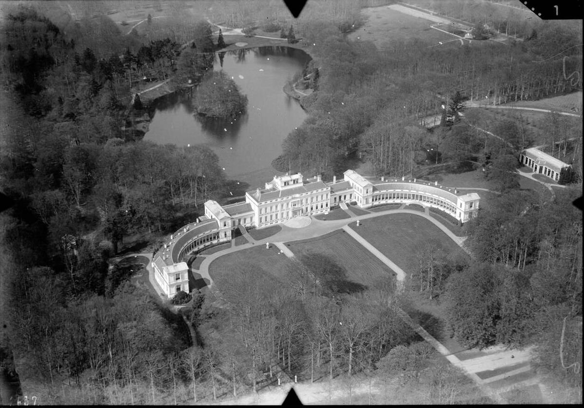
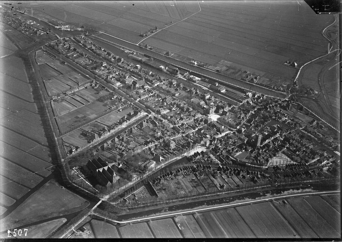
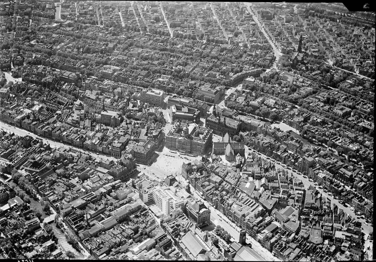
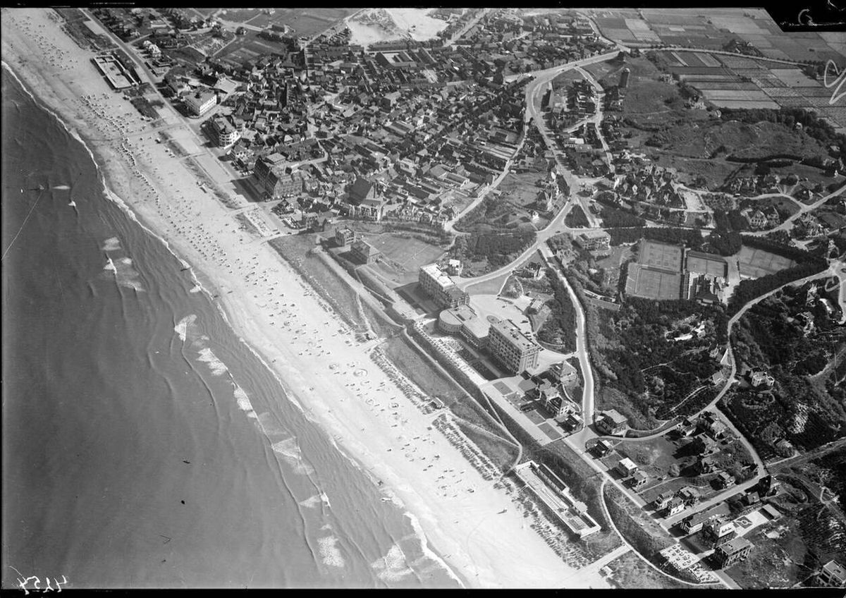
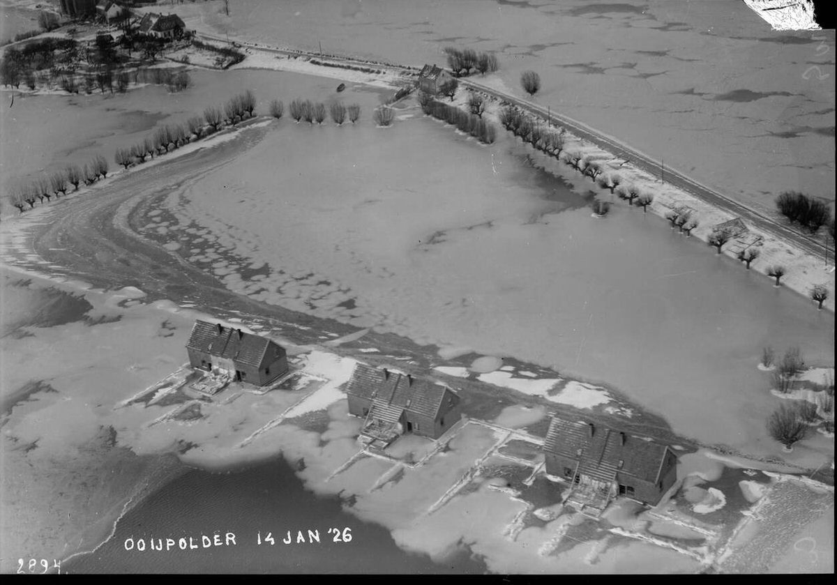
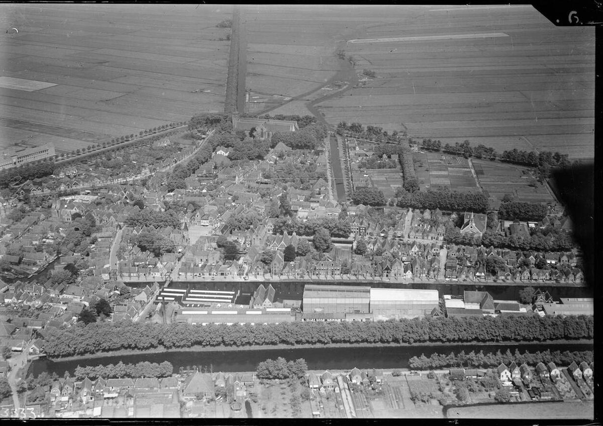
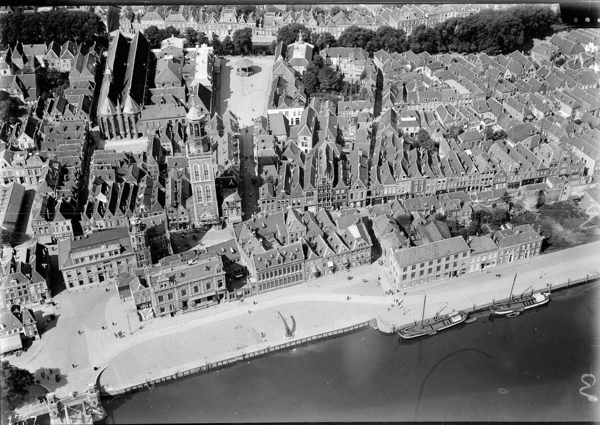
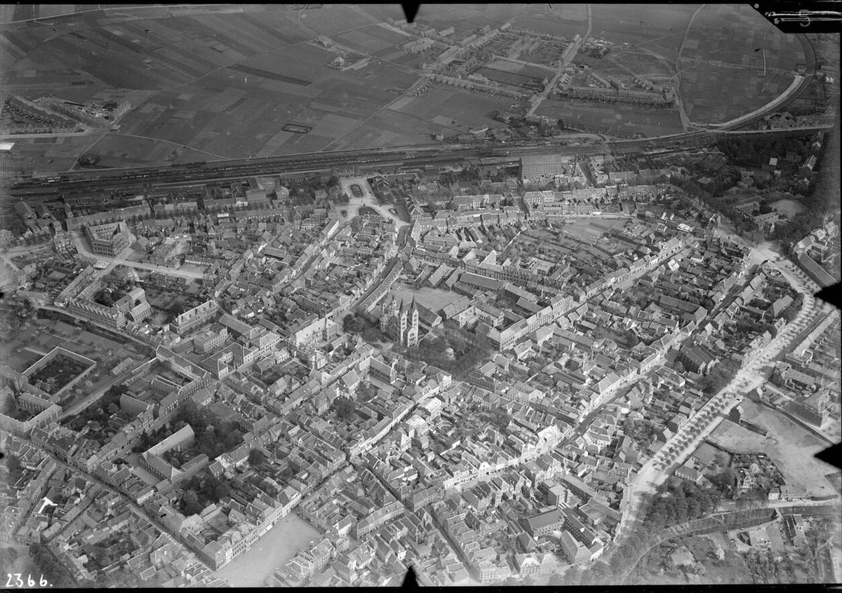
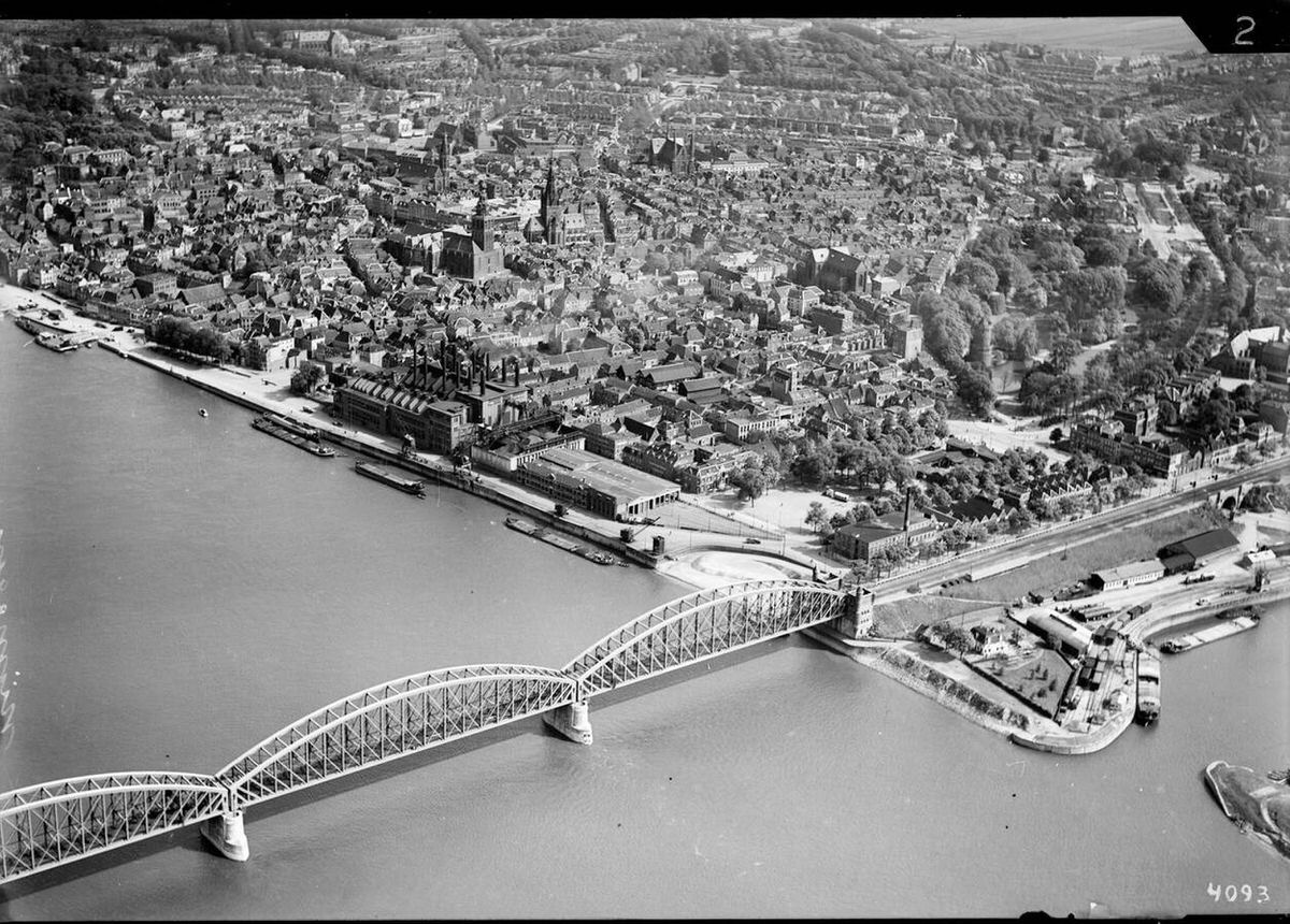
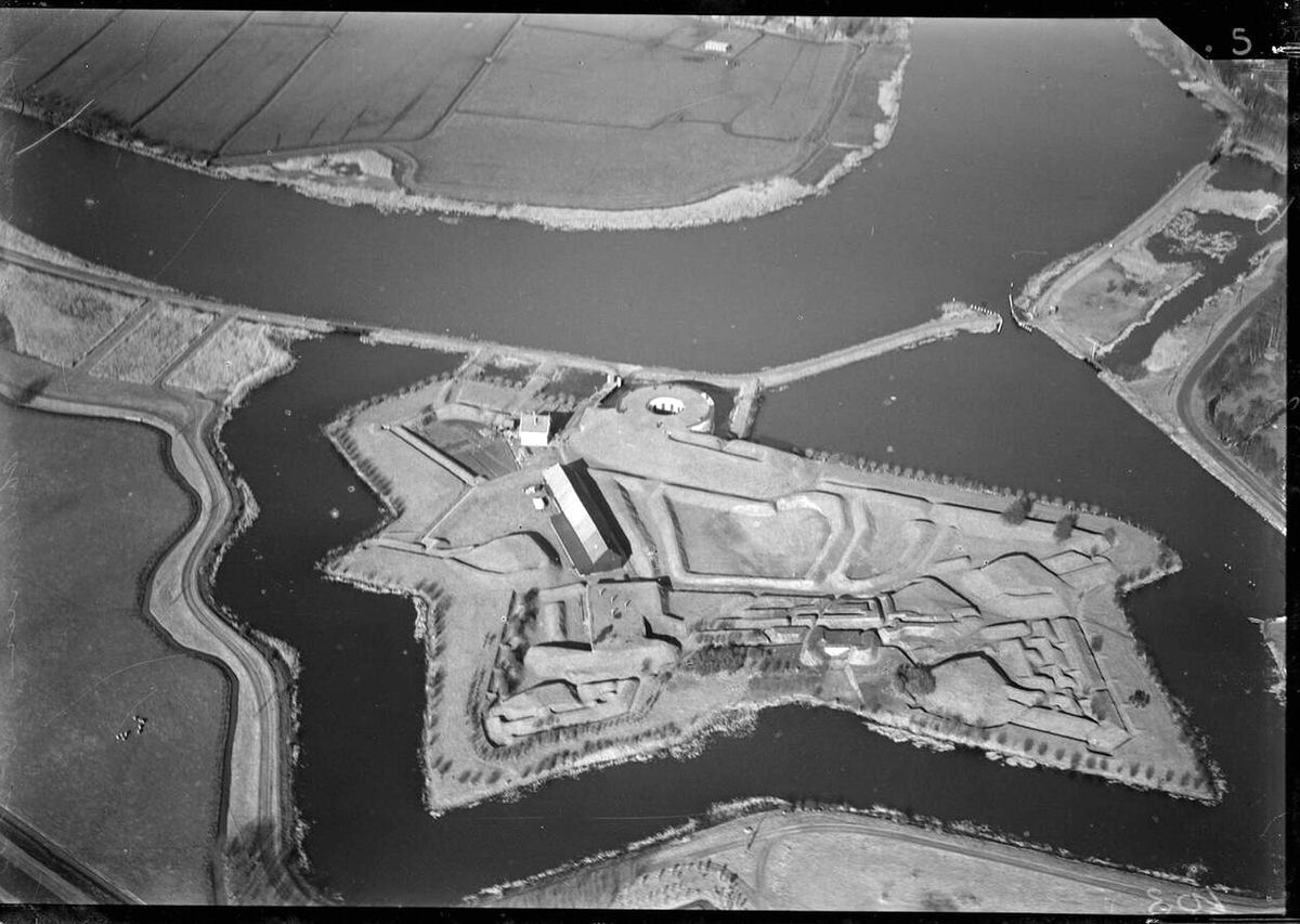
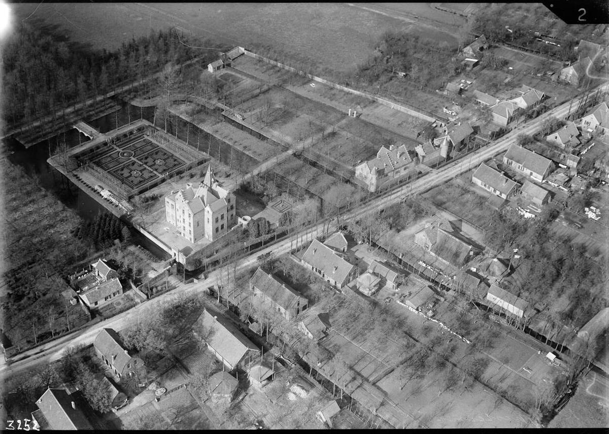
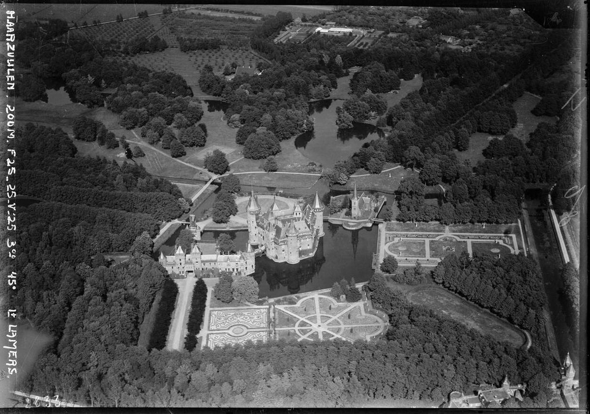
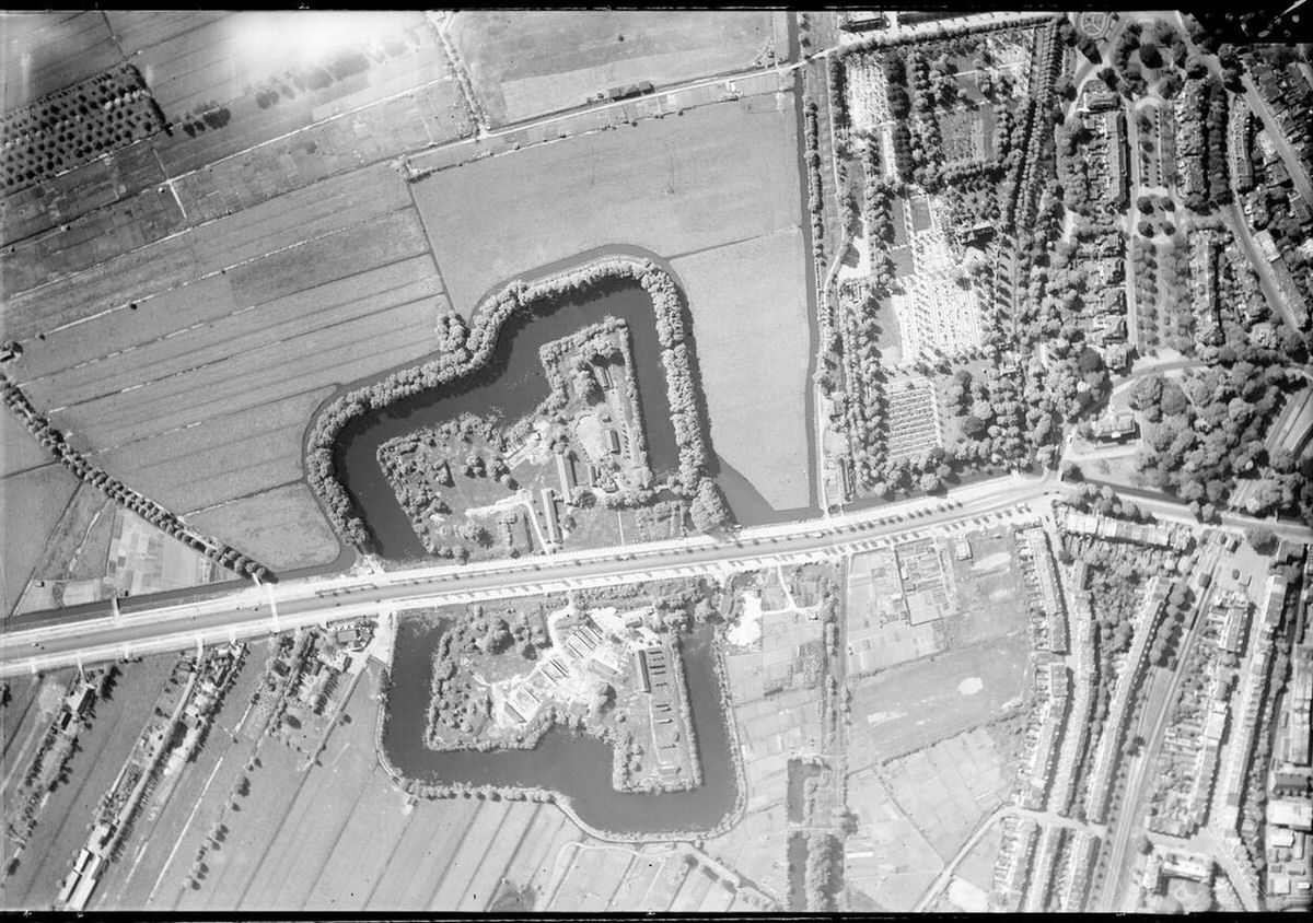
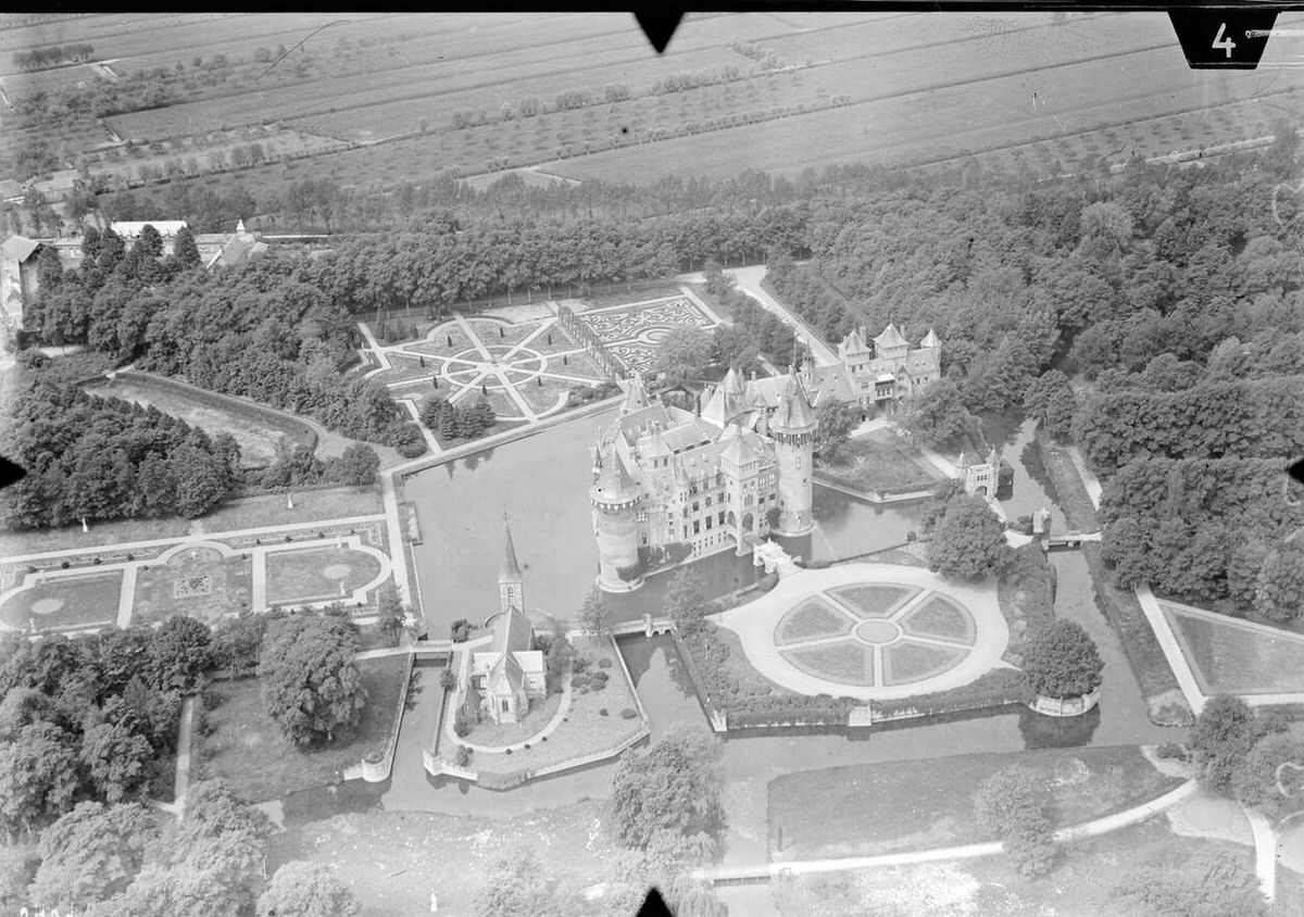
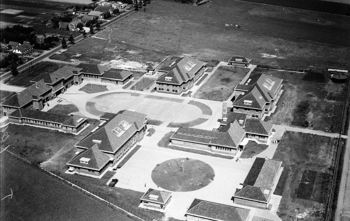
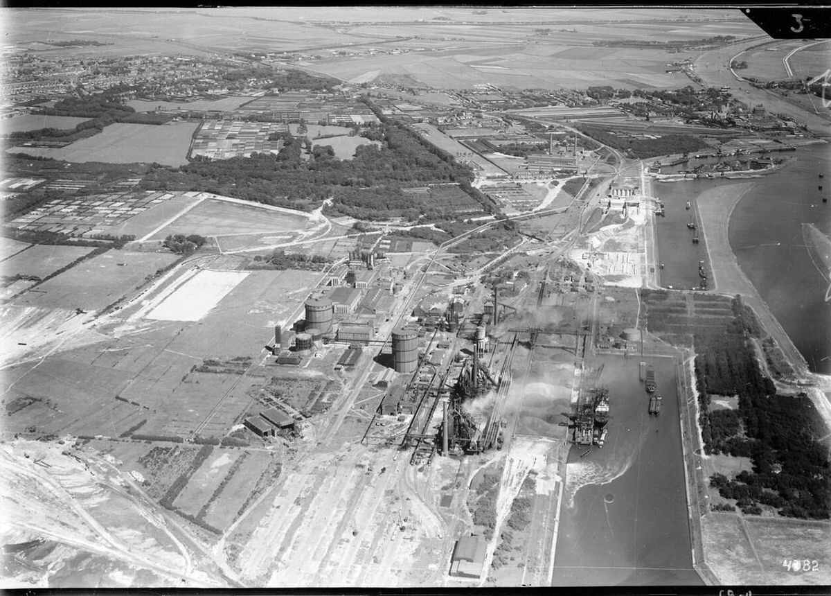
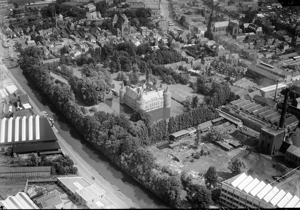
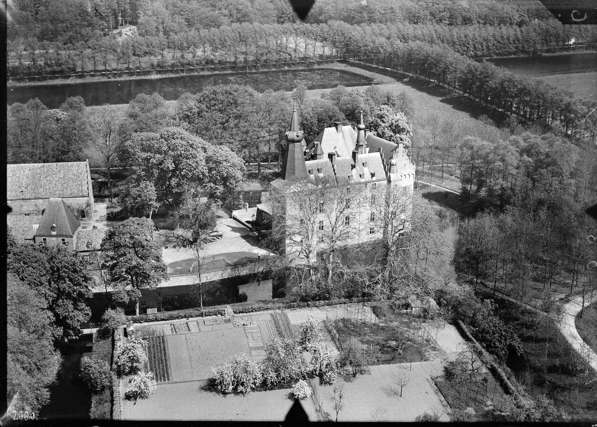
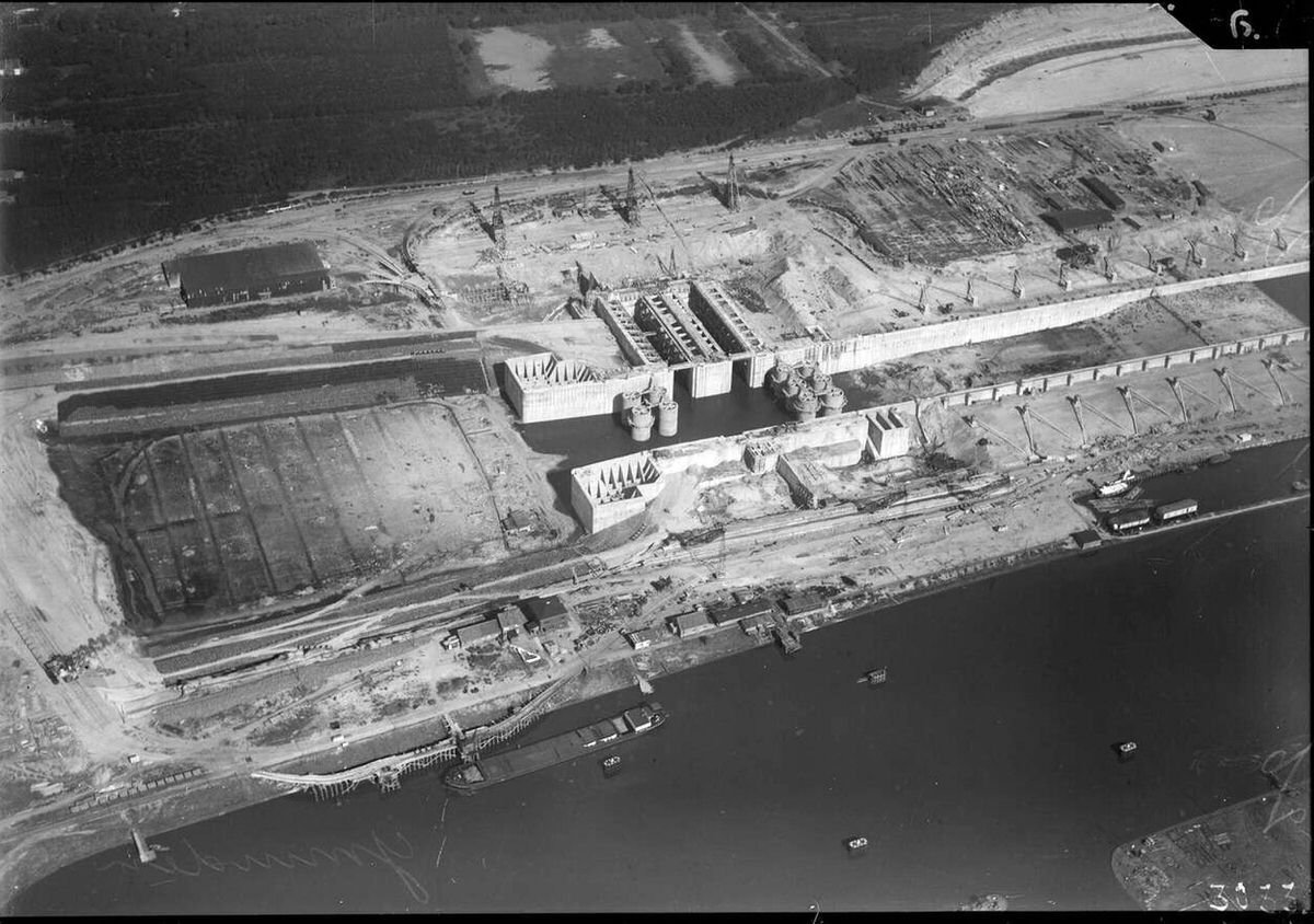
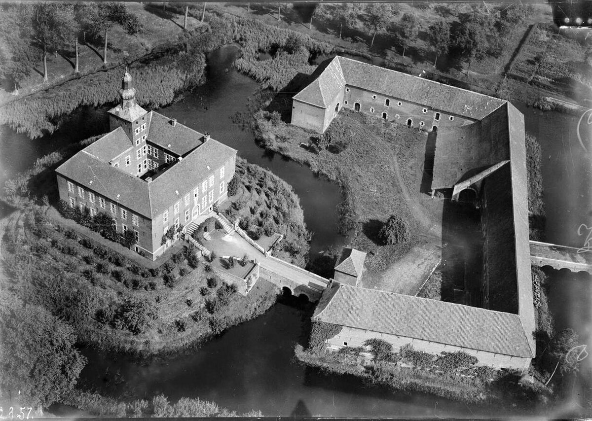
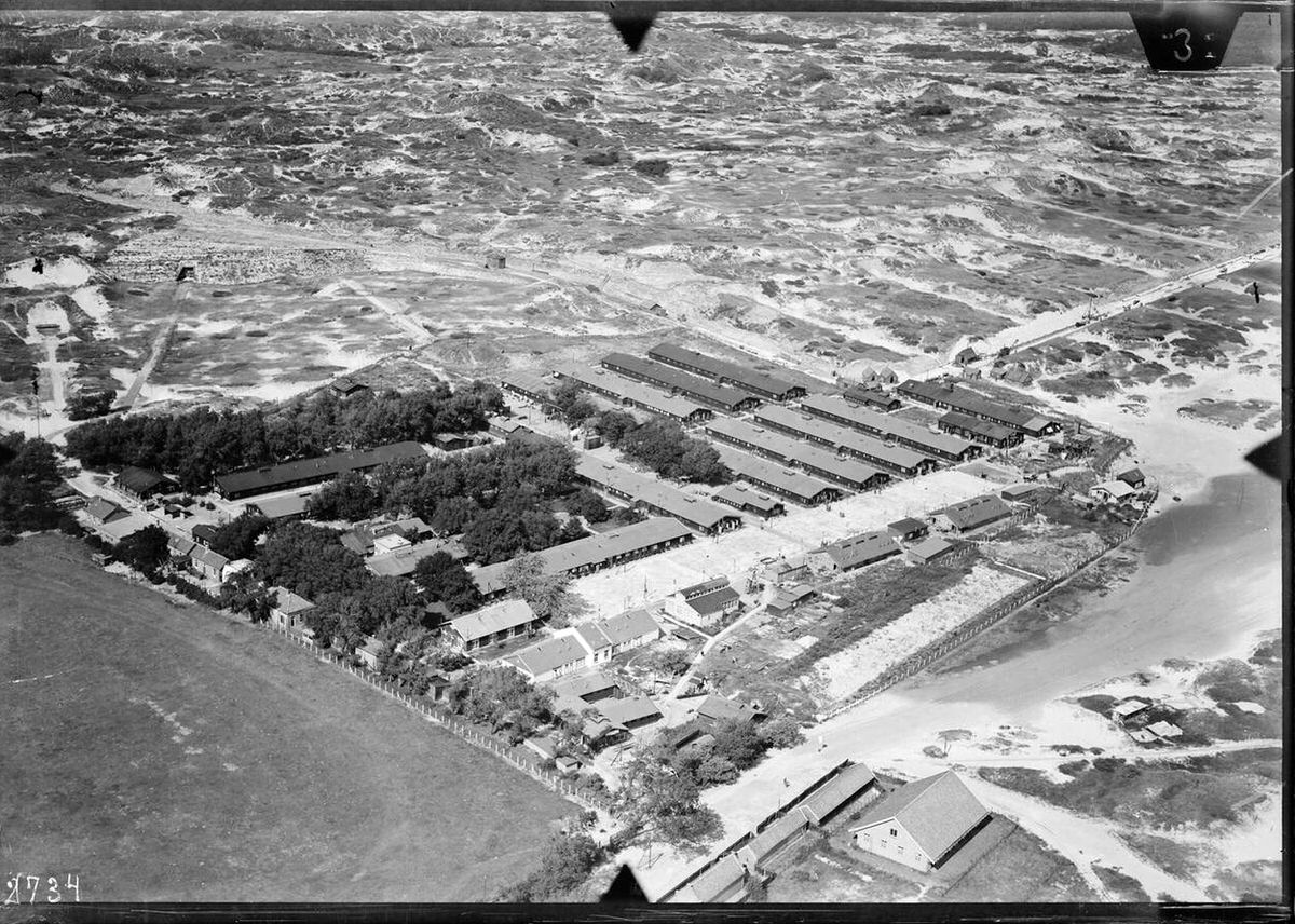
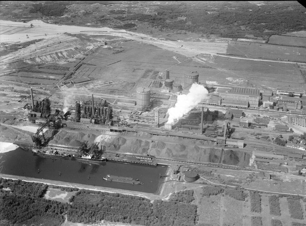
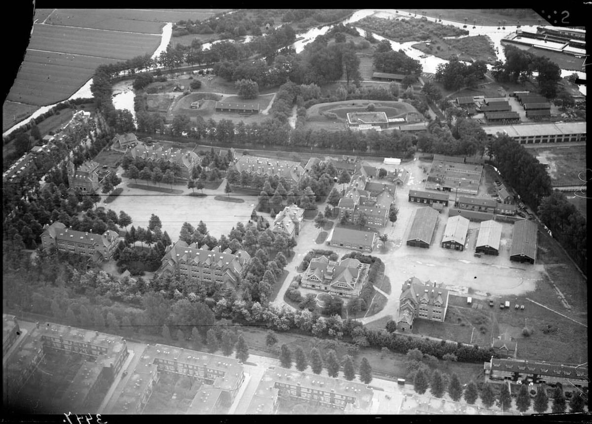
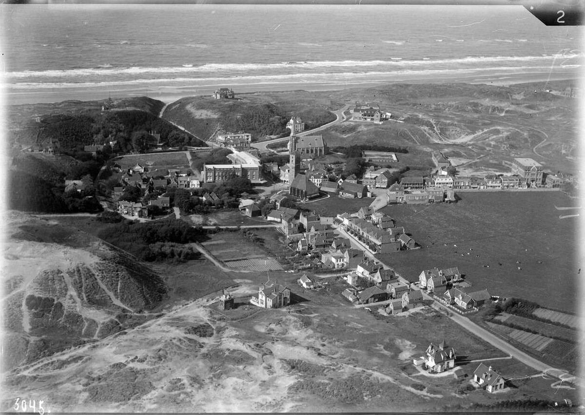
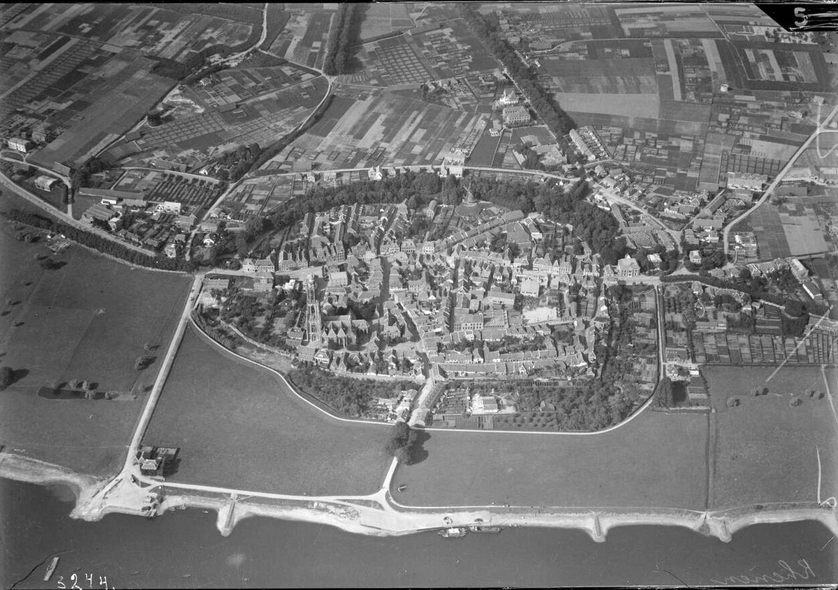
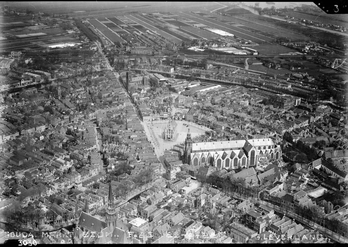
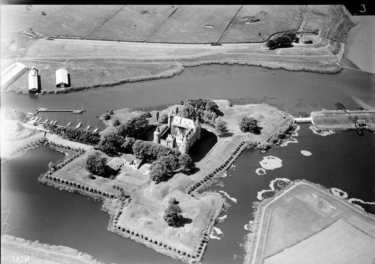
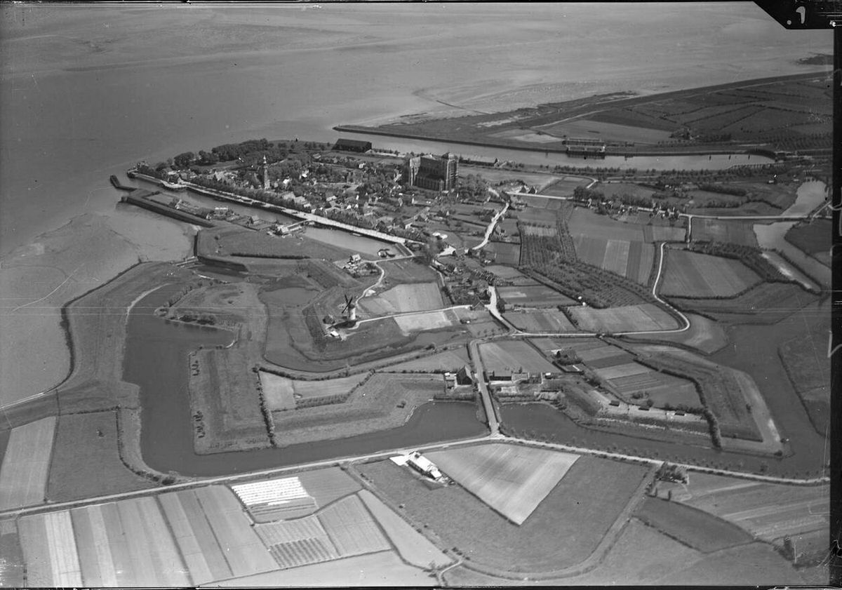
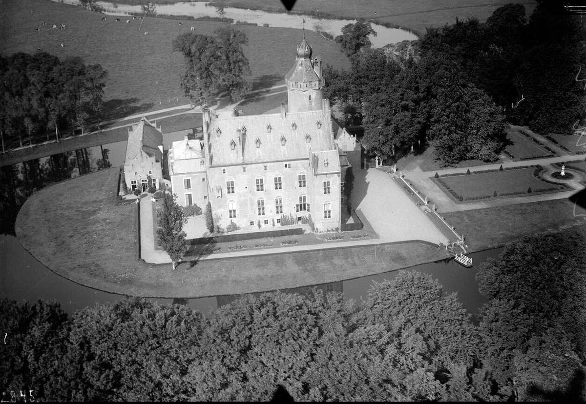
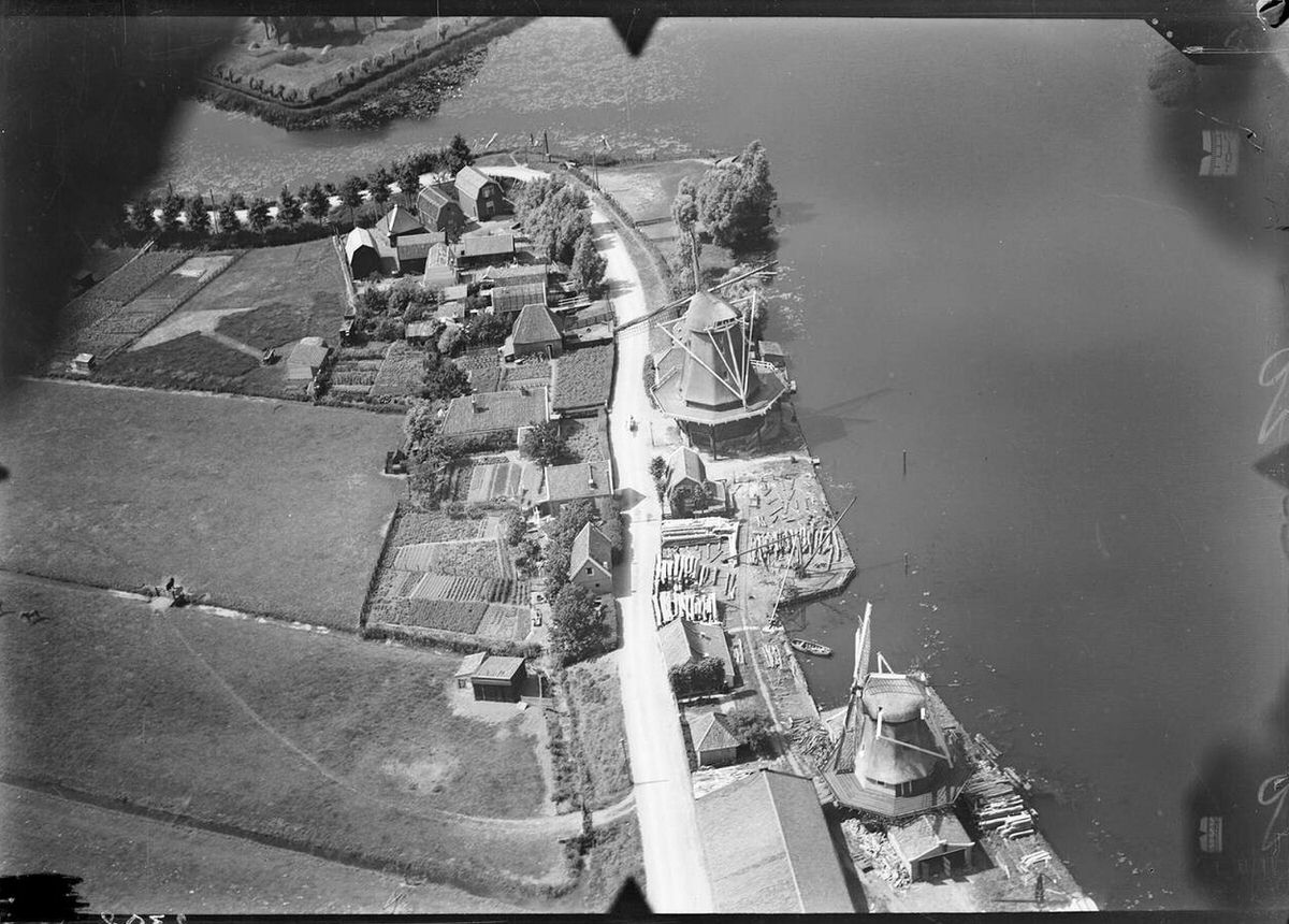
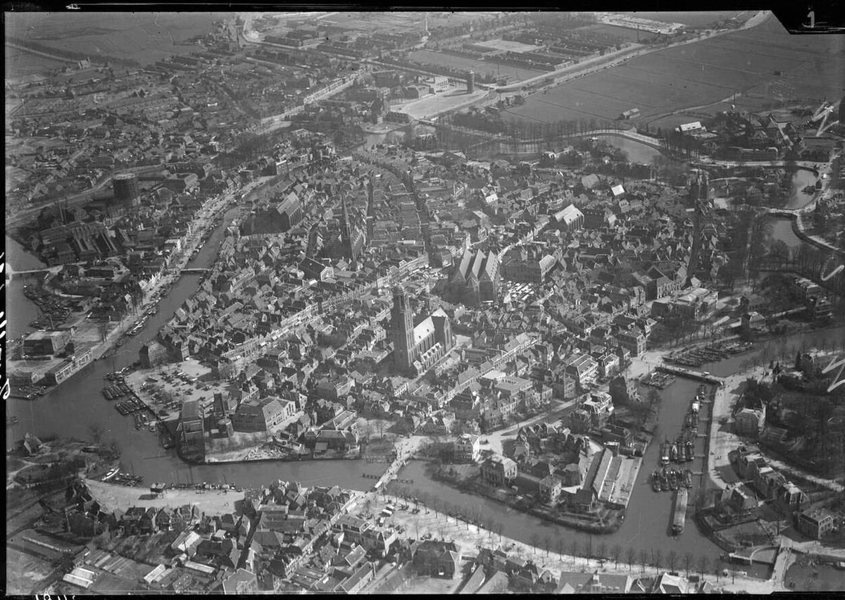
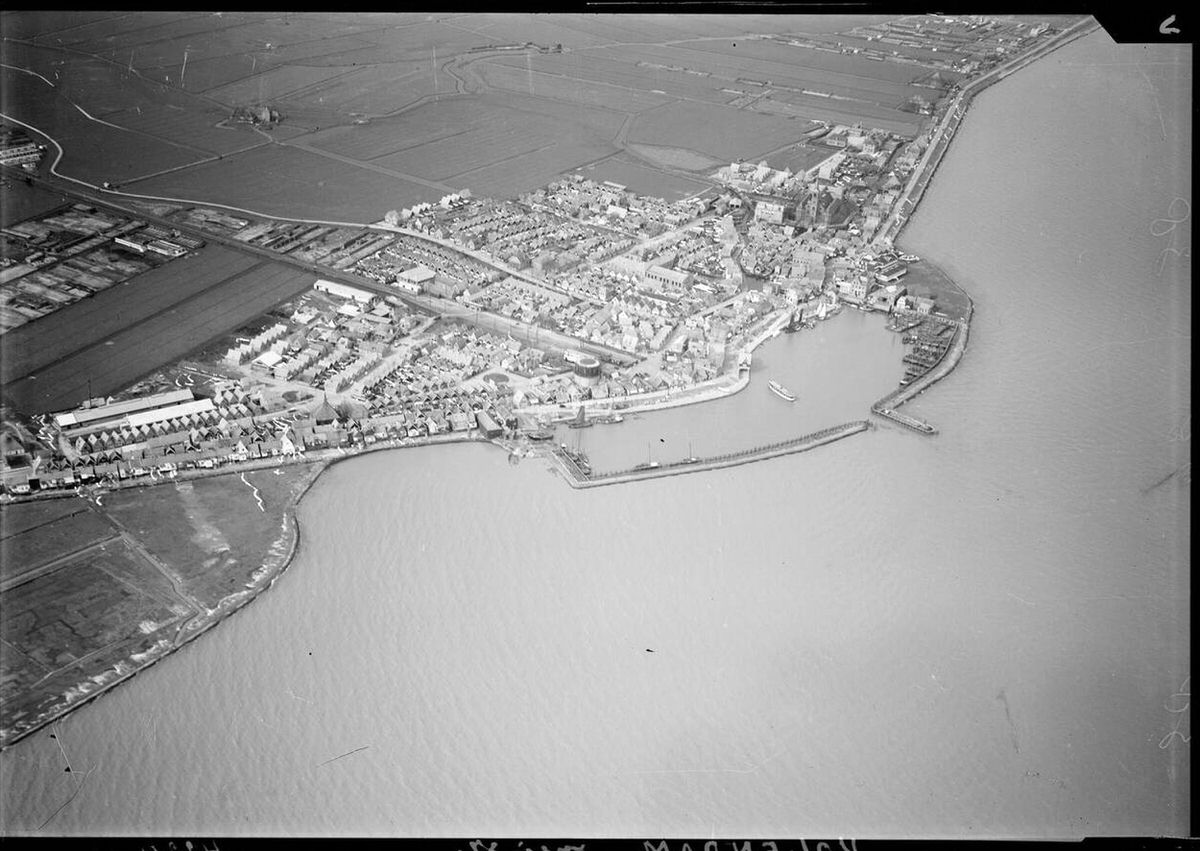
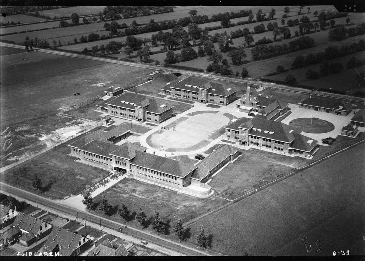
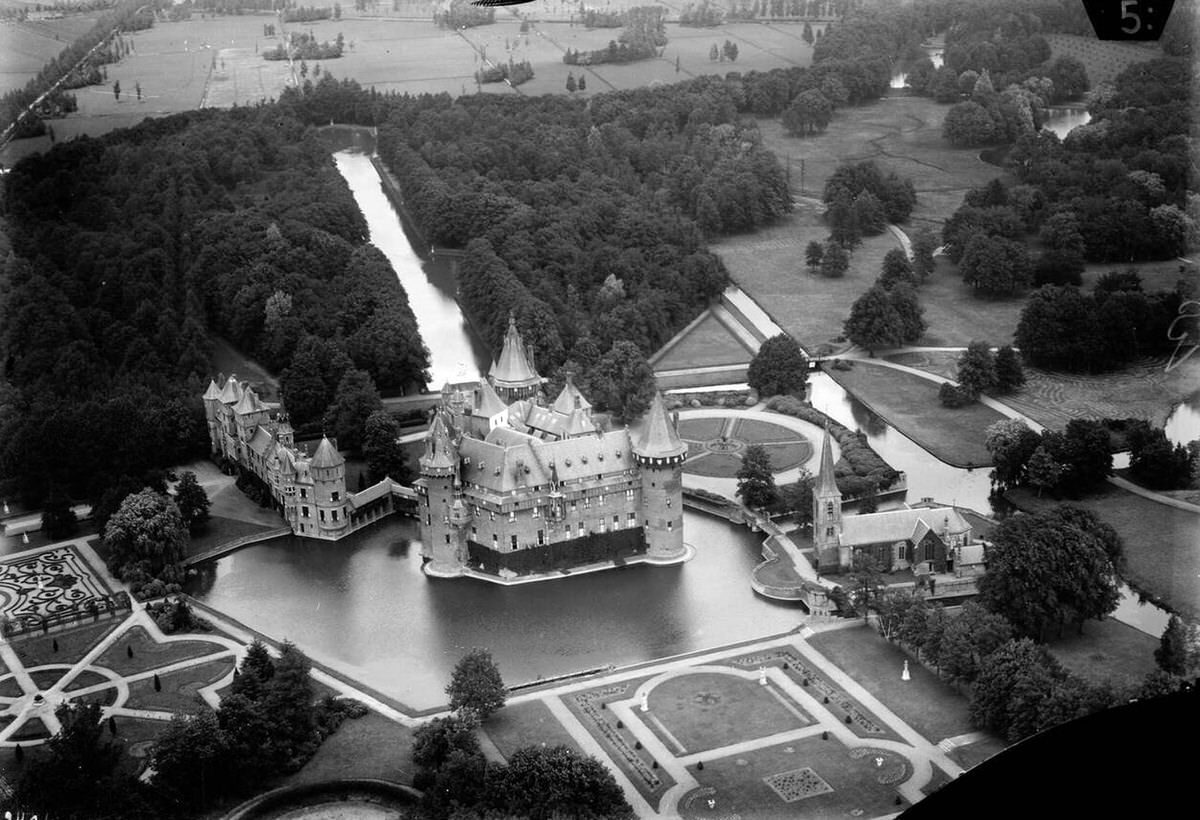
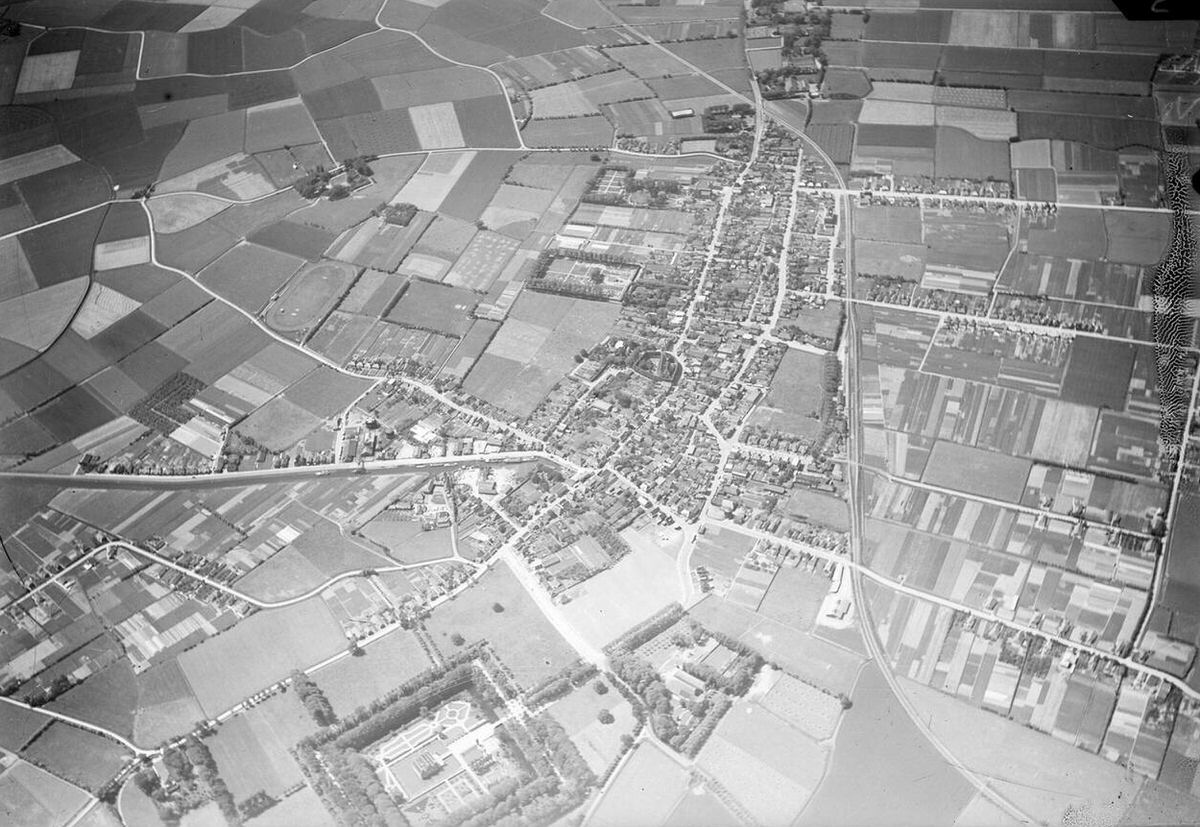
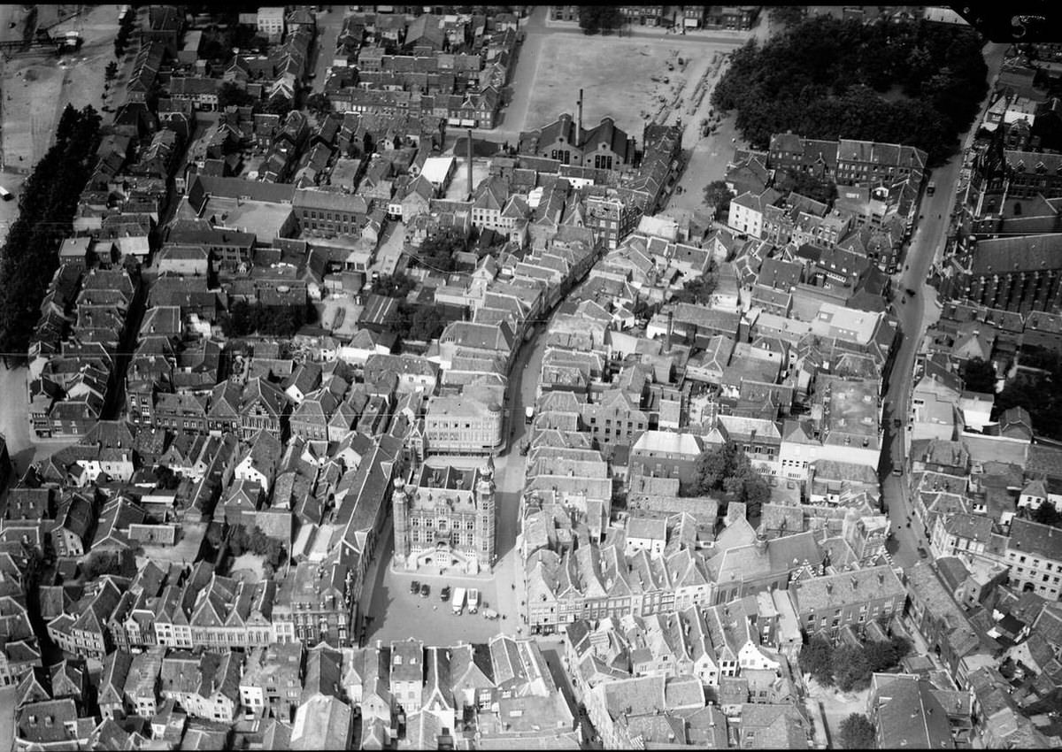
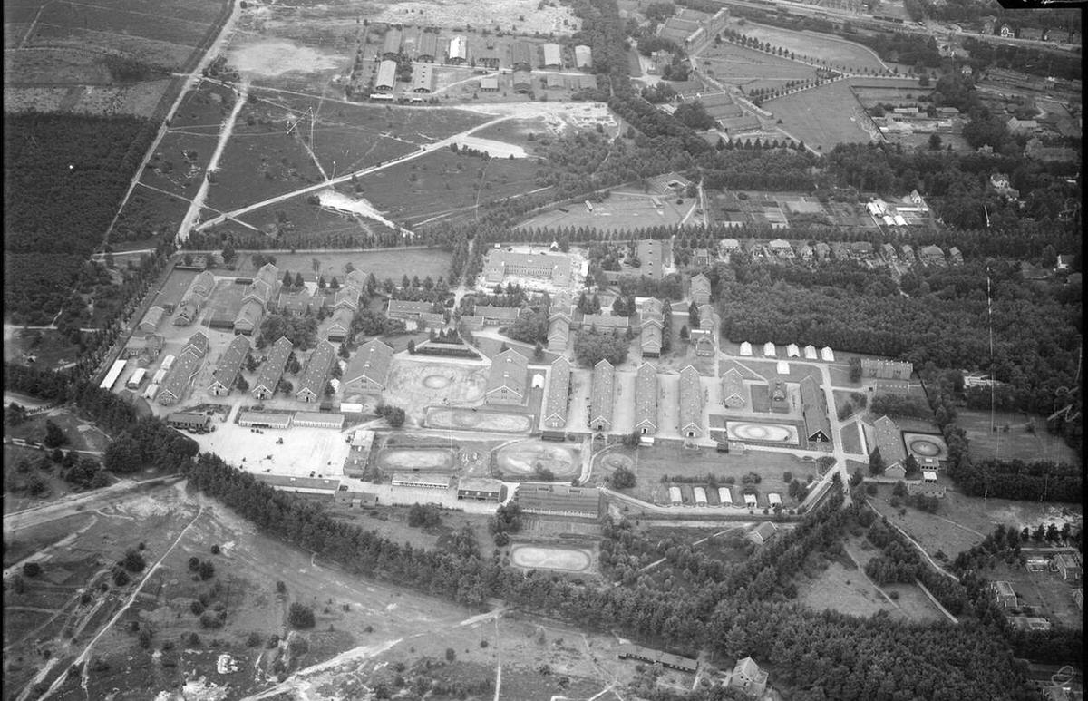
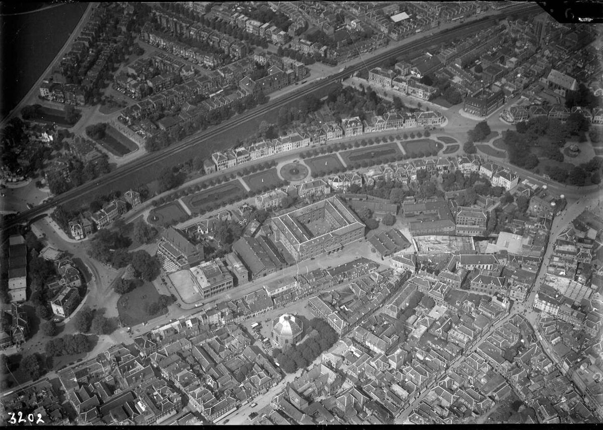
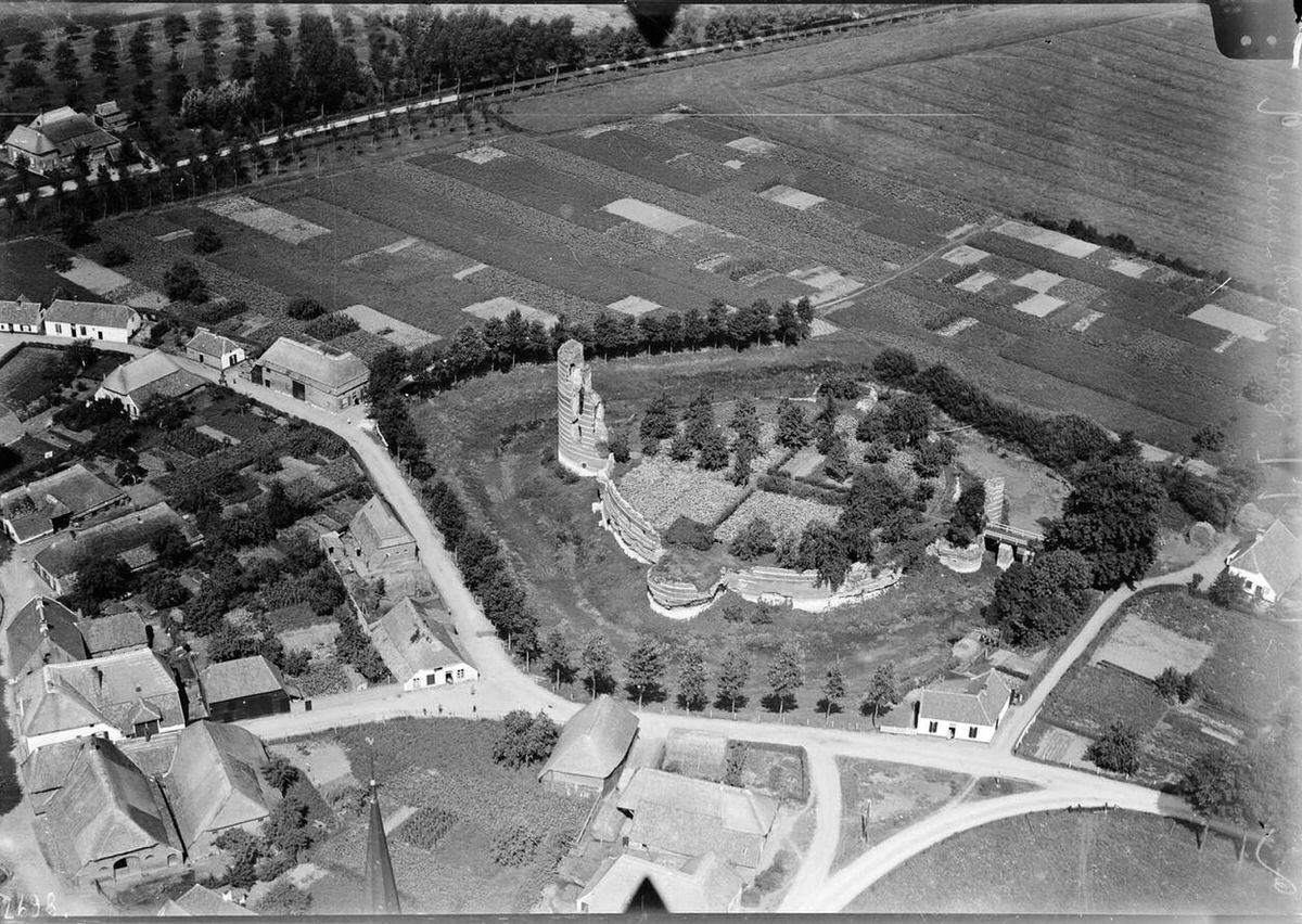
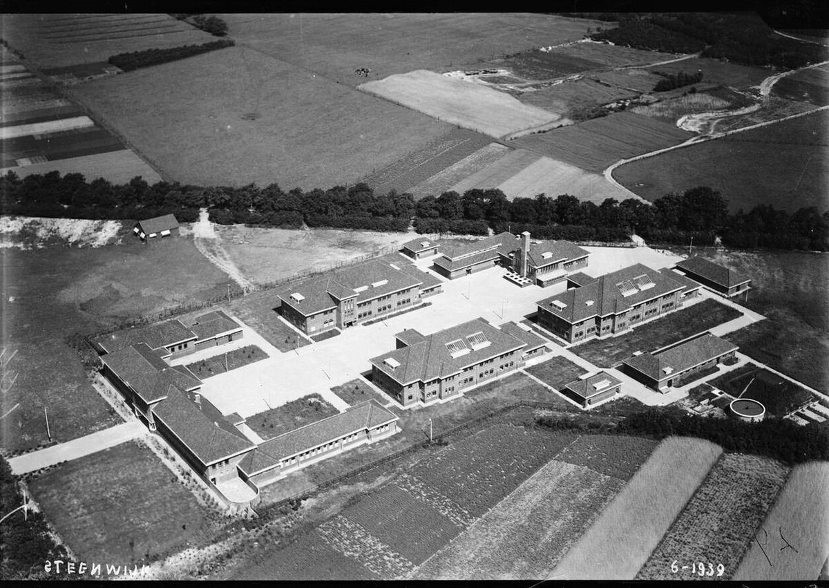
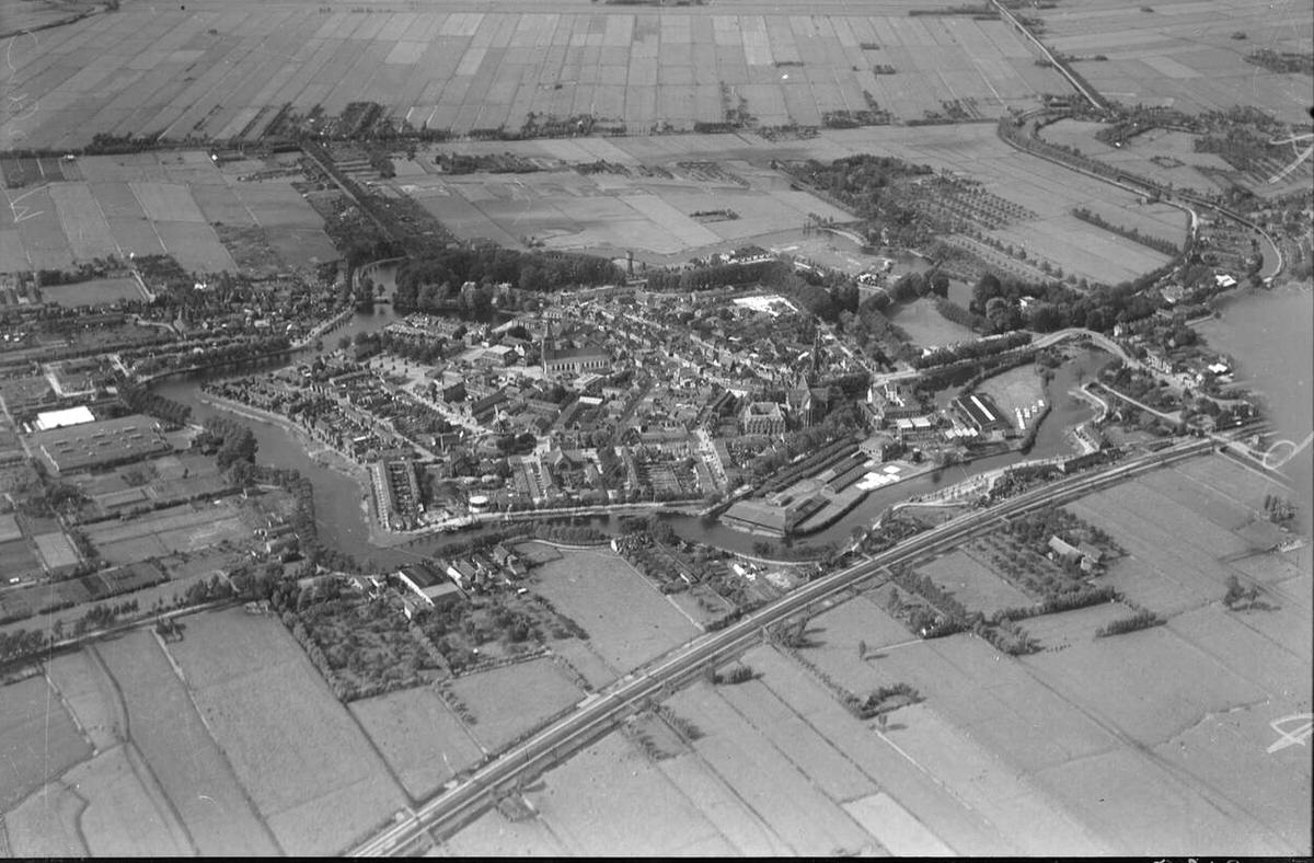
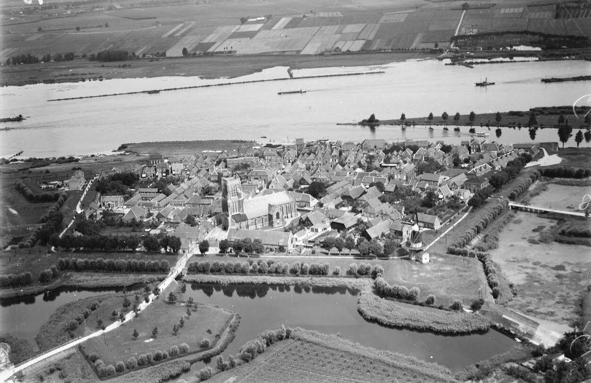
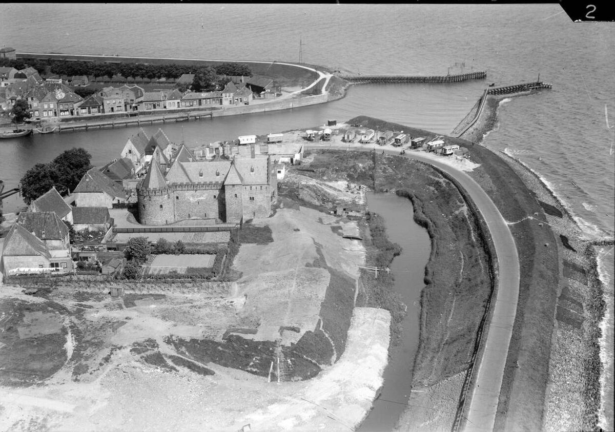
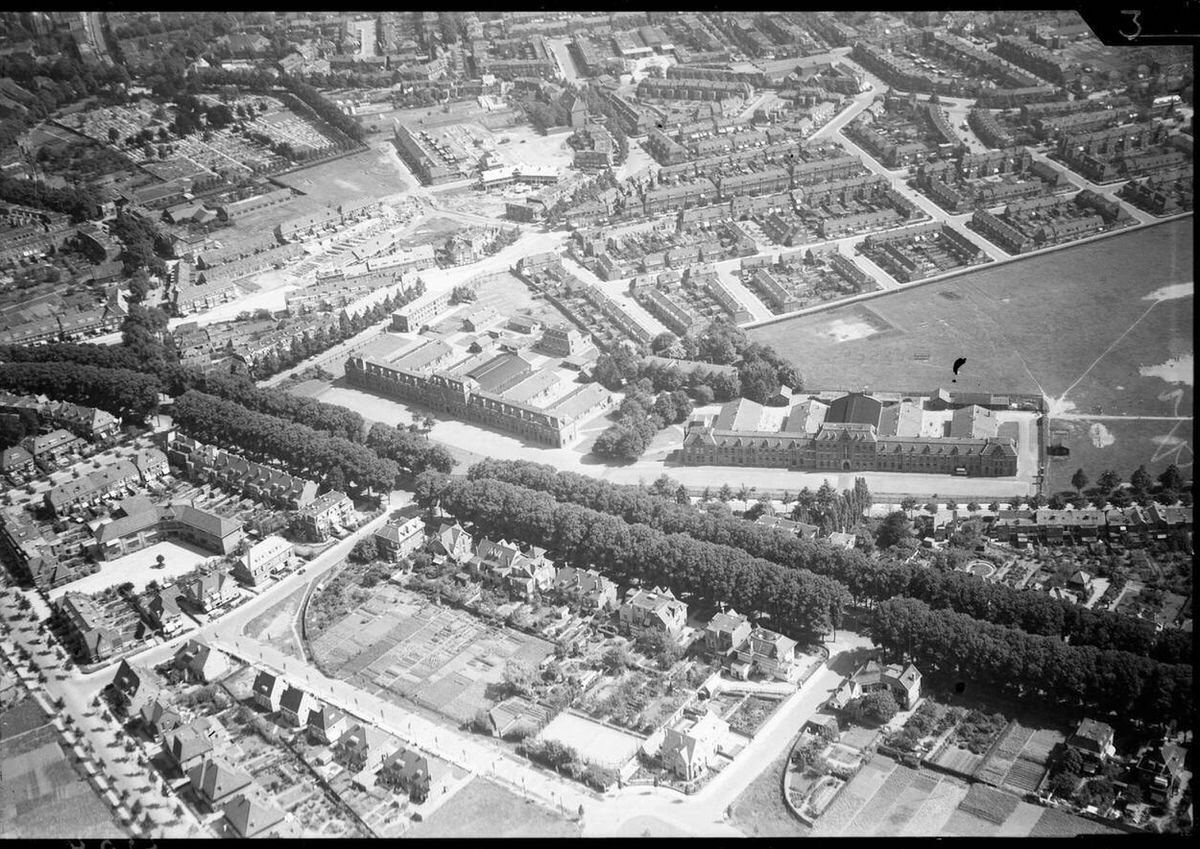
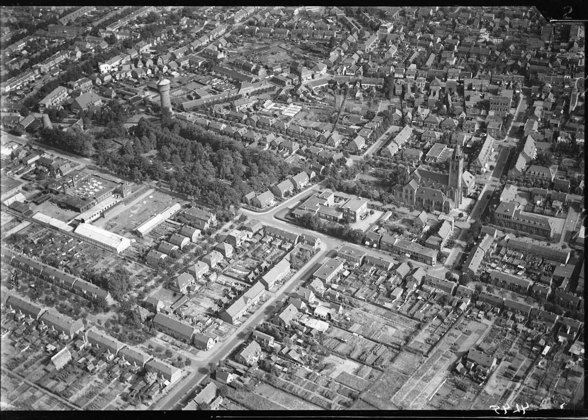
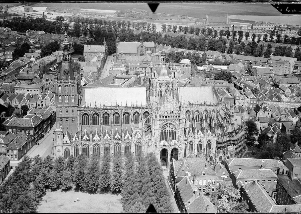
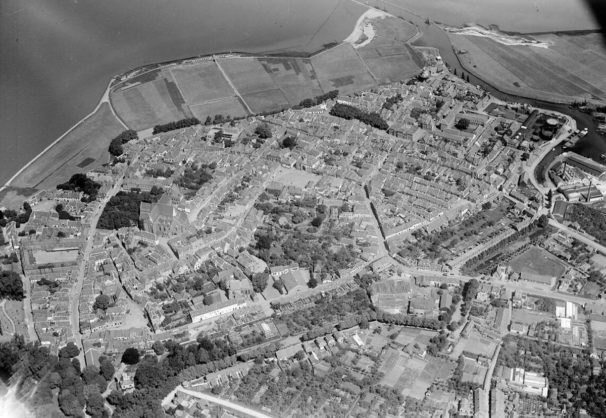
Aerial view of Apeldoorn, 1920s-1940s.Aerial view of Groningen, 1920s-1940s.Aerial view of Rijssen, 1920s-1940s.Aerial view of Amsterdam, 1920s-1940s.Aerial view of Amsterdam, 1920s-1940s.Aerial view of Sneek, 1920s-1940s.Aerial view of the Hembrug area, 1920s-1940s.Aerial view of Edam, 1920s-1940s.Aerial view of Amersfoort, 1920s-1940s.Aerial view of ‘s-Hertogenbosch, 1920s-1940s.Aerial view of Groningen, 1920s-1940s.Aerial view of Amsterdam, 1920s-1940s.Aerial view of Amsterdam, 1920s-1940s.Aerial view of the Moerdijk Bridges, 1920s-1940s.Aerial view of Rhenen, 1920s-1940s.Aerial view of Harderwijk, 1920s-1940s.Aerial view of Noordwijk, 1920s-1940s.Aerial view of ‘s-Hertogenbosch, 1920s-1940s.Aerial view of Amsterdam, 1920s-1940s.Aerial view of Spakenburg, 1920s-1940s.Aerial view of ‘s-Hertogenbosch, 1920s-1940s.Aerial view of Kampen, 1920s-1940s.Aerial view of Soesterberg, 1920s-1940s.Aerial view of Gouda, 1920s-1940s.Aerial view of Groningen, 1920s-1940s.Aerial view of Maastricht, 1920s-1940s.Aerial view of the Alblasserwaard region, 1920s-1940s.Aerial view of Amsterdam, 1920s-1940s.Aerial view of Roermond, 1920s-1940s.Aerial view of Breukelen, 1920s-1940s.Aerial view of Amsterdam, 1920s-1940s.Aerial view of Amsterdam, 1920s-1940s.Aerial view of Ouderkerk aan de IJssel, 1920s-1940s.Aerial view of Nijmegen, 1920s-1940s.Aerial view of Loenen, 1920s-1940s.Aerial view of Amsterdam, 1920s-1940s.Aerial view of Nijkerk, 1920s-1940s.Aerial view of Haastrecht, 1920s-1940s.Aerial view of Elburg, 1920s-1940s.Aerial view of Nijkerk, 1920s-1940s.Aerial view of Elburg, 1920s-1940s.Aerial view of Haarlem, 1920s-1940s.Aerial view of Huizen, 1920s-1940s.Aerial view of Dordrecht, 1920s-1940s.Aerial view of ‘s-Gravenhage, 1920s-1940s.Aerial view of Amsterdam, 1920s-1940s.Aerial view of Kinderdijk, 1920s-1940s.Aerial view of Huis ter Heide, 1920s-1940s.Aerial view of Naarden, 1920s-1940s.Aerial view of Roosendaal, 1920s-1940s.Aerial view of Haarlem, 1920s-1940s.Aerial view of Middelburg, 1920s-1940s.Aerial view of Gennep, 1920s-1940s.Aerial view of Roodeschool, 1920s-1940s.Aerial view of Hengelo, 1920s-1940s.Aerial view of Montfoort, 1920s-1940s.Aerial view of Amsterdam, 1920s-1940s.Aerial view of Soesterberg, 1920s-1940s.Aerial view of Kampen, 1920s-1940s.Aerial view of Delft, 1920s-1940s.Aerial view of Hattem, 1920s-1940s.Aerial view of Uden, 1920s-1940s.Aerial view of Alphen aan den Rijn, 1920s-1940s.Aerial view of Scheveningen, 1920s-1940s.Aerial view of Amsterdam, 1920s-1940s.Aerial view of Nootdorp, 1920s-1940s.Aerial view of Dordrecht, 1920s-1940s.Aerial view of Groningen, 1920s-1940s.Aerial view of Gouda, 1920s-1940s.Aerial view of Maastricht, 1920s-1940s.Aerial view of Hengelo, 1920s-1940s.Aerial view of Arnhem, 1920s-1940s.Aerial view of Amersfoort, 1920s-1940s.Aerial view of Hengelo, 1920s-1940s.Aerial view of Almelo, 1920s-1940s.Aerial view of Amsterdam, 1920s-1940s.Aerial view of Schiermonnikoog, 1920s-1940s.Aerial view of Hoek van Holland, 1920s-1940s.Aerial view of Almelo, 1920s-1940s.Aerial view of Almelo, 1920s-1940s.Aerial view of Roermond, 1920s-1940s.Aerial view of Hembrug, 1920s-1940s.Aerial view of Oldenzaal, 1920s-1940s.Aerial view of Katwijk, 1920s-1940s.Aerial view of Rotterdam, 1920s-1940s.Aerial view of Nijmegen, 1920s-1940s.Aerial view of Harderwijk, 1920s-1940s.Aerial view of Medemblik, 1920s-1940s.Aerial view of Apeldoorn, 1920s-1940s.Aerial view of Soestdijk Palace, 1920s-1940s.Aerial view of Edam, 1920s-1940s.Aerial view of Amsterdam, 1920s-1940s.Aerial view of Noordwijk, 1920s-1940s.Aerial view of Ooijpolder, 1920s-1940s.Aerial view of Edam, 1920s-1940s.Aerial view of Kampen, 1920s-1940s.Aerial view of Groesbeek, 1920s-1940s.Aerial view of Geldermalsen, 1920s-1940s.Aerial view of Deventer, 1920s-1940s.Aerial view of Ouderkerk aan de Amstel, 1920s-1940s.Aerial view of Haarlem, 1920s-1940s.Aerial view of Roermond, 1920s-1940s.Aerial view of Elst, 1920s-1940s.Aerial view of Nijmegen, 1920s-1940s.Aerial view of ‘s-Gravenhage, 1920s-1940s.Aerial view of Naarden, 1920s-1940s.Aerial view of Utrecht, 1920s-1940s.Aerial view of IJmuiden, 1920s-1940s.Aerial view of Fort Uitermeer, 1920s-1940s.Aerial view of Sijpestein, 1920s-1940s.Aerial view of Haarzuilens, 1920s-1940s.Aerial view of Fort op de Biltstraat, 1920s-1940s.Aerial view of Haarzuilens, 1920s-1940s.Aerial view of Zuidlaren, 1920s-1940s.Aerial view of Kijkduin, 1920s-1940s.Aerial view of Zutphen, 1920s-1940s.Aerial view of Workum, 1920s-1940s.Aerial view of IJmuiden, 1920s-1940s.Aerial view of Helmond, 1920s-1940s.Aerial view of Doorwerth, 1920s-1940s.Aerial view of Valkenburg, 1920s-1940s.Aerial view of Venlo, 1920s-1940s.Aerial view of Utrecht, 1920s-1940s.Aerial view of Amsterdam, 1920s-1940s.Aerial view of IJmuiden, 1920s-1940s.Aerial view of Woerden, 1920s-1940s.Aerial view of Velp, 1920s-1940s.Aerial view of Zaltbommel, 1920s-1940s.Aerial view of IJmuiden, 1920s-1940s.Aerial view of Limbricht, 1920s-1940s.Aerial view of ‘s-Gravenhage, 1920s-1940s.Aerial view of IJmuiden, 1920s-1940s.Aerial view of Deventer, 1920s-1940s.Aerial view of Utrecht, 1920s-1940s.Aerial view of Heusden, 1920s-1940s.Aerial view of Woudrichem, 1920s-1940s.Aerial view of Utrecht, 1920s-1940s.Aerial view of Wijk aan Zee, 1920s-1940s.Aerial view of Rhenen, 1920s-1940s.Aerial view of Gouda, 1920s-1940s.Aerial view of Rotterdam, 1920s-1940s.Aerial view of Muiden, 1920s-1940s.Aerial view of Veere, 1920s-1940s.Aerial view of Amersfoort, 1920s-1940s.Aerial view of Breda, 1920s-1940s.Aerial view of Vlissingen, 1920s-1940s.Aerial view of Batterij aan de Overeindseweg, 1920s-1940s.Aerial view of Wormerveer, 1920s-1940s.Aerial view of Hoge Vuursche, 1920s-1940s.Aerial view of IJmuiden, 1920s-1940s.Aerial view of Weesp, 1920s-1940s.Aerial view of Zwolle, 1920s-1940s.Aerial view of Fort Schiphol, 1920s-1940s.Aerial view of Utrecht, 1920s-1940s.Aerial view of Amsterdam, 1920s-1940s.Aerial view of Velp, 1920s-1940s.Aerial view of Volendam, 1920s-1940s.Aerial view of Zuidlaren, 1920s-1940s.Aerial view of Haarzuilens, 1920s-1940s.Aerial view of Uithuizen, 1920s-1940s.Aerial view of Venlo, 1920s-1940s.Aerial view of Ede, 1920s-1940s.Aerial view of Arnhem, 1920s-1940s.Aerial view of Batenburg, 1920s-1940s.Aerial view of Steenwijk, 1920s-1940s.Aerial view of Zierikzee, 1920s-1940s.Aerial view of Woerden, 1920s-1940s.Aerial view of Woudrichem, 1920s-1940s.Aerial view of Medemblik, 1920s-1940s.Aerial view of Nijmegen, 1920s-1940s.Aerial view of Zeist, 1920s-1940s.Aerial view of ‘s-Hertogenbosch, 1920s-1940s.Aerial view of Delft, 1920s-1940s.Aerial view of Harderwijk, 1920s
Kevin Clark is a historian and writer who is passionate about sharing the stories and significance behind historical photos. He loves to explore hidden histories and cultural contexts behind the images, providing a unique insight into the past.

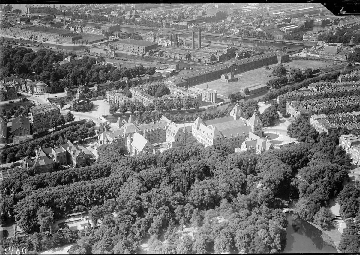
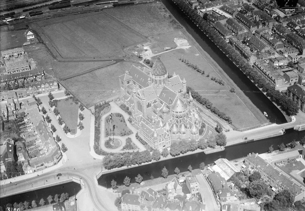
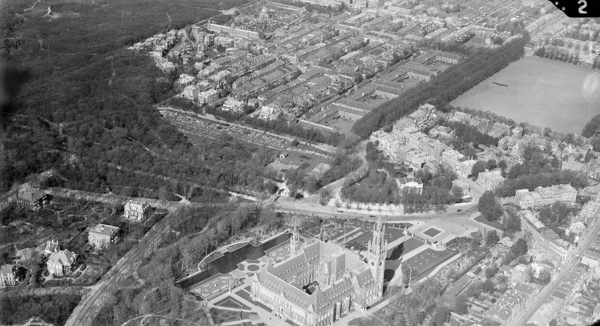
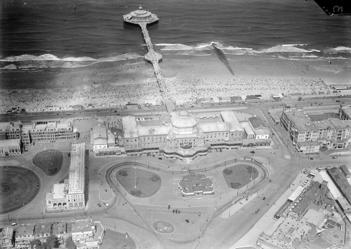
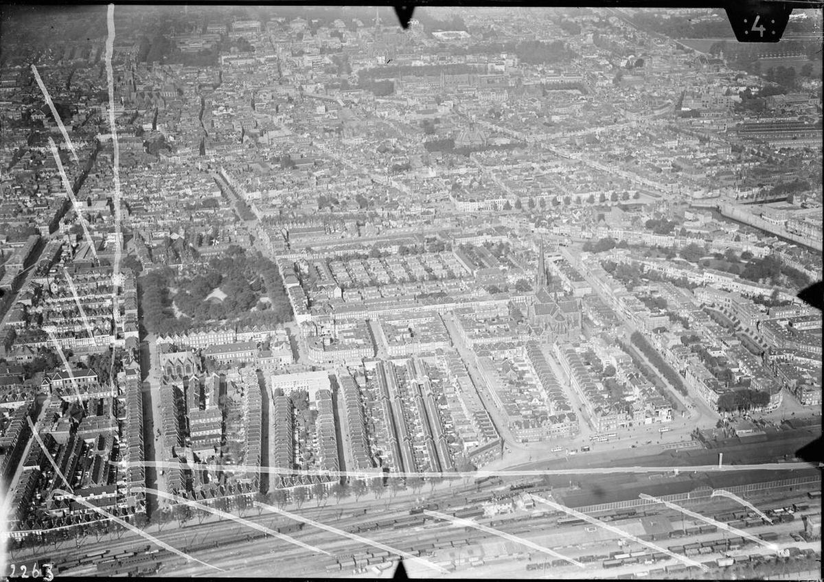





Weird there isn’t one of den haag
Picture 53, 112, 138, etc. Look for ‘s-Gravenhage.