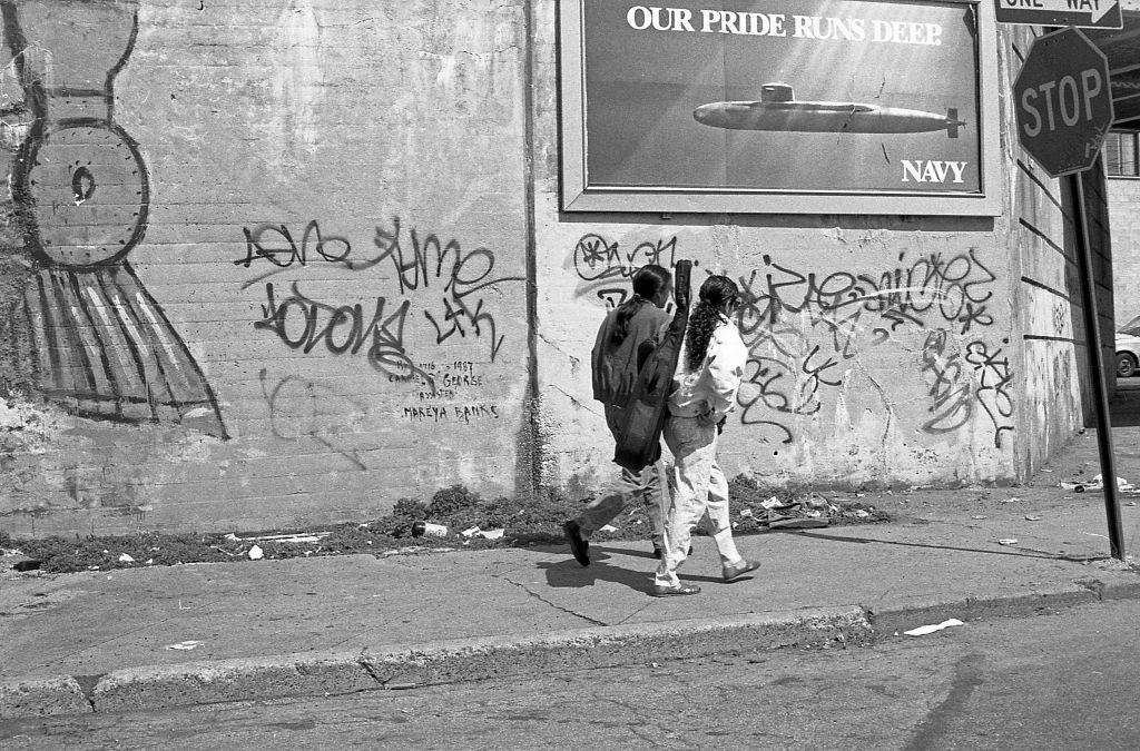
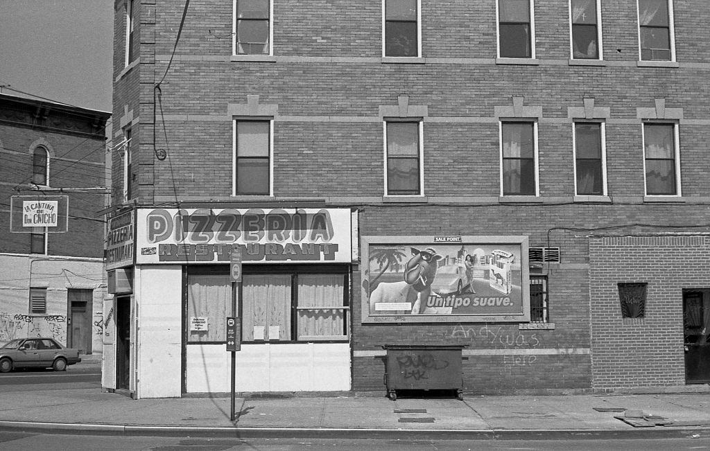
Corona is a neighborhood in the borough of Queens, New York City, known for its dense blocks, elevated subway lines, and one of the most culturally mixed populations in the country. By 1990, it was a neighborhood of contrasts — busy commercial strips, quiet residential rows, street vendors, local grocery stores, and, in places, signs of urban neglect. These photographs, taken in 1990, capture that world block by block.
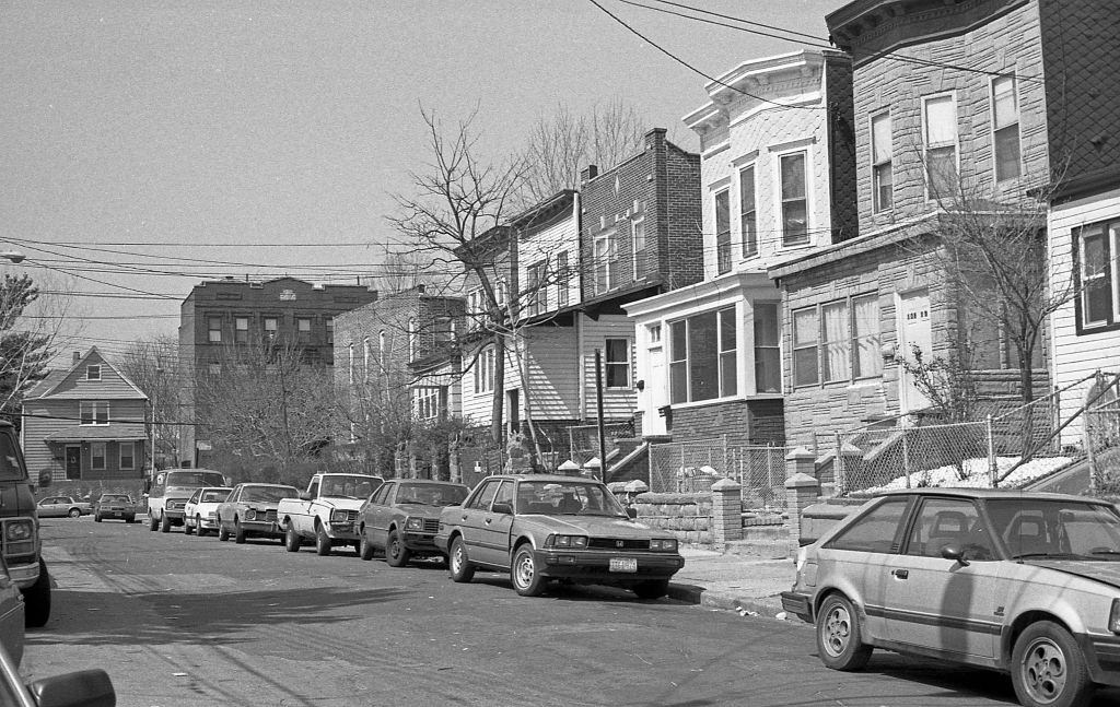
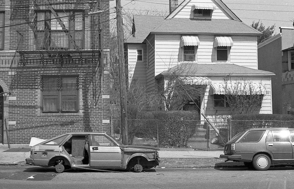
The streets around 36th Avenue and 108th Street were lined with multi-family residential buildings typical of Queens in this era — brick facades, fire escapes, and closely packed lots. Not every block, however, looked well-kept. Abandoned and stripped vehicles were a visible part of the streetscape in many New York neighborhoods at the time.
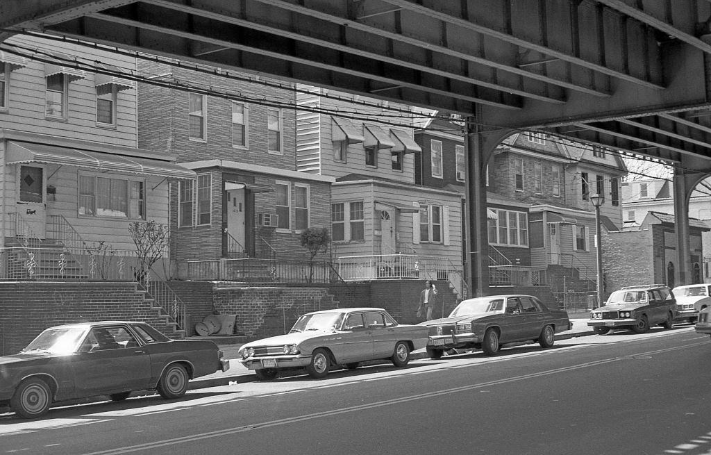
Roosevelt Avenue was one of Corona’s main arteries. The elevated subway line running above it cast the street below in shadow, while the sidewalks buzzed with foot traffic, vendors, and small businesses. Near 112th Street, the avenue gave way to residential homes tucked closely together, a quieter side of the same busy corridor.
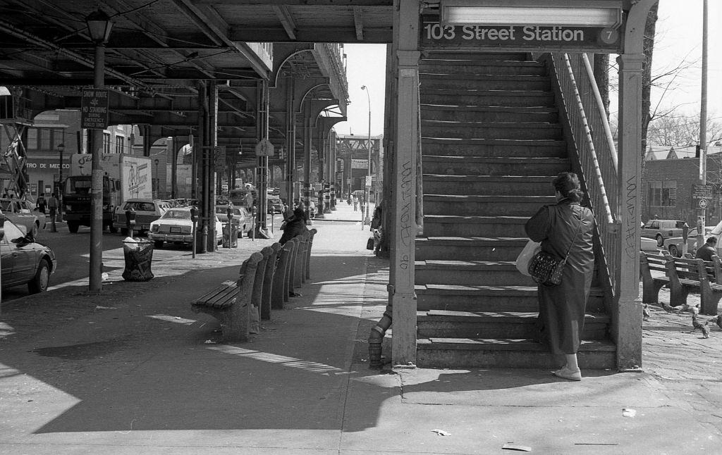
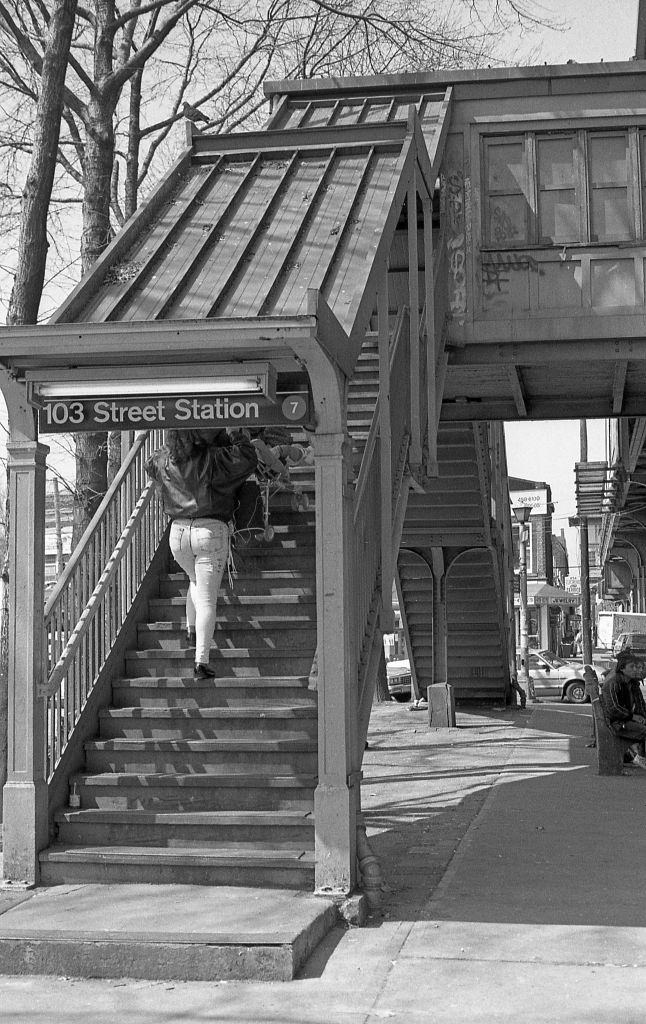
The 103rd Street–Corona Plaza station was a daily fixture for thousands of residents. Commuters climbed its iron staircases every morning and evening, and the base of those staircases became informal retail space. Street vendors set up alongside the steps, selling clothes and goods to riders passing through.
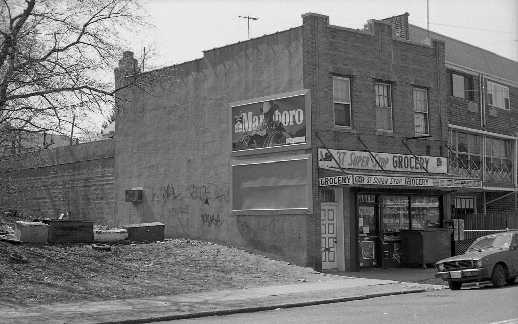
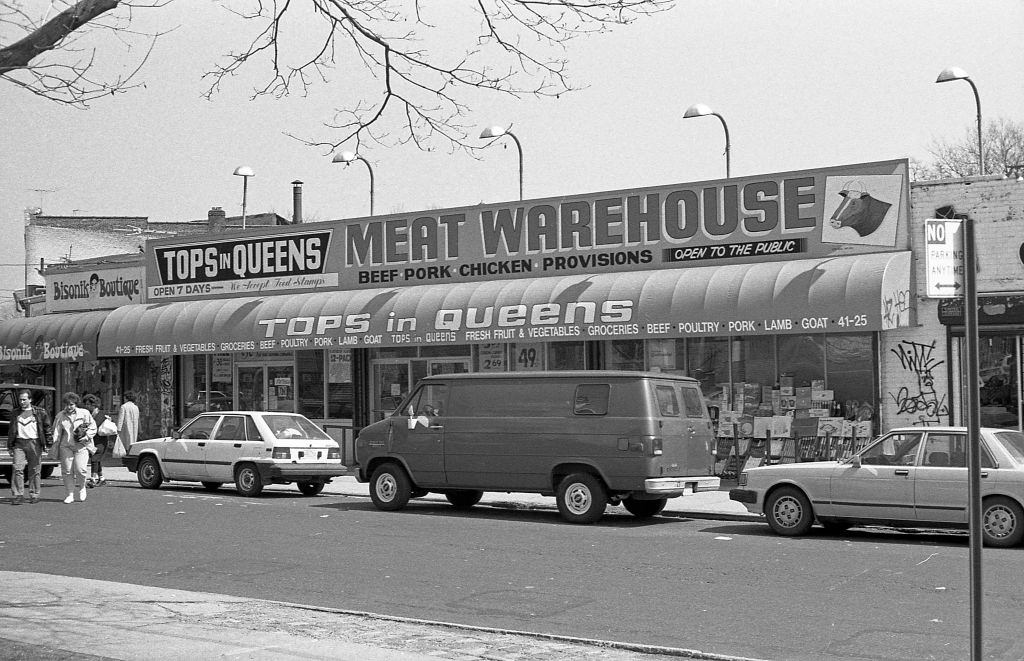
Local grocery stores like the 37 Super Stop on 37th Avenue at 111th Street served as anchors for the surrounding blocks. These neighborhood shops stocked the everyday essentials for a community that, by 1990, was increasingly made up of immigrants from Latin America, the Caribbean, and Asia. Just a few blocks away, a graffiti-covered abandoned building at the corner of 108th Street and 36th Avenue told a different story — of properties left behind as the city’s fiscal crisis still echoed through its outer boroughs.
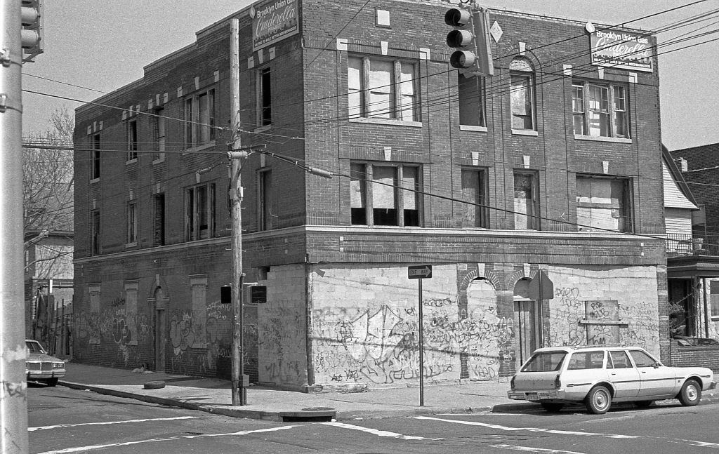
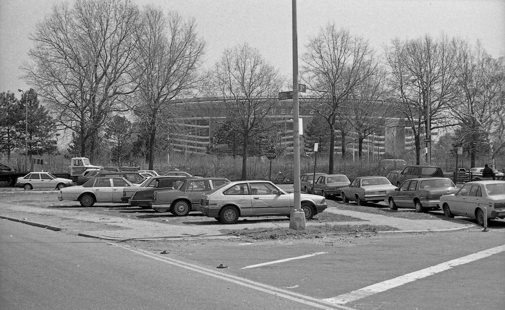
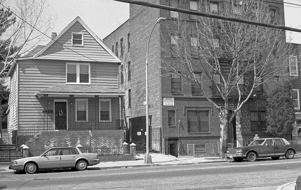
From the intersection of Pell and 37th Avenues, Shea Stadium was visible to the east — a landmark that tied Corona directly to the New York Mets and to the millions of fans who passed through the neighborhood on game days. Back on 108th Street and 36th Avenue, residential buildings stood just steps from that same abandoned corner, showing how sharply conditions could change from one property to the next.
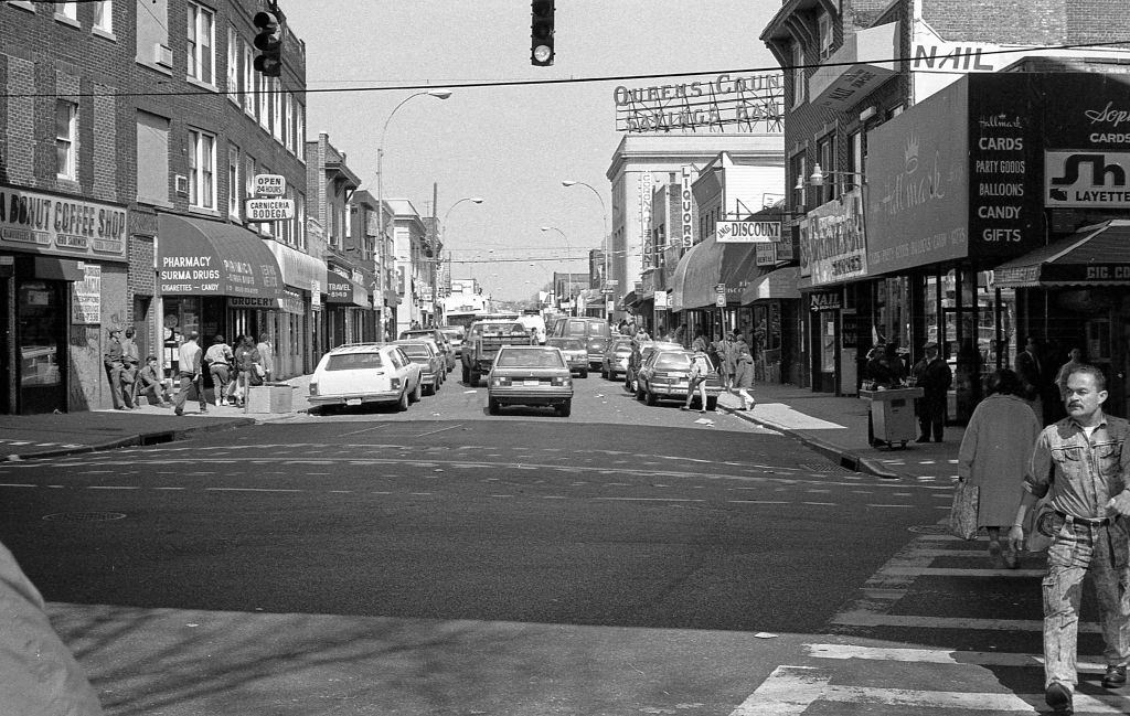
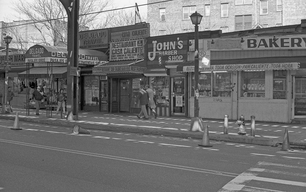
The intersection of 103rd Street and Roosevelt Avenue held a dense cluster of storefronts. Looking north from that corner, a row of businesses filled almost every ground-floor space. A short walk away, Veterans Square Park sat at the junction of 102nd Street, National Street, and 42nd Avenue — a small public space surrounded by more local commercial activity along 102nd Street.
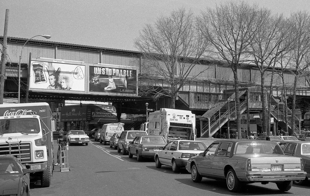
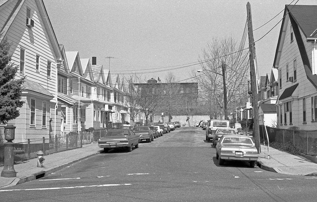
Looking north along National Street, the elevated subway structure on Roosevelt Avenue dominated the end of the block. Quieter streets like 97th Place offered a contrast — long rows of attached homes with stoops, parked cars lining both sides, and little of the commercial energy found closer to Roosevelt Avenue.
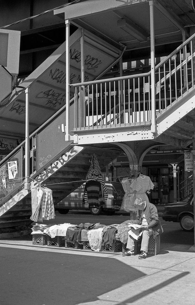
Street vending near the subway staircases was a regular sight in 1990. Vendors used the foot traffic from the elevated station to reach a steady stream of potential customers. On quieter blocks like 45th Avenue at National Street, the pace slowed considerably — residential life carried on away from the main commercial rush of Roosevelt Avenue.