Pakistan was founded in 1947 under the leadership of Mohammad Ali Jinnah, and by the 1960s it had become one of the most closely watched development stories in the world. The country spans a vast and varied landscape — mountain ranges, glaciers, river plains, deserts, and lush valleys — and is home to a deeply layered cultural history shaped by ties to India, Iran, Afghanistan, and Turkey. By the time these photographs were taken, Pakistan was in the middle of a period of serious industrial and economic growth. Its planning model was so effective that South Korea studied and replicated Karachi’s second Five-Year Plan for its own development strategy.
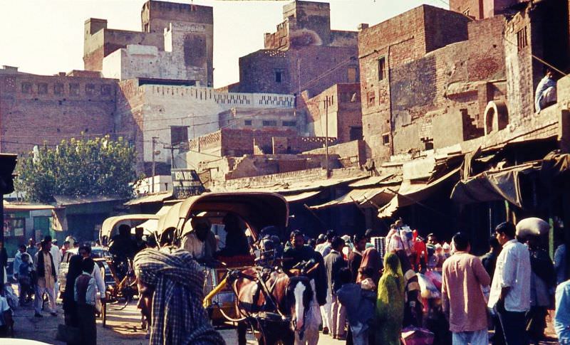
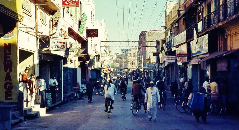
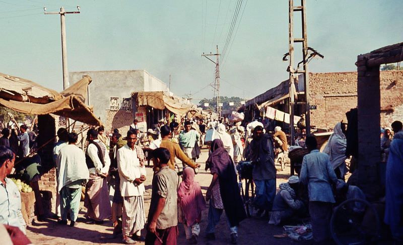
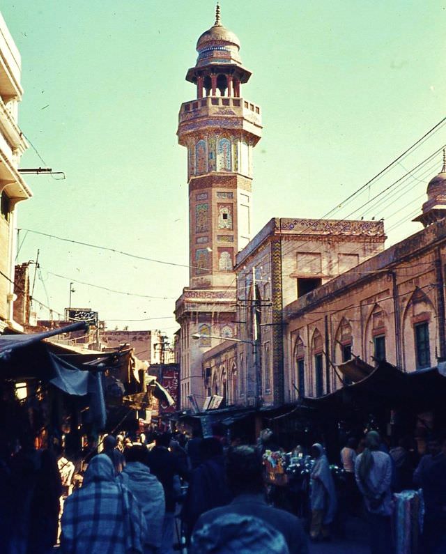
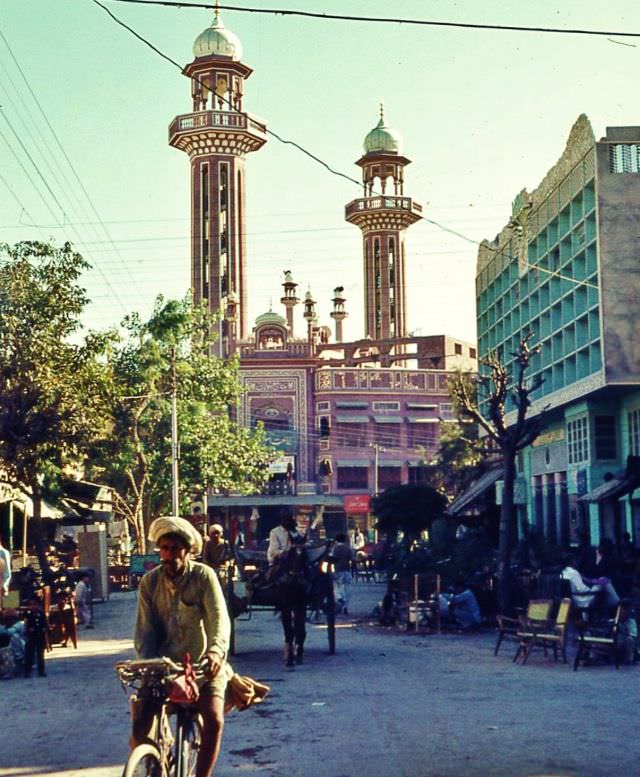
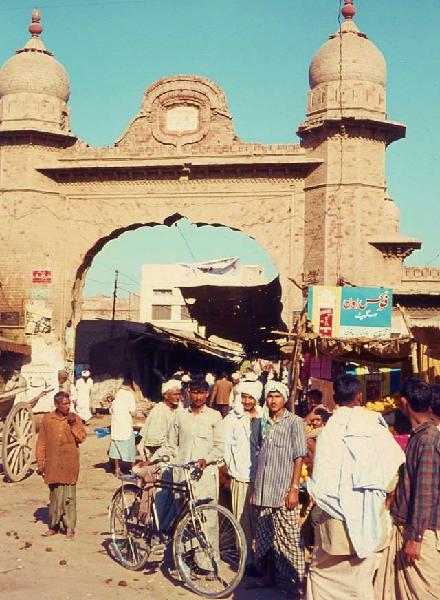
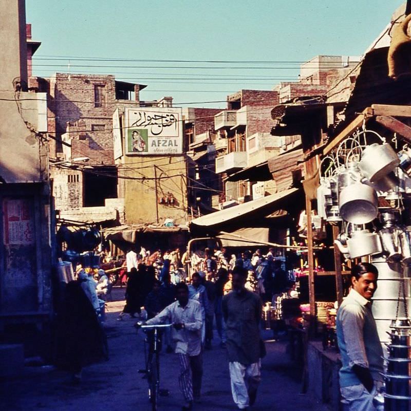
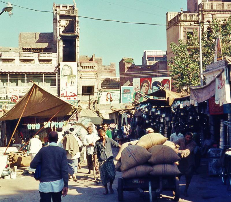
The old bazaars of Lahore were the beating heart of daily commerce. Narrow lanes packed with merchants, buyers, and traders stretched through the city’s historic core, where the smell of spices and the sound of haggling filled the air from morning to night.
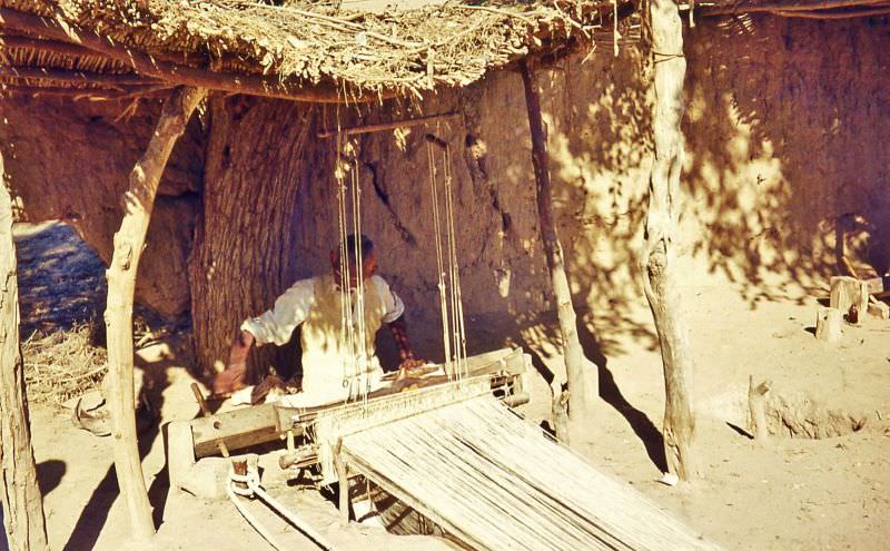
Outside Lahore, smaller towns and villages offered a very different pace of life. In Bhoe Asal near Kasur, and in villages like Chang Manga, traditional crafts and agricultural routines defined the day. A weaver working in the shade was a common sight, as handloom weaving remained an essential local trade.
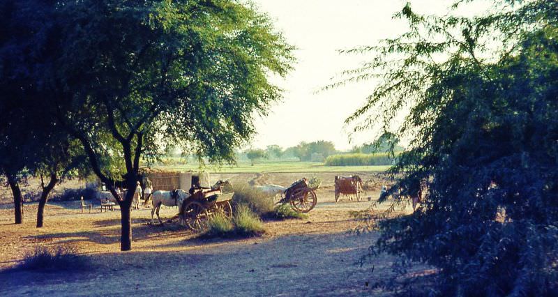
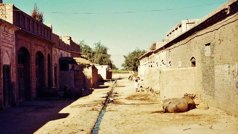
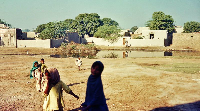
Village infrastructure across rural Pakistan was basic. Open sewers ran through the centers of streets while livestock rested nearby. Shared ponds served as gathering points for both animals and people in communities like Kana Kacha.
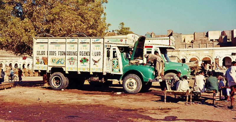
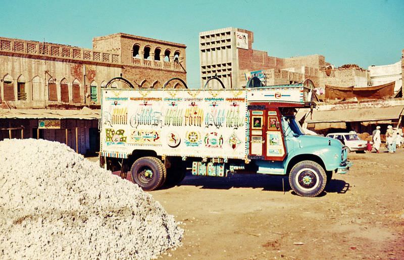
Market towns like Khanewal served as regional trade hubs. In 1961, the Khanewal market was a busy stop for trucks hauling goods across Punjab, with vendors, stalls, and vehicles crowding the open spaces in a scene typical of mid-century Pakistani commerce.
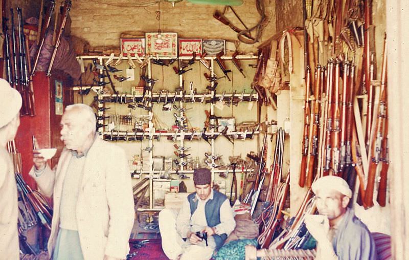
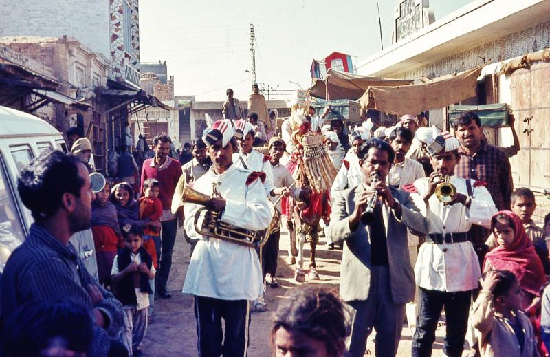
In Kohat, near the North-West Frontier, gun shops operated openly. The region had a long tradition of arms craftsmanship, and firearms were both a trade item and a practical part of daily life in the tribal belt. Further east, celebrations like the wedding party photographed at Kot Radha Kishan showed the richness of local social customs.
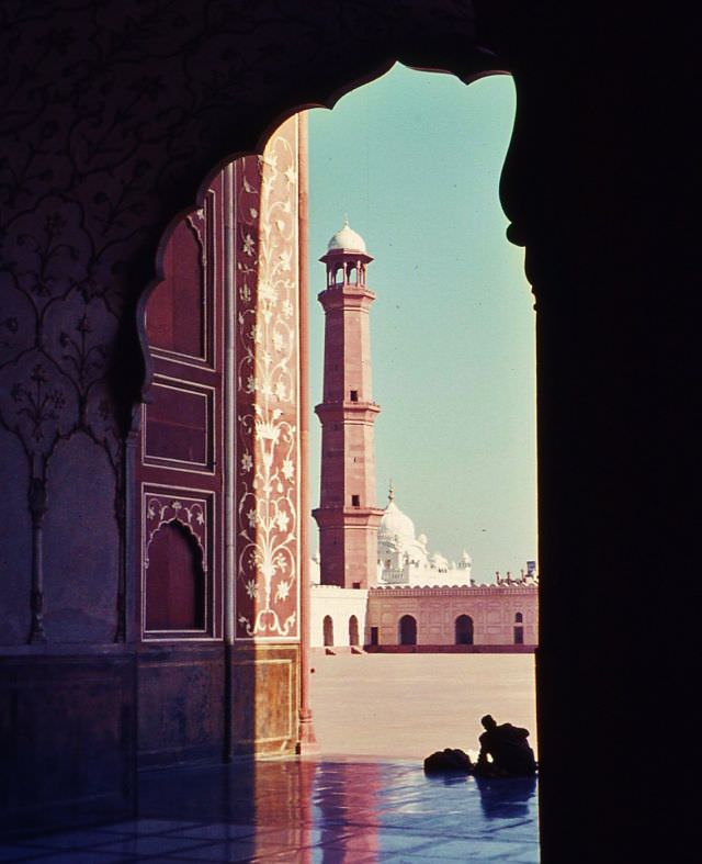
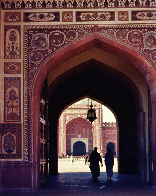
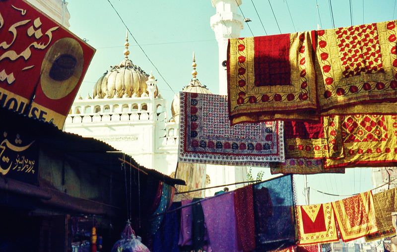
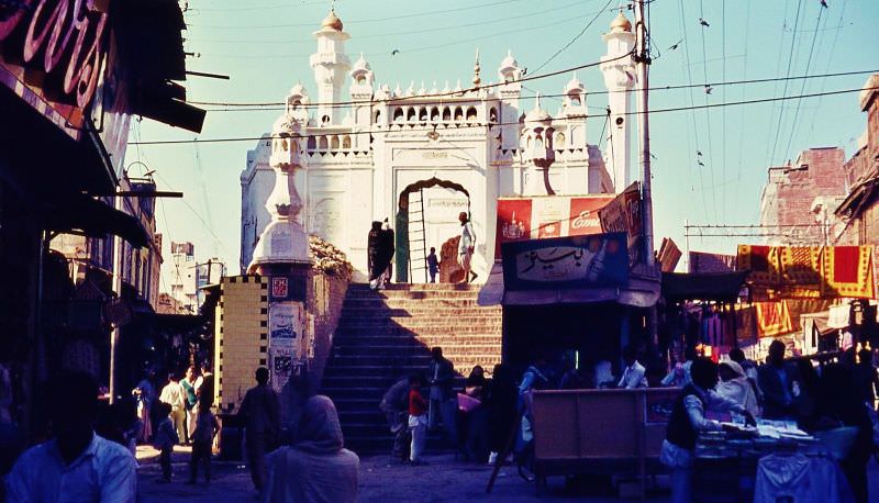
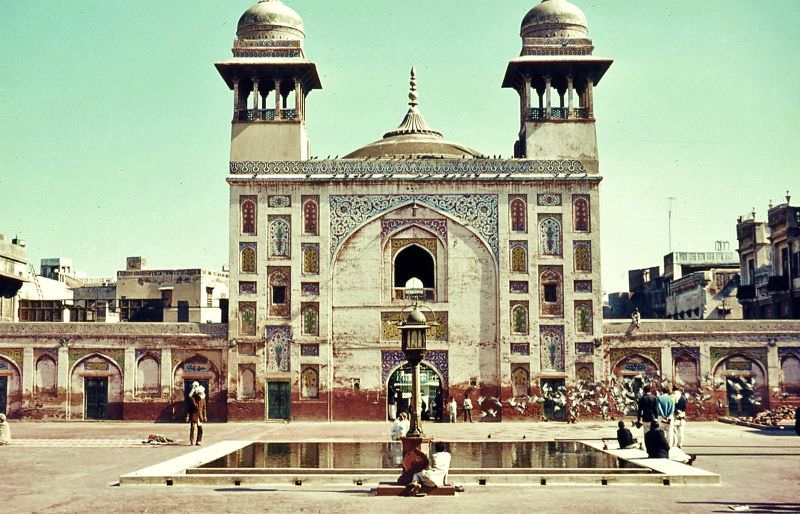
Lahore’s Mughal-era monuments stood as some of the most impressive architectural sites in all of South Asia. The Badshahi Mosque, completed in 1673, dominated the city’s skyline, with the tomb of Ranjit Singh visible in the distance. Nearby, the Wazir Khan Mosque and the golden mosque drew vendors selling prayer mats along the surrounding streets.
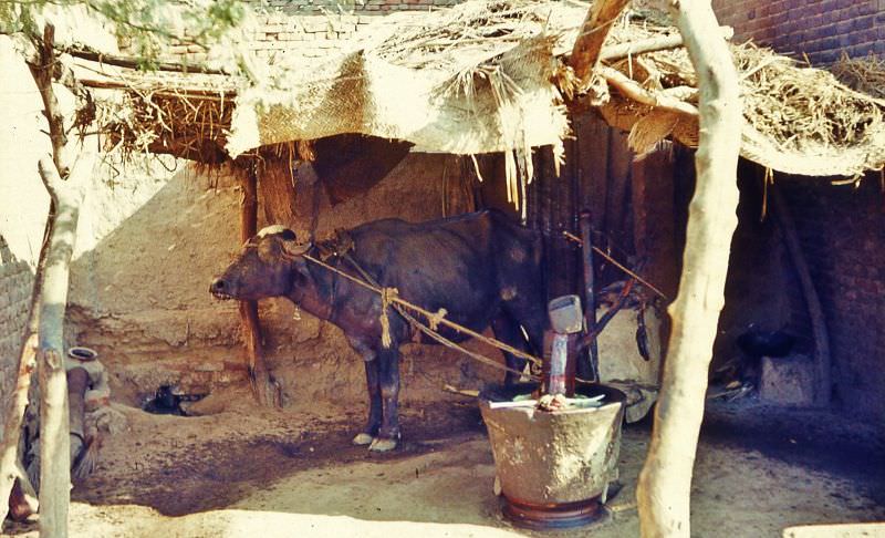
The Raiwind bazaar on the outskirts of Lahore mixed modern trade with age-old methods. A blindfolded buffalo grinding mustard seed at Raiwind was a working example of animal-powered milling that had continued for centuries without interruption.
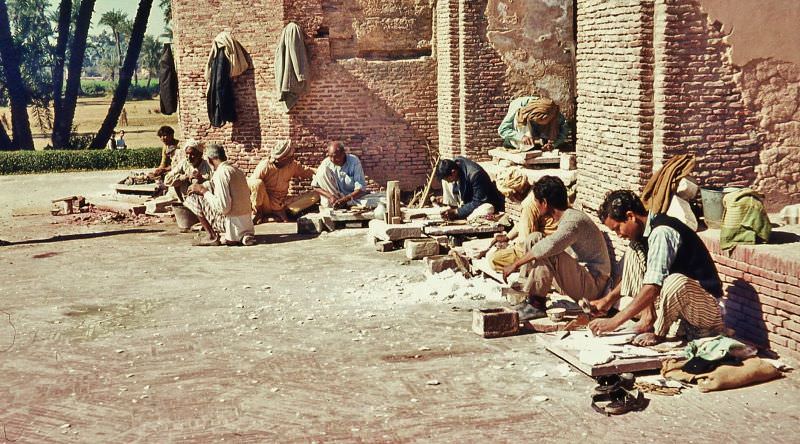
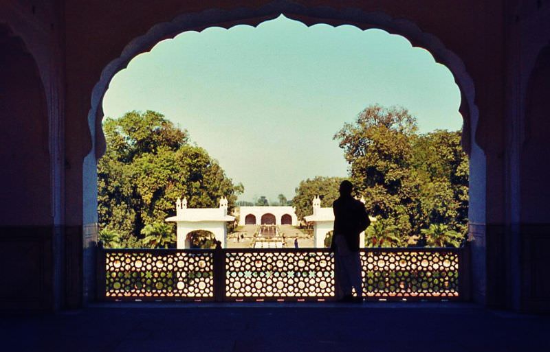
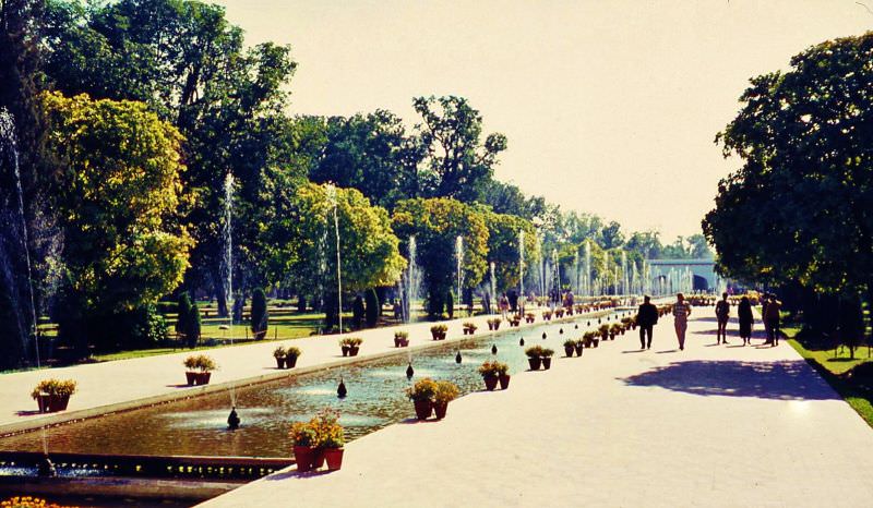
Restoration work on Nur Jahan’s tomb in Lahore was underway during this period, reflecting a national effort to preserve Mughal heritage. The Shalimar Gardens, built by Emperor Shah Jahan in 1641, remained a major landmark and a popular gathering place.
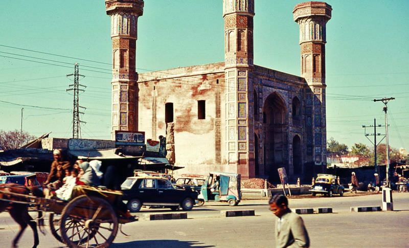
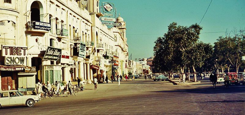
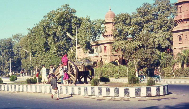
Lahore’s urban streetscape in the 1960s blended colonial-era architecture with Mughal monuments. The Mall was the city’s main commercial boulevard, while structures like the Chauburji — a 17th-century gateway — and the Zamzama cannon, made famous by Rudyard Kipling’s novel Kim, remained prominent city landmarks.
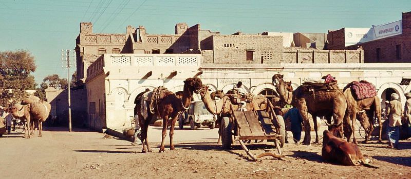
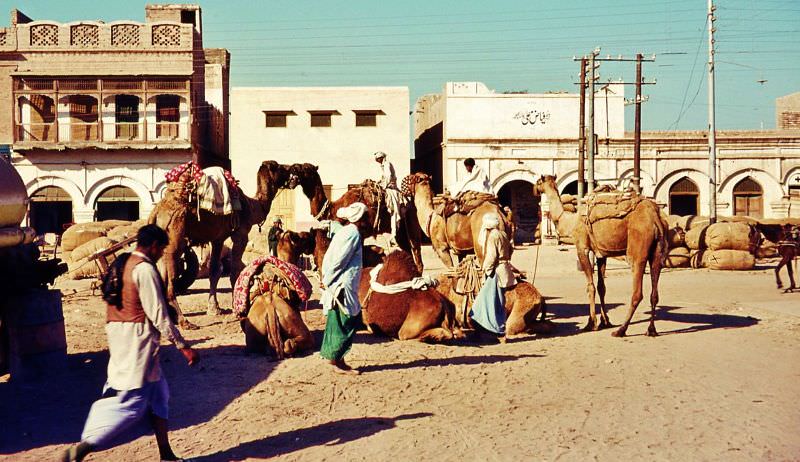
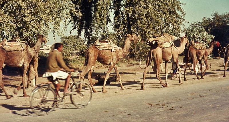
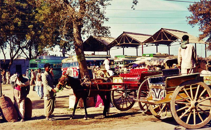
The town of Okara, south of Lahore, offered a snapshot of Punjab’s agricultural economy. Camel trains moved goods across the flat terrain, and tongas — horse-drawn carriages — lined up for hire outside bus stations, serving as the main form of short-distance transport for most residents.
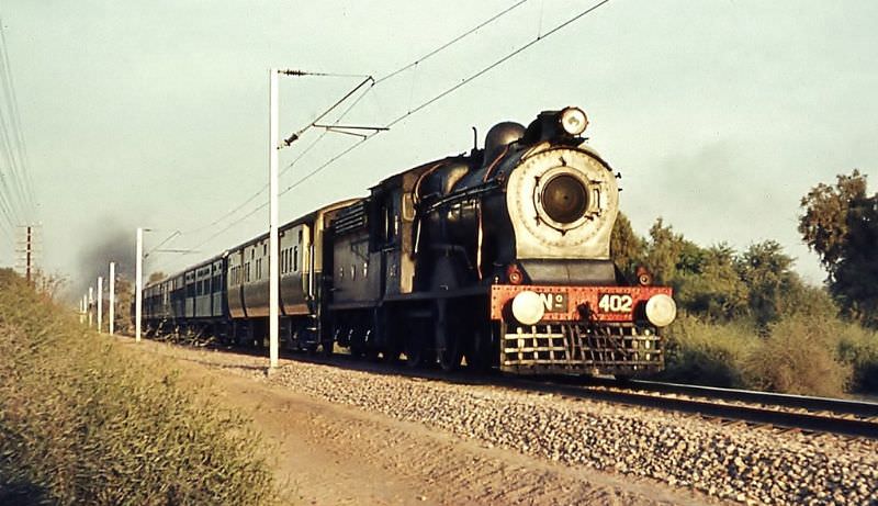
Pakistan Western Railways connected towns and cities across the country, carrying passengers and freight through Punjab and beyond. Rail was a critical part of the national infrastructure during this era of economic planning. Towns like Pattoki fed into this network, with cotton markets processing and dispatching one of Punjab’s most important crops.
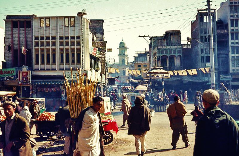
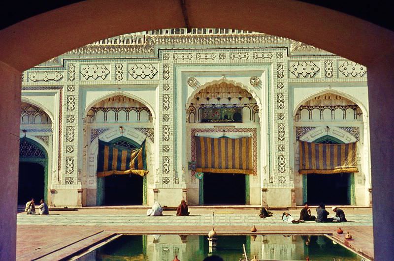
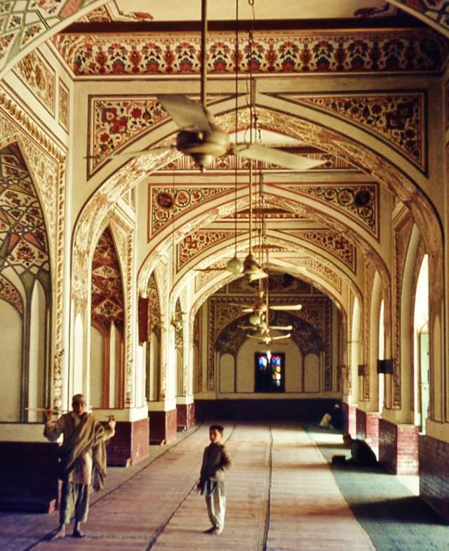
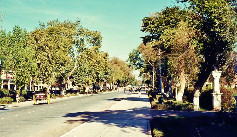
Peshawar, the capital of the North-West Frontier Province, carried its own distinct identity. The Qissa Khwani Bazaar — historically known as the Bazaar of Storytellers — was one of the most famous markets in the region. Mahabat Khan’s Mosque, built in the 17th century, stood as the city’s most important religious site. Leafy residential streets lined with large homes marked the wealthier quarters of the city.
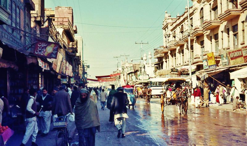
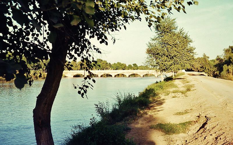
Water management was central to agriculture across the Punjab plains. Large irrigation canals near Sahiwal channeled water from the Indus river system to farms across vast stretches of cropland. These canals, many built during the British colonial period, continued to support millions of farmers in the 1960s. The bazaars of old Lahore, always crowded and alive with trade, remained the most vivid symbol of a country balancing its ancient roots with a fast-changing present.
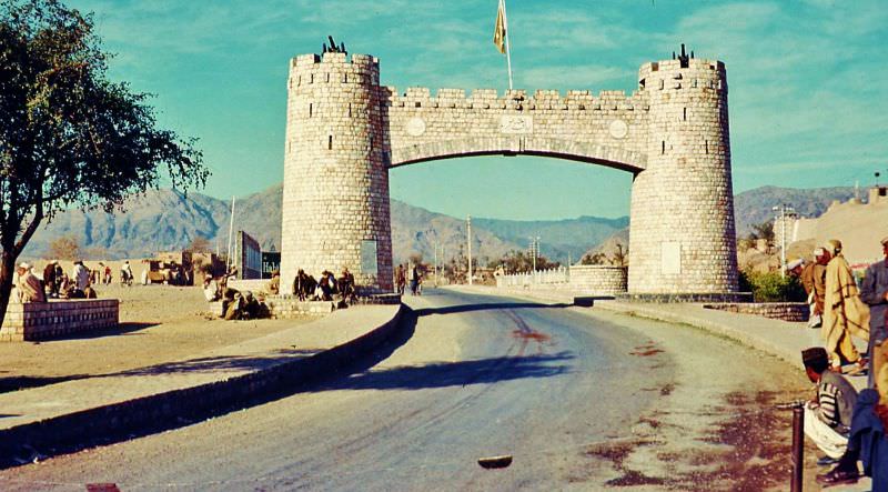
To the northwest, the Khyber Pass marked the boundary between settled Pakistan and the tribal areas of the North-West Frontier. It was one of the most strategically important mountain passes in the world, connecting Pakistan to Afghanistan through the Hindu Kush range. The entrance to the pass served as a clear dividing line between two very different worlds.