

The early human settlement in Edinburgh dates back to the early middle ages. By the first half of the 18th century, Edinburgh was one of the most densely populated towns in Europe. However, in 1821 Glasgow became the largest city in Scotland. In the mid-19th century the city centre between Princes Street and George Street became major commercial districts with the arrival of railways. The major slum clearance took place in 1960s and 1970s.
These stunning color photographs capture streets, towns, landmarks, and everyday life of Edinburgh in the 1960s. When there were different cars, roads look much better; there were beautiful old fashioned street lights. Vote your favorites and don’t forget to share.
#1 Jenners Store, Princes Street, Edinburgh, 1961
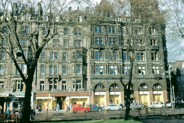
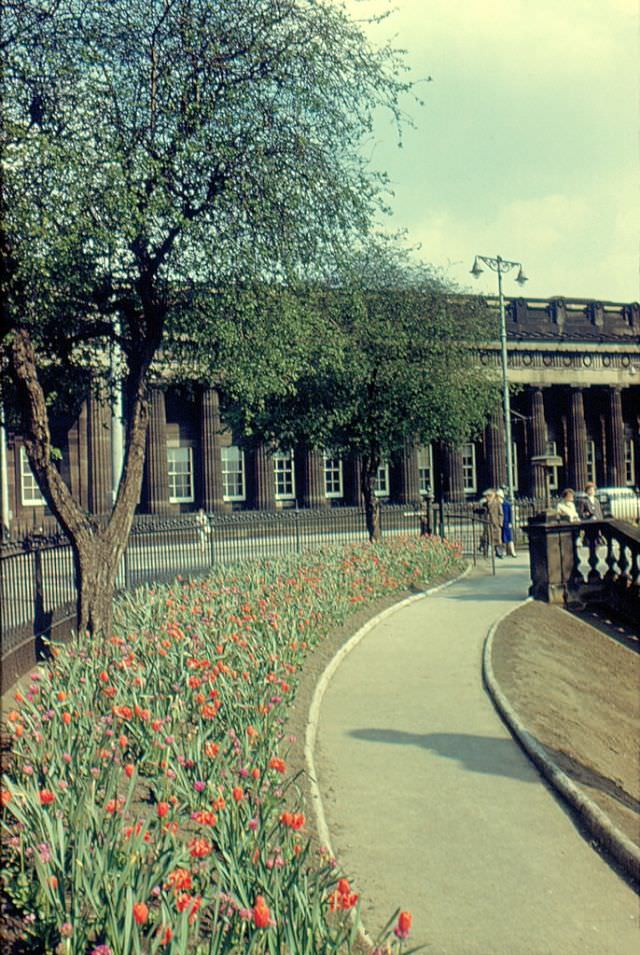
#2 Princes Street Gardens looking east, Edinburgh, 1961
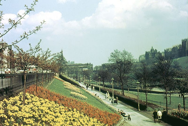
#3 Scott Monument, Princes Street, Edinburgh, 1961
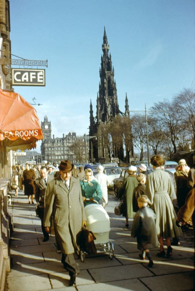
#4 Imperial Hotel, Leith Street, from the junction with Little King Street (the pub on the right is Moir’s Bar), Edinburgh, 1961
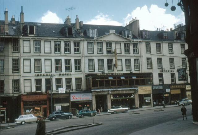
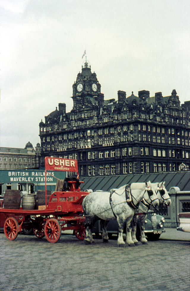
#5 Usher Brewery Cart, Waverley Bridge, Edinburgh, 1961
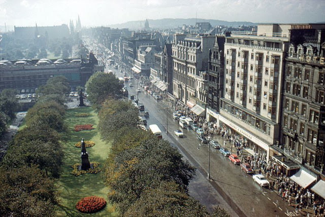
#6 Princes Street looking west from the Scott Monument, Edinburgh, 1961
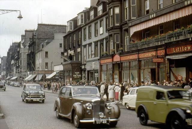
#7 Princes Street looking west, Edinburgh, circa 1960
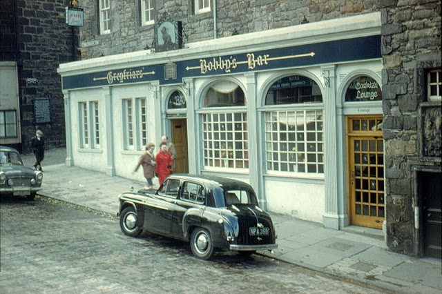
#8 Greyfriars’ Bobby’s Bar, Candlemaker Row, Edinburgh, 1961
#9 By the Floral Clock, Edinburgh, 1961
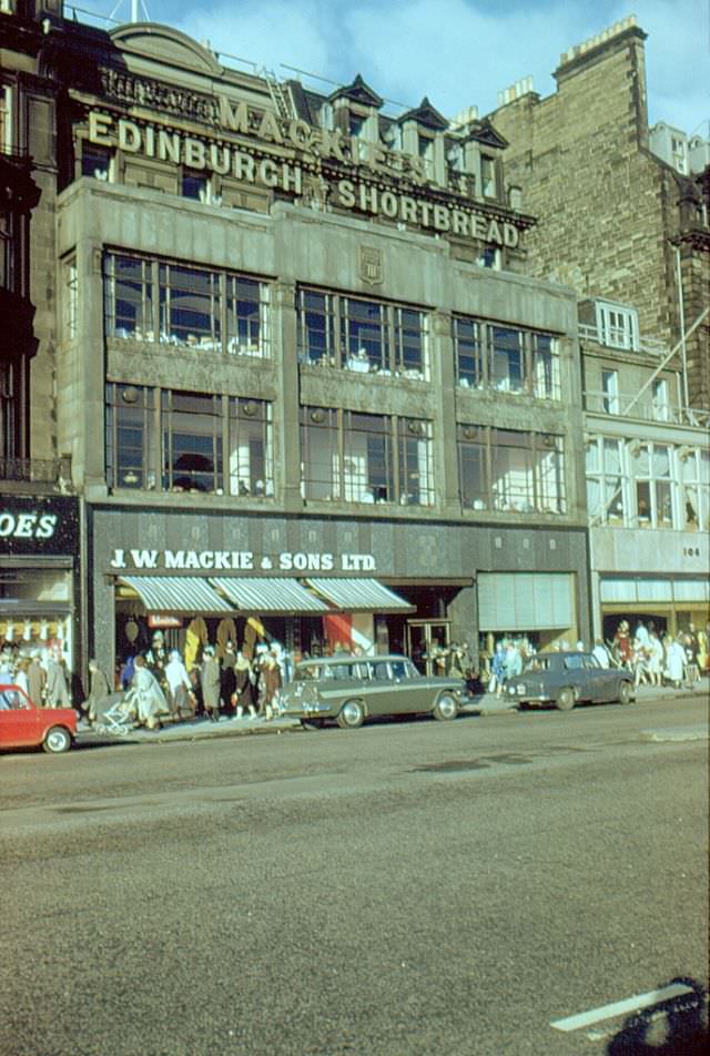
#10 J. W. Mackie’s Shop & Tea Room, Princes Street, Edinburgh, 1961
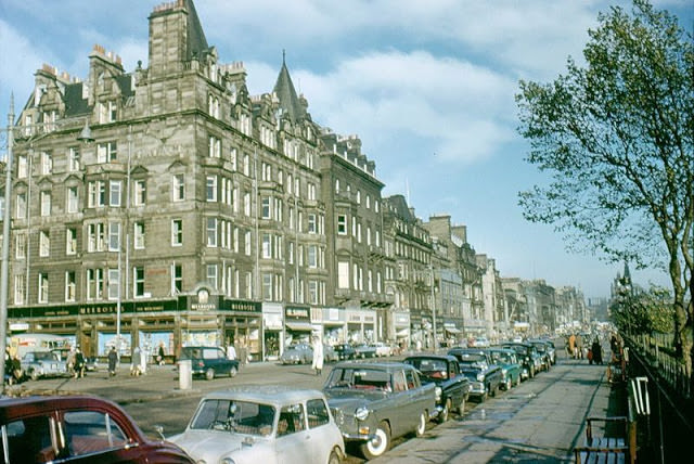
#11 Princes Street looking east, Edinburgh, 1961
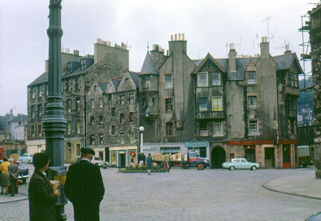
#12 Lower Canongate, Edinburgh, 1963
#13 Bus stop, Princes Street, Edinburgh, 1962
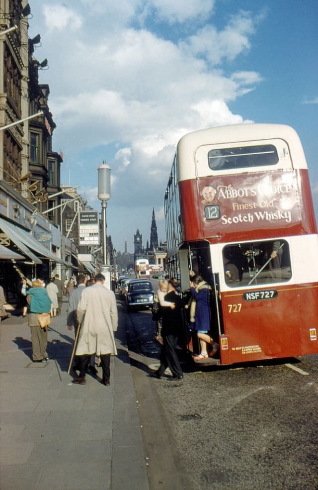
#14 East end of Princes Street, Edinburgh, 1961
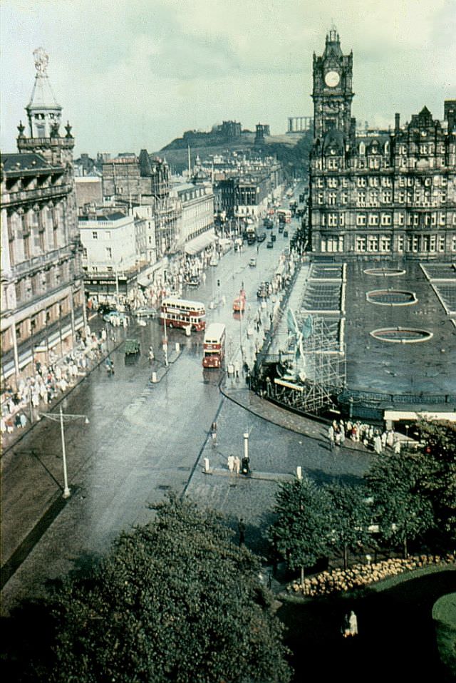
#15 The ‘Roxburghe’ Hotel, Charlotte Square, Edinburgh, 1961
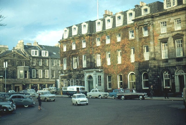
#16 Princes Street looking east, Edinburgh, circa 1962
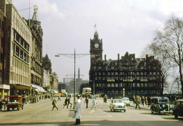
#17 Princes Street looking east, Edinburgh, circa 1962
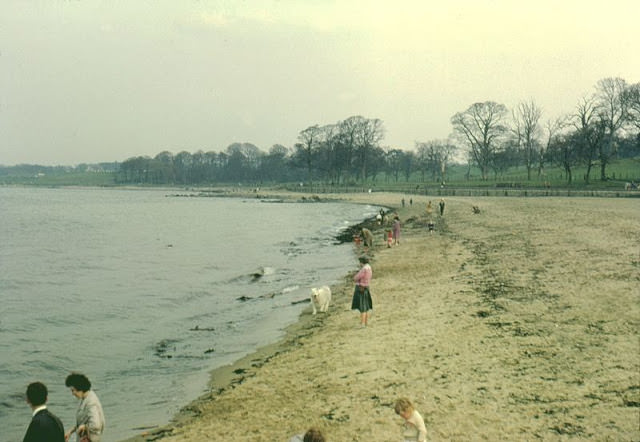
#18 The Beach, Cramond, Edinburgh, 1962
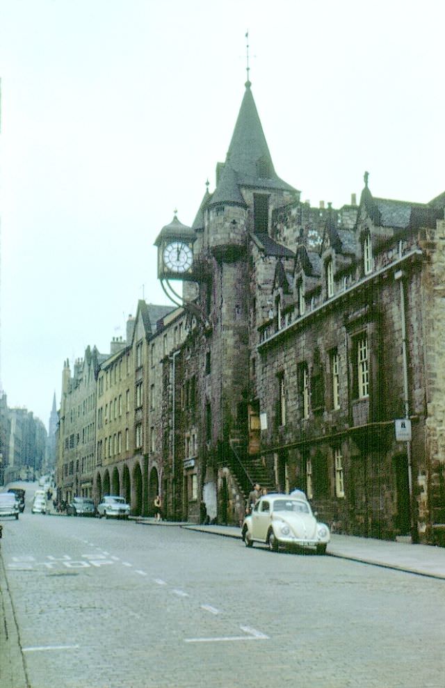
#19 Canongate Tolbooth, High Street, Edinburgh, 1963
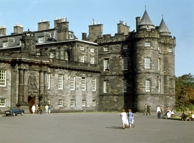
#20 Holyrood House, Edinburgh, 1964
#21 Castle Street, Edinburgh, circa 1960
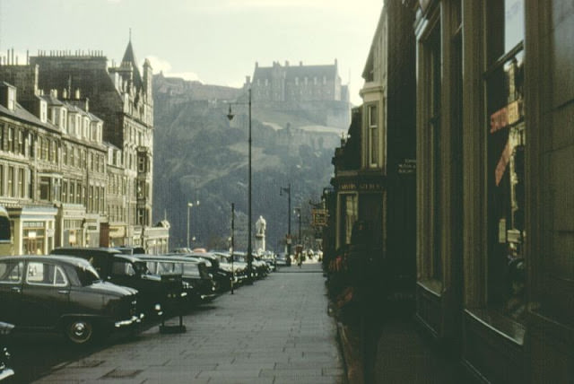
#22 Princes Street looking east, Edinburgh, circa 1960
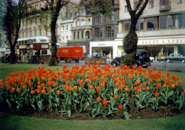
#23 Princes Street looking east, Edinburgh, circa 1960
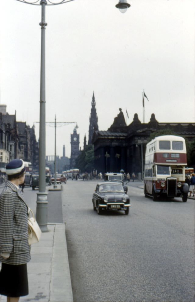
#24 Princes Street looking east, Edinburgh, 1961
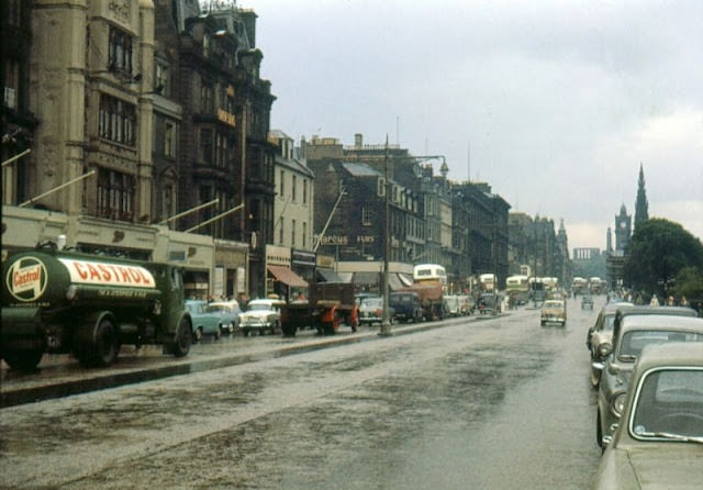
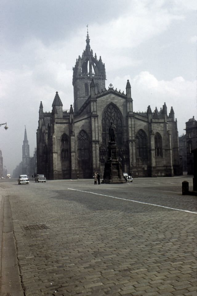
#25 St.Giles Cathedral, Edinburgh, 1961
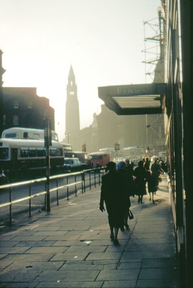
#26 West end of Princes Street at Binns Store, Edinburgh, 1961
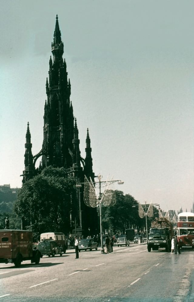
#27 Princes Street looking east, Edinburgh, circa 1962
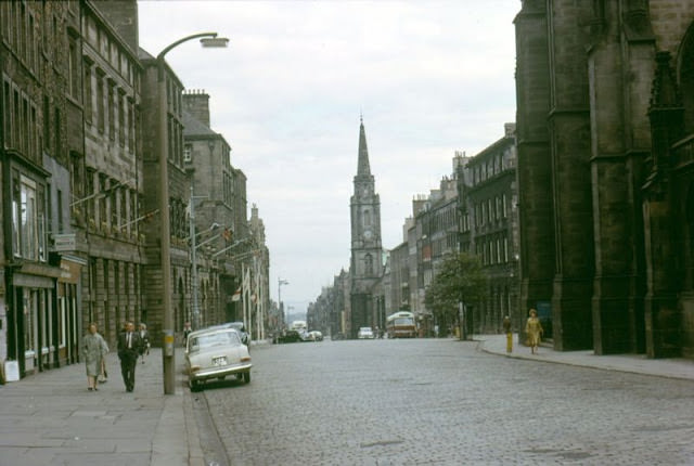
#28 High Street Looking East at St. Giles, Edinburgh, 1964
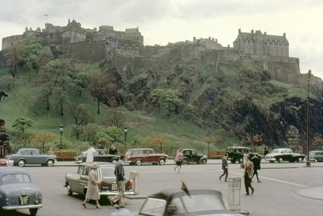
#29 The castle from Frederick Street, Edinburgh, 1962
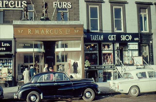
#30 Marcus’ Fur Shop, 97 Princes Street, Edinburgh, 1961
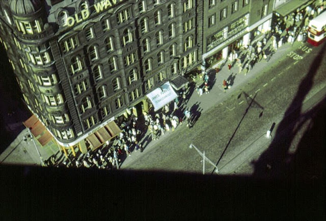
#31 Old Waverley Hotel from the Scott Monument, Princes Street, Edinburgh, circa 1961
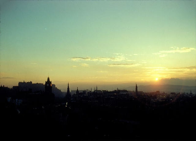
#32 Sunset from Calton Hill, Edinburgh, 1961
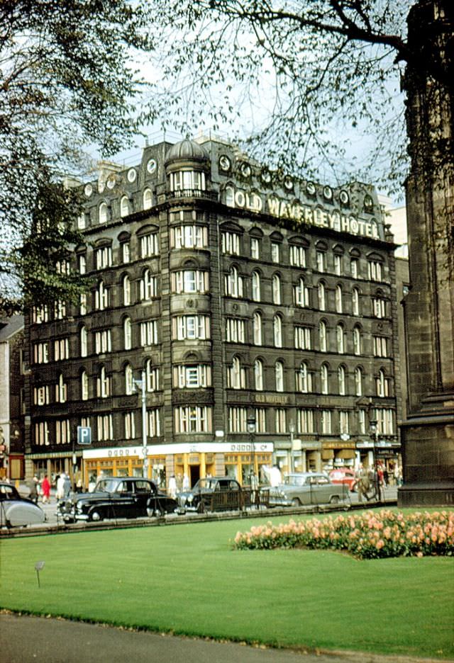
#33 The Old Waverley Hotel, Princes Street, Edinburgh, 1961
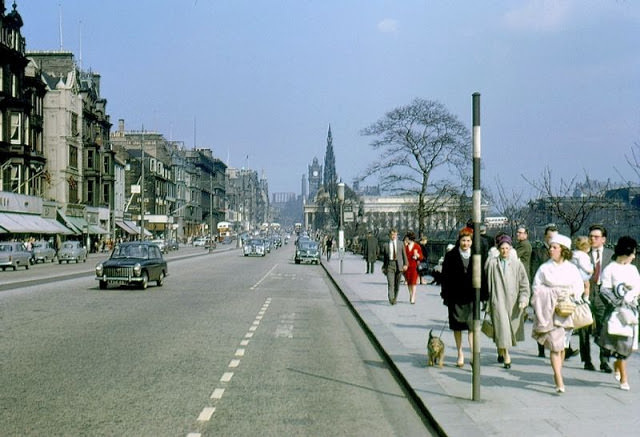
#34 Princes Street looking east, Edinburgh, circa 1962
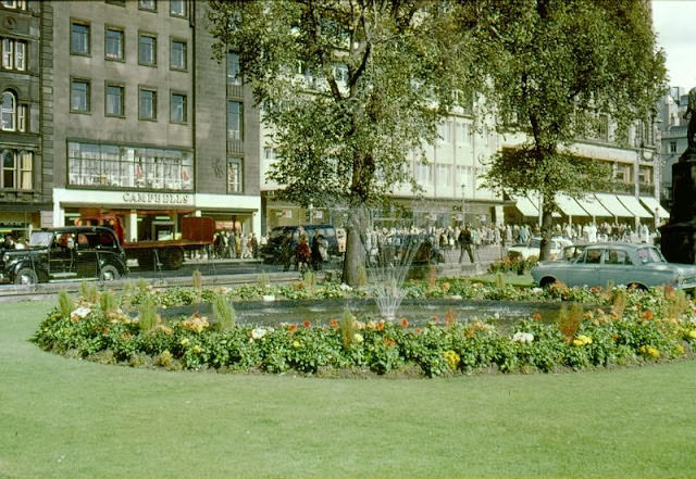
#35 East Princes Street Gardens, Edinburgh, 1964
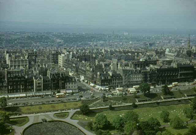
#36 View north from the castle, Edinburgh, circa 1960
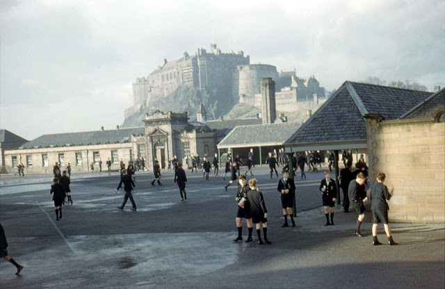
#37 Castle from George Heriot’s School, Edinburgh, 1962
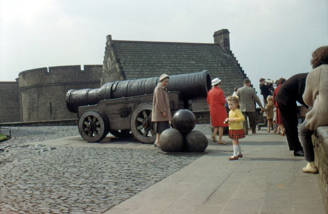
#38 Mons Meg, Castle, Edinburgh, 1962
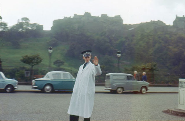
#39 Traffic policeman, junction of Frederick St. and Princes St., Edinburgh, 1963
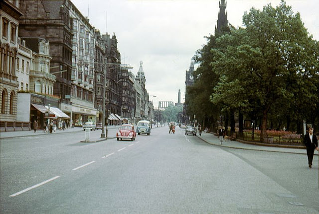
#40 Princes Street looking east, Edinburgh, 1964
#41 Princes Street looking east, Edinburgh, 1964
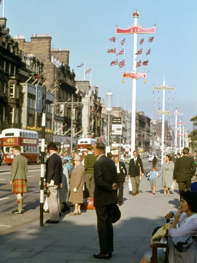
#42 Princes Street Looking West, Edinburgh, 1965
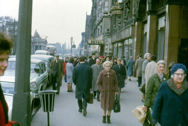
#43 Princes Street looking east, Edinburgh, circa 1962
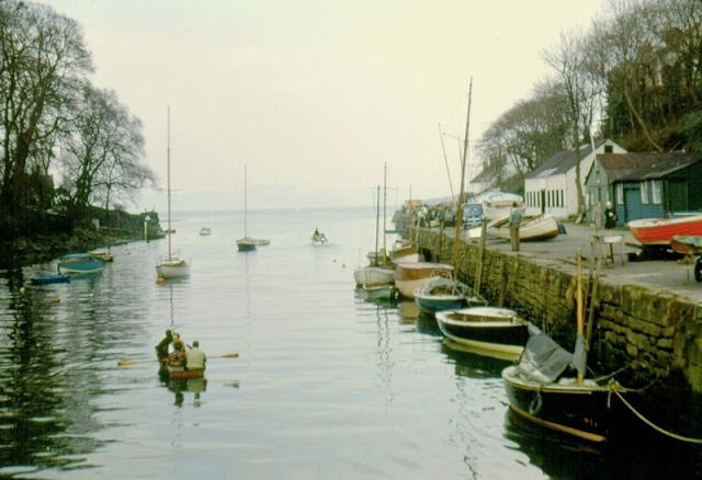
#44 River Almond, Cramond, Edinburgh, 1962
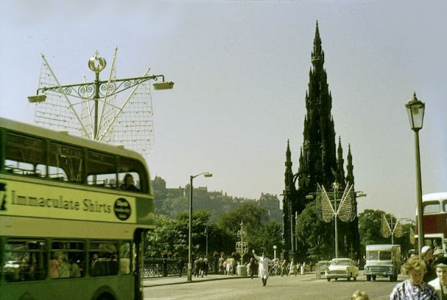
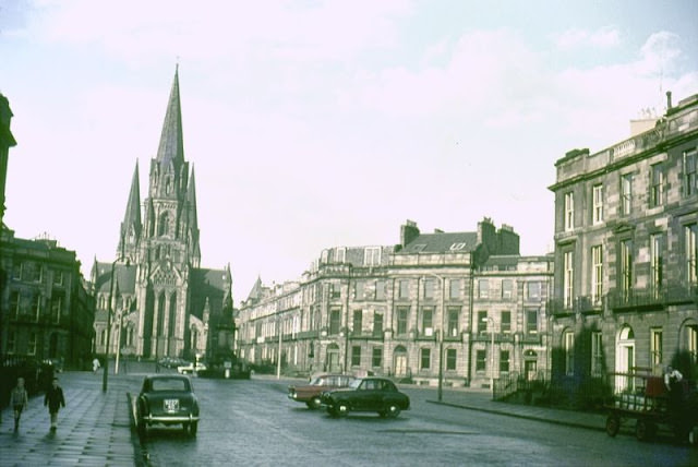
#45 St. Mary’s Episcopalian Cathedral from Melville Street, Edinburgh, 1962
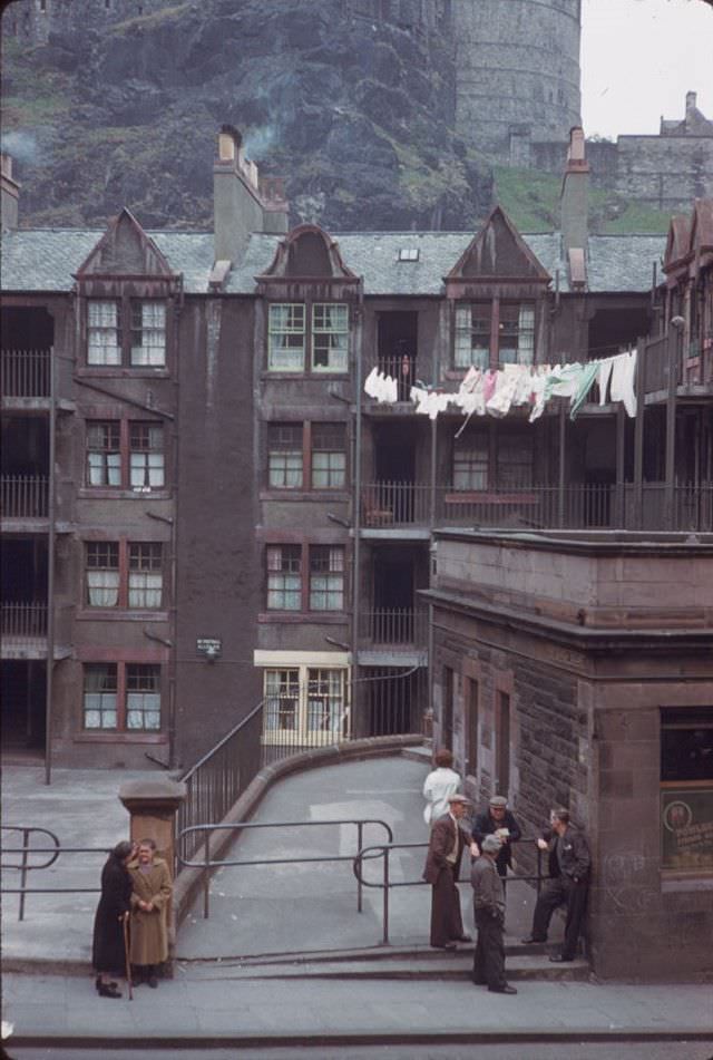
#46 Portsburgh Square below Edinburgh Castle, 1960s
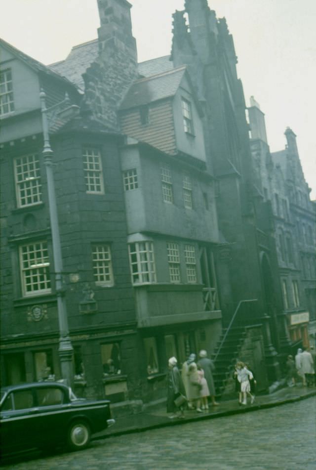
#47 John Knox’s House, High Street, Edinburgh, 1962
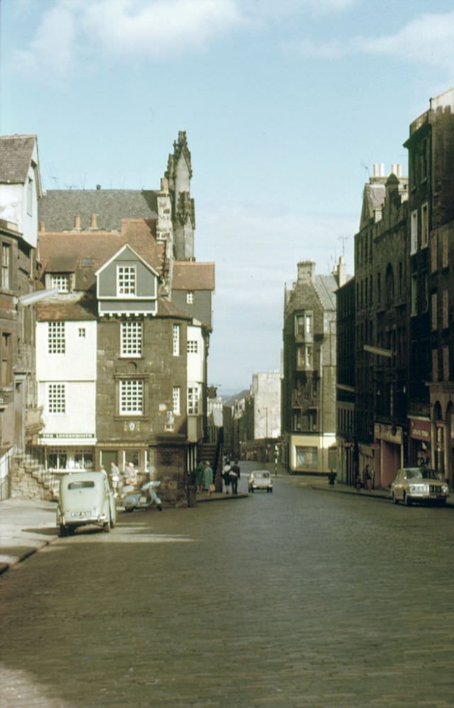
#48 John Knox’s House, High Street, Edinburgh, 1964
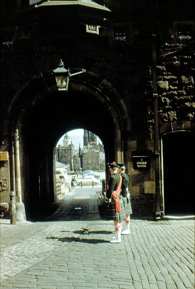
#49 Castle entrance, Edinburgh, 1961
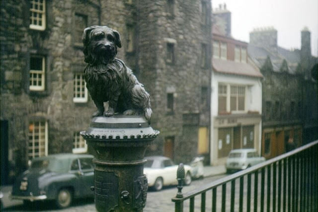
#50 Greyfriars Bobby, George IV Bridge, Edinburgh, circa 1963
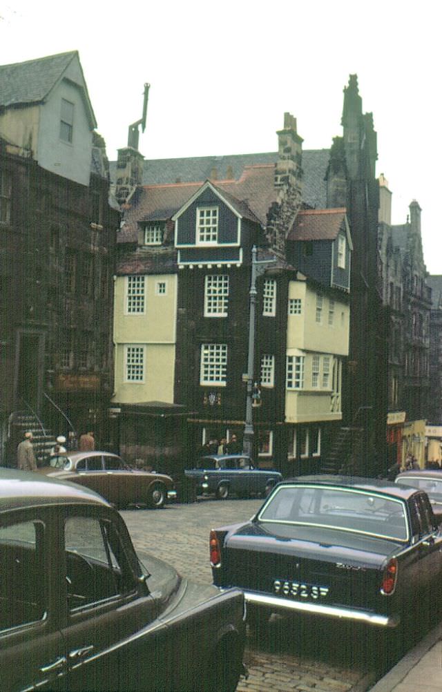
#51 John Knox’s House, Edinburgh, 1963
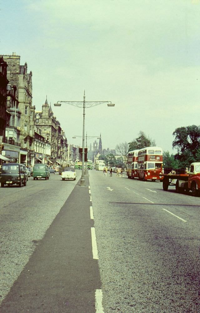
#52 Princes Street looking east, Edinburgh, 1963
#53 St. Giles Cathedral, High Street, Edinburgh, 1963
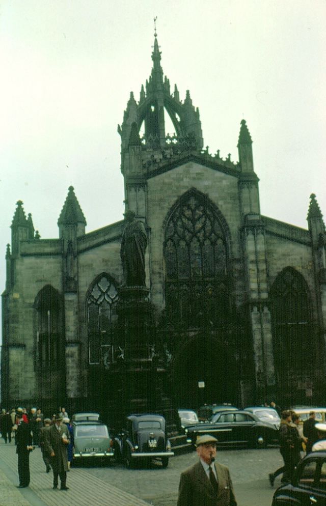
#54 Waverley Station from south St. Andrew Street, Edinburgh, 1963
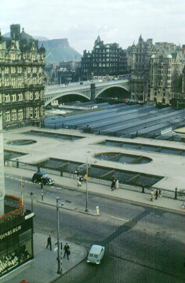
#55 West end, Princes Street, Edinburgh, 1963
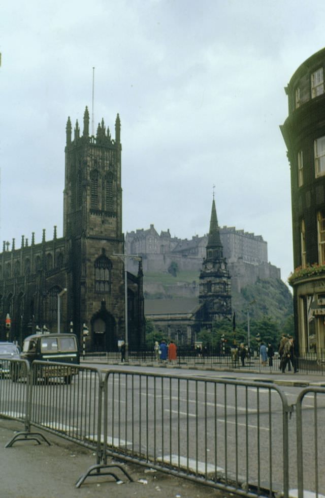
#56 Princes Street from Calton Hill, Edinburgh, 1964
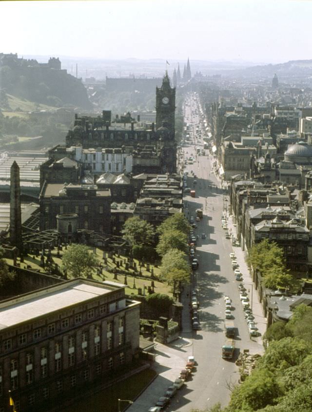
#57 Forth Road Bridge, River Forth, Queensferry, 1965
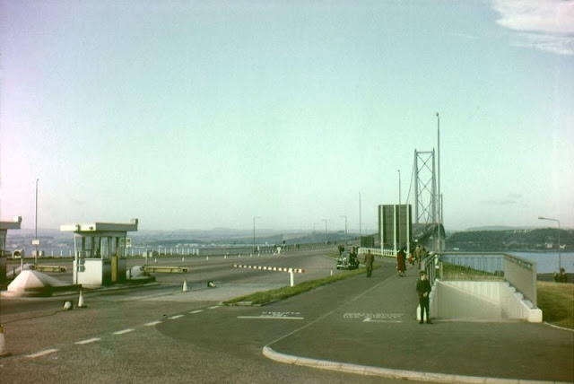
#58 Archer Street, Edinburgh, 1960s
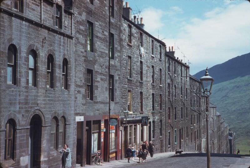
#59 Portsburgh Square below Edinburgh Castle, 1960s
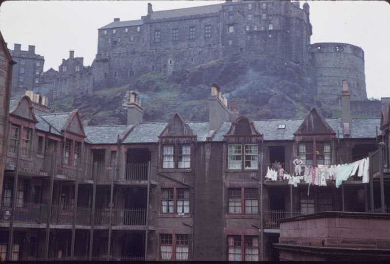
#60 High Street, Edinburgh, 1960s
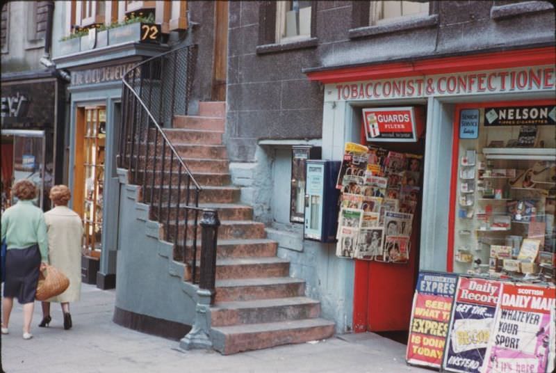
#61 Scott Mon’t and North British Hotel, Edinburgh, 1960s
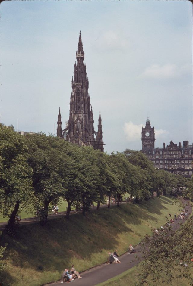
#62 Princes Street looking east, Edinburgh, 1965
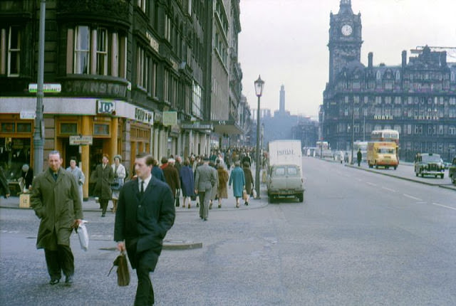
#63 St. Cuthbert’s horse-drawn milk cart, Canongate, Edinburgh, 1960
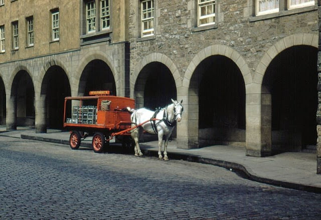
#64 The ‘Pentland Hills Hotel’, 68 Camus Avenue, Edinburgh, 1960
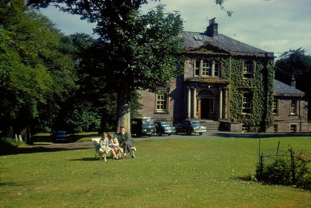
#65 Fettes College, Inverleith, Edinburgh, 1961
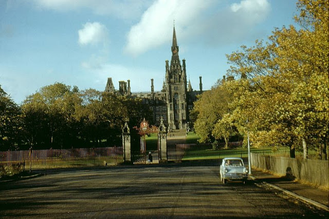
#66 Princes Street looking west, Edinburgh, 1961
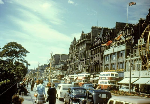
#67 Chester Street, Edinburgh, 1962
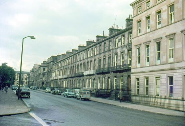
#68 High Street looking west, Edinburgh, 1962
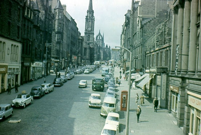
#69 Looking west at St. Giles Cathedral, High Street, Edinburgh, 1962
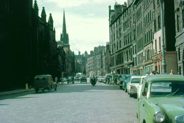
#70 John Knox’s House, Edinburgh, 1963
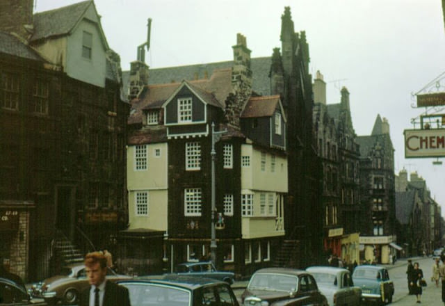
#71 Princes Street looking east, Edinburgh, 1964
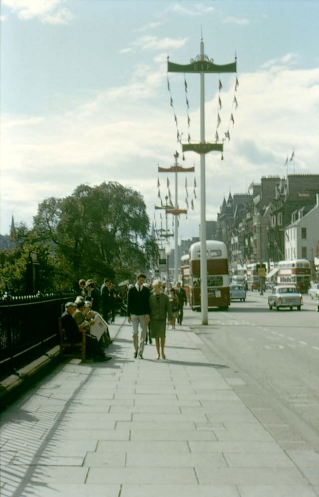
#72 Melville Street, Edinburgh, 1965
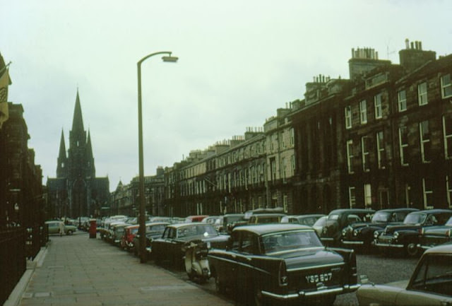
#73 Princes Street, West from St. Andrew, Edinburgh, 1960s
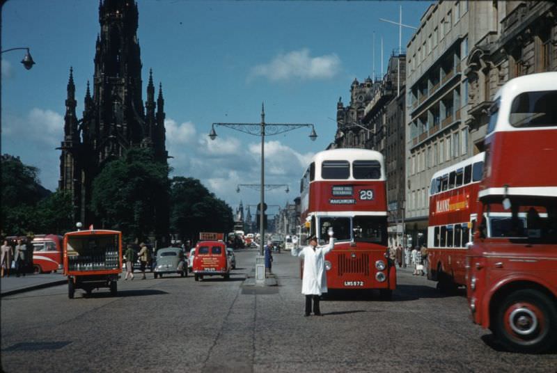
#74 Princes Street at St. Andrew, Edinburgh, 1960s
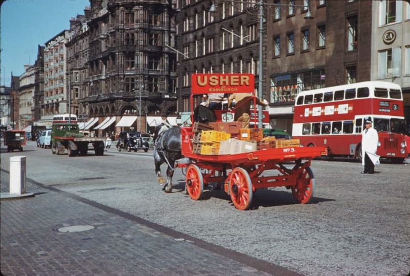
#75 John Knox’s house on High Street, Edinburgh, 1960s
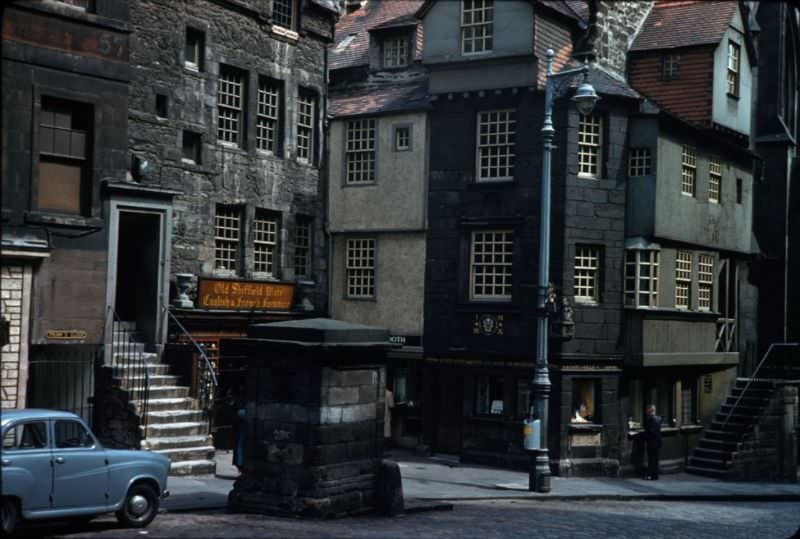
#76 Up at Edinburgh Castle from Grass Market, 1960s
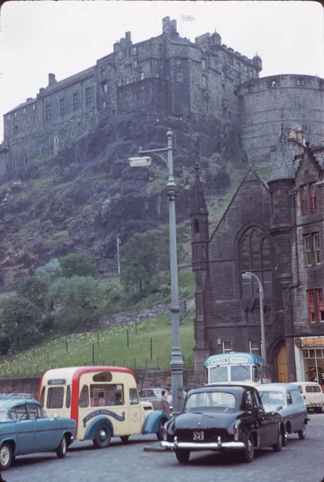
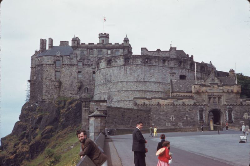
#77 Edinburgh Castle from Esplanade, 1960s
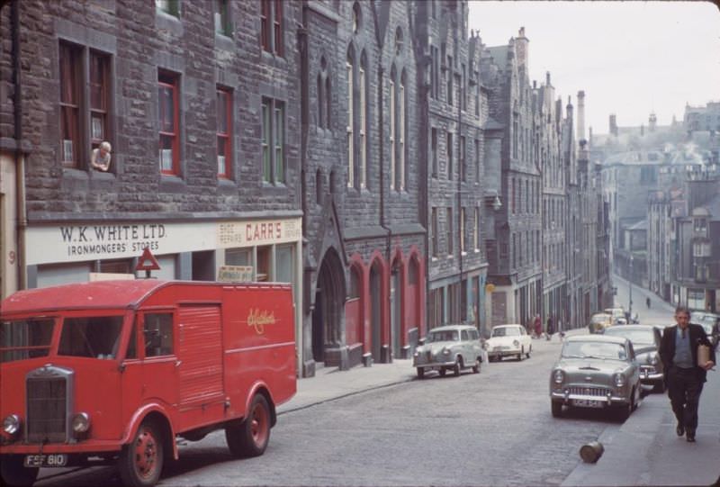
#78 Blackfriars Street, Edinburgh, 1960s
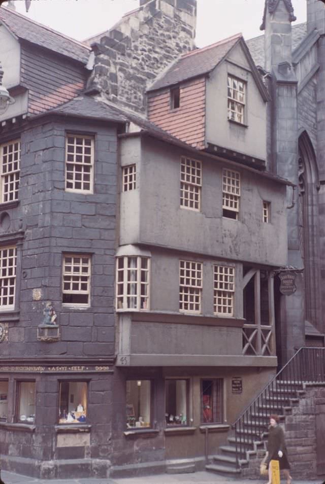
#79 John Knox’s house on Lower High Street, Edinburgh, 1960s
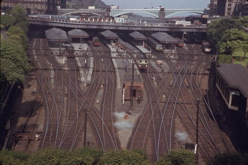
#80 Tracks entering Waverly Station, Edinburgh, 1960s
#81 John Knox’s House, High Street, Edinburgh, 1962
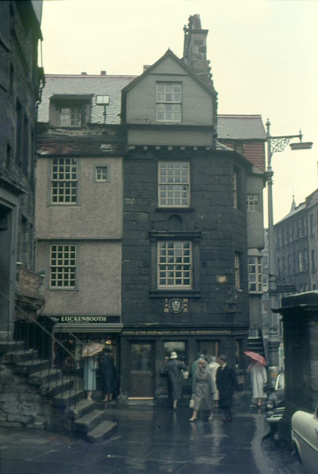
#82 Junction of Princes Street and Shandwick Place, Edinburgh, 1964
Enjoyed this post? Get new ones in your inbox.

Great pics. The amount of parking space for cars is incredible.
In 1960 roughly 80% of households didn’t have a car. They were also about half the size they are now.
Wow. They had cars back then?
Where’s the sand dog?
The thing I noticed is how high quality the road surface is, basically everywhere. Not a single pothole, all the granite setts completely flush.
Could only dream of that now.
The average car has doubled in weight, and there are now twice as many on the roads. Add in even heavier trucks, buses, vans and the strain on the roads is even higher. There are also more roadworks/ patch jobs. If you want pristine roads we need vehicle numbers like the 1960s too.
wow! nice one thanks for sharing. It’s nice to see how much we’ve regressed in all those years haha