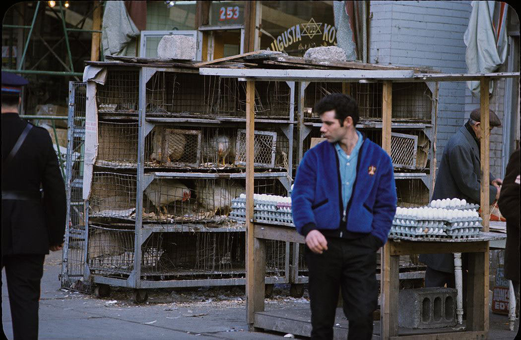
Canada in the 1960s was a country in motion. Its cities were growing fast, its landscapes were as wild and vast as ever, and its people were caught up in some of the biggest social and political changes of the 20th century. Civil rights movements and anti-war protests shaped the mood of the decade, and ordinary Canadians felt every bit of it. At the same time, the federal government was pushing hard to define what Canada actually was — as its own nation, on its own terms.
One of the most visible symbols of that push for national identity came in the form of a flag. Canada had never had an official national flag of its own. Newly elected Prime Minister Lester B. Pearson made it a priority, believing the country needed a distinct symbol to call its own. The debate that followed was heated — there were protests in the streets and fierce arguments in Parliament. In the end, the now-iconic red and white maple leaf flag was chosen from a pool of 5,900 submitted designs and officially adopted in 1965.
Then came 1967 — a landmark year for Canada. The country celebrated its first Centennial, marking 100 years since Confederation. To coincide with that milestone, Montreal, Quebec hosted Expo 67, the World’s Fair, which drew tens of millions of visitors from around the globe. It was a moment of national pride unlike anything Canadians had experienced before, and it put the country on the world stage in a major way.
Demographically, Canada in the 1960s was a young country — very literally. By the mid-1960s, more than half of the country’s 20 million people were under the age of 25. The post-World War II baby boom had produced an enormous generation that was now flooding schools, filling neighborhoods, and beginning to shape culture. The boom had started slowing in the late 1950s, but the full weight of that generation wouldn’t be felt until the 1980s, when they had fully grown up.
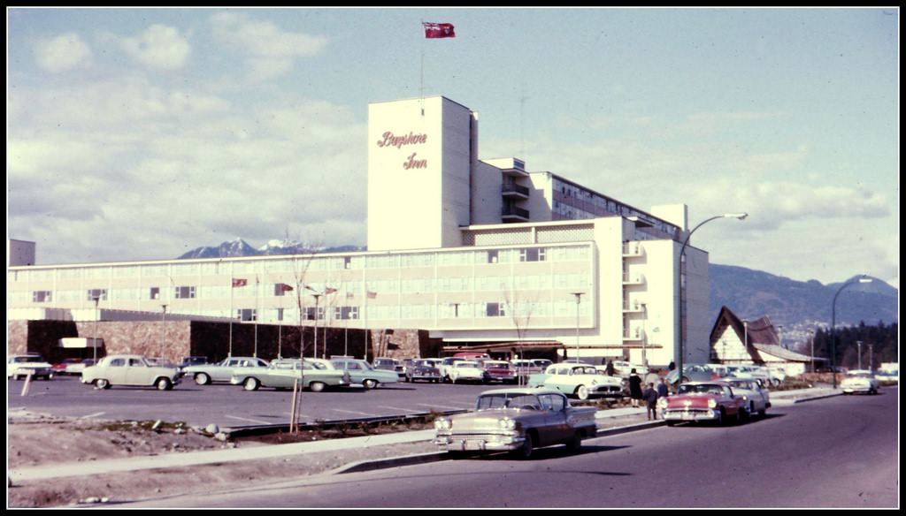
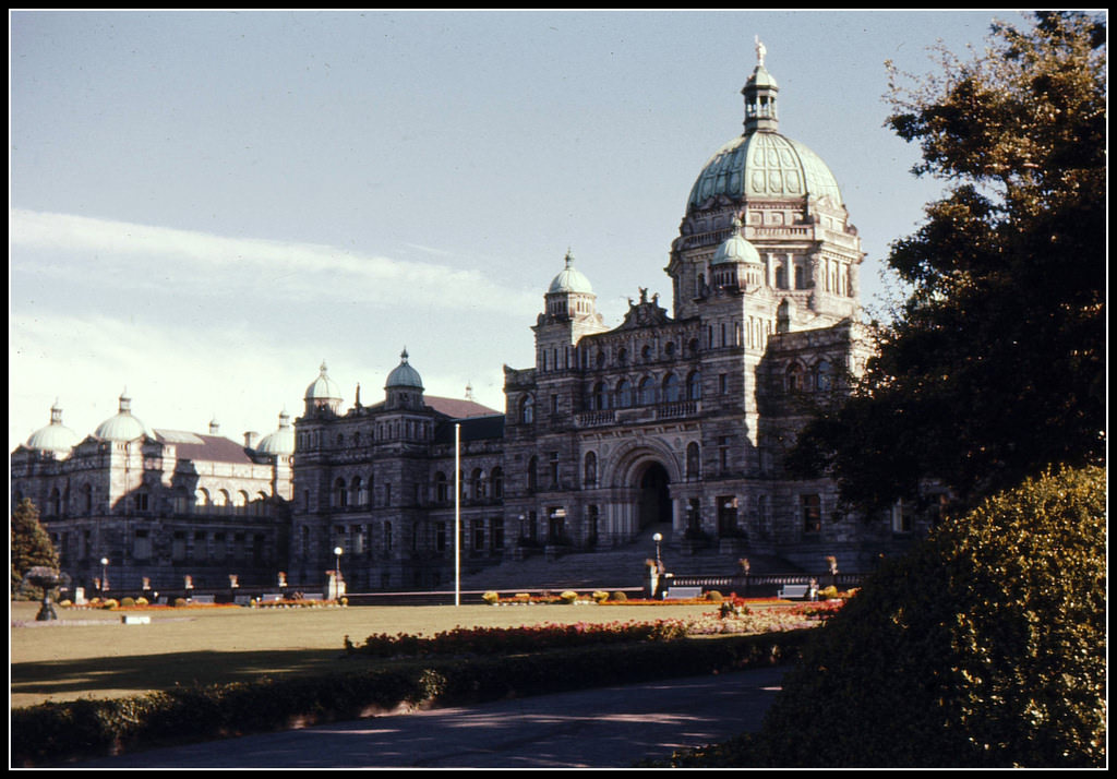
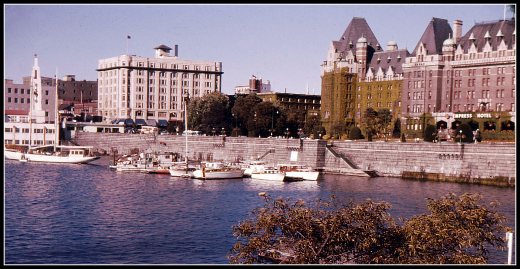
British Columbia was one of the most visually striking parts of the country during this era. Its capital, Victoria, projected a sense of order and tradition, anchored by grand public buildings and manicured waterfronts. Meanwhile, Vancouver was rapidly developing into a major urban center, with its harbors, marinas, and mountain backdrops making it one of the most photographed cities in the country.
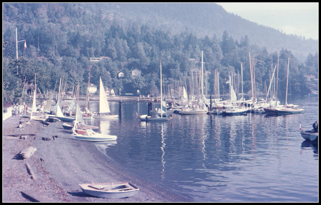
Vancouver’s neighborhoods each had their own character. Kitsilano, hugging the waterfront southwest of downtown, was a mix of residential calm and coastal beauty. Granville Street cut through the heart of the city, busy with shoppers and commuters. And just off the coast, places like Deep Cove offered a quieter, more intimate look at life on the water — sailboats, docks, and summer afternoons that felt a world away from the city.
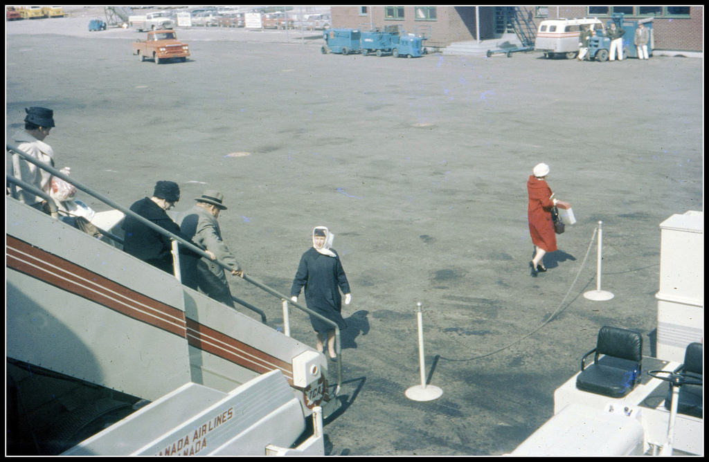
Air travel was becoming more common in Canada during the 1960s, connecting distant provinces and opening up the country in new ways. Airports like the one in Winnipeg, Manitoba were scenes of routine arrivals and departures that would have been rare luxuries just a generation earlier. The prairies and the west were no longer as isolated as they once had been.
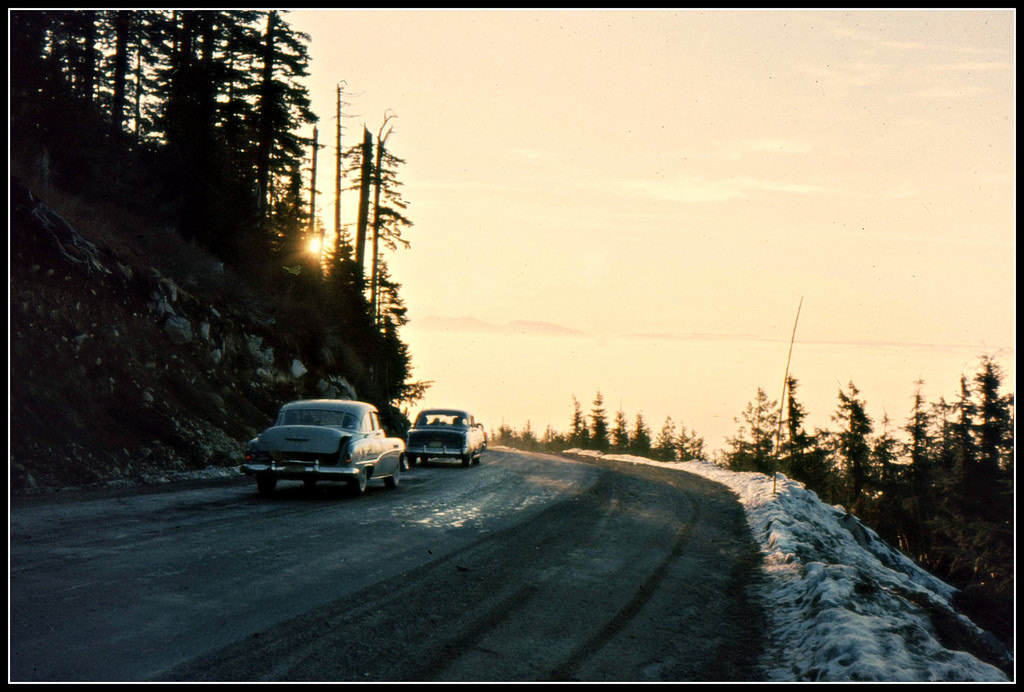
British Columbia’s mountain terrain made for dramatic road trips. Driving up Mount Seymour near Vancouver meant ascending into cloud cover, with the city disappearing behind you and forest closing in on either side. Roads through the province wound past logging operations, ranch land, and coastal inlets — a patchwork of industries and landscapes that defined the region’s economy and character.
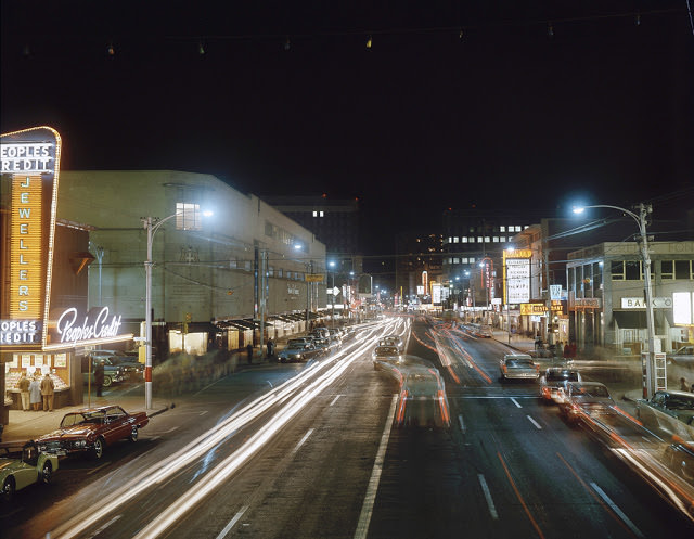
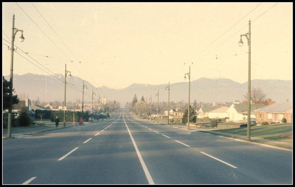
Downtown Vancouver in the early 1960s was a place of storefronts, traffic, and pedestrians going about their daily routines. Granville Street looking north offered a long view of city blocks lined with businesses, neon signs, and the low skyline that would grow dramatically in the decades ahead. Coal Harbour, just nearby, was already operating a heliport — a sign of how modern the city was becoming.
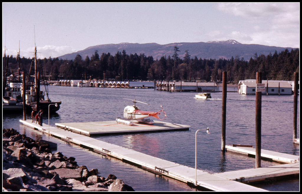
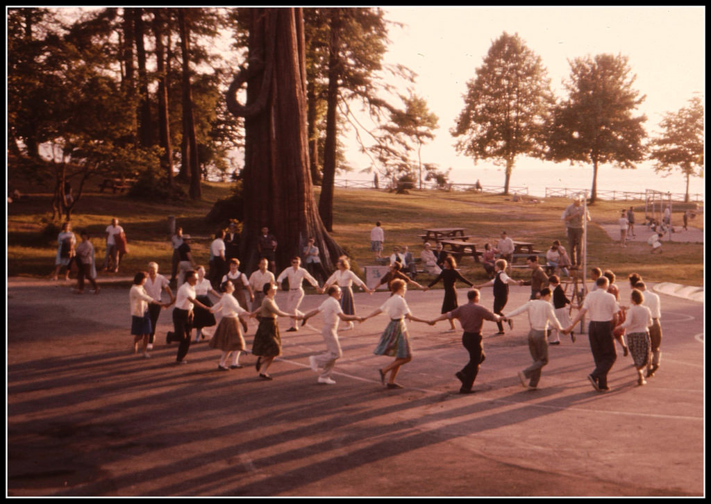
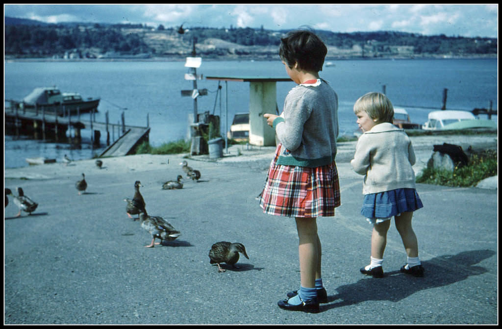
Cultural life in Vancouver wasn’t limited to local traditions. Stanley Park, one of the city’s most beloved green spaces, hosted international events that brought the world to Canada’s west coast. A visiting dance troupe performing there in 1962 was just one example of the city’s growing openness to global culture. At the same time, quieter scenes — kids feeding ducks at a dock, families along the BC shoreline — captured the unhurried side of life.
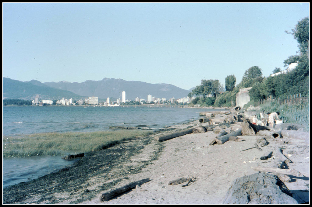
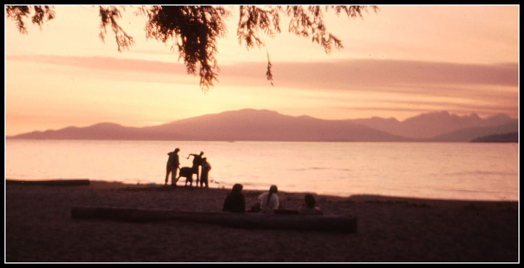
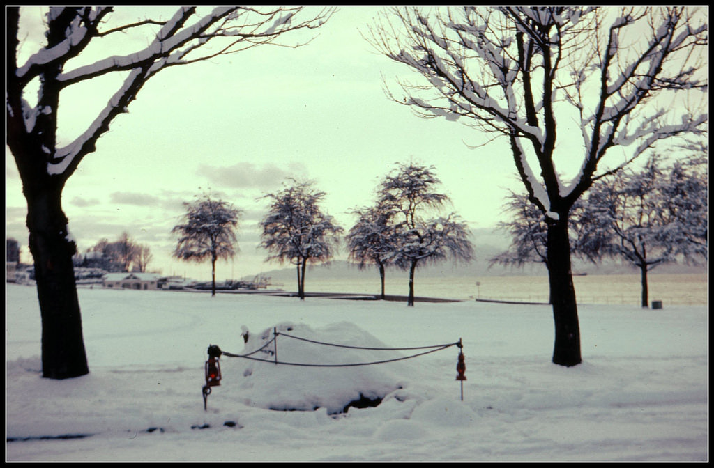
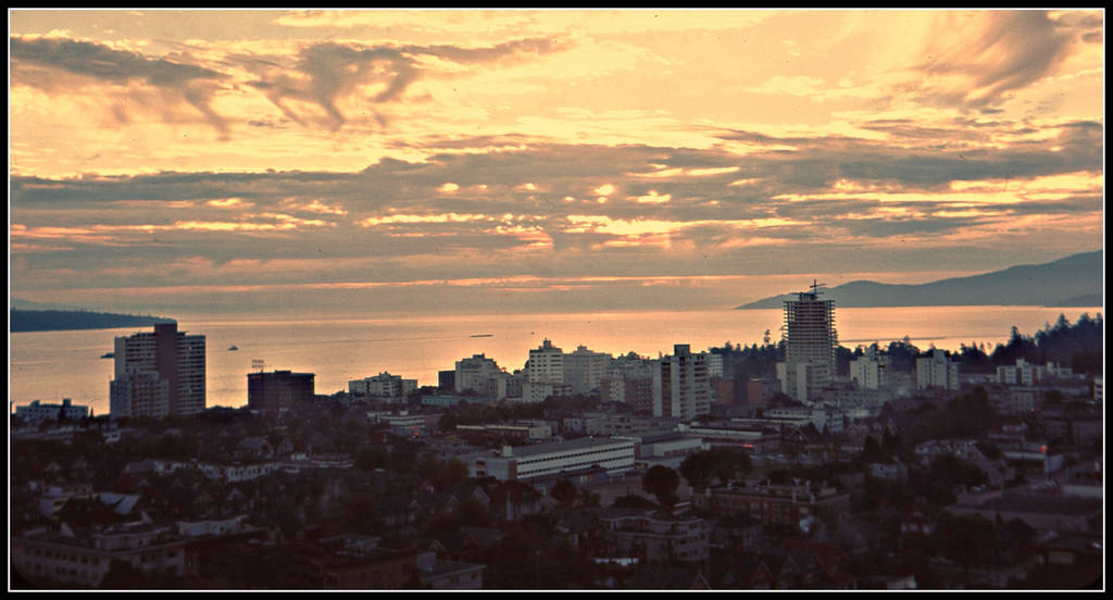
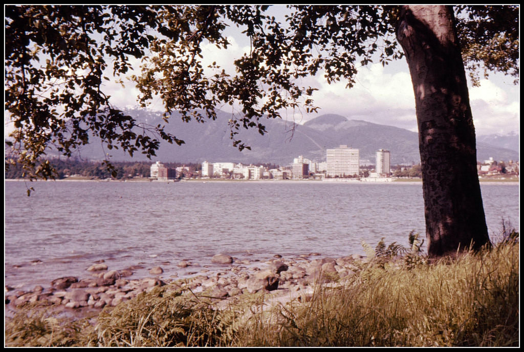
The Kitsilano neighborhood offered some of Vancouver’s most memorable waterfront views. At sunset, the water turned shades of orange and gold, with the city skyline visible across the inlet. Even in winter, Kitsilano Beach had its own stark beauty — snow on the sand was unusual but not unheard of, and a rail line running along the shore added an industrial edge to the scenery.
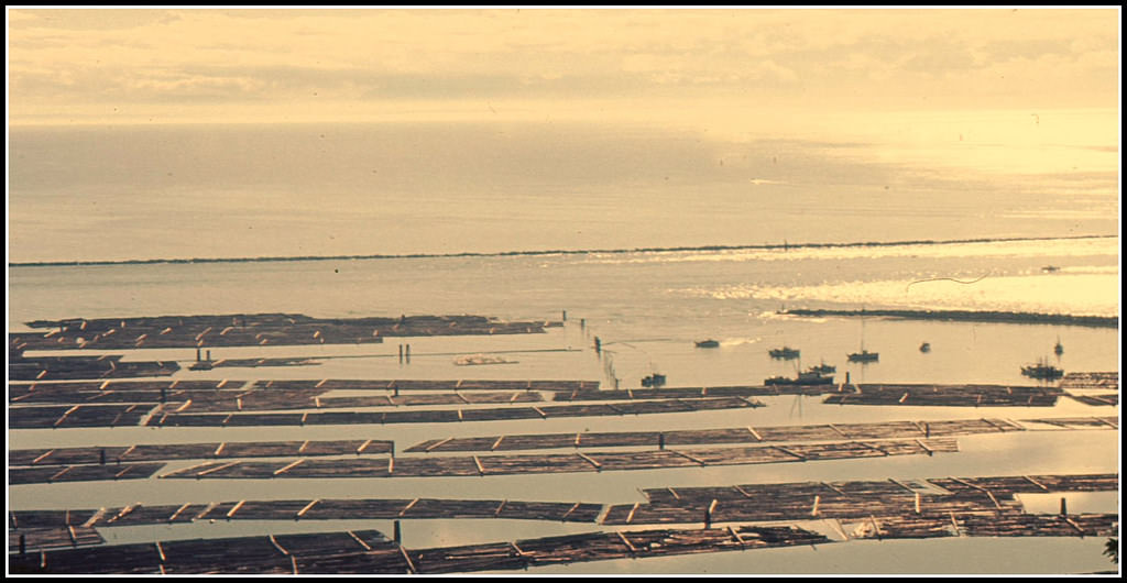
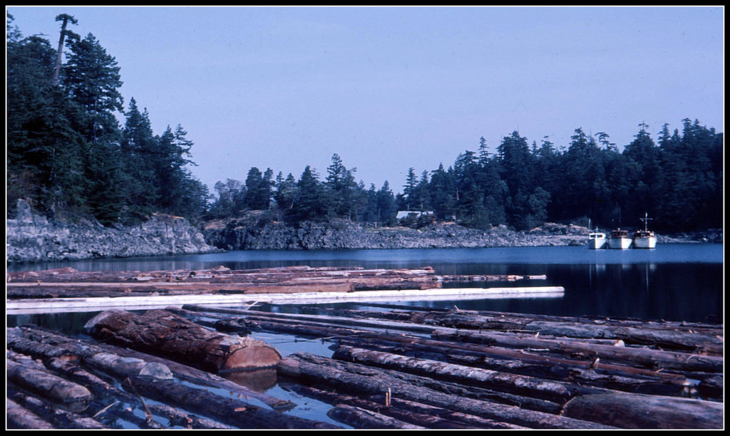
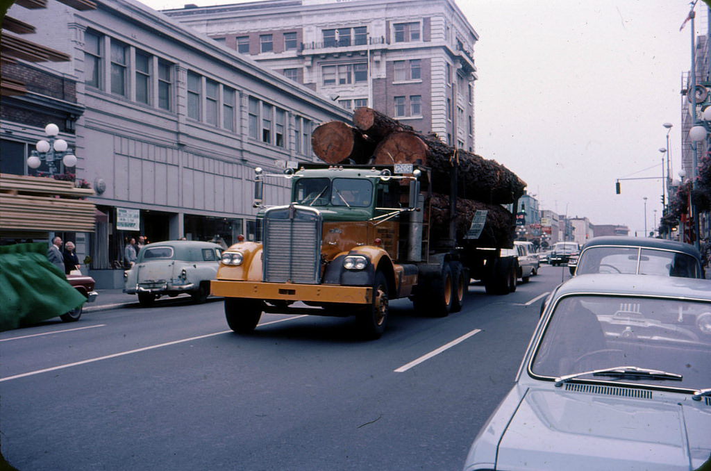
Logging was one of British Columbia’s defining industries throughout the 1960s. Enormous log booms floated in bays and inlets across the province, waiting to be processed. From West Point Grey in Vancouver, you could look out and see logs stretching across the water’s surface. The industry was everywhere — from the booms in Centre Bay to the logging trucks rolling through city streets in Vancouver itself.
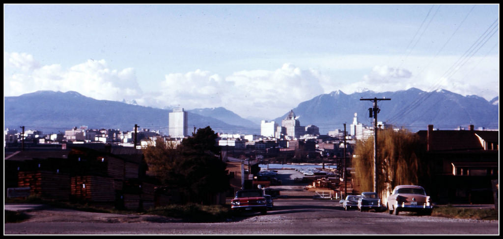
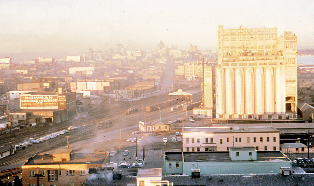
False Creek, the narrow inlet cutting into the south side of downtown Vancouver, was still largely an industrial waterway in the early 1960s. Looking toward it from higher ground, you could see the mix of urban infrastructure and working waterfront that defined the area before later redevelopment changed it entirely. Nearby, the Royal Vancouver Yacht Club sat against the backdrop of Bayshore, its docks lined with pleasure craft.
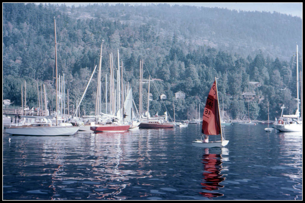
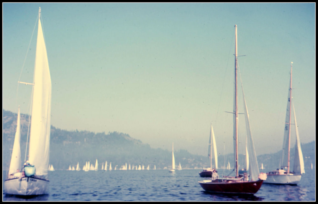
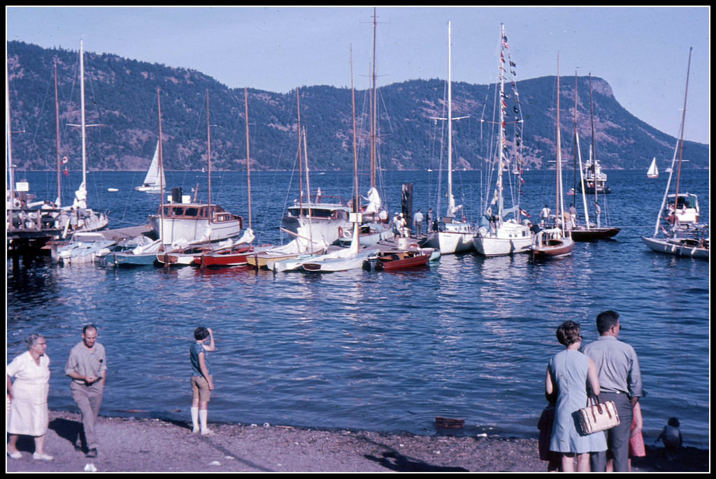
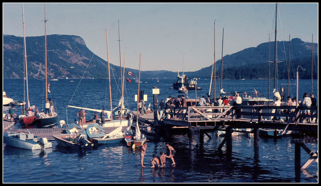
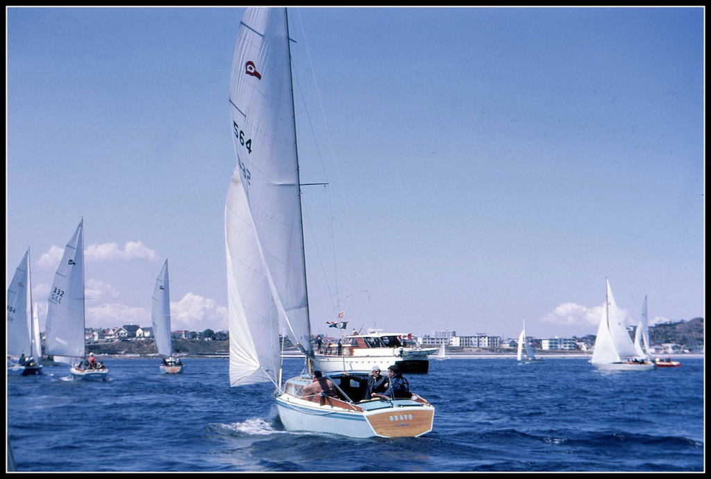
Sailing was a popular pastime along the BC coast, and regattas were major community events. Maple Bay, on Vancouver Island, held annual races that drew competitive sailors and spectators alike. The sight of dozens of sailboats leaning into the wind on a summer afternoon was a common one up and down the coast.
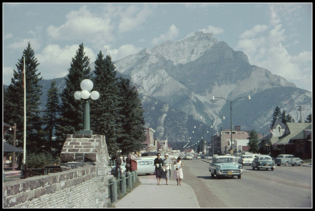
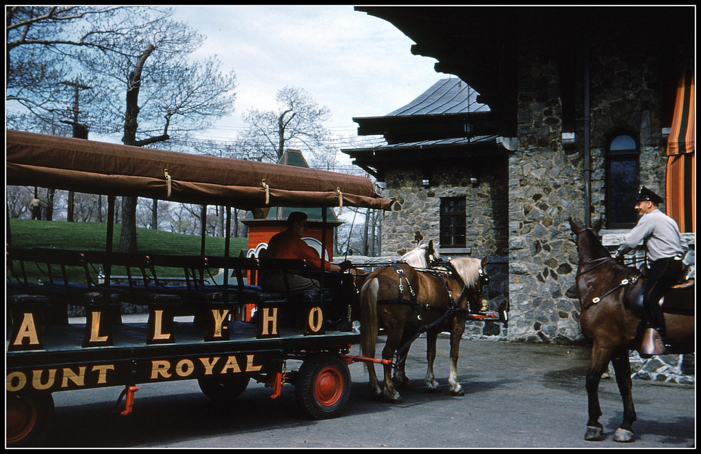
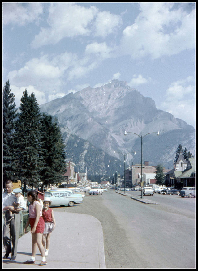
Alberta had its own rhythm. Banff, nestled in the Rockies, drew tourists with its mountain scenery, and by 1960 its main street already had the feel of a well-established destination. Motels near Banff catered to road-trippers crossing the province, their modest signs and parking lots a snapshot of North American car culture at its peak. Montreal, far to the east, sat beneath Mount Royal — its wooded hill rising over the city like a green crown.
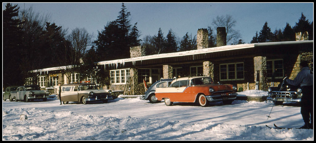
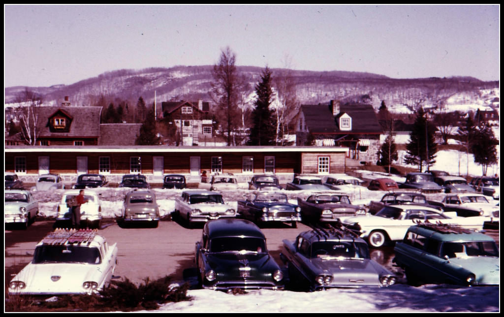
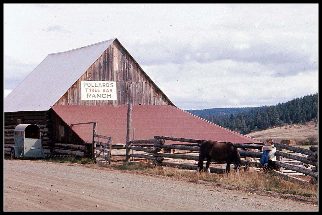
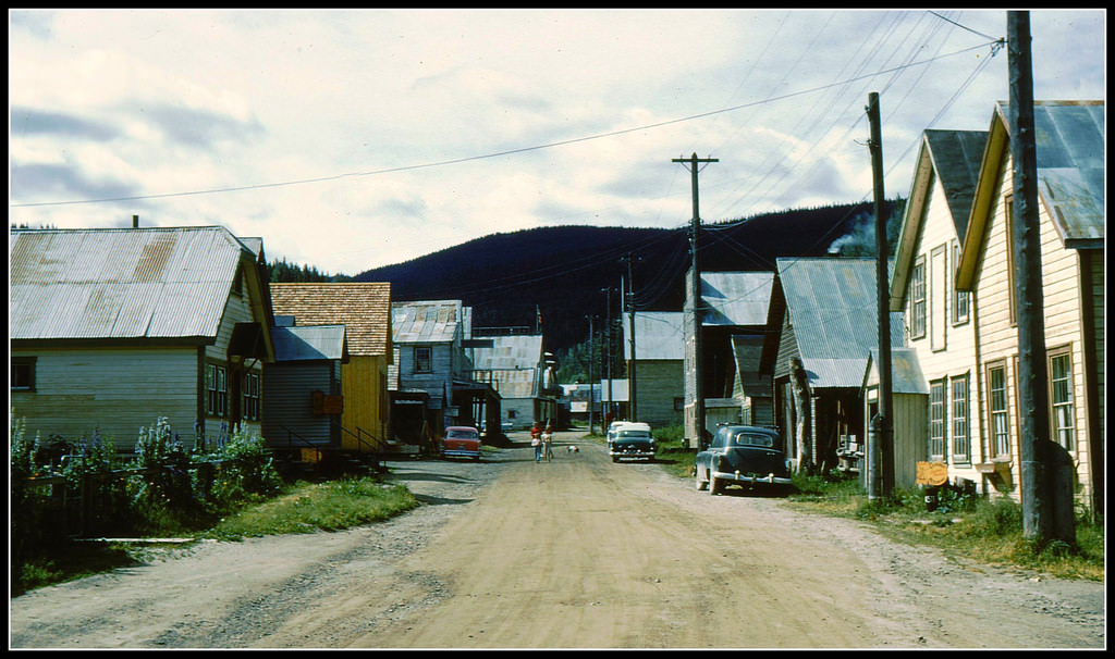
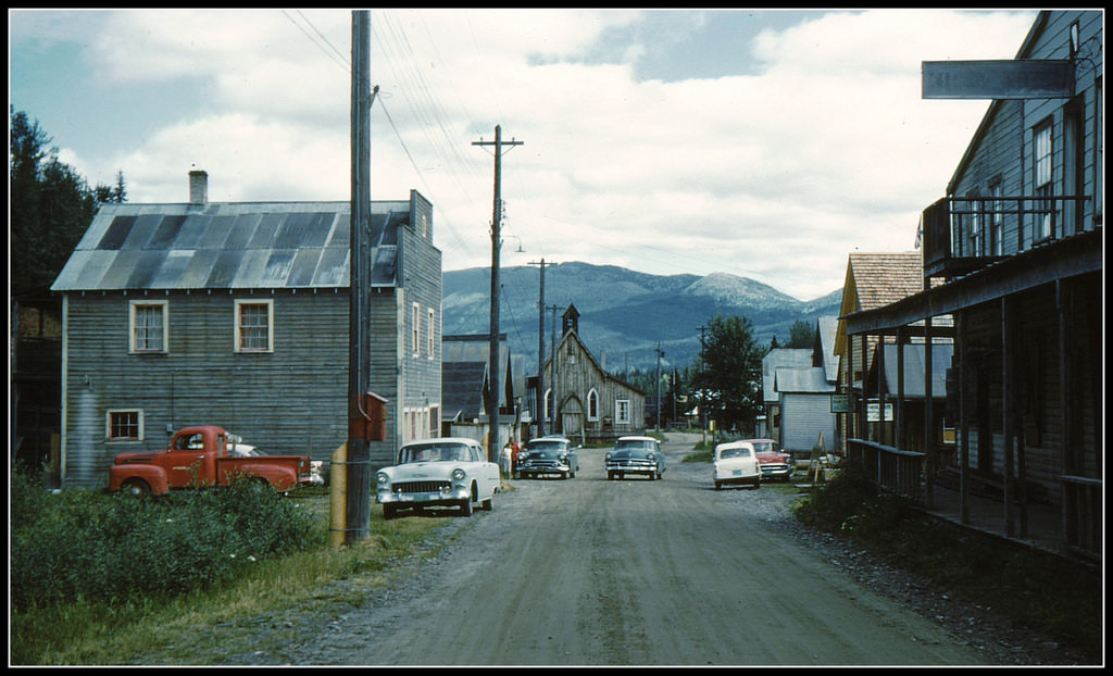
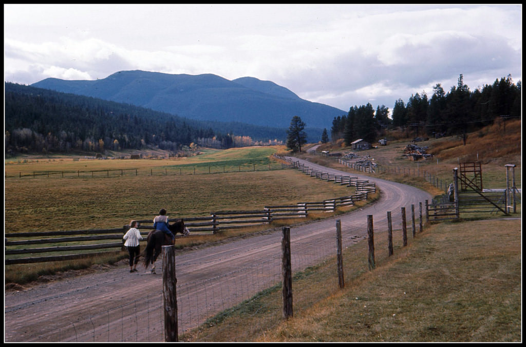
Ranch life in the BC interior was a world apart from the coastal cities. Operations like Pollard’s Three Bar Ranch represented a tradition of cattle ranching that stretched back generations. Williams Lake, in the Cariboo region, was a hub for ranchers and loggers, and its streets in June reflected the working-class, rural character of the interior. Barkerville, a former gold rush town, still stood as a reminder of an earlier era — its wooden storefronts and side roads preserved like a photograph from the 19th century.
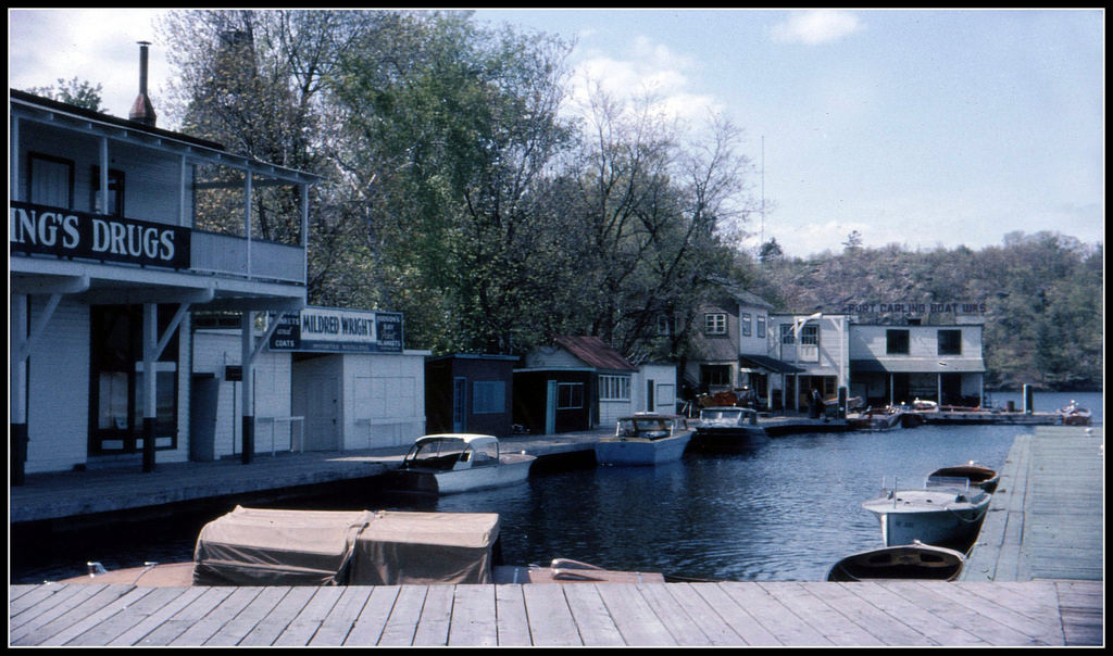
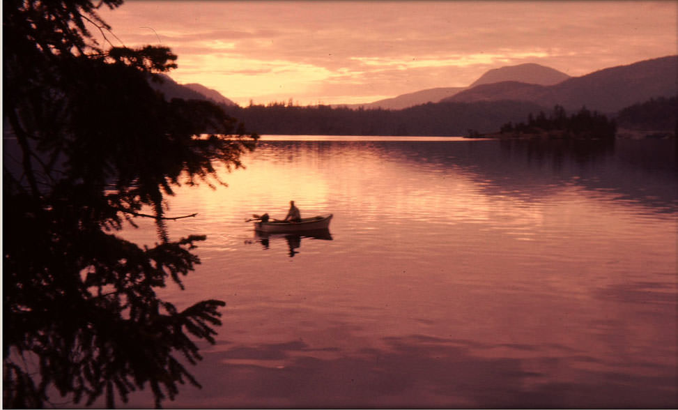
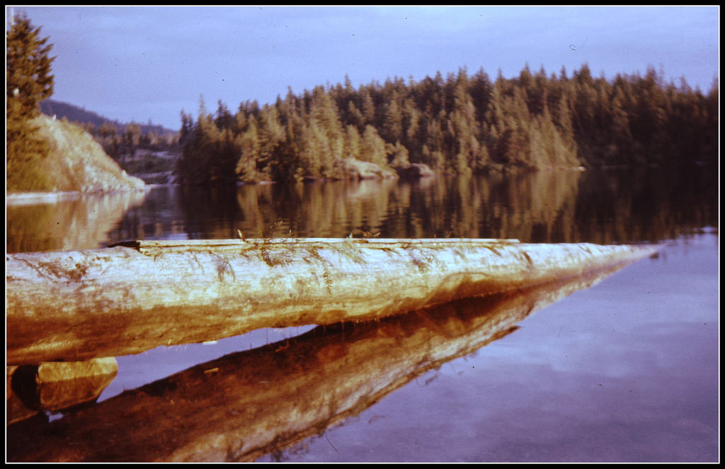
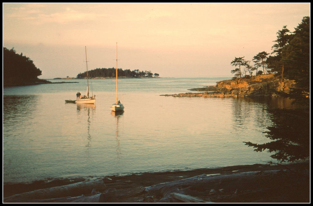
The BC Sunshine Coast — the stretch of coastline north of Vancouver accessible only by ferry — had a slower pace. Ruby Lake sat in quiet stillness, surrounded by forest. Silva Bay, on Gabriola Island, offered another sheltered anchorage where boats bobbed in calm water. These were places where the province’s natural scenery did all the talking.
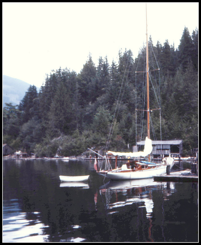
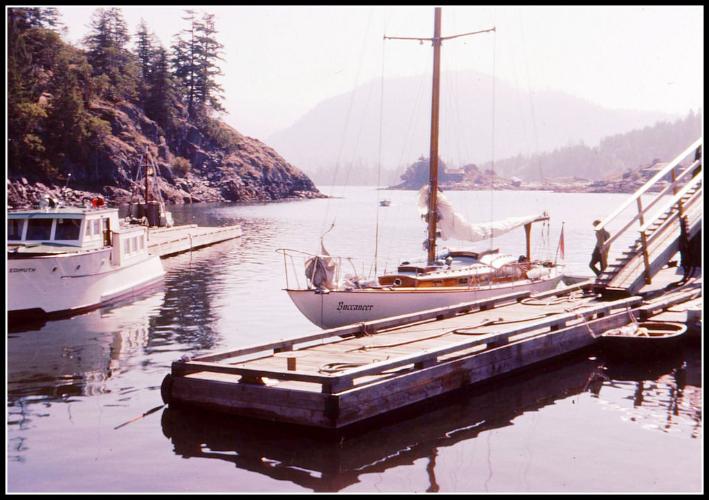
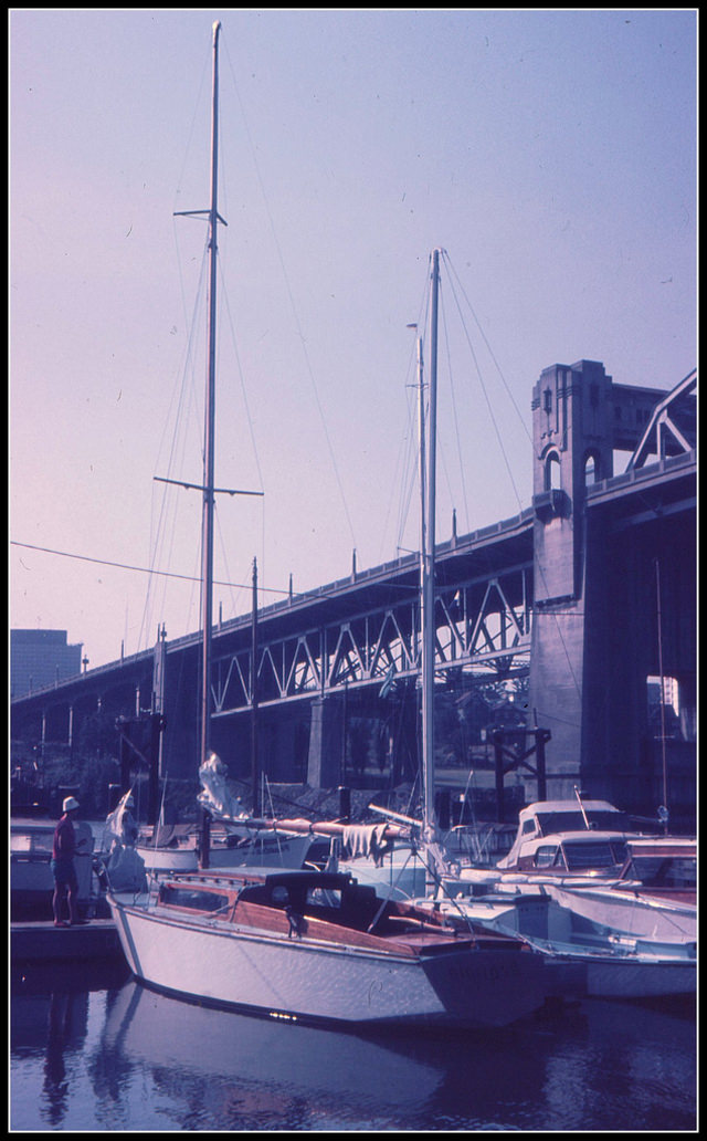
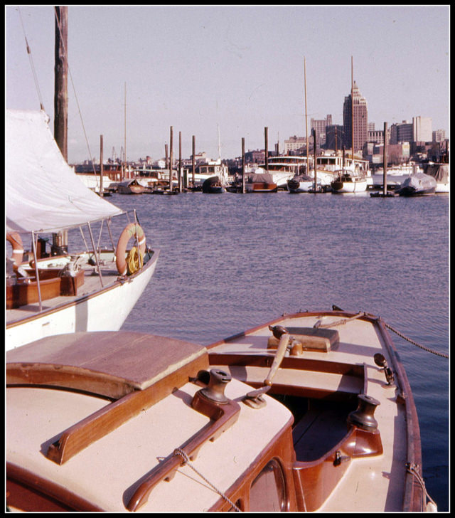
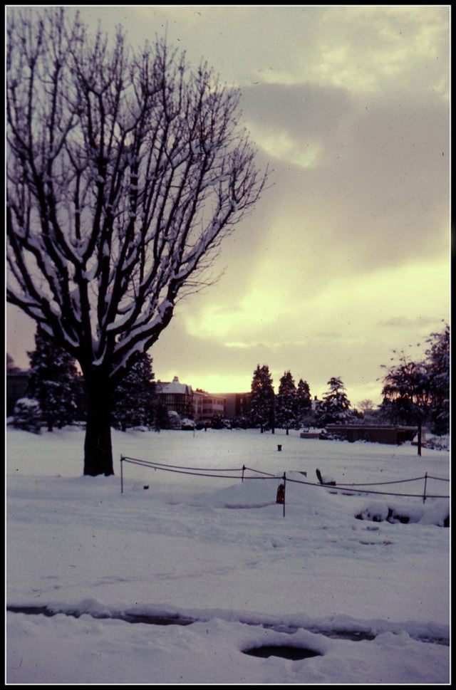
Burrard Civic Marina in Vancouver was a regular gathering point for sailors throughout the decade. By 1968, a towering sequoia tree near the marina had become a landmark of its own — an unexpected giant in an urban setting. Nearby, on Cornwall Avenue, winter sunsets painted the street in long shadows and warm light, giving the west side of Vancouver a quiet, almost meditative quality.
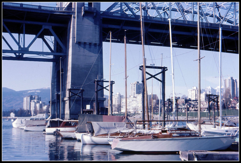
Summer on the BC coast meant regattas, water sports, and long evenings on the water. Maple Bay in summer drew boaters and sunbathers alike, its calm bay reflecting the green hills behind it. In Victoria, Thunderbird Racing in 1966 brought a competitive edge to the waterfront, with sleek sailboats competing in one of the most popular racing classes on the west coast.
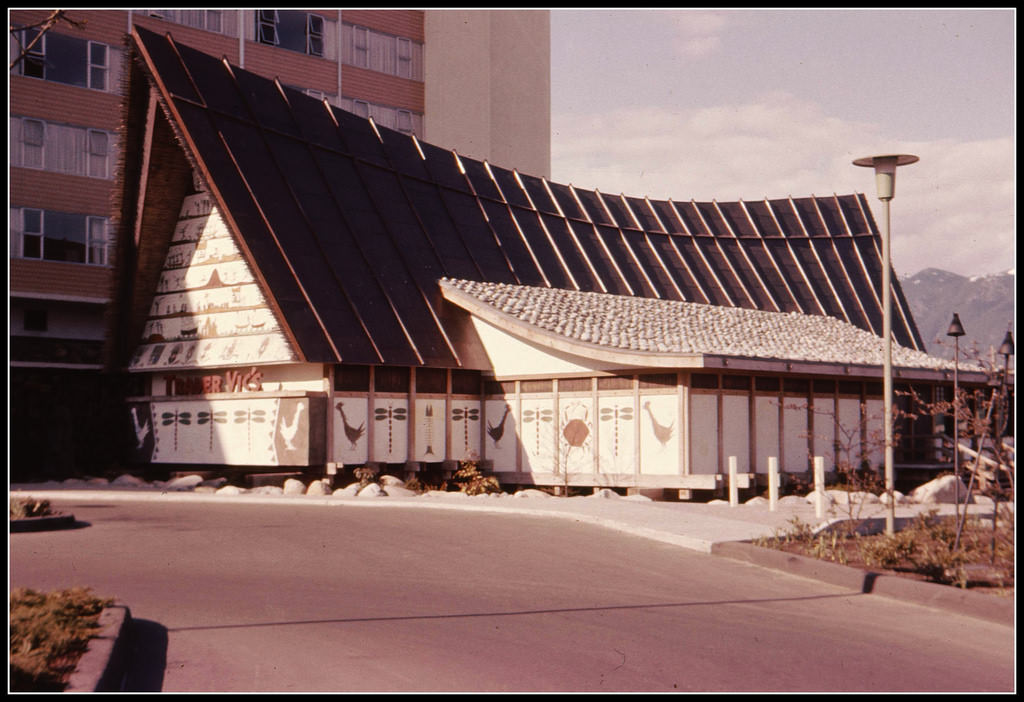
Dining out in Vancouver in the early 1960s could mean a visit to Trader Vic’s, a popular Polynesian-themed restaurant that had opened its doors in the city. It was the kind of place that reflected the era’s fascination with exotic themes and upscale leisure. Not far away, a train running along Kitsilano Beach connected the neighborhood to the rest of the city, its tracks hugging the shoreline just above the sand.
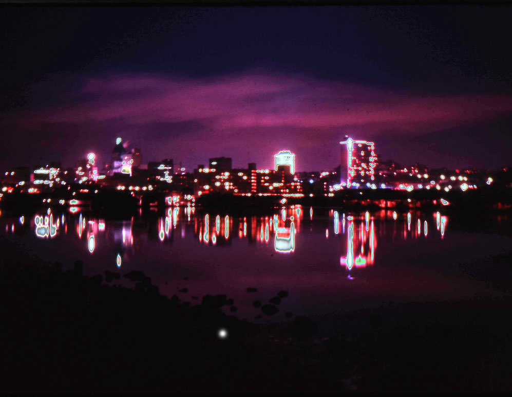
Vancouver at night was a different city entirely. By 1962, its downtown core glowed with neon and streetlights, the reflections stretching across wet pavement. From Kitsilano across the water, the city’s lights formed a long line against the darkness of the mountains. At sunset, the downtown skyline was framed in color — a city that was clearly growing and showing no signs of slowing down.
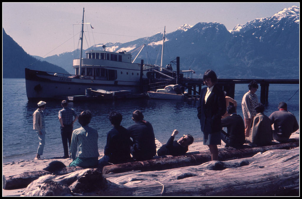
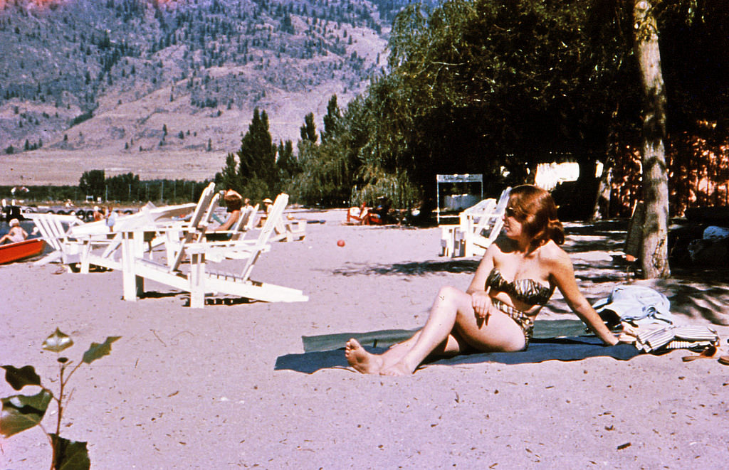
Up the coast in Squamish, people gathered at the waterfront to wait for the Norsal — a passenger and freight boat that connected small communities along Howe Sound before road access made such services redundant. It was a reminder that in 1960s British Columbia, water routes were still essential links for many towns. Lake Okanagan, deep in the interior, offered warm summer weather rare for the province, and by 1964 it was already a destination for vacationers looking to escape the coast’s cooler temperatures.
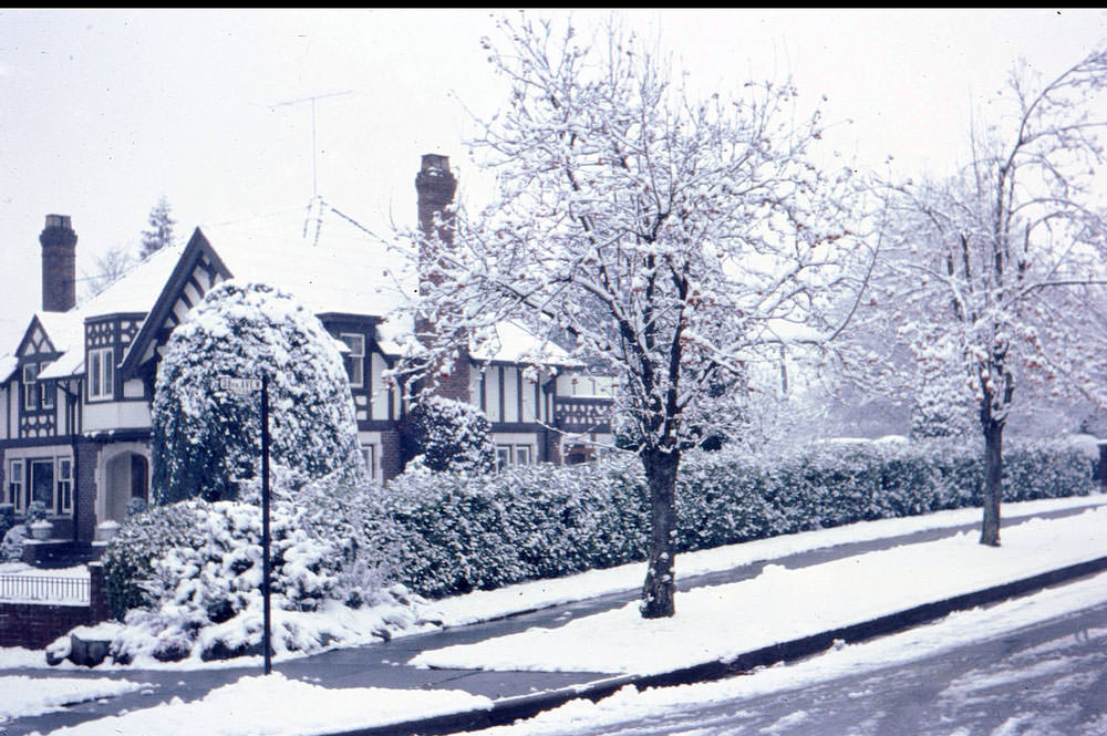
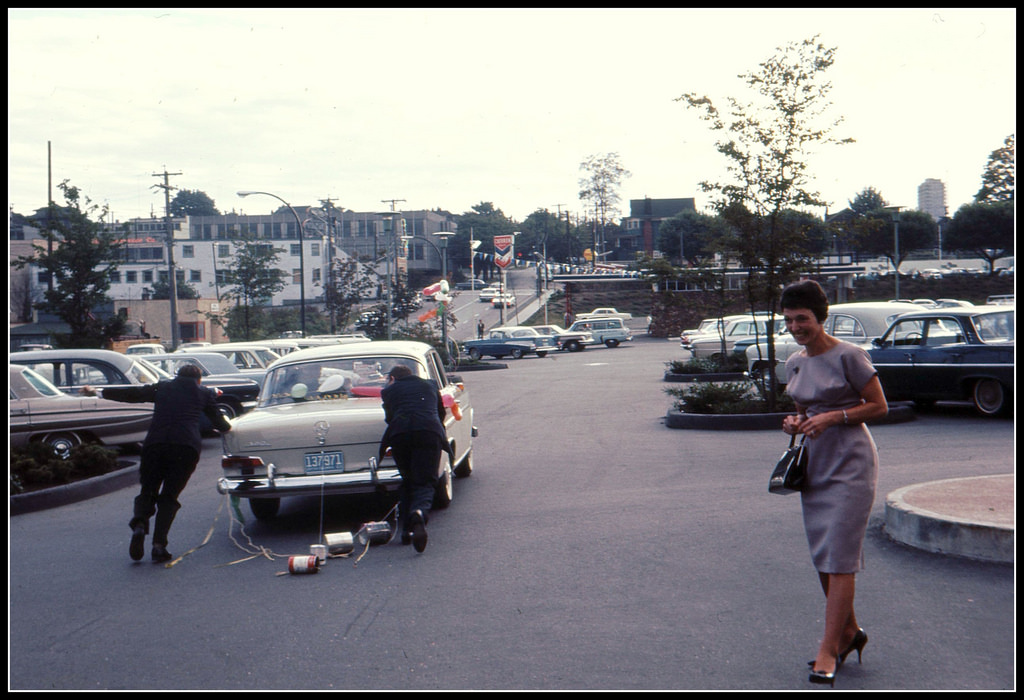
The residential streets of Vancouver — from the intersection of 8th and Angus to the wider commercial corridors — captured the texture of everyday Canadian life. Modest houses, mature trees, and quiet intersections told the story of a city that was orderly and livable, even as bigger changes were unfolding just around the corner.