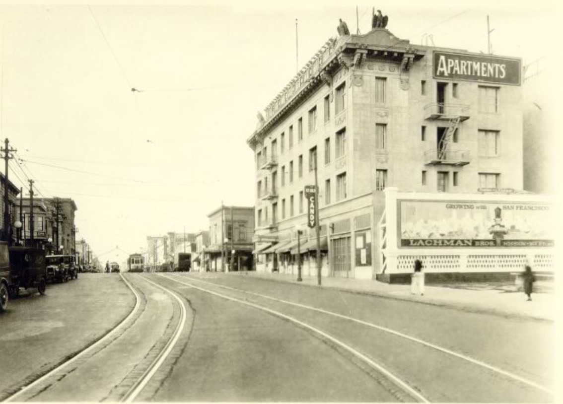
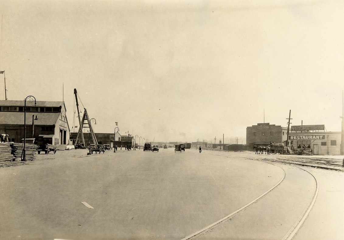
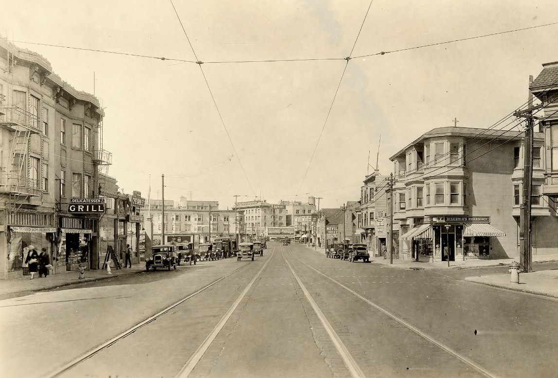
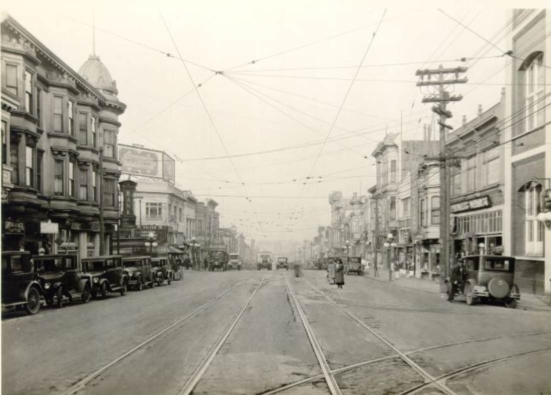
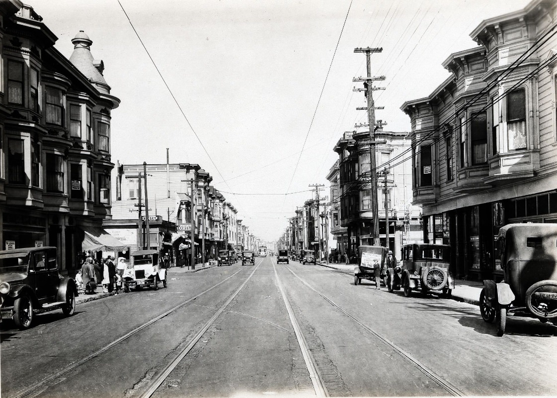
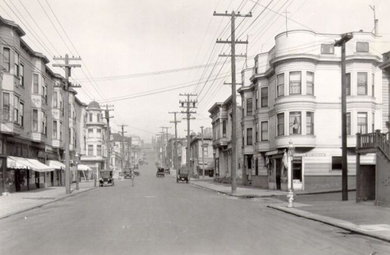
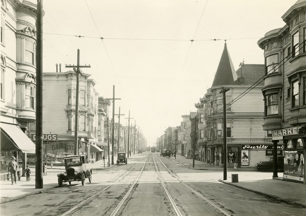
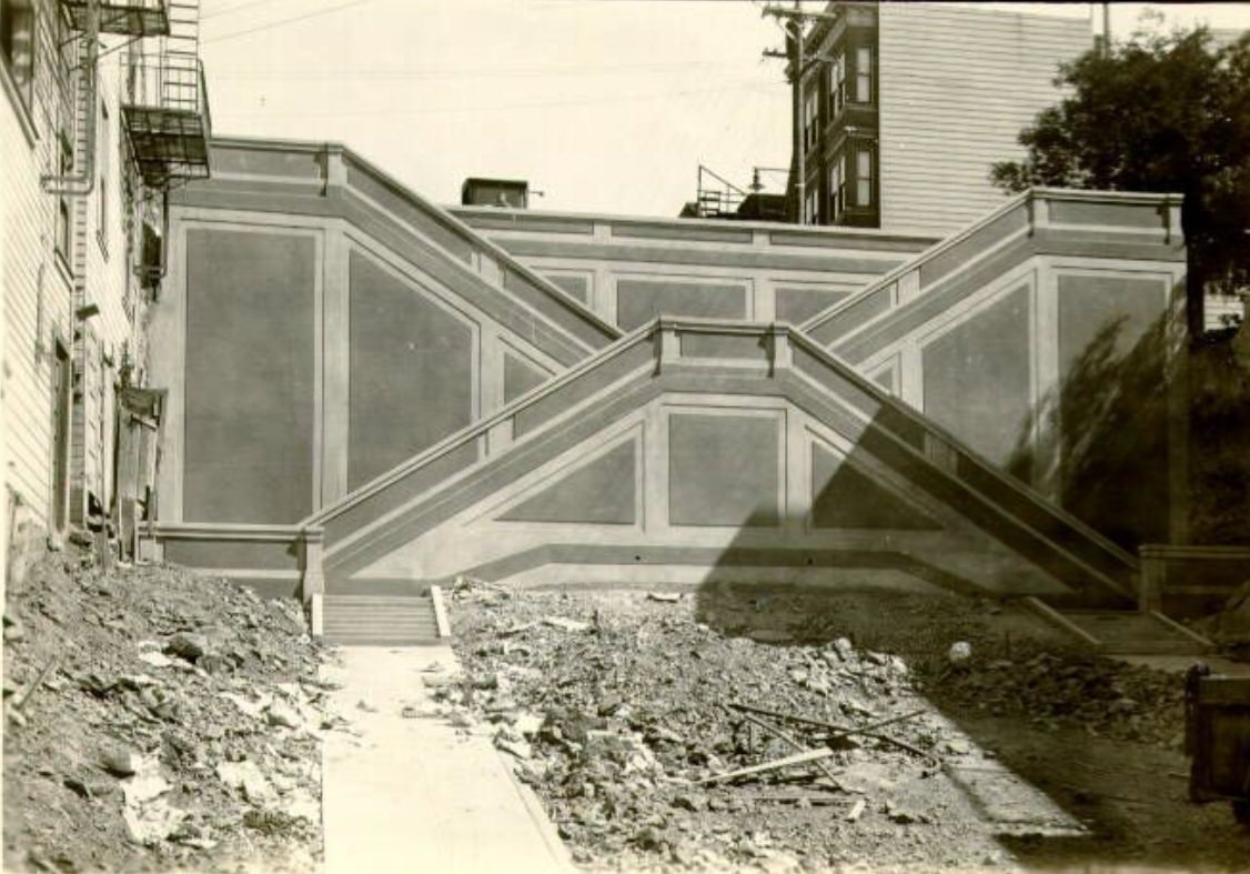
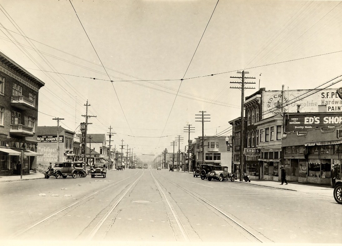
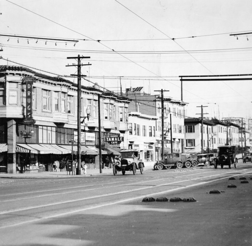
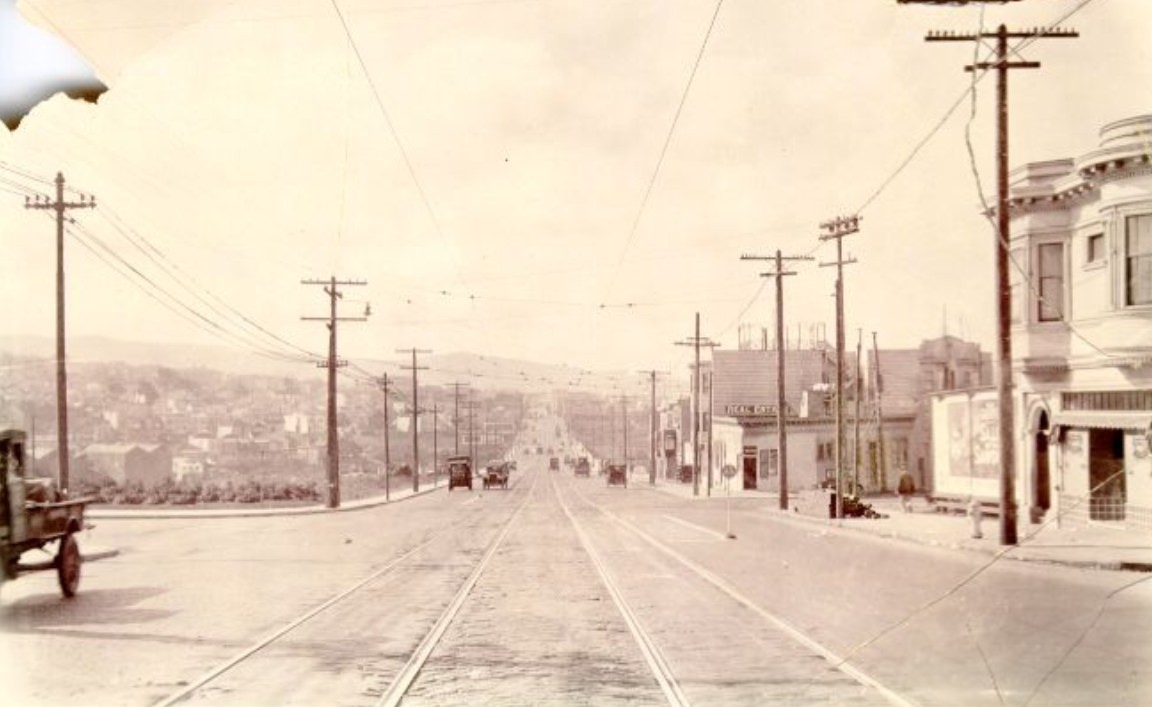
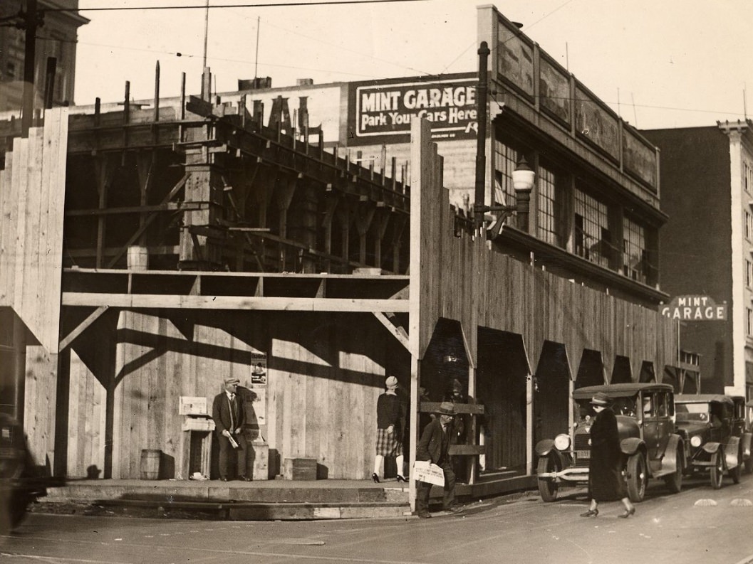
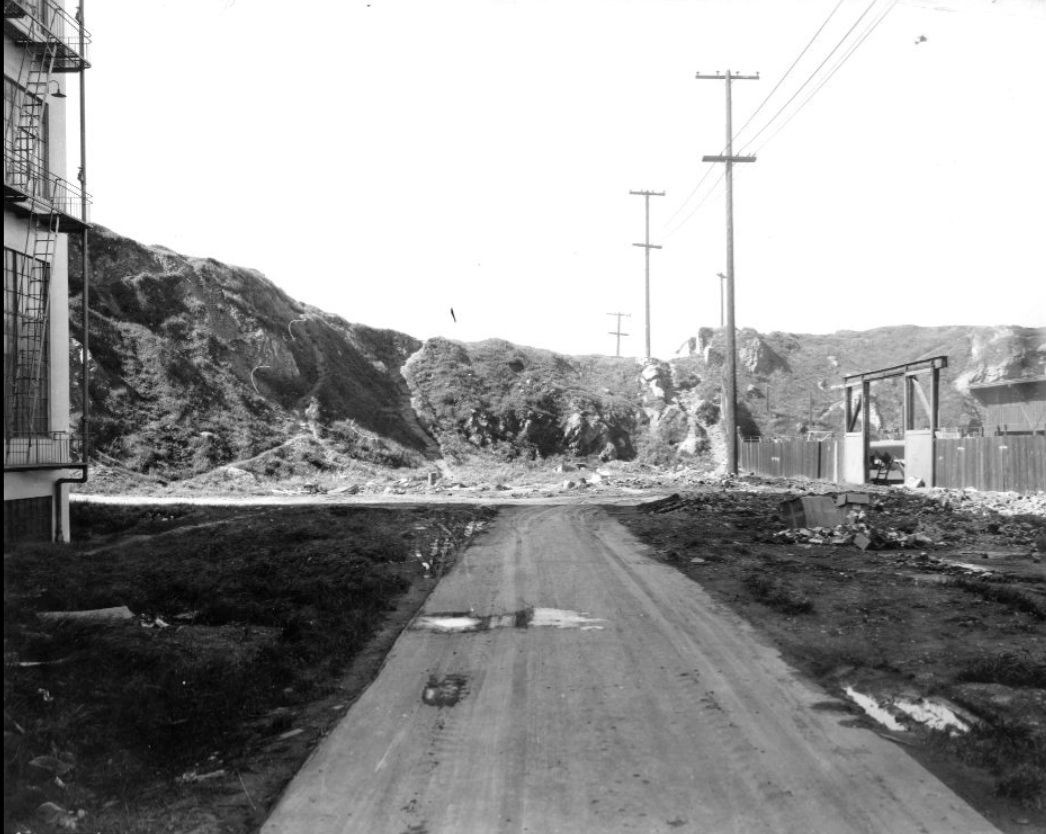
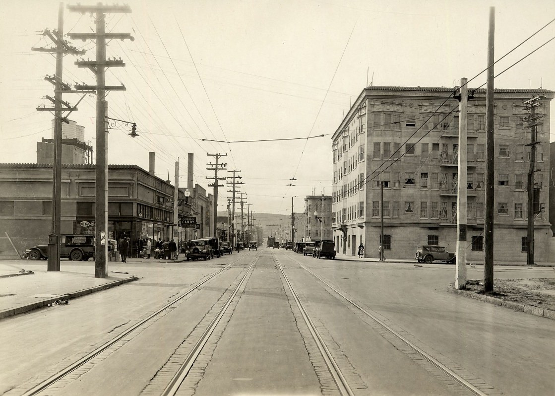
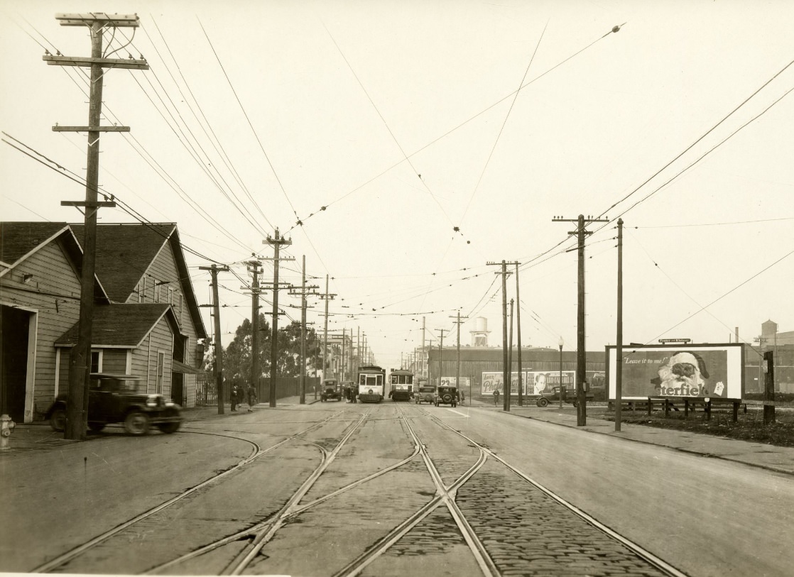
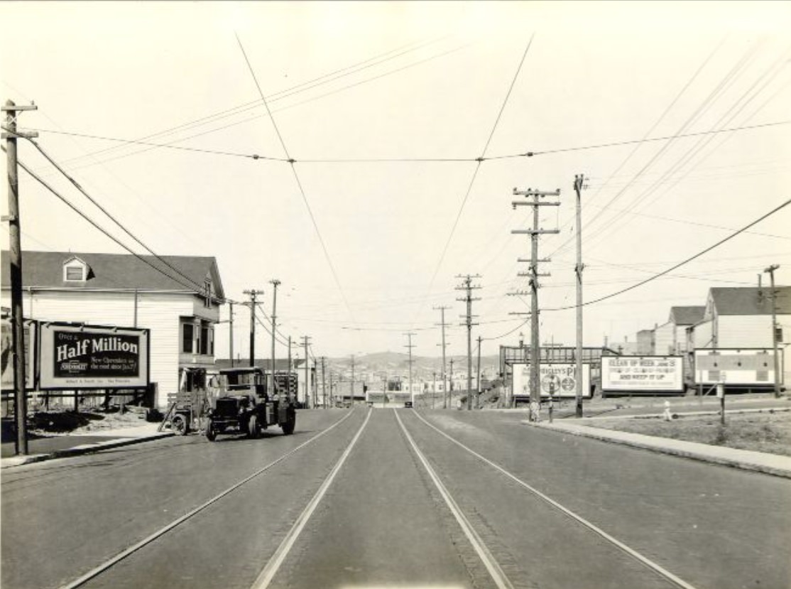
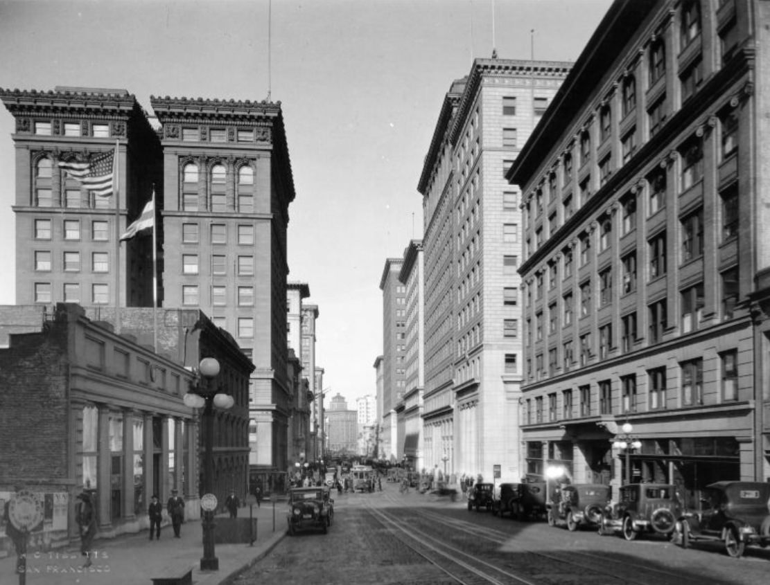
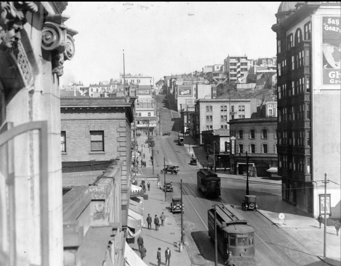
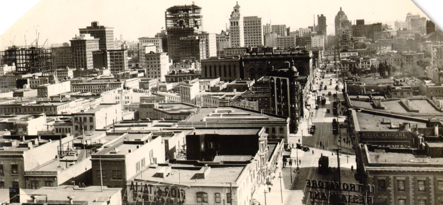
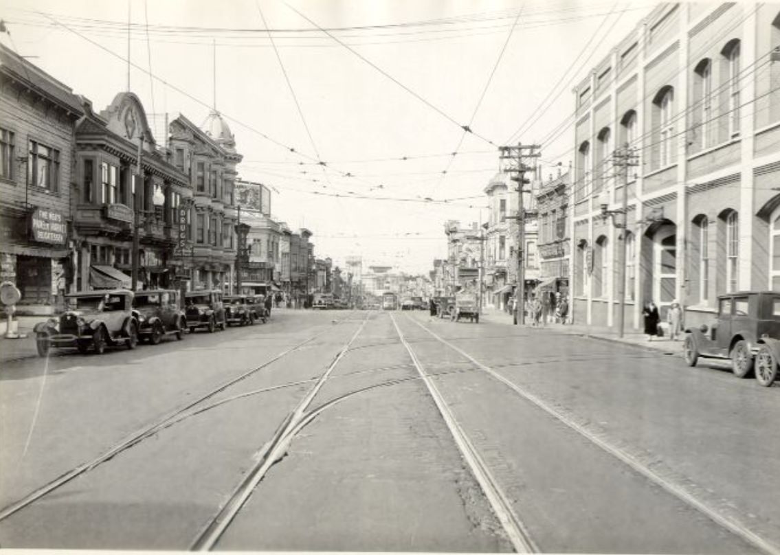
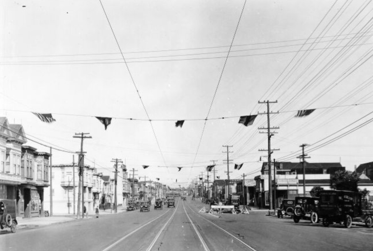
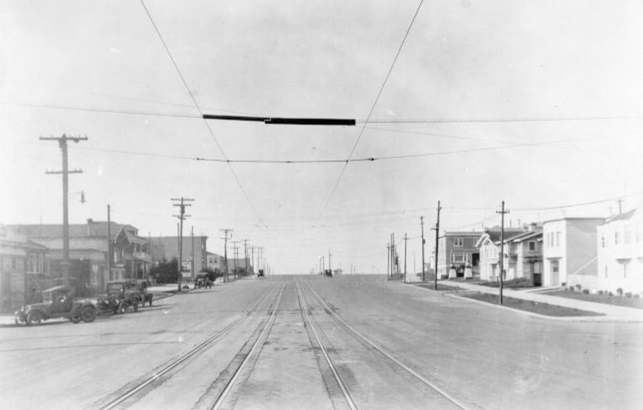
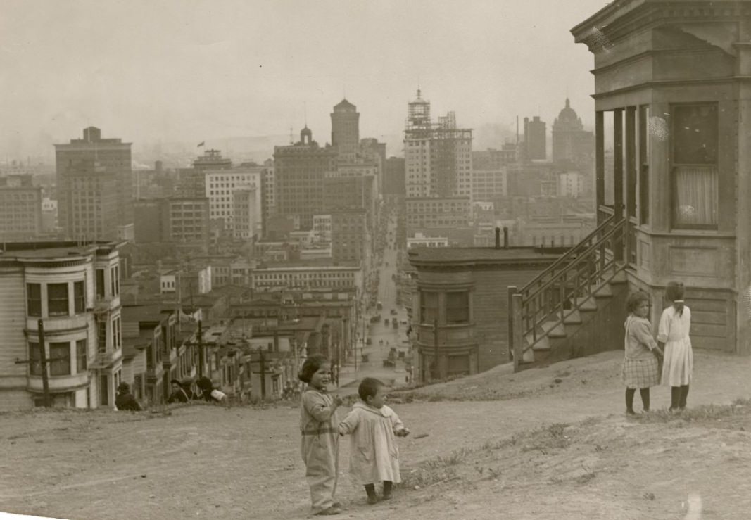
San Francisco in the 1920s was a city in motion. Its population was growing, its economy was expanding, and its streets were being reshaped to keep up with both. Automobiles were joining trams on roads that had mostly been built for horses. New neighborhoods were being platted and paved. Old ones were filling in with storefronts, apartment buildings, and corner businesses. The photos from this era capture a city that felt both established and still very much under construction — a place where the noise of progress mixed with the daily rhythms of ordinary life.
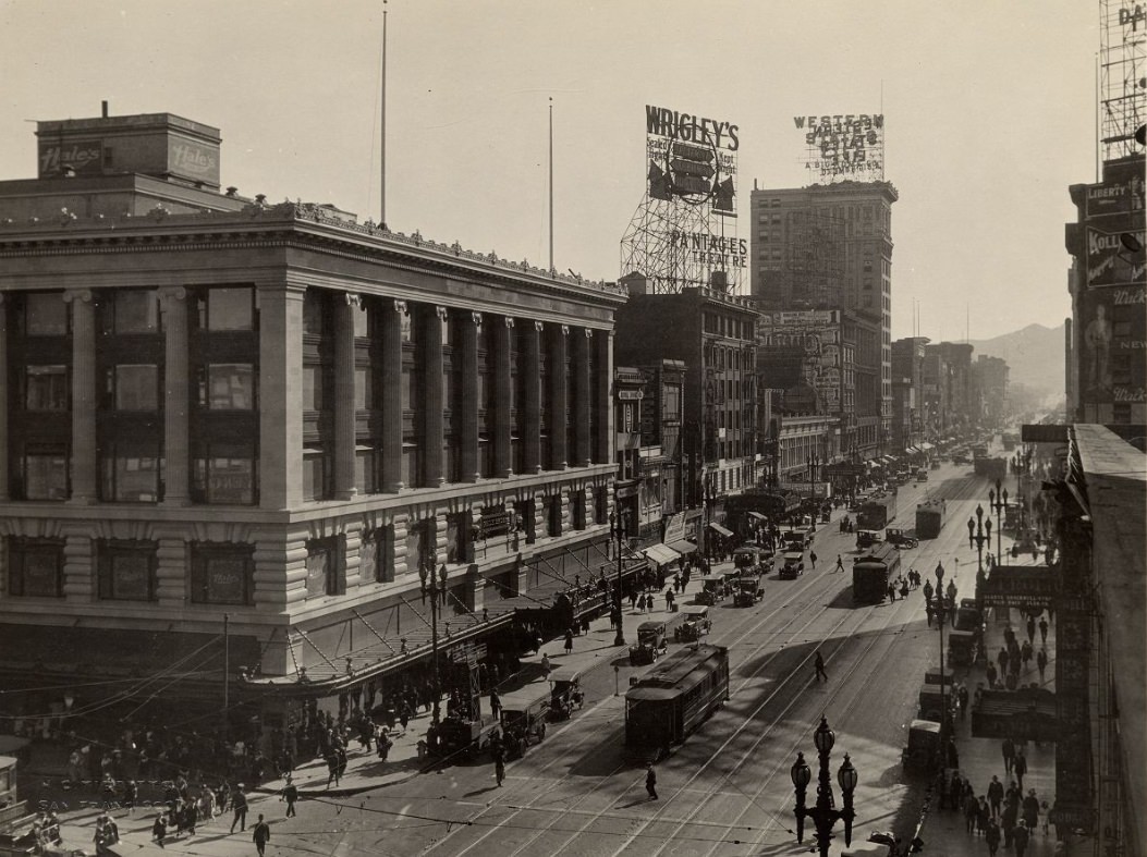
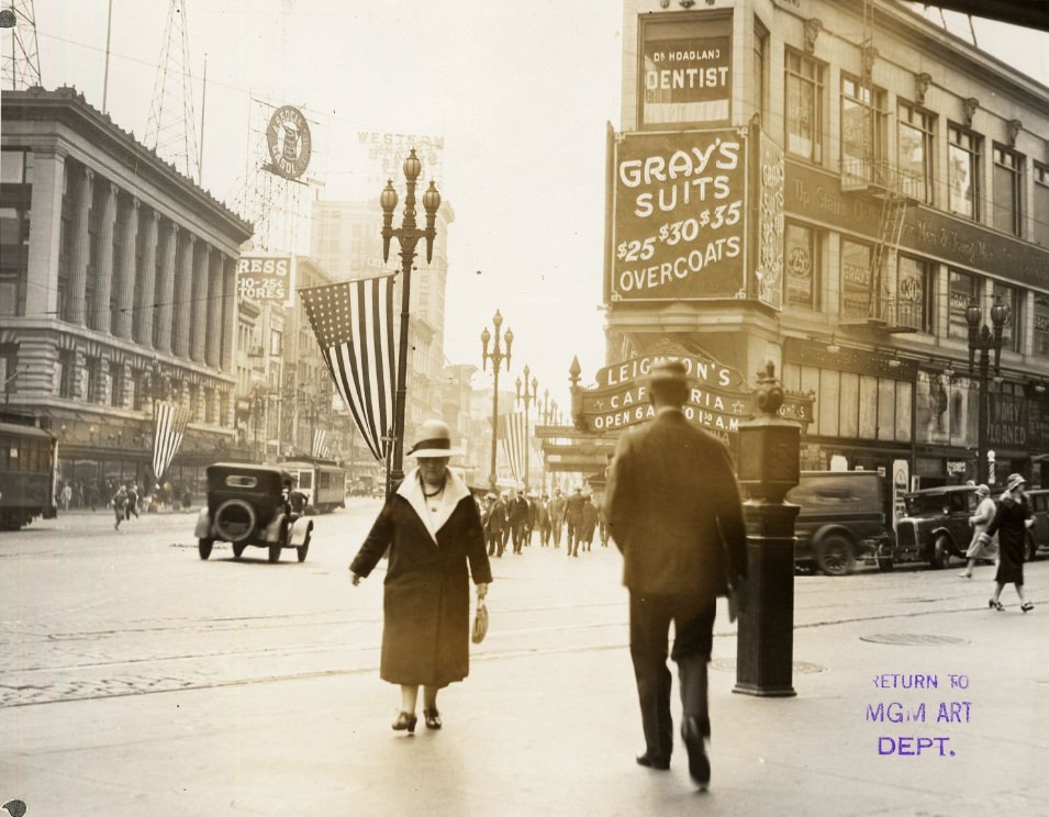
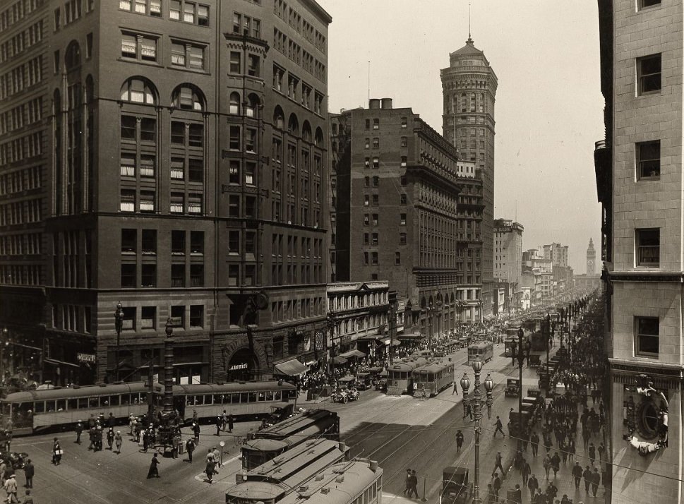
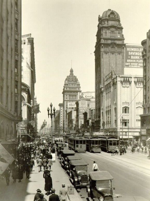
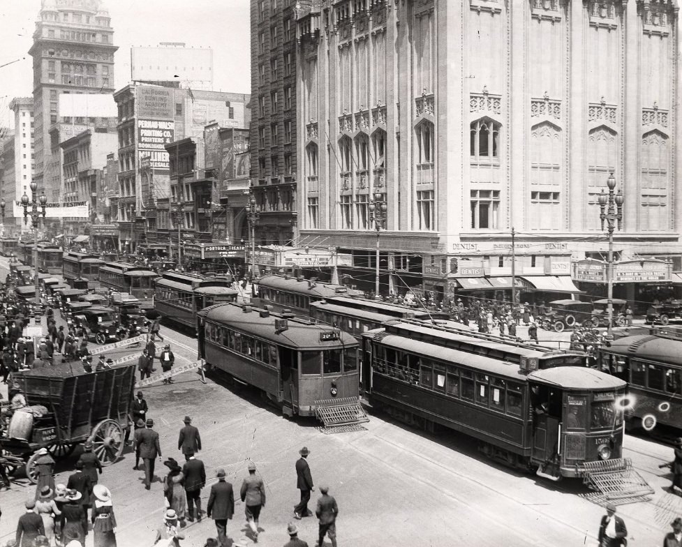
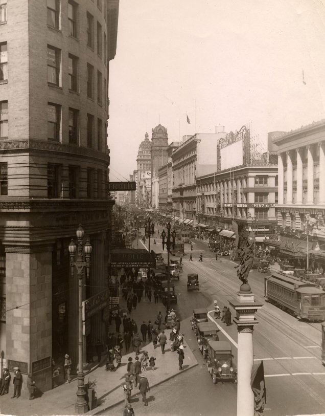
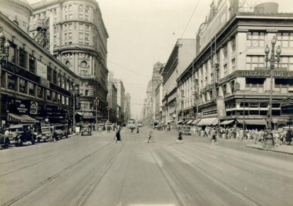
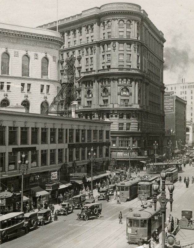
Market Street was the undisputed center of commercial San Francisco. It ran diagonally across the city’s grid, pulling in traffic from multiple directions and anchoring the downtown core. Trams ran its length, and the sidewalks stayed crowded from morning to evening. Buildings along Market competed for attention, mixing older masonry blocks with newer structures that pushed upward and outward. By the mid-1920s, the street had become a visual record of the city’s ambitions — storefronts advertising goods from across the country, marquees lit up for theaters and restaurants, and a constant stream of people moving between ferries, offices, and shops.
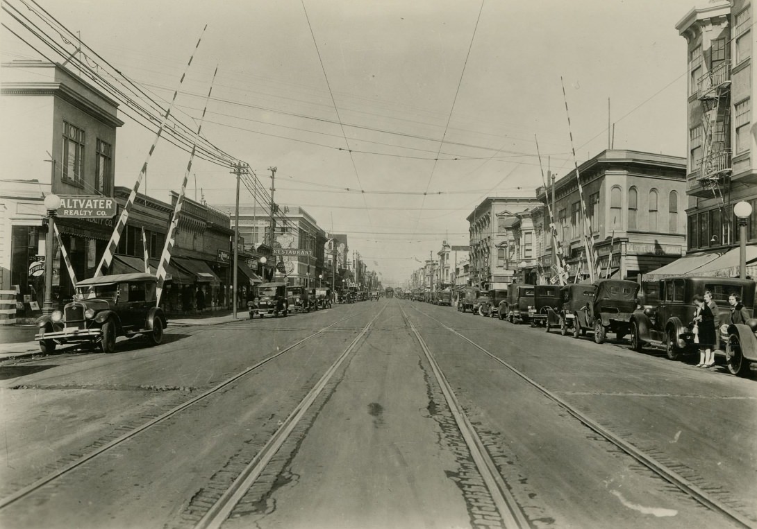
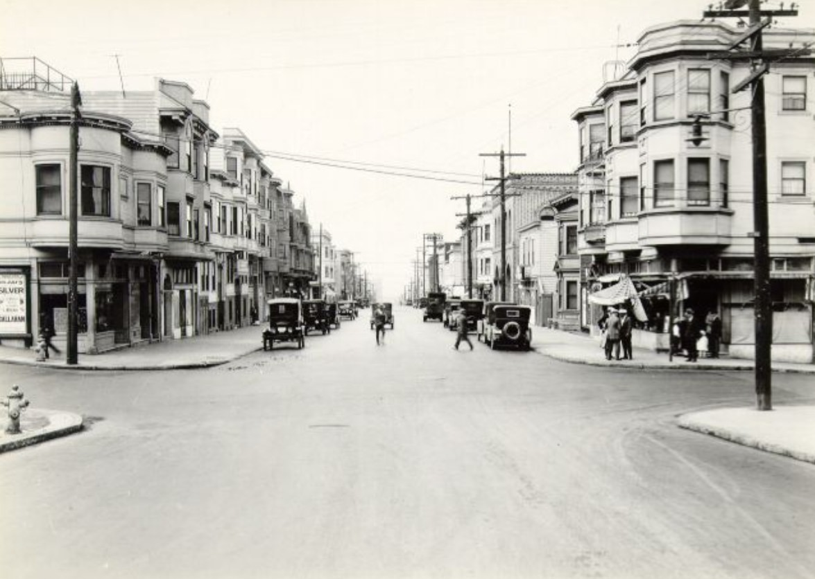
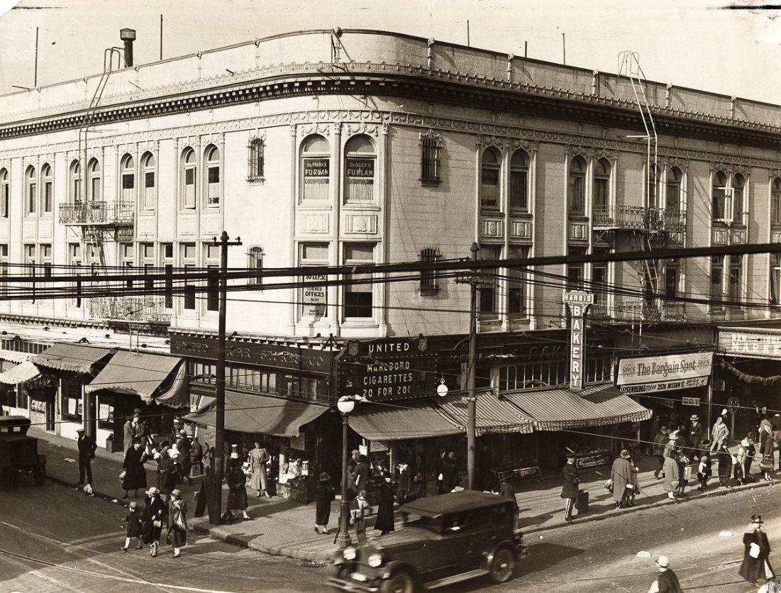
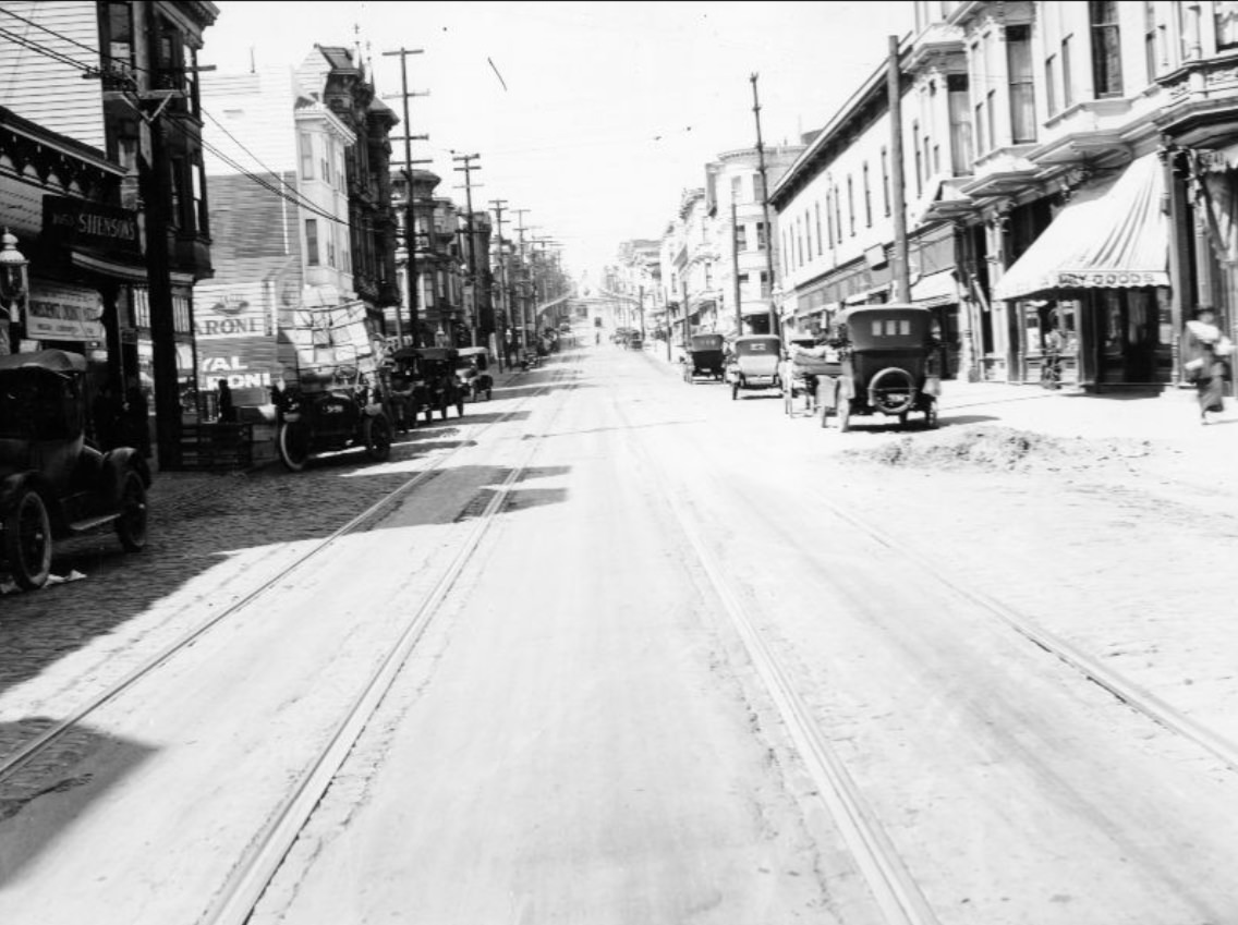
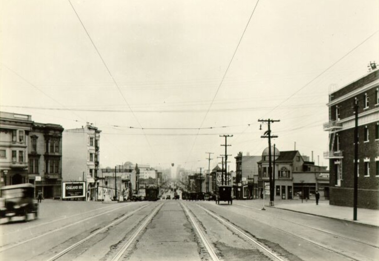
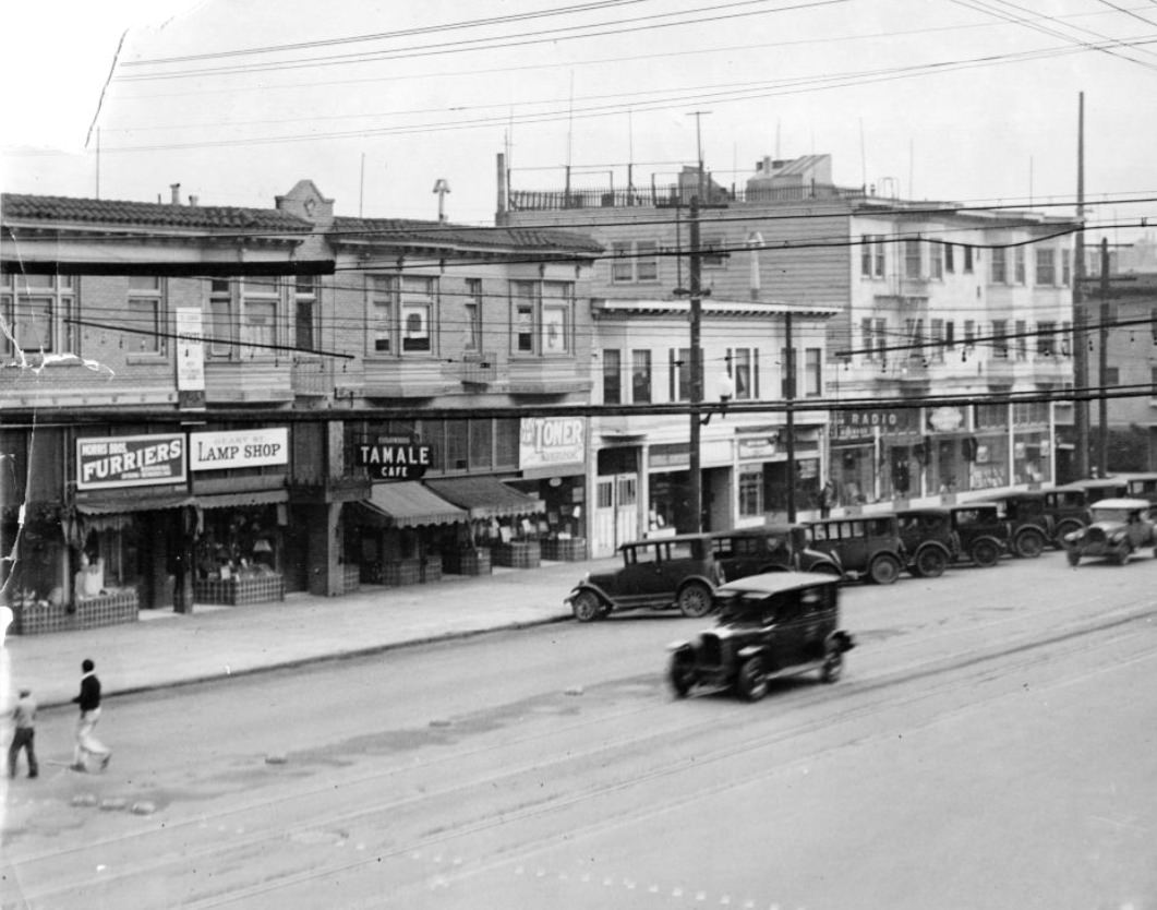
Mission Street served a different part of the city. Where Market Street drew office workers and shoppers from across San Francisco, Mission was the spine of working-class and immigrant neighborhoods stretching south from downtown. Streetcars ran its length, stopping at corners lined with small grocery stores, tailor shops, bars, and churches. The neighborhood around 22nd and 24th streets was especially dense, with families packed into flats above storefronts. Photographers who documented Mission Street in the 1920s captured a world that looked nothing like the gleaming new commercial blocks near City Hall — but was just as much a part of how San Francisco actually functioned.
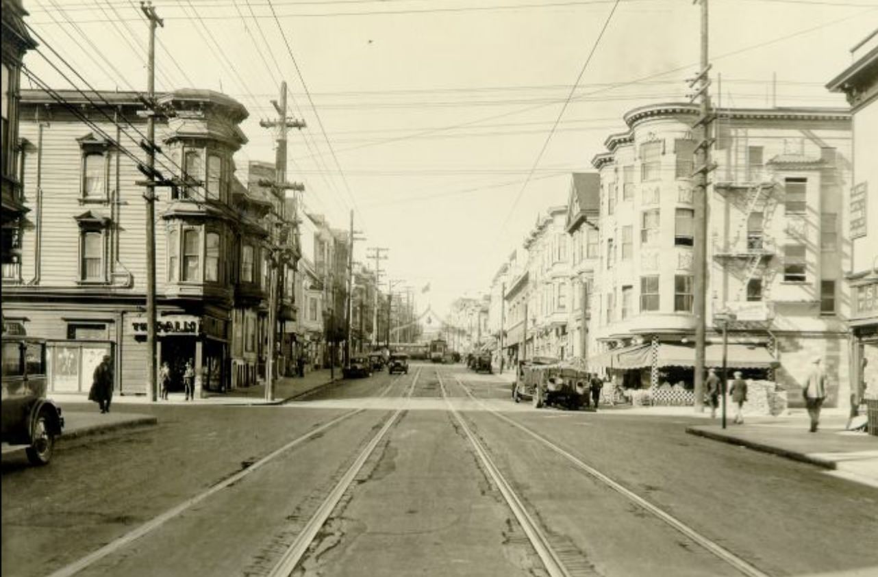
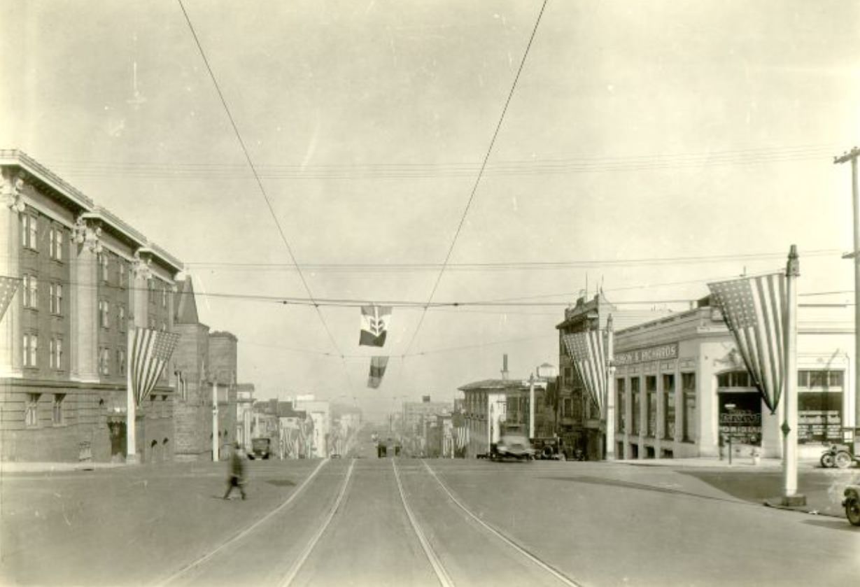
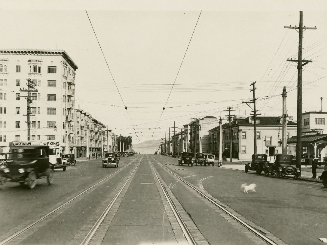
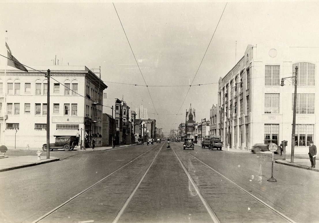
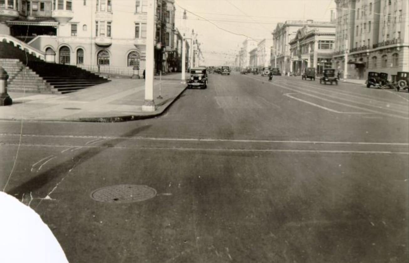
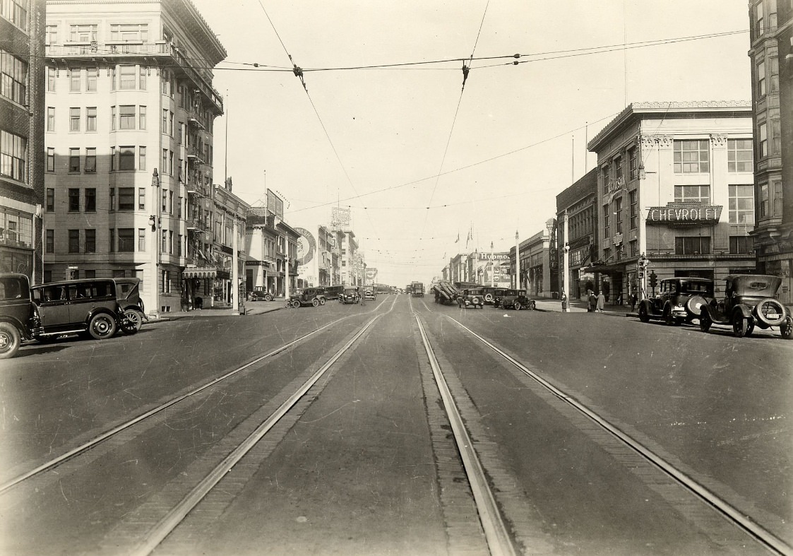
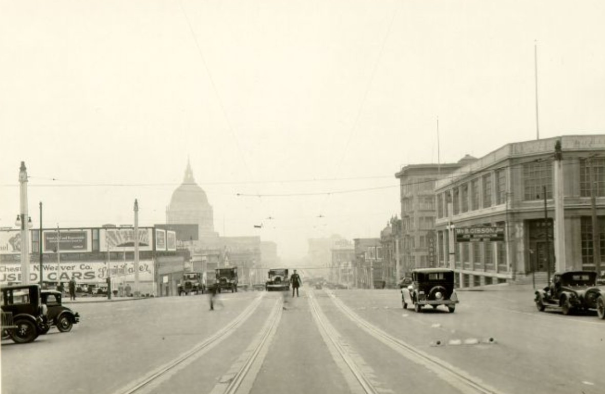
Van Ness Avenue cut a wide path through the city from Civic Center north to the bay. After the 1906 earthquake and fire, it had served as a firebreak, and in the years that followed it became one of the city’s most photographed corridors. By the 1920s, auto dealerships, service stations, and mid-sized commercial buildings lined much of its length. The avenue appeared in dozens of street-survey photographs taken by the city throughout the decade, documenting intersections from Bush Street all the way up to Chestnut and beyond. These weren’t glamorous images — they were practical records — but they preserve a detailed picture of how the street looked and functioned block by block.
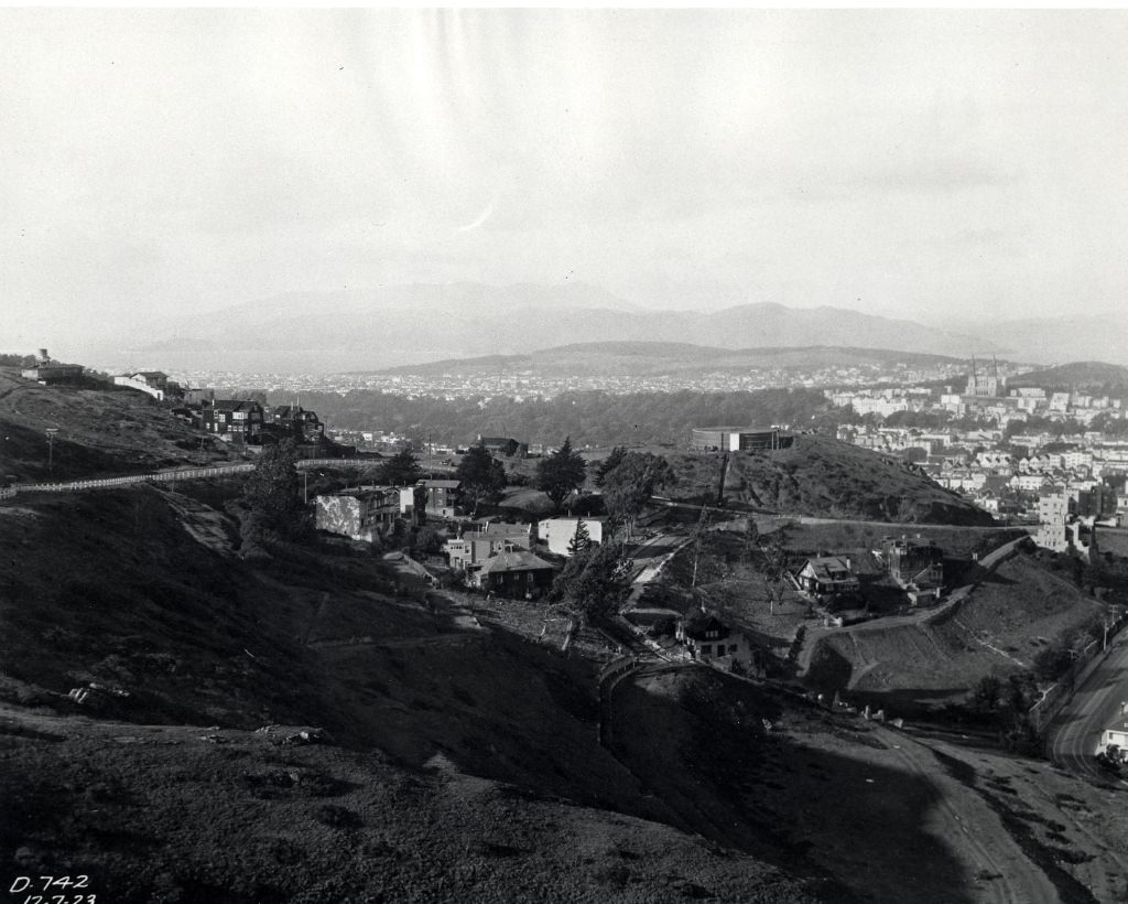
Viewed from high ground, San Francisco’s layout in the 1920s revealed just how much the city had filled in since the earthquake. Twin Peaks and Telegraph Hill both offered sweeping vantage points, and photographers used them to document the city’s growth. From Twin Peaks looking northwest in 1923, the streets fanned outward in a mix of residential blocks and open land still waiting for development. The bay was visible in the distance, and the hills created a layered backdrop that gave the city its distinctive visual texture. These elevated views made clear what street-level photos couldn’t show: just how rapidly San Francisco was being built out in every direction.
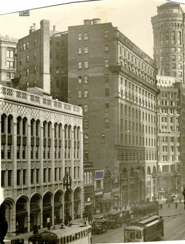
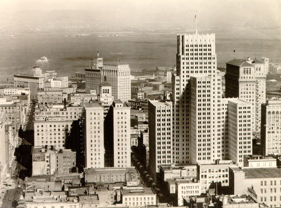
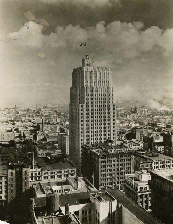
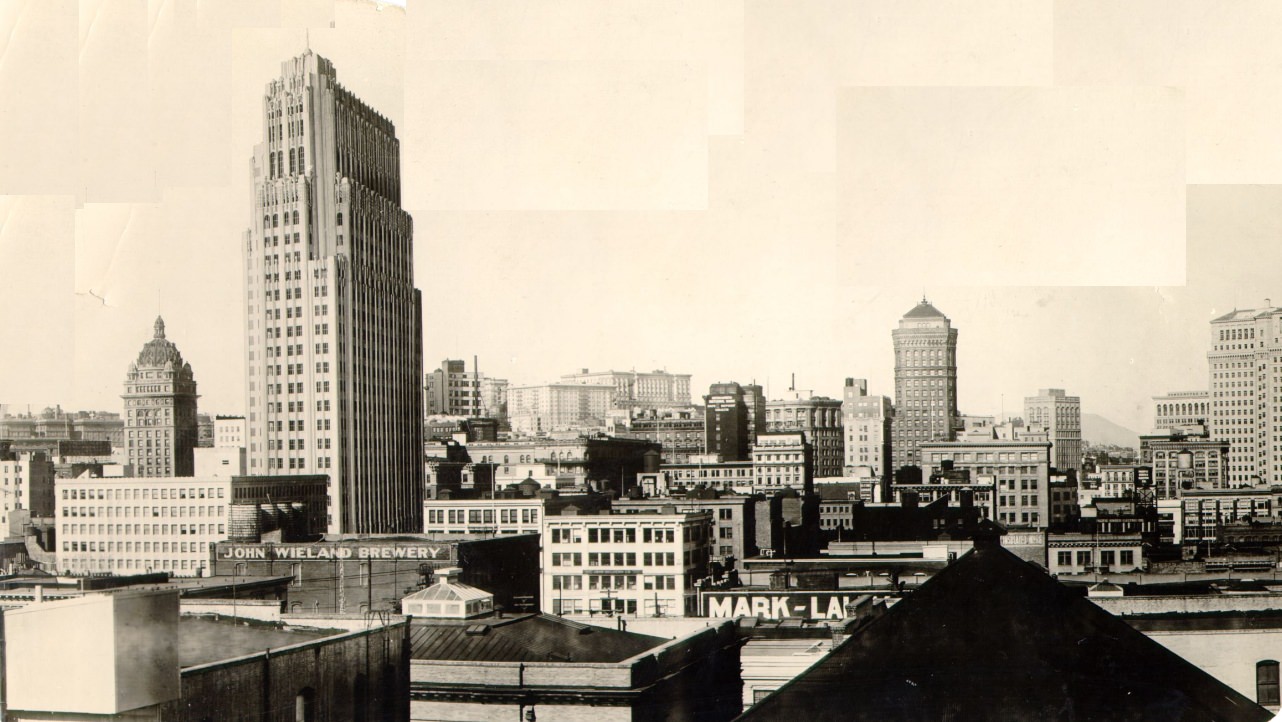
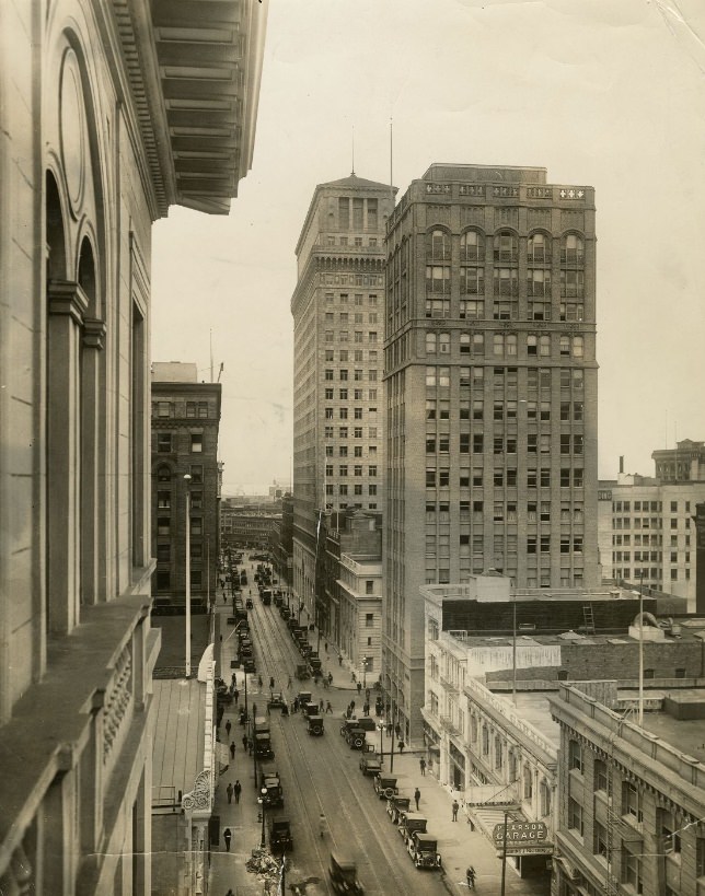
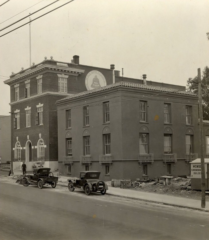
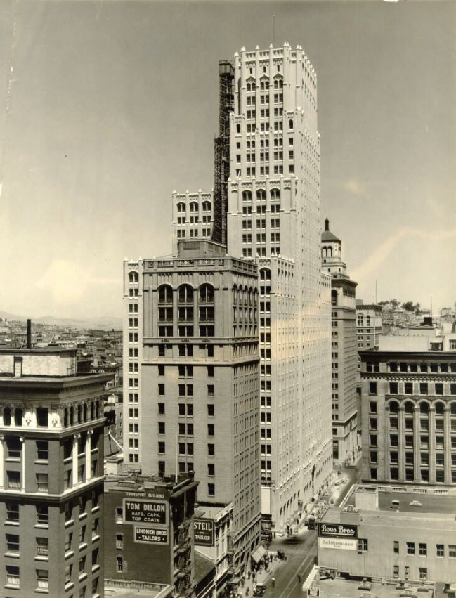
The Pacific Telephone Building, completed in 1925, was the most talked-about new structure of the decade. Rising at 140 New Montgomery Street, it combined the sleek geometry of Art Deco with detailed terra cotta ornament on its upper floors. For years it stood as the tallest building in the city, and its presence reshaped the downtown skyline. The Art Deco movement it represented was spreading across San Francisco in the 1920s — showing up not just in major commercial towers but in smaller office buildings, bank facades, and even utility infrastructure. Pacific Telephone and Telegraph alone built or expanded multiple facilities across the city during this period, each one a demonstration of the company’s scale and the era’s design ambitions.
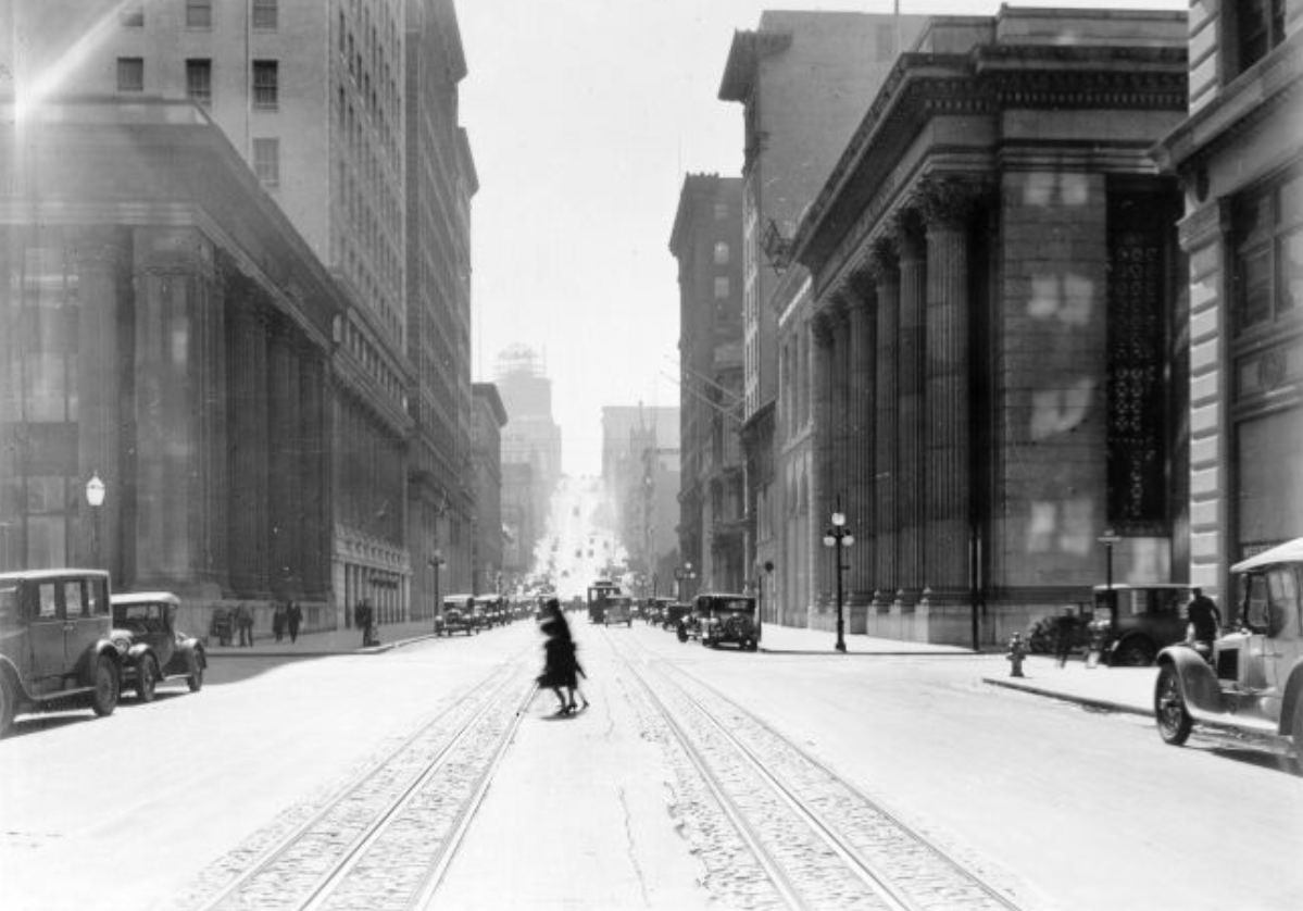
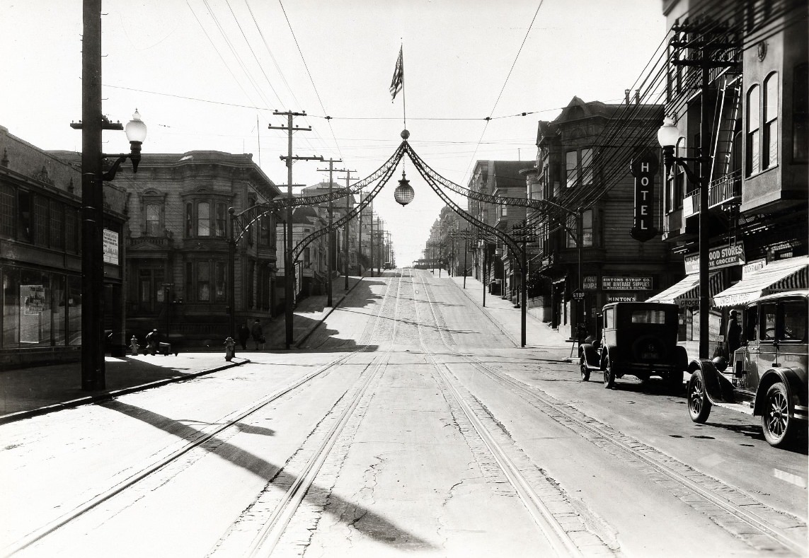
California Street climbed east from the Presidio through Pacific Heights and Nob Hill before dropping into the Financial District near Sansome and Montgomery. Cable cars ran its steepest sections, pulling passengers up grades that made walking difficult. The street crossed some of the city’s sharpest class divides — grand apartment buildings and private clubs near the top of Nob Hill gave way to dense commercial blocks closer to the waterfront. Photos from the mid-1920s along California Street show a road that was busy in every direction, with delivery wagons, automobiles, and cable cars all competing for space on pavement that hadn’t been designed with any of them specifically in mind.
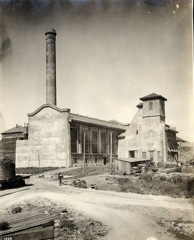
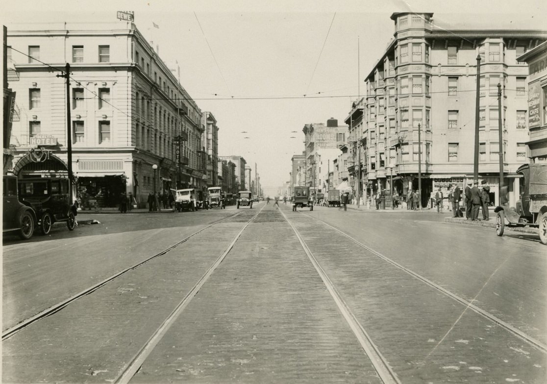
Not every corner of 1920s San Francisco projected prosperity. Howard Street, running parallel to Mission through SoMa, was lined with industrial buildings, warehouses, and the kinds of businesses that served workers rather than shoppers. Photographs from Howard Street near 4th, 7th, 16th, and 23rd show a rougher urban environment — wide roads with heavy truck traffic, modest storefronts, and none of the decorative architecture that appeared closer to downtown. The garbage incinerator photographs from this same era document the infrastructure that kept the city running but rarely appeared in promotional images. Together, these photos show the full range of what San Francisco’s streets actually looked like in the 1920s.
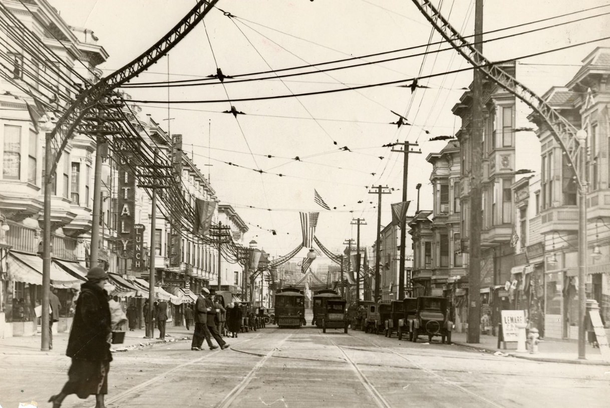
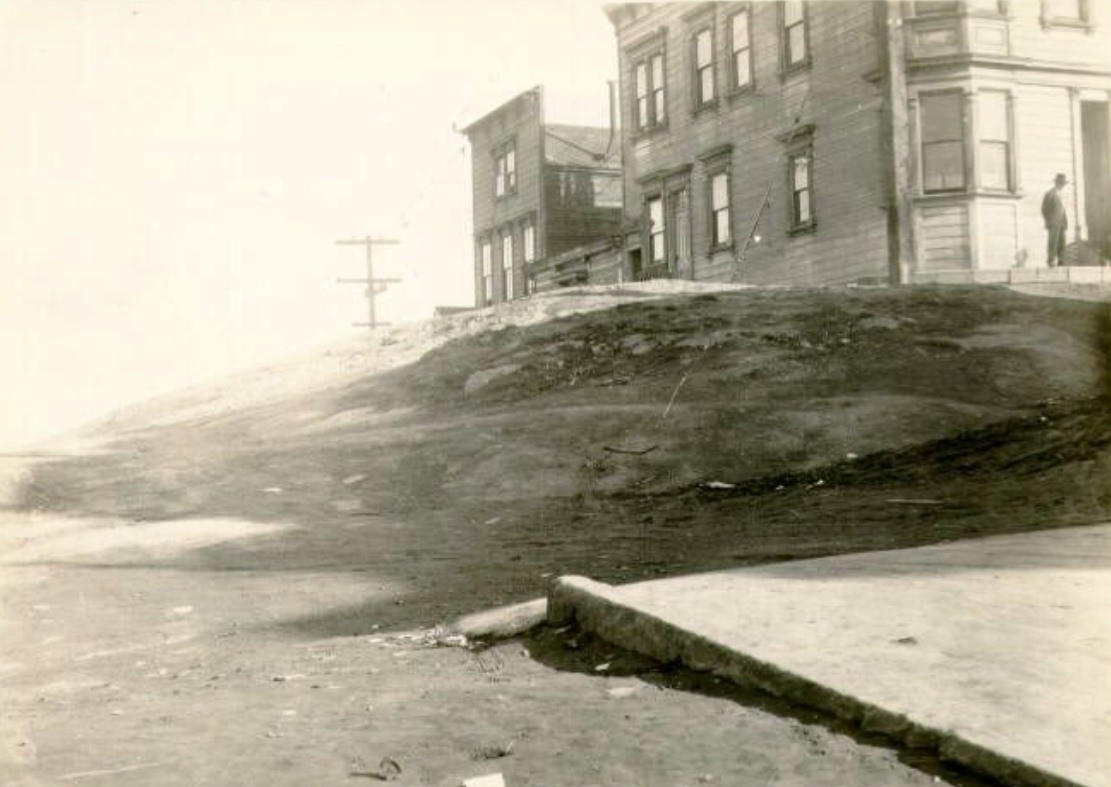
Fillmore Street had served as the city’s de facto main street in the years immediately after the 1906 earthquake, when downtown was still being rebuilt. By the 1920s, it had settled into the role of a neighborhood commercial corridor, running through the Western Addition and connecting the Haight to the Marina. Photographs from Fillmore at Fulton and at the 1920 end of the decade show a street that was busy but not glamorous — storefronts at street level, flats above, and a steady stream of pedestrians and vehicles moving through a neighborhood that was neither the city’s wealthiest nor its poorest.
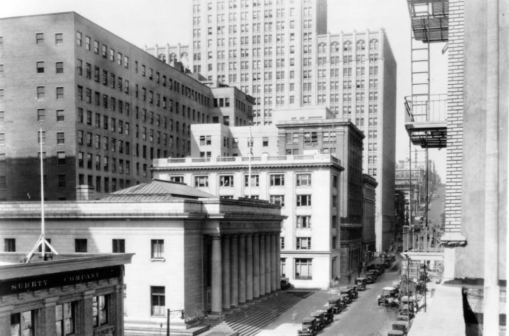
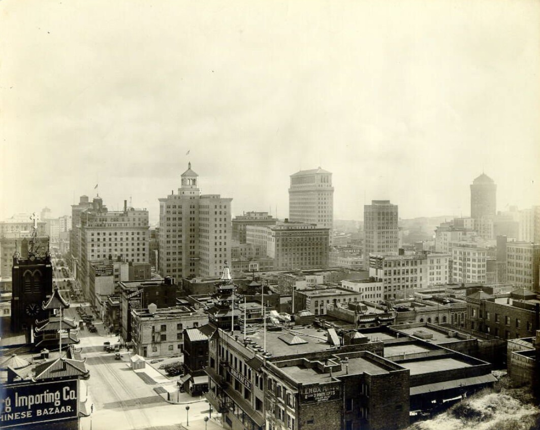
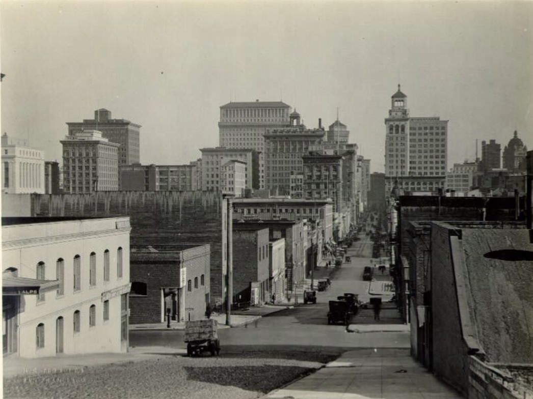
The Financial District along Montgomery, Pine, and California streets held San Francisco’s densest concentration of banking and commercial architecture. The U.S. Sub Treasury Building on Pine Street was one of the older institutional structures in the area, while newer buildings like those on Montgomery Street represented the decade’s push toward taller, more imposing commercial towers. The Beaux-Arts tradition — with its emphasis on formal symmetry, grand facades, and civic grandeur — still governed many of the district’s most prominent buildings. These weren’t just offices; they were deliberate statements about the permanence and seriousness of San Francisco’s financial institutions.
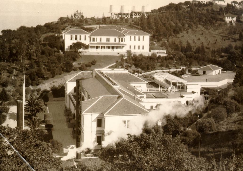
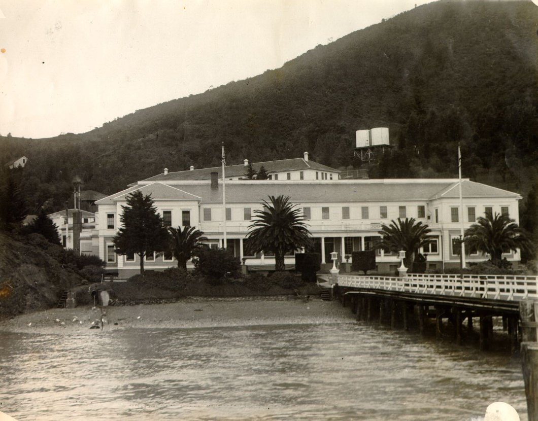
Angel Island sat in the middle of San Francisco Bay and served as the West Coast’s primary immigration processing station from 1910 through 1940. During the 1920s, tens of thousands of immigrants — most of them from China, Japan, and the Philippines — arrived there before being allowed to enter the mainland. The facilities on the island included an administration building, a detention building, and a hospital. Conditions were harsh, particularly for Chinese immigrants, who faced long detentions under the Chinese Exclusion Act. Photographs of the station from the 1920s document its institutional architecture and the scale of operations that processed thousands of people annually.
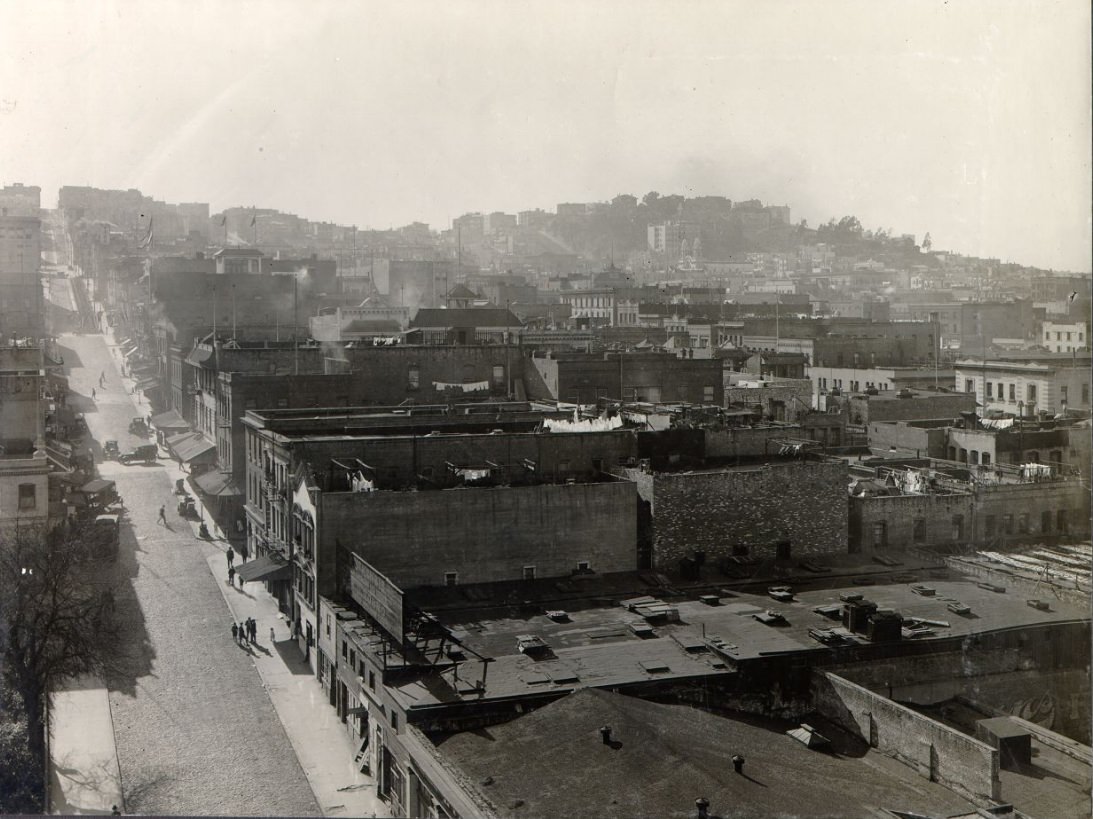
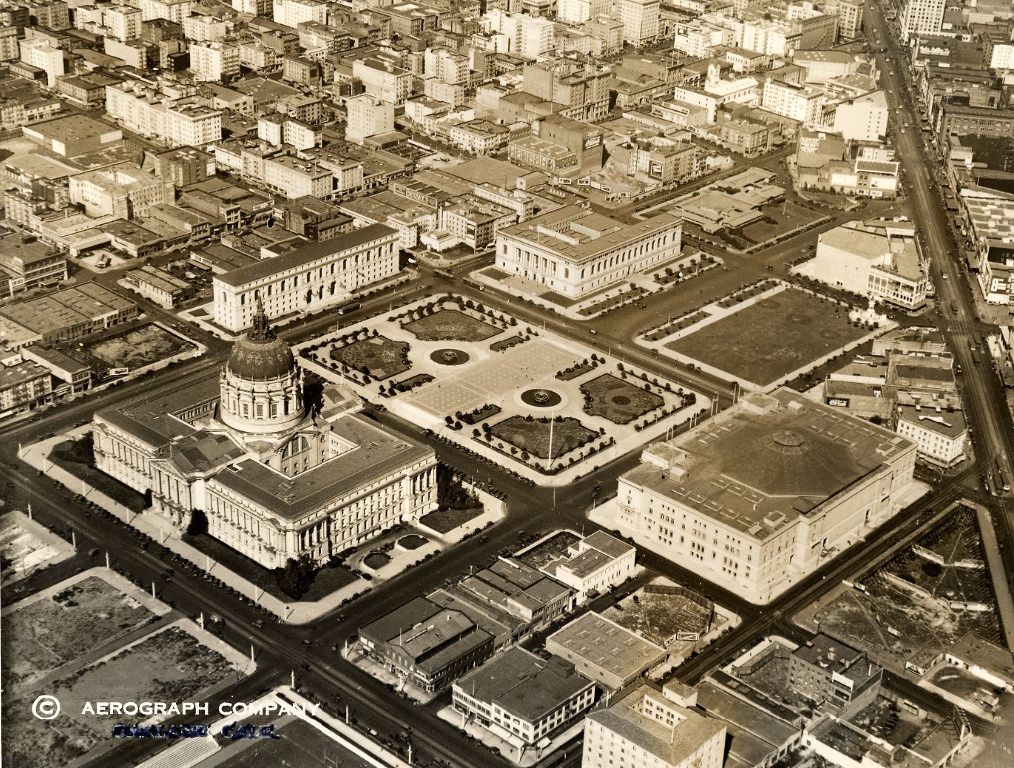
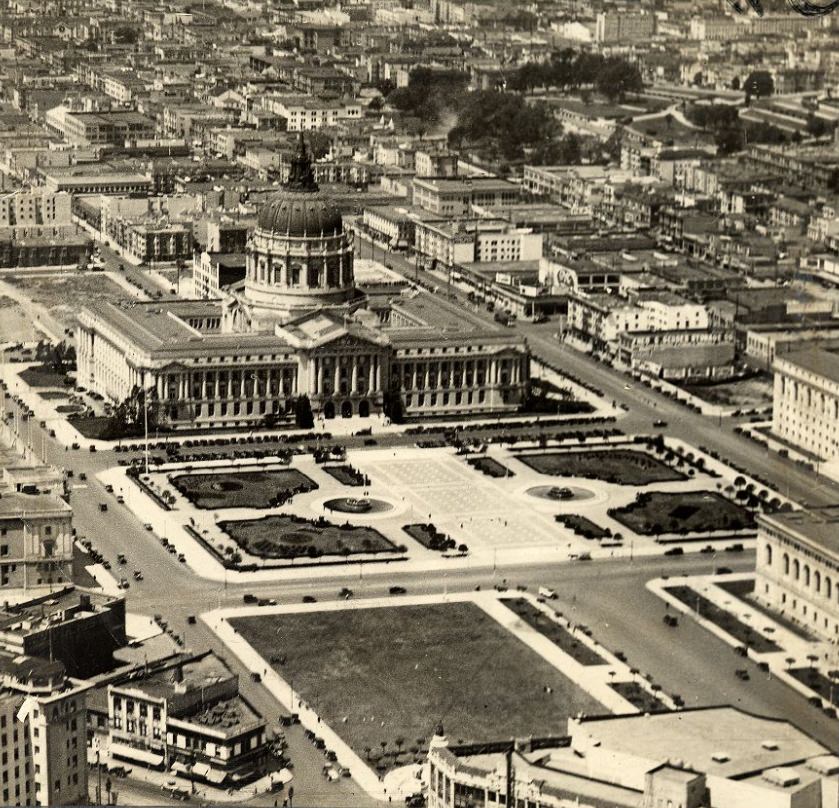
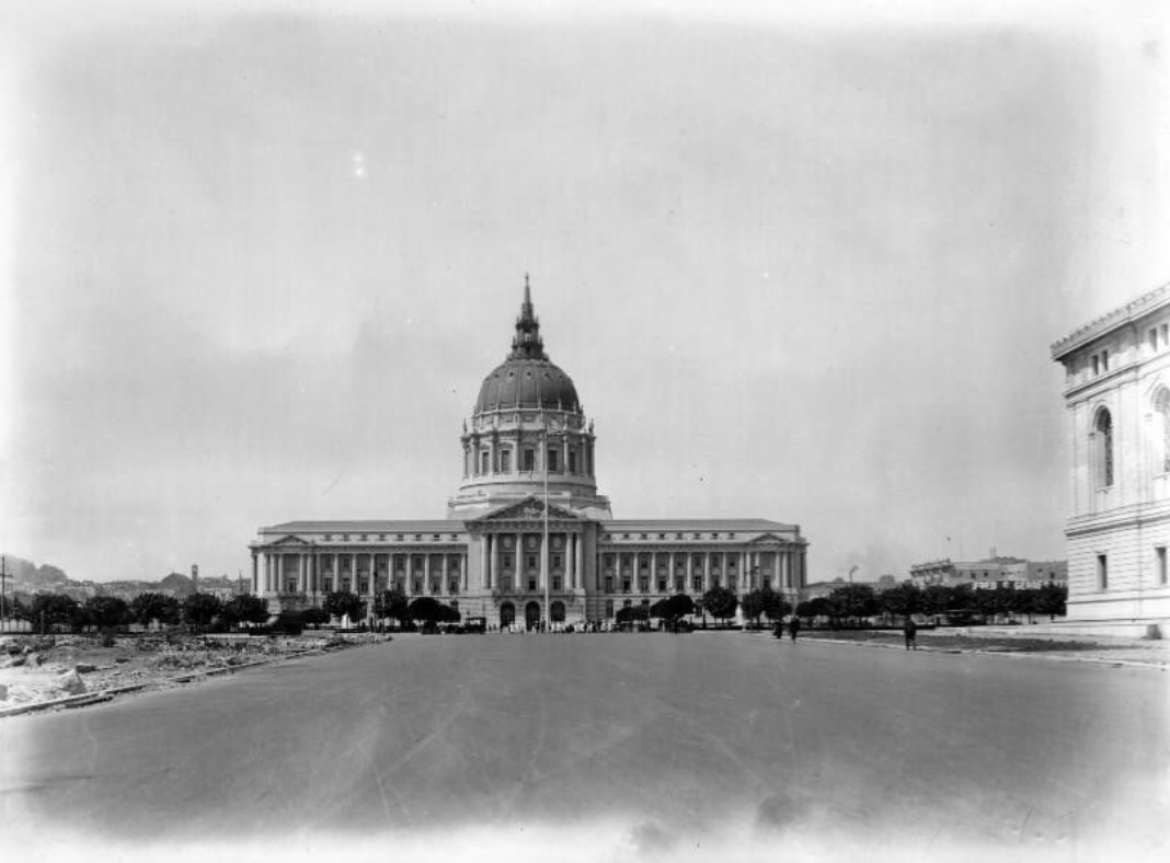
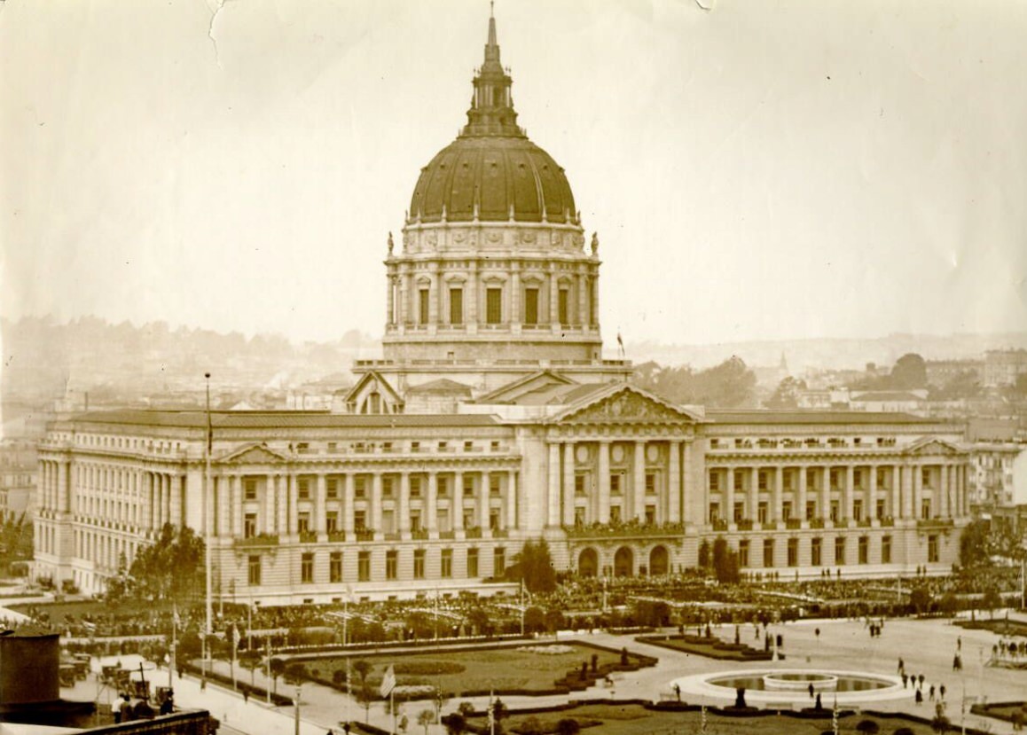
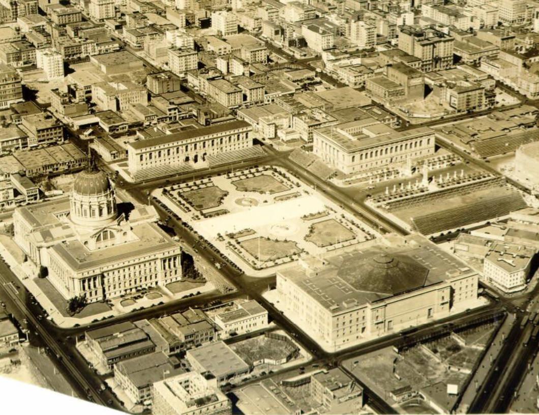
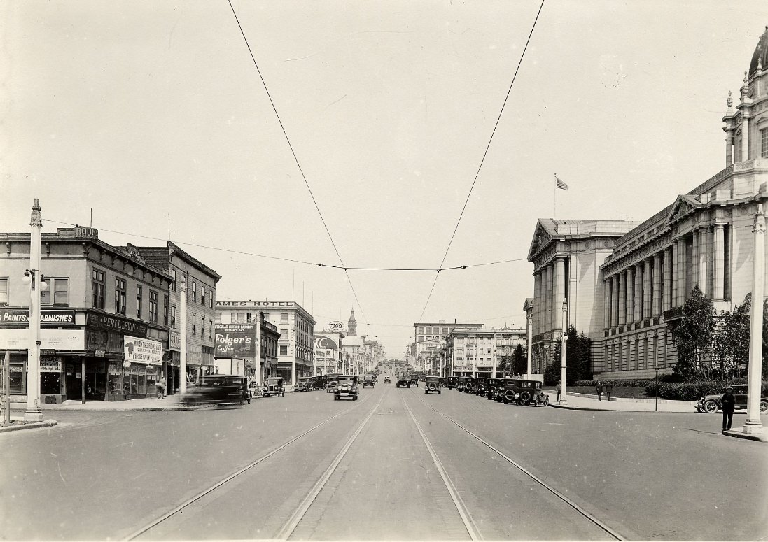
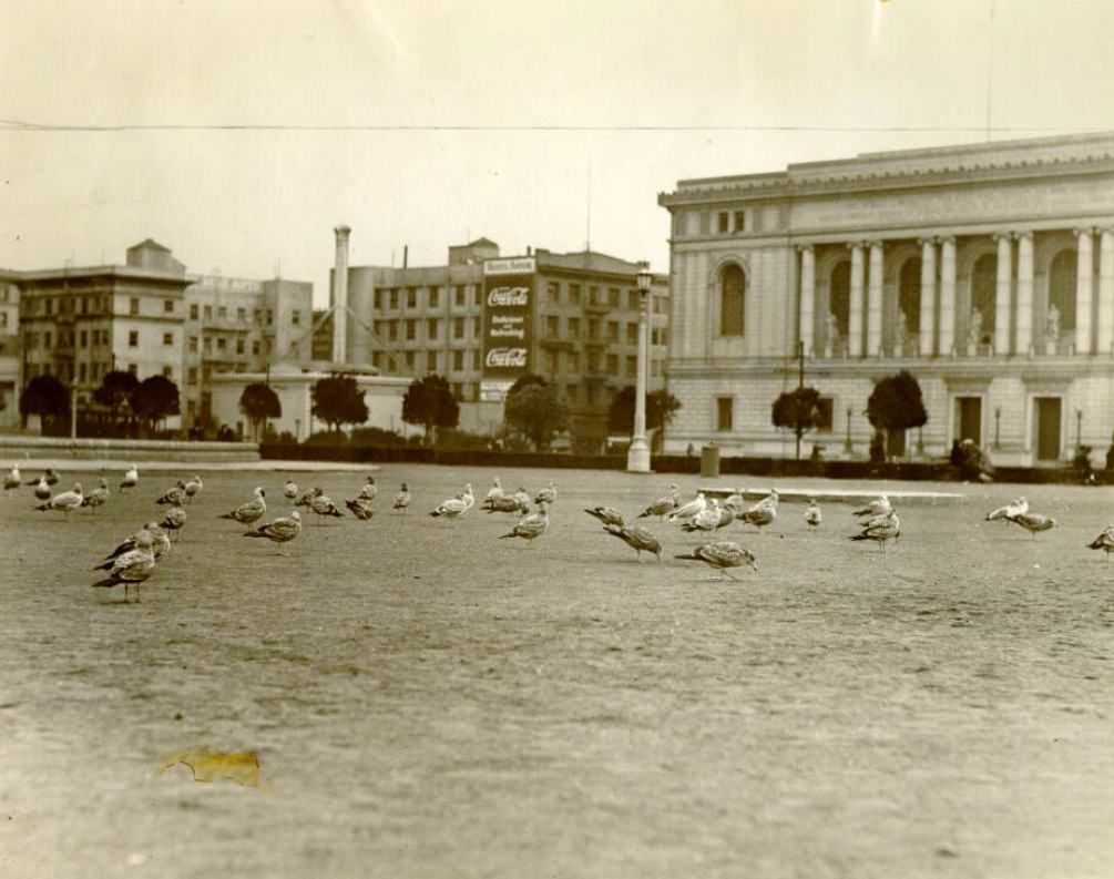
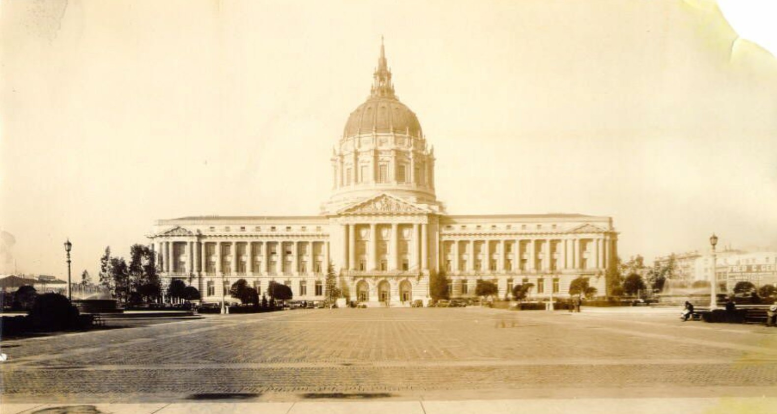
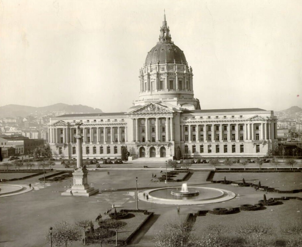
Civic Center was the clearest expression of San Francisco’s official ambitions in the 1920s. City Hall, completed in 1915, anchored the complex with its massive dome and Beaux-Arts symmetry. By the mid-1920s, the surrounding plaza and civic buildings were filling in, including the Main Library, which opened in 1917. Aerial photographs from the decade show the full scale of the Civic Center plan — a formal arrangement of public buildings, open plazas, and wide streets designed to project civic order. Street-level images captured the same spaces from a more human scale: pigeons gathered in the plaza, cars parked along the perimeter, and city workers moving between buildings.
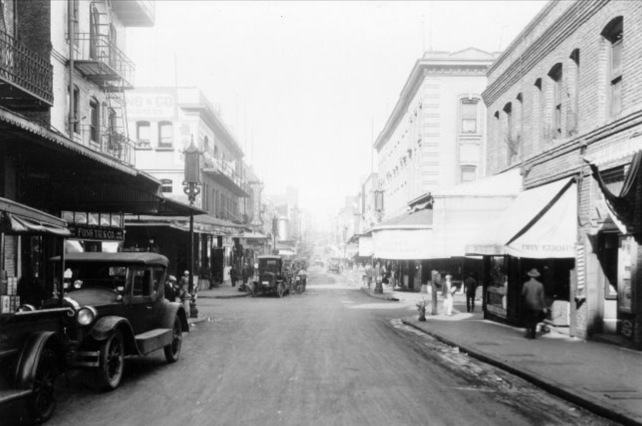
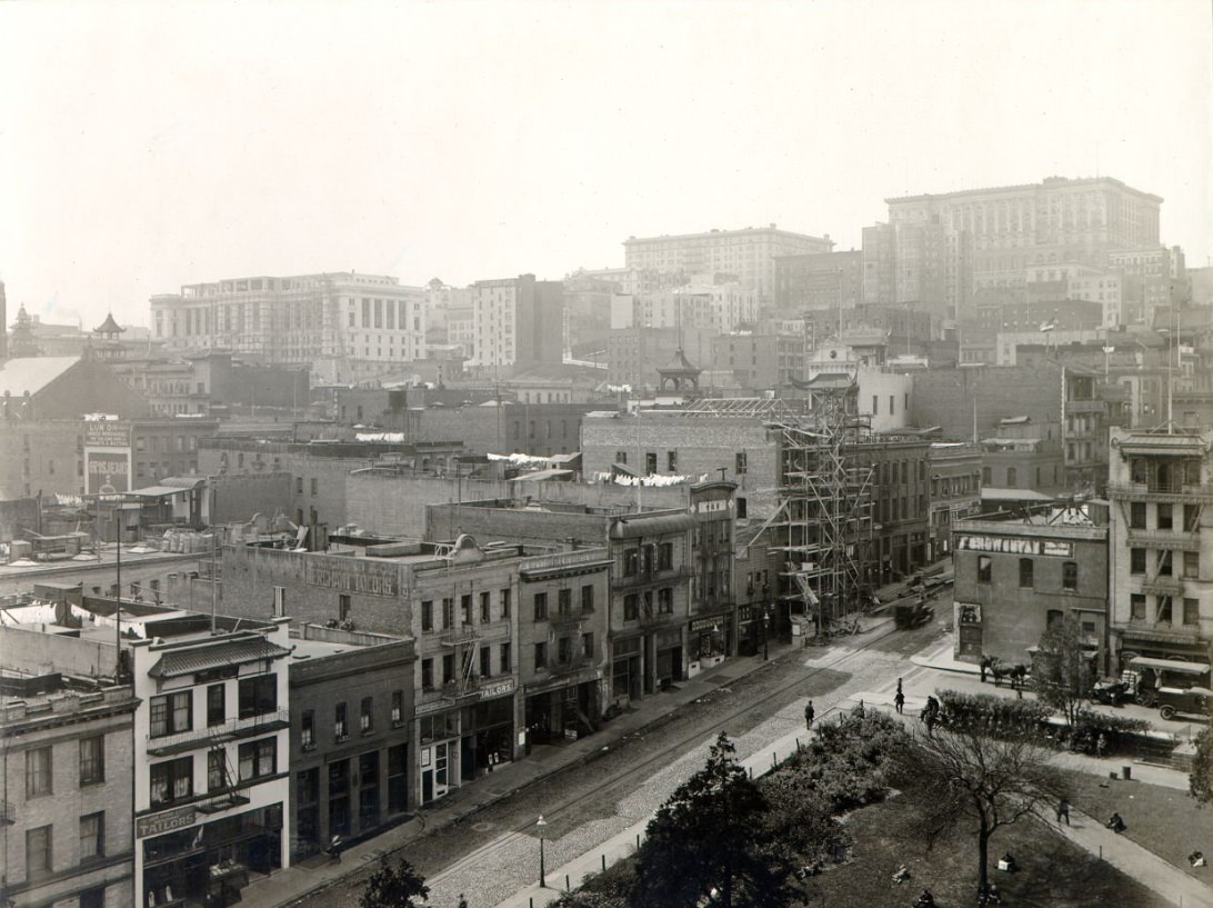
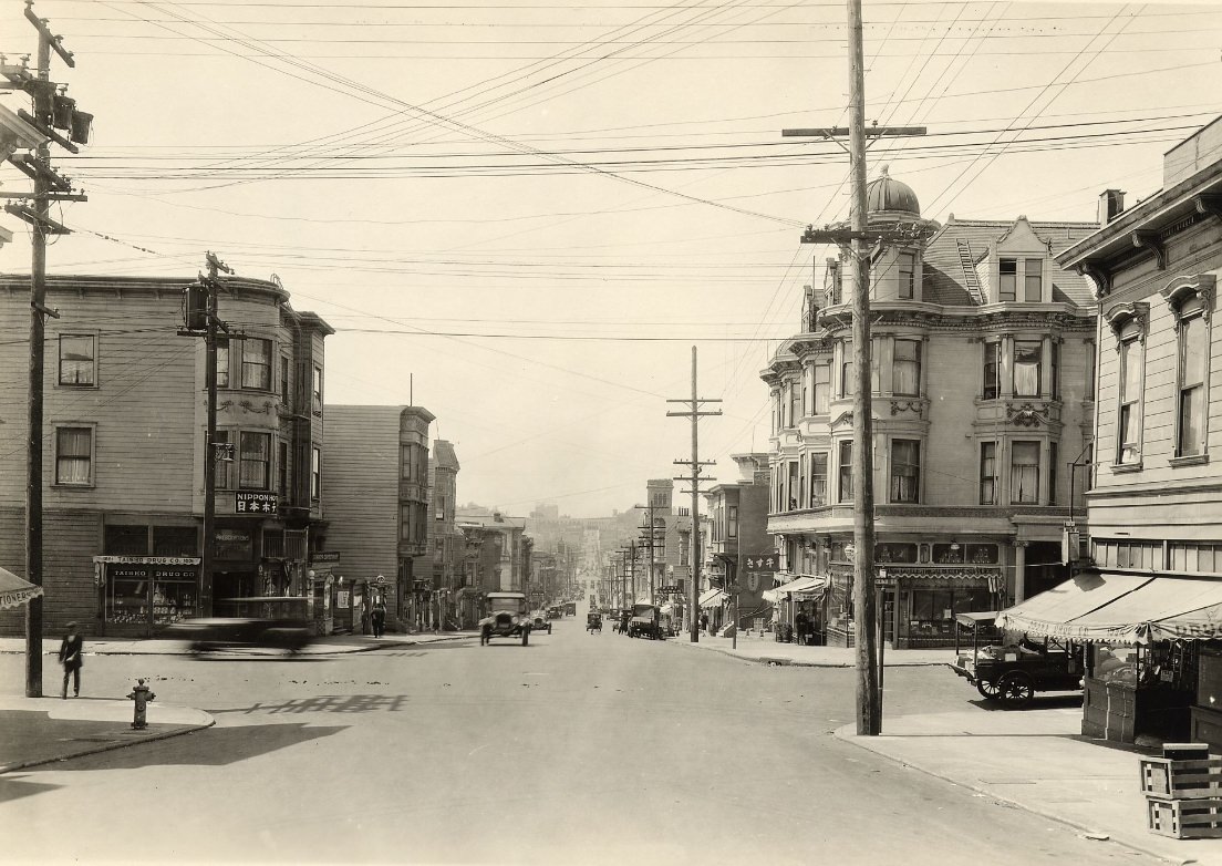
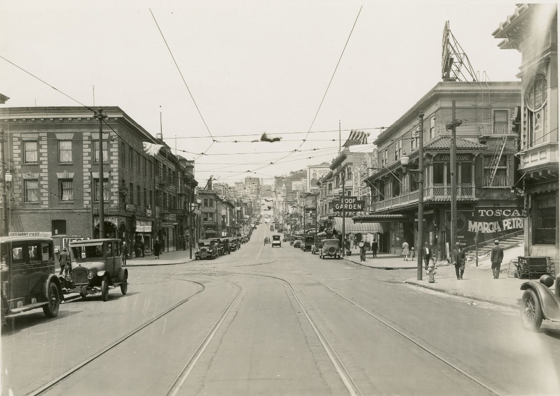
Grant Avenue in Chinatown carried the highest density of signage on any street in San Francisco. Chinese-language characters appeared alongside English text on shop fronts selling produce, dry goods, herbal medicine, and imported goods. The streets were narrow and the buildings packed close together, with upper floors used for housing and association halls. Jackson Street nearby was home to many of the neighborhood’s older commercial buildings. Photos from this corridor in the mid-1920s capture a neighborhood that had rebuilt substantially after the 1906 earthquake and fire, which had destroyed nearly all of Chinatown. By 1926, it was a functioning and densely inhabited district once again.
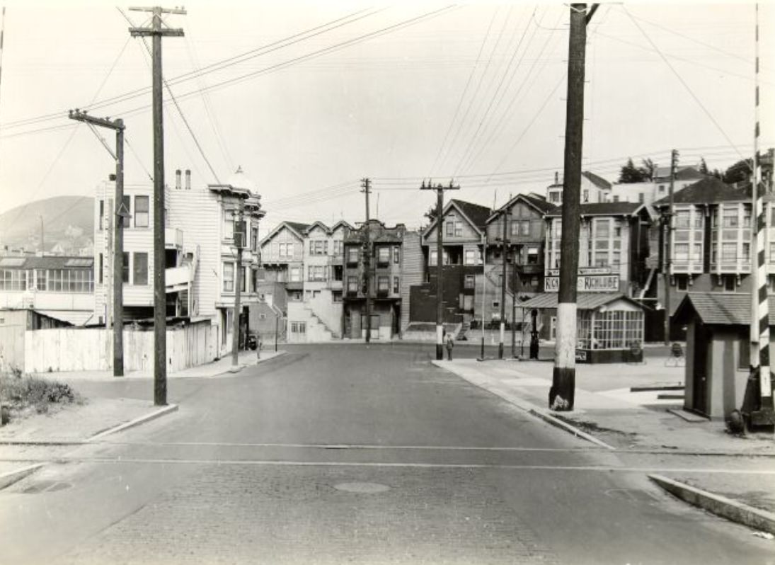
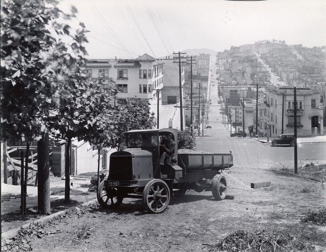
Lombard Street’s now-famous crooked section between Hyde and Leavenworth was redesigned in 1922. The steep grade — the steepest block in the city — was considered too dangerous for vehicles to drive straight down, so engineers added eight sharp switchback curves and lined them with brick pavement and ornamental plantings. The redesign worked practically and also created something unexpected: a stretch of road that attracted photographers and sightseers almost immediately. Photos from the 1920s looking down Lombard show the curves still new, the plantings still young, and the bay visible in the distance at the bottom of the hill.
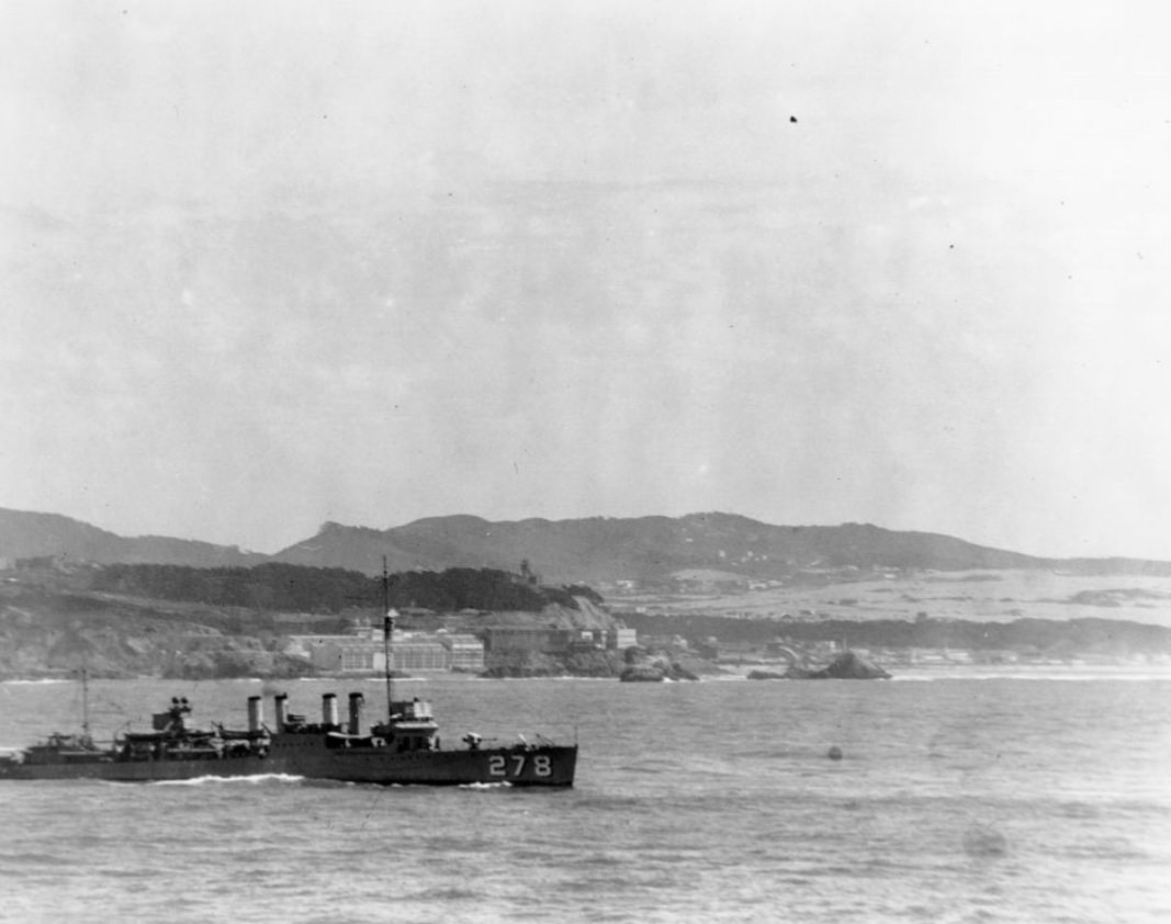
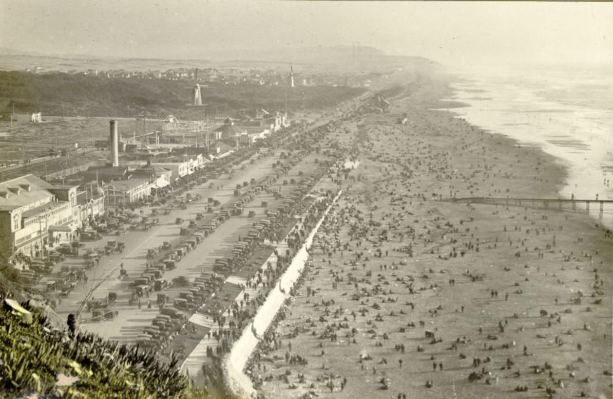
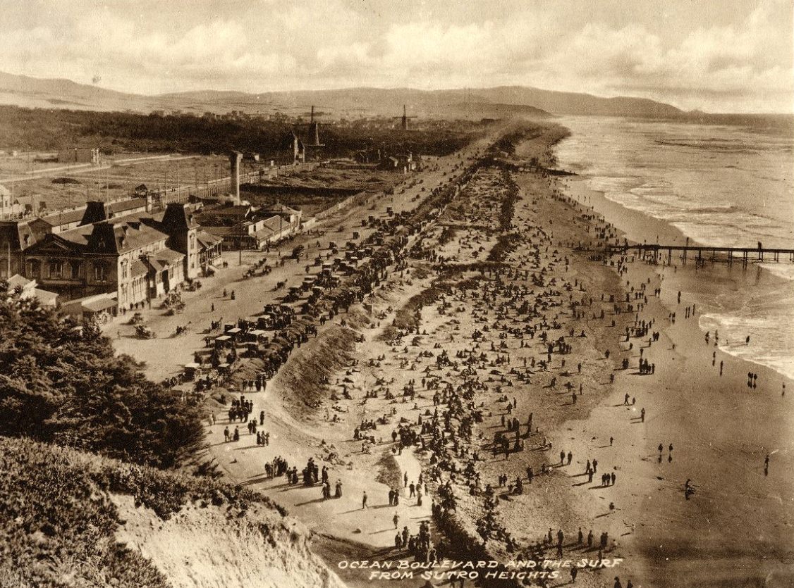
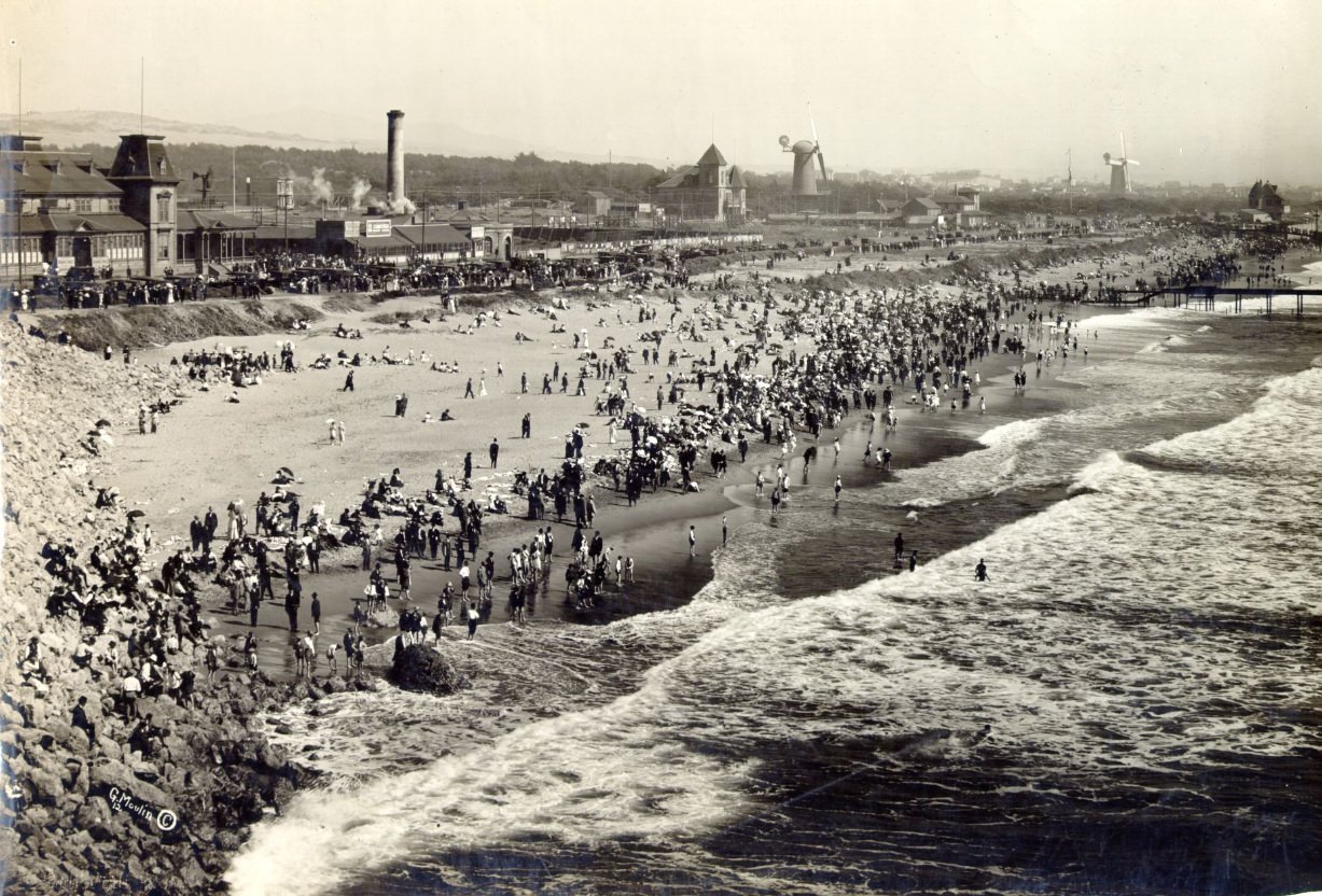
Ocean Beach stretched for miles along the city’s western edge, and in the 1920s it drew large crowds on weekends and holidays. The Cliff House sat on the rocks at the northern end, and Sutro Heights loomed above the shoreline to the north. Photographs from the beach in 1925 and the early part of the decade show families gathered on the sand, fully dressed by modern standards, watching waves that came in hard off the Pacific. The beach was less developed than it is today — no seawall, fewer amenities — but it was a well-established part of San Francisco’s recreational life.
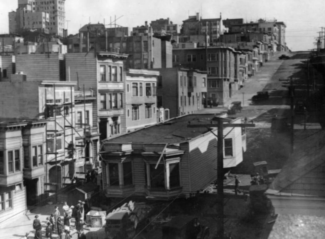
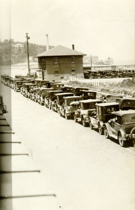
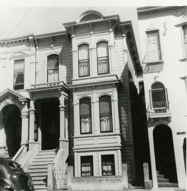
Hyde Street ran north-south through Russian Hill and Nob Hill, connecting the cable car lines at California Street to the waterfront at Aquatic Park. In the 1920s, it was a quieter residential corridor compared to the commercial bustle of nearby Polk or the industrial activity along the Embarcadero. Photos of Hyde Street from the decade show a neighborhood street with modest flats and small businesses, the kind of block that made up the bulk of San Francisco’s residential fabric even if it rarely appeared in the city’s promotional materials.
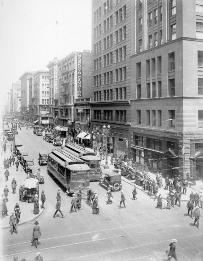
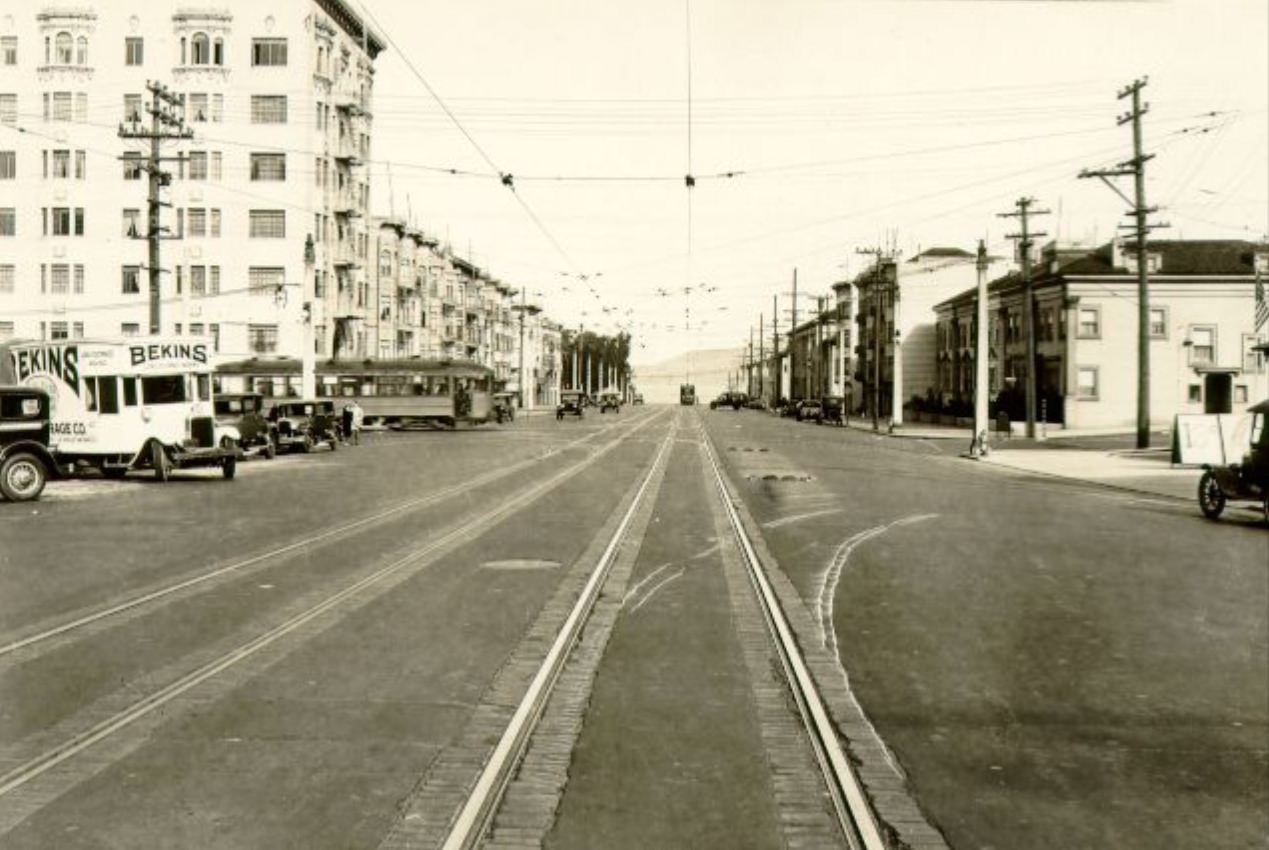
Kearny Street connected downtown San Francisco to North Beach and Telegraph Hill, running through the eastern edge of Chinatown along the way. In 1922, a photograph looking south down Kearny from near Columbus captured the street in its transitional state — still showing some of the older wooden buildings that had survived the 1906 fire, mixed with newer brick construction that had gone up in the years since. By the mid-1920s, Kearny had become a more solidly commercial street, its storefronts occupied by small businesses serving the diverse population of the neighborhoods it connected.
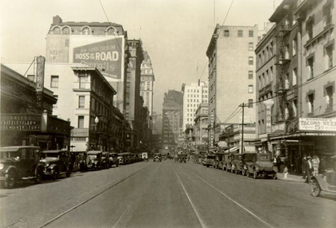
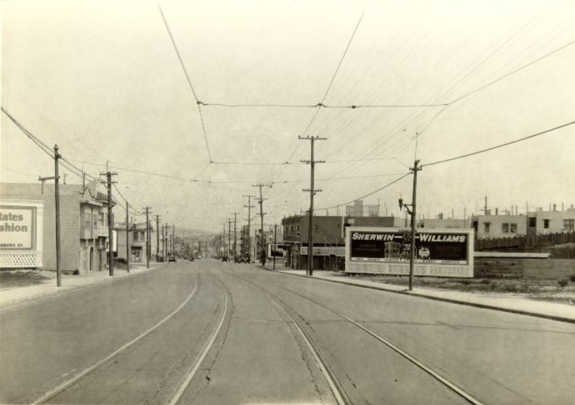
Third Street was one of the city’s main industrial and transit corridors running south from downtown toward Bayview and Hunters Point. Trains ran along its length, and the photographs of Third Street from 1927 show freight cars stationed along the tracks beside buildings that mixed light manufacturing with working-class commercial uses. The intersections at Minna, Bryant, 18th, 23rd, and Jerrold each had their own character — some were busy transit nodes, others were quieter residential corners — but all of them showed a street that was primarily functional rather than decorative.
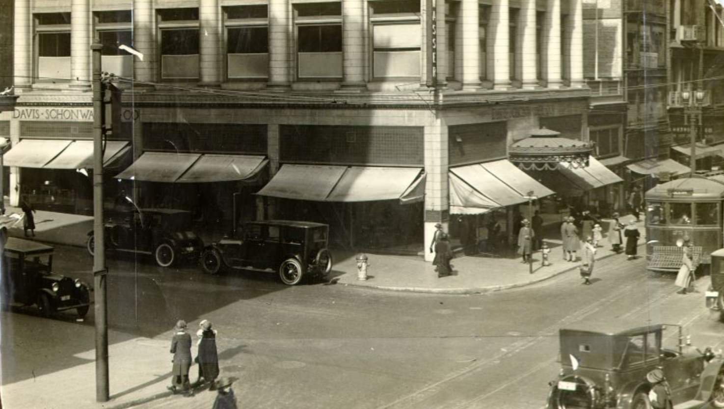
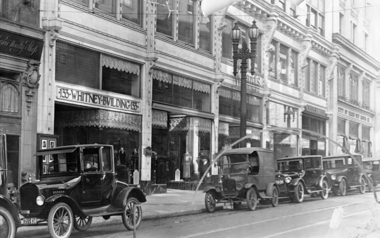
The intersection of Sutter Street and Grant Avenue sat at the edge of the Union Square retail district, where upscale department stores and hotels clustered around a park that had been the center of San Francisco’s fashionable shopping since the late 19th century. By the 1920s, the area around Sutter and Grant was dense with clothing stores, jewelers, and the offices of professionals serving the city’s middle and upper-middle class. The Whitney Building on Geary Street, just a few blocks away, was one of the neighborhood’s notable commercial structures of the period, photographed in 1924 as a representative example of the district’s built environment.
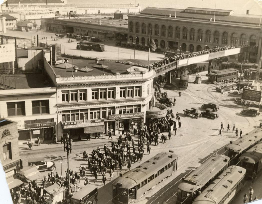
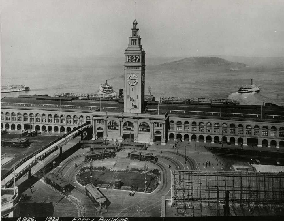
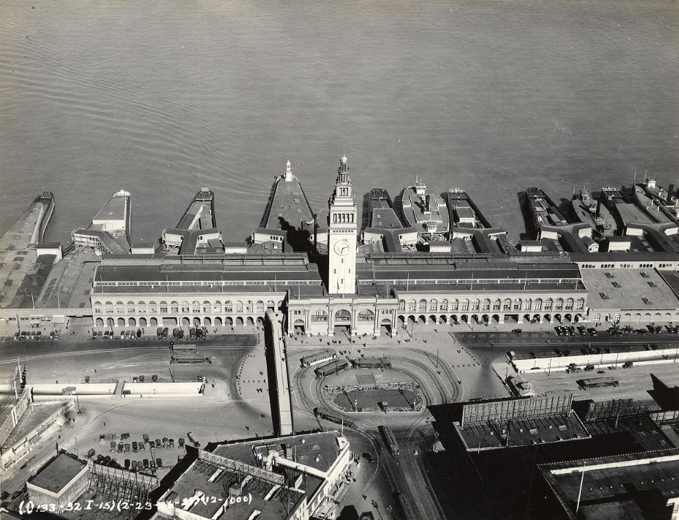
The Ferry Building at the foot of Market Street was the city’s main gateway for commuters arriving from the East Bay. Before the Bay Bridge opened in 1936, all car and rail traffic between San Francisco and Oakland crossed by boat. The ferries ran constantly, and photographs from 1924 show crowds pouring out of the terminal’s arched interior onto the Embarcadero. By 1926, an aerial photograph captured the full sweep of the building and the waterfront around it — the piers stretching north and south, the streets fanning outward from the terminal’s base, and the constant motion of vehicles and pedestrians in every direction.
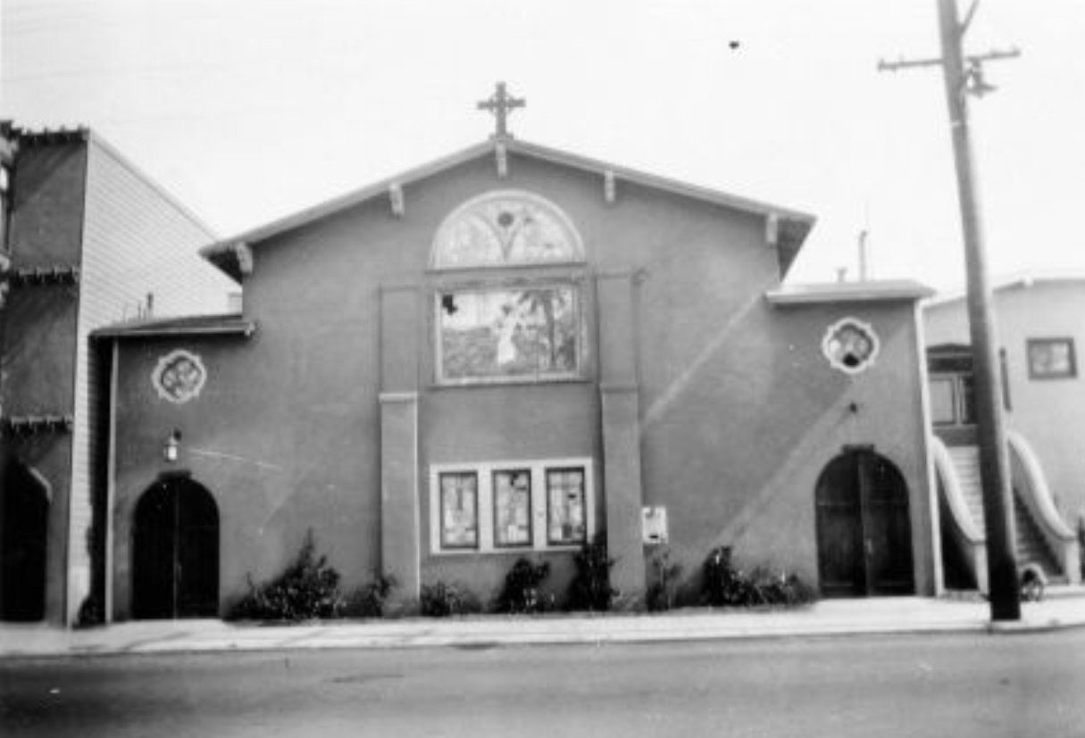
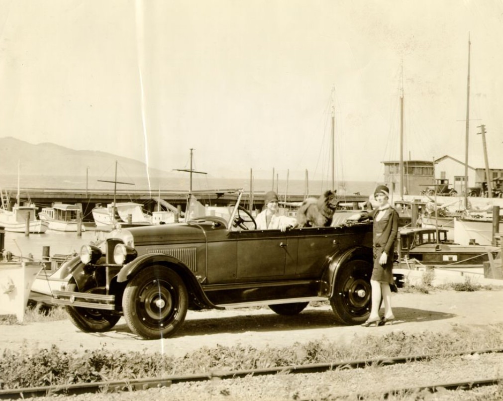
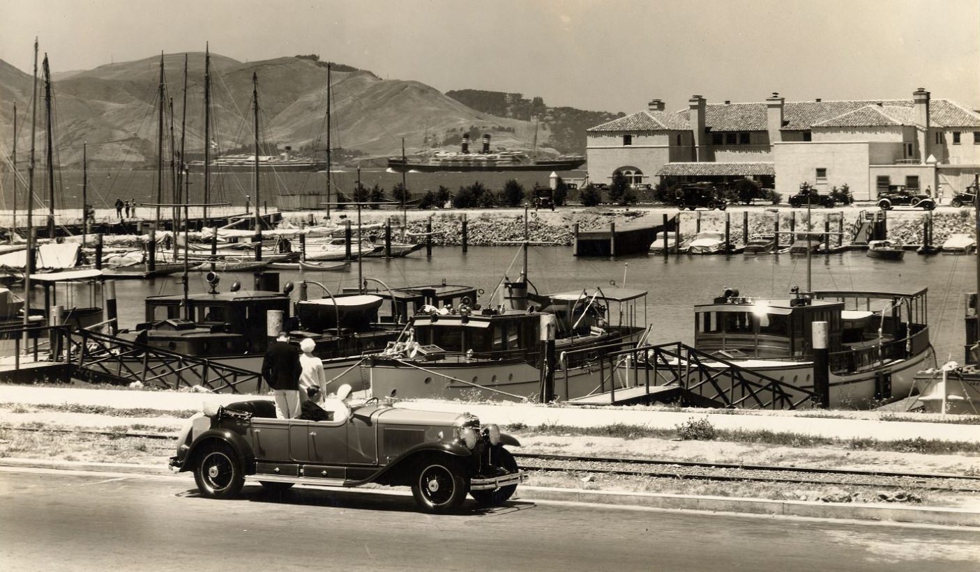
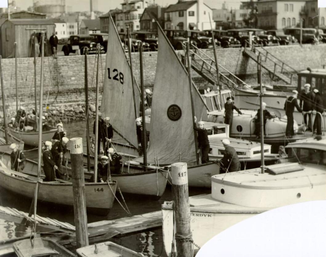
The Marina District in the 1920s was a neighborhood actively being built. The land had been reclaimed from the bay using rubble and fill from the 1906 earthquake, then used as the site of the 1915 Panama-Pacific International Exposition. After the fair closed, the land was subdivided and developed with Mediterranean Revival and Spanish Colonial Revival houses aimed at middle-class buyers. By the mid-1920s, the Marina Yacht Harbor was functioning as a recreational facility, drawing sailors and weekend visitors. Photographs from 1925, 1927, and 1929 show the harbor at various stages, with boats moored along its piers and families gathered at the waterfront.
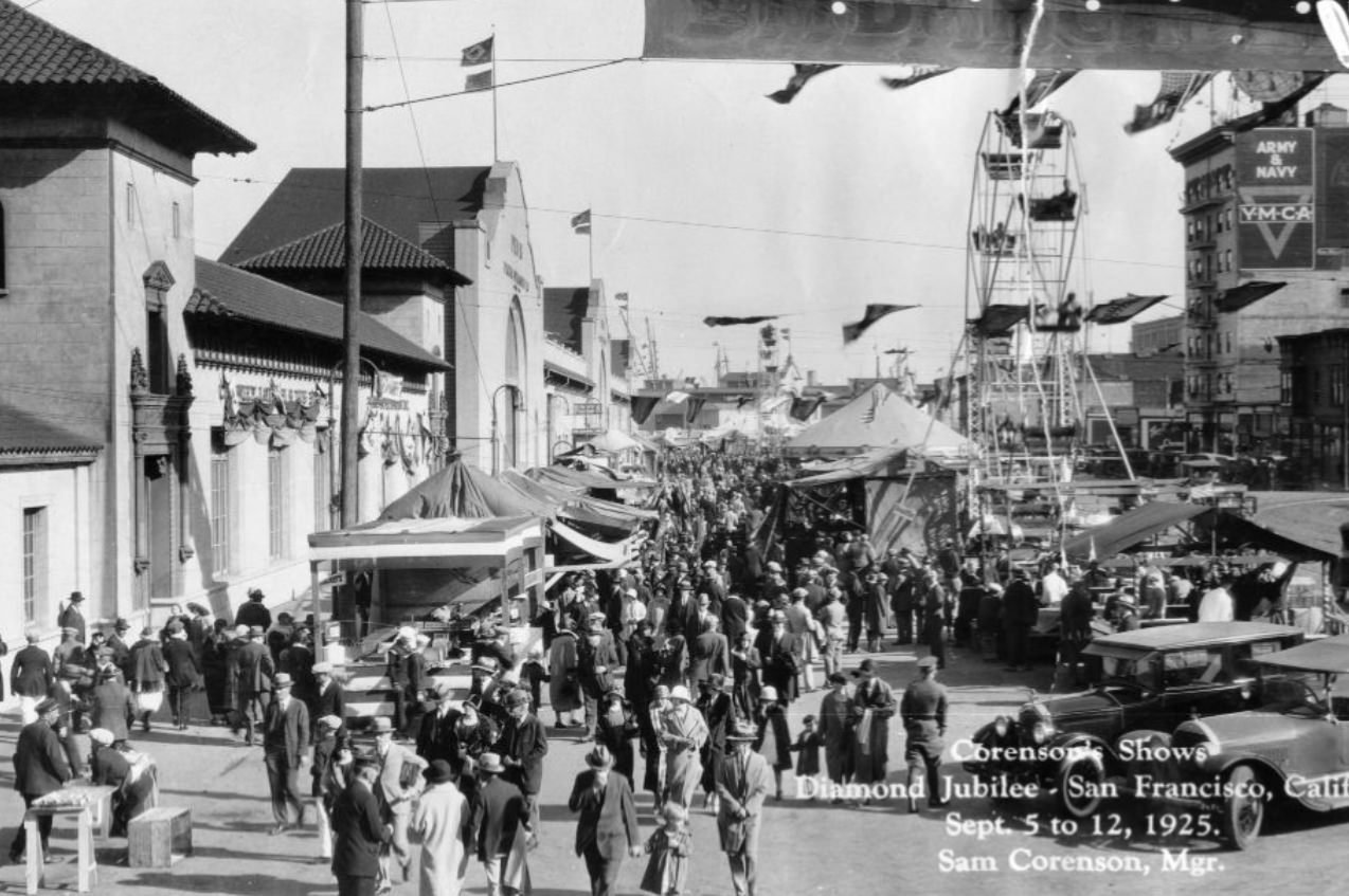
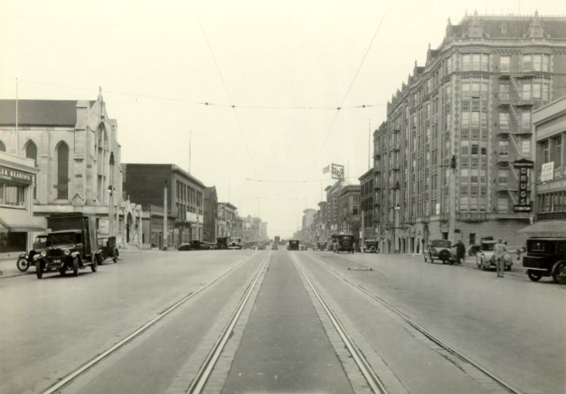
San Francisco’s 1925 Diamond Jubilee celebrated the 75th anniversary of the city’s incorporation. The event brought crowds to the streets, and commercial entertainment enterprises like Corenson’s Shows set up to capture the foot traffic. The Jubilee was the kind of large public event that San Francisco’s commercial districts were well-equipped to handle — Market Street, the waterfront, and the Civic Center all had the capacity and the infrastructure to absorb thousands of people at once. Photos from 1925 capture the festive atmosphere alongside the ordinary street life that continued around it.
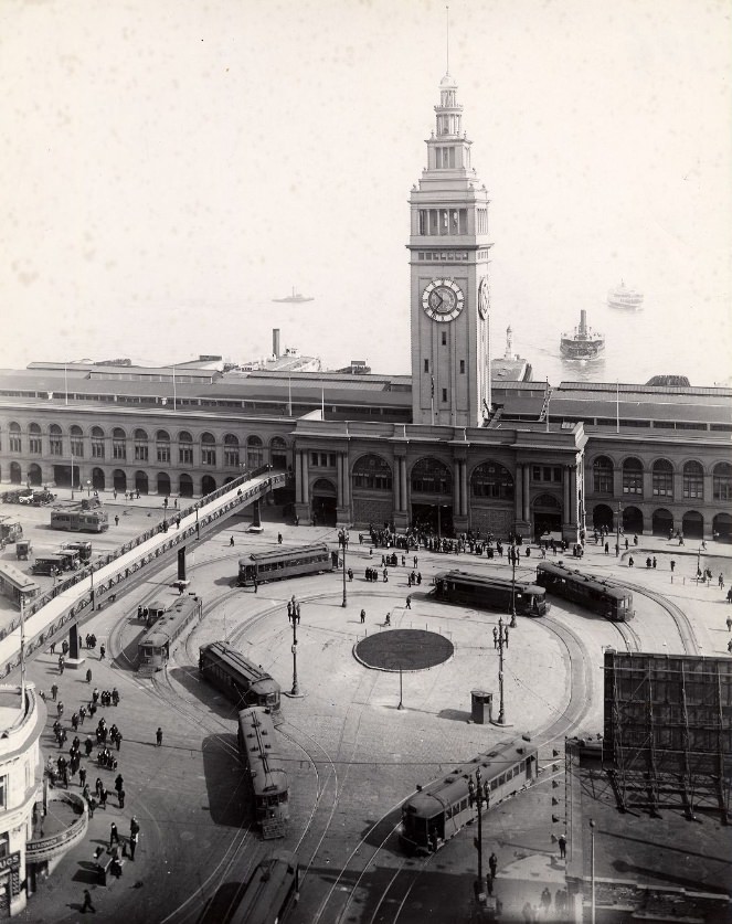
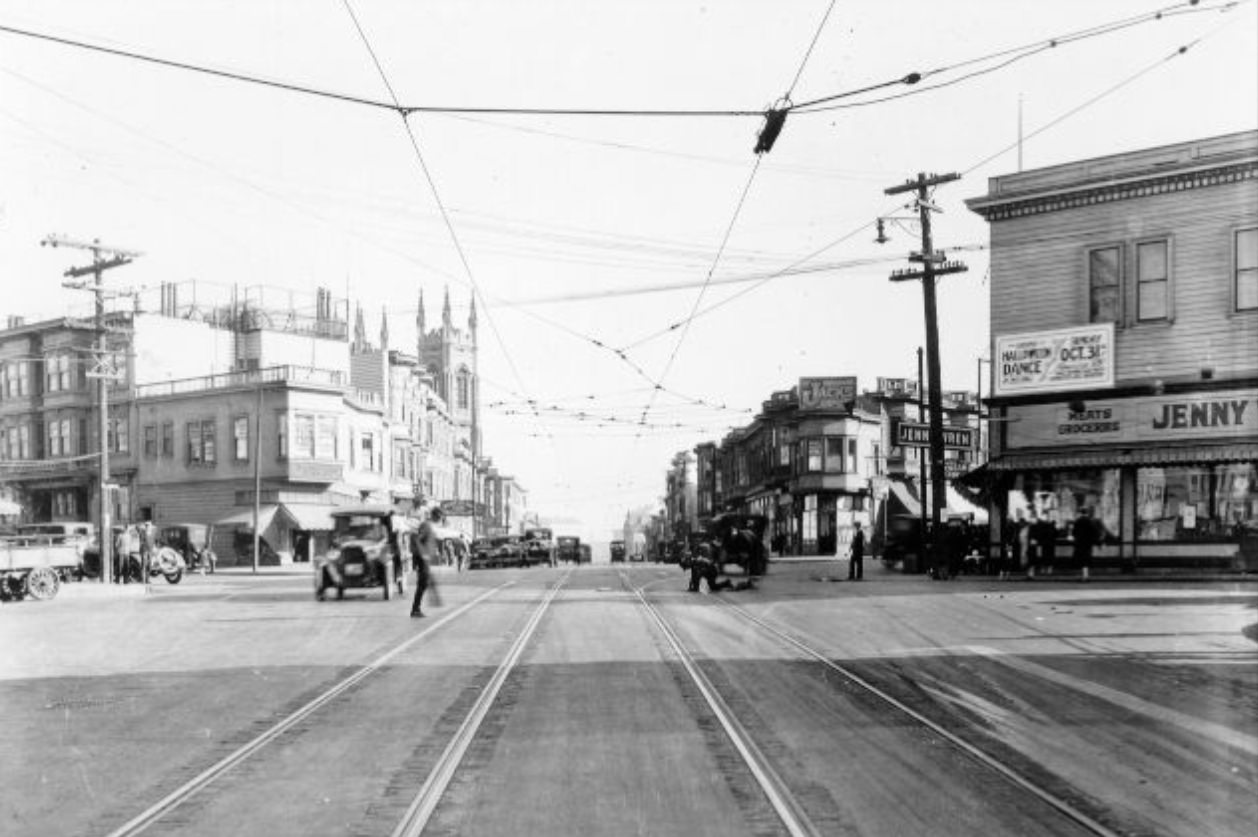
Columbus Avenue cut diagonally through North Beach and the Financial District, breaking the regular grid and creating a series of sharp-angled intersections that became natural gathering points. The street was the main artery of North Beach’s Italian-American community, lined with cafes, restaurants, bakeries, and social clubs. Photographs from Columbus Avenue in the 1920s show a neighborhood commercial street with a distinctly European atmosphere — narrow sidewalks, closely spaced buildings, and a density of signage that reflected the variety of small businesses operating there.
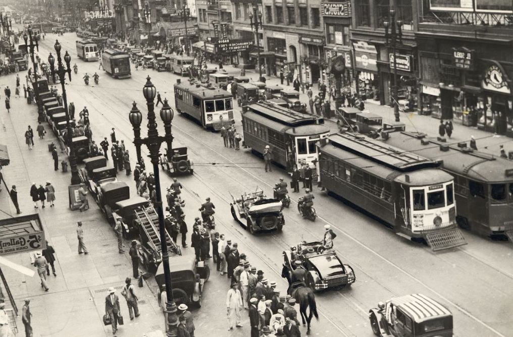
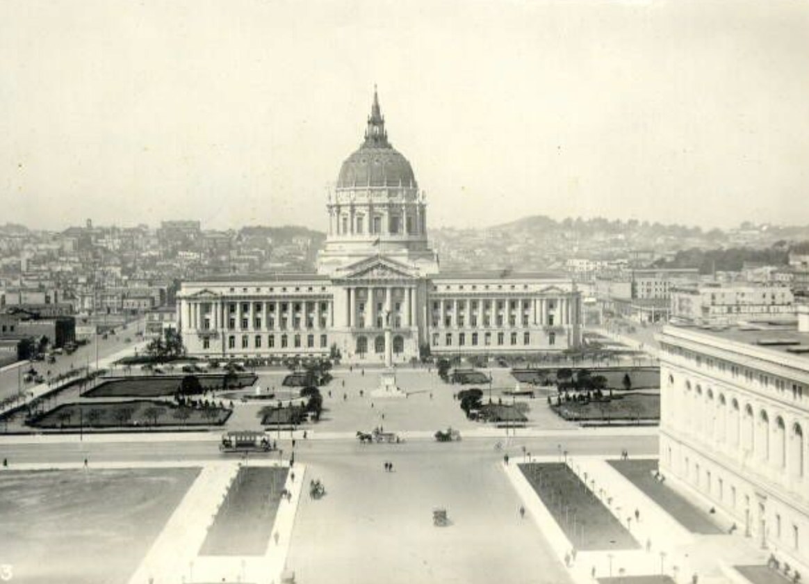
The Palace of Fine Arts, originally built for the 1915 Panama-Pacific International Exposition in the Marina District, was the only major structure from that fair left standing in the 1920s. Its classical rotunda and colonnade, designed by Bernard Maybeck, sat beside a lagoon and offered the kind of picturesque backdrop that drew photographers and Sunday visitors alike. The building’s Greco-Roman design felt deliberately out of place in a modern city — that was the point. It served as a romantic counterpoint to the decade’s enthusiasm for Art Deco and commercial architecture, a reminder of an older visual tradition still valued by many San Franciscans.
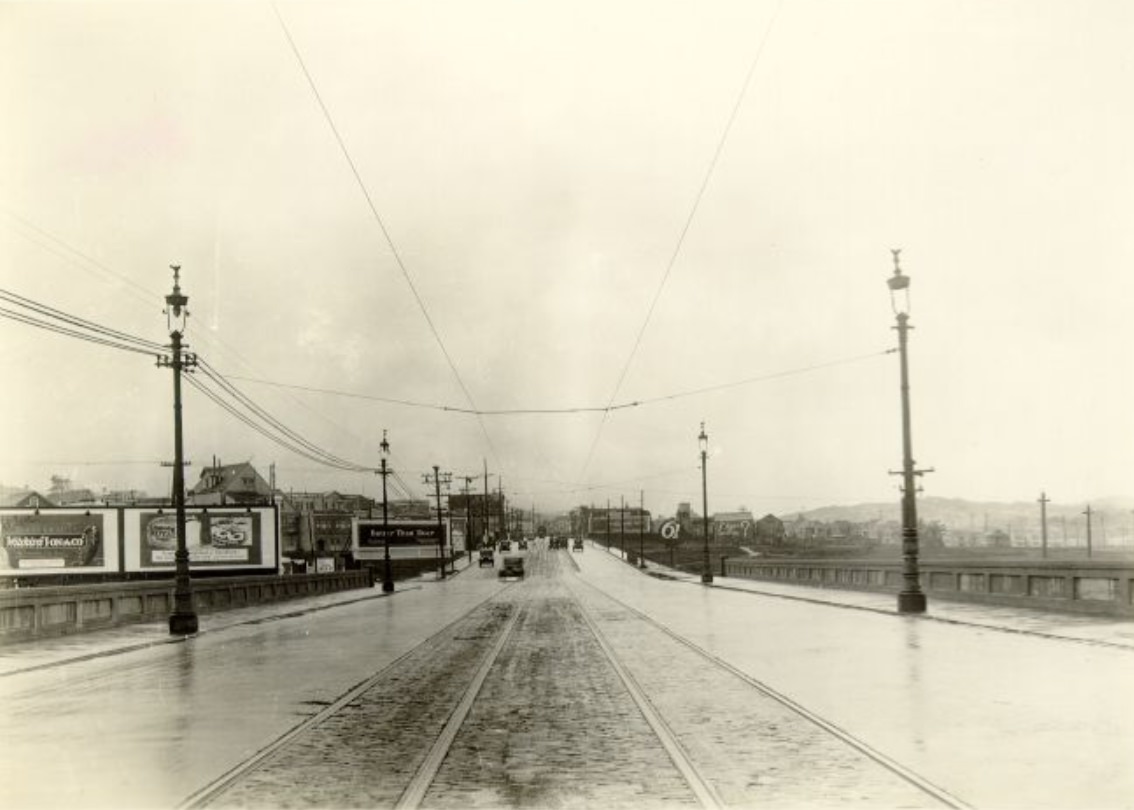
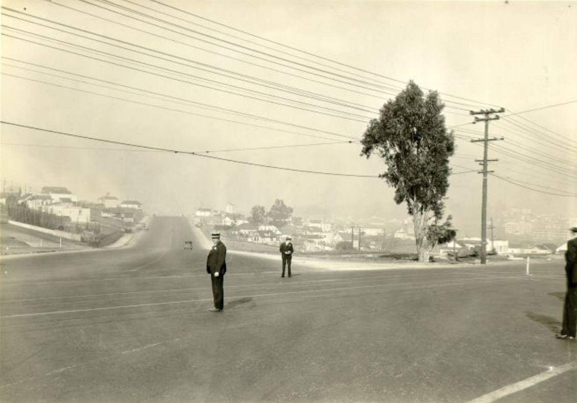
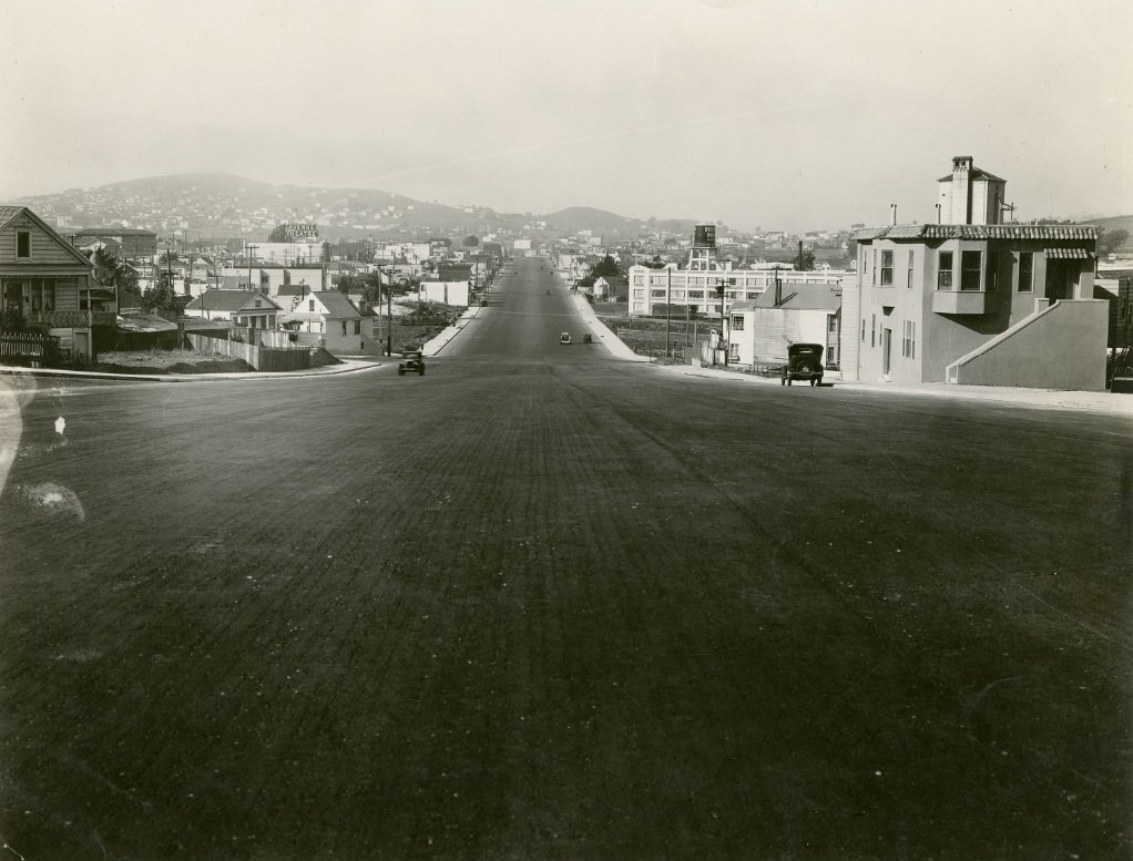
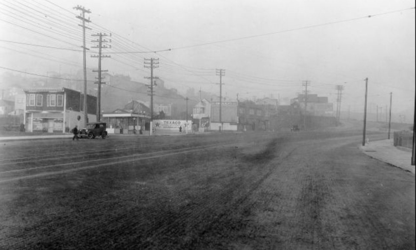
The Bayshore Highway, documented in photographs from 1929, represented a different kind of infrastructure investment — one aimed not at the city’s internal street grid but at connecting San Francisco to the peninsula communities to the south. The highway was wide, relatively straight, and built to handle the growing volume of automobile traffic that was pushing outward from the city’s edges. Photos from Bayshore Boulevard at Raymond and from Wheat Street looking north show a road environment that already looked more like a highway than a city street — fewer buildings, more open space, and a scale calibrated for moving cars rather than pedestrians.
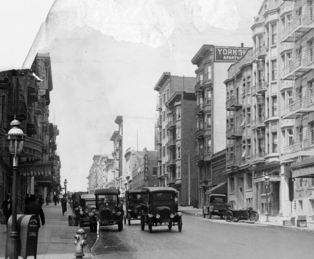
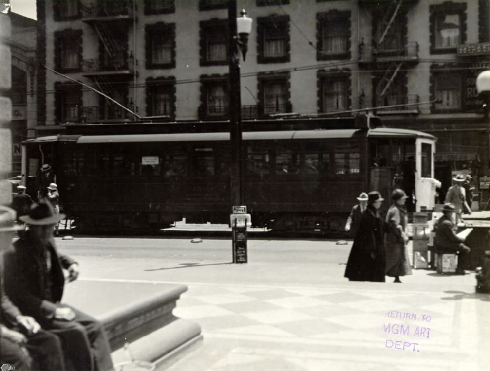
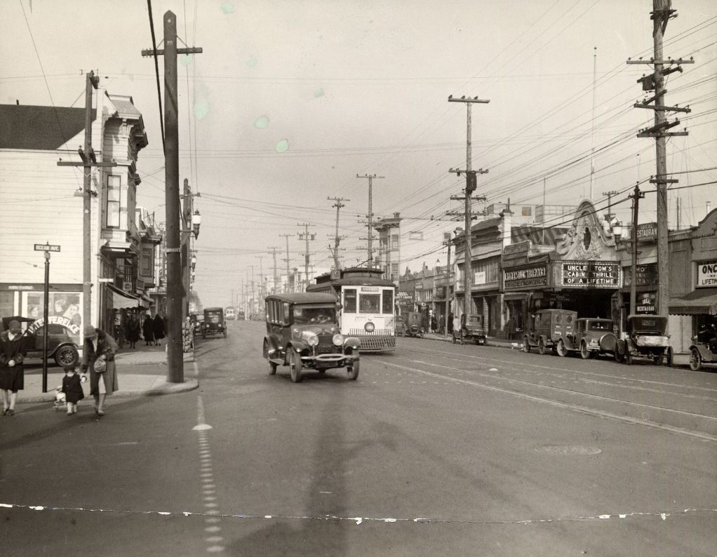
Streetcars were the primary way most San Franciscans moved around the city in the 1920s. They ran on Market Street, Mission Street, Geary Street, and dozens of other corridors, connecting neighborhoods to downtown and to each other. The 1928 photograph of a streetcar on Mission Street shows the vehicles as they appeared in daily use — not a novelty or a tourist attraction, but ordinary public infrastructure. Geary Street also had its own streetcar line, documented in multiple photographs from the decade, running from downtown all the way out to the western neighborhoods that were still being filled in with new housing.
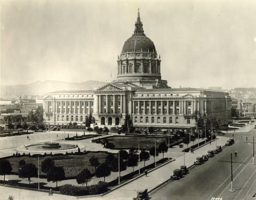
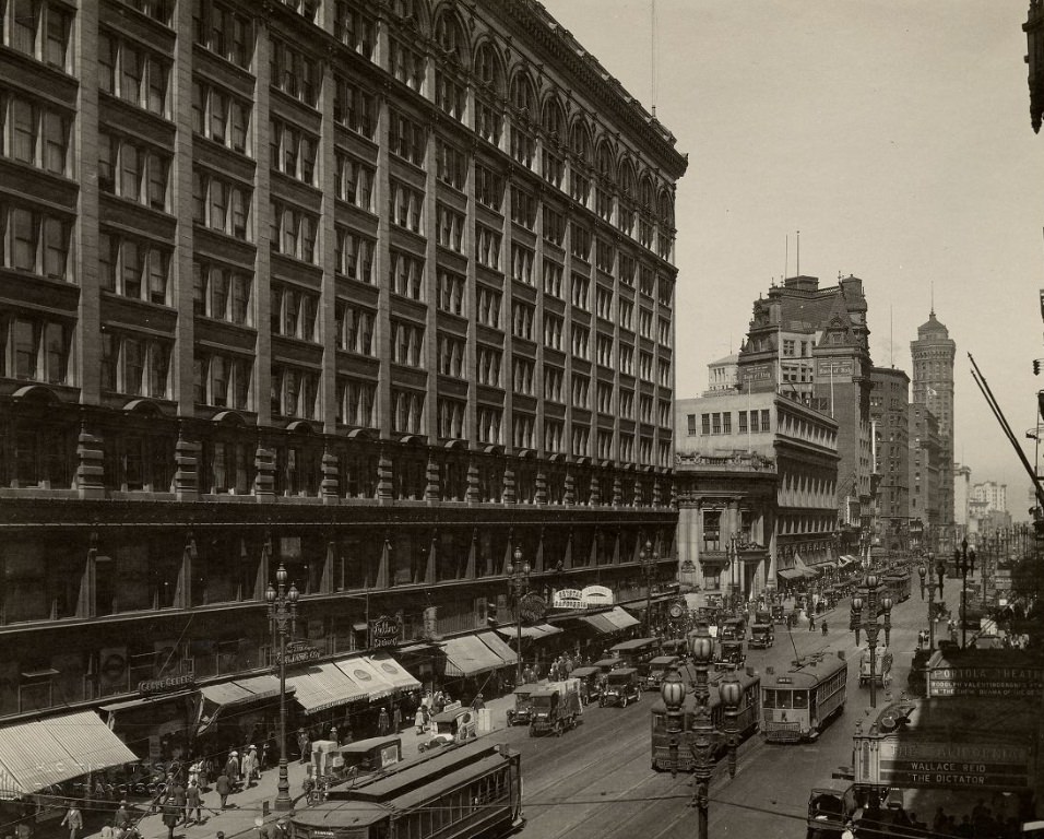
City Hall’s dome dominated the Civic Center skyline throughout the 1920s, visible from much of the surrounding neighborhood and photographed repeatedly from multiple angles and distances. Built after the 1906 earthquake destroyed its predecessor, the 1915 City Hall was designed by architects Bakewell and Brown in the Beaux-Arts style. Its dome rose higher than the U.S. Capitol building’s, a fact that San Franciscans noted with pride. The building appeared in photographs from 1925, 1926, and 1929 — sometimes with crowds in the plaza, sometimes empty — as a permanent and recognizable anchor for the city’s civic identity.
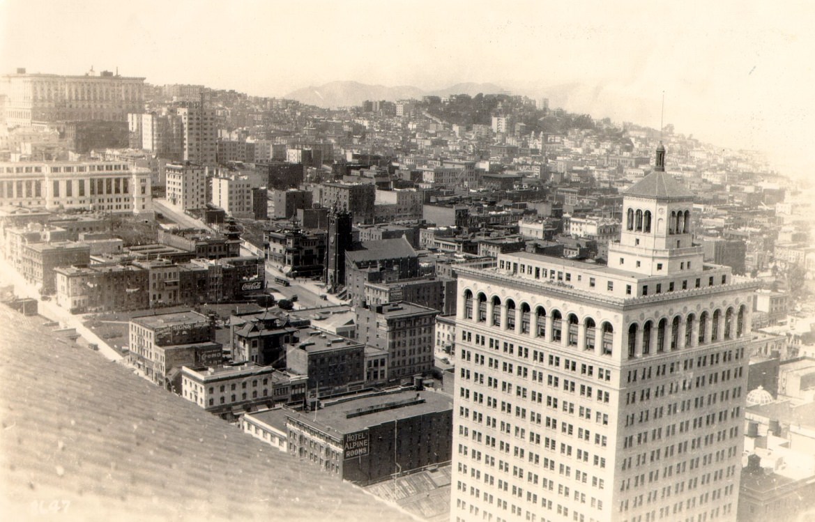
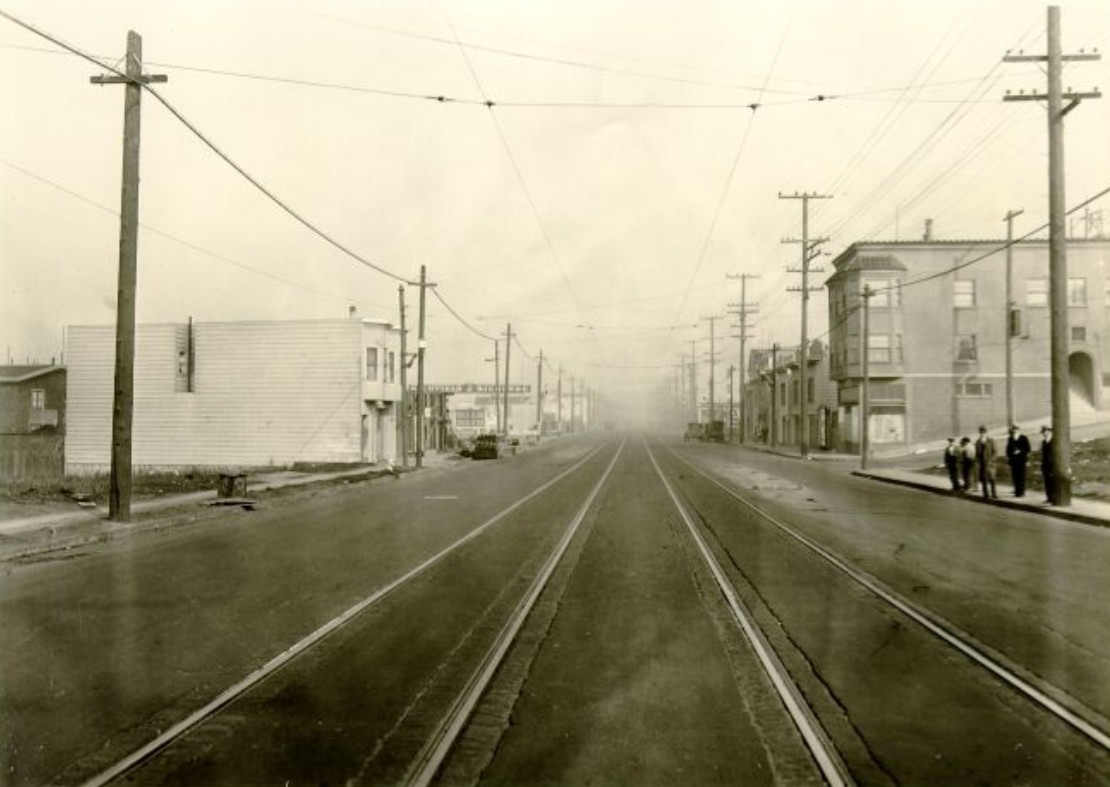
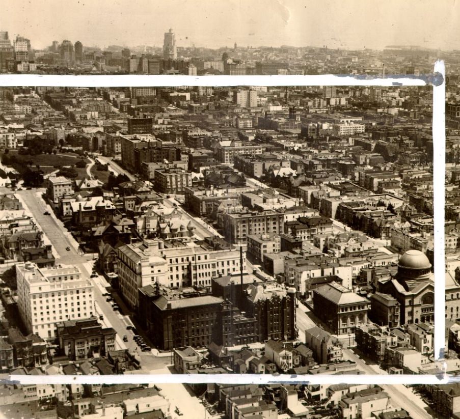
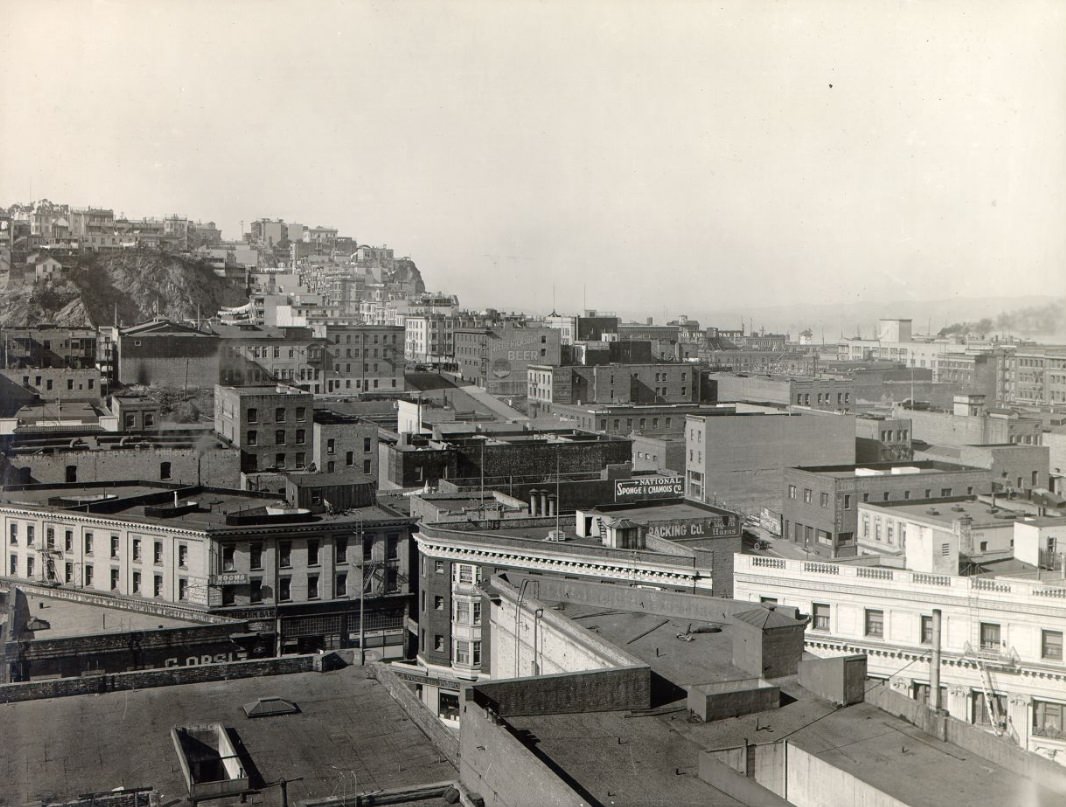
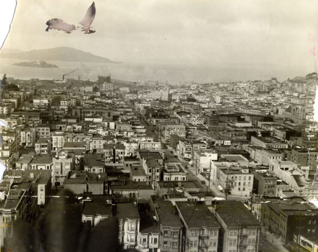
Looking at broad views of San Francisco from 1923 and 1925, the city’s topography imposed itself on everything. Streets ran straight until they hit a hill, then angled or stopped or turned into staircases. Neighborhoods spread across ridgelines and into valleys, and the bay appeared unexpectedly at the end of streets that ran east or north. The Hall of Justice photographs from 1921 — looking northwest, northeast, east, south, and southwest from the same roof — form a panoramic record of how the city looked at the start of the decade, its various districts identifiable by their density, their building heights, and the gaps of undeveloped land still visible in some directions.
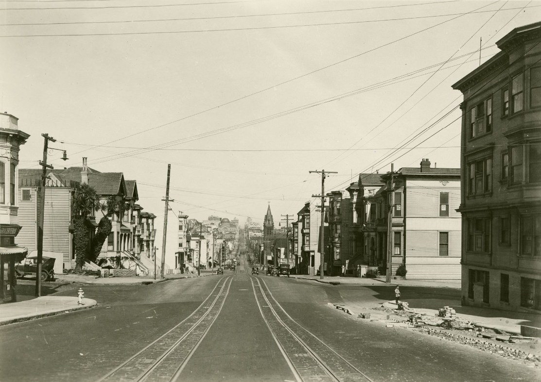
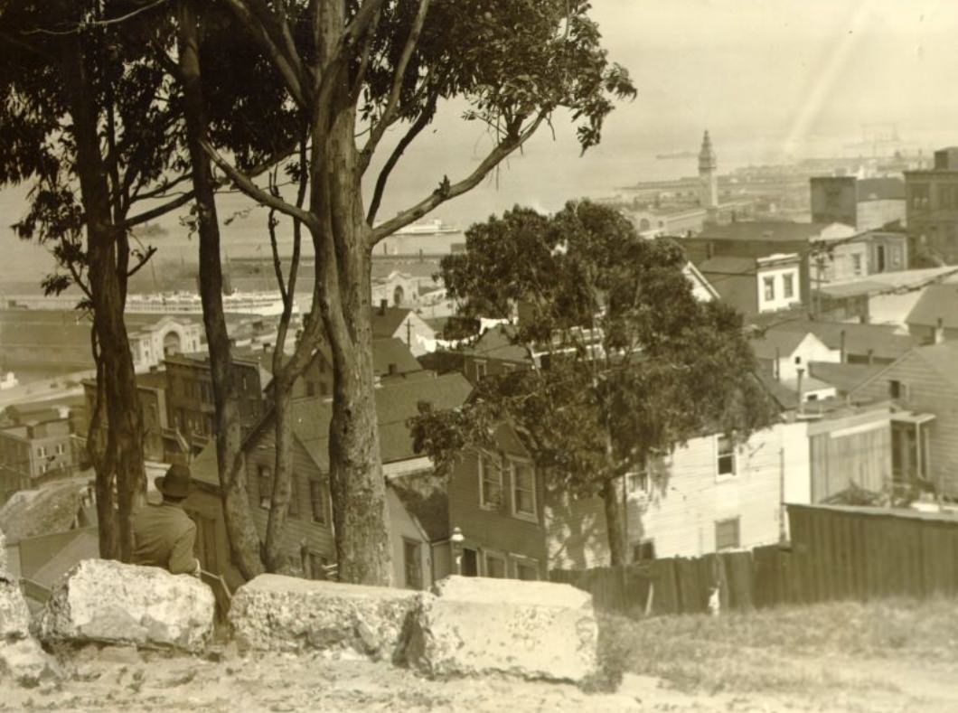
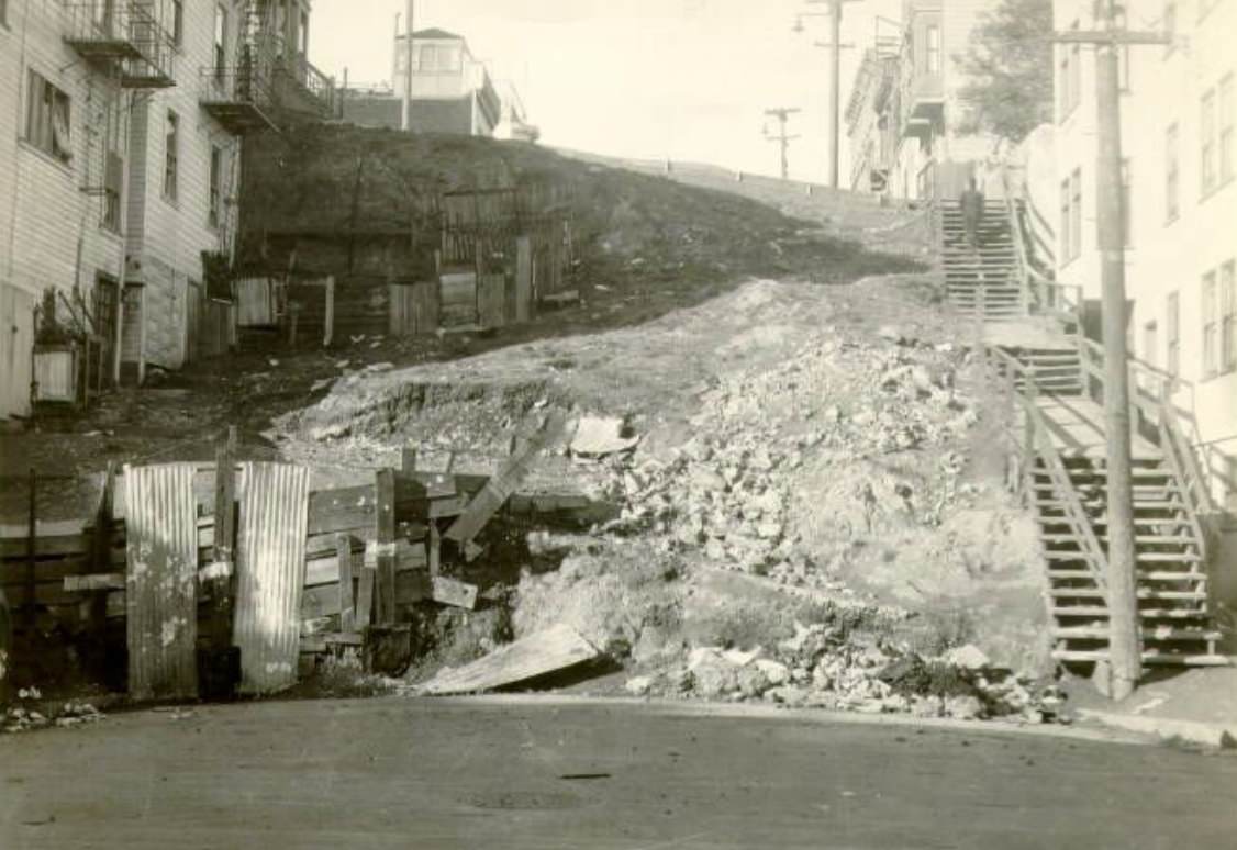
Telegraph Hill offered one of the most dramatic viewpoints in the city. The 1920 photograph from its summit looks out over North Beach and the bay, with the waterfront piers stretching along the Embarcadero and the hills of the East Bay visible in the distance. By 1928, a photograph from the same general vantage point showed how much had changed — more buildings, denser blocks, more vessels on the bay. The hill itself remained largely undeveloped on its steep eastern face, accessible mainly by stairs cut into the rock, a fact that gave it a wild quality that stood in sharp contrast to the dense urban environment spreading below it.
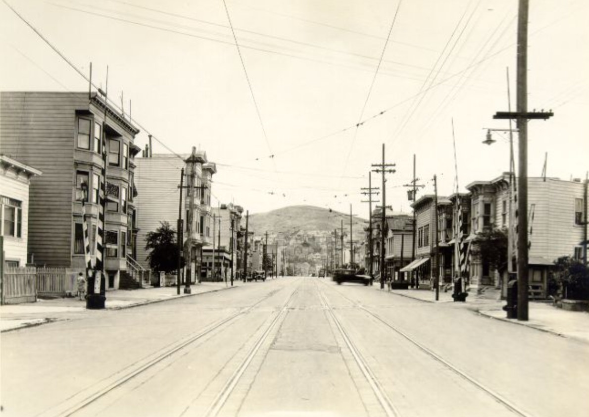
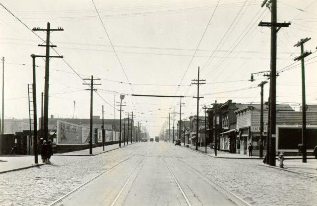
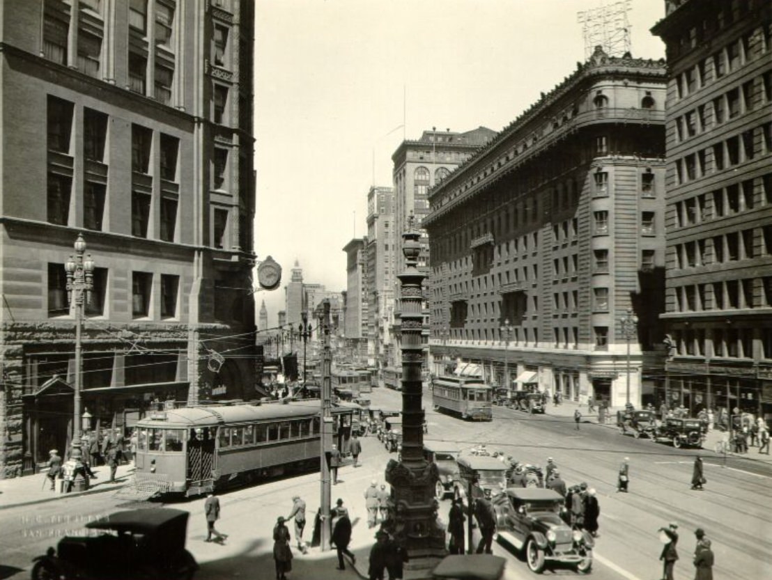
Lotta’s Fountain stood at the intersection of Market, Kearny, and Geary streets — one of the city’s most historically loaded corners. The fountain had been given to the city in 1875 by entertainer Lotta Crabtree and had survived the 1906 earthquake largely intact. By 1927, it was a recognized landmark, photographed from multiple angles as one of the few physical objects connecting San Francisco’s pre-earthquake past to its rebuilt present. The intersection it occupied was among the busiest in the city, where three major streets converged and streetcar lines crossed, making Lotta’s Fountain both a geographic reference point and a daily fixture for thousands of commuters.
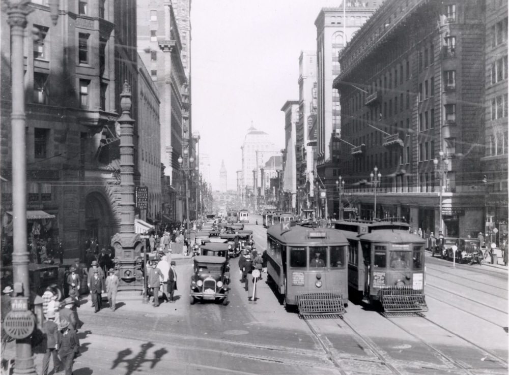
Montgomery Street in the Financial District was the address of choice for San Francisco’s banks and brokerage houses. Photographs from 1924 and 1927 show a canyon of commercial buildings — some from before the earthquake, others built in the decade after — lining both sides of the street from Market northward to Broadway and beyond. The intersection at Pine Street captured in 1924 shows a corner typical of the district: imposing stone facades, men in suits moving between buildings, and the general atmosphere of financial seriousness that the street was designed to project. By 1927, photographs from Montgomery north of Green Street show the same corridor extending into North Beach’s quieter edge.
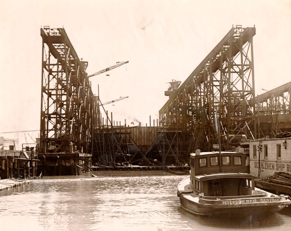
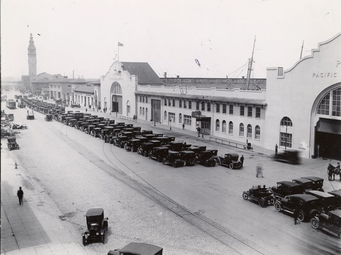
The construction of the first Richmond ferry in 1924 extended the bay crossing network that San Franciscans depended on for regional travel. Before the Bay Bridge and the Golden Gate Bridge, ferries were the only way to cross the water, and the system that operated out of the Ferry Building handled enormous volumes of daily passengers and freight. A photograph from the Embarcadero in 1920 shows cars lined up near the Ferry Building, waiting to board. By 1927, the Embarcadero at Howard Street and opposite Pier 34 had been documented in detail, showing the industrial waterfront activity that kept the city’s economy connected to the broader region.
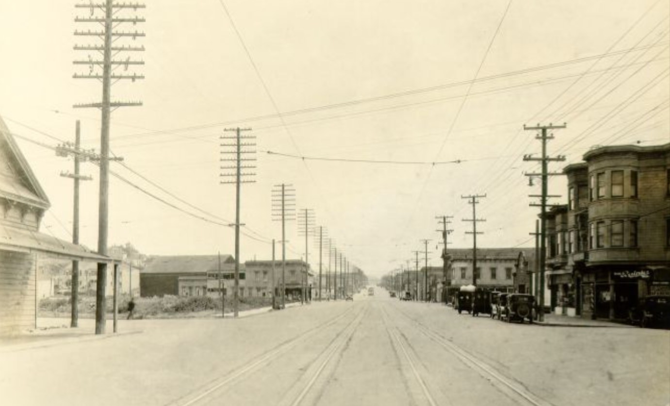
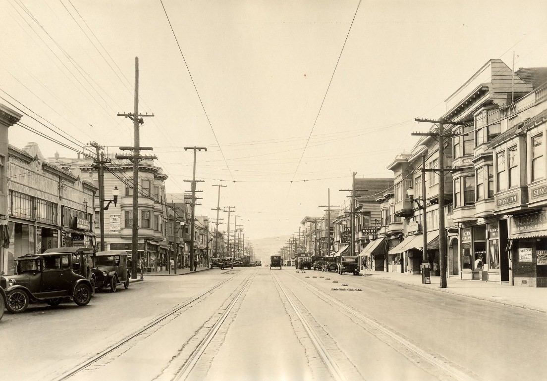
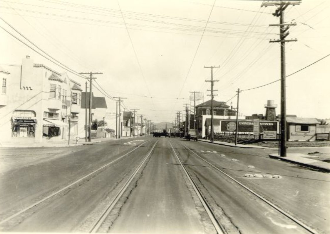
The Excelsior District, where Mission Street approached Ocean Avenue near the city’s southern boundary, was among the last residential areas to fill in during the 1920s. Photographs from Mission Street at Excelsior in 1928 and at Ocean Avenue in 1929 show a neighborhood that was newer and less dense than the blocks closer to downtown — single-family homes and small apartment buildings set back from a commercial strip that was still establishing itself. The Excelsior had a working-class character shaped by the families of laborers and tradespeople who had moved there as the housing stock expanded.
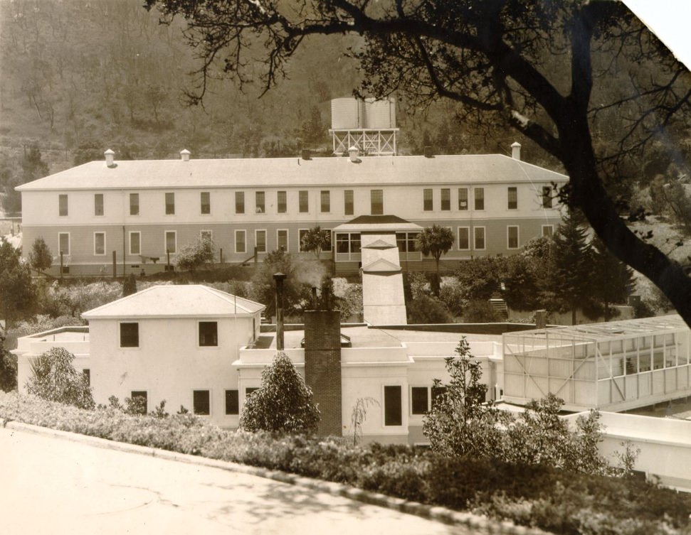
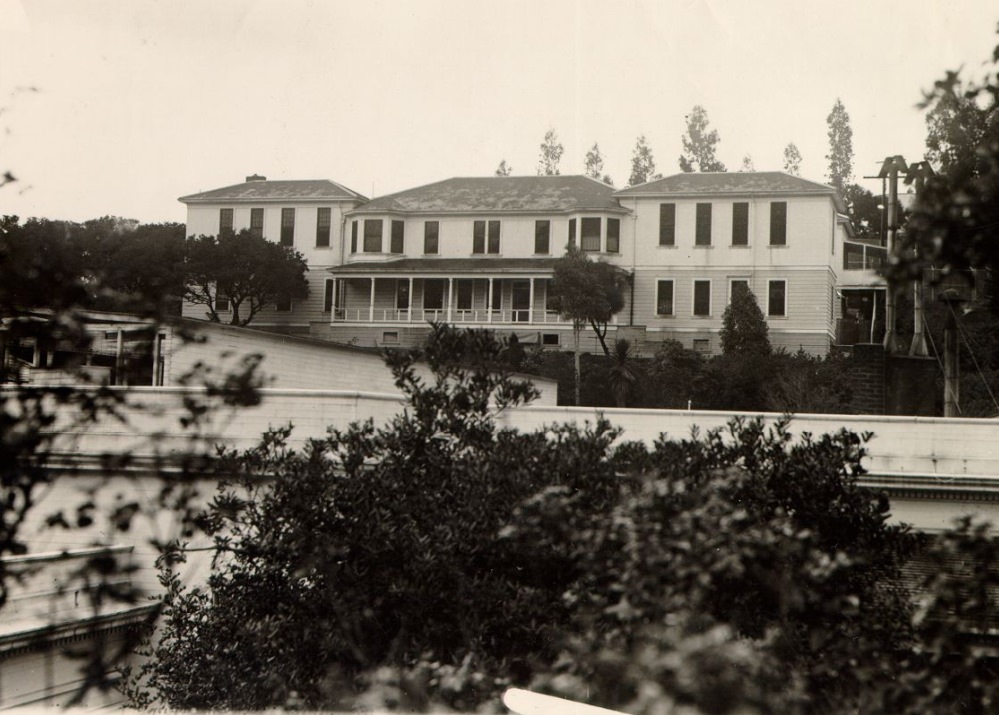
The detention building at Angel Island Immigration Station was where immigrants waited — sometimes for days, sometimes for weeks or months — while their paperwork was reviewed. For Chinese immigrants, the waits were often the longest, as officials scrutinized their claims under the restrictive terms of the Chinese Exclusion Act. The building’s interior walls were covered with poetry carved by detainees expressing their frustration, grief, and longing. Photographs of the building’s exterior in the 1920s show a plain institutional structure that gave no outward indication of what happened inside. The hospital building on the same island, photographed in 1928, provided medical care to arrivals who were ill on arrival.
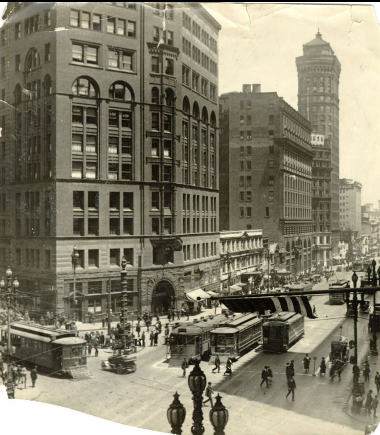
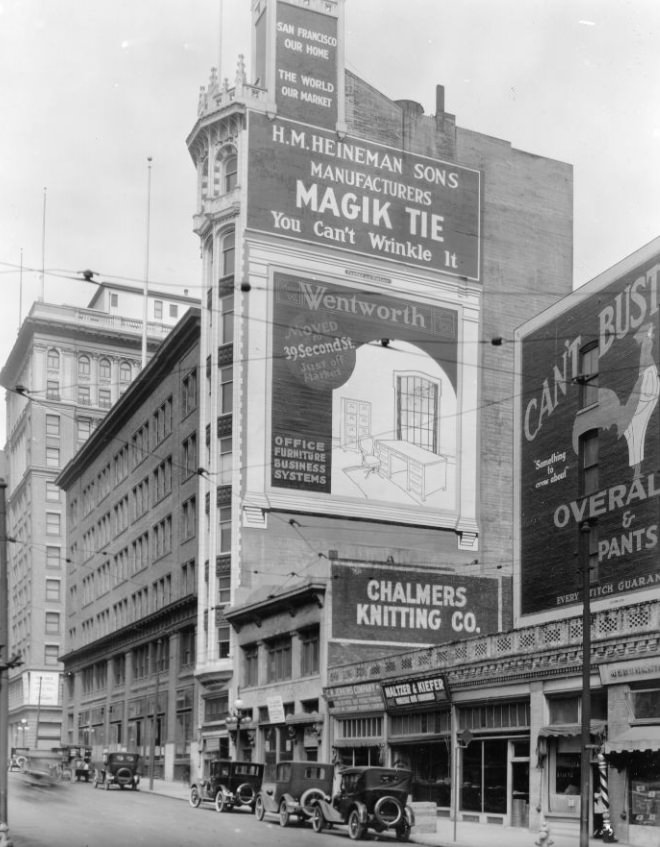
The Chronicle Building at Market and Third Street was one of the most recognizable structures in downtown San Francisco. Home to the San Francisco Chronicle, the building dated to 1890 but remained a central fixture of the Market Street streetscape throughout the 1920s. Its location near the intersection of Market and Kearny placed it at the convergence of several major transit lines, making the surrounding block one of the busiest in the city. Photos from Market Street in the 1920s frequently included the Chronicle Building in the frame as a visual anchor for the downtown corridor.
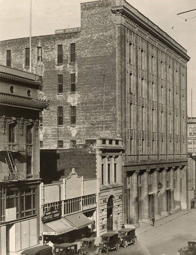
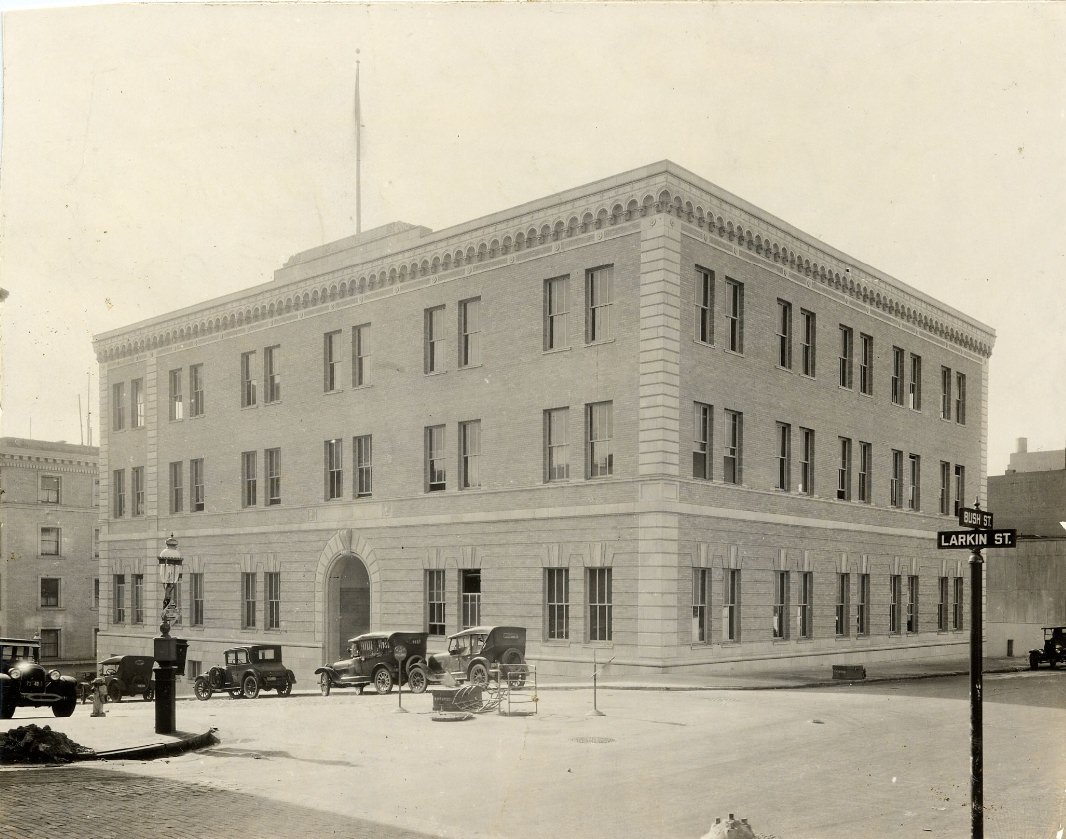
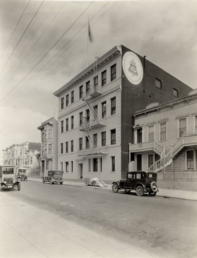
Pacific Telephone and Telegraph expanded aggressively across San Francisco during the 1920s, constructing or occupying buildings at multiple locations across the city — 140 New Montgomery, 444 Bush Street, 1045 Capp Street, Bush and Larkin, and 19th Avenue among them. Each of these buildings had its own architectural character, but the flagship Art Deco tower on New Montgomery remained the most prominent. The company’s expansion reflected the decade’s rapid growth in telephone use and the infrastructure investment required to support a city of hundreds of thousands of connected subscribers.
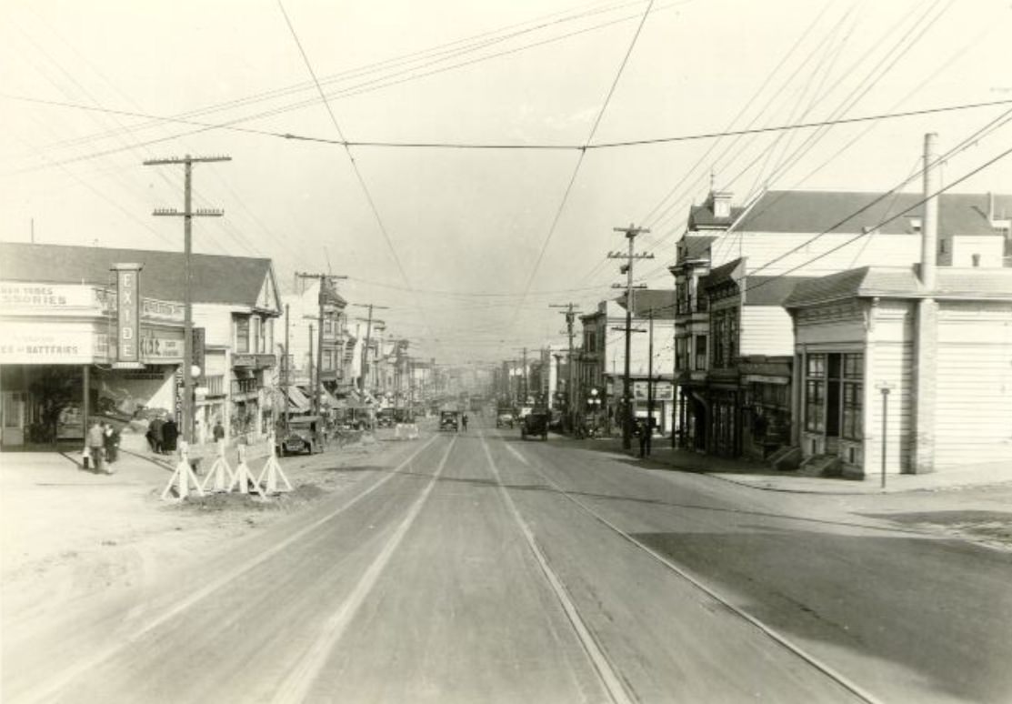
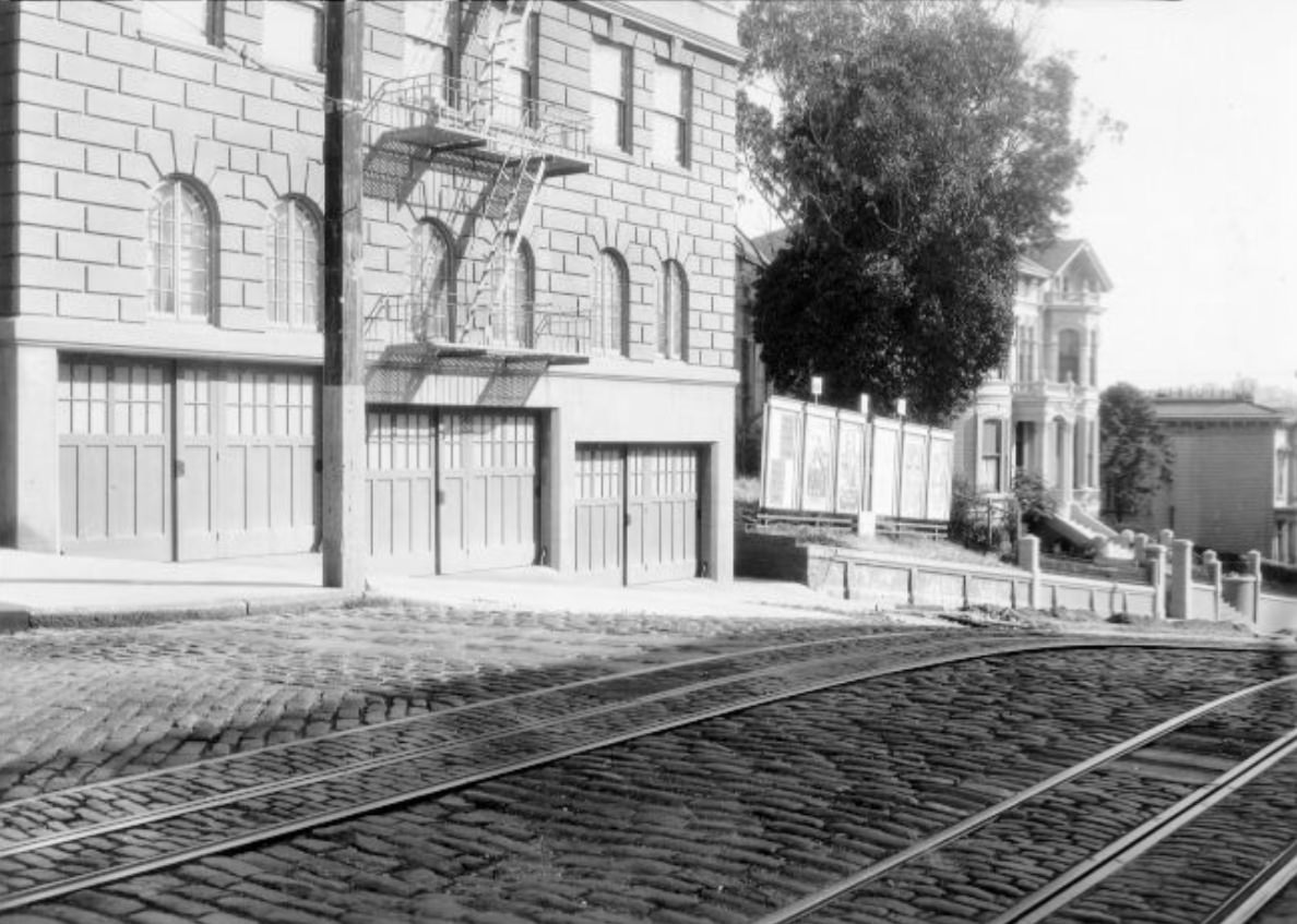
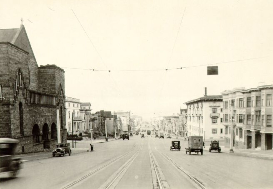
The western sections of California Street, photographed from Lyon Street and from Gough looking east in 1926, showed a street in transition between the residential neighborhoods of the Western Addition and the more densely built areas approaching Nob Hill. These blocks were quieter than the Financial District end of the street, with a mix of apartment buildings, single-family homes, and occasional small businesses. The cable car tracks ran through this stretch as well, providing a visual line of continuity between the street’s western end and its eastern descent into the commercial core.
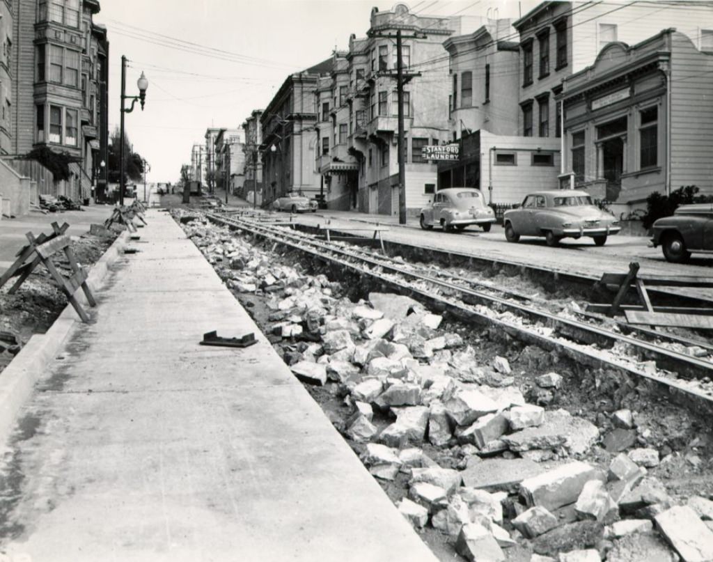
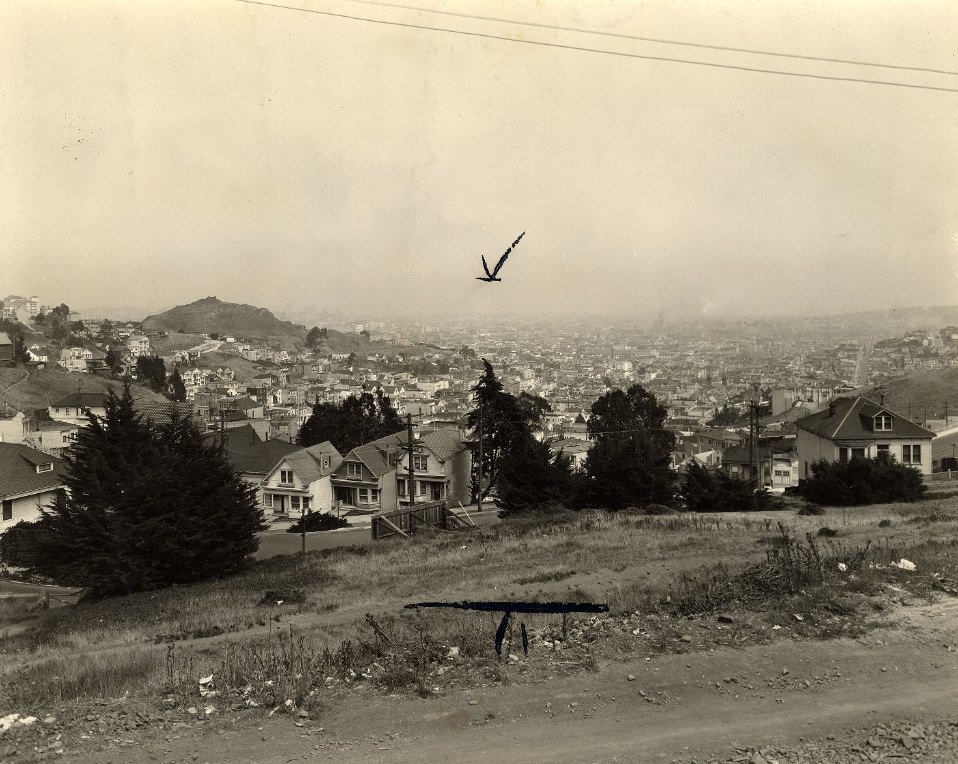
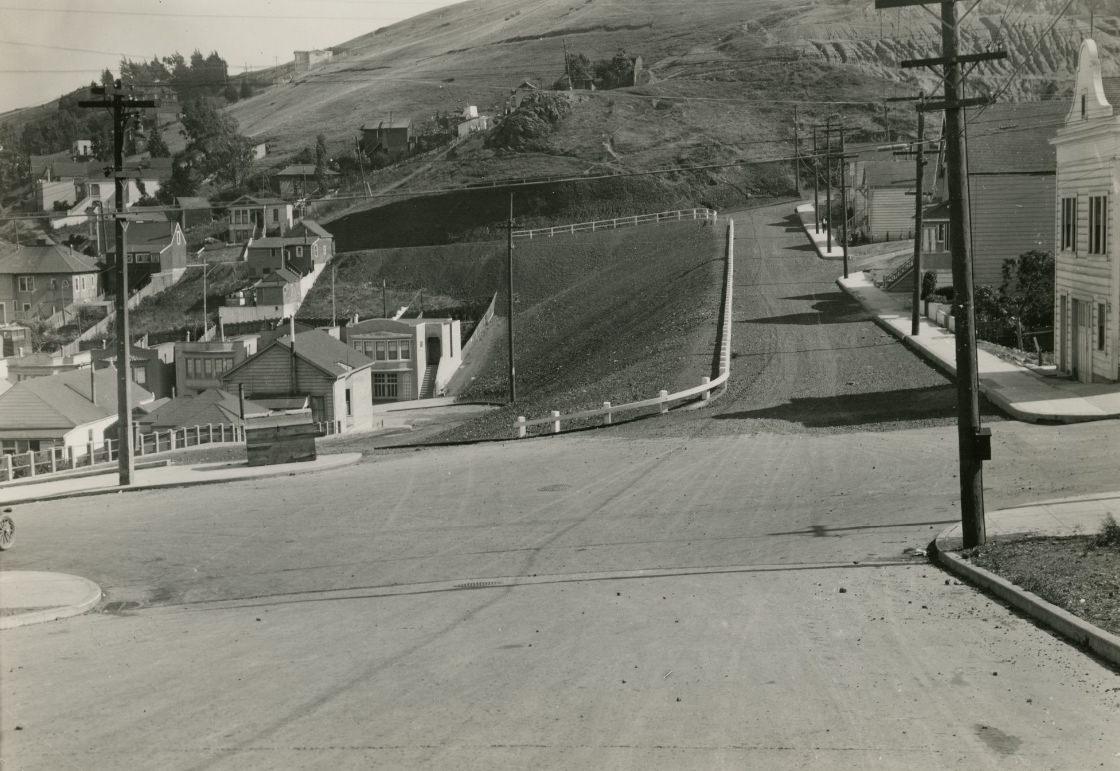
By 1928, the view from Twin Peaks showed a city that had filled in considerably since the 1923 photograph taken from the same location. Residential blocks extended further in every direction, and the gaps in development that had been visible earlier in the decade were closing. The 1928 view looking northwest captured the Richmond District, the Sunset, and the western neighborhoods in various states of completion — streets platted and graded, some with houses, others still mostly empty lots awaiting buyers. The bay and the hills of Marin County remained visible on the horizon, framing the city’s growth within the larger geography of the region.
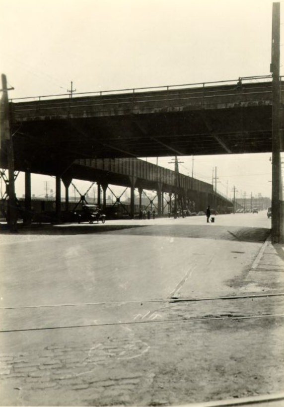
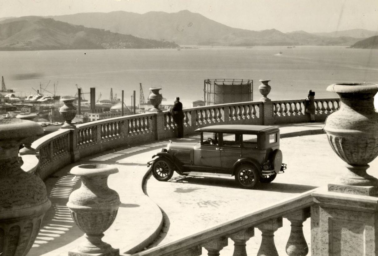
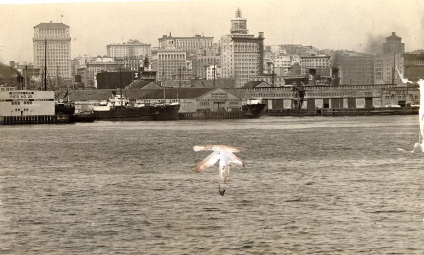
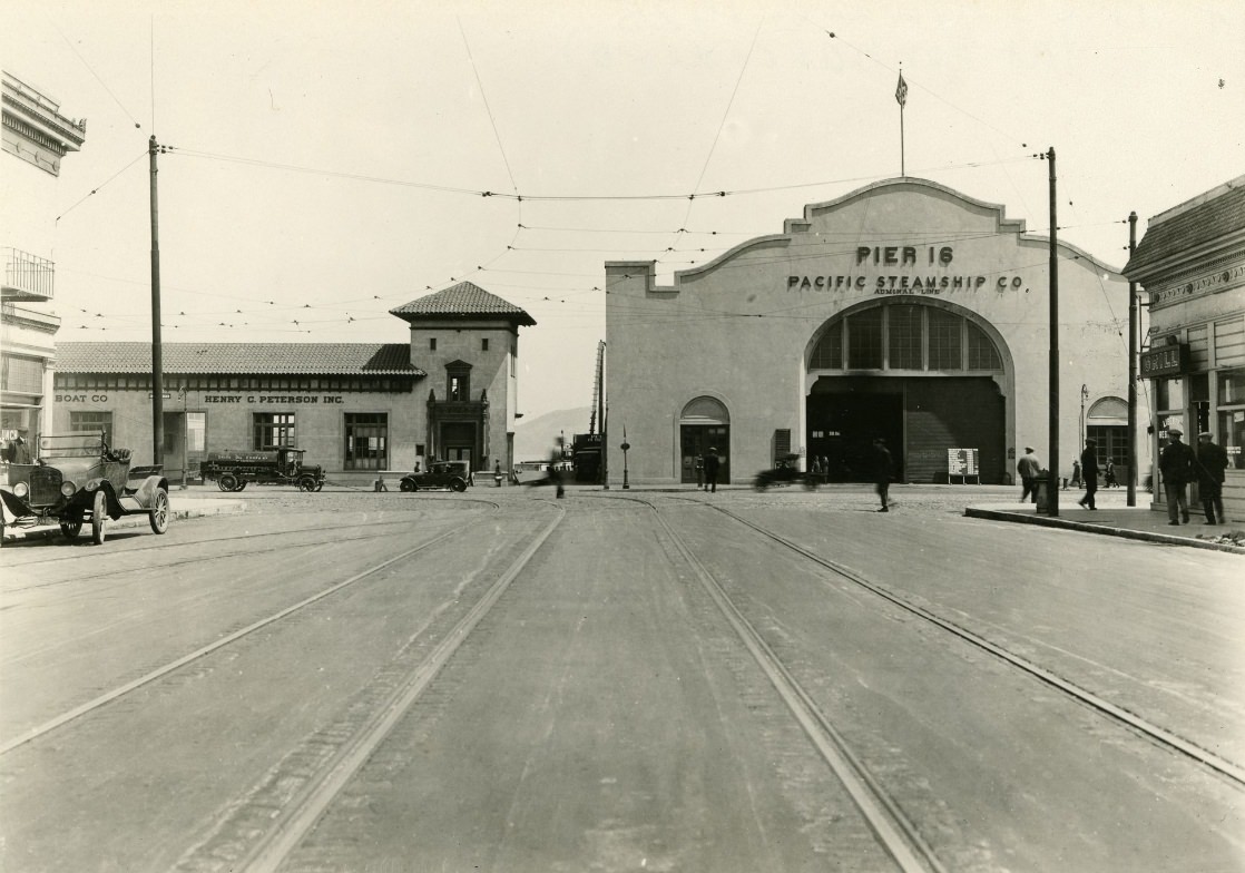
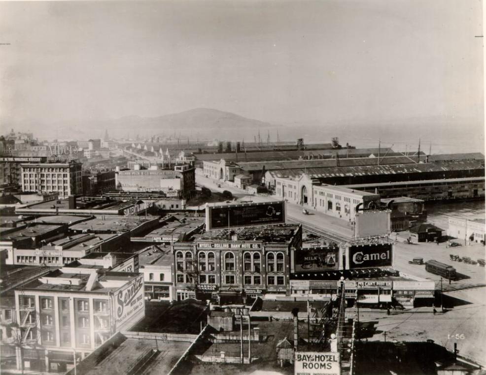
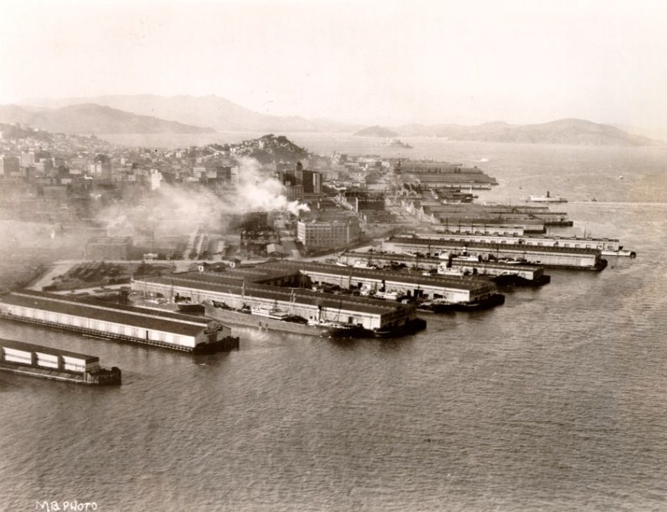
The waterfront piers along the Embarcadero were among the most photographed parts of San Francisco in the 1920s, both from the street and from the air. A circa 1924 view of piers 18 through 22 from the bay shows the scale of the city’s port infrastructure — massive wooden structures extending into the water, built to handle the volume of goods and passengers moving through one of the West Coast’s busiest harbors. By 1927, photographs from the bay looking toward the waterfront showed the full sweep of the piers, with the city rising steeply behind them and the hills forming a backdrop that made San Francisco’s waterfront immediately recognizable.
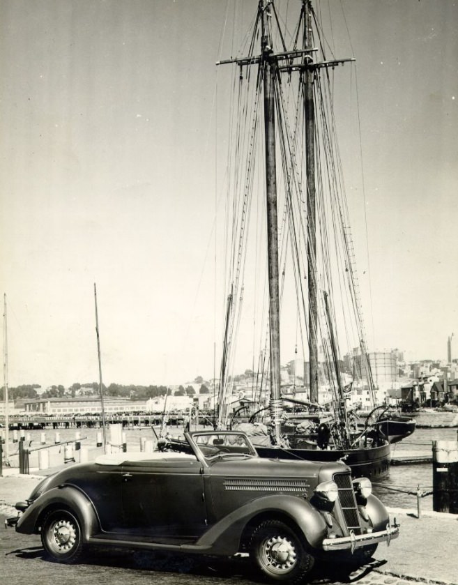
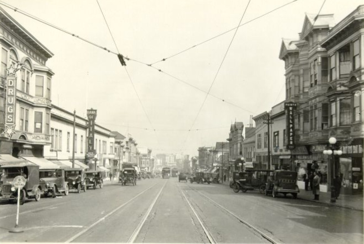
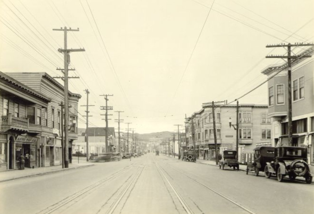
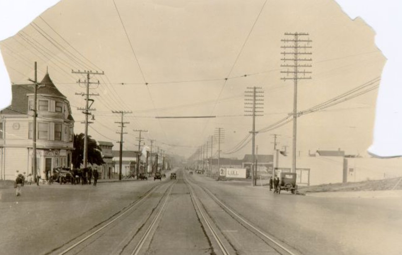
Geary Street was one of the city’s main east-west transit corridors, running from downtown all the way to the ocean. Streetcars ran its full length, stopping at numbered avenues as the street passed through the Richmond District. Photographs from Geary at 2nd Avenue in 1926, at 5th Avenue in 1925, at 18th Avenue in 1929, and at 22nd to 23rd Avenue in 1927 document the street as it progressed from dense commercial blocks near downtown to quieter, more residential stretches further west. The Richmond District, which Geary traversed, was one of the neighborhoods expanding most rapidly during the 1920s as the city’s middle class sought newer housing away from the older, more crowded southern neighborhoods.
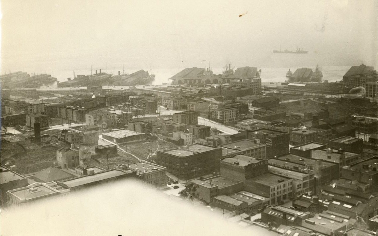
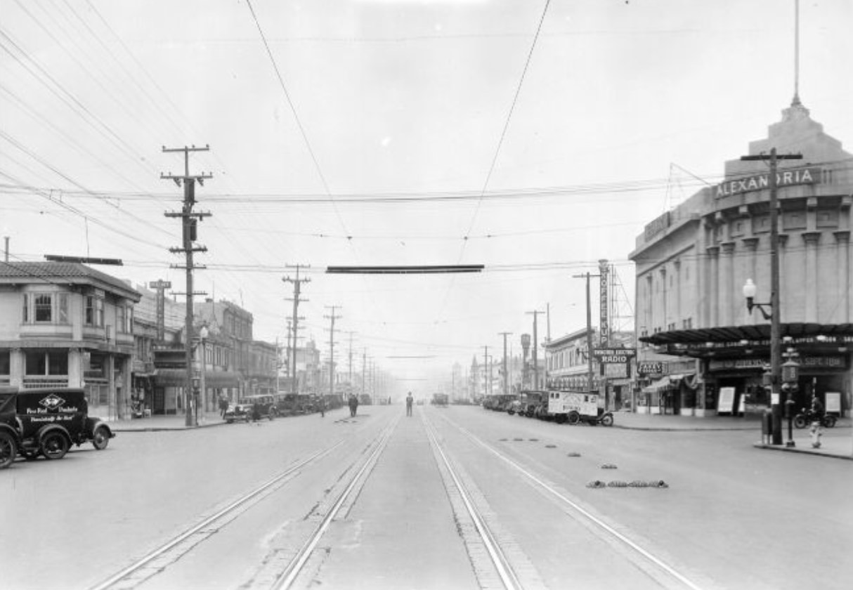
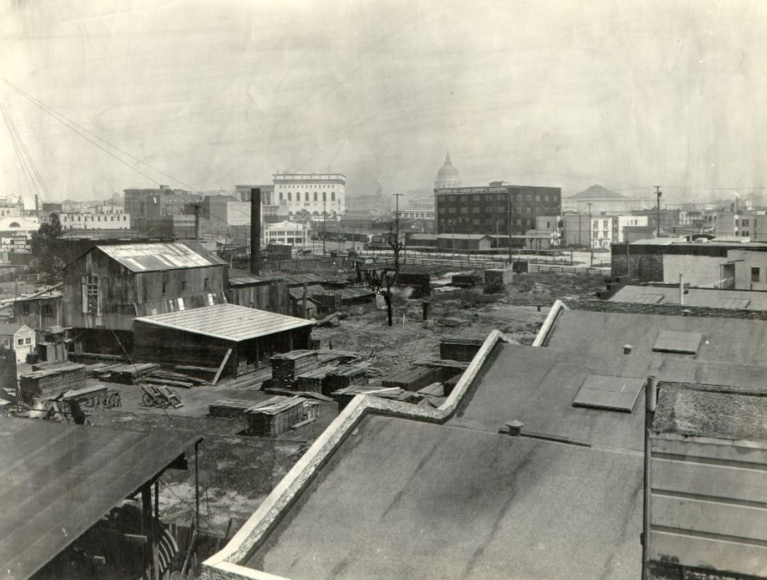
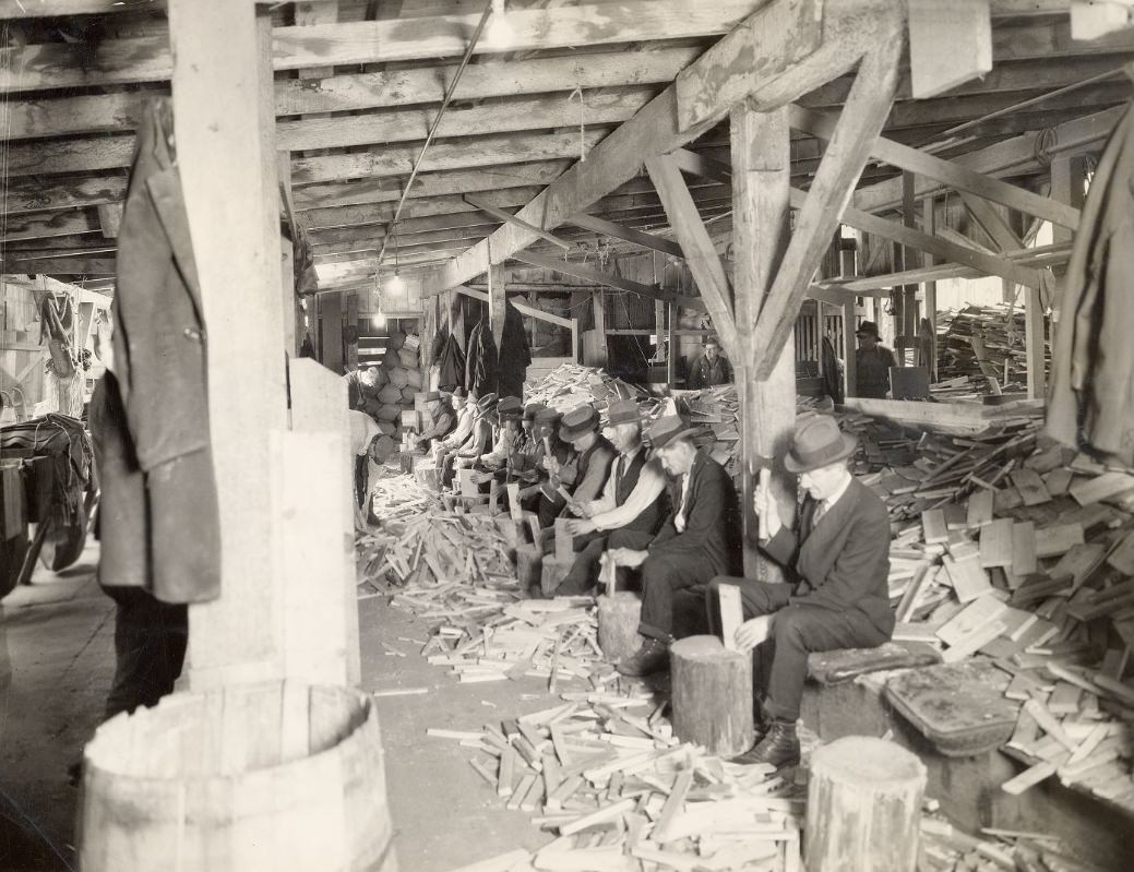
The Salvation Army woodyard photographed in 1928 was one of several social services operating in San Francisco during a decade that, despite its general prosperity, still left many men without steady work. The woodyard provided employment to transient and unemployed men in exchange for food and shelter — a common model for charity organizations of the period. Its presence in the photographic record alongside images of busy commercial streets and new Art Deco buildings serves as a reminder that the 1920s’ prosperity in San Francisco, as elsewhere, was unevenly distributed.
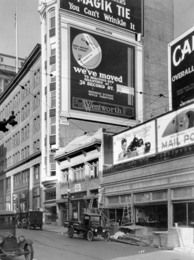
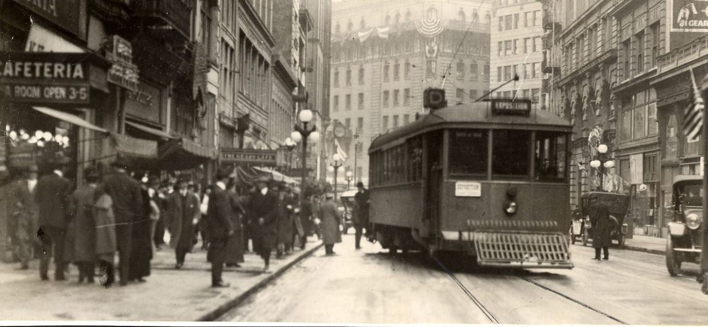
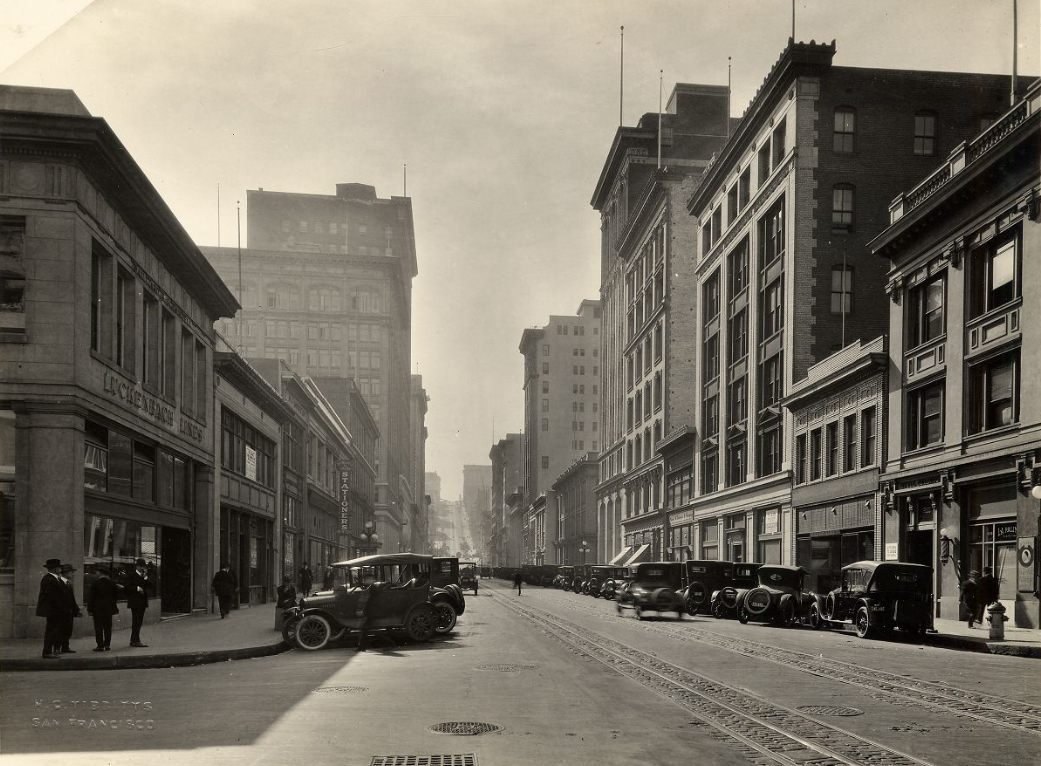
Bush Street cut through several distinct zones of the city. Near Kearny, where it was photographed circa 1924 looking east, it sat at the edge of the Financial District, lined with commercial buildings and occupied by pedestrians and vehicles moving between downtown and the Tenderloin. Higher up, above Taylor, it climbed through a quieter residential zone before dropping again toward Van Ness. The multiple photographs of Bush Street from the 1920s — some dated precisely, some labeled only with the decade — capture this variety of urban environments along what was essentially a single continuous corridor.
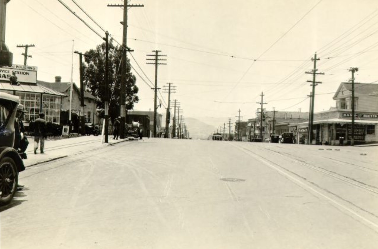
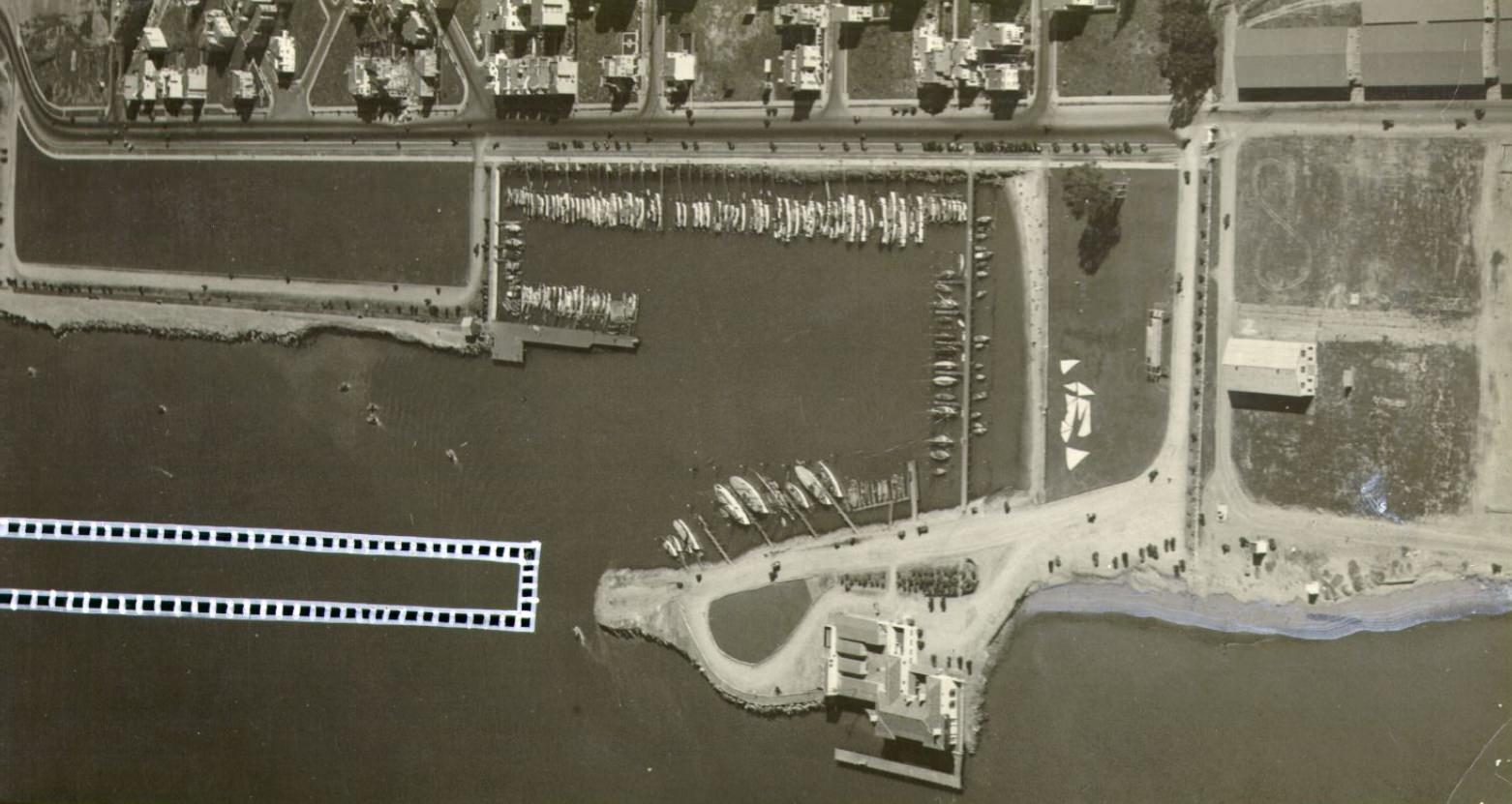
An aerial view of the Marina Yacht Harbor in 1929 shows the finished product of the neighborhood’s decade-long transformation. The harbor was neatly organized, the surrounding streets were built out with new residential construction, and the overall impression was of a planned and orderly district that had largely achieved what its developers intended. The view from the air made visible what street-level photographs could not: the relationship between the harbor, the reclaimed land it sat on, the new housing surrounding it, and the bay stretching out beyond its northern edge toward the Golden Gate.
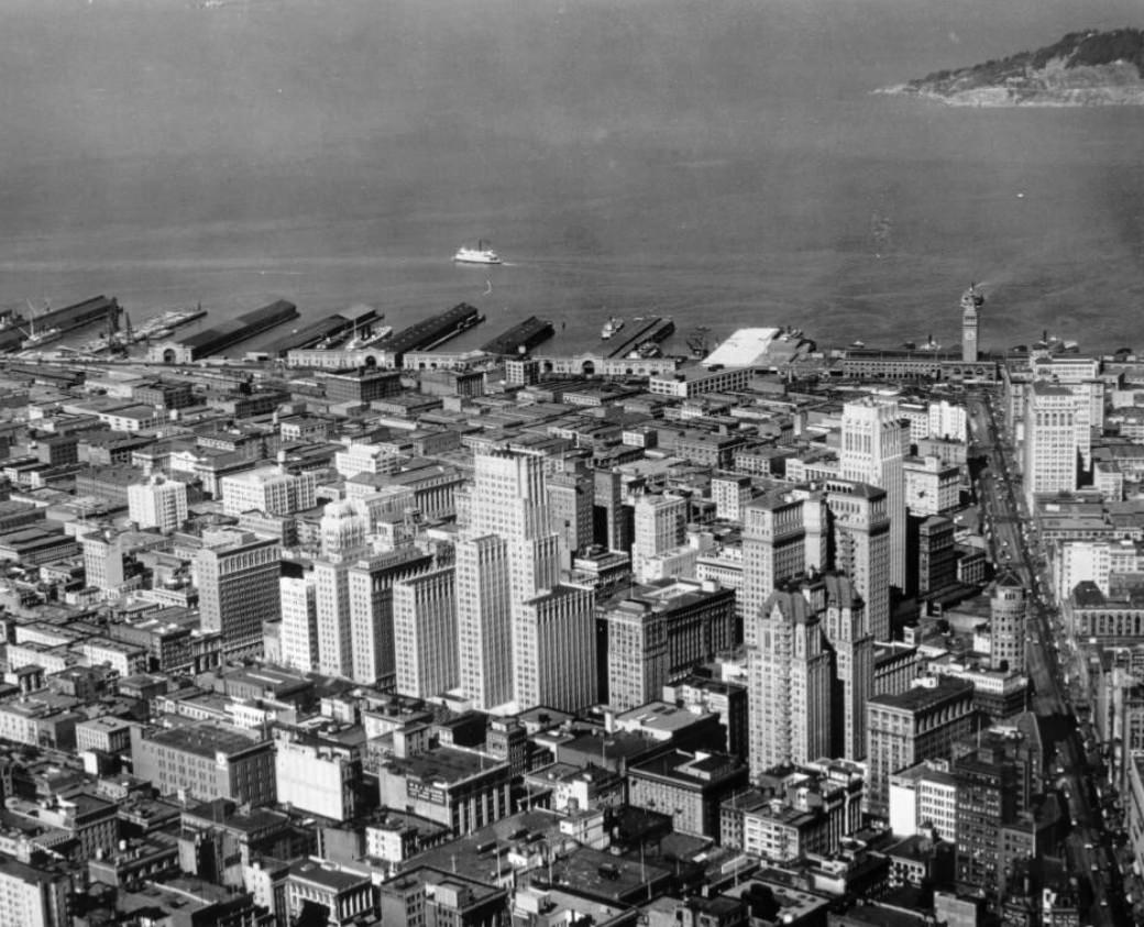
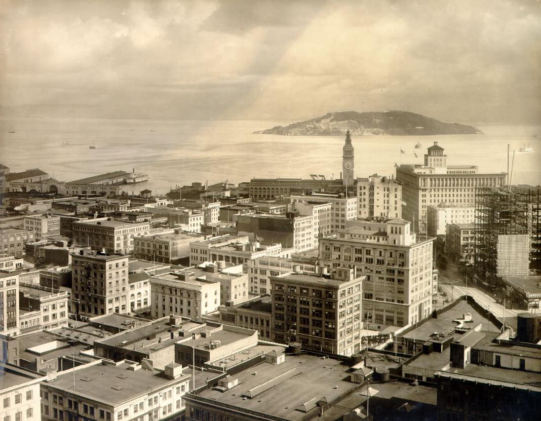
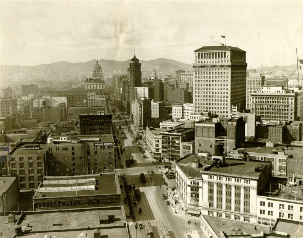
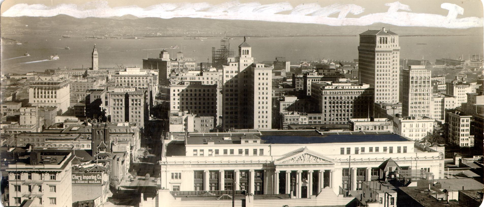
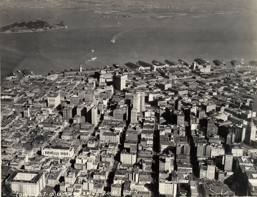
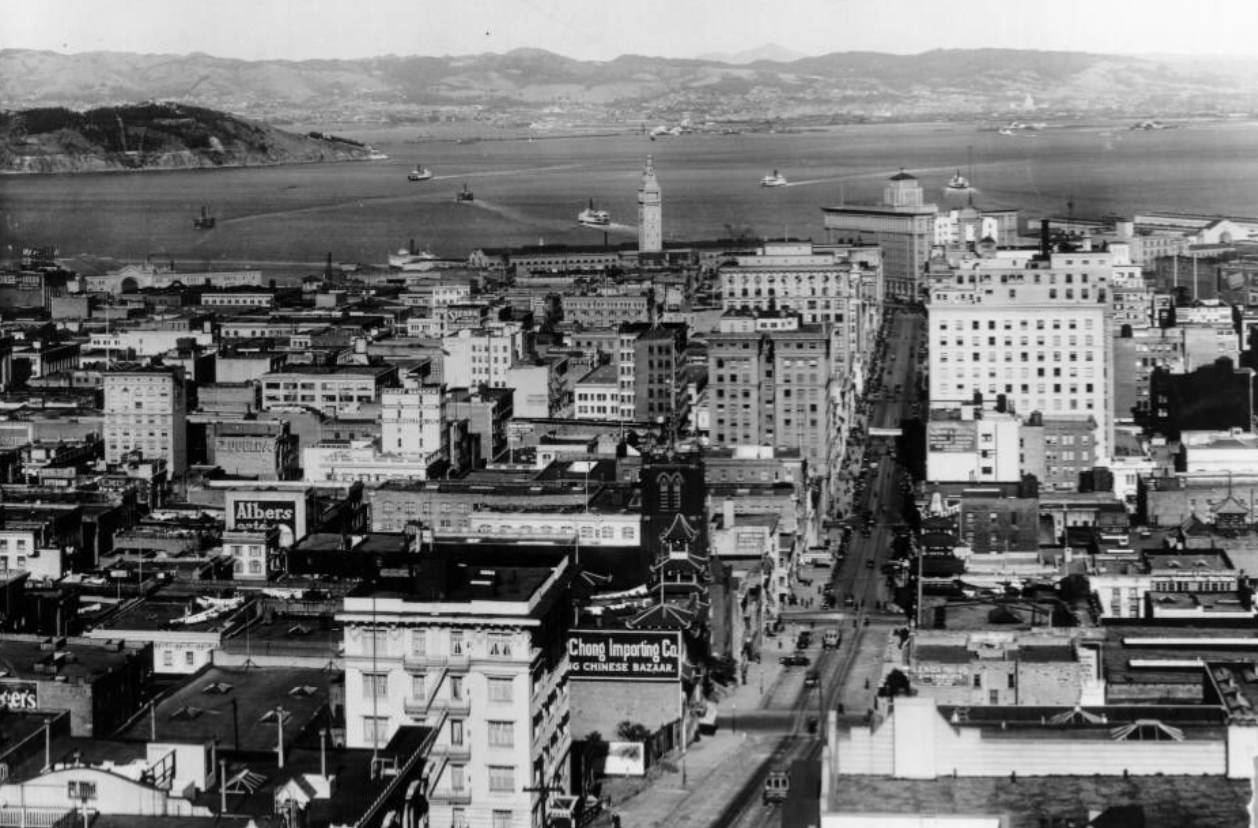
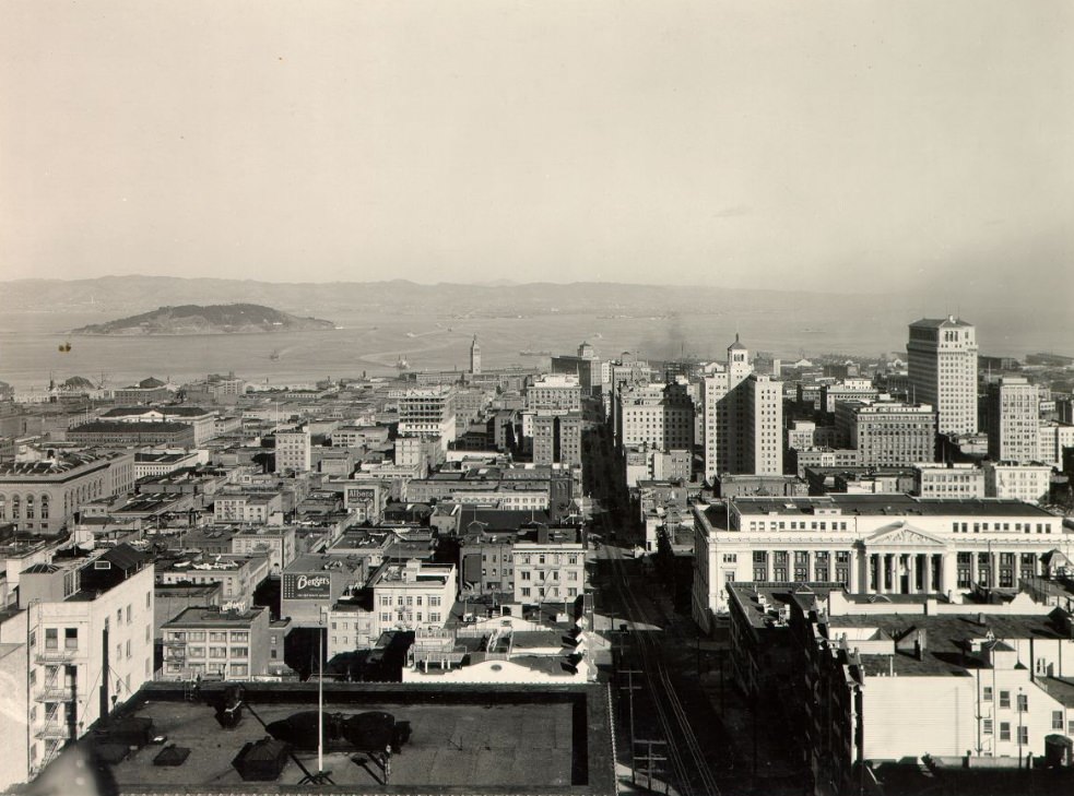
The aerial view of downtown San Francisco and its waterfront, taken circa 1926, captures the city at what was arguably its peak moment of 1920s confidence. The Financial District towers rose from the blocks behind the Ferry Building, Market Street sliced its diagonal path through the grid, and the Embarcadero stretched along the bay’s edge with piers projecting into the water at regular intervals. Yerba Buena Island was visible in the middle of the bay in similar views, a reminder of the geography that both connected and separated San Francisco from the East Bay cities across the water.
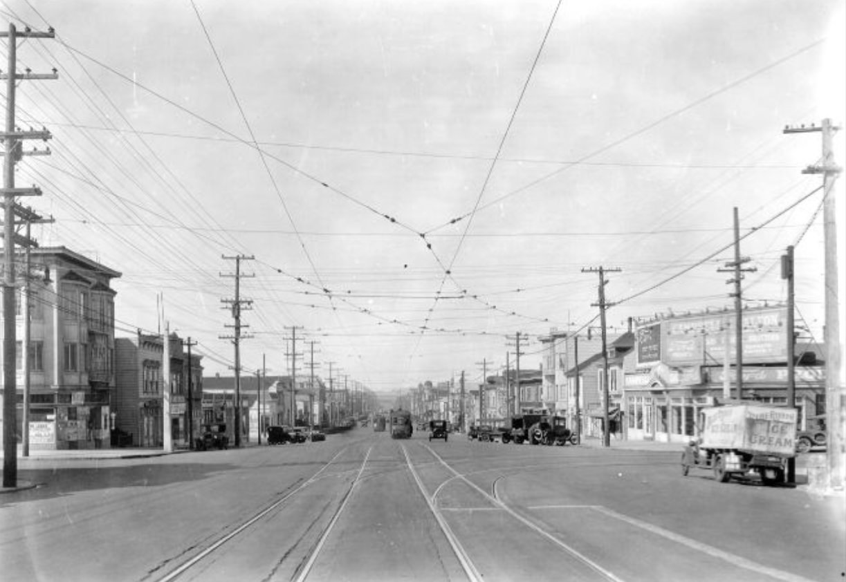
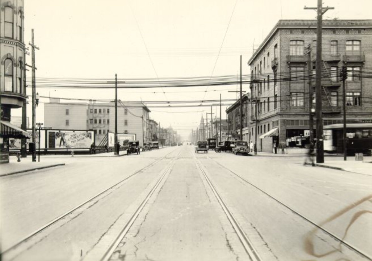
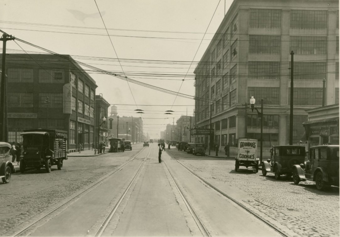
Harrison Street, photographed looking southwest from 2nd Street in 1928, shows a typical SoMa industrial block — wide streets with rail tracks embedded in the pavement, warehouses and light manufacturing buildings on both sides, and little of the commercial street life visible in neighborhoods like the Mission or North Beach. SoMa’s streets were built for freight, not pedestrians, and the photographs from this part of the city have a different quality than those from commercial corridors — emptier, more utilitarian, focused on function over form.
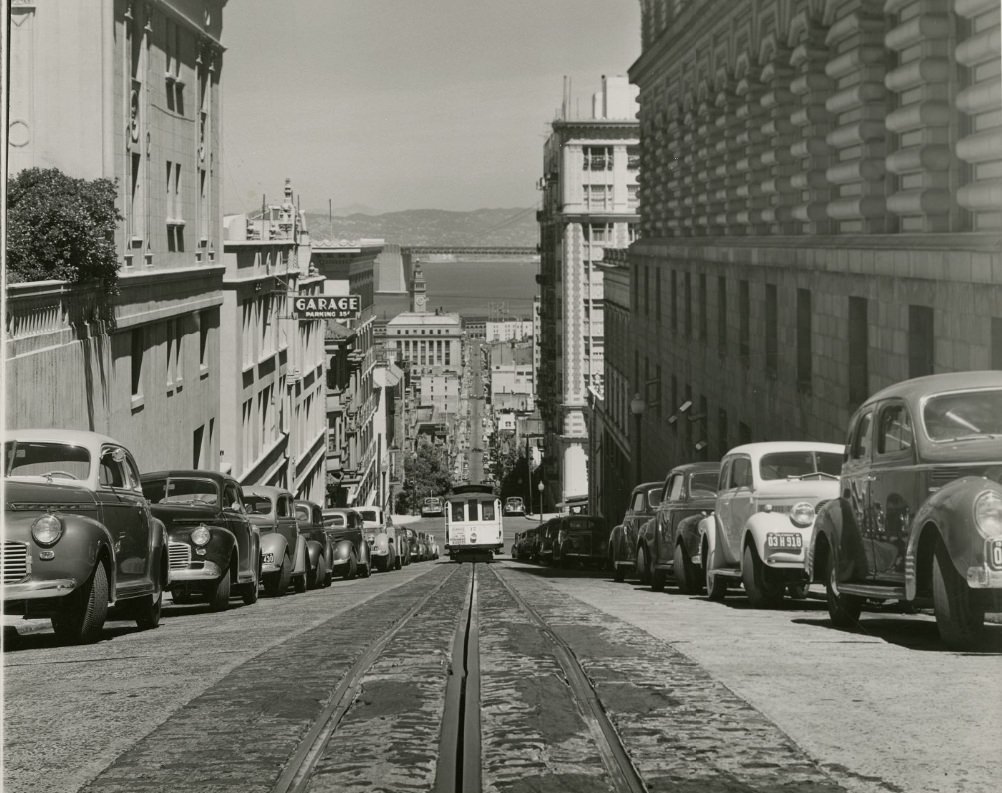
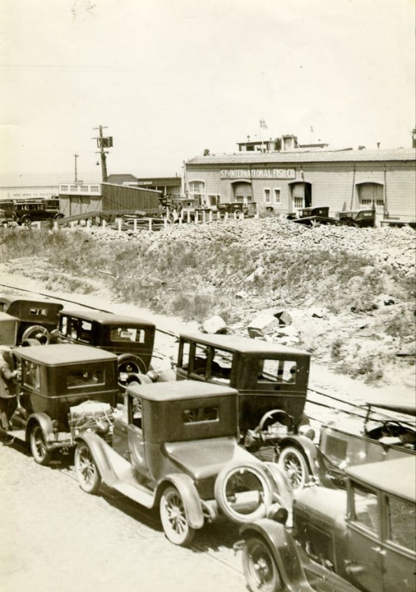
The Western Addition, photographed from the air in 1927, showed one of the city’s most densely packed residential districts. Street after street of Victorian and Edwardian flats covered the grid in a pattern that stretched from Van Ness west to Divisadero and from McAllister north to California. McAllister Street itself appeared in photographs from near Buchanan in 1927 and at Webster in 1928, showing a neighborhood commercial street with the same mix of modest storefronts and residential buildings that characterized most of the Western Addition’s commercial corridors.
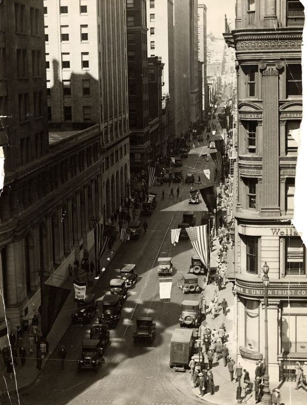
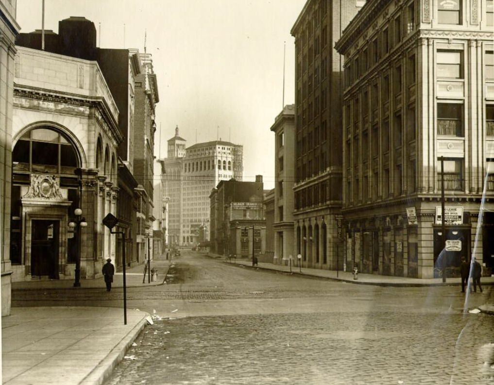
Post Street at Laguna, photographed in both 1926 and 1927, captured a corner in the Western Addition that typified the neighborhood’s character — modest commercial buildings at street level, flats above, and a steady rhythm of daily life organized around the small businesses and transit stops that served the surrounding blocks. Chestnut at Fillmore, photographed in 1929, showed a similar pattern in the Marina, where the new neighborhood’s commercial strip was still taking shape as the decade ended.
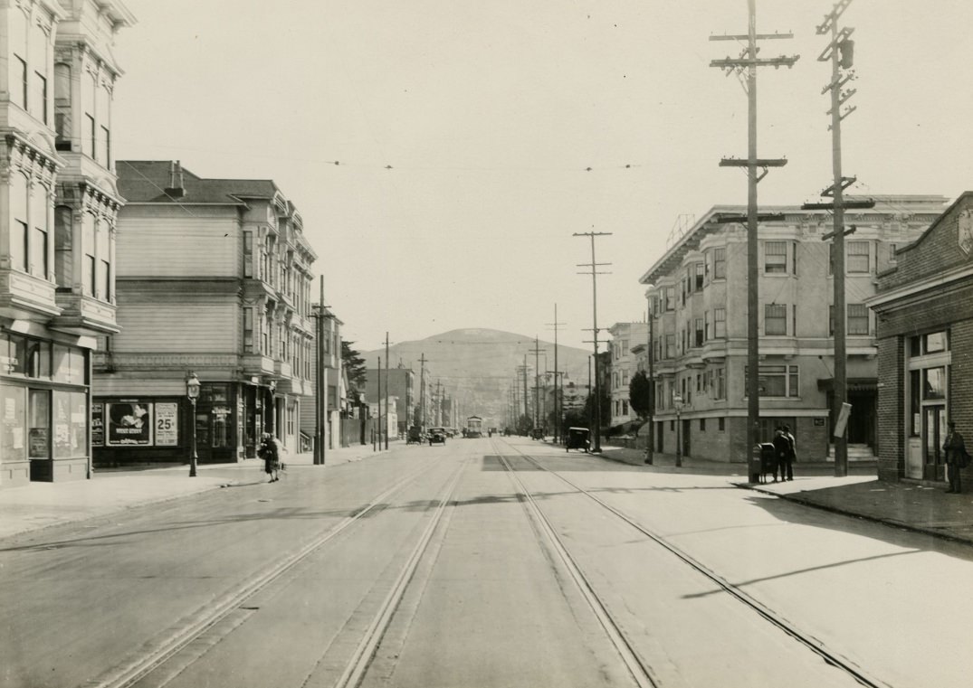
The Haight Street corridor, photographed at Pierce circa 1927, showed a neighborhood that had been established for decades by the time the 1920s arrived. Haight-Ashbury had developed as a streetcar suburb in the late 19th century, and by the 1920s it was a settled working-class and lower-middle-class neighborhood with a commercial strip along Haight Street serving the surrounding flats and Victorian houses. The street’s later associations with the counterculture were still decades away; in 1927, it looked much like any other San Francisco neighborhood commercial street.
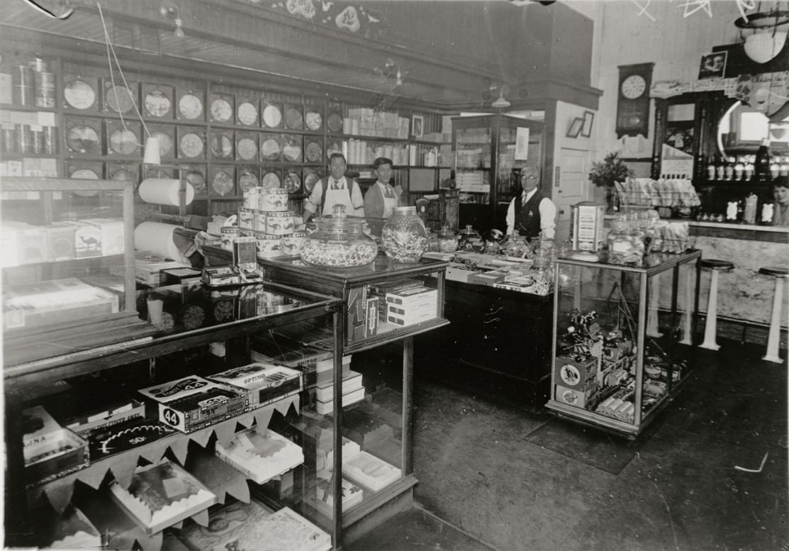
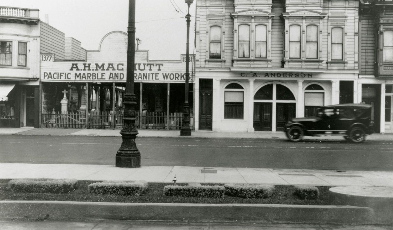
The C.A. Anderson Funeral Home on Valencia Street, photographed circa 1920, and the interior of the Matsuya Store on Post and Buchanan Streets, photographed sometime between 1920 and 1929, represent two very different aspects of San Francisco’s neighborhood commercial life. The funeral home served the everyday needs of a neighborhood facing death and grief; the Japanese goods store on Post and Buchanan sat in the heart of Japantown, serving the Japanese-American community that had settled in the Western Addition. Both photographs document the texture of commercial life on streets that rarely appeared in the city’s promotional imagery.
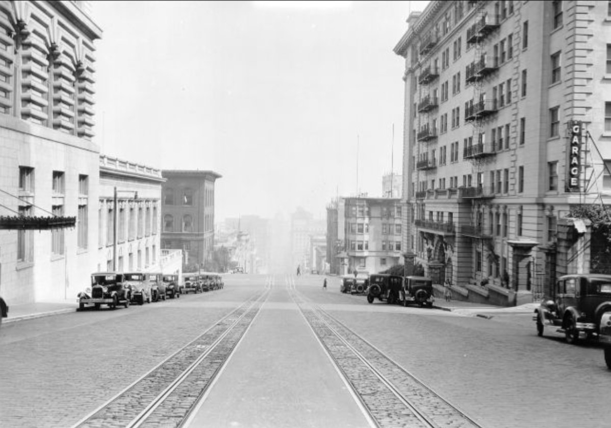
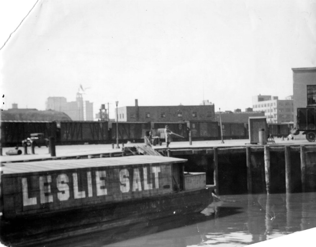
The Embarcadero at Howard Street in 1927 and opposite Pier 34 in the same year show the working waterfront in its daily operation. Cargo was loaded and unloaded constantly, and the streets immediately adjacent to the piers were filled with delivery trucks, dock workers, and the machinery of an active port. The Leslie salt barge at the pier, photographed in 1929, was one of many specialized vessels that serviced the bay’s commercial operations. These waterfront images show the economic infrastructure that underpinned San Francisco’s prosperity — less visible than Market Street’s commercial bustle, but equally essential.
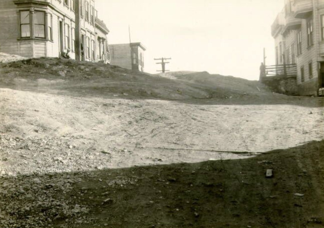
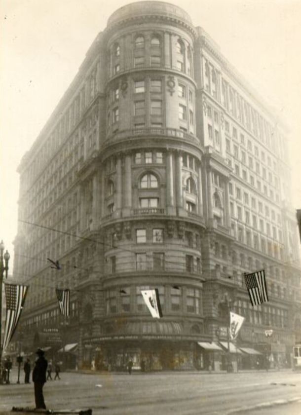
The Flood Building on Market Street was one of the street’s most prominent pre-earthquake survivors, its heavy masonry construction having withstood the 1906 disaster well enough for repairs and continued use. Photographs of Market Street in the 1920s frequently included the Flood Building as part of the commercial backdrop — alongside the Chronicle Building and the newer structures that had gone up on both sides of the street in the years since the earthquake. Market Street east from 4th and at Guerrero in 1926 show the full commercial density of the corridor at different points along its run.
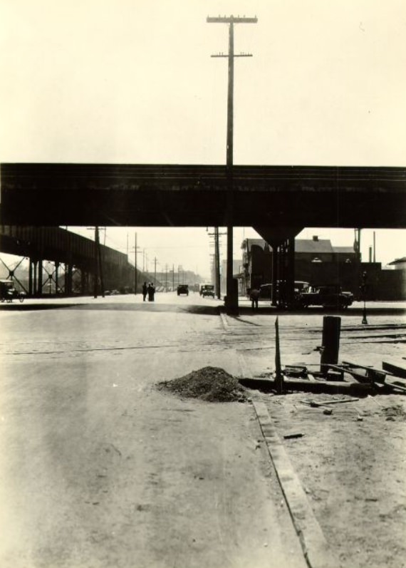
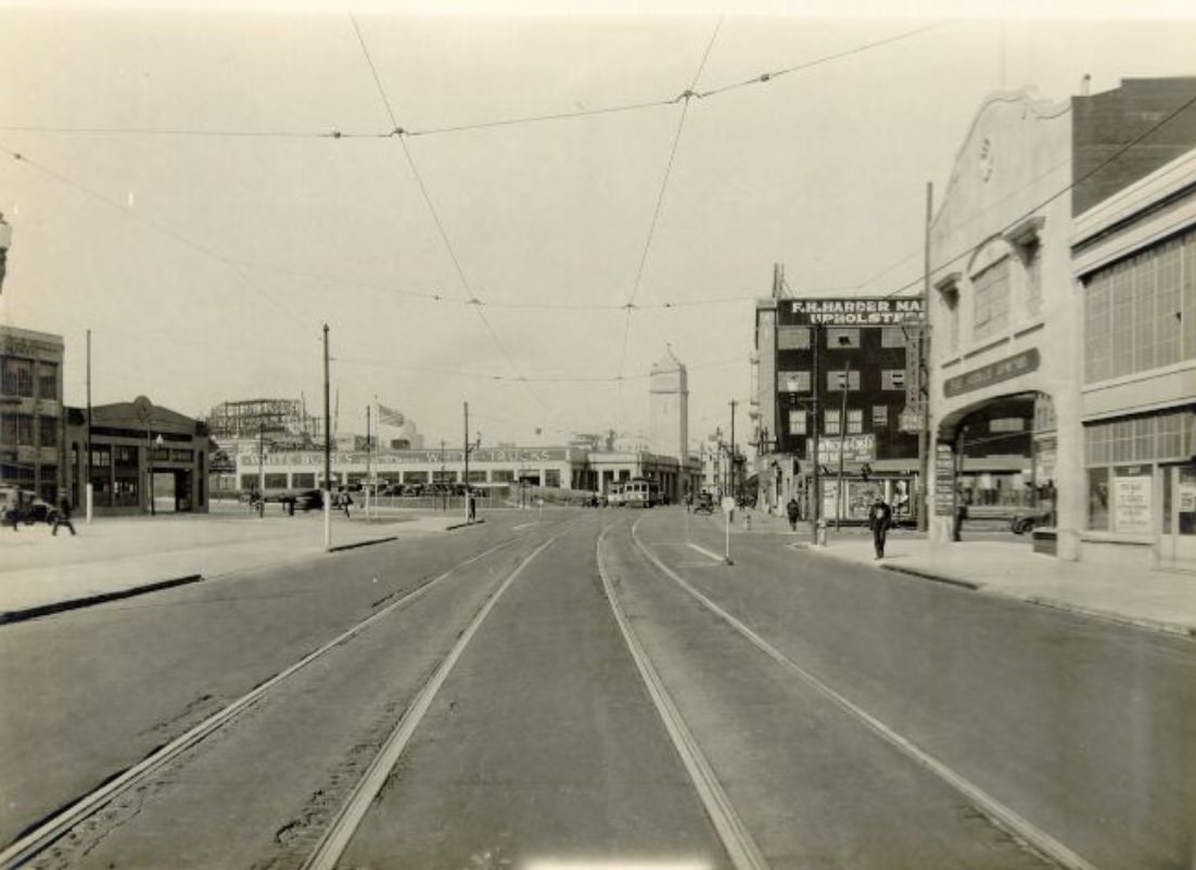
Powell Street ran from Market Street northward through Union Square and up Nob Hill. The cable cars that ran its length were one of the city’s defining pieces of infrastructure, and a 1924 photograph looking down Powell from the Fairmont Hotel captures the full sweep of the street from its summit — the tracks gleaming in the light, the buildings lined up on both sides, and the bay visible in the distance at the bottom of the hill. The view from that height made visible something that street-level photographs could not: the way San Francisco’s topography structured every view and every journey through the city.
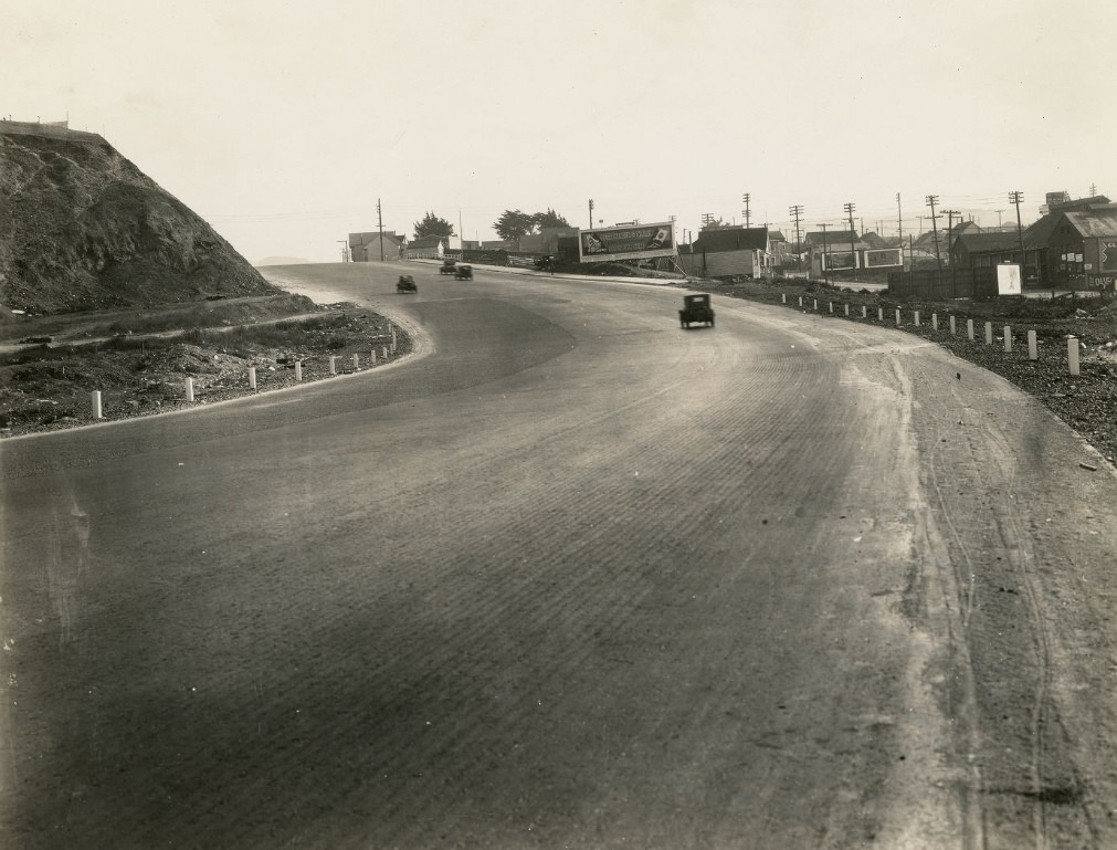
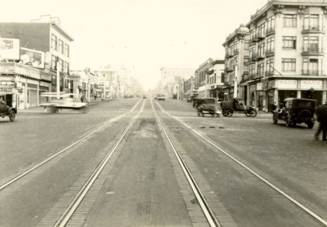
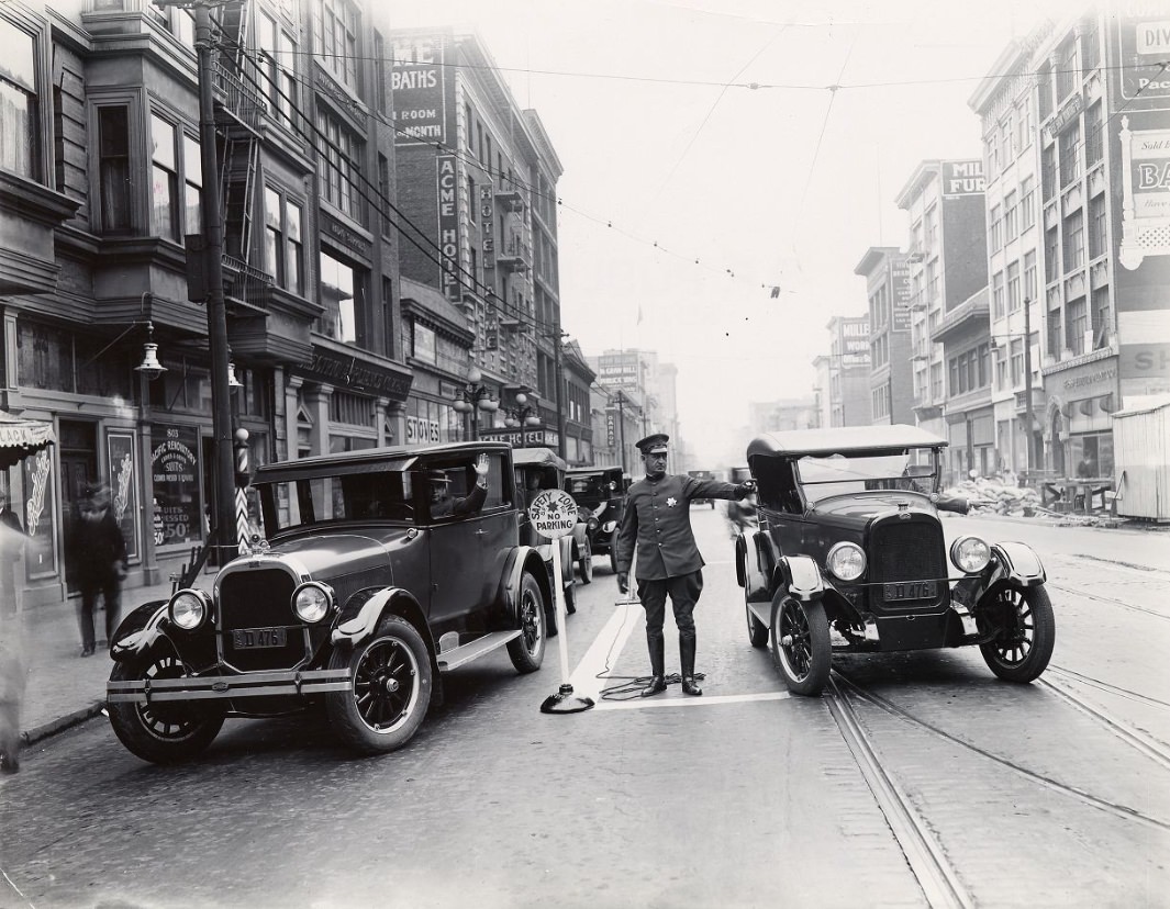
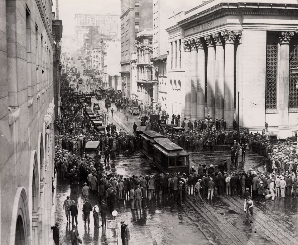
The traffic policeman at Mission and 4th Streets in 1925 was doing a job that had barely existed a decade earlier. As automobile ownership spread through San Francisco during the 1920s, managing the intersection of vehicles, streetcars, and pedestrians required human direction at the city’s busiest corners. The cable car accident at California Street and Sansome in 1925, which drew a crowd documented in a photograph from that year, showed the other side of urban transit — the breakdowns, collisions, and incidents that came with moving thousands of people through dense street networks every day.
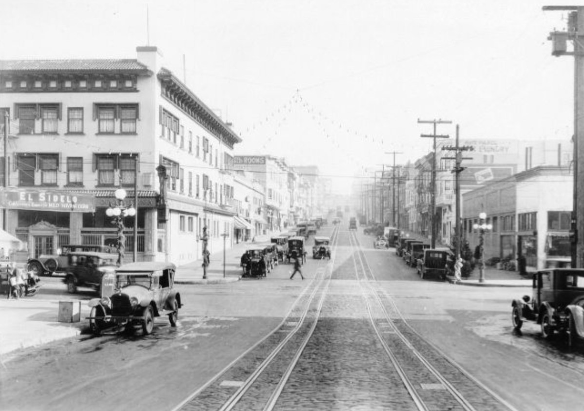
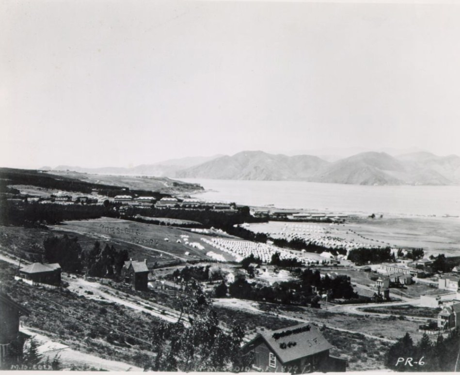
Sacramento Street, photographed between Mason and Powell in 1928, ran through Nob Hill’s residential and commercial edge, a few blocks north of California Street. The 1928 image shows a quieter street than the cable car corridors nearby — less commercial activity, more residential buildings, and a scale that felt closer to a neighborhood street than a major thoroughfare. Sacramento Street’s relationship to the surrounding neighborhoods would remain largely unchanged through the rest of the decade, serving as a connective tissue between the denser commercial zones to its north and south.
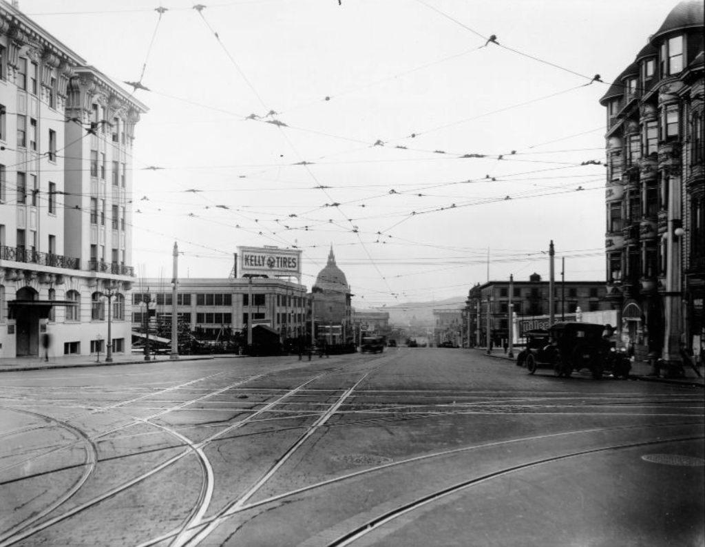
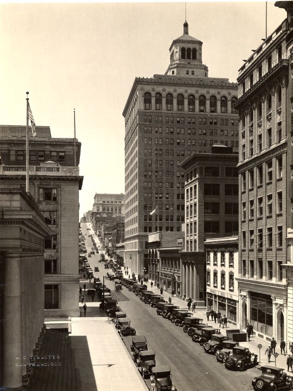
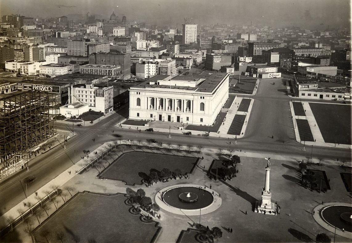
The Main Library on Larkin Street, photographed between 1925 and 1926 alongside Civic Center Plaza, completed the public cultural complex that City Hall anchored. The library’s Beaux-Arts facade matched the architectural language of the surrounding civic buildings, presenting a unified visual front to the plaza and reinforcing the sense that the Civic Center was a planned ensemble rather than a collection of individual structures. Photographs of the Civic Center from the air in the 1920s show how the complex fit into the broader city grid — a formal set piece surrounded by the organic mix of commercial and residential streets that made up the rest of San Francisco.
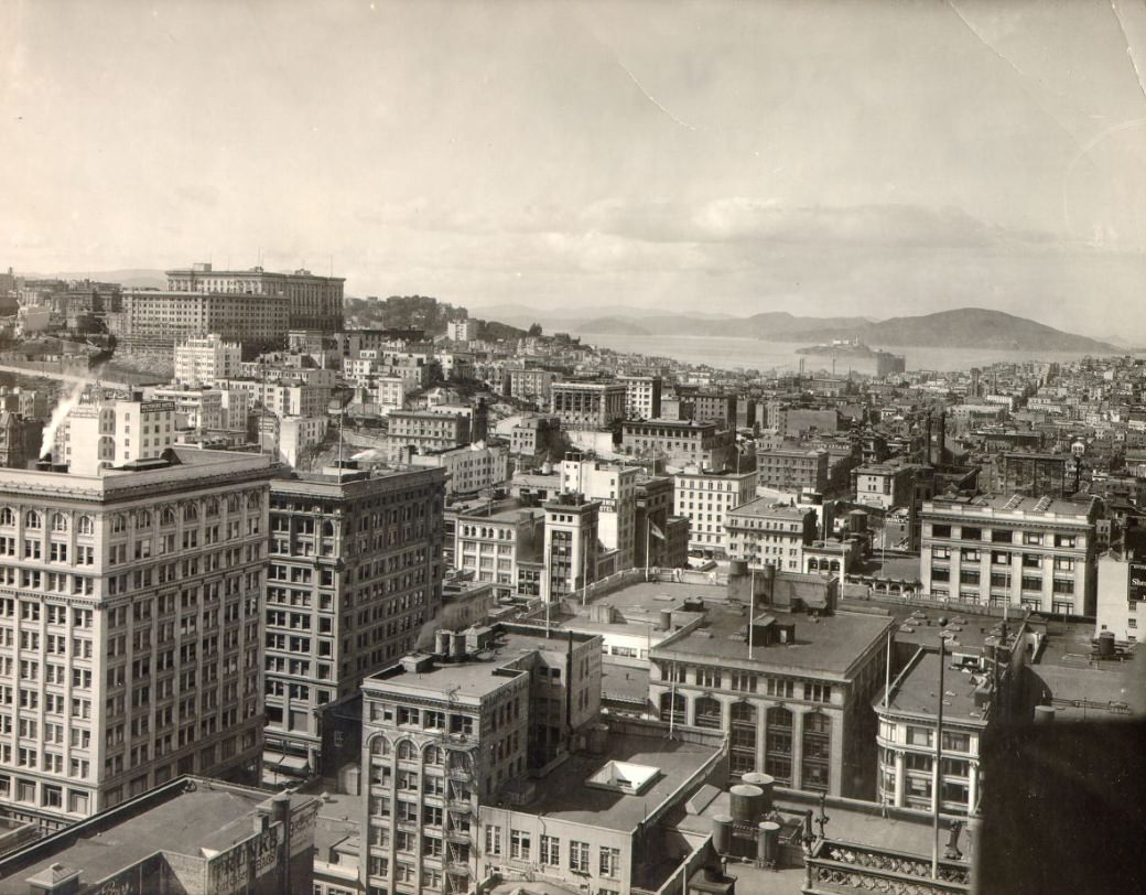
Views of downtown San Francisco looking northwest in the 1920s showed Alcatraz Island sitting in the bay, its lighthouse and prison buildings clearly visible on the rocky outcrop. At the time, Alcatraz was still operating as a military prison — it would not become the famous federal penitentiary until 1934. Its presence in the background of photographs of downtown San Francisco was a reminder of the bay’s geography: the island sat close enough to the city that it appeared in many photographs taken from elevated positions, a constant and recognizable feature of the cityscape.
Four children photographed on Telegraph Hill circa 1920 and four people in a parked car at Marina Yacht Harbor in 1929 represent opposite ends of the decade’s social geography. The children on Telegraph Hill were in a neighborhood that was still home to working-class Italian and immigrant families, living in wooden cottages and shanties that clung to the hill’s steep sides. The four people at the Marina Yacht Harbor, by contrast, were in a neighborhood that had been built specifically for San Francisco’s middle class, its recreational amenity and harbor views serving a different segment of the city’s population.
The Castro Street photographs from circa 1927 show a neighborhood that was, in the 1920s, a working-class Irish-American enclave rather than the LGBTQ district it later became. Castro Street south from 29th to 30th and States Street looking east toward Castro show modest commercial buildings and residential streets typical of the neighborhoods spreading across the city’s hilly southern sections. The Castro had been developed in the late 19th and early 20th centuries as a streetcar suburb, and by the 1920s it was a settled, dense residential neighborhood with a commercial strip centered on Castro Street itself.
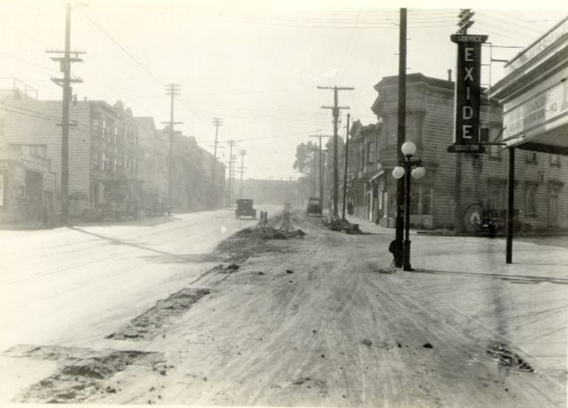
The administration building at Angel Island immigration station, photographed in 1928, was the first point of official contact for arriving immigrants. Staff processed paperwork here, conducted initial inspections, and directed new arrivals to the appropriate areas of the facility. The building’s modest institutional architecture — plain wood frame construction, functional rather than imposing — gave no particular signal of the bureaucratic weight it carried for the hundreds of thousands of people who passed through it during the station’s operation.
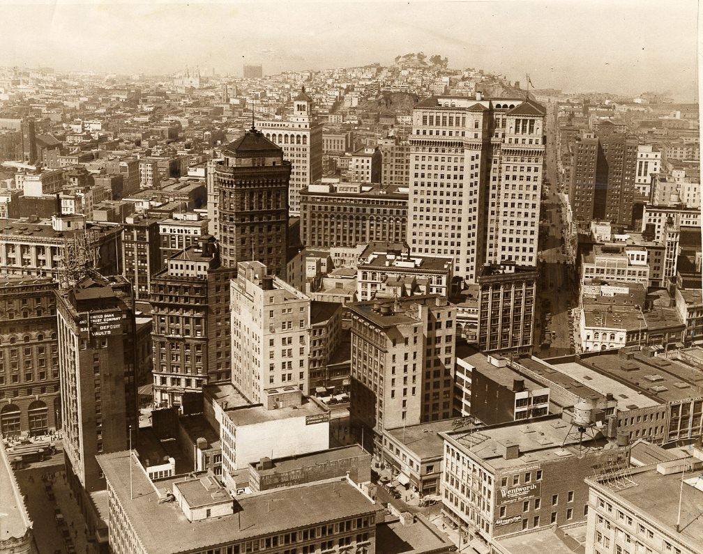
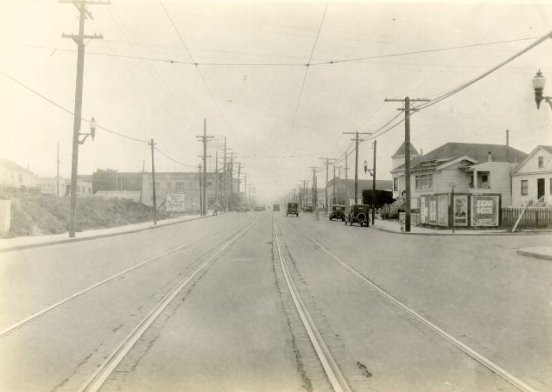
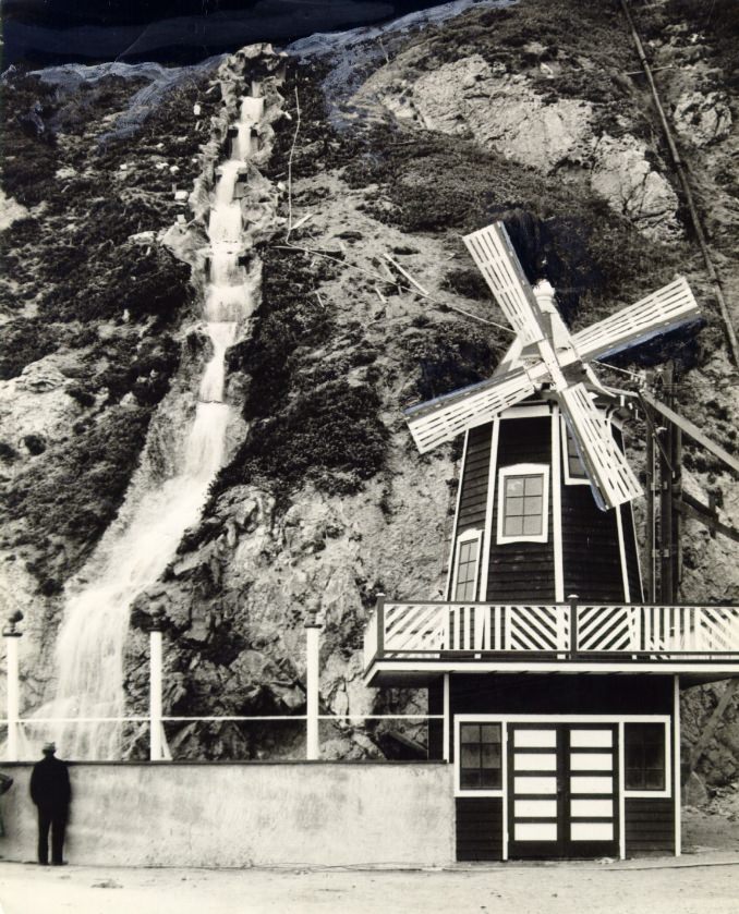
Ocean Boulevard viewed from Sutro Heights in the 1920s showed the dramatic meeting of the city’s built environment with the Pacific Ocean. The water cascading from Sutro Heights across from Ocean Beach in 1927 came from the ornamental gardens that Adolph Sutro had developed on the promontory in the 1880s and 1890s. By the 1920s, the Heights were a public park, and the views from its overlooks remained among the most spectacular in the city — looking south along miles of beach, north toward the Cliff House, and west across the open ocean.
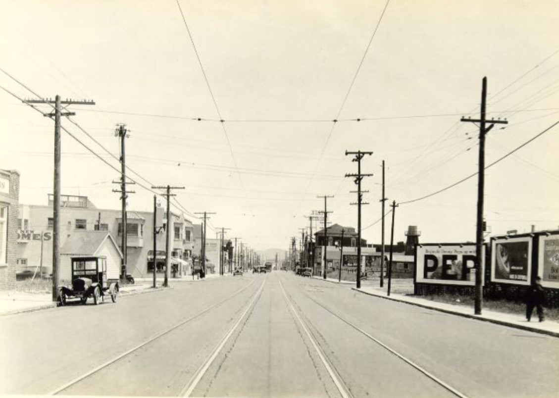
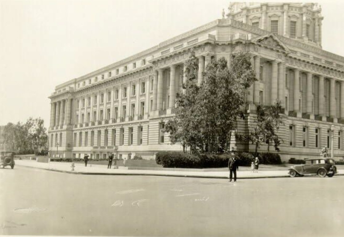
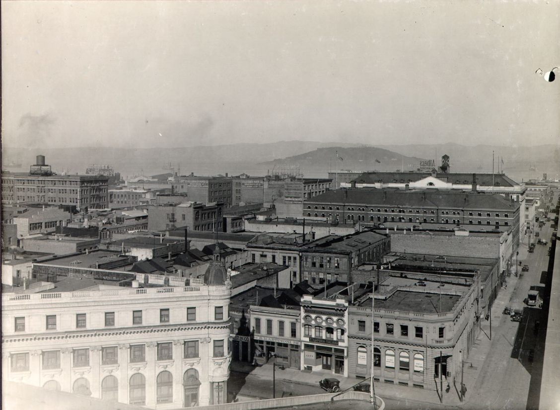
The proposed Van Ness Avenue extension, documented in a 1921 rooftop photograph from near Howard and 13th Street, was one of several infrastructure planning projects under discussion in the early 1920s. The image shows the existing cityscape with a proposed route marked out — a visual planning document that captured both what existed and what city engineers were imagining. The photograph is an unusual artifact: most street photography from the 1920s documents what was there; this one documents what might have been.
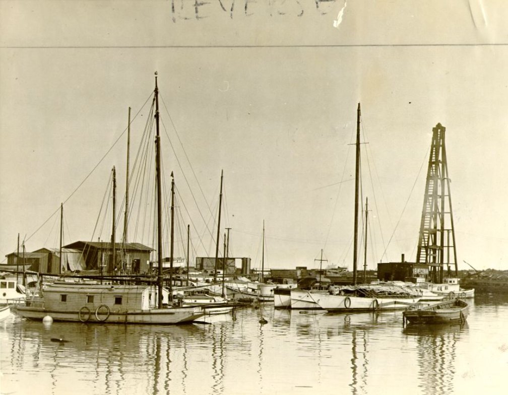
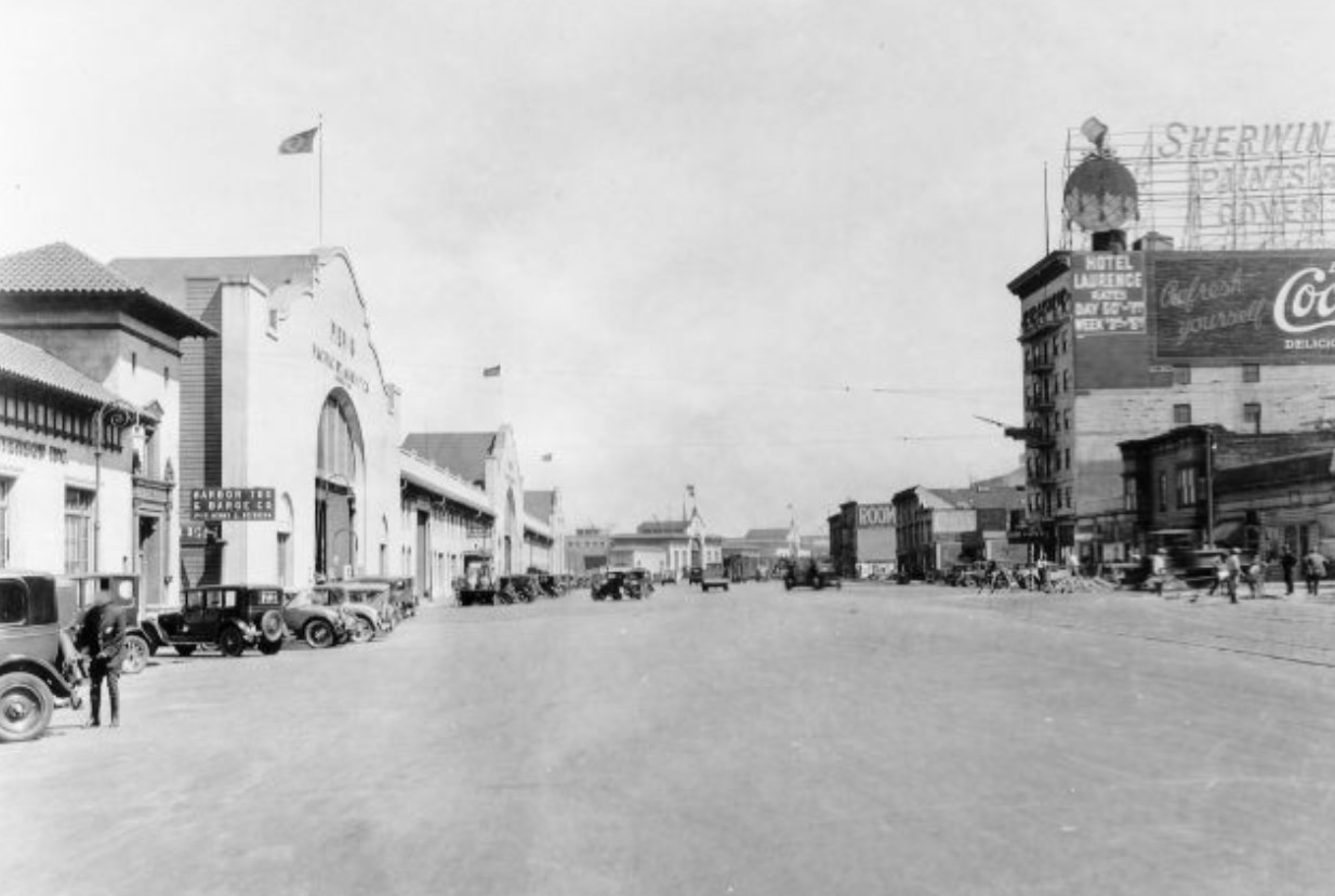
Commuters exiting the Ferry Building in 1924 were part of a daily mass movement that shaped San Francisco’s entire economic rhythm. Ferry service from Oakland, Berkeley, Sausalito, and other bay communities delivered thousands of workers into the city every morning and carried them back every evening. The Ferry Building’s interior — a long, vaulted hall lined with ferry gates — processed this crowd efficiently, channeling commuters onto the Embarcadero and from there into the city’s streetcar and pedestrian networks. The scale of this operation made the Ferry Building, rather than City Hall or any commercial landmark, the building that most San Franciscans encountered most often.
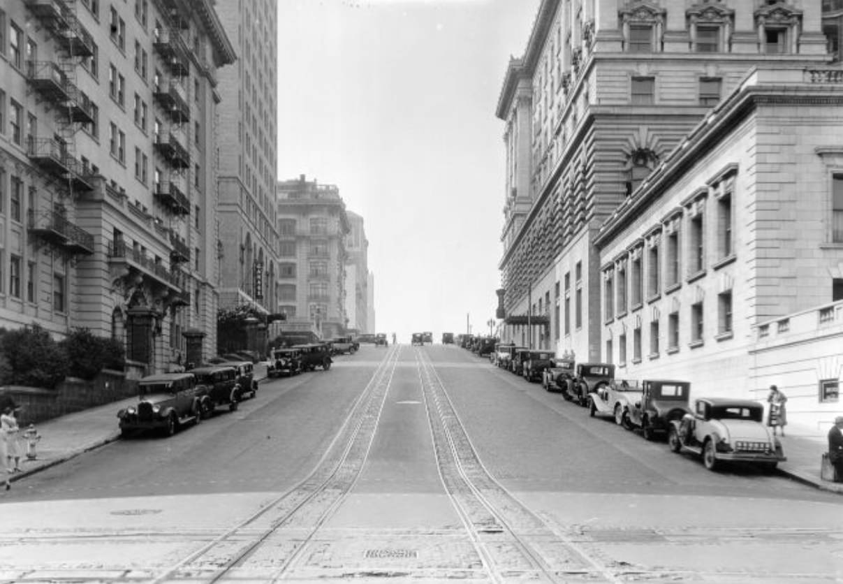
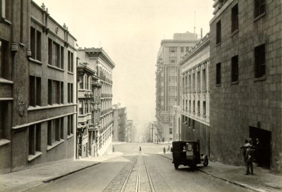
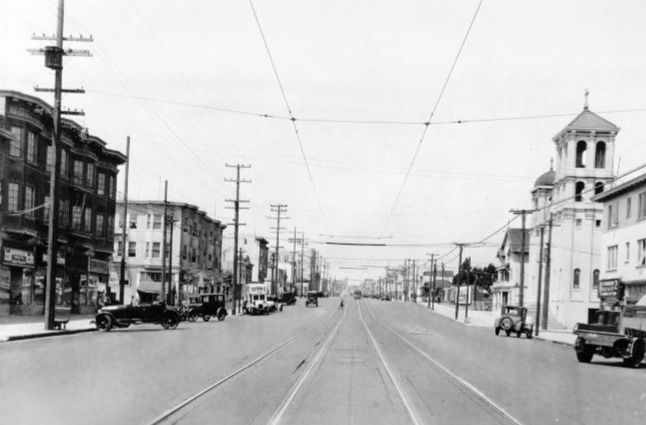
Market Street between 5th and Powell in the mid-1920s was the single densest concentration of retail activity in San Francisco. Department stores, specialty shops, movie theaters, and restaurants competed for frontage on both sides of the street, while streetcars and automobiles jostled for lane space in the middle. Photographs from this stretch — looking east from Stockton, at Guerrero, at Eddy Street, and at the Turk Street intersection — show the scale and variety of what Market Street offered at its commercial peak. The Flood Building, the Chronicle Building, and the newer structures built after the earthquake all contributed to a streetwall that made Market one of the most architecturally layered commercial streets on the West Coast.
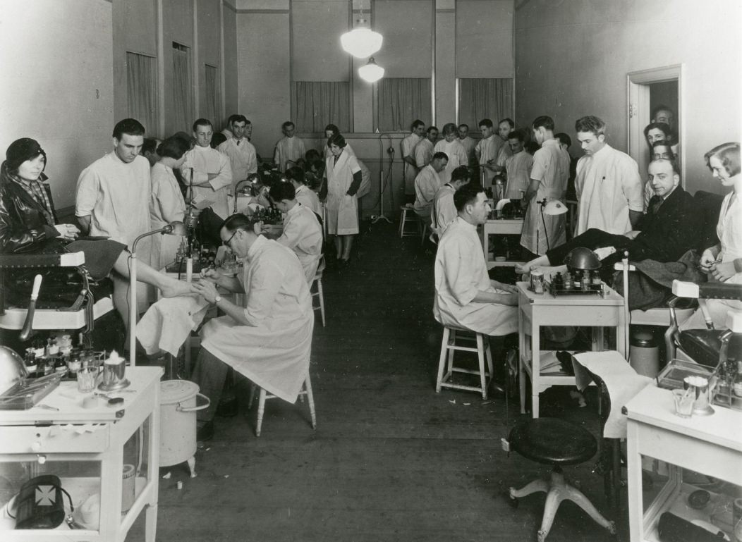
The class of the Calleo California College of Chiropody, photographed between 1920 and 1925, represents one of the specialized vocational institutions that operated in San Francisco during the decade. Medical and health-related training schools of various kinds were establishing themselves across the city, and chiropody — the treatment of foot ailments — was among the trades seeking formal credentialing and professional status during this period. The photograph’s inclusion in the historical record alongside street and urban documentation places it in the broader context of a city whose professional and commercial life extended well beyond its more photographed corridors.
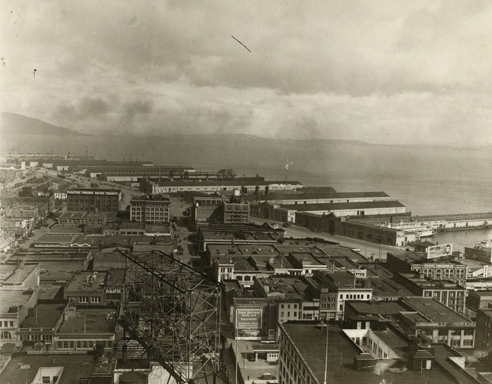
Looking north from Sacramento and Drumm Streets circa 1924, the view opened toward the waterfront and the bay beyond. Drumm Street ran along the eastern edge of the Financial District, close to the Embarcadero, and from this vantage point the proximity of the city’s commercial core to its working waterfront was immediately apparent. The blocks between the Financial District towers and the piers were occupied by a mix of commercial, wholesale, and light industrial uses that served as the connective tissue between the city’s white-collar economy and its port-based trade.
The wrecked house on Broadway in 1928 stands as a reminder that urban decay and structural failure were part of 1920s San Francisco just as much as new construction. Broadway at Kearny and Broadway at Mason were documented in photographs from 1928 and 1929 showing the street as it moved between the Financial District’s edge and North Beach — a transitional zone where older buildings and newer uses coexisted in varying states of repair. Not every structure in the city was being maintained or improved; some were simply deteriorating, their owners unable or unwilling to invest in what the decade’s growth was demanding.
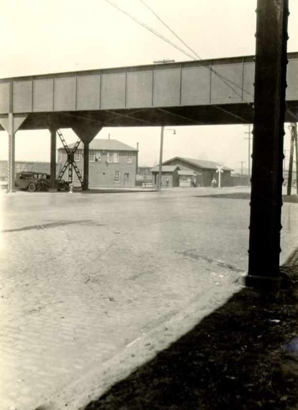
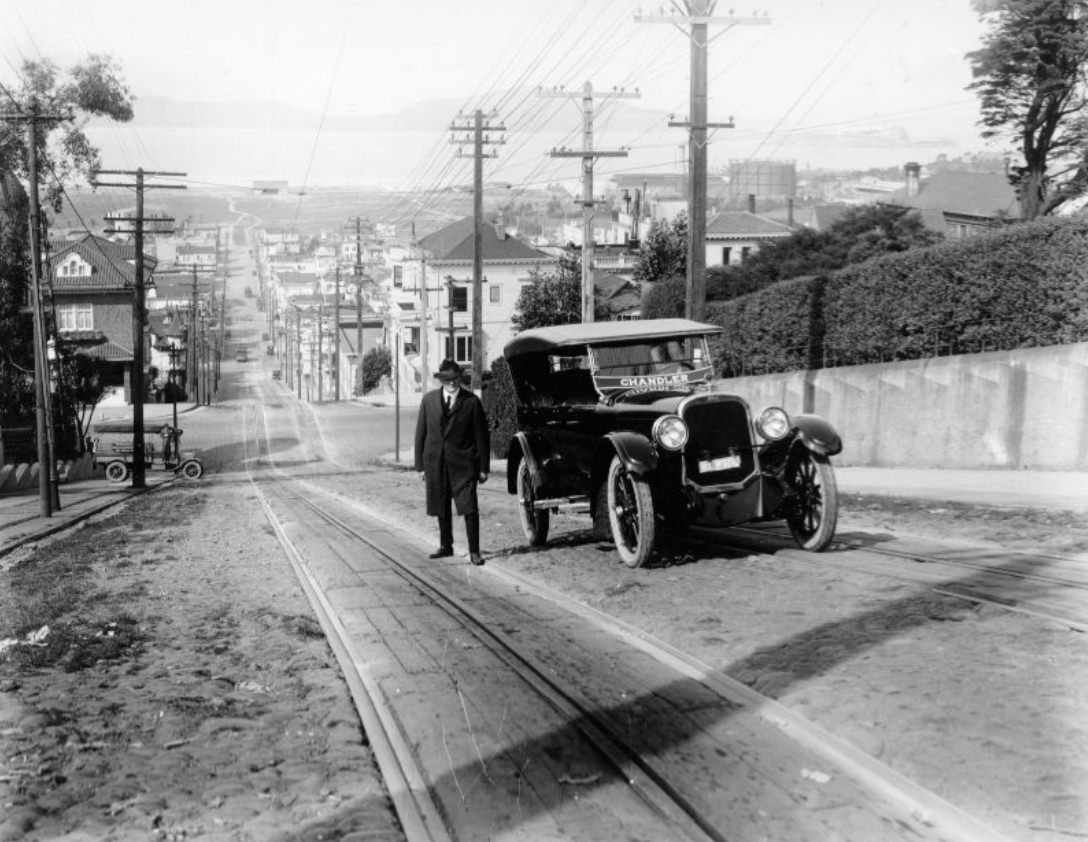
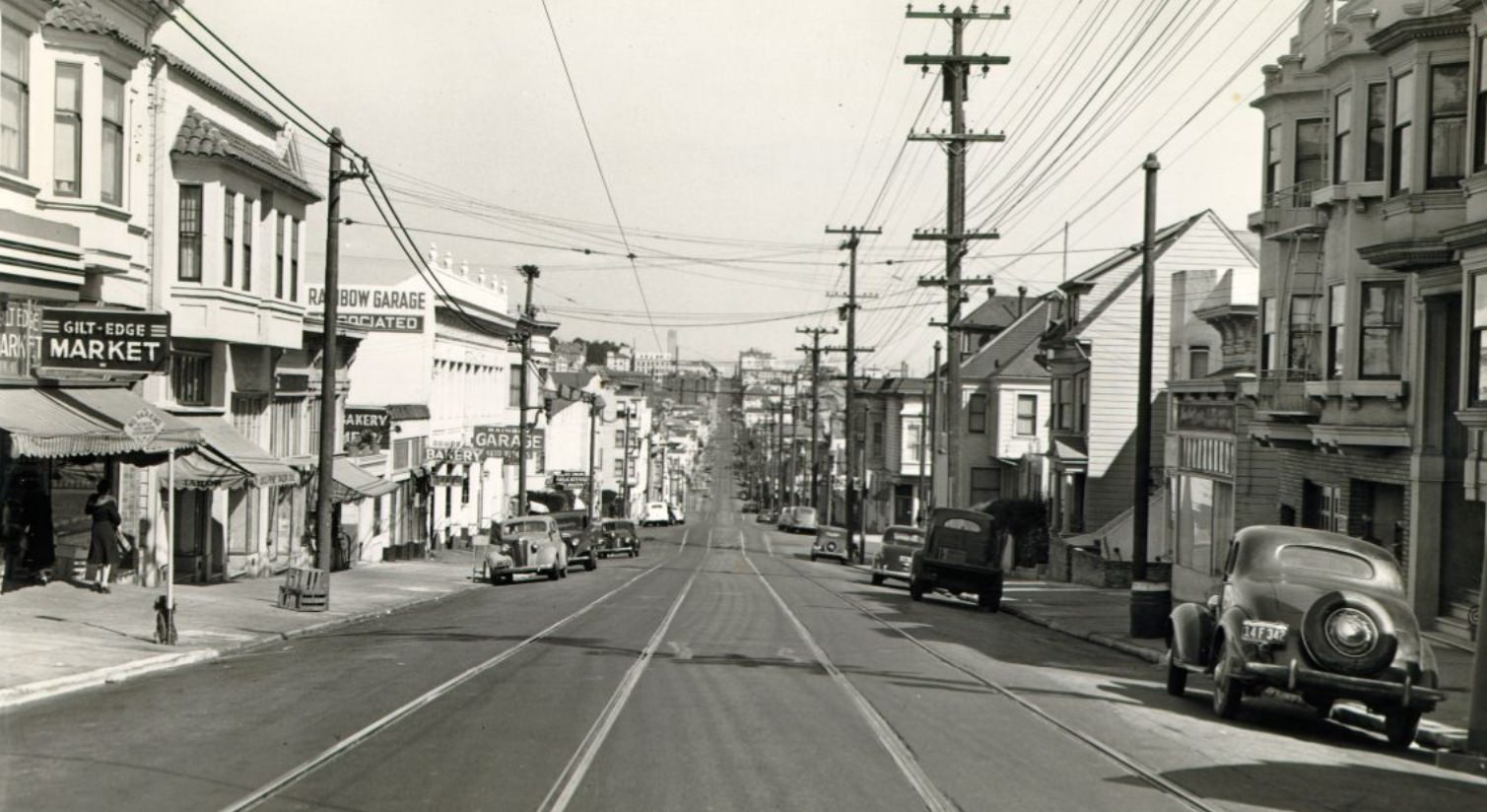
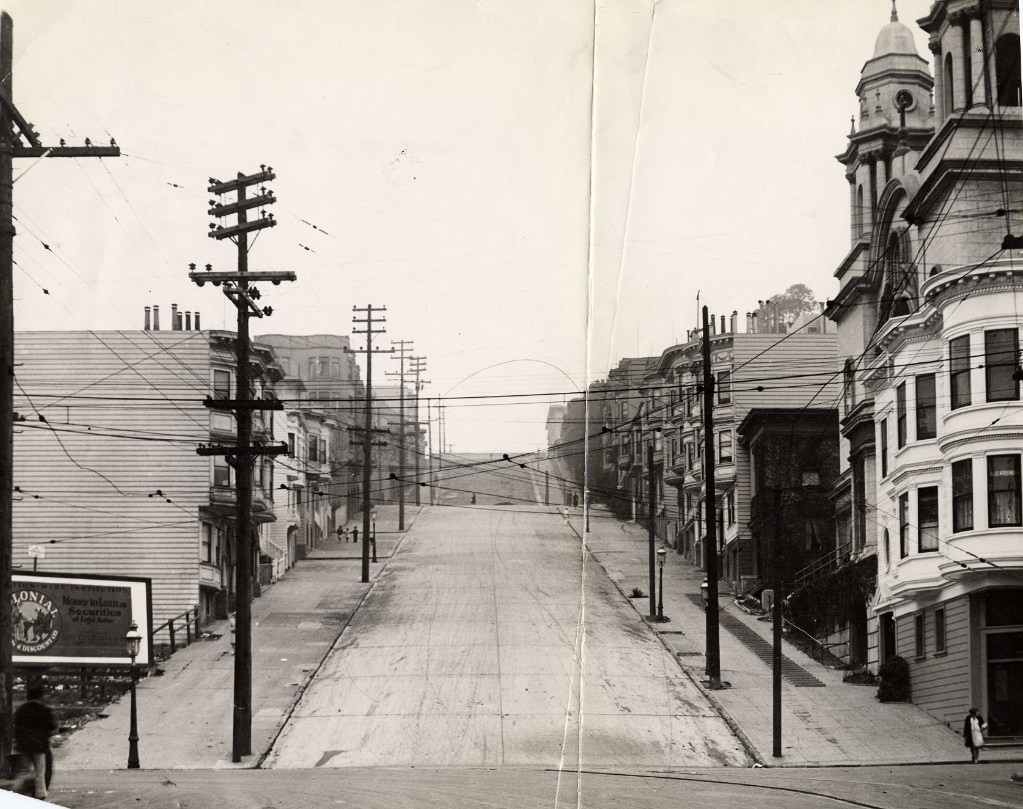
The man standing next to a parked car on Fillmore Street hill in 1922 and the policeman directing traffic at Mission and 4th in 1925 are two of the human figures who appear in the decade’s street photographs. Most of the 1920s photographs of San Francisco’s streets were taken for documentary or planning purposes and were not particularly interested in the people moving through them. But figures appear nonetheless — at bus stops, on street corners, in parked cars — giving scale to the buildings and a human dimension to what would otherwise be purely architectural records.
By the end of the 1920s, San Francisco had fundamentally changed its physical shape. New neighborhoods in the Richmond, Sunset, Marina, and Excelsior districts had added thousands of housing units and miles of developed streets to a city that had still had significant open land at the decade’s start. The downtown skyline had grown taller with buildings like the Pacific Telephone tower. The street grid had been extended, paved, and connected in ways that made the city more navigable for the automobiles that were rapidly becoming the dominant form of private transportation. These photographs, taken block by block across an entire decade, document that transformation with a precision that no single image could capture on its own.