
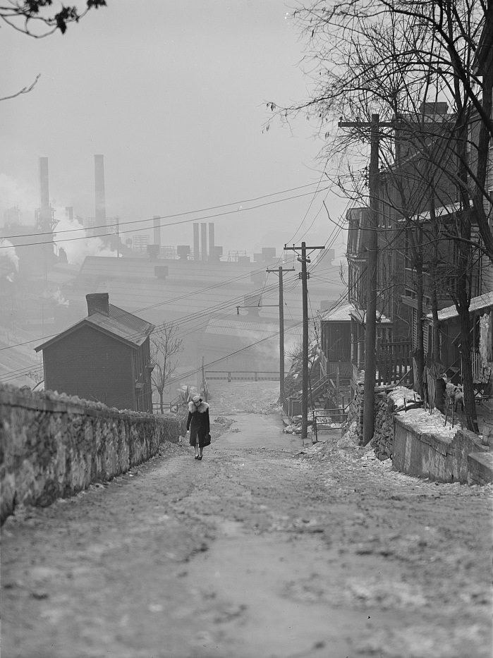
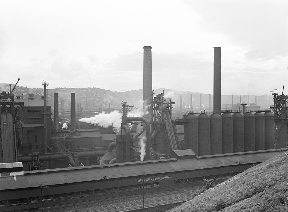
Pittsburgh entered the 1940s as one of the most industrially powerful cities in the United States. When the country joined World War II in December 1941, the city’s steel mills shifted into a higher gear than most Americans had ever seen. Furnaces burned around the clock. Workers pulled double shifts. The mills along the Monongahela and Ohio Rivers produced steel for battleships, tanks, artillery shells, and military vehicles on a scale that earned Pittsburgh the title “Arsenal of Democracy.” The city wasn’t just supporting the war effort — it was central to it.
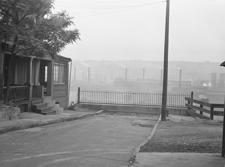
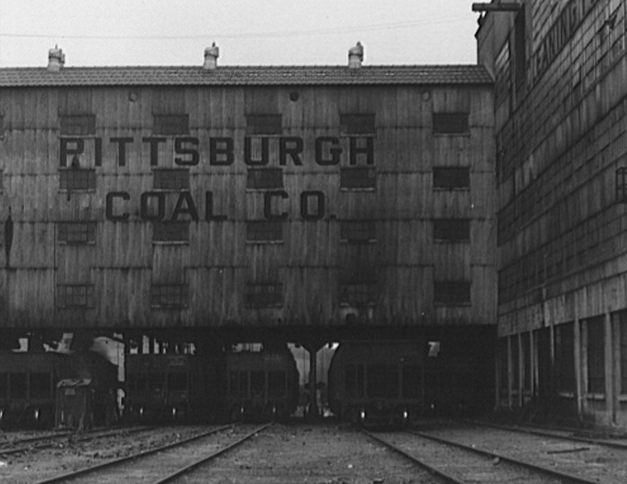
Jones and Laughlin Steel was among Pittsburgh’s biggest operations, employing thousands of workers along the south bank of the Monongahela. Coal fueled those furnaces, hauled in by rail from mines across western Pennsylvania. The Pittsburgh Coal Company’s Montour No. 4 mine was one of the key suppliers keeping the steel flowing. Every ton of coal that arrived meant more steel shipped out — and more war material heading to the front lines.
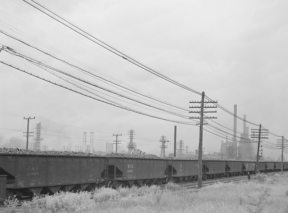
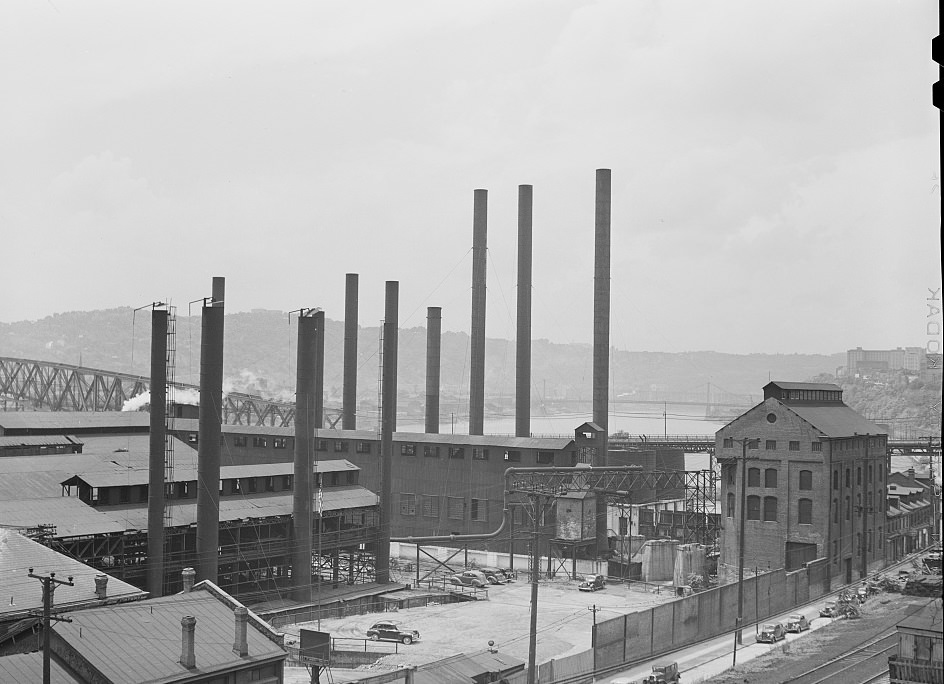
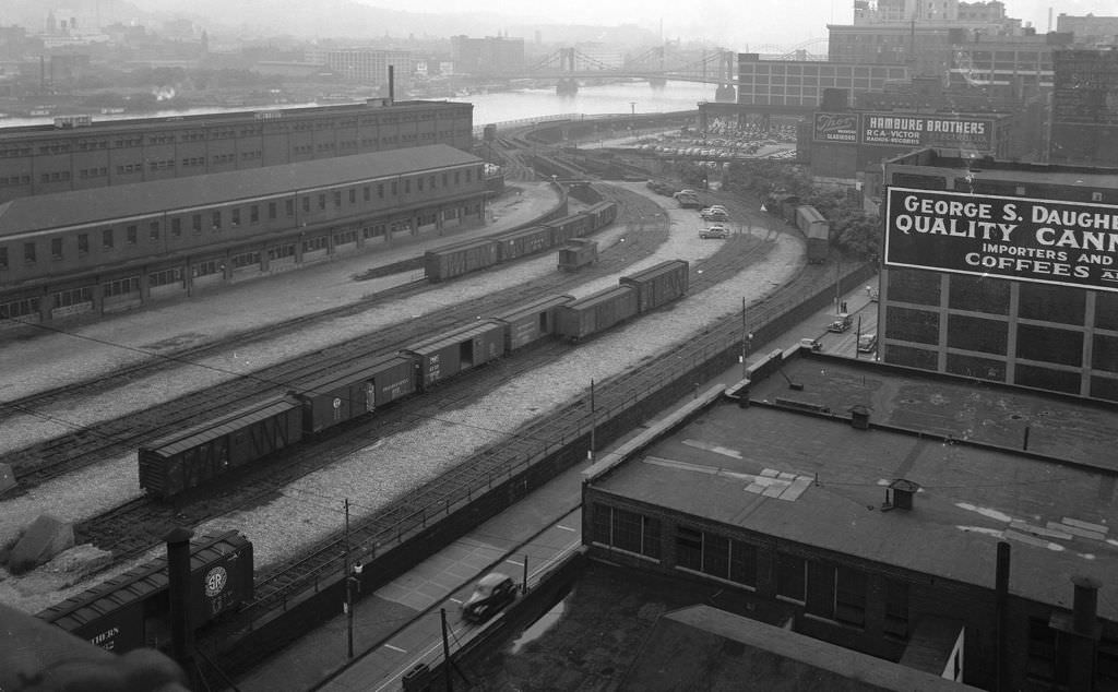
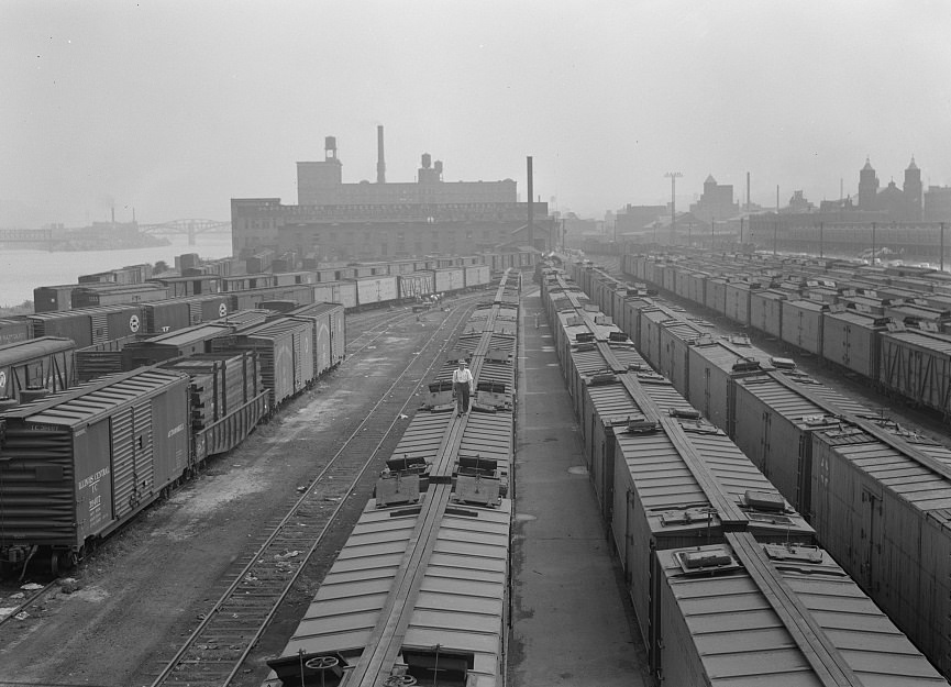
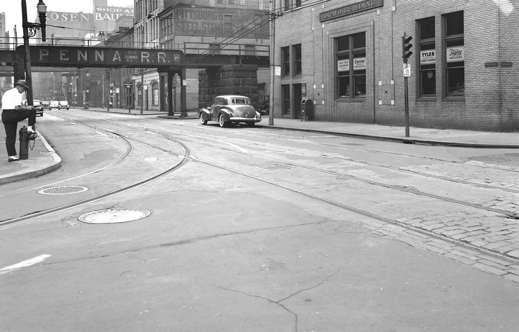
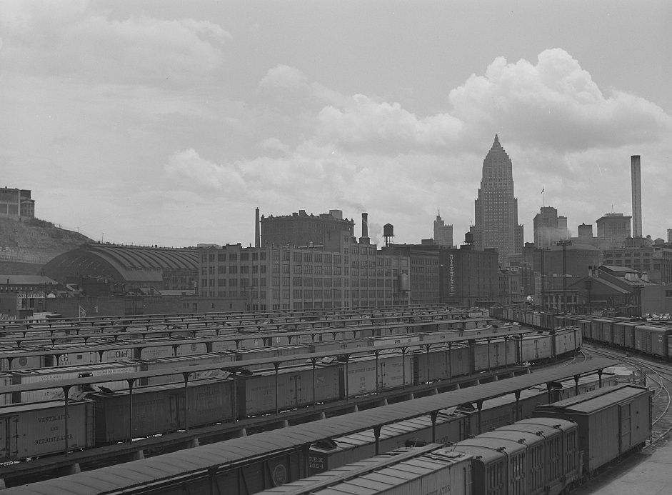
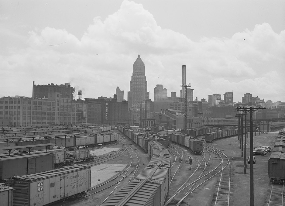
With hundreds of thousands of tons of coal and raw materials passing through Pittsburgh each year, the railroads and freight terminals were just as vital as the mills themselves. The Pennsylvania Railroad Yard managed an enormous volume of wartime cargo, and freight car movements across the region hit record numbers by 1942.
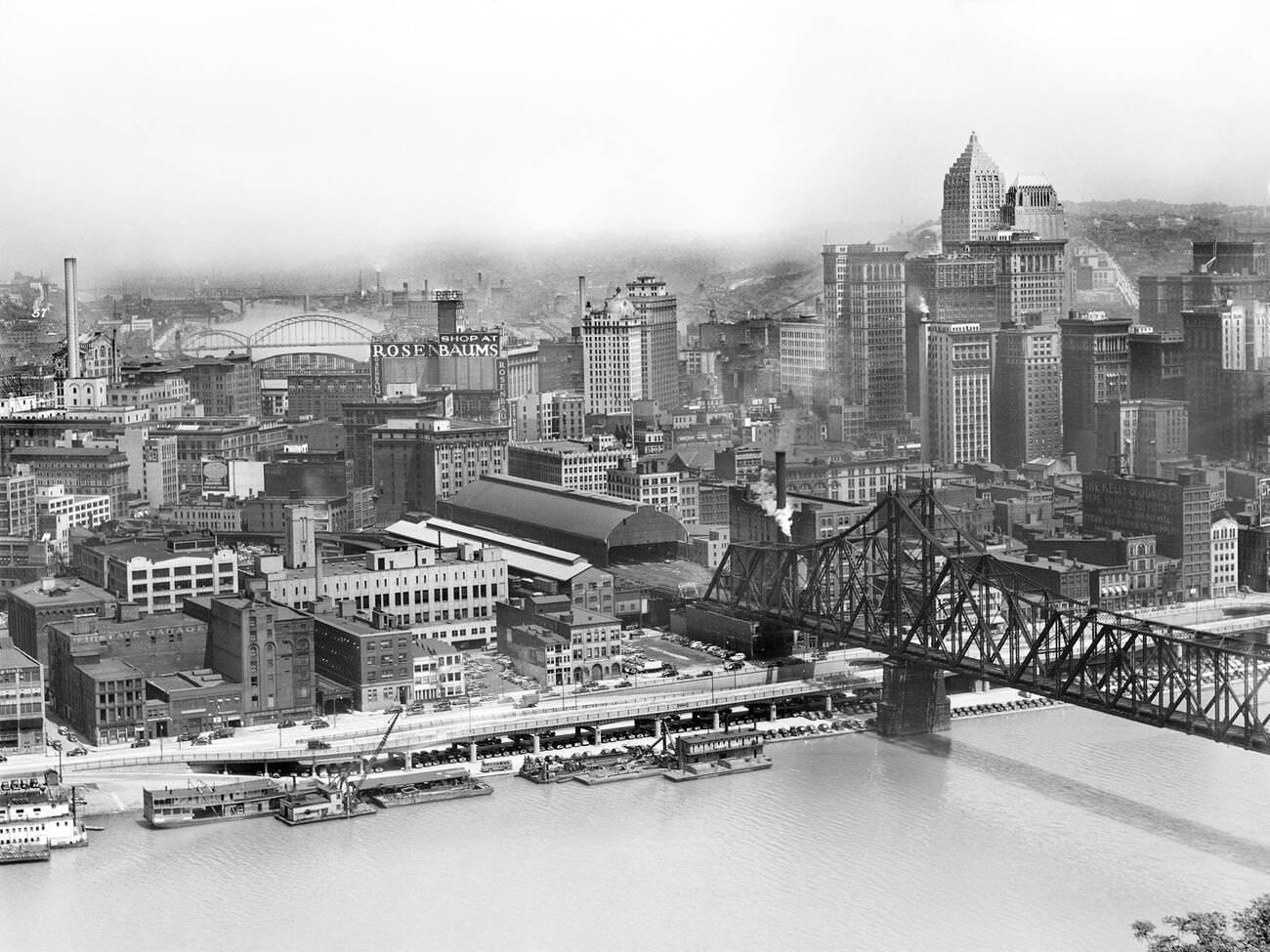
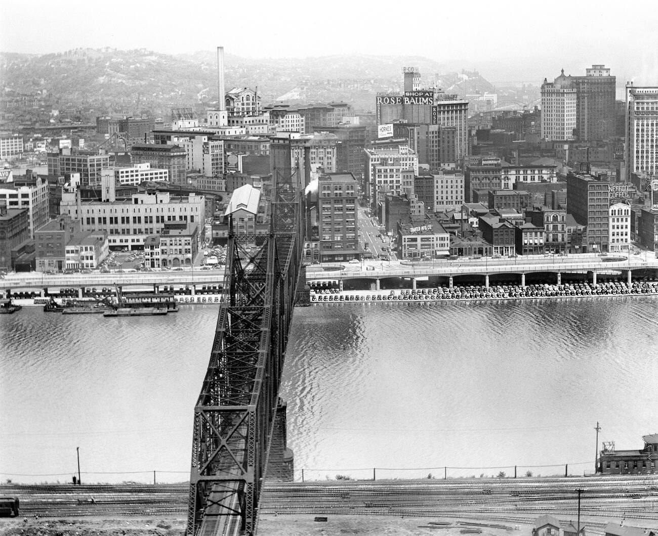
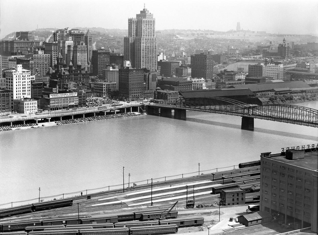
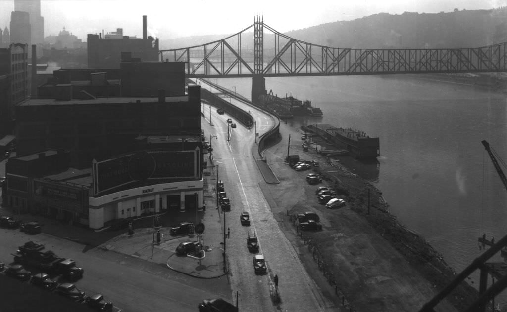
While factories ran at full capacity, the streets of Pittsburgh carried on with everyday life. The Smithfield Street Bridge spanned the Monongahela as it always had, connecting Downtown to the South Side. By 1941, it was carrying a city on the move — workers, shoppers, churchgoers, and families navigating a world reshaped by war.
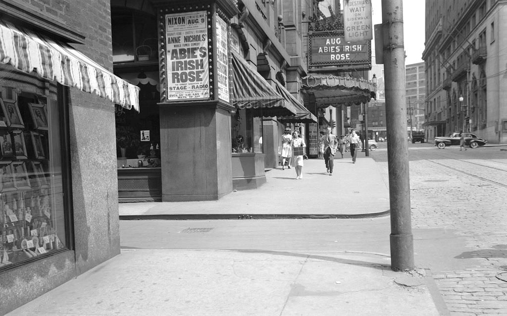
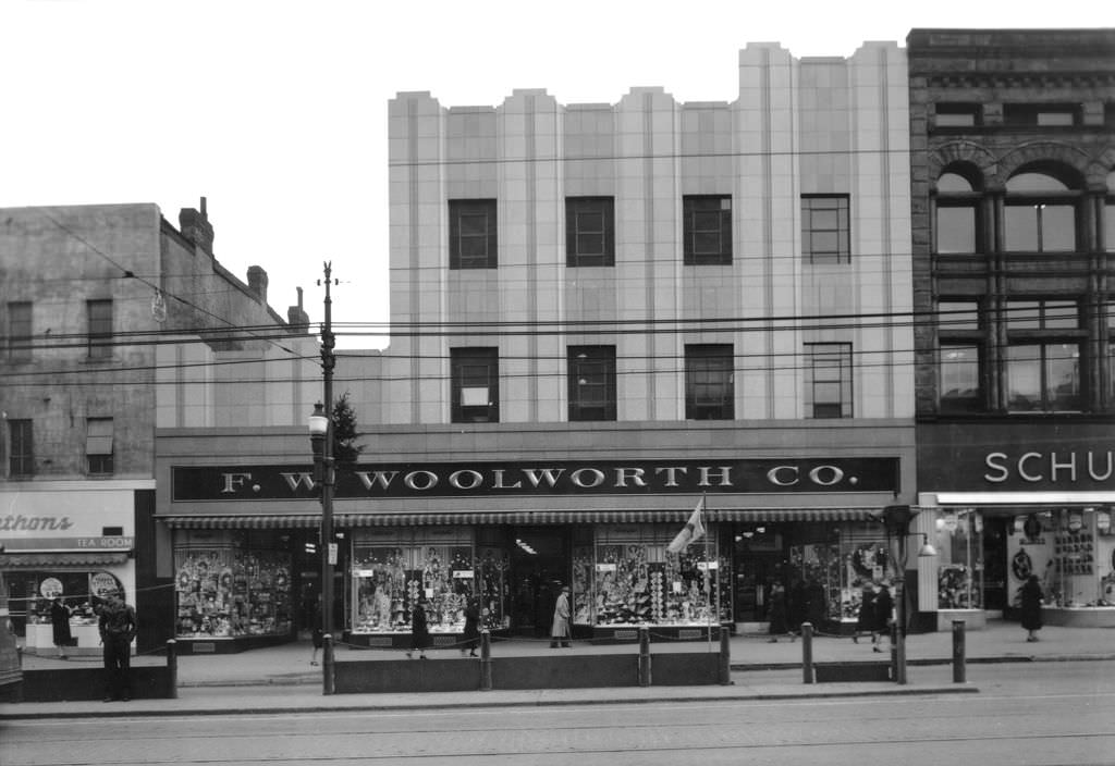
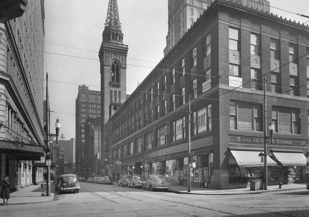
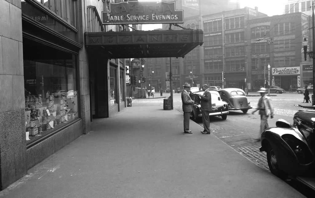
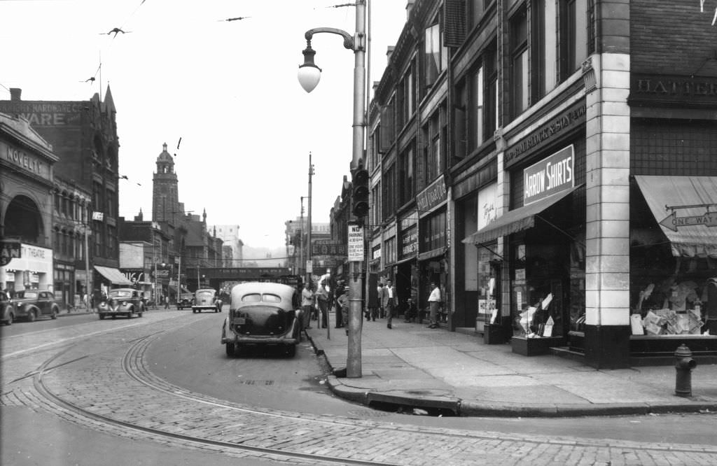
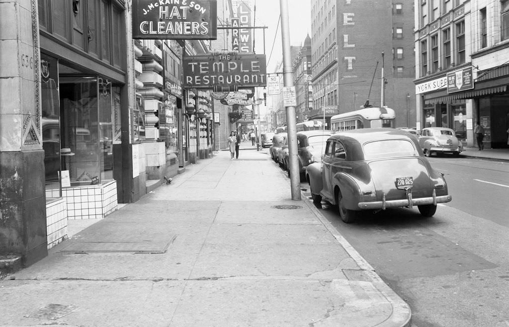
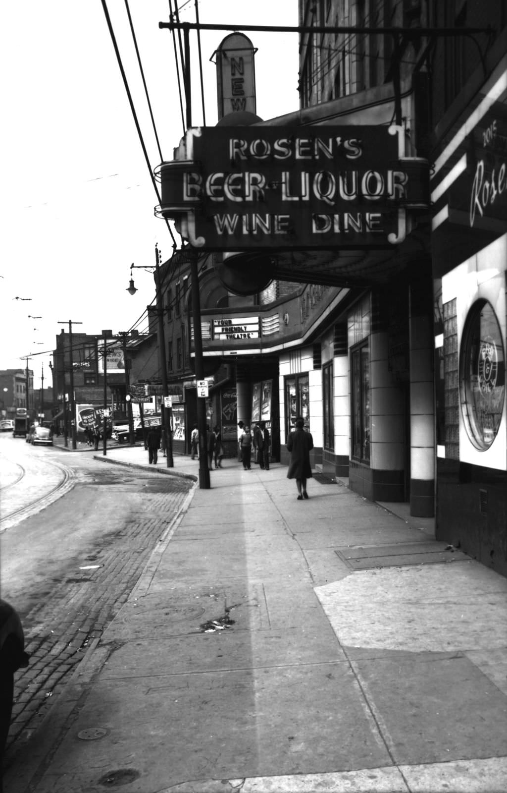
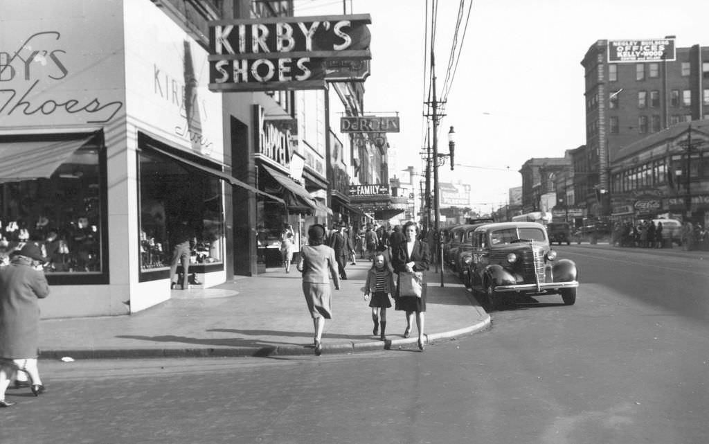
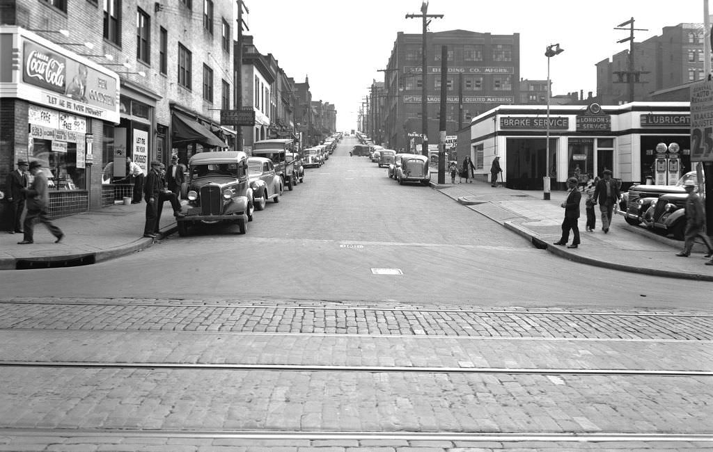
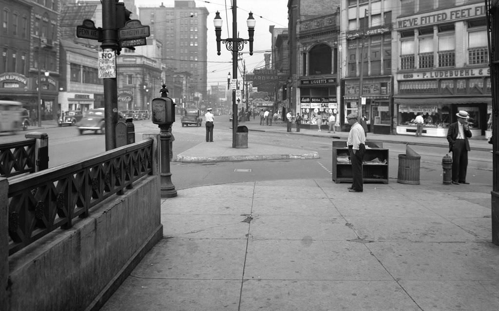
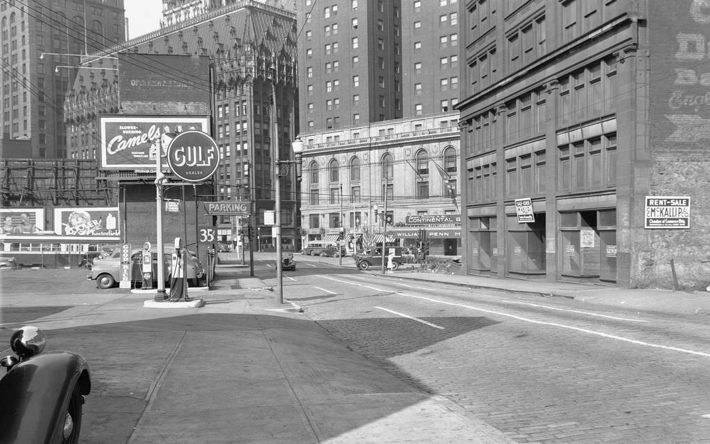
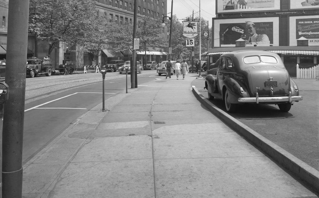
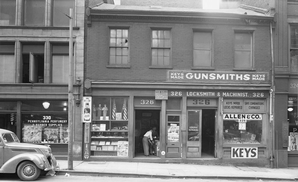
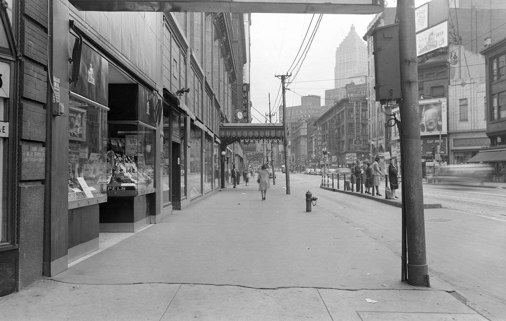
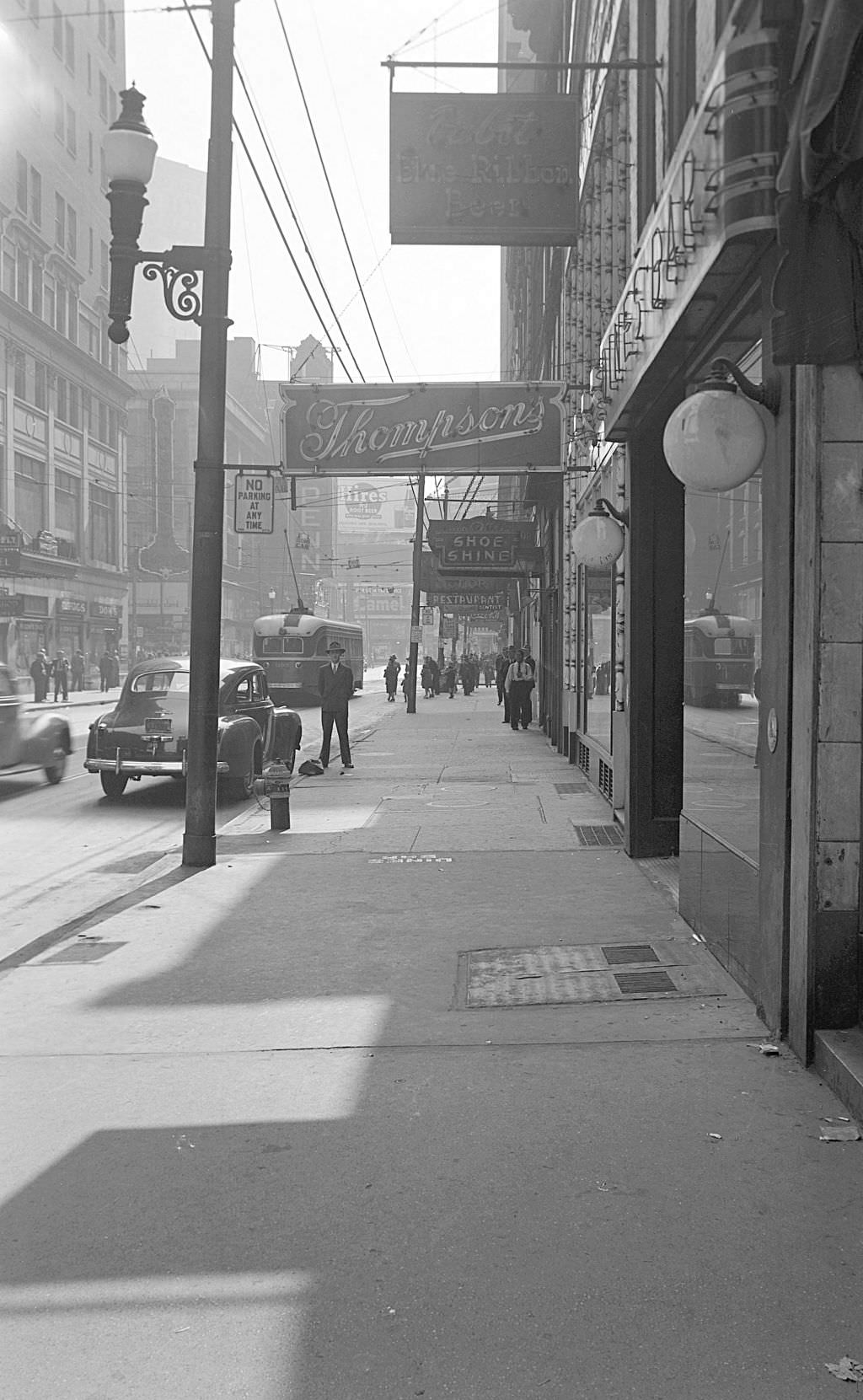
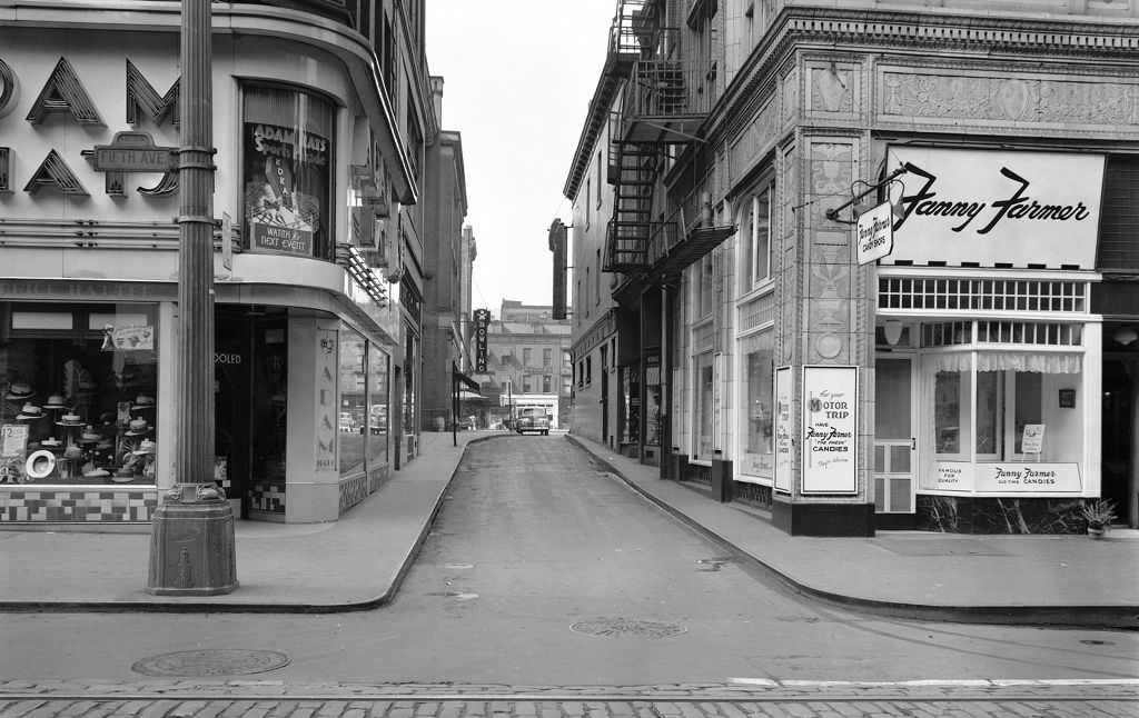
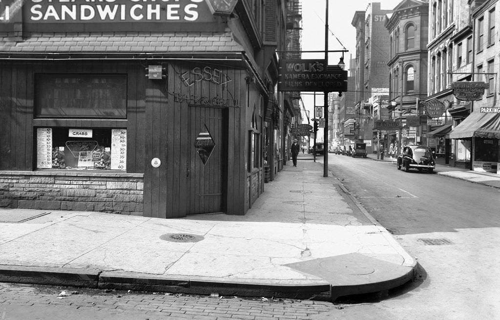
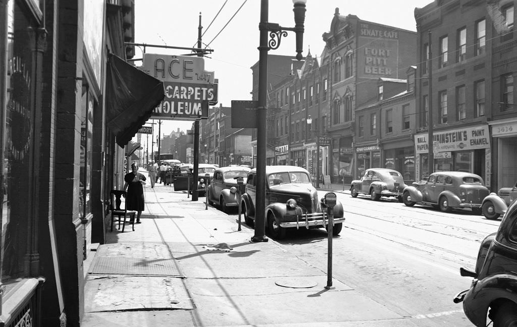
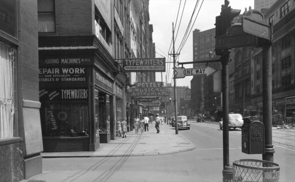
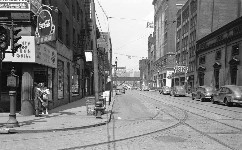
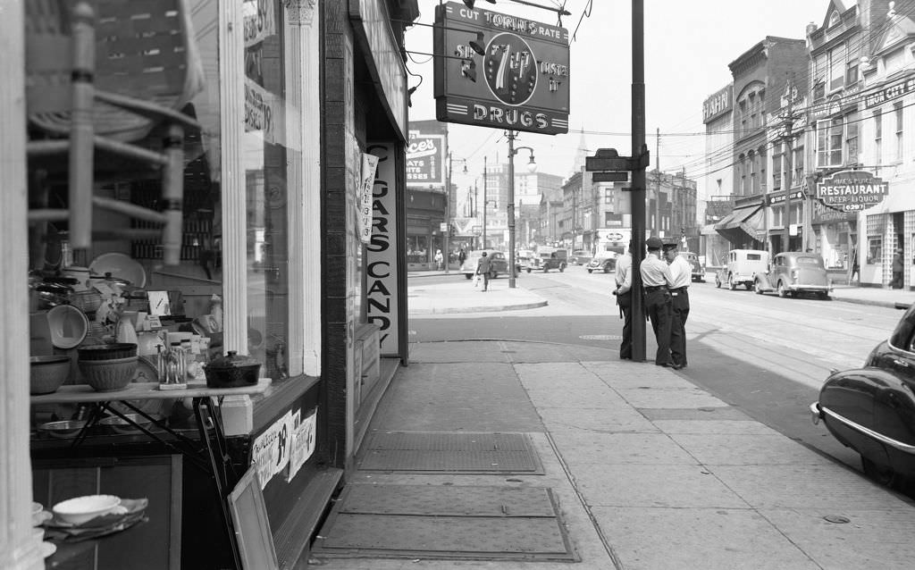
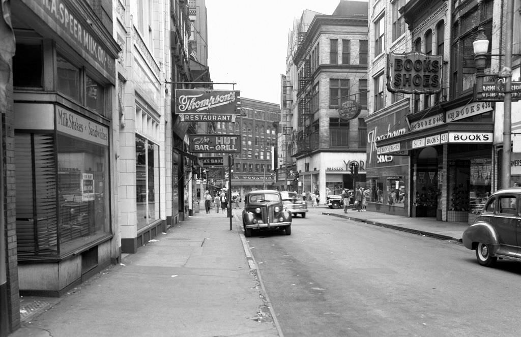
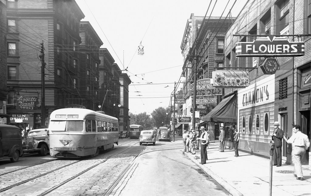
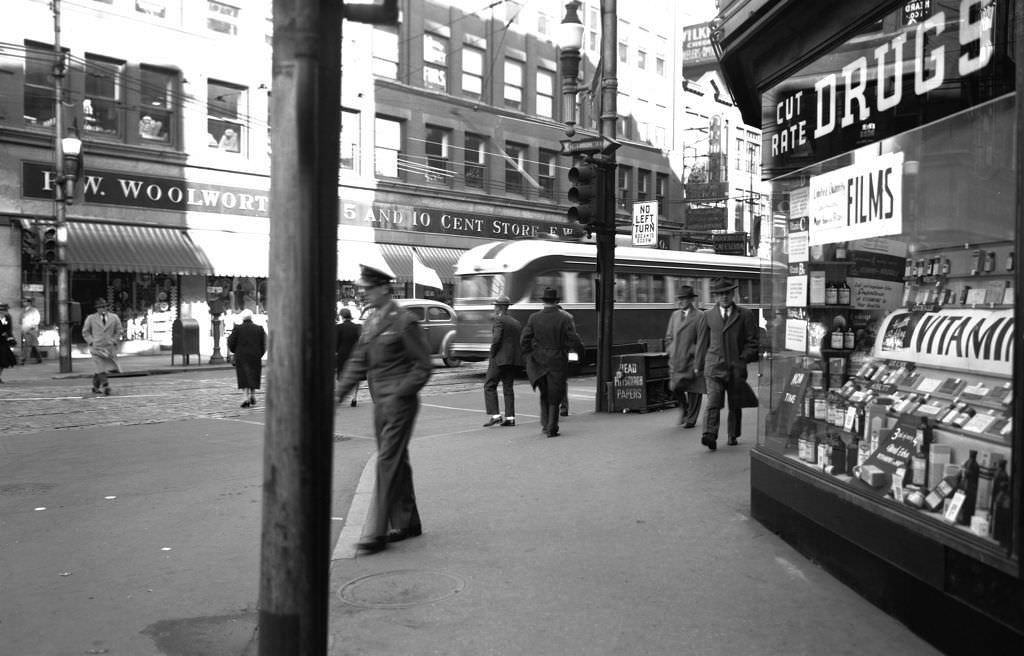
Downtown Pittsburgh in the early 1940s was a dense, bustling commercial hub. Sixth Avenue alone had Gimbels department store, a Woolworth’s, and King Flowers all within a few blocks of each other. The Nixon Theatre anchored the entertainment strip on Sixth Avenue, drawing crowds to theatrical productions throughout the war years. Streets were busy at nearly all hours, and shop windows competed for the attention of passersby.
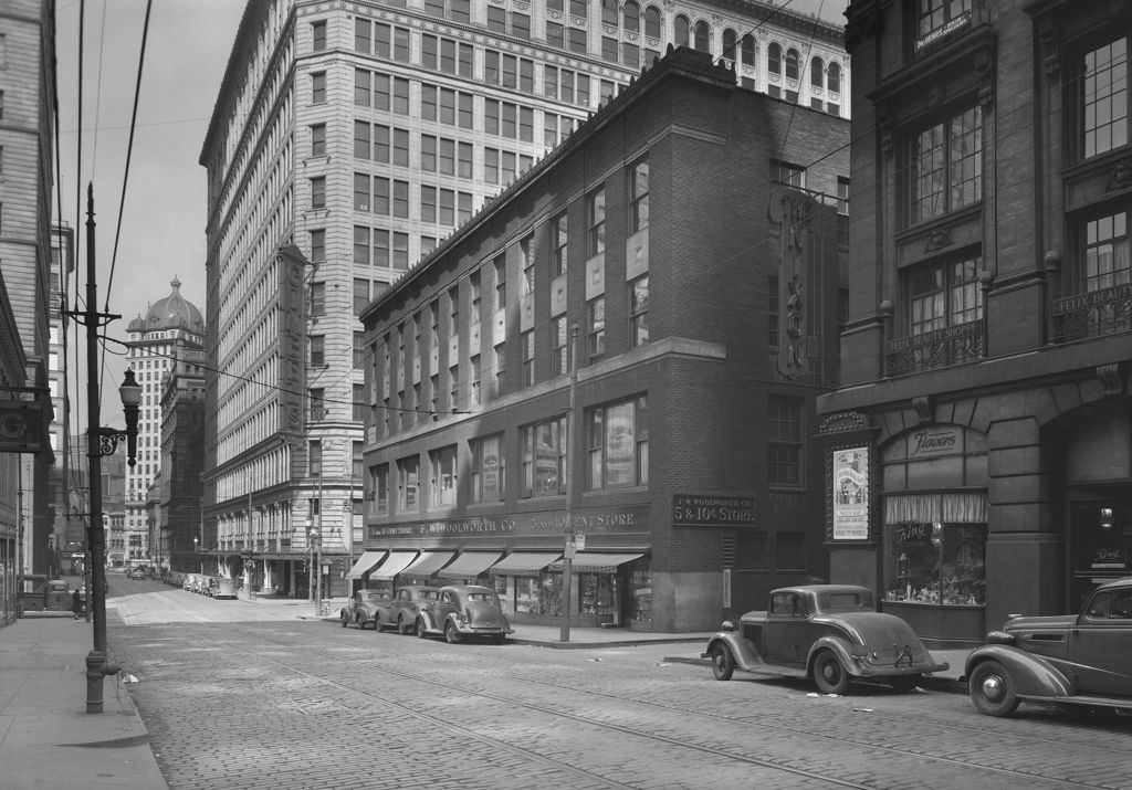
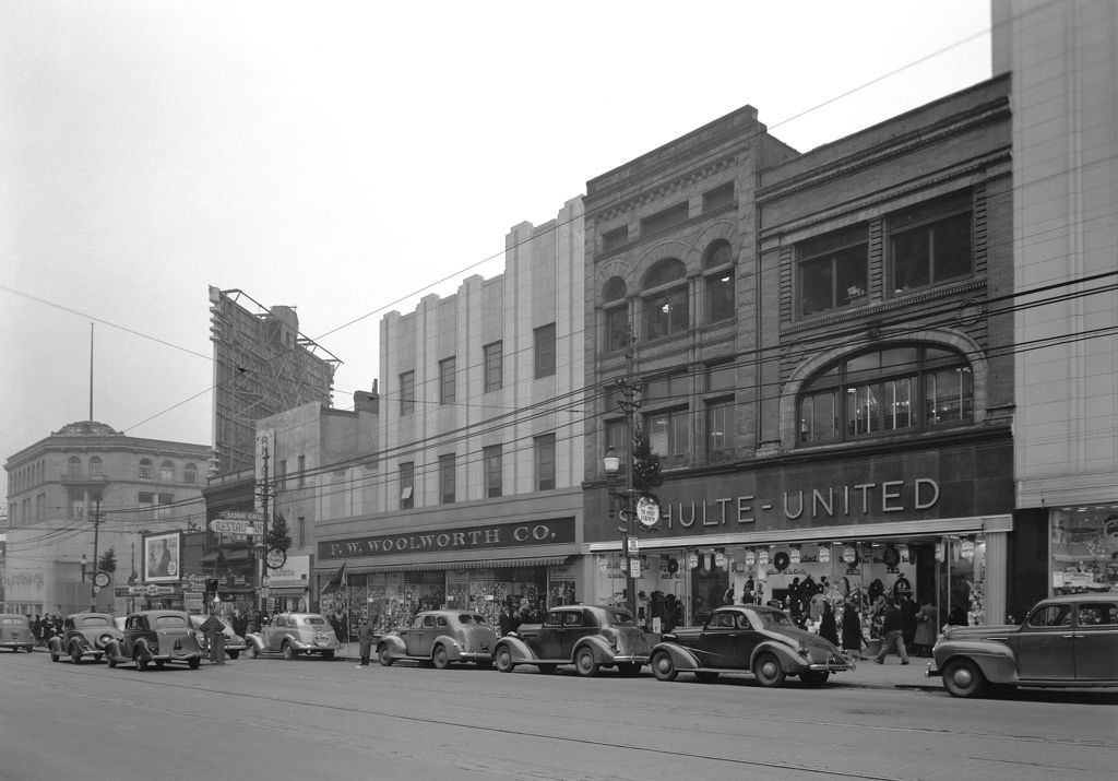
F.W. Woolworth ran multiple locations across Pittsburgh. The Smithfield Street store was a Downtown anchor, while the Penn Avenue location served the East End. By Christmas 1940, Woolworth’s dressed up its windows with holiday displays that stopped pedestrians in their tracks — a small but telling reminder that even in uncertain times, the city’s commercial life continued.
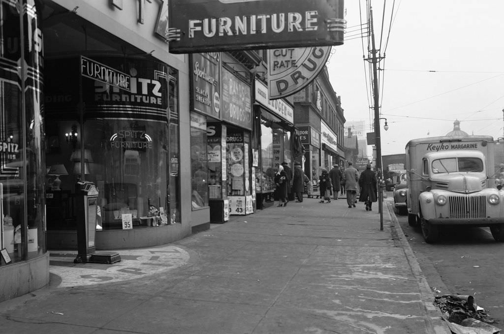
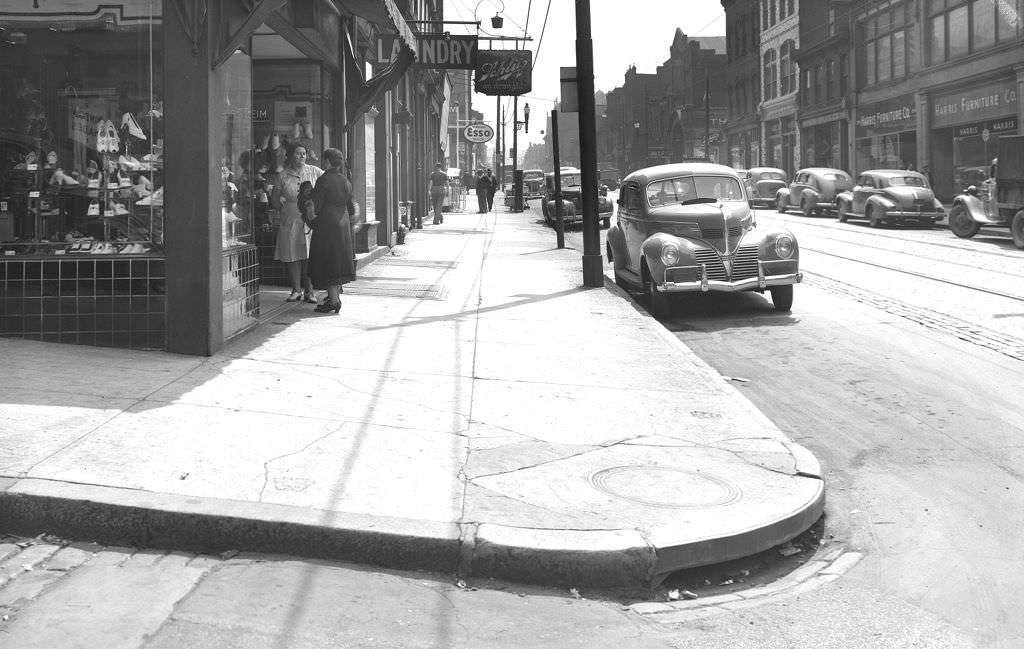
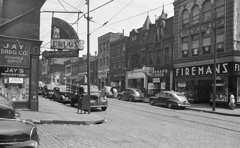
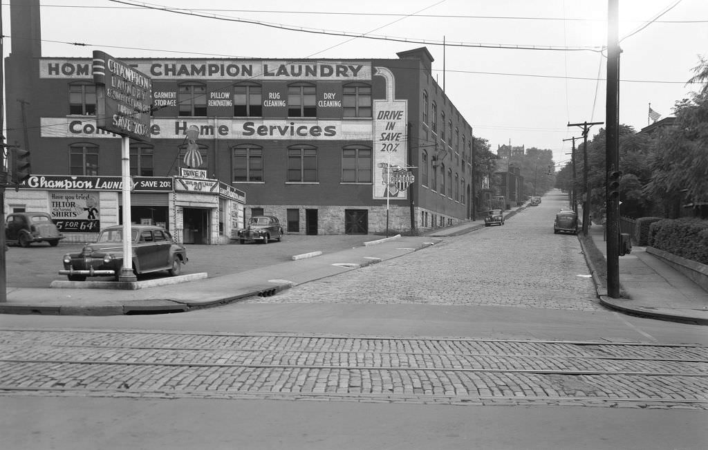
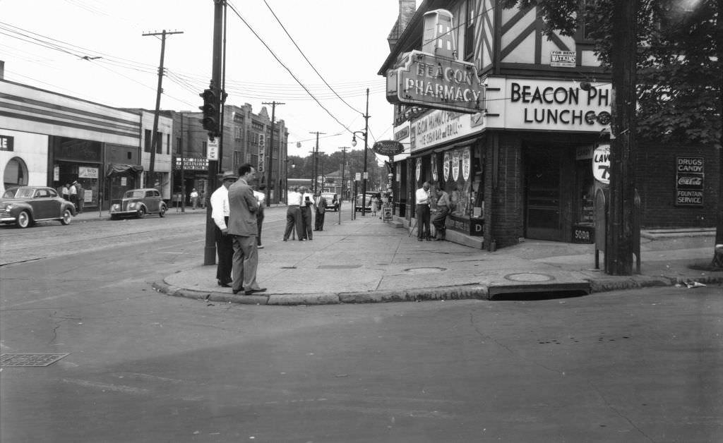
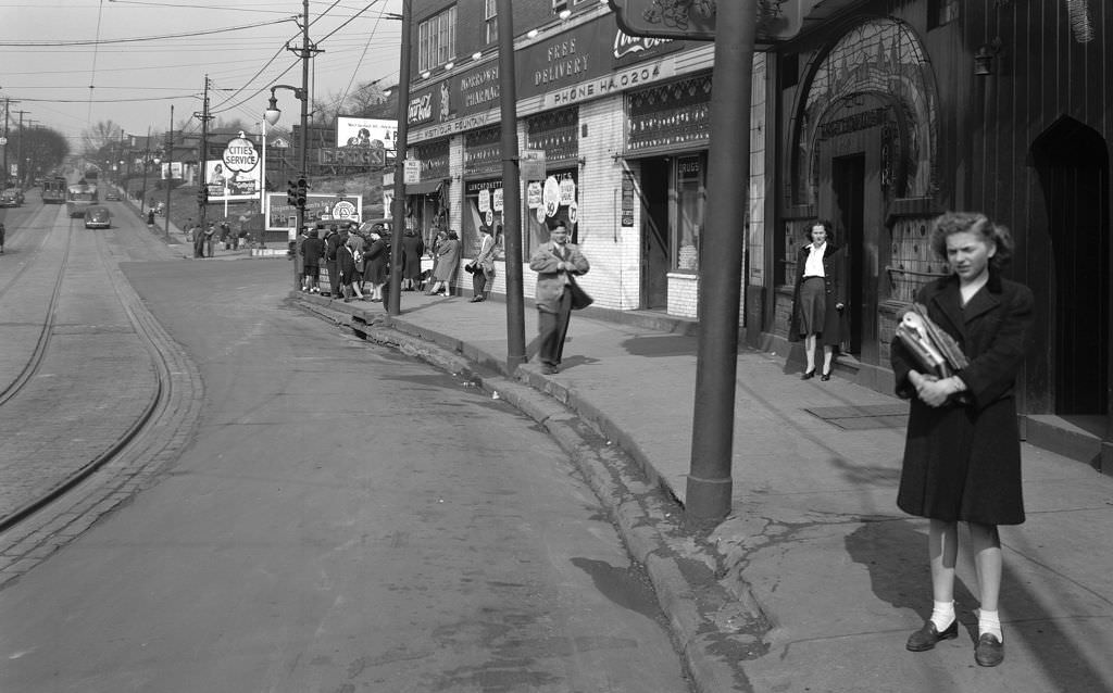
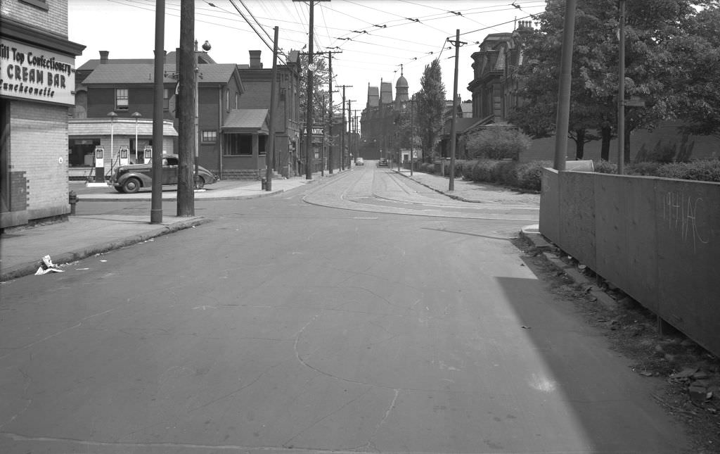
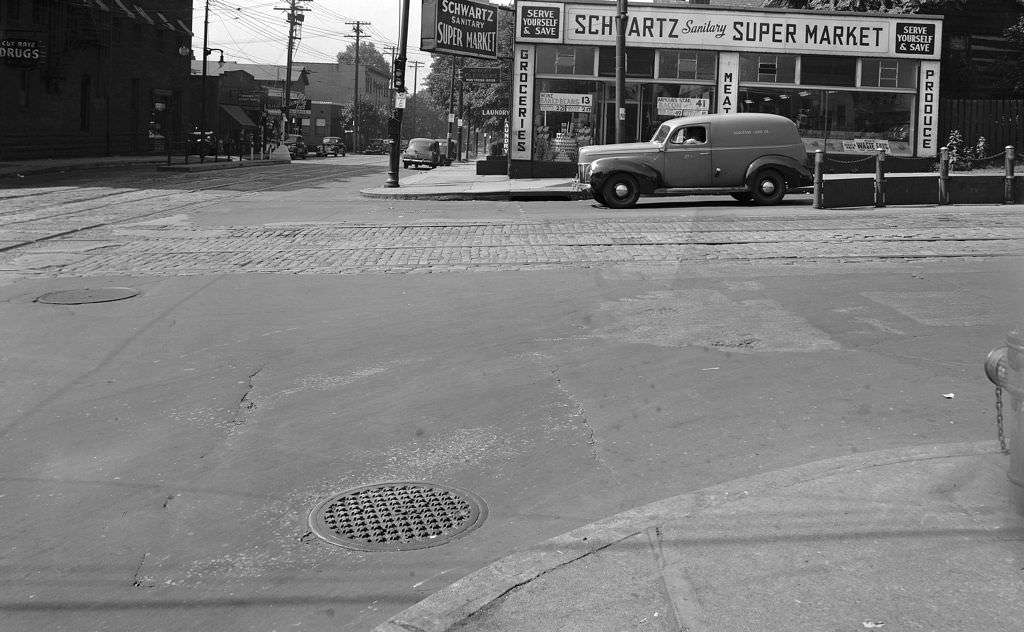
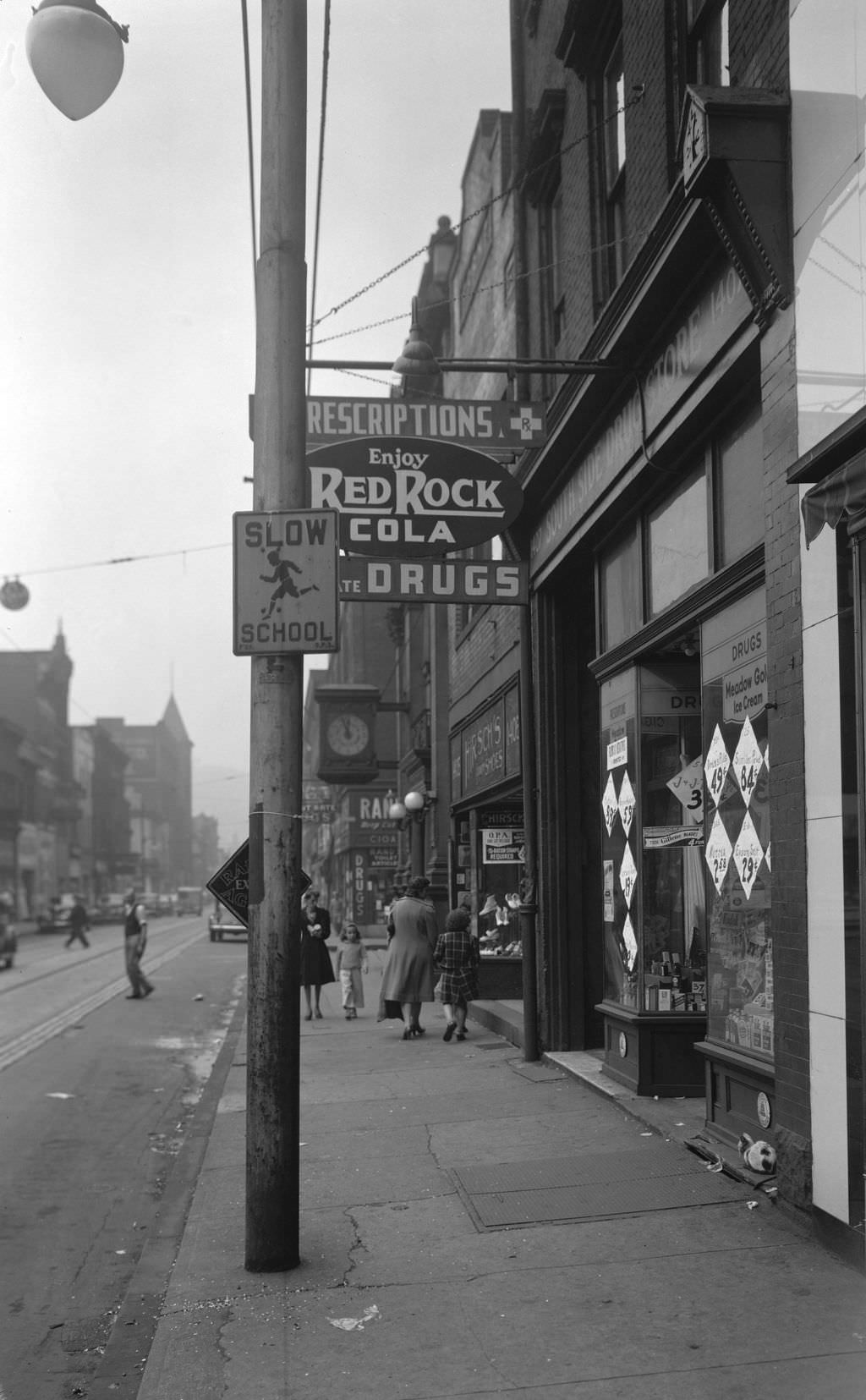
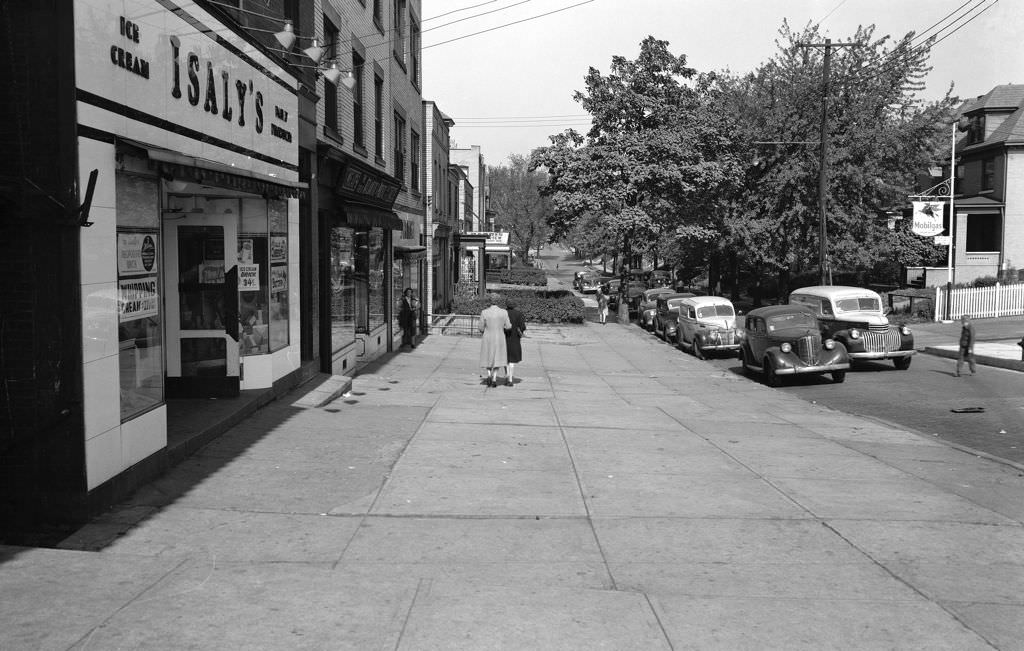
Pittsburgh’s neighborhoods each had their own commercial corridors that served as the backbone of daily life. Murray Avenue in Squirrel Hill was lined with pharmacies, shoe stores, and a bowling alley. Beechview Avenue had its own Isaly’s dairy store — a Pittsburgh institution known for its chipped ham and hand-packed ice cream. These street-level businesses were where residents did their shopping, ran errands, and bumped into neighbors.
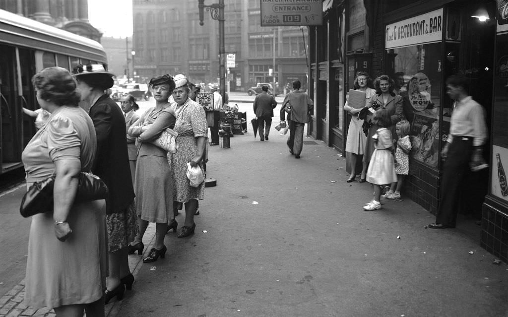
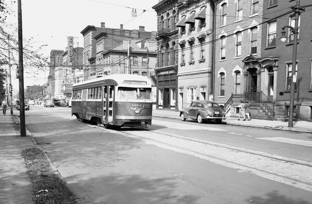
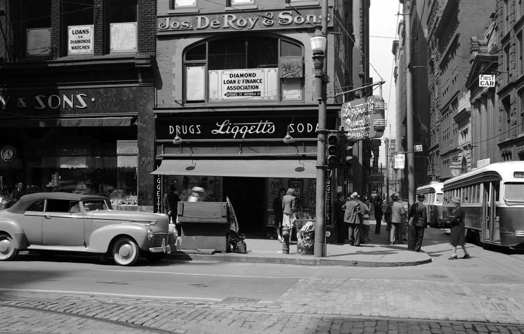
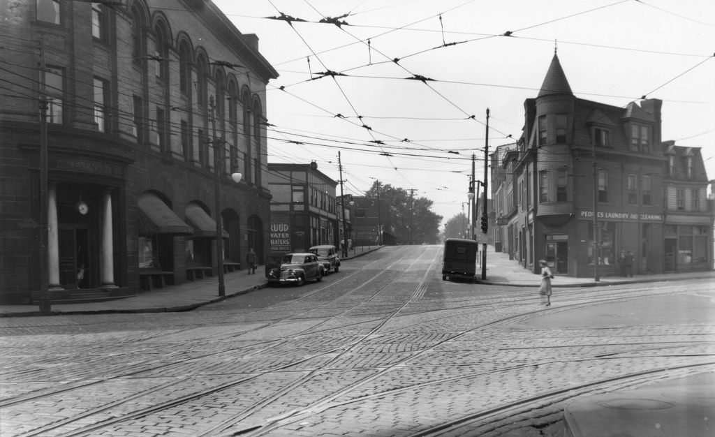
Streetcars were the veins of the city. The No. 69 Squirrel Hill line ran along Forbes Avenue, and the No. 22 Crosstown car worked North Avenue, connecting working-class neighborhoods to Downtown. For most Pittsburghers without cars, the streetcar system was the only reliable way to get across town. Riders packed the cars morning and evening, standing in the aisles during rush hours.
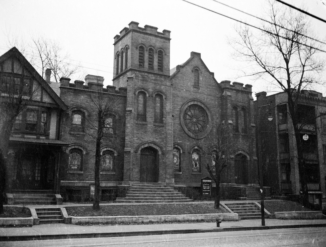
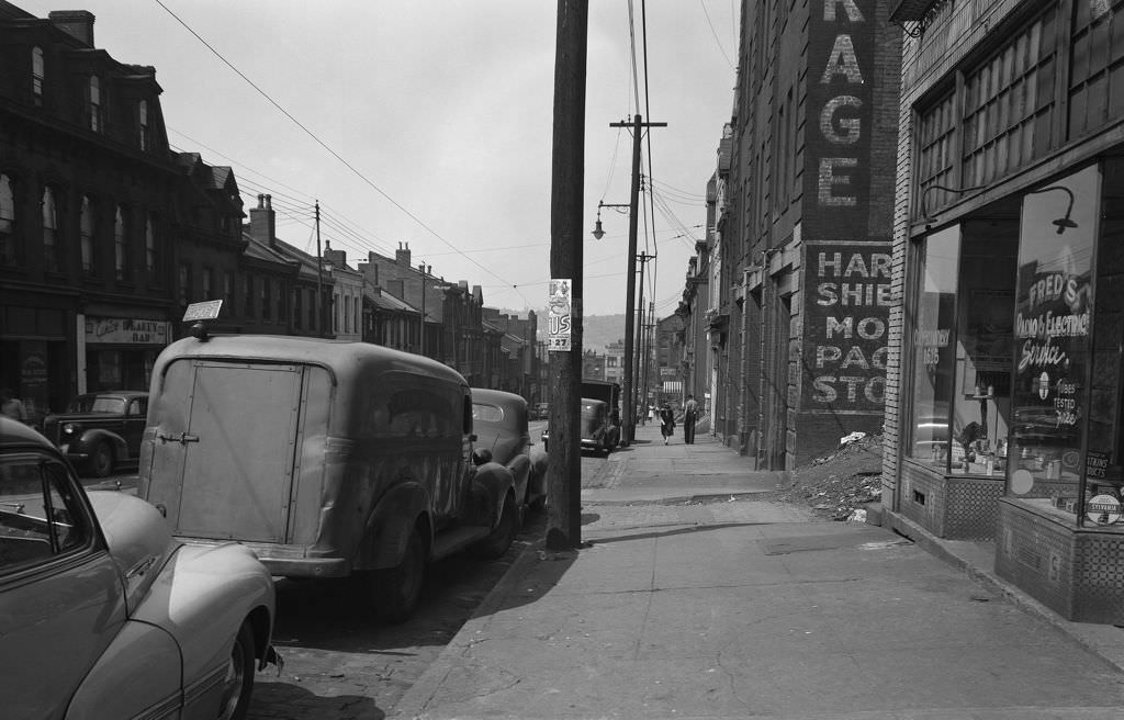
The Hill District, a densely populated neighborhood just east of Downtown, was home to a large African American community and a rich cultural life. Centre Avenue was its main artery, lined with shops, beauty bars, and radio repair services. The Loendi Club was one of the Hill’s most prominent social institutions, a gathering place for Pittsburgh’s Black professional class. Warren Methodist Church on Centre Avenue served as a spiritual and community anchor for the neighborhood.
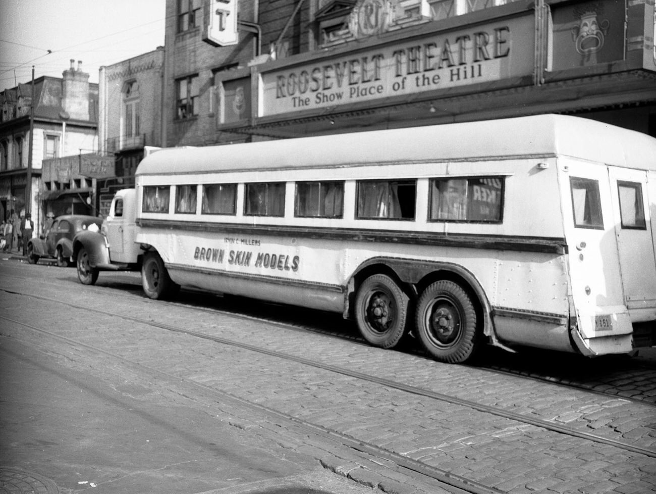
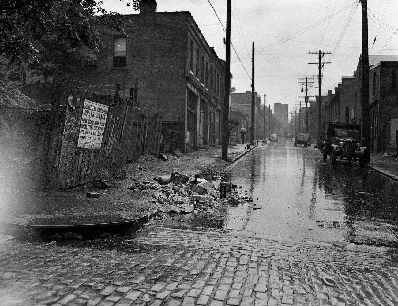
The Hill District also had a thriving entertainment scene. In 1942, Irvin C. Miller’s “Brown Skin Models” — a traveling African American musical revue — rolled through the neighborhood in its tour bus. Baseball was a communal passion, and in 1945, the Homestead Grays of the Negro Leagues faced the New York Cubans in a game advertised on posters throughout Pittsburgh’s streets. The Grays, based out of Homestead and Forbes Field, were one of the most dominant teams in Negro League history during the 1940s.
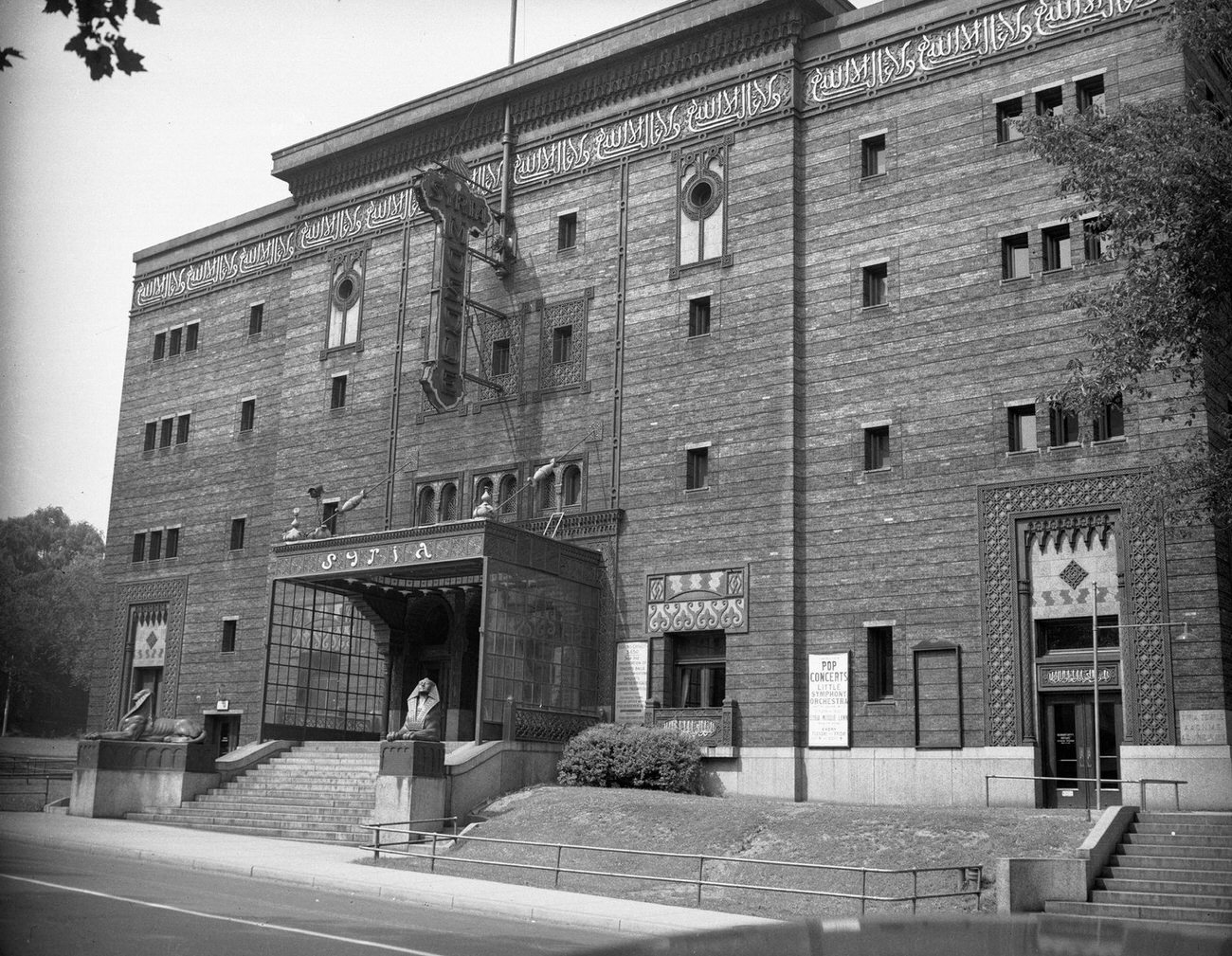
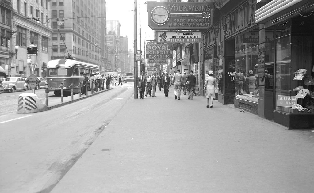
Music filled Pittsburgh beyond the Hill District. The Syria Mosque on Bigelow Boulevard advertised pop concerts and Little Symphony Orchestra performances in 1946, drawing audiences from across the city. Volkwein’s Music Store on Penn Avenue was a hub for musicians and fans alike, with signs for both the store and the Pittsburgh Baseball Club ticket office sharing the same sidewalk frontage.
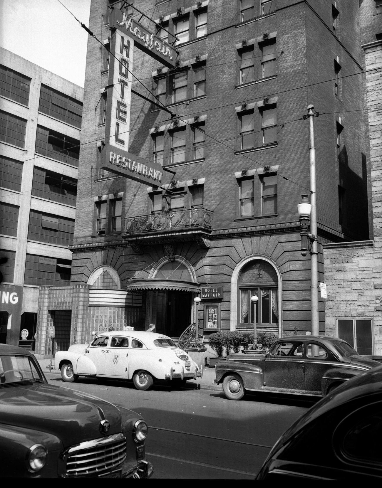
Despite its cultural vitality, the Hill District faced serious racial discrimination. In 1949, jazz and pop star Nat King Cole was refused service at the Mayfair Hotel and Restaurant, an incident that led to a racial discrimination lawsuit. The case put a spotlight on the segregation that Black Pittsburghers encountered even in their own city — a reality that existed alongside, and in stark contrast to, the neighborhood’s creative energy.
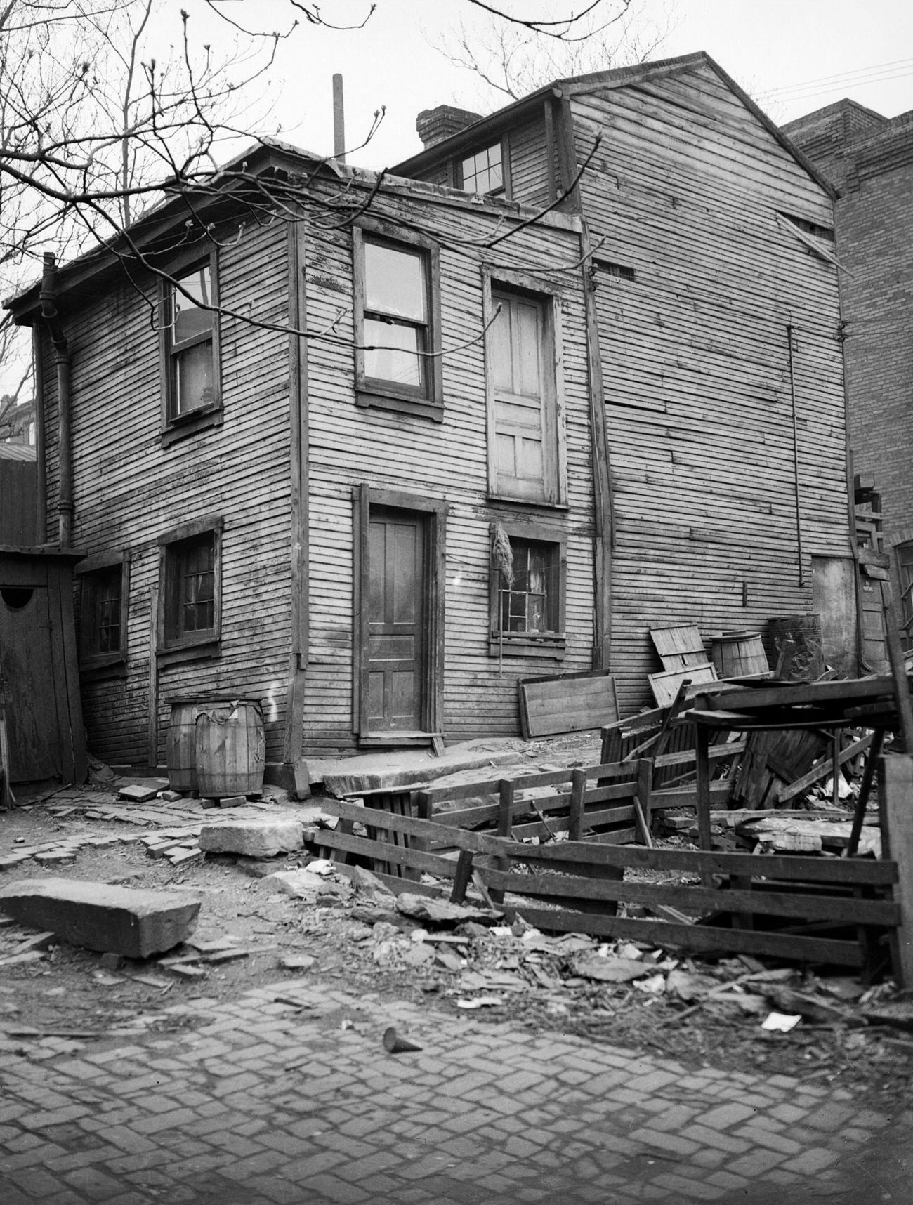
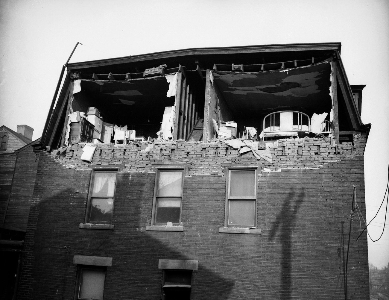
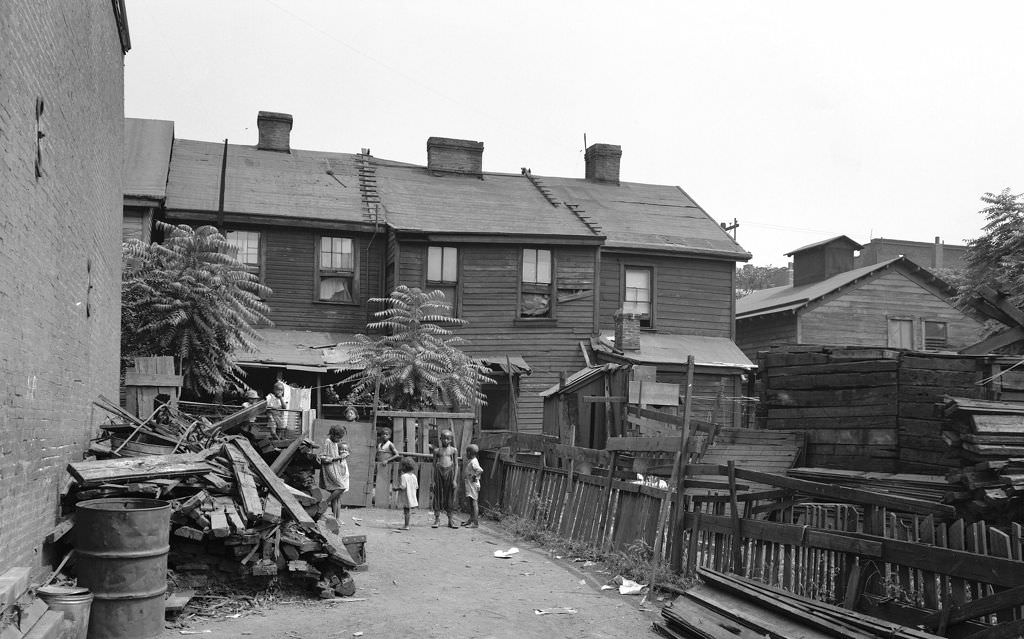
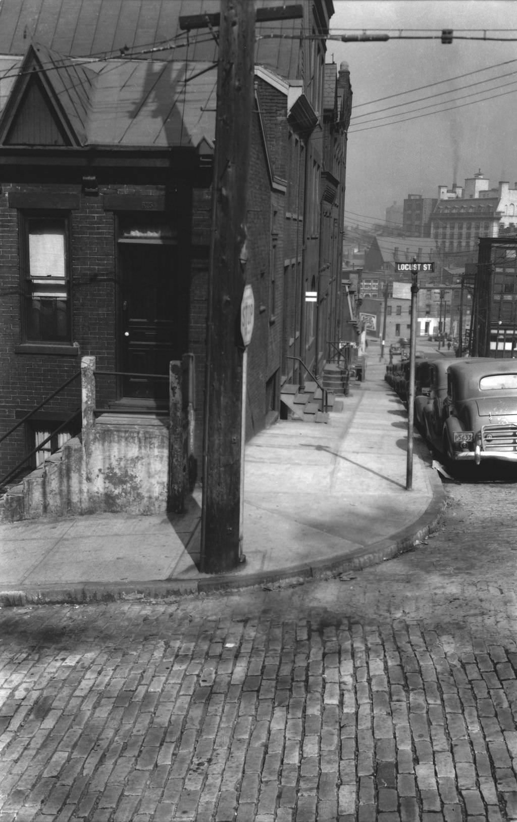
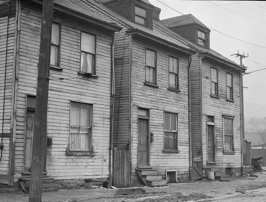
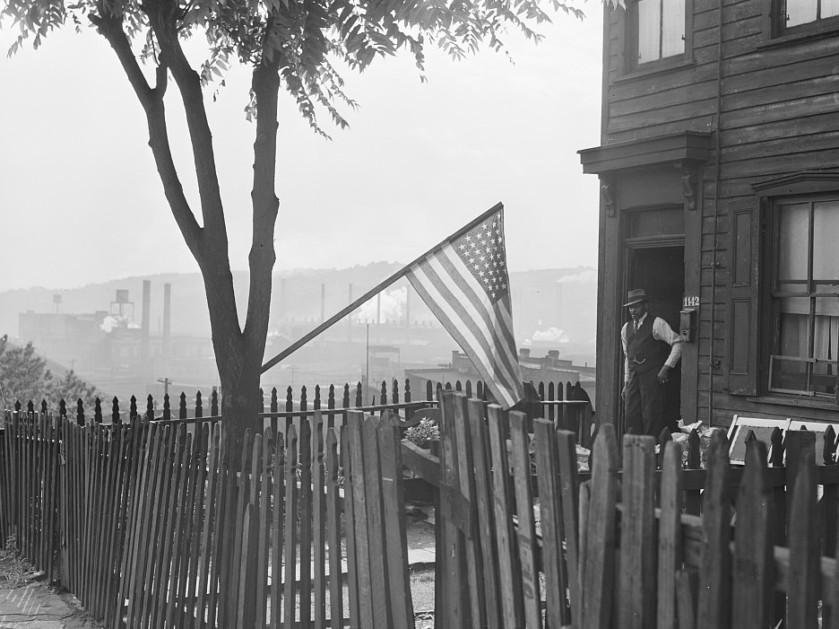
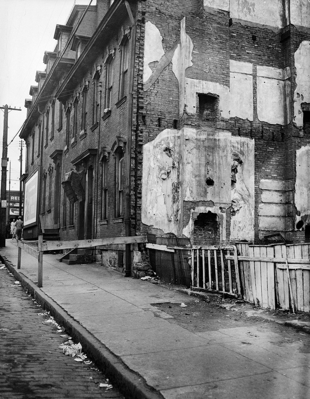
Physical conditions in parts of the Hill District were severe. Condemned homes, collapsed brick walls, and vacant lots sat alongside occupied buildings throughout the 1940s. The home of Hattie Dodson and Mary Davenport on an unpaved Hill District street was condemned in 1946. On Mahon Street that same year, a brick wall had collapsed entirely. These weren’t isolated incidents — they reflected the broader housing crisis facing low-income and Black residents in Pittsburgh throughout the decade.
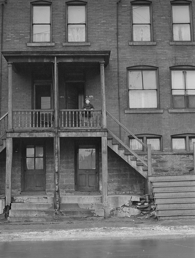
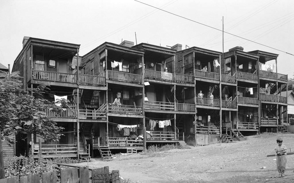
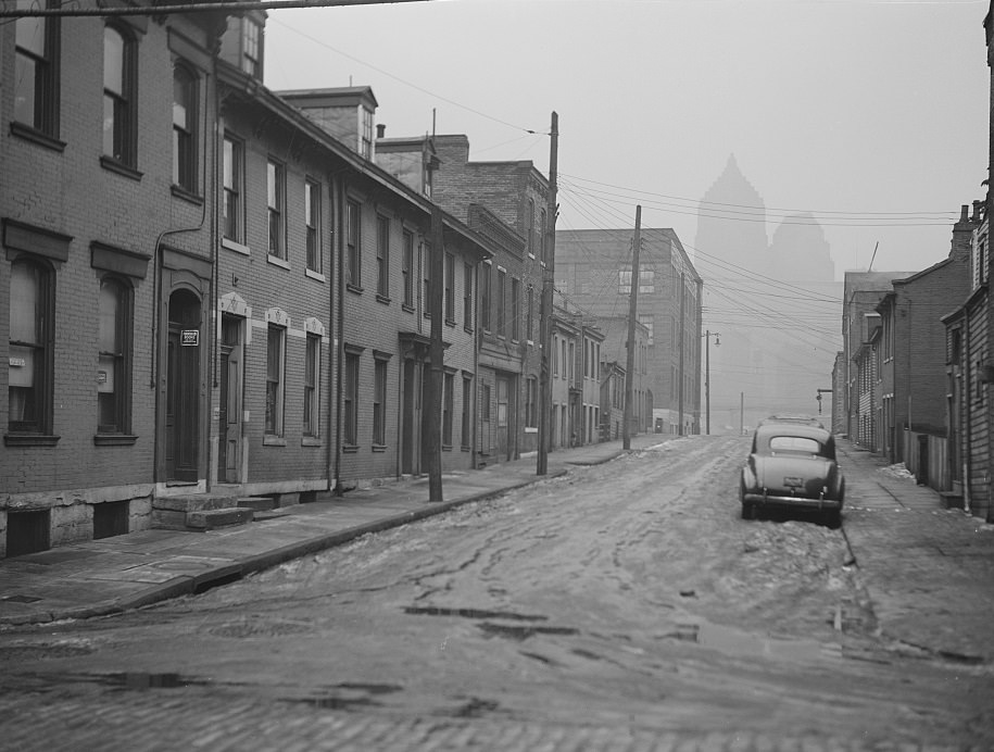
The city’s housing challenges weren’t limited to the Hill. Slum conditions existed across multiple neighborhoods, including areas along the mill district and in the South Side. An 18-family frame apartment building on Mansion Street in 1940 illustrated the overcrowded, deteriorating housing stock that thousands of Pittsburghers occupied. The same year, a privy vault photographed on the rear of a property showed that basic sanitation infrastructure was still absent in parts of the city.
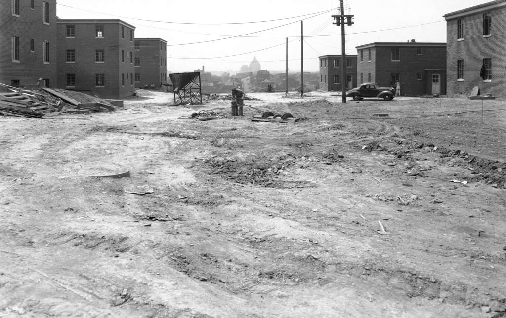
To address these conditions, Pittsburgh began building public housing. Bedford Dwellings and Terrace Village were two projects under construction in 1940, built to replace deteriorating housing stock in high-density areas. Terrace Village’s Elmore Square took shape that year, and Bedford Dwellings’ lower level showed visible construction progress. These projects represented the city’s first major push toward organized public housing, though they also displaced many existing residents in the process.
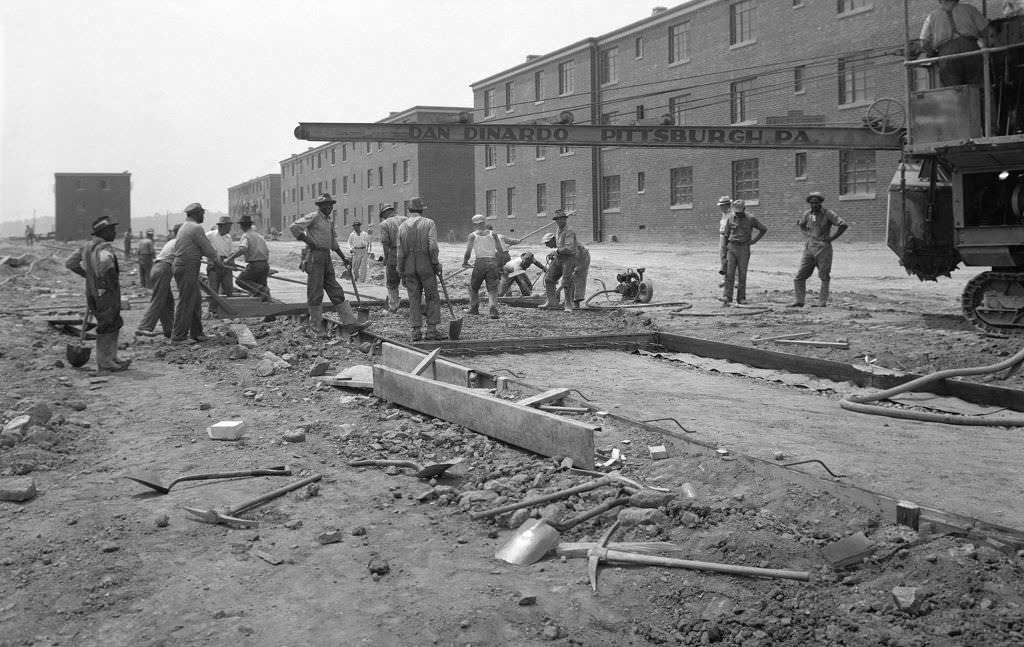
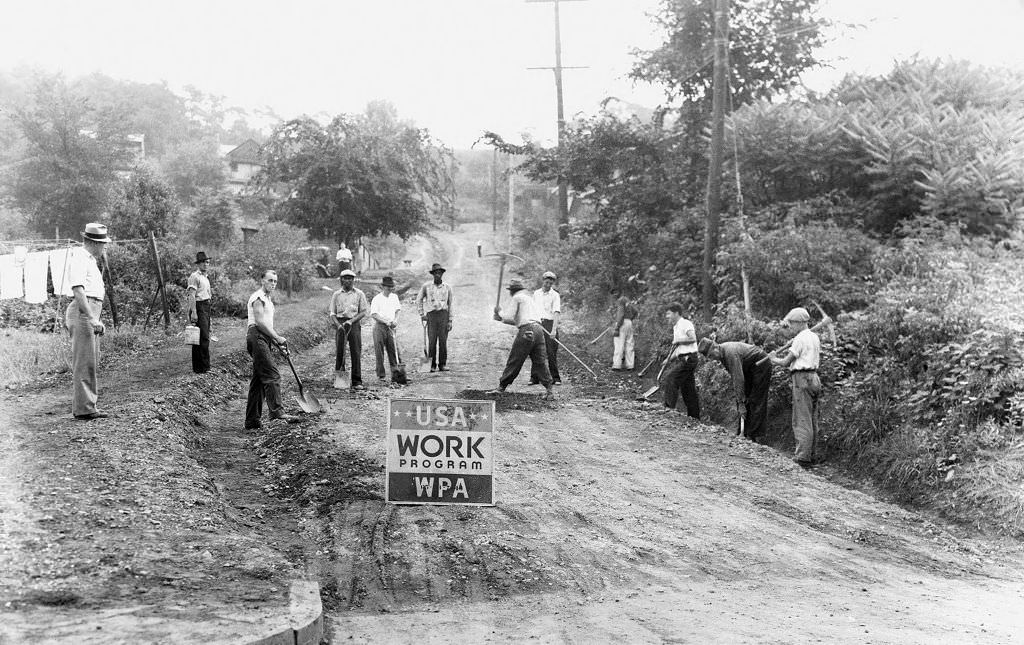
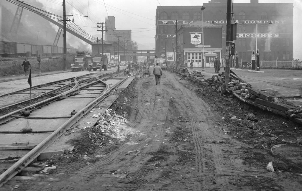
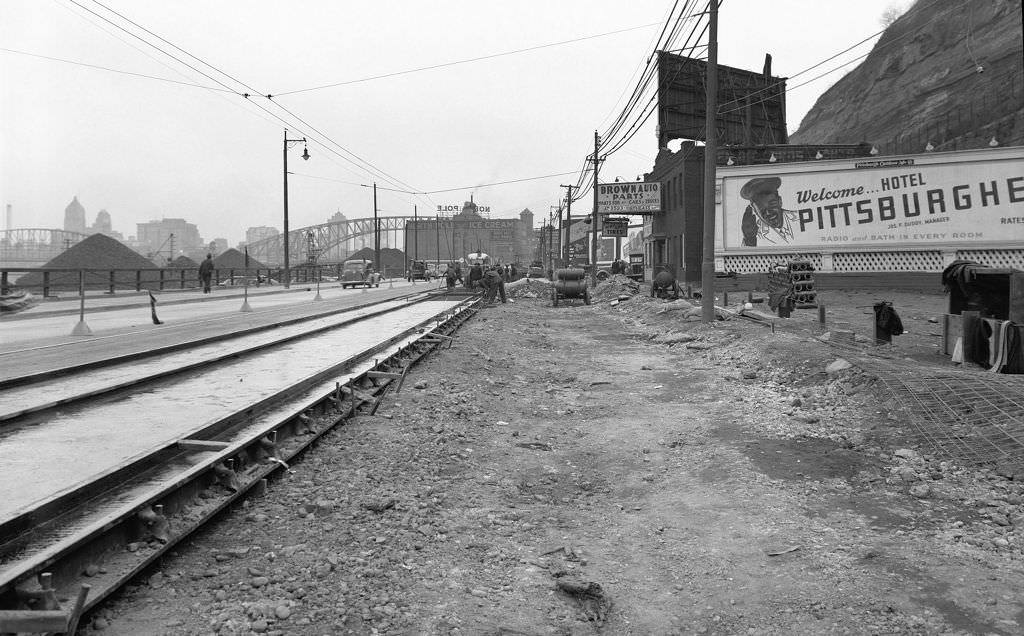
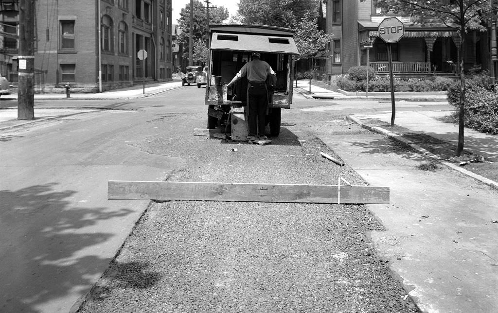
Infrastructure work was constant throughout the decade. Road crews repaired railroad switches on Smallman Street in 1940. The Bureau of Highways and Sewers, working under a U.S. Works Progress Administration project, graded Harpin Street in 1943. Workers operating asphalt binding machines over sewer trenches were a common sight on Pittsburgh streets. The city was repairing and modernizing from the ground up, block by block.
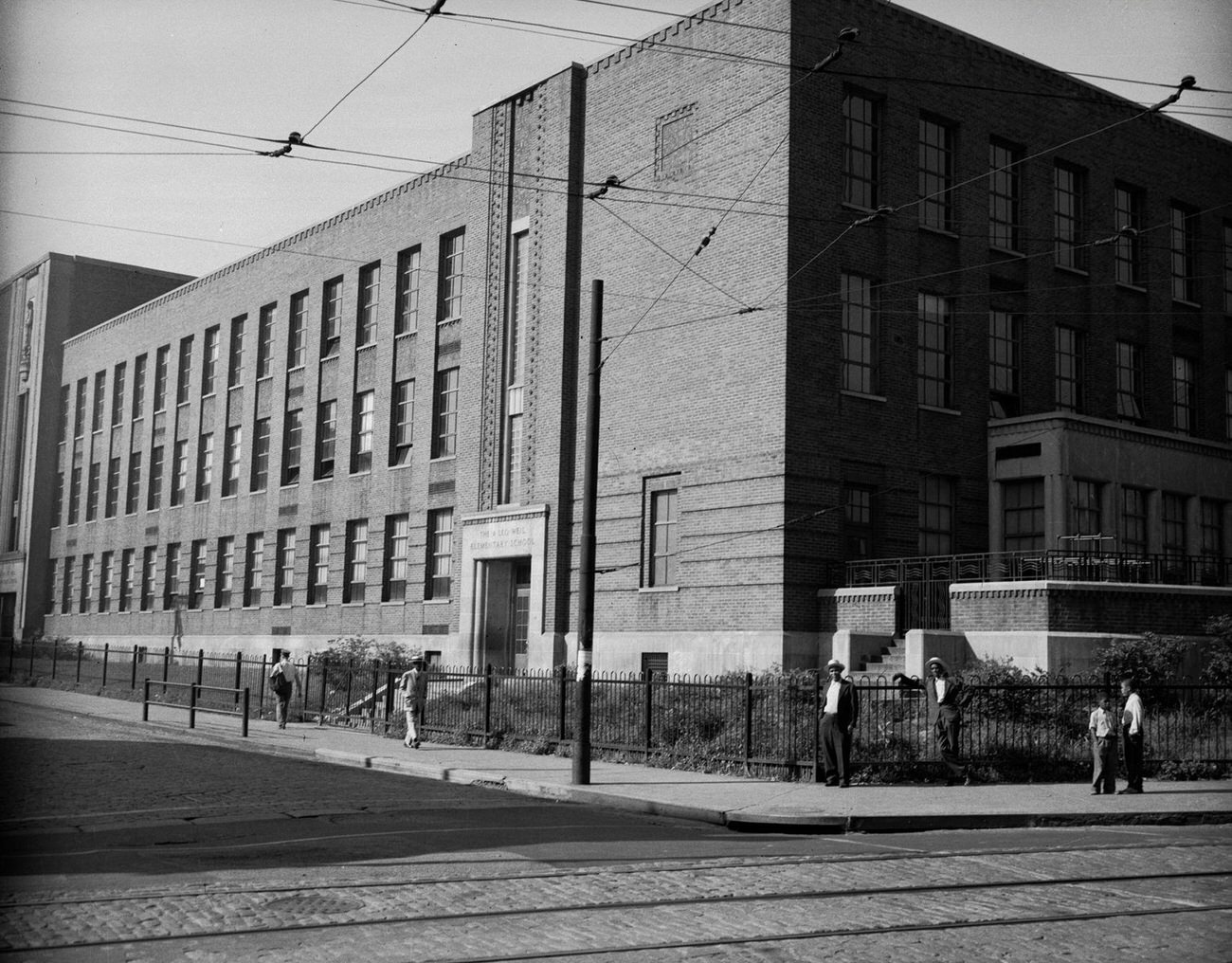
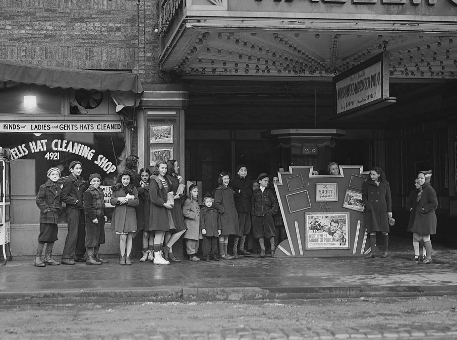
Education was a visible priority across the city. Leo Weil Elementary School in the Hill District and Robert L. Vann Elementary School, named for the founder of the Pittsburgh Courier, both served communities in the 1940s. Parochial schools also played a large role in Pittsburgh’s educational landscape, drawing students from the city’s many Catholic immigrant communities. On weekdays, children in school uniforms filled the sidewalks at dismissal time.

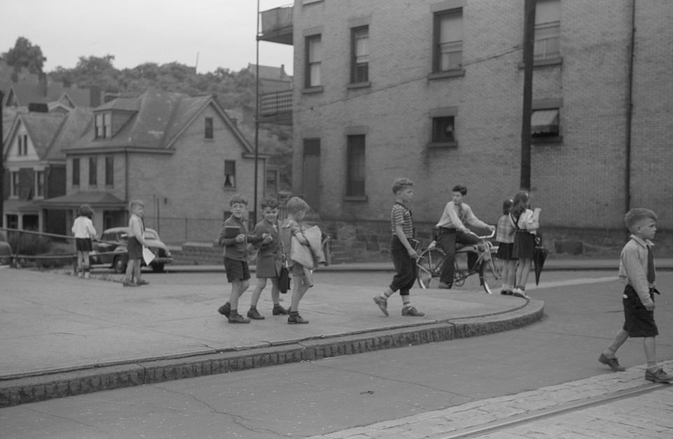
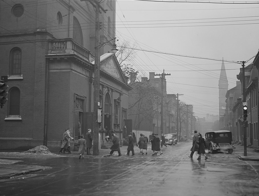
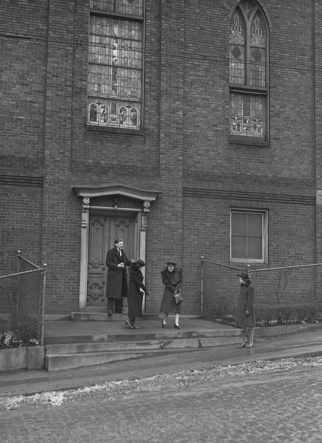
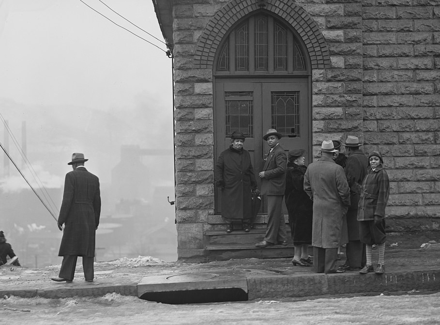
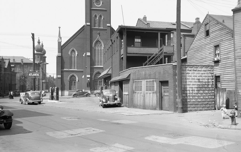
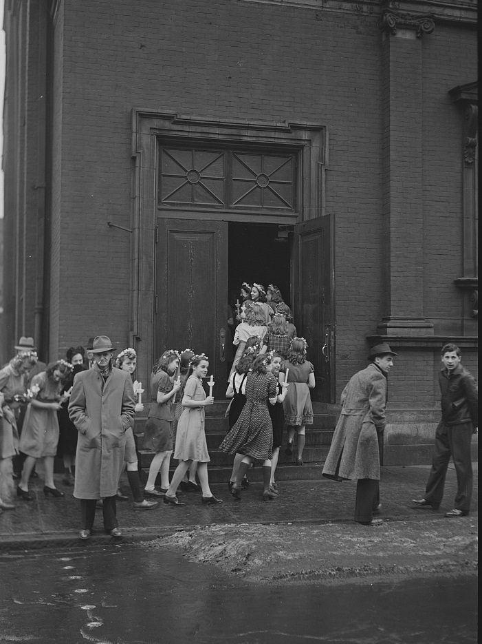
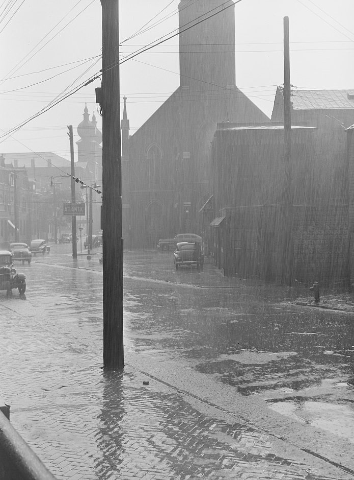
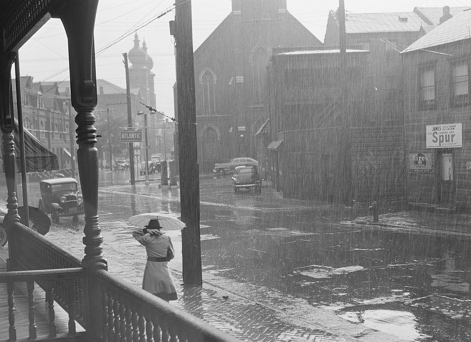
Faith was woven tightly into Pittsburgh’s daily rhythms. Sunday mornings saw Hungarian communities gathering after church services in mill-district neighborhoods, while African American congregations filled churches throughout the city. Whether it was a Catholic mass, a Protestant service, or a storefront church, religious life structured the week for a large portion of Pittsburgh’s population.
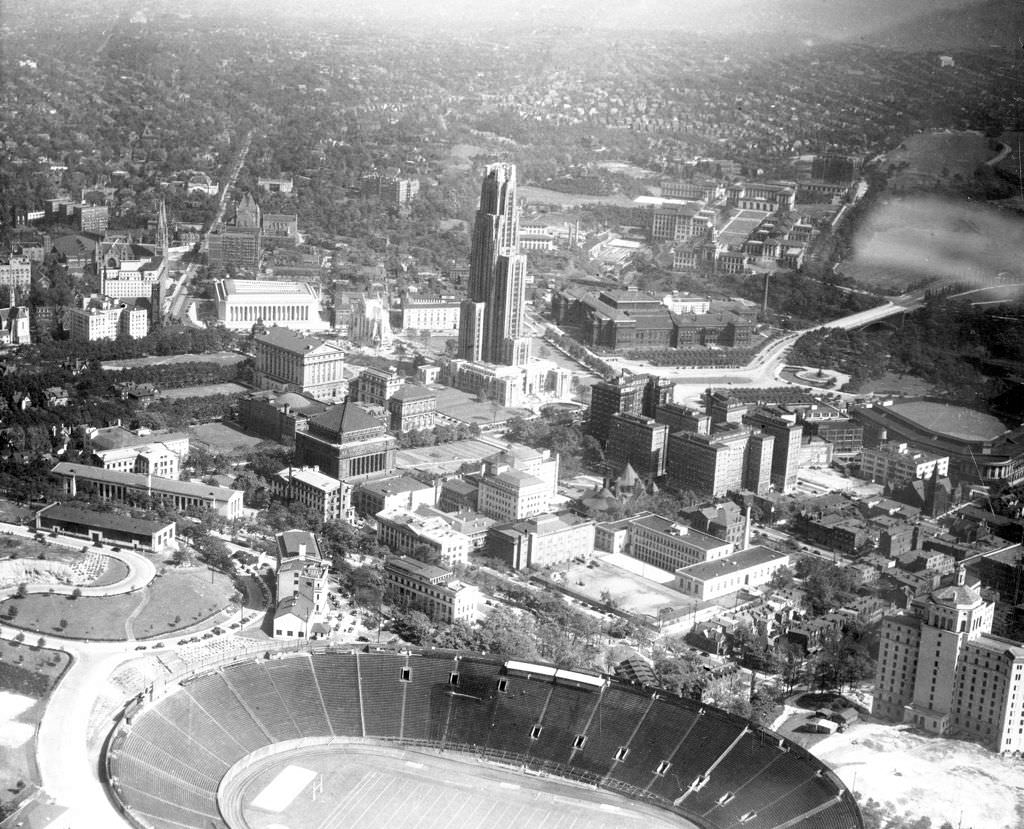
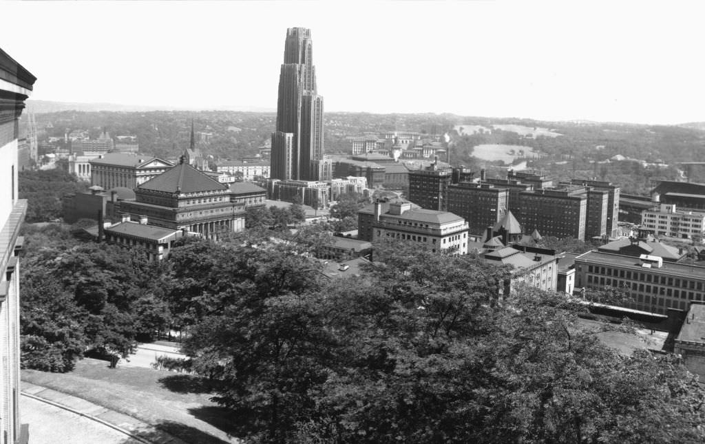
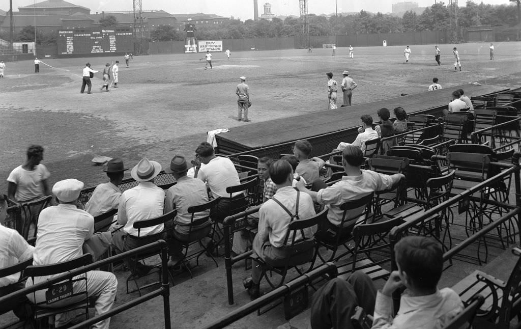
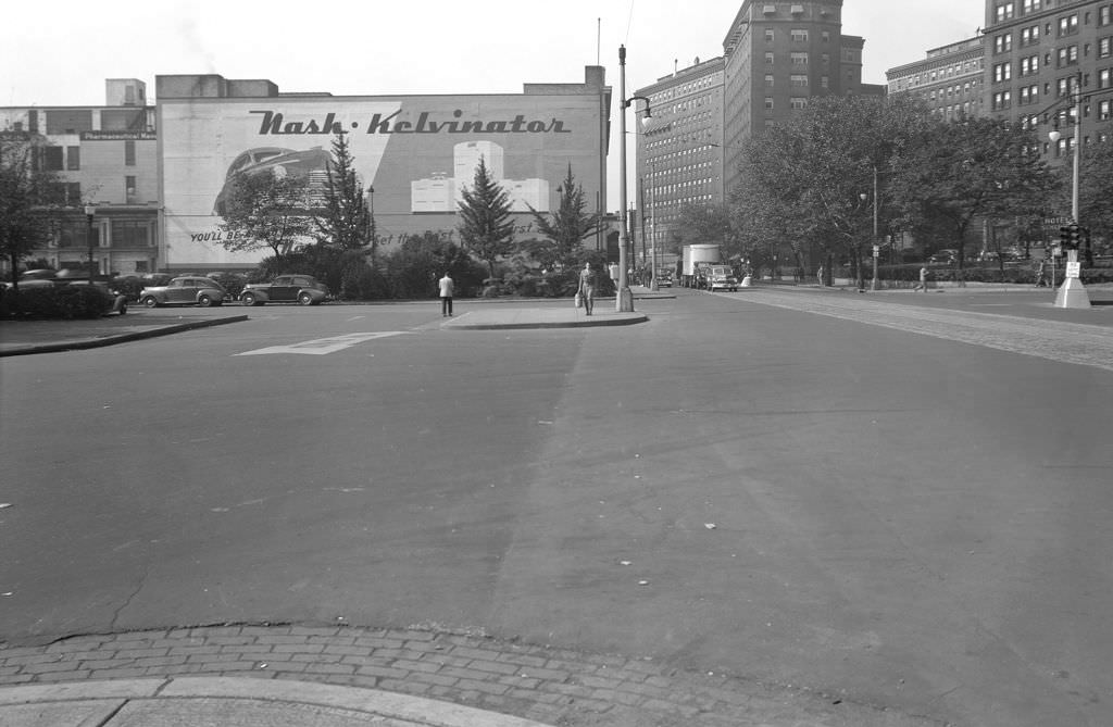
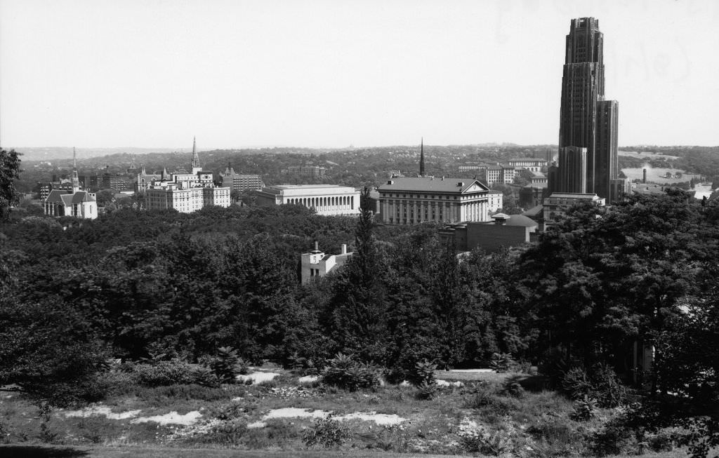
Oakland, Pittsburgh’s academic and cultural district, anchored the East End of the city. The University of Pittsburgh’s campus, dominated by the Cathedral of Learning, sat alongside the Carnegie Institute, Heinz Chapel, and the Hotel Schenley. Forbes Field — home of the Pittsburgh Pirates — stood just blocks away, and from the stands you could see the Carnegie Library of Pittsburgh rising beyond the outfield wall. The neighborhood brought together students, researchers, baseball fans, and arts patrons in a dense, walkable environment unlike anywhere else in the city.
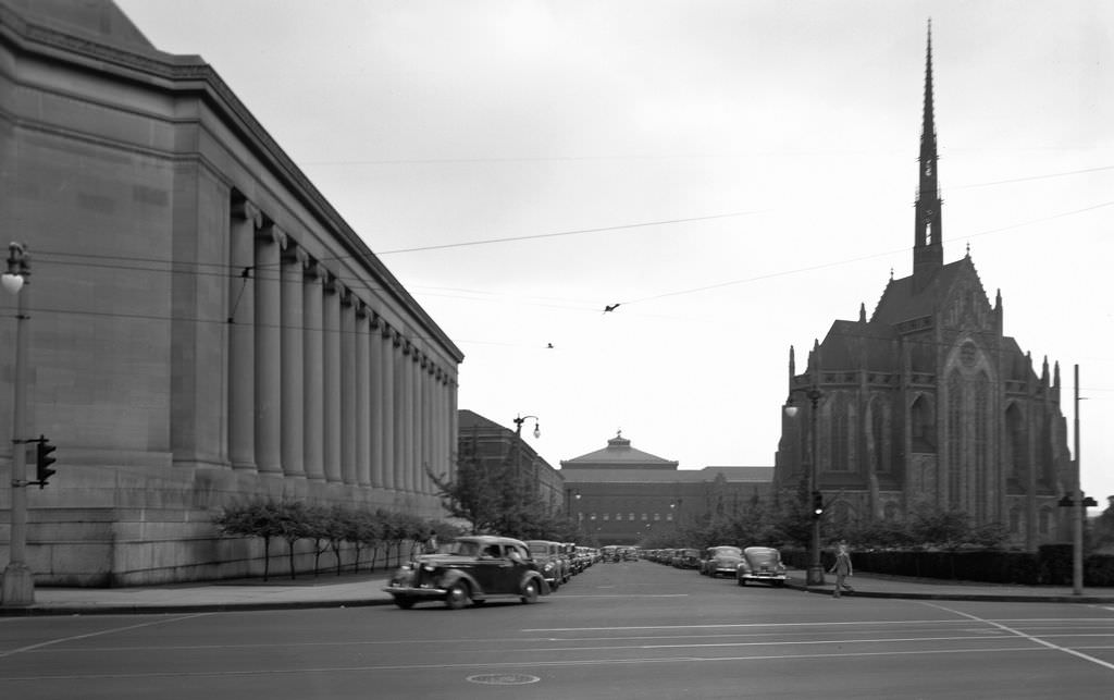
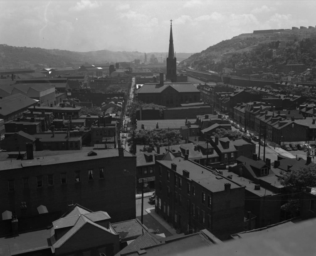
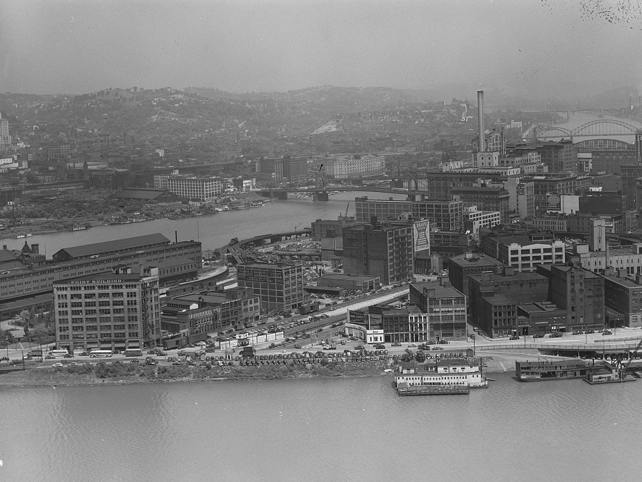
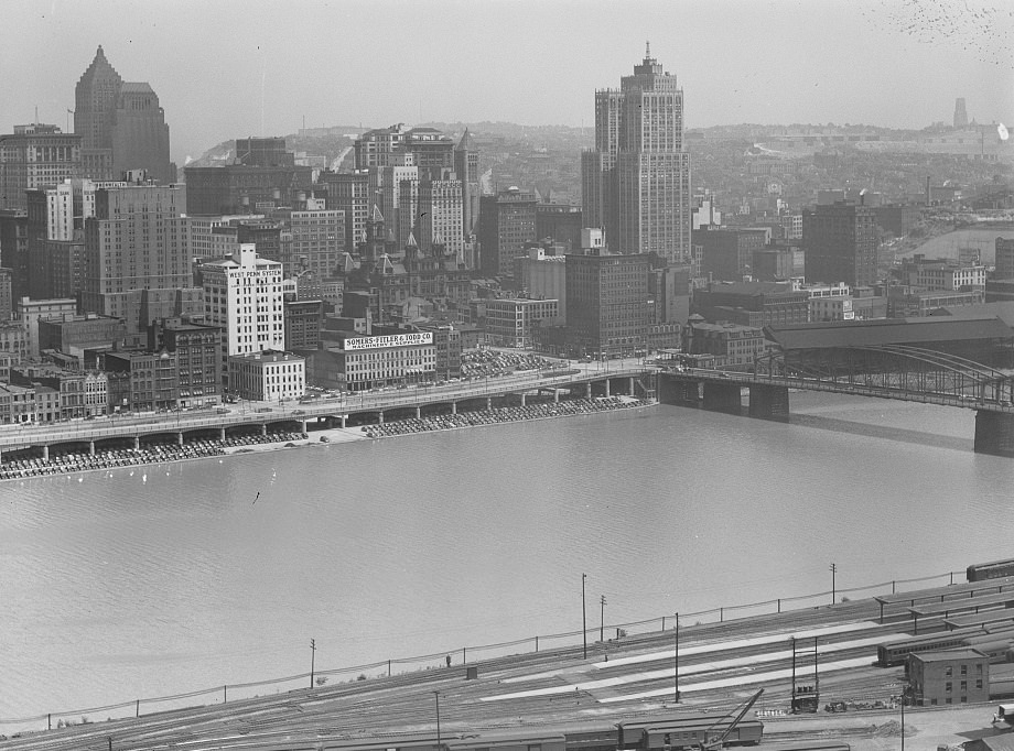
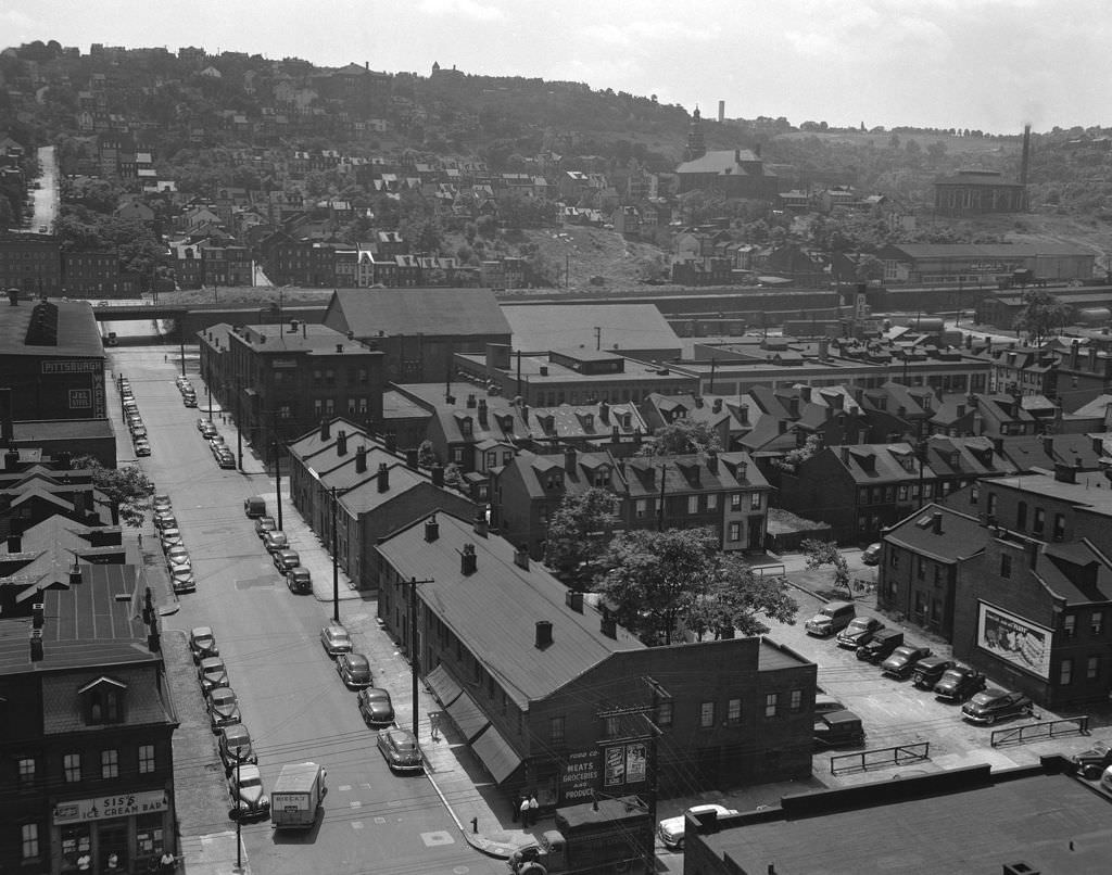
From above, Pittsburgh’s geography told its own story. Aerial views of Oakland and its surrounding neighborhoods showed a city pressed tightly against its rivers and hillsides, with little room to spare. The South Side, viewed from above in 1949, revealed row after row of brick homes climbing the slopes south of Carson Street, packed close together as the terrain allowed.
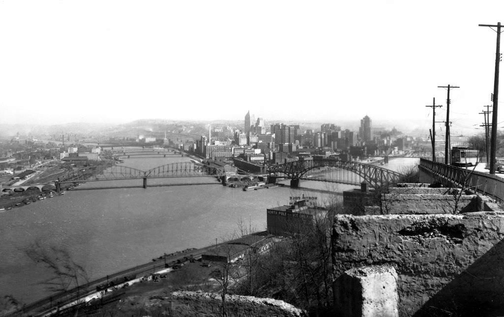
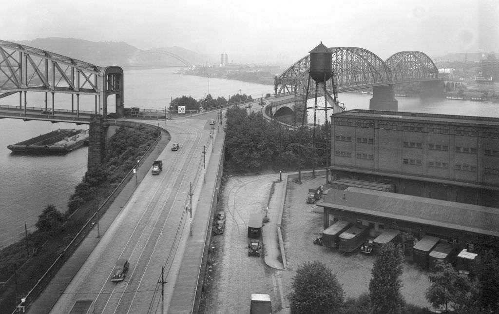
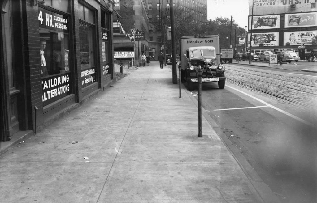
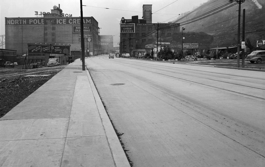
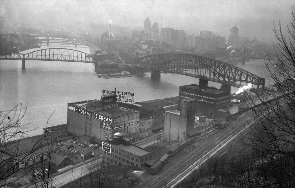
The Point — where the Allegheny and Monongahela rivers join to form the Ohio — was still occupied by aging industrial buildings and bridge approaches in the early 1940s. The Manchester and Point Bridges crossed the rivers as seen from the Point Building, and Duquesne Heights offered sweeping views of the north shore and Downtown skyline. Ice cream stands and coffee shops like North Pole Ice Cream Company and Breakfast Cheer Coffee operated near the bridges, serving workers and passersby throughout the day.
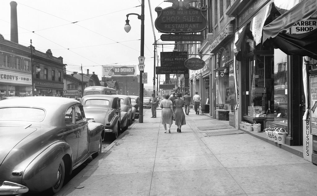
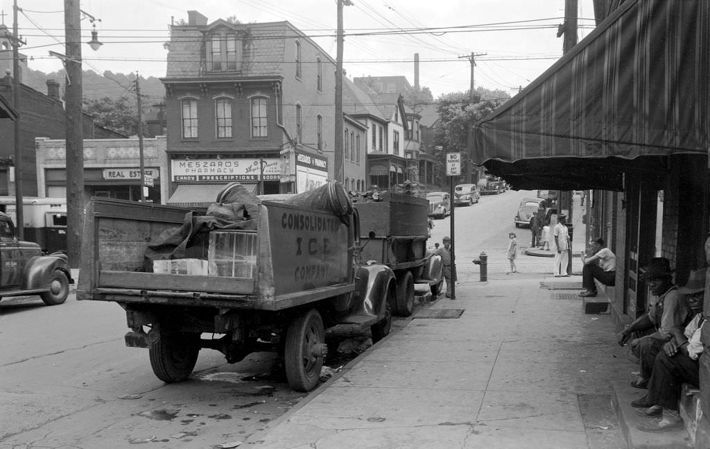
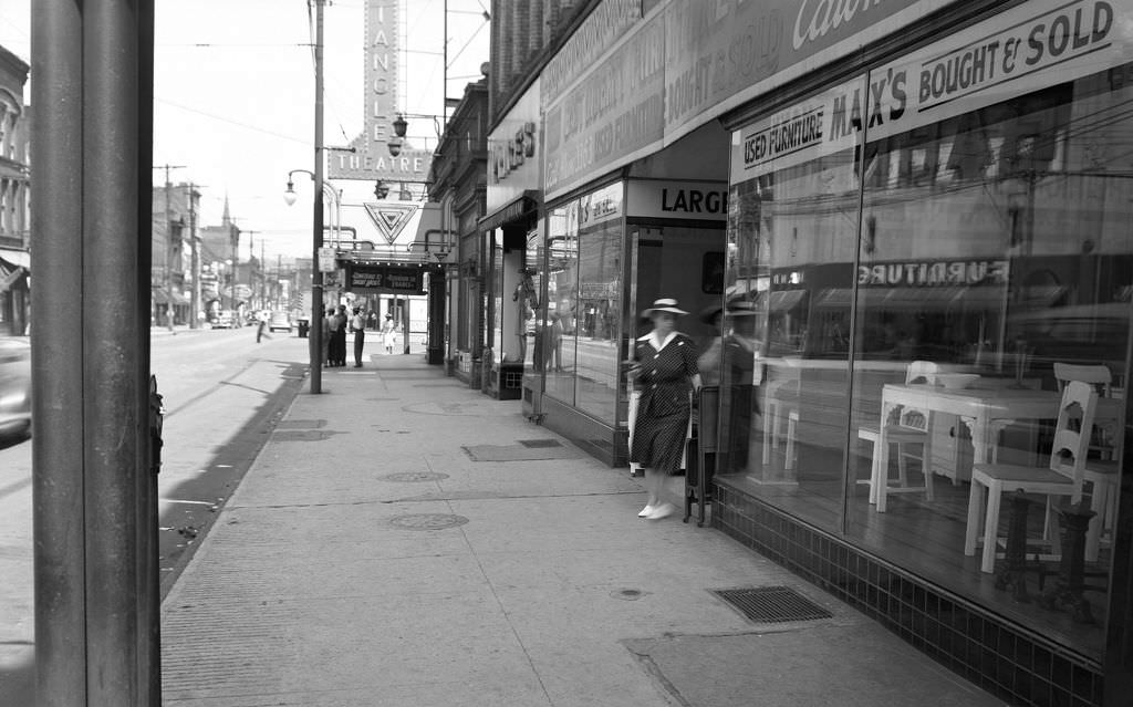
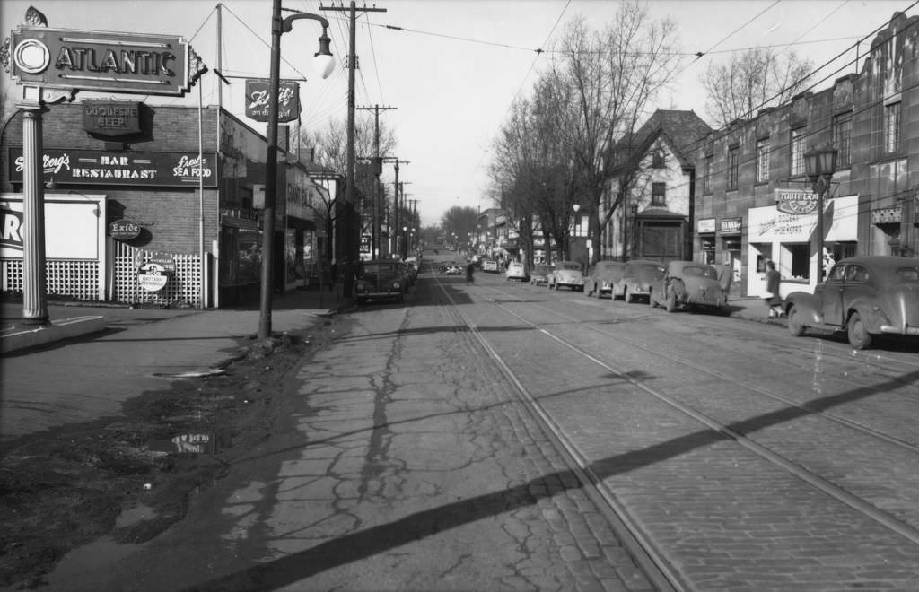
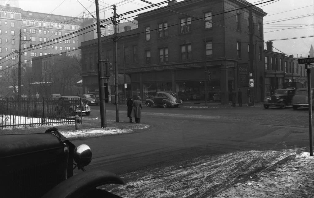
Pittsburgh’s immigrant communities left a clear mark on the city’s commercial landscape. East Ohio Street on the North Side had the Hong Wah Low Chop Suey Restaurant, a reflection of the Chinese community that had established itself there. The Hazelwood neighborhood had Meszaros Pharmacy on its main avenue, a Hungarian-named business serving a largely immigrant working-class population. Frankstown Avenue in the East End was similarly lined with small businesses, including the Triangle Theatre and Max’s Used Furniture.
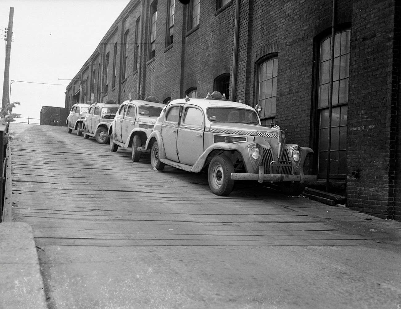
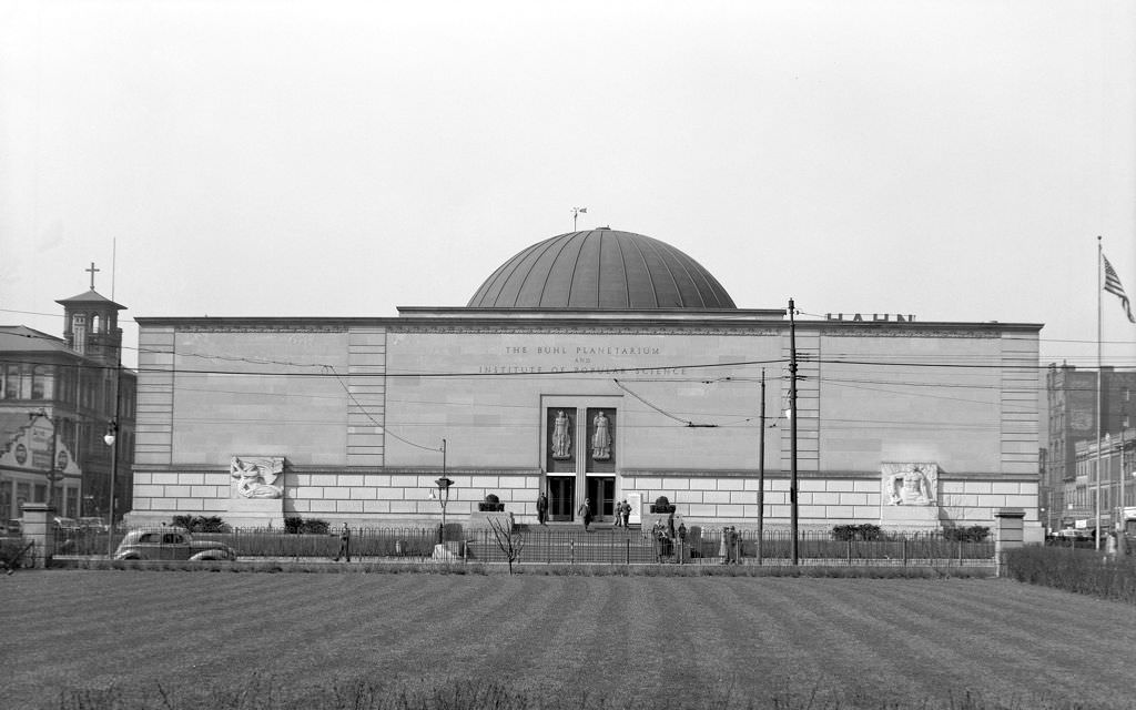
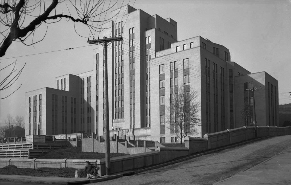
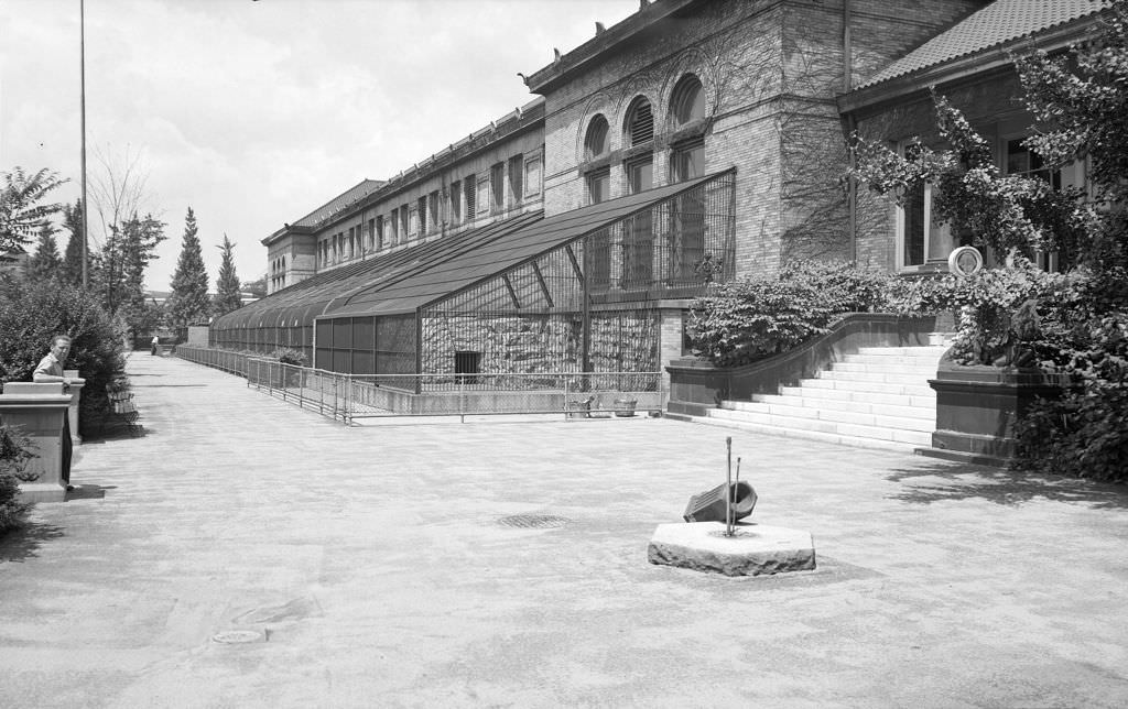
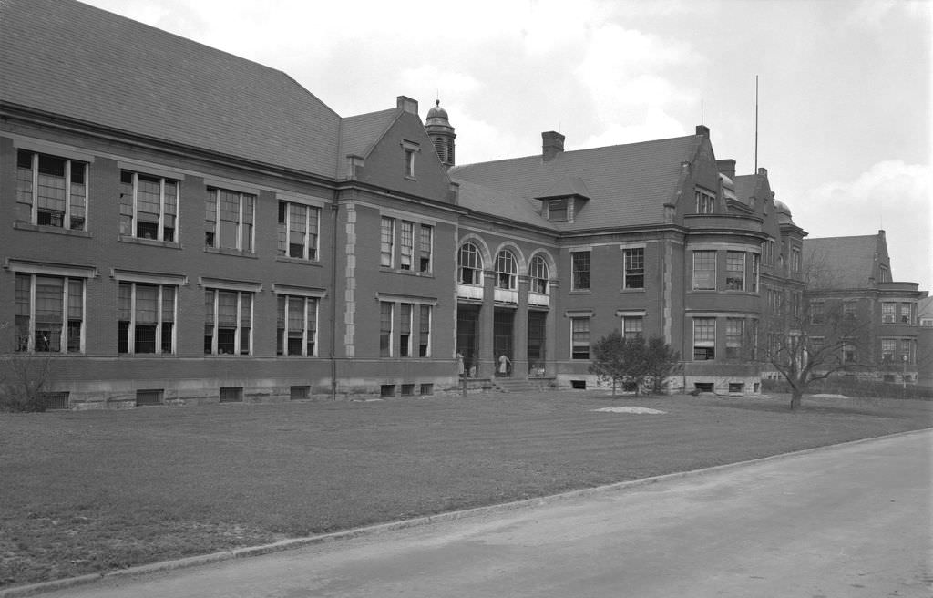
Yellow Checker cabs moved passengers across the city in a fleet that was a familiar sight on Pittsburgh streets by 1945. The Buhl Planetarium on the North Side, opened in 1939, continued drawing curious Pittsburghers through the war years. The Pittsburgh Municipal Hospital, under construction at the intersection of Darragh and Terrace Streets in 1940, added new medical capacity to a growing city. And the Pittsburgh Zoo, whose cat cages were photographed in 1940, remained a destination for families throughout the decade.
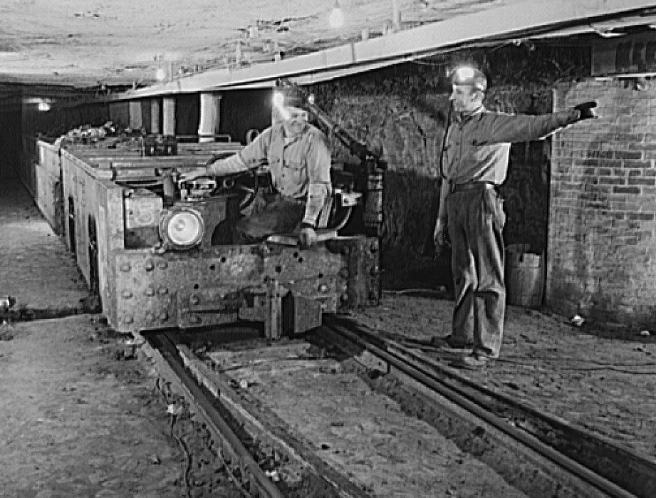
Coal mines outside the city kept Pittsburgh’s mills supplied throughout the war and into the postwar years. The Champion No. 1 cleaning plant processed raw coal near Pittsburgh, while the Montour No. 4 mine handled extraction. These operations were as essential to Pittsburgh’s war output as the mills themselves — without a steady coal supply, steel production would have ground to a halt.
By the late 1940s, Pittsburgh was in the early stages of Renaissance I — the city’s large-scale urban renewal and anti-pollution campaign. City leaders worked with private developers and state government to clear the smoke that had long darkened Pittsburgh’s skies and modernize its aging infrastructure. The Roosevelt Hotel on Penn Avenue, the South Side’s dense residential blocks, and the commercial corridors of Federal Street all stood on the edge of a city preparing to remake itself.
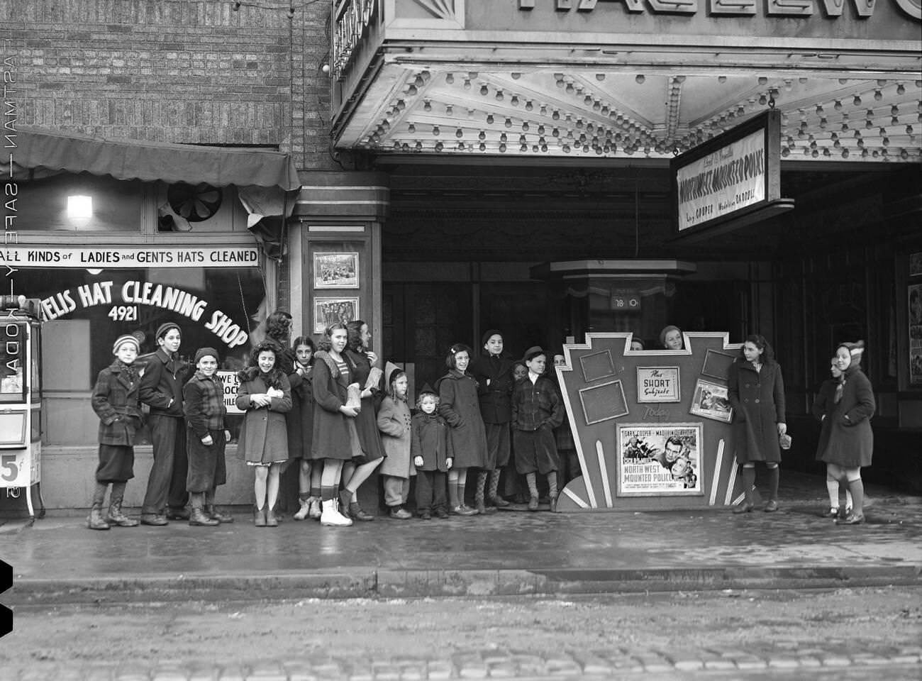
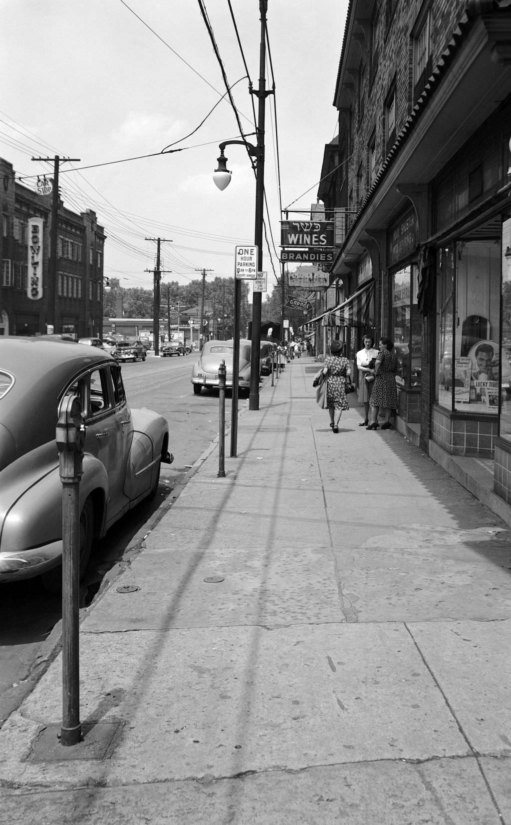
The images that survive from this decade show a city that was anything but uniform. Pittsburgh in the 1940s was industrial and artistic, racially segregated and culturally diverse, crumbling in some corners and actively building in others. Mill workers, students, shopkeepers, churchgoers, cab drivers, and jazz musicians all shared the same streets — each one a part of the city’s complicated, evolving story.
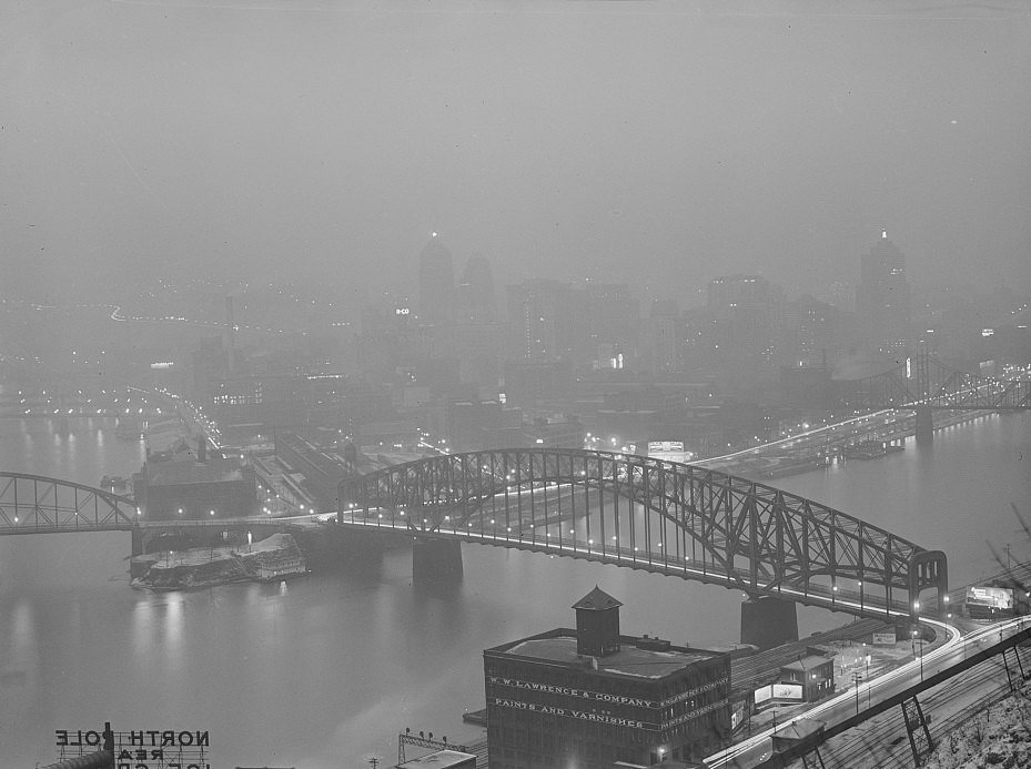
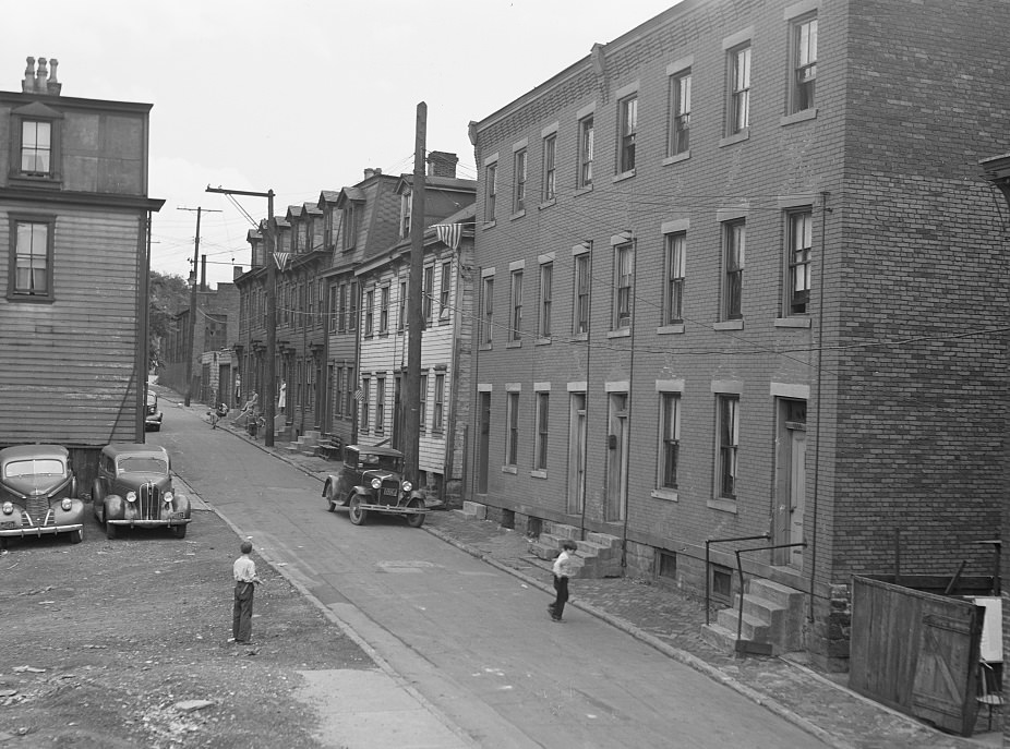





Not as smoky as I expected.
Here’s the smoky Pittsburgh: https://www.bygonely.com/pittsburgh-smoky-skies-1940s-1950s/
Oh, great, thanks! Now this can be called the Pittsburgh of the 1940s.
I sure miss seeing the Sphinxes at the Syria Mosque ….to think they were removed from Oakland, and the building is torn down and are stuck out in the suburbs at the end of a gravel road at the new Shriners location is probably making the old Shriners roll over in their graves.
Funny, taking pics yesterday, editing them to black snd white and posting it under “1940’s”
I wonder if Pittsbrugh will become a thing now.
I lived in Pittsburgh in the early 50s. We could draw in the soot on the cars at times. Would do this walking home from school and get yelled at when we got home.
Remember the red glow from the steel mills at night over the hill.
Live near Gettysburg since 1987. Went to the Steelers game last night. When leaving today, drove around my old neighborhood just to remember the difference.
Beautiful city!
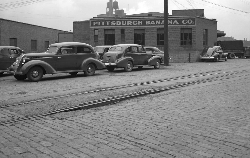
Is photo 11 Pittsburgh Banana Co. the place that blew up?