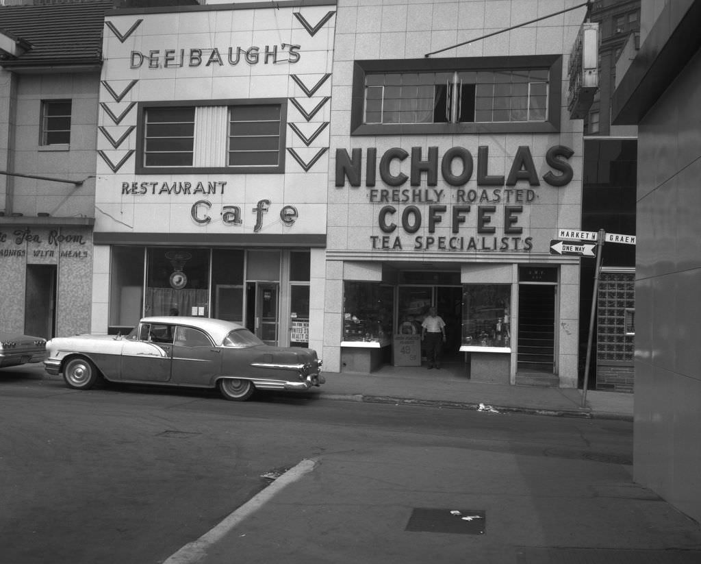
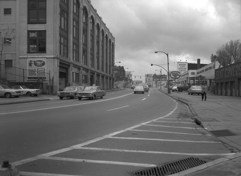
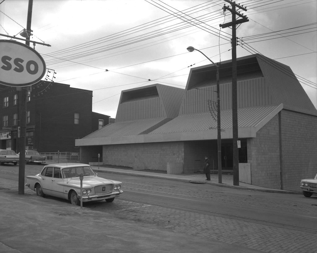
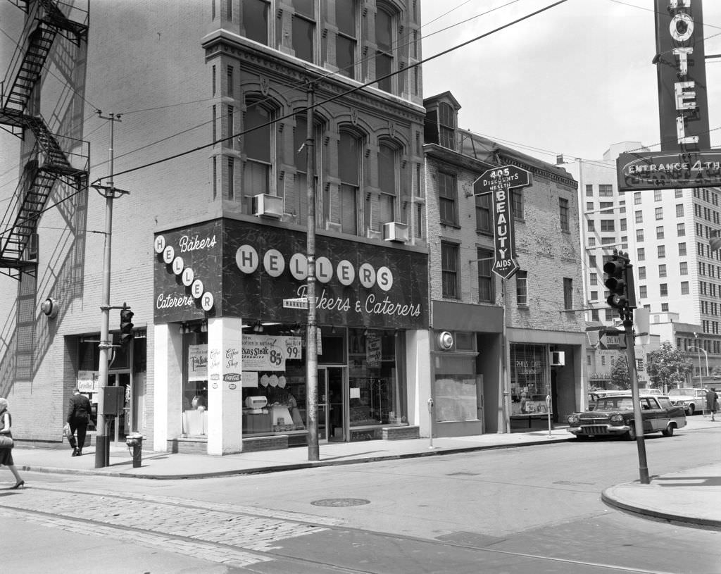
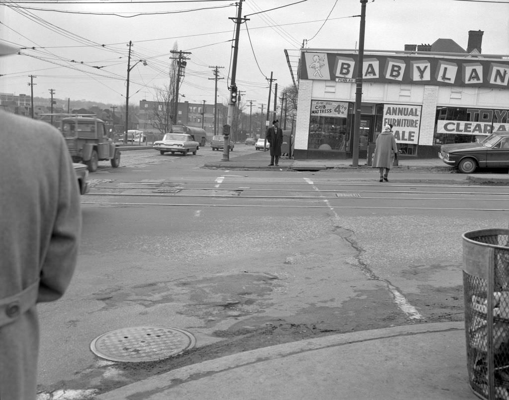
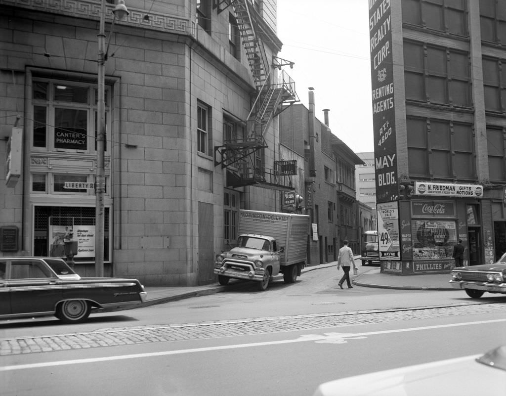
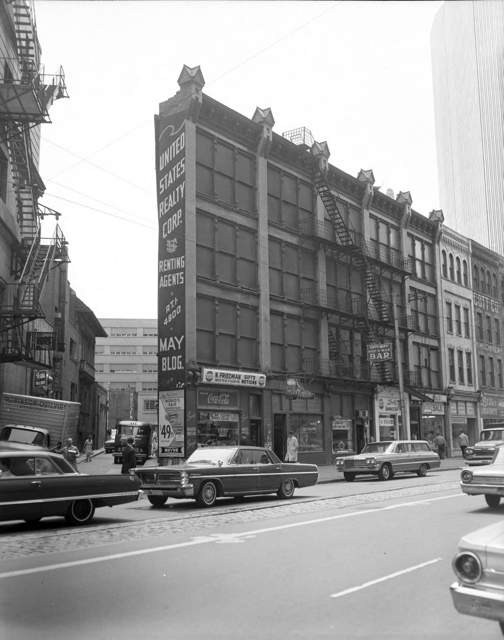
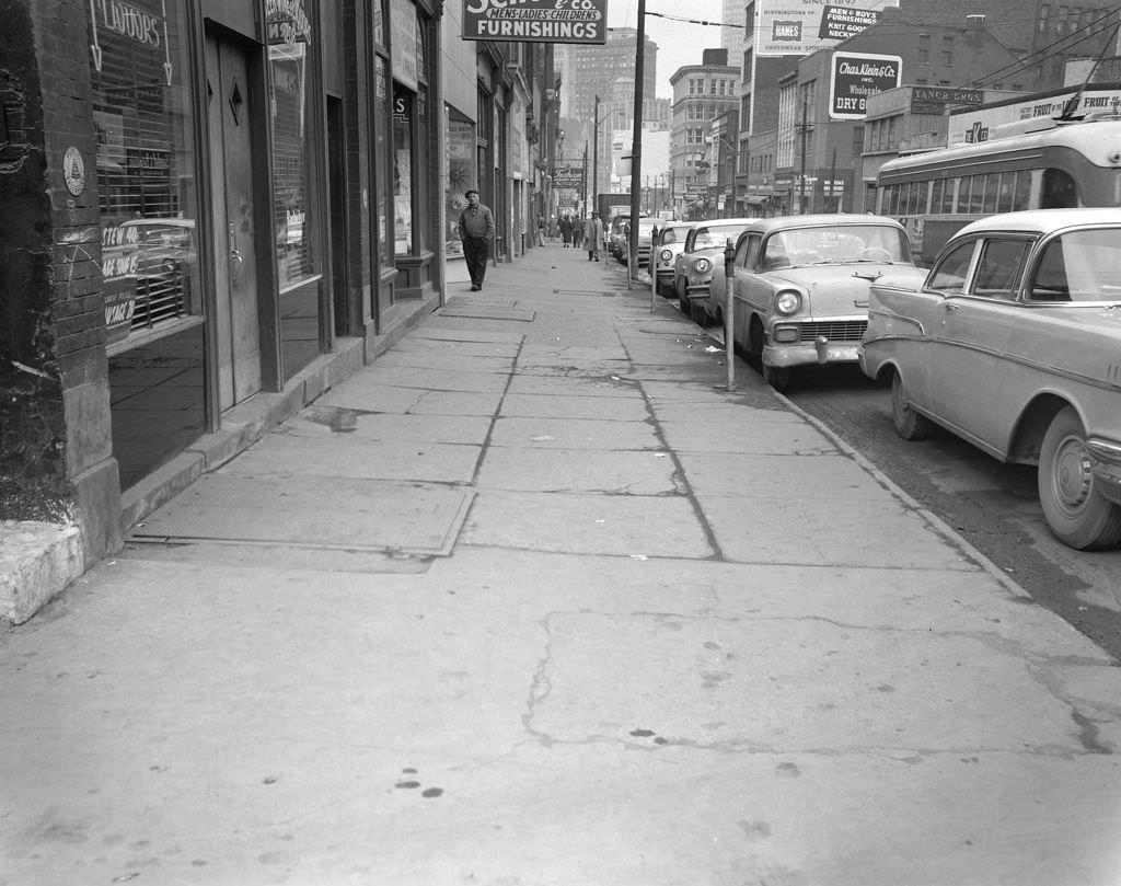
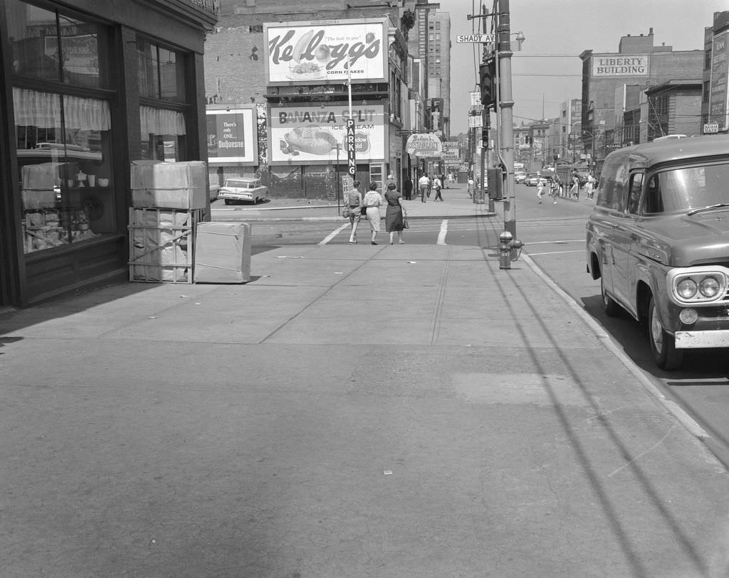
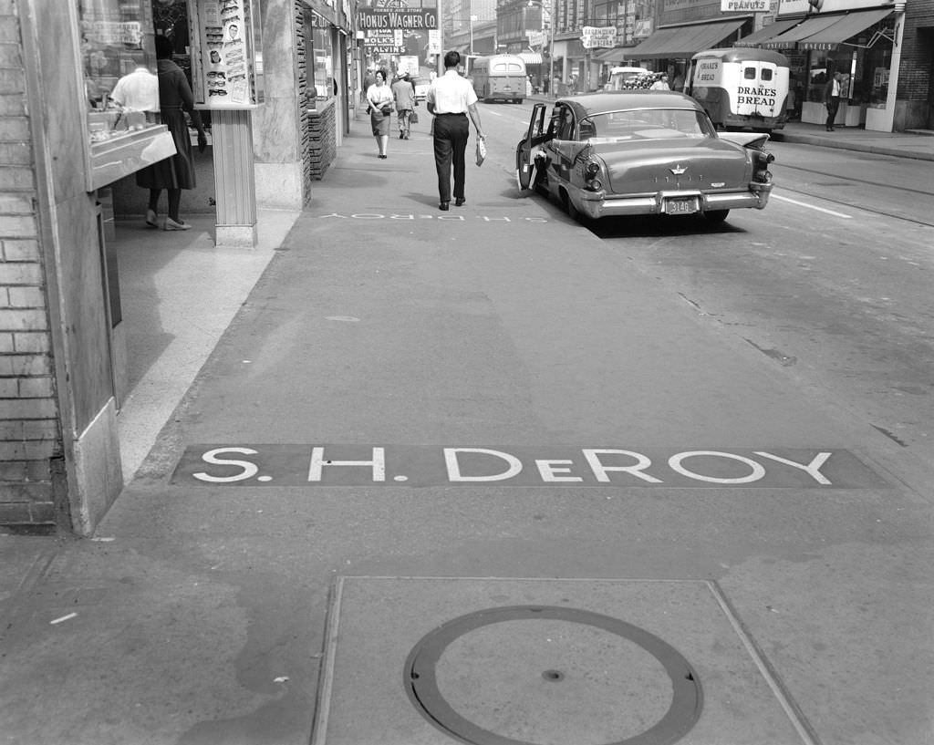
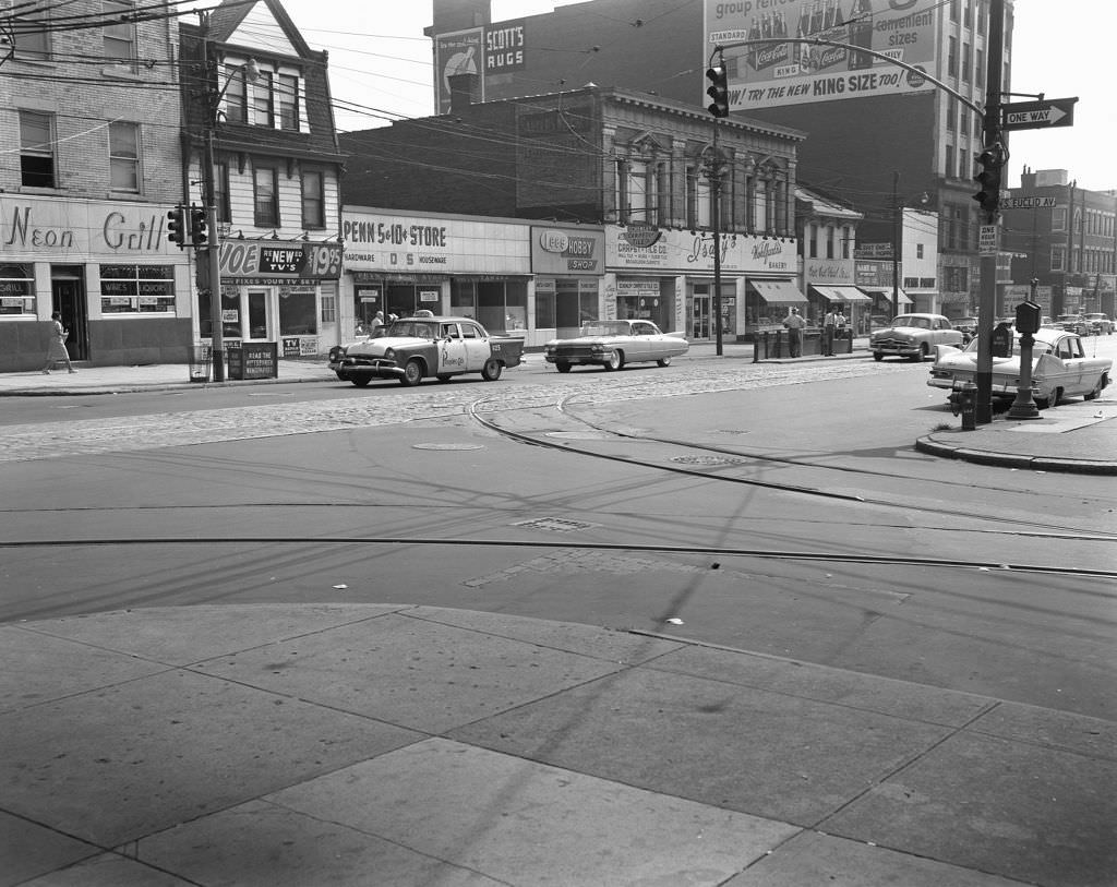
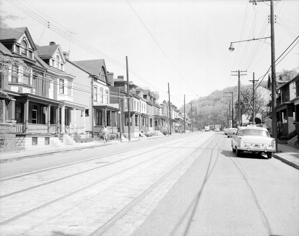
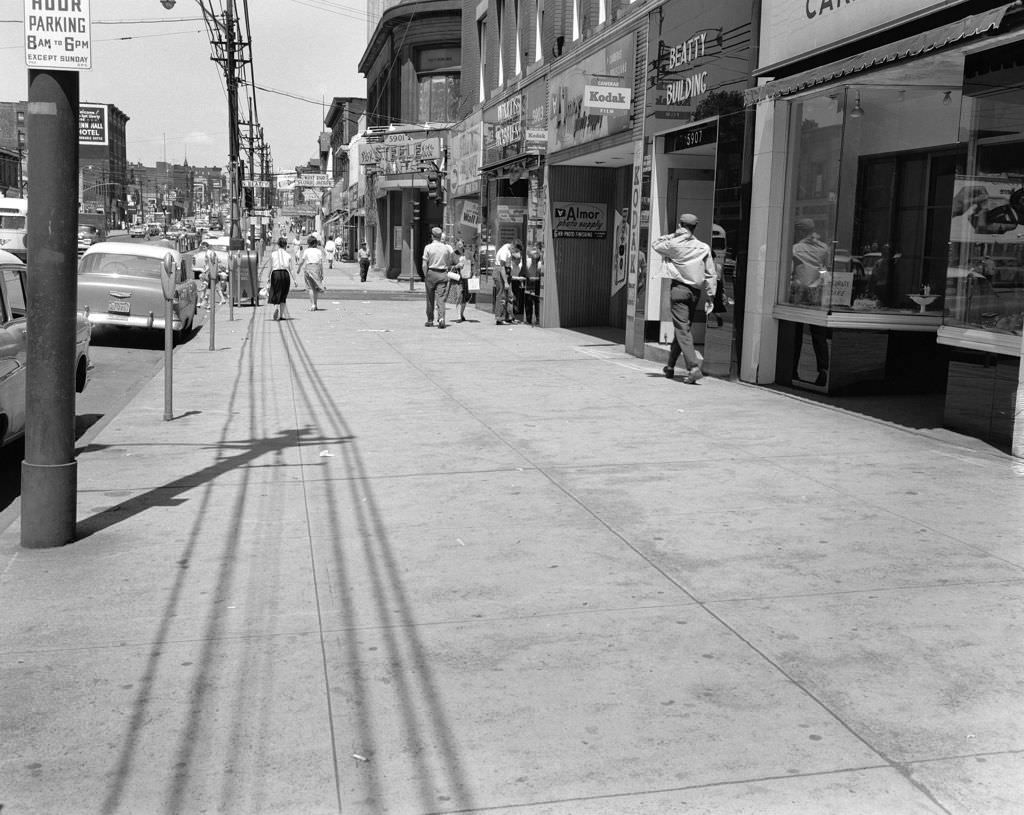
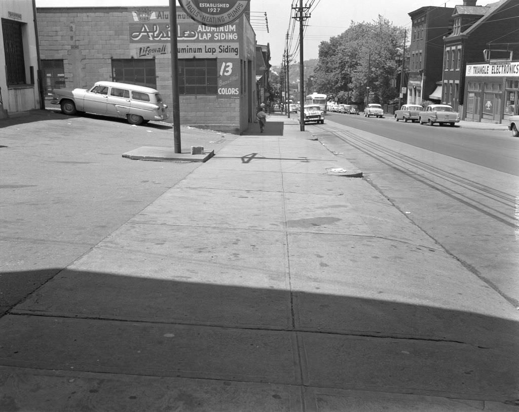
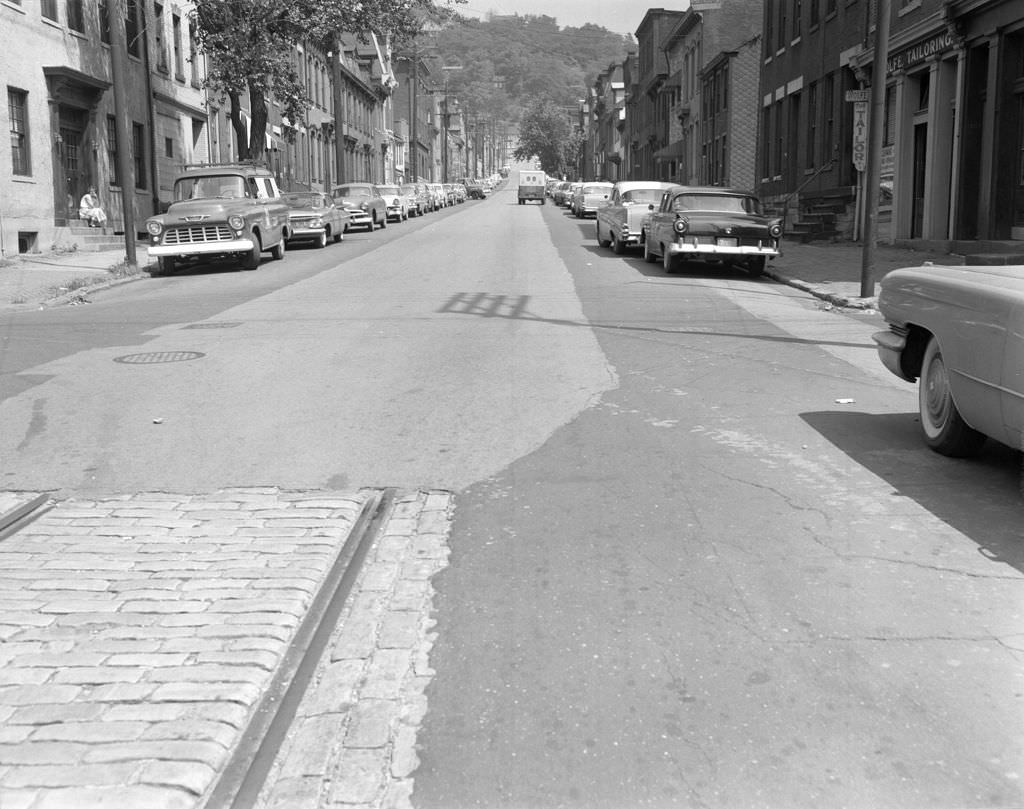
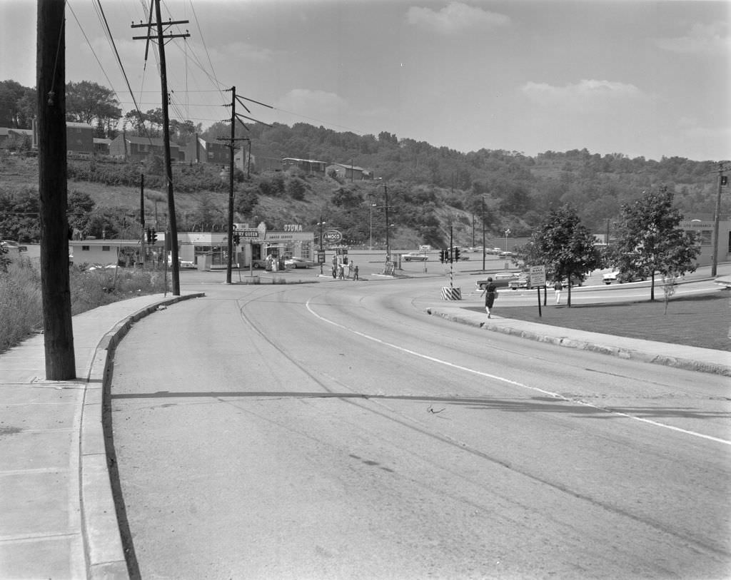
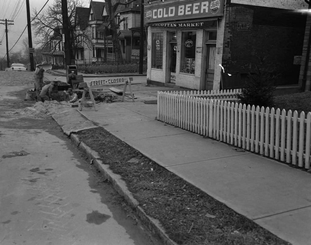
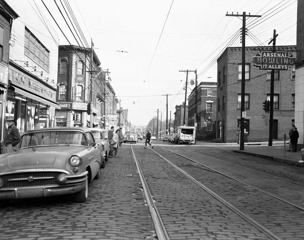
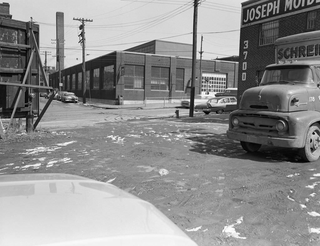
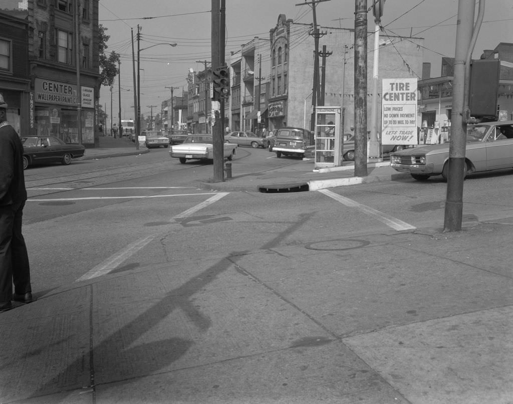
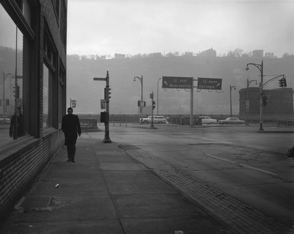
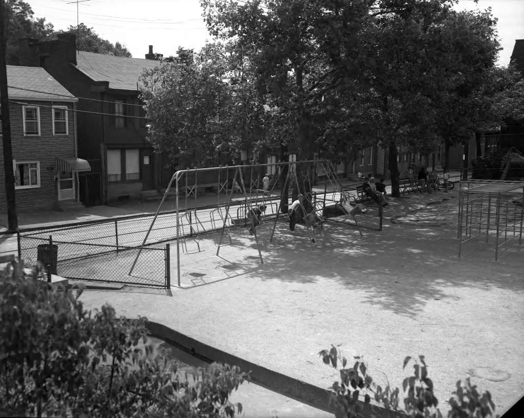
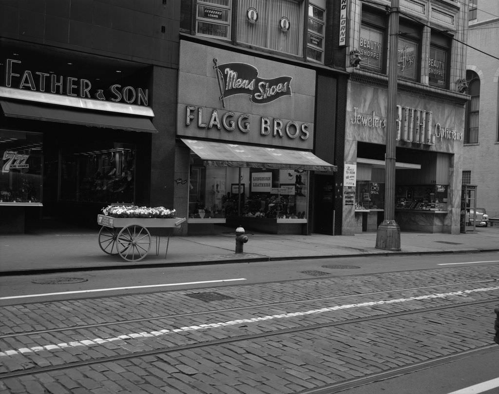
Pittsburgh in the 1960s was a city caught between its industrial past and an uncertain future. The steel mills that had defined the region for generations were still running, but overseas competition and shifting technology were beginning to cut into profits. Even so, daily life in Pittsburgh carried on with energy and character. Neighborhoods hummed with local businesses, corner pharmacies, bakeries, and lunch counters. Streets were lined with familiar names that residents knew by heart.

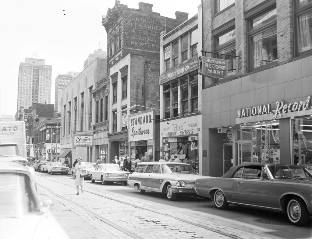
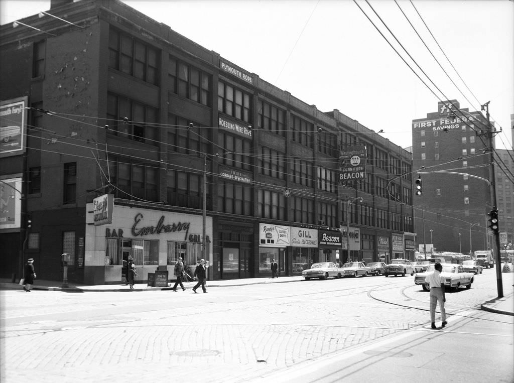
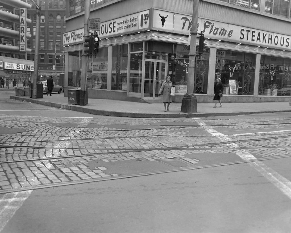
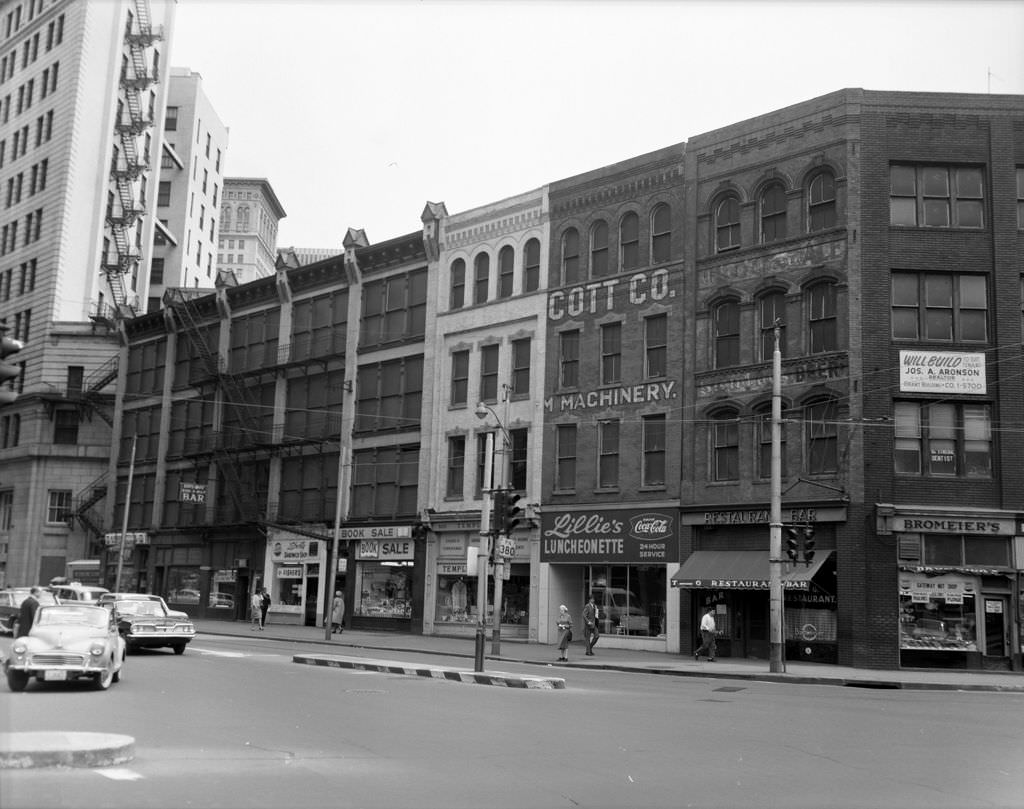
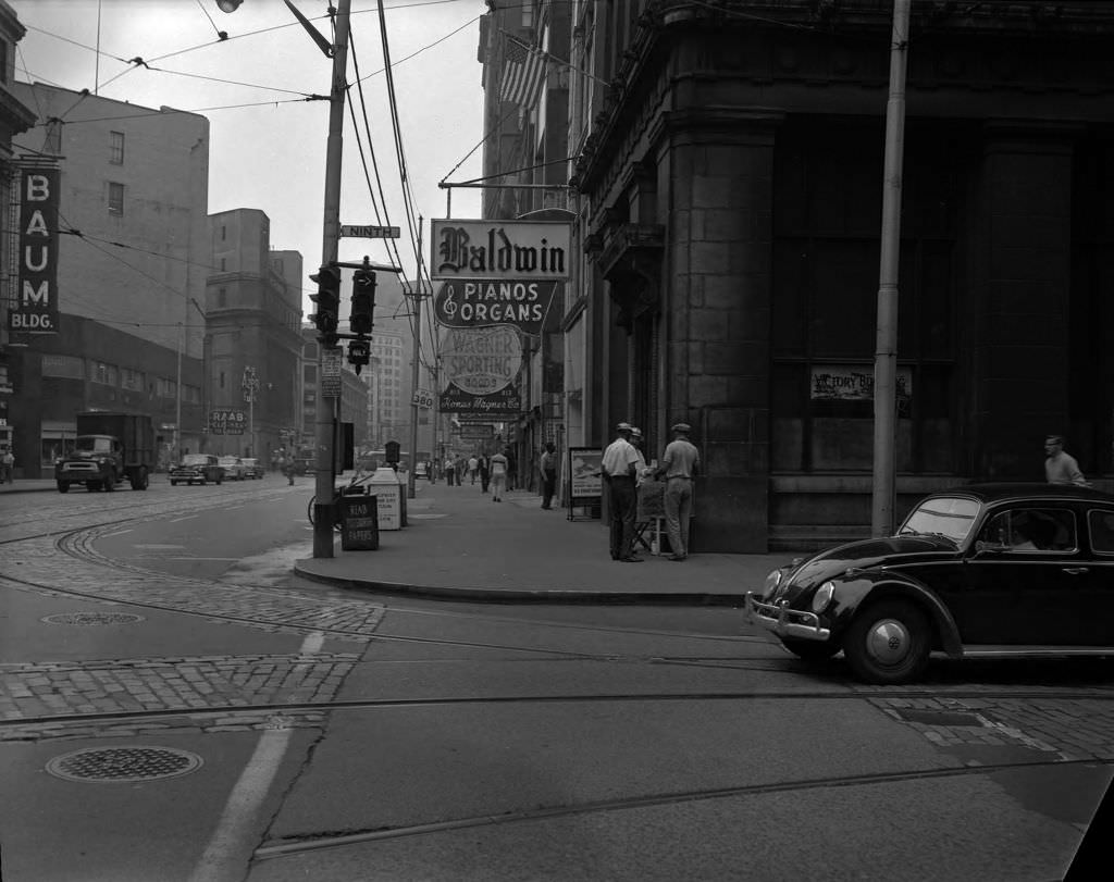
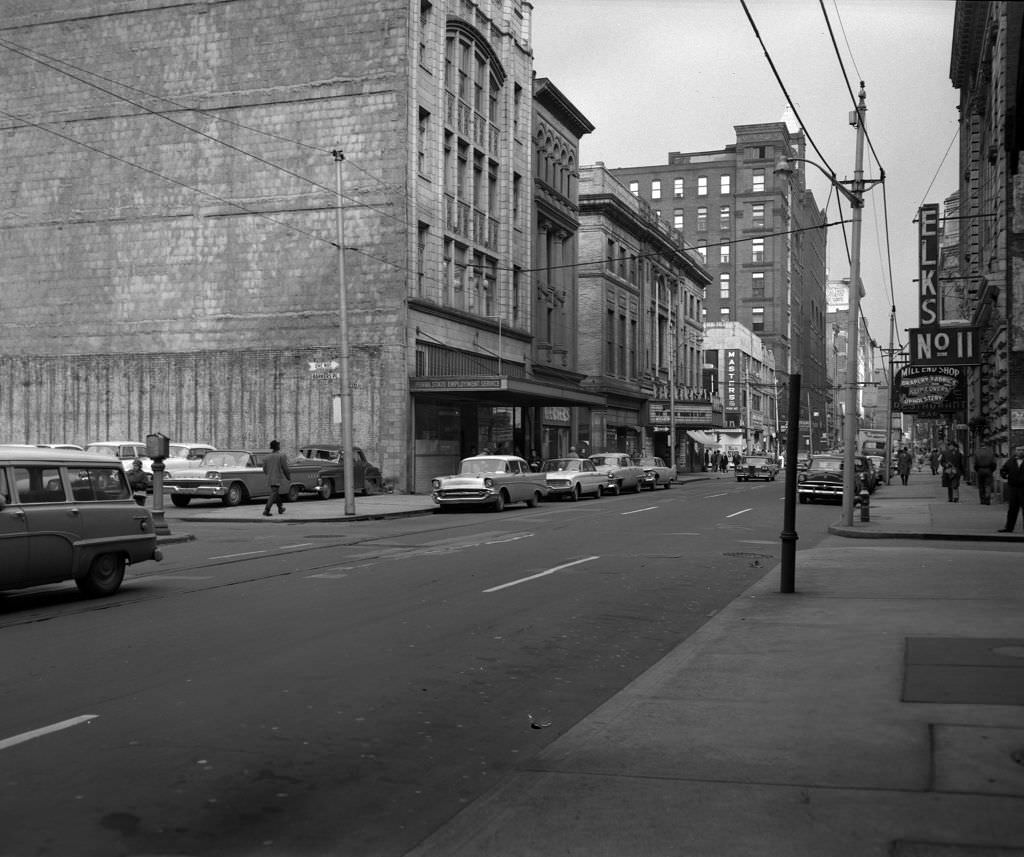
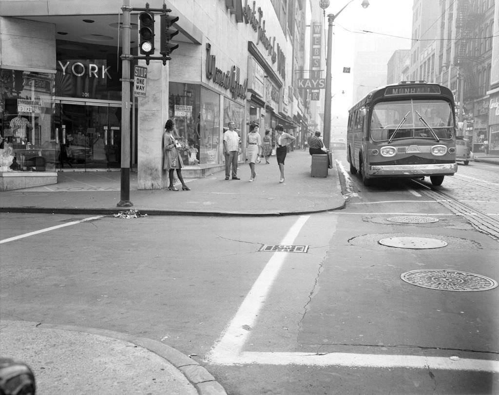
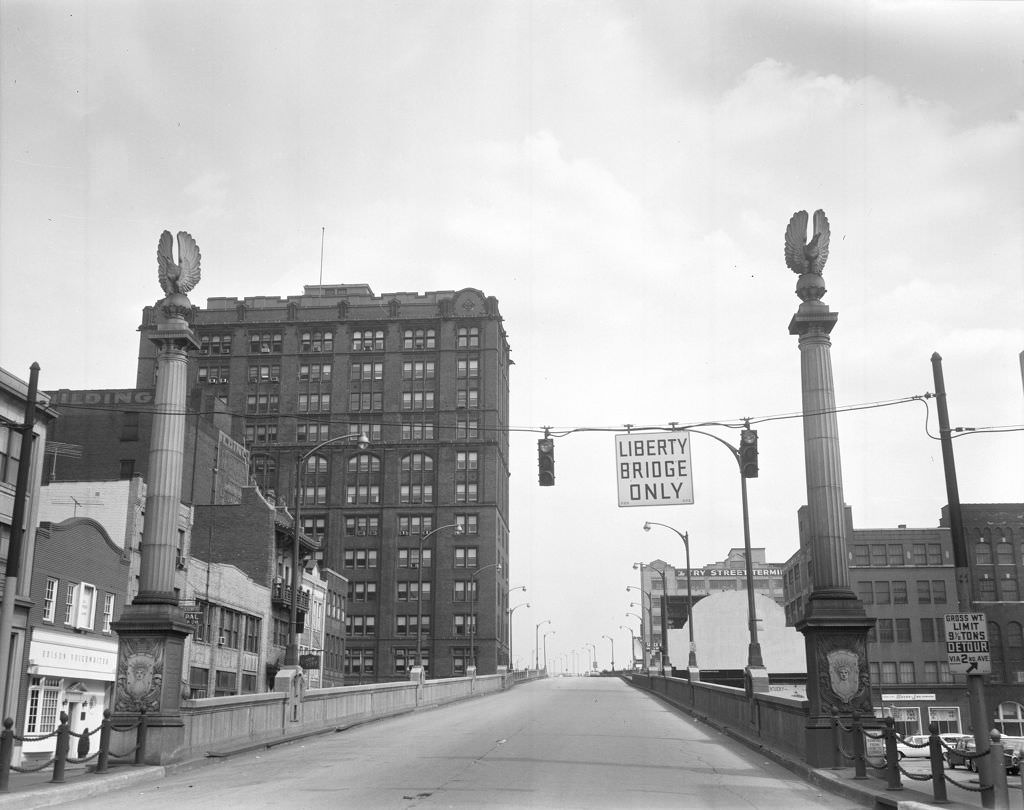
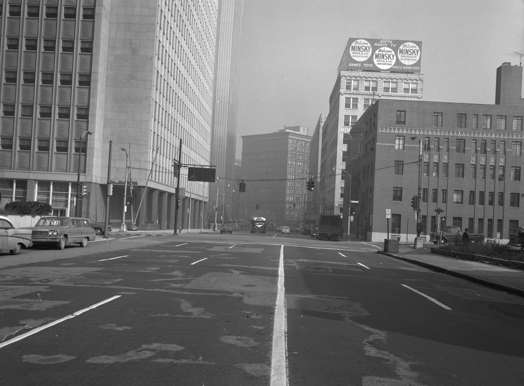
Downtown Pittsburgh in 1966 still reflected the ambitions of the Renaissance I urban renewal effort that had transformed the Golden Triangle in the 1950s. Streets were busy with foot traffic, and major corridors like Fort Duquesne Boulevard and Stanwix Street showed a city that was actively investing in its own image. The mix of office buildings, storefronts, and civic structures gave the downtown core a layered, lived-in quality.

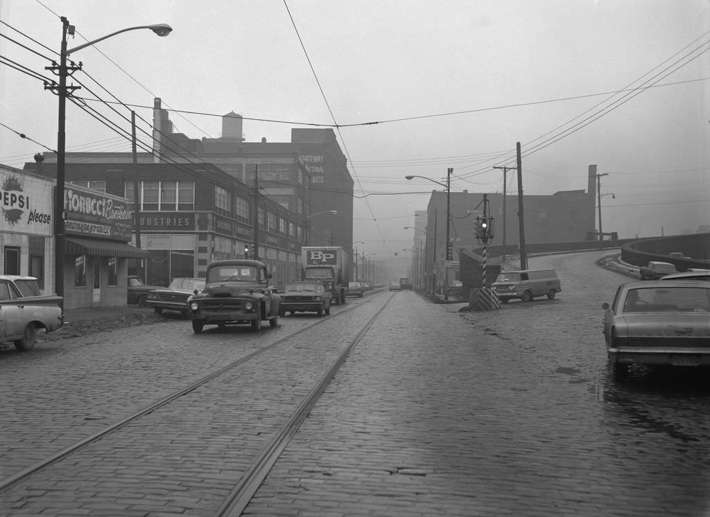
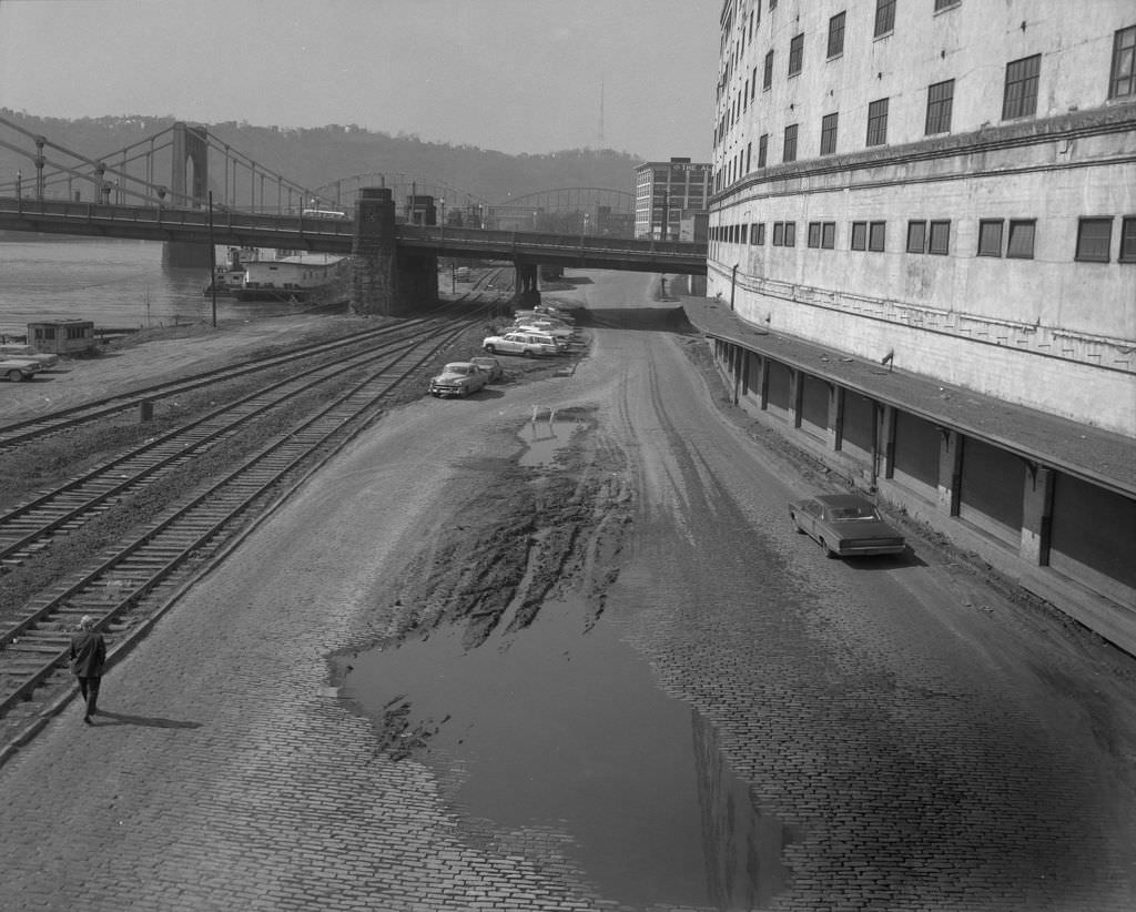
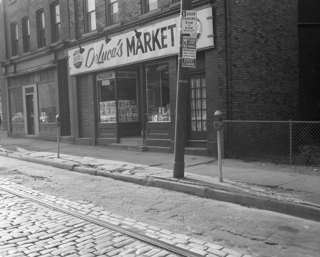
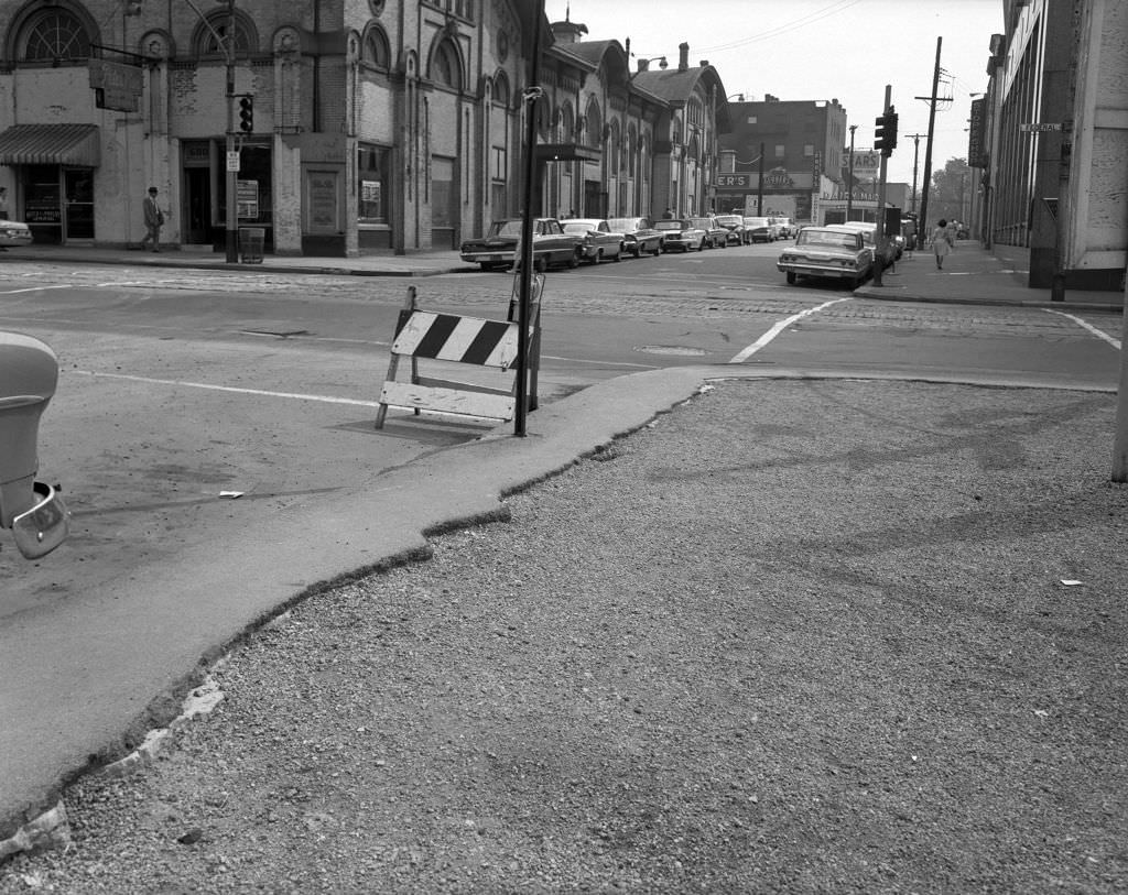
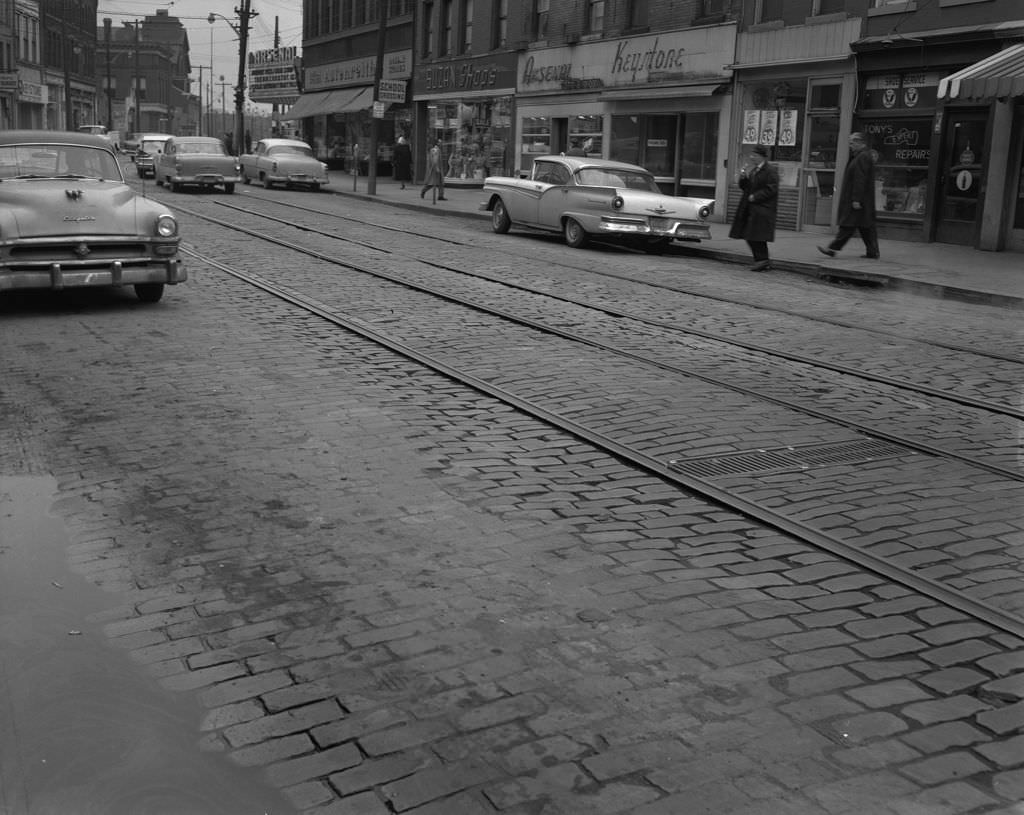
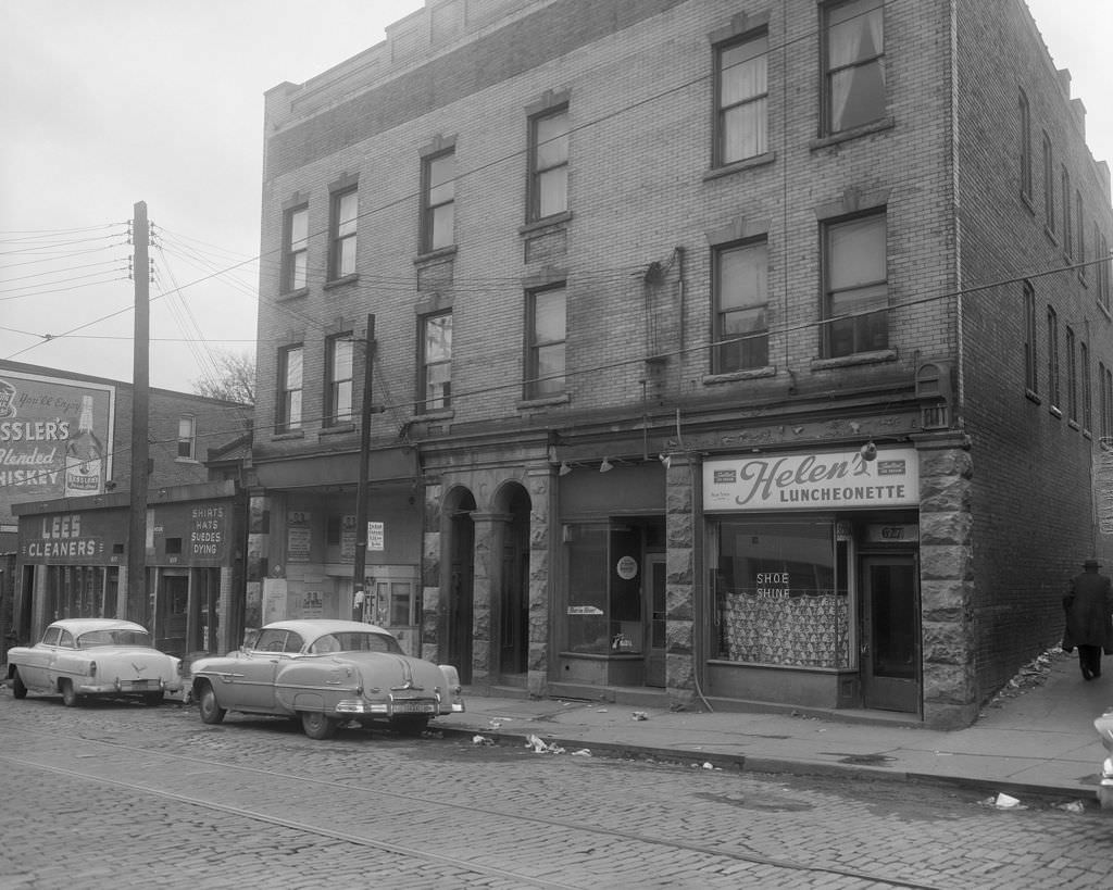
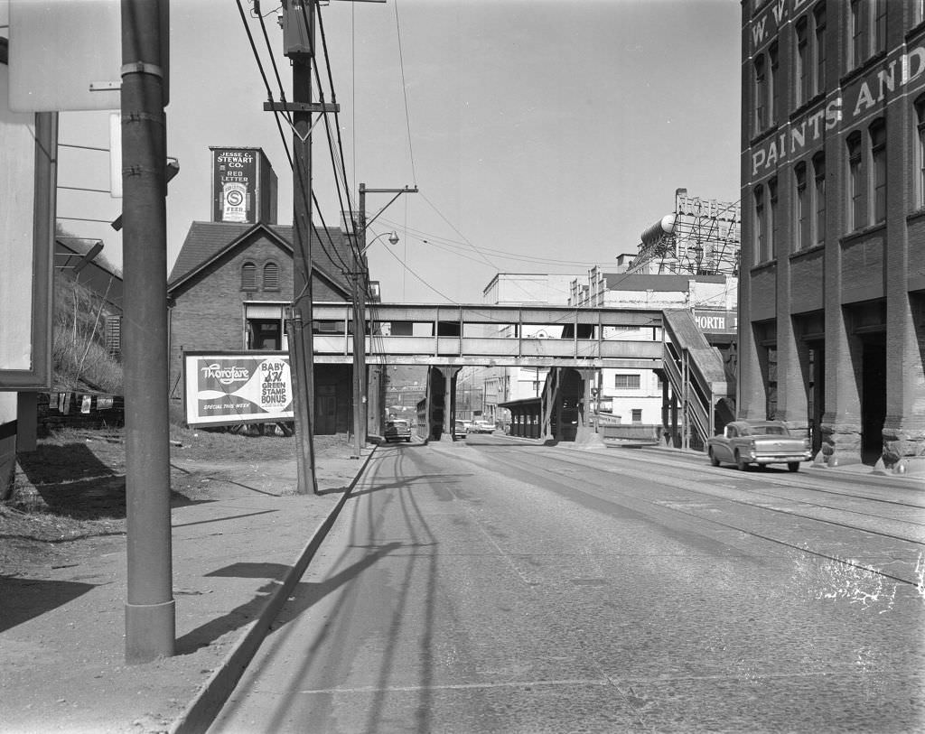
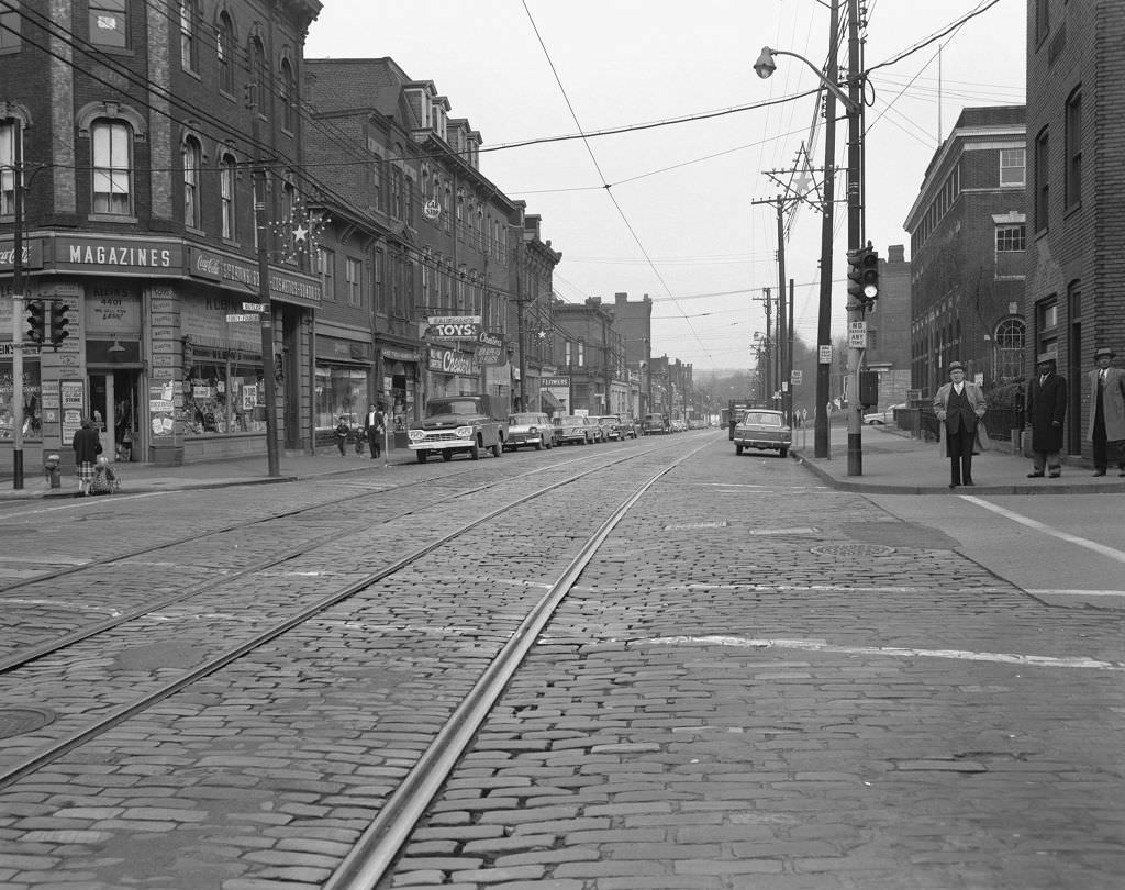
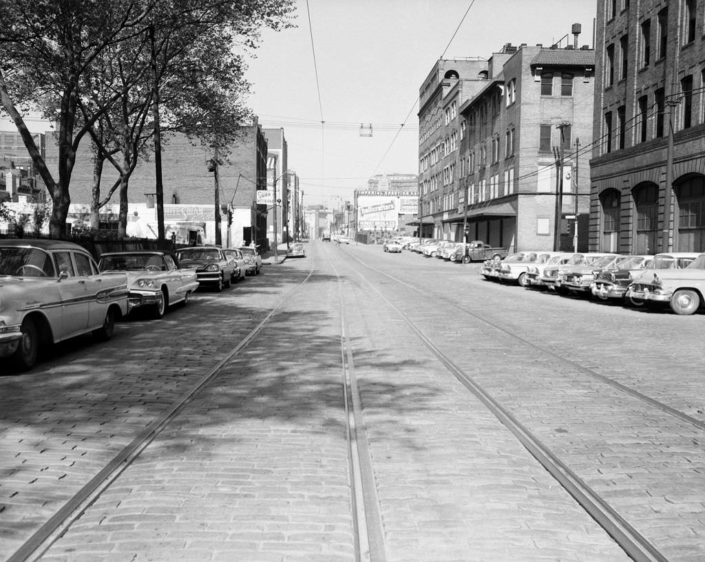
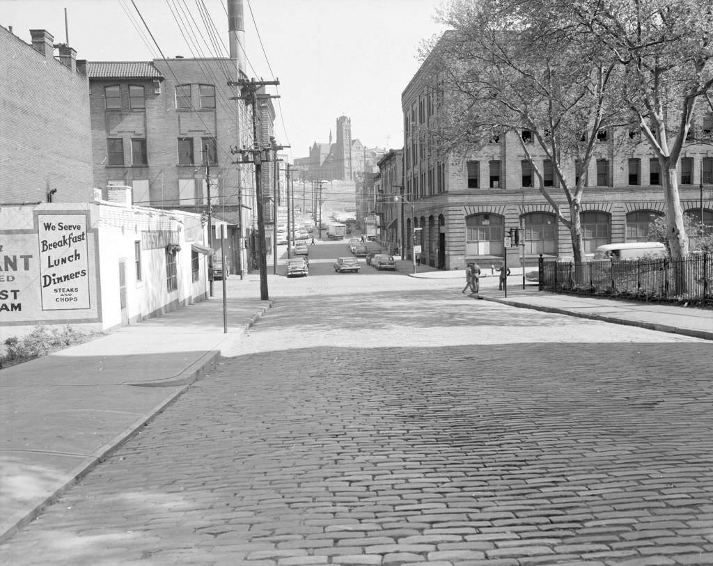
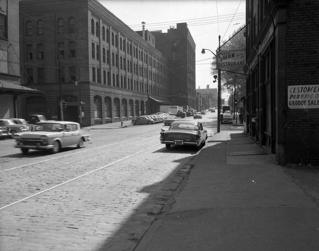
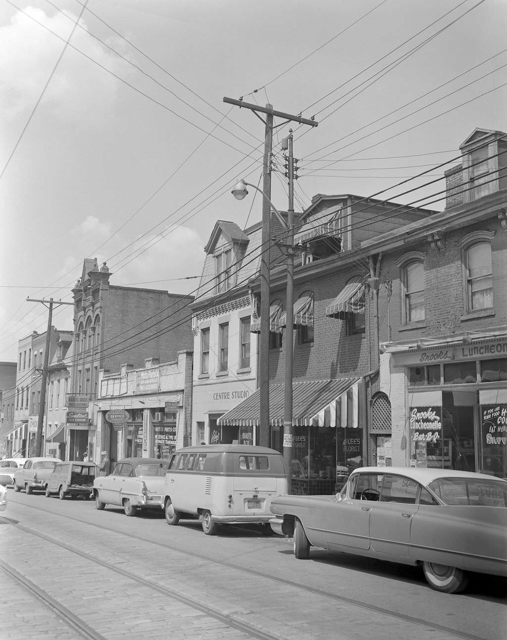
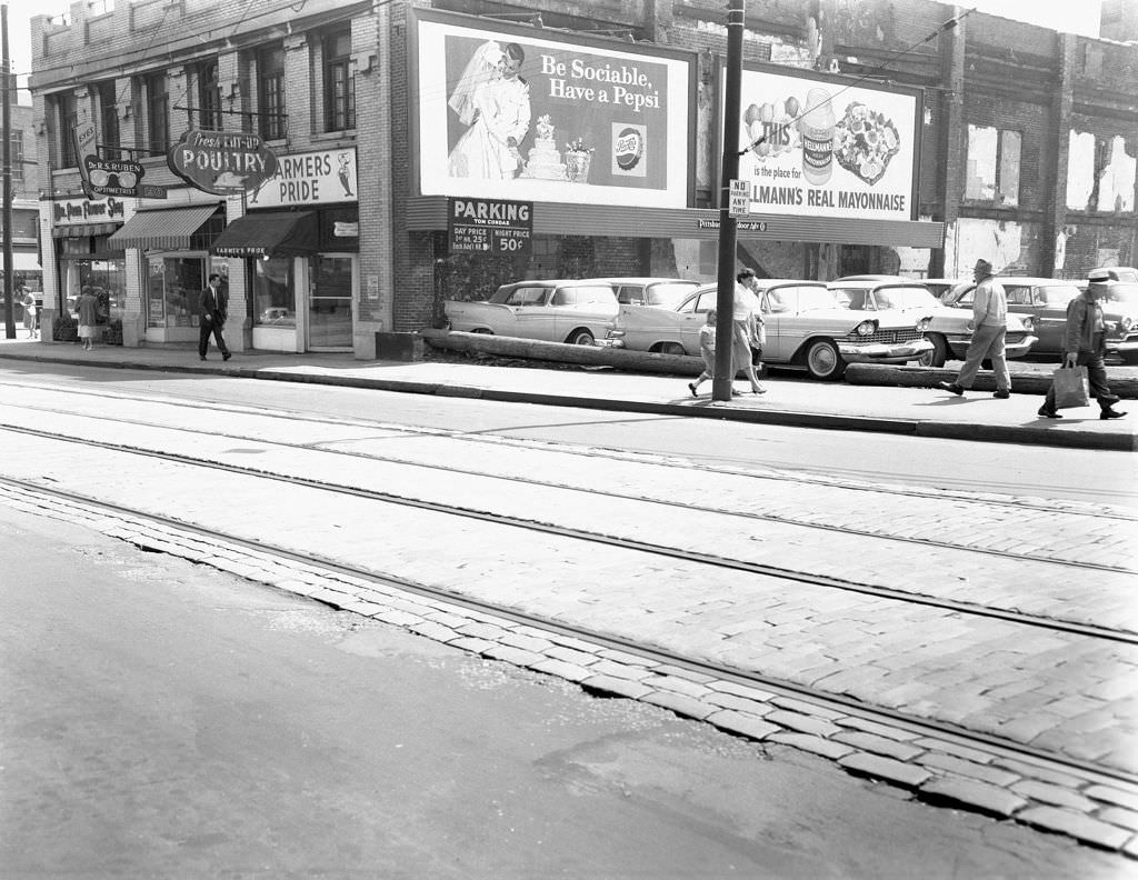
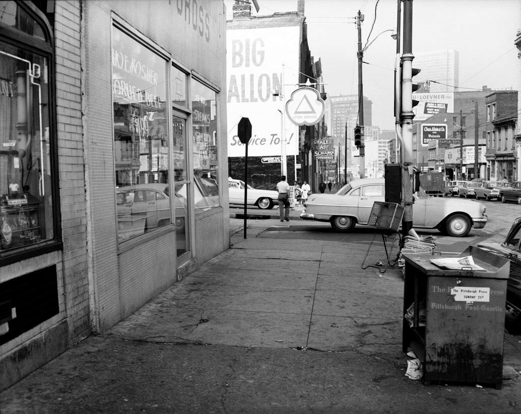
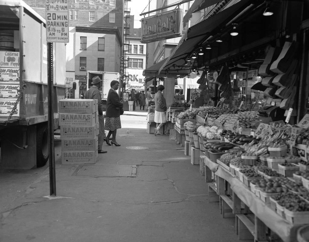
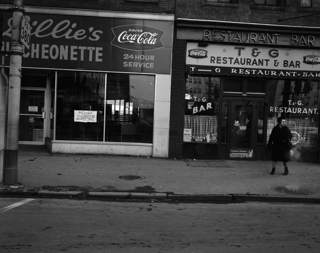
The Strip District, just east of downtown, was a working-class commercial corridor defined by brick streets and local enterprise. It wasn’t a tourist destination — it was a place where people bought groceries, grabbed a meal, and got things done.


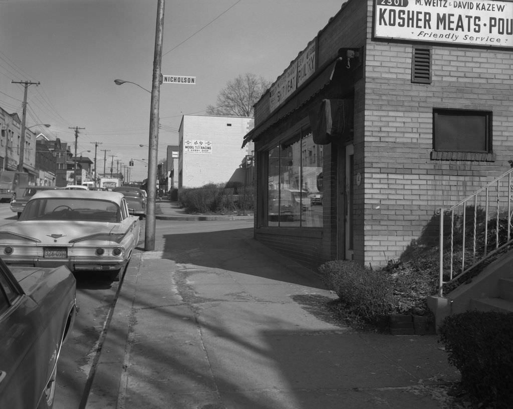
Squirrel Hill was one of Pittsburgh’s most distinct neighborhoods, with a strong Jewish community that supported a range of specialty shops and services. Murray Avenue was its commercial spine, home to kosher markets, delis, newsstands, and institutions that served the neighborhood for decades.

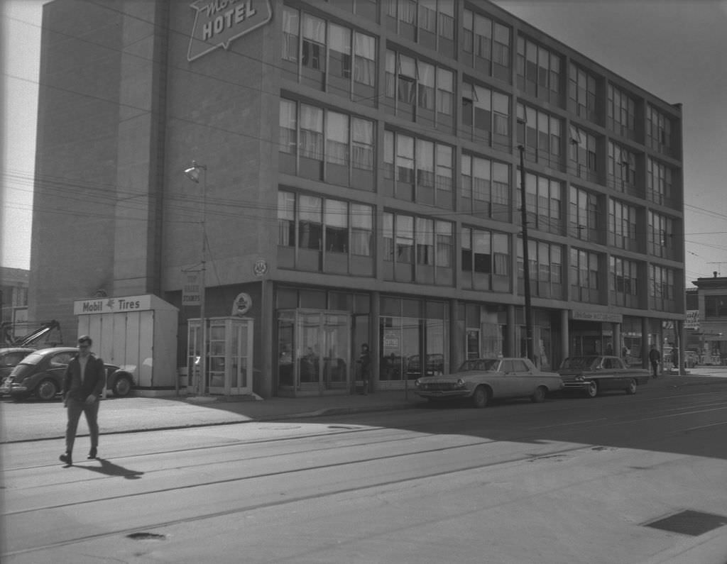
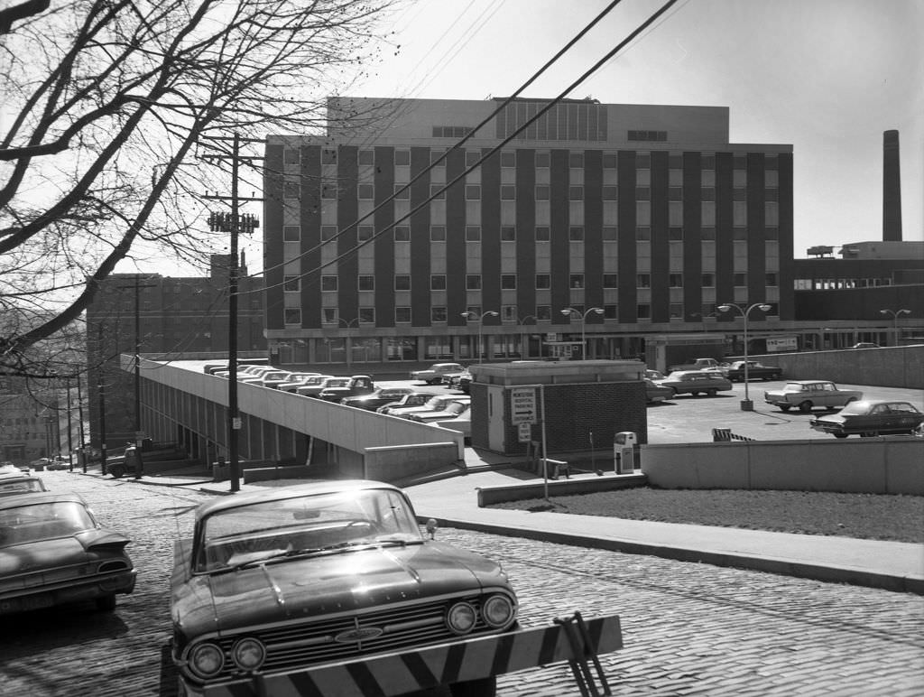
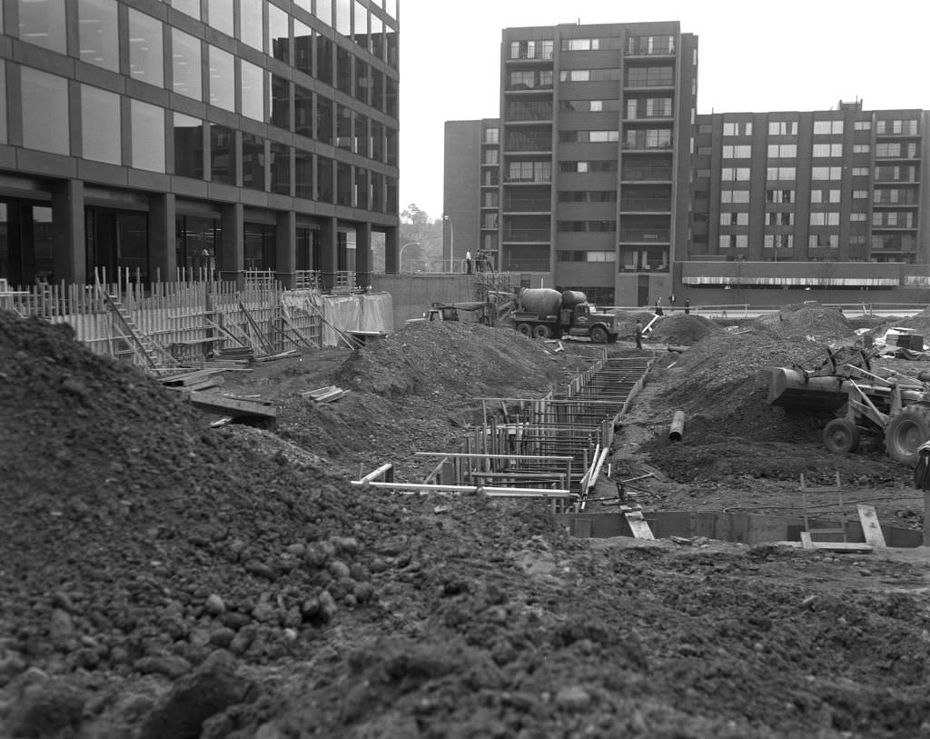
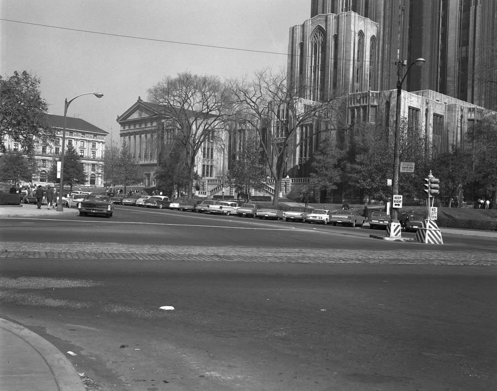
Oakland was Pittsburgh’s academic and medical hub. The University of Pittsburgh’s Cathedral of Learning dominated the skyline, while Hillman Library was under active construction in 1966. Nearby, the Civic Center Motor Hotel catered to visitors coming to the neighborhood’s hospitals, universities, and research institutions.


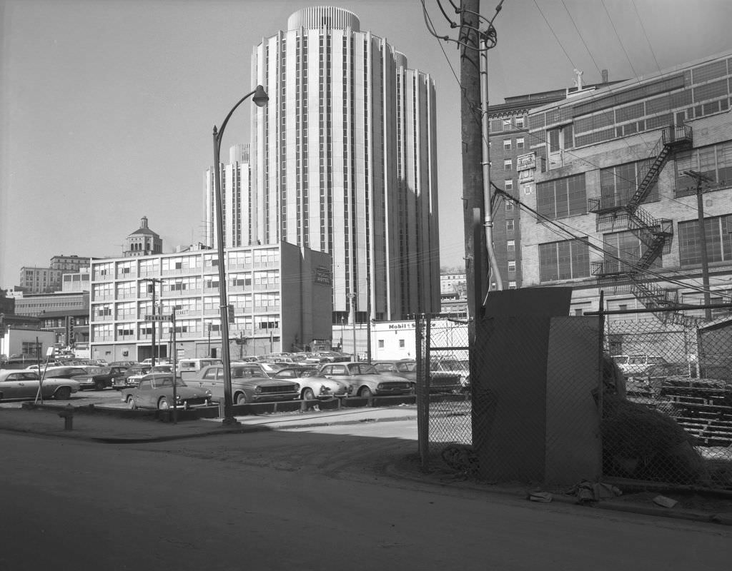
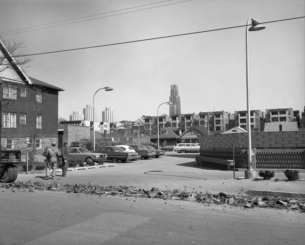
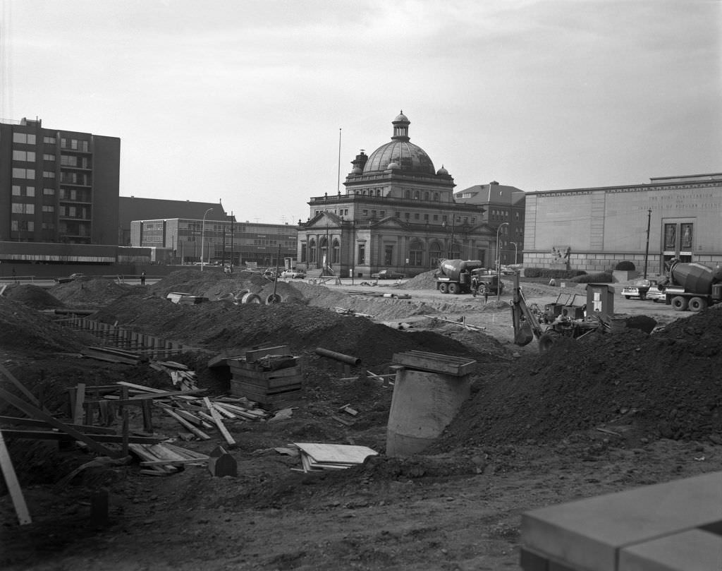
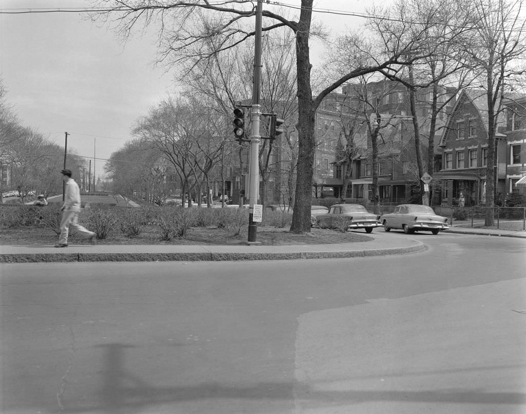
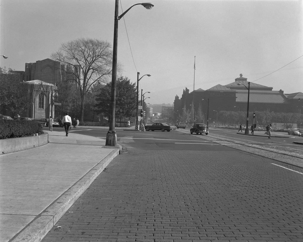
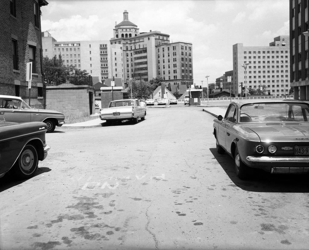
Pennant Way was a short connector road in Oakland that would soon disappear entirely as Pitt expanded its campus. Before Posvar Hall went up, this stretch linked Bigelow Boulevard to South Bouquet Street and gave a clear view of just how rapidly the university was reshaping its surroundings.


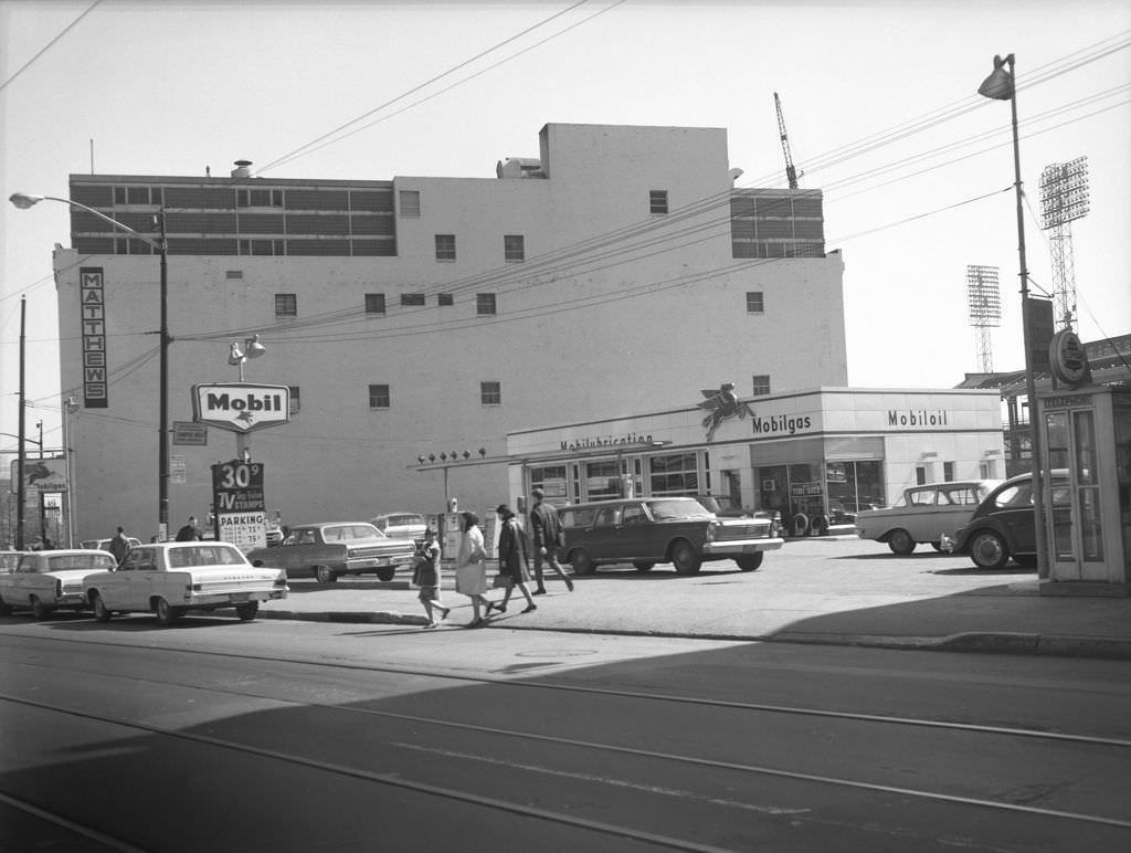
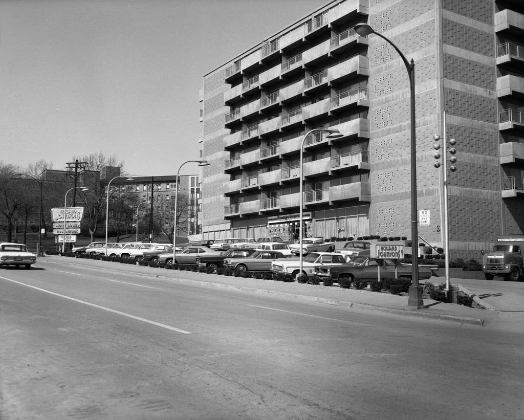
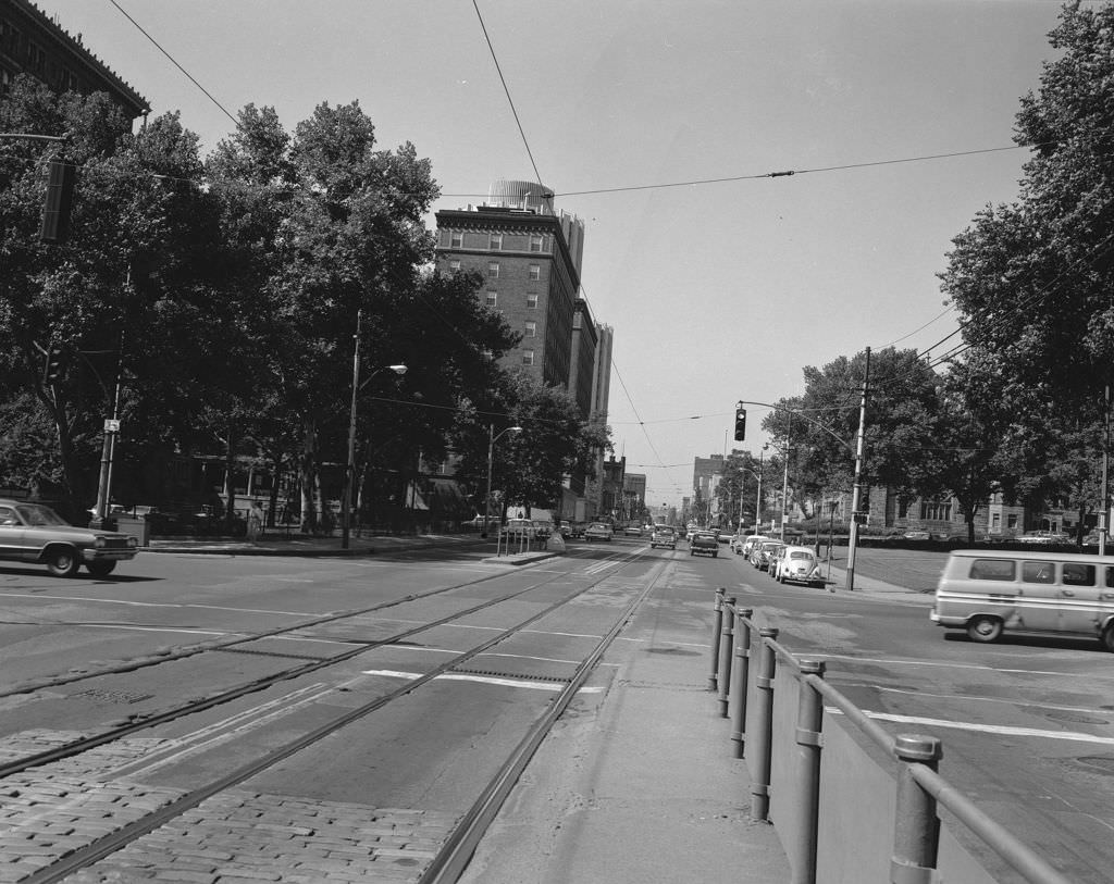
The Boulevard of the Allies was a major east-west artery cutting through Pittsburgh, and by the mid-1960s it featured a mix of hotels, hospitals, and commercial buildings. The Howard Johnson Hotel sat close to Magee Women’s Hospital, placing it in a stretch of Oakland that blended medical services with everyday commerce.


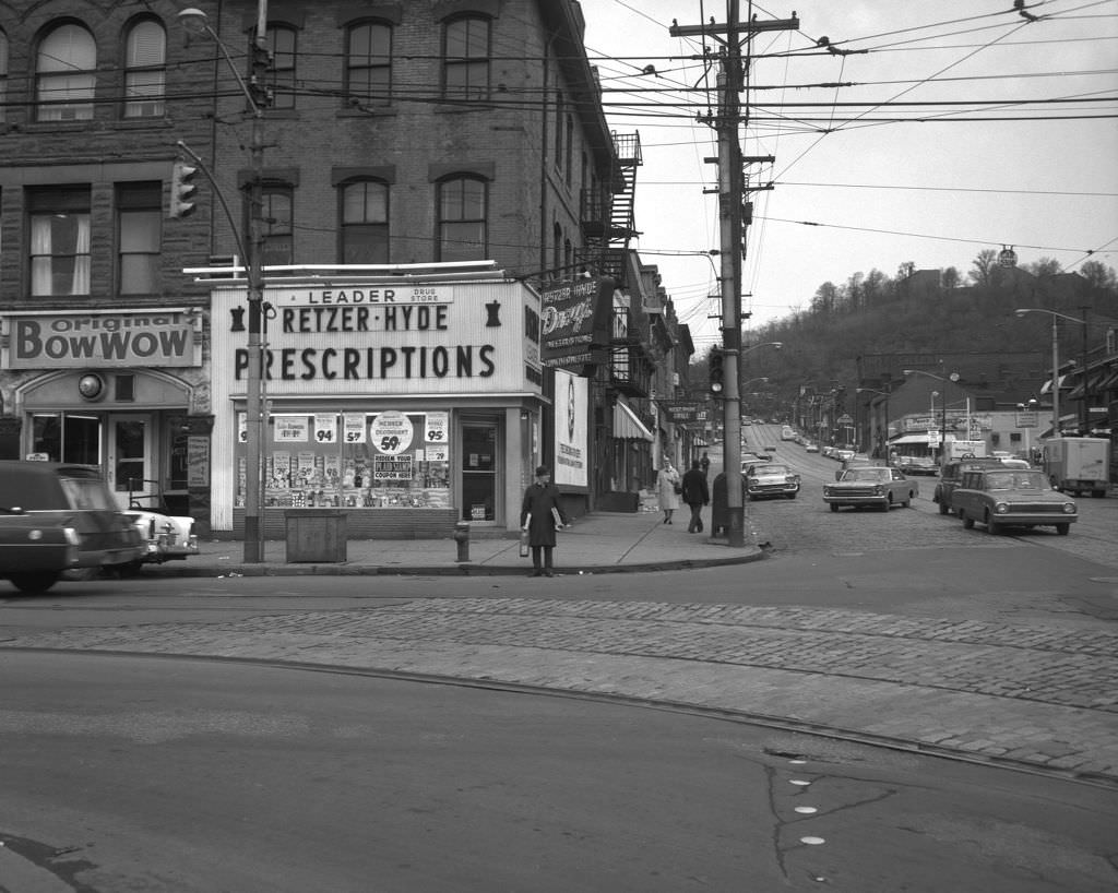
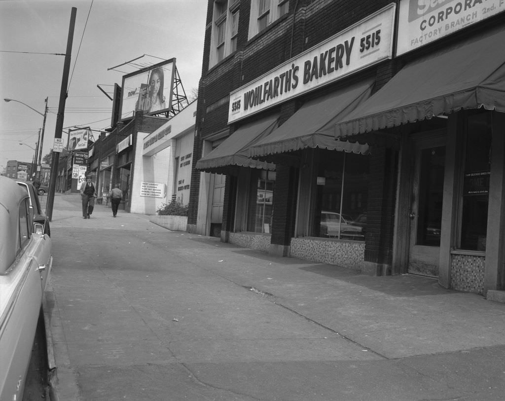
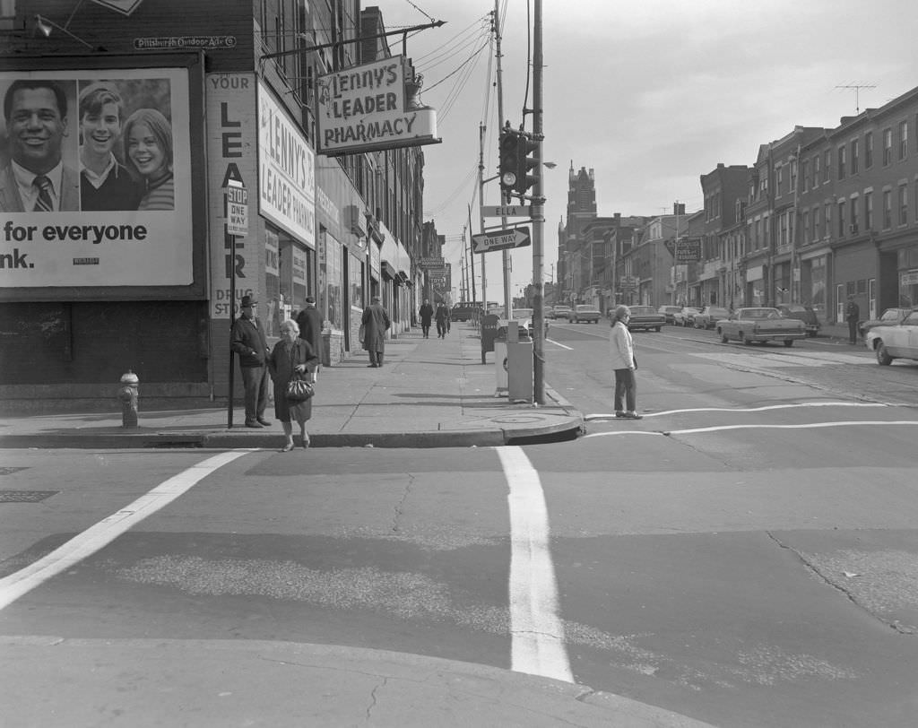
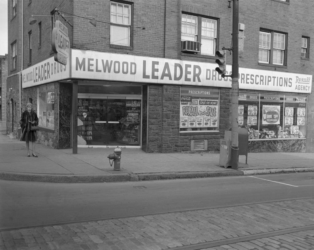
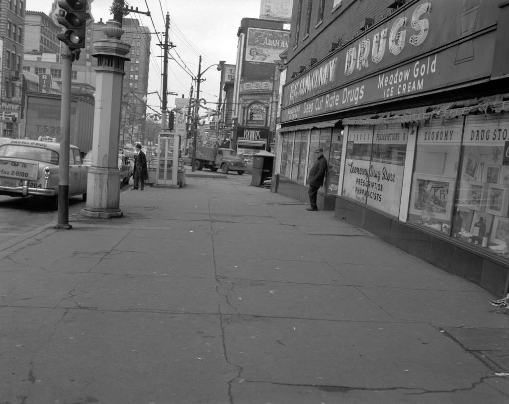
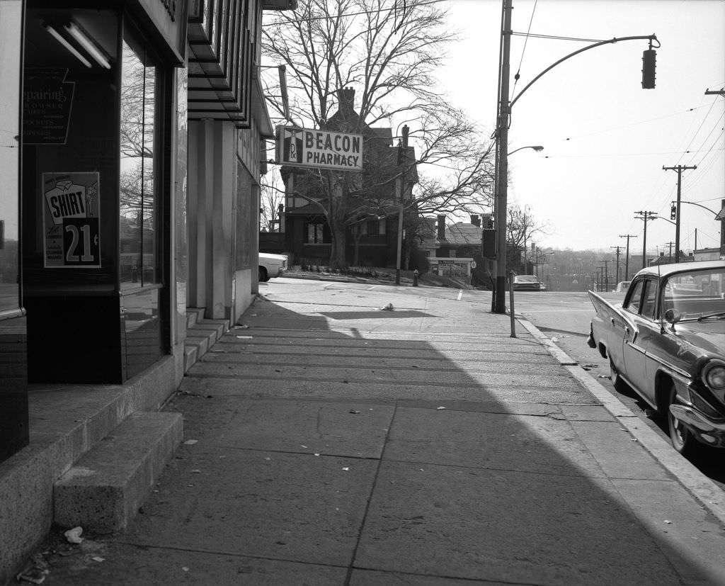
Small neighborhood pharmacies and bakeries were a fixture of Pittsburgh’s residential streets. On North Avenue, Retzer-Hyde Prescriptions served the North Side community, while Wohlfarth’s Bakery on Penn Avenue was the kind of local institution that anchored a block and drew customers by habit.


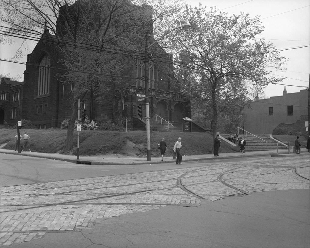
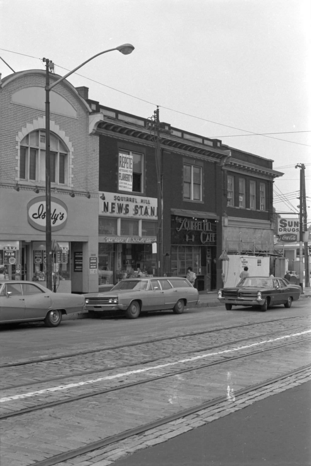
The Forbes and Murray Avenue intersection in Squirrel Hill was one of the neighborhood’s busiest corners. Asbury Methodist Church once stood there as a notable local landmark, though it no longer exists. Nearby businesses like Squirrel Hill Newsstand, Isaly’s Dairy, and Pittsburgh National Bank made this corner a hub of everyday activity.


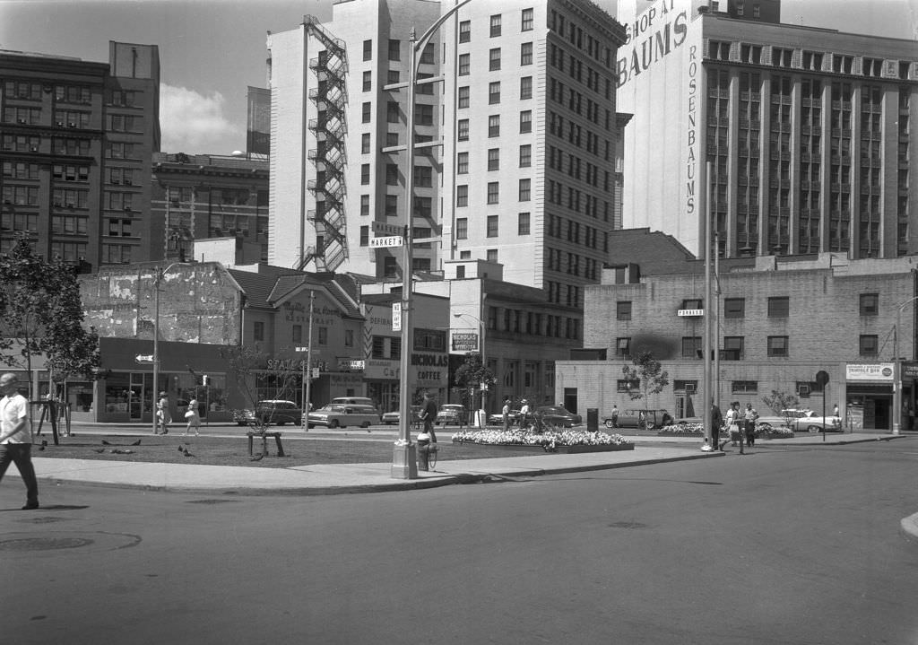
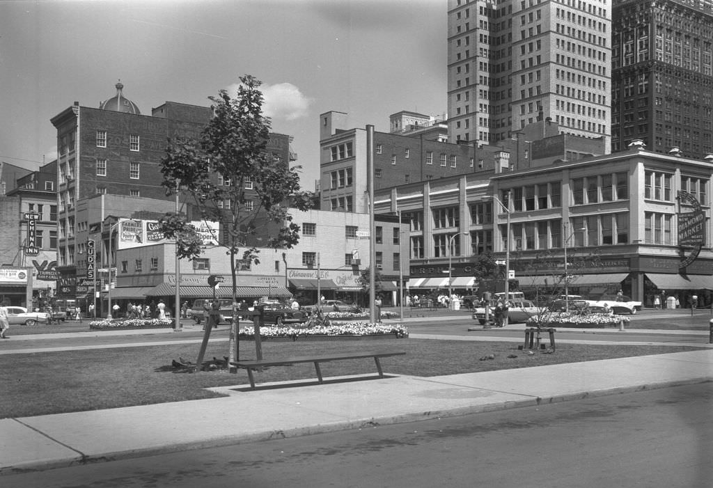
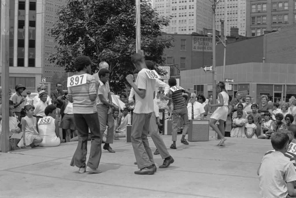
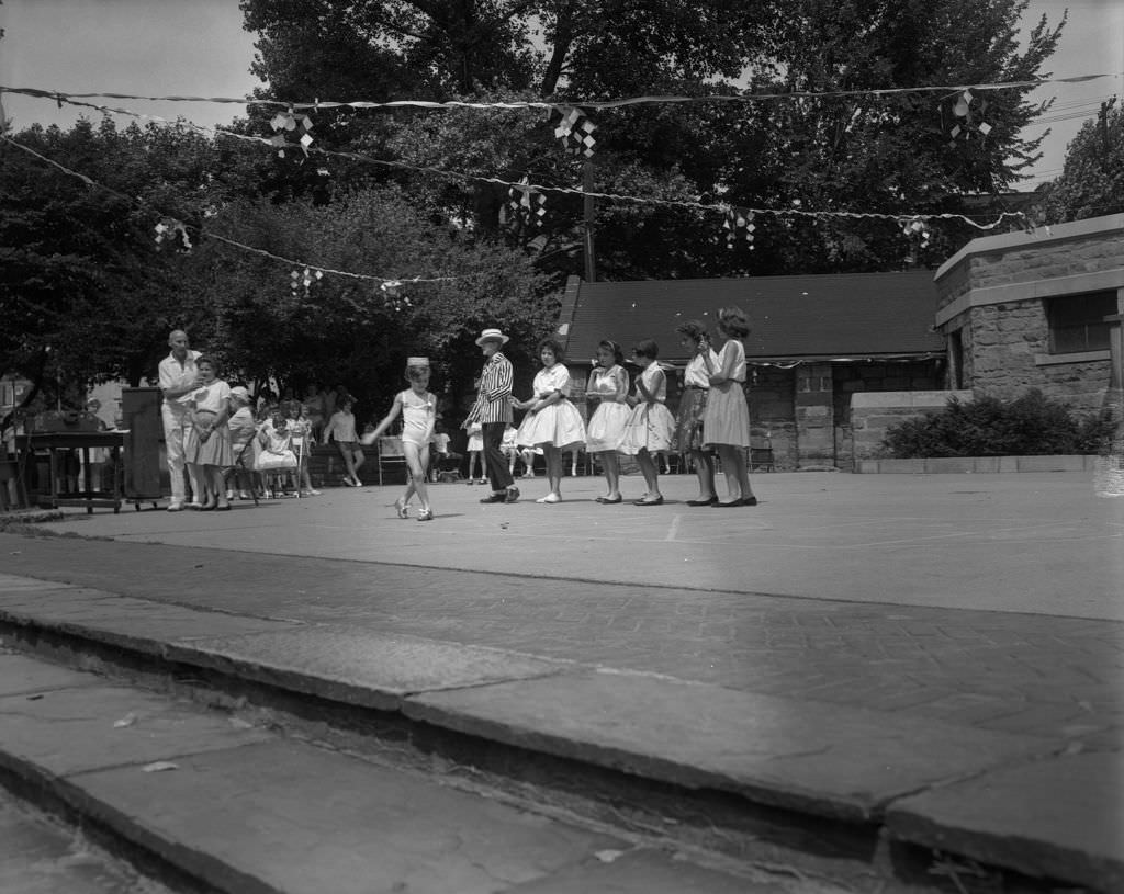
By 1969, outdoor public events were a regular part of Pittsburgh summers. Market Square, long the city’s commercial and civic center, hosted a youth dance competition that drew crowds and brought energy to the downtown core. Events like these reflected a city that still used its public spaces for genuine community life.


Isaly’s was a Pittsburgh institution. The dairy chain was known for its chipped ham — a thinly sliced deli meat that became a regional staple — and its towering “skyscraper” ice cream cones. The Forbes Avenue location in Squirrel Hill was one of the most beloved, drawing customers who came for both.


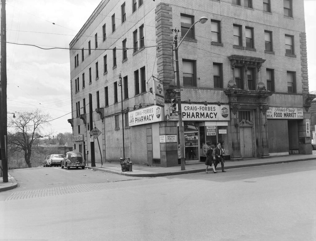
Craig Street in Oakland served the university crowd and surrounding residents with a cluster of practical shops. The Craig-Forbes Pharmacy anchored one corner, part of a streetscape built around the needs of students, hospital workers, and neighborhood families.

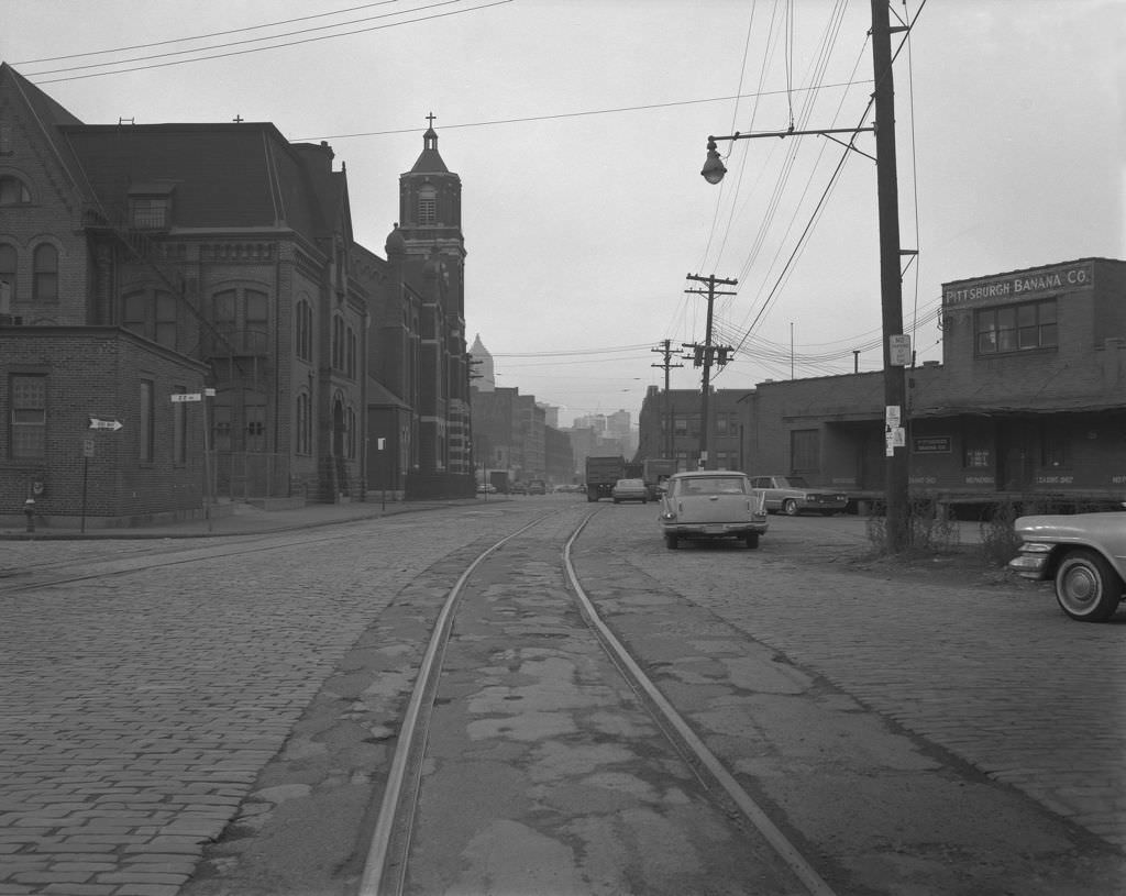
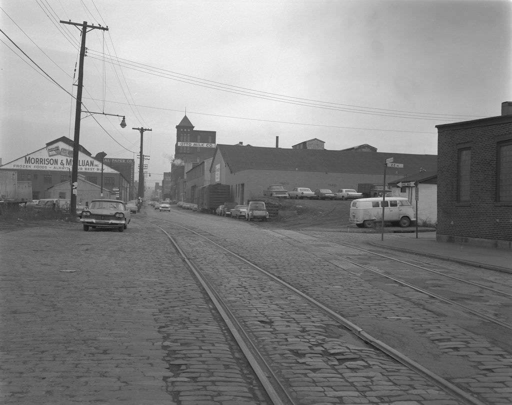
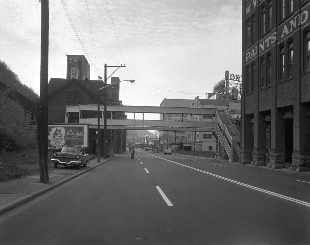
Smallman Street in the Strip District was the backbone of Pittsburgh’s wholesale food trade. The Pittsburgh Banana Company and Otto Milk Company operated out of this corridor, supplying restaurants and markets throughout the city. These weren’t retail shops — they were the behind-the-scenes suppliers that kept Pittsburgh fed.


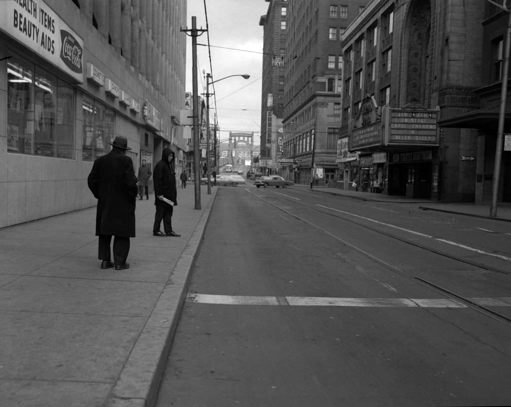
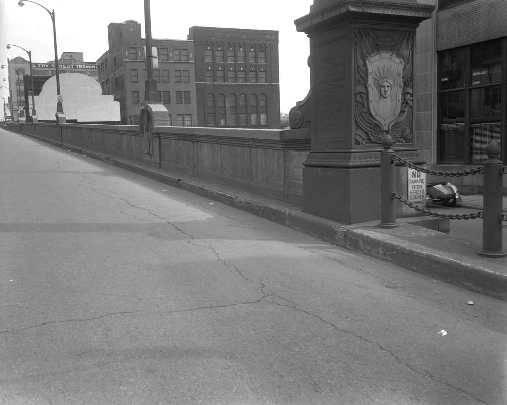
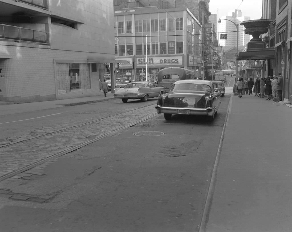
Sixth Street near downtown featured both the Sixth Street Bridge and the Penn Theatre Auditorium, pairing infrastructure with entertainment in a single frame. The Stanley Theatre on Seventh Avenue was another major venue, hosting films and live performances throughout the decade.


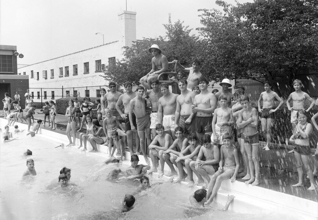
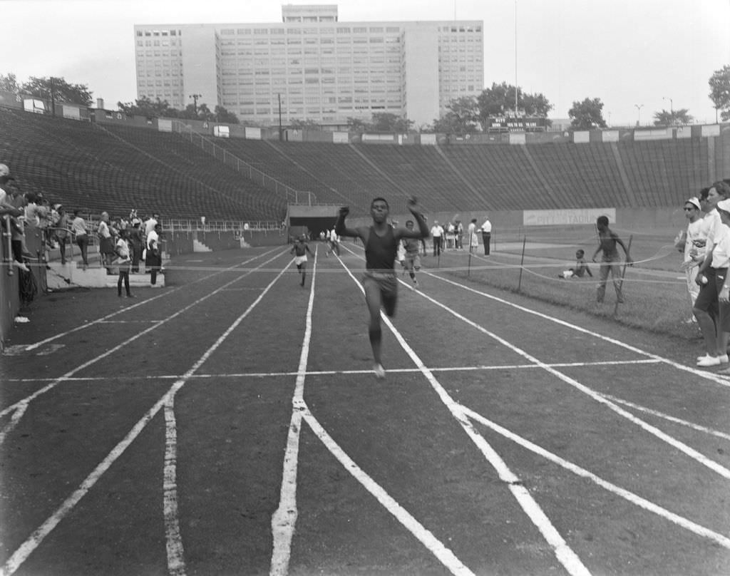
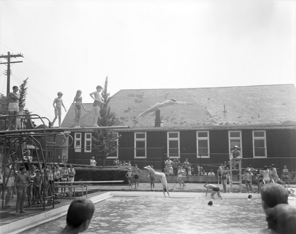
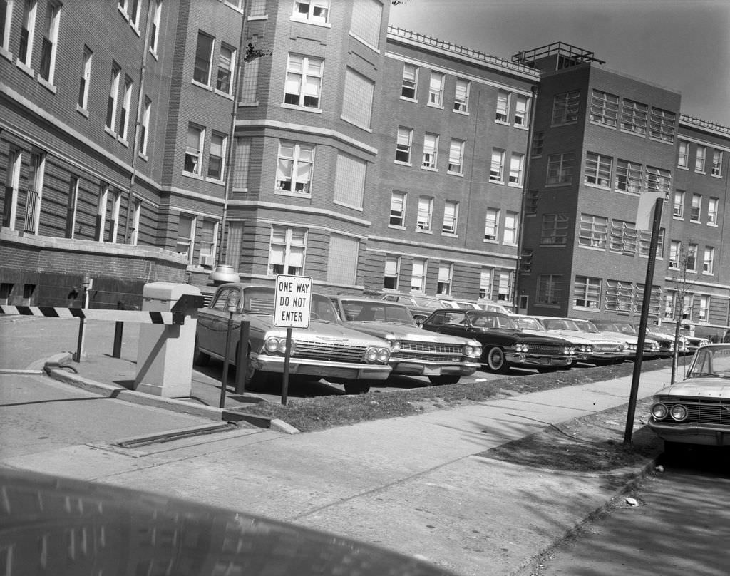
Pitt Stadium in Oakland was the site of athletic events beyond football. Track and Field Day drew participants and spectators, with the Oakland VA Hospital visible in the background — a reminder of how tightly packed Oakland’s institutions were. Nearby, the Bloomfield Pool offered summer relief to neighborhood kids, watched over by lifeguards on duty.


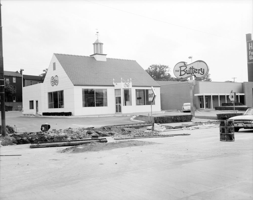
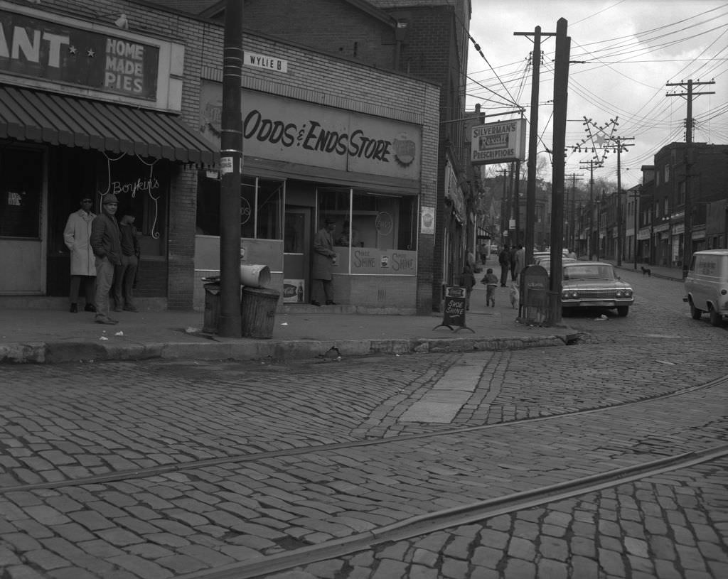
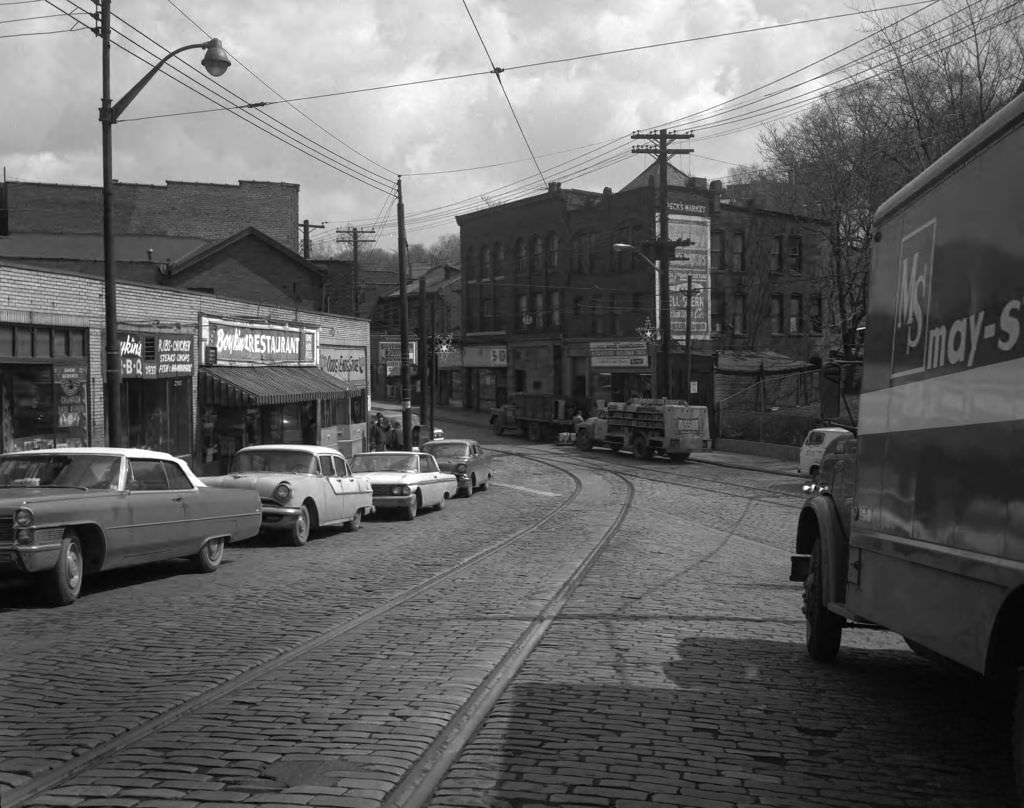
Centre Avenue running through the Hill District was lined with the kind of businesses that sustained a working-class neighborhood. The Buttery Coffee Shop was a gathering spot in 1965, and just a year later, Wylie and Herron Avenue featured Boykin’s Restaurant, an Odds & Ends Store, and Peck’s Market — a snapshot of a community with its own commercial ecosystem.


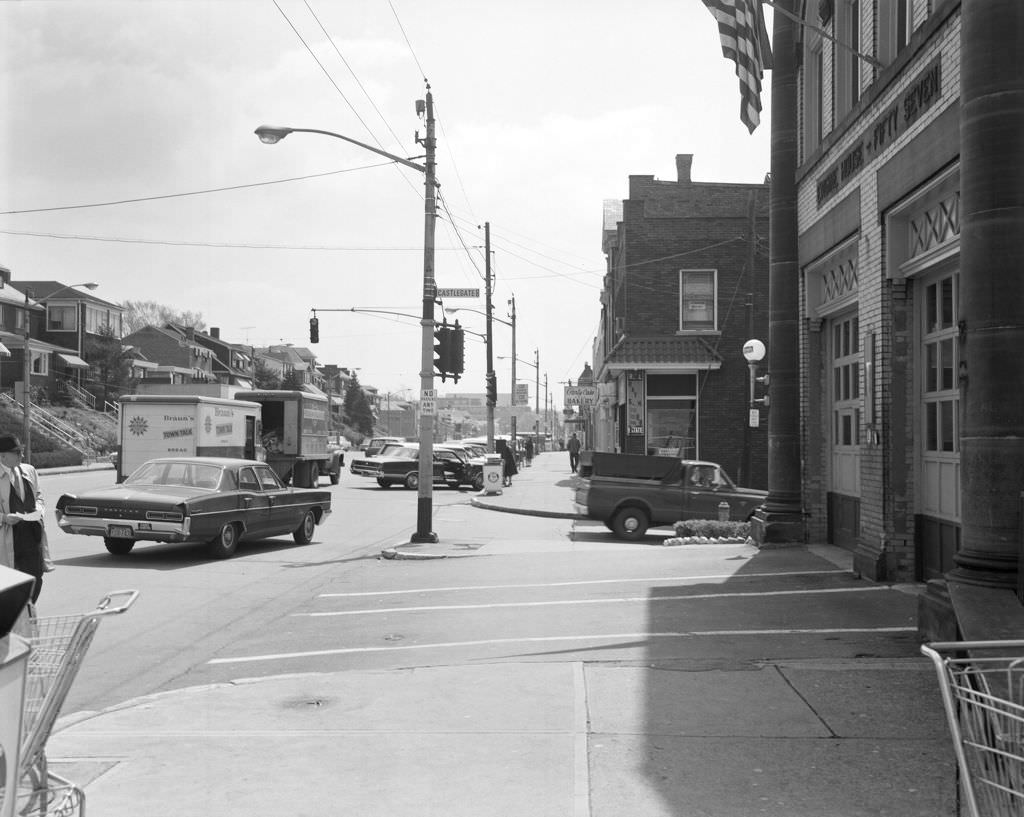
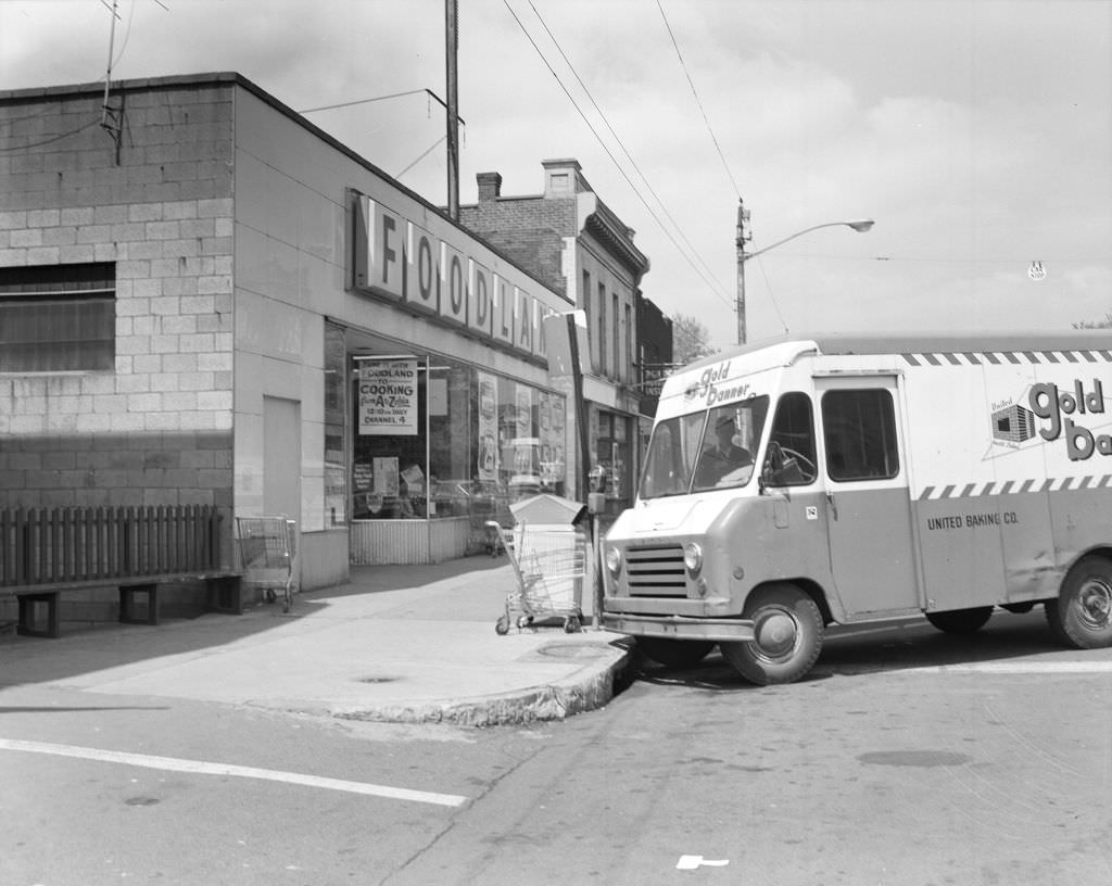
Brookline, on Pittsburgh’s South Hills, had its own distinct neighborhood character. The intersection of Brookline Boulevard and Castlegate Avenue featured Engine House Fifty-Seven alongside a Foodland grocery store — a combination of public service and private commerce that defined how Pittsburgh’s outer neighborhoods operated.


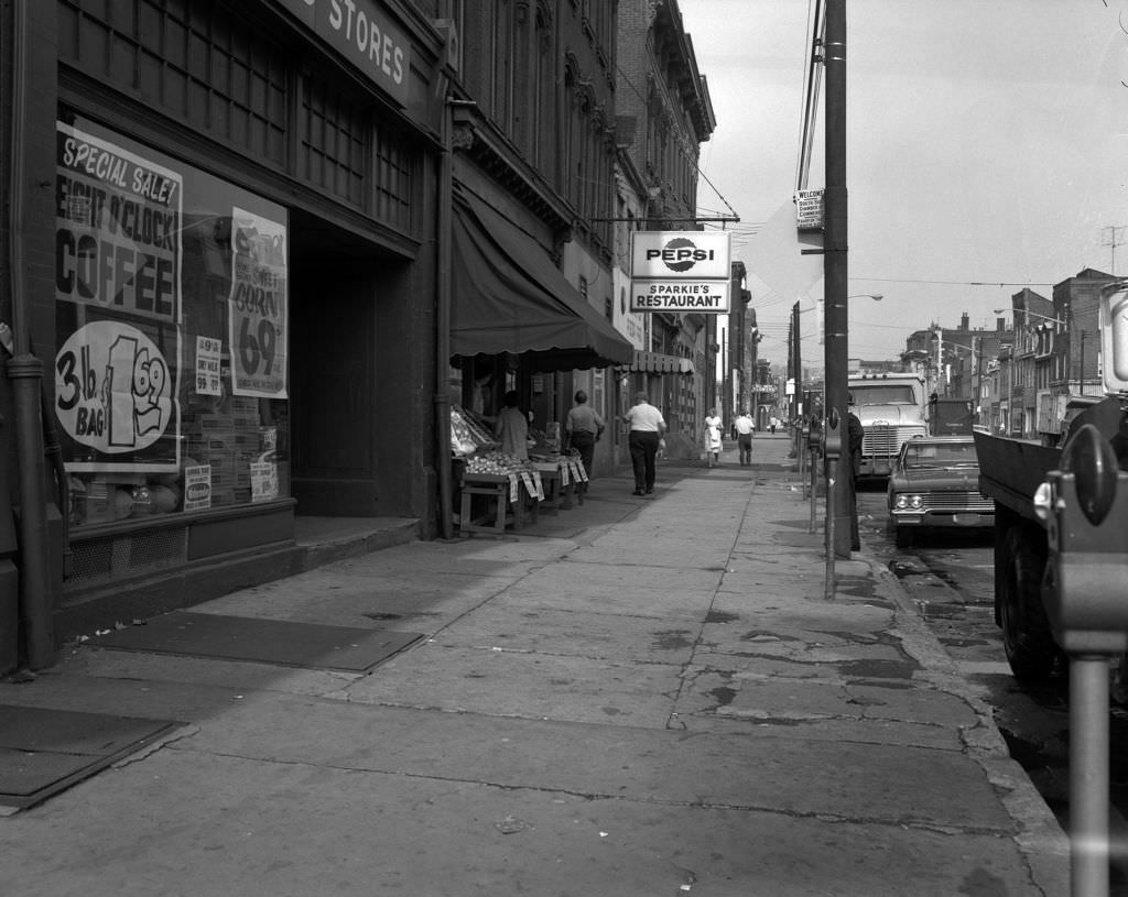
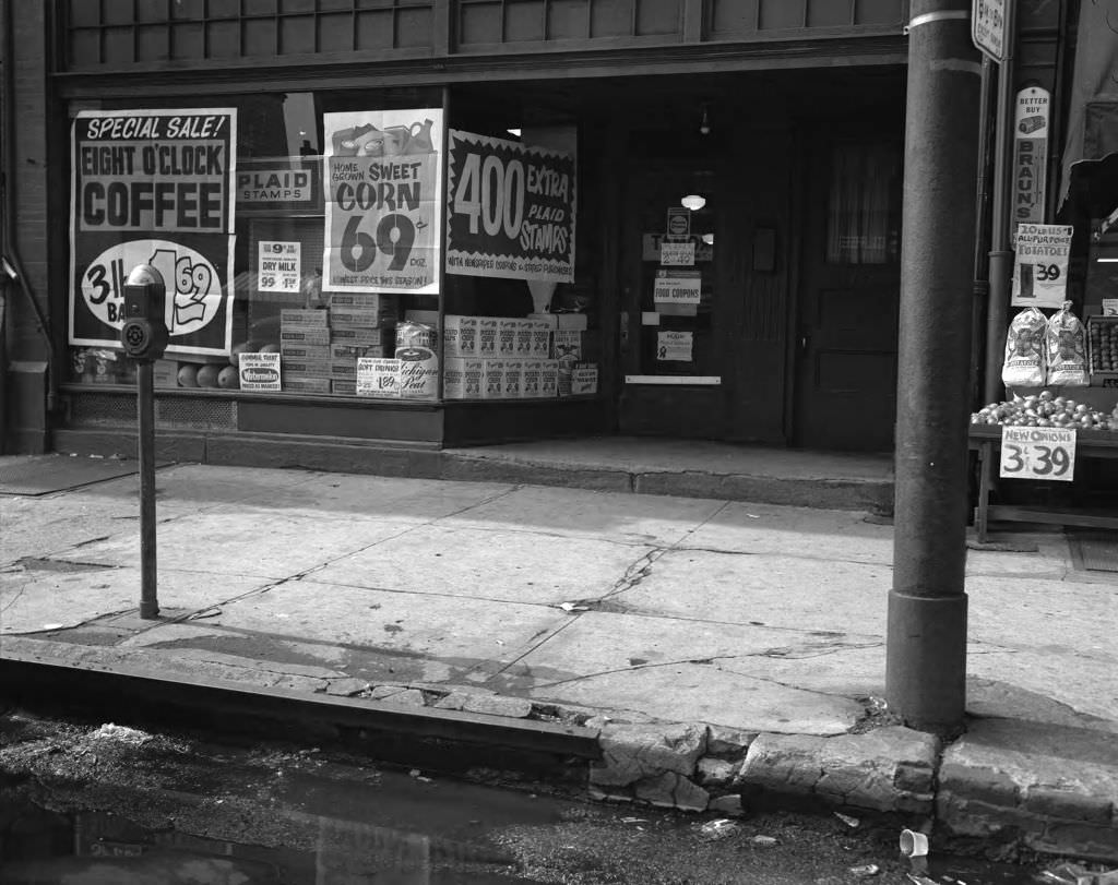
East Carson Street on the South Side was a long commercial corridor with dozens of small businesses packed into a dense, walkable stretch. Sparkie’s Restaurant and a local grocery store were among the storefronts that gave this street its identity in 1967.


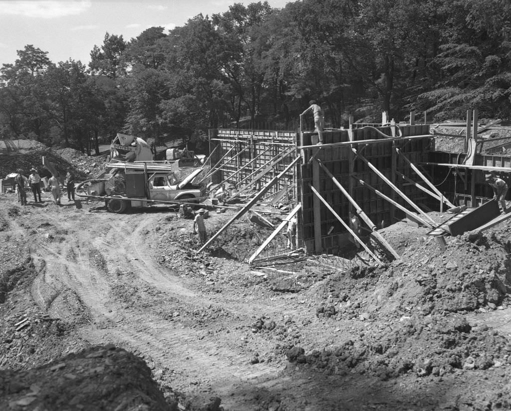
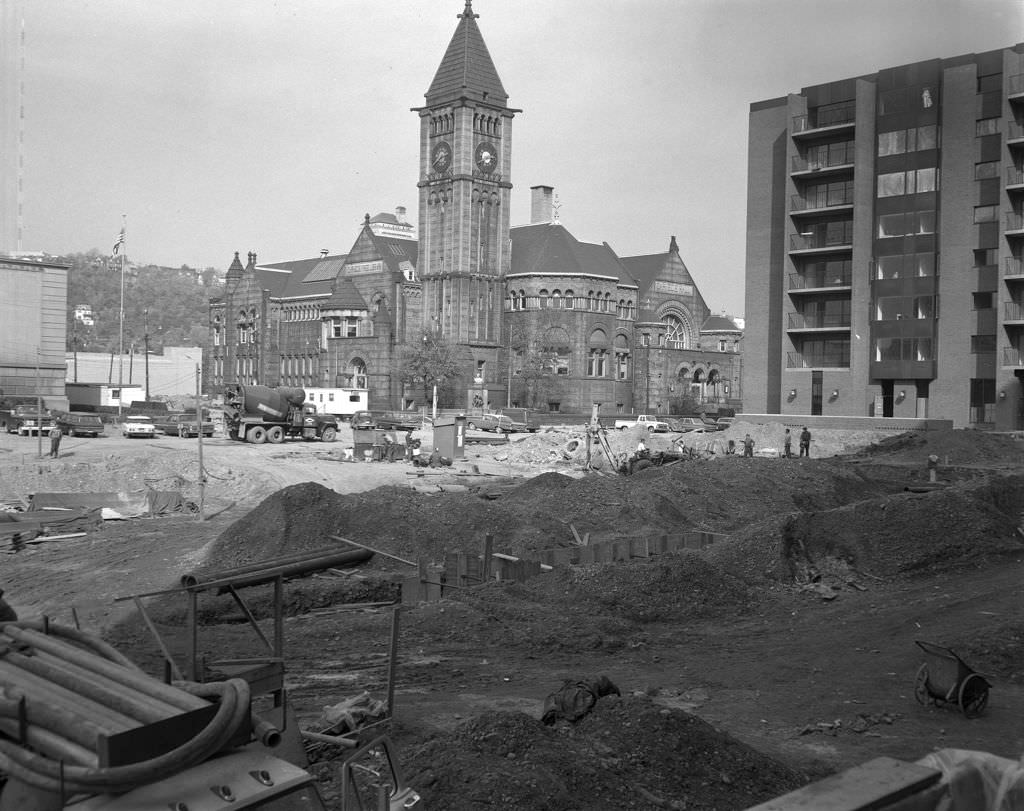
One of the most significant redevelopment projects of the 1960s took place on the North Side, where the Allegheny Center mall complex was under construction. The project transformed the old Allegheny commons area, and photos from 1967 captured both the old structures — including the North Side Carnegie Library and the old Allegheny Post Office — and the rising new development around them.


Forbes Avenue in the Oakland and Squirrel Hill areas was one of Pittsburgh’s most photographed streets during this period. Repaving work in 1967 temporarily disrupted traffic past landmarks like the Jewish Community Center and Sixth Presbyterian Church. The street’s constant state of activity — commerce, construction, and foot traffic — made it a reliable cross-section of the city’s daily rhythm.


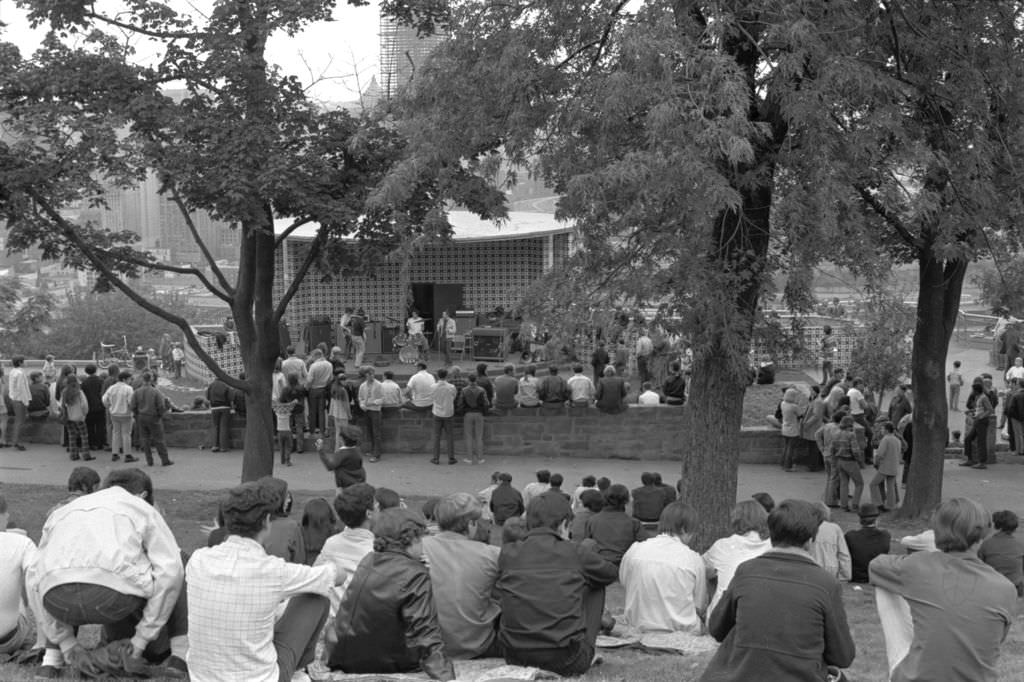
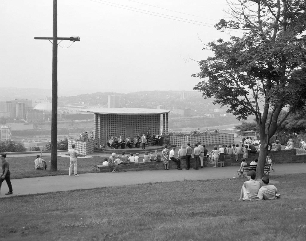
Grandview Park on Mount Washington offered sweeping views of the city and served as an outdoor venue for summer concerts throughout the late 1960s. The park’s eighteen acres hosted events that drew families from across the South Hills and beyond. A 1968 concert and a 1969 music festival both took place here, making Grandview a seasonal cultural fixture.


The early part of the decade also left its mark in photographs. The Arts and Crafts Building in Shadyside, photographed in 1964, later became the Pittsburgh Center for the Arts. Market Square remained the city’s central gathering point, home to restaurants, bars, and shops that drew both workers and shoppers.


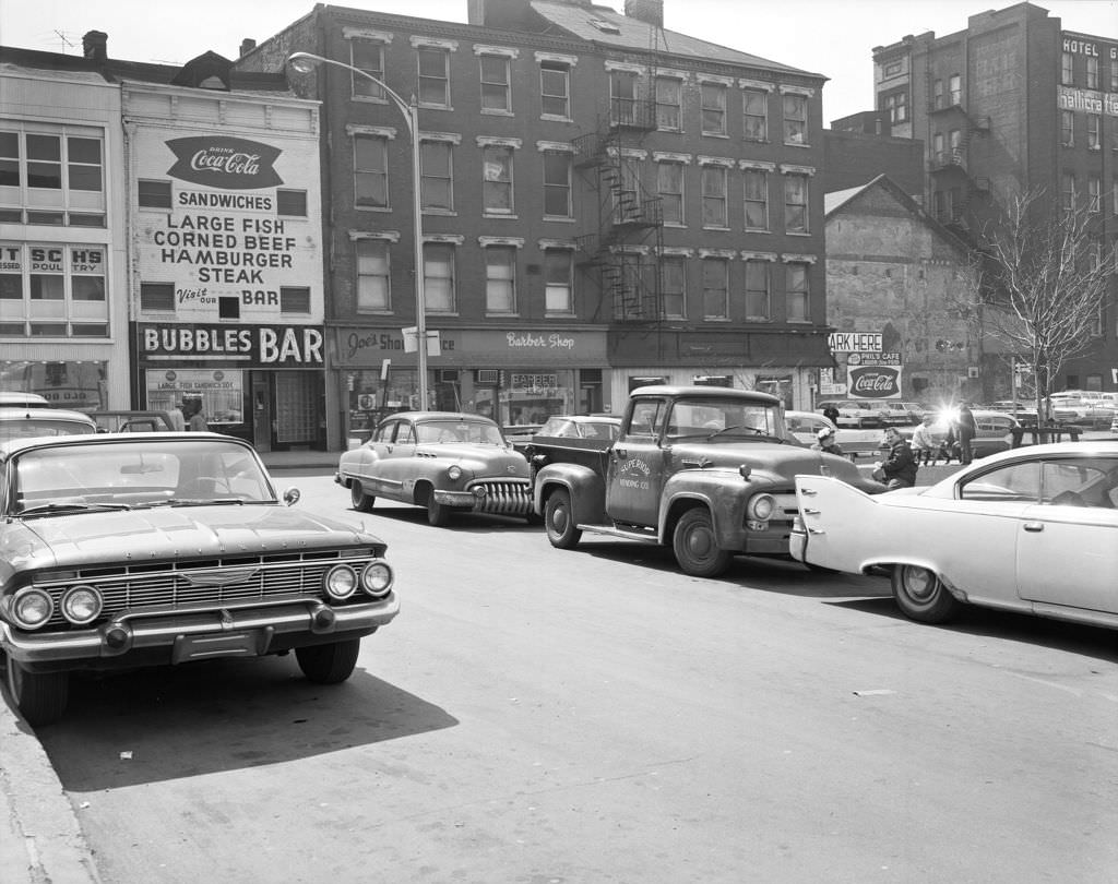
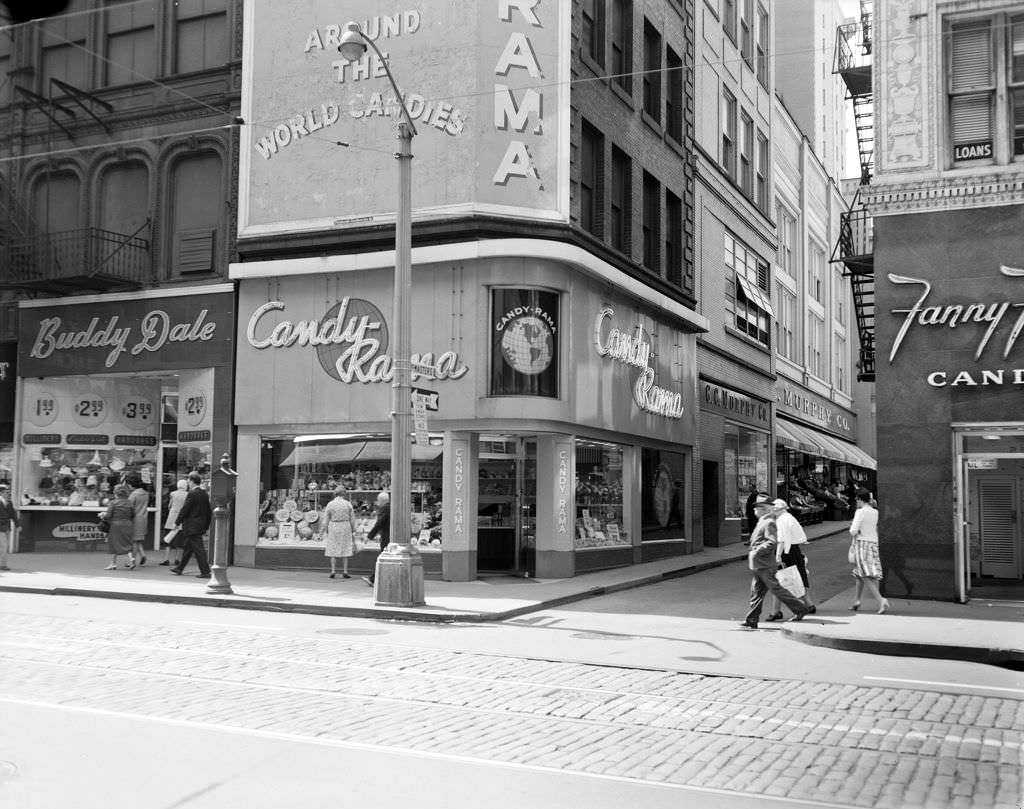
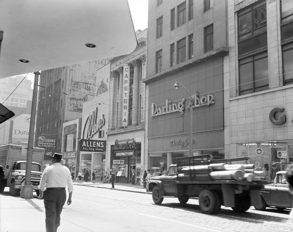
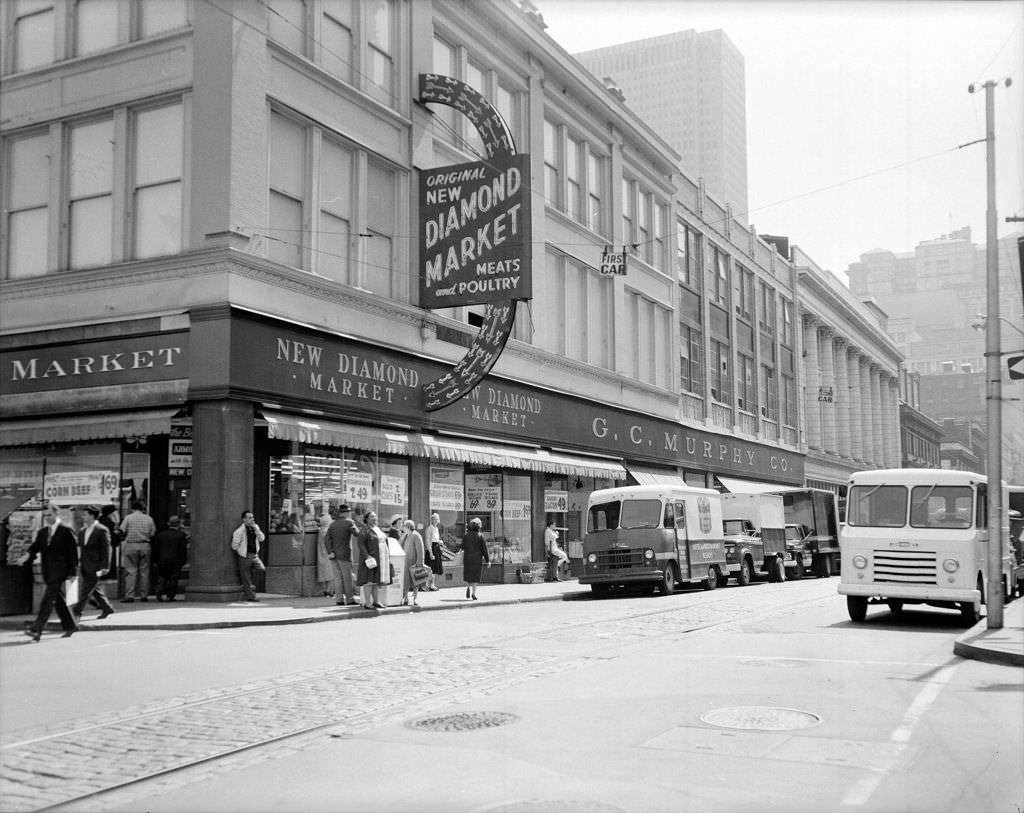
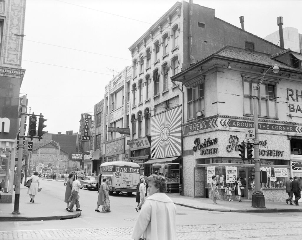
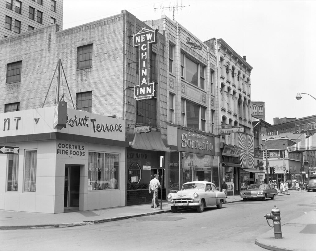
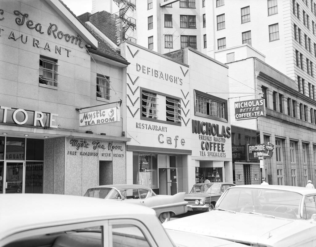
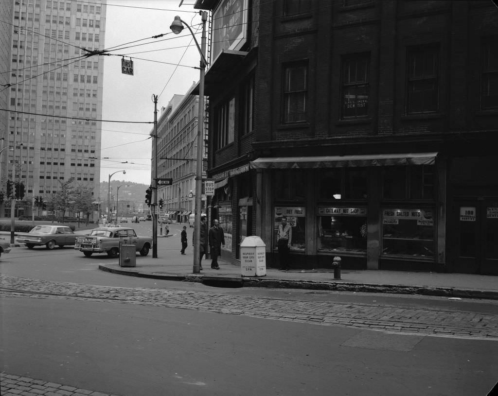
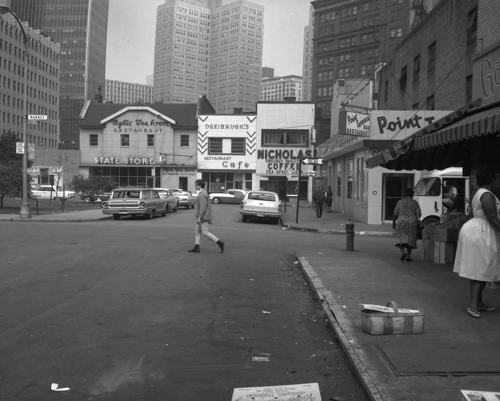
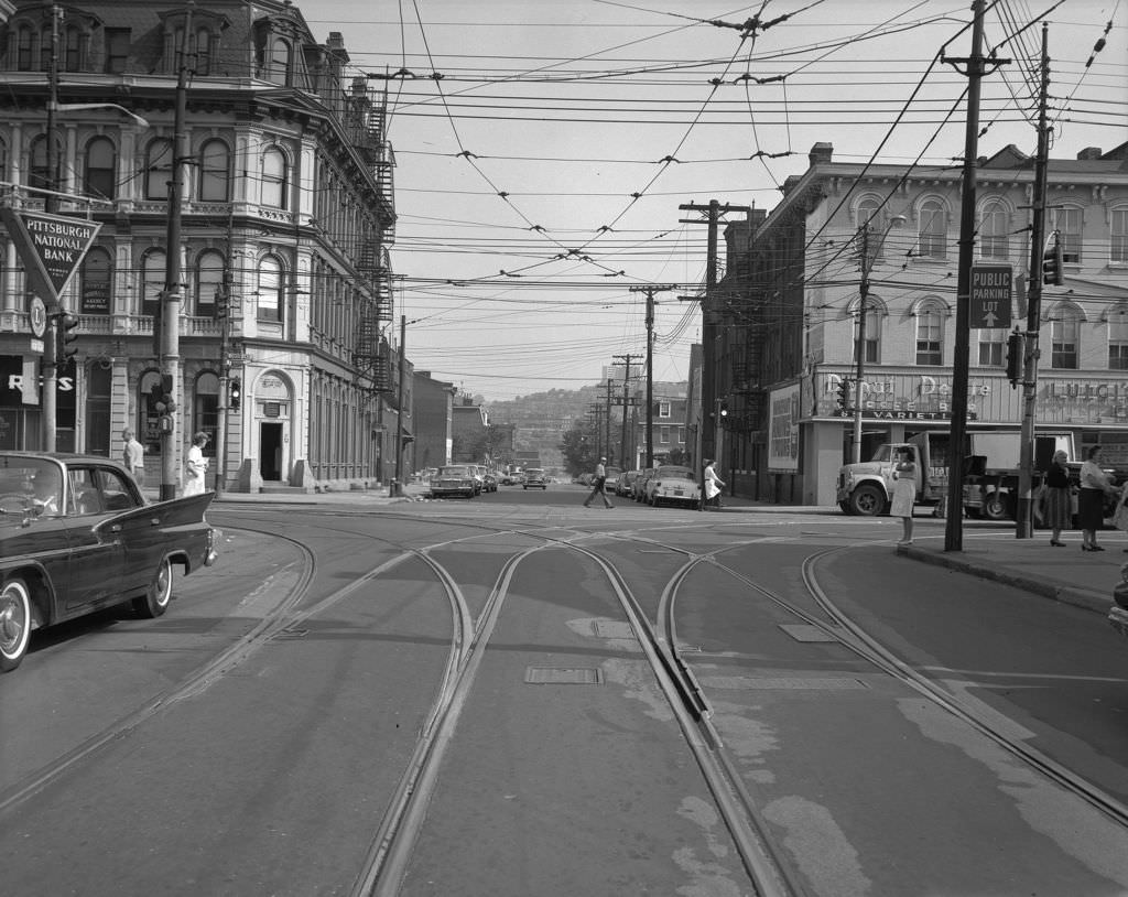
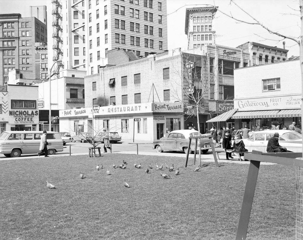
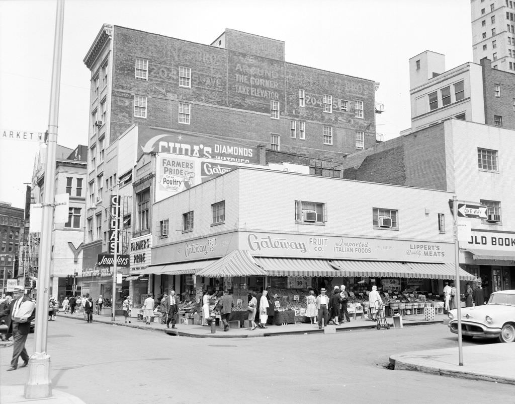
Market Square in 1964 was packed with variety. The Point Terrace Restaurant, Gateway Fruit, Bubbles Bar, Candy Rama, Donahoe’s Cafeteria, and the New Diamond Market all operated within a short walk of each other. This density of independent businesses gave Market Square a personality that chain-dominated commercial strips simply couldn’t replicate.


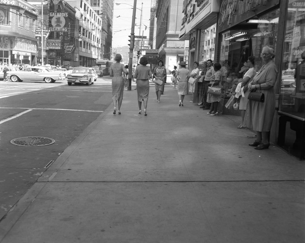
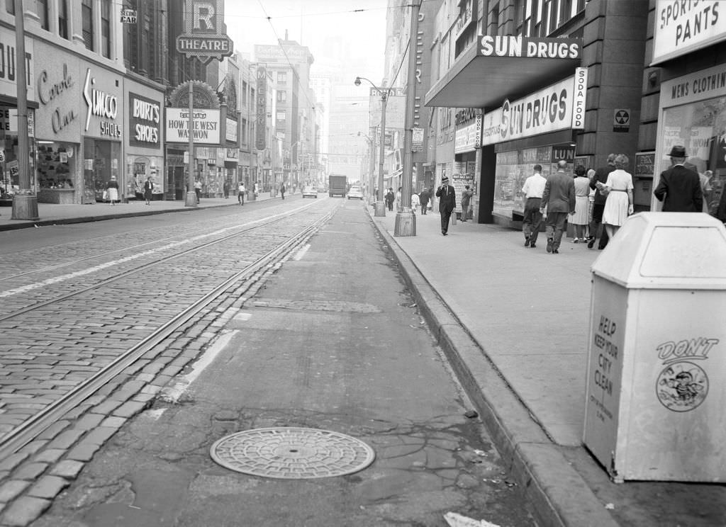
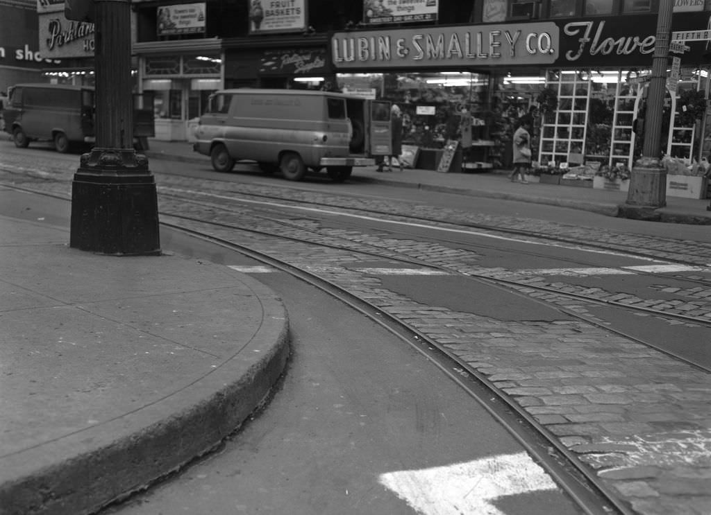
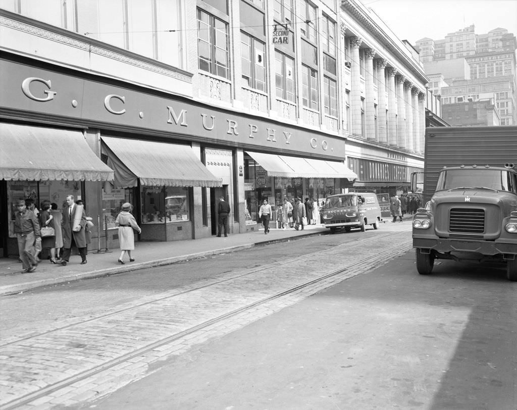
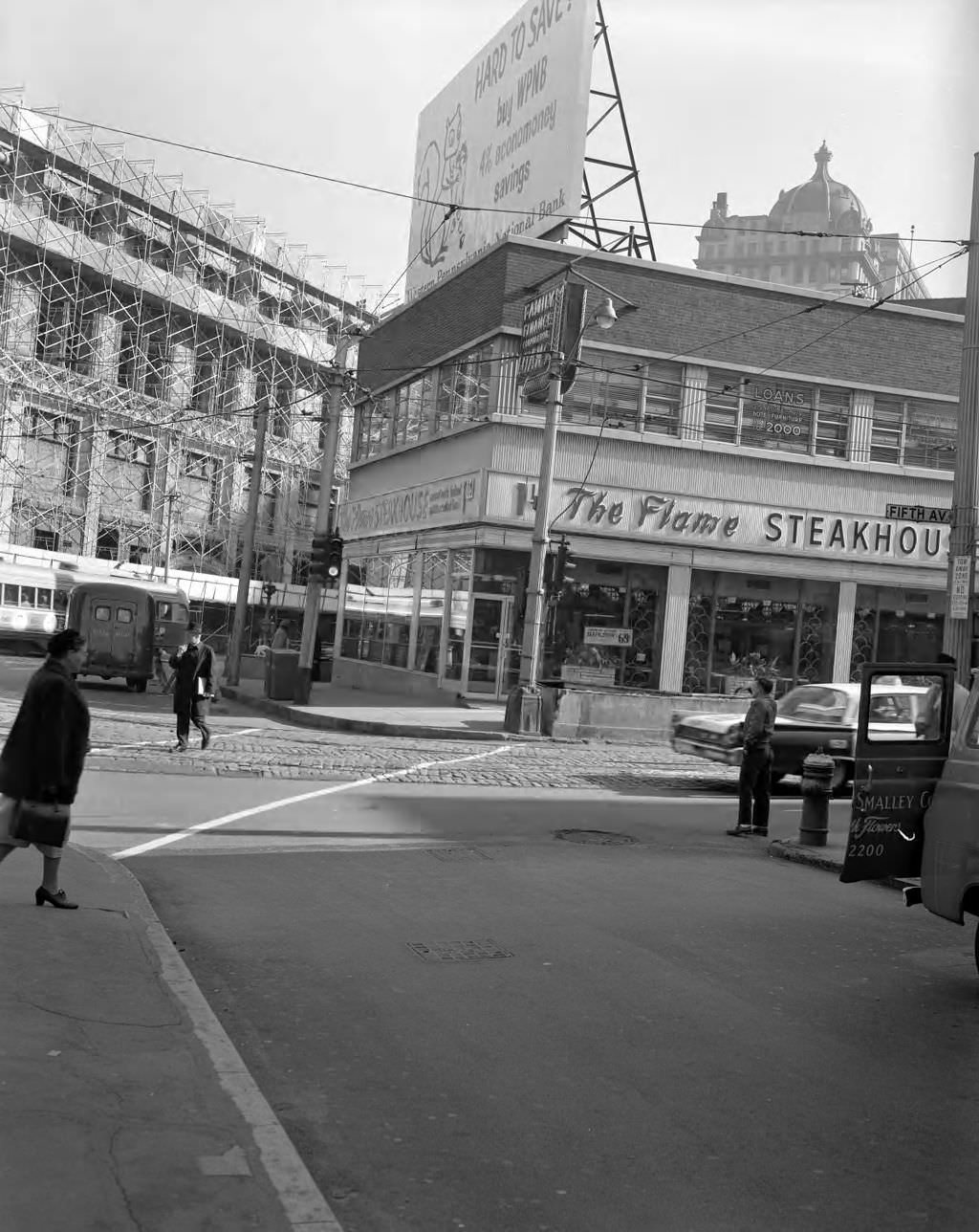
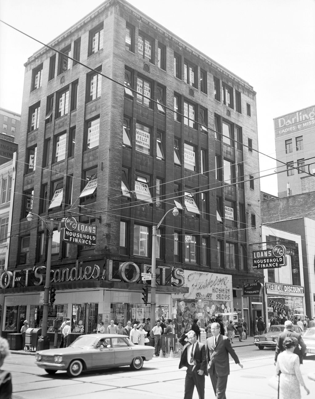
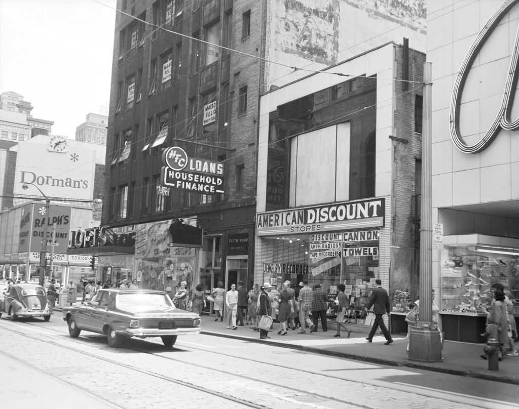
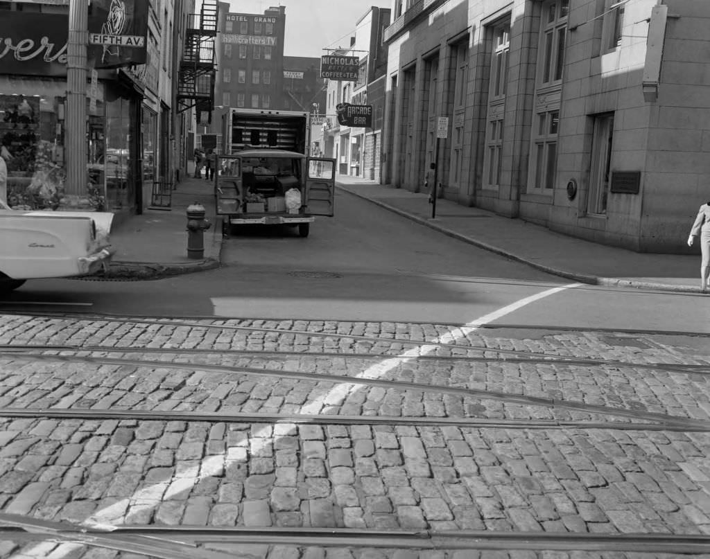
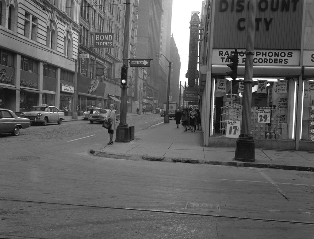
Fifth Avenue downtown was a major retail corridor, and by 1963 it showed a mix of clothing stores, shoe shops, and department stores. One notable detail visible in photographs from that year is a fallout shelter sign mounted on one of the buildings — a quiet reminder that the Cold War was a daily presence in American life, even on a busy shopping street.


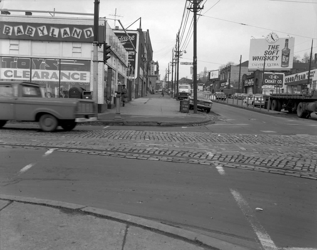
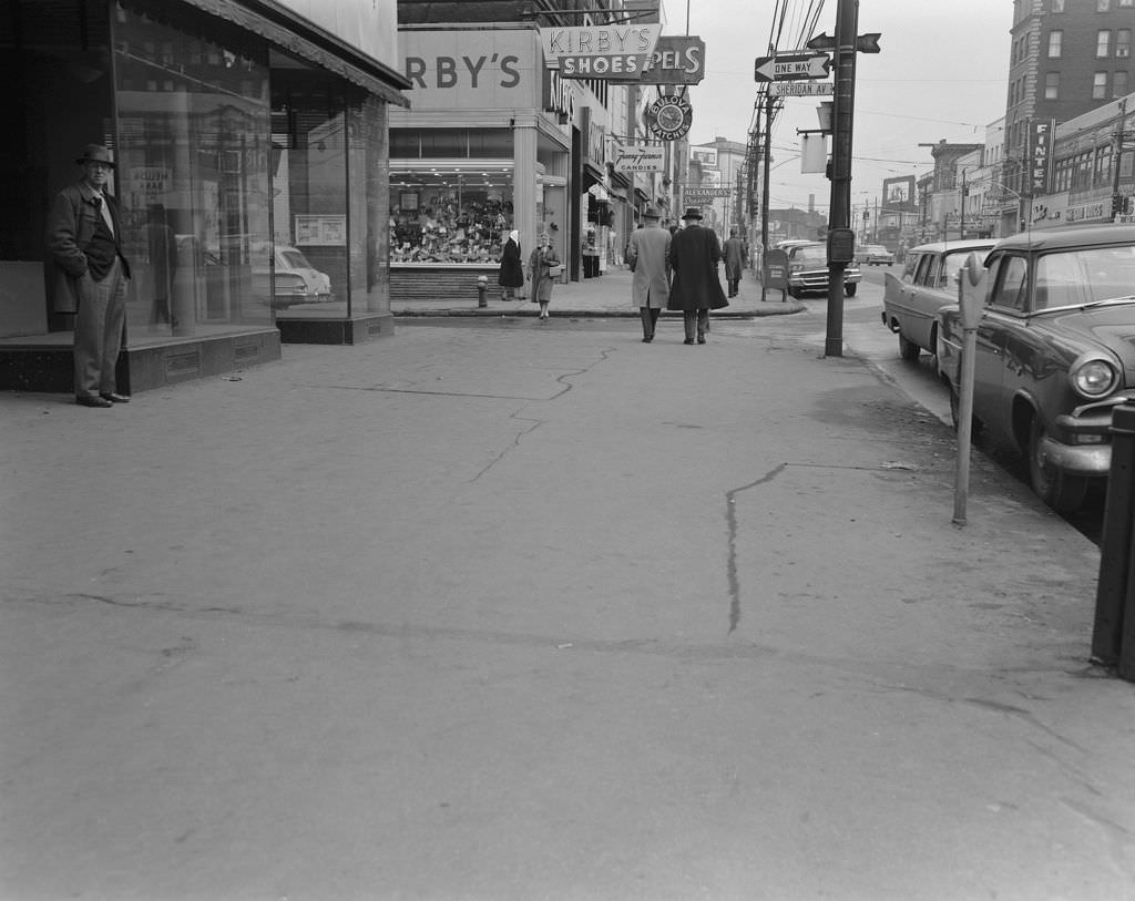
Penn Avenue and Negley Avenue in East Liberty marked the edge of one of Pittsburgh’s busiest neighborhood commercial districts. East Liberty was still a thriving retail hub in the early 1960s, with stores like Kirby’s Shoes and Fanny Farmer Candies drawing shoppers from across the East End.


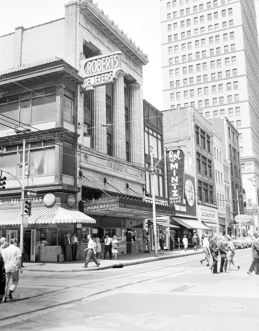
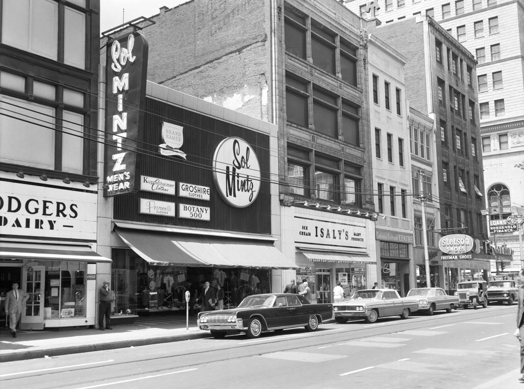
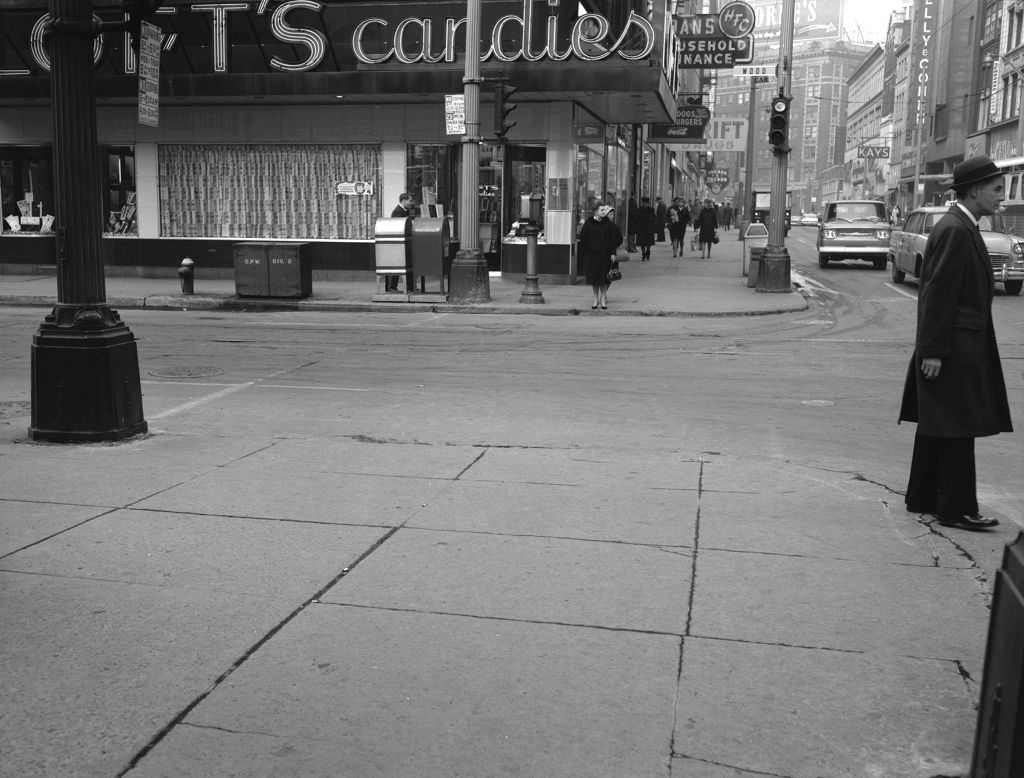
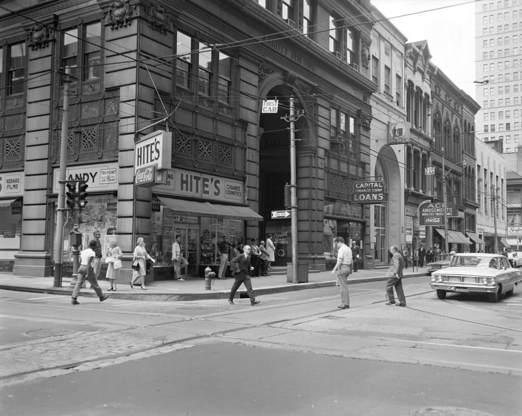
Wood Street and Liberty Avenue in downtown Pittsburgh were home to some of the city’s most established retailers. John M. Roberts Jewelers had been operating since 1832. Isaly’s on Wood Street, founded in 1902, was still drawing customers six decades after it first opened. These weren’t just shops — they were institutions with deep roots in the city’s commercial identity.


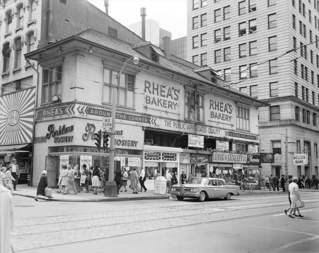
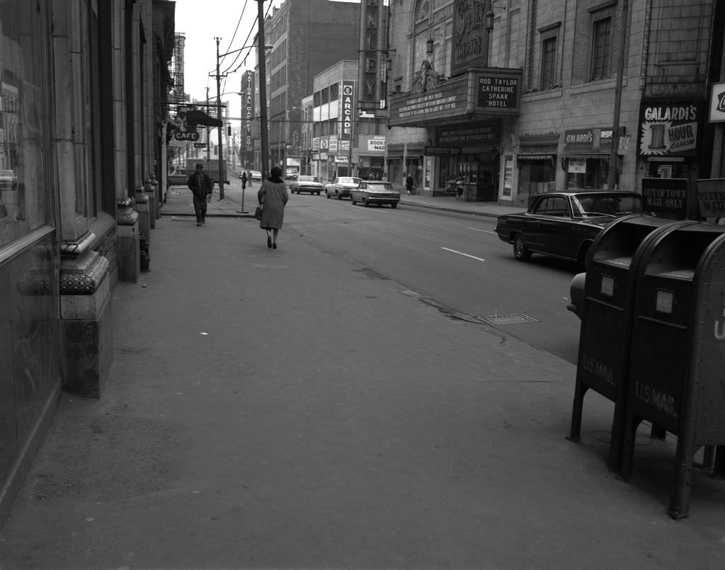
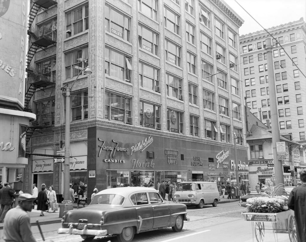
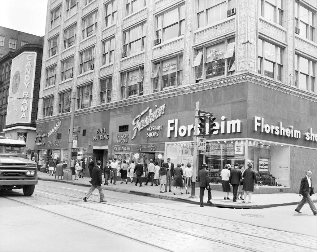
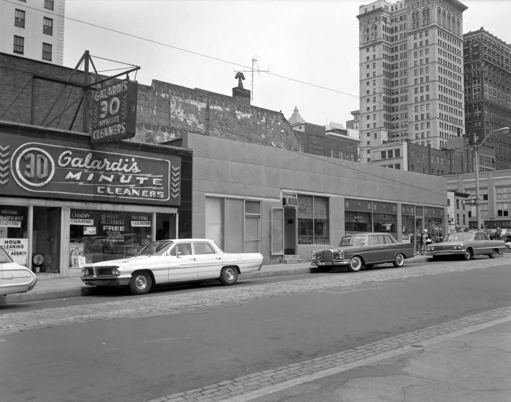
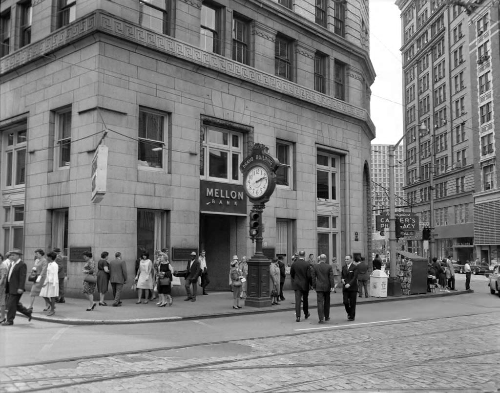
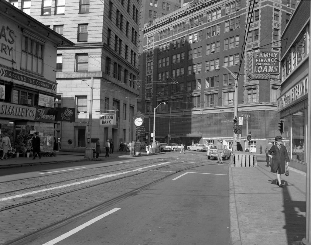
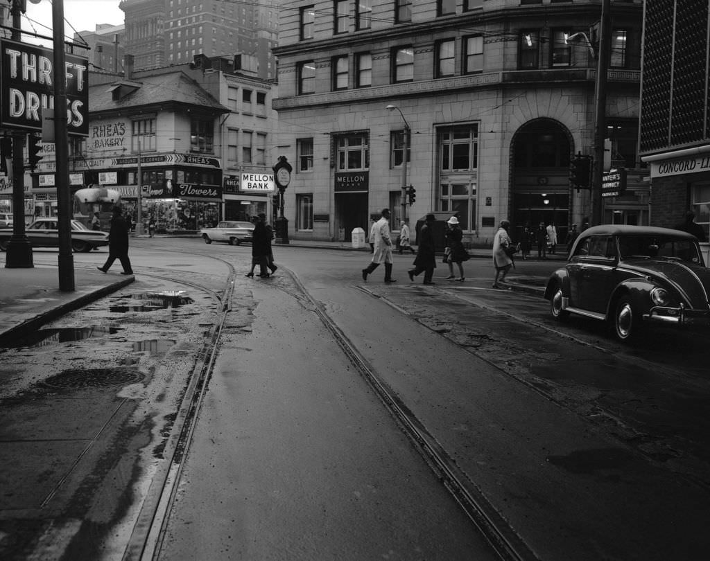
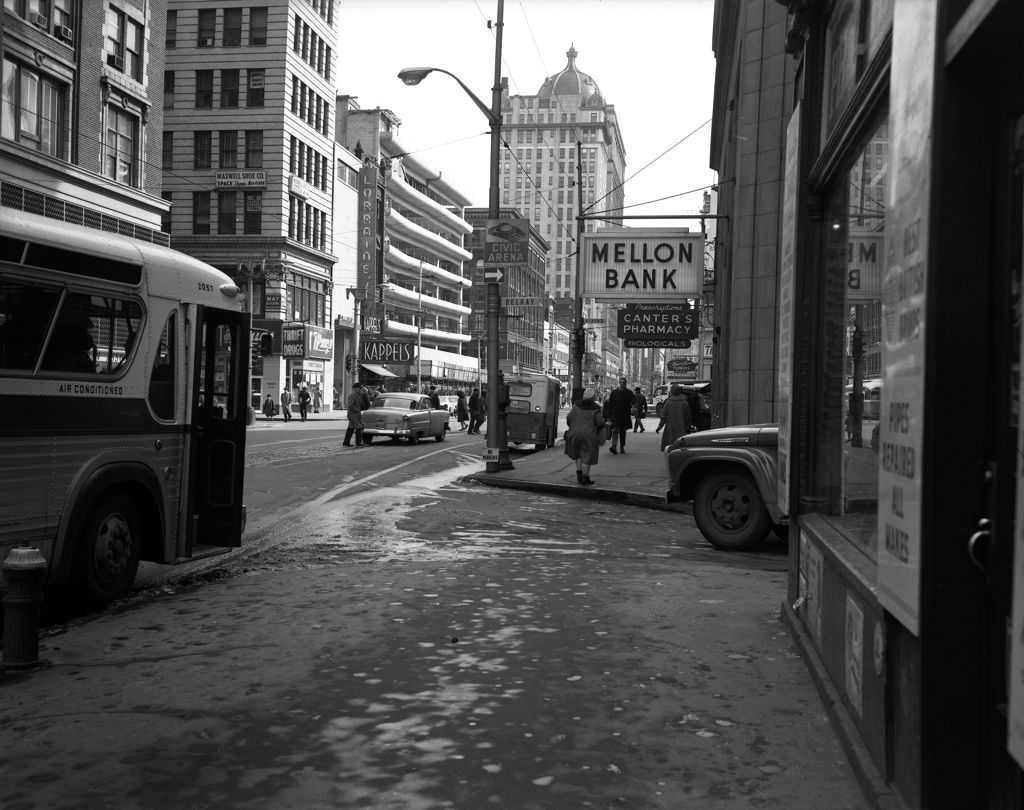
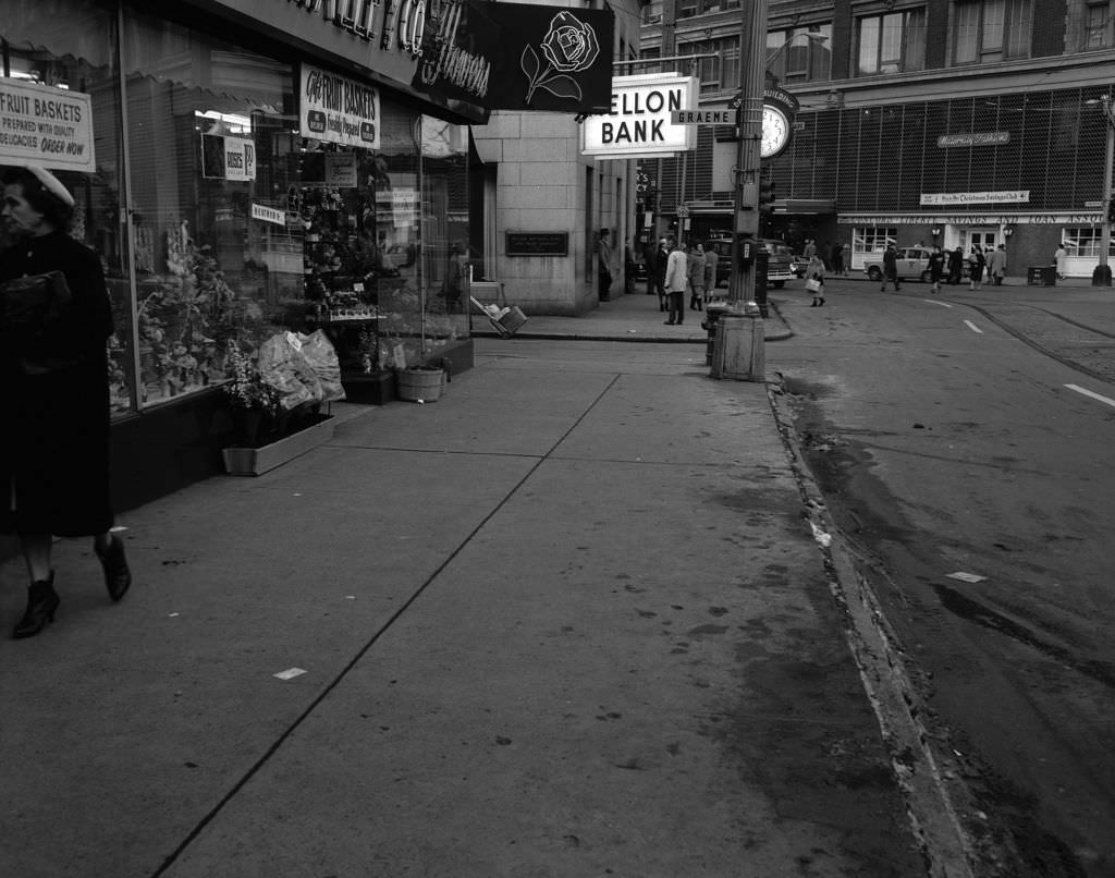
The Buhl Building on Fifth Avenue was one of downtown Pittsburgh’s well-known addresses, home to tenants like the Florsheim Shoe Store. Nearby, Mellon Bank at Fifth and Liberty anchored the financial district, and the presence of institutions like Galardi’s Cleaner on Forbes Avenue showed how service businesses filled in between the larger commercial names.


The North Side in the early 1960s was a neighborhood still defined by its Carnegie-era institutions and dense residential streets. Butler Street in Lawrenceville, Riverview Park — donated to the city in 1894 — and East Park near Allegheny General Hospital all appeared in photographs from 1961, showing a section of the city with deep historical layers.


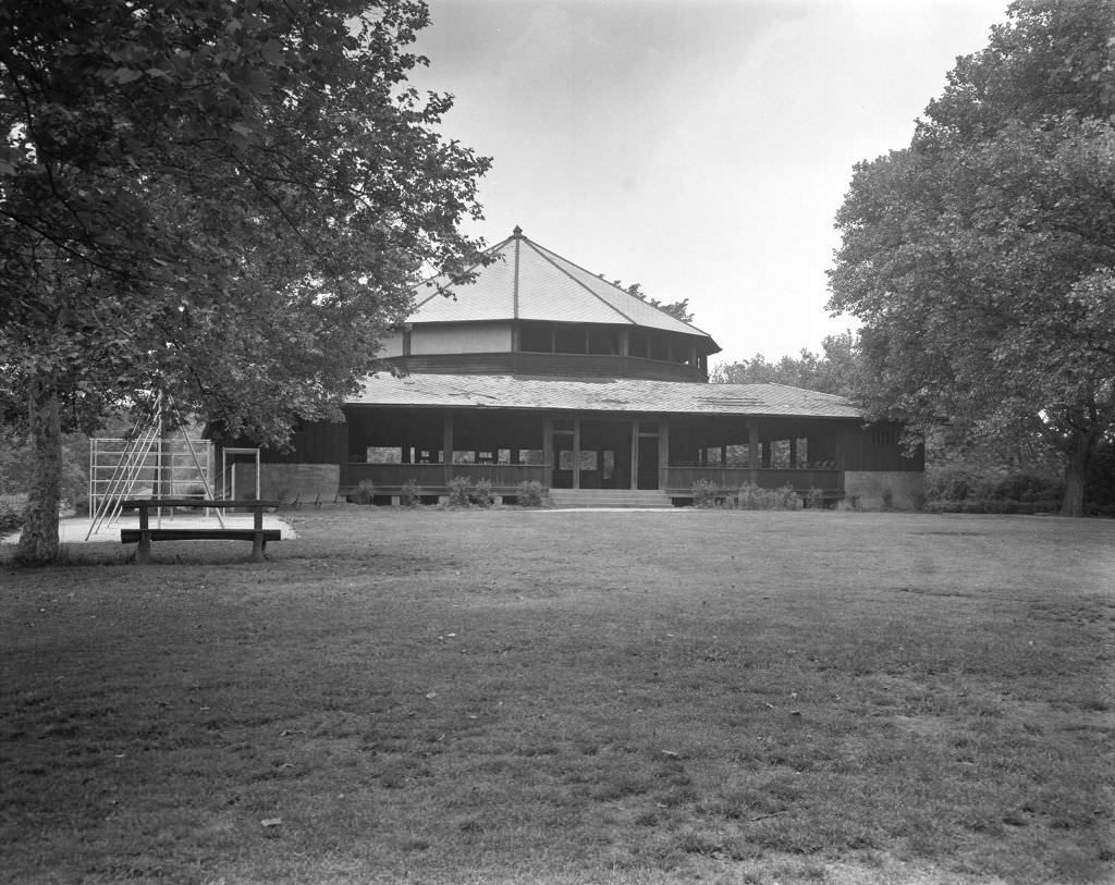
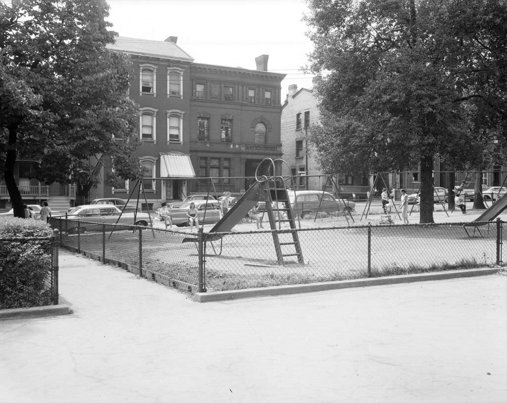
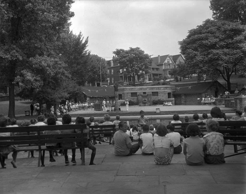
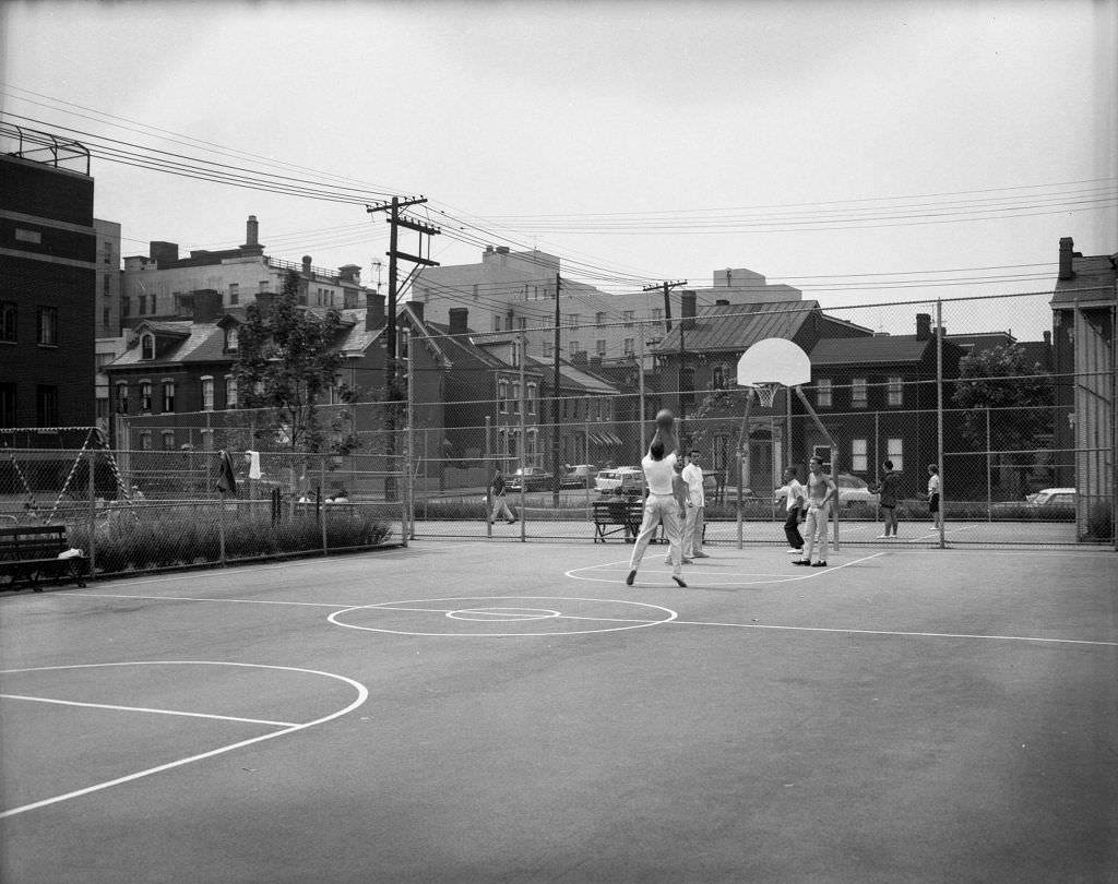
Arsenal Park in the Lawrenceville neighborhood hosted a Fun Day event in 1961, complete with a show that drew spectators of all ages. Recreation centers like Ormsby on the South Side offered both basketball courts and community programming. These spaces were central to neighborhood life, especially for younger residents.


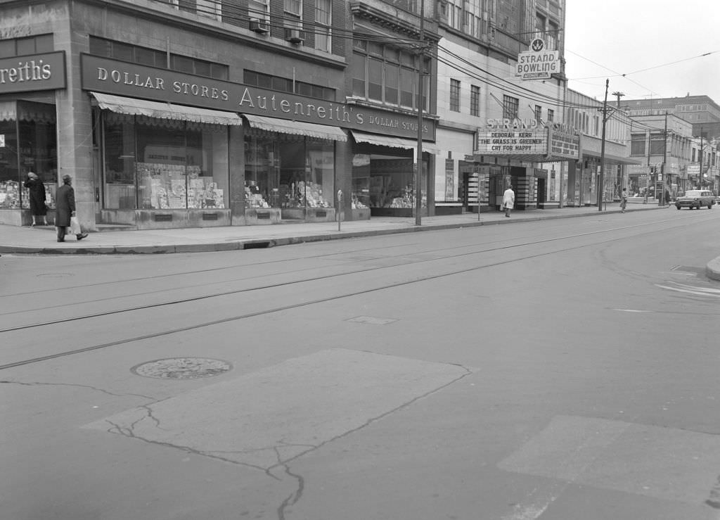
Forbes Avenue heading eastward through the city in 1961 featured businesses like Leonard’s Mens Shop, Marshall’s Restaurant, and The Strand Theatre. These were the everyday anchors of a street that connected neighborhoods and served residents who didn’t need to go downtown for everything they needed.


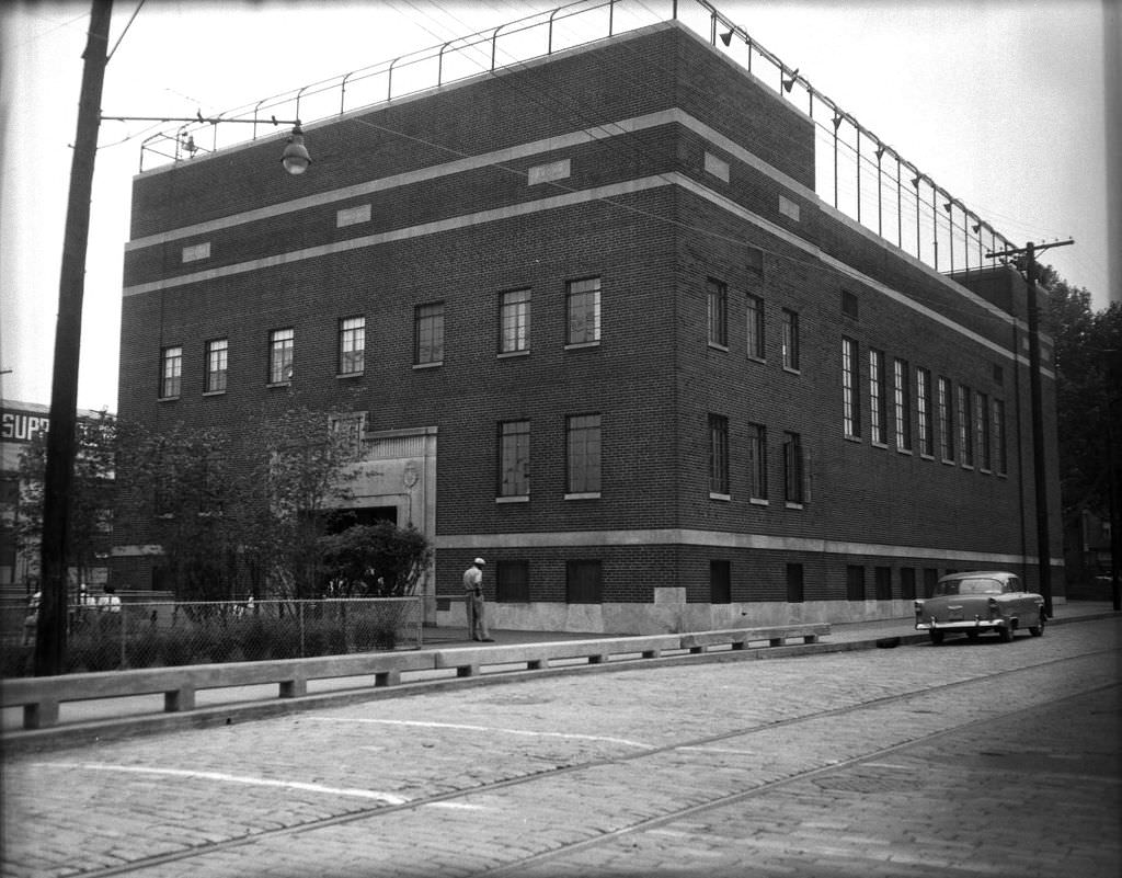
The South Side had its own collection of public facilities in 1961. The South Side Recreation Center offered both indoor and outdoor activities to residents, though the building has since closed. The Oliver Bath House on the South Side provided an indoor swimming pool to a neighborhood where private alternatives were not an option for most families.


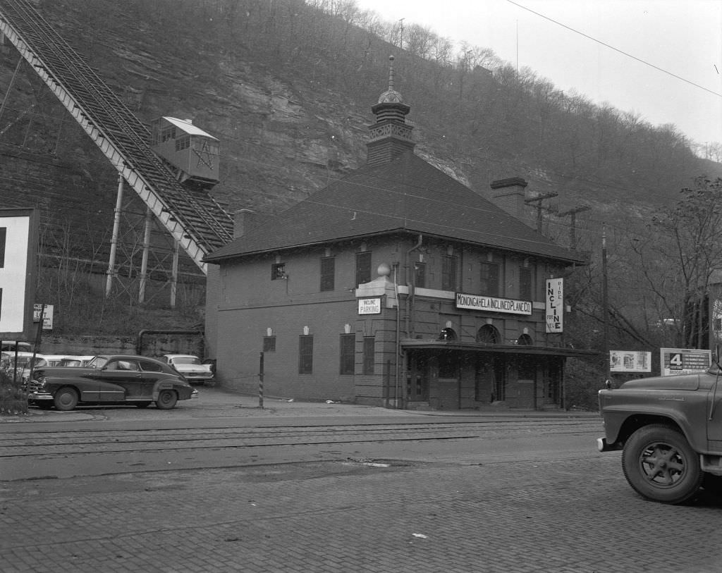
Pittsburgh’s inclines were still operating in the early 1960s, though several had closed in earlier decades. The pedestrian bridge on West Carson Street provided access to the Duquesne Incline, while the Monongahela Incline near the Smithfield Street Bridge held the distinction of being the oldest and steepest incline in the United States.


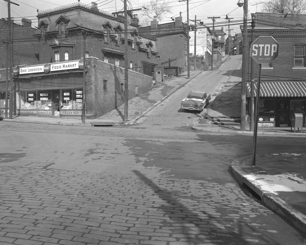
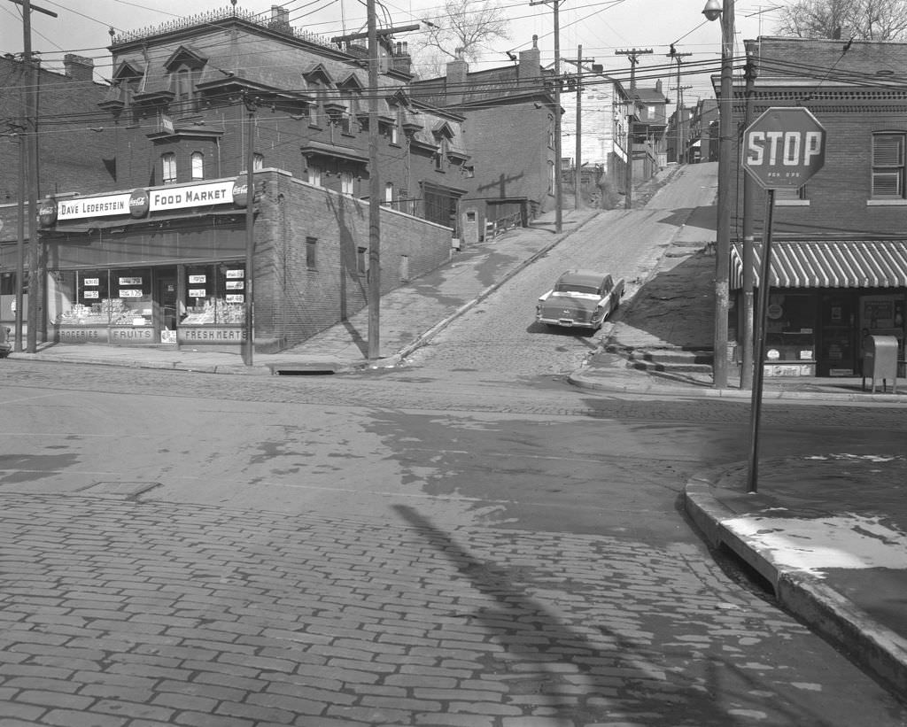
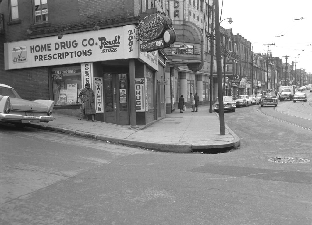
Centre Avenue through the Hill District in 1961 showed a neighborhood that was commercially active but also facing visible housing challenges. Dave Lederstein’s Food Market anchored a stretch of the avenue, while a Rexall Drug Store operated at the corner of Centre and Dinwiddie. These photographs documented both the vitality and the strain of a neighborhood in the middle of a broader national conversation about urban conditions.


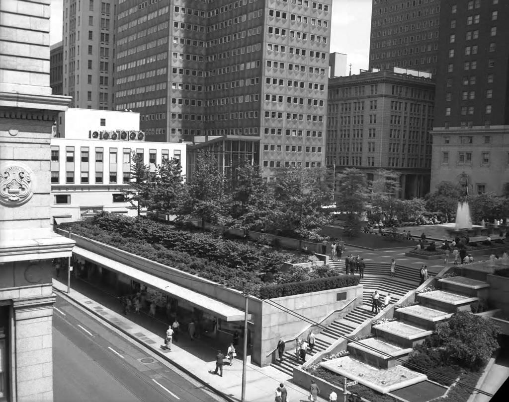
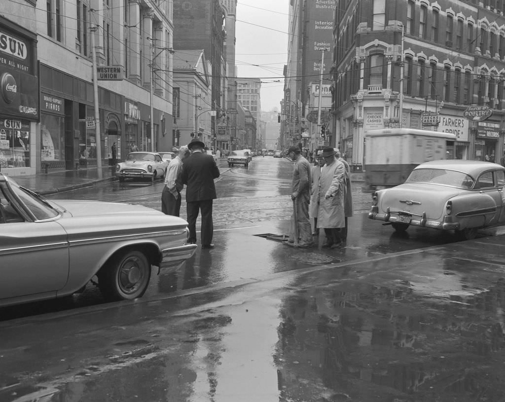
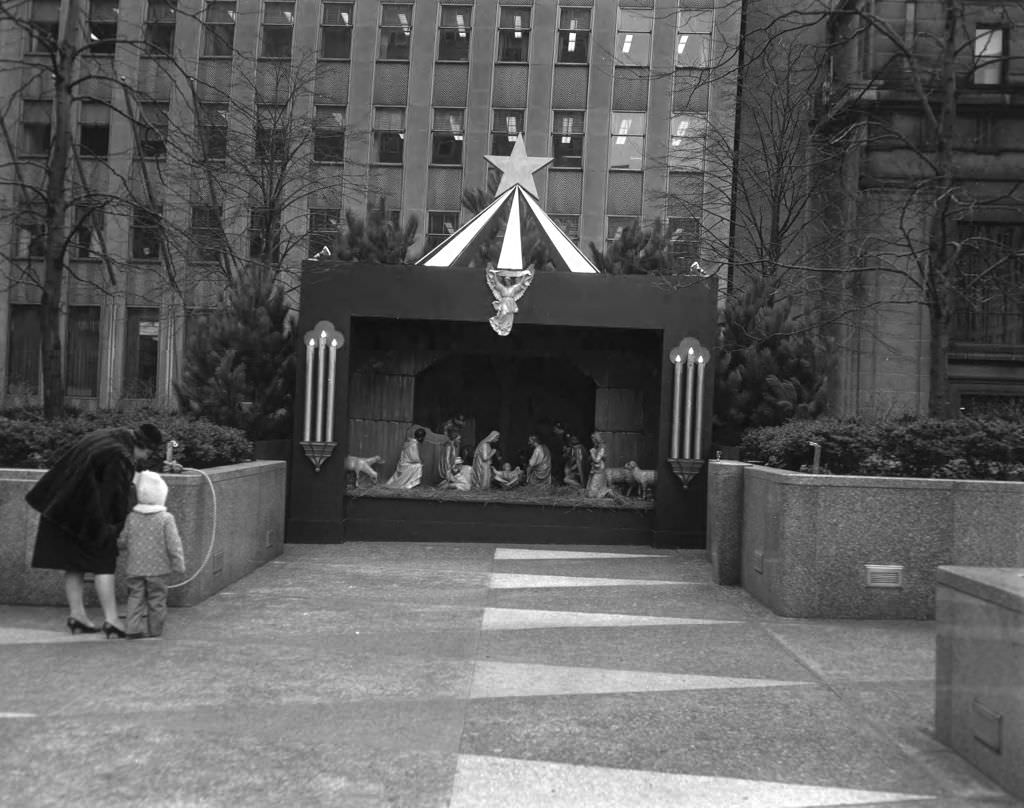
Downtown at Liberty and Smithfield Streets, workers near a manhole carried out the kind of utility maintenance that kept a dense urban grid functioning. Gimbel’s Department Store was visible in the background — a reminder that this intersection sat squarely in Pittsburgh’s major retail zone. Mellon Square Park nearby was decorated for Christmas in 1961, drawing workers and shoppers during the holiday season.


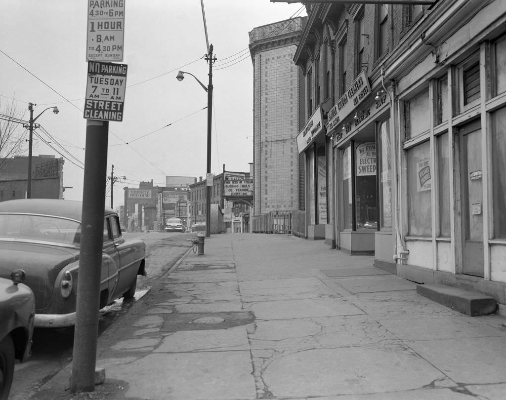
Penn Avenue in 1960 stretched through multiple neighborhoods with distinct personalities. Near the Liberty Theatre, the Liberty Building rose in the background. In East Liberty, the avenue hosted local businesses including Kirby’s Shoes and Fanny Farmer Candies. Downtown, Fifth Avenue still ran trolley cars alongside foot traffic and storefront commerce.


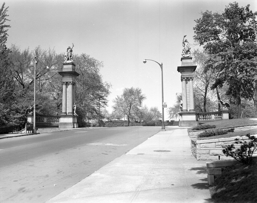
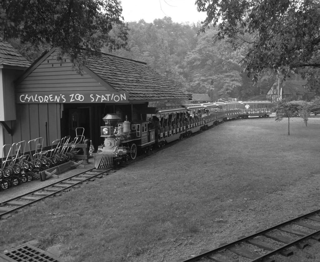
Highland Park in 1960 featured an entrance with gates described at the time as copies of the “Gates of Munich.” The park was one of Pittsburgh’s major green spaces, and the nearby Pittsburgh Zoo was in the process of evolving from a menagerie-style attraction into a more modern facility focused on conservation.


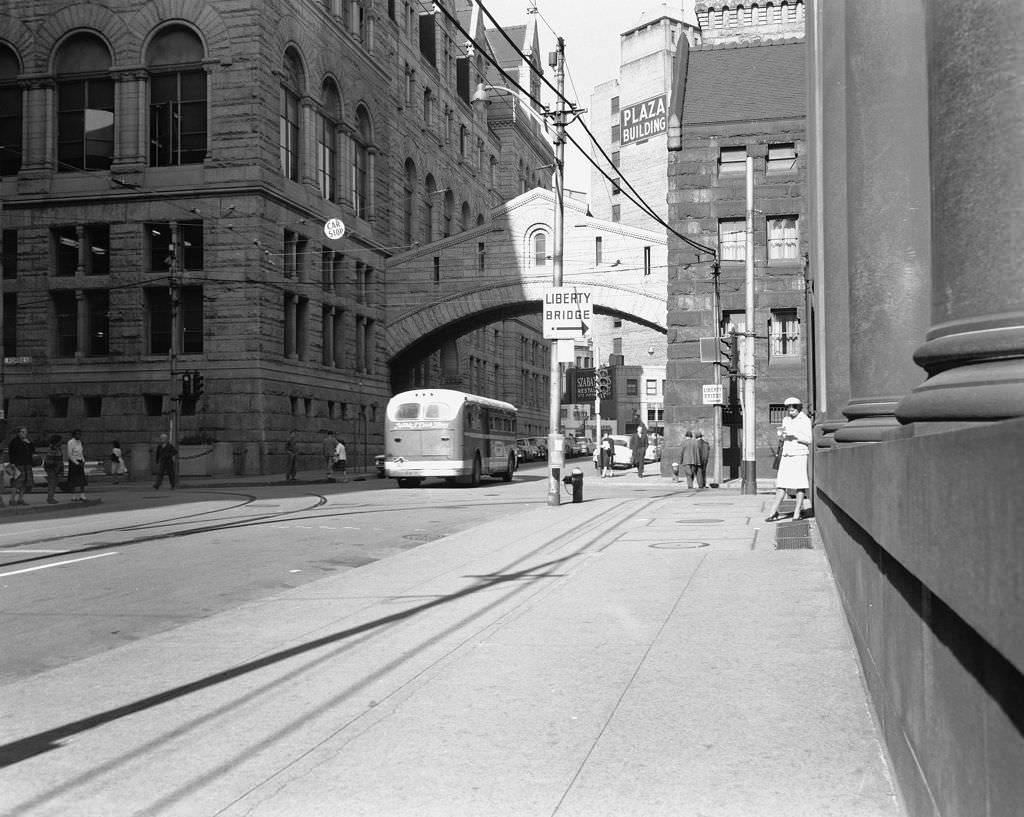
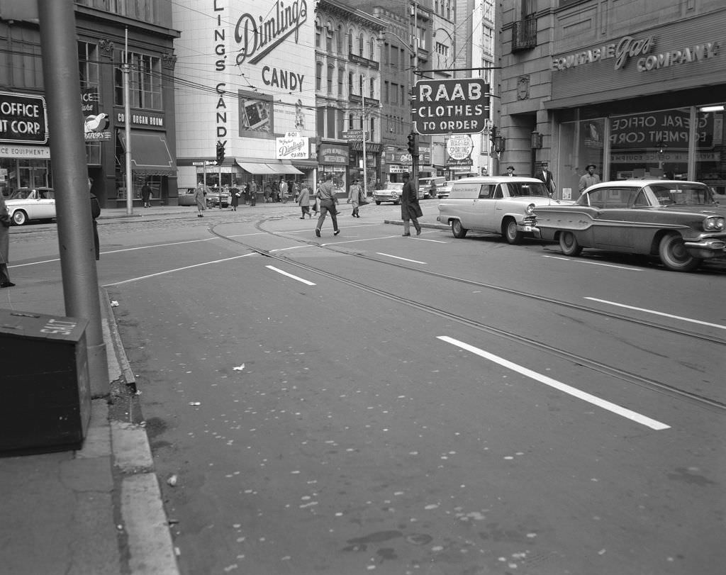
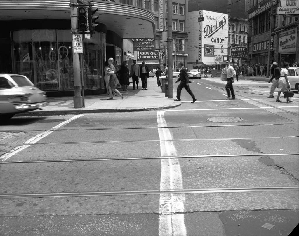
The Allegheny County Courthouse’s Bridge of Sighs was one of Pittsburgh’s most distinctive architectural features. Connecting the courthouse to the former jail, it was modeled on the famous bridge in Venice and stood as a stark reminder of the criminal justice architecture of its era. Nearby on Wood Street, Dimling’s Candy and the Equitable Gas Company represented the commercial side of the same downtown blocks.


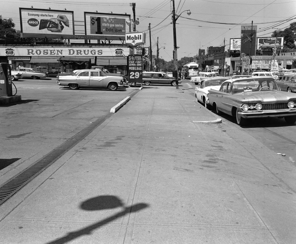
Forbes Avenue in Squirrel Hill in 1960 featured Rosen Drugs and a Mobil station side by side — a combination typical of how neighborhood commercial strips worked during this period. Penn Avenue, photographed from a longer vantage point the same year, showed trolley cars passing alongside businesses like Triangle Electronics, with the full length of the avenue stretching into the distance.


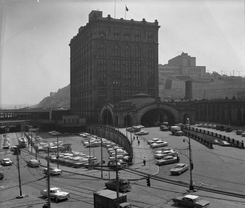
By 1963, Fifth Avenue still showed the mix of retail and civic life that had defined it for decades. Burt’s Shoes and McCrory’s were among the businesses operating on the strip, while a fallout shelter sign on one of the buildings captured the anxiety of the Cold War era. The same year, the Pennsylvania Railroad Terminal still operated near downtown, a reminder that rail travel remained significant even as the interstate highway system was being built.


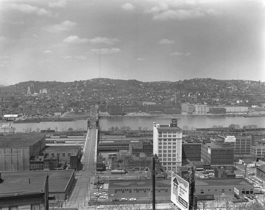
From the Upper Hill District in 1962, photographers captured sweeping views of the North Side and Strip District in the distance. These elevated vantage points showed Pittsburgh’s topography clearly — a city built on hills and river valleys, its neighborhoods stacked and separated by geography as much as by culture or economics.


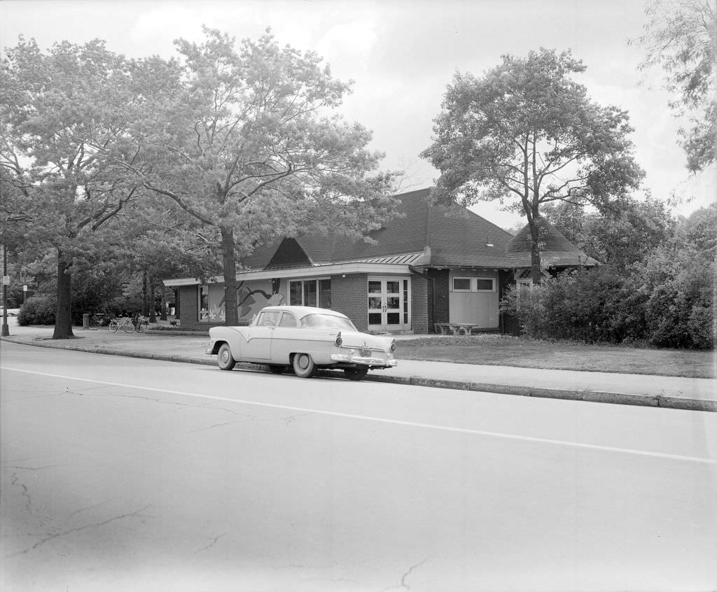
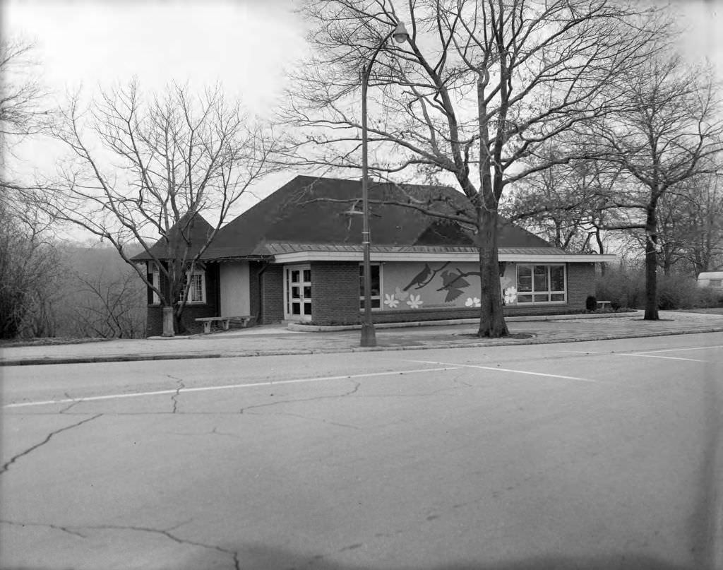
Schenley Park’s Nature Center, designed in 1911 by Rutan and Russell, was still serving visitors in 1962 as both a nature museum and a park amenity. Market Square that same year continued its long function as Pittsburgh’s commercial and civic center, a role it had held since 1800.


The mid-1960s brought continued development and street-level change throughout the city. Forbes Avenue at Bigelow Boulevard in 1967 showed the intersection of academic Oakland and the broader city. The Cathedral of Learning and Pittsburgh Athletic Association appeared together in photographs from the same year, two of Oakland’s most recognizable structures sharing the same skyline.


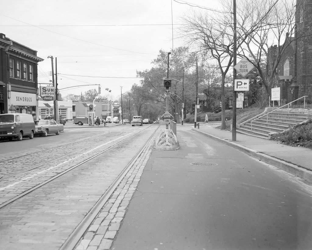
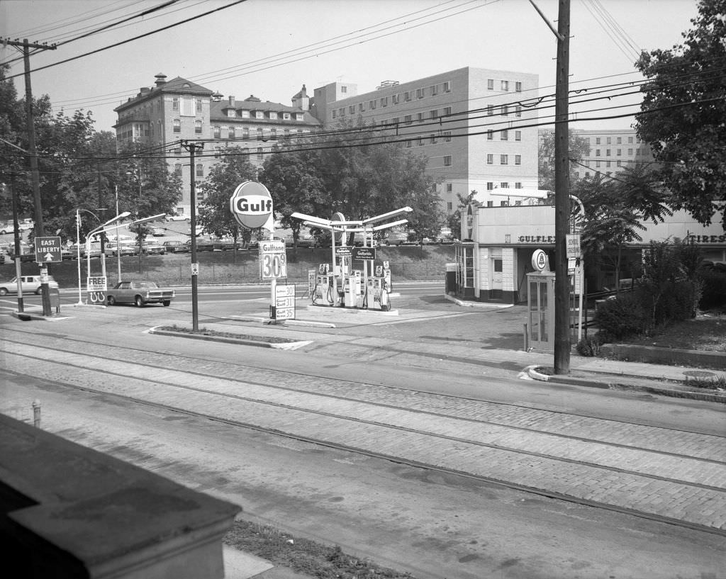
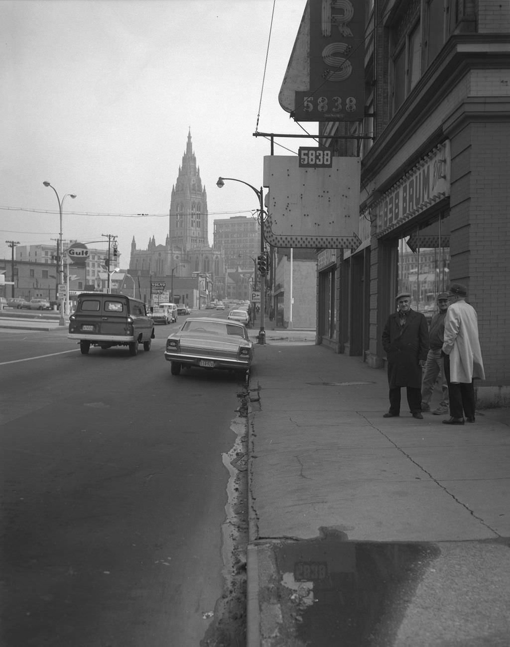
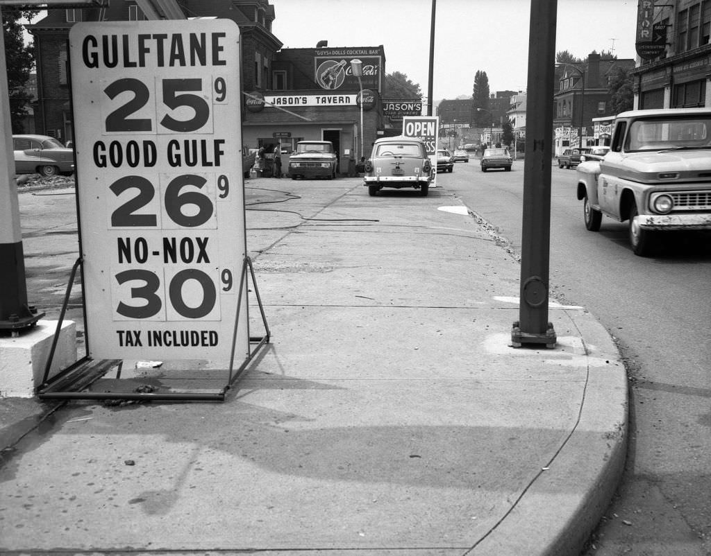
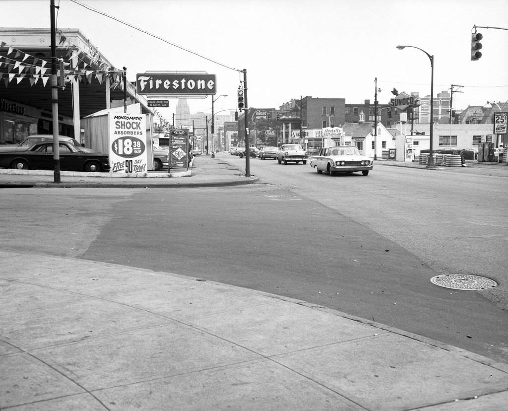
East Liberty in the mid-1960s was beginning to show signs of the urban renewal pressures that would reshape it significantly by the end of the decade. A Gulf Service Station on one corner and road and infrastructure activity throughout the neighborhood were visible signs of change. Meanwhile, Highland Park’s aquarium was under construction in 1966, adding a new public attraction to the park’s existing facilities.


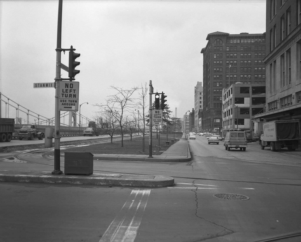
Stanwix Street in 1965 featured the Fort Pitt Bridge in the background, connecting downtown to the South Hills. Point State Park was still under construction that same year, transforming the tip of the Golden Triangle from an industrial area into the open park that would become one of Pittsburgh’s most recognizable landmarks.


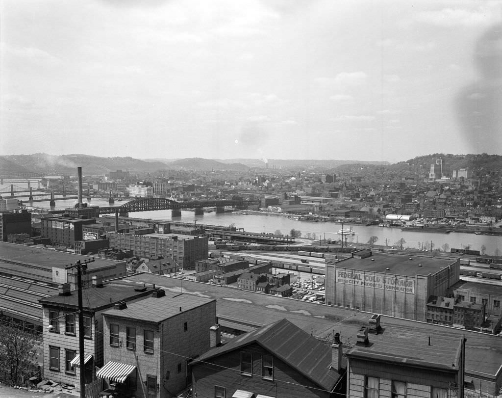
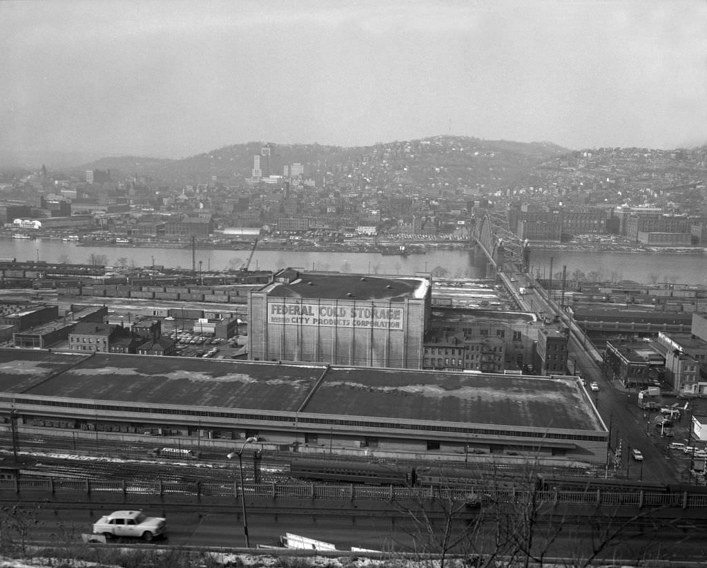
The Strip District’s cold storage and wholesale operations gave that neighborhood its industrial character well into the 1960s. Federal Cold Storage was a major presence along the river end of the district, while Frank Vittor Monuments on the Boulevard of the Allies represented the kind of specialty business that once populated Pittsburgh’s commercial corridors in far greater numbers.
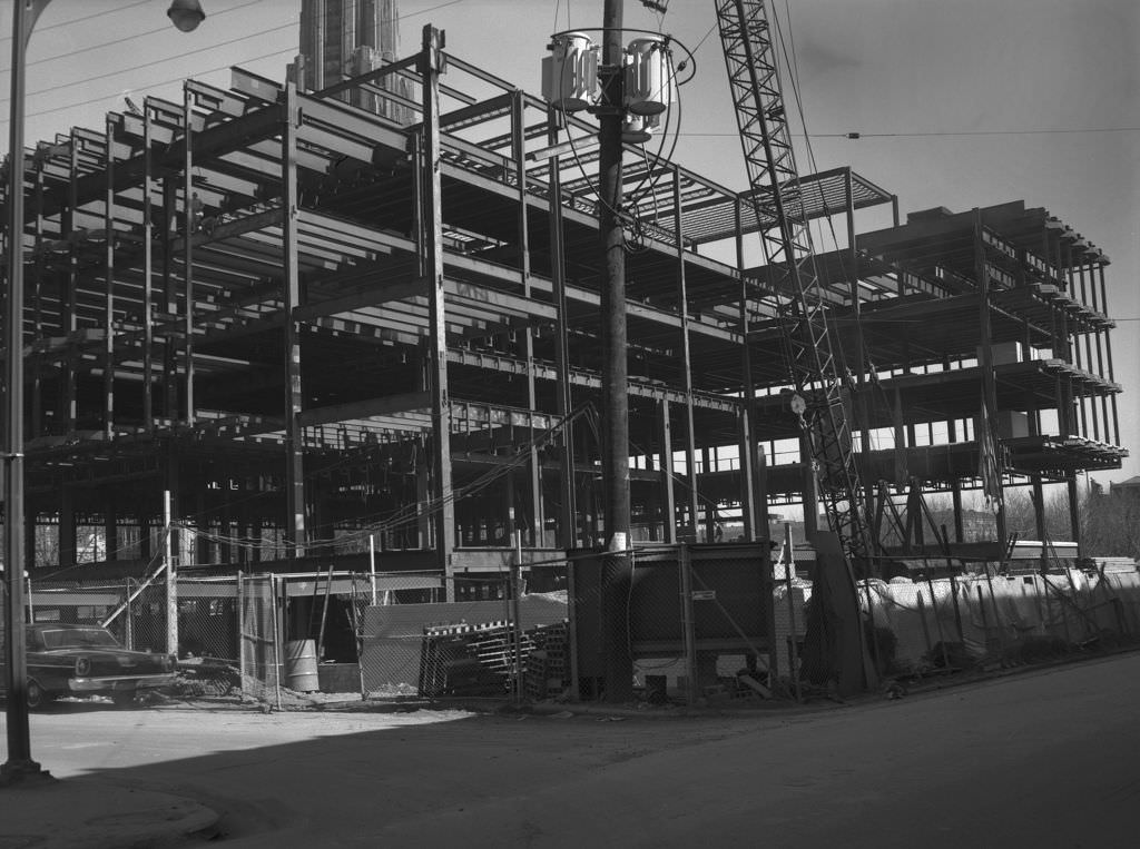
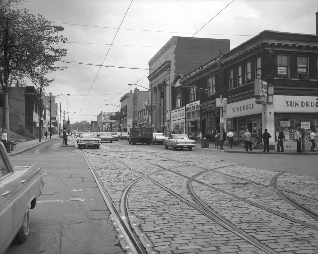


Baum Boulevard in 1964 featured a Gulf Gas Station at one end and the intersection with Roup Street at the other. The University of Pittsburgh campus was also photographed that year, showing a campus that was actively expanding into the surrounding Oakland neighborhood. Carson Street storefronts on the South Side rounded out a picture of a city where every corridor had its own distinct commercial character.
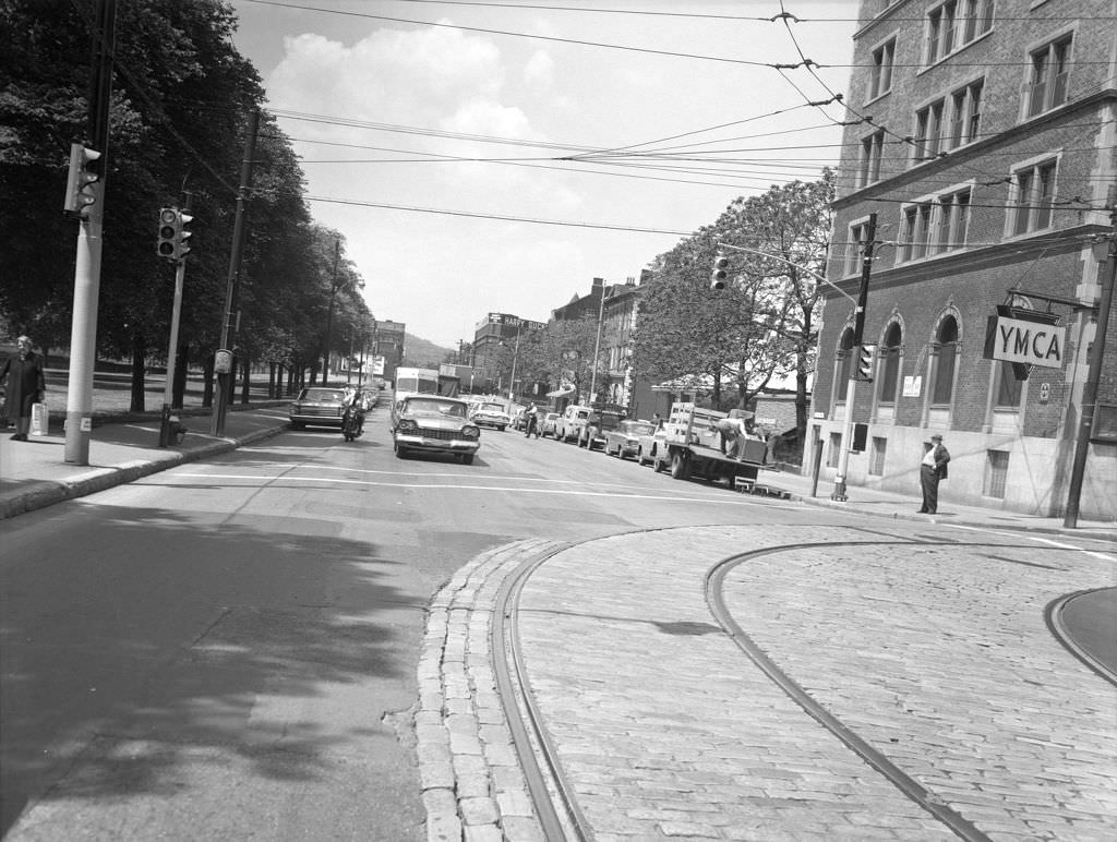


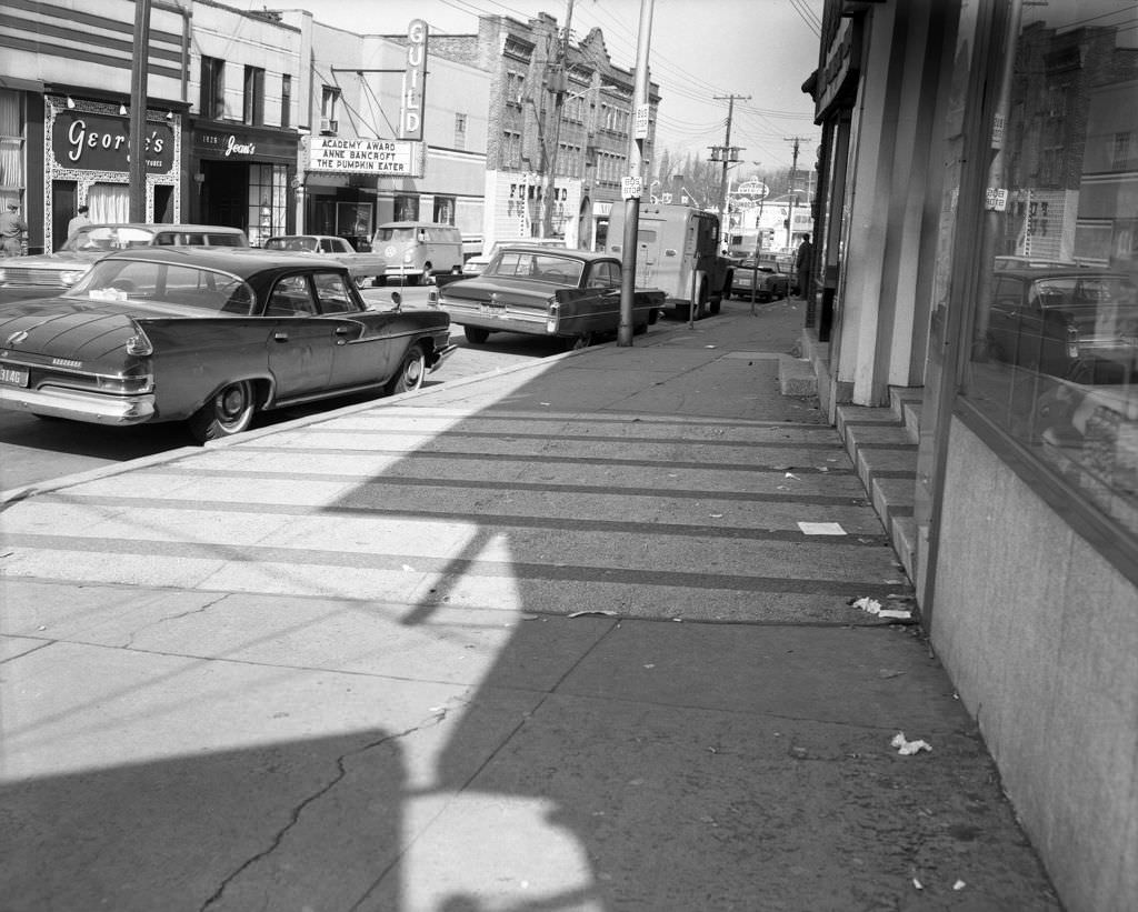
Squirrel Hill in 1965 was home to the Guild Theater, one of Pittsburgh’s neighborhood cinemas that served local audiences. Murray and Beacon Streets showed the mix of residential and commercial uses that made Squirrel Hill one of the city’s most stable and walkable neighborhoods throughout the entire decade.
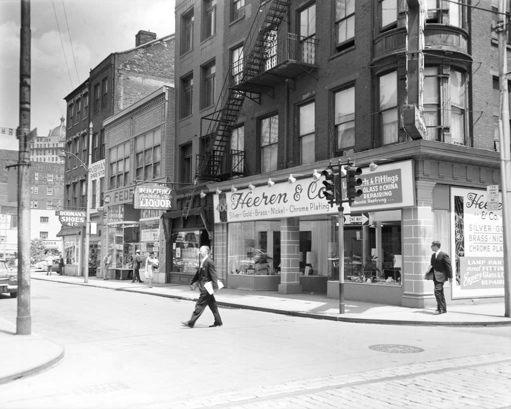


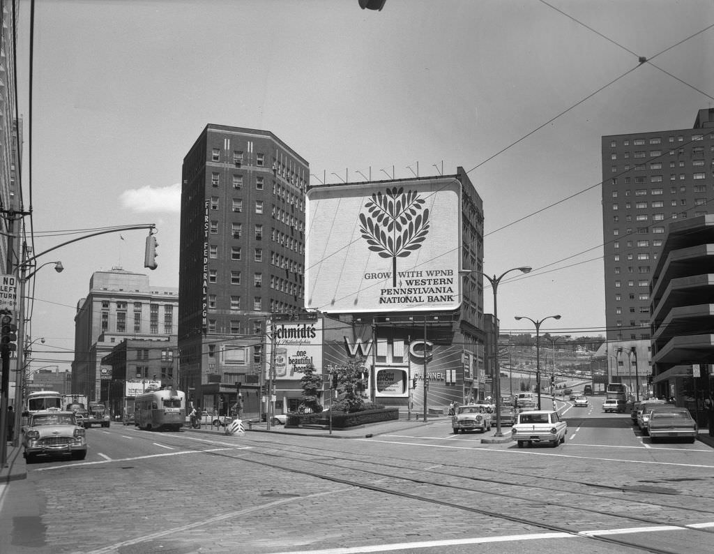
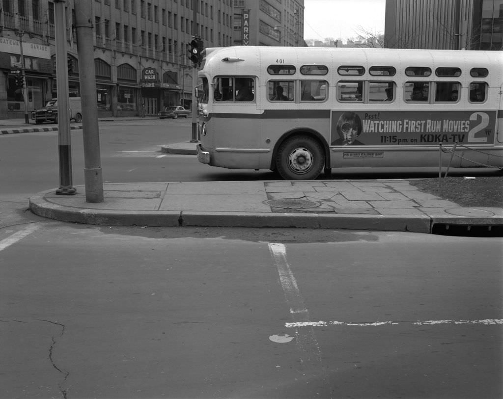
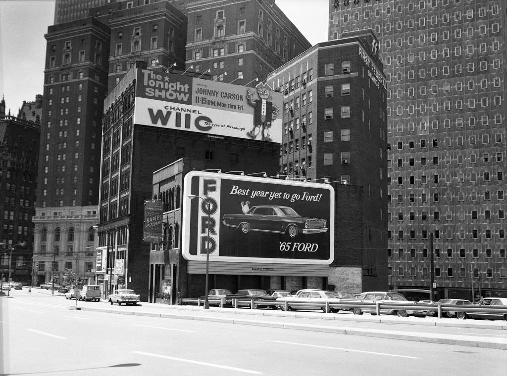
Pittsburgh’s media landscape was visible in photographs from 1965. WIIC-TV, a local television station, appeared in one image. Bus posters advertised first-run movies on KDKA-TV 2, and billboards along the roadway promoted Ford automobiles alongside The Tonight Show. These advertisements documented the growing role of television in everyday Pittsburgh life.


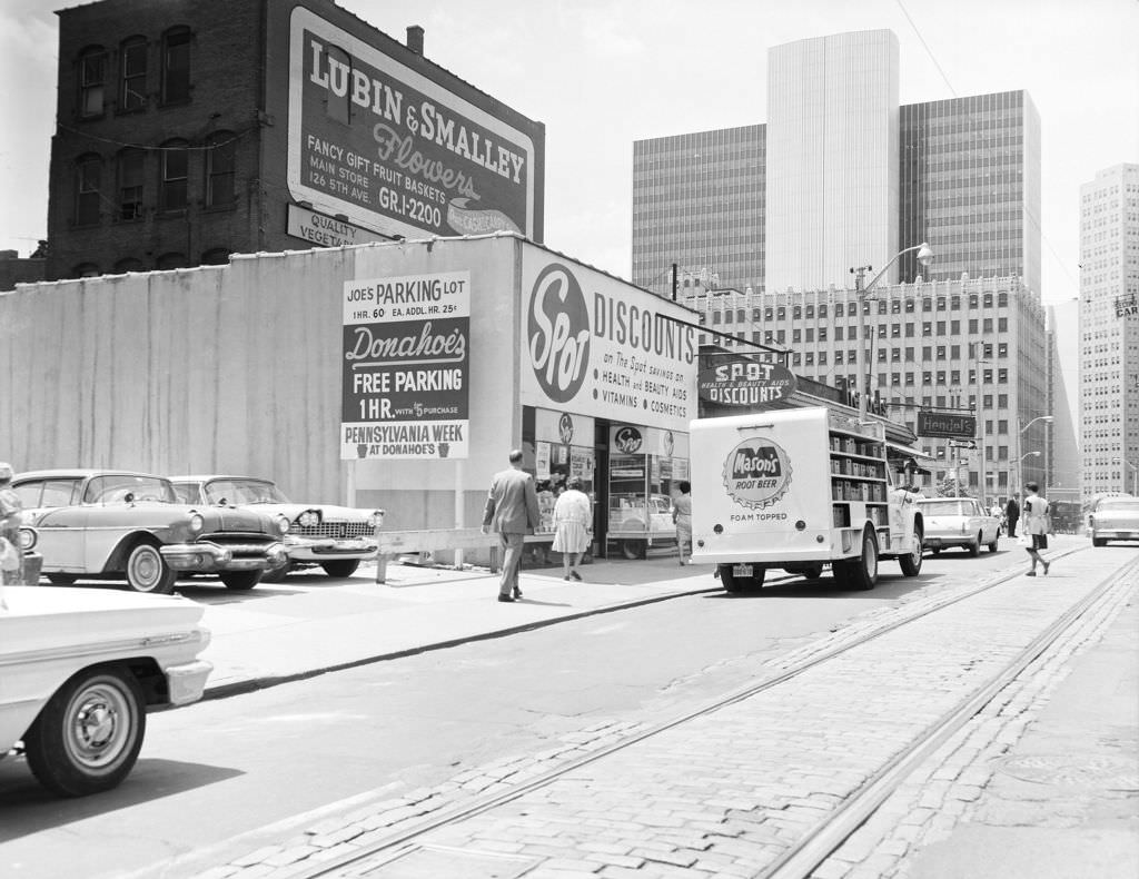
Forbes Avenue in 1964 continued to reward photographers with dense streetscapes. Hendel’s Fruits operated close to the Stanwix Street and Boulevard of the Allies intersection, while Fifth Avenue at Bigelow Boulevard showed the overlap between Oakland’s academic zone and the broader city grid. The Pittsburgh Athletic Association campus anchored one of Oakland’s most prominent blocks.