
Can Tho sits on the left bank of the Hau Giang River and ranks as Vietnam’s fourth-largest city. In 1968, it was a busy hub of commerce, agriculture, and daily life — all of it playing out along its streets, canals, and riverside markets. These photographs were taken by William Ruzin during his tour of Vietnam, and they offer a rare, full-color look at the city during one of the most turbulent years of the war.
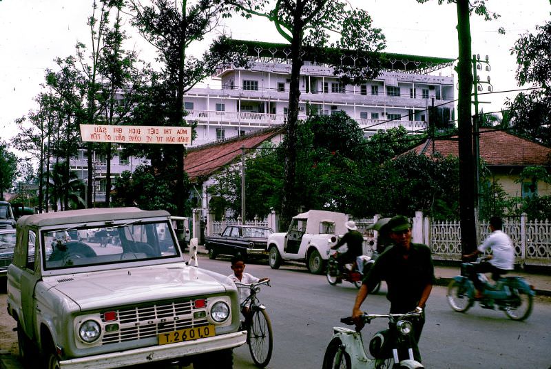
The streets of Can Tho in 1968 were alive with vendors, cyclists, and foot traffic. The city’s economy ran on agriculture, industry, and trade. Older industries like rice milling and coconut oil extraction had been operating for generations, while newer ones — fertilizer production, fish sauce manufacturing, brickmaking, and plastics — were expanding the city’s industrial base.
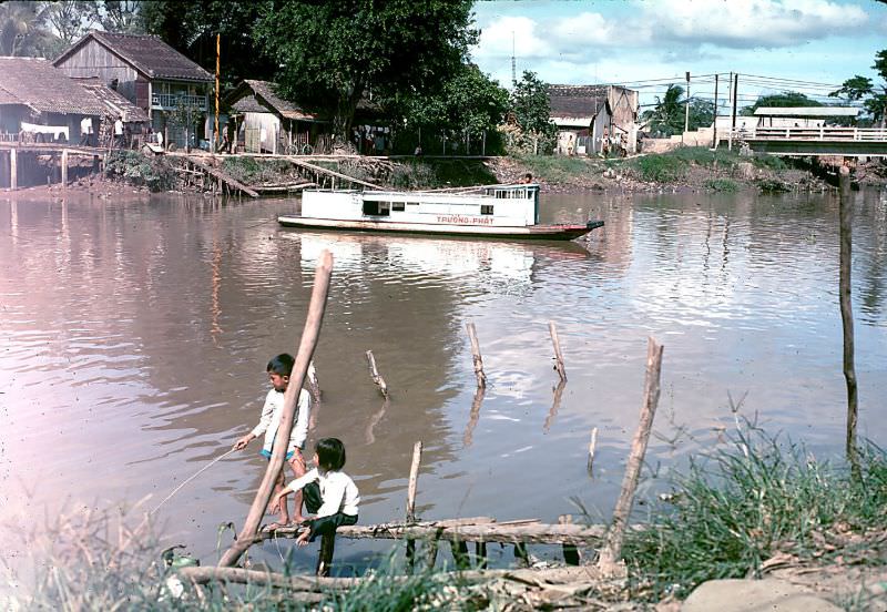
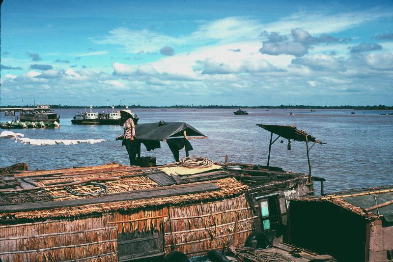
Can Tho’s canals were the city’s arteries. Boats carried goods, people, and supplies through a dense network of waterways that connected the city to the wider Mekong Delta. Life along these canals was constant and practical — residents drew water, traded, and traveled all from the same muddy banks.
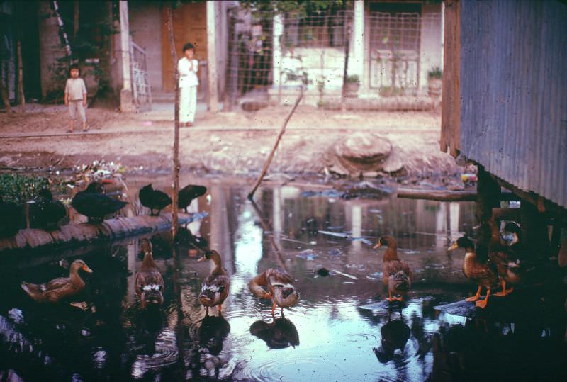
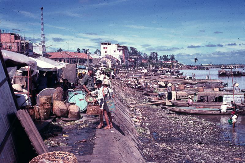
The riverfront market was one of the most active spots in the city. Sellers lined the waterfront with produce, pottery, rice, and household goods. Buyers arrived by foot and by boat, making the market a meeting point for both the city and the rural communities surrounding it.

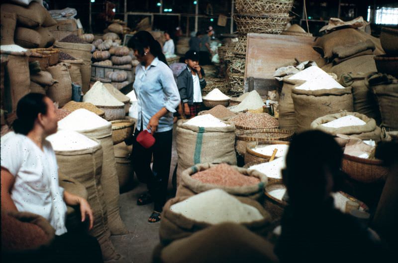
Rice was the backbone of the local economy. The rice market drew traders from across the Mekong Delta, and the volume of trade passing through Can Tho made it one of the most important commercial centers in southern Vietnam. Rice milling had been a core industry in the city for decades before these photographs were taken.
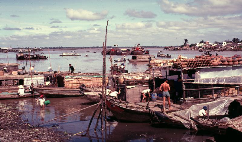
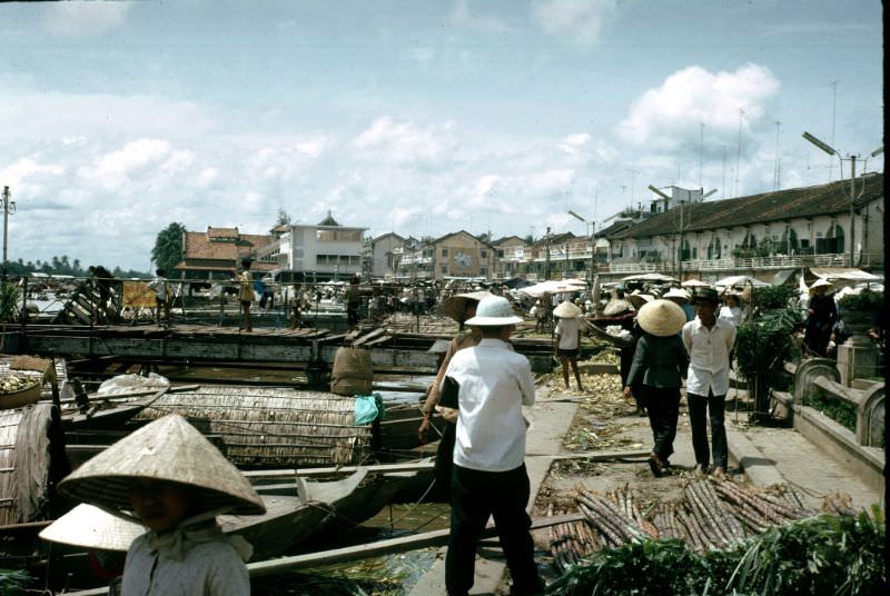
The Hau Giang riverfront was a place of constant movement. Loaded boats jostled for position along the banks while traders unloaded cargo and merchants haggled over prices. The river did not slow down — commerce ran from early morning until dusk, seven days a week.
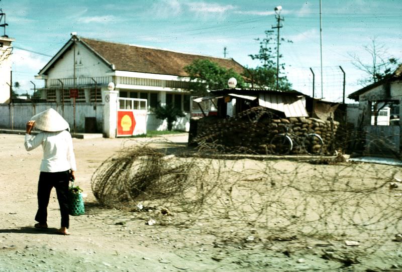
Western commercial operations had a visible presence in Can Tho by 1968. A Shell oil facility operated in the city, reflecting the broader reach of international business into South Vietnam during the war years. Military and civilian infrastructure existed side by side throughout the city.
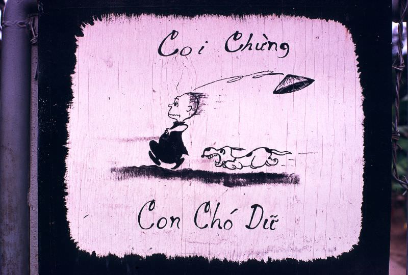
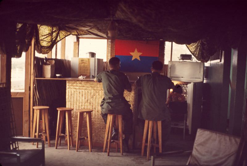
The U.S. military maintained a significant presence in Can Tho. The 10th Psychological Operations Battalion was stationed in the city, and facilities like the Officers Club served as social spaces for personnel. The USO also operated there, providing entertainment and services for American troops.
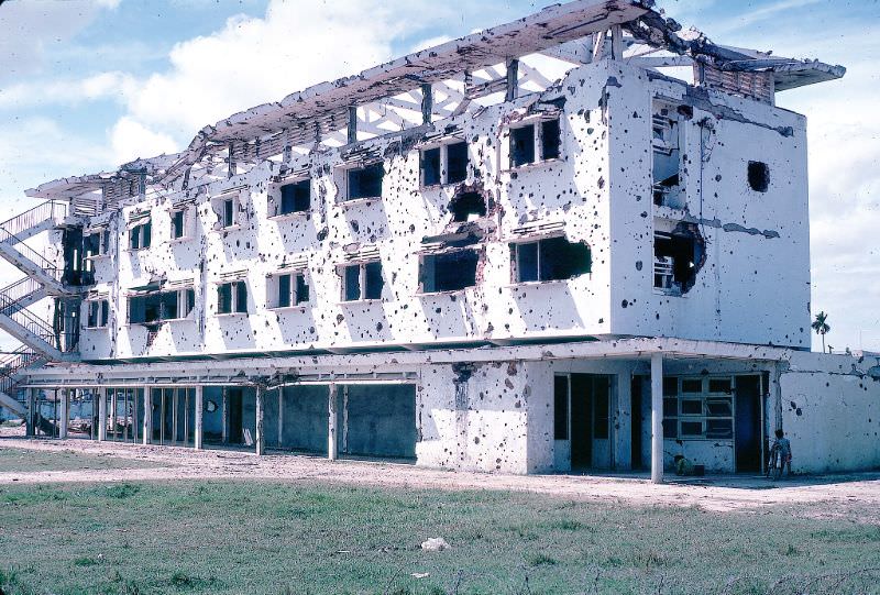
Can Tho was one of the cities struck during the Tet Offensive, launched by North Vietnamese and Viet Cong forces in late January 1968. The attack left visible damage across parts of the city. Ruzin’s photographs document the aftermath — destroyed structures and the disruption left behind after the fighting ended.
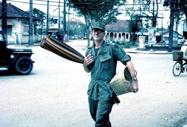
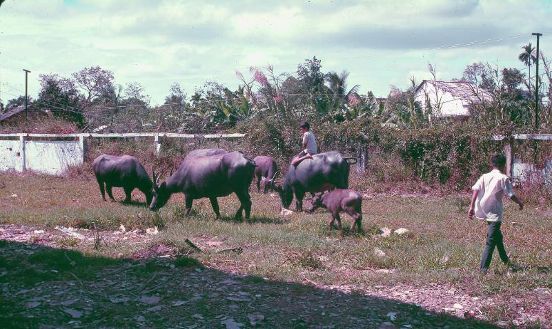
Away from the markets and military compounds, daily rural life continued as it always had. Water buffalo were still used for farming and transport in the areas surrounding Can Tho. Children went to market with their families, and women carried goods home along the same canal paths they had walked their entire lives.
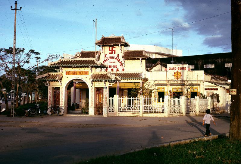
Can Tho’s Buddhist temples remained active centers of community life throughout 1968. Religion was woven into the daily routines of residents, and the temples provided both spiritual grounding and a physical space that stood apart from the chaos of the war.
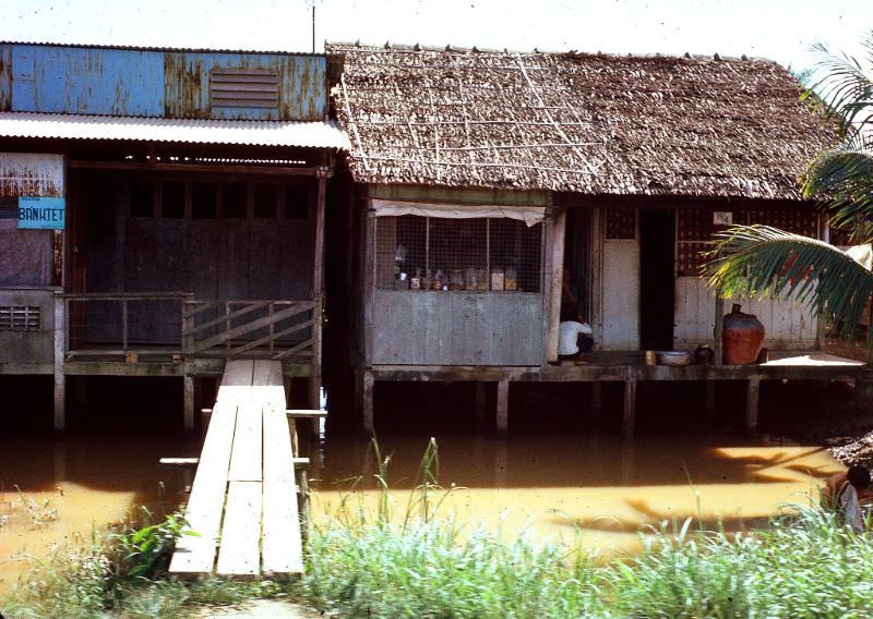
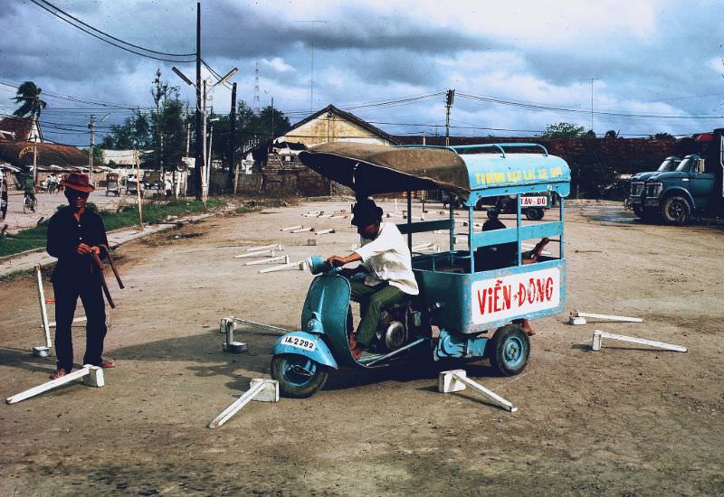
Even amid wartime conditions, civil life in Can Tho continued with a degree of normalcy. Driver’s tests were still being administered, and civil infrastructure kept functioning. Homes and structures built directly over the canal water were a common sight — a practical adaptation to the delta landscape.
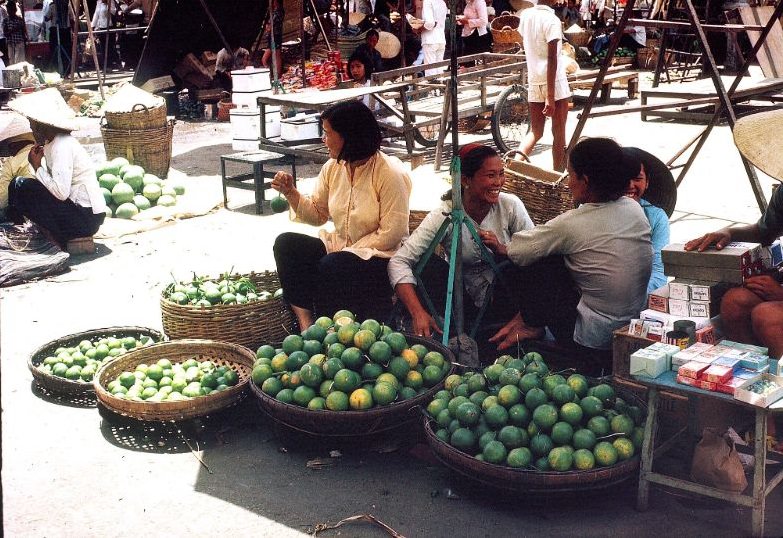
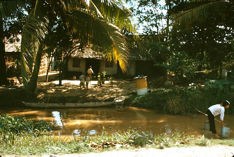
Women were central figures in Can Tho’s markets and households. They managed stalls, handled transactions, and kept homes running. Canal water was still drawn by hand in many parts of the city — a reminder of how basic infrastructure varied sharply between neighborhoods.
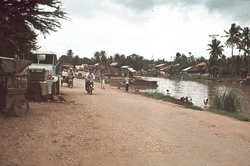
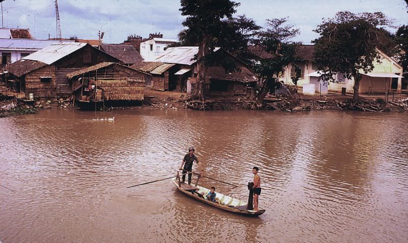
Families lived directly on and beside the canals in floating homes and stilt houses. The waterway was their kitchen, their highway, and their livelihood all at once. Ruzin captured this world in vivid color — the browns of the muddy water, the greens of the delta, and the bright clothing of the people moving through it all.
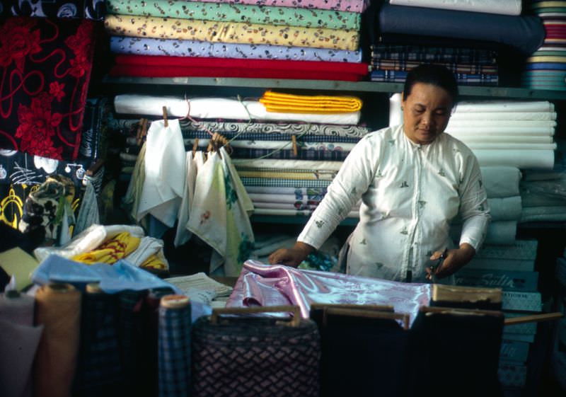
Tailors in Can Tho still crafted the traditional Áo Dài, Vietnam’s fitted national dress. Silk was measured and cut by hand in small shops throughout the city. The garment remained a symbol of Vietnamese identity even as the country was being reshaped by war.
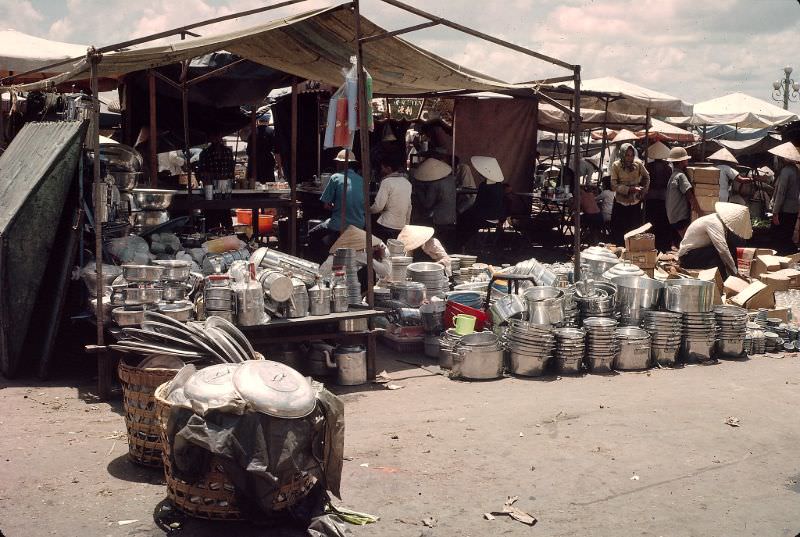
The Mekong River shaped everything about Can Tho — its layout, its economy, and its culture. Market stalls sold everyday household items like pots and pans alongside silk, rice, and produce. The range of goods on offer reflected a city that was both self-sufficient and connected to wider trade networks.
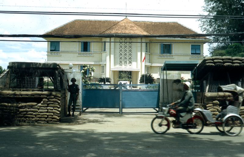
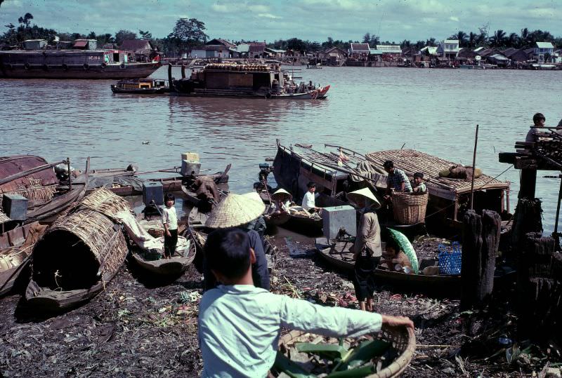
Can Tho served as the administrative center for Phong Dinh Province. The Province Chief’s Residence stood as a formal symbol of South Vietnamese government authority in the region. Around it, the river kept moving — boats loaded with goods passing under the watch of a city trying to hold itself together.
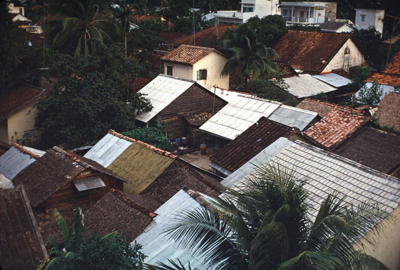
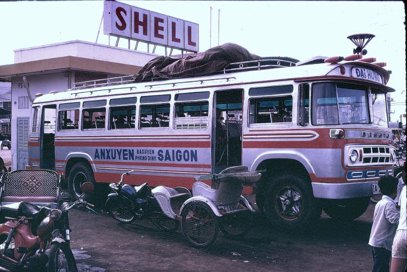
A bus line connecting Can Tho to Saigon ran through the city, linking the delta to the capital. The rooftops of Can Tho showed a dense, layered city — tiled roofs packed tightly together over narrow streets. It was a city built to accommodate trade and people in close quarters.
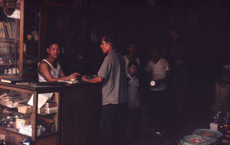
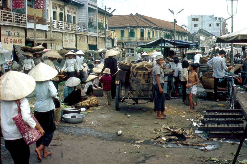
Shopkeepers ran small storefronts that opened directly onto the street. Goods were displayed at the front, and business was conducted face to face. The markets of Can Tho were not just commercial spaces — they were the social fabric of the city, where news traveled as fast as any broadcast.
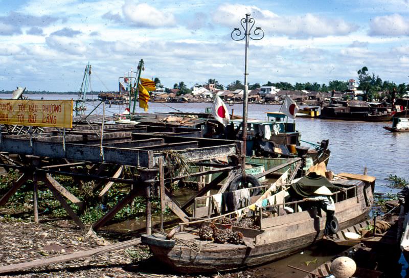
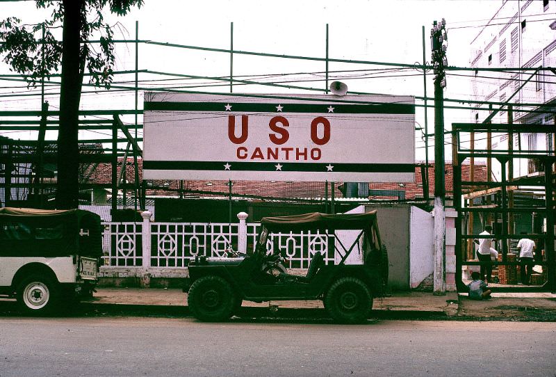
The USO’s presence in Can Tho highlights how deeply American military life had embedded itself into the city by 1968. Troops stationed in the region had access to organized recreation and entertainment even as combat operations continued across the delta. The Mekong River, meanwhile, remained indifferent to all of it — wide, brown, and endlessly busy.
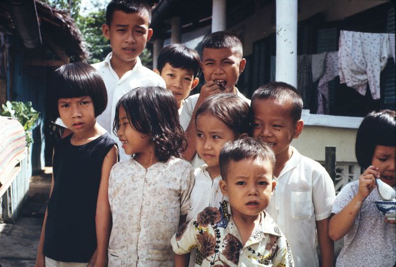
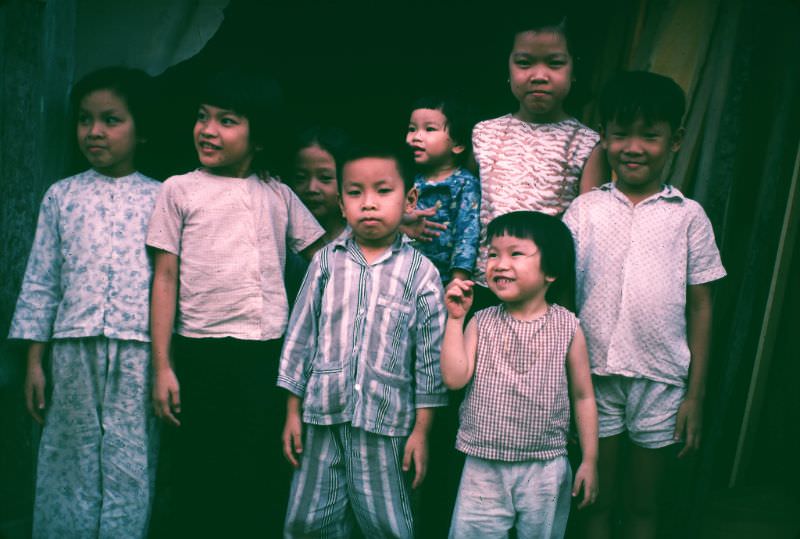
Children were everywhere in Ruzin’s photographs — on the streets, at the markets, along the canal banks. They grew up in a city that was simultaneously a thriving commercial center and a wartime target. These images show them going about their days with the kind of energy that no conflict fully manages to suppress.




