

Kingston upon Hull — known simply as Hull — sits on the north bank of the Humber Estuary in East Yorkshire. It is one of England’s oldest port cities, with roots going back to a wool-trading settlement run by the monks of Meaux Abbey. In 1293, King Edward I took ownership of the town and renamed it Kingston upon Hull. Over the following centuries, it grew into a major commercial hub. Its docks handled everything from wool and timber to the mass movement of people. During the second half of the 19th century and into the early 20th century, Hull served as a key transit point for Northern European emigrants heading to North America. Thousands passed through the city before traveling to Liverpool and boarding ships bound for the New World.
World War II left a devastating mark on the city. Hull was one of the most heavily bombed cities in Britain, with 95% of its homes and buildings damaged or destroyed. The rebuilding that followed reshaped entire neighborhoods, but many of the older streets, terraces, and dockside businesses survived into the decades that followed. By the time photographer Peter Marshall arrived with his camera, Hull still carried the texture of its working-class past. His photographs from the late 1970s through the 1980s capture a city that was gritty, lived-in, and real.
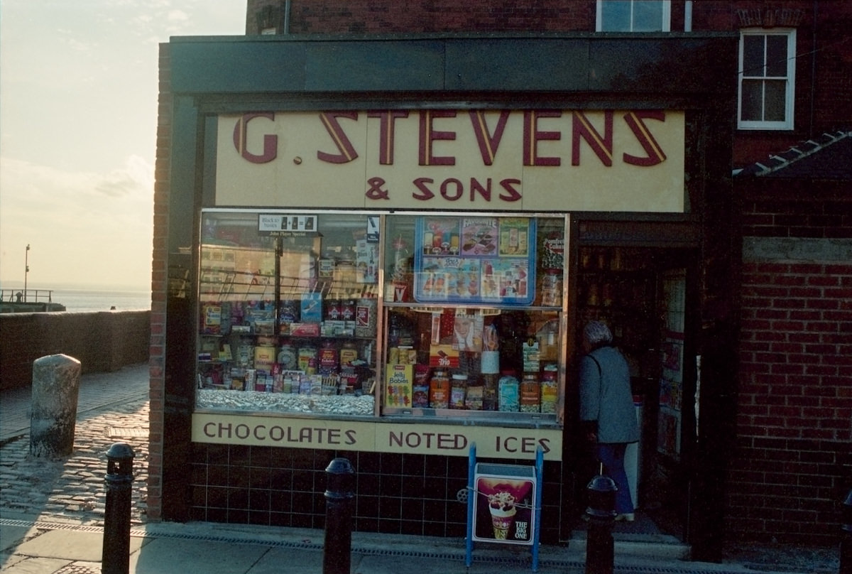
Peter Marshall photographed Hull at street level. He wasn’t documenting landmarks or tourist spots — he was capturing the daily rhythm of a working port city. Shopfronts, back alleys, children playing outside, and neighbors on doorsteps all made it into his frame. The result is a detailed visual record of a city in transition, caught between its industrial heritage and an uncertain future.
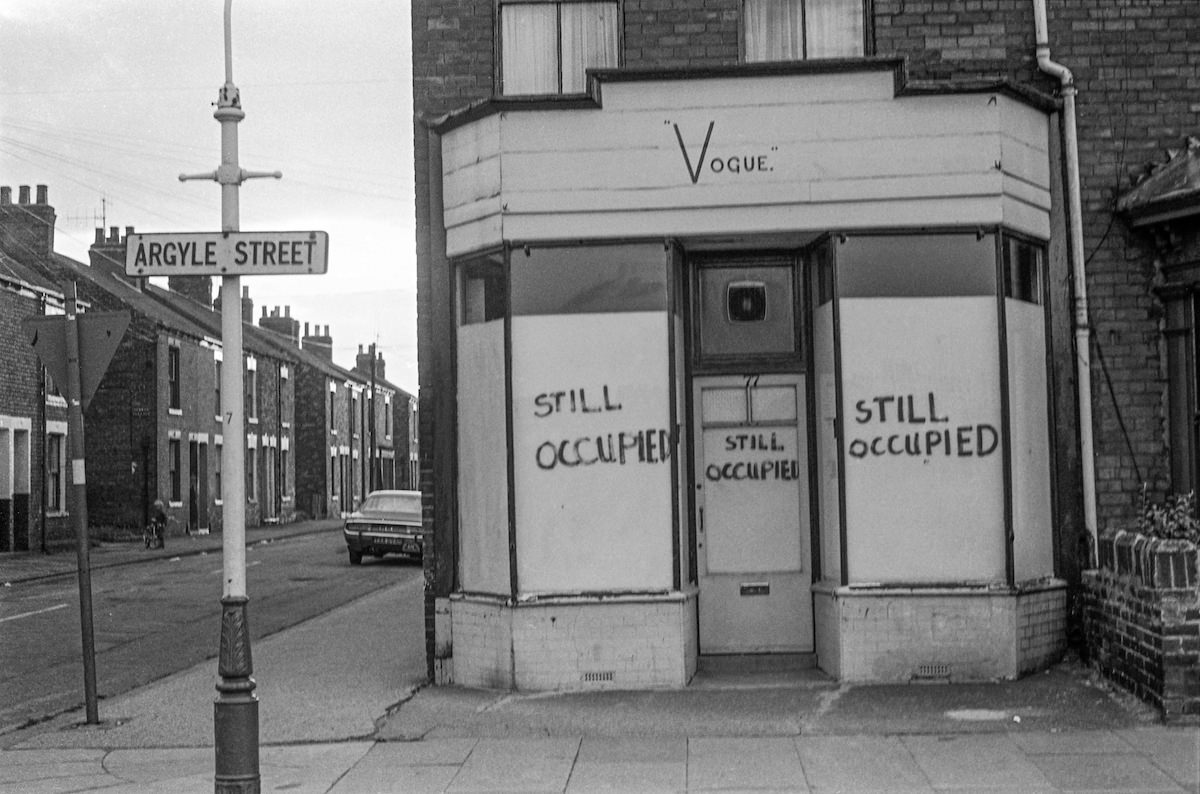
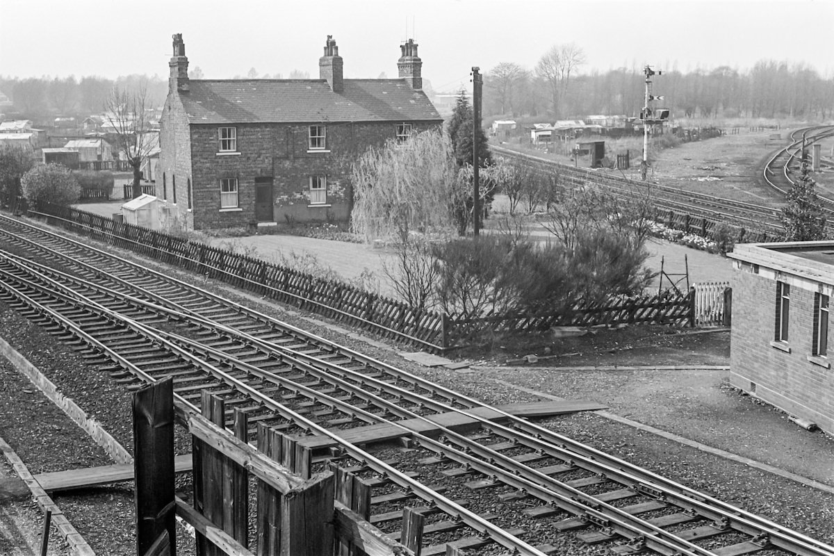
Argyle Street appeared in Marshall’s work more than once. In 1979, he photographed both a still-occupied building on Vogue and the railway junction nearby. These images show how industry and residential life existed side by side in Hull’s older neighborhoods. Streets like these were common across the city — narrow, terraced, and built for workers who walked to the docks.
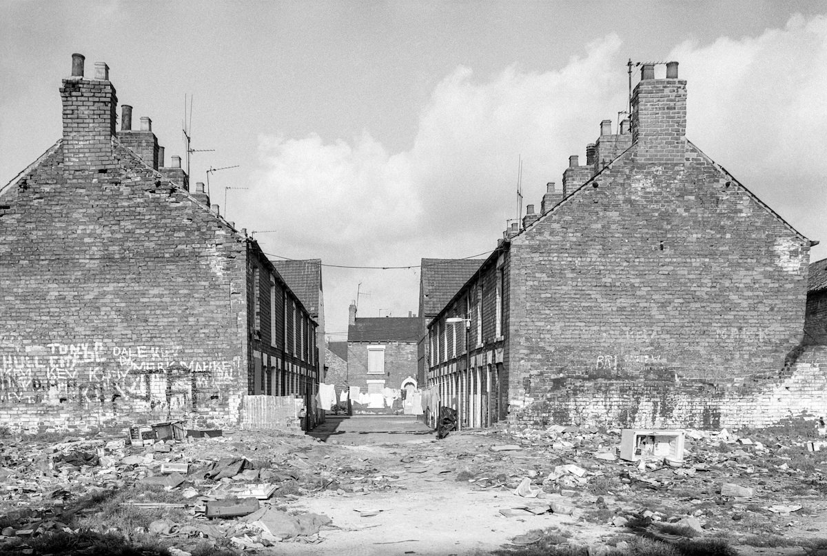
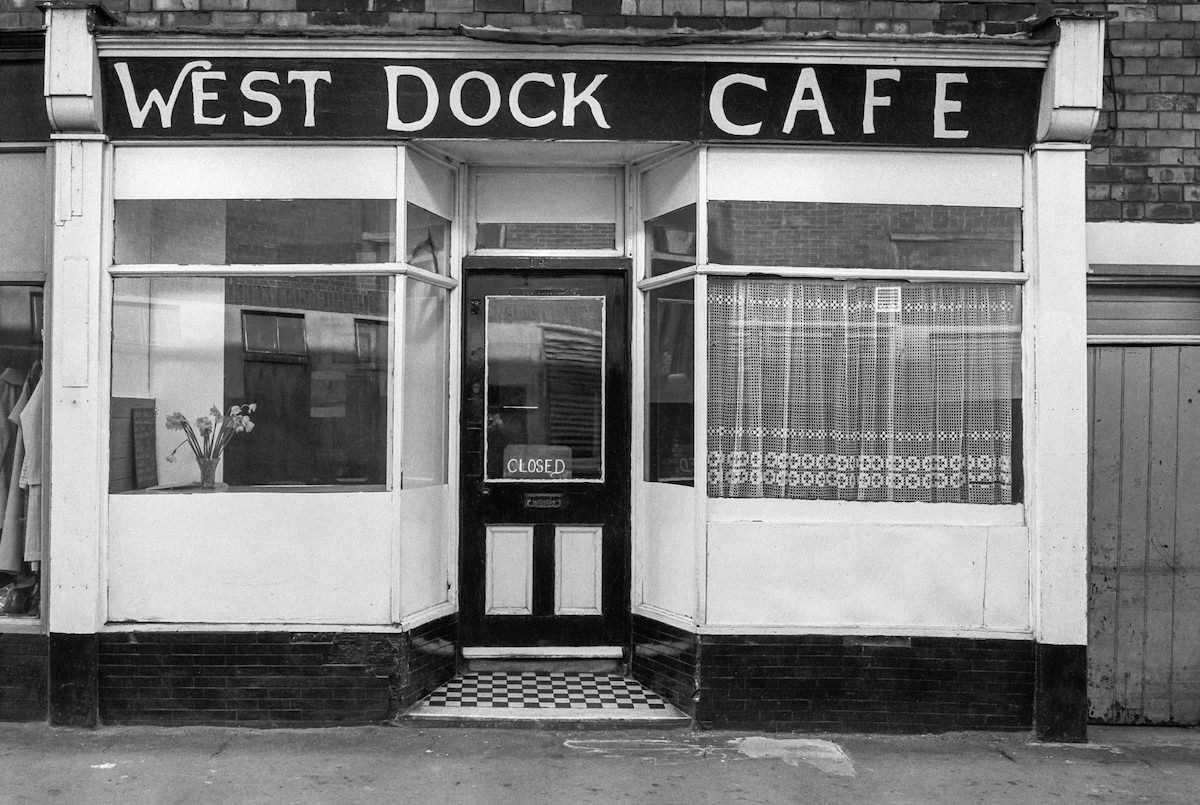
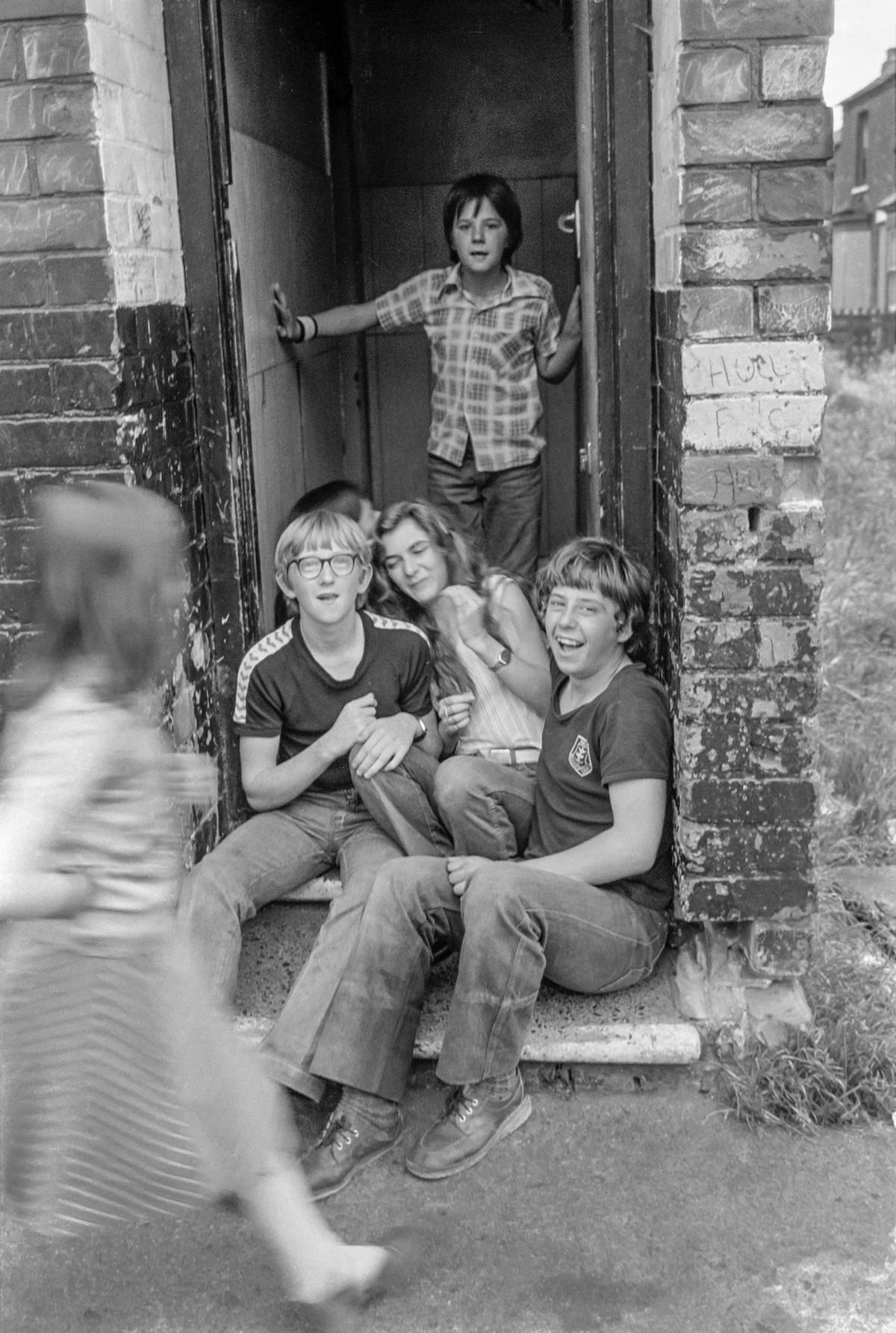
The West Dock Avenue area gave Marshall some of his most evocative material. The terraced rows in that part of the city were dense and uniform, built to house the labor force that kept the docks running. The West Dock Cafe on the same street was the kind of no-frills local establishment that served hot food to workers at all hours. Nearby, children sat on doorsteps — an ordinary moment that Marshall turned into a quiet portrait of neighborhood life.
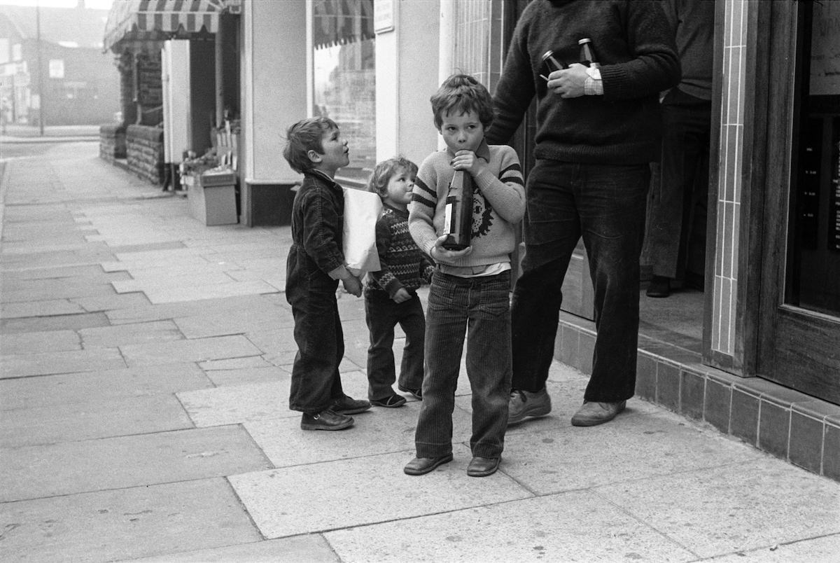
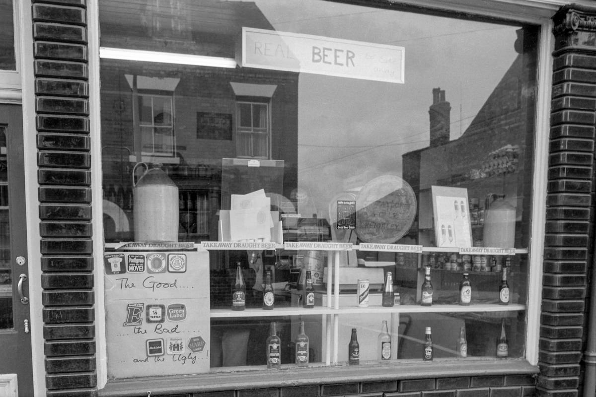
Newland Avenue was one of Hull’s busier local thoroughfares. By 1980, it had a mix of independent shops, pubs, and takeaways serving the surrounding residential streets. Marshall returned to this area in 1982 to photograph a pub advertising real beer — a nod to the CAMRA movement that was gaining momentum in Britain at the time.
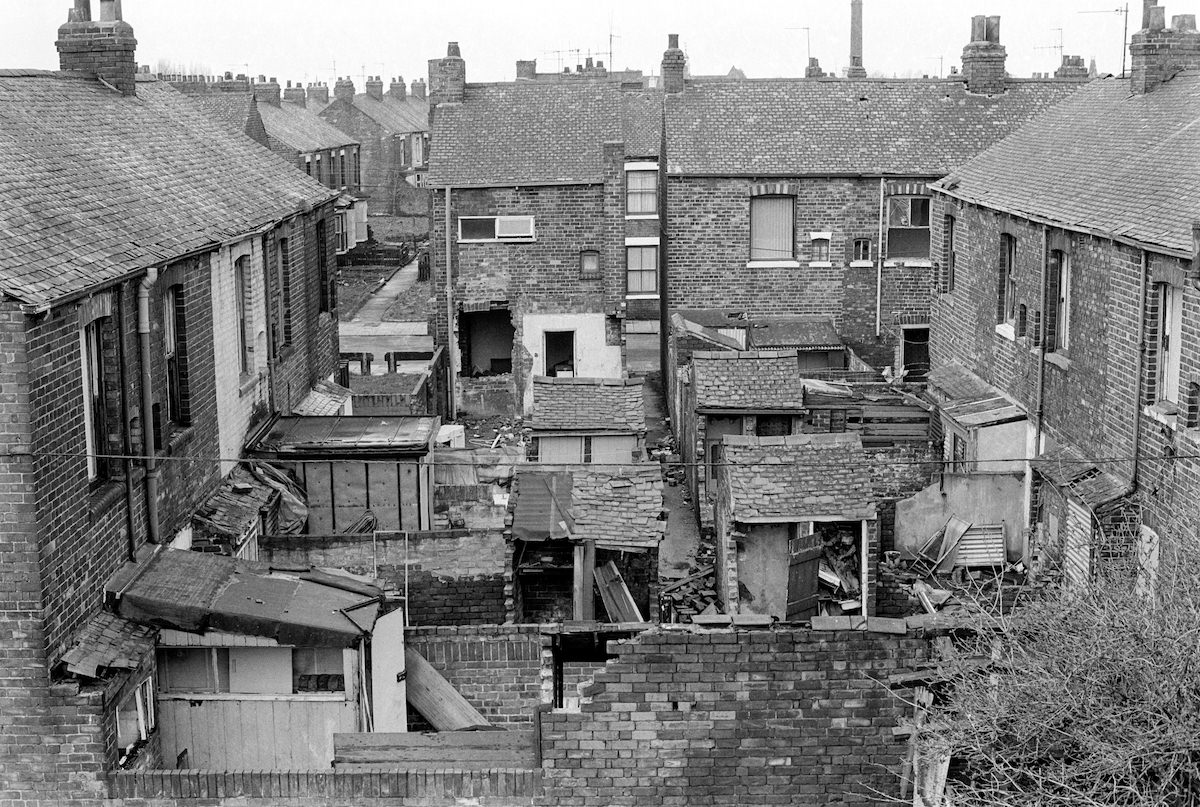
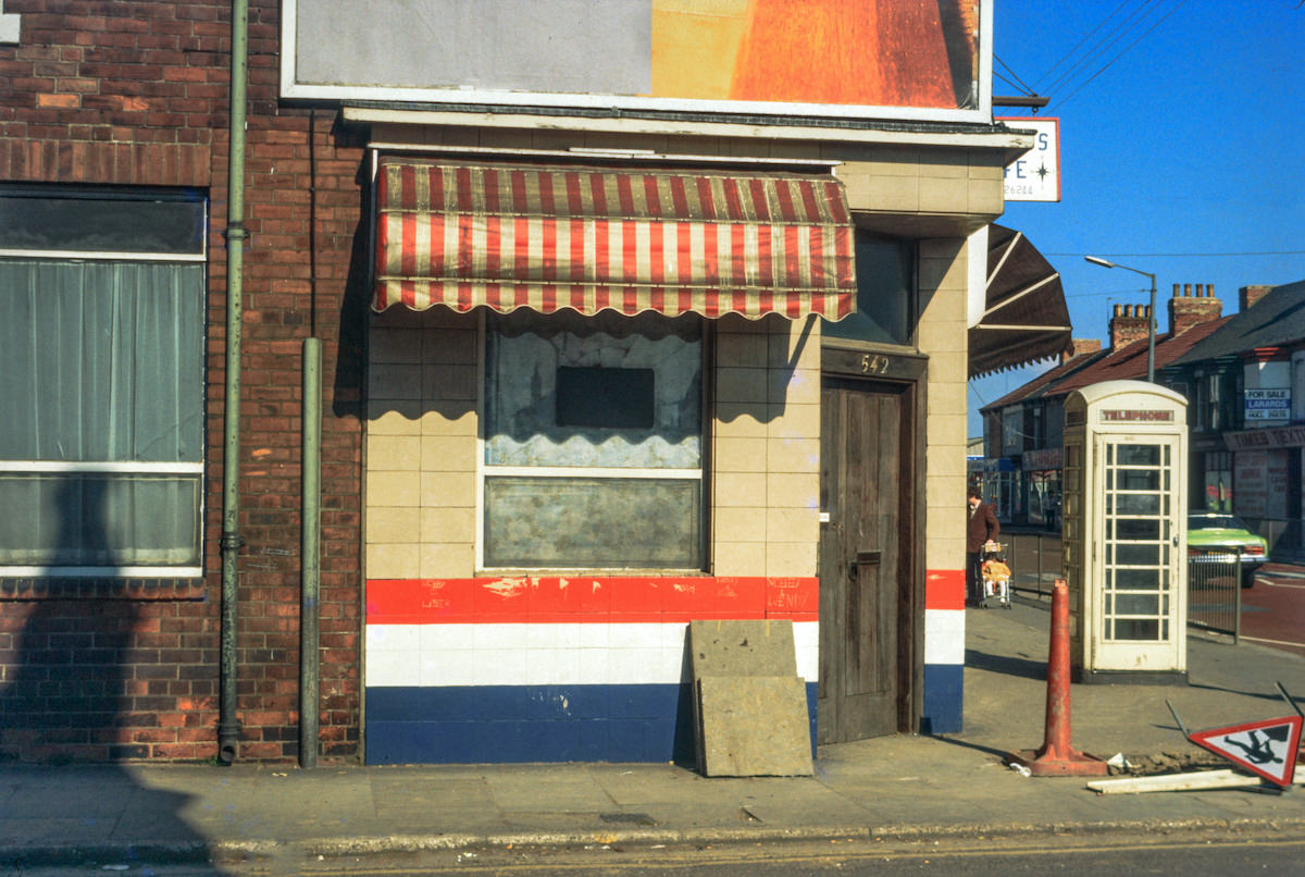
Hessle Road was the beating heart of Hull’s fishing community. The road and its surrounding streets housed generations of trawlermen and their families. By 1981, when Marshall photographed the road with its distinctive red phone box, the fishing industry was already in steep decline following the Cod Wars with Iceland. The phone box stands in the frame like a small red marker on a street that had seen better days.
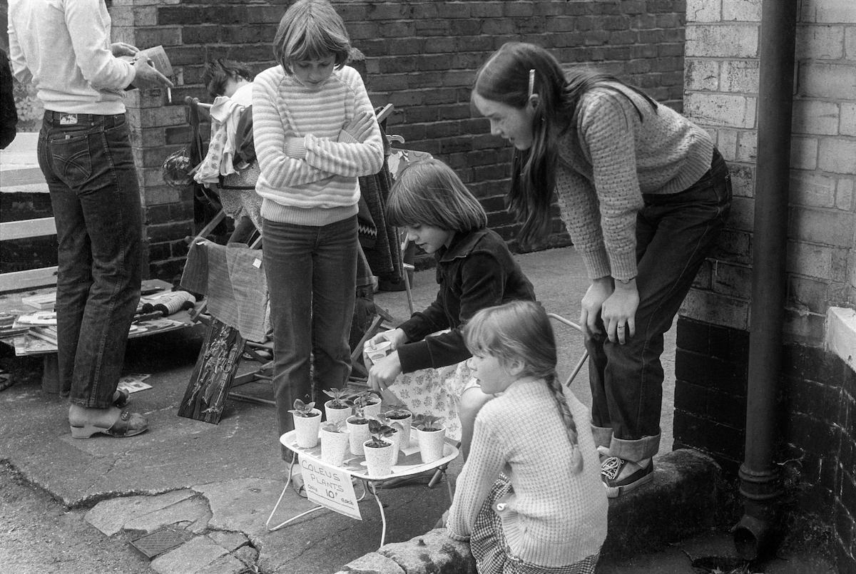
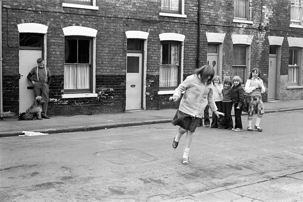
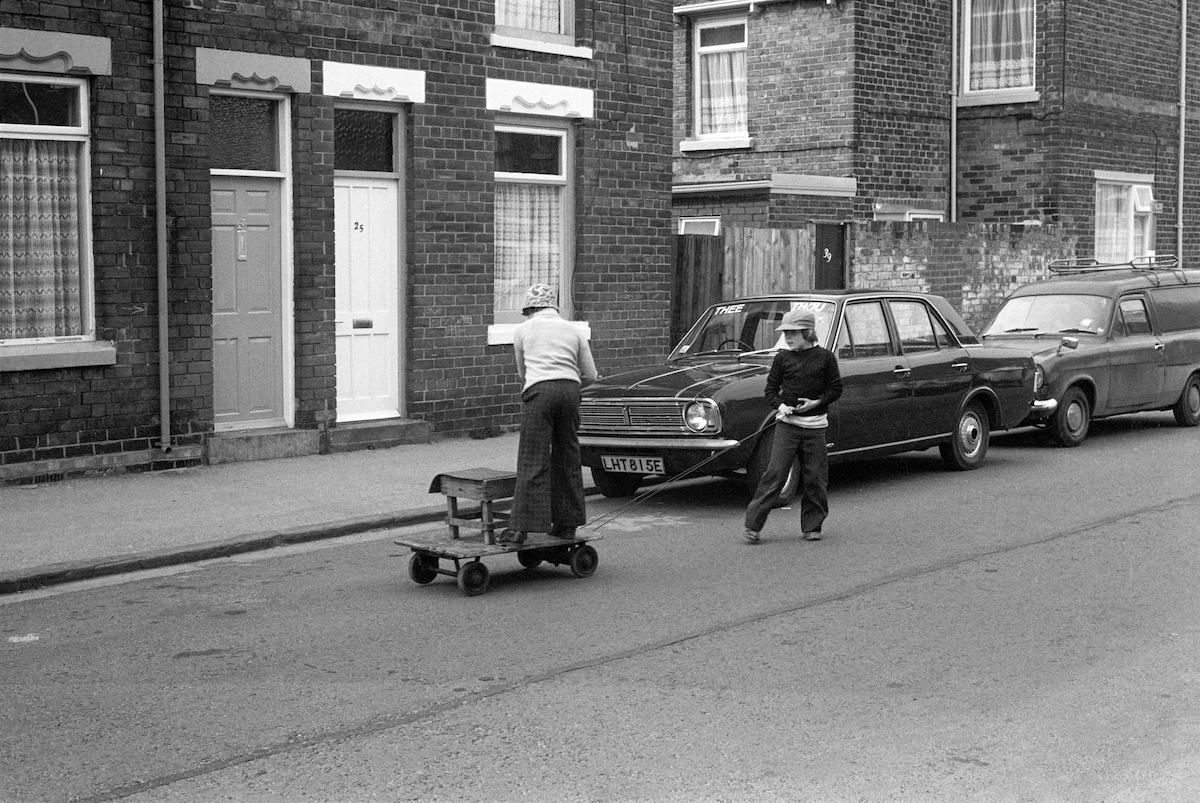
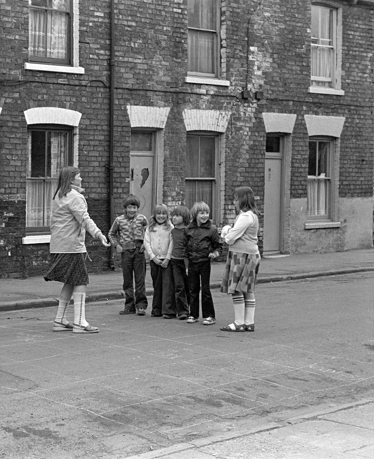
Children were a constant presence in Marshall’s Hull photographs. In North Hull in 1981, he caught kids running an informal street sale — a familiar scene from working-class neighborhoods where front pavements doubled as social space. A year earlier, in the Walton Street area, he photographed children playing street games, the kind of unsupervised outdoor play that defined childhood in pre-digital Britain.
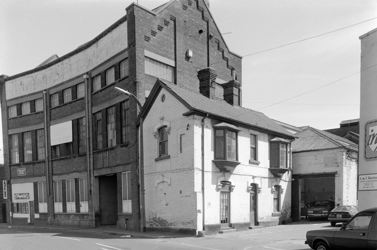
Wincolmlee, in north Hull, was one of the city’s industrial corridors. Running alongside the River Hull, it was home to small factories, warehouses, and workshops. Marshall photographed it in 1988, and again captured a garage on nearby Oxford Street the same year. These images show the industrial fabric that still clung to Hull’s inner districts even as the broader economy was shifting.
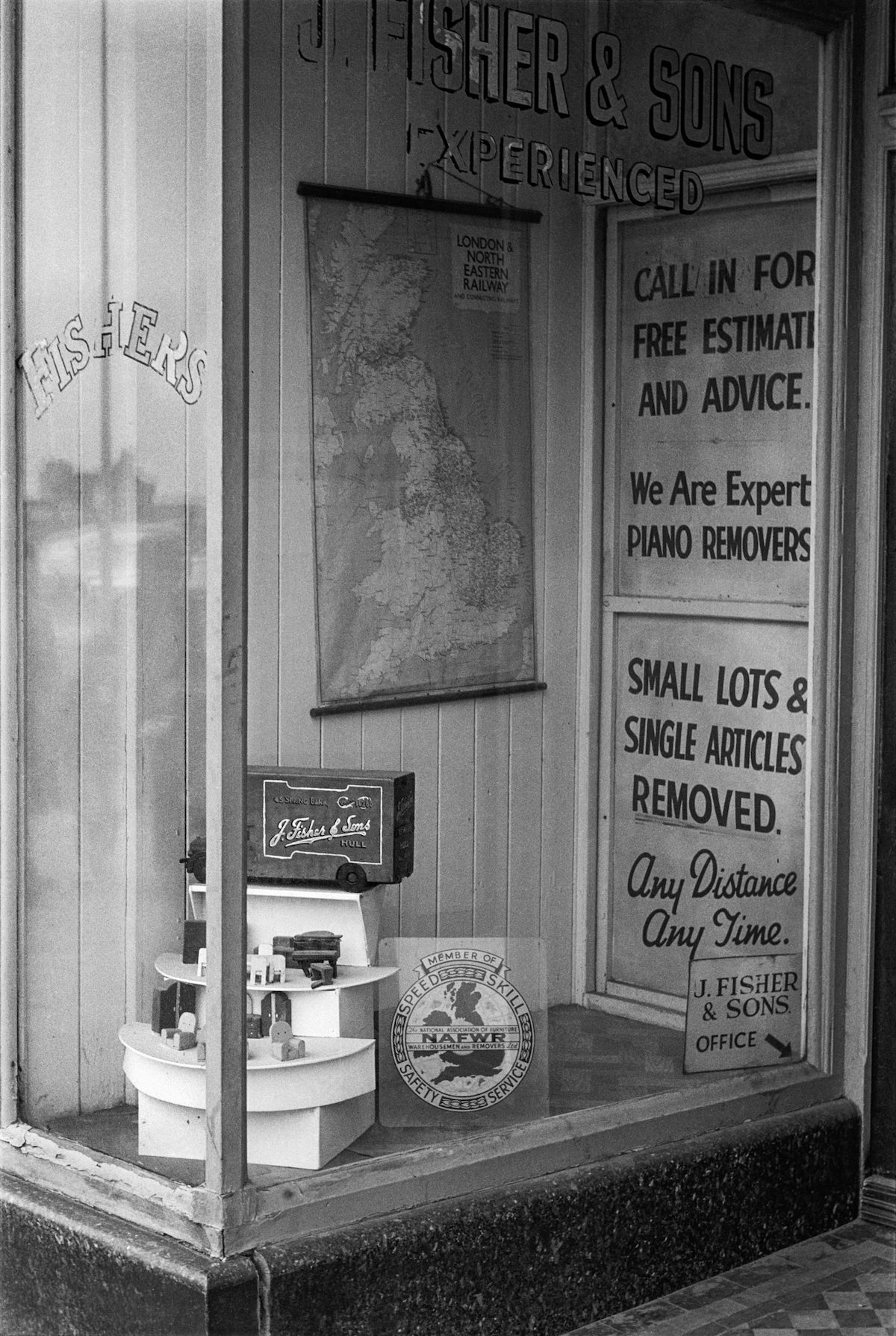
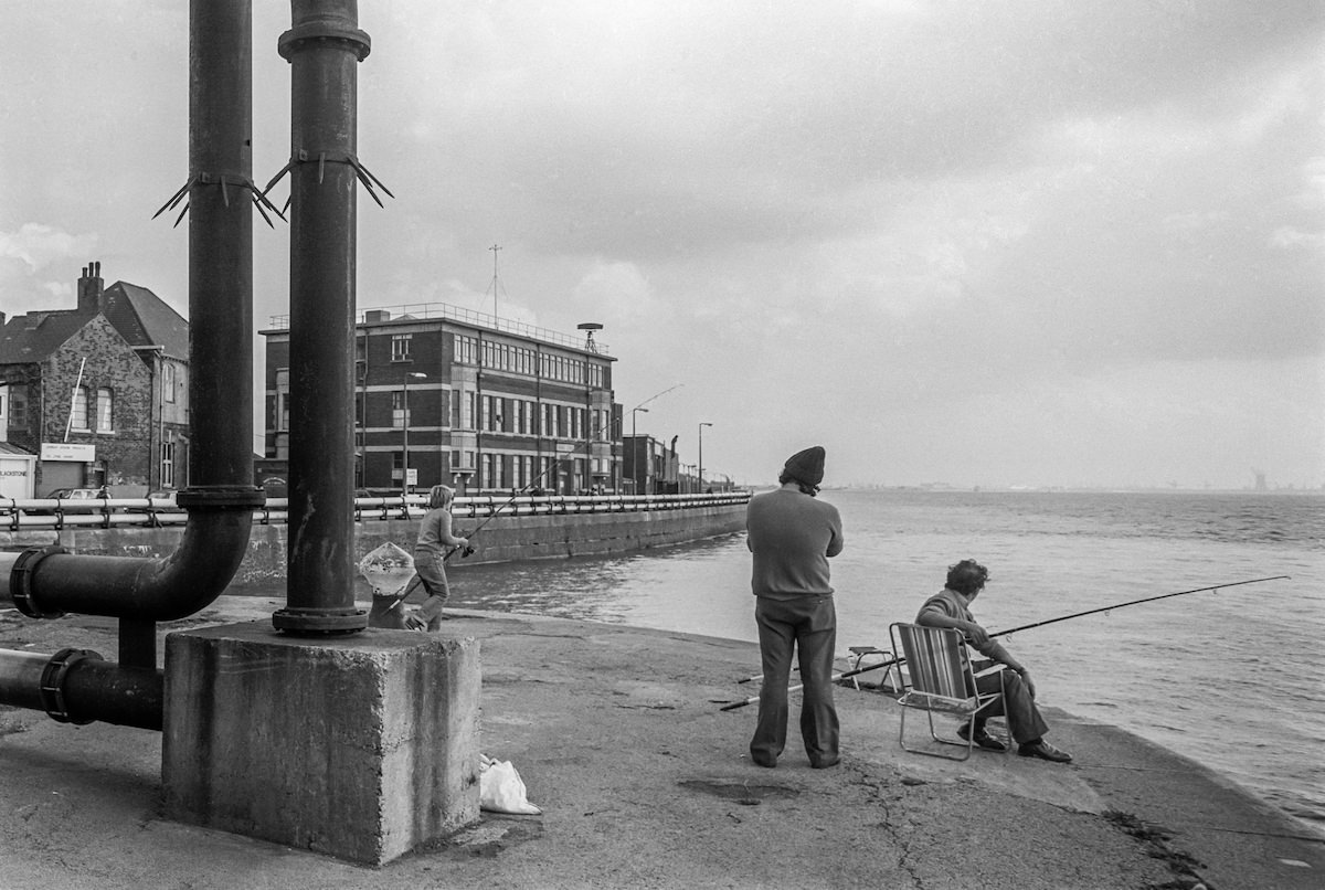
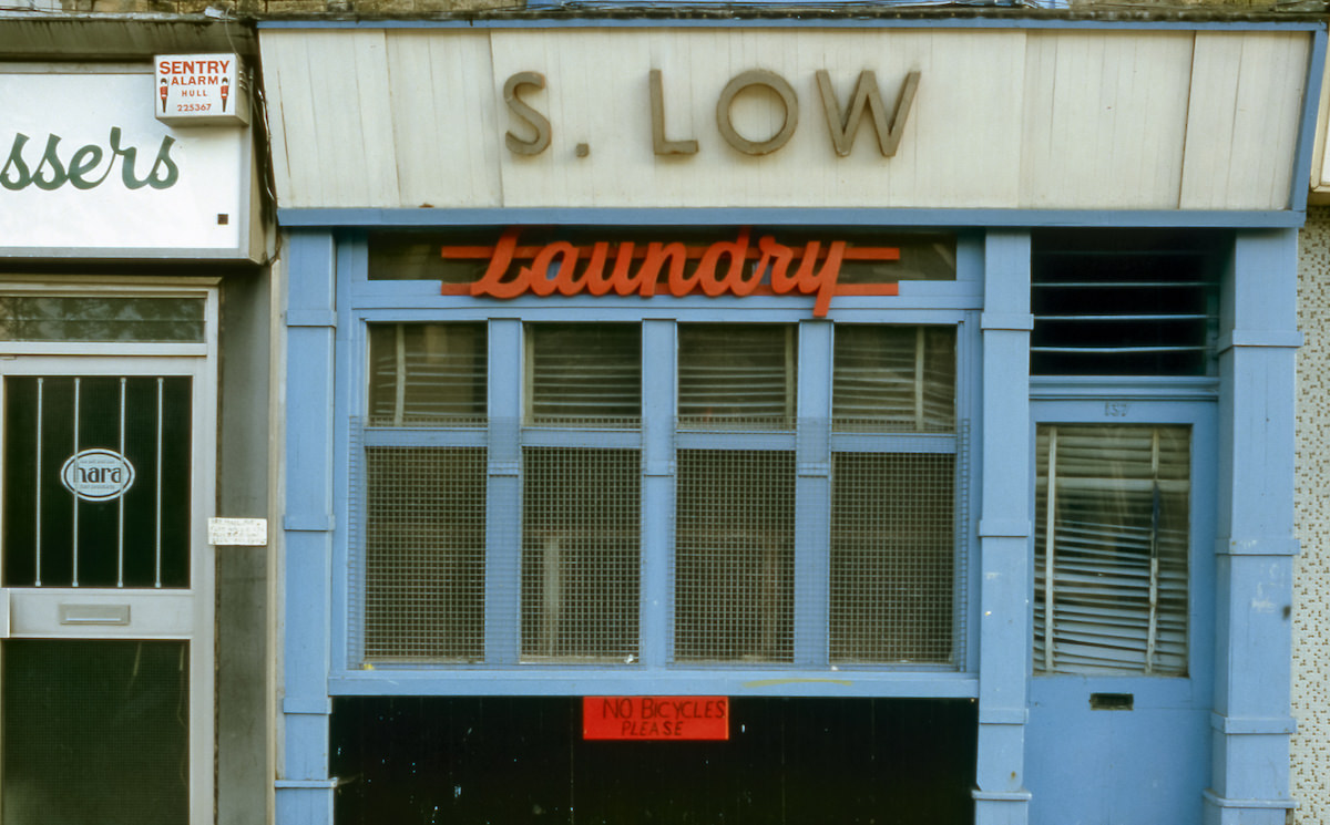
Spring Bank was another street Marshall returned to across his Hull project. He photographed J Fisher & Sons, a local removals firm, in 1979, and S Low Laundry on the same road in an undated frame. These small, family-run businesses were the commercial backbone of Hull’s residential neighborhoods. Hull also had a strong maritime heritage — the city’s historic buildings included Wilberforce House, birthplace of William Wilberforce, the man who led the campaign to abolish the slave trade in Britain, and Trinity House, a navigation school that trained sailors for centuries.
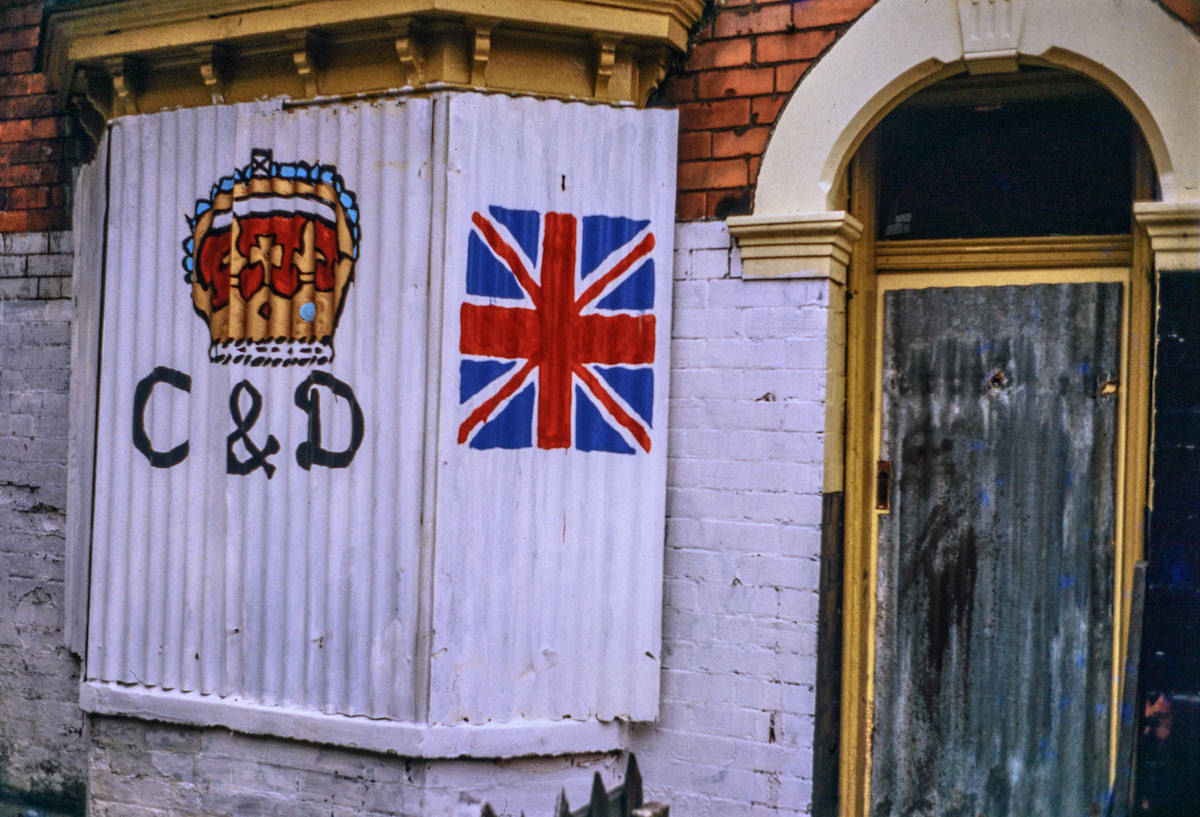
The 1981 Royal Wedding of Prince Charles and Lady Diana Spencer was celebrated across Britain, and Hull was no exception. Marshall captured the street-level response to the event, a moment of national pageantry set against the backdrop of a city dealing with recession and industrial decline. It’s one of the few images in his Hull collection that connects the city directly to a national news event.
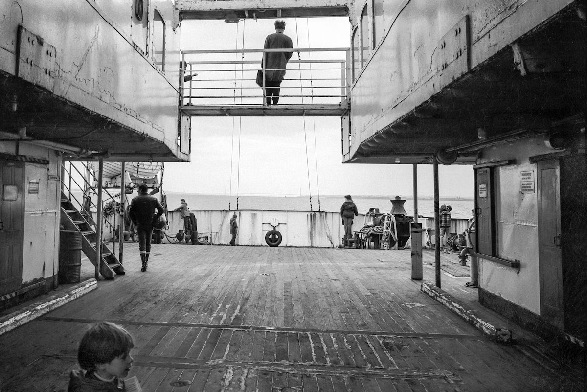
Before the Humber Bridge opened in 1981, the ferry crossing was the primary way to get between Hull and Lincolnshire on the south bank. The MV Farringford was one of the ferries that made that crossing. Marshall photographed it in 1981, right around the time the bridge opened and the ferry service began winding down. The Humber Bridge, at the time of its completion, was the longest single-span suspension bridge in the world.
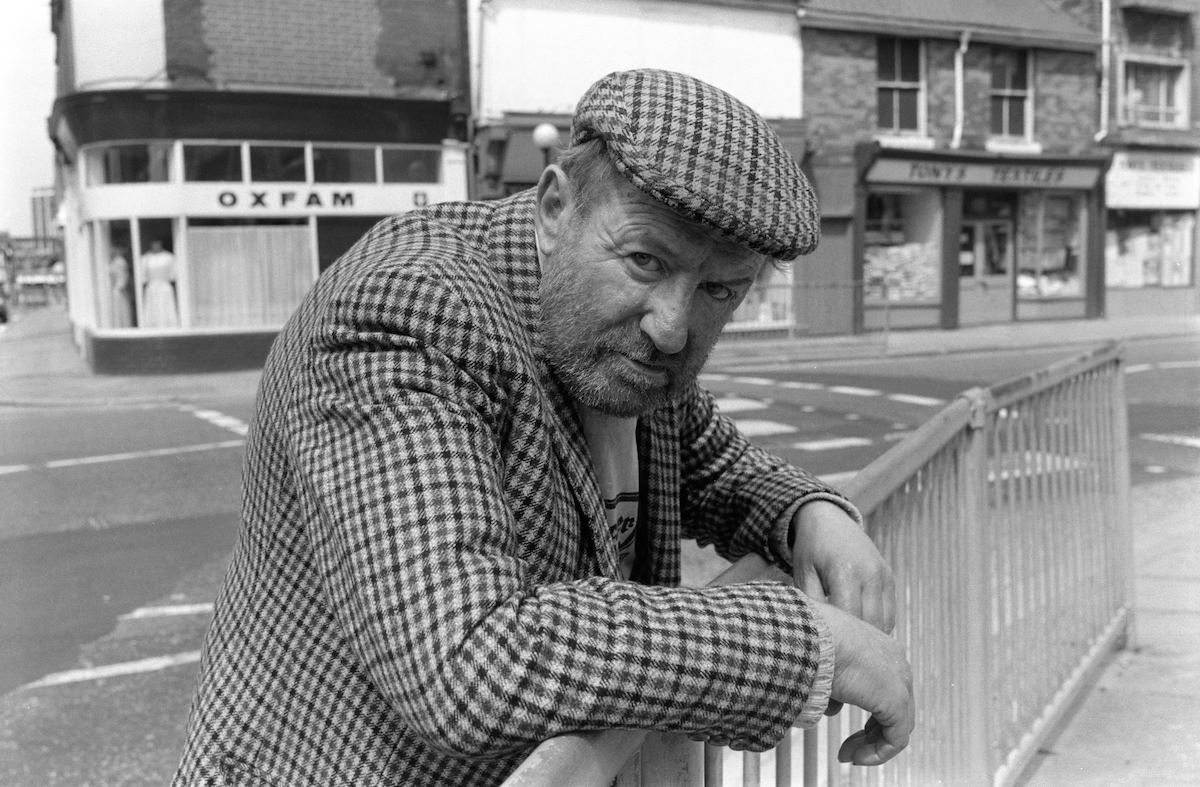
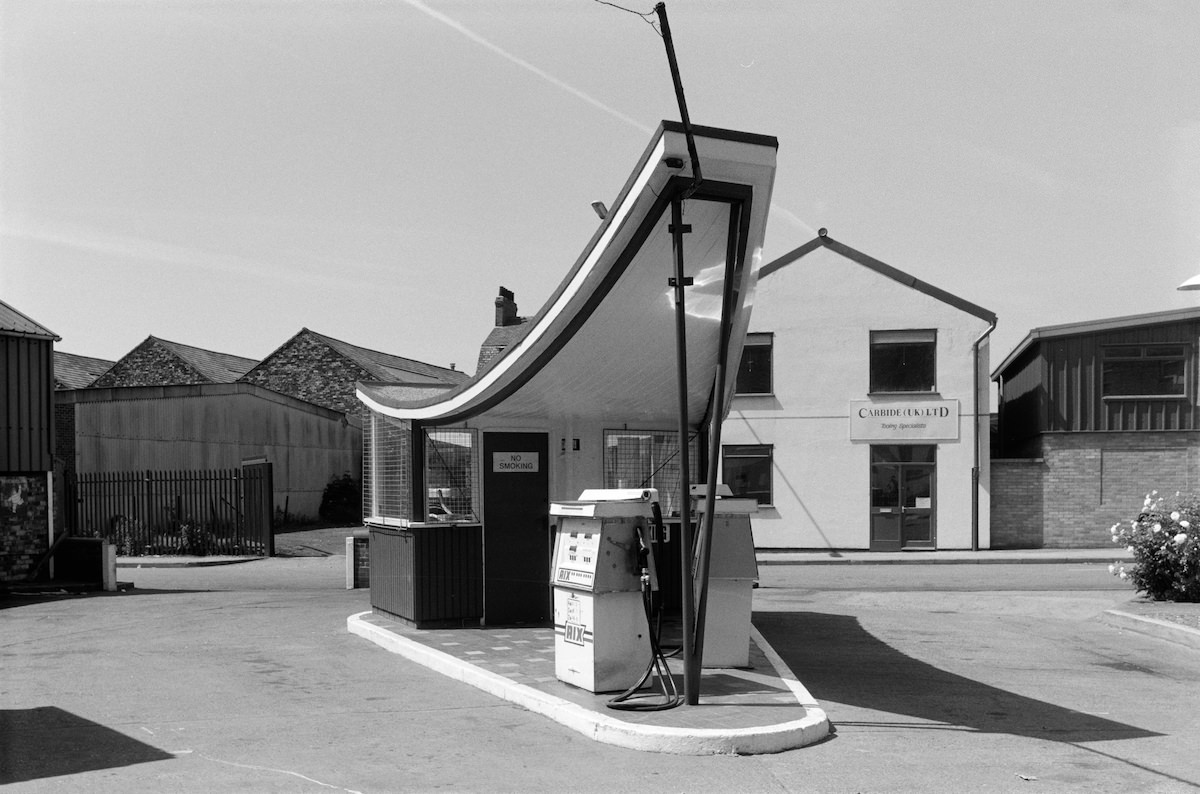
By the late 1980s, Hull’s older industrial districts were visibly fraying. Marshall’s 1988 photograph of a man on the corner of Anne Street and Carr Street shows a quiet, almost empty urban scene. The garage on Oxford Street, also from 1988, presents a similar stillness. These images from the end of the decade feel noticeably different from his earlier work — more sparse, with fewer people on the streets.
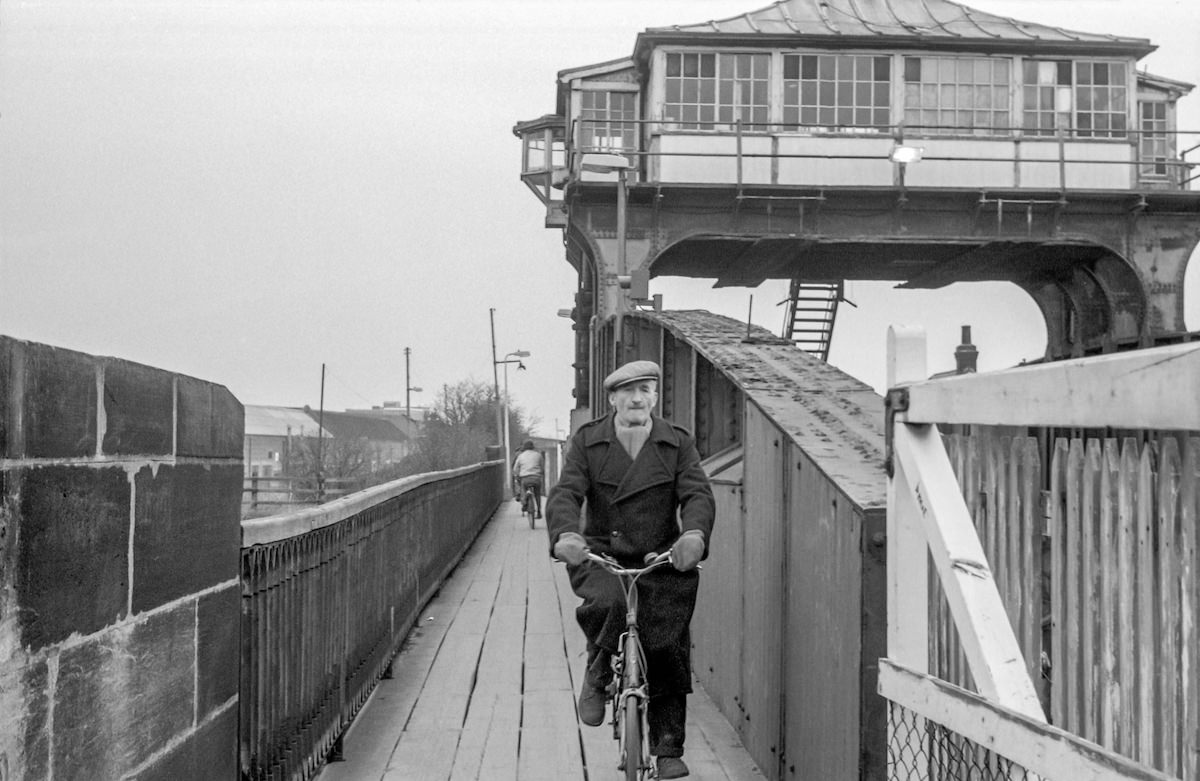
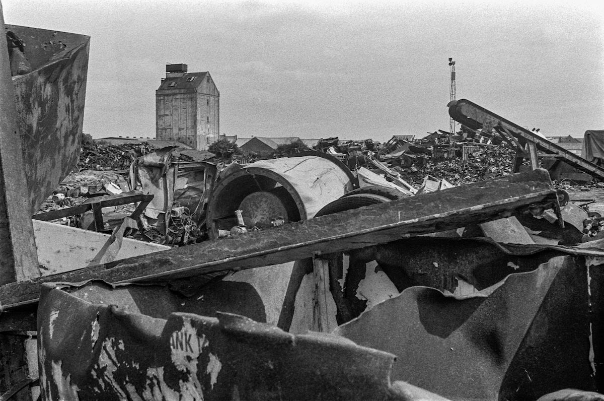
Throughout the 1980s, Marshall photographed Hull’s waterways as carefully as its streets. The River Hull runs through the city before emptying into the Humber, and its banks were lined with industry. In 1985, he shot a downstream view from Scott Street, capturing the working river in detail. By 1987, he was photographing scrap metal piled along the riverbank in North Hull — a sign of the industrial contraction that was hitting the city hard.
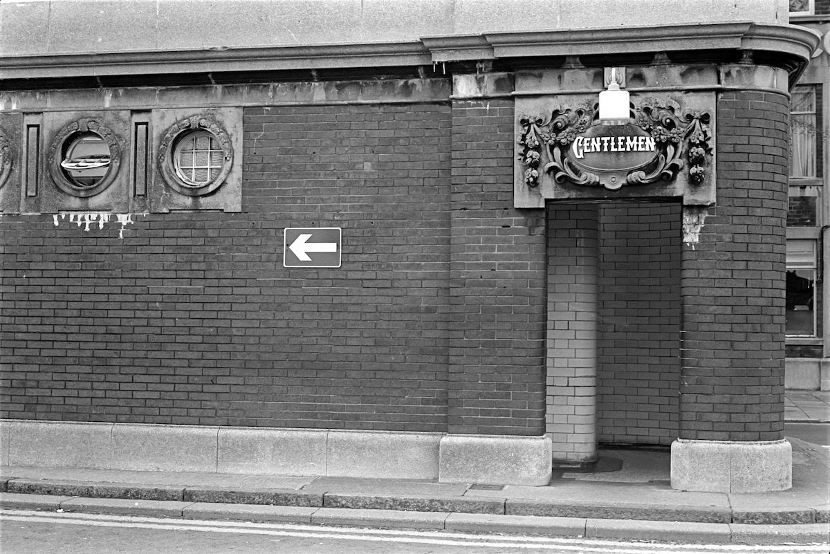
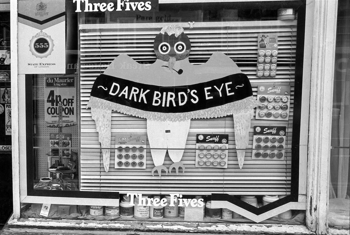
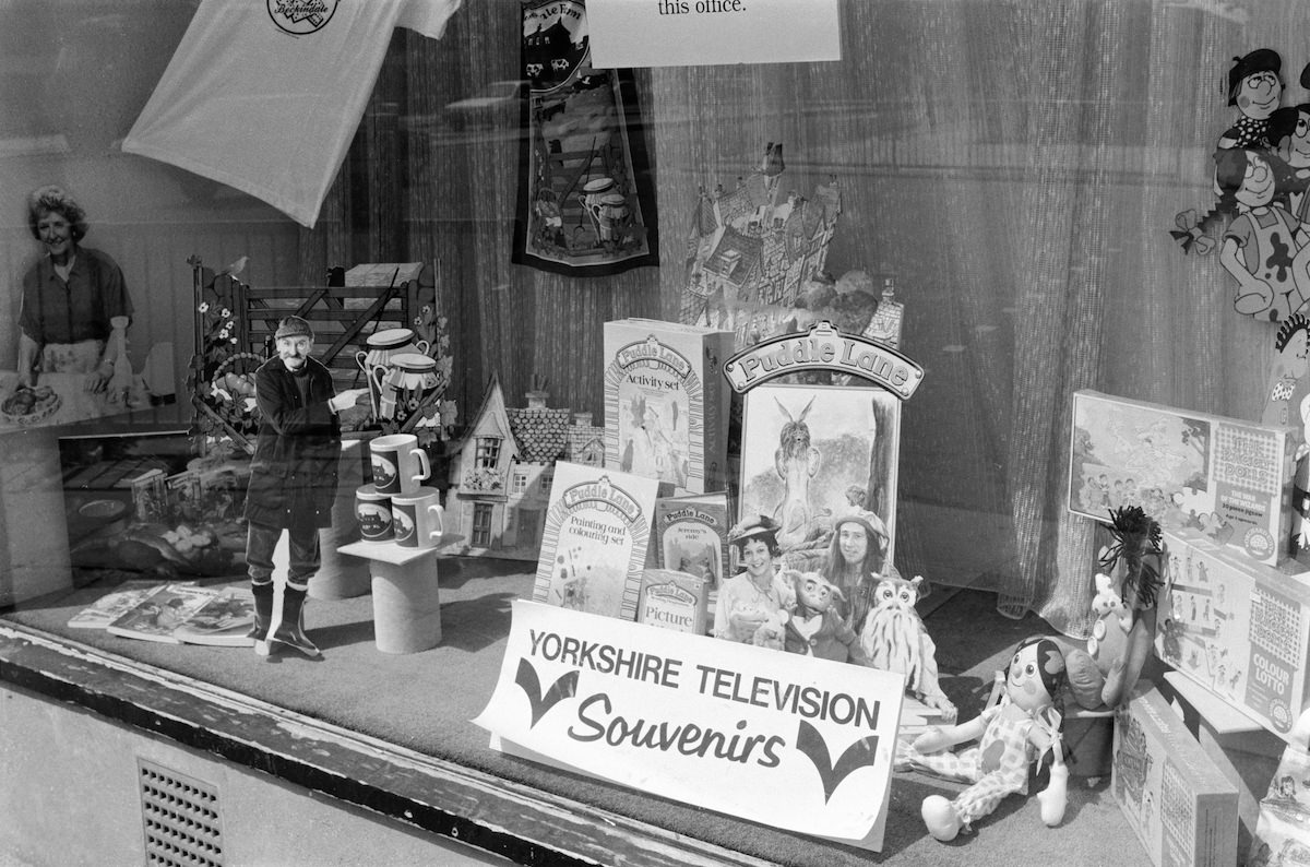
Nelson Street’s public conveniences appeared twice in Marshall’s 1979 work — the kind of overlooked urban infrastructure that most photographers would walk past. That attention to ordinary detail is what makes his Hull archive so valuable. He photographed what was there, not what was picturesque. A souvenir shop on Anlaby Road selling Yorkshire TV merchandise in 1988 gets the same careful treatment as a view of Princes Dock.
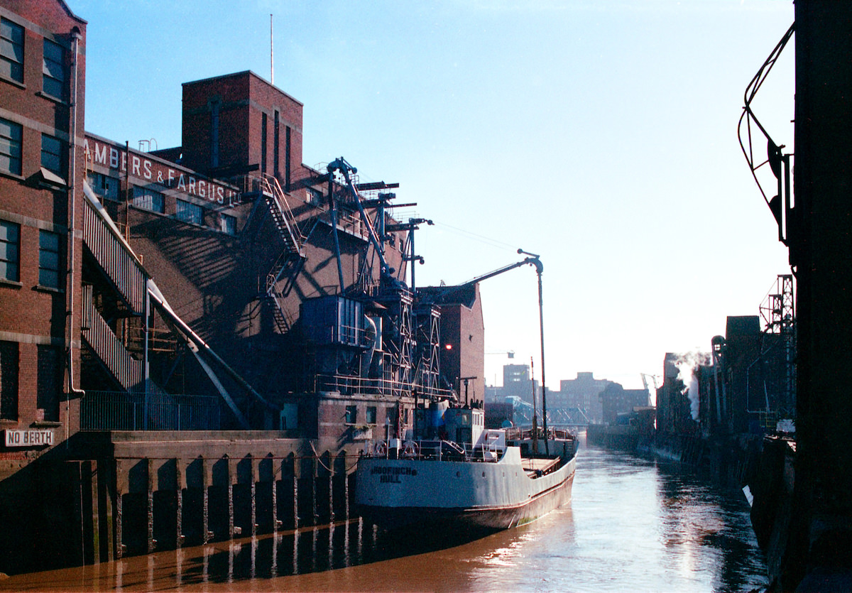
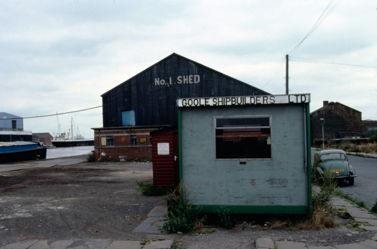
Marshall also ventured beyond Hull’s city limits. His 1983 photographs from Goole — a smaller inland port town about 30 miles west of Hull on the River Ouse — show that his interest extended to the wider industrial landscape of the East Riding. Goole was, and remains, one of the furthest inland ports in Britain, connected to Hull’s shipping networks through the waterway system.
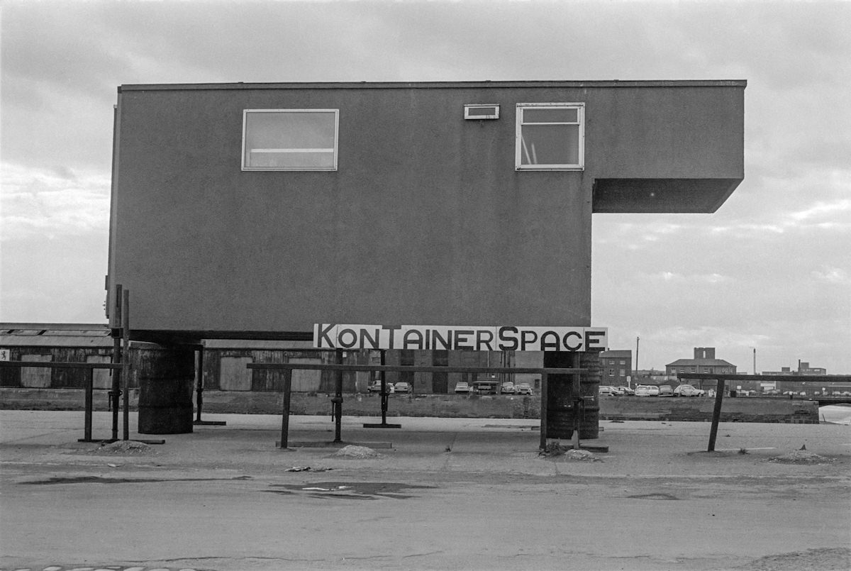
The Princes Dock image from 1979 shows container space at a time when Hull’s docks were still active but under pressure from containerization and competition from other ports. The dock has since been transformed into a marina and leisure area, making Marshall’s photograph a rare document of what it looked like during its working years.
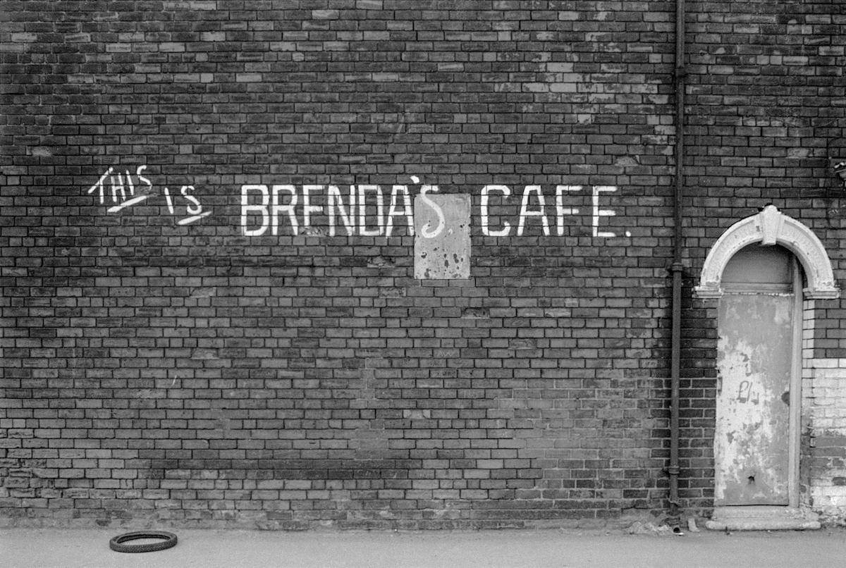
Brenda’s Cafe in the Goulton Street area, photographed in 1981, is the kind of local institution that rarely survives long enough to be remembered. Marshall’s image preserves it. The same is true for the Foredyke Path shot from 1980 — a quiet route through a part of the city that has changed beyond recognition since then. These images don’t just show places; they show a pace of life that has largely disappeared.
Marshall’s Hull photographs span roughly a decade, from the late 1970s to the late 1980s. Taken together, they form a street-level history of a city navigating deindustrialization, social change, and economic pressure. The large parish church of Holy Trinity — one of the largest parish churches in England — looms over a city that Marshall chose to document from the ground up, one street corner at a time.

I was there, so don’t quote the old scripture to me!
Wow, I remember some of those places. The Chinese laundry “S.Low” always made me laugh.
Here are some nice shots of the Newland Avenue area.
Great pics. The bad old days that in some cases turned out to be the good old days.
Wonderful trip down the lane, thank you. Unless I’m very much mistaken, #23 the real beer shop was opposite my student digs on Grafton Street, but memory plays a different game these days.