
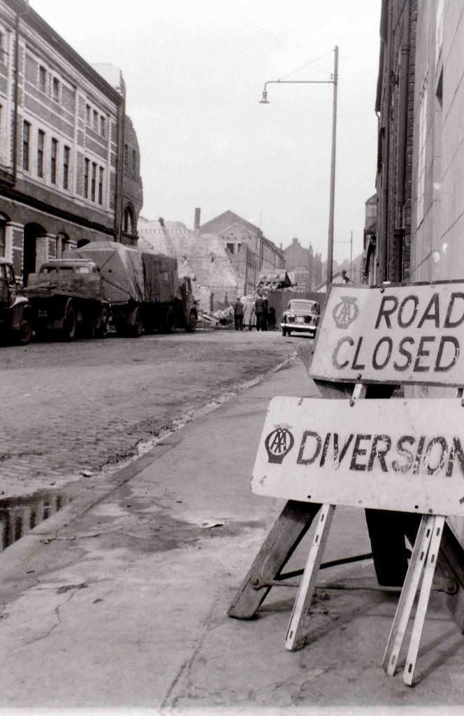
Glasgow in the 1960s was a city caught between its industrial past and an uncertain future. Coal mines shut down. Steelworks closed. Heavy industries that had employed tens of thousands of people for generations collapsed one after another. Unemployment climbed, and the city’s working-class neighborhoods bore the weight of that collapse. Streets that had once buzzed with workers now showed visible signs of poverty and decay.
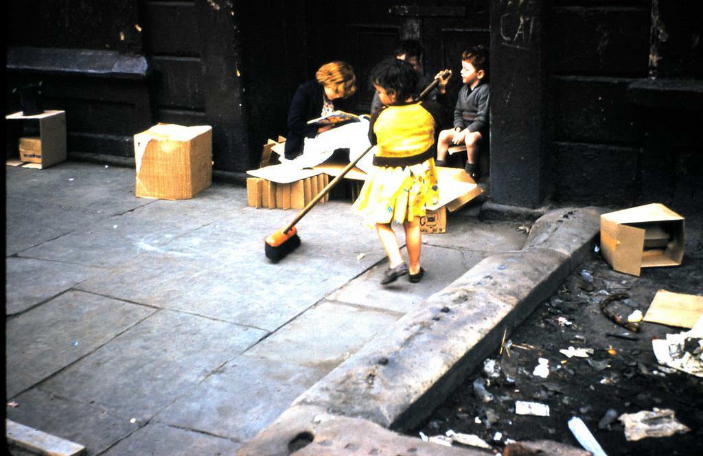
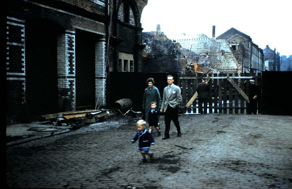
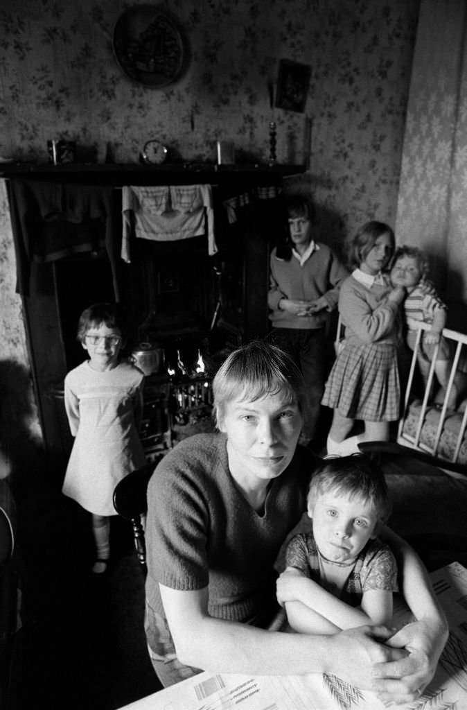
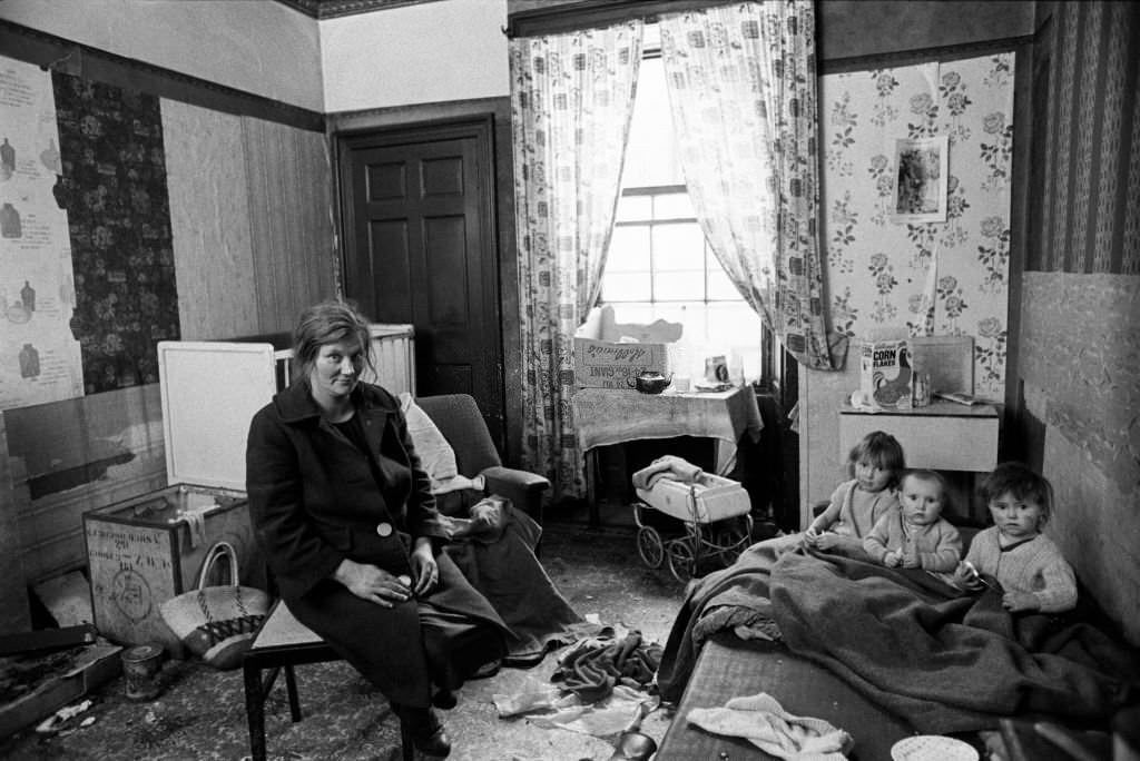
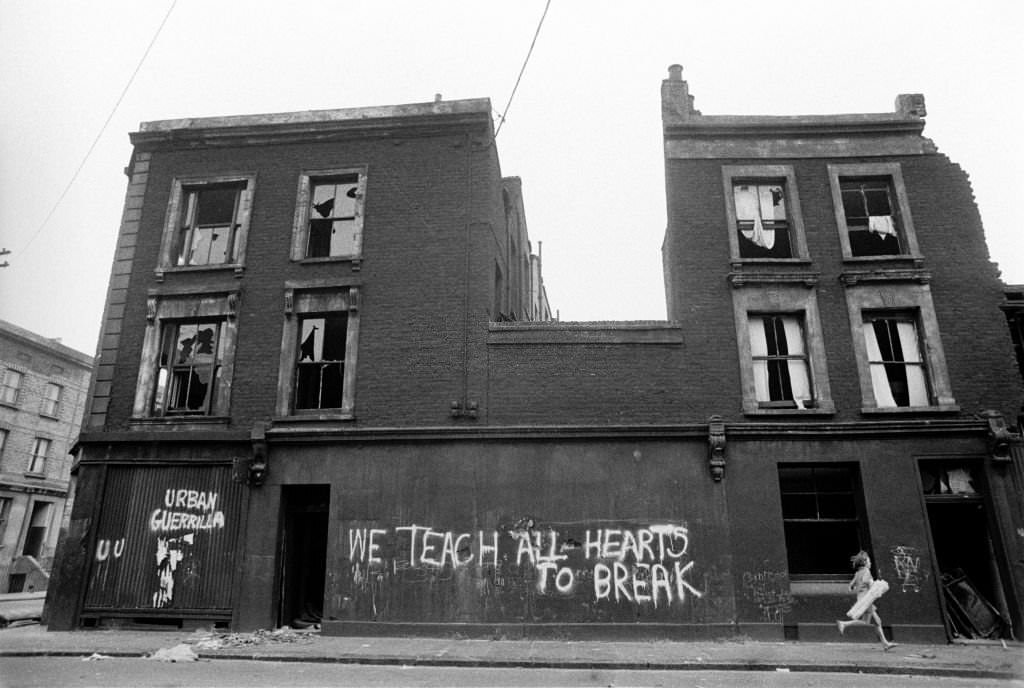
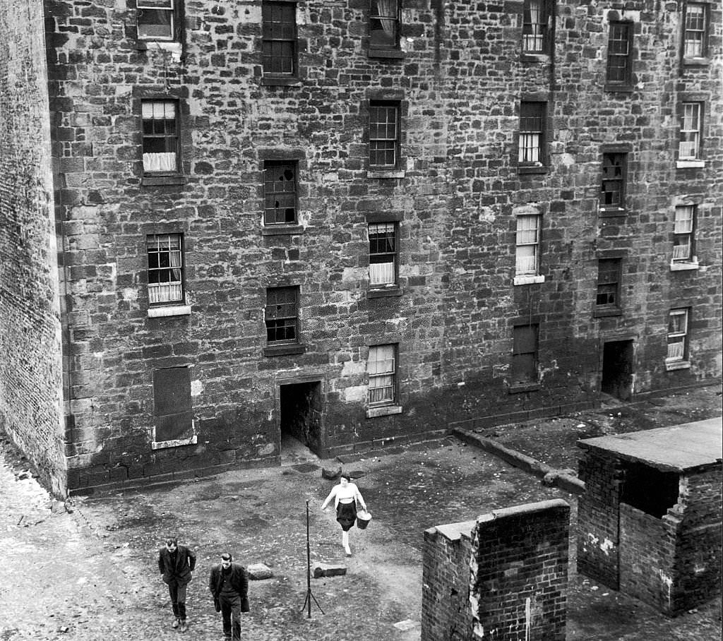
The Gorbals was Glasgow’s most notorious district — a densely packed neighborhood of aging tenements where families crowded into small flats with shared facilities and crumbling walls. By 1960, the area had become a symbol of urban deprivation. Crime was high, living conditions were grim, and the buildings themselves were deteriorating fast. Photographers who walked these streets in 1960 captured the raw texture of that life — children playing in dark closes, laundry strung across narrow lanes, and elderly residents sitting outside buildings that should have been condemned years earlier.
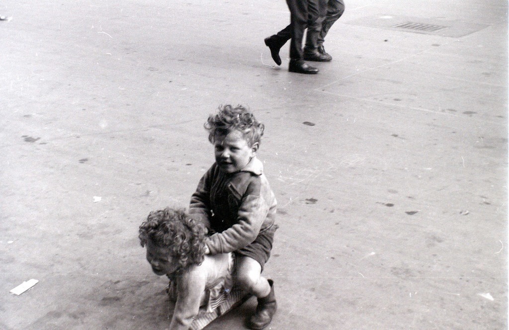
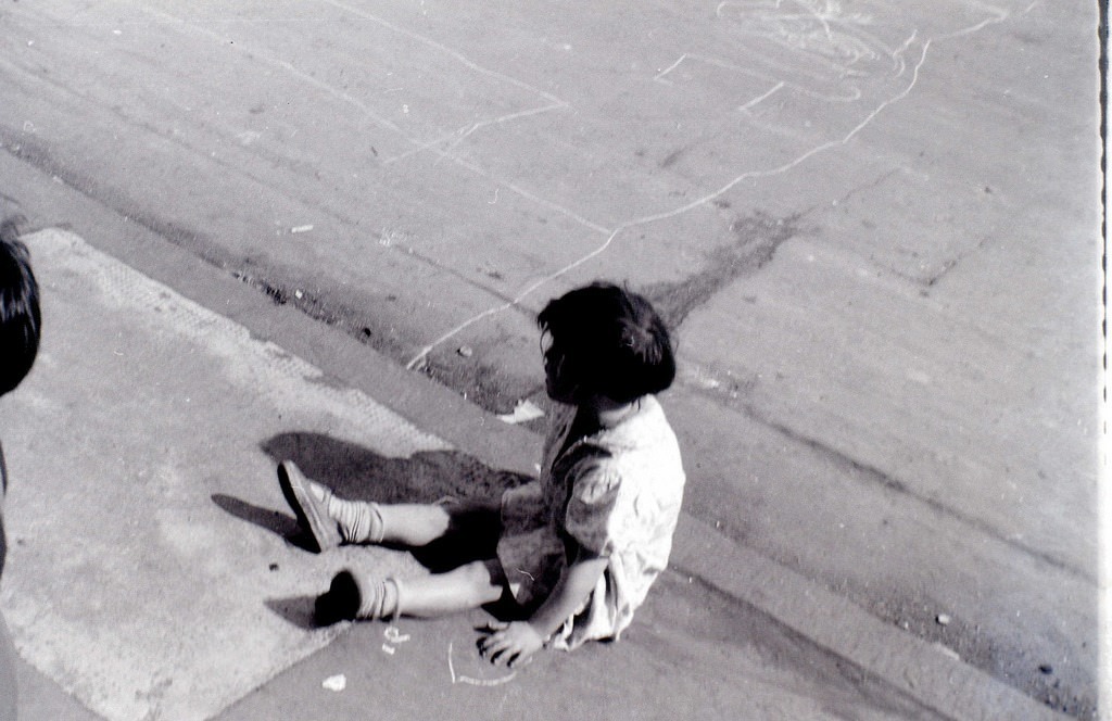
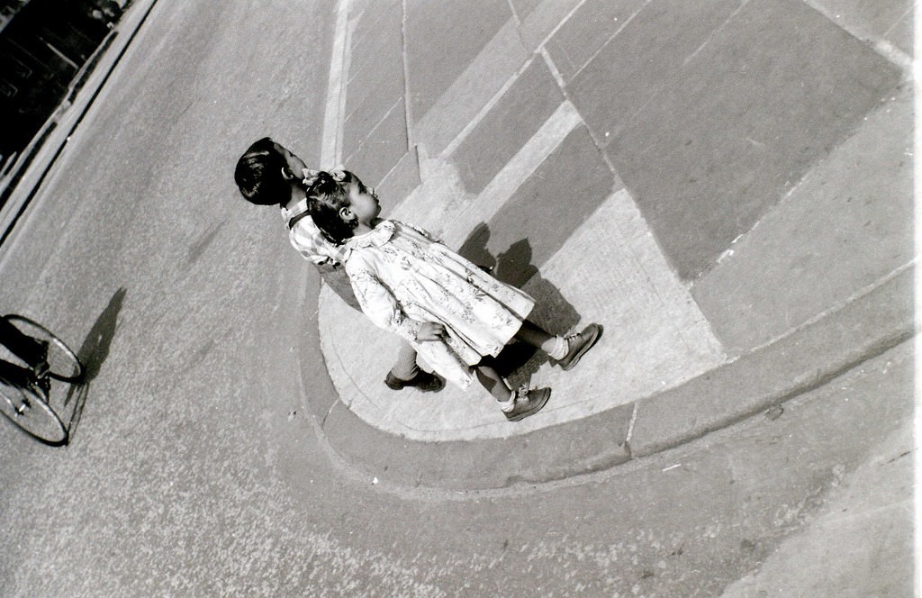
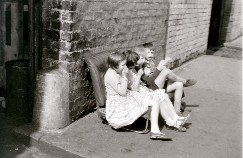
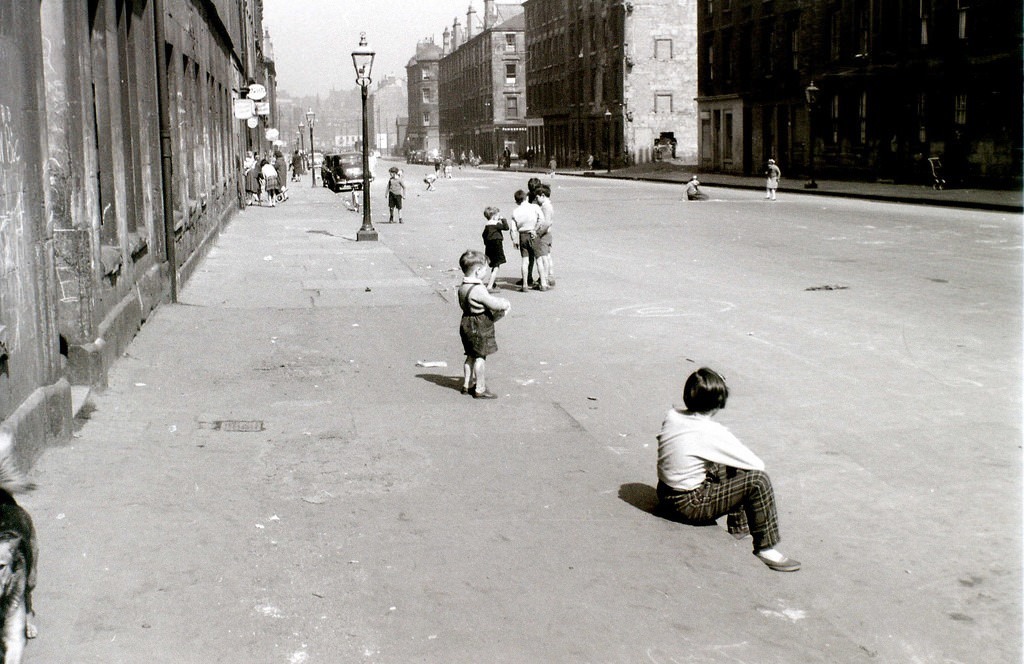
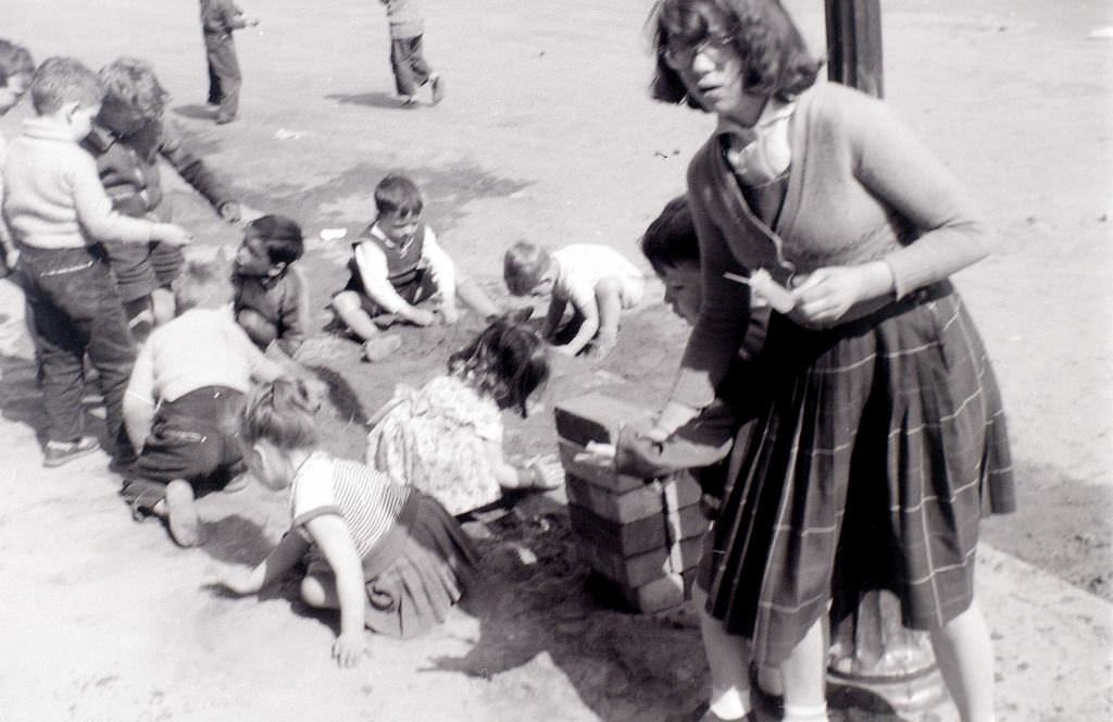
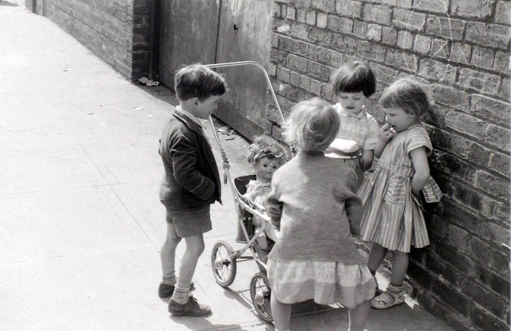
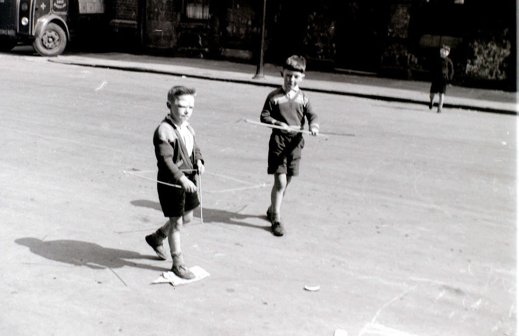
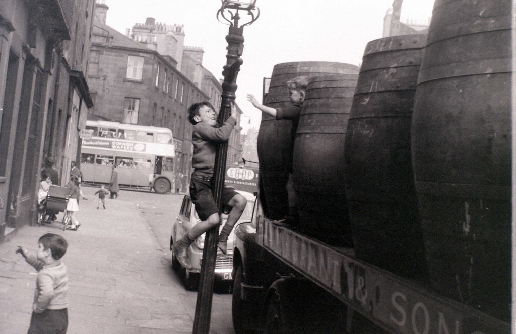
The crime picture in Glasgow during this era was serious. Youth gangs became more organized and more violent than the razor gangs that had terrorized the city in the 1920s. These newer gangs were younger and operated across multiple neighborhoods. The Gorbals and surrounding areas saw regular gang activity, and residents lived alongside a level of street violence that the rest of Britain rarely experienced on the same scale.
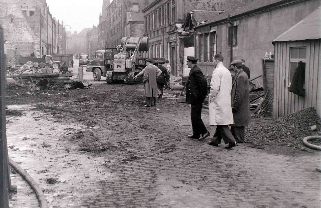
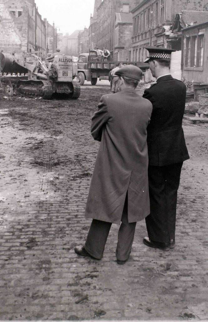
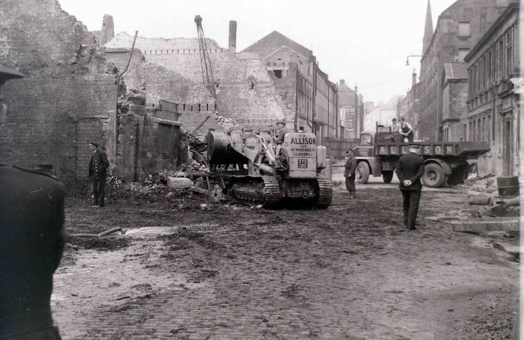
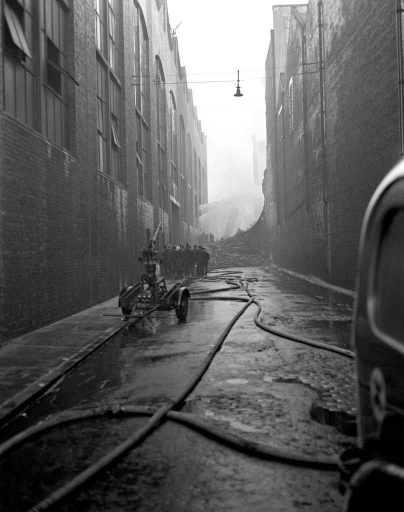
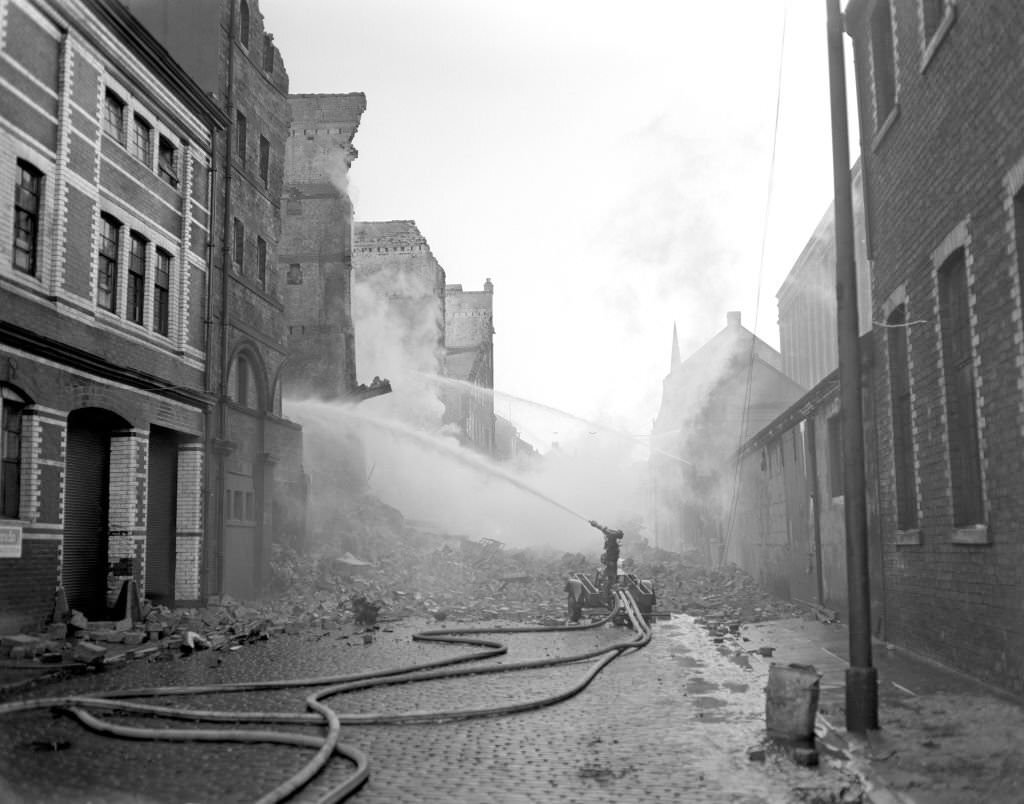
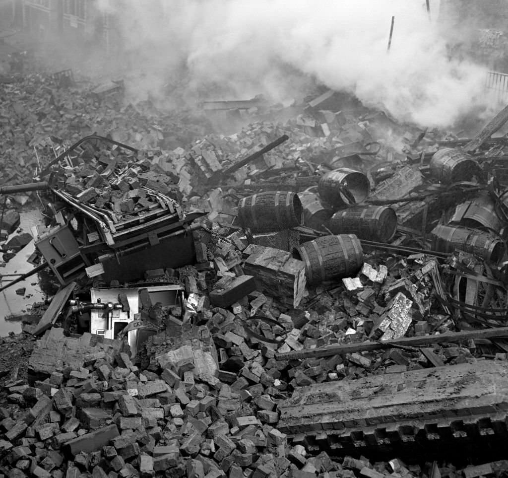
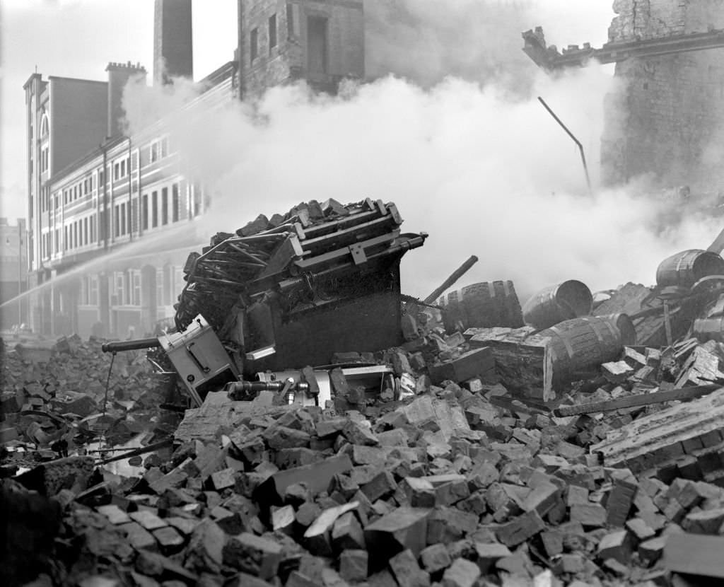
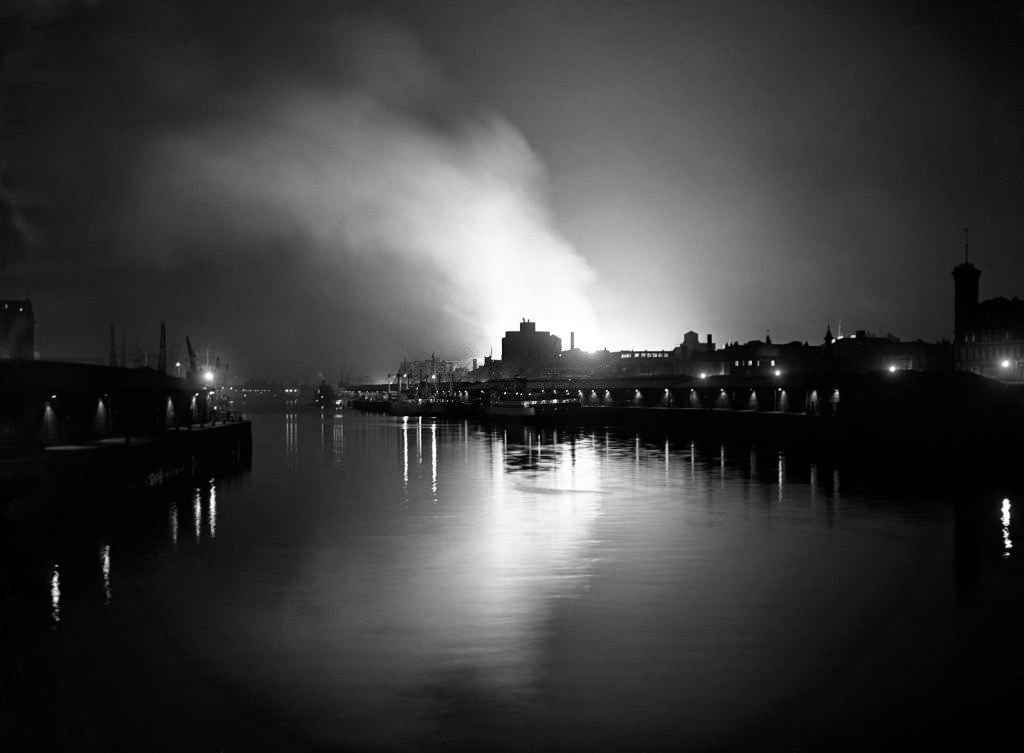
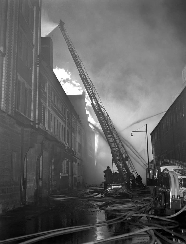
On March 28, 1960, Glasgow suffered one of the worst fire disasters in British history. A blaze broke out at the Cheapside Street bonded whisky warehouse in the heart of the city. The building held enormous quantities of whisky in barrels, and when the walls gave way, an explosion buried three fire appliances under tons of rubble. Nineteen men died — fourteen Glasgow firefighters and five members of the Glasgow Salvage Corps. The fire continued to smolder for nearly a week.
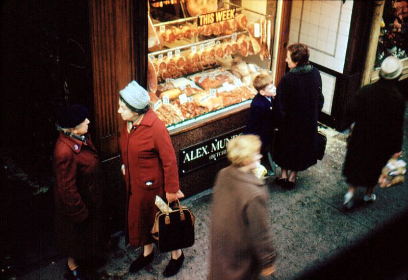
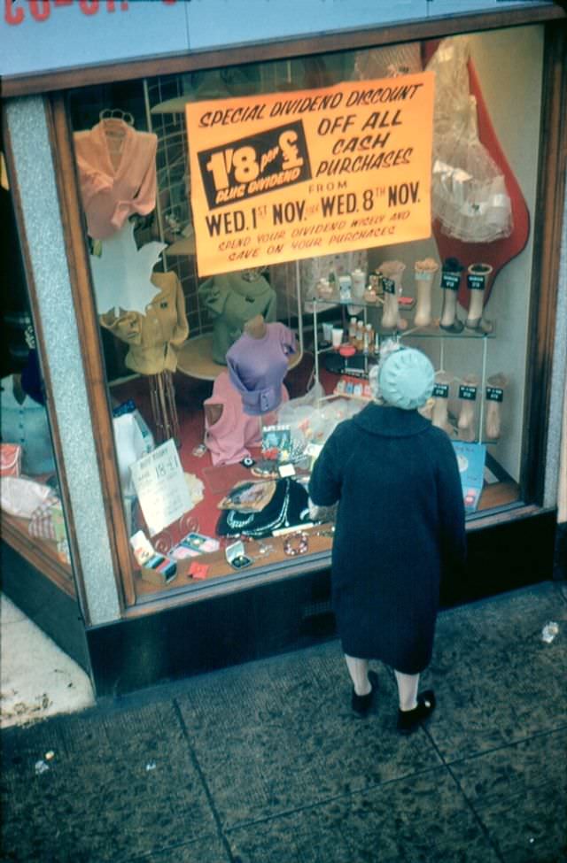
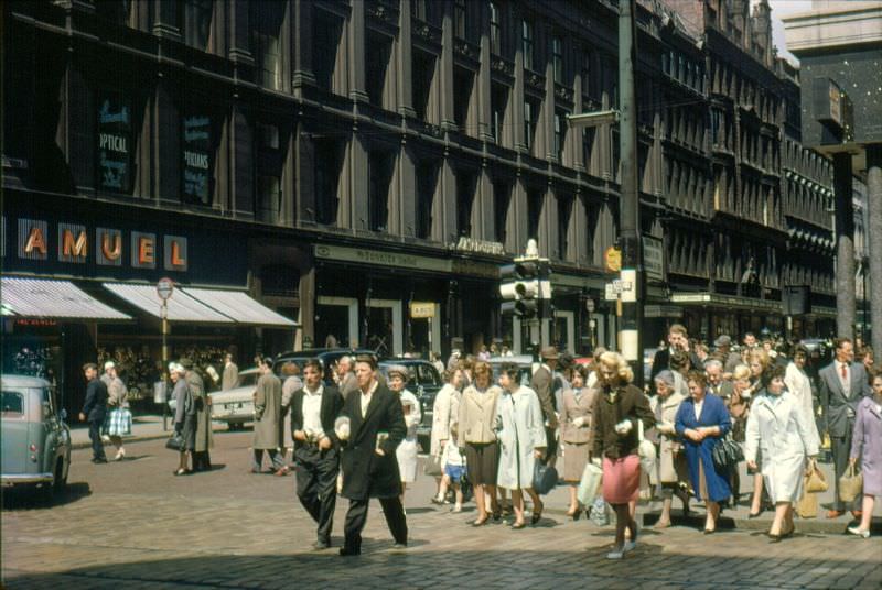
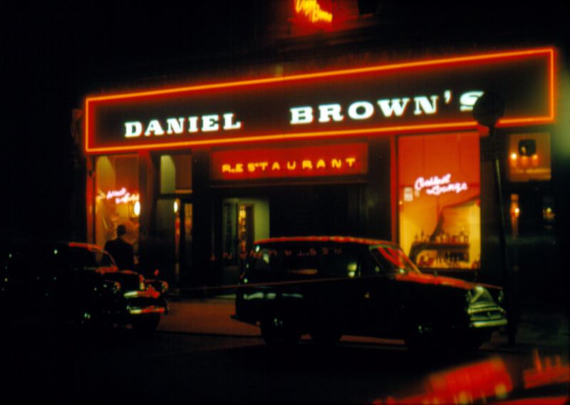
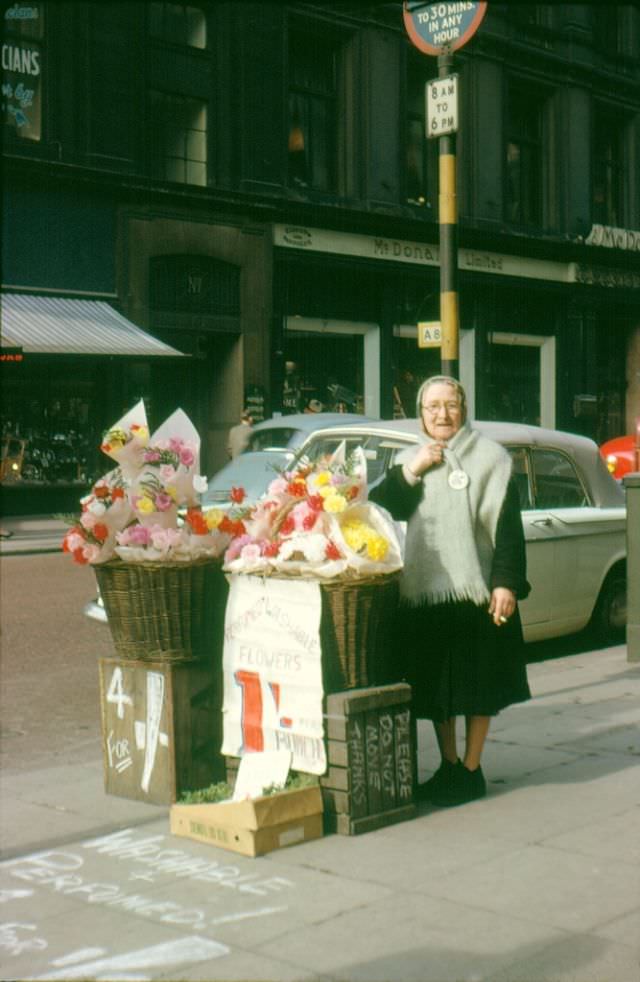
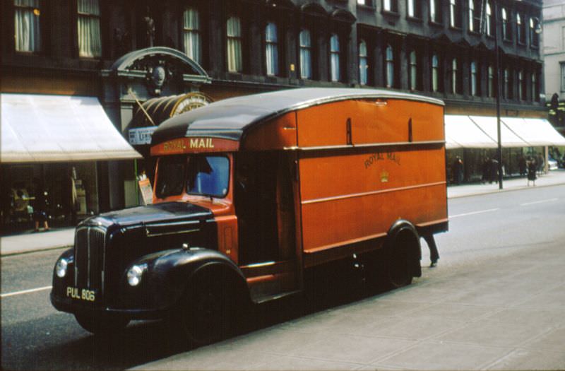
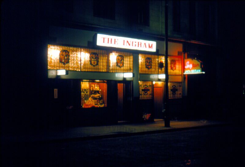
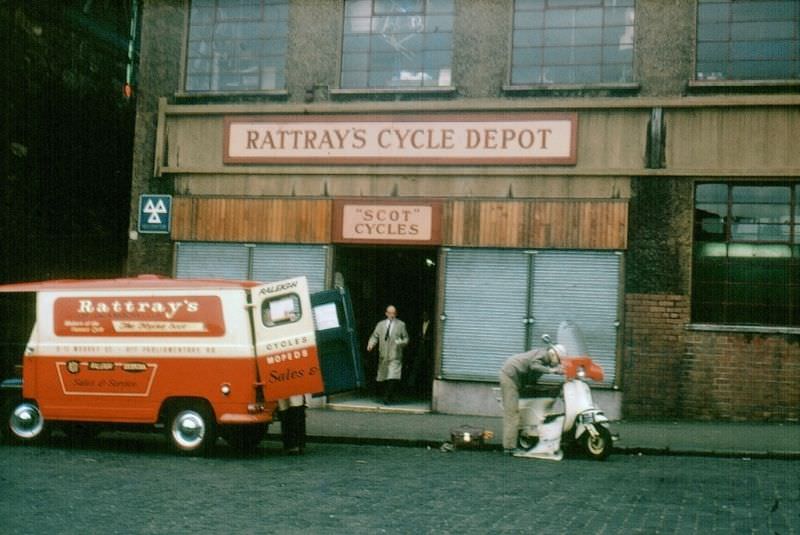
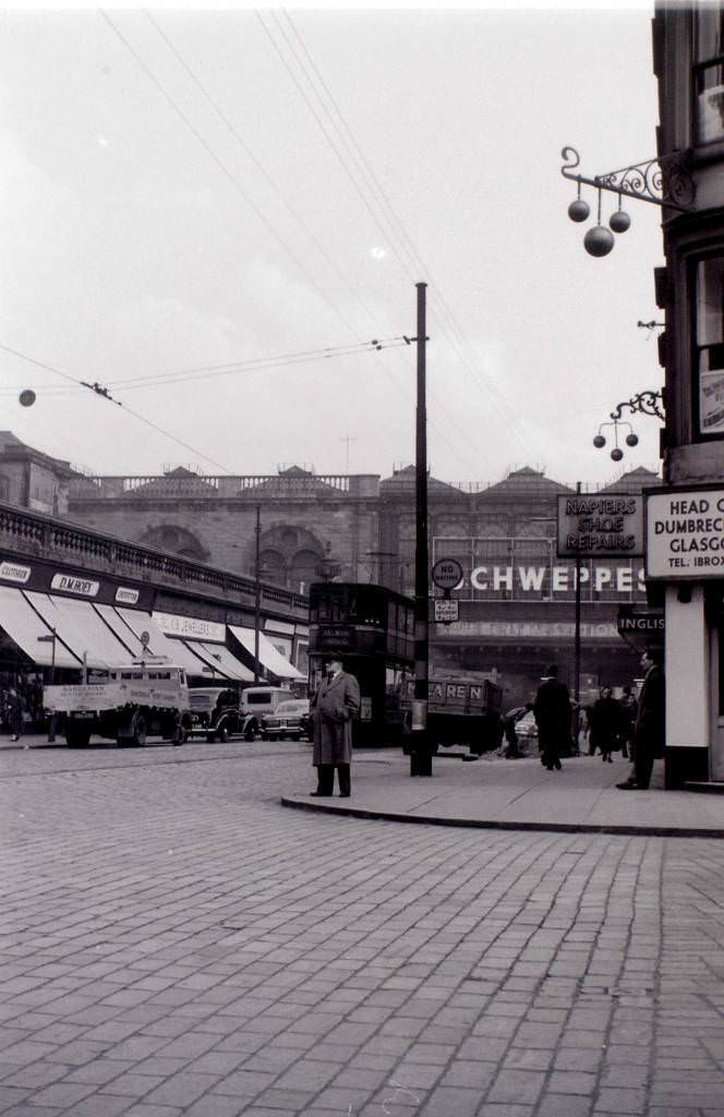
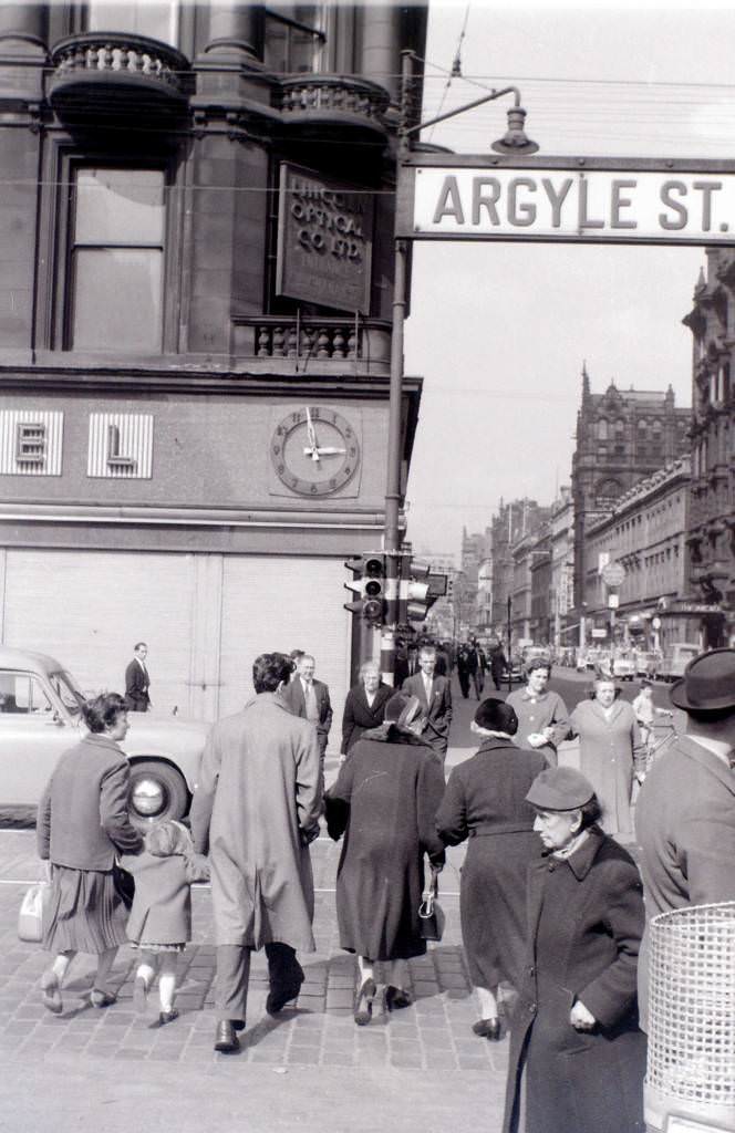
While disaster unfolded in some corners of the city, everyday commercial life carried on in others. Glasgow’s main shopping streets — Argyle Street, Buchanan Street, and Sauchiehall Street — remained busy thoroughfares. Department stores, butcher shops, cycle depots, and restaurants lined the pavements. A flower seller on Buchanan Street, trams moving through Argyle Street, and a Royal Mail van navigating Sauchiehall Street all formed part of the ordinary daily rhythm.
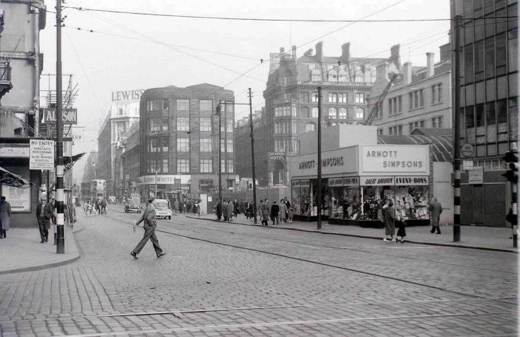
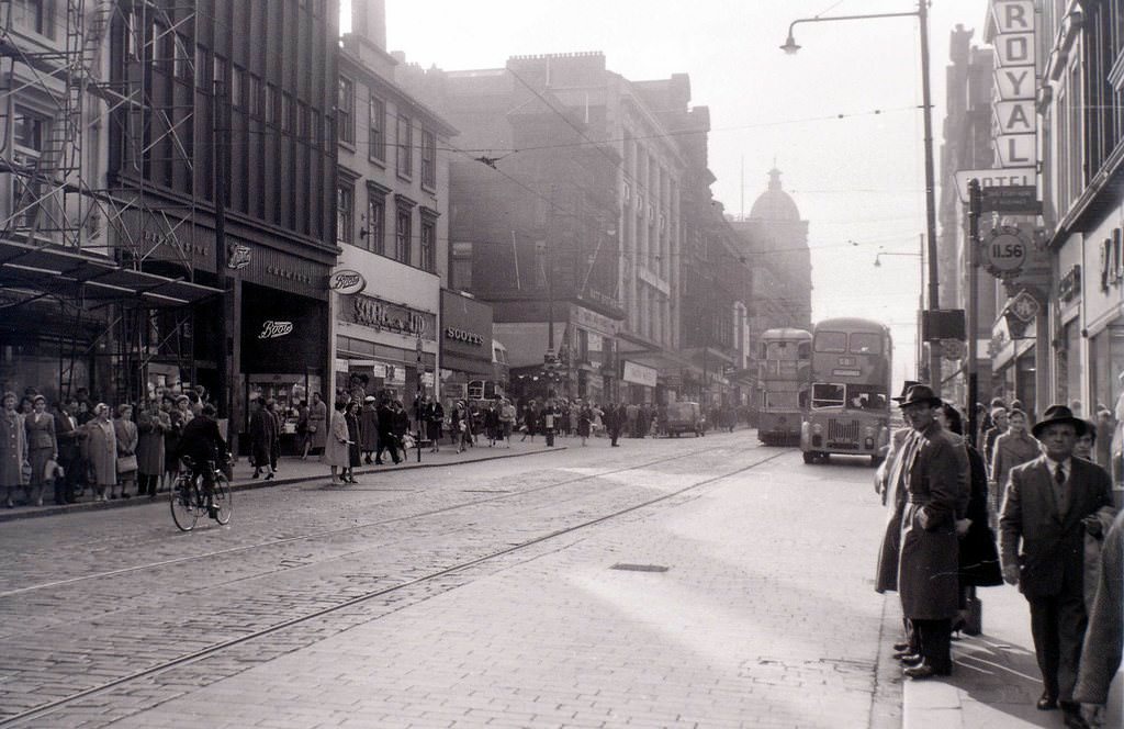
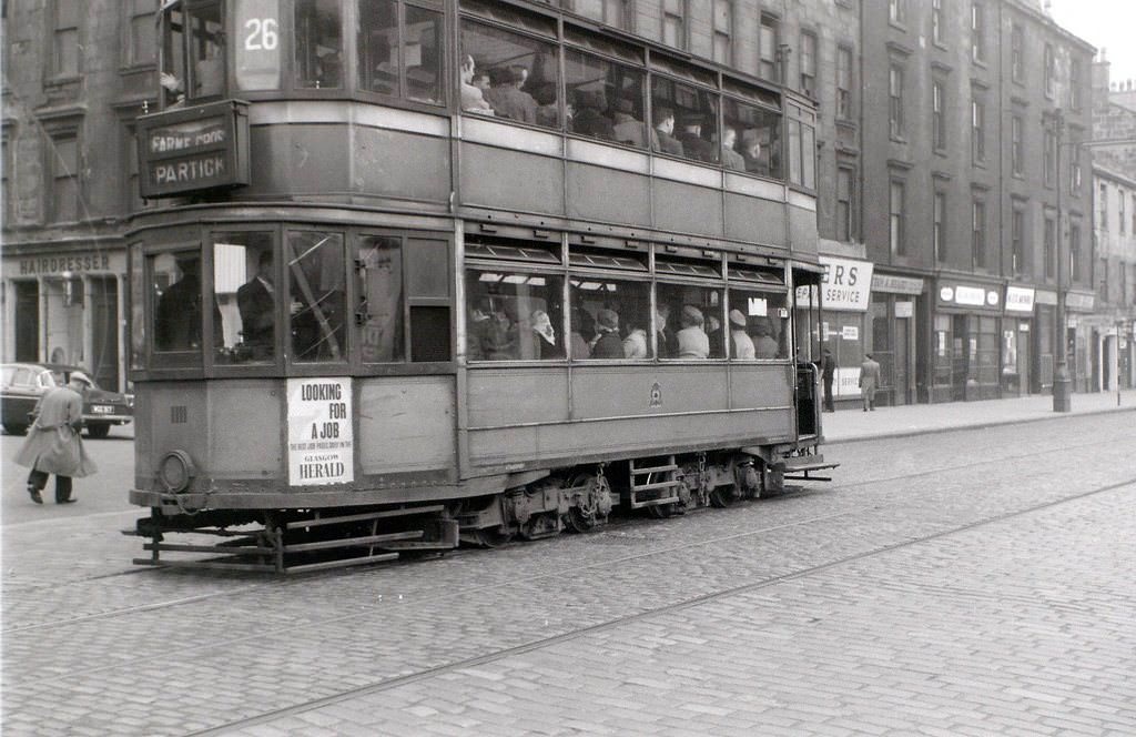
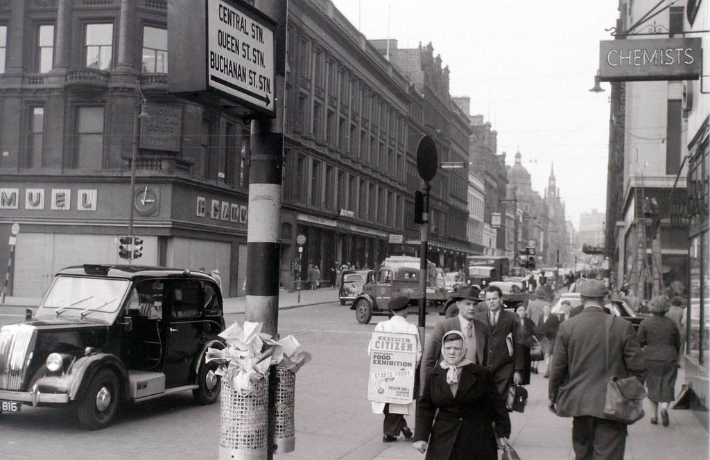
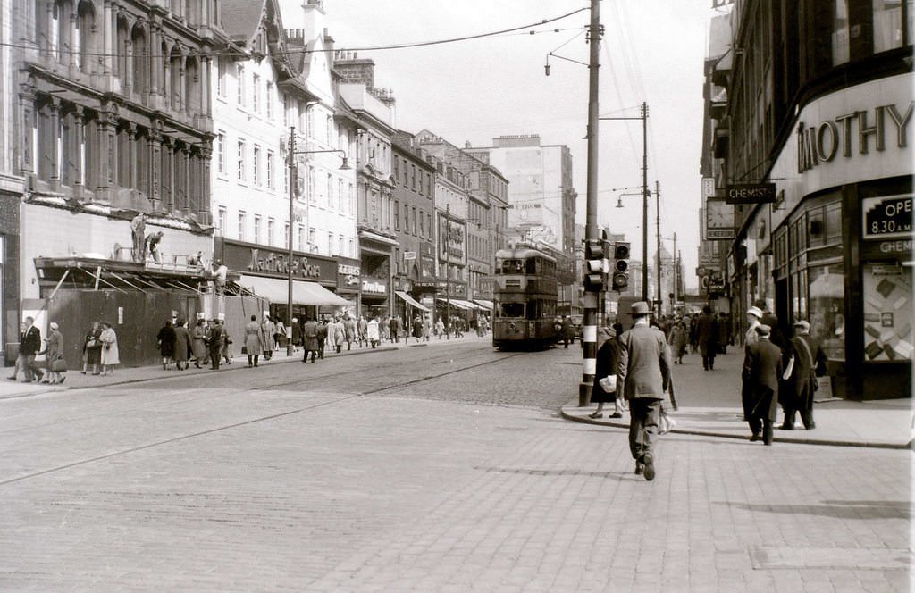
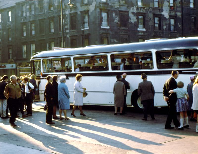
Glasgow’s tram network, one of the most extensive in Europe, came to an end in 1962. On the final day of service, twenty trams made a ceremonial procession through the city. Around 250,000 people turned out to watch. For a city so defined by its trams, the closure marked the end of an era. Buses took over the routes, and the tracks were gradually torn up from the streets.
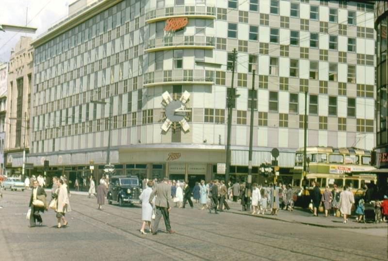
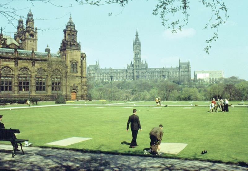
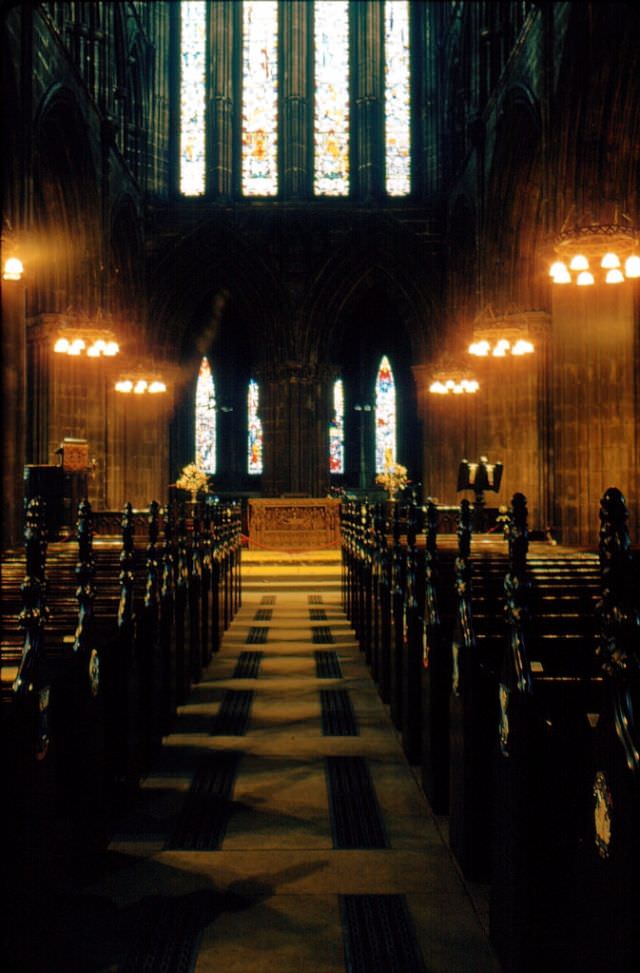
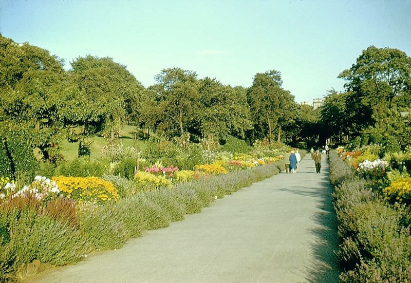
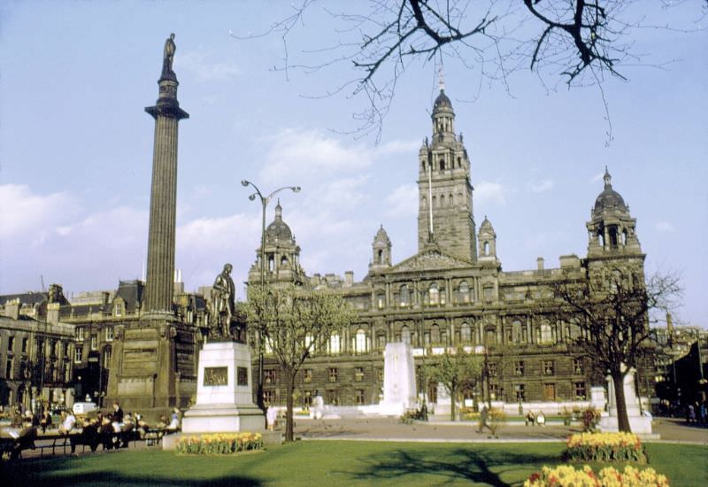
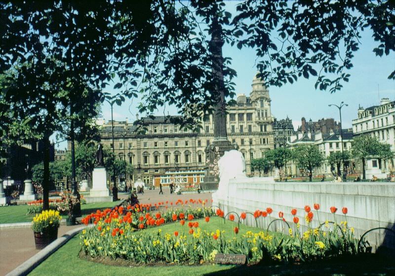
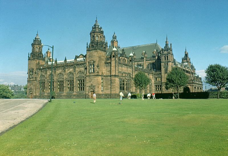
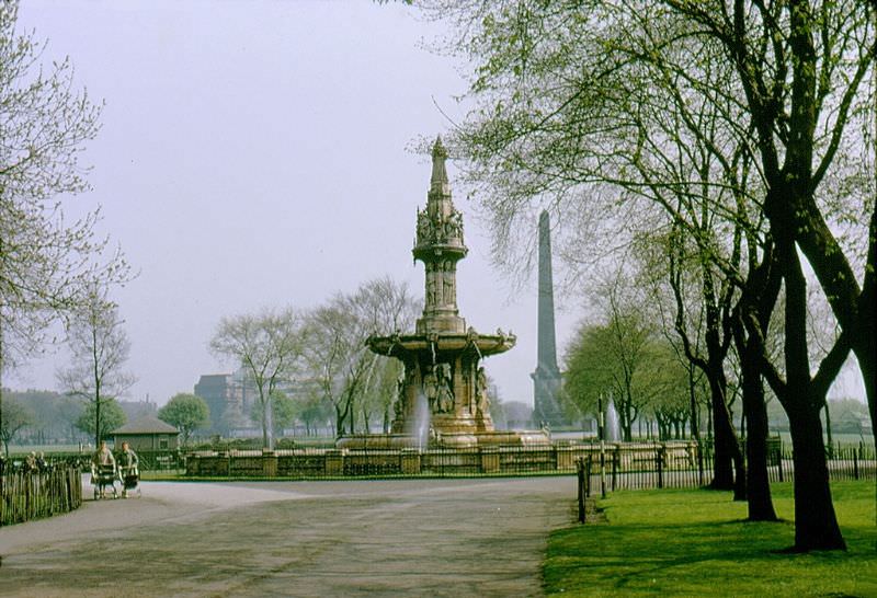
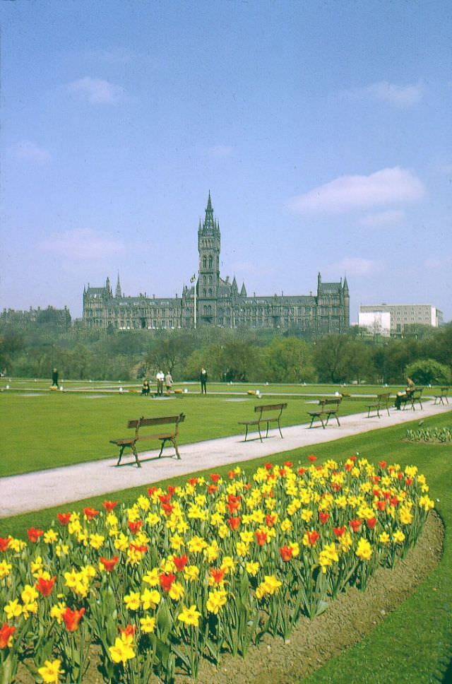
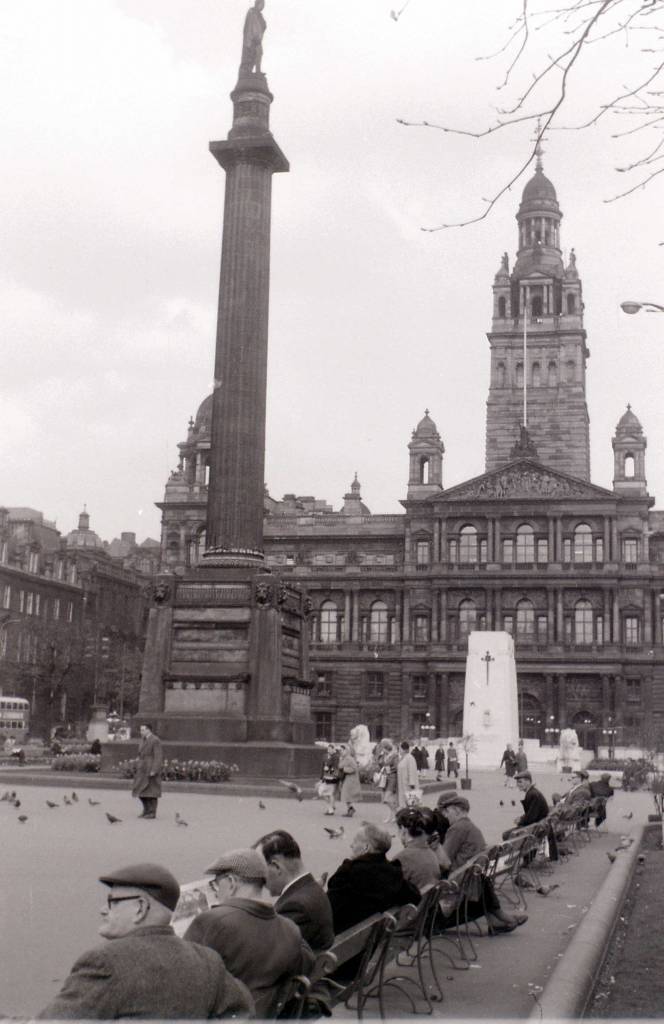
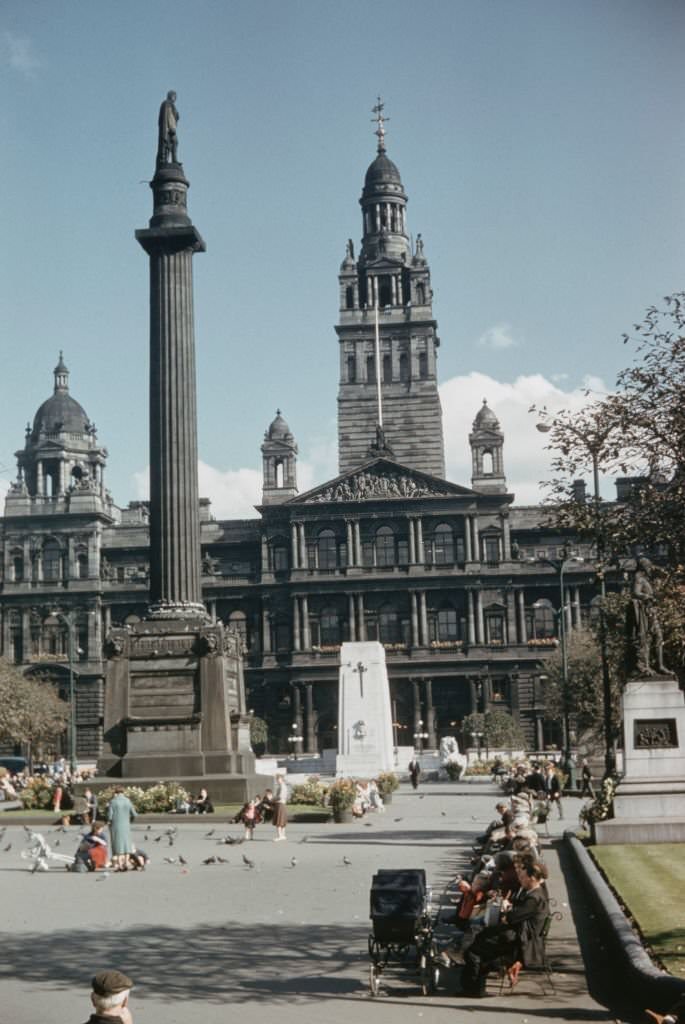
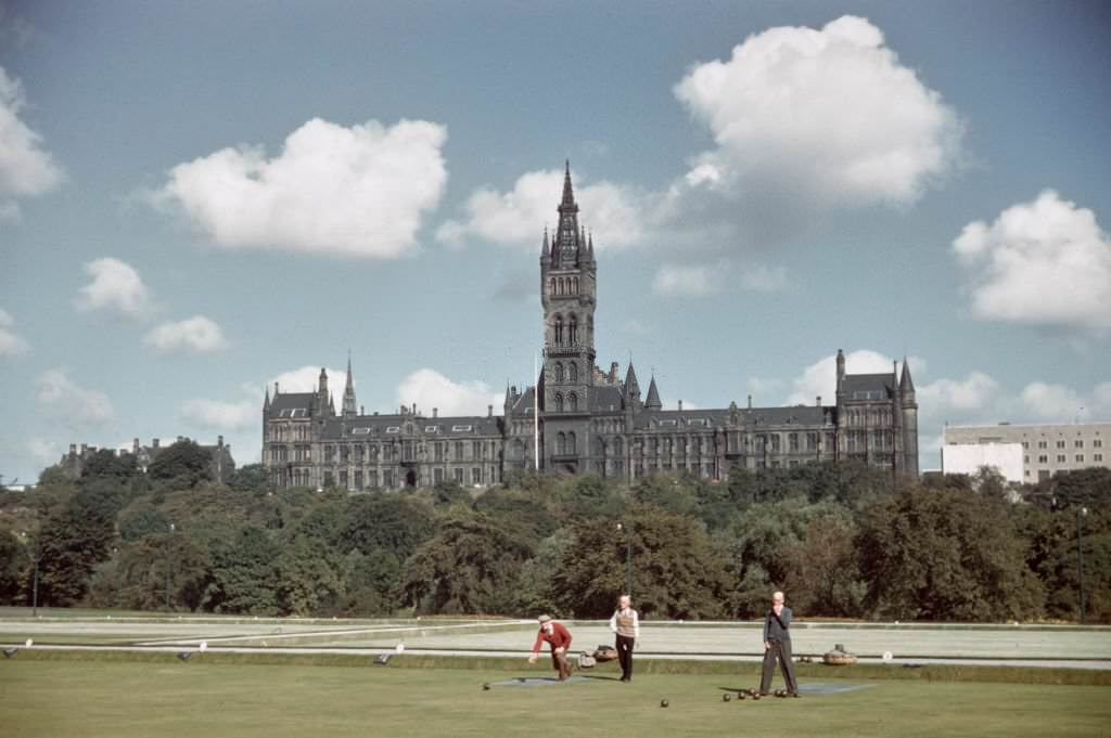
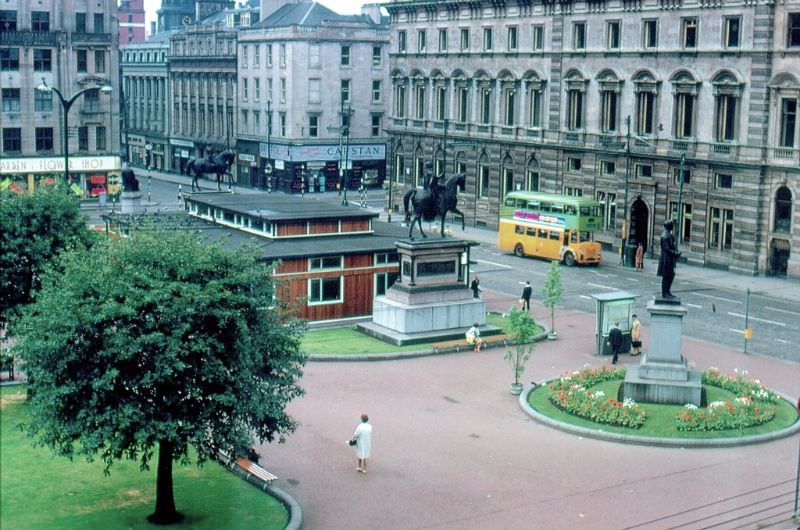
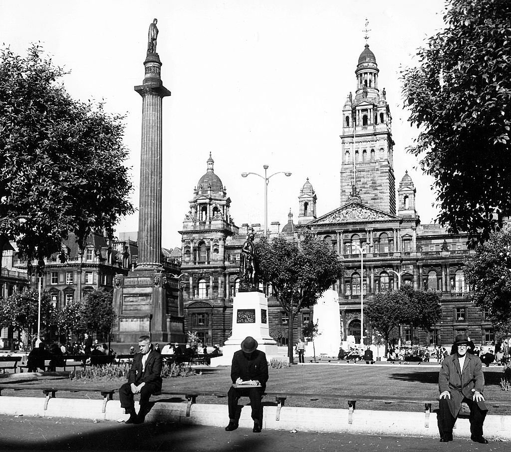
Beyond the shops and streets, Glasgow had striking public spaces and institutions. George Square, surrounded by grand Victorian buildings including the City Chambers, served as the city’s civic heart. Kelvingrove Park offered green space and a bowling green in the shadow of the University of Glasgow’s Gothic towers. The Kelvingrove Art Gallery and Museum drew visitors throughout the decade. Glasgow Cathedral stood as one of Scotland’s finest examples of medieval architecture, its interior largely unchanged over centuries.
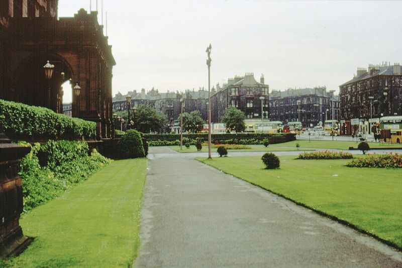
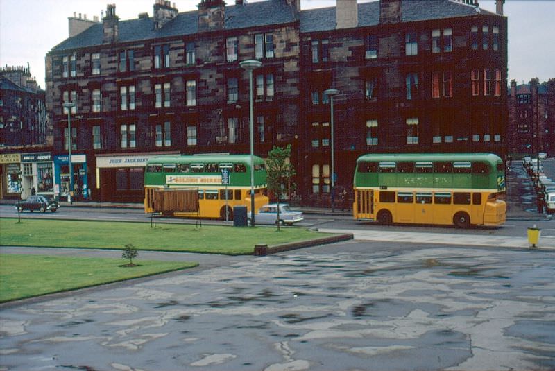
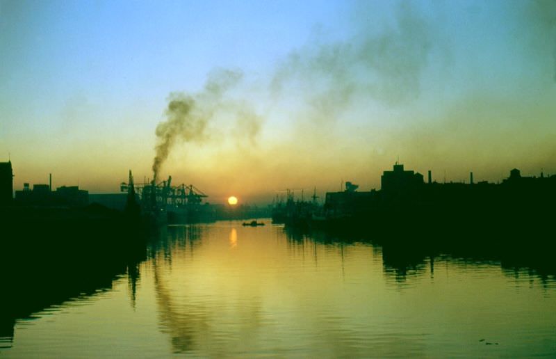
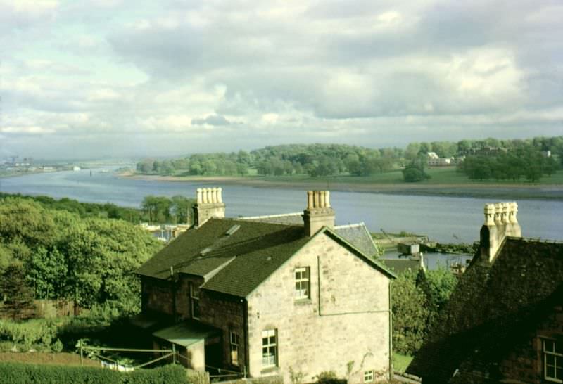
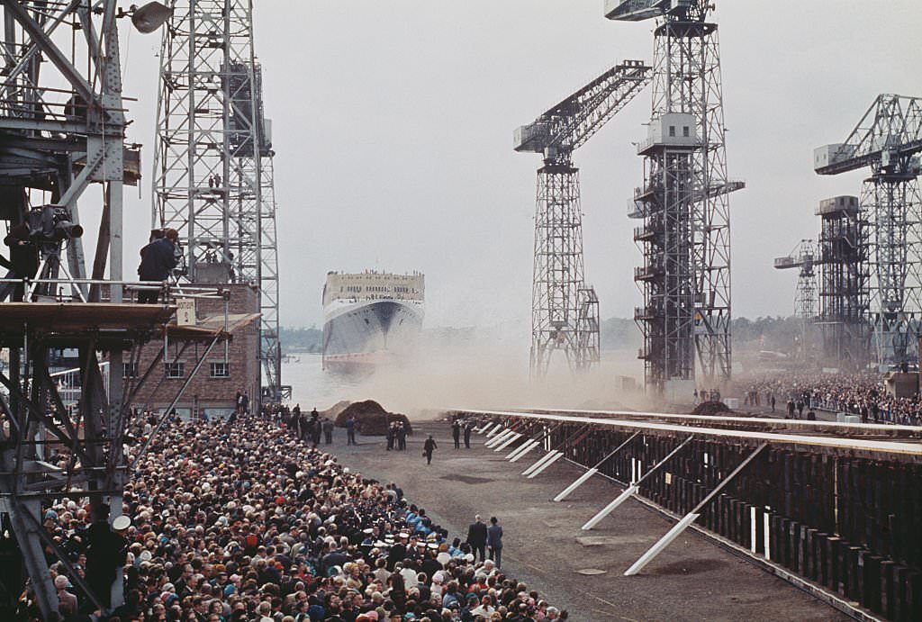
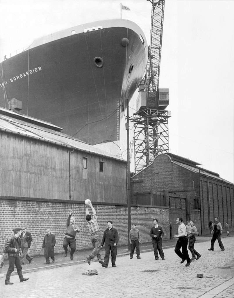
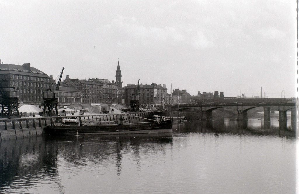
The River Clyde had long been Glasgow’s industrial backbone. Shipbuilding in particular had made the city world-famous, but by the 1960s that industry was in steep decline. Fewer orders came in, yards struggled to compete with foreign shipbuilders, and the workforce shrank. One moment that cut against this decline came on September 20, 1967, when the Queen Elizabeth 2 — Cunard’s flagship ocean liner — was launched from the John Brown shipyard in Clydebank. It was a rare moment of pride for a river that was losing its industrial purpose.
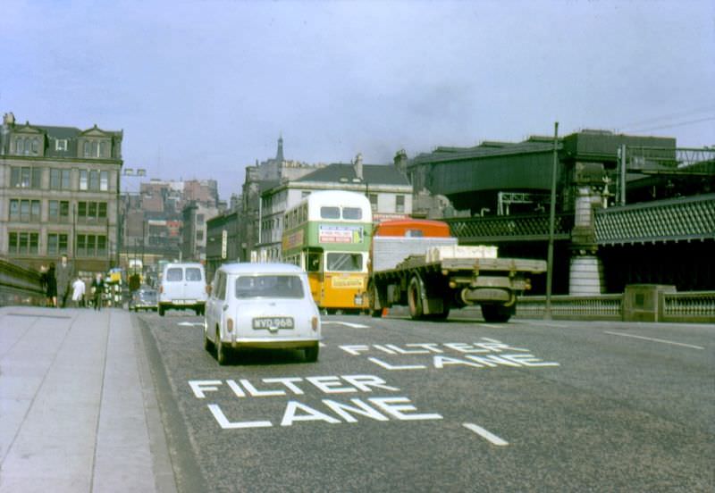
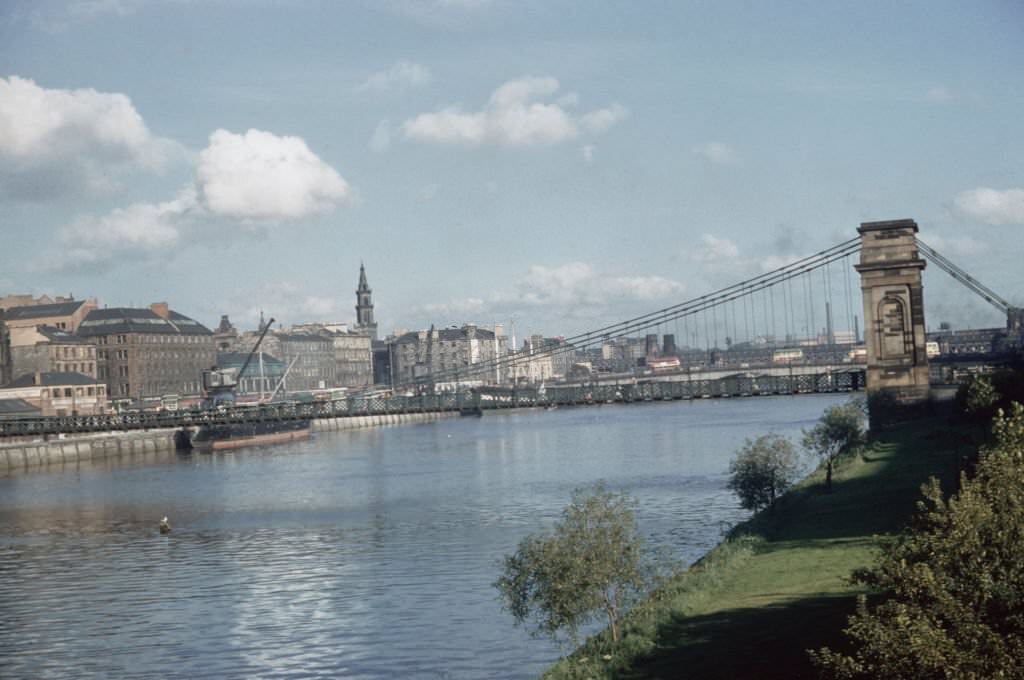
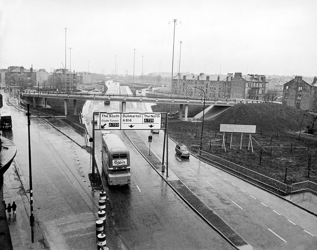
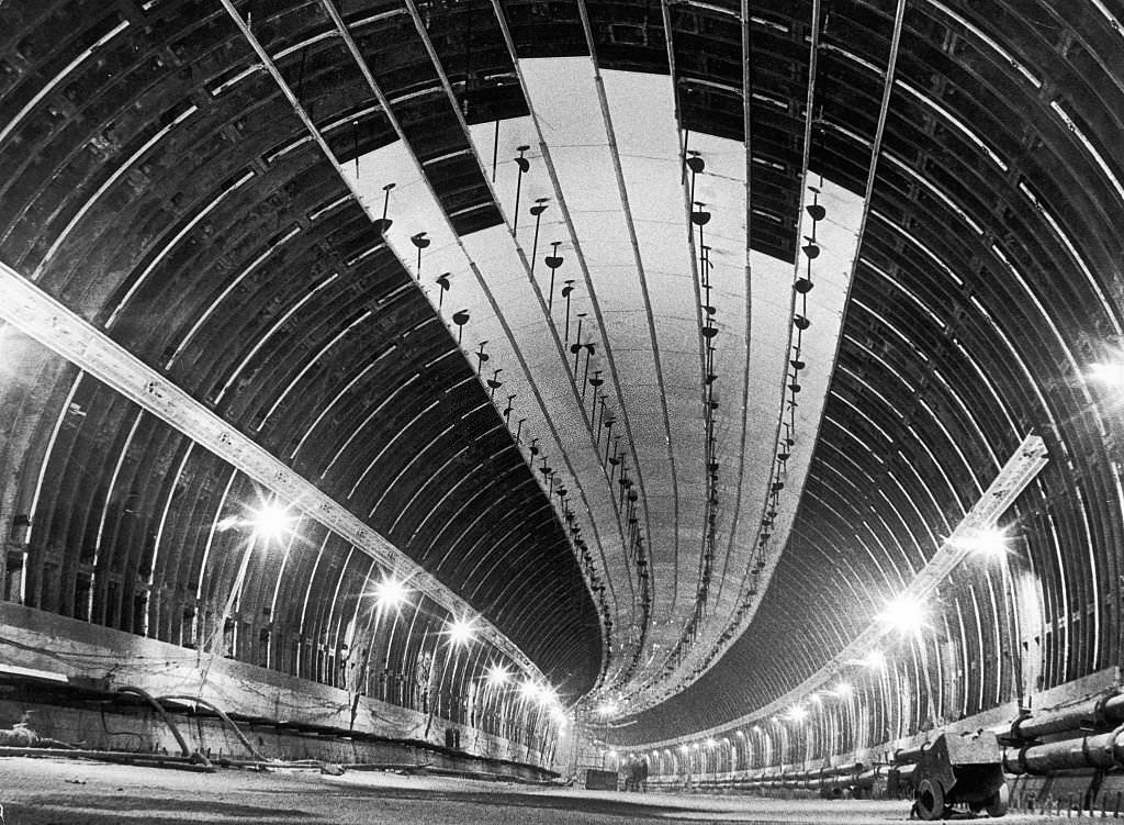
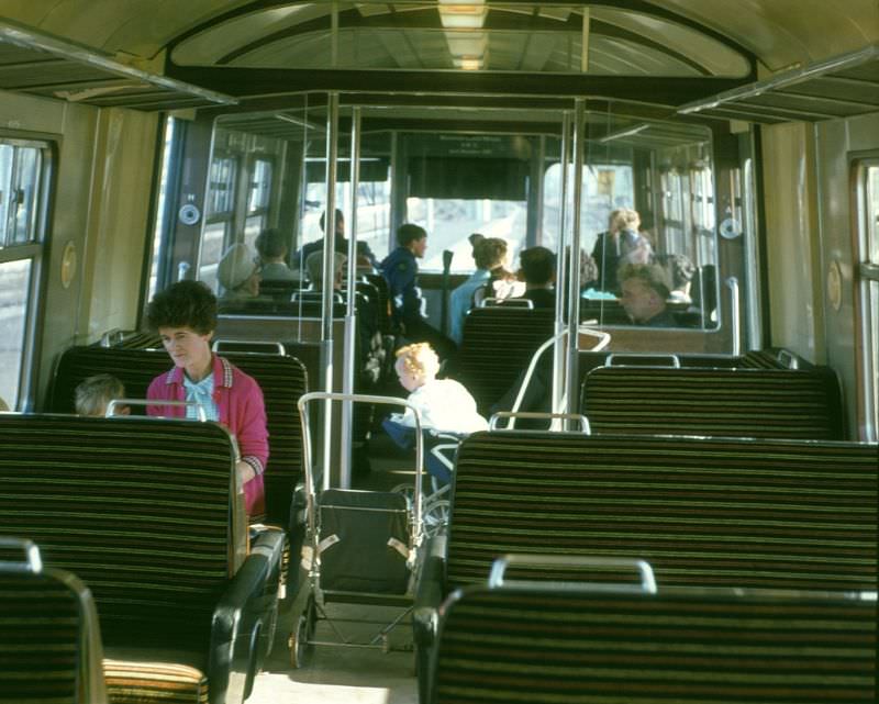
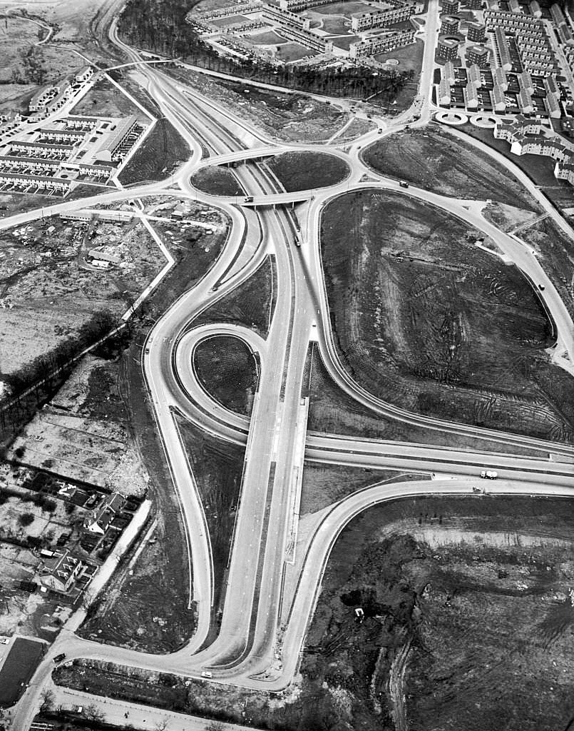
The Clyde Tunnel, connecting Whiteinch on the north bank to Govan on the south, was a major engineering project of the era. The first tunnel neared completion in November 1962, and the new approach roads were photographed in 1963. It was part of a broader effort to modernize the city’s infrastructure as traditional industries faded. Glasgow’s rail connections also remained vital — the Buchanan Street to Inverness express, the ‘Blue Train’ electric commuter service, and the city’s locomotive sheds at Polmadie all formed part of a dense transport network.
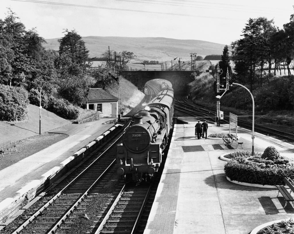
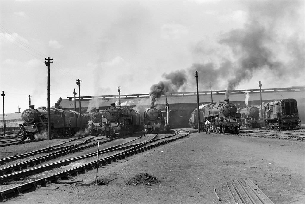
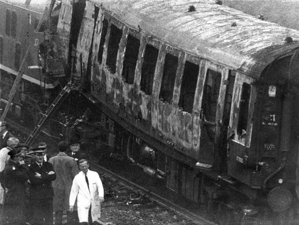
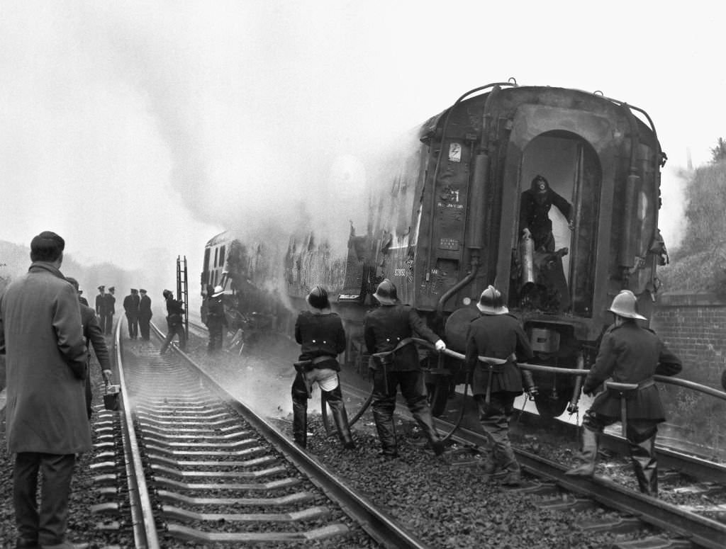
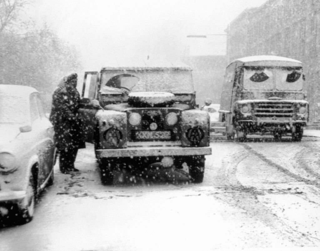
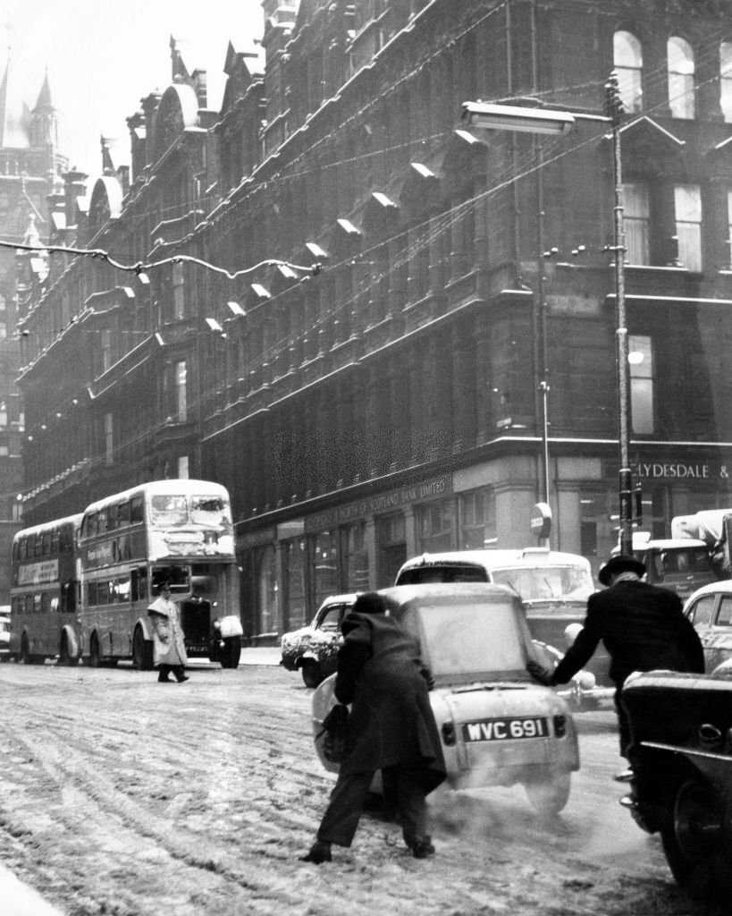
In 1968, the Castlecary train crash added to the decade’s toll of disasters. A light engine passed a signal at danger following a telephone misunderstanding with the signalman and collided with a twelve-carriage passenger train waiting at the next signal. The driver and secondman of the light engine were killed. That same year, a powerful storm struck southern and central Scotland on January 15. A crane collapsed at Springburn on Wellfield Street, forcing the evacuation of nearby residents. The storm left 700 people homeless and killed nine people across the city.
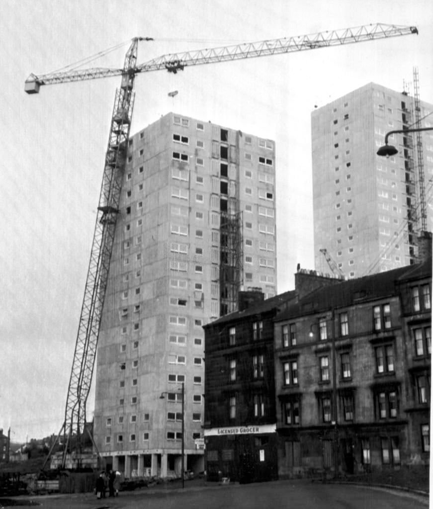
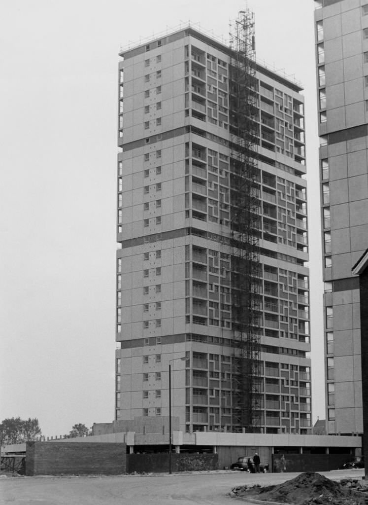
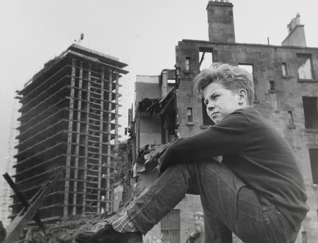
The government’s response to Glasgow’s slum crisis was to build. High-rise tower blocks rose across the city and its surrounding areas throughout the 1960s. In Hutchesontown, part of the Gorbals redevelopment, four 23-storey towers were constructed to provide 558 new homes. New towns like Cumbernauld and East Kilbride were built on the outskirts of Glasgow to house residents relocated from the demolished tenements. The old Gorbals was gradually torn down, and residents who had lived there for decades were scattered to new estates.
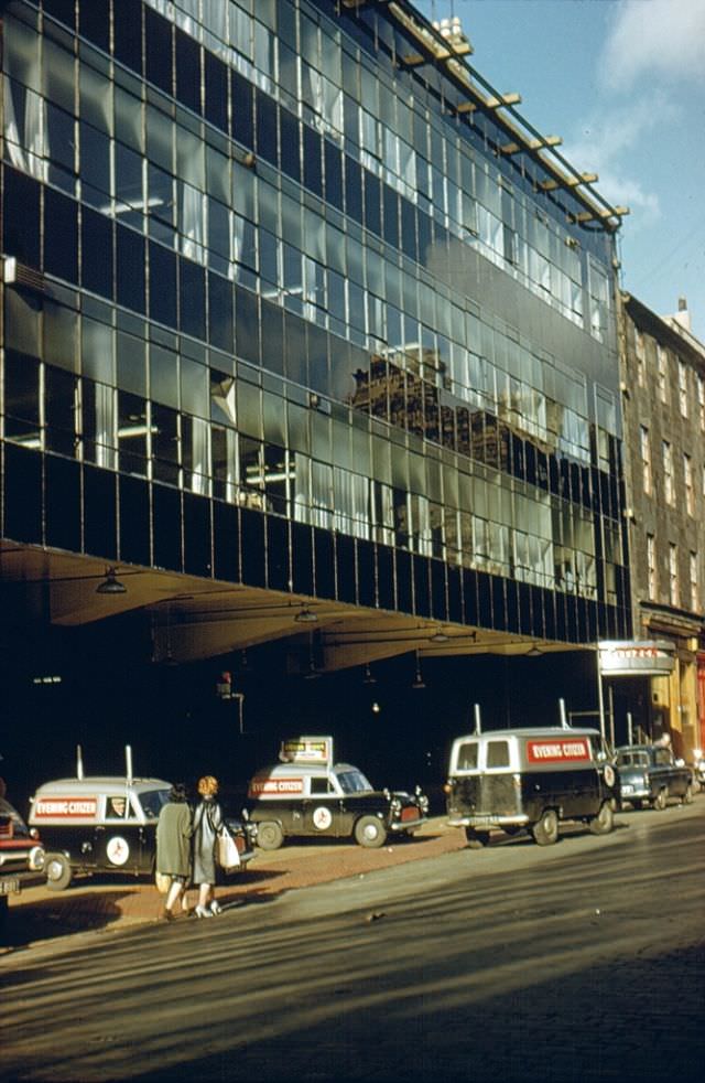
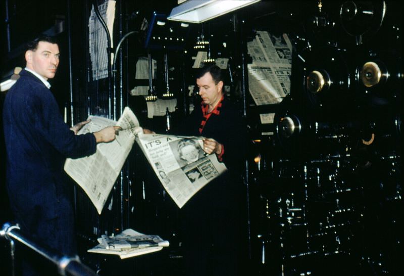
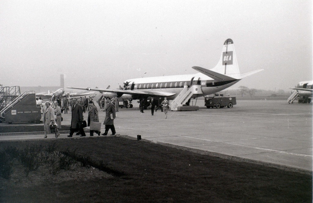
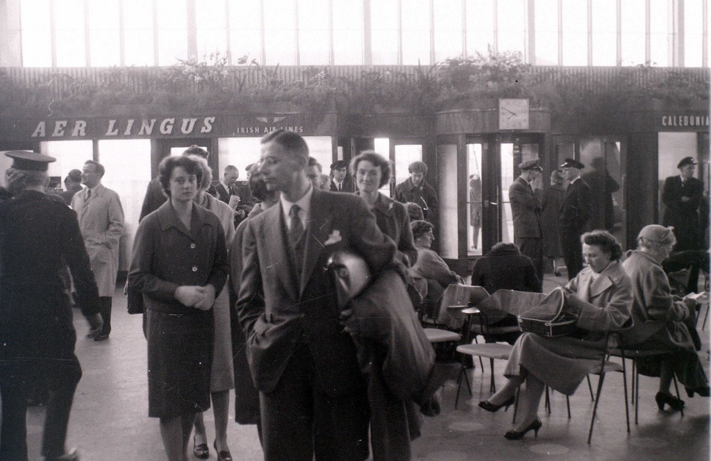
Glasgow’s newspapers documented all of it. The Evening Citizen, based on Albion Street, kept its presses running around the clock. Its editorial offices and printing floor were photographed in 1961, capturing the mechanical scale of mid-century newspaper production. Renfrew Airport, just outside the city, served as Glasgow’s main airport throughout the decade, with aircraft like the BEA Viscount operating regular flights. The airport was photographed in April 1960, showing both the terminal and aircraft on the apron.
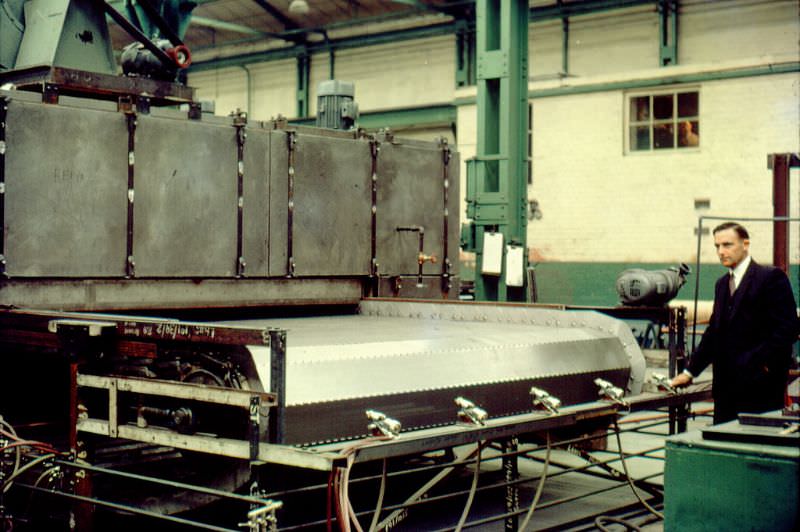
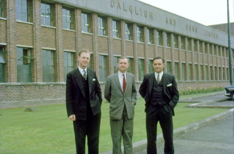
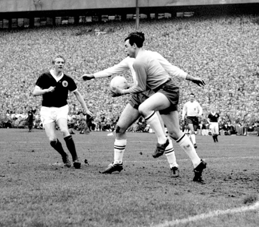
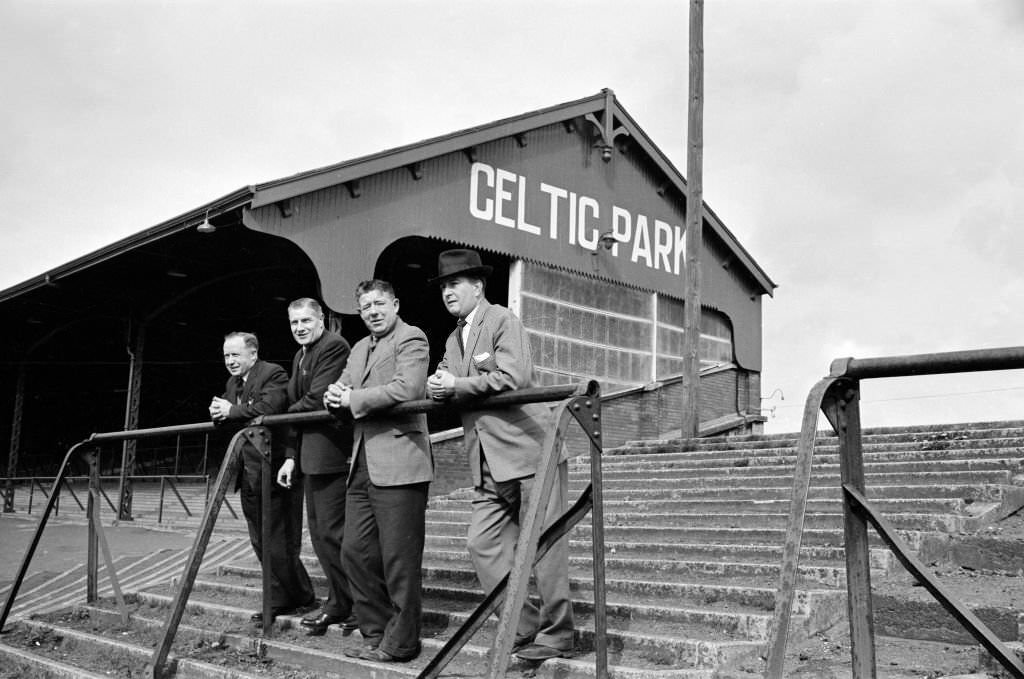
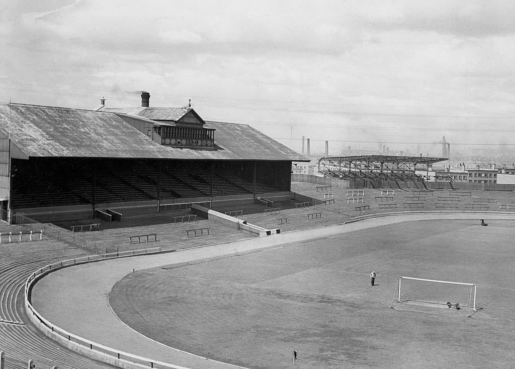
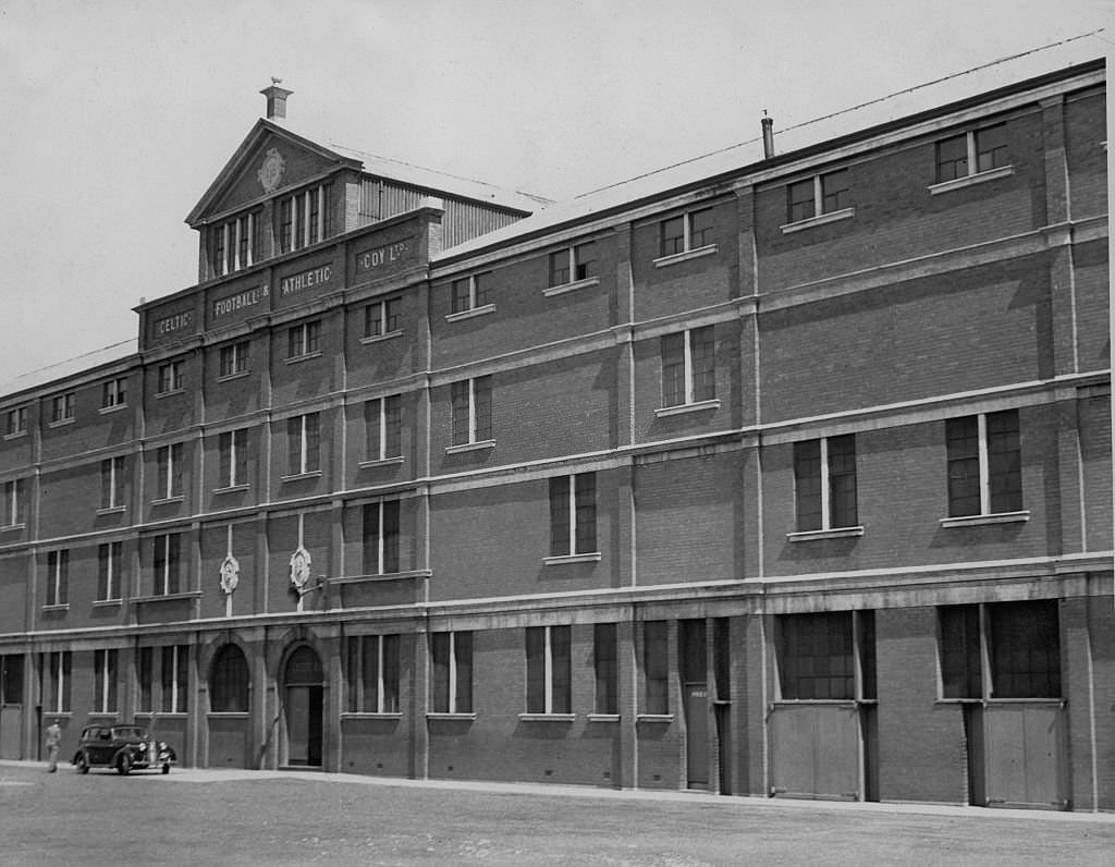
Manufacturing remained a part of Glasgow’s economy even as heavy industry fell away. John Dalglish & Sons Limited, a machinery manufacturer, was photographed in April 1962 — both its interior production floor and its exterior building. The firm represented the kind of mid-scale industrial operation that kept some Glaswegians employed as the shipyards and mines contracted. Nearby, the city’s two major football clubs — Celtic and Rangers — remained central to the social fabric. Celtic Park was photographed inside and out in 1962, and Hampden Park hosted the Scotland vs. England international match where Gordon Banks made a famous save from Denis Law.
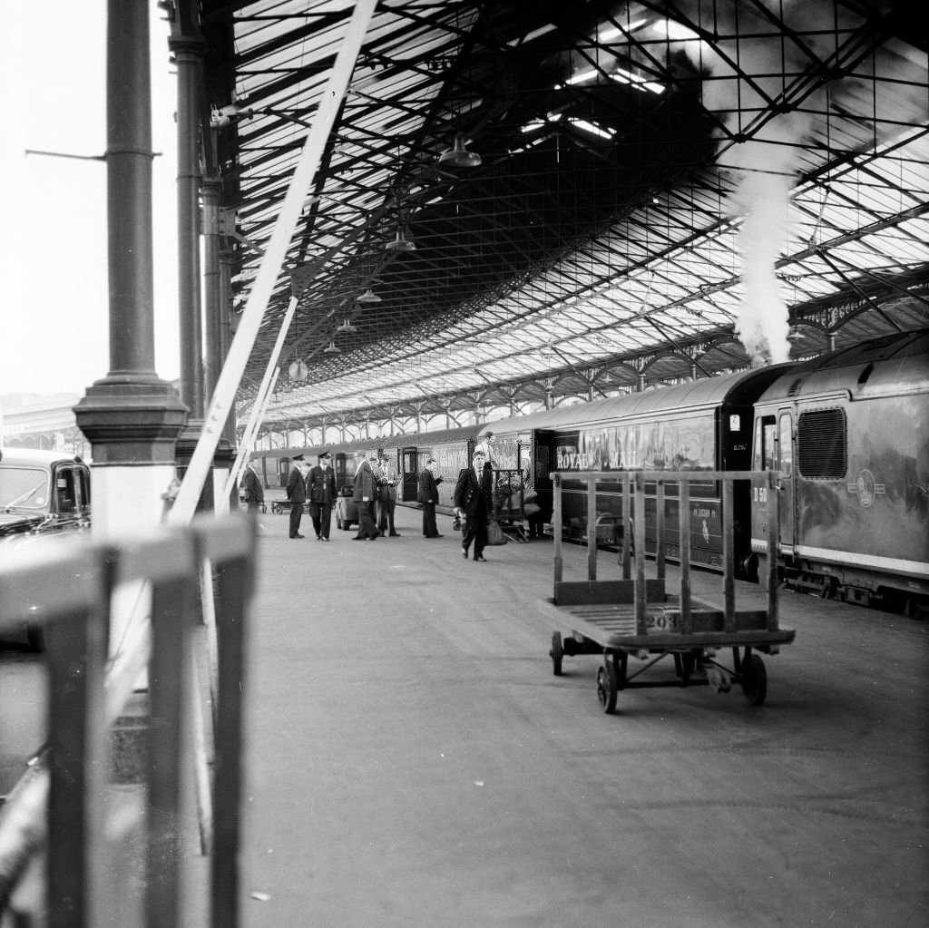
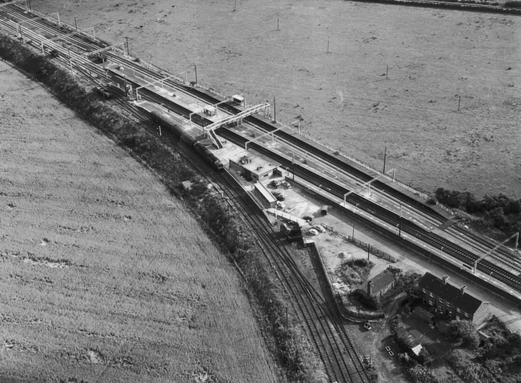
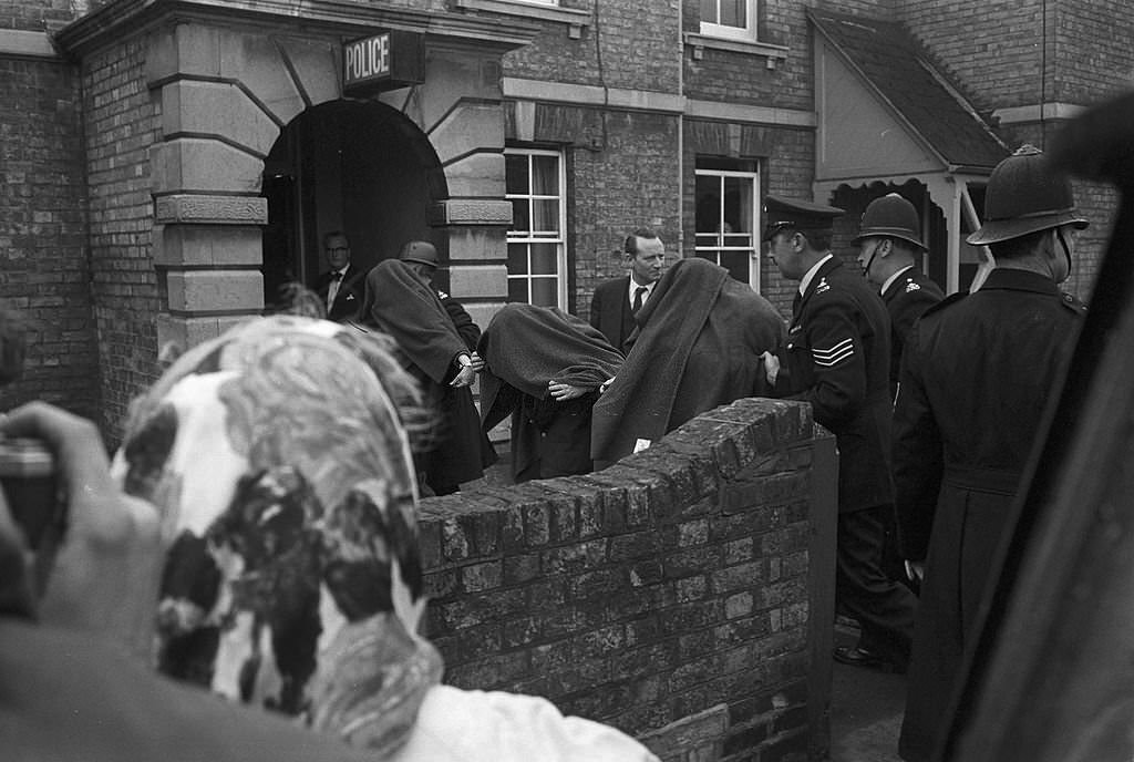
Not all of the decade’s notable connections to Glasgow were local. On August 8, 1963, a Royal Mail train heading from Glasgow to London was robbed of £2.6 million at Bridego Railway Bridge in Buckinghamshire. The gang tampered with lineside signals to bring the train to a halt before attacking it. The Great Train Robbery became one of Britain’s most notorious crimes, and the Glasgow connection — as the train’s point of origin — placed the city at the edge of the national story. Separately, Ian Brady, who along with Myra Hindley carried out the Moors Murders, was photographed in Glasgow in 1965 before his arrest later that year.
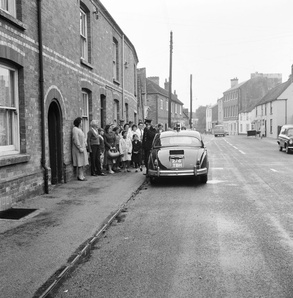
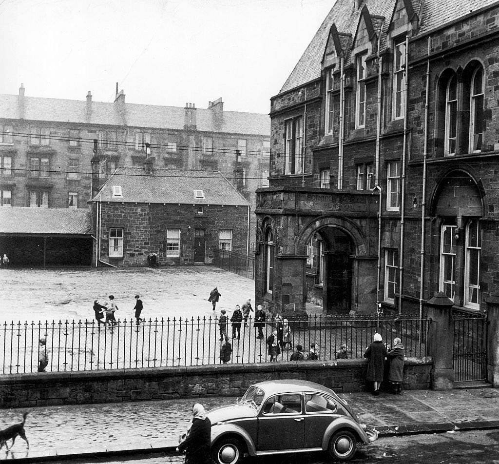
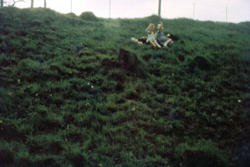
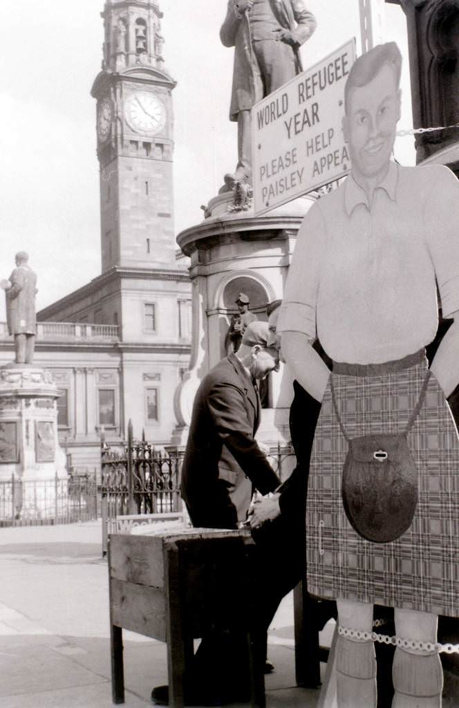
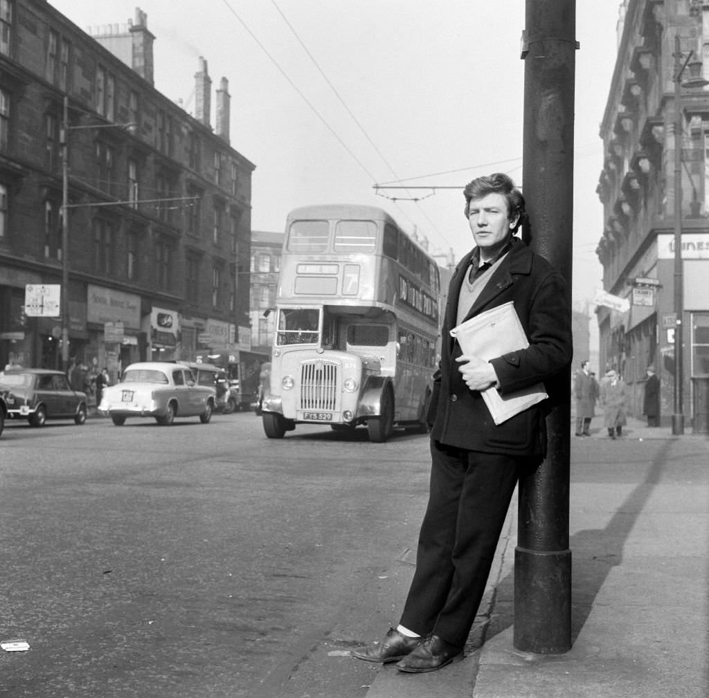
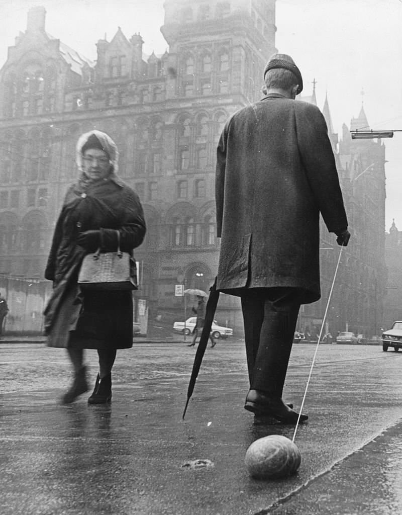
Glasgow’s streets also held quieter moments. A flower seller on Buchanan Street. Girls on a hillside in April 1962. A man in 1967 pulling a haggis on a string along a pavement to mark the anniversary of Robert Burns — drawing puzzled looks from passers-by. Actor Albert Finney was photographed in Glasgow in March 1963. Paisley Cross, just outside the city, appeared in the same April 1960 photo series that captured so much of what Glasgow looked like at the start of the decade.
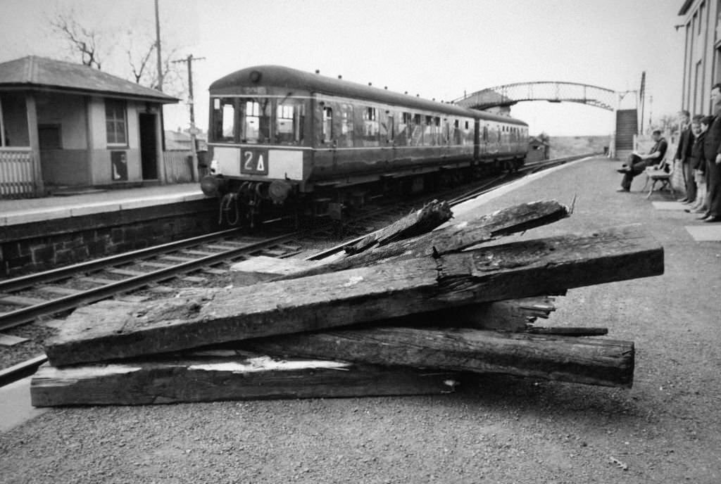
Glasgow’s tenement at Stevenson Street in Calton became nationally known in 1966 when John Duddy — a 37-year-old man connected to the Shepherd’s Bush murders in London — was arrested there. A train at Kennishead station in April 1965 passed over scraps of timber that had been placed on the tracks as an act of deliberate sabotage. These incidents, scattered across the decade’s record, reflect the full range of what Glasgow’s 1960s actually looked like — a city of genuine hardship and real moments of violence, but also of everyday commerce, civic pride, and ordinary life continuing alongside everything else.






I recognise some of these photographs and know that th uncredited photographer is Allan Hailstone. If you know the source/origin of the pictures it would be right to credit these.
I can’t believe how much cleaner the buildings are now. Those colored photos make them all look black.
Through the 1970s and 90s, Glasgow buildings were sandblasted to get rid of grime as part of a regeneration programme – when I tried to find when it started, I found an interesting thread on Hidden Glasgow. The odd black building you see today may have been missed or the building owner did not want to pay for it.
Thank you, that’s interesting! I think it’s Albert avenue number 78 that you can see on Google Street View. It’s probably an example of it being missed/rejected.
There are a couple of questions I have about the poster in the window and the guy casually standing with a framed landscape on Google maps.
I have seen muckier buildings, but that is a cracker. The straight lines between the tenements either side are particularly pettiness – no free sandblasting for Mr Stingy’s close, no danger!
Glasgow East Area Renewal (GEAR), which ran from 1976-1987, was one of the big projects to accomplish this.
I agree with you about the big clean-up. Many building owners, as well as the corporation (and later Strathclyde Council) gussied up nearly every building, whereas some building owners chose to keep the old polluted look (that’s what it was, pollution and soot. Decades of it).
The only part of Glasgow that’s cleaner now.
Great post I really enjoyed looking through the old photos
More trees
Basically no litter.
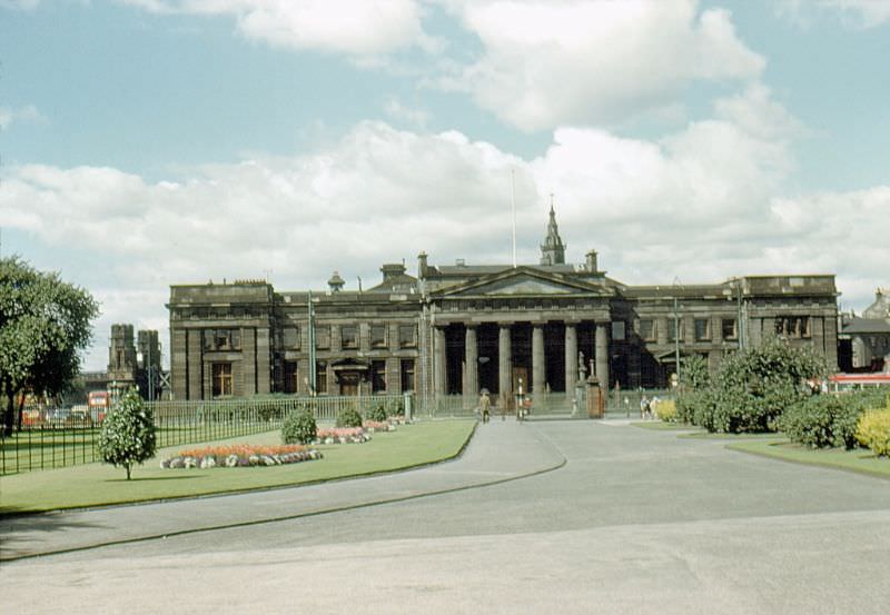
This picture of the high court was taken from behind the McLennan Arch, which I found interesting. When I looked up to see when the arch was built, I discovered it was moved there only in 1991.
This picture of the high court was taken from behind the McLennan Arch, which I found interesting. When I looked up to see when the arch was built, I discovered it was moved there only in 1991.
Back then, George Square looked so much nicer. It’s amazing how some trees and plants make it more peaceful.
Anyone know the story behind the 2 “Ian Brady” pictures? 86 and 87. Did he take them? Is he in them? Doesn’t look like there’s any blokes in the second one…
I enjoy seeing how the city used to look. There are fewer potholes on the roads, and everyone is dressed smartly. The layout of most buildings and roads has remained relatively unchanged. It is evident how much time has passed by the difference in appearance between then and now. Sadly, most of the men and women in the photos have passed away.
Thank you for sharing these are some amazing photos
My apprenticeship at John Brown Engineering began in the early 1990s. My claim is that I learned from men who worked on the QE2. Foreigners are more impressed by this weak fact than Scots are.
It’s so clean and nice.
Back then, the city looked so much cleaner. Litter-free. There aren’t many cars either, and there aren’t many signs. It makes sense to ban vehicles from the city center. How comfortable were the seats on those blue trains? My old boy was finally replacing his old sash windows a couple of years ago, and as they removed one window, they discovered it was stuffed with old newspapers, all dated the week after the 1968 storm. It must have been a bad one.
It looks like either the council cleaned the streets or Weegies weren’t the clatty shits they are now, in spite of all the problems that plagued Glasgow back then. I think it’s a bit of both.
People littered less because there was less crap to pick up. People reused and recycled not because it was green, but because everything had value. The shop sold glass bottles for money instead of plastic bottles. Litter was more likely to be paper and cardboard that decomposed.
I used to walk under it when I was a kid to go to Barra’s. It was strange to see it moved when I was a kid.
What was the building in the middle of George square? Anybody know ?
Tourist information centre
Everywhere looks so clean and tidy. No litter anywhere!
Illustrates how the 60s “modernisation” utterly destroyed a tremendous city. What was a well kept and well connected urban area with a comprehensive transport system was split down the middle with the M8 and architecturally vandalised. The slum clearances were used as cover for all sorts of unnecessary destruction.
Streets bird’s droppings and litter free